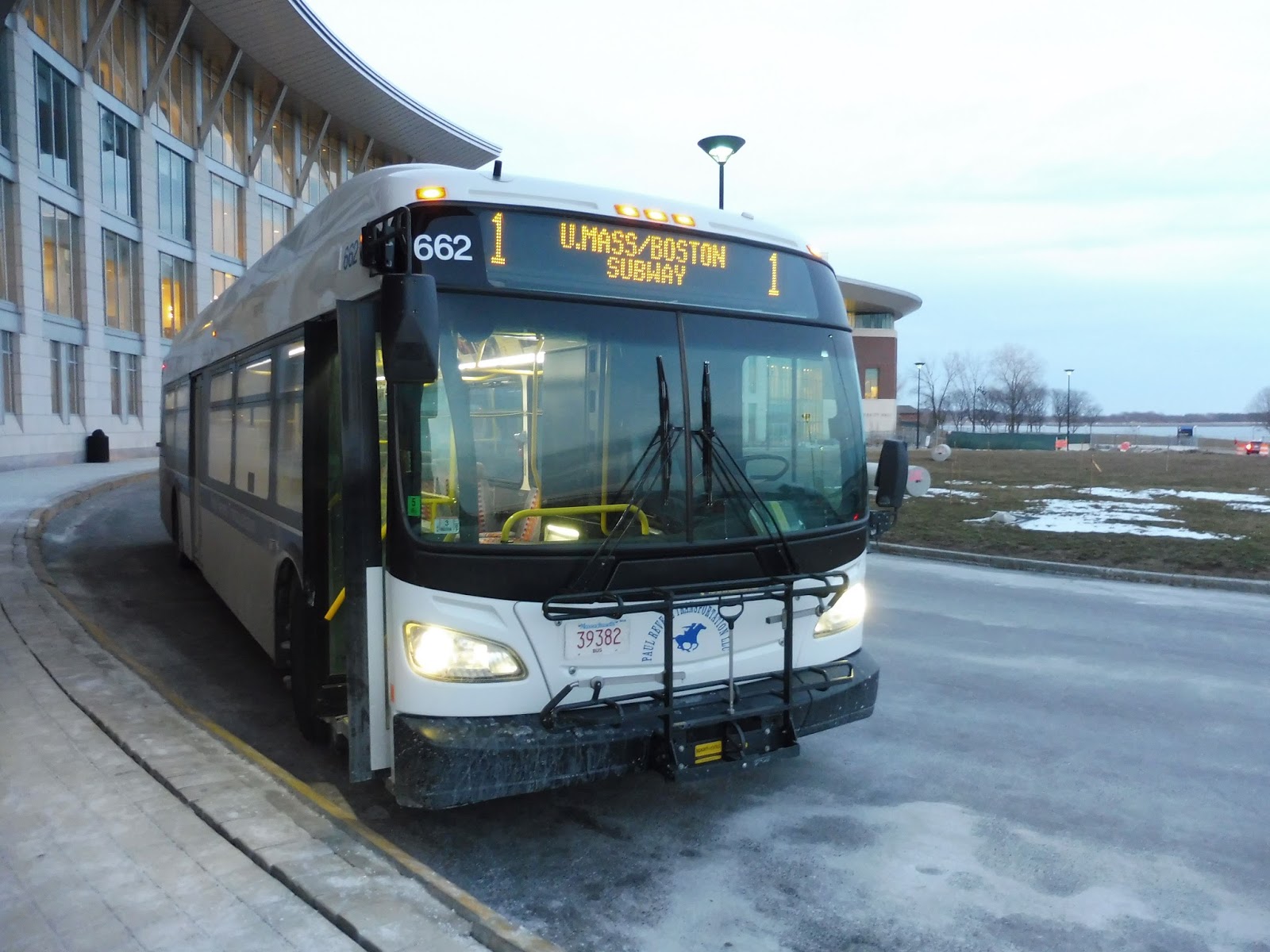
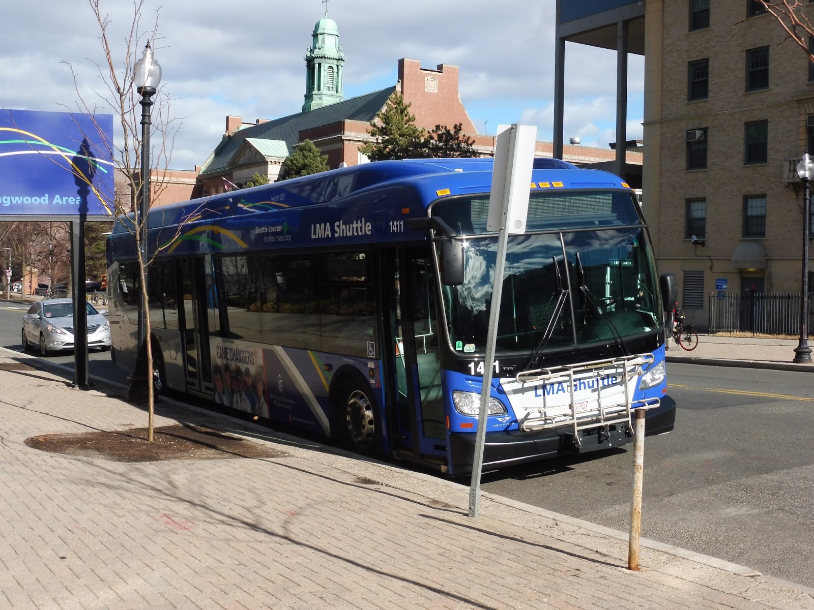
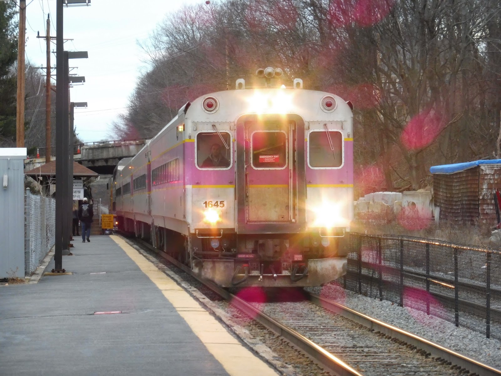
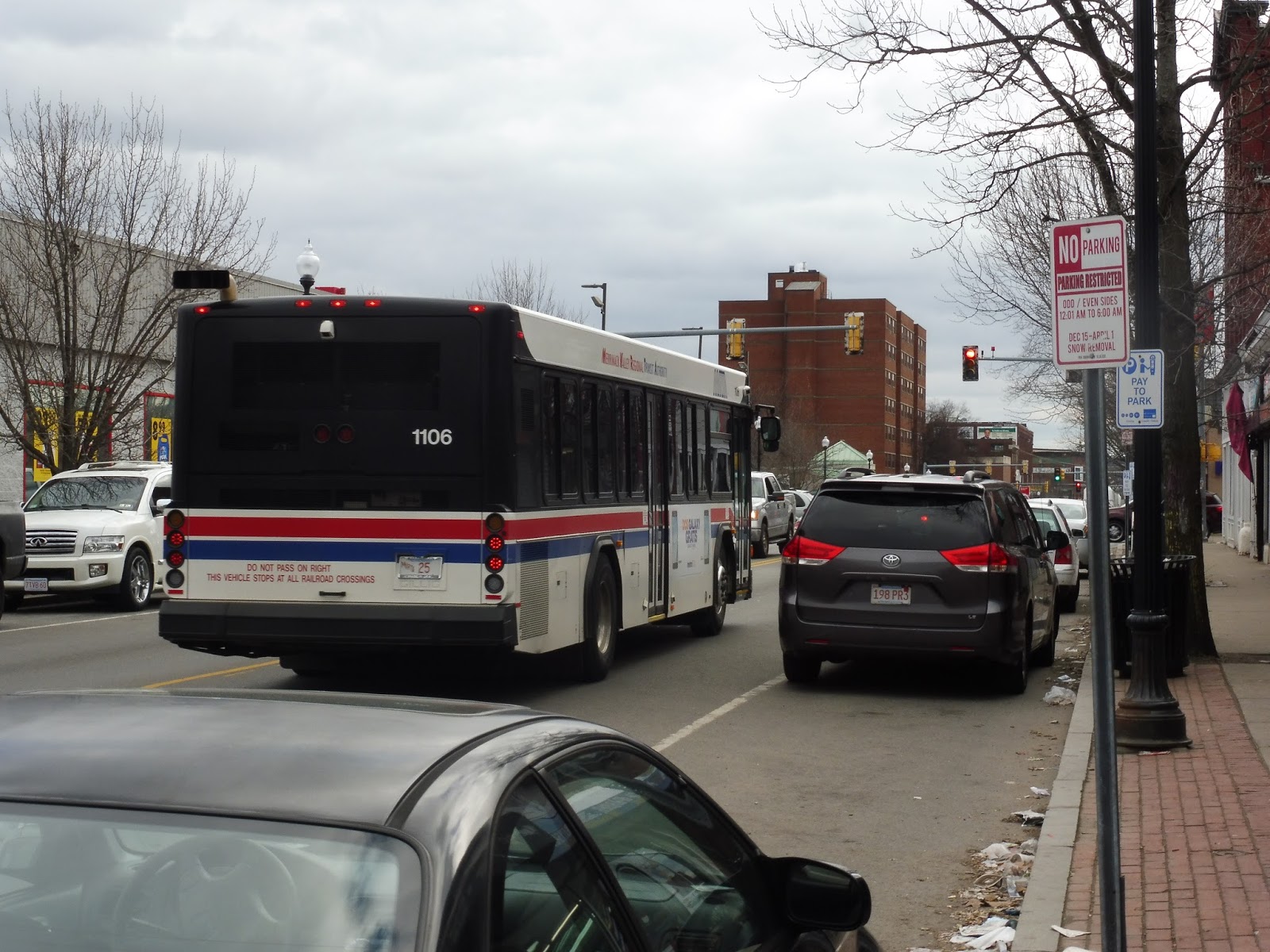
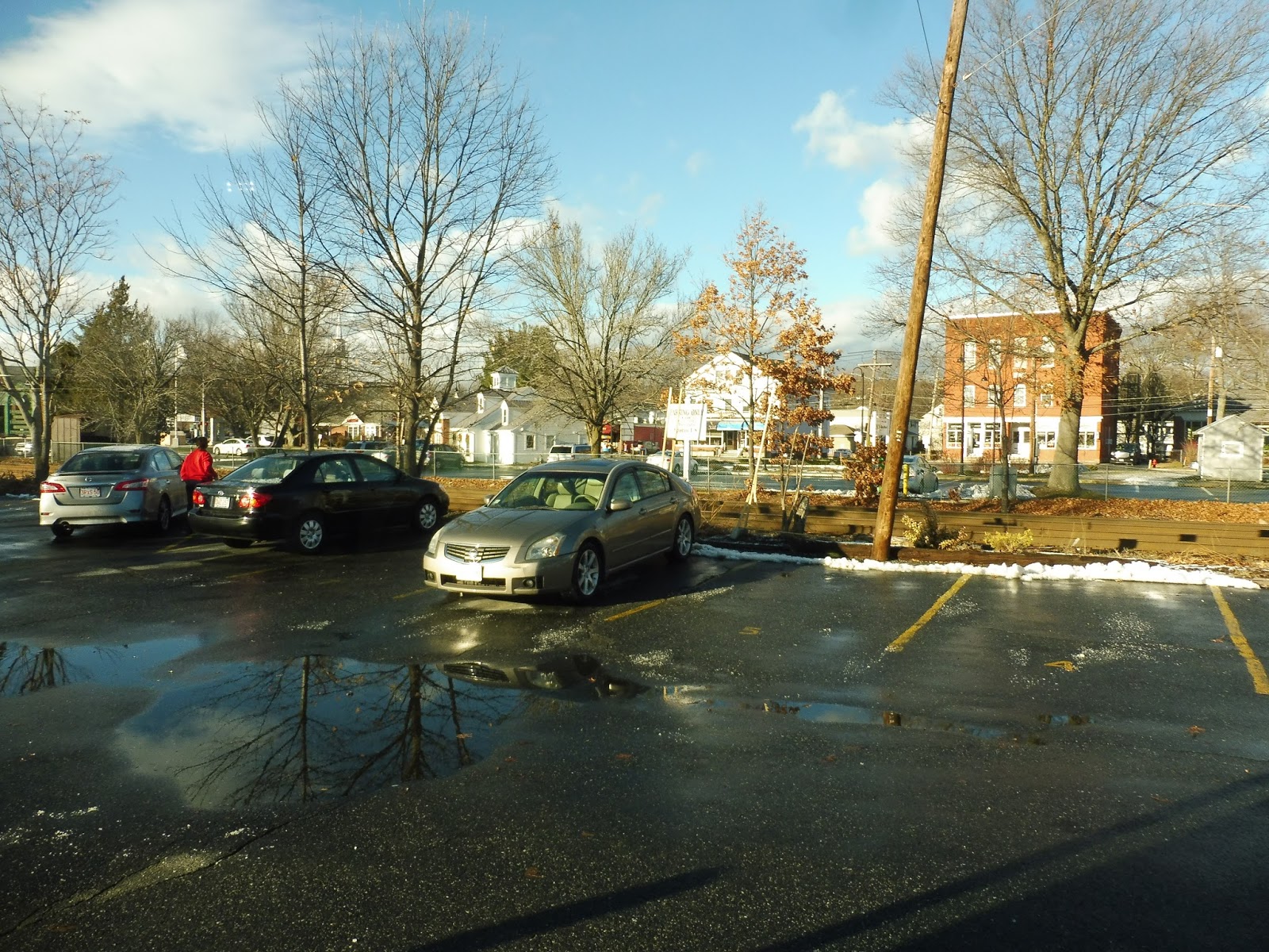
UMass Boston Shuttle: 1 (JFK/Umass – Campus Center)
Longtime readers will definitely have seen this one before – maybe even more than once. But hey, it hasn’t gotten a proper review yet, so it’s time to take our final look at the route and give it a definitive score! Time to take one final ride on the 1.
 |
| The beautiful Xcelsior at the Campus Center. |
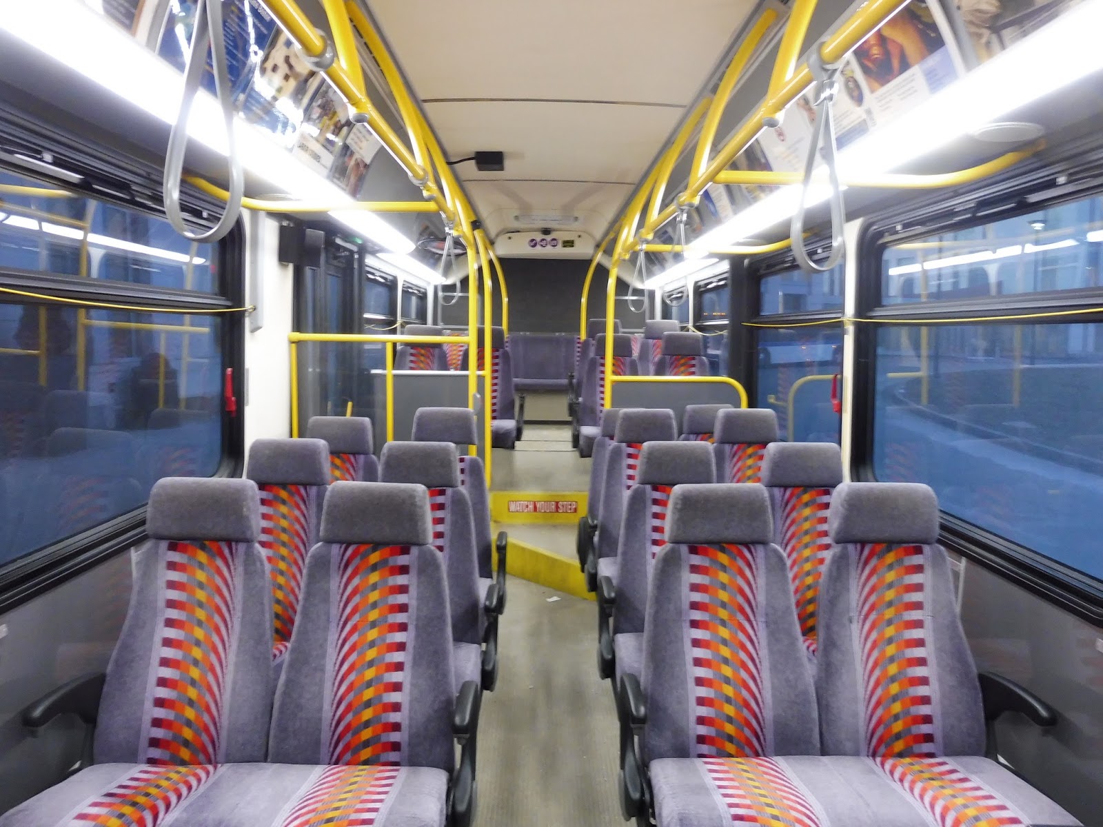
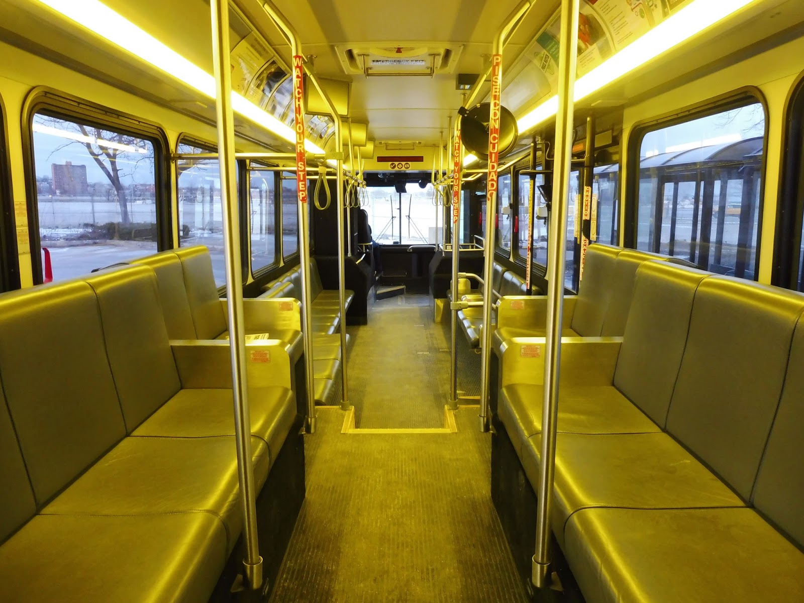
The bus used on the 1 was scores better than the one Nathan and I had gotten on the 3. It was an Xcelsior, and the inside was just beautiful! It had yellow poles, cords running along the bus to signal a stop request, and some amazing plushy seats that could recline. It’s interesting that they have such nice seats for a five-minute ride, but I can’t complain!
 |
| Wow! |
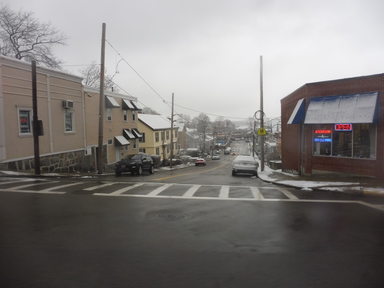
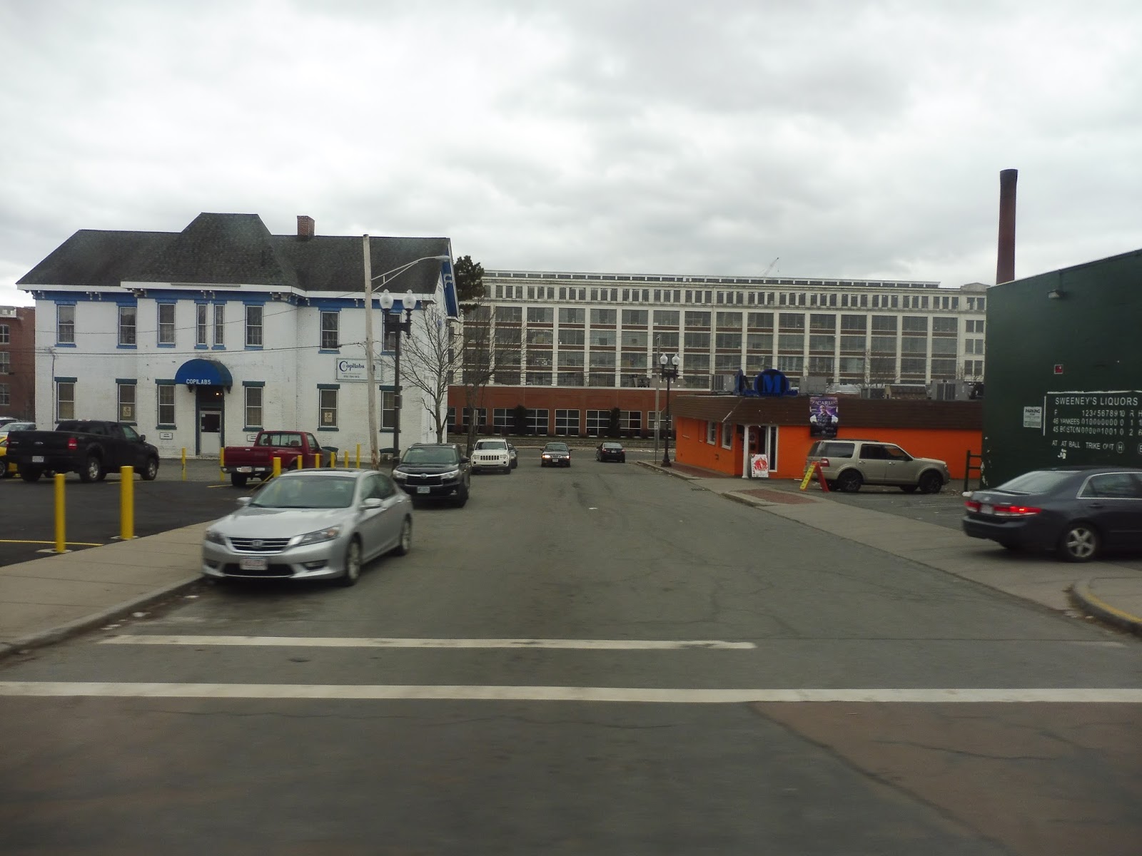
We left the Campus Center loop and ran up Columbia Point along the water. Instead of staying on that street, which “deviates” to serve the JFK Library, we briefly turned onto an unnamed road alongside a parking lot for a more direct route. We returned to Columbia Point, which then swung right and became University Drive North.
 |
| It was really hard to get decent pictures in this lighting… |
There was lots o’ construction going on along University Drive North, but we soon made our way onto Mount Vernon Street. This took us past some apartments, a school, and a church. We passed the UMass Bayside Lot, where the 3 terminates, then a hotel and a bank. Finally, we navigated an absolute mess of an intersection, which led us into the JFK/UMass busway.
 |
| An earlier 1, using one of those terrible buses! |
UMass Boston Shuttle Route: 1 (JFK/Umass – Campus Center)
Ridership: I believe this is the UMass route with the highest ridership, getting packed with students coming from or going to the Red Line. Our trip was no exception, with a healthy smattering of people heading to the station.
Pros: This is an awesome, quick connection between the UMass campus and the Red Line at JFK. It runs incredibly frequently, with service every 5-7 minutes throughout most of the day, and every 10-12 minutes at night (on Fridays, the “night” schedule starts earlier in the evening). It does only run on weekdays, but the connection is still there on weekends by means of the more deviatory 2.
Cons: It’s really weird that the shuttle tracker shows that this bus could take two possible routes going to UMass. I mean, it’s not that important, since the route only has two stops, but is there any reason why a bus would take one routing over the other?
Nearby and Noteworthy: This is the best way of getting to UMass on a weekday, so if you happen to be going there…this is the route for you, I guess.
Final Verdict: 9/10
Considering that UMass Boston has no actual dorms, this bus allows throngs of students to commute to school via the subway. It’s frequent, it’s fast, and it gets people where they need to go. Sure, the streets it takes may differ according to the tracker, but the destination is always the same, so it really doesn’t matter all that much.
Latest MBTA News: Service Updates
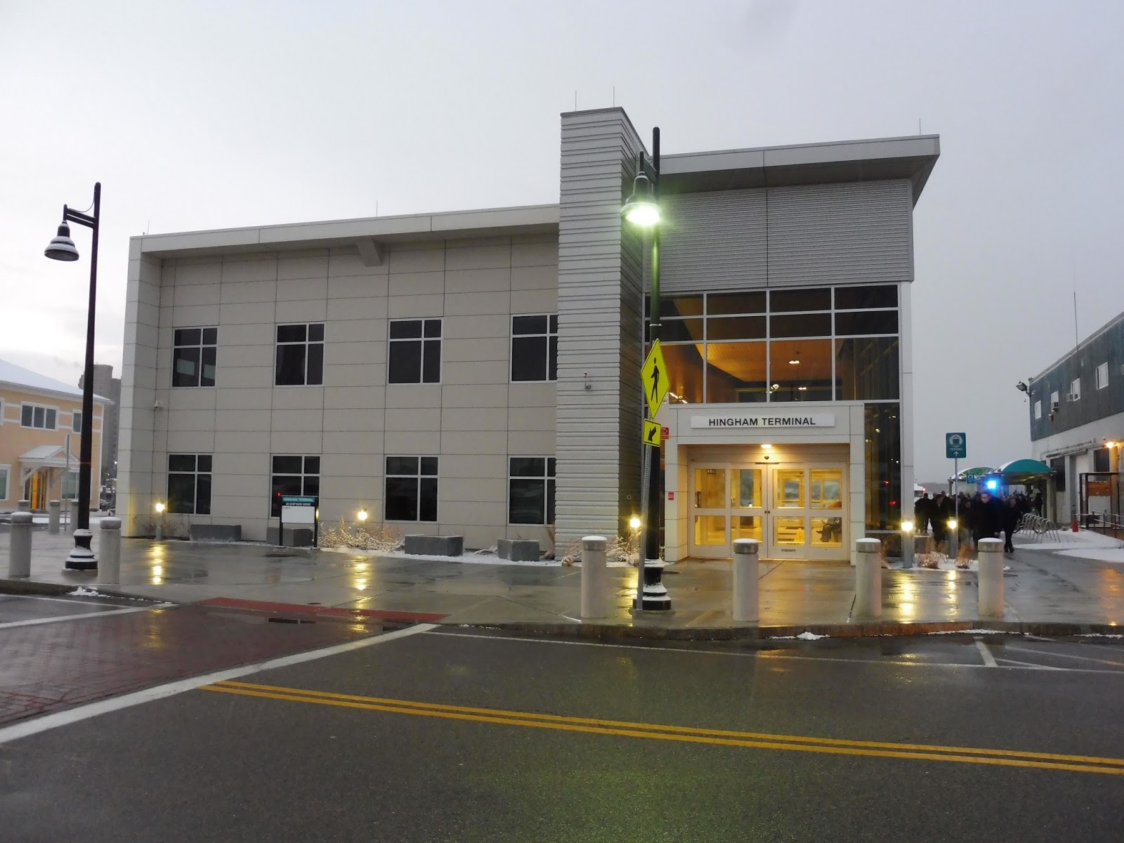
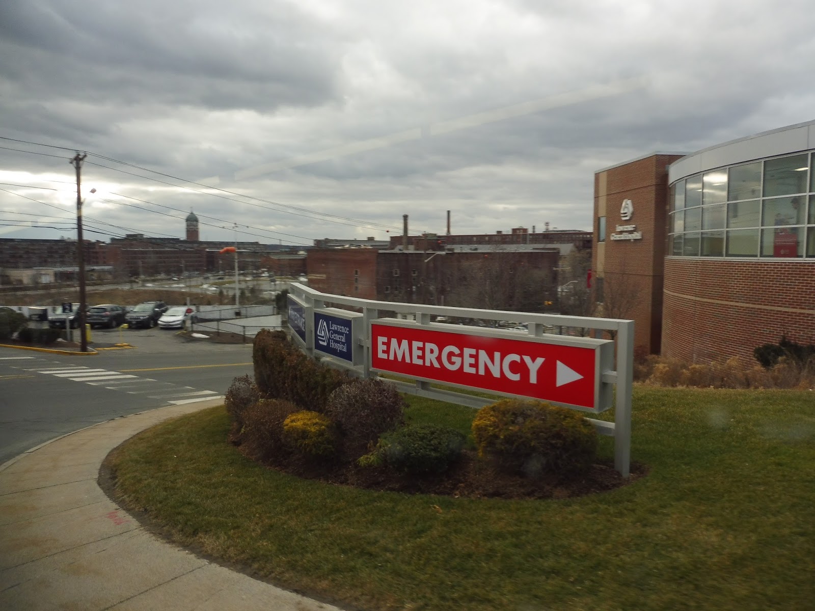
Hingham Shipyard
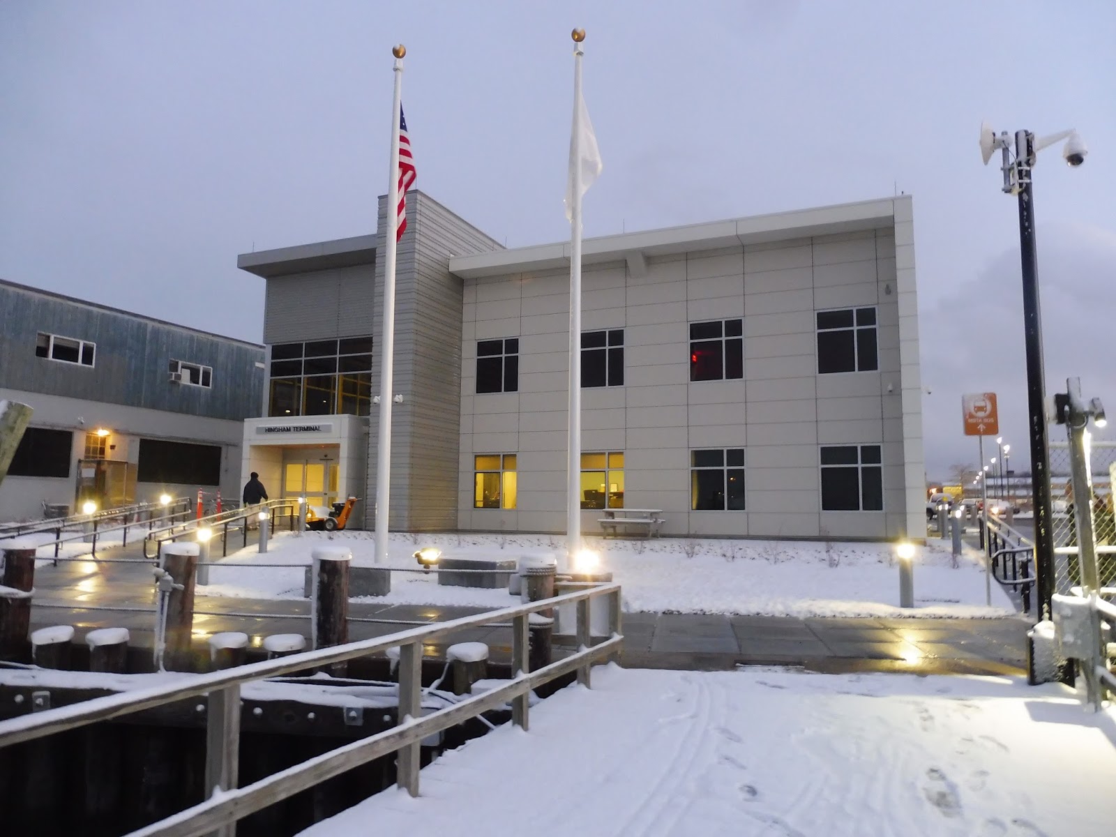
You’d think a new ferry terminal would be at least somewhat of a big deal, but the T apparently didn’t think so – this place got practically no fanfare at all! That’s why Sam and I had no idea to expect when we headed down to Hingham to see the new Hingham Shipyard Terminal. What was it like? Let’s find out.
 |
| A nice plaza in the Shipyard complex. |
Hingham Shipyard isn’t just the name of the ferry terminal, but also the surrounding development. In conjunction with the new ferry terminal (or maybe just for the heck of it), a developer built an Assembly Square-esque retail “neighborhood” around the area. Despite that, the MBTA terminal still has room for a gigantic parking lot – is almost 1700 spaces enough, do you think? There are also a few bike spaces next to the building, as much as the T website wants to tell you there aren’t any.
 |
| The building, with a stream of commuters advancing! |
On the outside, the building is absolutely beautiful. It’s modern, with a lot of glass and metal. My only problem with the outside is that signage is practically nonexistent! The building has plenty of room for a beautiful T symbol, but instead, the only indication that it’s an MBTA station is a tiny sign outside the building that looks like it belongs at an office park.
 |
| Wow… |
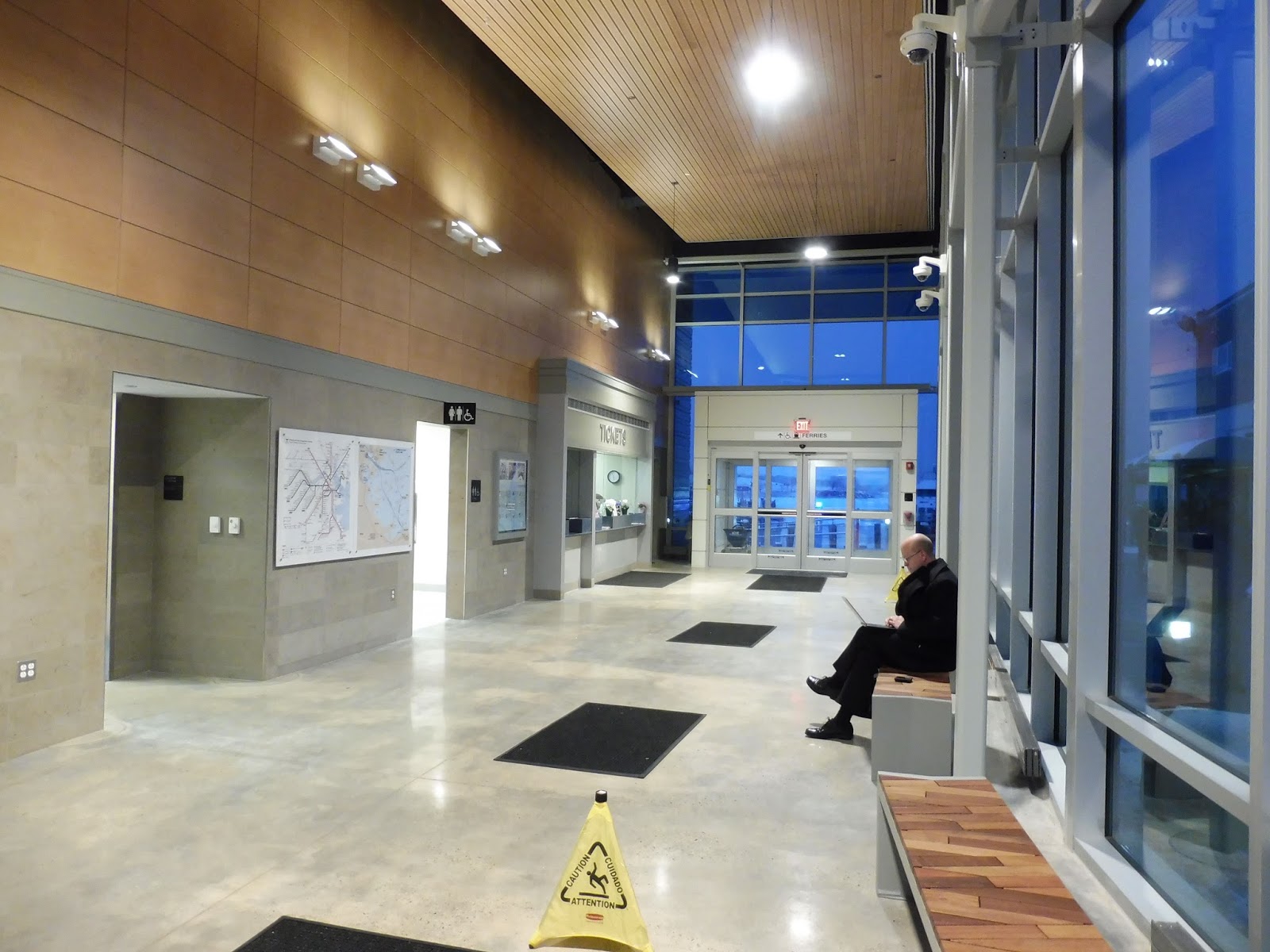
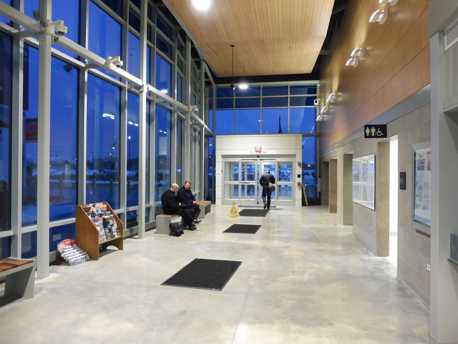
But boy, any complaints go straight out the window when you get into the building. A rush of heat blasts you as you walk into a gigantic room with floor-to-ceiling glass windows on three out of the four walls. Bright LEDs provide light when it’s dark, while benches with beautiful wood designs line one of the windows,
 |
| See last caption! |
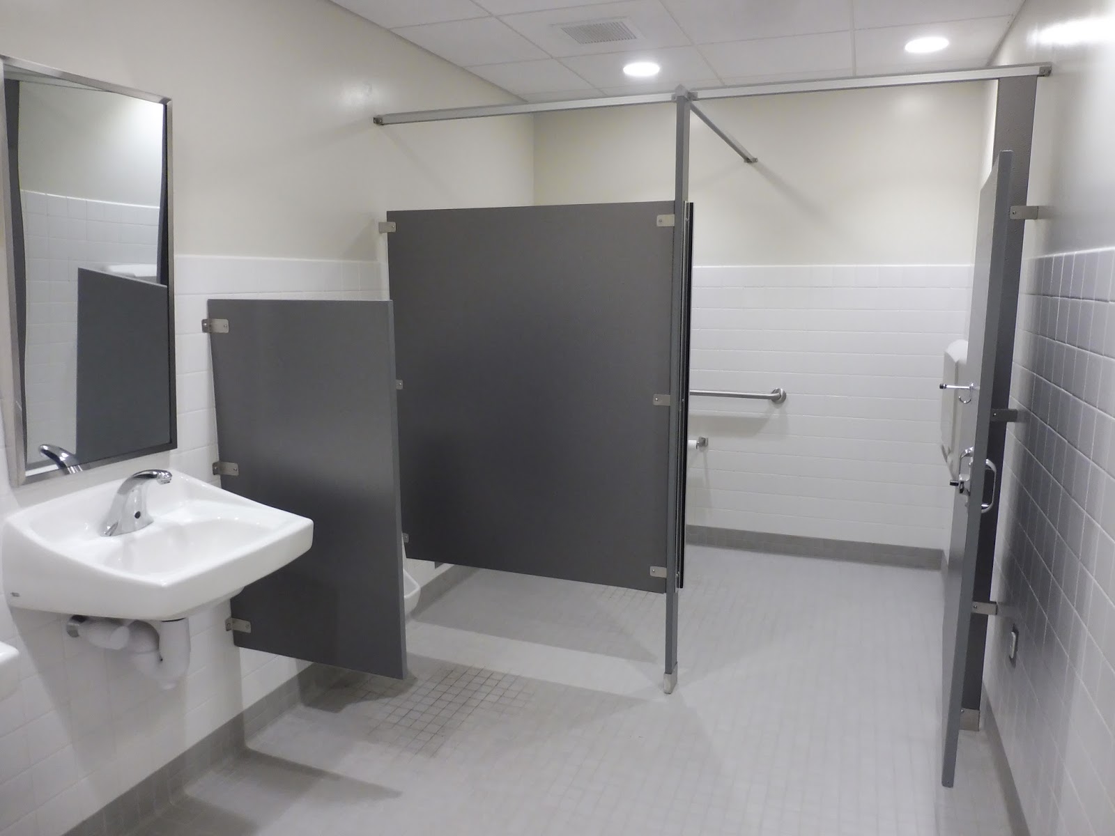
There are other amenities here, too. For example, one of the doorways leading into the office section of the building has some water fountains, while there are some random brochures next to the benches. (Providence Ghost Tours, anyone?) Bathrooms are directly accessed from the main waiting area, and I’m pleased to report that yes, they’re absolutely spotless!
 |
| Excellent! |
Next to a poster about the building’s amazing energy efficiency, (a green roof, a geothermal heating system, and more!) there’s a ticket desk where you can buy your ferry passage. Now, I’m sure that office gets overrun with commuters in the morning, but when Sam and I were here in the late evening, the two staff members occupying the office seemed like overkill. The lack of a ferry schedule in the shipyard is annoying, although the people at the ticket desk were knowledgeable about departure times.
 |
| The building from the back. |
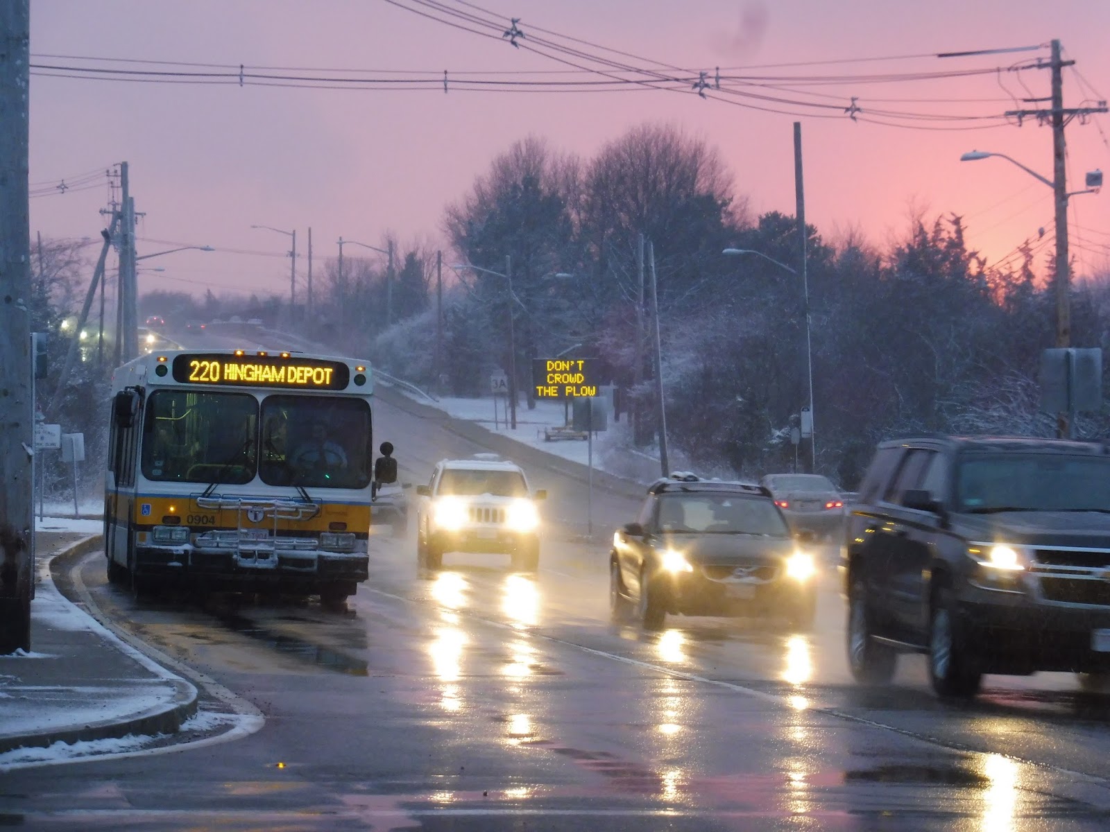
Leaving the building toward the dock, there’s an outdoor plaza area that’s surprisingly nice. It features a couple of big flags outside the building, as well as a picnic table that must be great to wait at in the summer – indeed, I hope they add a few more! I also like the weird orange “MBTA bus” sign, pointing toward the small bus stop that the 220 deviates to once in a blue moon.
 |
| Heading down to the dock later in the night. |
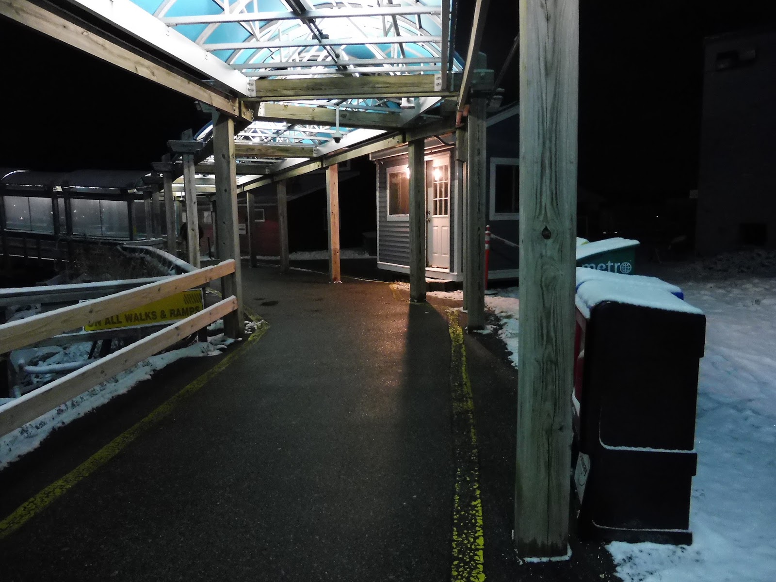
I think the walkway out to the dock is a remnant from the old terminal, since it didn’t seem as modern as everything else. Still, it did its job well, and I liked the well-lit blue shelter over the whole thing. I can understand the benches that were along the pathway, but the newspaper boxes? That seems like the wrong place to put those.
 |
| So mystical! |
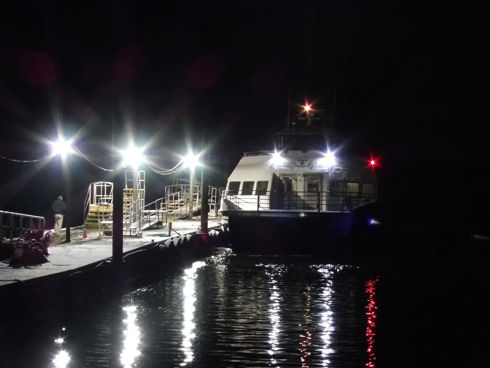
And finally, we get out to the dock. I mean, it’s a dock, there isn’t much else to say. It’s not the most organized of places, with a bunch of random stairs and ramps strewn all over the place, but commuters are only going to spend a few seconds here. At least it’s well-lit!
 |
| Since I’ve already got a boat picture, here’s the 220 near the Shipyard with some great lighting! |
Station: Hingham Shipyard
Ridership: Well, there aren’t any actual ridership statistics for the terminal specifically, but one thing we could do is take the average weekday ridership of the Hingham Ferry (2,654) and divide it by two, since it only has two stops – 1,327 riders per day? Well, it’s a number. Regardless, this place was swarming with commuters heading home when Sam and I were here. Our inbound trip had only one other person, but that makes sense – it was the evening.
Pros: Oh my gosh, it’s so beautiful! It feels like a miniature airport terminal, and I love it! The benches, the ticket office, the bathrooms, the huge windows…it’s all so amazing! Waiting here was just the greatest experience.
Cons: I have three very small problems with this terminal:
1. There’s no T symbol outside.
2. There isn’t a schedule displayed on the inside.
3. There are a bunch of outlets in the terminal, but no benches next to them.
But other than that. it’s perfecttttttt!!!
Nearby and Noteworthy: The easiest place to compare Hingham Shipyard to is, of course, Assembly Row…and honestly, I think the Shipyard is better. Sure, Assembly has a movie theater and that small Legoland (its two saving graces), but Hingham Shipyard’s got a lot more variety in terms of its businesses, including its own, vastly cheaper movie theater! There are a bunch of different restaurants and stores, and I think the seaside atmosphere is awesome.
Final Verdict: 10/10
No, it’s not completely perfect. I mentioned the three issues this terminal has, but the first two really aren’t that big of a deal. There should absolutely be benches next to all those outlets, though…but aside from all that, holy moly, this place is so great! From the energy efficiency to all the amazing amenities in the beautiful building, the Hingham Shipyard is an obscure little gem. Gosh, I could hang out here all day, I tell ya!
Latest MBTA News: Service Updates
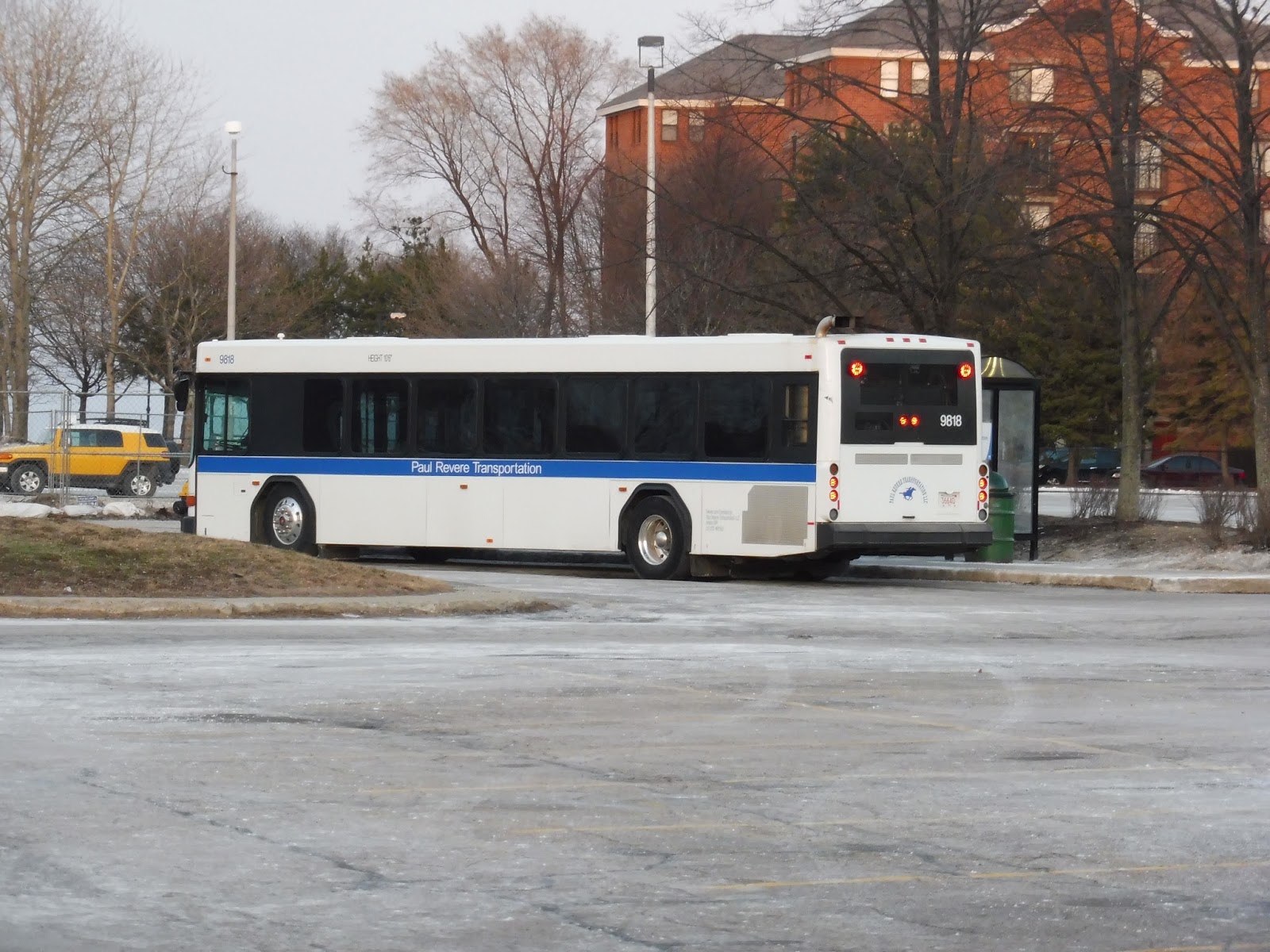
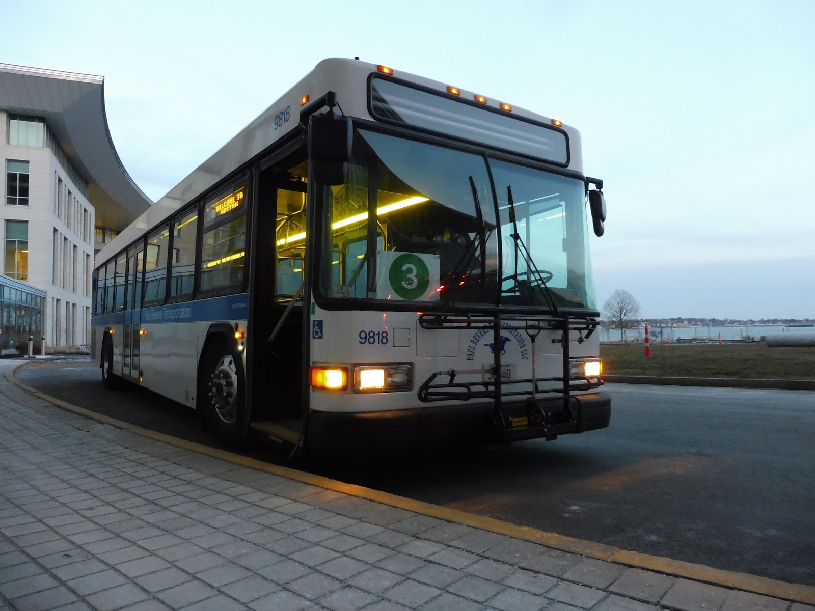
UMass Boston Shuttle: 3 (Bayside – Campus Center)
Nathan and I had decided on a whim to ride the UMass shuttles as we were approaching JFK/Umass on a Red Line train. Five minutes later, we were scrambling over barriers in the Umass Bayside Lot trying to catch a 3 laying over at the shelter way on the far end of the lot. Luckily, we made it before the bus left, and we were on board! Mission accomplished.
 |
| The bus in the parking lot. |
 |
| Gross… |
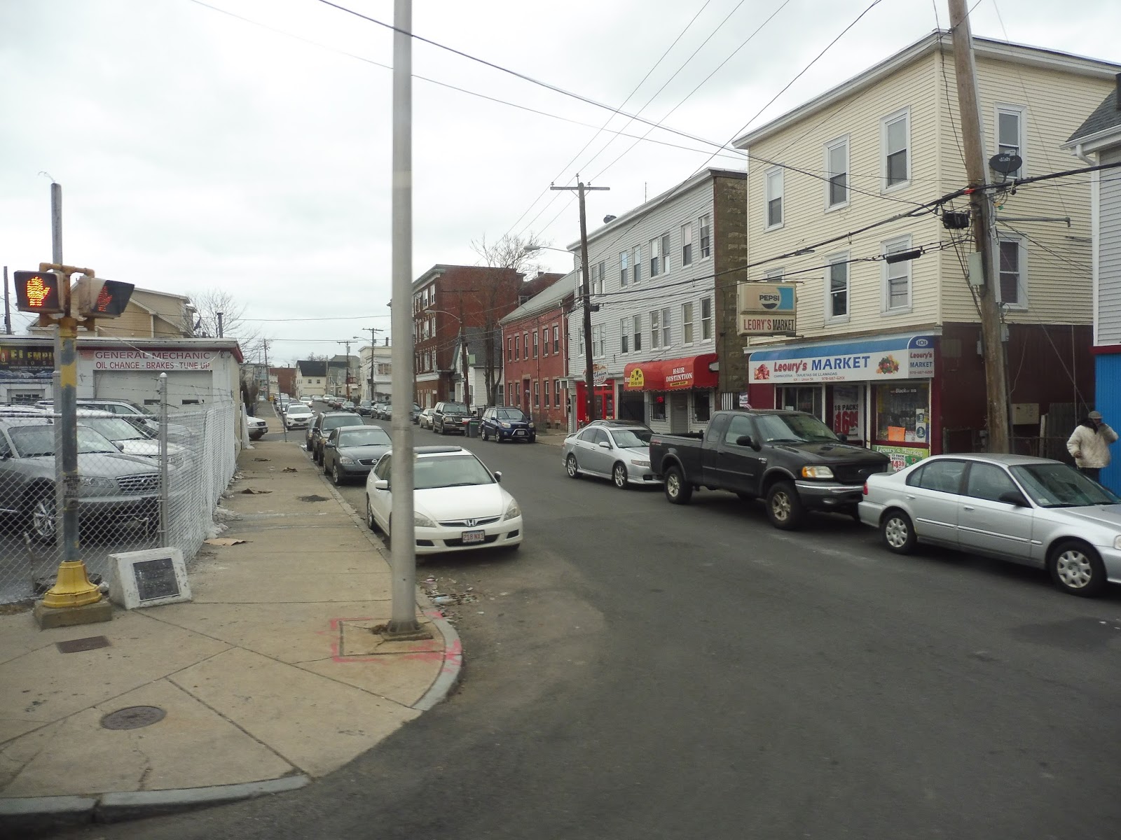
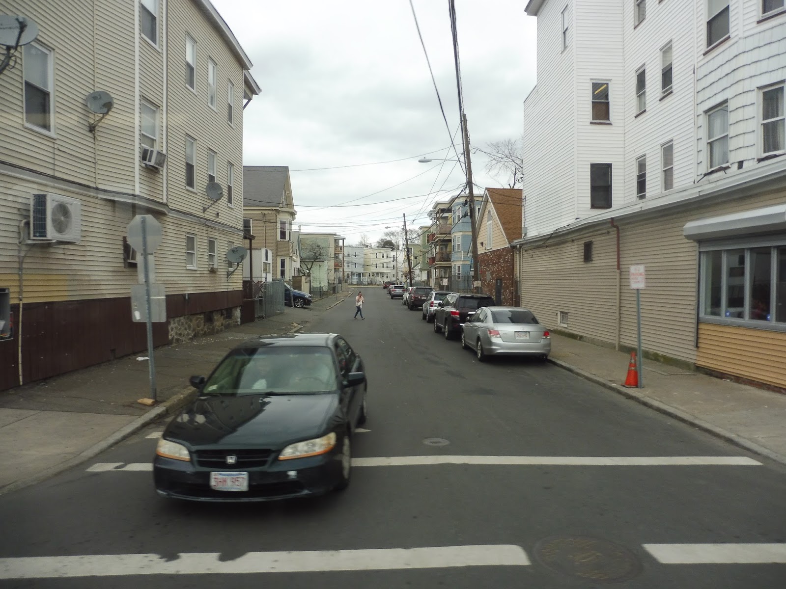
We headed out of the parking lot, although it took forever since some car was taking forever to pay. Once we made it out, we turned onto Mount Vernon Street, with a church on one side and a housing development on the other. We also went by a middle school, an elementary school, and a high-end apartment complex (with terrible reviews).
 |
| Oh boy, construction! |
We turned onto University Drive North, but soon after, we made a short deviation to serve the Clark Athletic Center. No one got on, so we returned to University Drive, going by a bunch of construction. The street turned left and became Columbia Point, then we turned onto an unnamed street, going by the Massachusetts Archives (but the beautiful JFK Library was in view on the other side).We turned onto Columbia Point again, and soon arrived at the main UMass Campus Center.
 |
| Okay, I gotta admit, I love this picture. |
UMass Boston Shuttle Route: 3 (Bayside – Campus Center)
Ridership: To my understanding, the ridership on this thing is really low. I mean, at a time when the other Umass route running, the 1 (which will be covered soon) was packed, the 3 had ridership in the single digits in the peak direction, and no one in the non-peak direction.
Pros: The Bayside Lot is a huge lot meant for commuters (students, staff, and visitors) to UMass, and this route is the link between that lot and the campus itself. The shuttle is frequent (every 5-7 minutes), meaning commuters don’t have to wait too long for the next bus.
Cons: The problem is that it’s run really inefficiently. They have one too many buses on this thing, to the extent that they get really long layovers, and you’ll often see two buses at once at the Bayside lot. You could easily run the route just as frequently by cutting a bus and shortening the ridiculously long layovers!
Nearby and Noteworthy: In terms of the route’s independent section, it’s…uh…literally just a parking lot. So no, there’s not much.
Final Verdict: 4/10
This route is definitely necessary in order to encourage people to park in the Bayside Lot, but it’s run in just about the worst possible way. Yes, it’s good that it’s frequent, but why do all the buses have such long layovers at each termini? It’s a really short route, so you could easily remove a bus and have it run just as often, and probably still have time for a decent layover. Use your resources better, Umass!
Latest MBTA News: Service Updates
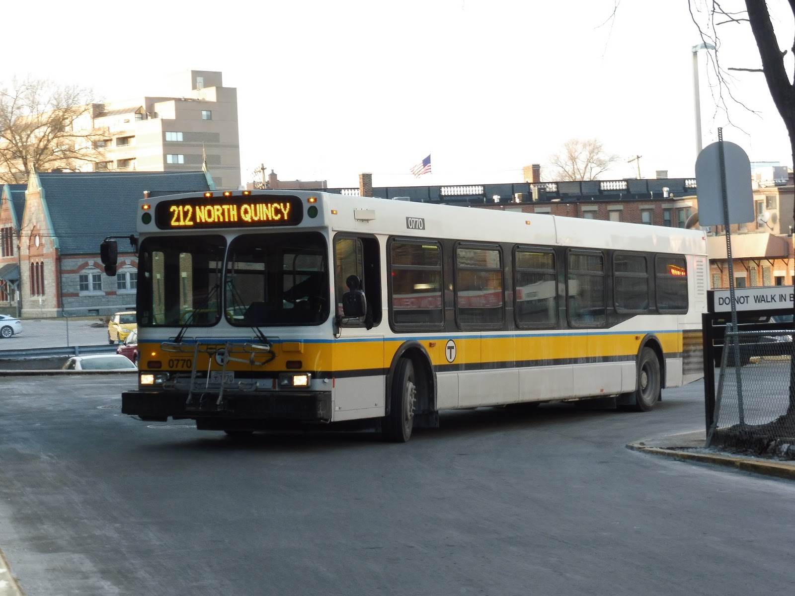
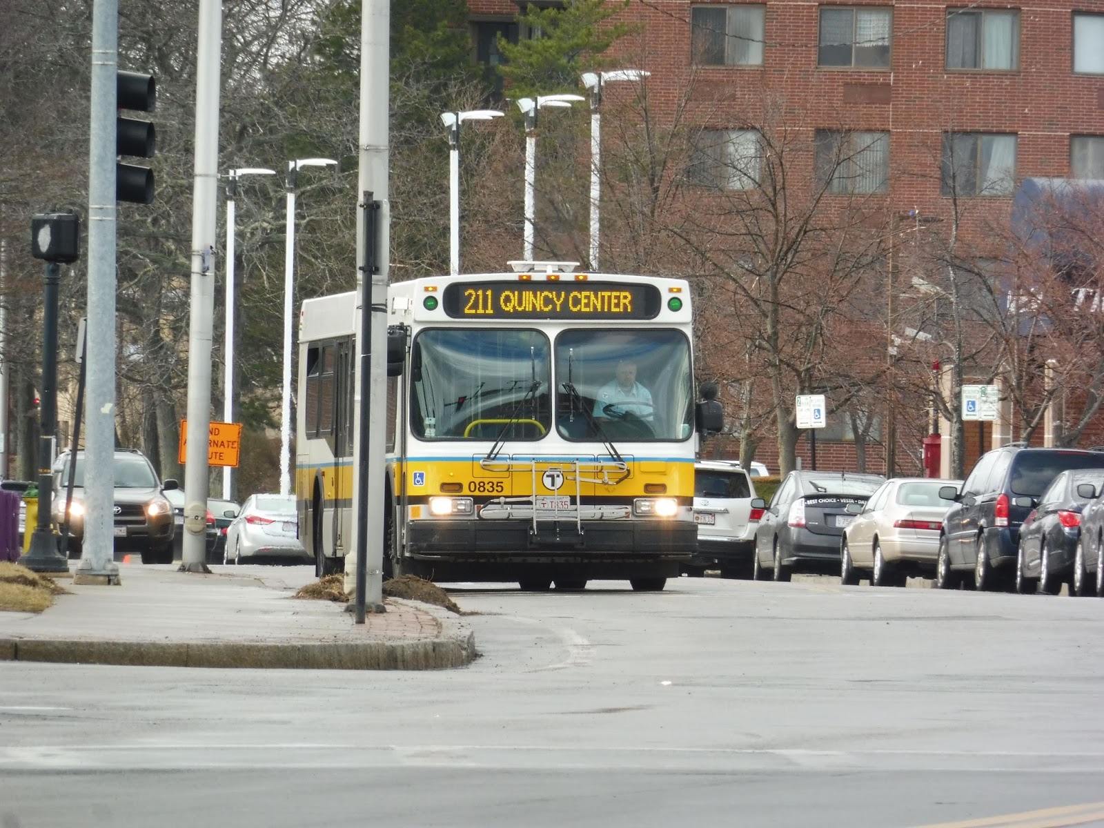
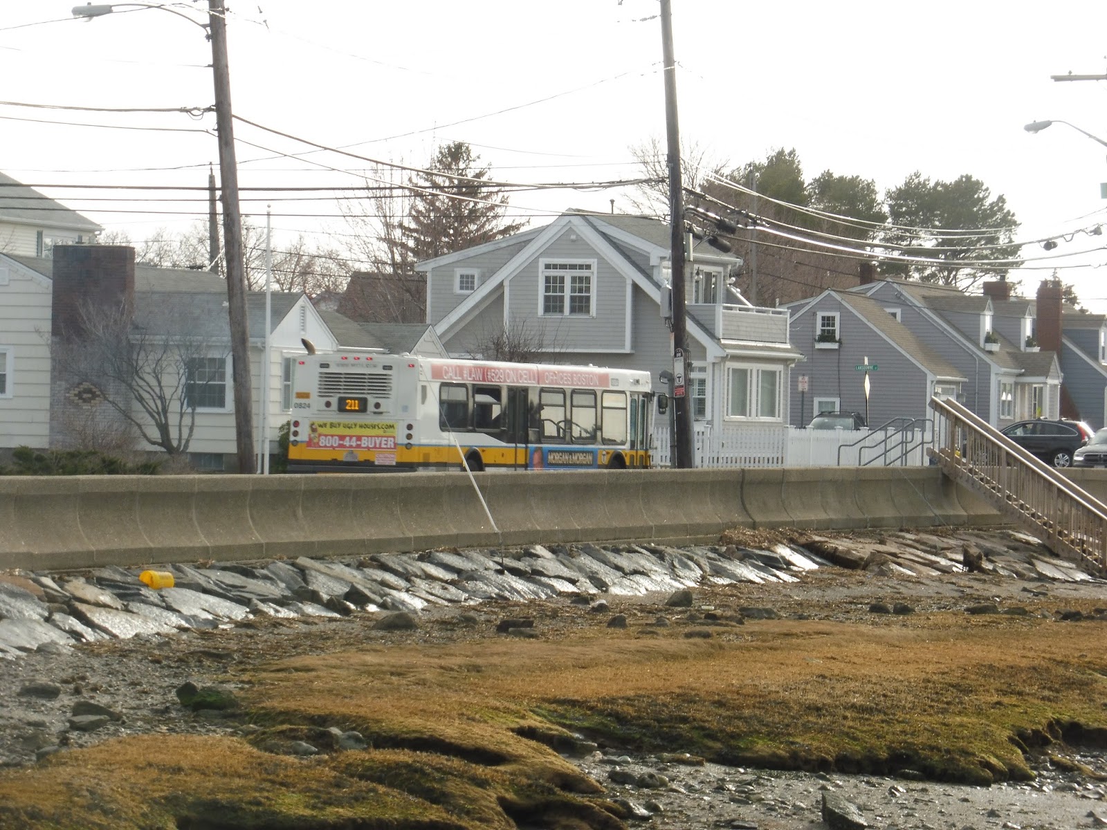
212 (Quincy Center Station – North Quincy Station via Billings Road)
Time to finish off this 210/211/212 cluster in Quincy with its highest-numbered route, the, uh, 212. Like the other two routes, this one baffles me in its own unique way. Why? Keep reading!
 |
| The bus coming into Quincy Center. |
We left Quincy Center and headed up Hancock Street, taking us past some businesses and tall apartment buildings. After going over Furnace Brook, we went by the MBTA Quincy Garage, then a middle school and a park. We passed a church and some businesses, then we turned onto Elm Ave, breaking away from the 210 and starting the route’s independent section.
 |
| Quincy Garage! |
Elm Ave had a nice leafy median, and it was lined with big suburban houses. At one point we had to make a weird twist briefly onto Staunton Street in order to continue on Elm Ave…or rather, West Elm Ave at this point. The houses were a little denser now, although it still felt pretty suburban.
 |
| A side street leading to a church. |
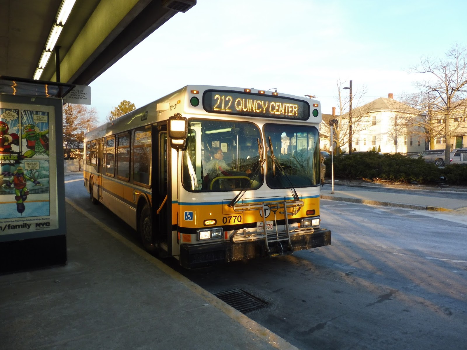
We almost made it to the water, but a block before the beach, we turned onto Billings Road. This street continued to be entirely residential, but after it curved in a southwesterly direction, we did go by a small elementary school. Eventually the street became lined with businesses as we turned onto Hancock Street. This took us to North Quincy, where the ridiculously short ride was over.
 |
| The bus at North Quincy. |
Route: 212 (Quincy Center Station – North Quincy Station via Billings Road)
Ridership: The 212’s ridership is really, really, really low. I mean, it’s the 15th least-used route on weekdays with 293 riders per day, and…wow, okay…the fourth least-used route on Saturdays, with only 151 riders. I had no idea how awful this ridership was until I looked it up just now, and…wow, this is really gonna impact the route’s score.
Pros: You know, I will say that the 212 does actually serve a neighborhood far from other transit modes, unlike the 210. It’s also nice (?) that despite the route only running six days per week, it gets seven-day service, courtesy of the 211 running along the 212 on Sundays.
Cons: Usually I can at least say that “the schedule is sensible,” but no, it’s not! On weekdays, the route runs rush hours only…but then it runs all day on weekends! What?! Not to mention it runs twice as often in the morning than the evening (every half hour vs. every hour). That weekday schedule has the right idea, though – clearly weekend service is not necessary on the 212! Fourth-worst ridership on Saturdays? Just despicable!
Nearby and Noteworthy: The 212’s independent section is almost entirely houses, so, uh, no.
Final Verdict: 2/10
The 212 isn’t quite 1/10 territory, but it’s definitely close. Still, I think it does get a reasonable amount of rush hour ridership in the peak direction, so that’s why I’m not going all the way down. All other times, though, this route could (and should) easily be eliminated. Come on, it gets practically nobody on Saturdays! You could use the extra service on a Quincy route that actually needs it, like the 240! Yeah, this is most definitely my least-favorite route of the three North Quincy buses.
Latest MBTA News: Service Updates
210 (Quincy Center Station – North Quincy or Fields Corner Station via Hancock Street and Neponset Ave)
Don’t you hate it when you have a connection to make, but the bus you’re taking to that connection is late, so you miss the connection? Thanks, 210! (Okay, the Fields Corner traffic is really what’s to blame, but I just needed a way to start this post.)
 |
| Well, this has to be the strangest bus photo I’ve ever taken. |
We left the Fields Corner busway travelling right behind a 202, turning onto Geneva Ave along with that bus. Outside of a big shopping plaza, we merged into the short Park Ave busway, which took us around onto Dorchester Ave. We were on here for about two seconds before turning onto the narrow residential Gibson Street.
 |
| Looking down a slight hill. |
Finally, we left that 202, merging onto Neponset Ave, which was lined with dense houses and apartments. There would be the occasional retail block but for the most part, it remained residential. After a big field and a sizeable clump of retail, we went under I-93 and crossed over the Neponset River.
 |
| Nice view! |
Beyond the bridge, we were now in Quincy. We turned onto Newport Ave Extension, a wide road which curved around past some huge office parks and marshland. Taking an exit off that road, we then made our way onto Squantum Street, leading us into the North Quincy busway.
 |
| What a beautiful office park… |
After the busway, we made our way onto Hancock Street, the route’s main road for the rest of the trip down to Quincy. The intersection with Billings Road had a bunch of businesses, but beyond there the primary scenery was dense houses again. We still passed some retail and an assisted living facility, though.
 |
| A Catholic school and a church. |
There was another bunch of businesses at the intersection with Beale Street. Many of these were Asian, such is the nature of the area around Wollaston (whose Red Line station was only a few blocks away). There was a pretty wide variety of scenery from there, including houses, businesses, and a church.
 |
| Walkin’ in a winter wonderland… |
We went by a large middle school and an even larger park, then the MBTA Quincy bus garage. We crossed over Furnace Brook after that, and then the surroundings consisted of more businesses and some tall apartment buildings. Hancock Street would have continued right into the main drag of Quincy Center, but before that happened, we turned into the station’s busway, ending the route.
 |
| A different bus on a different day, with a slightly more normal picture. |
Route: 210 (Quincy Center Station – North Quincy or Fields Corner Station via Hancock Street and Neponset Ave)
Ridership: Nope, ridership isn’t high at all. On the average weekday, the route gets 736 riders, while on Saturdays, it gets only 204 people. My trip was pretty light, with only about ten people, but one could argue that it was just before the evening rush – it was in the peak direction, though.
Pros: You know, all I can really say here is the schedule, which is sensible for the route’s ridership. The 210 runs about every half hour during the rush periods and every hour middays and on Saturdays. There’s no night service, but the route does have one very late trip that times with the last Ashmont train and serves the Braintree branch stations.
Cons: Basically everything else. For one thing, the 210 really isn’t serving much. Let’s go down the route: the section from Fields Corner to Neponset is shared with the much more frequent 201/202; the section from there to North Quincy is just office parks for the most part; and from there to Quincy Center, the route is never more than a 10 minute walk from a Red Line station or another bus route! Also, the 210’s Saturday service is just terrible – it only serves the section from North Quincy to Quincy Center, and the trip takes ten minutes. Yeah, okay, sounds like a great ridership generator.
Nearby and Noteworthy: Those two businesses squares along Hancock Street were pretty interesting, although both are within easy walking distance from the Red Line.
Final Verdict: 3/10
The 210 definitely serves its purpose during rush hour, since taking the bus beats walking, no matter how short the walk is. However, you could easily eliminate it all other times. I mean, I just don’t think it serves much of a purpose, and the “bus beats walking” demand is a lot smaller outside of rush hour. Sorry, 210, but I’m just not a fan.
Latest MBTA News: Service Updates
211 (Quincy Center Station – Squantum via Montclair and North Quincy Station)
Long-time readers may remember wayyyyyyyy back in 2014 when I rode the 211 for the first time. The reason I didn’t review it then was because it was a Sunday, when the route cuts out a huge swath of its path from North Quincy to Quincy Center, following the 212 instead. Well now I finally had the chance to ride it on a Saturday, so we can finally review the proper route. I present to you: the 211!
 |
| An earlier trip on the route near Quincy Center. |
We left the Quincy Center busway and headed up Hancock Street, bypassing Quincy Center itself. Instead, we merged onto Adams Street, going by businesses (with parking lots) and apartment buildings. After the road went over the Red Line tracks, we turned onto Newport Ave, which paralleled the tracks. It was lined with houses on the other side.
 |
| The race is on! |
As we rushed down the street, we managed to get a lead on a Red Line train going right along next to us. Right outside of Wollaston Station (but apparently not close enough to justify an announcement), we turned onto Beale Street, entering a mostly residential neighborhood. There were also a few businesses and a school to break it up.
 |
| Some random side street. |
Outside of a little retail block, we entered a long, twisty section with very similar scenery. Okay, so just imagine relatively dense, leafy houses around as we made a right on North Central Ave, right on Brook Street, left on Highland Ave, left on Wilson Ave, right on Harvard Street, and finally, right onto West Squantum Street. Geez, Louise…
 |
| Another random side street! |
West Squantum Street had a few businesses among the houses, and eventually we passed a few big apartment towers. After some marshland, we crossed the Red Line tracks and entered the North Quincy busway. We made a quick stop, then headed onto East Squantum Street, going by North Quincy High School and a bunch more houses.
 |
| A corner on East Squantum Street. |
The street made a few twists and turns as it went by dense houses. After we crossed Quincy Shore Drive, we were all of a sudden surrounded by marshland – we were on the Squantum peninsula! As the left side of the road opened up to just water, we got an awesome view of Boston, while the other side was occupied by more houses.
 |
| An intersection in Squantum. |
Upon arriving in Squantum proper, we turned onto Newland Street and laid over for a few minutes at a generic bus stop. After that, we left the stop, turning onto Huckins Ave and running past mostly dense houses. We went up a slight hill, then turned onto Bellevue Ave, which took us steeply down; there were views of the water down every side street. It ended at Dorchester Street, which took us back along the sea to the starting point of the loop, where the bus began heading back to Quincy Center.
 |
| The bus heading back towards the mainland. |
 |
| Don’t think I forgot about the view! This is from when Sam and I walked back to North Quincy after our ride. |
 |
| Wowwwww… |
Route: 211 (Quincy Center Station – Squantum via Montclair and North Quincy Station)
Ridership: Not good, not good at all. The route gets 936 riders per weekday, 216 per Saturday, and a measly 119 per Sunday – that makes it the third least-used Sunday route, after the 171 (which only has two departures, in the early morning) and the Silver Line Waterfront shuttle (which hardly ever even runs on Sundays). My trip continued that low-ridership trend, with only about five other people over the course of the ride.
Pros: The view! The view! The view! The view! The view! Okay, what else? Well, I guess the route does serve parts of Quincy that other buses don’t serve. The schedule is also sensible for the most part, with service about every half hour during the rush, and every hour all other periods it runs.
Cons: Where shall I start? Well, first of all, the route really needs to be straightened out in that residential section of Quincy (Montclair, I think), because the current route is just insane. Plus, you could use the time gained from a straighter route elsewhere: serving Marina Bay. It’s a super dense mixed-use development near Squantum, and I honestly think the 211 could gain a lot of ridership if it deviated to serve it (yes, I’m actually suggesting a deviation). Otherwise, the route really doesn’t need to run on weekends – it gets hardly anyone! Oh, also, it’s really weird that the route towards Squantum is considered “inbound,” but it makes sense geographically.
Nearby and Noteworthy: The route itself doesn’t serve much of note, but that view makes it worth the ride!
Final Verdict: 4/10
To be perfectly honest, the 211 would totally be a 3…if it wasn’t for the view. But aside from that extra “view point,” I am not a fan of this route. It’s twisty where it doesn’t need to be, yet it runs straight past what could be a really big ridership draw. Either fix the route, or nix its weekend service, because at the moment, it doesn’t seem worth keeping around during those times.
Latest MBTA News: Service Updates
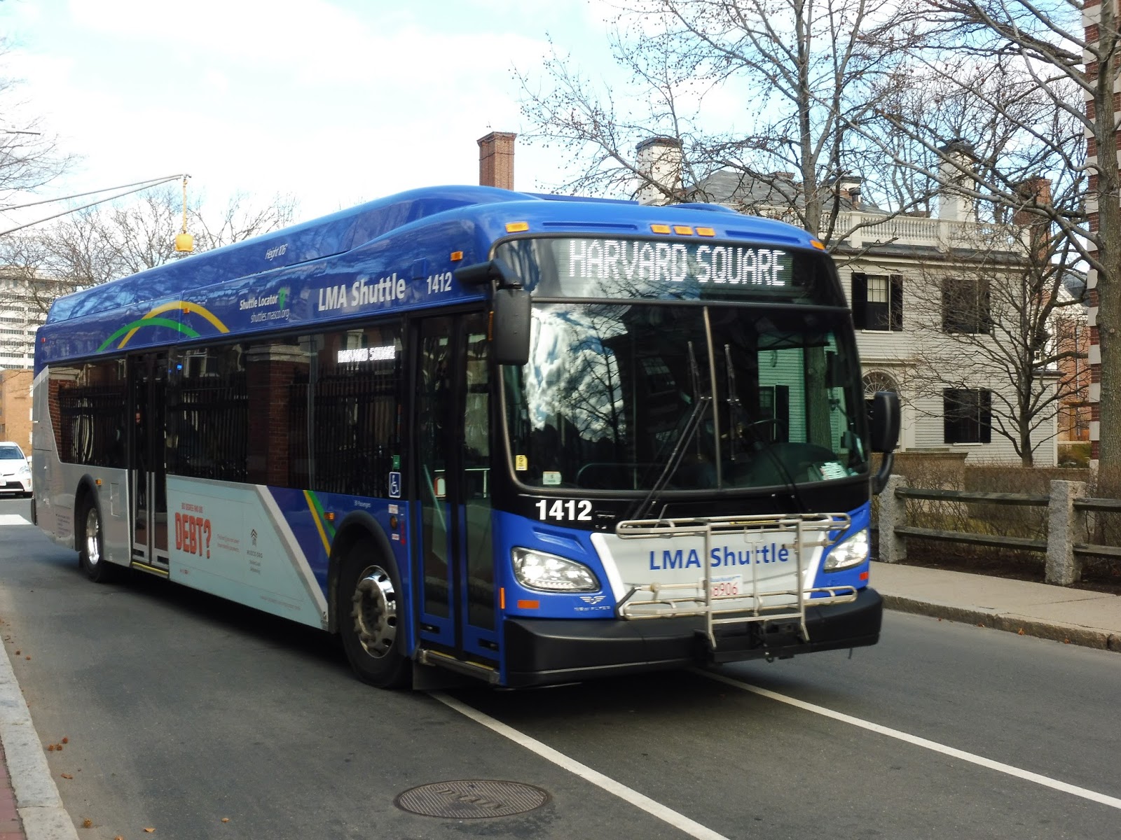
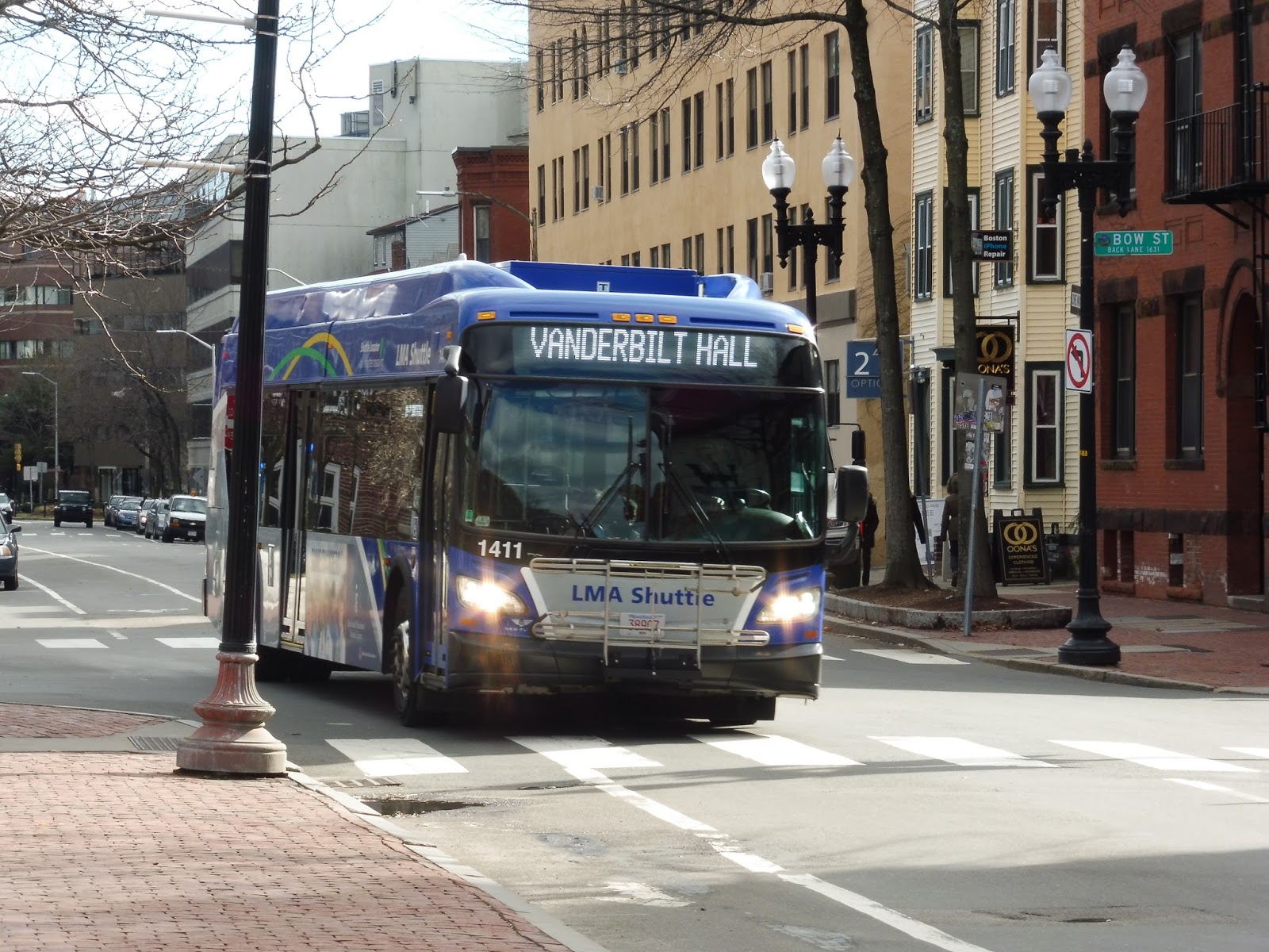
M2 (Cambridge – HMS)
For anyone who rides the M2 regularly, it’s incredibly easy to board. For anyone who doesn’t…well, that’s problematic. The M2 is a Longwood Medical Area shuttle that runs from Harvard to the LMA, and its fare system makes absolutely no sense. So, a Harvard ID allows free passage onto the bus, but anyone else needs to purchase a ticket in the form of Crimson Cash…and that’s a wild goose chase in itself.
 |
| The bus that wouldn’t let us on because we had no tickets… |
So where does one go to get tickets? Well, in Harvard Square, you have to go to the Holyoke Center, a building that’s currently undergoing a large amount of construction. Navigating through the makeshift path leading to the building entrance, Nathan and I arrived at the front desk. “We’d like to get some Crimson Cash,” we said. The man said we’d have to go up to the 8th floor, and he printed us visitor’s passes with our names on them.
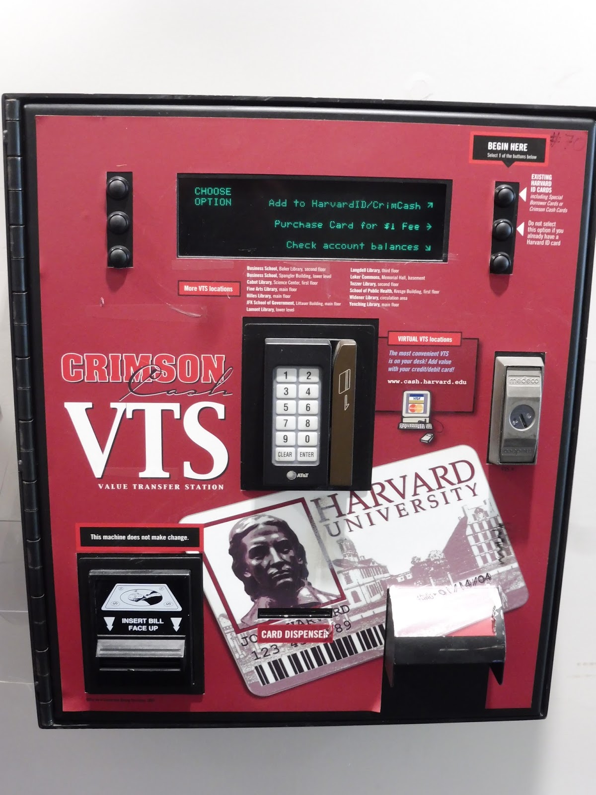 |
| Oh no, what is this relic? |
First problem with the machine: it was bills only. I didn’t have any bills, so I had to gather up a bunch of loose change in my pocket and get it exchanged at the desk. The machines also didn’t give change – we’re talking about a really simplistic thing here. Well, it did offer credit card payment as well, so that’s something.
 |
| Nice view from up here! |
After navigating the incredibly primitive interface, I managed to purchase a Crimson Card for a dollar and put four additional dollars onto it (Nathan had one already). With our fares now ready to be paid, we made our way all the way back down and out to the bus stop. Upon boarding, we showed our cards, and…that was it. The buses don’t have fareboxes. Yes, the website claims there’s a fare of $3.25, but…yeah, no, it’s basically free.
 |
| Let’s try this again… |
We boarded at the Lamont Library on Quincy Street. From there, the bus went like a 1, navigating its way onto the narrow and twisty Bow Street, meandering past various Harvard Square buildings. We turned onto Mount Auburn Street at an old church, which took us past dense apartments.
 |
| The inside of the rather nice Xcelsior! |
Mount Auburn Street merged into Mass Ave, and the surrounding buildings got a heck of a lot taller. We were passing a mixture of businesses and tall apartments for quite a while, broken by the beautiful facade of Cambridge City Hall. Right after that, we were in Central Square and the street was lined with retail, residential, and office buildings.
 |
| A park just past the square. |
The retail continued for quite a while, but as we started to enter the huge domain of MIT, the buildings grew more modern. There was a small industrial pocket as we crossed the single track of the Grand Junction Railroad, then we passed through the main part of MIT’s campus. Beautiful buildings and plazas were everywhere!
 |
| That view never gets old! |
After going over the always-gorgeous Harvard Bridge, we all of a sudden turned onto Beacon Street. It was so unexpected – I’m so used to just staying on Mass Ave like a 1 would do! For a block, Beacon Street was lined with fancy Back Bay apartment buildings, including one with an oversized chair in front of it. It was quite an interesting sight!
 |
| Goodbye, Mass Ave! |
We went under the Charlesgate and over the Muddy River, then arrived at Kenmore Square after a few more apartments. Staying right on Beacon Street through the square, we went over I-90 past Yawkey Station, after which there were more apartments. Just before the C Line surfaced onto Beacon Street, we turned onto Park Drive, soon crossing the D at Fenway.
 |
| This is a pretty neat view. |
Park Drive meandered its way through the traffic hell outside of the Landmark Center Mall, leading us onto the Fenway. After going by Emmanuel College, we turned onto Avenue Louis Pasteur, passing Simmons College and the Boston Latin School. Finally, at the end of the street, we arrived at our last stop, right outside the Harvard Medical School.
 |
| The bus taking a layover. |
Route: M2 (Cambridge – HMS)
Ridership: There aren’t any public ridership stats for the LMA shuttles from what I could find, but I can definitely say without a doubt that the M2’s ridership is great. The route is often packed; my ride had a full-seated load, and that was going toward LMA in the afternoon. Imagine what the buses going the other way must have been like!
Pros: There is evidently dire need for a direct shuttle from Cambridge to the LMA, and this route fulfills that need very well. After the M2 leaves Harvard Square, it makes very few stops – only at key areas – which allows for a slightly faster ride. They try to keep this thing running frequently, too, especially during rush periods, when it goes every 10 minutes. When ridership is lower, it doesn’t run as often, with service every half hour middays and every hour nights and Saturdays. Also, did I mention the route is free with a Harvard ID (and essentially free with Crimson Cash)?
Cons: This really only affects outside users like Nathan and I, but the ordeal required to obtain a Crimson Card is painful. Still, most riders are just going to have an ID, so it impacts very few people. My main problem with the M2 is the way it travels along the Fenway going northbound – a completely different route from the southbound direction! Not only that, it’s a lot more traffic-ridden, to the extent that they actually reroute it to Brookline Ave during the evening rush. Even then, the M2 can still suffer from bunching, which is always an annoyance with frequent urban routes.
Nearby and Noteworthy: If you’re trying to get from Harvard to the Longwood Medical Area for whatever reason, this is your route, I guess. Good luck getting a Crimson Card, though.
Final Verdict: 8/10
The M2 serves a very important purpose, and it shows in its ridership. Although bunching may cause it to be late, they run it frequent enough that people should never have to wait too long for a vehicle during rush hour. The northbound routing really bothers me, though – why can’t they just route it via Brookline Ave all the time? That’s close enough to the southbound route, and it would mean two-way service from Kenmore Square! Other than that, though, the M2 is a great bus…so long as you have an ID with you, of course.
Latest MBTA News: Service Updates
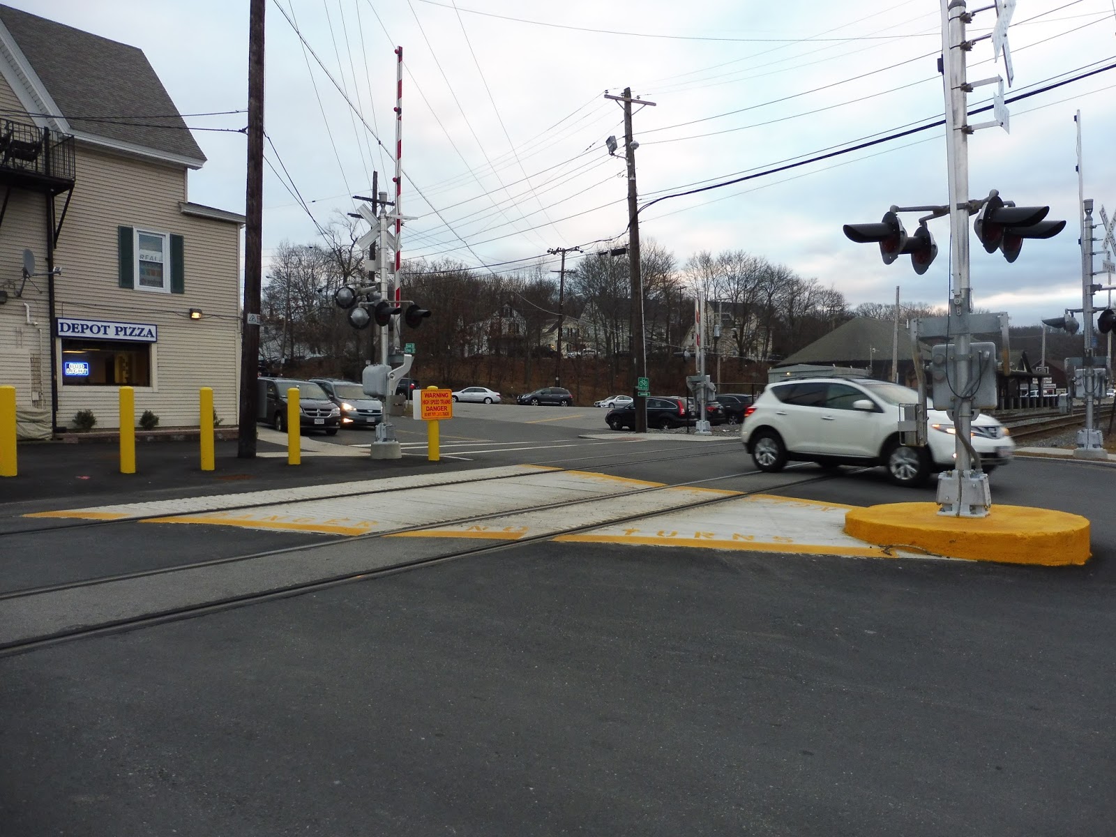
Andover
We had five minutes until the scheduled arrival of the 4:27 train. I was taking pictures of Andover Station, while Jordan was across the street getting a drink at a convenience store. Suddenly, I heard that familiar bell – the train was coming early! What should I do? If I ran to the convenience store, we would both miss the train, but I couldn’t leave without Jordan! Luckily, I saw him running toward the station, and so we both dashed towards the mini-high platform, just making the train. But before all that happened, I was reviewing the station…
 |
| The fancy-shmancy level crossing. |
There’s an interesting level crossing on one end of the station that actually bisects an intersection – there are a bunch of warnings preventing cars from using the tracks as a shortcut. Annoyingly, despite being far from the platform itself, incoming trains still trigger the crossing to go down while they’re stopped at the station. Also, it’s worth noting the old station building on the other side of the tracks, which doesn’t seem to have any noteworthy retail housed inside of it.
 |
| Part of the platform. |
Heading onto the platform, there are a ton of bike racks along the sidewalk. Some of them are sheltered, while some of them are out in the open. Moving along, you’ve got a pretty standard modern Commuter Rail shelter, as well as a newspaper box, a wastebasket, and a…mailbox! Interesting!
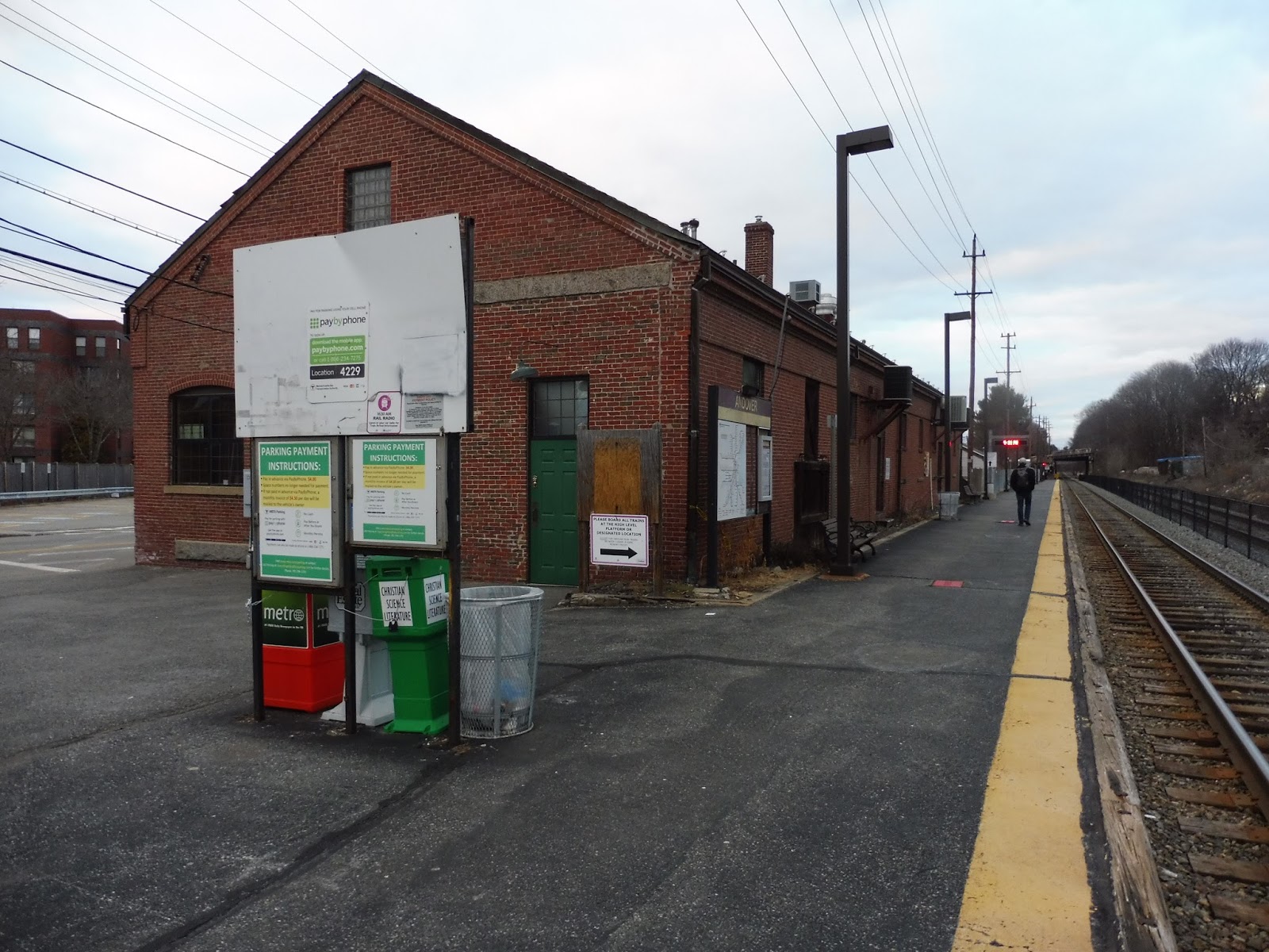 |
| This feels really gritty… |
After an old honor box for the station’s parking and some more newspaper boxes, you arrive at the station…building? I mean, gosh, it’s just the back of a gross industrial warehouse. It’s not the most aesthetically pleasing addition to the platform. Alongside the building, there are some more station signs, benches, wastebaskets, and an electronic signboard.
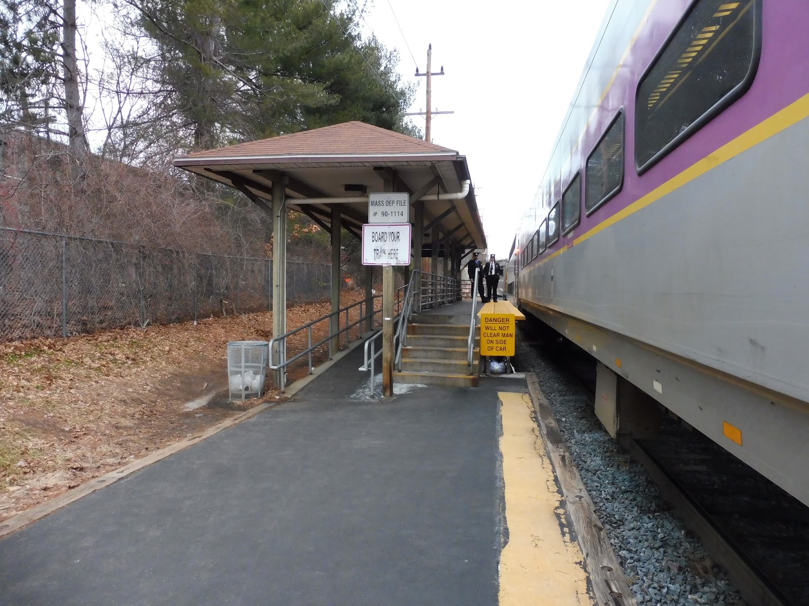 |
| I’m sure those conductors were not happy with me holding up the train to snap this picture. |
The building eventually gives way to a chain-link fence, and as the road goes above the tracks, you arrive at the mini-high. From my brief look at it whilst running onto the train, it’s, uh, really bad. Sure, the wooden construction is nice, but where’s the bench? You know I hate it when mini-highs don’t have benches on them!
 |
| Stupid early train! |
Station: Andover
Ridership: The station gets above-average ridership for the Haverhill Line, not that that’s anything special – the Haverhill Line doesn’t really have the best ridership. Still, with 519 inbound riders per weekday, the station ranks as fifth-busiest on the line.
Pros: Andover offers both bicycle parking and car parking, with a 150-space lot for the latter. There’s also a connection to the MVRTA, as the 32 comes right by the station. Finally, the station has shelter and a mini-high platform, making it accessible.
Cons: However, that mini-high is sans-bench, meaning we’ve got the age-old problem of having to walk forever from the main shelter. Also, there’s that level crossing that goes off whenever a train’s at the station, and I’m not a fan of that gritty building on the platform.
Nearby and Noteworthy: Andover Square is only a short walk away, and that’s a very charming downtown with pleasant buildings and some varied businesses.
Final Verdict: 5/10
From my brief time at Andover, I came to rather dislike the place. Yeah, it offers some standard amenities, but the walk from the shelter to the mini-high is always a negative, while the level crossing going down is inexcusable. It’s not like the train spills out over it – it’s really far back! Oh well…at least the location is good. You gotta love a station located in a downtown.
Latest MBTA News: Service Updates
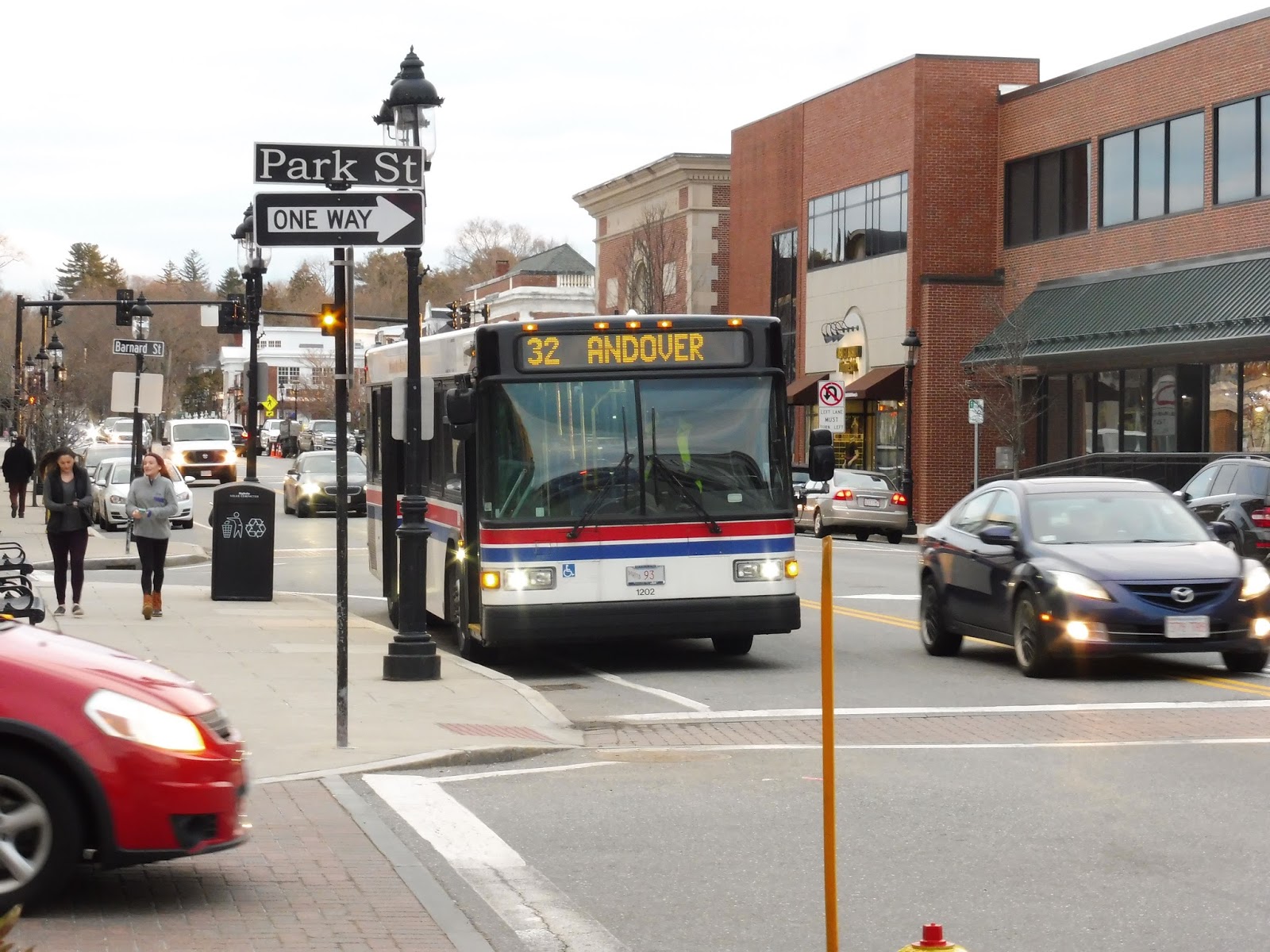
MVRTA: 32 (Andover)
For our final MVRTA trip for now, we’re gonna head south of the “River Merrimack” into South Lawrence and Andover! We’ll see dense areas! We’ll see sparsely-populated areas! We shall delay no longer, for here is the 32!
 |
| The bus at the Buckley Transportation Center. |
Leaving Buckley, we headed down Essex Street through the fringes of downtown Lawrence. By the time the area got more industrial, we turned onto Broadway, running past factories and warehouses. After going over the North Canal, we went through a railroad crossing, then we crossed the Merrimack River, offering a really impressive view of a dam.
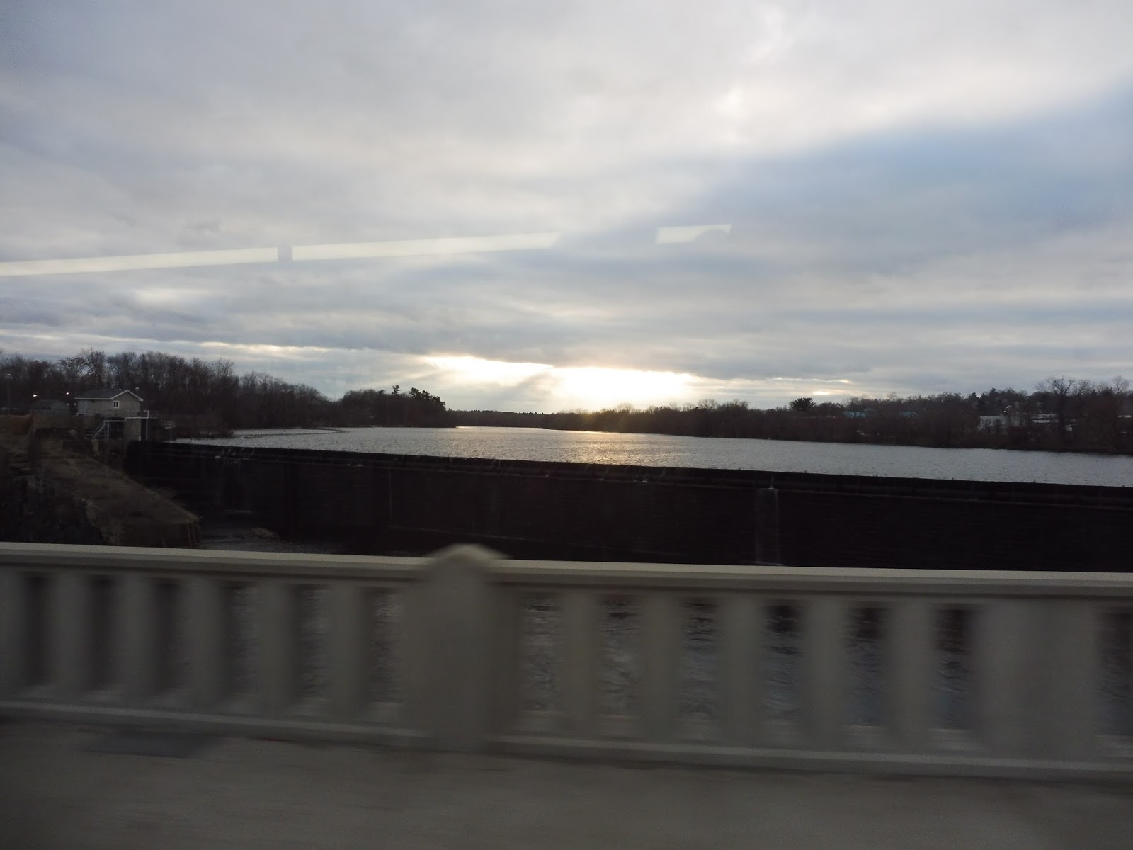 |
| Wow! |
The street became South Broadway on the other side of the bridge, running past diverse businesses, industrial buildings, and some apartments. We went over another railroad crossing, then those businesses gained parking lots out front, and there were a few houses in the mix. There was a church and an apartment development, then the street became lined with dense houses.
 |
| Looking down a side street. |
As the street split into two one-way segments, we passed another apartment development and zoomed under I-495. We were in Andover now, and with the road back to being two-way, it was now called North Main Street. There were a few suburban houses, then we passed through Shawsheen Square, which was basically just a few random businesses.
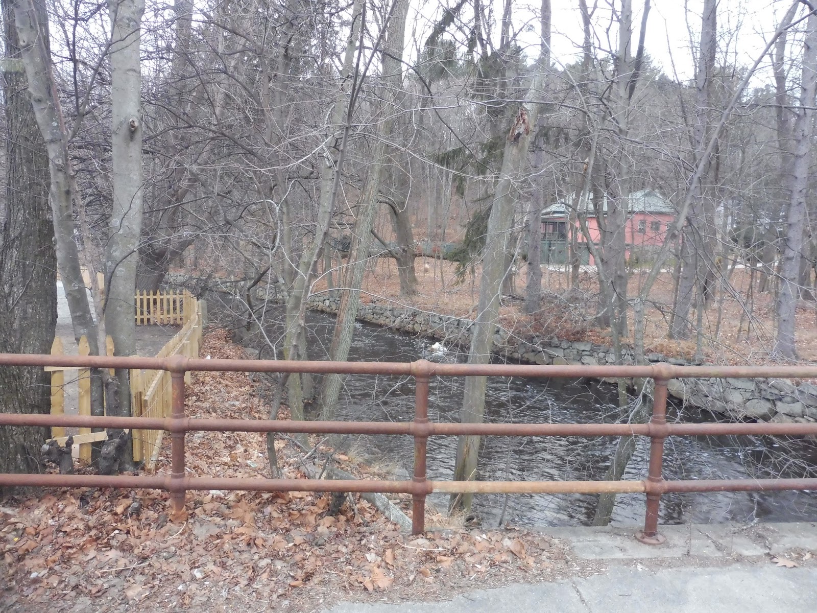 |
| A little river. |
It got woodsy past there, with spaced-out suburban housing. We passed some residential developments, then suburban businesses, including a huge shopping plaza – surprisingly, we didn’t deviate, despite the fact that the parking lot rendered it pretty far from the road. Beyond that point, we merged onto the smaller Railroad Street, taking us below North Main.
 |
| A church. |
As the street name suggests, it came right up next to the Commuter Rail tracks and Andover Station. Next, we turned onto Essex Street for only enough time to cross the tracks, then School Street. This took us through a cemetery and past a church, then some rather large houses. After making a sharp turn onto Main Street, we passed some more houses before arriving at Andover Square. Amidst some rather charming businesses, Jordan and I got off the bus and started walking towards the Commuter Rail.
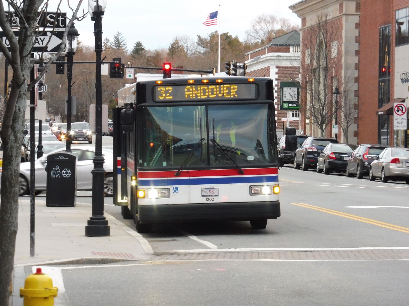 |
| Zoomed out or zoomed in? Take your pick! |
MVRTA Route: 32 (Andover)
Ridership: The ridership for the 32 is below average for the MVRTA’s Lawrence routes, with 108,986 riders in 2015 – that’s about 300 per day. My Saturday trip had pretty low ridership, and interestingly, no one went to Andover; the bus was empty past South Lawrence.
Pros: The route serves a good amount along Broadway and Main Street, and the South Lawrence section definitely needs it (Andover doesn’t seem to use it as much, but it’s good to have). With the classic MVRTA schedule – every half hour during rush periods and every hour middays and weekends – the route has a decent schedule, too.
Cons: I’m not sure what it’s like on other trips, but based on my experience, the Andover section seems to be less used. If the MVRTA wasn’t a pulse system, I might suggest short-turning some trips, but the pulse would make that a waste of time.
Nearby and Noteworthy: From my brief exposure to Andover Square, I have to say that it seems like a great downtown. It’s not that big, but what’s there is some nice businesses in really charming buildings.
Final Verdict: 8/10
Hooray! I think the MVRTA is honestly a decent system, but I seem to have ended up on some of its lesser routes this trip. But I really liked the 32! Sure, the bus may have been empty in Andover, but it could have been that particular trip – short-turning buses would be stupid with the pulse system, anyway. Until next time, MVRTA!
Latest MBTA News: Service Updates
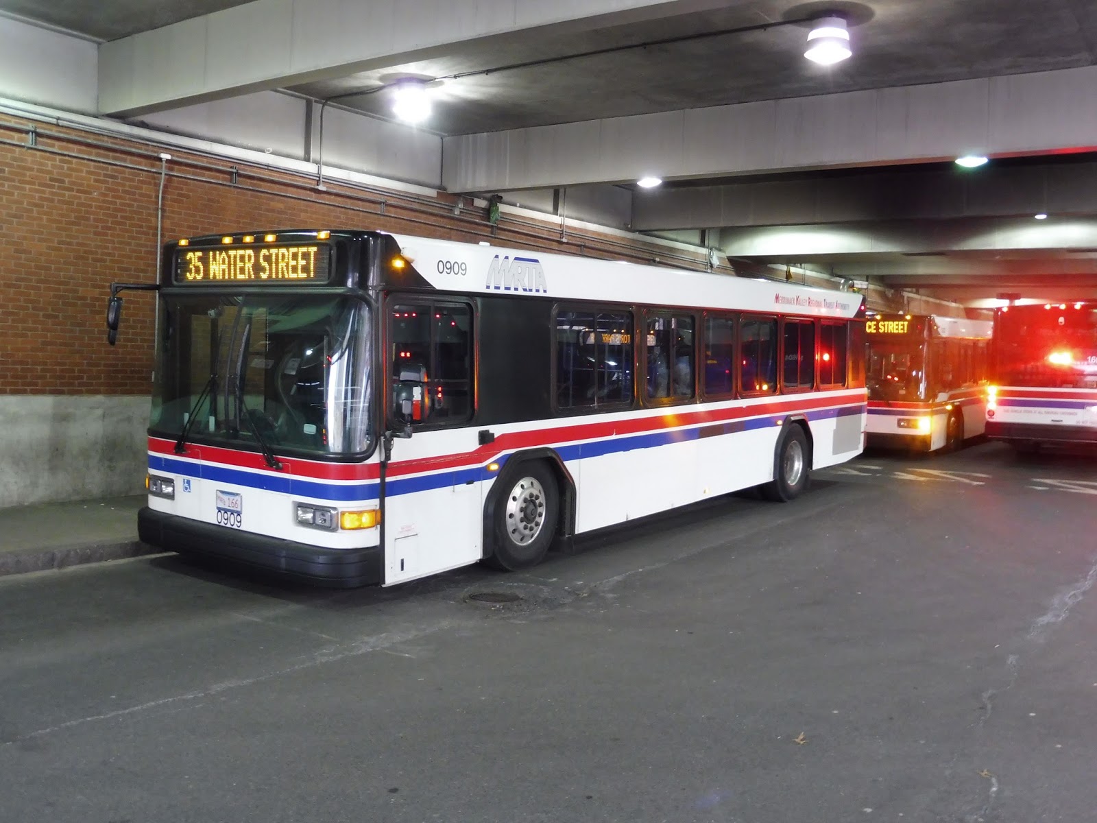
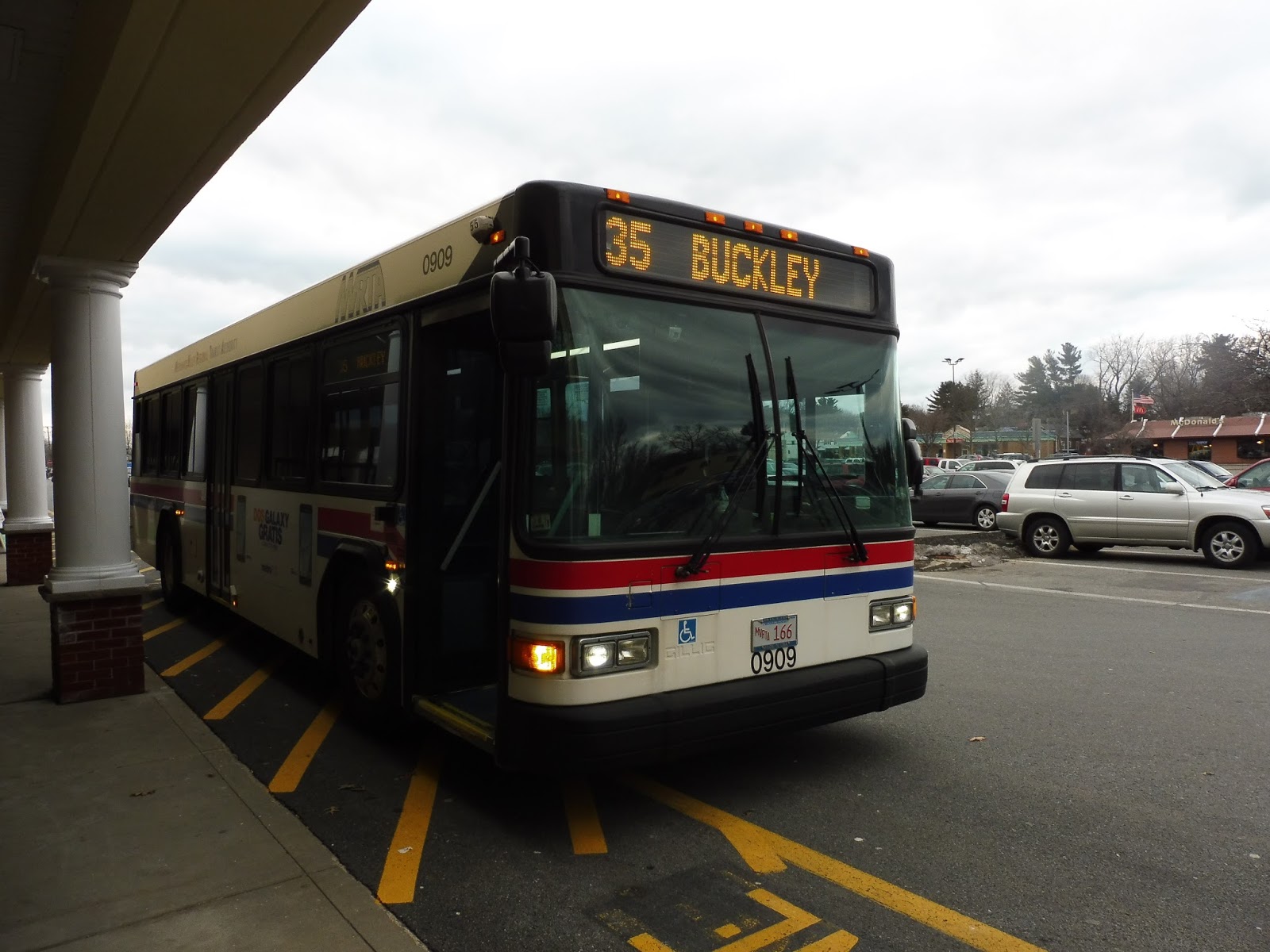
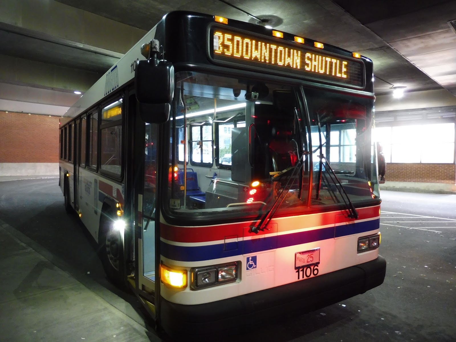
MVRTA: 35 (Water Street)
Well, this is a nice change! After the craziness of the last route, it’s nice to see an MVRTA bus that actually runs the same way inbound and outbound! Yes, today we’re looking at the 35, travelling through the southwestern section of Lawrence.
 |
| The bus at Buckley. |
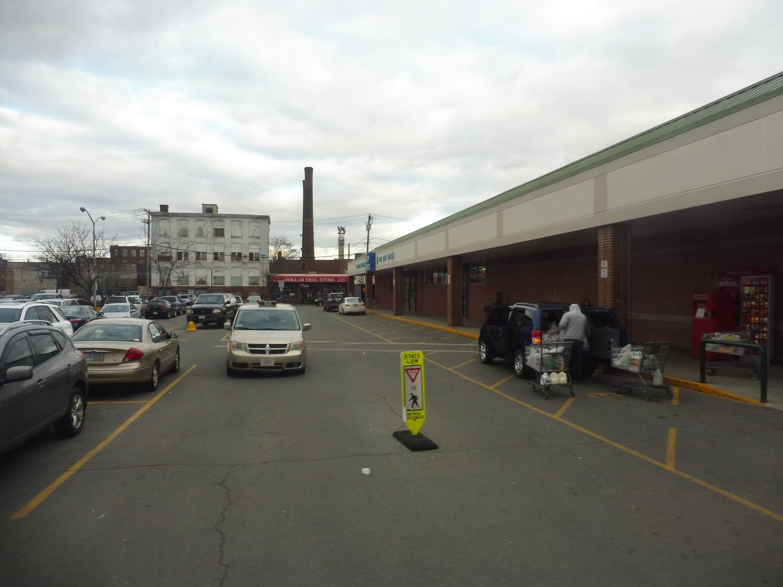 |
| The mall…hoorayyyyyy. |
 |
| It’s the Merrimack River! |
 |
| End of the line! |
Latest MBTA News: Service Updates
MVRTA: 34 (Prospect Hill)
The MVRTA’s Lawrence routes have a certain style to them. The authority seems to like very loopy routes that take different streets going inbound and outbound. It makes for some very strange-looking maps, and the 34 is no exception. Plus, this one has deviations!
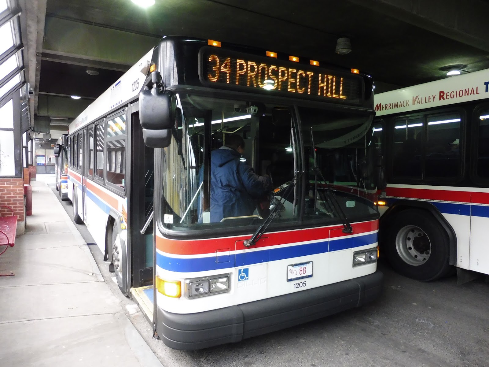 |
| The bus boarding at Buckley. (feat. Jordan!) |
We left the Buckley Transportation Center and headed down Common Street, going past – surprise! – a common (Campagnone Common, to be exact). The other side of the street was lined with the businesses of downtown Lawrence. After a few blocks, the common ended, and we got retail on both sides.
 |
| A Getty? Wow, I haven’t seen one of those in a while! |
We made a quick turn onto Newbury Street for a block, then we turned again onto Garden Street. The street was lined with apartments, but then we passed a huge abandoned factory. Past there, with the road now called General Street, things got a lot more barren, with lots of half-empty parking lots everywhere. After going over the small Spicket River, we pulled into the Lawrence Memorial Hospital.
 |
| This is a strange area… |
It was a steep hill down from the hospital that was scary to traverse in a full-sized bus. We returned to General Street for a bit, then headed through a huge parking lot. Now, on weekday middays, the 34 actually makes an additional deviation from here to the Marston Medical Center that looks like an incredibly long waste of time that makes the route wayyyyyyyyy too convoluted. Luckily, this was a Saturday, so we didn’t have to make the deviation.
 |
| Crossing over the Spicket River. |
Instead, we took a right onto Canal Street, running alongside – you guessed it! – a canal. Next, we turned onto Union Street, with one side occupied by that abandoned factory from before. We went through an intersection with Garden Street, from practically the beginning of the ride! From there, the street became a mixture of apartments and businesses.
 |
| A playground with some apartments. |
We turned onto Summer Street, then Newbury Street, which merged into Haverhill Street. We went over the Spicket River yet again, and the street curved around past apartments, retail, and a church. After the intersection with Prospect Street, we went up a hill and the road became lined with larger houses.
 |
| A side street. |
Next, we turned onto Howard Street, whose houses were more dense. After we passed a fire station and a small school, those “houses” became more “apartments”. We soon turned onto Allston Street, going down a rather steep hill. The road ended at Marston Street, where we took a left, going past a lot of car dealerships.
 |
| That’s a lotta cahs! |
Near a school, we made an incredibly sharp turn onto Haverhill Street. This went up onto a hill past the other side of the school, (that’s how sharp the curve was!) then it became residential with dense houses. Next, we turned onto East Pleasant Street, which soon curved into John Street. From there, we turned onto Ferry Street, running past more houses.
 |
| Kinda-sorta a view? |
Ferry Street ended at Prospect Street, an intersection only three blocks away from the 1. We turned onto Prospect, taking us down a slope. The route overlapped itself at the intersection with East Haverhill Street, where the road’s houses became denser. Eventually we arrived back at the Lawrence Memorial Hospital, deviating again to serve it.
 |
| Coming down to the hospital. |
We retraced our steps for a while, doing the General Street to parking lot to Canal Street to Union Street route again. This time, however, we turned onto Haverhill Street, running past dense houses. One side of the street became Campagnone Common, marking our arrival back into downtown Lawrence. We soon arrived at the Buckley Transportation Center.
 |
| Unfortunately, all I have is this rather lame picture of Lawrence… |
MVRTA Route: 34 (Prospect Hill)
Ridership: Sad to say, this is the least-used proper MVRTA route in Lawrence (sorry, 85) – it got 88,402 riders in 2015, or about 242 people per day. My Saturday trip consisted of entirely local riders heading into the city or going home.
Pros: It’s got a typical MVRTA pulse schedule, which is good – every half hour during the rush, and every hour middays and weekends. And, well…the route definitely serves a lot of the eastern part of Lawrence. Yup, you would be hard-pressed to travel through there without encountering the 34…
Cons:…mostly because it loops and crosses over itself so freaking much! I mean, this is a seriously inefficient route. And yes, I know that it’s a pulse system and the round trip has to take enough time to make the next pulse with a decent layover. But if that means having to traverse this loopy, indirect route, then isn’t that a negative experience for the riders?
Nearby and Noteworthy: Houses or car dealerships…take your pick.
Final Verdict: 4/10
Although it serves a lot, no doubt about it, the 34 is just a mess. Well, I decided to go ahead and fix it…
This routing eliminates all of the places where the route crosses over each other, aside from the hospital deviations, which I assume are a necessity. I included the existing route on a separate layer so you can see how much of an improvement it is – and the best part is that a large majority of the route is either still served or has service only a few blocks away. The only significant portion that loses service is the northern part of Prospect Street and Ferry Street – but that’s the bit that’s only a few blocks from the 1, so they still have nearby service! Overall, the new routing cuts the 34 down from an 8.85 mile round trip to 6.26 miles. Really, the only drawback is that stupid pulse system – I imagine with this routing, the buses would get back to Buckley incredibly early. That’s the drawback of a pulse: sometimes buses have to be purposely inefficient so they can get back to the hub at the right time. Oh well… (UPDATE: I was poking around on the MVRTA’s website, and they have at least one route that gets back ridiculously early – the 34 update could still be feasible!)
Latest MBTA News: Service Updates
MVRTA: Buckley Transportation Center
As we move away from the MWRTA for now, that “W” turns into a “V” and we enter a very different type of system. The bulk of the MVRTA is located in Lawrence, a city where people actually, you know, use the bus (sorry, MWRTA). And all of its routes there are consolidated into one bustling hub, the Buckley Transportation Center.
| That is not a pretty building… |
Yup…that’s the Buckley Transportation Center. It appears to contain a rather large parking garage, but I can’t find any information on how many spaces it contains. And boy, is it an ugly parking garage! I mean, I just hate the look of this building so much!
 |
| Inside the waiting room. |
Okay, let’s cover the waiting room first. This is probably the best part of the Buckley Transportation Center, not that that’s saying much. It features seating, a ticket office, some maps, schedules for all the routes, and even a few vending machines.
| Ohhhhhh noooooo… |
And now we get to the reason why I hate this place so much! This boarding area is just dingy, first of all – I mean, it’s a parking garage in the middle of Lawrence, what do you expect? There are essentially no facilities out here, aside from a few benches and wastebaskets on the edges of the terminal. Buses line up frontward and backward in rows, and you need to consult a map outside the waiting room to find out where you’re boarding, since there are no signs anywhere else.
 |
| Check out those amenities! Wowwwww! |
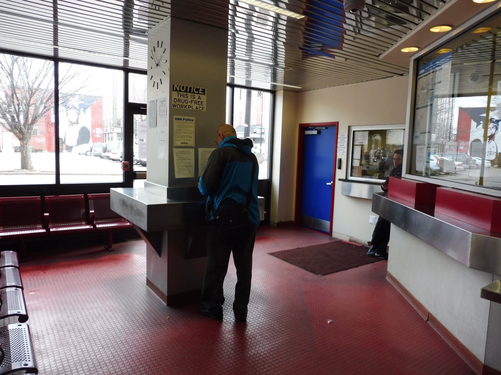
As for the boarding procedure? Jeez Louise, it’s ridiculous. The MVRTA follows a pulse system, which works fine for the most part (I think the system might be a little too big for one, but that’s just me). This means that during each pulse, a bunch of buses will be all lined up in the terminal waiting for passengers; people get on the buses they want, which have open doors but no drivers. Once all the drivers come back, the riders have to get up and all gather at the front of the bus to pay their fares! How inefficient can you get? That’s ridiculous!
 |
| I needed one last picture, so, uh…here ya go! |
MVRTA Station: Buckley Transportation Center
Ridership: This is the downtown hub of all of the Lawrence MVRTA services, and it’s where most people get on and off each route. Of course, I don’t have any actual numbers, but rest assured, this place can get busy.
Pros: You know, having a consolidated hub is good. The MVRTA pulse system makes it easy to transfer between buses. The waiting room has a decent amount of amenities. These are some proper pros…but it’s downhill from there.
Cons: Everything else about the Buckley Transportation Center is terrible! The building is ugly, the busway is dingy and dark, and the boarding procedure is ridiculously inefficient! Waiting here is just a miserable experience that I wanted to end as soon as possible. And for the record, why the heck is this place so far from the Commuter Rail station? It’s such a pain to walk from there to Buckley and vice versa!
Nearby and Noteworthy: The hub is located right in downtown Lawrence…but I’m really not a fan of downtown Lawrence. Look, maybe I’m overreacting, but I always feel a little nervous whenever I walk around here. It’s not a very nice place.
Final Verdict: 3/10
I’m all for having a pulse system with a consolidated hub…but if the hub is this uncomfortable to wait at, there’s a problem. And sure, it has its good points – the waiting room is a somewhat decent place to wait – but I just can’t get behind the crazy boarding procedure or the dinginess of the main busway. Sorry, Buckley Transportation Center, but I kinda hate you.
Latest MBTA News: Service Updates
MVRTA: 85 (Lawrence Downtown Shuttle)
A downtown shuttle in Lawrence? Sweet, I like that idea! It’s great that Lawrence has the 85 to connect all of downtown’s businesses, houses, and transportation centers alike. Oh wait…it doesn’t serve the Buckley Transportation Center on weekdays? And it doesn’t serve the Lawrence Commuter Rail station at all?! Huh…
 |
| The bus at Buckley. |
Jordan and I got the bus at Buckley, since it was a Saturday. As the pack of the pulse left, we made our way onto Essex Street, the main drag of downtown Lawrence. We headed past multistory brick buildings with businesses on their lower floors, with views of abandoned factories down side streets towards Lawrence’s canal.
 |
| One of those aforementioned factories. |
As we kept going, the buildings got shorter, but the businesses still stuck around. Essex Street ended in the shadow of a gigantic old factory, where we turned onto Union Street. This took us up past some apartments and housing projects, then we turned onto Haverhill Street, which was lined with dense houses of all different shapes and sizes.
 |
| Turning onto Haverhill Street. |
We came up along Campagnone Common and passed the Lawrence Senior Center, a major timepoint on the route (even an RTA as urban as this one can’t avoid shouting out the ol’ senior center). Only three blocks away from where we started, we turned onto Lawrence Street, going by a library, a church, and a park. It got more residential as we proceeded northward, then crossed over the tiny Spicket River.
 |
| A side street. |
Outside of some retail, we turned onto Park Street, continuing the dense housing we had been seeing before. The street ended at Broadway, onto which we turned, going by some more old factories. The street was predominantly lined with businesses, though – some of them had parking lots, while some of them were right up against the sidewalk.
 |
| Going over the Spicket River again on Broadway. |
After we had gone a little ways down Broadway…we got off to eat lunch. But we were almost done with the route, anyway – the only truly unique portion of the route we had missed was a section down Essex Street. After that, it would loop around to the senior center again before returning to Buckley.
 |
| See ya! |
MVRTA Route: 85 (Lawrence Downtown Shuttle)
Ridership: To put it bluntly, this is the lowest-ridership route in Lawrence. In 2015, it got 30,867 riders which equates to a little over 100 people per day. And sure, it appears that the route was introduced in 2015, but considering that our ride had only two other people, I don’t think it’s gone up that much.
Pros: I love the concept of a frequent downtown shuttle, and the 85 fits the bill pretty well. On weekdays, it runs every half hour in a constant loop; on Saturdays, it’s every hour, but it’s also timed with a pulse from Buckley, which helps alleviate the lower frequencies.
Cons: Why doesn’t this so-called “downtown shuttle” serve the Commuter Rail station?! On Saturdays I can understand why it wouldn’t, since the schedule is tight, but on weekdays, it gets a 10 minute layover at the senior center! Why not have the route serve the station to give commuters a frequent service into and out of downtown Lawrence? And even aside from that…I’m just not sure how useful the 85 is. Most of it parallels other routes, and destinations around the loop are mostly walkable aside from a few rare cases.
Nearby and Noteworthy: Like I said before, I’m not a fan of downtown Lawrence…but this route will definitely get you around there!
Final Verdict: 3/10
I’m most definitely not a fan of this route. Aside from the fact that it could probably be eliminated, it doesn’t even perform its basic duties well – there’s nothing stopping it from serving the Commuter Rail station on weekdays. Seriously, though, the 85 just doesn’t serve enough on its own to get a lot of ridership, and, well, it doesn’t. I doubt many people would miss it if it were cut.
Latest MBTA News: Service Updates
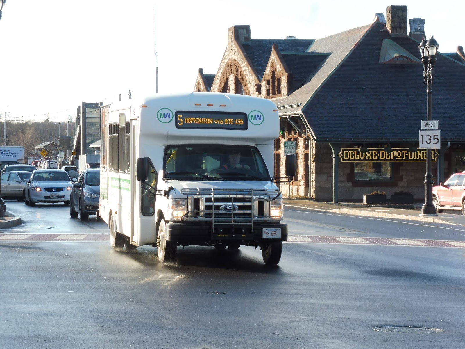
MWRTA: 5 (Ashland/Hopkinton)
Hoo boy, these MetroWest towns are starting to get to me. A few reviews ago, I covered a route that went to Holliston…now here’s one that goes to HOPKINTON? They sound so similar! So here’s the 5, a bus that goes to Hollis-wait, Hopkinton. My bad!
 |
| The bus near the Commuter Rail station. |
We headed up Blandin Ave from the Blandin Hub, then turned onto Waverly Street. This took us to the Commuter Rail station, where there were also some businesses. Continuing down Waverly Street, the 5 can make a deviation to a hospital on Bethany Road by request, but I guess we didn’t get one. The road was mostly residential, but as we came closer to the Commuter Rail tracks, there was a short industrial section (including a gigantic AT&T building).
 |
| Trundling past downtown Framingham. |
From there, the street became entirely lined with houses, at least for a bit. Once we entered Ashland, though, we got to see the magnificent sights of a storage building and an industrial lot! Okay, we also got to see a reservoir soon after that, but then it was all industrial on the other side.
 |
| Going past the reservoir. |
We crossed over a small river, then turned onto Homer Ave, taking us right up to the Commuter Rail tracks again. It was lined with houses at first, but as we entered downtown Ashland, there were a few businesses. We didn’t really serve the heart of downtown, though, which is located across the tracks. For the record, why the heck does the Commuter Rail pass right through here without stopping? Stupid automobile culture…
 |
| A look at downtown. |
We headed down Summer Street after that, which soon grew residential (along with a park). Next, we turned onto Union Street, getting some suburban retail at the intersection. From there, aside from the Ashland Middle School and the Community Center, the street was entirely lined with houses. We also passed a long road that ultimately leads to Ashland Station. After a convenience store, we entered Hopkinton, but it was still houses everywhere.
 |
| An apartment development hidden in the trees, just before crossing into Hopkinton. |
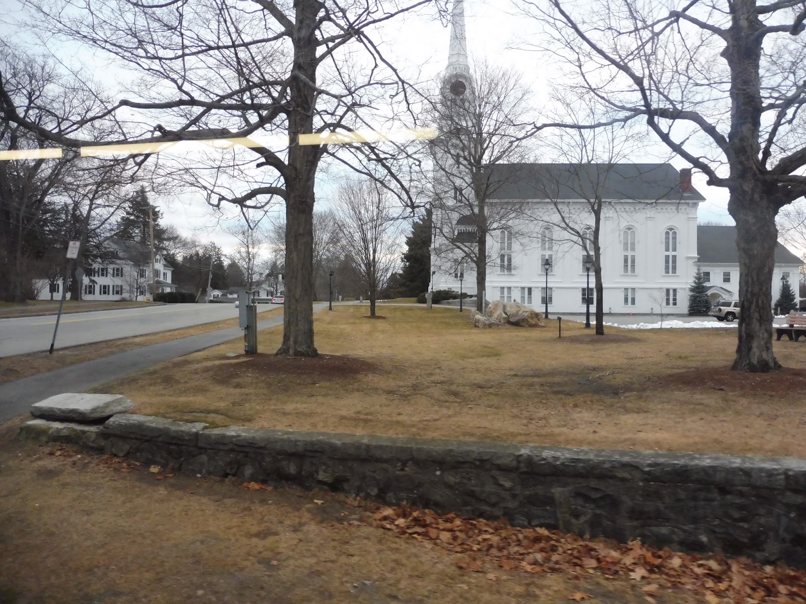
We went through a rather strange mix of houses, farmland, and woods, then we ascended a hill into Hopkinton Center. It featured some historical buildings and businesses, but it ultimately seemed like a boring downtown that was unfriendly to pedestrians. There were dense houses and some businesses beyond there, but eventually it went back to the suburban housing we had been seeing before.
 |
| A frozen-over pond! |
After passing a pond, there was an assisted living facility suitably called “Golden Pond”. The street widened beyond there, playing host to both suburban businesses and office parks. We went through an interchange with I-495, then deviated to serve a modern but rather small shopping plaza. Turning onto South Street, we proceeded past lots of office parks before arriving at our terminus: a tiny shopping plaza with, like, two stores. Was it really necessary to bring a bus out here?
 |
| What a great terminus… |
MWRTA Route: 5 (Ashland/Hopkinton)
Ridership: With 17,243 riders in 2015 (about 69 per day), the 5 is one of the least-used routes on the MWRTA. Still, it has pretty consistent ridership throughout the day, and actually gets a lot of reverse commuters heading to the office parks near the route.
Pros: The route serves an important street and two towns within the service area. It’s also great that the schedule is consistent; the route runs every 65 minutes. Sure, it’s an ugly number, but consistency in MWRTA schedules is always a good thing (they have some crazy headways on some routes).
Cons: Service is weekdays-only right now, but I think that’s about all the route needs. One problem with the route is that it really ought to be extended a little further from its terminus – there’s a gigantic Dell office park a little further down the road that would be great to serve during rush hour!
Nearby and Noteworthy: I didn’t find downtown Ashland or Hopkinton Center to be particularly captivating, but those are the two most interesting places the route serves…
Final Verdict: 6/10
MWRTA does a great job catering to reverse commuters up along Route 9, but I think they could do a lot better with it on this route. I don’t see any reason why the route shouldn’t serve that gigantic Dell office park during rush hour! On the flip side, the 5 still serves significant towns within the service area, and its headways are nice and consistent.
Latest MBTA News: Service Updates
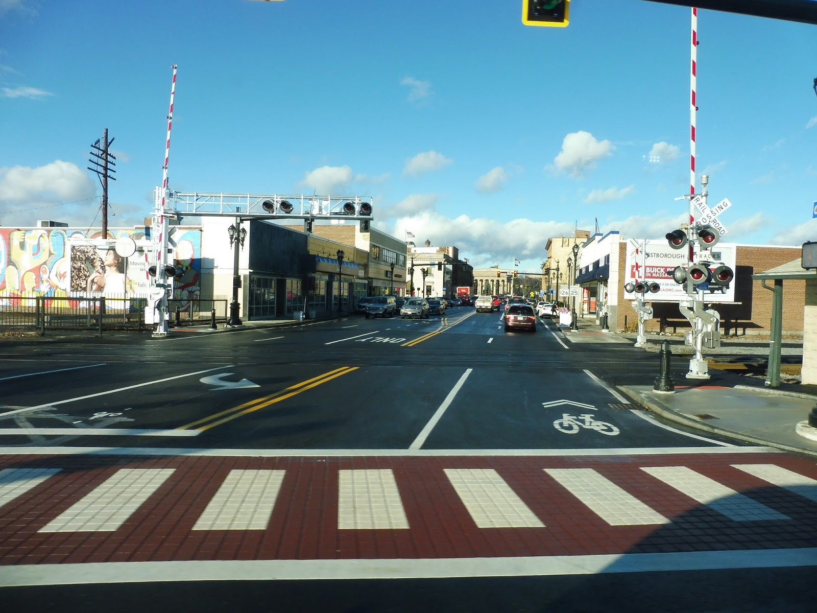
Framingham
Man, for such an important station, you’d think Framingham would be more…grand. I mean, it’s one of the busiest stations on the Commuter Rail and the only unique thing we get is a fancy footbridge? Still, it’s a heck of a lot better than something like Hastings – I shouldn’t be complaining.
 |
| The parking lot out front. |
The station is parallel to Waverly Street, and it has a small parking lot running alongside it. A little further down the street is an old station building that unfortunately lacks a direct connection to the platform. Still, it features a restaurant – “Deluxe Depot Diner” – which is great for morning commuters.
 |
| The alternate exit. |
There’s another exit on the other side of the station from the outbound platform. This is a level crossing over a single track (there are a lot of random tracks in Framingham) that leads to a second parking lot. The lot curves alongside that single track, making the MWRTA affectionately call it the “Banana Lot”. Speaking of the MWRTA, over here they have a…caboose? Nice touch, I guess. They’re also building a third, larger lot alongside the outbound platform, which will hopefully raise the number of spaces up from the current 166.
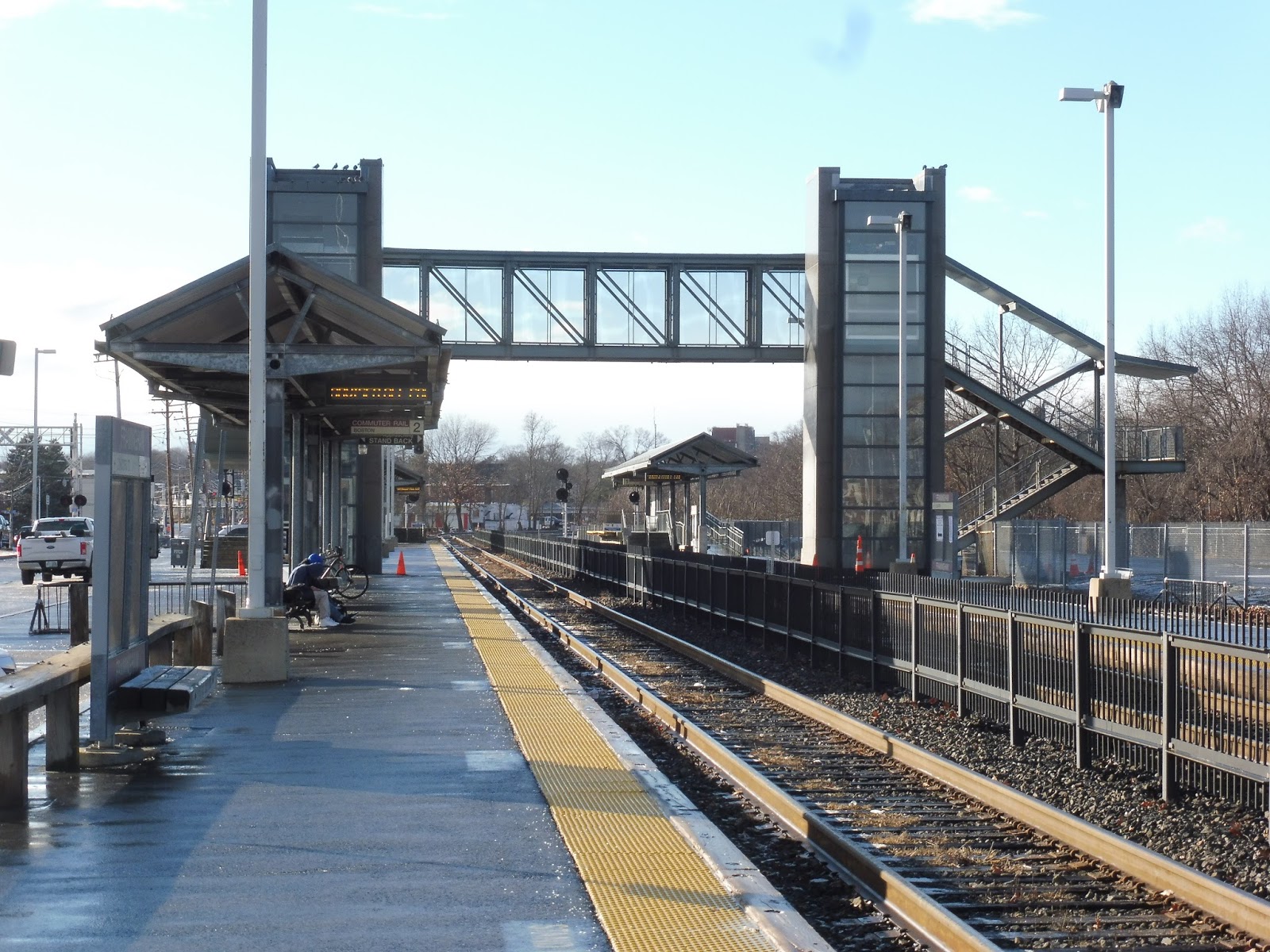 |
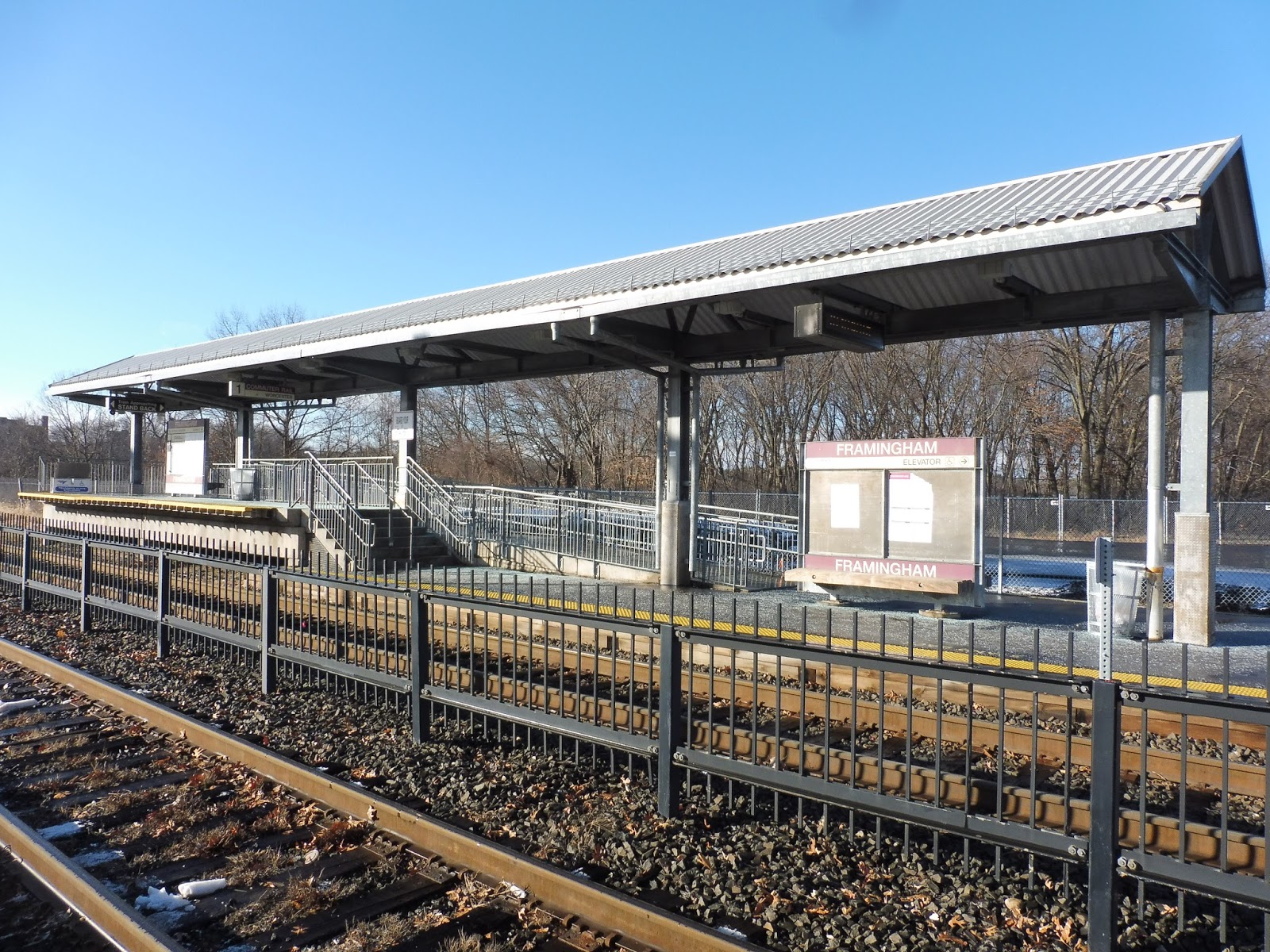
| Looking down the platform. |
Aside from the mini-highs (which we’ll get to), both platforms at Framingham have alternate waiting areas. The inbound side features a modern shelter with benches underneath, as well as multiple bike racks! There are also two pay phones here, for whatever use that may be.
 |
| Eww… |
Unfortunately, the outbound platform doesn’t get anything as good as the other side. Its shelter is a very long walk away from the mini-high platform, and it’s made out of wood. All it has underneath it is a sign, with no seating to speak of. Still, it’s not like many people are travelling outbound from here, is it?
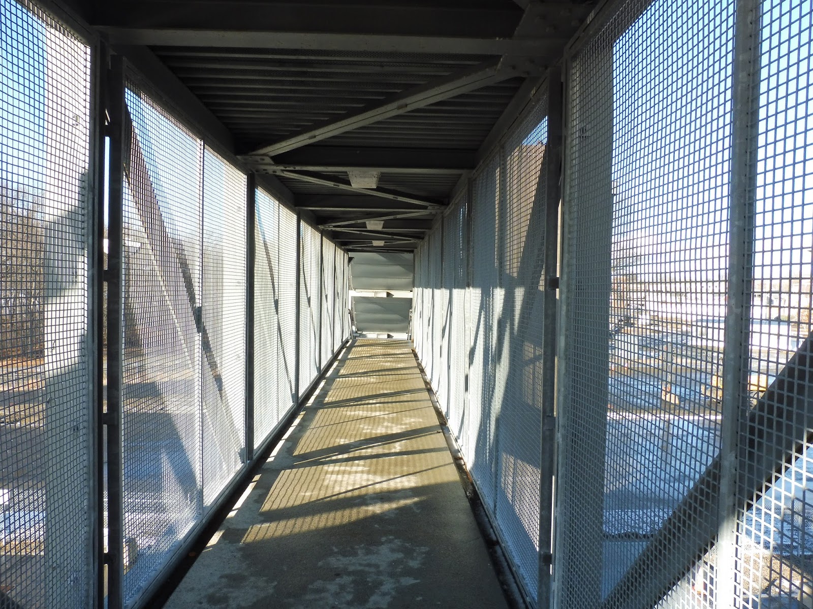 |
| Up on the footbridge. |
So how do you get between the platforms? Your only option is the station’s huge footbridge, which has a really nice design on the exterior. What’s more, it features both elevators and stairs, while the bridge portion is fairly standard and utilitarian (not that that’s bad). It would be near-perfect if it wasn’t for the fact that the stairs are starting to rust underneath – looks like a case of Savin Hill syndrome.
 |
| The outbound mini-high platform. |
Framingham’s mini-high platforms are fully-featured, more so than a normal Commuter Rail mini-high. On both sides, the shelter extends far enough to include a low-level bench and wastebasket, allowing for more seating. The high-level portion of it features the same amenities, although weirdly, the bench appears to be facing the wrong way in the photo above…I wish I had a better one of the inbound side to see if it has the same quirk!
 |
| No train pictures…at least not of the Commuter Rail variety! Wink-wink. |
Station: Framingham
Ridership: This is a very busy Commuter Rail station – the tenth-busiest on the system, in fact, with 1,299 inbound riders per weekday! The fact that it gets so many riders despite having a small parking lot shows the advantage of having stations right in town centers (unlike some of the stations further west on the Worcester Line, among many others). But it’s easy to forget that Amtrak comes here too, with its once-daily Lake Shore Limited route to Chicago. Ridership on that is much lower, with 1,963 riders…per year. That’s only about five people per day, with most of those folks heading out to western Massachusetts or eastern New York.
Pros: Framingham gives you all your basic amenities: mini-high platforms, a decent footbridge, and a respectable second shelter on the inbound side. There’s also a bunch of bike parking, while automobile parking is being expanded with the station’s new lot. The station has decent bus connections as well, with six MWRTA routes directly serving the station.
Cons: Okay, that footbridge was built in 2001 – should it really be rusting already? It’s not as bad as that staircase I mentioned at Savin Hill, but it still doesn’t feel safe when you look at it. Other than that, my main problem with Framingham is just its blandness. I dunno, for such a major station, I would expect something a little more interesting.
Nearby and Noteworthy: Yeah…still not a fan of downtown Framingham. I’m sorry, but it’s just not a very exciting place.
Final Verdict: 7/10
Framingham is most definitely a functional station, and it performs its duties well. Fancy aesthetics really aren’t that important on the Commuter Rail, anyway, so wishing for them is a waste of time. However, something ought to be done about those footbridge stairs – I mean, I am not a fan of rusting stuff that could potentially be unsafe!
Latest MBTA News: Service Updates