BAT: Brockton Route 5 (Brockton Hospital via Centre Street)
Alright, our final BAT route! It’s another typical one, just running out to the eastern sections of the city and a little bit into Abington. Let’s take a look at the 5.
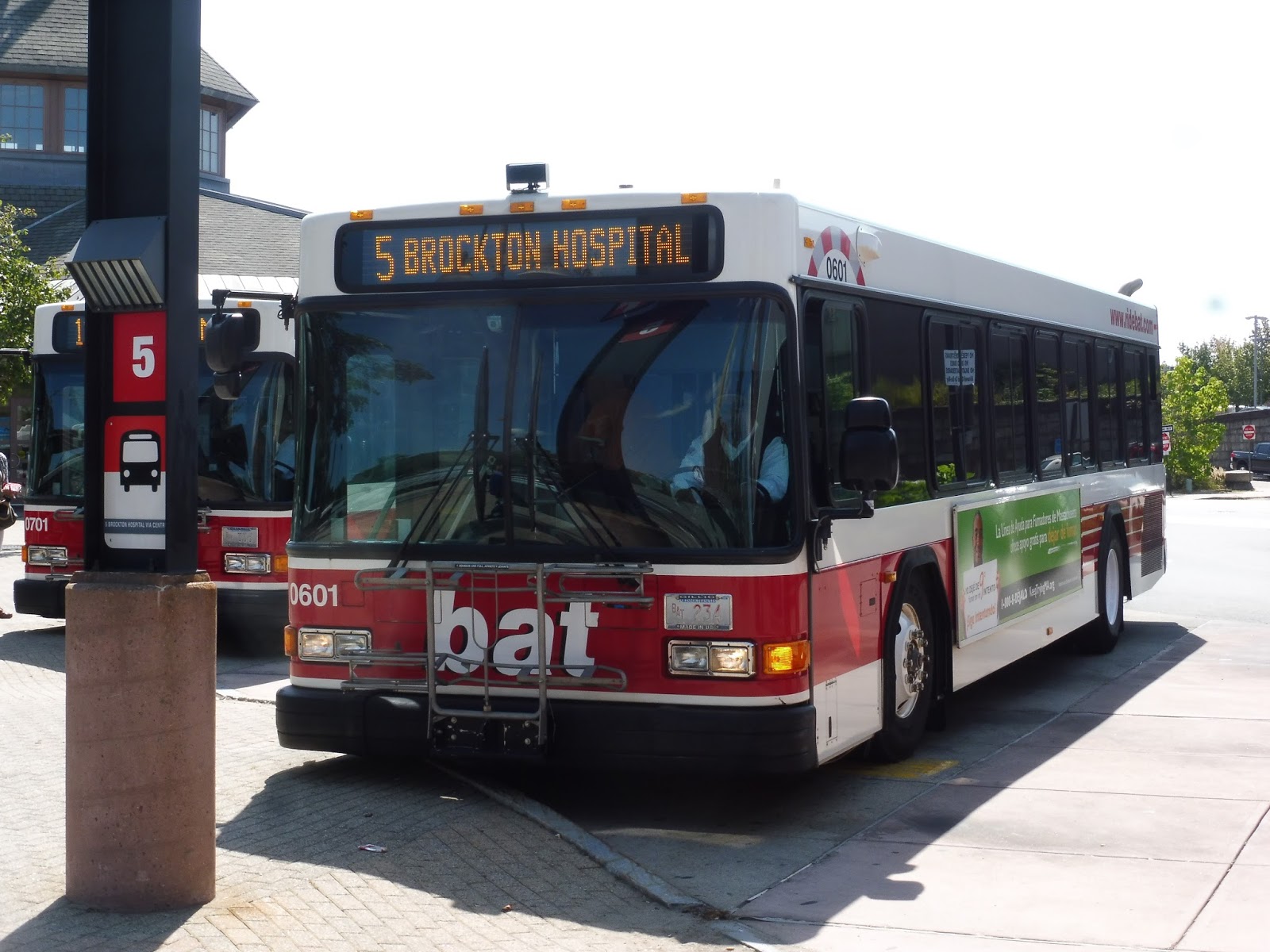 |
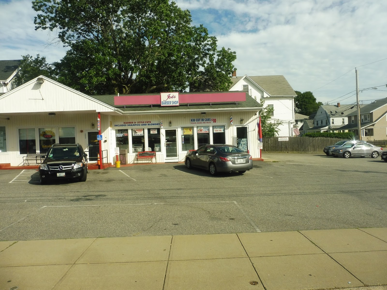
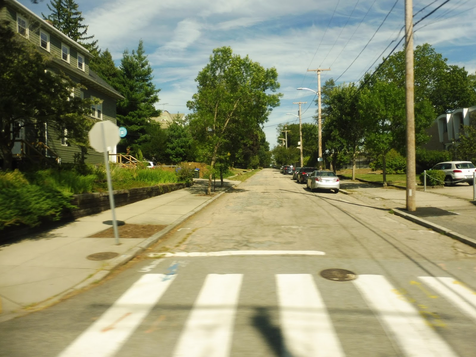
| Getting on at the BAT Centre one last time. |
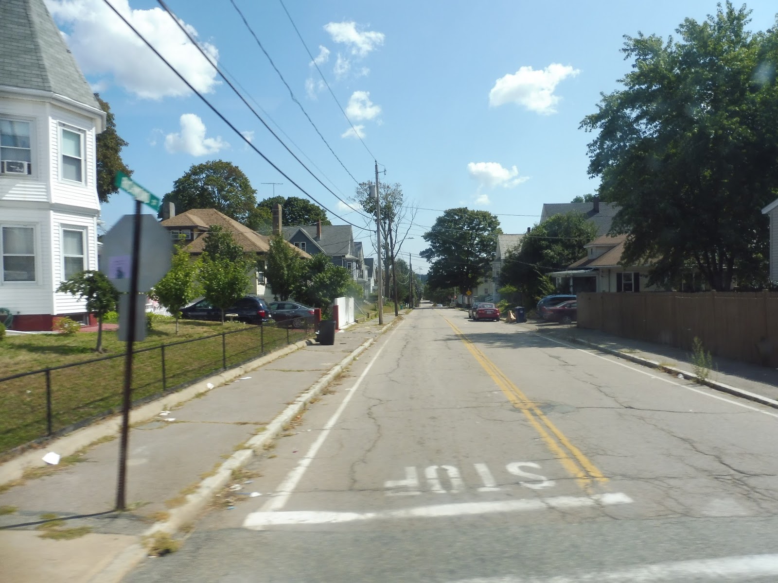
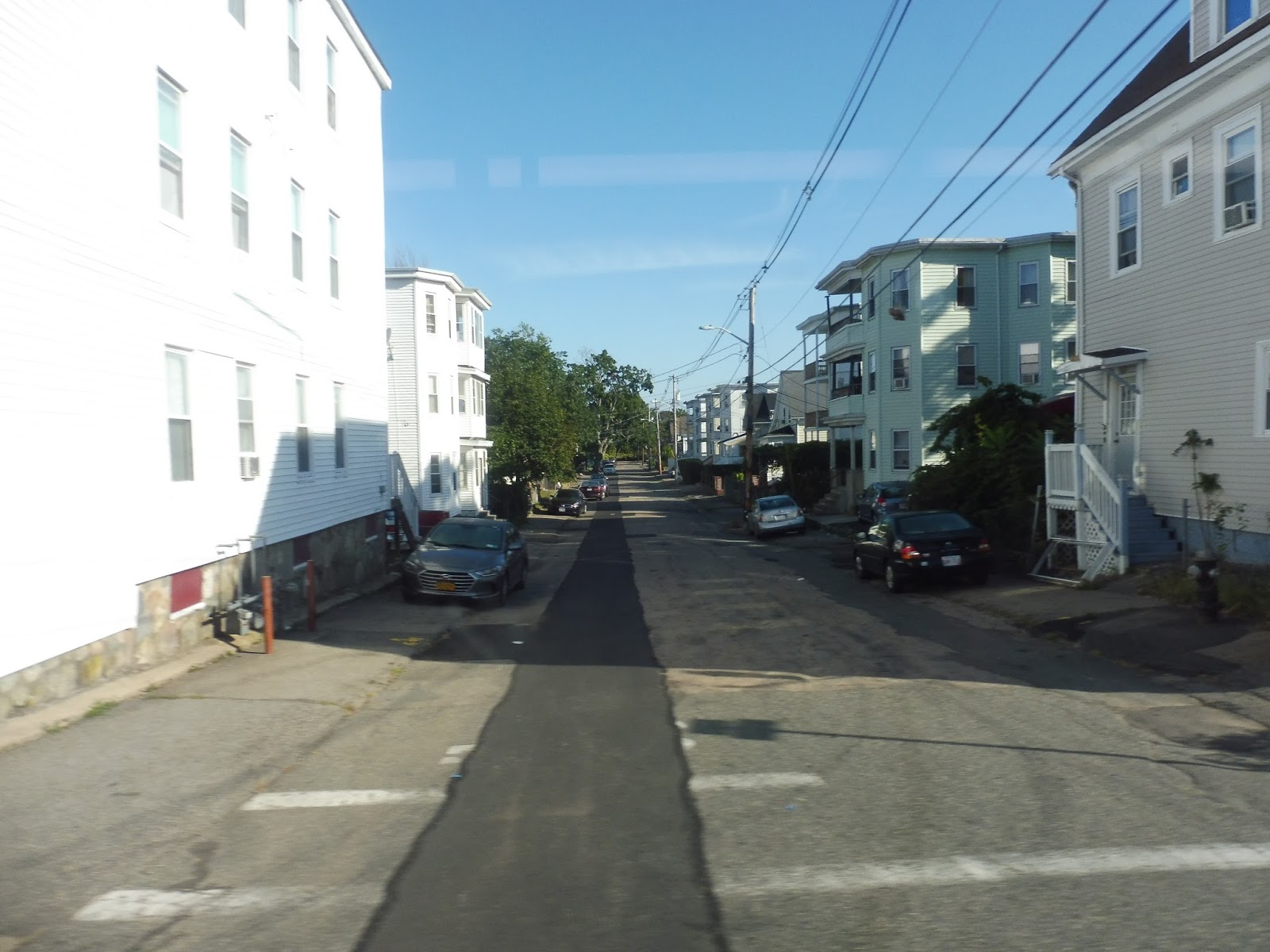
We went down Commercial Street, lined with weird buildings and parking lots, then we turned onto Crescent Street. After passing a bunch of different types of scenery, we turned onto Lyman Street, which was residential aside from a cemetery and a church. Next, we turned onto Centre Street, passing houses, businesses and a school.
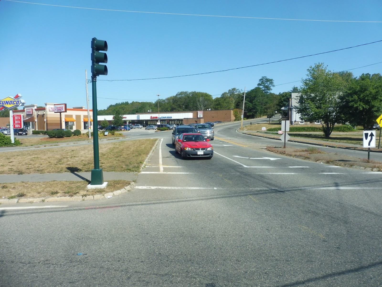
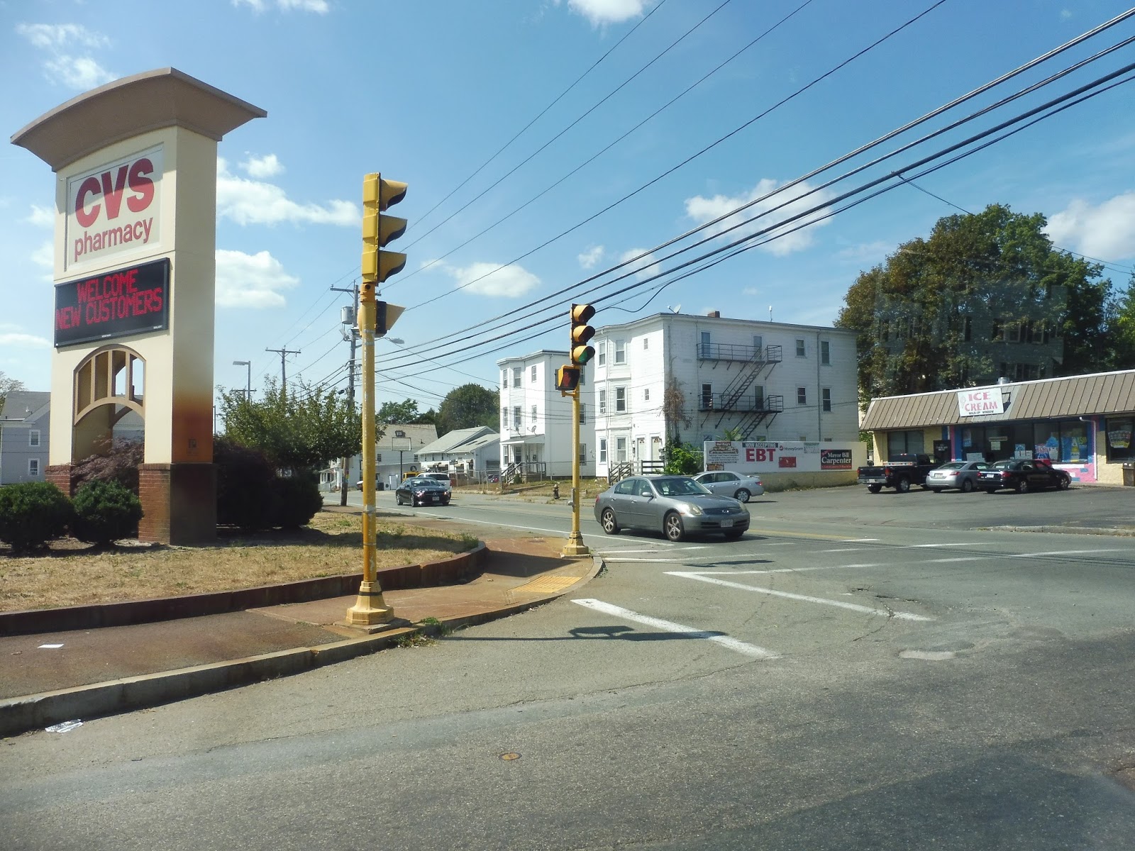 |
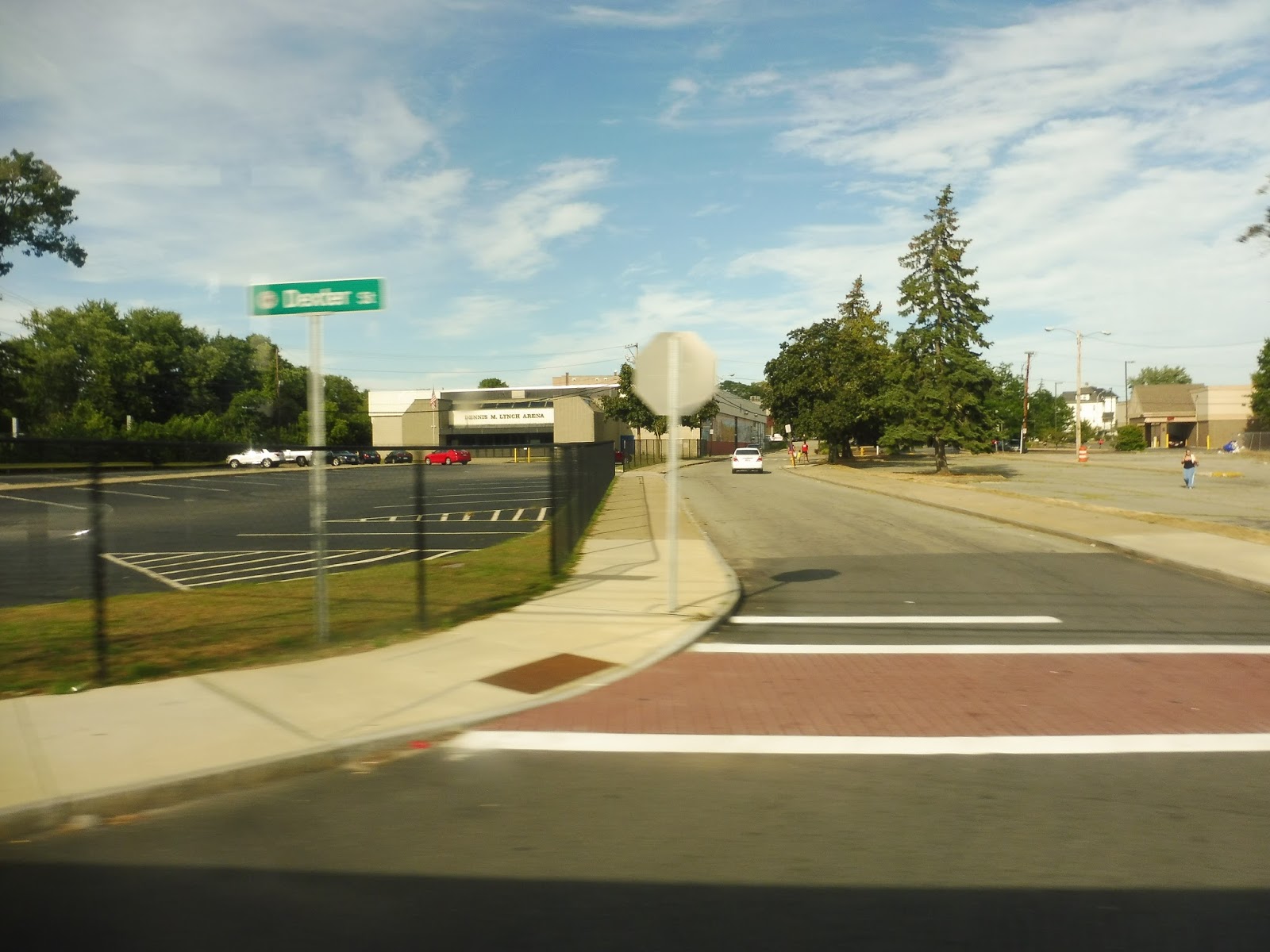
| A mixed-use intersection. |
Eventually, it was time for a double deviation: first, we went into Signature Healthcare, a big hospital. Right after that, we had a jog via Libby Street and Quincy Street to serve the Brockton Multi Services Center. Back on Centre Street, it was residential aside from a few weird industrial buildings, then the road became Brockton Ave as we entered Abington. Finally, we pulled into the Abington Walmart and the final BAT route was completed.
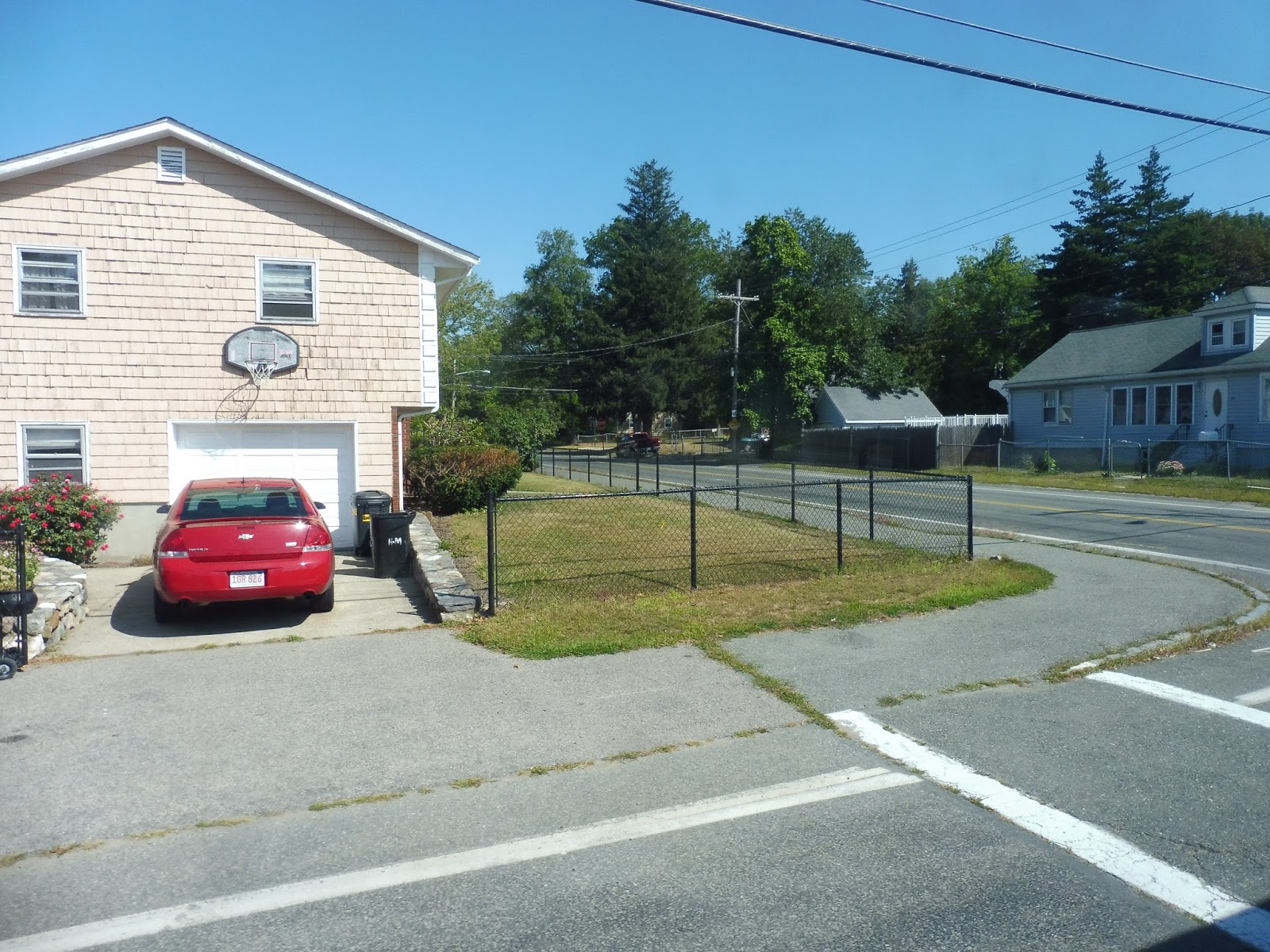
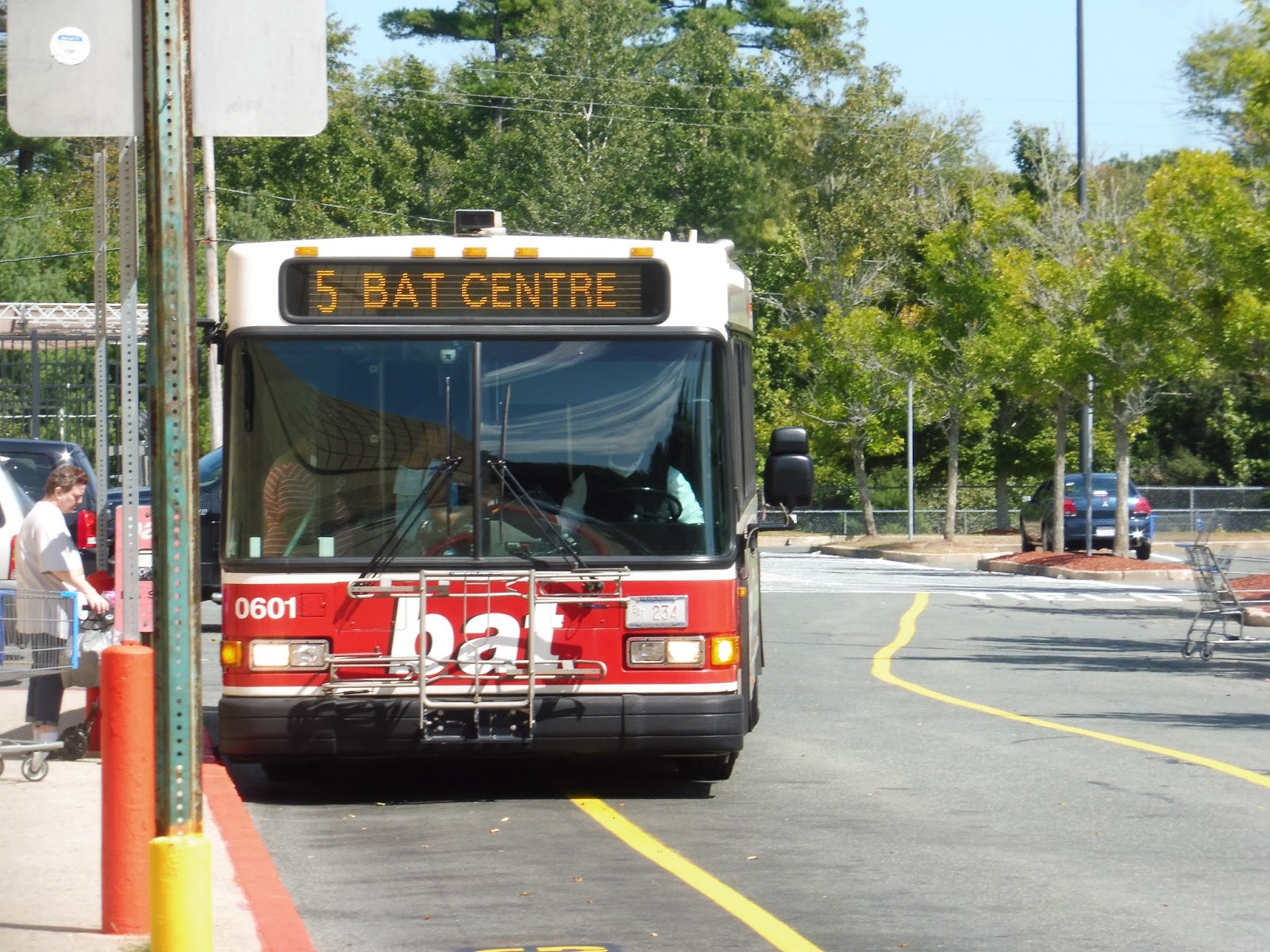 |
| Getting ready to go back. |
BAT Route: Brockton Route 5 (Brockton Hospital via Centre Street)
Ridership: The route got about 500 passengers per weekday in 2014 while netting around 235 and 160 people per Saturday and Sunday, respectively. I will say that my ride had about 15 people going one-way, which is much higher than the 2014 numbers would suggest, so perhaps ridership has gone up.
Pros: The route connects up the important destinations of Signature Healthcare and Walmart to the Bat Centre, while running with the typical pulse schedule. Not much else to say!
Cons: Not much, aside from the route map appearing to show a deviation that we didn’t do – it looks like it serves some shopping plaza.
Nearby and Noteworthy: Walmart, I guess. There isn’t much along this one.
Final Verdict: 7/10
It’s just a typical BAT route, and that’s about it. Alright, well, that’s it for the BAT! Right? It’s not like they have a weird minibus flex shuttle that I have to review, right? Nope…
Latest MBTA News: Service Updates
Kudos to the T for sticking it out through the horrible storm today. Check that service updates link for more information on how it’s doing, as tomorrow won’t be much better.
GUEST POST: Framingham
I live in Framingham, and I’ve gone through Framingham station many times, for red sox games and other events. But, I’ve never reviewed it, but was recently inspired because of some changes that they made.
First off, the inbound side is nice. It is fully accessible, with a shelter covering all of the mini high platform. There is also another shelter closer to the Deluxe Depot Diner, which is a restaurant opened in an old station building.
On the outbound side, there is the same nice situation with the mini high, however the second shelter is all the way towards the crossing on Concord Street. This is because that shelter was utilized along with the old station building. Also, there used to be a fully accessible Banana Lot right there, but it was closed and a new, bigger parking lot was added for commuters on the outbound side.
As for the footbridge, the stairs were redone not too long ago. The stairs are nice and clean (for now), although the flat section wasn’t changed. I’m almost positive that the elevators still have that awful smell, however. There are also nice bike racks and drop off lanes for commuters who use alternate forms of transportation.
Of course, people forget that the Amtrak Lake Shore Limited stops here too. Amtrak runs a once daily route to Chicago that has a station stop here, but ridership on that has never compared to the massive amounts of ridership that the MBTA gets. The MBTA added more conductors and an extra car on Worcester line trains to reduce crowding.
Station: Framingham
Pros: It’s accessible, helps accommodate bikers, has solid shelters, a nice new outbound parking lot, a newly renovated bridge, and bunches of ridership!
Cons: I just wish the rest of the platform was as nice as the mini highs. People still board there too, especially during the morning rush. Some spots in the sidewalks are cracked, and if there was another way of crossing to go along with the footbridge, that would be nice too.
Final Verdict: 8/10
This is a very solid station that does its job well. While it’s clear that the MBTA had a good thought with the remodeled bridge and new parking lot, more can be done. They can increase the lighting in the mini highs, repave the sidewalks, and maybe add another bike rack. But those are small issues. All in all, this is a great station.
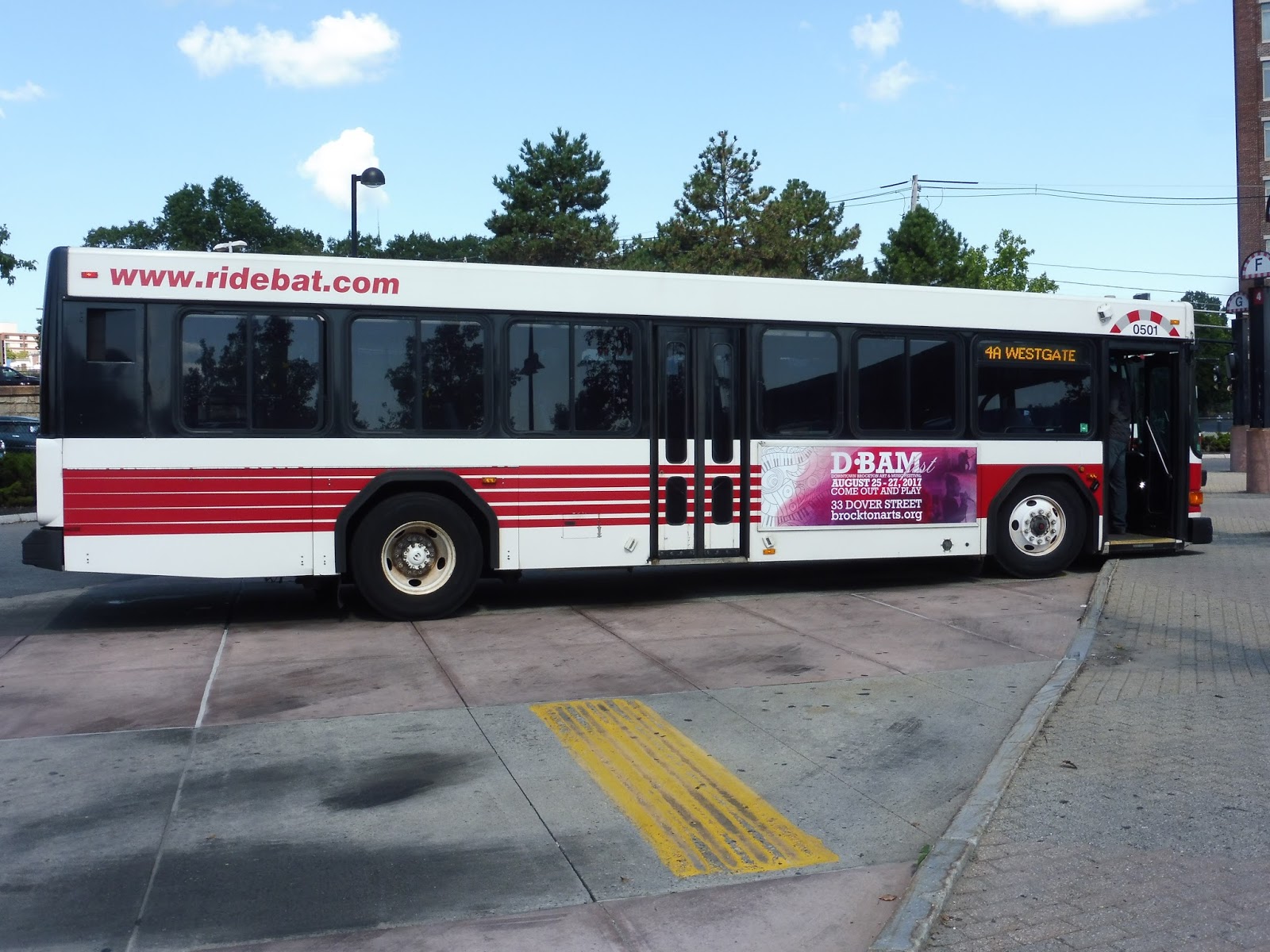
BAT: Brockton Route 4 (Westgate Mall via Pleasant)
Oh yes, here we are on the craziest route of the BAT (barring the 12). The 4 could honestly pass for an MBTA route based on its crowds!
 |
| Here we go! |
I purposely got the 4 in the inbound direction so I would have to take it around its loop from Westgate. First, we looped around to serve Sears, then we used Campanelli Industrial Drive to get to Oak Street. It was mostly housing developments, but there were some suburban businesses with parking lots as we turned onto Pearl Street.
 |
| 824! They want their address to be known. |
Before we could continue, though, we had to loop around into the Good Samaritan Medical Center. And once that was done, we had to do that same section on Oak Street and Pearl Street again. Why couldn’t we have just entered the deviation the other way? Who knows? So finally back on Pearl, it was houses on one side and a cemetery on the other.
 |
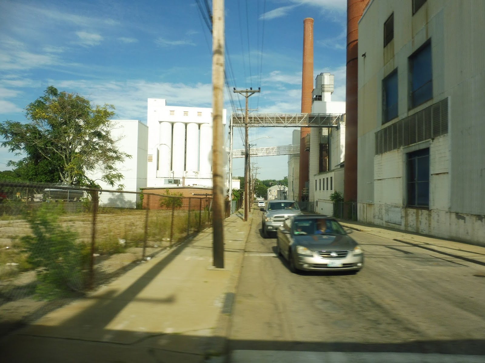
| Construction. |
We turned onto Pleasant Street next, going over Route 24 and passing mostly suburban houses, although there were a few businesses sprinkled in at various points. The further we went down Pleasant Street, the closer the houses got to each other and the more frequent the retail showed up. Finally, we turned onto Warren Ave, then Legion Parkway, which became Centre Street. This led us to the BAT Centre.
 |
| Some of the dense houses. |
BAT Route: Brockton Route 4 (Westgate Mall via Pleasant)
Ridership: In 2014, the 4 got about 1,090 passengers per weekday, 700 per Saturday, and 390 per Sunday. However, based on the ridership I saw on the route (30 people on the one-way trip, enough to require that people stand), I think the patronage for this route has gone up. After all, the route was experiencing positive trends before 2014, so why not stop there?
Pros: Going outbound, at least, this is the fastest and most direct connection to the Westgate Mall. It runs with the classic BAT schedule, which may actually be too infrequent, but we’ll get to that.
Cons: First, I’ll just address the potential confusion with fares: on the 4, you pay when you get on in both directions, even though that contradicts the typical BAT mentality of paying when you get off going outbound. No idea why that happens, but that’s what happens. Also, I guess I understand why the route does its big loop going inbound, but it’s definitely not conducive to a fast trip from the Westgate Mall to the Bat Centre. Finally, I wonder if this route is actually too busy for the pulse schedule. Seriously, instead of every 50 minutes on weekday middays, I feel like an extra bus could be added for 25 minute headways!
Nearby and Noteworthy: Really just the Westgate Mall, and that’s what most people use this route for.
Final Verdict: 7/10
Despite my trepidations with the loop and the crowding, this is still just a normal BAT route. It just happens to be busier than some of the other ones.
Latest MBTA News: Service Updates
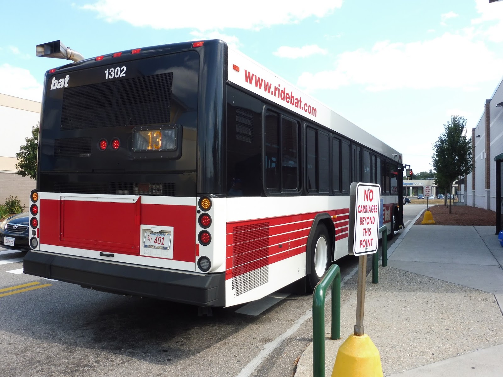
BAT: Mini Maller Route 13 (Westgate Mall, Brockton)
Huh, apparently the Mini Maller doesn’t use a minibus! It makes just as many deviations as a minibus would, but it does not in fact use one.
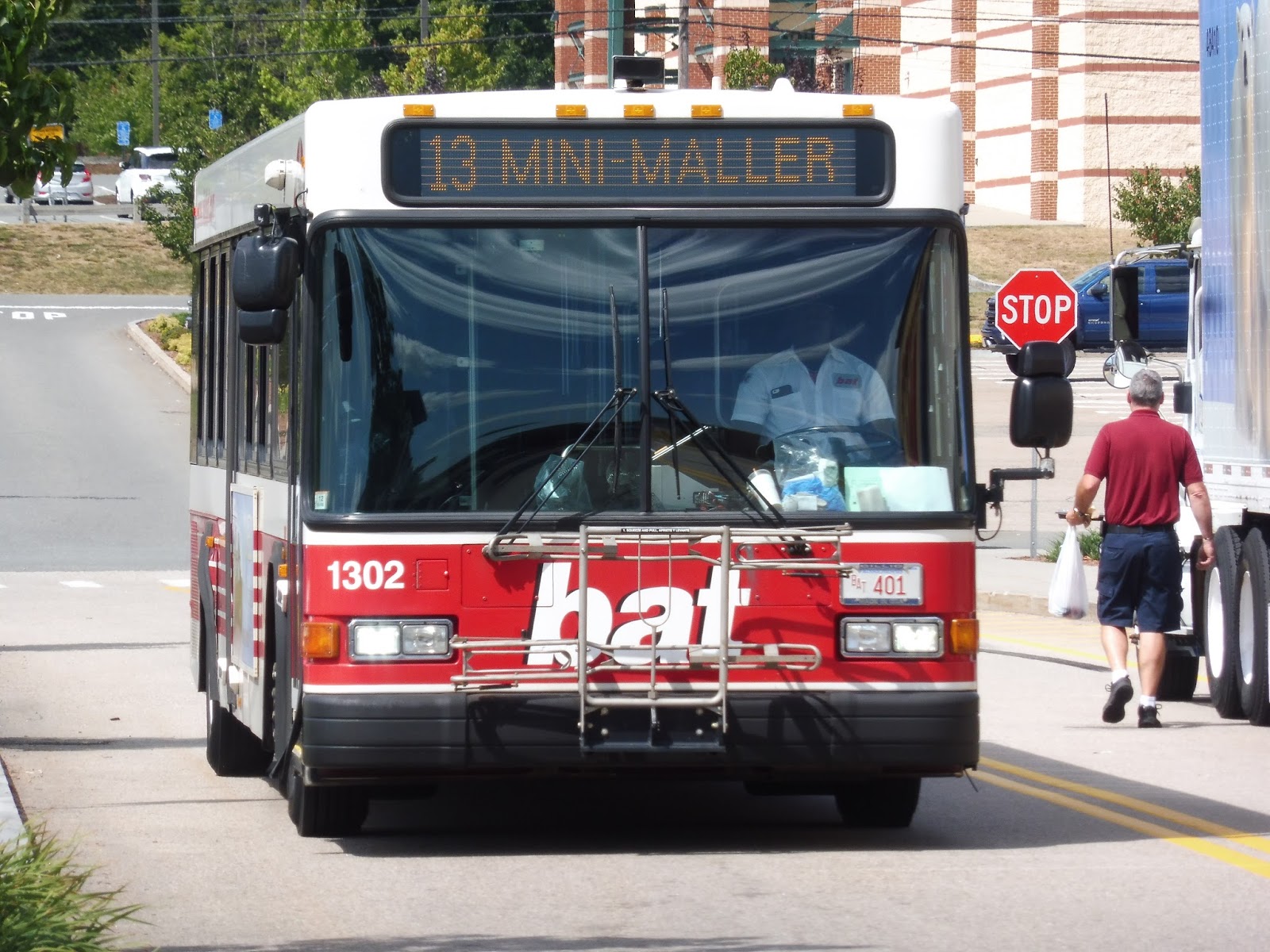 |
| Well, well! |
I boarded the bus at Market Basket, but we couldn’t leave the mall until we served the other side of it, at Sears. With the deviations having been completed, we went up Westgate Drive and turned onto Campanelli Industrial Drive. Next, we turned onto Oak Street, which began with suburban businesses and housing developments but we soon entered a park.
 |
| Making a turn. |
Next to a golf course, we turned onto Belair Street, a suburban road lined with houses. Eventually we reached an apartment building called Belair High Rise, which we had to deviate into. And then, as it turned out, this was part of a greater deviation: we had to return a ways down Belair Street in order to make our way onto Colonel Bell Drive. And within that deviation, we had another deviation into Sullivan Towers!
 |
| Within the Sullivan Towers deviation. |
We headed back onto Belair Street for a block before turning onto Prospect Street. Next, we did a hairpin turn onto Pleasant Street, which we stayed on for a block before turning onto Wheeler Ave, then Malvern Road. This was a deviation to serve a tiny apartment complex.
 |
| The complex. |
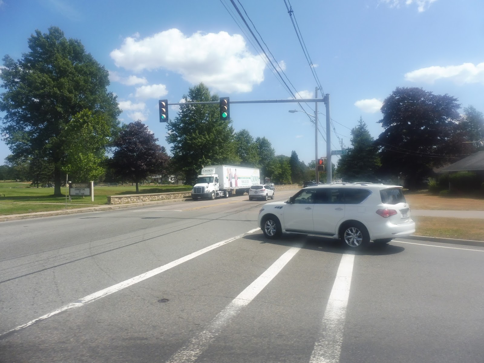
We came back up to Pleasant Street for a mere two blocks before turning onto West Street. This suburban road was mostly residential, although one side of it became occupied by yet another golf course – I had no idea Brockton had so many of them. Next, we did a triple-threat deviation, serving three shopping centers!
 |
| One of those deviations. |
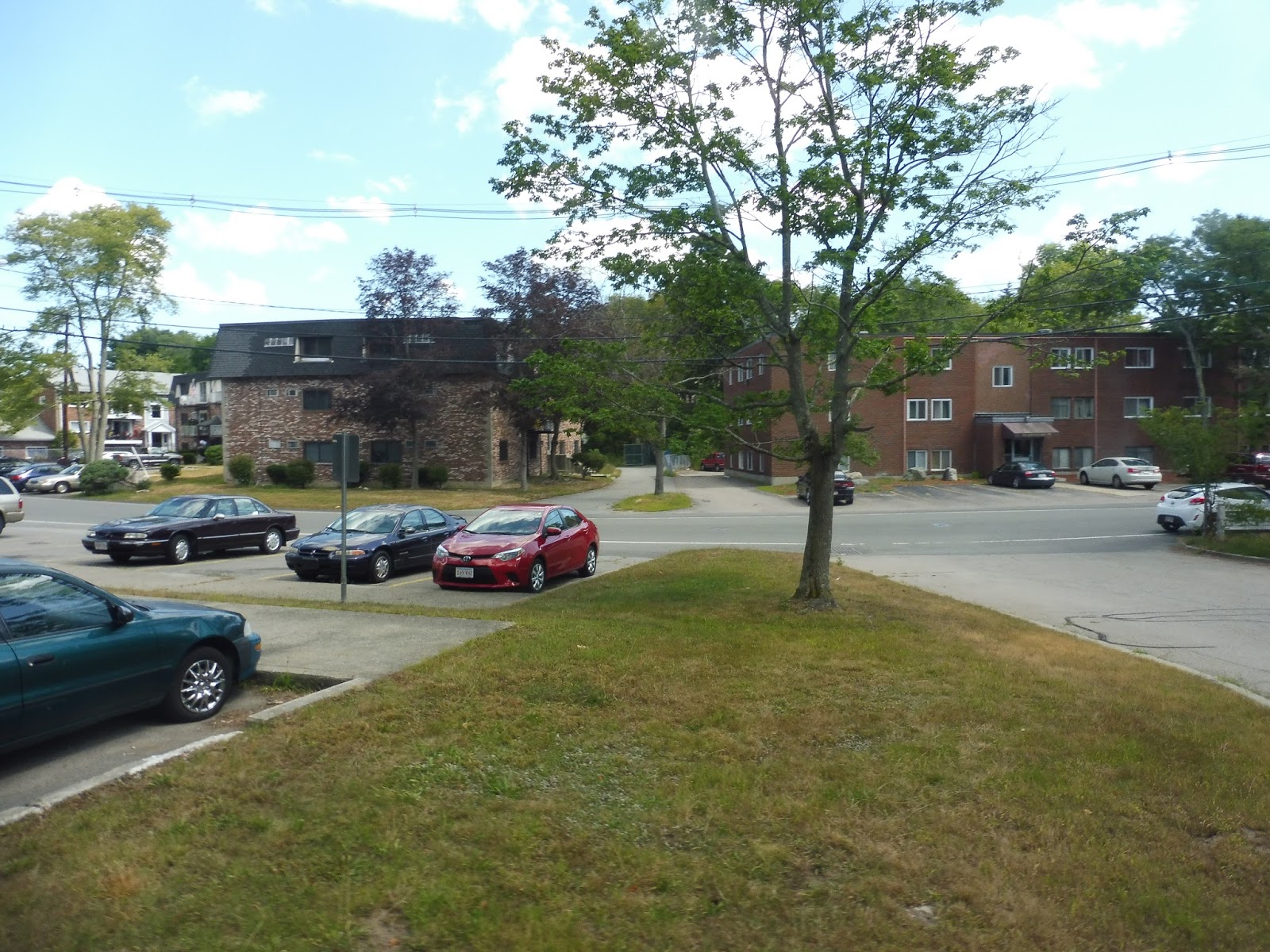
We made our way up to Torrey Street and ran down it, going by suburban houses on either side. After going under Route 24, we turned onto Pearl Street. It was residential for a while until the intersection with Pleasant Street, which had some suburban businesses and medical clinics. Once we turned onto Pleasant, though, it was all houses again.
 |
| A view of the neighborhood. |
We turned onto Sumner Street, which stayed residential as we entered Stoughton. Finally, we deviated into Goddard Rehab and Nursing Company…and then it turned out that from Pleasant Street onward had been in itself a deviation! So we had to go allllllllll the way back down to Pearl Street, which we turned onto again.
 |
| Back on track finally. |
Pearl Street was now residential with one side occupied by a cemetery. After merging with Route 27, we did yet another deviation into the Good Samaritan Medical Center. We headed down Oak Street from there, going under Route 24 before doing…come on, another deviation? Okay, okay, we had to go into a Walmart, but once we came back out, we only had to enter the Westgate Mall and the trip was over! Hooray!
 |
| At least it wasn’t a minibus, I guess. |
BAT Route: Mini Maller Route 13 (Westgate Mall, Brockton)
Ridership: The 13 seems to get incredibly low ridership for the BAT, with a mere 95 passengers per weekday and 99 per Saturday. Strangely, my ride bucked those trends, getting 20 people in the round trip versus the supposed average of around 12 per round trip. Maybe the 13’s ridership has gone up?
Pros: I guess as a shopping circulator, it does its job well. It connects a bunch of housing developments to busy shopping centers, mostly catering to a senior crowd.
Cons: First, there’s the obvious: man, this route makes a lot of deviations! Secondly, we have the issue of the schedule – the route runs every hour on weekdays and Saturdays, but the problem with that is that it doesn’t time with other BAT routes serving Westgate Mall. I guess it’s meant to be its own self-contained thing, but it can definitely be problematic for, say, people from Brockton trying to get to the Belair High Rise. Finally, and this one bugs me the most, the schedule puts Westgate Mall and Goddard Rehab as the two timepoints, but it claims that Goddard Rehab is halfway along the route, taking half an hour to get between each location. That simply isn’t true! Goddard is far more than halfway, and buses get there anywhere from five to ten minutes “late.”
Nearby and Noteworthy: Most of the route’s independent sections consist of housing developments and medical centers – nothing exciting.
Final Verdict: 5/10
It’s hard to get too worked up about this one, but it definitely has its problems. It’s deviatory as heck, it doesn’t time with other BAT routes, and its schedule doesn’t conform to reality, but you know, it gets some riders and it’s an important circulator for residents of western Brockton. I’ll let it go with a 5.
UPDATE: So they got rid of the Goddard Rehab deviation. That’s good. But now the route runs every 45 minutes, which still doesn’t time with the BAT pulse! Could’ve had buses wait five minutes and make it every 50, but I guess not. I’m sticking to the 5.
Latest MBTA News: Service Updates
BAT: Brockton Route 4A (Westgate Mall via North Warren)
Who needs the 4 when you have the 4A, otherwise known as the less insane version of the 4? We’ll get into how crazy the 4 is another time, but for now, here’s its counterpart, the 4A.
 |
| The bus at the BAT Centre. |
We went down Court Street, then turned onto North Main Street for a block before twisting onto Spring Street. The road had apartments on one side and a park on the other, but once we turned onto North Warren Ave, it was almost all dense houses and apartments. Things got a little more spread out the further we went, but it wasn’t a huge difference.
 |
| A side street. |
We turned onto Battles Street briefly before entering Battles Farm, an apartment development. Meandering through the complex, we came back onto Warren Ave but turned onto Oak Street outside a middle school. The scenery was diverse, including houses, suburban businesses, and a golf course.
 |
| Making our way onto Oak Street. |
We entered a park, going by the Fuller Craft Museum before passing some housing developments, suburban businesses, and an industrial building. Soon we turned onto Campanelli Industrial Drive, which was in fact industrial (it was aptly named). We turned onto Westgate Drive next, which took us in a big loop around the Westgate Mall past other suburban businesses and shopping centers. Finally, we headed into the mall parking lot, ending the journey.
 |
| A pond within the park. |
BAT Route: Brockton Route 4A (Westgate Mall via North Warren)
Ridership: Even though this route isn’t nearly as busy as the normal 4, it still gets pretty good ridership: in 2014, it had about 850 people per weekday, 550 per Saturday, and 380 per Sunday. I even think ridership on the line has increased since then – my one-way trip had 20 passengers, which is way more than the averages in 2014.
Pros: The route serves dense portions of northwestern Brockton and connects them up to the Westgate Mall and the BAT Centre. It runs with the classic pulse schedule, which works fine for this route. However, on Sundays it combines with the 4 to form a loop, which is an efficient use of resources when ridership is lower.
Cons: The route has one quirk that’s not publicized too well, and it was confusing at first: whereas with most BAT routes you pay when you get off going outbound, on the 4 and 4A you pay when you get on.
Nearby and Noteworthy: The Fuller Craft Museum looks like a charming local art museum, and this is the closest route to it.
Final Verdict: 7/10
It’s another normal BAT route. Not much more to say – typical schedule, typical ridership, typical route.
Latest MBTA News: Service Updates
BAT: Brockton Route 3 (VA Hospital via Belmont)
It’s so weird to go to hospitals just to get a bus. I felt really awkward just standing outside of the VA waiting for the 3! Needless to say, I was happy when it came.
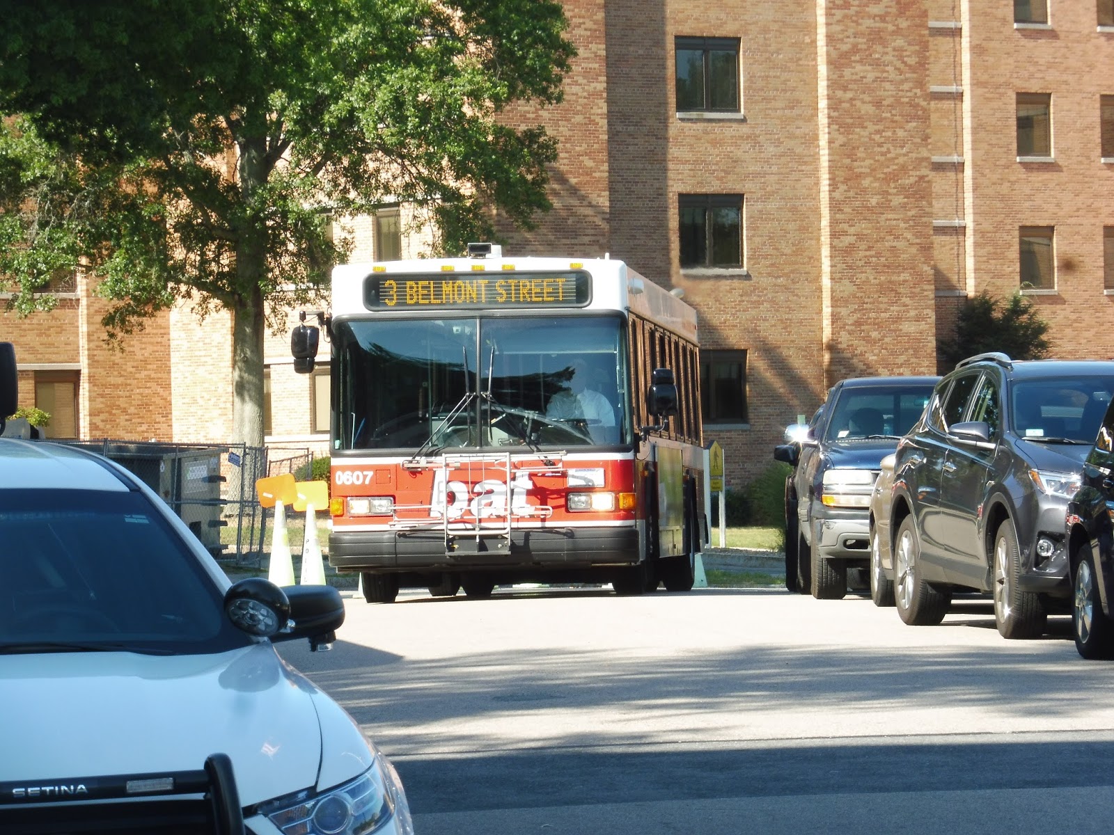 |
| Hooray! |
We headed out of the hospital complex onto Belmont Street, which was a mix of houses and businesses…for about 30 seconds. After that, it devolved into lots of strip malls, and we turned onto an access road to serve two of them. It was a smart deviation, though, as it took us out to Torrey Street – it felt a lot less painful than having to go in somewhere and come back out.
 |
| Going by Shaw’s Plaza. |
Torrey Street merged back into Belmont Street, and after a weird empty field, there was a mixture of apartments and businesses. Soon after passing an elementary school, though, we turned onto Main Street, and we were surrounded by the tall but mostly empty buildings of downtown Brockton. We were only on Main for a block, turning onto Crescent Street, then Commercial Street, taking us into the BAT Centre.
 |
| Why can’t this have been my bus????? |
BAT Route: Brockton Route 3 (VA Hospital via Belmont)
Ridership: The 3 is one of the busiest routes on the BAT, getting just under a thousand riders per weekday, a smidge under 500 per Saturday, and just under 200 per Sunday. My ride was lighter with about 10 people heading into Brockton, but the route generally averages around 30 per round trip on weekdays.
Pros: Belmont Street is a dense, busy corridor, and the 3 connects it up to downtown Brockton, to various shopping centers, and to the VA Hospital. Best of all, it does it in a direct way, doing a clever jog instead of a deviation to serve Shaw’s Plaza. As for scheduling, it runs with the typical BAT pulse schedule.
Cons: This is trivial, but on the online schedule for the 3, I think they just copied it over from the 1, because there are a bunch of “A”s at night that don’t mean anything for this route. Also, the 3 could arguably be even more effective if it was combined with the 9 on weekends. Just sayin’…
Nearby and Noteworthy: I guess the plazas are the most noteworthy places along the 3, but they’re nothing special.
Final Verdict: 7/10
It’s another typical BAT route! It’s got its typical schedule, it serves a good amount, and it gets good ridership. Nice.
Latest MBTA News: Service Updates
BAT: Brockton Route 9 (Pearl via West Elm and Torrey)
Welcome to the only numbered BAT route that runs weekdays only! Why is the 9 weekdays only? I honestly have no idea, since it seems to get pretty good ridership…
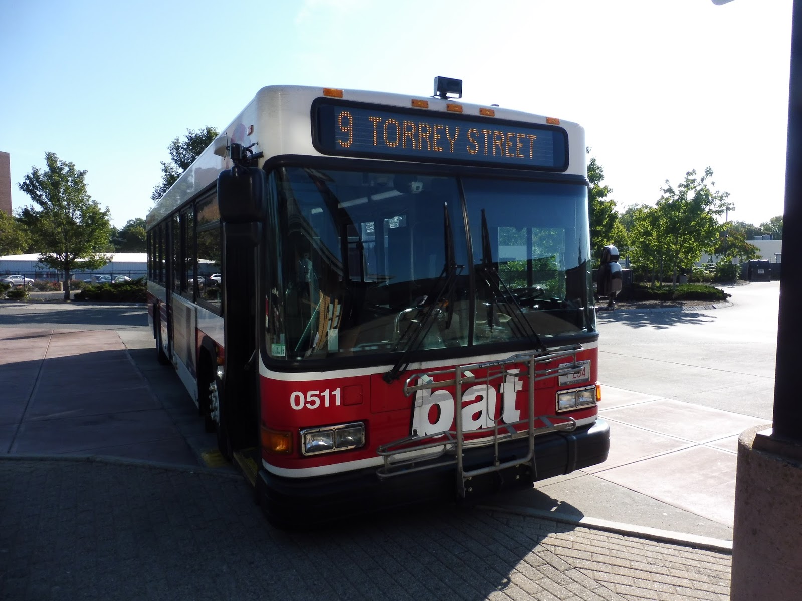 |
| The bus at the BAT Centre. |
We headed down Centre Street, going under the Commuter Rail tracks and passing the bland and unoccupied buildings of downtown Brockton. It continued as Legion Parkway and got a median for parking, then we made our way to Elm Street via Warren Ave. There were various buildings including a school, a church, and an apartment building, but it soon devolved into mostly suburban houses.
 |
| Some apartments closer to downtown. |
Elm Street ended with a middle school, and at that intersection, we turned south onto West Street, passing a golf course of all things! I wouldn’t have expected to see one of those in Brockton. Next, we turned onto Torrey Street, passing a few strip malls before it became mostly houses again.
 |
| And we don’t have to deviate! Yay! |
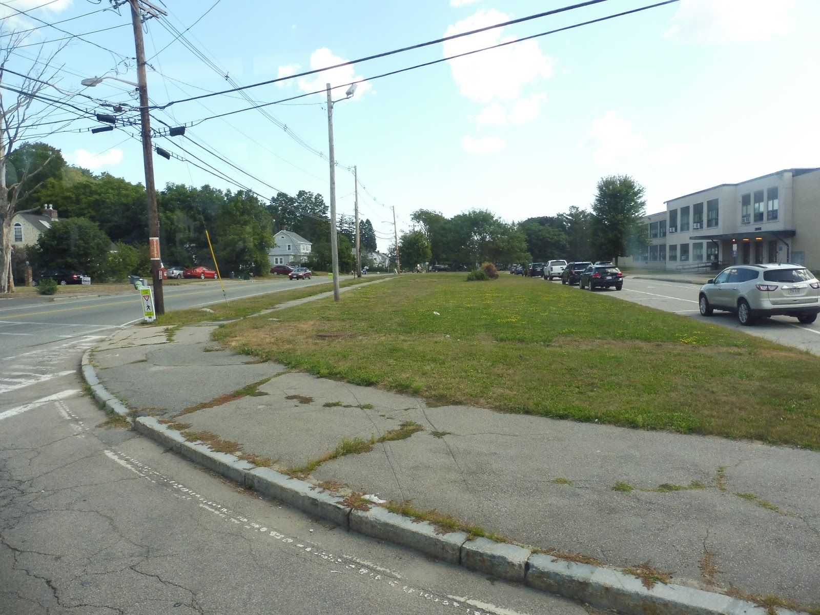
We went under Route 24, and though it was a little industrial immediately after that, we turned onto Pearl Street, which was all residential. However, we eventually turned onto Belmont Street, where there were lots of suburban businesses with parking lots, offering a scenery change. And there was yet another change soon after we entered Easton, when we entered an industrial park of the same name.
 |
| Turning off into it. |
We went down Bristol Drive, then Norfolk Ave, looping around in a big circle at the end of that. It was just a bunch of office parks. Coming back onto Belmont Street, we reentered Brockton, but instead of going north on Pearl Street, we went south. This additional deviation was a loop via Pearl Street, Chestnut Street, and Liberty Street, and it served anywhere from housing and industrial buildings to a hotel and a hospital. I got out along this section and let the bus return to Brockton without me.
 |
| Bye! |
BAT Route: Brockton Route 9 (Pearl via West Elm and Torrey)
Ridership: The 9 actually gets higher weekday ridership than the 10, with almost 300 passengers per day. That equates to about 18 people per round trip – my one-way ride had 10, so that seems pretty accurate.
Pros: The route serves a lot in southwestern Brockton, including many houses, shopping centers, and the Easton Industrial Park. It follows the BAT pulse schedule on weekdays (but only on weekdays), although rather than service every 20-25 minutes at rush hour, the route runs every 40-50. That does make sense given the route’s generally lower ridership numbers, though.
Cons: Okay, but still, this thing gets more ridership than the 10 and the 11, and those routes run on weekends! Why does the 9 only have weekday service? It wouldn’t have to go all the way to Easton Industrial Park, but it could still serve the shopping and medical centers out there!
Nearby and Noteworthy: I’ve mostly talked about what the route serves already (it’s not that interesting), but the 9 technically goes to Stonehill College, too! Yeah, it’s about a half mile away from the route, but this is the closest you can get to it.
Final Verdict: 6/10
I think the easiest weekend solution for the 9 would be to combine it with the 3. The two routes are close together, and it wouldn’t take much time to extend the 3 a bit down Belmont Street to serve the most important parts of the 9. It would only be about two minutes of driving to bridge the gap! Other than the lack of weekend service, the 9 is a fine BAT route, but I see no reason why it shouldn’t have buses on weekends too, especially when combining it with the 3 would be so easy.
Latest MBTA News: Service Updates
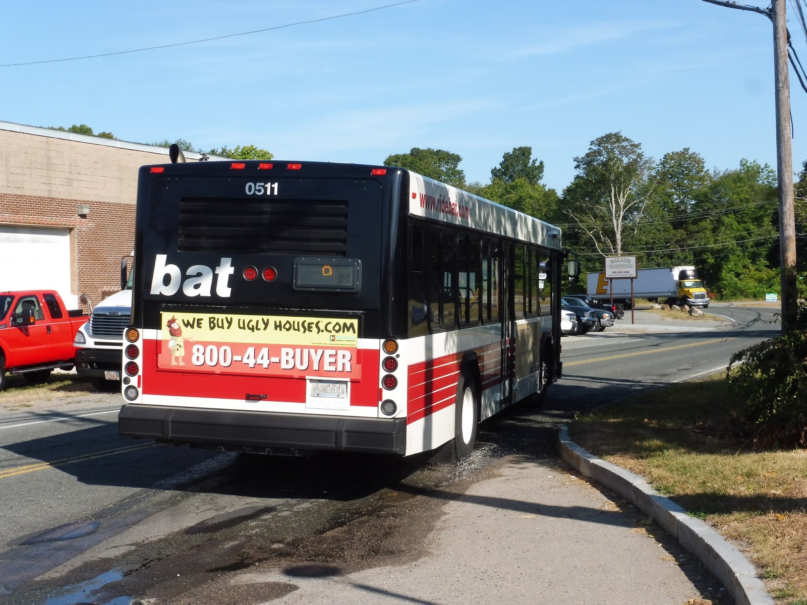
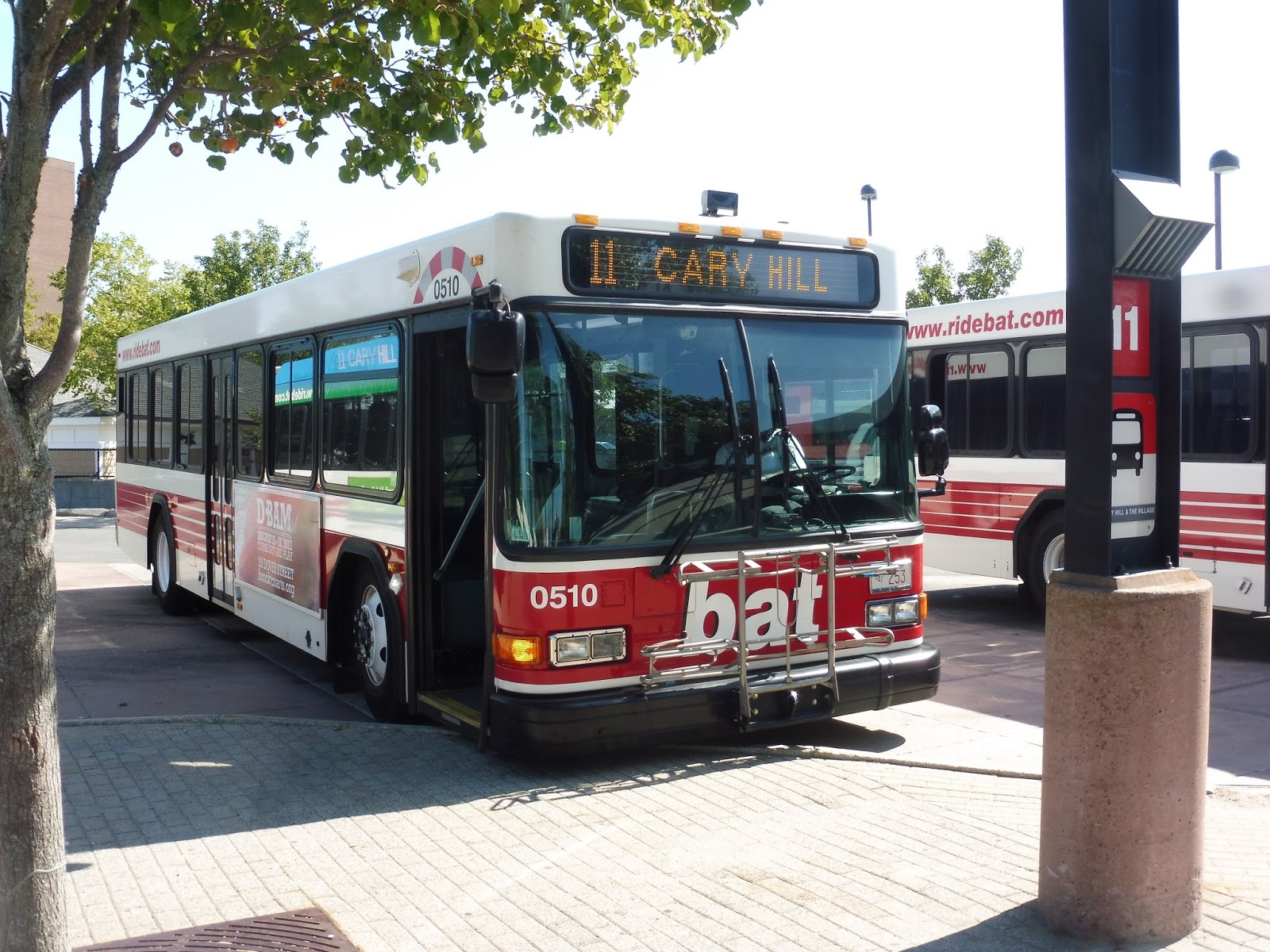
BAT: Brockton Route 11 (Cary Hill and The Village)
Here’s another route serving Brockton’s northeast suburban residential neighborhoods. Like the 10, the 11 gets low ridership and a slightly more limited schedule, except the 11 is really weird and loopy! Let’s take a look.
 |
| Getting on at the BAT Centre. |
We looped around onto Montello Street, passing the weird industrial backlots of downtown Brockton. It turned into just normal industrial soon enough, and that continued until we turned onto Ashland Street, which became residential after we went under the Commuter Rail tracks. Of course, that lasted for about 15 seconds, ending with a few awful strip malls. We deviated into one of them, Ashland Plaza.
 |
| Ech. |
I’m about to describe a million quick twists and turns here, so just know that the scenery along this section was mostly residential. Here we go: left on North Cary, left on Ames, right on Sawtell, left on Arthur, right on Intervale, right on Blendall, left on Circle, right on North, left on Sawtell, left on Field, right on Spark…and we were at Montello Station. GEEZ!
 |
| In the midst of some random turn. |
Before heading back to the BAT Centre, the 11 crosses over the Commuter Rail tracks on Howard Street in order to serve a Stop & Shop. Cool, okay, so with that done, we came back to the other side and went down Winter Street. After a few businesses and a park, it was all houses once again.
 |
| A hilly side street. |
The way back was less twisty, but it was still pretty crazy. We made a right turn onto North Cary Street, then a left onto Amark Road, which became Coe Road, then a right onto Alphonse Road, a right onto Waleco Road, a left onto Colgate Road, and a right onto Ashland Street, which took us back to the start of the loop. Okay, on second thought, that was pretty crazy too…
 |
| Another side street. |
BAT Route: Brockton Route 11 (Cary Hill and The Village)
Ridership: Oh geez, it’s low. In 2014, the route got under 200 people per weekday, 180 per Saturday, and 70 per Sunday. My weekday ride only had about seven people round trip.
Pros: It serves some suburban areas of Brockton with the typical BAT pulse schedule (minus increased rush hour service, and combined with the 10 on Sundays), and that’s about it.
Cons: Does it have to be so darn twisty? Come on, why does it have to make so many turns? Also, it’s starting to get more and more insane to me that the 10 and the 11 aren’t combined full-time. Both routes get astronomically low ridership!
Nearby and Noteworthy: Nothing much, aside from some truly horrible strip malls. Ech!
Final Verdict: 5/10
This route would be on the same level as the 10, but it’s so darn twisty that I had to take another point off. Since both routes get such low amounts of people, it doesn’t make any sense that they’re not combined.
Latest MBTA News: Service Updates
BAT: Brockton Route 10 (Lisa and Howard via North Quincy and Court)
Did you know that there’s a suburban section of Brockton? A part of Brockton that’s just houses on quiet roads and that’s it? Neither did I, but we’ll see what it’s like from the 10.
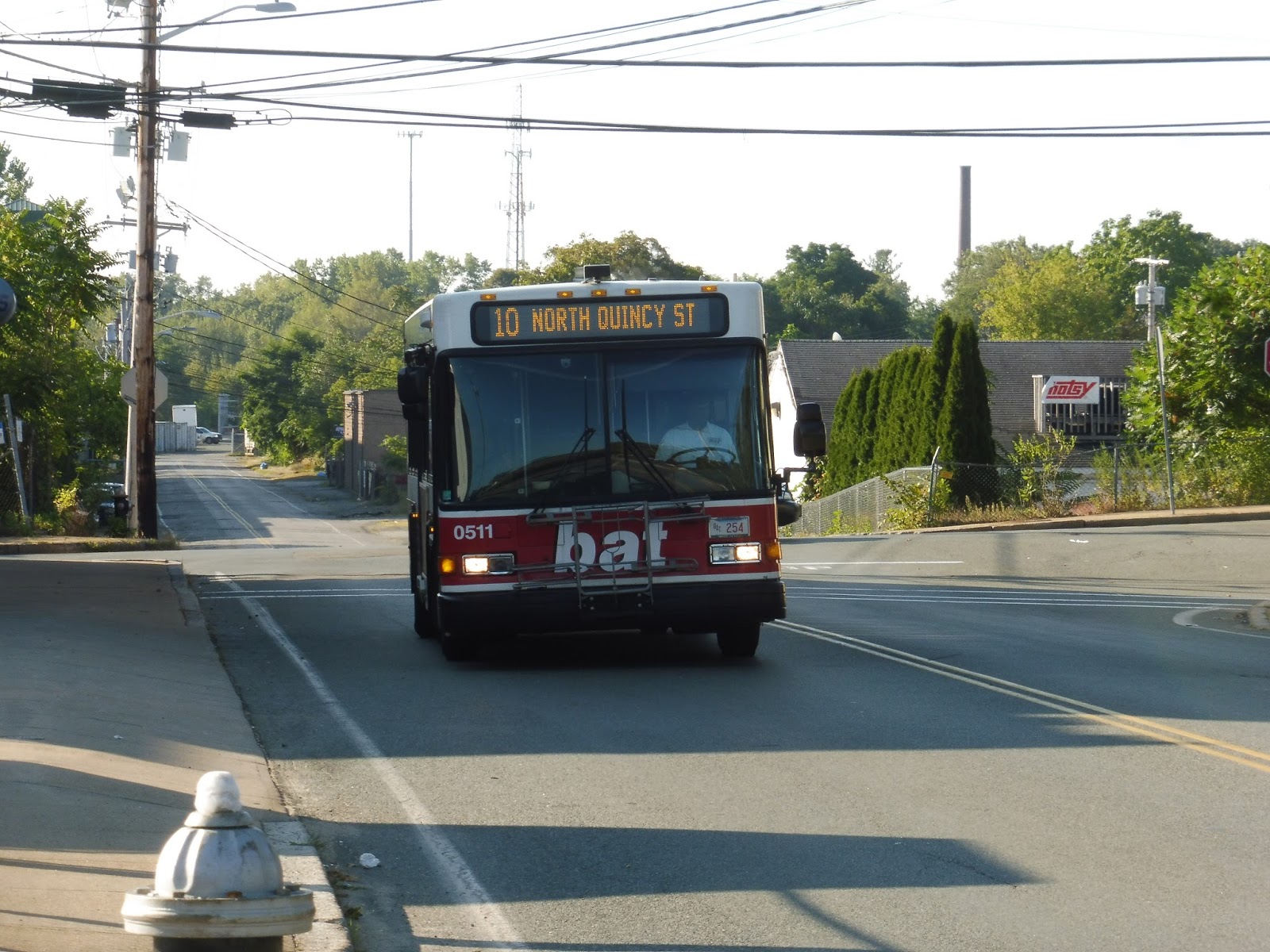 |
| The bus coming towards the Montello stop. |
The area immediately around Montello Station is industrial, but once we went onto Howard Street, it was just spaced-out suburban houses…aside from a second industrial burst. We were actually running with the MBTA 230 bus, but we split off onto Lisa Drive, a suburban residential area with lots of people that own pools, according to Google Maps. Eventually we made our way around onto North Quincy Street, which had a few businesses and industrial buildings between the houses.
 |
| A typical street in the neighborhood. |
That didn’t last long, though, and it was once again all houses. They continued all the way down the length of North Quincy Street, and furthermore as we turned onto Court Street (with the exception of a school). It was almost entirely houses, aside from a few apartment developments, a cemetery, and an auto shop, all the way until the BAT Centre. Alright, then, that was easy!
 |
| They did get denser as we got close to town, admittedly. |
BAT Route: Brockton Route 10 (Lisa and Howard via North Quincy and Court)
Ridership: It’s light: about 225 passengers per weekday, 180 per Saturday, and…wow, 70 per Sunday? That’s only 6 people per round trip. That’s insanely low!
Pros: The 10 provides bus service to some suburban neighborhoods, which is nice, I guess. It has the typical BAT pulse schedule, although on weekdays it only runs every 40-50 minutes instead of 20-25 during the rush, and on Sundays it combines with the 11 to form a loop service around the northeastern part of Brockton.
Cons: This is a very low ridership route, and I think some measures can be taken to make it more efficient. For example, it could be combined with the 11 at all times, since both routes are underperforming. Also, Sunday service could be eliminated, because ridership seems to be far too low to justify service at those times.
Nearby and Noteworthy: Gosh, it’s really just all houses. There’s almost nothing else!
Final Verdict: 6/10
The 10 is an okay route, but it experiences lower ridership than many other BAT routes. I think it could easily be combined with the 11 full-time without any crowding, and Sunday service could probably be eliminated because it doesn’t seem like too many people are relying on it.
Latest MBTA News: Service Updates
BAT: Brockton Route 1 (Montello Street via North Main Street)
It’s interesting just how close this route comes to MBTA bus territory. The 1 ends only about a mile away from the southern terminus of the 238 and the 240! Does that mean the route itself is interesting? Nah.
 |
| The bus entering the BAT Centre. |
We headed down Commercial Street, then we turned onto School Street. This took us under the Commuter Rail tracks and past Brockton City Hall before we turned onto Main Street, running through the vast array of unoccupied buildings known as downtown Brockton. As we continued north, it started to become a mix of industrial buildings and businesses, while houses lined the side streets.
 |
| Beautiful downtown Brockton… |
We passed a cemetery and a school, after which the scenery got more diverse: there more more houses along the road now, and the industrial buildings came less frequently. After we “went by” Montello Station (it was a few blocks away, but close enough), the houses got more spread out and suburban. Entering Avon, we merged onto East Main Street, which was entirely suburban houses.
 |
| Heading onto East Main. |
We made a sharp roundabout turn onto Memorial Drive, which led us to the route’s terminus, Walmart. However, I stayed on to go back to Montello, and the 1 takes a slightly different routing to go back. We headed down Harrison Boulevard, which was all forest, before turning onto West Main Street. That took us past houses back down to North Main Street, and I took the route down to Montello.
 |
| Mmm…Brockton. |
BAT Route: Brockton Route 1 (Montello Street via North Main Street)
Ridership: In 2014, the 1 got about 680 passengers per weekday, 400 per Saturday, and 170 per Sunday. My ride had about ten people on board, which is good for a weekday morning going outbound, and the route seems to get pretty good ridership in general.
Pros: This is basically the local version of the 12, offering service along its Brockton section for a cheaper fare with additional service to Walmart. It has the typical BAT pulse schedule, which works fine, although there’s one exception…
Cons: There’s no weeknight service – instead, riders are put onto the 12. Now, I’m a little dubious about that: do passengers have to pay the higher fares of the 12 during those times? Sure, it’s only 25 cents more, but that could make a big difference if people are relying on night service every day.
Nearby and Noteworthy: I don’t think this route serves much of note. I guess there’s Walmart?
Final Verdict: 7/10
Despite the questionable weeknight service, the 1 is still a fine BAT route. It has the classic schedule, it serves a good amount, and it gets decent ridership.
Latest MBTA News: Service Updates
BAT: Brockton Route 6 (Massasoit via Crescent Street)
Just as a disclaimer: no, I was not able to ride one of BAT’s fancy new buses. And that’s a real shame, because it’ll make these reviews that much more boring. Lo and behold, the 6!
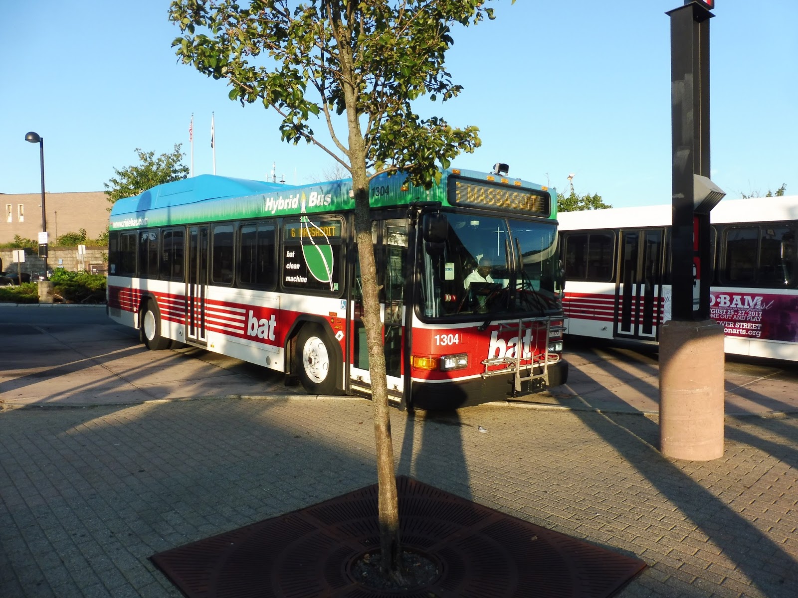 |
| The bus at the BAT Centre. |
From the Bat Centre, we headed down Commercial Street, running past weird apartment buildings and parking lots. It got industrial before becoming residential when we turned onto Lawrence Street. The dense houses continued as we made our way onto Grove Street.
 |
| Some houses. |
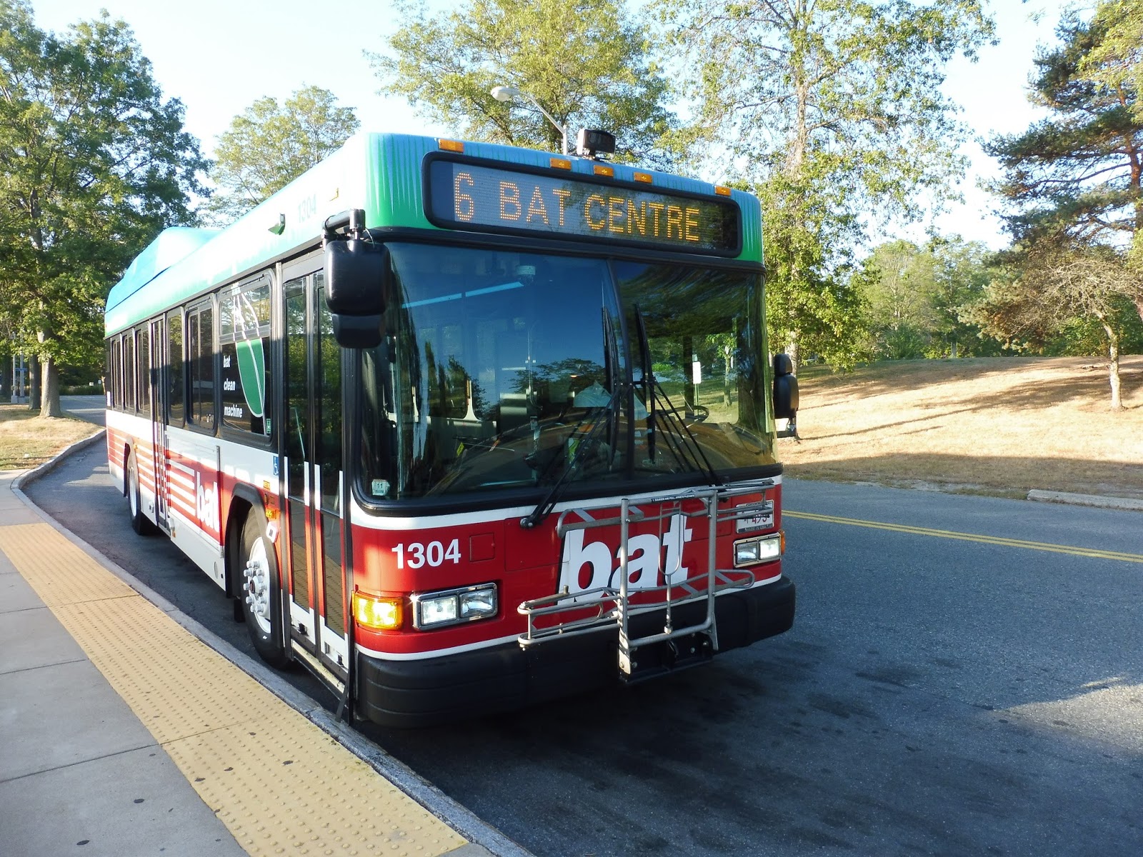
We merged onto Crescent Street, where some businesses became interspersed with the dwellings. Eventually it burst into some huge shopping plazas; we deviated into one of them, a bland affair called Crescent Plaza. Continuing a little further down Crescent, we turned onto Massasoit Boulevard, which ran through the woods before coming out into the campus of Massasoit Community College. Yes, this review was short. Yes, it was boring. So is BAT. I’m sorry.
 |
| The college features a glass shelter with a yellow line and everything! Nice! |
BAT Route: Brockton Route 6 (Massasoit via Crescent Street)
Ridership: My trip had light ridership, but the route performs well overall. It got about 780 passengers per weekday in 2014, while on Saturdays and Sundays it saw about 310 riders and 160 riders respectively.
Pros: The route connects Brockton to Massasoit Community College, which is what most people use it for, as well as some residential areas and shopping centers. It has the typical BAT pulse schedule (every 20-25 minutes rush hour, every 50 minutes midday, every 45 minutes Saturdays, every 40 minutes Sundays) with one exception: an extra bus is provided weekday middays when college is in session that runs express to Massasoit.
Cons: Nothing glaring – it’s just a normal BAT route.
Nearby and Noteworthy: This is the best way of getting to Massasoit Community College by public transportation, and that’s about it for interesting stuff this route serves.
Final Verdict: 7/10
Most BAT routes are probably going to get this score. The 6 does its job, providing extra service to Massasoit when it needs it while also connecting up residential neighborhoods. Like I said, it’s just a normal BAT route.
Latest MBTA News: Service Updates
RIPTA: 80 (Armistice Boulevard)
This one is sorta like the 76: it’s a short route that covers the eastern part of Pawtucket. I liked the 76 because it served some dense neighborhoods and attractions that people would go to on a daily basis. Does the 80 do the same? Let’s find out.
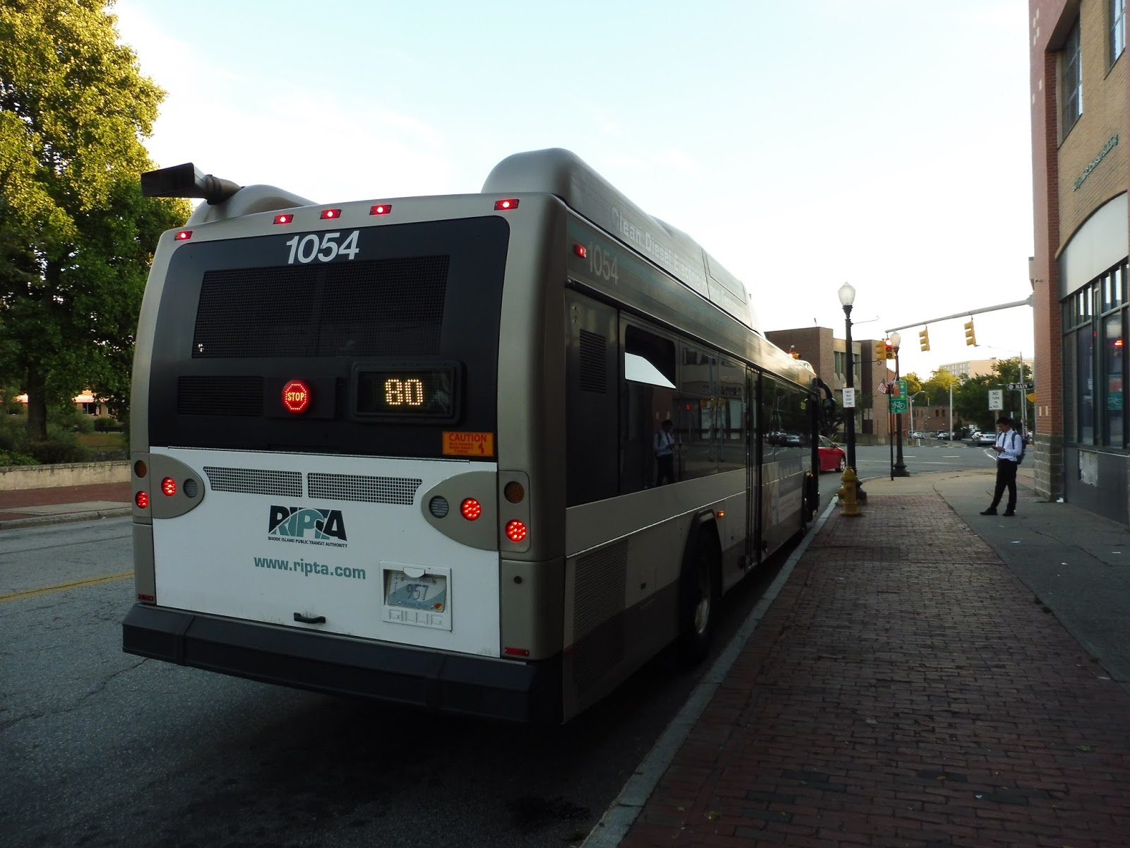 |
| The back of the bus at Pawtucket. |
We almost immediately turned onto Main Street, crossing the Seekonk River and going by a strange office building with a pyramid on it. After going over I-95, we turned onto the residential Summit Street, which had dense houses on either side. We reached the Memorial Hospital of Rhode Island, where we turned onto Pond Street, which quickly became residential again.
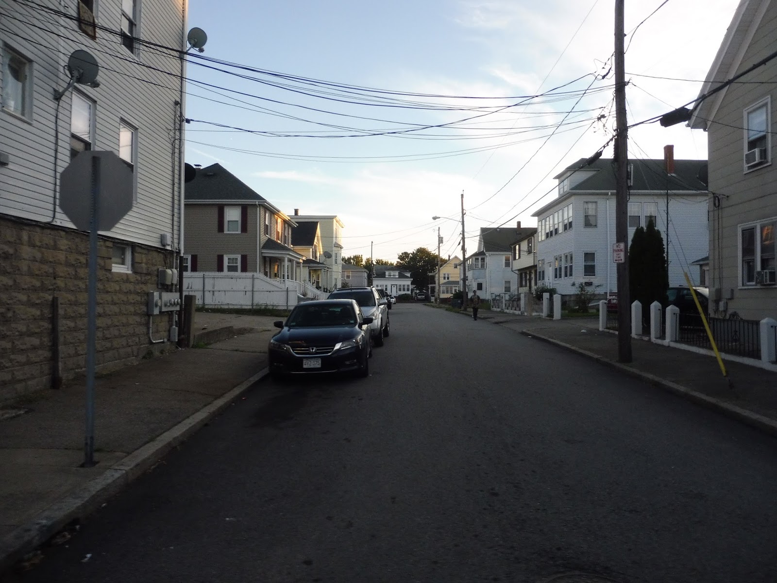 |
| A side street. |
We turned onto Columbus Ave, going by McCoy Stadium, which has the best RIPTA announcement I’ve ever heard. The announcer sounds so sad, like she’s about to cry! I have no idea what McCoy Stadium did to her, but it was hilarious to listen to. Wow, I sound sadistic, don’t I? Okay, anyway, the street quickly became residential again, but once we turned onto George Bennett Highway, we just blazed through an industrial wasteland.
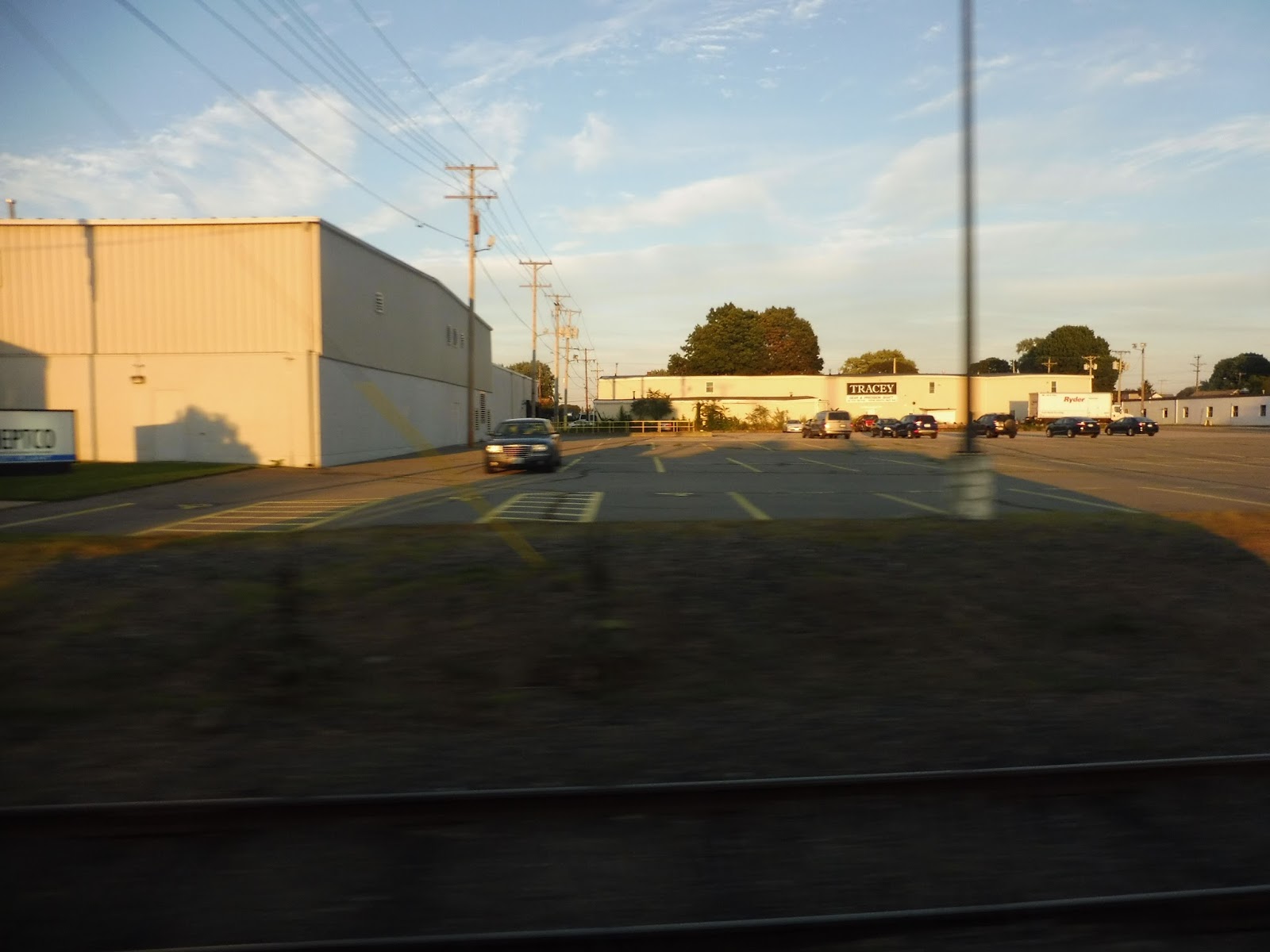 |
| Weeee! |
We were on it for a while before finally turning onto Armistice Boulevard, and after a shopping plaza, it became lined with houses again. Complete with a median, we went down this wide road past the mostly unchanging scenery, aside from a few businesses when we intersected with Newport Ave and the 35. It was just houses after that until we entered Slater Park and looped around at the Pawtucket Country Club, just next to the border of Massachusetts.
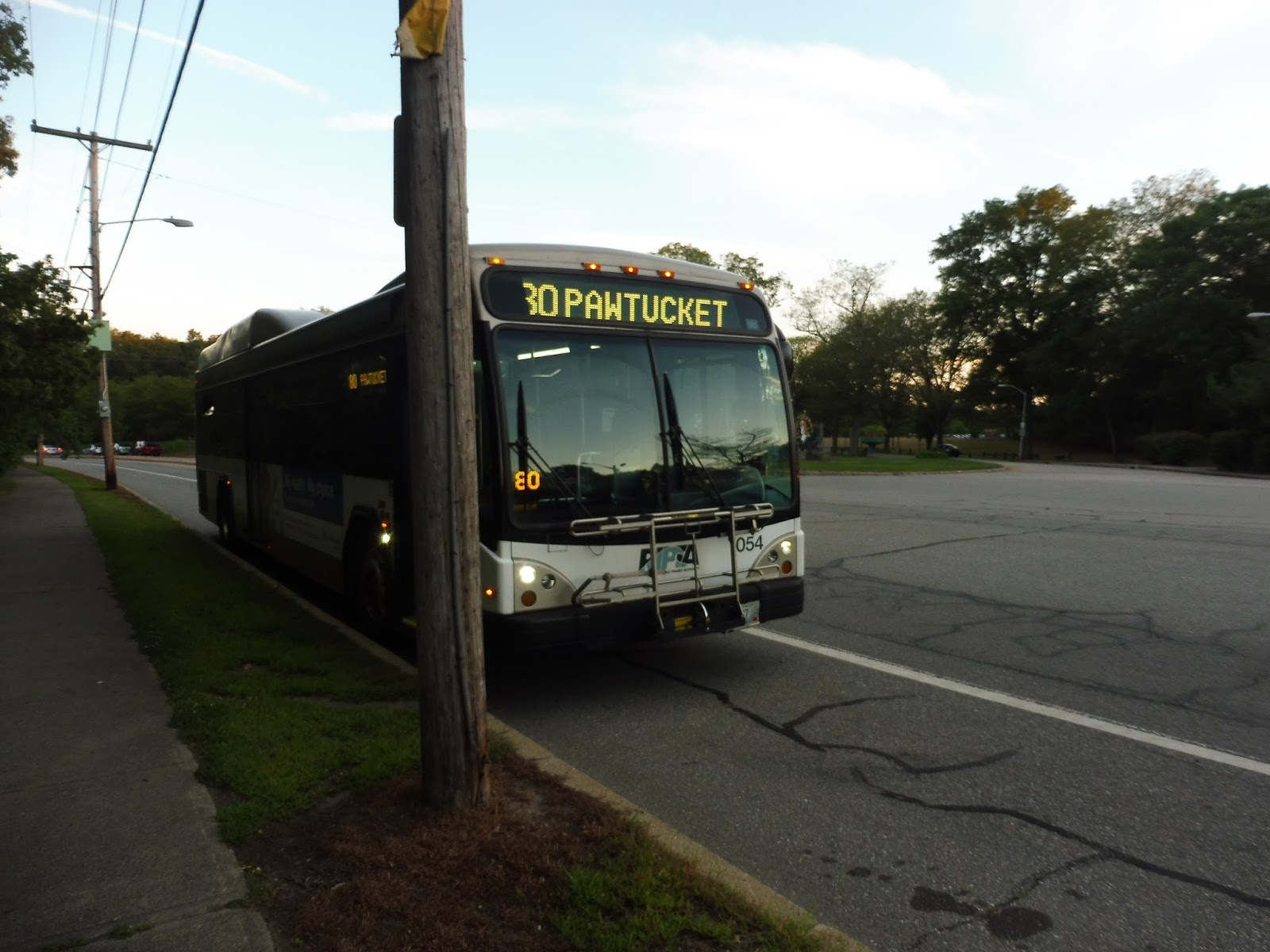 |
| Just gonna hang out here on the side of the road for a bit. |
RIPTA Route: 80 (Armistice Boulevard)
Ridership: From what I’ve seen, it seems to be very low. Going outbound, there were exactly zero other people on board, while coming back in, there was only one.
Pros: The most important area this route serves is the one around Division Street and McCoy Stadium. This is a densely-packed and transit-starved neighborhood that definitely needs its own bus service.
Cons: I’m just not as convinced that the section along Armistice Boulevard is that necessary. There’s no other way to say it: that section of the route is mostly middle-class, and while it’s much different in Boston, the majority of RTA passengers are low-income. It’s not even like the route serves anybody that well: it runs every hour and a half, weekdays only.
Nearby and Noteworthy: McCoy Stadium doesn’t really count because the RIPTA runs a special bus up here during baseball season. Thus, all I can really say is Slater Park, which doesn’t exactly seem like a place most people would take the bus to, especially given the 80’s schedule.
Final Verdict: 3/10
The inner half of the 80 has its place, but I just don’t think the outer half of it sustains enough ridership to be worth it – plus, those areas still have the 35, while Columbus Ave is a little more isolated. That being said, even Columbus Ave has the 78 within a 15 minute walk, which certainly isn’t optimal, but it’s something. I think the 80 does serve an important role in some of the neighborhoods it serves, but it doesn’t get that much ridership, and it’s a tiny bit redundant…
Latest MBTA News: Service Updates
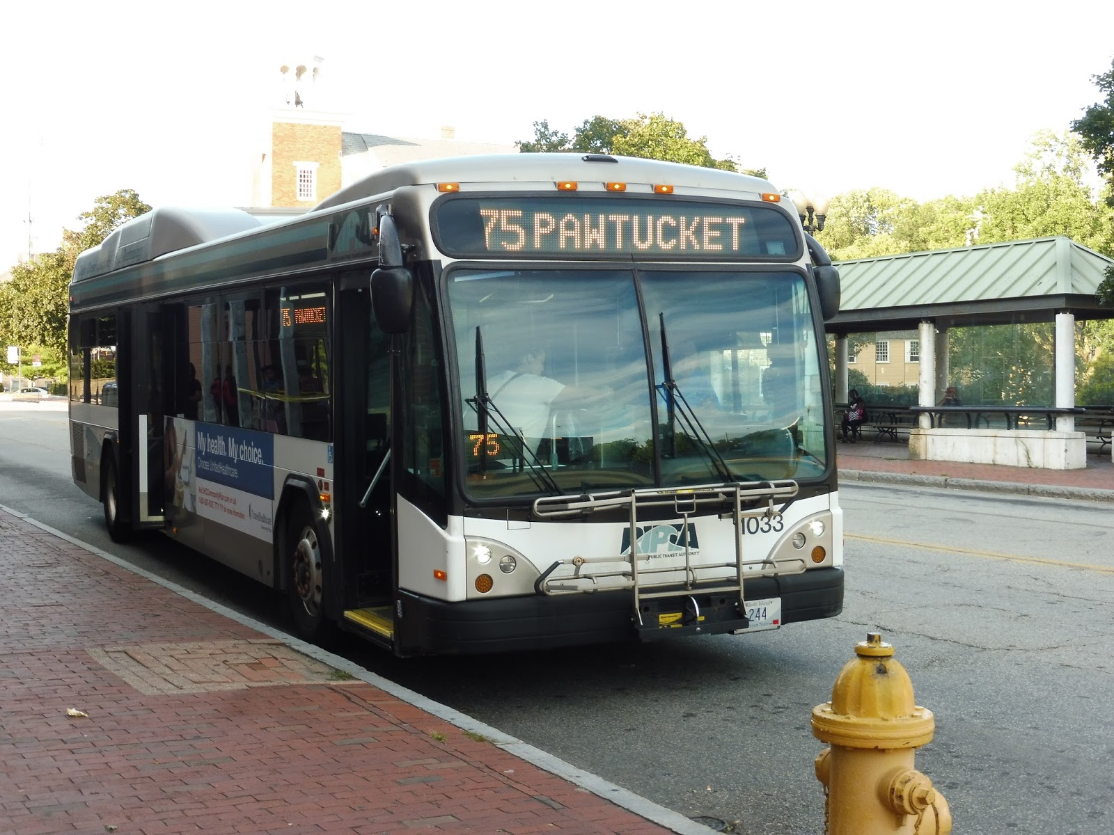
RIPTA: 75 (Dexter/Lincoln Mall)
Most RIPTA Pawtucket routes are weird, and the 75 is no exception. Boasting an inconsistent schedule and random rush hour deviations that themselves don’t make any sense, the 75 is a strange one.
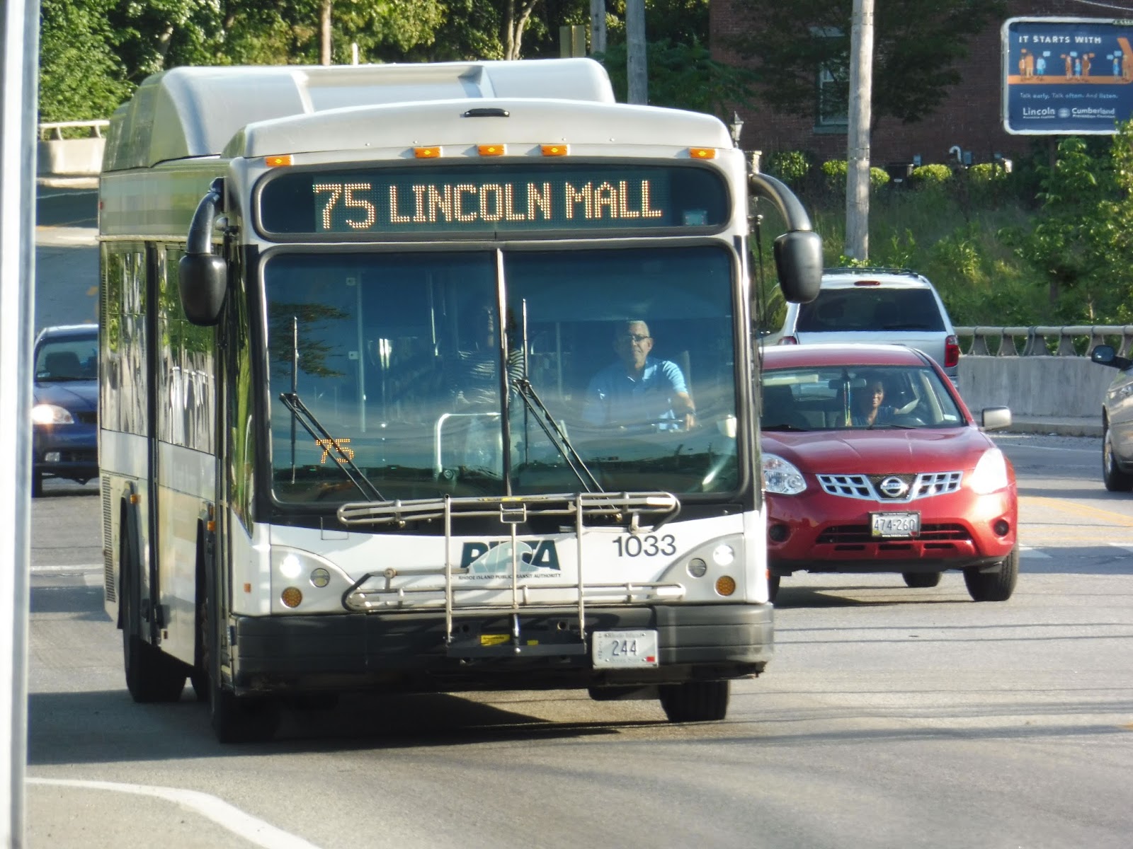 |
| I boarded the bus at Stop & Shop on Mendon Road and took the route up and back. |
We headed out from the Lincoln Mall onto George Washington Highway, going under Route 146 and passing lots of office parks. Although the sprawling ugly Lincoln High School broke up the scenery, it was right back to offices after that. We crossed over into Cumberland on a high bridge over the Blackstone River.
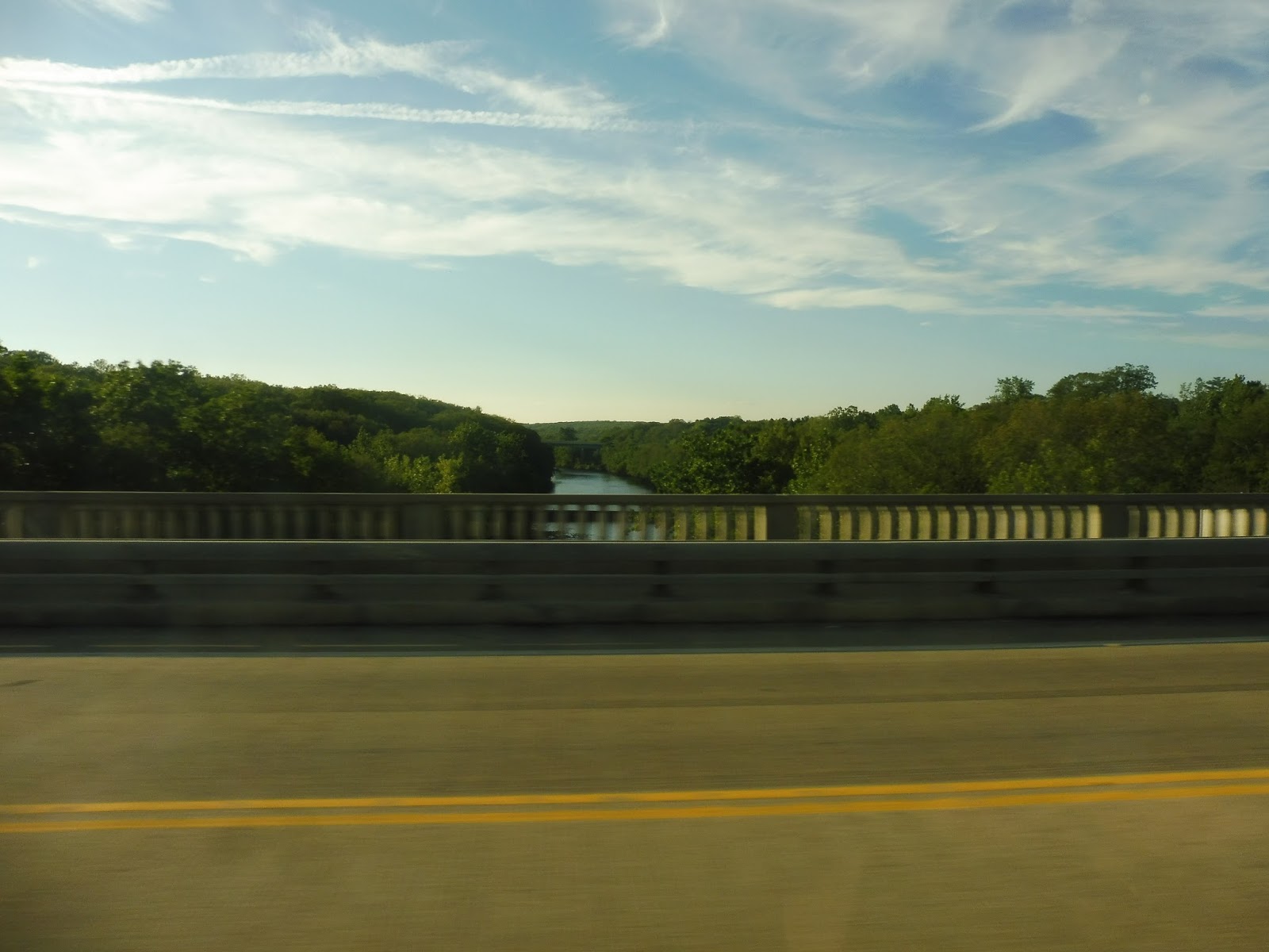 |
| I’m on the wrong side for a clearer look, but nice view! |
We turned onto Mendon Road, passing a fire station, a cemetery, and a church before the road got…interesting. It was this narrow strip of development with practically no side streets, and it seemed like people just built whatever they wanted: there were businesses, churches, industrial buildings, houses, you name it. It was all dense, too!
 |
| Good pictures were slim pickings along here. |
 |
| Look, it’s just a dead end! |
 |
| The bus in Pawtucket. |
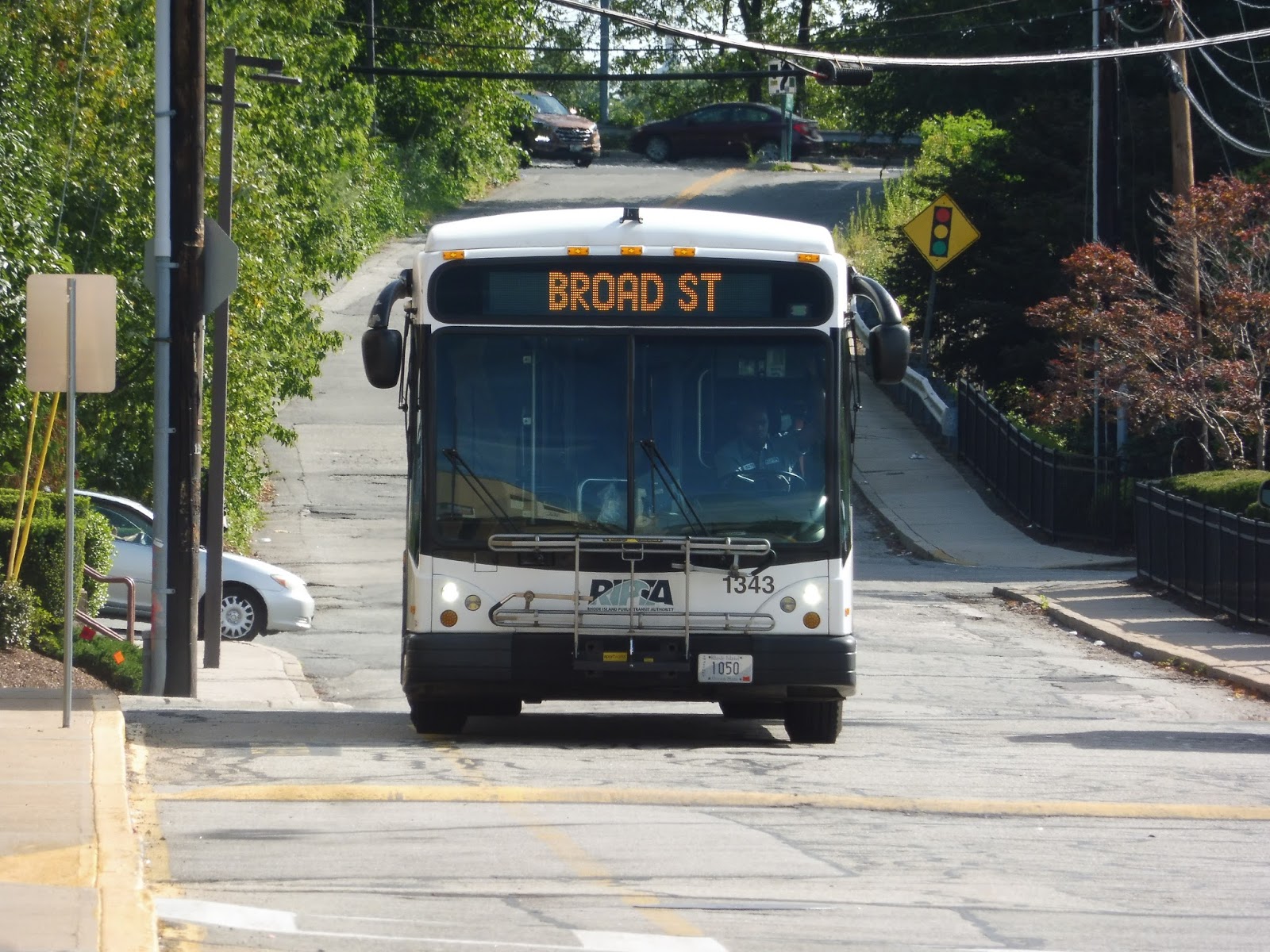
RIPTA: 71 (Broad Street/Pawtucket Ave)
Until recently, the 71 was considered a “key corridor route.” How frequent would you expect a key corridor route to run on weekdays? Every 15 minutes? Every 20 minutes? It’s an RTA, so we’ll be conservative and say every 30 minutes. So, how often does the 71 run? Every 40 minutes? Yeah, good call on RIPTA’s part to remove this thing’s “key corridor” status.
 |
| Alright, I guess the bus decided not to have a route number today… |
After sneaking into a Chili’s to use their bathroom (don’t ask, it was the only one I could find!), we left the shopping plaza at which this route begins and curved onto Ann Mary Street. This took us up a hill to North Main Street, but we merged onto Pawtucket Ave almost immediately. With what seems to be pretty typical Pawtucket scenery, the street was a mix between dense houses and random industrial buildings.
 |
| There were a few businesses scattered around, too. |
The industrial buildings withered away slowly and got replaced by the occasional business. Eventually we merged onto George Street, passing a cemetery and going over I-95. We curved onto East Street next, which took us past the mostly vacant buildings of downtown Pawtucket. Making a few one-block twists, we arrived at the Pawtucket Transit Center.
 |
| Some varied scenery in Pawtucket. |
We made our way down Exchange Street, but strangely, we deviated from the route by continuing a little further than we were supposed to and turning onto Dexter Street! This took us over the Northeast Corridor train tracks, then we turned onto Barton Street to return to Broad Street, which is what we were supposed to be on the whole time. We entered Central Falls, passing diverse businesses intermingling with houses and churches.
 |
| Well, this is just weird! |
At one point we entered what seemed to be a “downtown Central Falls” type place, as the buildings got denser and retail lined the road. It ended quickly, though, devolving into huge factories to the east and weird businesses to the west. We then left the tiny town of Central Falls by going over the Blackstone River and entering Cumberland.
 |
| This factory has seen better days… |
Broad Street was a mix of everything in Cumberland, from businesses and houses to schools and churches. We went over some train tracks, after which one side of the road became occupied by a layer of trees and a fence. Turning onto Ann and Hope Way, we were in the home stretch of the route: at the end of that street, we entered the parking lot for a Stop & Shop that felt way too big for the amount of retail in the shopping center.
 |
| Oh, now it shows the number! NOW it shows the number! |
RIPTA Route: 71 (Broad Street/Pawtucket Ave)
Ridership: My ride had about 15 people, and it’s for routes like these that I wish RIPTA had kept its ridership numbers public. Given the length of the route and the fact that it runs through Pawtucket to shopping centers on either side, that doesn’t seem like very good ridership…
Pros: The 71 serves large chunks of Pawtucket, Central Falls, and Cumberland that are dense and far away from other routes. The southern half of the route is eliminated on weekends, but I think it’s okay because it’s fairly close to the 1 and the R-Line, both frequent routes. I think the schedule makes sense for the ridership, with a bus coming every 40 minutes on weekdays and every 45 minutes on weekends.
Cons: I was gonna do a tirade about how RIPTA called this a key corridor route, suggesting frequency that doesn’t exist, but now that it’s not anymore, I can relax. The only con for the 71 would probably be its ridership, which seemed to be light based on my trip – given the fact that it runs through such dense parts of town, I would’ve expected it to be higher.
Nearby and Noteworthy: There are many small businesses along the length of this route, but none of them seemed too appealing
Final Verdict: 7/10
If the route was still considered key, I would’ve given it a 6. However, now that its moniker of “local route” is more accurate, I’ll throw it another point. Yeah, the 71 may not be frequent and it may not get astronomically high ridership numbers, but it’s an important and direct connection for the communities it serves.
Latest MBTA News: Service Updates
RIPTA: 49 (Camp Street/Miriam Hospital)
Why does the 49 exist? Why is there a bus route that runs three times a day to an area that’s already very well-served by two frequent routes? We’ll try to find out, but something tells me we won’t find an answer…
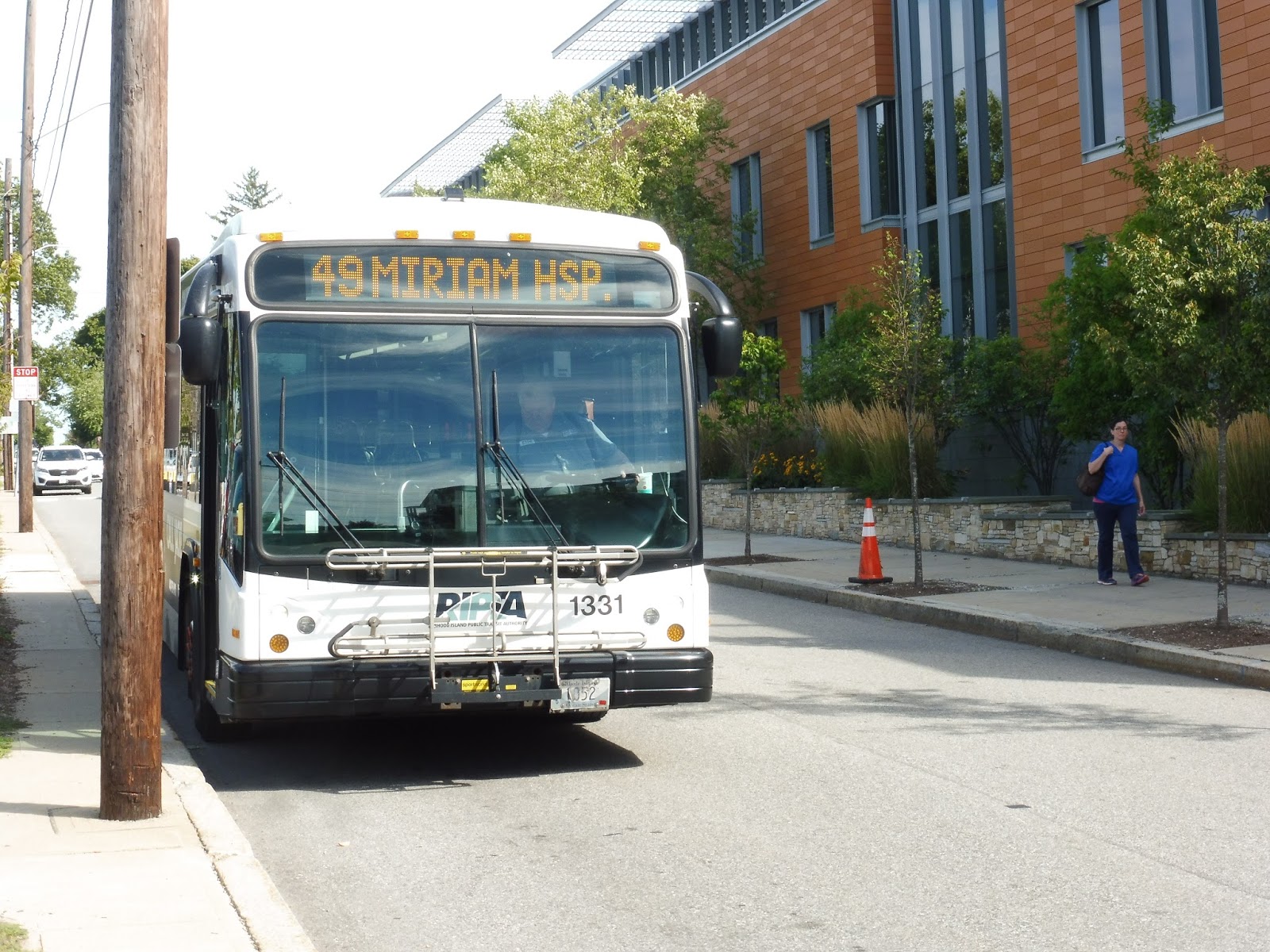
 |
| Shhh, don’t scare it – it’s a rare one! |
After boarding at Kennedy Plaza Stop Y (a strange choice – that’s where RIPTA’s long-distance routes usually board), we went down Exchange Street and turned onto Memorial Boulevard, then Washington Street. This took us across the Providence River to the East Side, where we entered the East Side Transit Tunnel!!
 |
| Crossing the river. |
Coming into the open air again, we looped around onto Brook Street, which was far more residential than its retail-heavy cousin, Thayer Street, a block away. For some reason, the map says that the route goes north on Thayer and south on Brook, but that’s literally impossible because of one-ways! We merged onto Hope Street next, passing some Brown University buildings, then we went by the Hope High School. Other than that, it was mostly large, dense houses.
 |
| A side street. |
We entered an independent section by turning onto Doyle Ave, although the route map calls it Doyle STREET. There were a few small businesses where we turned onto Camp Street, which was still mostly houses, but it also featured a church and a playground. We turned onto the residential Rochambeau Ave next before making our way onto North Main Street, joining the R-Line.
 |
| Interesting intersection. |
North Main was mostly industrial aside from a cemetery that occupied one side of the road for a bit. We weren’t on it for too long, though, turning onto 3rd Street, although in one final error, the route map calls it “3th Street.” Finally, we arrived at the Miriam Hospital, where the bus got ready to loop around and return to Kennedy Plaza.
 |
| Well gosh, that’s a…shiny bus… |
RIPTA Route: 49 (Camp Street/Miriam Hospital)
Ridership: To get an idea of the amount of ridership this route gets, I asked the driver at the end of the route. He responded with, “Well, you saw it.” And what I saw was just one other person. Heck, when I got on at Kennedy Plaza, the driver asked me left and right if I really wanted to get on the 49. That’s how little ridership this route gets.
Pros: Nah.
Cons: Starting with the obvious, we have a route with not only an outdated map but one with blatant inaccuracies and typos. The route runs essentially twice a day, weekdays only, with one trip at around 9 AM and one at around 3 PM. These times seem to have no significance to anything – it doesn’t time with any kind of hospital shift as far as basic logic tells me, and it’s not at all convenient for residents the route serves. But let’s see just how many people the 49 actually serves: it runs with the 1 (or the 42, as the route map calls it – another outdated aspect of it) for more than half the route, then it has an “independent section” that’s literally a five minute walk from both the 1 and the R-Line. Finally, it ends at the Miriam Hospital, which seems like a great place to have a route serve until you realize it’s yet again a five minute walk from the closest R-Line stop. The 49: saving people from 5 minute walks…but only twice a day.
Nearby and Noteworthy: The 49 is in fact the closest route to one business: Piemonte Pizza and Grill on the corner of Doyle and Camp. It seems to have good reviews, and it looks like a charming pizza joint.
Final Verdict: 1/10
No, no, no, no, no! Just cut it! It literally serves no purpose as far as I can tell, and even if it does time with Miriam Hospital shifts, it’s still a waste of a bus and a driver when people can just walk to the R-Line! The 49 makes no sense, I tell ya, no sense!
Latest MBTA News: Service Updates