This is the problem with hyper-riding a million routes at the end of the summer: now I’m stuck reviewing a summer-only route in December! Oh well, this is a pretty cool one. The 83 runs from Lawrence allllllllllll the way to Hampton Beach!
 |
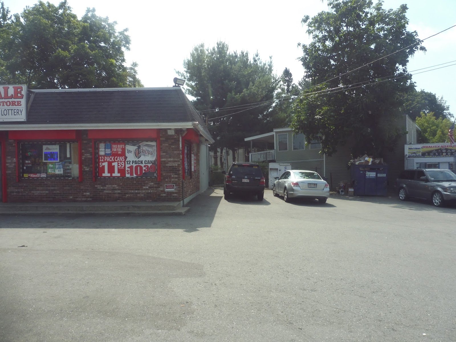
| The bus at Buckley, with some people all ready to go! |
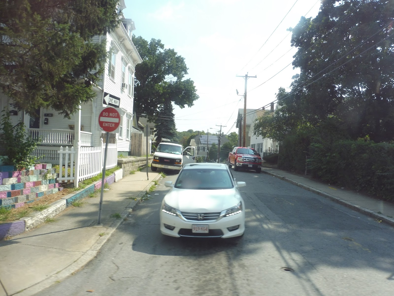
We left the Buckley Transportation Center in Lawrence and headed down Common Street. As the name suggested, we were running along the south side of a common, and we proceeded along the eastern end as we turned onto Jackson Street. The businesses of downtown Lawrence were starting to die down a little, ending almost entirely as we crossed the tiny Spicket River.
 |
| There’s a lot going on here! |
It became residential for the most part, with dense houses and apartments lining the road. There was still the occasional business, though, particularly at intersections. Things started to get more suburban at the intersection with Swan Street in Methuen: the retail around there was set back from the road with parking lots, and the houses we saw later on were smaller and a little more spread-out.
 |
| There aren’t even sidewalks! |
Eventually, we turned onto the wide Pleasant Valley Street, which had a strange combination of shopping plazas and…farmland? We deviated into the biggest shopping mall, called The Loop, and I was confused at first. Why was the beach bus deviating into a mall? It turns out that people do actually use it, as a few people got on here – my guess is that they park in the mall and hop the bus from there.
 |
| Inside The Loop. |
We proceeded down Pleasant Valley Street, which slowly lost its shopping plazas and got narrower. We crossed over Route 213, the “Loop Connector,” then I-495 a few seconds later. It was residential on the other side of that, but once we turned onto Merrimack Street, industrial buildings lined the road.
 |
| A wide-open field in the middle of the industry! |
We crossed I-495 again, this time going under it, then it was residential as the road came up alongside the Merrimack River. I tried and tried and tried, but I could not for the life of me get a decent picture of the view. The road became River Street as we entered Haverhill, but the residential and river scenery didn’t change at all.
 |
| I tried. |
We went over I-495 yet again, but after a burst of shopping plazas and suburban businesses, it was right back to houses and the Merrimack River. However, it started to get denser the further we got, including businesses that started to poke in. Once we merged onto Washington Street and went under the Commuter Rail tracks, we were right in the thick of downtown Haverhill, with brick buildings housing businesses on both sides. We pulled into the Washington Square Transit Station for a stop.
 |
| Coming out of the station. |
We headed onto Emerson Street next, which took us out of downtown Haverhill. It was still quite dense and urban, however, with apartments and businesses on both sides. Once Emerson Street ended, we turned onto White Street, continuing the density.
 |
| A few neighborhood businesses. |
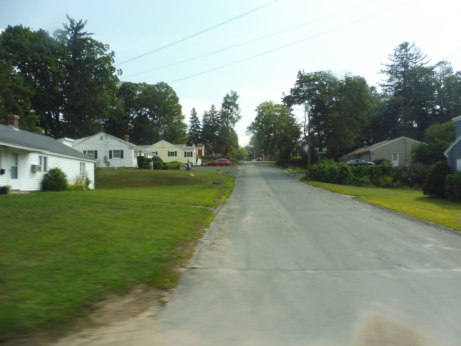
Once we turned onto Main Street, though, the scenery changed to a more suburban feeling: there were many businesses with parking lots at the intersection. We were only on Main for a block before merging onto Kenoza Ave, which went back to being more dense and urban for a stretch. However, as we curved our way past a park, the apartments started to become houses, and they got more spread-out.
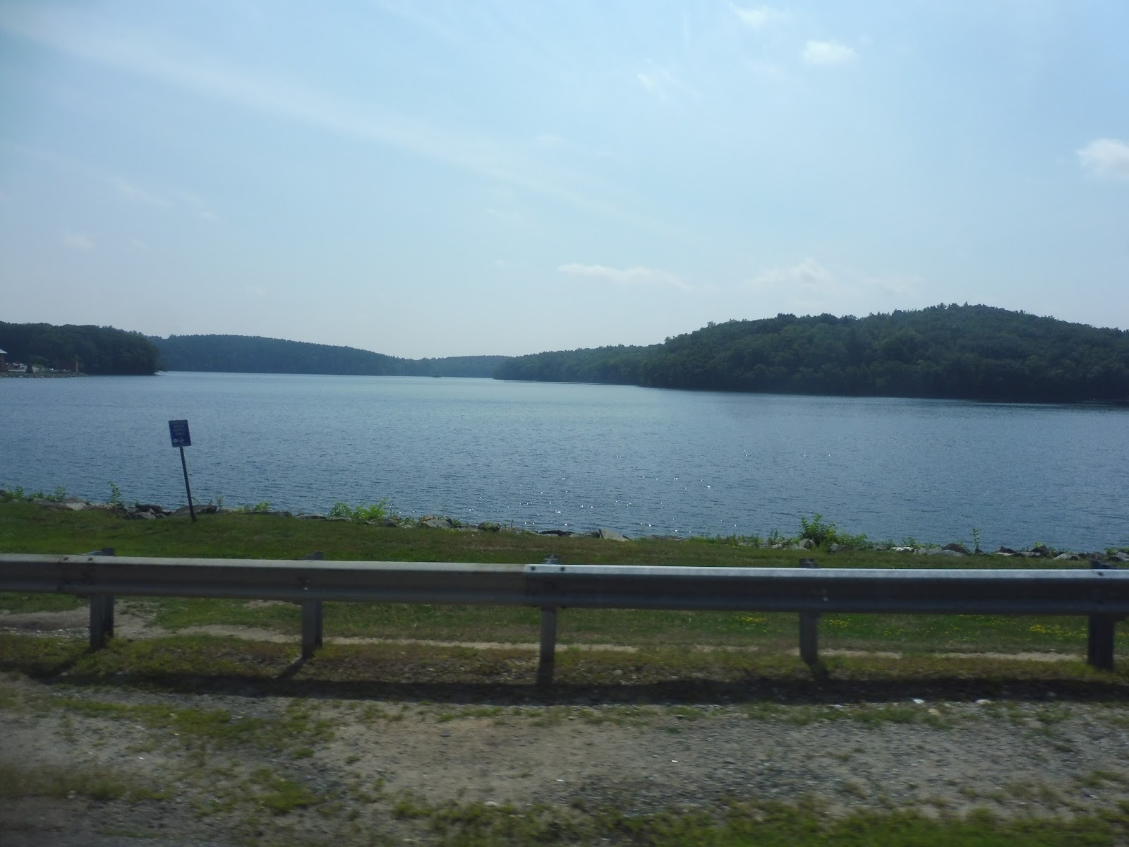 |
| That’s beautiful. |
We merged onto Amesbury Road, which went right along Kenoza Lake – the view was fantastic. It was still mostly residential with rather spaced-out houses, but there was a spurt of retail when we went over I-495 for the fourth time. During a brief section of forest, we passed the birthplace of John Greenleaf Whittier, a poet whom I had never heard of until finding out that every town in this region seems to be obsessed with him! Seriously, his name shows up everywhere.
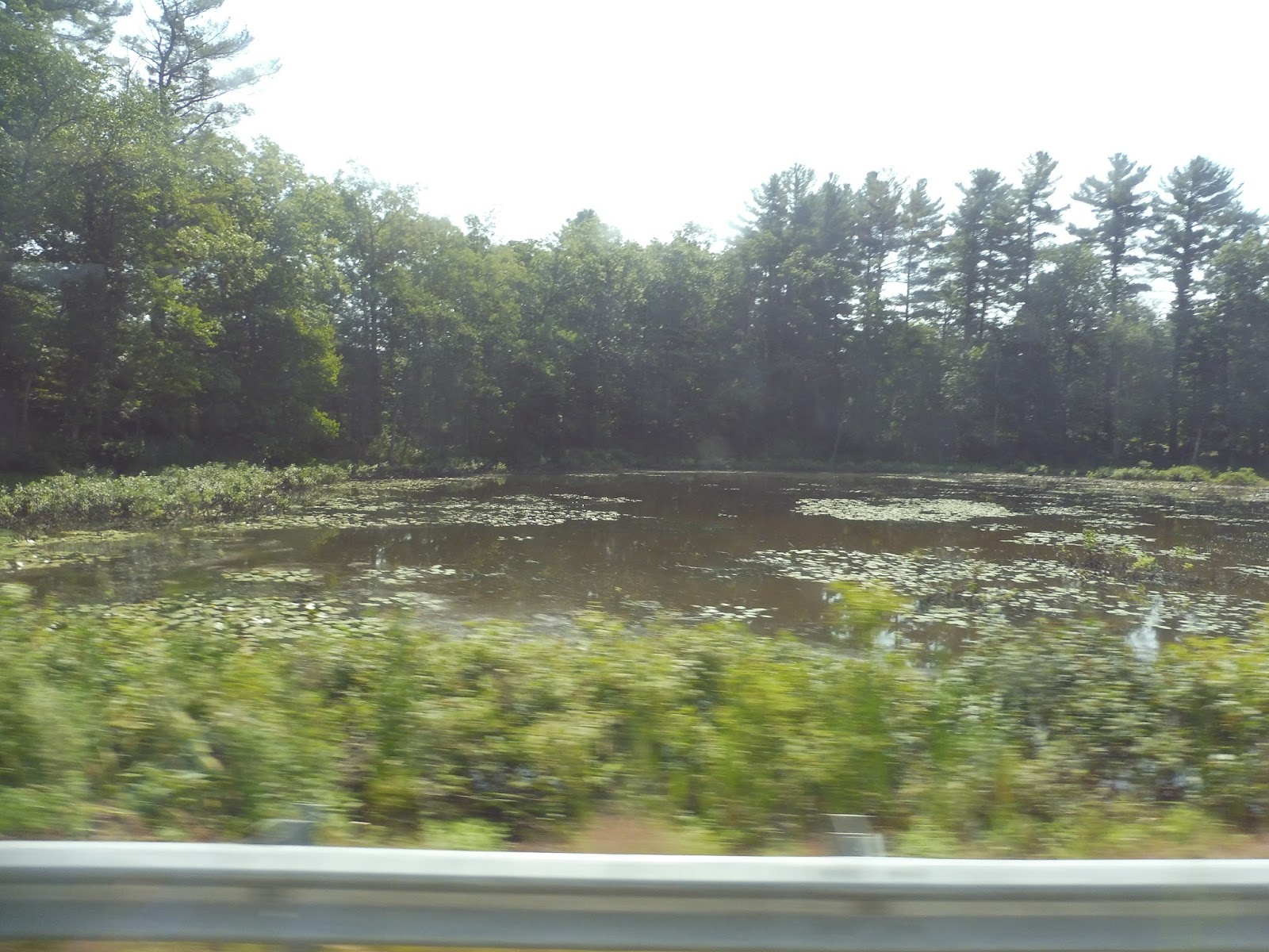 |
| A small marshy pond. |
There was a huge variety of buildings as we continued. It was mostly houses, but we also passed through spurts of industry, retail, woods, and farmland. The road became West Main Street when we entered Merrimac, and at that point the homes started to get denser. This led up to Merrimac Square, a charming little downtown that was ironically centered around a roundabout.
 |
| Coming through Merrimac “Square.” |
There was more building diversity as we continued down what was now called East Main Street. Houses, businesses, a post office, a senior center, and a few residential developments all showed up along the road. And just like that, we left the town of Merrimac – we were now travelling on Haverhill Road, and we had entered Amesbury.
 |
| A woodsy little shopping plaza. |
There was a section of woods before it got residential again for a while. However, they were broken by a pretty substantial industrial area, after which we turned onto Hillside Ave. This was lined with some dense houses that went on until we reached the one-way Main Street.
 |
| What an odd little dead-end street! |
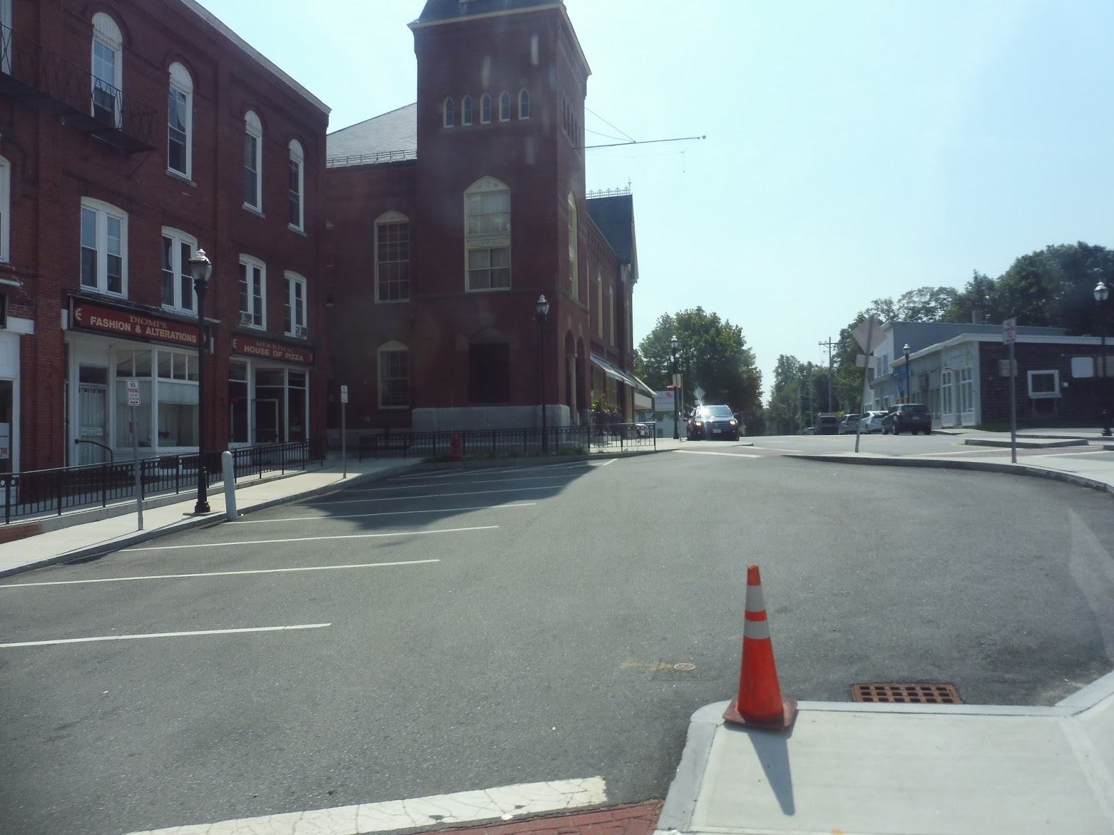
Now we were in Amesbury Center, and…wow. I mean, this was just one of the most charming downtowns I have ever seen! Not only was it insanely pretty with its brick buildings and unique and diverse businesses, but it was also expansive, stretching down many different streets. I think it would be an absolute blast to spend some time here!
 |
| Ahh, there’s so much more to it than this! This doesn’t capture it at all! |
We traversed a small roundabout onto Elm Street, then we made a deviation to serve the Nicholas Costello Transportation Center, housed in the Amesbury Senior Center. We returned to Elm Street, which made lots of curves past dense houses and the occasional business, as well as a cemetery. The charm was bound to end at some point, though, and for us it happened right after our fifth and final crossing of I-495.
 |
| Aw man! |
Yes, Elm Street became a wide behemoth of a road sporting those suburban parking lot businesses we all know and love. There were more of them after we went under I-95, and although most were boring, there was a kitschy mini-golf place that I got a kick out of seeing. We also entered Salisbury along this section.
 |
| Yay! Mini-golf!!!! |
After lots of those suburban businesses, we turned onto Bridge Street and arrived at “Salisbury Center.” This was really just a common, a town hall, a post office, and some boring businesses with parking lots. We turned onto Beach Road next, taking us past mostly houses, but also an old cemetery.
 |
| Man, Salisbury Center is really popping, huh? |
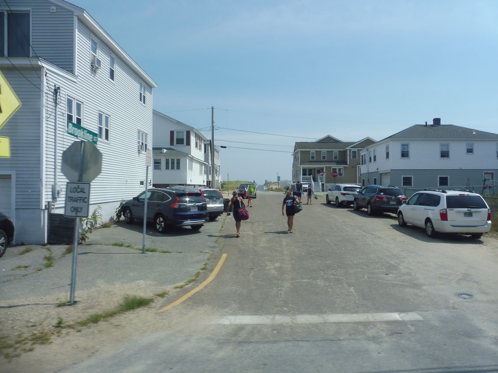
Soon businesses started to crop up, as well as some straggling motels, presumably for the beaches we were heading to. There was a big apartment development in the middle of a marsh, then we arrived at Salisbury Beach. At this point, most of the passengers got off, and the remaining ones continuing to Hampton Beach had to go up to the front of the bus to pay the additional fare of $1. With that out of the way, it was time to head up to the beach!
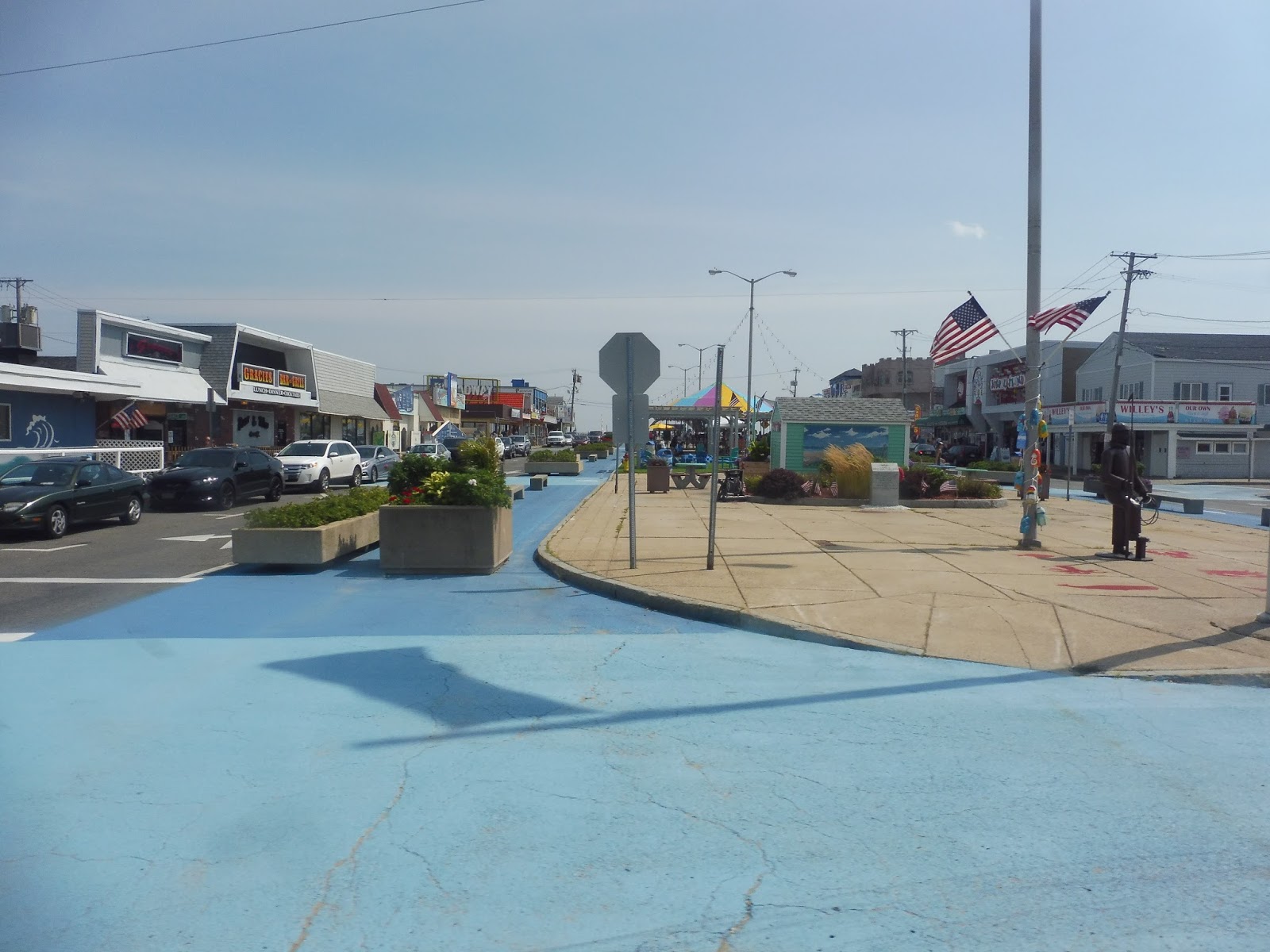 |
| The goings-on of Salisbury Beach. |
We turned onto North End Boulevard, which ran along a very narrow peninsula between the beach and a gigantic marsh. There was certainly nothing spared when it came to using up as much available space as possible, though: small dense beach houses lined the road for what felt like forever. They were ubiquitous, too – there was maybe one business and one church in the sprawl, and that was it.
 |
| They’re certainly close to the water! |
As we entered Seabrook, NH, I mentally yelled out my classic “LIVE FREE OR DIE!” slogan, because I do that whenever I go into New Hampshire for some reason. There were a few businesses over the border, including the clever “Fireworks over the Border” store – they’re certainly transparent about what they’re selling. The beach houses continued along what was now called Ocean Boulevard, but there were more businesses to break them up now.
 |
| This is amazing! |
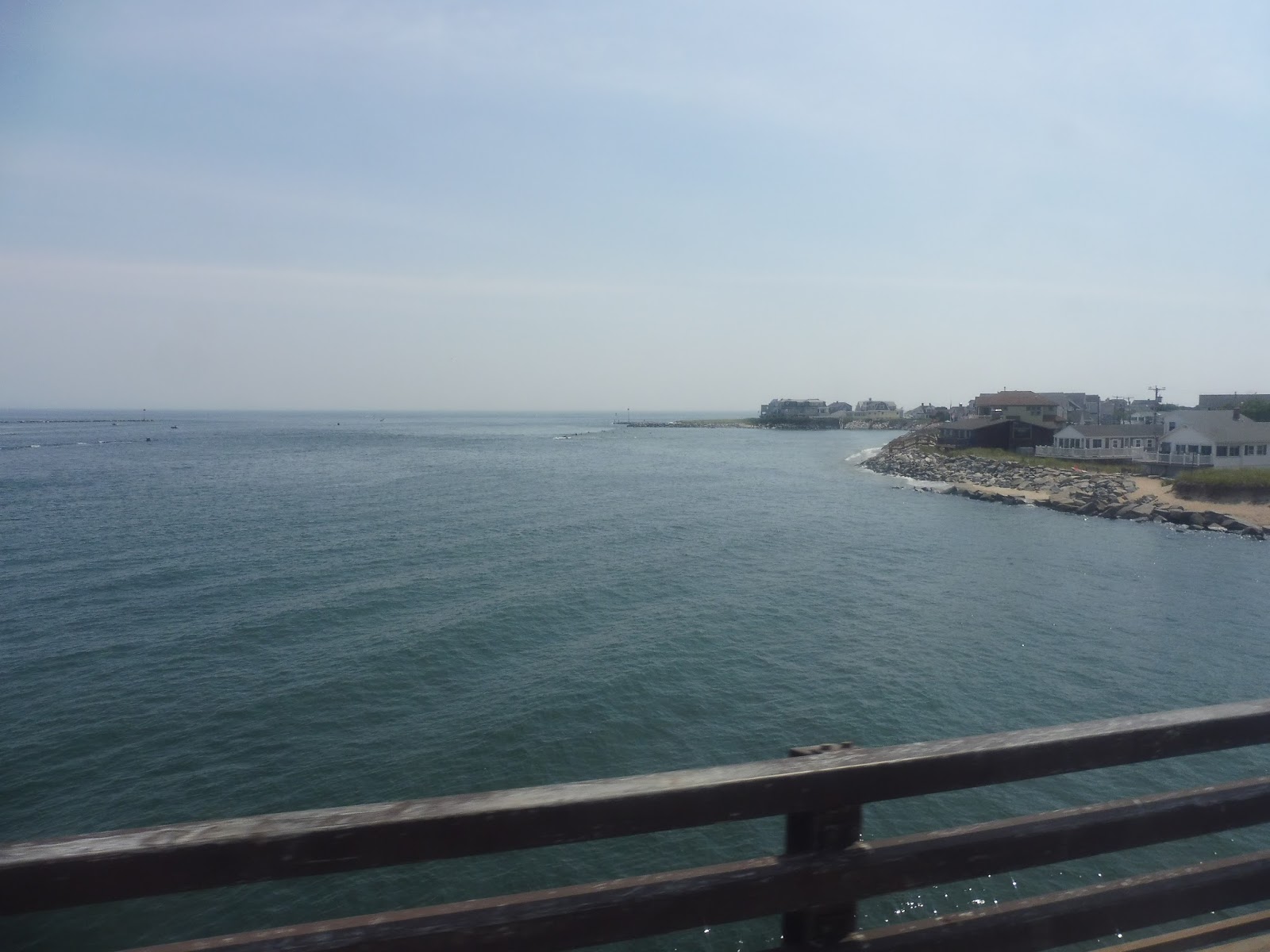
We went over the Hampton River on an absolutely incredible bridge into Hampton. At this point, Ocean Boulevard became one-way, curving eastward toward the beach and past more houses. But nothing quite prepared me for Hampton Beach proper…
 |
| WHAT HAVE I GOTTEN MYSELF INTO??????? |
As I got off the bus, I was assaulted by a wave of…grossness. I mean, this is the quintessential crowded beach that has experienced way too much gaudy development along its main road! As the bus drove away, I started to wonder what the heck I was going to do for an hour and a half. Stay tuned to find out…

 |
| Two shots of the bus that took me back; the second one is at Salisbury Beach. |
MVRTA Route: 83 (Salisbury Beach/Hampton Beach)
Ridership: In 2015, the route got 3,631 passengers over the course of the year, which averages out to about 55 riders per day (the route has two round trips per day, so it’s more than it sounds like). I wonder if 2017 was a better year, though – I mean, my ride was on a Wednesday, so I had low expectations for ridership, but my trip ended up getting 30 people!
Pros: This is just a really useful summer route. It serves all of the hubs in the MVRTA service area and gives them a low-cost option for getting to the beach. The schedule is clearly meant for day trips, but it works well: the route has two morning trips out to the beach and two afternoon trips back. The ride is also really scenic!
Cons: The 83 runs from July to September, but unfortunately June misses out. I could see the route having some decent ridership in the later part of the month when school ends.
Nearby and Noteworthy: In Hampton Beach, I walked along the overly-crowded shorefront, perused through gift shops full of gaudy souvenirs, and blew 20 bucks at an arcade, winning only a cheesy mug to show for it. In other words, I had a great time!
Final Verdict: 8/10
I like the 83 a lot. This is a great way to get to the beach on a budget, with a (slightly premium) fare of $2.00 to Salisbury Beach and $3.00 to Hampton Beach. It gets good ridership from what I saw, and its schedule makes a lot of sense for day trips. So, uh…take advantage of this route in about seven months when it’s actually running again.
Latest MBTA News: Service Updates
Ahh, the absolute northernmost point one can get from Boston on state-side public transit. It's a fun one.
Actually, using the seasonal LRTA Route 19, you can get as far north as the village of Penacook in Concord, New Hampshire via Nashua Transit System Route 6, Manchester Transit Authority Routes 22 and 21, and Concord Area Transit Route 1, far further away from Boston than Hampton Beach, and probably just as fun if you enjoy coordinating local bus transfers.