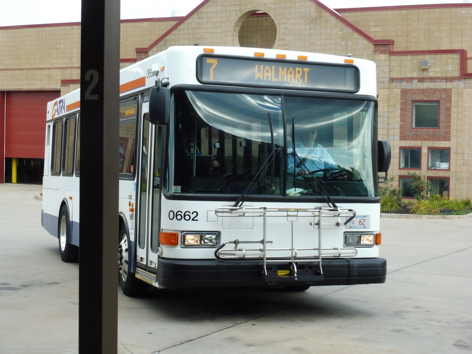
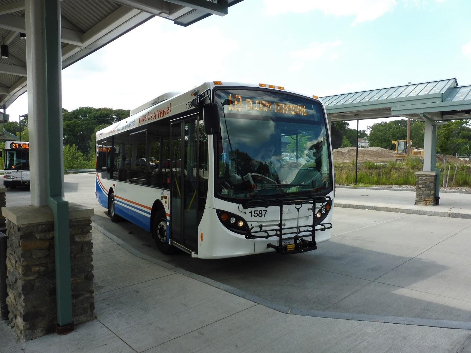
GATRA: 7 (School Street/Raynham)
The 7 is a bit odd for GATRA. For one thing, it has a completely different map style from any other GATRA route. Also, it leaves Taunton at different times than most other routes from there. And finally, it’s really good about not making deviations! Well, we’re off to a good start in that regard.
 |
| The bus at Taunton. |
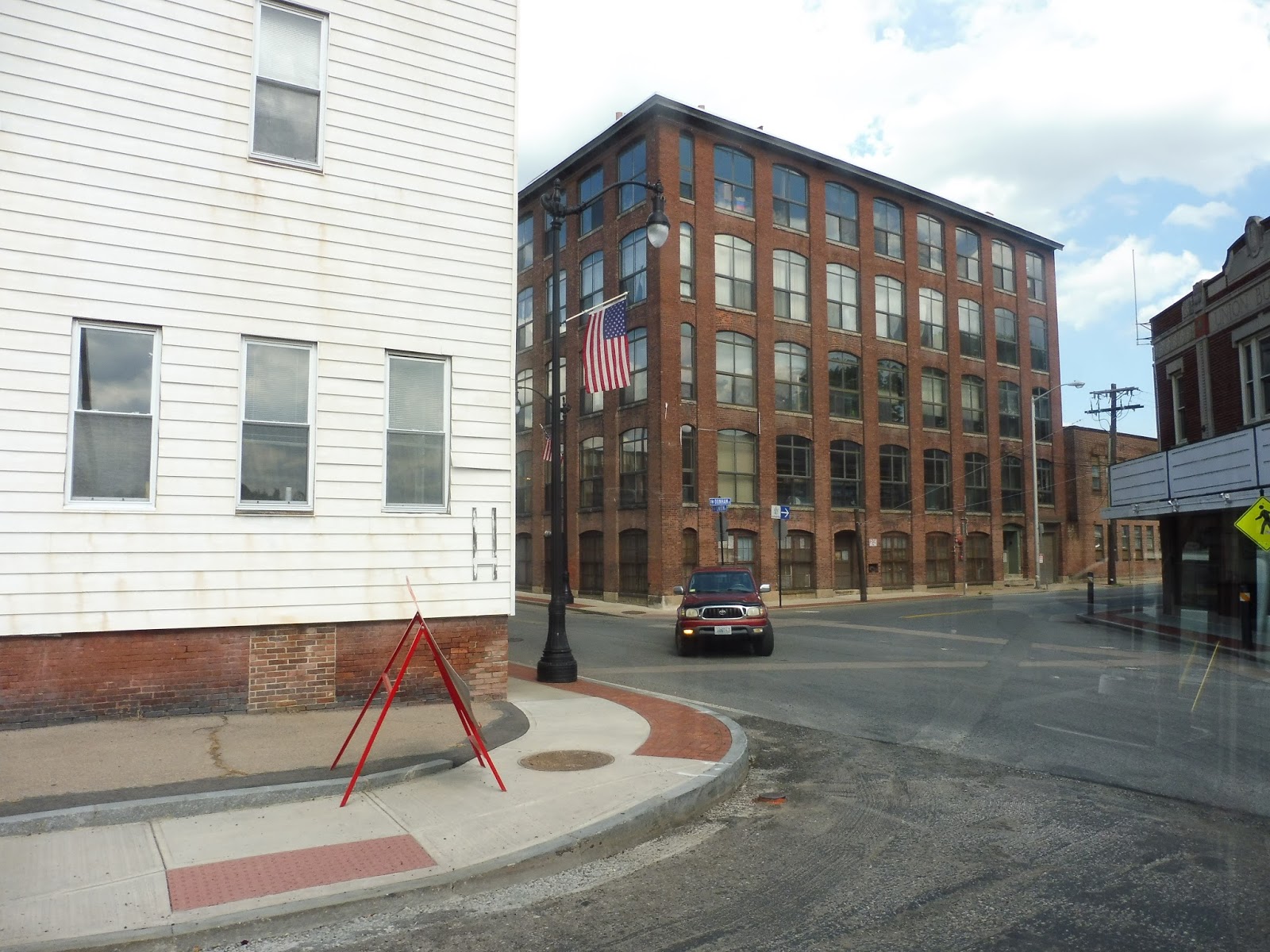
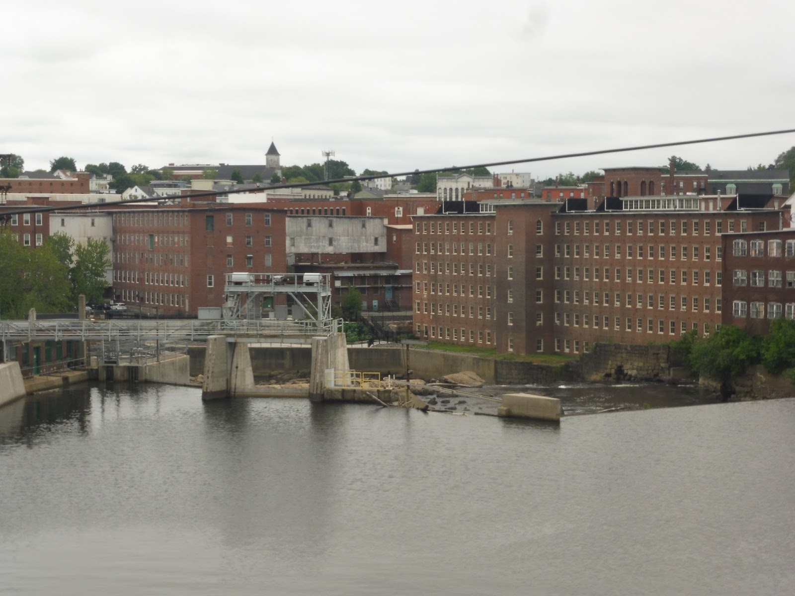
We left the Bloom Terminal and headed down Oak Street, going over a railroad track. We passed a few suburban businesses, then turned onto Court Street and entered downtown Taunton. Heading around the Taunton Green, we went by some businesses and municipal buildings, then turned onto School Street.
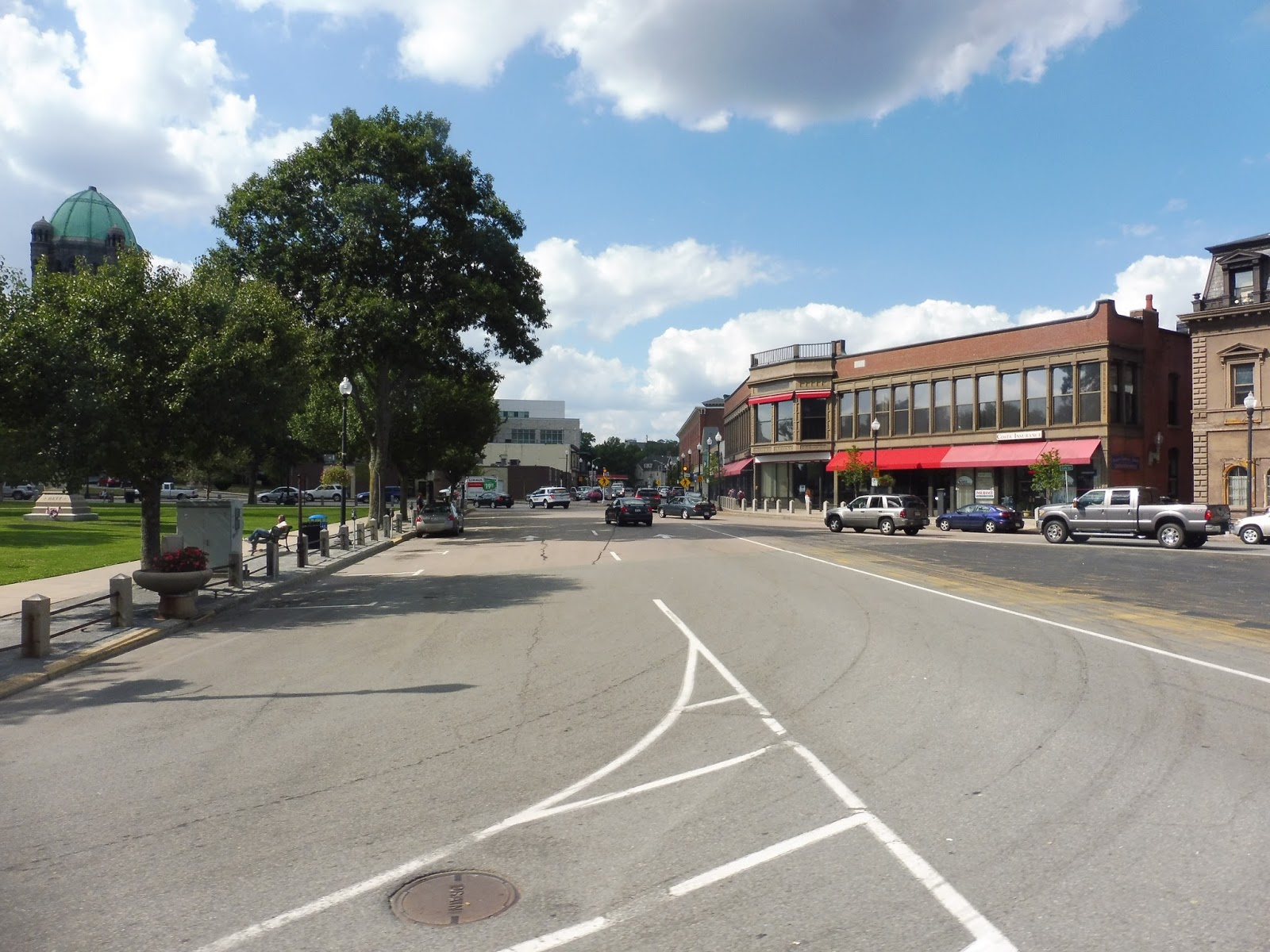 |
| Downtown Taunton. |
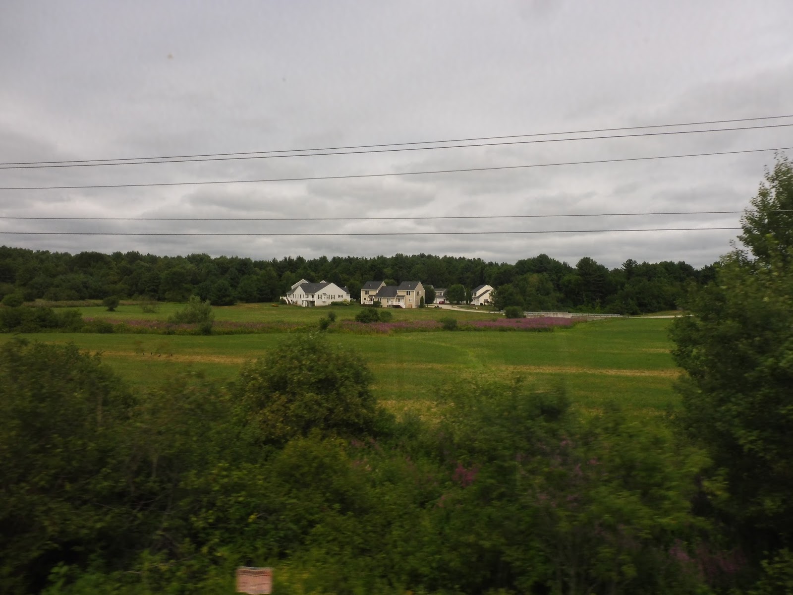
The somewhat narrow road soon became lined with mostly dense, multi-story houses. We passed a development by the name of Thomas Apartments, and though it was a major stop, we luckily didn’t deviate to serve it. The houses became single-family from there, unlike the majority of the ones back towards town.
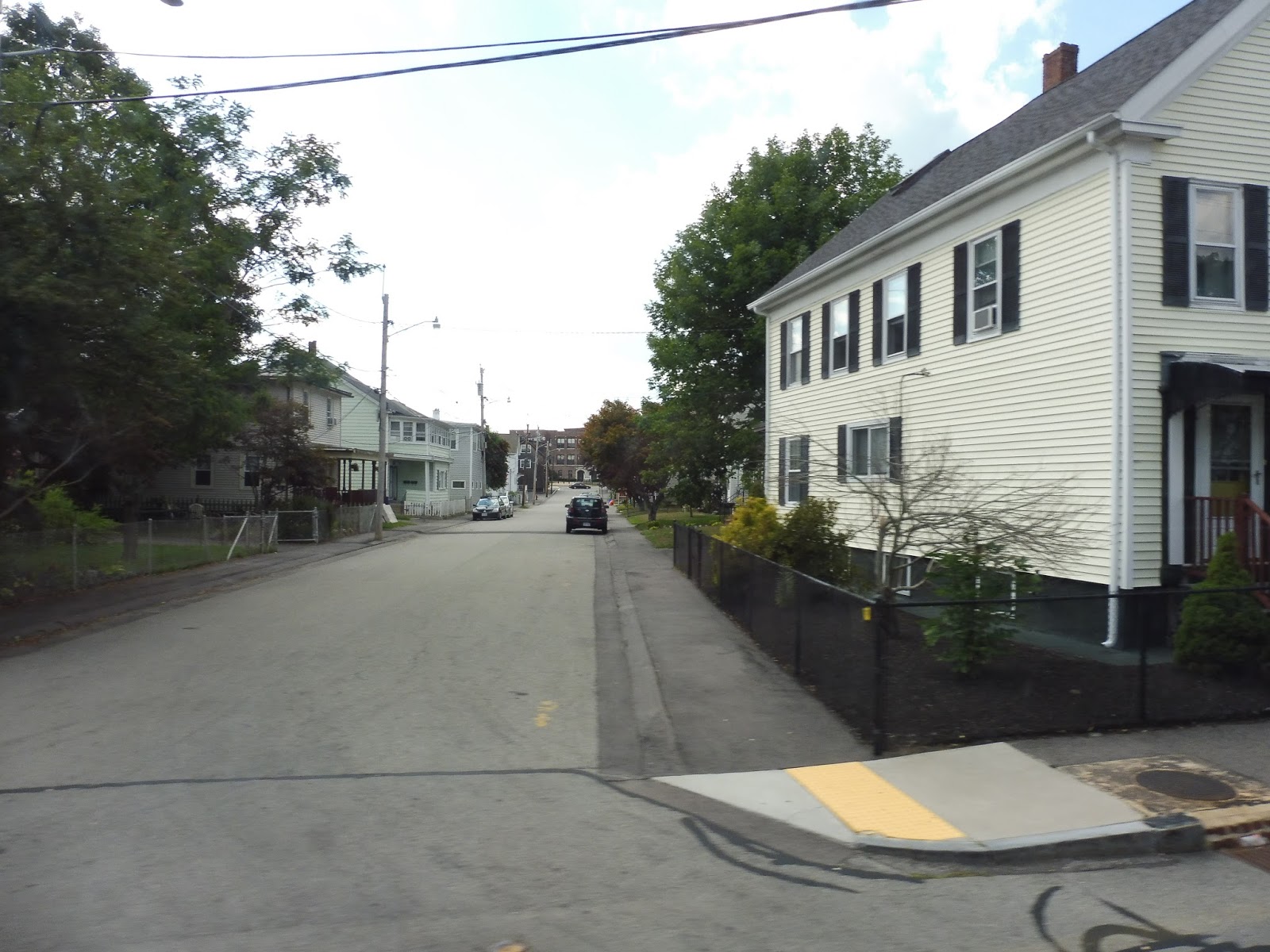 |
| These houses were closer to downtown. |
There was a little corner store at the intersection with Winter Street, onto which we turned. As we passed mostly industrial buildings, the street became Longmeadow Road. Next, we turned onto the wide Dean Street, going by a social security office and some other office buildings, as well as the Taunton River.
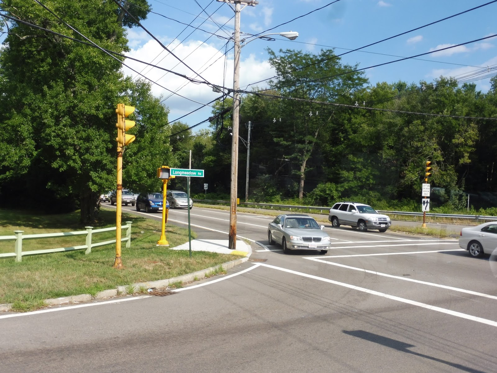 |
| Turning onto Dean Street. |
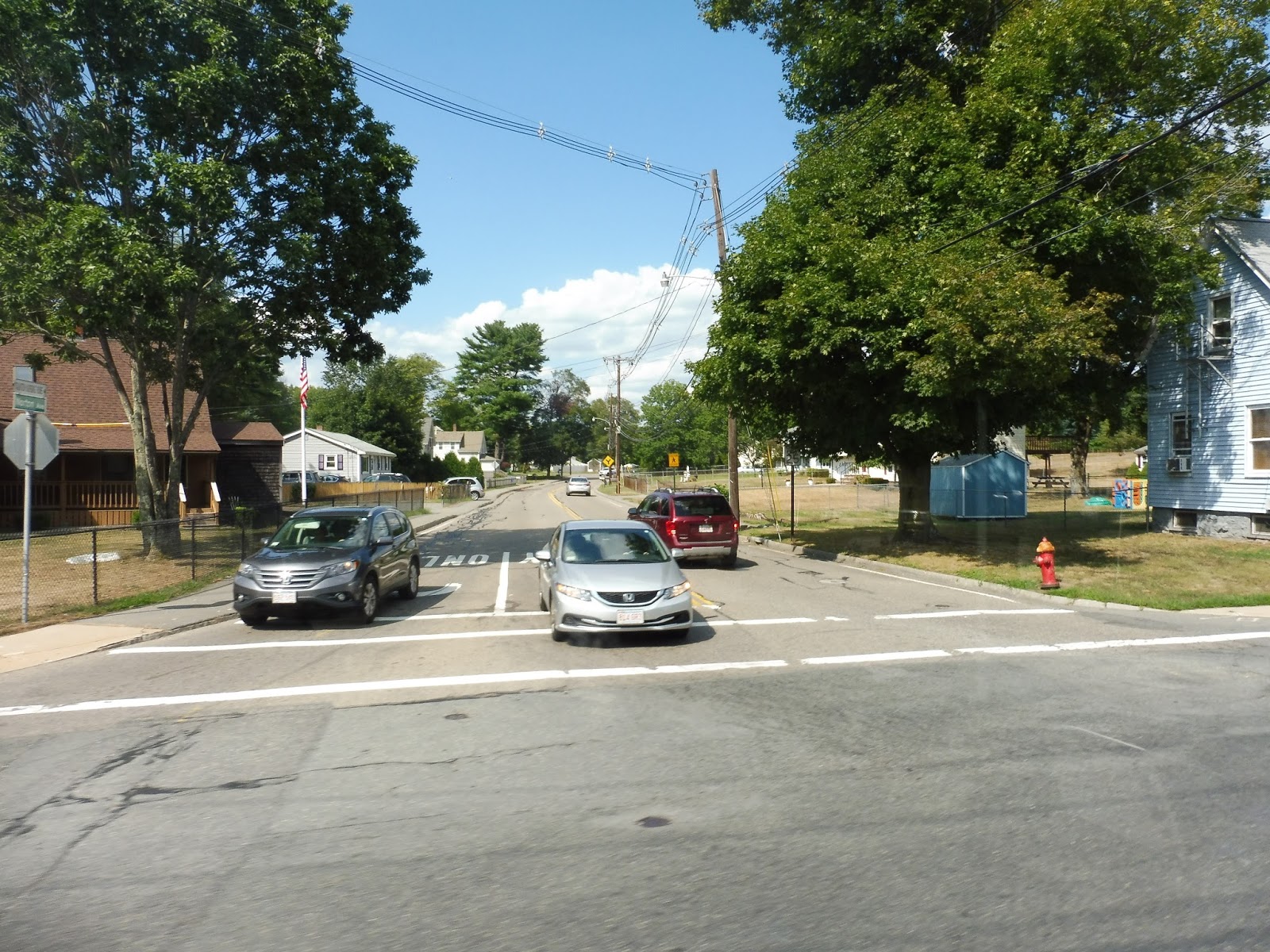
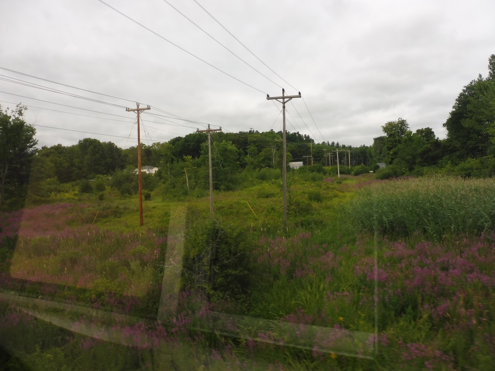
It’s at this point that the 7 makes a rather odd routing. The main drag of this area is Route 44, which is lined with a bunch of different malls and parking lots. However, probably for safety reasons pertaining to picking people up on a highway, the 7 runs down the narrow South Street West, serving the backs of malls instead. We didn’t even deviate to the fronts, and ironically, someone in a wheelchair got on along this section!
 |
| The other side of South Street was mostly sparse houses. |
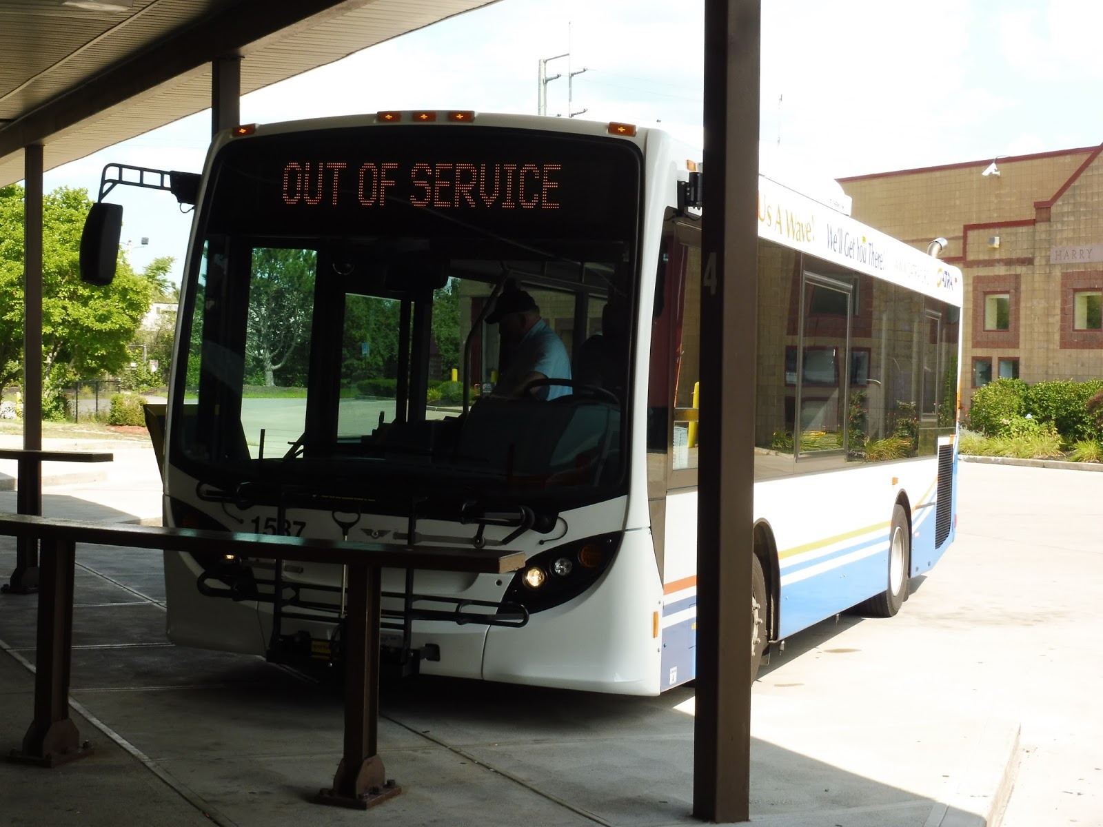
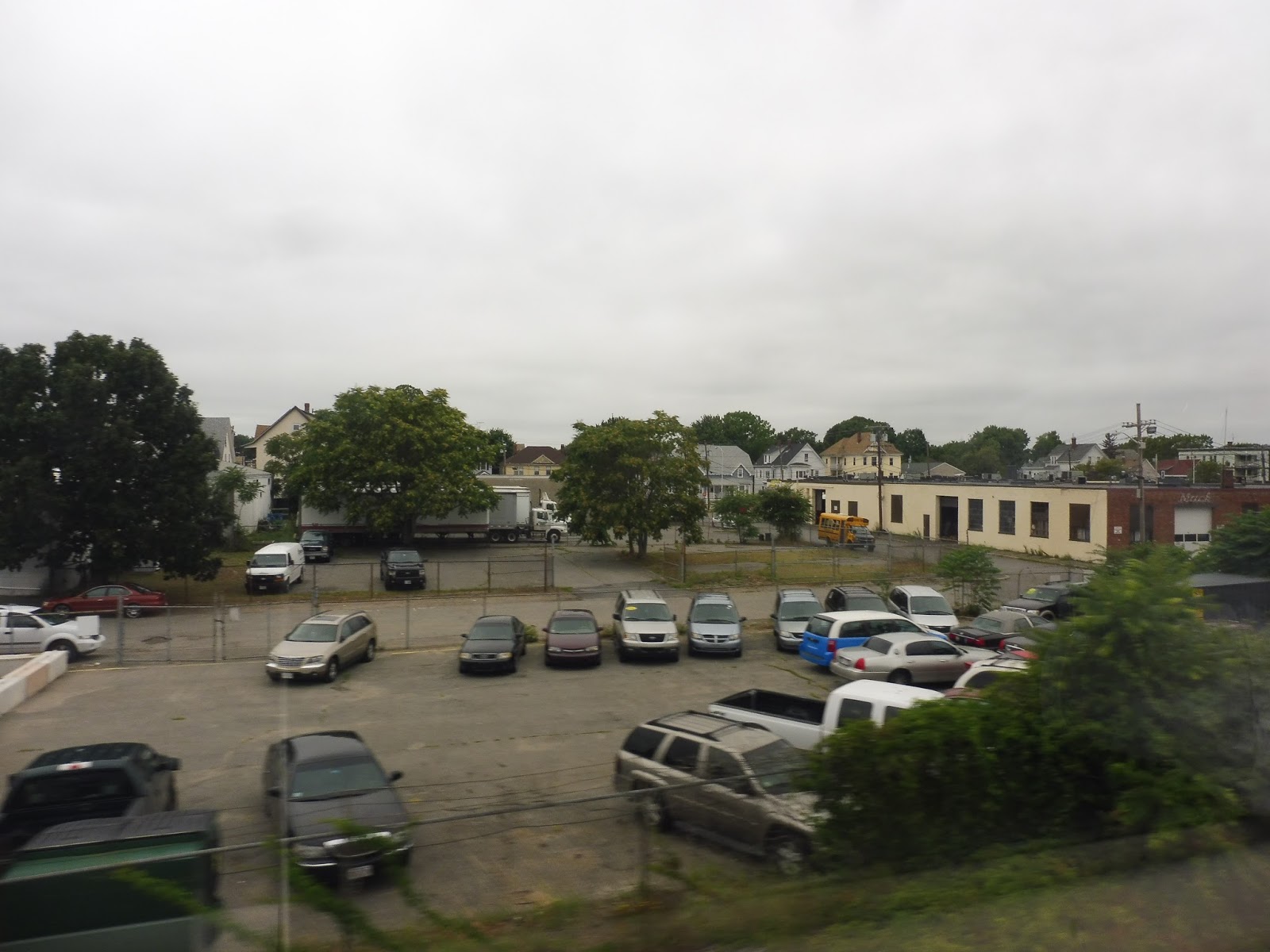
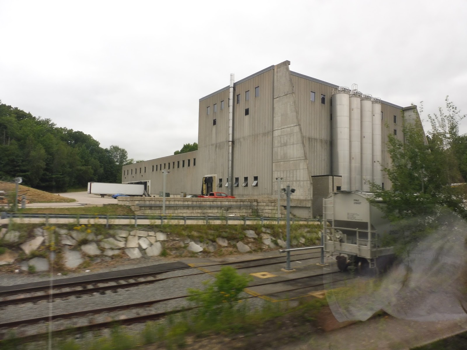
Eventually we merged back onto Route 44, crossing over the Route 24 freeway. There was a mixture of office parks and businesses with parking lots on the other side of the crossing. Next, we turned onto Paramount Drive, then into the parking lot for a Walmart. This was where my friend Sam and I got off in order to transfer to the 8, but the 7 does extend slightly further past Walmart – it runs to a trailer park called Pinehill Estates.
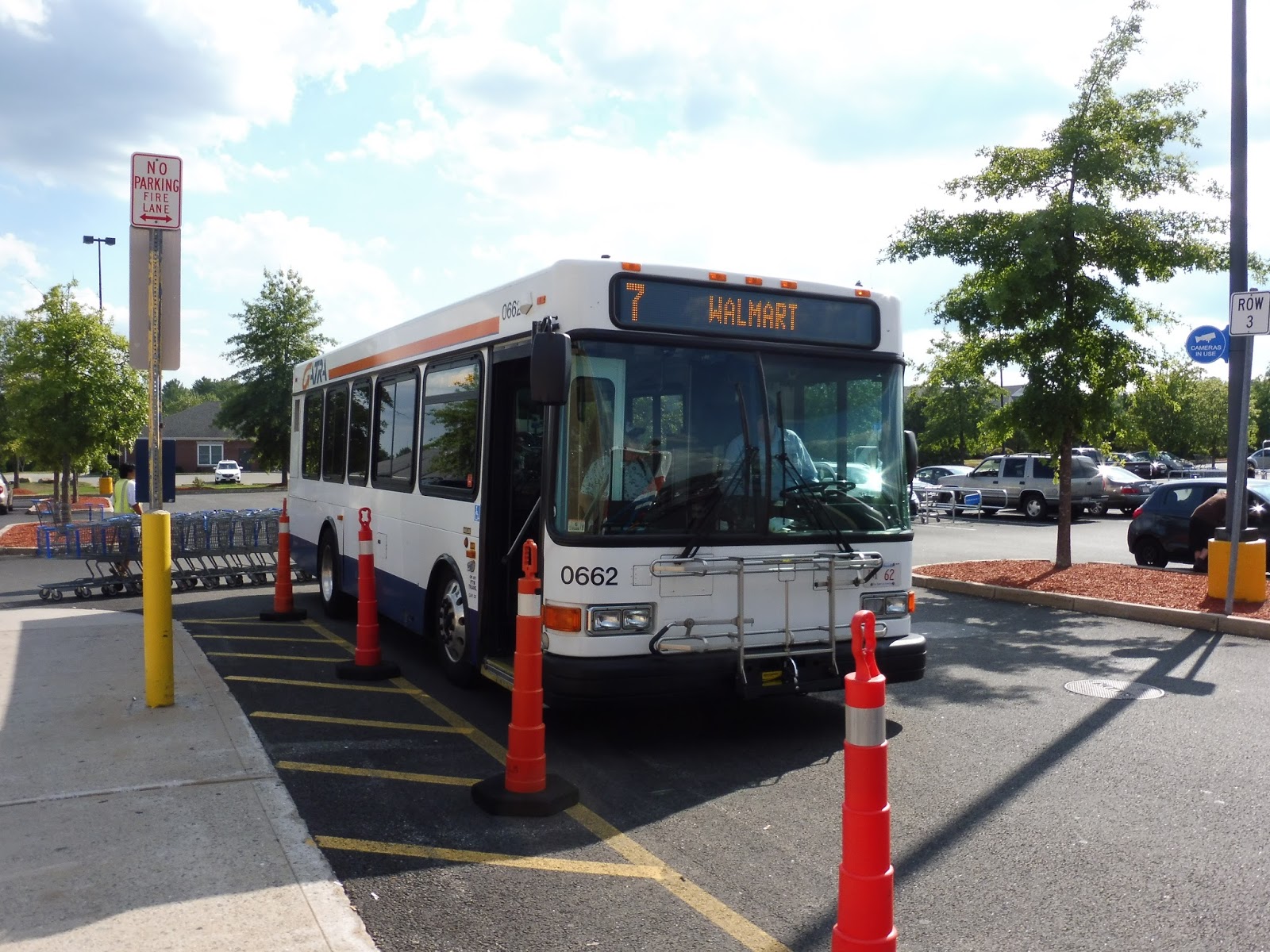 |
| The bus at Walmart. |
GATRA Route: 7 (School Street/Raynham)
Ridership: I’m surprised to see that the 7 only gets about average ridership for GATRA’s weekday Attleboro/Taunton routes, with approximately 130 riders, and below average on Saturdays – 60 people. My weekday trip was actually quite busy (for GATRA), with over 10 riders!
Pros: This is the fastest way of getting to Walmart from Taunton, making the trip in about 20 minutes (the alternative, the 8, takes 45 minutes to get there). It also serves other businesses along South Street West, and houses on the School Street section. The 7’s schedule is standard for GATRA, with every hour headways Mondays through Saturdays.
Cons: You know, I thought the 7’s ridership was pretty good before, but in all honesty, very few people use this thing on Saturdays – it averages out to about 3 people per trip. This shows that service could probably be reduced, or perhaps start later or end earlier. Weekday ridership seems good, though.
Nearby and Noteworthy: If you’re trying to get from Taunton to Walmart, the 7 is the way to go. There are a few other businesses along South Street West, as well.
Final Verdict: 7/10
Ayyyy, the 7 gets a 7! No, but seriously, this is a good route that seems to get a good amount of people on weekdays. On Saturdays, though, it might be beneficial to shave off a trip each in the morning and evening – the every hour schedule works well, but ridership is probably higher midday on the route.
Latest MBTA News: Service Updates
I’m back from Portland, Oregon! I’m finishing up the GATRA posts I hadn’t written yet first, and then I have a slew of posts in store about the public transit system over there, the TriMet. I also want to give a huge thanks to my friend Sam Hegg for managing the blog while I was gone – check out his Operational Oculi if you haven’t already!
Sam’s Operational Oculi: Quincy Garage


So in short, Quincy Garage is a suburban operation, serving the South Shore. It could definitely stand to be slightly less confusing with its variants, but it gets the job done. I hope to write about Lynn Garage, on the north shore of Boston, in the near future. Before that, look for more posts from Miles about GATRA, and his recent trip to Portland! Stay tuned.
Sam’s Operational Oculi: The MBTA’s 10 garages
| Garage | Communities Served | Routes |
|
Albany
|
Newton, Brighton, Waltham
|
04, 57, 59, 60, 65, 170, 193, 501, 502, 503, 504, 505, 553, 554, 556, 558, 701(CT1), 708(CT3), 747(CT2)
|
|
Arborway
|
Boston, Dedham, Norwood, Walpole
|
14, 21, 24, 26, 27, 29, 30, 31, 32, 33, 34, 34E, 35, 36, 37, 38, 40, 41, 42, 50, 51, 52, 195
|
|
Bennett (North Cambridge)
|
Cambridge, Watertown
|
71
|
|
Cabot
|
Boston
|
01, 05, 07, 08, 09, 10, 11, 15, 16, 17, 18, 19, 22, 23, 43, 44, 45, 47, 55, 57, 59, 65, 66, 171, 193,, 504, 553, 9701, 9702, 9703
|
|
Charlestown
|
Charlestown, Chelsea, Everett, Medford, Malden, Melrose, Somerville
|
89, 91, 92, 93, 101, 104, 106, 108, 109, 110, 111, 112, 325, 326, 352
|
|
Fellsway
|
Chelsea, Everett, Medford, Malden, Melrose, Reading, Wakefield, Woburn
|
94, 95, 96, 97, 99, 100, 105, 108, 131, 132, 134, 136, 137, 354, 411, 430
|
|
Lynn
|
Chelsea, Revere, Lynn, Swampscott, Marblehead, Salem, Danvers, Peabody
|
114, 116, 117, 119, 120, 121, 424, 426, 428, 429, 431, 434, 435, 436, 439, 441, 442, 448, 449, 450, 451, 455, 456, 459, 465
|
|
Quincy
|
Quincy, Milton, Weymouth, Hingham, Randolph, Braintree
|
201, 202, 210, 211, 212, 214, 215, 216, 217, 220, 221, 222, 225, 230, 236, 238, 240, 245
|
|
Somerville
|
Cambridge, Somerville, Watertown, Belmont, Arlington, Burlington, Waltham, Lexington, Bedford
|
62, 64, 67, 68, 69, 70, 70A, 71, 72, 73, 74, 75, 76, 77, 78, 79, 80, 83, 84, 85, 86, 87, 88, 350, 351
|
|
Southampton
|
Boston
|
Silver Line, 28, 39
|
A more comprehensive list of all of this can be found here: http://www.transithistory.org/roster/ (scroll down to buses)
I plan on writing about each garage in it’s own post later down the road. In particular, I hope to have Quincy Garage’s post up by tomorrow, so please stay tuned for that. Finally, If you have any topics that you want me to try and touch on, please let Miles and I know by using the “ask me anything” feature!
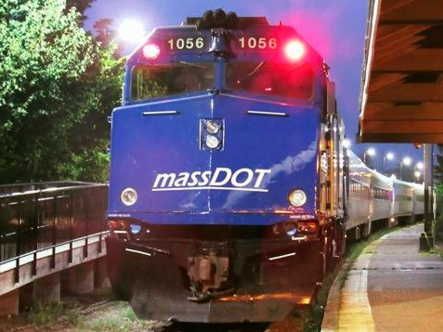
GUEST POST: The CapeFLYER
This guest post by Adam Parise takes us onboard the CapeFLYER to Hyannis. Good job, Adam!
I never thought I’d be reviewing something I only rode twice ever but here I am reviewing this wonderful passenger rail service. The CapeFlyer is a must ride for all railfans which runs every year from Memorial Day weekend to Labor Day. Let’s see what the CapeFlyer has to offer!
 |
| A view of the Bourne Bridge. |
 |
| A gazebo in Buzzards Bay. |
 |
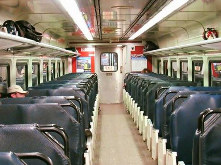
| Interior shots of the Café car. |
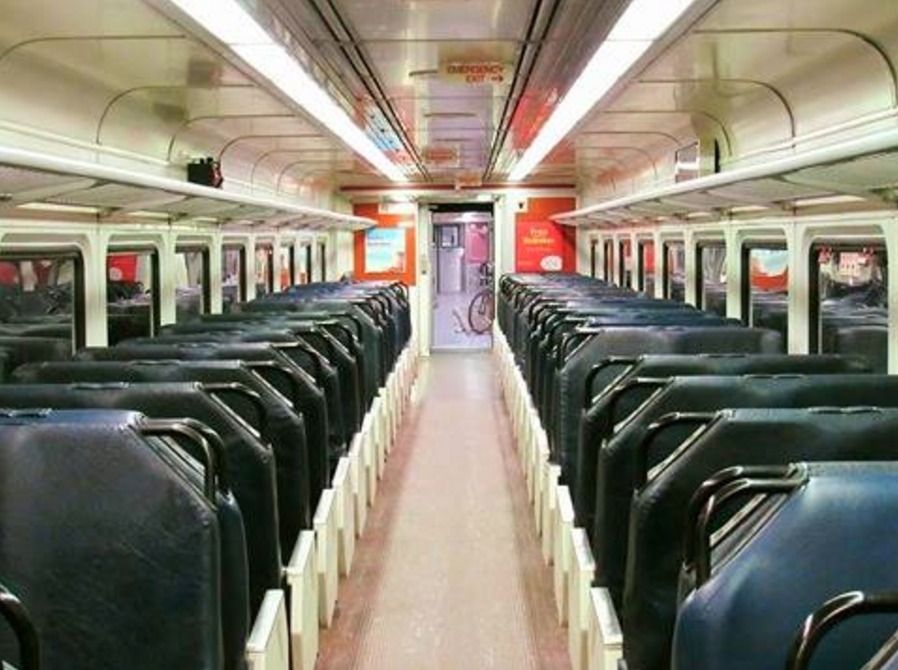 |
| The passenger seating area. |
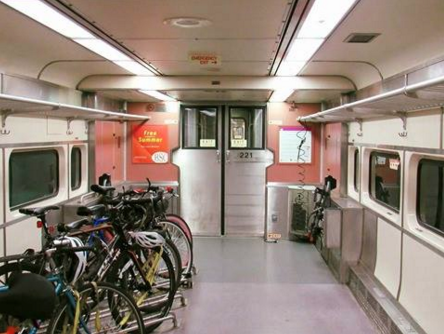 |
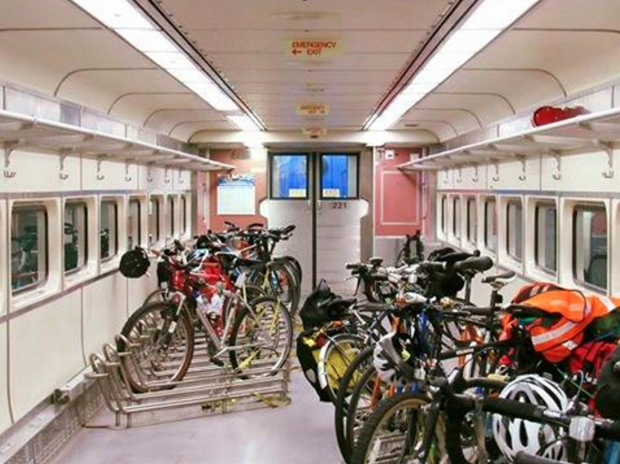
| A very cool bike car! |
 |
| The train at Hyannis Transportation Center. |
GATRA: Bloom Bus Terminal
Welcome to your GATRA gateway to Taunton: the Bloom Bus Terminal! This amazing hub offers you everything from…uh… This amazing hub offers you quite a few things, like…um…uh… THIS PLACE IS AWFUL AND I’M HERE TO TELL YOU ABOUT IT. LET’S GET GOING.
 |
| The glorious outside. |
The Bloom Bus Terminal is located in an industrial area, in which many parking lots abound. Bloom is no exception, and though I can’t find exactly how many spaces the lot contains, it seems like an adequate amount. As for the building itself, it’s really dated (especially considering it’s only from 1990), right down to the flashing “open” sign on the outside. Really???
 |
| On no… |
The inside of this place is…abysmal! Just abysmal! Where to even begin? Well, how about the ceiling tiles, of which some are missing? Or perhaps the fact that there are a bunch of holed-out rooms in here that are seemingly abandoned? How about the smell? Ahh, there are so many great things about this place…
 |
| Another view of the inside. |
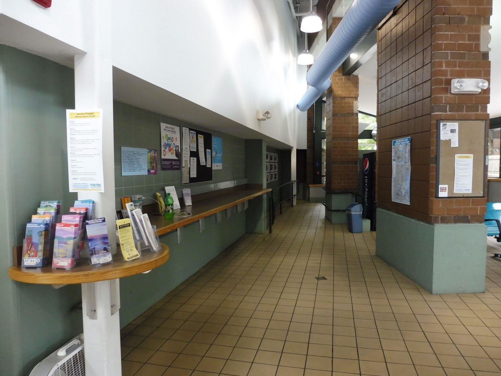
Alright, well, what kind of amenities do we have in the main concourse? Let’s see…there are some benches. That’s nice. We’ve also got some GATRA schedules, which vary in quality and style for each route (I could write a whole separate rant about how inconsistent GATRA’s paper schedules are). There’s also a GATRA ticket machine, right next to an incredibly sketchy-looking ATM. Finally, the GATRA administrative offices are here, accessed by an elevator.
 |
| Oh my… |
I think the original intent of this place was to be a “bus hub/retail hub” kind of thing, like New York’s Penn Station on a much smaller scale (or even something like Alewife). Unfortunately, it seems like things didn’t go to plan, as many of the retail spots in the Bloom Terminal are just…nothing. Are they under construction? Who knows! They looked pretty dormant when I was here.
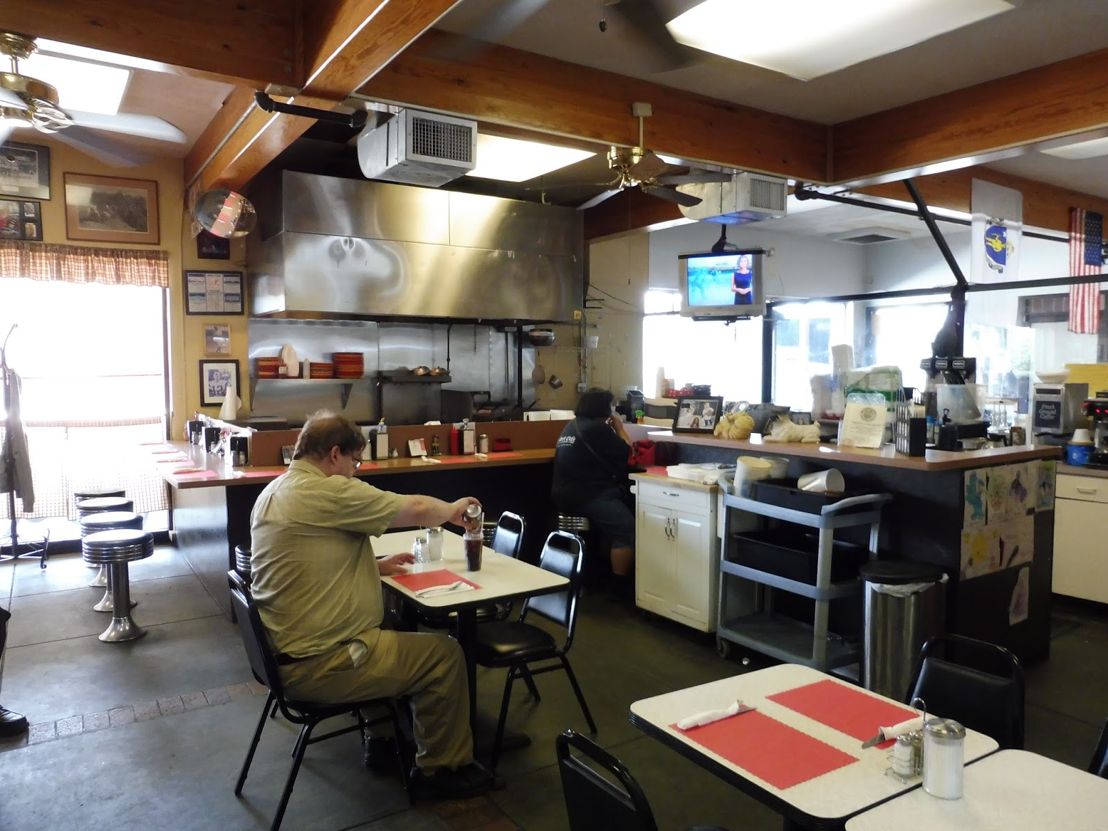 |
| Inside the Oak Street Café. |
That’s not to say that all of the retail space is empty. There are three businesses located within the terminal, and the most noteworthy one is the Oak Street Café. It’s…fine, I guess. It has a local feel inside, and offers a good amount of food – it just seems to attract characters. Still, nothing you wouldn’t expect from this terminal.
 |
| Umm… |
As for the other two businesses, one is a tax office that’s only open on Wednesdays, so we can ignore that. The second one, however, is a proper driving school! I have no idea how reputable it is (its website is full of grammatical errors, and the outside of its Bloom location is littered with 90s car safety posters), but we can safely say that it has been voted “finalist in the driving school” by the Taunton Daily Gazette! Not only is the category name priceless, but I like how the certificate contains both “Reader’s” and “Readers'”. Great job!
 |
| Are we…going the right way? |
A paper sign written in Impact announces that the “REST ROOMS” are down a forlorn-looking hallway. To get into the “REST ROOMS’, you have to obtain a key from the Oak Street Café, which makes sense (they don’t want people loitering). However, why is it that the men’s room has a plaque saying “MEN” to the side of the door, while the women’s room has its sign written on the door? Come on, be consistent!
 |
| That is a tiny water fountain! Thanks to my friend Sam for taking the photo. |
I’m gonna need a full paragraph to rant about the Bloom Terminal’s single water fountain. IT. IS. SO. SHORT. Look at that picture – I’m 5’8″, which is about the average height for American males. So why should I, or any other person of average height, have to crouch down so low to reach this water fountain?? That being said, no one needs to crouch down for it, because it doesn’t even work. HOORAY!
 |
| There’s a bus terminal here? Oh yeah… |
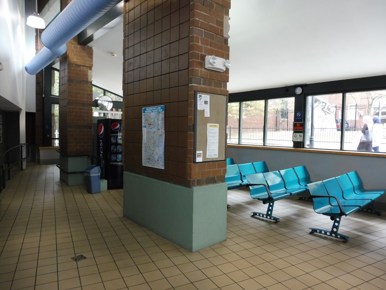
Okay, admittedly, the outdoor boarding area isn’t that bad. It’s pretty basic, with benches lined up along the building and a few wastebaskets, but it’s sheltered and it gets the job done well. There are also some tall wooden things at each bus bay, and though I have no idea what they are, they’re quite fun to sit on.
 |
| The maintenance facility. |
 |
| A trio of buses at the terminal. |
GATRA: 18 (Attleboro/Norton/Taunton)
Look who’s baaaaaaaaack! I’m sorry, guys, I just couldn’t resist a ride on the good ol’ GATRA! Today we’re looking at a crucial route on their system, one that connects its two biggest bus hubs, serving a busy college in the middle: the 18. Now, with such a big responsibility, you would think the 18 would make sense as a bus route. Oh wait, this is the GATRA. Of course it doesn’t make sense!
 |
| What a great MiDi bus! No, seriously, these are awesome. |
The first thing to note is that the 18 has a completely separate fare system from any other GATRA routes! Why? I’m honestly not sure. Transfers aren’t accepted from other routes (which is odd, considering it connects GATRA’s two biggest bus hubs), and the fares are zone-based: $2.00 from Attleboro to Taunton, $1.50 between two towns, and $1.00 within one town.
 |
| Some buildings in Attleboro. |
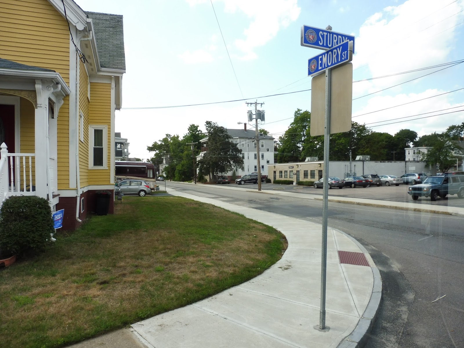
From the Attleboro Transit Center, we made our way onto Mill Street, going under the Commuter Rail tracks. We then turned onto Union Street, passing buildings of various heights and states. Next, we turned onto Park Street, in order to deviate to serve the Sturdy Hospital. At the hospital, we looped around onto Emory Street, passing houses to get back to where we were before.
 |
| A mostly residential neighborhood. |
We turned again onto Union Street, which became wider and industrial/parking lot-filled for a bit. The bus was supposed to deviate to serve Bristol Community College, but for some reason, we didn’t, just staying on Union Street (which became Pleasant Street). Eventually, Pleasant Street became almost solely residential, with even the occasional spurts of forest.
 |
| A piece of the industrial section. |
Aside from the houses, we also passed a church and a post office, and went under some telephone wires. As we entered Norton, the street became Old Colony Road, and was lined with businesses and industrial buildings. Next, it turned into West Main Street, and as we came alongside Chartley Pond, “Chartley Corners” was considered a major stop. There didn’t seem to be anything special about it…
 |
| A side street. |
It was residential again from there, both with regular houses, and the occasional development that branched off from the street. However, it didn’t last long, for after going by a middle school and a cemetery, the industry came back. It basically kept going all the way until “downtown” Norton, which is basically just Wheaton College and a few historical buildings. Here, we turned onto Taunton Ave, bypassing the stop within the college for the 140.
 |
| The view of a water tower just before arriving at Wheaton College. |
Taunton Ave soon became just woods for a bit, but then we got a spurt of houses again. It was basically a mixture between those types of scenery for a while, with the forest sections being surprisingly scenic. The road became Short Street (an odd name, as it’s rather long), with residences appearing pretty intermittently and spaced-out.
 |
| A twisty side street. |
The street’s name changed twice within a few seconds of each other: first to Norton Street, then to Worcester Street as we entered Taunton. There were consistent houses on either side now, which continued as the street name changed again, this time to Alfred Lord Boulevard, and Tremont Street soon after. We crossed over a small river, then went by the “major” stop of Norton Ave – it was literally the exact same scenery as everywhere else.
 |
| Looking down Norton Ave. |
We passed a trailer park, but the rest of Tremont Street was just regular ol’ houses. It stayed that way until we reached a mall (not deviating to serve it, luckily), then crossed over a railroad track. From there, we turned onto Oak Street, and arrived at the Bloom Bus Terminal right after.
 |
| The bus at the Bloom terminal. |
GATRA Route: 18 (Attleboro/Norton/Taunton)
Ridership: The 18 is GATRA’s sixth-busiest route on weekdays, with an average of 150 riders. Of course, that equates to a whole six people per trip, so…well, that’s not the best. On Saturdays, though, the 18 drops to being GATRA’s sixth-least busiest route, with less than 40 riders! How many per trip is that? Less than four. So yeah, the 18 isn’t a particularly high-performing route.
Pros: The actual route of the 18 is very good, connecting Attleboro and Taunton up, as well as Wheaton College and Norton in the middle. GATRA’s not very good about connecting its hubs up, so the 18 is nice to see.
Cons: But it has many…many problems. Let’s see…there’s no denying that the rush hour schedule is frequent, but it’s also intermittent. For example, there are Attleboro departures at 2:30, 3:40, 3:55, and 5:15. So we have a 70 minute gap, a 15 minute gap, and then another 70 minute gap. That 3:55 trip is probably nice – I’ll bet it’s always empty! And yet the Saturday schedule is even stranger; all but one AM trip run from Taunton to Attleboro, and all but one PM trip run from Attleboro to Taunton, with no midday service. Number 1: why is Saturday service run like a rush-hour only route?? And number 2, does that mean that one bus heads out to Attleboro, then deadheads back to Taunton, then runs out to Attleboro again? Come on, just run it in revenue service going back, too! Finally, what’s the deal with the 18’s fare system? I guess I understand the zone fares, but it’s really annoying that the 18 doesn’t offer transfers. It’s basically its own little system – you can’t even get 30-day passes for it! So yeah, sorry, Taunton to Attleboro commuters…I hope you have enough small change for your daily rides on this strange, strange route.
Nearby and Noteworthy: Along the middle section of the route, there isn’t really much of interest aside from Wheaton College (which is easier to get to by taking the 140, anyway). Of course, the 18’s termini are major cities, and this is one of two ways of getting to Taunton by public transportation (and the other will be discussed in a later post).
Final Verdict: 5/10
Man, I dunno…this is a quirky route – and not in a good way. The 18 could theoretically provide a solid and consistent connection between Attleboro, Norton, and Taunton, but its strange fare system (no transfers!) and scheduling make it fall flat. This is a good bus in theory, but in practice…ech!
Latest MBTA News: Service Updates
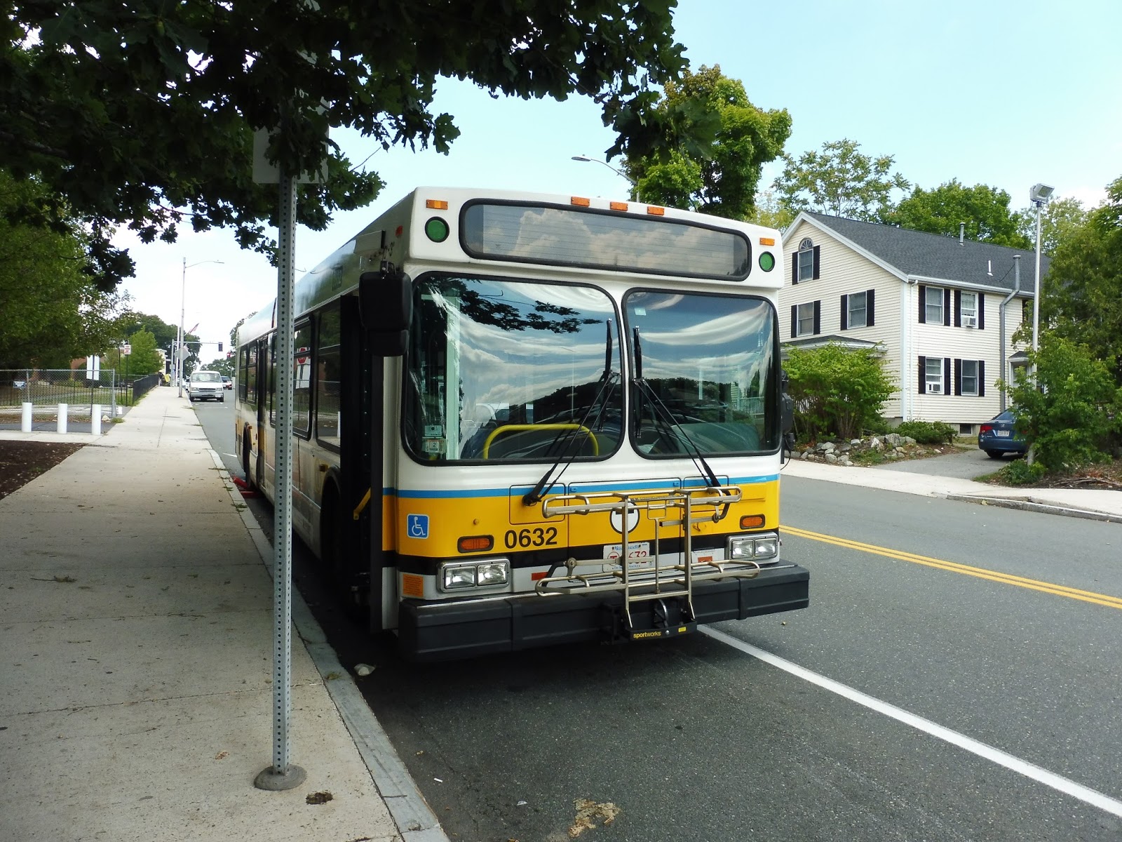
106 (Lebanon Street, Malden – Wellington Station via Main Street)
The 106…what can be said about the 106? Well, it’s a strange route that works in mysterious ways. It also has many variations – the one we’ll be talking about today is the longest, the Franklin Square version that only runs weekday middays. Okay, that’s all I have to say. Uh…let’s…let’s get rollin’!
 |
| The bus at Wellington. |
Leaving Wellington, we went onto Revere Beach Parkway and crossed over the Malden River. On the other side, we made our way around a rotary, then another. This led us onto Main Street, which was lined with a mix of houses and businesses.
 |
| Looking down a side street. |
Gosh, Main Street was basically that for a while: houses and businesses, with the occasional industrial building. There were occasional patches of just houses or just businesses, but the general mold was never broken along here. Soon after going after a small park and an apartment building, we came into the Malden Center area, turning onto Centre Street.
 |
| Looking at the Orange Line tracks in Malden Center. |
Centre Street had office buildings on one side and a Super Stop and Shop (with a huge parking lot) on the other. Soon we reached the Orange Line station, looped around the busway, and headed back the way we came. We turned back onto Main Street, continuing north and passing many businesses that lined the street.
 |
| A dead-end street. |
We merged onto Salem Street, going by the Malden High School and entering a residential area. However, there was still the occasional bout of retail at certain intersections. We passed an elementary school, and after going by an apartment building, turned onto Lebanon Street, entering our independent section.
 |
| A hilly side street. |
Lebanon Street quickly became residential as it curved north. There was a gas station when we turned onto Sylvan Street, and further down the road we passed a school. We turned onto Forest Street after that, and then made a left on Lebanon Street – most trips would take a right to loop back around, but this was a Franklin Square trip, so we kept going.
 |
| Turning onto Lebanon Street. |
Along Lebanon Street, there were houses on one side and a cemetery on the other. Eventually, we turned onto Park Street, then the tiny Linwood Ave. It was one of those streets where cars have to pull over to let the bus through. We proceeded along here, passing houses on both sides.
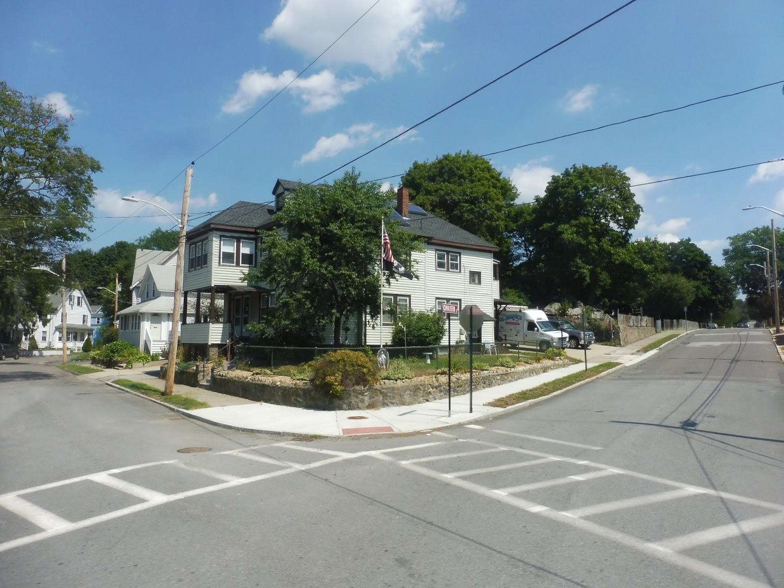 |
| A street corner. |
We then turned onto the mercifully wider Grove Street, then again onto Main Street, joining the 131 and 136/137. There was lots of retail along here, as we were in downtown Melrose. (Melrose Center? Melrose Square?) We came up alongside a pond, with a hospital on the other side, then merged onto Green Street. Passing through a residential area, we looped back around onto Main Street, reaching our final stop at Franklin Square.
 |
| The bus laying over. |
Route: 106 (Lebanon Street, Malden or Franklin Square – Wellington Station via Main Street)
Ridership: This route gets good ridership, with 3,136 riders per weekday, 1,629 per Saturday, and 1,123 per Sunday (with the 106 almost cracking the top 30 bus routes on the latter). However, most of those riders are centered around the Wellington to Malden section (shared with the 99), and the Malden to Lebanon Loop section. My outbound trip saw no other riders past the loop, and only two coming back. However, the rest of the ride from Lebanon to Wellington had a good amount of people.
Pros: It’s weird – most of the 106 is shared with other routes, and yet it still…works. It essentially serves two functions (linking Everett to the Orange Line, and connecting the Lebanon Loop area to Malden Center), and performs them both well. It also has pretty good headways, running every 20 minutes at rush hour, every 30-50 minutes during the day, every half hour on Saturdays, and every hour nights and Sundays.
Cons: Well…”pretty” good headways. The route could probably stand to run more often on Sundays, all things considered. However, it has some other, more easily fixable problems. Number one is the fact that it has a layover at Lebanon Loop. This presents a problem for people who might be heading to Forest or Sylvan Streets, as they have to stay on the bus for a while and wait for it to start up again. Number two, does the route really need to go all the way to Franklin Square? I think they could honestly just cut it back to Lebanon Loop, and it wouldn’t inconvenience many people at all and allow the route to run more often. And if it does keep going to Franklin Square, does it really have to go via Linwood Ave? That’s such a tiny road, and the bus could just as easily stay on the wider Lebanon Street and still get to the same place.
Nearby and Noteworthy: There’s not much of note along the mostly residential independent section, but the 106 serves its fair share of businesses along its shared sections.
Final Verdict: 6/10
The 106 is a route that many people rely on, and it generally does a decent job of fulfilling its needs – it just has a lot of simple problems that could be easily fixed. I really think it could be cut back from Franklin Square middays, although the rush hour trips from Malden to that general area should stay. Other than that, it would be great if the loop layover could be eliminated with just a longer one at Wellington, but that could make the bus late going inbound.
UPDATE 9/1/19: Woah, I didn’t even realize I predicted the downfall of Franklin Square service way back in 2016! Yes, all service ends at Lebanon Loop now, simplifying the service. The schedule is still pretty garbage, though.
Latest MBTA News: Service Updates
134 (North Woburn – Wellington Station via Woburn Square, Winchester Center, Winthrop Street, Medford Square, Riverside Ave, and Meadow Glen Mall)
What the heck is this post title? Why the heck is it so long? Why did the MBTA feel the need to list so many different midpoints on this beast of a route? Yes, sit back, ladies and gentlemen, because we’ve got a long one today: the 134.
 |
| The bus at Wellington. |
Leaving the Wellington busway, we headed onto Revere Beach Parkway, going over the Orange Line tracks and passing some development west of Wellington. We made our way up the Fellsway, with houses on one side and a shopping plaza on the other. We then merged onto Riverside Ave, and things started to get industrial.
 |
| Turning off of the Fellsway. |
Unfortunately, we had to make a deviation to serve the Meadow Glen Mall, so we turned onto Locust Street and headed past more industry. At the mall (under construction), we looped around, picked up no one, and returned to Riverside Ave. It was now lined with houses, and continued to be until we went under I-93 and entered Medford Square.
 |
| Going by Medford City Hall. |
We turned onto City Hall Mall, then onto Salem Street, passing a hospital before going by lots of retail. We merged onto High Street, which continued past the square, with the area becoming more residential. At a rotary, we headed onto Winthrop Street, which was entirely houses.
 |
| Looking down a side street. |
It continued to be residential for the most part, with a bit of a break as we passed a temple and Medford High School in quick succession. Soon after that, we reached the intersection with Playstead Road, which is where every other 134 makes a u-turn and heads back to Wellington. Don’t worry, though – the full route continues way past there.
 |
| Nice solar, dude! |
We passed a graveyard, then the street became Main Street as we entered Winchester. It was still all residential, aside from another small rotary and a recreational area soon after. Eventually, though, things started to get denser – we passed a few schools, then did a few quick turns onto Waterfield Road, where we crossed over the Aberjona River.
 |
| A quick glimpse of Winchester Center. |
Next, we turned onto Laraway Road, running alongside the elevated Winchester Center Commuter Rail Station. After that, we proceeded around a rotary and headed up Main Street again, going by the businesses of Winchester Center. We crossed over the river once more, and now the retail was more suburban, with parking lots out front.
 |
| A side street. |
It eventually became a mix of businesses, office parks, and a few houses here and there. We also entered Woburn around this time, but the scenery stayed exactly the same when it happened. Well, okay, eventually it changed – once we arrived in Woburn Square, the street became lined with retail again, as well as a lovely little common.
 |
| A little plaza in Woburn Square. |
Just like in Winchester Center, the businesses started to get more suburban as we left Woburn Square. However, we were also passing a few housing developments along the way. It soon became mostly residential, with a few random businesses here and there.
 |
| A residential side street. |
However, we soon reached a huge rotary – this was an interchange with I-95. We went around and crossed to the other side, and this is where things got interesting. See, my intent with the 134 was that I wanted to ride the 10:10 or 11:10 outbound trips, as those are the only ones that make both of the route’s deviations. As it happened, this was the 10:10 trip, and so we entered our first deviation by turning onto Elm Street!
 |
| Turning off of Main Street, with its median. |
Elm Street curved around past a shopping center, but that wasn’t what we were deviating to serve. Nope, we were going to TradeCenter 128, a huge office park! And guess what? We didn’t pick up or drop off anyone! I guess that’s what happens when you serve a workplace in the late morning!
 |
| Ew… |
We returned to Elm Street, which was now lined with houses. Eventually it curved around back onto Main Street, which we turned on for a second before then going onto School Street. This was our second deviation, going by lots of houses without stops on our way to the Veterans Memorial Senior Center.
 |
| A brief glimpse of Main Street. |
Okay, let’s talk for a while about the stop at the Veteran’s Memorial Senior Center, because it was awful. The stop was located at the edge of the parking lot between cars where no bus could ever fit, so we had to just stop a car-length away from the curb. And then, there’s not even a ramp from the curb to the ground, so this poor man with a walker had to shuffle down to the ground and then back onto the bus, which was kneeling. This is a senior center, MBTA! Fix the darn stop!
 |
| Ridiculous… |
We returned to Main Street, which was now lined with suburban businesses. After going by a school, though, it became residential. The houses continued until we crossed over the Wilmington Line, and it was at that point that we reached our terminal, in a rather industrial area. That’s right – the MBTA bus system technically goes into Wilmington!
 |
| Hoo, boy. |
Right, this is another stop we have to talk about. I mean…just look at it! It’s just this concrete median in the middle of a road with overgrowth everywhere! And the place where you board the bus (on the other side of the street on the left) is just as ridiculous – it has no sidewalk at all. This may not be as bad as the senior center, but geez, is it bad.
 |
| The bus at North Woburn – or is it “South Winchester”? |
Route: 134 (North Woburn – Wellington Station via Woburn Square, Winchester Center, Winthrop Street, Medford Square, Riverside Ave, and Meadow Glen Mall)
Ridership: The 134 gets pretty good ridership overall, with 2,149 riders per weekday, 1,357 per Saturday, and 630 per Sunday. Most of it is concentrated on the inner section, which is reflected in the schedule, but we’ll get to that right…
Pros: …now. The schedule is pretty good for the route’s ridership, with the route running about every 20 minutes during rush hour, every half hour during the day and on Saturdays, and every hour at night and on Sundays. With weekday and Saturday service, every other bus terminates at Playstead Road, which makes sense; with Sunday service, trips only go as far as Woburn Square, which also seems sensible.
Cons: Isn’t this route just a bit…insane? Depending on the time, it can terminate at North Woburn (via TradeCenter 128, Veterans Senior Center, both, or neither), Woburn Square, Playstead Road, or even Medford Square, a trip of about 10 minutes! It’s just all rather complicated! Also, there are definitely some stops along this route that need to be fixed, most notably the senior center. It may only get a few trips per day, but it’s still a senior center!
Nearby and Noteworthy: Both downtowns this route serves seem pretty interesting. The 134 is the cheaper way of getting to Winchester Center (although Commuter Rail runs there too), while it’s essentially the only way of getting to Woburn Square outside of rush hour.
Final Verdict: 7/10
You know, I like the 134. It’s a long route that serves a lot and gets decent ridership, and its schedule is structured pretty well for the most part. It is strange that the route can take as long as 52 minutes to get to North Woburn or as short as 9 minutes to get to Medford Square, and that senior center stop is abysmal, but this is definitely a good route!
Latest MBTA News: Service Updates
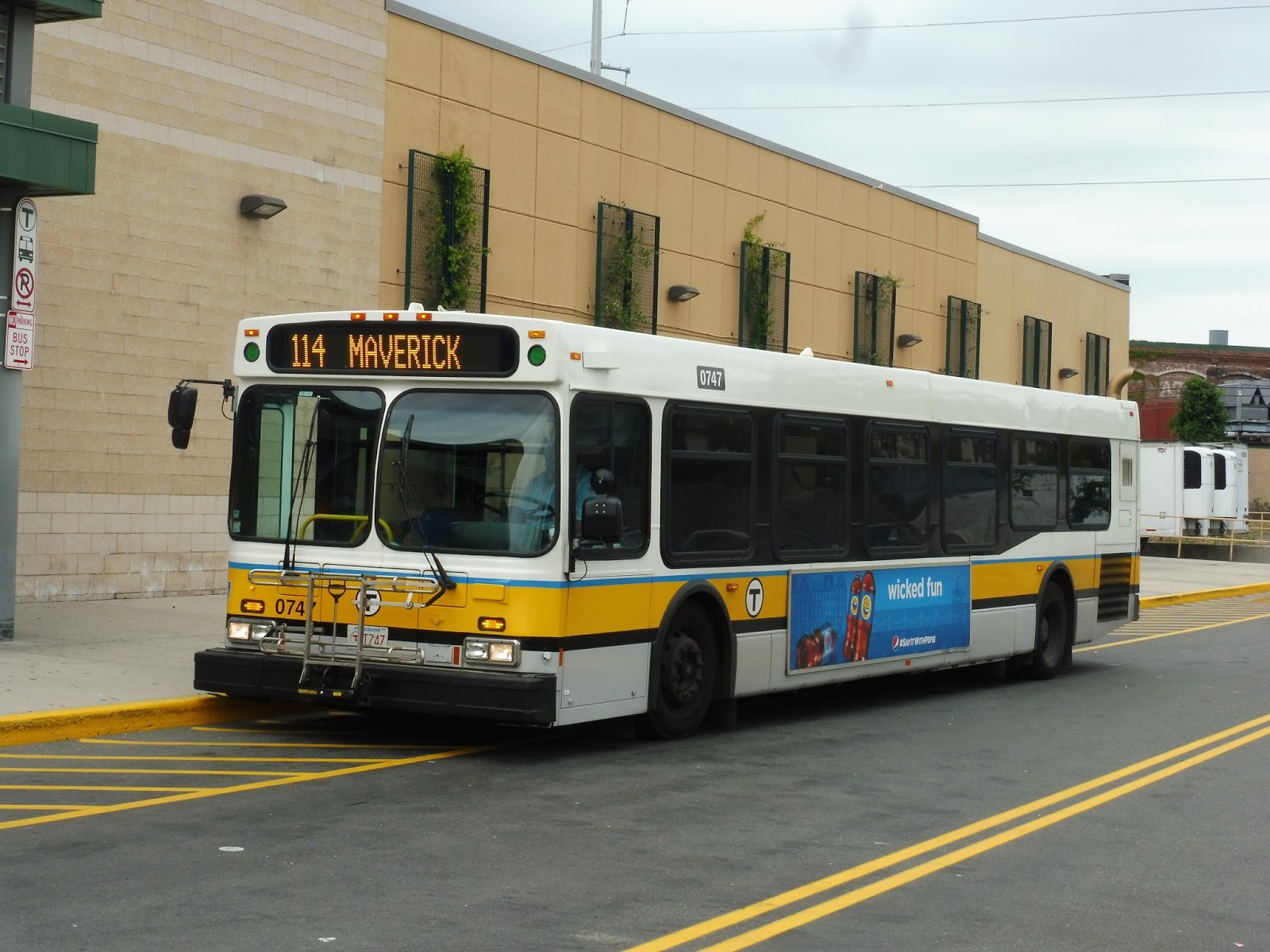
114 (Bellingham Square – Maverick Station)
The last time I tried to ride the 114 was during the Blizzard of 2015. I waited there at Maverick in the snow for about an hour, but all that came by were 116/117s and 120s. Eventually, I gave up and headed onto the Blue Line. Presumably, the MBTA had used the bus that was going to do the 114 for a shuttle service or something since they figured no one would care – and it seemed they were right. But now, in the safety of summer, I’ve finally given the bus a ride, and…uh…it sucks.
 |
| Argh, another bus got in the way! |
We left Maverick and headed up Meridian Street, following the route of the 116/117 (and carrying their riders). We passed the East Boston District Court and Post Office, but for the most part, the street was lined with businesses and apartments on top. After going over the portal for the Callahan/Sumner Tunnels, we navigated through some construction at a common.
 |
| Looking down Porter Street. |
The businesses continued past the square, but became dense apartments as we ascended a slight hill. We then started to head down until we reached the Andrew McArdle Bridge, which took us into Chelsea. There was a short industrial section before the street, now called Pearl Street, became lined with apartments.
 |
| The view from the bridge! The other side had a better view, but I was sitting on the right, unfortunately. |
Eventually, we merged onto Park Street, which was lined with businesses, then apartments. We then merged onto Hawthorne Street, which turned into Broadway when we entered Bellingham Square. There were lots of businesses here, but they stopped briefly as we turned onto City Hall Ave, which went around Chelsea City Hall.
 |
| Some buildings in Chelsea. |
Now we turned onto Washington Ave, heading back the way we came into Bellingham Square. We ended up back on Broadway, running past lots of businesses. Soon, we turned onto 3rd Ave, which went under the Tobin Bridge and merged onto Everett Ave. We went by more retail before turning into the Market Basket parking lot.
 |
| The bus at Market Basket. |
Route: 114 (Bellingham Square – Maverick Station)
Ridership: The 114 gets an average of 459 riders per weekday, and considering that’s only 18 one-way trips, that’s great! Wow! My trip got 25 people – wonderful! But wanna know how many people used the bus past Bellingham (i.e. the shared section with the 116/117)? Two. And one of them got on at Bellingham, so they could’ve just used the 112.
Pros: The least I can say about the 114 is that at least it only uses one bus, so it’s dirt cheap to run, at only $0.83 per passenger.
Cons: You know what else costs $0.83? Whatever the heck these action figures are (at the time of writing)…and both are equally useless. Yes, the 114 does get ridership, but that’s just from passengers who would only have to wait a few minutes for the next 116 or 117. Indeed, the 114 has absolutely no coordination with the 116/117, meaning buses are scheduled to bunch. Honestly, this route is just…completely useless! Use the bus for something else, MBTA!
Nearby and Noteworthy: Look, I don’t care what noteworthy things are along the 116/117 corridor (and I’m sure there are many) – the only reason you would specifically use the 114 is if you’re going direct from East Boston to Market Basket. That’s it! Otherwise, you could also use the 116, 117, or 112 (if you’re going from Bellingham to Market Basket).
Final Verdict: 2/10
Kill it! Kill it with fire! This is a bus that absolutely does not need to exist. The only reason it gets a 2 instead of a 1 is because it’s cheap to run…but that’s no excuse! Yes, it gets riders from the 116/117, but it ultimately just causes bunching and messes up the coordination along Meridian Street in East Boston. The 114 could go away, and I’m sure no one would miss it.
Latest MBTA News: Service Updates
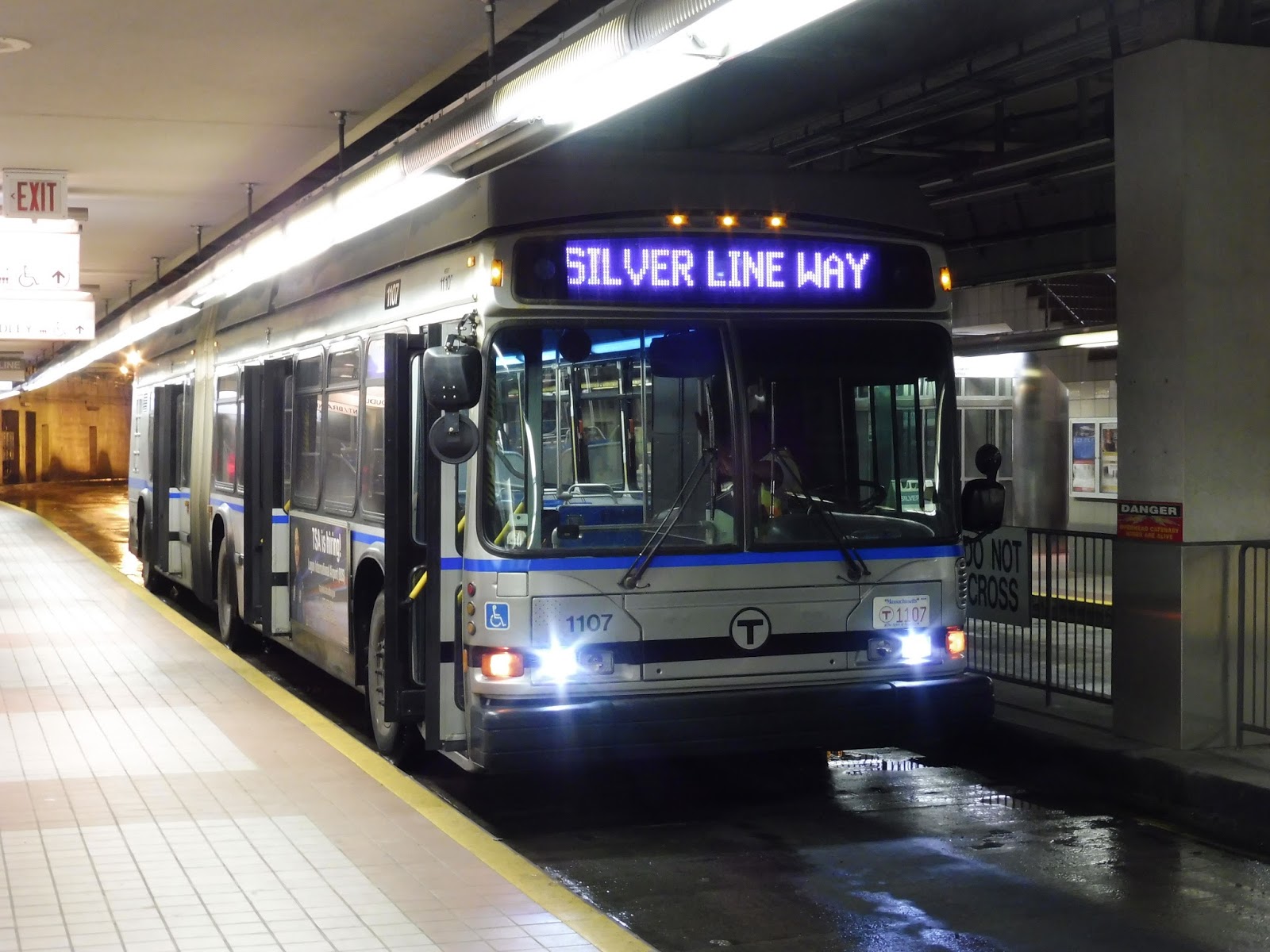
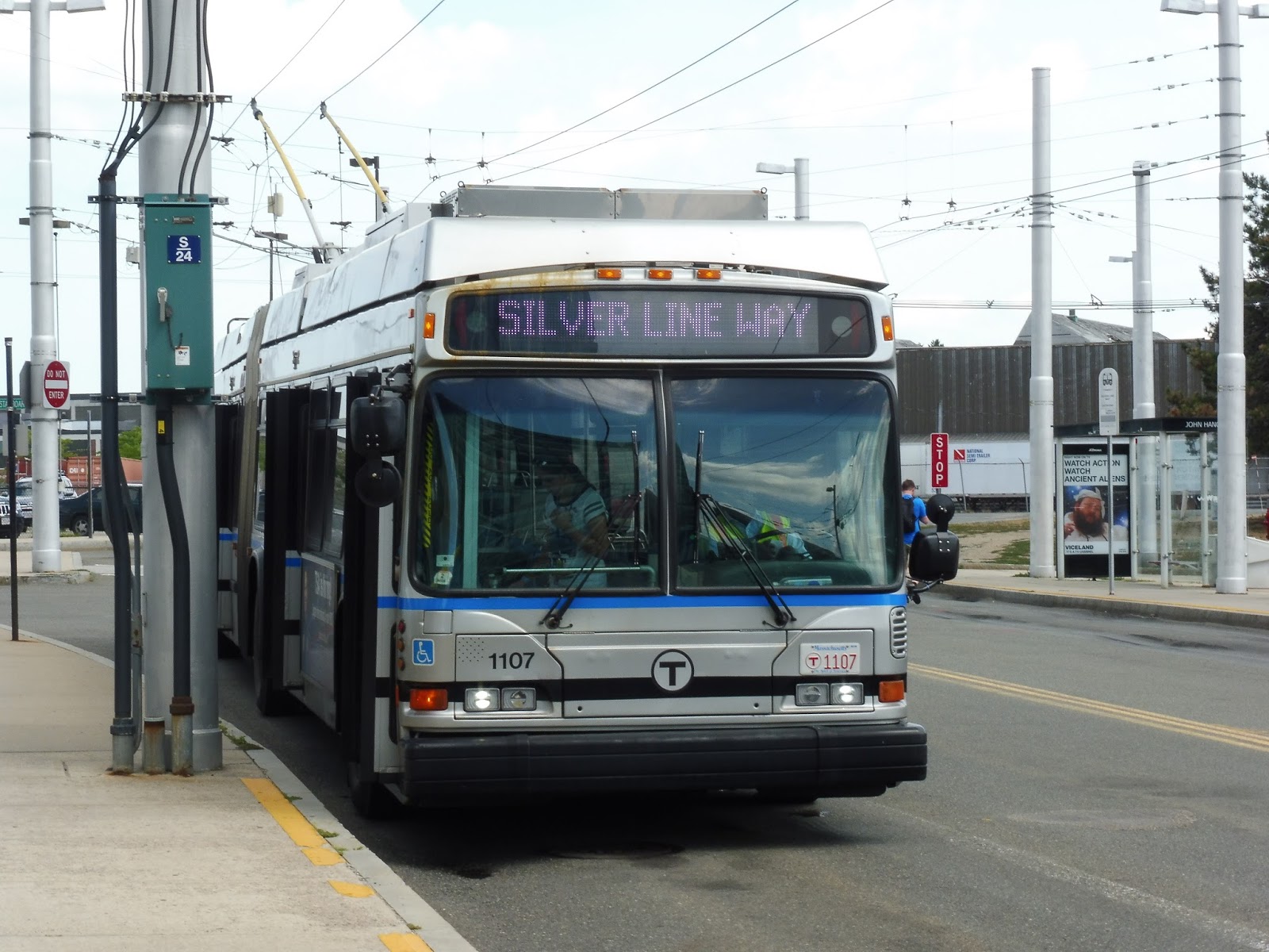
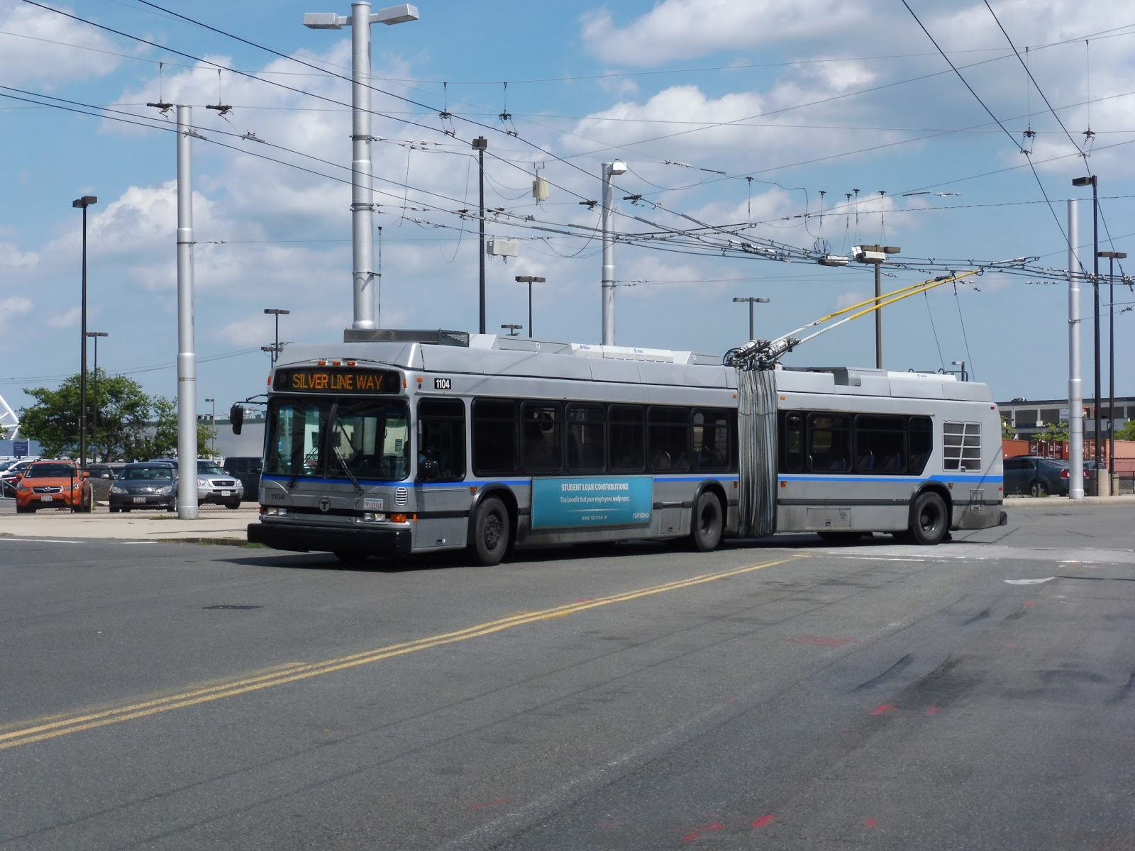
Silver Line Way
Welp, it’s come to this: I’m reviewing a bus stop. But no, this is a station! After all, doesn’t it say “Silver Line Way Station” on the MBTA website? Oh man, I feel a lot better now.
 |
| The outbound…”platform”. |
There really isn’t much to this so-called station, of course. Silver Line way truly is just a bus stop, with a single shelter and wastebasket on either side. This is also the dreaded place where buses have to change from electric to diesel power or vice versa, although problems with the conversion are becoming less frequent.
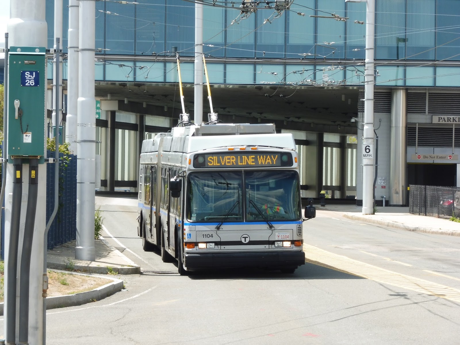 |
| A Silver Line Way shuttle coming into the stop. |
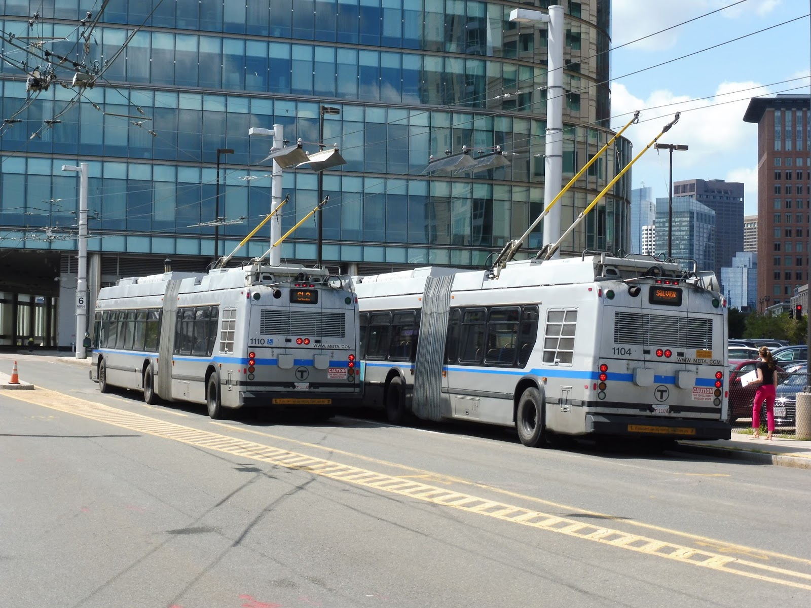 |
| Two buses, with an SL2 performing the conversion to electric power. |
“Station”: Silver Line Way
Ridership: Aw yeah, Silver Line Way gets soooooooo much ridership – a whole 870 people per weekday! Wow! That being said, whenever there’s an event at the nearby Blue Hills Bank Pavilion, I’m sure this station gets a huge ridership spike.
Pros: Ummmmm…well, at least they’re shelters and not stops! Silver Line Way isn’t quite the bare minimum that it could be.
Cons: You know what, I don’t care that this place is just a bus shelter. Do you know what I do care about? THIS STATION CLAIMS TO BE ACCESSIBLE WHEN IT’S NOT. Yes, it’s fine with the Silver Line Way shuttles, which stop curbside coming inbound. But SL1s and SL2s? Oh, no, they have to take the second lane! So riders have to step down from the curb at the stop and cross a lane to board the bus. Really?? Just put a freaking ramp in the curb and you’re fine! It’s not that hard! Also, a slightly more nitpicky problem I have is that the shelters have maps that say that the Silver Line is still under construction. Again…really???
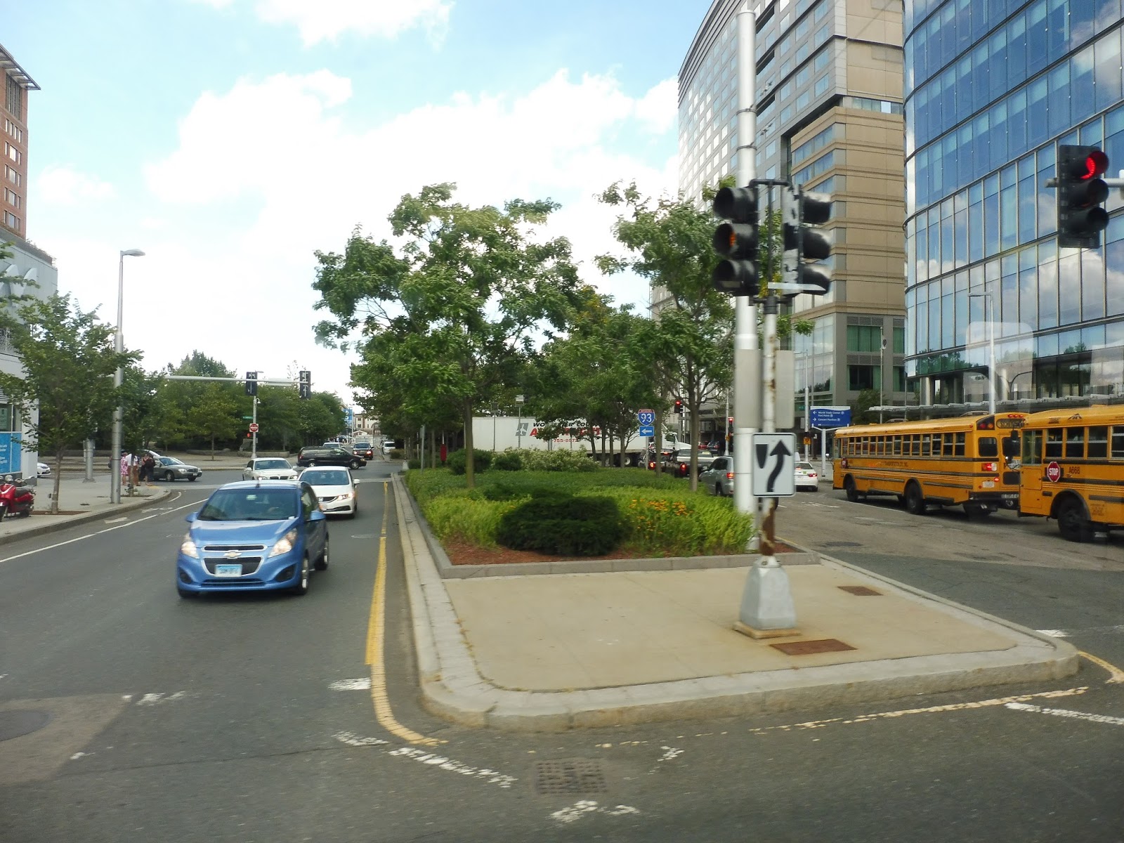
Nearby and Noteworthy: World Trade Center has most of the Seaport attractions you would want to visit, but Silver Line Way does serve a few nearby restaurants on Northern Ave. There’s also the Blue Hills Bank Pavilion, of course, which has some really big names performing soon.
Final Verdict: 5/10 (formerly 2/10)
Well, first of all, it’s just a bus stop. That said, I really don’t mind that it’s a bus stop. However, claiming that a station is accessible when it’s arguably not is big. All they need to do is indent the curb a bit for a ramp and it would be fine! But currently, that big curb drop is no good for wheelchairs. And the sad thing is that it’s a super easy fix, but no one seems to want to do it.
Addendum: This bus stop is in fact wheelchair accessible. All buses pull up to the first lane, which is curbside. Sorry!
Latest MBTA News: Service Updates
Silver Line Waterfront (South Station – Silver Line Way)
I never thought I would ever review the Silver Line Waterfront shuttle, but I was at South Station and saw it and thought, “Huh. I’ve never ridden that before.” So yeah…I figured I’d give it a lil’ review. Let’s take a look at this thing.
 |
| The bus at South Station. |
 |
| There isn’t much of note inside the tunnel, so here we are crossing D Street. |
 |
| It wouldn’t be an articulated bus review without some bus inception! |
 |
| Two buses on the shuttle at Silver Line Way. |
Portland METRO: 5 (Maine Mall)
Did I just add Portland METRO to my jurisdiction? Yes, I did! Honestly, Portland is pretty close to Boston when you consider the frequency of the Downeaster, so I figured why not review all of its routes? I was only able to ride one in full when I was there, unfortunately, so here’s a look at the 5!
 |
| The bus at the METRO Pulse. |
The 5 is one of the busier routes in Portland – busy enough so that it runs every half hour on Saturdays, which is when I rode it. It runs west from Portland, starting out pretty straight but making lots of deviations on the outer end, including one to the Portland International Jetport! For some reason, it’s not just called an “airport” – what the heck, Portland?
 |
| Just to let you know, the window had an ad wrap on it that made any photos through it look awful. I did my best with taking pictures out of the small opening, but it took a good amount of the ride to perfect this art. |
Heading down Elm Street, we bypassed dense downtown Portland, heading past a lot of parking lots instead. Next, we turned onto Oxford Street, which merged into Portland Street, and after a few houses and businesses, became Park Ave. This was an apt name, as we were running right alongside the nice-looking Deering Oaks Park (with apartments on the other side).
 |
| What lovely…grass! |
Eventually, we passed an ice-skating rink and a stadium, then went under some train tracks. On the other side, we went by a factory for Hood, then crossed under I-295 and merged into Congress Street. We passed a few gas stations, but it became residential after that.
 |
| Heyyyy, I’m getting better at this! |
We soon went by the Westgate Shopping Center, although we didn’t deviate to serve it. Thank you, Portland METRO! There was a level crossing with another rail line after that, and after a few more houses, we entered a marsh. We crossed over the Fore River, and a smaller creek soon after.
 |
| Going over the river. |
It was actually kinda woodsy on the other side, with lots of trees and relatively spaced-out houses. We passed a cemetery and merged onto Johnson Road, although weekday trips would make an additional deviation to an office park. We went around the Portland Jetport, but since the bus directly serves it in only one direction, we sped right by pretty quickly.
 |
| A plane at the Jetport. |
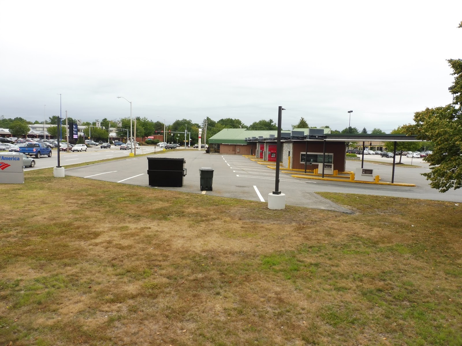
We turned onto Maine Mall Road, and we were now in parking lot land, as well as auto shops and malls. Pulling into a shopping plaza, we navigated through the parking lot to reach the stop, then crossed Gorham Road to immediately enter another lot. This was the Maine Mall, and we reached our layover point, where the driver went into the mall for a bit. I guess the 5 operates as a loop, since a bunch of people were still on board at this point.
 |
| The bus at the mall. |
From the mall, we crossed Philbrook Ave into yet another shopping plaza, the Hannaford Supermarket. Next, we headed onto Foden Road, going by office parks on either side. At Kaplan University, we turned onto Western Ave, which passed some huge factories and warehouses, as well as another shopping plaza.
 |
| Great neighborhood! |
We headed back onto Johnson Road, looping around the Jetport again. However, this time we actually diverted to serve it, turning onto Jetport Boulevard. Along the way to the terminal, we also passed some more office parks and a hotel.
 |
| The terminal! Someday I want to come back here and see what the inside is like. |
We turned onto Al McKay Ave, which led into the terminal. I gotta be honest, I was expecting not to pick anyone up here, but surprisingly, there was actually someone waiting! After that, we looped around onto Jetport Access Road, which went through some trees before arriving at Congress Street, where we rejoined the regular route. My friend Sam and I took the bus as far back as Sewell Street, where we disembarked to head to the Downeaster station.
 |
| The bus heading back towards downtown. |
Portland METRO Route: 5 (Maine Mall)
Ridership: Alas, METRO joins the ranks of public transit systems that refuse to release ridership by route to the public. Thus, I’m forced to rely on experience for the ridership counts, which showed that the 5 gets a lot of people. My bus had about 30 riders heading outbound and maybe 20-25 going back. Most of them were shoppers coming from downtown Portland.
Pros: This bus is a pretty fast way of getting out to the Maine Mall and other shopping centers, as well as office parks on weekdays. It’s also one of the most frequent Portland METRO routes, running every 25 minutes on weekdays, every half hour on Saturdays, and every 45 minutes on Sundays. Finally, I love the way the route treats deviations, with the Jetport and weekday-only Congress Hutchins detours being limited to one-way only. Normally I would dislike the shopping plaza deviations on the 5, but again, they’re all part of a loop and they all get people, so I can’t complain.
Cons: This is a super tiny nitpick, but I wish there was better indication of the fact that you can get off at Sewell Street to get to the Portland Transportation Center. The only foolproof way of solving this would be automatic announcements, though, and that’s something that METRO needs anyway.
Nearby and Noteworthy: That stadium the route goes by is the home of the Portland Sea Dogs, a minor league baseball team. Other than that, there are lots of malls on the outer end of the 5. Take your pick!
Final Verdict: 9/10
The 5 is quite possibly the best route on the Portland METRO. It has very frequent service (including the agency’s most frequent Sunday service), and serves a lot. The ridership we got on a Saturday was perfect – full-seated load! There’s nothing I would change about the route at all, aside from the fact that it would be benefitted by automatic announcements. However, that applies to METRO as a whole.
Latest MBTA News: Service Updates
Portland METRO: METRO Pulse
The METRO pulse is the hub of the Portland METRO…sort of. Well, four out of eight of its routes serve it. That’s…pretty hubby? I guess? Well, it has a proper facility and everything, so I figured we’d take a look at it.
 |
| The outdoor boarding area. |
The outdoor area of the Pulse could use some work, though. The sign for the stop is way back near the entrance to the building, but vehicles seem to always pull way up and board at the end of the block. Instead of putting a sign up and pretending that all buses stop there, why not just make berths? They have enough room to put a berth for each route that serves the Pulse, so I don’t see why not.
 |
| The inside. |
Inside of the Pulse, there are lots of maps and schedules for every route on the METRO. In the back, there are photos of historic Portland, with an exit in the back that you can’t re-enter (I found this out the hard way). There’s also an employee lounge back there, which is a good inclusion for driver layovers.
 |
| The waiting area. |
There’s a decent amount of indoor waiting space here, which must be especially useful in the winter months. The Pulse also has a few vending machines, wastebaskets, and a water fountain, as well as a rack of brochures. Finally, there’s a little library where people can trade books, which is nice to see.
 |
| Lovely! |
Portland METRO Station: METRO Pulse
Ridership: There are no ridership statistics for the Pulse, but I can imagine it’s very high. After all, this is where many METRO routes terminate, and their other routes run just nearby.
Pros: Everything about the interior is great. It offers a lot of seating and a good amount of amenities, with the library being a particularly nice addition.
Cons: The Pulse definitely has some problems, though. First of all, signage to Congress Street needs to be better. That’s where the other four METRO routes board, and though they get a nice shelter, there’s no indication that it exists from the Pulse. Secondly, the Pulse could really use some proper berths, since the current setup is just ridiculous. It would be a lot better if people just knew where they had to wait for whatever route they wanted.
Nearby and Noteworthy: I’ve mentioned this in my Portland Transportation Center post, but the biggest city in Maine really is an awesome place. I recommend checking it out!
Final Verdict: 6/10
Regardless of its flaws, the METRO Pulse still carries out its function of being a good bus hub. The interior is a good place to wait, especially when it’s cold, and ultimately that’s what matters for a hub. Still, there are some very easily fixable problems here: signage to and from the Congress Street stop would be very useful for out-of-towners or newcomers who are making transfers; and putting benches along the whole of Elm Street and adding berths would make boarding a lot easier.
Latest MBTA News: Service Updates
Portland Transportation Center
For a reasonably small city, Portland really knows how to do transportation. Aside from its frequent bus system, they also combined Amtrak and Concord Coach Lines operations into one intermodal terminal: the Portland Transportation Center! Let’s see how it looks.
| Some of the parking at the terminal. |
We can start with parking, because there’s a lot of it outside the terminal. The station features 700 long-term spaces, meaning you can stay in them overnight. It’s $4.00 per day, which is great for a big station like this. There is also ample bike parking here, although I’m not sure how many spaces are provided.
| The shelter for the Portland METRO. |
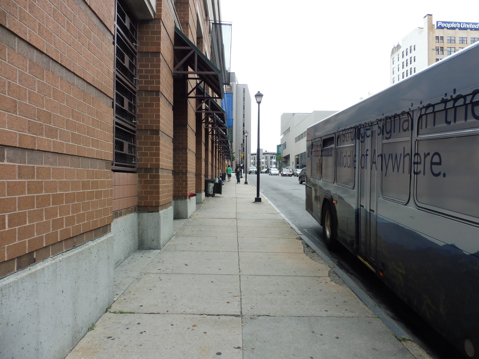
You can also get to or from this station by bus. Portland METRO’s route 1 comes here every half hour Monday-Saturday and every hour Sundays, and gives riders a quick link into downtown. Even better, Downeaster riders get a free transfer to the 1 (or any METRO route) by asking a train host. The bus stops at a normal shelter outside the terminal, but it’s a fine place to wait.
| Part of the huge waiting area. |
The station has a pretty big waiting room, with lots of seating. On the Amtrak side of things, there’s a proper ticket counter, as well as a Quik-Trak automatic machine if you’re so inclined to use that. This side of the waiting room also features a wall of brochures, and you can find a regional bus map against one of the walls.
| The other side of the waiting area. |
Additionally, there’s a bus ticket area on the other side of the room, and this is where all the other amenities are, too. For example, there are vending machines and an ATM over here, both of which are quite useful. There are also bathrooms, but I was unable to go inside and see what they were like. Finally, the whole facility has Wi-Fi, so you can surf the web while waiting for your train or bus.
| The bus boarding area. |
There isn’t anything special about the place where you board Concord Coach Lines – it’s basically just the place where you board Concord Coach Lines. It’s all sheltered and there are berths for each bus, but it’s nothing special. Almost everyone waits in the waiting room, anyway, so the barebones boarding area is fine.
| The station’s walkway. |
The bus boarding area and Amtrak platform are both connected to the waiting area by this glass walkway. It’s honestly nothing special, but I just wanted to show it. It’s mainly meant for transporting large groups of people to get onto a vehicle, and it does its job well in that regard.
| The Amtrak platform. |
The Amtrak platform is basically in the same boat as the bus boarding area. It’s entirely bare. and is just meant to get people onto the train. Still, it’s mostly high-level, and I love what they did with the shelter – it’s wavy. It’s not much, but it adds to the seaside motif of Portland.
 |
| A train coming into the station. |
Station: Portland Transportation Center
Ridership: Ridership here for Amtrak has gone down since 2012, unfortunately, but the station still gets an average of 354 riders per day. Considering the Downeaster is five trips per day, that’s pretty good – about 70 people per train. As for Concord Coach Lines, they don’t seem to release ridership data, but I’m sure they get lots of people on their hourly departures from here.
Pros: There’s a bunch to love about this station! It has lots of parking, lots of waiting space, and lots of amenities. I also love how connected it is – one could take the Downeaster up here, then instantly hop on a bus to head further north.
Cons: The station is a bit out of the way from downtown, although the 1 is frequent enough Mondays-Saturdays to ease the distance (Sundays are a different story, though). Other than that, it would be nice to have departure boards in the waiting area, although it’s not completely necessary.
Nearby and Noteworthy: Portland is a really cool city, arguably one of the coolest in New England. All of its businesses are frequented and the downtown is busy, and yet it also feels quite laid-back. The seaside atmosphere is great, too.
Final Verdict: 9/10
This is a really good interconnected terminal. Although it’s kinda far from downtown, it makes up for it with lots of amenities, parking, and waiting space. Plus, the 1 is usually reliable, and you get a free transfer to it when you’re on the Downeaster, anyway. This is how an intermodal hub should be done.
Latest MBTA News: Service Updates
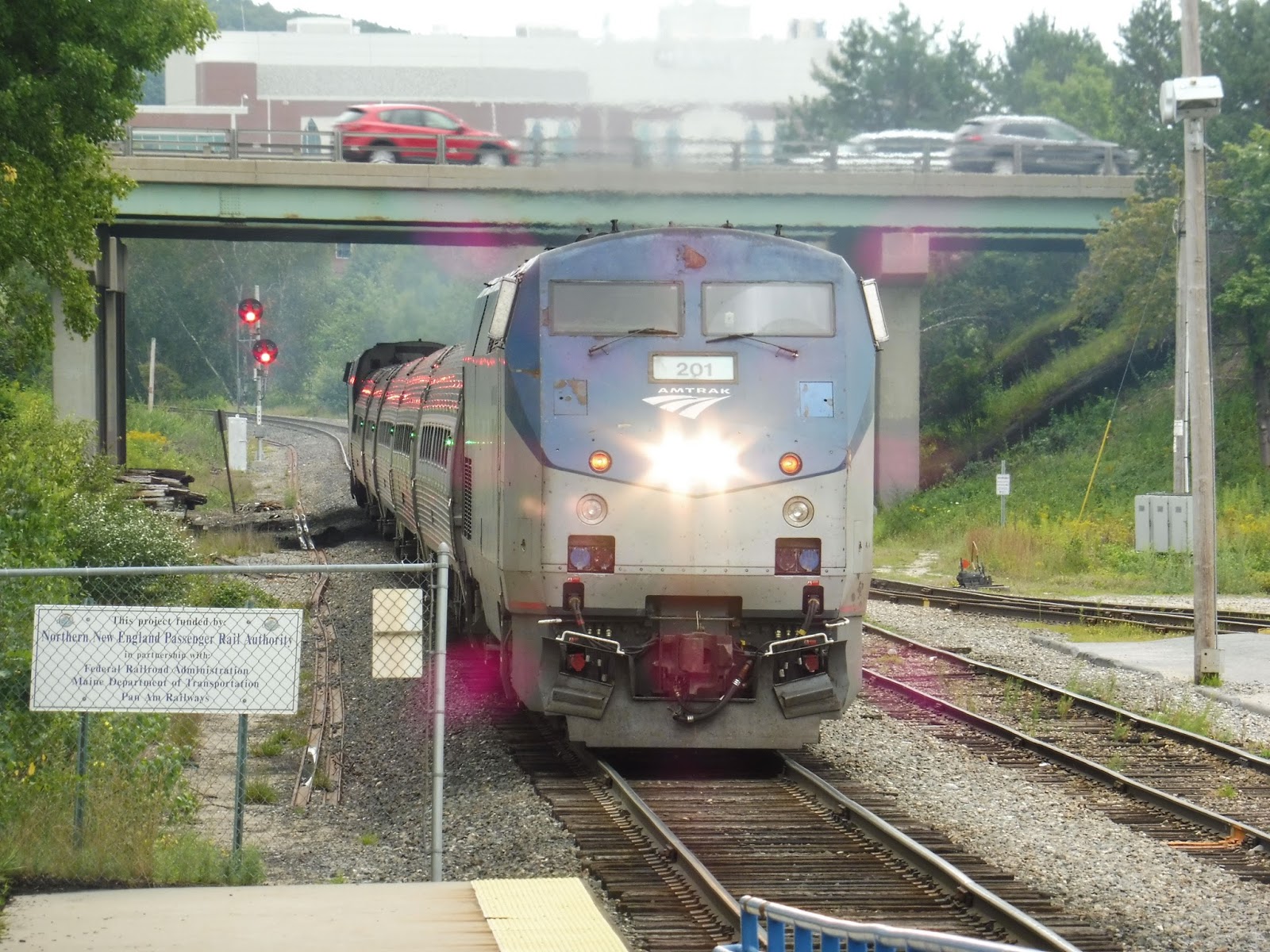
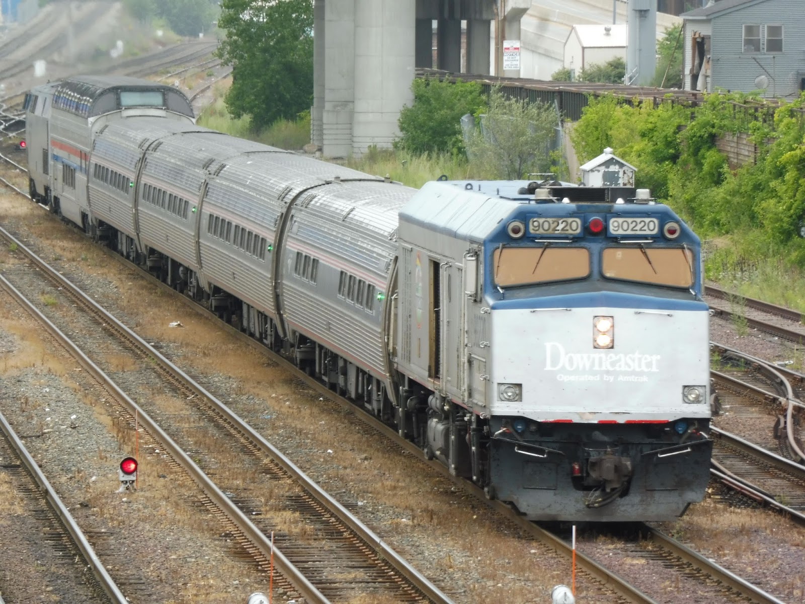
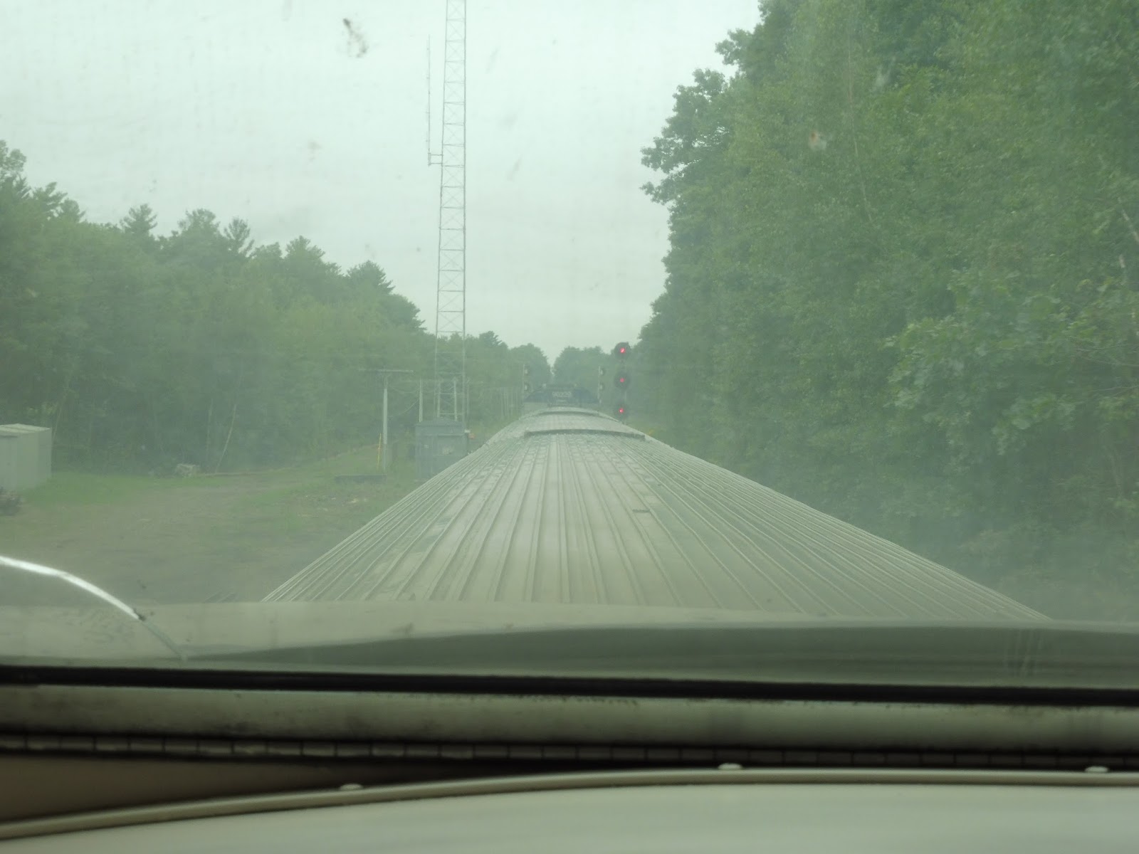
Amtrak Downeaster!
Man, I love the Downeaster! Not only is it scenic (especially coming into Portland), but it’s also incredibly cheap. If you book early (three days in advance, I think), the fares are: $24 to Brunswick! $20 to Portland! $10 to Haverhill, quite literally cheaper – and way faster – than the Commuter Rail! Plus, there’s a buy-one-get-one-free deal happening until the end of the year, so you can basically half those fares per person if you bring a friend. And don’t forget, the dome car is running until September 18th! Now, here are some pictures from my ride.
 |
| The train coming into North Station. |
 |
| Gotta love that dome car view! |
 |
| Some scenery along the Haverhill Line. |
 |
| Crossing the Merrimack River! |
 |
| A level crossing. |
 |
| A factory. |
 |
| And another factory. |
 |
| The view out the front of the dome car was awesome. |
 |
| A parking lot for Durham-UNH Station. |
 |
| What a lovely field! |
 |
| What a lovely bunch of houses in a lovely field! |
 |
| Going over a river. |
 |
| The view of downtown Dover. |
 |
| I’ve never seen such pretty telephone wires! |
 |
| Another river. |
 |
| Downtown North Berwick, Maine (but no stop). |
 |
| A freight facility. |
 |
| That road isn’t in the best condition… |
 |
| The awesome view of Saco! |
 |
| Looking down a main street in Saco. |
 |
| Woah! Mini-golf! |
 |
| The amusement park at Old Orchard Beach. |
 |
| Some more scenery at Old Orchard Beach. |
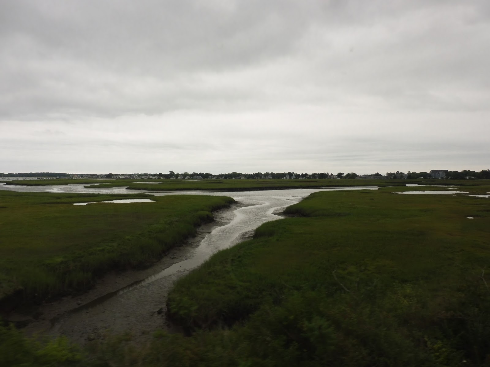


 |
| Many shots of an amazing marsh the train passed through. |
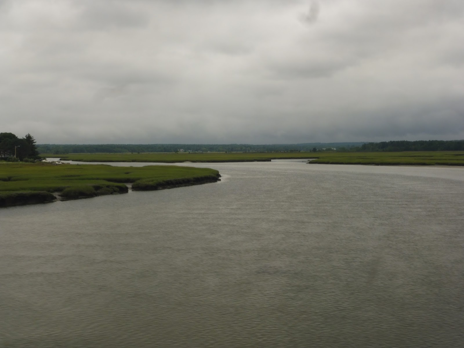
 |
| Crossing over the Fore River. |
 |
| Another train at Portland! |