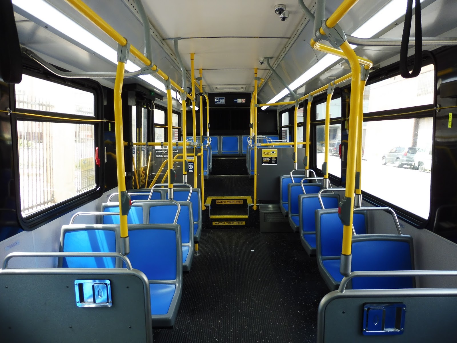
Service Change: New York, Part 2 – Q35 (Between Rockaway Park, Queens, and Brooklyn College, Brooklyn)
A bus in New York City that’s…fast? Well, this is a new one! The Q35 is a quick route from Brooklyn College (a station on the 2 and 5) to Rockaway Park Beach in Queens. On my summer ride, the route had healthy ridership from beachgoers, as well as locals heading back home. Let’s take a look.
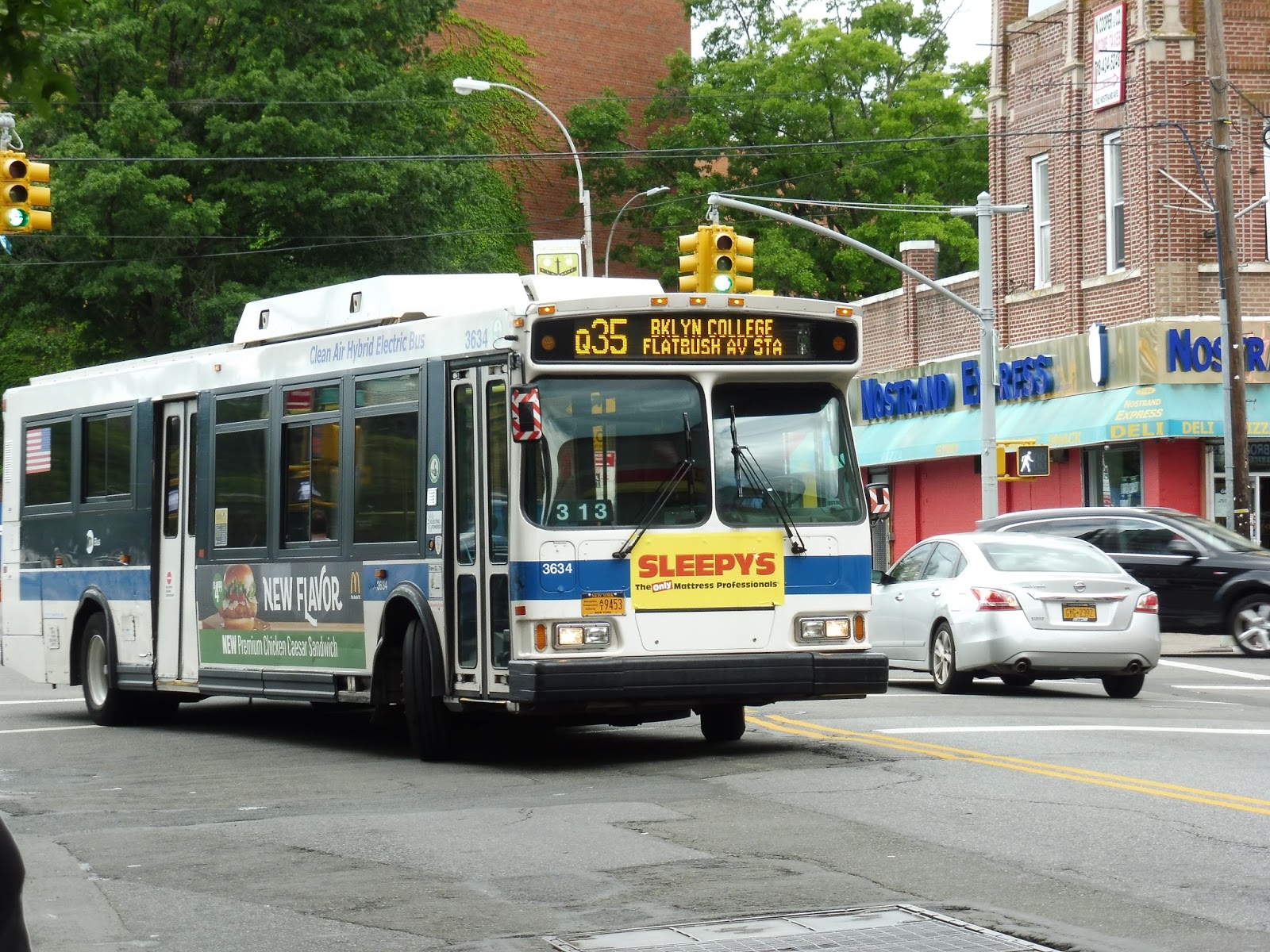 |
| The bus in Brooklyn. |
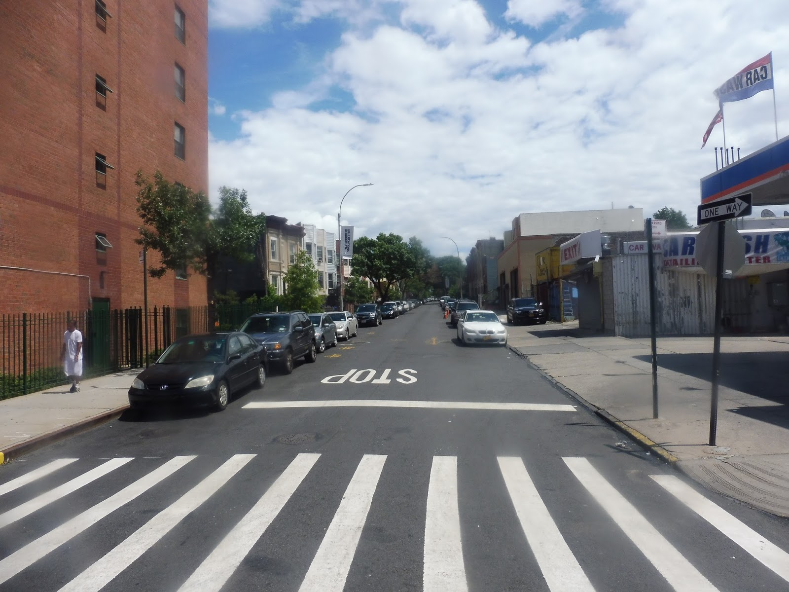
We headed onto Flatbush Ave, passing a huge shopping mall and a very tall apartment tower. After that, the street became lined with smaller buildings, mostly businesses with apartments on top. Flatbush Ave is a diagonal street within the grid, so we were intersecting with both vertical streets and horizontal avenues.
 |
| A side street. |
To be honest, the scenery stayed the same for a pretty long time. Eventually (and I do mean eventually), things started to get a little more suburban-feeling, with auto shops and stores like Walgreens along the street. Even the small businesses lost their apartments on top, so it was just single-story buildings everywhere.
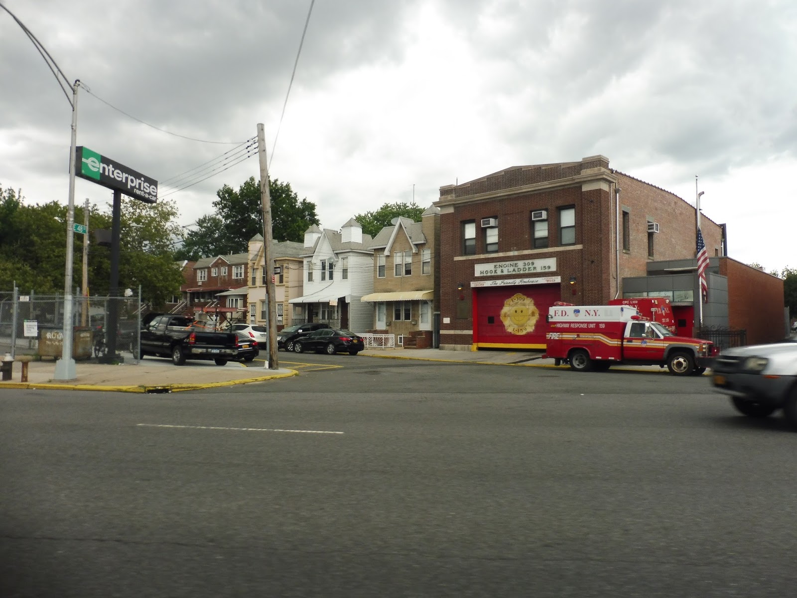 |
| A fire station! |
The street got a tree-lined median, and we passed the gigantic Kings Plaza Shopping Center. This is a huge hub for other bus routes, but we just sped right by, entering our independent section. All of a sudden, one side of the street became occupied by water, and the other side had a golf course. We made no stops until a random Toys ‘R’ us in the middle of nowhere.
 |
| Looking across the water (and the rather wide road). |
We passed through a cloverleaf interchange with Belt Parkway, and after some trees, we passed Floyd Bennett Field, a former airport. There were more woods after that, until we went through a toll, then went over the Marine Parkway Bridge. The view was excellent!

 |
| Two bridge views. |
Coming off of the bridge, we made our way onto Rockaway Beach Boulevard, curving around quite possibly the hugest parking lot I’ve ever seen. The street gained a huge grassy median, and we dropped a few people off at the beach. From there, we entered the actual neighborhood of Neponsit.
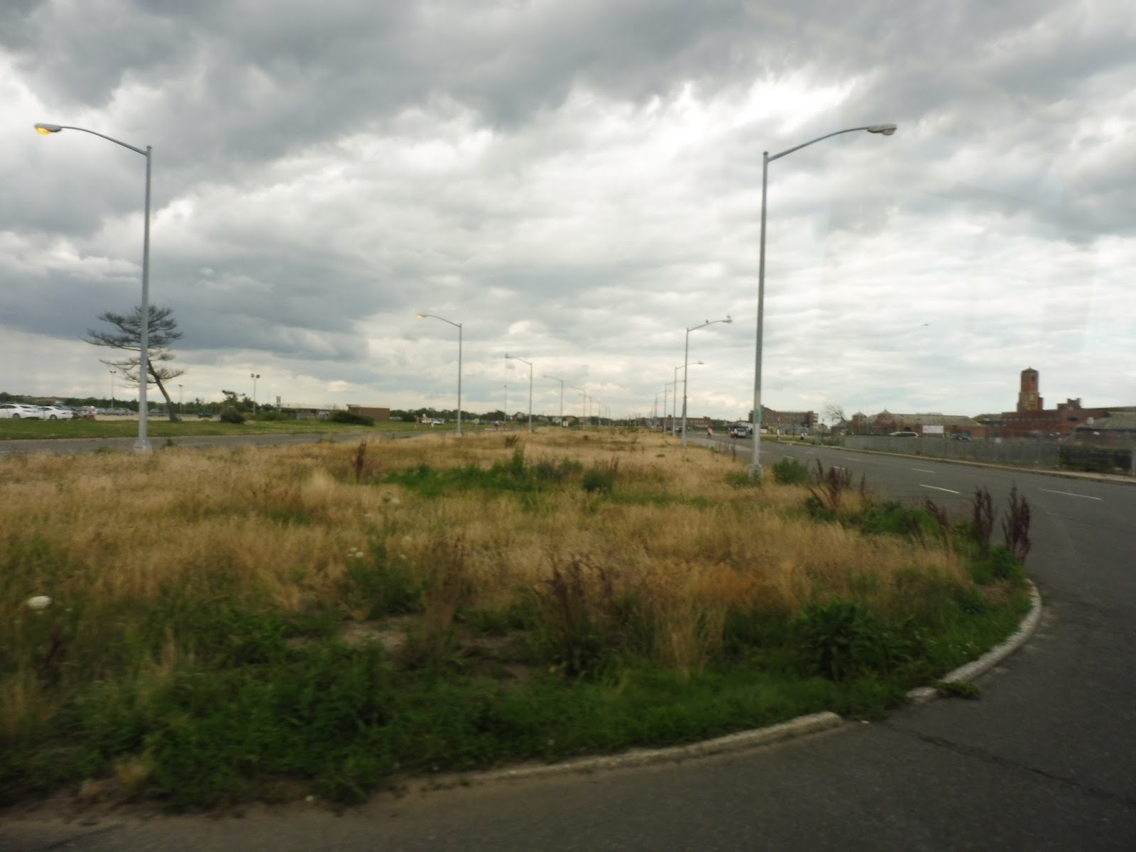 |
| I don’t think anyone’s mowed that grass in a while… |
We turned onto Beach 147th Street, which had a lovely median lined with evergreen trees. The neighborhood consisted of single-family houses, and it definitely didn’t feel like New York. We then turned onto Newport Ave, and though it lacked the median, it was still leafy and quite nice.
 |
| Now that’s what I call a median! |
It was all houses until we intersected Beach 129th Street, which was lined with an incredibly cute business block. I don’t know why Beach 129th Street happened to be the one that got developed, but it looked great. The houses got denser after that, right up until Beach 116th Street, the last stop of the route. Here, everyone got out, and I headed toward the Rockaway Park subway station.
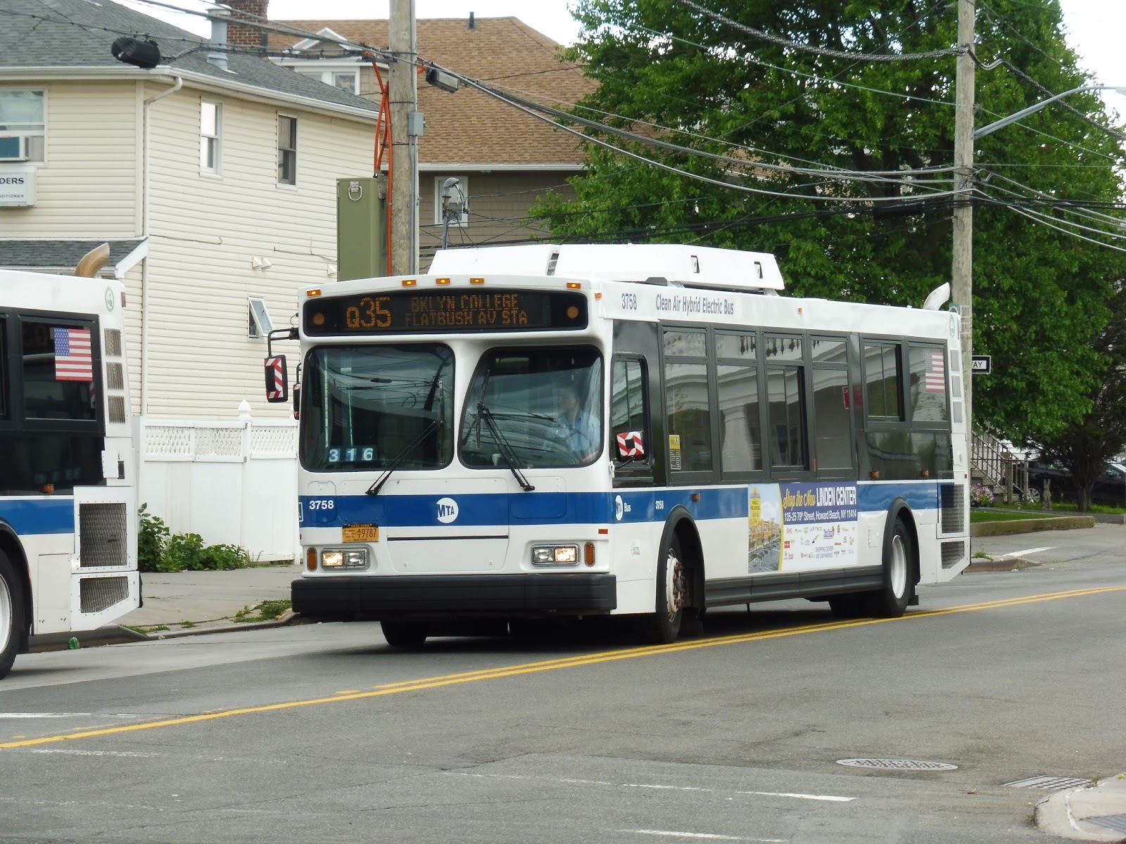 |
| A different bus on the Q35. |
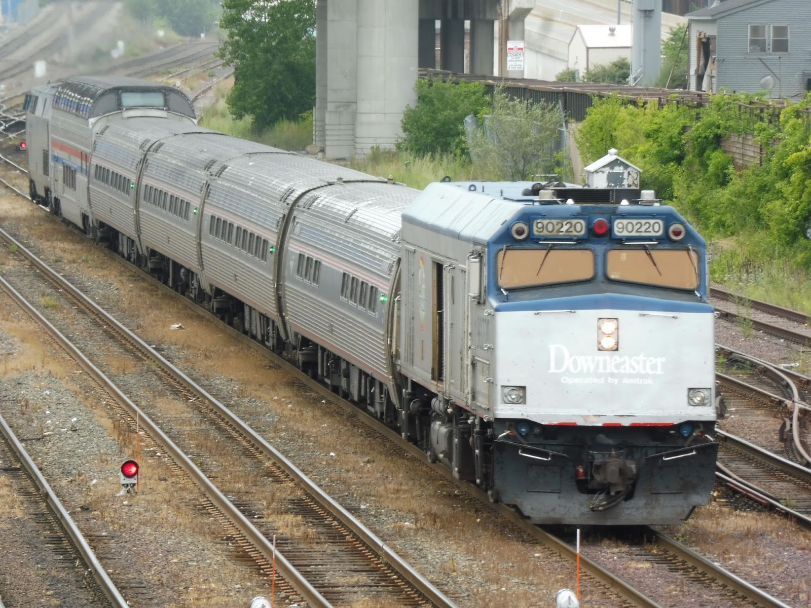
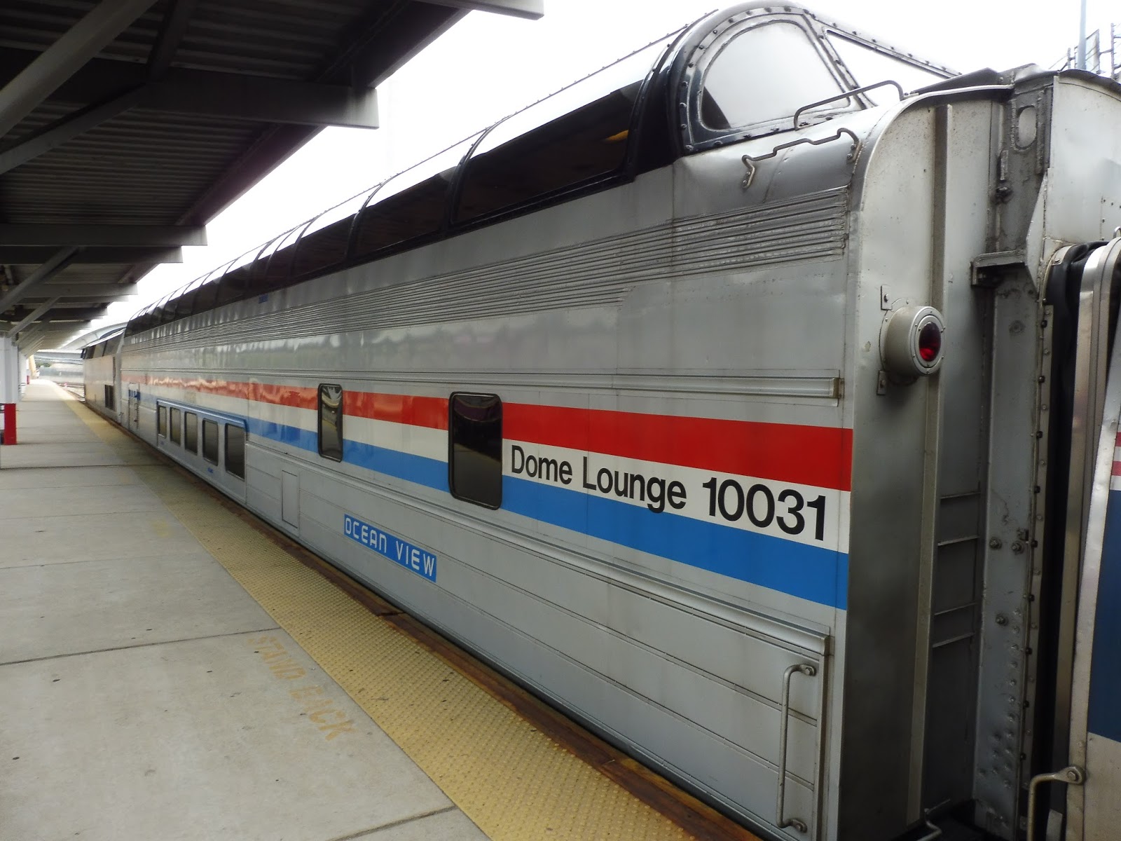
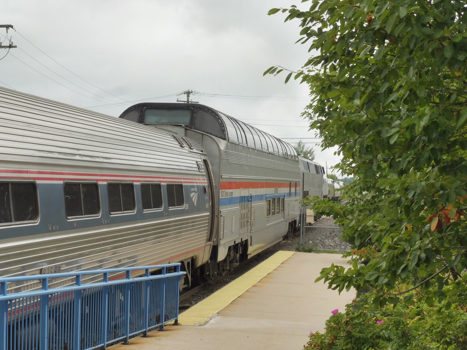
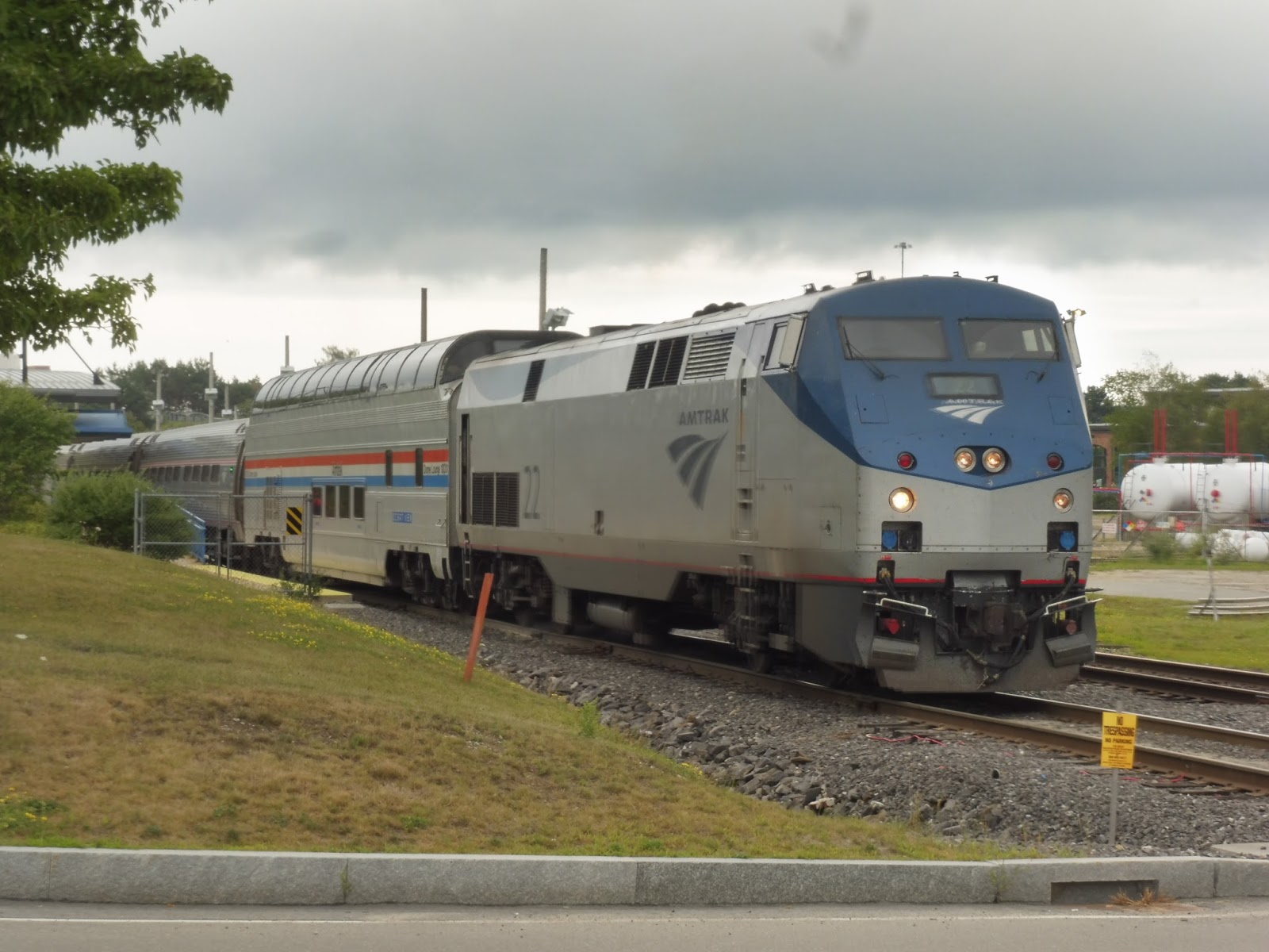
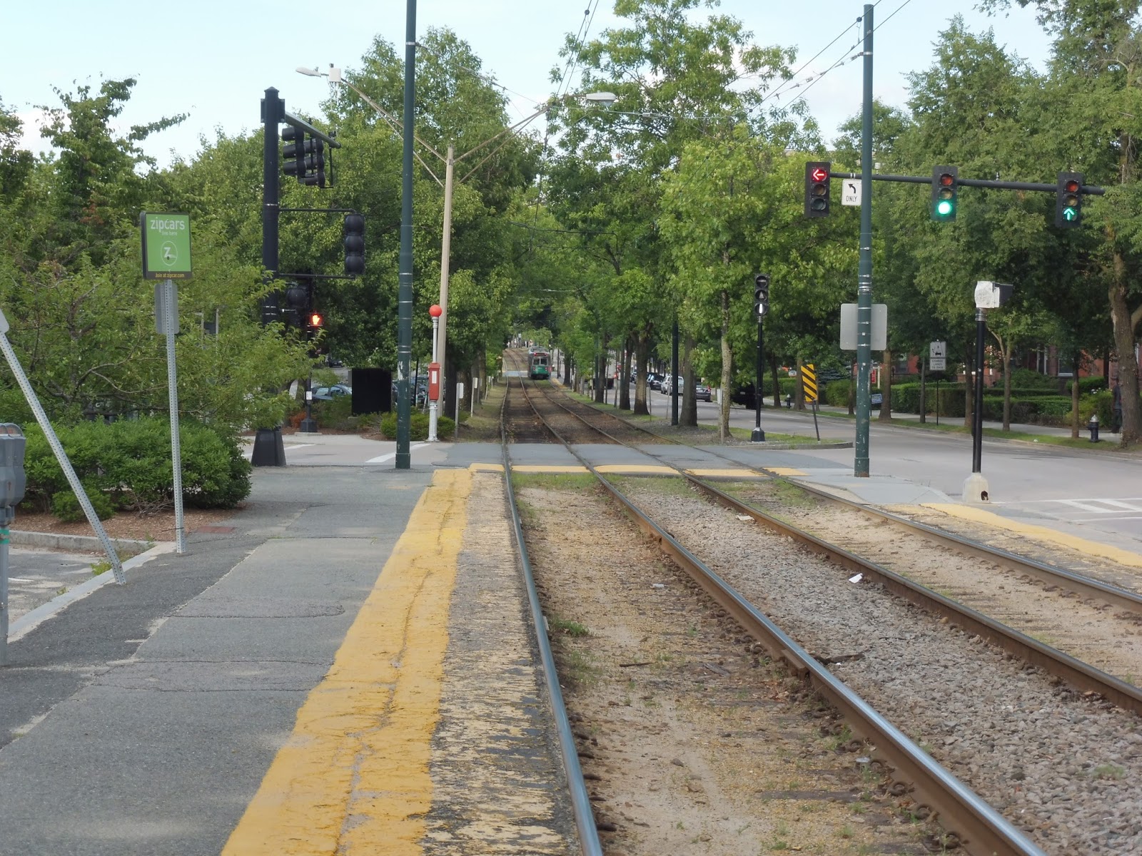
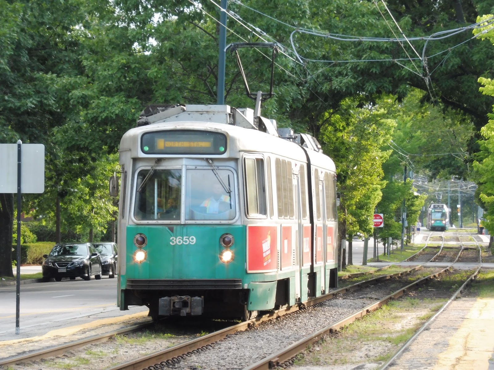
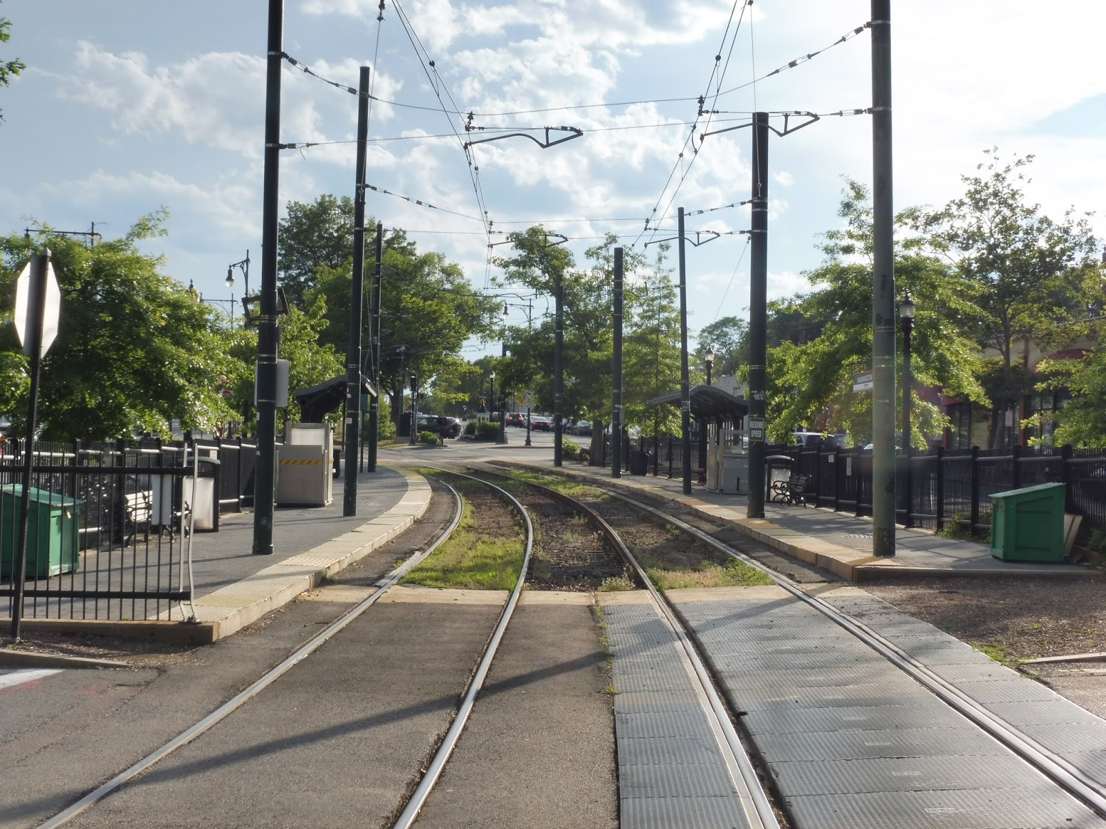
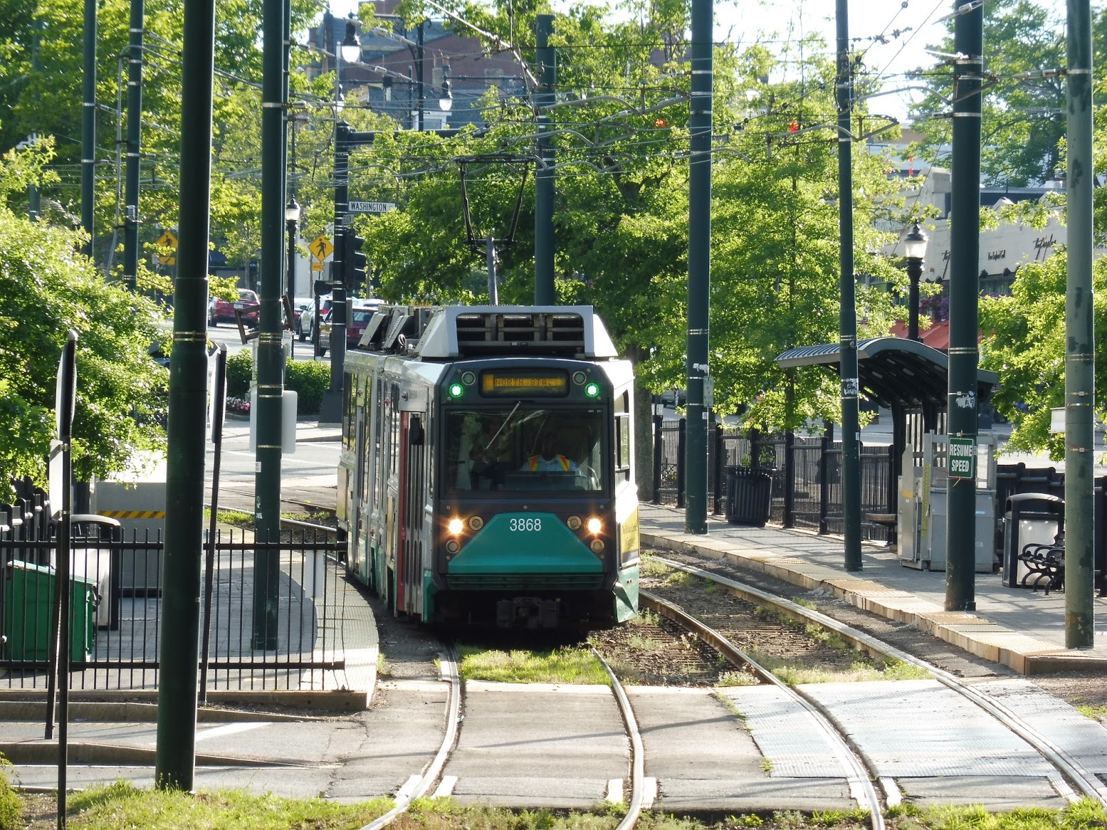
Dome Car on the Downeaster!
I took my first ride on the Downeaster yesterday, and the scenery was quite beautiful. However, it was made even more beautiful by the fact that yesterday was the first day the line was using a heritage dome car in its set! Until September 18th, certain trains will have this historic car. I’ll have a better report on the Downeaster soon, but for now, take a look at these dome car pictures!
 |
| The train coming toward North Station, seen from Tower A. |
 |
| The dome car! |
 |
| And again, seen from the platform. |
 |
| The inside. Check out that panoramic view! |
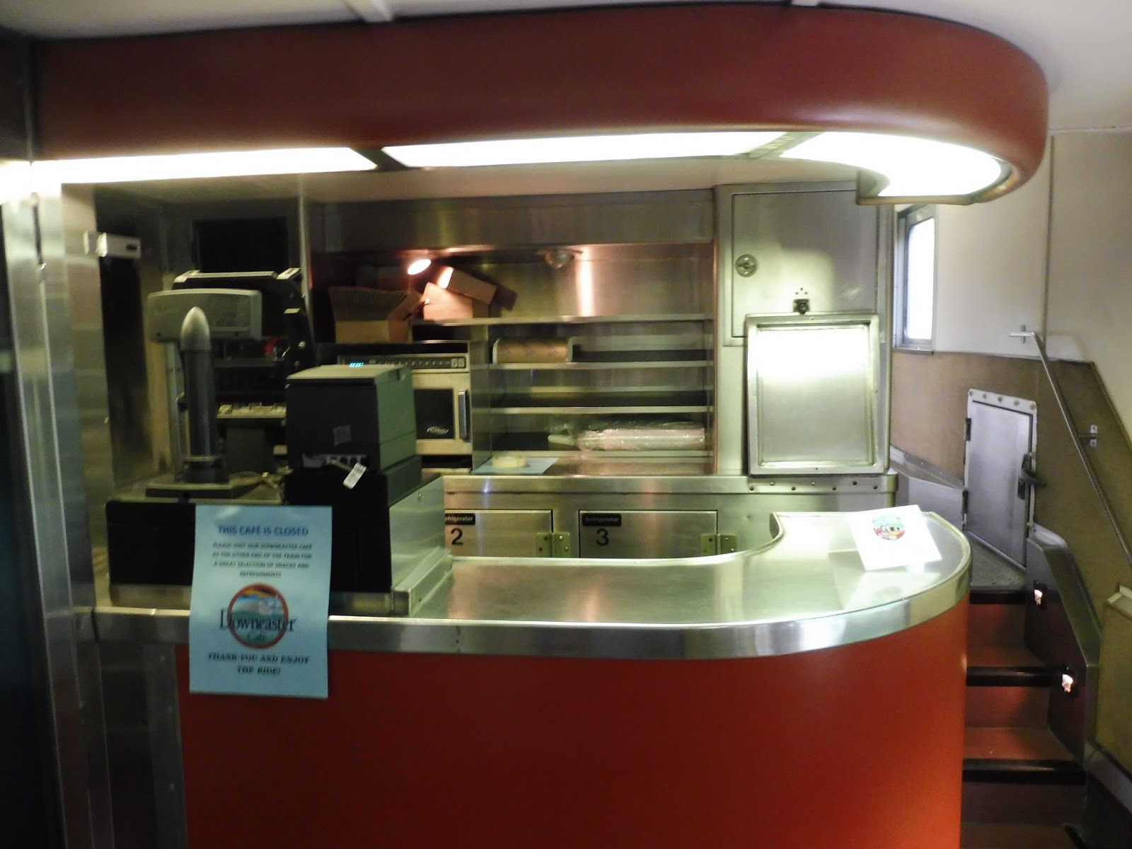 |
| A café on the lower level. |
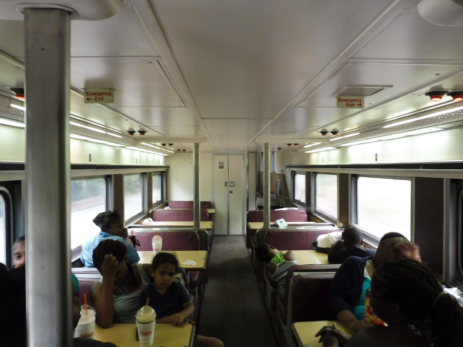 |
| There was a bit of seating in the lower level, too. |
 |
| The car in Portland. |
 |
| And the train in Portland. |
Service Change: New York, Part 1 – B11 (Between Flatbush and Brooklyn Army Terminal)
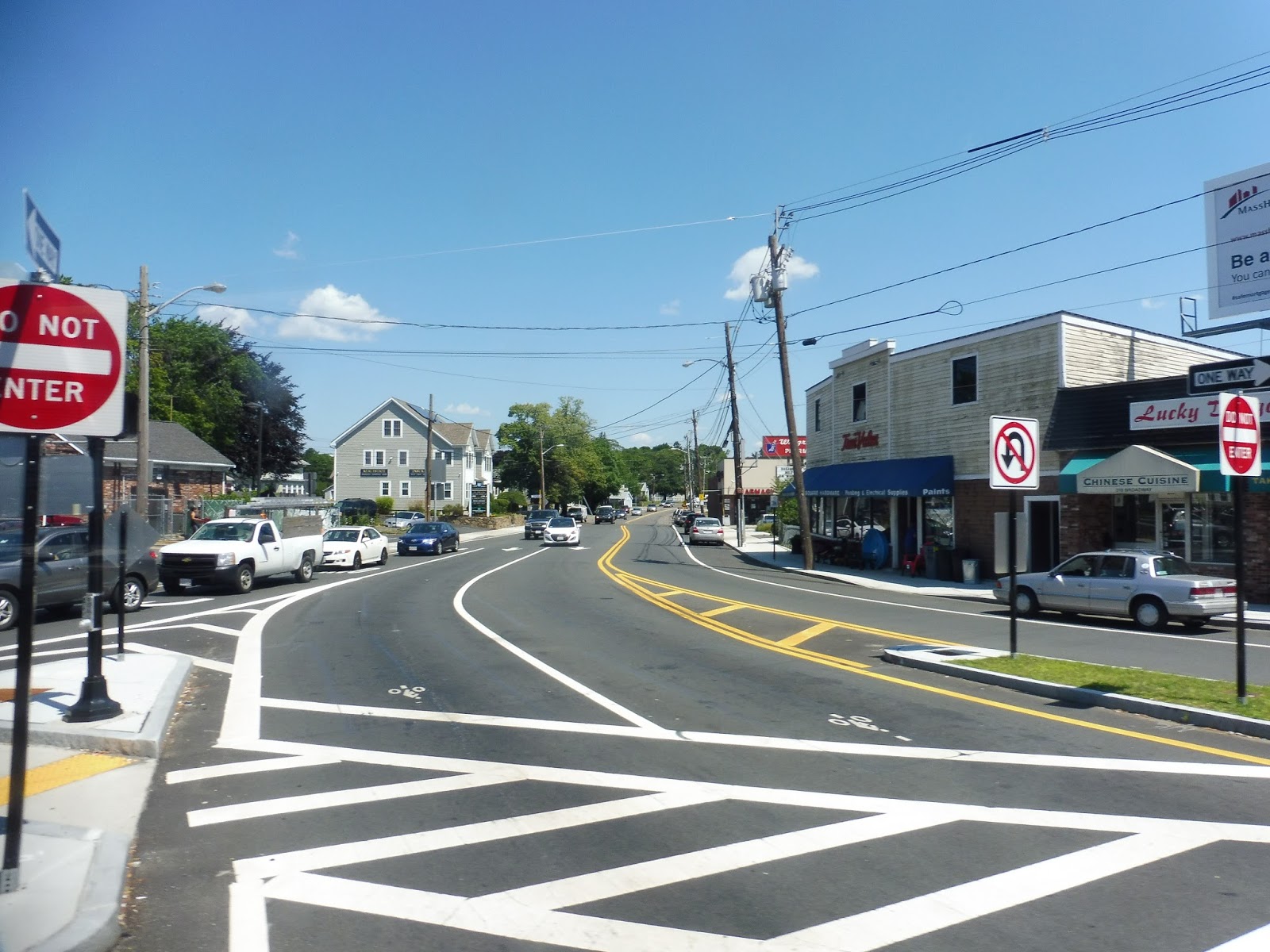
Going crosstown in New York is always hellish. It doesn’t matter if you’re in Manhattan, the Bronx, or, in the case of the B11, Brooklyn – it’s always going to be incredibly slow. At least the B11 had some nice scenery to watch while constantly being stuck at red lights.
 |
| Hmm…Times Square this ain’t. |
As you can see, this bus starts in a rather industrial area. Located close to New York Bay, the simple terminus on 58th Street is a benchless shelter…and that’s it. Needless to say, it’s a good thing New York buses run so frequently – I would not have wanted to wait there for a while.
 |
| This bus will not be empty for long. |
Luckily, the industry didn’t last for long. We went a block down 58th Street, then turned onto 2nd Ave, which formed the bridge between industrial buildings and the actual neighborhood of Sunset Park. We passed a hospital, and after a few more blocks, turned onto 52nd Street, which was…industrial again. Well, shoot.
 |
| That’s more like it! |
We crossed 3rd Ave, which was a sight to behold – the street has an elevated highway that runs right over it! As you can imagine, it was quite a dingy road. Luckily, though, 52nd Street became much nicer after that, becoming lined with row houses. We turned onto 4th Ave for a few blocks (serving the 53rd Street subway station in the process), then onto 50th Street.
 |
| A picture of 3rd Ave from earlier in the day. Just…bask in its glory. |
This narrow street was absolutely lovely, with cute little brownstones on either side of us. The apartments were broken at each intersection, though – 5th Ave, for example, was lined with businesses, while there was a school at the intersection with 6th Ave. It was at this point that we entered a rather slow rhythm: chug along the street for a block, wait at a red light, and pick up and drop off riders at a stop on the far side of the intersection.
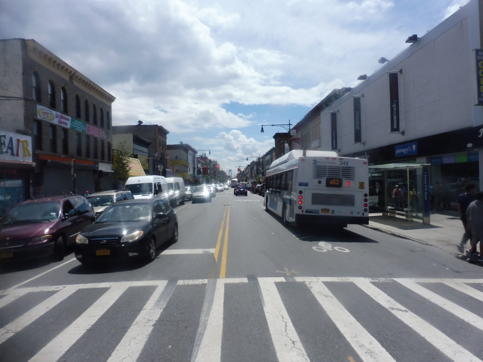 |
| Crossing 5th Ave (with a cameo by the B63). |
After a few taller buildings around 10th Ave and Fort Hamilton Parkway, we crossed New Utrecht Ave, with the elevated D train running overhead. We got back into our slow rhythm from there, making it all the way to 20th Ave without much of note. At that point, however, we turned onto 20th, then Avenue I, crossing under the elevated F line.
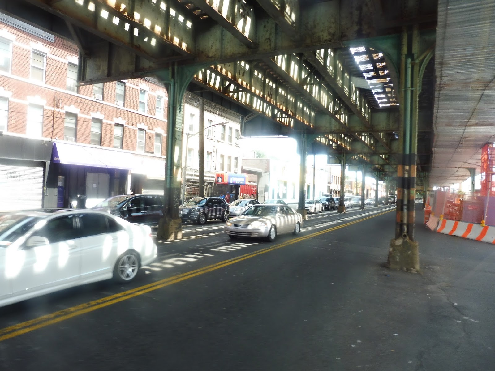 |
| Under the dingy F. |
At this point, the scenery became single-family houses, albeit very dense and tiny ones. Once we crossed the incredibly wide Ocean Parkway, though, they became surprisingly big, especially for New York. We turned for a block onto Coney Island Ave, which was lined with businesses, then onto busy Avenue J. The retail continued along here as we passed under the Avenue J station on the Q.
 |
| A side street from Avenue J. |
Past the subway station, though, it became houses once again. We were also passing a good amount of temples, as we were in a Jewish neighborhood. There were some tall apartments as we crossed Ocean Ave, but it was back to big houses after that. Eventually, we turned onto Bedford Ave.
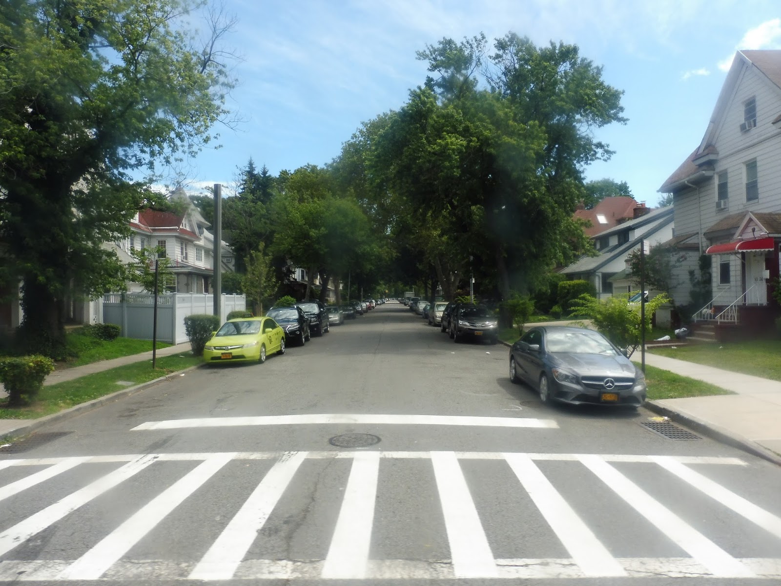 |
| This isn’t the image one typically associates with NYC… |
Soon, we were going through the lovely campus of Brooklyn College. After going by a high school, we turned onto Glenwood Road, which was lined with apartments. Next, we turned onto Flatbush Ave, which brought us into a busy square with lots of retail. The bus merged onto Nostrand Ave, which is where we all got off to let the vehicle loop back around toward Sunset Park.

 |
| Two shots of the bus in Flatbush. |
The Fastest T Rider Alive!
Here is the director’s cut of a documentary that I made about my second attempt at beating the record for the fastest time going around the MBTA! Can I make it? Find out here! (Use this link if the video player doesn’t work.)
GUEST POST: Transit Tales: Fun on the 1
This is a guest transit tale by Sam Hegg about an individual of note on the 1 bus.
As somebody who has taken the MBTA daily for almost my whole life, I’ve seen a lot of people. Big people, little people, loud people, quiet people, snobby people, nice people, rude people, and in between. Passengers from all walks of life have shared a bus or railcar with me. Most of them will be forgotten. But a few of the special ones tend to leave lasting memories. And this gentleman… well, he takes the cake.
Marie was the driver of the 3:45 PM trip out of Harvard on the Route 1 one afternoon. Marie was a driver I happened to know, and I was in the front of the bus passing the time by talking. The trip was going very smooth. It wasn’t packed (for once!) and everyone was more or less minding their own business.
That was, until Albany Street. We approach the stop, and among the passengers waiting for the bus was an individual who looked very… out of it. He was hunched over and looked like he really enjoyed himself the previous night. He stumbled onto the bus, leaned over towards Marie, and explained that “his pass expired” (or something like that, he wasn’t that audible), releasing the strong odor of alcohol for the whole bus. “You’re all set” said Marie, who did not appreciate the odor. He stumbled on, trying to pick up a young, college aged girl in the front of the bus who immediately moved to the back of the bus. This was gonna be a trip for the books.
The bus closed it’s doors and we were off. Suddenly, I heard the sound of a lone Wildebeest grunting. No, I wasn’t in Africa, I was on the Route 1 bus. I turned around to see our friend hunched over the seat, his voice moaning. That’s when it happened. Spit came out of his mouth, and, splat, hit the floor. Marie asked me if he had spit on the floor. I mouthed “yes” to avoid getting him excited. “SIR, I’M GONNA NEED YOU TO STOP SPITTING ON MY BUS”, Marie yells. This quiets him down for a little bit, but not for long.
He then begins pointing at me and muttering “he’s an upper class scumbag, upper class scumbag”. He continues to tell himself how I once ratted him out on the train. “Thanks!” I reply, honored by his label of me. “SIR, I’M GONNA NEED YOU TO STOP HARASSING PASSENGERS ON MY BUS”, Marie yells. He mutters “I wasn’t harassing nobody”. “IF YOU CONTINUE TO HARASS PASSENGERS, I’M GONNA ASK YOU TO STEP OFF THE BUS”. This makes him angry, but he quiets down. Strike 2.
We pull into MIT, the stop after the one that he gets on at. A stream of people get on, along with some getting off. As we start to pull away, he spits on the floor once more. In her calmest voice, Marie yells “SIR, YOU’VE GOTTA GO”. Both doors are opened, and the parking brake is applied. The gentleman starts going on about how all bus drivers are drug dealers, and how Marie should visit her dealer. Some other passengers get off the bus, not knowing how long it would take to get him off of the bus. “He better get arrested” they exclaim as they walk away. At this point, I cannot control my laughter; I am balling my eyes out. After a few more words, he gracelessly steps off the bus through the rear doors, which were immediately closed. I grab newspaper at the next stop to clean up his mess, and we ask for a cleaner to meet the bus at Dudley Station
The most amazing thing about this whole ordeal was, we arrived at Dudley 2 minutes early.
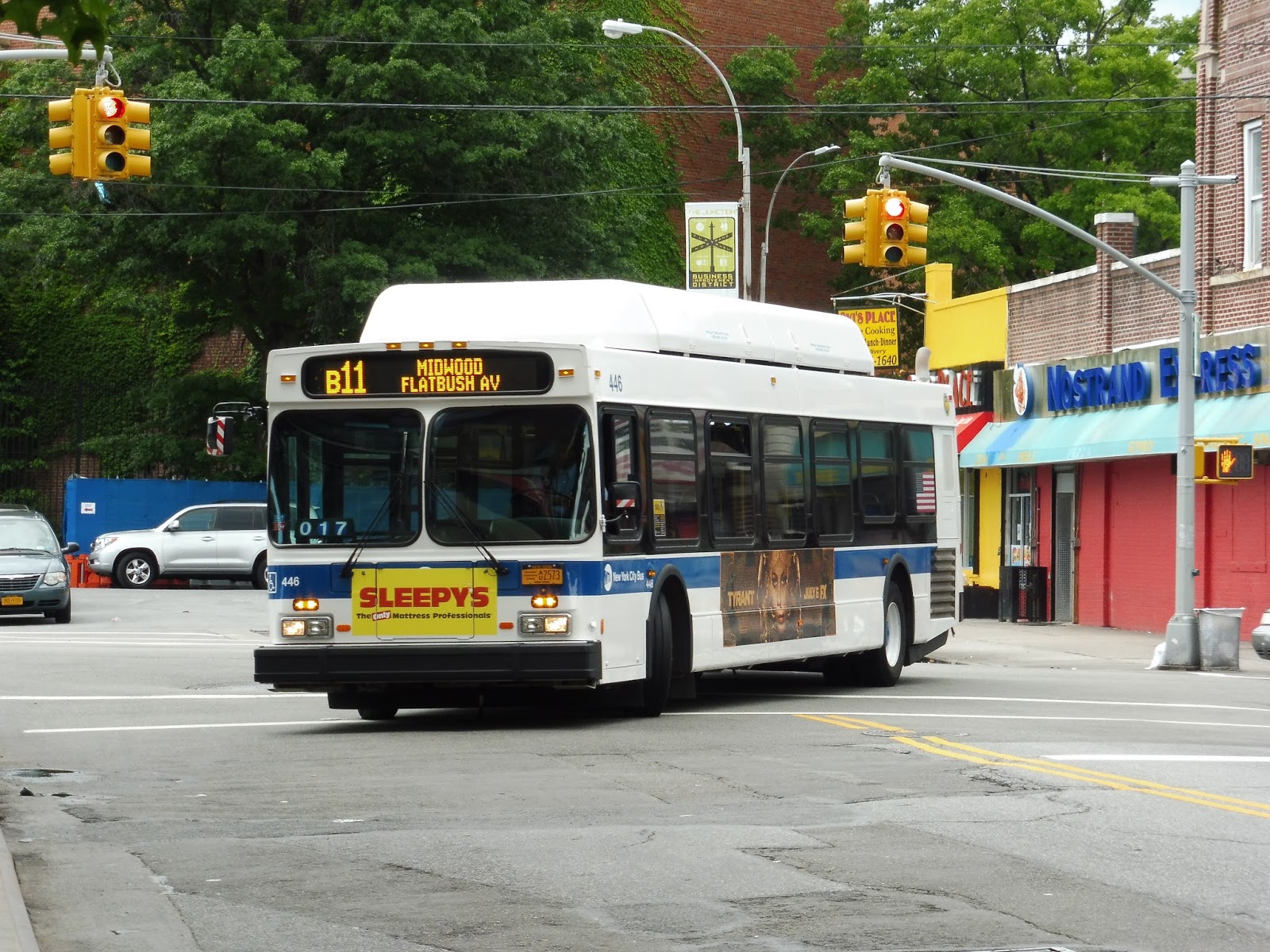
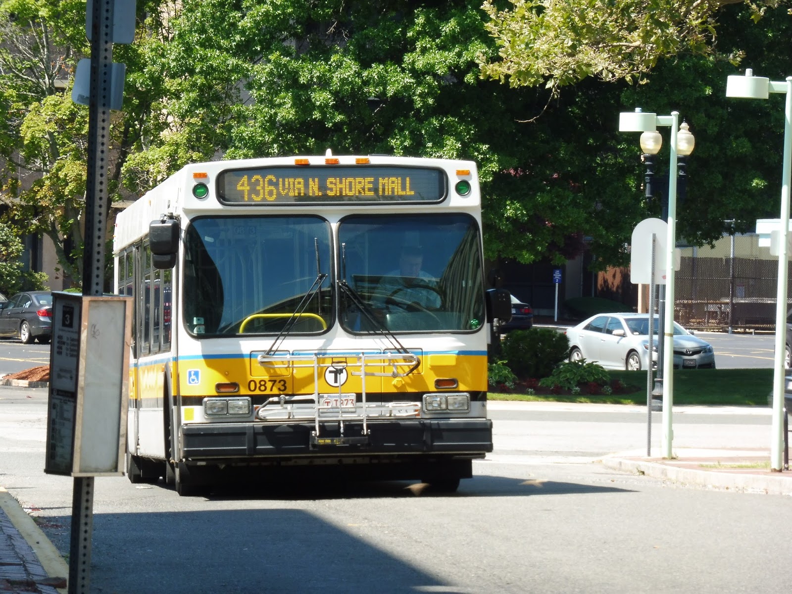
436 (Liberty Tree Mall – Central Square, Lynn via Goodwins Circle)
Okay, let’s talk about the 435 for a sec, a route which I gave a 7. This is a prime example of the fact that I can be incredibly wrong sometimes, because the 435 sucks. It doesn’t run nearly as frequently as it should, so it’s always packed all the way up to the North Shore and Liberty Tree Malls. The 436, on the other hand? Man, if you’re going from Lynn to the malls, this route is so nice compared to its sibling!
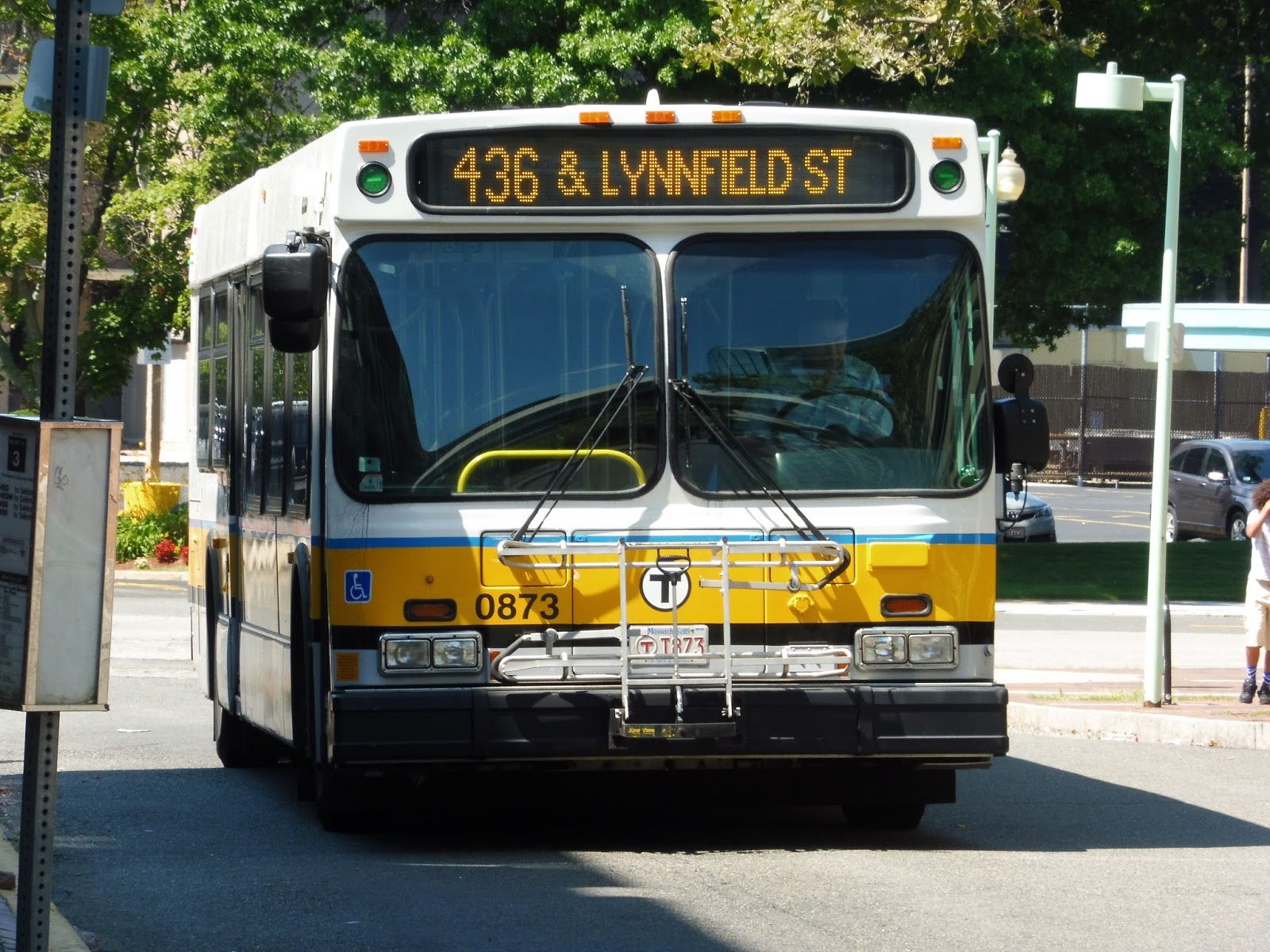 |
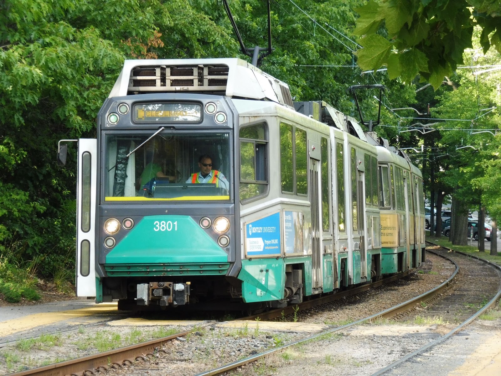
| Two shots of the bus in Lynn. |
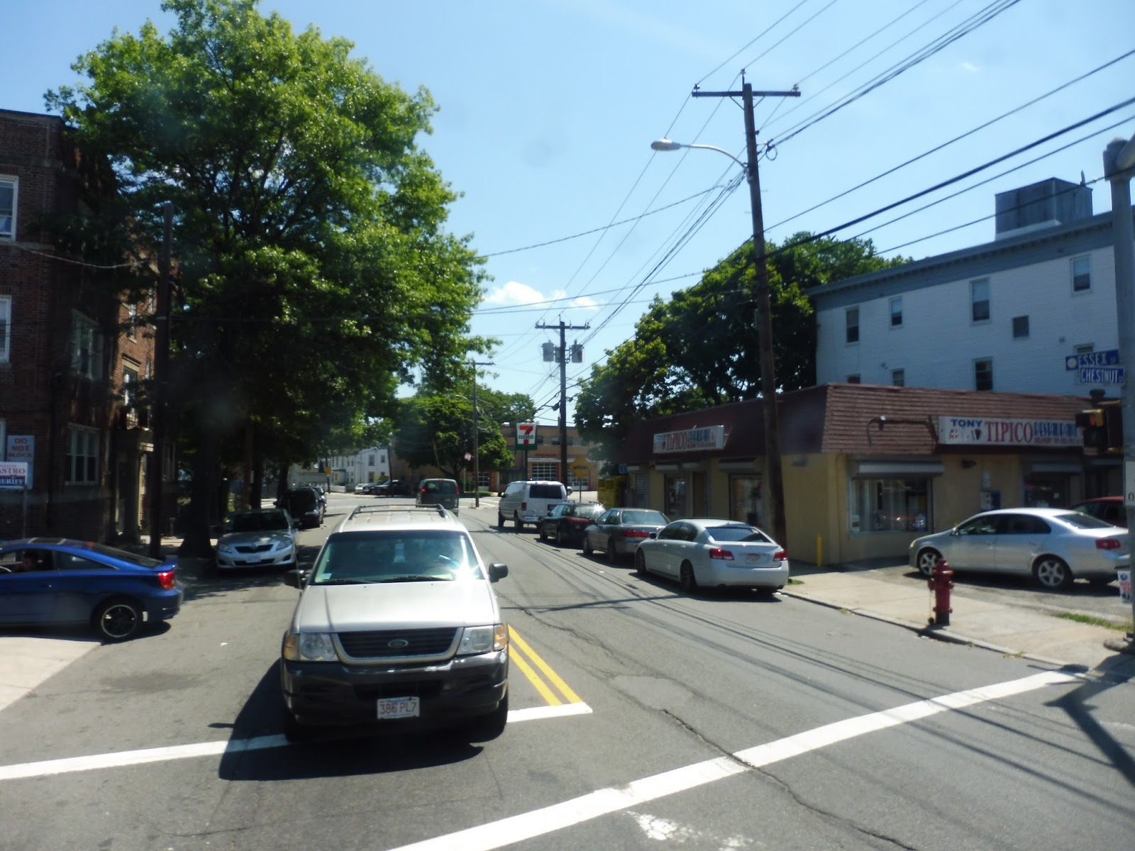
Leaving the Lynn busway, we headed up Union Street, going by the businesses of downtown Lynn. We passed under the Commuter Rail tracks, and the retail continued on the other side. Eventually the scenery diversified to become a mix of residential buildings and businesses, then we turned onto Chestnut Street.
 |
| There’s where the 455 and 459 go! |
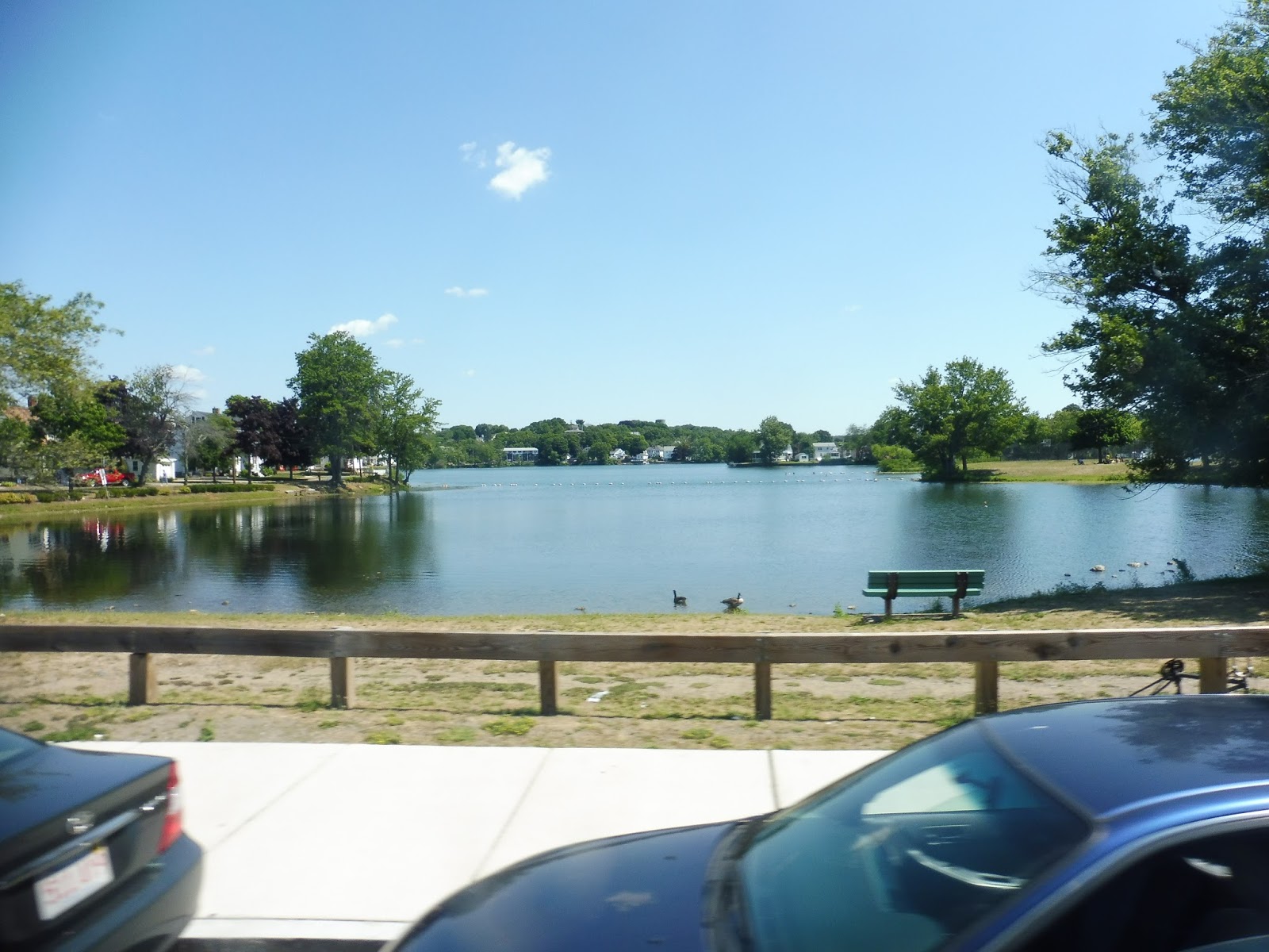
Chestnut Street was mostly residential, lined with dense houses. There was still the occasional business, though, especially at the intersection with Western Ave. It was here that the 434 joined our route, and the 435 a block later. There was some industrial scenery later on, but I was too focused on the view of Flax Pond to notice.
 |
| That’s lovely! |
The 435 left us soon after, and the street became Broadway. It gained a median, then we passed through Wyoma Square, where we headed onto Lynnfield Street, passing retail buildings. We came pretty close to Sluice Pond (but houses were in the way, unfortunately), and after passing a graveyard, the street curved north.
 |
| Wyoma Square. |
The street was almost entirely residential by this point as it curved west once more. At one point, the houses were broken by a hospital, some telephone wires, and a small convenience store. After another residential neighborhood, we reached Goodwins Circle. We looped around the rotary in order to serve a few businesses and a housing development, then looped around again onto Salem Street.
 |
| Goodwins Circle. |
The street became Lynnfield Street as we entered Peabody, and it was lined with houses once again. However, those houses eventually became office parks – at that point, we turned onto 1st Ave, then Centennial Drive. The route moved quickly at this point, since the only buildings along the street were scores of office parks.
 |
| Like this one, for example. |
At one point, we made an interesting deviation into a Children’s Hospital, looping around the parking lot, then returning to Centennial Drive. We then turned onto Summit Street, heading up through the woods before turning onto Forest Street, which was lined with houses. Next, we turned onto Lowell Street, and after some more houses, we went under Route 128.
 |
| My, that’s a bright crosswalk! |
Eventually we turned onto Prospect Street, and Essex Center Drive later on, joining the 435 and 465. We passed a few office parks, a Toys ‘R’ Us, and Lahey Clinic, then made our way into the North Shore Mall. From there, we headed out onto Andover Street, then Sylvan Street, going by lots of businesses, office parks, and parking lots along the way. Finally, we turned onto Endicott Street before pulling into the Liberty Tree Mall, the last stop on the route.
 |
| The bus at the mall. |
Route: 436 (Liberty Tree Mall – Central Square, Lynn via Goodwins Circle)
Ridership: In terms of the total numbers, the 436’s ridership isn’t anything special – only 823 riders per weekday and 527 per Saturday. However, when you take the numbers on a per-trip basis, each bus has an average of 25-30 passengers per trip! However, it never seems to get crowded like the 435 does.
Pros: Like I said, it never seems to get crowded like the 435 does! Also, although the schedule is infrequent, it’s generally sensible – every 20-30 minutes during rush hour, and every 70 minutes during the day and on Saturdays. And how about the ride? Yes, office parks make for pretty boring scenery, but it’s a surprisingly peaceful trip for a Lynn route.
Cons: Sunday service would be nice, especially to take some of the pressure off of the 435, but there are definitely other Lynn routes with more pressing service needs. Also, serving Goodwins Circle always seems like a hassle, but I suppose it’s a necessity.
Nearby and Noteworthy: Most people use this route for the malls…unless you like OFFICE PARKS, of course!
Final Verdict: 8/10
The 436 does its job pretty well – it gets people to work on weekdays, and it helps the 435 get people to the malls on Saturdays. Sunday service would be nice, but it’s not a huge necessity. Other than that, the 436 is just really peaceful for a Lynn route, and an enjoyable ride in general!
Latest MBTA News: Service Updates
465 (Salem Depot – Liberty Tree Mall via Peabody and Danvers)
Huh…this is one of the more interesting routes on the MBTA. It’s just weird to me that there’s a bus from Salem to the North Shore and Liberty Tree Malls, then onwards to Danvers! What’s more, it even runs on Saturdays, which was the day my friend Sam and I rode the route. Could such a far-out bus possibly get any ridership? Let’s find out!
 |
| The slightly out-of-focus bus at Salem. |
Leaving Salem Station, we made our way onto Bridge Street, then looped around onto North Street. We were essentially bypassing downtown Salem, but the houses lining the street were still pretty dense. We then turned onto Essex Street, going by lots of dense, historical houses.
 |
| Gotta love Salem! |
It started to get industrial by the time we reached the intersection with Boston Street, onto which we turned. We were on an independent section now, and the street was lined with newer houses, as well as a few auto shops and businesses. We passed a huge empty plot of land at one point, and even one of those storage places that I always associate with suburbia.
 |
| My, this is desolate… |
The street was a mix of dense houses and businesses from there. At one point, we passed an apartment building, and it started to get a lot denser. The street became Main Street around this point, for we were in Peabody – Peabody Square, in fact. Thus, the road became lined with businesses, and we merged with the 435.
 |
| A business block in Peabody Square. |
We then turned onto Central Street, crossing over a disused railroad track. A bunch of people got on at the main Peabody Square shelter, and the businesses started to thin out as we headed north. Eventually it became mostly houses, although there was still a bit of retail and we also passed a community center. Once we merged onto Andover Street, it was all houses.
 |
| A side street. |
We crossed over I-95 eventually, and the street grew much wider on the other side. Almost immediately, we pulled into the North Shore Mall to drop off some of our passengers for their shopping. After that, we made our way around the mall onto Essex Center Drive.
 |
| Going around the mall. |
We went by the Lahey Clinic, then Toys ‘R’ Us and a Shaw’s. There were also a few office parks to provide more scenery. Eventually, we turned onto Prospect Street, passing some housing developments with the mall parking lot still in view. The road became Cross Street, then we turned onto Andover Street again, then Sylvan Street and Endicott Street.
 |
| Oh look! Um…buildings! |
We deviated into the Liberty Tree Mall and dropped off a few more shoppers, then we entered the route’s (mostly) independent section. From here, the 465 makes a loop around Danvers whose only other route is a few night trips on the 435. Thus, we made our way back to Sylvan Street and headed north, the road lined with houses.
 |
| A street corner. |
We turned onto Pine Street pretty quickly, which was also residential. Once we turned onto Holten Street, there were a few businesses at the intersection, but scenery still mostly consisted of houses. However, we soon reached a church, as well as Danvers’s town hall and TV station. Here, we merged onto Elm Street, entering Danvers Square.
 |
| Danvers Town Hall! |
The street was lined with businesses, as was High Street, onto which we turned. It was at this point that we reached our layover, a simple stop next to a parking lot. It was a long layover, however – we stayed at the stop for about 20 minutes. Finally, we started up again and continued down High Street.
 |
| The bus at Danvers Square. |
We went through a short residential section, but then the street became industrial. After it went under Route 128, though, it became entirely houses. We turned onto Water Street, which had a bit of retail. The street then curved around over the Crane River, and we turned onto Endicott Street on the other side.
 |
| The Crane River! |
The road soon widened and became lined with parking lots and office parks. We also passed Endicott Plaza, a shopping center. After that, we crossed over Route 128 again, and returned to the Liberty Tree Mall on the other side. From there, it was back to Salem via the same route as before.
 |
| Going over the highway. |
Route: 465 (Salem Depot – Liberty Tree Mall via Peabody and Danvers)
Ridership: It’s not surprising that the 465 gets pretty low ridership – on weekdays, the route gets an average of 414 riders, while on Saturdays, the route gets only 267 riders. However, when passengers per trip are taken into account, it’s not too bad – about 16 on weekdays and 22 on Saturdays.
Pros: This is basically the MBTA’s only route in Danvers, so the 465 serves a big purpose in that regard. The route also serves as at least somewhat of a relief for the perpetually-packed 435, since they share paths from Peabody Square to Liberty Tree. The 465’s schedule is also pretty sensible – every hour on weekdays and every two hours on Saturday.
Cons: One big problem with the 465 is the layover in Danvers. If someone wants to get to the other side of the loop, an up-to-20 minute wait in Danvers Square is quite the annoyance. I also wonder what the purpose is of the rush hour routing via Water, Margin, and North Streets (formerly called the 468). I mean, it has stops and everything, but it only gets two trips in each direction.
Nearby and Noteworthy: Salem, Peabody Square, and Danvers Square are all pretty interesting downtowns, though the only one for which you would specifically use the 465 is Danvers.
Final Verdict: 6/10
Eh, this route definitely does its job and serves a good amount. However, the layover at Danvers is inconvenient for people going around the loop – it might be better to just give the bus a long layover in Salem and do the loop nonstop. As for the “468” routing, I guess serving that area might only be justified during rush hour, so I’ll let that issue slide. But this is just a “6” kind of route, you know? I mean, it’s every 2 hours on Saturdays!
Latest MBTA News: Service Updates
710 (Contracted Bus: North Medford – Medford Square, Meadow Glen Mall, or Wellington Station)
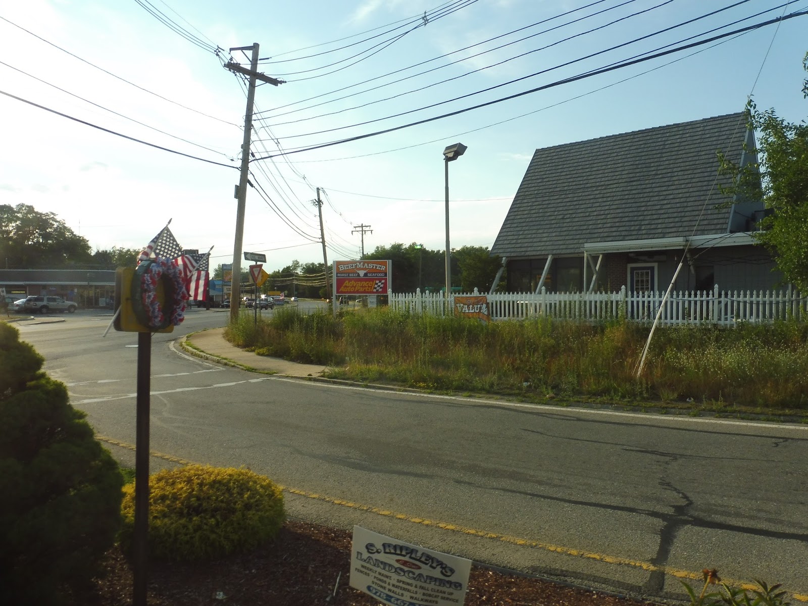
Hmm…ever got the feeling that the MBTA doesn’t care much about its contracted routes? After all, the route destinations on the website (and in this post title) for the 710 are WRONG! The bus never terminates at Medford Square or Meadow Glen Mall – the two termini are Stop & Shop or Wellington Station! Hang on, I might have to explain this…many people don’t know this route exists.
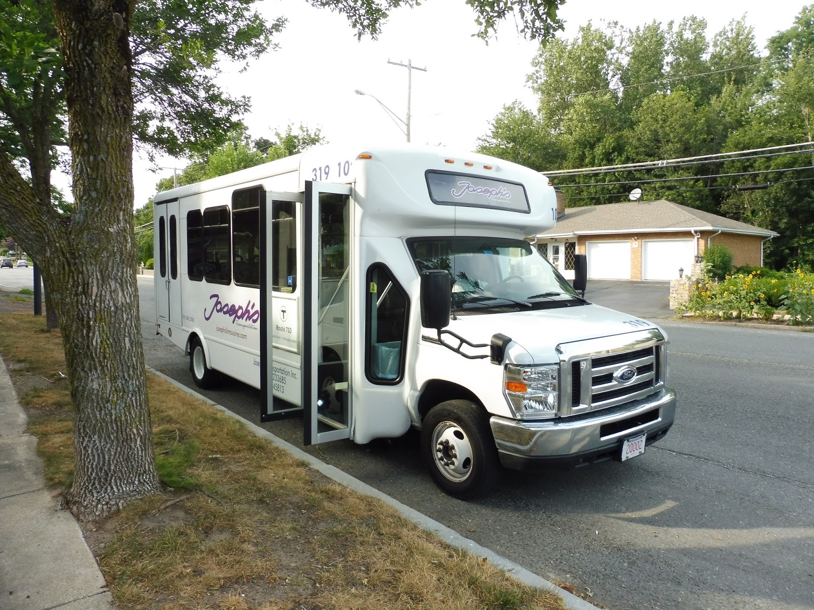
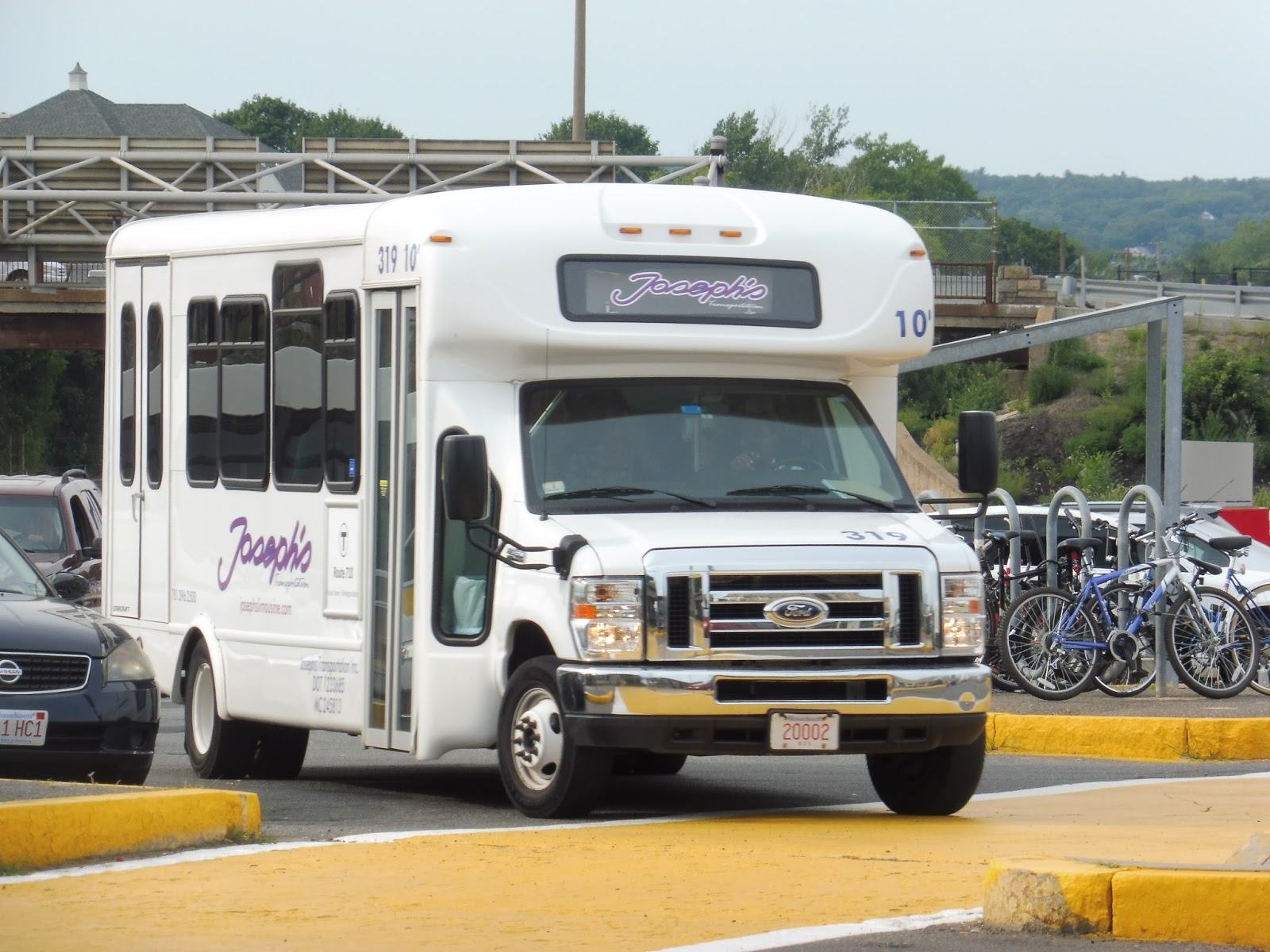 |
| Ahh, our good friend Joseph’s! |
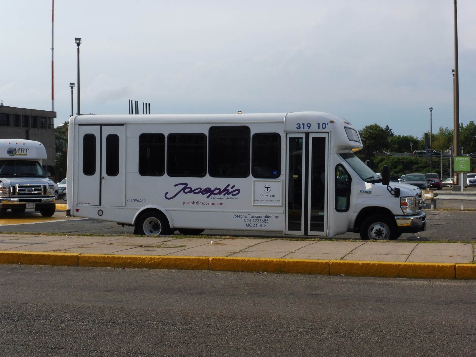 |
| Another view. |
The 710 is definitely an odd duckling. It starts at “North Medford” (Highland Ave @ Doonan Street, to be specific), and takes a very local route through residential sections of Medford. It deviates to serve a hospital, runs through Medford Square, serves the Meadow Glen Mall, and terminates at either Stop & Shop or Wellington – but never both. And it only serves Wellington during rush hour…great.
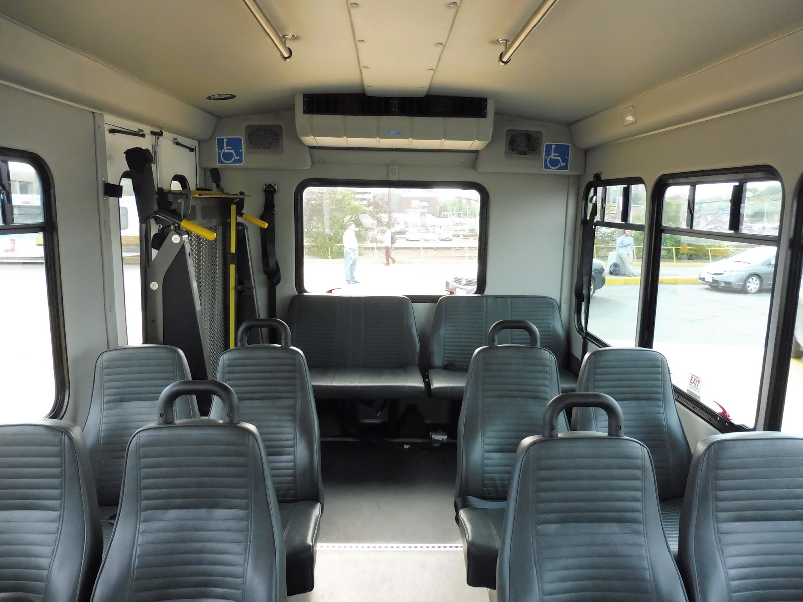 |
| The inside of the bus. |
Since the 710 is contracted, it has a bit of a weird fare system. It costs $1.70 to board ($0.85 for students and seniors), but you can only pay with cash or with a CharlieTicket pass. As it happens, I bought my monthly pass on a ticket this month, so I got on for free! Hooray!
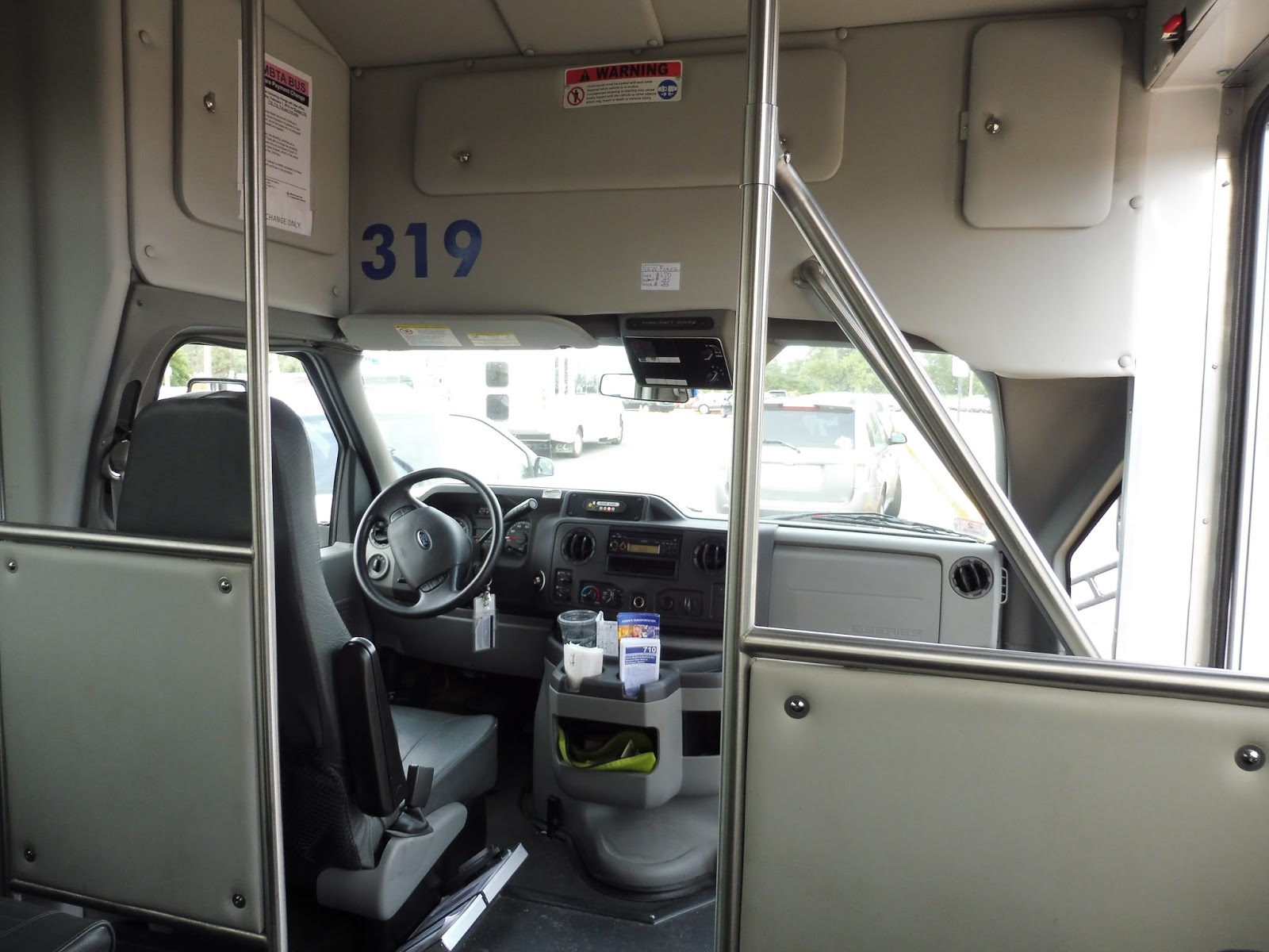 |
| Looking towards the front. |
The inside was typical for a minibus, with about 20 seats or so. Surprisingly, though, the wheelchair lift wasn’t jiggly! I mean, maybe I wasn’t paying attention or something, but I did not hear a single jiggle from that wheelchair lift in the back! Perhaps it was because the radio was blasting, another hallmark of minibus service.
 |
| Some construction near Wellington. |
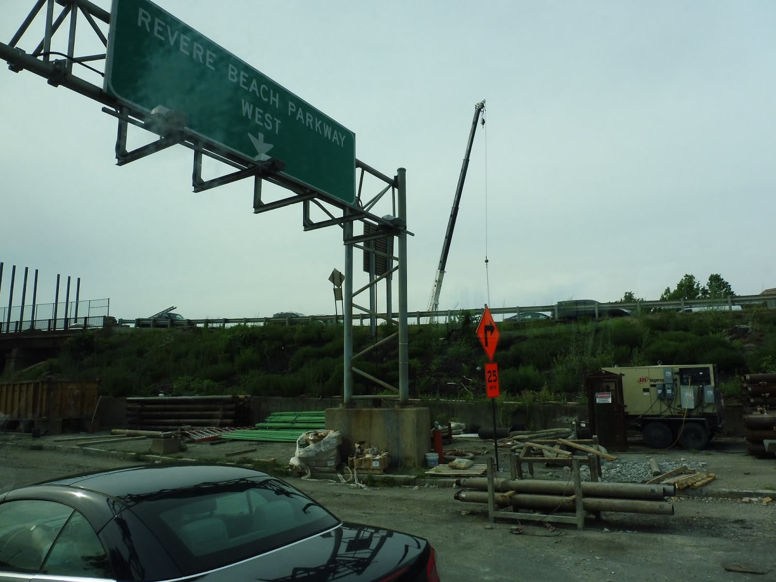
The trip upon which my friend Mariana (who graciously took notes as I asked the driver questions about the route) and I embarked was a rush hour one, so we got on at Wellington. Heading out of the parking lot, we made our way onto Revere Beach Parkway and crossed over the Orange Line. We got stuck in traffic for a bit, but after a semi-illegal turn (don’t worry about it), we started cruising down the Fellsway.
 |
| Crossing over the Orange Line tracks with a train in view. |
We turned onto Riverside Ave afterwards, going by a shopping plaza (including the Stop & Shop where midday 710 trips terminate) and paralleling the 134. It got industrial from there, and when we turned onto Locust Street, it was lined with factories, auto shops, and warehouses. This was actually just a deviation to serve the Meadow Glen Mall, but since it’s under construction, not much was going on there and we didn’t pick anyone up.
 |
| Wotta great mall… |
We returned to Riverside Ave and continued the way we were going. It was now residential, with dense houses lining the road. At one point, the driver opened the window and yelled to a passerby, “Where are you going?” The woman said she was going to Forest Street, and the driver said “Hop in!” Giving a passerby a free ride is such a contracted bus thing to do, but it’s quite nice. It’s worth noting, by the way, that the 710 uses a flag-down system and has no actual stops.
 |
| A residential street off of Riverside Ave. |
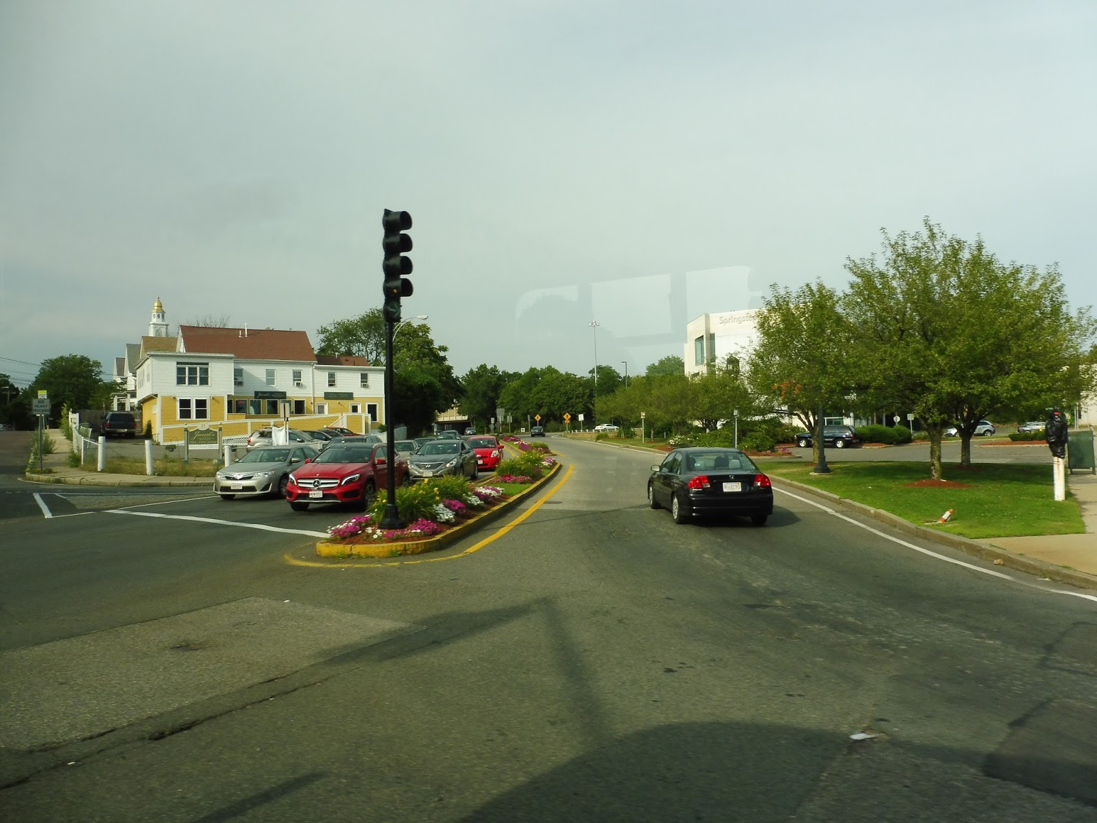
We went under I-93, and instantly passed a hotel and an apartment building on the other side. From there, we did this strange figure-8 kind of route through Medford Square. First we turned into a parking lot, and then ran along Clippership Drive, with businesses on one side and the Mystic River on the other.
 |
| This is strange… |
Instead of going directly onto Forest Street, though, we turned onto Riverside Drive, running back the way we came along Medford Square’s main drag. After that, we turned onto City Hall Mall, which went by Medford City Hall, and then we turned onto Salem Street, going back the way we came again! Finally, we swung around onto Forest Street, starting the route’s independent section.
 |
| That’s a nice median on Salem Street… |
We left the buildings of Medford Square, and the street became lined with rather large houses. Soon, we turned onto Lawrence Road, then onto the wide Governors Ave. This was all part of the deviation to the Lawrence Memorial Hospital, whose parking lot we turned into. We looped around to serve the stop, but there was a hospital shuttle blocking our exit. The driver’s solution? Reverse out of the busway and head back the way we came! Nice.
 |
| The hospital. |
We returned the way we came from there, all the way back to Forest Street. This time, we turned onto Webster Street, which was entirely residential aside from a playground. After going under I-93 again, we turned onto Fulton Street, whose houses were denser. We passed a field and crossed the Fellsway, but Fulton Street was all houses from there.
 |
| Gotta love leafy medians! |
There were a few small businesses at a strange intersection where the street went up a hill and curved left a bit, and then curved right at the next intersection. This was where the road got pretty crazy and twisty, and I can definitely see why the MBTA would entrust this service to Joseph’s and its minibuses – a full-sized bus could never take those turns!
 |
| A residential side street. |
Amidst all houses once again, the street went down a hill and curved around leftward. We went along some slight hills for a little while before reaching Molineaux Circle, where we joined the 99 on Highland Ave. We followed that route in the inbound direction for a little bit before reaching Doonan Street. Here, we stopped for about a minute, then made a full u-turn to head back to Wellington.
 |
| The bus at Doonan Street. |
Route: 710 (Contracted Bus: North Medford – Medford Square, Meadow Glen Mall, or Wellington Station)
Ridership: Nothing special, as you would probably expect – there were only two other people on both my outbound and inbound trips, and the driver said that’s about average. The route only gets an average of 19,176 riders per year (about 76 per day), after all. HOWEVER, when the bus came into Wellington while I was waiting for it, it dropped off almost 20 people! Turns out they were just headin’ into town and had asked the driver if the bus was going to Wellington.
Pros: Yes, it’s a very niche route, but it serves its purpose. The hospital deviation is a pretty long one, but it’s one of the biggest ridership draws on the route; ditto for Meadow Glen Mall, although that’s partly due to an apartment complex located nearby. During rush hour, it gets a few commuters from Wellington, although they don’t seem to be the main reason for this route’s existance. I also think the 710’s 60-minute headways are sensible, and can be done with one bus.
Cons: I have some…okay, a lot of problems with this route, particularly in the schedule, but I’ll get a few small issues out of the way first. Number 1, the outbound route in Medford Square is ridiculous and needs to be simplified. Number 2, there needs to be proper signage for the route at Wellington; right now, it boards in the drop-off area for cars with a “Shuttle buses only” sign being the only indication of a potential bus that stops there. Okay, so now onto the schedule…
Right, so first of all, why is there a two hour gap in the schedule? The driver informed me that a switch happens there, which requires driving the bus back to the yard and handing it over to the next driver. Seriously??? Just drive a car to the terminus and have the two drivers swap vehicles. Mission accomplished! Okay, secondly, I think the 710 should have Saturday service. One of its main ridership draws is shoppers, and I imagine it would get a similar level of ridership on Saturdays as on weekdays. According to the driver, the route used to have Saturday service, and many of its riders want it back.
And now for the big problem: why the heck does this route only serve Wellington at rush hour? Look at that huge group of people that took the bus there before I got on! Had that not been a rush hour trip, they would’ve been out of luck for getting into the city. Now, my guess for this service pattern is that the trip takes a half hour with no layover time, so it could get late if it served both Stop & Shop and Wellington. So…why not only serve Stop & Shop one way, in the peak direction? And Meadow Glen Mall, for that matter? Observe…
With this schedule, the route would be able to serve Wellington all day, plus it would get a layover! Hooray! But what about people going against the peak? Well, shoppers going from Meadow Glen or Stop & Shop back to North Medford in the morning could stay on the bus through Wellington and then head back, and vice versa in the afternoon. I think having an all-day connection to Wellington would increase ridership from people wanting to head into Boston.
Nearby and Noteworthy: There’s nothing along the 710’s independent section that’s really worth seeing, although if you happen to be going to Medford Square or Meadow Glen during rush hour, this is an alternative to the 134.
Final Verdict: 6/10
I gotta be honest, this isn’t a bad route. It serves some nice neighborhoods and gets a few local shoppers and commuters every day. Yes, it may be the lowest-ridership contracted route, but it’s pretty short and it does its job. THAT BEING SAID, it has many problems that ought to be addressed, the most glaring of which is all-day Wellington service. The whole driver switch thing is pretty badly handled, too. And get some dang signage at Wellington!
Latest MBTA News: Service Updates
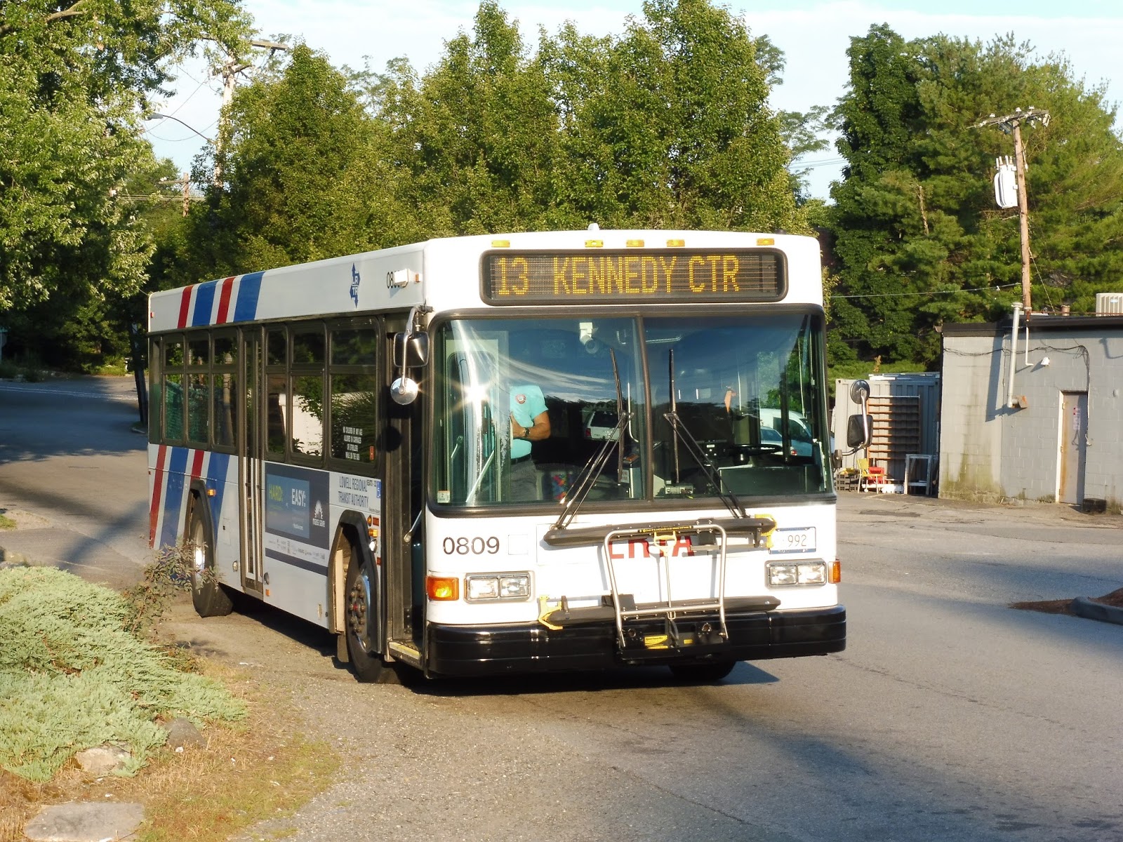
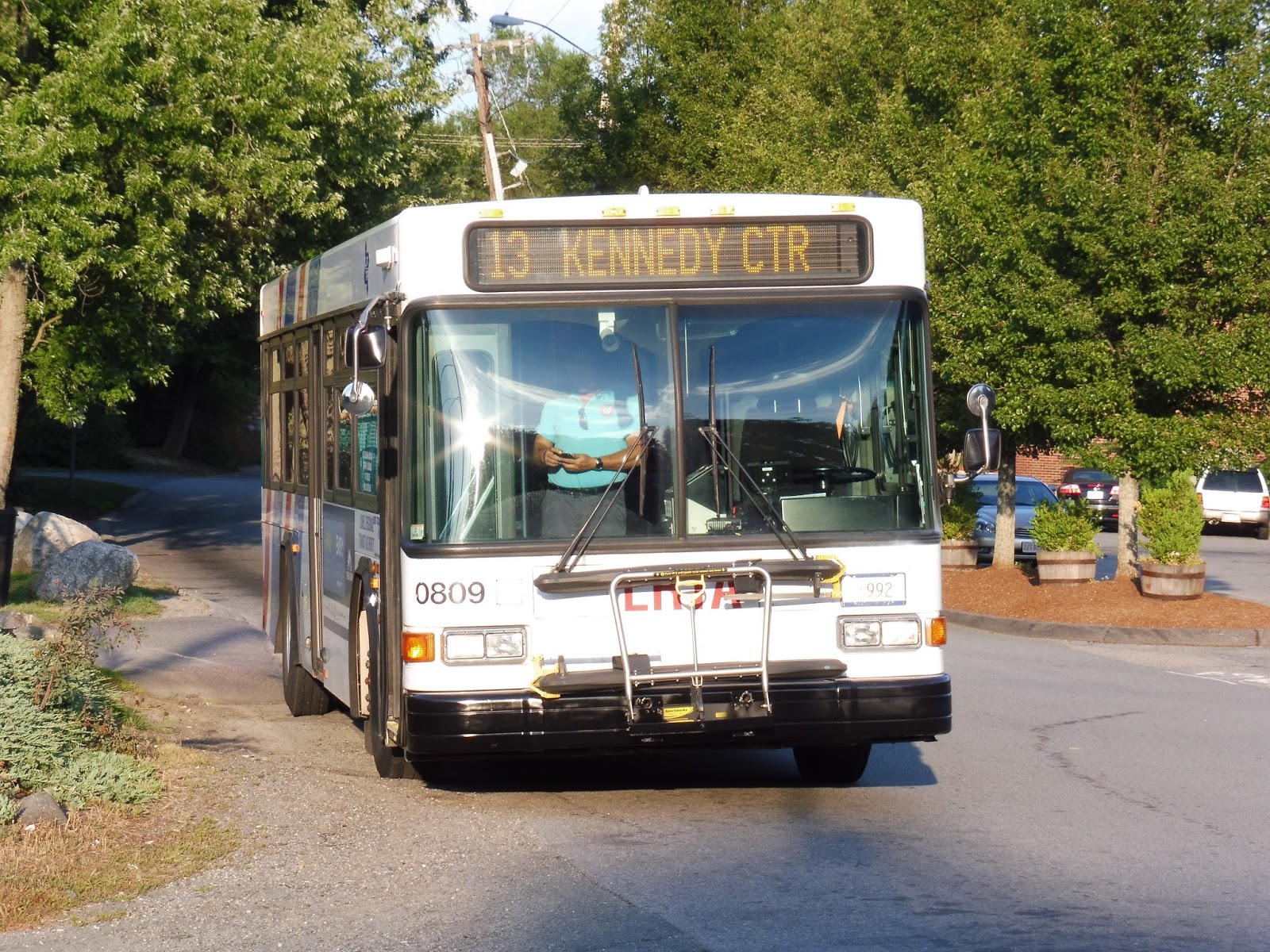
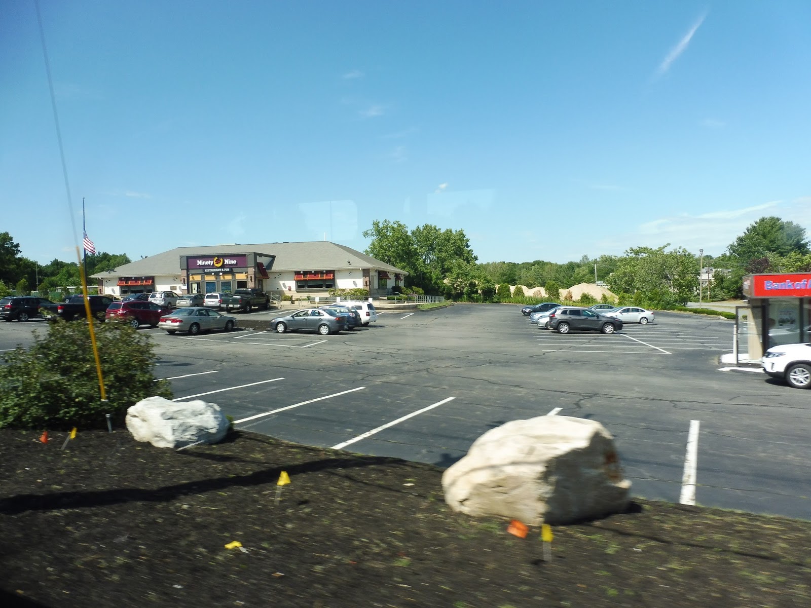
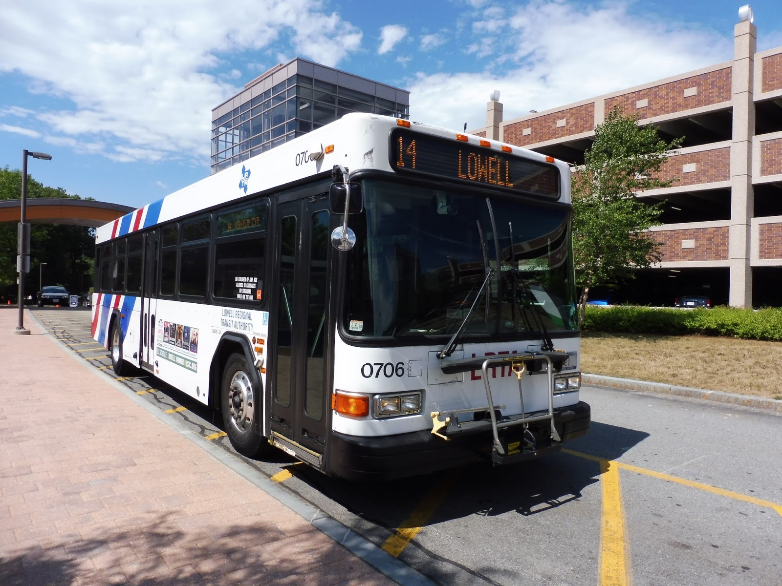
LRTA: 13 (Billerica via Edson)
Looking to get from Boston to Lowell by bus, but the 14 has too many office parks for you? Well then, perhaps the 13 is more up your alley! It doesn’t take you quite as far south as the 14, but it still runs to the northern terminus of the 350, where you can change to MBTA services or vice versa. Let’s take a look at another long LRTA route.
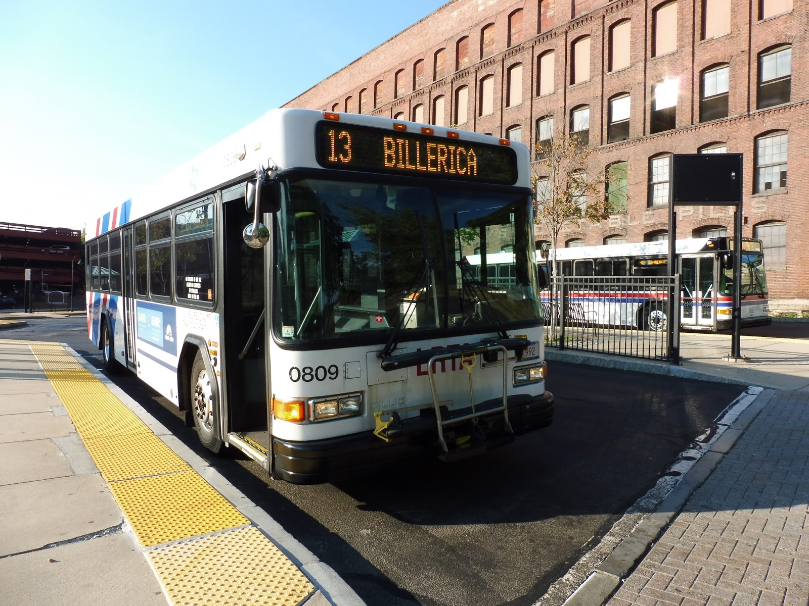 |
| The bus in Lowell, with an MVRTA 41 in the background. |
Heading out of the LRTA Gallagher Transit Center, we made our way onto Thorndike Street and went south. After going under the Lowell Connector (a highway), we crossed over the River Meadow Brook, and the street became Gorham Street. As we passed the mostly industrial buildings (with a few businesses) that lined the road, we also went under the Commuter Rail tracks.
 |
| A side street, with some strange lighting going on in the picture. |
There was a section where we passed a mix of houses, businesses, and industrial buildings, but that mix was soon restricted to one side of the street – there was a cemetery on the other side. After going by a sizeable abandoned building, we crossed over I-495 and entered Chelmsford. It felt a lot more suburban now, with more trees and houses along the street.
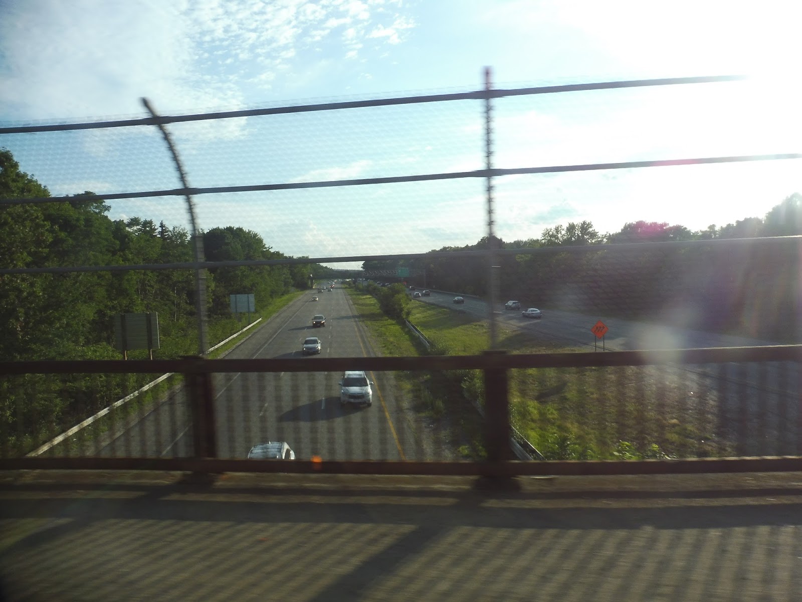 |
| Going over the highway. |
There were a few industrial buildings and a church near an almost-connection with the 14 and 15 (the two corridors get very close together at one point). After that, the street became Boston Road and we entered Billerica. It was mostly residential, but there were a few industrial buildings dotted in, too. We passed a housing development and went under some pylons, then turned onto Lowell Street soon after.
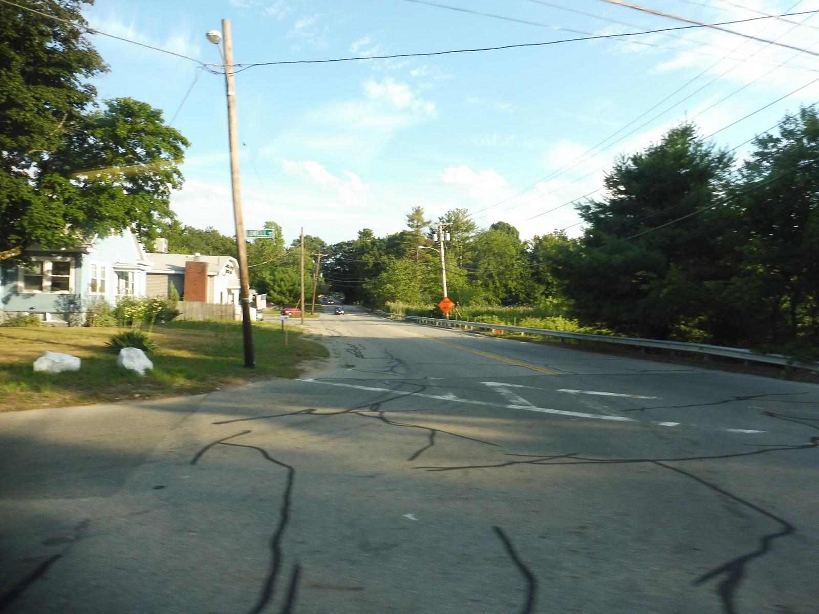 |
| Going onto Lowell Street. |
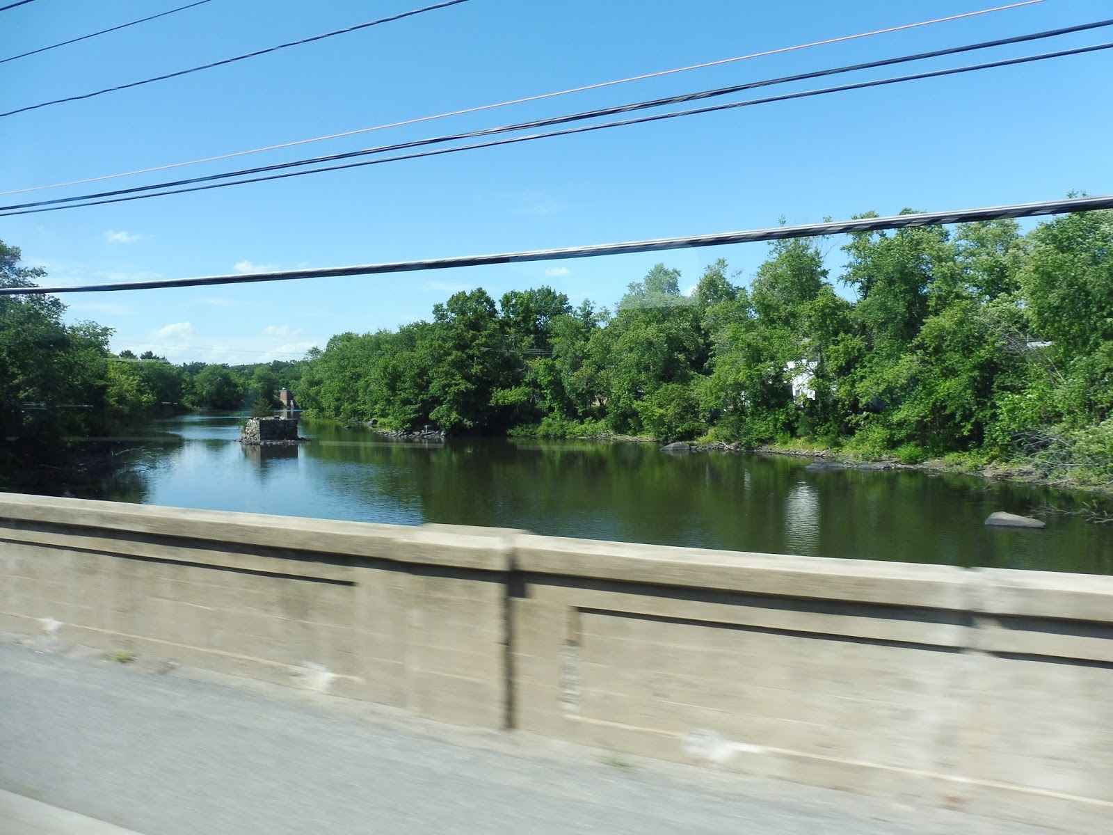
There were more houses until we turned onto Old Elm Street, where we went by two huge old factories and crossed over the Concord River. We pulled into the parking lot for North Billerica Station, dropped someone off, and returned the way we came. We turned onto Talbot Ave this time, which widened with a nice median for a bit, then we turned onto Pollard Street and crossed over the Concord River again.
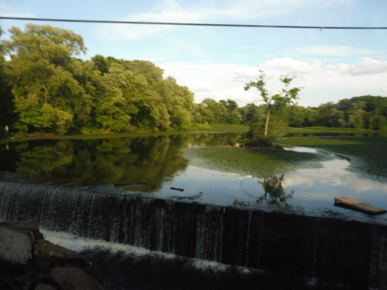 |
| Such a beautiful view…ruined by an awful picture. |
It was basically all houses from there, all the way until we reached Boston Road. Here, we joined up with the 14 again and there was retail for a while (and a few office parks). We passed through another stretch of houses and then reached Billerica Center, where we went by a common and the street was lined with businesses. But while the 14 headed down Concord Road, we continued down Boston Road and went solo once again.
 |
| Lovely neighborhood… |
There were a few houses for just a bit before we reached the Billerica Mall, which we deviated to serve. Returning to Boston Road, we passed a few businesses and housing developments, then it returned to being mostly residential. There were still some offices or industrial-type buildings along here, though, and even a few farms!
 |
| Oh hey, a parking lot! |
Eventually we reached another mall, Towne Shopping Plaza. After another deviation, Boston Road was starting to lean more toward retail and industrial buildings rather than houses. We crossed over the Shawsheen River, and it was almost entirely businesses and industrial buildings on the other side.
 |
| Oh boy, Towne Shopping Plaza! It’s beautiful! |
The street soon became houses once more, and then its name changed to Cambridge Street – we were now in Burlington. There were a few businesses at the intersection with Francis Wyman Road, but it was residential aside from that. Soon, we turned onto Wilmington Road, then looped onto Chestnut Ave, reaching the 350’s shelter. After laying over for a bit, the bus took off back to Lowell.
 |
| Two shots of the bus at Chestnut Ave. |
LRTA Route: 13 (Billerica via Edson)
Ridership: Since the LRTA is mum on individual route ridership, I can only give the data from my trip, which consisted of…five other people in total. Great job, 13, great job! That said, it was the last outbound trip of the day (6:30), so it makes sense that it wasn’t at all busy.
Pros: This is the primary route for Billerica, and it serves a lot of the town. It also offers a connection to the 350 at its southern terminus, which is great. Its schedule is normal for the LRTA, with every-hour service on weekdays and Saturdays. This route does have an interesting quirk, though, in that the every 30 minute morning rush service consists almost entirely of short-turns that only take about 10 minutes!
Cons: The route isn’t coordinated with the 350, unfortunately, but like the 14, it’s unlikely too many people are transferring. Other than that, the schedule has a strange 90 minute gap from 3:50 to 5:20 for some reason.
Nearby and Noteworthy: The route serves two malls, as well as Billerica Center. And if you’re getting to Lowell from Boston using the 13, then I would add Lowell itself to the list of noteworthy places.
Final Verdict: 8/10
This is yet another good LRTA route – essentially the 14 but with less office parks. Coordination with the 350 probably doesn’t matter in the long run, although it would be nice to iron out that 90 minute gap in the schedule. Still, the 13 is a pretty good route overall.
Latest MBTA News: Service Updates
LRTA: 14 (Burlington Mall/Lahey Clinic)
It’s fitting that the first LRTA route to be properly reviewed on this blog is also the first LRTA route I ever rode. This time, though, I took the entire route from Lahey Clinic to Lowell! What is this long trip like? Let’s find out!
 |
| The bus at the Lahey Clinic. |
From Lahey Clinic (which featured a nice little shelter), we made our way onto the wide Burlington Mall Road – oh yes, this route starts in office park land. After going by many office developments and a few shopping plazas, we turned into that classic beast: the Burlington Mall. We picked up some people there, then navigated back through the huge parking lot to return to the road of the same name.
 |
| Oh look…a…shopping plaza… |
Soon after that, we turned onto another wide road, Middlesex Turnpike. We were passing more office parks and shopping plazas, including 3rd Ave – the Assembly Square of Burlington. From there, it was just boring boring boring office parks! Big office parks, small office parks, technology corporations, random businesses located within office parks… WOOOOOOOOOOOOOO!
 |
| Lovely… |
Well, okay, eventually we came by a pretty big field containing multiple baseball diamonds. Now that’s rather nice, isn’t it? I like the idea of a field in the middle of…wait…”MITRE Fields”? They’re named after a nearby corporation?! Sigh…
 |
| You’re a PHONY field! Phoooooooooony! |
We went by the huge MITRE corporation after that, and then a few housing developments. But don’t worry – the office parks came back soon enough. They started to get further apart, though, after we crossed the Shawsheen River. They were still around, but there was a lot of forest now and the road wasn’t as wide.
 |
| The 99 Restaurant! *clap clap* Always the real deal! |
The office parks did come back eventually, although we also went by the 99 Restaurant, considered to be a “major stop” on the route map. Eventually, we finally passed some good ol’ fashioned houses, then crossed over Nutting Lake. It was almost entirely residential on the other side, which was a nice relief.
 |
| Nice view! |
But were the office parks gone forever? Nope – this was a rush hour trip, and so we deviated onto Concord Road in order to serve Fields First Federal Street, yet another collection of office parks. We returned the way we came and headed the other way up Concord Road, now lined with mostly houses.
 |
| The blocked-off Middlesex Turnpike simply ends a little beyond Concord Road. |
Eventually, we reached Billerica Center, where we merged around a nice little common. There were a few little businesses here, as well as a church, a library, and…”Billerica Town Halll.” Yeah, the stop announcement sign had a bit of a typo there. It returned to being residential after that.
 |
| A retail block in Billerica Center. |
However, eventually the street became lined with…oh come on, more office parks? And auto shops? And shopping plazas? And millions of parking lots? Sigh…at least we got a nice river crossing. We deviated to serve Treble Cove Plaza at one point, and merged onto Chelmsford Road soon after.
 |
| Going over the Concord River. |
This street was lined with houses once again, then we went through a short woodsey section. On the other end was…more office parks. Sigh. We turned onto Brick Kiln Road, soon passing a UPS facility but not going in – a few trips per day deviate into it, but ours wasn’t one of them. However, it was all houses from there as we entered Chelmsford, and they continued when we turned onto Carlisle Street.
 |
| I mean, this is just getting old! |
Other points of interest along Carlisle Street were a tower (water, perhaps?) and a liiiiiiiiiiiiiiiittle office park sneaking its way into a residential neighborhood. Soon we crossed over I-495, then stayed straight onto Boston Road, entering Lowell. This street made its way through a cemetery before becoming Plain Street. At this point, we deviated into yet another mall.
 |
| Going over the highway. |
We went under the Lowell Connector (another highway), then turned onto Chelmsford Street, which was lined with businesses. Eventually, it became a total mix of houses, retail, and industrial buildings, until we turned onto Thorndike Street. After that, we pulled into the LRTA hub, where the bus went out of service.
 |
| I got no pictures in Lowell, so here’s Lahey Clinic again. |
LRTA Route: 14 (Burlington Mall/Lahey Clinic)
Ridership: The LRTA doesn’t give ridership details for specific routes, but my ride on the 14 was pretty good – there were about 25 people in total. This was an inbound trip at 3 PM, so that’s not bad! This route does get a lot of reverse commuters, admittedly, which could also explain the decent ridership. Although…many of those riders were shoppers coming from malls! Okay, well, the point is that the 14 gets good ridership.
Pros: Well, for one thing, this is a nice long route that serves a lot. It has a consistent every-hour schedule six days per week, which is the standard for an LRTA suburban route. But my favorite part about the 14 is that it allows you to get to Lowell entirely by bus! Just take the 350 to the Burlington Mall, then hop on the 14! Yes, it’s significantly longer than the train, but it’s less than half the cost. Lowell’s a pretty cool city, and if you’re on a budget, this is a good alternative for getting there.
Cons: The route isn’t well-coordinated with the outbound 350 on Saturdays, though – the 14 leaves only a few minutes before the 350 arrives, so it’s an hour-long wait if you’re transferring. It would be nice if the 14 was shifted ahead about five minutes to make for better coordination, although who knows how many people even make that transfer?
Nearby and Noteworthy: OFFICE PARKS OFFICE PARKS OFFICE PARKS OFFICE PARKS OFFICE PARKS OFFICE PARKS OFFICE PARKS OFFICE PARKS. Oh, and some malls, Billerica Center, and Lowell.
Final Verdict: 8/10
This is a really solid route that serves a lot and also lets you get to Lowell much cheaper than the train! Well…except for that whole coordination thing. But I guess most people aren’t coming from the 350, so it doesn’t matter much.
Latest MBTA News: Service Updates
Tappan Street, Dean Road, and Englewood Avenue
Okay, it’s time for our final trio! Our final…boring trio. Yeah, these stations aren’t too special. I do have memories of hanging out at Dean Road and watching the trains with my dad when I was really little, though, so that counts for something.
 |
| The platform at Tappan Street. |
 |
| The “plaza” at Dean Road. |
 |
| Englewood Avenue‘s platform. |
Alas, all three stations have their shelters on the outbound platform once again. That’s especially weird by this point, when we’re essentially at the end of the line! The inbound platforms are at least less decrepit than the Hawes-Kent-Saint Paul trio, though. Indeed, all three are comparable to those stops – Tappan Street and Englewood Ave are the same thing as Hawes Street, while Dean Road is the same thing as Kent Street. Well…this is all a bit anticlimactic, isn’t it?
 |
| Lots o’ great train pictures along this section! |
 |
| Some close headways.. |
 |
| A meet at Englewood Avenue. |
Stations: Tappan Street, Dean Road, and Englewood Avenue
Ridership: All three stations get pretty low ridership: Tappan Street gets 674 riders per weekday, Dean Road gets 398, and Englewood Ave gets 555. These are pretty local areas, after all.
Pros: Well, it can definitely be said that the stations are very pretty, thanks to the ever-beautiful C Line right-of-way.
Cons: But yeah, these stations have all the same problems as Hawes, Kent, and Saint Paul Streets. Why are the shelters on the outbound side? Why are the platforms so decrepit? These questions and more shall never be answered…
Nearby and Noteworthy: Tappan Street has a very charming business block alongside it, but the rest of Beacon Street is mostly apartments until Cleveland Circle.
Final Verdict: 5/10
I mean, these three stations are almost exactly the same as Hawes, Kent, and Saint Paul Streets, so of course they’re going to get the same score. I’m just worried about the B Line, where almost all of the stops are the same – and that right-of-way isn’t even pretty! But the B is for another day.
Latest MBTA News: Service Updates
Washington Square
These C stations are just too good! Washington Square is one of the line’s “accessible” stops, which means it has a lot more amenities than what we’ve been seeing before. Let’s take a look.
 |
| The platforms. |
The station feels a lot like an E Line stop, with wide platforms and shelters on both sides. There are other benches in the open air to provide more seating, too. The station has a few wastebaskets, as well, and wheelchair lifts on both sides (not that you need them with low-floor trains).
 |
| A clock! |
Washington Square has a few other amenities, too. There’s a Hubway station here, while at the western end of the platform, there’s a small plaza on either side of the tracks. They both feature some benches, with bike racks on one and newspaper boxes on the other. The best part is the clock on the northern plaza, though! It adds a bunch of character to the station.
 |
| A train at the station. |
Station: Washington Square
Ridership: This is a key station on the C, although admittedly the least-used of the four – it’s slightly below average for Green Line stations overall. It gets an average of 1,091 riders per weekday.
Pros: The station itself is great, with typical wide platforms and normal shelters. The other amenities add a lot, too, such as the bike parking and (most of all) the clock. There’s also a bus connection here with the 65 – the stops aren’t much, but it’s not like the 65 is a busy route.
Cons: Weirdly, the level crossing on one side of the station is completely inaccessible – one side of it has a step to the platform, while the other side doesn’t meet the platform at all!
Nearby and Noteworthy: Washington Square has many businesses and restaurants around the station.
Final Verdict: 8/10
I’d put this station on the same level as Saint Marys Street. Their platforms are essentially equivalent, but while Saint Marys Street got an 8 because of lack of character, Washington Square gets an 8 because of the weird inaccessible crossing. There’s definitely a lot of character here, though.
Latest MBTA News: Service Updates
Fairbanks Street
This station has some weird, inconsistent naming. So, I’m pretty sure it’s called Fairbanks Street – at least, that’s what Google Maps says. That said, the MBTA station page and the Blue Book both refer to it as just Fairbanks. And the station page says that the stop is located at Fairbanks Avenue! Oh well, it’s still an amazing stop regardless.
 |
| The outbound platform. |
Like Brandon Hall, Fairbanks Street is on the super scenic part of Beacon Street where one side of the road is higher than the other. A staircase leads up to the higher westbound side of the street, where more amazing automatic crosswalks will help you across (they trigger a flashing light for cars when you walk through a set of bollards).
 |
| Woah! |
The station is functional, too. Its outbound platform is bare, which makes sense, while the inbound side has a shelter, wastebasket, and newspaper box. As a side note, there is also a great ribbon formed out of flowers at the station. It’s a really nice thing to see…
 |
| A train at the station. |
Station: Fairbanks Street
Ridership: This is another one of the least-used stations on the Green Line (although only fifth-worst on the C), with an average of 444 riders per weekday.
Pros: Like Brandon Hall, this is a very pretty stop that’s also functional. It has its shelter on the correct platform, while the flower ribbon adds a nice bit of character.
Cons: Another similarity to Brandon Hall is this station’s close proximity to its neighbors. To be honest, Fairbanks Street and Brandon Hall could probably be consolidated into one stop and it wouldn’t matter much.
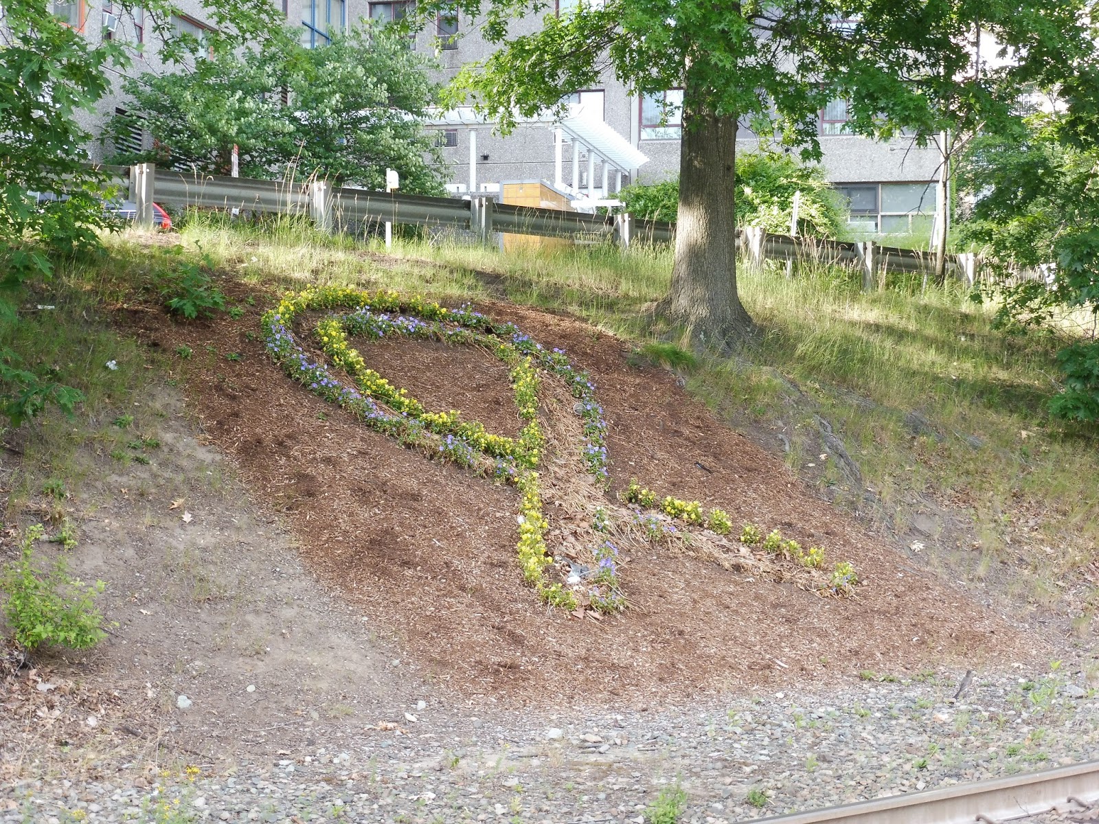
Nearby and Noteworthy: Lots o’ apartments. Yeah,
Final Verdict: 9/10
I would argue that Fairbanks Street is slightly better than Brandon Hall, if only because I love that flower ribbon. However, I still wouldn’t consider Fairbanks to be good enough for a 10, since its platform is iffy in terms of its condition, like most of the C. Still…great station.
Latest MBTA News: Service Updates
Brandon Hall
Oh boy oh boy oh boy! Here we are on the greatest part of the C Line! The bit where one side of Beacon Street goes up onto a hill and the street gets so scenic. Brandon Hall is one of the two stations along this section, and it’s great!
 |
| OH MY GOSH THIS IS SO AWESOME. |
Okay, so on the upper, westbound side of Beacon Street, cars can go pretty fast, you know? Luckily, Brandon Hall has you covered. At the crosswalk to the station, you need only pass through a set of bollards to signal a flashing light that tells cars to stop for you! From there, you can descend a staircase into the station. This special kind of crosswalk is on the eastbound side of Beacon Street, too.
 |
| The platform. |
The platform is also good for a C Line station. It has the shelter on the inbound side, which is always a plus, while the outbound side has a wheelchair lift. But the main thing about this station is that it’s beautiful, with lots of trees everywhere and beautiful Beacon Street apartments on the south side.
 |
| A train heading into Boston. |
Station: Brandon Hall
Ridership: Alas, this is the second least-used station on the C Line after Hawes Street, with only 356 riders per weekday.
Pros: This is definitely the prettiest part of the C Line right-of-way, and it makes this station look amazing. The trees everywhere add a bunch of character. Also, the station has its shelter on the inbound side, which is great, while the crosswalks here are insanely useful.
Cons: Not much, although considering how close this station is to its neighbors and its ridership, it could probably be eliminated. But…but it’s such a good stop…
Nearby and Noteworthy: It’s all apartments at this point on Beacon Street, but they sure are pretty ones.
Final Verdict: 9/10
It has to be said that the stop itself of Brandon Hall is essentially the same thing as Summit Ave. However, it’s really the surroundings that make Brandon Hall stand out – those trees are just so tranquil. Also, the crosswalks are awesome!
Latest MBTA News: Service Updates
Summit Avenue
Honestly, I don’t have too much to say about Summit Ave. It’s a pretty generic station, and I’m only giving it its own review because the next three stations all deserve reviews on their own, so…yeah, here’s Summit Ave. Woo.
 |
| The inbound side of the station. |
 |
| A train coming into the station. |