MWRTA: 2/3 (Framingham Circuit Clockwise/Counterclockwise)
Welcome to the MWRTA’s premiere routes, the 2 and the 3! Crazy schedule? Lots of deviations? Yes and yes!
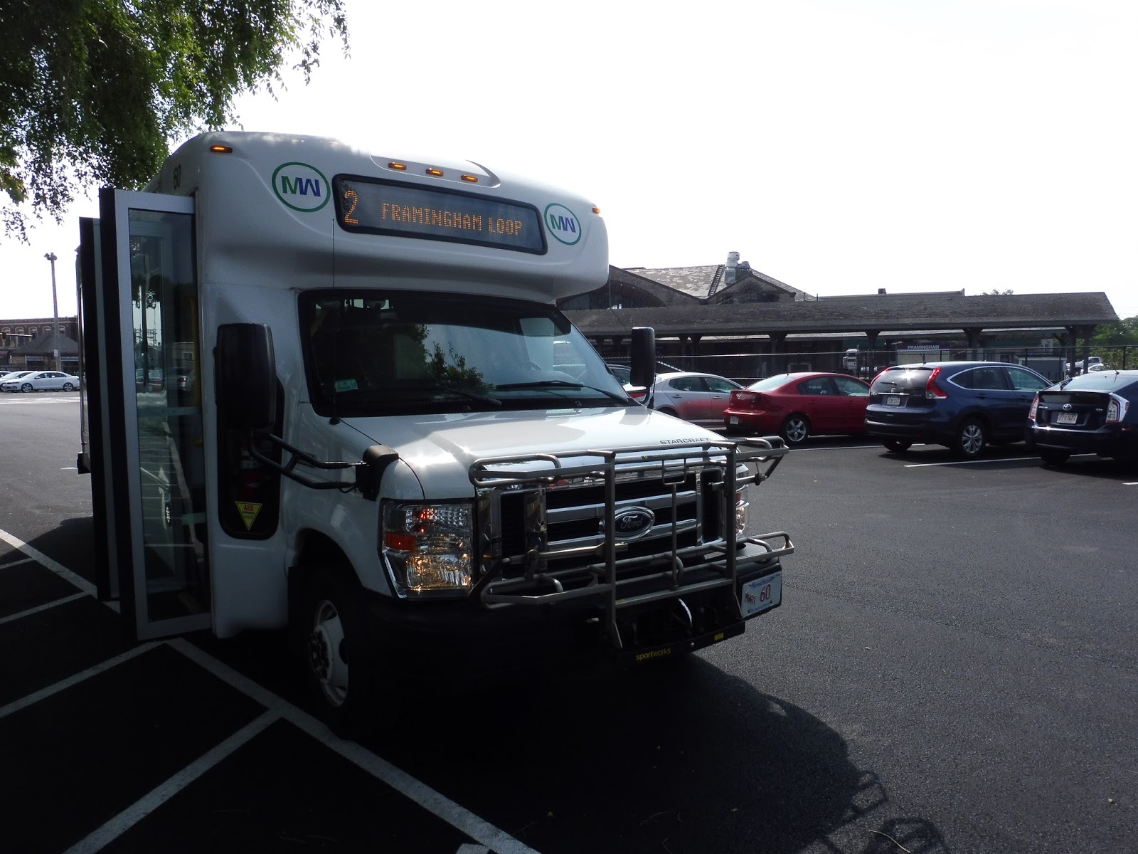
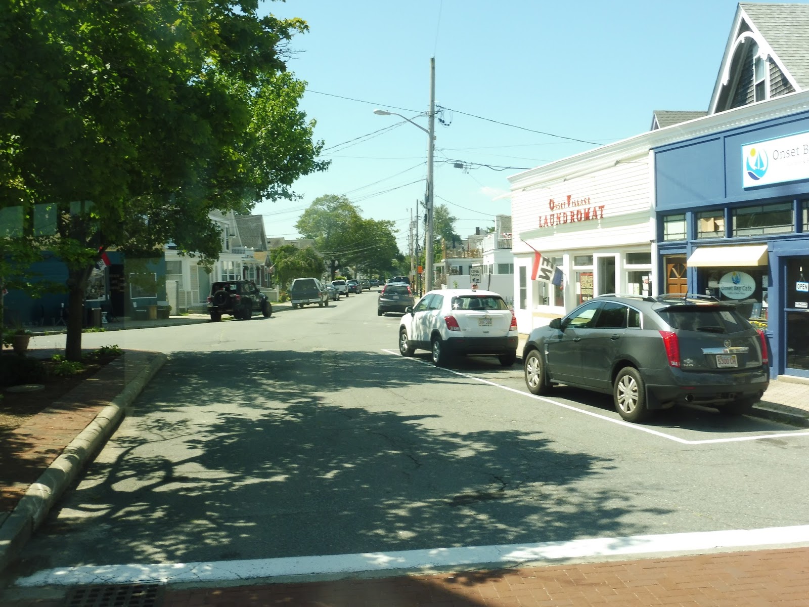
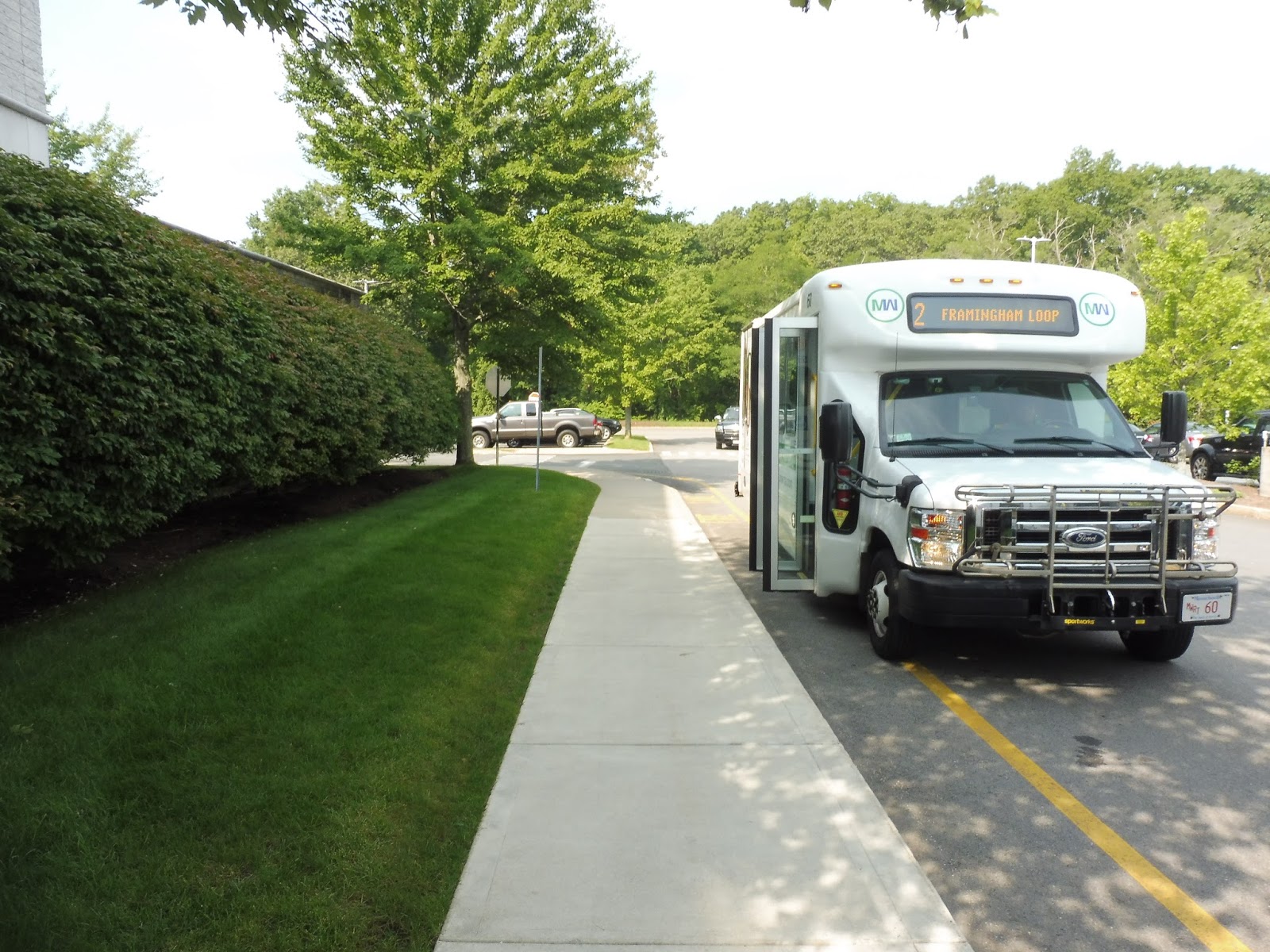 |
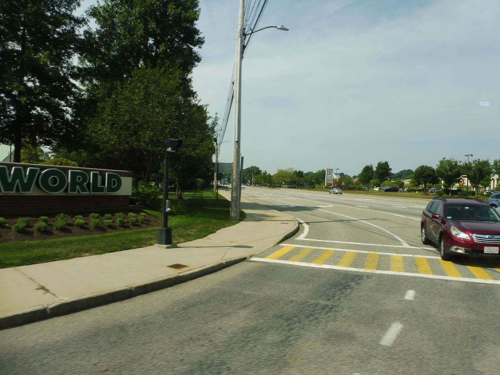
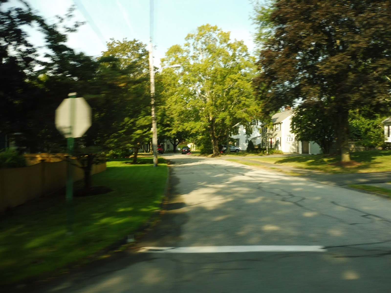
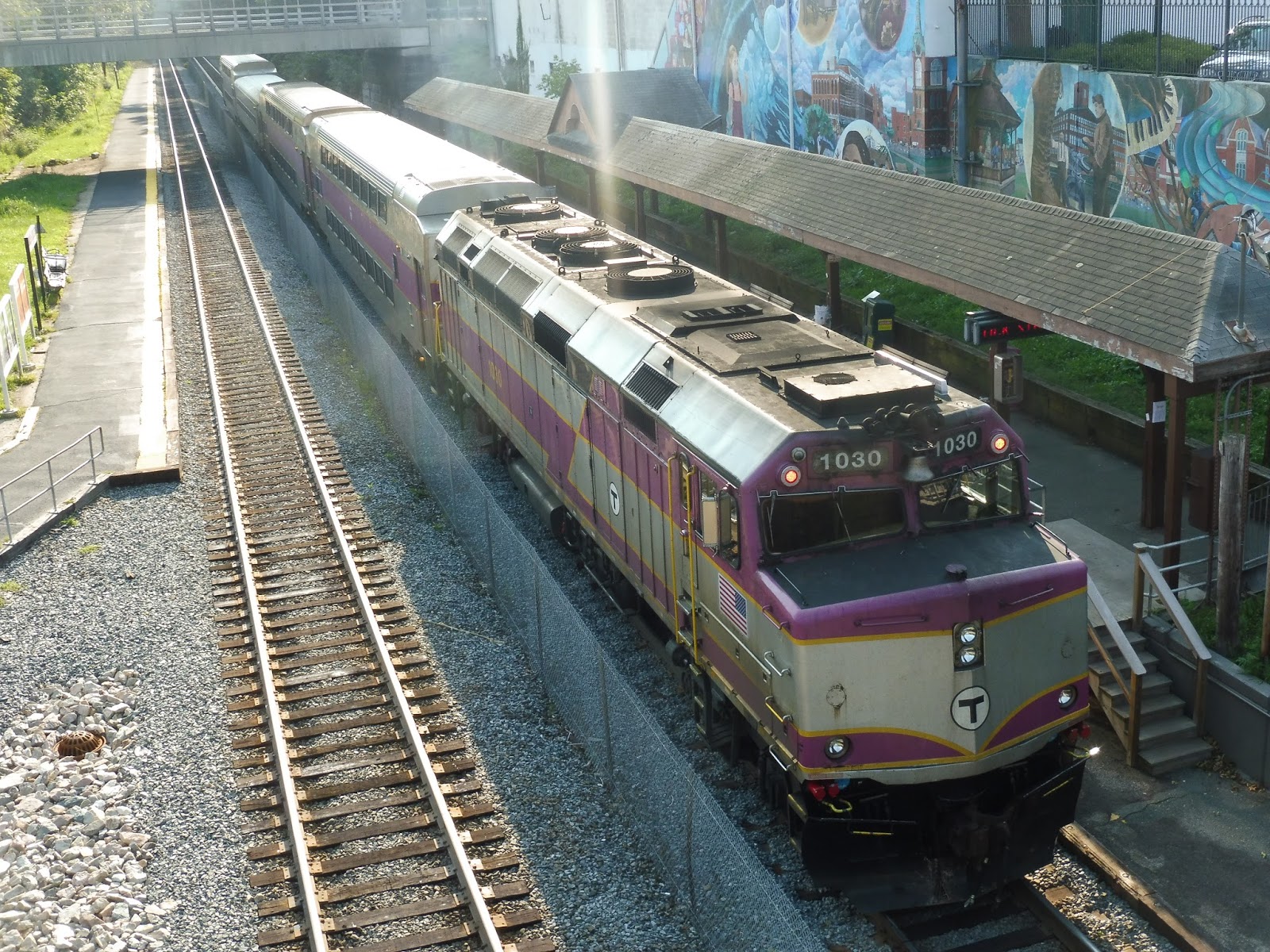
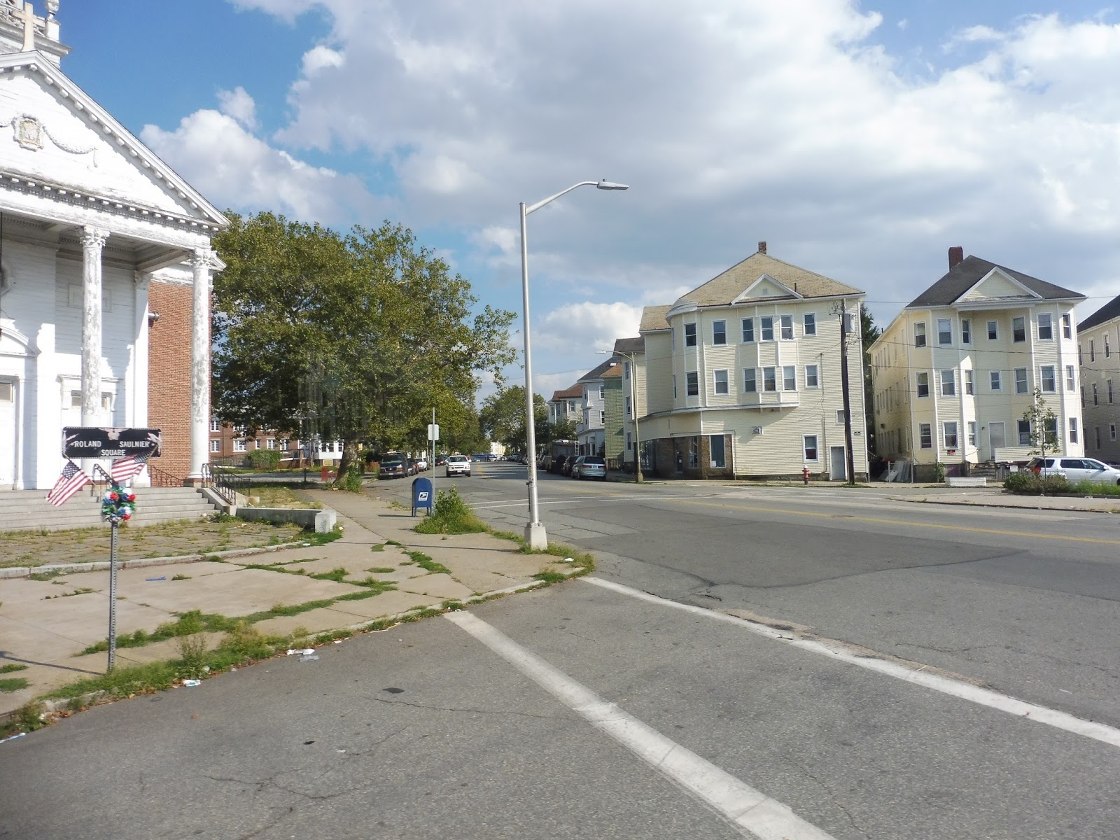
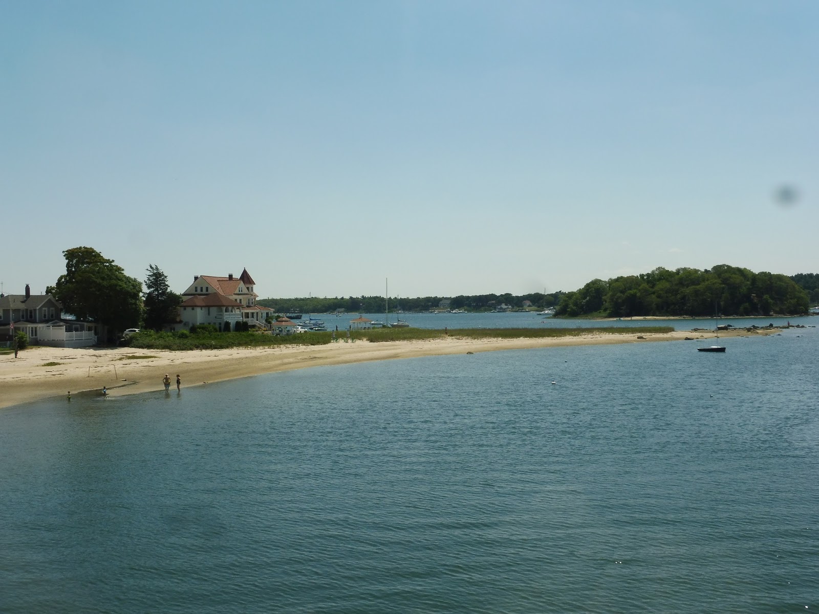
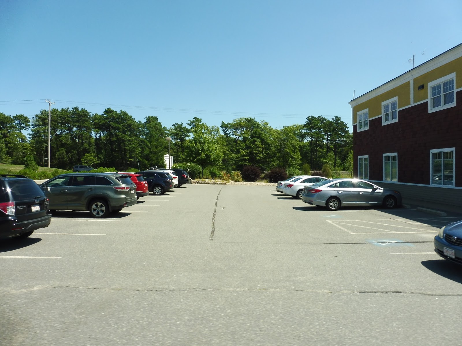
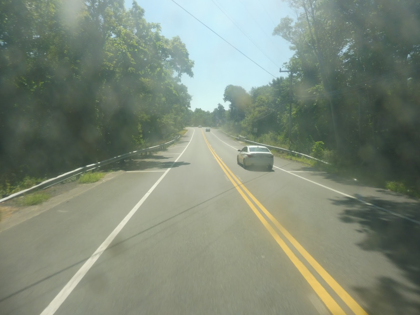
| The 2 at the Natick Mall. |
I boarded the minibus at the Natick Mall, and we looped around onto Flutie Pass. Next, we turned onto Shopper’s World Drive, then Ring Road, serving Shopper’s World – an apt name for a shopping plaza. Ring Road went up along the back of the plaza and we had a stop for Kohl’s, then we waited at the longest red light in the world before turning onto Cochituate Road.
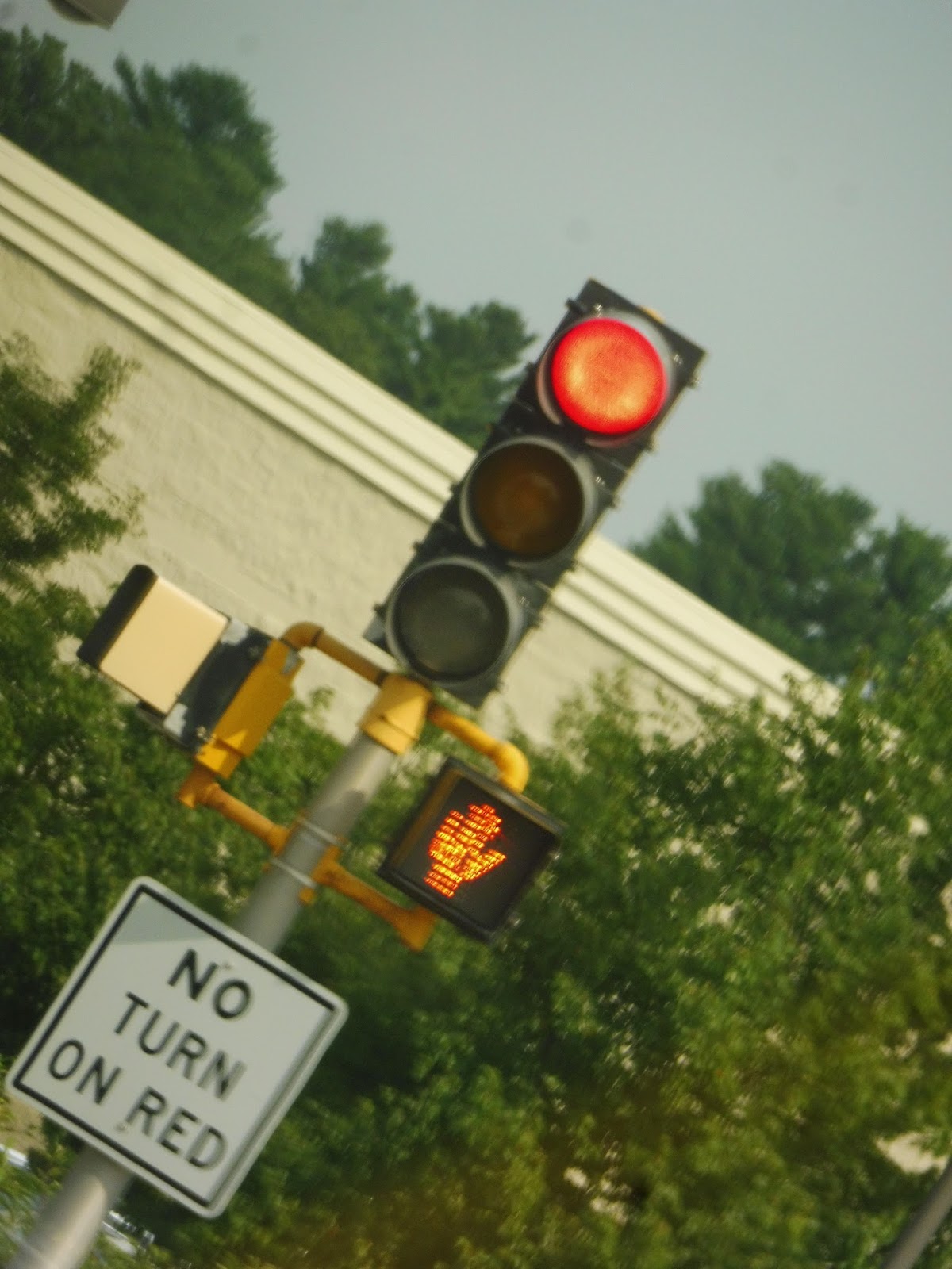 |
| I was so bored from waiting that I took this weird photo of the light! |
The behemoth suburban shopping plazas around the Natick Mall started to dwindle, eventually becoming boring ol’ Route 9 businesses as we turned onto Concord Street and crossed over that road. There were houses on the other side, but we made some weird turns to get to Arsenal Road. This route jog was, from what I can tell, only to serve a housing development one block from Concord Street.
 |
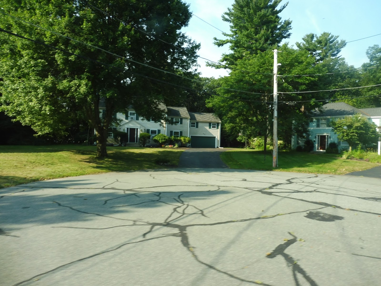
| Some normal houses. |
There was a base for the National Guard where we turned onto Normandy Road, then Rose Kennedy Lane, which was a…dead end. Oh, another housing development? Alright, alright, great. This section also served MassBay Community College, but I guess that didn’t warrant its own deviation, so we returned to Concord Street.
 |
| Some more houses. |
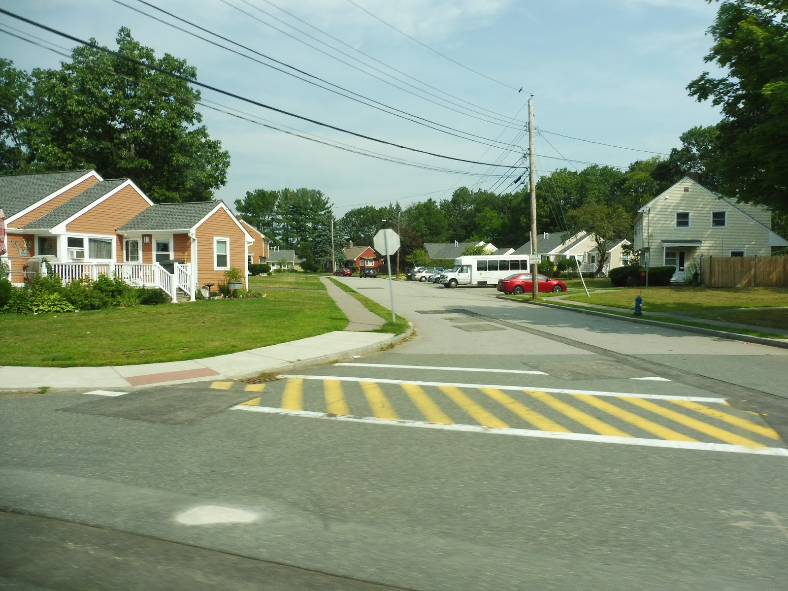
There was a burst of retail, but then it became a mix between that and more houses. Things started to get denser as we turned onto Lincoln Street, then Pearl Street, and new types of buildings began to show up. We made a lot of one-block runs on narrow local streets, taking us past backlots of downtown Framingham, until we arrived at the Framingham Station Banana Lot.
 |
| Oh, we’re not even near done! |
It was more side streets from there, featuring a pretty industrial atmosphere overall. The route finally stopped its twists and turns and settled on Union Ave, a street with many parking lots along it. After a high school, it turned into houses, staying that way until a college football field and a senior center came in a clump.
 |
| Back to my favorite road! |
Union Street became Main Street, and we soon reached Route 9 again (the ugliest road in the world after Route 1 in Saugus). We were right near Framingham State University, but strangely, we didn’t have to serve it, instead opting for a jog to some businesses on Vernon Street. We took that road around a common and turned onto Edgell Road, which curved around past some houses and under I-90.
 |
| Pretty industrial here! |
It was all residential for quite a while until we got near water street, where a few shopping plazas started to show up. We turned onto Water next, passing the “Nobscot Shopping Center,” otherwise known as the most depressing shopping center on the planet. Almost every retail space was vacant!
 |
| Wow. |
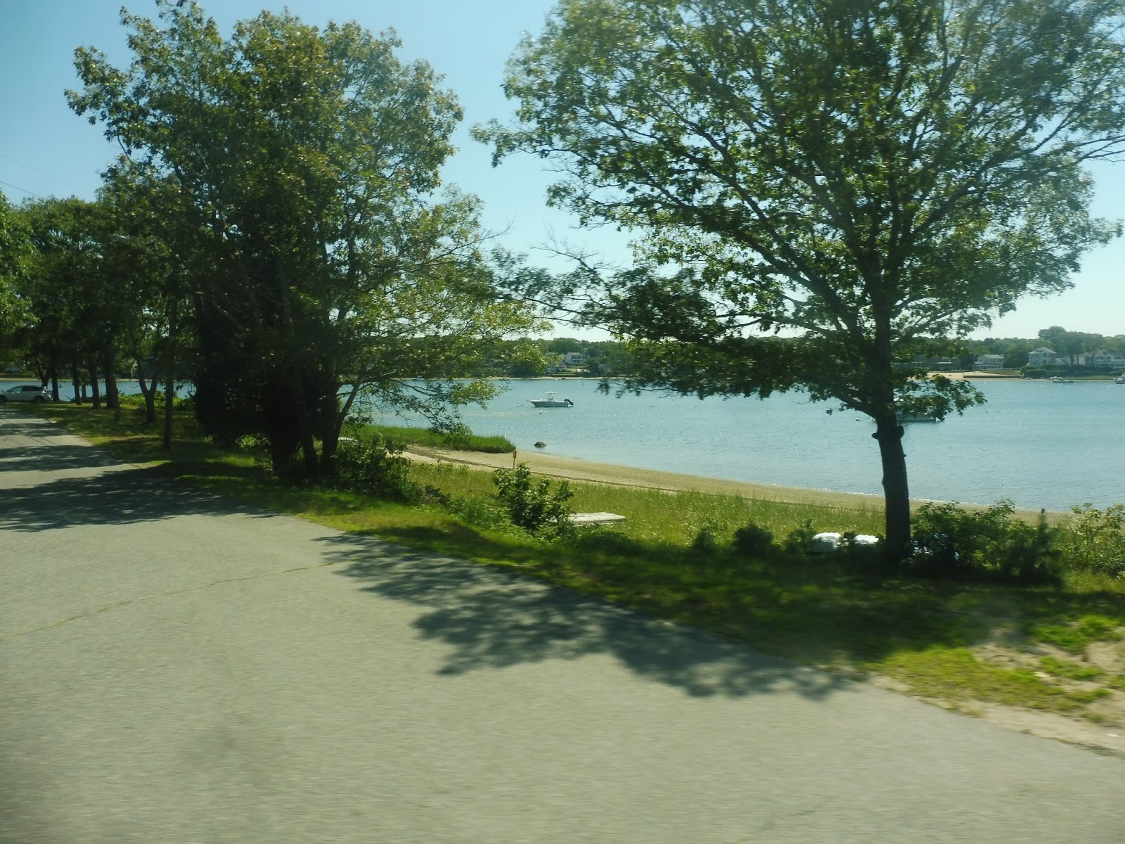
There was a library and an elementary school, then Water Street became residential. It was almost all houses as we headed in a southeastern direction until Sudbury Pond. Not only was there a nice view here, but there were also some businesses!
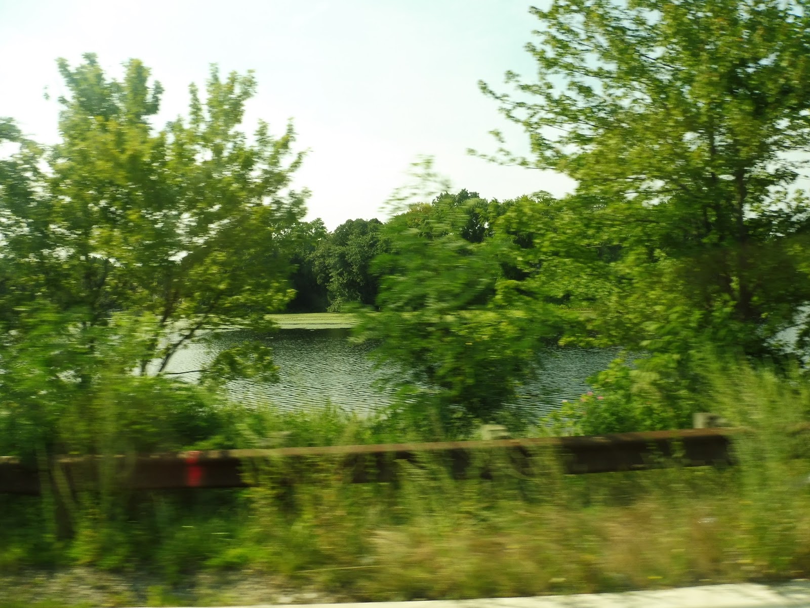 |
| Okay, “nice” doesn’t mean “amazing,” but it’s something. |
We made our way onto Concord Street, which had a revitalized old factory along it for a bit. After going over a small river, we turned onto A Street, which had a smattering of houses and the gigantic Framingham High School. A Street merged with Concord Street again, and there were more houses after we went under I-90.
 |
| Well, this is a very nicely-landscaped traffic island. |
Eventually the MWRTA planners decided the route was too straight, so we deviated into a Stop & Shop. There was a BJ’s next to it, but a different bus deviates to serve that one, so we made our way down Newbury Street. This became Whittier Street, then Shopper’s World Drive, and we were in the suburban, wide-roaded hellscape surrounding the Natick Mall once again.
 |
| What is this, suburban Florida? |
We went by the big park-and-ride for Logan Express buses to the airport, as well as Shopper’s World again. Luckily we didn’t have to deviate into that plaza, instead turning right onto Flutie Pass. This took us right back to where we started: the Natick Mall. And you thought that loop was long and deviatory? Just wait until the next review!
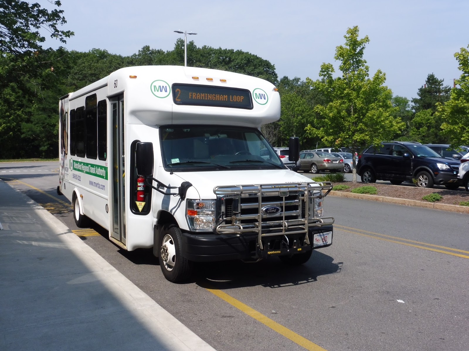 |
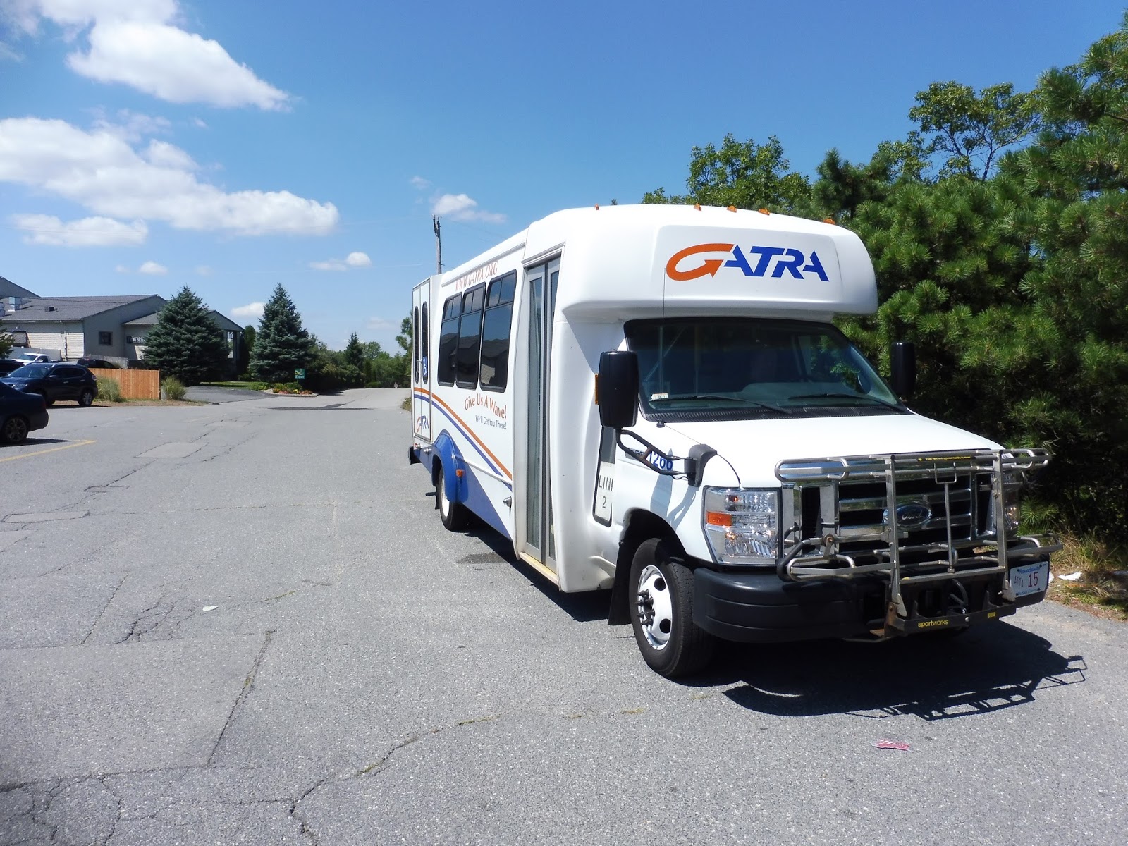
| I couldn’t get a picture of the 3, so here’s a 2 again. |
MWRTA Routes: 2/3 (Framingham Circuit Clockwise/Counterclockwise)
Ridership: When I said these were the premiere MWRTA routes, I wasn’t lying – the 2 and the 3 are the two busiest lines on the whole network. Together, they get the huge number of: 332 riders per weekday and 165 riders per Saturday. Well, that’s a little anticlimactic! Also, while the weekday ridership is split pretty evenly, the 2 gets way more ridership on Saturdays than the 3. I have no idea why.
Pros: Well, given the number of trips, that ridership data isn’t half-bad! Most of the deviations on my ride got people, and the routes serve a big chunk of the MetroWest’s developed areas. I’m grateful for the fact that clockwise and counterclockwise loops are provided so that people don’t have to suffer through that many deviations to get wherever they’re going.
Cons: It’s the MWRTA, so of course the schedules are crazy! The 2 actually starts out with consistent every-hour service weekday mornings and Saturdays, but at all other times for the 2 and the 3, it’s anyone’s guess as to when they come! Every 65 minutes? Every 80 minutes? Every 71 minutes? These are all headways, and it needlessly complicates these routes. I know that traffic necessitates longer schedule gaps, but there has to be some way of making things at least a little consistent. Also, why do the two routes have to come to the Natick Mall at around the same time? Seems like it would be better if they were staggered to give the illusion of more frequent service.
Nearby and Noteworthy: Lots of malls. Malls, malls, malls. Natick has a lot of malls.
Final Verdict: 5/10
Well, isn’t this sad? These are quite possibly the two most useful routes on the MWRTA and they get a 5. As the ridership gets higher and more people are relying on the routes, the MWRTA schedules become less and less desirable. There are buses with way less consistent headways, but they’re less busy and much straighter; the high ridership and constant deviations of the 2 and 3 drag down the score.
Latest MBTA News: Service Updates
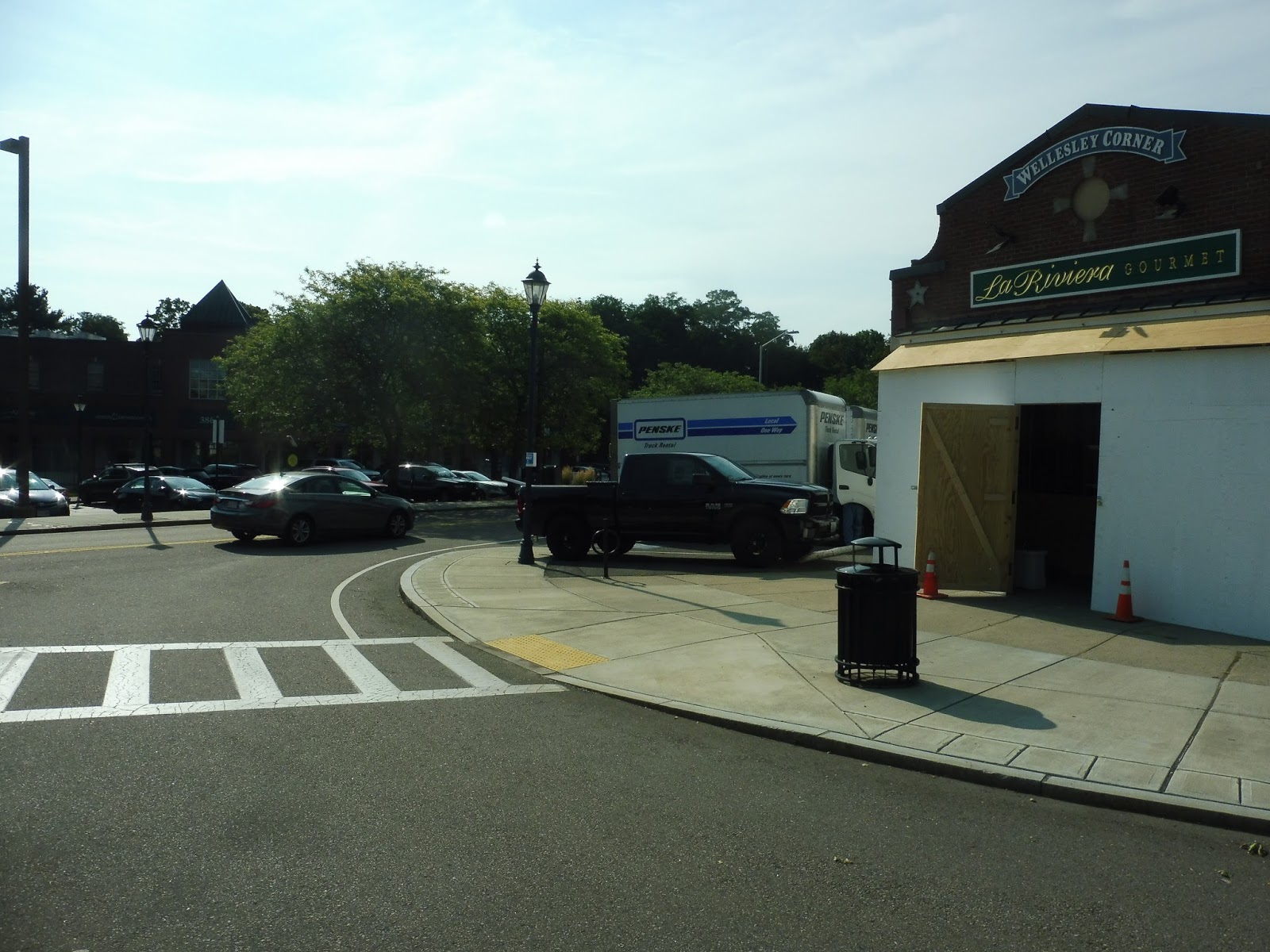
MWRTA: 8 (Wellesley)
From one of the busiest stations on the MBTA to a horrible bus route on a horrible bus system that only uses minibuses. Cool!
 |
| Ugh… |
After struggling to locate the stop at the Natick Community Center (it has no sign, and I had to ask an employee inside where it was), the bus pulled in. With that classic minibus “Bip!” sound, the doors opened and I stepped on. Little did I know how long and stupid this trip would turn out to be.
 |
| A house under construction. |
There were a few businesses at first, but it devolved into all houses as we headed down Central Street. Indeed, those houses soon devolved themselves into woods, which stuck around as we entered Wellesley. Soon after that, though, buildings for the college named after the town started to appear.
 |
| Oh, of course we have to deviate! Of course! |
Oh, darn it, we had to deviate into Wellesley College. This didn’t make any sense, either! First of all, the campus is huge, so what difference does it make to pull off the road a tiny bit just to serve the Campus Center? Also, who is going to use this bus from here? Wellesley College already has numerous shuttles to Cambridge that are more frequent, faster, and cheaper than using this bus and taking it to the T.
 |
| Aw yeah, just got the train in there! |
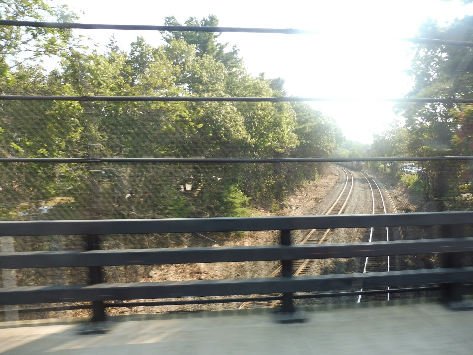
We came back to Central Street after the college and went through more woods. All of a sudden, there was a burst of retail along the road…but before we could run through it, we turned onto Weston Roa and crossed over the Commuter Rail tracks. It was time to start one of the stupidest and most long-winded deviations I’ve ever experienced.
 |
| Some houses. |
Weston Road was, aside from a few unremarkable Route 9 businesses, literally just houses. Just. Houses. Not a housing development, where people with lower incomes who might ride the bus are more likely to live. No, just houses. All with driveways. Some with garages! And we just went up this street for full minutes before just looping around on side roads and coming back. Wow. What’s more, the route only does this deviation going towards Woodland Station! That’s right, even if someone who lived here was inclined to use the bus, they would have no way of getting back. Oh, that’s truly wonderful. GEEZ!
 |
| A true neighborhood of bus riders, yessir! |
Were we safe from deviations yet? Nope. Before we could serve that block of retail I was talking about before, we had to go an extra block down Weston Road and turn onto Cross Street. Why? I don’t even know – it doesn’t show up on the map, and all we were serving was a parking lot. It does appear in the schedule, though, so it’s definitely supposed to happen! For some reason…
 |
| The businesses of Wellesley Square. |
We returned to Central Street and finally served the many interesting and diverse retail options of Wellesley Square. However, rather than continue on our merry way, we made a weird loop via Cameron Street, Spring Street, and Grove Street, and then headed back the way we came on Central Street…? Okay, are you telling me that this Wellesley Square stuff was also a deviation? And this only happens going towards Woodland too!
 |
| Going over the Commuter Rail again. |
We turned onto Crest Road, once again crossing the Commuter Rail, then we turned onto Linden Street. There was a variety of malls and shopping plazas along here, and based on the way this route was going, I was shocked that we didn’t have to deviate to serve any of them! Next up, we were on Kingsbury Street in order to go over the Commuter Rail yet again before turning onto Washington Street and actually picking someone up at Whole Foods.
 |
| An auto shop. |
With the Commuter Rail on one side and a big park on the other, we just sped down Washington Street for a while. Once we got to the Wellesley Hills area, there was retail all around, and it continued for a good while past the Commuter Rail station. We went over Route 9, and that’s where the street finally got residential.
 |
| Some businesses at Wellesley Hills. |
Home stretch, right? Nope, how about another deviation?! We turned onto Oakland Street, making our way through a lengthy level crossing with Route 9, all in order to serve MassBay Community College. So…why? After all, whereas this route costs $1.50 to ride and runs every hour and a half to Woodland, MassBay has a shuttle that’s absolutely free and runs every 15 minutes to Riverside! HMMMMM, SEEMS LIKE IT’S KIND OF A WASTE OF TIME TO RUN THE 8 HERE, METHINKS!
 |
| Sigh. |
After making our way across Route 9 again, we returned to Washington Street, which was almost entirely houses. We did serve a minor “downtown,” though, in the form of “Lower Falls,” just on the border of Wellesley and Newton. We finally made it into Newton when we crossed the Charles River, where there were more suburban-type businesses and offices as we went over I-95. Finally, after passing the Newton-Wellesley Hospital, we made it to Woodland Station! Geez, that was horrible!
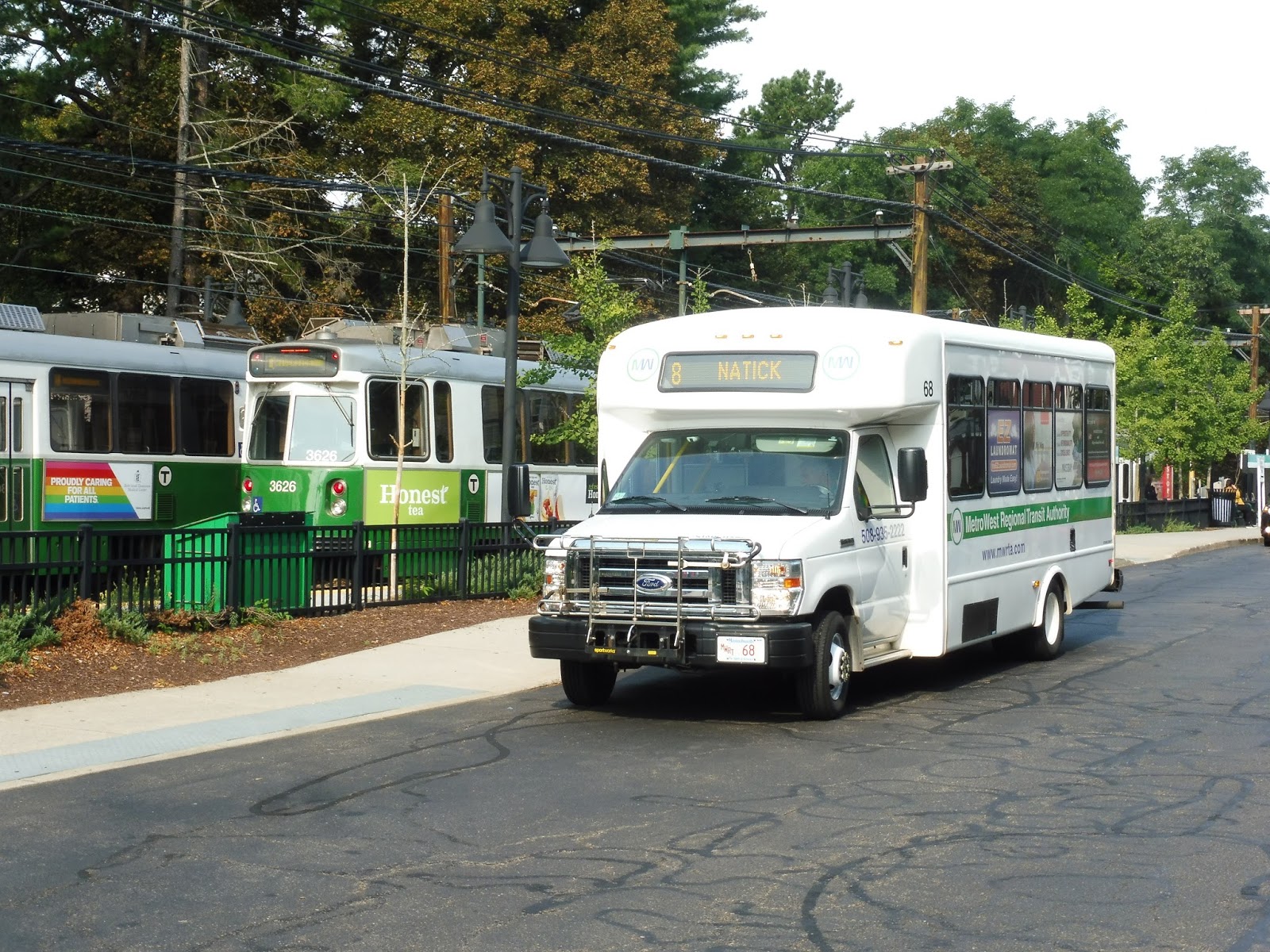 |
| A minibus with a Green Line train…that just doesn’t look right. |
MWRTA Route: 8 (Wellesley)
Ridership: Oh geez. The 8 got a “whopping” 8,093 riders in the whole year of 2015, and that was when the bus also went to the Natick Mall, which greatly boosted ridership. 8,093 riders per year, incidentally, equates to 32 people per day. My trip had a total of 1 other person the entire time. OH ME OH MY!
Pros: Who knows? Uhh…it serves Wellesley. There you go.
Cons: Let’s break this down piece by piece. First, I’ll just get the crazy schedule out of the way. So during rush hours, it has a “commuter schedule” that reads vertically and makes absolutely no sense. Cool. Meanwhile, middays it runs anywhere from every hour and a half to over two hours, depending on the trip – they all have completely random departure times in typical MWRTA fashion.
But the deviations…oh my God, the deviations. Let’s go through them one at a time, using the MWRTA’s handy stop-by-stop ridership data to decide if each one is worth it. First, there’s the Natick Community Center, which is a strange place to end the route in the first place. This stop never gets more than 6 riders in a month, so yeah, that’s a waste – the 8 should be extended to Natick Center instead. Next up, there’s Wellesley College, which has its own shuttle, and the stop never gets more than 1-2 riders per day. Cut it. The Weston Road deviation (the one that just served a residential neighborhood and a few Route 9 stores) gets barely anyone, and it’s a huge inconvenience anyway, so we’ll cut that. The deviation to the businesses of Wellesley Square gets barely anyone, with the shopping plazas on Linden Street netting much more ridership, so we’ll just have the route go straight on that. And finally, although MassBay Community College doesn’t appear to be on the list in 2015, it has that really frequent free shuttle to Riverside, so I think we can assume the 8 ridership is virtually nil. CUT!
Nearby and Noteworthy: I’ll be honest, the 8 passes through a bunch of really charming downtowns. Lower Falls, Wellesley Hills, Wellesley Square, and Natick Center (if you want to count that) all seem to have some pretty unique and charming storefronts!
Final Verdict: 2/10
Okay, the 8 is salvageable. It’s not a 1, because I think it could be somewhat okay if the route was streamlined better. I’ll leave the commuter schedule untouched because A) it’s really confusing, and B) it’s when the route gets the highest ridership, so we’re going to focus on the midday schedule:
Just look at what cutting those deviations did! We can now get consistent every-hour service with a much faster and more streamlined route that now goes all the way to Natick Center. There might have to be a little more room created around the bus shelter there for layover space, but it shouldn’t be that big of a deal. With the more direct downtown-to-downtown service, this schedule would hopefully allow for greater ridership than what the route currently gets. At the very least, it’s way more service and it looks a lot nicer.
Latest MBTA News: Service Updates
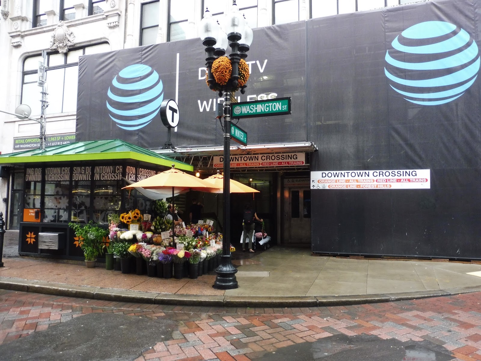
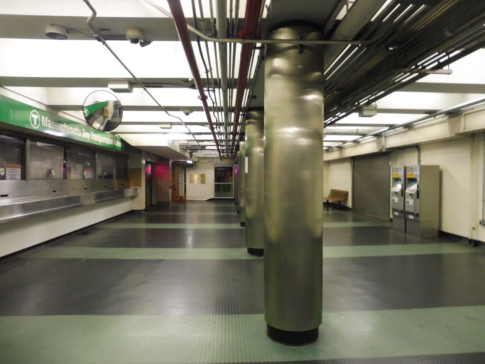
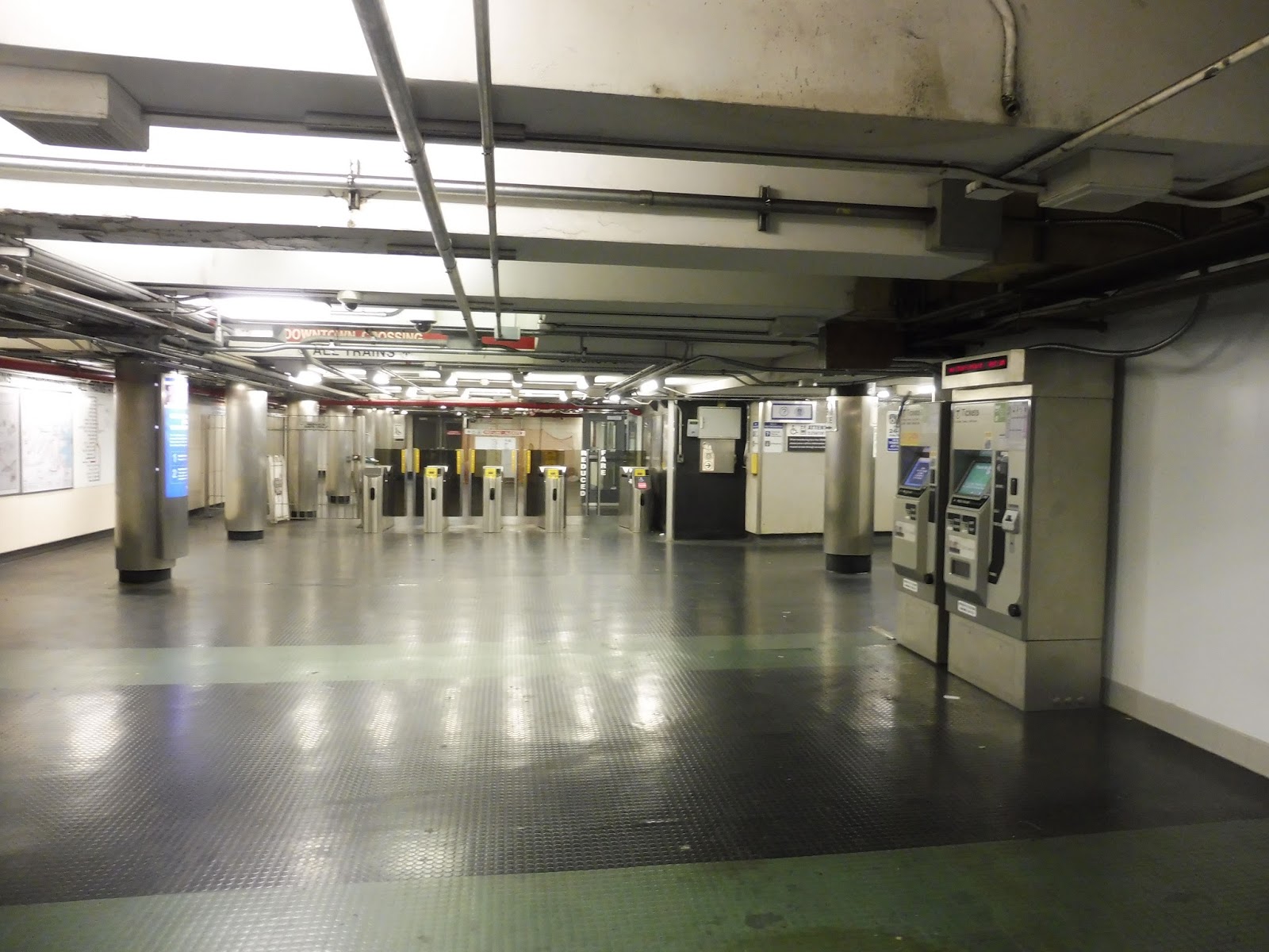
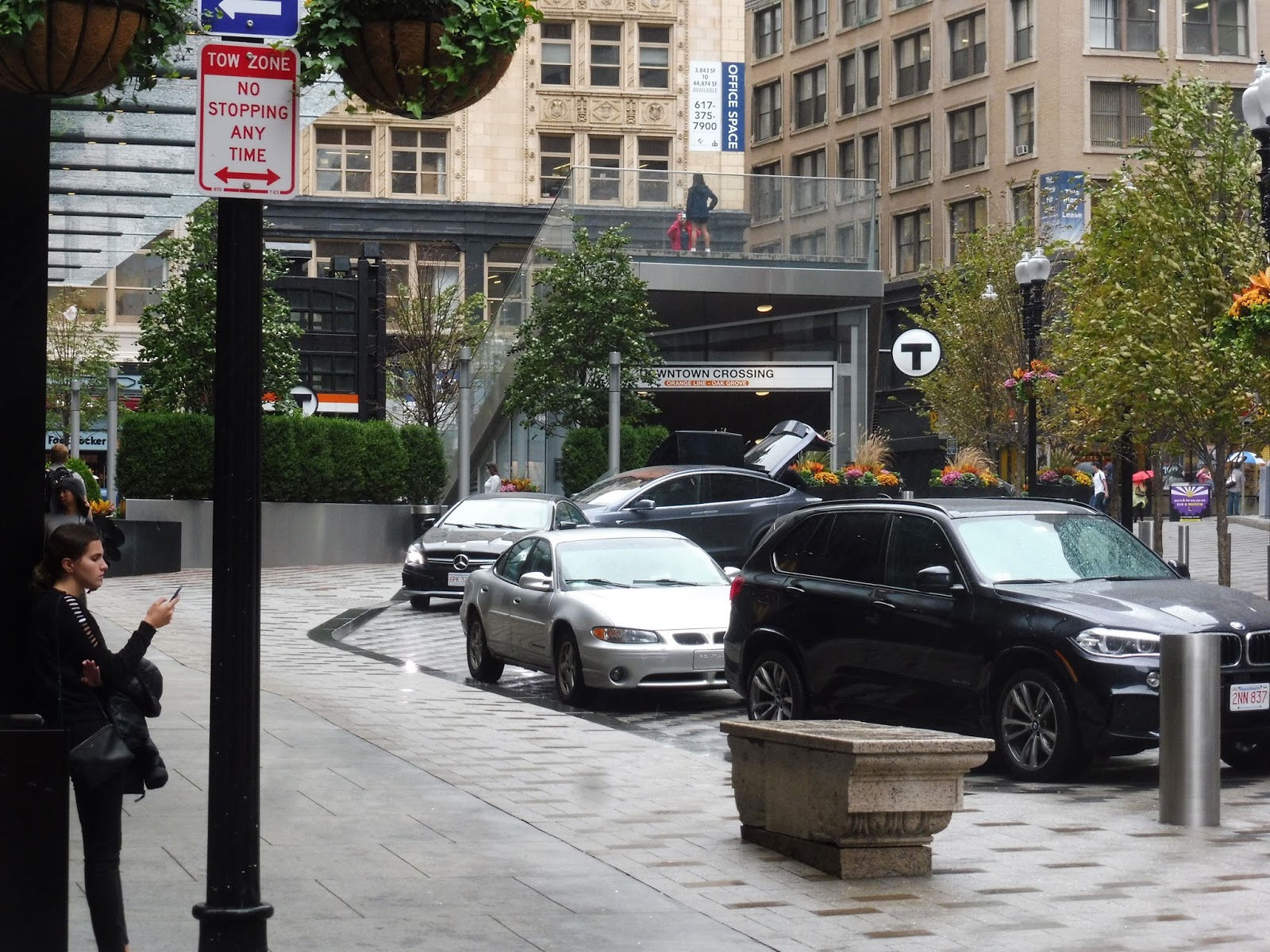
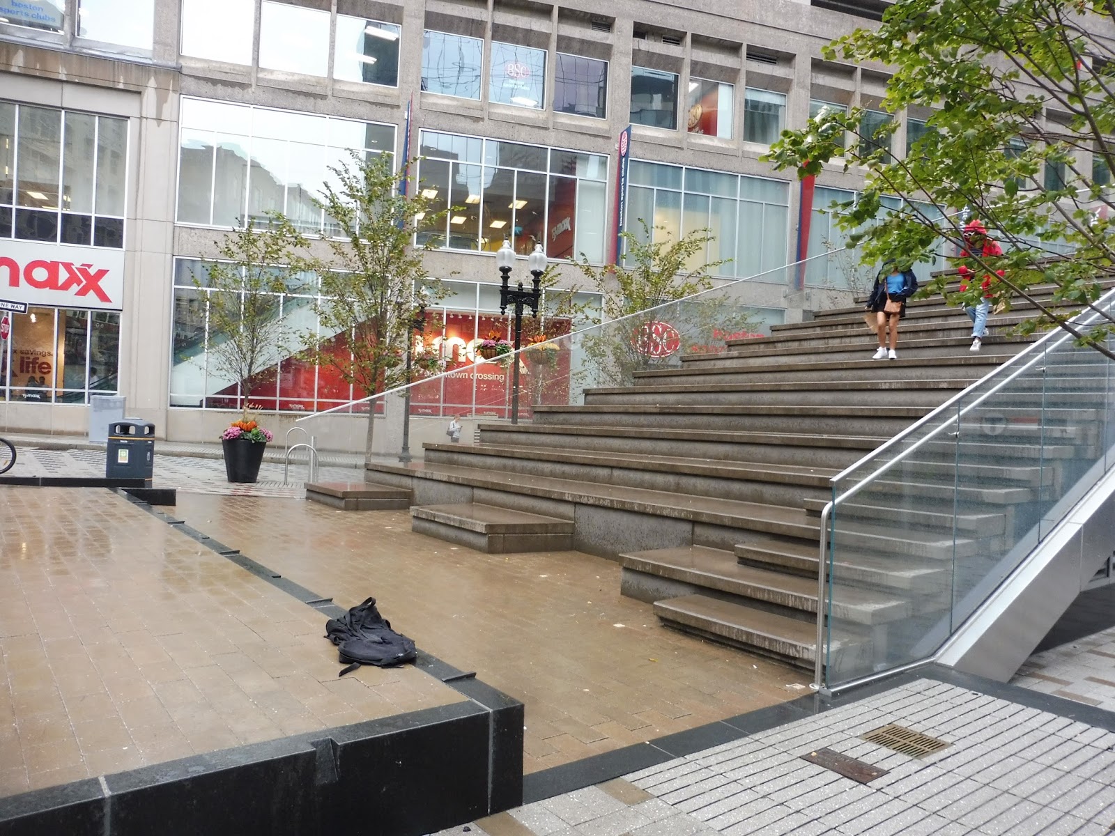
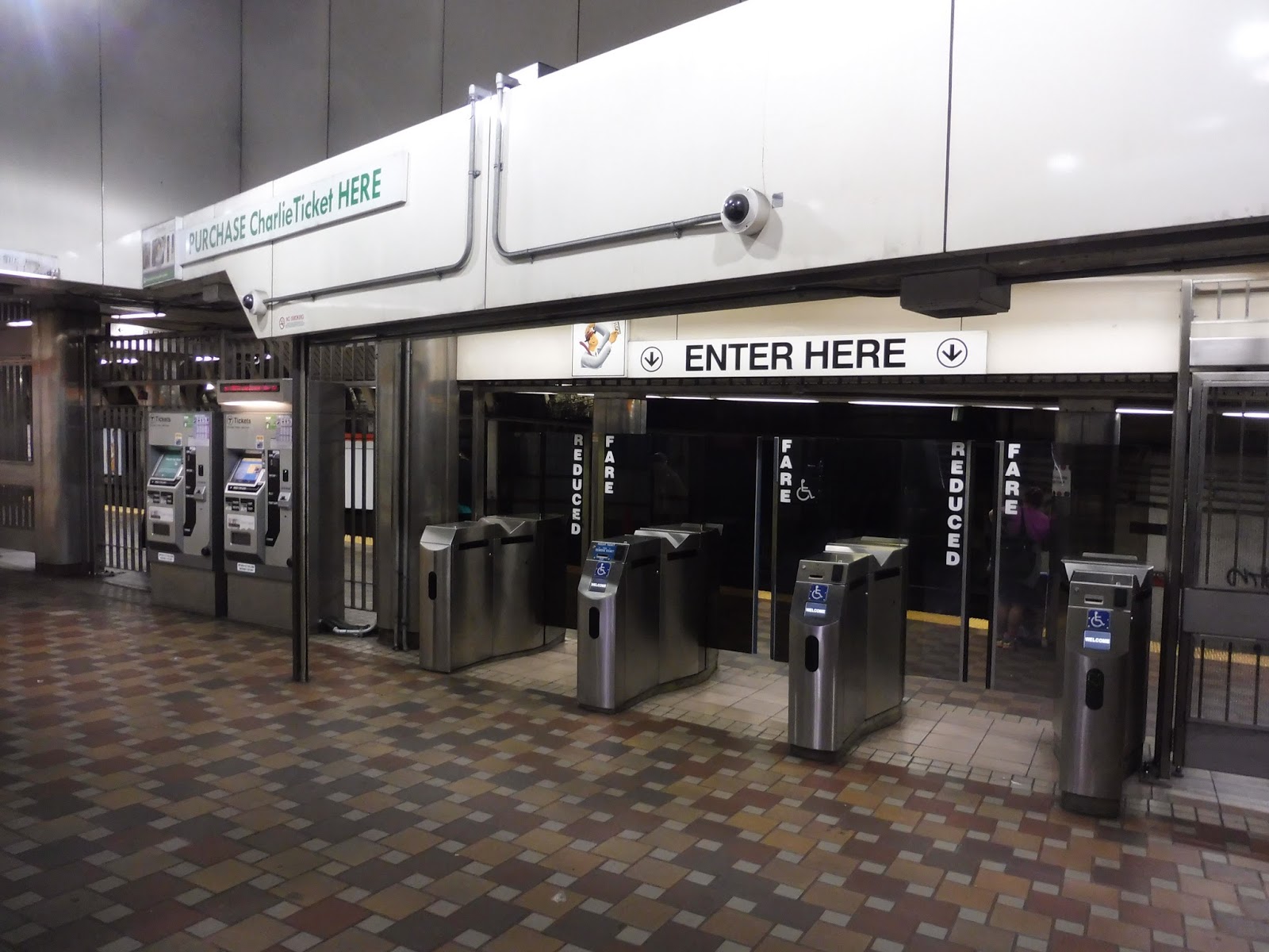
Downtown Crossing
Downtown Crossing is a labyrinth. I mean, we’ve all used this station before, either to transfer or to get to Downtown Boston. But seriously…does anyone know just how many entrances and exits this place has? My friends and I walked around reviewing this hub for an hour and I’m sure I still forgot something somewhere! Oh well…we’re going to take quite possibly the most comprehensive look this station has ever gotten, and it’s going to take forever. Strap in!!
 |
| Continuing where we left off. |
 |
| Mamma mia! |
 |
| Coming toward the Orange Line platform. |
 |
| The Forest Hills platform. |
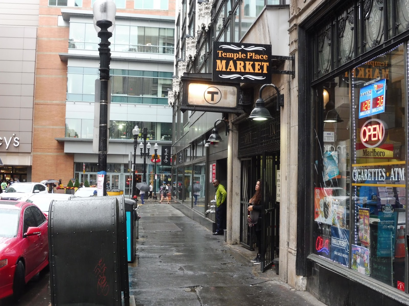
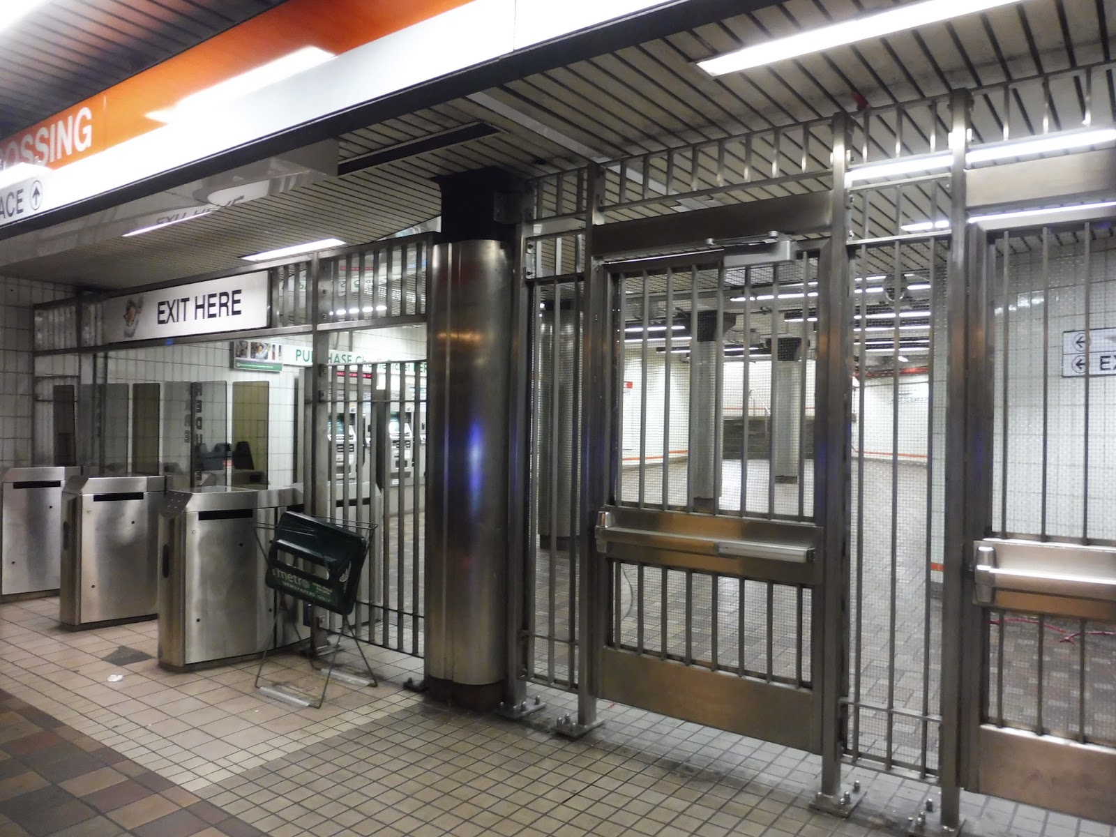 |
| The exit to Temple Place. |
 |
| Okay, that’s awesome. |
 |
| I put about as much effort into this picture as the T put into building this stop. |
 |
| A terrible picture of the Otis and Summer Street stop from my 448 ride. |
It’s slightly dubious about whether the Otis and Summer Street bus stop counts as “Downtown Crossing” or not, but the bus announcements seem to think it is, so we’ll talk about it. It’s not much of a stop, with two unsheltered benches and a wastebasket, but it’s not used very much outside of rush hour, either. You’ve got one local bus connection (the 7) or two if you want to count the 11 at Bedford and Chauncy Streets, and then a myriad of express routes, most of which have very limited schedules. On Saturdays, Otis and Summer only has the 7 and the 504, while it’s completely dead on Sundays.
 |
| Just gonna ignore that product placement… |
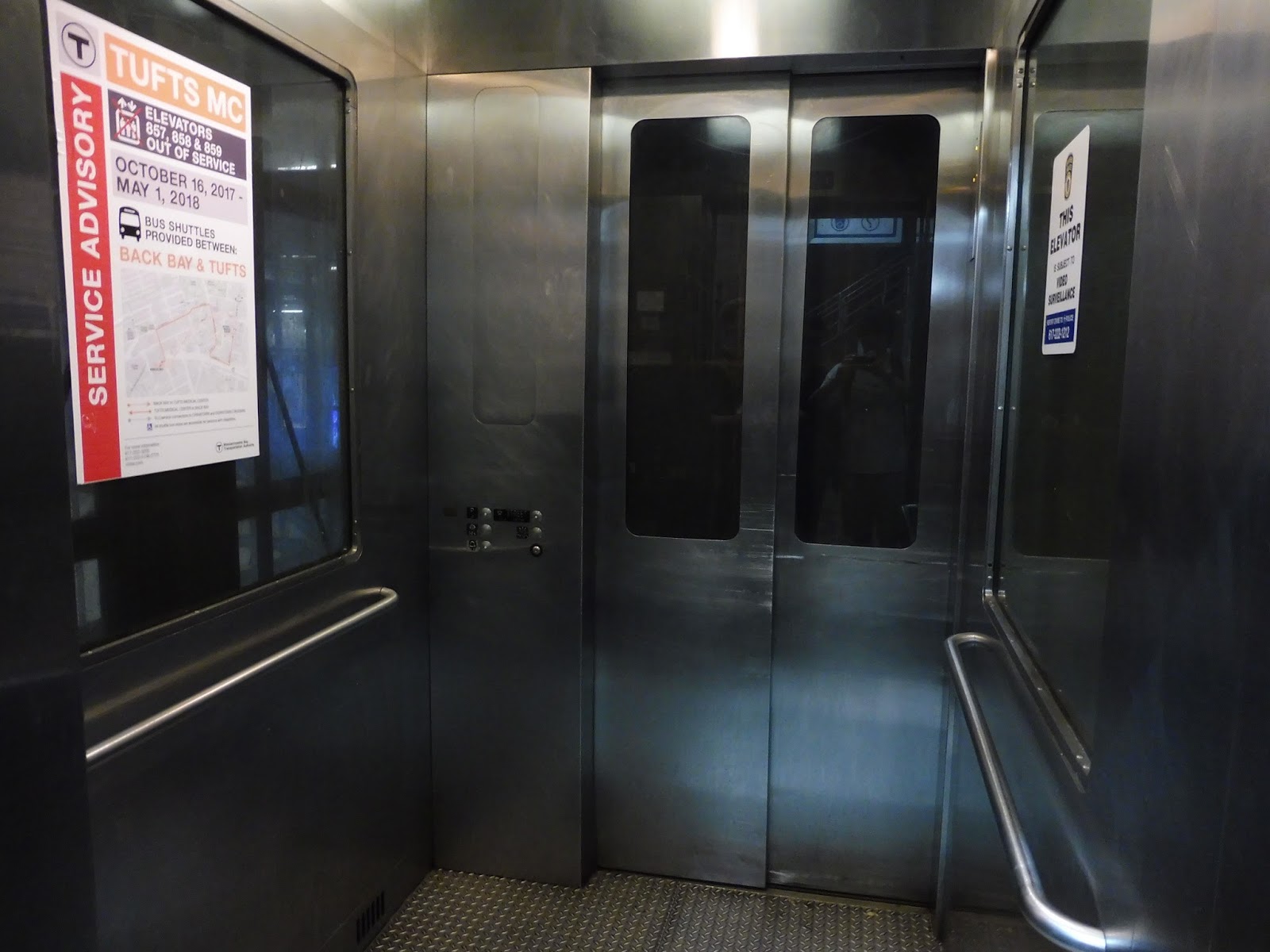 |
| Inside the first of many elevators. |
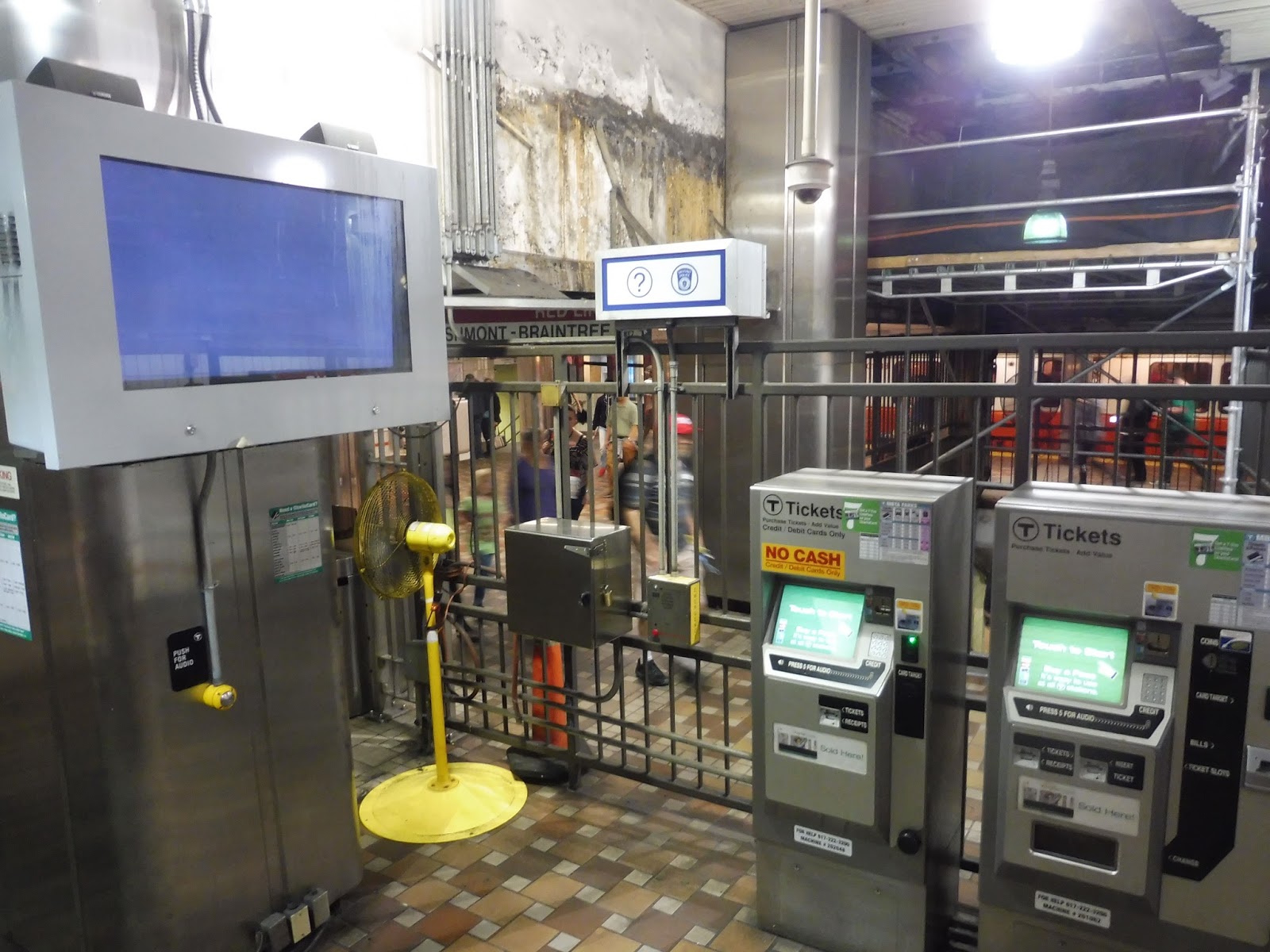 |
| A weird slice of the mezzanine. |
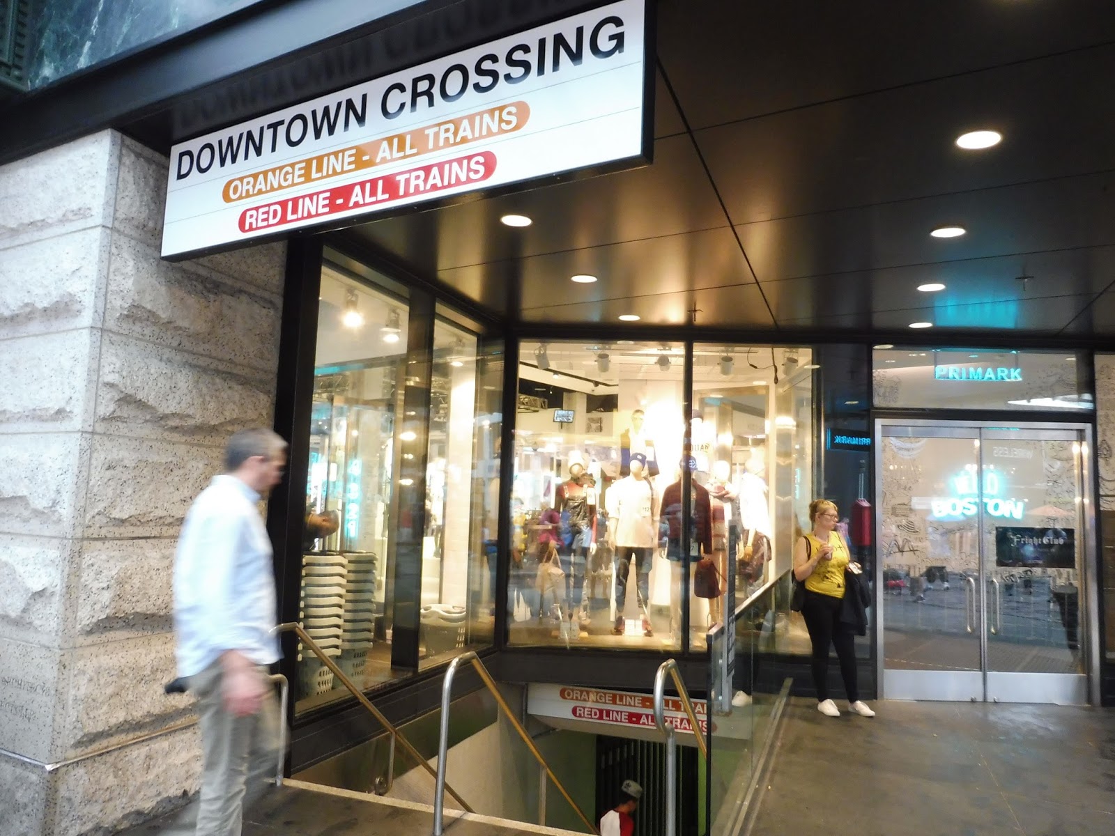 |
| A newer entrance. |
 |
| The end of the station concourse. |
 |
| This blew my mind when I discovered it. |
 |
| Now that’s signage! |
 |
| Continuing down the concourse. |
 |
| Further down the concourse. |
 |
| Woah, this is a change. |
 |
| The golden escalators! |
 |
| Oh…we’re back here? |
 |
| The other end of the concourse. |
 |
| How many exits are in this station?? |
 |
| The exit only…exit. |
UPDATE: James Rock on Facebook has let me know that the exit is from the Red Line Alewife platform. Thanks, James!
 |
| The modern entrance! |
 |
| Wow! |
 |
| The “modern entrance”‘s mezzanine. |
 |
| The Oak Grove platform with a train going by on the other side. |
 |
| Lots of construction. |
The end of the Oak Grove platform seems like it’s been under construction for a really long time. My good friend Wikipedia says that the T is installing elevators from the southbound Orange Line platform to the Red Line platforms…except that this construction is happening on the northbound platform! Sigh…who knows? One of you readers will let me know, I’m sure!
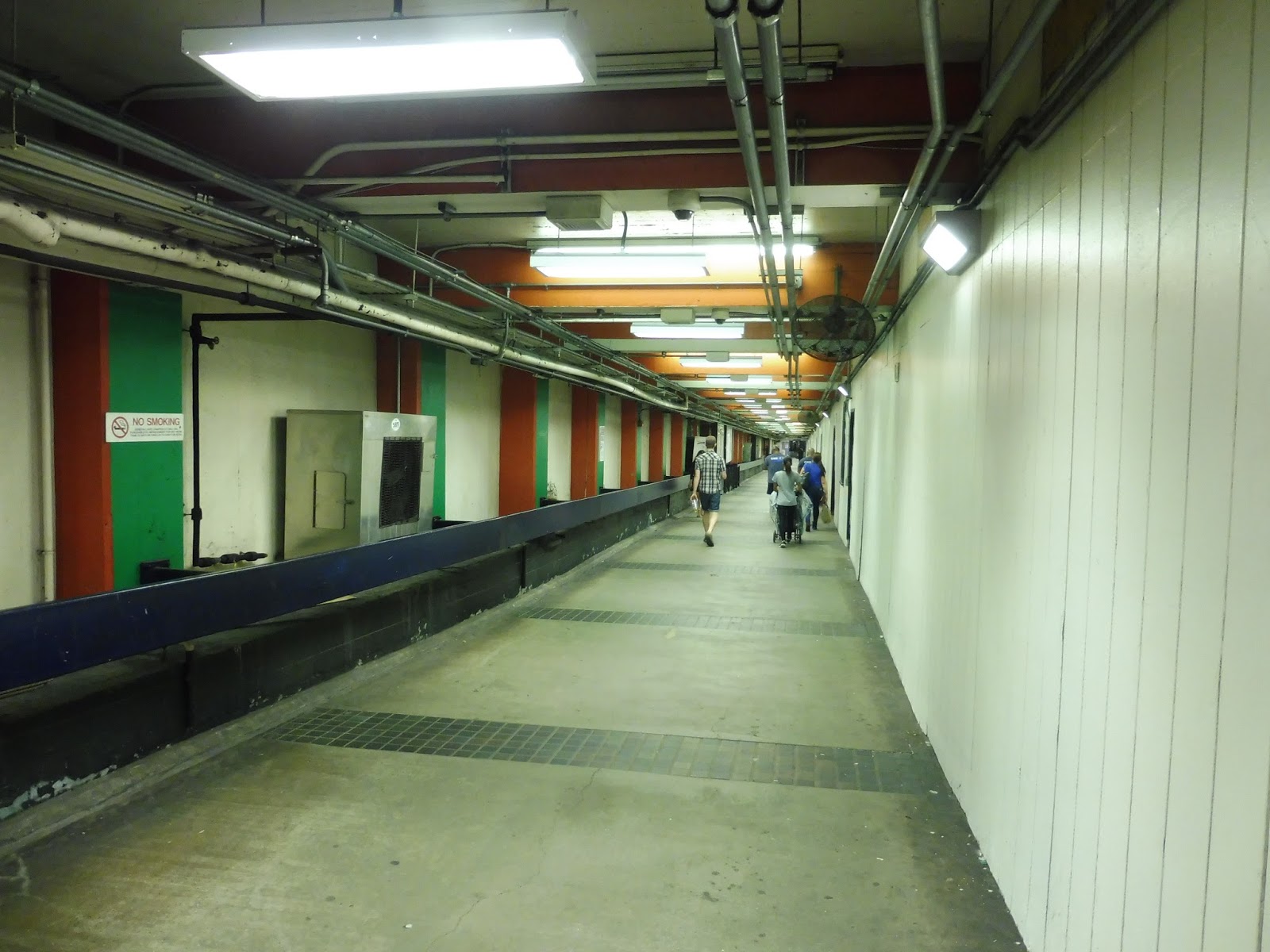
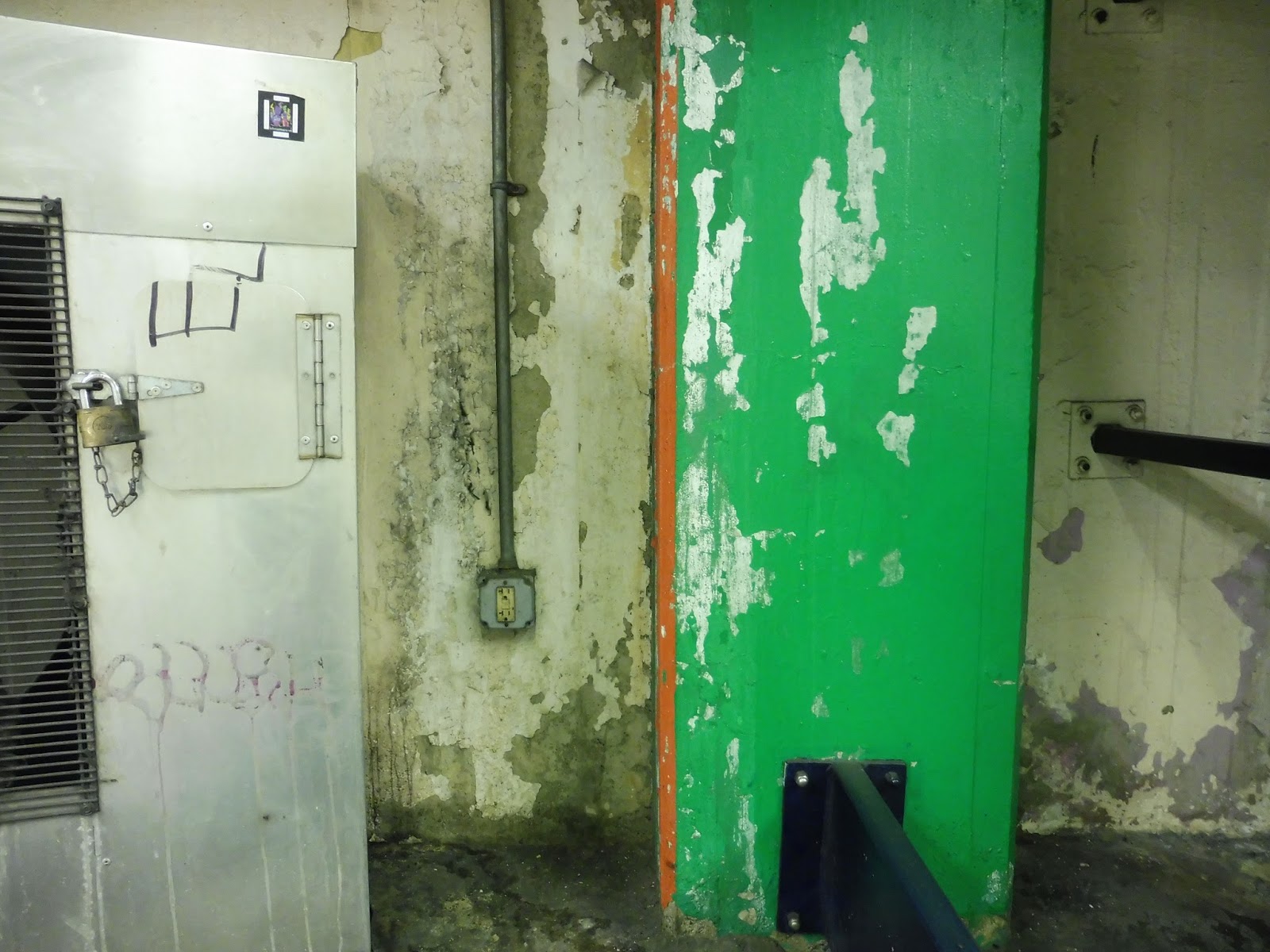
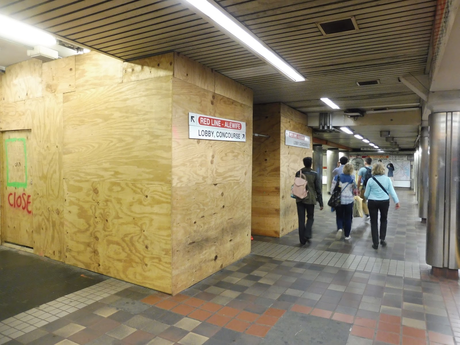
| Deep in the bowels of the Transfer of Death. |
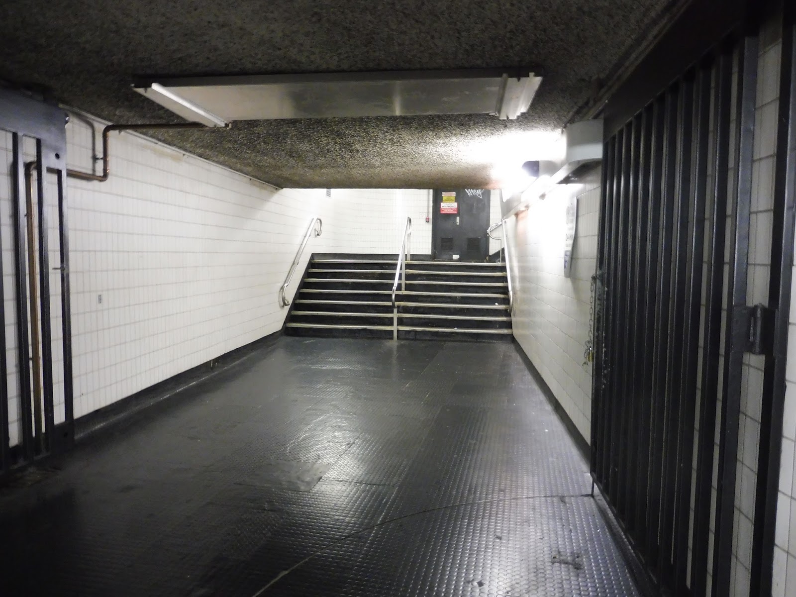
Alright, I’m not even gonna try to figure out how the transfers work here. It’s just a huge mess of long, ugly, low-ceilinged hallways that somehow connect two Orange Line platforms to two Red Line platforms. Some transfers are easier than others, some hallways are nicer-looking than others, but I seriously can never decipher this mess.
 |
| EW! |
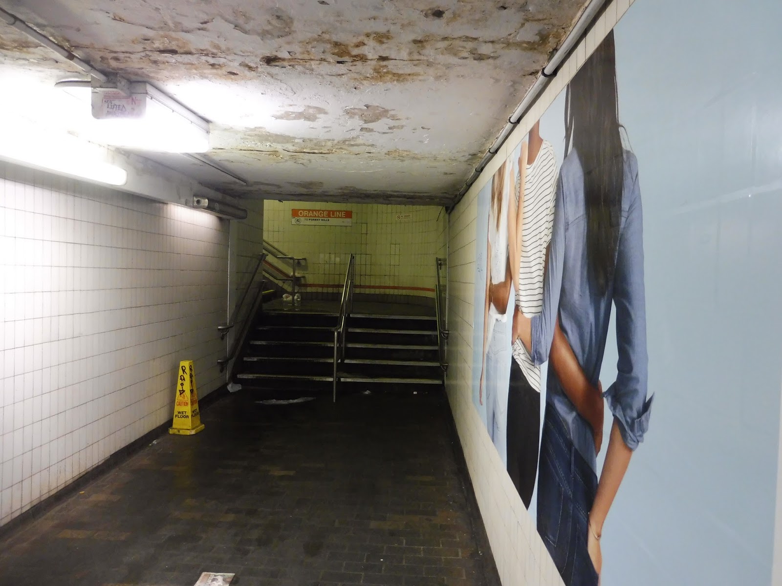
I’m not going to pretend I remember where this hallway leads from (I’m 95% sure it’s from the Red Line Alewife platform), but no discussion about Downtown Crossing is complete without talking about the Perpetual Liquid Staircase. A long, narrow, tight white hallway with a rotting ceiling leads to a staircase up to the Forest Hills platform that always has some sort of liquid trickling down it. Anyone who’s had to use this staircase will know that it is disgusting.
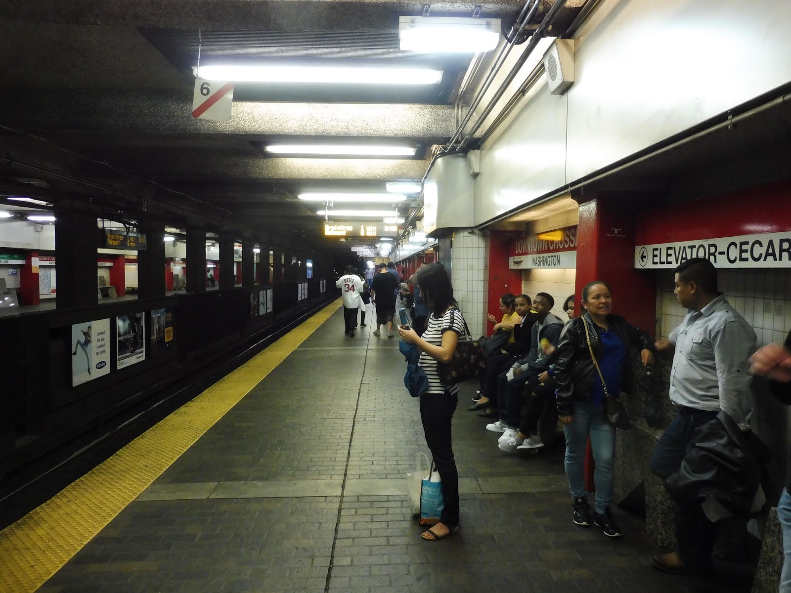 |
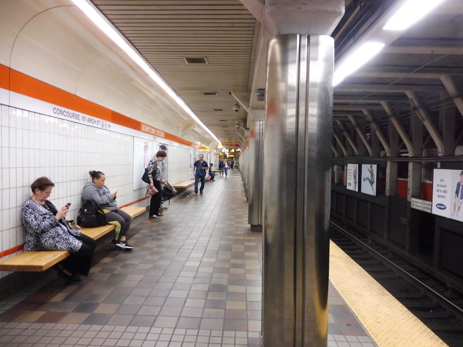
| The busy Red Line southbound platform. |
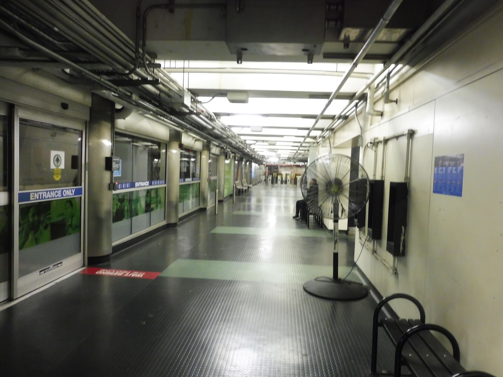
The Red Line platforms are right next to each other and are basically the same, so I’ll talk about them at the same time. This is a pretty typical T subway station, with wide platforms, some random pipes, and dark popcorn ceilings. It’s almost constantly busy no matter what the time is…well, unless there hasn’t been an Orange Line train in a while.
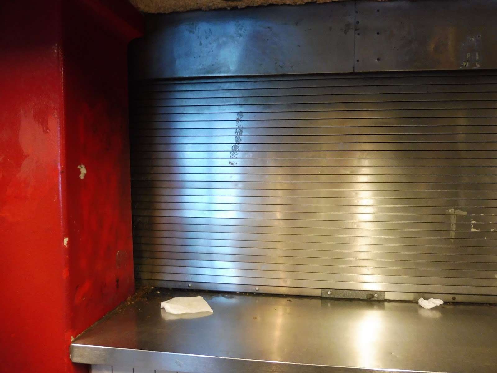 |
| Aw man, it’s closed… |
There are a few other points of interest along the platform. For example, there is a vendor right on the platform that sells various food products and seems to only be open whenever it wants to be. Also interesting is the signage for the Green Line via the Winter Street Concourse – I would completely understand if it was on the Orange Line platforms (it’s not), but the Red Line has Park Street one stop away! I guess it’s useful if the next train isn’t for a while.
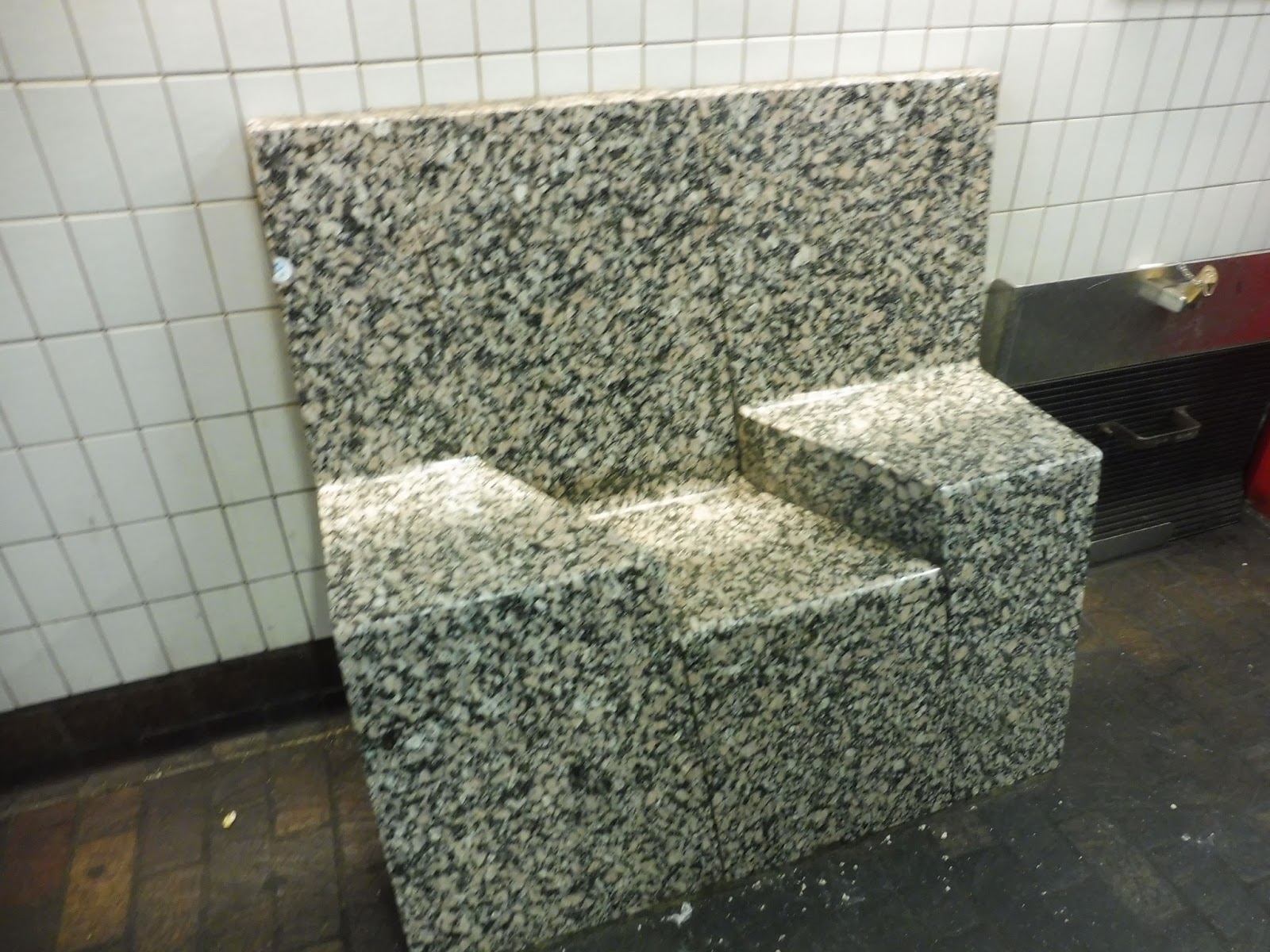 |
| YOU!!!!!! |
Please observe the bench in the above photo. Tell me if that looks comfortable to sit in. If your answer is “No,” then congratulations, you have an iota of common sense. Seriously, there are way too many benches on the Red Line platform that are like this. I understand that artwork in a station makes it unique and interesting, but this is artwork getting in the way of functionality. It’s stupid! And I know this is a really sour and specific note to end on, but I could not get this review done without my bench rant. Ridiculous.
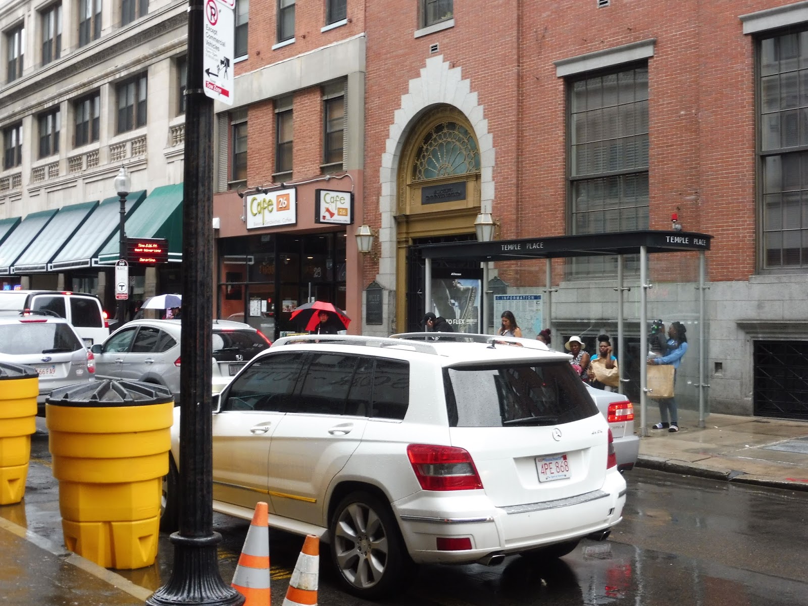
 |
| A “Silver Line” “rapid transit” vehicle at Temple Place. |
 |
| One thing I’ll say about the Orange Line platforms’ weird staggered layout is that it allows for cool pictures like this! |
 |
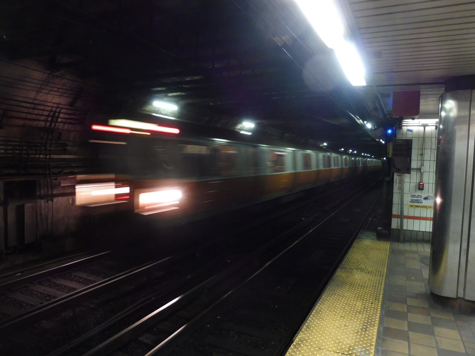
| A Red Line train flying into the station. |
Station: Downtown Crossing
Ridership: Psh, practically no one. No, of course I’m kidding – this is the second-busiest station on the system in terms of fare gate entrances (after South Station), getting 23,478 people per weekday. Slightly more of those folks use the Orange Line over the Red Line, while a hardy 404 riders enter here and walk to the Green Line via Winter Street. The real ridership at Downtown Crossing comes from transfers, though – about 25,000 people transfer between lines in each direction every weekday, adding up to around 50,000 transfer passengers! Oh right, and the SL5 gets a little over 2,500 riders here on weekdays. Kind of an inconsequential number compared to everything else…
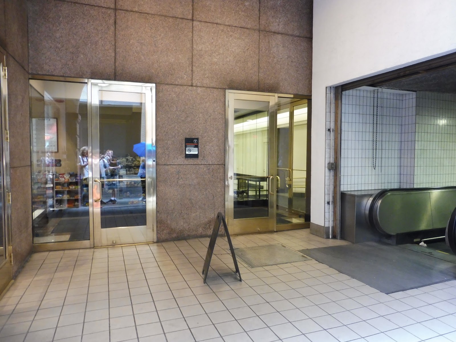
Pros: As confusing as they are, Downtown Crossing’s many entrances mean that there are many different places where its hoards of passengers can feed from. That allows for a better distribution of crowds. The train platforms are generally pretty good (the Orange Line ones are among the line’s most aesthetically-pleasing, at least in its downtown section), while the direct retail entrances are a huge convenience for shoppers. Overall, given the complex platform layouts the station designers had to work with, the place is somewhat functional.
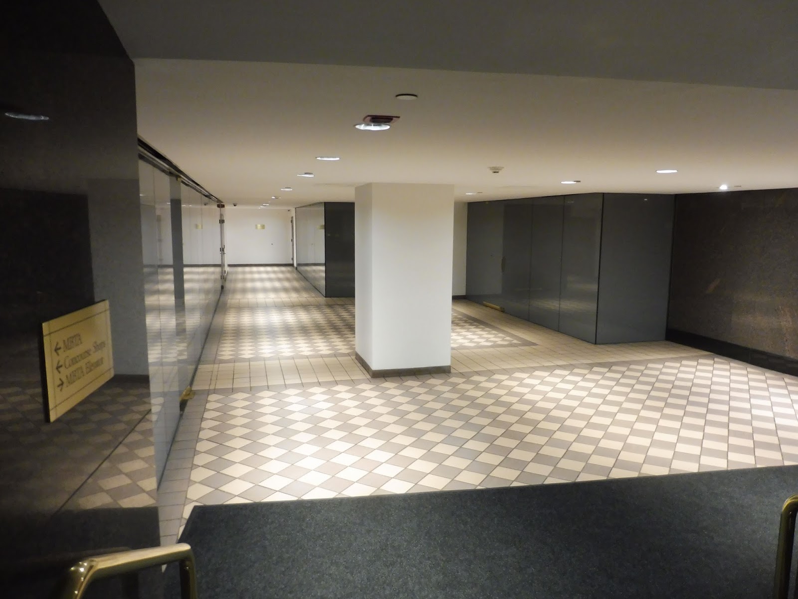
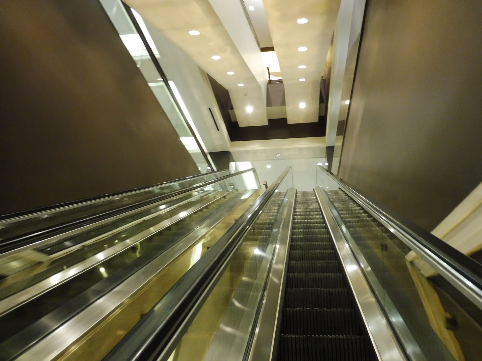
Cons: There are a lot of very specific complaints about very specific aspects littered throughout the review, but I want to focus on three main problems with Downtown Crossing: the layout, the looks, and the “experience.” First, there’s the fact that this place is just a labyrinth, and that’s a fact. It is near-impossible to figure out the mess of hallways, passages, and entrances here, and while I said that the design is somewhat functional, that’s only because there was no other way to do it given the stupid layout of the Orange Line platforms. Once the Red Line came in, the only possible solution was a Transfer of Death. The MBTA should absolutely produce maps of this madness and dot them around the station – that would make navigation ten times easier. There are already some maps around elevators, but they need to be more widespread.
Next, we have the looks of this place: it’s ugly. See, while Park Street also has some areas of questionable appearance, it’s clear that Park Street is trying to look nice. Downtown Crossing, on the other hand, is not trying at all. You’ll find bland white walls, chipping paint, unsightly popcorn ceilings, and hoards of random pipes in almost all of the station passageways. It’s not the biggest problem with the station, but it only adds to the feeling of being trapped underground that permeates through the whole complex.
And finally, the experience. That sounds vague, but I’m talking about the overall combination of the space, the heat, and the smell, that really come together to make using this place horrible. This station is downright cramped a lot of the time, particularly with its low ceilings, and it can feel very claustrophobic. It doesn’t help that the whole place is boiling – you have no idea how nice it was to get out of here into some fresh air after reviewing it for an hour. And finally, the smell. Anyone who’s used this station surely knows the “Downtown Crossing smell.” It’s hard to describe in print, but let’s just say that it is not pleasant. At all.
Nearby and Noteworthy: All of the stations are so close together in the city that it’s hard to pinpoint what places are closest to Downtown Crossing specifically, but there’s a huge variety of retail and activity around here! These are not the most vibrant attractions by any means, but if you happen to be going to Macy’s or Roche Brothers, you can utilize the direct entrances from the concourse for a more streamlined shopping experience. Fancy.
Final Verdict: 4/10
I absolutely despise using Downtown Crossing. In fact, I actively try to avoid using it if I can help it, preferring to use buses to connect between the Red and Orange Lines outside of downtown. That being said, for all of its flaws (and there are many, many flaws), the station still succeeds in its biggest goal of somehow harnessing tens of thousands of people who want to board trains. And yeah, this is absolutely the worst of the MBTA transfer stations, and it has way too many quirks and problems to count (just look how long this review is), but functionality still counts for something.
Latest MBTA News: Service Updates
143 stations down…1 to go.
Natick Center
Natick Center asks the question humans have been asking for millennia: why? More specifically, why does this station make absolutely no sense? I mean…
 |
| What the heck is this platform?! |
The inbound platform of this station is just…what?? Most of it is high-level, which would usually be a good thing, right? Except the part of it that’s not high-level is the part that meets the tracks. That’s right, in order to actually get on the train, you have to descend a small staircase (way too narrow to handle morning rush commuters) to the low-level section. Are. You. Serious??????
 |
| Along the platform. |
The high-level portion of the platform isn’t even good. Sure, there’s a nice mural alongside it, but the whole thing is way too narrow and the paint is chipping to an extreme degree on the shelter ceiling. Meanwhile, the outbound platform is just a rusty decrepit staircase leading down to a total of: 1 bench; 2 wastebaskets; a few signs; and that’s it.
 |
| The station’s flowery footbridge. |
I will say that the footbridge used to cross to the other side of the tracks is rather nice, with potted plants along its walls. It appears that the station doesn’t offer enough bike parking, though, since people have locked up their bikes right on the bridge! The southern side of the tracks features a touching plaza with memorials for Natick residents who served in various wars.
 |
| The entrance to the inbound platform. |
The inbound platform’s entrance is just a hodgepodge of random things. You’ve got a packed recycling bin, two completely different wastebaskets, a few newspaper boxes, an electrical box, a schedule, an alert about train boarding platforms, a sign saying not to lock bikes in the area (seems like lots of people follow that one), and the MWRTA’s horrible system map. This station is served by that system’s 10 and 11 routes.
 |
| An inbound train…from above. |
 |
| A train leaving the horrible outbound platform. |
Station: Natick Center
Ridership: As the fourth-busiest station on the Worcester Line, a lot of people have to subject themselves to this mess: 1,077 inbound riders per weekday, to be exact. I am so sorry to all those folks (although it has to be said that for a station with no parking, that’s some incredible ridership).
Pros: The plaza is nice…
Cons: Come on, that plaza isn’t even part of the station! Look, everything about this place is bad. The entrances are bad, the staircases are bad, the outbound platform is bad…and don’t even get me started on the inbound side. I think there’s some sort of reason involving freight trains why Worcester Line stations can’t be high-level, but with the closing of the Beacon Park railyard, would that change? All of the new Worcester Line constructions further toward Boston are high-level! Well, regardless, the layout of that platform is one of the stupidest things I’ve ever seen on the MBTA – make it all high-level or all low-level, not both!
Nearby and Noteworthy: One thing about this station is that it’s right in Natick Center, so there’s a huge variety of buildings and businesses right when you exit.
Final Verdict: 2/10
Natick Center makes absolutely no sense. This is a horrible station that’s almost mind-bogglingly nonsensical. The inbound platform…why? Boarding takes so long with the current layout! Tie that to the high ridership here, and it seems like Natick Center is a prime location for a renovation.
Latest MBTA News: Service Updates
Ashland
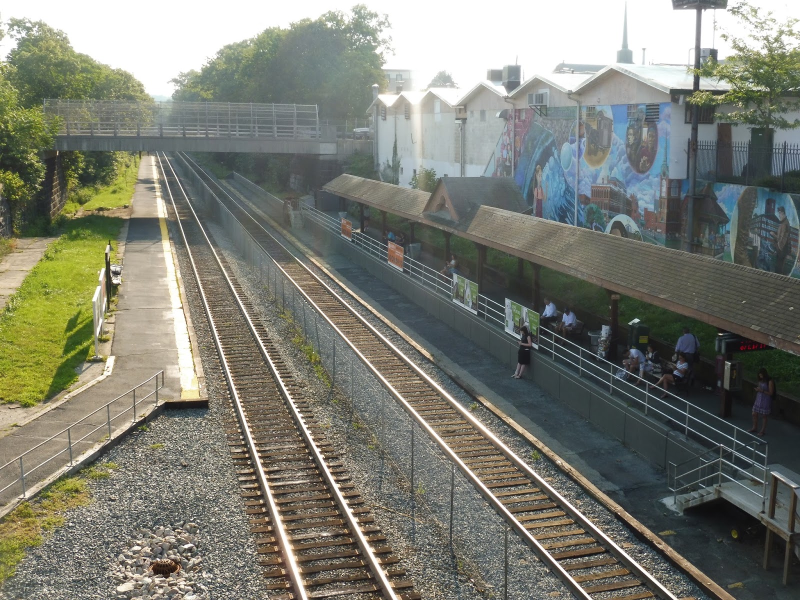
Another boring Worcester Line infill station? Well, at least Ashland is the last one…
 |
| Holy moly, that’s a lotta commuters! |
The majority of the Ashland platform is low-level, with everything you would expect at a modern Commuter Rail station: a typical shelter, some ads, some benches, and some wastebaskets. There are mini-high platforms at the western end of the station, with the inbound one also featuring some newspaper boxes and a payphone.
 |
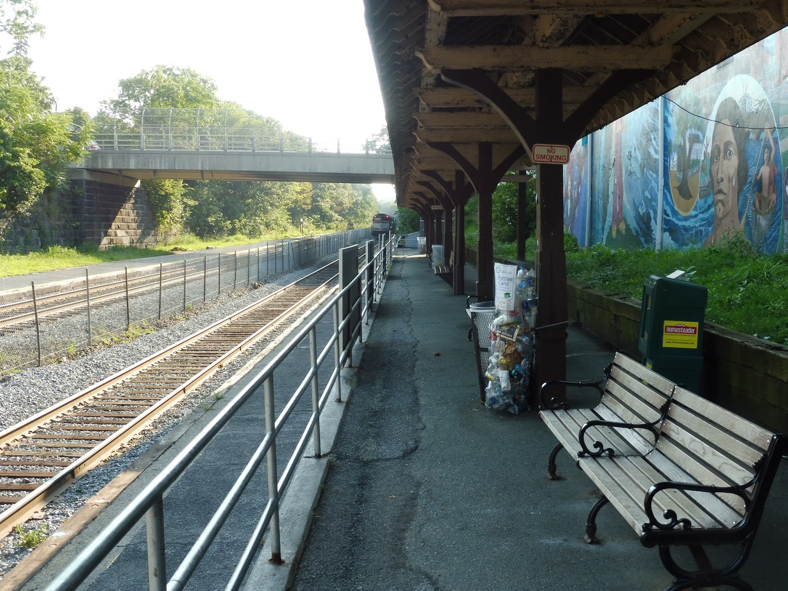
| The outbound mini-high with the footbridge overhead. |
In order to cross the tracks, you have to use the crazy-looking triple-decker footbridge. There are ramps leading all the way up, as well as stairs to make the journey shorter for those who are able to. The thing is littered with rust and bird droppings, but it’s functional enough. Ashland also has a ton of parking, featuring 678 spaces spread out on both sides of the station.
 |
| A train leaving…from above. |
Station: Ashland
Ridership: The station gets 691 inbound riders per weekday, making it the least-busy of the four infill stations between Framingham and Worcester (and yet the one with the largest parking lot).
Pros: The station has everything a Commuter Rail station needs, as well as enough parking and a footbridge to cross the tracks safely.
Cons: The footbridge is experiencing a lot of rusting and defecation by birds, which will only get worse over time. Also, the train tracks pass right through downtown Ashland, but the MBTA decided to build the station a mile west. Typical modern Commuter Rail thinking…
Nearby and Noteworthy: Practically nothing around the station itself. Like I said, downtown Ashland is about a mile east, if you’re willing to walk for about 20 minutes.
Final Verdict: 7/10
This is a pretty standard Commuter Rail station, and it does its job fine. There’s plenty of parking, a decent footbridge, and wheelchair-accessible platforms. That’s really all you need.
Latest MBTA News: Service Updates
Southborough
Southborough…I dunno, it’s Southborough. Not much to say here.
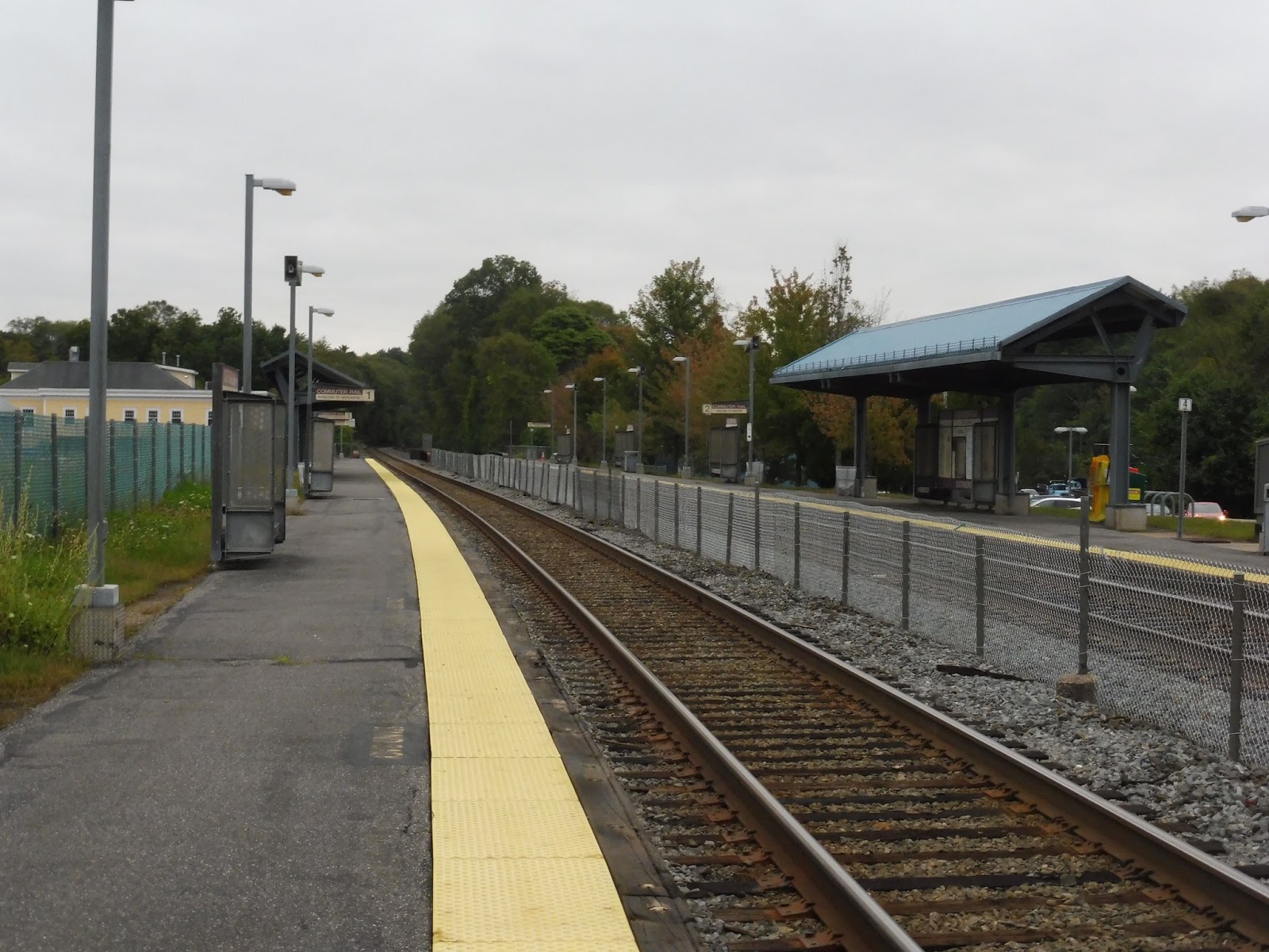 |
| The platform. |
Southborough’s platform is a long low-level affair, with bike racks and shelters on both sides (featuring a bit of historical information) and benches and wastebaskets spread around. There are typical 90s-00s mini-high platforms at the western end of the station that offer a few more benches. The outbound platform has this weird abandoned field alongside it – there’s an exit that leads through it out to Southville Road.
 |
| Going down the ramp. |
A Fairmount Line-style ramp (with a staircase alternative) leads down to River Street from the outbound platform, complete with a bench in the middle of it. The inbound side is only a staircase, while the accessible ramp route is via the parking lot. As for parking, Southborough contains 364 spaces.
 |
| A train leaving the station. |
Station: Southborough
Ridership: This is the busiest of the infill stations added between Framingham and Worcester in 2000-2002, as well as the fifth-busiest station on the whole Worcester Line – it gets 1,051 inbound passengers per weekday.
Pros: The station is accessible and it has your basic Commuter Rail necessities. Cool.
Cons: Hmmm, there’s an abandoned field with no current purpose right next to this station whose parking lot fills up very early in the morning. It’s in a very undeveloped area that probably won’t see any big new buildings. How about building some more parking? Also, the mini-high platforms are the furthest they could possibly be from the station entrance, and since the ramps are the only way to cross the tracks, passengers could have to walk over half a mile to get to their cars coming home in the evening!
Nearby and Noteworthy: “Fitzgerald’s General Store.” That’s about it.
Final Verdict: 4/10
The station itself is okay, but I can’t get over some of its glaring problems. The walk from the outbound mini-high to the parking lot is borderline ridiculous, and I wish I could’ve properly timed it out when I was there. Also, the fact that the lot fills up really quickly shows the need for more spaces, which could be easily added in that field. Seriously, what the heck else is it doing just sitting there?
Latest MBTA News: Service Updates
Happy Thanksgiving! I have officially started the Downtown Crossing review. NO idea when it’ll be complete, but I’ve started it!
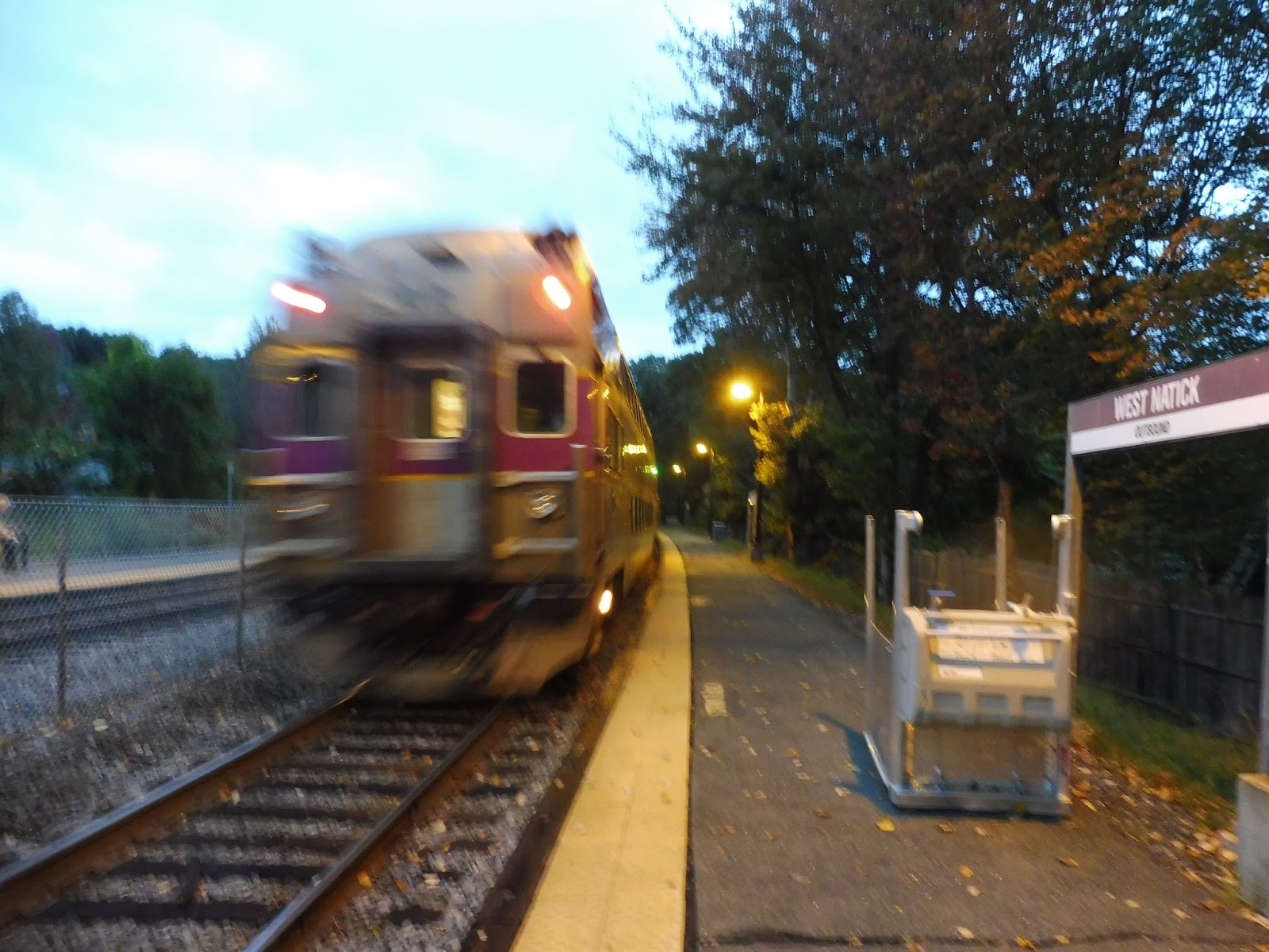
West Natick
The Worcester Line is interesting because past Boston Landing, it’s basically half accessible and half non-accessible stations. What’s more, the line is split halfway between them, with all of the non-accessible stations in a clump; ditto for accessible ones. West Natick is supposed to be the first stop of the latter bunch, but unfortunately, that wasn’t the case when I visited it.
 |
| That’s not accessible! Also, hi, artsy train! |
When Sam and I were here, the mini-high platforms were still being worked on. They had had some sort of structural issue that made them really dangerous, so they had to be repaired. Luckily, since then, they have been reopened, so everything at West Natick is accessible again!
 |
| The rest of the platform. |
Other than that, West Natick’s platform is standard stuff. The outbound side is nothing more than some signs, benches, and wastebaskets, while the inbound side gets a nice wooden shelter. One interesting aspect of the shelter is the marsh-type grass behind it, which gives it more of a unique flavor. To cross between the tracks, you have to use these annoyingly unstable wooden boards.
 |
| What is this, the artsy photos post? I don’t even know how this came out this way, but it looks cool! |
There’s a small plaza behind the shelter with a few old honor boxes, a single tree, and an old payphone. The station parking lot is tiny, with only 178 spaces – Dave’s Framingham/Worcester Line blog says it reaches capacity by 6:30 AM. West Natick has a good amount of bike parking, though, in the form of three completely different bike racks all lined up next to each other.
 |
| Yet another artsy train picture. |
Station: West Natick
Ridership: Believe it or not, this is the third-busiest station on the Worcester Line, getting 1,121 inbound riders per weekday. You wouldn’t think that from looking at it, would you?
Pros: I’m really impressed that this station gets so much ridership, considering that its parking lot is so small. Where the heck do those extra 900-or-so people come from? I mean, I doubt they’re coming from the MWRTA 10, which serves the station! Also, it’s good that it’s accessible again, thanks to the rebuilt mini-high platforms.
Cons: The whole station feels kinda ramshackle, what with its barebones platforms, the random bike racks, and those wooden boards used to cross tracks. Also, I know there’s no room for any more spaces, but man, that’s a small parking lot!
Nearby and Noteworthy: There’s a small shopping plaza next to the station with a few businesses, but that’s really about it.
Final Verdict: 5/10
For such a busy stop, I expect a little more than this. I mean, West Natick is passable, but it has a lot of issues. At least they fixed up that mini-high platform, though – otherwise, I would have to make the score even lower.
Latest MBTA News: Service Updates
SRTA: NB 1 (Fort Rodman)
During my brief stay in New Bedford, how could I not resist riding at least one SRTA route? I only had about an hour until my bus back to Boston was departing, so I had to do something quick. The 1 caught my eye: it runs every 20 minutes to a peninsula in southern New Bedford. Sounds great, let’s do it!
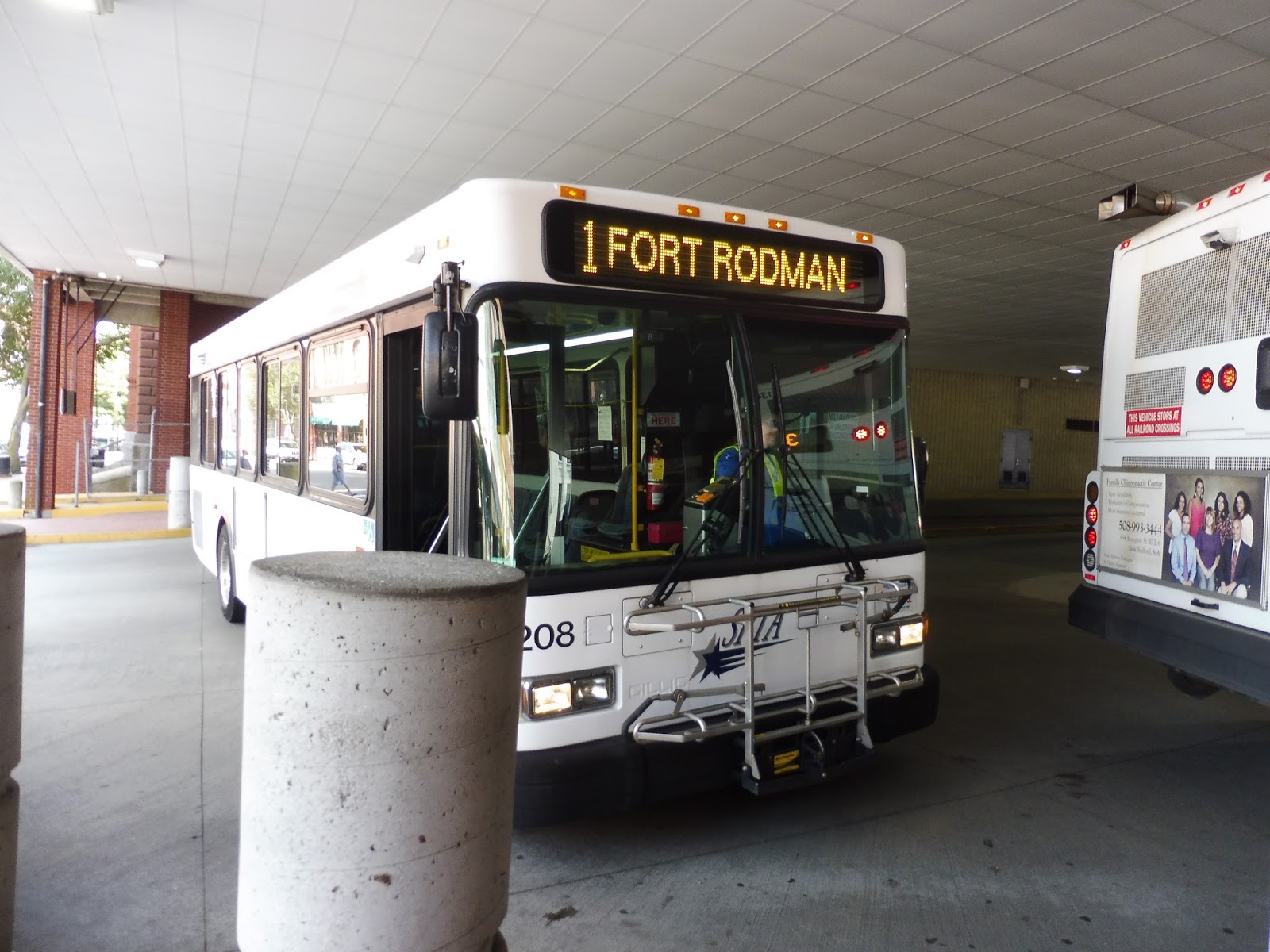 |
| Taking good pictures in the SRTA terminal is hard! |
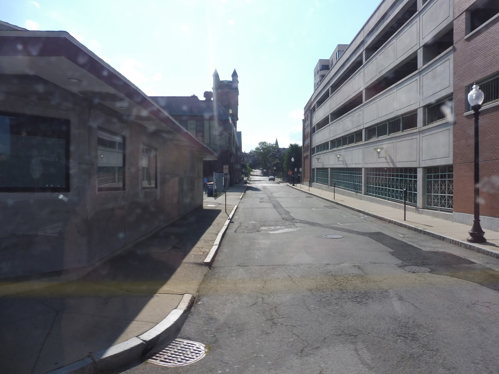
After I tapped my CharlieCard (why does the SRTA, a system that doesn’t even connect to the Commuter Rail, use it while systems like the GATRA and RIPTA don’t?), we headed down 6th Street. There were dense buildings everywhere, and they continued as we turned onto Spring Street. Next, we went down Acushnet Ave, where the taller buildings from before became 2-3 story affairs.
 |
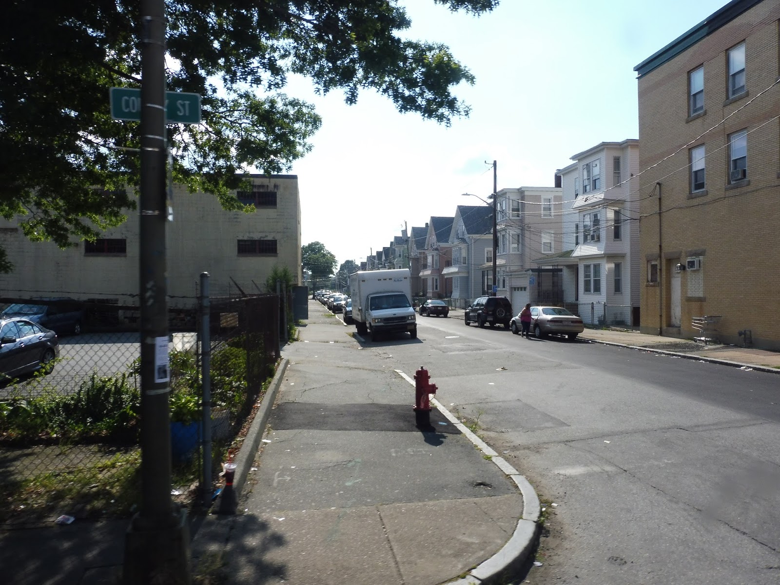
| A pretty desolate side street. |
We went alongside a monolithic apartment development for a while before turning onto Grinnell Street, which was lined with triple-decker apartments. They continued as we turned onto County Street, which also had a few businesses and churches along it. At one point there was a retail-heavy section where almost every building had a business on its ground floor.
 |
| This picture is basically the 1 in a nutshell. |
We eventually made turns onto Cove Street, then Rodney French Boulevard, and both of them kept up the businesses in three-story apartment buildings pattern. Next, we swung onto Brock Ave for a block, then Ruth Street, which was entirely residential for a bit. This was a jog to serve a big apartment building, and once we headed past it, we turned onto East Rodney French Boulevard.
 |
| Making a turn. |
We were right by the water, but it was sadly blocked by a big wall. There was some brief industrial scenery as we turned onto David Street, but it went back to those familiar triple-deckers soon enough. We came back onto Brock Ave, passing more apartments and businesses, as well as a high school.
 |
| I can see the water way down there! |
One side of the street was occupied by a park for a bit, and as we continued south, some of the apartments became normal houses. We passed through another park, complete with a pond, and it was all low suburban houses after that. At the end of Brock Ave, the bus just made a u-turn and we headed right back up the way we came.
 |
| No triple-deckers? Where are we?! |
SRTA Route: NB 1 (Fort Rodman)
Ridership: I can’t find any SRTA ridership statistics, but I can say that when I rode this route, it was hoppin’ – there were about 20 people who rode in each direction! Let me tell you, after a day on the GATRA, it was amazing to see this many people on a bus.
Pros: This is a nice short route with a lot of local ridership. It’s also pretty darn frequent: weekday service is every 20 minutes, while Saturday service is every 40 minutes. I also like how only the outbound route makes the jog to serve that apartment building, since it speeds the bus up heading back the other way.
Cons: The SRTA seems like a busy enough system to be able to implement some form of Sunday service. I could totally see people using that on a route like this.
Nearby and Noteworthy: Triple-deckers, triple-deckers, and triple-deckers. Oh, also triple-deckers.
Final Verdict: 8/10
The 1 is a really solid route on a really solid network. I didn’t get to experience much of the SRTA, but from my ride on this bus, it seems like a great system. Maybe someday I’ll be able to come back and see some of its other routes…
Latest MBTA News: Service Updates
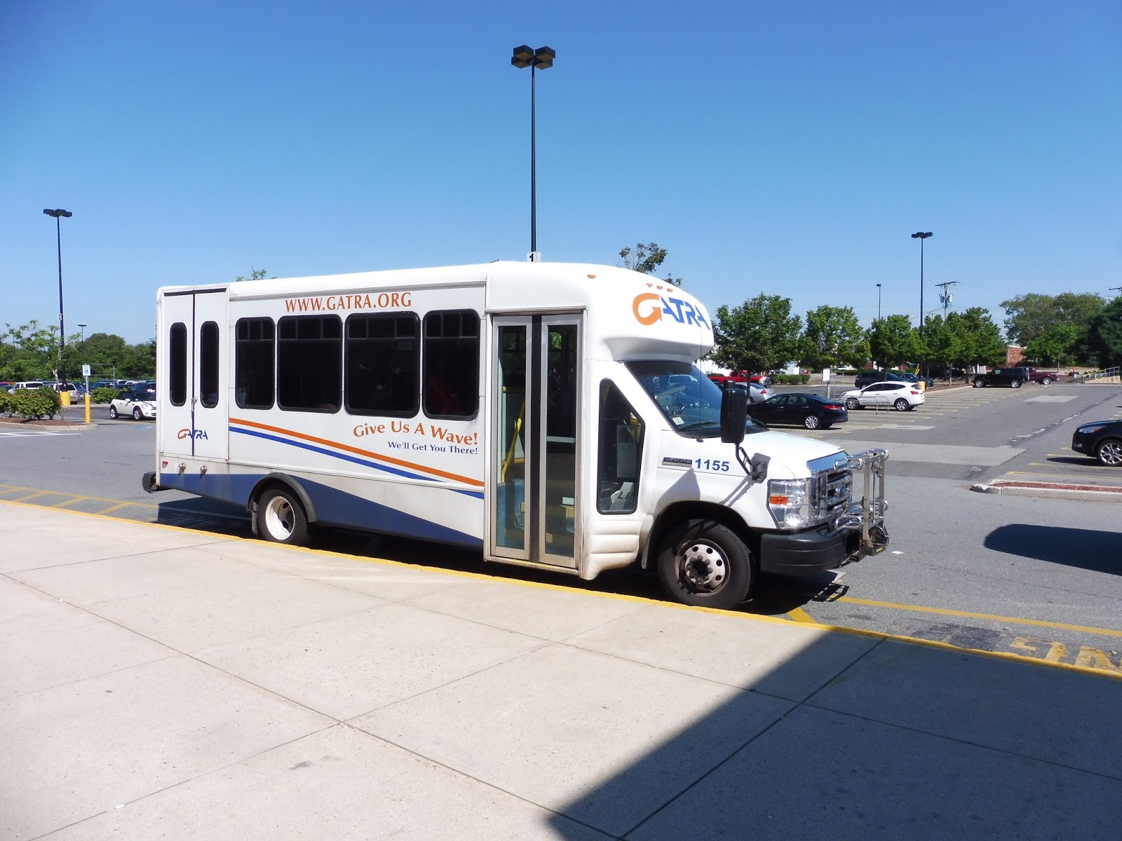
GATRA: Wareham – New Bedford Connection
What the heck is this route and where did it come from? The Wareham – New Bedford Connection sprung up on the GATRA website with this announcement page, featuring two maps saying exactly the same thing, some points of interest at each terminus of the route, and the awkward sentence, “Starting February 6, 2017, GATRA and SRTA are starting a new bus service between Wareham and New Bedford.” This is all a lot of hype for a route that only runs Monday, Tuesday, and Wednesday, isn’t it??
 |
| It gets its own bus, too?! |
What exactly is the route? Well, this is a partnership between the GATRA and the SRTA to bridge the gap between the two systems and provide an important connection between Wareham and New Bedford. Okay, first of all, the SRTA is one of the better RTAs in Massachusetts (I’ll talk about my ride on one of their routes later on) while the GATRA is one of the worst, so…that’s an interesting partnership. Also, may I remind you that the route only runs Monday, Tuesday, and Wednesday???
 |
| Cutting-edge farebox technology right here. |
I couldn’t see any fareboxes when I got on, so I assumed people just gave it to the driver. When I tried to do that, he pointed behind him at a rusty metal box. Oh my God, that is literally the farebox, isn’t it? Aside from that, the minibus was fine, but I got a good laugh out of the insanely primitive farebox.
 |
| A single train track. |
We headed down Cranberry Highway and turned onto Depot Street. This was residential for the most part, but there were some industrial buildings when we crossed a train track, then turned onto Minot Ave, joining the 1. It was mostly woods, aside from the occasional housing development.
 |
| Lovely! |
The street became Narrows Road, which was mostly marshy aside from a shipyard. Next, we crossed over the Wareham River and merged onto Main Street, going through Wareham Village. There were a lot of charming buildings that could theoretically house retail, but a lot of them were either vacant or boring.
 |
| Some side street. |
After leaving the village, we turned onto Chapel Street, passing the Wareham Library, Middle School, and Town Hall. There was a mix of houses and retail from there, including a Shaw’s that we had to deviate into. The road turned into Marion Road, and the scenery got pretty darn woodsy for the most part.
 |
| Wow! |
That didn’t last too long, though, as we soon crossed over the Weweantic River, giving us an absolutely fantastic view. This took us into Marion, where there were more trees and houses and the street became Wareham Road. We also got the occasional retail break, such as a shopping plaza and a fish market.
 |
| Some boats! |
After going by a cove, more businesses started to show up along the road. Soon after that, we arrived at a cluster of retail, but it was basically just a few gas stations and suburban businesses. We went by a private boarding school and the Marion Police Department as we curved south on Mill Street, then it was more woods. The route unfortunately bypasses Marion Center, which looks incredibly charming – it’s about a ten minute walk from the route.
 |
| A historic-looking cemetery. |
After a few industrial buildings and a cemetery, the road became entirely sparse houses and forest, eventually turning into only the latter. Suddenly, out of nowhere, a huge school came up…and then it was woods again. However, as we entered Mattapoisett, some residential and retail buildings started to appear once more.
 |
| Some houses. |
For the next while, it was mostly just houses and suburban businesses along what was now called County Road. There was one point where the retail with parking lots got just a little bit denser, and I think that might have been “downtown Mattapoisett,” in which case…gross! It became Fairhaven Road after that mess, and it continued to be that mix of houses and businesses.
 |
| Part of “downtown Mattapoisett”…ew! |
We went over the narrow Mattapoisett River, and after more of the same scenery, the road became Huttleston Ave and we entered Fairhaven. This leaned a little more on the residential side of things, but it was still that mix that we had been seeing for most of the route (albeit a little denser). All of a sudden, the road got really wide and a slew of shopping malls came out of nowhere.
 |
| Aw man… |
We turned onto Route 240 at this point, which was basically a highway. Next, we turned onto Bridge Street, then Mill Road, in order to serve the Southcoast Health System, two hospitals. We returned to Route 240 and continued north. It soon led us to an interchange with I-195, onto which we headed west for an express section!
 |
| Serving the hospital. |
The scenery was basically forest all the way until we crossed the Acushnet River into New Bedford. Once there, we took Exit 15 onto Route 18, another highway that went by a lot of industrial buildings. We eventually took an exit onto Purchase Street, which curved its way past a variety of dense buildings with different uses. Things started to get denser, but before we entered the heart of downtown New Bedford, we turned into the SRTA Terminal, finishing quite a long and diverse trip.
 |
| A minibus with a full-sized bus behind it…this just doesn’t look right! |
 |
| The back of the bus |
GATRA Route: Wareham – New Bedford Connection
Ridership: This is a very new route, so there aren’t any public ridership statistics yet. My ride had two other people – one of them was a very kind woman who talked to me for much of the trip, and made the journey unique and enjoyable. Two people is of course terrible ridership, but we’ll see why it’s that low soon.
Pros: This route has so much potential! It serves some decently populated towns right along their main drags and connects up important sections of the region, as well as two bus systems. Seriously, this route could be great.
Cons: The GATRA and the SRTA worked for four years to make this route happen. You would think that would mean they wouldn’t, I dunno, set it up to fail? Honestly, those 2 people seem like a lot more when you see that the route runs Mondays, Tuesdays, and Wednesdays only, with trips at 7:30, 9:30, 2:00, and 4:00. Yeah, you know what, if two whole people are willing to ride this thing with that schedule, that’s a heck of a lot of riders!
Nearby and Noteworthy: This is technically the only way to get to New Bedford by local transportation (Commuter Rail to Lakeville Connector to this)! Also, Marion Center looks really charming if you’re willing to make the short walk.
Final Verdict: 2/10
If this route ran, say, every hour throughout the week, I could see it getting a 6 or a 7…as well as a lot more riders. I seriously think that if two people are willing to use this (and obviously more people on other trips) in its current state, it could be a really successful route if it had an actual schedule! As it is, though, this route is absolutely useless. Just look at this article try to come up with ways you can use this thing! For example, when talking about making connections from GATRA routes in Wareham, it says “the buses run just a tad earlier than the Connection, arriving at Cranberry Plaza well before it arrives. However there are several fast food restaurants in the area to get a cup of coffee while you wait.” If that’s not reaching to make the route sound good, I don’t know what is.
UPDATE: 5/10
Thank goodness, it finally happened – this route now runs five days a week! It still has the same schedule every day, but this is a vast improvement over how it ran before.
Latest MBTA News: Service Updates
GATRA: Link 2 (Cranberry Plaza to Buzzards Bay)
Wareham is considered by some to be part of the Cape. I personally would disagree – to me, you’re only on the Cape if you go over the canal. Well…today we’re actually visiting the Cape, because the 2 heads into Bourne, canal and all!
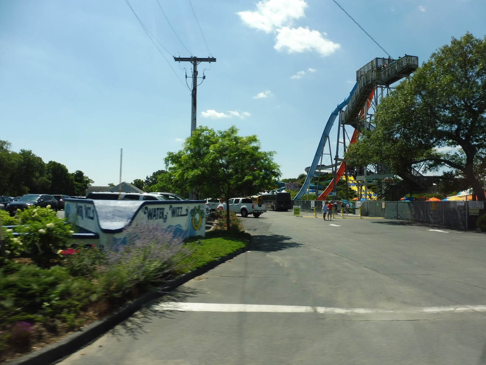 |
| I didn’t have time to get an exterior shot of the bus, so here’s a water park! |
We went onto Cranberry Highway from Cranberry Plaza, going by a mess of random places, including the water park seen above. Once we turned onto Main Ave, though, it became entirely residential, and they were dense houses at that. They continued even after we went over Broad Cove and merged onto Union Ave.
 |
| This review totally isn’t three months late…just ignore the people enjoying the summer beach. |
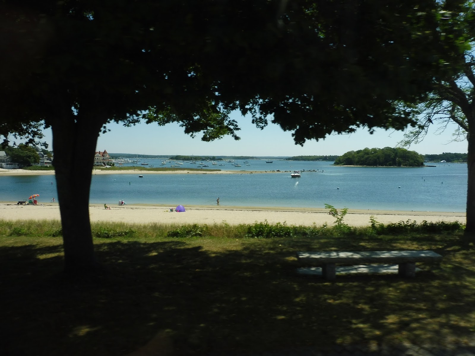
We reached the lovely Onset Village, but instead of going further into it like the 1, we went the other way, turning eastward onto Onset Ave. This took us right alongside Onset Beach, and the view was really nice. We went over the East River, and there was one last stretch of dense houses on the other side.
 |
| Why not, here’s another amazing view! |
The houses got further apart soon, though. We went by a golf course, and later on, we came very close to yet another body of water, Butler Cove. Next, Onset Ave went over some train tracks, the scenery got industrial, and we turned onto Cranberry Highway again. That became Main Street once we went over the Cohasset Narrows and entered Bourne.
 |
| This route is so scenic! |
 |
| That glorious railroad bridge really contrasts with the crap in the foreground… |
 |
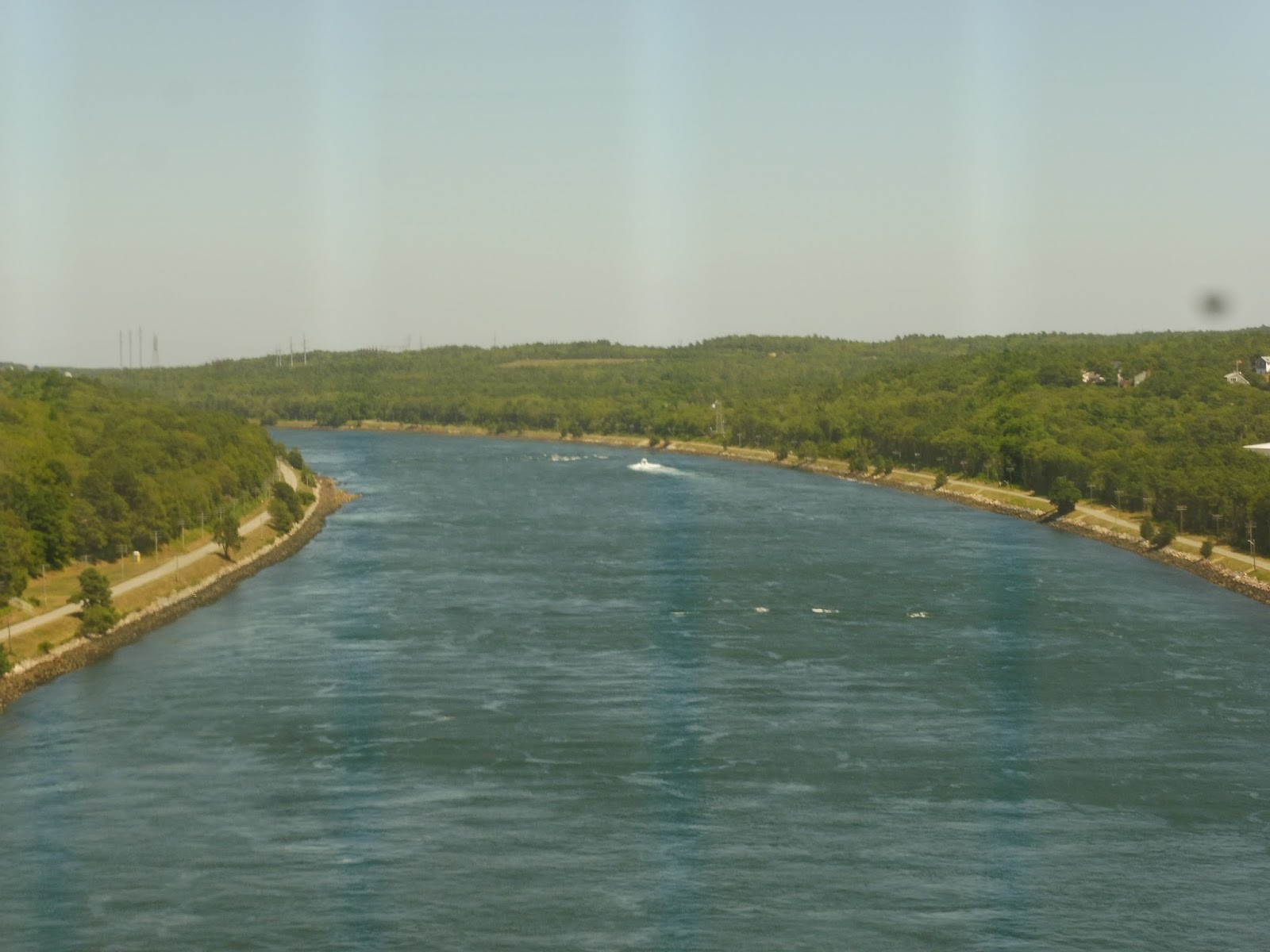
| WE ARE LITERALLY GOING OVER THE BOURNE BRIDGE IN A MINIBUS!!!!!! |
 |
| This isn’t the Park and Ride! |
 |
| Well, there’s parking, but we’re still not in the right place… |
 |
| Finally! |
 |
| Another view from the other side of the Bourne Bridge! |
Pros: The more I think about this route, the more I realize there isn’t all that much that’s good about it. Well, it goes over the Bourne Bridge, and that’s absolutely amazing. Also, some of the trips time with Peter Pan buses in Bourne, which is nice. The route runs every hour on weekdays and every two hours on Saturdays, which matches the ridership all right. But…that’s really about it.
Cons: There are a multitude of problems I could talk about, such as the strange one-way routing to Onset Village, the inevitable traffic problems when crossing the Bourne Bridge, the weird padding (we left Buzzards Bay 6 minutes early going outbound), the confusing call-in flex service the route has in Bourne, or the fact that that whole loop we did before the park-and-ride was completely absent from the schedule. I think the biggest drawback for this route, though, is that it doesn’t need to run – it’s completely paralleled by the CCRTA Bourne Run route. Sure, that only runs every 90 minutes on weekdays only, but it travels much further (down to Mashpee) and it’s more direct to Bourne.
Nearby and Noteworthy: The Bourne Bridge! That view is so incredible!
Final Verdict: 3/10
This route is used by at least a few people, but I don’t know if it’s enough to justify keeping the service around, especially since the whole thing runs with the CCRTA. The CCRTA admittedly doesn’t run Saturday service on its Bourne route, but I still think the GATRA and the CCRTA should come up with some sort of agreement regarding this corridor – it seems to me that it would be much more efficient to just run the CCRTA along here.
Latest MBTA News: Service Updates
GATRA: Link 3 (Shangri-La to Cranberry Plaza)
Cool, a complete stinker that’s also really short. Let’s get the 3 out of the way.
 |
| NOT THIS STUPID TRUCK MINIBUS AGAIN! |
We headed out from Cranberry Plaza onto Cranberry Highway, which split into two one-way sections. Along this bit, we turned onto Glen Charlie Road, going along Union Pond and over Route 25. There were somewhat dense houses for about a minute, then it was just woods. Occasionally there would be sparse residences, but it wasn’t much. Eventually, we pulled into a 7-Eleven (although the schedule still calls it Tedeschi’s), and that was it.
 |
| Woods, woods, woods. |
GATRA Route: Link 3 (Shangri-La to Cranberry Plaza)
Ridership: For the first time…I don’t trust the numbers. Look, I just don’t see how this tiny route can get 26 people per day. That would mean over 6 people per round trip! But since my round trip garnered a total of one other person, the other trips would need to have over 8 people to meet that 26 number…and that just doesn’t seem possible! The driver even told me that only two people use the route every day, so something tells me GATRA made some sort of mistake when counting its ridership.
Pros: As far as I can see, absolutely nothing.
Cons: This route serves practically nothing. A few houses here and there, but nothing substantial enough to justify a bus service. There’s actually a sizeable residential neighborhood north of the route’s terminus, but since this has to get back in time to do the 4, it can’t go further. Anyway, even if the route did have a good ridership base, who would want to use it? It only has four hourly trips, weekdays-only – a very limiting schedule.
Nearby and Noteworthy: 7-Eleven, and that’s literally it.
Final Verdict: 1/10
I don’t trust those ridership numbers at all. Usually I’m a stickler for data, but my real-life experience with the 3 doesn’t match up with GATRA’s statistics, not even close. I could totally see GATRA making a mistake with their numbers, anyway. Yeah, this is a prime route to get rid of, because from what I can tell, it’s useless.
Latest MBTA News: Service Updates
GATRA: Link 4 (Cranberry Plaza to West Wareham)
Argh, I’m getting deja vu! The truck minibus…the double-deviation…this is literally the same thing as the Wareham Middleborough/Lakeville MBTA Connector. The only difference is that the Link 4 only goes about halfway.
 |
| YOU AGAIN! |
We left Cranberry Plaza on Cranberry Highway, which briefly split into two one-way sections before coming together again. It was industrial for the most part, with only the occasional residential neighborhood or cranberry bog popping up. And then, out of nowhere, we made a slight deviation from the MBTA Connector in the form of…a deviation. To the YMCA. Uh-huh, cool, good to see that my ride had exactly 0 people using the GATRA to get to the gym. What kind of stupid deviation is this??
 |
| Why?! |
We returned to Cranberry Highway and went over the Wareham River. After passing the sketchy-looking but apparently very good Mill Pond Diner, it went back to being mostly industrial. However, some businesses eventually showed up, and once we went over I-195, it was time for that double-deviation to the Wareham Crossing shopping center, then Walmart. Well…according to the schedule, at least. We just skipped right by!
 |
| Woods. |
Instead, we just continued down Cranberry Highway, going by more industry, houses, bogs, houses, woods, and industry, in that order. Once we got to County Road, which had a few businesses and Wareham District Court, we just pulled into a 7-Eleven gas station and turned around. That was it. Also, on the way back, we did do that double-deviation.
 |
| Yay… |
GATRA Route: Link 4 (Cranberry Plaza to West Wareham)
Ridership: The ridership for this route initially seems low: it gets 53 passengers per weekday and 29 per Saturday. However, because of the number of trips this route has, it ends up averaging out to about ten people per round trip. That’s not terrible for GATRA standards.
Pros: I find it interesting that this route gets a good amount of ridership, since from what I can see, it doesn’t really serve all that much. However, I guess a good amount of people does use this, so that’s a good thing! The route’s core schedule is sensible for the amount of riders it gets, with trips every hour on weekdays and every two hours on Saturdays.
Cons: First of all, that YMCA deviation felt really pointless. Maybe people on other trips take the bus there, but it seems a little fishy to me. Secondly, I don’t know why my trip skipped the double-deviation going outbound, but I really like that. Technically the route isn’t supposed to do it, but I like it a lot more. And actually, I have a sneaking suspicion as to why we skipped that deviation: this route seems to get late really easily. It gets absolutely no layover time at the terminus, and if it’s actually expected to perform all the deviations, it’s near-impossible to be on time. Also, it’s really annoying that the schedule for the 4 includes some (not even all) of the MBTA Connector trips – all it does is make everything more confusing. Keep them as separate routes.
Nearby and Noteworthy: Geez, I guess Wareham Crossing has some generic mall retail? There really isn’t much along the 4.
Final Verdict: 4/10
The 4 gets a 4! This is a route that’s clearly useful to a decent amount of people, but it has so many easily-fixable problems that drag it down. For example, does the YMCA really need to be served? Granted, I don’t have ridership data, so maybe scores of people use this route to get there, but I find that hard to believe. Secondly, the route is a recipe for lateness, and eliminating the double-deviation in one direction would help rectify that. It’s not that big of an inconvenience for passengers, although I personally don’t see much point in running the route beyond the Walmart anyway – there’s not much there. Finally, the schedule can be simplified by eliminating the MBTA Connector trips and moving them back to the timetable where they belong.
Latest MBTA News: Service Updates
GATRA: Link 1 (Wareham/Onset/Wareham)
Is this…a useful GATRA route? That people…use? What?? Wow!!! Apparently the Link 1 is a halfway-decent bus!
 |
| Okay, the vehicle itself is terrible, but the route is good! This is at Cranberry Plaza. |
I’m starting this review at the southern terminus of this route, which is a loop around a suburban neighborhood called “Cromeset” (although everyone other than GATRA seems to call it “Cromesett” with an extra T). We made the little loop, then we went up Cromesett Road, which continued to be residential. We also had to do a weird little deviation to serve what I think is some sort of housing building (Google Maps doesn’t label it and my picture isn’t very good).
 |
| I dunno what this place is! |
There were a few businesses as we merged onto Marion Road, but it still remained mostly residential. Interestingly, Marion Road was also Route 6, the same Route 6 that continues onto the Cape to become its main thoroughfare. Anyway, we soon turned onto Swifts Beach Road, making what could be considered a “deviation,” but it was a busy one.
 |
| Deviating to a residential neighborhood that’s not a housing development? Woah! |
We went by some relatively spread-out houses at first, but there were also some developments along the way. As we got closer to the namesake of Swifts Beach Road, everything got denser, and soon there were lots of houses all squashed together. We did a little loop via some very narrow streets to turn around, and although it was sad that we didn’t get to go all the way down to the beach itself, this deviation netted us three paying passengers and two kids!
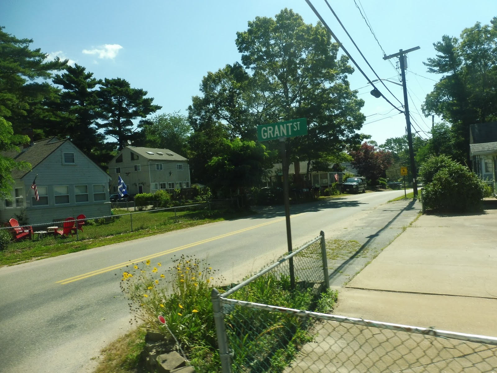 |
| Grant Street was one of those tiny loop streets. |
Thus, we made our way back up Swifts Beach Road and came onto Marion Road again. We did a brief deviation to serve a small Shaw’s (the kind of deviation so short that you wonder why people can’t just walk across the parking lot from the street, but oh well – it’s GATRA we’re talking about), then we went by the Wareham Town Hall and Middle School. There were a few more houses as we turned onto Main Street, but things were about to change.
 |
| An interesting view coming out of Shaw’s. |
Soon we came into Wareham Village, offering a slew of businesses along Main Street. Unfortunately, most of the retail buildings were either boring or flat-out unoccupied, but, uh..it had potential? There was even a “Commuter Rail station” in the form of the CapeFlyer stop here!
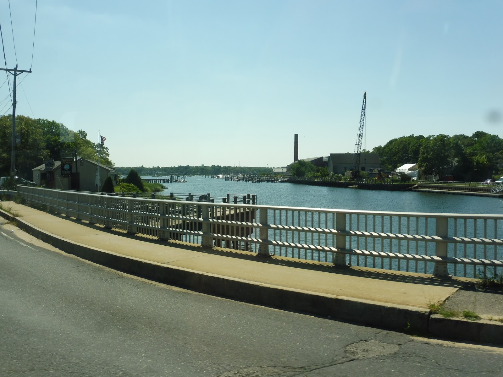 |
| Going over the Wareham River. |
We crossed over the Wareham River, where most trips would merge onto Minot Ave. However, I made sure to do one of the rare Link 1 trips that also serves Agawam Village, so we actually stayed on Sandwich Road for a bit. The Agawam Village deviation was well-executed, since the housing development was used as a path to make our way back to Minot Ave. It’s weird that it only happens three times per day, though.
 |
| We used Indian Neck Road to return to Minot. |
Now safely on Minot Ave again, we sped past sandy woods, suburban houses, and the occasional residential development (one of which, Brandy Hill Apartments, we deviated to). There were a few random retail and industrial buildings where we merged onto Onset Ave, which became lined with houses. They got denser and denser as we got closer and closer to Onset Village, until…
 |
| Here we are! |
All of a sudden, there were lots of charming businesses housed in really nice-looking buildings on both sides of the street. It wasn’t perfect – there were a few vacant lots and uninteresting businesses here and there – but it felt much more lively than Wareham Village. Plus, after we turned onto Union Ave and went through a brief residential neighborhood, there was a lovely section right along Broad Cove as we left the village!
 |
| I love the lone boat in the water! |
There were dense houses for a little while, but once we crossed a single train track and turned onto Cranberry Highway, it all fell apart. It was just a mess of completely random buildings, including a go-cart center, a trailer park, and a water park. After that mess, which was thankfully brief, we turned into Cranberry Plaza, the hub of the Wareham routes.
 |
| See ya! |
GATRA Route: Link 1 (Wareham/Onset/Wareham)
Ridership: This is, believe it or not, the 5th-busiest route on the GATRA. You really wouldn’t know it from looking at it, would you? The GATRA runs way quieter routes that actually use full-sized buses, while the 1 is stuck with these horrible minibuses. Well,
anyway, it gets 157 riders per weekday and 135 per Saturday, which averages out to about 15 people per round-trip – not bad! My bus was even briefly at seating capacity. I’ve never seen that happen on a minibus!
Pros: This route clearly serves a lot of people, including some very dense residential neighborhoods. It has a good schedule overall for its ridership, running every hour on weekdays and Saturdays. I also think that the 1 may quite possibly have the most efficient deviations for a GATRA minibus route. Almost all of them got people!
Cons: Okay, but some of them were still stupid. For example, the Shaw’s one didn’t seem all that necessary, since the store was so close to the road anyway. Also, the one to that random building in Cromesett was just weird. The Agawam Village deviation did actually get people, but it’s so strange that the route only serves it three times per day – that just seems inconvenient for residents of the development. Also, why do almost none of the deviations show up on the route map or schedule?
Nearby and Noteworthy: I really liked Onset Village! It had interesting businesses, lovely buildings, and some great views, to boot.
Final Verdict: 7/10
The 1 is a really solid route, especially for GATRA. It clearly gets well-used, it serves some very important neighborhoods, it has a decent clockface schedule, and it features some nice views. I took off points because it uses minibuses (lame!), but more importantly because some of the deviations seem pointless, and most of them don’t even show up on the map! Still, this is a legitimately good route from GATRA, with most of the deviations getting decent ridership. Wow.
Latest MBTA News: Service Updates
GATRA: Wareham/Middleborough/Lakeville MBTA Connector
GATRA! GATRA GATRA GATRA GATRA GATRA! I MISSED YOU, MY FRIEND! IT’S BEEN TOO LONG! LET’S HEAD DOWN TO WAREHAM ON THE…UH…”Wareham/Middleborough/Lakeville MBTA Connector.” Really slips off the tongue, GATRA.
 |
| Wait, that says “OWL Link 4″… |
Ah, so it turns out that the “Wareham/Middleborough/Lakeville MBTA Connector” is actually an extension of the Link 4 in Wareham. This leads to some confusion between the two, which we’ll talk about later. Also, the route was using one of those horrible “truck” minibuses that I can’t stand – the suspension is horrible, the bus is loud, and the wheelchair lift is extra-jiggly.
 |
| I can see into Lakeville! |
We made our way out of the Middleborough/Lakeville parking lot onto Commercial Drive, then we turned onto South Main Street. This took us under I-495, and outside of some suburban businesses, we turned onto East Grove Street. There was a huge variety of scenery along here, including schools, houses, and businesses.
 |
| Some gross scenery. |
 |
| A rear view shot! |
 |
| Some of that industry. |
 |
| Someone commuted here!!!!!! |
 |
| ARGH! |
 |
| ARRHGHRHGHHGRHHRHJHJGHGGHGGHGHG!!!!!!!!!!!!!!!!!! |
 |
| Cranberry bogs! |
 |
| Nope, still says “OWL LINK 4.” |
Middleborough/Lakeville
This is one of the biggest jumps I could possibly make – we’re going from the PVTA in western Mass to an MBTA station just a few towns away from Cape Cod. And just like the Cape itself, Middleborough/Lakeville is a boring place. Boom, roasted! Sorry, I just don’t like the Cape that much…
 |
| Looking down the platform. |
Yes, we’ve got a typical Old Colony station on our hands. You’ve got all the classics: a typical 90s shelter, some benches, and some wastebaskets. The platform extends beyond the shelter itself with a few more benches, but this is actually a longer shelter than usual.
 |
| Some of the parking lot, with some transit-oriented development in the background. |
Of course, this station offers a ton of parking: 769 spaces to be exact. The T got rid of its availability percentages on its new website, so unfortunately, I have no idea if this lot is big enough. Bikes get a scrawny 8 spaces, but it’s something, and we’re in a pretty suburban area. Finally, the GATRA runs two buses here, and I totally definitely did not ride one of them…
 |
| Oh darn it, there’s my reflection in the train window… |
Station: Middleborough/Lakeville
Ridership: This is a busy station for Commuter Rail standards, with 886 riders per weekday. I came here on a reverse-peak morning rush trip, so of course my train was quiet, but there was a steady stream of people getting on to go back into the city.
Pros: It’s a typical Old Colony station. That’s basically all there is to it.
Cons: Aside from the boringness and the fact that they opted to make a huge park-and-ride instead of serving the downtown, not much.
Nearby and Noteworthy: Middleborough has what appears to be a decently-interesting town center, but the station is located far from it. Instead, you can visit such amazing places as: CVS! Sterling Place Apartments! And the Massachusetts Department of Environmental Protection! Wowie!
Final Verdict: 7/10
Not much to say – it’s what you would expect from an Old Colony station. Yay!
Latest MBTA News: Service Updates