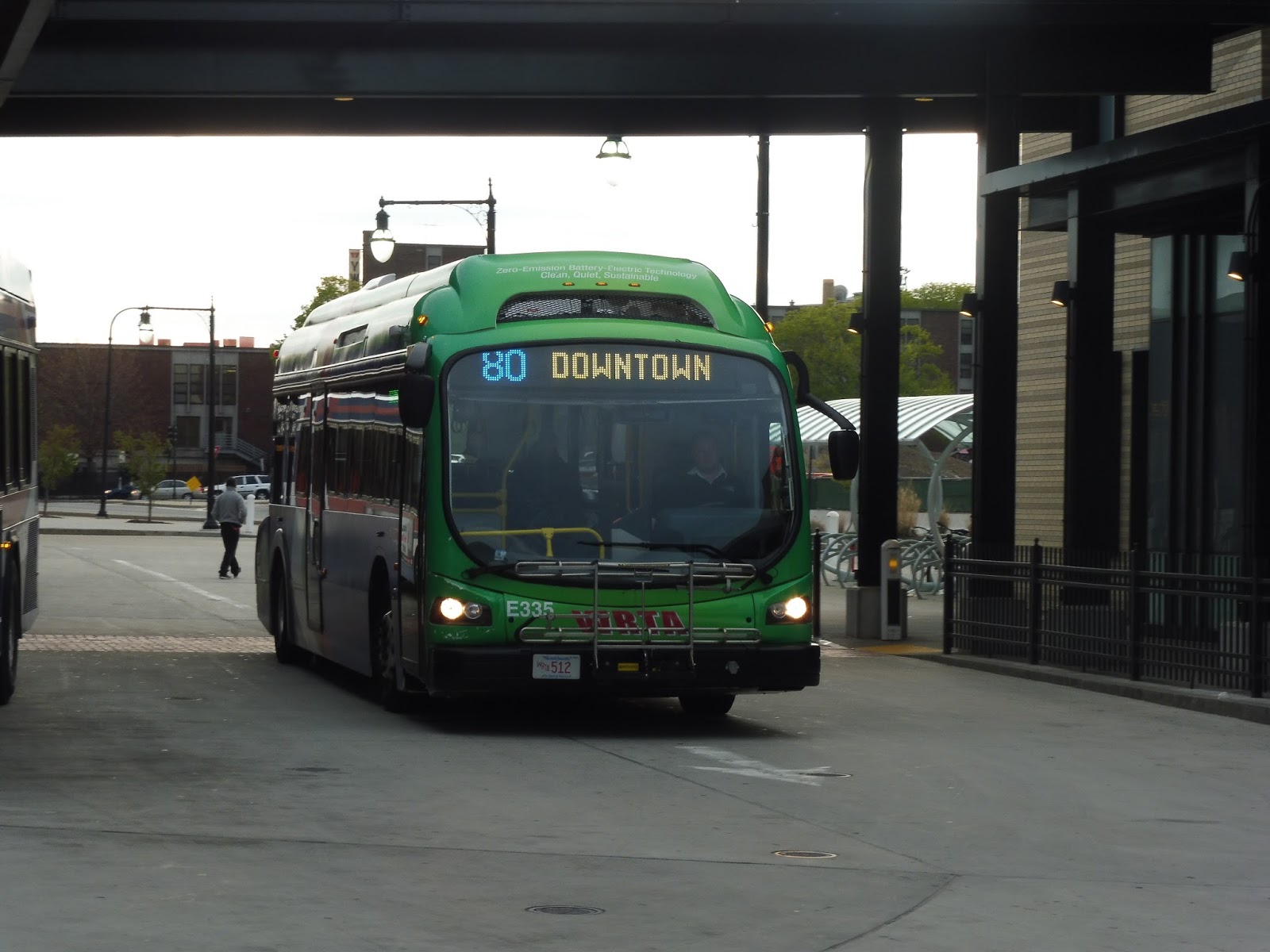
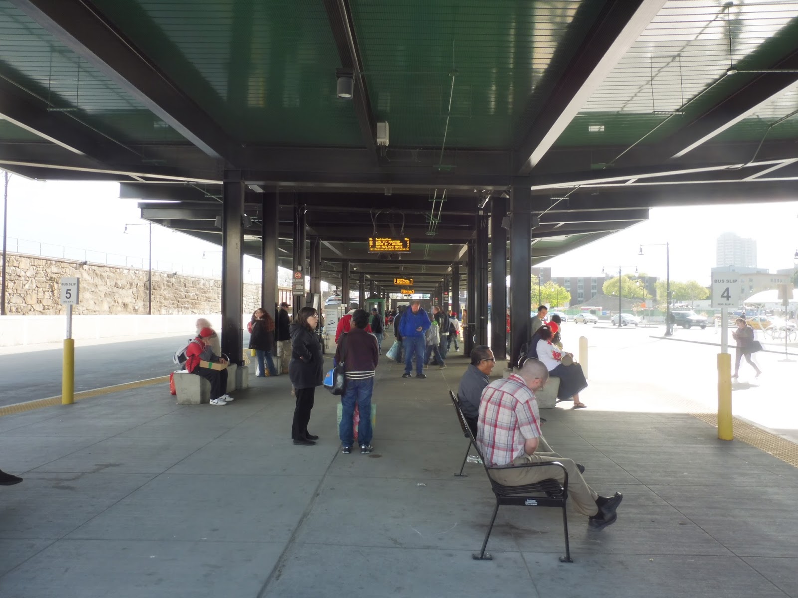
MVRTA: 53 (Newburyport Summer Shuttle)
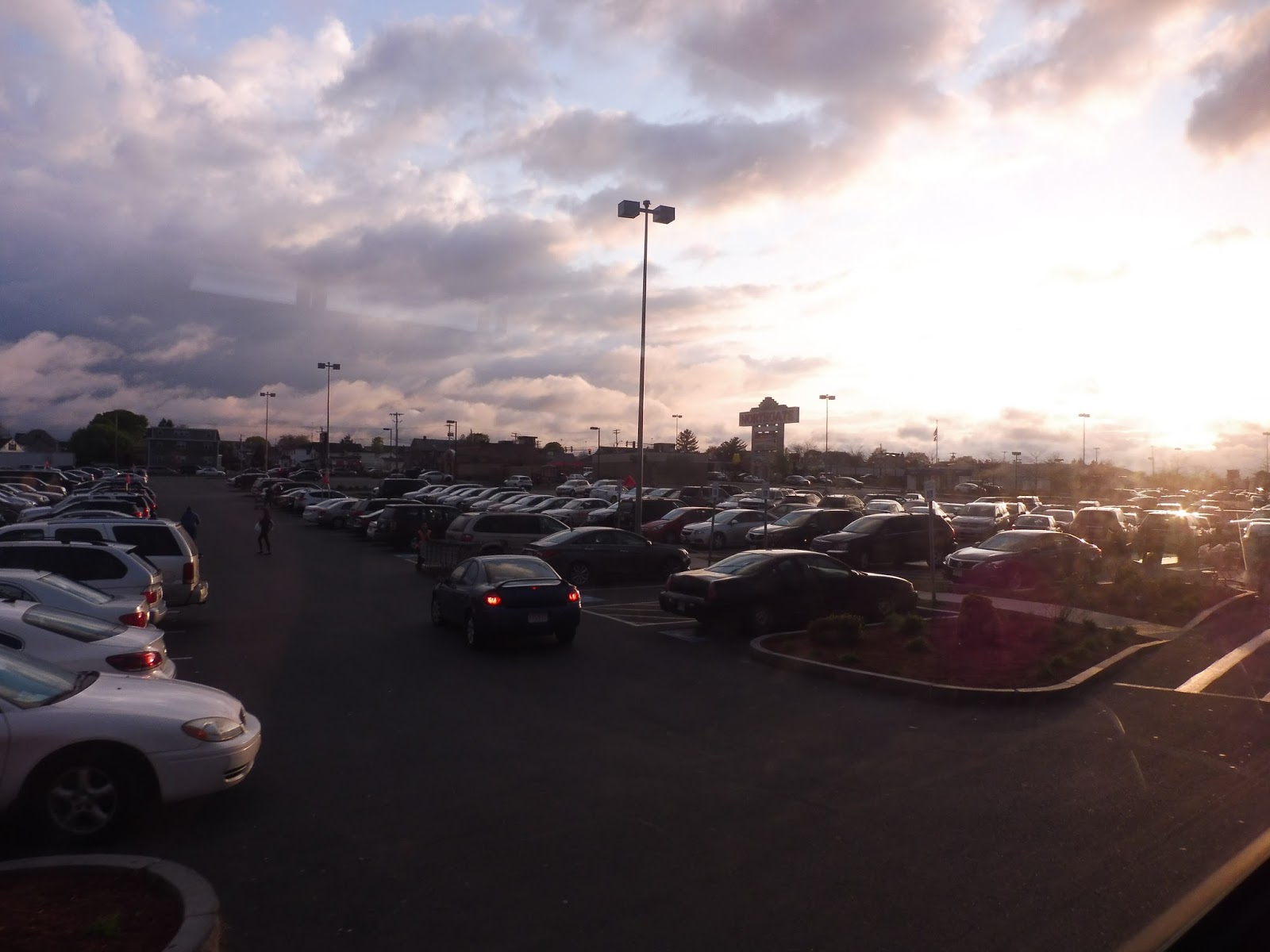
Beach day! The MVRTA’s seasonal services started this weekend, one of them being the 53 from Newburyport Station to Plum Island, via downtown Newburyport. Now in its second year of operation, the route is funded by the City of Newburyport, and (at least when I was on) it got hardly any riders! Maybe the ridership will get better as we get further into summer…
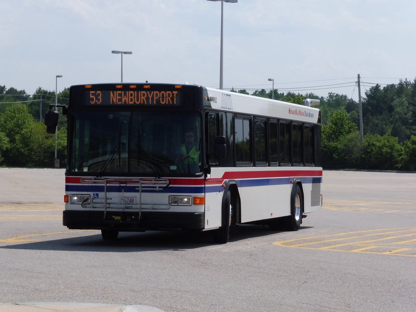 |
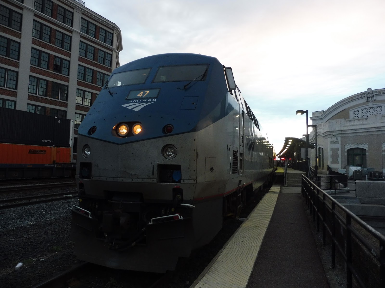
| The bus in the station parking lot. |
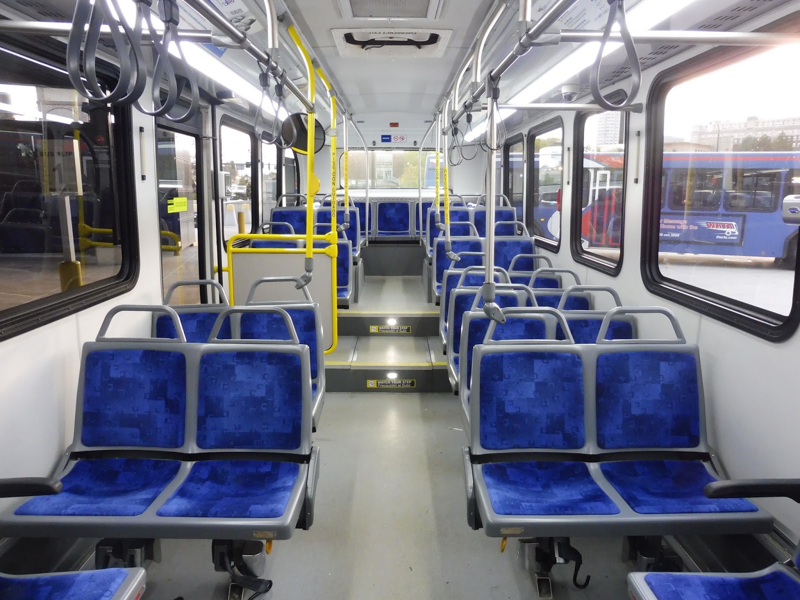
We even hit a bit of a snag before we could even get on the bus. Firstly, my friend Anna and I spent a while running around to actually find the stop for the summer shuttle. There was actually a decently-sized sign showing the stop in Lot A of the station, so that’s on us. However, when we tried to get on the first bus that came into the station (simply signed as “Shuttle”), the driver told us he was only going downtown. Yes, it turns out the MVRTA runs a second route from the station to downtown, with its only indication of existence being this awful poster:
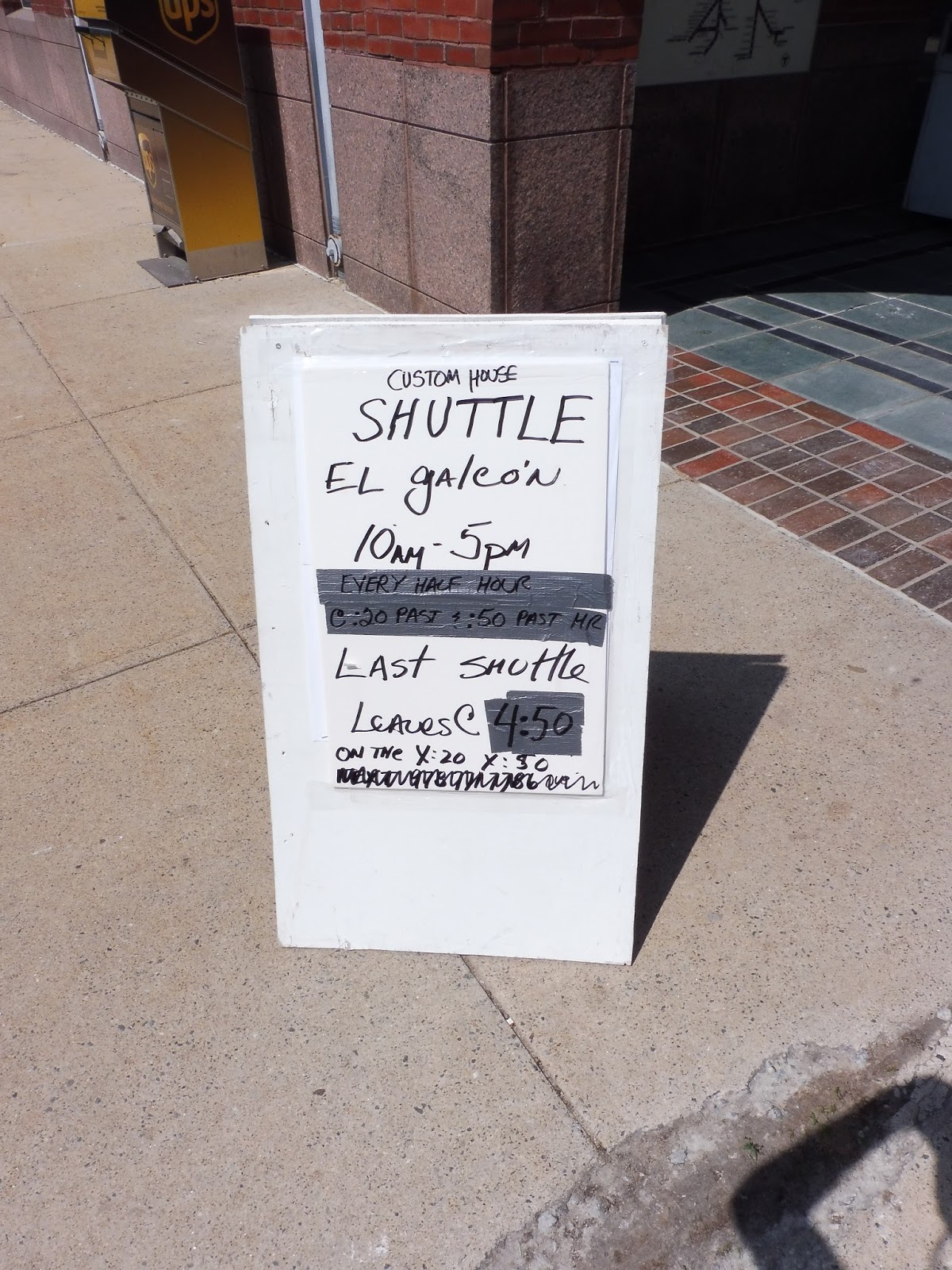 |
| “Custom House Shuttle,” huh? Well, I looked at the Custom House website, and THAT doesn’t even give information on it! |
Well, anyway, the Plum Island bus came soon after, and we got on. We headed up Boston Way, going by another lot for the station, then turned onto Parker Street, then Graf Road. The surroundings consisted entirely of random office and industrial parks, placed willy-nilly along the roads.
 |
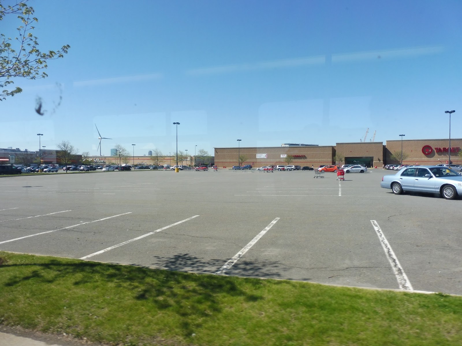
| Welcome to beautiful Newburyport! |
We then turned onto Low Street, leaving the industrial area and going through an intersection with Route 1. The road was now called Pond Street, and it had houses on one side and a park on the other. After a small shopping plaza, we turned onto Eppa Way, then High Street, going by a really nice pond on one side (part of the park that had bordered Pond Street).
 |
| Those are some big houses! |
We then turned onto Green Street, which was lined with historic-looking houses and apartments. As we got closer to the water, businesses started to appear as well. We turned onto Merrimac Street for a block, then State Street, going right through downtown Newburyport.
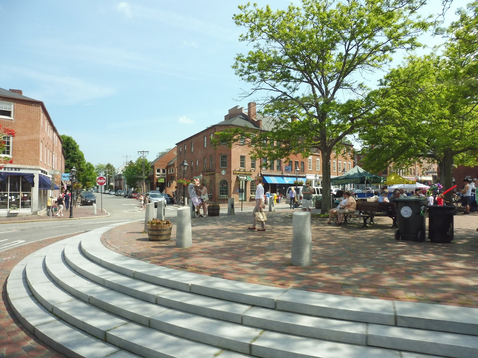 |
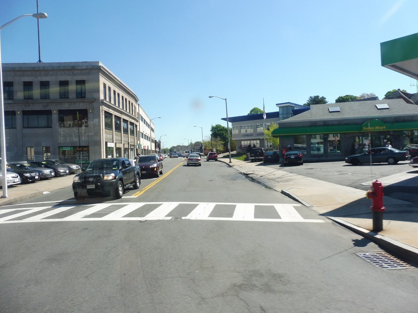
| A big pedestrian plaza. |
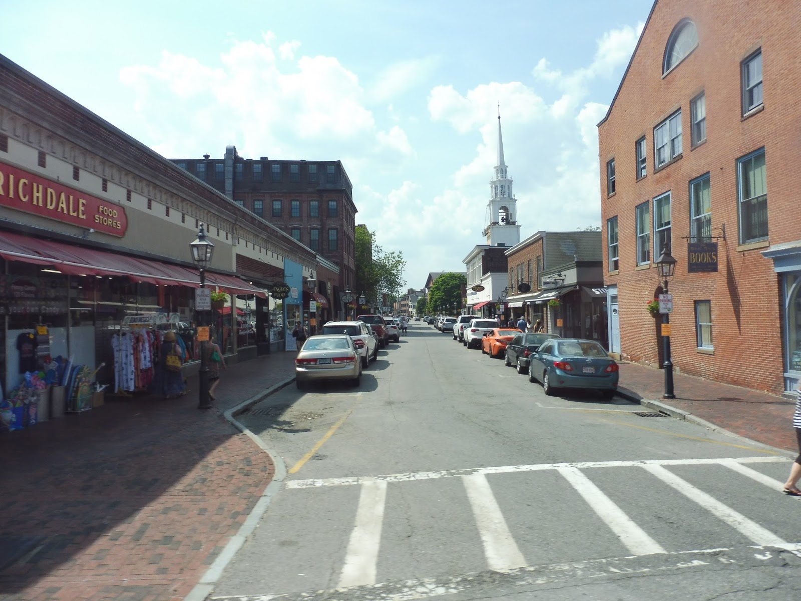
You can normally flag down the shuttle wherever you want, but State Street is a “no stop zone.” However, it does have one official stop right outside of the Newburyport Library with a strange sign saying “Bus Stop Only.” A few people were waiting here, but when the driver asked if they were going to Plum Island, they said they weren’t and stepped away from the bus. Thus, we continued to the end of State, where we turned onto High Street (again), which was lined with historic houses and trees.
 |
| This place is so nice! |
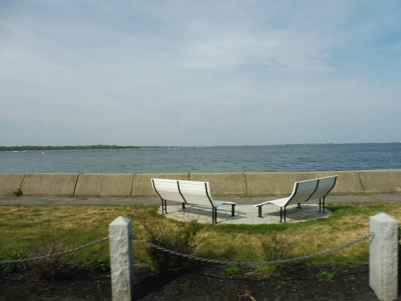 |
| That’s a river??? |
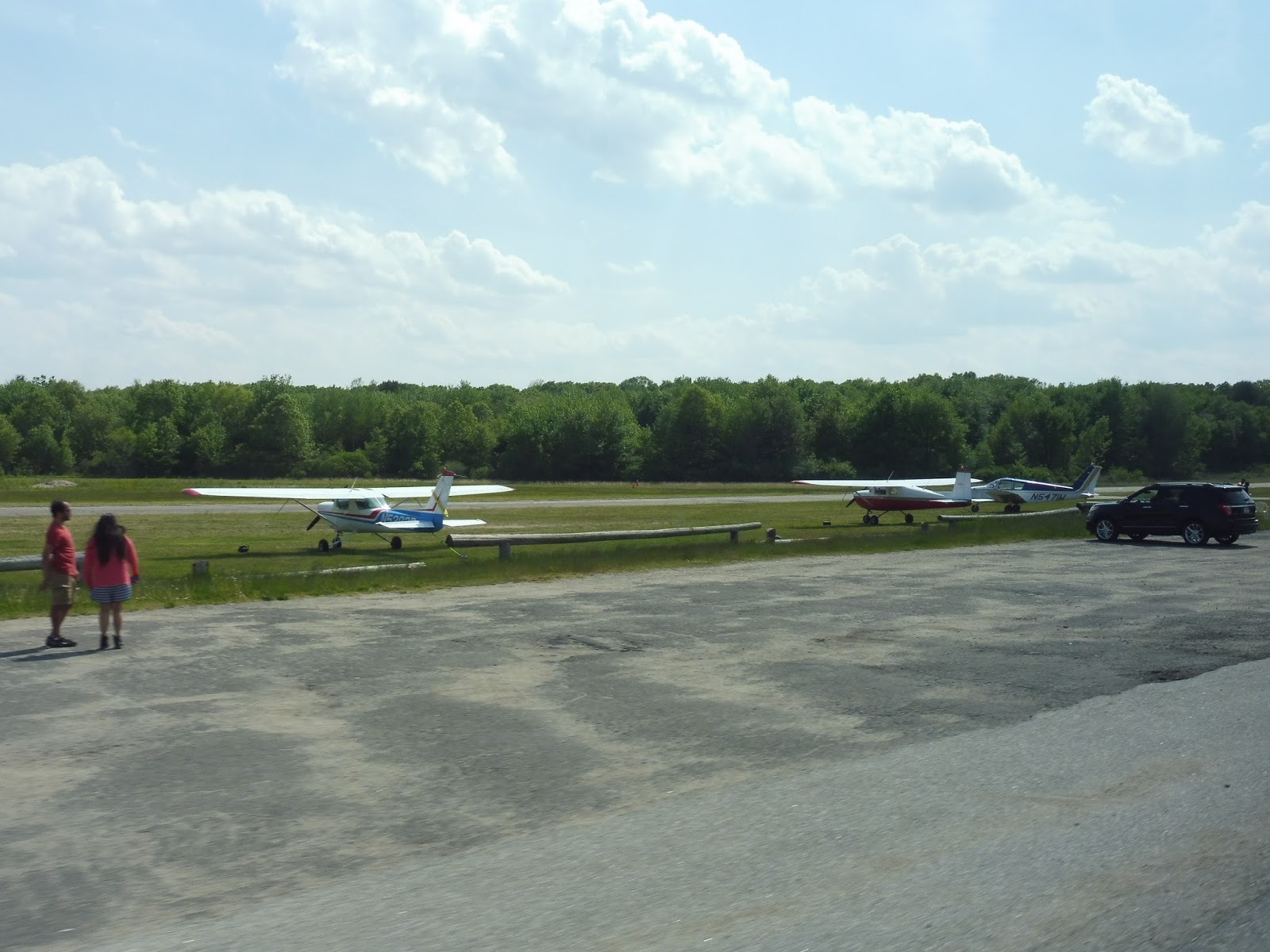 |
| Those planes are so small… |
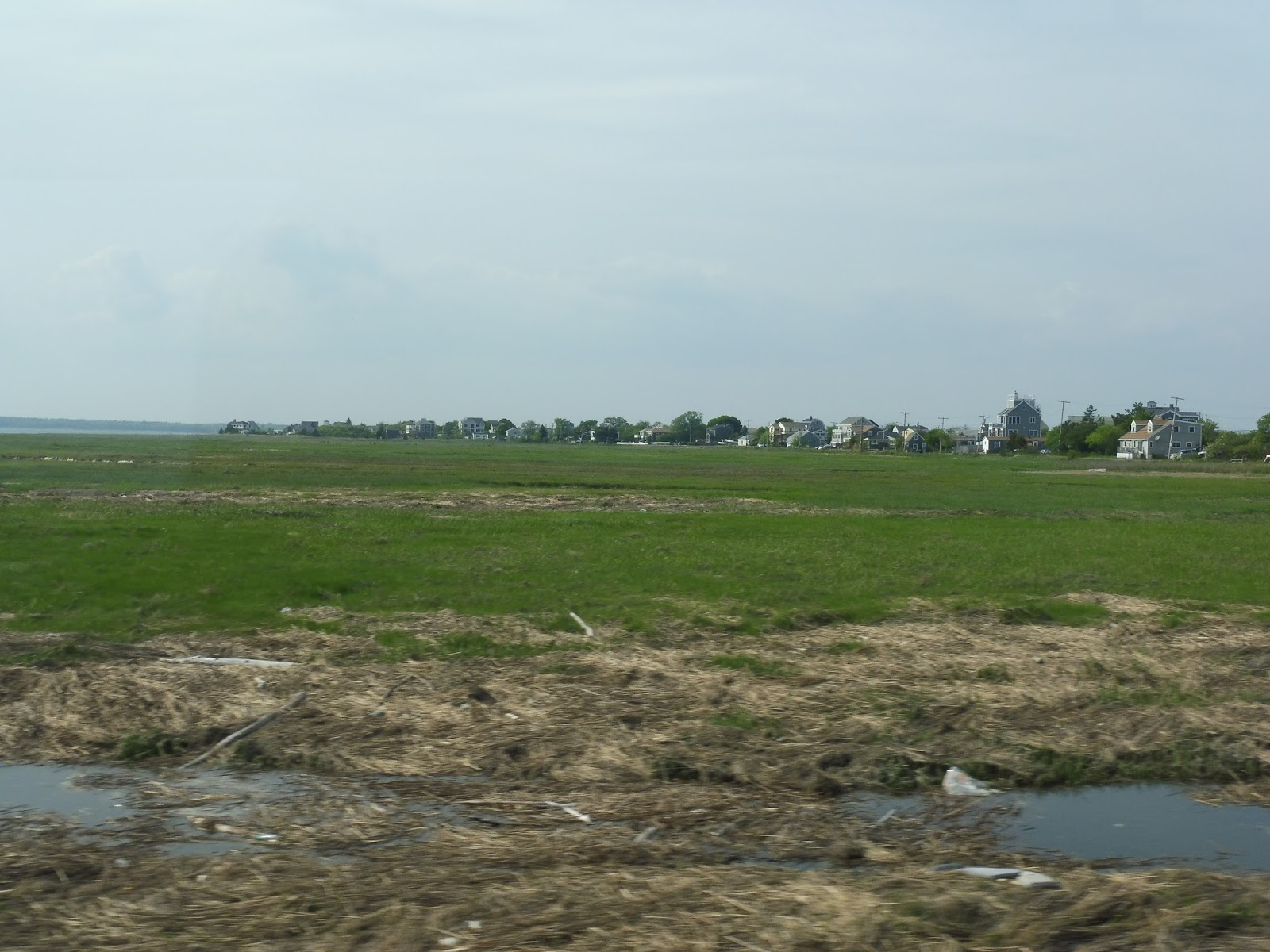 |
| Gotta love marsh views! |
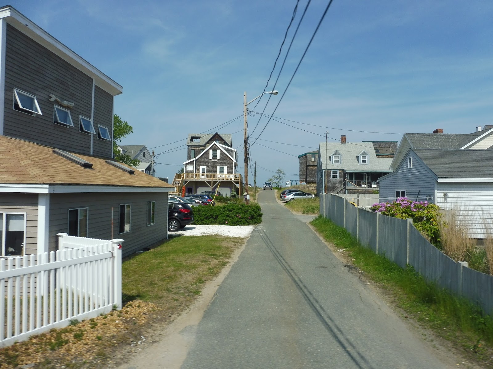 |
| Looking down one of the small side streets. |
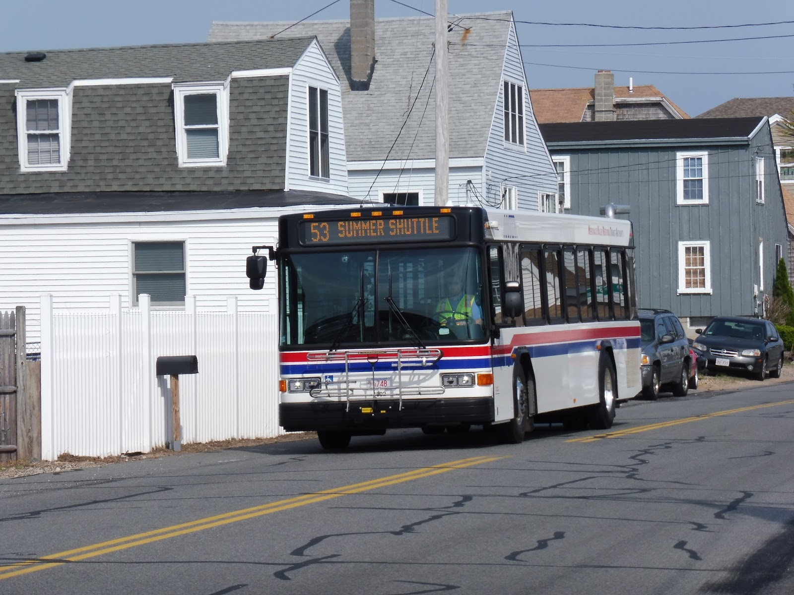 |
| The bus along Northern Boulevard. |
Cons: Unfortunately, a whole slew of issues drag the shuttle down. Firstly, there’s the route downtown. The bus makes a whole bunch of twists and turns and takes a very indirect route through the city. I guess it’s to make sure that it can serve the library along the one-way State Street, but it ends up getting the bus stuck in traffic and making it late. Still, the library seemed like a busy stop, and the shuttle might be obligated to serve it for one reason or another – if it didn’t have to stop there, it would make more sense for the shuttle to run via Green Street one way and State Street the other, especially since this particular bus really doesn’t need to serve the residential areas along Federal Street (and the 54 serves them, anyway).
Then there’s the schedule, which is a bit of a mess. See, whenever buses run from downtown to Plum Island, the route gets convenient headways of every half hour. But every time a trip runs all the way to the Commuter Rail (they’re timed with trains), it makes an hour-long gap in Plum Island service. Now how can this be fixed? Well, the MVRTA seems to have two shuttle routes in Newburyport, the other being that strange one from the Commuter Rail to downtown. However, that latter route, to my understanding, basically runs empty at all times that don’t correspond with trains. So we have two buses to work with. How about splitting the Newburyport shuttles into two separate services? One can shuttle back and forth from Plum Island to downtown every half hour, and the other can do Commuter Rail to Plum Island trips that correspond with trains, with Commuter Rail to downtown short-turns otherwise. A shuttle day pass would allow you access to both routes. This might make more sense if I map and schedule the idea:
Right, so that ended up being confusing. I tried to accommodate for both Friday and weekend trains with Route 2 (something the 53 doesn’t necessarily do), but it ended up making a really crazy-looking schedule. Still, I think the concept works better – even though there are still hour-long service gaps, this time those gaps are from the Commuter Rail to downtown, which hardly anyone will be using, anyway. Still…it is quite hard to read. Schedules would probably have to be posted at all major stops, since it’s really hard to memorize, unlike Route 1 (or indeed, the 53). If the view there is too small, here’s a link to the full spreadsheet.
Nearby and Noteworthy: Newburyport is a really lovely town, with so many different businesses in a very historic setting! Also, Plum Island is a great beach, particularly up where the bus terminates at Plum Island Point – it’s a lot quieter up there than at the main area further south.
Final Verdict: 7/10
Overall, this shuttle is pretty solid, with a fine schedule and a fine route. Honestly, my schedule concerns are mostly with the other MVRTA shuttle from the Commuter Rail to downtown, since that just seems to be running empty buses all the time (I didn’t get to take it, though, so I could be wrong). Should I get the chance to ride that route this summer, it’ll most likely get a low score for the fact that it seems useless, but the 53 does a decent job at doing what it’s doing. I mean, the hour-long gaps in Plum Island service can be annoying, but the radical schedule changes are mostly to fix the other shuttle. Overall, the MVRTA could do a much better job coordinating and running its Newburyport shuttles. But the 53 on its own? Yeah…it’s not bad!
Latest MBTA News: Service Updates
West Gloucester
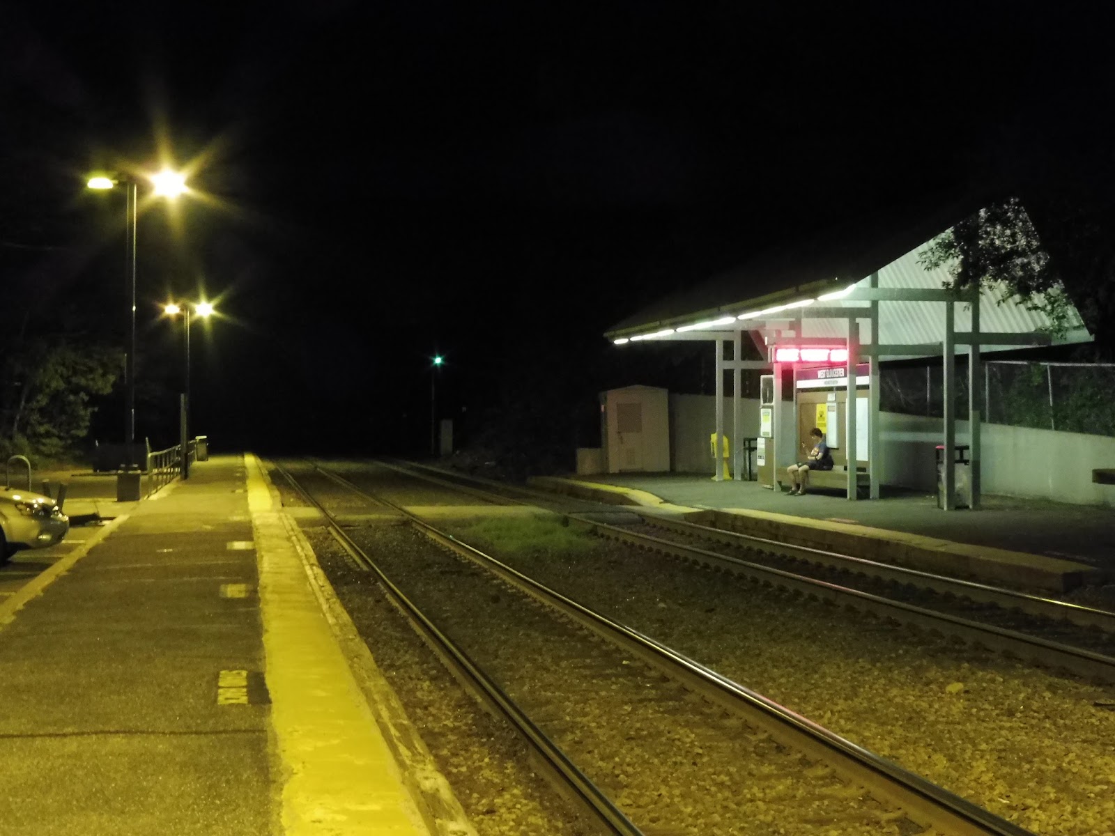
For the record, I wanted to take the 7:22 train back to Boston. But nooooo, Michael wanted to walk somewhere. And I suggested West Gloucester, since it’s reasonably close to downtown Gloucester, where we were. However, we got lost, and after 2 and a half hours of walking through barren woods and bogs, we finally arrived at the station. It’s a strange place at 10 PM…
 |
| The station’s “entrance,” as it were. |
The entrance we used was this strange pedestrian path from Essex Ave. It had unpaved sections, and was incredibly narrow. It felt like a forest trail or something! There was no signage, so we were using the light of the station as a guidepost. The main entrance is much better signed, with a driveway for cars, further down Essex Ave.
 |
| The empty parking lot. |
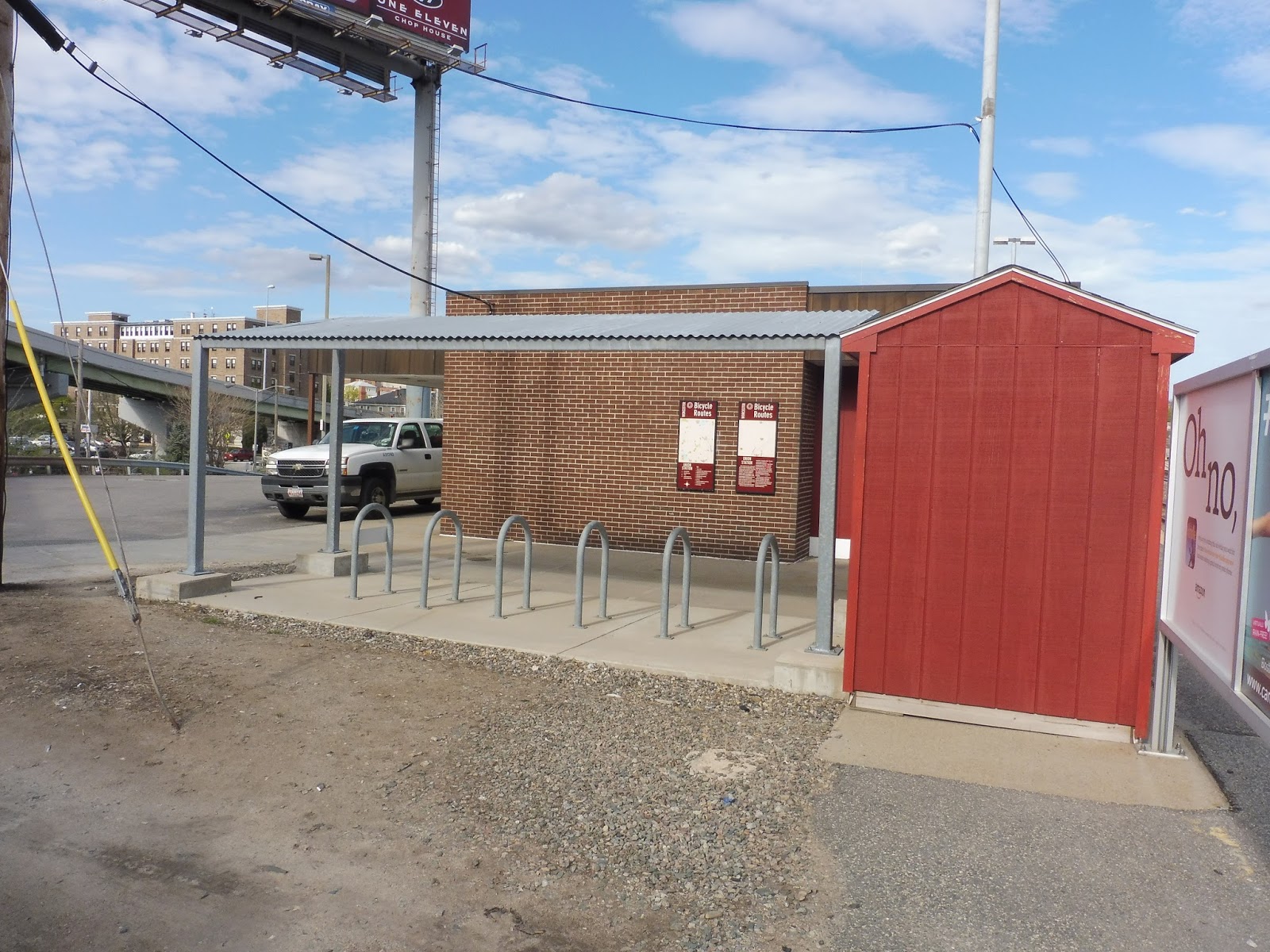
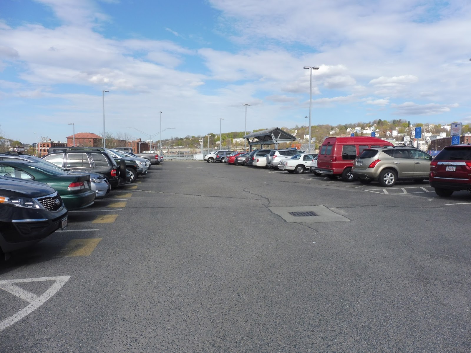
The station has a pretty small parking lot, with 44 spaces. However, this is a perfectly good amount for West Gloucester’s ridership – indeed, the lot only gets about 22% full on weekdays. There are also seven bike spaces here, which again seems like a good amount.
 |
| Looking down the platform. There’s Michael sitting under the shelter… |
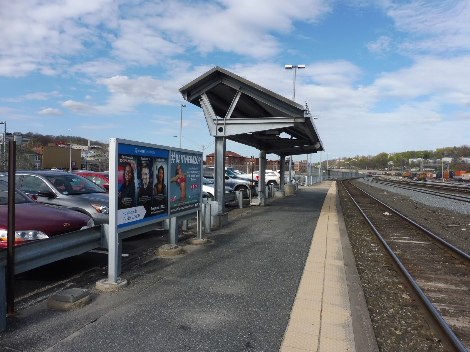
Most of the long outbound platform is bare, save for a few wastebaskets, a completely demolished payphone, and a mini-high way far down. The inbound side (which is much smaller) gets a typical 90s Commuter Rail shelter. It’s made of metal, with a single bench underneath, as well as some wastebaskets and a newspaper box.
 |
| Oh gosh… |
West Gloucester features some absolutely horrible mini-high platforms! They’re literally just concrete blocks and nothing else. No shelter. No benches. And as a bonus, the inbound side is right across the tracks from an electric substation! Hope you like constant buzzing noises, because you’ll be hearing a lot of ’em!
 |
| All of my train pictures were terrible, so here’s a big spider we found while waiting for the train! |
Station: West Gloucester
Ridership: Oh, truly amazing! A whole 94 riders per weekday! That’s, like, almost 100! No, this is the third least-used station on the Newburyport/Rockport Line, beaten only by Riverworks and Prides Crossing – the former can only be used by GE employees, and the latter gets three trips per day. Admittedly, if you look at West Gloucester on a map, it is in a very woodsy area with not a lot of stuff around it.
Pros: Well…the presence of parking is nice, and it’s certainly enough. And…I guess there’s a shelter. That’s a good thing. CATA stops here, too…three times a day. Hooray?
Cons: Right, well, for starters, there’s the unmarked pedestrian entrance that feels like you have to explore a vast forest just to get into the station! Then there’s the fact that the mini-highs are COMPLETELY bare, with not even a solitary bench to cater to the few commuters who use this place. Or how about the electric substation, buzzing away right next to the station for all to hear?
Nearby and Noteworthy: Nope. There’s no reason why anyone who doesn’t live in or have relations with the surrounding houses should come here.
Final Verdict: 4/10
This station has only the most basic amenities possible, and even that is stretching it (cough, pedestrian entrance, cough). It serves a few very small neighborhoods, and even then, only 94 of its residents use it every day! The spider was a neat find, though…
Latest MBTA News: Service Updates
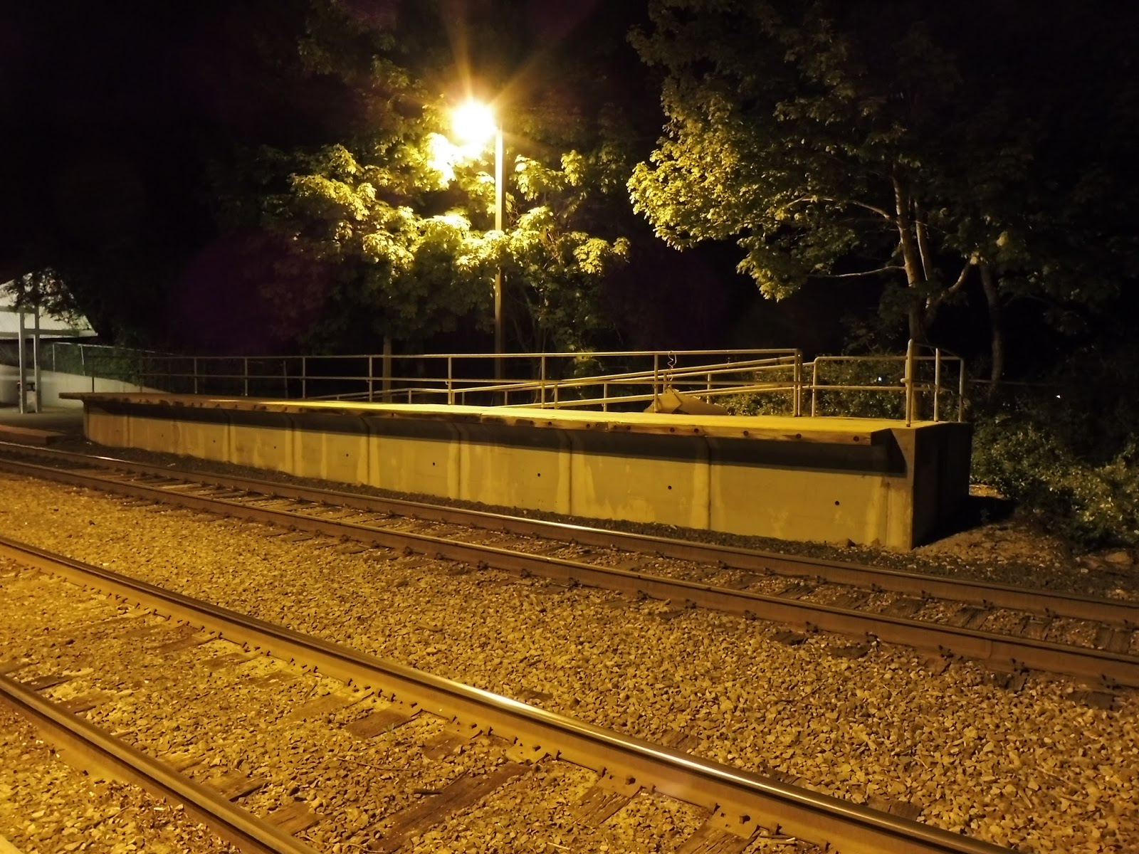
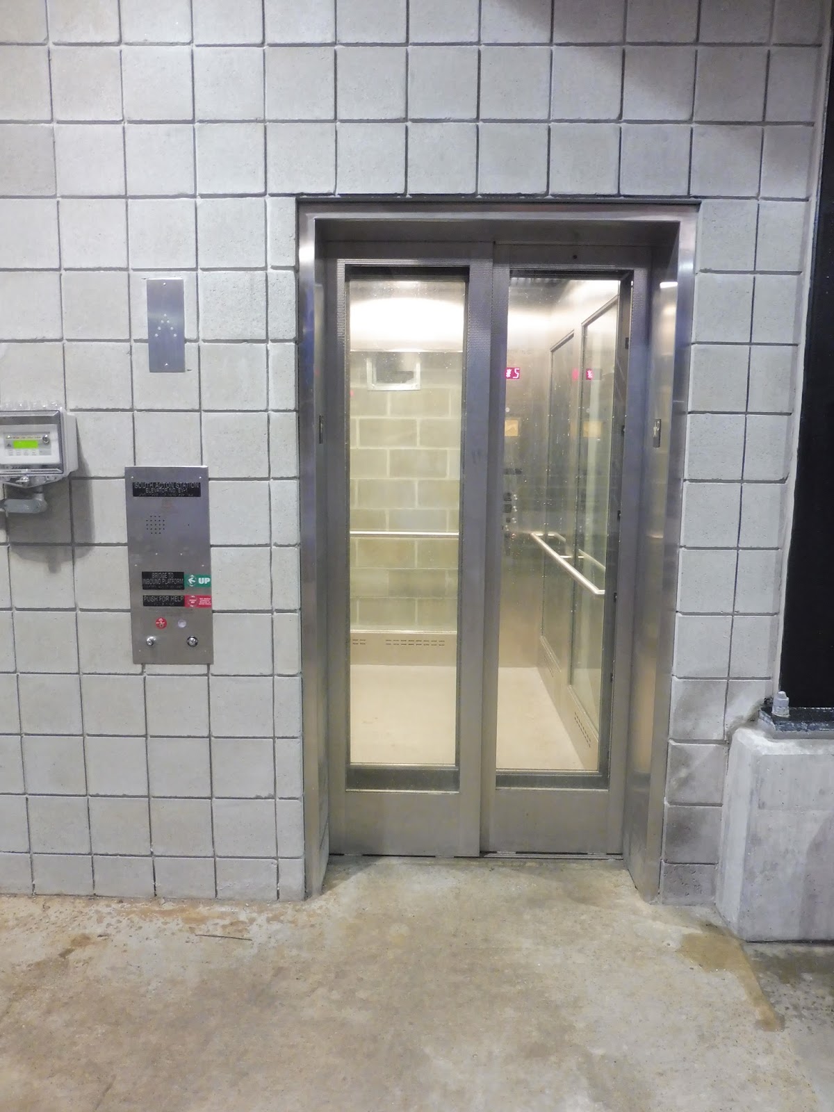
South Acton
I’ll admit, I’m usually against newer Commuter Rail stations. Indeed, South Acton is very new, having finished renovations about six months ago. And yet, it’s a surprisingly nice station – certainly better than the horrible old one. Let’s see it!
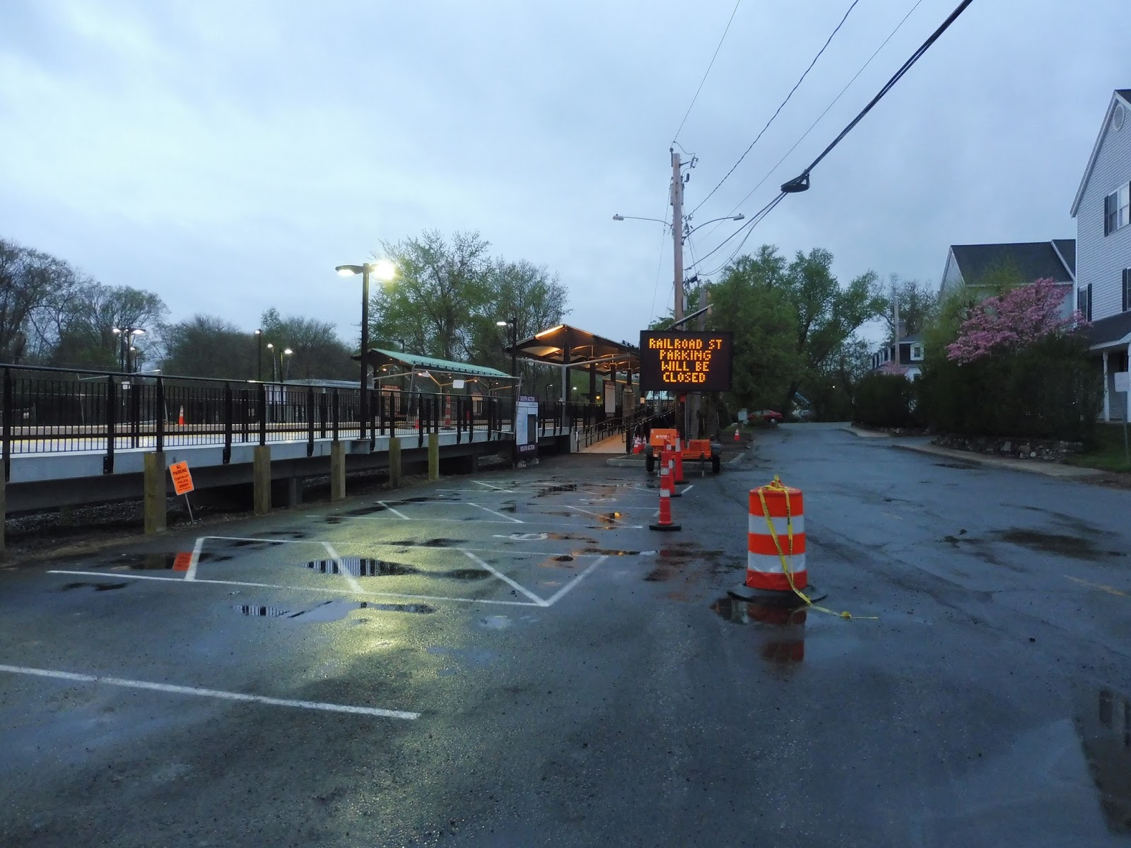 |
| Oh no! Closed parking! |
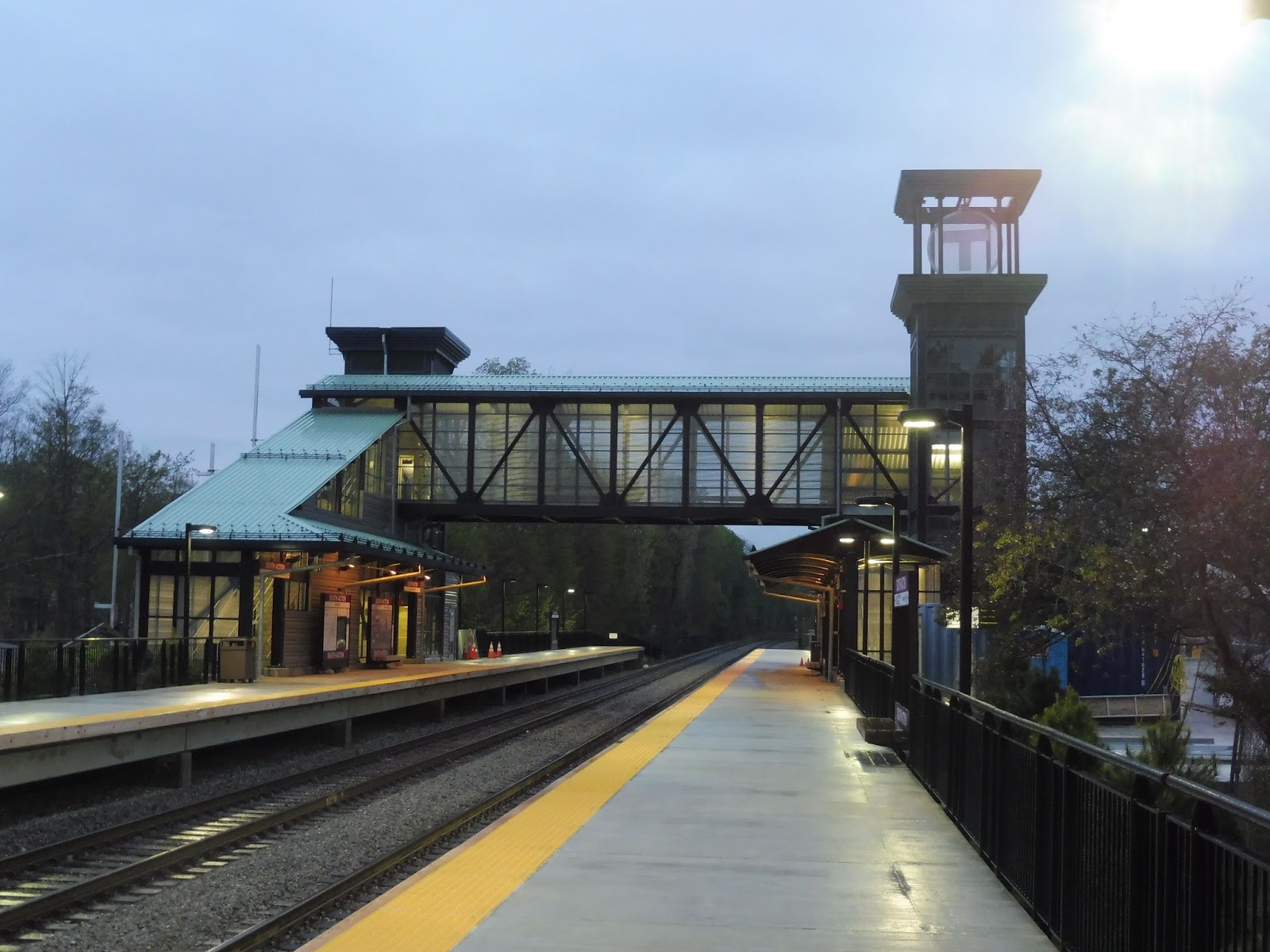 |
| That is a foreboding footbridge… |
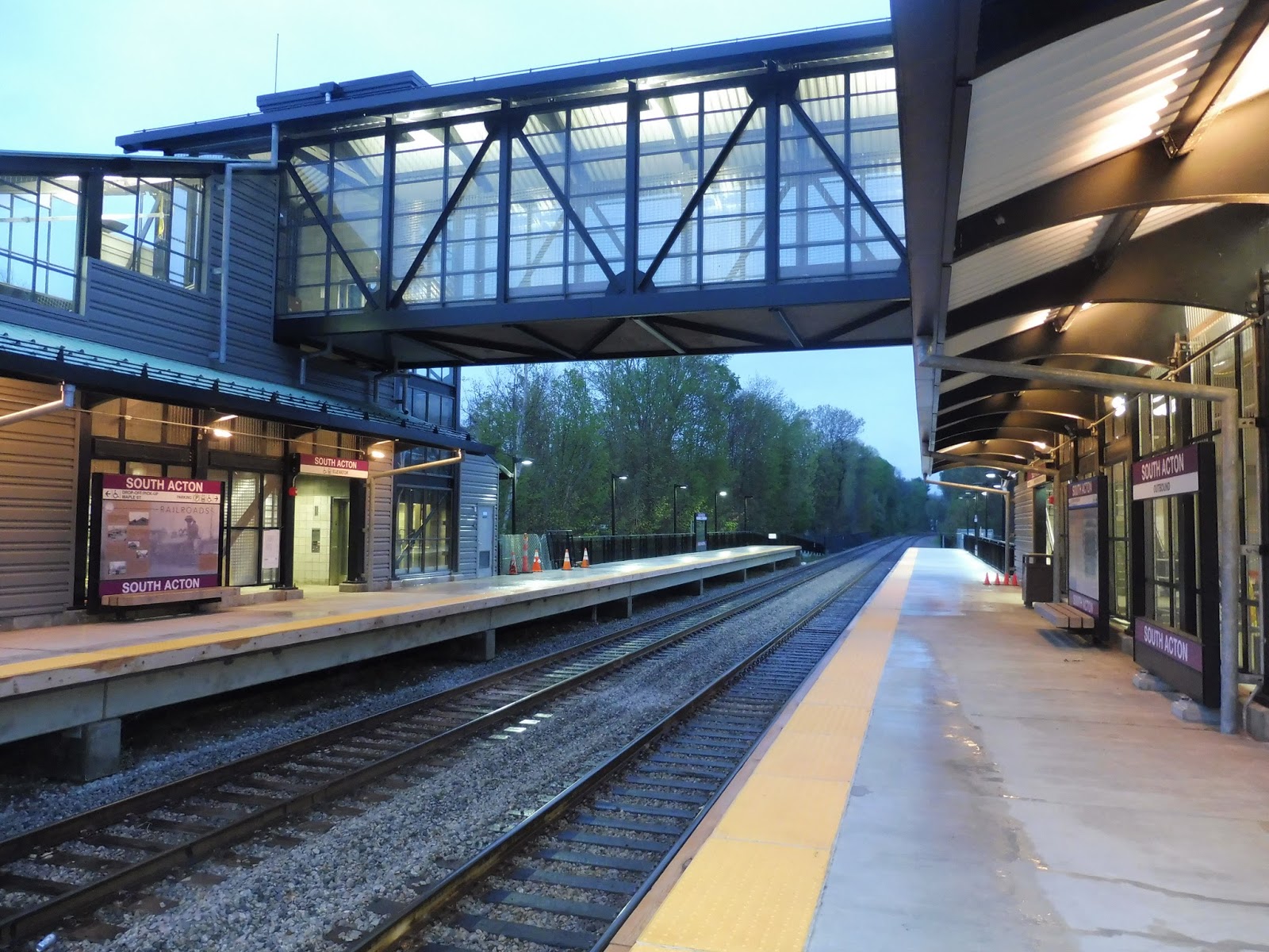 |
| Under the fancy footbridge. |
 |
| Gasp…woahhhhh… |
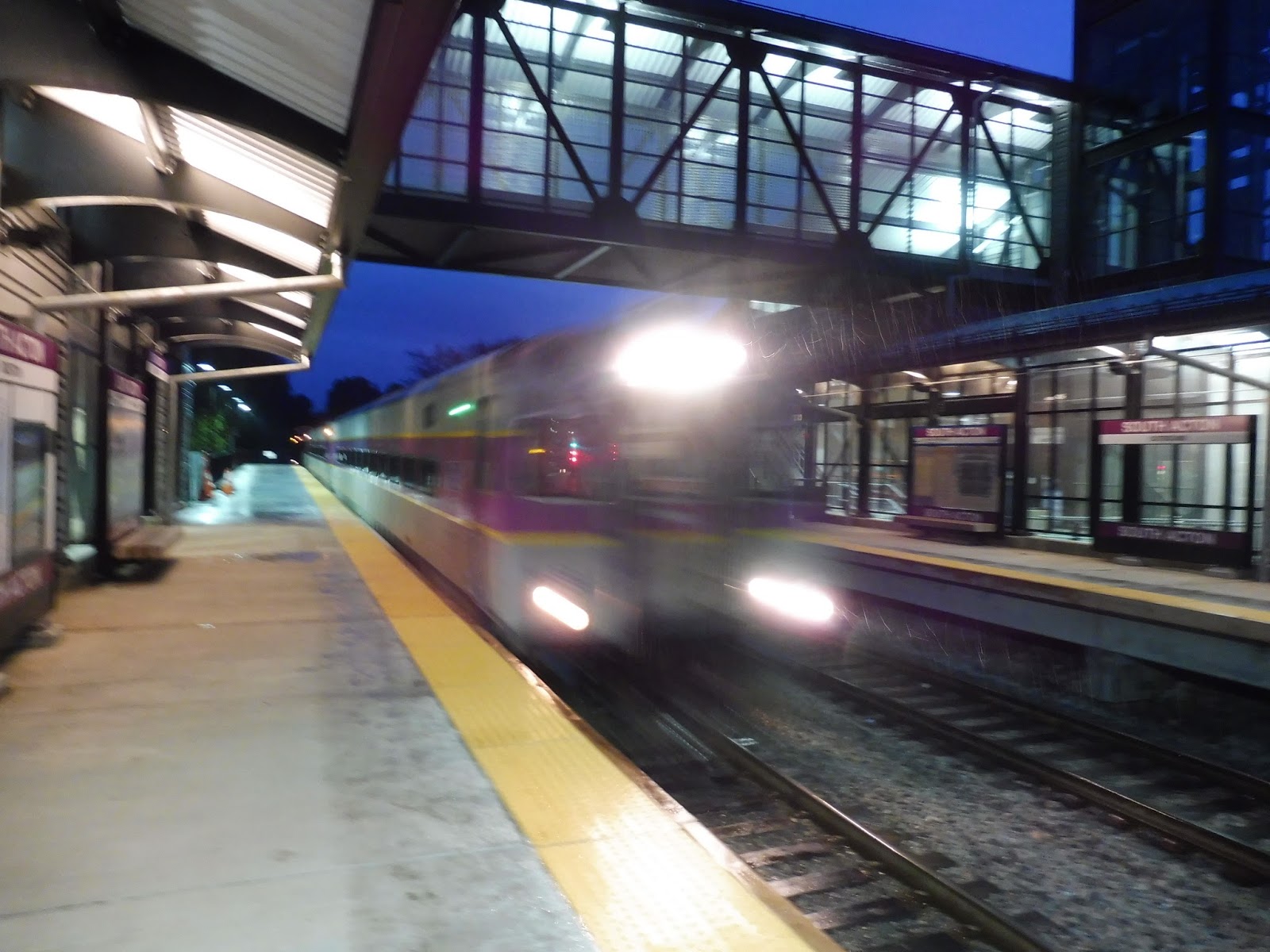 |
| Train pictures are hard at night, okay? |
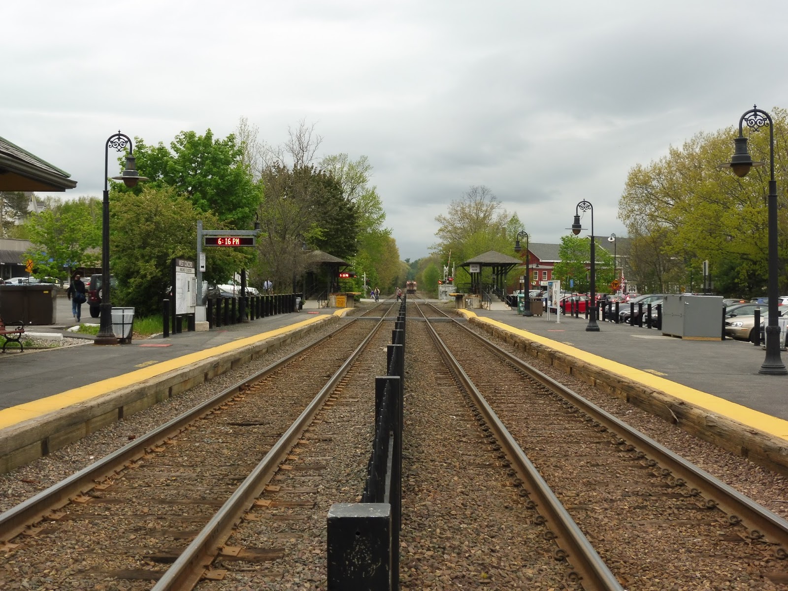
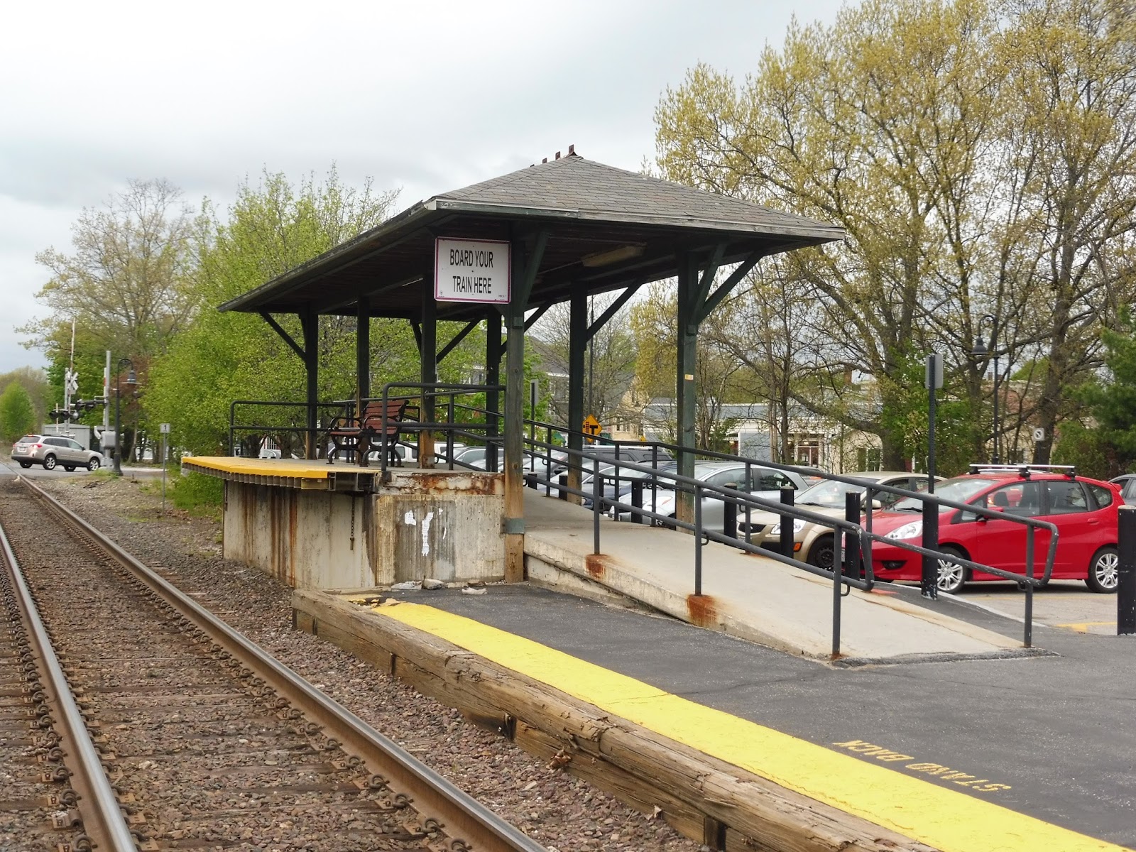
West Concord
Well! This is most definitely the superior Concord station, especially compared to the other one. But seriously, West Concord is better than its companion in every way possible! I love this place so much…
 |
| There’s a lot to talk about before we even get to the station! |
Outside the station, there’s this nice little plaza with so much stuff in it! I mean, you’ve got your classic benches, grass, and trees for starters, but how about the water fountain…that also has a specific place for filling up water bottles? There are also some plants with a unique drainage system for waste from a nearby parking lot! You’ve also got remnants of an old railroad junction, plus a solar garbage can! It’s amazing!
 |
| Another great station building! |
Moving on, this is another station with a wonderful old station building. This one is put to great use, too, with an entire café inside! It also has a door that leads out to the platform (the inbound side!) in case you need to run and catch a train. The café even has some outdoor seating, including one with a checkerboard on it!
 |
| Looking straight down the platform. There’s a train leaving in the distance. |
This station is on a straightaway, and the platform feels long as a result. Not much is offered along the majority of it, especially on the outbound side – it’s just a straight line with a few benches or wastebaskets here and there. As for the inbound side, it gets the building, so there’s a bit more sheltered seating. A fence separates the two platforms, but there are a few level crossings used to cross over.
 |
| Hooray! It’s accessible! |
Yes, unlike its eastern cousin, West Concord actually has wheelchair accessibility in the form of some really charming mini-high platforms! Yes, they may be rusting a bit, but the wooden shelters are just lovely. Each side has only a single bench, but that’s better than nothing, and the shelters can still fit a good amount of people underneath.
 |
| Bike parking! And regular parking! |
Okay, there isn’t that much bike parking – only 10 spaces. But still, that’s something! And as for car parking, West Concord doesn’t disappoint, with 146 spaces. I think it might still be municipal parking, but the MBTA website says it still has a 20% availability rate on weekdays, so that’s fine! There is a fee, though, at $4.00 per day – although strangely, an old honor box says it’s $5.00. I’m going to trust the website and say it’s $4.00, but you never know.
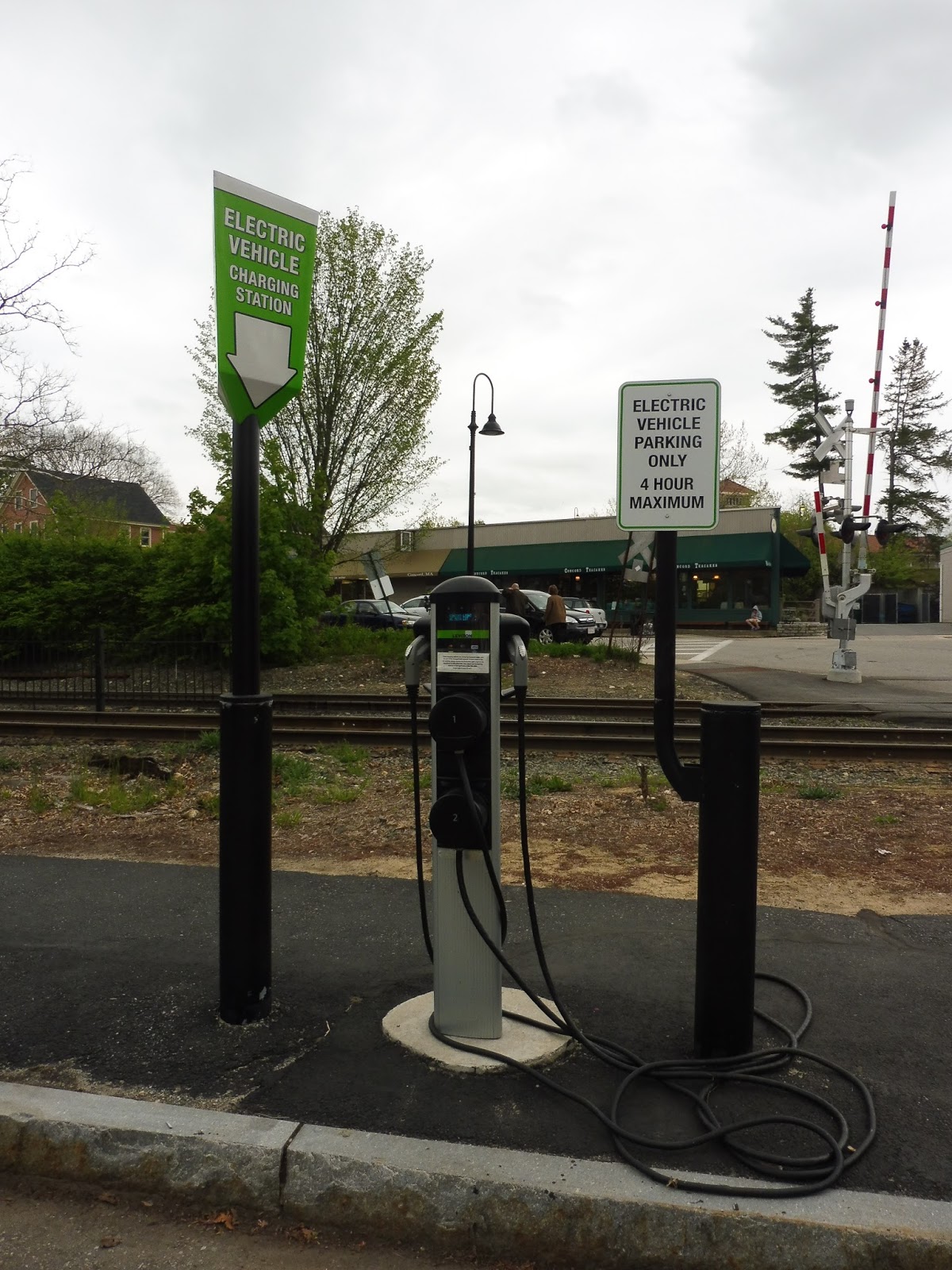 |
| WOAH. |
But despite having a fee, West Concord’s parking completely makes up for it with an electric vehicle charging station. Yes, it may have a 4 hour maximum, so you can’t charge your car all day while working in Boston, but it’s just so cool! Does anyone even use this? Who cares? It’s amazing!
 |
| A train coming… |
 |
| …and going. |
Station: West Concord
Ridership: This station is just behind Concord in terms of ridership, making it the 4th-busiest station on the Fitchburg Line! So if West Concord gets 541 riders per weekday and Concord gets 592…gosh, Fitchburg only gets 518 riders! The town of Concord has over double the ridership, yet only half the population of Fitchburg! This is so strange!
Pros: There’s just so much to love about this station! The plaza alone has so much fun, unique stuff, from the solar wastebasket to the old train junction to the plant drainage system. West Concord’s building is beautiful, and put to very good use. Plus, it’s actually on the inbound platform this time! This is the only accessible station in Concord, and…did I mention the electric car charging station? Gosh, I love that.
Cons: There is a level crossing here, but if a train driver stops well, it won’t go down while the train is stopped (at least on the inbound side). Other than that, there really isn’t much wrong here. The parking’s expensive for the Fitchburg Line, but if you really want to drive in, just use nearby South Acton’s cheaper parking (although there’d be a trade-off with fares). Plus, the electric charging station makes up for it!
Nearby and Noteworthy: There’s a charming little “downtown” around the station with lots of small businesses. It’s no Concord Center, but it’s something!
Final Verdict: 10/10
You know what? I knew this station would get a 10 from the moment I stepped foot in that amazing plaza. And yes, I did have doubts when I found out about the parking cost (it’s one of the most expensive stations on the Fitchburg Line), but come on! This place just does everything right! It checks all the boxes for a wonderful Commuter Rail station, including lots of character. West Concord manages to combine old elements like the station building and the former track junction with new ones, like the solar garbage can and the electric car charger! This station is as good as it gets.
Latest MBTA News: Service Updates
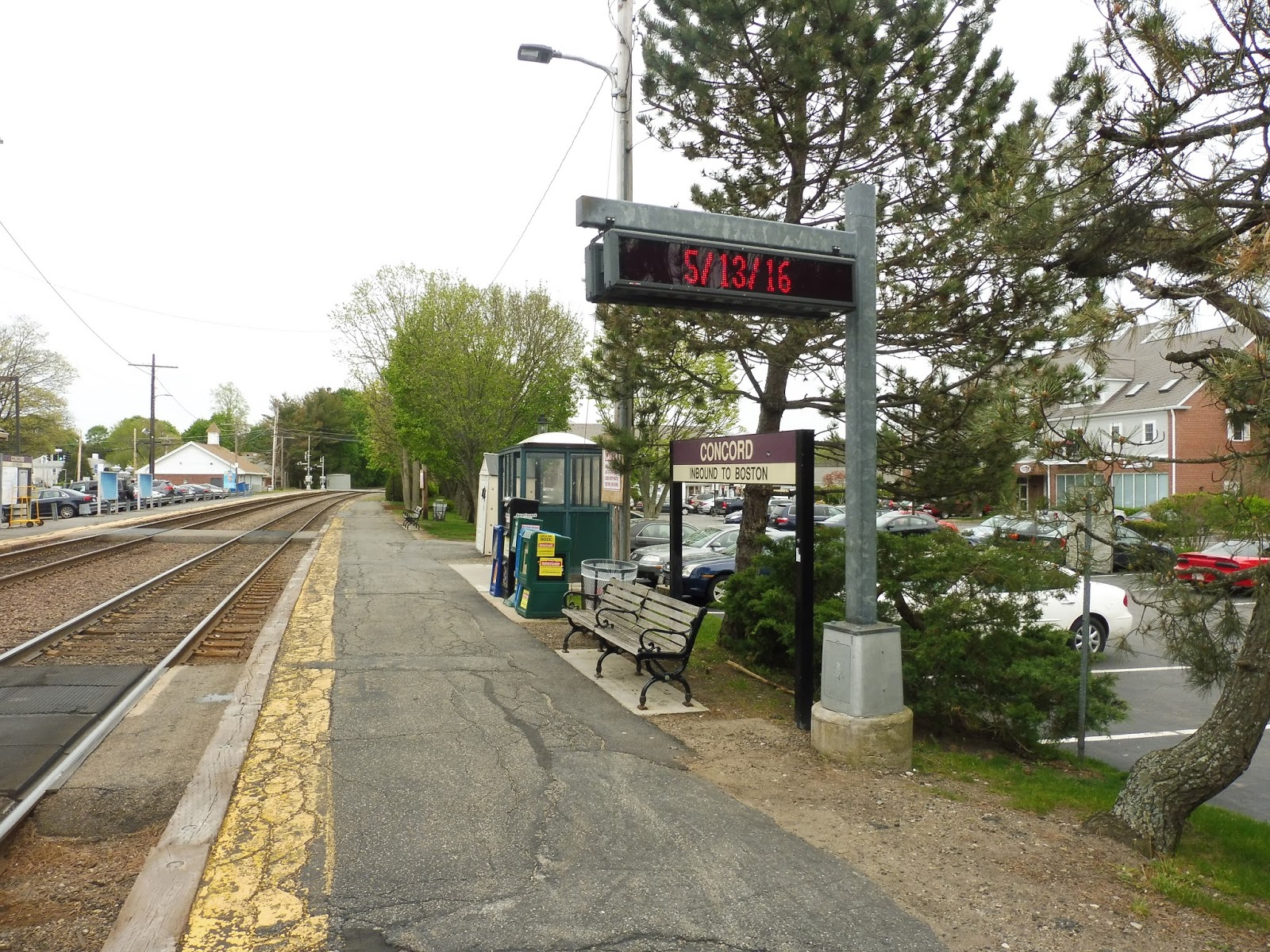
Concord
Welp, we’re headin’ out to northwestern suburbia now. Don’t let the hillbillies get you! But yes, Concord is actually one of the busiest stations on the Fitchburg Line, and it’s right near the center of town. This place has some great character, but also big flaws. Let’s take a look!
 |
| Gosh, I’m such a sucker for character… |
Why do the lovely station buildings always have to be on the outbound side? Yes, Concord’s outbound ridership is probably miniscule, but that side of the station does get a really great building. It even has a mural of (presumably) Walden Pond painted all along it! There’s a bench underneath the shelter of the building’s roof, too. As for inside, the old station is occupied by quite a few different businesses, from a fashion store to an optician!
 |
| A different kind of building! |
Strangely, though, the outbound side doesn’t have a wastebasket, which means litter can accumulate around the bench under the old building. However, this shortcoming is made up for with an ice cream shop further down the platform! I’m not an ice cream fan myself, (“Gasp” from the readers!) but the shop even has a door that leads out to the platform so you can rush out to a train if you have to.
 |
| Ohhh…oh nooooooo… |
And then there’s the inbound side. Where to begin? How about the cracked, decrepit asphalt along the whole thing? Or maybe the ugly green bus shelter that is the extent of the covering along the platform? Poor inbound riders…they deserve better than this.
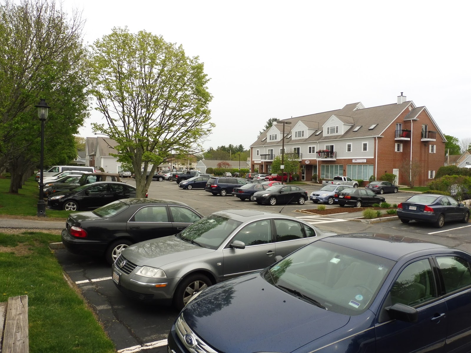 |
| Some parking. |
There are a few parking lots in the immediate vicinity of Concord, and I’m not sure which ones are official and which ones aren’t. Indeed, the MBTA website says that it’s run by the town of Concord and is free, so it might be generic municipal parking. It’s not a lot, either, with 86 spaces, and if the parking’s municipal, then it must fill up fast. There are also 10 bike spaces here.
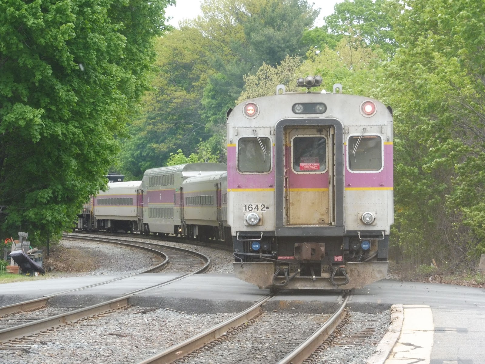 |
| An express train, having already whipped past the station! |
Station: Concord
Ridership: Well, this kinda puts a bad mark on the Fitchburg Line’s overall ridership – Concord is its third-busiest station after South Acton and Waltham, with 592 riders. The fact that it gets more ridership than Fitchburg is kinda sad, considering the sizes of the two towns (well, Fitchburg is a city, but I digress). Still, I guess lots of people commute from Concord to Boston, and many students use the station to get to and from nearby Concord Academy, so there’s that. But…Fitchburg has over double the population of Concord! Okay, I’m sorry, but this greatly confuses me.
Pros: There’s no denying that the place has character, especially on the outbound platform – that building is simply spectacular. But other than character (and ice cream) Concord really doesn’t offer much. I mean, the parking’s free, but I’m not sure if it’s explicitly station parking or just general use. Such a small lot would get filled up regardless of price, anyway.
Cons: For starters, the inbound platform is a mess. You know how this is one of the busiest stations on the Fitchburg Line? Well, I can’t imagine dozens of commuters trying to cram under that shoddy little bus shelter! Meanwhile, the outbound platform fills up with litter because it doesn’t have a wastebasket (the inbound side has multiple, for reference), and the whole station isn’t even accessible! Finally, the train has to spill out into two level crossings when stopped here, which is always annoying.
Nearby and Noteworthy: Concord is a really lovely town with lots of history. Concord Center is a short walk from the station, and it offers a great small-town feel. Even the little cluster of businesses near the station is worth checking out!
Final Verdict: 5/10
Sorry, Concord, but your beautiful building isn’t gonna save you this time. If the inbound side could get better shelter and some mini-high platforms in general, the rating would shoot up, but at the moment, this station is surprisingly barebones. Yes, it’s charming. Yes, it has ice cream. But it also has level crossings, dodgy parking, and no accessibility. No, thanks.
Latest MBTA News: Service Updates
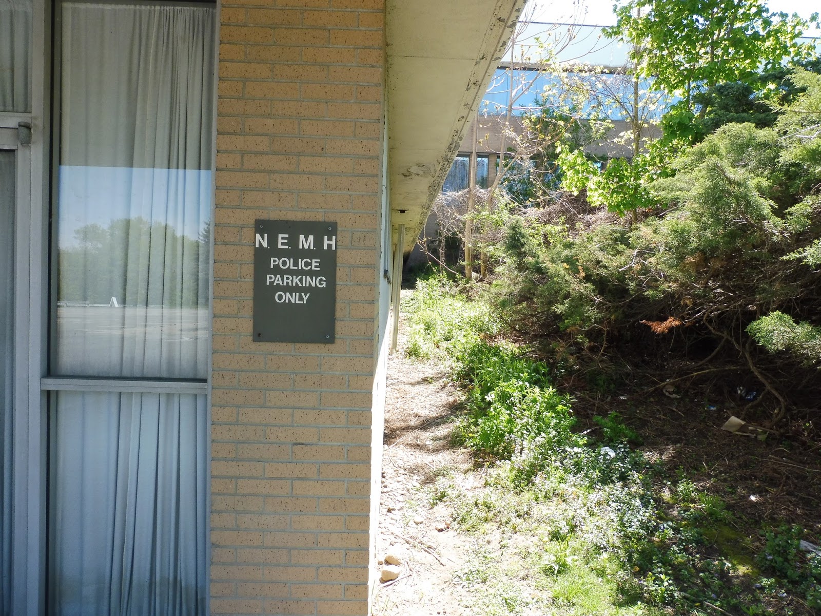
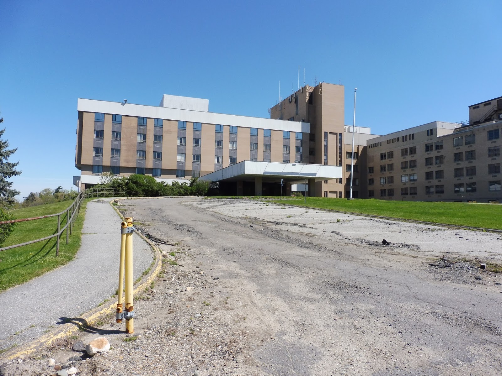
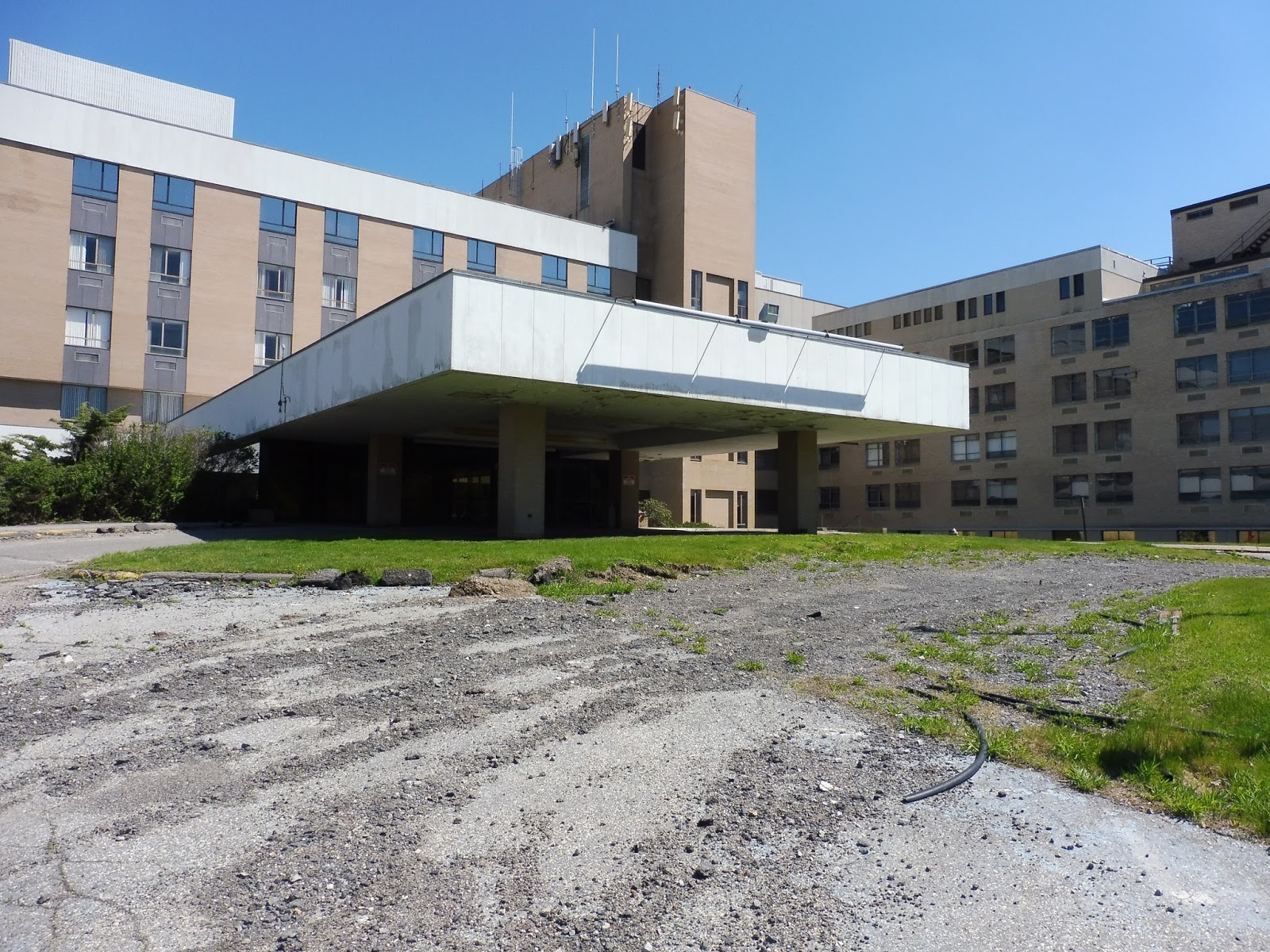
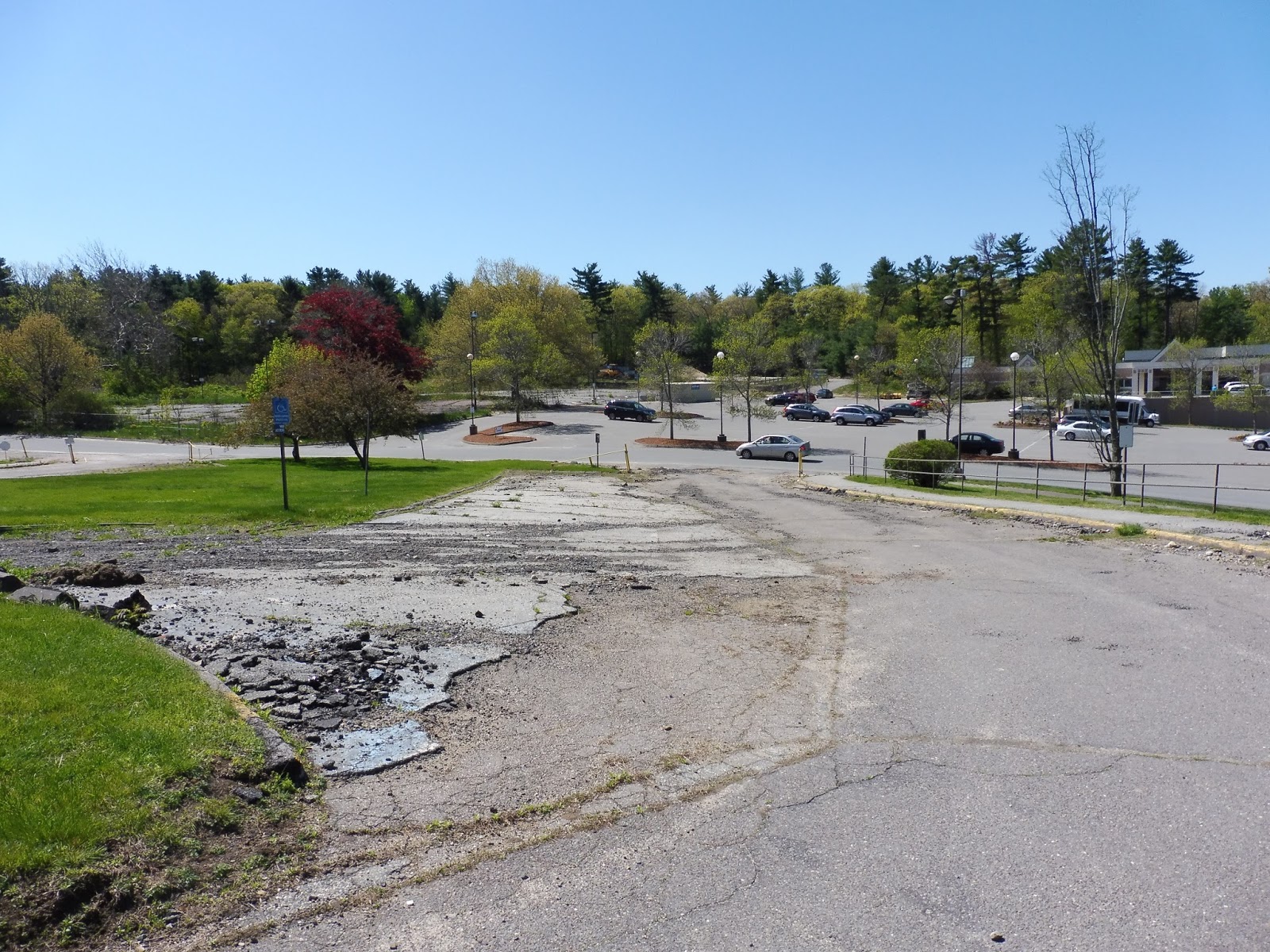
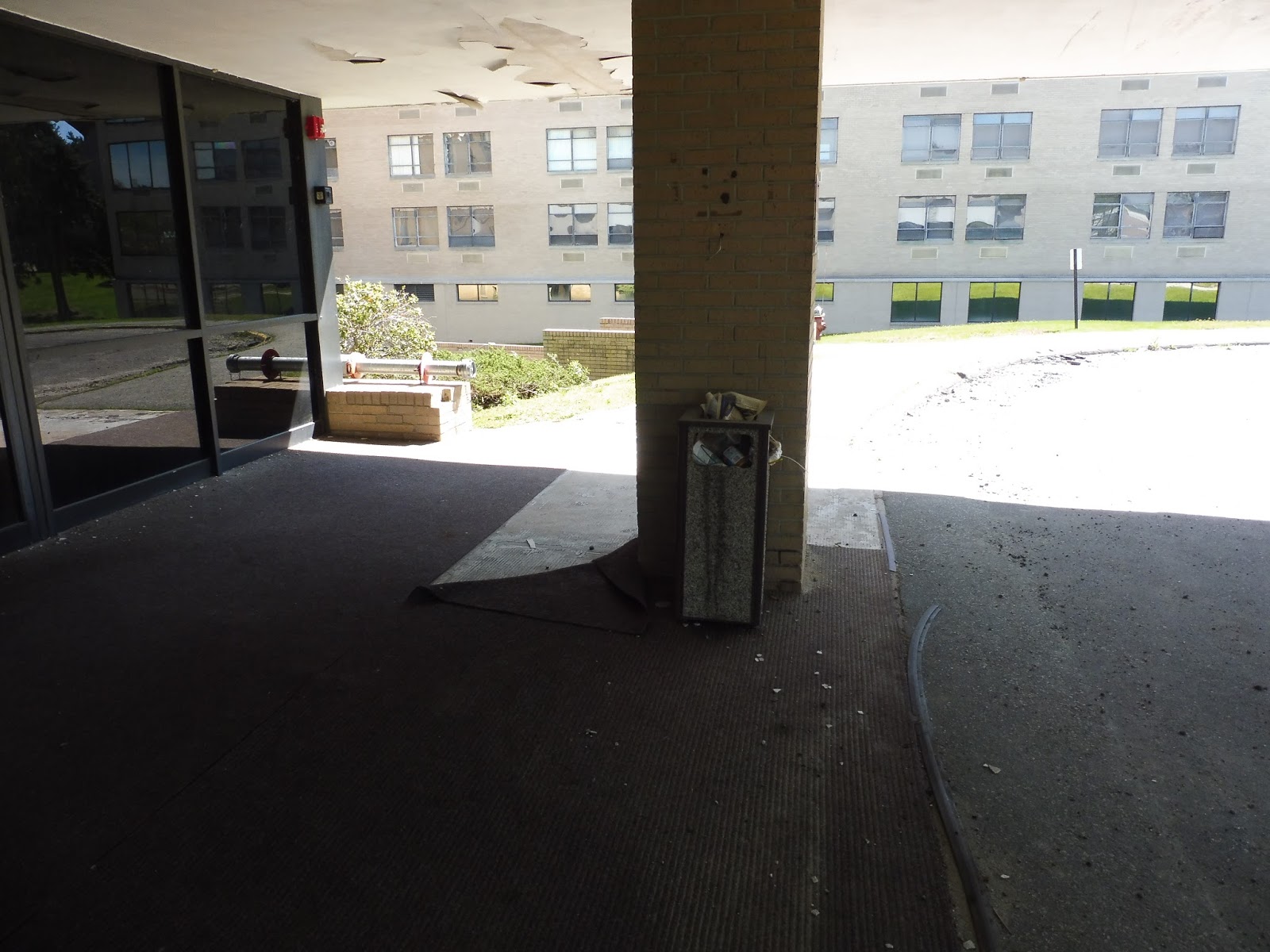
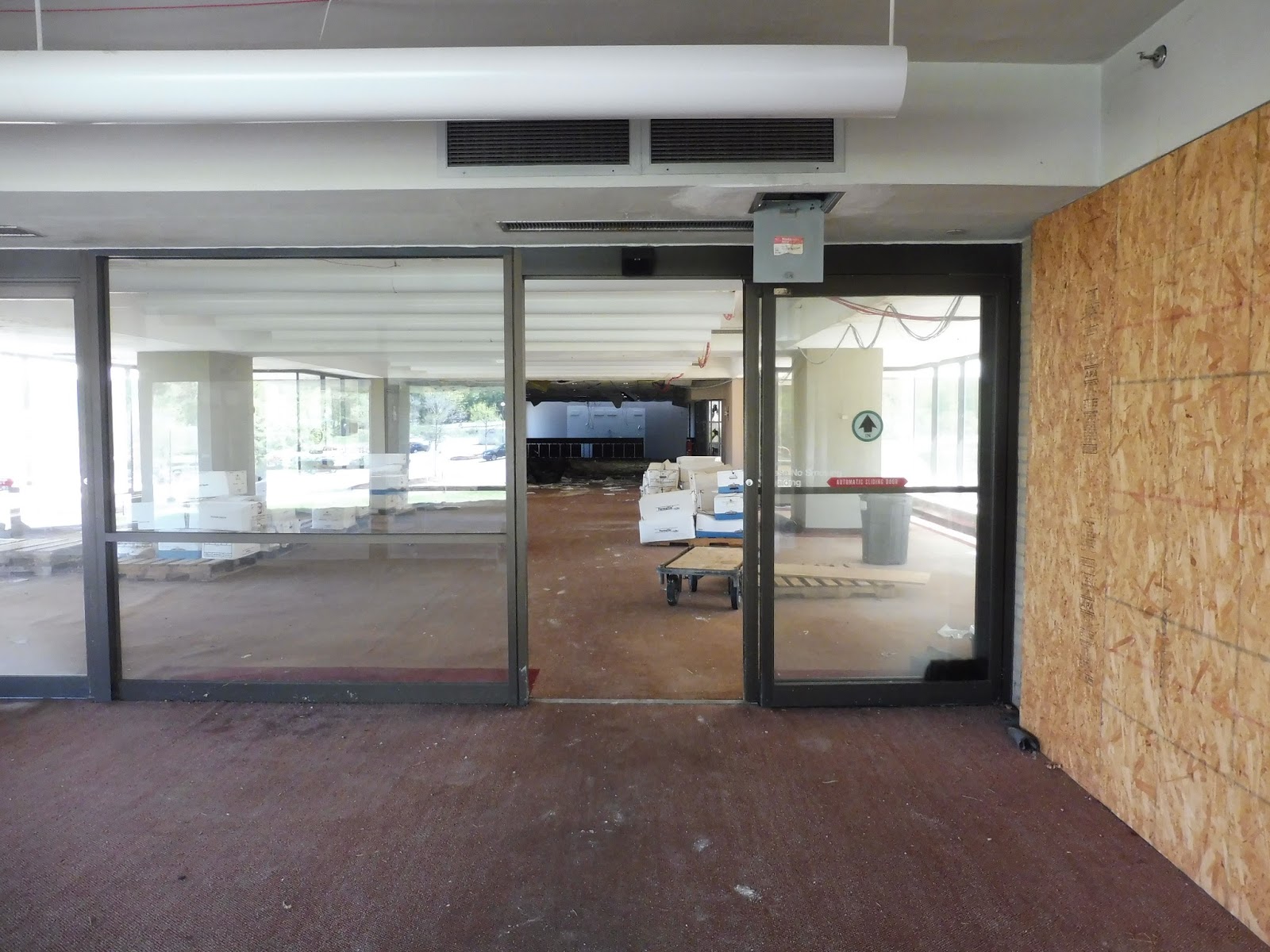
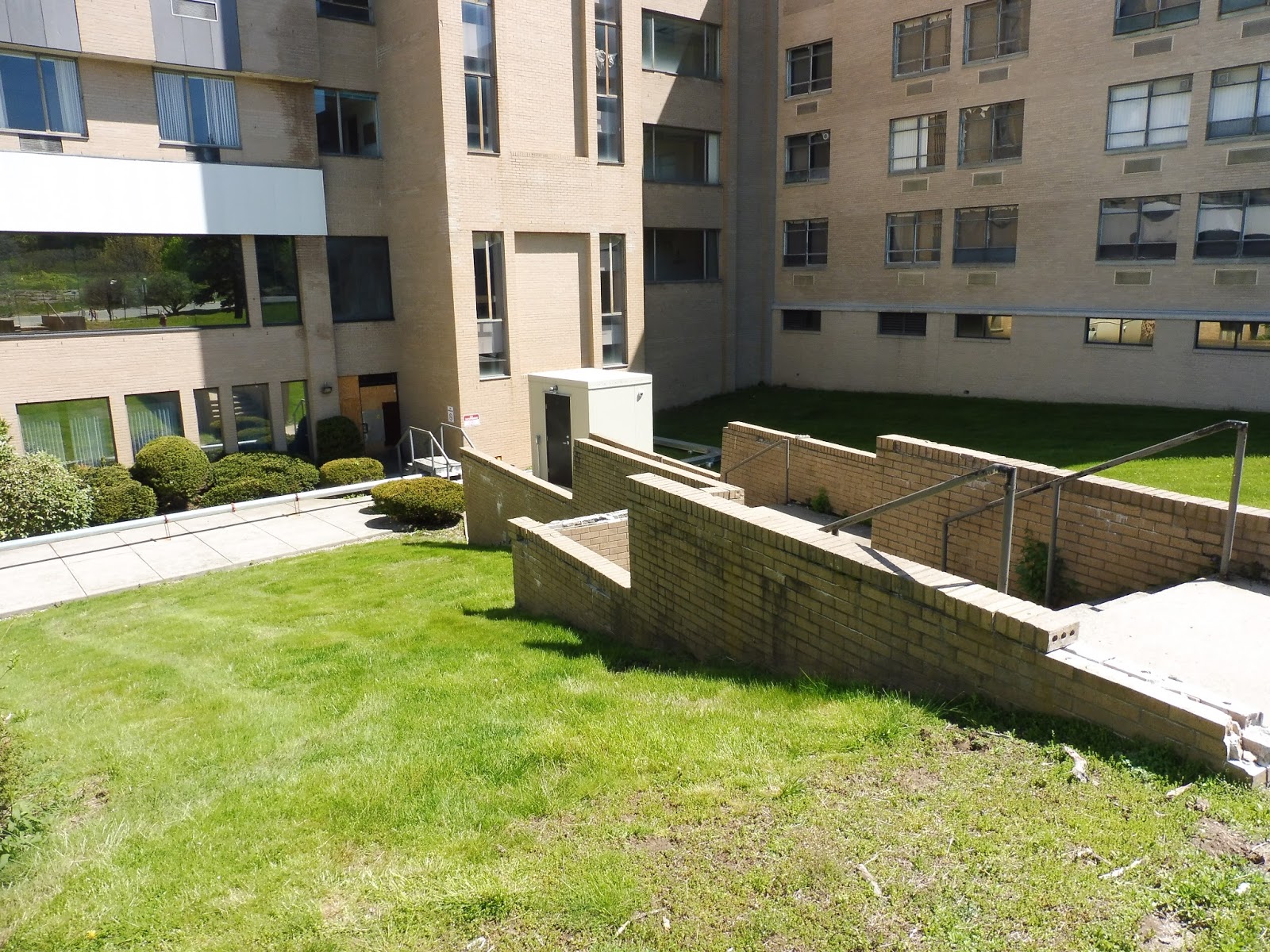
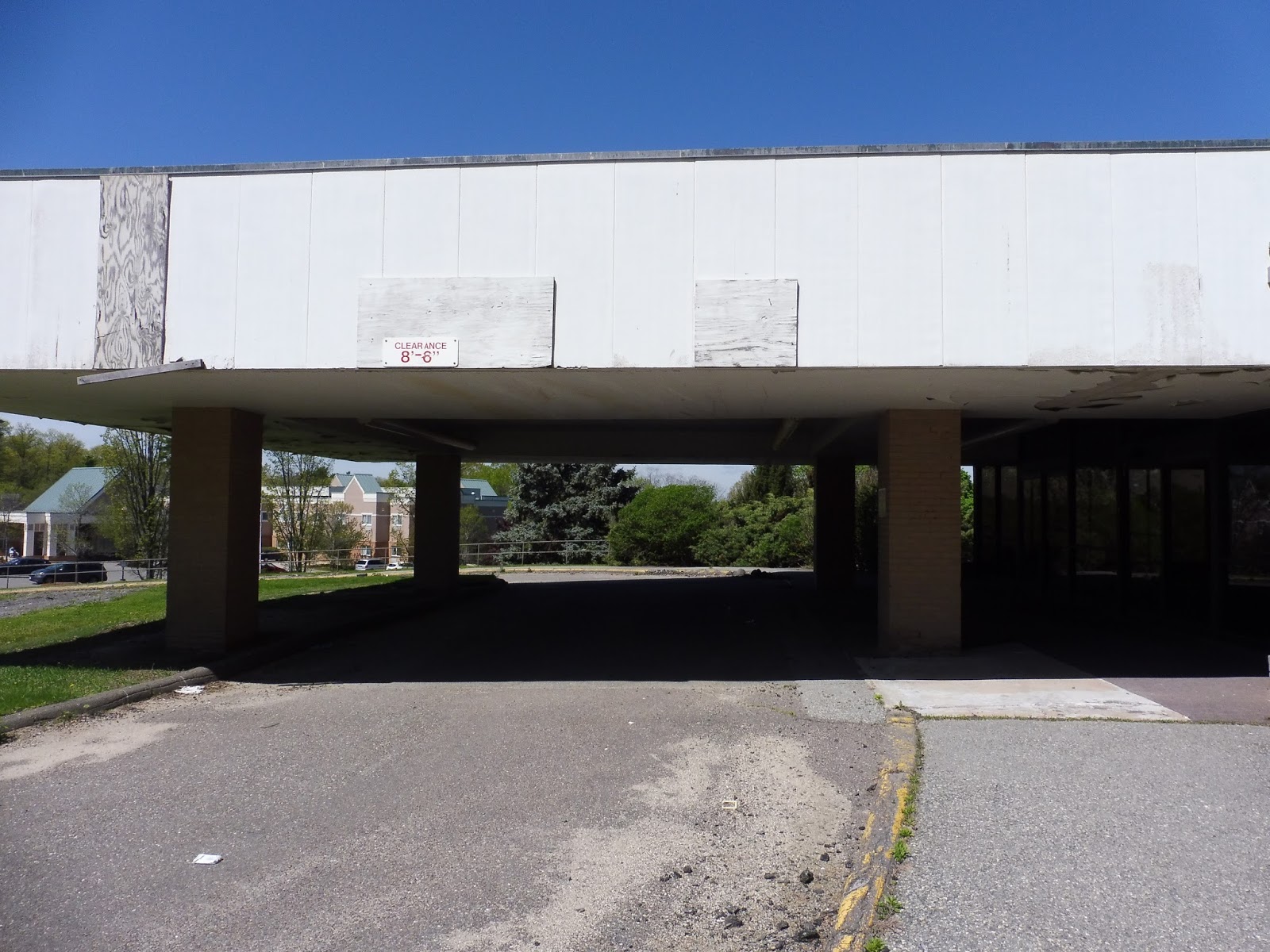
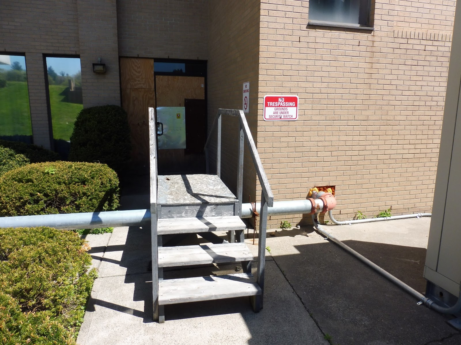
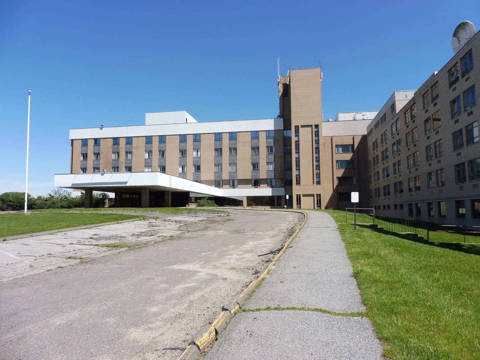
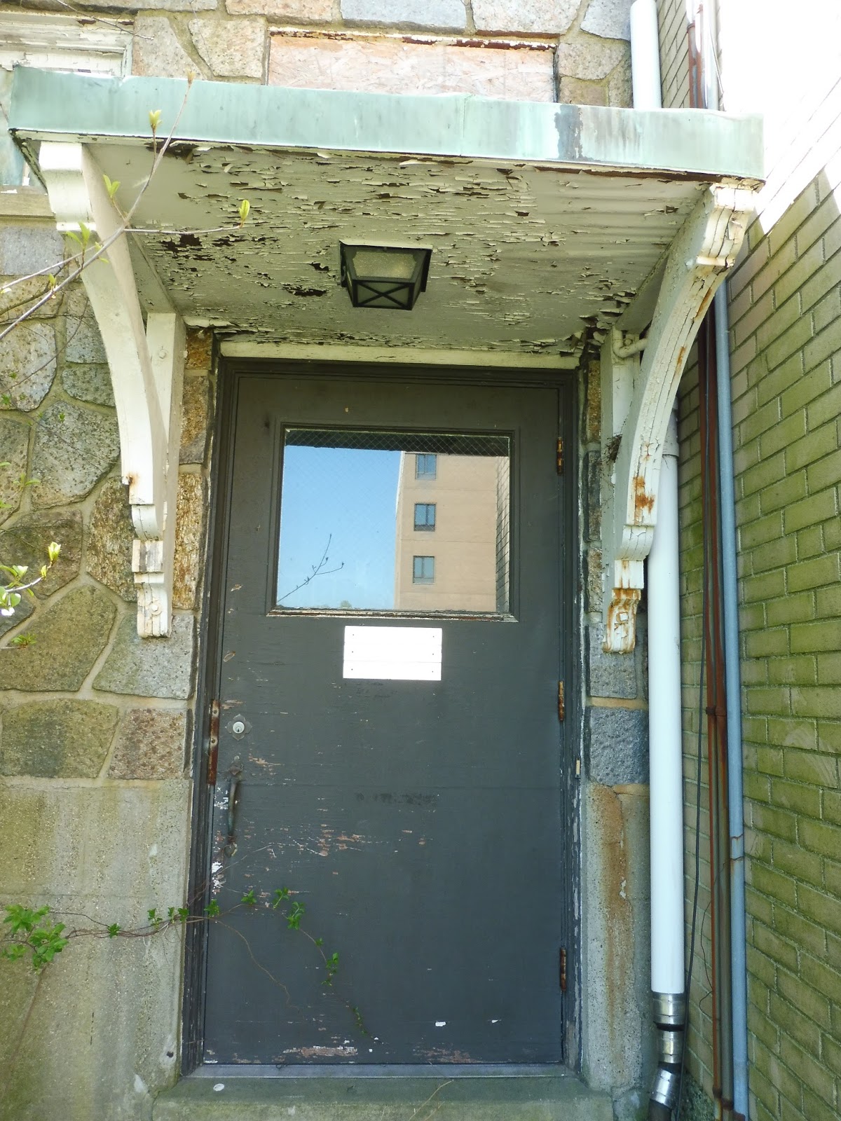
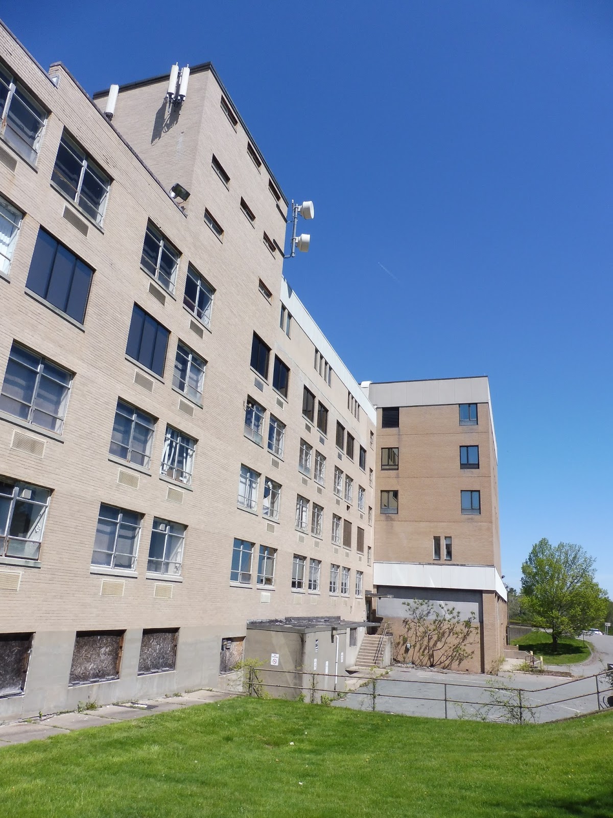
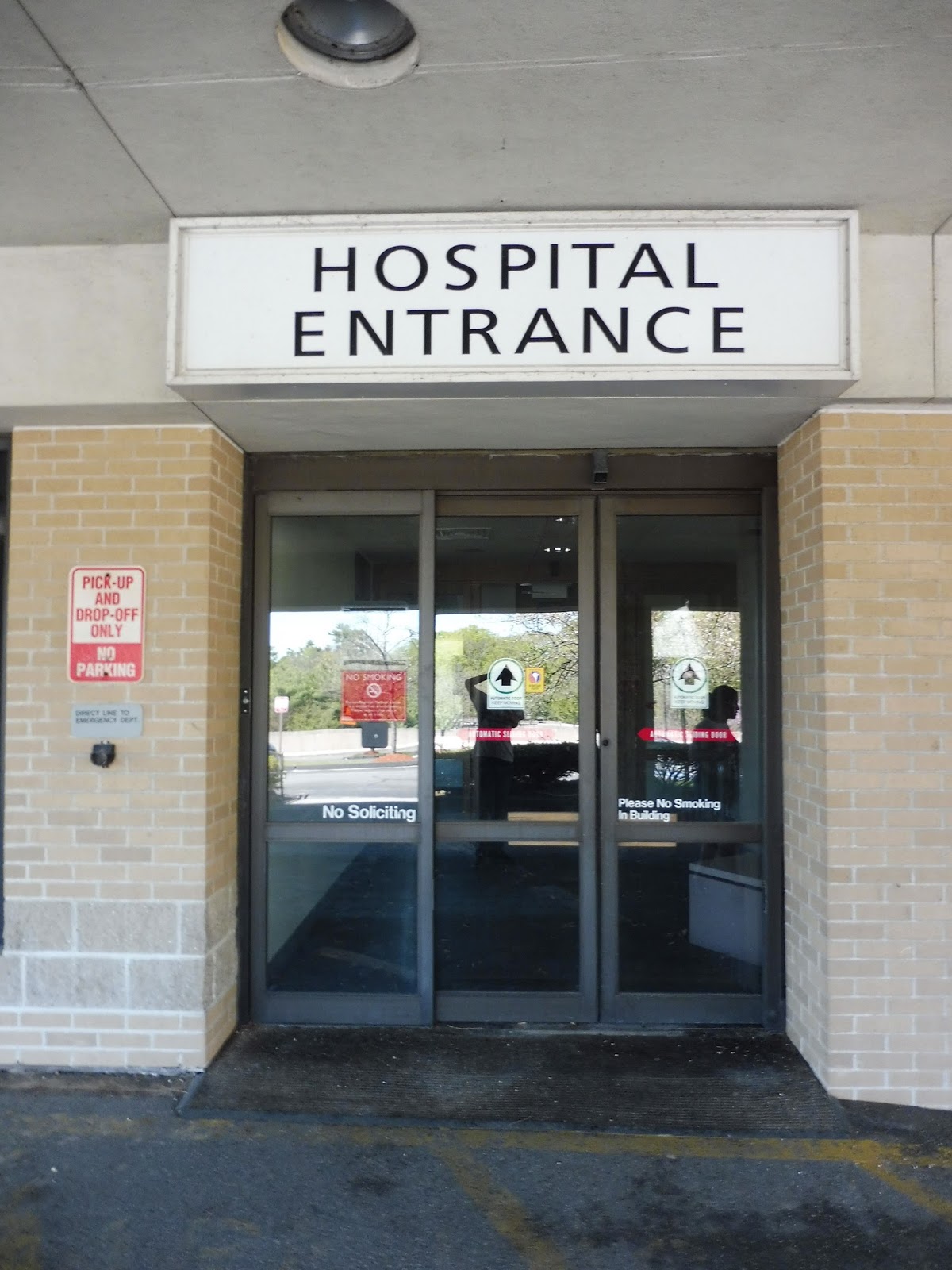
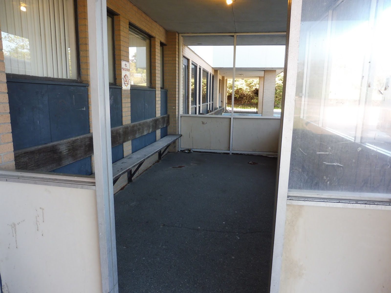
Abandoned Hospital!
For a change of pace from my usual reviews, here are the photos I took at the abandoned Boston Regional Medical Center! All of the pictures are taken from outside – don’t worry, I didn’t trespass!
 |
| The beat-up parking lot. |
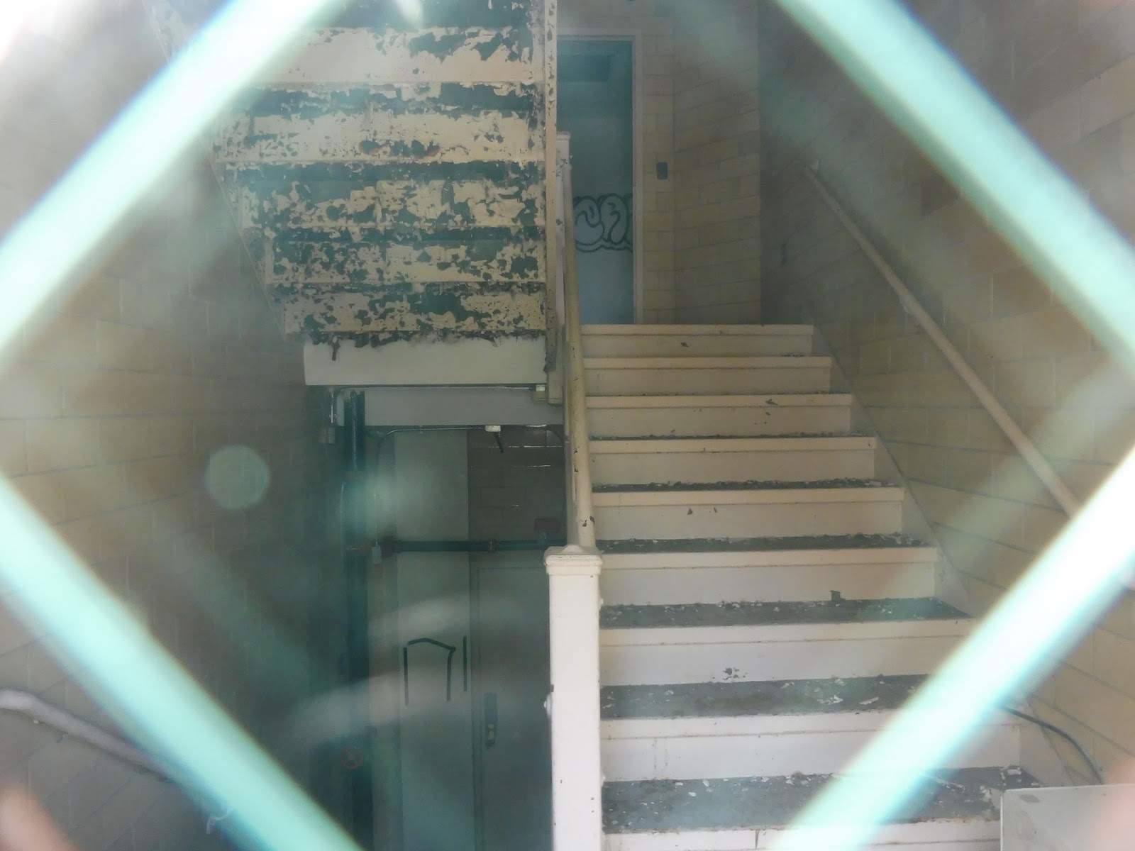
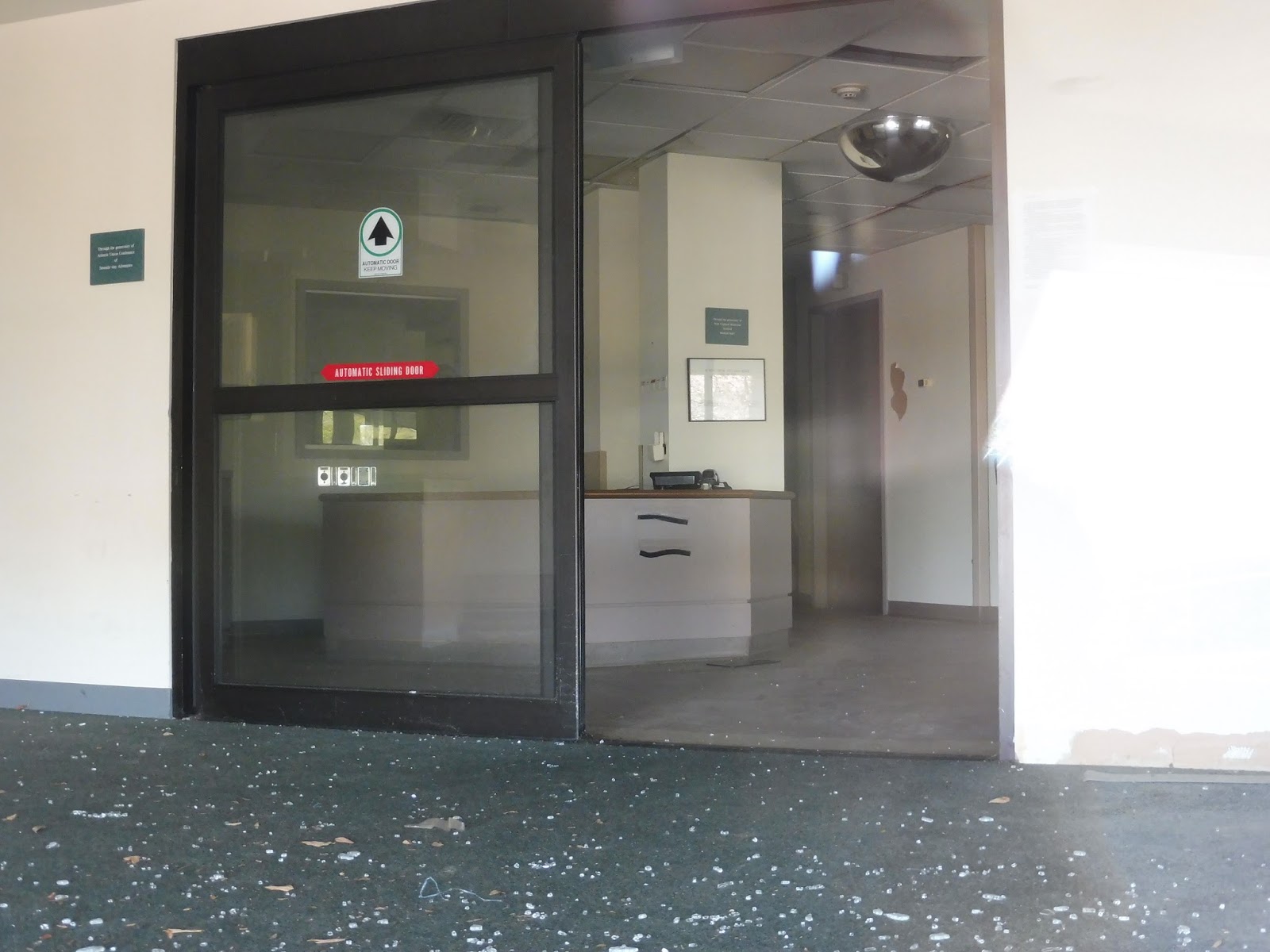
 |
| Looking through a glass door. |
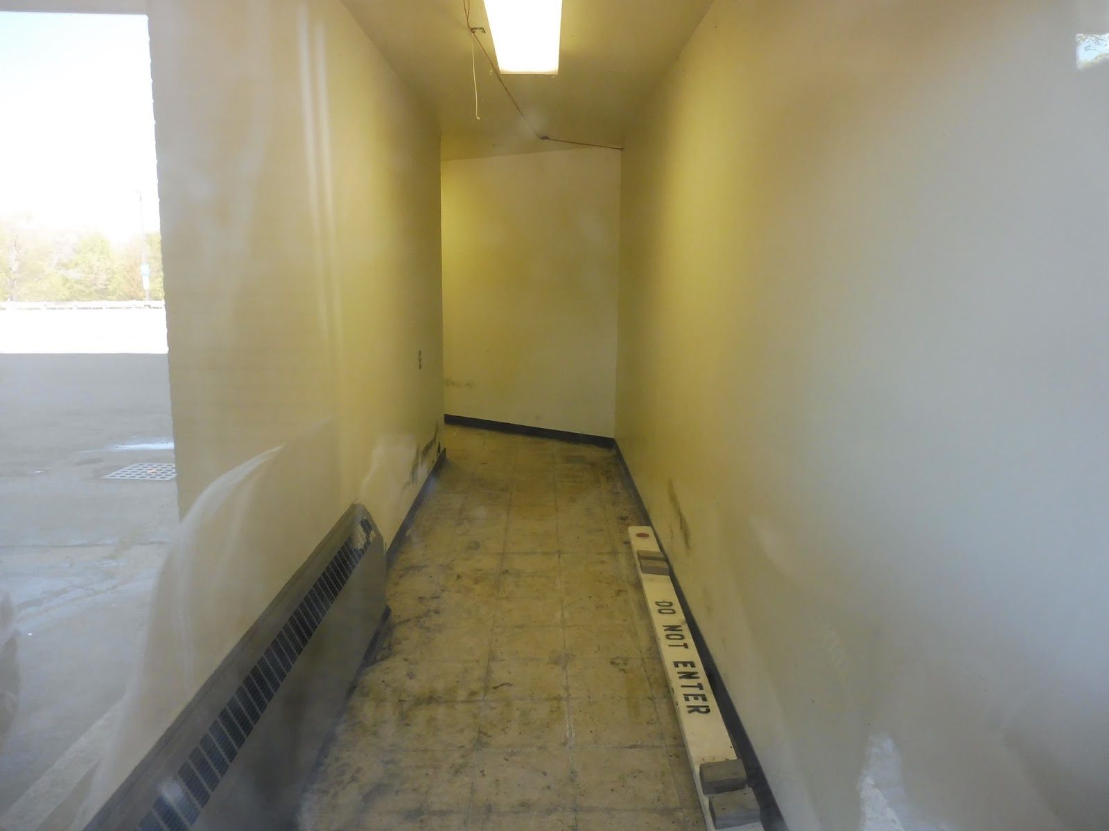 |
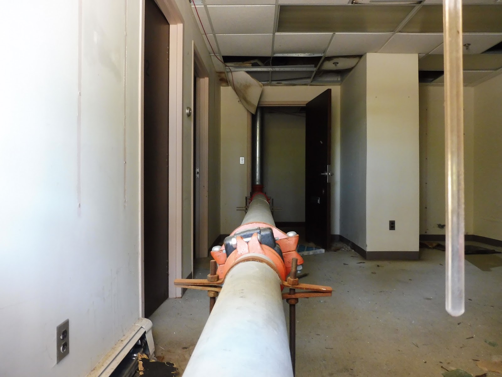
| A narrow hallway. |
 |
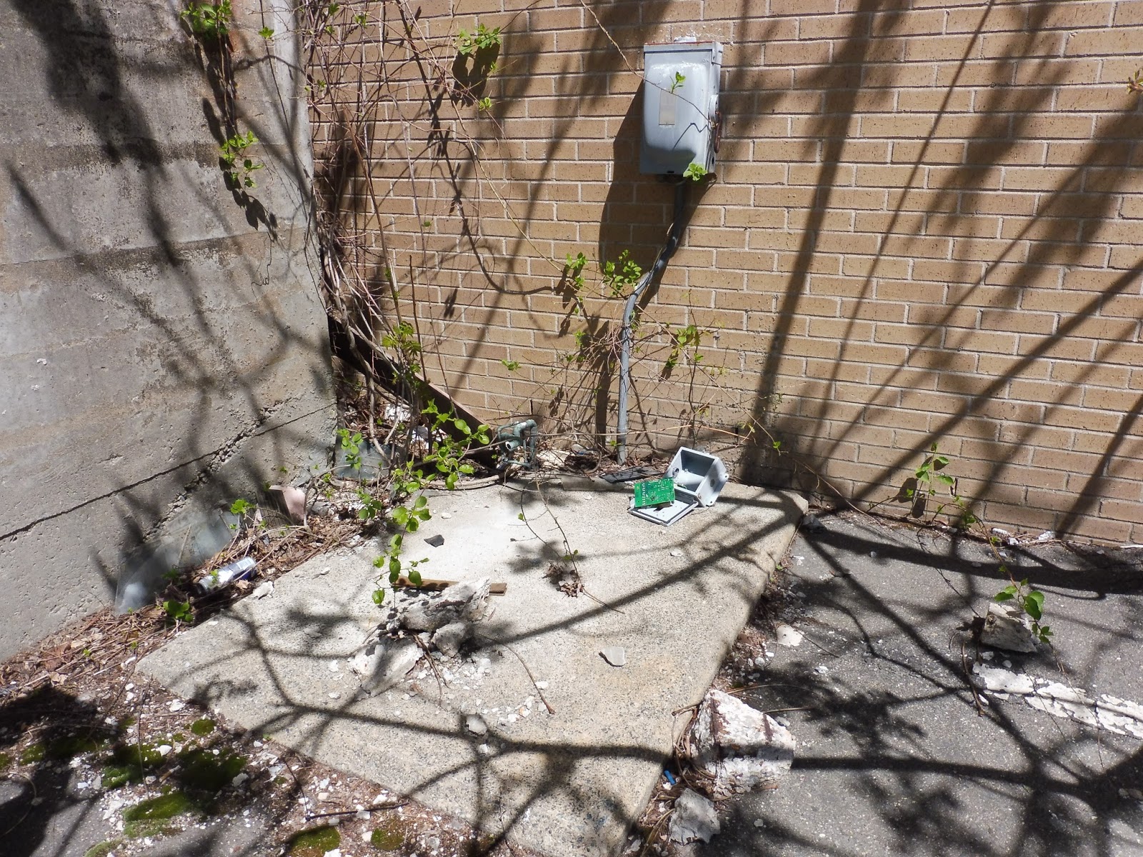
| Some overgrowth. |
 |
| Heading up to the main entrance. |
 |
| Getting closer… |
 |
| This road has seen better days. |
 |
| Someone needs to empty that wastebasket! |
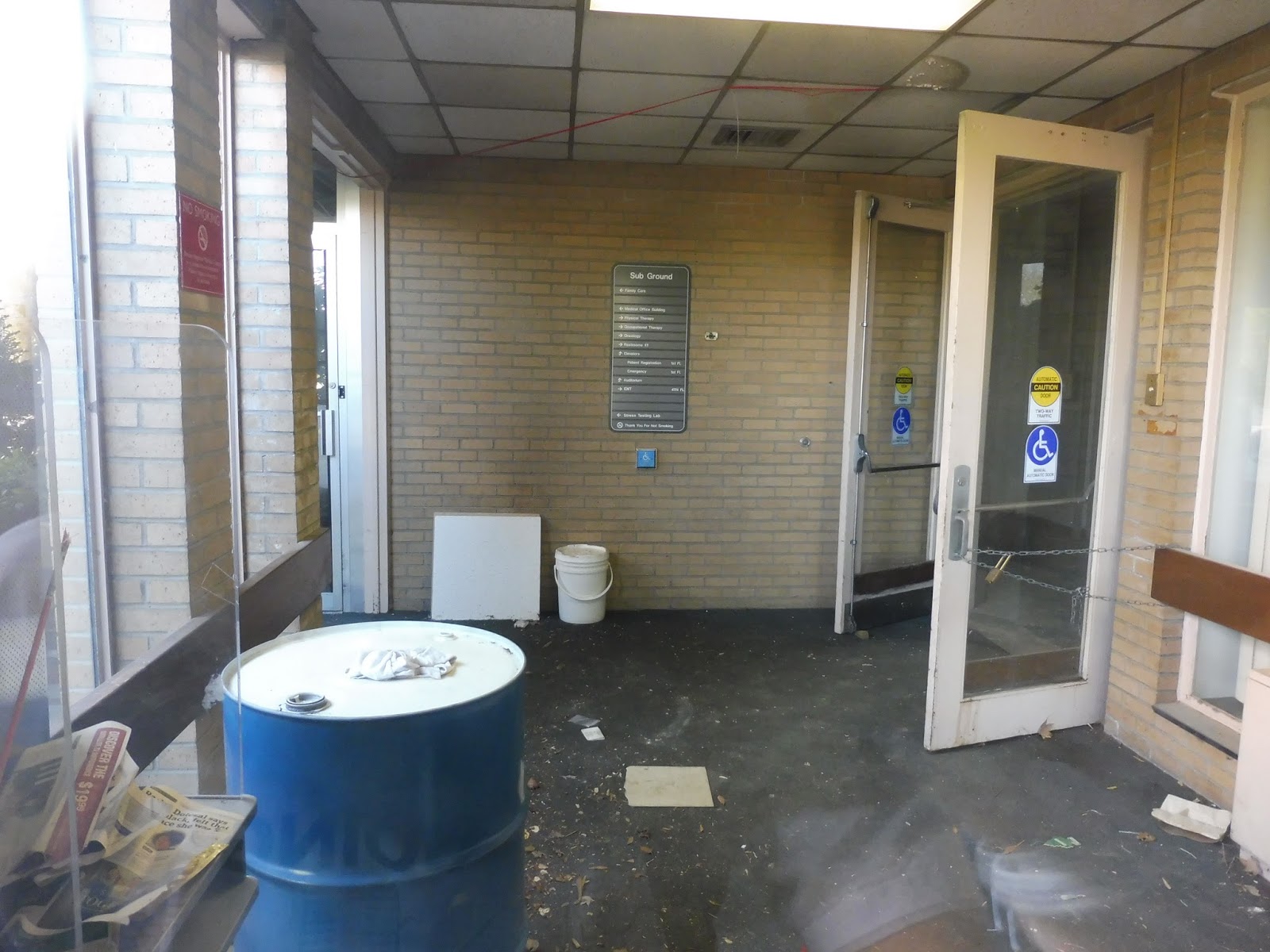
 |
| Looking into the main entrance. |
 |
| A zoomed-in shot. Look at the fallen plaster! |
 |
| Another corner of the building. |
 |
| A side of the hospital. |
 |
| Looking back toward the main entrance. |
 |
| That looks unsafe… |
 |
| What a lovely shot of a radiator. |
 |
| The building again. |
 |
| An old sign. |
 |
| Even the church was abandoned! |
 |
| A rusting door. |
 |
| How do you even bend a metal sign like that? |
 |
| A side of the building. |
 |
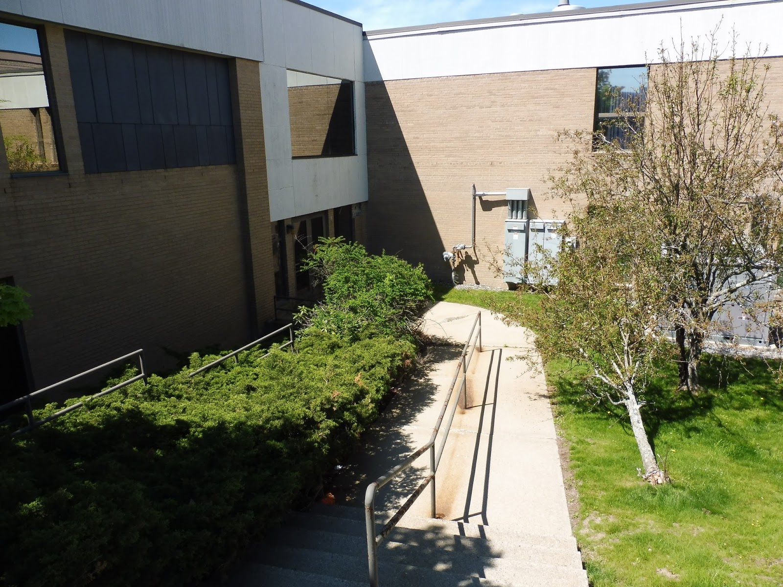
| I wonder if that staircase is sturdy… |
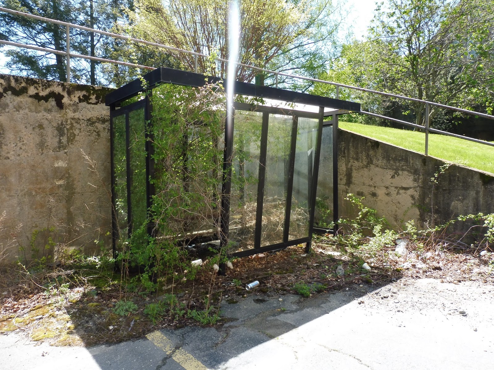 |
| A bus shelter? What for?! |
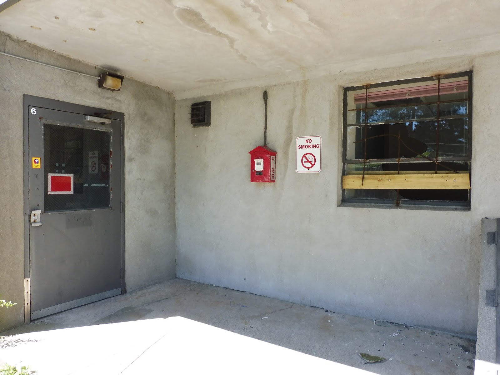 |
| I don’t think anyone will be smoking around here anymore… |
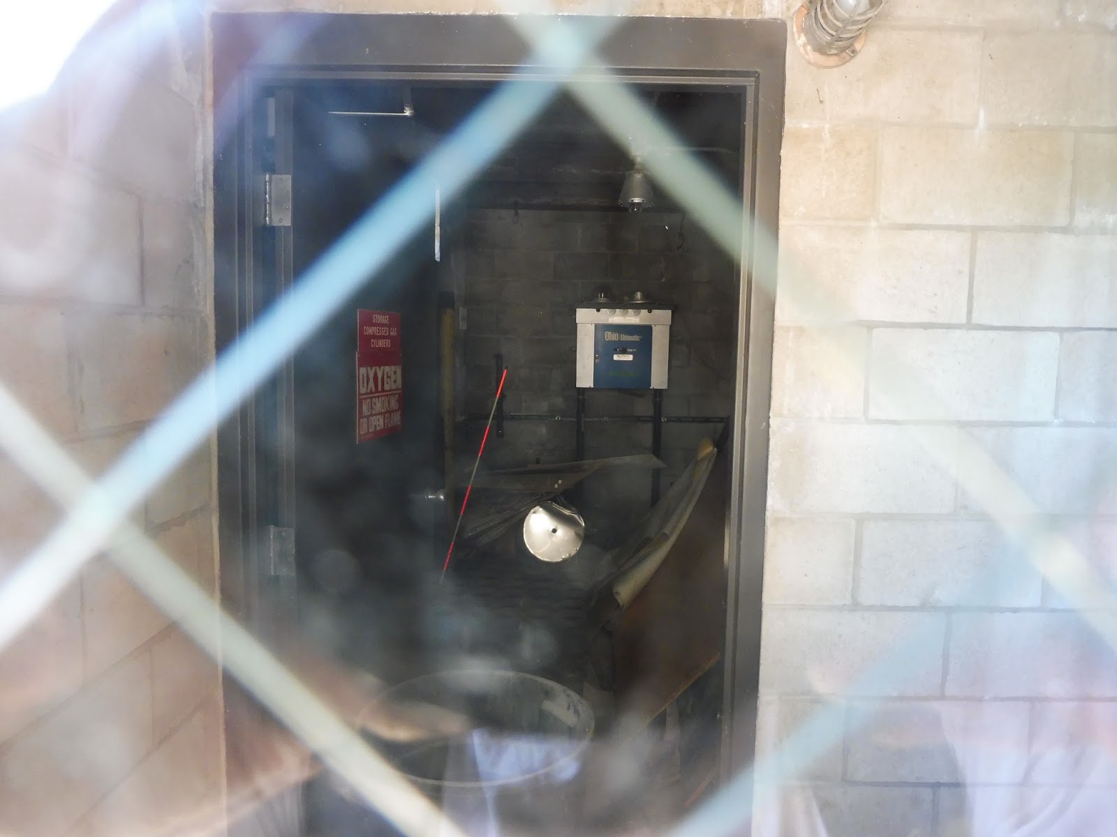 |
| Some sort of utility closet? |
 |
| Ahhhh, that’s so creepy! I wanna go in so bad! |
 |
| Another door. |
 |
| Lots of overgrowth going on here. |
 |
| More bent metal! |
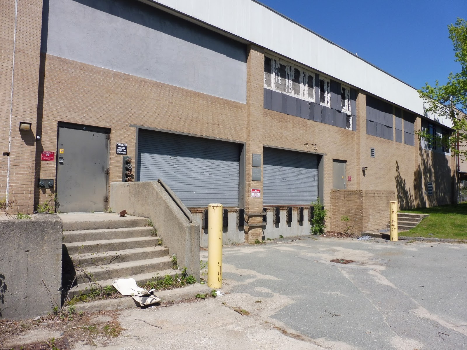 |
| Some loading docks. |
 |
| Old signs! |
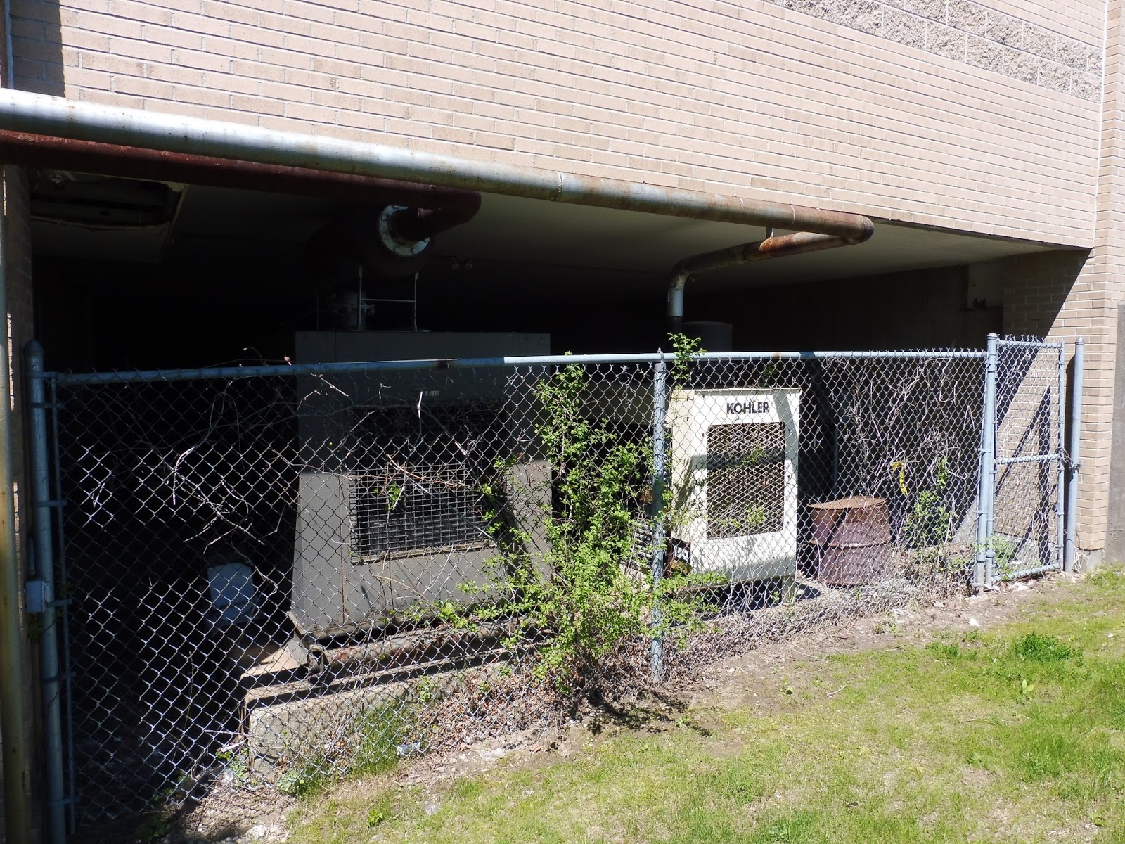 |
| These generators were still on… |
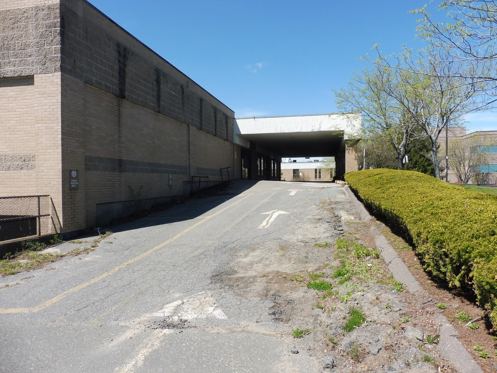 |
| There was another main entrance down this way. |
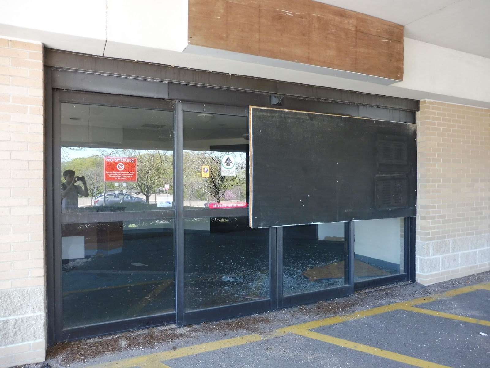 |
| Are you wondering why that big board is there? |
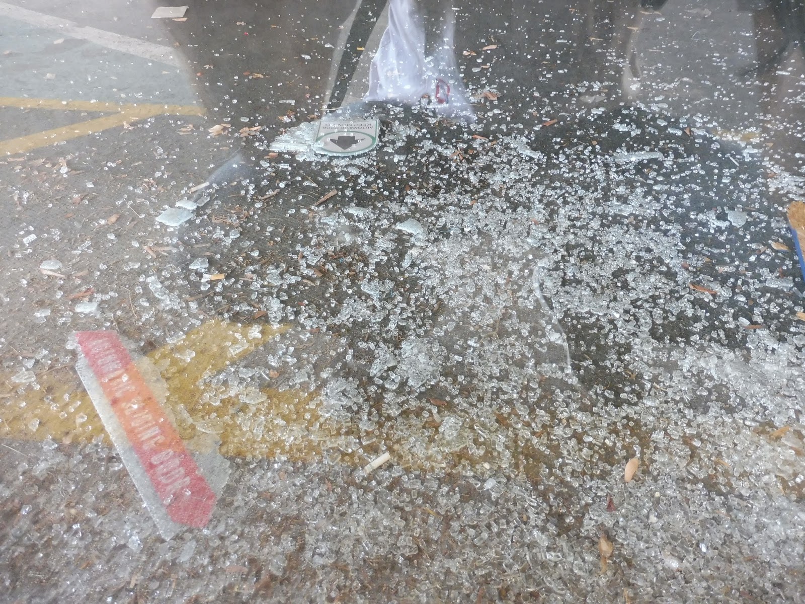 |
| Now you know… |
 |
| Looking beyond the broken glass. |
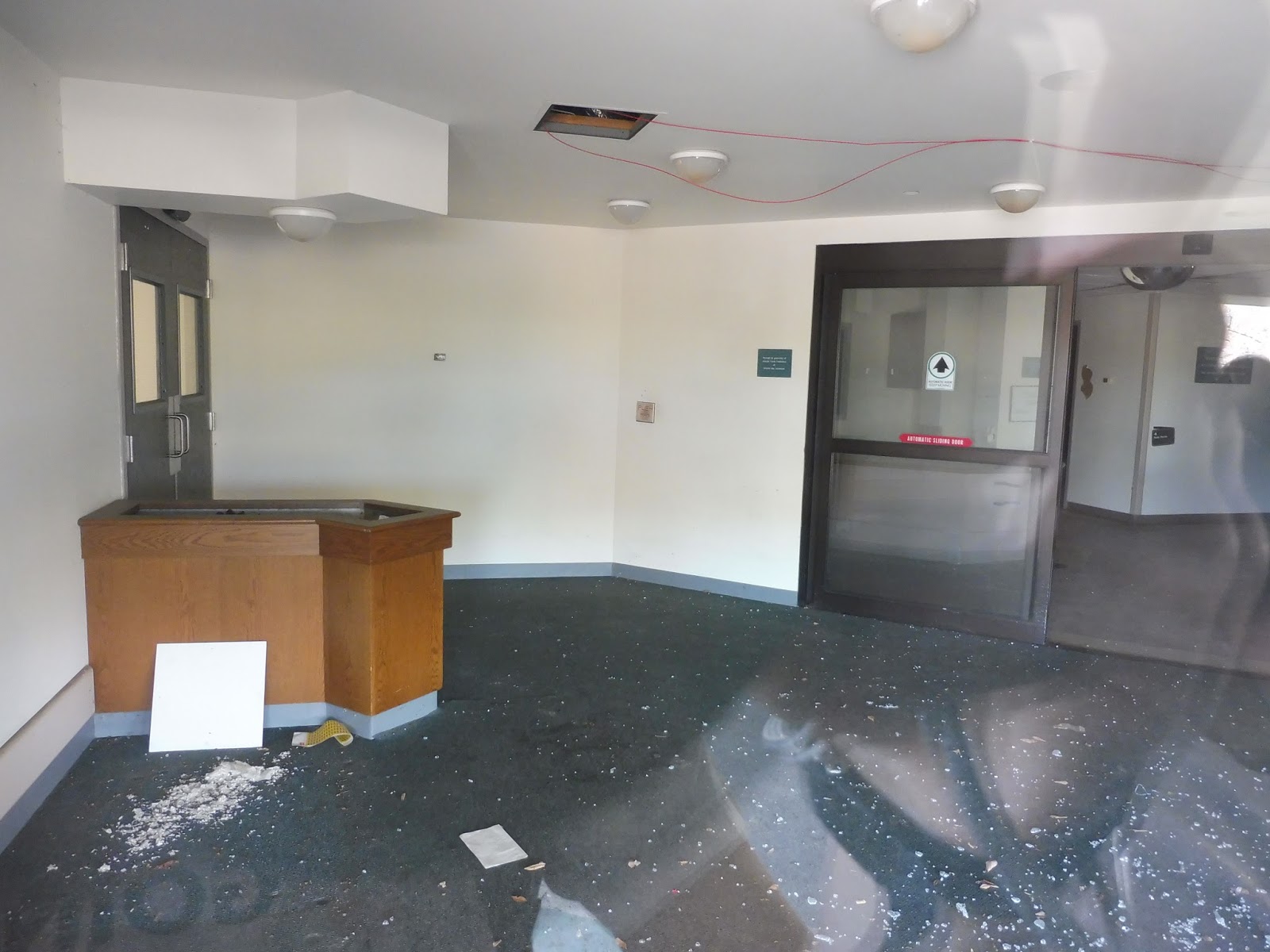
 |
| Some sort of receptionist desk? |
 |
| That hallway goes on for a while… |
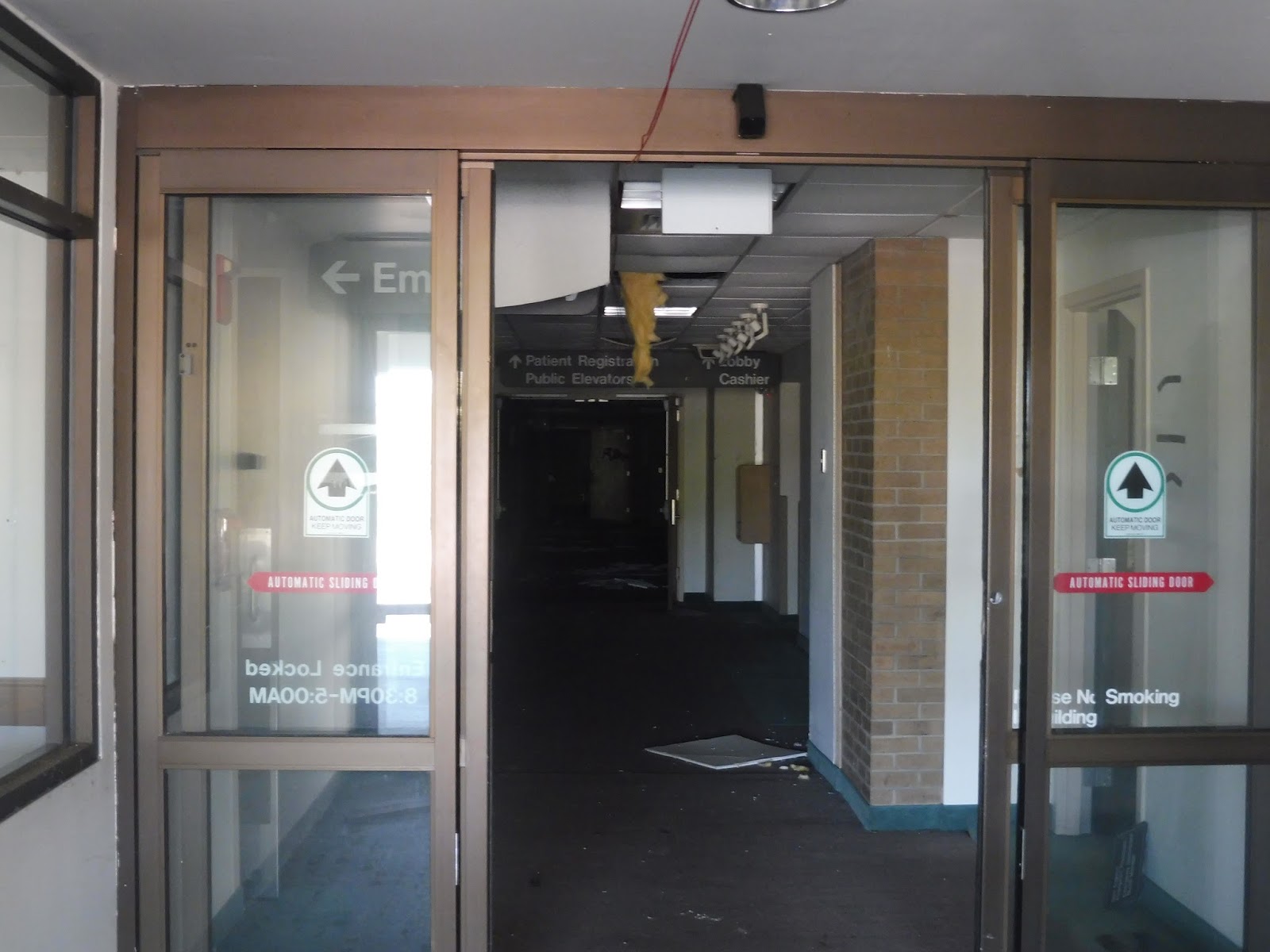 |
| Zoomed in on the hallway. |
 |
| The outside of this particular entrance. |
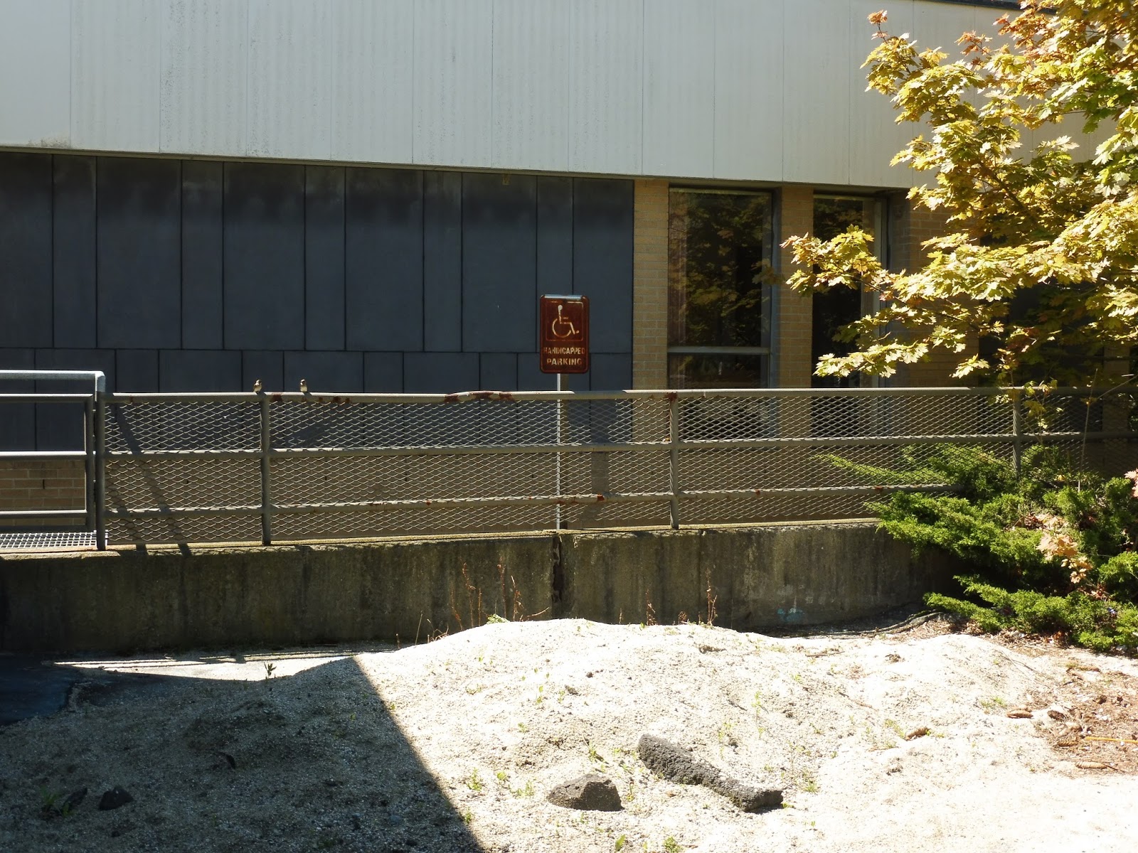 |
| Handicapped only, guys! |
 |
| This seems isolated. |
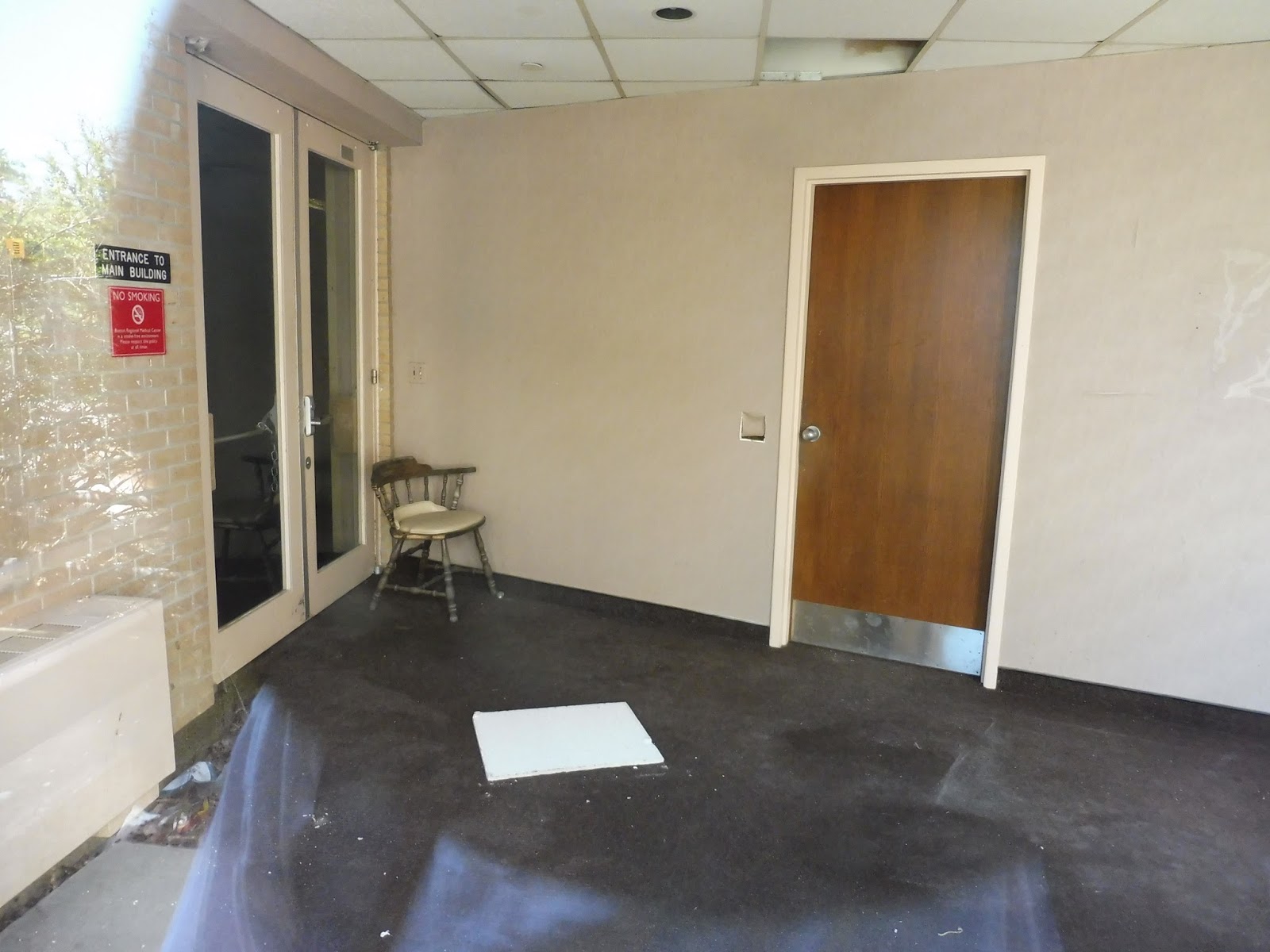 |
| If this were a horror movie, the creepy ghost child would be sitting in that chair. |
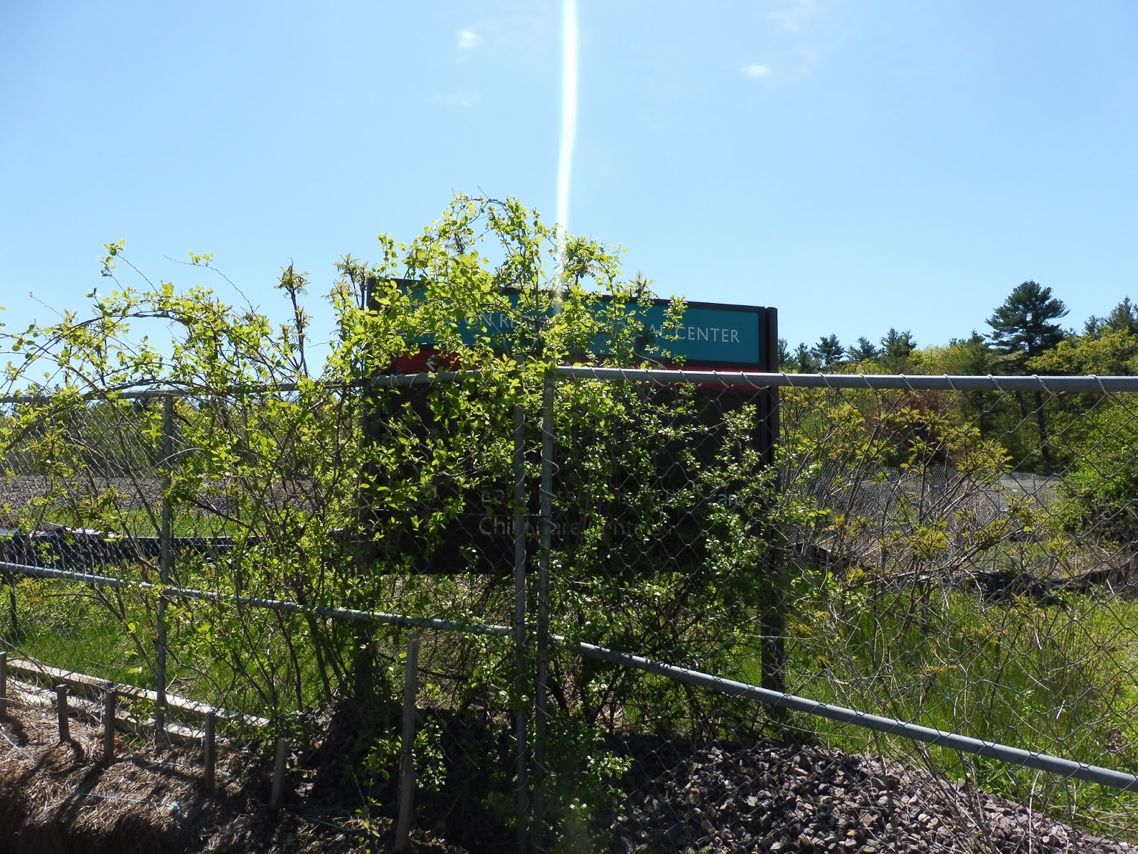
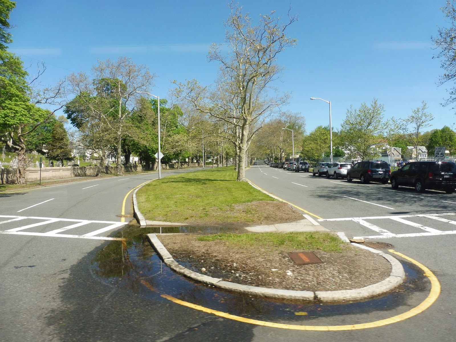
99 (Woodland Road – Wellington Station via Main Street and Malden Center Station)
The MBTA runs a bus route to an abandoned hospital. I’m not sure if I made myself clear enough: THE MBTA RUNS A BUS ROUTE TO AN ABANDONED HOSPITAL. And I mean proper abandoned, like, falling apart and everything! The 99 is the culprit, and it all starts at Wellington Station…
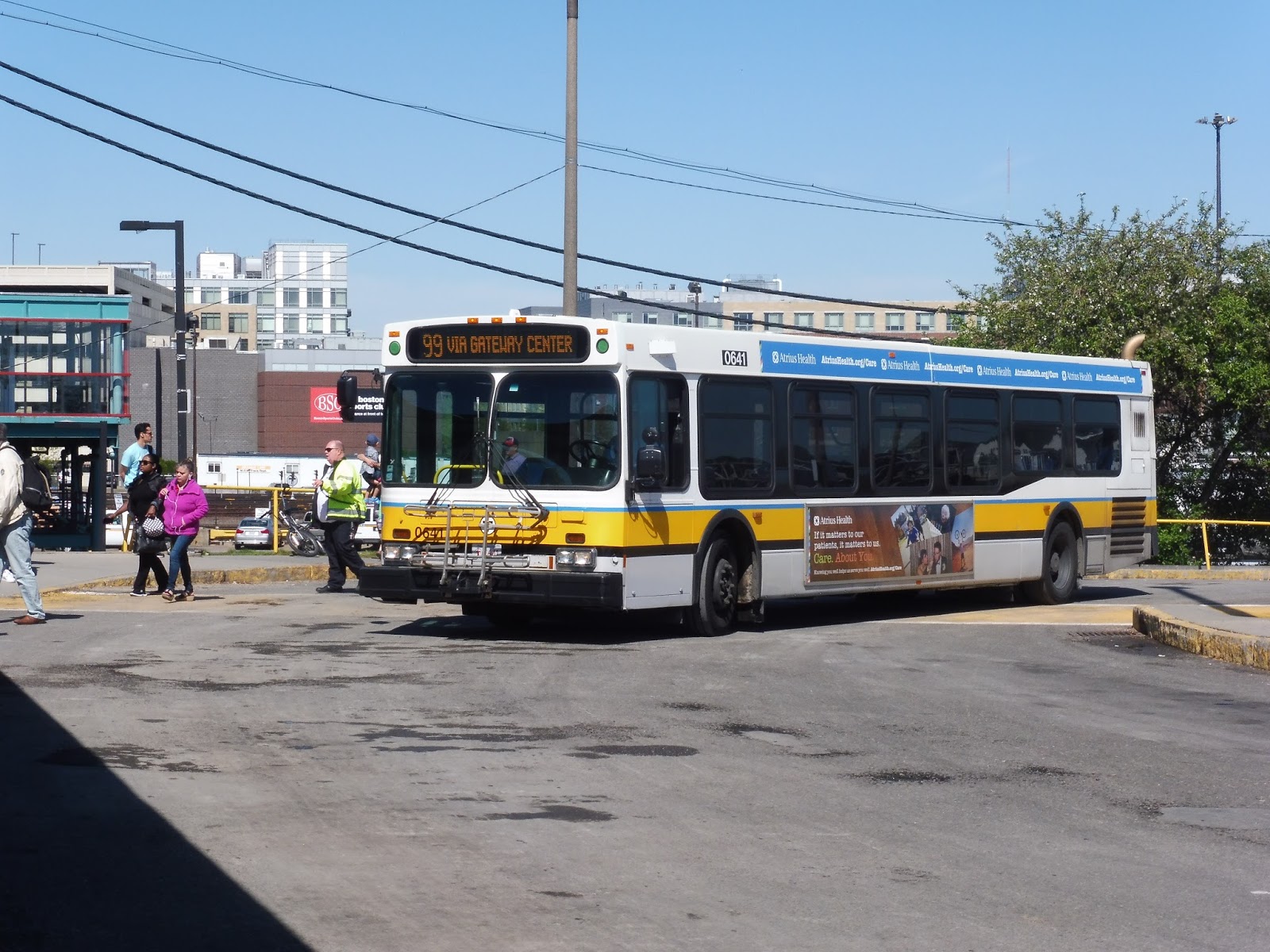 |
| The bus letting some people off at Wellington. |
Leaving Wellington, we made our way out to Revere Beach Parkway, where traffic was thankfully light. We went on a bridge over the Malden River, and since this was a Saturday trip, we merged onto Mystic View Road to serve the Gateway Center mall. Thus, we circled around a big parking lot, picked up a few people, and headed back up the way we came.
 |
| That blotch on the window to the left ruined the picture! |
We went back around the rotary and onto Revere Beach Parkway again. Eventually we reached another rotary, where we merged around up to Main Street, which was much narrower and lined with businesses and apartments. It was a pretty good mix, with some intersections offering lots of retail, while other times the surroundings were mostly residential.
 |
| Looking down Eastern Ave. |
We passed a park, and soon after we entered Malden Center. For some reason, the 99 runs along the northern side of Malden heading outbound, so we continued past lots of businesses on Main Street. We then turned onto the wide Florence Street, going over a parking lot while passing apartment buildings and houses. The street curved south, but we bypassed the eastern busway at Malden Center, instead going under the Orange Line tracks and around to the other side.
 |
| The view of the parking lot. |
Leaving the western busway, we headed up Summer Street, passing an apartment building and some businesses. We then turned onto Clifton Street, which was a local road lined with houses. Eventually, we reached a park, where we made two quick turns onto Highland Ave, then Savin Street.
 |
| Rounding the corner of the park. |
We went by a cemetery, then the narrow street curved up and around a hill. The driver floored it past the houses lining the road until we twisted around to a parking lot for the Malden Family Health Center. This hospital wasn’t abandoned, but it was under construction, so the driver swung around the parking lot and we headed all the way back to the park without any new passengers (although there was no one on the bus, anyway).
 |
| Ah, the Fellsway is such a nice road! |
We turned back onto Highland Ave, continuing north this time. We went around a rotary at the Fellsway, and the street went up a slight hill, still lined with houses. This continued all the way up to Molineaux Circle, where there was a gas station, an apartment building, and a skating rink.
 |
| Another shot of the Fellsway! I’m sorry, it’s just so nice. |
Molineaux Circle also marked the end of civilization, except the bus just kept on going. We floored it down Woodland Road, which was an apt name – we were in the middle of the forest. Eventually, the bus pulled into a parking lot next to a huge building with peeling paint. Yes, it was the terminus at the Boston Regional Medical Center, closed since 1999.
 |
| Oh my, that’s a decrepit stop… |
The hospital used to have what probably was a decent bus shelter! However, by now, all but one of the glass windows has fallen out, and it’s just kind of…there. It had a hard wooden bench with lots of graffiti everywhere, as well as a perpetually lit CFL light. Yet the bus stop pales in comparison to the rest of the hospital! I can put my pictures up on the blog if you guys want – they’re pretty amazing.
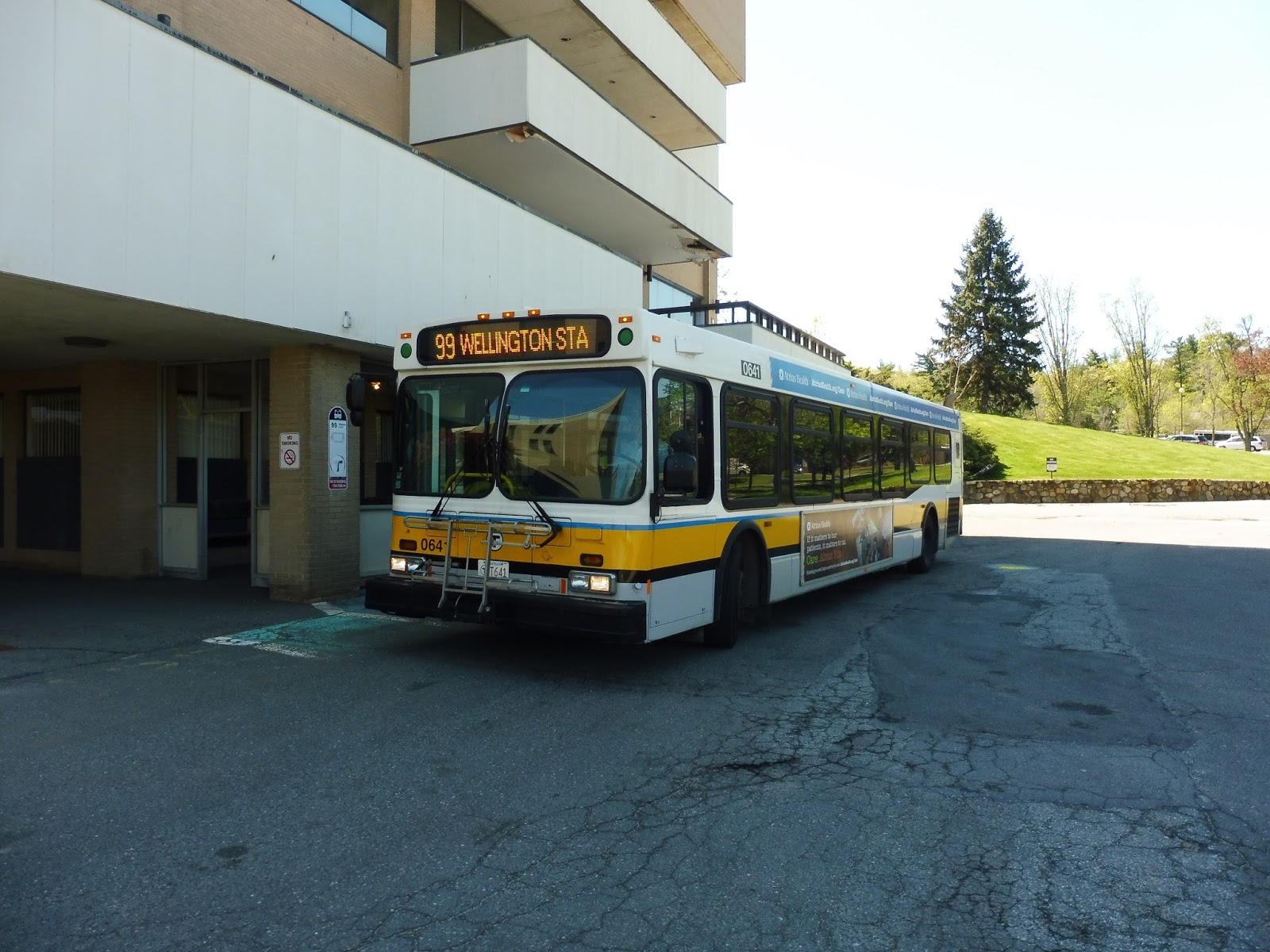 |
| The bus underneath the peeling paint of the first balcony. |
Route: 99 (Boston Regional Medical Center – Wellington Station via Main Street and Malden Center Station)
Ridership: On my ride? Hardly anyone! There were less than 10 people on both my outbound and inbound trips, and all of them were confined to the shared section with the 106! Literally no one went north of Malden Center. The route’s ridership is surprisingly high overall, though, with 1,555 riders per weekday, 1,049 per Saturday, and 591 per Sunday. Still, I’ll bet most of that weekend ridership is on the shared section, if my ride is to judge.
Pros: Well, I guess the route does serve a little pocket of houses in suburban parts of Malden and Medford, which is good. And it provides very frequent service during rush hour – every 15-20 minutes. Serving Gateway Center on Saturdays makes sense, and a good amount of the low ridership on my trips came from there.
Cons: Alright, let’s start with the obvious: THIS ROUTE TERMINATES AT AN ABANDONED HOSPITAL IN THE MIDDLE OF NOWHERE. Moving on, the 99 has a really inconsistent schedule, running intermittent 40-45 minute headways on weekdays and every 50 minutes on Saturdays. Aside from nights and Sundays, with every hour service, the 99 has no coordination with the 106, which means you can end up playing leapfrog like what happened on my ride back from the – oh yeah – ABANDONED HOSPITAL. Additionally, the deviation to serve the Malden Family Health Center is completely unnecessary on weekends, and the bus basically rockets up there only to speed back down, like the driver wants to get through it as fast as possible. Honestly, though, I would argue that this route doesn’t need to run at all on weekends. I mean, the 106 has 30 minute service on Saturdays, which is perfectly capable of handling traffic between Wellington and Malden – and the 99 past Malden gets no one, so what’s the point? Sunday is a different story, where the 99 and 106 alternate to form every 30 minute service, but this could be amended by running 106 short-turns only between Wellington and Malden on the hour. Finally, and I’m not sure if I mentioned this, but the 99 terminates at an ABANDONED HOSPITAL. WHYYYYY?
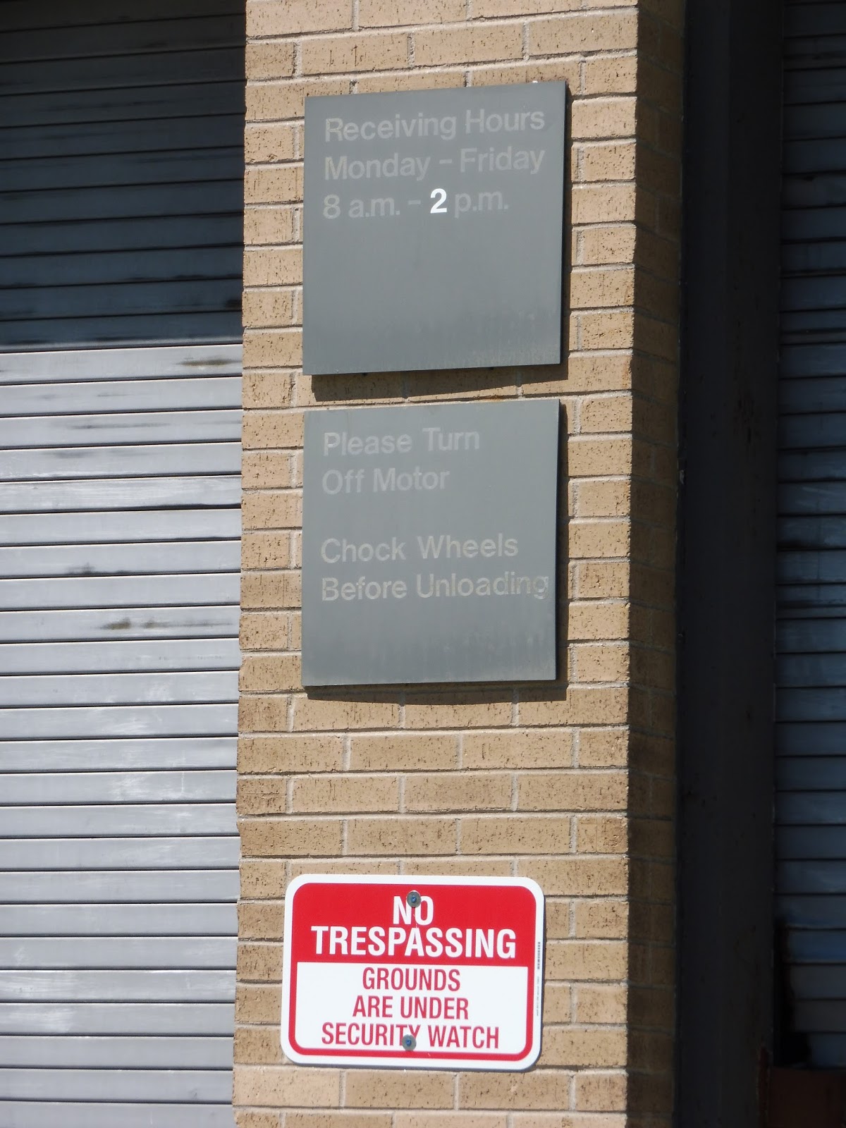
Nearby and Noteworthy: Well…the abandoned hospital. Yes, it’s insanely cool to explore, although the “No Trespassing” signs discouraged my friend Mariana and I from actually entering the building (despite the fact that one of the doors was open). But that doesn’t mean the bus should run through the woods to serve it!
Final Verdict: 5/10
Yes, the 99 may get somewhat busy during rush hour (including passengers to an office park near the Boston Regional Medical Center), but other than that, it really doesn’t need the level of service that it gets. IF the bus were to continue running on weekends, the Malden Family Health Center deviation could be axed and the bus could terminate at Molineaux Circle or close by. Honestly, though, this route doesn’t need weekend service. The 106 does a fine job on its own, and additional short-turns on that route on Sundays would cover the loss of 99 service.
UPDATE: The MBTA changed the terminus name to “Woodland Road”, but it’s still the same place. So…whatever.
Latest MBTA News: Service Updates
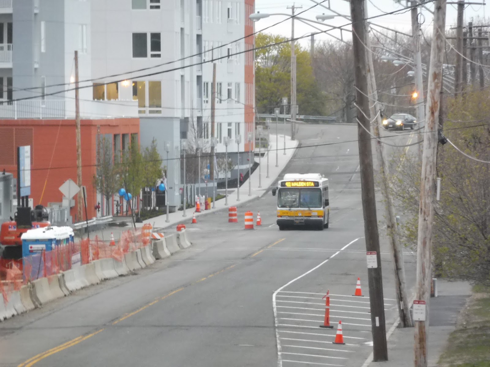
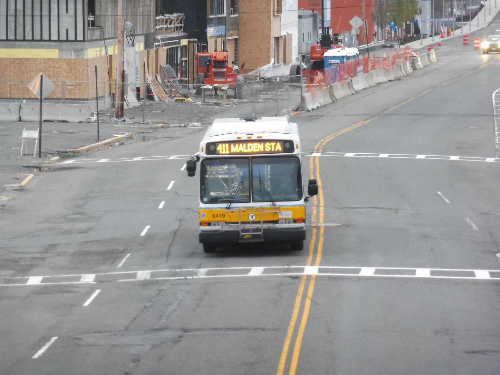
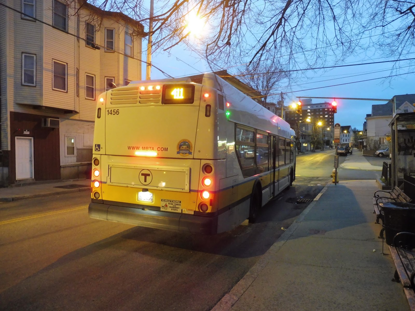
411 (Kennedy Drive or Jack Satter House – Malden Center Station)
The 411 has to be one of the most diverse – and crazy – routes on the MBTA. It includes a few strange deviations, including one through marshland in Revere! Keep in mind that this route sometimes uses new Excelsior buses, so it can be very odd to see them up north of Wonderland. Let’s take a look at this madness.
 |
| The bus arriving at Malden. |
With lots of commuter passengers on board, we left the Malden Center busway and headed out onto Centre Street. Some more people got on outside of Super Stop and Shop, then we turned onto Main Street, running along Malden Center’s main drag. Continuing onto Salem Street, we passed Malden High School, then it became a mixture of houses and businesses.
 |
| I love this house! |
Eventually, we turned onto Broadway, going up a slight hill. It started to get a bit industrial, but before the scenery got too awful, we turned onto Central Ave. This street was lined with houses, although we soon turned onto Kennedy Drive, passing through a gate to enter the Granada Highlands Complex. We made a loop around it, going by apartments and various leisure activities for the residents before leaving the complex.
 |
| A different apartment building on Broadway. |
The street curved around to parallel Route 1 for a bit, and we continued to run alongside the highway when we turned onto Salem Street. We then turned onto Lynn Street, which was lined with houses. Reaching industrial Linden Square, we turned onto the insanely wide Squire Road, passing Showcase Cinemas with its huge parking lot.
 |
| The view of the theater. |
At an interchange with Route 1, we headed around a massive rotary, and there were lots of parking lots on the other side of it – they were practically lining Squire Road. We turned onto Charger Street, running along an industrial area next to Northgate, but then we headed into the mall itself. After dropping off some passengers there, we returned the way we came, all the way back to Linden Square.
 |
| What lovely lighting for such an awful parking lot. |
Back at Linden, we made a really sharp curve onto Washington Ave, which became residential. We then turned onto Malden Street, going under Route 1 and passing very dense houses. The street eventually curved to the right, but the houses felt never-ending…well, until they ended.
 |
| This pair of streets is awesome! |
Near a school, Malden Street went up onto a slight hill, and it was all businesses when we turned onto Broadway. This is where the 411 splits, with the inbound route following the 117 and the outbound route following the 116. Since we were heading outbound, we turned onto Revere Street a block later, running along with the 116.
 |
| The intersection with American Legion Highway. |
After some houses, there was some pretty ugly scenery at the intersection with American Legion Highway, where a lot of express routes into Boston run. After that, Revere Street made a few curves, passing houses, apartments, and the occasional business. We crossed over the Newburyport/Rockport Commuter Rail tracks, then turned onto North Shore Road, going by all houses. Eventually they fell away into just parking lots, and we went around a rotary into the Wonderland busway.
 |
| Some apartment buildings next to the station. |
My friend Nathan and I could’ve stayed on the bus to continue to Jack Satter House, but we decided to wait for the next one instead, since we knew it would be an Excelsior. While waiting, we walked out to Revere Beach over Wonderland’s fantastic Zakim Bridge replica. It was a little eerie in the darkening sky with a light rain coming down. We also got a few pictures of our previous bus returning from Jack Satter.
 |
| The beach! |
We returned to the busway and caught the next bus, continuing the journey. Once again, we headed up North Shore Road, but continued past Revere Street this time. The houses gave way to marshland, but it was all so weird because we were on an Excelsior! Those buses never go to this part of the MBTA except when they’re on the 411. Eventually, we turned onto Oak Island Street, making a stop right outside of the Jack Satter House apartment building and Revere Beach.
 |
| And here we see the gorgeous Jack Satter House, featured in an amazing photograph. |
We turned onto Revere Beach Boulevard, with restaurants and apartments on one side and Revere Beach on the other. However, we had to move a block away from the beach when we made our way onto Ocean Ave instead. The scenery consisted of trees and parking lots, including a Wonderland back lot from which the station can be accessed.
 |
| Prepare for an onslaught of pictures from the Zakim Bridge replica! I love these so much. |
 |
| The bus getting closer. |
 |
| Going by in a blur. |
 |
| Goodbye! |
We continued down Ocean Ave, going by some huge concrete apartment buildings. Finally, we turned onto Beach Street, crossing over the Blue Line tracks at Revere Beach Station. This is where Nathan and I got off to head onto the Blue Line, but the rest of the 411’s loop just follows the 117, then runs up Broadway a bit more to rejoin the outbound route.
 |
| Excelsior! What are you doing up here?! |
Route: 411 (Kennedy Drive or Jack Satter House – Malden Center Station)
Ridership: It’s pretty low overall, with only 1,087 riders per weekday and 563 per Saturday. However, this could be because the route has a bunch of little pockets of ridership – no one rides this from beginning to end. Generally, you’ve got a lot of commuters from Malden Center to Granada, then there’s a shopper contingency from Granada to Northgate. After that, buses are quiet up to Wonderland, where there’s another group of riders that take the route from the station to Jack Satter House. My rush hour trip had about 45 riders in total, but most of them got off between Malden Center and Granada.
Pros: Well, for one thing, it’s a really fun ride! It runs between two completely different parts of greater Boston – three if you count the marshland north of Wonderland! And of course, that means that the route also serves a lot. During the morning rush, it only runs between Malden Center and Granada, but it does so every 10-25 minutes. Otherwise, the 411 is less frequent, with every 25 minute service during the evening rush, every 65 minutes during the day, and every 70 minutes on Saturdays. However, this is a fine schedule for such a long, twisty route with a lot of shared sections.
Cons: Oh, that “twisty” part is very accurate. The section from Malden Center to Granada is direct, but you’re in for a ride once you get past there. There are lots of twists and turns, including that long Northgate deviation, and the fact that it runs down Ocean Ave after Jack Satter House forces it to make a huge loop around Revere. It kinda feels like a few different routes patched together, which, in a sense, it is.
Nearby and Noteworthy: There are lots of small businesses along the route (plus Revere Beach), but it’s almost guaranteed that the 411 is the least direct way of getting to any of them!
Final Verdict: 7/10
This is one of those routes that feels the urge to “serve” everything in its path, with deviations to Granada and Northgate. However, though it takes forever to do the whole route, no one is taking this from beginning to end. The deviations are mostly places where ridership swaps over, with most of the bus getting off and new people getting on – they don’t inconvenience too many through riders. I mean, if you really want to get between the Orange Line and the Blue Line, the 110 does it in half the time! As for the 411, it may be completely insane, but it serves a few little ridership pockets, and it’s a heck of a fun ride.
UPDATE 9/1/19: The route only runs past Kennedy Drive (er…”Granada Highlands”) during middays on weekdays. I also have no idea why I gave this awful route a 7 when it deserves, like, a 4 at best.
Latest MBTA News: Service Updates
430 (Saugus Center – Malden Center Station via Square One Mall)
After the wonderful downtowns of Wakefield and Peabody, I had high hopes for Saugus Center. Unfortunately, as my friend Nathan and I stepped off an outbound 428, it was clear that it wasn’t much. Standing next to a rotary with only a few gas stations and pizza joints for company, we waited for the next 430 back to civilization.
 |
| Okay, that house in the background is admittedly fantastic. |
Before returning to Malden, though, the 430 first does a little loop north of Saugus Center, so we set out on that. We headed up Central Street, which was residential until we passed the Saugus Iron Works historical sight. And it’s quite historical indeed – the first ironworks in North America, according to the always-trustworthy Wikipedia!
 |
| There’s the iron works! Can’t really see much… |
We turned onto Appleton Street, which was lined with houses once more. Soon we reached a field, where we turned onto Summer Street. We hit Main Street eventually, which took us back into Saugus Center, where we went around the rotary again. Turning off at Central Street, we finally began the inbound route proper.
 |
| The rotary in Saugus Center, taken while we were waiting. That car really ruined the shot. |
There were a few businesses south of the center, but it soon became just houses. We passed the Saugus Senior Center, and soon after, we turned onto Lincoln Street, connecting with the other three Saugus buses at Cliftondale Square. There was lots of retail here, of course.
 |
| The turn onto Lincoln Street. |
Going around a rotary, we headed down Essex Street with the 429. It was residential once more, aside from a field and a seemingly-unused train track. We merged onto Vine Street, which curved past more houses, then we turned onto Main Street – less than 10 blocks away from our Saugus Center starting point.
 |
| “Mmm…gotta love Route 1,” said nobody ever. |
We went around a highway ramp with a sharp curve onto Route 1, however we soon exited off to serve the Square One Mall. After many shoppers got on the bus (including an old lady who paid her entire fare in small change), we had to take an indirect route out of the mall through its parking lot. However, we eventually made it onto Essex Street, and then back onto Route 1.
 |
| “Mmm…gotta love malls,” said nobody ever. Oh wait, lots of people like malls. Never mind… |
We passed some typical Route 1 scenery for a little bit (auto shops, fast food, strange highway motels, etc.), then merged onto Broadway. It was industrial, with a lot of empty parking lots next to strange businesses. As we were joined by the 411, now in Malden, the street got residential, including a big apartment building.
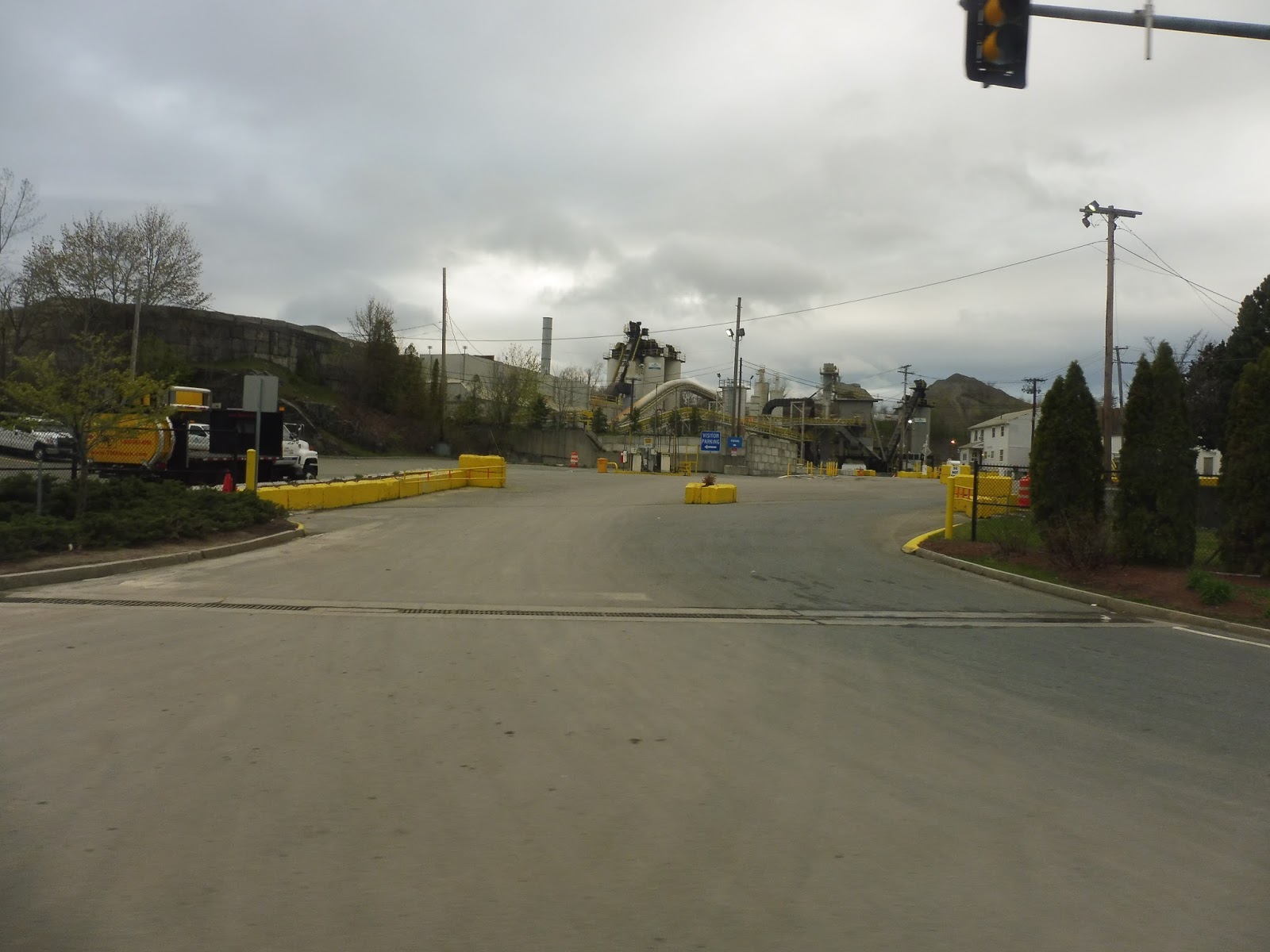 |
| A quarry. |
We turned onto Salem Street, joining the 108. This was typical Malden scenery, with houses most of the time and retail blocks at major intersections. There were a few breaks to the pattern, though, including some apartment buildings, a school, and various religious buildings.
 |
| Some generic buildings near Malden Center. |
It started to get denser as we got closer to Malden Center. After passing the high school, the surrounding buildings got much taller. We went through the Center’s main pedestrian business area, but once we turned onto the wide Centre Street, it became parking lots, office buildings, and huge stores. Finally, we turned onto Commercial Street, then entered the Malden Center busway.
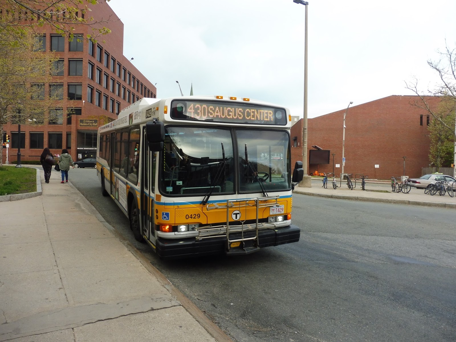 |
| The bus getting ready to go back to Saugus. |
Route: 430 (Saugus Center – Malden Center Station via Square One Mall)’
Ridership: For such a suburban route, the 430 gets pretty decent ridership, with 1,292 riders per weekday and 739 riders per Saturday. My trip was inbound during the evening, so I wasn’t expecting too many passengers, yet there were still a bunch of shoppers heading home from Square One. In total, my ride had about 25 riders, which is great for a reverse-peak trip!
Pros: This bus serves a lot of Saugus, and connects it all up to the Orange Line! It’s also the only weekend route to serve Saugus Center, and the only link from Square One to a subway station. Thus, it has a pretty good schedule considering its suburban nature – every 25 minutes during rush hour, every 65 minutes during the day, and every 70 minutes on Saturdays. The route also has two night trips that additionally serve the Granada Highlands Complex to cover for the 411, which stops running earlier in the day.
Cons: The route in Saugus is really, really indirect – it essentially makes a sideways “s”. Also, the loop at Saugus Center seems pretty unnecessary outside of rush hour. It basically just serves a residential neighborhood, and it seems like the bus mostly runs empty around the loop.
Nearby and Noteworthy: There are a few downtowns along the route, Malden Center and Cliftondale Square being the two interesting-looking ones. Also, the Saugus loop does have one other purpose, and that’s to serve the Saugus Iron Works! I can’t imagine anyone ever using the bus to get there, but you could be the first!
Final Verdict: 8/10
Up until Square One, the 430 is a very direct link between Malden Center and Saugus. And even with its indirect routing, it does mean that the route serves more, and it’s still the only route from Saugus to the Orange Line. Sunday service would be a bit much, but I’m glad the route has Saturday service, too, in order to cater to shoppers. Overall, the 430 may not be the most premier of MBTA bus routes, but it gets its job done!
Latest MBTA News: Service Updates
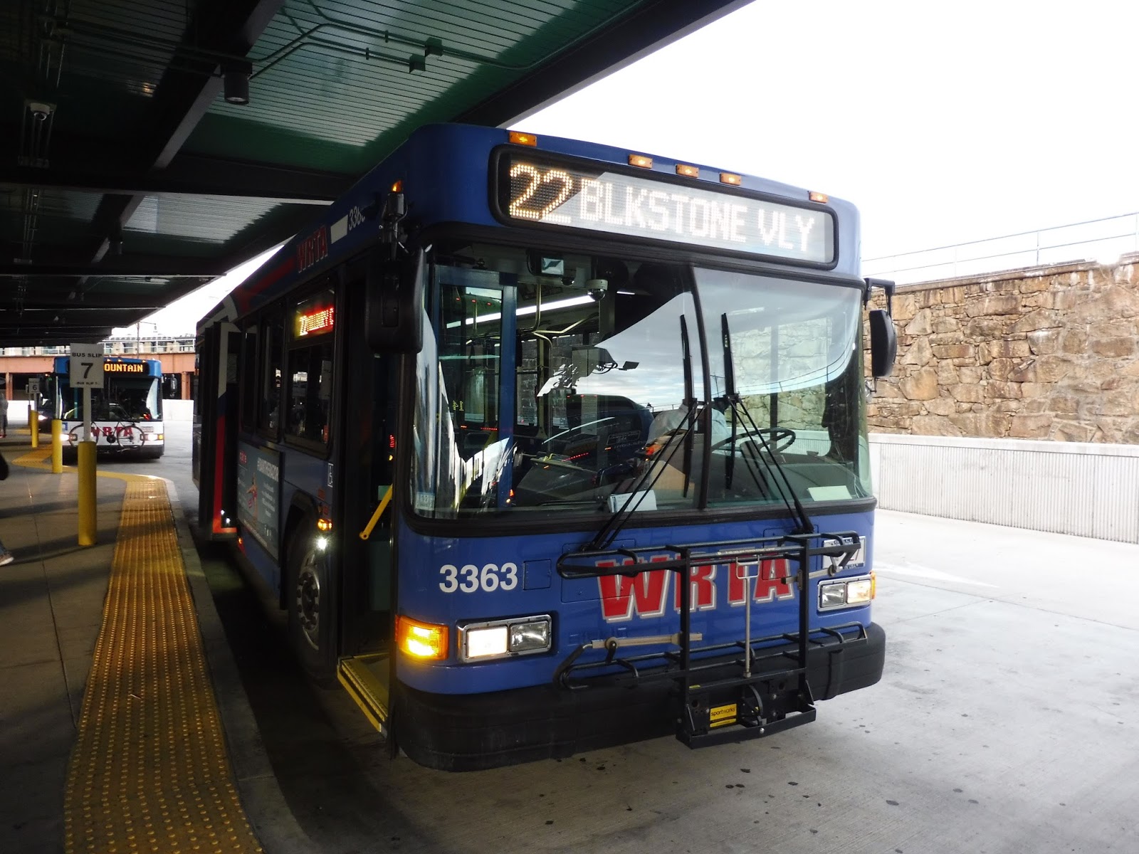
WRTA: 22 (Union Station Hub – Shoppes at Blackstone Valley via Millbury Center)
It’s strange that despite taking a way more indirect route than the 4, the 22 somehow manages to only take three minutes longer to get from Worcester to Blackstone Valley. Whereas the 4 has a lengthy express section and is mostly direct, the 22 is all local and deviates to serve Milford Center. It’s one of the WRTA’s longer routes (in that it actually leaves Worcester, which a lot of routes don’t), so let’s take a look.
 |
| After reviewing two WRTA routes with Proterras, this Gillig looks kinda boring… |
Unfortunately, though the electric Proterra buses are awesome, the bulk of WRTA routes use Gilligs, and the 22 is no exception. On the inside, it felt like any other bus on a regional system, with cords to request stops and mostly forward-facing seats. Also, along the whole ride, the driver kept yelling “You two in the back! Are you too cold?” And my friend Nathan and I would say “No, we’re good,” and she would respond with “Okay, just checking.” This happened at least three times! I guess it was a nice gesture…
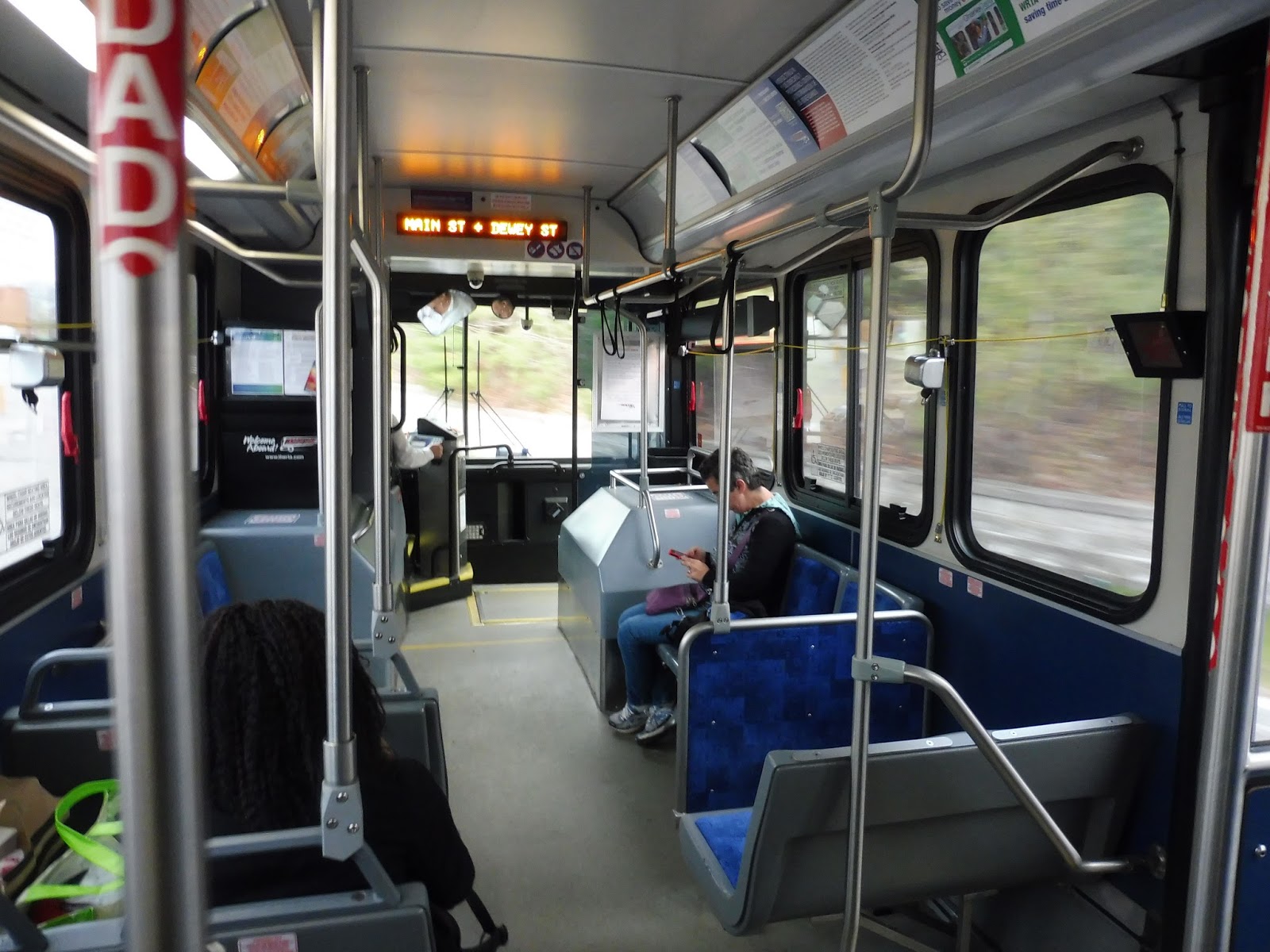 |
| The inside of the bus. |
WRTA buses have to do a bit of a strange loop to get out of the Blackstone complex, so we circled around the back of the mall, passing lots of loading docks. We then looped back around, now on the edge of the parking lot. There was a great view looking down a cliff on which the mall is situated, then we finally returned to the main road and left the complex.
 |
| Well…consider that photo attempt a failure. |
We were now on North Main Street, which crossed over Route 146. The road started to curve south, lined with suburban houses. As we continued, they slowly got denser and denser until we arrived at Millbury Center. Here, we were surrounded by businesses, which kept going as we turned onto Elm Street. There were some houses when we turned onto Canal Street, then it got industrial as we headed north along Howe Ave.
 |
| Ahhh…lovely Millbury Center. |
There was a short forest section where we passed a pond and went under some pylons. The street became Millbury Ave and the houses returned once more, interspersed with a bit of retail as we progressed further north. We passed under I-90, and as we crossed Route 20, the street became Massasoit Road and we entered Worcester.
 |
| Some industrial scenery around Route 20. |
The houses were denser now, and they only continued to get closer together. We passed a field, but nothing much broke the residences for quite a while. Eventually, though, we went by a school and a church, and then all of a sudden, there were apartments and businesses everywhere.
 |
| An urban side street. |
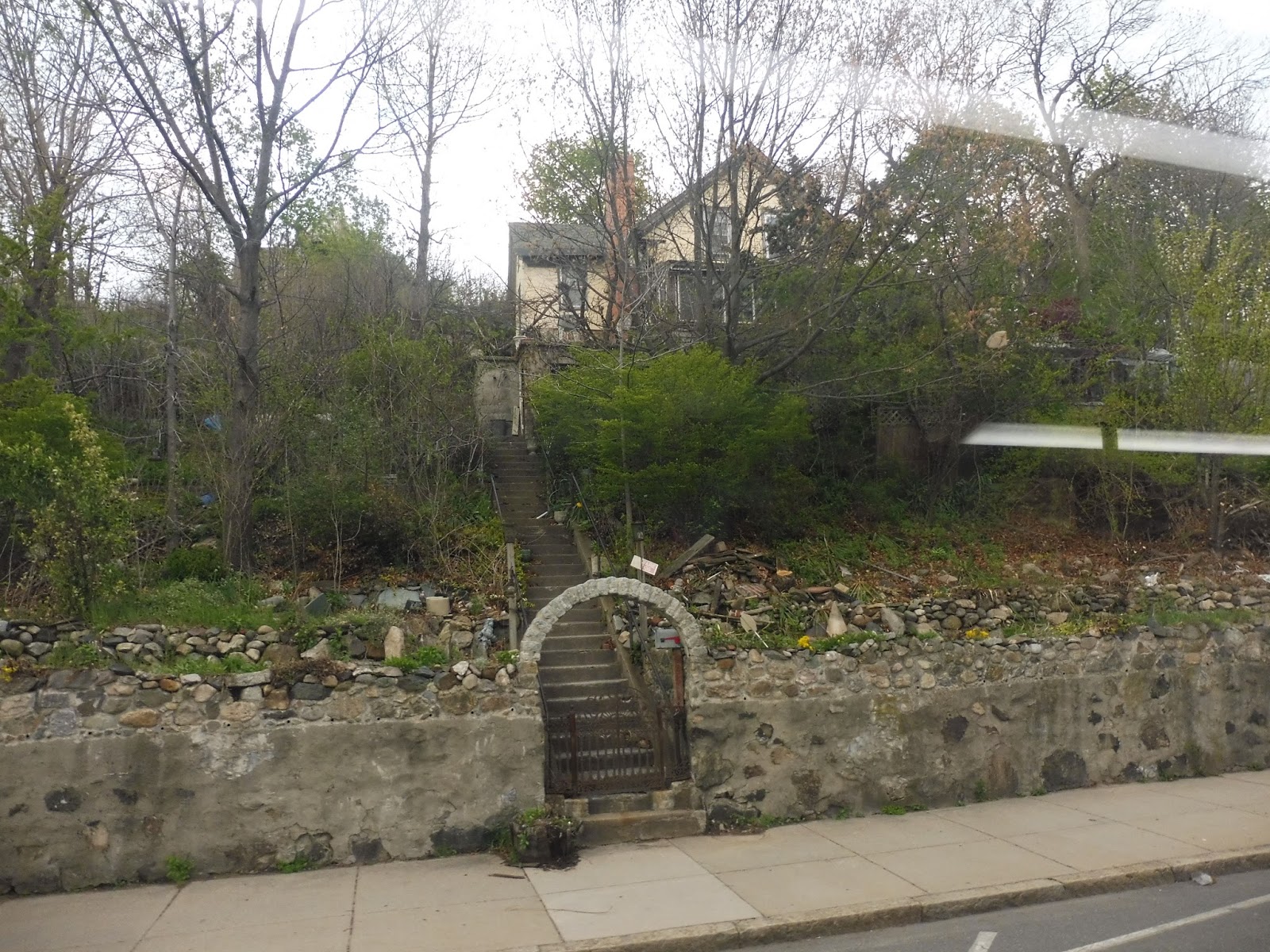
However, we unexpectedly turned onto Dorchester Street, which was narrow and very hilly. In fact, buses have to bypass this section during heavy snow periods to avoid slipping. We climbed up a very steep incline, going by mostly apartments, but also two schools. The other side of the hill was also very steep as we descended down to Vernon Street, onto which we turned.
 |
| The intersection with Vernon Street. |
This street was still lined with apartments. We crossed over I-295, and it got a bit industrial as we merged onto Green Street. However, the surroundings soon turned to businesses as we went under some train tracks. Finally, we turned onto Foster Street, and entered Worcester Central Hub right after.
 |
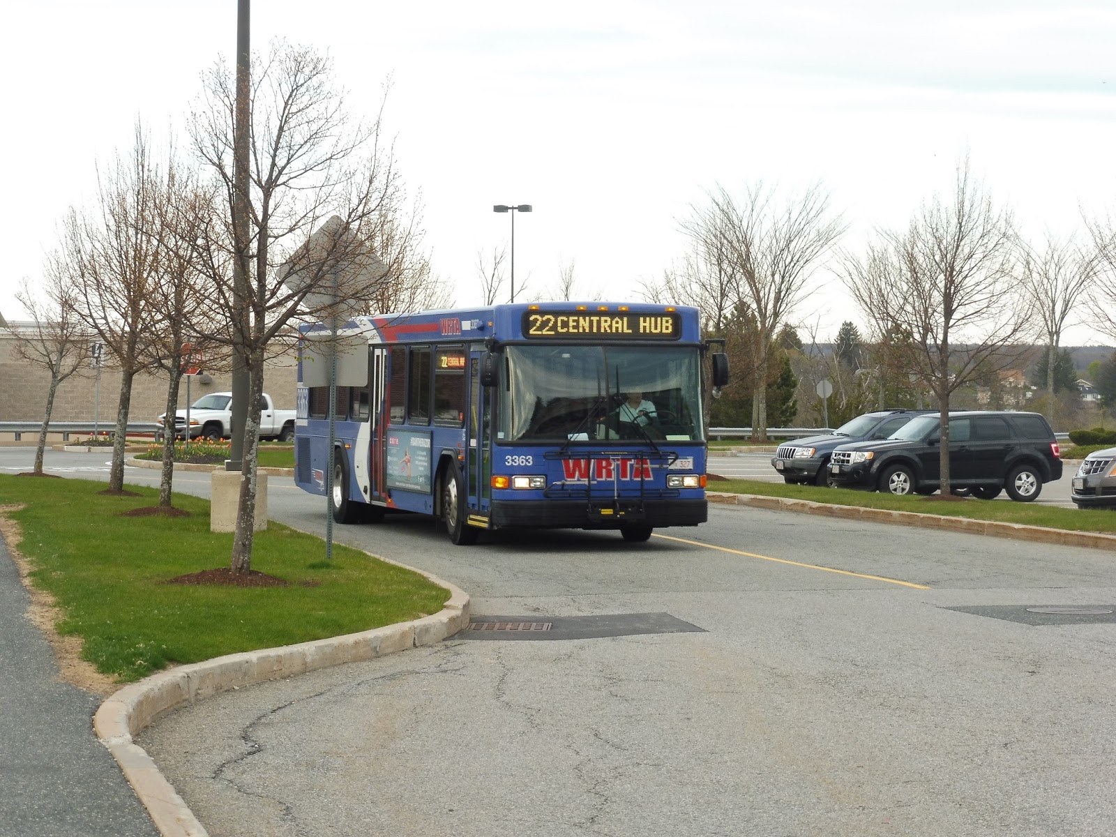
| The bus back at the Central Hub. |
WRTA Route: 22 (Union Station Hub – Shoppes at Blackstone Valley via Millbury Center)
Ridership: See, this is a perfect example of why the WRTA should publish ridership statistics! My ride only had five people, and they all came from Blackstone (which was odd), but I have no way of knowing if other trips are more popular. We were going against the peak direction, after all.
Pros: This is the only bus that serves Millbury Center, which presumably gives it some good local and commuter ridership. Indeed, this is basically the only bus that serves Millbury, since the 4 runs express through the town. The 22 also has a pretty good schedule, running every hour on Saturdays and about every hour on weekdays.
Cons: The key word is that “about” – the route actually runs anywhere from every 66 minutes to every 77 minutes on weekdays! The times the bus leaves the Central Hub are complete madness, and there’s not much that can be done about that given its length, but it’s really annoying. Additionally, and this is another issue with not knowing the route’s ridership, the bus could theoretically run on Sundays, but I would have to know how many passengers it gets on Saturdays before making that call.
Nearby and Noteworthy: Eh…I would have to say Blackstone again, since the 22 takes only a few minutes longer to get there than the 4. Millbury Center just doesn’t seem that interesting, and most of the rest of the route is suburbs.
Final Verdict: 7/10
The 22 definitely serves a lot, and despite taking an indirect route, it’s still a quick way of getting to The Shoppes at Blackstone Valley. After all, every rider on my trip came from the mall, so clearly the route is seen as an equal to the 4. The 22’s schedule is a lot less consistent than the 4’s, though, and that ultimately puts my bias toward the latter, but for Millbury riders, this is a great bus. Monday through Saturday, at least.
UPDATE (6/24/17): This route was eliminated by the WRTA! Most of the sections are covered by a newly-extended 1 or 4.
Latest MBTA News: Service Updates
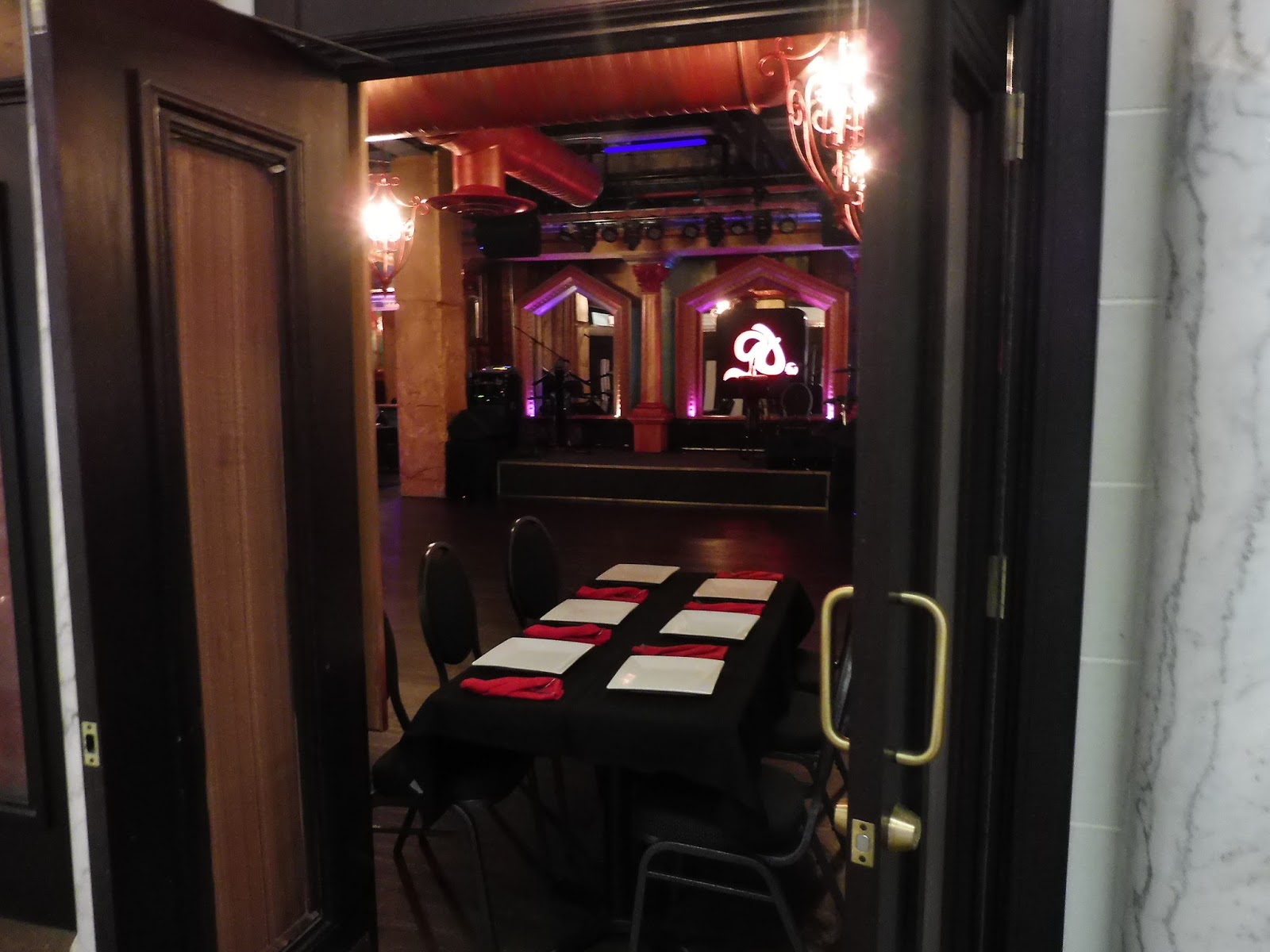
GUEST POST: 171 (Dudley Station – Logan Airport via Andrew Station)
Sam Hegg got to ride on the incredibly rare 171, and wrote a fantastic review of the route. Thanks, Sam!
The 171 is a special route because it only runs two one way trips to the airport. Sure, there are a lot of routes that run one or two trips a day, but what makes this route even more special is that these leave Dudley (the starting point of the route) at the lovely hours of 3:50 AM and then again at 4:20 AM, which made riding the route all the more challenging. So when my friend wanted to ride the 171 and pay for the Uber to get to Dudley, I couldn’t resist the urge to ride the last route I’ve never before taken.
I should explain how early morning service works (meaning 3 AM to 4:30 or so) before I begin with the route review. All buses from the 171 come off of a special variant of the 15 that begins in Ashmont, runs up Dorchester Avenue (like the 18) and then like a 15 from there to Dudley. Also operating at this hour are northbound only 28 trips that run Mattapan-Dudley, which are run by one bus that picks up people going to Dudley, then runs out of service back to Mattapan. These are run to connect the people on Blue Hill Avenue to the 171 route. Finally, the 171 gets these people from the 15 and 28 to Andrew and the Airport.
The front half of the bus was mostly filled with MBTA employees having a conversation as we left Dudley Station at 3:50 AM. We went up Washington, made a right on Melnea Cass and a left on Harrison Avenue. We made a loop through BU Medical Center where no one got on or off. A T employee got off after the loop however, probably walking to a nearby bus garage.
 |
| The interior of the bus. |
Then the bus went down Mass Ave and through Newmarket Square. There were two stops named “Newmarket Square” in fact. We stopped across from the Southampton Garage (where all 60 foot buses are stored) to let out another employee, who the other employees sent off with wishes for a good day.
Just over the bridge from Southampton Garage is Andrew Station. Some people got off here, but mostly it was people getting on. The bus was pretty crowded at this point. I’d estimate 20-25 people were onboard as we left Andrew.
The bus made a left out of the Andrew busway and ran down Dorchester Avenue. An unofficial stop was made outside of Cabot Garage near Broadway to drop off all of the remaining T employees, who thanked the driver and said their farewells until tomorrow.
We passed right by Broadway Station and then made a right turn onto Broadway (the street the 9 runs on). We then cut through Southie to the same entry point that the SL1 uses to enter the highway, where the driver floored the bus.
A steady stream of passengers got off at each of the terminals. Even though the bus is supposed to go as far as Airport Station, nobody goes there and the 171 will usually end at Terminal E, where it will deadhead to Southie and start another route.
 |
| The back of the bus at the airport… |
 |
| …and the front. |
Ridership: Pretty good for 4:00 AM. Most of the people came from the early 15 and 28 trips with a few people boarding at Dudley and a few more at Andrew.
Pros: An early link to the Airport for those who need it. This bus is also great for T employees as it gives them another option to get to work.
Cons: It’s a shame the bus doesn’t run a wider variety of service hours. Heck, most routes haven’t even started service by the time the 171 ends! I think a route connecting Dudley, Andrew, and the Airport would get people at other hours in the day as well as the hours it currently runs.
Nearby and Noteworthy: Well, there’s the beautiful Dudley Square, the upscale BU Medical Center, the marvelous Andrew Square, and the serene Logan Airport. And if you’re a Bostonian, you know I’m being sarcastic.
Final Verdict: 6/10
This bus does its job of a sort of “early morning owl” so to speak. For a bus at 4 in the morning it certainly gets people, and it’s pretty much the only public transportation option in the area at that hour. The schedule could DEFINITELY be better, but overall I’m impressed with the 171.
WRTA: 4 (Union Station Hub – The Shoppes at Blackstone Valley via Millbury Street)
The 4 doesn’t seem like the most noteworthy route at first glance – it’s a pretty short one that runs between Worcester and some suburban mall. However, it has two factors that make it an interesting ride. The first is that the route has a lengthy express portion, which can be fun. The second is that it uses all-electric Proterra buses. This makes the express part even more fun!
 |
| The bus charging at the Central Hub. |
From the Central Hub, we looped around a rotary, and after a quick run down Foster Street, we turned onto Green Street. This went under some train tracks and became lined with small businesses, occasionally with apartments on top. We passed through an industrial area with abandoned buildings and empty plots of land, which continued as we turned onto the narrow one-way Harding Street.
 |
| A dirt parking lot, I guess? |
Around this time, my friend Nathan and I were discussing the small towns surrounding Worcester, when this large man in an overly-revealing tank top shouted “Hey! Hey, young guy!” I turned around. “I was just trying to figure out where you’re from,” he said, “I can’t tell from your accents.” We told him we were from Cambridge. “Oh, okay,” he replied.
 |
| A complicated intersection. |
 |
| At least this parking lot is paved. |
 |
| The turn onto Millbury Street. |
 |
| A car wash with a residential hill in the background. |
 |
| Crossing the highway on McKeon Road with the Wal-mart in view. |
 |
| WOO! PARTY TIME! ALL RIGHT! |
UPDATE (6/24/17): This route has been extended to serve Millbury Center to cover for the eliminated 22. Now its schedule is kind of awful and inconsistent…
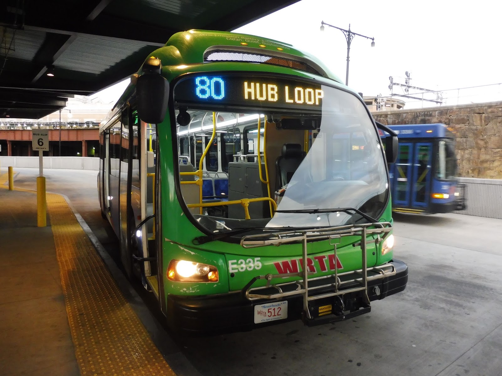
WRTA: 80 (Downtown Hub Loop)
This is a bit of a strange one, because this bus doesn’t exist. You know, usually I link to a page on the authority’s website about the route I’m reviewing, but that can’t be done for the WRTA’s 80 because it literally doesn’t have a schedule page! The only way to find out it exists is by looking at the system map and finding it in the bottom right corner! Indeed, my friend Nathan and I only discovered it by looking at the countdown clocks in the WRTA Central Hub.
 |
| Ooooooooooh. |
Oh yes, the 80 was using one of the WRTA’s Proterra buses! They’re battery-powered, totally electric, and really really cool-looking. In fact, the WRTA apparently has the largest electric bus fleet in North America! These buses are really worth a ride, even if only for a short distance. Actually, the 80 is perfect for a quick ride, especially since it’s free! We had no idea this was the case, though, since there’s NO INDICATION OF THIS ON THE WEBSITE, but yeah – free downtown shuttle!
 |
| Woah… |
The Proterra was amazing inside. It felt super clean and modern with bright lights, fancy seats, and a rear window. There were automatic announcements for major stops, but the bus itself was really quiet. It had a similar sound to trackless trolleys, which would make sense considering that they’re both electric.
 |
| Sitting at the back made for some really fun pictures. |
Heading out of the Central Hub, we circled around a rotary outside of the Union Station building, then twisted back to Front Street. We passed along a construction site, then turned onto Church Street, which went alongside Worcester Common. After that, we made a bit of a sharp curve onto Franklin Street, rounding the corner alongside the Common.
 |
| That’s a tall building… |
At Worcester City Hall, we turned onto Main Street. Where there were offices before, this street was now lined with lots of businesses and apartments on top. As they started to dwindle out and get replaced by parking lots, we turned onto Martin Luther King Junior Boulevard, which passed Worcester District Court and led to an intersection with modern buildings.
 |
| The businesses on Main Street. |
Next, we turned onto Major Taylor Boulevard, which was flanked by offices and a hospital. We merged onto the wide Foster Street, which continued around the hospital and past a parking lot. Finally, it led us back to the Central Hub, completing the short little loop.
 |
| The bus back in the hub. |
WRTA Route: 80 (Downtown Hub Loop)
Ridership: On my trip, there were only two other people. One was a woman who went from downtown to the Central Hub, while the other was a talkative old man who loudly discussed how places used to look “before any of these new buildings were even here!” He only went for a few stops. WRTA doesn’t publish ridership statistics, unfortunately, but a quick conversation with the driver revealed that the 80 gets good ridership in the morning, but not so much in the afternoon. I’m not sure why that would be, but a driver of the route is a trustworthy source, so I believe it!
Pros: This is a really great little loop! It serves most of Worcester’s “downtown” area, and though it only runs on weekdays, it’s every 15 minutes since the loop is so short. Oh, and did I mention it’s free? There’s really only one problem with the route…
Cons: IT DOESN’T EXIST. When I say that, I mean that it gets NO MENTION AT ALL on the WRTA website! And gee, it turns out the shuttle was added three years ago to boost downtown businesses when the WRTA’s hub moved to its current location! But this news story says that “only a handful of riders” uses it – wonder how that could be fixed. It’s a simple webpage, guys, it’s not that hard! Geez, at least the SLOOP got an online schedule! The 80 has literally nothing! You know the schedule information I wrote in the “pros” section? I had to find that out from the driver. This is NOT how you run a bus service!
Nearby and Noteworthy: The 80 serves basically all of downtown Worcester! And sure, none of it is a particularly long walk from the Central Hub, but the bus is free! If you’re tired or have heavy bags (or just want to take a ride in an electric bus), you might as well give it a try!
Final Verdict: 5/10 (but the route is a 9)
The 80 is basically in the same boat as the SLOOP, except that this ship has already hit the iceberg. It seems like the shuttle gets decent ridership now (according to the driver, at least), but that’s no excuse for not publishing a schedule! And yes, at some point there could be advertising for the fact that Worcester has a free shuttle, marketing to out-of-towners or non-commuters, but an online schedule – heck, an online mention – is needed as soon as possible. This is a really great route, but gosh, guys, give it some dignity!
Latest MBTA News: Service Updates
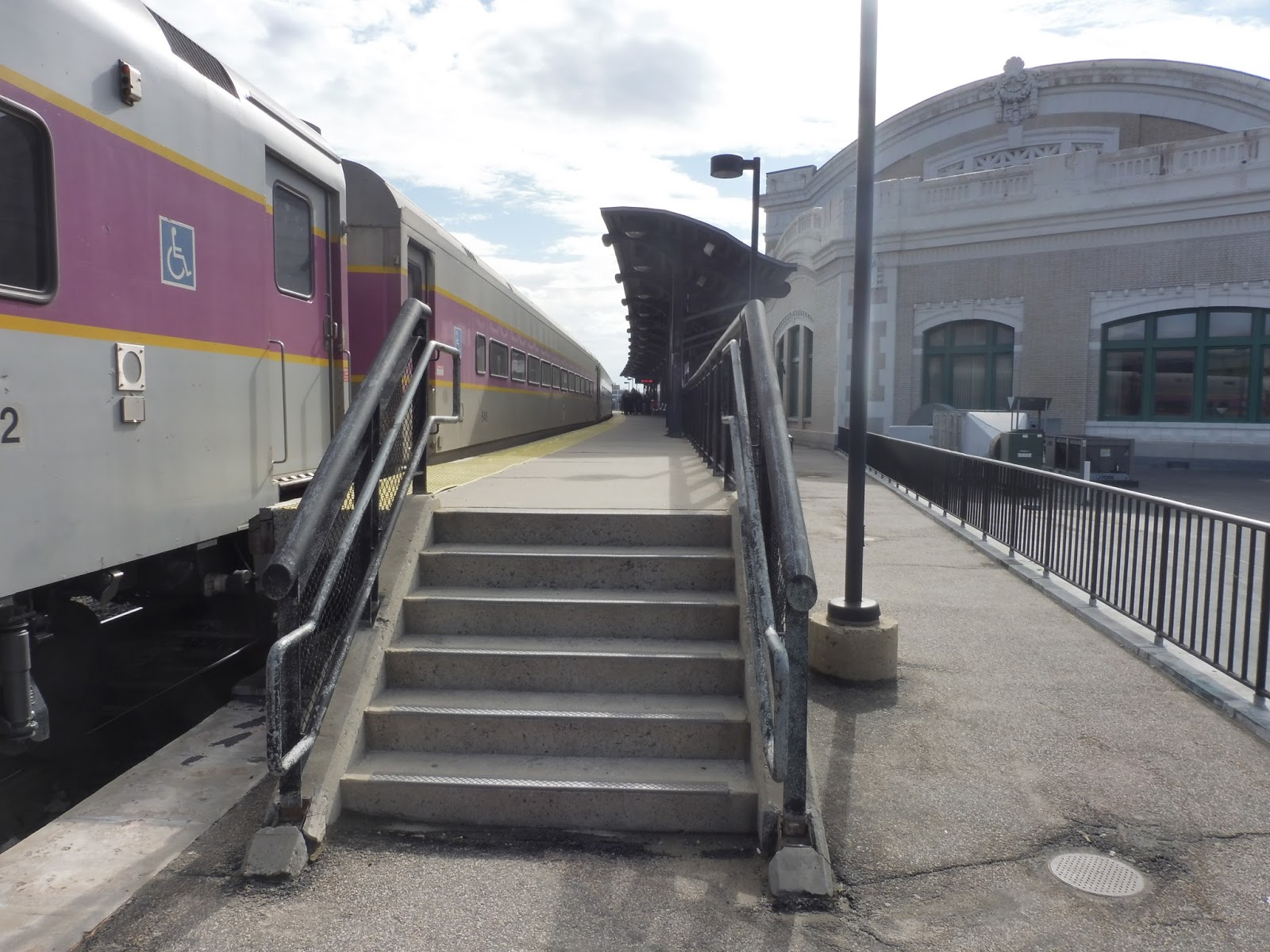
Worcester
It was 2:29 PM. I was perched just inside the doorway of my Chemistry classroom, ready to bolt. Suddenly, the chime of the bell went off, and I sprinted out of the room, just ahead of Nathan across the hall. We both dodged around the crowds heading down the stairs and burst out of the school, running across the courtyard. Nathan had planned it all out – we had to get the 2:36 Red Line train to Braintree in order to make it to the 2:55 Commuter Rail trip to Worcester.
But when we made it down to Harvard at 2:35, the countdown clocks said it was 3 minutes until the next train! Nathan checked his subway map app, and it turned out our train was late. We decided we would still try to make the 2:55, despite a horrible cramp on my part. The train came in, and we got on at the back of the second car to be able to make it up the stairs as quick as possible at South Station. As we got closer to our destination, we made the realization that we would have only a minute and a half to get to the Commuter Rail.
At Park Street, Nathan checked a Commuter Rail app to find out that our train was on Track 1. Good – it would be a pretty straightforward run. As the subway car pulled into South Station, we slipped through just as the doors opened. Nathan ran up the escalator while I climbed the stairs two at a time, and we burst into the main station. I took the lead, dodging through the crowd while glancing up at the departure board to see that the train hadn’t left yet. And lo and behold, there it was on Track 1, slightly behind schedule but waiting there in all its glory! We had made it.
And once we got to Worcester Union Station, it was clear that it was all worth it.
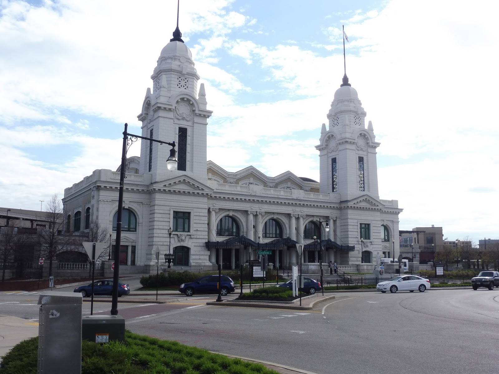 |
| Is it a cathedral? No, it’s the station building! |
Need I say more? The building alone is incredible, and we haven’t even gotten inside yet! Situated right in downtown Worcester, it features two amazing spires and lots of intricate details everywhere. Along the front of the building, the old railroads that used to serve the station are engraved: Boston and Albany, New York, New Haven and Hartford, and Boston and Maine.
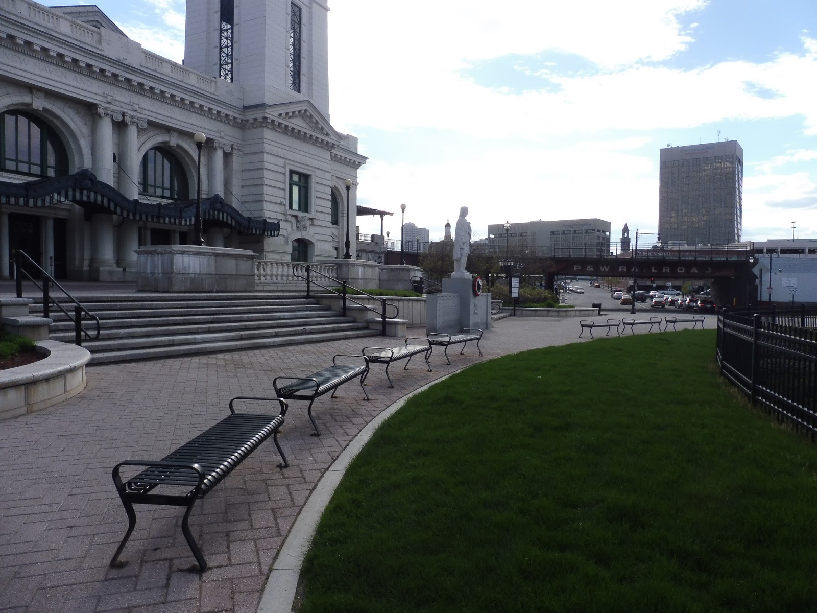 |
| You can see “P & W Railroad” in the background on the bridge for the Providence and Worcester freight line running here. |
Outside of the main station entrance, there’s a nice little plaza. It features well-trimmed grass, a statue, and a bunch of benches lined up in a row. It was empty when I was here, and the amount of benches might be overkill, but it could be a nice place to sit and watch cars go around the rotary.
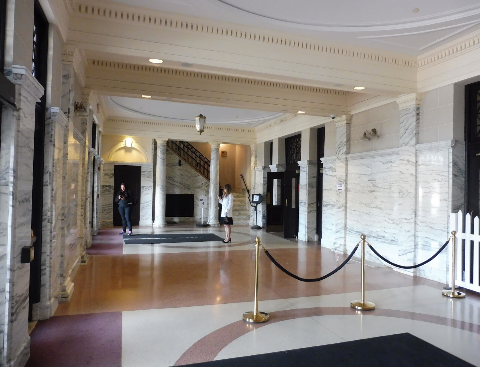 |
| What is this, a hotel? |
Oh my gosh, the entrance area is awesome! EVERYTHING is marble! There is just…oh my gosh, so much marble! It really feels like a hotel entrance. It doesn’t even have much of a purpose, most commuters will just walk on through to get to their trains! It did appear that a few people were waiting for pick-ups in here, though.
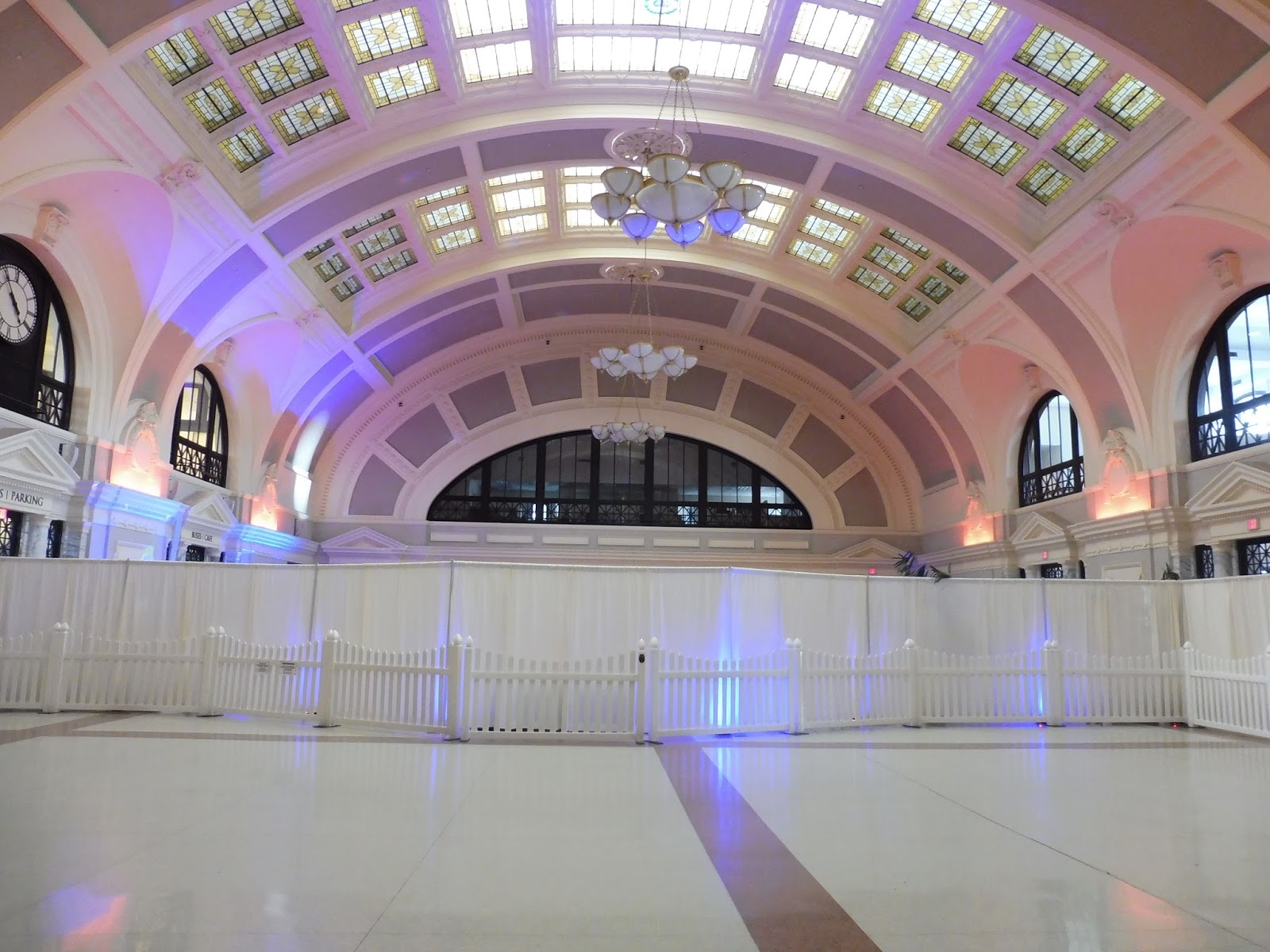 |
| WOW. |
This, my friends, is Worcester’s Grand Hall. That is an apt name, for it is quite grand. The funny thing is that it basically serves no purpose, since most people just walk through it, but still…just look at it! Part of it was blocked off and illuminated with disco lights when we were here, and it turns out that’s because someone was having a wedding! There’s a use for it, I guess.
 |
| A restaurant! |
Ah, but the Grand Hall also features a whole entire restaurant! Yes, there is quite literally a reasonably-priced restaurant right in the middle of this train station! I think it usually has seating out in the Grand Hall, but due to the wedding, it was restricted to within the restaurant itself.
 |
| Awwwwwww, yeah. Okay, that probably looks tiny. I recommend clicking it to make it bigger. |
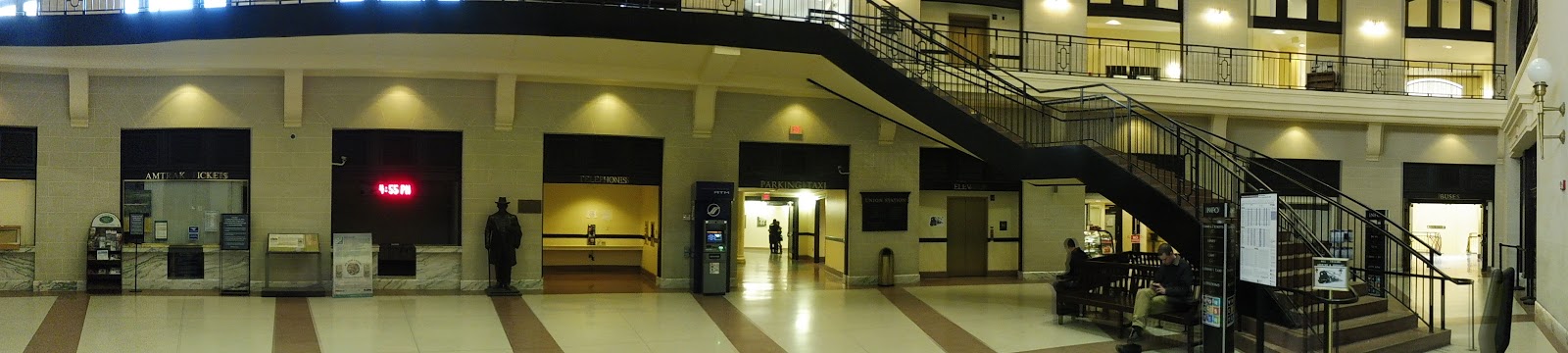
From the Grand Hall, you’ve got a massive concourse from which every part of the station leads. It has a lot of great stuff, and I’m just gonna go around the whole thing! Starting from the left, there’s this rack of brochures, which is rather interesting. I mean…Worcester isn’t exactly a major tourist destination, after all.
 |
| Looking further around the concourse. |
Moving on, there’s an Amtrak ticket office for once-a-day Lake Shore Limited trains to Chicago. Next, a random LED sign just flashes the time and “Welcome to Worcester Station” over and over again (it really should be replaced with a proper destination board), then there’s a lovely statue. Things like the statue are examples of the little details that make this station so amazing!
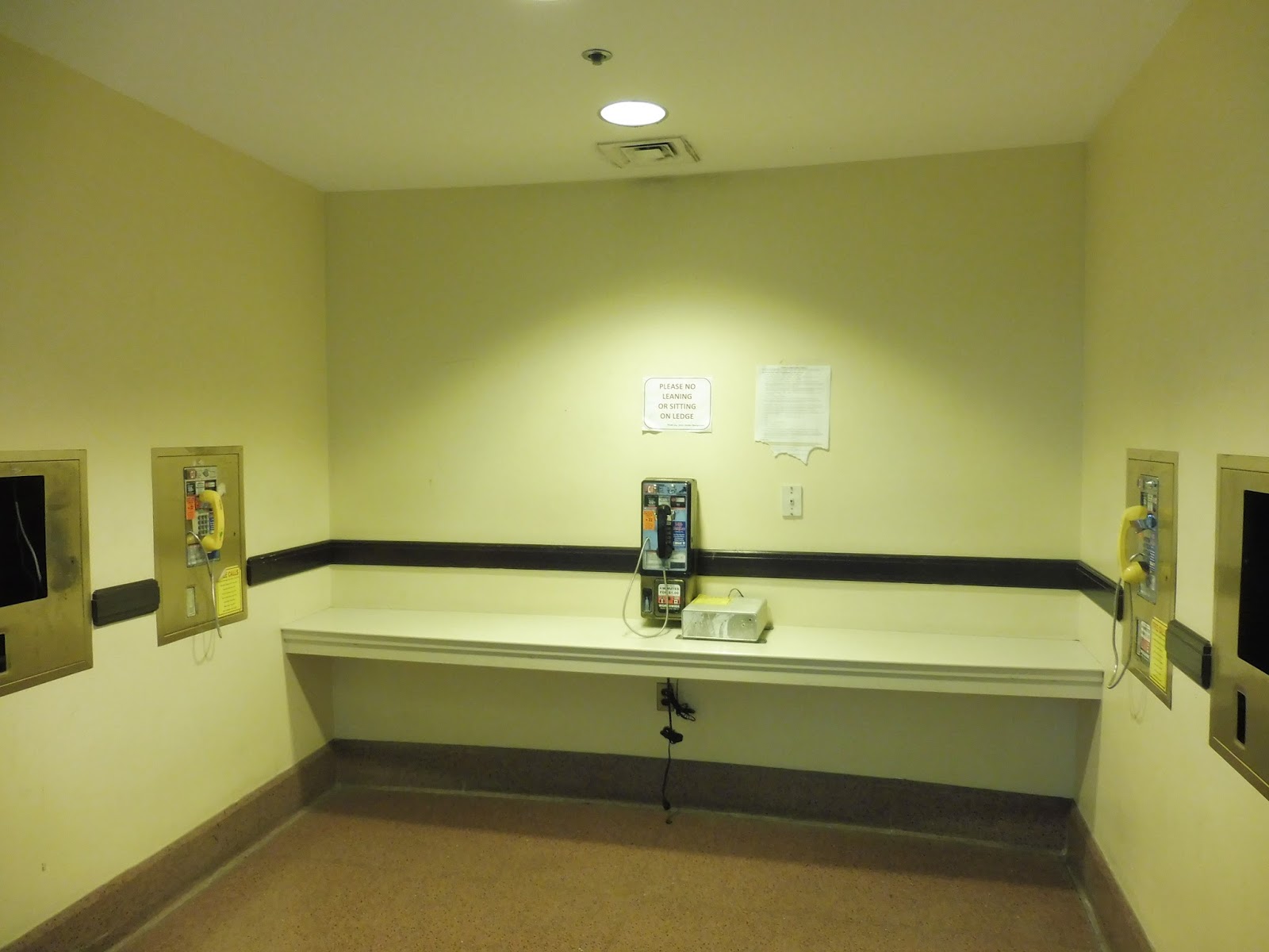 |
| Clearly the most functional room in the building. |
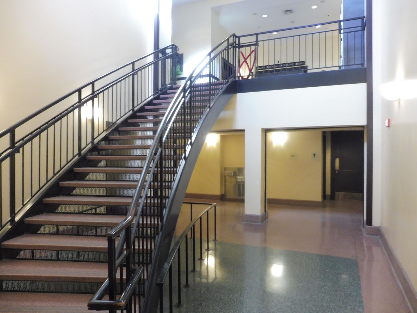
Next, the payphone room! Oh boy oh boy oh boy! From there, the concourse features an ATM, which is a convenient little touch, and then there’s a hallway leading to the parking garage. We’ve got a wastebasket, then the centerpiece of the concourse, a spiral staircase leading up to the Commuter Rail platform!
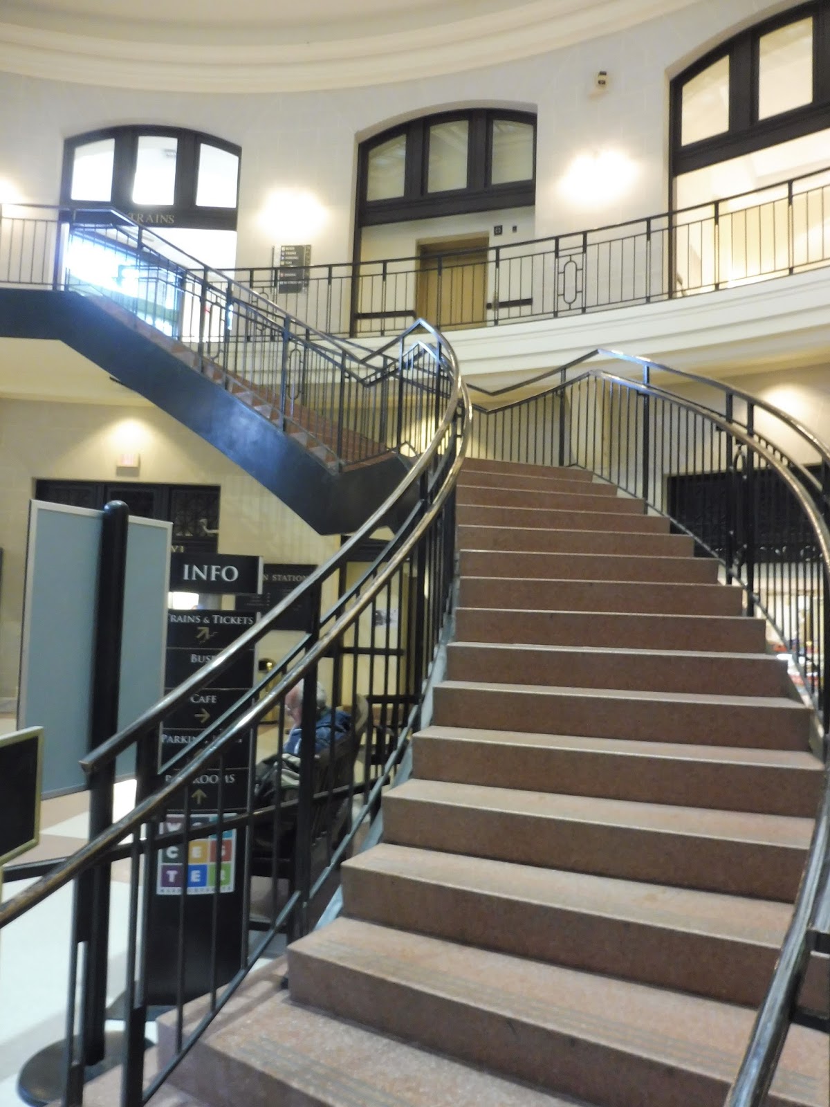 |
| The curved staircase leading up. |
Alongside the staircase, there is a bench, as well as WRTA schedules. Also, behind the staircase is a little café! We didn’t have time to go in and see the menu or anything, but it looked like a nice little place to grab a quick bite. Also behind the staircase is an elevator alternative up to the Commuter Rail.
 |
| The concourse…from above. |
Of course, for all its glory, Worcester Station does have its sketchy bits. This weird old guy with blue lips (I’m not kidding) kept following Nathan and me around, telling us where to get pictures and regaling us with stories about putting pennies on the rails or how he almost got run over by a train. Or…I think that’s what he said? Honestly, I couldn’t comprehend half the stuff that came out of his mouth. But yeah, that just goes to show that you gotta keep your wits about you here.
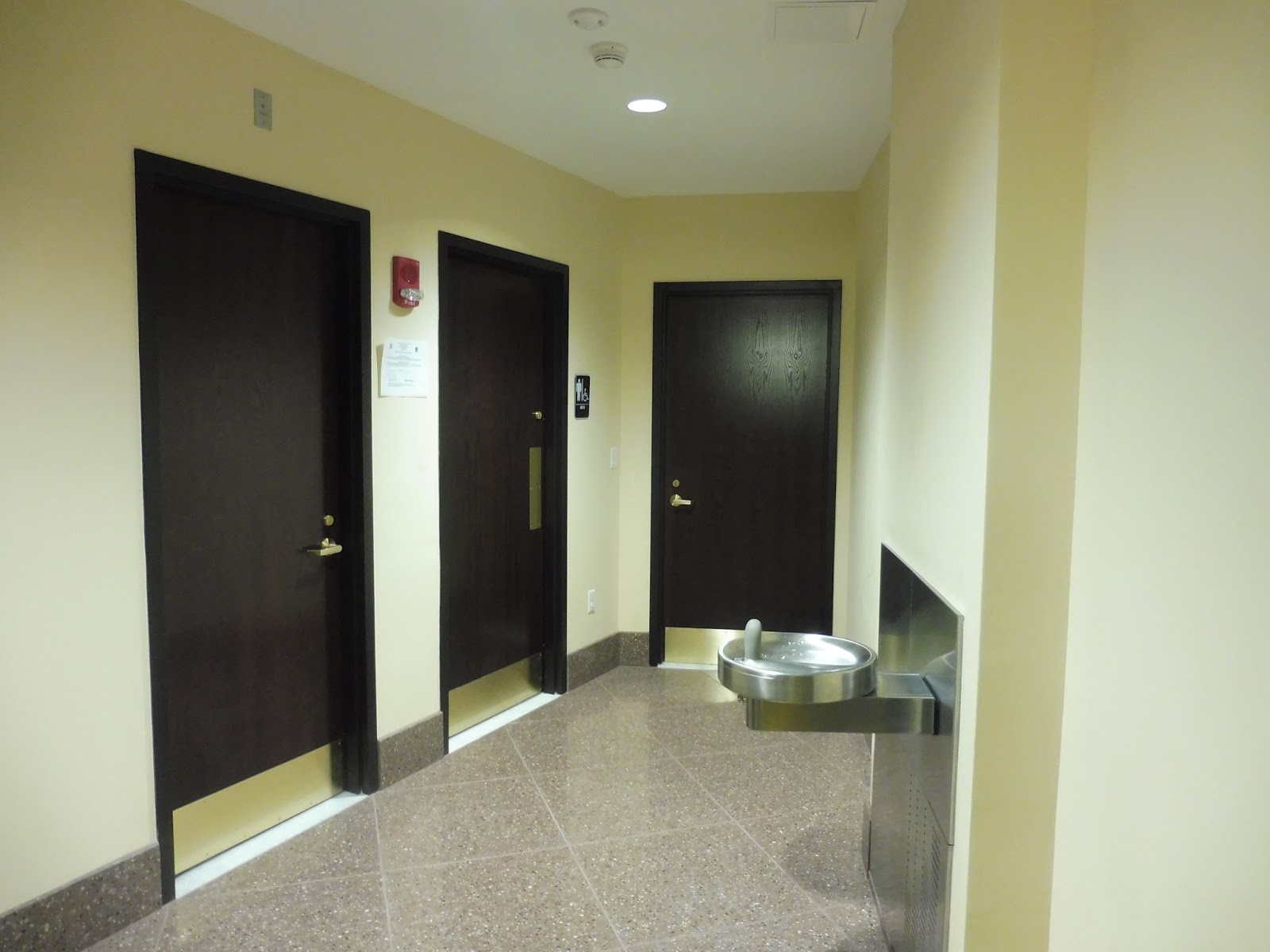 |
| Bathrooms! |
Heading into the hallway toward the parking lot, there are bathrooms! (The Grand Hall has bathrooms, too, but the men’s room was blocked by the wedding festivities so I couldn’t see what it was like.) Surprisingly, and especially for train station bathrooms, they were incredibly nice inside. As we were leaving the area, though, a strange janitor remarked on how we should take pictures there in the morning, because that’s “when the homeless people shower. [laugh]” I’m kinda creeped out now…
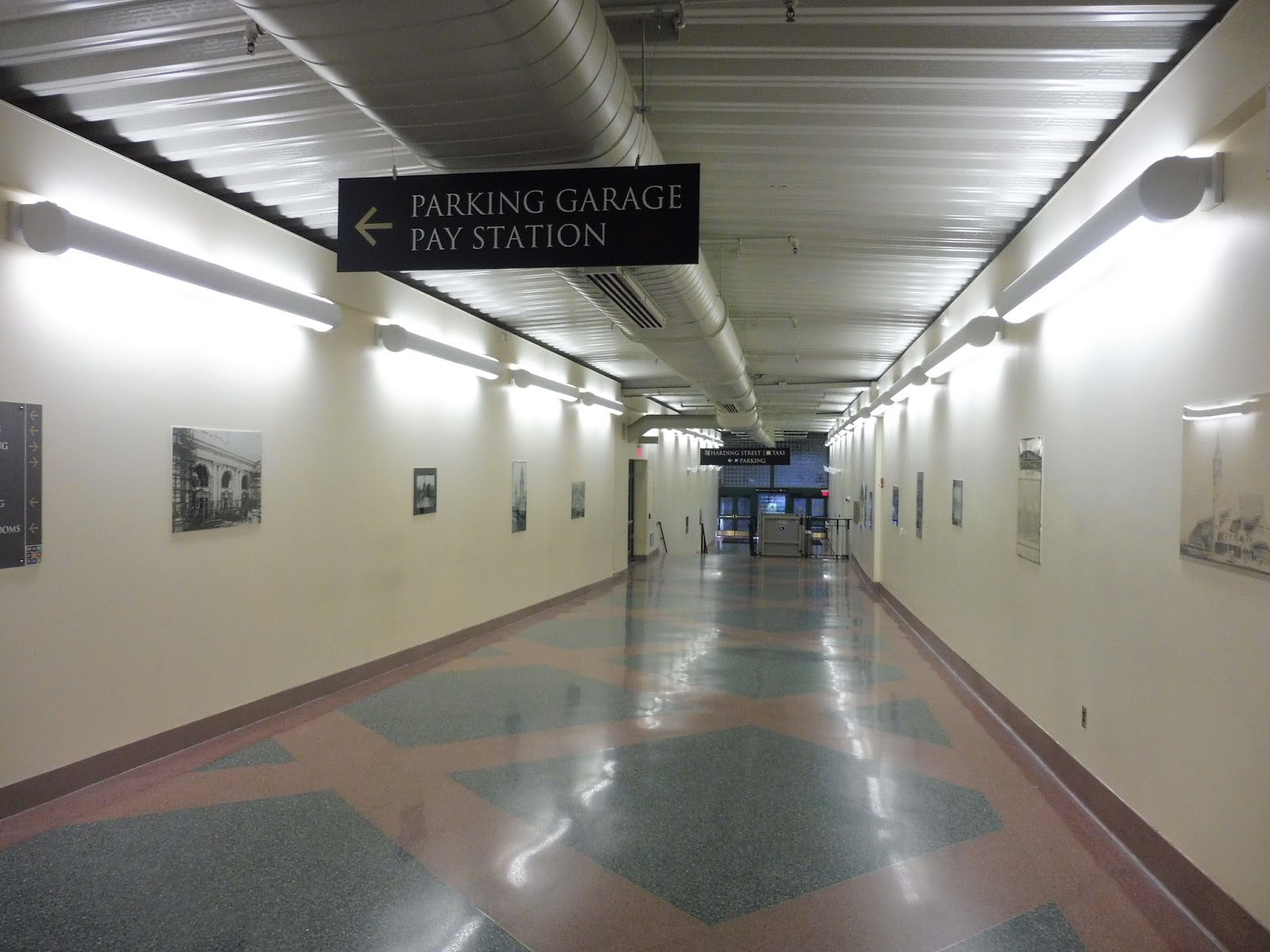 |
| The hallway to the parking garage. |
The hallway to the parking garage is clean, modern, and unique. The floor is nice and shiny, while the would-be blank walls are instead lined with historical images of Worcester. As for the ceiling, that’s the unique part – it’s corrugated, giving the hallway a strange warehouse kind of feel. And yet, it doesn’t detract from the aesthetics at all.
 |
| Inside the garage. |
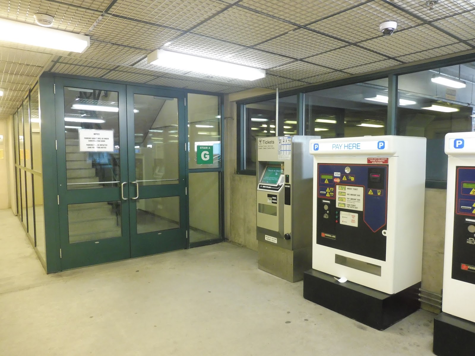
The hallway to the parking garage is darker and less visually pleasing, but the garage itself is decently big. Although five stories tall, it only has 500 spaces, but that’s still a good amount for an urban station like this. Plus, it usually has 200 spaces or more open on weekdays, so most people have different ways of getting to the station.
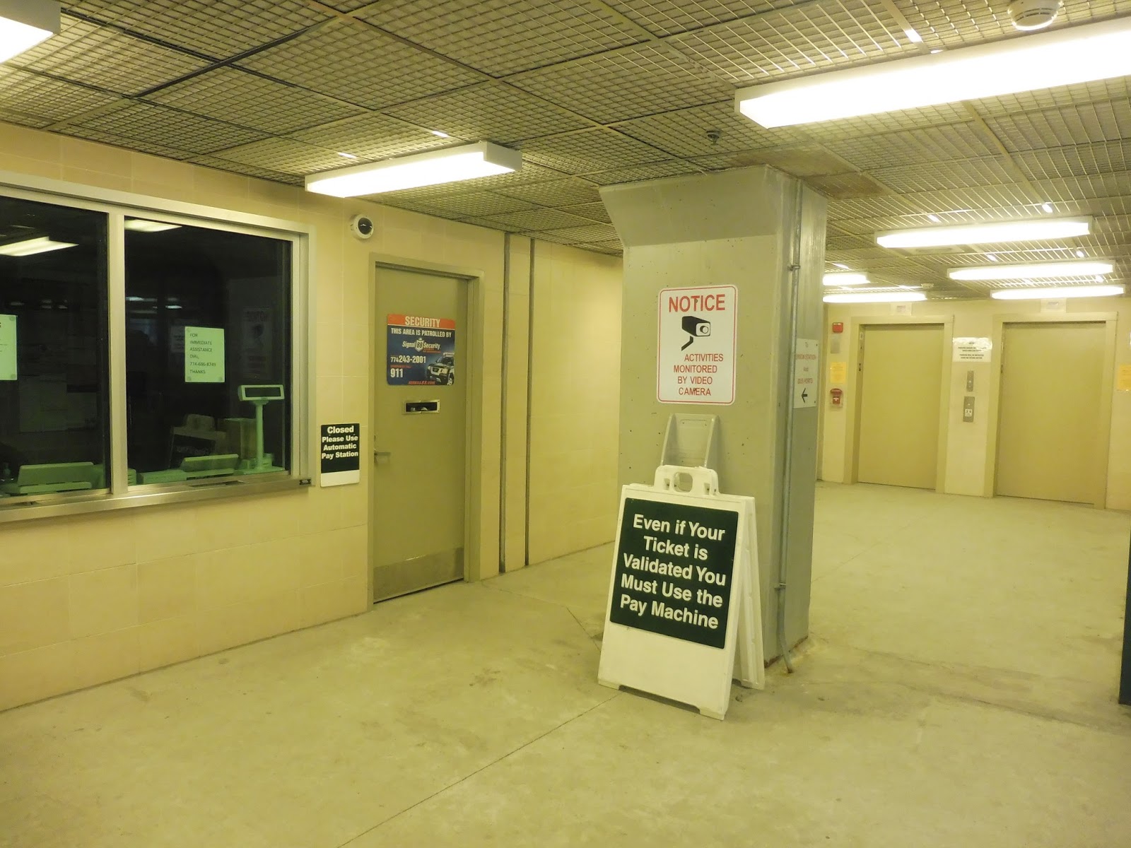 |
| The ticket office in the garage. |
Interestingly, the garage has a ticket office on the first floor! Since this was a Saturday, the office itself was closed, but it’s strange thinking that at some points during the day, there are actually people inside those isolated booths. Alternatively, there are also simple machines, as well as – even stranger – an MBTA fare machine! Um…okay, interesting place to put that.
 |
| The machines and the stairs. |
Between the stairs and the elevator, the stairs are the much faster way of getting between floors of the lot. The elevators are hydraulic, smelly, and soooooooooo sloooooooooow. I have never been inside such a snail-like contraption in my life! Still, they make the lot accessible, at least. But geez, they take forever…
 |
| Woah… |
 |
| Okay, I had to include two, since this view is so great. |
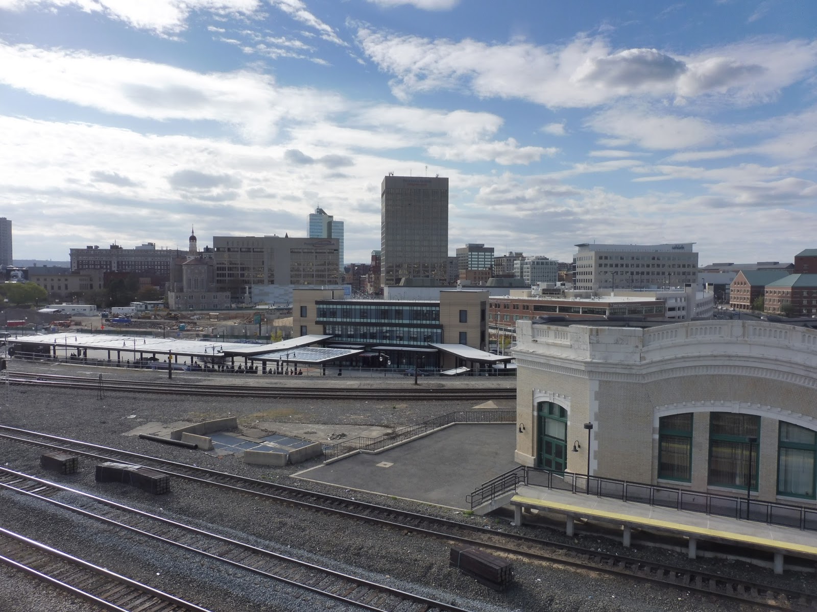
The view from the roof of the garage is amazing. Seriously, if you end up at Worcester, taking a trip to the top of this structure is really worth it. It offers sweeping looks at downtown Worcester, industrial areas, houses up in the hills, and even the station platform! But we still have a lot to get through before we talk about that platform.
 |
| Ehhhhh… |
Going back to the station itself, the hallway to the parking garage also leads out to its own entrance! A…very sketchy entrance. Yes, it looks alright in the picture, but that fails to capture the fact that we were standing in a very dark tunnel underneath the mess of train tracks at Worcester. They tried to light it up with LEDs, but Back Bay has LEDs everywhere, and they don’t help, either. An entrance here is nice and all, but certainly don’t plan on hanging out around it.
 |
| Man, Worcester has some great staircases! |
Heading out to the bus terminal from the main concourse, there’s a hallway with similar architecture to the rest of the station. After some vending machines, you go down a slightly curved staircase to get down to ground level. Behind the staircase, there are some water fountains and more bathrooms.
 |
| Hmm…I think we’ve left the nice part of the station behind. |
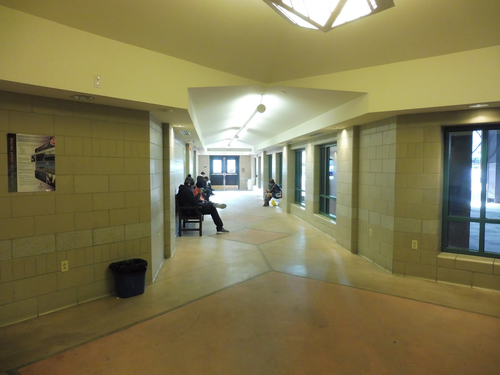
Once you get into the terminal for intercity buses, the ceiling gets low, the architecture gets bland, and everything feels a bit more foreboding. Still, the amenities are all there. A staffed ticket office lets passengers purchase trips on Peter Pan and Greyhound, while electronic departure boards let them know when they’re leaving. There are ample benches, as well as vending machines in this indoor section.
 |
| Well, it would appear that the word “focus” has left my vocabulary… |
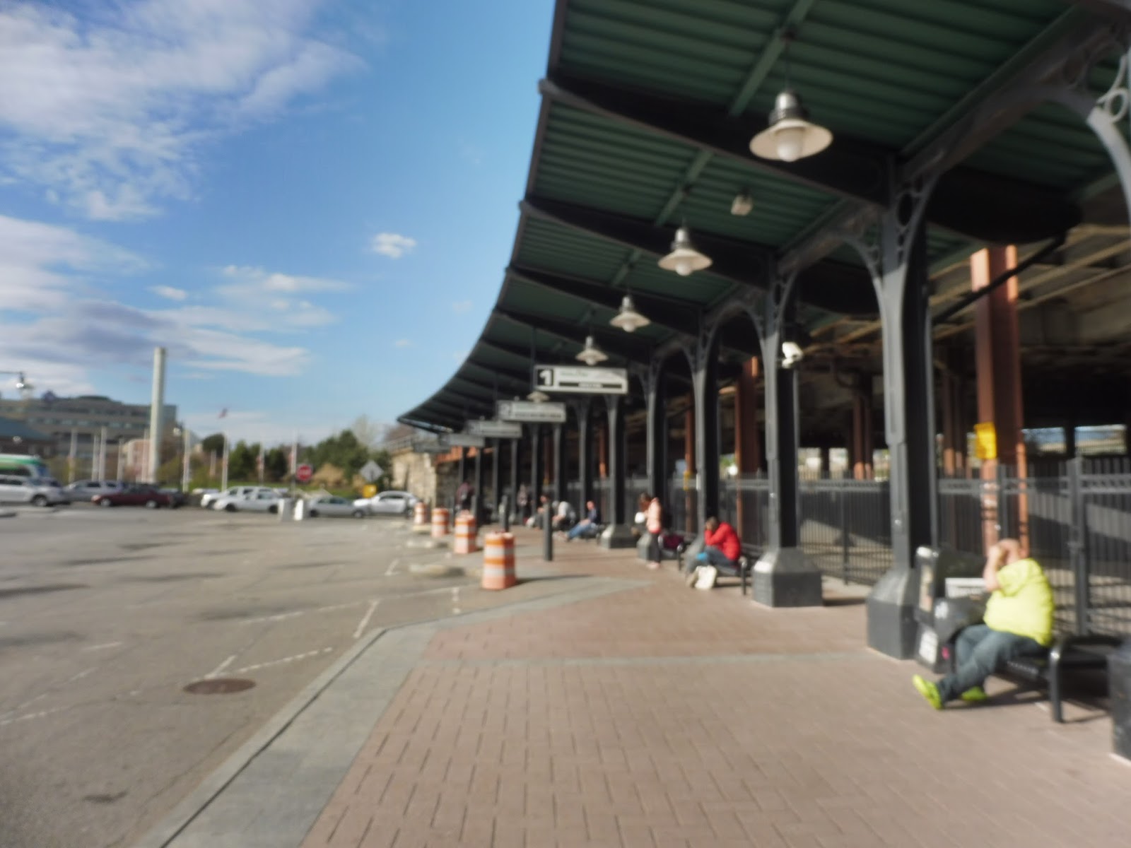
Outside, the intercity buses board along a simple platform. It has benches along it, and it’s all covered by a generic metal shelter. Ultimately, most people will wait for their buses inside, but the outdoor facility is decent enough.
 |
| The WRTA facility. |
But wait, there’s more! Worcester is also the hub of the WRTA, with every single one of its routes serving it. As such, it gets a big, fancy facility that requires a quick 50-foot jaunt to get to from the station.
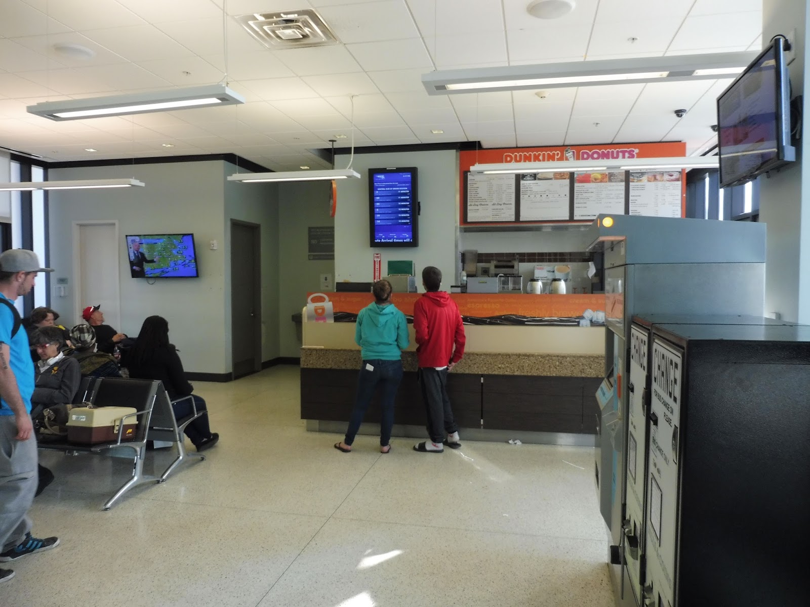 |
| Inside the main building. |
Yes, the main WRTA facility may be small, cramped, and pretty sketchy, but man, does it have a lot of stuff in it. The Dunkin’ Donuts is the main centerpiece, with a sign advertising it outside the building, too. Above its counter is an electronic board giving departure times for WRTA buses, while in front of the waiting area’s airport-style seats is a TV that shows the news. The building also has bathrooms and change and ticket machines.
 |
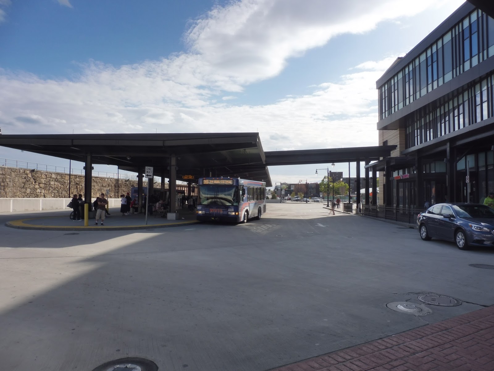
| The sheltered bus area. |
The outdoor bus area, like the rest of the WRTA facility, is chock-full of amenities, but also quite sketchy. Still, the whole thing is sheltered and dotted with countdown clocks, although I think they might be schedule-based rather than based on where the bus actually is. In addition, there are benches and maps to further help people get around. Surprisingly, despite being served by so many routes, the busway isn’t that confusing. Maybe it’s because it’s all in a simple straight line.
 |
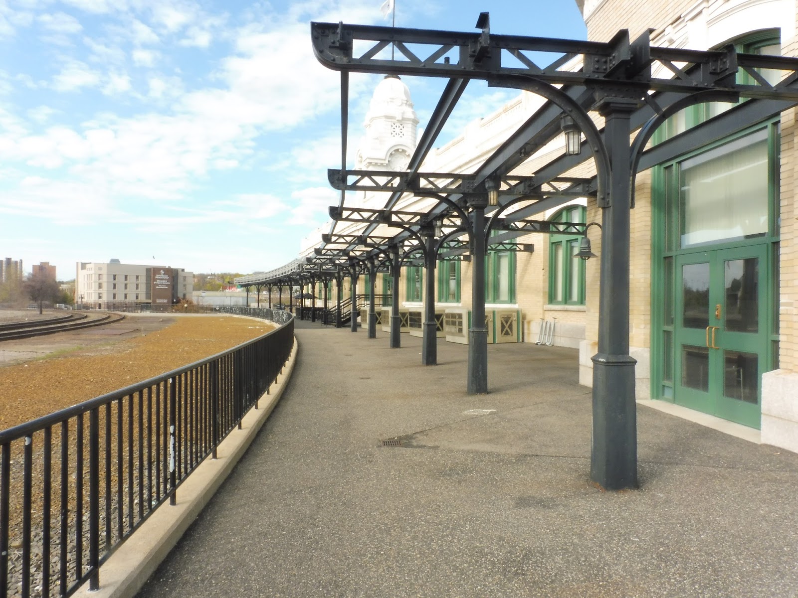
| Oh, yeah, I forgot this was a Commuter Rail station! Here’s the platform…from above. |
Finally, to culminate this massive review, let’s look at Worcester’s Commuter Rail station! It’s accessible from the main concourse by heading up the spiral staircase or by using the elevator. There’s an indoor waiting area on the second floor of the concourse with a few benches so people can wait for trains in the heat if they want.
 |
| Oh dear…that is not a good picture. |
Right, so it turns out I forgot to get a picture of the main platform (don’t ask me how, I don’t even know myself), so I’ll have to describe it from memory. The main part of the station is a very long mini-high platform, about three or four cars long. It has lots of benches on it, as well as an empty payphone case. It’s pretty generic for Commuter Rail standards, but it does the job.
 |
| An outdoor section along the building. |
On the western end of the platform, there’s a strange section that leads around the side of the building. It doesn’t seem to have much of a functional purpose, since it just stops once it reaches the end of the building. However, it is a great place to watch Providence & Worcester freight trains running along their elevated track, although I didn’t get to see any when I was here.
 |
| Lovely… |
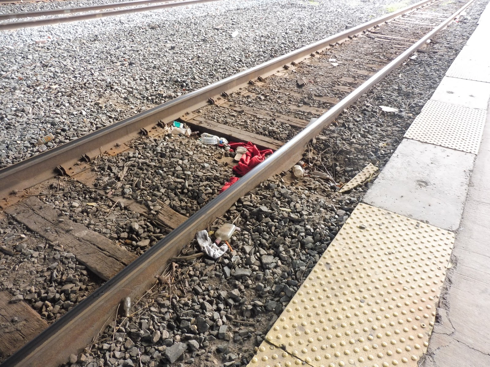
Despite the mini-high being pretty sufficient, the platform goes on for way longer as a low-level. A little further down, a huge highway runs over the station, rendering everything under it…quite dingy. This is where a bunch of litter assembles, while the constant noise of the cars above is annoying. Luckily, no one actually has to wait under here, so it can just rot away, for all I care.
 |
| The bike area. |
Continuing down the low-level platform, there are a few sheltered bike spaces. It’s not many, they’re at a strange place on the platform, and there’s plenty of room for more spaces, but having them there is a plus. There are even “bike route” maps showing the bike-friendly roads and paths in Worcester. All this area needs is some indication from the main station that it actually exists!
 |
| More parking! |
Over on this side of the station, there is even more parking, contained in surface lots! They contain a total of 150 spaces, for which commuters can pay at a couple of small machines. According to those, these spaces are $4.00 per day (compared to $8.25 at the garage), though the MBTA website claims that they’re only $3.00.
 |
| This is pointless… |
Strangely, wayyyyyyyy on the end of the platform is a random shelter! It’s the generic kind that you get on newer Commuter Rail stations, but…why is it here? It doesn’t have benches under it or anything, and no one would ever wait this far down the track, anyway! There are also some ads over here, which I doubt anyone will ever see.
 |
| Oooooooh… |
But there is one other reason to come to this end of the platform: it offers a wonderful view of Worcester’s massive CSX freight facility! This is where cross-country freight trips begin, and there’s always something going on here. I didn’t get to see much happen aside from some simple shunting, unfortunately, but this place can get very busy, especially on weekends.
.
 |
| Oh…hello. |
Worcester also features a Commuter Rail yard, but it looks so tiny compared to the CSX facility. Also, I know I don’t usually talk about operational aspects of stations, but when Nathan told me about how this yard works, I knew I had to include it. The procedure to get into the yard from Worcester takes forever, due to the amount of times trains have to change direction. The yard itself is fenced off with private parking for MBTA employees.
 |
| These trains are so great… |
But wait, there’s more! (Last one, I promise.) This station is also served once a day by Amtrak’s Lake Shore Limited train to Chicago! We were lucky enough to see the inbound train heading to South Station, and it made a pretty lengthy stop here in Worcester. Okay, that’s finally the end.
 |
| Three trains: a freight shunter, the Amtrak again, and a good ol’ Commuter Rail train. |
Station: Worcester
Ridership: As you would expect, this is one of the busiest Commuter Rail stations on the system; 8th busiest, to be exact, with 1,475 riders per weekday. This is way more than the station’s parking, so many riders must walk or take the bus here. Speaking of the bus, as the WRTA’s hub, Worcester’s bus station can get very busy. I’m not sure specifically how busy, since the WRTA doesn’t seem to publish ridership statistics, but it was quite crowded the whole time I was here. As for intercity buses, the terminal seemed to have a decent amount of people waiting. Finally, there’s Amtrak ridership, which really isn’t much. On the once-a-day Lake Shore Limited, ridership amounts to a total of 8,439 riders per year, or 23 riders per day! Wowee!
Pros: I…I don’t even know where to begin. I mean, the Commuter Rail platform is essentially high level for the most part, the station has a bunch of parking, and both bus terminals are packed with amenities! And the Grand Hall…woah. There are so many other amazing little details that make Worcester amazing, but I’ve basically listed them all in the review already.
Cons: The glaring problem with Worcester is its people, in that the station can feel quite sketchy, especially in the bus areas. However, I feel like this isn’t the station’s fault, more the fact that…well, it’s Worcester! Other than that, I do wish the station had larger and more obvious bike parking to encourage more cycle commuters. Oh, and the Commuter Rail facility is kind of a mess to get into for trains.
Nearby and Noteworthy: Well…I’m not sure if what kind of stuff you’ll find in Worcester’s downtown, but this station is right in it! Try not to run into any strange people.
Final Verdict: 9/10
Wow…this is such an amazing station. I mean, the Grand Hall alone is majestic! I would most definitely put Worcester on the same level as South Station – it’s that good. There are so many different parts of the station, all with amenities, and they’re all connected with really good signage! Yes, the place is a bit (okay, a lot) sketchy, and it could use some more bike parking, but come on. The Grand Hall alone gives this place a 9/10, not to mention every other amazing thing here!
Latest MBTA News: Service Updates
GATRA: Scituate Loop (SLOOP)
Hmm…I feel like going to Scituate today. But alas, Greenbush isn’t anywhere near the town center, Scituate Harbor. Maybe there’s an alternative way of getting there? Here, I’ll use my trusty friend, Google Maps, to find out.

Okay, well, I guess I give up. Thanks for reading, everybody!
Oh wait! What’s this on the GATRA website? A bus with a great, easy-to-remember name that runs every half hour, seven days a week, with a loop around Scituate? Huh! Wish Google had thought to inform me about that! That’s right, we’re looking at the grossly underrated SLOOP today!
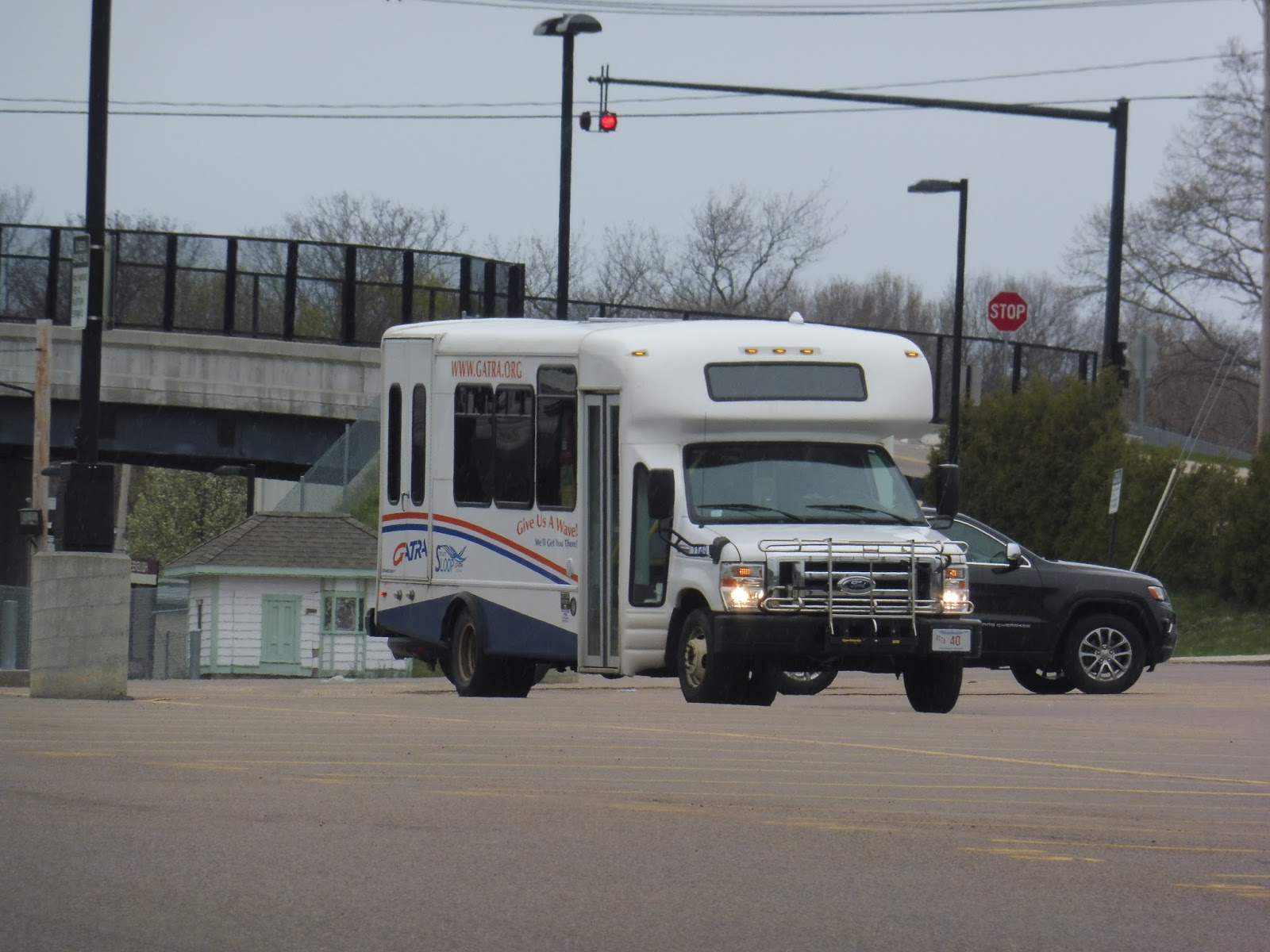 |
| The bus at Greenbush. |
There’s a confusing bit on the schedule where some trips serve Greenbush Station directly and others don’t. The 2:07 trip was scheduled to serve the station, but due to a lack of signage, I decided to wait just west of it, on the New Driftway. Turns out the bus did actually serve the parking lot, and then stopped for me as I flagged it down (the SLOOP will stop anywhere for passengers).
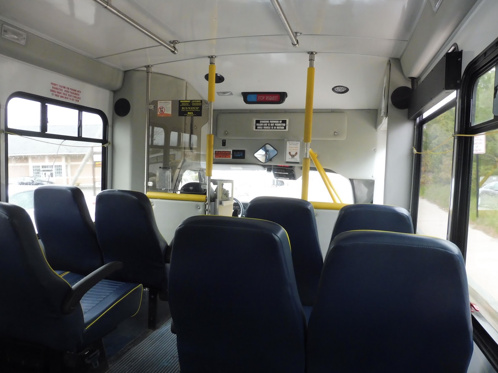 |
| Oh, minibuses… |
The inside was as generic as any minibus, loud wheelchair lift and all. However, I did have this exchange with the driver when I got on:
ME: How much is the fare?
DRIVER: 1 dollar.
ME: I read on the website that students only have to pay 50 cents.
DRIVER: Yeah, sure, whatever.
I guess that’s 50 cents for me, then? It was a strange conversation.
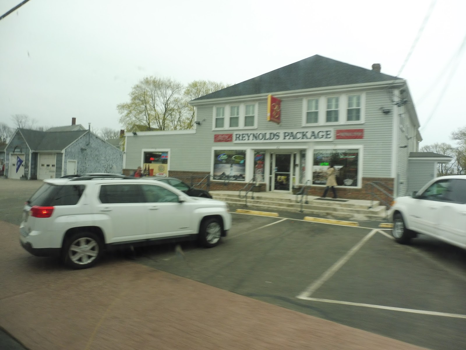 |
| A blurry store. |
We headed down the New Driftway for a bit before going around a rotary onto Country Way. There was a nice lakeside view on one side, and after a few businesses, the road became lined with small houses. Everything had the vibe of a seaside town, and it was lovely.
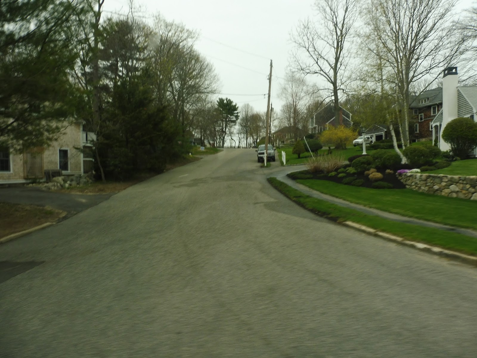 |
| A side street. |
After passing a few farms, the houses started to get denser. On weekdays, buses head left onto First Parish Road, making a deviation to serve Scituate Town Hall, as well as the High School. Since it was a weekend, though, we turned right instead,
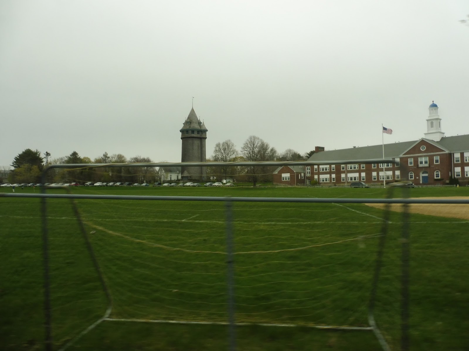 |
| Oh my gosh…that is a castle. |
We passed a school, then turned onto Central Park Drive, which paralleled a field. We looped around a parking lot for another school, and as we headed along the other side of the field on Branch Ave, I realized that we had passed a castle! Well, maybe it’s technically a “tower”, but who cares? Just look at it in the picture! It’s amazing!
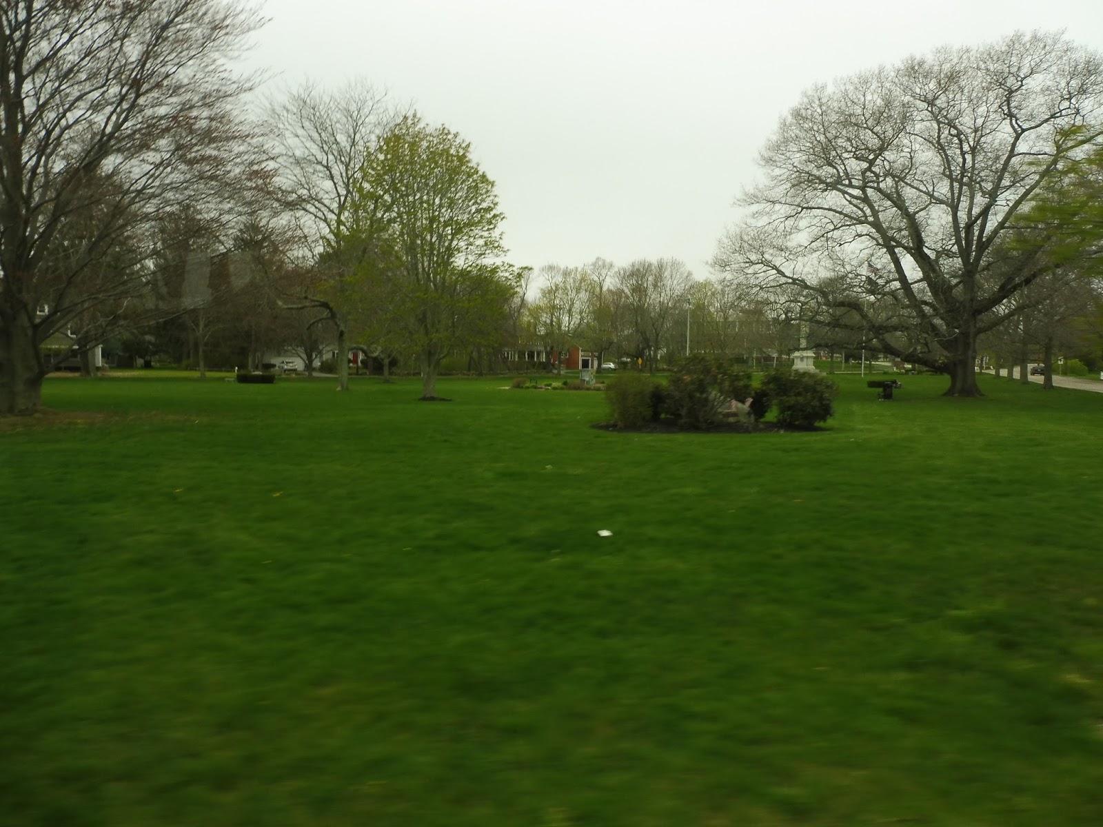 |
| Another park. |
 |
| Crossing over the Greenbush Line. |
The deviation involved serving Wheeler Park, a housing development with an interesting penny-farthing bike for a logo. Still, we had to go around these slow loops in order to serve the whole development, and though it only took about two minutes, it felt very unnecessary. Returning to Common Street, we made a sharp turn around onto Stockbridge Road, going by a cemetery.
 |
| Inside Wheeler Park. |
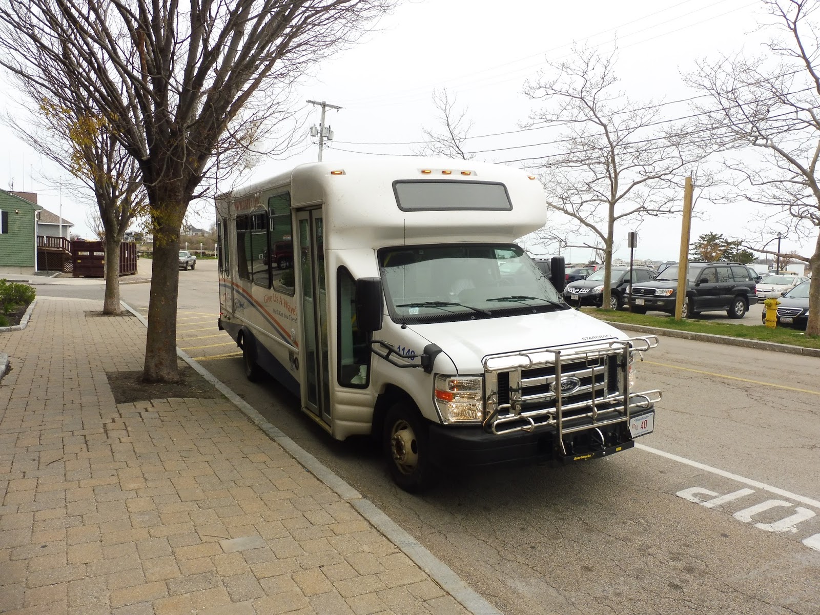 |
| The bus at the harbor. |
 |
| A few shots of the town, because it’s lovely. |
 |
| Because taking pictures across the bus always works… |
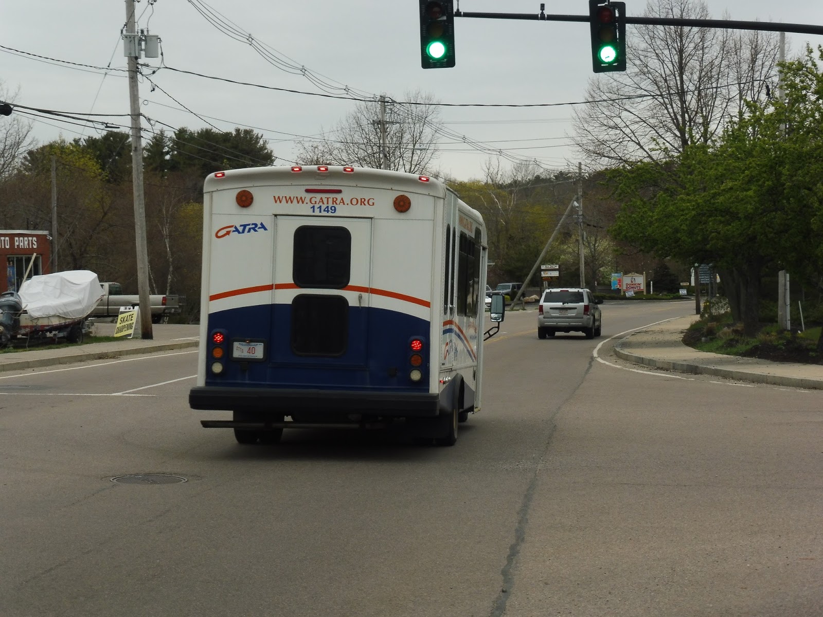 |
| The bus going on its way. |
UPDATE 1/7/17: Ohhhhhhh, boy, did they really screw this one up. I loved this route. I really loved it. But they just HAD to go and add North Scituate to it, didn’t they? Now the SLOOP has a gigantic 20 minute deviation there! Wow, that won’t hinder people at all travelling around the one-way loop! And how did that affect the schedule? Yeah, so long, half-hour service – now it’s every hour. And it’s not even consistent! 12:40, 1:35, 2:30, 3:40, 4:45…what are these departure times? Yeah, let’s just go ahead and lower that score to a 2/10. I’m so mad…