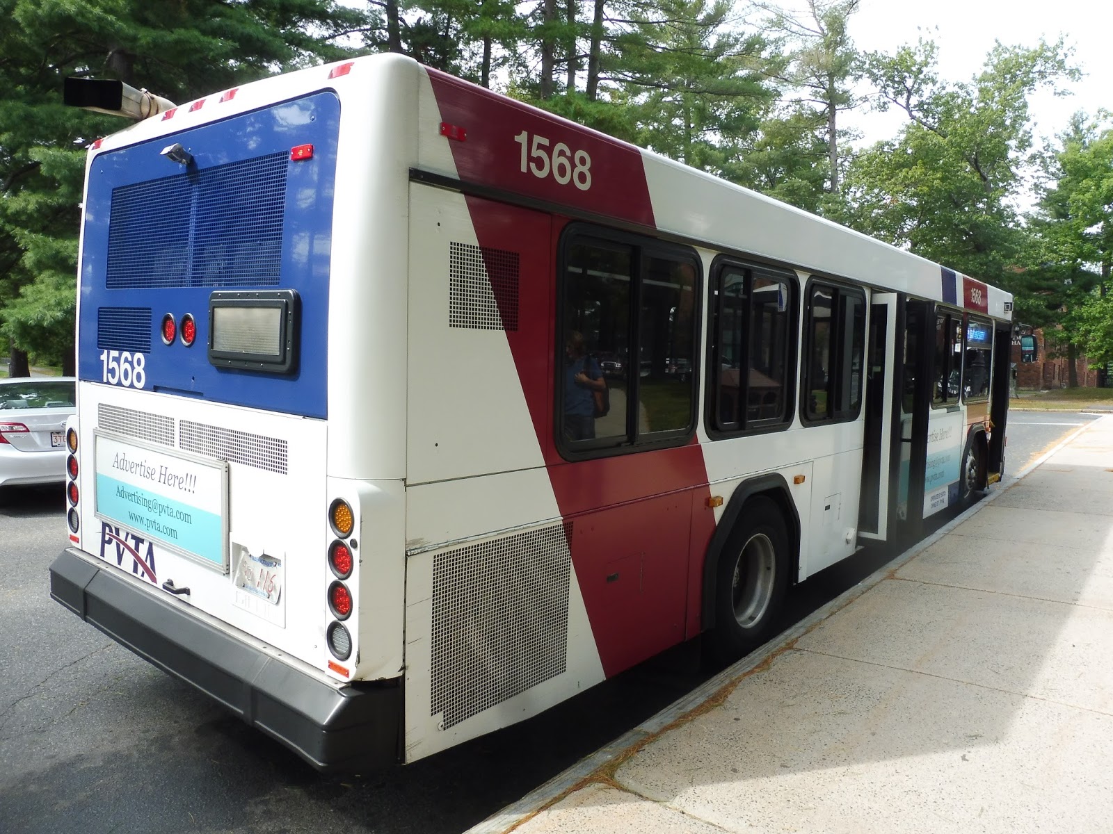
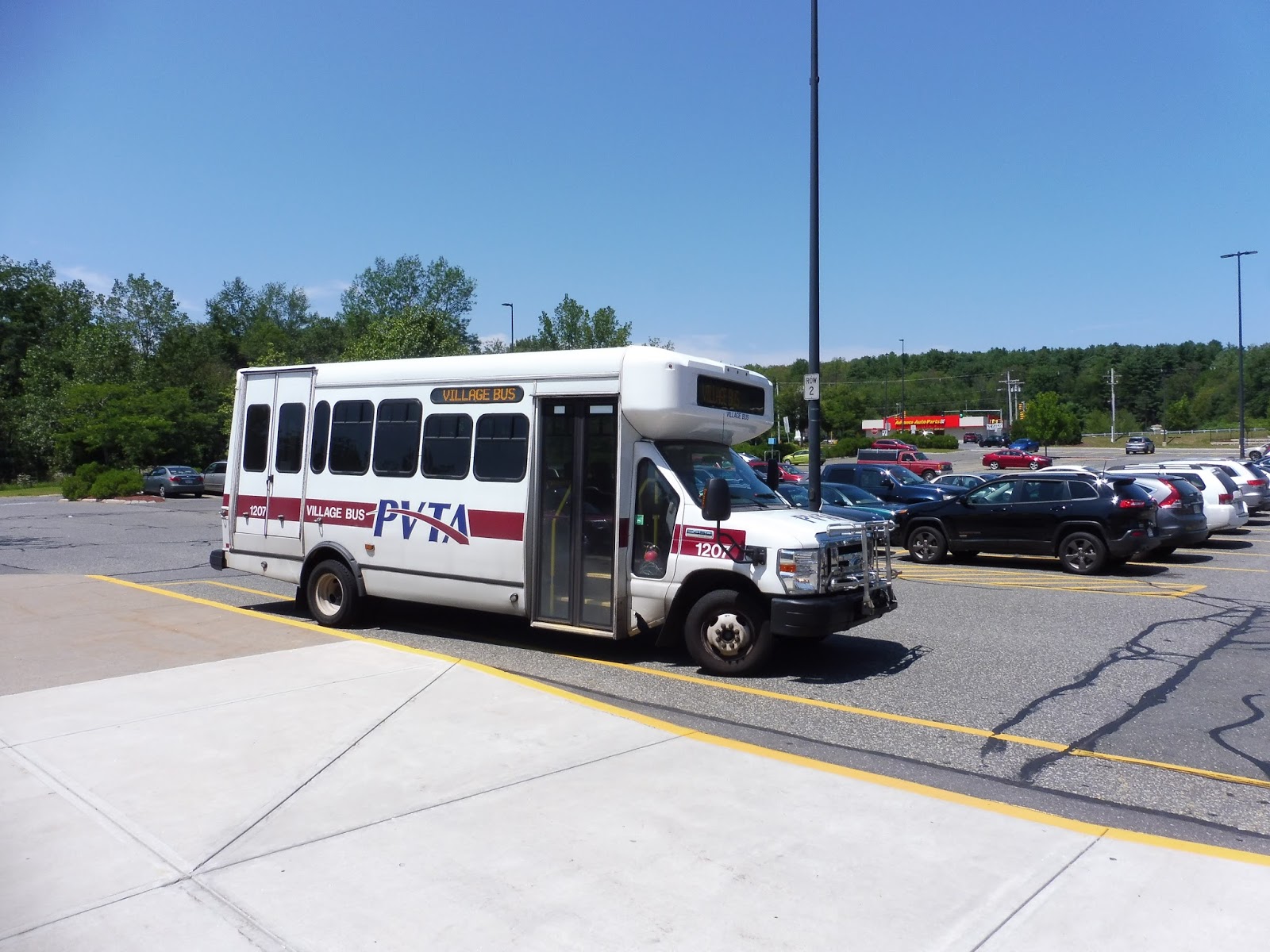
PVTA: 38 (Mount Holyoke/Hampshire/Amherst/UMass)
One of the great things about the Amherst area is the Five-College Consortium, allowing students to take classes in five great colleges, all in relatively close proximity to each other. One of the most important connectors between them is the 38, which serves four of the five! That’s awesome!
 |
| The bus coming into Haigis Mall. |
We left Haigis Mall at UMass and headed down Massachusetts Ave to North Pleasant Street. This took us past some final UMass buildings, around a park, and into Amherst Center, where there were businesses everywhere. We continued south from there on South Pleasant Street, but we didn’t get too far before looping around the Amherst Town Common in order to serve Amherst College.
 |
| Looking out over the common. |
We returned to South Pleasant Street, which became mostly residential as we left Amherst Center. Eventually it became West Street, but it was still almost entirely houses, aside from a few businesses at the intersection with Pomeroy Lane. At a certain point, the trees and houses gave way to fields and farms, signifying that we were close to Hampshire College.
 |
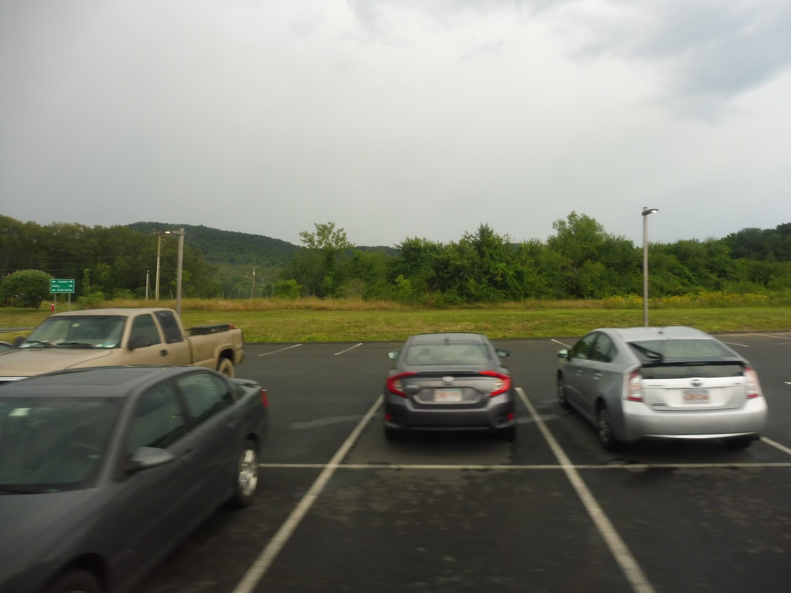
| Here we are! |
We headed into the college, running on a windy road through the fields. We made a little deviation to serve a main building, then we continued our leisurely path through the campus. After looping around the Eric Carle Museum, we turned onto Bay Road, passed Atkins Farms, and came back onto West Street.
 |
| A few more Hampshire buildings. |
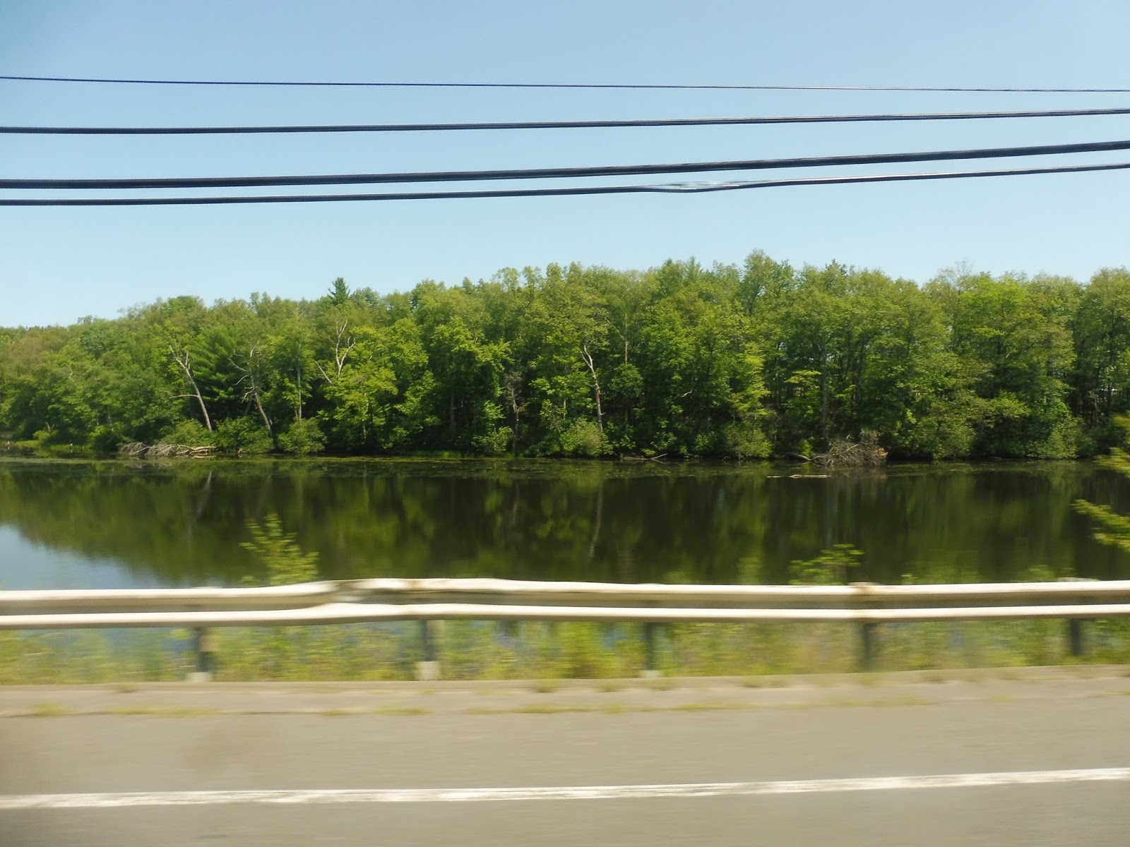
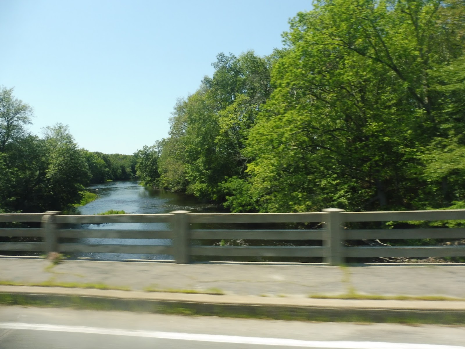
As we continued south through the Holyoke Range, the scenery could only be described as woodsy and hilly. We passed some place called The Notch and its accompanying visitor’s center, then we had a brief section in Granby, where houses started to show up again. The road was now called Amherst Road, and as we entered South Hadley, we started to see some more woods and fields.
 |
| I have no idea where I took this, but trees! |
The road curved west, then made a sharp turn south and became Woodbridge Street. There were houses for a bit before we came into downtown South Hadley, where there were some nice businesses and a common. Normally the route would turn right into Mount Holyoke College here, but there was a detour, so we headed down to Morgan Street and used that to make a small loop to the stop at Mead Hall.
 |
| The bus looking tall and mighty at Mount Holyoke. |
PVTA Route: 38 (Mount Holyoke/Hampshire/Amherst/UMass)
Ridership: It’s lower than I was expecting, but the route gets about 790 people per day. My trip had about 25 people, with a decent split between those going to Hampshire College and those going to Mount Holyoke College.
Pros: This is a crucial route for the Five College Consortium, connecting four out of the five schools. It’s fast, too, running straight as an arrow down mostly woodsy roads when it’s not deviating to serve colleges. Finally, it has a good schedule for the ridership it gets: weekday service is every half hour, Saturday service is every 40 minutes, and Sunday service is every 80 minutes.
Cons: Things get a little complex when it comes to school breaks, with different schedules pertaining to very specific, sometimes random times. For example, there’s an “End of December” schedule that operates only from December 26th-29th! Also, it really doesn’t seem necessary for the route to deviate into Amherst College, since it’s so close to the main road, but I guess it’s not that big of a deal.
Nearby and Noteworthy: UMass, Amherst College, Hampshire College, or Mount Holyoke College…take your pick!
Final Verdict: 8/10
This is a really solid route. It’s straight, it’s direct, it’s frequent when it has the most ridership, and it gets a good amount of people. Just keep in mind that on December 26th-29th, the 38 only operates five trips per day. DON’T SAY I DIDN’T WARN YA!!!
Latest MBTA News: Service Updates
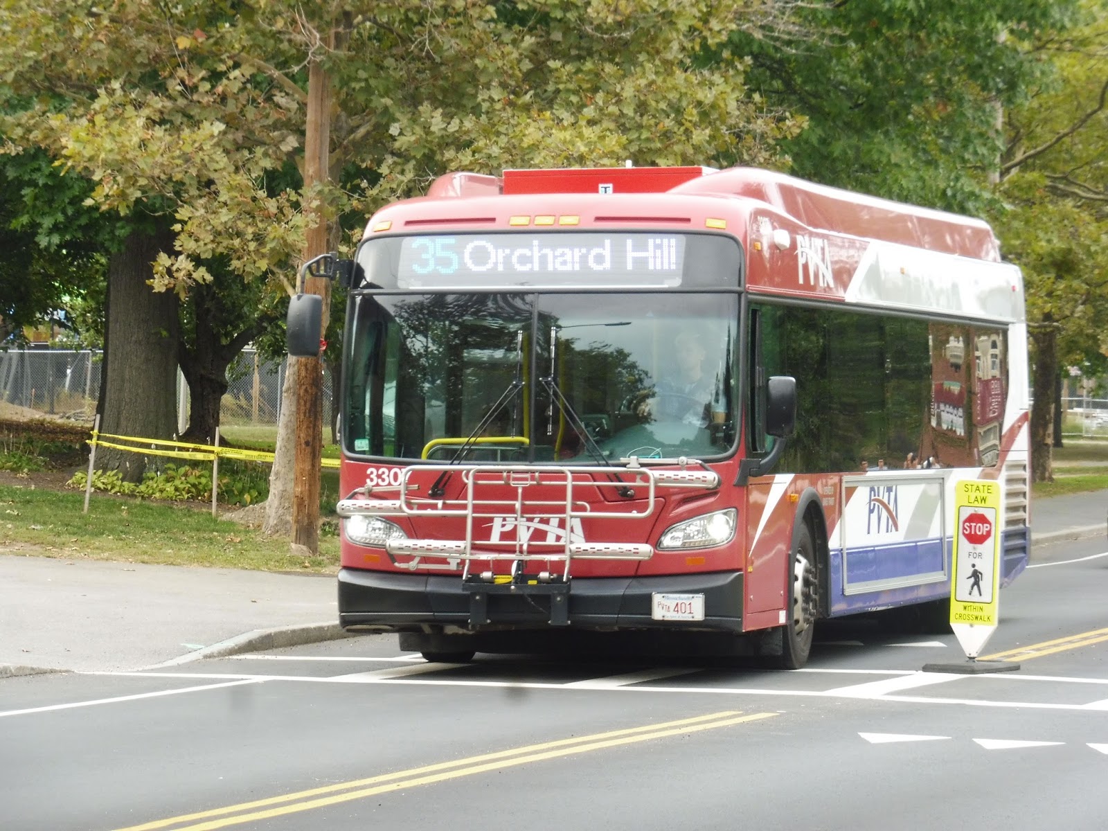
PVTA: 34 (Campus Shuttle/Northbound) and 35 (Campus Shuttle/Southbound)
It’s so weird imagining a deviatory loop getting busy, and yet here we are! The 34 and 35 run a crazy figure-8 loop around the UMass campus in opposite directions, and we’re about to see how many deviations are possible within it!
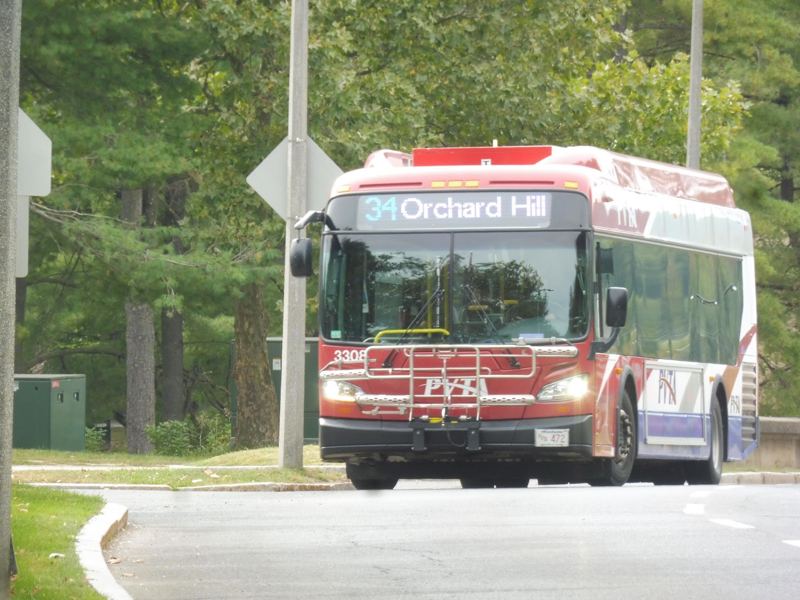 |
| The 34 coming into Southwest. |
We headed down Massachusetts Ave for a bit, passing mostly parking lots and Haigis Mall. We turned onto North Pleasant Street next, running past the three UMass stops that most other routes serve: the Studio Arts Building, the Integrative Learning Center, and the Graduate Research Center. After all that, we made our way onto Eastman Lane at a roundabout.
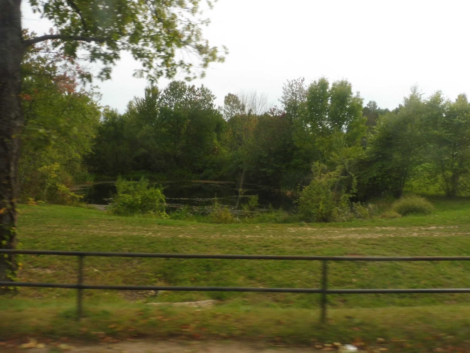 |
| A pond along Eastman Lane. |
We went by some housing for a bit, then it became woodsey until the UMass Police Station. There, we turned onto East Pleasant Street, then deviated into Olympia Drive. Also, within that deviation, we had to make another deviation onto Mather Drive! This whole thing was to serve UMass Admissions, a housing development, and a fraternity.
 |
| A forested road. |
We returned to East Pleasant Street, but then turned off it pretty quickly onto Orchard Hill Drive. This was another deviation, this time to serve the Orchard Hill residential area. We passed lots of big dorm buildings as we made our way through the deviation before making our way back onto East Pleasant.
 |
| They call it Orchard HILL for a reason! |
It was all residential along here now, with normal, non-student housing. We came pretty close to Amherst Center, but we swung around onto North Pleasant Street before we could get there. This took us back up into the UMass campus, where we did that exact same section past the three main stops that we had done before.
 |
| Somewhere in the campus… |
This time, however, we made a left at the roundabout, going down Governors Drive. We passed a lot of UMass engineering buildings, as well as the UMass Transit bus garage. Soon after that, we had to do a deviation to serve a parking lot – Lot 12, to be exact. Yay.
 |
| Hey, a 35 is making the deviation too! |
We came back to the main road, which was now called Commonwealth Ave. It took us past the Mullins Center and the huge athletic complex around it, as well as the dorms for the UMass Honors College. We turned onto Mass Ave again briefly, then headed down University Drive. Here, we made a loop via Stadium Drive, which served more athletic facilities, some parking lots, and the UMass Child Care Center. Finally, we went back up to Mass Ave and arrived at the stop where we had started, Southwest.
 |
| A 35 at the Integrative Learning Center. |
PVTA Routes: 34 (Campus Shuttle/Northbound) and 35 (Campus Shuttle/Southbound)
Ridership: These routes both get pretty good ridership – 844 people per day for the 34 and 1,120 people per day for the 35. On a trip-by-trip basis, though, certain ones can be empty, while others can be packed. It all depends on the time of day.
Pros: Both routes run every 15 minutes on weekdays, a good frequency for a campus shuttle. Weekend service is much less frequent, with no 34 service and a 35 every 45 minutes, but I doubt it needs to run more often than that. The routes are very useful for connecting further-out parts of campus, such as Southwest and Orchard Hill, and since they go in both directions, you shouldn’t have to suffer through too many deviations to get to where you want to go.
Cons: That being said, the routes are still very deviatory. Most of the time the deviations do get people, but they can feel a little annoying and unnecessary sometimes. Also, the morning section of the 35’s schedule has a really bad typo where some trips lose time at certain places…it doesn’t make any sense.
 |
| That third timepoint is looking a little strange… |
Nearby and Noteworthy: I mean, they’re literally entirely within the UMass campus, so that’s all that’s nearby and noteworthy.
Final Verdict: 7/10
I can’t bring myself to give a route with so many deviations higher than a 7, but the 34 and 35 still do their job great. They run frequently, and they can reliably get people to basically wherever on campus they want to go. What more do you need? The route can even travel back in time, if the schedule is to be believed!
Latest MBTA News: Service Updates
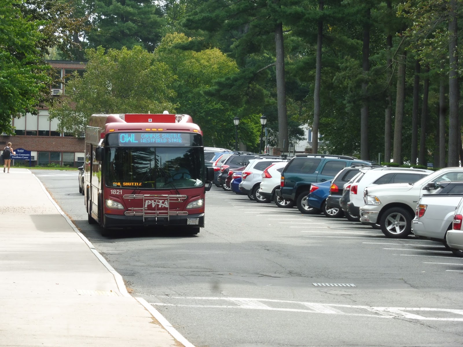
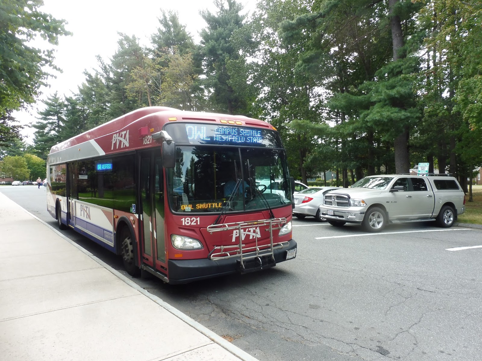
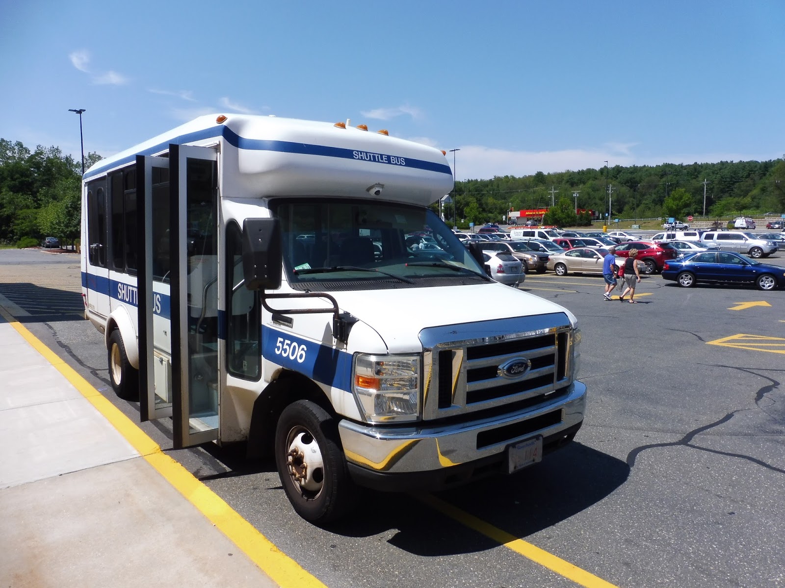
PVTA: OWL (Westfield State University Shuttle)
You thought Harvard’s shuttle system was confusing? Well, yeah, you’re right, but here’s a college shuttle that may be able to give Harvard a run for its money. I’m talking about the OWL, the PVTA’s shuttle within Westfield State University!
 |
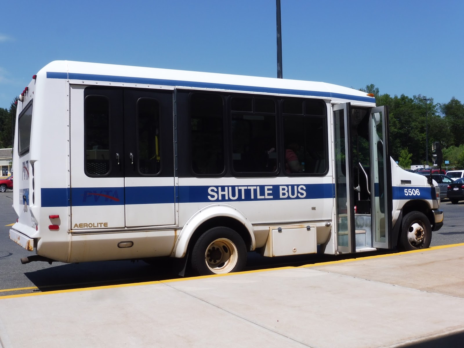
| Why’s it stopping all the way over there?? |
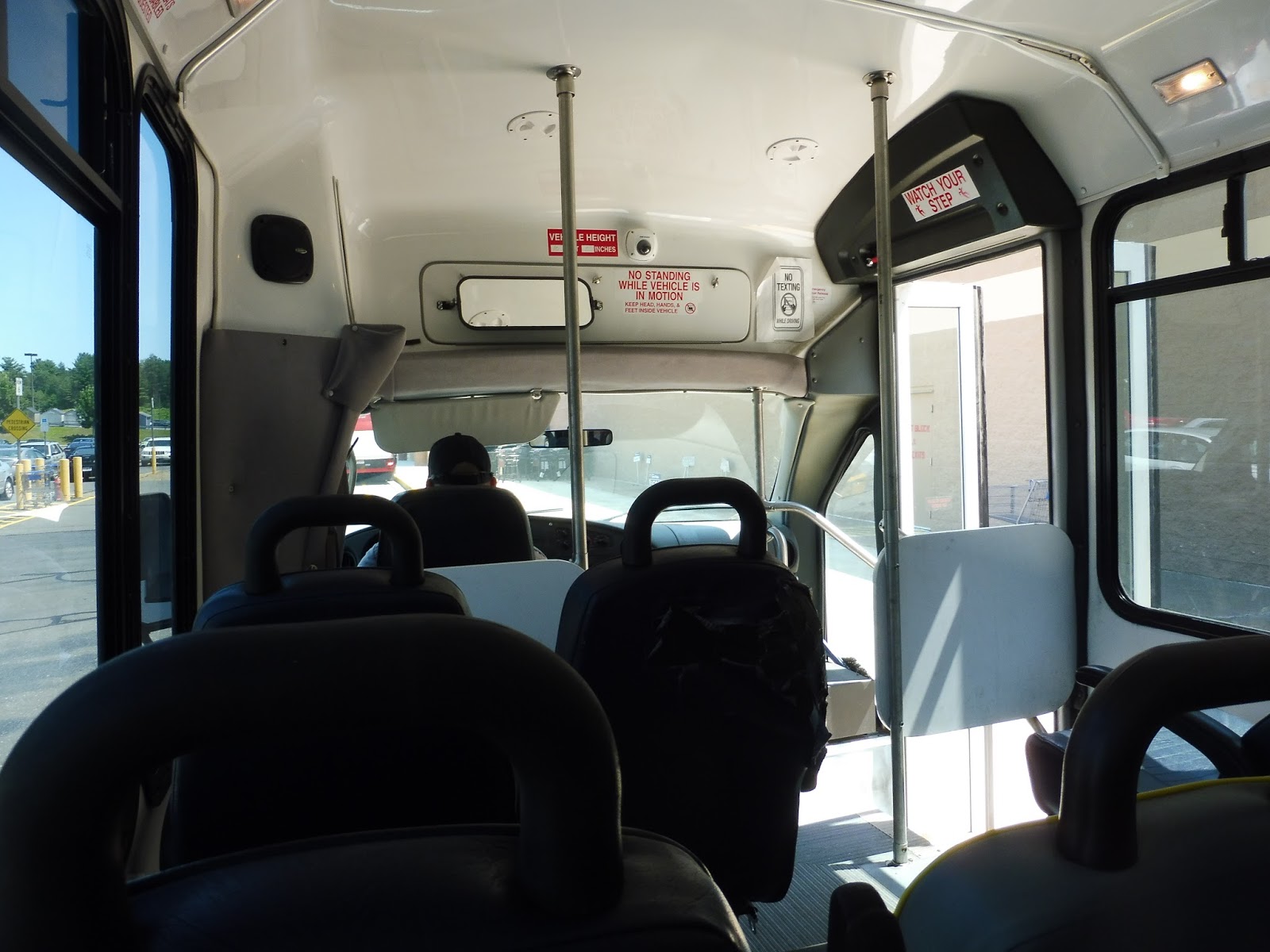
“Where are you going?” the driver asked accusingly as Sam and I got on. Great, one of these drivers. I said, “WellIwriteablogaboutpublic-transportationandI’mtryingtofinishthewholePVTAandthisisoneofthelast-routesIhavetodosocouldwejustridearoundthanks.” “Uh, sure, you can ride around,” the driver said. Nailed it.
 |
| Coming out of Scanlon Hall. |
We headed down Western Ave, passing houses and a few WSU buildings, then we headed down into the university’s South Lot. After looping around the very busy parking lot, we returned to Western Ave and went the other way. We went by Scanlon Hall without stopping and eventually made our way into the university’s Administration Building. Since the actual stop was in an impossible-to-get-to part of the parking lot, we just sorta stopped on one of its main roads, briefly blocking traffic. Finally, we came back to Western Ave one more time, passing a stop for the Athletic Complex, and returned to Scanlon Hall.
 |
| That was quick! |
PVTA Route: OWL (Westfield State University Shuttle)
Ridership: No stats on this one, either, but my trip was very quiet, with only about five people the whole time. Maybe the trips when classes end are busier?
Pros: I like that the route times with class start and end times. That’s very clever. Oh, and it’s free.
Cons: The route has very frequent service, with a bus every 13 minutes. Oh wait, this trip has a 14-minute gap. Hang on, here’s one with an 8-minute gap! Why is there a 40-minute gap in the middle of the day? Wait, wait, there are certain trips that don’t serve South Lot? And here’s one that doesn’t serve the Administration Building! WHY IS THIS SO RANDOM????
Nearby and Noteworthy: Westfield State University. That’s it.
Final Verdict: 2/10
I swear, this bus just does whatever it wants, whenever it wants. It only has four stops, how the heck is it this confusing? Not to mention, each stop has a certain amount of layover time, and that always seems to be random, too! Also, why is the PVTA stuck with this thing when WSU has its own bus that literally does the same route? Sure, it only goes from Scanlon Hall to South Lot and it runs every two hours, but it could easily just replace the OWL! This is ridiculous.
Latest MBTA News: Service Updates
PVTA: R10S (Westfield Center/Westfield State University)
When I reviewed the R10 over the summer, it was on its school vacation routing, where it runs all the way to Westfield State University. During the school year, however, the R10 terminates at Westfield Center and they run a shuttle route, the R10S, from there to the university. I wonder what it’s like!
 |
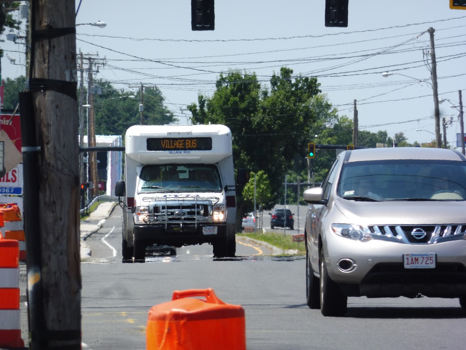
| Okay, that destination sign is distinctly blue! |
The first thing to mention about the route is that it’s free! That definitely gives it some points from the cheap side of me! So, we left the Olver Transit Pavilion and headed into the Park Square rotary. Surely we would get to go directly to the univer- oh, we’re deviating into Stop & Shop? We’re really gonna do this? Alrighty, then…
 |
| Hi, parking lot. |
After that whole kerfuffle, we returned to Park Square and actually made it onto Court Street, heading out toward the university. It was mostly houses, with a few breaks for Westfield City Hall, Baystate Noble Hospital, a cemetery, and an elementary school. The street eventually became Western Ave, and after a bunch more houses, we pulled into Scanlon Hall of Westfield State University. That was a quick one!
 |
| The bus’s rear end. |
PVTA Route: R10S (Westfield Center/Westfield State University)
Ridership: I haven’t got any online ridership statistics for this one, but from my experience, the route gets very low ridership. Maybe it’s different at certain times of the day, but I never saw more than three people on this thing.
Pros: It’s free! Also, it provides half hourly service from Westfield State to downtown Westfield. And…Stop & Shop. Sigh…
Cons: Does the route really need to serve Stop & Shop? I mean, we’re talking about college students here – I think they should be able to perform the 5-minute walk from Olver to the supermarket. Plus, if that deviation was eliminated, the route could easily run every 20 minutes instead of every 30, which is a much better frequency for a college shuttle (even though this seems to get low ridership anyway). Also, the time required for the Stop & Shop deviation means that the R10S can’t coordinate with the inbound R10. Oh, that’s just great, isn’t it?
Nearby and Noteworthy: This route exists solely to get people to Westfield State, so I guess that’s about it.
Final Verdict: 4/10
This route has a lot of potential to be a really convenient free shuttle for college students. However, it doesn’t run all that frequently, it doesn’t connect with the inbound R10, and it has to make that stupid Stop & Shop deviation. I have a solution, though, and it assumes that the Stop & Shop deviation is required for some political reason – you see, it turns out that the route really doesn’t have a half hour cycle time, it’s just some good ol’ fashioned PVTA padding. The route can complete its trip in about 16 minutes, 18 if you include Stop & Shop, meaning that it could still be effectively run every 20 minutes. That would allow for coordination with the R10 in both directions, too! Here, I made up a schedule:
Okay, the header got a bit messed up for some reason, but you get the idea. I figured that the trips that don’t connect with the R10 could still serve Stop & Shop, since the ones that do connect need to be right on time. That being said, this whole 20-minute thing would work way better without the Stop & Shop deviation at all, and if it could be eliminated, that would make this schedule optimal.
UPDATE 9/11/2020: I guess this route has been eliminated?? I’m not sure if it’s because of COVID or if it’s permanent, but the PVTA specifically said “eliminated” and took it off the website. Hmm…
Latest MBTA News: Service Updates
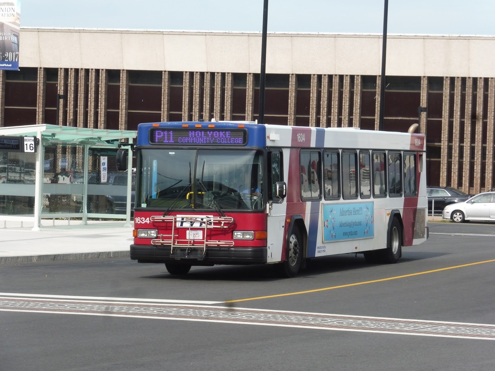
PVTA: P11 (Holyoke Community College/Springfield Express)
What, you thought I was done with the PVTA? Nope, I still have to do the school year routes! Sam and I took Peter Pan out there recently so that I could truly complete the system. Let’s start things off with the P11, an express route from Springfield to the Holyoke Community College!
 |
| Our last bus from Springfield! |
We boarded the bus at Union Station, but before it can get onto the highway, it has to do a little loop through Springfield. Thus, we went down Dwight Street first, running by the backlots of downtown Springfield. We soon turned onto Harrison Ave, making a pretty busy stop along there, then we turned onto Main Street, running down the city’s main drag.
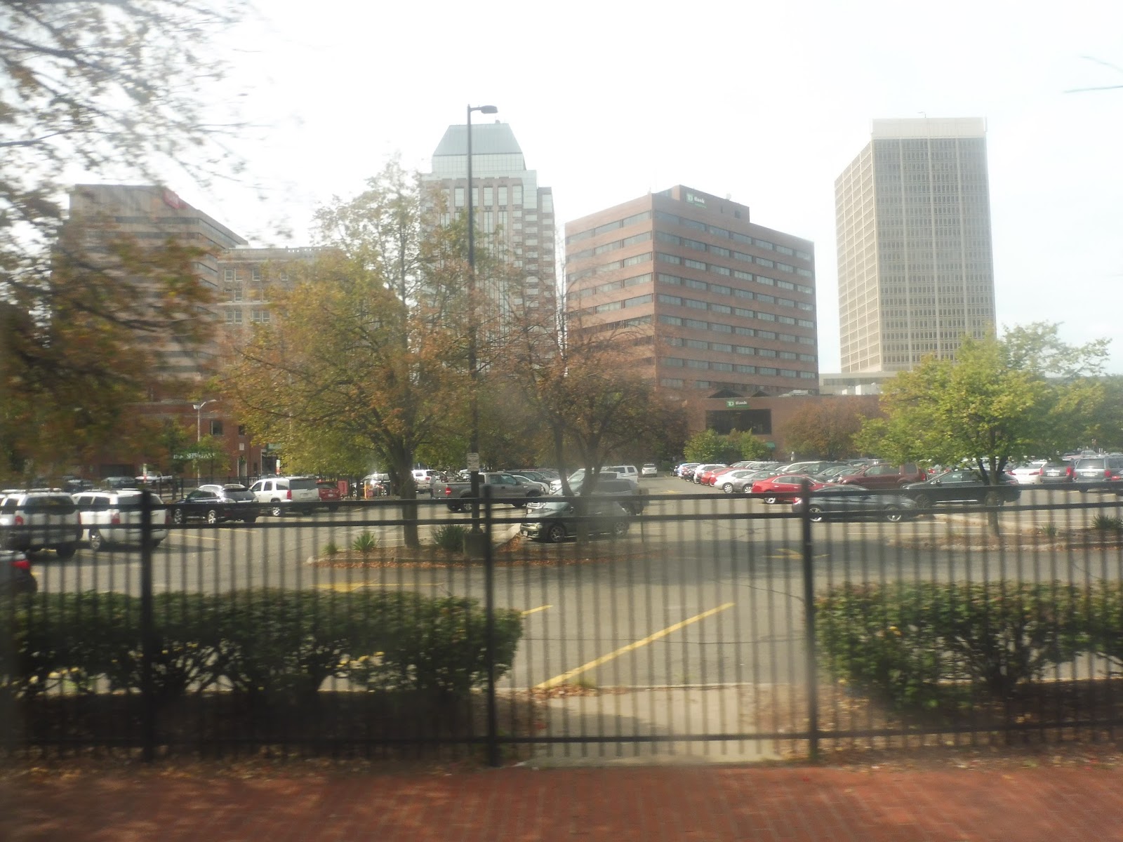 |
| Our last time seeing this “beautiful” “skyline.” |
We went under the Union Station tracks, coming close to the station again, but we kept on going. After a post office and some office buildings, we merged onto Plainfield Street, then immediately took an on-ramp to I-91. Express time!
 |
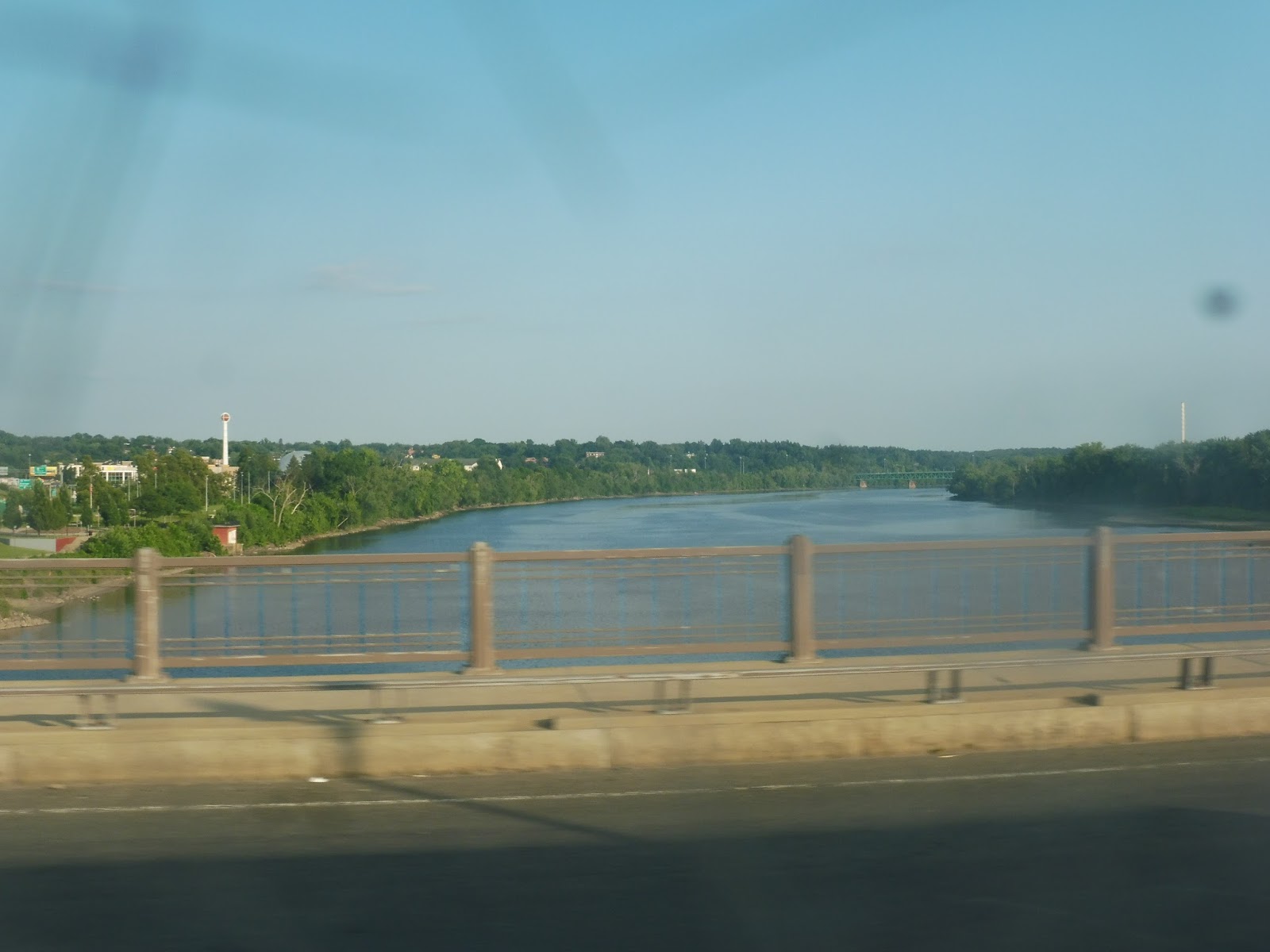
| A street seen from the highway. |
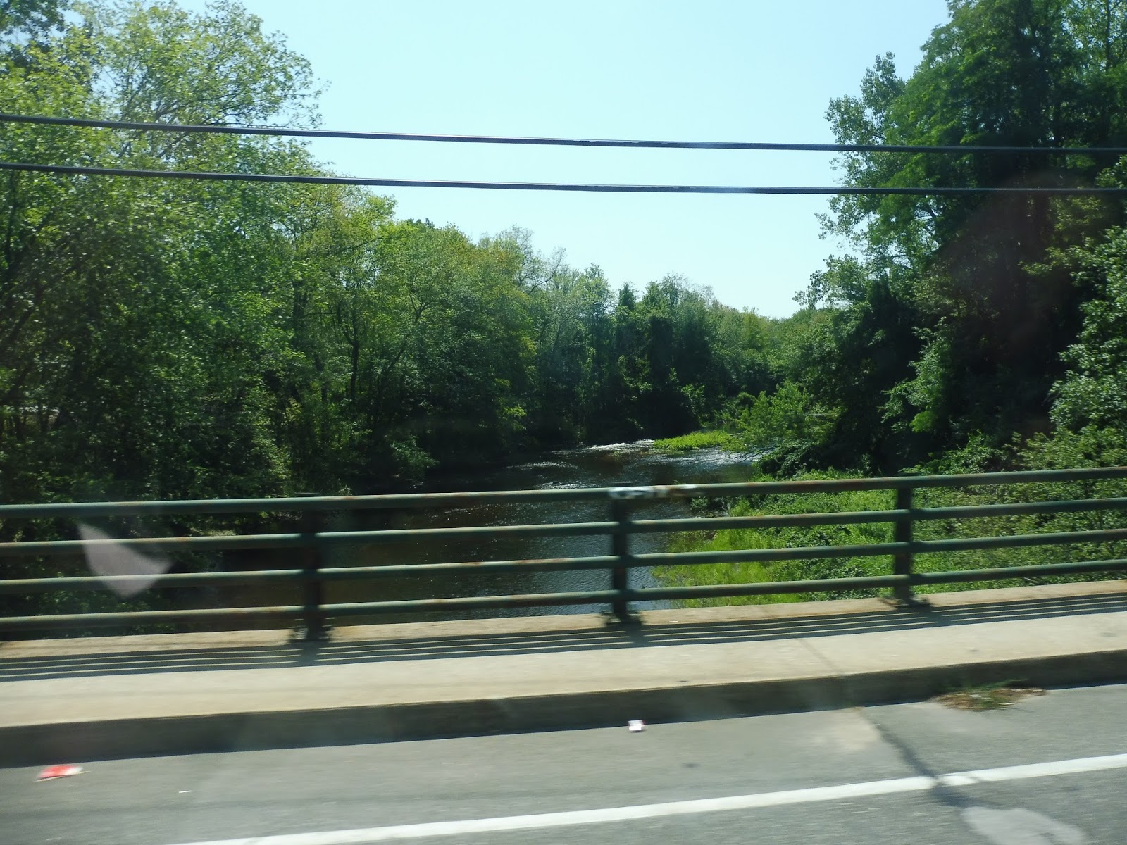
We had somewhat urban views for a bit, including of the PVTA garage, but soon it got woodsey. I-391 split off from the highway just before we crossed the Connecticut River, offering an amazing view as always. The woods continued on the other side.
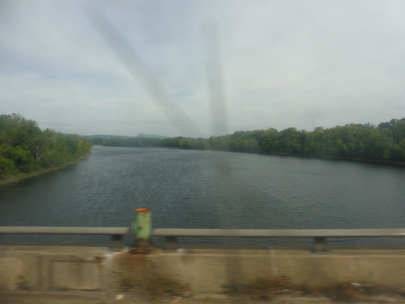 |
| Lovely! |
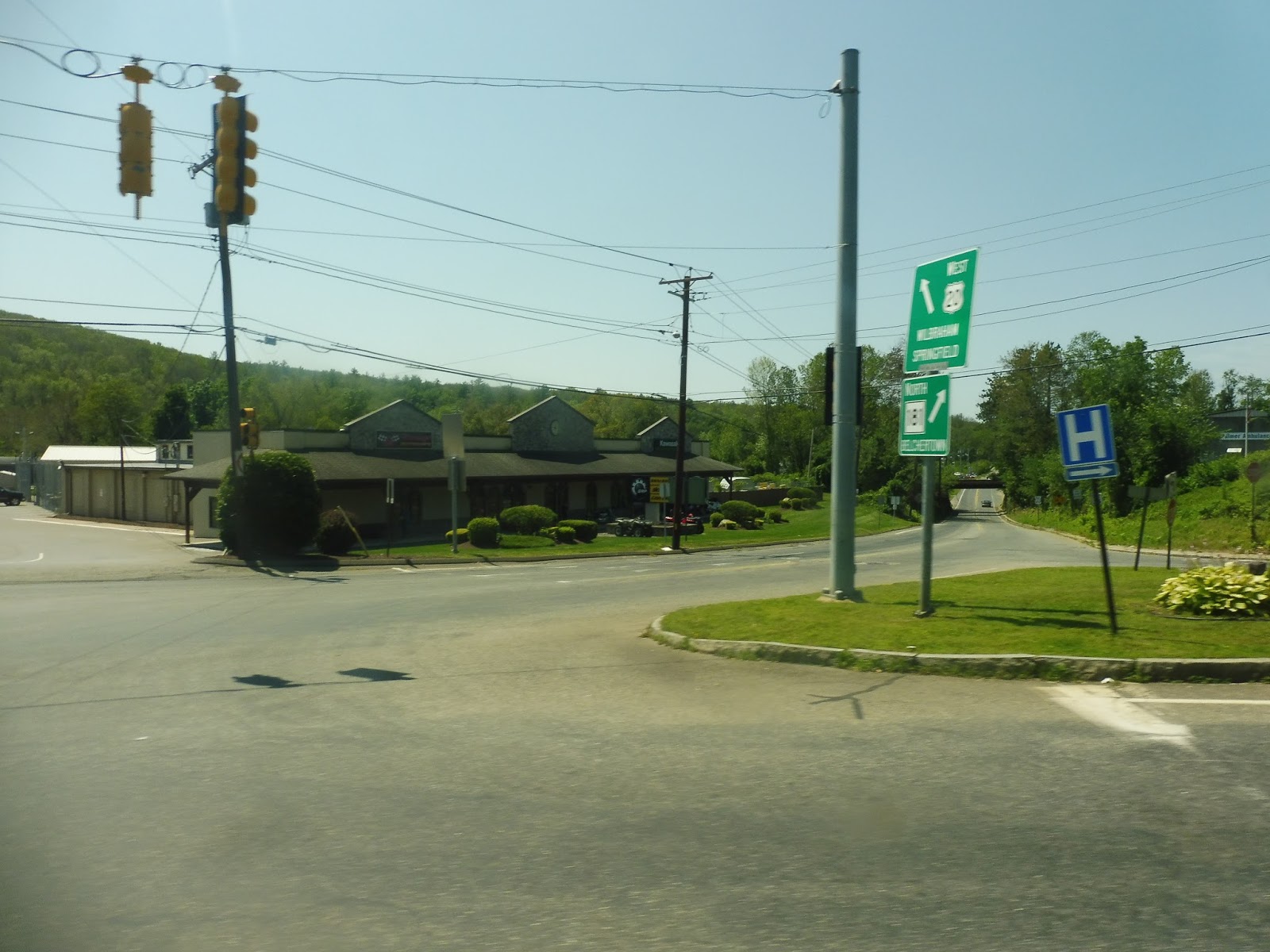
We went over I-90 and its corresponding interchange, then the sight of the huge Holyoke Mall let us know that we were almost there. Thus, we took Exit 15, then turned onto Lower Westfield Road and Homestead Ave. It was fairly industrial near the highway, but it soon turned residential.
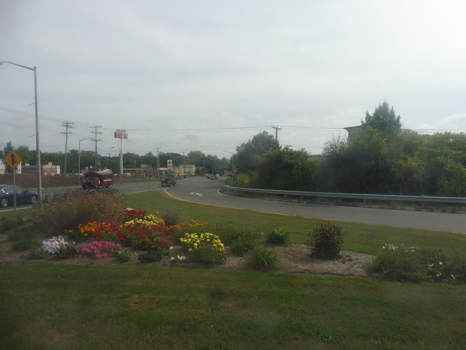 |
| Coming out of the interchange. |
We passed a school, then a few businesses when we turned onto Westfield Road. Next, we turned onto Doyle Drive, taking us on its windy woodsey path towards the Community College. We went by the Kids Place, then made our way onto Campus Road. Finally we arrived at the main campus of Holyoke Community College, and in typical PVTA fashion, the route was very very early. Hooray!
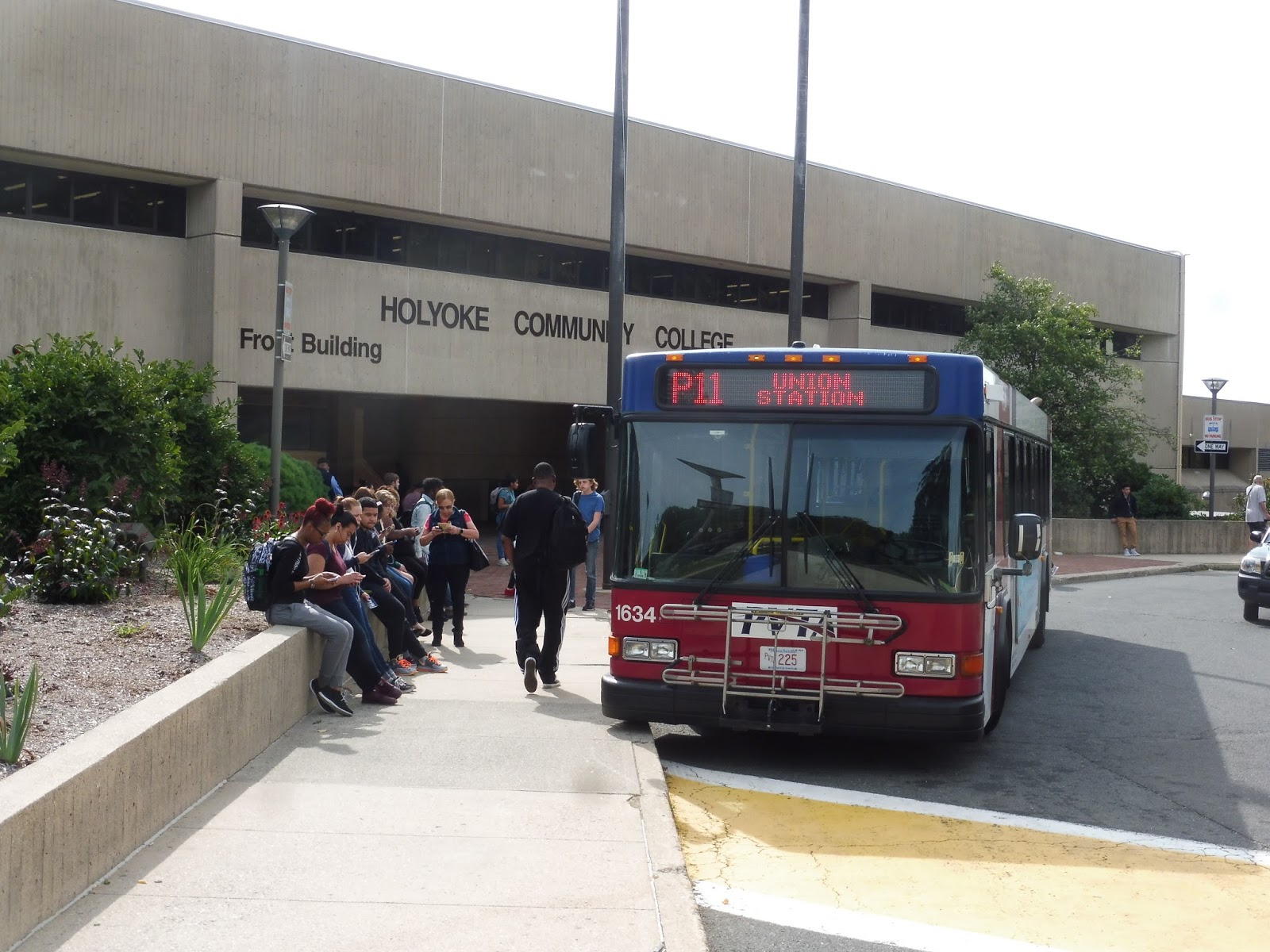 |
| Hey, that’s red! |
PVTA Route: P11 (Holyoke Community College/Springfield Express)
Ridership: The ridership on the P11 is great. It gets about 600 riders per day, which doesn’t sound like a lot, but since the route doesn’t have too many trips, it averages out to about 30 people per trip. That’s right on par with mine, which did indeed have about 30 people, all going from Springfield to the community college.
Pros: This is a really fast way of getting from Springfield to Holyoke Community College – the trip is scheduled to take about 20 minutes, and since this is the PVTA, the bus is likely to be early! The schedule for the P11 is good too, with a bus every hour on school days only, from 8 to 5. There are additional trips at 5:30 and 9:30 PM on Mondays through Thursdays, which I don’t entirely understand, but I’m sure they serve some purpose.
Cons: The timetable is set up really weirdly: why is Harrison Ave in Springfield the main timepoint, rather than Union Station? It’s not a huge deal, but it makes the schedule hard to read, at least to me. Maybe the ridership is bigger from Harrison Ave than Union Station.
Nearby and Noteworthy: It’s basically meant to serve Holyoke Community College exclusively, so I guess that’s that!
Final Verdict: 8/10
The P11 serves its purpose very well, transporting students to the community college in the fastest possible way. It gets a lot of riders per trip, and I’m pretty sure that college students get a free ride? I might be wrong about that, since I can’t find any information on it anywhere. I guess it doesn’t really matter either way, since this route is still great!
Latest MBTA News: Service Updates
Update
Full disclosure: I have not started writing the Downtown Crossing review. The reason for this is that I’m in the pit band for my school’s production of West Side Story, and next week is Tech Week. That means I’m going to be getting home at 10:30 every night with absolutely no time to write. That’s why I basically spent my weekend writing five days worth of blog posts, which Sam will be publishing every day.
So, to summarize: posts every day next week, but Downtown Crossing won’t be for a while. Thanks for being patient, I know many of you are looking forward to it.
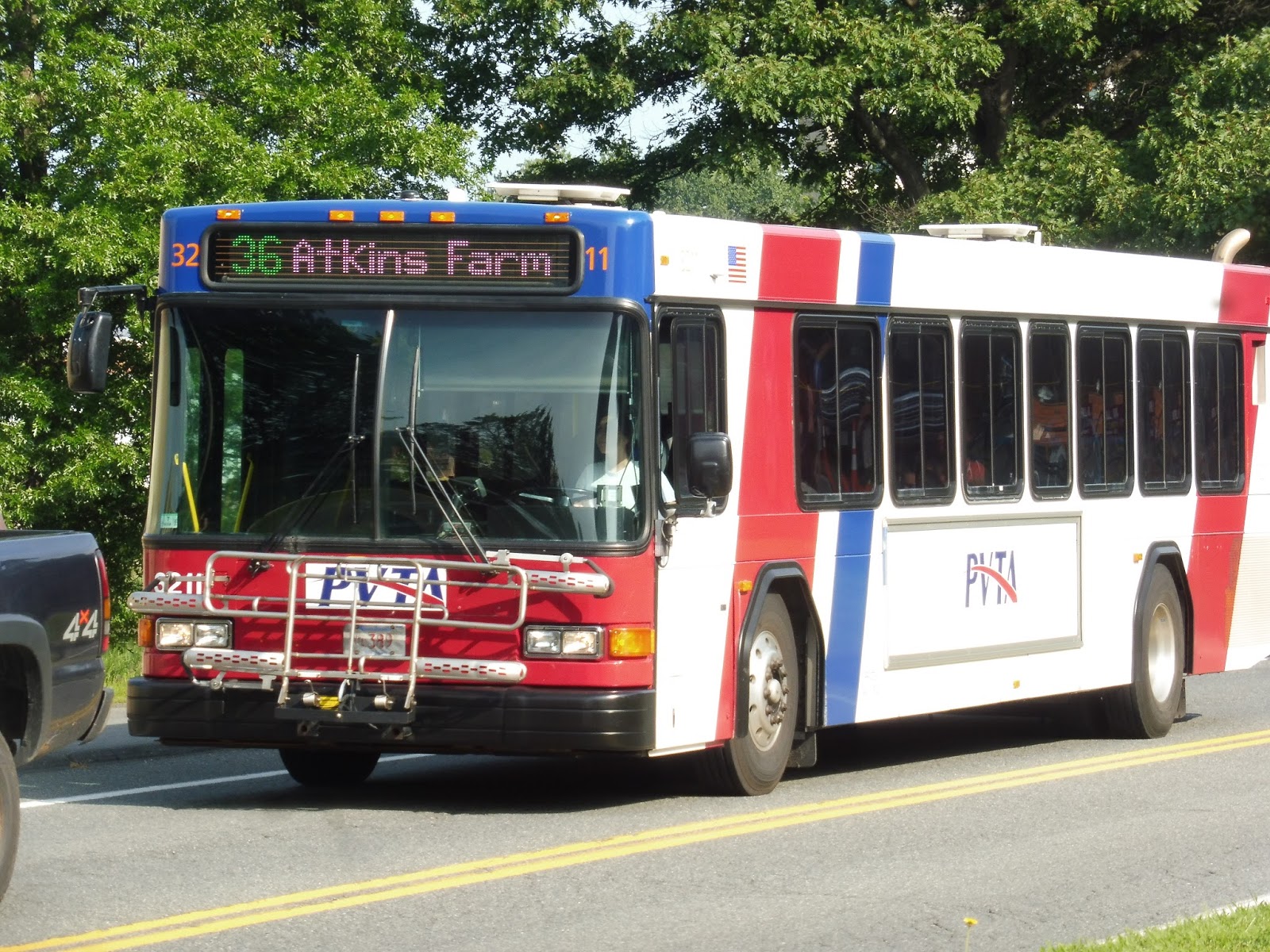
PVTA: 36 (Olympia Drive/Atkins Farm)
A little over 3 months after I left Amherst, we’re finally finishing my summer tenure with the PVTA! And what better way to end that summer with a summer-only UMass route? Yes, today we’ll be looking at none other than the 36, a route which kinda defies logical explanation…
 |
| A bus on the route, but I can’t remember for the life of me where this was. |
This route starts in the weirdest place: the Atkins Farms grocery store. It doesn’t go into Hampshire College, which is right next to the grocery store – it just kinda starts at the grocery store. I guess it makes sense in a way, but it’s just such an odd place to start. It also deviates right into the parking lot, unlike the other routes around here, which just go past it on their way to Hampshire College.
 |
| Hanging out in the Atkins Farms parking lot. |
We looped our way out of the parking lot and made our way through what is apparently the only double roundabout in Massachusetts! Wow, if that isn’t the coolest thing ever, I don’t know what is (note: slight sarcasm, but just a tinge of nerdy seriousness!). We headed up West Street, which was basically just woods and farmland for a while.
 |
| The long and winding road. |
Eventually, houses started to line the street, and there was even some suburban retail with parking lots at the intersection with Pomeroy Lane. It went back to being residential after that, and it was like that for quite a while. We did pass quite a beautiful view of some rolling hills at one point, though.
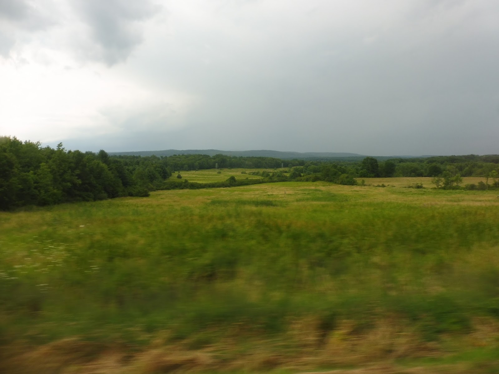 |
| I love this view! |
The road was called South Pleasant Street now. We eventually went by Amherst College, and soon after that we were in Amherst Center. There were businesses everywhere for a little while, but as we got further away from the center, they gained parking lots in front of them.
 |
| Foliage in front of Amherst College. |
Unlike other UMass routes, which go directly to, you know, UMass, the 36 has a different agenda in mind. Thus, instead of continuing down North Pleasant Street, we merged onto East Pleasant Street, which does in fact go east of the campus. It was mostly houses for a while, aside from a few fringe UMass buildings at a certain point.
 |
| There was some foliage, too! |
Soon after those fringe buildings, we had to make a deviation onto Olympia Drive. We looped around a little complex up there consisting of the UMass admissions building, a housing development called Olympia Oaks, and a fraternity. After all that, we returned to East Pleasant Street for a bit before turning onto Eastman Lane outside of the UMass police and fire stations.
 |
| The police station. |
We headed down a woodsy hill, then we passed some student housing. It got more and more abundant as we came into the campus proper, where we turned onto North Pleasant Street at a roundabout. We headed through the campus, but Sam and I got off at the southernmost stop, the Studio Arts Building, while the bus continued on to go back to Atkins Farm.
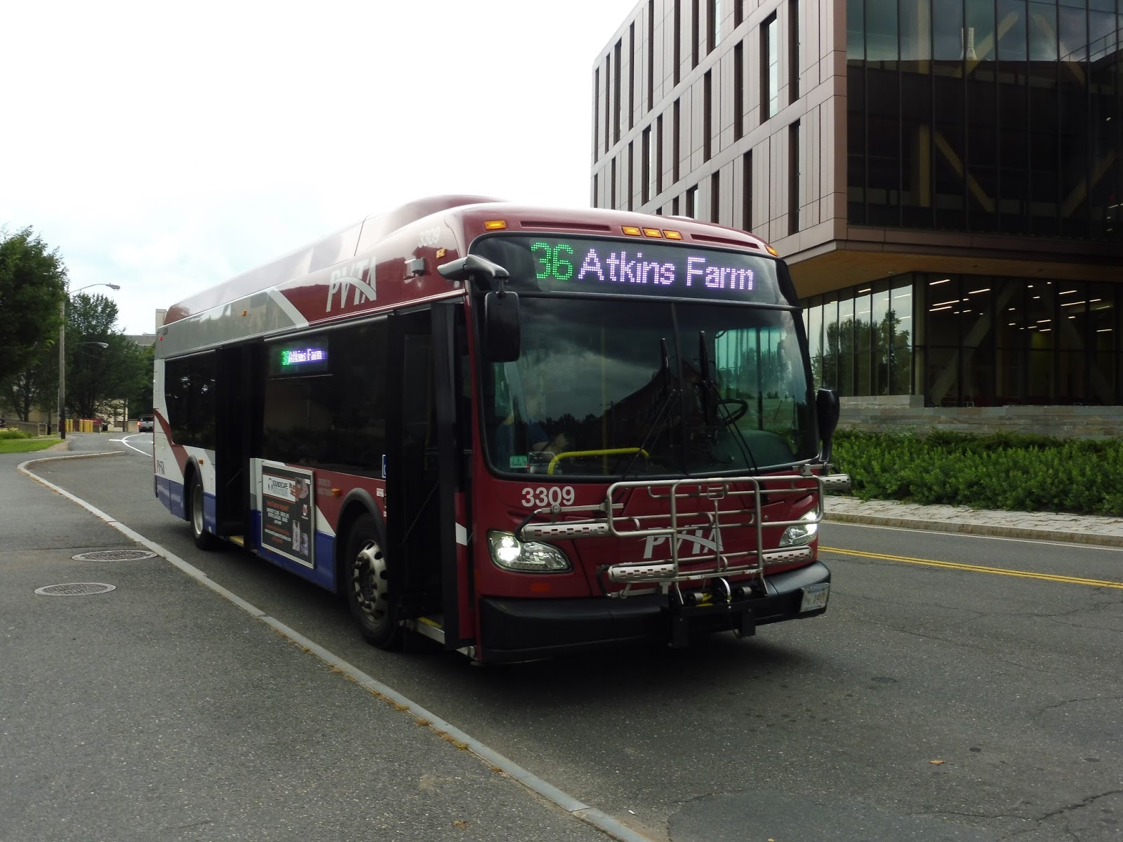 |
| The bus at UMass. |
PVTA Route: 36 (Olympia Drive/Atkins Farm)
Ridership: Darn it, another route without online ridership statistics? Alright, I guess I’m on my own, then. The 36 never seems to get that many people, but it gets enough – my trip had maybe 10-15 people who rode.
Pros: I guess it connects the residential areas around UMass to Atkins Farms? I mean, I honestly don’t know what this thing does, but it gets passengers, so who cares? It runs every 45 minutes, but only during school holidays – not a bad schedule, given the ridership.
Cons: I guess it’s mainly a question of “Why does this route exist?” It has to be said that the 36 doesn’t make a whole lot of sense. I mean, it’s sort of covering for the 34/35 and 38 routes, which don’t run over the summer, but only small sections of them? I dunno.
Nearby and Noteworthy: Atkins Farms is the main place this route serves, I guess. UPDATE: I’ve gotten a LOT of comments on this post and on Facebook about how amazing Atkins Farms is. I hear their cider donuts are incredible!
Final Verdict: 6/10
It’s good, I guess. I dunno, the 36 really just does its thing! It has its little loop around UMass and its little deviation to Olympia Drive and its little trip down to Atkins, and I guess that’s enough to give it a few riders. Sure, why not?
Latest MBTA News: Service Updates
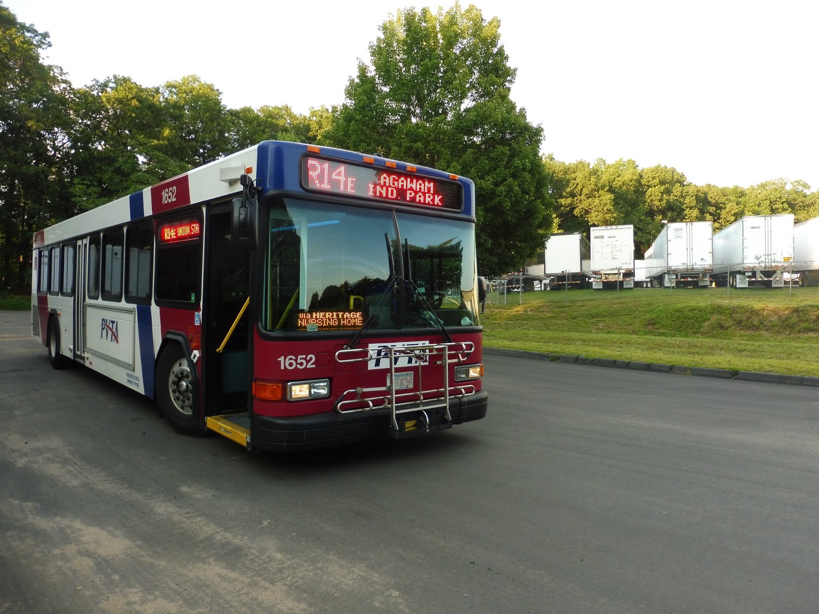
PVTA: R14E (Springfield/Agawam Industrial Park)
Here’s another lost PVTA bus! The R14E was a rush hour-only (mostly) express route from Springfield to, as the name suggests, the Agawam Industrial Park. It’s gone now, but I rode it over the summer before it was cut, so we can see what it was like.
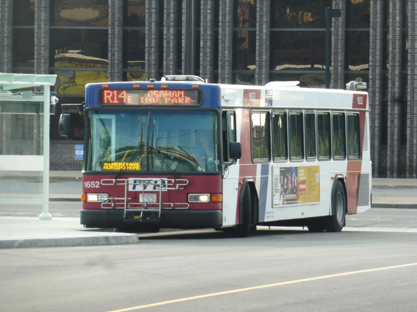 |
| The bus at Union Station. |
From Springfield Union Station, we headed down Dwight Street, which was generally urban, with buildings and parking lots. Next, we turned onto Harrison Ave, going through the heart of downtown Springfield and over the Memorial Bridge into West Springfield. We went around a rotary and merged onto Route 5, beginning the express portion that gave this route its “E” designation.
 |
| Crossing the Connecticut River. |
The highway was mostly woods, and we moved quickly down it. We went over the Westfield River, and soon after that, we reached another rotary and merged onto Route 57. This highway allowed for some views of the surrounding buildings, mostly houses, but we soon left it on the Main Street exit. After some suburban businesses with parking lots, we deviated into the Heritage Nursing Home facility – one of this route’s functions was transporting its workers.
 |
| A building within the complex. |
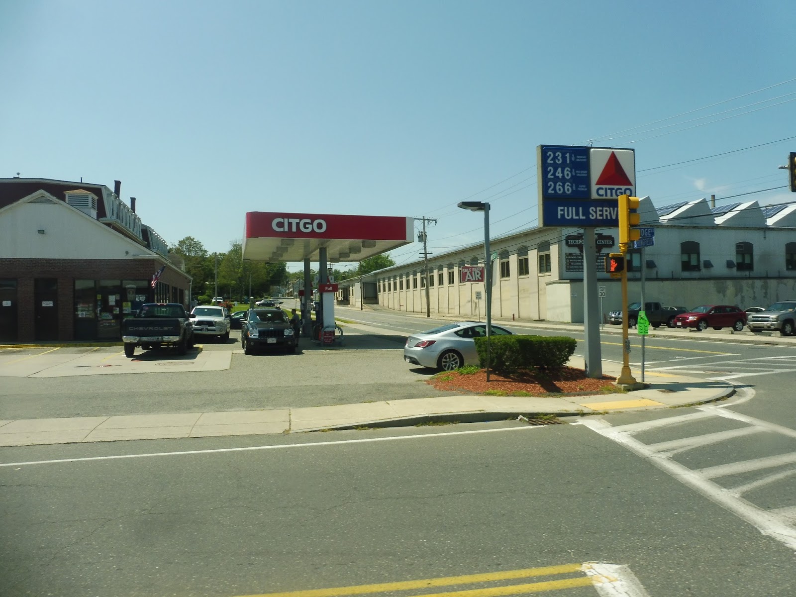
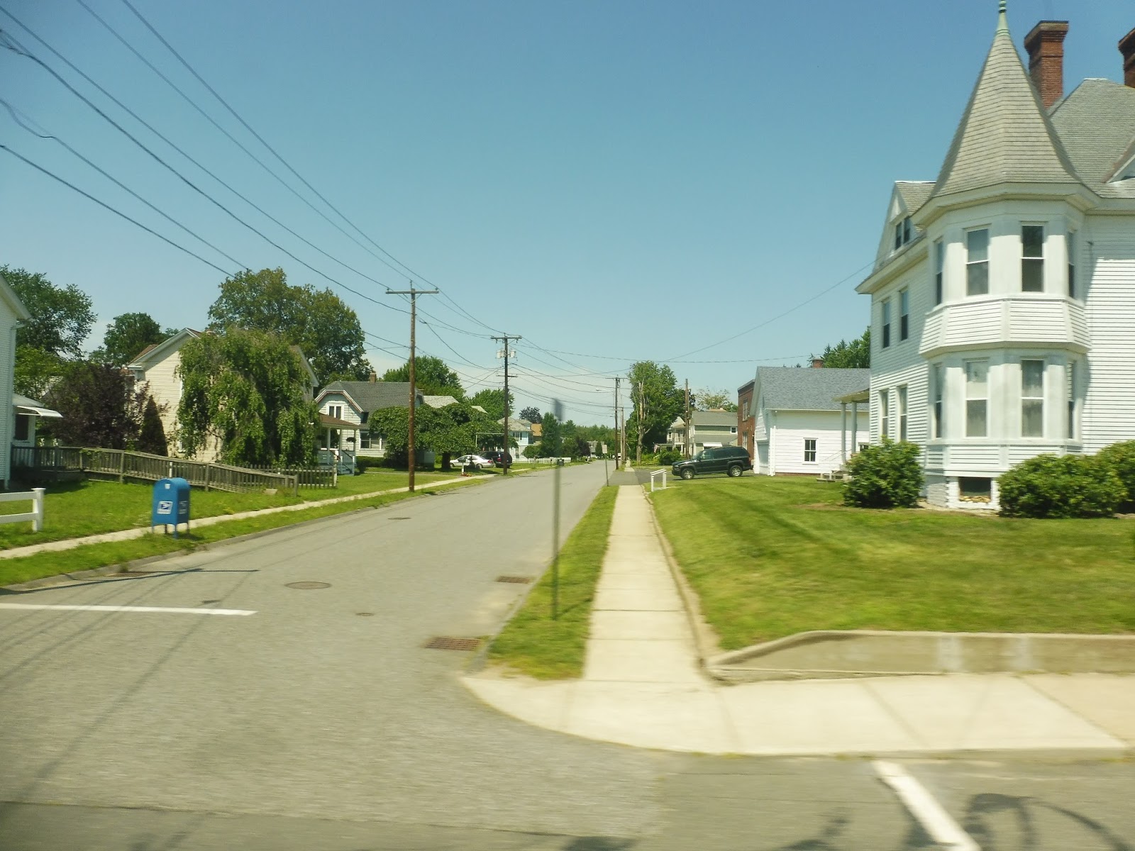
We now went south down Main Street, which was mostly houses with a good smattering of businesses as well. We also went by a school and a few churches. Next, we turned onto the residential Elm Street, which became Silver Street. There was a shopping plaza and some other suburban businesses at the intersection with Suffield Street, though.
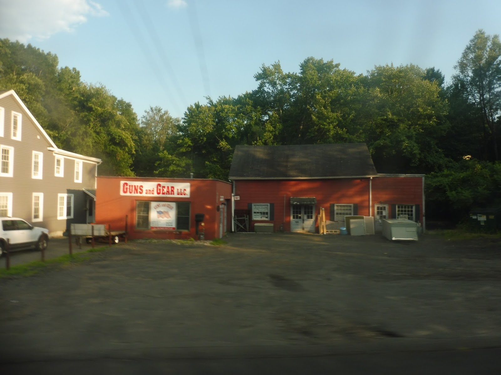 |
| “Guns and Gear, LLC.” |
It started to get a little industrial from there, with a few stretches of houses here and there. Once we made our way onto Bowles Road, though, it was all industrial. We just passed lots of random weird corporate buildings and offices before just kinda turning around and laying over at the end of the street. Sure!
 |
| What a weird place to end! |
PVTA Route: R14E (Springfield/Agawam Industrial Park)
Ridership: I wish I could find ridership numbers online for this one, but I can’t. I took the last trip at 6:30, and it only got about three riders – I really want to know if the other ones got more people.
Pros: This was a fast, convenient way of getting to the Agawam Industrial Park and the Heritage Nursing Home – the express portion was awesome.
Cons: The times for the route were really weird: 6:35, 1:30, 3:00, and 6:30. I mean, maybe those had something to do with the hours of the industrial buildings, but they seem to miss out the evening rush entirely!
Nearby and Noteworthy: Lots of industrial buildings, I guess, if that’s your cup of tea.
Final Verdict: 6/10
I dunno, I’m kinda ambiguous about this one. It was fine, I guess, but the schedule times and ridership numbers were questionable. Still, it was a lot better than what the route is like now – now they stick this thing along the regular R14, with trips at 6:15, 2:15, 3:15, and 4:15. What’s the point of running it with the local route, though? All it does is take ridership away from the normal R14 trips. It really isn’t helping anyone to run the route this way, and it takes much longer. Whereas the express trips could go out to Agawam and back in 55 minutes, the new local trips take 63, making it harder to interline or do another trip. Yeah, it’s kind of a mess now…
Latest MBTA News: Service Updates
PVTA: WS (Ware Shuttle)
Oh no oh no oh no OH NO OH NO OH NO! NOT ANOTHER ONE! NOT ANOTHER DEVIATORY MINIBUS SHUTTLE THING! All I can say about the Ware Shuttle is…beWare!!! Ha!
 |
| OH MY GOD WHAT IS THAT?? |
This was quite possibly the worst minibus, and indeed the worst BUS, I’ve ever been on in my life. The vehicle that the shuttle normally uses was out of service, I guess, so they had to use this horrible piece of trash. The seats were falling apart, the heat was blasting, the smell was disgusting, and…did somebody say JIGGLY WHEELCHAIR LIFTS?
 |
| EWWWWWW!!!!!! |
We made our way out of the Ware Walmart and went onto Palmer Road, traversing the one section of the route where the bus can actually move quickly and doesn’t have to deviate. It was mostly residential, but we also passed a church, a few businesses, and a school. After approximately three minutes of relative happiness, it was all crushed by another deviation.
 |
| WHAT IS THIS??? |
Yes, we were getting our obligatory senior center deviation out of the way early…but what kind of senior center is this? The Ware Senior Center was by far the most decrepit senior center I’ve ever seen. I mean, is this even safe for its visitors?? No wonder the bus has to deviate to it; I hate imagining some poor old lady trying to walk across that uneven parking lot!
 |
| Right into another one… |
We returned to what was now called West Street for literally one block before turning onto Homecrest Ave, then deviating into the Ware Big Y. Sigh…yeah, this route really lays on the deviations. Luckily, once we came back onto West Street, we could make the trip into Ware Center deviation-free, passing some businesses and later, dense houses.
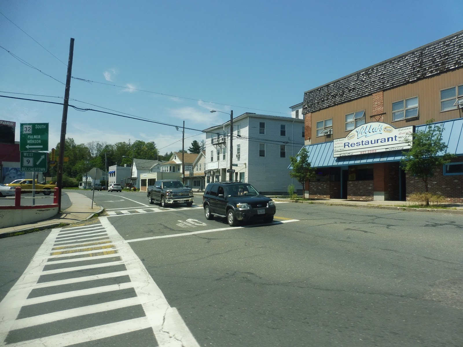 |
| Coming into Ware Center. |
We turned onto Main Street, running right down the main drag of Ware. Just like Palmer, this was a boring and pretty run-down town, but it did at least have more occupied retail buildings. We turned onto South Street, which went over the Ware River and past some old factories.
 |
| Okay, no idea what the heck is going on here… |
Deviation time! We turned onto Monroe Street, which, after a few twists and turns, led us to Valley View, a small housing development. Great. We came back to South Street and proceeded through a residential area for a few blocks before…oh, now we’re doing a hospital deviation? Sigh…alright…
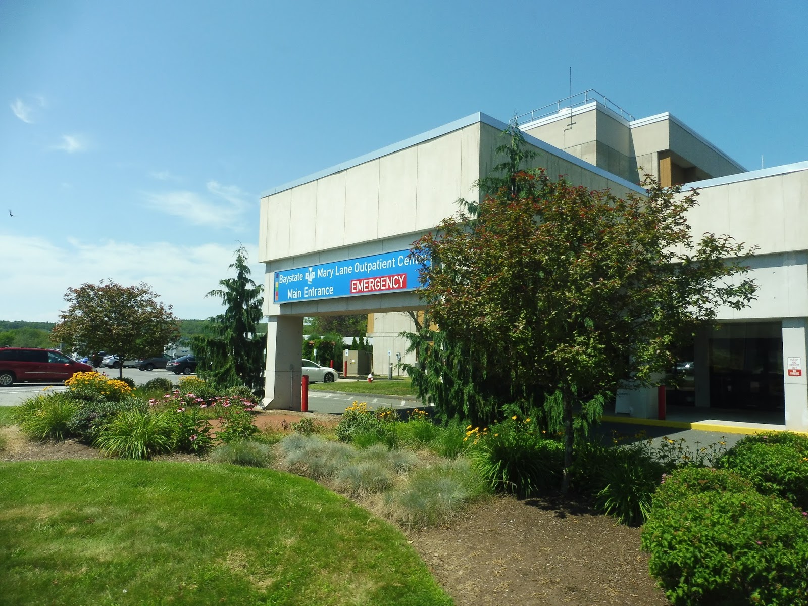 |
| The Mary Lane Hospital entrance. |
From here, we made our way up Chestnut Street, a mostly residential road with a random horse stable along it! We turned onto Maple Street next, which got pretty industrial as it became Knox Ave and came up alongside a train track. We then turned back onto Main Street, going over the Ware River and coming back into the center.
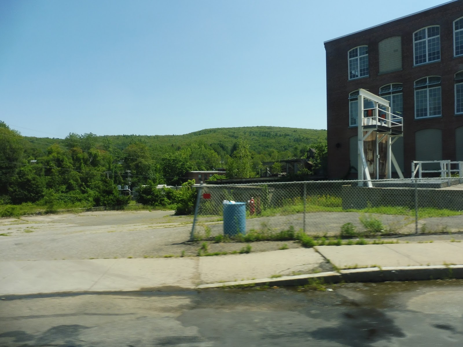 |
| An industrial/mountain view, I guess? |
Next, we turned onto Church Street, which did indeed go by a church, but it was mostly lined with dense houses. At one point we had to deviate to serve the Church Street School, a senior housing building, and soon after that, we turned onto Highland Street. We didn’t stay on that for long, though, since we had to do another deviation, this time to serve the Highland Village Apartments.
 |
| Leaving the development. |
After coming out of the apartment complex, we did a really weird deviation that doesn’t appear on the route map or schedule or anything! Basically, we turned north onto North Street, going away from Ware Center, and it was essentially just houses and woods. We turned onto Sheehy Road next, then Pond Brook Park – the whole area was really weird and desolate, and all we were serving was a few mobile homes. I have no idea what this was all about, but…uh…we did it!
 |
| WHY??? |
After that madness, we just came back down North Street and continued with the route like nothing happened. We went by the Hillside Village Apartments without deviating, Thank goodness! It was nice to be able to pass an apartment complex without having to go and serve it. So, we were now in a residential neighborhood full of dense houses, then we turned onto Cottage Street, Smith Ave, and Convent Hill Road, serving…HILLSIDE VILLAGE APARTMENTS? I’m sorry, was it really necessary for the bus to go past the development for three blocks, then just circle around and serve it anyway? That was just a horrible, dirty trick!
 |
| Can we go somewhere now? |
We came back to Ware Center for the third time of the trip, turning once again onto Main Street. We left the downtown and it got residential pretty quickly, but there was still the important Ware Gun Shop among the houses. It’s so weird seeing that kind of thing, coming from the city and all.
 |
| Some houses. |
We turned onto Eagle Street, then Ware Brook Drive – it was a deviation to serve the Warebrook Village housing development. I do love me some deviating! We returned to Main Street after that, then made our way down Vernon Street to come back to West Street. On the way back, we had to do those same annoying deviations to Big Y and the disgusting Ware Senior Center.
 |
| Hello darkness, my old friend. |
From there, we made our way back to the Ware Walmart…except this trip was continuing on to the Palmer Big Y! Awesome, let’s get going! Oh…we’re 16 minutes early? Sigh…time to hang out at Walmart. PVTA Syndrome never goes away…
 |
| I already covered the trip from Walmart to Big Y in my Palmer Village Bus review, so we’ll just admire this monstrosity at Walmart one more time. |
PVTA Route: WS (Ware Shuttle)
Ridership: There are no online ridership statistics for the Ware Shuttle, but I know that on my trip, the ridership was lower than that of the Palmer Shuttle. You may recall that the Palmer Shuttle got about seven riders, so…yeah, that’s quite bad.
Pros: It serves Ware. That’s really about it.
Cons: THE DEVIATIONS ON THIS ROUTE ARE INSANE! It feels like you’re going somewhere the whole time, like maybe you might actually be making some progress on the route, but you’re not – the route’s maddening loop around Ware is only 1.5 miles from north to south, yet it takes about 45 minutes to do the whole thing (an hour and 15 minutes if you continue to Palmer)! Also, did you know that walking from Hillside Village to the Mary Lane Hospital takes about half the time of the bus? I’m sure a lot of people would use that connection, too!
Also, the route’s schedule is pretty bad – not as bad as the PV, but still pretty bad. The first three trips are great, with consistent hourly service, but once the route starts getting extended to Palmer every other trip, it falls apart. Basically, it runs about every hour and a half when trips run to Palmer, and about every hour when they don’t, but it’s not at all consistent. Coordination with the Palmer Shuttle isn’t great, either, but that’s mostly because the PV’s schedule is so nonsensical.
Oh, by the way, why the heck did we make that weird trailer park deviation? That made no sense!
Nearby and Noteworthy: Eh, Ware’s a pretty boring town. At least Palmer has trains!
Final Verdict: 2/10
This route is evil. Pure evil. It has so many deviations within a really small radius, so all it does is lead to insanely long rides for everyone. And everyone is barely anyone, because this route’s ridership is really low! I mean, it exists, which is why this isn’t a 1, but still, it’s really low. Oh, that bus was so bad! I really hope the one they normally use is better, because geez Louise, I couldn’t take it. This route sucks.
Latest MBTA News: Service Updates
PVTA: PV (Palmer Village)
We go from Park Street, one of the busiest and most iconic stations on the entire MBTA, to the PVTA Palmer Village Bus, a stupid minibus route with half a million deviations? Sigh…alright, then…
 |
| NO! |
Having gotten off our R27 just before the Eastfield Mall (the starting point of the PV), we were waiting on the side of the road, desperately hoping this oncoming minibus would stop for the two teenagers waving like ducks. Thankfully the bus did stop, and we were off down Boston Road. It was basically just a lot of suburban businesses that eventually devolved into industrial buildings.
 |
| An exemplar for the neighborhood. |
We went past two ponds, then outside of the Wilbraham Police and Fire Departments, the R27 left us, and we were on our own. There were a few businesses, then we went through a stretch with woods on one side and the Chicopee River on the other side. After that, there were some houses along the road, then we briefly entered the town of Monson (never heard of it).
 |
| The Chicopee River. |
There were some industrial buildings as we entered Palmer. We also passed a gritty K-Mart, and luckily, we didn’t have to deviate to it. However, this merciful period of relative speed and directness would soon be over. We went over the Chicopee River, passed a big old factory, and merged onto North Main Street.
 |
| Some scenery along Main Street. |
There was a mixture of businesses with parking lots and dense houses along here. Eventually, we came into Palmer Center, and it was a miserable scene. There were some dense retail buildings, but they were in terrible condition and either occupied by sketchy businesses or just completely empty. Outside of an abandoned gas station, we turned onto Thorndike Street.
 |
| Palmer Center, everyone! |
There were a few more businesses and dense houses, but after a cemetery, things got a lot more spread out. We passed some houses for a bit, then a gas station and an interchange with I-90. After a brief woodsy section, we arrived at our first deviation: the Palmer Big Y.
 |
| Entering the parking lot. |
Now, for some reason, the 12:00 trip from the Eastfield Mall changes the route order. This doesn’t sound like a big deal, but oh, it is: on the 12:00 trip, the entire JOURNEY from Palmer Center to the Big Y is a deviation. So we literally had to go all the way back down Thorndike Street to Palmer Center!
 |
| Oh look, it’s that graveyard we passed ten minutes ago going the other way! |
Before getting to the center proper, though, we turned onto Park Street (no, not that Park Street – if only), which went along the side of a small shopping plaza. Outside of a church and a post office, we turned onto Central Street, taking us back to the decrepit businesses of Palmer Center. We also made the ubiquitous stop at the Palmer Senior Center, because of course the route serves the senior center.
 |
| Back here again… |
We headed down North Main Street again, going back the way we had come toward our starting point. However, rather than return to civilization, we stayed on Main Street this time, which was lined with suburban houses. We didn’t stay on here for long, though, because it was time for a cavalcade of deviations!
 |
| That’s the way towards civilization… |
We turned onto Wright Street, then the hilly, woodsy Beacon Drive. This led to the Palmer Green Estates, a housing development, and we looped around there and came back down the hill. After that, we turned again onto Wright Street and looped around the front entrance of the Baystate Wing Hospital.
 |
| The hospital. |
Could we now return to North Main Street? Nope! We had to do one more deviation via Fairview and Fletcher Streets, ostensibly to serve “Laurel Manor,” even though that development is easily accessible from North Main. Regardless, we were finally able to turn onto that street, and after going under I-90, we entered the forest.
 |
| Crossing a river. |
We turned onto Palmer Road, going over the Quaboag River and past a mobile home park. The road crossed over a train track next, then we were running alongside it with practically identical houses on the other side. Eventually, we arrived at a place called Three Rivers, a “town center” of sorts featuring a gas station, an old factory, and a post office.
 |
| Not much here. |
Once we turned onto Main Street and crossed the Quaboag River again, there was a little more town center-y stuff. For a stretch, the street was lined with retail buildings, but like Palmer Center, they were merely shells; many were abandoned. There were dense houses for the most part after that, but we also passed a church and a cemetery.
 |
| A side street. |
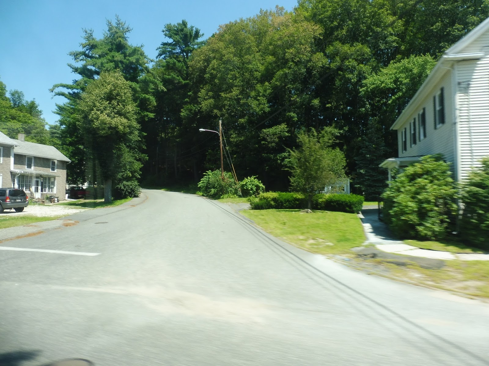
We were supposed to make a deviation to “Kirkwood Place,” but at least on my trip, we didn’t and just turned right onto Sykes Street. We passed some Palmer municipal buildings, then there was a section of forests and fields. After going under some telephone wires, houses showed up along the road, which eventually became Palmer Street.
 |
| Going over the Ware River. |
Next, it became South Main Street, and we passed through a mostly residential neighborhood (aside from two retail buildings and a pond). We turned onto River Street, crossing the Swift River and entering Belchertown, then we headed onto Keyes Street. Outside of a convenience store, we turned onto Depot Street, reentering Palmer after another Swift River crossing.
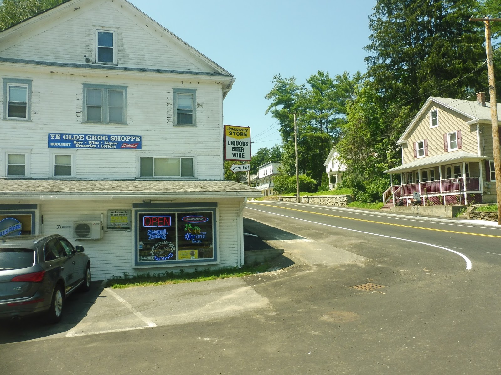 |
| “YE OLDE GROG SHOPPE” |
There was a playground on the corner as we turned onto Main Street, paralleling the river for a bit. And now, with that long deviation having been completed, we retraced our steps for a while before merging onto Thorndike Road. As it became Pleasant Street, this was the first time in quite a while that we were getting some decent speed and actually going somewhere – not just doing a deviation.
 |
| A hilly side street. |
The curvy road became Church Street as we entered the Thorndike neighborhood. There were dense houses, a playground, a church, and a post office here. It continued to be residential for a while until we reached an old factory and crossed over a canal, then the Ware River.
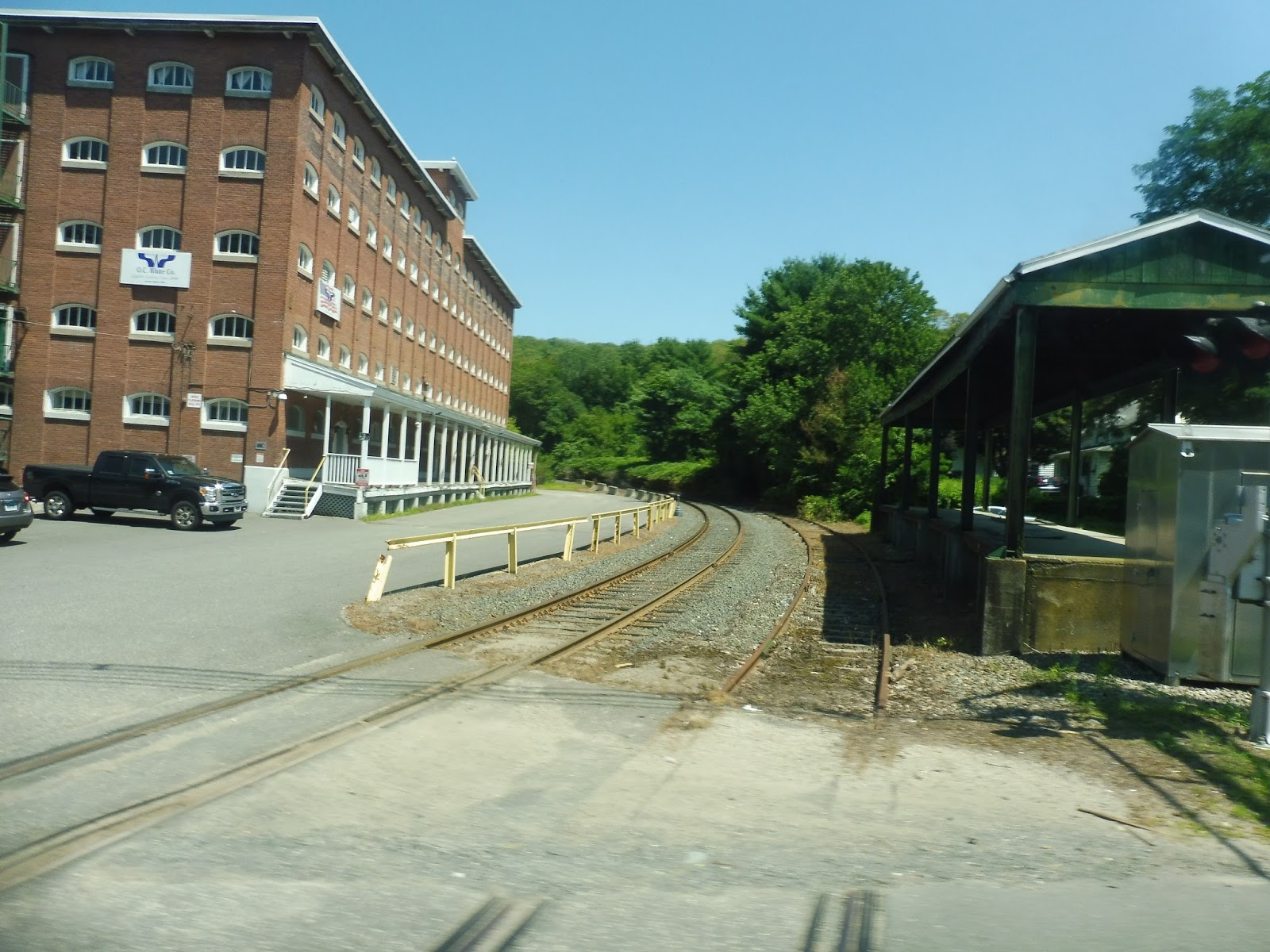 |
| The old Palmer Amtrak station! |
The road now became High Street, lined with houses and later, a cemetery. Next, we turned onto Ware Street, a lovely straight section of road lined with houses where we could just speed past everything. It became woods eventually, and it was honestly quite scenic! It basically alternated between houses and forest, even once we entered Ware and the street became Palmer Road. We went over one last river (this route has a lot of river crossings), and finally, after 75 minutes of endless looping, we pulled into the Ware Walmart. Thank goodness!
 |
| Get outta here!! |
PVTA Route: PV (Palmer Village)
Ridership: I can’t find any cold hard numbers regarding the PV’s ridership, and unfortunately, my ride was so long ago that I can’t remember the exact number of people who rode. I think it was around seven, with different people getting on and off locally in different places. That’s not bad for a minibus route, honestly.
Pros: 1. It serves Palmer. 2. It gets decent ridership for a route of its ilk. 3. The end!
Cons: I could talk about the horrendously deviatory route that loops all over itself and takes a grotesquely longer amount of time than just driving, but it should be clear from the review that the route is like this. No, instead, let’s talk about the schedule, because it makes no sense. The first trip actually starts in Belchertown Center at around 7 AM (maybe the garage is there?), then the route operates about every hour and a half until 12:30 or so. Fine. After that, though, there’s a four hour gap until 4:30! From that point, the route runs until 9 PM. Yeah, I’ll say it again: THIS SCHEDULE IS NONSENSICAL.
Nearby and Noteworthy: As part of our expedition out here, Sam and I had to wait multiple hours in Palmer Center. We were hoping the Steaming Tender would offer some entertainment…but it’s closed on Mondays. Sigh…
Final Verdict: 3/10
It’s a pain to get anywhere using this route. It’s so crazy and all over the place that a simple jaunt down the street could take an hour because of all the loops and deviations. Also, what kind of minibus route runs only in the morning and the late evening? I feel like the afternoon would be one of the busiest times of ridership for shoppers! Still, at least it can pick up those Palmer partiers at 9 PM. Woo-hoo!!!!
Latest MBTA News: Service Updates
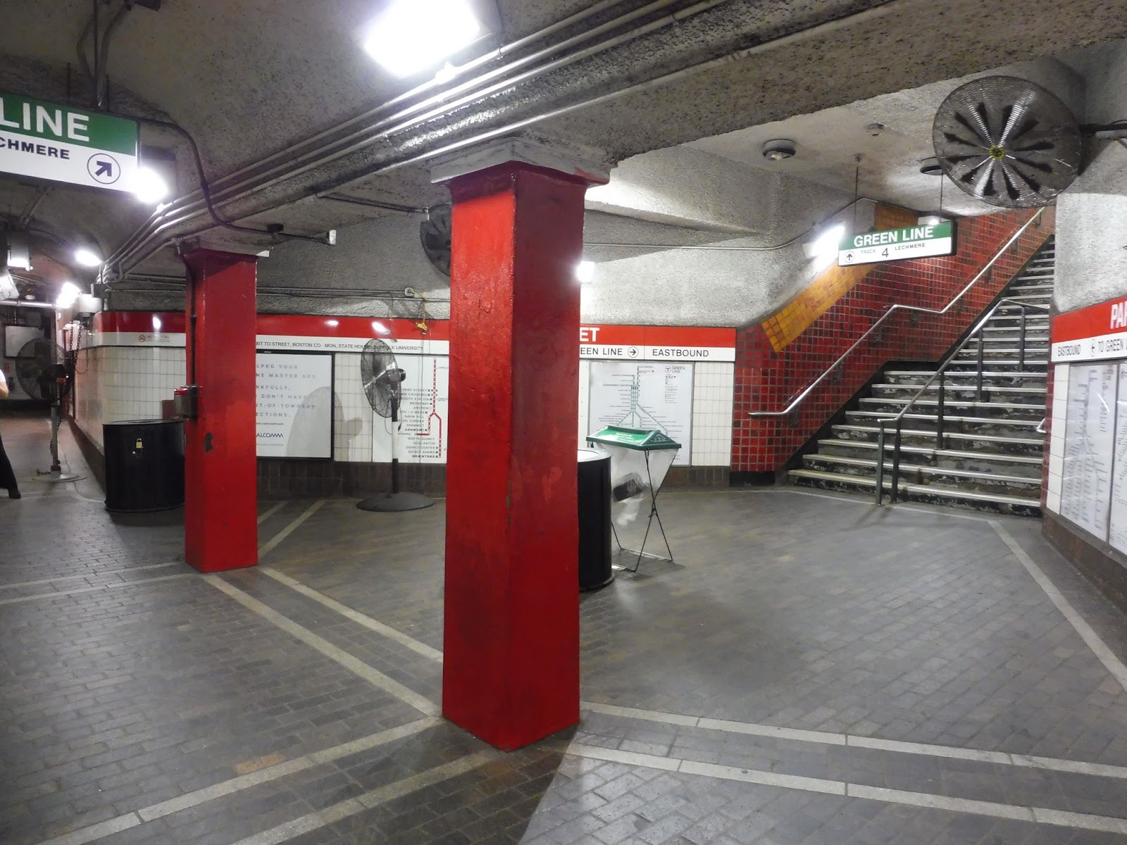
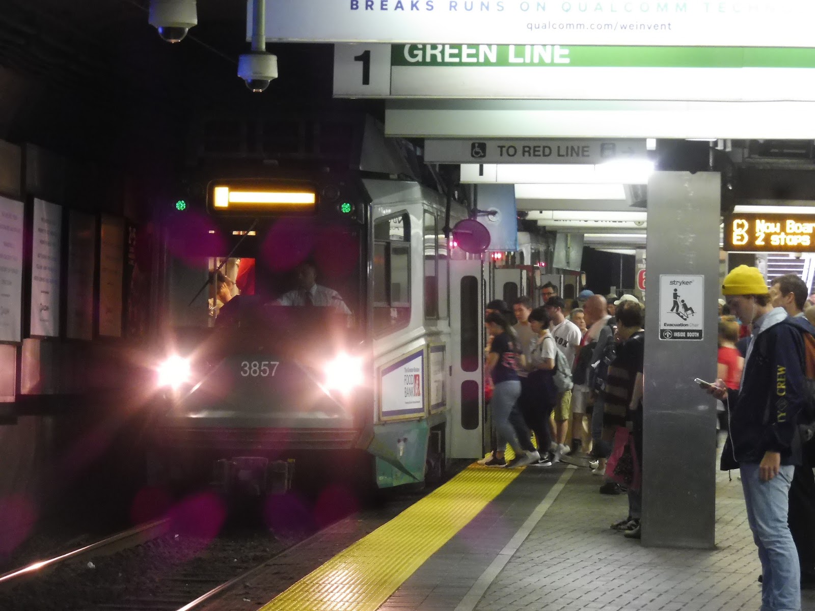
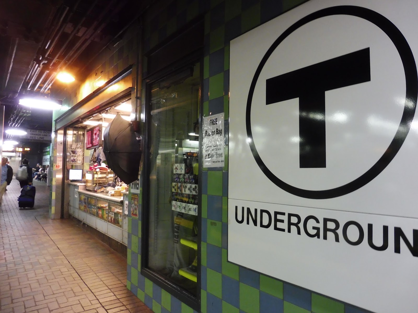
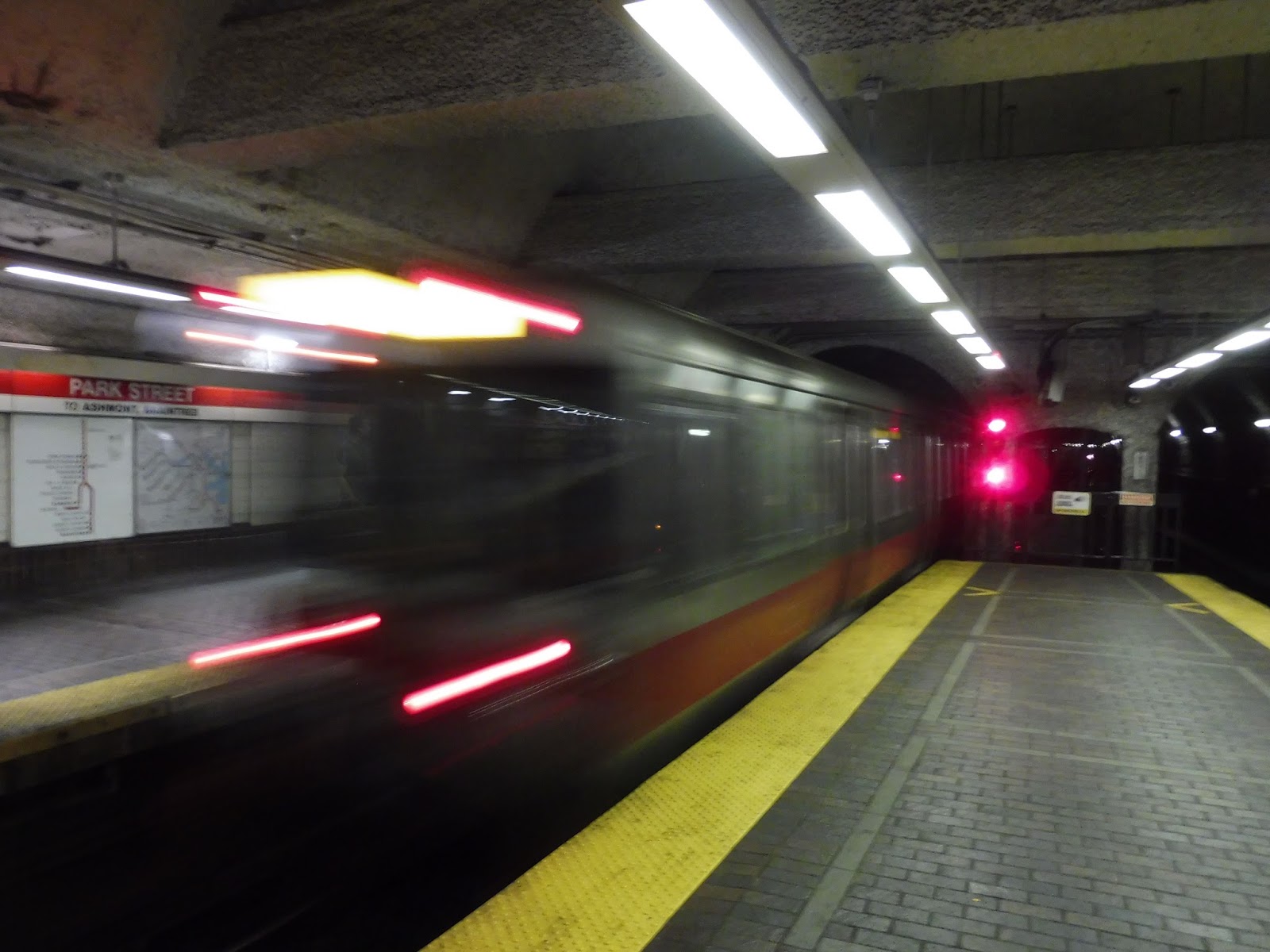
Park Street
Oh yeah. I’m doing it. You guys have been requesting this for months and months and months, and now it’s finally here. We’re checking a big one off the list today – it’s time to look at what is quite possibly the most iconic station on the MBTA, Park Street!
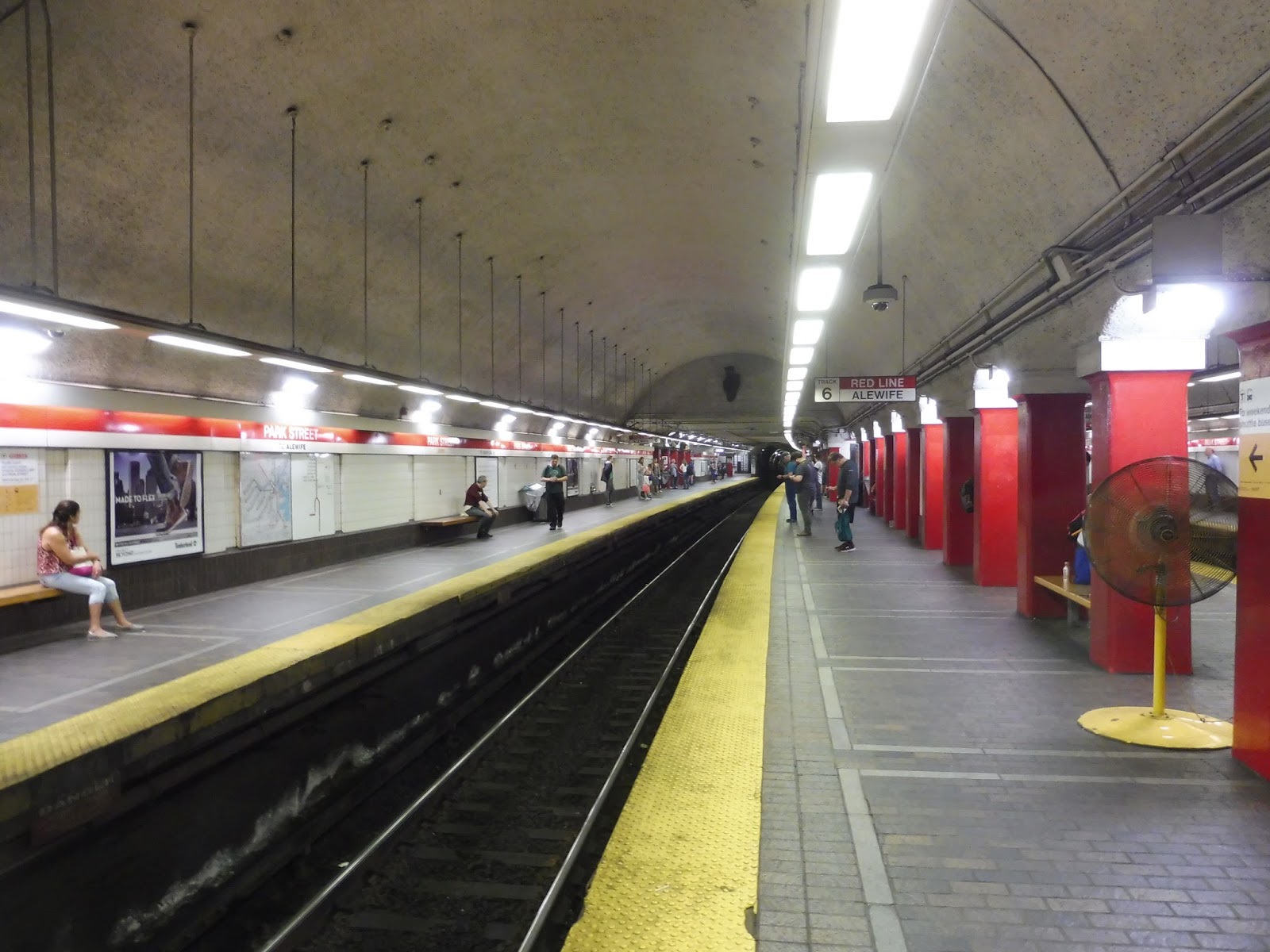 |
| Here’s that Red Line platform you all know and love! |
Everyone’s heard that classic announcement coming into Park Street on the Red Line: “The doors will open on both sides of the train. For elevator service, please exit the left side of the train onto the center platform.” That about sums up the unique setup of the Red Line platforms: there are two side ones, one for each direction, and a center platform with more waiting space and elevators.
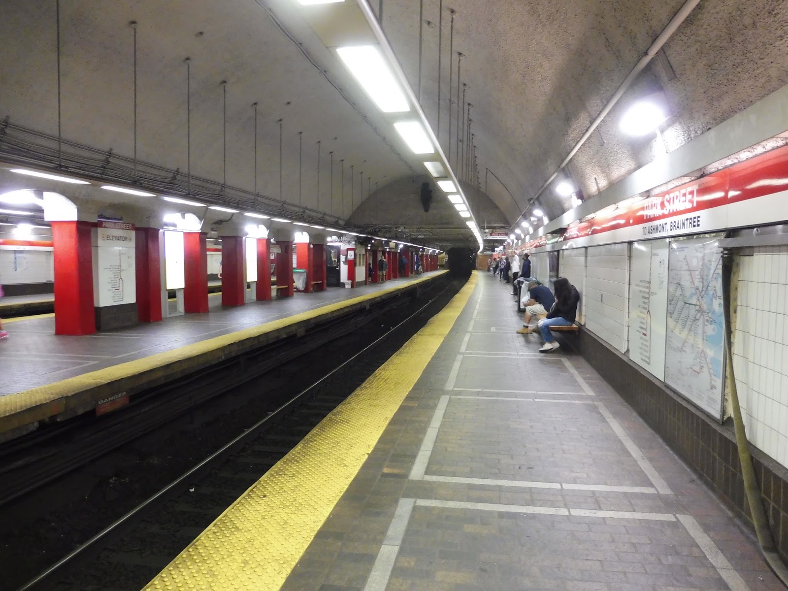 |
| Basically an identical view, except on the other side. |
The platforms themselves are decent. There’s good spacing of benches along the whole station, and plenty of seating is offered on both the side and center platforms. Wastebaskets are a little sparse, though, showing up mostly near the entrances to the Green Line. Thanks to the fact that most of the station consists of two big arches, random pipes are less prominent than at other stations, although the paint from the popcorn ceilings has seen better days.
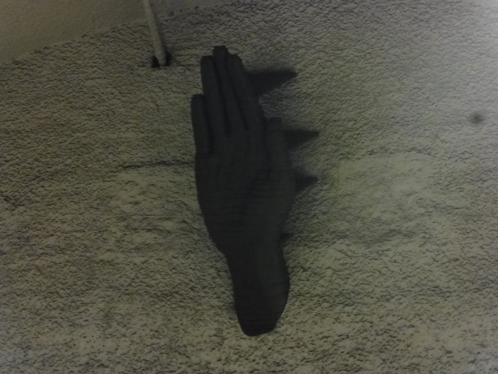 |
| High five! Or…Jardell! For anyone who may get that… |
Other amenities at Park Street include the new television screens the T has been putting at stations that show mostly ads. There are also the two hands up where the arches of the station end that are kinda hard to notice if you’re not looking out for them. Finally, at the end of the center platform, there’s an emergency exit staircase that looks like it hasn’t been used in decades.
 |
| The end of the platform. |
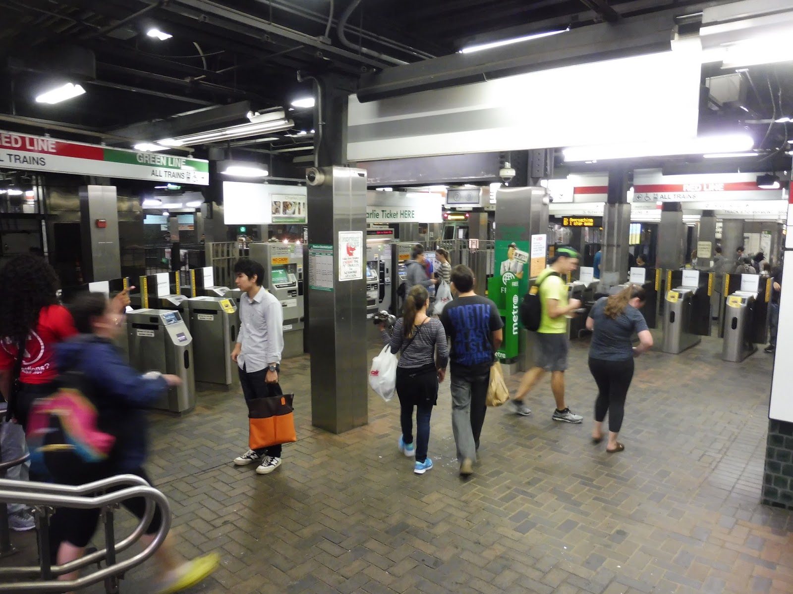
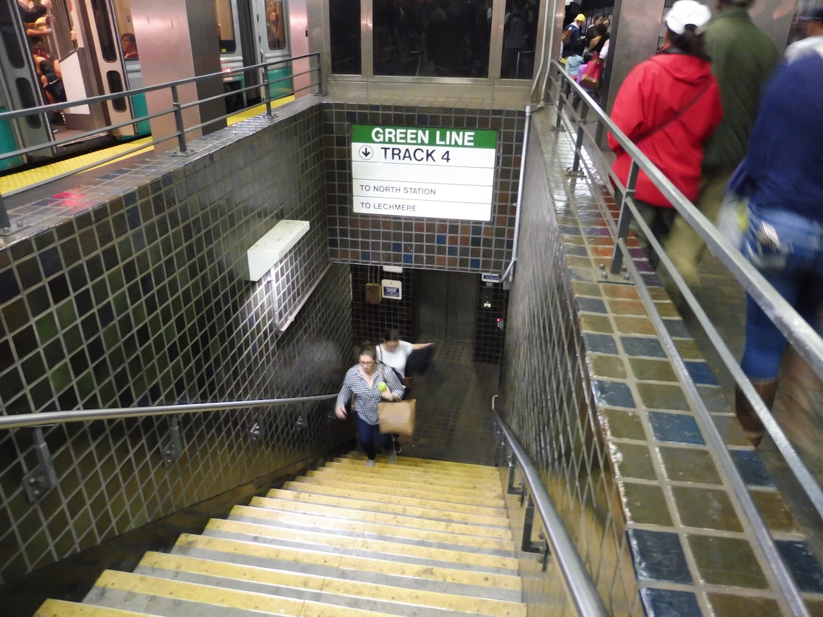
Near the Green Line staircases is where the station starts to get busy. Park Street has a nice easy transfer between lines: just walk up the stairs, and you’re at the Green Line. These concourses where the stairs are feature lots of wastebaskets (the highest concentration anywhere on the platform), a few fans (it gets hot down here), and a payphone (I can’t remember if it worked or not).
 |
| Oho, a secret exit! |
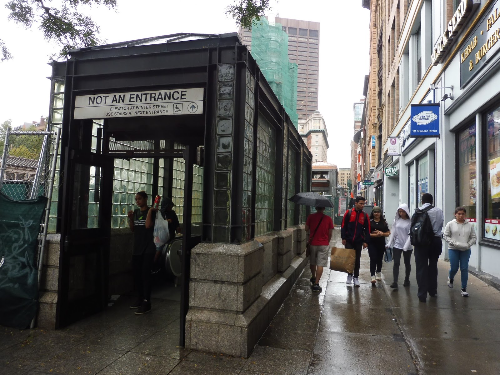
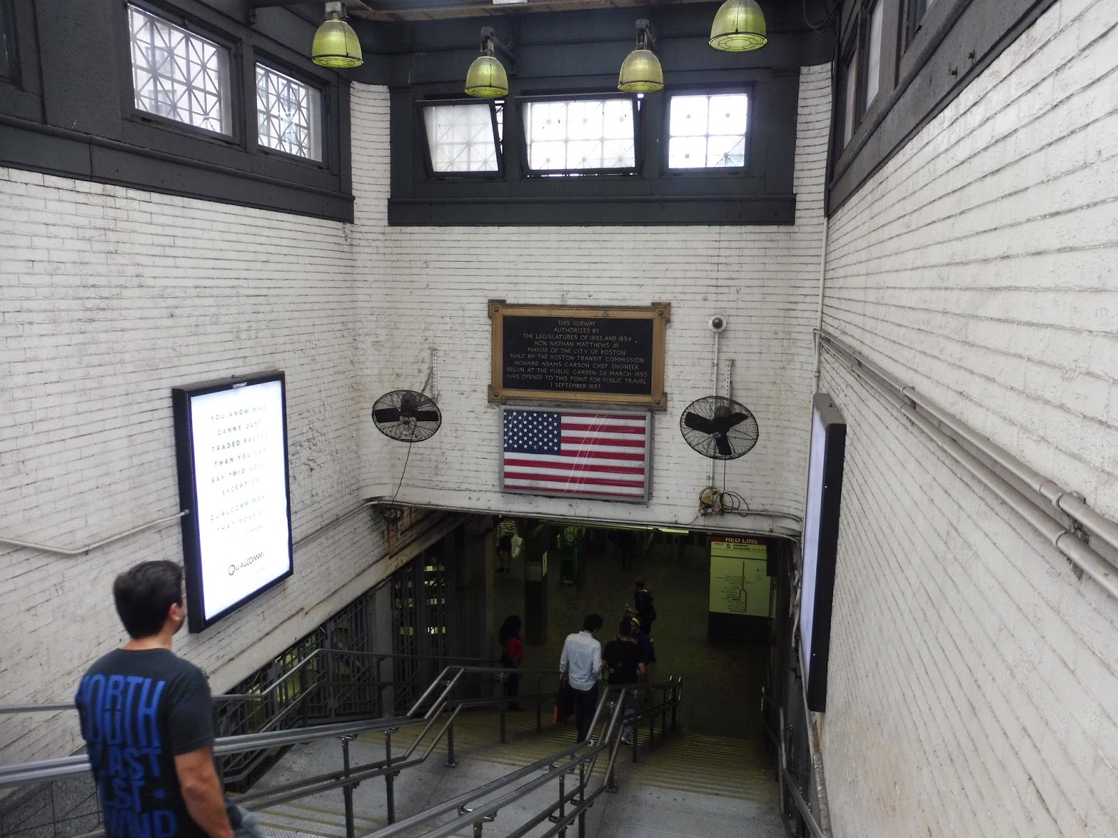
Of course, I can’t fail to mention the “secret” exit from the Red Line station! It’s not actually that exciting, but on the ends of each platform, there’s an escalator (or in one case, stairs) that leads up to the street, exit-only. I can’t speak for the other ones, but the one I used from the southbound platform had a funny little sign saying “overhead door”…over the door. Uh…okay!
 |
| Not the iconic entrance, but still nice. |
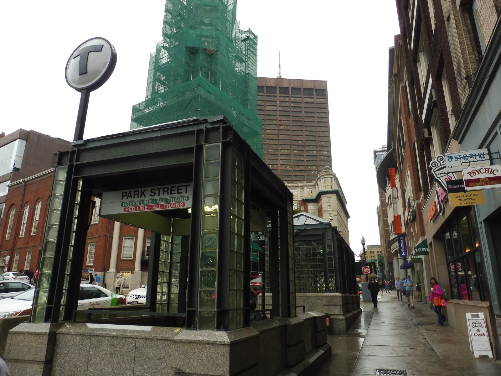
As long as we’re up here, we might as well talk about Park Street’s various entrances. The one on the east side of Tremont Street, otherwise known as “the one closest to Downtown Crossing,” has some pretty good architecture and signage. I like the glass columns, and there’s a T sign to let everyone know where the entrance goes. There’s an elevator on this side, too, but it’s currently under construction.
 |
| Our first mezzanine! |
This entrance has a pretty small mezzanine, but it gives you everything you need: two fare machines and two fare gates. This one leads into the concourse area above the platforms, meaning it’s a bit of a pain to use if you’re going westbound on the Green Line, but it’s easy to get to the other parts of the station from here.
 |
| Oh…hi, Nathan. Uhh…thanks for holding open the door… |
There’s also the other entrance south on the common, otherwise known as “the one closest to Boylston.” It’s a pretty standard-looking building, but the staircase down is made out of nice-looking marble (or some material that looks like marble). The mezzanine for this one has no fare machines, though – just two fare gates. It leads to the westbound Green Line platforms, so if you’re going in the other direction, it’s sort of a pain to get there.
 |
| Such a big bus hub! |
Park Street is also, of course, the home of the 43 and 55 bus routes. As you can see above, their bus stop is barebones: it’s just a sign. No shelter. No bench. Nothing. Just a sign. Also, the traffic here is so bad that the 43 schedule essentially says, “Yeah, the bus is just gonna get here whenever it wants and leave right away, so, uh, be prepared for that.”
 |
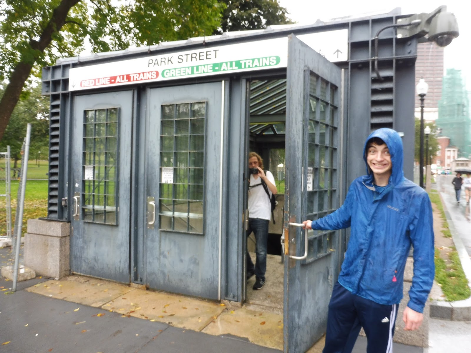
| The elevator entrance. |
Now, the only accessible entrance open at the moment is the elevator along the common. The exterior is really nice: the modern glass shaft comes out with a simple but effective entrance. I particularly like the T logo at the top. However, the elevator itself is a very very very smelly affair, and despite being fully glass, it’s a miserable ride. We will encounter many more smelly elevators throughout this review.
 |
| Ahhhh, the classics! |
Of course everybody knows these entrances! These are so iconic, and they never get old! Well, technically they are old, but you know what I mean. They both have a few wastebaskets outside their doors, and the western one also has a few newspaper boxes. My one gripe with these lovely buildings is that I wish they said the primary Green Line direction for each one instead of just “All Trains” – I always have to figure out which way is which when I’m trying to quickly get onto the Green Line.
 |
| Down the stairs. |
Going down the stairs, there’s an awesome plaque above commemorating the opening of the Park Street Subway on September 1st, 1897 – the first subway in America. Unfortunately, the age of the station does show on this staircase, with some really horrible paint chipping issues on the white walls.
 |
| It’s busy down here! |
 |
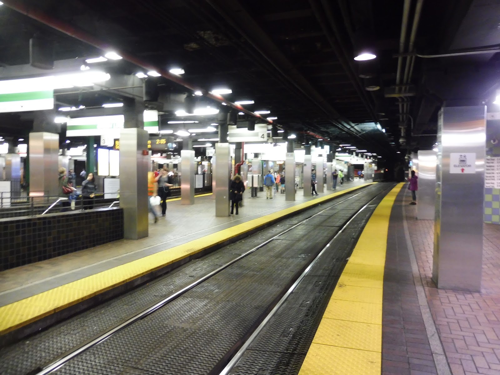
| The Green Line platform. |
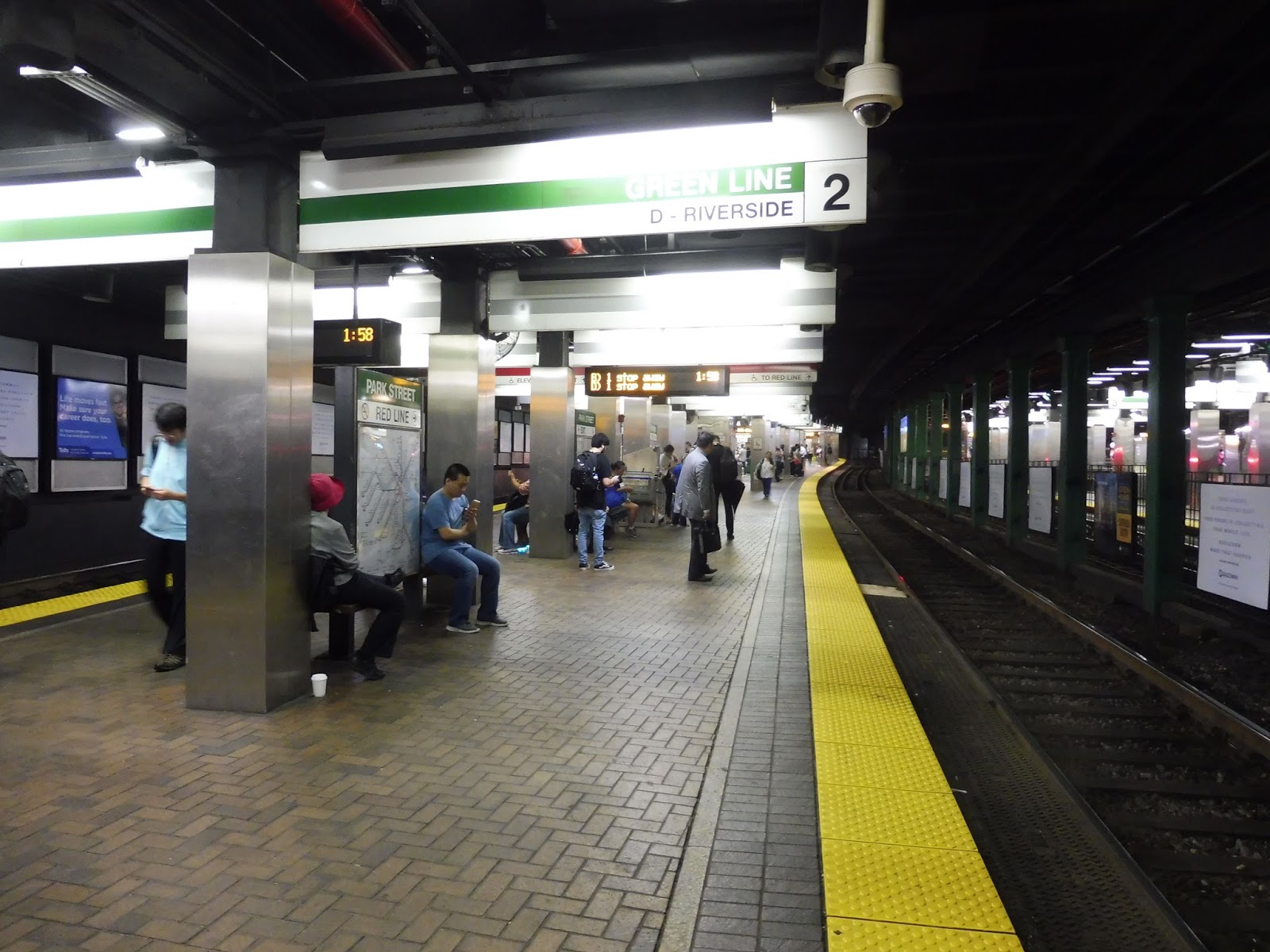
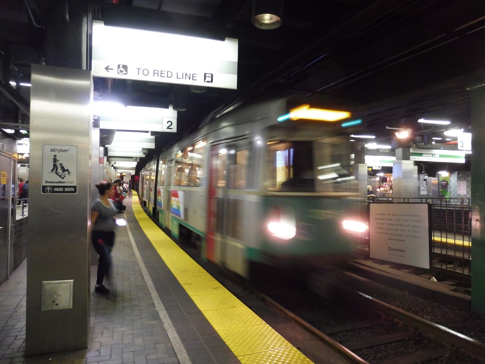
I’ll start with the westbound Green Line platform, since it’s at least a little less crazy than the eastbound side. Honestly, though, the Green Line platforms are both insane, with people darting around and waiting around in various places. There are two tracks per platform, with the inner track dedicated to B and D Line service, while the C and E Lines board on the outer track.
 |
| An example of typical Park Street insanity. |
The platforms feature a bunch of benches, wastebaskets, and maps among the throngs of darting crowds. It can get really hot down here, due to a mixture of low ventilation and lots of body heat, and that heat is certainly exemplified when you’re down here for twenty minutes to review it oh my God make it stop!!!!!!!!! Ahem…
 |
| Oh, also, here’s a random payphone. |
Other points of note down here include countdown clocks, showing the number of stops away westbound trains are (not very useful) and the number of minutes away eastbound trains are (much more useful). There are also full racks with every bus schedule on the system right on the platform, which is great. I also appreciate the Charlie on the MTA poster and the sign displaying various destinations and which lines to take to get to them.
 |
| Going downstairs! |
To get between the two Green Line platforms, there’s a crossover tunnel. It’s accessible either by a set of stairs or by an elevator of standard, stinky quality. One weird thing about the elevator is that it has completely different button panels for each door! One of them is pretty basic, while the other one has all these complicated buttons about opening individual doors and holding them open. Why does this discrepancy exist? I have no idea.
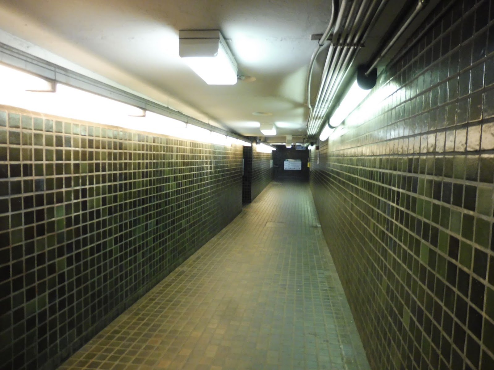 |
| Crossing over. |
The underpass itself is pretty underwhelming. It has low ceilings, it’s aesthetically boring, and there are random holes in random places on occasion. Still, it’s just an underpass, so looks don’t matter all that much, and the mosaic work does at least have try to look nice.
 |
| The eastbound side. |
And here’s the eastbound side of the Green Line platform! Can you see the possible safety hazard? The entire outer track is a crossing. People can walk over it at any time! Imagine how terrifying it would be to drive a train through here! It’s no wonder operators ring their bells like madmen as they come into the station!
 |
| Kitschy souvenirs, anyone? |
This platform houses the T Underground souvenir shop, offering a lot of weird, semi-sketchy stuff with lots of flashy lights and grammatically-dubious signs. I guess it’s nice to have a store right on the platform, though. Moving on, there’s an ATM, a few more benches, and an outdated system map.
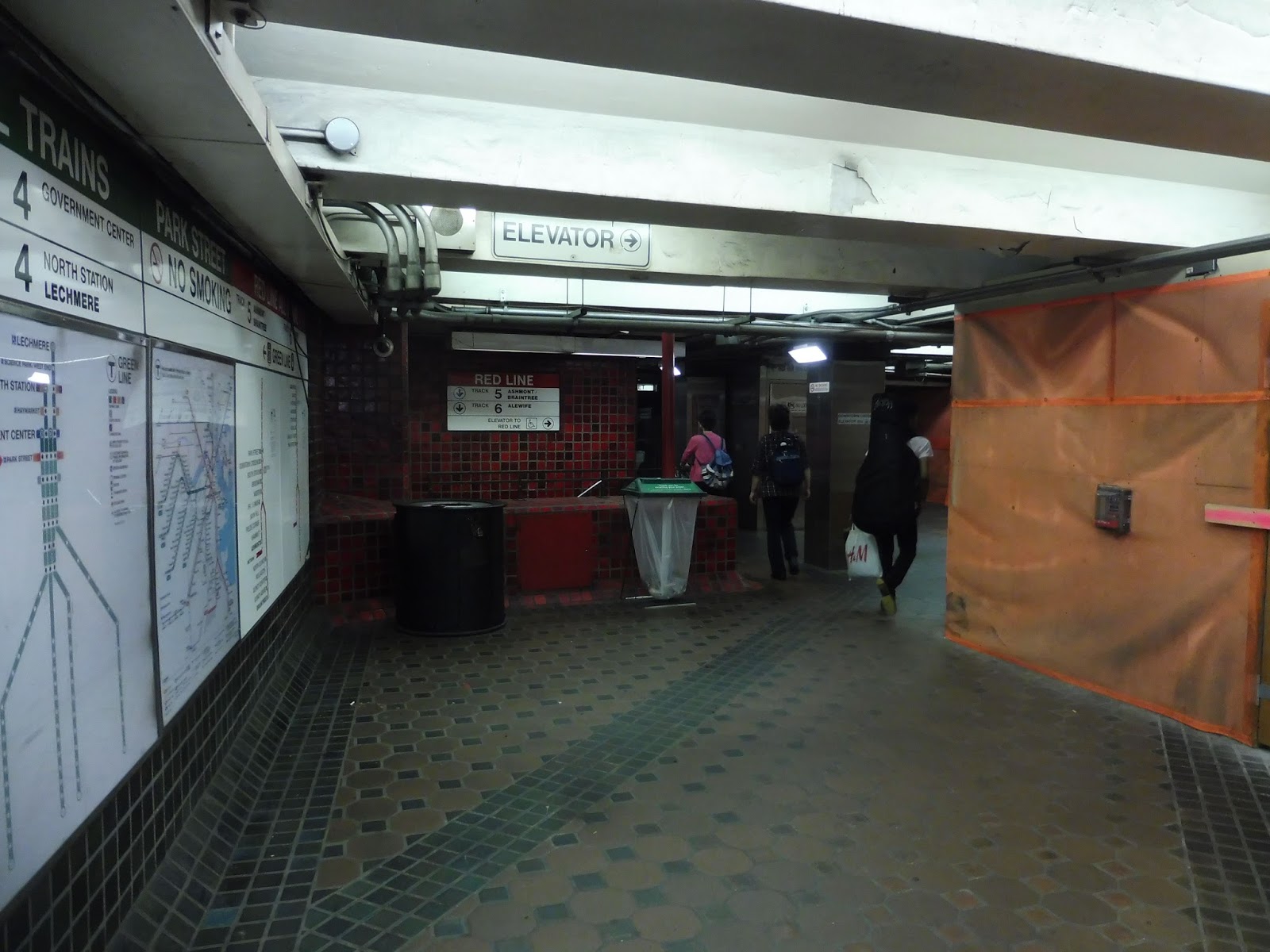 |
| Our final mezzanine area! |
Finally, we come through a passageway on the outer platform and enter a mezzanine that feels like it’s been under construction forever! There’s not much in here aside from some wastebaskets, entryways to the Red Line platforms, and one of the station entrances we looked at a while ago. There’s also a countdown clock displaying Green Line arrivals, but it really should display Orange Line arrivals since it’s at the entrance to the Winter Street Concourse…but we won’t be going down that concourse just yet!
 |
| Two blurry trains. |
Station: Park Street
Ridership: This is the fourth-busiest station on the MBTA in terms of fare entries, with 19,653 riders per weekday! That doesn’t even account for the insane number of transfer passengers here: almost 30,000 people go between the Red and Green Lines in each direction per day (60,000 total), making this the busiest transfer station on the entire system. Also, on a weird side note, I find it interesting that 755 people who enter this station actually use the Winter Street Concourse to get to the Orange Line at Downtown Crossing!
Pros: This is one of the easiest transfers on the system, featuring quick and easy staircases between the Red and Green Lines (and a hallway to the Orange Line, if you want to count the Winter Street Concourse). Indeed, Park Street as a whole works very well functionally, with many entrances and mezzanines, allowing people to come in from a few different places around the area. However, it’s still easy to navigate, and it doesn’t have the labyrinthian qualities of other downtown transfers. The station features many amenities, particularly on the Green Line platforms, for as much passenger convenience as possible. Finally, although it doesn’t necessarily work in practice, Park Street makes a decent effort to look nice, which can’t be said for some of the other downtown stations on the T.
Cons: Park Street, especially the Green Line portion, is just a gigantic melting pot of pure insanity. Getting through the crowds here can be tough, especially at rush hour, and it doesn’t help that all that body heat comes together to make temperatures borderline unbearable. Every elevator at this station is guaranteed to smell – indeed, I once saw literal, actual human feces in one of them. Although Park Street tries to look good, and I appreciate that, it often falls flat. This may be one of the most (if not the most) iconic stations on the T in terms of appearance, but that appearance is often old and antiquated, more so in some areas than others.
Nearby and Noteworthy: This station is, of course, best known for its prime location right next to the Boston Common. Aside from that, you’ve also got the Massachusetts State House, Beacon Hill (some parts of it are easier to access from here than Charles), and various other historical sights.
Final Verdict: 6/10
On one hand, trying to brave the crowds between the Red and Green Lines at rush hour can be a total nightmare. On the other hand, this station is set up pretty darn efficiently (especially given its age!), and it’s just so darn iconic – those main entrances! They’re so beautiful! However, the hub is still plagued with a host of problems, including the lack of a proper bus area, questionable appearances in some areas, and human feces in an elevator. Did I mention that?? The station ends up being fairly middle-of-the-road for me, although it’s certainly better than its neighbor along the Red Line. Believe me, I’ll have a lot to say for that review…
Latest MBTA News: Service Updates
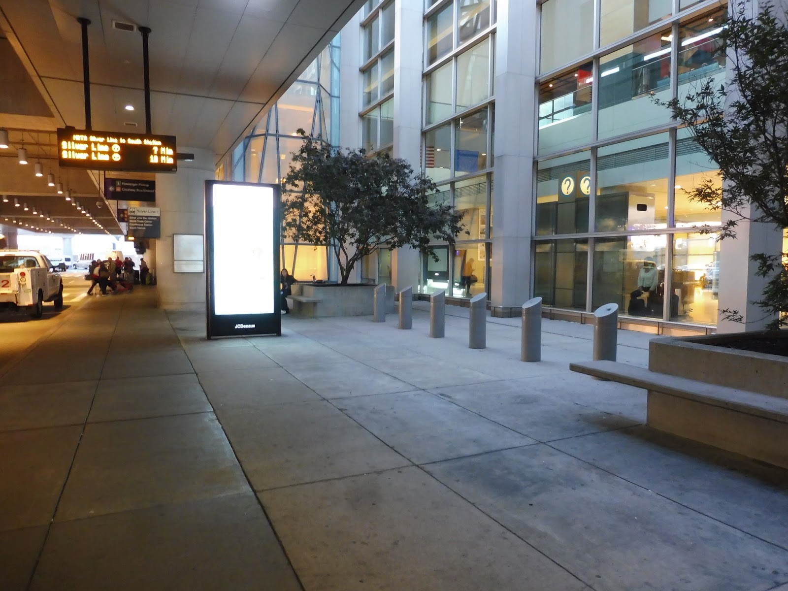
Airport Terminals
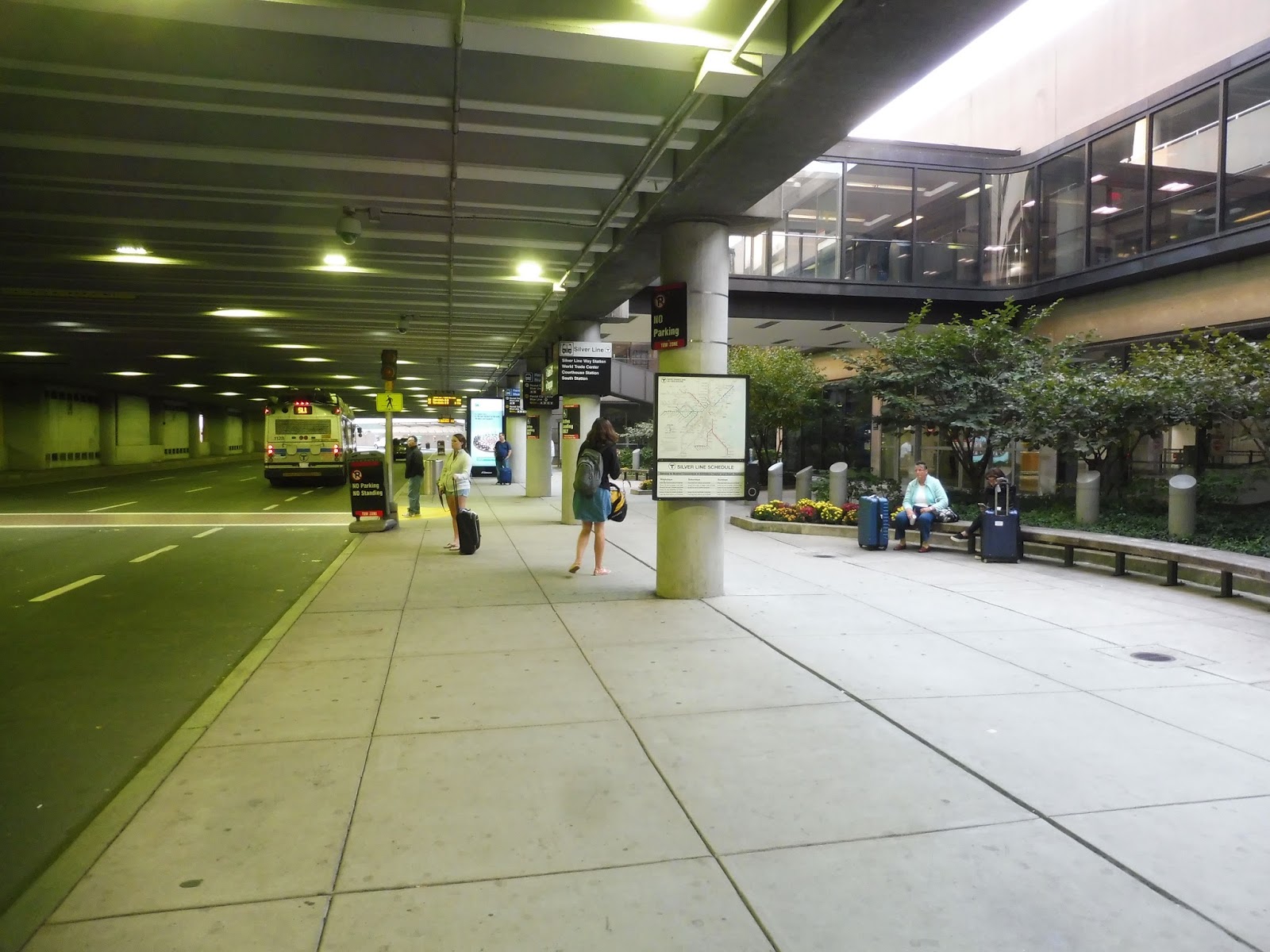
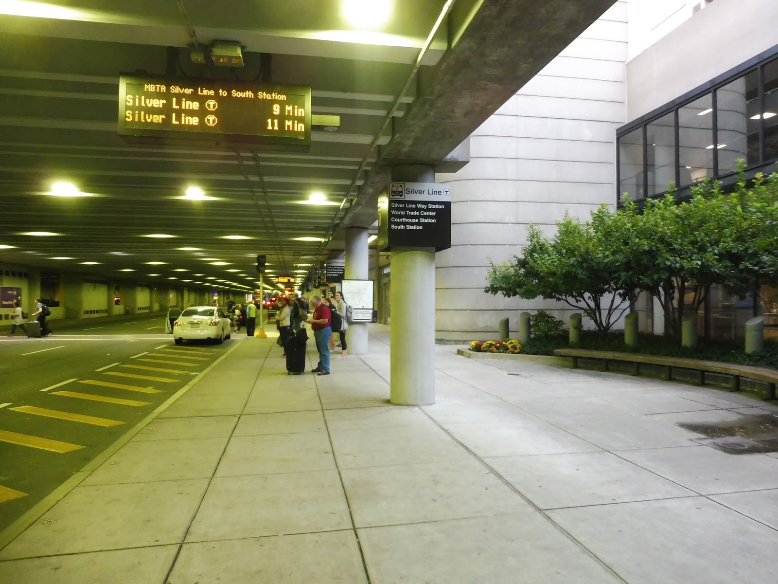
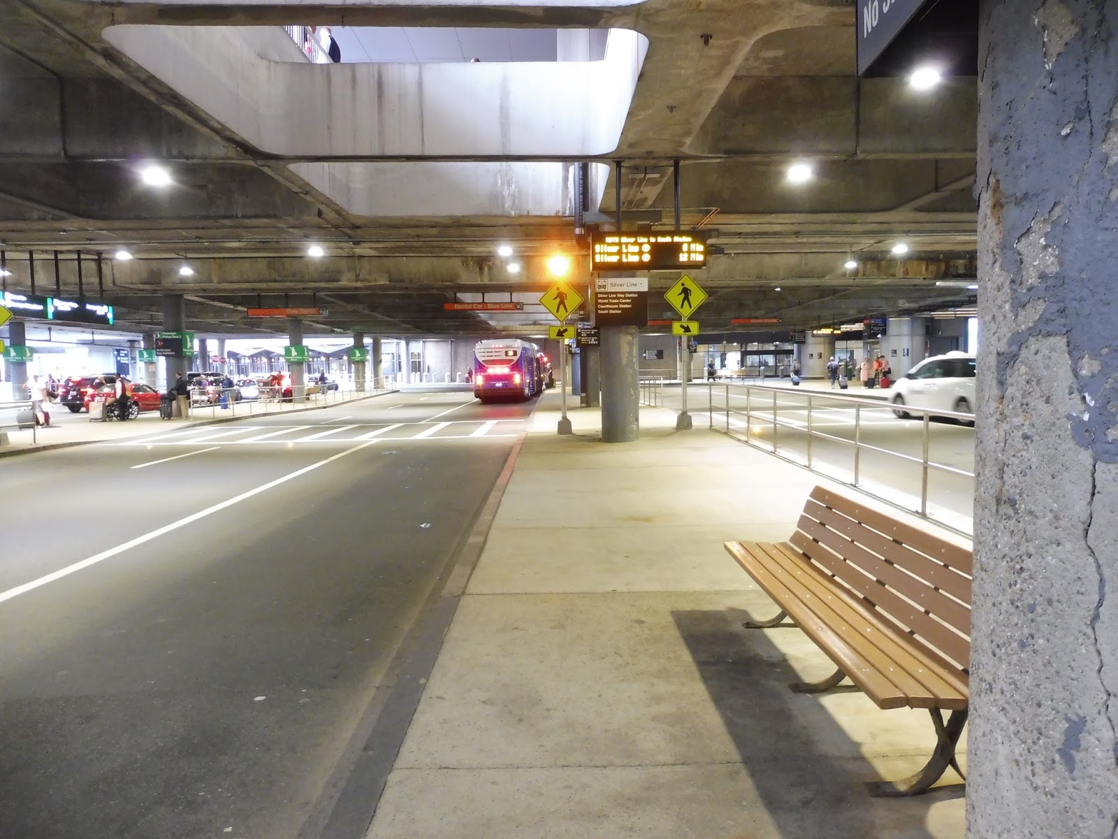
The last Silver Line reviews! It’s time to head up to the airport and see what kinds of “stations” the SL1 has to offer.
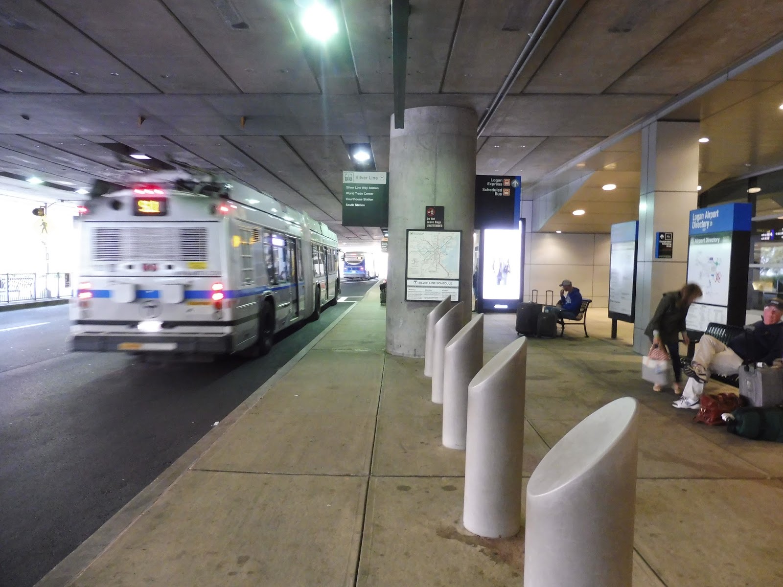 |
| A bus leaving Terminal A. |
Station: Terminal A
Ridership: The stop gets 484 riders per weekday.
Nearby and Noteworthy: “This is Terminal A, serving: Delta Airlines, Delta Shuttle, Southwest, and WestJet, with the exception of international arrivals which arrive at Terminal E. Ticket counters and gates are located on the second level.”
Final Verdict: 5/10
This is basically what you’d expect from an SL1 airport stop: there are a few benches, a few maps, and a rather inaccurate countdown clock. Since it’s on the lower arrivals level, every sound from every car and bus is magnified, and it can get rather noisy here. Thus: meh.
 |
| Terminal B, Stop 1. |
 |
| Terminal B, Stop 2. Very different, eh? |
Stations: Terminal B Stop 1 and Terminal B Stop 2
Ridership: Stop 1 gets 367 riders per weekday, while Stop 2 gets 246.
Nearby and Noteworthy: “This is Terminal B Stop 1, serving: Air Canada, Air Canada Express, American Airlines Gates B4 to B14, American Shuttle Gates B15 to B19, and PenAir, with the exception of international arrivals which arrive at Terminal E. Ticket counters and gates are located on the second level.”
“This is Terminal B Stop 2, serving: American Airlines Gates B30 to B36, Spirit Airlines, United Airlines, and United Express, with the exception of international arrivals which arrive at Terminal E. Ticket counters and gates are located on the second level.”
Final Verdict: 6/10
These two stops are basically the same, so I’m doing them in one. Terminal B has the same amenities as Terminal A, except these stops have at least a little bit of outside space and foliage, with a nice long bench. It’s not much, but it does bump the terminal up a point.
 |
| Terminal C‘s island platform. |
Station: Terminal C
Ridership: This stop gets the highest ridership at the airport, with 687 people per weekday.
Nearby and Noteworthy: “This is Terminal C, serving: Aer Lingus (all arrivals and departures), Alaska Airlines, Cape Air, JetBlue, Sun Country, TAP Portugal, and Virgin America, with the exception of international arrivals which arrive at Terminal E. Ticket counters and gates are located on the second level.”
Final Verdict: 2/10
This one sucks. I hate how it’s located in the middle of a traffic island, so you have to cross a few lanes of vehicles to actually get here. There’s only one bench, and it’s right next to a pole with paint chipping away and a broken payphone haphazardly attached to it. This is the worst stop at Logan, especially considering it gets the highest ridership!
 |
| And finally, here’s Terminal E! |
Station: Terminal E
Ridership: Strangely, Terminal E gets the exact same amount of people per weekday as Terminal A: 484.
Nearby and Noteworthy: “This is Terminal E, serving: Aeromexico, Air France, Alitalia, Avianca, Azores Airlines, British Airways, Cathay Pacific Airways, Copa Airlines, El Al Airlines, Emirates Airlines, Hainan Airlines, Iberia, Icelandair, Japan Airlines, Lufthansa, Norwegian Air, Porter Airlines, Qatar Airways, Scandinavian Airlines, Swiss Airlines, Thomas Cook Airlines, Turkish Airlines, Virgin Atlantic Airways, and WOW Air. The following carriers are international arrivals only in Terminal E: American Airlines, Delta Airlines, JetBlue, and TAP Portugal. Ticket counters and gates are located on the second level. This is the last stop at Logan Airport.”
Final Verdict: 6/10
I guess I’ll give this the same score as Terminal B, since it offers basically the same amenities: maps, a countdown clock, an outdoor area with some foliage, and some benches to sit at out there. And with that, all the Silver Line stops are done! I wonder what review is coming up next…
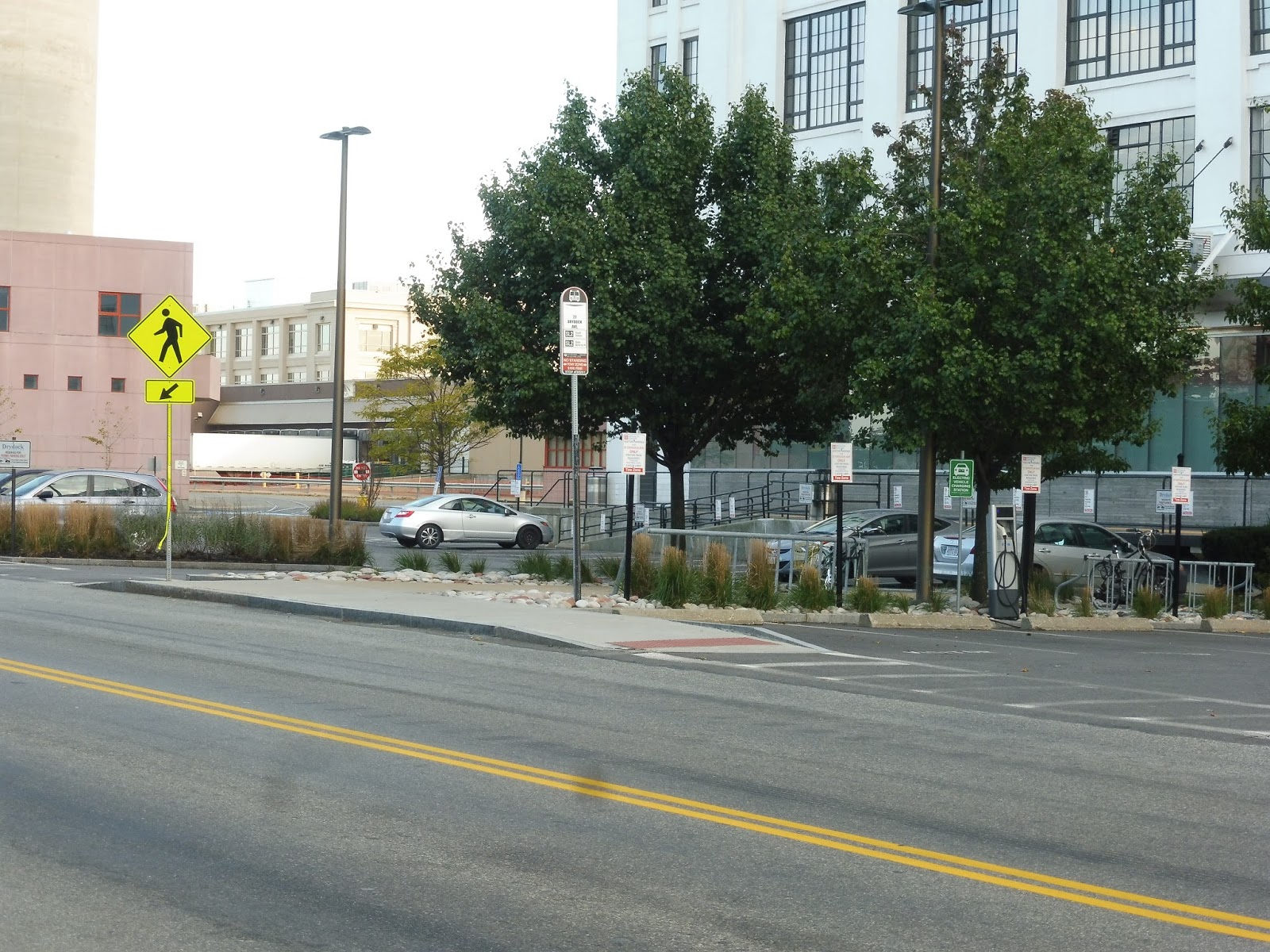
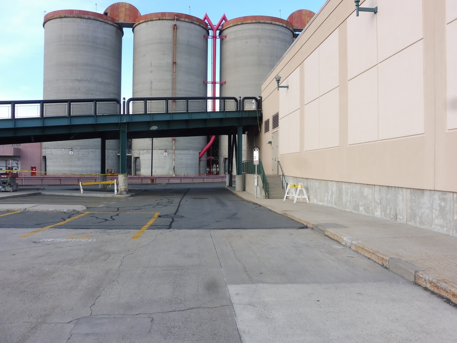
Harbor Street, Tide Street, 23 Drydock Avenue, 27 Drydock Avenue, 88 Black Falcon Avenue, and Design Center
The SL2 now, huh? We’re really gonna review SL2 stops? We’re gonna walk around an industrial area to review shelters and signs? Sigh…duty calls, I guess…
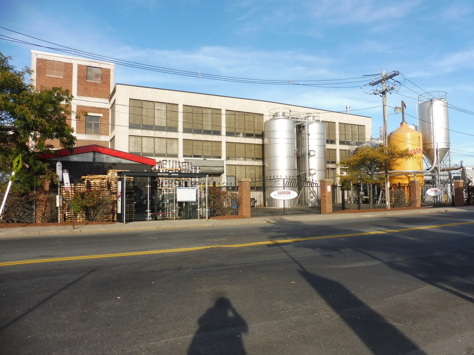 |
| I think the SL2’s been drinking some of the Harpoon Brewery’s exports, am I right?? Ahem…this is Harbor Street. |
Station: Harbor Street
Ridership: 94 boardings per weekday…something tells me a lot of the ridership will be like this.
Nearby and Noteworthy: BEER BEER BEER BEER BEER
Final Verdict: 2/10
This station offers shelters on both sides, which I guess is nice, especially since outbound ridership from here is basically nil. That being said, apparently the Silver Line doesn’t even stop here in the outbound direction, since the outbound side just has a sign for the 4! Whoopsie!
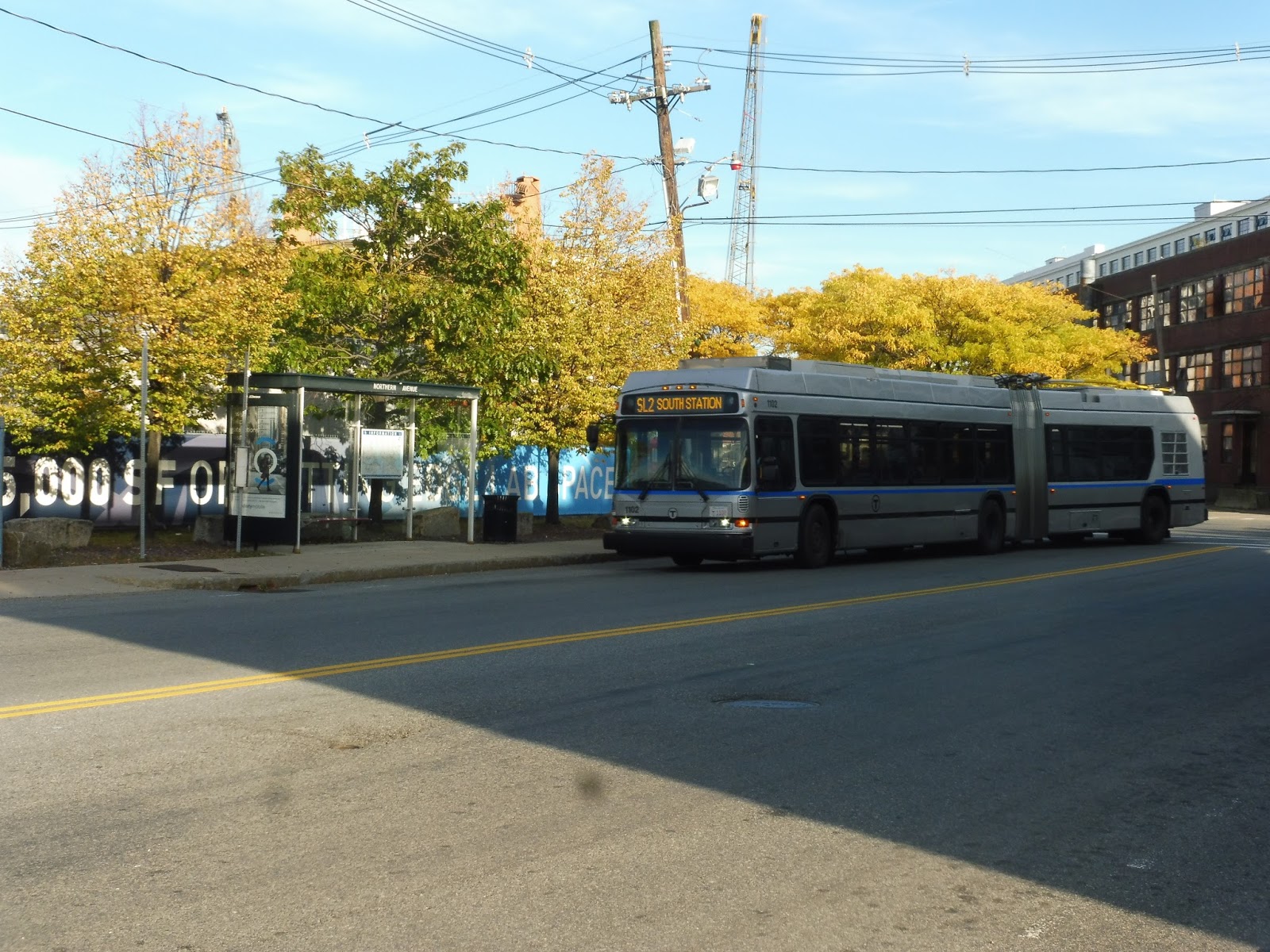 |
| A bus stopping at Tide Street. |
Station: Tide Street
Ridership: This is the busiest stop on the independent section of the SL2, with…461 riders per day? Oh…that’s not a lot…
Nearby and Noteworthy: No, just some factories and weird buildings.
Final Verdict: 3/10
This one improves slightly upon the last one with the inclusion of wastebaskets on both sides! It also correctly implements Silver Line signs in both directions, which is certainly a step up.
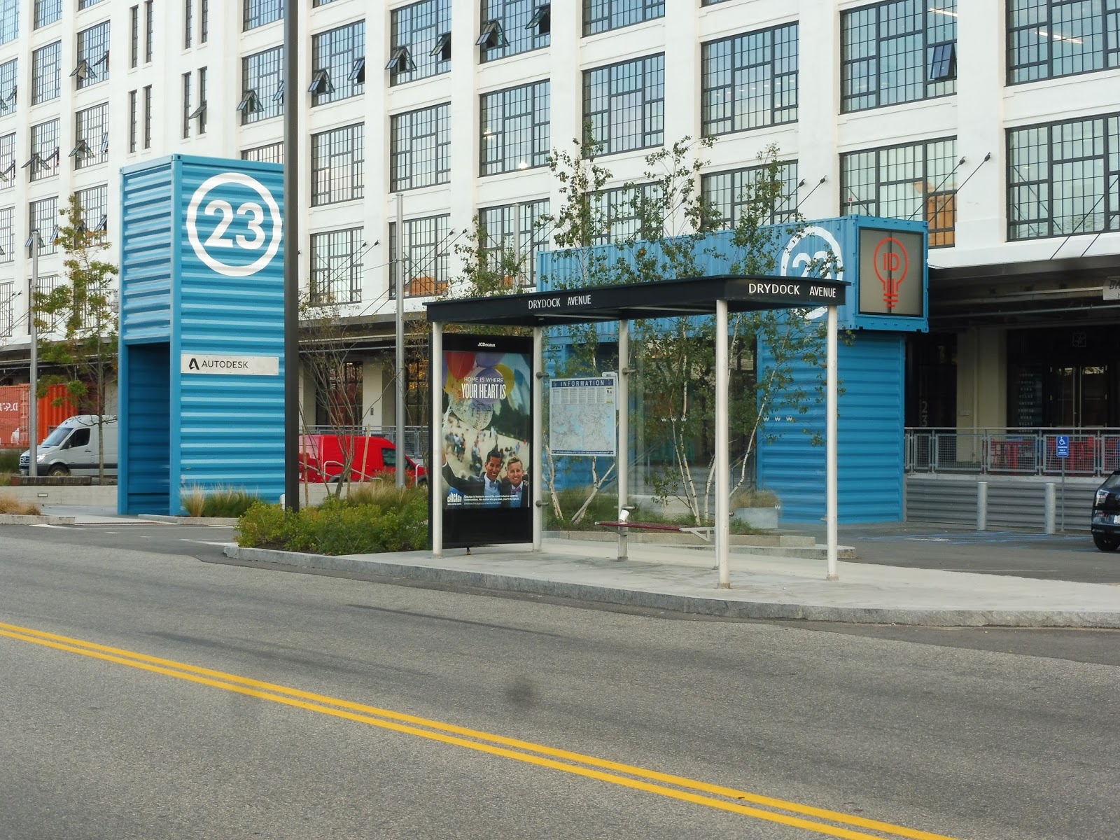 |
| 23 Drydock Ave. Thanks to the big 23 sign! |
Station: 23 Drydock Avenue
Ridership: They moved the stops a bit since the last Blue Book came out, so I guess I’ll use the data from the former 25 Drydock Ave stop: 171 boardings per weekday.
Nearby and Noteworthy: This stop is dominated by the huge Design Center!
Final Verdict: 2/10
It’s a fine shelter, but there’s no sign. How are people supposed to know what bus stops here?
 |
| 27 Drydock Ave. |
Station: 27 Drydock Avenue
Ridership: This one isn’t really comparable to anything that existed before…maybe we could split the 25 Drydock Ave ridership in half?
Nearby and Noteworthy: The Design Center again.
Final Verdict: 1/10
This one has the opposite problem of 23 Drydock Ave – this is just a sign!
 |
| The Black Falcon corner stop. |
INTERMISSION: This stop on the corner of Black Falcon Ave and…uh…Black Falcon Ave is only served after 8 PM and during snowstorms. It seems like buses also stop here on weekends (instead of going around the Black Falcon loop), but I don’t think they’re supposed to do that. This isn’t an actual stop, per se, but I did want to give it a mention.
 |
| 88 Black Falcon Ave…what a weird place for a stop. |
Okay, this is a weird one, so I’ll dedicate a bit of time to it. The SL2 actually goes out of its way on a deviation to serve this stop. It runs out next to the water, loops around to the sign, and then just rejoins the regular route. It’s so strange!
 |
| And then there’s just this unused shelter… |
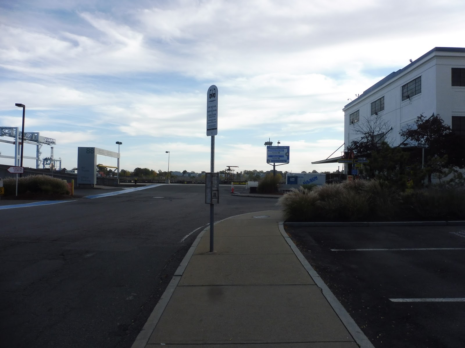
Station: 88 Black Falcon Ave
Ridership: 124 riders per weekday.
Nearby and Noteworthy: Geez, I dunno…just another industrial building.
Final Verdict: 1/10
This one is just stupid. It’s pointless for buses to deviate an extra block – I’m sure people can walk that much extra to get to the corner stop described above, because that’s what the route should use. This loop is a waste of time.
 |
| Why is the Design Center stop way over here? |
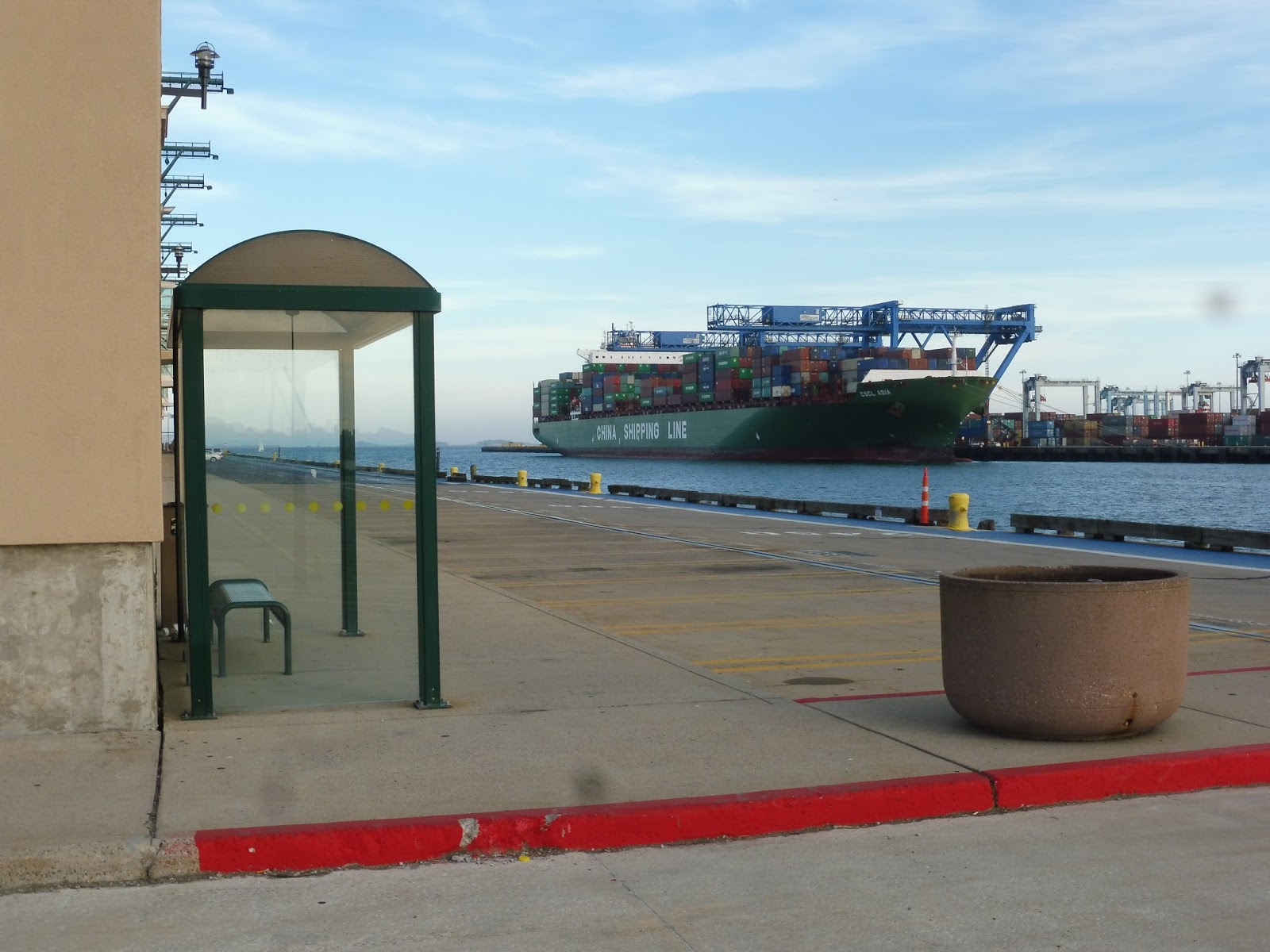
Station: Design Center
Ridership: A whole 48 people per weekday. Geez…
Nearby and Noteworthy: The edge of the Design Center, as well as the Black Falcon Cruise Terminal. And the Thompson Island Ferry terminal, for anyone who wants to deal with that boat’s crazy schedule. I should ride it someday…
Final Verdict: 1/10
Yes, it has a shelter and a sign and everything, but I just can’t get over the stupid placement of this thing – why is it to the west side of the intersection? That means the bus has to travel all the way around the block to get here. It really couldn’t have just been placed on the eastern side or on Design Center Place so vehicles could just turn? Sure, there wouldn’t be room for a layover point, but the route could easily layover somewhere else, such as 88 Black Falcon (if that deviation is gonna be there, it might as well be useful).
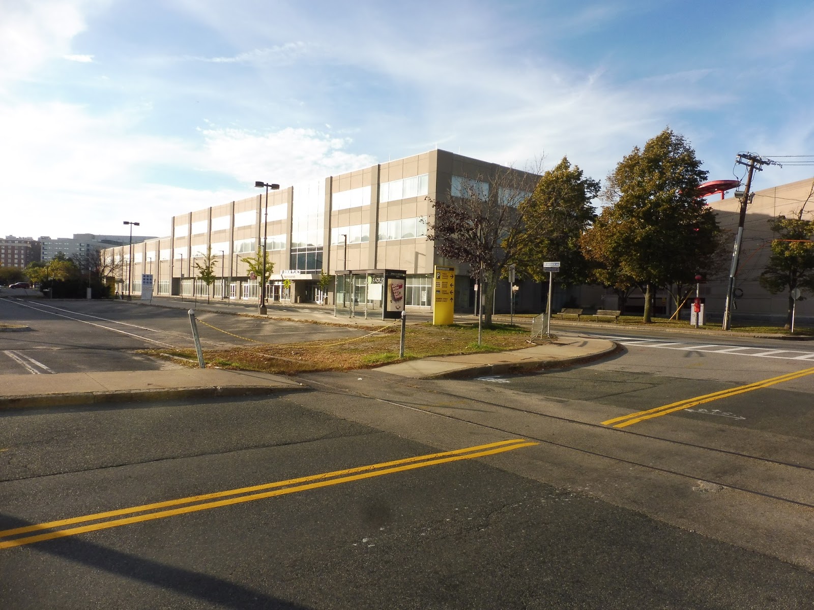
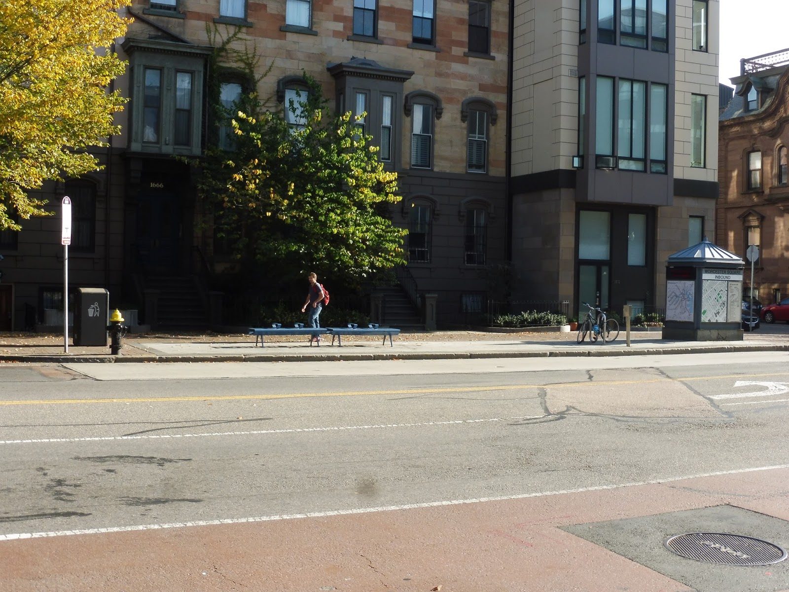
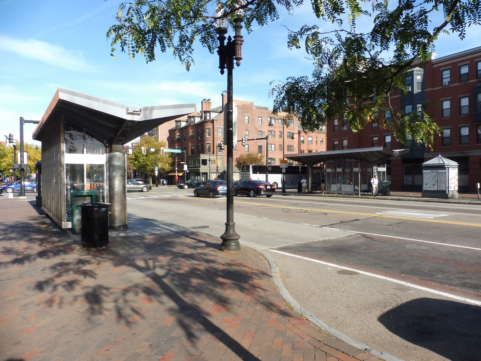
Worcester Square, Massachusetts Avenue, Lenox Street, and Melnea Cass Boulevard
What’s on the ballot today? Oh, more Silver Line stations? Cool, cool…let’s just get Washington Street done with, then.
 |
| What the heck is this?? Well, it’s Worcester Square. |
 |
| The two sides of Mass Ave. |
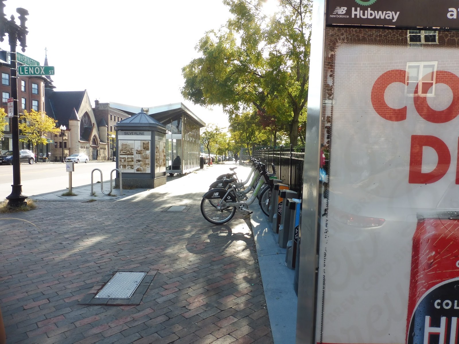 |
| A hubway station, with Lenox Street in the background. |
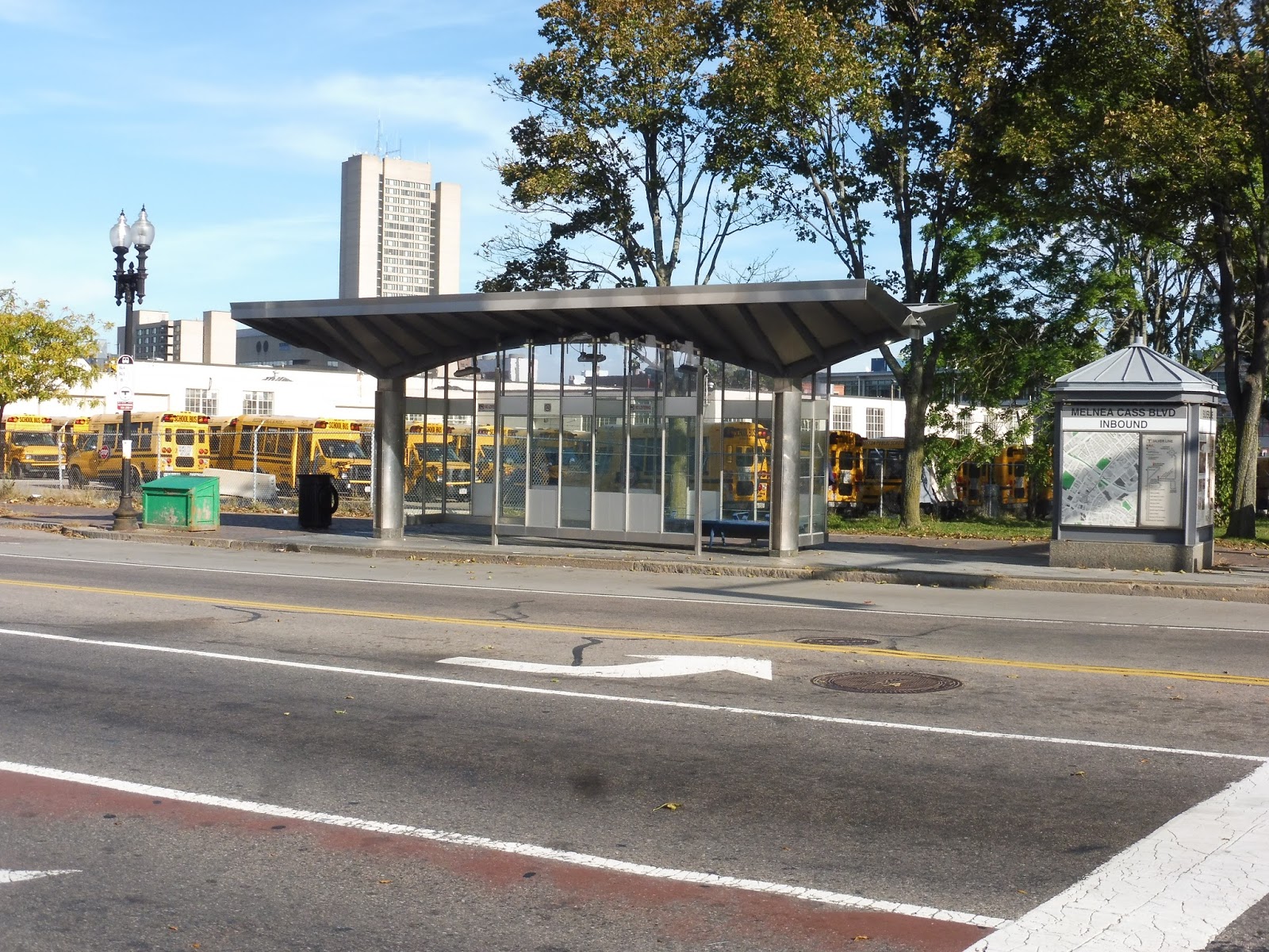 |
| Good thing we have Melnea Cass Boulevard for all the school buses! |
Herald Street, East Berkeley Street, Union Park Street, and Newton Street
This is painful, but in order to say I’ve truly reviewed every MBTA rapid transit stop, I kinda-sorta have to do the Silver Line ones too. Yup, I’ve stooped down to reviewing literal, actual bus stops. This should be interesting…
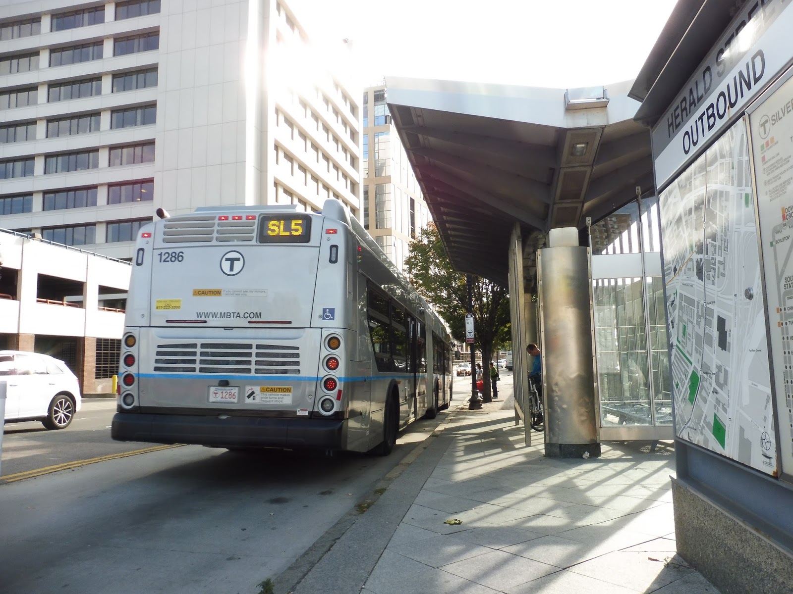 |
| A bus leaving Herald Street. |
 |
| The inbound stop for East Berkeley Street. |
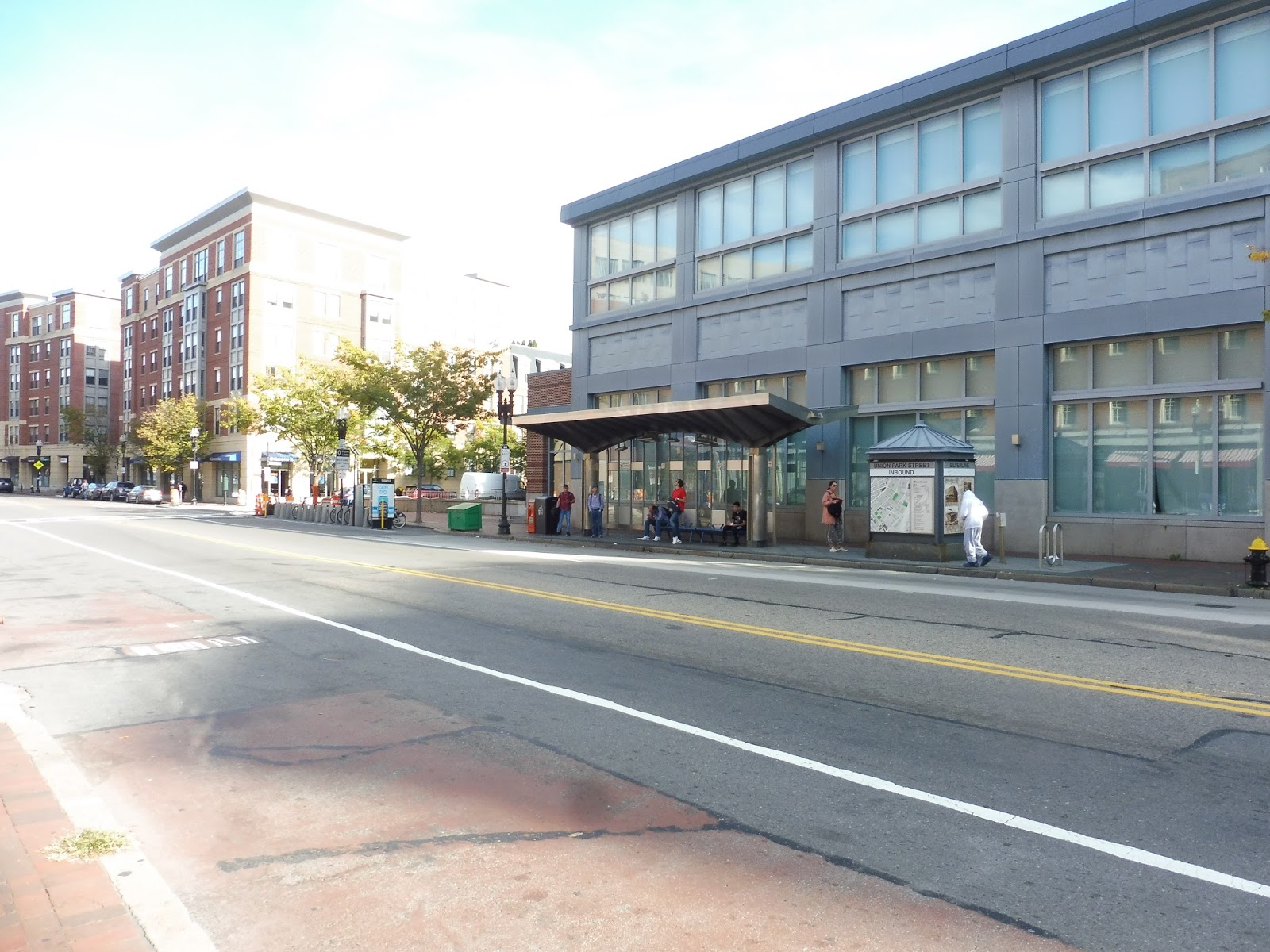 |
| Pretty busy for a Sunday – the inbound Union Park Street stop. |
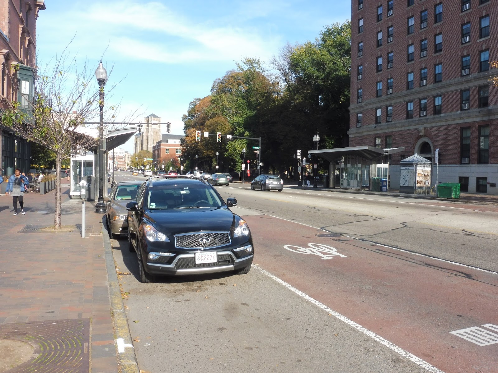 |
| The two sides of Newton Street. |