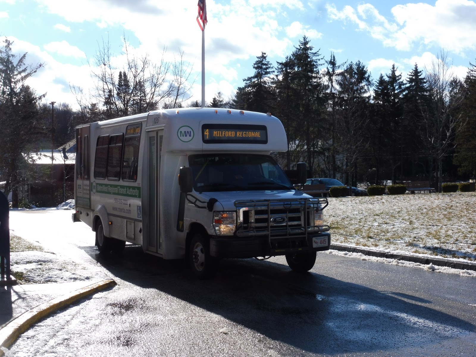
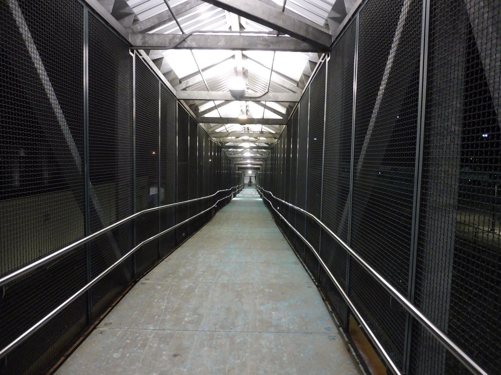
MWRTA: 14 (Milford)
Back at the end of August 2016, the MWRTA quietly added a new route to its network: the 14, a loop around the town of Milford. The only advertising it got, as far as I could find, was a few small articles in local newspapers. This doesn’t seem to have contributed positively to ridership…
 |
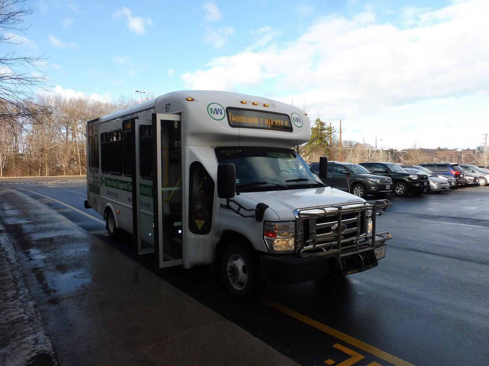
| Oh no, the “1” is cut off! |
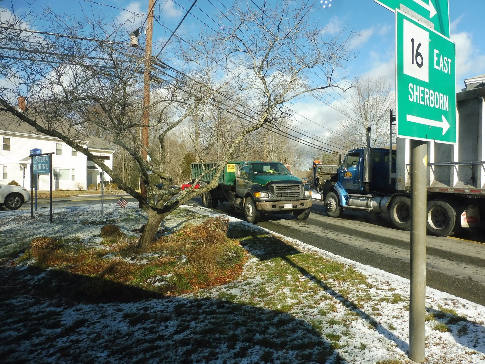 |
| The intersection with Route 16. |
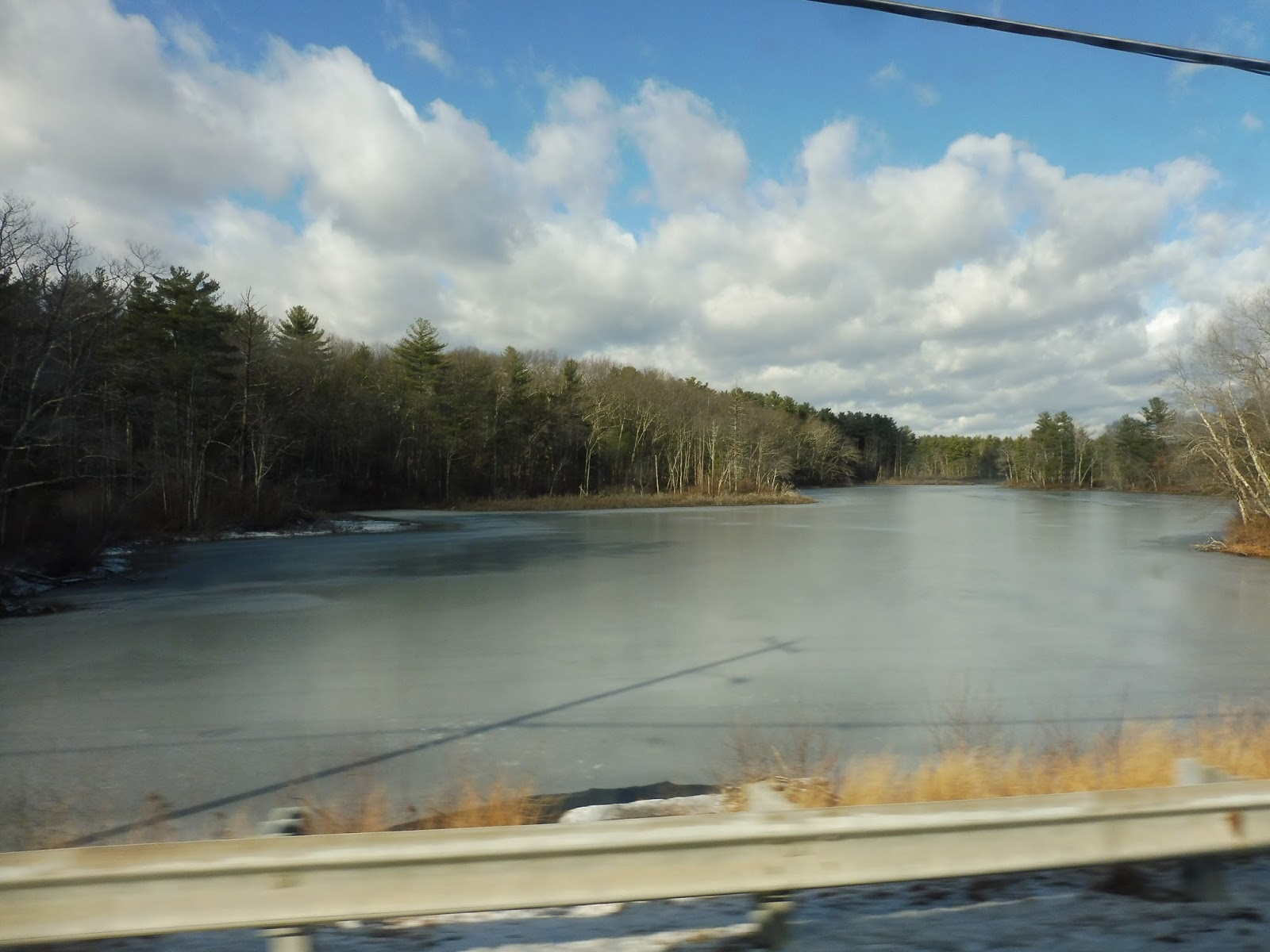 |
| Oh yeah, we also went by a pond! |
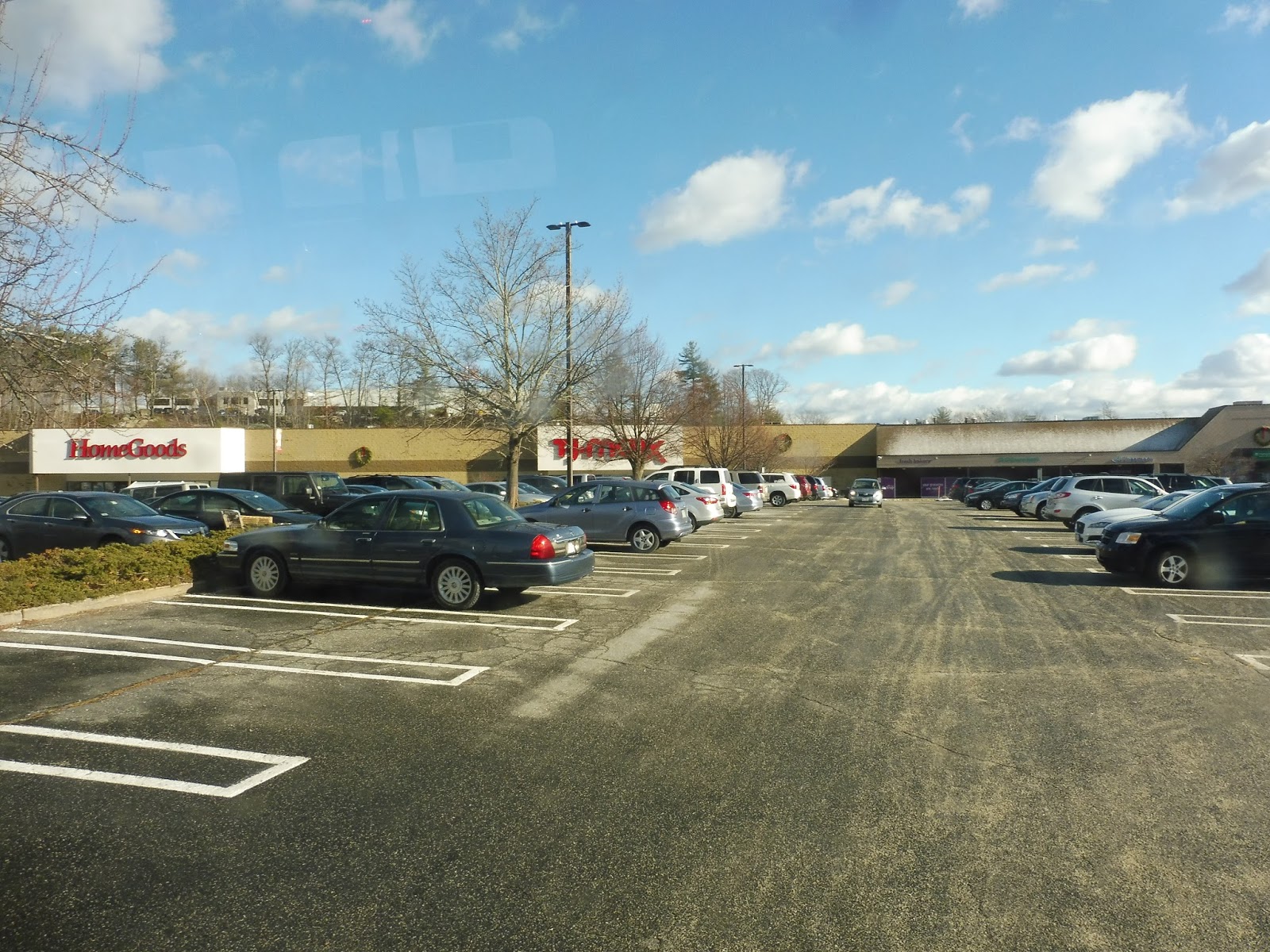 |
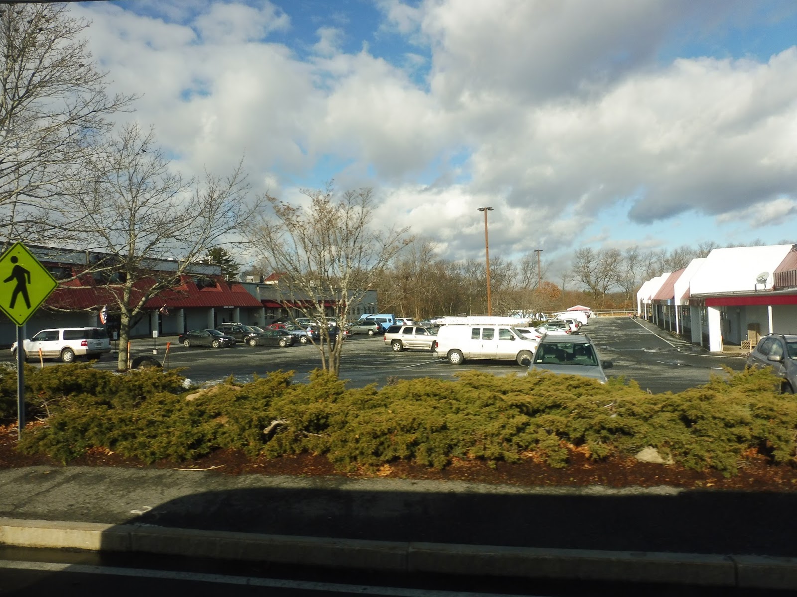
| Nothing like a mall deviation to spice up an RTA route! |
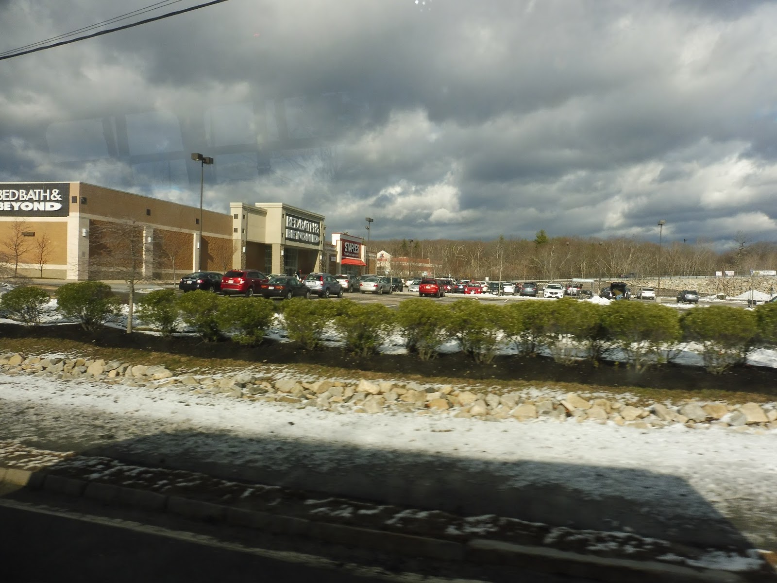 |
| Alright, alright, we get it! Malls! |
 |
| Cool view! |
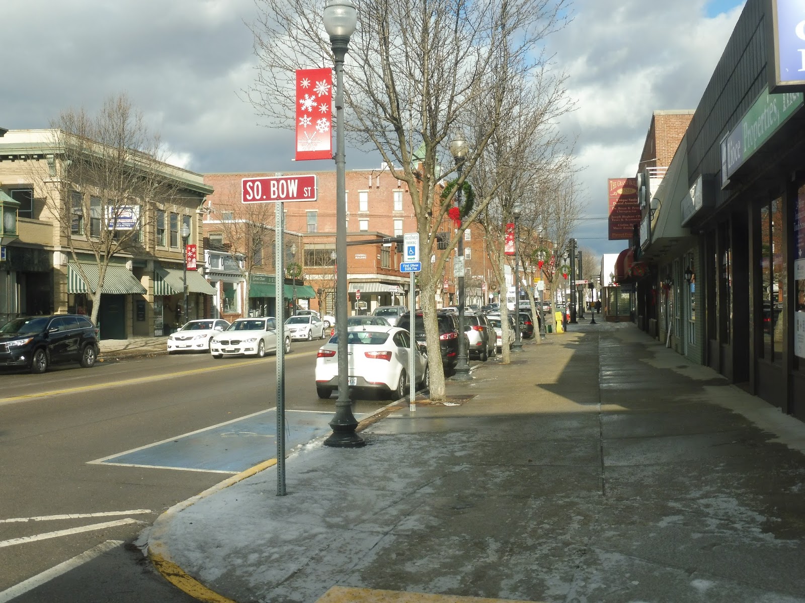 |
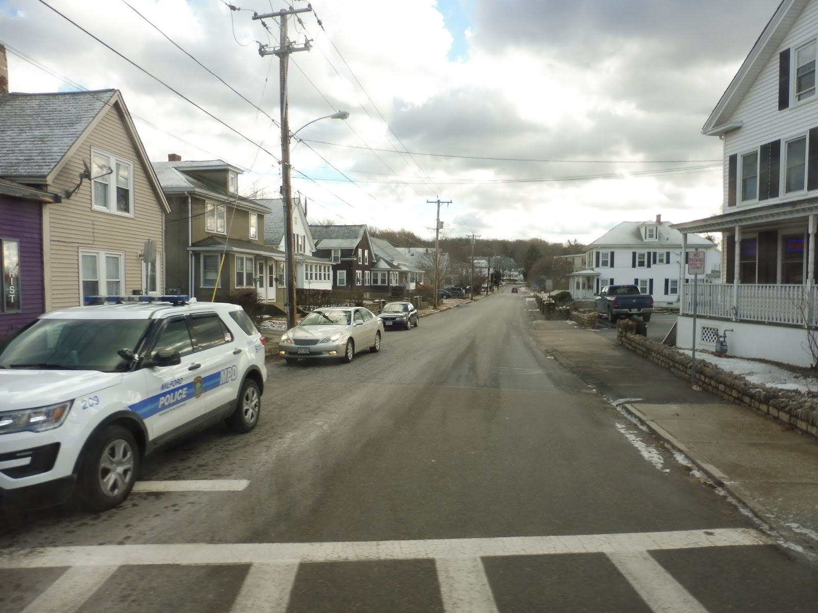
| A view of downtown. |
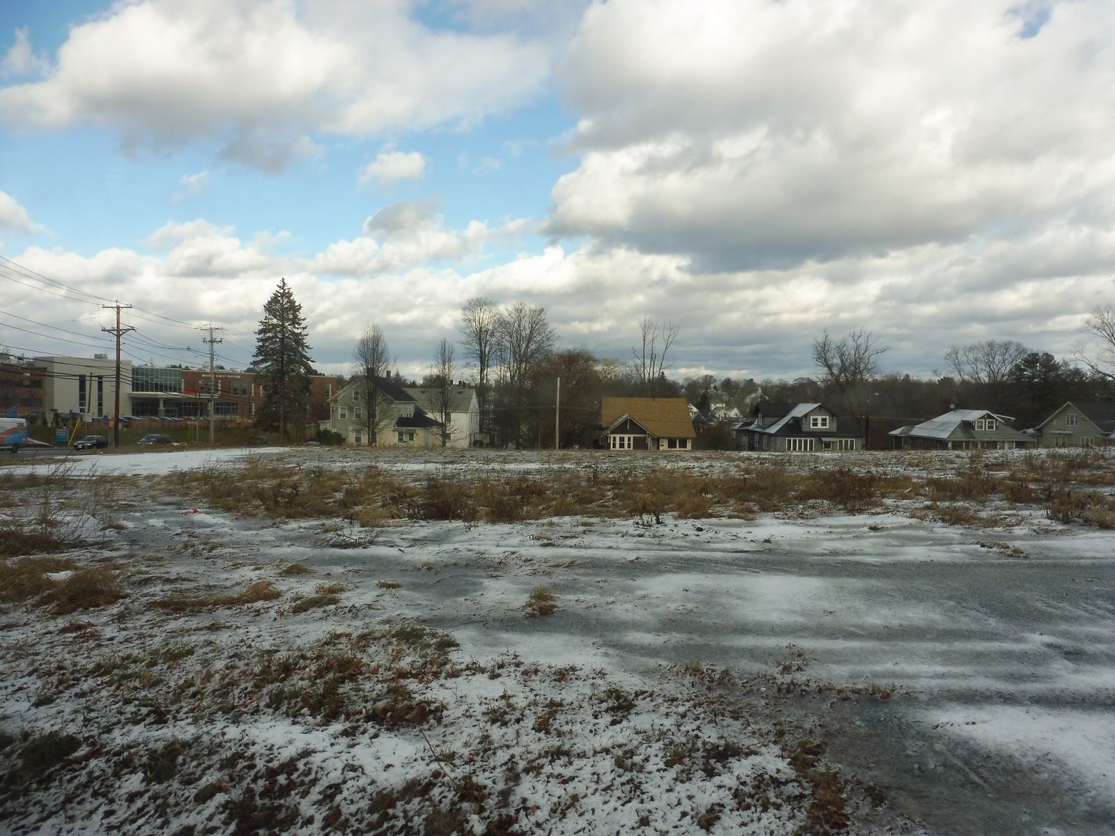 |
| What an interesting view! |
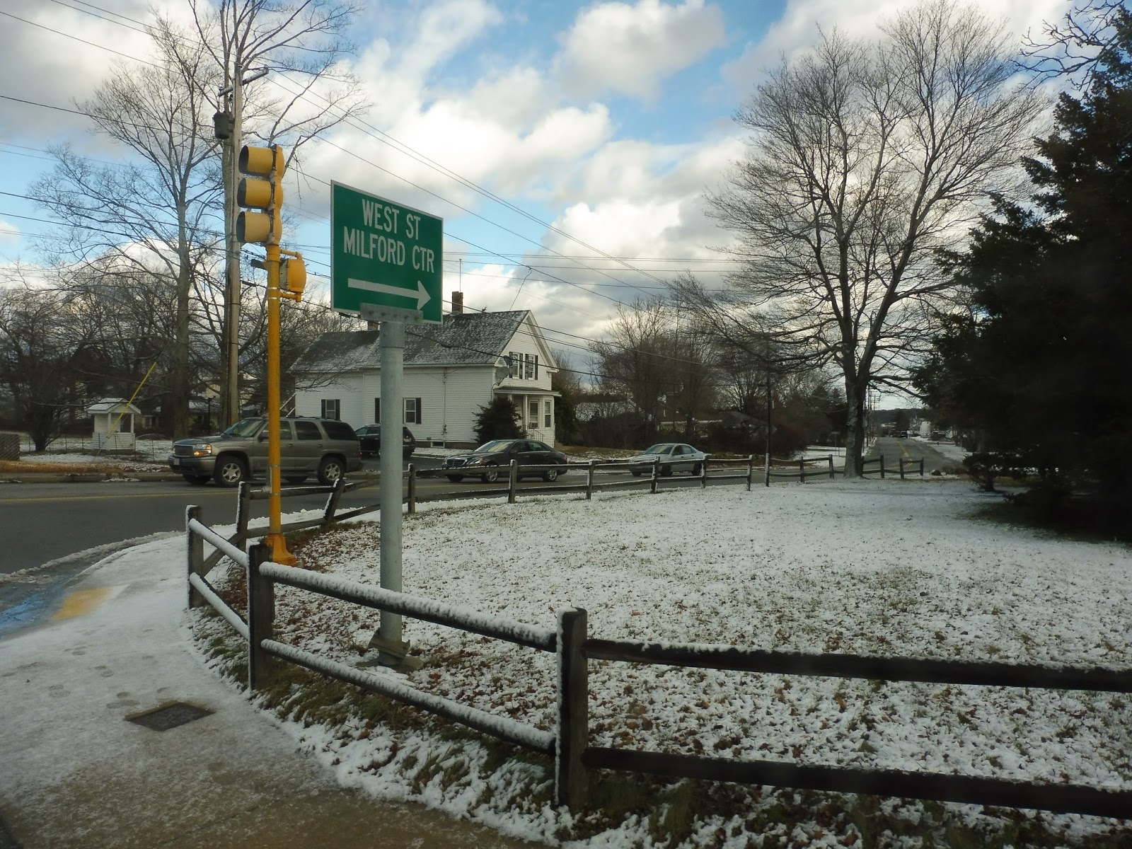 |
| The intersection with West Street. |
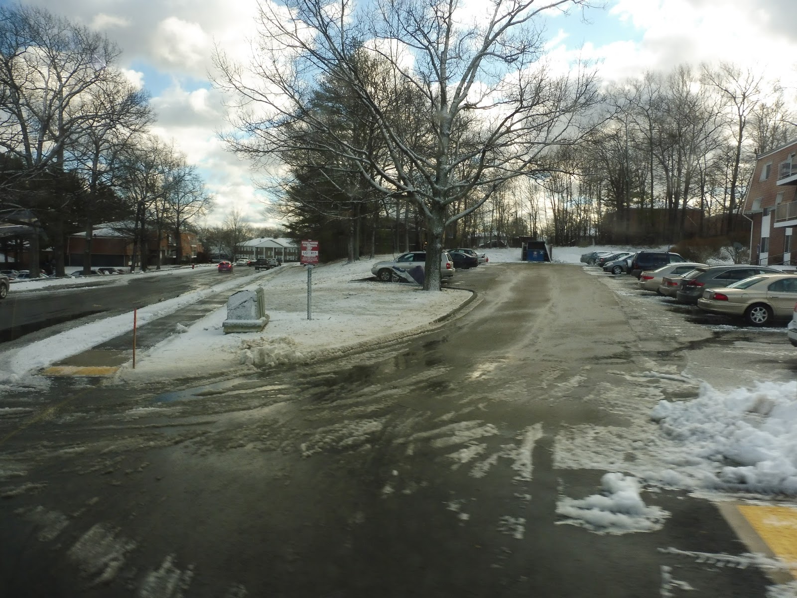 |
| Inside the development. |
 |
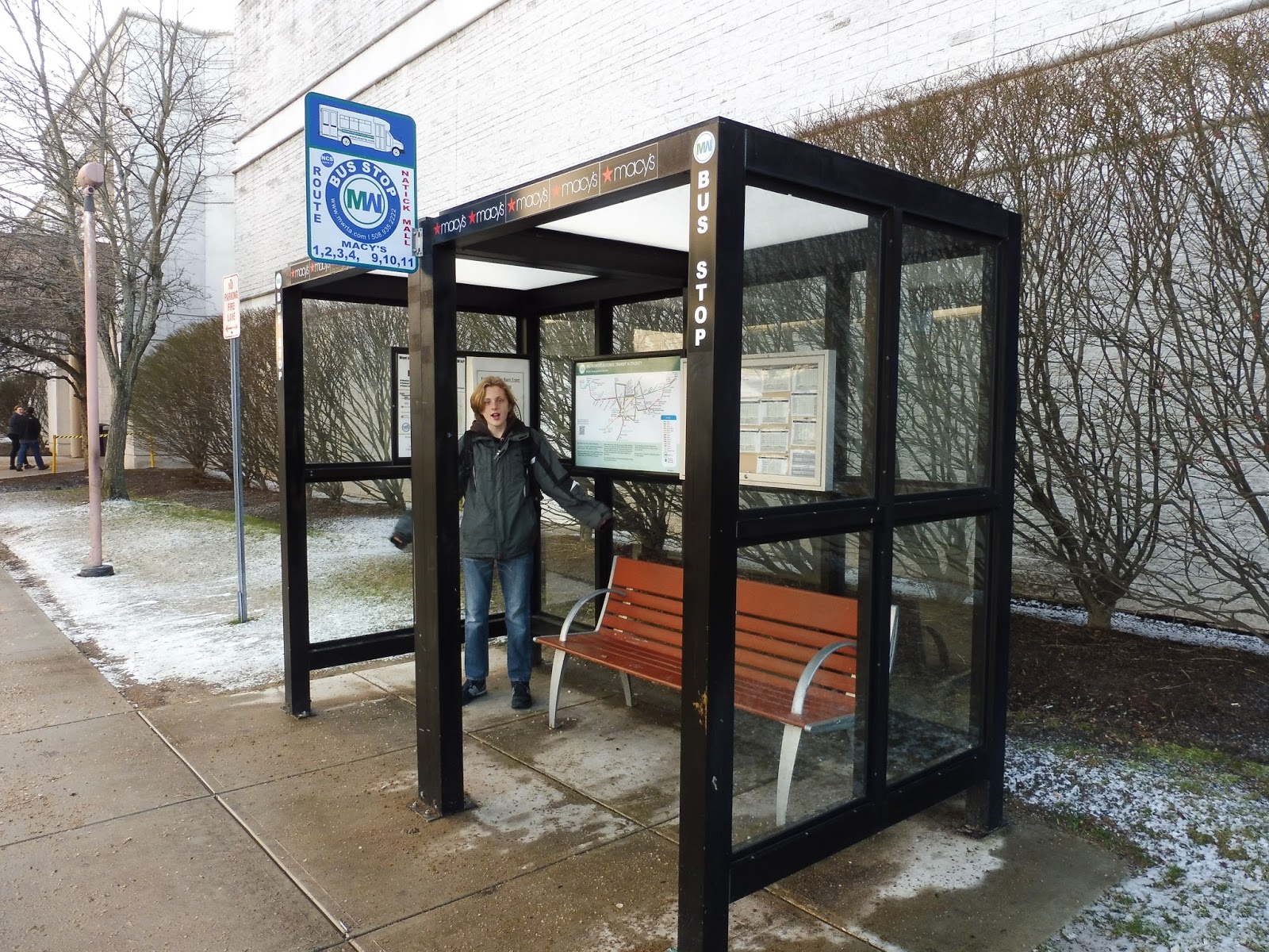
| Hey, look, an actual stop! With a sign and everything! |
 |
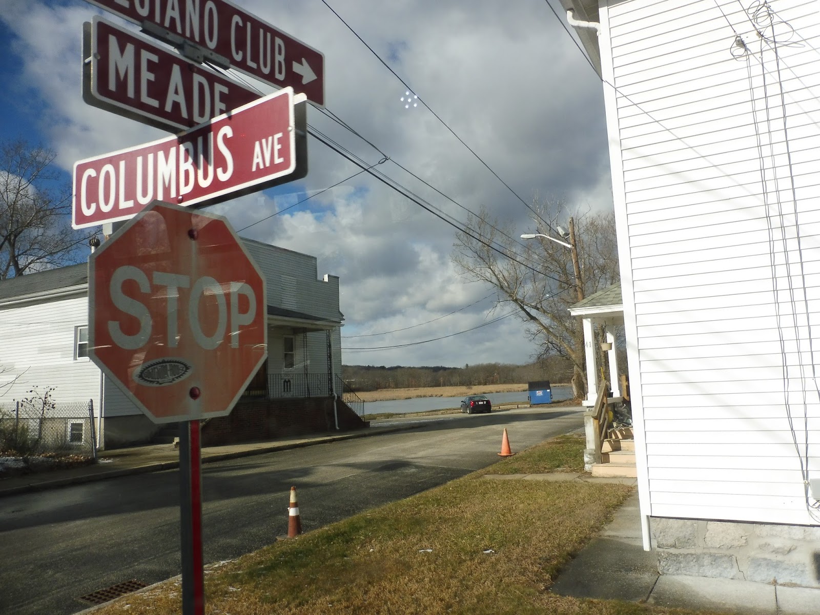
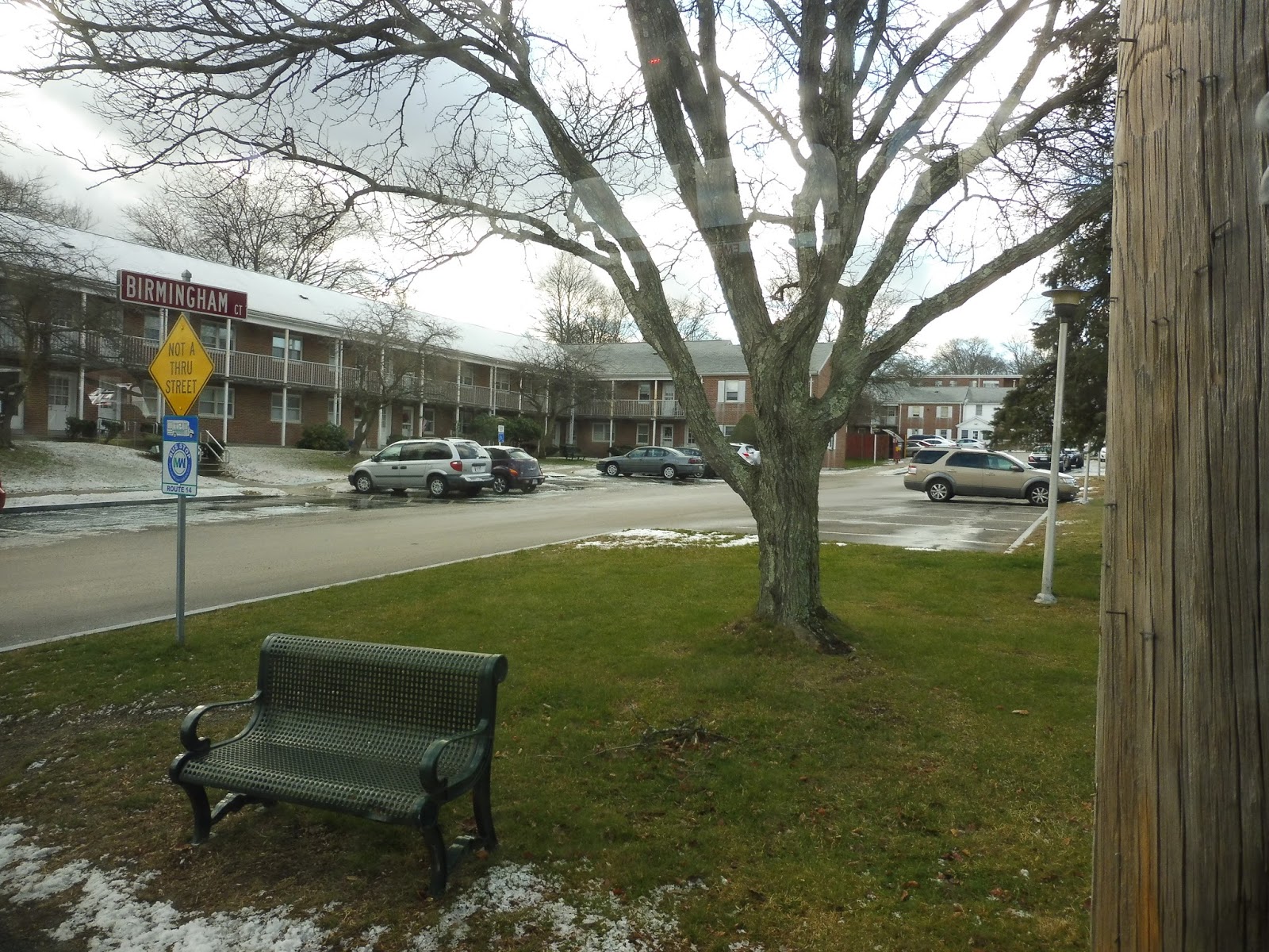
| A side street. |
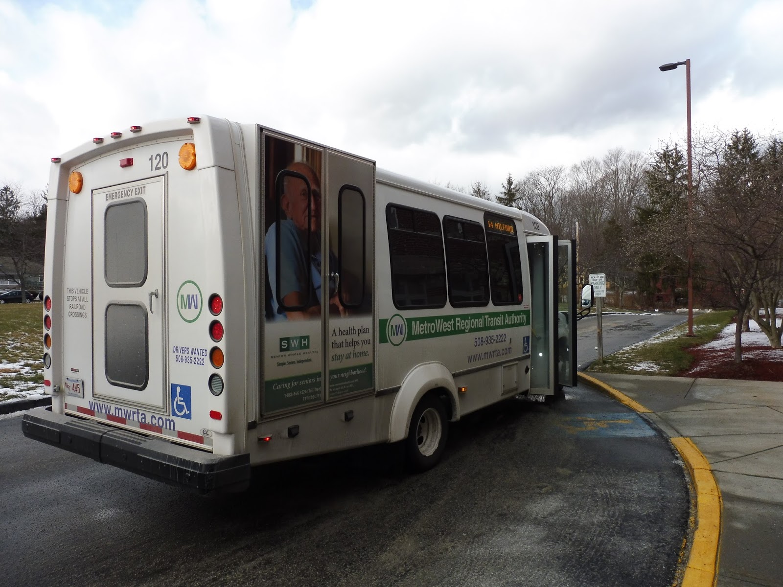 |
| The bus at Mission Springs. |
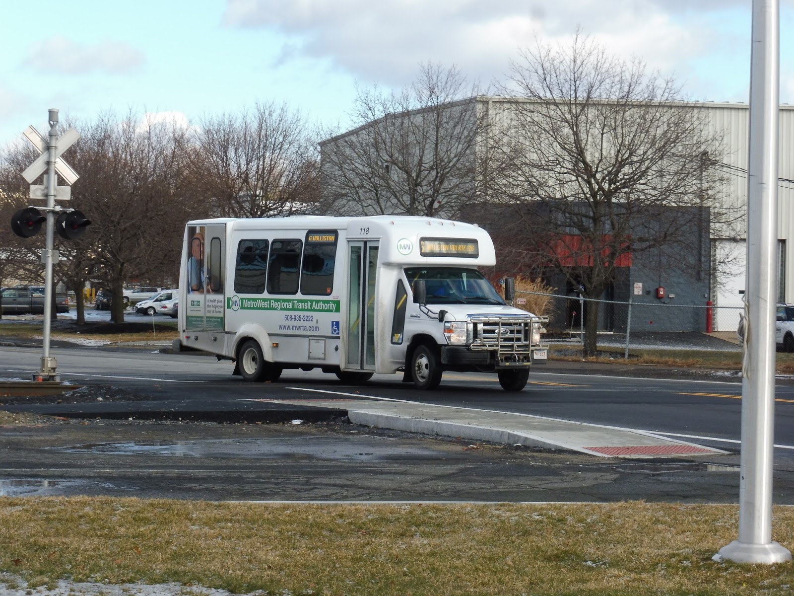
MWRTA: 6 (Holliston/Milford Line)
Oh geez, how do I come up with a catchy introduction for a route to a town as uninteresting as Holliston? Eh, I’m not even gonna try. Here’s the 6!
 |
| The bus coming into the Blandin Hub. |
We left the Blandin Hub onto Blandin Ave, then turned onto Waverly Street, running alongside the Commuter Rail tracks. It was pretty industrial until we reached Concord Street, which is the main drag of downtown Framingham – there were some businesses here. We continued down Waverly Street for a bit in order to serve Framingham Station, then we turned onto Cedar Street, then Claflin Street.
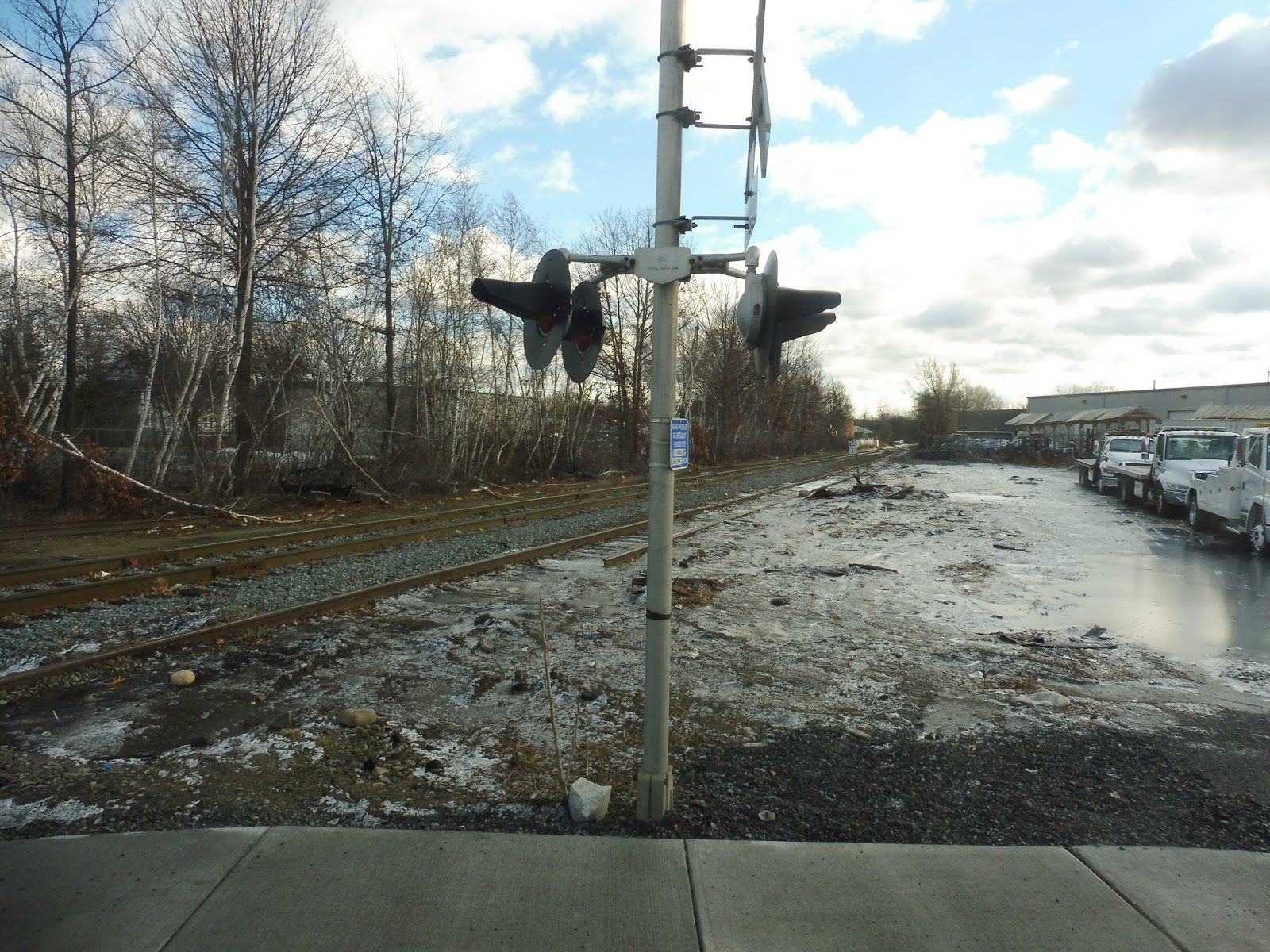 |
| There are so many railroad tracks in Framingham… |
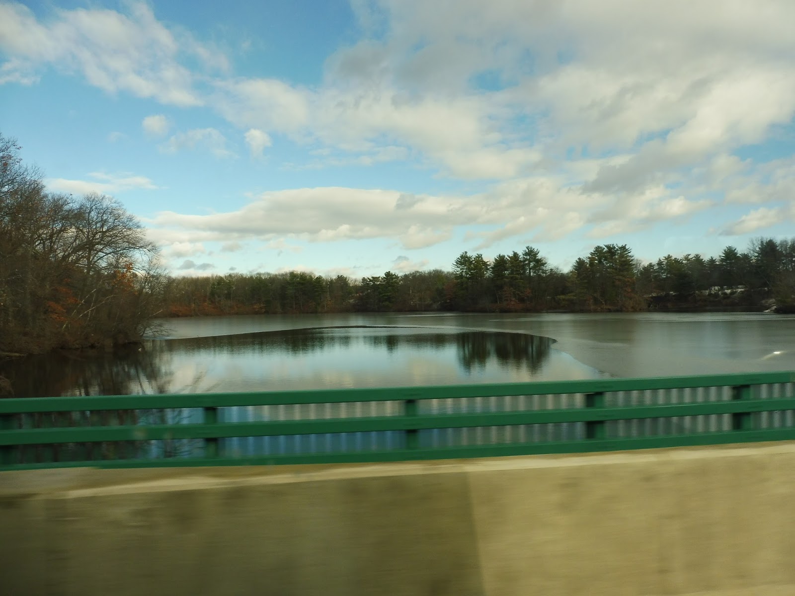
Claflin Street was a mix of industry and houses, but it was also a short street – we were only on it to get to Hollis Street, which was a main road. We passed a few more industrial buildings and a few businesses, but the street was primarily lined with houses. For a few brief moments we came up alongside a pond, while we passed a CSX yard on the other side.
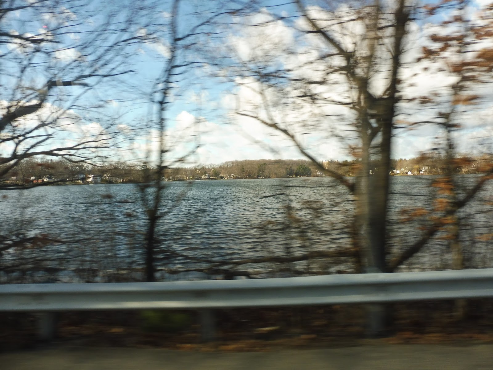 |
| The pond! |
Now in Ashland, we passed some more houses, then a shopping plaza. It had a good amount of stores. but the timepoint is just referred to as “Market Basket”. There was a brief section of woods, then some businesses and industrial buildings. We also went by the entrance to a gigantic housing development.
 |
| What a boring parking lot… |
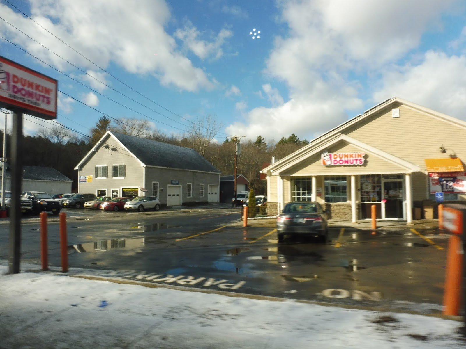 |
| Were they nice businesses? Nope. |
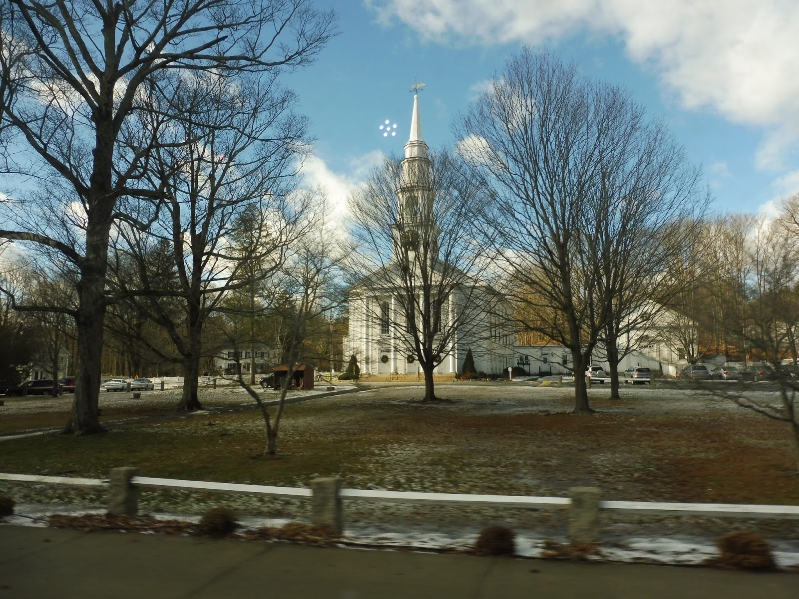 |
| That’s a really charming church! |
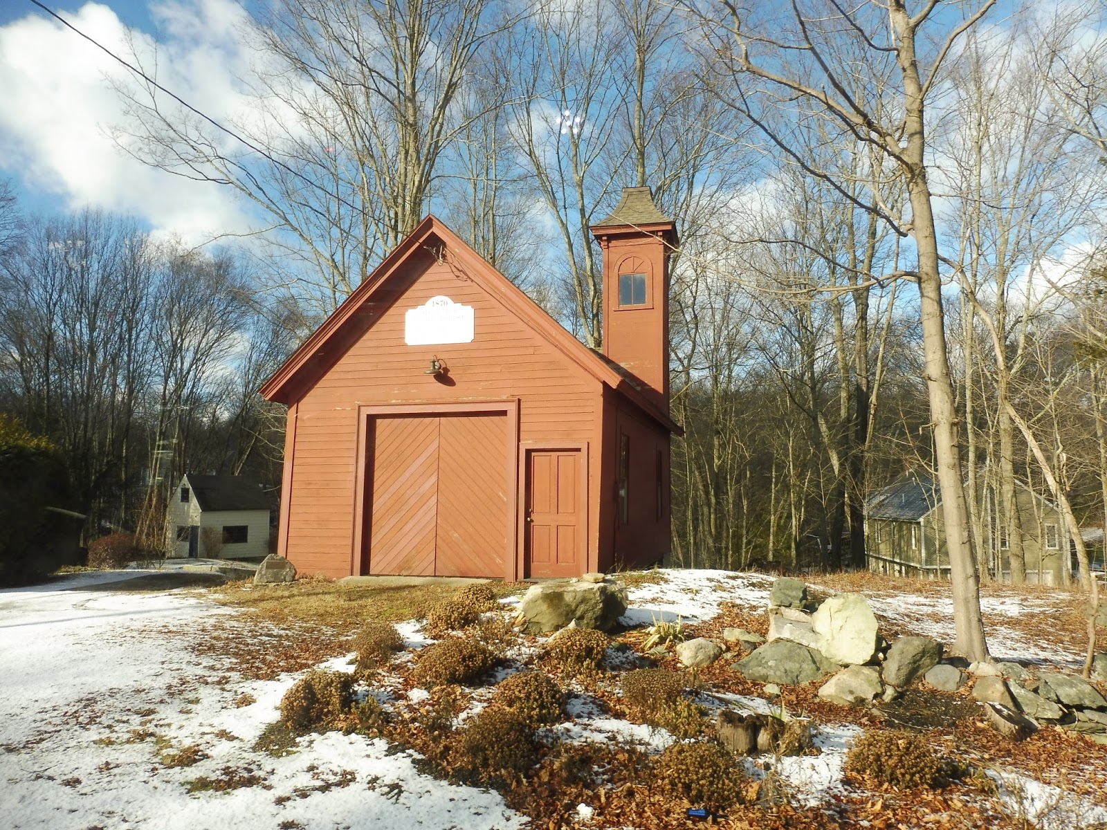 |
| I don’t have another bus picture, so here’s a cool historical building! |
River Works (Video Review)
Enjoy our video review of River Works Station!
River Works
Awwwww yeah, here we go! It’s the station I thought I would never be able to visit! River Works is a Commuter Rail stop meant only to serve the GE River Works facility in Lynn, and thus is only open to its employees. Thanks to a connection on the Commuter Rail, though, Nathan and I were able to check the place out, and it was quite an experience!
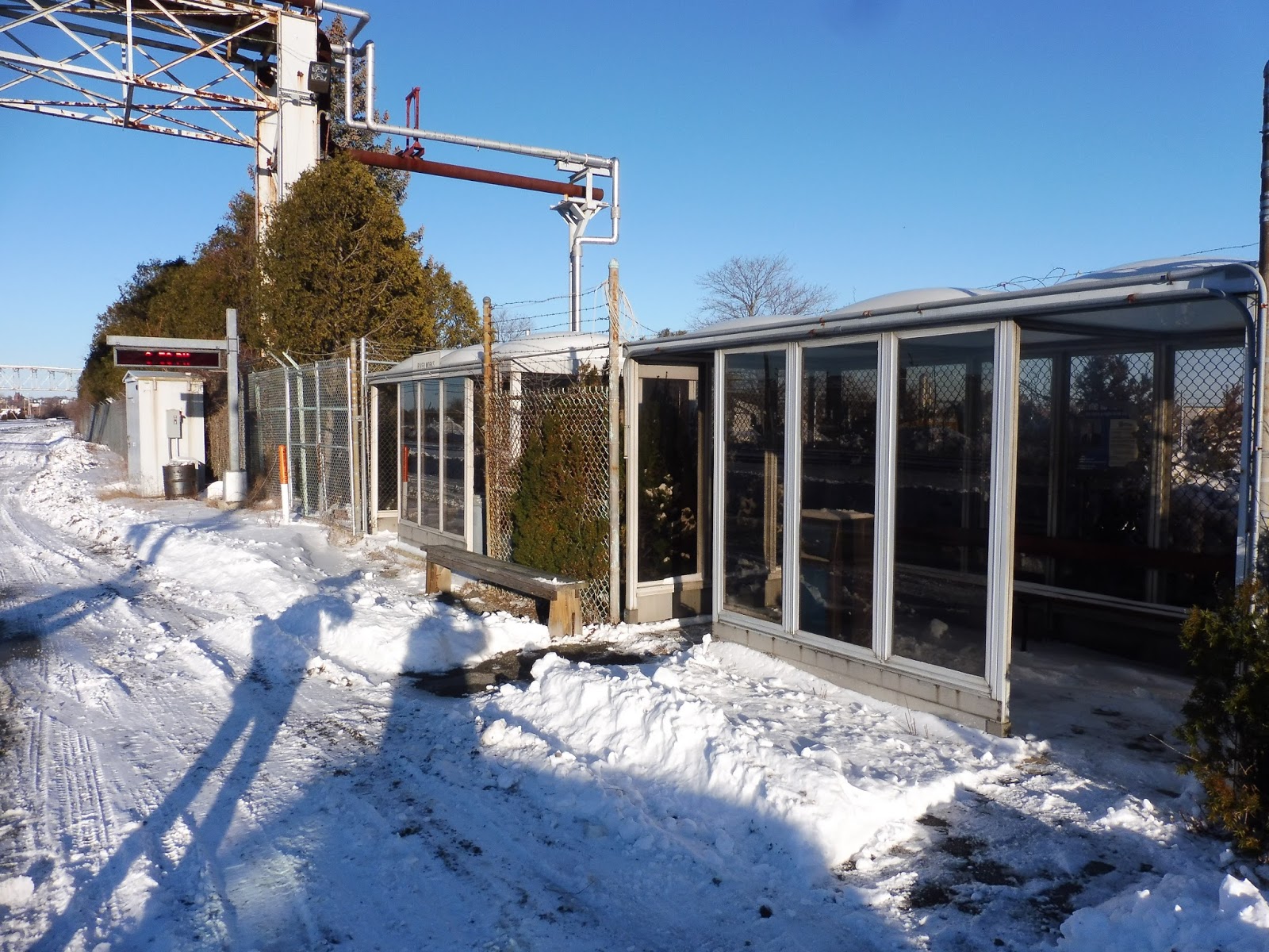 |
| The outbound side. |
The outbound side of the station is notably worse than the inbound, despite the fact that more people travel that way from here. This side features two old shelters with peeling metal paint, benches, and wastebaskets. Inside one of them is a super old poster featuring the “MBTA Customer Bill of Rights” and some old Commuter Rail chief. There’s also a wooden bench outside just chained to the barbed-wire fence – I guess no one will be stealing that!
 |
| Trim the hedge, I can’t read the scary signs! |
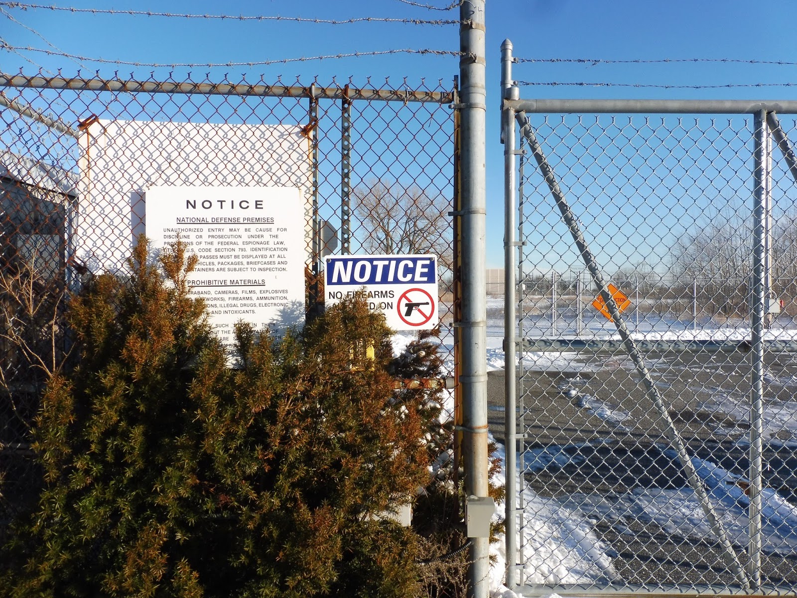
This side also has a screen with a third, horrible wastebasket next to it. Next to the shelters, there’s a gigantic gate leading into what looks like a complete no-man’s-land from here to the Lynnway. Imposing signs on the gate warn against trespassing, while on the other side there’s a message instructing passengers to call Amtrak if there’s a railroad emergency. Amtrak definitely doesn’t serve this place, guys…
 |
| The outbound side from a little further. |
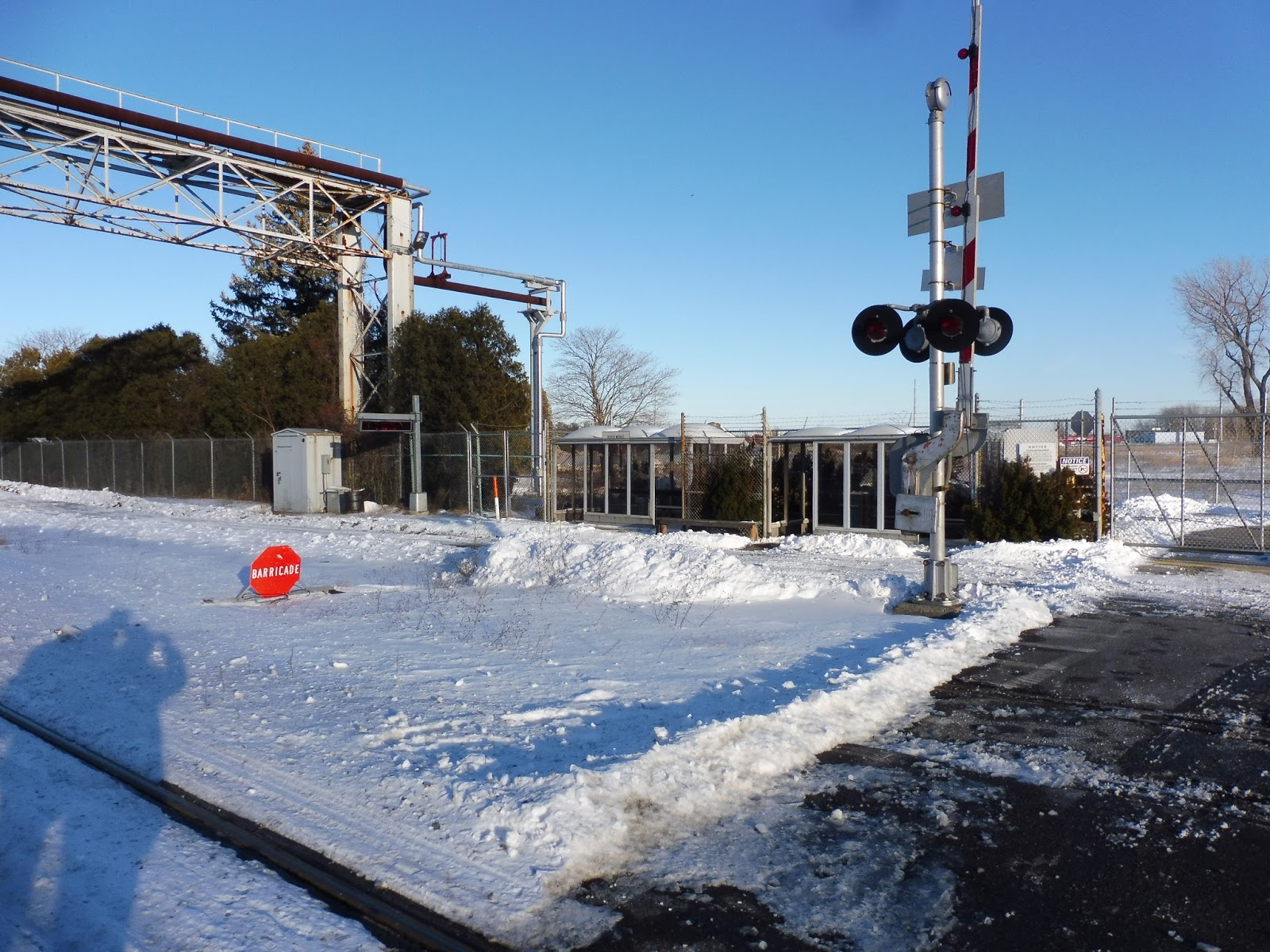
The outbound boarding procedure is a complete mess, by the way. The shelters are separated from the tracks by a private road that just kinda runs alongside them. Plus, there’s not even a proper platform on this side, so passengers have to duck under the level crossing as the train’s approaching in order to get close enough to board!
 |
| The inbound side. |
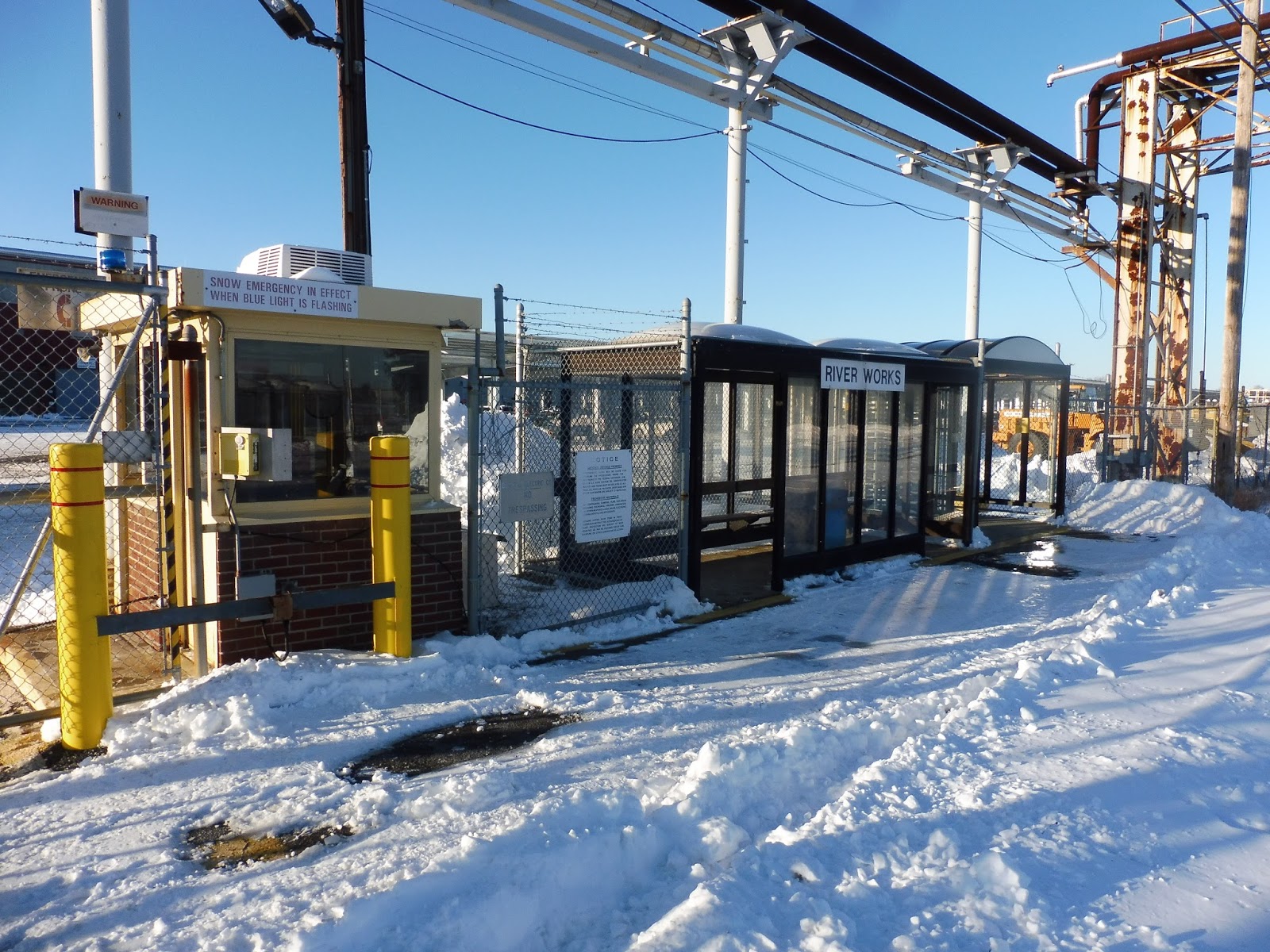
Now, as a big yellow line running along the ground indicates, the inbound shelter is actually within GE property. It’s arguably the best shelter here – it’s modern, big, and features a long bench with a wastebasket. Also on this side is another imposing gate, this one leading into the facility itself. We actually saw this one open, as the operator shift for the Commuter Rail drawbridge was changing, and I can now say that it’s very creaky when it moves.
 |
| The “fare gate”, as it were. |
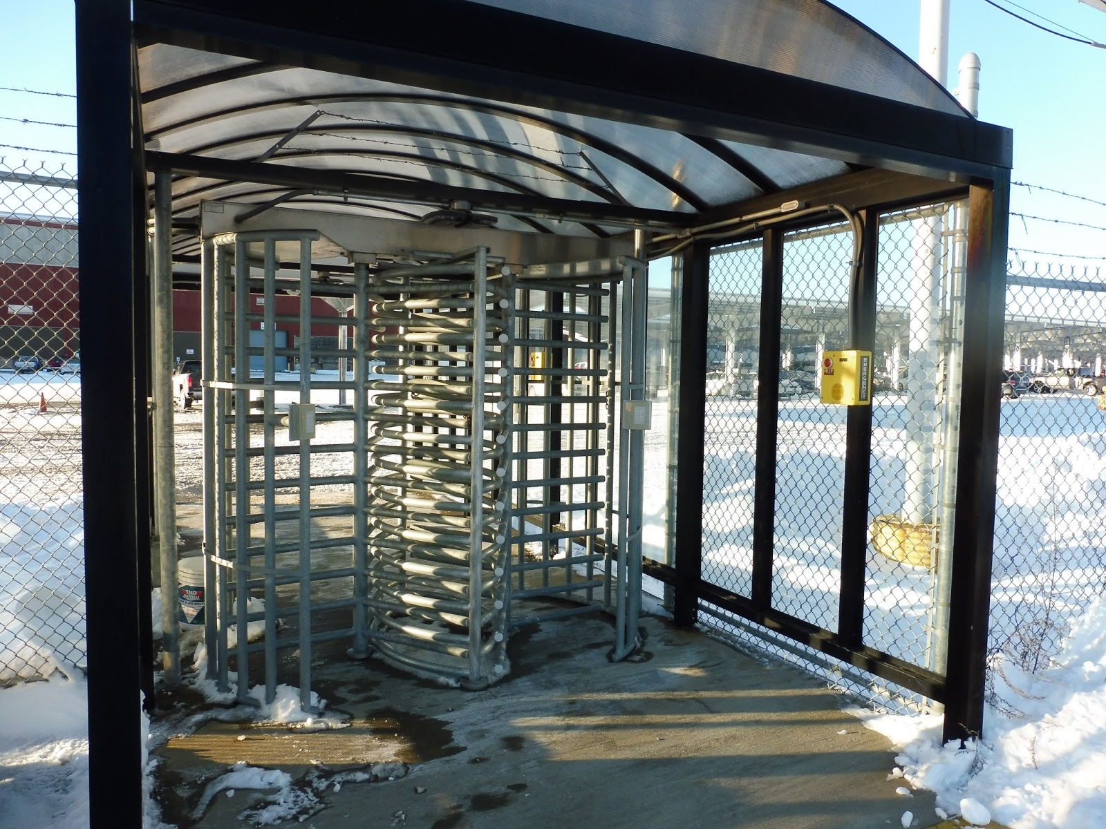
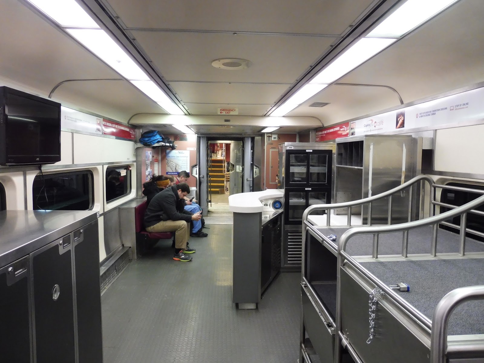
And now we get to the big behemoth of an entrance this place has. To get both in and out of this station, you have to present an ID card (Tap? Swipe? We couldn’t tell.) and type in a secret code on the keypad! That unleashes one of the huge creaky turnstiles (there are two) to allow access in or out of the GE facility. They’re really not joking around with the whole employees-only thing, are they?
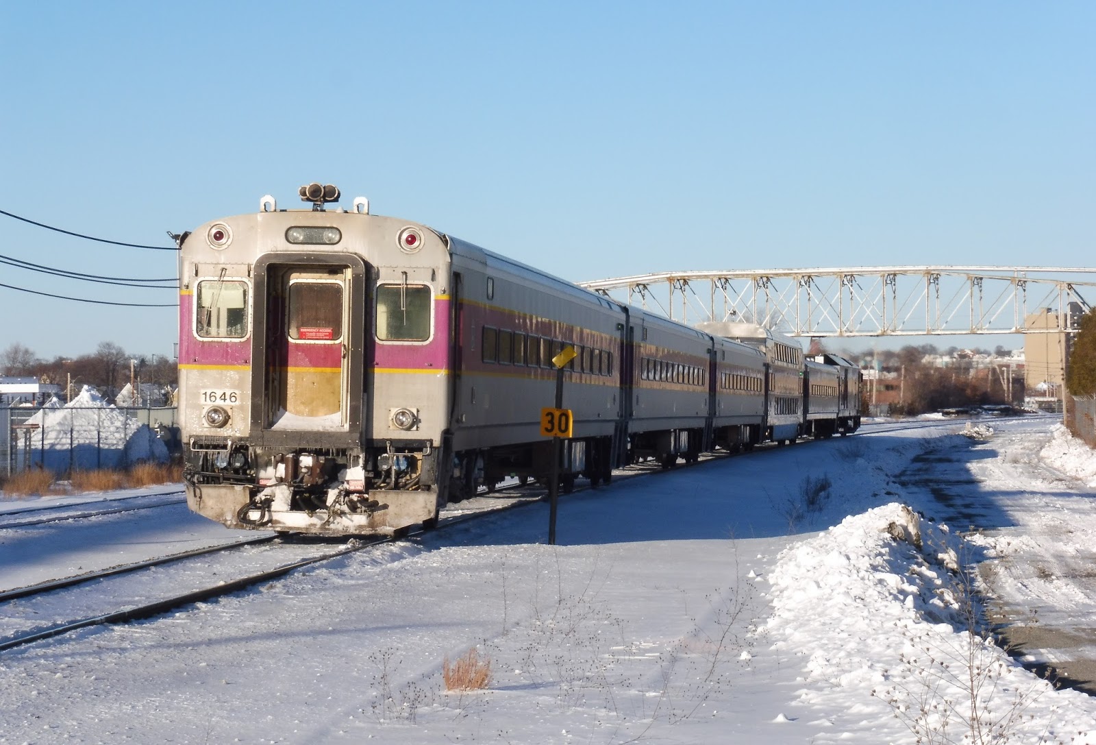 |
| A train heading out. |
Station: River Works
Ridership: Okay, the ridership stats given in the Blue Book don’t tell the whole story here, since the Blue Book only covers inbound riders – River Works gets an average of 56 per day. However, many more people are commuting here from outbound down the line, and I would go as far as to predict that River Works gets more outbound riders than inbound. Oh well – regardless, ridership is pretty good considering that it’s a station meant purely for employees of the GE factory.
Pros: The waiting facilities here are pretty good for such a low-service Commuter Rail station (most trains only stop here during rush hour) – it’s got lots of shelter and seating room. The keypad system for getting in is also really cool, and prevents any outsiders (like Nathan and I, to be perfectly honest) from entering GE.
Cons: The outbound platform is significantly worse than the inbound side. Why is it bisected by a road? Why do people have to board on the other side of the gates for the level crossing? Why is there a super old poster rotting away in there? This is where the majority of people are going – I need answers!
Nearby and Noteworthy: If you’re a GE employee, then work is nearby and noteworthy. If you’re not a GE employee, then…well, you probably shouldn’t be here.
Final Verdict: 5/10
Essentially, this is a stark imposing station for a stark imposing facility. It offers a lot of shelter and benches, and it’s nice that the factory gets its own station for commuters, but the outbound platform (and generally the whole area) just looks terrible. It also has that horrible boarding procedure, which is just ridiculous. But hey, the inbound side is good! And the station features that keypad turnstile – can’t beat that!
Latest MBTA News: Service Updates
A big thank-you to John Arico for arranging our visit here. Also, we filmed a video review of River Works, so stay tuned for that tomorrow!
MWRTA: Blandin Hub
Like the GATRA’s Bloom Terminal, the MWRTA chose to locate its hub at its main yard. This is a boon for scheduling, since you can have buses and drivers start shifts mere minutes before their trips. Of course, you may remember that the Bloom Terminal was absolutely terrible – the MWRTA’s Blandin Hub isn’t quite as bad, but it certainly ain’t good!
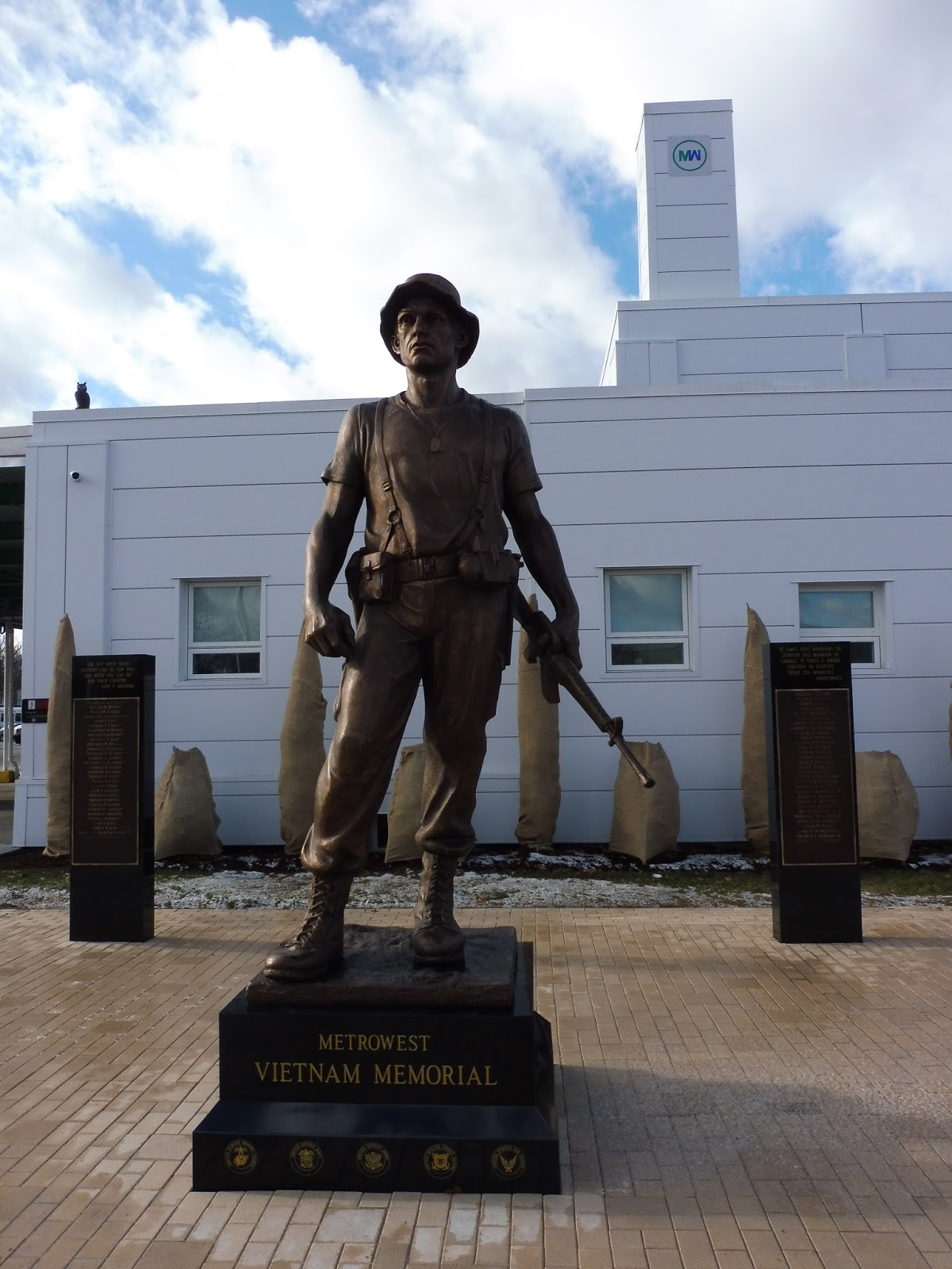 |
| A statue outside the building. |
I will say that the hub’s entrance is very nice. A path offers a more direct route to the hub from downtown Framingham, although it’s still pretty out of the way – why can’t pedestrians use the alternate employee entrance from East Street? Outside the main entrance, there’s a memorial to citizens of the MetroWest area who fought in the Vietnam War.
 |
| And once again, Sam strikes a pose. |
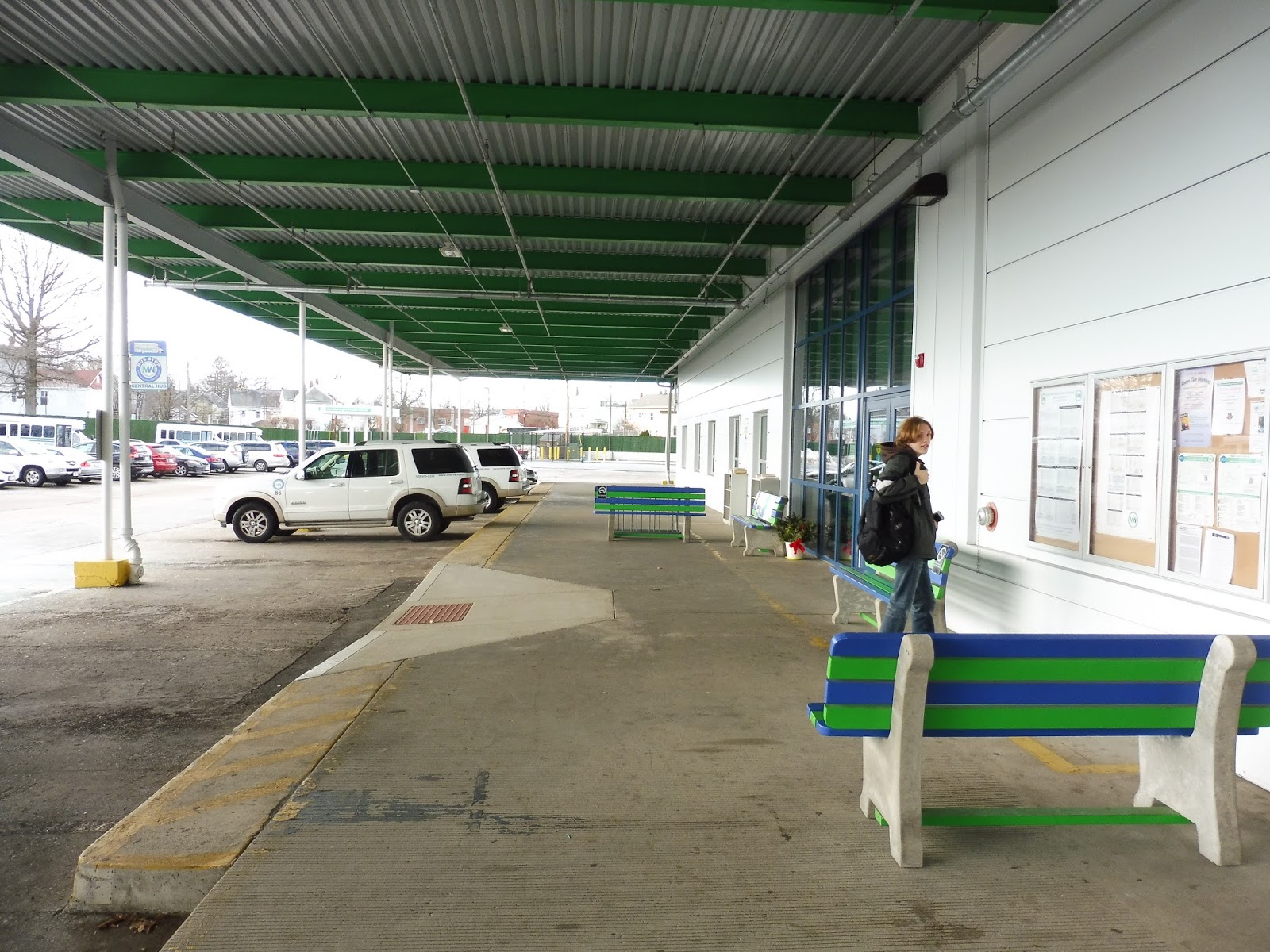
Ouch. Yeah, the waiting area of the Blandin Hub is less-than-impressive. There’s a board with schedules for all the routes and three benches haphazardly spread around. One of them has a tiny bike rack hidden behind it. It’s all covered by a really boring metal shelter. The one cool thing about this area is the bookcases – the MWRTA has a library where passengers can take out books to read while waiting for the bus!
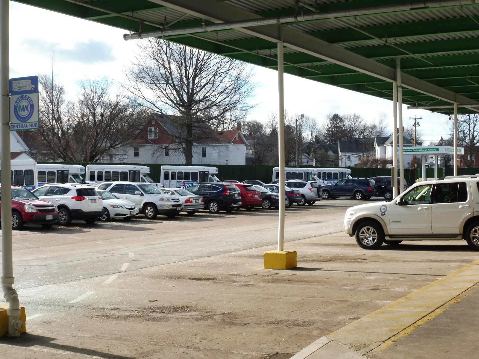 |
| Looking out at the yard. |
Right, and now I need to dedicate a whole paragraph to the stupid stupid stupid boarding procedure here. As you can see above, there are poles that prevent buses from going up to the sidewalk to pick people up. Is the solution to: A) Extend the sidewalk up to the poles so passengers can have easy, accessible boarding, or B) Have buses board on the other side of the poles and make people walk to them? Well, the MWRTA chose option B, and that’s just ridiculous. That makes buses harder to board, especially for disabled folks who have to make the step down from the curb!
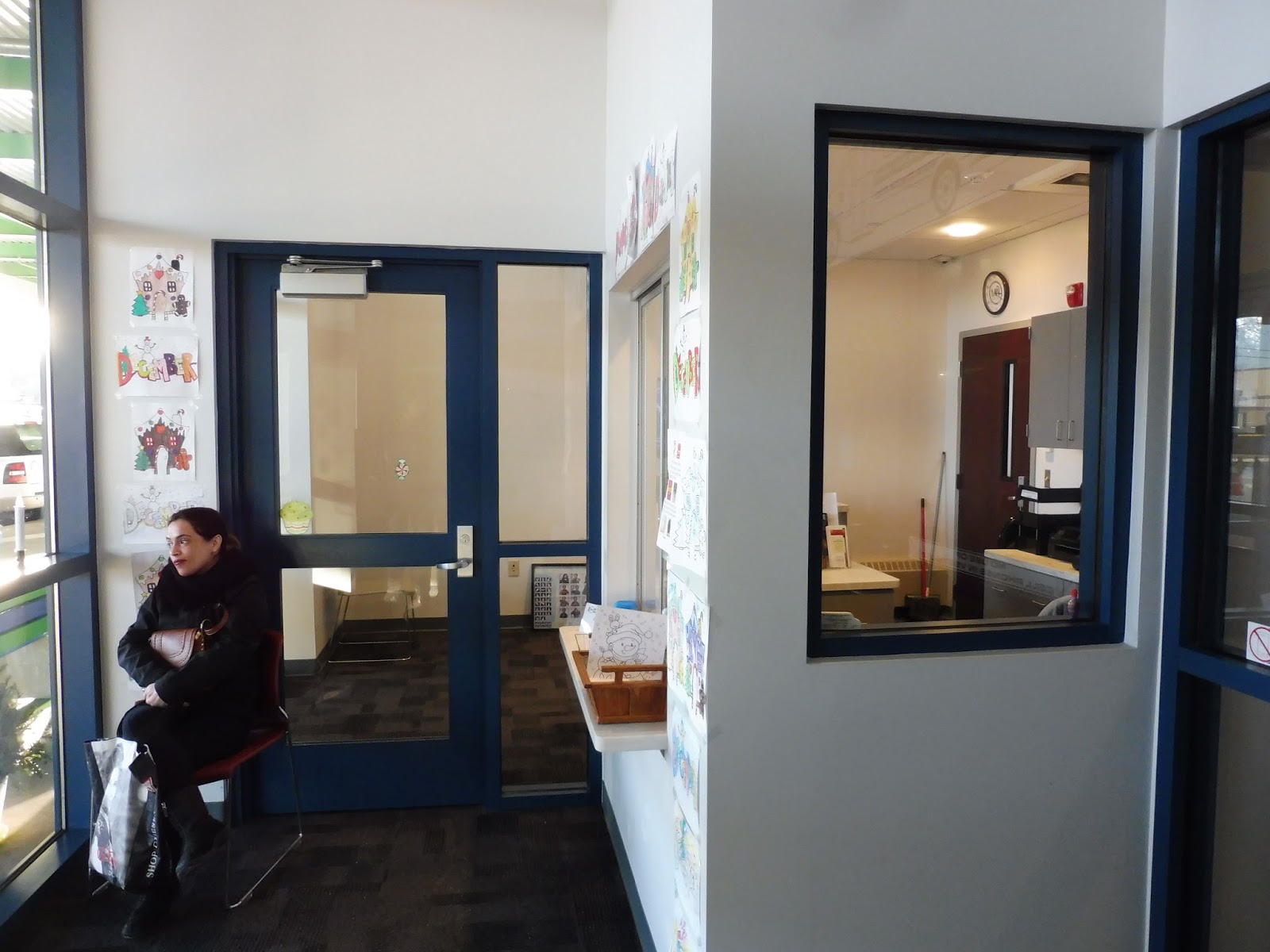 |
| The inside of the building. |
You know, the day we went to the terminal, it was pretty cold. Good thing the Blandin Hub has a spacious interior…oh wait, it’s tiny. The only place open to the public is a minuscule vestibule (hey, that rhymes!) with ONE SEAT. There’s a door further into the building, but despite a lack of signage saying so, the area is employees-only. I will say that the actual atmosphere of the building is pleasant – there are colored pictures hung up on the walls, and the receptionists are very nice. If only there was, I dunno, MORE THAN ONE SEAT.
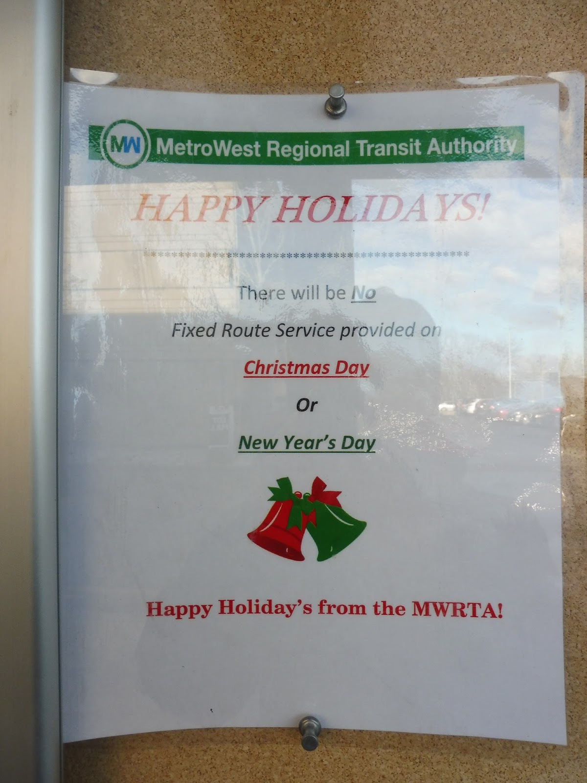 |
| Have a belated “happy holiday’s” from the MWRTA! Argh, it pains me just to WRITE it with an apostrophe like that… |
MWRTA Station: Blandin Hub
Ridership: The hub was never too busy when we were around – I think the most people we ever saw was around 6-7. I guess that about lines up with the MWRTA’s ridership, though, since the system just doesn’t get that many people.
Pros: This hub is in a much better location than their former hub, which was practically in Natick – sure, the walk from downtown is still less-than-ideal at almost 10 minutes, but it’s a necessary evil if the MWRTA is to have a proper facility like this. And there are a lot of aspects of it that I like: the outside area is all sheltered, there’s parking for bikes, the receptionists are nice, the Vietnam Memorial is poignant, and the library is a fantastic inclusion.
Cons: Firstly, the boarding procedure is just stupid, and I’m sure it’s an easy fix – how hard is it to extend the sidewalk a few feet? Also, there really should be a more robust interior here. It’s cold and uncomfortable outside in the winter, and the one seat inside is just sad. It seems like waiting here in the cold is a disagreeable experience no matter where you go…
Nearby and Noteworthy: There’s nothing interesting in the immediate vicinity, but if you walk to downtown Framingham, there’s, uh…some buildings? Look, I’ll be honest, Framingham has one of the starkest and most boring downtowns in any Massachusetts city. I don’t think it’s really worth a visit.
Final Verdict: 4/10
Yes, I do like a lot about this hub. But the experience of waiting here is just miserable in the cold! I’m sure it’s better in the summer, but even then, the benches and building are very stark, and you still need to walk out to buses past the poles in order to board. Well, at least there’s plenty of reading material in the library!
Latest MBTA News: Service Updates
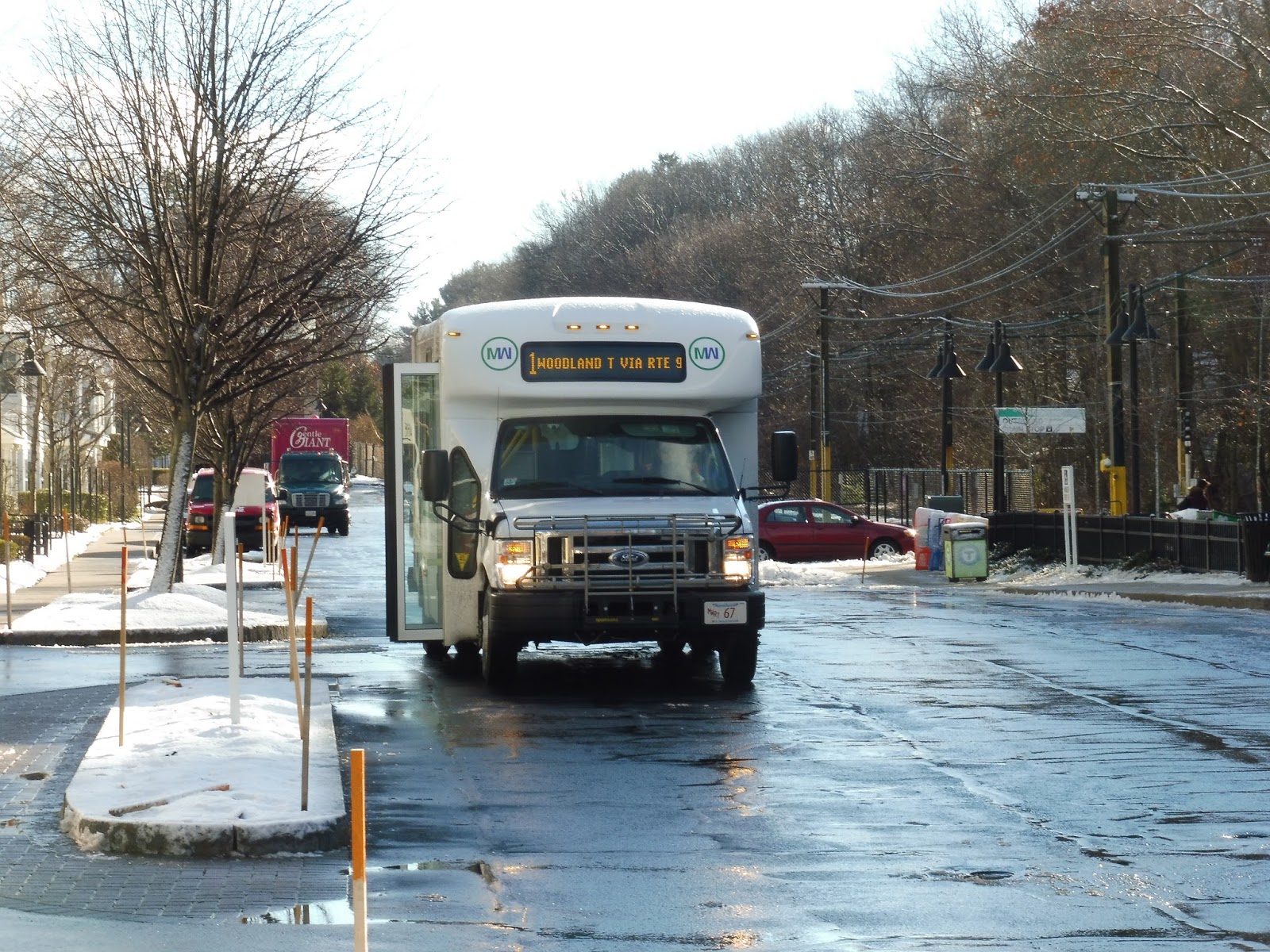
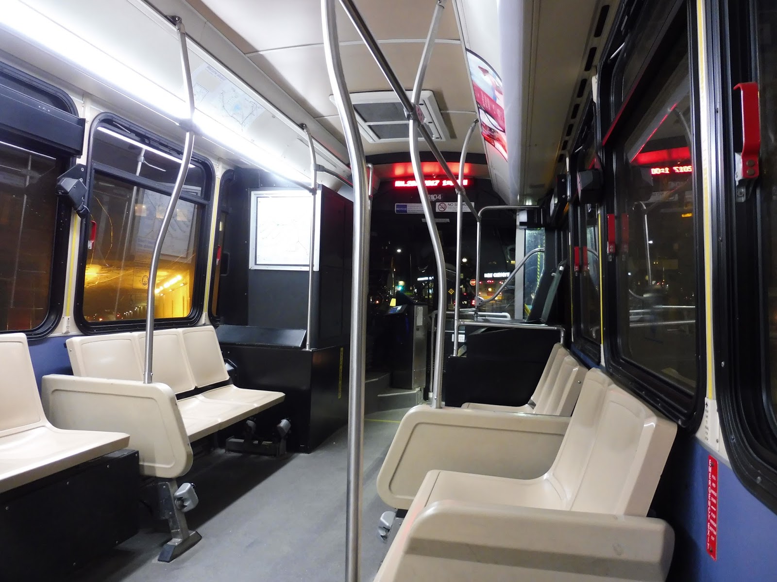
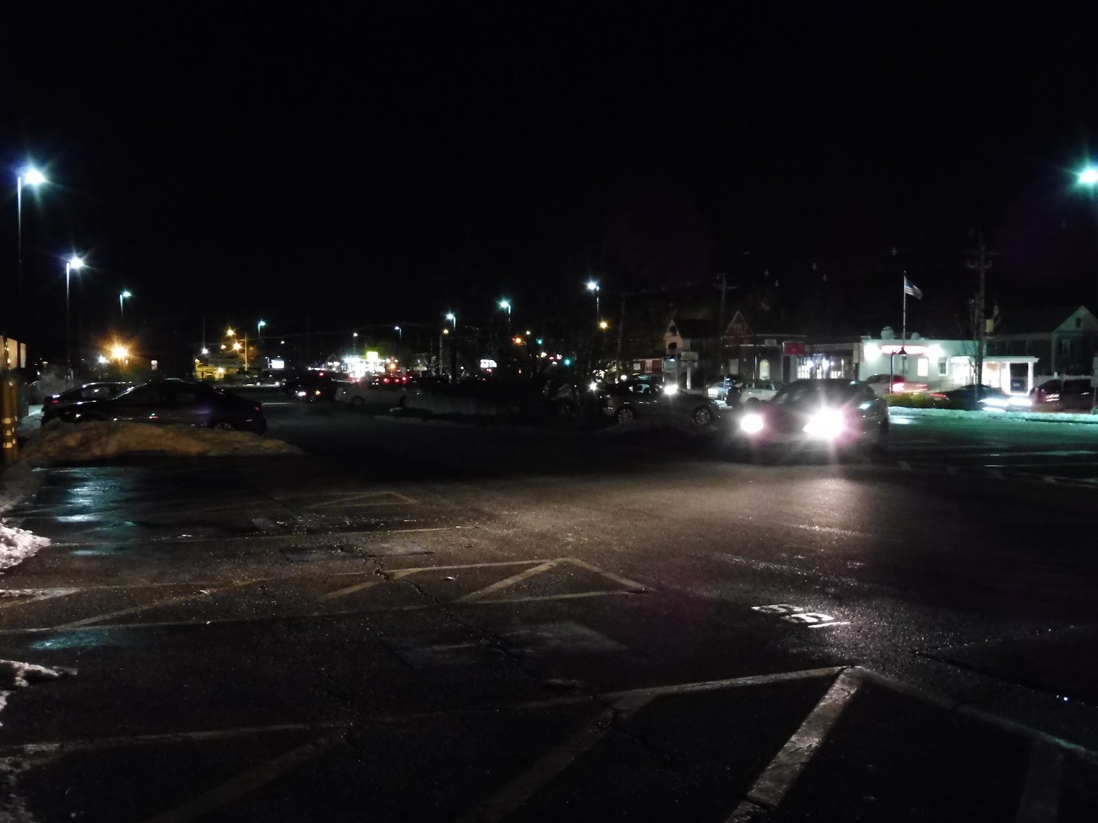
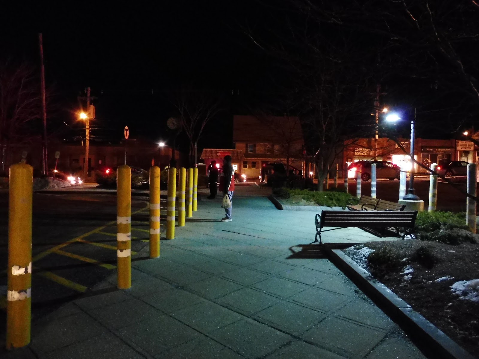
MWRTA: 1 (Woodland Shuttle)
Yeah, it’s kinda easy to forget that Woodland has a bus connection, isn’t it? The MWRTA actually runs two buses here, but the one we’re focusing on today is the 1, which goes from Woodland all the way to the Natick Mall! Not bad for $1.25, eh?
 |
| OH NO, IT’S A MINIBUS! ABORT, ABORT!!! |
Okay, it wasn’t that bad of a minibus. It was standard fare, with those classic minibus seats and a bunch of MWRTA posters everywhere with dubious grammar. The wheelchair lift wasn’t too jiggly, but it could get annoying if one sat next to it for too long.
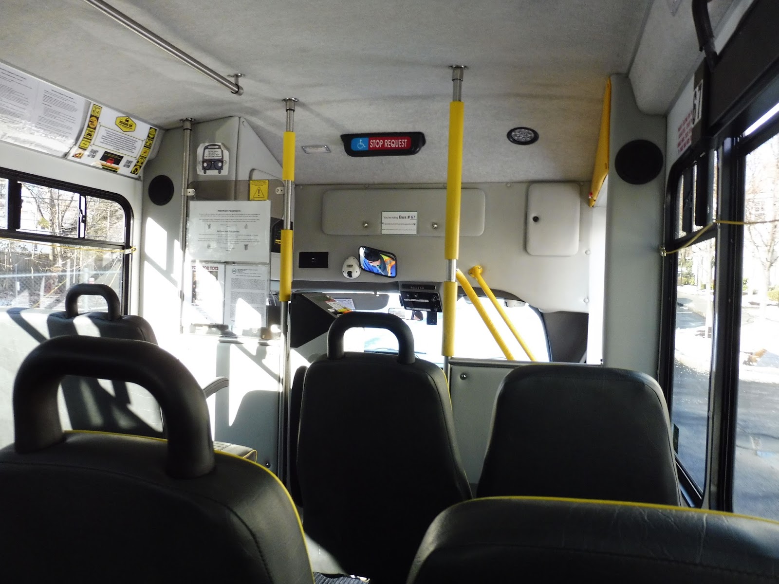 |
| The inside. |
We pulled out of the Woodland Station busway (gosh, it just feels weird to say it!) and turned onto Washington Street, passing a golf course on one side and a hospital on the other. As we merged with Beacon Street (the same one that runs into Boston), we crossed over I-95, then we turned onto Walnut Street, crossing the Charles River. After some office buildings, we reached more residential fare on Cedar Street.
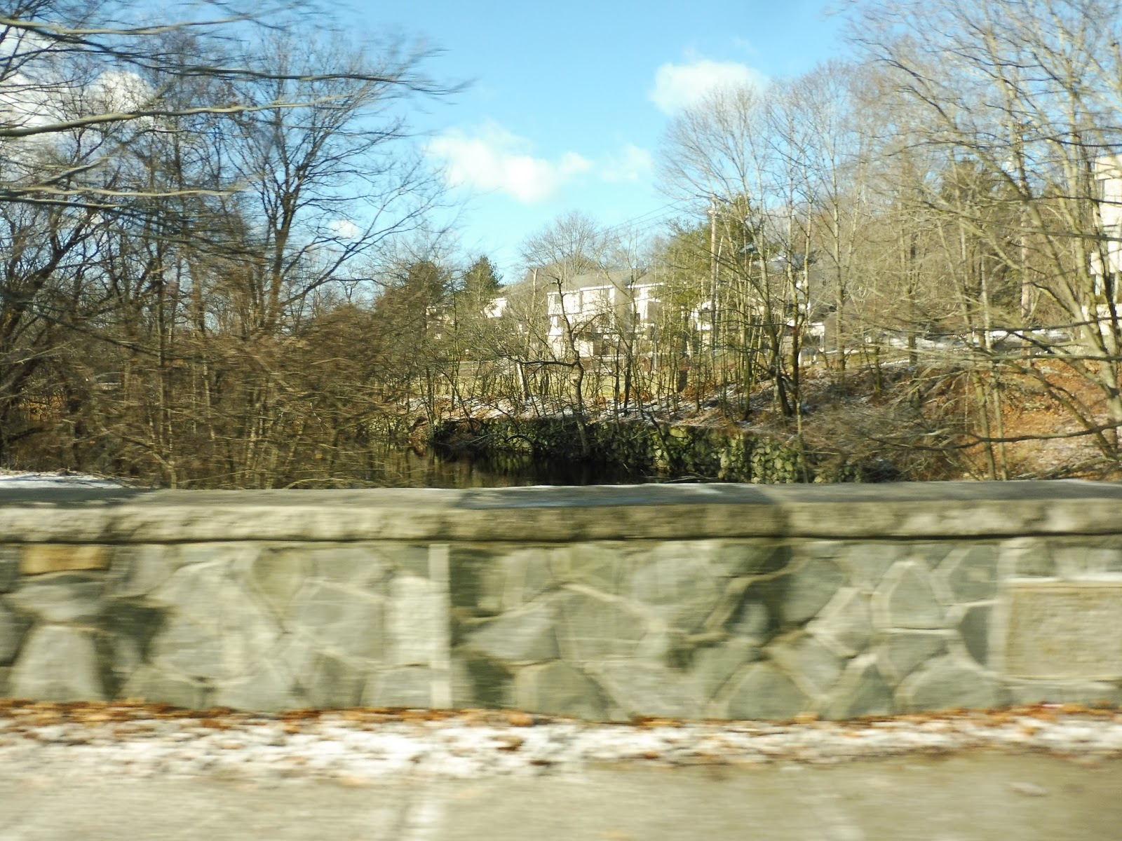 |
| Going over the tiny Charles. |
Eventually we merged off of Cedar Street in order to turn onto one of my least-favorite roads ever, Route 9. Luckily, it wasn’t too horrible yet – right now it was just woods and houses with driveways that would be a pain to get in and out of. At Wellesley Hills, we took the underpass, speeding under the downtown area instead of, you know, stopping. Sure, the MWRTA 8 serves it on Washington Street, but the 8 barely ever runs!
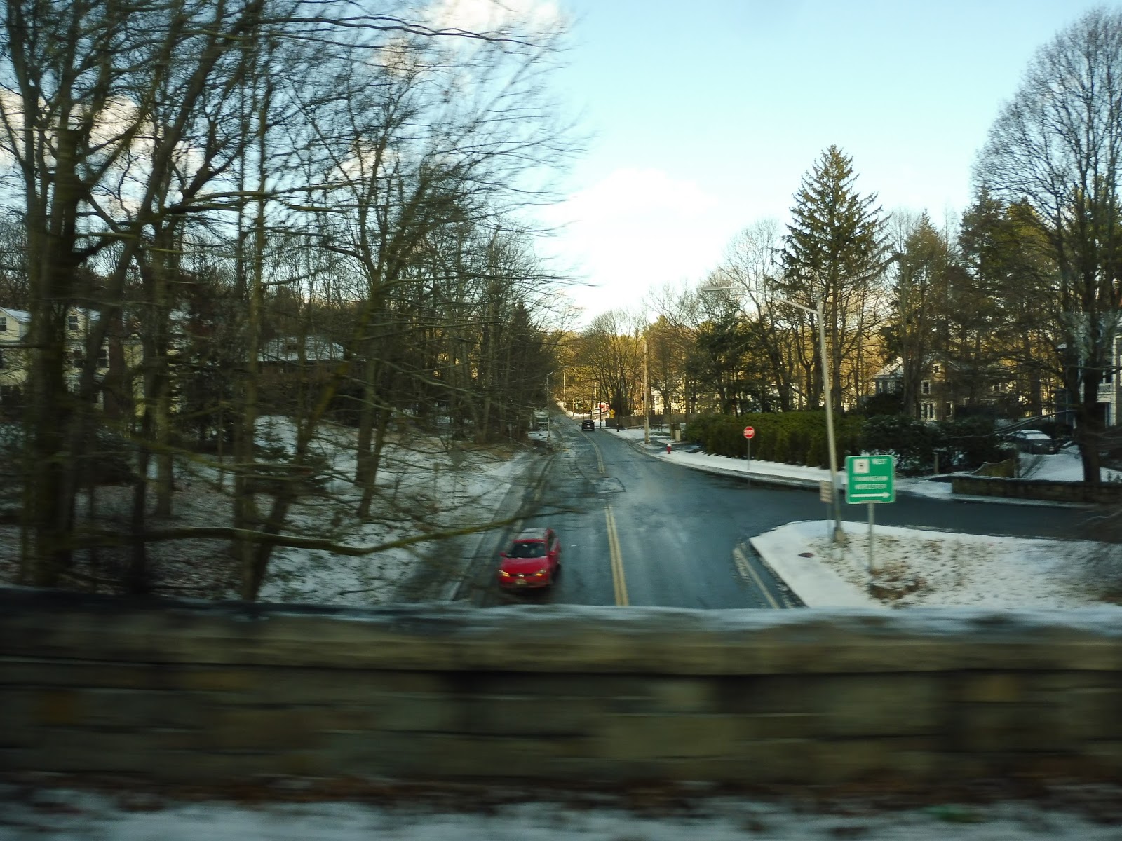 |
| Zooming over a side street. |
We crossed over the Worcester Line tracks, and it went back to being residential beyond there. There were a few businesses and offices as we crossed over Weston Road, and then we entered…the horrible part of Route 9. The street was lined with so many suburban businesses with parking lots out front, and it was disgusting! For the record, the bus was supposed to deviate onto Overbrook Drive to serve a housing development, but we didn’t…
 |
| This shot doesn’t do the grossness justice! |
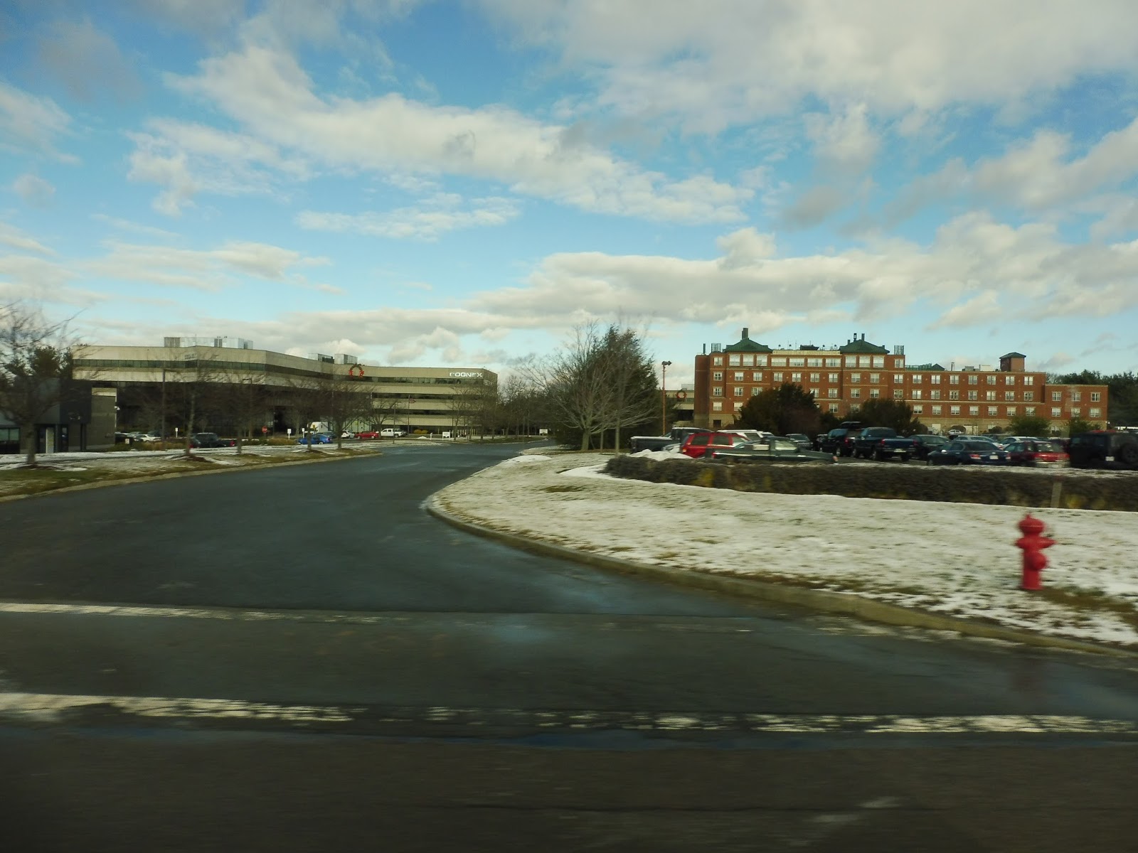
We got a very quick forest break, and then the horrible buildings were back. The gigantic Mathworks building occupied the other side of the street – we just sped right by, but eastbound buses deviate to serve it. Other than that, it was just more suburban businesses, shopping plazas, and of course, parking lots.
 |
| Beautiful office parks… |
Later on there was another quick break from the disgusting buildings. For a brief moment the road was on an isthmus running through a lake, offering a nice view…until we reached land again. More office buildings, anyone?
 |
| At least we’ve got the lake. |
And then it was deviation time! We took an off-ramp from Route 9 and turned onto Superior Drive. This took us to a parking lot deviation, in order to serve an under-construction branch of Mathworks. After that, we returned to Superior Drive and took a left outside of a FedEx facility, snaking through more parking lots until we popped out onto Speen Street.
 |
| Going past the FedEx building. |
We went by a pretty small shopping plaza, then it was time for the big moment we had all been waiting for: the Natick Mall. It was a long process, too – first we merged onto Natick Mall Road, taking us past part of the mall and into a tunnel under another part. On the other side, we went around a rotary and exited onto Flutie Pass. We went by a parking garage (one of many at this mall), then after another rotary, we arrived at the Natick Mall shelter.
 |
| Alright, Sam, thanks for photobombing… |
There are a few select trips on the 1 that are extended to Framingham, and Sam and I were under the impression that we were on one of those trips – after all, the schedule said it was. However, the driver asserted that it wasn’t, which would mean that he was either incredibly early or incredibly late. Either way, we were forced to get off at the mall, so we would have to board another bus to get into Framingham.
 |
| Alright, well, have fun going back to Woodland… |
MWRTA Route: 1 (Woodland Shuttle)
Ridership: When we took the 1 out to Natick around mid-morning, we were the only people on board; coming back during the evening rush, there were three other people – and this is one of the busier routes on the MWRTA. Over the course of 2015, the 1 got 35,280 people, or around 140 riders per day. Most of those trips were during the rush hour – this route is popular with reverse commuters heading out to the Route 9 area.
Pros: This is just a great concept for a route. It’s awesome that reverse commuters have a connection from the Green Line out to MetroWest jobs. I could even see this route being used by shoppers – the Natick Mall is huge, and this bus is the most convenient way of getting out there from closer to Boston.
Cons: Thanks to traffic on Route 9, the 1 has a bit of a chronic lateness problem. However, there’s nothing that can be done about that – instead, let’s take a look at what is quite possibly the stupidest schedule I’ve ever seen! Okay, they have it down pat middays and during the evening rush – about every 80 minutes during the former and every 40 minutes during the latter. Great. But what the heck are these departures during the morning rush? 7:44, 8:03, 9:03, 9:17, 10:22, 10:31????? YOU HAVE TWO BUSES TO WORK WITH, WHY THE HECK ARE THEY RUNNING RIGHT NEXT TO EACH OTHER?!?!?!!?! You have a gap of over an hour, then two trips within NINE minutes of each other? A five-year-old scheduled this, I swear.
Nearby and Noteworthy: I’ve never been inside the Natick Mall, but it’s definitely…big. I’m sure it has a store for everyone!
Final Verdict: 5/10
Look, the route is great and the midday and evening rush schedules are fine. But that morning rush schedule just rubs me the wrong way. How are such stupid headways considered okay? Why should passengers have to be waiting over an hour in the morning rush? The other problem with the 1 is its lateness, which can get pretty darn bad…and I’m sure with that stupid schedule, it causes horrible bunching to make those hour-long gaps even worse! Brilliant!
Latest MBTA News: Service Updates
Anderson/Woburn
Holy moly, this station is incredible! Not since Route 128 have I seen a Commuter Rail station with this much stuff! Could Anderson/Woburn be as good as that station, which received a perfect 10? Let’s find out!
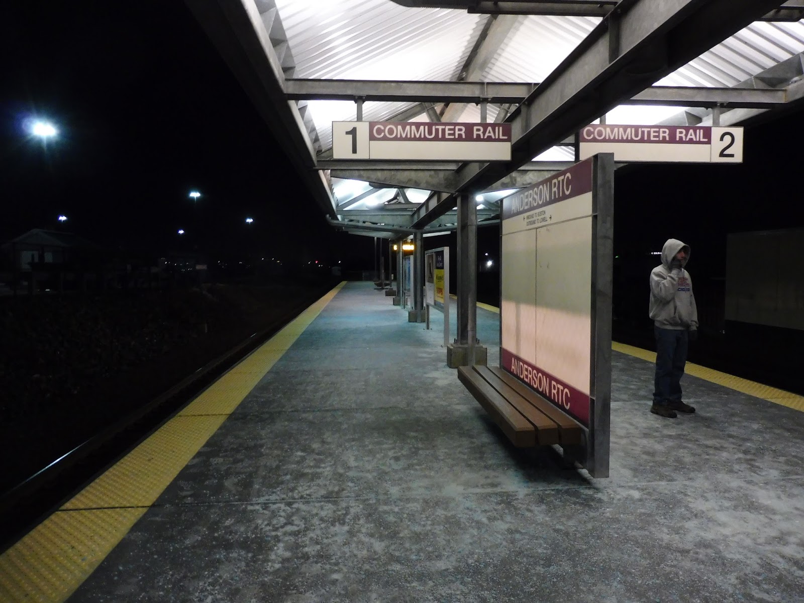 |
| Looking down the platform. |
This is a modern station, having been built in 2001, so the entire platform is high-level. Also, about half of it is sheltered, which is really good for Commuter Rail standards. Sure, it’s nothing special to look at, with a typical modern shelter and views of either a gigantic parking lot or random industrial buildings, but the place has lots of benches and wastebaskets – ultimately, that’s what matters most!
 |
| The station’s smaller exit. |
On the other end of the platform, there’s actually another shelter. Over here you’ve got a small, simple exit – it’s a staircase that leads onto a footbridge over the tracks and into the parking lot. This is very useful for automobile commuters, since this lot is huge! It contains 2000 spaces contained over a massive area, including a long-term lot for extended trips.
 |
| Coming toward the building. |
The vast parking lot has a sidewalk along it, which is good – I would hate to try to walk through that whole thing! Alongside the lot, there’s what I believe is a drop-off area, and it features a forlorn black shelter in which to wait. It has sliding doors, and the inside contains a few benches. I don’t know why anyone would want to be picked up here when there’s a much better drop-off area on the other side of the building, but hey, it’s an option.
 |
| The busway! |
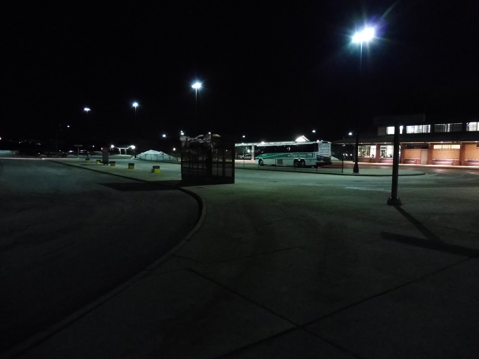
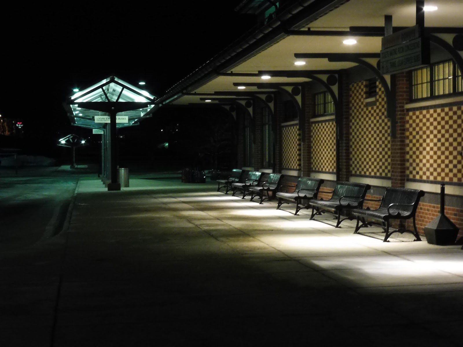
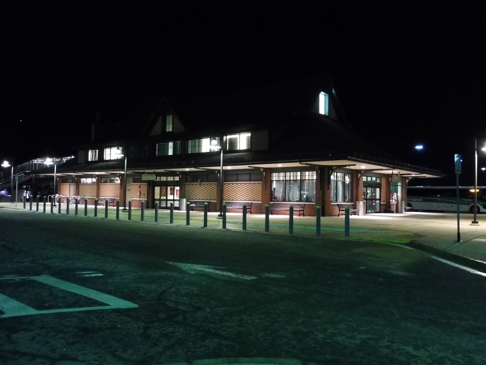
An alternative name for this station is the “Anderson Regional Transportation Center”, and the reason for that is that it’s served by a bus, the Logan Express! That’s right, coach buses run from here to the airport every half hour on weekdays and Sundays and every hour on Saturdays, and they get a proper busway! It’s basically just a bunch of sheltered benches along the building, offering plenty of seating for waiting passengers.
 |
| OH MY GOD! |
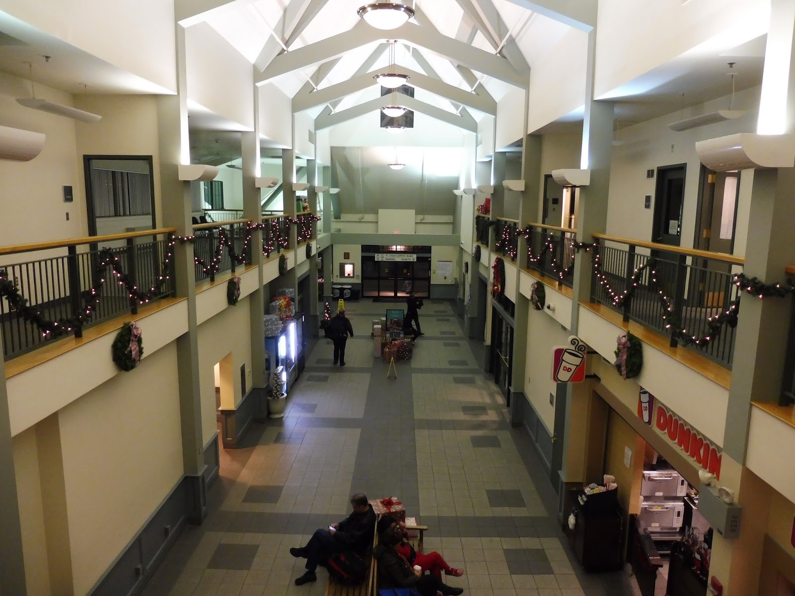
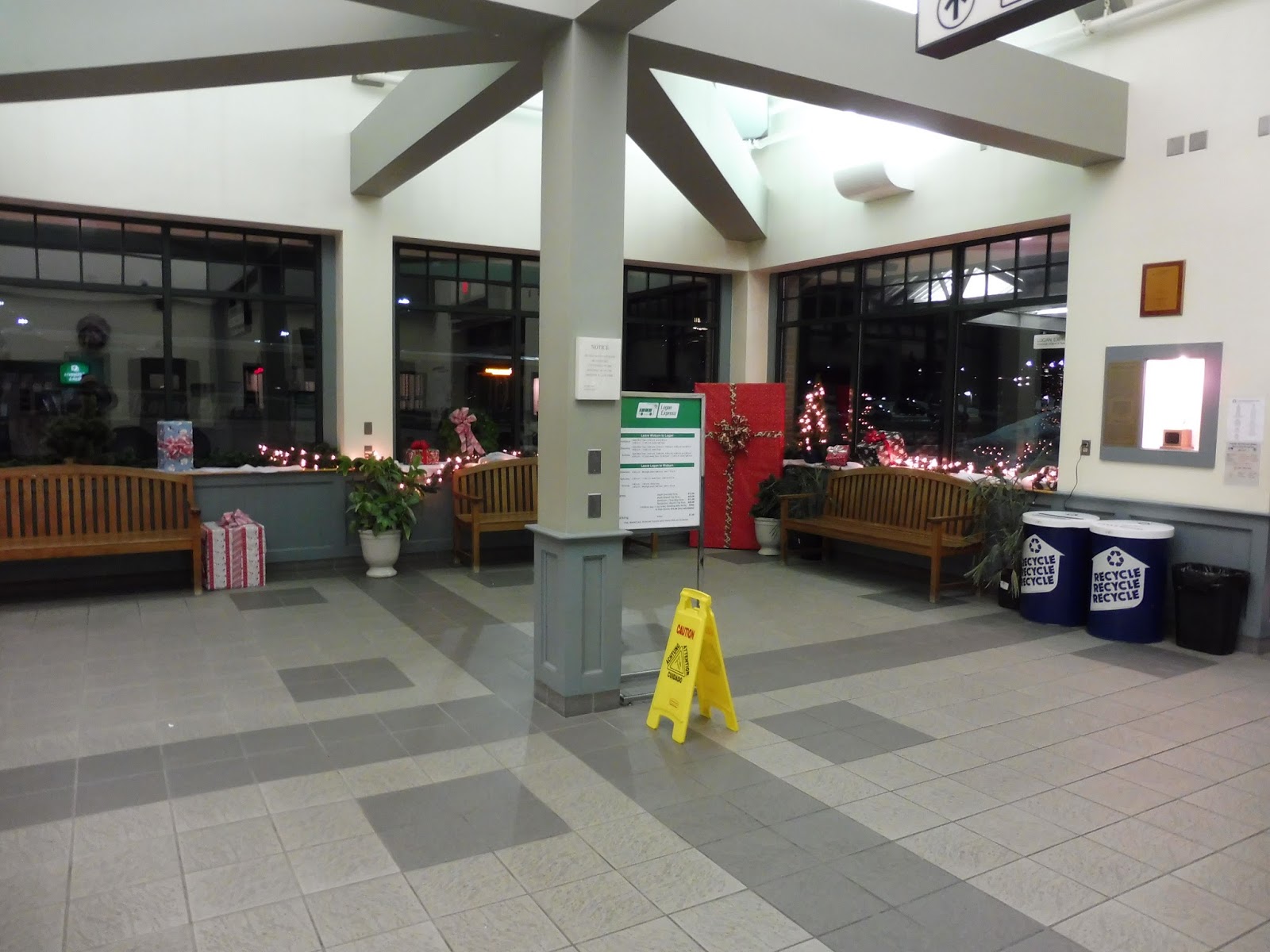
And now it’s time to cover the true masterpiece of this station: the building! There’s a lot to talk about in here, but first, can I just say how pretty it is? I came here a few days before Christmas (yeah, yeah, I know the review is painfully outdated), so the place was decorated with wreaths and lights! Plus, it’s just really modern and clean, and I like the sleek architecture.
 |
| Down on the first floor. |
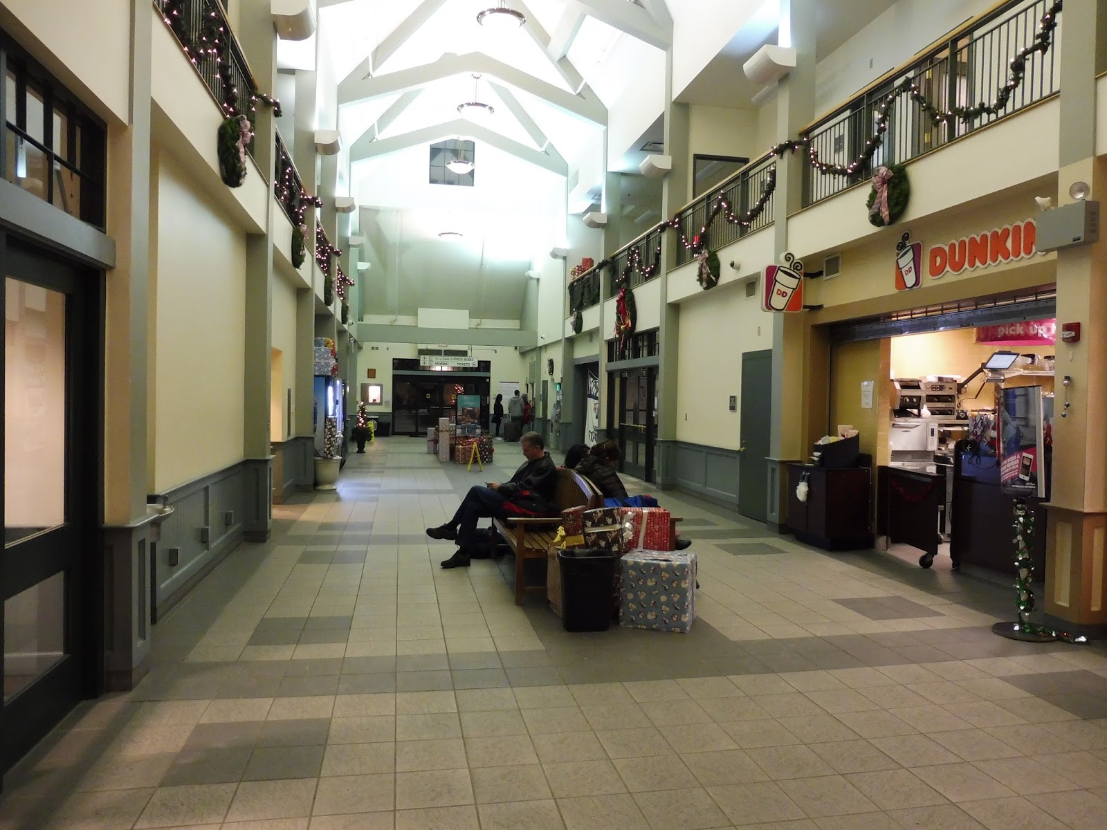
At ground level there were even more decorations scattered about, including a Christmas tree and a bunch of presents everywhere! This station has a few spots for businesses, but right now the only one occupied is a Dunkin’ Donuts. Admittedly, that’s still a great place to go for commuters in the morning…or the evening. It’s open all the time!
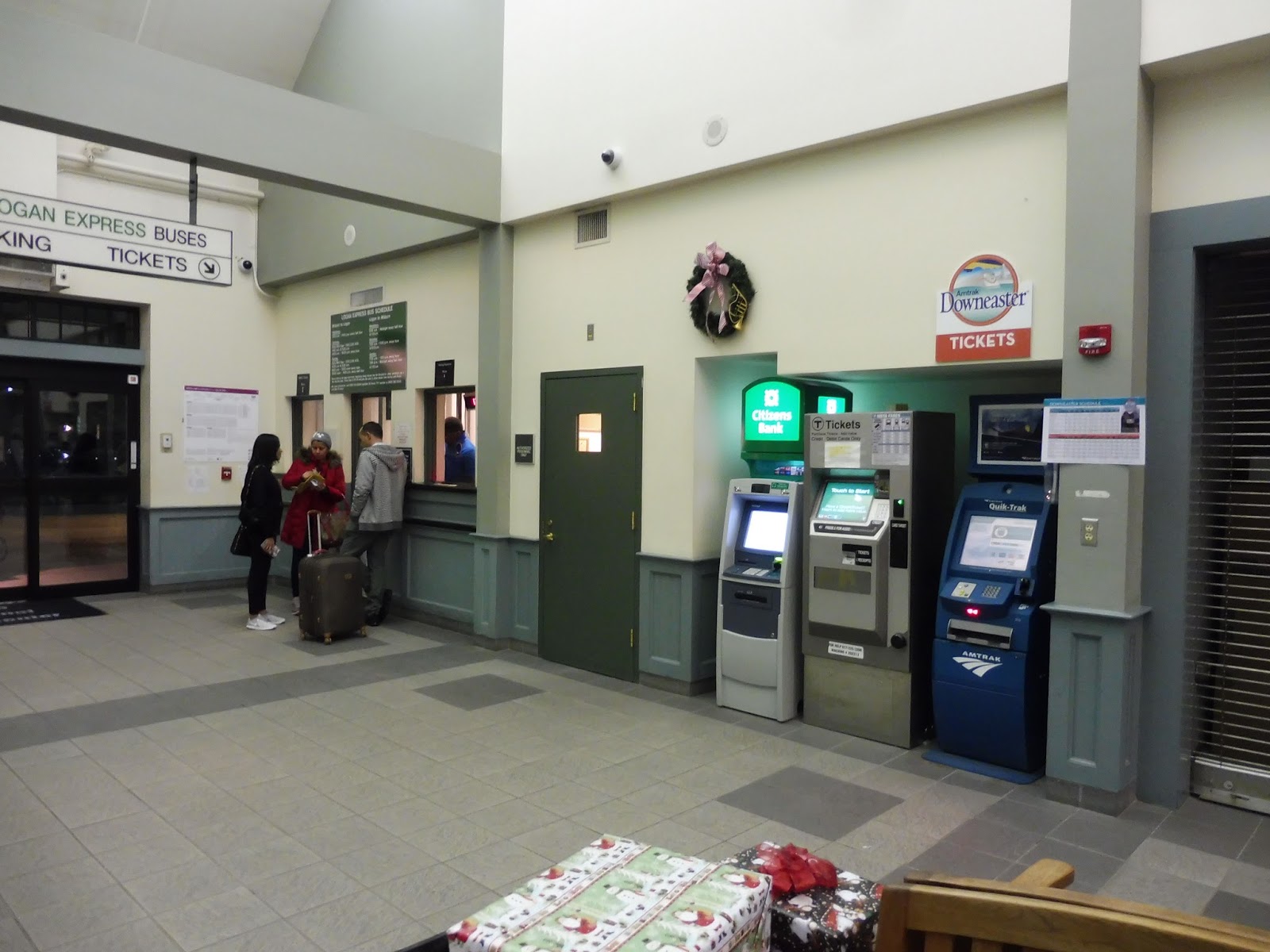 |
| The robust ticket area. |
 |
| A waiting area opposite the ticket area. |
 |
| Looking out at the other side of the building. |
 |
| The entrance to the Commuter Rail platform. |
 |
| The longgggg ramp down to the platform. |
 |
| A train leaving the station. |
Transit Tales: Last Bus Madness
The “last trip” system on the T is fantastic in theory, but it doesn’t always work out in practice. To put it simply, the last trains downtown all have to wait for each other, then there are a bunch of bus routes that have to wait for those trains to get out to their respective stations. For a more detailed explanation, check out this post from the Amateur Planner – but to put it simply, despite the T shifting the last E’s departure time earlier, the last trains, and thus the last buses, are almost always late.
And I had the pleasure of dealing with one.
 |
| It all started on the 73… |
So I was coming back from my friend’s house in West Cambridge rather late at night, and I had just missed the 12:27 inbound 71. (but it was using a diesel bus, so who cares, right?) That meant I would have to wait for the 12:46 73, which is the second-to-last one. My feeble mind believed that this trip would become an elusive 77A, getting me home in around 20 minutes, so you can imagine my disappointment when I discovered it wasn’t going to do that. “Oh well,” I thought, “I’ll just get on a 77 at Harvard. Easy.” Turns out nothing is easy when it’s the last trip…
 |
| The bus stopped at University Road. I feel bad for that 71 behind it… |
The first sign of trouble was when the bus stopped at University Road, just outside the Harvard Bus Tunnel. The driver said he was going to get some water and left the bus. The minutes dragged on, and eventually I went outside and started taking pictures. Buses were gathered in Bennett Alley waiting for the last train to arrive, and the drivers were all hanging out in their vehicles.
 |
| A 77 in the front, a 74 in the back, and an unsigned 96 on the right. |
The driver of the 77 said I could wait on his bus – a much better arrangement than being out in the cold. Before I got on, though, the 73 driver came back out and gave me a cup of water, which was very nice! So now I was sitting on an empty 77 in Bennett Alley just waiting for the last train to get closer so we could drive into the tunnel.
 |
| A bus to myself! |
Eventually we started to make our way into the tunnel. The 73 and 71 went first, presumably going to the Cambridge Common in order to loop back around to the Lower Busway. Next, our bus headed down, followed by the 96, and the 74 brought up the rear.
 |
| The empty busway. |
At the 77 berth, there were four other people waiting, although the last train had yet to come. We were basically playing the same waiting game as before, only with different scenery. The driver was outside the bus doing some sort of stretch/dance singing “Waiting for the inspectorrrrrr!” It was now about 1:15 – the last 77 is supposed to depart at 1:00.
 |
| Looking out into the empty mezzanine. |
 |
| Coming out of the tunnel. |
 |
| I wasn’t expecting this many cars to be out this late at night! |
 |
| Bye! |
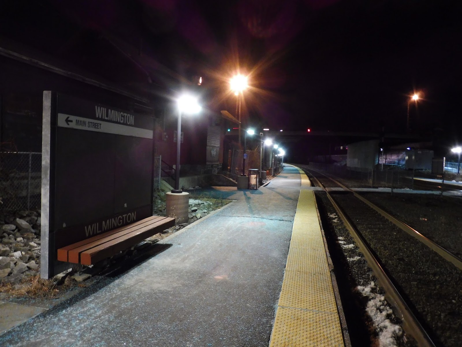
Wilmington
So, why Wilmington? Well, my friend Nathan and I were debating whether to visit this station or North Billerica. The reason we chose Wilmington was because we’d have a little more time before the next inbound train came. Cool story, huh?
 |
| The parking lot. |
Wilmington’s parking lot is long and skinny, and doesn’t actually offer that many spaces – just under 200. It seems like there are a few industrial lots around the station that could theoretically be converted to station parking, which could be a good idea, seeing as the parking on offer doesn’t seem to be enough. There are also a few bike spaces near the ramp to the outbound platform from here.
 |
| The station’s bus stop. |
Alongside the parking lot, there’s a small plaza area for pedestrians, separated from cars with some big yellow poles. There are newspaper boxes alongside the platform, and a surprisingly decent bus stop for the LRTA 12. Sure, there isn’t any shelter, but a good amount of benches is provided.
 |
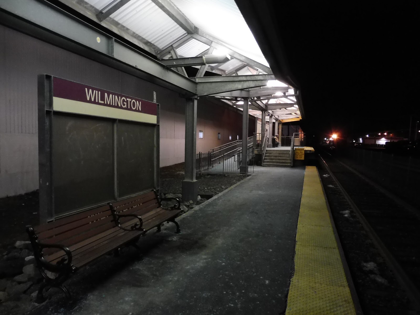
| Heading down the outbound platform. |
The outbound platform has a building along it, which houses a convenience store and a café – both of them have staircases leading down to the platform, but I’m not sure if they’re actually open to the public. (UPDATE: the convenience store is closed) As for the platform itself, it’s a long one. There are sporadic benches and wastebaskets all the way out to the end, where one could technically get onto Main Street if they wanted to, but it’s not a proper entrance.
 |
| The sheltered inbound platform. |
A single level crossing takes passengers across to the inbound platform, staggered with the outbound. The level crossing actually features an alarm that goes off whenever a train comes by, which is both safe and really annoying. A large part of the inbound side is sheltered, even a decent chunk of the low-level portion. The mini-high (just like the one on the outbound platform) is standard, with a few sheltered benches.
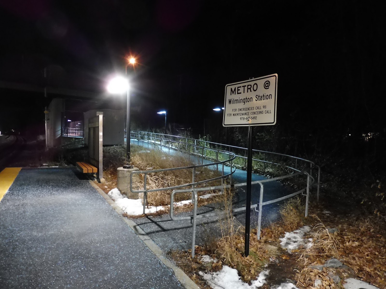 |
| Another exit! |
On the other end of the inbound platform, there’s one more exit from the station. It’s a pretty long ramp that goes under a bridge and leads out to a housing complex, Metro @ Wilmington Station. It’s always nice to see transit-oriented development!
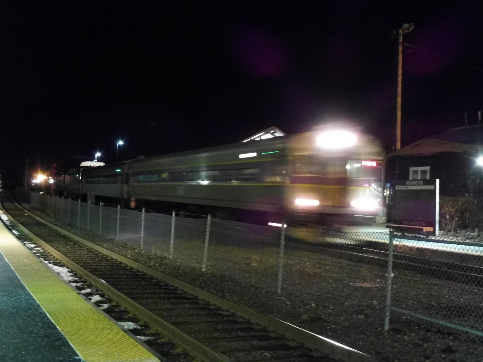 |
| A blurry train going by! |
Station: Wilmington
Ridership: For the Lowell Line, it’s the third least-used station. But it’s the Lowell Line, so that’s not saying much! Yes, 544 inbound riders per weekday is still a perfectly good number for the Commuter Rail.
Pros: This station offers a lot of modern amenities, including good mini-high platforms, a decent bus facility, and some convenient TOD apartments. I like in particular how a large part of the inbound platform is sheltered, making for a more comfortable waiting experience – even if the mini-high is full, people can still be sheltered and close to it.
Cons: Parking is rather lacking here, and it could theoretically be expanded into one of the nearby industrial lots around here. Also, that alarm when trains come in is really annoying, but for the sake of safety, I shall let it slide!
Nearby and Noteworthy: This station is technically in “downtown” Wilmington, but it’s borrrrrring! There are some shopping plazas about a 15 minutes walk up Main Street, but it’s not like you’ll find anything unique there.
Final Verdict: 8/10
Purely as a waiting experience, Wilmington is spot-on. Whether it’s the bus or the train, you’ve got some great facilities here for Commuter Rail standards to wait at. Of course, if you’re trying to park here…well, let’s just say I recommend you arrive a little early.
Latest MBTA News: Service Updates
Miles on the MBTA Anniversary Rodeo!
To celebrate Miles on the MBTA’s fourth anniversary, Josh, Jordan, Miles, and Nathan embark on the MBTA Rodeo, a series of challenges all around the system devised by Sam. Join us for 43 minutes of action-packed competition and rivalry between the contestants. Who will win?
Harvard Shuttle: Barry’s Corner (Continuum – Kennedy School – Harvard Square)
You may remember the last time I tried to ride the Barry’s Corner route – it didn’t go so well, thanks to Harvard’s old malfunctioning Blue Bird bus. Luckily, with some time between the end of school and a concert, I was able to head out and try again. Instead of the Blue Bird, this time I got a minibus, which is common for the route, I believe.
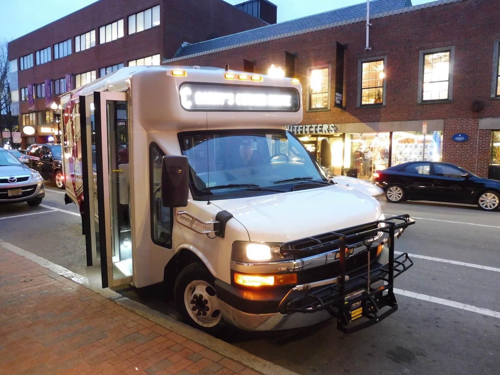 |
| The bus laying over in Harvard Square. |
Barry’s Corner is a sort of reverse-commute shuttle, running from Harvard Square to the Continuum in Allston, a modern complex from which most of the route’s ridership comes. I hopped on the bus along JFK Street, but after we headed past a bunch of businesses and a park, the bus had to lay over at the next stop. The minibus was pretty nice, with big poofy seats and a semi-jiggly wheelchair lift. Also, the radio was playing NPR, which is the most Harvard thing ever.
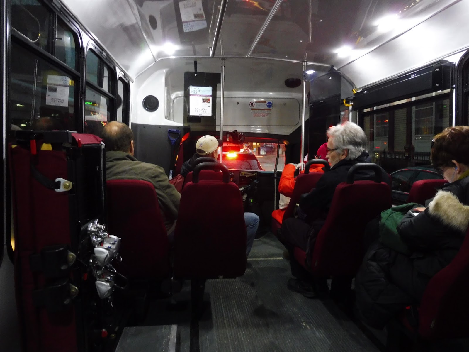 |
| Wow, it’s rare to see a minibus this crowded! |
After our layover, we made a hard turn onto Brattle Street, running through the heart of Harvard Square. There were many brick buildings housing businesses all around, and we also passed that modern Harvard Station entrance that leads into the bus tunnel. The street became Eliot Street and we went by a VERY crowded bus stop for the 66 and 86.
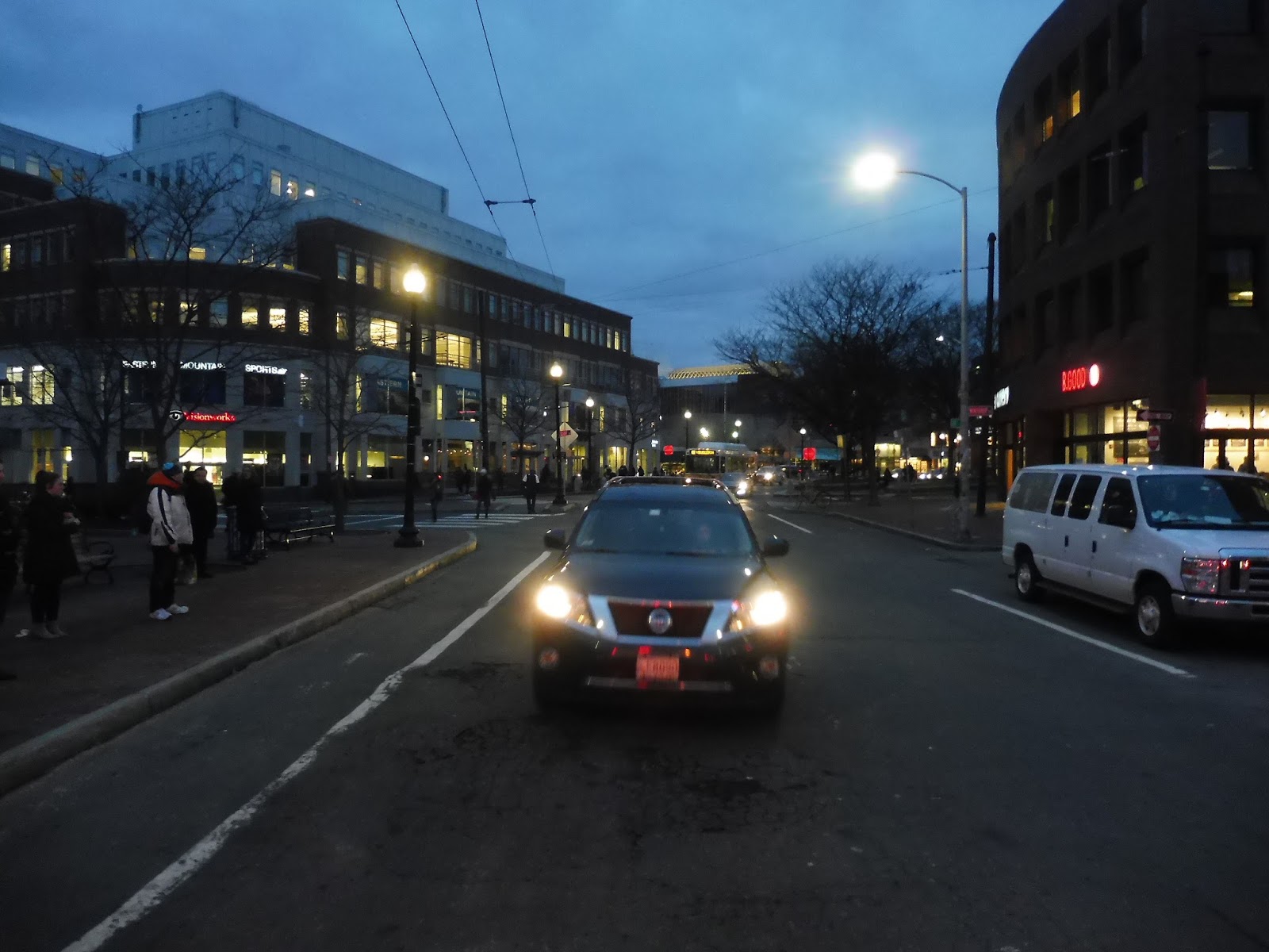 |
| Travelling down Eliot Street, with a 66 in the background. Thanks, rear window! |
The street curved around past some more businesses and Harvard buildings, then we turned onto JFK Street again. After a bunch of Harvard buildings, we traversed the intersection with Memorial Drive and crossed the Charles River. We went over Soldier’s Field Road on the other side, now travelling down North Harvard Street.
 |
| Going over the river. |
We zoomed past a bunch more Harvard buildings, including the university’s gigantic stadium. After passing a few more sports fields, we turned onto a side street that led into a parking lot. We looped around and arrived at our terminus, the Continuum. As the other passengers and I got off, some workers from the building came outside onto the bus to get back to Harvard Square.
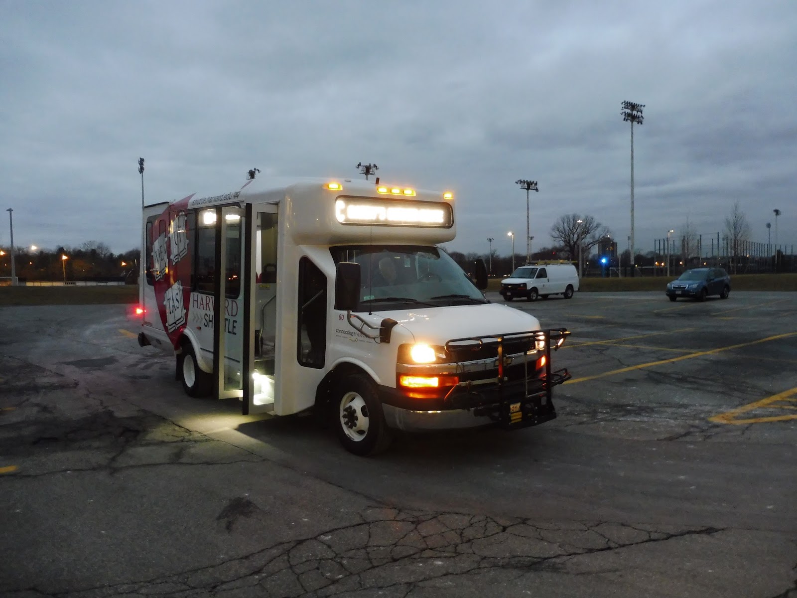 |
| The bus at the Continuum. |
Harvard Shuttle Route: Barry’s Corner (Continuum – Kennedy School – Harvard Square)
Ridership: Ridership seems to be strongest going toward the Continuum in the morning and away from it in the evening. Since I got on the bus before the “terminus”, there were five other commuters on board, but they got off in Harvard Square. The bus seems to run mostly empty in the non-peak direction.
Pros: Barry’s Corner is a route that serves its purpose, taking people from the Continuum up to Harvard Square. Its schedule is pretty good as well, running every 20 minutes during the morning and evening rushes.
Cons: I just think this route is a waste of resources. Wouldn’t it be better to put this extra bus on the Allston Campus Express during these rush periods to increase frequency on that route? It would allow for better balance of ridership, and you could even have the route deviate to serve the Continuum during those times so no service is lost.
Nearby and Noteworthy: There are a few businesses near the Continuum, but even a ride on this route is pretty cool. It’s just weird to parade through Harvard Square in a minibus!
Final Verdict: 6/10
For what it’s worth, Barry’s Corner definitely achieves its intended purpose: to serve the workers at the Continuum. But it could get more ridership while still achieving the same purpose if the bus was just put onto the Allston Campus Express. I mean, personally, I think that route doesn’t run often enough anyway, so I’d love to see more service on it.
Latest MBTA News: Service Updates
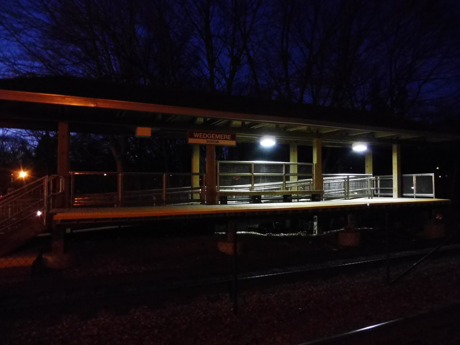
Wedgemere
Two stations half a mile apart…on the Commuter Rail? That’s rare on the Red Line, let alone the MBTA’s regional rail service. And yet, despite being so close together, Wedgemere still holds its own against its neighbor, Winchester Center. Indeed, it’s a heck of a lot better!
 |
| What an interesting facade! |
Wedgemere has an interesting compact exterior leading up to the platform. My friend Nathan and I came in first on the eastern side of the tracks (the outbound side), where there’s a small park with a path leading up to the station from Bacon Street. Well, “park” is a lose term – it’s more like an open field.
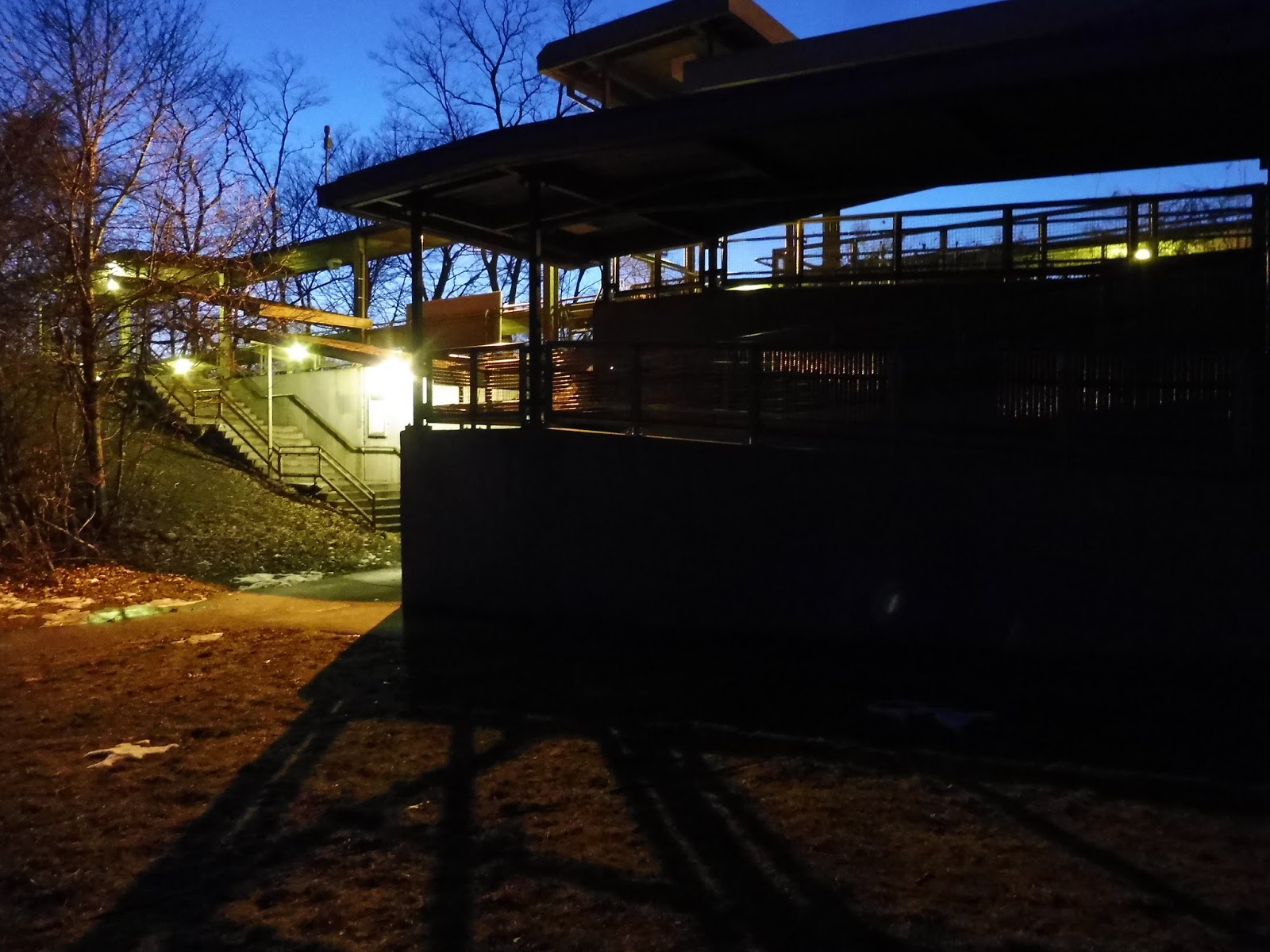 |
| Getting closer to the entrance. |
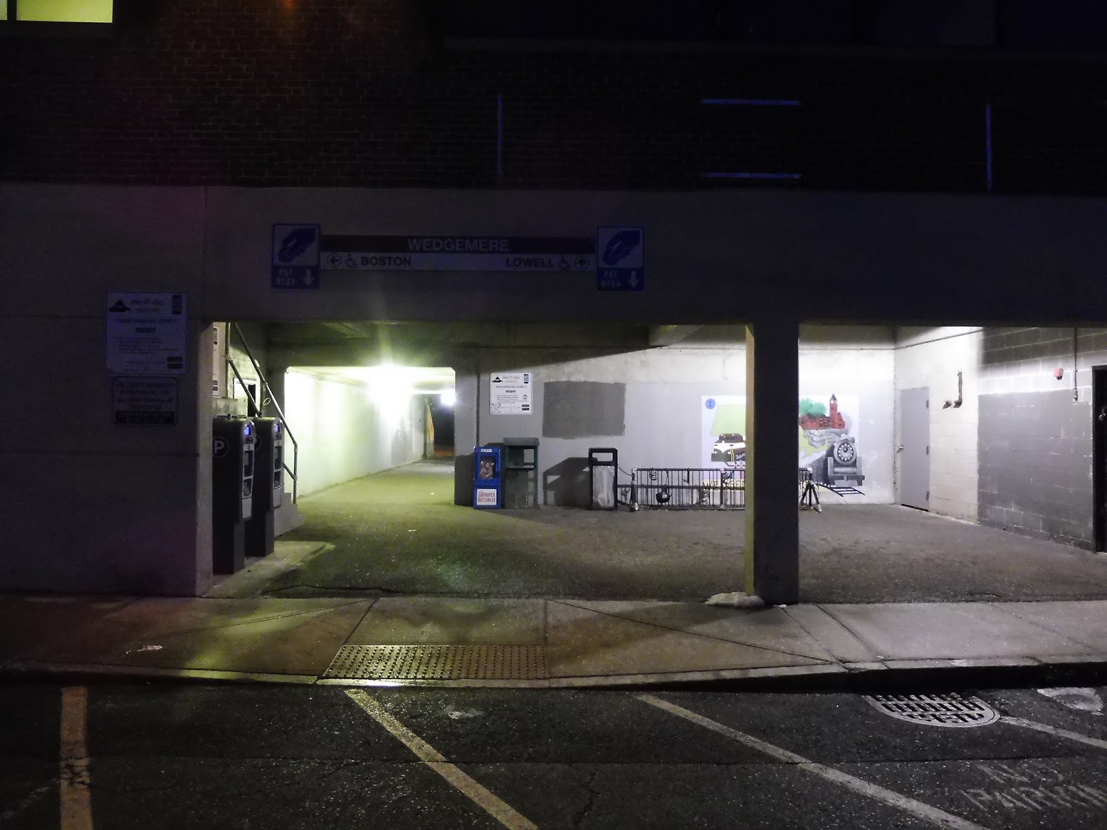
At the entrance to the station, there’s a set of stairs and a ramp leading up to the outbound platform. The ramps here are new, having been added to the station in February 2013 – it’s odd that Wedgemere was upgraded to be accessible but not Winchester Center, but it certainly makes this one a lot better. To get to the inbound side and parking, there’s a convenient pedestrian tunnel under the tracks (not in the best condition, but it’s fine).
 |
| The entrance on the other side. |
On the other side of the station, there is car and bike parking – 119 spaces for the former, and an unspecified amount for the latter (but it’s a good amount). The entrance to this side of the station is surprisingly amenity-filled, with a wastebasket, some newspaper boxes, a mural, and machines to pay for parking! Also, all of the payment signage has the…BAT Centre in the corner? That’s about 30 miles away, guys…
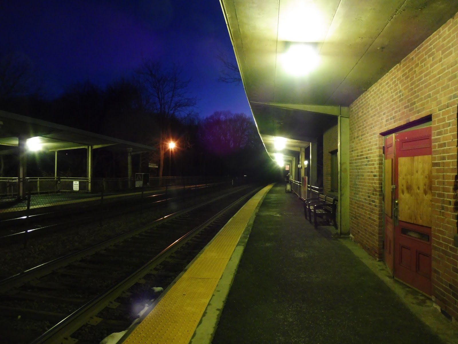 |
| Up on the platform. |
Taking the stairs or the ramp (your pick) up to the platform, we see that a good amount of it is sheltered. Underneath the sheltered area, there’s your typical Commuter Rail fare, with benches, wastebaskets, and a few ads. There’s also a building on the inbound side, but it’s empty and decrepit. Apparently it housed a coffee shop until 2014, but I guess that’s gone. So now the building is just this rather ugly blemish on an otherwise-decent platform.
 |
| The inbound mini-high platform. |
Wedgemere’s mini-highs are practically new, having been built in 2013 with the rest of the station upgrade. Thus, they still look great. Functionally they’re pretty standard mini-high platforms, with a ramp and a staircase leading up to each, and a single bench on both.
 |
| The café car took a trip on the Lowell Line! |
Station: Wedgemere
Ridership: It’s the lowest-ridership full-service station on the Lowell Line, but Wedgemere still gets a decent 512 inbound riders per weekday. You also have to remember how ridiculously close it is to Winchester Center, which has a good amount of ridership itself. The two Winchester stations add up to just over 1,300 people per day – I guess Winchester has a lot of commuters!
Pros: With its recent renovation to make it accessible, Wedgemere is a great semi-modern station. It offers decent parking for the density of the area, a bunch of amenities, and well-sheltered platforms. I also love the updated signage here – it makes the stop feel like a rapid transit station!
Cons: It would be great to see some sort of business occupy that building, since it looks really decrepit at the moment. Maybe there’s not enough ridership to generate profit for such a business? There are a few other parts of the station that feel a little run-down, namely the pedestrian walkway and some of the staircases.
Nearby and Noteworthy: Just a buncha houses and a fairly generic park. Take the train one more stop for Winchester Center – that’s where all the good stuff is.
Final Verdict: 8/10
I still think it’s strange that the lesser-used, more suburban stop in Winchester received accessibility updates while the busy town center station was just left in the dust. Whatever the reason, it does mean that Wedgemere is quite superior to Winchester Center. Sure, it has a few small areas that could benefit from an update, but overall, this station is clean, well-signed, and a pleasant place to get the train.
Latest MBTA News: Service Updates
Four Year Anniversary! (+Rodeo)
Wow, has it really been four years since I started this blog? Four years…wow, I don’t even know what to say! I’m so happy I’ve stuck with this for so long, gaining more viewers and expanding my reach to cover Massachusetts RTAs as well (which has been a blast). I know I still have a bit more of the MBTA to finish, and that will most surely happen in 2017. Stick around, faithful readers! There’s much more to come. And I want to thank each and every one of you for sticking with me for this long – I couldn’t have gotten this far without your readership and support.
But of course such a momentous occasion needs a celebration, right? Well…here’s a little something. Stay tuned for the full video – things got very intense!
Winchester Center
An elevated Commuter Rail station? Oh wow, that’s cool, I’m sure I’ll love it! Oh wait, it’s also falling apart? Shoot…well, we’ll have a look at Winchester Center anyway.
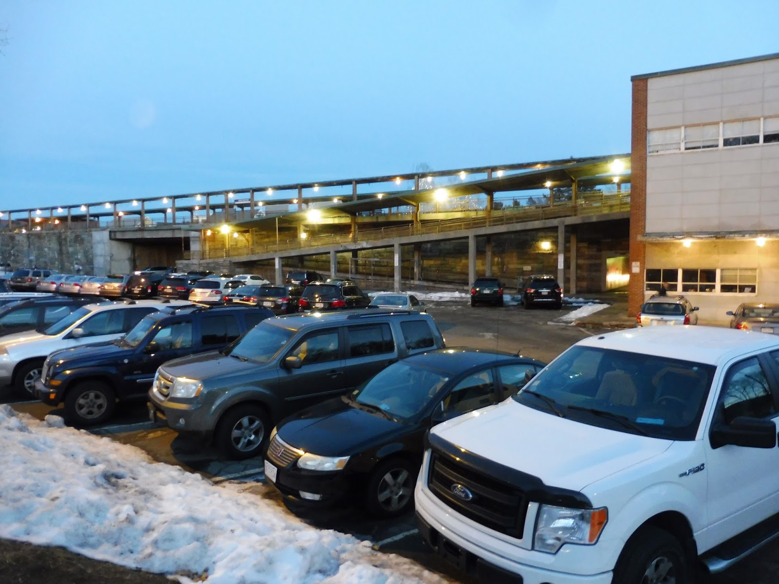 |
| One of the station parking lots. |
The parking system in Winchester Center is a bit…weird. I mean, okay, it has 237 spaces contained in two lots (one on each side of the tracks), which is great, especially for a town center station like this one. But on the MBTA website, under “Parking Rate”, it says “Town Permit”. My guess is that parking is free, but it’s for residents only. Oh well, I guess that’s okay – nearby Wedgemere has spaces for everyone.
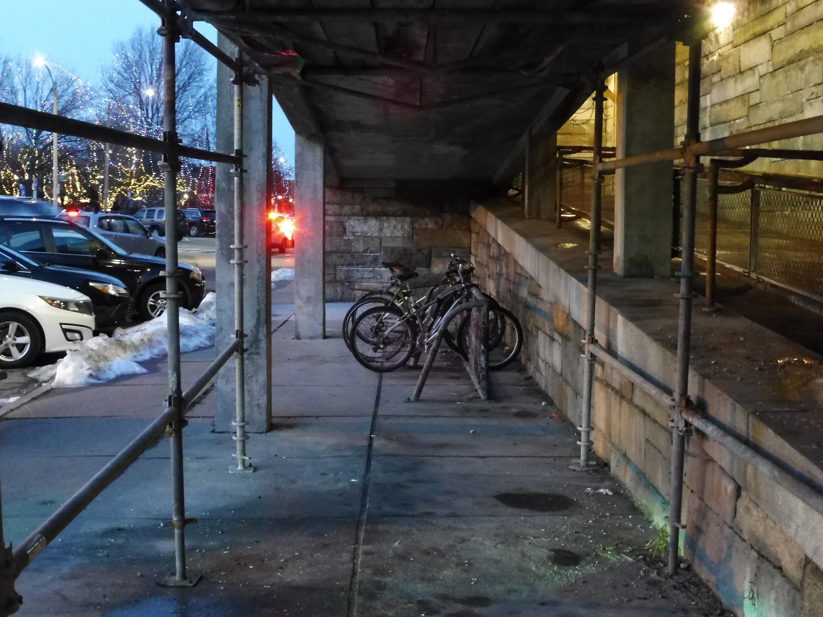 |
| Underneath one of the ramps. |
Access to this station is done by some very long winding ramps. On either side of the tracks near the parking lots, ramps snake up alongside the station, sheltered by wood with stone walls. The inbound side ramp has some bike spaces under it, and despite it being pretty dingy under there, they are at least sheltered.
 |
| The area around the station’s bus stop. |
It’s most definitely a public road, but I can’t help thinking of the street that runs alongside this station as a “busway”. The 134 serves the stop in both directions, which seems pretty unnecessary, truth be told. I mean, it’s not even like the stop offers much! What have we got here? Some bike spaces, a wastebasket, and a newspaper box. So how about, I don’t know, a bench? Pshhh, guess we don’t need that!
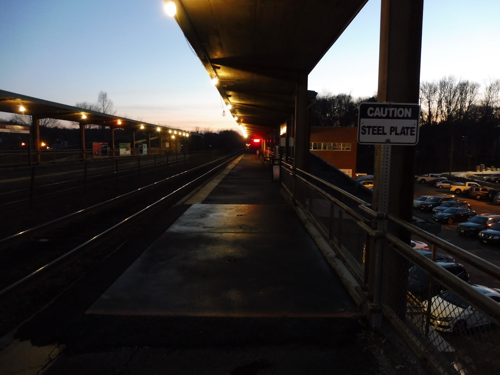 |
| Ohhhhhh noooooo… |
Winchester Center’s platform is, well, decrepit. The whole thing is low-level, and though most of it is technically sheltered, that tiny wooden roof isn’t gonna protect passengers from much. Oh, and be careful of the “STEEL PLATE”! Yeah, I have no idea why that’s there, either.
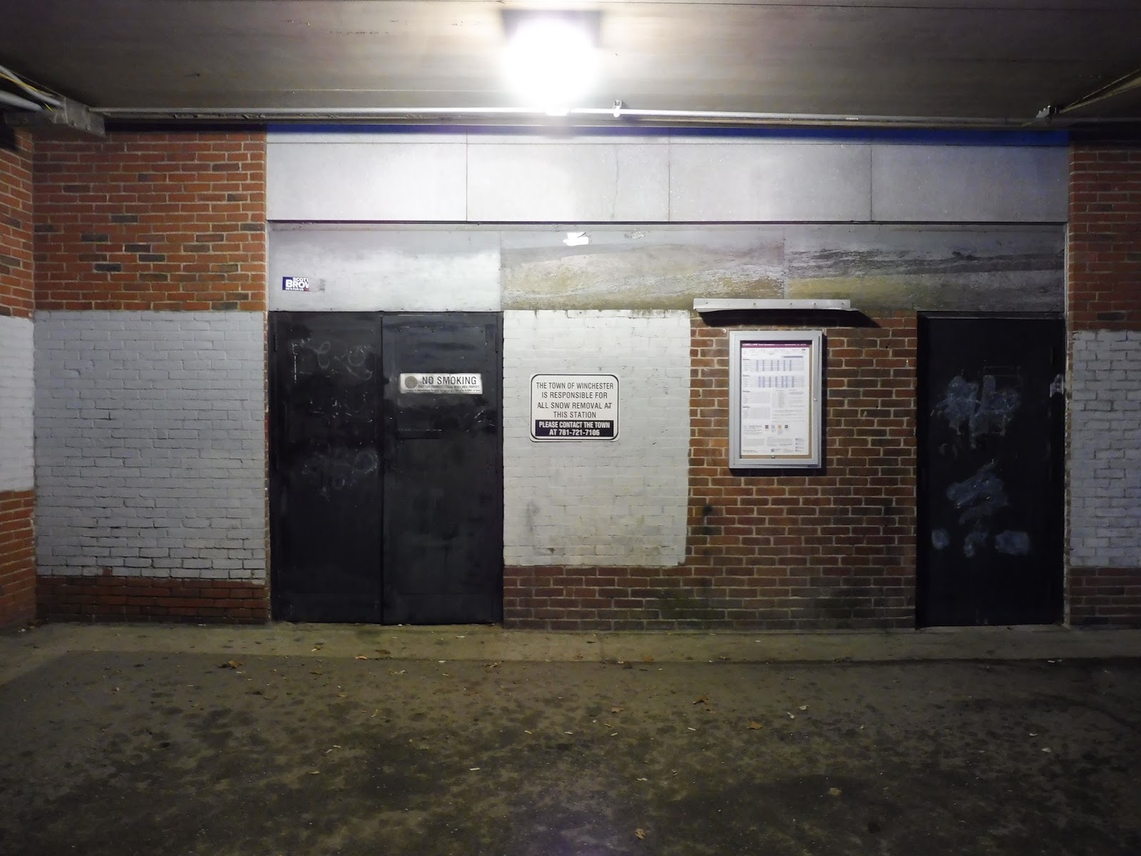 |
| Oh come on, this isn’t helping! |
The platform offers very little in terms of amenities, as well. One or two benches? Some wastebaskets? Great. Also, a bunch of ads. Like, there are more ads than anything else on this stupid platform. And yet…it’s also really nice to wait up here. I mean, it’s elevated! You get a super pleasant view of Winchester Center! That alone is super unique for the Commuter Rail, and it makes me like this stop at least a little bit.
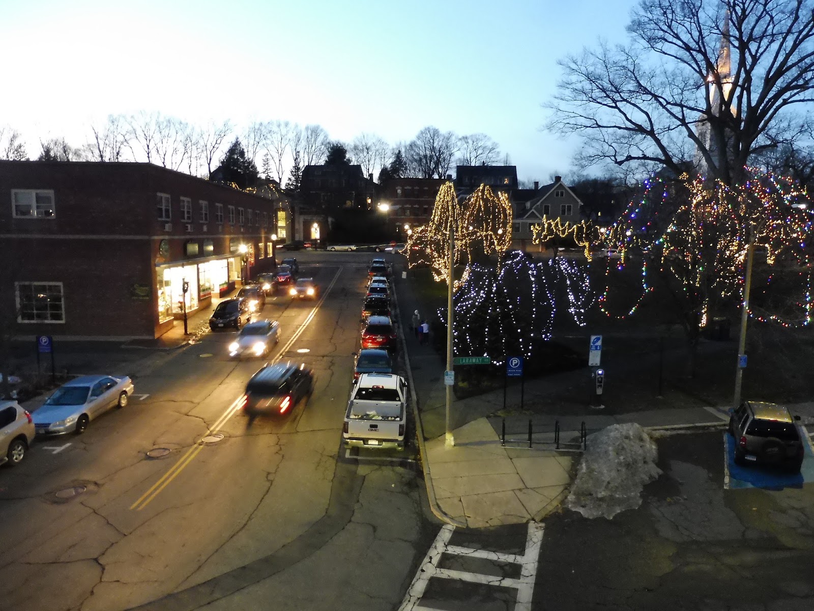 |
| No trains came by, so here’s a shot of lovely Winchester Center…from above. |
Station: Winchester Center
Ridership: Okay, the ridership here is less than average for the Lowell Line, but you have to remember that the Lowell line gets a lot of people. Also, Wedgemere is ridiculously close, which probably takes riders away from here as well. Despite all that, Winchester Center’s ridership is still quite high for the Commuter Rail, with 789 inbound riders per weekday!
Pros: Winchester Center is most definitely a unique stop. I mean, it’s an elevated Commuter Rail station in a town center! I gotta give it some credit, don’t I? Other than that, there’s a good amount of parking here, even if it’s only for town residents.
Cons: Look, the place is decrepit. It’s falling apart. It needs a facelift. Why did they feel the need to renovate nearby Wedgemere but not here? Also, Winchester Center has absolutely no excuse not to be accessible. You’ve already got the gigantic ramps leading up to the platform – put a mini-high up there already!
Nearby and Noteworthy: This station is right in Winchester Center, and it seems like a really nice downtown. It’s got a variety of businesses, many housed in charming businesses, as well as a historic common. A classic New England downtown!
Final Verdict: 4/10
Alas, uniqueness can’t save this station. Don’t get me wrong, the idea of an elevated Commuter Rail station right smack in the middle of a downtown is awesome – but Winchester Center falls flat beyond its concept. It’s in horrible shape, and needlessly inaccessible. You have these gigantic ramps, and they’re the only way of getting up to the station, anyway – how about doing something with them?!
Latest MBTA News: Service Updates
The Great GATRA Deviation Game! (Video)
Here it is! This video covers all the GATRA Plymouth routes – we rode them all in one day, and it basically drove us to insanity. So much went wrong, but what do you expect? It’s the GATRA…