Brookline Hills
In terms of rapid transit stations away from Boston, the D was basically my final frontier. Well, no more! I went and visited every station I hadn’t reviewed yet along that line, and now it’s time to write about them all! Let’s do this.
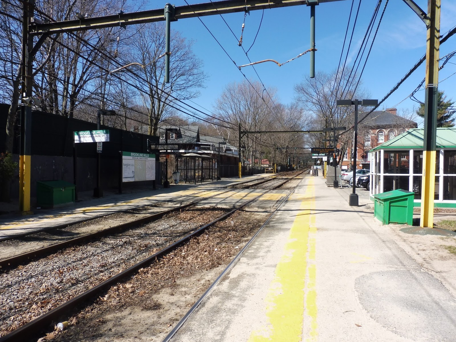 |
| Oh yeah…there’s also gonna be a lot of this kind of platform. |
Brookline Hills is your quintessential D Line station…almost. The only thing it’s missing is a wooden shelter on the inbound side. Instead, we get a boring glass shelter in which to wait. Other than that, the inbound side doesn’t have much other than a few signs and maps.
 |
| Ooooh, someone left the door open… |
The outbound side, like every D Line stop, has a heated shelter! Inside, you can find benches as well as CharlieCard machines. This platform also has a bench out in the open to wait at if…actually, I don’t know why anyone would wait there when there’s a heated shelter. Anyway, there are also wheelchair ramps on both platforms, making the station accessible.
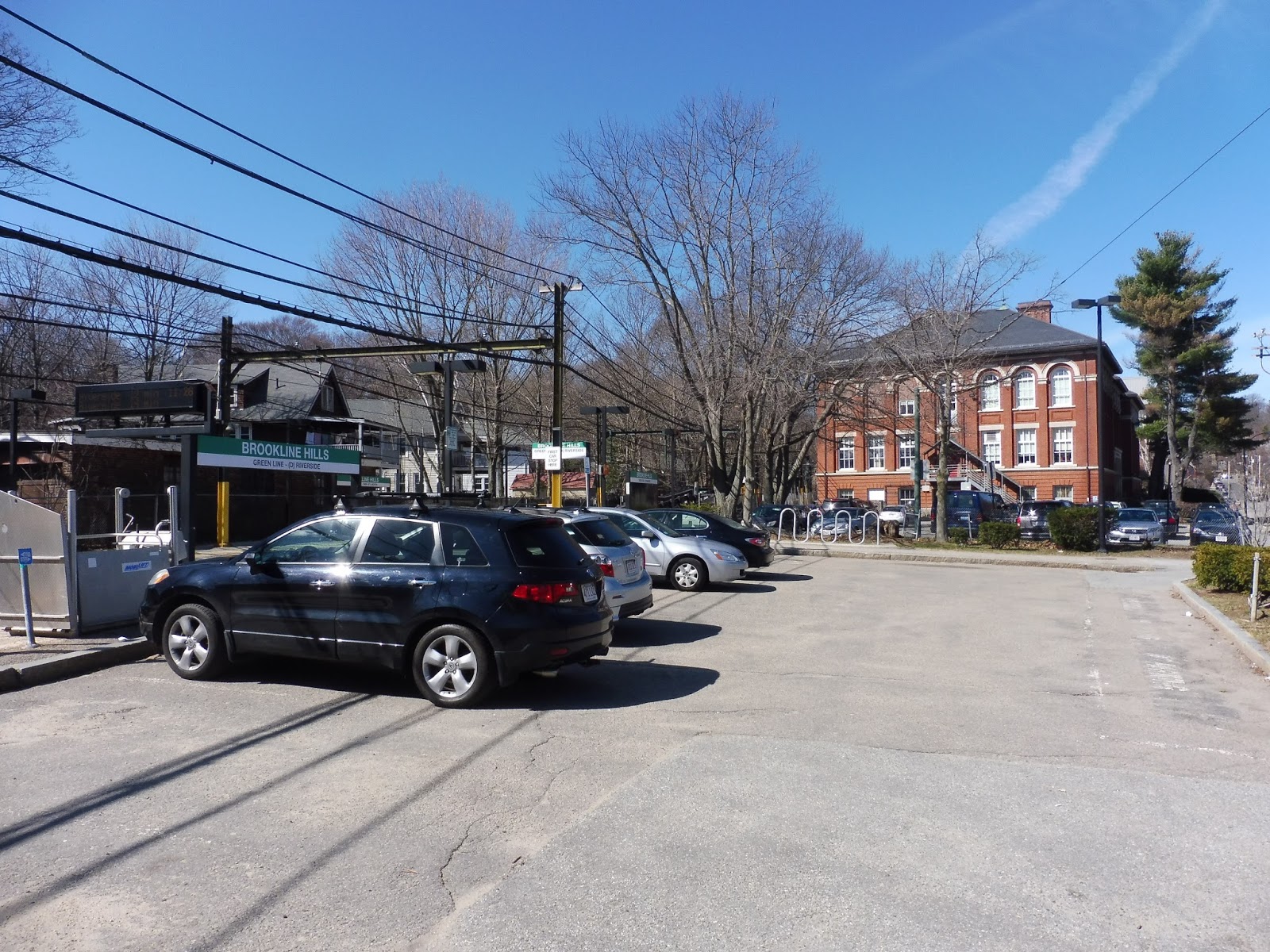 |
| The small parking lot. |
Brookline Hills doesn’t have any official parking, but there is a small lot right next to the station. I’m not sure if it’s affiliated with the station or not, but payment is done via an electronic meter. In addition, there are a few bike spaces next to the lot.
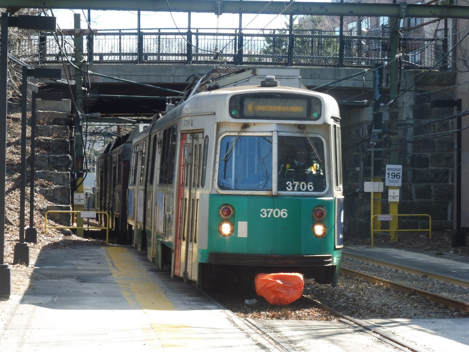 |
| A Riverside-bound train entering the station. |
Station: Brookline Hills
Ridership: I would say ridership here is about average for the D – 1,225 riders per weekday. It was quiet on the Sunday I was here, but that’s to be expected for the D on Sundays. Brookline Hills is clearly a local station, based on its residential surroundings, and it seems like most people walk here since the parking lot is so small. Another major ridership draw is probably students, since the station is right next to the Brookline High School.
Pros: You’re gonna be hearing this a lot in the coming posts, but hey – Brookline Hills is quite tranquil! The area around it is very quiet for the most part (until you walk to Route 9, but we won’t mention that). Also, the station is accessible, has a heated shelter, and features bike spaces and at least some form of parking.
Cons: Speaking of the parking, I do wish it was official MBTA parking. I don’t really know what kind of parking it currently is, but paying by meter doesn’t exactly encourage driving in for the day. Also, and this is more of a personal problem, it would be great if the station had a wooden shelter instead of the glass one. They just have so much more character.
Nearby and Noteworthy: A swimming pool is right near the station! Come on, that’s pretty awesome.
Final Verdict: 7/10
Yep. This is the classic D Line station. Well, minus official parking. And a wooden shelter. But other than that, Brookline Hills is great! Gosh, I’m gonna be struggling to fill this space up by the time I get further down the line…
Latest MBTA News: Service Updates
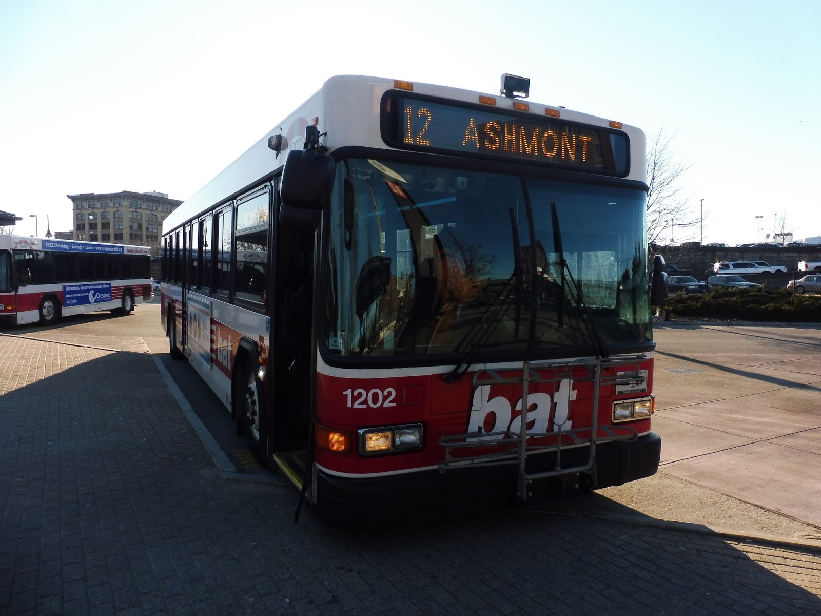
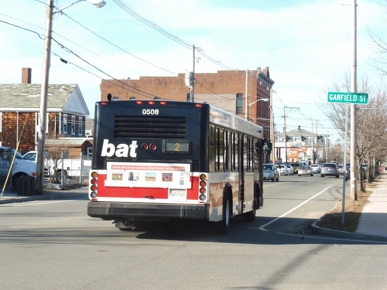
BAT: Ashmont Route 12 (Routes to Boston and Beyond)
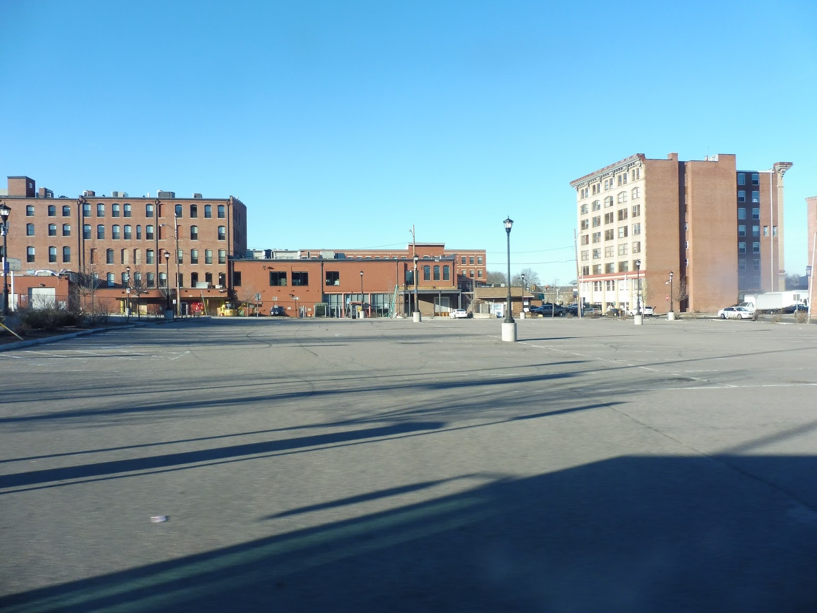
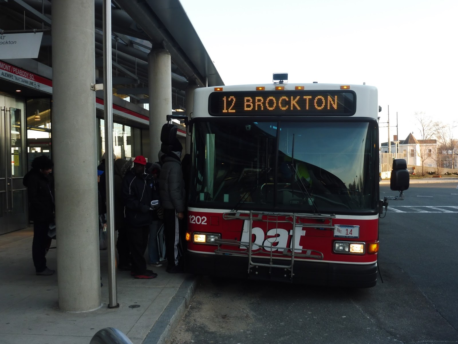
It’s strange to think of a non-MBTA route being able to enter MBTA bus territory and serve a subway station, no less! And yet, here we are with the BAT’s 12 bus. Running all the way from Brockton to Ashmont, this is both the BAT’s longest route and its busiest. What draws so many people to this lengthy ride? Let’s find out.
 |
| The bus at the BAT Center. |
Heading out of the BAT Center complex, we navigated through downtown Brockton via Commercial Street, Centre Street, Montello Street, Lincoln Street, and Main Street in quick succession. A lot of people got on at a shelter on Main Street, then we left the tall-ish buildings of downtown behind as we headed north. Now, since the 12 runs parallel with the 1 along this section, the latter takes care of all the local stops, since it’s much shorter.
 |
| Welcome to beautiful downtown Brockton… |
That said, we still made stops along the way, so…yeah, I’m not sure how strictly the “no stops” thing is followed. Regardless, the street was an eclectic mix of residential, commercial, and industrial buildings. We also passed a cemetery, a school, and a church along the way. Although coming pretty close to Montello Station, we did not serve it directly.
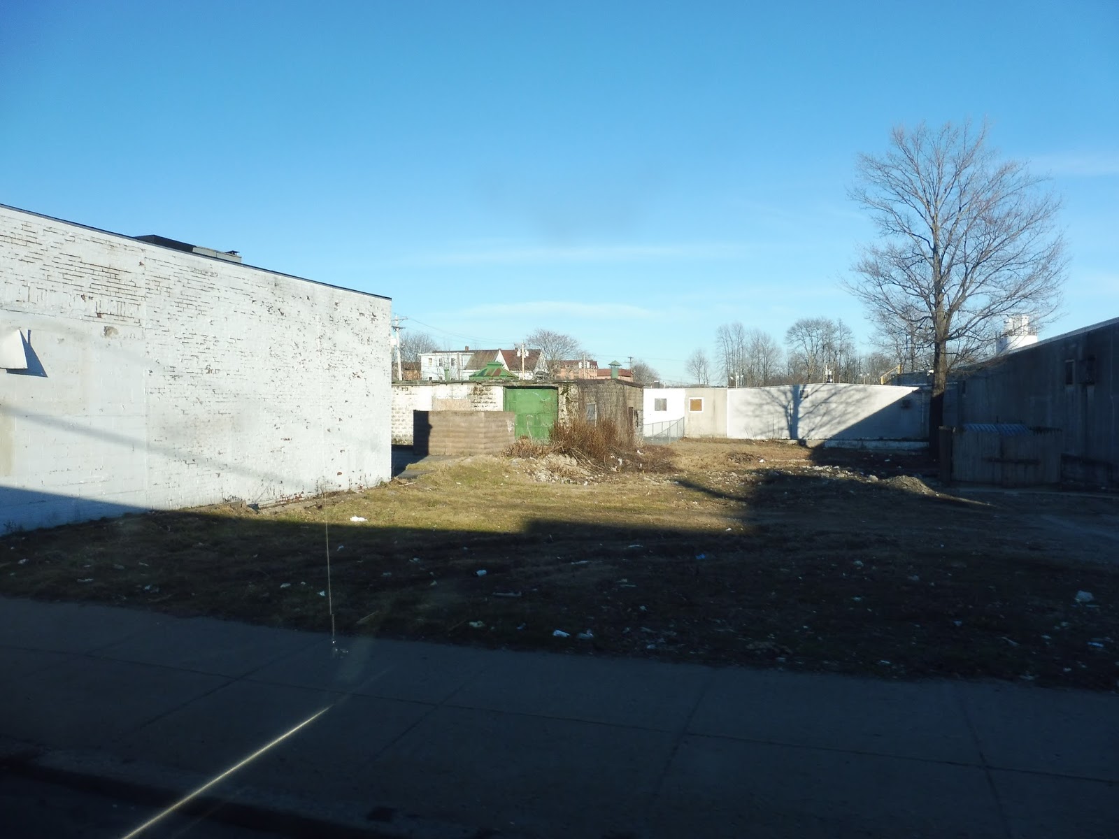 |
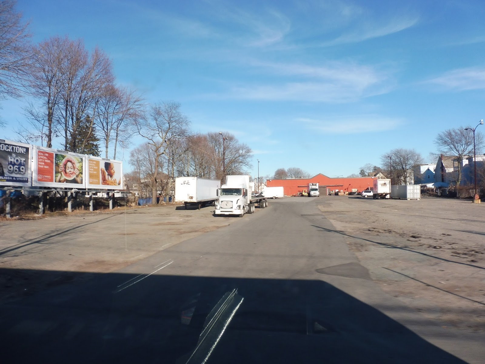
| An empty plot of land. |
It got less dense after that, with the apartments becoming just houses and the businesses becoming more spread out. As we entered Avon, the businesses left completely and it became a suburban residential neighborhood. And once we passed an intersection with the wide Harrison Boulevard, the 1 ended and we were alone on West Main Street.
 |
| A patch of trees. |
We went by a little convenience store on one side and an industrial warehouse on the other, and then it was houses once more. After a little while, Avon Middle High School was on the left and an incredibly cute library was on the right. These buildings signified that we were arriving at Avon Square, which was…nothing much, actually. It was basically just a fire station, a church, and a few businesses along a wide, pedestrian unfriendly road.
 |
| Mmm…gotta love Avon Square. |
This also marked the point where we were joined by the MBTA’s 240 bus. Yes, from Avon Square all the way up to Ashmont, the 12 is paralleled by the 240, stopping at the same stops. This seems like an interesting arrangement, with two transit authorities basically running the same route, but I guess that’s how it is.
Soon after Avon Square, we entered Randolph. Although South Main Street hosted a few industrial and commercial buildings, it was still mostly houses. However, we soon passed a school and went under pylons in quick succession, and arrived in Crawford Square just a bit later.
 |
| A street in Crawford Square. |
There was a connection to the 238 here, although the square was still underwhelming. The street was too wide, the sidewalks were too small, and the businesses were too uninteresting to make it seem like a fun place to hang out. As we continued up North Main Street, the businesses started to get big parking lots around them, and we even passed a small shopping plaza.
However, after that, it went back to mostly houses, with a bit of retail. There were also a few churches, industrial buildings, housing developments, and another school. Near the intersection with Pond Street, North Main was lined with businesses for a little while. We passed through one more residential stretch, then the street grew incredibly wide, went by some highway development, and went under I-93 with a cloverleaf interchange.
 |
| One of the ramps onto the highway. |
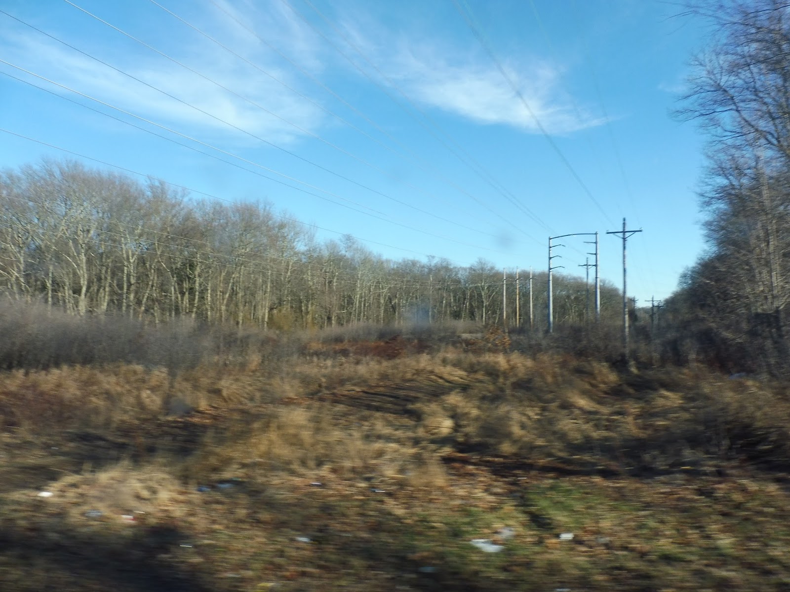
Right after that, we entered Quincy, the street became Randolph Ave, and we were right smack in the middle of the Blue Hills Reservation. Understandably, this section had no stops, so we were just speeding through the woods. Once we left the reservation into Milton, there was a bit of retail, and then it switched over to spaced-out houses.
 |
| Woods! |
The fringes of the reservation still dominated the right side of the road, while the left featured houses and, at one point, the entrance to a golf club. We also passed the huge Milton Department of Public Works, which seemed like just a big industrial complex. After that, we turned onto Reedsdale Road, which was mostly residential except for a library. For a short time, we were also running with the 245 along here.
The 245 left us at Brook Road, where we continued onto Central Ave. The houses got closer together as we got further north, until they became businesses. Here, we crossed over the Mattapan High Speed Line at its Central Ave stop, and then went over the Neponset River.
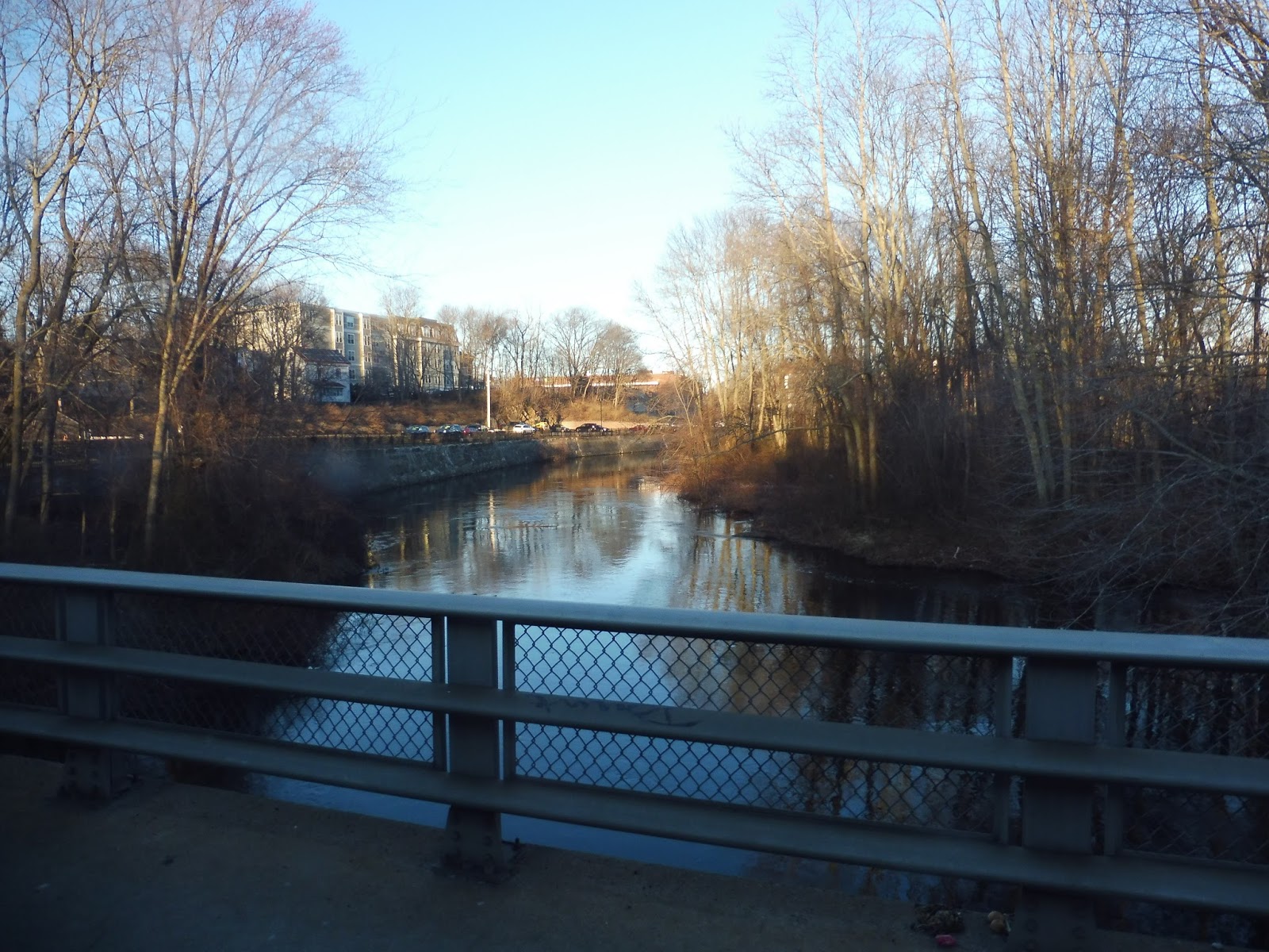 |
| What a lovely view! |
On the Boston side, we turned onto River Street, joining the 27. After a mix of apartments and retail, it became entirely the latter when we entered the Lower Mills area and turned onto Dorchester Ave. From there, the street became lined with apartments on one side and a huge hospital on the other. More residences now lined the street on both sides, then we finally took a right into the Ashmont busway.
 |
| The bus gobbling up passengers to go back to Brockton. |
BAT Route: Ashmont Route 12 (Routes to Boston and Beyond)
Ridership: This is by far the busiest route on the BAT, with 2,029 riders per weekday and 1,301 per Saturday. There’s no data for the 12’s Sunday service yet, but every time I see one on Sunday at Ashmont, it’s packed. My ride on a late Saturday afternoon was lighter, with about 25 passengers in total. Most of them went from beginning to end, but a few people got on between Brockton and Avon and others got off at local stops along the route.
Pros: It’s a BAT route that connects to the freakin’ Red Line! That in itself is awesome! Of course, this makes it quite busy, and it even has a few express trips during rush hour. Although the route has a premium fare over the rest of the BAT ($2.00 instead of $1.25), it’s still vastly cheaper than taking the Commuter Rail into Boston (which costs $7.50). Finally, although the headways are the same as other BAT routes Monday through Saturday, the 12 has a longer service day, from 4:50 AM to 12:20 PM on weekdays and 5:05 AM to 11:40 PM on Saturdays.
Cons: The Sunday service is bad. I mean, it only runs about half as often as other BAT routes! Now how does that make sense? Is this not the busiest route on the system? I’m pretty sure it’s still gonna get ridership on Sundays! So why doesn’t it run as often as other routes?
Nearby and Noteworthy: Hmm…to be honest, the most “noteworthy” place the route serves is Ashmont, but only because you can get the Red Line to actually interesting attractions from there. I mean, I could mention the small squares the 12 passes through, but none of them were very captivating.
Final Verdict: 8/10
Well, regardless of the 80 minute headways on Sundays, the 12 is definitely one of the best routes on the BAT. It runs as often as other BAT routes all other times, but it also has a longer service day, and – oh yeah – serves Ashmont! It’s a cheap (but slow) alternative to the Commuter Rail, and it gets a bunch of ridership along its massive length. If only it had more frequent Sunday service…
Latest MBTA News: Service Updates
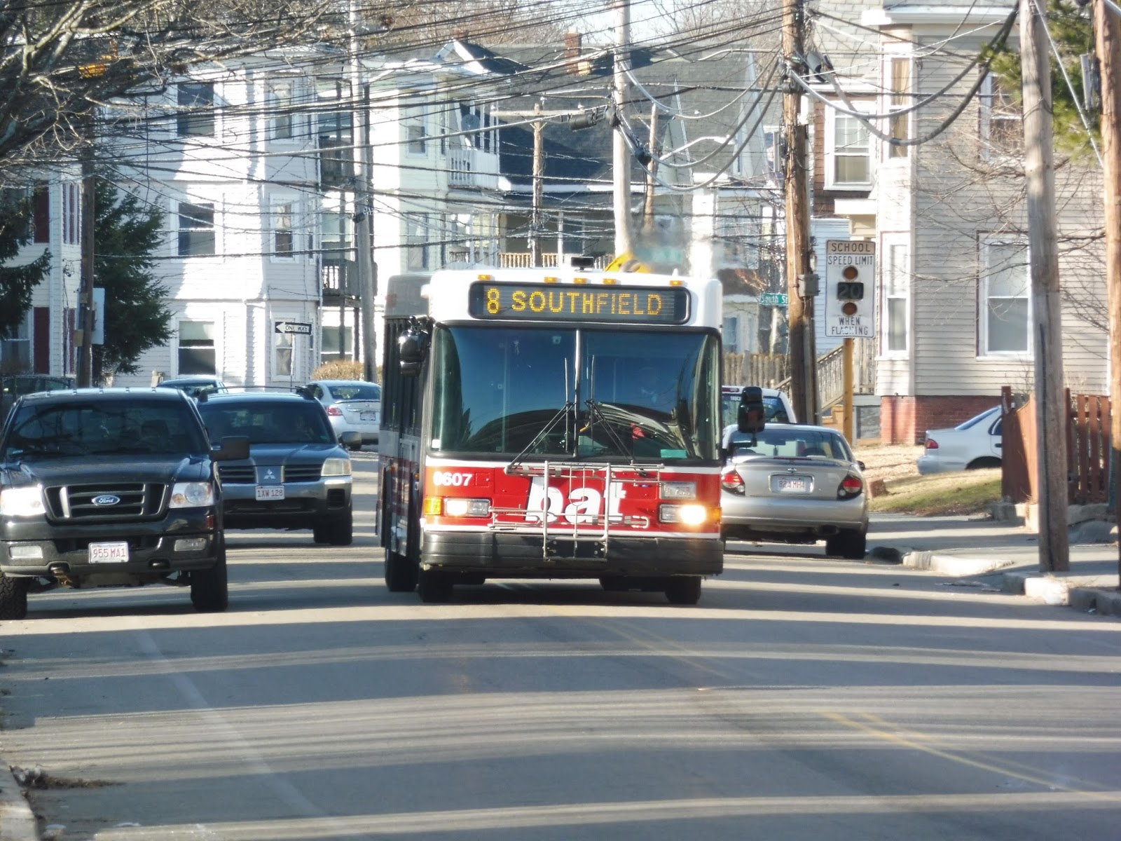
BAT: Brockton Route 8 (Southfield via Warren and Plain Street)
The 8 serves both one of the densest and one of the most suburban sections of Brockton. The former is a straight shot, while the latter is a loop at the end of the route. Since Campello (where I was) is the halfway point between these two, I wanted to take it around the loop and then head back up to Brockton. And this time I didn’t have to pay twice!
 |
| The bus in a residential neighborhood. |
I got on the bus just outside of a school, on Warren Ave. We instantly turned onto Clifton Ave, which was lined with dense houses, then we made another turn onto Main Street. After a quick connection with the 2, we merged around onto Plain Street. This road was industrial as it crossed over the Commuter Rail tracks near Campello Station, but it was all houses on the other side.
 |
| A perfect example of the suburban neighborhood. |
We turned onto Otto Street, then Summer Street, with houses on one side and woods on the other. We then turned onto the suburban-feeling Carl Street, with no sidewalks and large front yards. Soon, we reached Plain Street, which passed a church and went under some huge pylons before becoming lined with houses once more.
 |
| The pylons. |
Next, we turned onto East Street, which was – You guessed it! – suburban and residential. This took us up to Edson Street, which went under the pylons again and became Summer Street. We made our way back to Plain Street now heading toward the BAT Center.
 |
| Some denser houses. |
After crossing Main Street again, we took a slightly different route than the outbound one – a block away on the one-way Keith Ave, lined with dense houses. We then rejoined the outbound side and turned onto Warren Ave, the main portion of the route. We passed a school, then the street was lined with dense houses and apartments – a big departure from the suburban neighborhood we had just left. Compared to the commercial/industrial Main Street a few blocks away, Warren Ave had few businesses except for some small corner stores. We did pass an industrial lot at one point, though.
 |
| The lot. |
 |
| A different bus getting ready to set out on the 8 from the BAT Center. |
Ridership: This route seems to get average ridership for the BAT, with 668 riders per weekday, 349 per Saturday, and 117 per Sunday. My Saturday ride pretty much typified this, with about 20 passengers in total. Most of them got on along the dense section rather than the suburban loop, which is to be expected, and everyone got off at the BAT Center, of course.
Pros: I like the way this route serves two different “worlds” of Brockton: the dense houses further north, and the suburban residences around the loop. Of course, the former gives the route more ridership, though people still got on in the suburban section, too. In addition, the schedule is the classic BAT schedule that most of the routes have, with every 20-25 minute service rush hours, every 50 minutes during the day, every 45 minutes at night and on Saturdays, and every 40 minutes on Sundays.
Cons: Again, the default BAT schedule can be infrequent, but since that applies to most of its routes, it’s not a specific con. It could be a potential problem that this route spends a lot of its time within three blocks of the 2, but both routes get decent ridership, so I guess it’s fine (the 2 gets more, though).
Nearby and Noteworthy: As with presumably most Brockton routes, this section is basically a “no way.”
Final Verdict: 8/10
This is another solid BAT route. Considering that most of them have the same schedule, I’ll probably be saying that a lot of the BAT is “solid”. Still, the 8 serves some dense neighborhoods and some not-so-dense neighborhoods, and that seems to give it fine ridership, so it gets a fine score from me.
Latest MBTA News: Service Updates
Government Center
Yes, it’s finally here! The moment we’ve all been waiting for! After 1 year and 364 days, the crucial connection between the Green and Blue Lines is once again open. And let me tell you, it’s beautiful. I don’t want to leave you hanging any longer, so let’s take a look at the brand new Government Center!
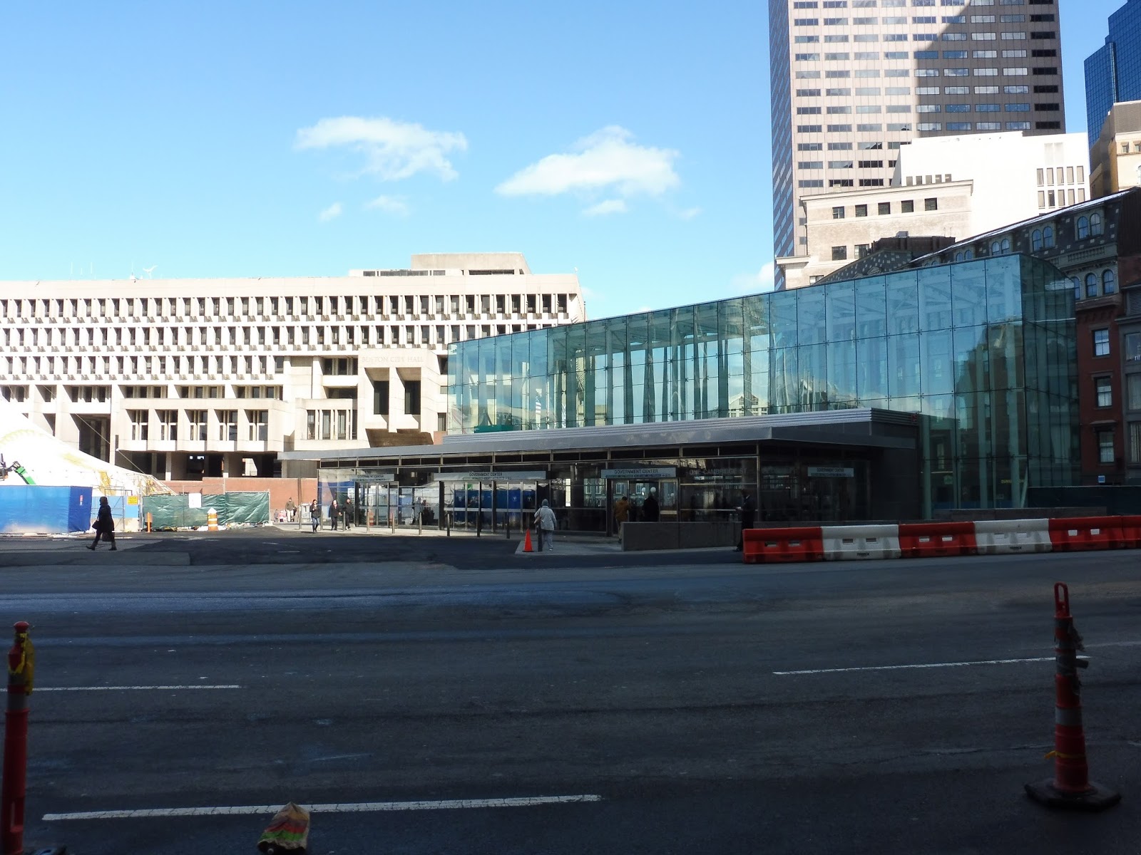 |
| Oh, look at that beautiful Boston City Hall! That glass station entrance…pshhhh. |
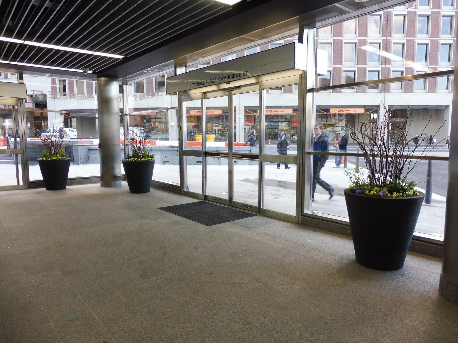
I kid, of course. Boston City Hall is like Boston’s great big pimple, while Government Center’s new entrance is the pimple remover. I mean, it’s simply beautiful. The glass headhouse is amazing, and really announces that there’s a train station here a lot better than the old one. I do wonder why there are still construction signs pointing the way to State and Park Street around the station, though.
 |
| The entrance. |
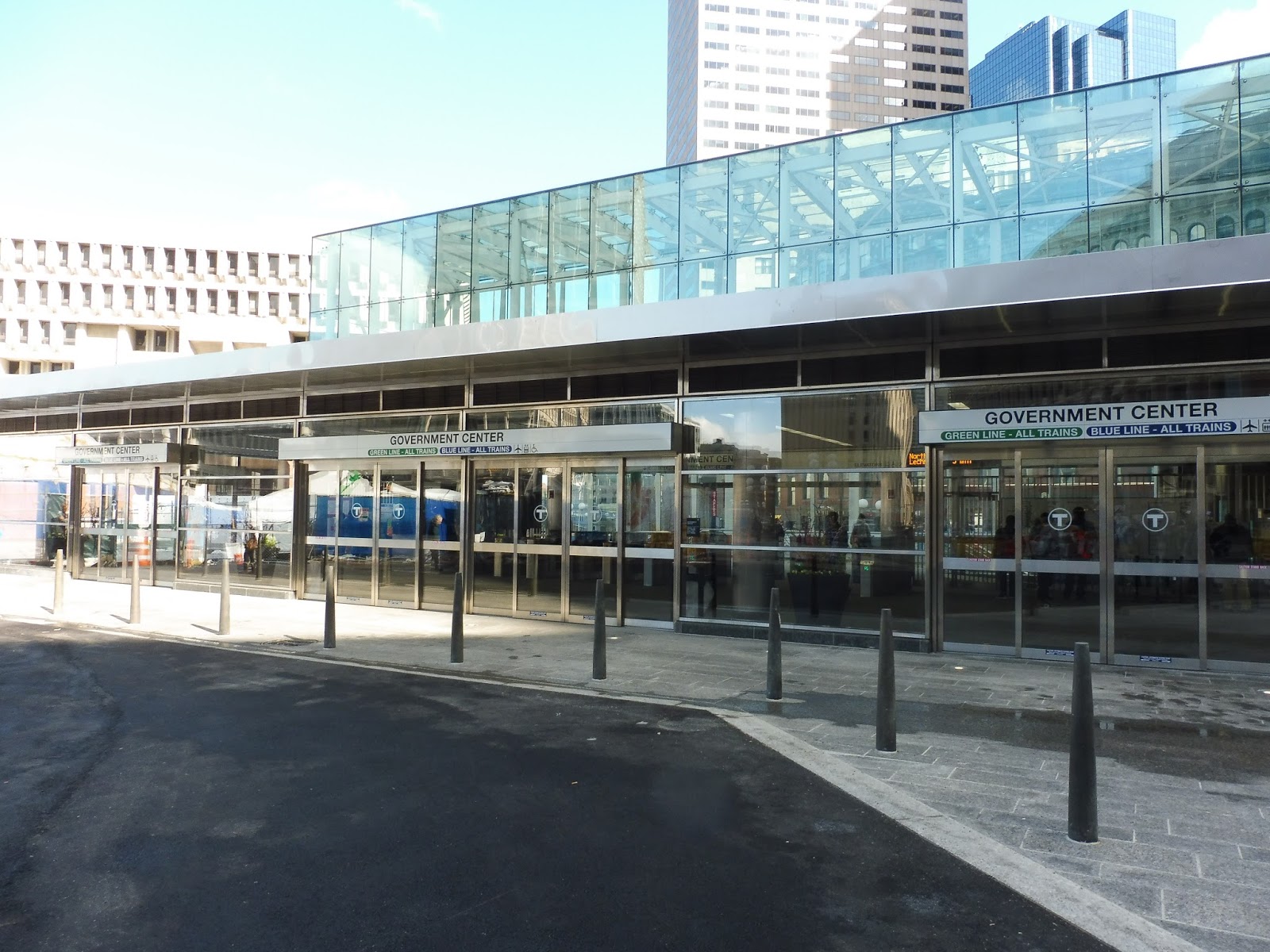
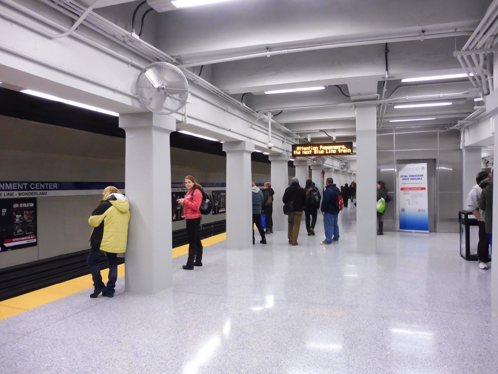
The actual entrance is amazing, too. Located right off of Cambridge Street, there are six pairs of automatic doors that lead into the mezzanine – four in the front, and one on each side. The sheer number of doorways into the station is instantly an improvement from the original Government Center’s tiny entrance.
 |
| The mezzanine. |
Inside, the mezzanine is huge and spacious, with a bunch of fare gates into the station. They’re the “new” type of fare gates like the ones at Assembly that make different noises. Plus, they have two wider reduced fare gates! I do wish it was one on each side, but two on the end is better than nothing. In addition, there are fare machines on either side of the big mass of gates.
 |
| Plants! |
Other amenities in the mezzanine include countdown clocks for both the Green and Blue Lines, on either side of the fare gates. There are also wastebaskets, of course, and interestingly, potted plants. I don’t think there’s ever been an MBTA station with those before, but they look quite nice!
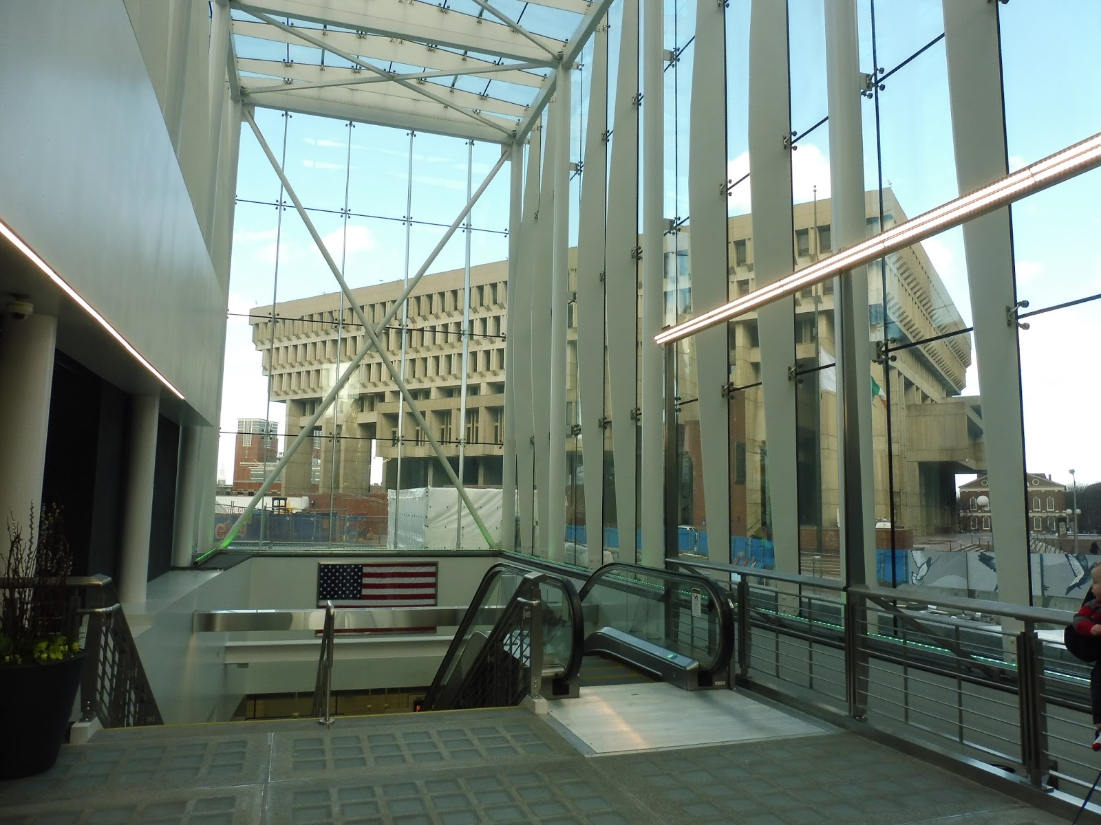 |
| Inside the big glass structure! |
Once past the mezzanine, you enter the huge glass area that’s visible from all around the station. We’ll see how long the glass stays clean, but for now, it looks great! There are some good views of the surrounding area from inside the enclosure, as well as LED lights that change from blue to green! Stairs lead down to the Green Line, as well as up and down escalators.
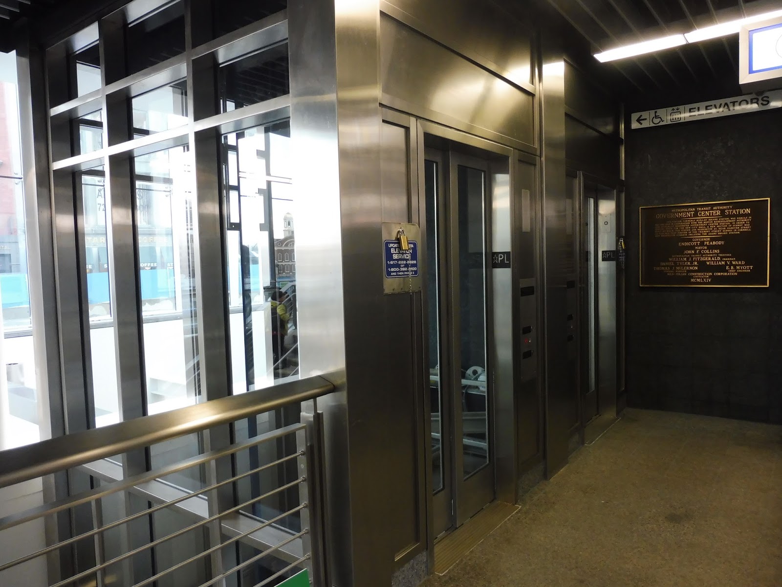 |
| The main attraction! |
Of course, the newest addition to Government Center is the brand new elevators, making it finally accessible! There are two that go from the mezzanine down to the Green Line, and they’re big, glass, and quick. The only problem is that the one I took (and possibly the other one, too) already smells bad. Geez, that didn’t take long.
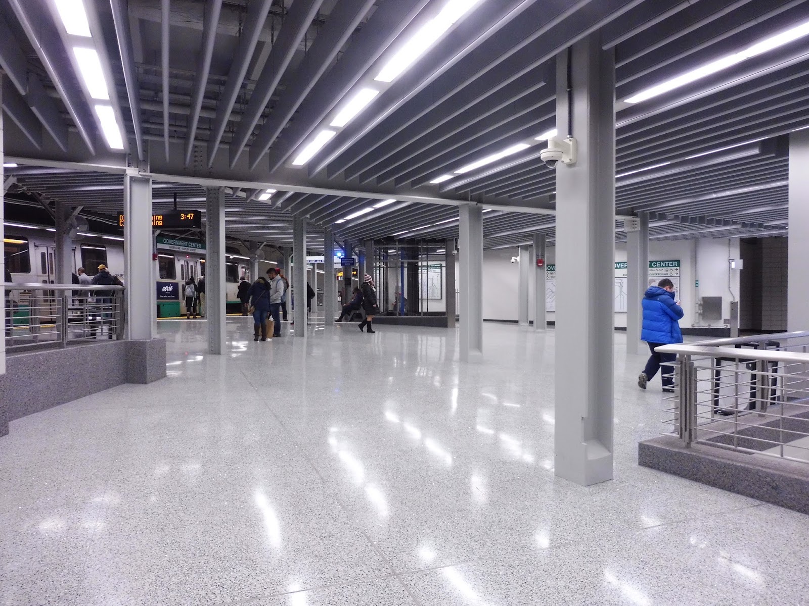 |
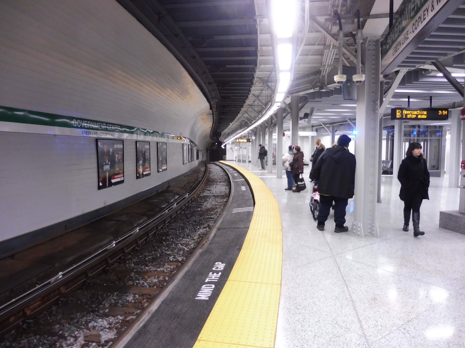
| The Green Line platform! |
Remember how dark the Green Line platform in the old Government Center was? Yeah, well you can kiss those memories goodbye, because it’s sooooooo bright! Not only are there lots of LEDs lighting up the place, but the glass structure adds lots of natural light to the station, too. And everything is painted white to make the platform even brighter. The more light, the merrier, I guess.
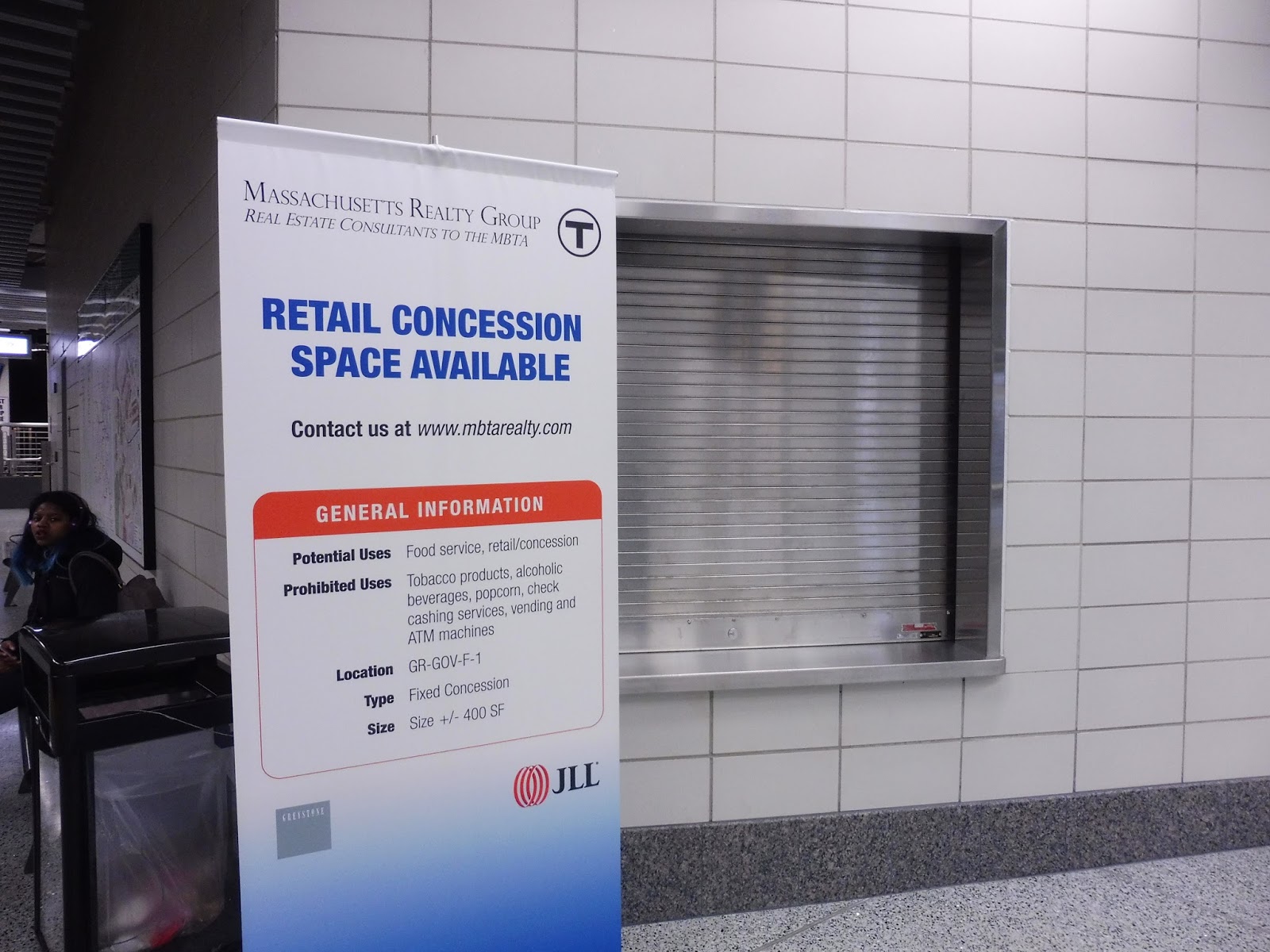 |
| A poster about the retail space. |
However, one aspect of the platform that’s decidedly missing is retail space. Specifically, the station used to house a Dunkin’ Donuts right on the platform that’s not there anymore. The T is currently looking for businesses to occupy the space, so hopefully something worthwhile comes up there. Another unfortunate omission from this new station is the fantastic murals that were in the old one – there is a little information board about them, at least.
 |
| Along the track. |
The Green Line platforms feature proper countdown clocks going outbound and the ones showing how many stops away the trains are going inbound. I do wish the platform had more benches, though, since it’s quite spacious, yet rather empty. Couldn’t they fit more benches in? There are very, very few.
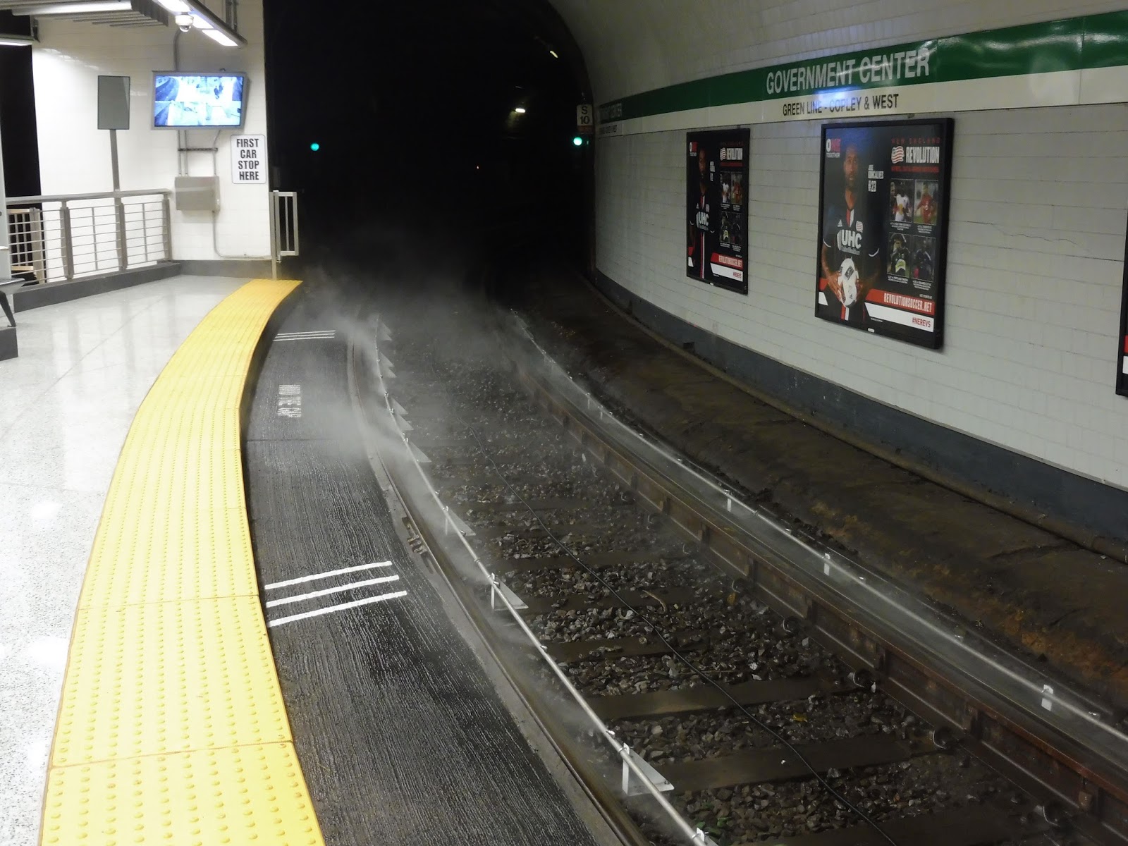 |
| Possibly the coolest part of the whole station. |
Along the curved inbound platform, there are “mind the gap” signs along the track, which in itself is awesome – but we’re just getting started. Do you remember how screechy the trains were at the old Government Center? Well, that’s all changed. Now they have these sprayers along the curve that grease the tracks to keep the trains from screeching! THAT’S AMAZING! Now all we need is one of these bad boys at Boylston.
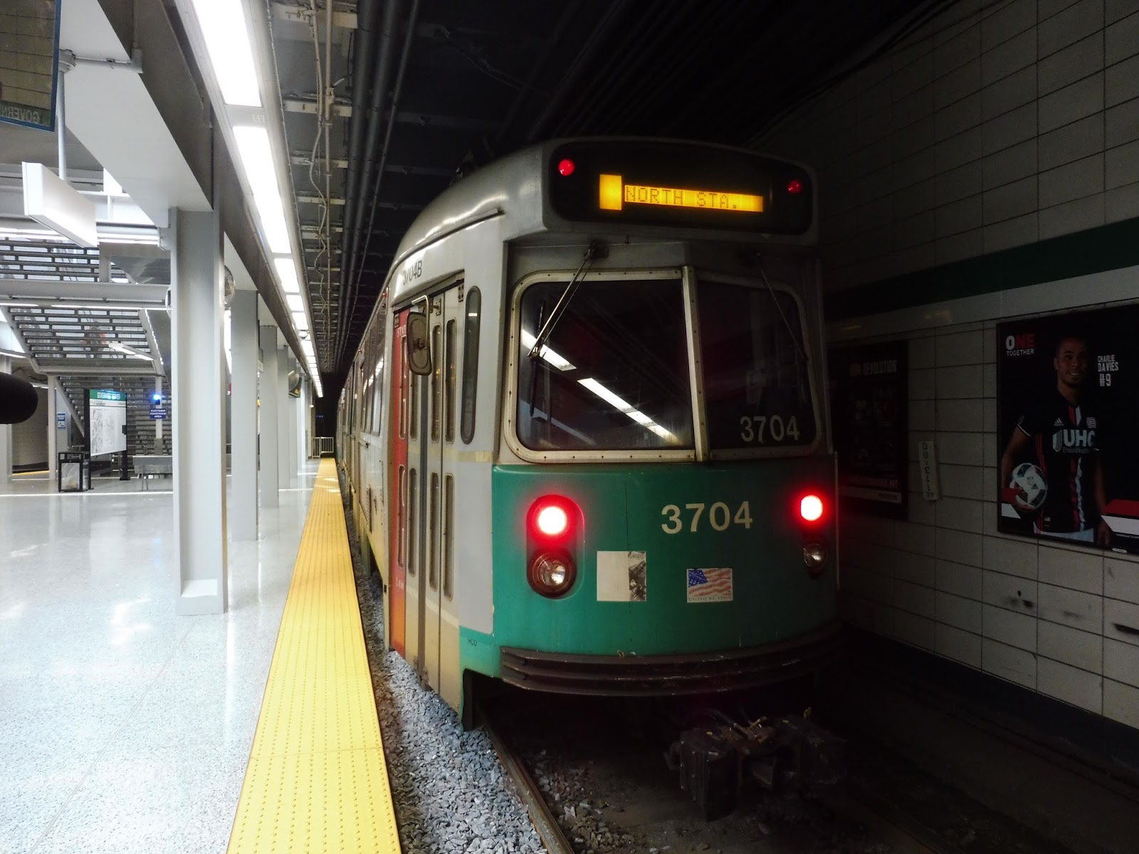 |
| A train heading to North Station. |
One of my favorite things about Government Center is that it’s probably the second easiest transfer on the whole system (after North Station‘s cross-platform one). There are a bunch of staircases (and now two elevators) that all lead directly down to the Blue Line from the Green Line. One of the staircases has a vintage “Scolley Square Under” sign, while the other has historical information! And the elevator I took did smell alright this time, so that’s a plus.
 |
| The Blue Line platform! |
The Blue Line platform is quite possibly even brighter and whiter than the Green Line one. Basically…yeah, everything’s painted white. But it looks quite glossy, at least for now! We’ll see what happens as the station gets older and dirtier, though.
 |
| Further down the platform. |
As for the platform itself, it’s quite clean and spacious. On one end, there’s an emergency exit that, to be honest, should probably just be made into a regular entrance. Also, the Blue Line platform has the same lack of benches that the Green Line one has – I only saw two! Maybe they’re trying to encourage good health by making all the passengers stand.
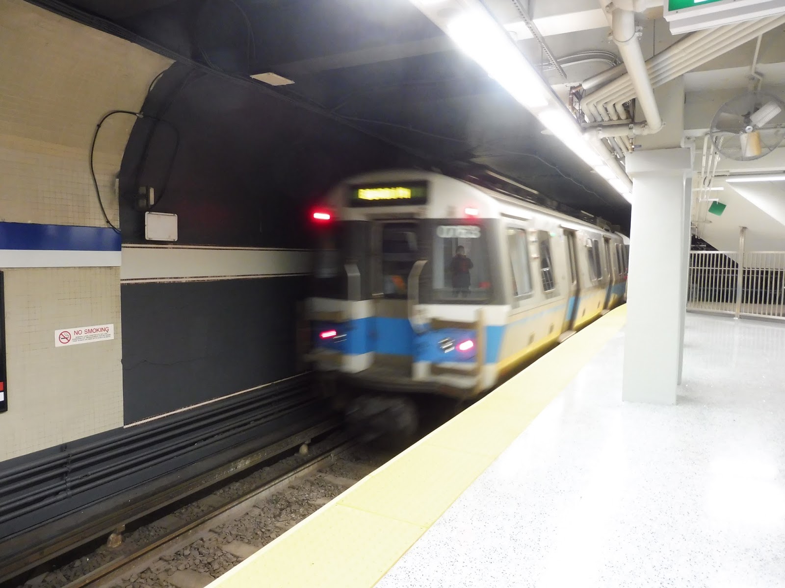 |
| A train bursting into the station. |
Station: Government Center
Ridership: In 2013, before the station closed, Government Center was actually the least-used transfer point on the system. Still, 10,828 riders per day is not a low number, and the station still ranked 17th on the system. To be honest, it wasn’t that crowded today, and the ridership consisted of either people making transfers or transit fans taking photos. Still, once more people realize the place is open, I’m sure ridership will increase.
Pros: This. Place. Looks. Great. There’s no other way to put it, it looks amazing. From the huge glass structure outside to the spacious mezzanine to the bright Green Line platform to the shiny Blue Line platform, they really did an awesome job with the aesthetics here. Not only that, but this station is fantastic functionally. The huge amount of fare gates at the entrance allows for many people to enter at the same time, and the transfer between the Green and Blue Lines is definitely one of the simplest and easiest on the system. The fact that the station is accessible now is of course a huge plus, and oh – the Green Line track sprayers! They are the most amazing thing I have ever seen. And heard. Because there’s silence because the trains don’t screech!!!!!
Cons: There are only two problems I have with the new station. The first is that there’s no retail yet, but that should be taken care of soon. Hopefully a food or convenience store will take the spot, since that would be very convenient while waiting for the train. My other issue is the lack of benches. Maybe I’m lazy, but it seems like it’s customary to include a good amount of seating space in train stations. The worst part is that there’s plenty of room on the massive platforms, and yet it seems like they haven’t really taken advantage of that.
Nearby and Noteworthy: I have to say, Government Center is probably on the least interesting corner of the downtown square. Boston City Hall is an eyesore, and generally its plaza is the most boring place ever. Okay, so the Big Apple Circus is there now, but other than that, the area isn’t noteworthy at all.
Final Verdict: 9/10
I have to say, I was absolutely blown away by the new station. There are the big things, like the glass headhouse, the big mezzanine, and the bright platforms, but then there are also little details that I really love: the potted plants in the mezzanine, the LED lights that switch from green to blue, and – of course – the Green Line track sprayers. And the place is accessible now! Since I’m not that upset about the lack of retail space, the only thing keeping this station from a 10 is the fact that there are so few benches. Perhaps the MBTA has a reason for omitting them from the platforms, but I think there should definitely be more than what they have now. Other than that, though, this is a really, really great station. Kudos for building something wonderful, MBTA!
UPDATE: In my rush to get this post out on opening day, I forgot to mention that the B terminates at Park Street now. One the one hand, this makes it harder for passengers on that branch to get to Government Center, but on the other hand, it does prevent the bottleneck between it and Park Street. It’s neither a pro nor a con, but I figured I ought to mention it.
Latest MBTA News: Service Updates
Campello
Why is it that you sometimes see seagulls in places that aren’t even close to the ocean? I know this is a random way to start, but there were two seagulls in the empty Campello parking lot, and I was wondering what the heck they were doing there! Um…anyway, time to look at Campello Station.
 |
| The street leading to the station. |
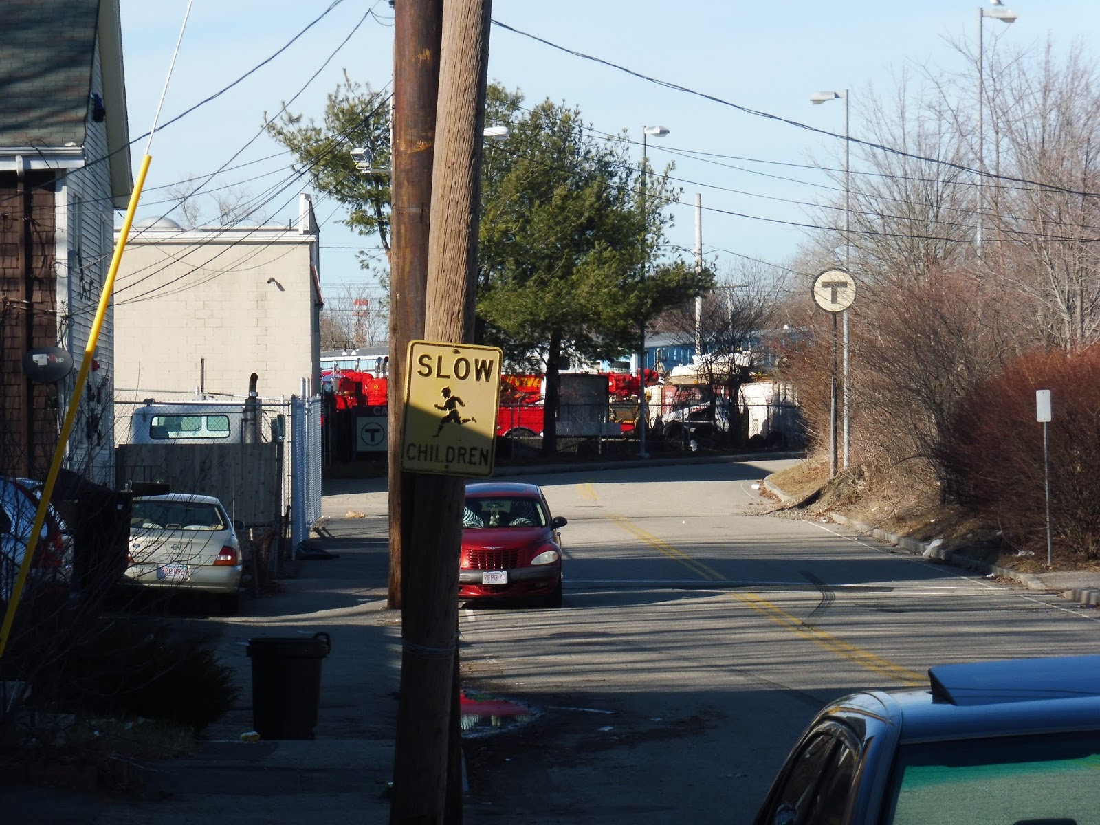
Around the neighborhood, there are a bunch of convenient signs that point the way towards the Commuter Rail station. Although their usefulness to a person who commutes there every day is questionable, they at least helped a newbie like me find my way. The station is located on Riverside Ave, a gritty, industrial-feeling street. There’s also a second entrance located off of the larger Plain Street that’s useful for people coming from the east.
 |
| That’s a biiiiiiiiiiig parking lot. |
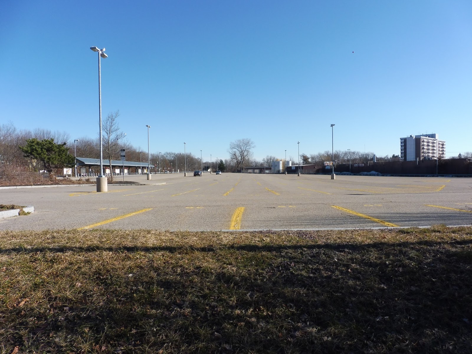
Of course, since this is an Old Colony Line, it has to have a huge parking lot. Or rather, a huge empty parking lot. And it’s not just because I was here on a Saturday – the 535-space lot only gets around 20% filled on the average weekday. Still, better safe than sorry.
 |
| The platform. |
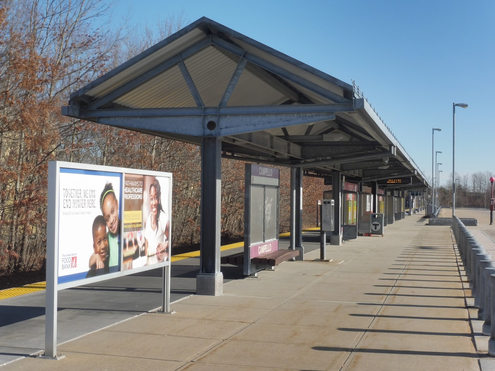
Since the station is single-track, there’s only one platform. And whaddayaknow, it’s got that most classic of Old Colony shelters – bland, but does the trick. The station also features ads, benches, wastebaskets, and newspaper boxes. As usual, the platform is much longer than the sheltered part, but there isn’t much to talk about out there since it’s just a bunch of benches.
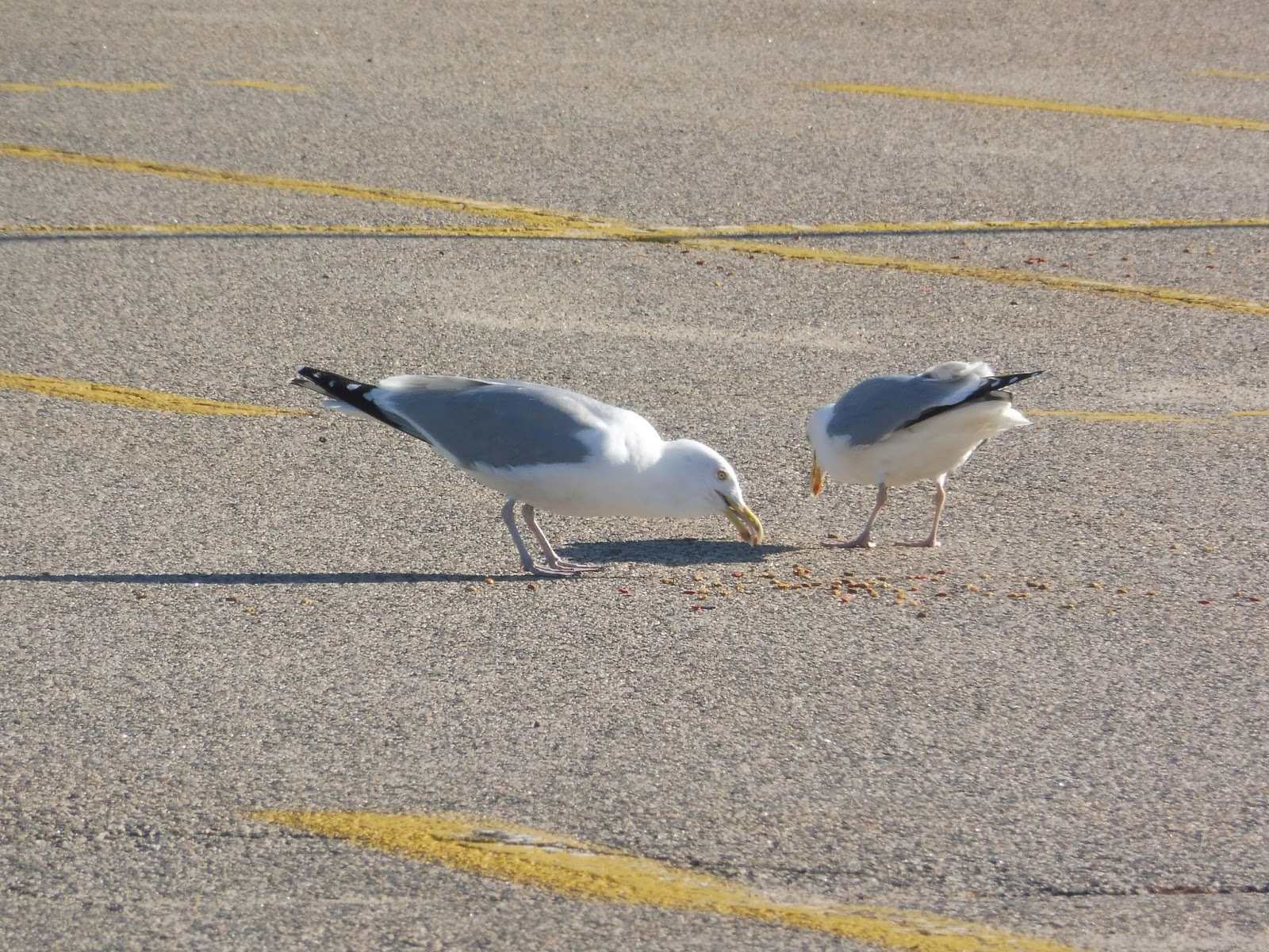 |
| I didn’t see any trains when I was here, but SEAGULLS! |
Station: Campello
Ridership: There weren’t any trains coming for another hour when I was here, so the station was dead. However, Campello is ultimately the second-busiest station in Brockton, with almost 700 inbound riders per weekday. I guess most of those people walk or take the bus here, since the parking lot is so empty all the time. The station is in a pretty dense neighborhood, after all.
Pros: It’s a typical Old Colony station, so it gets the job done. The fact that it’s fully high-level is certainly a plus. Also, it has a huge (perhaps unnecessarily so) parking lot, which could contain a lot of cars if people actually drove here.
Cons: I guess Campello’s only problem is that it has that Old Colony blandness going on. You know, there’s the stark platform, the huge asphalt parking lot, and the bland metal shelter, none of which help it out much in the visual department.
Nearby and Noteworthy: The surroundings are mostly either residential or industrial, but there are a few businesses on nearby Main Street.
Final Verdict: 8/10
Like many Old Colony stops, I don’t have much to say here. Campello is a perfectly efficient station that may look a bit boring, but it gets the job done. Um…well, it also seems to attract seagulls. Wooooooo.
Latest MBTA News: Service Updates
BAT: Brockton Route 2 (South Plaza/Campello via Main Street)
Wouldn’t it be nice if every transit authority had a photo policy like the MBTA’s? Or even better, if there was a single policy that applied to all authorities? It would certainly prevent annoying instances like what happened to me on the 2 from occurring. This time, the driver’s argument was that I could get arrested for taking a picture of a bus driver. I’m not sure if that’s true (leave a comment if you know), but I was taking a picture of the bus, not the driver! Sigh…whatever.
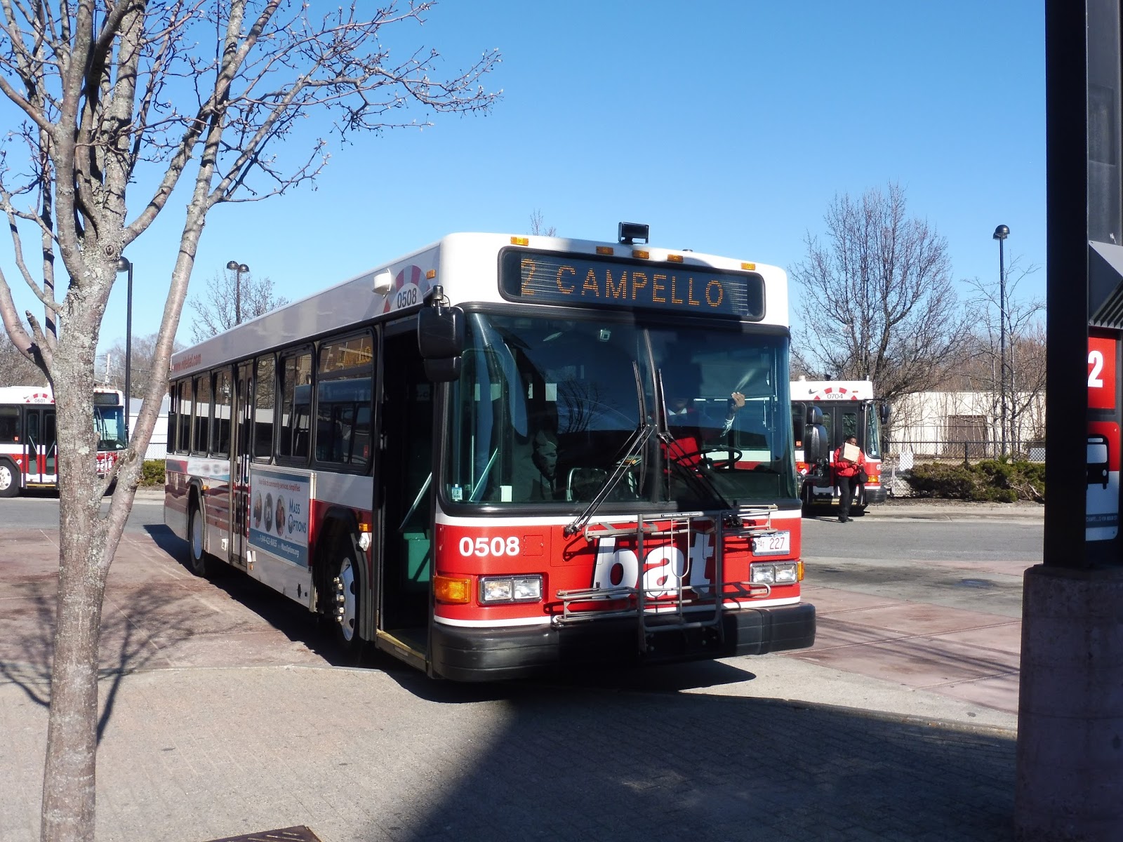 |
| The bus at the BAT Center. |
Pulling out of the BAT Center, we made our way to Centre Street, which went under the Commuter Rail tracks. Once on the other side, we turned onto Montello Street, passing parking lots and vacant brick buildings. Soon after, we headed left onto Crescent Street, then Maple Ave, going through a backlot.
By the time we made it onto Main Street, we had bypassed downtown Brockton – the inbound route takes care of that section of town. However, the inbound and outbound routes were together now as Main Street became more industrial. Side streets were lined with houses, but we were mostly going by either auto shops or small businesses.
 |
| One of those residential side streets. |
The industrial-ness was broken at one point, with an intersection at South Street. Here, there were a few business blocks and even a post office. We passed a park after that, with a connection to the 8 and Campello Station. However, once past there, the auto shops came back and it felt gritty again. Eventually, we turned off the road to directly serve an apartment building, then returned to Main Street, passing the BAT’s main yard.
 |
| The yard! |
The auto shops multiplied exponentially after that, and it seemed like at least 60% of the businesses were car-related. In addition, the parking lots increased in size as we continued south, culminating with an almost empty mall – Kmart Plaza. As the bus layed over in the parking lot, I asked the driver if I could take it back up to Campello Station. “You have to pay again to do that,” she said. I wasn’t in the mood to argue, so I tapped my card again, even though it did seem a little unfair…
 |
| The bus after I got off near Campello. |
BAT Route: Brockton Route 2 (South Plaza/Campello via Main Street)
Ridership: My Saturday ride had about 25 passengers, all of whom got on at the BAT Center. As expected, they slowly trickled off as we headed further away from downtown. The 2’s ridership is about average for the BAT, with 954 riders per weekday, 590 per Saturday, and 199 per Sunday.
Pros: Aside from the meandering in downtown Brockton, the 2 is a straight shot right down Main Street. It goes through a lot of dense neighborhoods, which gives it decent ridership. In addition, the route’s terminus at Kmart Plaza offers a connection to BAT’s thrice-daily route to Bridgewater State University. The 2 gets the schedule that most BAT routes have, running every 20-25 minutes rush hour, every 50 minutes during the day, every 45 minutes at night and on Saturdays, and every 40 minutes on Sundays.
Cons: Even though the schedule can be infrequent, it’s one bus shuttling back and forth outside of rush hour, which seems most economical. Also, the deviation to serve the apartment building seems a bit unnecessary – it’s quite a short walk to the street. Nonetheless, the detour doesn’t add much time to the route, and it seems like people use it, so it’s not that bad.
Nearby and Noteworthy: There might be some gems amidst the constant auto shops, but a lot of this route feels industrial. Um…there’s a Kmart at the end?
Final Verdict: 8/10
Since the BAT has such uniform schedules, I wonder if most of its routes will get similar ratings from me. I can say that as a route, the 2 is straightforward and serves a lot, which makes it a good one in my book. Considering that the apartment deviation is both short and well-used, the subtracted two points are mainly just for the general infrequency of the BAT’s schedule, which can’t be helped.
Latest MBTA News: Service Updates
Brockton
I think downtown Brockton is pretty widely considered to be…well, let’s say a “sketchy neighborhood”. And train stations are usually where the sketchiest parts of sketchy neighborhoods happen to be. I have to wonder, then, if it’s a coincidence that Brockton Station happens to be right next to a police station. Hmm…
 |
| Some parking along the side of the police station. |
There are two places at Brockton to park, the first one being a strange lot next to the police station. The thing is, I’m not really sure where the station parking ends and where police parking begins, since a lot of it is reserved for police vehicles. Plus, it goes up a slope, so many of the spaces are at an angle, which must make it interesting to park there.
 |
| This was taken from a moving bus, which explains its awfulness. |
Luckily, there’s a more traditional parking option available in the form of a BAT parking garage. I’m not sure how much of it is considered station parking (if any), but the MBTA website says the station has 266 spaces, and there are not that many in the weird slope lot. Thus, I assume the strange little two-story garage contains the rest of the station parking, and parking for the BAT, as well.
 |
| A little plaza. |
Next to the police station and outside of the station’s entrance, there’s a small plaza with a few amenities. For example, it has some weirdly-placed bike spaces. I mean…unless it’s normal to park your bike right on the dirt. Also, there are benches, a payphone, and a map of Brockton and the BAT system. This plaza acts as the “gateway” to the Commuter Rail station, with one staircase leading directly to it while another (a block away) requires walking through the police station parking lot. One final exit is via the ramped parking, and that leads to the BAT Center (more on that later).
 |
| The proper entrance to the station. |
The way you get onto the platform here is reminiscent of Braintree, another Old Colony station. Like that station, Brockton has a center platform that requires crossing one of the tracks to get to. At least there are plenty of lights and signs to inform passengers of the crossing. Once in the middle of the tracks, there is a staircase and a ramp up to the full high-level platform.
 |
| Up on the platform. |
Although the platform is elevated, there isn’t much of a view. Thus, we’re left with a standard Old Colony station, with benches and wastebaskets under a fairly stark shelter. There are vintage Commuter Rail maps, though, presumably from when the station opened (1997).
 |
| Mmm…interesting. |
Of course, most of the platform is open. And…yeah, it’s basically more benches and wastebaskets for the whole length of the insanely long station, which is typical for the Old Colony Lines. However, Brockton stands out from the crowd by having insanely robotic announcements that don’t say anything important! Woo!
 |
| The BAT Center, complete with solar panels! |
Of course, no discussion of Brockton would be complete without talking about the BAT Center, right across the street from the Commuter Rail. Even though they’re technically separated, I’m considering them to be part of the same facility, since they…basically are. Although to be honest, the BAT Center should really be renamed to the BATCave. And for what it’s worth, all of the BAT’s buses should be called BATMobiles. Okay, okay, I’ll stop now…
 |
| The inside of the BATCave…I mean, Center. |
The inside of the BAT Center is awesome. Just in terms of aesthetics, a lot of it is made of wood, and so it has a great, rustic feel to it all. Of course, its facilities are quite modern, including a countdown screen! Admittedly, it’s pretty unnecessary since most BAT buses leave the hub at the same time, but it’s still nice to have.
 |
| The businesses in the building. |
The BAT Center also features two cafés, as well as a convenience store! And there are tables and wastebaskets everywhere so people can eat while they’re waiting for the bus! Plus, the Center has a ticket booth, ticket machines, and bathrooms (though their doors remain locked unless you get a key at the ticket booth, which does make sense, considering the neighborhood).
 |
| The outdoor area. |
Outside, each bus route gets its own specific bay, and for the most part, they all leave the BAT Center at the same time to make transfers easier (it’s a pulse system). The outdoor area also has shelters with more seating, as well as wastebaskets and even more countdown clocks for individual routes! Not to mention, there are speakers for announcements about when the next “pulse” is! I love this place so much…
 |
| Oh, right, there’s also a Commuter Rail station. Um…that’s fine, too. |
Station: Brockton
Ridership: Unsurprisingly, this is the busiest of the three Brockton Commuter Rail stations, and the third-busiest on the whole Old Colony system, with 778 inbound riders per weekday. And to be honest, it seems to get some degree of outbound ridership, since a few people got off a train coming from Middleborough on a Saturday! As for the BAT…well, this is the main hub of a very busy bus system, so I think you can imagine how much ridership it gets.
Pros: Okay, so the BAT Center, right? Yeah, so it’s got all these cool amenities, like cafés, bathrooms, and countdown clocks! It has a whole bunch of seating, it’s all indoors, and it’s so awesome! Oh yeah, and then there’s also the Commuter Rail station. It’s high-level, which is…standard for the Old Colony. Um…it has that robotic voice, too…
Cons: Okay, all jokes aside, there really isn’t much wrong with the Commuter Rail station, either. It’s what you’d expect from an Old Colony station and nothing more. I guess specific signage to the BAT Center could be nice, but other than that, there are no glaring flaws here.
Nearby and Noteworthy: I mean, there’s certainly a lot nearby (this is downtown Brockton, after all), but it’s only noteworthy in that I wouldn’t recommend spending much time here…
Final Verdict: 9/10
Yeah, I have a weakness for big Commuter Rail hub stations with lots of amenities. It has to be said, though, that most of those amenities are within the BAT Center rather than at the station itself. Indeed, if the BAT Center wasn’t included in this review, the station would probably get a 7 at most (considering it’s average but not bad). However, the awesomeness of the BAT’s hub raises it up that extra two points. What a great place to run buses from! And…the Commuter Rail station is a fine place to run trains, I guess.
Latest MBTA News: Service Updates
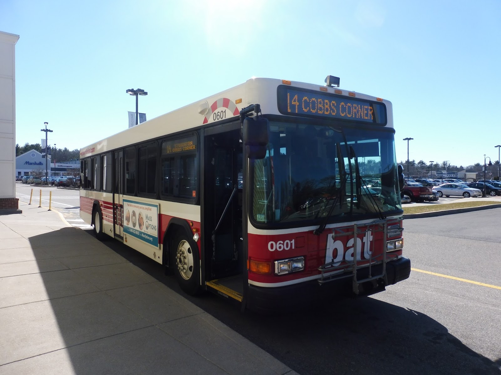
BAT: Stoughton Route 14 (Stoughton via Brockton)
As I stood doing nothing in a little room at the Cobbs Corner Mall meant for dropping off bottles and cans, I got quite a few strange looks from passerby outside. Look, I didn’t realize the bus would be this late, okay? About 15 minutes after it was scheduled to arrive, the 14 finally showed up, and as the driver left for another 5 minutes, I stepped into the warmth of the bus.
 |
| The bus at the mall. |
The inside of the bus was strikingly similar to most other non-MBTA systems around Boston. To be honest, by this point, all of these vehicles’ interiors look the same to me. This particular bus was interesting in that it did have an automatic announcement system, but only once we got to the Westgate Mall, way later along the route.
 |
| Looking toward the back… |
 |
| …and the front. |
Once the driver returned, we swerved around through the parking lot until finally exiting onto Washington Street heading south. We then turned onto Sharon Street, which quickly became Central Street once we exited Canton into Stoughton. The neighborhood was mostly residential in the form of both regular houses and a few developments. We also passed the occasional business along the way.
 |
| The Stoughton Water Works! |
Eventually we reached an industrial section, with a few office parks along the street. However, we also went by a school, a fire station, and the Stoughton Water Works, which was an interesting thing to see. We crossed over a single Commuter Rail track, and then it was residential once more for a bit.
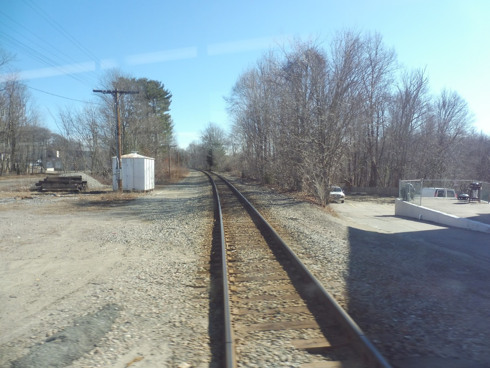 |
| The one track. |
As we turned onto Washington Street, the surroundings all of a sudden became fast food restaurants, auto shops, and the like with big parking lots out front – my favorite kind of neighborhood! That said, this is where we finally started getting some riders, so clearly some people like the area more than me. The parking lots did become smaller once we merged onto Park Street and headed through Stoughton Square, coming a block away from Stoughton’s Commuter Rail station (another one which I have yet to visit).
 |
| The main bus stop in Stoughton Square. |
Leaving the center, the street became residential with increasingly dense houses (and a few businesses scattered around, too). After Park Street made a slight curve to the right, there was a short section of forest, and the houses felt further apart once they came back. We passed through another round of office parks, and then the businesses with big parking lots came back…again.
 |
| A water tower looms behind the basketball court. |
The road became North Pearl Street, and it did get residential again for a bit. We went by a cemetery, then turned onto Pleasant Street, which crossed over Route 24. Eventually we reached the wide Reynolds Memorial Highway and then turned onto Westgate Drive. The parking lots were back, culminating in a gigantic one for the Westgate Mall. Most 14 trips actually terminate here, but ours was one of the four per day that continue to downtown Brockton, so we headed back down the way we came after stopping at the mall.
 |
| Woo, parking lots, yay… |
Heading back down to Reynolds Memorial Highway, we rejoined Pleasant Street, now heading eastward towards downtown. The street was a mixture of houses and businesses, and though there was definitely more of the former, the latter was well-represented. The houses got denser as we got closer to the city, and soon everything was replaced by retail. We eventually went under the Commuter Rail tracks and then pulled into the BAT Center, the hub of the system.
 |
| The bus, now out of service at the BAT Center. |
BAT Route: Stoughton Route 14 (Stoughton via Brockton)
Ridership: The ridership on my ride was local, with everyone seeming to know each other. Overall, it got about 15 riders in total, which seems alright for a Saturday. In 2014, the route got 208 riders per weekday and 160 per Saturday, and it’s one of the lower-ridership routes for the BAT.
Pros: This is Stoughton’s only bus route, and not only does it serve a decent portion of that town, but it also provides a link to Cobbs Corner. Unfortunately…that’s about all the good things I have to say about the 14.
Cons: Yeah, okay, so first of all, the schedule is pretty bad. I’m not saying the route gets a ton of ridership, but every 80 minutes seems a bit ridiculous. Still, I guess the route averages a relatively small amount of people per trip, so the infrequency makes sense. But I’ll bet it would average more people per trip if all of them were extended to the BAT Center! Why terminate at Westgate? That just makes the route so isolated.
Nearby and Noteworthy: There weren’t any attractions that caught my fancy along this route. Stoughton Center didn’t seem like a very interesting place, although if you’re into malls, the 14 has plenty of those.
Final Verdict: 5/10
To be clear, this score is not based on the frequency of the route. The frequency, based on the current ridership, makes sense. Rather, the low score is because of the simple fact that only four trips per day serve the BAT Center. I’m sure this route would get much more ridership if it always went downtown since it wouldn’t just be an isolated stub from Westgate to Stoughton. It might be harder to schedule, but it would be worth it, and I think this route is basically unfinished until that happens.
UPDATE 7/1/19: 7/10
The route has gotten a major upgrade, now running every 40-45 minutes, with every trip servicing the BAT Center. Huge improvement!
Latest MBTA News: Service Updates
716 (Contracted Bus: Cobbs Corner – Mattapan Station via Canton Center)
Typically, one expects MBTA buses to have a certain…level of courtesy. For example, you assume the drivers will have a certain level of safety protocol. You also assume that schedules will be reasonably sensible. And you expect the bus radio to be firmly set in the “off” position. Well…this isn’t the MBTA. Although subsidized by the authority, the long 716 route is run by Joseph’s Transportation, and it’s…different.
 |
| Case in point… |
The little minibus didn’t have any MBTA signage at all. In fact, it was basically just an advertisement for Joseph’s Transportation! The whole bus was extolling the virtues of using the company for private events or whatever. Yeah, thanks, Joseph’s, I’ll be sure to keep you in mind when I need a ride to my “Bachelor/ette Party”.
 |
| Gosh, they make it seem like Joseph’s is the best company ever… |
On the inside, it was a pretty typical minibus. The seats had seat belts, and for the sake of safety, I buckled mine up. There was a wheelchair lift in the back, and up front the way they collected fares was with a little plastic cup that you put your money in. Not very high tech, is it?
 |
| The back of the bus with the wheelchair lift. |
Now, I’d just like to take a few moments to talk about the lovely driver of this route. First of all, there was the bad rap music he was playing over the radio. But okay, I could get over that, since it wasn’t too loud and a lot of these minibus routes have drivers that play music, anyway. However, there was also the fact that our driver was loudly talking on the phone the whole time. Boy, I sure love putting my trust into a bus driver who’s not even paying attention to the road!
 |
| What’s that I see up front? Why, I do believe it’s our driver on the phone. That’s right, I have photographic evidence! |
Anyway, it’s finally time to talk about the route itself. We looped around to River Street, but bypassed Mattapan Square by turning south onto Blue Hills Parkway. After a bit of woods, we merged onto Blue Hill Ave, which was lined with fairly dense houses. As we got further south, the houses got further apart.
 |
| A side street. |
Eventually, it got to the point where there would be little patches of forest in between each house. At one point, we went by Curry College, and though it’s advertised as an important stop on the schedule, no one got on or off. Well, to be honest, no one got on or off, anyway. We were basically just speeding down Blue Hill Ave without a care in the world.
 |
| The sign was on the other side of the bus, so that’s why it’s a bit weirdly zoomed in. |
After that, we were running alongside the Blue Hills Reservation, so there were sometimes stretches of just trees beside the road. We passed the parking lot for the Mass Audubon Trailside Museum at the reservation, then a ski area with fake snow. It was just forest after that, and in the process, the street became Washington Street and we entered Canton.
 |
| I’m impressed that they created so much snow. It was rather cold that day, admittedly. |
Then all of a sudden, it got pitty. The road grew much wider, and there were gas stations, fast food restaurants, and parking lots everywhere. We then crossed over I-93 at a big cloverleaf interchange, and luckily, things were back to normal on the other side with a narrower road and more houses. I would like to point out that we were supposed to make a deviation onto Royall Street before crossing the highway, but for some reason, we didn’t.
 |
| A big field…thing. |
We went by a golf course, then upon reaching a convenience store, the street merged off to the right. It was residential once more, and the houses were slightly denser now than they were before. They were occasionally broken by municipal buildings or churches, however, and at one point, we passed through a cemetery.
 |
| A side street. |
After a little while, we passed the Canton High School and the Museum of American Bird Art in quick succession. From there, we were coming into Canton Center, or at least the outskirts of it. There were lots of businesses along the street, but they still had parking lots outside. We also went by the Canton Center Commuter Rail station, which I have yet to visit and review. Someday I’ll have to come back…
 |
| Crossing a small river. |
After going over a river, we entered Canton Center proper, which seemed pretty nice. Varied businesses lined the side of the street, and it seemed pretty walkable. Of course, we soon left the center and it was back to houses. They continued up until we were suddenly surrounded by parking lots. Here, we turned into the biggest one, and after some navigating around cars, we arrived at the Cobbs Corner Shopping Mall. It wasn’t a very interesting place…
 |
| The driver got mad at me when I took this. Look, I’ll stop taking pictures when you stop talking on the phone, okay? |
Route: 716 (Contracted Bus: Cobbs Corner – Mattapan Station via Canton Center)
Ridership: Well, my ride had a whole four people on it in total. But perhaps the bus’s overall ridership is better? Let’s see, it averages out to…89 people per day. Yeah, okay, we’re not really talking about high numbers here.
Pros: Well, it has to be said that the 716 definitely serves a long distance. However, is there a lot to serve along that distance? Not really – aside from Canton Center and Cobbs Corner, there isn’t much to draw ridership along the route. Thus, the 716’s schedule is infrequent, running every hour weekdays and Saturdays, with no Sunday service. Still, it’s sensible, and I understand why they would run it so infrequently. Yup, this seems like a pretty good schedule.
Cons: Hang on…it only runs until 12:30 PM on Saturdays? What? Why?! Having it only run in the morning cuts off potential shoppers from getting anything done in the afternoon. Either run full service or no service at all, Joseph’s, because this half-service thing you’ve got going on makes no sense. Another problem that can’t really be helped is the fact that it’s just one bus shuttling back and forth along the route with no layover time, meaning it can easily be late. That said, it would make absolutely no sense to add a second vehicle to the route, considering its ridership, so the lateness will have to do. But you know what can be changed? The drivers. Get ones that don’t talk on the phone.
Nearby and Noteworthy: There’s Canton Center, which seems like a fine place to spend an afternoon. Oh wait, you can’t do that on Saturdays. Okay, well, the 716 also goes right by some important trailheads into the Blue Hills Reservation, which seems like a great place to spend the day hiking. Just don’t go later than noon if you’re doing it on a Saturday, ’cause this bus can’t help you after that!
Final Verdict: 3/10
Look, it has to be said that this route serves a lot. A lot of woods, that is. I guess at best, it can serve as a slower, less crowded alternative to the Stoughton Line, but it would take so much longer. Other than that, aside from some office parks on the Royall Street detour we didn’t take, Cobbs Corner and Canton Center seem like the only major ridership draws. However, this route’s Saturday schedule is just insulting. If anyone knows the reason for the morning-only thing, please let me know, because it just seems ridiculous. Oh, and finally, there’s the whole phone thing. I’m sorry, but that did not make me feel safe at all. At least the route’s scenery is nice…
UPDATE 11/25/17: I have no idea when this happened, but I just discovered it now: A&A Metro took over the contract for this route from Joseph’s, and now uses a minibus with much better route signage. Also, it actually runs all day on Saturdays now!! The route still isn’t perfect, but it’s a lot better, and worthy of a score increase to a 5/10.
Latest MBTA News: Service Updates
45 (Franklin Park Zoo – Ruggles Station via Blue Hill Ave)
I don’t really have much to say about the 45. I mean, it’s pretty short, exists mainly to serve one corridor, and…I can’t even think of a third thing to properly complete the sentence. Umm…yeah, let’s just get into this.
 |
| The bus at Ruggles. |
The 45 is one of the many routes from Ruggles that goes down Tremont Street from the station. After traversing that wide avenue for a bit, we turned onto Malcolm X Boulevard (like most of the other routes we were running with), but then made a strange deviation. Although the schedule says that no Saturday trips are supposed to do this, we swerved onto Roxbury Street and headed up a hill.
 |
| Hey, look! A sort-of view! |
At John Eliot Square, where there were a few businesses, we swung around onto Dudley Street, heading back down the hill past houses and apartments. The street ended at a small park, where we turned onto Shawmut Ave, and then, um, Dudley Street again. We picked up some more passengers at Dudley Square and looped around the complex in order to return to Dudley Street.
We left the retail of Dudley Square behind, going by houses, apartments, and yes, the occasional business. After passing a little common, we merged onto Blue Hill Ave, where the 45’s independent section started. The street was mostly residential, but there was a bit of retail in the mix, too.
 |
| It wasn’t the nicest of neighborhoods. |
To be honest, there wasn’t much else to talk about along this section. It was pretty much all houses, businesses, and empty plots of land. Eventually, though, after passing a school, the street became almost entirely lined with retail with apartments on top. From there, we merged with Warren Street (and the four buses that run that way), and now Blue Hill Ave had a huge median in the middle.
 |
| Franklin Park! |
It felt a lot more built-up now, with multi-story apartment buildings on both sides of the road. However, eventually one of those sides was replaced by…Franklin Park! Thus, we soon turned onto Franklin Park Road, and after making a small loop within the park, I got off at the last stop and headed back to Blue Hill Ave.
 |
| The bus at Franklin Park. |
Route: 45 (Franklin Park Zoo – Ruggles Station via Blue Hill Ave)
Ridership: Ridership for this route is pretty good overall, remaining in the top 40 for MBTA buses both weekdays and weekends. More specifically, it gets 3,453 riders per weekday, 2,095 per Saturday, and 980 per Sunday. My particular Saturday ride had about 15 people in total, and they all got off along the independent Blue Hill Ave section, as expected. No one went all the way to Franklin Park, which I think simply acts as a place for the bus to turn around.
Pros: This is one of those nice, simple routes meant to serve a single corridor (Blue Hill Ave). Probably due to its short length, it also has a mostly great schedule. The 45 runs every 10 minutes during rush hour, (woo!) every 25 minutes during the day, every 20 minutes on Saturdays, and every half hour at night. Wait…I have the strangest feeling I’m forgetting something…
Cons: Oh yeah, it’s every hour on Sundays. WHYYYYYYY? It’s just a single bus running back and forth that spends 4 minutes laying over at Franklin Park and 12 minutes at Ruggles! It could easily be shortened to every 45 minutes, like what is done Sunday mornings and nights, but for some reason the day isn’t good enough for that luxury.
Nearby and Noteworthy: To be honest, this route really doesn’t serve much of interest. At best, the 45 could be used as a quieter alternative to the 28 for getting to Franklin Park, but the latter is slightly more frequent.
Final Verdict: 6/10
Overall, this route serves a good amount and generally runs often, except for the whole Sunday thing. Its schedule is comparable to the 44‘s, and since I gave that route a 6 solely based on its frequencies, I’m doing the same here. Plus, this route gets more ridership than the 44 on weekends, so there! Make the 45 run more often!
Latest MBTA News: Service Updates
Service Change: Italy, Part 5 – Transportation in Rome
It would be great if I could end this series on Italy with an epic post about Rome’s huge public transportation system, but…I didn’t actually get to ride it. Hey, at least I have pictures…
| A bad tram picture taken from our bus. |
| Rome’s bus signs were incredibly detailed. |
| A minibus. |
| A vehicle on the 70. |
| This one was red, for some reason. |
| That’s a lot of parked cars… |
| Construction for the new Metro Line C near the Coliseum. |
| Line B’s existing station by the Colosseum. Apparently the vibrations from the subway are damaging the old ruins. |
| A modern tram and some buses. |
| A bus with the Colisseum in the background. |
| A major bus terminal. |
| Blurry nighttime shot! |
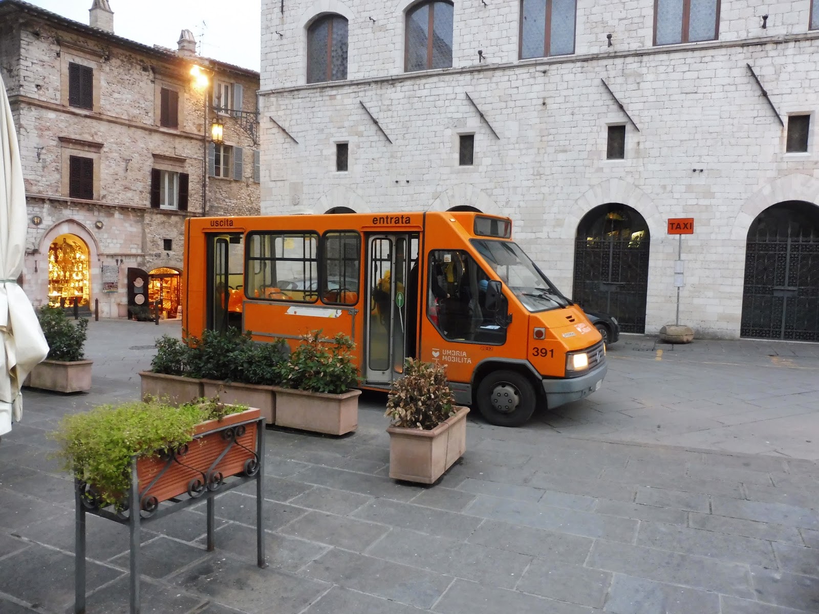
Service Change: Italy, Part 4 – Buses in Assisi
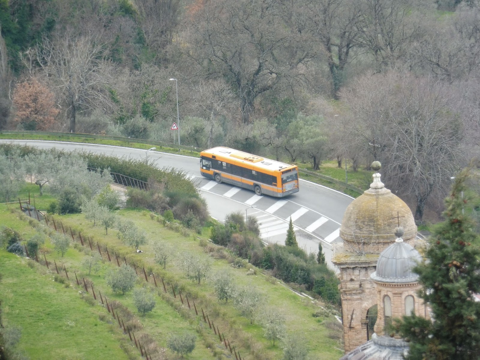
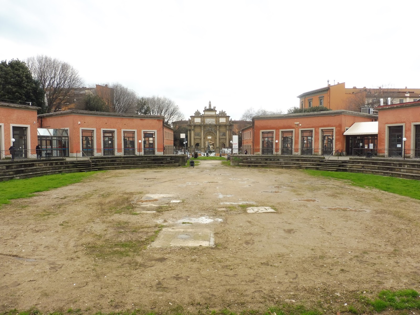
Assisi was like the small-town portion of our trip – but though small towns are usually considered uninteresting, Assisi was anything but. I mean, it’s not often you get to visit medieval villages on the sides of mountains, is it? With narrow streets, old buildings, and panoramic views, this was a really awesome place to visit.
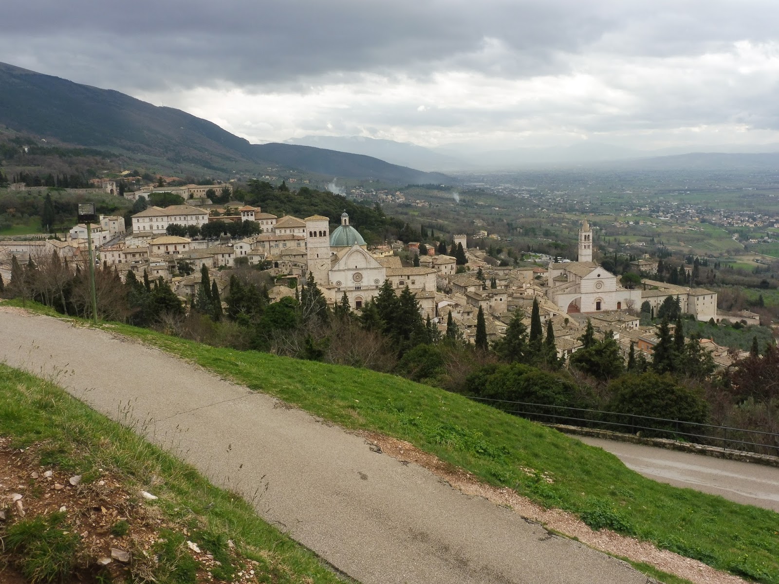 |
| For context, here’s a view of the lovely town. |
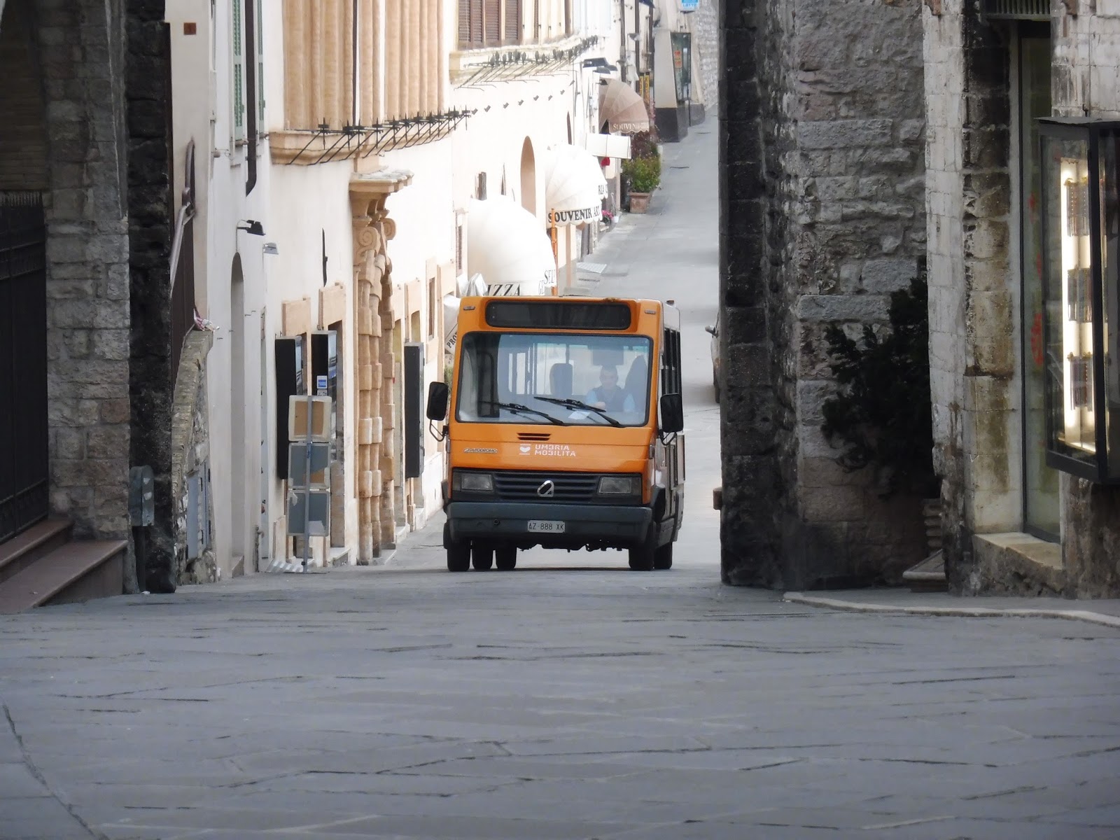
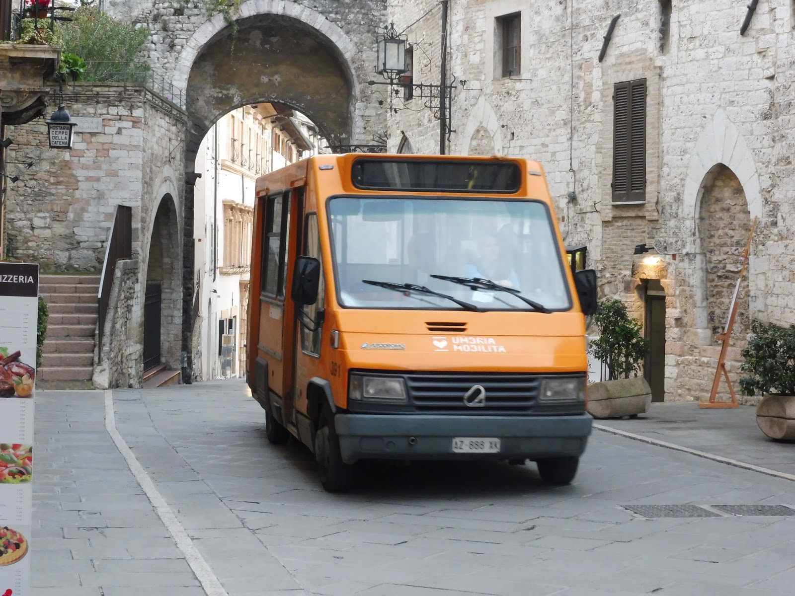
And as it turned out, Assisi has a bus system! It’s a very small one, with basically only two routes: Lines A and B run together as kind of a figure-8 around the town, operated by a single minibus, while Line C is a shuttle to the train station at the bottom of the mountain using full-sized buses. During some free time, a few friends and I rode the Line A portion of the figure-8, which ended up being a really spectacular trip. First, a few miscellaneous bus photos.
 |
| A full-sized vehicle on Line C. |
 |
| A Line B bus coming up a hill… |
 |
| …and passing by. |
 |
| And here’s the bus at the terminus of Line A. To be honest, it can probably be assumed that it’s the exact same vehicle every time. |
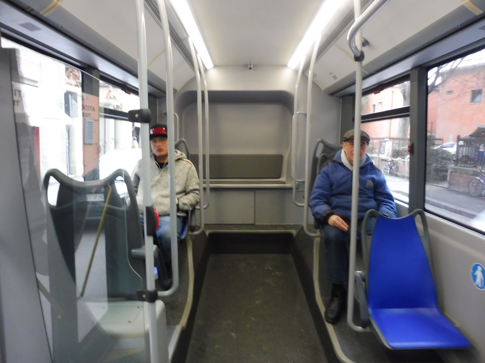
This was a minibus, and for very good reason. As I mentioned, this is a mountain town, and so the route was very hilly, with lots of narrow streets to boot. The bus was nice and simple inside, with a ticket scanner right at the entrance. (How about trying that out, Florence?)
 |
| Well, I suppose I have to give a shoutout to Jay, striking a pose in the back. |
 |
| Looking up front. |
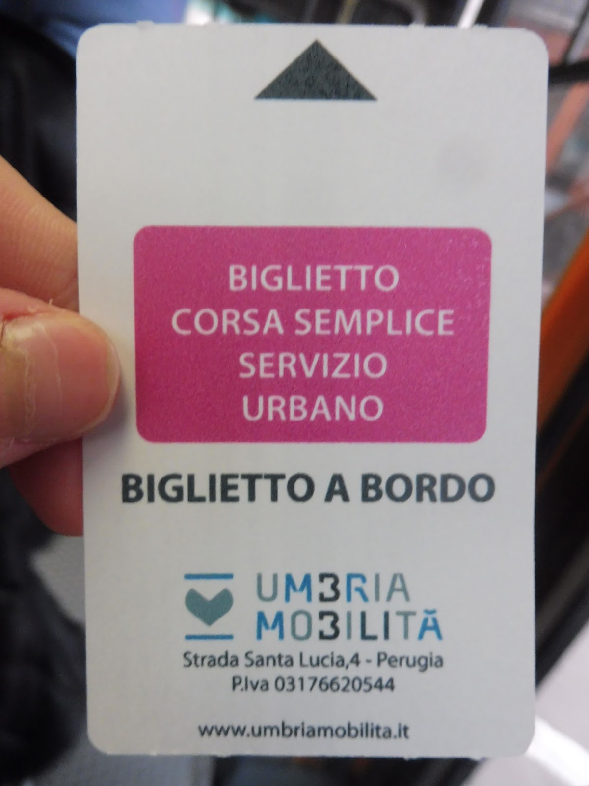 |
| The ticket. |
The bus started in Assisi’s main square, the Piazza del Comune. We then headed up Via S. Paolo, and I do literally mean “headed up” – this narrow street was steep. On either side there were old stone buildings housing shops, and later on, apartments.
 |
| Lovely view! |
We went under an arch between two buildings, then the street name changed to Via Metastasio. It went right up to the side of a cliff, offering a fantastic view down the mountain. From there, we were surrounded by old buildings again, as the street suddenly curved downhill and made a terrifying 90 degree turn in the process.
 |
| The rear window was quite dirty, so…yeah. |
After that, we headed onto Via Cardinale Raffaele Merry del Val (insanely long street name there), which left the town and was lined with nice trees. Running along the mountainside with just woods for surroundings, there were some more incredible views out the window. We curved onto Via Egidio Albornoz, going by some kind of settlement, and then it was forest again with the occasional industrial building (and of course, the views stuck around).
 |
| Unsurprisingly, I didn’t capture them well at all. |
 |
| Of course, when I say slightly modern, I do mean slightly. |
 |
| Speaking of which… |
 |
| Some blurry houses. |
 |
| How’s about another view? |
 |
| Goodbye, bus! |
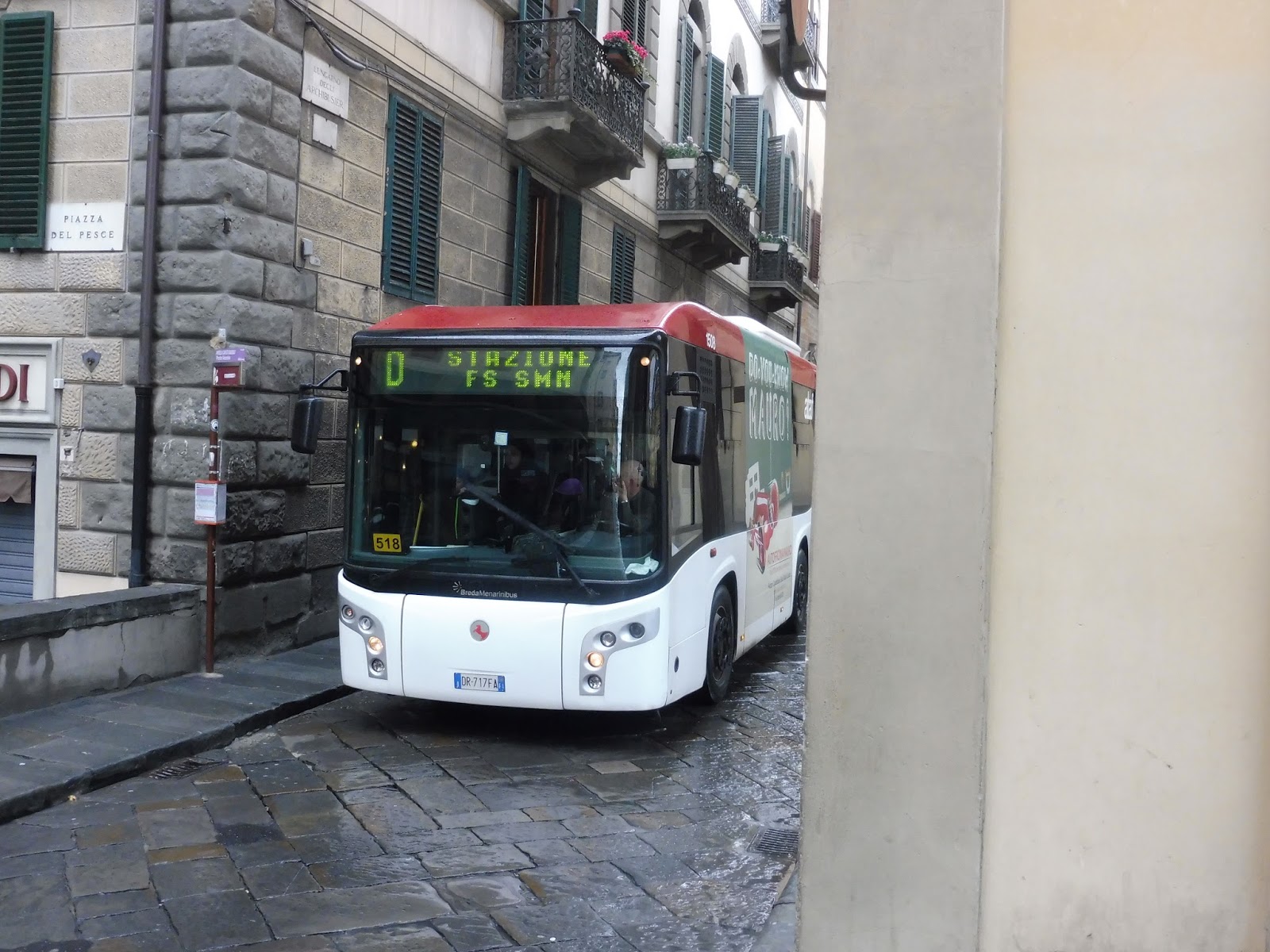
Service Change: Italy, Part 3 – Buses (and Trouble) in Florence
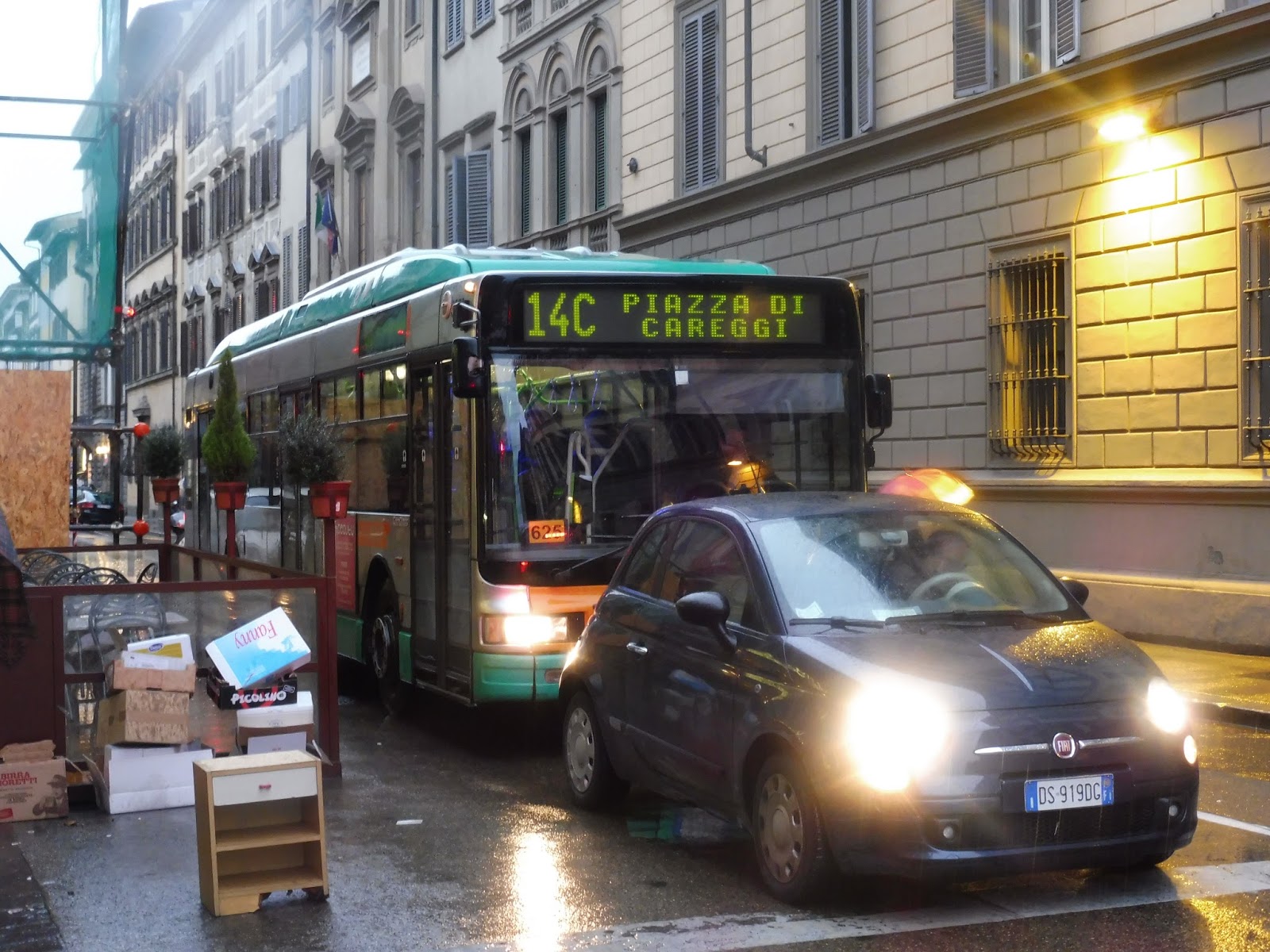
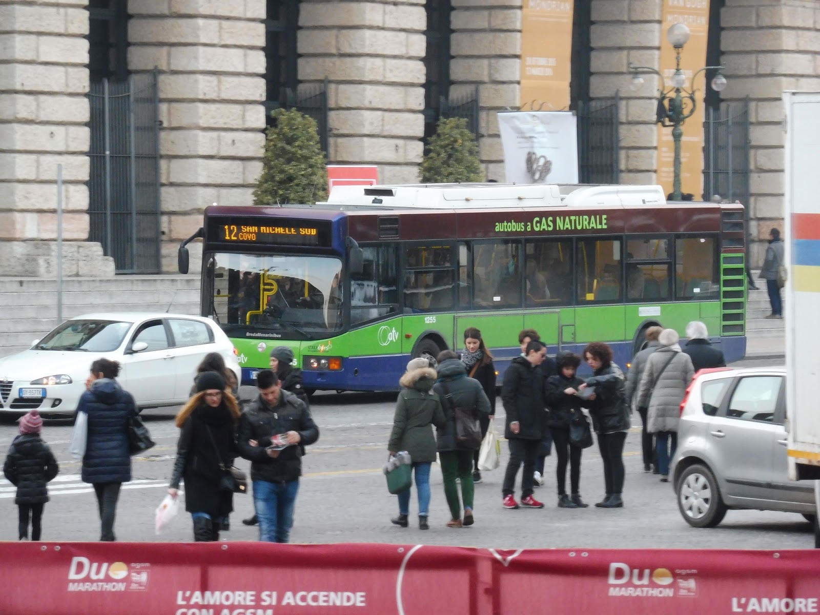
Hooray! A city where we actually got to take a bus! However, it didn’t exactly go as planned. Before we get to that, though, here are some pictures of other buses I saw that I didn’t ride.
 |
| Wow, that’s a tight fit. |
 |
| And so is that. |
 |
| That bus is so cute! |
 |
| A full-sized vehicle. |
 |
| A few buses at a major stop. |
 |
| A bus on the 14. |
 |
| A side view of another bus. |
 |
| A vehicle rounding a corner. |
 |
| A bus stop. |
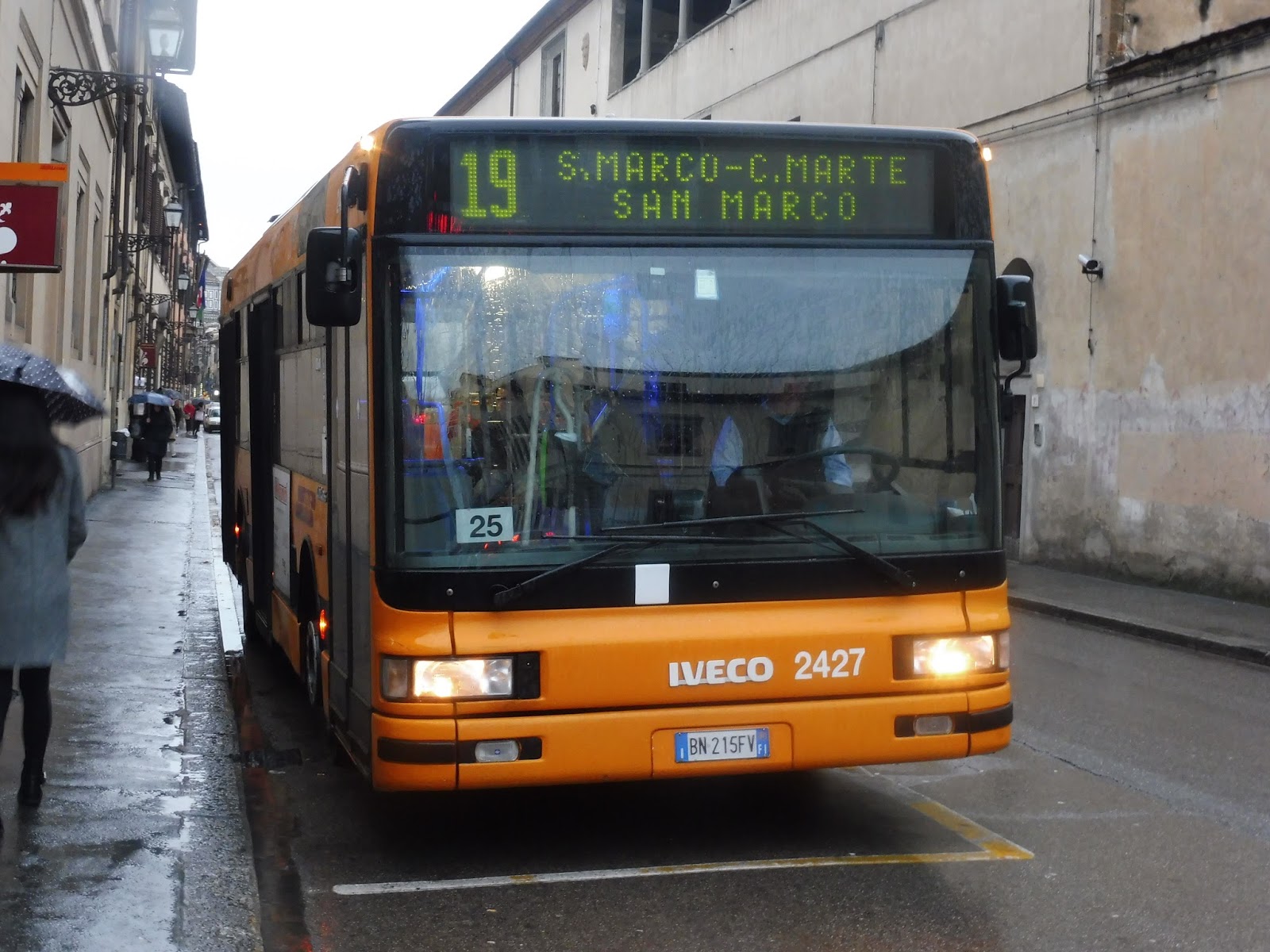 |
| A bus on the 19. |
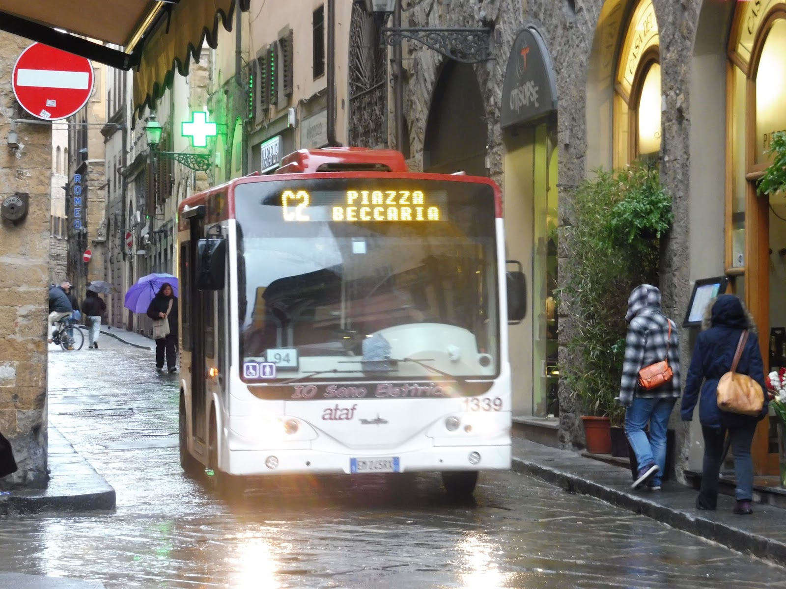
And now for the bus that I rode. Since the streets of Florence’s historical center are so narrow, its bus company, ATAF, can’t run full-sized buses through it. However, it does have a few minibus routes that loop around through the city, including the C1, on which a few friends and I rode during some free time.
 |
| The ticket. |
 |
| The stop, with the countdown clock in the background. |
We were waiting for the bus at the Piazza di San Marco, which is a major stop served by a lot of routes. There was an employee outside who sold us tickets while the countdown clock told us when the next bus was arriving. The C1 runs every 10 minutes, so we didn’t have long to wait.
 |
| I like how the destination board wasn’t working so they just stuck a “C1” paper on the front. |
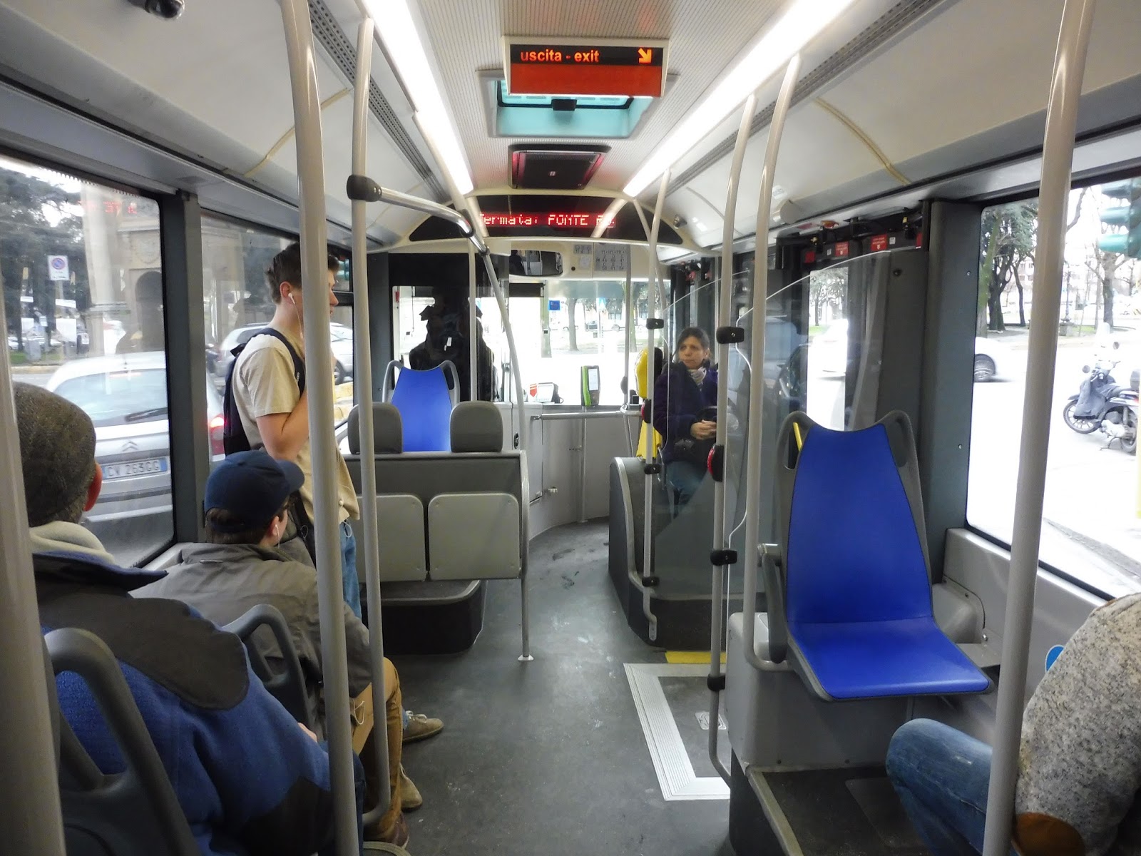
On the inside, the bus was pretty badly designed, I have to say. Considering how small the vehicles on the C1 are, do they really need three doors? It leaves so little room for seating! Plus, the ticket machine is in a position where it’s easy not to notice as you walk in – and you need to validate your ticket. Yes, there’s an honor system on Florence buses, and it came to bite us in the rear later on.
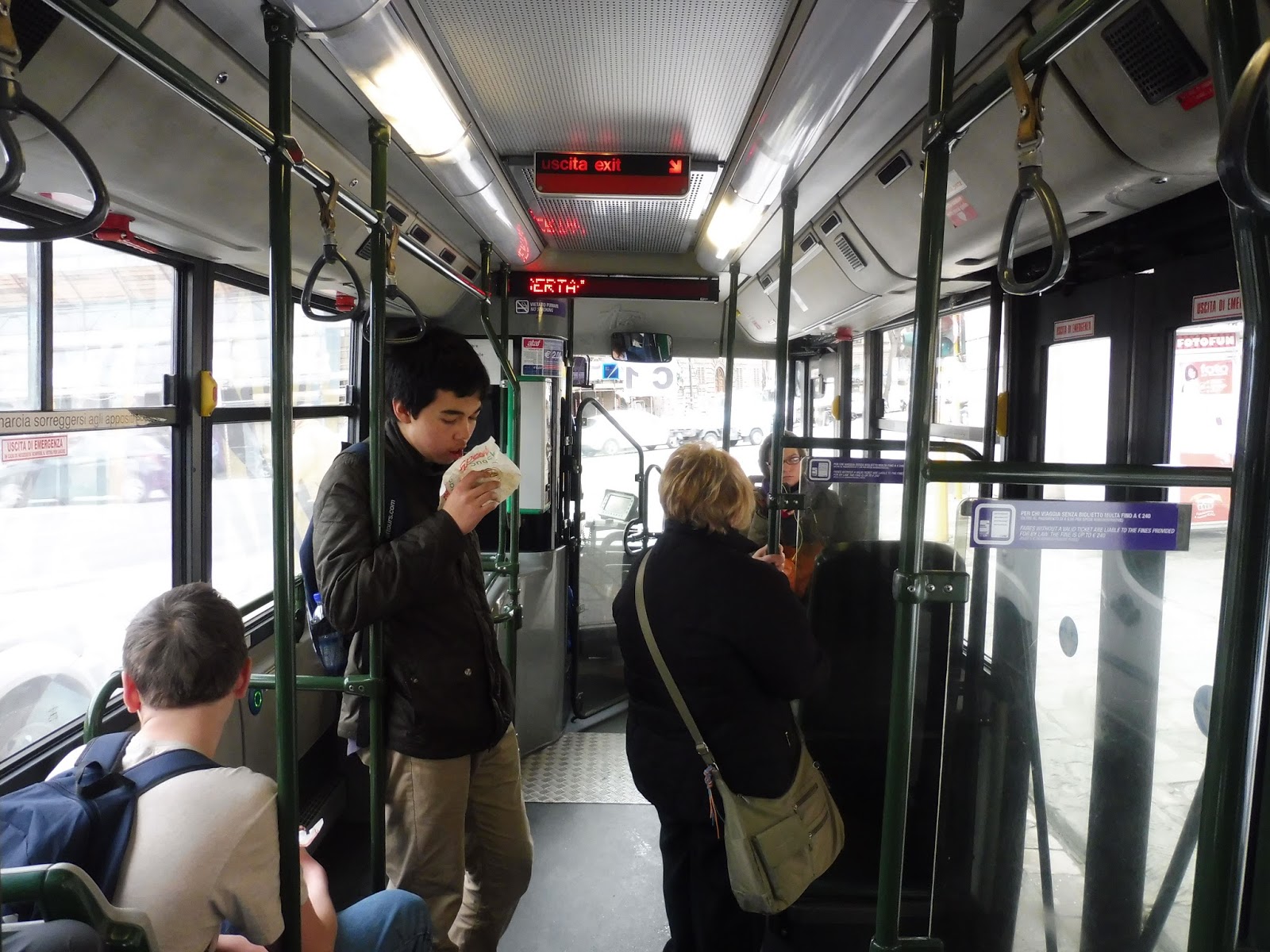 |
| Looking toward the front… |
 |
| …and the back. You couldn’t stand next to that back door because it would swing and hit you. I found that out the hard way. |
We left the busway at Piazza di San Marco and headed up Via Giorgio la Pira, with close beige buildings on either side. After going by a park, the buildings got more “modern” – though in such a historic city, modern buildings are still quite old. Eventually, we came to an oblong roundabout at the Piazza Della Libertà, which was a wide enough street to have a segregated bus lane for a bit.
 |
| A wide street. |
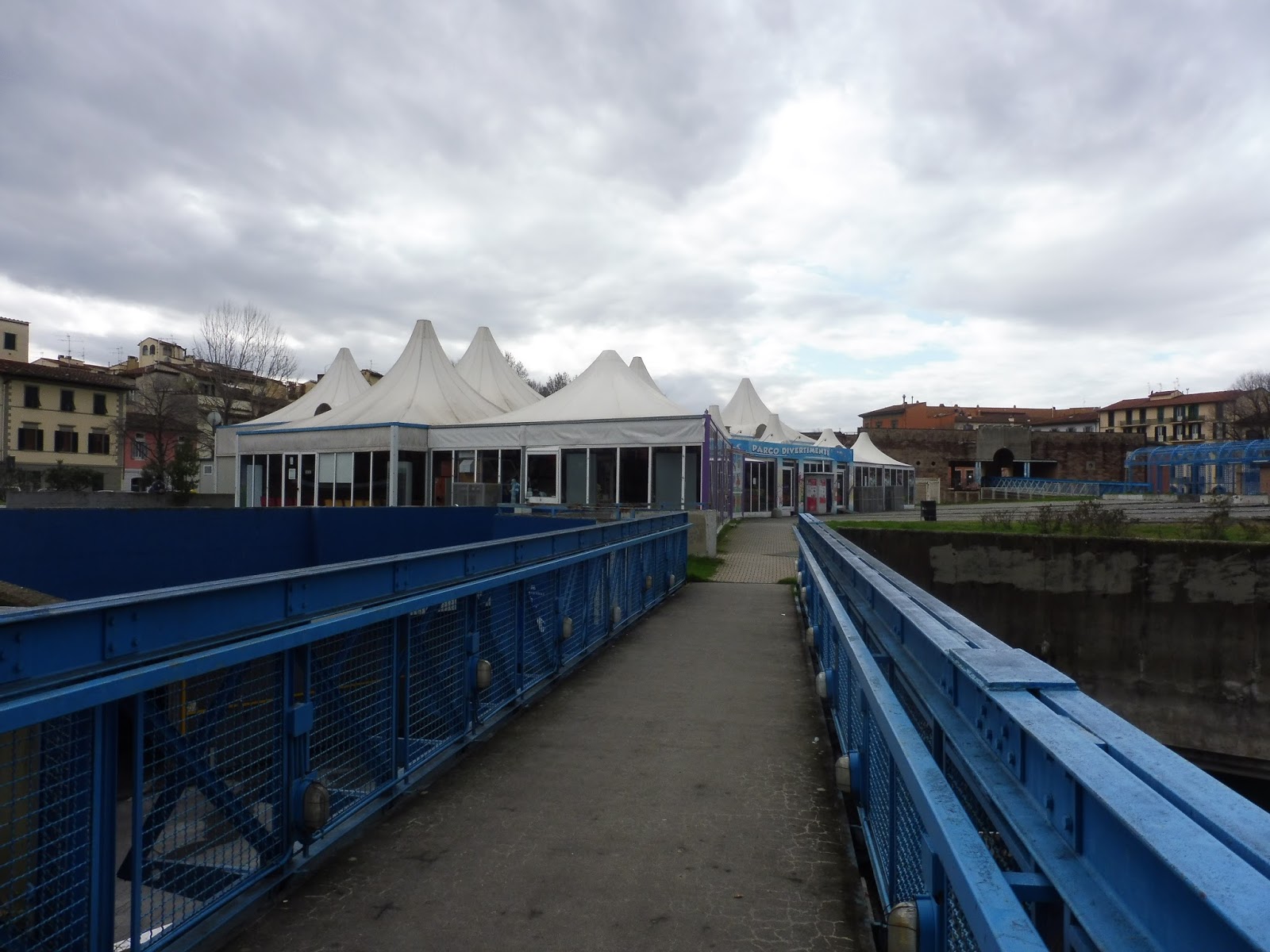
Next, we turned onto Viale Don Giovanni Minzoni, which was quite leafy with quaint apartments. Then we turned onto Via Giovanni Pascoli (a different Giovanni, I guess), and soon pulled into a parking lot where the final stop was. Here, we all left the bus and realized that we had arrived at a completely different part of Florence. We even found an arcade!
 |
| The bus at its terminus. |
 |
| A strange blue walkway. |
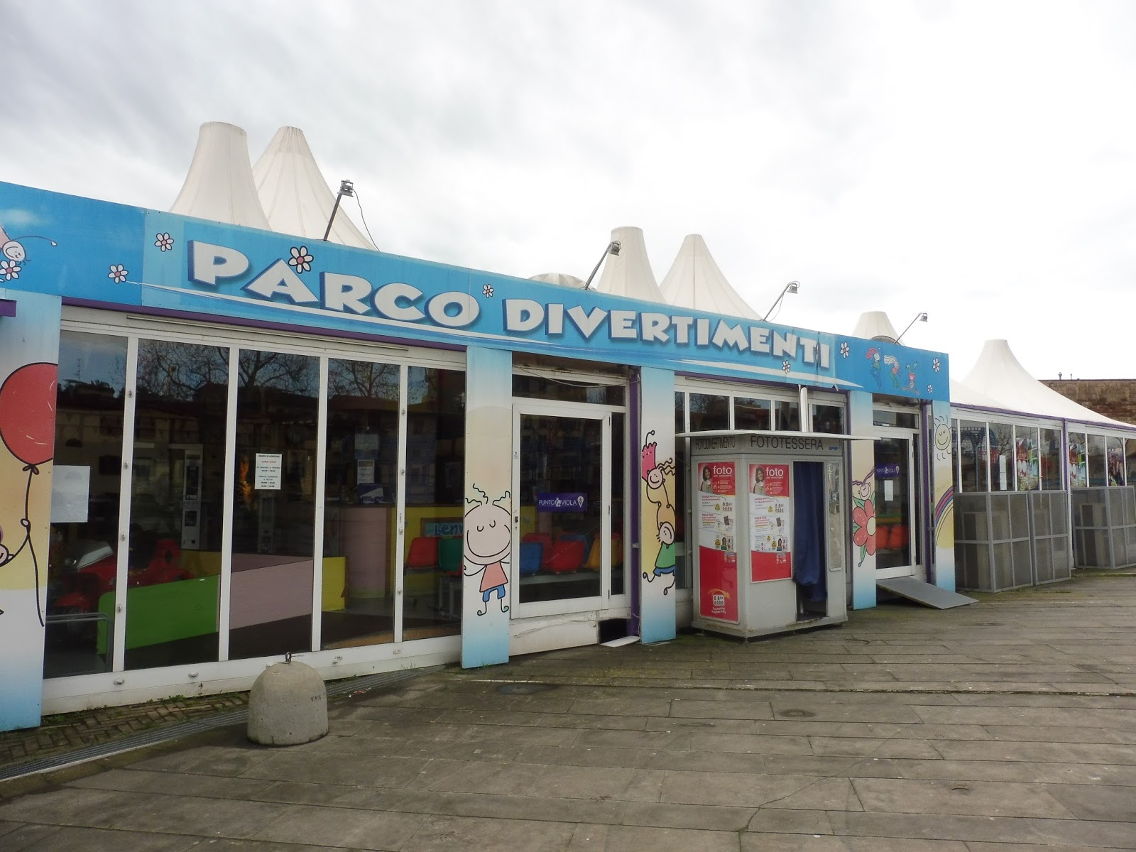 |
| The arcade! |
 |
| Alas, it was closed, but here’s a look inside. |
 |
| The big plaza near the arcade. |
 |
| Ummmm…this is interesting. |
 |
| Okay, that’s an impressive gate. |
 |
| The bus we took back. |
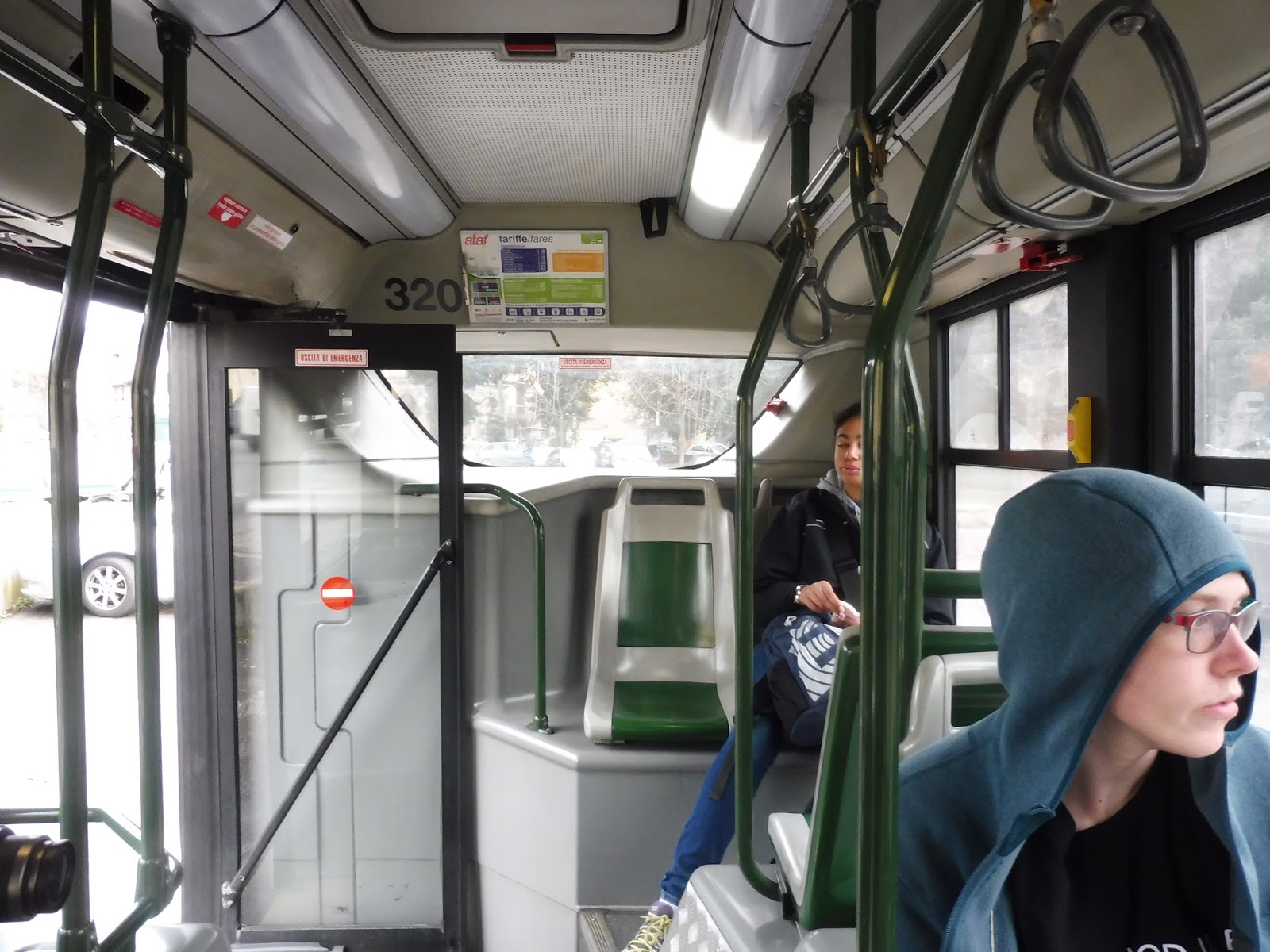
Having walked a bit from the terminus, we got on at the second stop of the route. Unfortunately, there was a row of parked cars between the sidewalk and the stop, so we had to walk out when the bus came. This one was a lot more modern, and though the layout was still slightly weird, it was much better than before. There were even automatic announcements!
 |
| Looking toward the back… |
 |
| …and the front. |
 |
| Mmm, lookathelovelyviewdon’twanttothinkaboutthecopsrightnow. |
 |
| A bad picture of the bus leaving. |
 |
| The sheet the cops gave my friend, all in Italian. Way to make sure tourists don’t understand anything, ATAF! |
Service Change: Italy, Part 2 – (Water) Buses in Venice
I really wanted to take a water bus in Venice. In fact, during a period of free time, a few friends and I were going to take it a single stop, just for the sake of riding one. But when we got to the station, I asked the woman at the ticket booth how much it would cost to go one stop. “Take taxi,” she said. “Water bus is €7,50.” Seriously??? That single-ride fare is absolutely ridiculous, especially considering it’s slightly more in US dollars! Needless to say, we didn’t ride the water bus, but here are some pictures of the boats and stations I saw.
 |
| The station near the bridge out of the city. |
 |
| A boat running on Route 2. |
 |
| The boat again. |
 |
| A nice-looking station. |
 |
| Oooh, countdown clocks! |
 |
| People entering the station. |
 |
| Another stop. |
 |
| The inside. |
 |
| And another stop. |
 |
| The entrance. |
 |
| I’m sorry, only one ticket machine but four vending machines??? That seems excessive. |
 |
| The ticket machine. |
 |
| Alas, ’twas €7,50 to go beyond this point. |
 |
| Another boat. |
 |
| A smaller stop… |
 |
| …and a boat picking up passengers there. |
Service Change: Italy, Part 1 – Buses in Verona
Man, Italy is an amazing country. My trip there was awesome, and now I’m sharing the public transportation I got pictures of, and (on a couple of occasions) rode. Unfortunately, I didn’t ride any buses in Verona, but here are the photos I took during our brief visit there.
 |
| An articulated bus! |
 |
| Looks like a natural gas vehicle. |
 |
| A smaller bus. |
 |
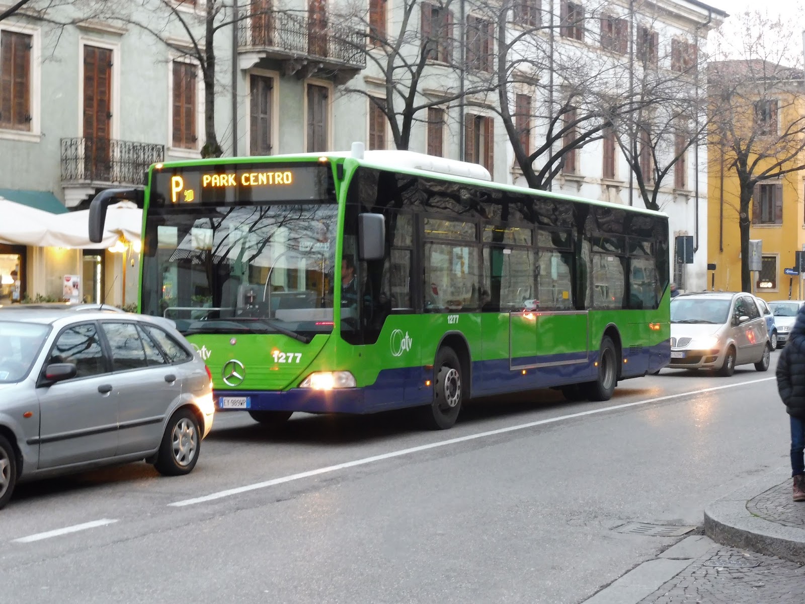
| The “P” seemed to be a short shuttle between the city’s main parking lot and its downtown. |
 |
| The P again. |
 |
| Another smaller bus. |
 |
| A different smaller bus. |