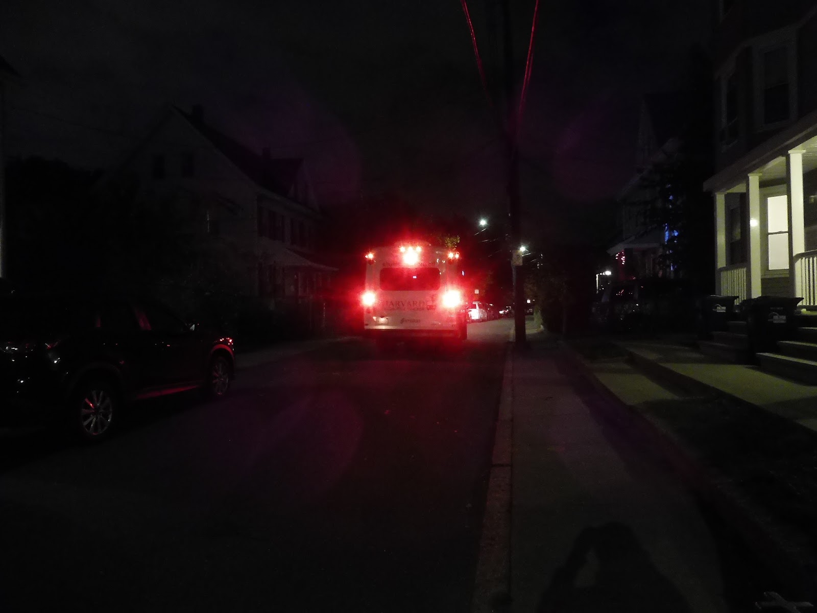
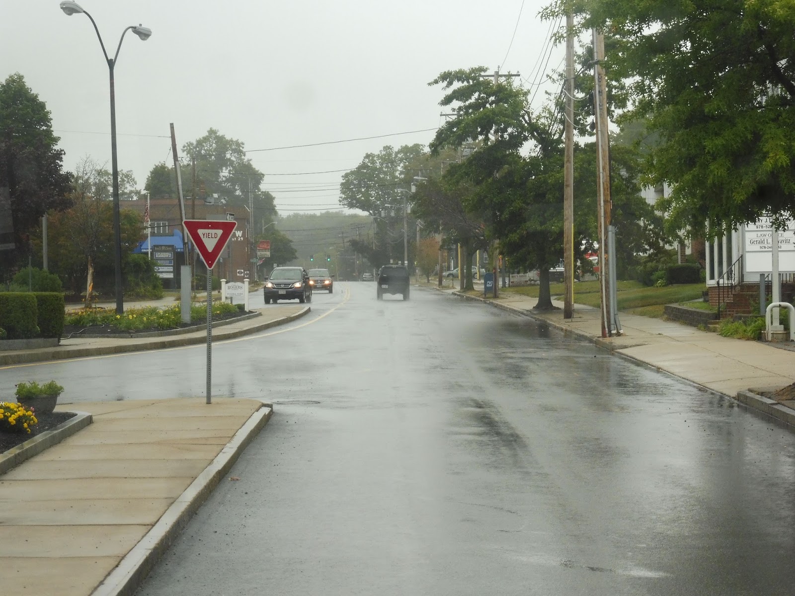
Harvard Shuttle: Evening Van Service
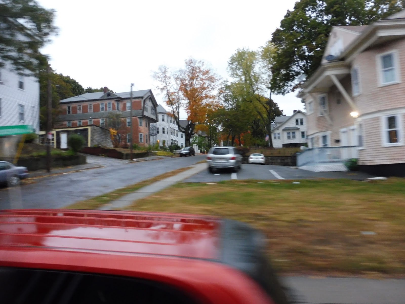
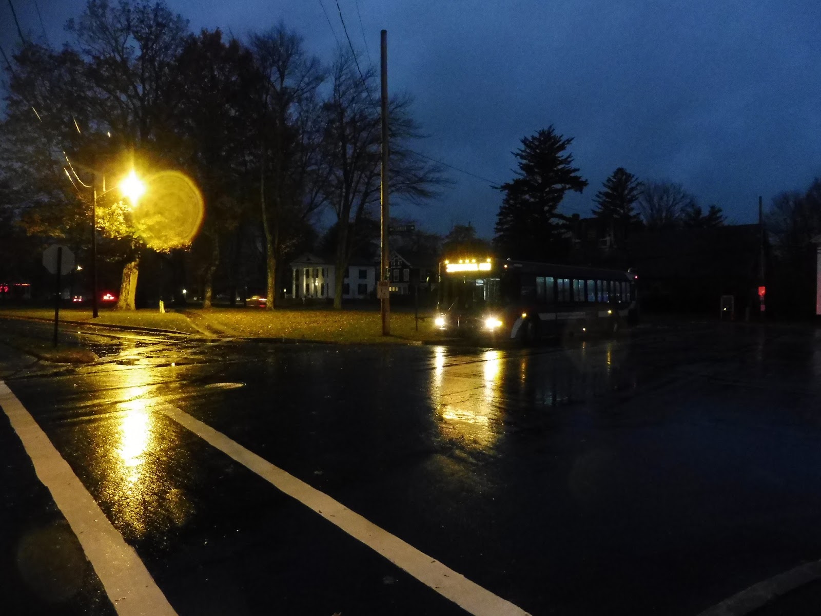
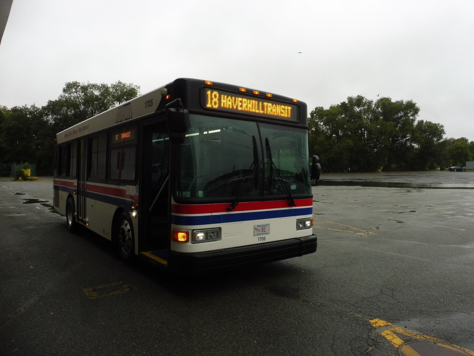
Nathan was working at Harvard for a while, and one of the perks of that position was access to their Evening Van Service, an Uber-like minibus that runs around the Harvard area from 7 PM to 3 AM. We were looking at its service area on the app to try to find the weirdest place to get on, and one location immediately caught our eye: a splotch separated from everything else on Walden Street. Well, of course we had to see what that was all about!
 |
| Okay then… |
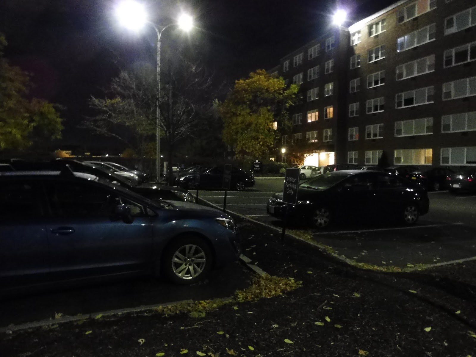
It was just a few apartment buildings that had seemingly no affiliation with Harvard. Now that we were here, we pulled up the app and told the bus to take us to some random location in Allston – we were trying to travel through as much of the service area as possible. We were told it would be about a nine minute wait, and soon after that, we got a text saying the bus was on its way. Using the app to track the bus, we were all ready to get on when it arrived in a timely manner.
 |
| Man, it’s weird seeing a minibus out here! |
This was one of the very rare times where I actually took notes on board a bus. Why did I have to? Because we did the craziest route to get down to Allston and I had to write down each and every street we took! Okay, it started out logically enough: we went down Walden Street and turned onto the residential Raymond Street.
 |
| Not even the power of a rear window could save the quality of these pictures… |
Once we turned onto Linnaean Street, we were within Harvard territory: the Quad was on the south side of the road. We turned onto Garden Street for a block, then Bond Street for a block, then Concord Ave for a block, then Craigie Street for…three blocks. Boy, talk about a substantial portion on one road there!
 |
| One of the few pictures whose location I could actually identify because of the trackless trolley – this is Mount Auburn Street. |
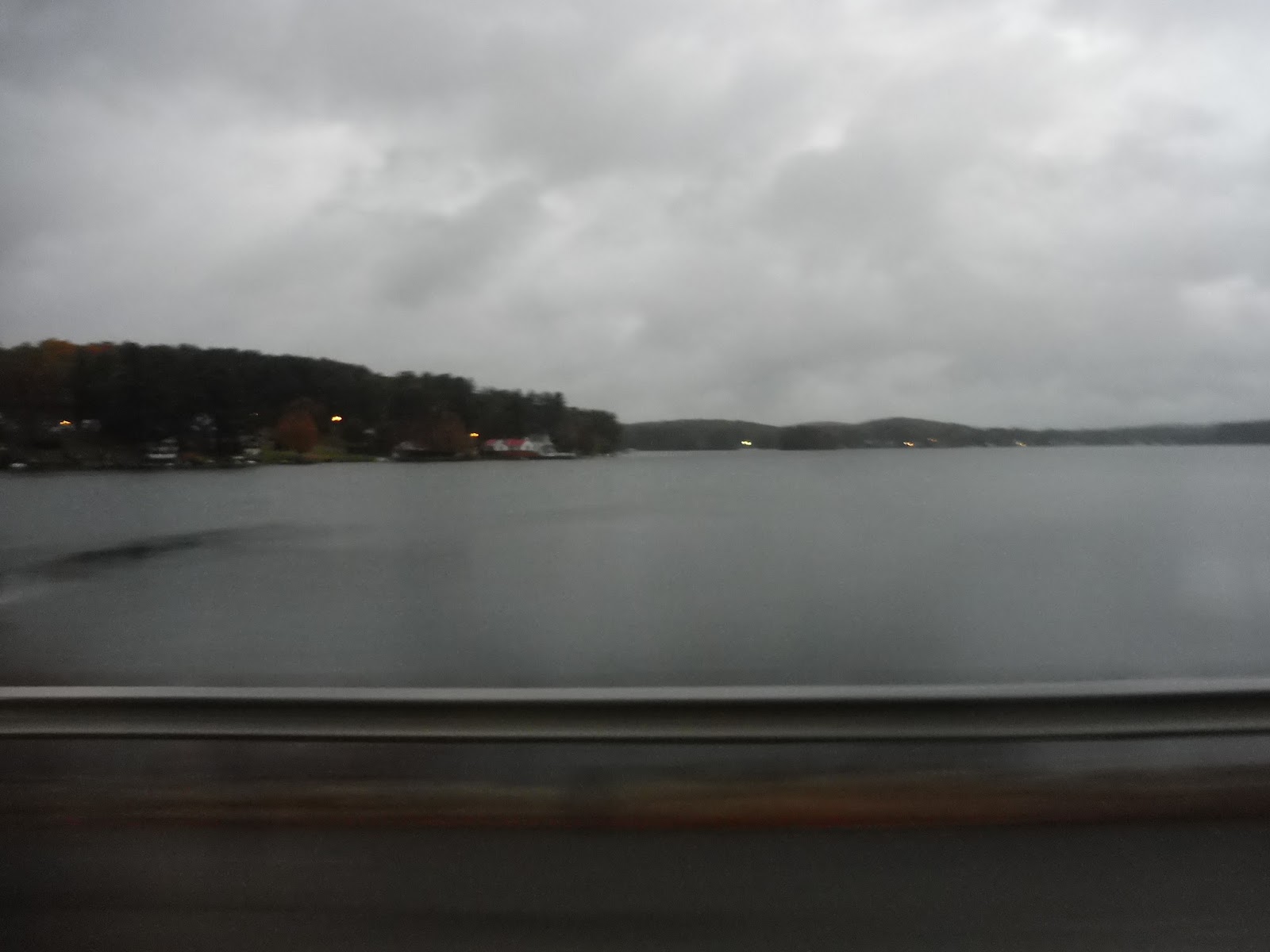
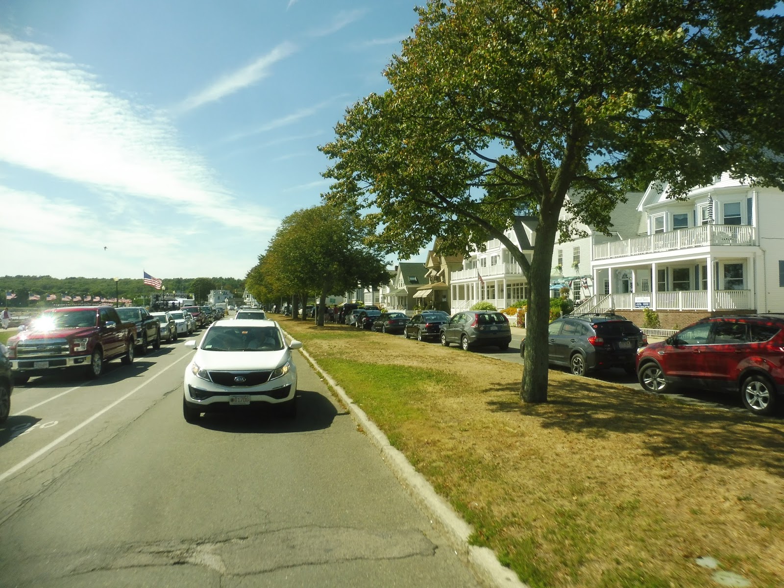
We turned onto Sparks Street next, taking us down to Mount Auburn Street. We had been passing houses and apartments this entire time, but on Mount Auburn Street, there was a scenery change because we had the Charles River on one side. However, we got even closer to it when we made our way onto Memorial Drive, which was a strange place to be on a minibus.
 |
| Sailing down Memorial Drive! |
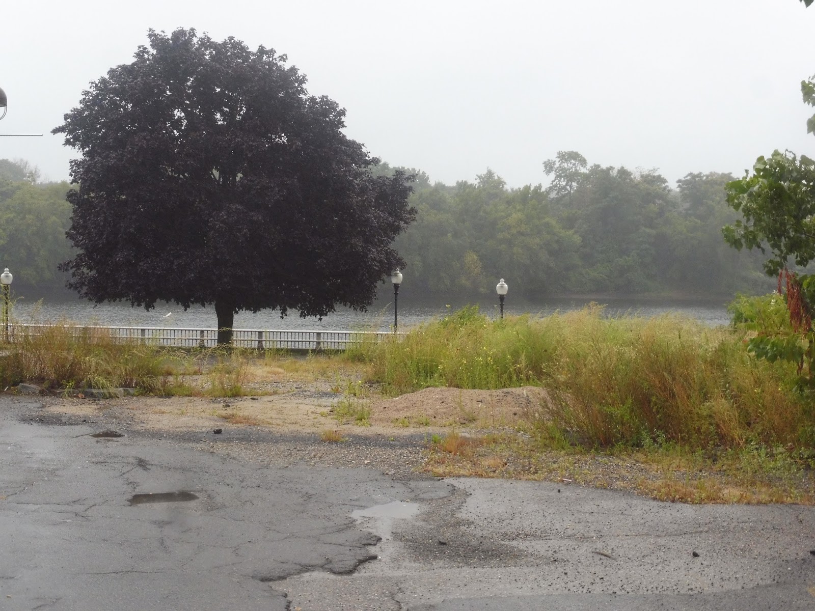
We turned onto North Harvard Street next, taking us over the Charles River into Boston. There were more Harvard buildings on the other side, mostly dorms and athletic facilities, including the massive Harvard Stadium. There were some businesses where we took a right onto Western Ave, and finally, we headed onto Riverdale Street. This was just a random residential neighborhood we chose to go to, and now we had to find a way to get back, but hey – we got there in great time!
 |
| Off to return to the yard. |
Harvard Shuttle Route: Evening Van Service
Ridership: Ridership on the Evening Van seems to fluctuate based on the day. Our ride was empty, but Nathan has used the van more than I have – he said he’s gotten other people before. I think the worst nights for it are Fridays and Saturdays, when partiers flock on board and the route page advises that “we may get behind at times due [to] request volume.”
Pros: This is basically a free Uber service for Harvard students, and that’s great! It has a large service area spanning from Porter Square to Central Square to Mount Auburn Hospital to Allston, and everywhere in between. On most nights the van is quick, and passengers shouldn’t have to wait more than 10-15 minutes for their pickup.
Cons: There are some weird places in the service area that are either disconnected from the rest of it or are grayed out so pickups can’t be made. Some make sense, like a disconnected splotch for Whole Foods, but others, like the Walden Street one, seem to be there by accident! The most egregious one is a blackout area slightly north of Harvard Square that includes both the Harvard Law School and Dawes Island. Now what’s wrong with picking people up in those important areas???
Nearby and Noteworthy: If you’re not affiliated with Harvard, tough luck – you can’t use this shuttle. If you are affiliated with Harvard (or know someone who is), then you have a busy area with great nightlife at your fingertips!
Final Verdict: 9/10
For Harvard students and faculty, this is a great resource for getting around at night. Its service is timely and quick for the most part, and you can take it to a good amount of locales. Just don’t try to go to the Law School, because apparently that’s off-limits…
Latest MBTA News: Service Updates
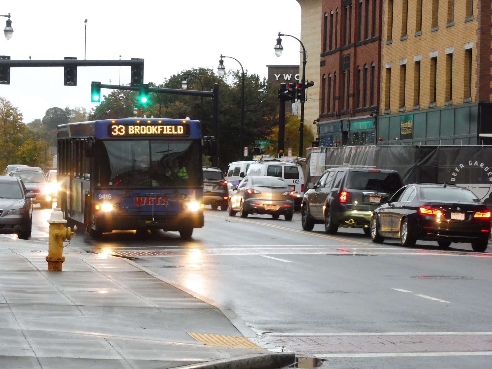
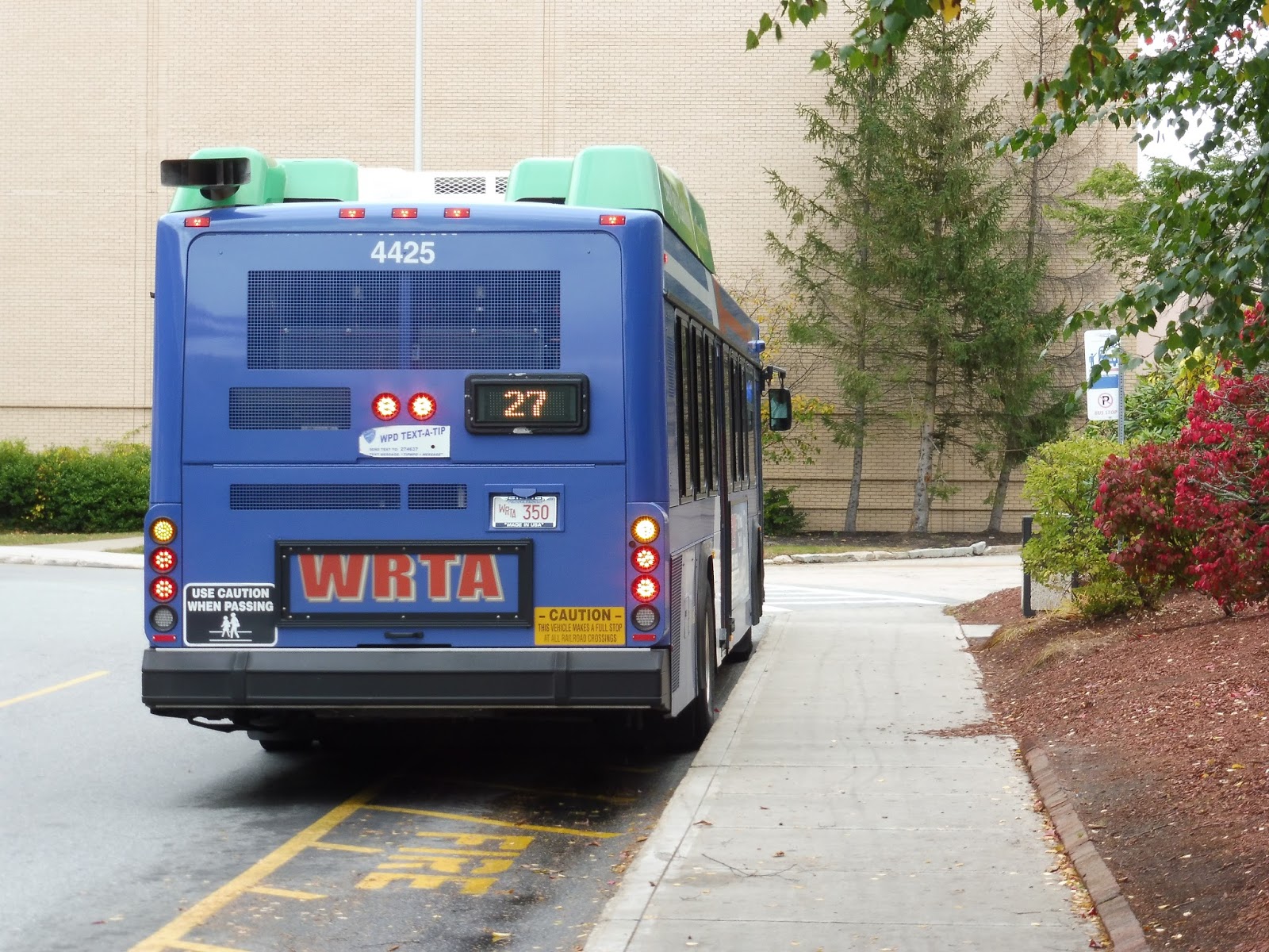
WRTA: 33 (Union Station Hub – Spencer – Brookfield via Main Street and Route 9)
Welcome to one of the longest and most rural routes in my jurisdiction. The 33 is a sprawling bus heading straight west from Worcester, terminating at various points, but Nathan and I took it at its very longest: for two trips in each peak period, the route is extended all the way out to Brookfield. Never heard of it? Neither had I, but it’s time to take this beast through five towns and a huge variety of sights and sounds to find out what it has to offer!
 |
| This is so exciting! |
Nathan and I got on at City Hall, a few blocks away from the Commuter Rail station. Now on the bus, we turned onto Main Street, running through built-up downtown Worcester. As we got further, the buildings became less consistently tall, but there were still some apartments up to five stories high along here.
 |
| Oh no, it’s that time of day where my camera starts to act up… |
The tallish apartments eventually got replaced by single-story businesses, but there were still dense homes on the side streets. The scenery along Main Street itself eventually got more diverse too, with apartments and churches coming in between the businesses. And then, all of a sudden, Clark University made its appearance with its beautiful campus and historical buildings.
 |
| It just doesn’t seem like a college kind of neighborhood! |
It basically went back to the same kind of scenery once Clark was done, although residential buildings were more prominent than retail now. Eventually, though, we came into Webster Square, sure to be a huge hub of businesses! Or…it could just be two apartment buildings, some industrial stuff, and a suburban shopping plaza with nothing interesting in it. Oh well…
 |
| Letting some people off at the apartments in “Webster Square.” |
Soon after that, the 27 split off onto Stafford Street and it was just us and the 19 on Main. There was a brief stretch where it was a mix of houses and churches, but then we passed Webster Square Plaza, a generic shopping mall. It was primarily residential after that, although there was still the occasional business.
 |
| Houses on a side street. |
The 19 left us for its weird industrial section on Goddard Memorial Drive, so we were finally on our independent section – and it would stay that way all the way to Brookfield. Funnily enough, it instantly started to get less urban when the 19 left, with the road curving past houses and some redeveloped factories. Indeed, the neighborhood eventually took on a weird industrial-residential vibe, not unlike something you might see on the MART.
 |
| Crossing Goddard Memorial Drive. |
We entered Leicester, our second of five towns, and the point where fixed stops go away – the route uses a flag system outside of Worcester. The industrial buildings carried on for a little while longer, but eventually we were sailing by houses and…woods. Yes, already there were brief sections of forest along the road, and we were only about a quarter of the way out!
 |
| Yup… |
But it would only get sparser: the tracts of forest got longer, and though they would usually occupy only one side of the road at a time, they were still substantial. The actual buildings along Main Street were all over the place, funnily enough: there were houses, churches, suburban businesses, and the Leicester Police Department. For a brief time we merged onto South Main Street, which was basically the faster version of Main Street but a tiny bit south.
 |
| Making the stop in Leicester Center. |
We soon arrived at some form of civilization again: Leicester Center. Now, there really wasn’t much here. Along Main Street (which we returned to after making the stop), it was just suburban businesses with parking lots mixed with maybe one or two historical “downtown” buildings. Even on the side streets, it was only slightly denser houses and an apartment development.
 |
| A bad picture, but it gives you an idea of Leicester Center’s character. Maybe. |
A huge portion of the bus got off at Leicester Center, then we continued down Main Street, which for a little while was lined with dense houses and suburban retail, with a historical cemetery mixed in there. We came pretty close to a pond, and beyond there it felt like we were in the middle of nowhere again. There were sizeable sections of woods once more, interspersed with houses, a few industrial buildings, and the Leicester Country Club.
 |
| There was even a bit of farmland! |
Okay, we had been running along this almost rural road for a little while, and I was starting to get used to sailing by trees and fields. All of a sudden, though, we made a right turn…into a Walmart! That’s right, amidst all this rural scenery, there was a Walmart deviation. I swear to you, I couldn’t stop laughing for a solid two minutes. No one got on or off, for the record.
 |
| Awful picture, but I was laughing so hard! |
And once we left the Walmart and returned to Main Street, it was the middle of nowhere again! In fact, it got even more rural, with large amounts of farmland along the road. There were a few other buildings in the mix, particularly a burst of industry when we entered Spencer, but it really was predominantly farmland. Also, I just realized amidst all this pretty scenery that we had been travelling on Route 9 this whole time. Route 9!
 |
| This is awesome! I still can’t believe it’s Route freakin’ 9… |
Eventually we did start to come back into a more developed area. We passed a few businesses, an apartment development, a small high school, and a park, then the street was mostly lined with houses. They were somewhat dense, too, which was a big change from before. This was also where we started to let more people off.
 |
| I’m pretty sure we made a stop here because the picture is so clear. |
We started to descend a hill and Main Street got even denser than before. It culminated when we rounded a corner and entered Spencer Center, an actual downtown! There were historical buildings and businesses on either side, and sure, none of them looked particularly interesting (a large amount of them were permanently closed), but it was still nice to see. Too bad there was a big ugly shopping center in the middle of it all.
 |
| Not quite in the center, but you can see how dense it’s getting. |
It was mostly residential once we left the center, but the dwellings were still fairly dense along the road. Once we went by an apartment development, the area got industrial, with random offices and companies along the road. We also arrived at the first turning point for buses: the Spencer DPW Garage, where 33s terminate twice a day as a short-turn.
 |
| The road buses use to get to the garage and turn around. |
After that, we passed the most exciting shopping center ever. Why was it so exciting? Because it had a Big Y in it. That’s right, Big Y, the supermarket that western MA’s PVTA is obsessed with. Yes, we had gone so far west that apparently we were in Big Y territory, and that’s insane! Okay, apparently Big Y does have a few stores in the Greater Boston area, too, but still, it was crazy!
 |
| THERE IT IS!!!!!!! |
After the most exciting shopping center ever, there was a brief section of forest before Main Street got lined with suburban businesses, a lot of which were farm-related. Right over the border of East Brookfield, we passed its courthouse, which is the second place where buses terminate. For most of the day, the 33 ends here…except on those four trips per day when it continues to Brookfield proper!
 |
| Uh…yup. |
Funnily enough, it was after the courthouse that things started to get denser. There were houses again, and we passed a few other businesses along the way. Soon we got to East Brookfield Center – or more accurately, whizzed right through it – which seemed like an interesting place, with some restaurants in diverse house-like buildings. Its proximity to Lake Lashaway made it even more charming.
 |
| Looking across the lake! |
There were a few final houses before it opened up into farmland again, although the other buildings never went away. Main Street still had plenty of homes along it, and there were even some industrial buildings and businesses. There was a section of pure forest as we entered Brookfield and the street name changed for the first time on the whole route: it was now called Maple Street.
 |
| These pictures are getting more and more abstract… |
The open fields stuck around for a little longer, but Maple Street soon gained enough houses along it to not feel like the middle of nowhere…at least, not really. Outside of the Brookfield Elementary School, the street name changed again, this time to Post Road. This was Brookfield Center, but it was…well, it was sparse, to say the least.
 |
| Here we are… |
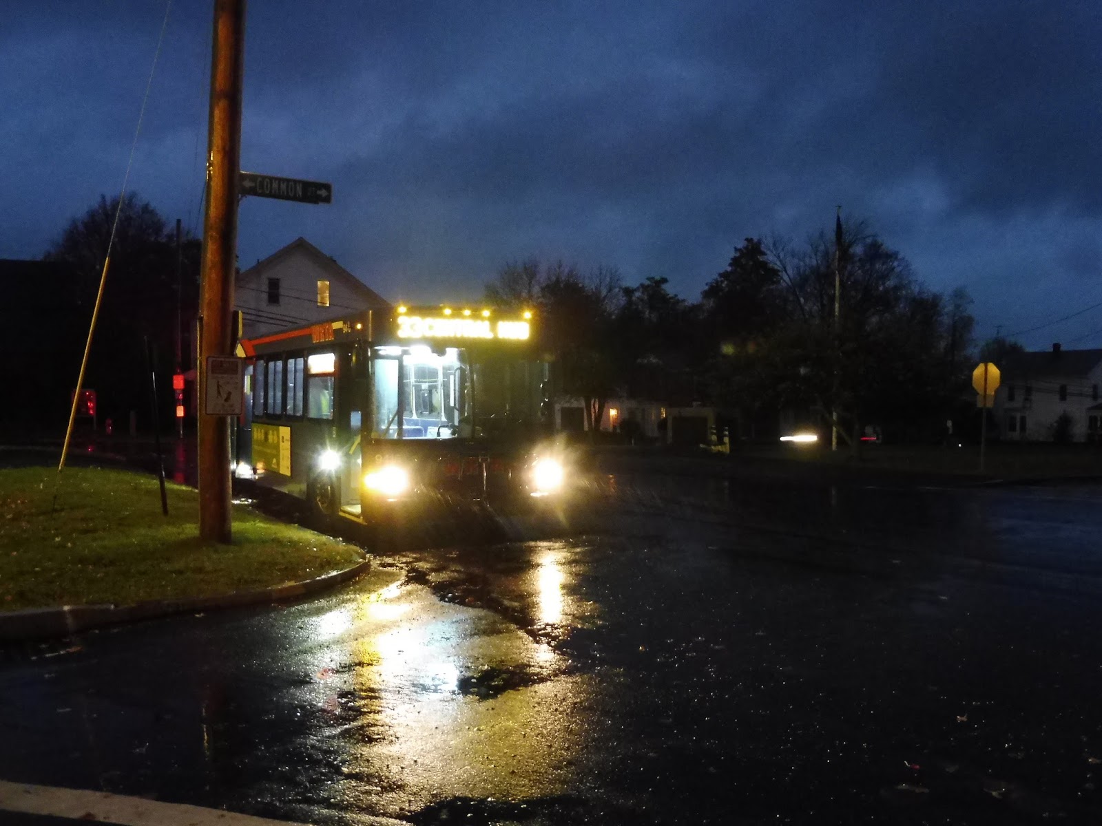
We turned onto River Street, and finally, we looped onto Central Street, arriving at our final stop next to Brookfield Common. “Is this the last stop?” the final passenger mumbled groggily as he woke up and stumbled off the vehicle. Nathan and I stepped out with a bit more grace into the rain – we would have to find someplace to hide out for an hour until the next bus.
 |
| It’s so weird seeing a WRTA bus way out here! |
We tried Brookfield Town Hall first, but it was closed aside from its small-town community board outside. Thus, we wandered over to the next building, the Tip Top Country Store…and hit the jackpot. It was a tiny grocery store with a ton of charm, a really nice cashier, and the best tomatoes I’ve ever had in my life, presumably grown right down the street. We sat at a nice little table in the store and devoured our purchases. I even bought a weird little Alexander Hamilton ornament made from sheep’s wool in Kyrgyzstan because…well, where else would I find something like that???
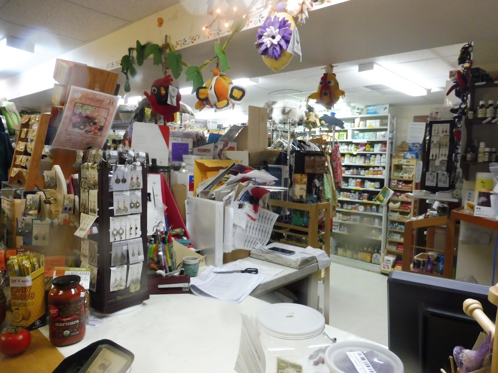 |
| This is such a great store! |
With a few minutes until the next bus was supposed to come, we came back to the common and waited there in the rain. Finally, our vehicle back to civilization came around the corner and opened the doors to its warm interior – there was no one on board. There was a short layover, then the driver…turned off the lights? Yes, for the entire ride back to Worcester, the bus’s lights were completely off. We just sailed through the middle of nowhere in this dark, empty bus, and it was the most relaxing experience. Finally, we snapped back to reality when the lights turned on at the Central Hub, and we ran through the now-pouring rain into the station to get the train back home. What an awesome trip.
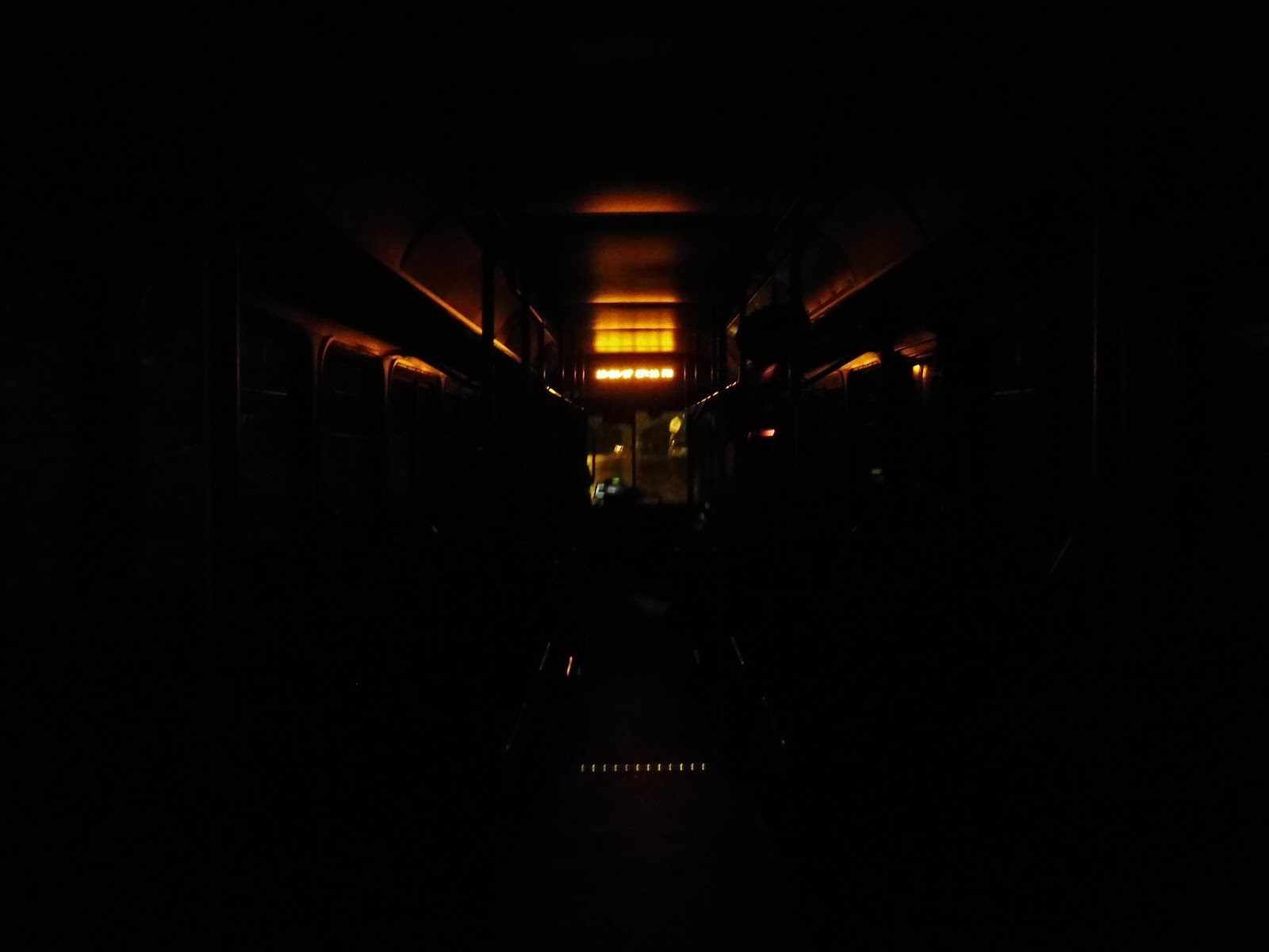 |
| The only light was the warm orange glow of the interior sign. |
WRTA Route: 33 (Union Station Hub – Spencer – Brookfield via Main Street and Route 9)
Ridership: The 33 has the highest ridership of the four WRTA “community routes,” with an average of 567 riders per weekday. The thing is, though, that pure number doesn’t tell the whole story. My ride got 18 people, and the vast majority of them got off at or before Leicester Center. There were maybe three people who disembarked in Spencer, and then it was no one until Brookfield – and the person who left there didn’t seem to even know where he was.
Pros: Well, the 33 is certainly a lifeline route for a lot of communities west of Worcester, most notably Leicester and Spencer. It has a good schedule for its purpose, running every hour throughout the day. Though the route is weekdays only, the 19 runs out to Spencer on Saturdays and as far as the Leicester Walmart on Sundays, so the busiest portions of the 33 still get weekend service.
Cons: Okay, I say it’s every hour, but for some reason from 7:40 to 11:00 AM, the route runs every 100 minutes. Come on, that’s a pretty big difference! Luckily, it goes back to every hour after that. However, I think it’s clear that the route does not need to go all the way out to Brookfield, even during rush hour. From what I saw, there was one half-conscious person on one evening rush trip and no one on the second trip. It doesn’t seem like it would make too many people upset to cut the route back at East Brookfield Courthouse at all times.
Nearby and Noteworthy: Oh, the Tip Top County Store, obviously. That was such a cool local place, and if for whatever strange reason you end up in Brookfield, definitely pay it a visit. Also, on a completely random note, did you know that the 33 is the closest you can get to the PVTA from the Commuter Rail? That’s right, the Ware Shuttle is just two towns and a 3 hour walk away! Of course, the 33 already serves a Big Y, and that’s basically all the PVTA serves, am I right? Ha!
Final Verdict: 7/10
Despite its quirks, the 33 is a good community connector. It probably doesn’t need to be as long as it is on those Brookfield trips, but even if it just terminates at the East Brookfield Courthouse (or the Spencer DPW Garage, which probably makes more sense), it’s still serving some important towns with no other transit options. I will say, though, that the ride to Brookfield is incredibly scenic and relaxing, and the town (at least, its most notable store) is packed with middle-of-nowhere charm – this was the most unique transit trip I’ve done since the Rural Ride.
Latest MBTA News: Service Updates
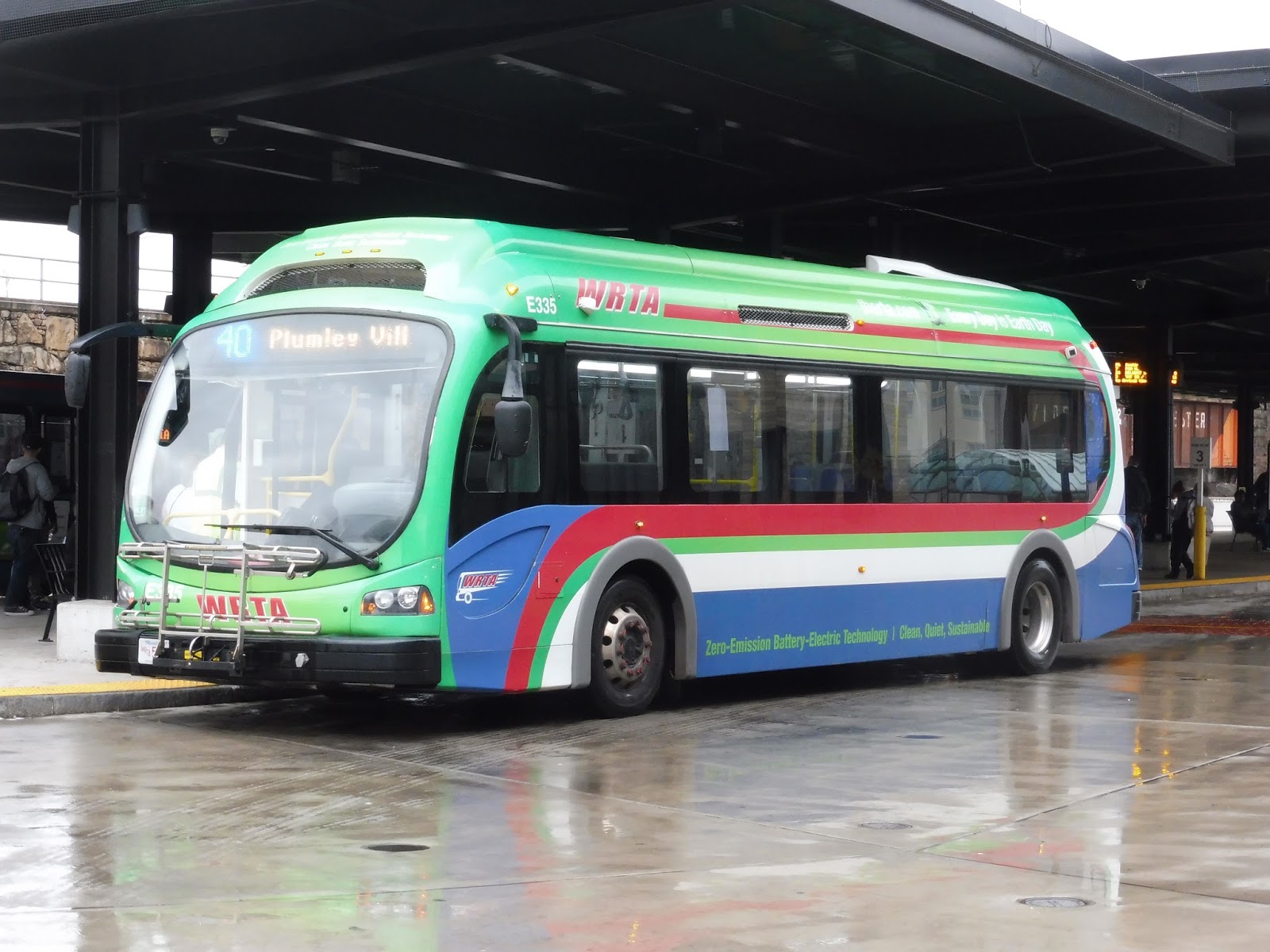
WRTA: 40 (Union Station Hub – Downtown Loop)
Remember the 80? That free little downtown loop that didn’t exist anywhere? Well, the WRTA has scrapped that and replaced it with a larger and not-free loop, the 40. They really pushed this one, going as far as to give it…an actual schedule online. Well, it has to be good, then!
 |
| Alright, a Proterra! The same one I got on the 80, actually. Small world. |
Nathan and I got on at City Hall, meaning we did miss a slight jog in the route that serves the Worcester Social Security Office, but it’s not too substantial. Once we were on board, we headed up Main Street, running through downtown Worcester past lots of businesses in tall buildings. Eventually, we used School Street to get onto the wide Major Taylor Boulevard, which passed what appeared to be more modern constructions.
 |
| Gotta love that rear window! |
We turned onto Belmont Street quickly, and this was mostly lined with churches and a tall apartment building. After going over I-290, we arrived at the UMass Memorial Hospital and turned onto Edward Street. This was a mostly residential side street, but once we turned onto Laurel Street and went back over I-290, we entered a very extensive apartment development called Plumley Village.
 |
| Making a stop in the “village.” |
Coming out of that development, we turned onto Summer Street, which had a few office buildings flanked by large parking lots. Later on we went by Saint Vincent Hospital and a huge post office, then we went around a rotary onto Grafton Street. Finally, turning onto Franklin Street, we looped around and arrived back at the Central Hub.
 |
| The bus getting ready for another trip. |
WRTA Route: 40 (Union Station Hub – Downtown Loop)
Ridership: This is such a new route that there’s no ridership data available, but we can probably use the numbers from the 80 to get an approximation. That route got an average of around 250 people per day, and I wouldn’t be surprised if the 40 gets even more, since it serves a lot more. Then again, my trip only had two people, so who knows?
Pros: I think this is a much more useful route than the 80 was. That route was meant for tourists to some degree, running only a short distance from the Commuter Rail station to the core of downtown Worcester. The 40, meanwhile, is clearly bent more towards residents, and I think that’s a better angle to take. It serves more, and though it runs every 30 minutes instead of every 15 like the 80 did, it’s still much more useful overall.
Cons: It seems like ridership might be low, but I seriously doubt it’s any lower than what the 80 got. It’s too bad it only runs weekdays only, but then again, so did the 80.
Nearby and Noteworthy: Most of what the 40 serves is noteworthy only to local residents, but downtown Worcester is still a bustling place that is slowly becoming a bigger and more interesting attraction to outsiders.
Final Verdict: 8/10
I think this is a better use of the downtown loop concept than what the 80 was doing, and it uses the same amount of resources. And yes, I know the 80 effectively got a 9, but that’s because it was free. Even though you do have to pay a fare for the 40, it takes passengers a longer distance, so I think it makes sense. Plus, it allows the WRTA to make at least some of the operating costs back.
Latest MBTA News: Service Updates
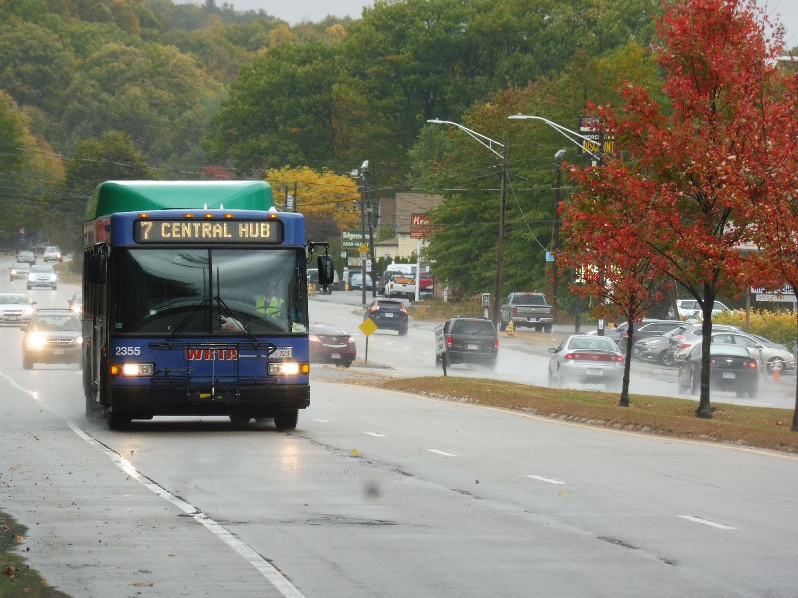
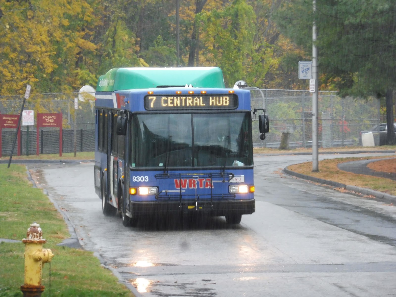
WRTA: 7 (Union Station Hub – Washington Heights Apartments)
Did you know that the intersection of Mill Street and Park Ave is the most dangerous intersection in the entire whole wide universe? Yes, who knew it would be in lil’ ol’ Worcester? Well, anyway, after taking 10 minutes to cross this abomination of suburban city planning, Nathan and I made our way from the 27 up to the terminus of the 7, Washington Heights Apartments.
 |
| An earlier bus zooming down Mill Street. |
It was not the most enjoyable walk, even past the intersection of death. Mill Street was a wide busy road, and its sidewalk was miniscule. Eventually we did make it to Washington Heights Apartments, climbing up a hill to what we assumed was the first stop. It started pouring when we were waiting, and to add insult to injury, the bus was late!
 |
| Hurry up! |
Now safe from the rain, we left the apartment complex down a hill and onto Mill Street. The majority of buses just go straight down, but we were on one of the rare trips (every third one) that makes an additional deviation to Coes Pond Village! Thus, we turned onto First Street, which went past houses and up a really steep hill, then we entered Coes Pond Village – it was two huge apartment buildings.
 |
| The rain made it hard to get good pictures… |
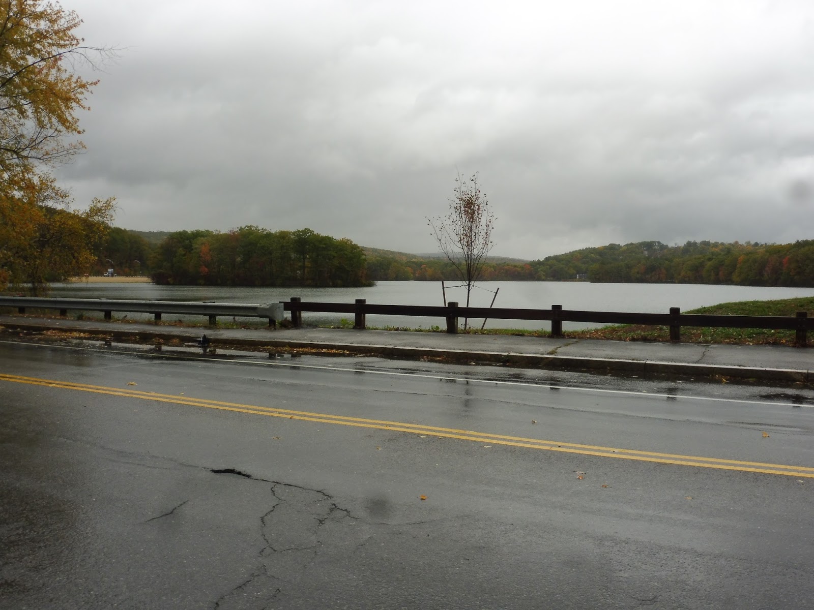
We returned to First Street and went down the super steep hill, then we turned back onto Mill Street. This was a wide, ugly road lined with weird, desolate buildings with a variety of different uses. But hey, eventually it came up alongside Coes Pond, and there was even a little beach next to the road!
 |
| This was from our walk to the route, and it’s far better than any of the other pictures you’ll see in this review. |
Mill Street got narrower after the beach, and once the pond ended, we were in a residential area…for about five seconds. We took a left turn at the Intersection of Death onto Park Ave, another ugly road with a bunch of weird buildings. We turned onto Lovell Street next, passing the Lakeside Apartments, as well as a school and some smaller triple-decker homes.
 |
| We should’ve just walked the whole route! It would’ve made for better pictures… |
Going around a small rotary, we headed onto Maywood Street, which took us back to Park Ave past a strange, huge, abandoned parking lot. There was a mix of apartments and businesses along Park Ave, but we soon left it again by turning onto May Street. This took us up a hill past some dense houses, which continued as we turned onto onto Woodland Street.
 |
| Some of the dense apartments. |
We eventually pulled into a deviation to serve Family Health Center, a hospital, which took us onto Queen Street. Next, we turned onto Chandler Street, which had just about everything: industrial buildings, retail, and apartments all lined the road. Once we turned onto Main Street, though, we were right in downtown Worcester, and there were tall buildings and businesses on either side. Nathan and I got off at Worcester City Hall, but the Central Hub was only minutes away.
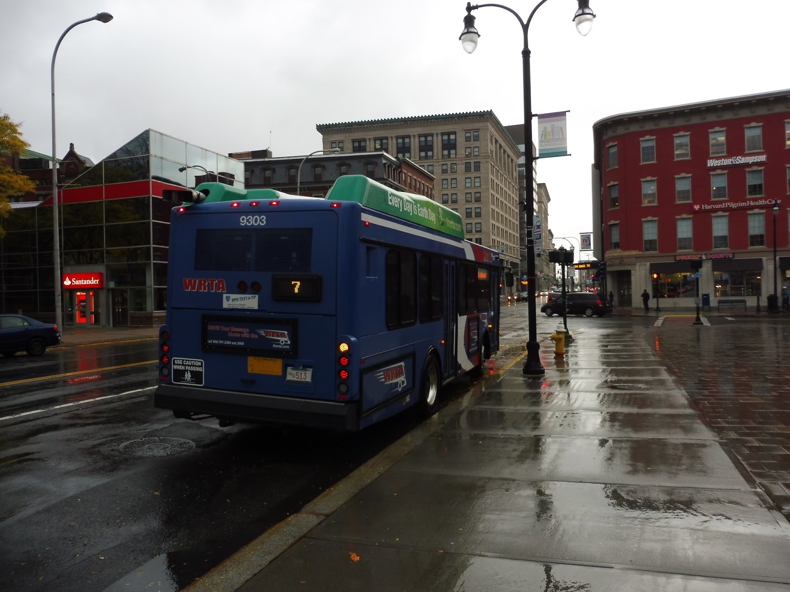 |
| Hey, it stopped raining! |
WRTA Route: 7 (Union Station Hub – Washington Heights Apartments)
Ridership: The 7 is fittingly the seventh-busiest route on the WRTA, getting itself a sizeable 814 riders per weekday, 330 per Saturday, and 137 per Sunday. My trip only had three people, but I’m sure others are busier!
Pros: The route serves some very dense Worcester neighborhoods, and it does so surprisingly frequently: service is every half hour on weekdays, while on weekends it’s every hour.
Cons: The WRTA does this weird thing where they’ll have “consistent” headways that actually shift around by five minutes, and the 7 has it particularly bad – weekday evenings just throw any kind of consistency out the window. Also, why do the Washington Heights Apartments get full service while Coes Pond Village only gets a bus every 90 minutes or worse? They seem to me like they have equal populations.
Nearby and Noteworthy: For some reason, most of the main streets the 7 uses are really ugly, with some awful-looking businesses. That being said, it does serve Coes Pond Beach, which would be a fun place to take the bus to.
Final Verdict: 6/10
There’s a lot wrong with this twisty route. For one thing, service to Coes Pond Village is really inconsistent and weird – though you can request any outbound bus to deviate to it, inbound service only comes every 90 minutes or worse, like I said. Also, it’s really annoying to rely on a route that almost has clockface headways but they’re actually all over the place. How hard would it be to straighten those out?
Latest MBTA News: Service Updates
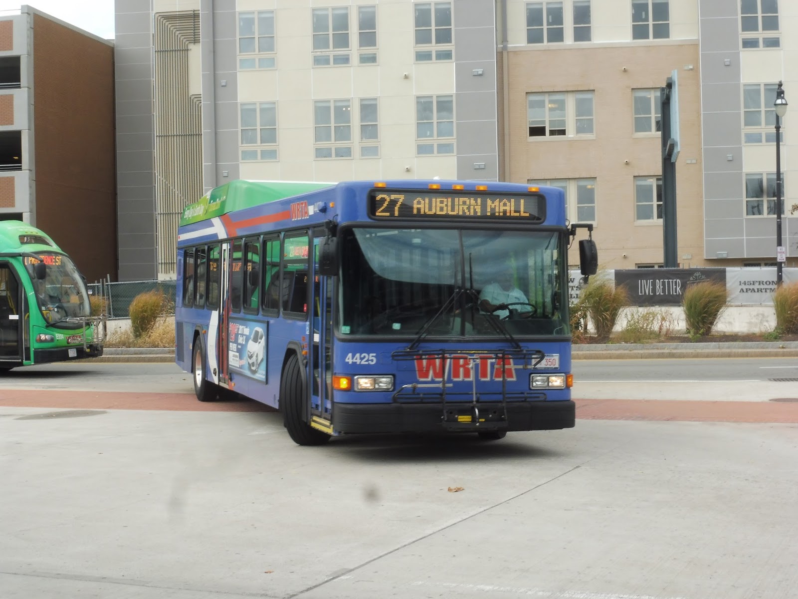
WRTA: 27 (Union Station Hub – Auburn Mall via Main Street)
Man, I really have not covered a lot of the WRTA, have I? This is a system I’ve done very little of, and most of the ones I have done are their weird minibus shuttles. Well, the 27 is a decidedly normal WRTA route, and in fact, it is one of the busiest on the system. Wow!
 |
| Glad that Proterra could sneak in on the side there! |
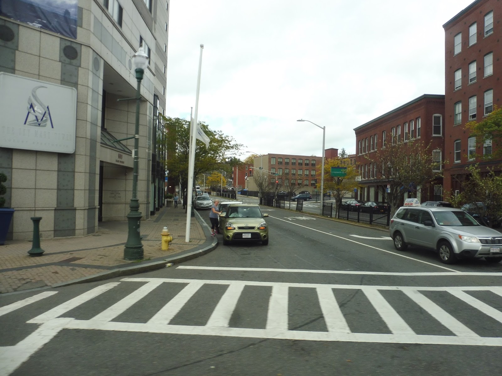
We pulled out of the WRTA Central Hub and after looping around a rotary to turn around, we made our way onto Franklin Street. This was downtown Worcester, and we had tall buildings on one side and Worcester Common on the other. Once we turned onto Main Street, it was just buildings and businesses everywhere.
 |
| An urban side street. |
Of course the buildings started to shrink in height as we left downtown, but it stayed urban for quite a while. Main Street was still lined with apartments as high as five stories, although eventually they got replaced by single-story businesses. Still, it was a diverse neighborhood: there were also apartments, houses, and religious buildings in the mix.
 |
| A typical view of the neighborhood. |
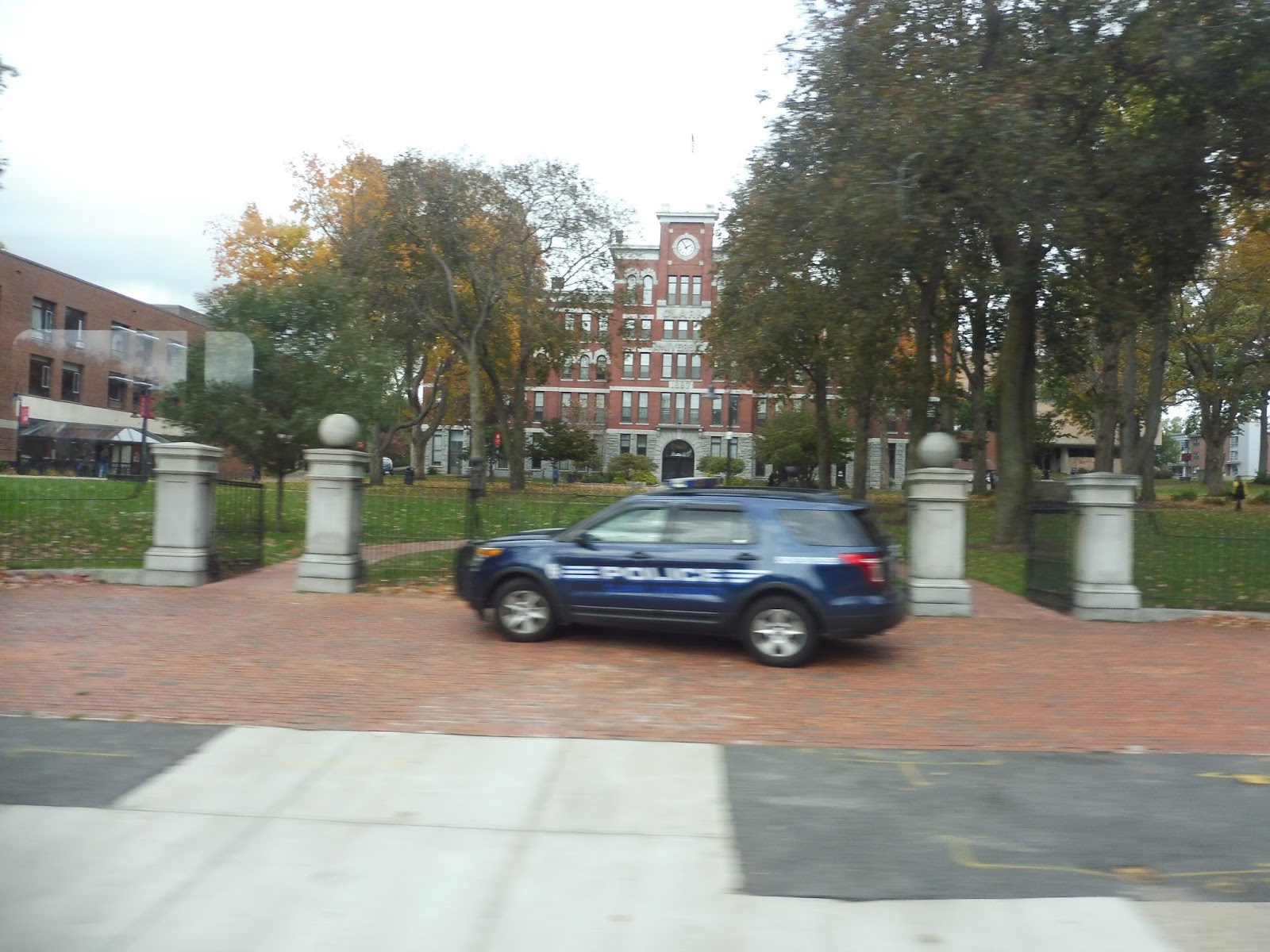
Eventually, seemingly out of nowhere, Clark University showed up. I mean, it just didn’t feel like a “college” kind of area, if you know what I mean. But we went by its beautiful campus with its charming old buildings…and then it just went back to businesses and apartments again.
 |
| It’s an awful picture, but it gives you an idea of the type of architecture at Clark. |
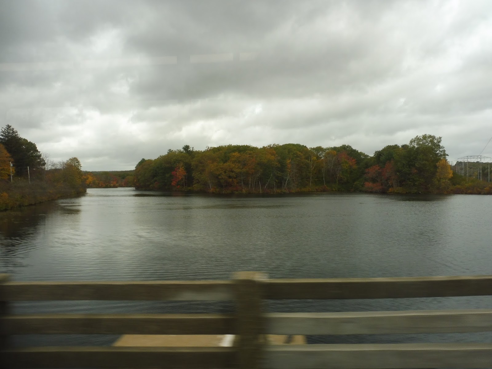
We eventually got to “Webster Square,” but it wasn’t much of a square – just two huge apartment buildings and some rather suburban, boring businesses. It was soon after this that we split off from the 19 (and to a lesser extent, the 33), which we had been running with since the Central Hub. I’ll be talking more about how the 19 and the 27 interact later on, but for now, just know that we merged onto Stafford Street, which took us past a pond.
 |
| Making the split. |
We passed the boring-looking Webster Square Plaza, and after that it was a weird mix of apartments, suburban businesses, and industrial buildings. We went over some train tracks when we turned onto James Street, and the similar scenery continued as we merged onto Ludlow Street. Finally, we entered Auburn, the street became Pinehurst Ave, and we entered a purely residential neighborhood with lots of dense houses.
 |
| Nice view! |
Some businesses came up as we merged with Oxford Street and crossed over Kettle Brook on a tiny bridge. There was one final residential section from there, but retail grew more prominent among the houses when we turned onto Auburn Street. After going under I-290, we went by the Auburn High School, whose athletic facilities occupy more than three times the land of the school itself, then we turned onto Southbridge Street. This took us around the edge of the high school campus and past a bunch of suburban businesses, then we pulled into our terminus: the smaller-than-expected Auburn Mall.
 |
| Back to Worcester with you! |
WRTA Route: 27 (Union Station Hub – Auburn Mall via Main Street)
Ridership: This was actually the busiest route on the WRTA, at least it was in 2010. Turns out I just found more recent ridership data, though, and the 27 has been demoted to third-busiest now. Still, it has great ridership, with 1,071 people per weekday, 661 per Saturday, and 188 per Sunday.
Pros: This is a super busy and super efficient route overall. It’s the most productive one on the whole WRTA, and it has the lowest subsidies of any route on the system! It has an awesome schedule on its own, with service every half hour on weekdays and every hour on weekends, and it serves lots of dense and important neighborhoods.
Cons: The coordination with the 19 could be better. See, these routes share a huge common section, and they actually both run every half hour on weekdays and every hour on weekends. They’re coordinated for half-hourly service on weekends, which is great, and there are proper 15-minute headways going inbound on weekdays. Going outbound is a different story, though – the routes leave within five minutes of each other. Now, I get that their lengths are different, but I will also say that the 19, the shorter of the two, has some of the worst on-time performance on the WRTA. Perhaps it would make sense to pad it out, thus allowing for those 15-minute headways to work in both directions?
Nearby and Noteworthy: The Auburn Mall is tiny for an indoor shopping mall, but it will still fulfill all of your indoor shopping mall needs.
Final Verdict: 9/10
I was originally going to go on a tirade about how the coordination between the 19 and the 27 is awful and needs to be fixed, but looking more closely at the schedules, it’s really just going outbound on weekdays that it needs work. I know it’s not as easy as just padding out the 19, and there’s a complex system of interlines behind the scenes, but it would be great to get 15-minute service along this important corridor in both directions. Other than that, though, the 27 is a great route, and the WRTA is even considering some BRT-like improvements along the common section with the 19. Sounds like a good investment to me!
Latest MBTA News: Service Updates
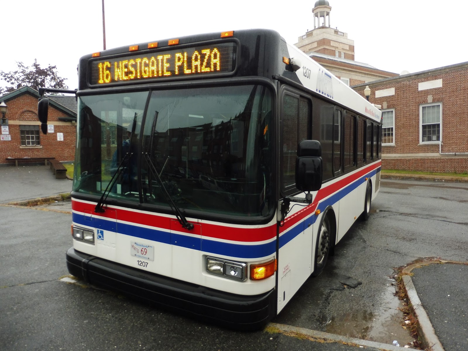
MVRTA: 16 (Washington Street/Westgate Plaza)
This will be our last time taking a local bus out of Washington Square, and I am totally okay with that. These Haverhill routes have all been pretty…well, mediocre and boring. The 16 continues that trend.
 |
| Our final picture here! |
We went down Washington Street, travelling through downtown Haverhill – there were businesses everywhere. After going by the Haverhill Commuter Rail station, the road lost its downtown feeling, though it was still lined with a lot of dense apartments. Although there were some businesses here and there, it was very much a residential neighborhood.
 |
| A typical side street. |
The houses got further apart as we continued further away from the center of Haverhill, and as Washington Street got more hilly, it started to feel more suburban. The road twisted north and we went by a middle school, but the rest was still houses until we turned onto Lowell Ave – there was an apartment development there. In fact, Lowell Ave had quite a few apartment developments, right up until we reached Westgate Plaza, the final stop on the route. On weekdays it continues up to the disgusting Haverhill Commons, though…for some reason.
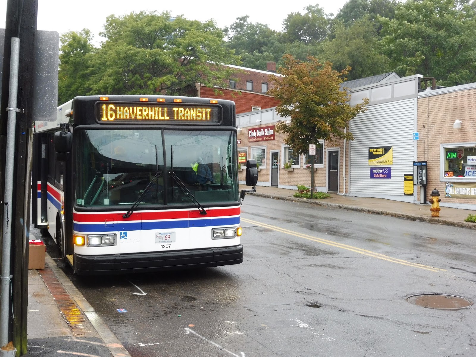 |
| The bus just before Haverhill Station. |
MVRTA Route: 16 (Washington Street/Westgate Plaza)
Ridership: Well, it’s the second-busiest Haverhill route, but we’ve discovered that that doesn’t mean much. With 37,373 riders in 2015, the route managed to get 102 riders per weekday – hardly a high number!
Pros: This route serves some of the very dense neighborhoods to the west of Haverhill, and it does so in a perfectly straight line. No deviations or twisties on the 16, at least until the shopping plazas at the end. The route runs every hour on weekdays, and it even runs with a consistent 90-minute headway on weekends!
Cons: This is another Haverhill route with some extraordinarily long layovers on weekdays – 25 minutes, to be exact. That’s a lot of time for a driver to just sit around in Haverhill doing nothing. Also, this is a fairly minor issue, but the snow route for the 16 is nothing like the actual route. I mean, it serves almost completely different neighborhoods, and it seems like it would be more efficient just to not run the route at all on snowy days – that would be just about as useful for its riders.
Nearby and Noteworthy: Westgate Plaza is all there is, and there’s nothing special about it. It’s fine.
Final Verdict: 6/10
A 6 seems to be the typical score for these Haverhill routes. Like I said at the beginning, most of them are just mediocre and boring. Yeah…I’m not exactly upset that I’m done reviewing these.
Latest MBTA News: Service Updates
MVRTA: 18 (Riverside)
Oh boy, another twisty one! Alright, 18, do your worst.
 |
| Washington Square once again. |
We went down Merrimack Street in the opposite direction of downtown Haverhill, so there were far fewer businesses along the road. It eventually became Water Street as we went by an austere shopping plaza, then various apartment and industrial buildings. At a cemetery, we turned onto Mill Street, running along its west side, then Boardman Street, running along its north side.
 |
| A very bleak view of the Merrimack River. |
Boardman Street eventually got more residential, but then we deviated onto Buttonwoods Ave to serve AHEPA Apartments. I would just like to point out that this deviation took us a mere two blocks away from the more direct route the 18 would take, but we reversed back up to Buttonwoods Ave…and then took it around to the more direct route anyway. Sigh…well, we turned onto Groveland Street, which we could’ve just been on the whole time.
 |
| A rugged side street. |
Groveland Street was mostly residential, but eventually the MVRTA decided the route was too straight, so we banged a right onto Keeley Street. Then a left on Lincoln Ave. Then a left on Brown Street. Then a right on Kennedy Circle, serving an apartment development. Then straight into a deviation to the Merrimack Valley Hospital. Then a right on Katsaras Drive. And finally, a right onto Groveland Street again, literally a block from when we had originally left it. The 18 hurts me.
 |
| A park. |
It continued to be all residential along Groveland Street until we reached the Merrimack River again. Here, there was a burst of suburban businesses, and we turned onto Lincoln Street to get to the biggest one: Rivers Edge Plaza. And this truly atrocious-looking shopping plaza was, in fact, our last stop. Time to sit through all those deviations back to Washington Square…
 |
| I think the empty parking lot should be some indication of how popular this mall is. |
MVRTA Route: 18 (Riverside)
Ridership: This is the second least-used route in Haverhill, with 27,780 people in 2015 – that’s about 76 per day. Hey, did you notice that the twistiest routes in Haverhill are the ones that get the least riders? Huh, I wonder if MVRTA should take a hint.
Pros: It’s hard to find anything good to say about the 18, but it does serve the eastern neighborhoods of Haverhill. It also runs every hour on weekdays, which is fine.
Cons: It’s infuriating how twisty this route is, and unnecessarily so! The 18 could easily make the same deviations it does but on a more direct route that’s within a few minutes’ walk of its current one. Also, this is old news, but it has that awful 45-90 minute headway on weekends. ARGH!
Nearby and Noteworthy: No, there’s nothing noteworthy along the 18.
Final Verdict: 3/10
Sure, it gets more ridership than the 15, but at least with the 15, there’s no easy solution to remove the twistiness while serving the same amount. With the 18, there’s a very easy direct route, and in fact, its snow route basically does it! So if it snowed every single day, 18 riders would have to walk a maximum of five minutes longer, but everyone would have a much more efficient ride in the long run. Great.
Latest MBTA News: Service Updates
GUEST POST: Windsor Gardens
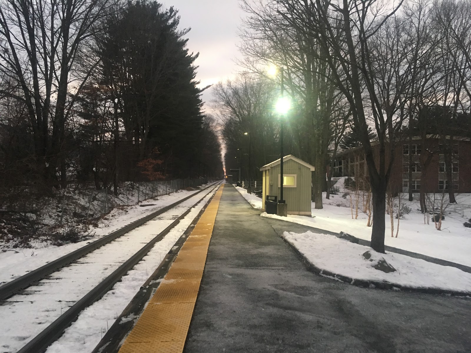
For my first guest post, I decided to take a look at Windsor Gardens! Located on the Franklin Line, Windsor Gardens is a very unique station. This is the only place, at least on the Commuter Rail, where an apartment complex has its own station! However, the reason I chose this station for my first guest post is because I see it as an example of a station that has the potential to be a much greater than it is but currently isn’t, as we shall see!
Right off the bat, there is one amenity Windsor Gardens is noticeably missing: parking! While at least some of the stations that supposedly have no parking do in fact have a small gravel lot for a few cars, the nearby parking areas are strictly for residents of the apartment complex only. I don’t believe that parking is necessarily a big deal for reasons I’ll explain later, however it is one of the few stations that doesn’t offer it.
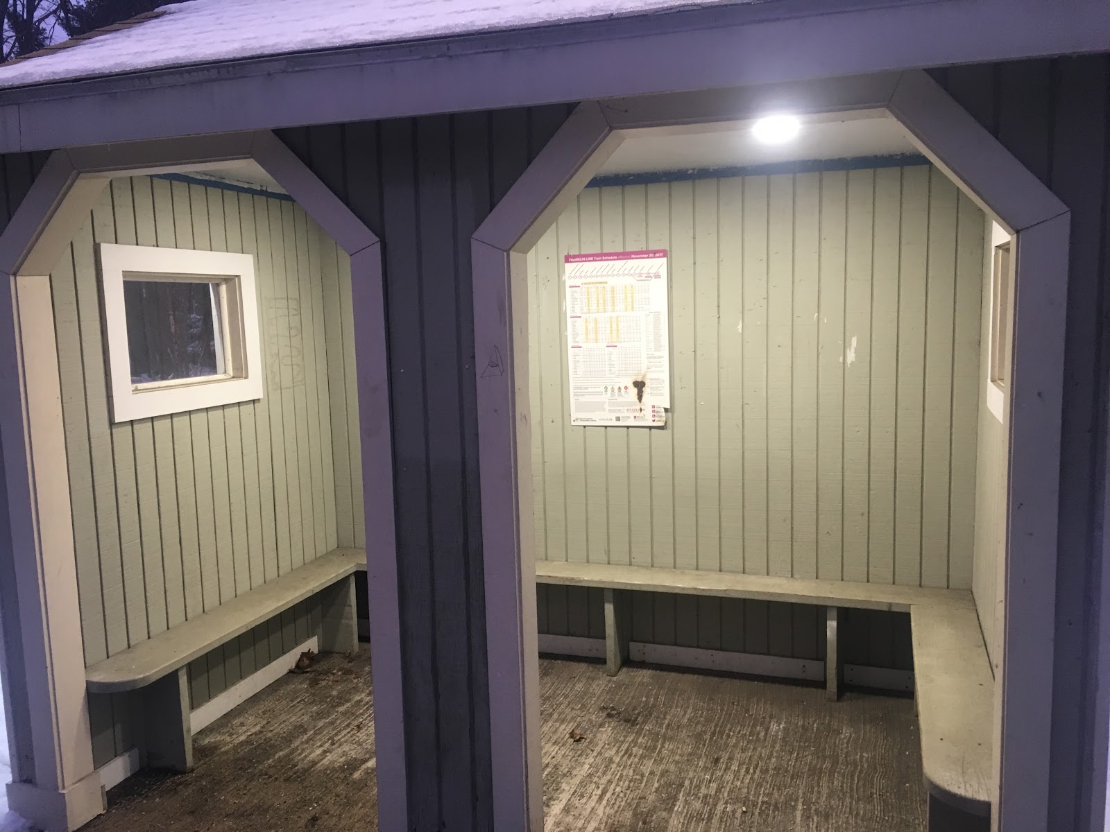
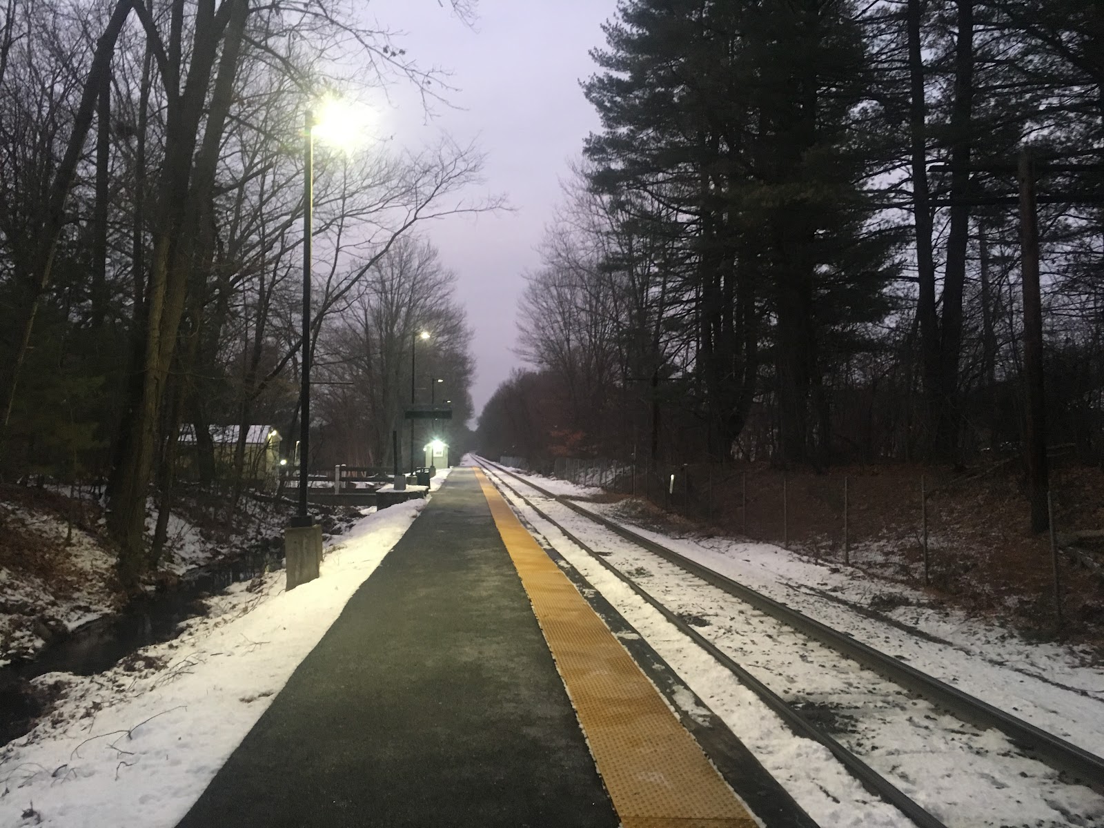
The platform itself is pretty plain with two wastebaskets. I knew it didn’t have an overhang, but I was surprised to find that it does have a shelter. I don’t know how new it is, but if it’s been around all along then either I forgot that it was there or I somehow never noticed it on my many rides past it when I was a frequent rider. Unfortunately, there is no handicapped access here.
 |
| Windsor Gardens Station, looking west. |
Looking closer, the shelter is pretty nice! It’s almost completely enclosed, very clean, and has a schedule bolted to the wall. It’s even lit up on the inside. This is a nice place to wait for the train that’s not exposed to all the elements!
 |
| This is a nice little shelter! |
Growing up in the area, I always wondered why despite a population difference of only about 4,000 residents, Norwood has three stations but Walpole only has 1.0001 (the .0001 being Plimptonville- after hearing what Miles has to say about Hastings, I can’t wait to see what he says about Plimptonville and don’t want to spoil anything)! However, Windsor Gardens is within walking distance of the Walpole line, which brings me to an important point.
While this station was built to serve the apartment complex, it doesn’t do as well as it should in serving the neighborhood. There has been some controversy in recent years over an unofficial entrance on Ryan Place, a cul-de-sac on the opposite side of the tracks. For years some passengers would cross and cut through a hole in the fence. A local resident asked the town to put in a real entrance there, but the selectmen decided instead to put a new fence up instead, citing safety concerns and the fact that the MBTA did not ask them to put an entrance there. While I would hate to see the cul-de-sac become a drop-off and pick-up spot for the station, and I understand that there can be some concerns with passengers crossing the tracks, I wish that there had been a greater discussion between the MBTA, the Town of Norwood, and area residents to find a solution there that works for almost everyone.
 |
| Where the unofficial second entrance used to be. |
I should finish by talking a bit about the apartment complex. Windsor Gardens was built in the 1960s and is a prime example of transit-oriented development before it was popular. According to a blog post I read, it is home to about 2,000 residents. It doesn’t have the stores and restaurants that most transit-oriented developments have, but having your own train station is a very unique selling point!
 |
| Another shot of the platform, looking east. |
Station: Windsor Gardens
Ridership: According to the 2014 Blue Book (the most recent I could find), it has 624 daily riders. Only Readville, Endicott, and Plimptonville see fewer riders on the Franklin Line.
Pros: I like the shelter, and it must be pretty neat to have a stop specifically for your apartment complex.
Cons: No handicapped access, and no inbound trains after 6:11pm. Also, why is it in Zone 4 while the rest of Norwood is in Zone 3? Since the station lacks parking and isn’t served by a bus, most of its commuters walk there, so having a large walkshed is important. Unfortunately, blocking off the other side of the tracks only hurts that; it’s about a mile walk from the clock tower in East Walpole to the end of Ryan Place, but ¾-mile longer using the main entrance.
Nearby and Noteworthy: Not a lot, the area is mostly residential.
Final Verdict: 4/10
While it may not function as a park-and-ride, it still functions as a walk-and-ride, and to a lesser extent a kiss-and-ride. If this station had handicapped access, and if it had an official entrance on the Ryan Place side, I would gladly give this a 7 or an 8. But it doesn’t. A station can’t be everything for everyone, but it should be as close to that as possible.
MVRTA: 13 (Main Street/North Avenue)
Alright, time to take a trip up to our neighbor state to the north, New Hampshire! I’ve actually ridden this route before as part of an old Service Change post, but now it’s time to review it. We’re going to find out what the 13 is really like!
 |
| The bus at Washington Square. |
We left Washington Square onto Merrimack Street, but in the opposite direction of downtown Haverhill. There were still some businesses along here, but certainly not as many as if we had gone westward. We eventually turned onto the wide Main Street, taking us past some municipal buildings and a common.
 |
| I wonder what’ll go in this big empty space. |
There were suburban businesses for a bit before the road took on a more residential edge. It was a lot of dense houses, only broken by the occasional apartment or religious building. Eventually we merged onto North Ave, beginning the route’s loop: it goes outbound via North Ave and inbound via Main Street. On weekdays, buses make an additional deviation to the recently-built Haverhill Medical Center, but this was both a weekend and before construction on the facility was complete, so we just stayed on North Ave.
 |
| This is a pretty cool picture! |
It was a mostly residential road, taking us over I-495 eventually. We passed a pond and some sort of gas facility, then there were a few apartment developments amidst the houses. Eventually we entered Plaistow, New Hampshire, and it was pure homes again, not that they could use the bus because it doesn’t make stops along local NH roads. Also…LIVE FREE OR DIE!!!!!!!!!!!!!!!!!!!!!!!!!!!!!!!!!!!!!
 |
| Welcome to New Hampshire! |
We turned onto Main Street, which led us to a haven of suburban businesses and shopping centers. We pulled into one of them, Stateline Plaza, taking advantage of those sweet nonexistent sales taxes, mm-mm. Leaving the rather boring mall, we reentered Massachusetts on Plaistow Road, which merged with Main Street after a bunch of other suburban businesses.
 |
| Coming into Stateline Plaza. |
Once we had gone a ways down Main Street, the retail started to thin out and get replaced by houses. The road got really wide briefly for an interchange with I-495, and there was a brief spurt of businesses on the other side. After that, though, it was all houses until we reached North Ave, ending the loop. We returned to Haverhill the way we had come.
 |
| Wow, there’s quite a view way down there! |
MVRTA Route: 13 (Main Street/North Avenue)
Ridership: Well, it’s the busiest of the local Haverhill routes, but as it turns out, that’s not really saying much. I mean, it got 63,475 riders in 2015, which is about 174 people per day – certainly not a lot, but for Haverhill, that’s insane!
Pros: The route serves a lot of northern Haverhill and connects it up to what I imagine is a popular shopping center thanks to New Hampshire’s taxes (or lack thereof). It has a normal weekday schedule, with a bus every hour.
Cons: Darn it, the weekend schedule is weird again! It has that annoying alternating 45-90 minute headways thing…
Nearby and Noteworthy: Stateline Plaza is the most exciting thing this route serves, probably. That’s a little sad
Final Verdict: 7/10
The 13 is probably the best of the local Haverhill routes. It serves a lot, it gets fine ridership (for Haverhill standards, at least), and it has a decent schedule…except on weekends. God, I can’t stand the alternating headways! Be consistent!
Latest MBTA News: Service Updates
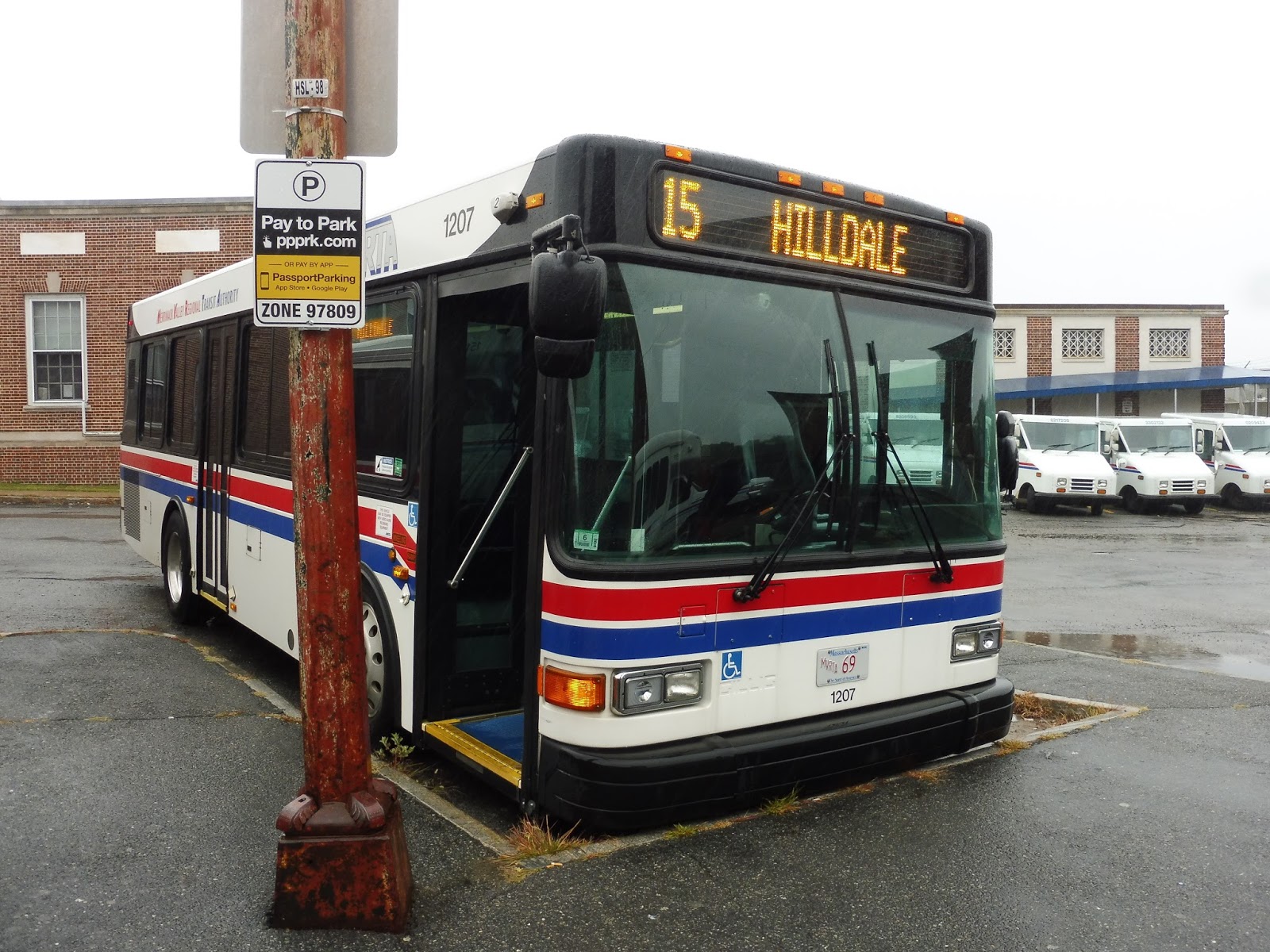
MVRTA: 15 (Hilldale Avenue/Haverhill Commons)
The next route on our Haverhill list is the 15, a twisty one serving the western neighborhoods of Haverhill. Let’s see how it is.
 |
| Getting on at Washington Square. |
From the Washington Square Transit Station, we headed straight up Essex Street, more or less avoiding the businesses of downtown Haverhill. We very quickly turned onto Locust Street, and although Essex Street had had some tall brick buildings, they were all gone by this point. We were in a residential neighborhood, but there were some businesses as we turned onto Winter Street, taking us under the not-quite Commuter Rail tracks.
 |
| A boring side street. |
We merged onto Lafayette Square, which was a downtown of sorts, featuring some businesses in a variety of different dense buildings. Once we headed down High Street, though, it was all residential, and dense houses lined the road. They continued as we turned onto Grove Street, which took us up a hill and eventually past a school.
 |
| A side street next to a church. |
We turned onto Broadway next, which led us past more houses back to…Lafayette Square??? Oh come on, that was all just a big deviation? Sigh…okay, well, we turned onto Hilldale Ave, which just had a bunch of different things along it. There were houses, businesses, apartment developments, industrial buildings, a field, and even a solar farm!
 |
| Lafayette Square. |
Eventually, though, it just got plain ol’ residential with the exception of a cemetery. They got more spread out and suburban the further we got, a pattern that continued as we turned onto Monument Street. That did take us past the Haverhill High School, though, and eventually we turned onto Broadway, which went over I-495. On the other side, we turned onto Computer Drive, then we pulled into the awful Haverhill Commons shopping center. And though on weekdays the route continues to Westgate Plaza, served by the 16, this was a weekend, and so we just twisted our way back to Washington Square.
 |
| EW. |
MVRTA Route: 15 (Hilldale Avenue/Haverhill Commons)
Ridership: The 15 has the sad distinction of being the least-used route in Haverhill, a place with some already very low-ridership buses. With 23,291 passengers over the course of 2015, it got an average of 64 people per day. Ouch.
Pros: The route serves the neighborhoods of western Haverhill, some of which are dense and some of which aren’t. It runs every hour on weekdays, and surprisingly, it has a consistent schedule on weekends. This is a big deal in Haverhill, where the majority of routes have the really weird 45-90 minute headways. And sure, the 15 is consistently every hour and a half, which is infrequent, but it’s not like the route gets the ridership to justify more service.
Cons: It’s so twisty, and it gets such low ridership…could there be a correlation? Also, whereas some Haverhill routes connect neighborhoods to relatively important shopping centers, Haverhill Commons is just the most washed-up, awful mall I’ve ever seen. Its big draw is a Target, and that’s about it.
Nearby and Noteworthy: Maybe Lafayette Square, but the 15 really doesn’t serve a whole lot outside of residential neighborhoods.
Final Verdict: 4/10
I appreciate that the MVRTA runs its routes seven days a week, but does the 15 really need weekend service? My Sunday round trip had three riders. Three! This just doesn’t seem like a route that warrants weekend service, or maybe even any service – let’s face it, 64 people per day is really low. But I’m sure more of that is concentrated on weekdays, and it definitely serves some dense neighborhoods, if not very well…
Latest MBTA News: Service Updates
Jules Asks…

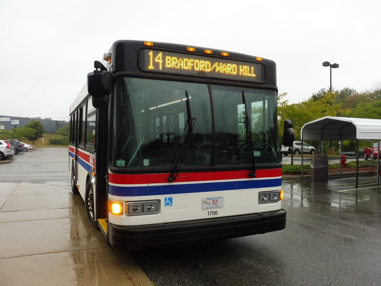
MVRTA: 14 (Bradford/Ward Hill)
Okay, the MVRTA’s Haverhill weekend routes are insanely annoying to plan around. Sam, Nathan, and I literally had the schedules of each one spread out across a counter at the Washington Square Transit Station trying to figure out what our order had to be to do all of them. Turned out the 14 was the one to start with.
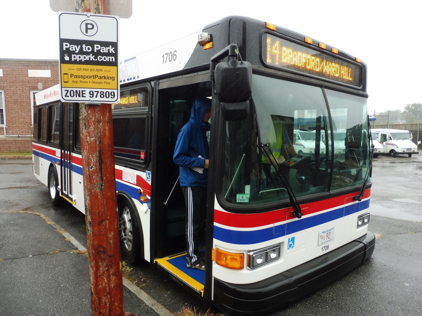 |
| The bus at Washington Square. |
We headed down Merrimack Street, still technically in downtown Haverhill, but a more fringey part of it – there were far fewer businesses than there are further west. We turned onto Main Street next, taking us on a lovely bridge over the Merrimack River, and there was another downtown of sorts on the other side. This was downtown Bradford, and it was definitely more suburban than Haverhill, but there were still some historical business blocks here.
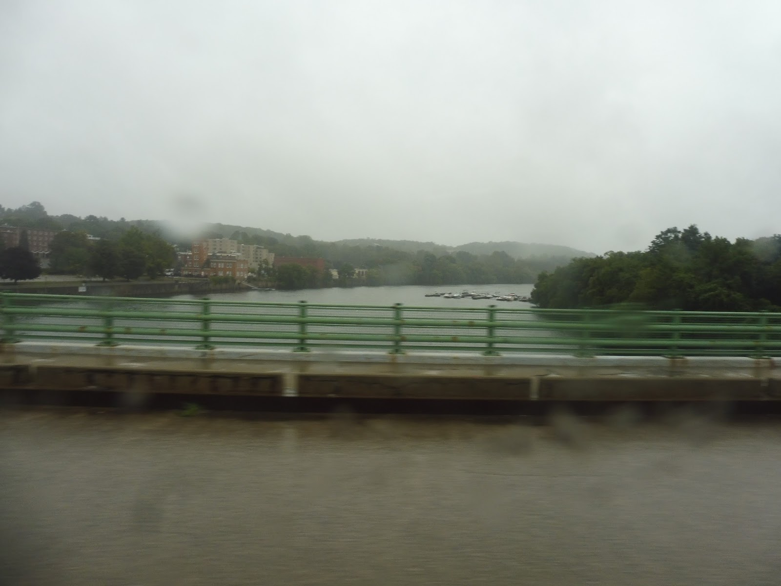 |
| The rainy view of the river. |
The businesses ended pretty quickly, and as South Main Street curved its way further south, it got much more residential. There were still a few non-house buildings, including a historical common and a seminary college, but it was mostly homes. Eventually, on one side of the road, the houses got replaced with apartment developments, and then on the other side we got shopping plazas and some industrial buildings.
 |
| We’re not in Kansas anymore! |
All of a sudden the road got a gigantic median for a highway interchange-esque intersection with Industrial Ave. We used the interchange to get onto that road, which went over the Commuter Rail, and…well, it wasn’t actually industrial. It was just a woodsy highway. Once we used another “interchange” to get onto Ward Hill Ave and Rogers Road, though, we were now going by lots of wonderful industrial buildings. What a great place to serve on a Sunday!
 |
| Yup, this is really worth serving. |
We looped around back to Industrial Ave and crossed it. Now on a street called Shelley Road, we looped around to our next deviation, a BJ’s. Now, as we’ve seen with the MWRTA, transit deviations to BJ’s aren’t exactly recipes for high ridership. BJ’s is meant for buying stuff in bulk, which means you need the personal space of a car to actually be able to transport it back. I can’t imagine someone lugging three bags of toilet paper onto a bus…
 |
| The driver went to the bathroom at BJ’s, so I got a quick shot of the bus. |
We came back onto Industrial Ave after that and made our way back onto South Main Street. It went through a bunch of random name changes as we passed suburban businesses and houses, but it eventually settled on Osgood Street when we entered North Andover. Our time in that town was short, though: we soon came to Osgood Landing, a big industrial-type building with a bunch of companies within, and that’s where we turned around.
 |
| The sign for Osgood Landing. |
The 14 takes a slightly different route back, so I’ll touch upon it briefly. Instead of going through that interchange with Industrial Ave, the route instead merges onto Oxford Ave. It’s a mostly residential area until the street merges into Boston Road, at which point there was a huge construction site and a few other random buildings. Finally, the bus rejoins Main Street and continues back to Haverhill.
 |
| A side street. |
MVRTA Route: 14 (Bradford/Ward Hill)
Ridership: The poor 14, like most of the MVRTA Haverhill routes, is plagued with low ridership. The route got 30,843 people in 2015, which averages out to a mere 85 riders per day. My round trip had six people in total, so…yeah, pretty low.
Pros: This route serves some dense residential neighborhoods in Bradford, and I’m sure it gets some degree of reverse-commute ridership on weekdays. Speaking of weekdays, it has a fine schedule on such days, with service every hour.
Cons: I have to ask about that weekday schedule: does the route really get 27 minutes of layover at Washington Square? Because it looks like that might be the case, in which case that is insane! The driver is only driving about half the time! Also, the weekend schedule has really annoying headways that all the Haverhill routes are stuck with: alternating buses 45 minutes apart, then 90 minutes apart. Why?
Nearby and Noteworthy: Osgood Landing seems to be the highlight of this route, since it has a laser tag place in it. Nice!
Final Verdict: 5/10
The 14 probably doesn’t have to run as much as it does or for as long a distance. Honestly, on weekends and even middays I could see it terminating in Ward Hill, since there seems to be very little ridership beyond there. Of course, that would give the route even more ridiculous layover time, so maybe it’s not the best idea…
Latest MBTA News: Service Updates
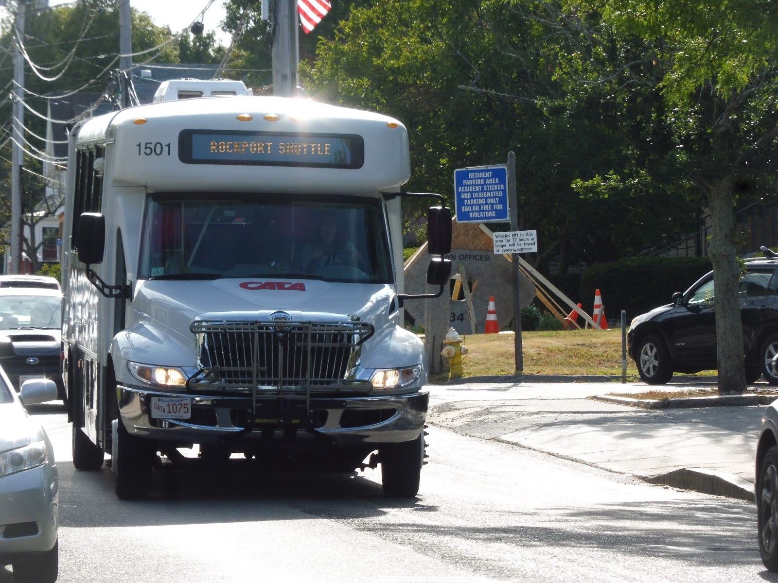
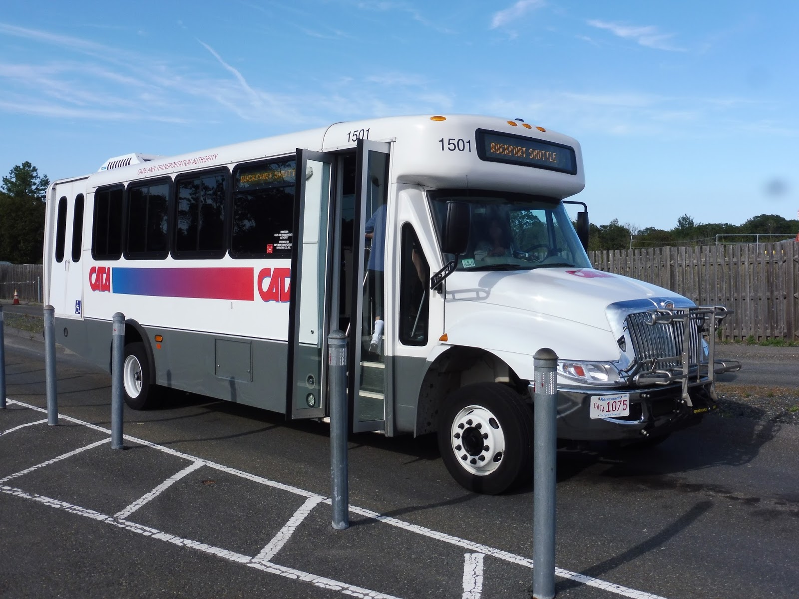
CATA: Green Line (SEASONAL: Blue Gate Meadows Parking Lot – Rockport Loop)
Welp, here we are. Our last CATA route. And luckily, this summer-only “Green Line” Rockport Shuttle is a great one.
 |
| And of course, the last trip is on one of these buses. |
I boarded the bus at Rockport Market and we headed up Broadway before turning onto Mount Pleasant Street. This took us to Dock Square, the heart of Rockport, and…wow, why are there 20 people standing around in the middle of the square? Do they want to board this bus? Wow, okay, so we left Dock Square with a full-seated load!
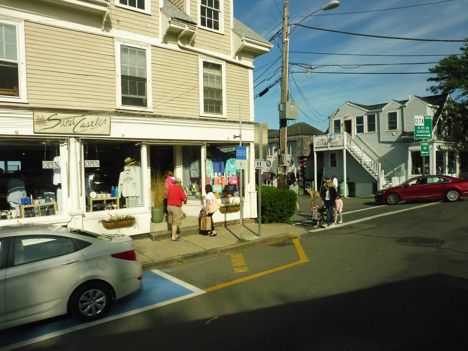 |
| Coming onto Mount Pleasant Street. |
We made our way onto Main Street, which continued to be lined with the many businesses of Rockport. Once we curved onto Beach Street, they started to get a little sparser as we went by Front Beach, and after that it was residential. We passed Back Beach next, then after a small hill, we turned onto Granite Street.
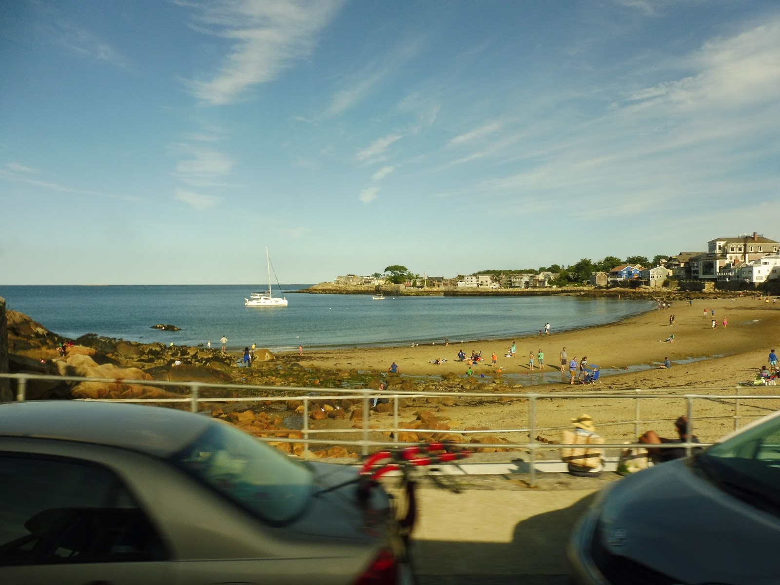 |
| Busy Back Beach. |
Granite Street was lined with lots of trees and houses. Eventually it became Railroad Ave, and thus we went by Rockport Station and some businesses around it. At the end of the road, we turned onto Main Street, which was mostly lined with dense houses right up until we pulled onto Blue Gate Lane. This took us to our terminus, the Blue Gate Meadows Parking Lot.
 |
| The bus at the parking lot. |
This is the big draw of the route: it’s a free parking lot where you can get rid of your vehicle and hop on the CATA to get to your destination. It’s used as a recycling center during the off-season. During the summer, though, there’s a nice big bus shelter to wait at, and the lot even has a bathroom! Of course I had to take a look…it was fine.
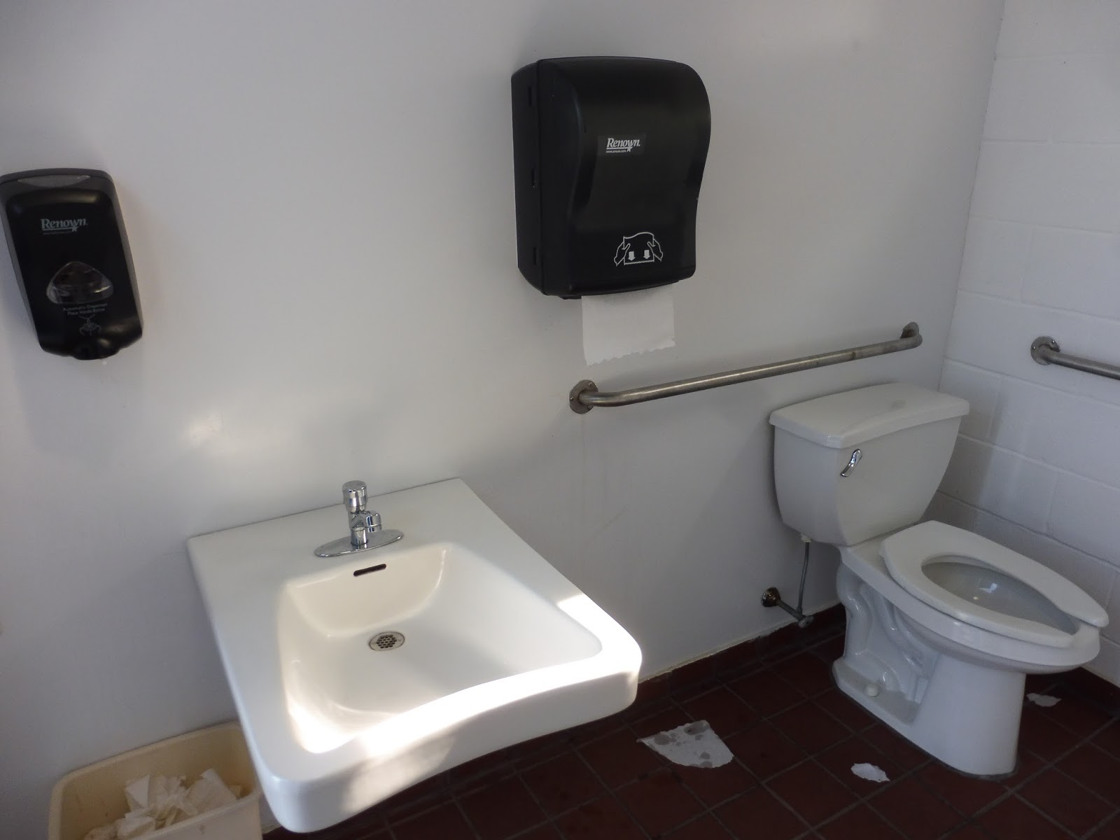 |
| And so, our last-ever CATA picture is of…a bathroom. |
CATA Route: Green Line (SEASONAL: Blue Gate Meadows Parking Lot – Rockport Loop)
Ridership: During the months of July and August, this route runs with daily service, but weekday ridership is expectedly lower than on weekends: about 130 people per day. Of course, on weekends, those numbers shoot up, with about 430 people per Saturday and 380 per Sunday. That makes this the busiest route on the CATA, and by far the most efficient.
Pros: How can you beat this deal? You park at the free lot and take the bus to Rockport for a mere dollar (50 cents for seniors and people with disabilities). That means you could spend a whole day in Rockport and pay just $2.00 for “parking” – at metered locations, you can spend up to that much per hour. And sure, with the bus you’re paying $2.00 per person, but it’s still very economical if you’re spending the day here. Also, this route is very frequent, running every 20 minutes from 11 AM to 9 PM!
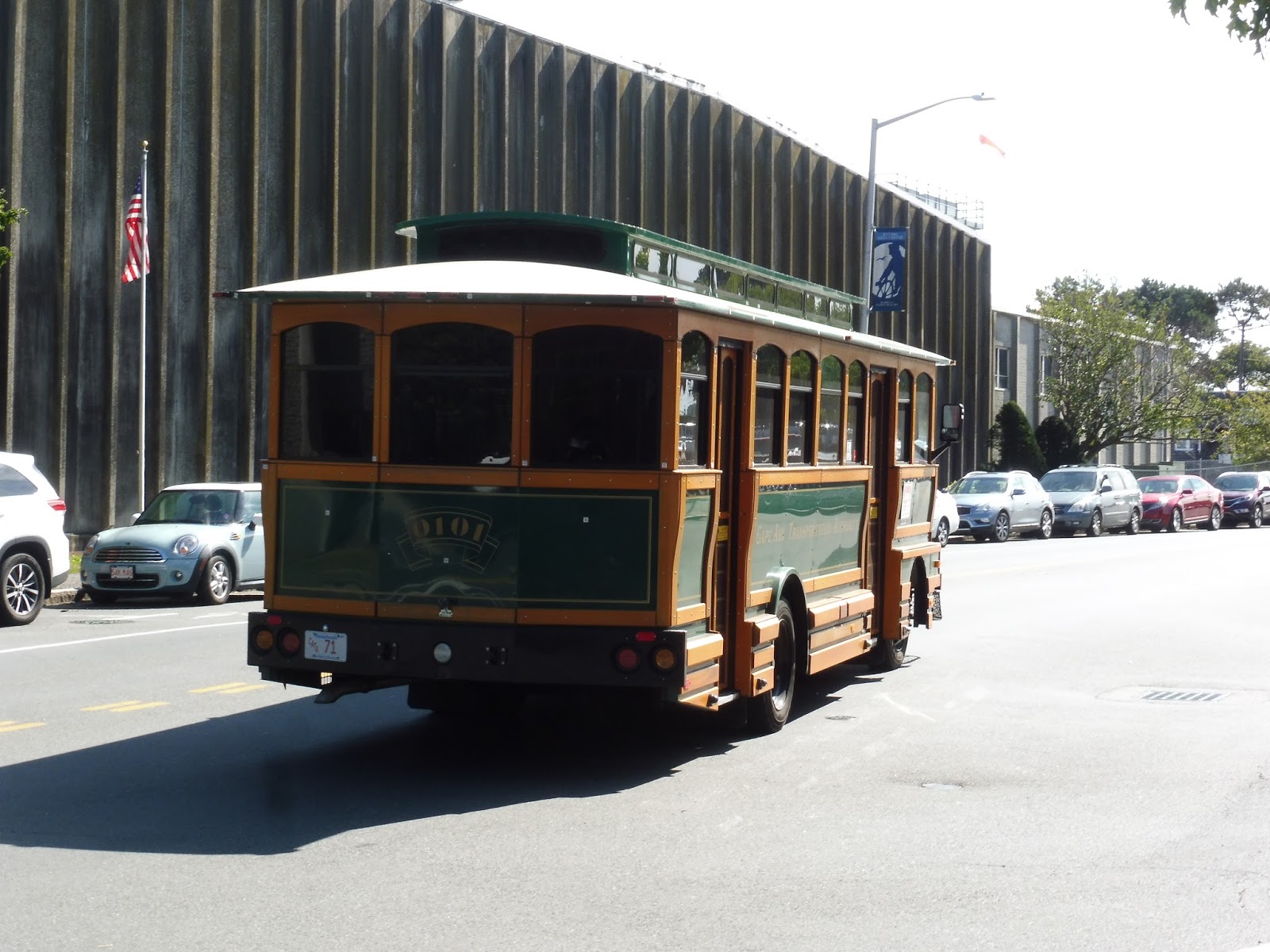
Cons: I think the only problem is that with advertising, this route could get even more ridership. They could definitely put ads on the T like they do with the Ipswich and Gloucester shuttles. Oh, okay, one other thing: with this route, you’re probably either gonna be stuck on a truck minibus or an awful fake trolley. Gross.
Nearby and Noteworthy: Rockport is the main draw, of course, with tons of businesses, as well as a few beaches!
Final Verdict: 9/10
This seems like an absolute no-brainer for people going to Rockport by car. Unless you have a family of six or something, this is so cheap and convenient. Park in the lot and hop on the bus! CATA has some weird summer shuttles, but this is definitely a great one. Use it if you happen to take a trip to Rockport next summer!
Latest MBTA News: Service Updates
You may have noticed something about the blog’s URL: we got a domain! Yes, no longer is the URL shackled by the “.blogspot.com,” for we have now become simply “milesonthembta.com”! This is so amazing to look at for me…
CATA: Green Line (Gloucester – Rockport via Eastern Avenue)
For such a low-ridership, inefficient, and primitive system, it’s kind of amazing to see how intricately-scheduled the Gloucester to Rockport routes are. They interline the Red and Blue Lines perfectly into the Green Line to allow for hourly service on the latter, which is the fastest connection between the two! If you don’t know what any of that means, don’t worry – I’m just nerding out.
 |
| Oh no, not this kind of bus again! |
We made our way down Main Street, passing the many businesses of downtown Gloucester, but instead of running all the way to Angle Street like the route is supposed to, we turned onto Hancock Street instead. This allowed us to loop around onto Rogers Street, which went by a lot of backlots for Main Street businesses before becoming more industrial. Indeed, that kind of scenery more or less continued when we merged back with Main Street.
 |
| We’re not supposed to be coming out this way! |
Main Street curved off eventually while we continued on Bass Ave. It was now residential, at least until we deviated into a Stop & Shop in the middle of a marsh. Once that was done, we went onto Thatcher Road, which had some houses with marshland right behind them, but we weren’t on it for long: time to deviate into a Shaw’s!
 |
| The view from Thatcher Road. |
Luckily after those deviations, the route is straight as an arrow. We headed onto Eastern Ave, which at first had a few industrial buildings on one side and a cemetery on the other, but we later passed a housing development and a small shopping plaza. After that, there was a sizeable section of pure woods that took us into Rockport, where the road became Main Street.
 |
| Someone got off at this motel before the woodsy section. |
Now that we were in Rockport, it was mostly just residential. There were some other buildings between the houses, though, including a few banks and the Rockport Police Department. As we got closer to downtown Rockport, the houses began to get denser, and the surrounding buildings got more diverse as we curved onto Broadway. I got off at the Rockport Market stop before the route got into the real core of the town, but it would get there in a block or two.
 |
| Have fun dealing with that traffic! |
CATA Route: Green Line (Gloucester – Rockport via Eastern Avenue)
Ridership: The Green Line gets about equal ridership on weekdays and Saturdays: 50 people or so for each. On weekdays that puts it as the fifth-busiest route (or third least-busiest route), but on Saturdays it jumps up to second-busiest! In fact, passengers per hour is much higher on Saturday, maybe because this route serves two important supermarkets in Gloucester.
Pros: This is one of the most frequent and consistent year-round routes on the CATA, with hourly service six days a week. It’s the fastest connector between Gloucester and Rockport with just a 17-minute trip, and while the Commuter Rail is obviously shorter, this route can get you between the two for just $1.25. Its ridership may be fairly low, but the genius of the route is that every trip on the Green Line is going to or coming from a trip on the Red or Blue Lines, so CATA isn’t using any more resources to run this thing! That’s some seriously good planning.
Cons: Probably because of the nature of the way this route is run, there are some weird inconsistencies in the schedule. For example, after 1:30 on weekdays, there’s a four-hour gap in service until 5:20, and that’s the last trip! Things get a bit wonky for the last few inbound trips on weekdays as well, although on Saturdays it stays consistent throughout the day.
Nearby and Noteworthy: I consider this route mostly to be a connector between Gloucester and Rockport, as those are by far its two biggest destinations. Other than that, you’ve really only got Stop & Shop and Shaw’s.
Final Verdict: 7/10
The Green Line is an exemplar of creative bus service planning, first and foremost. Running a route entirely from interlines is a great idea, and even though its ridership isn’t the highest, it’s not costing the CATA any more buses or drivers to run it. It would be great if the weird scheduling on weekdays could be sorted out, but other than that, it’s a sweet little connector!
Latest MBTA News: Service Updates
CATA: Stage Fort Park Trolley (SEASONAL: Stage Fort Park – Downtown Gloucester – Good Harbor Beach – Rocky Neck)
Apparently the Stage Fort Park Trolley has been running for eight years. You would think that would be enough time for people to actually, you know…use it.
 |
| Oh no… |
Yes, this thing uses a fake trolley, and it is soooooo much worse than the ones RIPTA uses. It’s high-floor, for a start, and though CATA claims that the bus is wheelchair-accessible, I’m sure it’s by means of some awful lift that never works. Also, the seats are these really uncomfortable wooden benches, and I don’t know who the heck would want to sit in them for longer than thirty seconds.
 |
| Ew! |
We headed out from the Stage Fort Park Visitors Center, a park-and-ride where people can hop this bus to get into Gloucester proper. Coming up to Western Ave, we had the harbor on one side and lots of houses on the other. And then something really weird happened…
 |
| Alright, I will say the rearview window was great for pictures. |
WOMAN PASSENGER: MAHTY!!!!!
MAN PASSENGER: Whaaaaaaaaaat?
WP: MAHTY, I THINK WE PAHKED IN THE WRONG SPACE!
MP: Who cayahs, we’ah on the bus.
WP: I THINK WE PAHKED IN THE FIFTEEN MINUTE ONLY SPACE!
MP: It doesn’t mattah.
WP: DRIVAH! OH, DRIVAH, SHOULD I CALL THE VISITAHS CENTAH?
DRIVER: I don’t think so, I doubt they’ll notice your car is there.
WP: I’M CALLING THE VISITAHS CENTAH! [calls Visitors Center] MAHTY, THEY TOLD ME TO MOVE THE CAH!
DRIVER: You could’ve just not called…
MP: Well, I’m already on the bus, I’m not moving one bit.
WP: I…I…OKAY, MAHTY, I’LL GO MYSELF, THEN!
MP: Fine.
WP: OH, DRIVAH, LET ME OFF HEAH! MAHTY, I RUINED THE WHOLE DAY, OH MY GOSH! OH, MAHTY! [clampers off the bus]
[silence]
MP [to me]: Someone should teach those dogs to use the bathroom. Then they won’t go all ovah the street!
ME: Uhh…yeah.
 |
| Screw the review, just get me off this bus!!! |
Western Ave curved away from the water, then we used Angle Street to get onto Rogers Street. There were businesses for a bit, but this waterside road mostly served backlots from the businesses on nearby Main Street. We were supposed to deviate into the Gloucester Harbor Loop, which I think would’ve been fun, but for some reason we didn’t. We let Mahty off at the entrance to the loop, though, so now it was just me.
 |
| Going down Rogers Street. |
It got pretty industrial as we passed Dunkin’ Donuts, the hub of the CATA, and soon after that, we turned onto Prospect Street. This was a twisty and narrow road lined with dense houses, and it stayed that way until we merged onto Railroad Ave. This took us past a few suburban businesses and, of course, the Commuter Rail station, although this particular trip didn’t time with any trains. Thus, we looped around back to Prospect Street via Washington, Pearl, and Railroad, and we went straight back the way we had come.
 |
| Passing the Commuter Rail station. |
We turned onto Main Street next, which was mostly industrial. We eventually curved around onto Bass Ave, a residential road aside from the entrance to a Stop & Shop that most CATA buses deviate into – it was kinda fun not to! We made a turn onto Nautilus Road next, going by the footbridge to Good Harbor Beach. This is where things got scenic.
 |
| The footbridge to the beach. |
We merged with Atlantic Road, and then it was pure views. One side of the road had beautiful houses and lots of hotels, while the other side was just open ocean. It was the same stretch of road that the Red Line goes down, but it was no less amazing the second time!
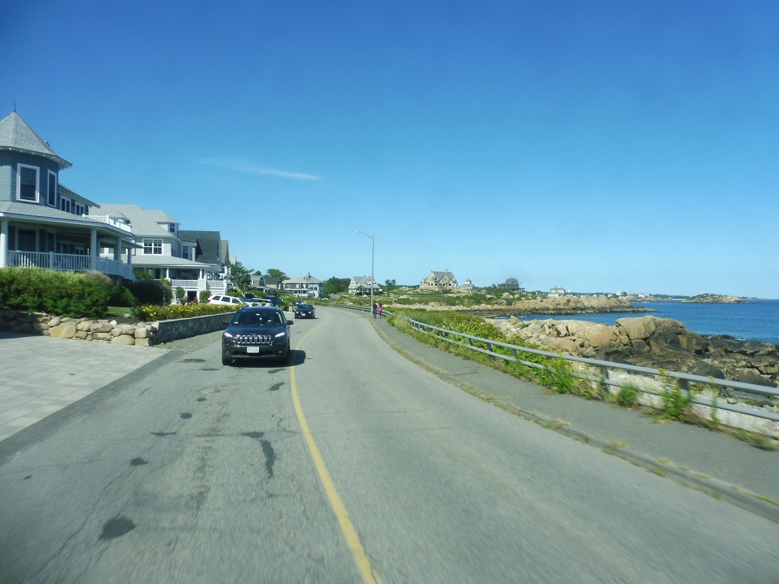 |
| Wow, I love this. |
Eventually we curved onto Farrington Ave, an unfortunately dry-land road that took us across the peninsula we were on to the other side. We merged onto Eastern Point Road there, and though there was a brief view of Niles Beach, it was a mostly unscenic road. There was a very cool deviation into Rocky Neck, though, a small peninsula home to a bunch of artists and galleries. It was a short loop around, but it was neat to see.
 |
| Some of the houses on Rocky Neck. |
We returned to what was now called East Main Street, and it was mostly residential. There was a quick view of Gloucester at one point, and another one later on after we had curved past some harbor industrial buildings. At this point, we rejoined ourselves at the start of the loop, and I took the bus back to Dunkin’ Donuts.
 |
| Not sure why you’re on Rogers Street and not Main Street like you’re supposed to be, but bye! |
CATA Route: Stage Fort Park Trolley (SEASONAL: Stage Fort Park – Downtown Gloucester – Good Harbor Beach – Rocky Neck)
Ridership: This route runs weekends-only in the summer, and on both Saturday and Sunday, it averages about 50 riders. Well, okay, I guess that’s about six people per round trip, which isn’t awful……….
Pros: There’s definitely a draw to being able to leave your car behind at the Visitors Center and taking this bus to where you want to go. The price is right, too: it costs $1.00 for a one-way trip ($0.50 for seniors and people with disabilities), or you can get a day pass for $3.00. The route connects up all of the tourist attractions of Gloucester, and it even times with Commuter Rail trains at the station!
Cons: It’s pretty hard to rely on an hourly service when you’re driving, isn’t it? I mean, it’s kinda tough to plan your arrival time at Gloucester to be exactly on the hour so you can catch this trolley. Plus, why would anyone want to spend a bus fare when they’re already spending 15 bucks to park at Stage Fort Park?? And I understand that it would take more buses and more resources to run more frequent service, but I think I combination of that and better advertising for the park-and-ride (not to mention some sort of parking fee waiver for taking the bus) is the only way to get ridership to reasonable levels on this thing. Oh, also, there’s a weird typo on the schedule that lists arrival and departure times at the Commuter Rail station as being the same thing…and on that note, I get that you’re trying to time with trains, but forcing everyone else to sit through a fifteen-minute layover at the station is pretty darn annoying.
Nearby and Noteworthy: I don’t know if Gloucester is actually a big tourist attraction or not, but I think the best places this route serves are the beaches on that scenic peninsula and Rocky Neck.
Final Verdict: 5/10
This really isn’t a very good tourist trolley. It’s infrequent, it forces finicky car passengers who are already spending money to park their vehicles to wait at the Commuter Rail station (why couldn’t it just depart the Visitors Center later?), and apparently it doesn’t actually follow the route it’s supposed to follow, based on my trip! I think the only way to fix this thing would be to throw another bus on it and give it half-hourly service, which would mean both more frequent buses and there wouldn’t have to be a layover at the Commuter Rail station anymore. A fee waiver or discount for the parking would be a great way to get more people on this thing, too.
Latest MBTA News: Service Updates