Why does the 49 exist? Why is there a bus route that runs three times a day to an area that’s already very well-served by two frequent routes? We’ll try to find out, but something tells me we won’t find an answer…
 |
| Shhh, don’t scare it – it’s a rare one! |
After boarding at Kennedy Plaza Stop Y (a strange choice – that’s where RIPTA’s long-distance routes usually board), we went down Exchange Street and turned onto Memorial Boulevard, then Washington Street. This took us across the Providence River to the East Side, where we entered the East Side Transit Tunnel!!
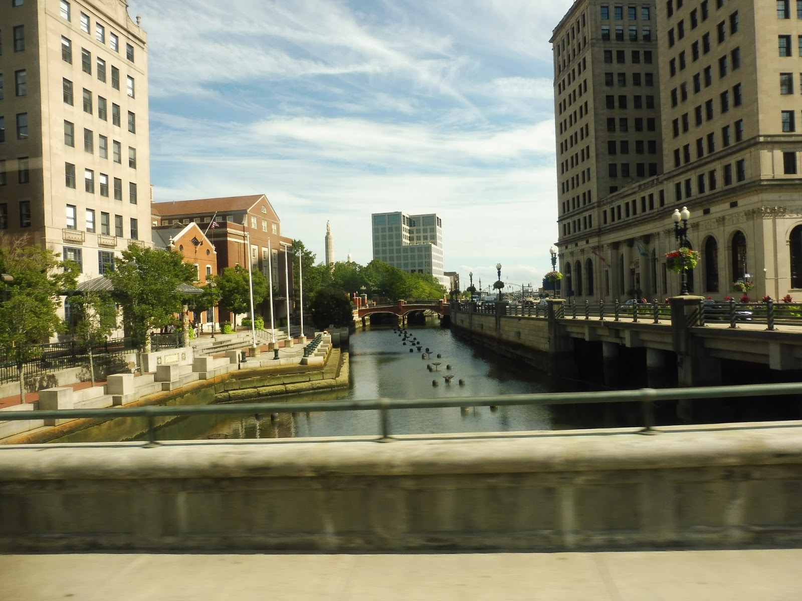 |
| Crossing the river. |
Coming into the open air again, we looped around onto Brook Street, which was far more residential than its retail-heavy cousin, Thayer Street, a block away. For some reason, the map says that the route goes north on Thayer and south on Brook, but that’s literally impossible because of one-ways! We merged onto Hope Street next, passing some Brown University buildings, then we went by the Hope High School. Other than that, it was mostly large, dense houses.
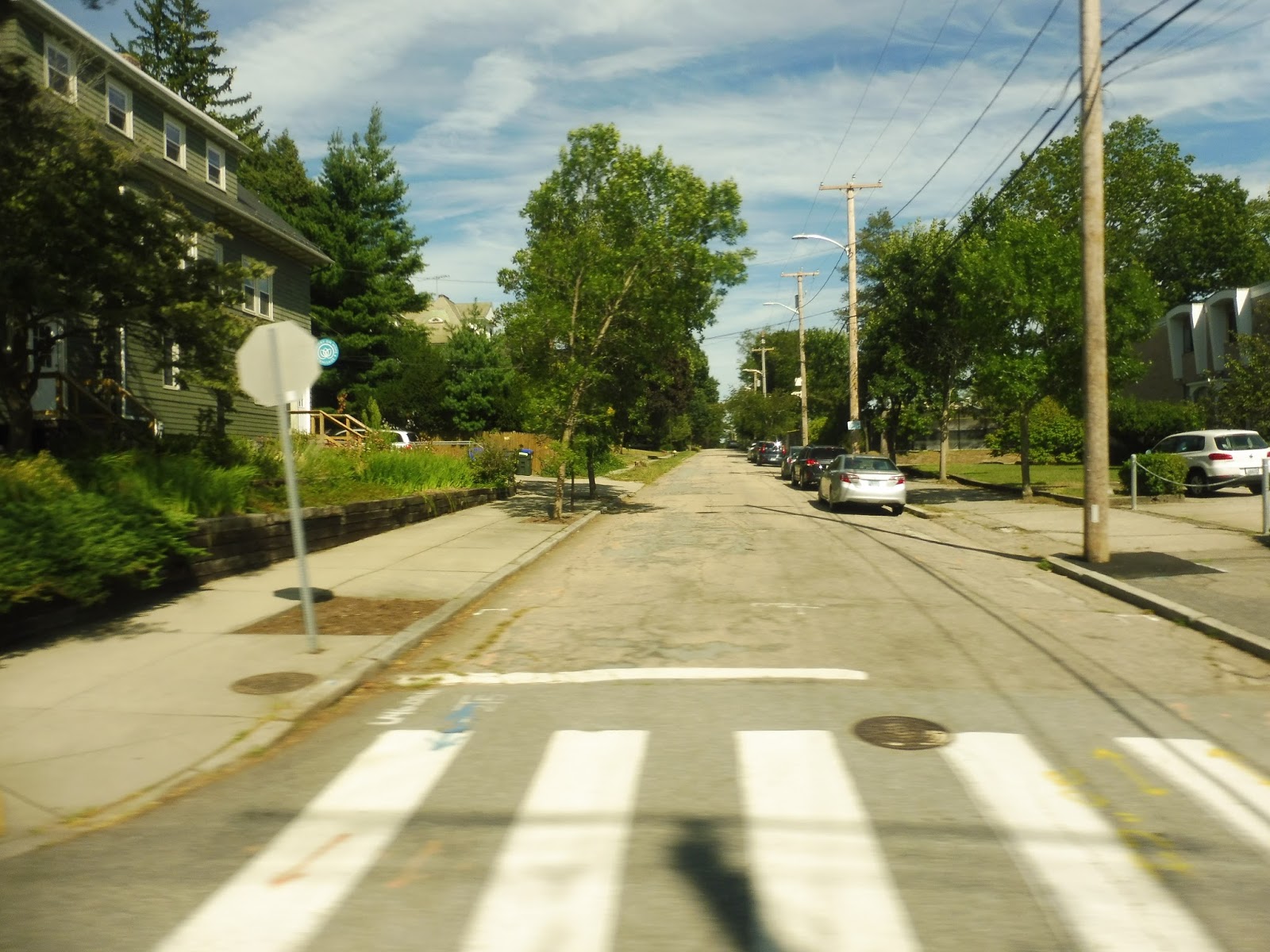 |
| A side street. |
We entered an independent section by turning onto Doyle Ave, although the route map calls it Doyle STREET. There were a few small businesses where we turned onto Camp Street, which was still mostly houses, but it also featured a church and a playground. We turned onto the residential Rochambeau Ave next before making our way onto North Main Street, joining the R-Line.
 |
| Interesting intersection. |
North Main was mostly industrial aside from a cemetery that occupied one side of the road for a bit. We weren’t on it for too long, though, turning onto 3rd Street, although in one final error, the route map calls it “3th Street.” Finally, we arrived at the Miriam Hospital, where the bus got ready to loop around and return to Kennedy Plaza.
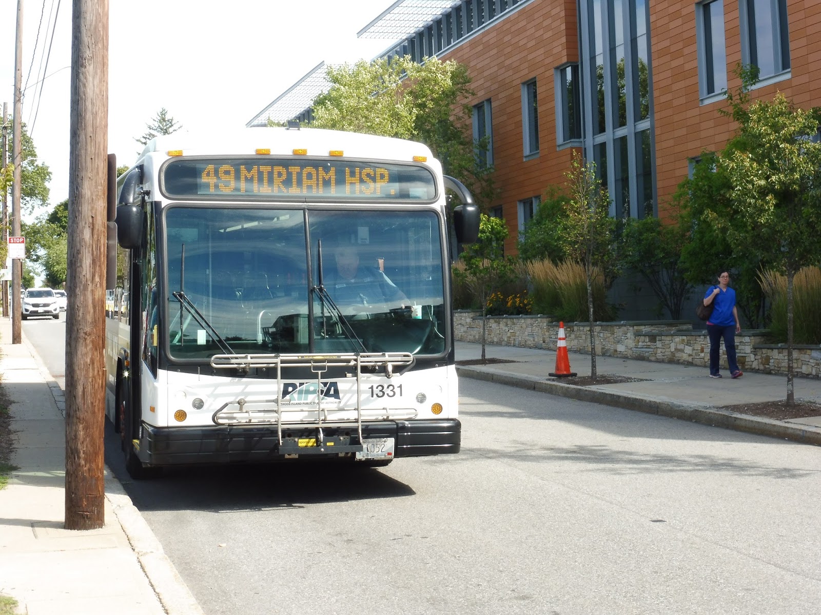 |
| Well gosh, that’s a…shiny bus… |
RIPTA Route: 49 (Camp Street/Miriam Hospital)
Ridership: To get an idea of the amount of ridership this route gets, I asked the driver at the end of the route. He responded with, “Well, you saw it.” And what I saw was just one other person. Heck, when I got on at Kennedy Plaza, the driver asked me left and right if I really wanted to get on the 49. That’s how little ridership this route gets.
Pros: Nah.
Cons: Starting with the obvious, we have a route with not only an outdated map but one with blatant inaccuracies and typos. The route runs essentially twice a day, weekdays only, with one trip at around 9 AM and one at around 3 PM. These times seem to have no significance to anything – it doesn’t time with any kind of hospital shift as far as basic logic tells me, and it’s not at all convenient for residents the route serves. But let’s see just how many people the 49 actually serves: it runs with the 1 (or the 42, as the route map calls it – another outdated aspect of it) for more than half the route, then it has an “independent section” that’s literally a five minute walk from both the 1 and the R-Line. Finally, it ends at the Miriam Hospital, which seems like a great place to have a route serve until you realize it’s yet again a five minute walk from the closest R-Line stop. The 49: saving people from 5 minute walks…but only twice a day.
Nearby and Noteworthy: The 49 is in fact the closest route to one business: Piemonte Pizza and Grill on the corner of Doyle and Camp. It seems to have good reviews, and it looks like a charming pizza joint.
Final Verdict: 1/10
No, no, no, no, no! Just cut it! It literally serves no purpose as far as I can tell, and even if it does time with Miriam Hospital shifts, it’s still a waste of a bus and a driver when people can just walk to the R-Line! The 49 makes no sense, I tell ya, no sense!
Latest MBTA News: Service Updates
Trackbacks/Pingbacks