Arlington
Okay, serious question: which do you prefer, the Boston Common or the Public Gardens? I’m of two minds – the Common has much more historical significance, but the Gardens are a lot nicer to walk through. Well, I’ll say this…Arlington is a much better subway station than Boylston.
 |
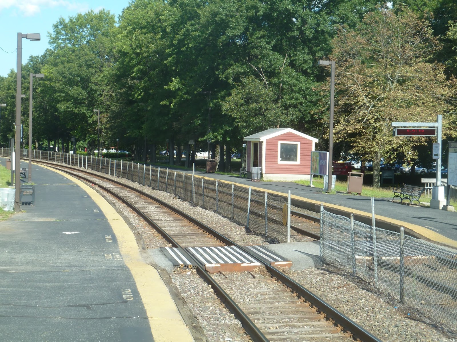
| The outbound platform. |
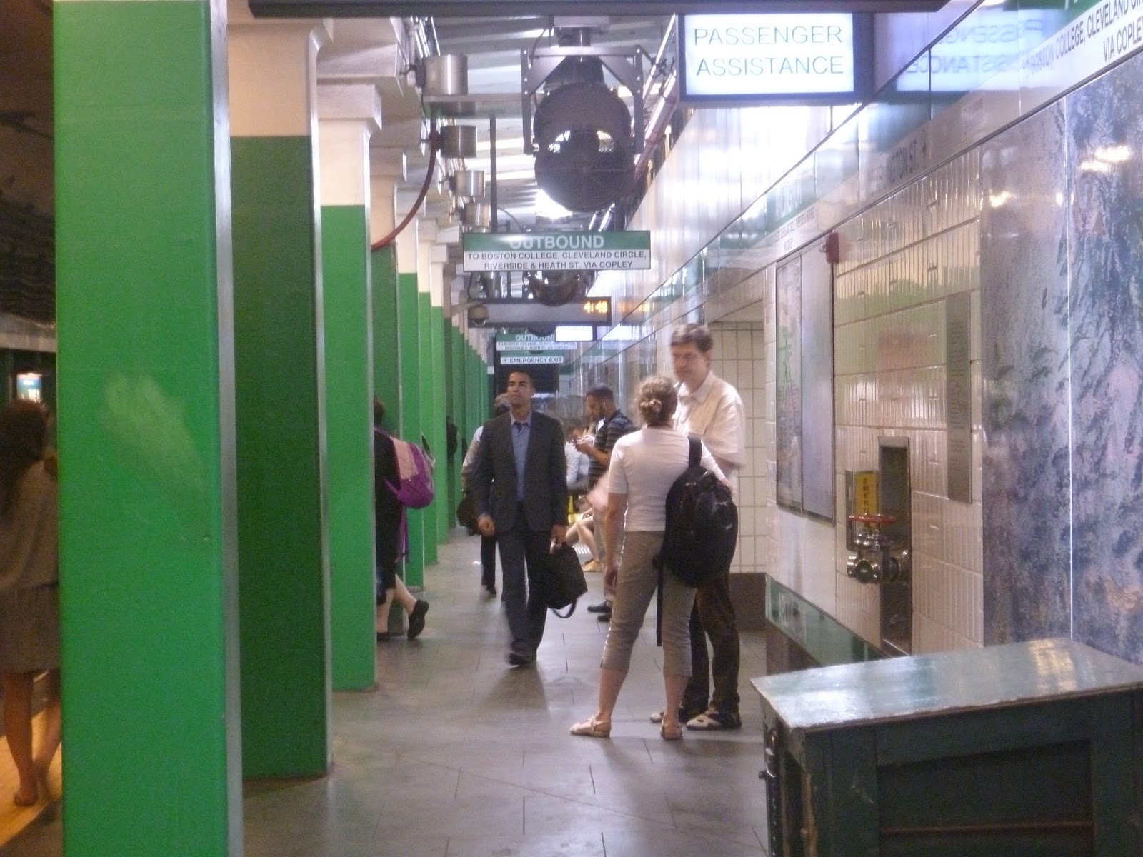
It wasn’t always that way. Arlington used to be horrible until it was renovated in 2009. The platforms are still kinda meh, as you can see above, but it’s such an improvement. And anyway, they’re standard platforms for the Green Line, possibly even above average.
 |
| The mezzanine. |
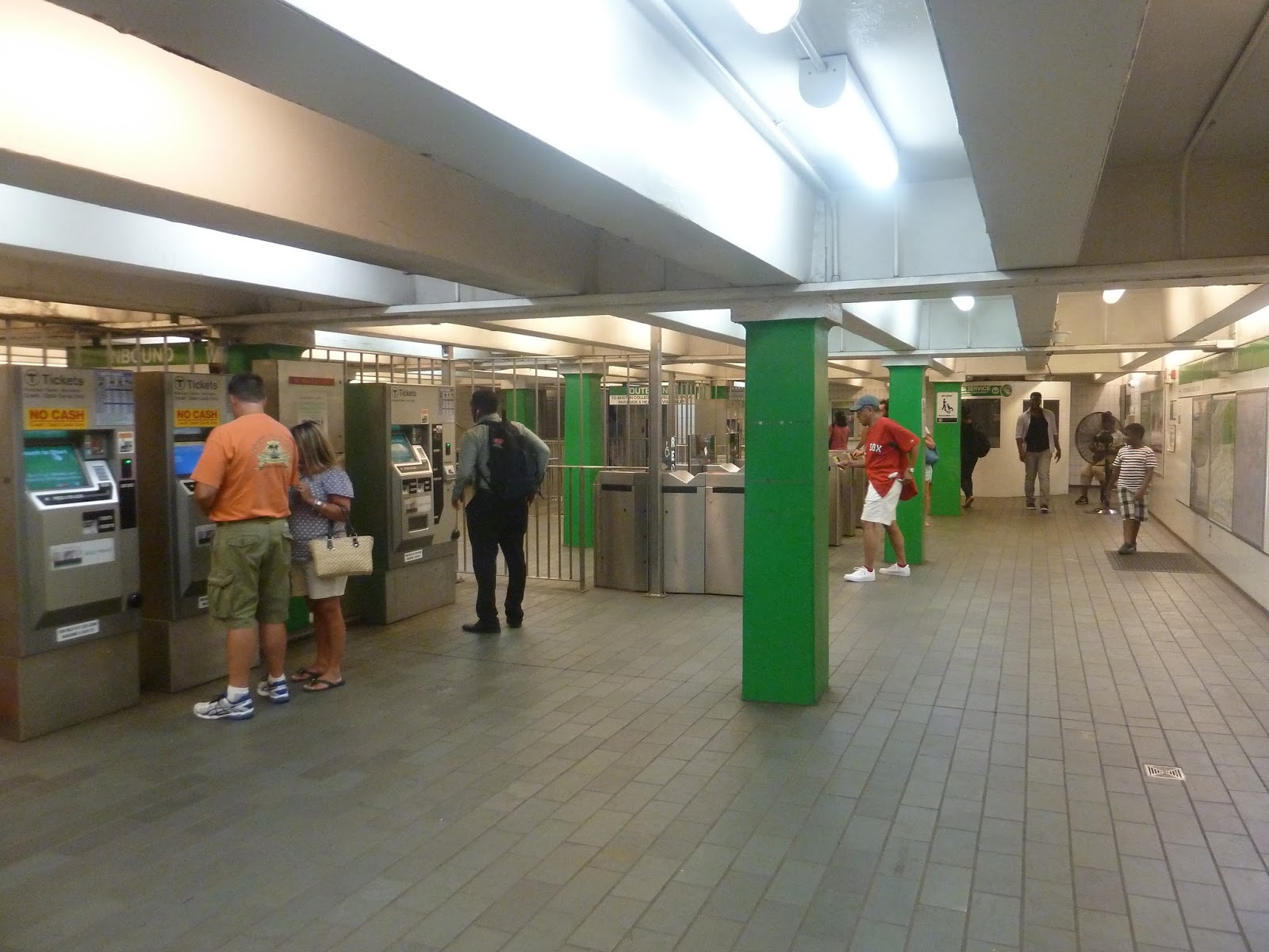
Guess what Arlington has. That’s right…free crossovers! This is one of the few Green Line subway stations with those, and it’s magnificent. They’re connected in a decent mezzanine that’s well-lit. Its ceiling is kinda low, but other than that, it’s pretty good.
 |
| One of Arlington’s many entrances. |
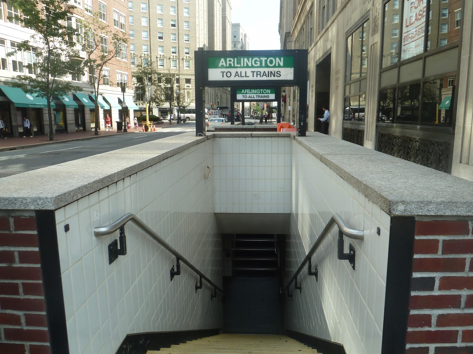
From the mezzanine, there’s a web of entrances all around the intersection of Boylston and Arlington Streets. They vary in architecture, but I like them all. Some of them are concrete and brick, like the one in the picture above, while others are glass and modern. It’s great that there are so many entrances here.
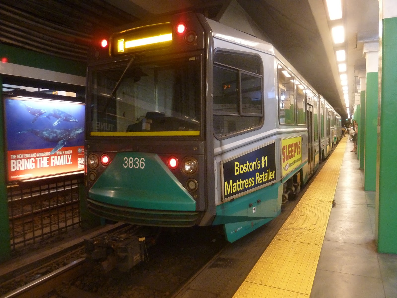 |
| A train at the station. |
Station: Arlington
Ridership: Arlington gets an average of 8,519 riders per weekday, which is pretty high. I’d imagine a lot of tourists come here, what with the Public Gardens being right nearby.
Pros: There’s a lot to like about this station, FREE CROSSOVERS being one of the major points. Other than that, the mezzanine is good overall, and this station has a plethora of entrances.
Cons: Although the platform isn’t bad aesthetically, it’s still a typical Green Line platform, which means it could be better. In addition, Arlington is lacking in bus connections, but Copley is one stop away and that’s a major bus hub.
Nearby and Noteworthy: The Public Gardens, of course! What else is there to say?
Final Verdict: 8/10
I would probably call this my favorite Green Line station along the cluster from Boylston to Kenmore. I mean, what’s not to like (aside from the bland platform)? The fact that it has so many entrances is great, and though the mezzanine’s ceiling is low, I like how there is one. A lot of Green Line stations lack proper mezzanines. Oh, and also, free crossovers!
Latest MBTA News: Service Updates
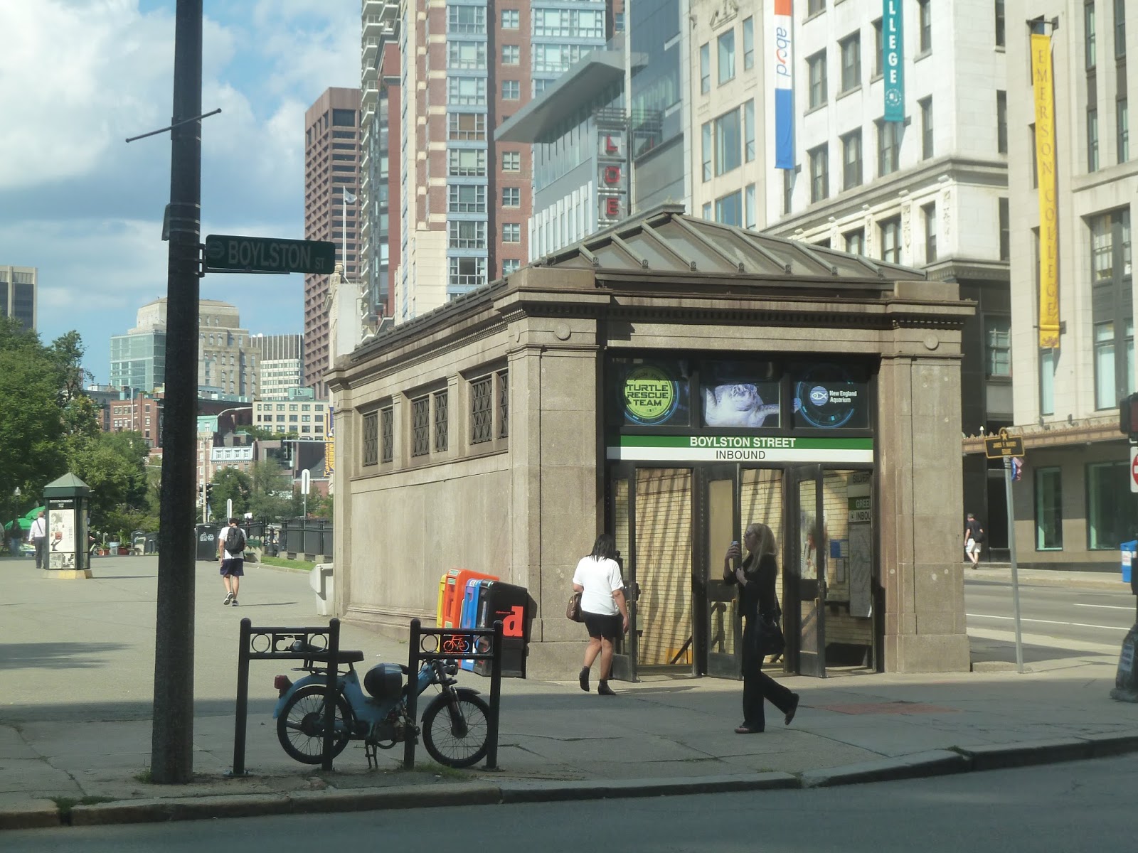
Boylston
Boylston was one of the original two stations on America’s first subway, which may be why it’s lacking in necessities. Free crossovers? Not here. Accessibility? Nuh-uh. Vintage trolley cars? Oh…yes, actually.
 |
| The inbound entrance. |
Boylston’s entrances are pretty far from one another, lined up along Tremont Street right next to the Boston Common. They do look the same, though, and that’s a good thing. The station has nice, old-fashioned headhouses that lead underground. Just make sure you know what direction the entrance is going, because remember…no free crossovers.
 |
| The inbound mezzanine. |
I’m not really sure if you can call them mezzanines, though. They’re more like “entrance areas”. All you’ll find at either entrance is a few fare machines and gates, and that’s about it. It looks like the inbound one even has one of those random rolling chairs you come across sometimes – it’s like a scavenger hunt!
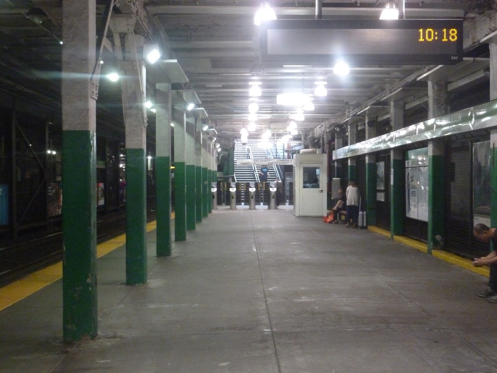 |
| The outbound platform. |
I’ll say this for Boylston’s platforms: their ceilings are high. It’s downhill from there. This station certainly shows its age, with cracked paint and a barebones platform. The inbound side has the old trolleys, of course, but other than that, there’s nothing of note here.
 |
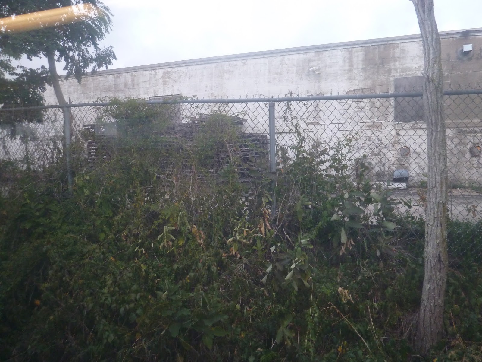
| One of the two vintage trolleys, seen from behind a fence. |
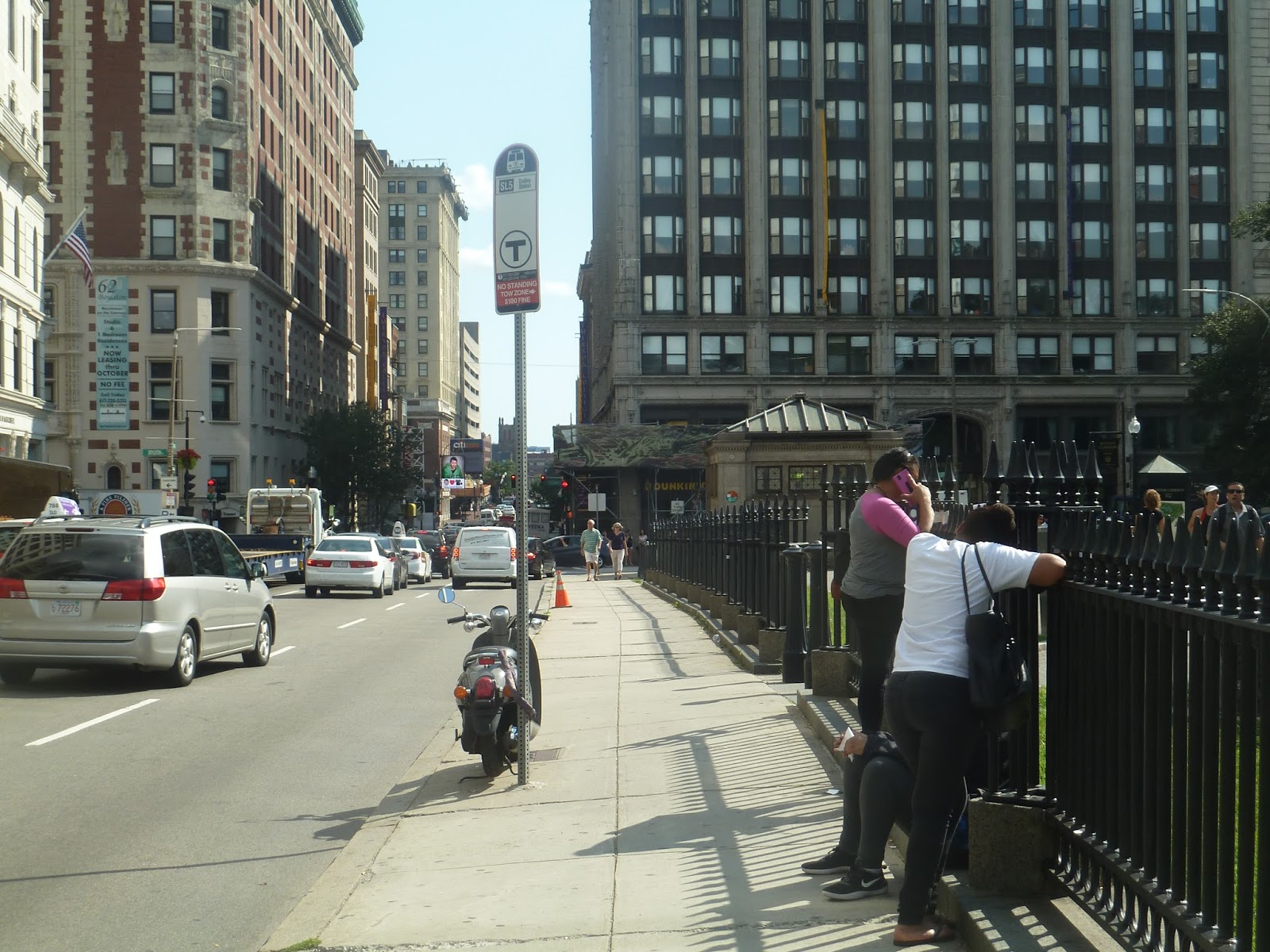 |
| The Silver Line stop, in all its glory. |
 |
| People complain about the Green Line, but at least it’s not a bus. Sorry for the Silver Line rant, but it just came up. |
Brandeis/Roberts
Wow, Brandeis University gets its own Commuter Rail station! That’s great! Well, wait, both Harvard and MIT get subway stops. And actually, there are many universities in the Boston area with frequent subway access. Huh…well, here’s Brandeis/Roberts, anyway.
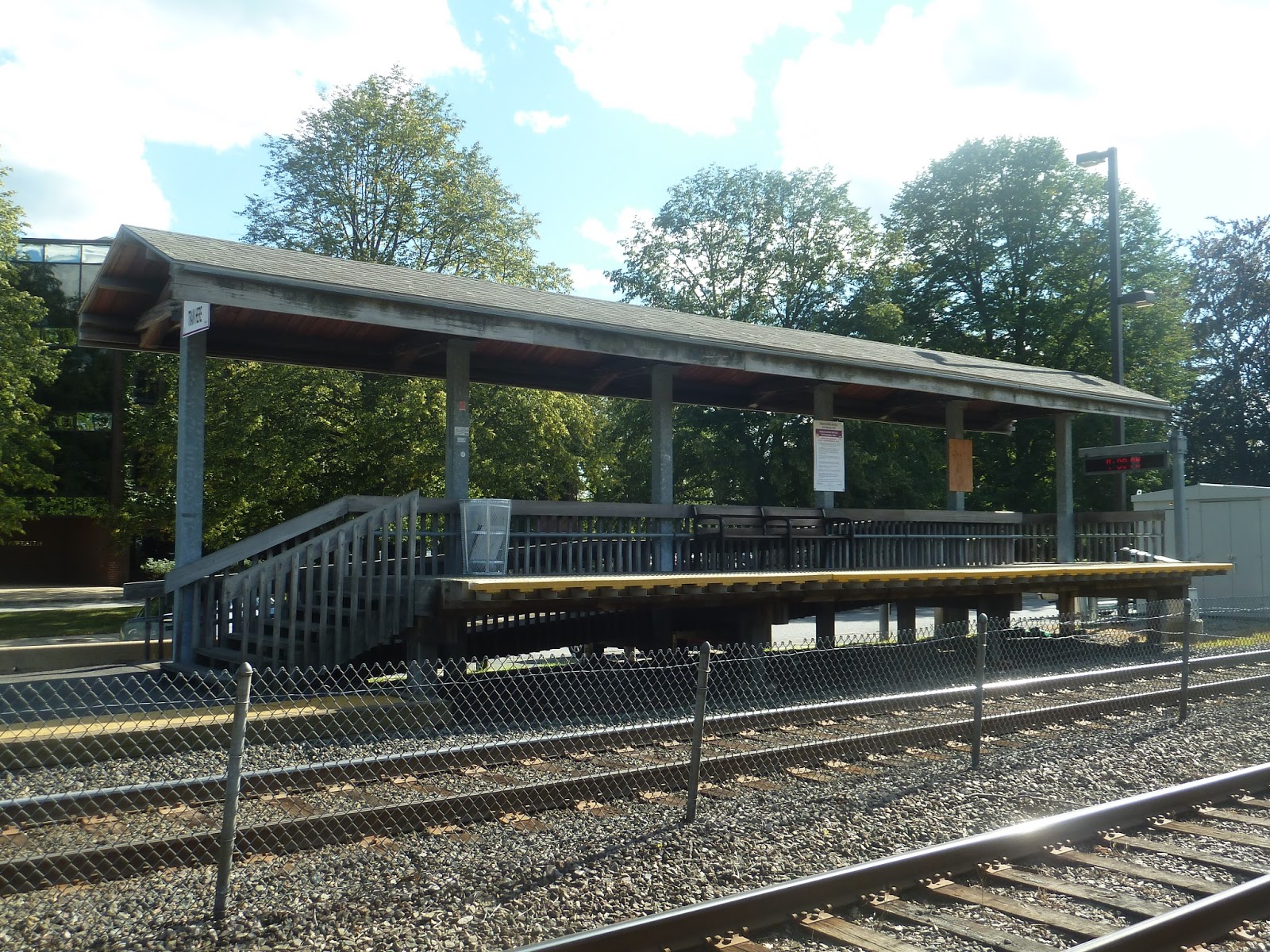 |
| I love these shelters! |
This station has accessible boarding areas on both sides, and they’re great. They’re wooden, so they have kind of a rustic feel to them, and I like that. Of course, they have benches and wastebaskets as well.
 |
| Looking down the platform. |
Along the rest of the platform, there are a few more benches and wastebaskets, but nothing too interesting…except for one shelter. Yes, the inbound side has a shelter way down the platform where no one would ever bother to wait. It was cute and all, but I’m really not sure if I would call it “rustic” or “disgusting”. You be the judge…
 |
| Um…hmm… |
This station offers parking, but I’m not exactly sure how much. The Wikipedia page says there are 70 spaces here, while the MBTA station page says there are only 24. Either way, the official page says there’s an 86% availability rate, so clearly the parking that’s there is enough. This station is also served by a bus route, the previously reviewed 553 to Boston.
 |
| Oh my gosh, it’s two trains! |
 |
| I feel like I do this kind of shot a lot… |
Station: Brandeis/Roberts
Ridership: This is one of the busier stations on the Fitchburg Line, with an average of 437 riders per weekday. I assume most to all of this ridership is student traffic to and from Brandeis.
Pros: Again, I really like the rustic feel of the boarding platforms. The station also has ample parking, which is great.
Cons: The major issue with this station concerns its level crossing. Brandeis/Roberts’ platform is long. Yet in order to stop at the boarding platform, trains have to stick out into the level crossing, causing huge traffic jams. It’s not like you can just move the platform, but it’s probably very annoying for drivers on South Street. In addition, that shelter on the inbound side is borderline useless, plus it’s kinda gross in there.
Nearby and Noteworthy: As I mentioned in the 553 post, there are some businesses close to this station. Also, Brandeis University, of course.
Final Verdict: 7/10
Eh, I like a station with charm. The boarding platforms are excellent, and I can’t help kind of liking the gross shelter on the inbound side. The level crossing thing is a bit of an issue, but it’s a hard one to fix. It’s probably more efficient to just let it be…
Latest MBTA News: Service Updates
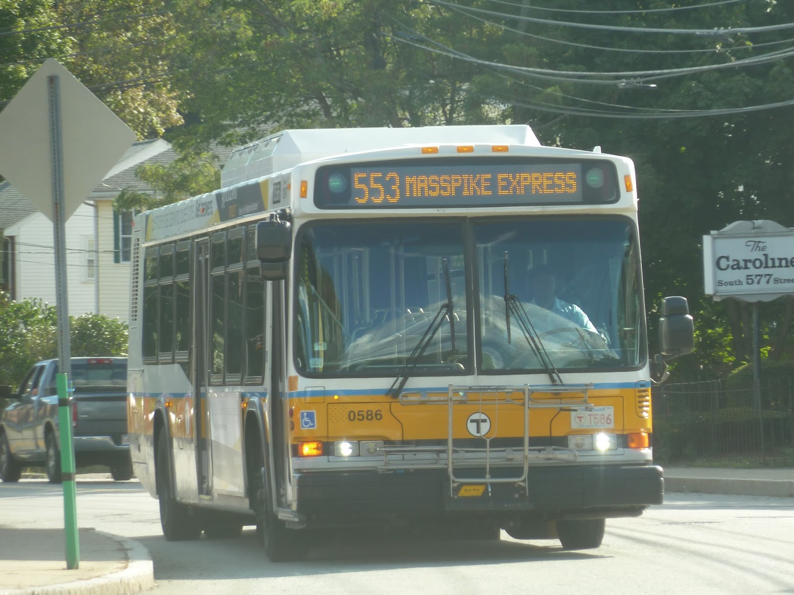
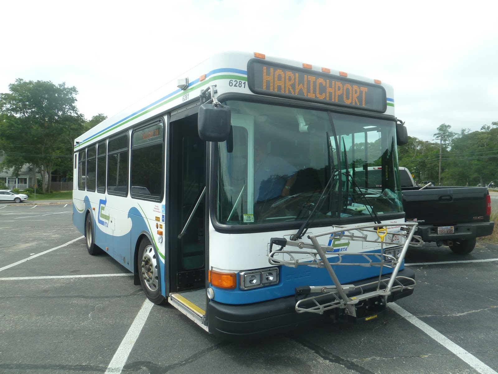
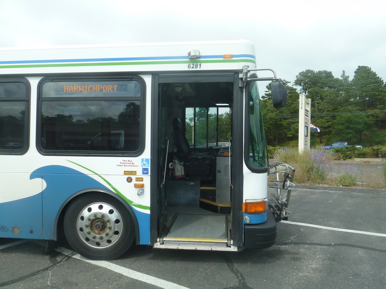
553 (Roberts – Downtown Boston via Newton Corner and Central Square, Waltham)
Although this is an express bus, it gets a surprising amount of local traffic, too. Like its companion, the 554, the 553 serves a college on its independent section (Brandeis University), as well as a Commuter Rail station. So let’s take a look at yet another I-90 express bus, this being the first time I’ve taken one to Boston.
 |
| The bus crossing the Commuter Rail tracks. |
 |
| Ooh, I haven’t gotten a picture of this side of the river yet! |
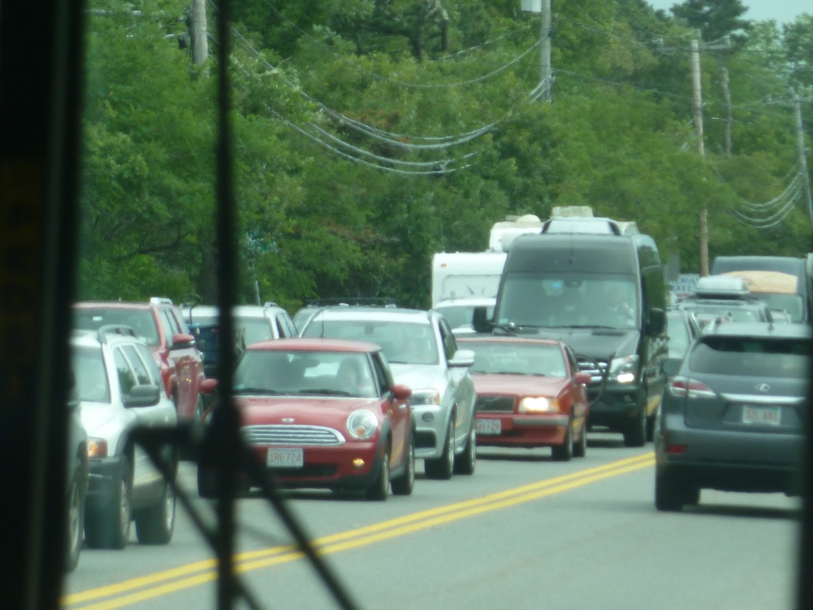
The street was lined with businesses for a while until it became a mix with houses. Eventually, we turned onto River Street, which was entirely residential. We then turned onto Elm Street, passing a field. Coming up to the Mass Pike and West Newton Station, we turned onto Washington Street. The street was lined with businesses, but it became more industrial later on.
 |
| Man, this street is awfully close to the highway, isn’t it? |
There was a section with houses, then it went back to retail near Newtonville Station. Soon after, we reached Newton Corner, looping around twice – it took awhile. But from there, we merged onto the traffic-free highway, zooming toward Boston.
 |
| Hey, I can see South Station between the highway pillars! |
The surroundings were suburban for awhile before the highway went elevated. From the side of the bus I was on, there was a view of the closed, empty CSX freight yard, as well as B.U. From there, we went by Fenway Park and through the Copley Square tunnel. Just before I-90 went into another tunnel under the Fort Point Channel, the bus left the highway and turned onto Kneeland Street. We then turned onto Lincoln Street, and I got off at the first stop in order to catch the 505.
 |
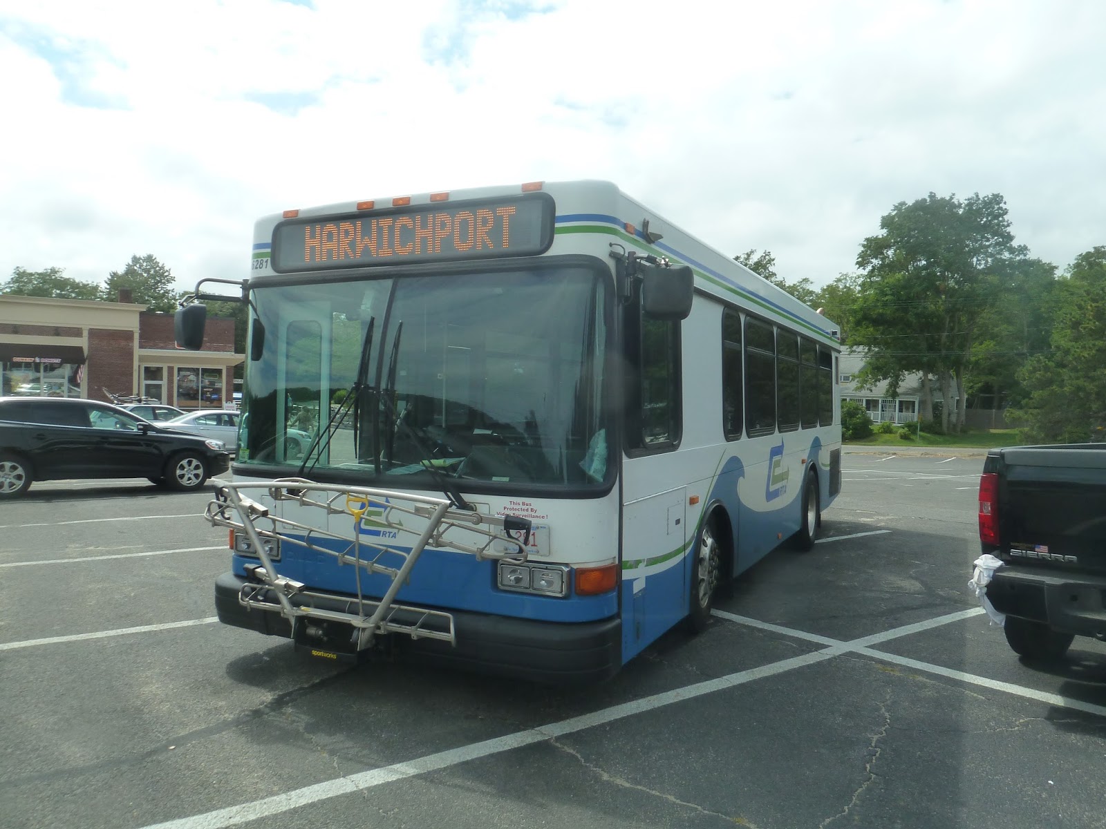
| Another one at Roberts. I was too busy running for the 505 to get a picture in Boston. |
Route: 553 (Roberts – Downtown Boston via Newton Corner and Central Square, Waltham)
Ridership: There were about 30 people on my ride, 15 of which took it locally. I was very surprised that number would be so high, but I guess local ridership exists here. As for overall ridership, this is the busiest route in the 550 series, with almost 1,000 riders per weekday and 423 per Saturday (yes, it runs on Saturdays).
Pros: It’s the one bus that goes to Brandeis, which means it gets student ridership. It also runs express to Boston all day, running every hour. It has night service as an express from downtown and Copley Square to Central Square, Waltham – every half hour. And yes, the 553 even runs on Saturdays. Even though it’s just an every 45 minute local route from Roberts to Newton Corner, it’s still nice that it exists.
Cons: The night schedule is weird. I don’t think an every half hour express just to Central Square at night is really necessary unless it’s Friday or Saturday. I think they should just run the whole route, especially since students might be returning to school at night.
Nearby and Noteworthy: Brandeis has a few businesses near it, including a small pizza place. Also, there’s Central Square, Waltham and downtown, of course.
Final Verdict: 7/10
Overall, this seems like a good bus that serves a lot. The fact that it has Saturday service is great, even if it’s not used too much and is just local. My main problem with the 553 is the night schedule, just because an express to just Central Square doesn’t seem called for. Other than that, though, the 553 is a pretty good route.
Latest MBTA News: Service Updates
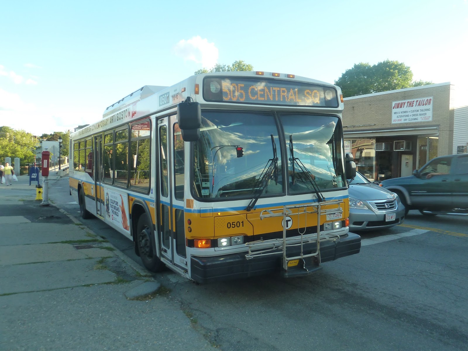
505 (EXPRESS BUS Central Square, Waltham – Downtown via Moody Street and Mass Turnpike)
The 505 is just another commuter bus that runs on the Mass Pike. This one is special, though, in that it’s an “outer express bus”. That’s right, an extra $1.60 gives you a slightly longer express section! This is admittedly the fastest bus route from downtown to Central Square, Waltham, but not by much. Well, let’s take a look.
 |
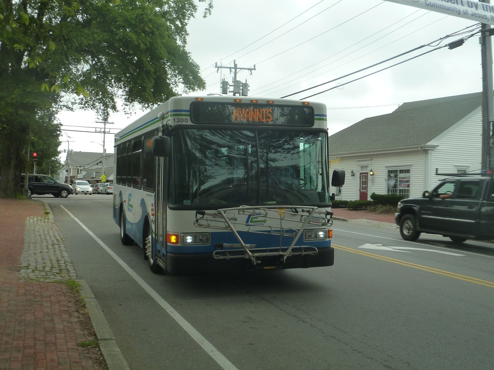
| The bus downtown. |
I got on at the Beach Street stop, so the bus was already kinda full. From there, we headed right onto the highway, going past tallish buildings on either side. We went through the Copley Square tunnel, then passed Fenway Park. After the highway went elevated for a bit, the surroundings started to become more suburban.
But this being an outer express, we zoomed right past Newton Corner. Going by Newtonville Station, the highway went under a Star Market, then we passed West Newton Station. Taking the next exit, we looped around the highway and made our way to Washington Street.
The surroundings were mostly houses, and people were actually getting off along this section. It got much more leafy when we turned onto Commonwealth Avenue, the very same street that goes back to Boston. It had a tree-lined median, which was nice.
After we crossed over the highway, there were some businesses on one side of the street. We then turned onto Lexington Street, joining the 558. On this street, it was back to leafy houses. Once we entered Waltham, though, the street became Moody Street and was lined with businesses. After crossing the Charles River, I got off the bus at Carter Street, letting it go on to make a loop around Waltham Common.
 |
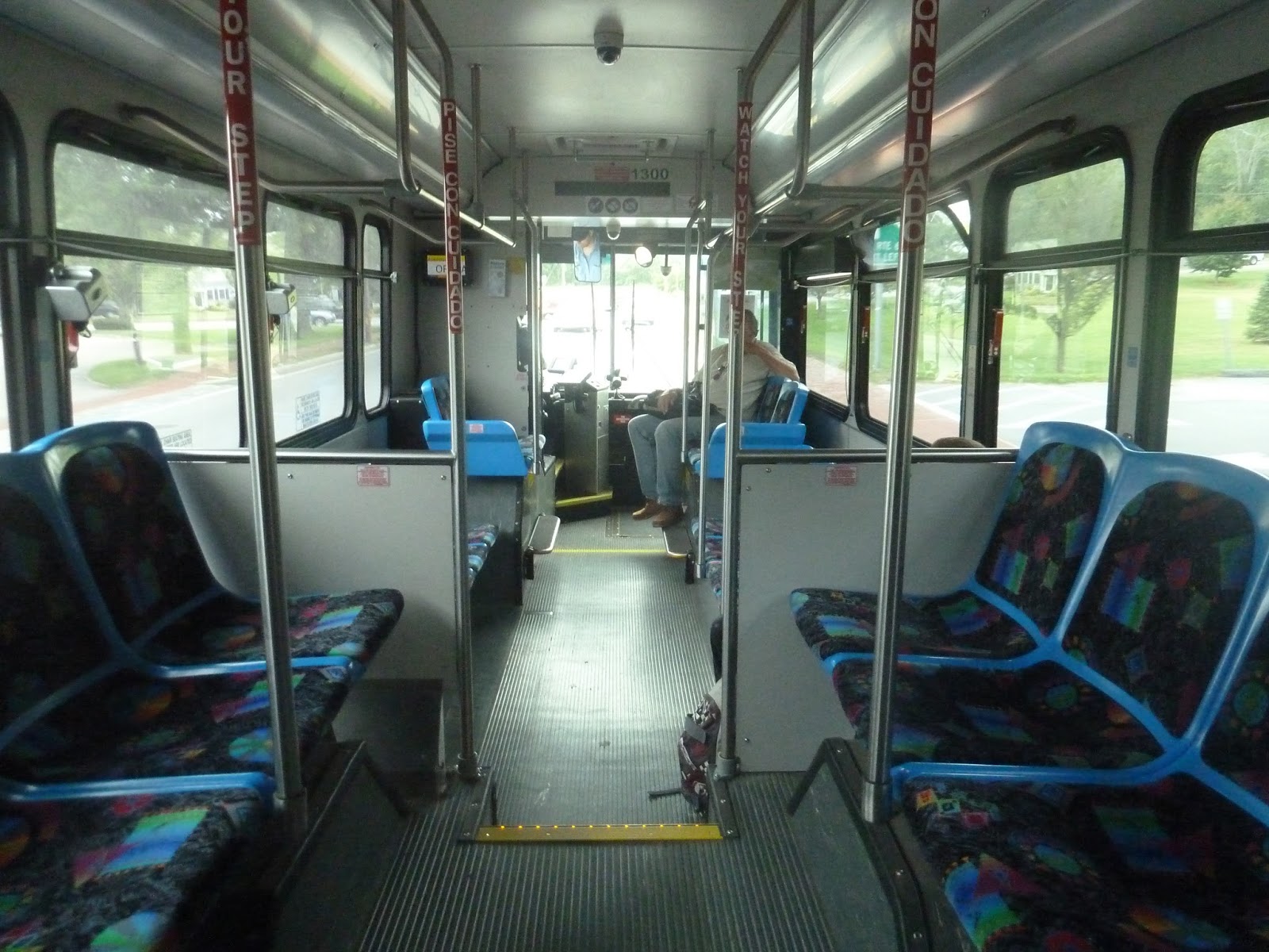
| The bus in Waltham. |
Route: 505 (EXPRESS BUS Central Square, Waltham – Downtown via Moody Street and Mass Turnpike)
Ridership: There were about 30 people on my bus, all of whom got on downtown. I was expecting most people to go all the way to Central Square, but there were actually quite a few that got off before that along the residential section. Considering the fact that it’s rush hours only, the 505 gets decent overall ridership, with just over a thousand riders per weekday.
Pros: This is the fastest bus route from Boston to Central Square, Waltham. Besides that, it also serves some evidently busy residential neighborhoods along the way that give it more ridership. Its schedule within rush hour is good too – every 10 minutes in the morning and every 15 in the evening. Due to its “commuter bus” nature, I think it makes sense that it only runs during rush hour.
Cons: The price, really. If you’re willing to spend $5.25 for an outer express ride, why not spring for the extra dollar and take the Commuter Rail? Sure, it may not run as often, but consider the time savings! The 5:00 PM 505 takes 57 minutes to get to Central Square. The Commuter Rail? Under 20. Yeah, I know the bus leaves from downtown while the Commuter Rail leaves from North Station, but even with the added time of taking the subway there, it’s still faster.
Nearby and Noteworthy: This bus is almost all express, so I have to resort to my default of “Central Square has some businesses that could be interesting.”
Final Verdict: 5/10
Ehh, it’s good for what it’s worth. Honestly, if this bus had an inner express fare, it would be worth it. I mean, going back to the whole “leaving Boston at 5 PM” thing, the 554 has an inner express fare, and want to know how long that takes? An hour and two minutes. Remember, the 505 takes 57. That’s an extra $1.60 for a five minute time difference. I get if you’re going to those residential areas on the 505, but if you’re heading to Central Square, go for speed with the Commuter Rail or cheapness with the 553/554.
Latest MBTA News: Service Updates
Service Change: Waltham’s Tick Tock Trolley
It was a complete coincidence that I had about 20 minutes to kill in downtown Waltham on a Thursday night and happened to notice a sign for the Tick Tock Trolley. What is the Tick Tock Trolley, you may ask? Well, I had no idea it even existed until seeing a laminated piece of paper taped to an MBTA bus stop about it. Apparently, it’s a free downtown shuttle service meant to transport people who park their cars to the main drag of Waltham. Let’s take a look, I guess.
 |
| The service was only started on June 8th! This thing is brand new. |
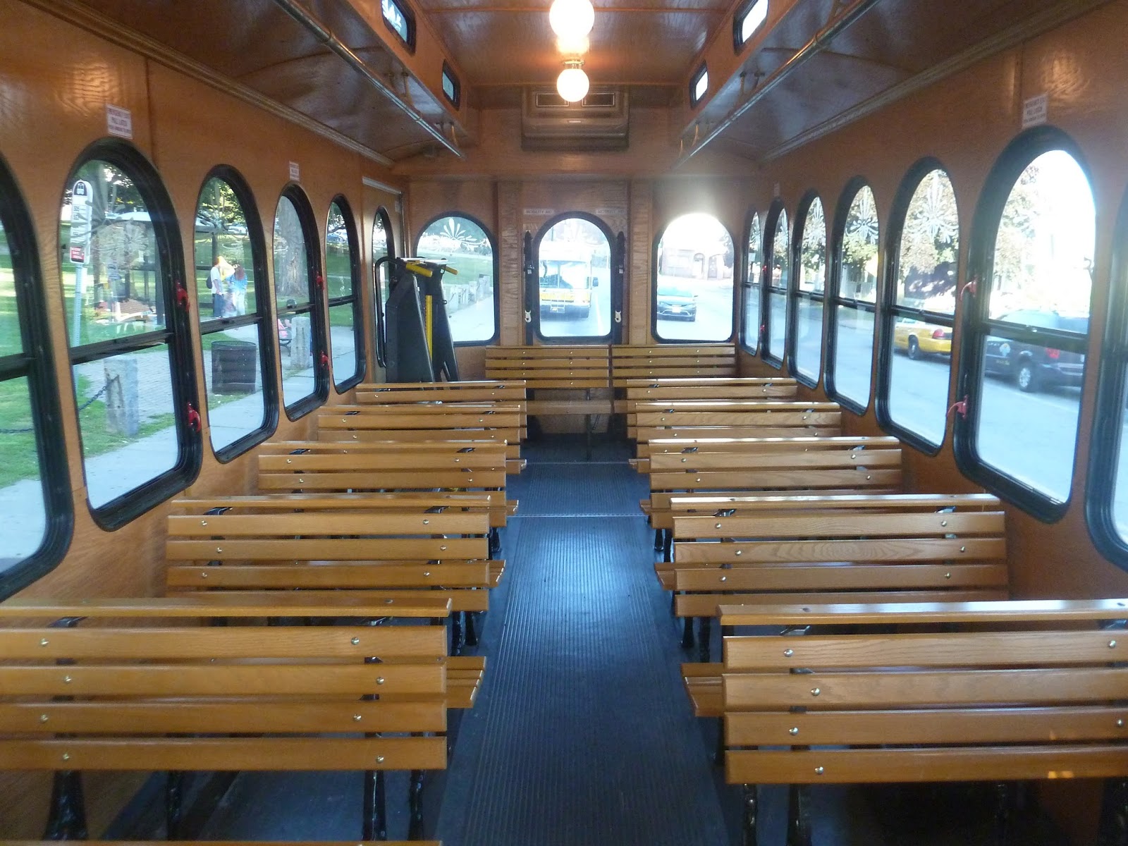 |
| Looking toward the back of the bus. |
 |
| And toward the front. |
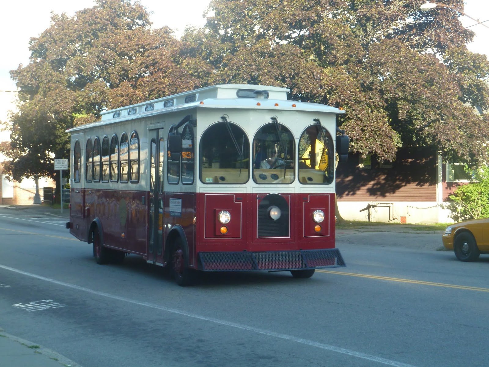 |
| The trolley at Waltham Common. |
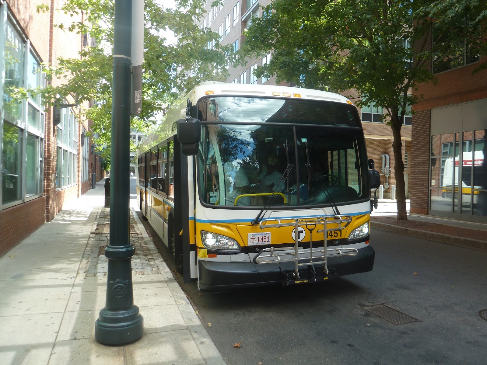
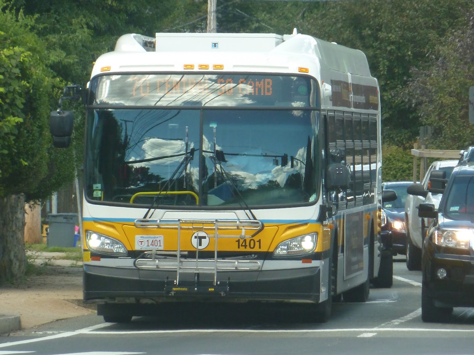
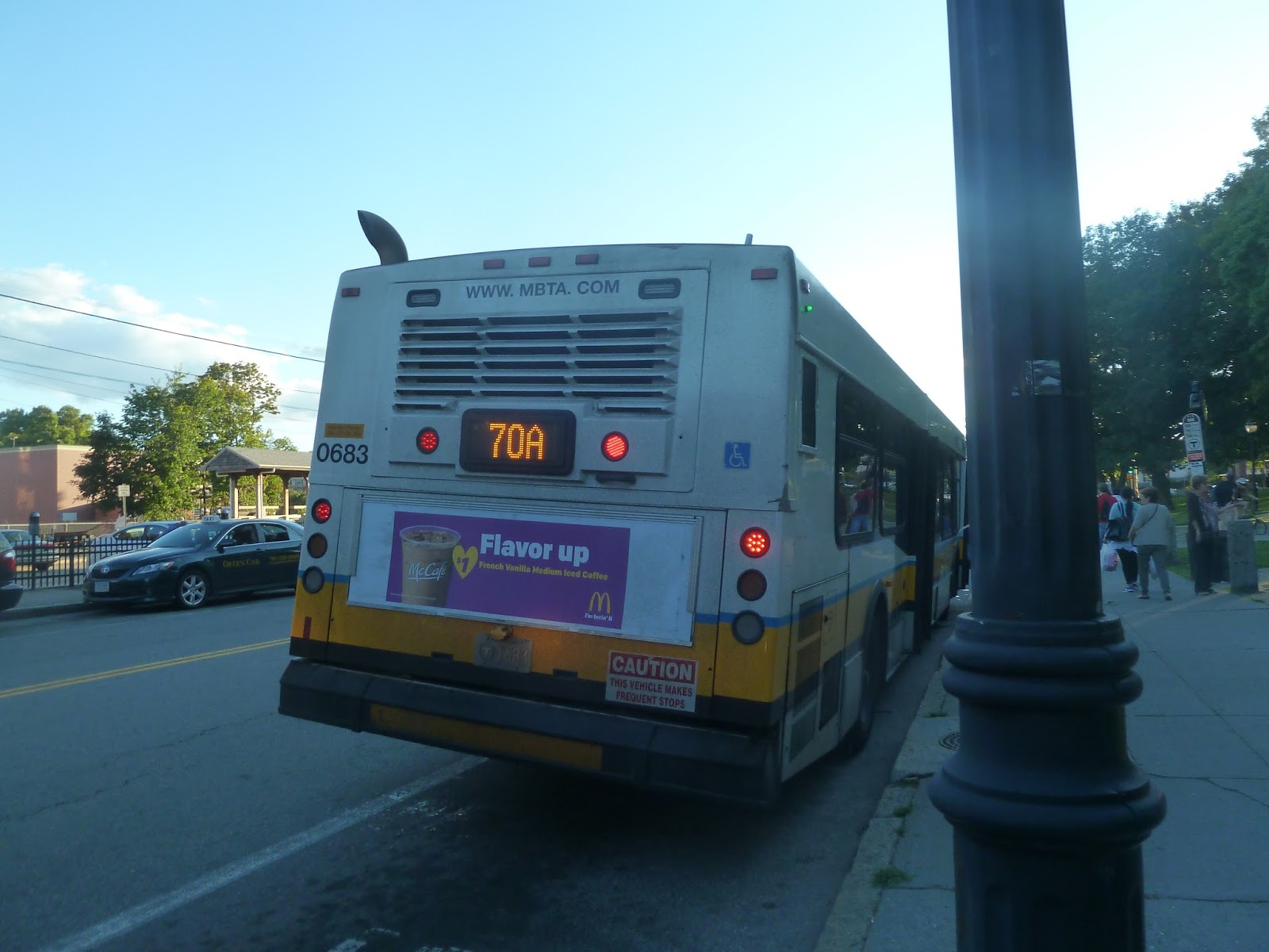
70/70A (Cedarwood, North Waltham, or Central Square, Waltham – University Park via Central Square, Cambridge, Arsenal Street, and Western Ave)
We’re returning to our regularly scheduled MBTA posts with a real beast of a route. Well, technically, it’s two routes, with the 70A being a much longer variant of the 70. Really, though, they’re both incredibly long – the latter is 10 miles, while the former is 14 miles long. Looks like we have our work cut out for us today.
 |
| Oh no, the destination board is off! |
I actually got on at University Park this time, unlike with the 64. Leaving that stop, we turned onto Sidney Street, then Green Street. Whereas University Park had modern brick buildings, Green Street had older-looking apartments – not that that’s a bad thing. At Central Square, there was a mass of people waiting to get on, then we turned onto Western Ave.
 |
| What a beautiful day! |
Western Ave was also residential, though there were also a few corner businesses. After crossing Memorial Drive, we went over the Charles River, entering Brighton. This was a very modern-feeling area, with big office buildings and more under construction. There was a view of Harvard Stadium, then the street got a bit more industrial.
 |
| Crossing the Charles…again. |
It was more leafy when we crossed the Charles River again, entering Watertown. The street was Arsenal Street now, and we passed two malls – across the street from each other! It was industrial from there, with a mixture of car dealerships and offices.
We eventually reached Watertown Square, which is a major bus transfer point. There were lots of businesses here, and Arsenal Street became Main Street. The businesses went on for a little while past the square, now with parking lots, but after that it became residential. The surroundings were mostly dense houses with the occasional business.
As we were passing a park, we entered Waltham. The houses became a little further apart, then we crossed over the Commuter Rail tracks. It was commercial on the other side, with retail lining the road. At Central Square, Waltham, we looped around the common to serve the Commuter Rail station.
 |
| A view of Waltham Common. |
The businesses continued past Central Square, and for quite a while. After going by an office park, though, it became houses once more. There were also more office parks and some sort of substation, but they were separated from the road.
 |
| Crossing I-95. |
We then turned onto Stow Street, which was entirely residential. From there, we turned onto Tavern Road and then Weston Street. At this point, we entered an interchange of I-95. This is what the bus uses to turn around, and it was pretty weird. We zoomed around a massive loop, avoiding on-ramps to the highway, and returned to Weston Street. Coming back the way we came, we reached the Cedarwood bus shelter, which is very close to the Weston border.
 |
| A different bus waiting to make the big loop. |
But there’s a whole other route to talk about! The 70A follows the 70 from Central Square to Central Square (ha). At Waltham’s Central Square, it diverts to make a huge figure-8 loop around the northern part of Waltham. I got on the bus at Waltham’s Central Square, so we’ll start there.
 |
| Wait for me! This was later in the day, and I took some other buses between the 70 and the 70A. |
Leaving Waltham Common, we made our way to Lexington Street, which was kind of industrial. Turning onto Dale Street, we passed a field, then it got residential. We then turned onto the amazing Bacon Street, which was also houses. It became Lexington Street, but the surroundings didn’t change much. We did go by the Waltham High School, which was hidden away in the trees. We also passed a YMCA, apparently, but I didn’t notice on the ride.
At a shopping plaza, we turned onto Lake Street, where the houses were more dense. We also went by a park and a few businesses along this section. Lake Street became Lincoln Street, and we passed some big office parks. We turned onto Smith Street, then onto Trapelo Road.
It was residential, at least until we reached Lexington Street. Here there were businesses with big parking lots, and when we turned onto that street, the surroundings became housing complexes. We passed a shopping plaza (the Wal-Lex Shopping Center, being near the border of Waltham and Lexington), then turned onto Lake Street again.
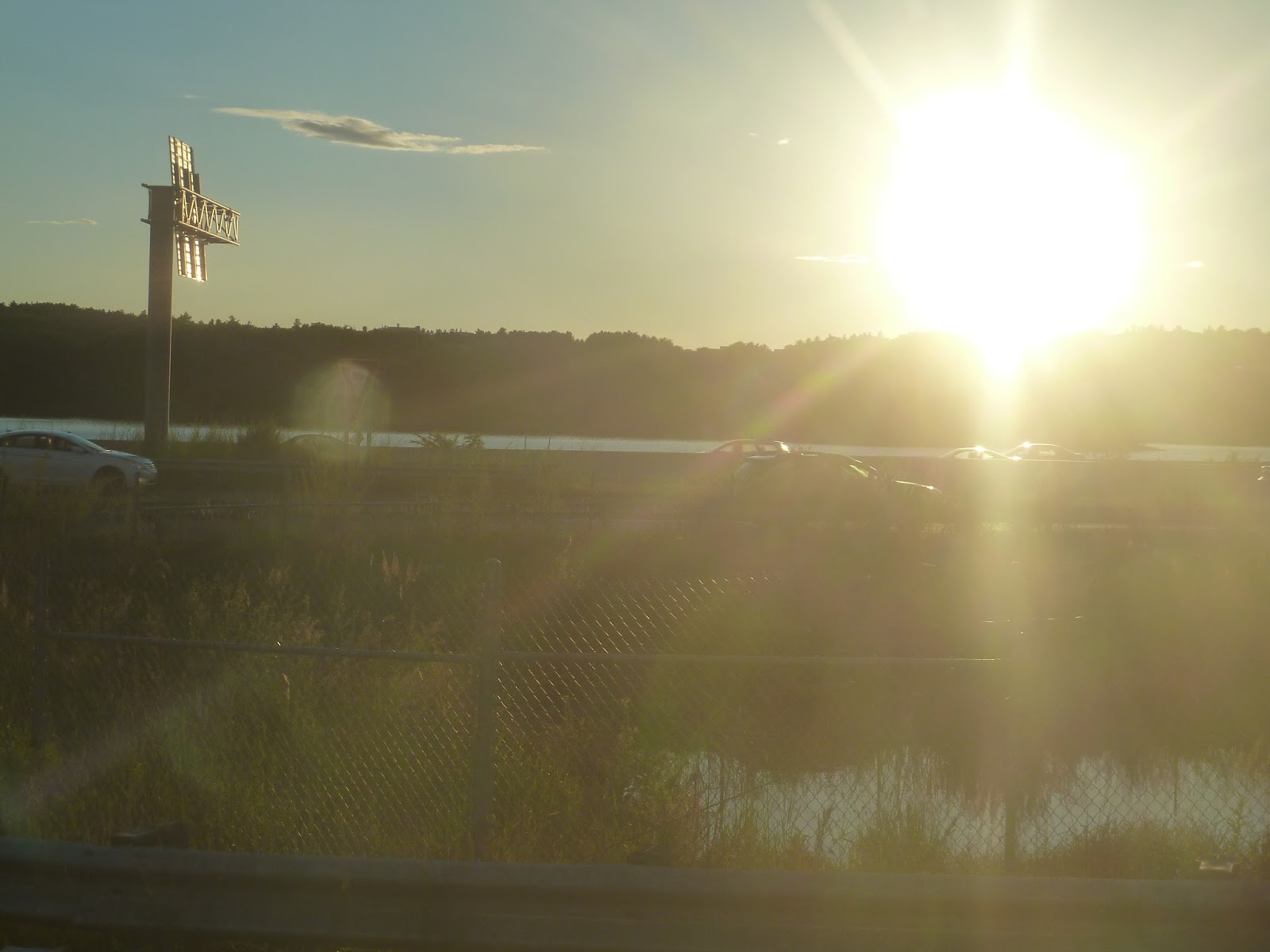 |
| And the sun sets over the highway… |
At Silver Hill Lane, which is technically the “terminus” of the 70A, there was another bus laying over. Its riders got onto our bus, then we turned onto Wyman Street. This street was all office parks, probably because it was so close to I-95. We turned onto Totten Pond Road, and after passing a skating rink, it became residential once more. Once we reached Bacon Street, we headed back the way we came.
 |
| Crossing over the Charles into Cambridge. |
As I mentioned, the 70 and 70A are the same from Central Square, Waltham to Cambridge. I would like to point out, however, that inbound and outbound trips take slightly different routes in Cambridge. Going down Western Ave in Brighton, we turned onto Soldier’s Field Road, then onto River Street, crossing the Charles on a different bridge. River Street was mostly apartments, with a few businesses dotted in here and there. In Central Square, we turned onto Mass Ave, and I got off at the “rainbow shelter” right in the square.
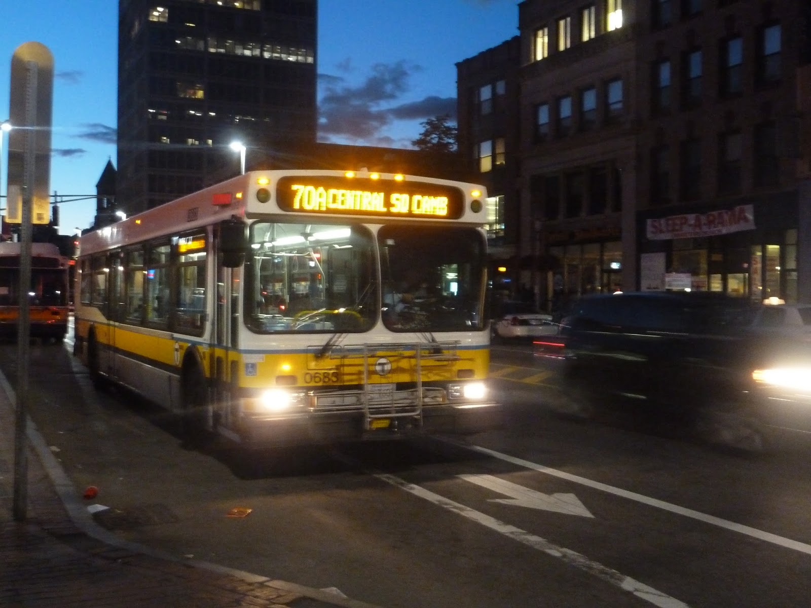 |
| The bus continuing on to University Park. |
Routes: 70/70A (Cedarwood, North Waltham, or Central Square, Waltham – University Park via Central Square, Cambridge, Arsenal Street, and Western Ave)
Ridership: These routes go down a very busy corridor, and so they get high ridership. There’s no data for the separate routes in the MBTA Blue Book, but combined they get 5,255 riders per weekday, 3,894 per Saturday, and 3,455 per Sunday. On my 70 ride, there was a total of 65 people who rode, most of whom got on at Central (rather than University Park). On the 70A, meanwhile, there were about 15 people who went from Central Square, Waltham to North Waltham, and about 30 coming back to Cambridge.
Pros: These routes serve quite a lot, going straight through large parts of Waltham and Watertown. Also, in terms of general headways, the two routes are pretty good. The 70 runs every 10-15 minutes during rush hour, every 20 minutes during the day, every 35 minutes at night, every 10 minutes on Saturdays (wow), and every 20 minutes on Sundays. The 70A, meanwhile, runs every half hour during rush hour, every hour during the day, and every 35-40 minutes on Saturdays. Considering the relative lack of ridership along the 70A’s figure-8, I think no night or Sunday service is okay.
Cons: So although the headways themselves are good, the way they fit together makes no sense. For one thing, the two routes aren’t coordinated at all, with some 70A’s arriving at Watertown at the same time as 70’s. So yeah, the two routes were just kind of slapped together. The 70’s Saturday schedule is questionable, too. Trips alternate between terminating at Central Square, Waltham and Cedarwood, which makes sense. However, there is again no coordination between the two. The bad coordination combined with the massive length of these routes leads to some pretty bad bunching.
Nearby and Noteworthy: I don’t have anything specific, but these routes serve quite a few business centers. You’ve got both Central Squares, as well as the Arsenal and Watertown Malls, and Watertown Square.
Final Verdict: 6/10
There’s a post on The Amateur Planner about the 70/70A and the problems that plague the routes. For a more detailed look at the cons of these buses, I recommend checking that out. As for me, I can say that the routes aren’t coordinated at all, and thus have some pretty bad bunching. However, they do serve a lot, so I can’t go too low with that final verdict. That said, the MBTA really needs to work on fixing these routes, because they are most certainly flawed.
Latest MBTA News: Service Updates
The MBTA is finally installing countdown clocks on the underground section of the Green Line! The ones at Kenmore are up and running, with more stations to come.
The CapeFlyer
After taking the CapeFlyer for the first time, I can now faithfully say that the ride is…nice. Not fast, but nice. It uses regular Commuter Rail trains, so it may not be luxurious, but it’s pleasant enough. And as for speed? Well, it runs 30 miles per hour from Hyannis to Buzzards Bay, so…yeah, it’s a slow ride. That said, it takes about 2 and a half hours to get to Boston, which is good if there’s traffic. On my ride, there wasn’t, but…well, like I said, the ride was nice.
 |
| There’s a bunch of space for bikes, which you can bring on for free. |
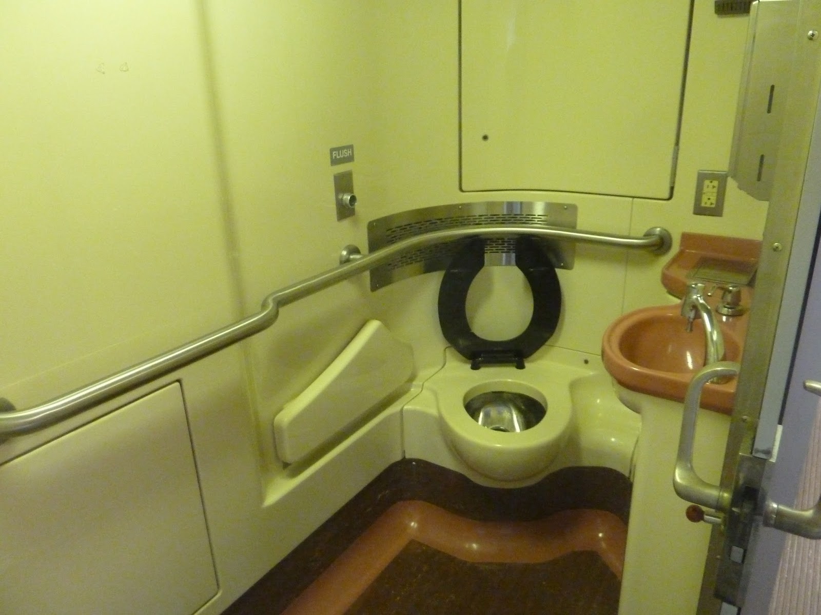 |
| The obligatory bathroom picture. It was as disgusting as you would expect. |
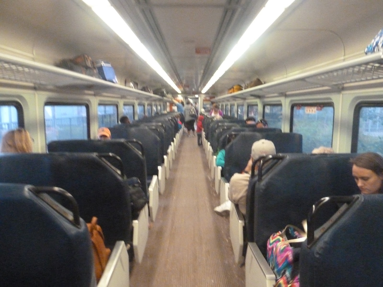 |
| The inside. If you’ve been on a Commuter Rail train, you’ve seen it all before. |
 |
| The CapeFlyer does have a snack bar, though, which is a good amenity. |
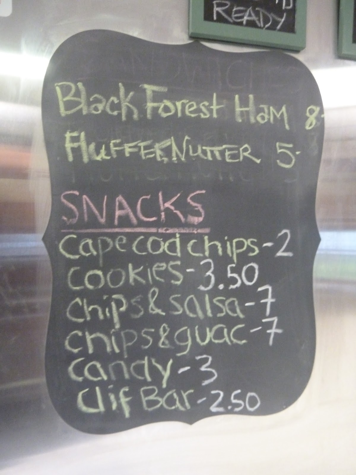 |
| Not a particularly large snack bar, but a snack bar regardless. |
 |
| A last glance at Hyannis’s platform. |
 |
| Some industrial building. |
 |
| Well, those are some big roads! |
 |
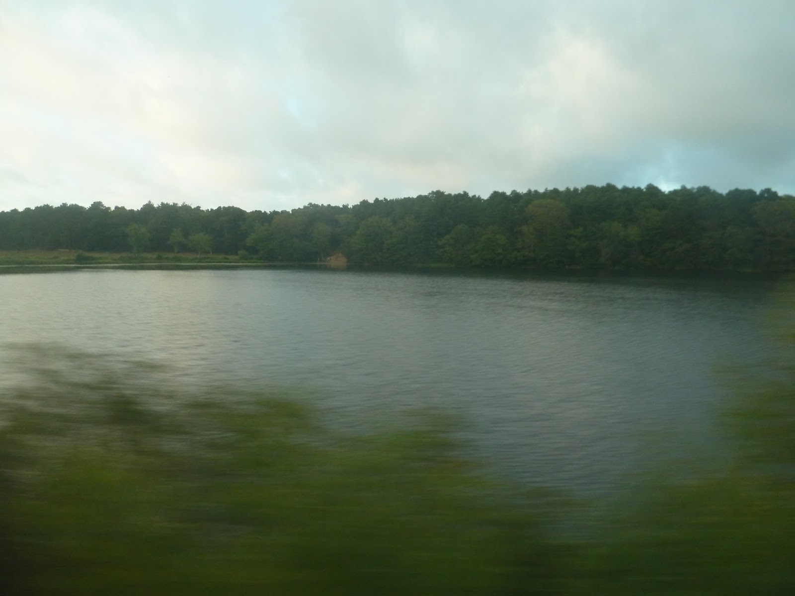
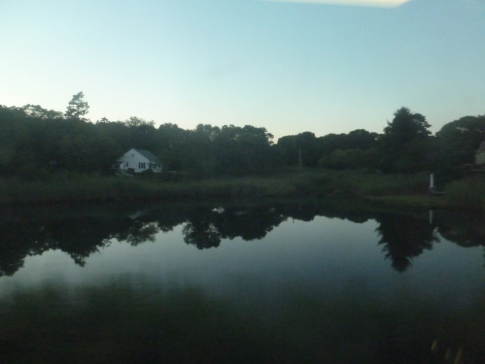
| A lake! I think… |
 |
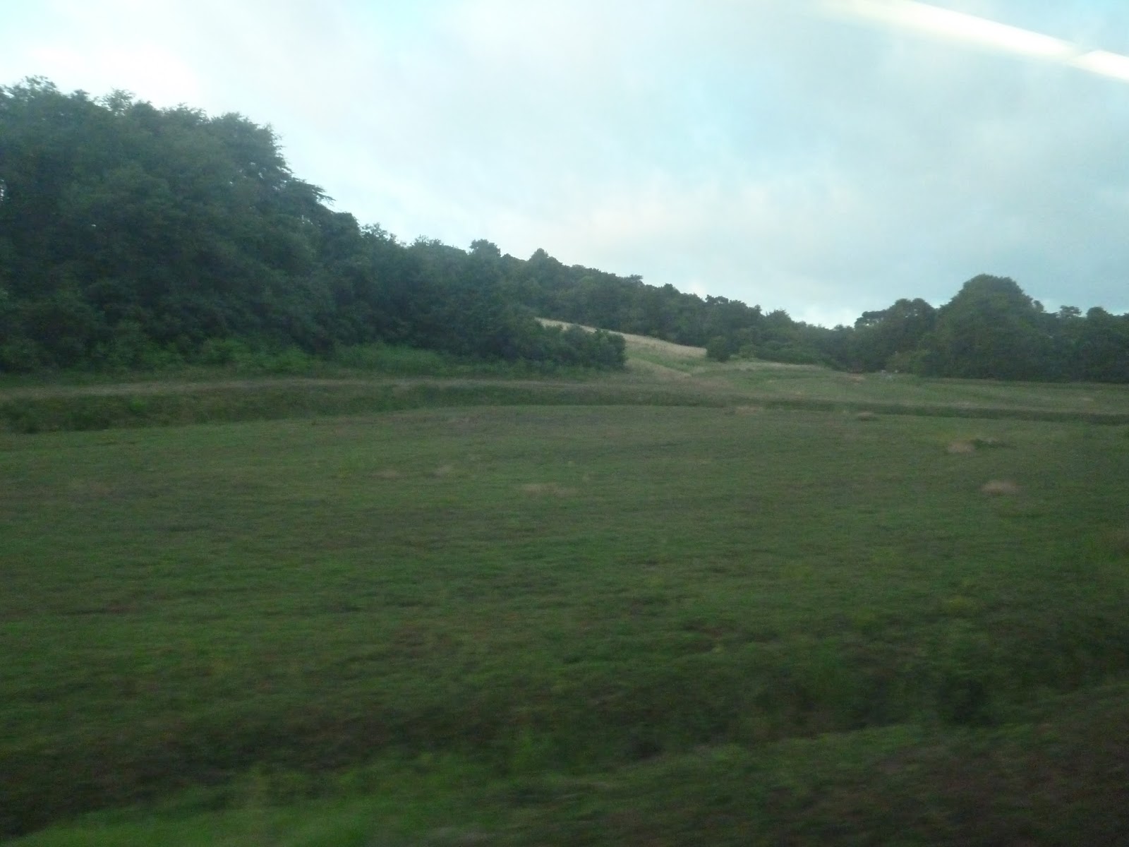
| Some farmland. |
 |
| And some more industry. |
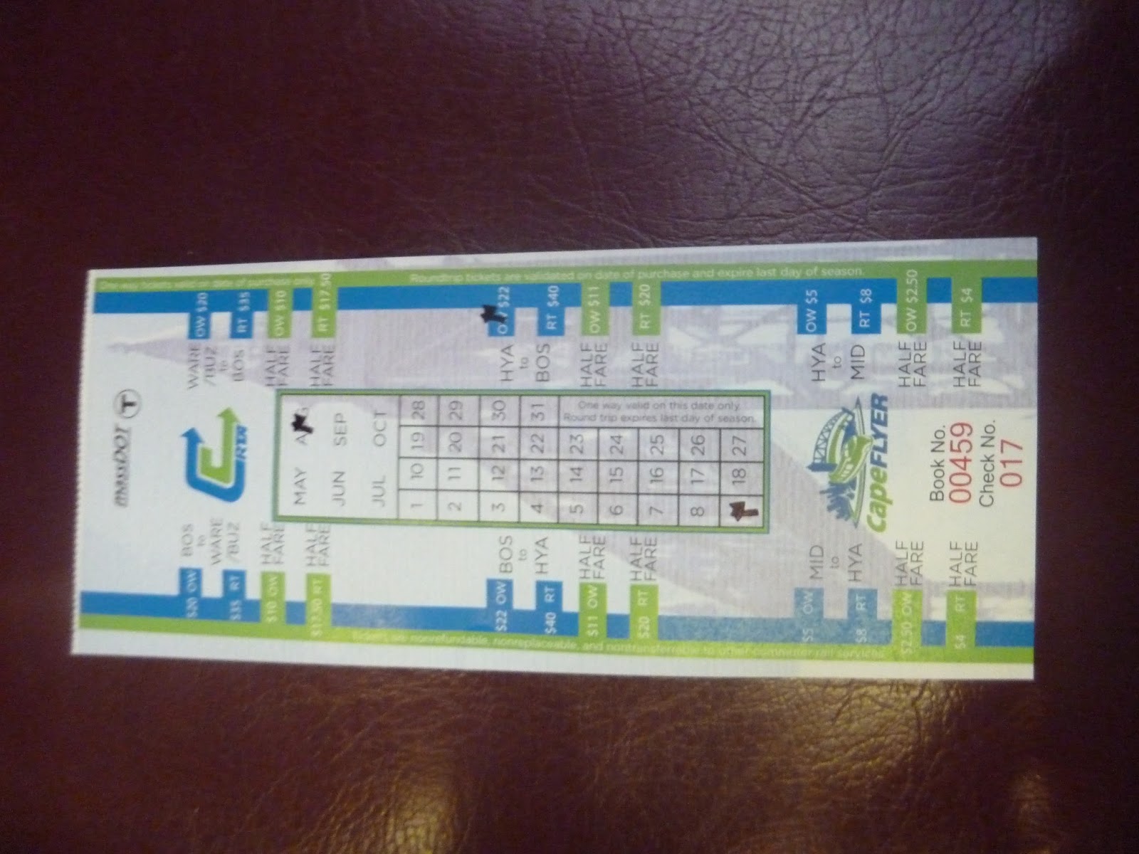 |
| The ticket. |
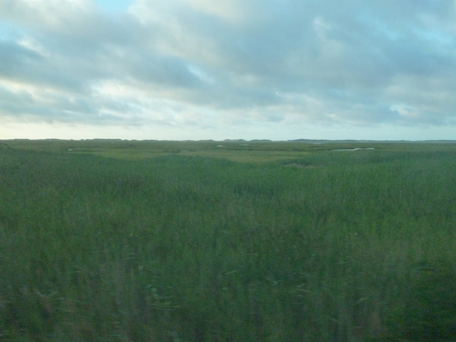 |
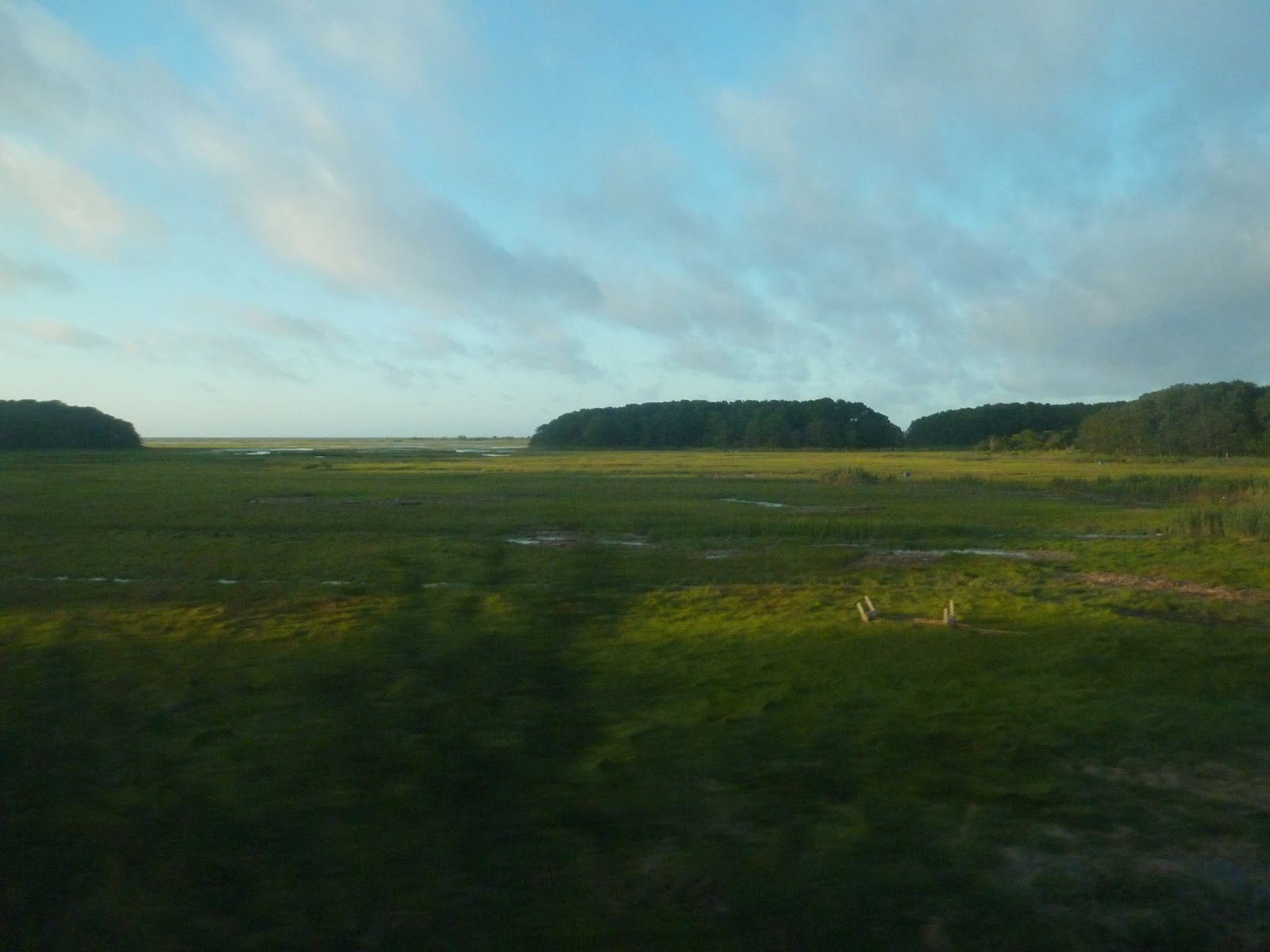
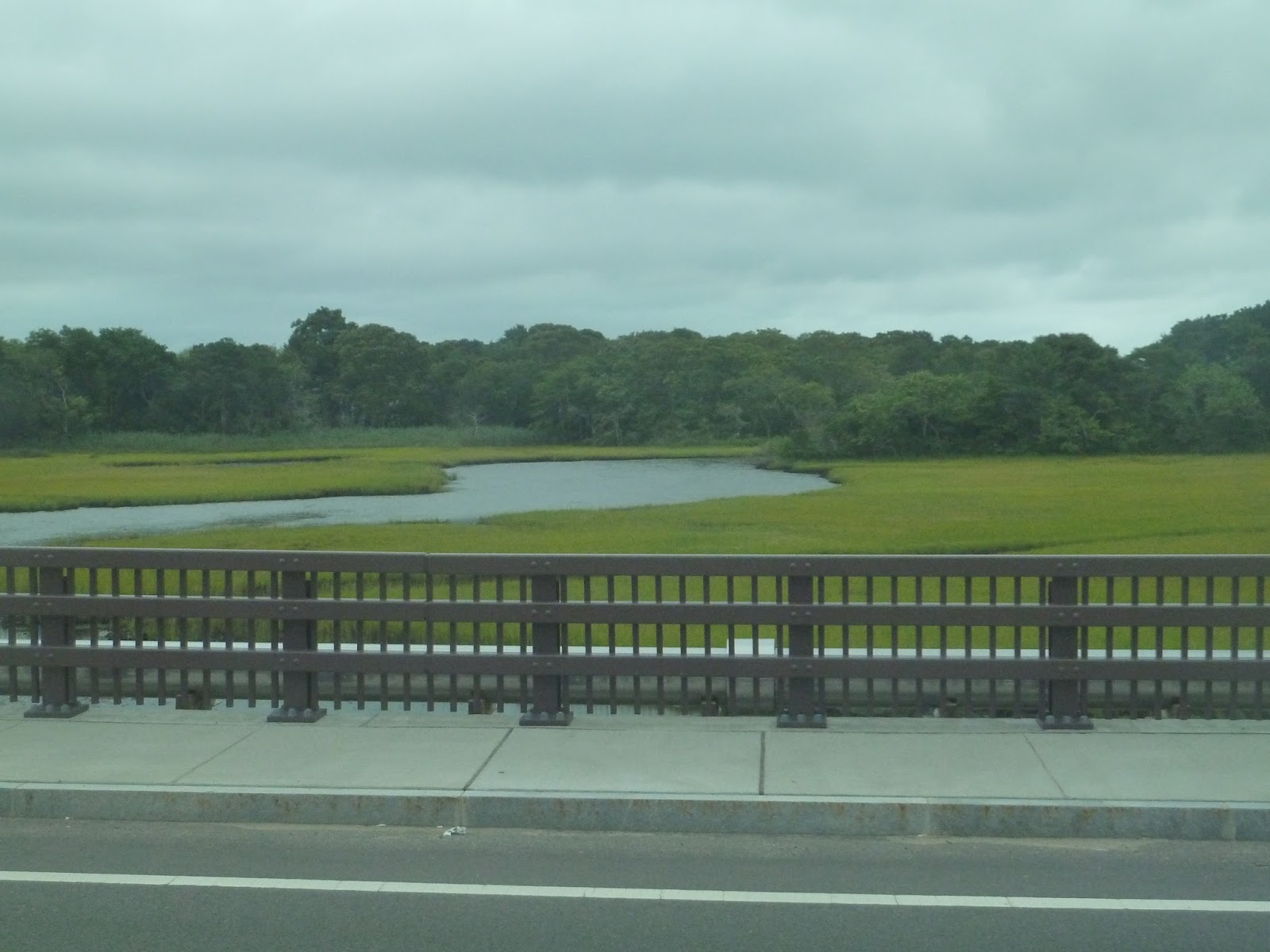
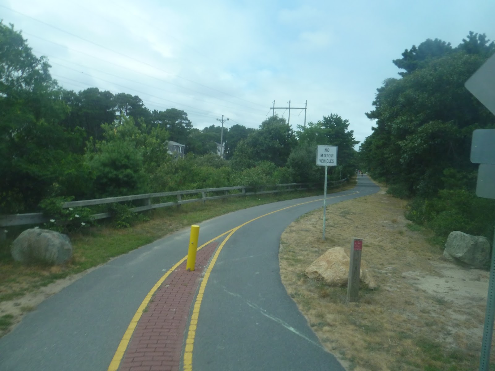
| A big marsh. |
 |
| A small residential road. |
 |
| Another field. |
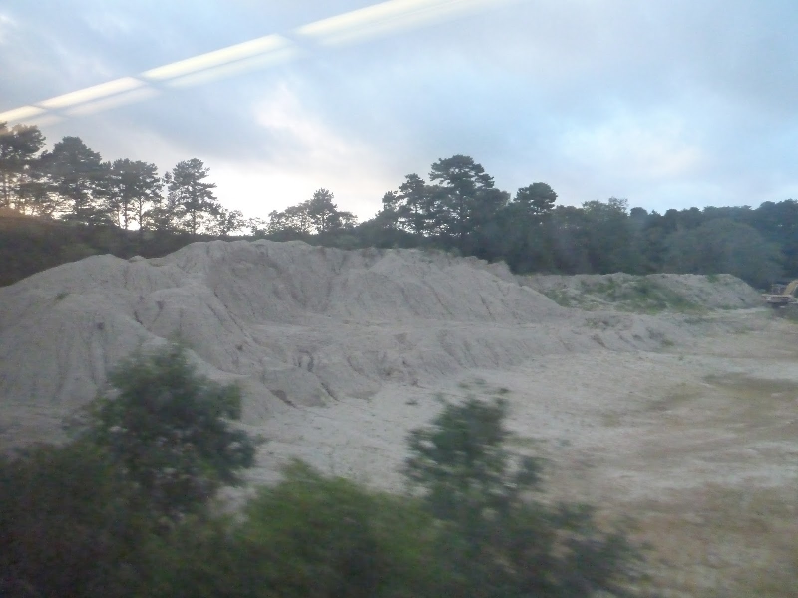 |
| Woah! That’s a lot of sand. |
 |
| There are lots of cranberry bogs along the route. |
 |
| Another lake. |
 |
| Another bog. |
 |
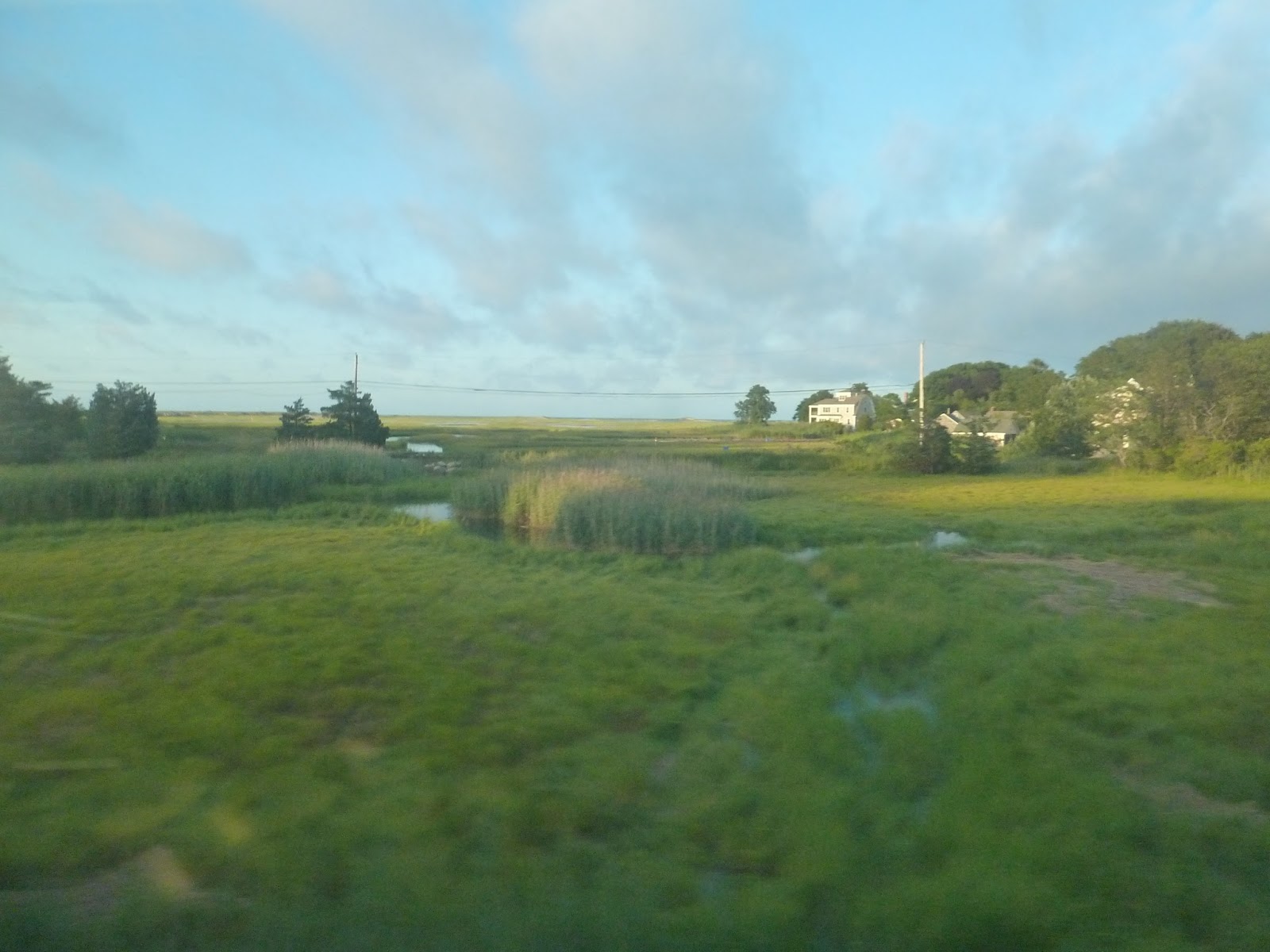
| Marshland. |
 |
| And some more marshland. |
 |
| And some more! |
 |
| And more! |
 |
| A huge factory. |
 |
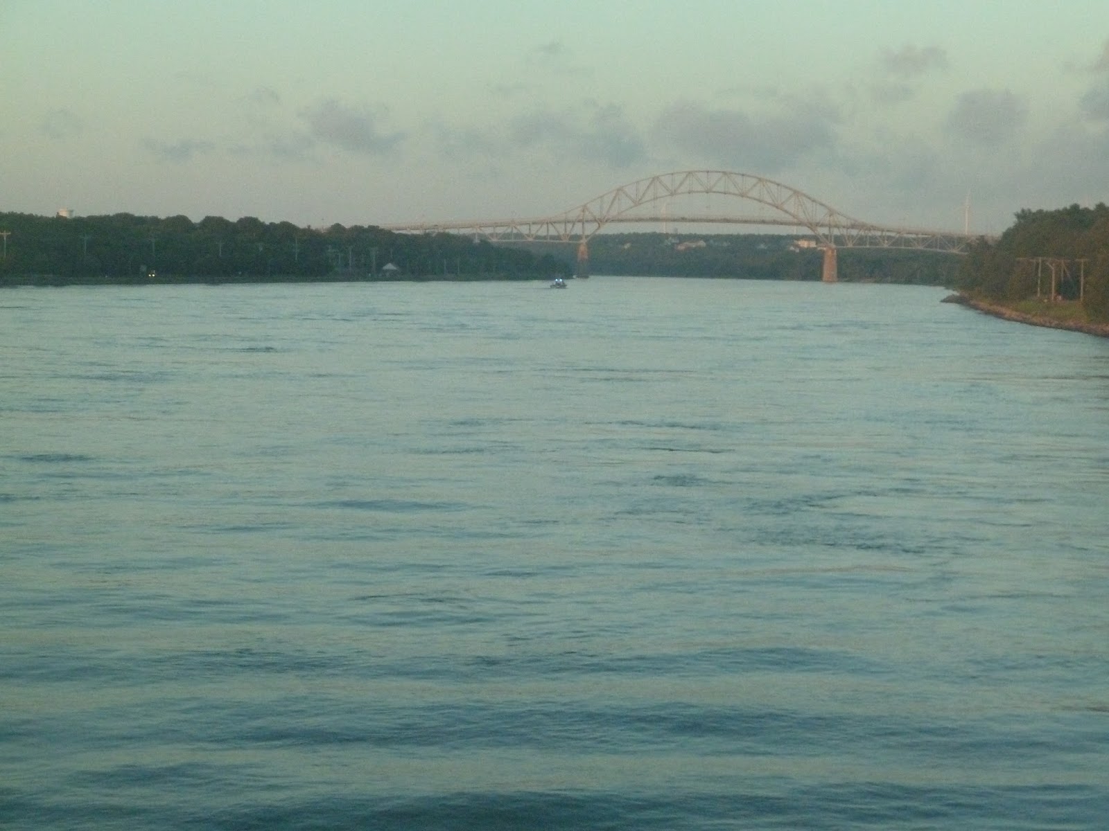
| The line runs along the canal for a while, which was probably my favorite part. |
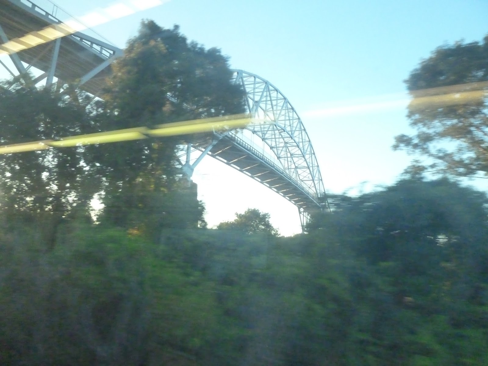 |
| A bad picture of the Sagamore Bridge, which sadly had no traffic. |
 |
| And here’s the Bourne Bridge. |
 |
| Another canal view. |
 |
| A windmill! |
 |
| The train slowly crosses the canal on a low railroad bridge, and it’s quite a nice view. |
 |
| Lots of people by the canal for some reason. |
 |
| Buzzards Bay Station. |
 |
| Crossing another body of water. |
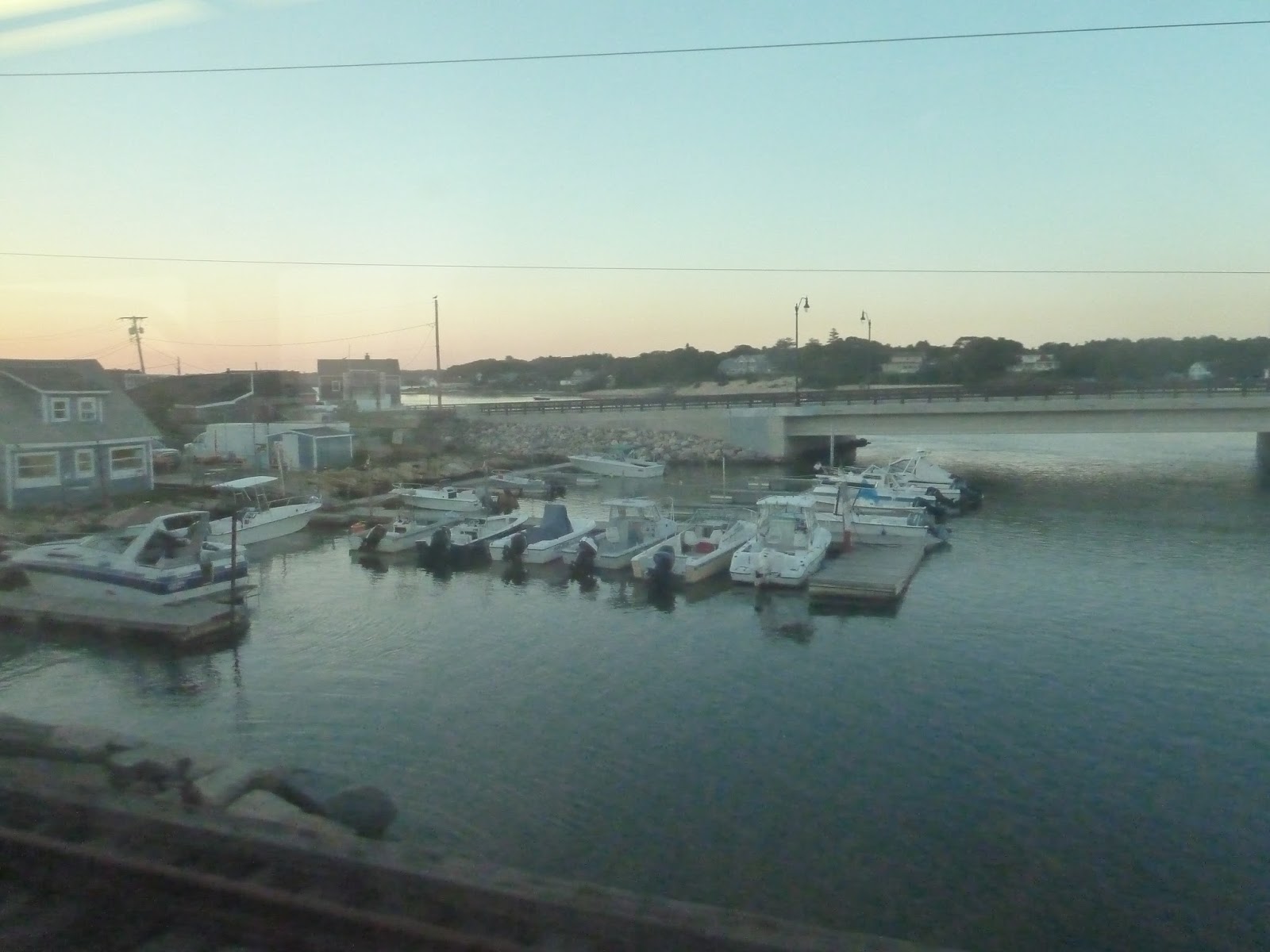 |
| Some docked boats. |
 |
| A lake. |
 |
| And another one. |
 |
| It got too dark after Middleborough to take any more pictures, but here’s the train at South Station. |
Bonus Review: Hyannis Transportation Center
Although no actual MBTA services serve this station, the CapeFlyer does. And yes, I know that’s run by the CCRTA, but hey, the trains it uses have MBTA logos on them, so I count that. So, let’s take a look at the CCRTA’s main hub and the terminus of the CapeFlyer, the Hyannis Transportation Center.
| The bus boarding area. |
The place where you board buses is nothing more – you just board buses there. I mean, it’s sheltered, I guess, but it’s not a good place to wait for the bus, since there are no benches. I will say that it’s easy to find the bus you’re looking for, since they board in a line, and the signage is very good.
| The waiting area. |
The place where you wait, on the other hand – now that’s nice. It’s very well-lit and clean, with lots of benches. There are surprisingly clean bathrooms and vending machines, and even countdown clocks for CCRTA buses. It seems like a great place to wait, or even just hang out! Well, no, I wouldn’t go that far, but it’s a good place to wait.
| Ignore that shelter, you don’t actually get on there. |
The CapeFlyer boards on a pretty generic platform. It’s entirely high-level, but that’s about the only interesting thing about it. Although it has a shelter, it doesn’t have benches, and the waiting room is so much more comfortable. Really, this platform is just a place to get on the train and nothing else.
| A CapeFlyer train at the station. |
Station: Hyannis Transportation Center
Ridership: Well, I don’t have any numbers for the station itself, but I do know that the CCRTA as a company carried 550,000 passengers in 2010. That’s…not very much. As for the CapeFlyer, it carried about 12,600 passengers in 2014, which is great, considering its schedule.
Pros: The waiting area is fantastic, and the bus boarding area is semi-fantastic. That said, when the former is so good, I don’t think the latter needs benches. All it really needs is good signage, and that’s what it has.
Cons: The CapeFlyer platform is barebones, but again, you can just wait in the waiting room. Plus, it’s high-level, which is a good thing.
Nearby and Noteworthy: Hyannis is probably the biggest business center on the Cape, except maybe for Provincetown. The downtown is a short walk from the station.
Final Verdict: 8/10
This place is pretty nice! Well, the station, at least (I didn’t actually walk to downtown Hyannis). The waiting room is by far the best part, with its high ceilings, plentiful lights, and many benches. The bus boarding area has good signage, which is all you need, and though the CapeFlyer platform is bland, it is high floor. Overall, this is a good little terminal.
Service Change: CCRTA, Part 2 – H2O
The H2O route of the CCRTA runs from Orleans to Hyannis, via Brewster, Harwich, Chatham, Harwich again, Dennis, and Yarmouth. Sound circuitous? You bet it is. I’ll start this post right where the last one let off…
 |
| The “stop” at which we waited for the H2O/ |
 |
| It was a quick wait, as you would imagine. |
 |
| The inside. |
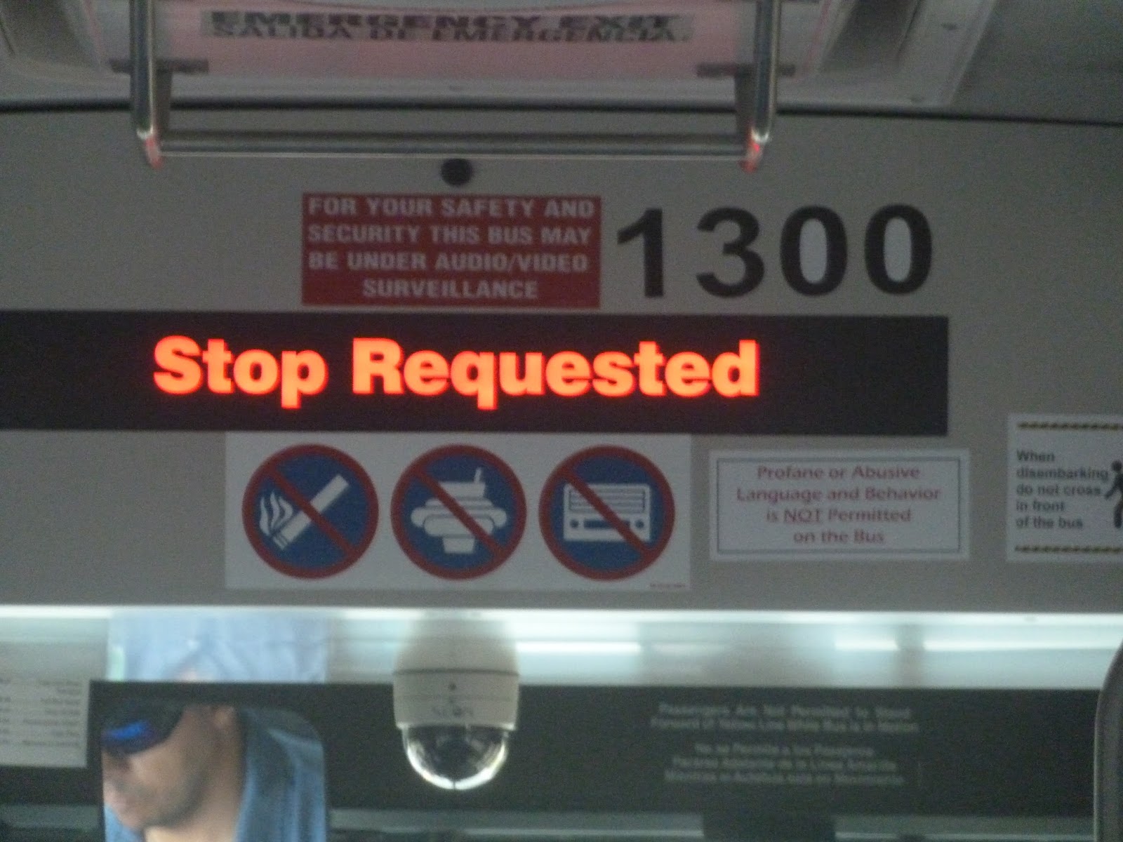 |
| The stop request sign up front. |
 |
| Ooh, a beach! |

 |
| Lots o’ boats. |
 |
| This would’ve been a great picture if that CAR hadn’t gotten in the way. |
 |
| Here it is, folks: the Chatham Rotary. |
 |
| Nice view! |
 |
| Go-karts, anyone? |
 |
| The Star Market and its huge parking lot. |
 |
| A shelter in Dennis. |
 |
| Lots of water views along this route. |
 |
| Ew… |
 |
| That’s a big parking lot. |
 |
| The Bass River. |
 |
| I’m getting sick of these parking lots! |
 |
| At least the water views are nice. |
 |
| The bus in Hyannis. |
Service Change: CCRTA, Part 1 – The Flex
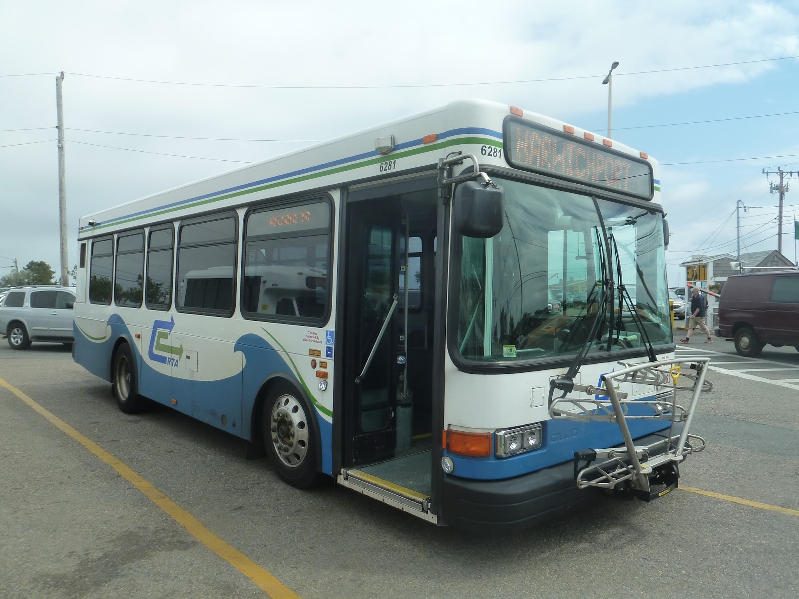
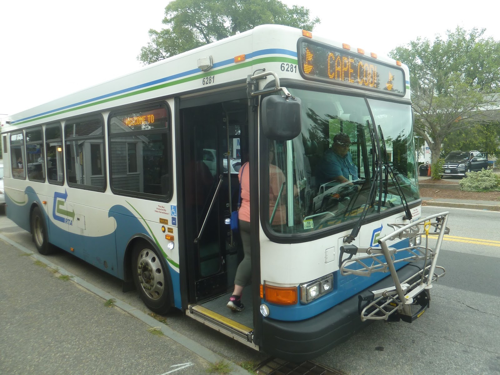
If you’re coming from Hyannis, taking the Capeflyer train is simple and straightforward. If you’re coming from Provincetown…not so much. Although the Plymouth and Brockton bus runs direct from Provincetown to Hyannis, I wanted to see the local transportation. Thus, my father and I ended up on the Cape Cod Regional Transit Authority, Cape Cod’s bus system.
There are nine routes around the Cape, three of which are seasonal. Most of them converge at the Hyannis Transportation Center, which I’ll be covering in a later post. And…well, I’ll be honest, a lot of people on the Cape have cars. There’s not a very high amount of people who actually use the buses here. Well, we ended up taking two routes, since there’s no direct one from Provincetown to Hyannis. It was a very long trip, but it was interesting travelling down the Cape without a car.
The Flex runs from Provincetown to Harwich. Its name comes from the fact that you can call in and have the route “flex” to pick you up. Need more information? Check out this very cheesy video about the route.
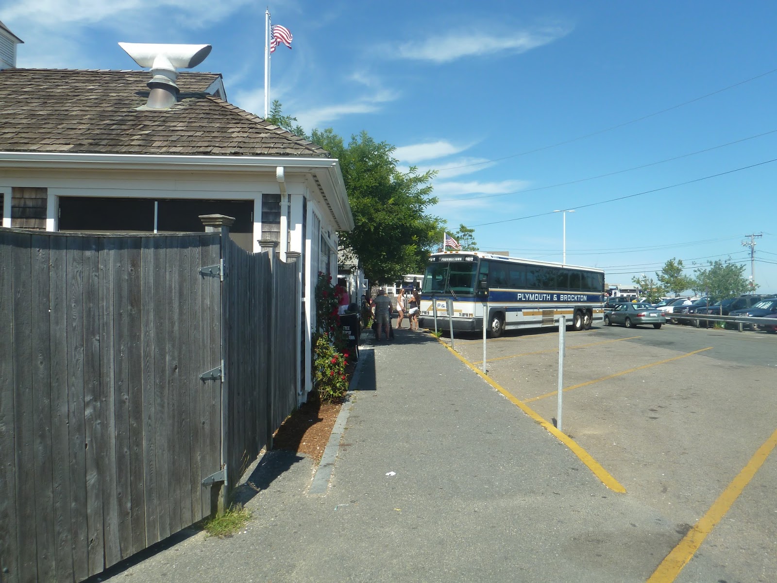
It was a pleasant surprise to find out that Provincetown has an actual bus terminal. It was simple, with parking spaces for buses and some benches. There were also bathrooms, an information booth, and a connection to the Provincetown Fast Ferry to Boston (which would’ve been a lot quicker than taking the bus looking back).
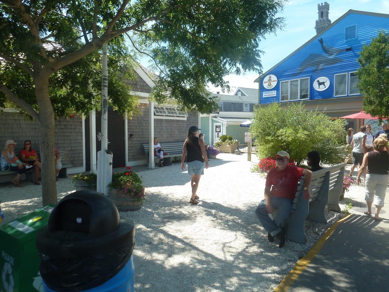 |
| A waiting area. |
 |
| The boarding area. |
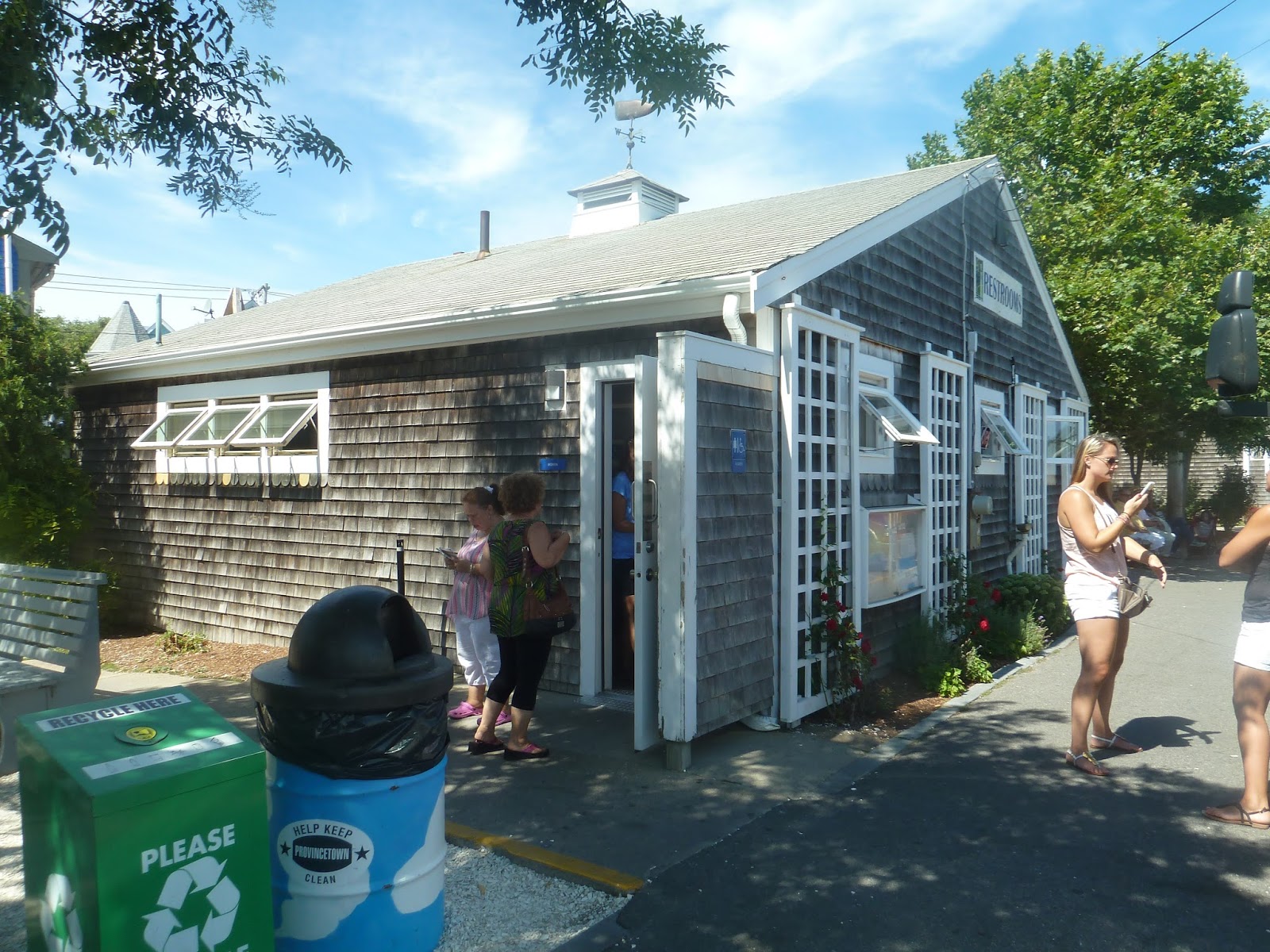 |
| Everybody likes bathrooms, right? |
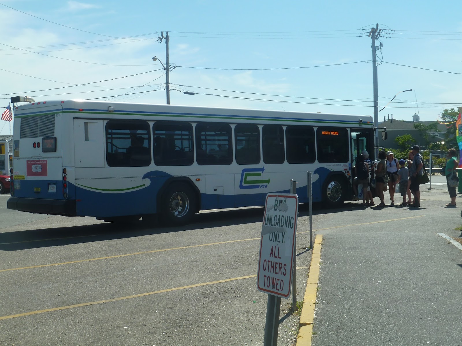 |
| A CCRTA bus picking people up. |
 |
| A shelter. |

 |
| Two shots of the Flex in Provincetown. |
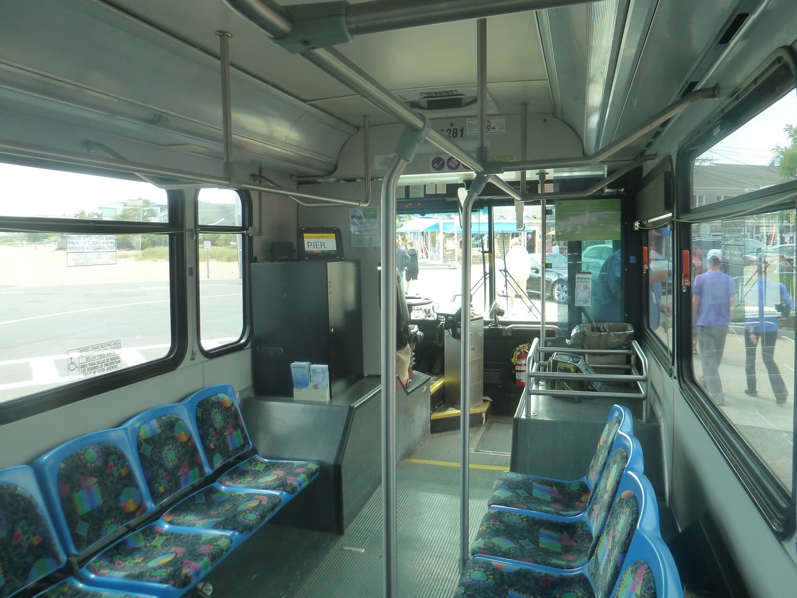
The bus arrived a few minutes early, and we got on. The inside was pretty nice, with a mix of sideways and forward-facing seats. There were pull cords, which is always preferable to stop request tape. There was also a screen up front which said what the next stop was, which was convenient – no automatic announcements, though.
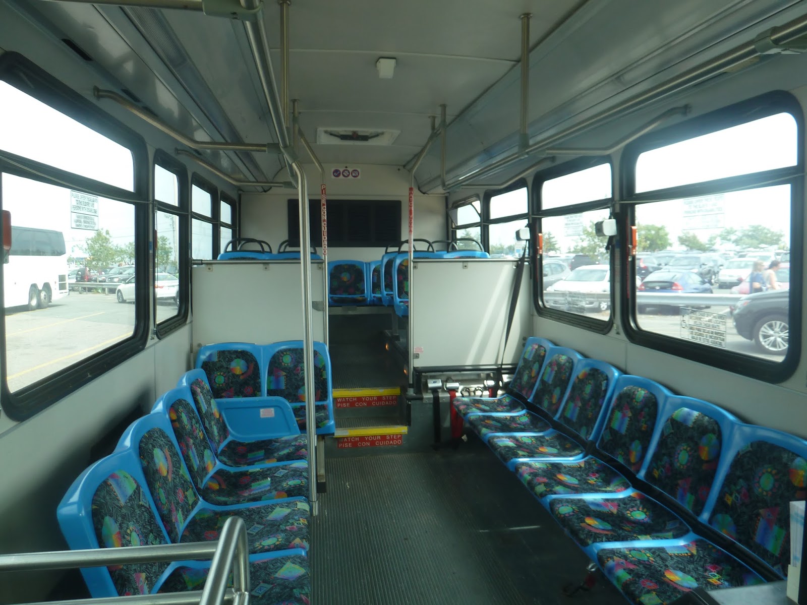
 |
| Two shots of the inside. |
 |
| A bad picture of the “stop requested” sign. |
 |
| The screen up front. |
Leaving the bus terminal, we headed up Ryder Street, avoiding the massive crowds a block away. We then turned onto Bradford Street, coming close to the tall Pilgrim Monument. Continuing down the narrow street, we were passing lots of dense houses. Soon, we turned onto Shank Painter Road (great street name), passing a Stop and Shop and some businesses with parking lots out front.
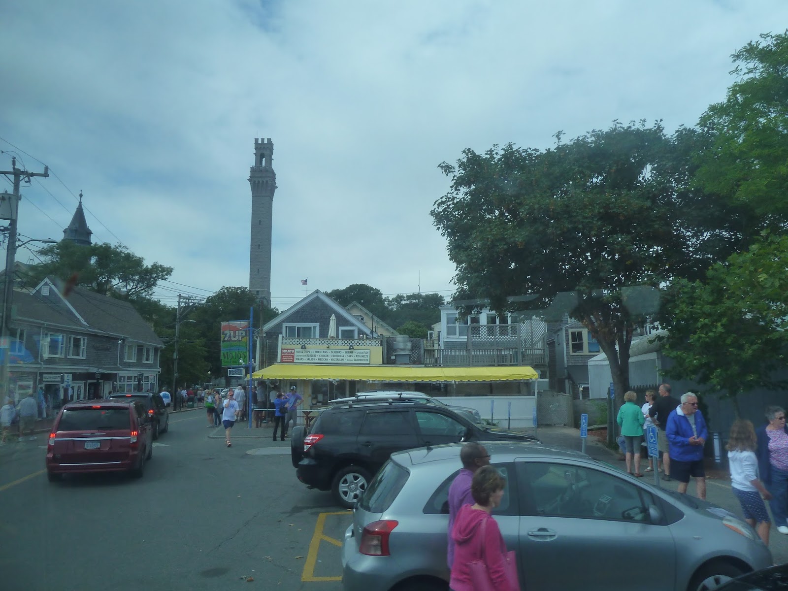 |
| Man, that monument towers above everything else, doesn’t it? |
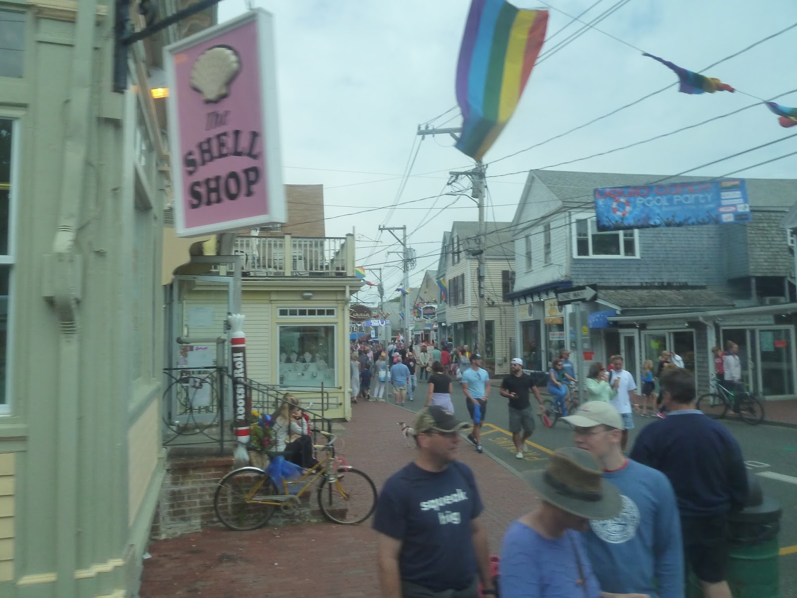 |
| Downtown Provincetown. |
 |
| An industrial tower, plus the monument in the background. |
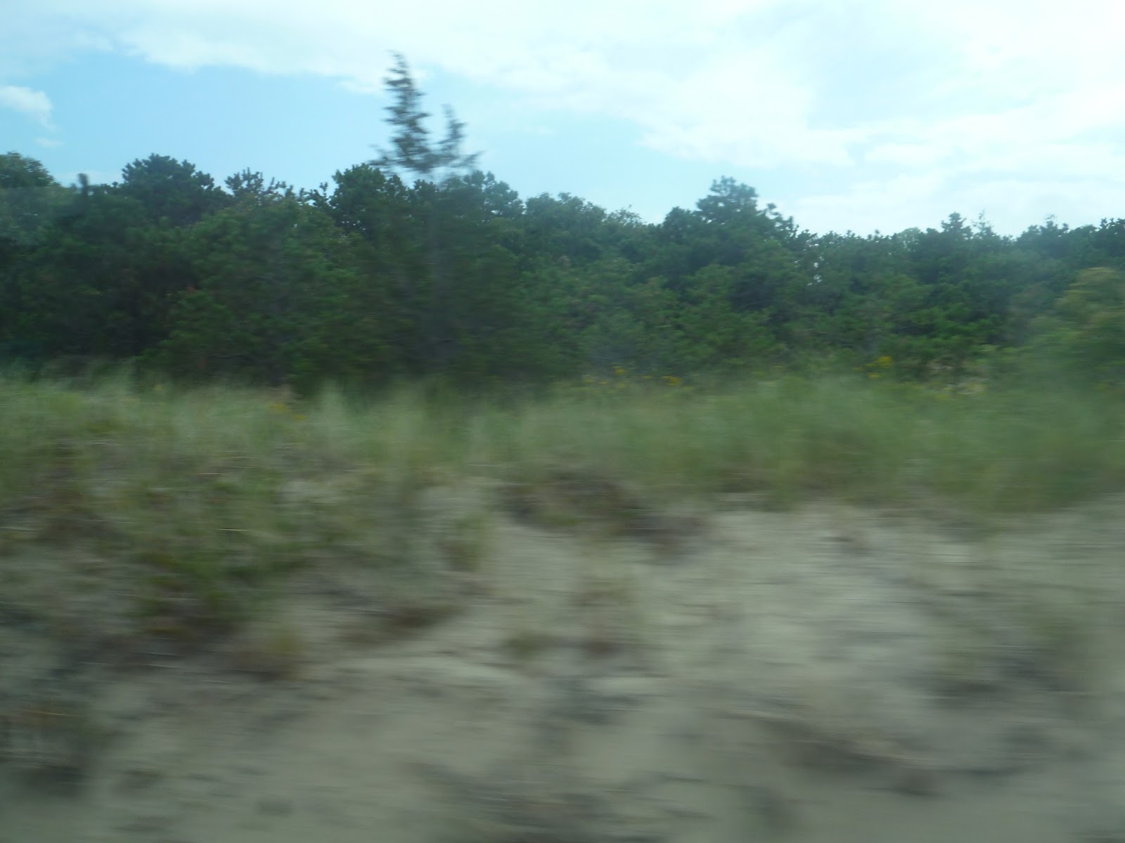
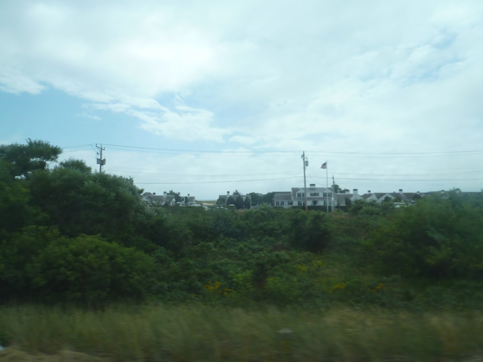
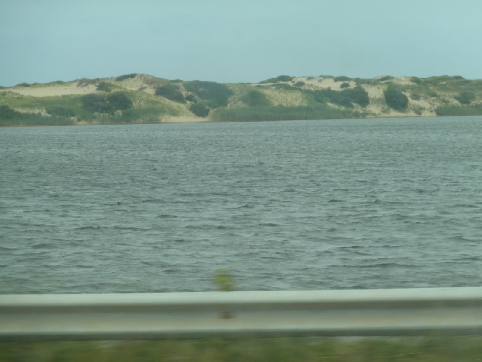
We merged onto Route 6 soon after, speeding down the highway. We were mostly surrounded by forest until we came to the sand dunes. At this point the road was on an isthmus with water and sand dunes on one side and isolated houses on the other. It was pretty cool.
 |
| So, who likes woods? |
 |
| There are houses beyond the trees. |
 |
| A view of the sand dunes (taken from the other side of the bus). |
It was mostly just woods from there as we entered Truro. We passed the Truro Public Library, then took an exit onto Highland Road. This was just to serve a little shelter, where someone was actually waiting, and then we headed right back onto the highway.
 |
| Look, it even has an outhouse! |
We passed more trees, then the Truro Police Department and a school later on. Soon there were some houses along the road, but they were far apart. Eventually, we turned off Route 6 onto Truro Center Road, which went by more houses. We went through “downtown Truro” (blink and you miss it), crossed over a river, and returned to the highway.
 |
| The river. |
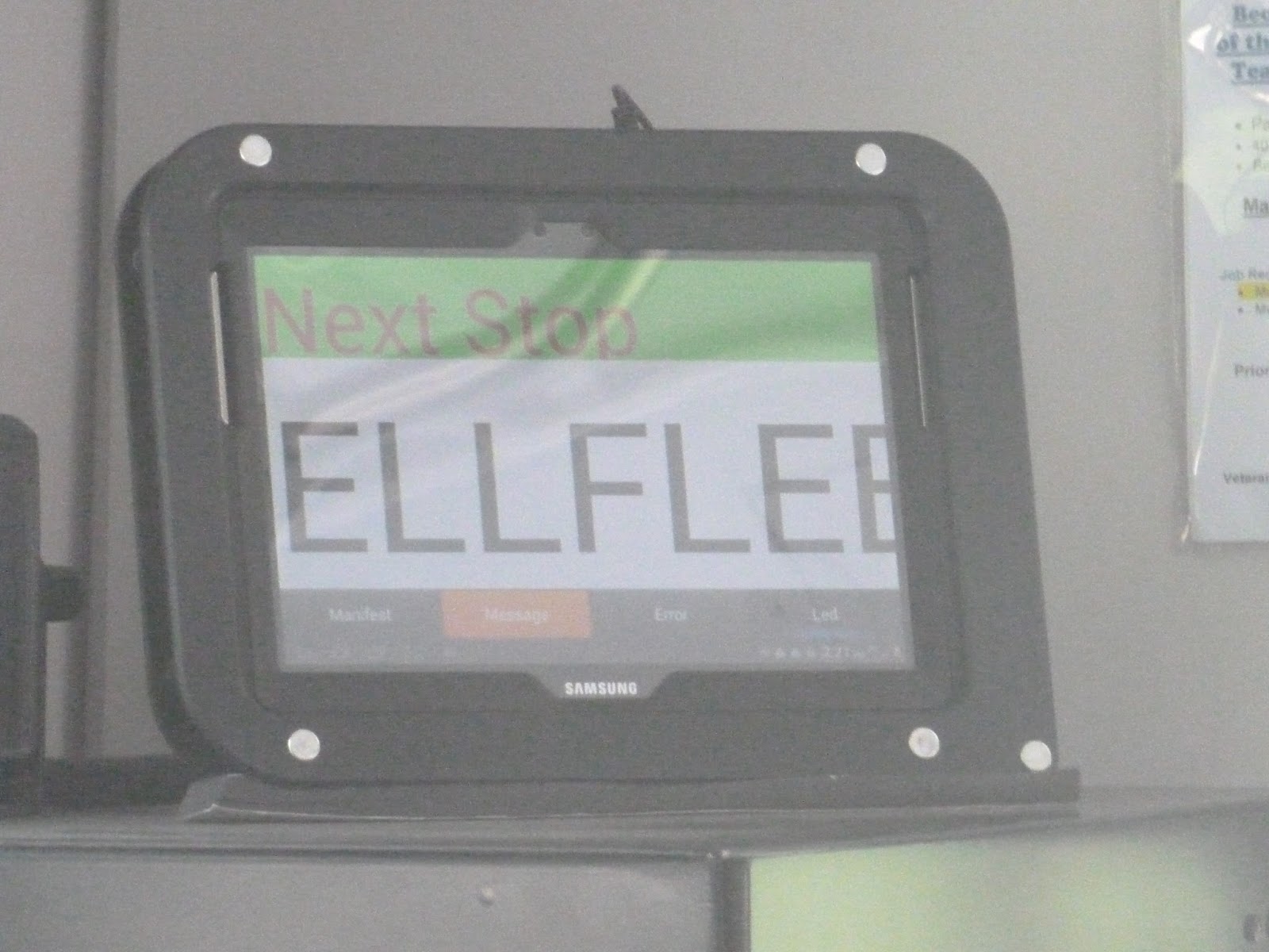
From there, Route 6 was all forest. There really wasn’t anything of note until we entered Wellfleet and went past a few public service buildings. After going by a bank, we turned onto Main Street, passing a fair amount of houses. At Wellfleet Center, there were some small businesses. Here, we turned onto Bank Street, then East Commercial Street, returning to a residential neighborhood. Heading back onto Main Street, we returned to Route 6.
 |
| Wellfleet Center looks nice! |
The road had a lot of businesses with big parking lots from there. We soon reached a Dunkin’ Donuts and pulled in. The driver explained that we were early and got to spend “nine glorious minutes” there. We got to leave the bus, and my father and I talked to the driver outside. Eventually, it was time to go, and we got back on.
 |
| Three shots of the bus at Dunkin’ Donuts. |
Returning to the highway, it was residential from there. Eventually, we passed a gas station and a shopping plaza, then went by a marsh. After that, we turned onto Marconi Beach Road. Looping around, we made a stop next to a bike trail, then came back onto Route 6.
 |
| Some marshland. |
 |
| The aforementioned bike trail. |
Back on Route 6, the surroundings were basically businesses with parking lots interspersed with forest. Eventually, we passed the Wellfleet Drive-In and entered Eastham. It was more residential now, though we did pass a few motels and a mini-golf course.
 |
| Man, that’s a gaudy gift shop. |
 |
| The drive-in! |
 |
| I managed to get a quick shot of the screen – as well as a Volkswagen Bus, it would seem. |
There were more businesses from there, all with big parking lots. We went by some hotels and a church, then turned onto Nauset Road later on. This was the Salt Pond Visitor Center, and the bus navigated through a parking lot. We dropped someone off, then started to leave. However, when we got to a certain point, the driver started to reverse the bus. Turns out the person who had gotten off there had said they were going somewhere else, and the driver wanted to make sure the person had wanted to leave here. Turns out the passenger did, but it was still really nice of the driver to do that.
 |
| Woah, lots of traffic on the other side! |
 |
| The Salt Pond Visitor Center. |
Soon after returning to Route 6, we went by Eastham town hall, then turned onto Samoset Road. After going by a construction site, we turned onto Bridge Road, leaving the highway once and for all. We crossed over that bike trail again, but the surroundings were all houses. Eventually we reached open marshland, crossing a river, then Bridge Road curved to the left.
 |
| Okay, that’s pretty cool. |
 |
| The bike trail. |
 |
| Some marshland. |
 |
| Crossing over the river. |
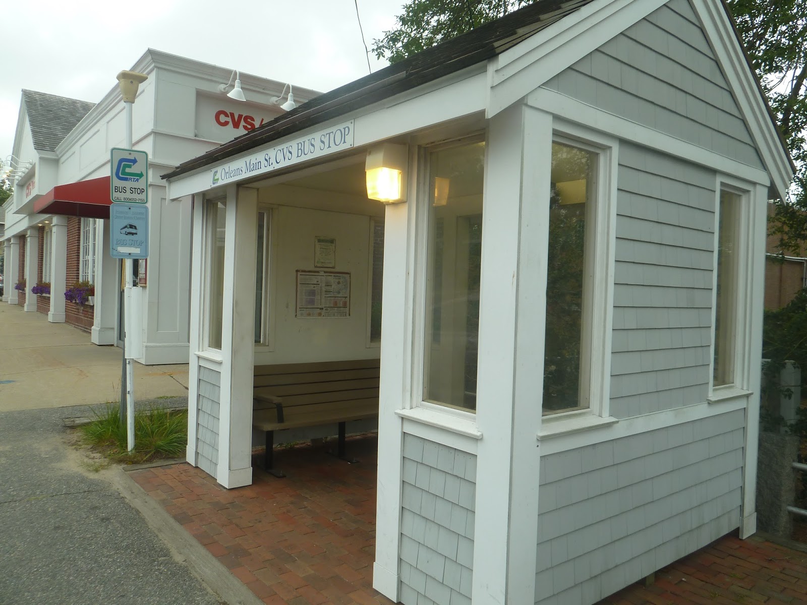
Soon we turned onto Rock Harbor Road, then entered a rotary. Exiting onto Route 6A, there were lots of businesses here, all with big parking lots. But the biggest parking lot in town was clearly the Stop and Shop we pulled into. This was where we were going to get out to transfer to the H2O route to Hyannis – that was supposed to leave at 3:30 and it was 3:15, so we had plenty of time.
 |
| Welcome to scenic Cape Cod… |
However, as we were pulling into the Stop and Shop, there was an H20 leaving towards Hyannis. “Is that the bus to Hyannis?” I asked the driver. He said it was, so I asked why it was leaving 15 minutes early. Well…turns out it was 45 minutes late. But since the 2:30 bus was so late, who knows how long we would’ve had to wait for the 3:30 trip?
“You guys going to Hyannis, I can get you onto that bus,” the driver said. He explained that the H2O route has to make a circuitous run to Orleans Center, while the Flex runs there directly. He told us exactly where to get off, and gave us directions to where the H2O stops. Thanks to him, we were able to get on the H2O, and it was really nice of him to help us like that. Honestly, I think the driver might’ve been my favorite part of the Flex, what with his help at the end, as well as the long stop at Dunkin’ Donuts. Aside from that, though, it’s a very interesting, albeit long route that’s worth taking – at least if you’re a transit nerd. Next time, we’ll be taking a look at the H2O to Hyannis!
 |
| Two shots of the bus in Orleans. |
 |
| A quick picture of the Flex’s bus shelter. |
Cedar Grove
Well, this is an anticlimactic place to end. Not that Cedar Grove is a bad station or anything, it’s just…you know, a typical MHSL station. It’s also in the shadow of Ashmont, with one being visible from the other. But Cedar Grove is no Ashmont – this is yet another ultra-local station.
 |
| Looking at both platforms. |
 |
| The first of two entrances. |
 |
| Um…am I supposed to be back here? |
 |
| Boy, that Ashmont is remarkably close, isn’t it? |
Butler
Jeeves! Bring me a fine cup of tea, please! Hang on, Butler’s a street? Butler Street? Oh…well that makes this station significantly more boring, then. Despite having no actual butlers, though, Butler Station is a unique one. Let’s see why.
 |
| Ta-da! A center platform! |
 |
| All right, parking! |
 |
| The other exit. |
 |
| A train coming in. |
Milton
This is probably the most “urban” station on the MHSL that’s not Mattapan or Ashmont. Plus, it’s below grade. That’s right, there’s none of that level crossing stuff here. So let’s head down to the Lower Mills for a look at Milton Station.
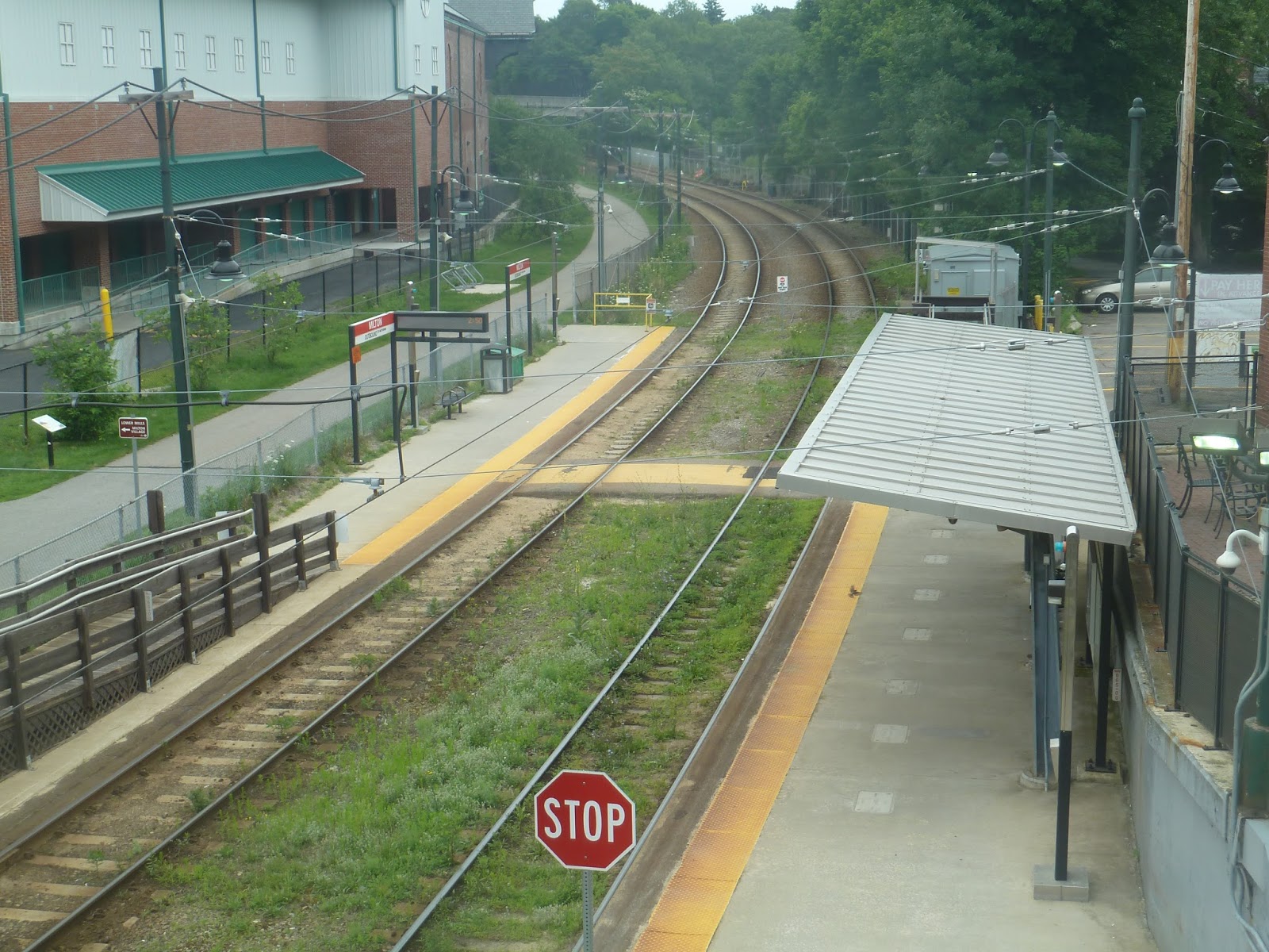 |
| The station…viewed from above. |
The platforms are standard for the MHSL. Luckily the shelter on the inbound side has a bench under it this time, unlike Central Ave. The outbound platform also gets a bench, and both of them have wastebaskets and wheelchair ramps.
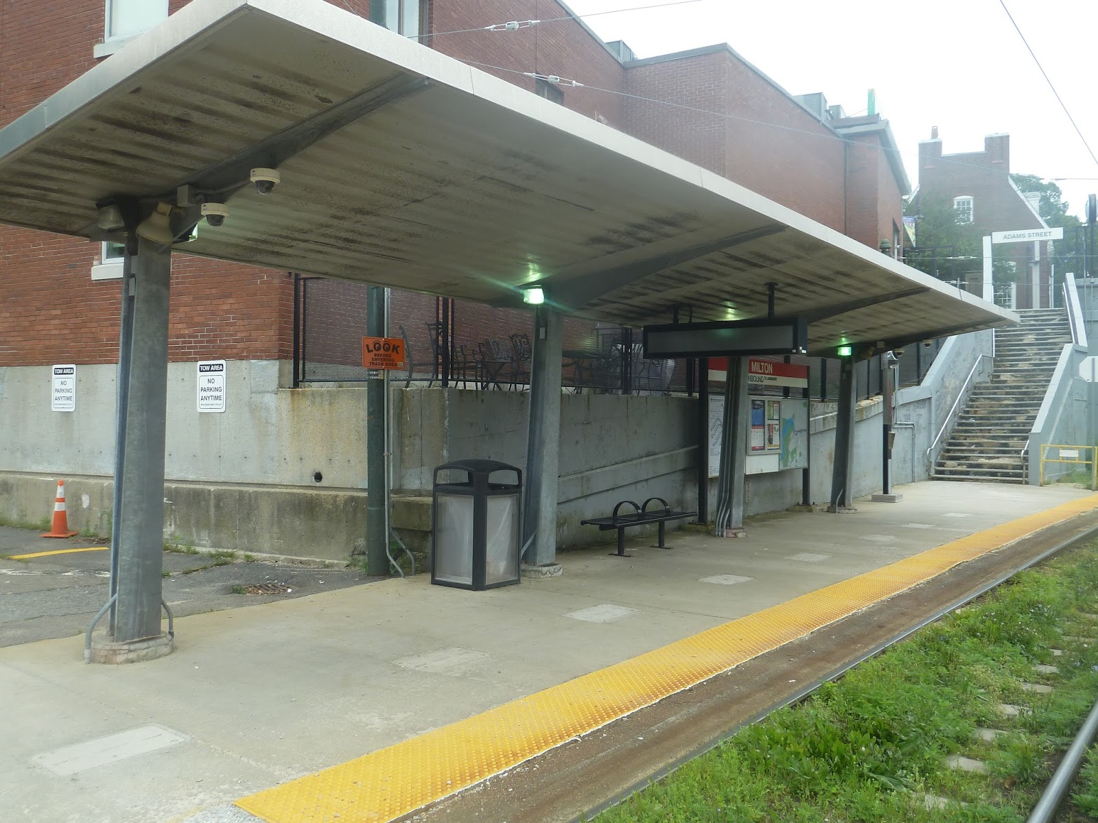 |
| The inbound platform. Also in view are the stairs to Adams Street. |
One of the entrances is a simple set of stairs leading from the inbound platform to Adams Street. This one obviously isn’t accessible, but it’s a direct way of getting up to the street, so that’s good. There’s also an accessible entrance that leads to the pedestrian Neponset Trail, as well as the parking lot. That’s right, this station offers a whole 41 spaces! Yet that’s still a higher amount than what’s actually needed.
 |
| A train leaving the station. |
Station: Milton
Ridership: Hmm…well, this is the third most-used station on the MHSL. That said, it’s only got 240 riders per day. I suppose the MHSL isn’t the busiest of lines…
Pros: This station is right in the heart of the Dorchester-Milton Lower Mills historic district, which is a…historic district. From what I’ve seen of it, though, it’s quite nice. As for the station itself, it’s standard for the MHSL, which means it’s pretty good. Plus, it offers a bit of parking!
Cons: Well, the shelter on the inbound side is bland, just like the rest of the MHSL. I mean, that’s all I can come up with. This is a nice little station.
Nearby and Noteworthy: There are lots of businesses and old-style architecture in the Lower Mills district. Do I have anything specific? Nope.
Final Verdict: 9/10
Only a few posts ago, I said that MHSL stations can’t get 9’s, because “it just doesn’t happen.” But there just isn’t much wrong with Milton. I mean, there’s even a parking lot here! Yeah, I’m breaking my rule, but this is a great station.
Latest MBTA News: Service Updates
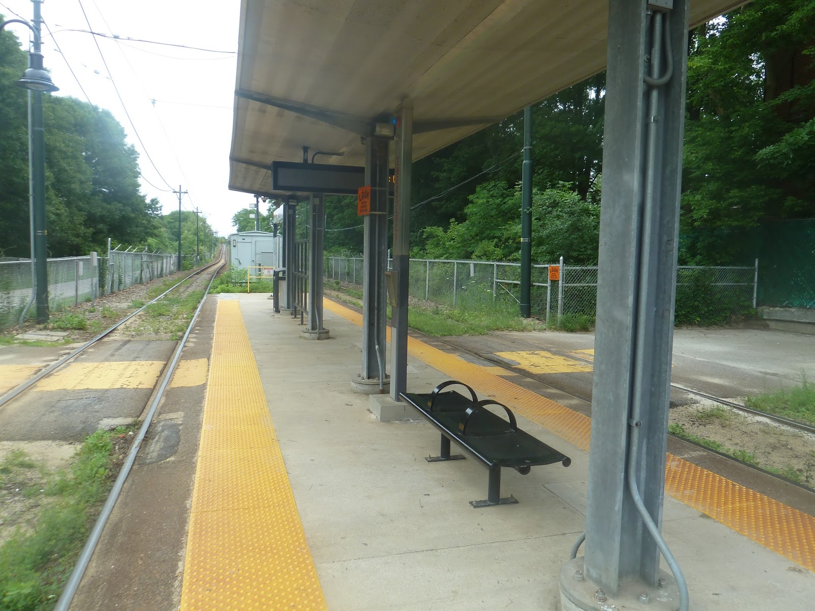
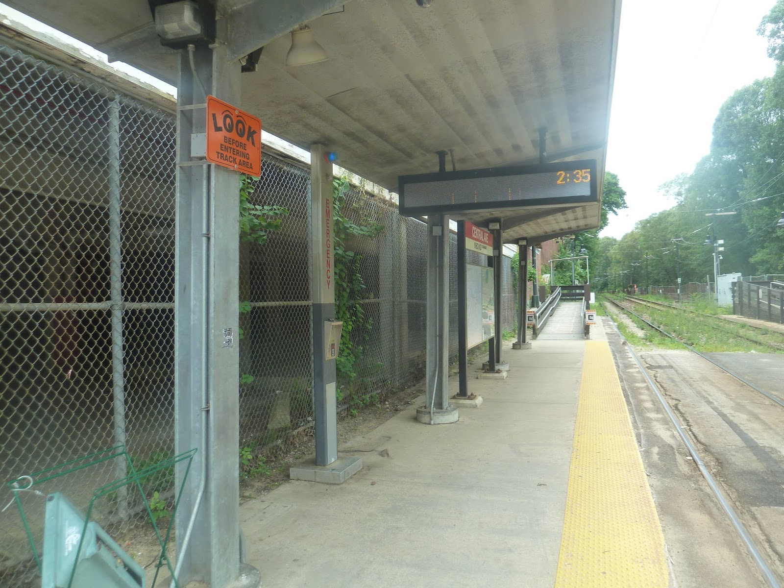
Central Avenue
Ah, now we’re returning to civilization! Though I have to ask – why did they build a level crossing here? I mean, Central Ave is a busy street! Not only that, but there aren’t barriers that come down when a train comes through. Maybe you don’t “do” that with light rail, but it seems like a potential safety issue. Well, anyway, let’s take a look at Central Ave.
 |
| I probably should’ve waited for that train to leave… |
Okay, the layout of these platforms is ridiculous. The inbound side has a shelter but no bench, while the outbound side has a bench but no shelter. Really? I mean, at least put a bench under the inbound shelter for a nicer waiting experience. This just really frustrates me.
 |
| The inbound platform. |
The station also has a very dingy feel to it. On the inbound side, there’s a chain link fence between the platform and…I don’t know, the foundation of a building or something. There’s also a totally busted payphone and a beat-up recycling bin. Yeah, Central Ave is not my most favorite of stations.
 |
| A train coming into the station. |
Station: Central Avenue
Ridership: This is the second most-used station on the MHSL, yet it’s only a third of Mattapan’s ridership. Central Ave gets 521 riders per weekday, and like the rest of the MHSL, they’re mostly locals.
Pros: Well, Central Ave is accessible, which is a plus, I guess. And it’s in a reasonably busy area, so it serves a lot.
Cons: But the fact that it’s busy makes the level crossing more annoying. What if there’s traffic and the trolleys can’t make it through? Also, what if a collision were to occur? There aren’t any barriers, after all. Other than that, the platform layout is just ridiculous, and the station feels pretty dingy overall.
Nearby and Noteworthy: There are businesses close by, both south and north of the station. Of course, I have nothing specific.
Final Verdict: 4/10
This was definitely my least favorite station on the MHSL. It’s dingy, the platform layout makes no sense, and the level crossing is an annoyance. I guess it does get somewhat high ridership, at least for the MHSL, but there aren’t any benches to sit at for those going to Ashmont. They just have to stand, I suppose.
Latest MBTA News: Service Updates