Fairmount
Okay, guys, I have another pronunciation problem. So, based on the way Fairmount is spelled, I’ve always assumed the second syllable is pronounced like “mountain”. But according to a local I met on my walk to the station, it’s pronounced like “Fairmont”. I know I should probably just trust the local, but I have to ask you guys: “Fairmount” or “Fairmont”? Well, anyway, let’s talk about the station.
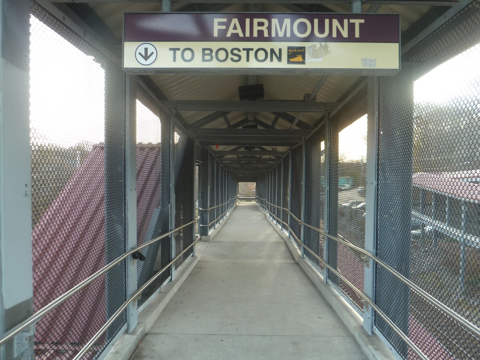 |
| The inbound entrance. |
There are two different ways of getting into Fairmount. The first of these consists of pedestrian ramps from Fairmount Ave that lead down to the station. There are two of them (one for inbound and one for outbound), and both have T symbols outside. The ramps themselves are long, curving around in order to make it down to the platform. Luckily, there are also stairs to speed things up for people who don’t need the ramps.
 |
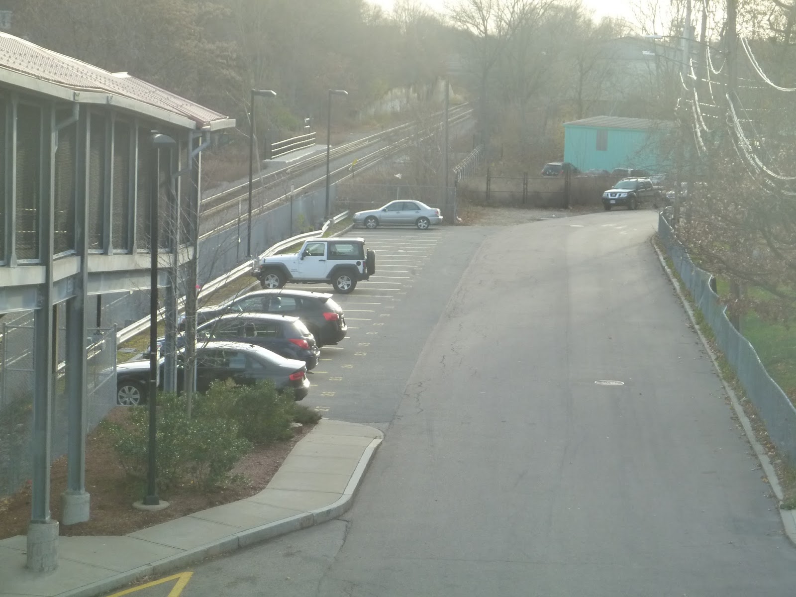
| Hmm…that road there…I’m not sure if it’s in the best condition… |
The other way of getting into Fairmount is by road, and there are two different ones that go there. The first is a short street off of Fairmount Ave called 3rd New Way. It’s a steep, treacherous road that comes down to a mostly unpaved drop-off area next to the station – and that’s about it, aside from some sheltered bike spaces. Perhaps we should try the other side?
 |
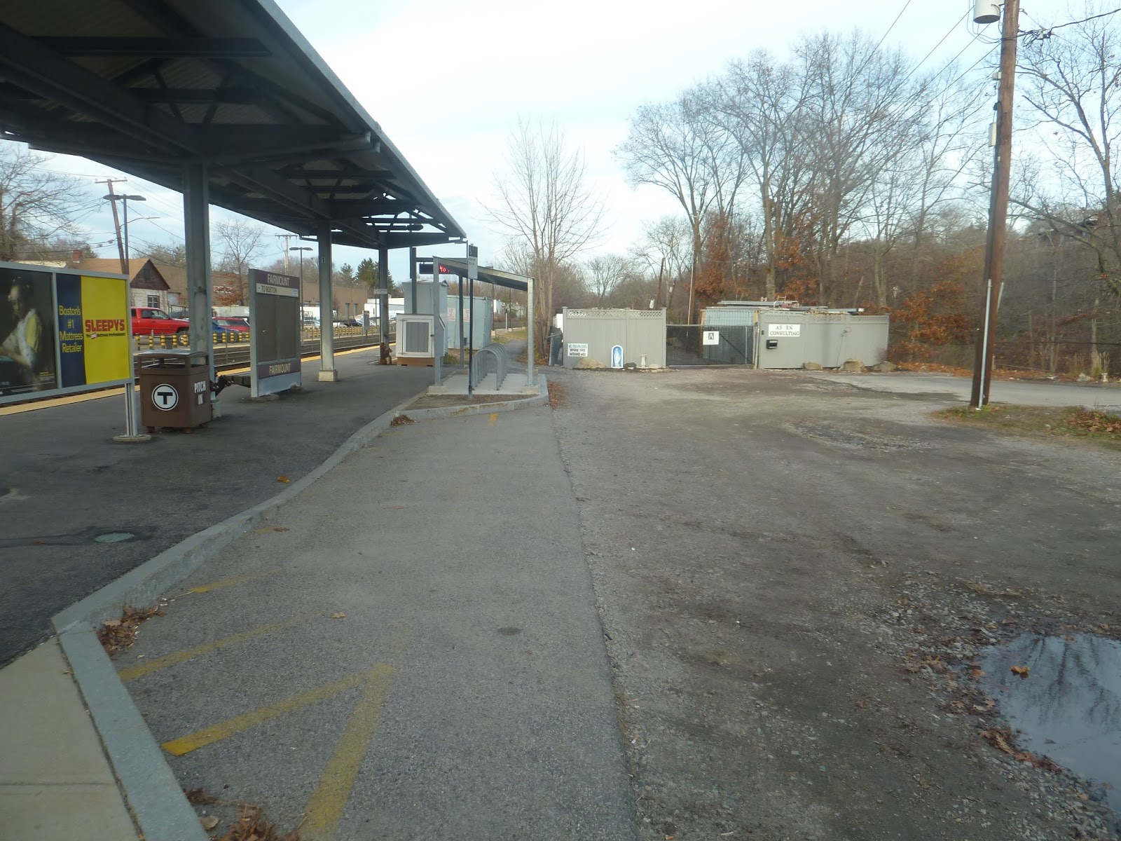
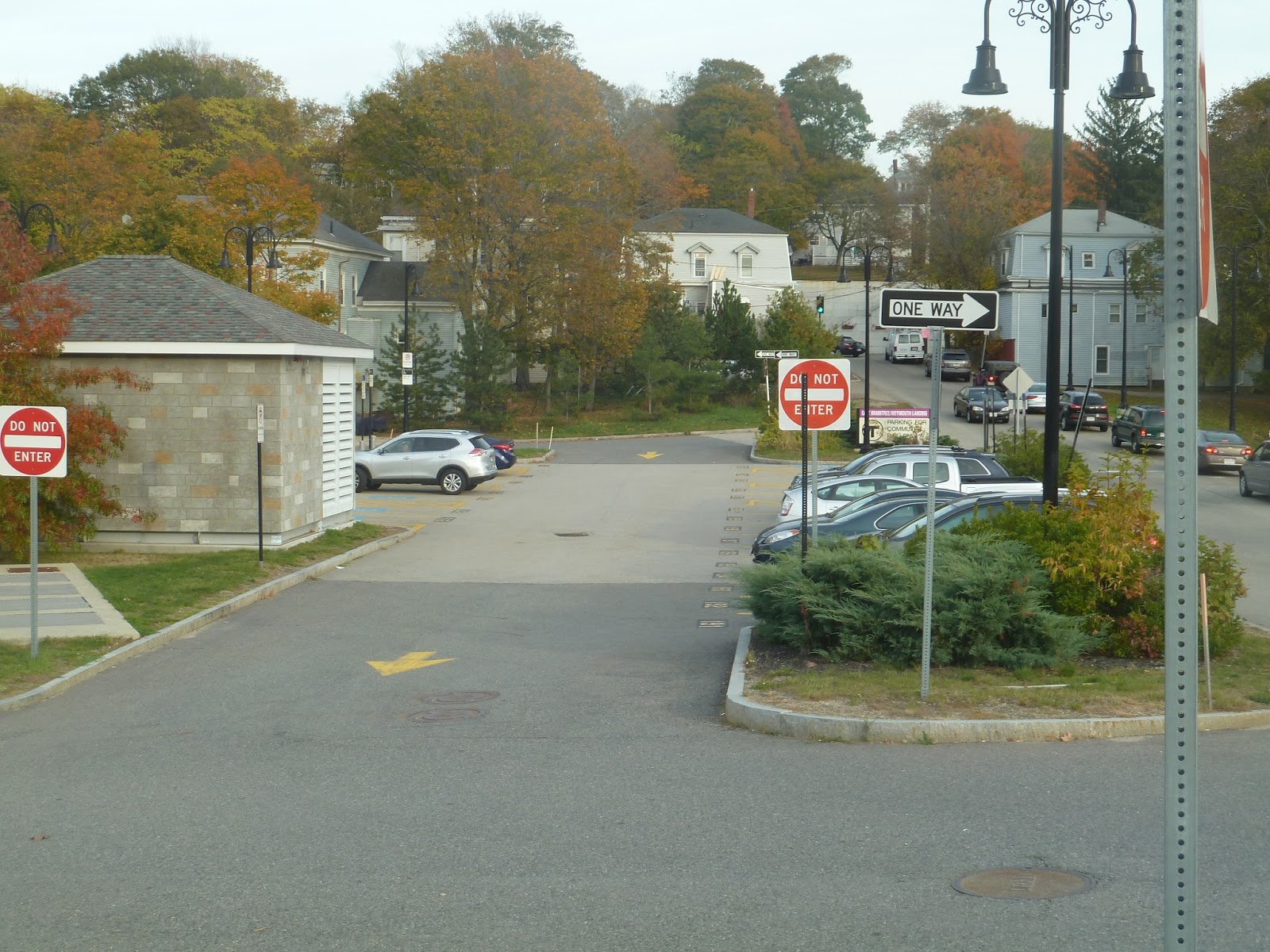
| Some of the station parking. |
Luckily, the other side is less nerve-racking. 2nd New Way is significantly less steep and is actually paved all the way. Additionally, Maple and Walnut Streets go to this side of the station, coming from residential areas that would normally take a long time to access from Fairmount Ave. This side of the station is also where the parking is, and though there are only 51 spaces, most people get here by other means, so the lot usually has free space.
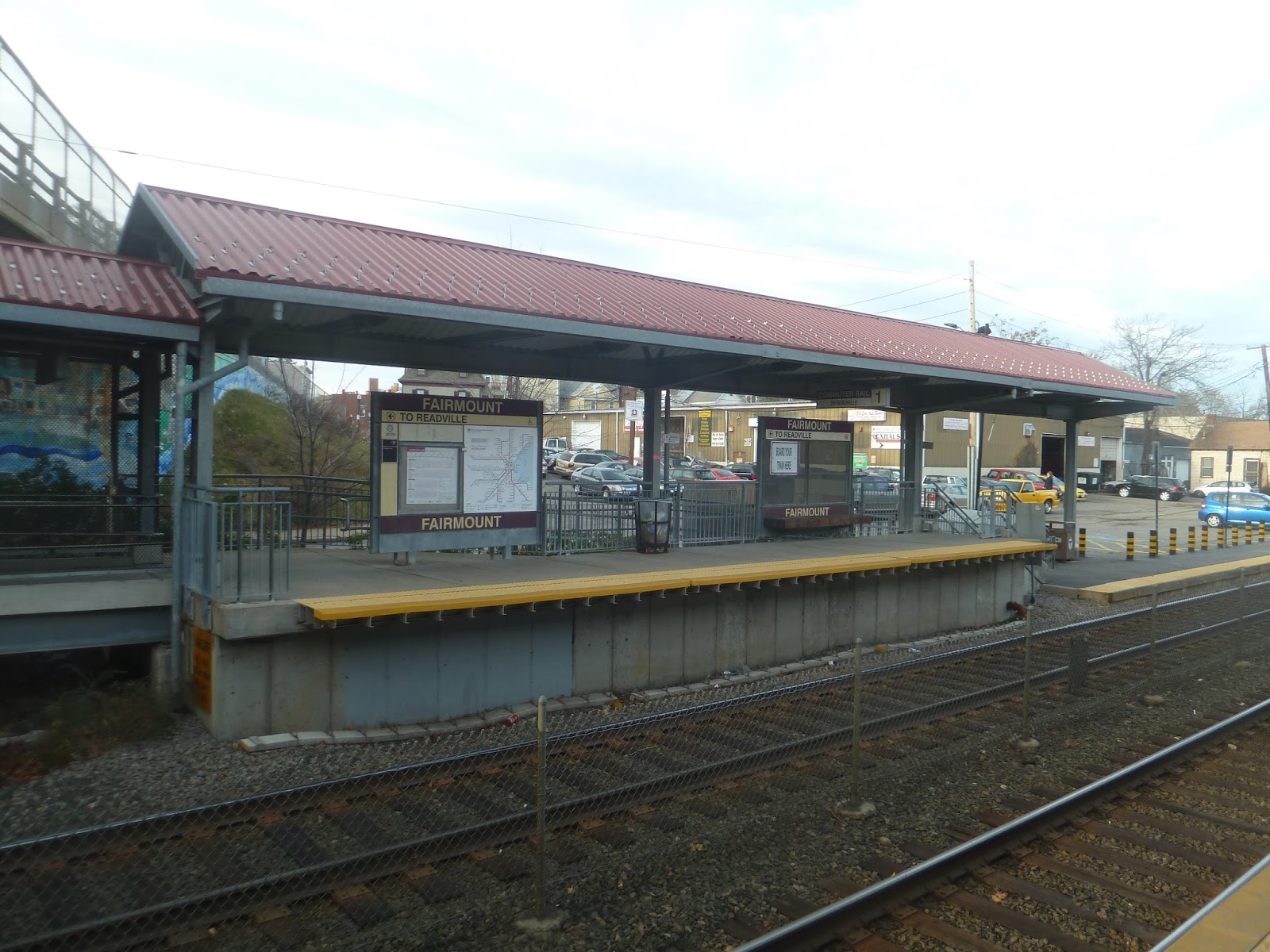 |
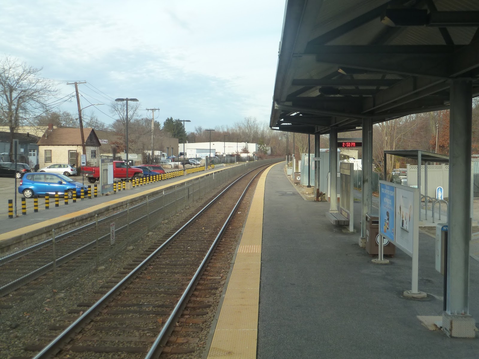
| The outbound boarding platform. |
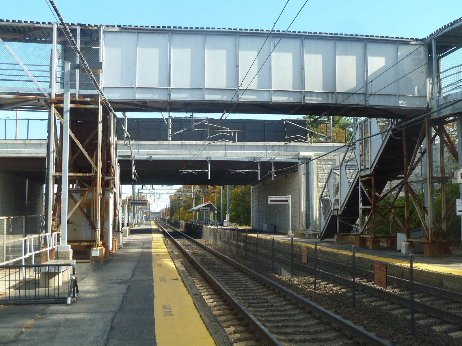
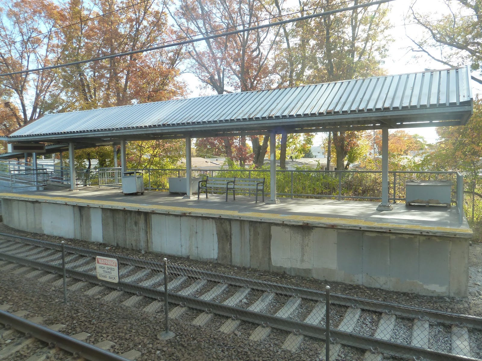
Fairmount is the only station on the Fairmount Line (besides Readville) that isn’t fully high-level. Instead, the station has smaller high-level boarding platforms. Personally, I think this setup has more character, but ultimately high-level is more efficient. Nonetheless, the ramps from Fairmount Ave lead directly to the boarding platforms, which have benches and wastebaskets. A weird quirk about the platforms, though, is that there’s a gap between the platform itself and the yellow part close to the tracks. I’m not sure why, but it’s odd – doesn’t seem like it would be dangerous, though.
 |
| The low-level part of the platform. |
Aside from the inbound shelter extending a bit past the boarding platform, there really isn’t much along the low-level section. It is important to note, however, that you can’t cross over the tracks here. In order to get to the other side, you have to go up to Fairmount Ave and walk over. I guess the street above acts as a footbridge of sorts for pedestrians, but I can see it being annoying having to go up and down those stairs. Why can’t there just be a level crossing like at other stations?
 |
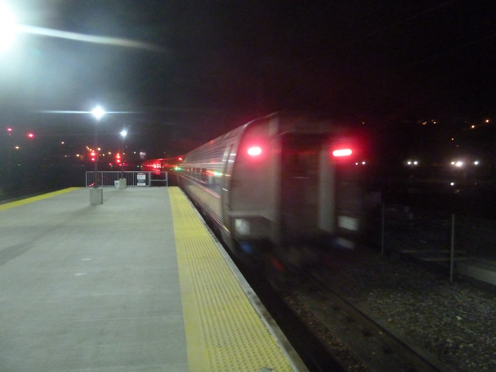
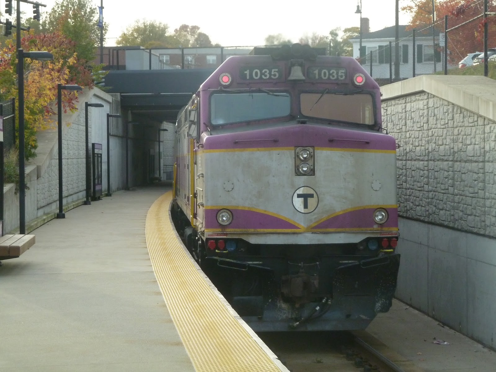
| A train was leaving right when I was coming to the Fairmount Ave entrance, so I had to quickly snap this picture from above. |
Station: Fairmount
Ridership: In fairness, this is the second-busiest station on the Fairmount Line. That said, it’s the Fairmount Line, so that doesn’t mean much. This station gets an average of 188 inbound riders per weekday, and I believe many of those people come in by foot. That’s based on the fact that the parking lot really doesn’t get much usage at all.
Pros: Well, speaking of the parking lot, it’s great that there is one, even if it’s not utilized by many people – better safe than sorry. In addition, I think this might be the only Fairmount Line station with any form of character. I mean, the red shelters over the platforms look better than any of the bland stuff you’ll get further north.
Cons: The only problem I have with this station is the lack of a level crossing for pedestrians. For example, if someone wants to get dropped off on the inbound side, the two options are using the treacherous 3rd New Way, or using 2nd New Way and crossing over via two sets of stairs.
Nearby and Noteworthy: The businesses of Logan and Cleary Squares are only a few blocks from this station – it’s a short walk.
Final Verdict: 8/10
The absence of a level crossing isn’t enough to deter Fairmount! Honestly, it’s probably just for safety that crossing the tracks is prohibited. That said, if safety is an issue, then 3rd New Way has to be improved, because…whoof, that’s a scary road. Of course, 2nd New Way is a fine alternative, and that street leads to the parking lot, too. Besides, Fairmount’s platform is pretty nice and accessible for people with disabilities. I haven’t traversed the whole Fairmount Line yet, but I think this is my favorite station on it so far.
Latest MBTA News: Service Updates
The Boston Globe had a bunch of articles today about train travel in the United States that were quite interesting. Check them out here.
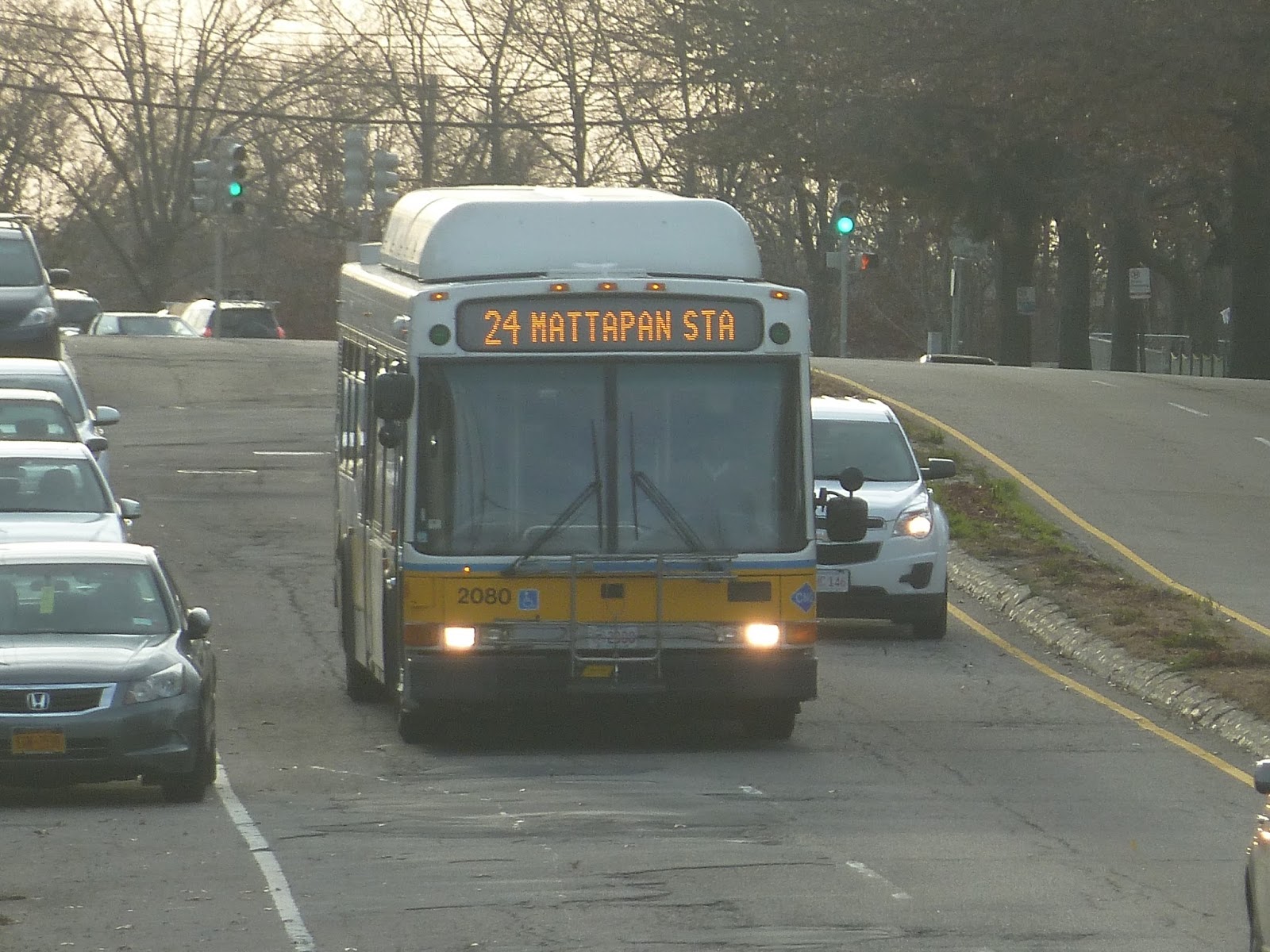
24 (Wakefield Ave and Truman Highway – Mattapan or Ashmont Station via River Street)
A little while back, I reviewed the 33, which runs from Mattapan Station to Dedham Line, via River Street. I wasn’t a very big fan of that route. Now we’ll be looking at the 33’s companion along River Street, the 24, which goes to Fairmount. Does it stack up more favorably than the 33? Let’s find out.
 |
| Wooooooah, that’s a weird angle! |
Leaving the busway at Mattapan, we looped around onto River Street. We avoided the main drag of Mattapan Square, however, by simply continuing straight on the same street. Leaving Mattapan’s businesses behind, River Street was mostly lined with dense houses.
 |
| Crossing over the Fairmount Line. |
Eventually, the road went onto a bridge, going over the Fairmount Line. On the other side, we passed a shopping plaza. then it got a bit industrial. There were auto shops and empty plots of land lining the street for a little while. It got residential after that, though, with individual houses, as well as a few apartments.
 |
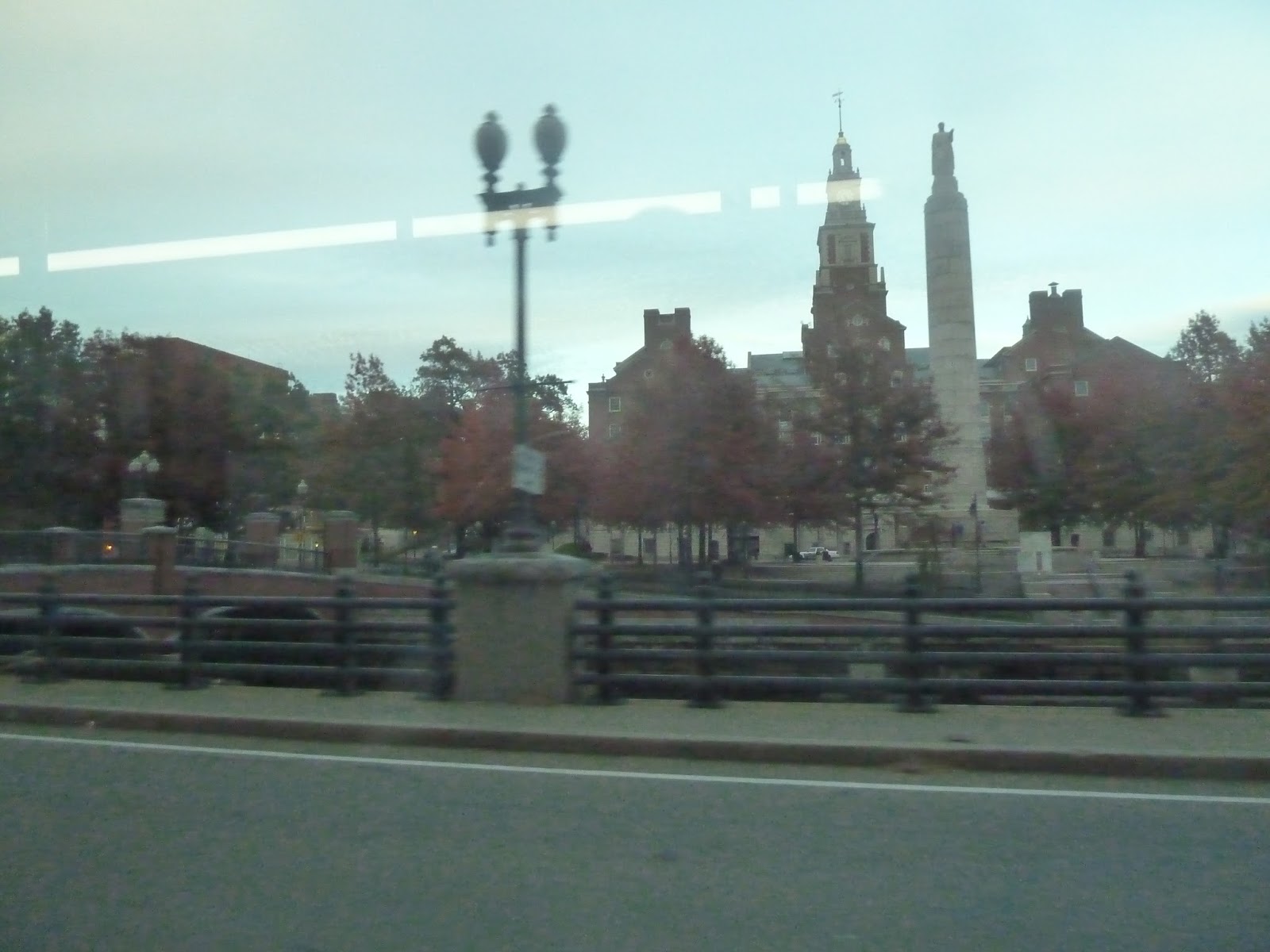
| A clock tower in Logan Square. |
Eventually, the street became lined with businesses as we entered Logan Square. This was where we split from the 33, turning onto Fairmount Ave. After passing some more retail, we went up onto a bridge, crossing over Fairmount Station, then the Neponset River.
 |
| This wasn’t taken from the bus, but here’s the Neponset River, seen from Fairmount Ave. |
Now we came to the main part of the 24, which is a loop around a neighborhood of Hyde Park. It was very local and very twisty, and it started right when we left the bridge. Turning onto Beacon Street, we rose up a steep hill with houses on either side of the road. At the top, we turned onto Metropolitan Ave, passing the small Boston Baptist College.
 |
| Looking down a side street. |
We then turned onto Summit Street, going into Milton for the very briefest of moments before returning to Hyde Park. From there, we turned onto Milton Ave, which had no sidewalk and more spread-out houses. Once we were on Highland Street, though, the houses were denser again.
 |
| Another side street. |
The road made a few sharp twists, becoming Pond Street in the process. Reaching the end of that street, we turned onto Williams Ave, then Summit Street again, passing the Boston Police Academy. This road changed names twice as we went along, becoming Washington Street, then Wakefield Ave.
 |
| A nice-looking park. |
Around that last name change, we went by a school on one side and a park on the other. We then turned onto Truman Highway, reaching a shelter. Right across the street from a small shopping plaza, this was the last stop of the route.
 |
| The bus further down Truman Highway. |
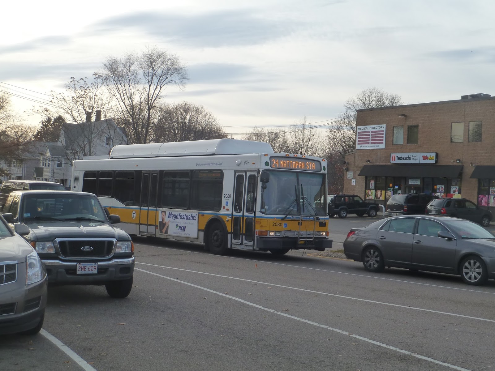 |
| The bus getting ready to turn onto Fairmount Ave. |
Providence
Whenever I pass through Providence Station on Amtrak, I always look out onto the platform and think “Man, this place looks horrible.” And when I was walking toward the station and saw the exterior, I assumed the rest would be just as bad. Boy, was I wrong.
 |
| Well, let’s start with the bad part… |
Okay, I guess I can sort of see the appeal of Providence’s brutalist building. The dome looks alright, and the fact that the clock tower isn’t a perfect square is interesting. But, I mean, it’s quite bland, isn’t it? The clock tower is just a big concrete slab rising up from the building – which in itself is another concrete slab with a dome on top.
 |
| At least it’s well-lit… |
My friend and I approached the station from the southwest, which seemed to be the uninviting side, though it did have a few useful amenities. That side has an open concrete area with a few bike spaces, which is a good thing. There’s also a café that was closed at the time, though I will say that it looks like it would be pretty good when open. But there were only two single doors into the station, and one of them was locked!
 |
| One of the station’s main entrances. Also, my friend Michael makes a cameo. |
Luckily, the station’s main entrances are more inviting. There’s one to the north on Gaspee Street and one to the south on Railroad Street. They’re pretty similar, and they’re both significantly more inviting than the entrance by the bike area. The Gaspee Street side has connections to four RIPTA routes, while the Railroad Street side functions as a drop-off/pick-up area. However, with the latter, you can walk a block to Park Row, where RIPTA’s R-Line rapid bus stops.
 |
| The underground parking garage. |
The station has 330 parking spaces, all housed in a two-level underground garage. Considering that this is an urban station that’s pretty close to the hub of most RIPTA routes, it seems like the existing parking is plenty. Although the elevator used to get down to the garage is a bit disgusting, the stairs are fine and the garage itself is…well, a generic parking garage, but that’s not a bad thing.
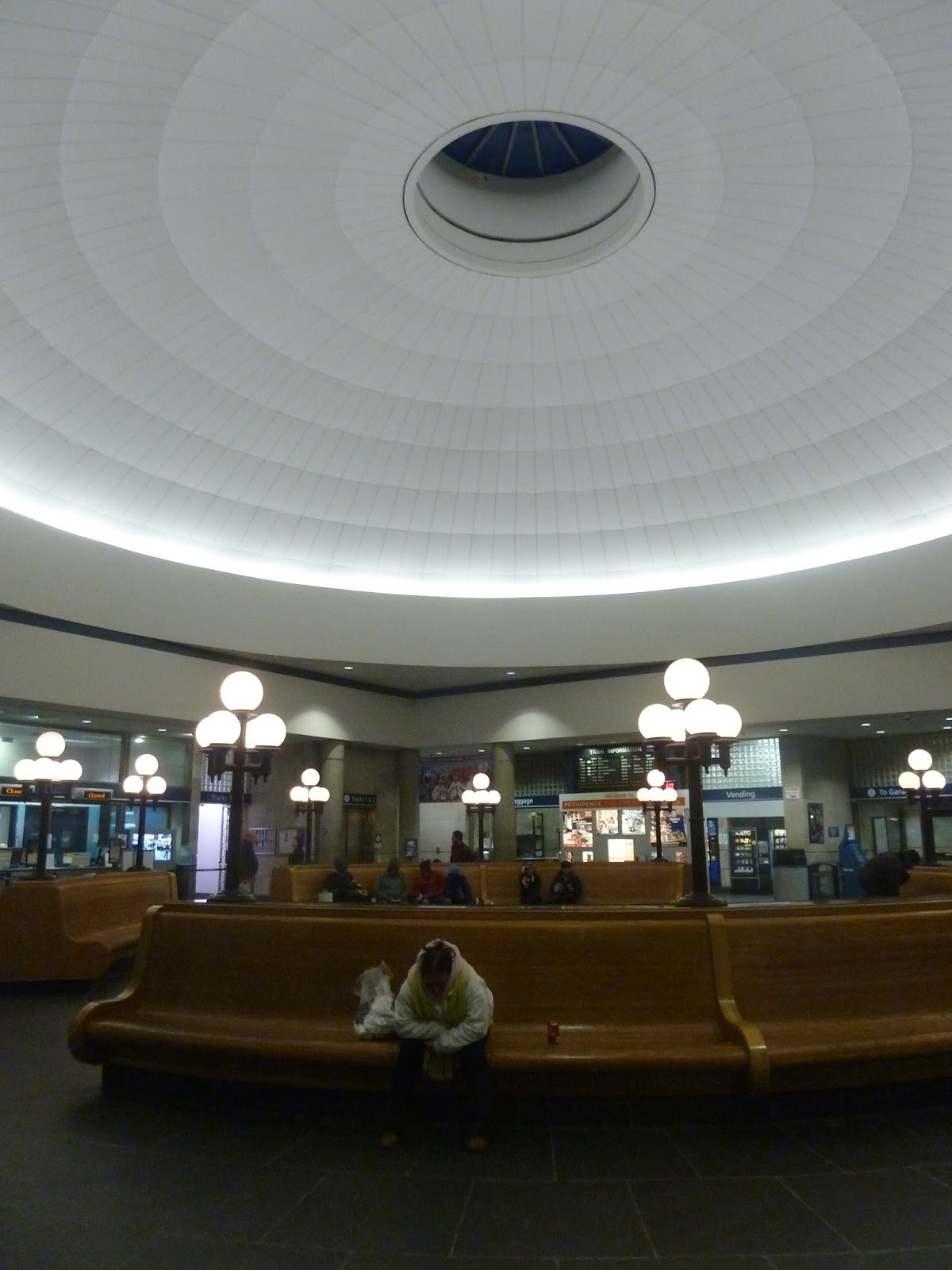 |
| Oh, yeah! Here we go! |
Okay, this station’s waiting area is amazing. Its main attraction is the dome, of course, which is very high up and has a small window at the top. There are benches that circle it, and old-fashioned lamps everywhere to light the place up.
 |
| My camera’s not the best at night pictures, so this was the best one I could get of the ticket office. |
As this is an Amtrak station, Providence has a few ticket booths for last-minute purchases. There are four in total, but I think only Amtrak tickets can be bought there – with the Commuter Rail, you just buy them on the train. Also, unlike South Station, you can go down to the Amtrak platform without a ticket. There’s no “line up to show me your ticket before you even go to the platform” madness like what happens at South Station.
 |
| A few side rooms. |
The station has a few more amenities, located in rooms leading out of the waiting area. For one thing, there’s a telephone room, though most of the payphones are gone. I guess a room like that isn’t going to be too useful nowadays, anyway. There are also bathrooms, and they’re not as disgusting as you might think. Okay, they’re train station bathrooms, so don’t expect to be blown away, but they’re not as bad as other ones I’ve been to.
 |
| The vending machine room. |
Providence even has a room called “Vending”! And that’s literally what it is: a room full of vending machines. I mean, it has every machine you can imagine, from drinks and snacks to those fancy ones that give you coffee and ice cream. Truly, this room is a boon to humanity.
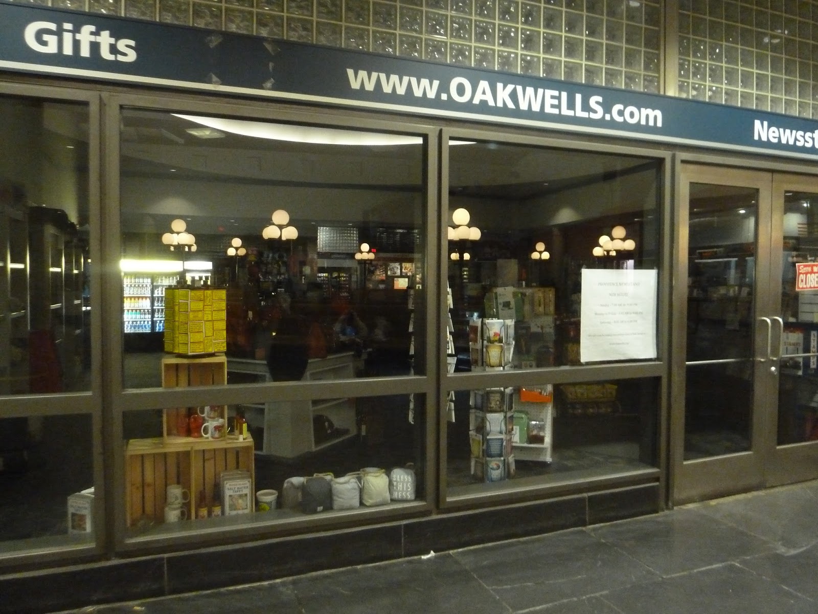 |
| A closed shop. |
There are also a few shops inside the station. The first one is that café I mentioned earlier, which is apparently French. Right outside of it is a flower kiosk – I feel like these show up in train stations a lot, for some reason. Finally, there’s a general-purpose kind of store, with souvenirs, magazines, snacks, and more. Unfortunately, all of these were closed when I was here, but they probably get busy during rush hour.
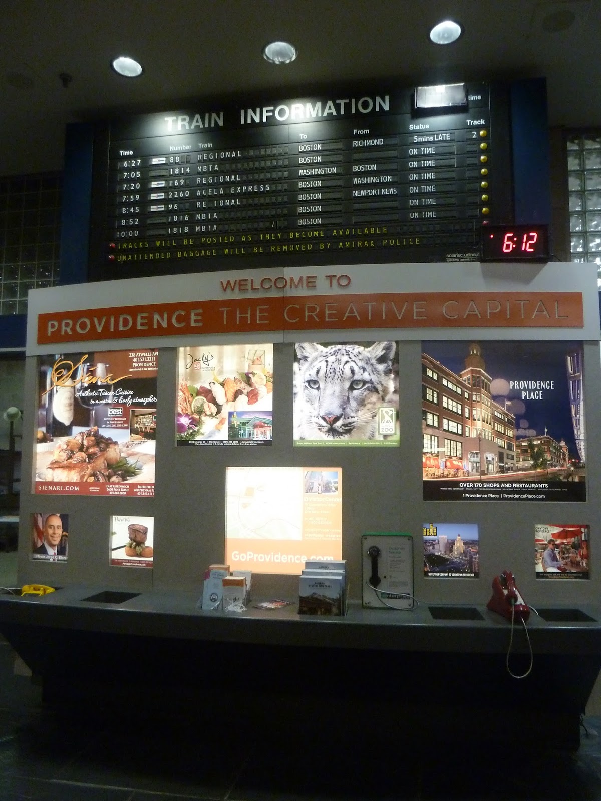 |
| Man, Providence, you just gotta keep blowing me away, don’t you? |
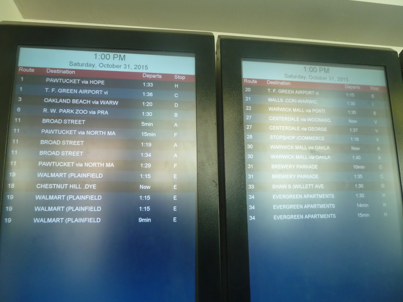
I seriously was not expecting a departure board here, and yet…there it was. Yes, this station has a small departure board showing when trains leave the station. And right below it is this big gaudy display about Providence with information about the city. Okay, so I like the board more, but the Providence display is useful to tourists, I’ll give it that.
 |
| Descending down to the Amtrak platform. |
The station itself is split into two platforms – one is for Amtrak trains, while the Commuter Rail stops at the other. We started with the Amtrak platform, and I gotta say, I was scared going down there. Based on the bland staircase, it felt like Providence would be another Back Bay…
 |
| Hmmmmmm… |
Well…okay, so the platform is certainly not as bad as Back Bay, but it could be better. A lot of the pillars have peeling paint, and there’s graffiti on the station walls. That said, though, the platform is pretty bright, since it has strong lights and white pillars. It doesn’t have any benches, but that’s because passengers are expected to wait upstairs.
 |
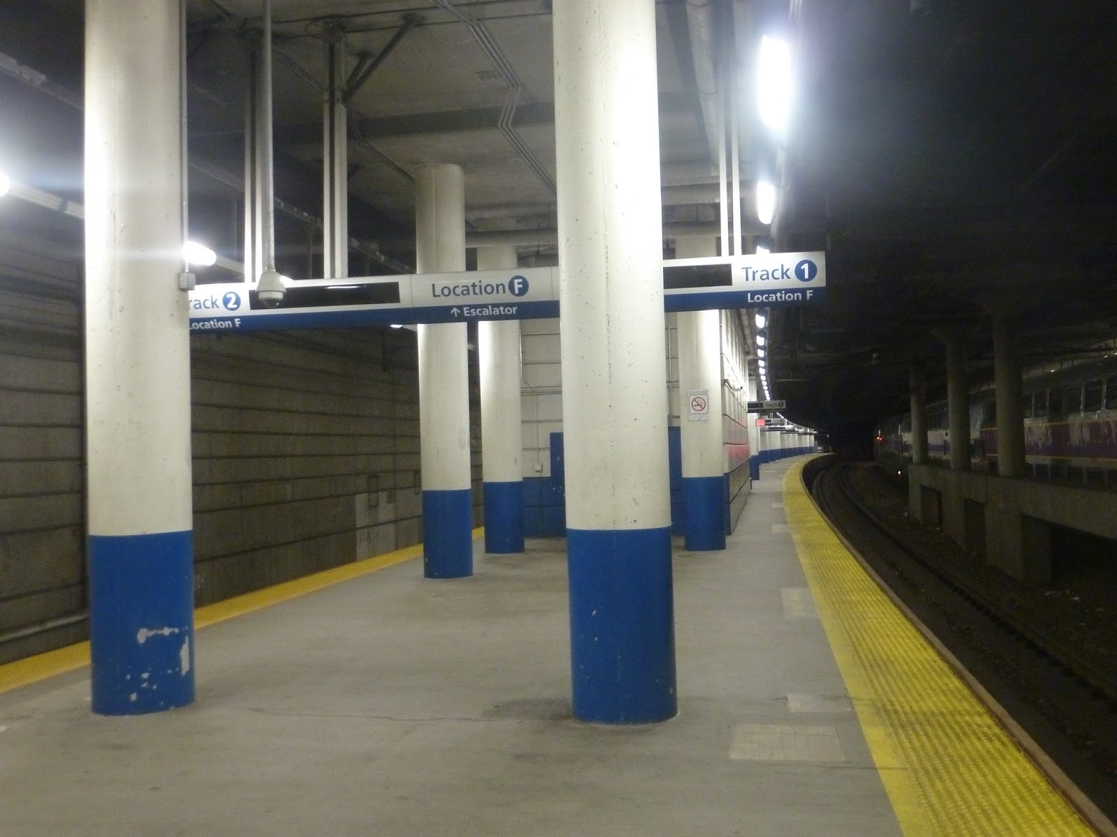
| The Commuter Rail platform. |
The Commuter Rail platform is pretty similar, albeit with different signage. However, it’s also a bit blander, since the walls and pillars are just pure concrete here. That said, aside from a small open-air section on the north side, the platforms are entirely underground, which means they’re entirely sheltered. I would say that overall, they’re a mixed bag – and nowhere near as disgusting as Back Bay.
 |
| An Amtrak train leaving the station. |
 |
| A Commuter Rail train laying over. |
 |
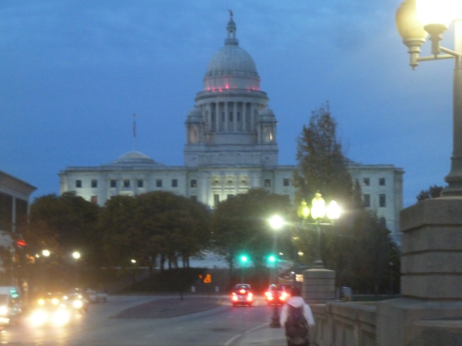
| I’ll admit, I only took this one as an excuse to feature the State House in the background. |
Station: Providence
Ridership: Well, this is actually the busiest Commuter Rail station outside of the downtown Boston terminals, with 2,325 riders per weekday! Also, this is Amtrak’s 14th busiest station in the country, with 660,267 riders annually (over 1800 per day). This place must get awfully crowded during rush hour…
Pros: Everything about the waiting area is absolutely fantastic. I mean, there are ticket offices, shops, amenities, a destination board, and of course, that distinctive dome. There’s nothing about that area I don’t like. The station also has a fair amount of parking and some decent bus connections (with Kennedy Plaza only a few minutes’ walk away), plus the platforms aren’t as bad as…certain other stations. *cough* Back Bay.
Cons: That said, the platforms here can be a bit bland and you do see a few Back Bay-esque elements at times (i.e. graffiti). But there’s nothing too bad, especially considering you don’t actually have to wait on the platforms. I also think the station building is somewhat stark, though I can see how people would like it. It does have a certain charm, and you can’t go wrong with a clock tower.
Nearby and Noteworthy: You know, Providence is often overshadowed by Boston, but seriously, it’s a great city. I wish I could give some specific businesses or attractions, but I just walked around when I was there. But considering that you can just grab the Commuter Rail from South Station and get here in an hour, I really recommend checking Providence out for the day.
Final Verdict: 9/10
It’s weird, I had fully expected that I would hate this place. This was based on short glimpses of the platform and a view of the building, both of which could be better. But the waiting area – it’s just amazing! And honestly, I don’t even mind the building or the platforms too much, since they’re really just a bit bland. Yeah, this station is great, and a fantastic gateway into a fantastic city. Thanks for everything, Providence.
Latest MBTA News: Service Updates
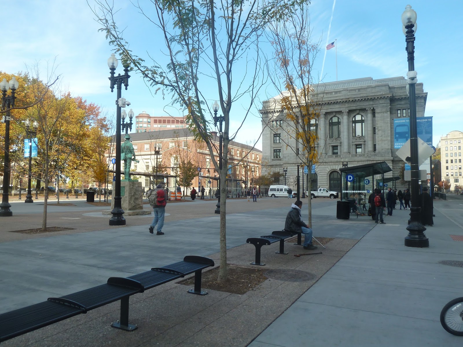
Service Change: RIPTA, Part 3 – Kennedy Plaza (and a few random Providence pictures)
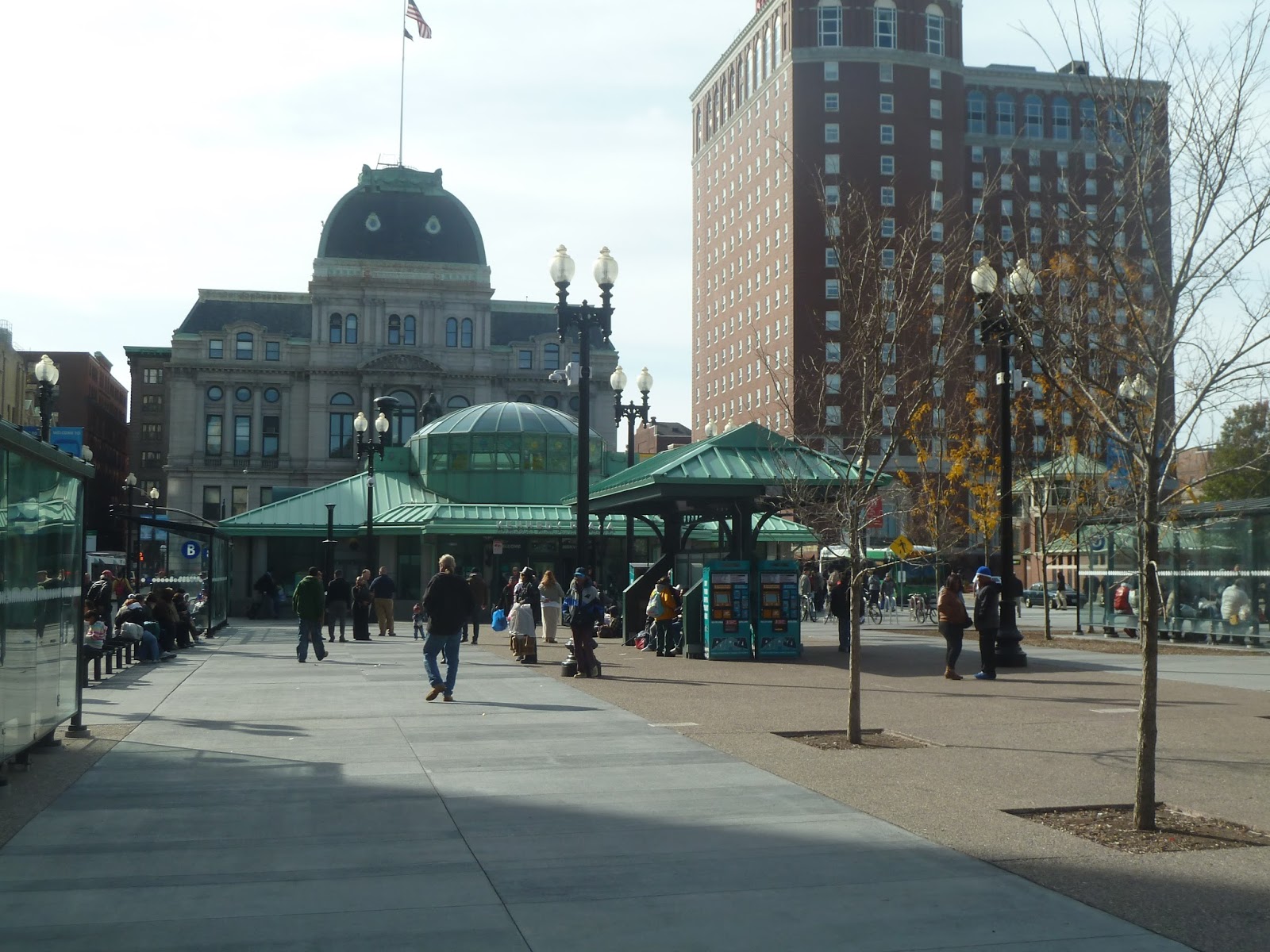
The RIPTA is a big system, but most of its routes come out of three focal points. There’s the Pawtucket Transit Center, the Newport Gateway Center, and the biggest one of the bunch, Providence’s Kennedy Plaza. Serving most of RIPTA’s routes, the Kennedy Plaza can be a little difficult to navigate, but its amenities are top notch.
 |
| Part of the plaza. |
 |
| One of the shelters (Berth G, in this case). |
Outside, there’s quite a lot of seating space to wait for buses. Each berth has its own modern glass shelter with more benches under those. And speaking of berths, the hub has fifteen of them. Plus, some of them are on side streets, which can make them even harder to find.
 |
| Looking toward the main building and Providence City Hall behind it. |
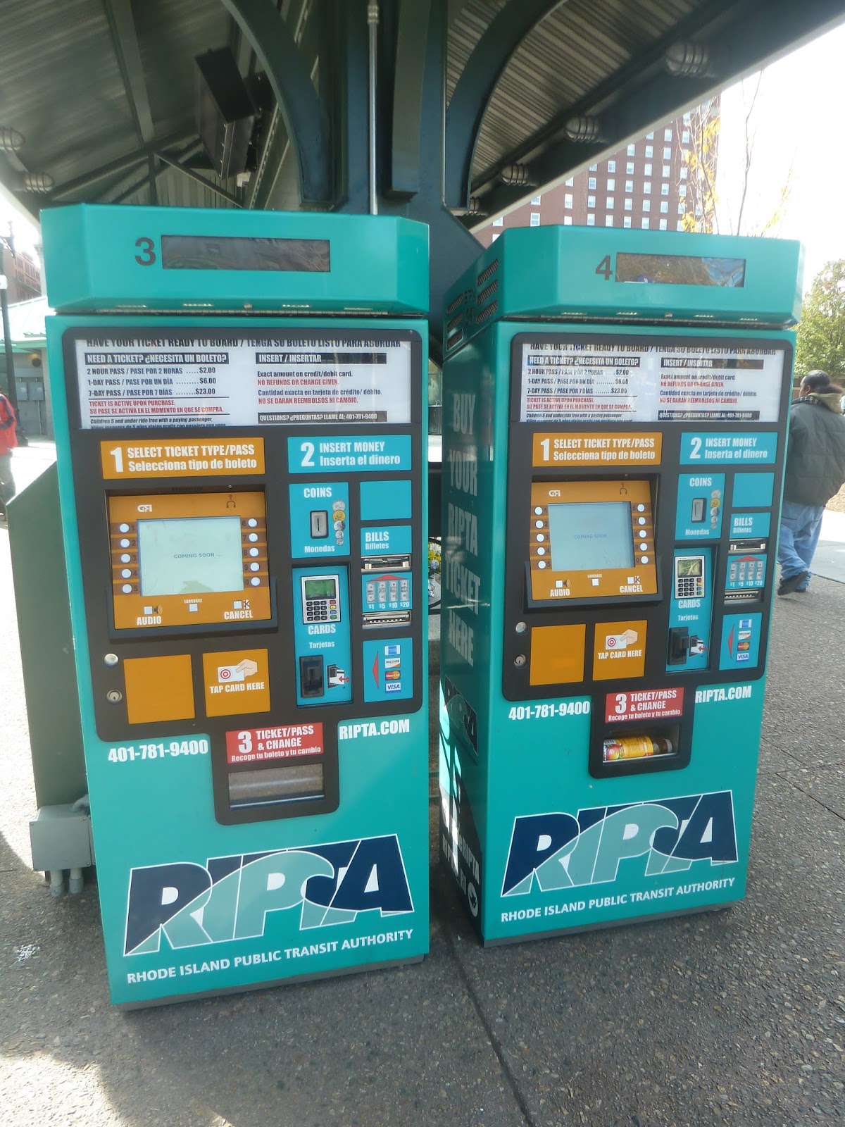 |
| Two ticket machines. |
On the way to the main building, there’s another shelter in the middle of the plaza. Aside from offering a bit more seating, it also has some bright blue ticket machines! I think these are here so people can buy tickets in advance to speed up bus boarding, but I’m not sure how many riders actually do that.
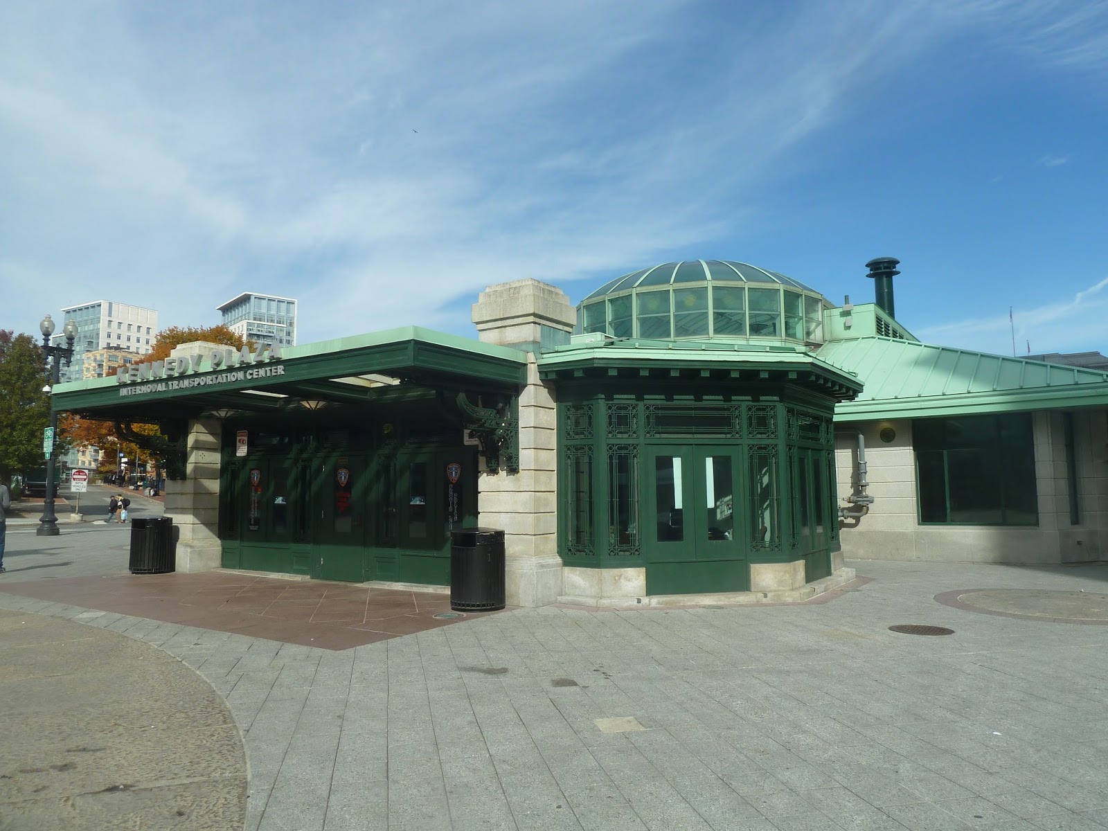 |
| The main building from the City Hall side. |
Kennedy Plaza also has a main building that serves a variety of purposes. On the outside, it’s quite nice, with concrete pillars and some lovely green windows and a green roof. There are a few architectural garnishes on certain parts of the building, which are a nice touch.
 |
| The interior of the building. |
Inside, the building has quite a few amenities. Its main atrium has a big domed glass ceiling, sending lots of natural light into the room. In fact, it gets so bright that other lights aren’t even necessary in the daytime! There’s a ticket/information booth, as well as a bench with an excellent mosaic behind it.
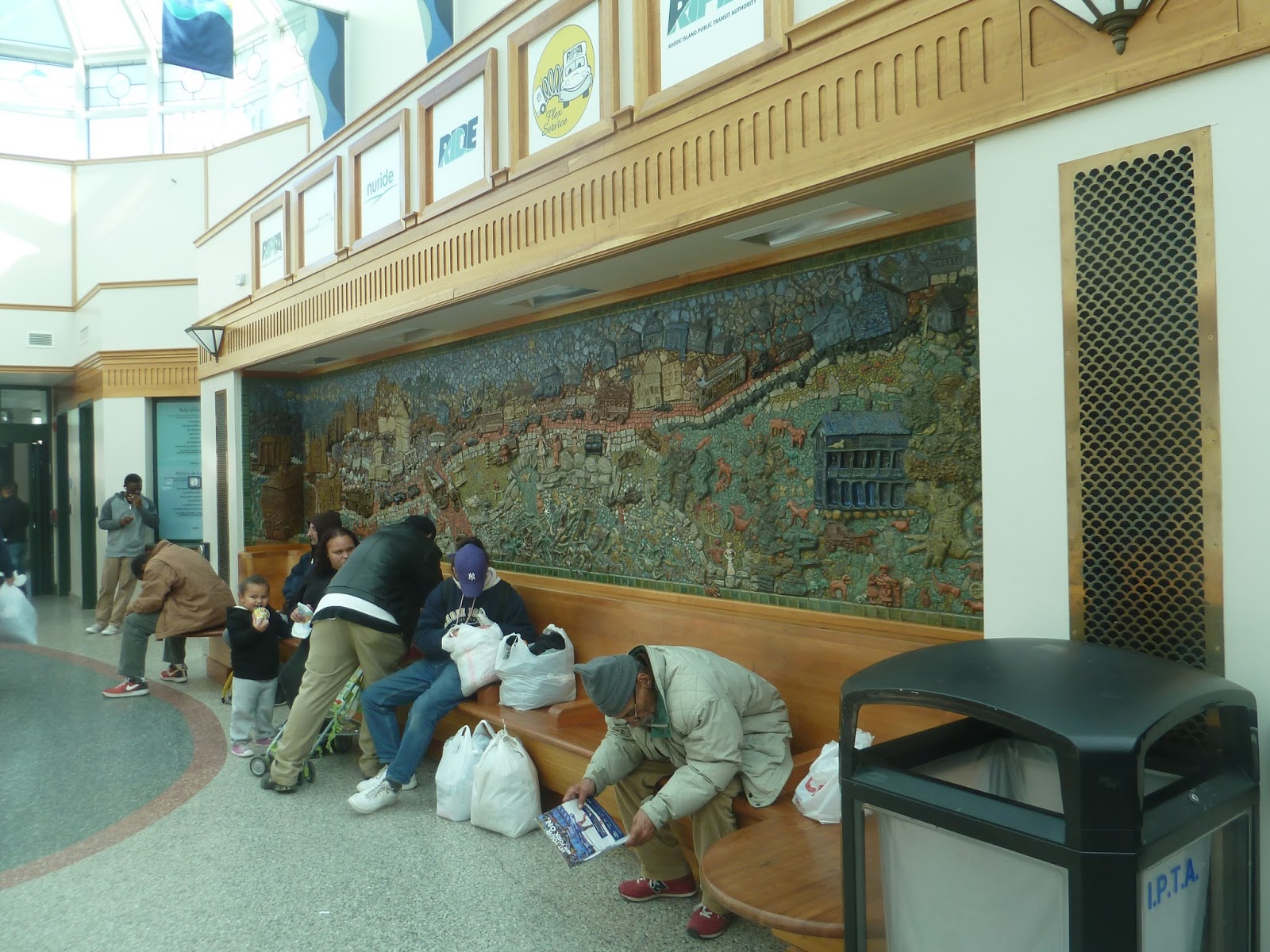 |
| The bench with its mosaic. |
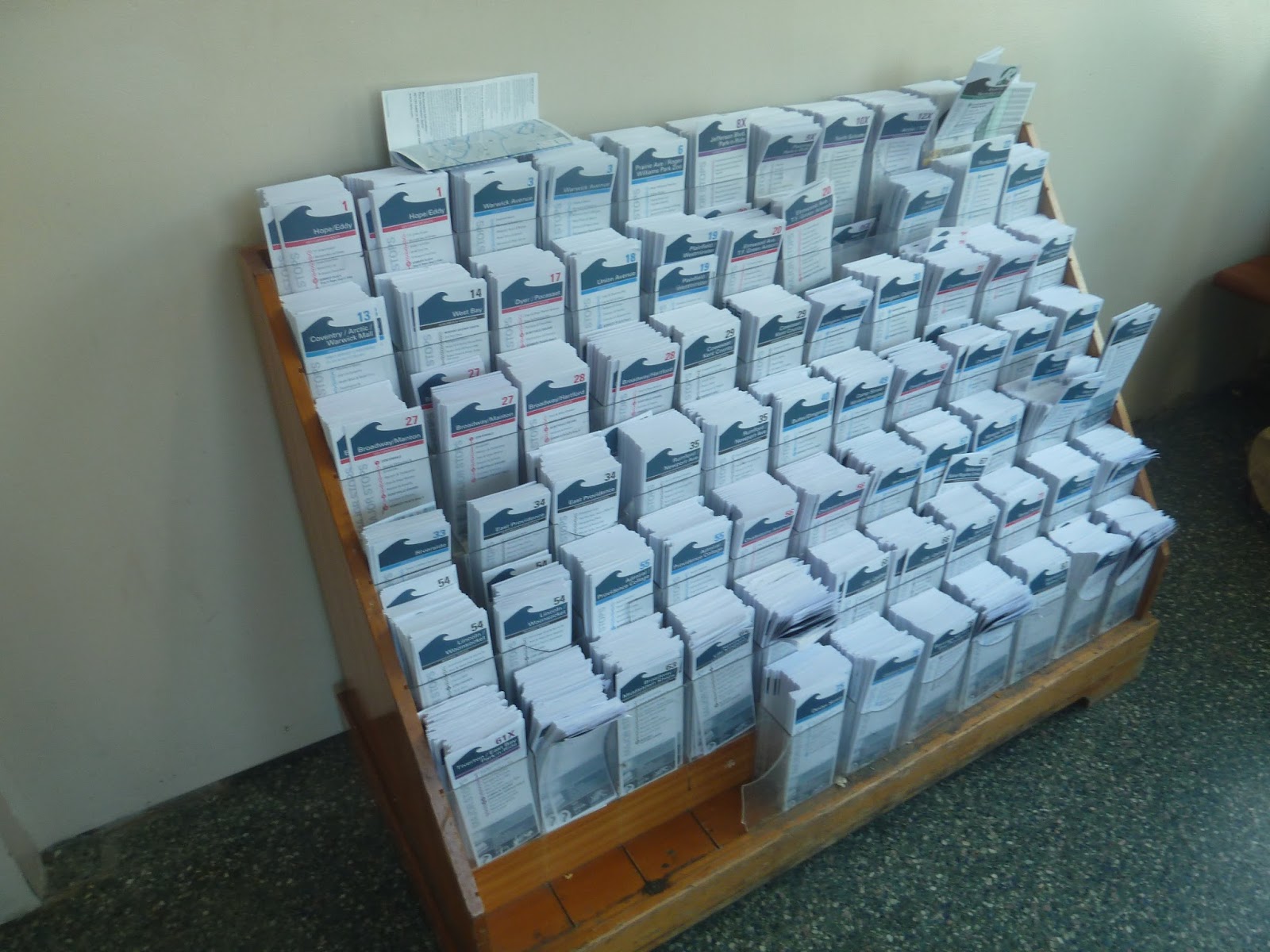
The building has a few other features, as well. For one thing, it has paper schedules of every RIPTA route, all in a big rack. There are also screens with countdown clocks for every bus that stops at Kennedy Plaza! The building has bathrooms and water fountains, too, which are certainly good additions to an already fantastic system hub.
 |
| A couple of countdown screens. |
 |
| That’s a lot of schedules… |
 |
| The sun is starting to set over the plaza… |
 |
| Here’s another view of the Providence skyline. |
 |
| Can I just say that the Providence State House is amazing, even if this is a terrible, blurry picture? |
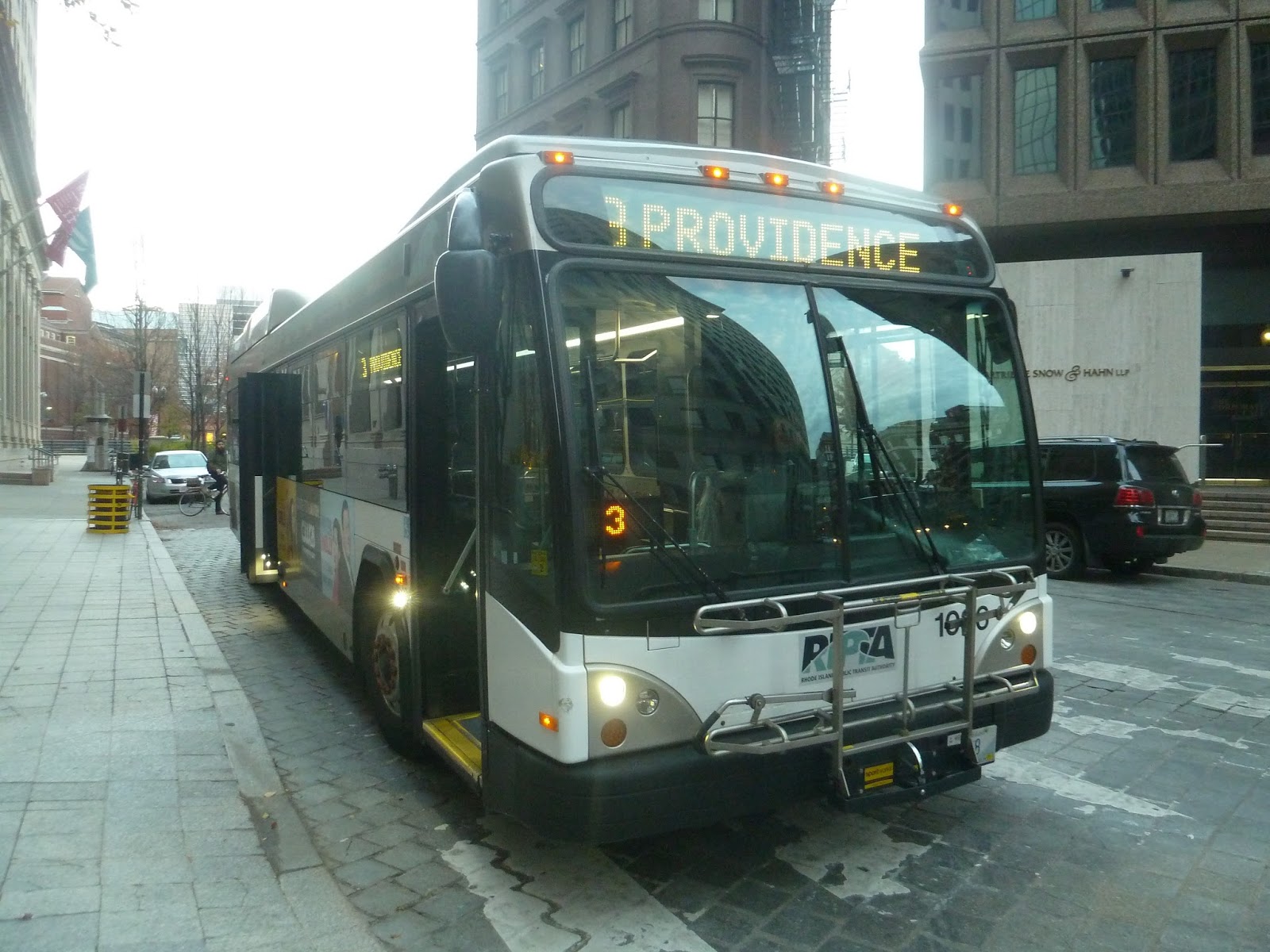
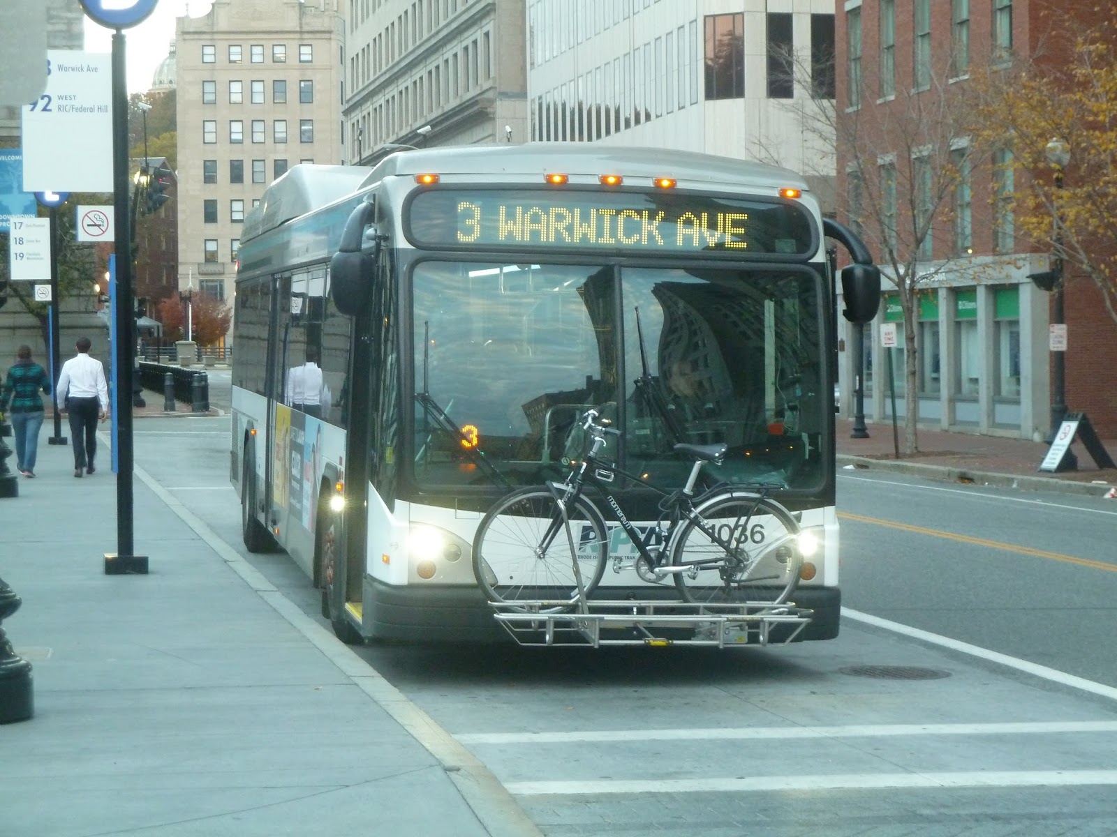
Service Change: RIPTA, Part 2 – 3 (Warwick Ave)
When my friend Michael and I arrived in Providence on the 35, we weren’t really sure what to do. But Michael’s always liked walking, and since I had just dragged him on a bus, we decided to take a stroll. And take a stroll we did…all the way down to Warwick! Indeed, after walking 7.5 miles from Providence, it was kind of a relief to catch the 3 back to the city.
 |
| Not the 3, but the same road. |
The bus we rode on the 3 was different from the one on the 35, mainly in that the seats had a great pattern on them. I think the bus might’ve been more modern, but I can’t be sure about that. I believe the bus also ran on clean energy, which is fantastic.
 |
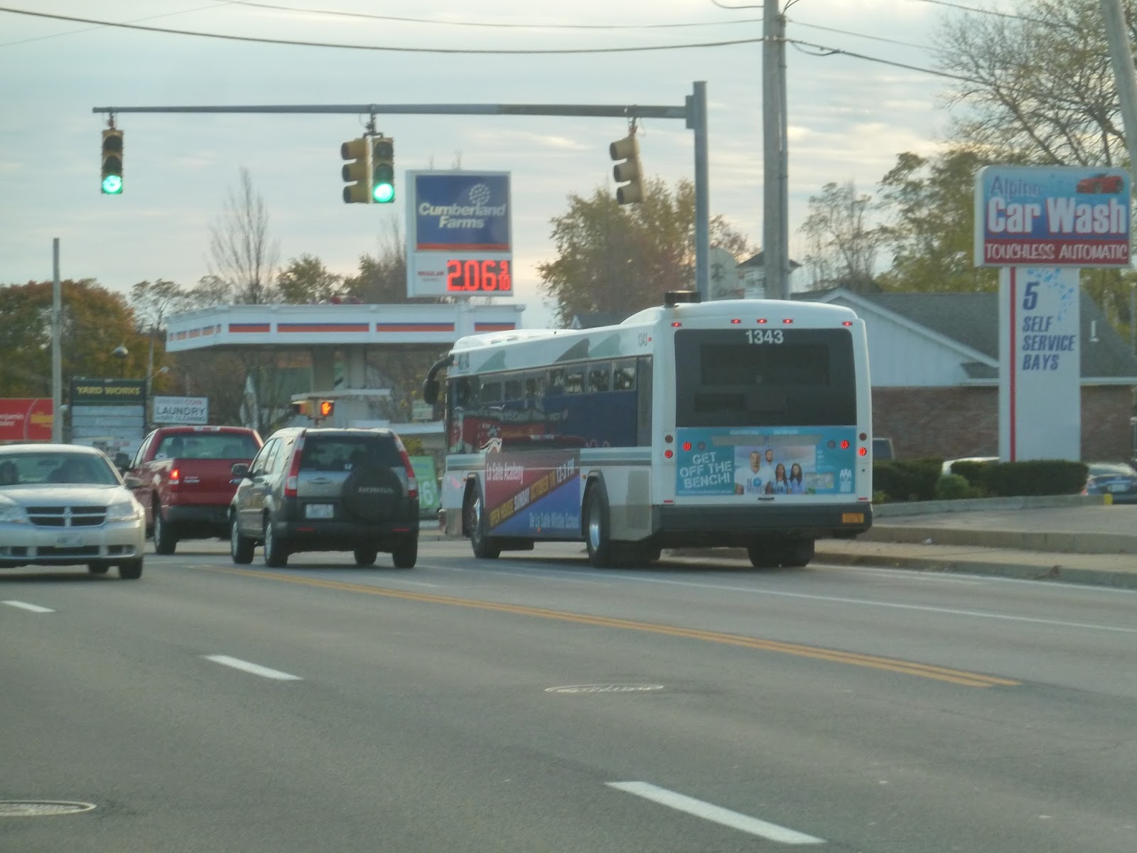
| There’s a picture of the bus exterior later on, in case any RIPTA riders out there can identify it. |
We got on the bus on Warwick Ave, a wide road lined with businesses and auto shops, all with big parking lots. However, we soon turned onto Narragansett Parkway, which was much nicer. The street was narrower and went through a leafy residential neighborhood.
 |
| By the way, most of these pictures will be from the walk, since a lot of it followed the 3. |
The street continued mostly straight for a while, then curved north near Passeonkquis Cove (good luck pronouncing that). We were running parallel with the Providence River, with a park on the side of the latter. On occasion, there would be some nice views across the water, as well. Eventually, it went back to houses, including a riverside residential development.
 |
| Some industrial vats loom on the other side of the river. |
 |
| Looking across the marshes. |
Eventually, we crossed the Pawtuxet River (entering Cranston), and came into the beautiful Pawtuxet Village. The street, now called Broad Street, became lined with small businesses, and there was a nice church further down the road. Aside from a few gas stations, this felt like the quintessential New England downtown, and it was great.
 |
| The leafy road from which we came. |
 |
| Why, thank you! |
 |
| Oh my gosh, this little river is beautiful! |
 |
| Looking down Broad Street into the village. |
The houses returned once we left Pawtuxet, but there was still the occasional business block. Eventually, though, we reached a major intersection, where there was quite a lot of retail. I’m not sure why this area developed so much, but I do know that it had a really impressive cathedral (which for some reason, I didn’t get a picture of). We turned onto Norwood Ave here, which was lined with dense houses.
We then turned onto Narragansett Boulevard, which was mostly residential, with a few businesses. But when we entered Providence, the street became Allens Ave, and it got industrial. No, I mean industrial. As in “giant vats lining the road with freight train crossings” industrial.
 |
| Looking across a parking lot…or maybe just asphalt. The pictures were taken from the bus from here on out. |
An interesting quirk about this area happened just after an interchange with I-95. A single train track actually merged into the middle of the road, with occasional spurs into industrial complexes. I assume the track isn’t used anymore, but imagine a huge freight train just running down the middle of a busy street!
 |
| Going by…something. |
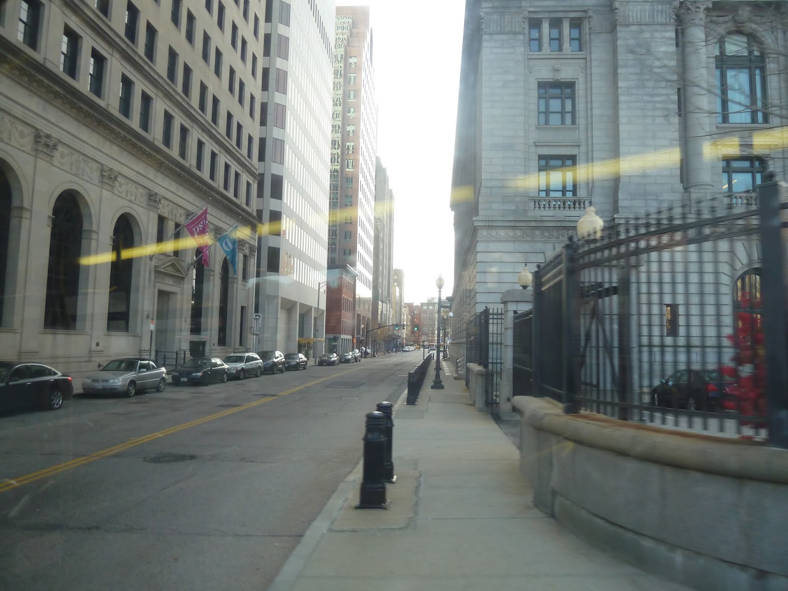
Eventually, the railroad track ended abruptly and we passed under another highway interchange. We turned onto Blackstone Street, and then Eddy Street, going by the tall buildings of the Rhode Island Hospital complex. The road became Dyer Street, and we passed a lot of parking lots, abandoned buildings, and even some undeveloped plots of land.
 |
| Speaking of undeveloped land… |
Eventually we reached the Providence River and merged into Memorial Boulevard. Now in downtown Providence, we were surrounded by tall buildings. Turning onto Westminster Street, we made a stop where everyone on the bus got off. The driver was laying over for a bit because we were early, so I asked if I could run out and get a quick picture of the vehicle. After getting back on, we made the final stretch to Kennedy Plaza.
 |
| Looking across the river. |
 |
| Making the turn onto Westminster Street. |
 |
| The bus on Westminster Street… |
 |
| …and at Kennedy Plaza. |
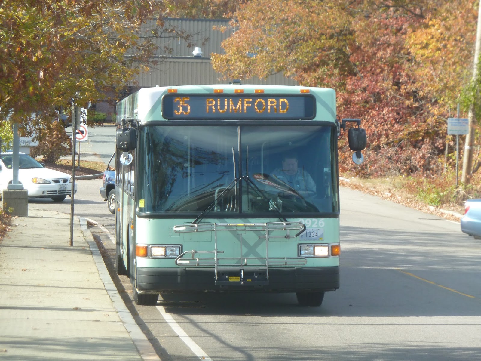
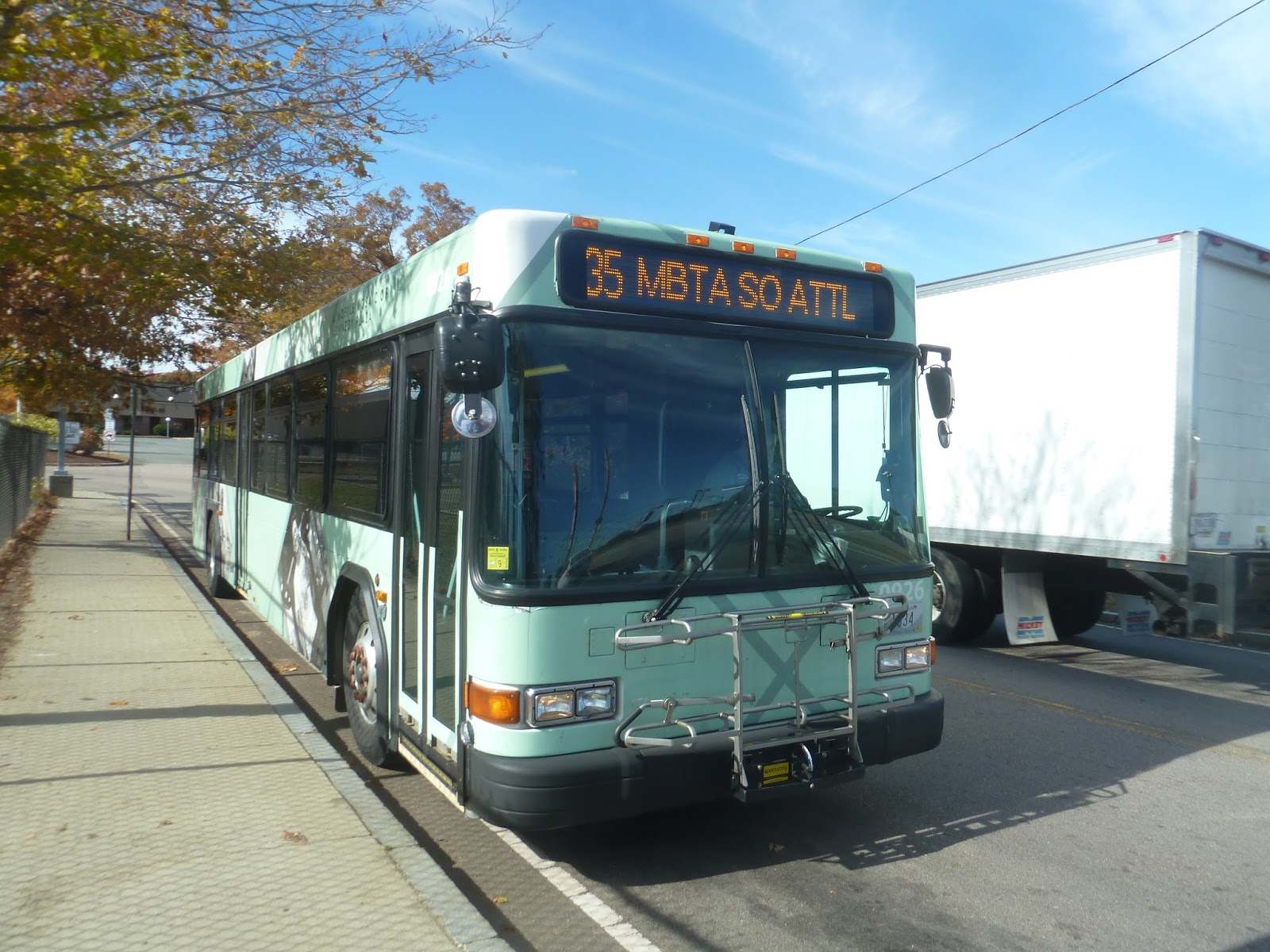
Service Change: RIPTA, Part 1 – 35 (Rumford)
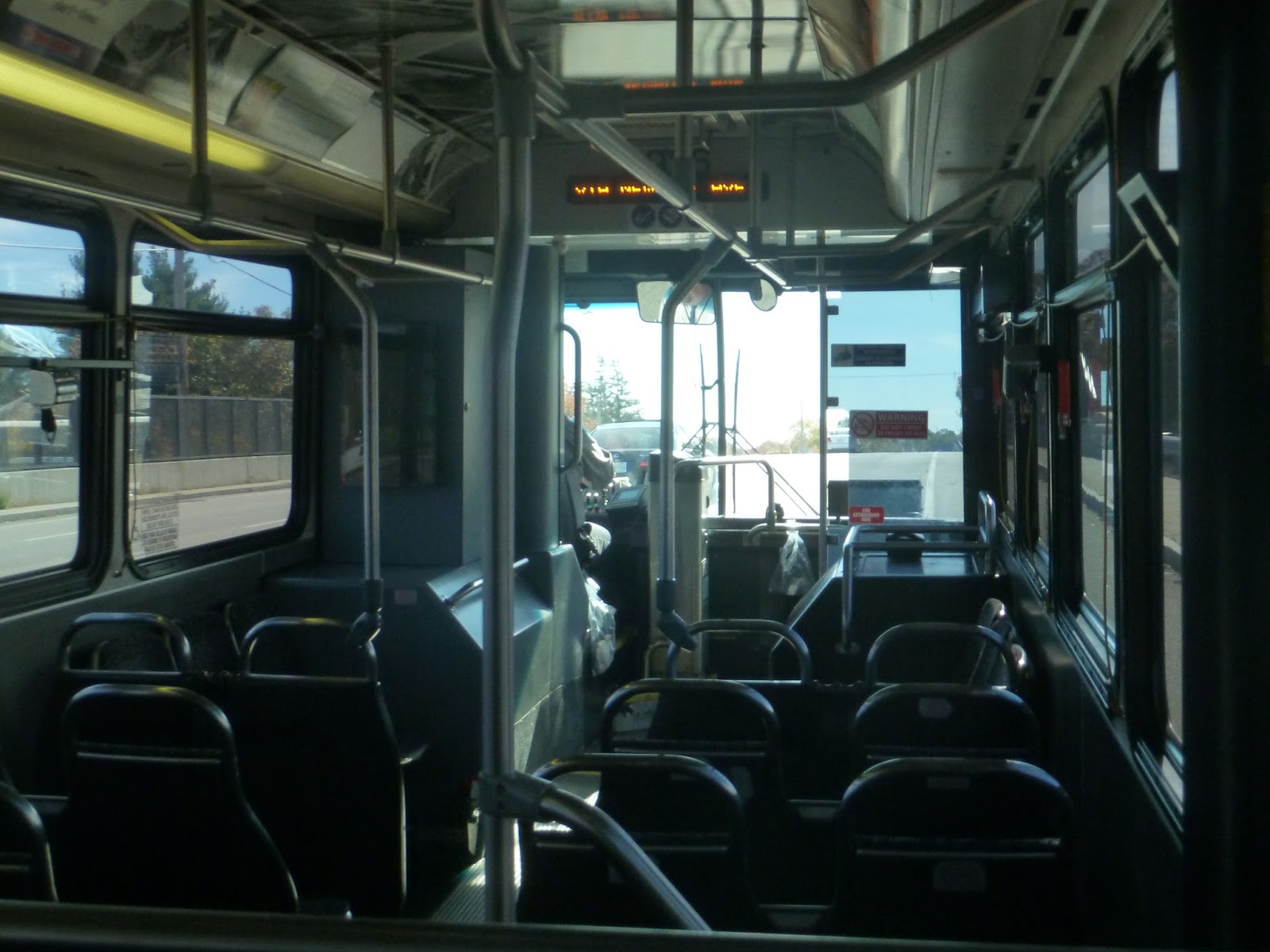
Well, you know I wouldn’t have gone to South Attleboro without a trip into Rhode Island, right? There were two buses waiting when my friend and I got here on the train: the 1 and the 35. Both were going to Providence, but the 1 continues further south from there, so we decided to take the 35 so we could say we did the whole route.
 |
| The bus from down the street… |
 |
| …and closer up. |
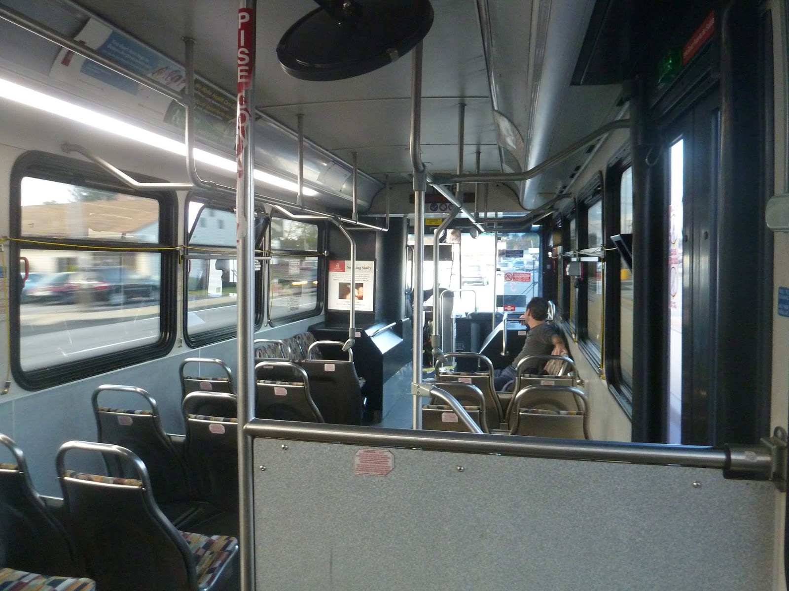
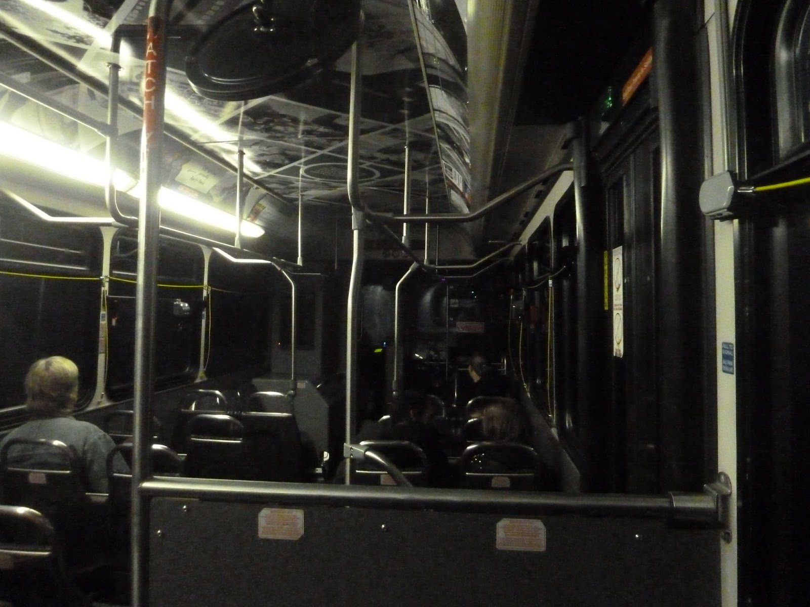
RIPTA’s fare system can seem way more complicated than it is, but the important bit is that it costs two bucks to take the bus, which is a nice even amount. The inside of the vehicle was decked out in an ad, and it looked pretty cool. The presence of pull cords instead of buttons for stop requests was fantastic, and there were automatic announcements for major stops.
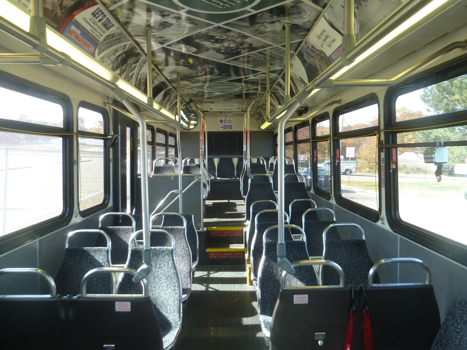 |
| You gotta admit, that’s a nice interior. |
 |
| Ahh, these screen pictures never come out right! |
 |
| Looking toward the front of the bus. |
Leaving the street stop on Collins Street near South Attleboro Station, we turned onto the wide Newport Ave. Almost immediately it rose up to a bridge, going above the parking lot of the station. We then crossed over the Commuter Rail tracks, entering Massachusetts’ stately neighbor to the south.
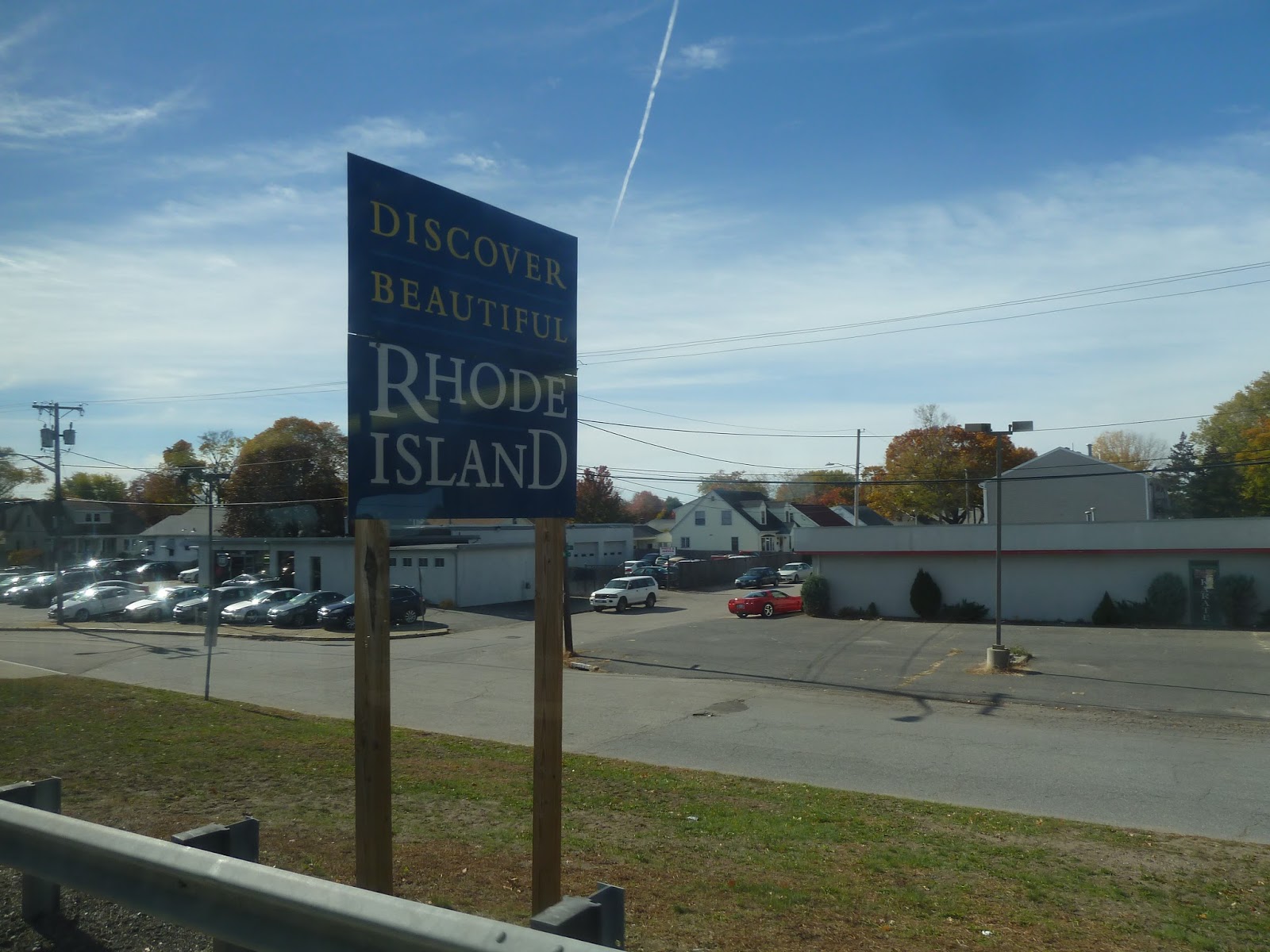 |
| Into the land of the unknown… |
Now, I think it’s fair to say that much of northern Rhode Island is quite urban and gritty. Honestly, I like that about it for some reason, and it was quite prominent on Newport Ave. Telephone wires criss-crossed the street, which was lined with fast food restaurants and auto shops. Yet for some reason, I was enjoying the neighborhood. Okay, so it was sort of pitty, but…well, maybe I was just excited that I was in another state.
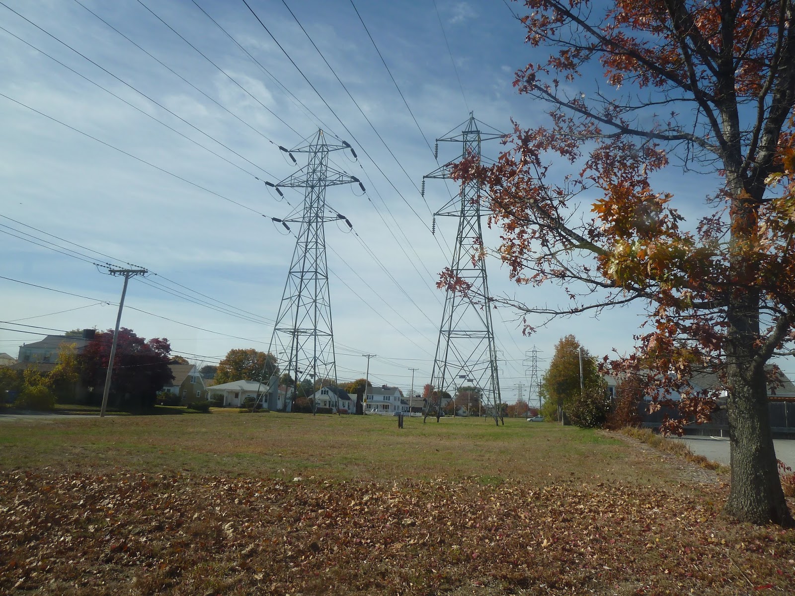 |
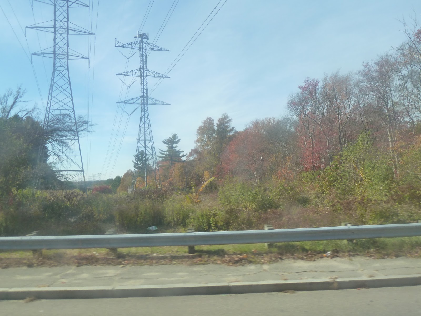
| Wow, those are some huge pylons! |
As we continued south, the surroundings got pretty consistent. At every intersection with a major street, there were businesses; otherwise, Newport Ave was lined with dense houses. At one point, however, we passed a Hasbro factory, which was interesting. After going by a park, we went under some massive pylons, then we passed a couple of gigantic shopping plazas.
Newport Ave eventually merged into Pawtucket Ave, but we turned onto Wilson Ave right after. This street was much quieter, with lots of trees and more spaced out houses. Strangely, there was no sidewalk, which added to the suburban feel.
 |
| Two residential views. |
Eventually, Wilson Ave came to an end, and we turned onto Roger Williams Ave. This street ran alongside a pond, but alas, houses were blocking the view. After going under a single railroad track, we turned onto North Broadway, which was lined with gritty businesses like before.
 |
| Oh, look, it’s the pond…sort of…? |
 |
| Going over a small river. |
We then passed through an interchange with the Henderson Expressway. This was interesting, since the interchange was basically incomplete. From what I can tell, the Expressway was supposed to go beyond this connection with North Broadway, but it never did. The unfinished stubs of the highway were still visible.
 |
| This interchange is fascinating! |
North Broadway headed down into an underpass, but we exited off just before, turning onto Waterman Ave. Another gritty street, it curved north to parallel the Seekonk River, becoming Massasoit Ave in the process. We reached another interchange with the Henderson Expressway, heading onto a ramp and joining it. It rose up onto a bridge over the river, offering a nice view, then the highway ended with another unfinished stub (poor Henderson Expressway), and we exited onto South Angell Street.
 |
| Looking down Massasoit Ave from the bridge. |
 |
| The Seekonk River. |
We were in Providence now, as South Angell Street merged into Angell Street proper. And I gotta say, I loved this neighborhood. The one-way street was quite leafy, and history was just oozing out of the houses that lined it. As we continued west, it got denser, culminating in a bunch of small businesses when we turned onto Thayer Street. This is considered to be the “trendy” part of Providence, due to the varied and interesting businesses, and their proximity to nearby Brown University.
 |
| This is where South Angell Street and Angell Street merged. |
 |
| Okay, Thayer Street may look boring in this picture, but it gets a lot more interesting a few blocks away. |
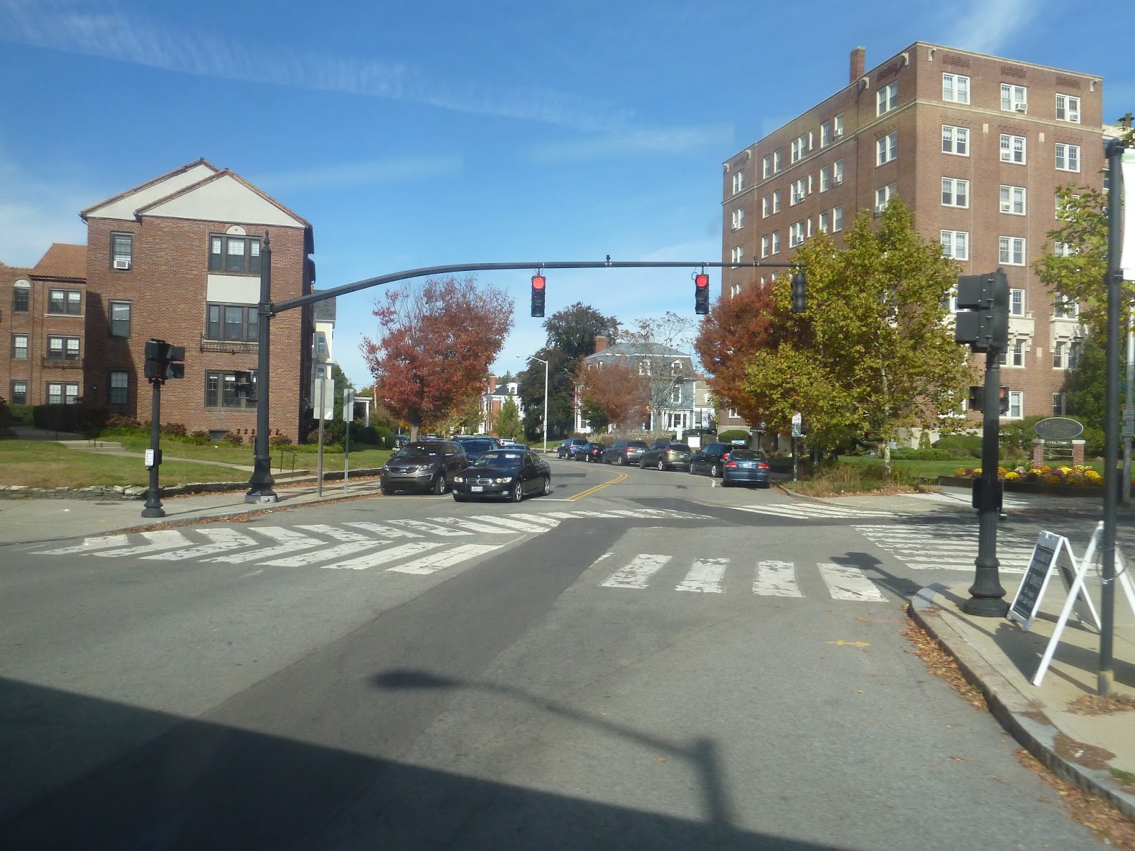
We didn’t get to experience this neighborhood for long, though, because we arrived at my favorite part of the whole trip: the East Side Trolley Tunnel. Built in 1914, this tunnel was originally built so streetcars didn’t have to contend with the steep hill above. It was converted for buses in 1948, and could be considered the first bus rapid transit route in America! I had done my research before the ride, so I was excited.
 |
| *gasp* The portal! |
 |
| The heavily-graffitied “buses only” sign. Oh, man, I’m so excited. Which might explain the blurriness… |
I was surprised at how quickly the bus travelled through the tunnel. It was reminiscent of the Harvard Bus Tunnel, except faster and without any stops. In what seemed like no time at all, we popped out of the tunnel just east of downtown, making a few quick turns onto Steeple Street.
 |
| The bus shrouded in darkness. |
 |
| This was right after we came out of the tunnel. |
After crossing over the tiny Providence River, we turned onto Memorial Boulevard, now in the Financial District of downtown Providence. We then turned onto Kennedy Plaza, which was in the shadows of the tall buildings that lined it. The narrow street widened into Kennedy Plaza proper, which is the central hub of RIPTA. I’ll be covering the transit center in a later post, but there’s one more bus to talk about first. See you then!
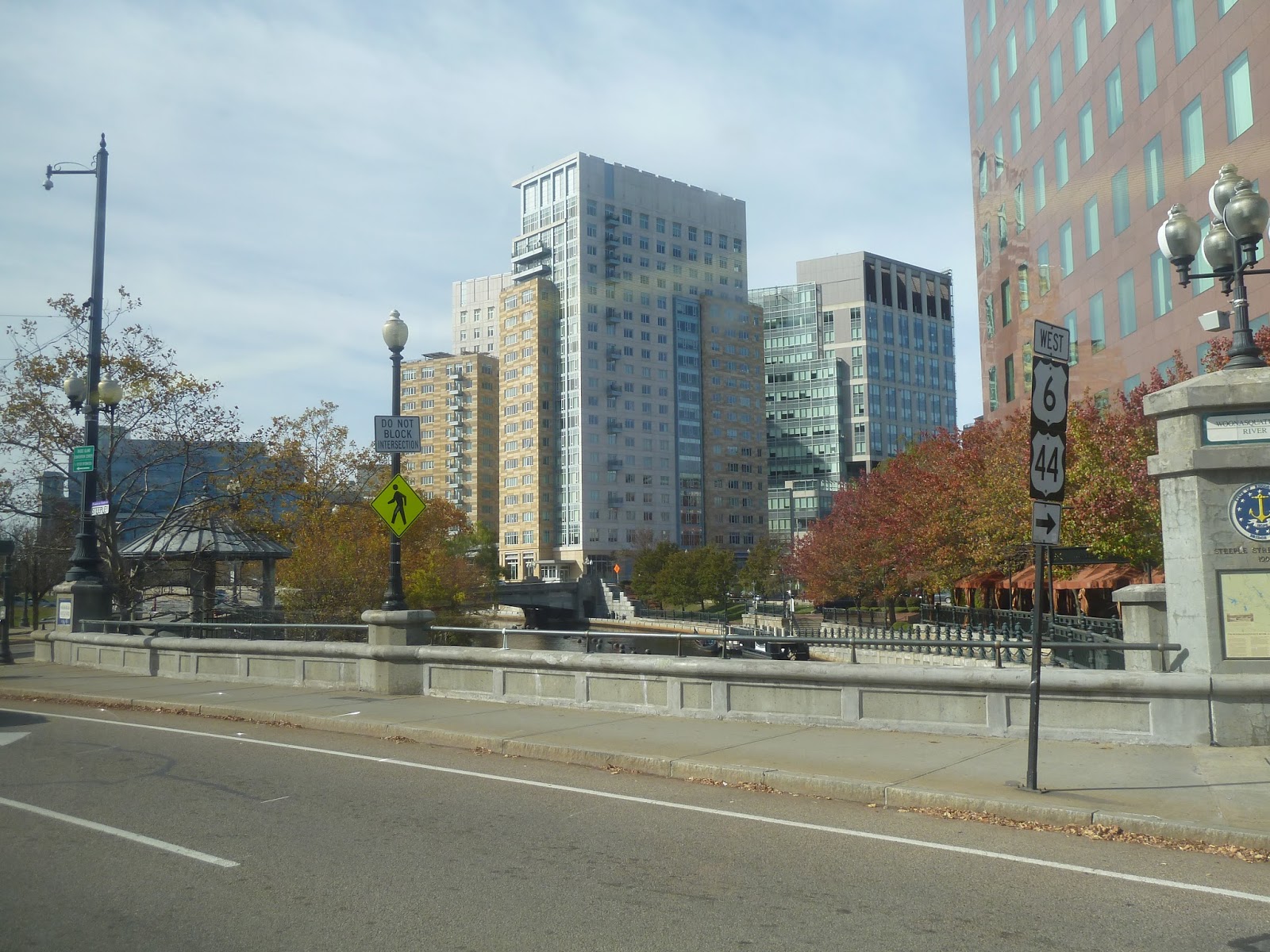 |
| Some apartments in view as we cross the river. |
 |
| Another view of the city. |
 |
| Turning onto Fulton Street. |
 |
| The bus in Providence. |
South Attleboro
You know, every time I ride the Commuter Rail or Amtrak through Attleboro Station, I always think “Wow, this looks like a really nice downtown!” But South Attleboro? Ehhhhhhh. If you like big malls and decrepit train stations, this is the place for you.
 |
| Looking down the platform. |
The majority of the platform is simply asphalt. There’s a shelter on the inbound side, but it doesn’t matter much, since it’s quite far from the boarding platform. Speaking of the inbound side, the only way of getting to it is this really horrible footbridge. I mean, two of its staircases have been closed because of rust damage, and the whole thing looks really flimsy and unsafe.
 |
| The inbound boarding platform. |
The station’s boarding platforms are pretty barebones. The inbound side has one bench, while the outbound side has two (for some reason). Also, they both have a single wastebasket. Annoyingly, the outbound side’s ramp to the boarding platform comes from outside the station. If you’re on the low-level platform, you actually have to leave in order to get up to it. I’m not saying too many people are going to be going outbound from here, but that said, they gave that platform double the benches, so you never know.
 |
| A part of the platform. |
As you can see, there was some random paraphernalia along the outbound platform. For one thing, you’ve got a few newspaper boxes, spread out with no rhyme or reason. There was also a bike rack that was just kind of…sitting there. Unsurprisingly, it was empty.
 |
| Looking out into the parking lot. |
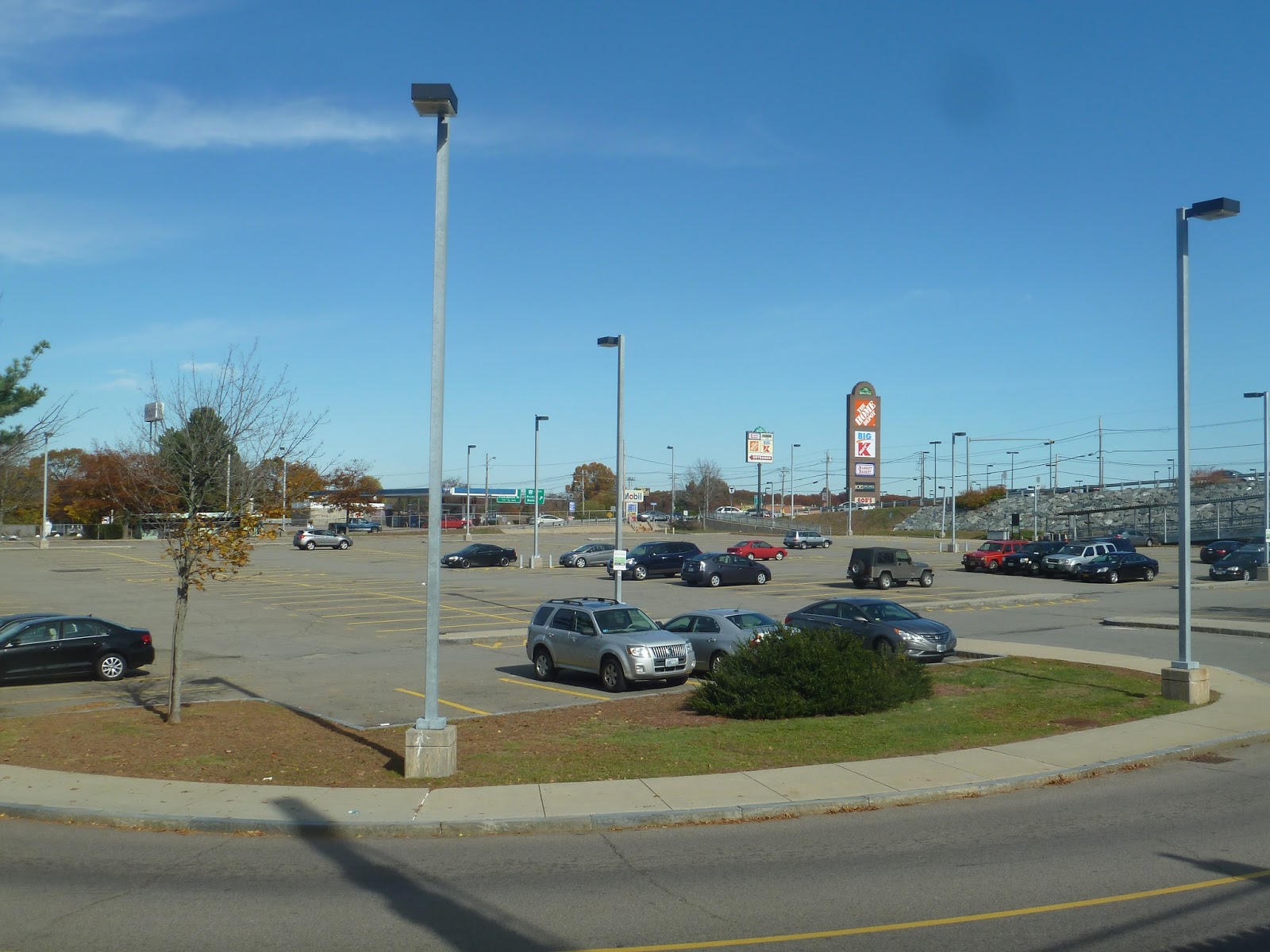
Considering that the area around this station isn’t very pedestrian-friendly, it makes sense that it would have a large parking lot. Yet even though it has quite a few spaces (568), the lot can get strained during rush hour. This is because the station gets quite a few commuters from Rhode Island, which is only a few hundred feet away. Plus, there’s a highway interchange just north of the stop.
 |
| This is about it for bus amenities. |
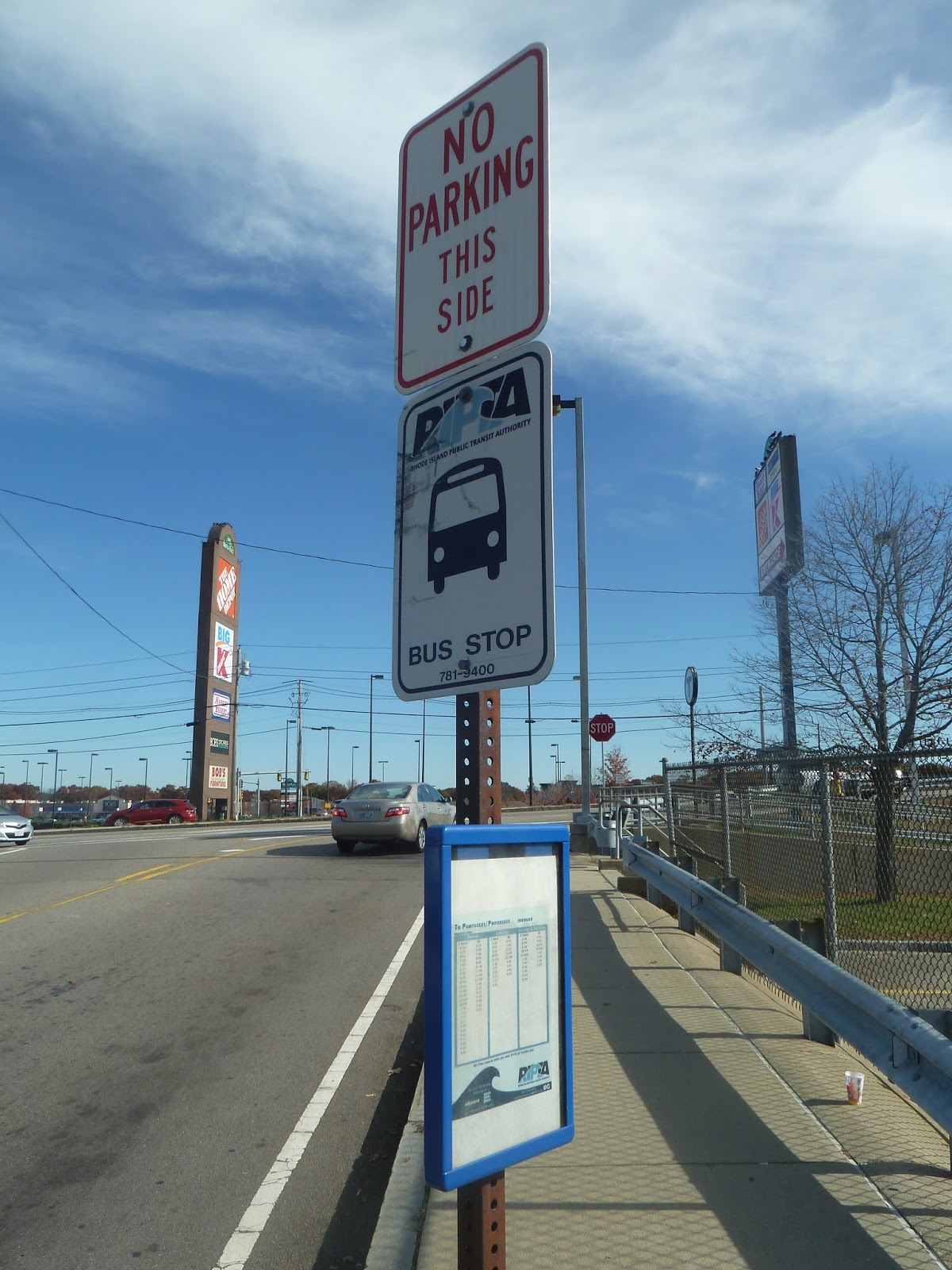
Weirdly, despite being in its service area, the GATRA doesn’t actually serve South Attleboro. However, the RIPTA operates two routes that terminate here, both of which go to Providence, taking different routes through Pawtucket. Unfortunately, the stop here is literally just a sign, and it’s hard to find since it’s on the other side of the parking lot. This station could really use a bus shelter at least.
 |
| A Commuter Rail train leaving the station. |
 |
| Nothing like a surprise Amtrak train to make your day! |
Station: South Attleboro
Ridership: This is the ninth busiest station on the Commuter Rail, with 1,462 inbound riders per weekday. Most of those riders come from the urbanized Pawtucket, Rhode Island, which is a stone’s throw away from South Attleboro. The Massachusetts surroundings of the station are actually somewhat rural, but right when you cross that state border, you’re in the city.
Pros: This is as close to a Pawtucket Station as we can get right now, and South Attleboro is pretty much in the city, anyway. It has a reasonably large parking lot that seems like it can just barely handle weekday traffic, and for those without cars, the connections here to the RIPTA 1 and 35 buses make for easy transportation to Pawtucket and beyond. Finally, South Attleboro is wheelchair accessible, which is certainly a good thing.
Cons: Ugh, but this station is horrible. The whole thing has a very barebones feel to it, and the footbridge is in terrible condition. Plus, the bus stop here is just a sign. I’m not sure if RIPTA, being a Rhode Island company, is in charge of or even allowed to build a shelter in Massachusetts, but the current stop isn’t much. I also wish it had better signage, since it’s all the way across the parking lot on a side street.
Nearby and Noteworthy: Aside from a big mall to the east, you’re probably gonna have to cross into Rhode Island to find anything of note here. Newport Ave in Pawtucket is lined with businesses, but are they interesting? Honestly, it doesn’t seem like it.
Final Verdict: 5/10
I think a proper station in Pawtucket would draw in a lot of riders, but for now, we’re stuck with South Attleboro. It performs its basic function as a train station alright, but it’s not a very pleasant place. I mean, it all feels so decrepit, especially the stupid footbridge. That piece of rotting metal needs to be fixed at some point,
Latest MBTA News: Service Updates
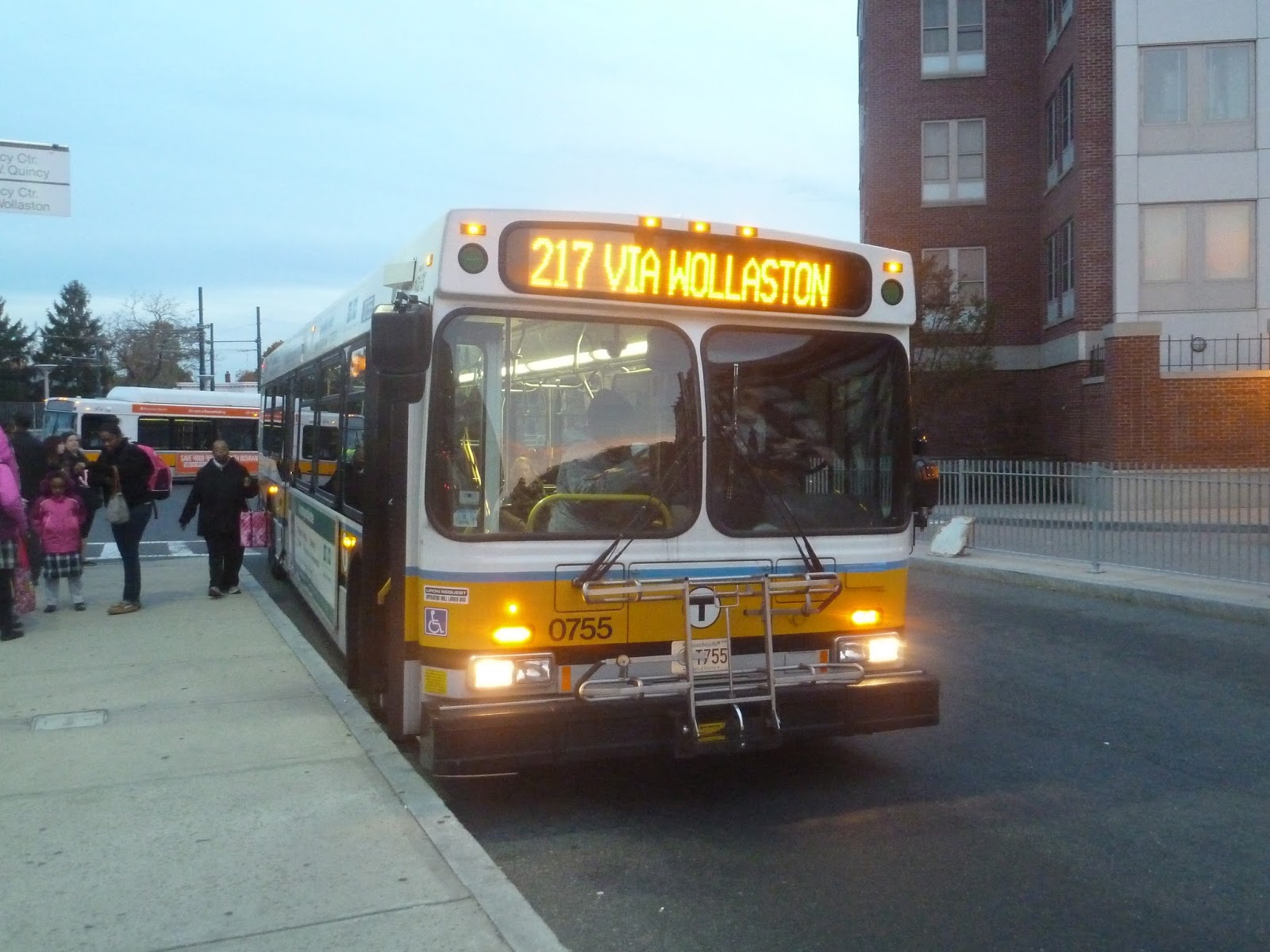
217 (Quincy Center Station – Ashmont Station via Beale Street, Wollaston, and East Milton Square)
Four trips per day in each direction, huh? Well, I guess I can see why this one was on the chopping block. The 217 is one of three routes that connect Quincy Center to the Ashmont/Mattapan Lines, via East Milton Square (the 215 and 245 being the others). The 217 is also by far the least frequent, plus it was on the chopping block in 2012! What could be wrong with this route? Let’s find out.
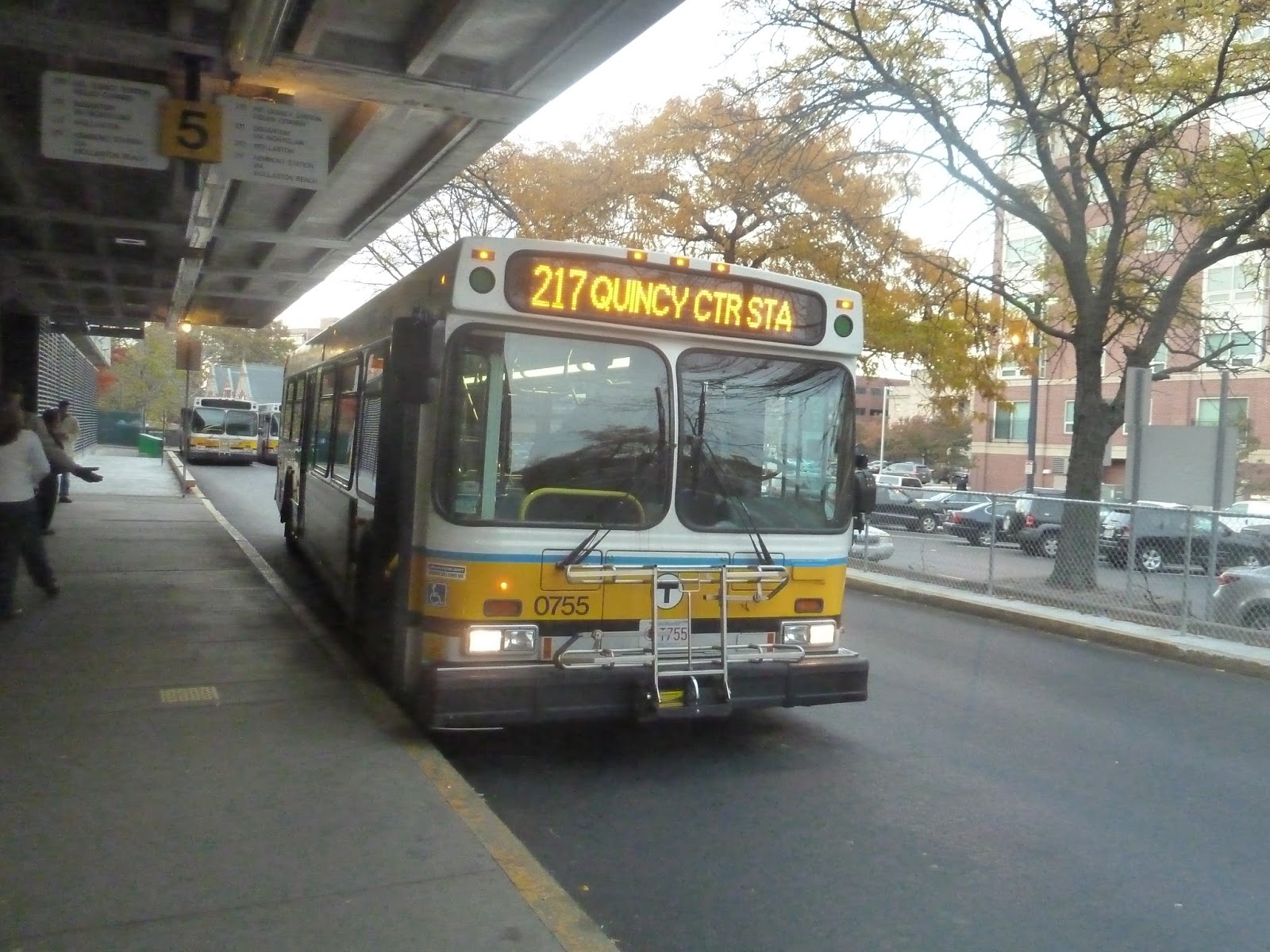 |
| The bus in the Quincy Center busway. |
It was the height of the rush hour, yet my bus was almost empty. With only a few people on board, we left Quincy Center, bypassing the main business area by heading north on Hancock Street. We then merged onto Adams Street, which crossed over the Red Line tracks, from which we turned onto Newport Ave.
 |
| Anyone for the 217? Anyone? Come on… |
The street had houses on one side and the Red Line/Commuter Rail tracks on the other. The street started to rise to a higher level than the tracks, reaching an intersection with Beale Street. We were about a block away from Wollaston, but we turned onto Beale Street instead.
 |
| Wollaston! A Commuter Rail train! The Boston skyline! But it’s all blurry… |
Beale Street was mostly residential, with the very occasional business. The 211 turned onto Highland Ave, leaving us alone on the street. The road curved south, then we turned onto Adams Street, joining the 215 and 245. There were more houses for a while, but at East Milton Square, we reached some traffic.
Here, the street was lined with businesses, and it was also where I became the only one on the bus. We turned onto Granite Ave, looping around I-93, then came back down to Adams Street. Heading out of the square, it was residential once more.
And by residential, I mean mansions. I’m not even playing this up, all the houses along this street were huge mansions hidden behind trees and blind driveways. Sure, there was a small college at one point, but it was mostly just these massive houses. And we were just speeding through all this, me being the only person on the bus, and the whole time I’m thinking “Who thought it was a good idea to put a bus route through here?”
 |
| Not the best picture I could’ve gotten, but it was dark out and we were moving quickly. |
At one point we passed a field that offered a skyline view, but we were moving so quickly that there wasn’t much time to appreciate it. Adams Street started to curve north, and then all of a sudden it was lined with the businesses of the Lower Mills. Really, it was kind of jarring how quickly the transition happened.
 |
| Crossing over the quite dry-looking Neponset River. |
We crossed over the Mattapan High Speed Line at Milton Station, then went over the Neponset River, entering Dorchester. The street became Dorchester Ave, and it was shared with a few other routes. This was also when people started boarding the bus.
Leaving behind the brick buildings of the Lower Mills, the street was lined with businesses for a bit longer, then it got residential. We passed a huge hospital at one point, but the surroundings were mostly dense houses. It pretty much stayed that way right up until we pulled into the Ashmont busway, dropping off the people we had picked up along the Dorchester Ave stretch of the route.
 |
| The bus at Ashmont. |
Route: 217 (Quincy Center Station – Ashmont Station via Beale Street, Wollaston, and East Milton Square)
Ridership: Oh, it’s incredibly high! In fact, this the 152nd busiest route on the MBTA! Wow! Of course, it’s also the 13th least busiest route, but…hm. Okay, yeah, hardly anyone uses this bus. It gets an average of 239 riders per weekday, many of whom, I’d imagine, could use a different route to get where they’re going. I mean, I was the only person that stayed on for the independent section of the 217! There were people on the eastern shared portion and people on the western shared portion, but no one was there for the part in the middle.
Pros: I will say that this is the fastest link between Quincy and Ashmont when it takes its normal route (there’s an alternative via North Quincy). So yeah…good for you, 217.
Cons: But…whyyyyy? This route seems like it’s meant to be a supplemental service, but four times a day? It seems like the only time people rely specifically on the 217 is with the one school trip it runs. Other than that, people could just use other buses to get where they’re going. I mean, there’s a short independent portion on Beale Street with some dense houses, but the long stretch with the mansions? It doesn’t look like any of those people would use the bus. And the bit on Beale Street is in walking distance of other routes, anyway.
Nearby and Noteworthy: East Milton Square seems like an interesting place. There are some businesses and restaurants there that could be worth checking out. But I recommend using a more frequent route to get there, i.e. not the 217.
Final Verdict: 3/10
This is one of those routes that I feel could just be gotten rid of. Honestly, it just seems to be an incredibly infrequent supplement for streets already served by other routes. And even though the 217 is fast, it’s only because it really doesn’t serve much. I’m sure people wouldn’t let this route be eliminated, but it is one of the most expensive routes for the MBTA to run. As in third most expensive, at $7.19 per passenger. That cost ain’t cheap…
Latest MBTA News: Service Updates
Please pray for those in Paris, which was struck by a series of coordinated terrorist attacks yesterday.
225 (Quincy Center Station – Weymouth Landing via Quincy Ave and Shaw Street or Desmoines Road)
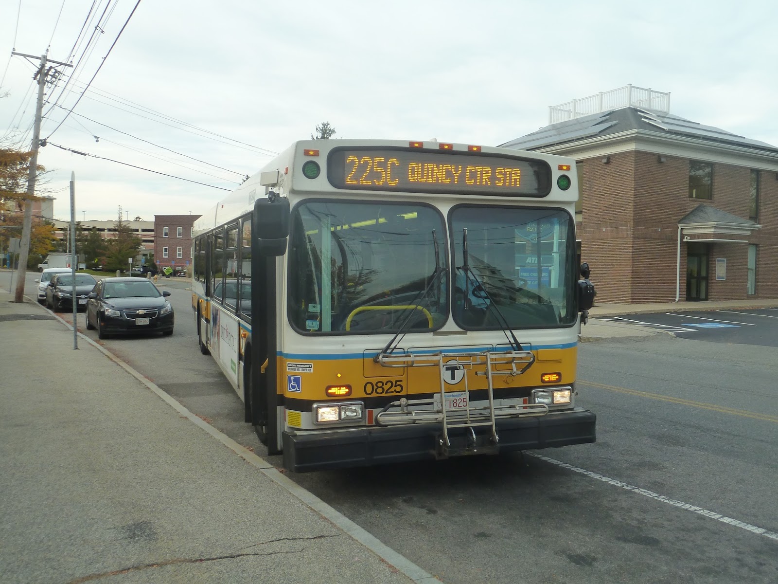
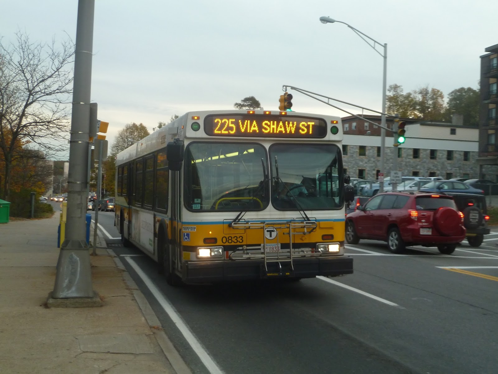
My plan once I got off the 222 at Jackson Square was to take the Commuter Rail one stop from East Weymouth to Weymouth Landing in order to catch the 225. And not just any 225 – I wanted the weekday-only variant that goes all the way down to Columbian Square, doubling the route length. But alas, right as I walked up to Quincy Ave, a bus was going by. Disappointed, I figured I’d just get a bus back to Quincy Center – but wait! Something was coming down the road! It was…yes, the 225C to Columbian Square! I rushed across the street and hopped aboard the bus.
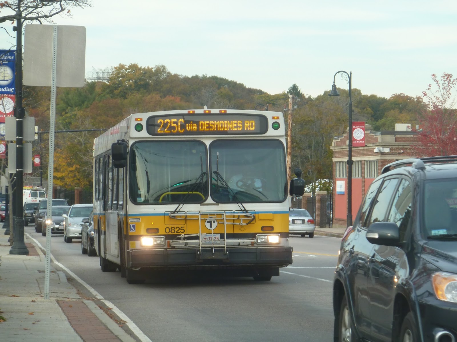 |
| Just in time! |
The bus was already pretty crowded when I got on, but luckily there was a free seat pair. We headed down Commercial Street, then turned onto Front Street, leaving the businesses of Weymouth Landing behind. Front Street was almost entirely residential, and the houses continued when the road became Summer Street. We eventually reached an intersection with an apartment building on the corner, and here we turned onto Federal Street, rejoining the main route at Washington Street.
 |
| Skipping ahead a bit (a lot), here’s the bus at Columbian Square. |
 |
| Hey, there’s a water tower in the distance! And…lots of cars. |
 |
| No parking? Well, I can see why, given that monstrosity behind you. |
 |
| Crossing over the Monatiquot River. I have no idea how to pronounce that. |
 |
| Well, that escalated quickly. |
 |
| Mmm…lovely. |
 |
| Actually, this apartment complex seems like it’s still under construction. |
However, every other 225 skips the industrial portion in favor of a different route. Coming from Quincy Ave, this variant turns onto Hayward Street just before the industrial area. It then turns onto Shaw Street, which is lined with houses. When it becomes Howard Street, though, it gets industrial, at least on one side. The other side has a housing development.
At the same intersection where the regular route leaves Quincy Ave, the Shaw Street variant turns onto Quincy Ave. Along this section, it’s mostly businesses with large parking lots out front, and these basically stretch all the way to where the regular route rejoins the street. The third 225 variant is only for a few early morning and late night trips, and that one just stays on Quincy Ave the whole time.
Anyway, now that all three route variations are back together, let’s continue with my ride! Joining back with Quincy Ave, it was lined with businesses and parking lots, Luckily, though, it became Hancock Street, and we entered Quincy Center. Now the street was lined with retail that was a lot more interesting.
I was assuming we’d continue up Hancock Street to get to the Quincy Center busway, but that’s not what we did. Instead, we turned onto Granite Street, then swung a right onto the Thomas E. Burgin Parkway, arriving at Quincy Center Station on the other side. This other stop had its own announcement and everything! Is this inbound routing exclusive to the 225 or do other routes do it too? Let me know, because I’m rather curious as to why we didn’t just go to the busway.
 |
| A regular 225 in Quincy that was…right behind us? Oh noooooo… |
Route: 225 (Quincy Center Station – Weymouth Landing via Quincy Ave and Shaw Street or Desmoines Road)
Ridership: On weekdays, this is the busiest Quincy bus, with an average of 3,058 riders. It’s not quite as busy on weekends, when commuters aren’t relying on the route, but it still gets an average of 1,335 riders on Saturdays and 653 on Sundays. My outbound trip when I got on at Weymouth Landing had 30 people on it already, while my trip back only had about 15 (since I was going inbound during the evening rush hour). However, I saw buses going the other way that were absolutely packed.
Pros: The 225 evidently runs on an extremely busy corridor, considering how much ridership it gets. The route serves a pretty dense part of Braintree, and if it’s going down to Columbian Square, a huge swath of Weymouth. Plus, it’s quite frequent, running every 10 minutes during rush hour, every half hour during the day and on Saturdays, and every hour nights and Sundays. Okay, every hour isn’t great, but this is a Quincy route, so weekend ridership is significantly lower than during rush hour.
Cons: Why does the route have to be so confusing?! I mean…just look at this schedule:

Can you make heads or tails of it? I know I can’t! And the paper schedule isn’t much better, putting a letter next to each variant of the route. Okay, it’s not so bad on Saturdays, when it’s as simple as every other bus going via Shaw Street, or on Sundays, when all buses take the normal route, but the schedule’s really confusing on weekdays. Speaking of weekdays, why does the route only go to Columbian Square during the week? That’s such a huge part of Weymouth that gets no weekend service! Maybe it doesn’t get a lot of ridership on weekends, but that said, there are a lot of shopping plazas down there. Finally, it would seem the 225 has a bit of a rush hour bunching problem, as my ride seems to have proven…
Nearby and Noteworthy: Okay, okay, so I know I spent the first half of this post complaining about big parking lots. Look, big malls aren’t my thing. I understand that that’s what people need in the suburbs because they need to drive places, but I’m just not a fan. Thus, I didn’t like Columbian Square too much, except for that movie theater. Weymouth Landing seems like a much more interesting place to me.
Final Verdict: 5/10
Okay, so I understand that 225 runs frequently during rush hour and somewhat frequently on weekdays and Saturdays, but it still has a few problems. For one thing, the weekday schedule is quite hard to follow, since the route has so many variations. Also, I think the 225 could stand to run to Columbian Square on Saturdays, considering that there are a few shopping plazas that could get ridership on that part of the route. Finally, there’s the apparent bunching. That’s never a good thing…
Latest MBTA News: Service Updates
Do you remember that survey the MBTA ran to choose the designs for its new vehicles? Well, after a bit of an issue with ballot stuffing, the winners were announced! See them here.
Weymouth Landing/East Braintree
I just reviewed an elevated station, so now let’s look at a sunken one! The next station over from East Weymouth, Weymouth Landing/East Braintree is right on the border of two towns. Also, it’s sunken. Did I mention it’s sunken?
 |
| Okay, so it’s not totally sunken. Sorry about that. |
Yeah, when I said “sunken”, I basically just meant the ends of the platform, which are under roads. But still, the bright, textured walls of the sunken portions look really nice. As for the sheltered part of the platform, it’s what you’d expect from an Old Colony station: high-level, a bit bland, and with benches and wastebaskets.
 |
| The drop-off area. |
Right outside the shelter, there are a few little amenities. A sheltered bike area is a nice touch, plus there are a few newspaper boxes out here. The station also has a small car loop for drop-offs and pick-ups, as well as benches under the station shelter facing the loop for people to wait.
 |
| The station’s smallest parking lot. |
When I was at Weymouth Landing, I thought the small lot above was the only parking the station has. Turns out there’s quite a lot more. Along Quincy Ave (coincidentally where the 225, this station’s bus connection, runs), there’s a sizeable lot, while along Commercial Street, there’s an even bigger one. This all amounts to 290 spaces.
 |
| A train leaving the station… |
 |
| …and heading ’round the bend. |
Station: Weymouth Landing/East Braintree
Ridership: Weymouth Landing is the second least-used station on the Greenbush Line, with 375 average riders per weekday – one more person than the least-used station, West Hingham. My guess is that most people opt to use the 225 to Quincy instead, based on how much weekday ridership that bus gets. But that’s for another post…
Pros: There are a bunch of great things about this station. For one thing, the platform is high-level and accessible, and has multiple sheltered portions thanks to the parts that are under roads. The sunken bits of the station look great, with some nice-looking walls. Plus, there’s lots of parking here, a few bike spaces, and a drop-off/pick-up loop.
Cons: The only real con about this station to me is the fact that the parking could use better signage. The lots could be lettered A, B, and C, and there could be signs from the platform directing people to each. It might be easier to find your car that way.
Nearby and Noteworthy: South of this station is a nice-looking block of businesses lining Commercial Street. If you walk far enough, there’s even an independent bookstore! Yeah, this station has some great surroundings.
Final Verdict: 9/10
I guess my prejudice that all Old Colony stations are boring was wrong! Seriously, the shelter may be bland, but I love those walls on the sunken parts of the platform. And this place has some big parking lots, a drop-off/pick-up loop, bike spaces, and a bus shelter for the 225 to make all connections incredibly easy. The parking lots could be signed better, but other than that, this station is near-perfect.
Latest MBTA News: Service Updates
East Weymouth
I generally find the Old Colony Commuter Rail stops to be pretty boring. It seems like they’re usually just bland platforms with big parking lots. Is East Weymouth any different? Well, at least it’s elevated.
 |
| I mean…okay, it’s kind of elevated. |
Outside, the station has a few little amenities. There are a few bike spaces, and further down there’s a payphone and some newspaper boxes. An especially cool feature is this little alarm that sounds a siren when a train’s approaching. I hope it doesn’t bother the neighbors…
 |
| The platform. |
This is a single-track station, so there’s only one platform. And what a generic platform it is. I mean, I didn’t expect anything different. The sheltered portion has benches and wastebaskets, while the long part of the platform that isn’t sheltered is largely uninteresting.
 |
| A marshy view. |
The station is right next to a marsh, though, meaning there’s a nice view from the platform. However, the station is also right next to an electricity substation. This means that there are huge pylons that go right over the platform, and they’re surprisingly noisy. Noisy as in there’s always a gentle hum of electricity whenever you’re waiting here. Calming or annoying? You be the judge.
 |
| It’s amazing how organized all those cars look. |
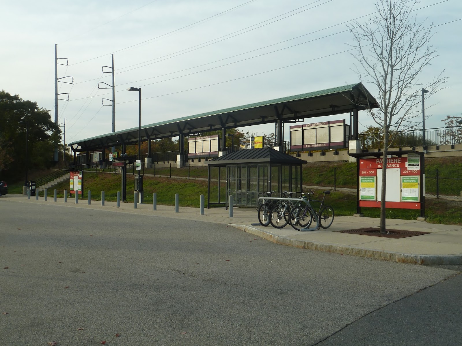
As this is an Old Colony station, it of course has a huge parking lot. With 335 spaces, there’s room for lots of cars here. The station also has what appears to be a bus shelter, though the nearest bus (the 222) doesn’t directly serve the station, stopping a few blocks away. Perhaps it’s a shelter for people who get picked up here, in which case…that’s a nice touch.
 |
| A train coming into the station. |
Station: East Weymouth
Ridership: This is the third busiest station on the Greenbush Line, with an average of 405 riders per weekday. There weren’t too many people at the station when I was there, but that’s because we were waiting for an inbound train in the evening rush hour. The train wasn’t crowded, either.
Pros: The platform is high level, with stairs and a ramp both going up to the elevated station, making it accessible. The parking lot is huge considering East Weymouth’s ridership, plus it has some nice amenities (I particularly like that siren thing). I also like the marsh view from the station – it just makes everything seem more peaceful.
Cons: But something that isn’t peaceful is the electricity running overhead. Seriously, when you’re waiting here, there’s always that hum of power running through. Personally, I find it kind of annoying. I also wish that bus-train connections were better advertised, both at the station with signage and on the 222 with announcements. Currently, neither of these exist.
Nearby and Noteworthy: This is the closest station to Jackson Square, which as I’ve mentioned before, seems relatively interesting.
Final Verdict: 8/10
Well, I came to like this station a lot more than I thought I would. And it’s not just because it’s elevated, though that marshy view does play a big part in my appreciation of East Weymouth. But also, the station has a big parking lot, great amenities, and is accessible. Sure, the electricity may be a little annoying and the connections could be better advertised, but when you get right down to it, this is a pretty good station.
Latest MBTA News: Service Updates
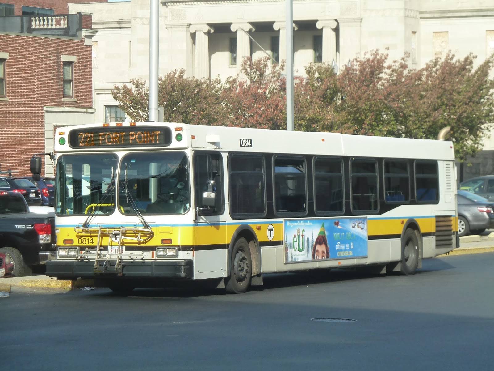
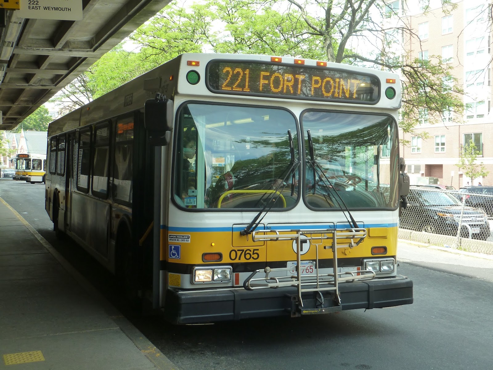
221 (Quincy Center Station – Fort Point via Bicknell Square)
I’ve now covered the two main buses on Washington Street in Quincy. The 220 and 222 run very frequently, especially at rush hour, carrying many people along the corridor. But there is one more route that runs along this street. One that only operates four times a day. Ladies and gentleman, I give you the 221.
 |
| The bus at Quincy Center. |
 |
| A different bus on a different day, but still a nice picture. |
As you can probably imagine, the bus wasn’t at all crowded leaving Quincy Center. We headed down Hancock Street, but looped around to Washington Street soon after. There were a lot of businesses along the street, but nothing noteworthy. Houses were dotted in, too, and they showed up more often the further we went. But as the Fore River Bridge started to loom in the distance, it went back to businesses until we went around a rotary then crossed the bridge.
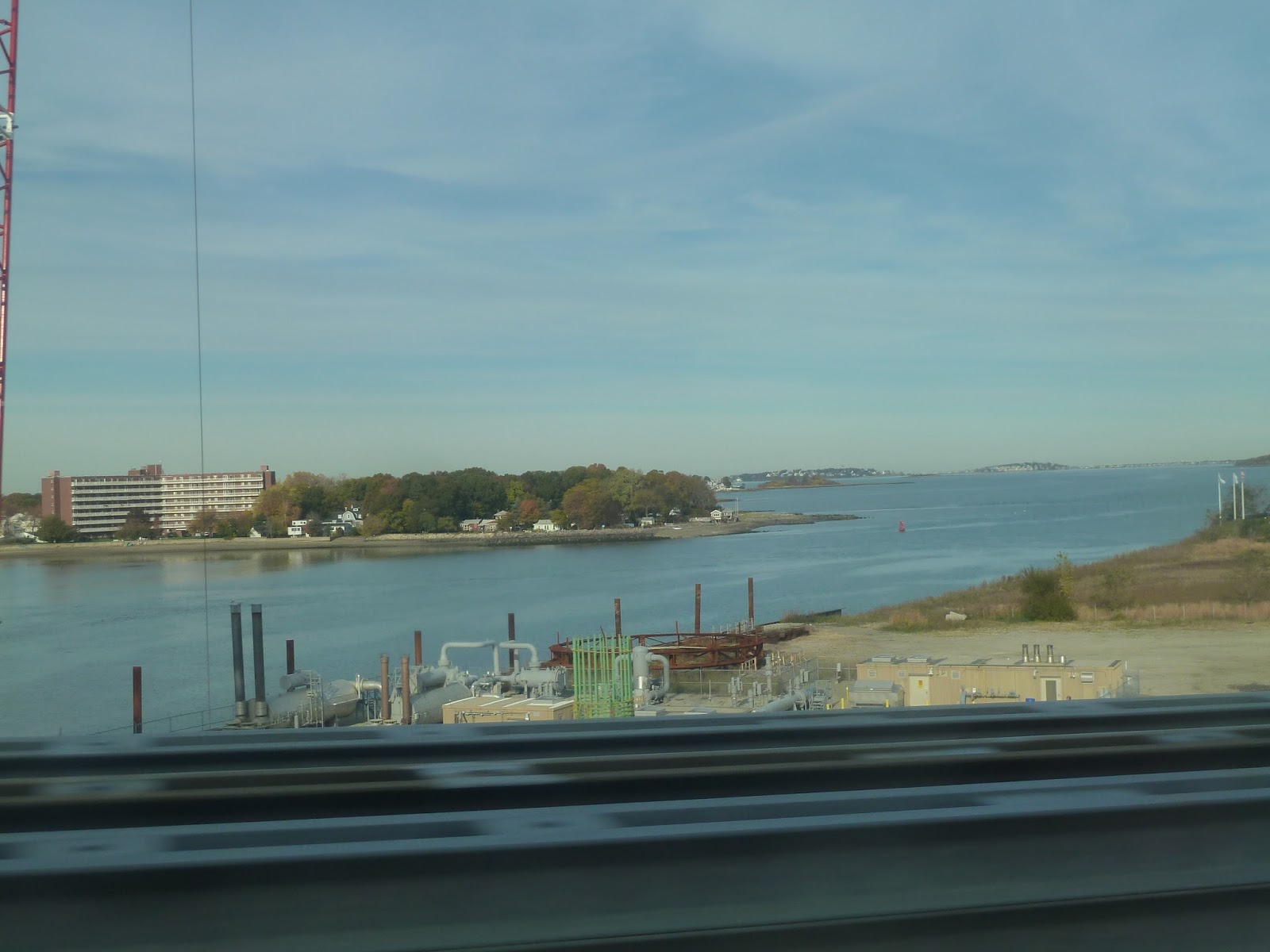 |
| Just to let you know, this route has some nice views, so it’ll have a lot of pictures. This is from the bridge. |
 |
| A skyline view from the bridge! |
The street was Bridge Street now, and we were in Weymouth. The businesses along the road felt industrial all the way to Bicknell Square, and even past there. We went by a school, then turned onto Neck Street, starting our independent portion. There was only one other person on the bus by this point.
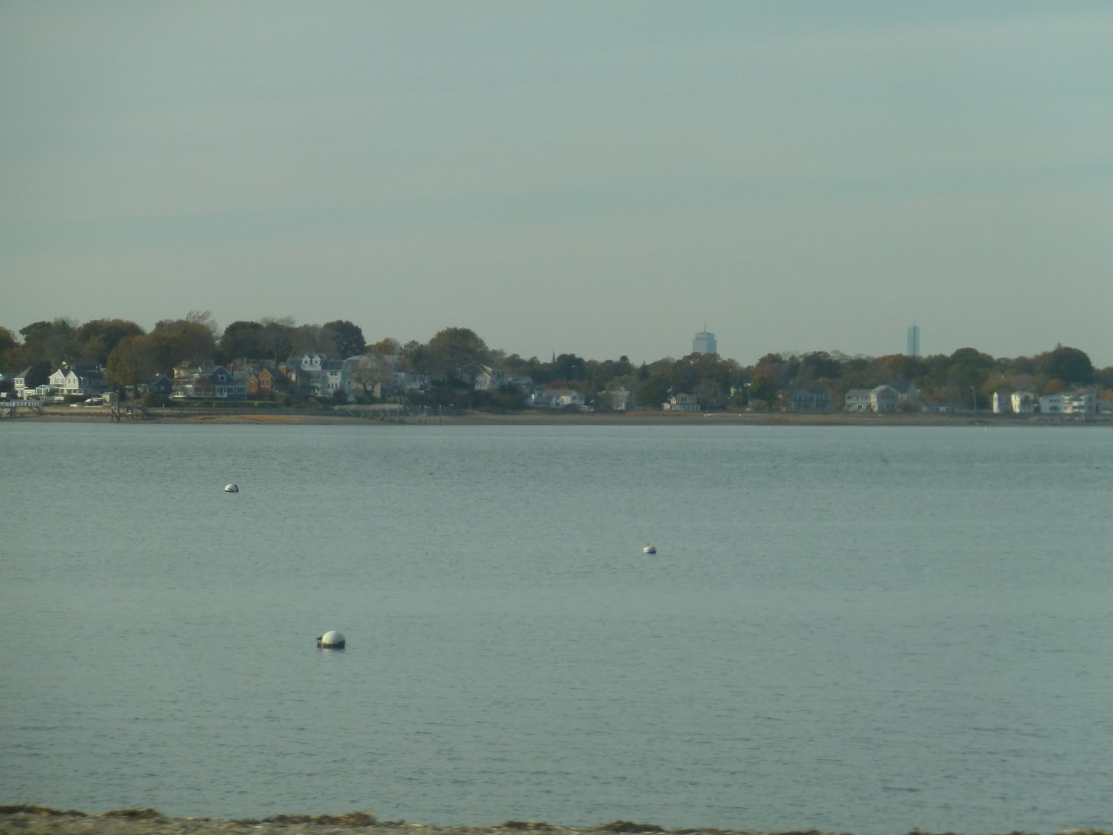 |
| Skyline view! |
I believe “Neck Street” refers to the fact that it’s the neck to a peninsula, and a peninsula with some great views at that. The street was residential now, but there were occasional views of the bay-like Weymouth Back River behind houses. Eventually the street became River Street and curved east, going by a small beach. There was a nice view of Boston here (see above), but it was short.
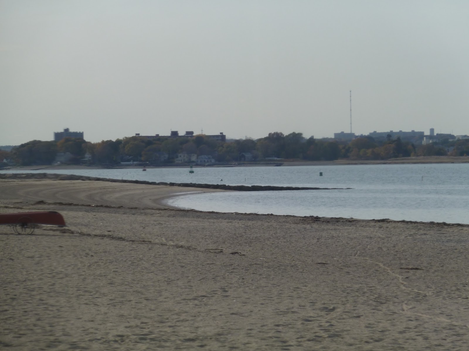 |
| The beach. |
The houses continued past the beach, and many people had boats on their front lawns. The reason why was evident as we got a view of the Weymouth Back River again – it did indeed have a lot of boats in it. Abruptly we reached a shipyard with some big apartment buildings behind it, and that was it for the route. After taking a few pictures, I got back on the bus and we made a u-turn, heading back to Quincy.
 |
| Well, that’s industrial. |
 |
| Some apartments where the bus ended. |
 |
| Some more apartments further down the road. |
 |
| The bus laying over for a bit. |
Route: 221 (Quincy Center Station – Fort Point via Bicknell Square)
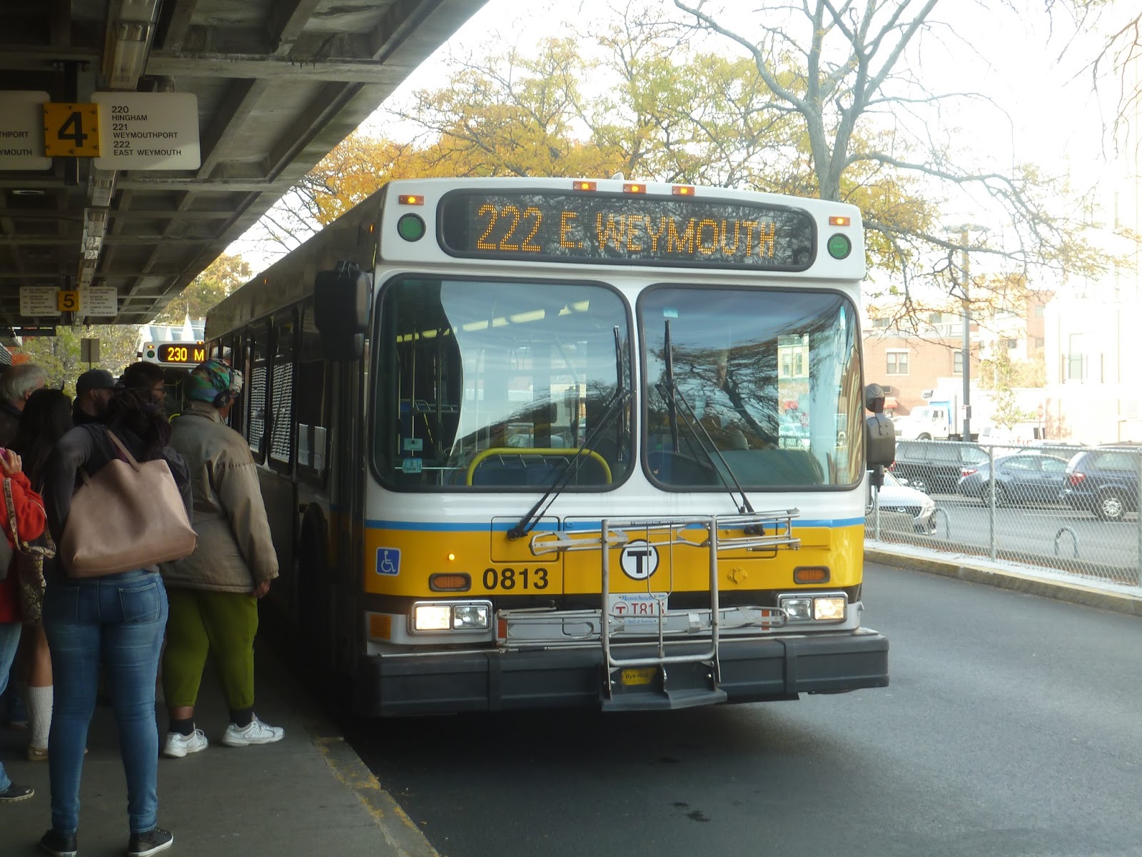
222 (Quincy Center Station – East Weymouth via Bicknell Square)
The Washington Street corridor east of Quincy is quite a busy one. I’ve already covered one of its well-used routes, the 220, which goes out to Hingham. Now we’ll be taking a look at the other main one on this corridor, the 222. This bus stays in Weymouth for the most part, but it’s almost just as busy as the 220.
 |
| The bus at Quincy Center. |
After picking up a good amount of riders at Quincy Center Station, we headed down Hancock Street. Since it heads east, the 222 bypasses the main drag of Quincy Center, so we managed to avoid some traffic by turning onto Washington Street. There were still businesses along here, but they certainly weren’t as interesting as the ones along Hancock Street.
 |
| My, that bridge sure looms, doesn’t it? And the new one they’re building next to it is even bigger! |
It became a mix of houses and businesses, starting out half and half, but leaning toward the former as we continued on. However, after we passed an apartment building, the retail came back and continued all the way to a big rotary, Here we went around, then went up onto the impressive Fore River Bridge, entering Weymouth on the other side.
 |
| Mmm…industrial. |
We were travelling down Bridge Street now, which was lined with some pretty industrial-looking businesses. At Bicknell Square (which doesn’t look any different from the rest of Bridge Street and isn’t even a “square”), we merged onto Sea Street, starting the independent portion of the 222. We then turned onto North Street, which was residential.
We were going by quite a few houses that were spread out enough to have decently sized yards. Going under the Commuter Rail tracks (or track, really), most trips would continue down North Street, passing the Weymouth Town Hall and a school. However, my trip was one of the few weekdays-only midday trips that takes a bit of a deviation.
Thus, we turned onto Church Street, then Commercial Street, then Essex Street. The surroundings really weren’t much different from what they were before (though the street didn’t have a sidewalk), until we reached the reason buses make this detour in the first place: a housing development. We didn’t actually go in, but a few people got off outside it, which shows that this deviation is worth it in terms of ridership.
Right after the stop outside the housing development, we turned onto Broad Street, rejoining the main route at Middle Street. That intersection had a few businesses, and there was a fire station further down Broad Street. Soon after that, the street became lined with retail – we were in Jackson Square.
For some reason, the 222 makes a tight v-shaped deviation in Jackson Square, so we turned onto Commercial Street, going by a library. We then made a sharp turn onto Water Street, coming back into Jackson Square. Turning onto High Street, it got residential once more. We entered Hingham for just a little bit, making a loop and then returning the way we came.
I would like to point out that the 222 deviates in Jackson Square, with every other trip diverting to a separate terminus. On the v-shaped deviation, instead of heading back up to the square, it continues south on Pleasant Street. The terminus is just a loop around an area with a few small businesses.
 |
| The bus heading down Water Street. |
Route: 222 (Quincy Center Station – East Weymouth via Bicknell Square)
Ridership: The 222 is never quite as busy as the 220, but it’s always close behind. On weekdays it gets an average of 1,690 riders, while on Saturdays it gets 744 riders, and on Sundays it’s 554 riders. My trip was in the afternoon just before the rush hour, so it was slightly quieter – there were about 20 people who rode. Many of these people got off along Washington Street, with only about half continuing to the independent section.
Pros: It serves Washington Street! And it does so frequently – every 14 minutes during rush hour! Then it’s every half hour during the day and on Saturdays, while it goes every hour nights and Sundays. You have to remember, though, that all those headways are divided by two because the route is coordinated with the 220. Thus, the shared portion on Washington Street gets quite a lot of service.
Cons: For one thing, rush hour coordination is pretty much nonexistent. It would be fine if the 220 and 222 had the same headways during that time, but they’re slightly different, which means there are a few trips that leave right after other ones. Also, I find split terminals to be kind of confusing, but I think the 220 handles it pretty well. Every other trip goes to Pleasant Street – that’s easy, I can handle that.
Nearby and Noteworthy: The main attraction of the 222 is Jackson Square in Weymouth, and it seems like a decently interesting place. But you know what it really needs? A movie theater. Seriously, I think that would make the square significantly better. I’m not sure how much business a theater here would get, but you know. It would be nice.
Final Verdict: 8/10
Overall, this is a great route, providing a partner in crime to the 220. This route provides service to a very large part of Weymouth, and it does it pretty frequently. Okay, so it’s not the greatest on Sundays, but come on, how much ridership would it really get if it ran more often? The split-terminal scheme is simple, and neither of the tangents are especially long, which I think is a good thing. That means fewer people have to deal with service from every other trip. Rush hour coordination with the 220 could be much better, but overall, I like this route a lot.
Latest MBTA News: Service Updates
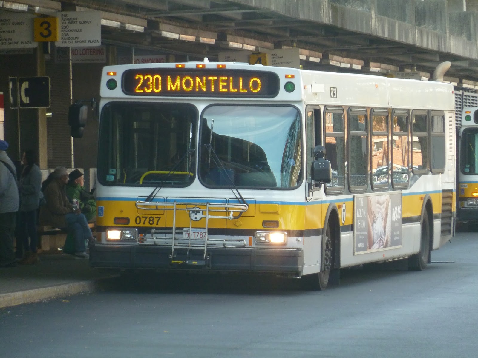
230 (Quincy Center Station – Montello Commuter Rail Station via Holbrook and Braintree Station)
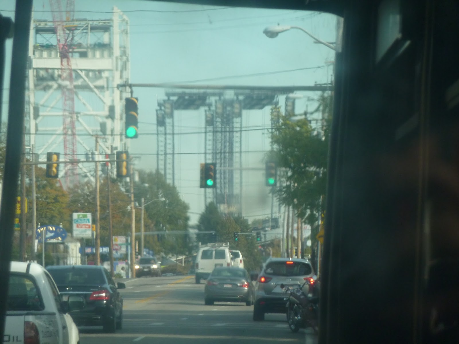
Welcome to the southernmost bus route on the MBTA! The 230 is one of those suburban trips that stays on the same road most of the time and goes through multiple towns. So, is everyone ready for some Brockton-Holbrook-Braintree-Quincy action? Let’s do this.
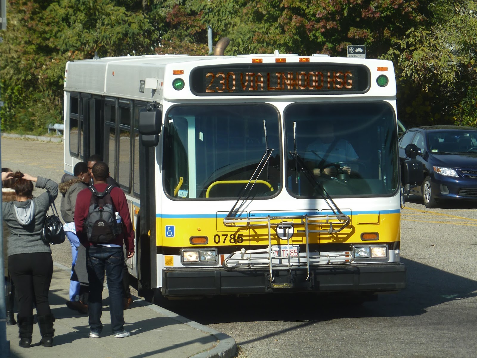 |
| The bus at Montello. |
After boarding in the Montello parking lot, we headed up Sparks Street, passing the industrial surroundings of the station. We then turned onto Howard Street, which after a bit, was lined with dense houses. There was one more industrial stretch, then we entered Holbrook and it was residential again, though less dense.
We passed a cemetery, then the street became South Franklin Street. There were some businesses at the intersection with Linwood Street, onto which we turned. Midday 230 trips serve Linwood Housing, so this was a small detour into a development where all the residences were the same. Someone got off here, then we headed back to South Franklin Street.
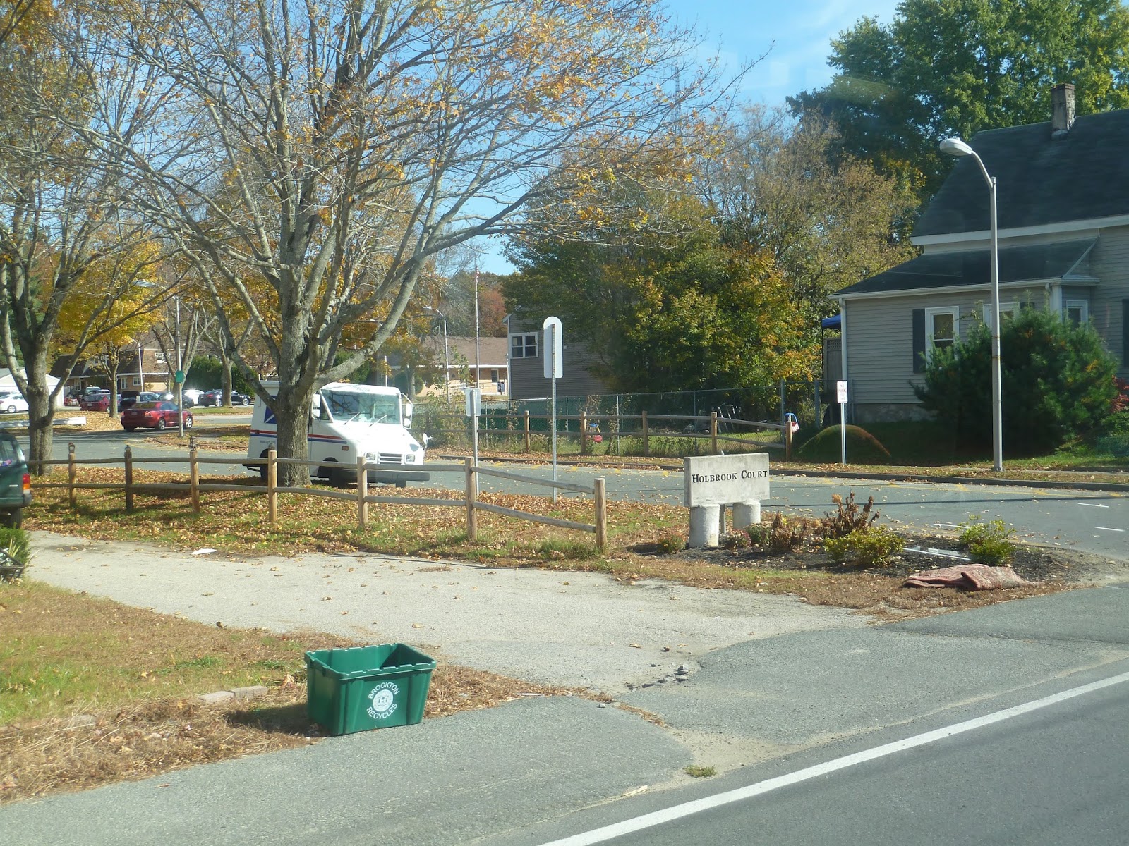 |
| The entrance to Linwood Housing. |
Continuing north again, we went by a shopping mall, a school, and a storage center, then it went back to houses. After a little while of pure residences, some more industrial buildings started to creep in between the houses. From there, we passed the Holbrook Public Safety building, a huge high school, and then we entered Holbrook Square.
 |
| There are some weird reflections going on here, but this is a glimpse of Holbrook Square. |
I gotta be honest, I wasn’t too impressed with Holbrook Square. Aside from some interesting old buildings, it didn’t feel very downtowny. With wide roads, lots of cars, and parking lots in front of the businesses, it wasn’t pedestrian-friendly, and none of the businesses seemed especially interesting. That said, the old buildings were great, as I mentioned before.
 |
| Going under some pylons. |
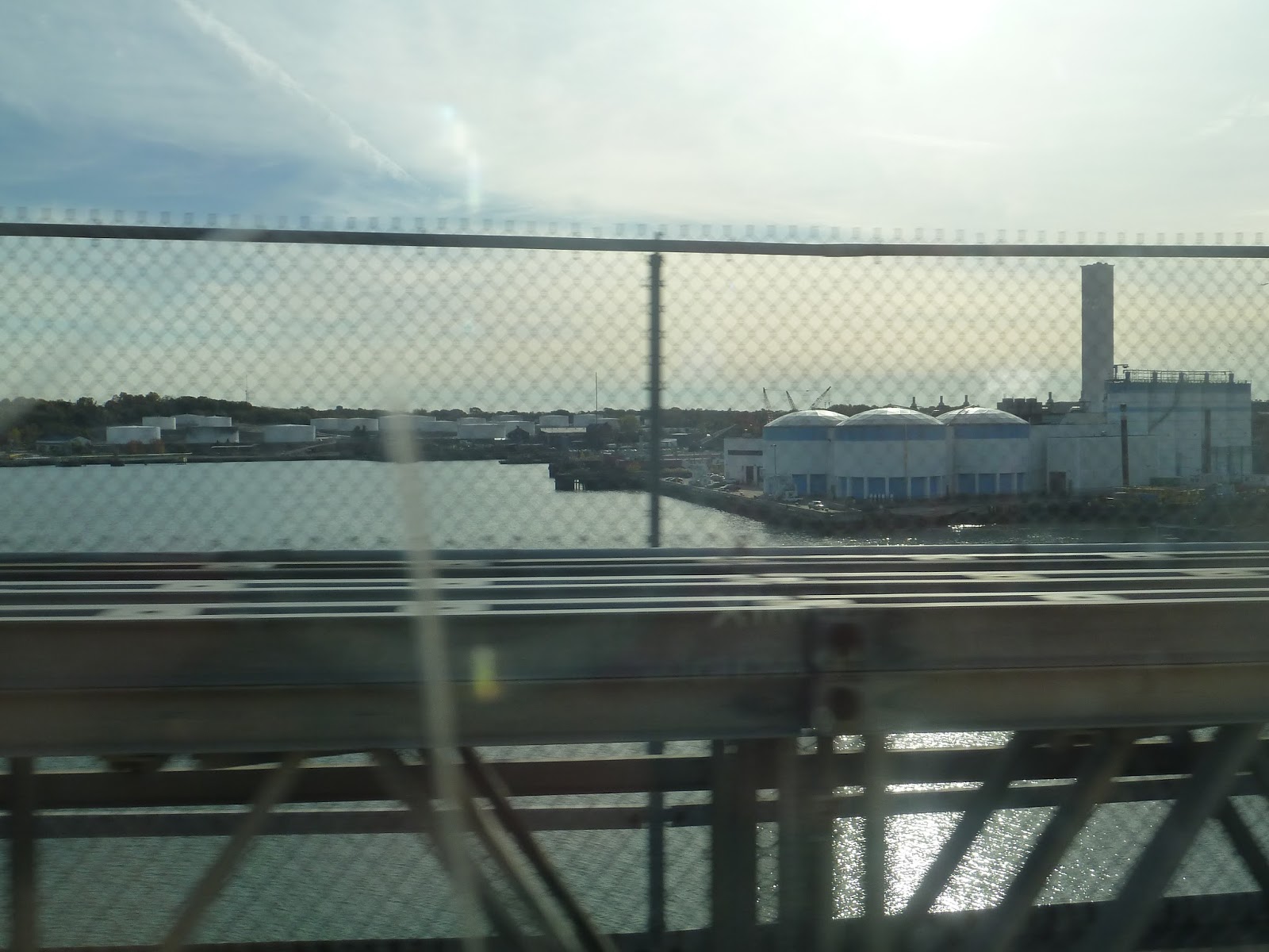
As the businesses thinned out on what was now North Franklin Street, the houses came back and it was residential again. After heading under some massive pylons, we passed another mall, the street became Washington Street, and we were in Braintree. It was still residential, though we did pass a nice-looking park at one point.
The houses were close together, but it wasn’t quite as dense as it was back in Brockton. We went by a small clinic, then a few industrial buildings. We then crossed over the Commuter Rail tracks and closely followed them, while the street became Hancock Street. There was another industrial stretch, then we reached South Braintree Square, which was significantly more walkable and interesting than Holbrook Square from before.
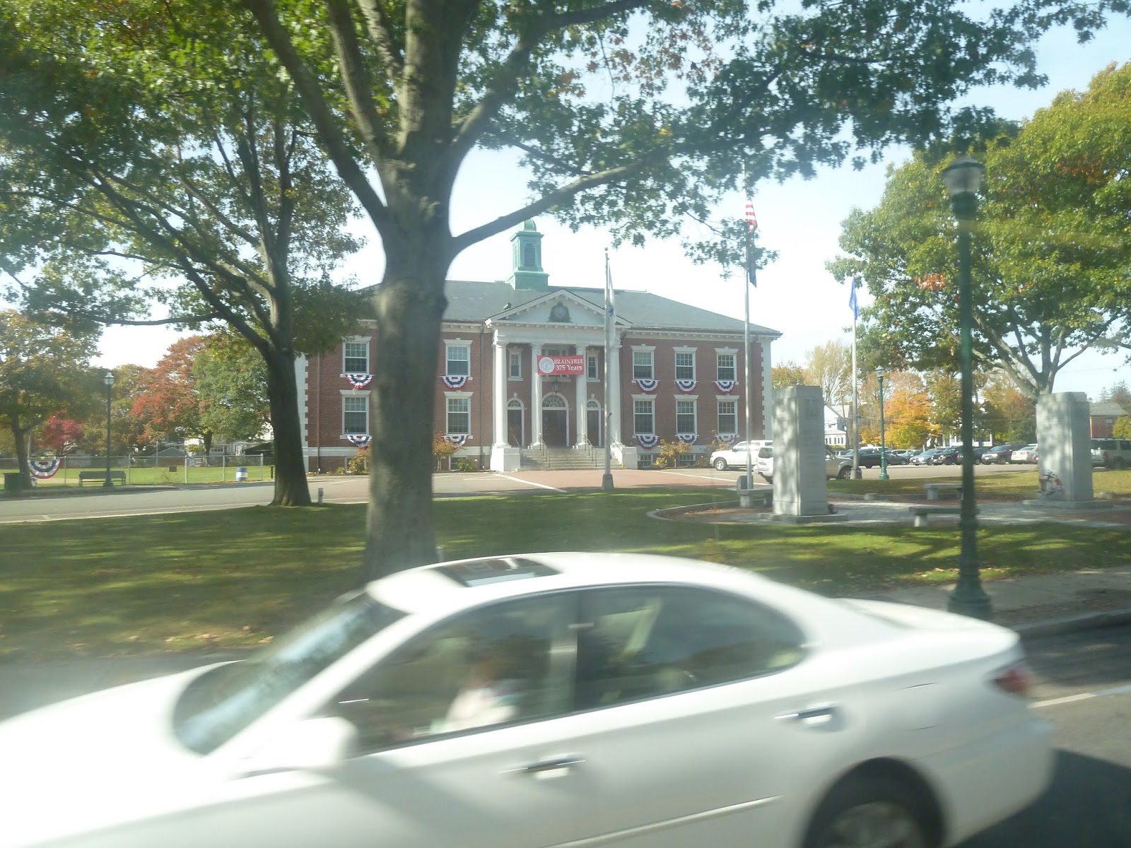 |
| Hey, look, it’s Braintree Town Hall! And…a car. |
The businesses continued for a while, but there was a nice small park in front of Braintree Town Hall. However, we then turned onto Union Street, and the scenery completely changed. Heading under the Red Line/Commuter Rail tracks, we turned onto the incredibly wide Ivory Street, then went into the parking lot monstrosity of Braintree Station.
 |
| Leaving Braintree. |
After dropping many of the passengers off, we returned to Union Street, then continued north on Washington Street again. It was residential, though there was the occasional businesses that slipped in between the houses. That said, it became all businesses when we reached Braintree Square, which was significantly less interesting than South Braintree Square.
 |
| Some cars going down Route 3. |
There were a few more houses, then we crossed over Route 3. The street was now Independence Ave. After going by a high school, we entered Quincy, the road soon getting residential. Soon after that, we passed the closed gate to Quincy Adams Station, which was so close…and yet so far.
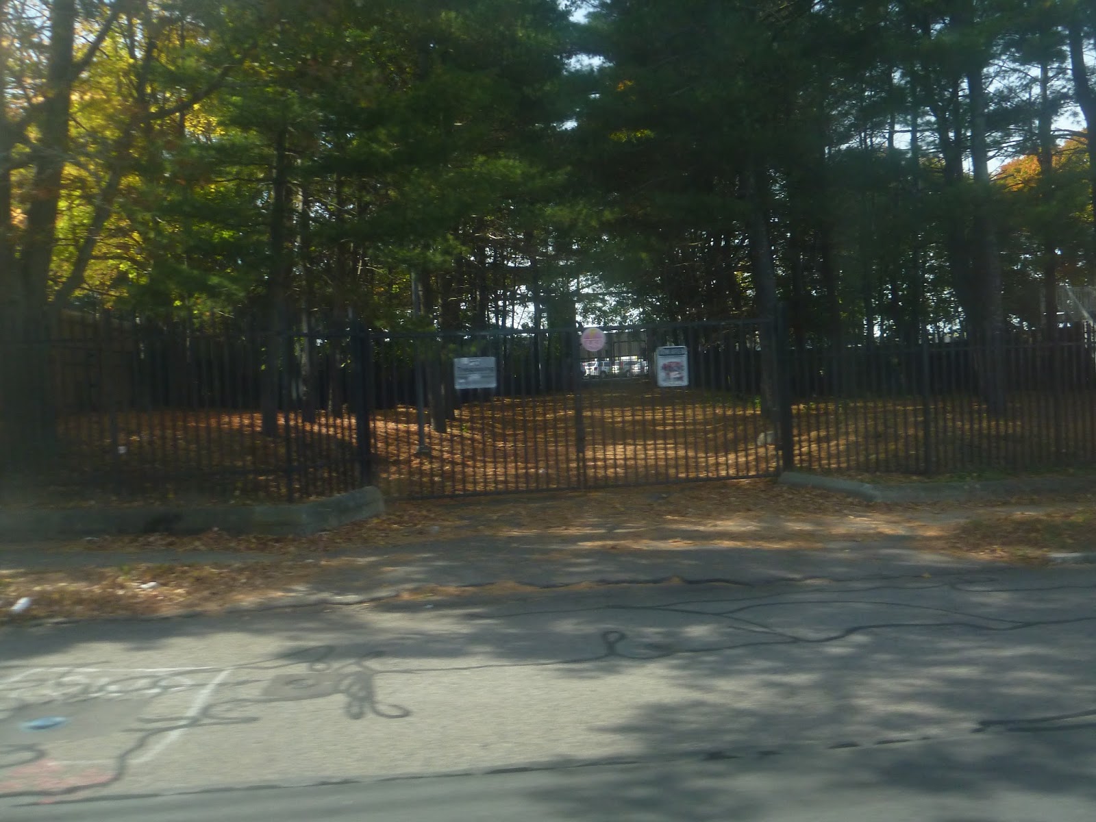 |
| Ergh, this gate just makes me angry! |
The houses were pretty dense by this point, but there were fairly industrial businesses at the intersection with Franklin Street. Independence Ave became Franklin Street here, which was lined with businesses of varying interest. Other routes were joining us as we turned onto School Street, then Hancock Street.
We headed right through the heart of Quincy Center, the street lined with retail. A few blocks north, there was construction, but luckily we avoided it for the most part by turning onto Temple Street, then Washington Street. Washington Street merged back into Hancock Street, and we turned into the Quincy Center busway soon after.
 |
| A different 230 in Quincy. |
Route: 230 (Quincy Center Station – Montello Commuter Rail Station via Holbrook and Braintree Station)
Ridership: This is one of the busier Quincy routes on weekdays, with an average of 1,733 riders. It drops on weekends, with 756 and 492 average riders on Saturdays and Sundays, respectively. As for my ride, there were about 30 people in total, approximately half of whom got on at Montello. Braintree Station was where most of the riders got off, with only a few people continuing on to Quincy.
Pros: Since it’s so long, the 230 serves a lot. It’s the only MBTA bus route to Brockton and Holbrook (the routes serving the Holbrook Commuter Rail station don’t actually enter the town), and one of only a few to serve Braintree. Also, I have to commend the 230’s rush hour schedule – it runs every 20 minutes in the morning! Every half hour in the evening is slightly worse, but still good.
Cons: I want to be forgiving with the 230’s schedule. Since it’s a long suburban route, it makes sense that it wouldn’t run that often, and I understand why it only goes every hour on weekdays and Saturdays. That said, every 90 minutes on Sundays is pushing it.
Nearby and Noteworthy: This route goes through a few suburban downtowns, so I’ll run through them south-north. Holbrook Square didn’t have much, though there were some interesting old buildings there. South Braintree Square is a great commercial center, including a great small diner. Braintree Square, however, seemed to have a lot of boring businesses, while Quincy Center is, of course, quite busy with lots of retail.
Final Verdict: 7/10
Honestly, considering what kind of route the 230 is, the schedule isn’t bad. Every 20 minutes at rush hour is great for such a long trip through the suburbs, while the every hour schedule of weekdays and Saturdays is what you’d expect from a route like this. The Sunday schedule is bad, admittedly, but the fact that it runs the full length on Sundays is still great. And of course, this bus goes right through some major south shore towns, which makes the 230 a very important route to keep around.
Latest MBTA News: Service Updates
Montello
Alright, let’s switch gears to a proper Commuter Rail line. As one of the more transit-dependant cities in the greater Boston area, it makes sense that Brockton has more than one Commuter Rail station. The northernmost one in the trio of Brockton stops is the fun-to-say Montello Station, and it’s…pretty much a generic Commuter Rail station.
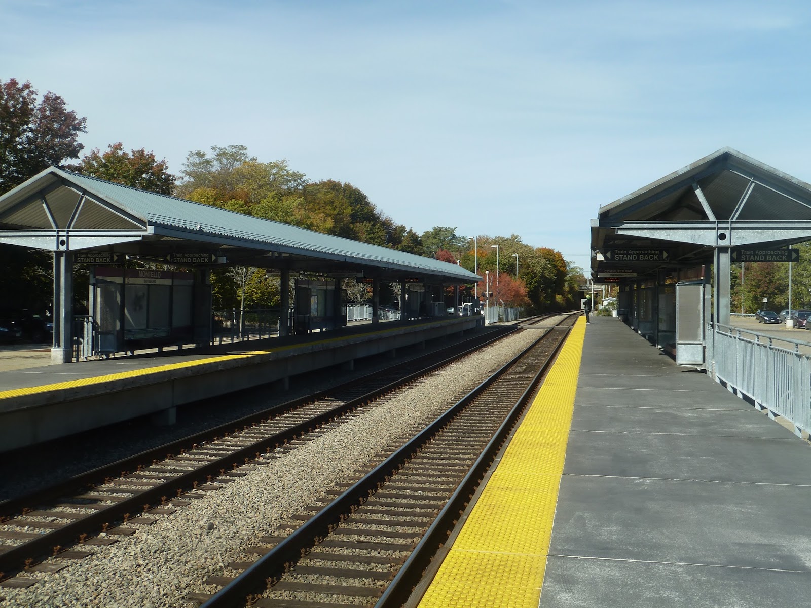 |
| Yep, that’s a typical platform for the Old Colony Lines. |
As usual, this platform is way longer than it needs to be, and only a small portion of it has shelter. It is a high-level platform, though, and the shelters are fine, if bland. They have what you’d expect from a newer Commuter Rail station: benches and wastebaskets…and that’s about it. There’s another shelter further down the platform on the inbound side, and it’s pretty similar to the main one.
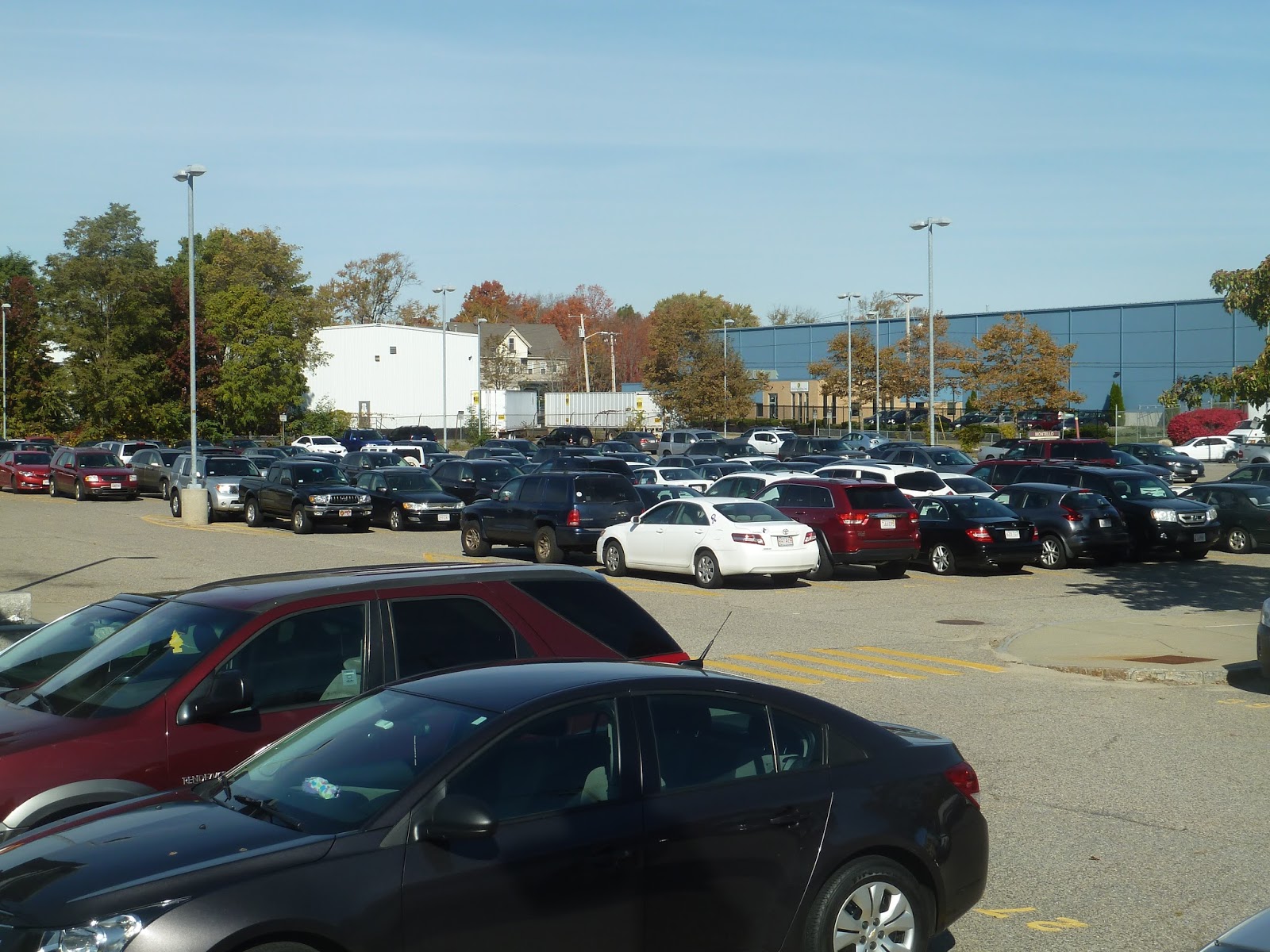 |
| The crowded parking lot. |
Considering that the area around Montello is relatively dense, it’s great that the station has a sizeable parking lot. Well, technically two. There’s a smaller lot on one side of the station accessible via a path across the tracks, but the main one is on the eastern side. In total, the station has almost 350 spaces, which is fantastic.
 |
| The bus waiting area. |
Montello is served by the 230, the southernmost MBTA bus route, which heads up to Quincy Center. That bus goes directly into the parking lot, stopping at a rather meager waiting area. It consists of a couple of old “honor boxes”, plus a station sign. These are all somewhat sheltered, but there aren’t any benches, which is annoying. In addition, the BAT serves this station, but I’m not sure if it directly goes into the parking lot.
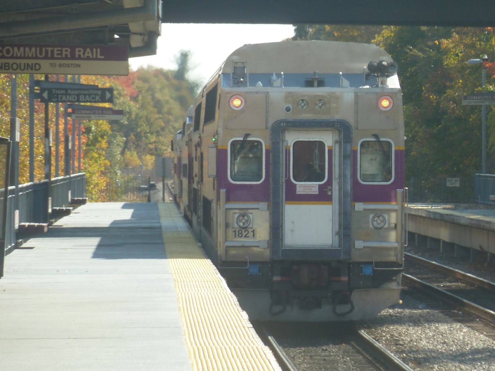 |
| A train leaving the station. |
Station: Montello
Ridership: Although Montello is the least-used of the three Brockton stations, it still gets a good amount of ridership. Every weekday, the station gets 655 inbound riders. However, it looks like not too many people come in by car. There are lots of houses around the station, so many riders probably walk here, while some may take the 230 or the BAT.
Pros: The station is accessible and fully high-level. Plus, it has a big parking lot and a few bike spaces. Also, since it’s in a pretty dense area, Montello serves quite a few people, and it has some bus connections to boot.
Cons: Mainly, I just wish the bus shelter had a bench. You never know how long people may have to wait for a bus, and leaning against a wall for half an hour isn’t the best. Also, Montello is just a boring station as a whole, feeling rather bland and quiet.
Nearby and Noteworthy: The area around the station is mostly either industrial or residential, but there are a few fast food restaurants if you head up North Montello Street. Not that you’d come to Montello for a few fast food restaurants.
Final Verdict: 7/10
I find it hard to give a station as boring as this anything higher than a 7. I mean, Montello honestly has quite a few good things about it. It’s got a high-level platform, a big parking lot, and bike spaces. But…it’s just so bland! Plus, there’s the lack of bus benches, but admittedly, people seem to just wait on the steps to the platform. But that’s not a proper bench! Okay, so most of the reason it’s a 7 is because the station’s boring, but the bench thing is annoying, too.
Latest MBTA News: Service Updates