MVRTA: 1 (Lawrence – Methuen – Haverhill)
Welcome to the busiest route on the MVRTA! This bad boy takes a direct shot from Lawrence to Haverhill, via Methuen…in which it has to make a bunch of deviations. Okay, the shot is mostly direct.
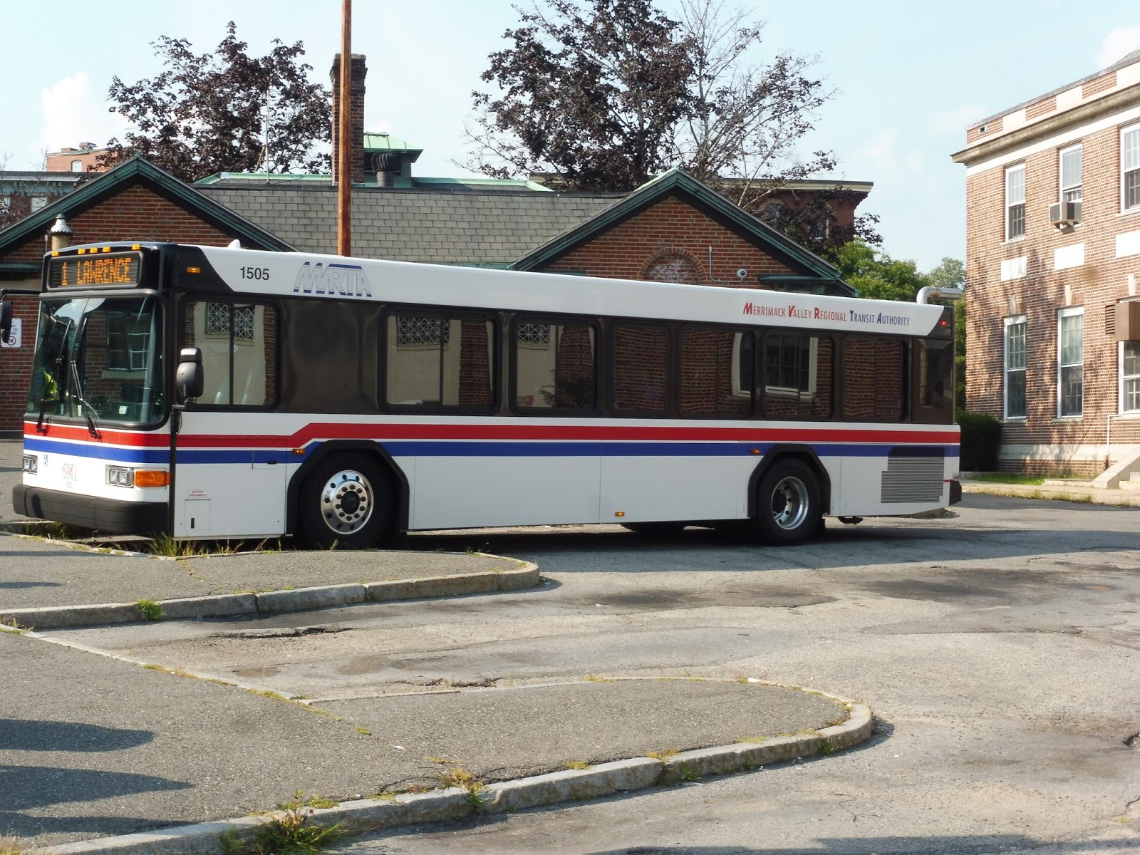 |
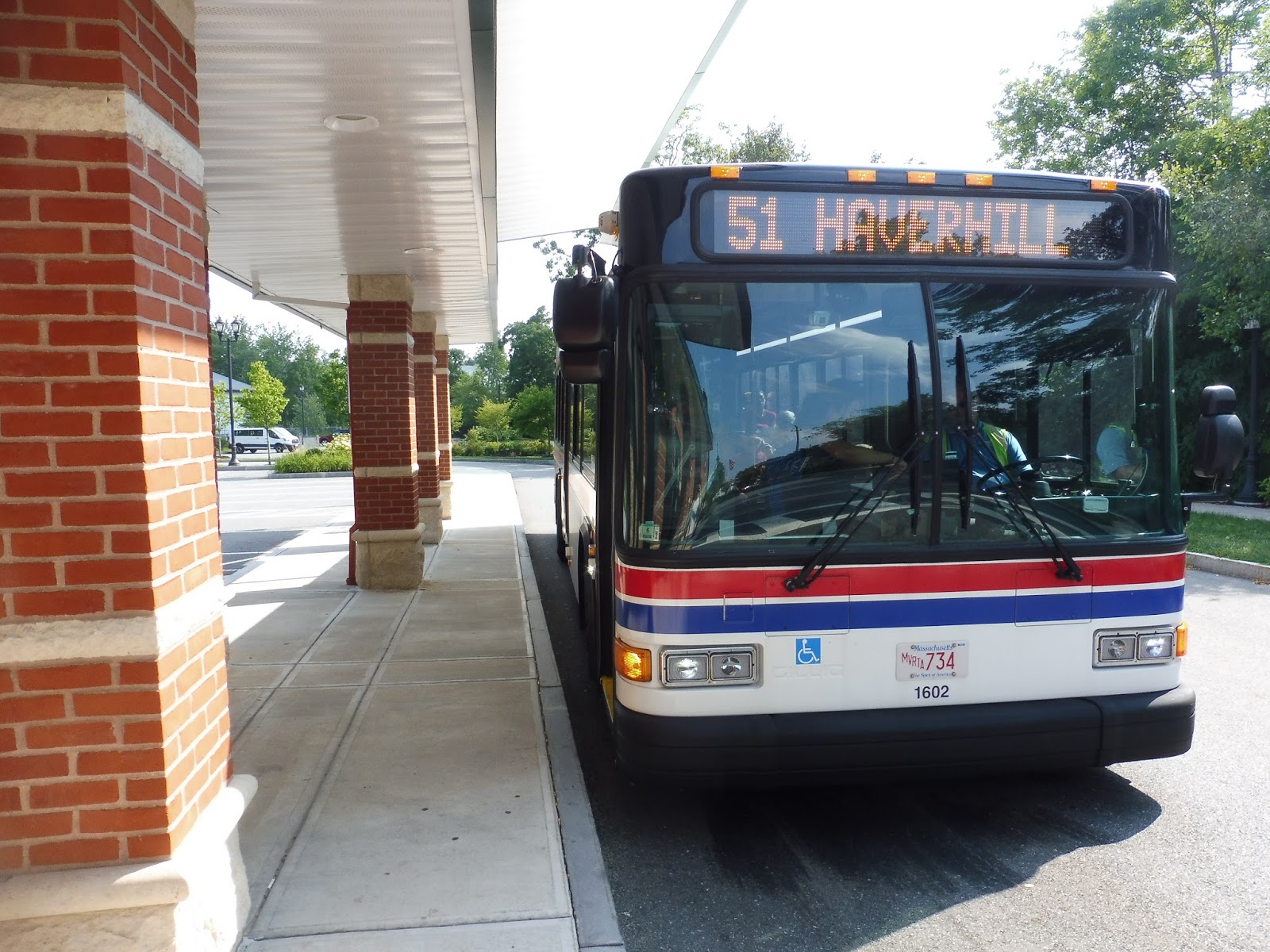
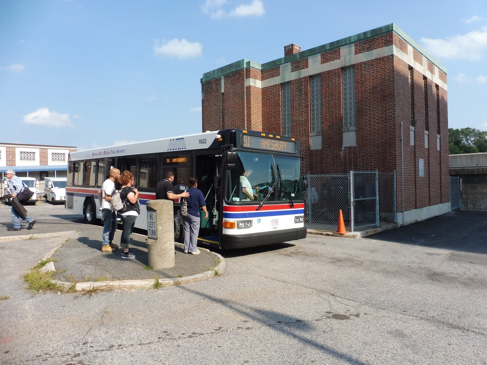
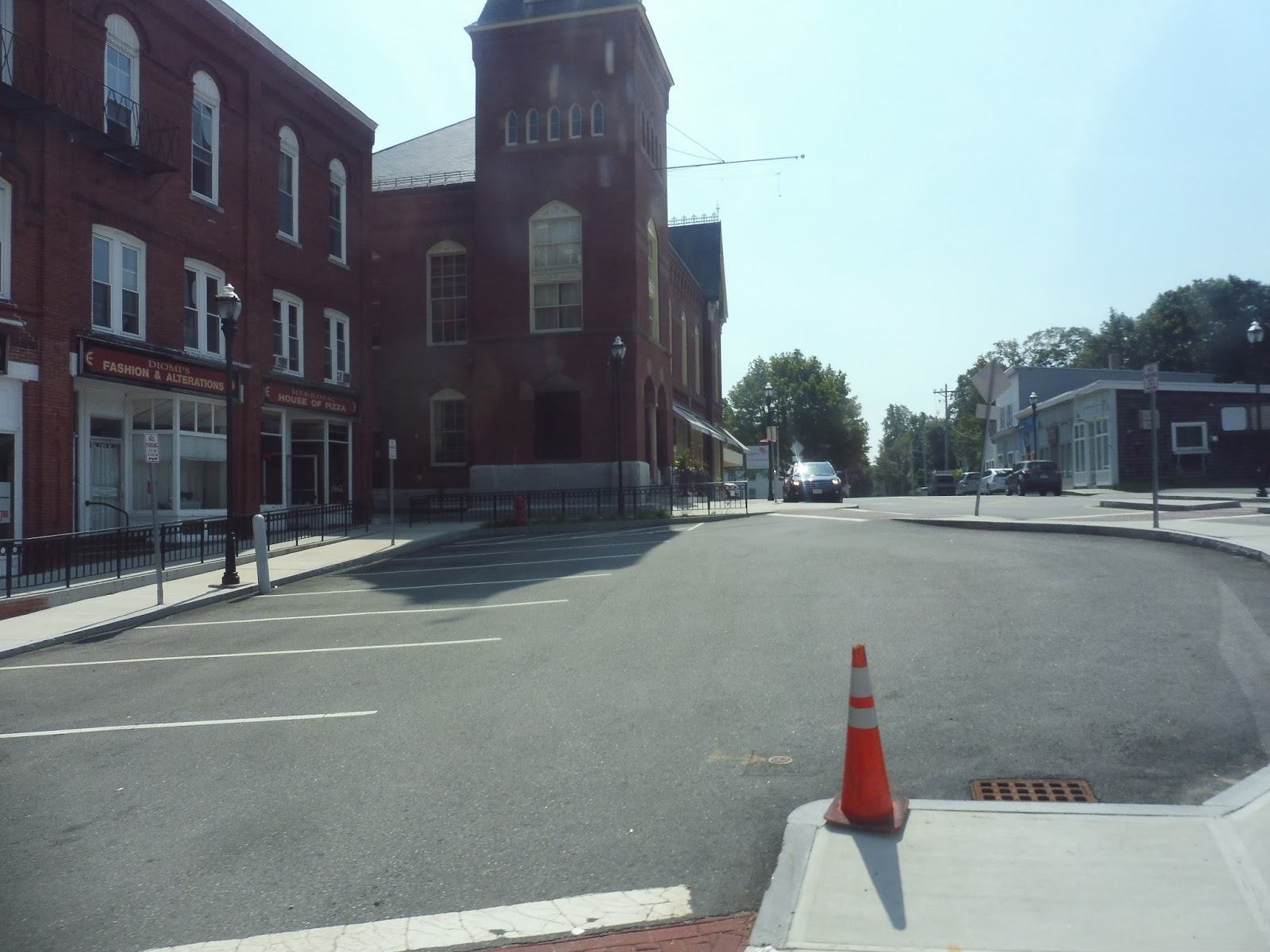
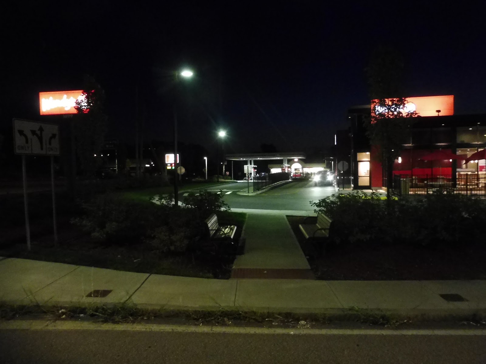
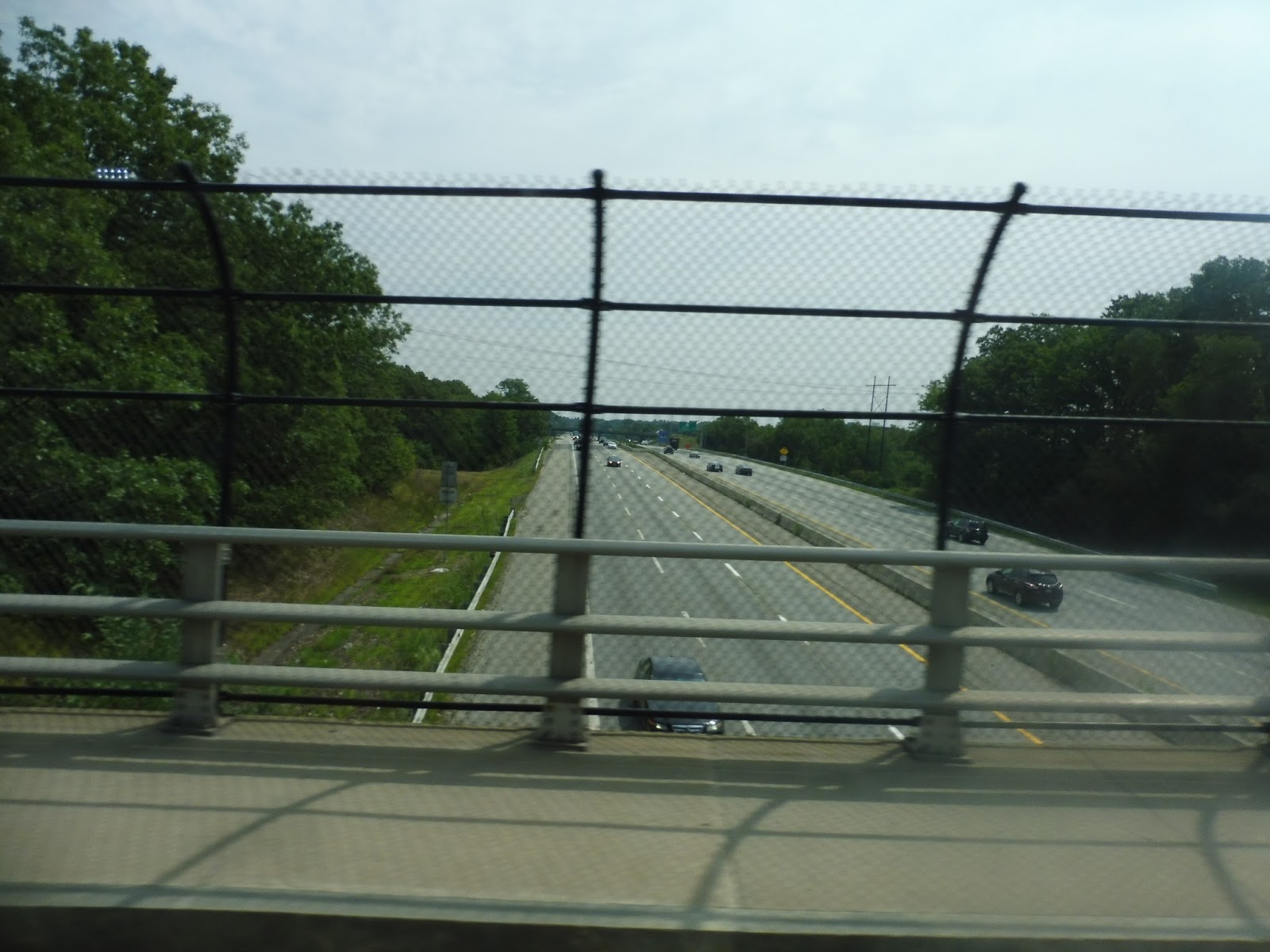
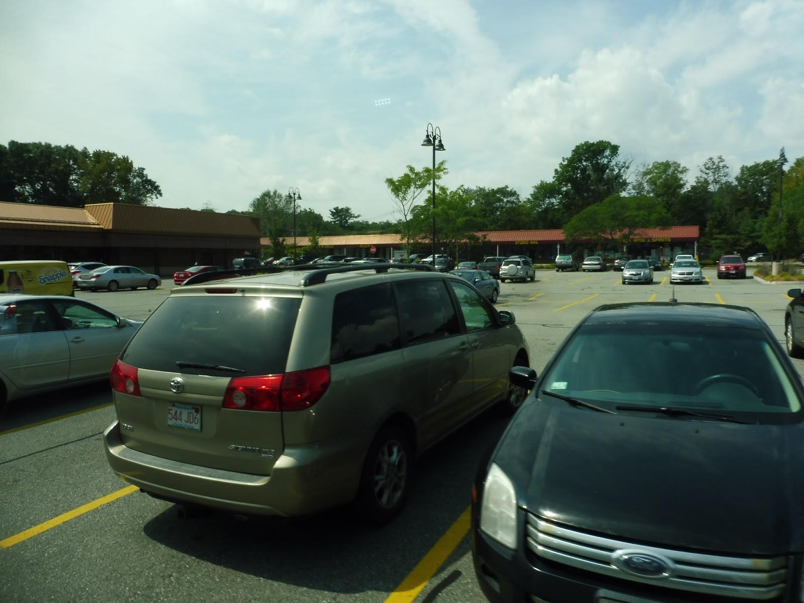
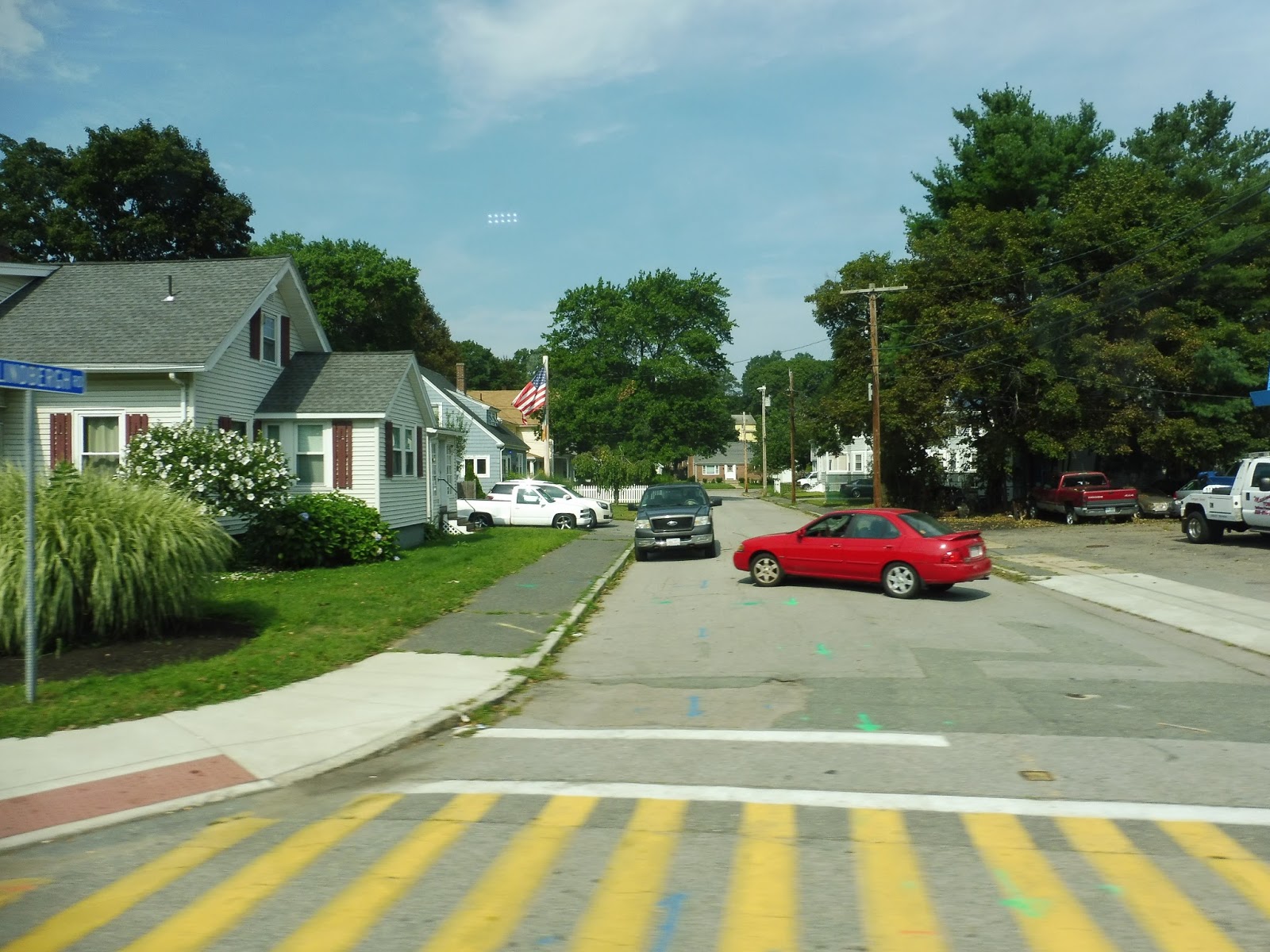
| The bus at the Washington Square Transit Station. |
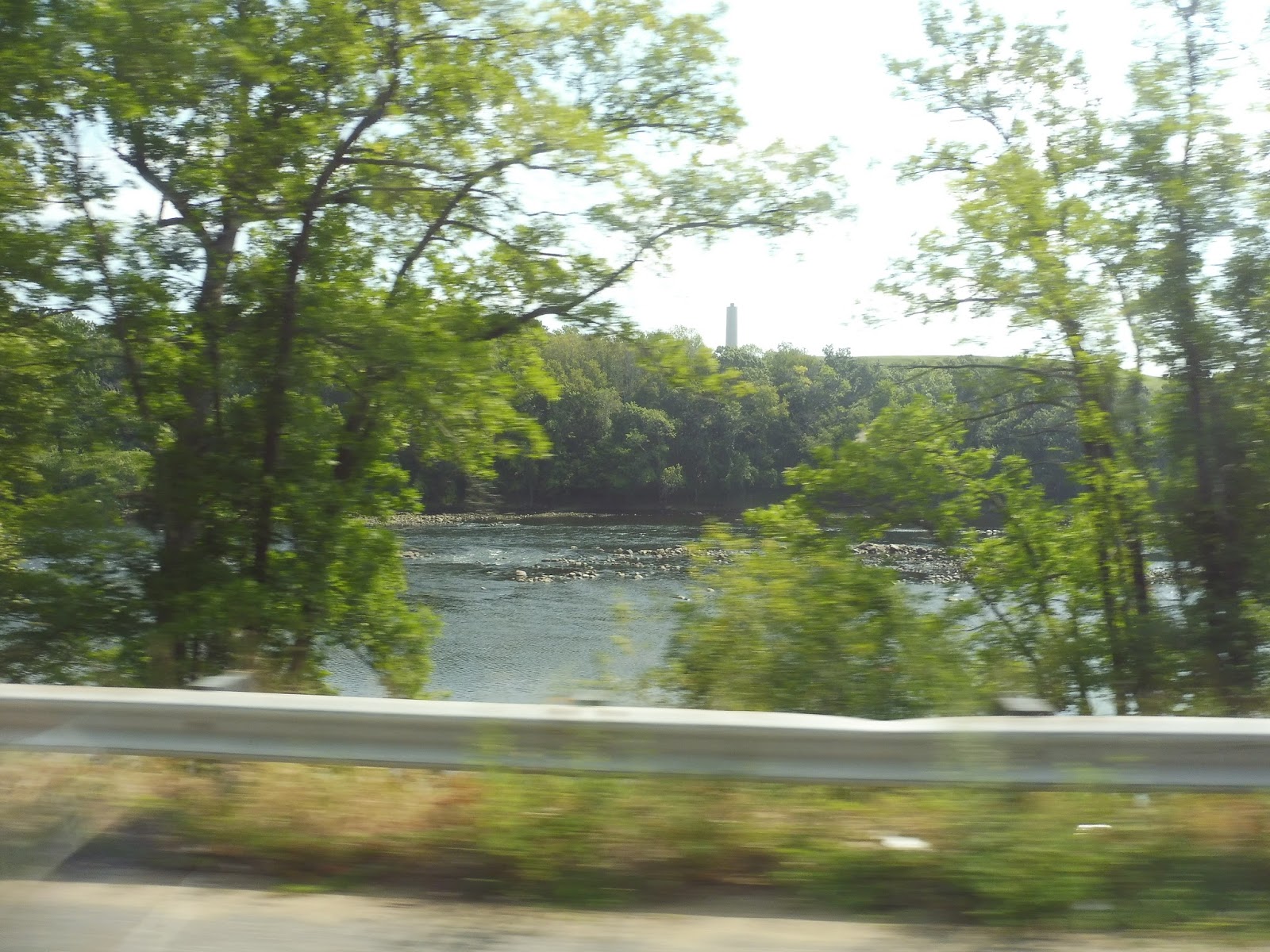
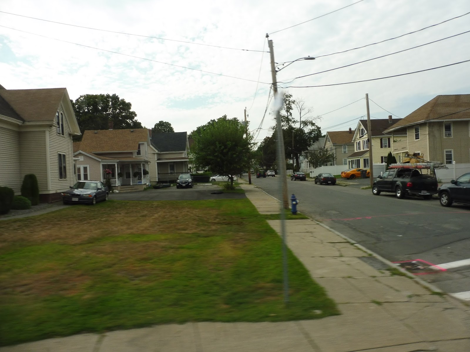
We went down Washington Street through downtown Haverhill, but it ended definitively when we passed under the Commuter Rail tracks. We merged onto River Street, which was lined with apartments and occasional businesses and industrial buildings. It was a mix of all those things for a while until we came alongside the Merrimack River – here, it became all residential.
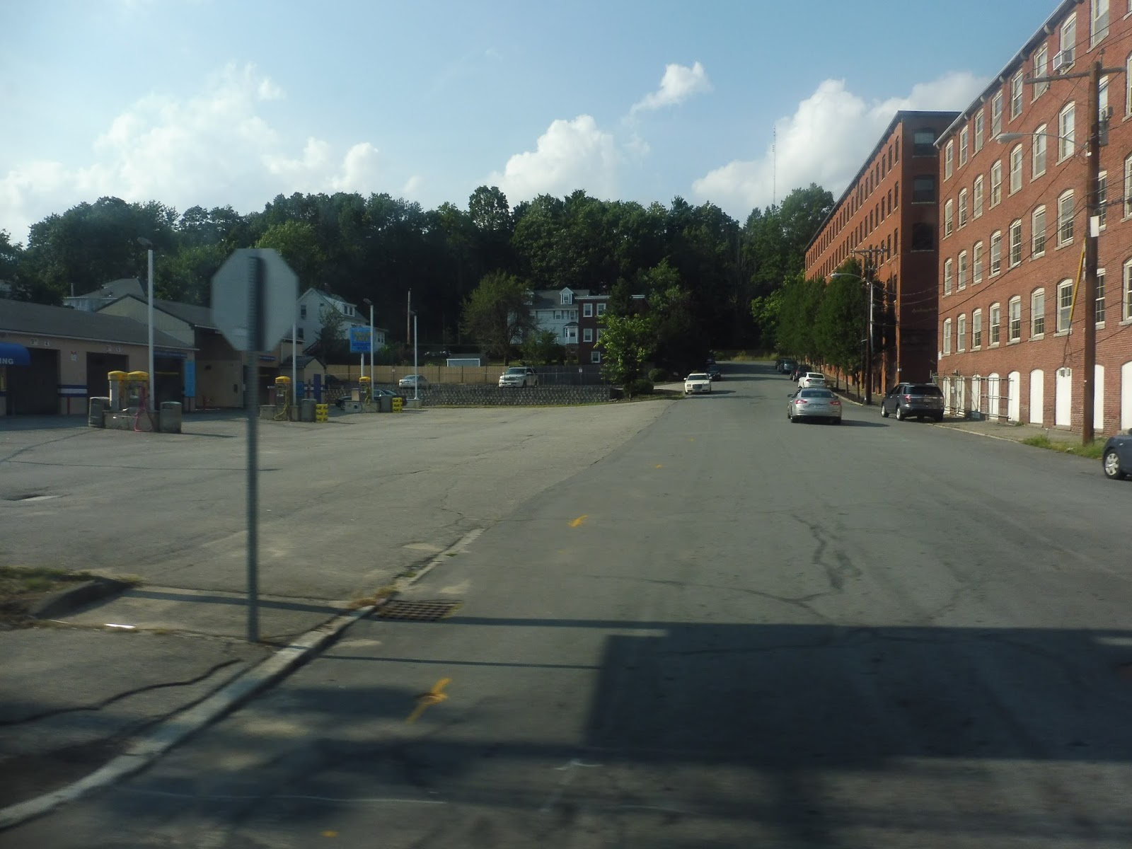 |
| Back when it was a mix. |
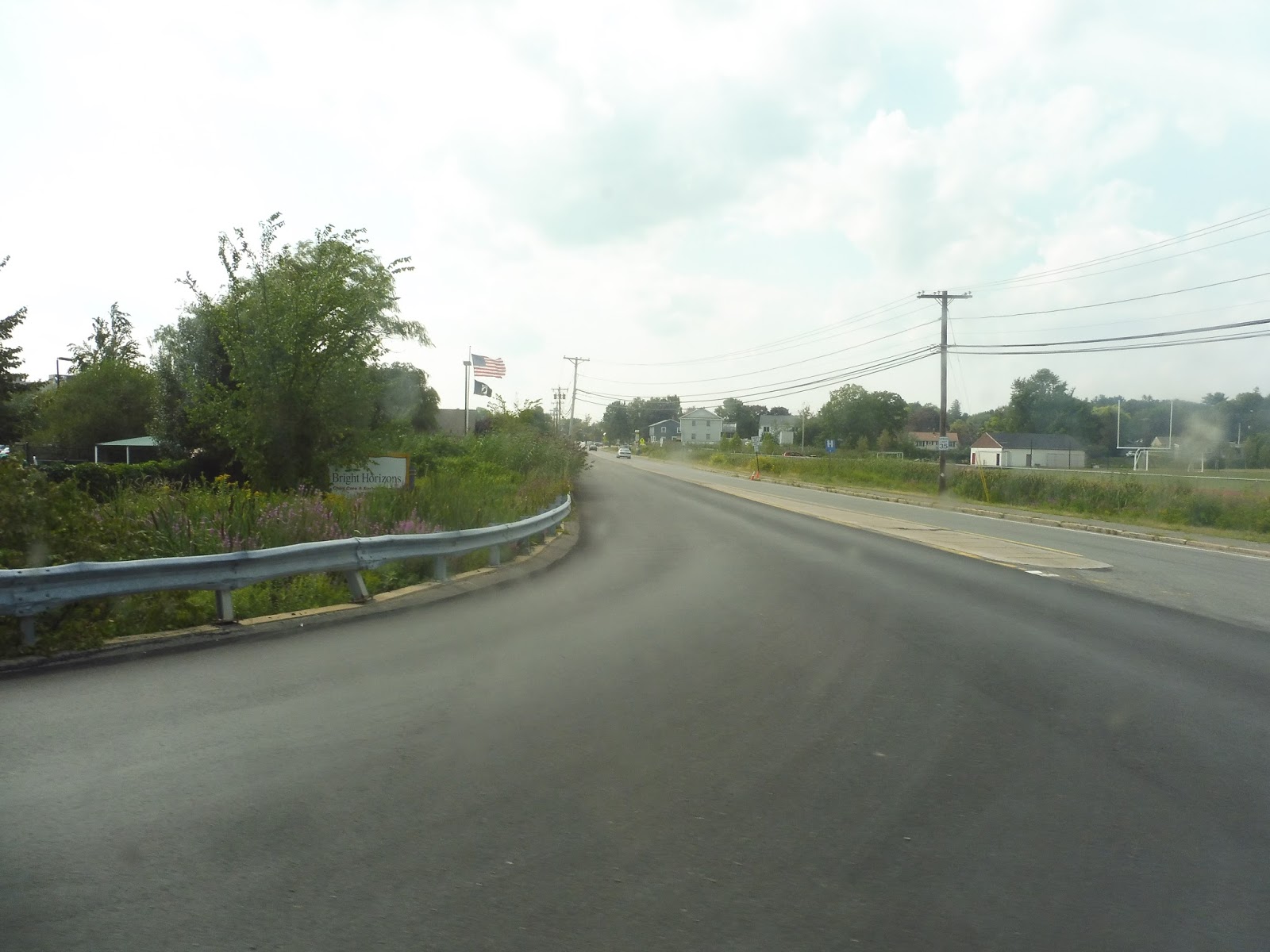
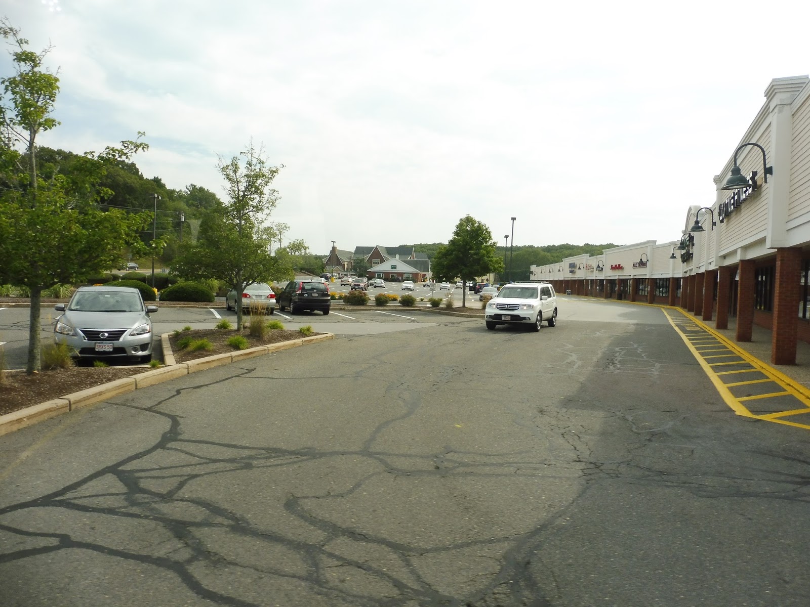
There were some suburban businesses and a shopping plaza near I-495. The plaza is directly deviated to by other Haverhill routes, but the 1 gets you there a lot faster, even sans deviation. On the other side of 495, there were more houses as we curved with the Merrimack River.
 |
| Houses indeed. |
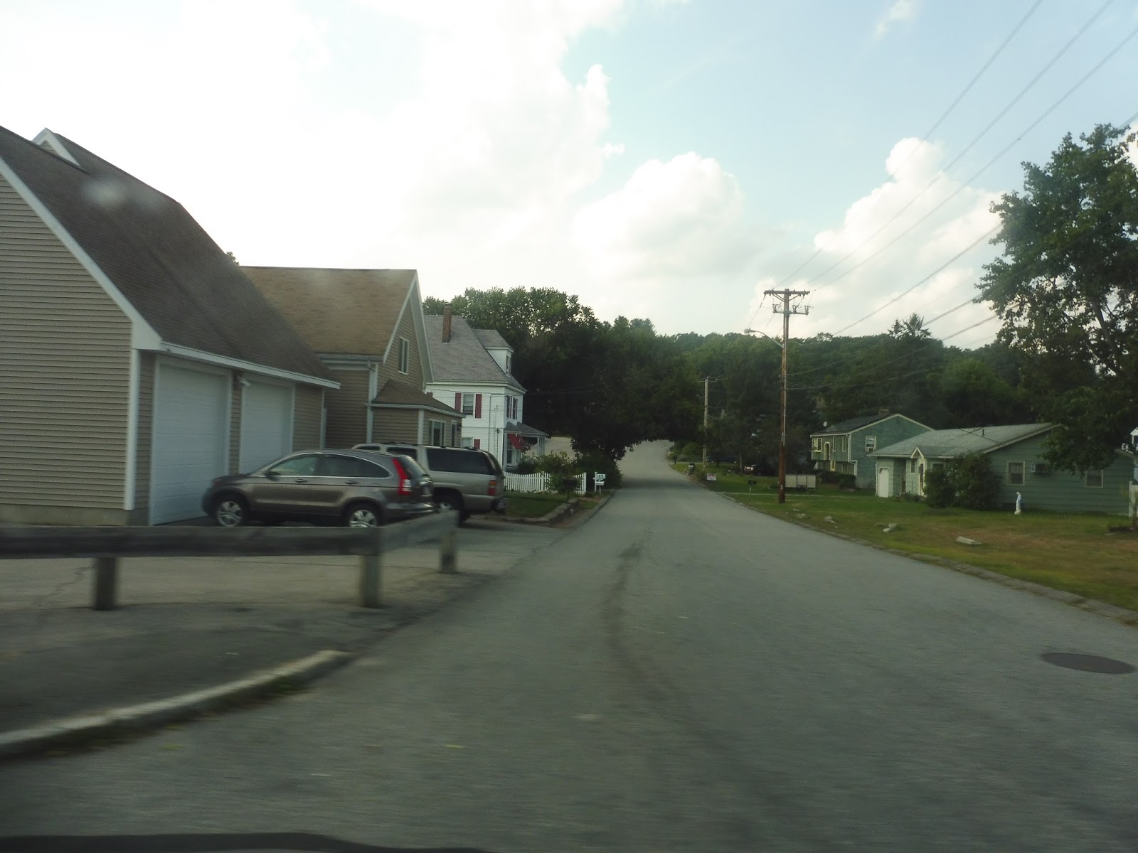
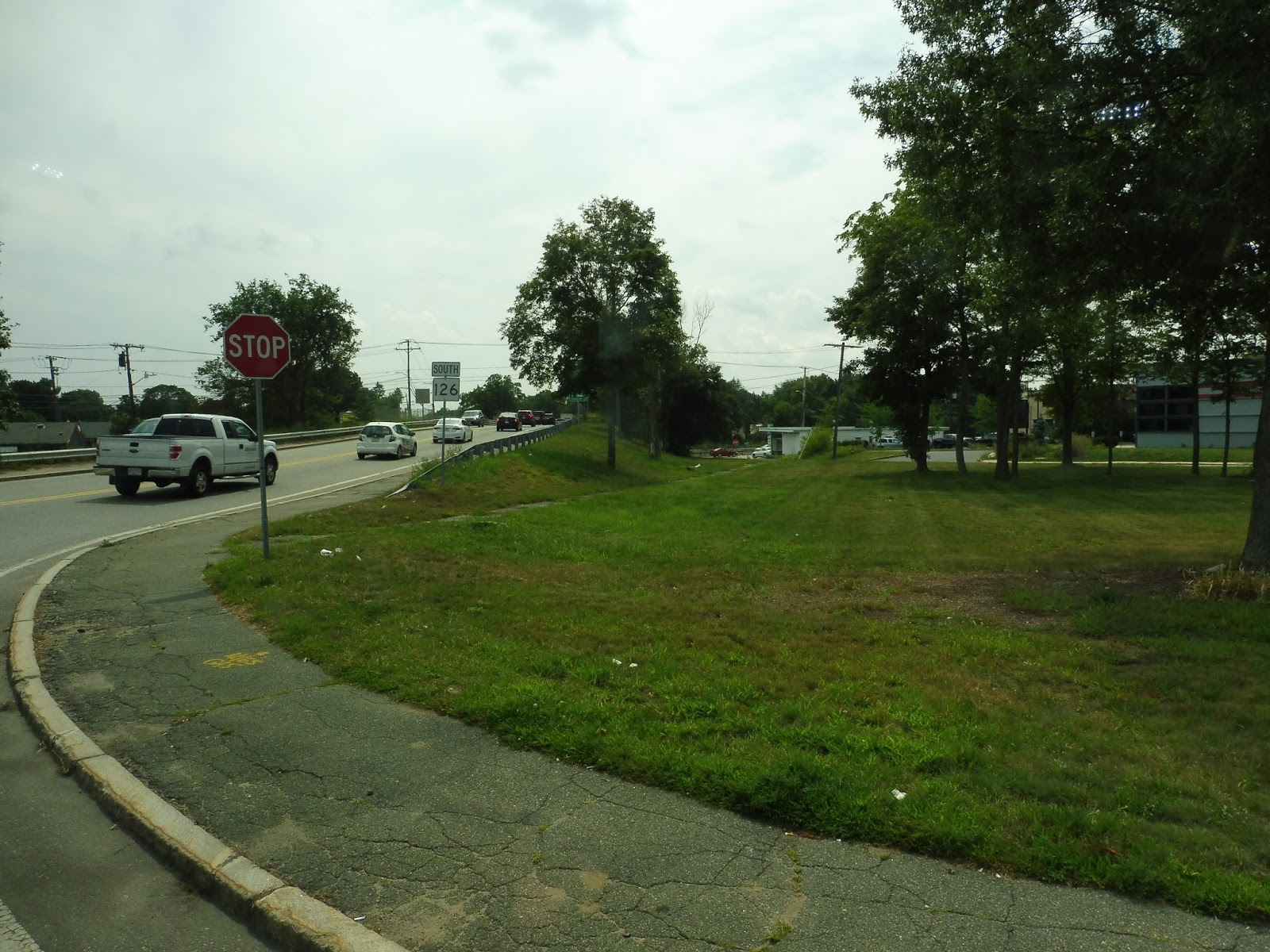
There was a short section of trees, and it marked the point where we entered Methuen. The road was Merrimack Street now, but not much else changed until we went under I-495 and it got industrial. Next, we turned onto the residential Pleasant Valley Street, the start of the 1’s very long deviation, including no less than three mini-deviations within the deviation!
 |
| A rugged side street. |
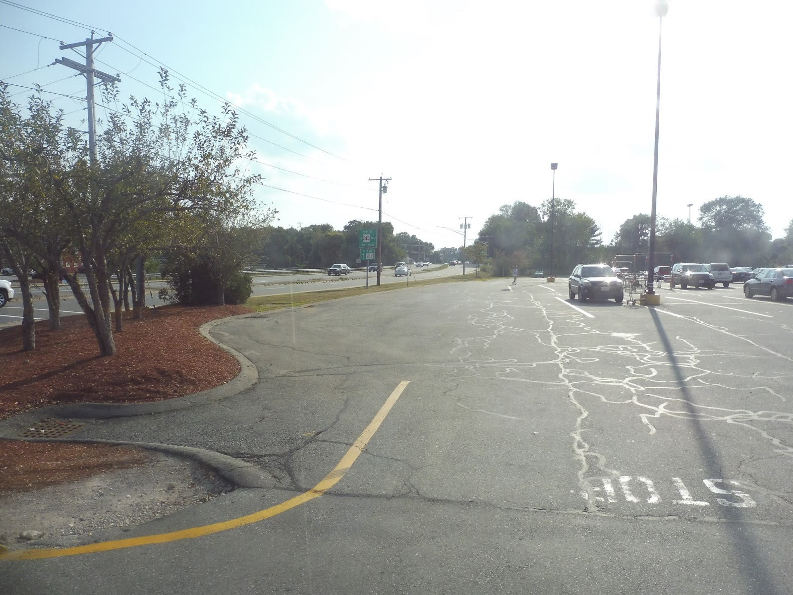
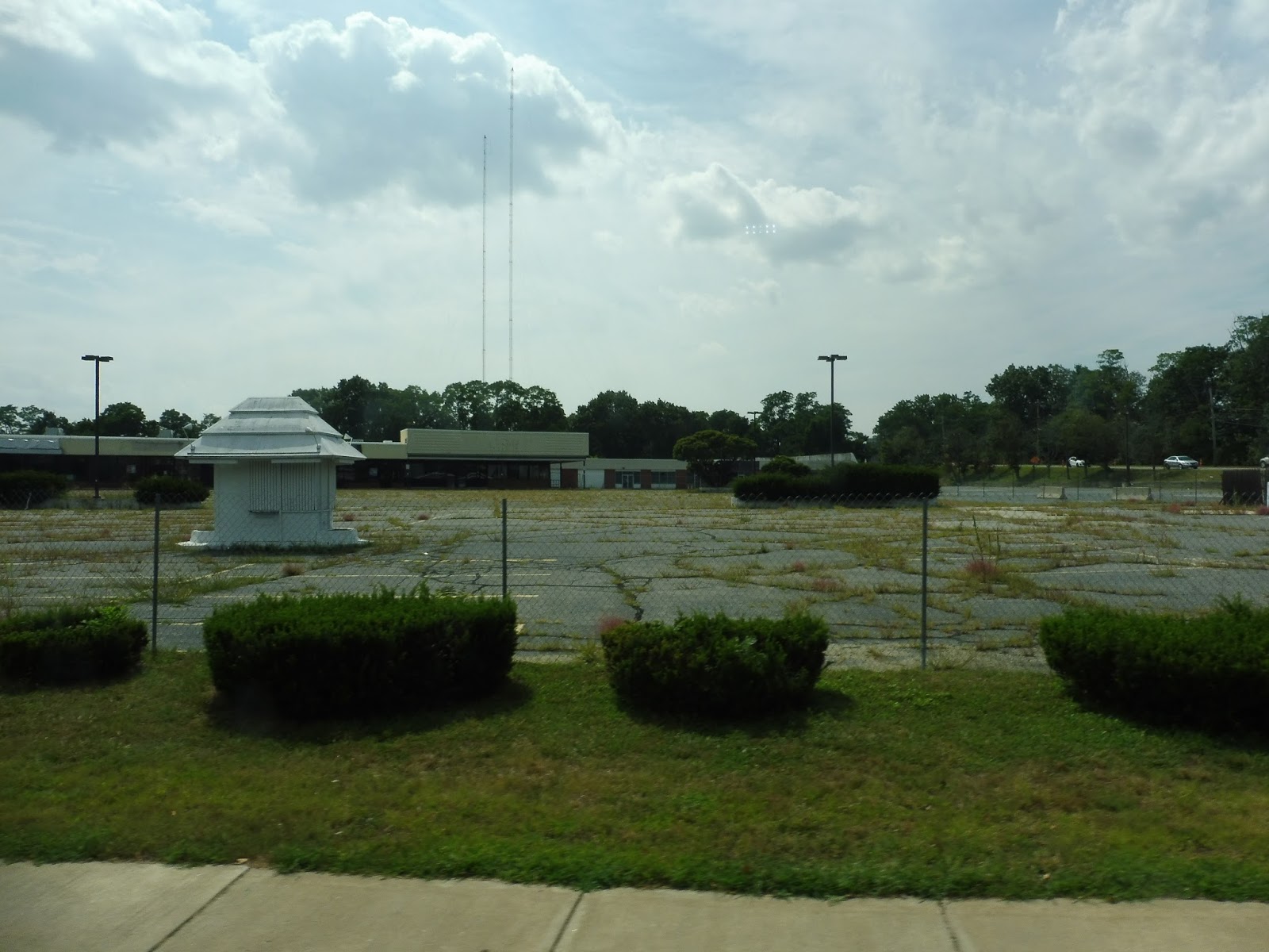
We crossed 495 again, passed some industrial buildings and a housing development, and went over the “Loop Connector” highway. Suburban businesses with parking lots started to crop up until they morphed into a big shopping plaza called The Loop. This was our first mini-deviation.
 |
| Woo! |
Next, we used some shopping mall backroads to go to our second mini-deviation, Walmart. After that, we returned to Pleasant Valley Street, going by a farm of all things, and made our last deviation-within-a-deviation into Target. It was alllllllllllll the way back to Merrimack Street from there.
 |
| Coming out of the Walmart parking lot. |
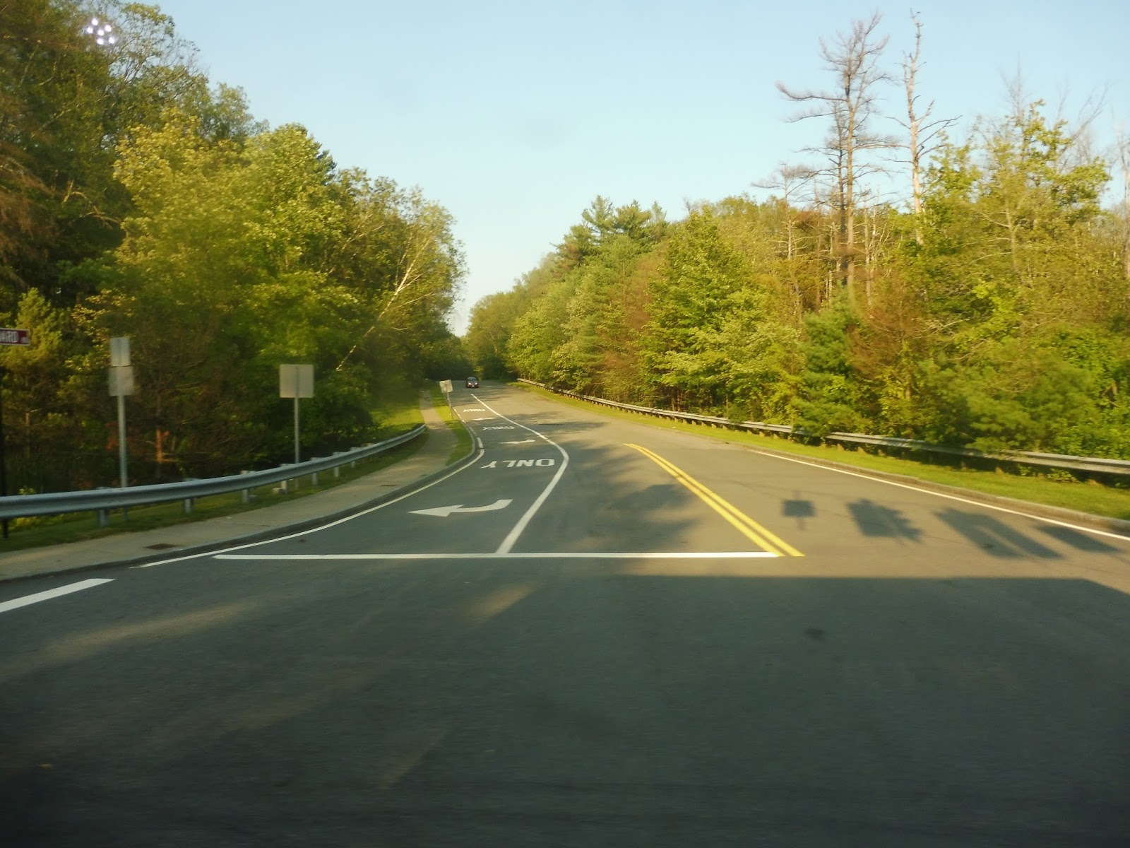
Back on Merrimack Street, there were a lot of businesses with parking lots, while houses were mostly relegated to side roads. There were other occasional attractions along here too, such as a church and another out-of-place farm. As we got closer to I-495, Merrimack Street got wider and we went by a shopping plaza. Once we got over the highway, it became East Street.
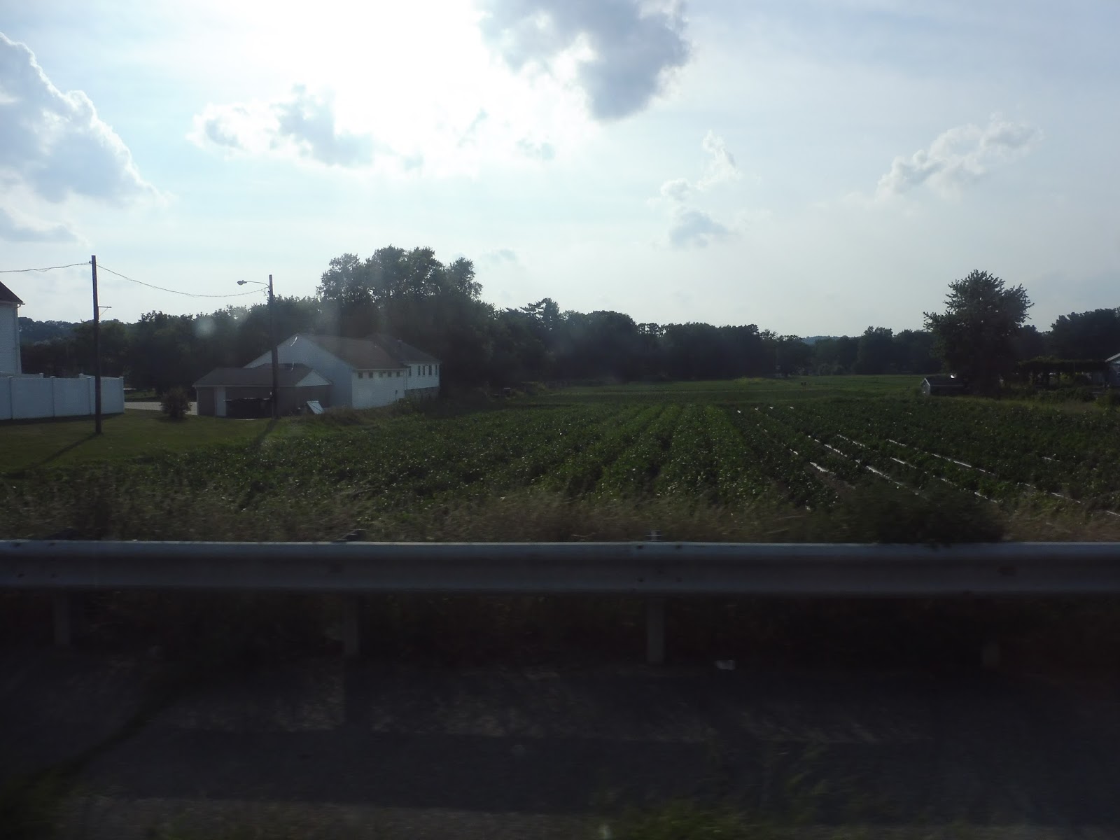 |
| Seriously, this farm came out of nowhere! |
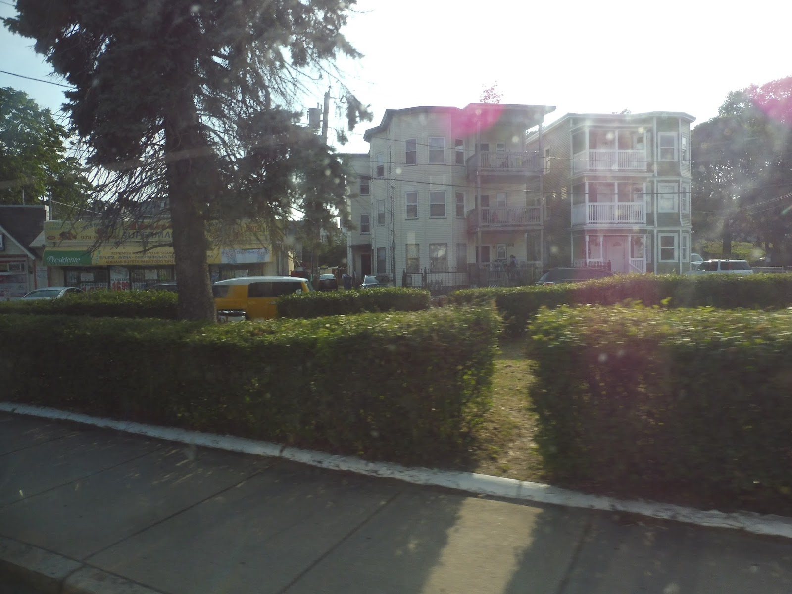
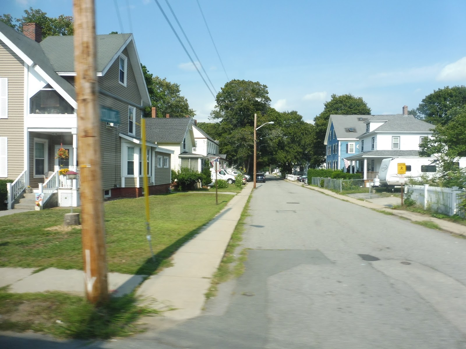
It was all houses until we continued onto Swan Street, where there was a tiny spout of retail. And once it did go back to being residential, the houses were becoming denser, and apartments were beginning to be included. There were some more businesses when we turned onto Jackson Street and entered Lawrence, and now all the residential buildings were apartments.
 |
| Stupid sun, washing out my photo! |
There were always a few retail buildings mixed between the dwellings, but they really amped up after we went over the tiny Spicket River. We passed a big common and then turned onto Essex Street, the main drag of downtown Lawrence. There were lots of businesses as we ambled down here before looping around into the Buckley Transportation Center.
 |
| A different bus getting ready to head back to Haverhill. |
MVRTA Route: 1 (Lawrence – Methuen – Haverhill)
Ridership: Like I said, this is the busiest route on the MVRTA, and it experienced a huge spike in ridership in 2015. With 409,174 riders in that year, the route had about 1,121 people per day, or more than all of the MVRTA’s Haverhill-based routes combined. Wowie, that’s good!
Pros: For the most part, this is a straight and direct route that connects the MVRTA’s two biggest hubs. Most of the ridership is concentrated at a few major stops, too, so this thing ends up being quick. It even runs every half hour on weekdays, which is great for an RTA – service is less frequent on weekends, though, with a bus only every hour, but that’s still not bad. I also like that the 1 interlines with the 41, meaning passengers can get a one-seat ride from Haverhill all the way to Lowell!
Cons: I think my only big problem with the 1 is that the deviation to The Loop takes forever. That being said, it’s a huge source of ridership for the route, so it at least has a purpose.
Nearby and Noteworthy: In terms of unique attractions along the 1, it’s really just The Loop. Not much else along this thing aside from cities that are already accessible by Commuter Rail.
Final Verdict: 9/10
Not only is this the busiest MVRTA route, but it’s one of the best. It gets great ridership and connects two large cities for only a dollar – three large cities if you add in the 41 interline! Plus, you can’t beat those weekday half hour headways.
Latest MBTA News: Service Updates
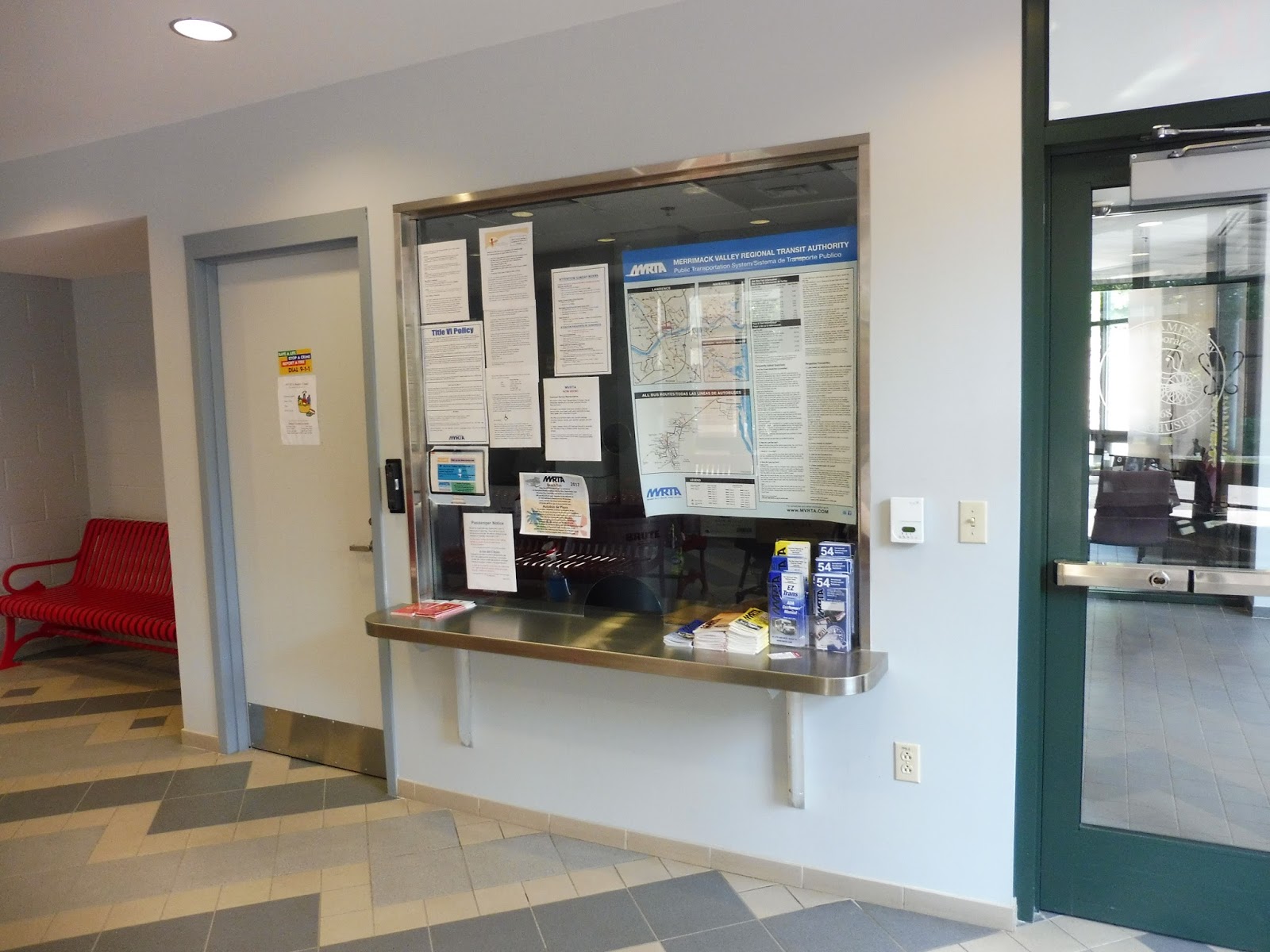
MVRTA: Washington Square Transit Station
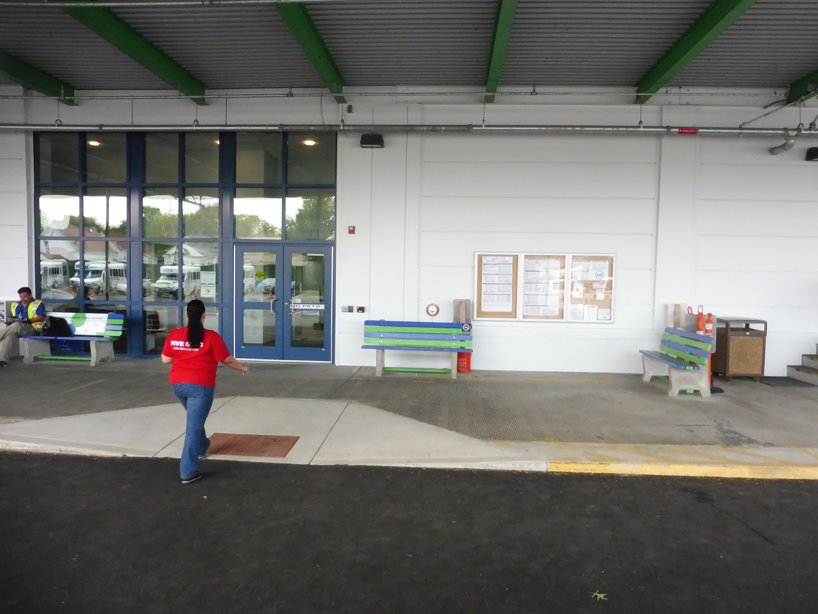
Located right in downtown Haverhill, the Washington Square Transit Station is the hub for all of the MVRTA’s routes in the city. But here’s the million-dollar question: is it nice like the Costello Transportation Center, or disgusting like the Buckley Transportation Center?
| Leaning on the Buckley side of things… |
The main area of the transit center is small and cramped, but it does feel cozier than Buckley. That could be because this is a quieter station, though. Amenities include a wastebasket, some newspaper boxes, a hand sanitizer dispenser, a vending machine, a change machine, a community board, and an information booth. Interestingly, when I came here last for my Service Change, the bench had a bunch of pillows on it, but…uh…I guess they’re gone now.
| Oh geez… |
Leading around the side of the building, there’s an area with a few more benches and a hallway that goes to the “Sanitary Station.” That’s code for the bathrooms, with both men’s and women’s rooms, although the MVRTA considerately put up signs saying that one can use the bathroom consistent with their gender identity. That being said, these are like prison bathrooms. I mean, just look at it! Ew!
 |
| The mind-bending outer sectton. |
How can such a small building be so maze-like? The outer glass section that wraps around the outside of it has different stair and ramp bits that lead to different parts of the facility. I keep finding myself taking the wrong turn and having to figure out where the heck I am!
| Phew, made it outside. |
There really isn’t much to say about the boarding area because there’s nothing there. It’s a sidewalk in the middle of a parking lot with spaces for buses to pick people up, and that’s about it. This place does have parking, but I’m not sure how many spaces there are or how much it costs to park in them.
| The building’s outside. |
MVRTA Station: Washington Square Transit Station
Ridership: I don’t have ridership numbers for this place, but there are fewer Haverhill routes than Lawrence routes, and they’re generally much less busy. From what I’ve seen, it’s usually quiet here.
Pros: It does in fact have walls and a roof, so that’s something. Okay, it also has a fair amount of useful amenities, so this place isn’t all bad.
Cons: I dunno, this whole place feels kinda gross and uncomfortable. I really don’t know if it’s the transit center’s fault or some of the people that use it or maybe both, but everything here feels weird. It’s way more subtle than the outright assault on humanity that Buckley is, but there’s something about Washington Square that’s just not right. Also, the bathrooms are horrible.
Nearby and Noteworthy: Downtown Haverhill isn’t really my cup of tea, but this stop is very much in the thick of things there.
Final Verdict: 4/10
Gosh, I know Washington Square tries to do a lot of things right, but for some reason it all ends up feeling a bit wrong. There are some obvious flaws with the station itself, such as the barebones boarding area or the heinous bathrooms, but the rest is kind of a gut feeling: I don’t like waiting here. And truth be told, I feel perfectly fine waiting at other supposedly “sketchy” transit stations like Ruggles or Dudley, so it might be a problem with the station itself. Who knows? All I know is that I don’t like it here very much.
Latest MBTA News: Service Updates
MVRTA: 51 (Haverhill – Amesbury)
In comparison to the last route, the 51 is a rather straight connector between Amesbury and Haverhill. It’s also the busiest route based out of Haverhill, despite the fact that it runs more infrequently than the other Haverhill routes. Weird!
 |
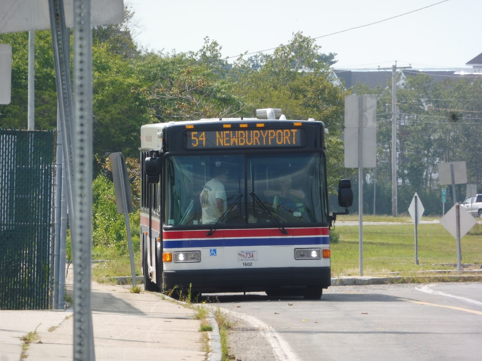
| The bus in Amesbury, coming right off of the 54. |
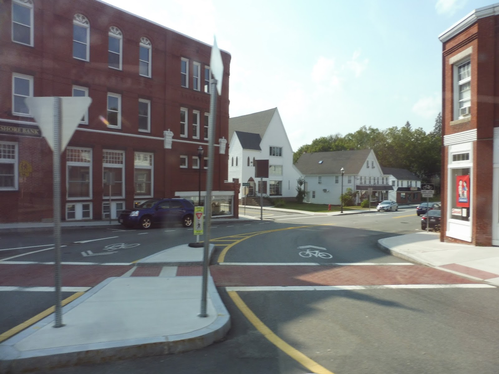
We pulled out of the Costello Transportation Center and headed down Elm Street into Amesbury Center. Like always, it was gorgeous, with diverse small businesses houses in marvelous brick buildings. We turned onto Friend Street and navigated a roundabout onto School Street, where there were some municipal buildings, houses, and a church.
 |
| I couldn’t get any good photos of the Center, so here’s…this. |
We officially left the Center as we headed down the residential Sparhawk Street. Dense houses continued when we turned onto Highland Street, although they were broken at one point by a hospital. We merged onto Haverhill Road, passing a big cemetery, some suburban businesses, and an industrial area.
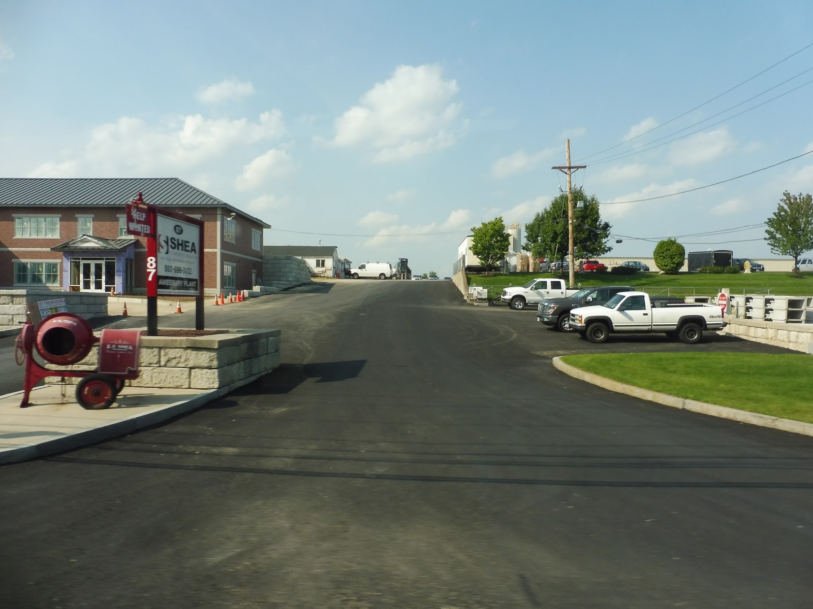 |
| Help wanted at Shea, I guess. Apparently they make concrete. |
Eventually the street got more residential, and it was lined with either houses or woods for a while. Businesses started to show up again once we entered Merrimac and it became East Main Street, along with other attractions like a trailer park and a senior center. We came into Merrimac “Square,” a cluster of businesses around a roundabout.
 |
| Traversing the “Square.” |
We continued down West Main Street in the Haverhill-bound direction, but then we made a strange route jog via Locust Street, Middle Street, and School Street. The neighborhoods it served were mostly residential, and the goal of the deviation was to serve Merri Village, a rather small housing development that didn’t feel like it needed the service. We returned to the Square and headed back onto West Main like nothing ever happened.
 |
| A narrow street on the deviation. |
It was mostly houses along here, continuing until there were a few industrial buildings over the Haverhill border. The street was Amesbury Road now, and it was a mix of all different kinds of buildings, including residential, retail, and industrial ones. We eventually went under I-495 and turned onto Elliot Street, beginning another deviation.
 |
| Oho! |
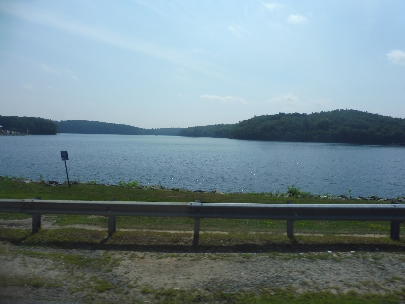
Frankly, I didn’t see the point in serving Northern Essex Community College in the summer, but a few people actually got on there, so I guess it was worth it! After looping around the campus, we made our way back to Amesbury Road, which went alongside Kenoza Lake for a bit with an awesome view. We merged onto the residential Kenoza Ave next.
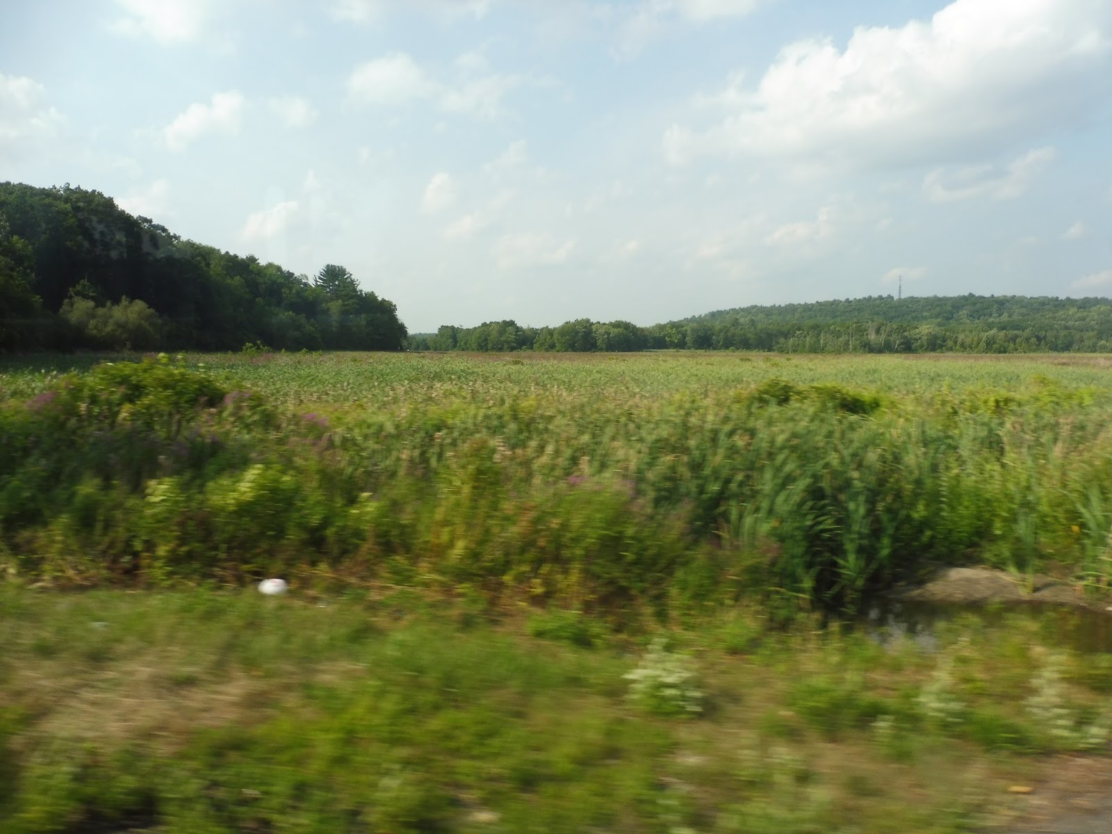 |
| A field along Amesbury Road. |
The street started to get more urban, with denser houses and apartments and some retail coming in. We went down Main Street for a block, which had some shopping plazas, but it was mostly dense houses again when we turned onto White Street, then Emerson Street. We were almost in Haverhill, but for some strange reason we had to deviate to Winter Street and Welcome Street, only to come right back to Emerson. I have no idea why that was, but once we were back on Emerson, it was only a few blocks until we reached the Washington Square Transit Station.
 |
| The bus enjoying a hearty lunch of passengers. |
MVRTA Route: 51 (Haverhill – Amesbury)
Ridership: Like I said, this is the busiest route based out of Haverhill. Unfortunately, its ridership was at a low in 2015, with 109,127 riders during the year. That means the route got about 300 people per day, which is still pretty good for the number of trips it has. In fact, ridership may have even gone up since then – my ride had 30 people on it!
Pros: The 51 is the gateway to Amesbury and beyond via the 54, offering a quick trip (around half an hour) from Haverhill. It clearly gets a good amount of ridership, but since most of it is concentrated at certain major stops, it allows the route to still move quickly most of the time.
Cons: Because this is interlined with the 54, it has the same annoying headway of every 70 minutes. The really sad thing is that the 51 could be straightened if the Merri Village deviation was eliminated (it doesn’t seem necessary to me), but I don’t think it would improve the time all that much – maybe 5 minutes per round trip. Thus, I think we’re stuck with the 70 minute schedule unless changes are made on the 54.
Nearby and Noteworthy: I would love to spend some time in Amesbury Center, and this is the best way to get there: take the train to Haverhill, pray that the bus times well, and you’ll be in Amesbury in about 30 minutes!
Final Verdict: 7/10
This is better than the 54 because it’s busier and mostly deviation-free, but it’s certainly not perfect. I would absolutely love it if the 51 could get a consistent hourly schedule – unfortunately, I don’t think it’s possible unless some major deviations are cut. Of course, by all means cut Merri Village, because it really doesn’t seem all that important.
Latest MBTA News: Service Updates
MVRTA: 54 (Amesbury – Newburyport – Salisbury)
Why just take the 83 back from Salisbury Beach when I could do a different route back? Say, a route that does a bunch of deviations and takes three times as long? Looks like the 54 is right up my alley!
 |
| What an odd-looking background. |
Because it was summer, the start point at Salisbury Beach got a good amount of people, but the route actually serves it all year! I wonder how many people would take it up there now. Anyway, we looped around onto Beach Road and took it through a marsh, then past houses, businesses, and motels.
 |
| The marsh. |
An old cemetery was the indication that we were about to enter Salisbury Center, a collection of random businesses with parking lots sort of centered around a common. It wasn’t very exciting. We made our way around the common via Elm and School Streets, then we turned onto Bridge Street. It was a mix of industrial buildings, suburban businesses, and marshland, and we sped past it all.
 |
| Some businesses. |
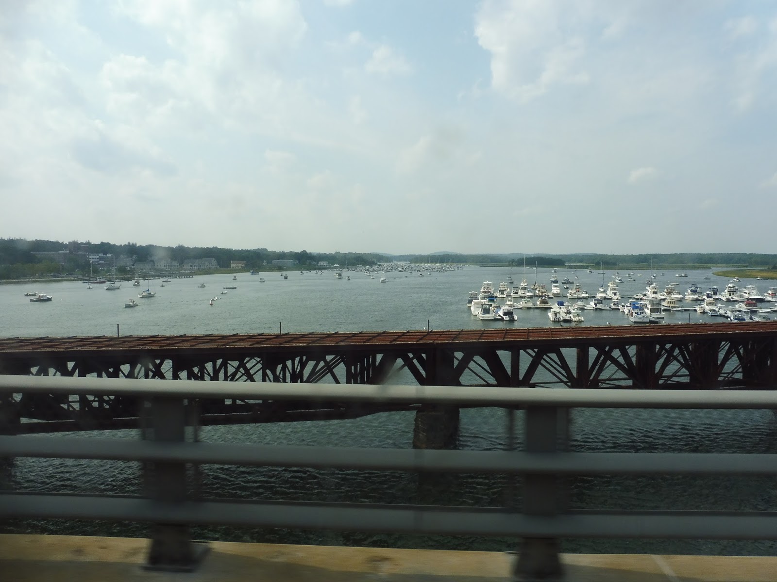
Eventually we headed over the street’s namesake: a bridge over the Merrimack River with an awesome view. This took us into Newburyport, where we exited the road onto Winter Street. We stayed on that up until High Street, and that took us past a lovely common and a variety of charming historical houses.
 |
| Nice! |
The common ended but the houses kept on coming, lined up densely along the road. They continued as we turned onto Bromfield Street, as well as when we headed onto Water Street. Unfortunately its name was incorrect, as we did not go by the water!
 |
| Some houses. |
The street made its way into downtown Newburyport, and all of a sudden there were charming brick buildings with businesses everywhere. They were even more prevalent as we continued onto State Street, eventually making a stop outside of the Newburyport Public Library. That was about where the downtown ended, though, and it was mostly houses after that.
 |
| Coming through downtown! |
We headed onto Pond Street, which went by that same park from before. Once it became Low Street, everything got a lot more barren, with wide spaces between the buildings. We had to deviate to one of them, an apartment building called Heritage House, then we immediately entered another deviation by going down Graf Road.
 |
| The weird wasteland around Heritage House. |
It was industry, industry, industry down Graf Road, Parker Street, and Boston Way. With that, we reached this deviation’s destination, Newburyport Station. Of course the route doesn’t time with trains, so nobody got on and we headed straight back.
 |
| Exiting the station. |
There were more industrial buildings as we returned to Low Street, but we also passed a school. Finally, we reached a point where suburban houses lined the road instead of industry, but we turned off it around there to serve Anna Jaques Hospital. This was a productive deviation, though, as it also allowed us to get up to High Street (with a few twists and turns).
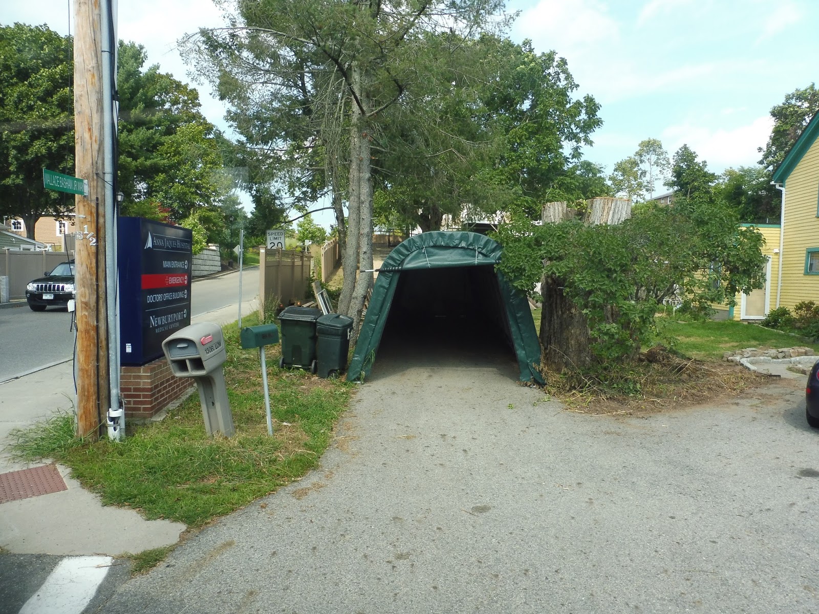 |
| Well, this is just weird! |
High Street was lined with fairly dense houses. We passed the Newburyport Senior Center, which supposedly has a deviation, but on the schedule no trips actually serve it. Thus, we sailed right past and merged onto Storey Ave – this took us to an actual deviation for Market Basket Plaza. And right after that, we did another deviation, this time into Port Plaza!
 |
| Cars, cars, cars. |
We came back onto Storey Ave, which was lined with suburban businesses with parking lots. It didn’t last long, though, because we got onto an on-ramp for…I-95? Wow, I wasn’t expecting the route to have an express section! We sailed through the woods on the highway before making another crossing of the Merrimack River on John Greenleaf Whittier Bridge (I told you this region was obsessed with him).
 |
| Wow, that’s awesome. |
Taking the first exit on the other side of the bridge in Amesbury, we celebrated the end of the express bit with…a deviation to Stop & Shop. Hooray. From there, we went up the residential Elm Street, whose houses got denser the further we went along. We were about to enter Amesbury Center, but before we could enter it, we pulled into the Nicholas Costello Transportation Center.
 |
| Some houses on the way there. |
MVRTA: Costello Transportation Center
It’s a little odd to call something a “Transportation Center” when it only serves three routes, one of which has four trips per day only in the summer. This is a legitimate place, though, and it’s not to be underestimated. This review took place over the course of about two minutes while my 54/51 was laying over, so it’ll be a quickie.
| The outdoor area. |
The Costello Transportation Center is in the same building as the Amesbury Senior Center, and that’s definitely apparent from the outside. It’s pretty bare, featuring only a sheltered area around the building with a bench and some potted plants. There’s a woodsy path on the other side of the busway, too.
| Heyyyyyy, this isn’t bad! |
I gotta be honest, I wasn’t expecting much when I stepped in there, but I was very pleasantly surprised. This is a legitimate transit center, with features like waiting benches, water fountains, and bathrooms. I didn’t get to go into the bathroom because my driver was using it, but based on the overall quality of the transit center, I’m sure it was clean. There’s even a ticket booth, although it was unstaffed when I was here, and I can’t imagine it ever being staffed.
 |
| The ticket booth. |
MVRTA Station: Costello Transportation Center
Ridership: It seems pretty low. I don’t have any actual numbers, but this doesn’t seem to be a very busy stop. I mean, the place was empty when I was in here, but three or four people had been waiting for the 51, so there’s that.
Pros: It has everything you would want in a transit center! There are benches, bathrooms, and water fountains, and it’s all very clean. Most of Amesbury Center is a “no-stop zone,” making this the primary Amesbury boarding point, even if it is a little out of the way.
Cons: Well, first of all, I can’t see that ticket booth being occupied…ever. Secondly, this place seems to have John W. Olver syndrome – it’s overkill for the ridership it gets. Now, I could be wrong, and it might be busier at other times, but this definitely doesn’t feel necessary based on the amount of people I saw.
Nearby and Noteworthy: I’ve said already that Amesbury Center is awesome, and this is more or less the stop for it!
Final Verdict: 8/10
This place definitely has some quirks, such as the fact that it’s essentially only serving two bus routes that more or less feel like one, or the fact that it seems to be empty a lot of the time, but there’s no denying it’s a good transit center. And actually, the emptiness is a little more excusable here, since it’s part of the senior center – at least the building is still getting usage somewhere else.
Latest MBTA News: Service Updates
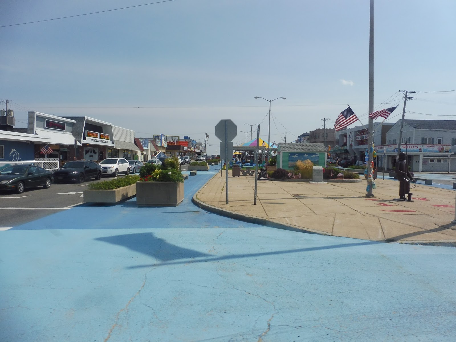
MVRTA: 83 (Salisbury Beach/Hampton Beach)
This is the problem with hyper-riding a million routes at the end of the summer: now I’m stuck reviewing a summer-only route in December! Oh well, this is a pretty cool one. The 83 runs from Lawrence allllllllllll the way to Hampton Beach!
 |
| The bus at Buckley, with some people all ready to go! |
We left the Buckley Transportation Center in Lawrence and headed down Common Street. As the name suggested, we were running along the south side of a common, and we proceeded along the eastern end as we turned onto Jackson Street. The businesses of downtown Lawrence were starting to die down a little, ending almost entirely as we crossed the tiny Spicket River.
 |
| There’s a lot going on here! |
It became residential for the most part, with dense houses and apartments lining the road. There was still the occasional business, though, particularly at intersections. Things started to get more suburban at the intersection with Swan Street in Methuen: the retail around there was set back from the road with parking lots, and the houses we saw later on were smaller and a little more spread-out.
 |
| There aren’t even sidewalks! |
Eventually, we turned onto the wide Pleasant Valley Street, which had a strange combination of shopping plazas and…farmland? We deviated into the biggest shopping mall, called The Loop, and I was confused at first. Why was the beach bus deviating into a mall? It turns out that people do actually use it, as a few people got on here – my guess is that they park in the mall and hop the bus from there.
 |
| Inside The Loop. |
We proceeded down Pleasant Valley Street, which slowly lost its shopping plazas and got narrower. We crossed over Route 213, the “Loop Connector,” then I-495 a few seconds later. It was residential on the other side of that, but once we turned onto Merrimack Street, industrial buildings lined the road.
 |
| A wide-open field in the middle of the industry! |
We crossed I-495 again, this time going under it, then it was residential as the road came up alongside the Merrimack River. I tried and tried and tried, but I could not for the life of me get a decent picture of the view. The road became River Street as we entered Haverhill, but the residential and river scenery didn’t change at all.
 |
| I tried. |
We went over I-495 yet again, but after a burst of shopping plazas and suburban businesses, it was right back to houses and the Merrimack River. However, it started to get denser the further we got, including businesses that started to poke in. Once we merged onto Washington Street and went under the Commuter Rail tracks, we were right in the thick of downtown Haverhill, with brick buildings housing businesses on both sides. We pulled into the Washington Square Transit Station for a stop.
 |
| Coming out of the station. |
We headed onto Emerson Street next, which took us out of downtown Haverhill. It was still quite dense and urban, however, with apartments and businesses on both sides. Once Emerson Street ended, we turned onto White Street, continuing the density.
 |
| A few neighborhood businesses. |
Once we turned onto Main Street, though, the scenery changed to a more suburban feeling: there were many businesses with parking lots at the intersection. We were only on Main for a block before merging onto Kenoza Ave, which went back to being more dense and urban for a stretch. However, as we curved our way past a park, the apartments started to become houses, and they got more spread-out.
 |
| That’s beautiful. |
We merged onto Amesbury Road, which went right along Kenoza Lake – the view was fantastic. It was still mostly residential with rather spaced-out houses, but there was a spurt of retail when we went over I-495 for the fourth time. During a brief section of forest, we passed the birthplace of John Greenleaf Whittier, a poet whom I had never heard of until finding out that every town in this region seems to be obsessed with him! Seriously, his name shows up everywhere.
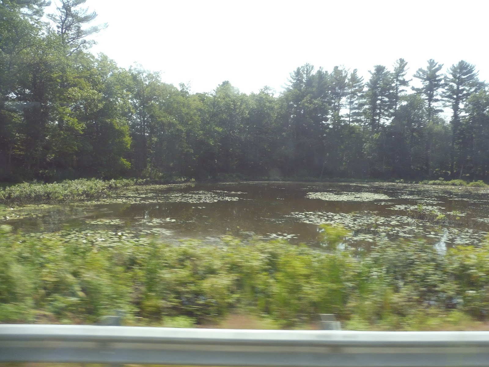 |
| A small marshy pond. |
There was a huge variety of buildings as we continued. It was mostly houses, but we also passed through spurts of industry, retail, woods, and farmland. The road became West Main Street when we entered Merrimac, and at that point the homes started to get denser. This led up to Merrimac Square, a charming little downtown that was ironically centered around a roundabout.
 |
| Coming through Merrimac “Square.” |
There was more building diversity as we continued down what was now called East Main Street. Houses, businesses, a post office, a senior center, and a few residential developments all showed up along the road. And just like that, we left the town of Merrimac – we were now travelling on Haverhill Road, and we had entered Amesbury.
 |
| A woodsy little shopping plaza. |
There was a section of woods before it got residential again for a while. However, they were broken by a pretty substantial industrial area, after which we turned onto Hillside Ave. This was lined with some dense houses that went on until we reached the one-way Main Street.
 |
| What an odd little dead-end street! |
Now we were in Amesbury Center, and…wow. I mean, this was just one of the most charming downtowns I have ever seen! Not only was it insanely pretty with its brick buildings and unique and diverse businesses, but it was also expansive, stretching down many different streets. I think it would be an absolute blast to spend some time here!
 |
| Ahh, there’s so much more to it than this! This doesn’t capture it at all! |
We traversed a small roundabout onto Elm Street, then we made a deviation to serve the Nicholas Costello Transportation Center, housed in the Amesbury Senior Center. We returned to Elm Street, which made lots of curves past dense houses and the occasional business, as well as a cemetery. The charm was bound to end at some point, though, and for us it happened right after our fifth and final crossing of I-495.
 |
| Aw man! |
Yes, Elm Street became a wide behemoth of a road sporting those suburban parking lot businesses we all know and love. There were more of them after we went under I-95, and although most were boring, there was a kitschy mini-golf place that I got a kick out of seeing. We also entered Salisbury along this section.
 |
| Yay! Mini-golf!!!! |
After lots of those suburban businesses, we turned onto Bridge Street and arrived at “Salisbury Center.” This was really just a common, a town hall, a post office, and some boring businesses with parking lots. We turned onto Beach Road next, taking us past mostly houses, but also an old cemetery.
 |
| Man, Salisbury Center is really popping, huh? |
Soon businesses started to crop up, as well as some straggling motels, presumably for the beaches we were heading to. There was a big apartment development in the middle of a marsh, then we arrived at Salisbury Beach. At this point, most of the passengers got off, and the remaining ones continuing to Hampton Beach had to go up to the front of the bus to pay the additional fare of $1. With that out of the way, it was time to head up to the beach!
 |
| The goings-on of Salisbury Beach. |
We turned onto North End Boulevard, which ran along a very narrow peninsula between the beach and a gigantic marsh. There was certainly nothing spared when it came to using up as much available space as possible, though: small dense beach houses lined the road for what felt like forever. They were ubiquitous, too – there was maybe one business and one church in the sprawl, and that was it.
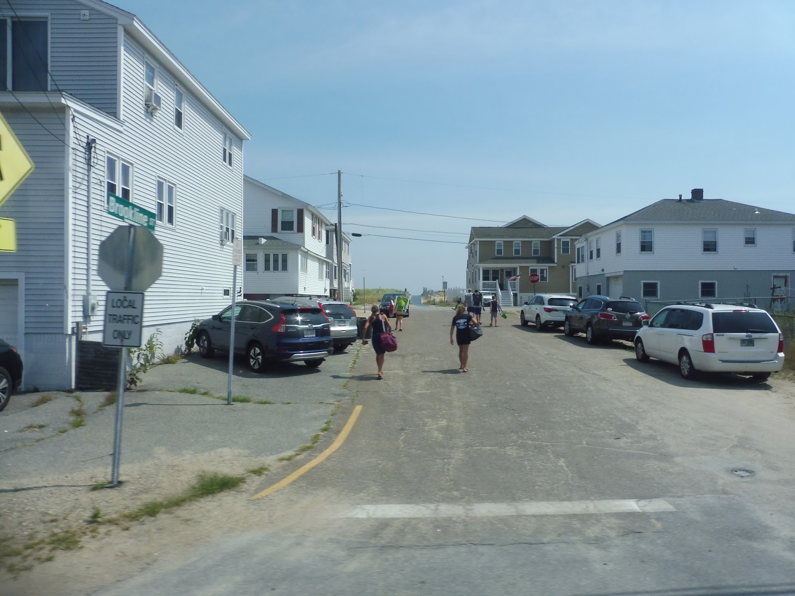 |
| They’re certainly close to the water! |
As we entered Seabrook, NH, I mentally yelled out my classic “LIVE FREE OR DIE!” slogan, because I do that whenever I go into New Hampshire for some reason. There were a few businesses over the border, including the clever “Fireworks over the Border” store – they’re certainly transparent about what they’re selling. The beach houses continued along what was now called Ocean Boulevard, but there were more businesses to break them up now.
 |
| This is amazing! |
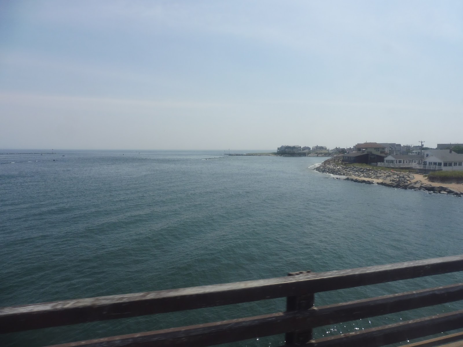
We went over the Hampton River on an absolutely incredible bridge into Hampton. At this point, Ocean Boulevard became one-way, curving eastward toward the beach and past more houses. But nothing quite prepared me for Hampton Beach proper…
 |
| WHAT HAVE I GOTTEN MYSELF INTO??????? |
As I got off the bus, I was assaulted by a wave of…grossness. I mean, this is the quintessential crowded beach that has experienced way too much gaudy development along its main road! As the bus drove away, I started to wonder what the heck I was going to do for an hour and a half. Stay tuned to find out…

 |
| Two shots of the bus that took me back; the second one is at Salisbury Beach. |
MVRTA Route: 83 (Salisbury Beach/Hampton Beach)
Ridership: In 2015, the route got 3,631 passengers over the course of the year, which averages out to about 55 riders per day (the route has two round trips per day, so it’s more than it sounds like). I wonder if 2017 was a better year, though – I mean, my ride was on a Wednesday, so I had low expectations for ridership, but my trip ended up getting 30 people!
Pros: This is just a really useful summer route. It serves all of the hubs in the MVRTA service area and gives them a low-cost option for getting to the beach. The schedule is clearly meant for day trips, but it works well: the route has two morning trips out to the beach and two afternoon trips back. The ride is also really scenic!
Cons: The 83 runs from July to September, but unfortunately June misses out. I could see the route having some decent ridership in the later part of the month when school ends.
Nearby and Noteworthy: In Hampton Beach, I walked along the overly-crowded shorefront, perused through gift shops full of gaudy souvenirs, and blew 20 bucks at an arcade, winning only a cheesy mug to show for it. In other words, I had a great time!
Final Verdict: 8/10
I like the 83 a lot. This is a great way to get to the beach on a budget, with a (slightly premium) fare of $2.00 to Salisbury Beach and $3.00 to Hampton Beach. It gets good ridership from what I saw, and its schedule makes a lot of sense for day trips. So, uh…take advantage of this route in about seven months when it’s actually running again.
Latest MBTA News: Service Updates
Liam Asks…
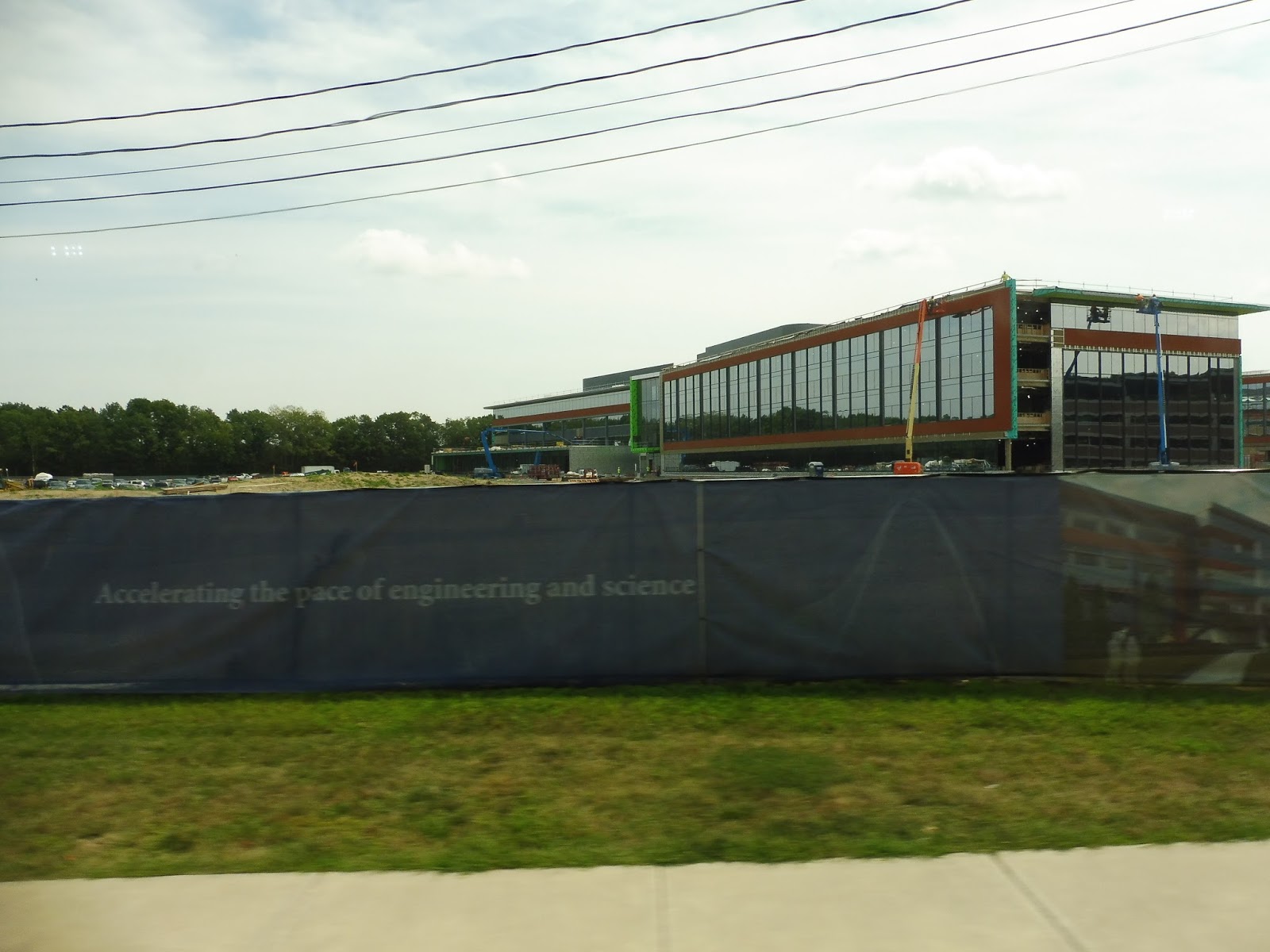
.JPG) |
| The City of Boston actually used this picture in their Amazon proposal. Check out page 34! |
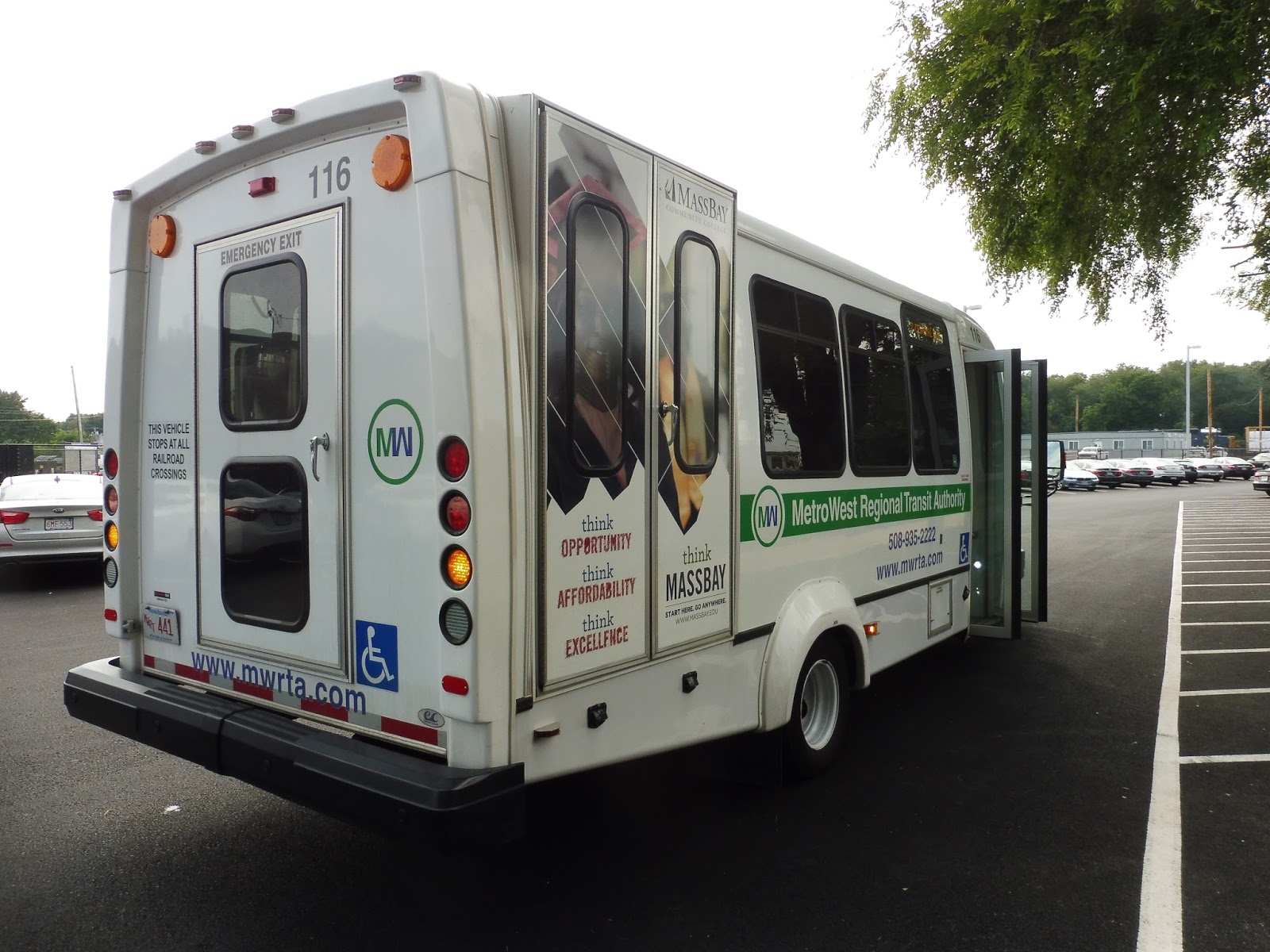
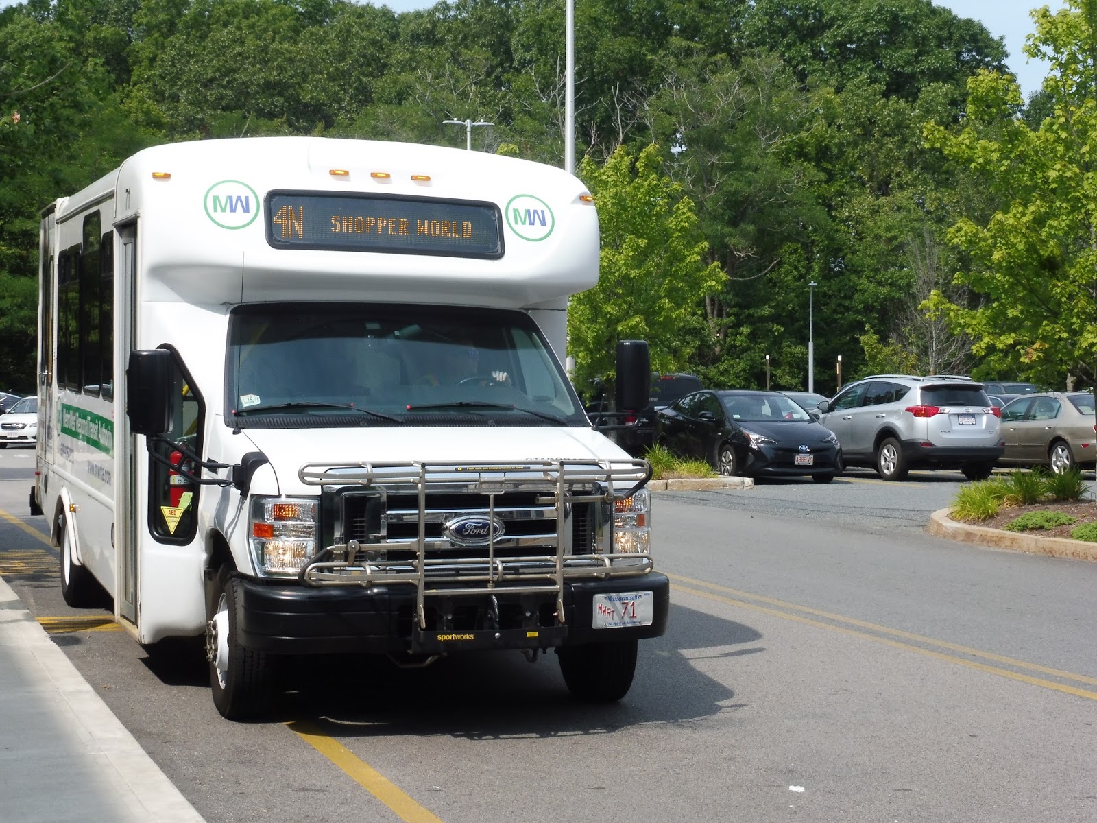
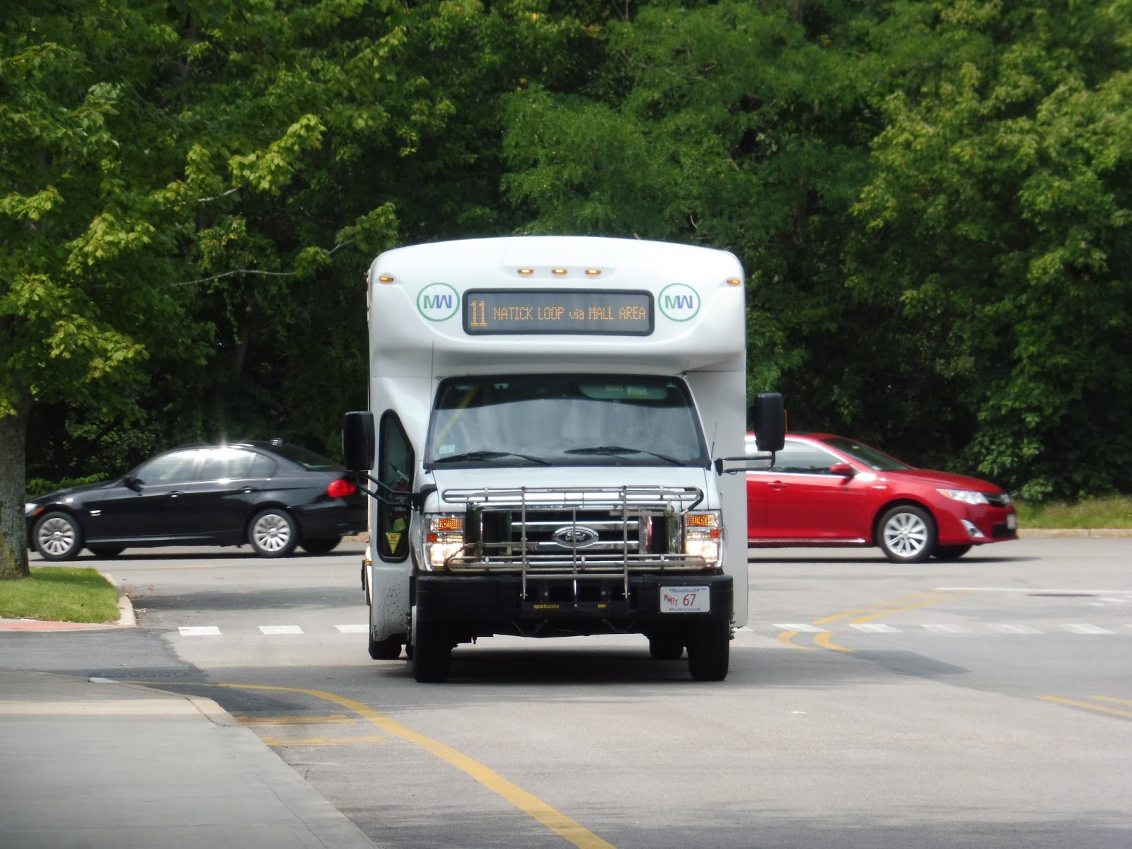
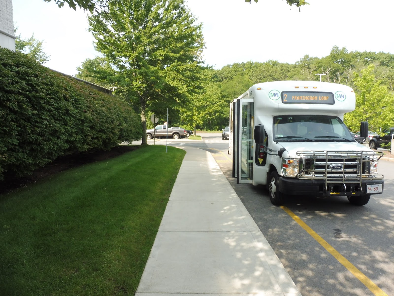
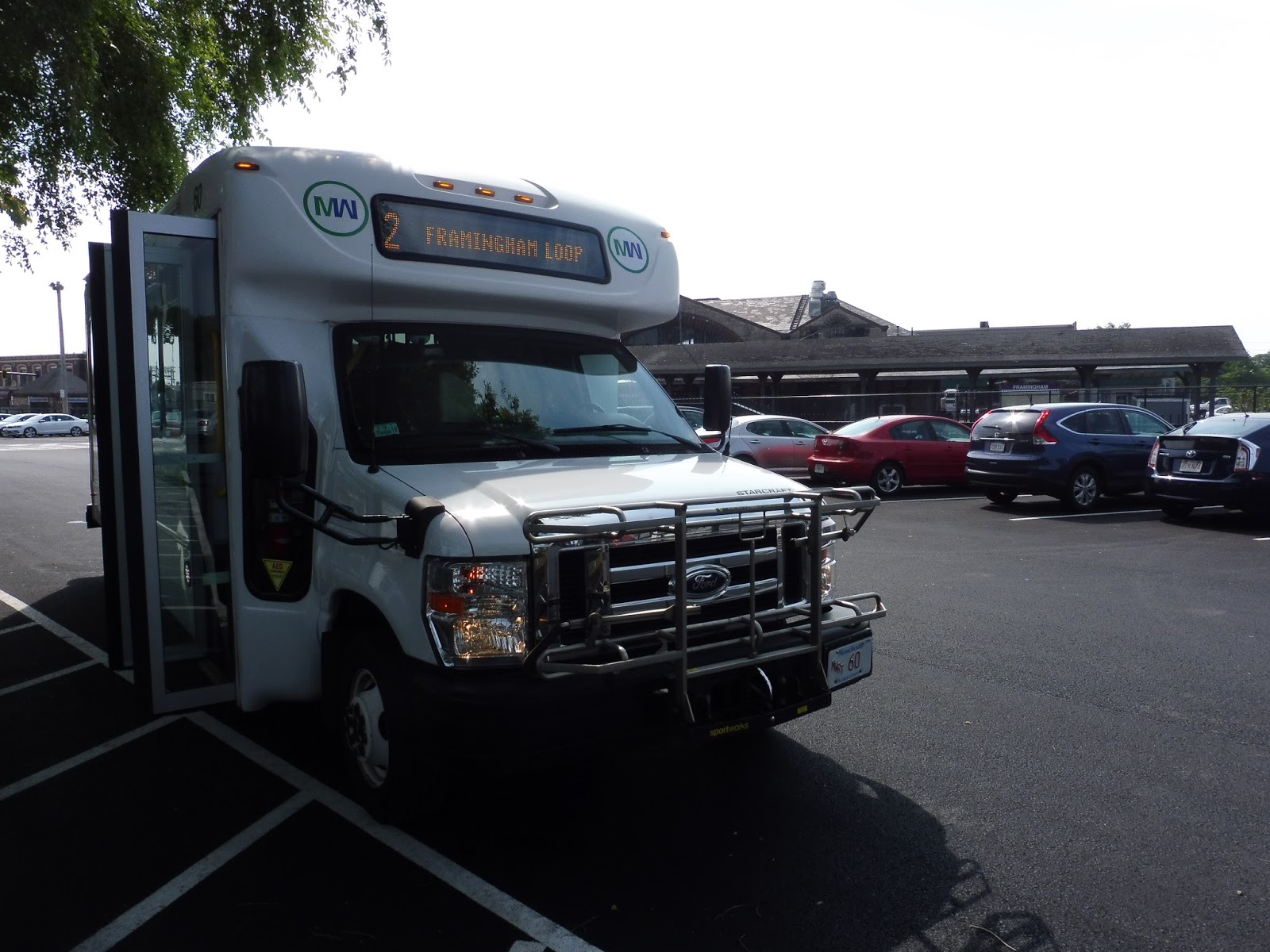
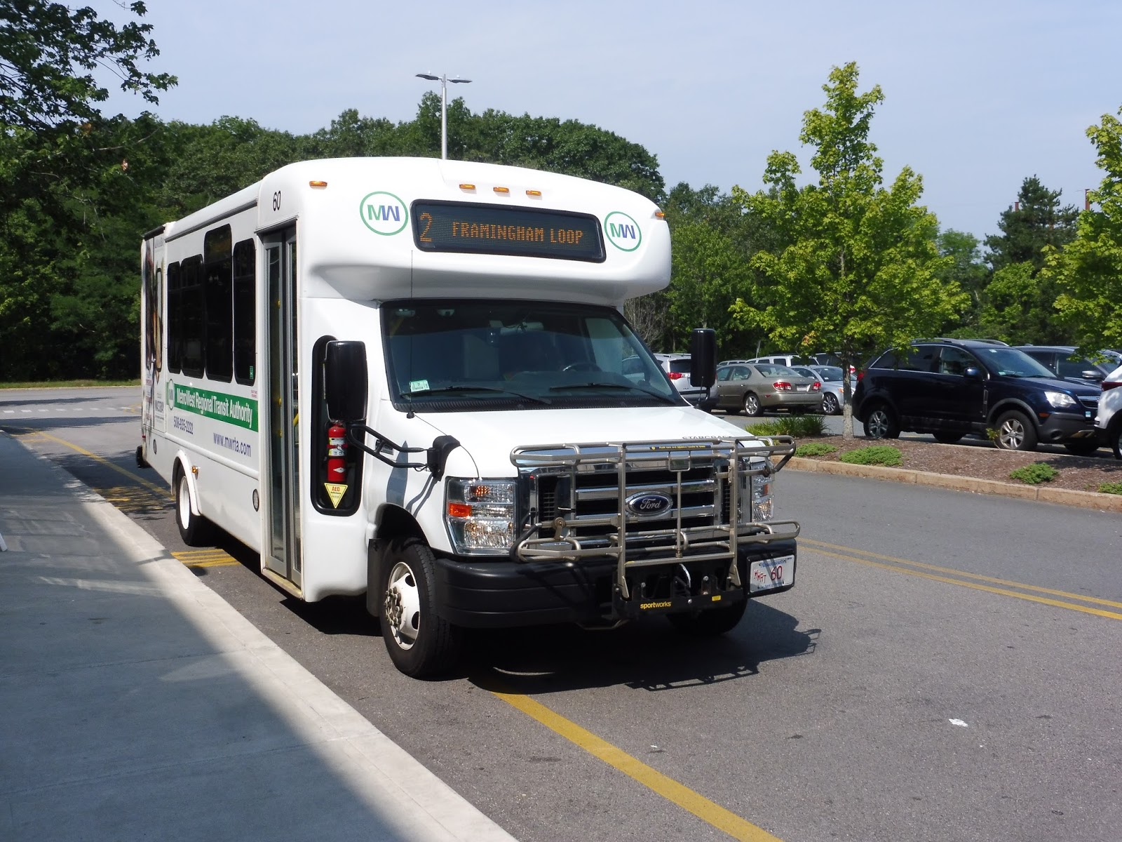
MWRTA: 9 (Worcester Road)
Staples headquarters at 8 PM is a lonely place. I was just standing around, waiting for the 9 and hoping this last 8:10 trip actually existed. If it didn’t, I had no idea what I would do. 8:10 came and went. So did 8:15. Was I stuck forever? Finally, the bus showed up at 8:18, and I happily boarded. The final MWRTA route.
 |
| Take me out of here! |
The 9 happens to be numbered such because it spends almost its entirety along my favorite road in the world, Route 9. Gosh, what a fitting end to this MWRTA experience. Not only that, but it starts with a bunch of random deviations: we made our way up to Crossing Boulevard and crossed over Route 9 to start one of them.
 |
| So it’s gonna be one of these reviews, huh? Alrighty, then. This is Route 9, as far as I know. |
We made a turn onto Boston Road, then another onto New York Ave, which took us past a bunch of office buildings. Of course, the number of people commuting from them at 8 PM happened to be an unsurprising 0. We turned onto California Ave next, taking it straight down into the ragtag MWRTA park and ride.
 |
| About to cross Route 9. |
We headed straight onto the magical highway from there, taking it through an interchange with I-90. There was actually a nice view beyond the interchange as the road paralleled a reservoir, but we left it briefly to do a deviation into the Jefferson Hills apartment development. There were many more of those as we continued down Route 9.
 |
| A CVS. |
There was a brief section of woods, but once that ended, it was a burst of Route 9 businesses everywhere – gross, suburban retail with parking lots. We passed a Stop & Shop that the 7 has to deviate into but we don’t (very satisfying), and the businesses continued. Soon after, though, we did a jog via Maynard Road, State Street, and High Street, in order to serve Framingham State University.
 |
| Thank goodness for all of the lights so I could take semi-clear pictures! |
We returned to Route 9 and just blazed down it. It was 8 PM, traffic was light, and the scenery was unchanging – just more of the same stuff we had been seeing all along. It was a total blur until we whirled around onto Speen Street, which looped us over to the Natick Mall, usually the last stop on the route.
 |
| At the mall. |
 |
| Good riddance! |
I threw this together really hastily in time for the review, so it’s not perfect (there’s an annoying hour-long gap in the evening rush going eastbound that I need to fix), but this is what the route could be. I tried to give it a decent amount of time to traverse Route 9, but maintaining a half-hourly schedule in the evening rush could be difficult because of traffic. Still, the point is that using the same amount of buses, the 1 and the 9 can be combined with much more consistent headways, plus with a one-seat ride! Not bad! Also, since this is my last MWRTA review: good riddance, you horrible bus system. BOO-YAH!!!!
Latest MBTA News: Service Updates
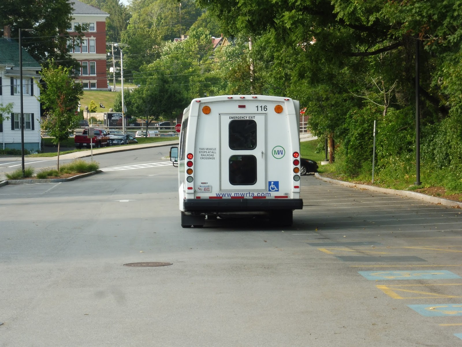
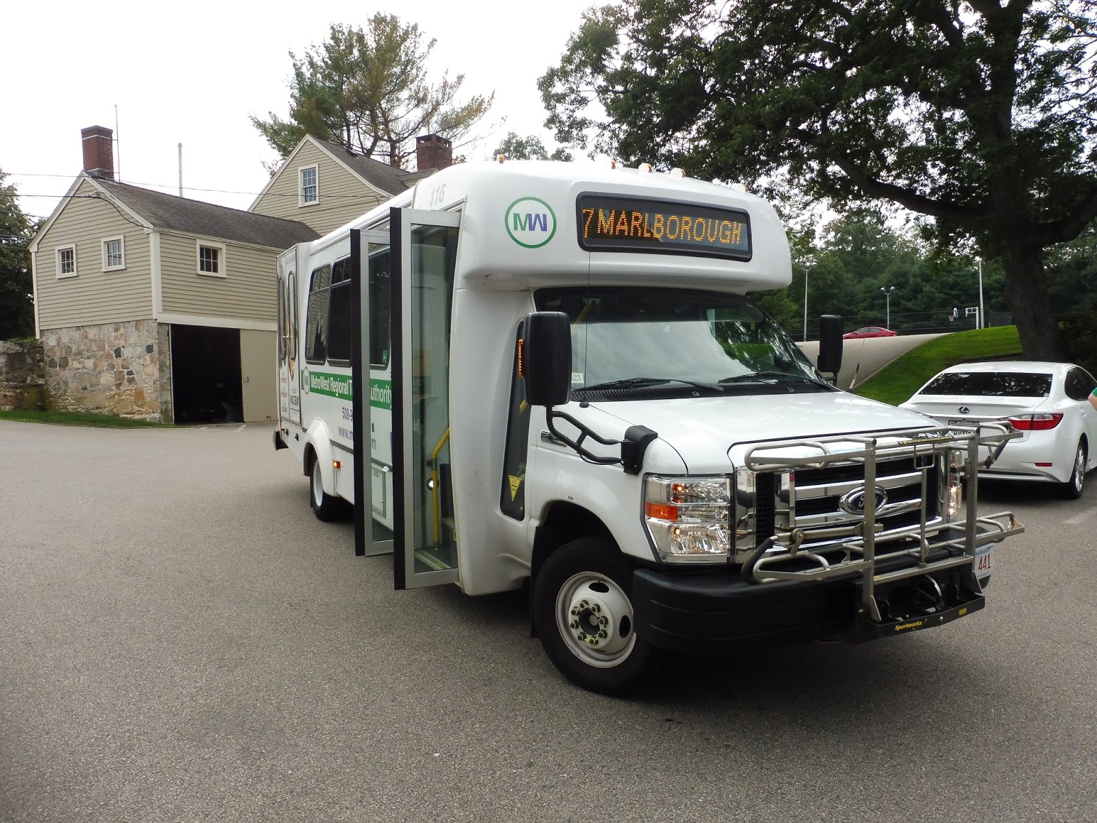
MWRTA: 7C (Inner City Marlborough)
To keep the 7’s schedule from being too infrequent, the MWRTA has decided to relegate all the Marlborough deviations to a separate route, the 7C. Is this route any good? No, no it isn’t.
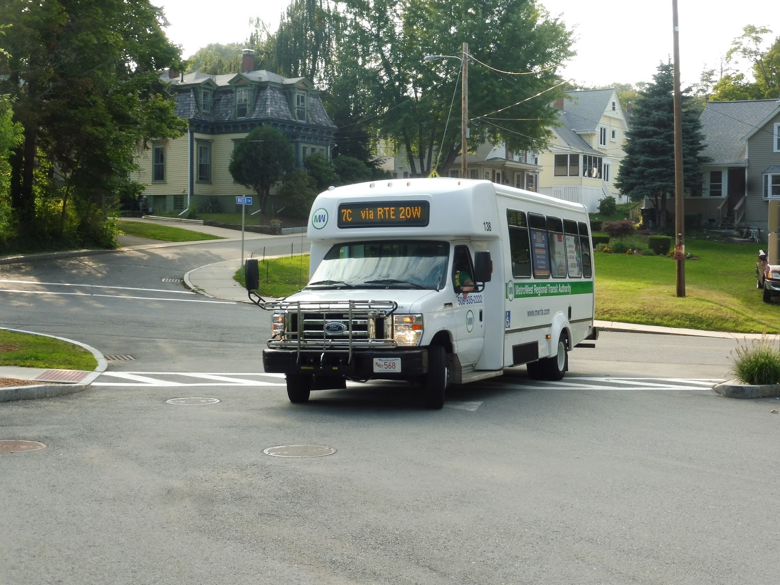 |
| Another day, another minibus. |
We made our way onto Newton Street from the Marlborough Senior Center, then we went onto Main Street, which curved into Mechanic Street. There were a few straggling businesses of downtown Marlborough, but they gained an industrial flair when we turned onto Lincoln Street. We turned onto Pleasant Street after a few blocks, and after a few blocks on that, we turned onto Elm Street, which became Hudson Street.
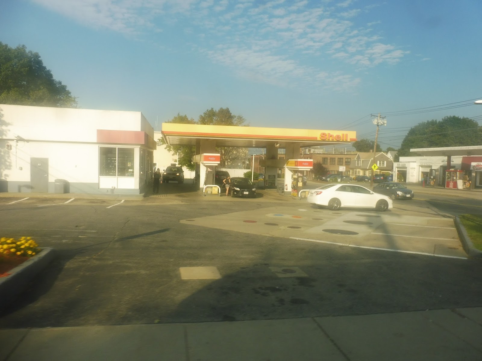 |
| A Shell station. |
This street curved its way past some offices, houses, and a park, then we turned onto Union Street. This led us to what we were doing all these crazy turns for in the first place: Marlborough Hospital. We did a deviation into there, then we headed down Bolton Street, which was lined with dense houses.
 |
| A residential side street. |
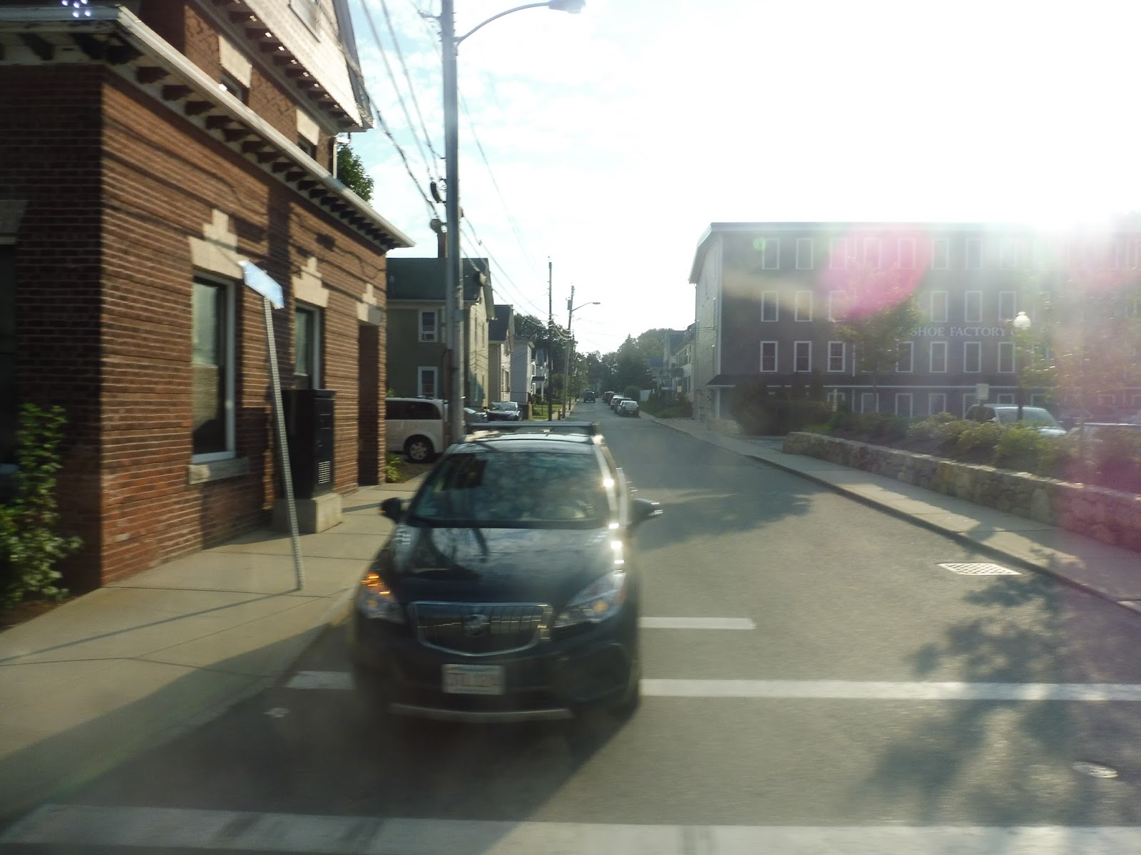
We turned onto Main Street, going through downtown Marlborough once again. We did those same turns to get onto Lincoln Street, but this time we stayed on it for an extra…I dunno, five blocks or so. There was some retail at the intersection with Broad Street, onto which we turned, then we passed houses and apartments.
 |
| Some of those houses. |
At the end of Broad Street, we turned onto West Main Street, which curved its way around to become Lakeside Ave. This was an apt name because it was in fact right alongside a lake! There were various businesses and apartments on the other side of the road.
 |
| Woah! |
The road got really wide for an interchange with I-495, and it became a mess of suburban businesses with parking lots on the other side. One of them, Hannaford’s Plaza, earned itself a deviation, so we went into its parking lot. The street was called Boston Post Road when we returned to it, but its scenery was basically the same.
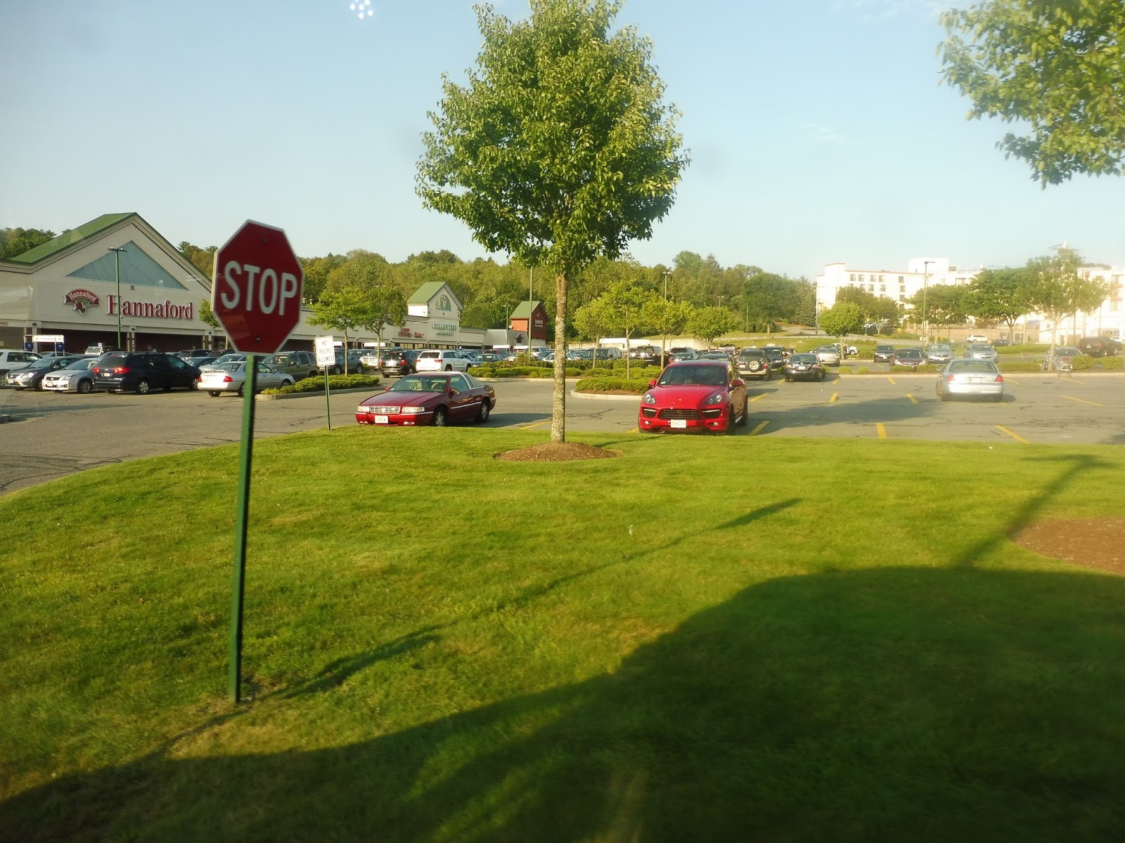 |
| Hannaford is a fairly rare sighting on the RTA deviation spectrum! |
Once we entered Northborough, the road did narrow, and we got a brief section with mostly houses and trees. That didn’t last for long, though, and there was another spurt of suburban businesses when we turned onto East Main Street. East Main was a small side street, though, and it was all residential. So was Allen Street and Hudson Street, which we made turns onto in quick succession.
 |
| A street going into the woods. |
We merged onto Solomon Pond Road, which went close to its namesake, but not close enough for a nice view. It got a lot wider for an interchange with I-290, and on the other side of the highway, we turned onto Donald Lynch Boulevard. It was suburban businesses galore along here, but the biggest one was the Solomon Pond Mall, the last stop on the route. Awesome, that wasn’t so bad! Oh…it has a whole other section to the eastern side of Marlborough, too? Darn it.
 |
| Only a portion of the mall’s sprawling parking lot. |
On the way back, we did our deviation to the Marlborough Hospital, but this time we returned to Main Street earlier on in order to serve Marlborough’s main drag. We headed up East Main Street after that, which went by dense houses until the Post Road Shopping Center. We deviated into it primarily for its Price Chopper.
 |
| Just outside of Post Road Shopping Center. |
The map of the 7C shows the route taking a deviation up Hosmer Street, presumably to serve some housing developments, but it doesn’t show up on the schedule and we didn’t do it, so who knows if it actually exists? Our bus just stayed on East Main Street, which became Boston Post Road East. It was a mix of suburban businesses with parking lots and housing developments.
 |
| One of those developments. |
It’s been too long since a deviation. Let’s serve Target! So after that, we just went by more of those suburban businesses along Boston Post Road, aside from a brief break for Hager Pond. And just before the road entered Sudbury and became all woods, we looped around and headed straight back. I rode until the Marlborough Senior Center, where I could get a 7 outta there.
 |
| We’re almost done with this system! Almost done! |
MWRTA Route: 7C (Inner City Marlborough)
Ridership: Well, it’s higher than I thought it would be. This route got an average of 105 riders per weekday in 2015, but there is unfortunately no data for Saturdays. For a deviatory town circulator minibus, though, that’s not terrible!
Pros: This is a decent route for an in-town shuttle – it’s pretty direct, all things considered, and it serves a lot of important locations within Marlborough.
Cons: You know what it is! Yes, the schedule for the 7C is infrequent, inconsistent, and it doesn’t make a whole lot of sense. The route generally runs every hour and 40 minutes on weekdays and Saturdays, but the timetable is full of strange half-trips and dotted lines that feel like they don’t need to be there. Also, transfers to the 7 work when they want to: sometimes the routes time perfectly, while other times they could not be further apart from each other. There’s also that deviation on the map that just doesn’t exist…
Nearby and Noteworthy: All those classic Marlborough attractions! Like Price Chopper…and the Senior Center…
Final Verdict: 4/10
It’s a 4, but there’s not much that can be done about the 7C. It’ll just hang out in Marlborough doing its little loop-de-loops around the town while getting semi-decent ridership. It’s very problematic, but it seems like it has a decent enough rider base for people to be complacent with the service. Oh well.
Latest MBTA News: Service Updates
Maggie Asks…
 |
| It’s official: this makes no sense. |
MWRTA: 7 (Southborough/Marlborough)
Another MWRTA route that has the potential to be great but is dragged down by a horrible schedule? I’m really getting sick of these. It’s the 7!
 |
| The back of the bus at the Banana Lot. |
From the Banana Lot, we made our way up to Franklin Street, an industrial road. That didn’t last long, though – soon enough, it was houses galore. After an abandoned shopping plaza, there was a brief section of woods, but it went right back to being residential when we turned onto Maple Street.
 |
| A playground! |
We turned onto State Street next, and that took us right into the campus of Framingham State University. It was also a small campus, though – once we got onto Salem End Road, it went right back to houses. We soon turned onto Temple Street, then we deviated into a Stop & Shop, because it’s the MWRTA and they need to deviate into everything.
 |
| UH-OH! |
Oh no, next it was time for a stretch on ROUTE 9! What kinds of horrible buildings would we see? Suburban businesses? Check. Parking lots? Check. Monolithic apartment towers? Check. A rather pretty reservoir? Oh…apparently, that’s a check, too! Well, that’s a nice change!
 |
| This isn’t the Route 9 I know! |
Eventually one of those apartment towers was deemed deviation-worthy, so we pulled into the Jefferson Hills Apartments. We went back onto Route 9 after that, making our way through a complicated interchange with I-90. There were lots of office parks on the other side of the interchange, and we took a strange off-ramp onto Staples Drive to serve one of them. That’s right, it was a deviation to Staples Headquarters!
 |
| Coming out of Staples. |
This next part is pretty darn nonsensical. We’ve got Crossing Boulevard, left on Pleasant Street Connector, right on Boston Road, right on New York Ave (going by some big office parks), right on California Ave, straight into “Route 9 Park and Ride.” It was, uh, kind of an odd place for one. And it was a real ragtag operation. Oh well, we served it anyway.
 |
| Alright, well, the shelter’s kinda nice! |
Luckily, the route would be deviation-free after that mess. We went down Route 9 for a bit before turning onto Central Street. Now in Southborough, it was mostly houses along here, but once we turned onto Boston Road, we got a really nice view: the street went over a lake!
 |
| Ahhhh, lovely! |
There were more houses on the other side, but it all changed once we turned onto Main Street. We were now in, as the MWRTA puts it, “Downtown Southborough”! Wow, that is a really hyped-up name for a really boring town center. Seriously, if I hadn’t known from looking at the map, it would’ve just seemed like some random clump of a few boring businesses.
 |
| Here’s a side street or something. Who knows? |
We turned onto Marlboro Road next, passing by some fields and a fancy-looking private school. It became a mix of sparse houses and woods next, all the way up until we entered Marlborough and the road became Maple Street. Then it was gross industrial buildings!
 |
| Hi, Marlborough… |
Some houses started to show up as our street became Bolton Street. It started to grow wider, culminating at its intersection with Main Street, onto which we turned. Now this was the real deal! Two-, three-, and four-story buildings lined the main drag, all housing (mostly boring, sadly) businesses.
 |
| A side road from Main Street. |
As we left the downtown, it got a lot more residential in the form of dense houses – I had no idea Marlborough was this urban! We turned onto Broad Street, going by some apartment buildings, then there was some retail as we turned onto Lincoln Street. We headed onto Mechanic Street next, which curved around to become the wide Granger Boulevard, and at that point, we went into the perfect place to end the route: the Marlborough Senior Center. Wonderful.
 |
| Bye! |
 |
| This picture at Jefferson Hills is the only one I have with the actual route number in it. |
MWRTA Route: 7 (Southborough/Marlborough)
Ridership: This route actually gets good ridership! On weekdays in 2015, it got 54,262 people, which divides out to about 208 per day. It’s nothing special, but hey, this is the MWRTA we’re talking about. My ride got 10 people total!
Pros: Aside from the weird mess of office park deviations along Route 9, the 7 is generally straight and efficient. It actually functions as a bus route, connecting two sizeable cities and serving a variety of attractions in between.
Cons: Oh hi, schedule! How’s it going? What’s that? You want the weekday headways to be anywhere from every half hour to every 87 minutes, with a bunch of varying times in between? And you want the route to only run four times per Saturday, with more random headways, all over every two hours? Awesome!
Nearby and Noteworthy: There isn’t all that much of note in Marlborough, but it’s the most exciting place you’ll find on the 7.
Final Verdict: 6/10
It’s becoming abundantly clear that the schedule is the only reason that a lot of the MWRTA’s routes are bad. The 7 gets good ridership and serves multiple towns and attractions, but that schedule is just awful! Not to mention that the route still does those office park deviations on midday and Saturday trips, because that makes sense. Should I lower the score to a 5? Ehhhh, I won’t, but it’s very close.
Latest MBTA News: Service Updates
MWRTA: 4S (South)
Oh man, these MWRTA are starting to get me down. Alright, here’s another completely useless one, the 4S.
 |
| Minibuses galore. |
We went down Blandin Ave and merged onto Irving Street, then Loring Drive. It was mostly industrial until we came to one of the largest parking lots I’ve ever seen attached to one of the largest buildings I’ve ever seen. This was ADESA, a car auction center, and right across the street from it was a prison. We made a little loop here and…uh…went right back the way we came. What an odd deviation!
 |
| This picture does not capture the hugeness of this building. |
We went all the way back up to Irving Street, onto which we turned as if nothing had ever happened. We continued onto Leland Street, which had houses until the Commuter Rail tracks, where there were some industrial buildings. We turned onto Beaver Street next, then Second Street, entering an apartment development.
 |
| Coming out of Second Street. |
The street curved out of the development and we turned onto Waverly Street. This was a mix of various industrial buildings and suburban businesses with parking lots, but we were only on it for a few blocks before turning onto Taralli Terrace, then Beaver Park Road. We were back in the same housing development from before, and we did in fact go right back onto Beaver Street the way we had come.
 |
| The MWRTA needs to “STOP” with its stupid routes! |
Turns out we were using Beaver Street to go back to the Blandin Hub. Okay, first of all, that’s not on the map, even though it’s in the schedule. But more importantly, why????? Why does the route need to serve the same housing development twice when it’s far slower than just staying on Waverly Street and going back to the hub that way? This is one of the most bizarre routings I’ve ever seen!!!!
 |
| Back here again. |
We once again left the Blandin Hub and went down Blandin Ave, but this time we turned the other way down Irving Street. Next, we turned onto Arlington Street, which was residential for the most part. We turned onto Waushakum Street after that, then Hollis Street, running past dense houses and a nice pond at one point.
 |
| A residential side street. |
We entered Ashland, and soon after that happened, we deviated into a shopping plaza, primarily to serve its Market Basket. There was a section of forest after that, and it remained pretty woodsy for a while aside from some random suburban businesses. We soon arrived at Shaw’s, the end of the route.
 |
| Shaw’s Plaza. |
MWRTA Route: 4S (South)
Ridership: In 2015, the southern section of the 4 got about 35 riders per weekday and 19 per Saturday. I have no idea if it gets that level of ridership nowadays (my weekday round trip had about 5 riders, which would be way above average), but if it did, that would be incredibly low.
Pros: Geez, this is hard. I dunno, it gets a few people. Maybe.
Cons: It’s an MWRTA route, so you know what we’re going to start with! For the most part, the 4S runs every 42 minutes. Except for a few trips where it’s every 43. Or 44. Come on, can we just standardize this to every 45 so it doesn’t look ridiculous?? Also, this is yet another route that’s redundant to others. Aside from its deviation to ADESA and the prison (which gets barely any ridership and is by request most of the time), the only place the route really serves is that housing development, and that’s a 5 minute walk from the 10/11 – the stuff in Ashland is entirely parallel with the 6. Even if that wasn’t the case, where does this route really take you? Sure, there are the supermarkets in Ashland, but the original intent of the 4 was to connect the apartment development to the Natick Mall. Now that it’s split up, there’s absolutely no coordination with the 4N, so it’s far better just to use the 10/11 to get up there directly.
Nearby and Noteworthy: Again, nothing exclusive to the 4S. ADESA, I guess…if you want to auction off your car, this is the route for you!
Final Verdict: 2/10
Maybe the ridership is higher than I realize for the 4S, but somehow I doubt it – I say my ride had 5 people, but two of them just went from Ashland to Framingham, something they could’ve used the 6 for. This route is basically just a loop to nowhere, and it’s essentially useless without that Natick Mall connection. Can it be fixed? I think so!
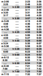
So here’s what I’m proposing: put the routes together again. On the map they’re split into two loops, but that’s just for visual aid – it’s one route. I’m cutting some of the pointless deviations like BJ’s and the whole Franklin Street jog on the 4N (except for the MetroWest Medical Center). As for the 4S, I’m cutting the Market Basket/Shaw’s section of the route on weekdays because the 6 already serves them – the transfers don’t always time great, but that’s more a problem with the 6’s horrible schedule that needs to be worked out. On Saturdays, when the 6 doesn’t run, the 4 will run down and serve those supermarkets. And here’s the schedule (it might be easier to view in its full document):
Now, I know what you’re saying: half hour service on the MWRTA? Is that possible? Or necessary? Well, it is definitely possible. Since the routes use two buses at the moment, we can put both of them on this new streamlined combined route to make one of the most frequent routes on the MWRTA (although because of the extra deviations on Saturdays, it has to run every 40 minutes instead). As for whether it’s necessary or not, it’s hard to say. On the one hand, half hourly service from Framingham to the Natick Mall seems pretty desirable. On the other hand, it’s the freaking MWRTA, so who knows if anyone will use it? The resources could be put to better use on the busier 2/3. Still, it’s certainly an interesting idea, and it looks amazing compared to the MWRTA’s other awful schedules! My one concern is that I skipped a Walmart on the northern loop that actually does get pretty good ridership, but deviating there could take up too much time. It might still be possible, but it would cut it close. There might be a way to have the 2 or the 3 go there instead.
Latest MBTA News: Service Updates
MWRTA: 4N (North)
Oh come on, can’t this system have one good route? I thought the 4N was perfectly fine when I rode it, but further investigation has revealed that it’s almost completely redundant to other routes! ARGH!!!
 |
| I was going to get on this bus, but it broke down. Foreshadowing? |
We took a few streets to get onto Ring Road, which went along the south side of Shopper’s World, then curved to the west side. We continued onto Shopper’s World Way, which took us to a deviation to BJ’s. From there, we made our way to Cochituate Road, then Calder Road, both going by many suburban businesses with parking lots.
 |
| Some random shopping plaza. |
We turned onto Worcester Road, otherwise known as – uh-oh – ROUTE 9! Get ready for the onslaught of ugly, sketchy “Route 9 businesses”! Luckily it didn’t last too long, as we did a little loop-de-loop onto Concord Street, which took us over the highway.
 |
| A weird dead zone in the loop-de-loop. |
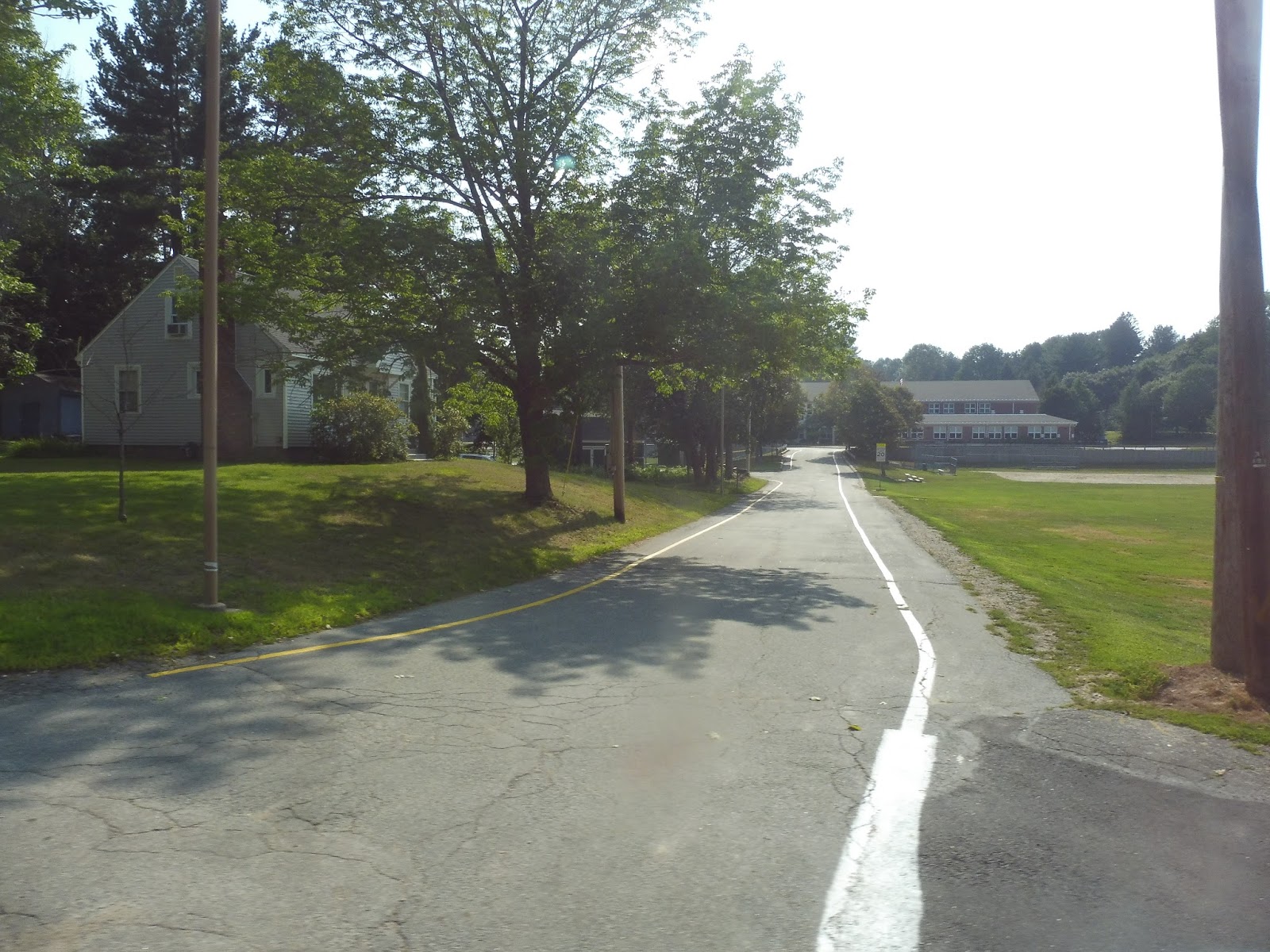
Concord Street was a mix of everything, including houses, apartment developments, businesses, Framingham District Court, and a National Guard base! It was primarily houses, though, until we turned onto Lincoln Street, passing a few different hospitals, including the large MetroWest Medical Center. We merged onto Union Ave after that, which was mostly houses.
 |
| A tragically abandoned shopping plaza. |
We turned onto Mount Wayte Ave, then Franklin Street, going back the way we came and revealing that this was all a really long, skinny jog in the route. Franklin Street was houses for a while, then after a small industrial patch, we turned onto Howard Street outside of a small park. This route purports itself to serve the Framingham Station Banana Lot, but it really doesn’t – Howard Street is considered to be the “Banana Lot” stop, which is pretty misleading.
 |
| Look, you can see the proper Banana Lot over there to the right! |
There were some vestiges of downtown Framingham as we turned onto Concord Street, but we had mostly bypassed it. We crossed the Commuter Rail tracks and turned onto Irving Street, passing a bit of retail at first, but it switched to houses quickly. Next, we made our way around onto Blandin Ave and pulled into the Blandin Hub, marking the end of the trip. Oh wait, it’s a loop? It takes a different route back to the Natick Mall? DARN IT!
 |
| Leaving the hub again. |
We went back onto Blandin Ave, crossed the tracks again, and headed up Bishop Street. After some industry and offices, it became a residential neighborhood, complete with a park with a few sports facilities in it. The houses continued as we turned onto Hartford Street.
 |
| A badly-paved street. |
We went under some telephone wires, but that was about the only break from the constant stream of houses. Finally, we headed onto Speen Street, which went over Route 9 and past a few office buildings. This turned into Natick Mall Road, and thus it led us back to our origin, the Natick Mall!
 |
| Good thing the driver let me stay on back to Blandin! Too bad this picture is really out of focus… |
MWRTA Route: 4N (North)
Ridership: The ridership data from this route is from when it was combined with the 4S (the MWRTA split them up when its new hub opened), but the MWRTA notes that about 60% of that ridership is on the 4N. That means the route gets about 52 riders per weekday (4 per round trip) and about 28 per Saturday (3.5 per round trip). Ouch!
Pros: I’m pleased to report that this is an MWRTA route that runs consistently every hour. Let’s give them a big round of applause!
Cons: The 4N is almost entirely redundant to other MWRTA routes! The western section from the mall to the MetroWest Medical Center parallels the 2 and the 3, and it actually takes a little bit longer on the 4N because of the BJ’s deviation (which, incidentally, gets an average of less than one rider per week). The jog up Union Ave and down Franklin Street also parallels the 2/3 and the 7, respectively. The part up Bishop Street is technically independent, but it’s only a six minute walk from the 2/3, and then most of Hartford Street to the Natick Mall is with the 10/11. So…why does this route exist, then?
Nearby and Noteworthy: There’s nothing that the 4N exclusively serves!
Final Verdict: 3/10
I’ll give it a few points for having a consistent schedule and for getting marginal ridership, but that’s about it for the 4N. I see no reason why this route shouldn’t be eliminated – the extra bus could be used for extra service on the 2/3, which those routes absolutely need. And sure, that would mean that there’s more frequent service in one loop direction than the other, but the bus could switch based on the peak direction, and the MWRTA is no stranger to weird schedules that don’t make much sense, anyway. There may also be a future for this route if it recombines in the 4S, which we’ll explore soon…
Latest MBTA News: Service Updates
MWRTA: 10/11 (Natick Circuit Counterclockwise/Clockwise)
You thought the 3 was crazy? Ha! You ain’t seen nothing yet. The 10 and the 11 are…well, let’s just review them.
 |
| The 11 coming into the Natick Mall. |
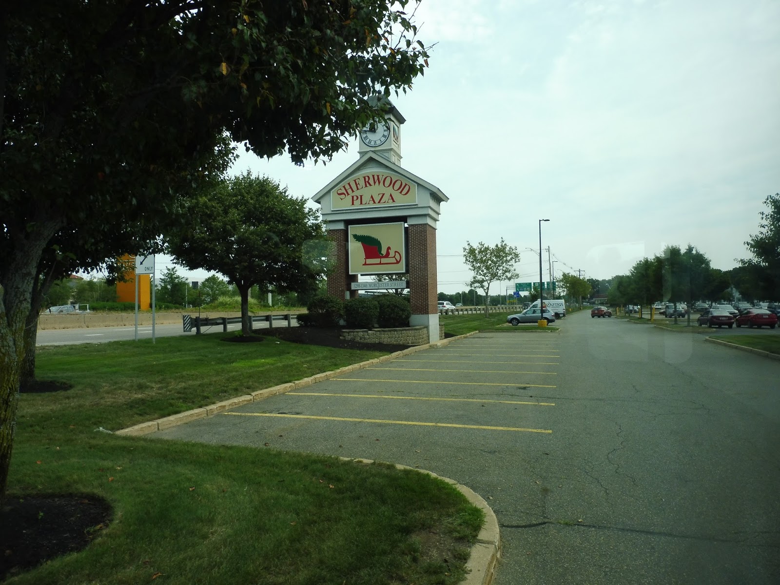
First of all, the MWRTA does not have an online map for this route, so I am totally going by my pictures right now. Great, that makes everything easier, doesn’t it? Sigh…okay, so we left the mall and made our way onto Route 9, but we exited off of it in about 2 seconds in order to serve Sherwood Plaza. Oh boy, we’re off to a great start!
 |
| Very holiday-themed, yet I rode this route in the summer! |
We returned to Route 9 for another 2 seconds before exiting off onto Speen Street, which took us past some office buildings, a hotel, and another shopping plaza. There were more suburban businesses for a while, but as the road curved west, they shifted into office parks. We turned onto Old Connecticut Path next, taking us over I-90 and into a residential area.
 |
| Going over the highway. |
There were suburban houses for a while, aside from a brief break for Lake Cochituate (no view, alas). After the lake, we turned onto Plain Street, passing more houses with a brief deviation break for an apartment development. Next, we turned onto Main Street and headed through Cochituate Village, which was basically just one building with a few sketchy-looking businesses.
 |
| Basically the entirety of Cochituate Village. |
There was a brief residential break, but at the intersection with Route 30, there was some more retail, this time in some more modern developments. We crossed I-90 again, going under it this time, after which it was a mix of houses and occasional suburban business developments. Once we got to Route 9, we had to deviate into 9/27 Plaza, a rather boring shopping center (albeit with plans to become more interesting). Strangely for the MWRTA, we were actually early, and we had to wait a few minutes before leaving.
 |
| Man, Route 9 is a real blast, huh? |
We returned to North Main Street after the deviation had been completed, running once again through a residential area. As the street started to curve and get a bit denser, the houses turned into a lot of apartment developments. Finally, after a bridge over the Commuter Rail, we entered Natick Center, and there were businesses everywhere!
 |
| Clearly I did not photograph the most vibrant part of the center. |
We turned onto Central Street at the Natick Common and left downtown, though there were still some straggling businesses. We turned onto Union Street next, which quickly became residential up until we deviated to serve the Leonard Morse Hospital. Once that was done, we came back up Union Street, deviated into a housing development, and used that deviation to enter another deviation to the Natick Community Center. Alright, I’ll give that one a pass – that’s some clever deviating.
 |
| Coming into the Community Center. |
Once all those deviations were done, it was revealed that the whole thing was one super-deviation – we now had to return to the center. We turned onto Main Street once we arrived, then we merged onto Cottage Street and made a very useful deviation for Coolidge Gardens. You see, the entrance to the building is a whole 25 feet from the road, so it’s absolutely necessary that the bus goes into its front drive so people don’t have to walk that staggeringly long distance. Thank goodness for those savvy MWRTA planners!
 |
| Right up to the front door! |
We went down Cottage Street for a little longer before turning onto Circular Ave, which was in fact not circular. It became Curve Street, although it didn’t really curve all that much, then we turned onto Cedar Ave. There was a slight hill, and it led us into Cedar Terrace, a housing development, which was separate from the housing development right next to it, Cedar Gardens. The route serves both, though, and for some reason it gets 4 minutes to get between them – needless to say, we had to wait for a few minutes because we were early.
 |
| Cedar Gardens. Or Terrace. Who cares? |
We headed back to Oakland Street and took it to Pond Street. This road went by two ponds, actually, but also three cemeteries. There was a spurt of houses and then a few businesses at the intersection with Speen Street, onto which we turned. Next, we deviated into a Roche Brothers.
 |
| I’m getting sick of this! |
We returned onto Speen the way we came, but this time we continued down it past lots of houses. Next, we merged onto Kendall Ave, which actually went by a farm! Don’t worry, though, it went back to typical suburban houses soon enough. We arrived at another apartment development, Sherborn Meadows, but surprisingly, we didn’t have to deviate! Oh man, that’s worth a celebration.
 |
| Going past it! |
We headed up Beaver Street, which was mostly dense housing for a bit before shifting over to industrial buildings. We curved around onto Blandin Ave next, and arrived at the Blandin Hub. This horrible trip was finally over! Oh wait, it’s a loop and I got on at the Natick Mall. Darn it, there’s still more to do!
 |
| I snuck a picture of the bus while the driver took a layover. |
After leaving the hub, we went down Waverly Street, which had the Commuter Rail on one side and various industrial buildings on the other. We went by West Natick Station, but while the counterclockwise 10 does a deviation into a plaza next to it, we just sailed right by. Soon we turned onto Mill Street, and I only just realized this now looking at the map: we were literally a block away from that Roche Brothers we had served ages ago. This route is maddening.
 |
| Oh, a convenience store! Not gonna deviate, are you? Weirdos!!!!!! |
We went over the Commuter Rail tracks and passed more houses, then we deviated into Sherwood Village, which consisted of two apartment buildings. Darting under some pylons, we turned onto Hartford Street, which led us past more houses to Speen Street. We took this over Route 9, then we had to deviate into Mathworks Lakeside, and office park. Finally, we returned to Natick Mall Road and made our way to the main bus stop AND THE ROUTE WAS OVER YAYAYAYAYAYAY!!!
 |
| The under-construction Mathworks building. |
MWRTA Routes: 10/11 (Natick Circuit Counterclockwise/Clockwise)
Ridership: The two routes combined get pretty good ridership for MWRTA standards, although it’s awful ridership for any other standards: 136 riders per weekday, and about 55 people on Saturdays.
Pros: These are basically the premiere routes for Natick, and they even serve a bit of Wayland. Pros over!
Cons: As with any MWRTA route, it comes down to the schedule, first and foremost. Surprisingly, both of these routes offer consistent headways! The problem is that they’re awful – every hour and 35 minutes. And you know why it takes that long? Because these are incredibly long loops with FAR too many deviations. Riding the 11 was one of the few times that I really really really wanted to get off a bus, because it was just never-ending. I cannot stress enough how insane these routes are. And sure, they are bidirectional, so theoretically there’s always a shorter way around the loop, but since the frequencies are so low, it might take just as long to take the other route the long way around as to wait for your bus!
Nearby and Noteworthy: I dunno, probably some malls or something. Who cares? Geez!
Final Verdict: 3/10
I really can’t bring myself to increase this score. Yes, the 10 and the 11 are certainly useful, and together they get somewhat decent ridership for the MWRTA. But their layout and the schedule are just so prohibitive for the routes being at all usable! I think the only real solution for this is to split the routes up to make them shorter. That could mean creating two smaller loops, or maybe have certain deviations done by only one of the routes (they already do this with a few of them). Truth be told, the MWRTA’s lack of a map for these routes has made writing this post incredibly long and tedious and I want it to be over, so I’m not proposing any new schedule this time, but some sort of service change is absolutely worth studying.
Latest MBTA News: Service Updates
MWRTA: 2/3 (Framingham Circuit Clockwise/Counterclockwise)
Welcome to the MWRTA’s premiere routes, the 2 and the 3! Crazy schedule? Lots of deviations? Yes and yes!
 |
| The 2 at the Natick Mall. |
I boarded the minibus at the Natick Mall, and we looped around onto Flutie Pass. Next, we turned onto Shopper’s World Drive, then Ring Road, serving Shopper’s World – an apt name for a shopping plaza. Ring Road went up along the back of the plaza and we had a stop for Kohl’s, then we waited at the longest red light in the world before turning onto Cochituate Road.
 |
| I was so bored from waiting that I took this weird photo of the light! |
The behemoth suburban shopping plazas around the Natick Mall started to dwindle, eventually becoming boring ol’ Route 9 businesses as we turned onto Concord Street and crossed over that road. There were houses on the other side, but we made some weird turns to get to Arsenal Road. This route jog was, from what I can tell, only to serve a housing development one block from Concord Street.
 |
| Some normal houses. |
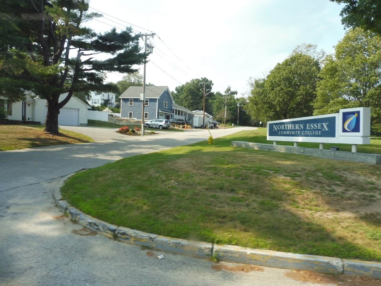
There was a base for the National Guard where we turned onto Normandy Road, then Rose Kennedy Lane, which was a…dead end. Oh, another housing development? Alright, alright, great. This section also served MassBay Community College, but I guess that didn’t warrant its own deviation, so we returned to Concord Street.
 |
| Some more houses. |
There was a burst of retail, but then it became a mix between that and more houses. Things started to get denser as we turned onto Lincoln Street, then Pearl Street, and new types of buildings began to show up. We made a lot of one-block runs on narrow local streets, taking us past backlots of downtown Framingham, until we arrived at the Framingham Station Banana Lot.
 |
| Oh, we’re not even near done! |
It was more side streets from there, featuring a pretty industrial atmosphere overall. The route finally stopped its twists and turns and settled on Union Ave, a street with many parking lots along it. After a high school, it turned into houses, staying that way until a college football field and a senior center came in a clump.
 |
| Back to my favorite road! |
Union Street became Main Street, and we soon reached Route 9 again (the ugliest road in the world after Route 1 in Saugus). We were right near Framingham State University, but strangely, we didn’t have to serve it, instead opting for a jog to some businesses on Vernon Street. We took that road around a common and turned onto Edgell Road, which curved around past some houses and under I-90.
 |
| Pretty industrial here! |
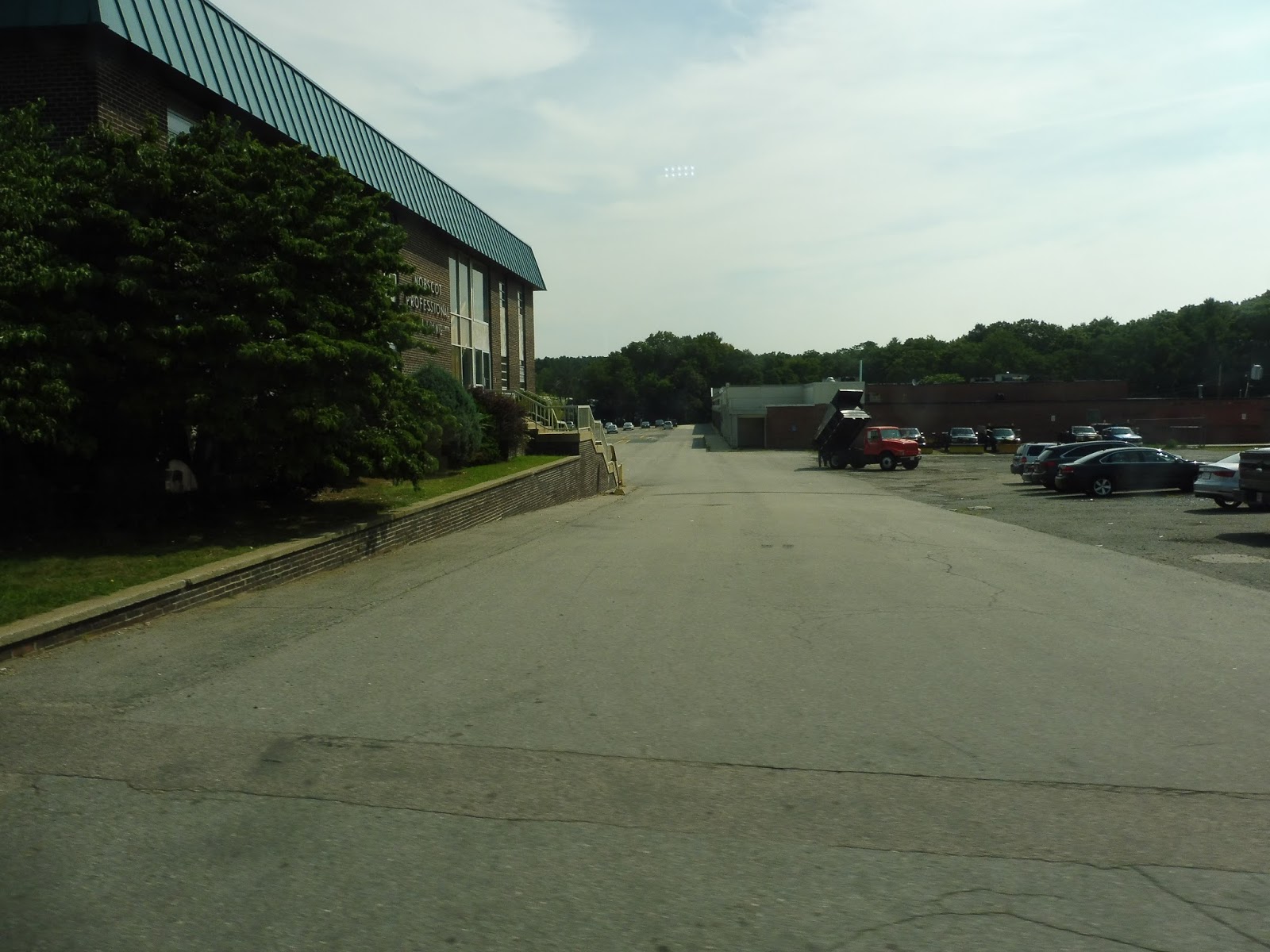
It was all residential for quite a while until we got near water street, where a few shopping plazas started to show up. We turned onto Water next, passing the “Nobscot Shopping Center,” otherwise known as the most depressing shopping center on the planet. Almost every retail space was vacant!
 |
| Wow. |
There was a library and an elementary school, then Water Street became residential. It was almost all houses as we headed in a southeastern direction until Sudbury Pond. Not only was there a nice view here, but there were also some businesses!
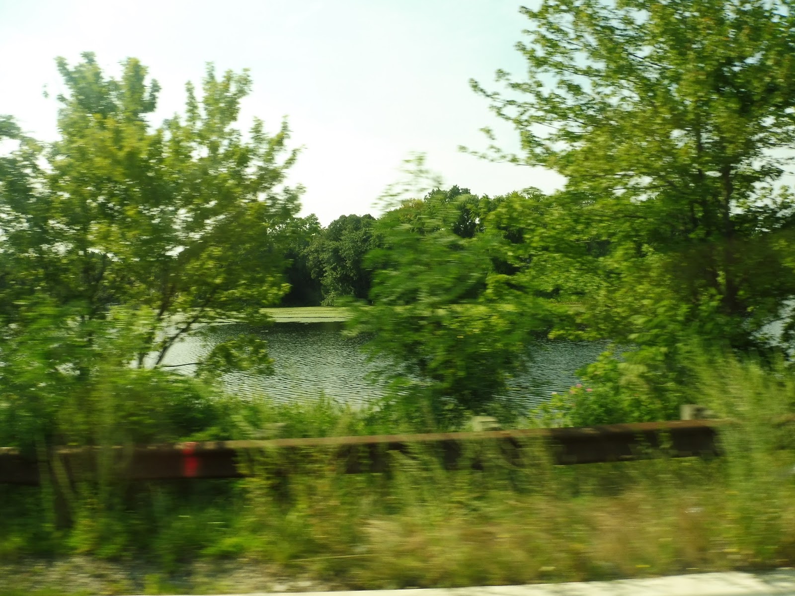 |
| Okay, “nice” doesn’t mean “amazing,” but it’s something. |
We made our way onto Concord Street, which had a revitalized old factory along it for a bit. After going over a small river, we turned onto A Street, which had a smattering of houses and the gigantic Framingham High School. A Street merged with Concord Street again, and there were more houses after we went under I-90.
 |
| Well, this is a very nicely-landscaped traffic island. |
Eventually the MWRTA planners decided the route was too straight, so we deviated into a Stop & Shop. There was a BJ’s next to it, but a different bus deviates to serve that one, so we made our way down Newbury Street. This became Whittier Street, then Shopper’s World Drive, and we were in the suburban, wide-roaded hellscape surrounding the Natick Mall once again.
 |
| What is this, suburban Florida? |
We went by the big park-and-ride for Logan Express buses to the airport, as well as Shopper’s World again. Luckily we didn’t have to deviate into that plaza, instead turning right onto Flutie Pass. This took us right back to where we started: the Natick Mall. And you thought that loop was long and deviatory? Just wait until the next review!
 |
| I couldn’t get a picture of the 3, so here’s a 2 again. |
MWRTA Routes: 2/3 (Framingham Circuit Clockwise/Counterclockwise)
Ridership: When I said these were the premiere MWRTA routes, I wasn’t lying – the 2 and the 3 are the two busiest lines on the whole network. Together, they get the huge number of: 332 riders per weekday and 165 riders per Saturday. Well, that’s a little anticlimactic! Also, while the weekday ridership is split pretty evenly, the 2 gets way more ridership on Saturdays than the 3. I have no idea why.
Pros: Well, given the number of trips, that ridership data isn’t half-bad! Most of the deviations on my ride got people, and the routes serve a big chunk of the MetroWest’s developed areas. I’m grateful for the fact that clockwise and counterclockwise loops are provided so that people don’t have to suffer through that many deviations to get wherever they’re going.
Cons: It’s the MWRTA, so of course the schedules are crazy! The 2 actually starts out with consistent every-hour service weekday mornings and Saturdays, but at all other times for the 2 and the 3, it’s anyone’s guess as to when they come! Every 65 minutes? Every 80 minutes? Every 71 minutes? These are all headways, and it needlessly complicates these routes. I know that traffic necessitates longer schedule gaps, but there has to be some way of making things at least a little consistent. Also, why do the two routes have to come to the Natick Mall at around the same time? Seems like it would be better if they were staggered to give the illusion of more frequent service.
Nearby and Noteworthy: Lots of malls. Malls, malls, malls. Natick has a lot of malls.
Final Verdict: 5/10
Well, isn’t this sad? These are quite possibly the two most useful routes on the MWRTA and they get a 5. As the ridership gets higher and more people are relying on the routes, the MWRTA schedules become less and less desirable. There are buses with way less consistent headways, but they’re less busy and much straighter; the high ridership and constant deviations of the 2 and 3 drag down the score.
Latest MBTA News: Service Updates