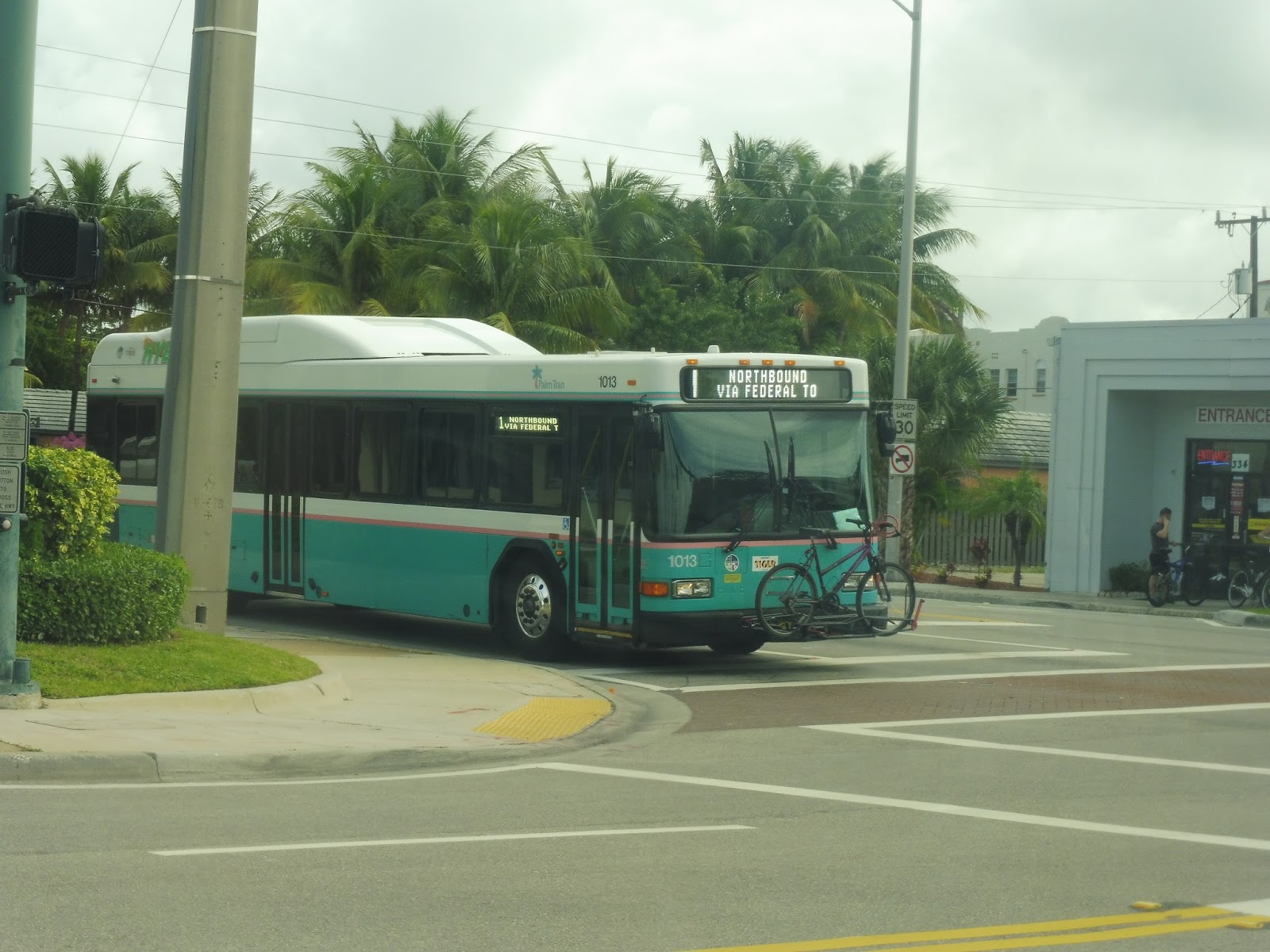
Service Change: Florida, Part 4 – Palm Tran’s Route 70 (Lantana to Delray Beach via Seacrest Boulevard)
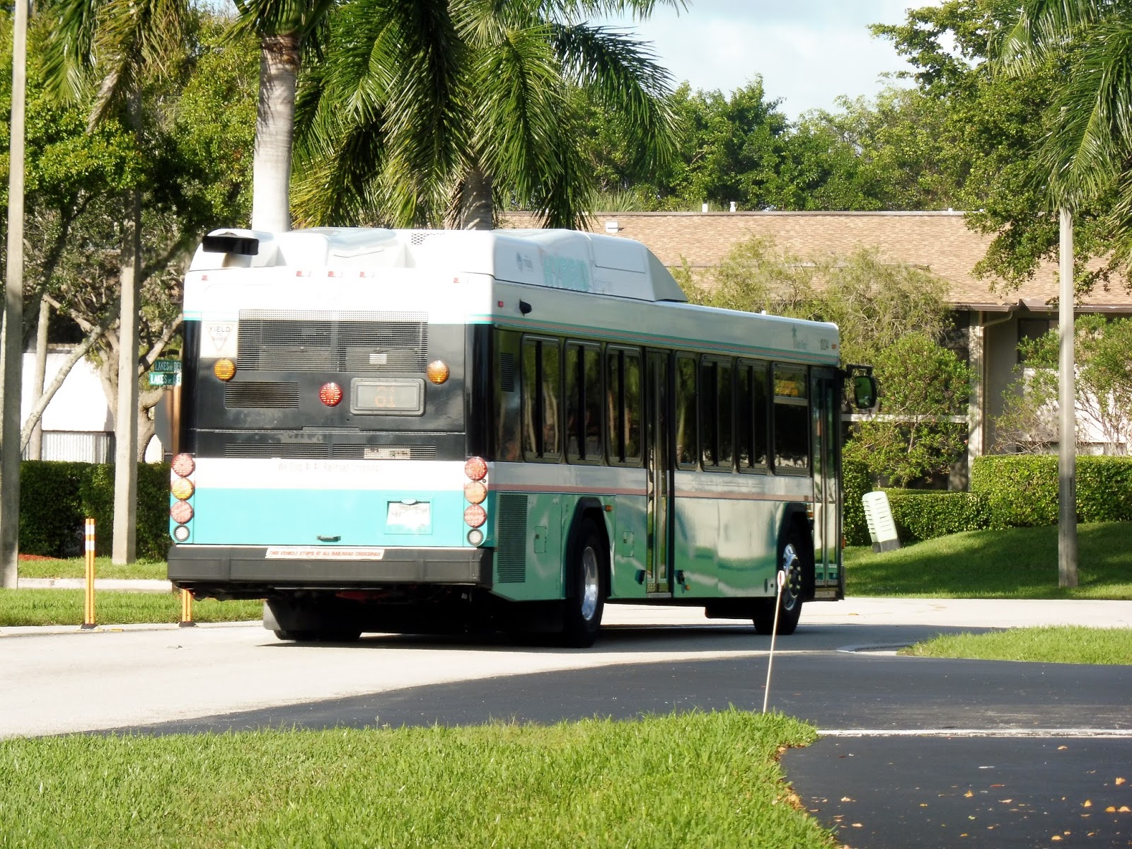
Okay, so the “cliffhanger” at the end of my last Florida post was probably obvious. Of course we got off at the Lakes of Delray gated community in order to get onto another bus! This time it was the 70, which would take a different route back to Delray Beach…and then some. It goes all the way up to Lantana, in fact, but we only took the Delray portion, about 2/5 of the route.
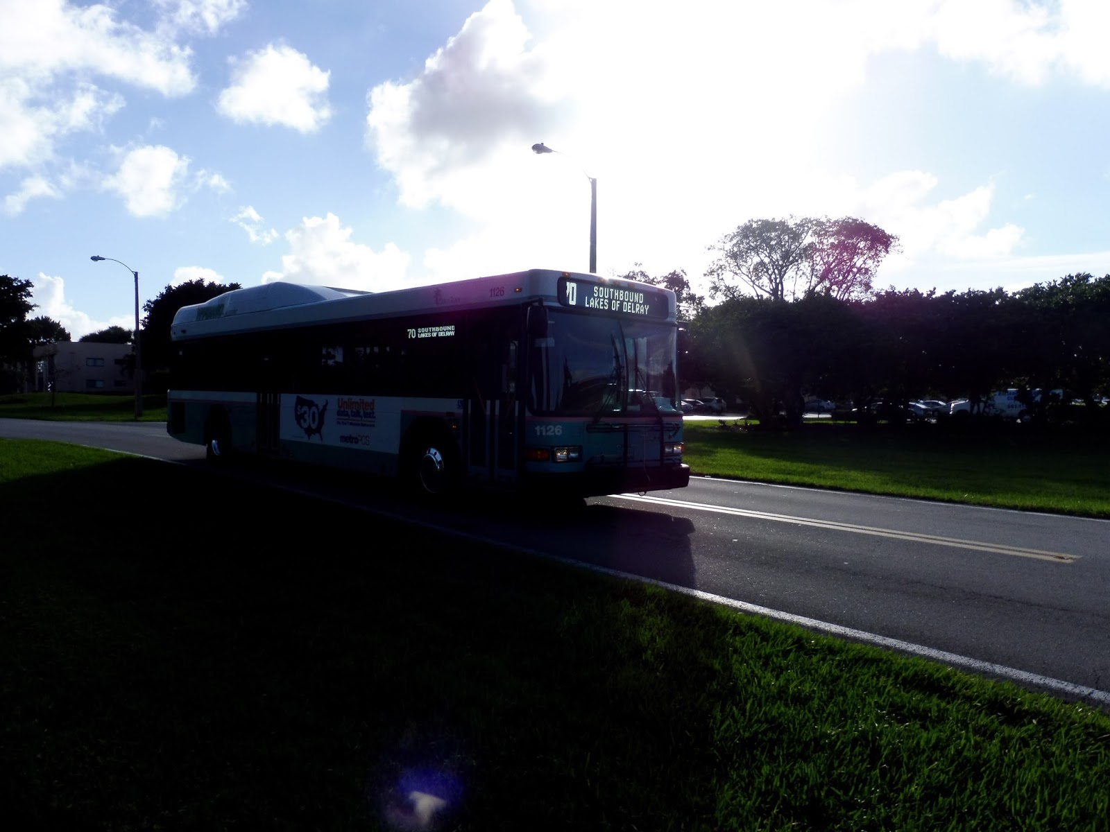 |
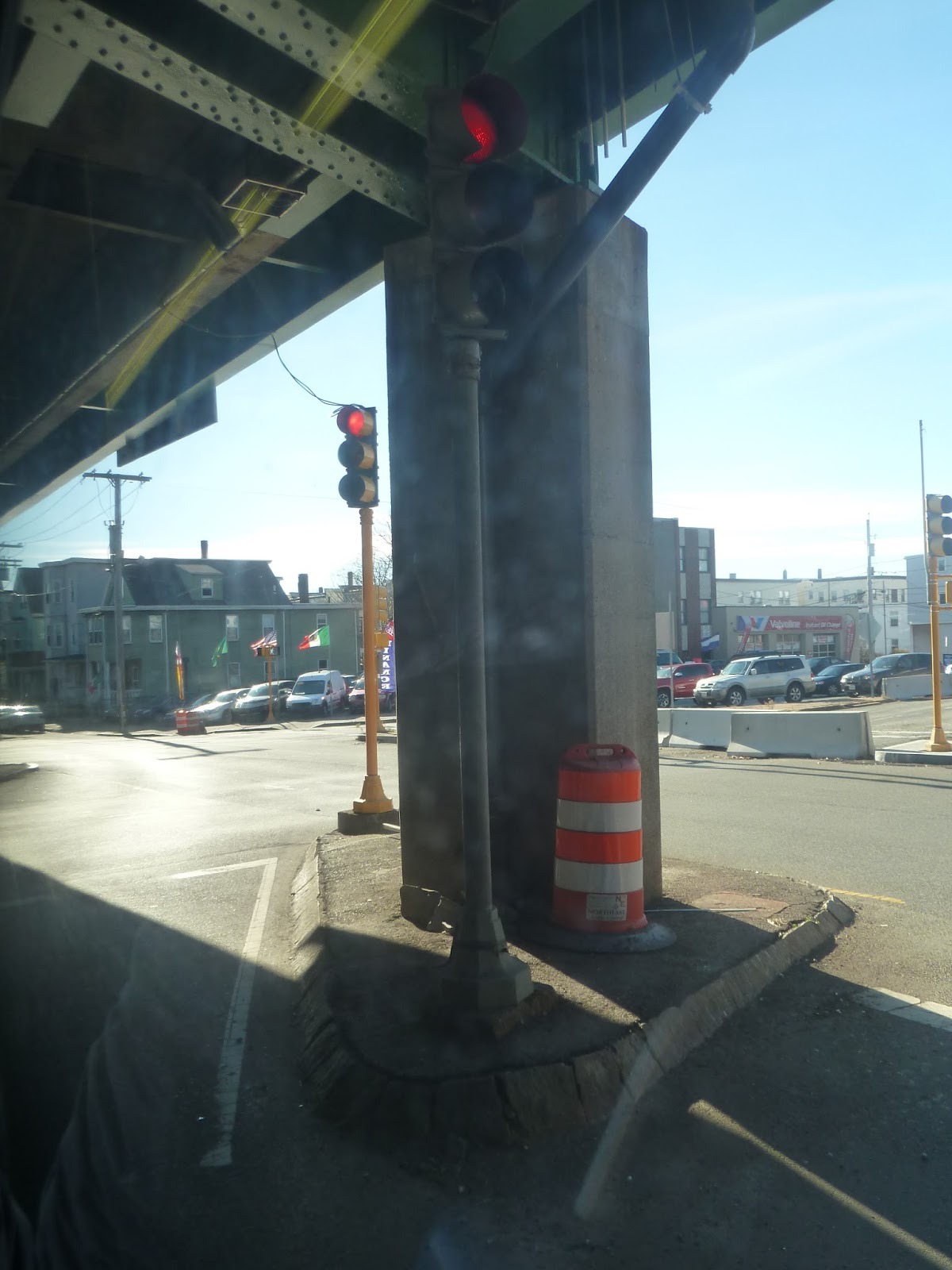
| Actually, I never got to take the 70 because the apocalypse struck! No, I’m kidding, but this lighting certainly looks like that. |
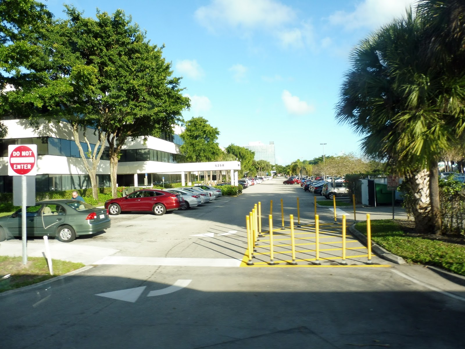
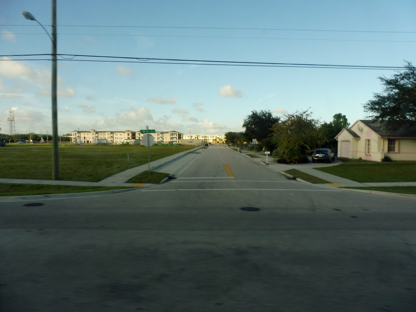
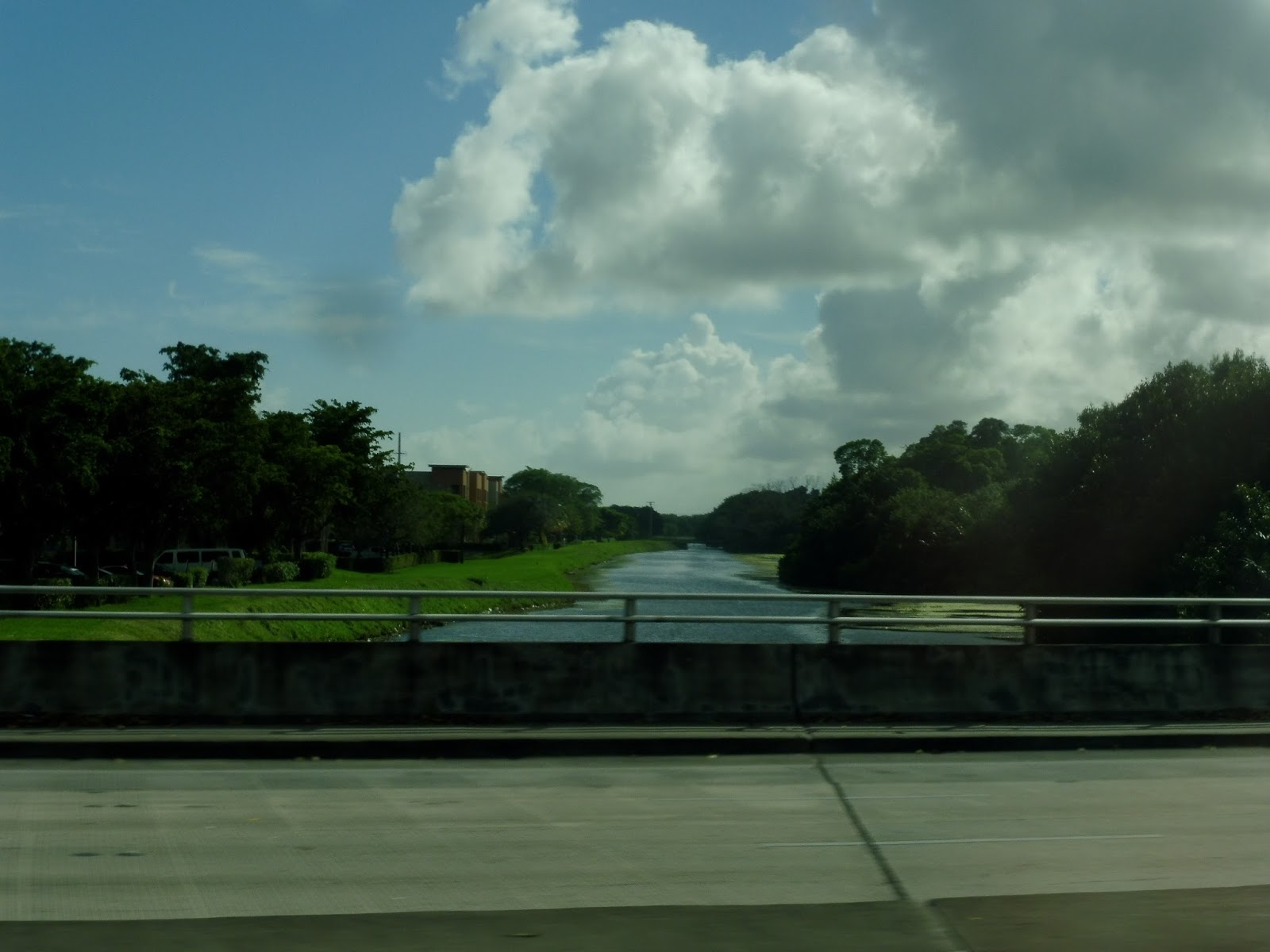
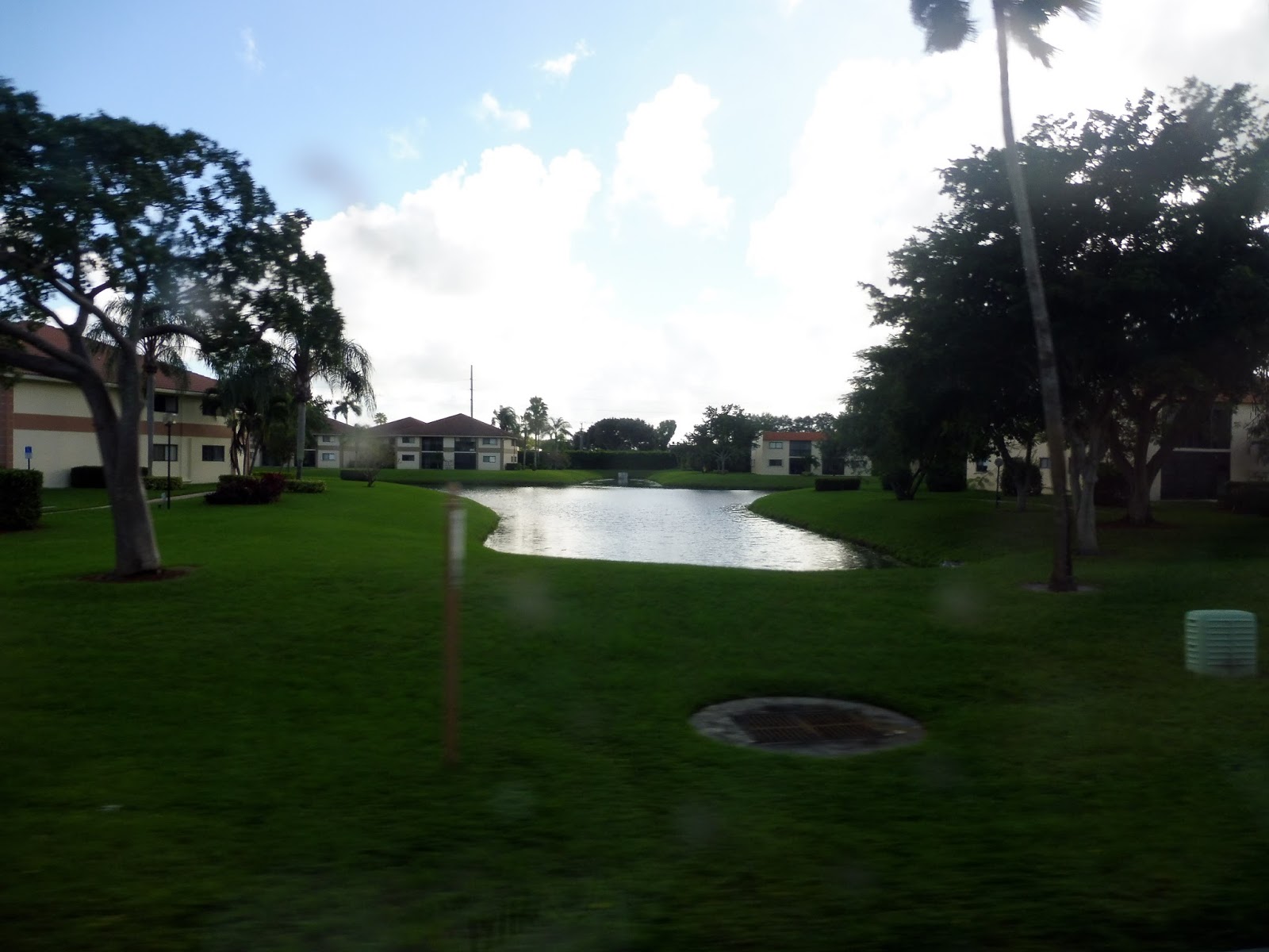
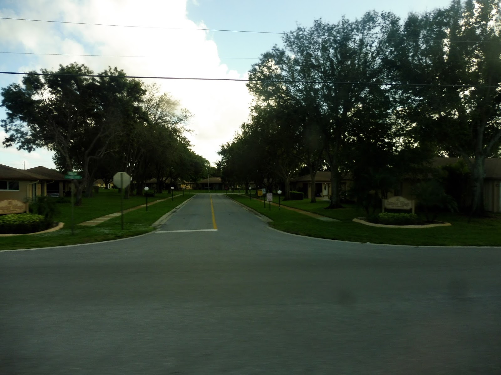
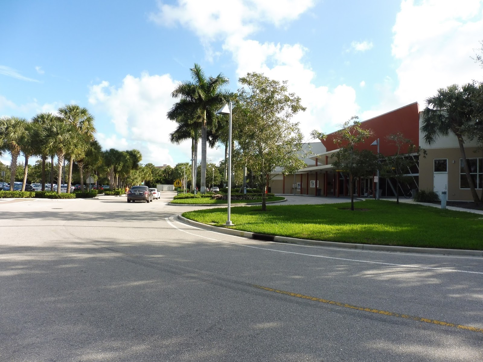
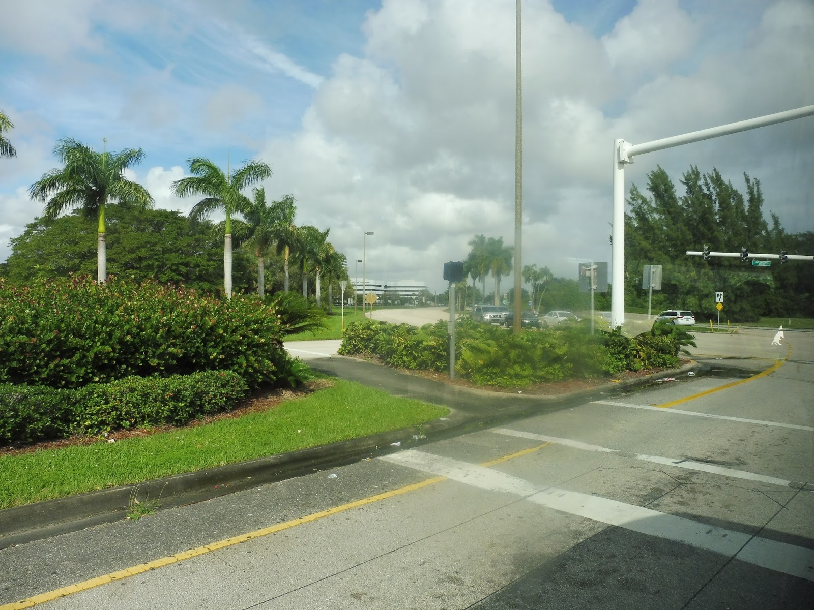
The route starts with a loop around the Lakes of Delray, and we got on along that loop. Leaving the housing complex, we headed down Sims Road, which ran alongside the edge of the community, parallel to a canal. After passing another gated community, we turned onto the incredibly wide Linton Boulevard, but soon detoured and entered the Delray Medical Center on Bryan Boulevard.
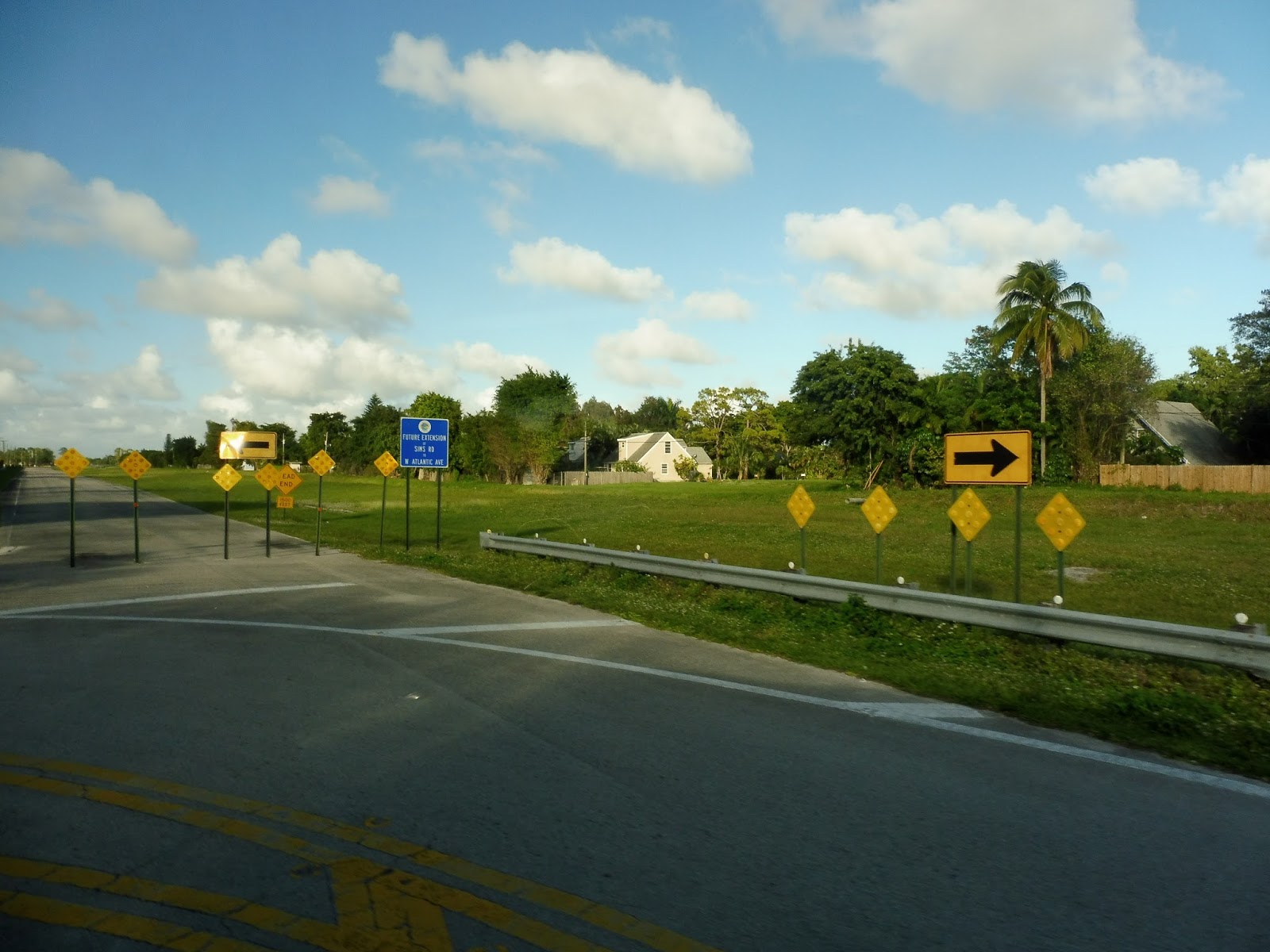 |
| Oooh, looks like the road is being extended! |
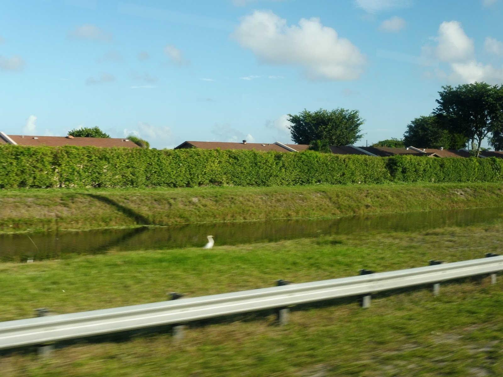 |
| The canal and some houses beyond. |
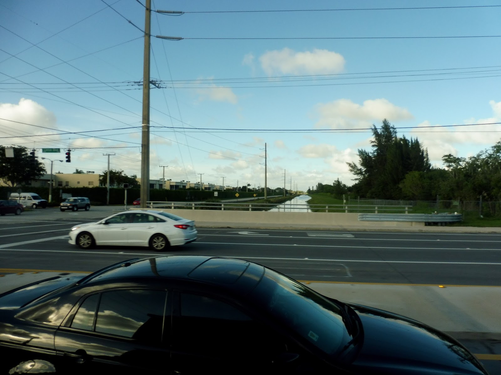 |
| Going over that same canal on Linton Boulevard. |
Bryan Boulevard was this nice leafy street that twisted a bit with lakes on either side. Coming into the parking lot for the huge hospital complex, we made a small loop, and then returned the way we came. Back on Linton Boulevard, we passed some shopping plazas, then a bunch of housing developments on either side.
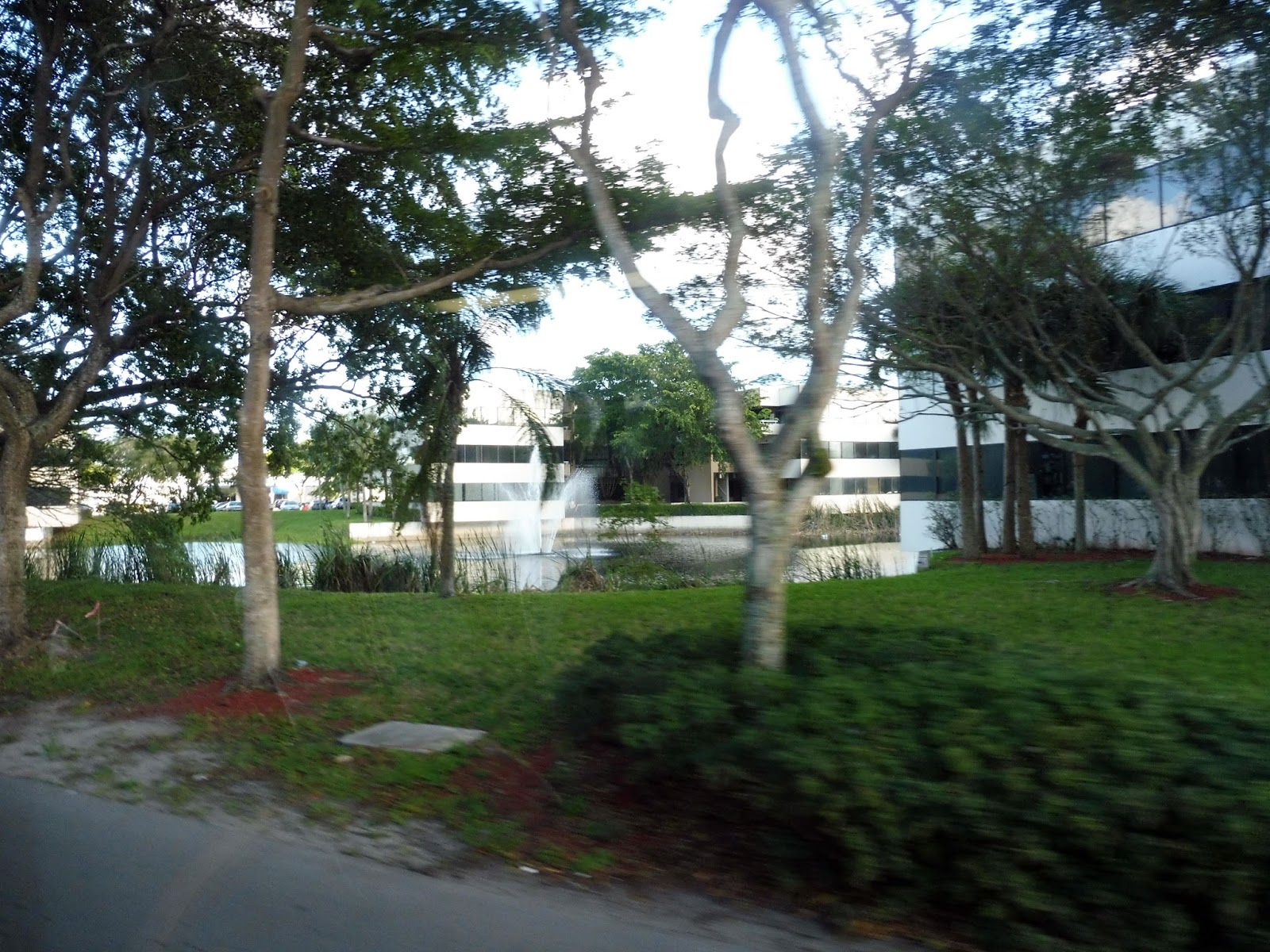 |
| Some buildings and a fountain! |
 |
| And another building! |
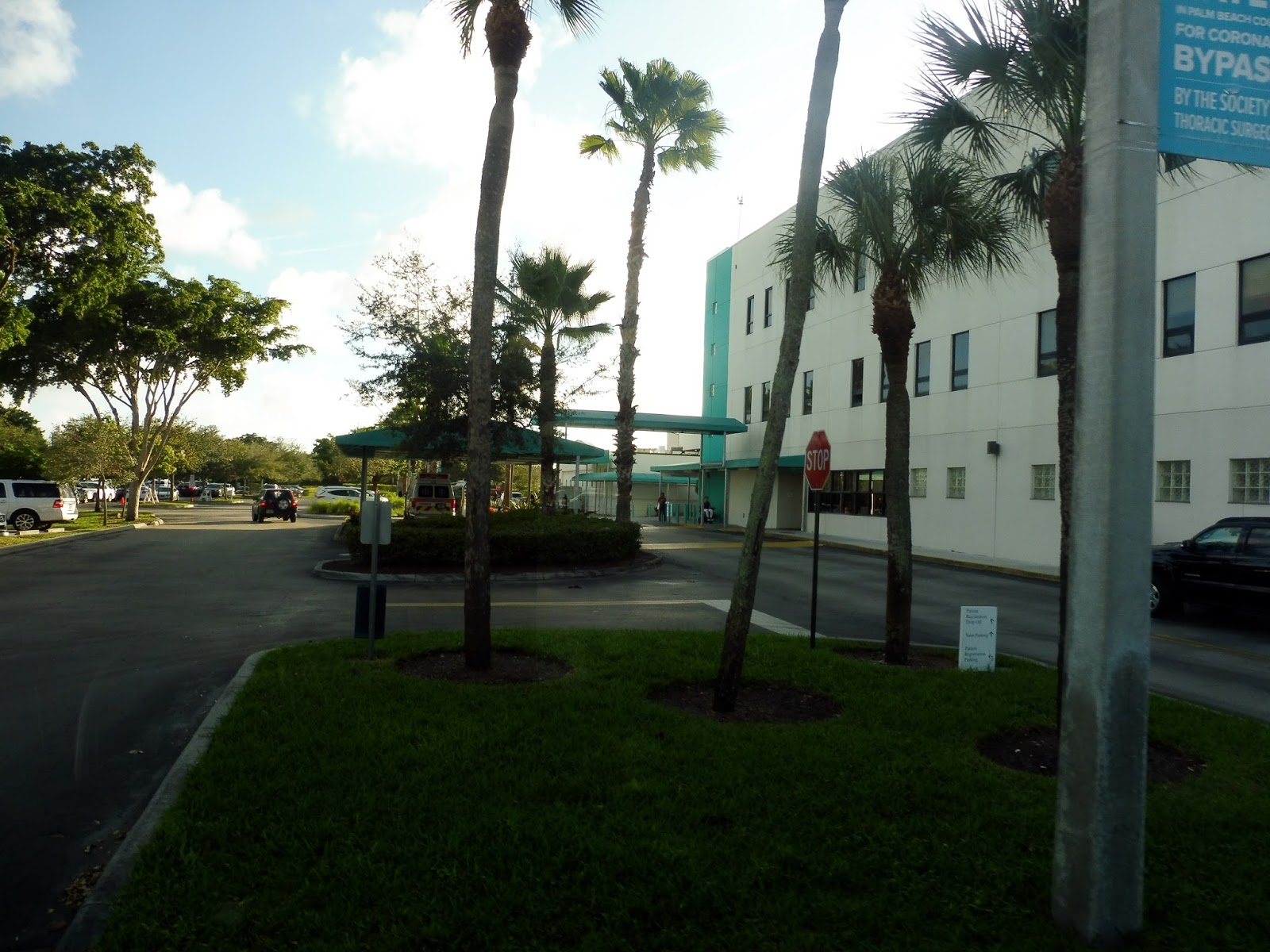 |
| The hospital itself. |
 |
| That’s an impressive fountain! |
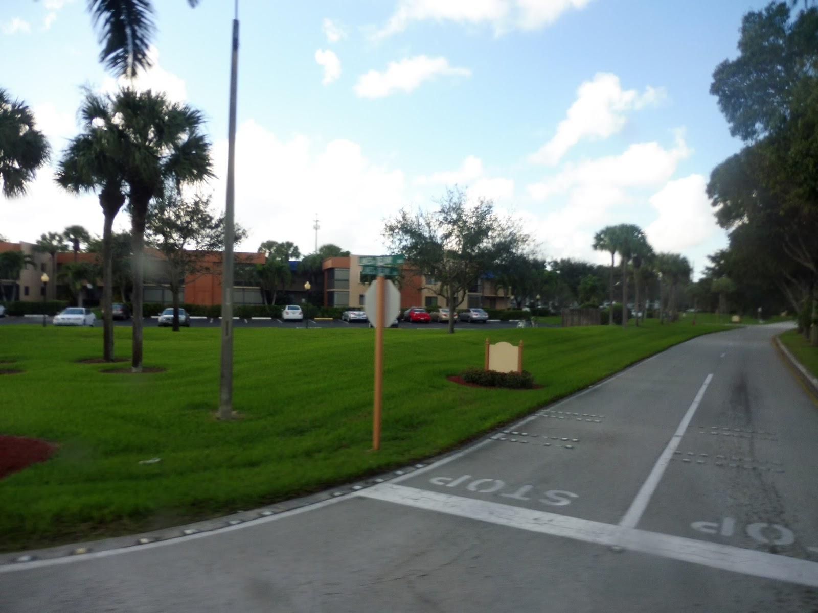
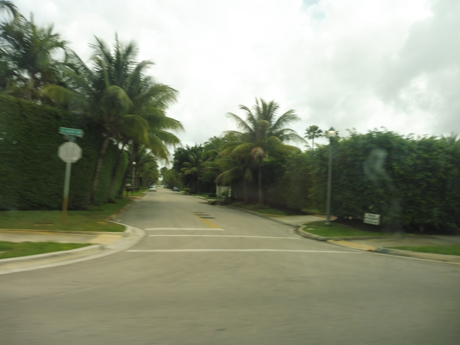
We then turned onto Homewood Boulevard, which was a bit narrower. The street was lined with housing developments, safely hidden behind tall hedges. Soon, we turned onto an even narrower street, Lowson Boulevard, which crossed over another canal. We then made a detour on South Congress Ave to serve the Delray Beach Tri-Rail station, and from there returned to Lowson.
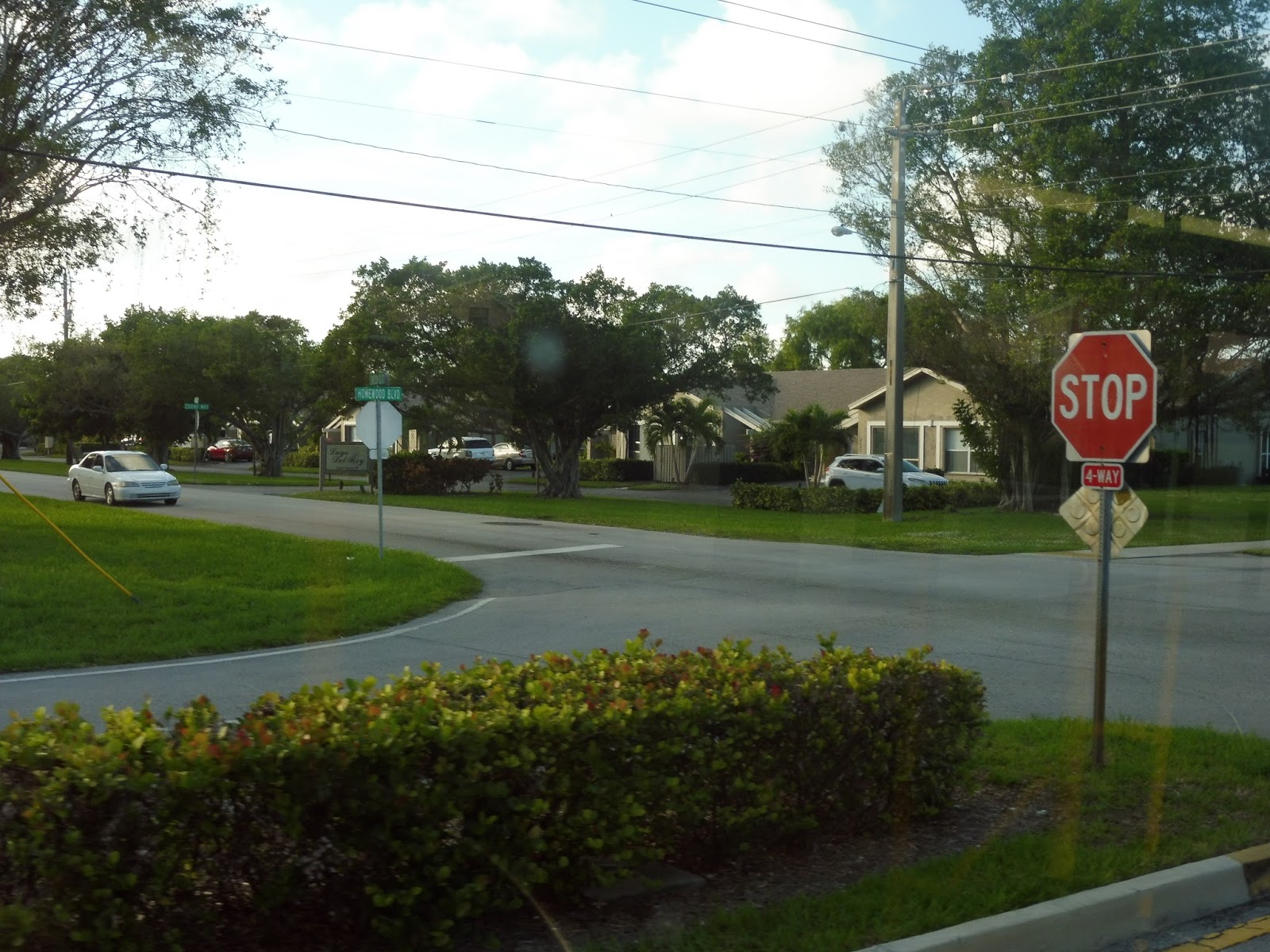 |
| A four-way intersection. |
 |
| A pickup truck getting in the way of my canal picture. |
 |
| The Tri-Rail parking lot. |
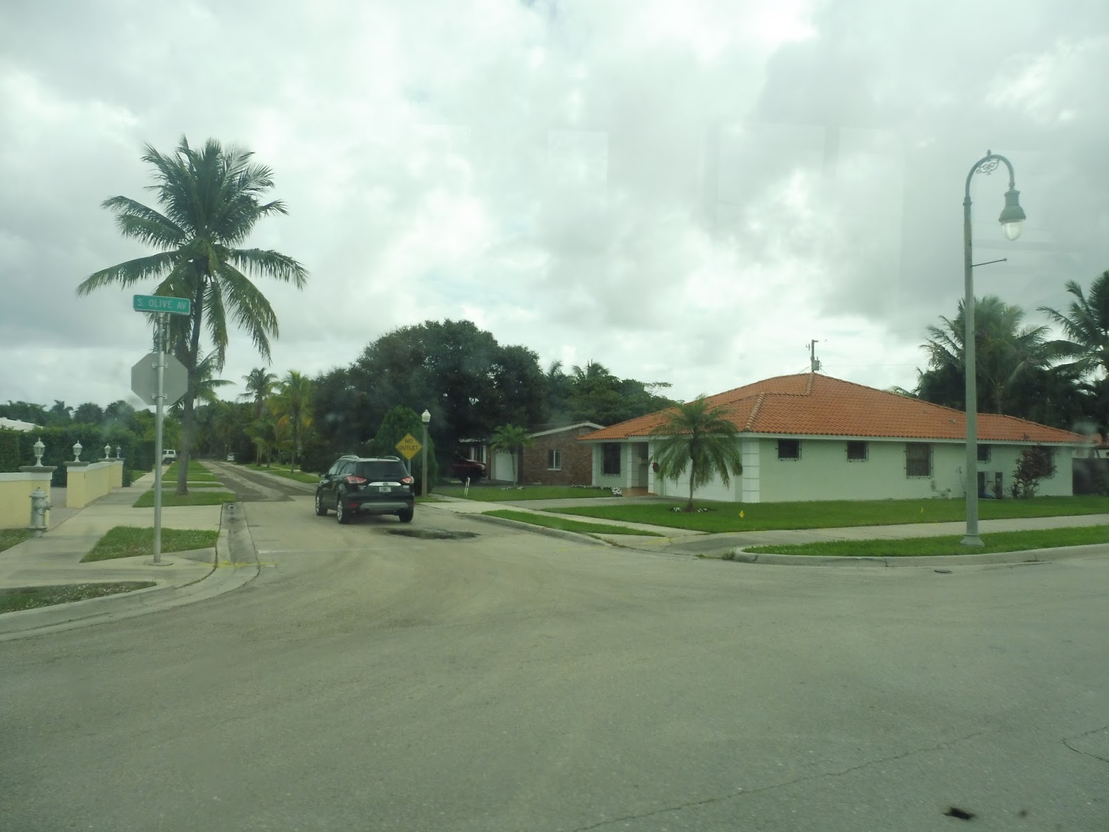
After crossing over the Tri-Rail tracks and under I-95, Lowson Boulevard became Southwest 10th Street. The surroundings were a bit industrial at first, but then they got more residential. Other points of interest included a cemetery and a school. We then turned onto Southwest 4th Ave, which got industrial, then we turned onto Linton Boulevard again.
 |
| Some apartments in the distance. |
 |
| A side street. |
 |
| An industrial building. |
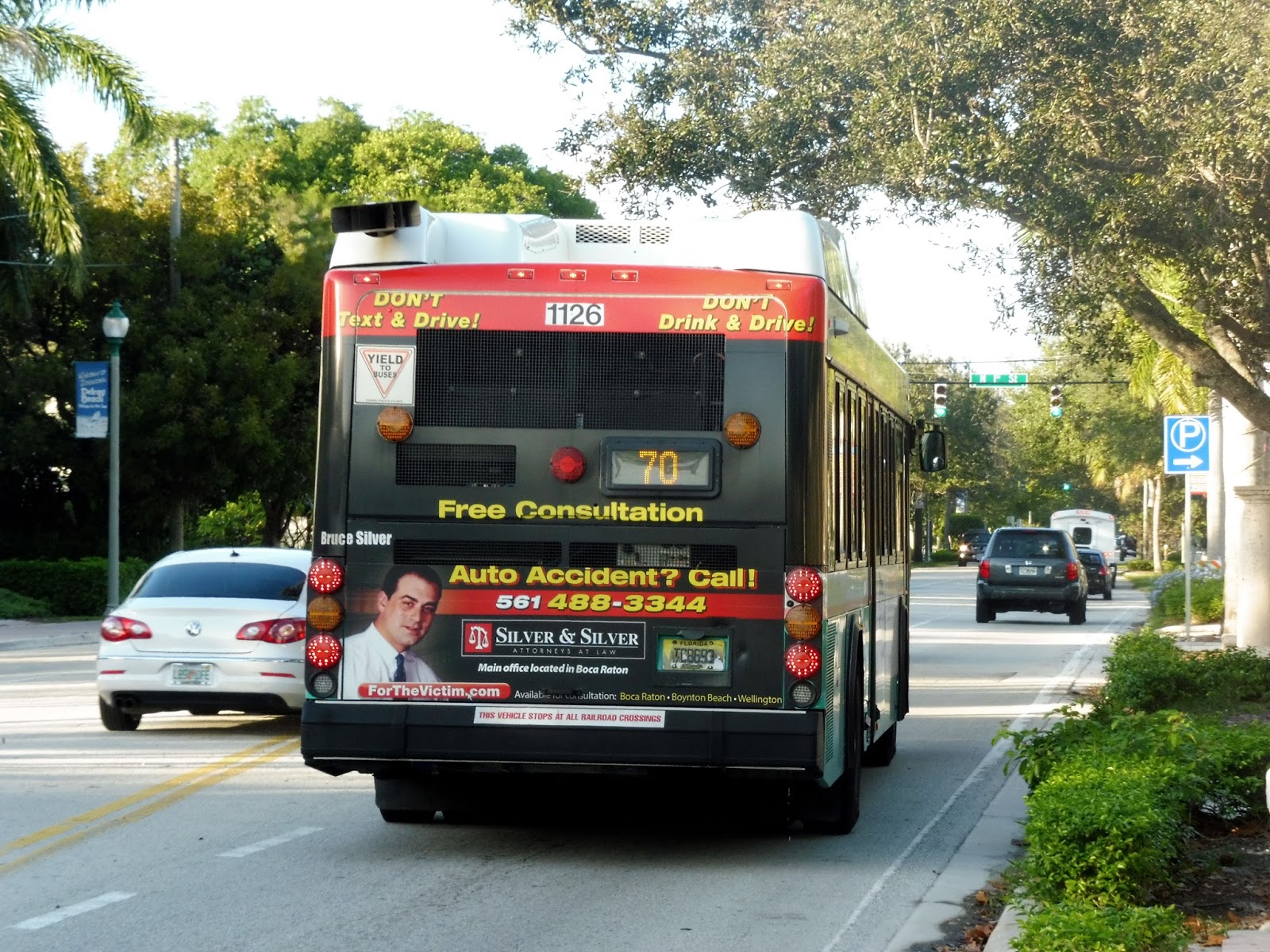
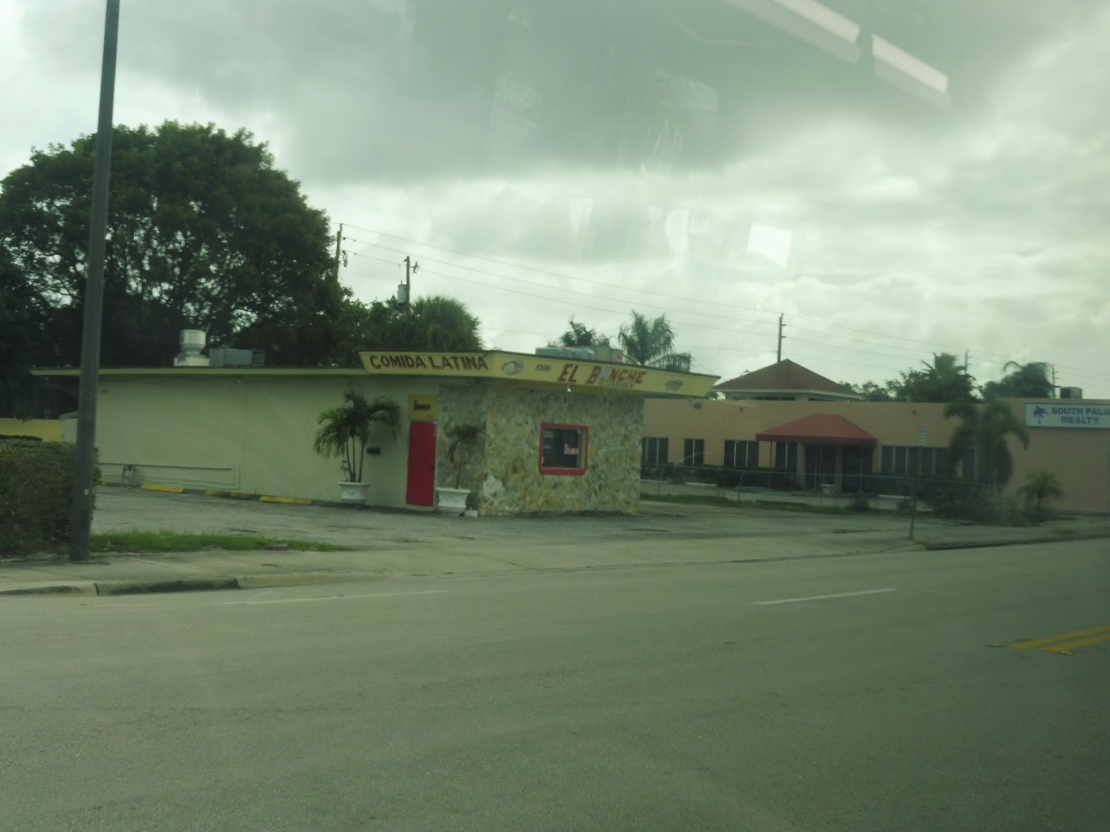
After going over a single railroad track, we turned onto South Federal Highway, going by the Plaza at Delray, a shopping mall. The road split into two one-way sides, but we didn’t get too far before turning onto Southeast 10th Street. Soon after that, we turned onto Swinton Ave, which was mostly lined with dense houses. There were businesses at Atlantic Ave, and this is where we got off, leaving the bus to continue its route up to Lantana.
 |
| Mmm…gotta love those shopping malls. |
 |
| A side street. |
 |
| Woah! A water tower! |
 |
| Crossing Atlantic Ave. |
 |
| Goodbye, 70! |
3rd Anniversary!
Okay, if I’m late for my own blog’s 3rd anniversary, what exactly does that mean? Is the anniversary nullified because I failed to address it on the proper day due to large amounts of homework? And if so, does Miles on the MBTA remain 2 years old for another year? And let’s go back to that homework thing. Since homework is my “job”, could I theoretically push back the anniversary date by the number of hours I’ve spent working on homework since the blog’s previous anniversary so I’m not technically late? Let’s see…doing some quick math here, I’ve spent about 20,000,000 hours on homework in the past year, meaning that Miles on the MBTA’s anniversary is pushed back until…the year 4298. Huh. Alright, well, see you then!
Okay, I can’t promise I’ll be around until 4298, but I’ll do my best. In the meantime, thank you so much for reading! Here’s to another great year of posts.
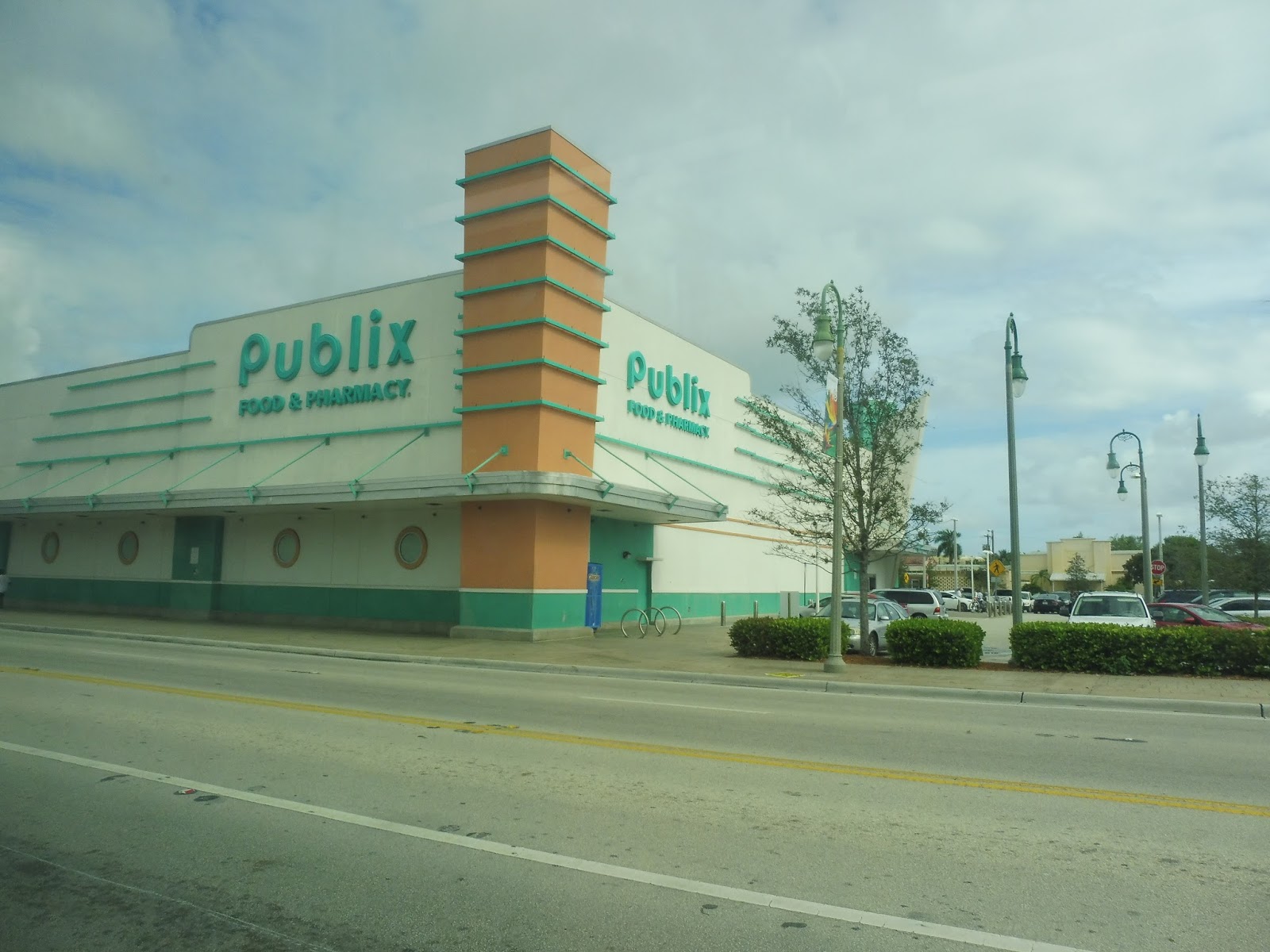
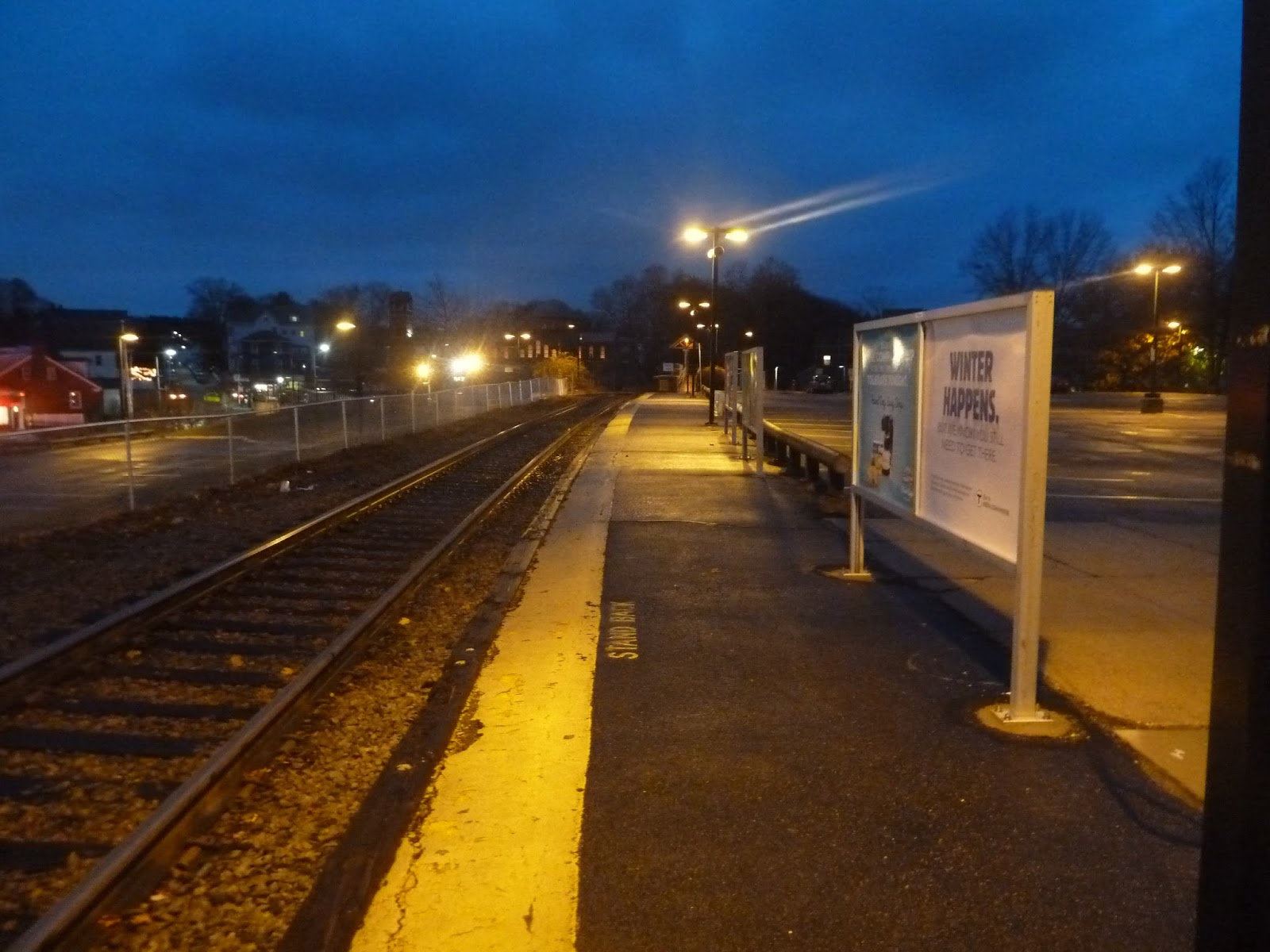
Service Change: Florida, Part 3 – Palm Tran’s Route 81 (Delray Beach Crosstown via Atlantic Ave)
Do you like malls? Or how about residential developments where all the houses are the same? If your answer to both of these questions is “no”, then…well, you won’t be a fan of the 81. Or, indeed, most of South Florida. But I digress.
 |
| The shelter at Delray Beach. |
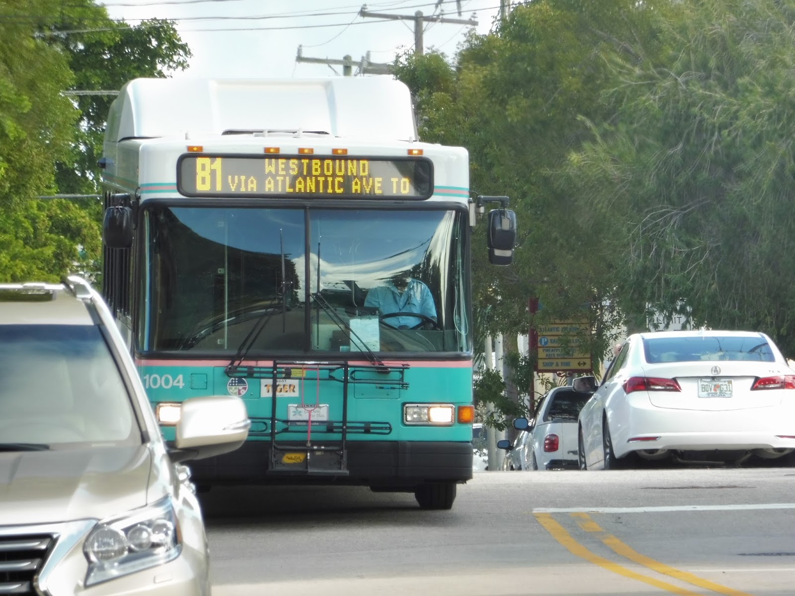
We found out about the 81 by noticing a bus shelter right outside of our hotel in Delray Beach. I thought, “Why not take it?”, and my father agreed to come along. The route starts in downtown Delray, and we picked it up a few stops later, on 1st Street. Continuing down the narrow street, we soon turned onto Swinton Ave, and then the wide Atlantic Ave.
 |
| Another perfectly framed shot from Miles on the MBTA! Yup, no problems with this picture. |
We went by a lot of Delray Beach attractions along this stretch, like a library, a courthouse, some tennis courts, and a lot of businesses. It clearly wasn’t as interesting as downtown Delray Beach, but believe me, the scenery could (and would) be a lot worse. Just before the street crossed I-95, we turned onto 12th Ave, which was a narrow residential street.
 |
| A shelter in front of a modern building. |
 |
| A side street in the residential area. |
 |
| And another. |
 |
| A few houses. |
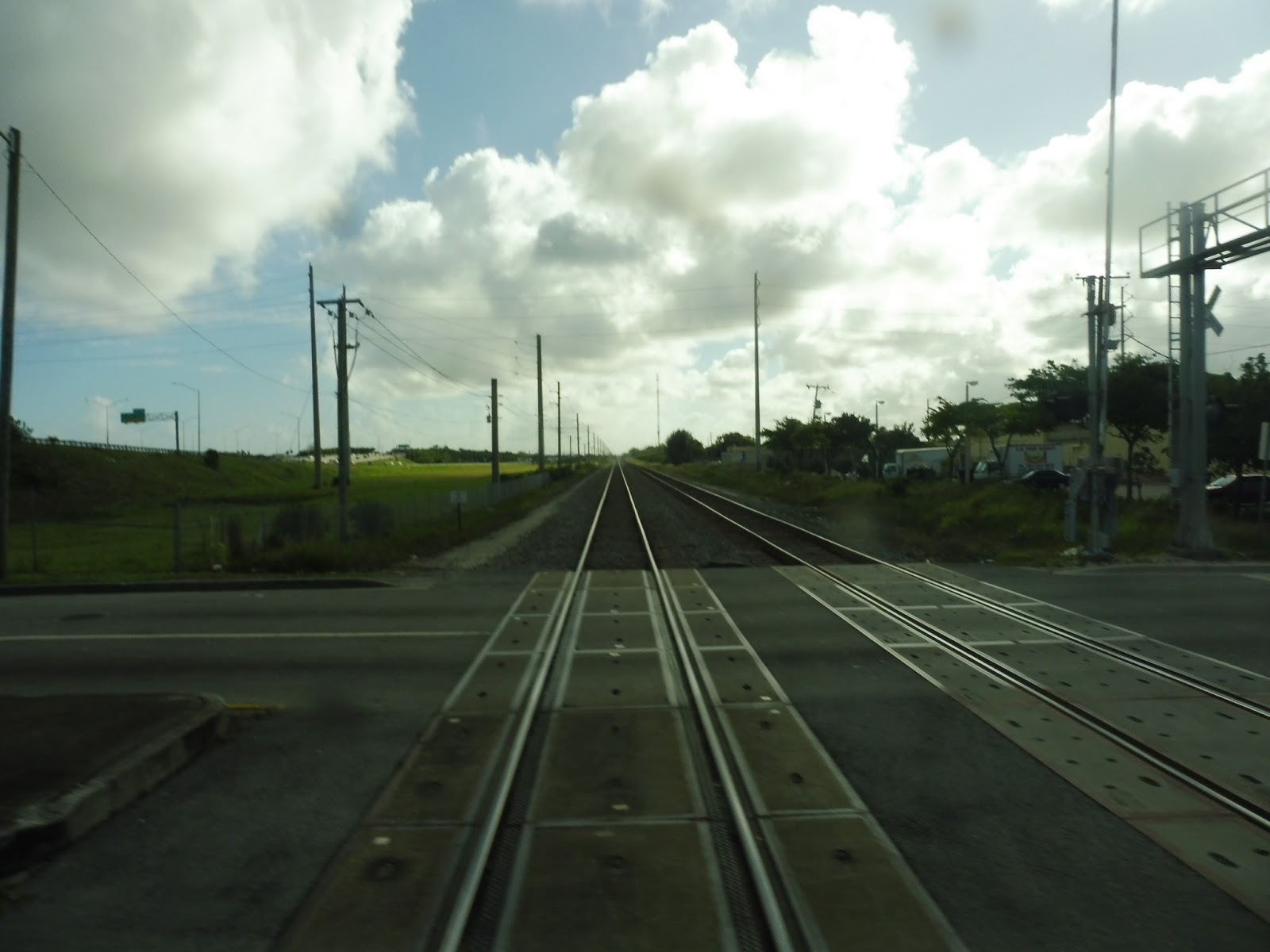
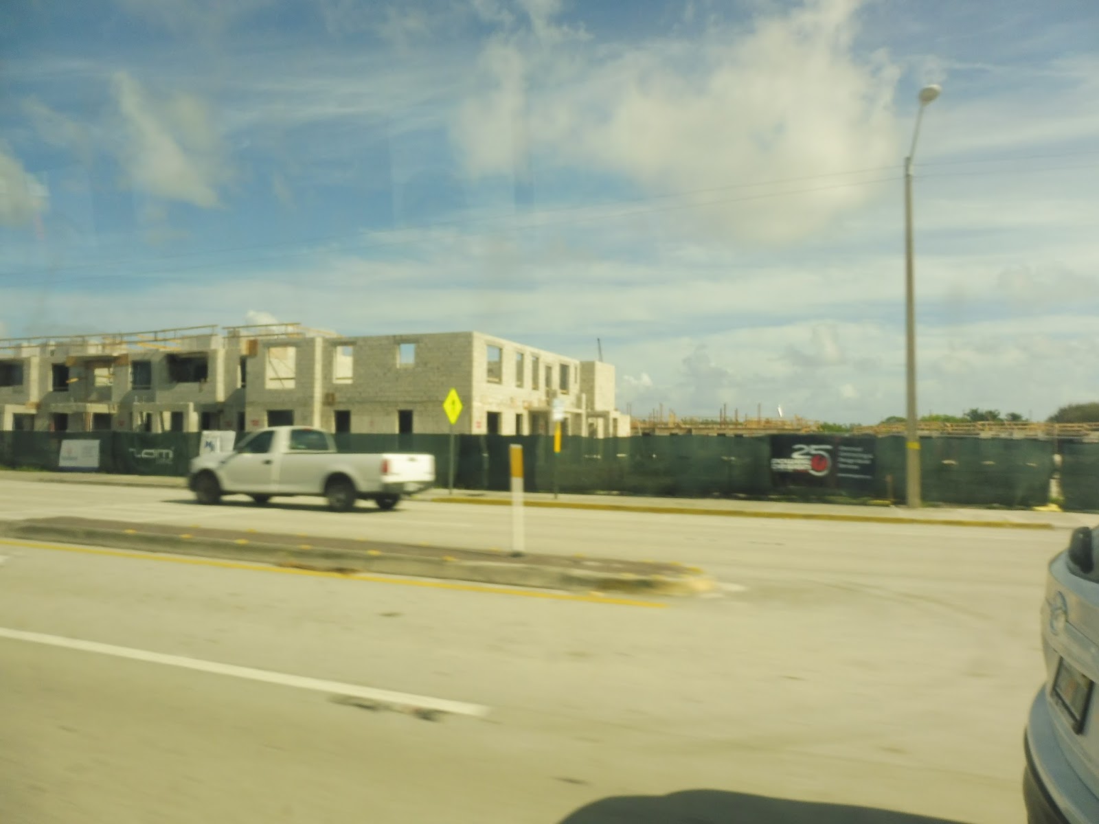
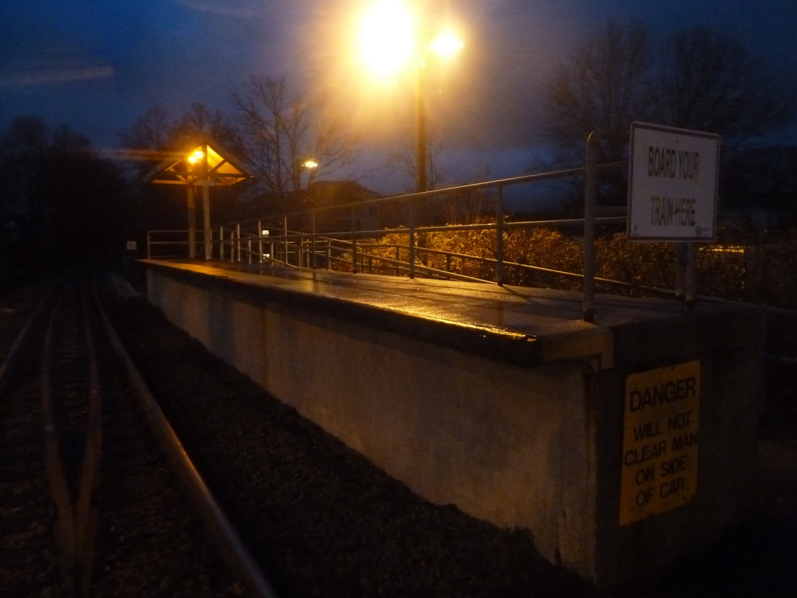
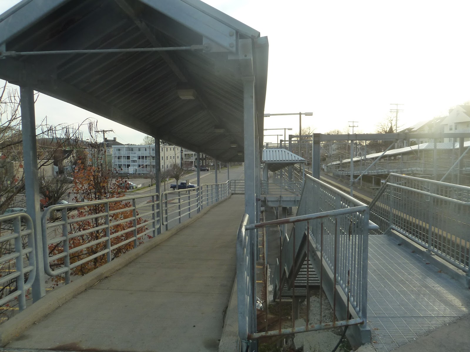
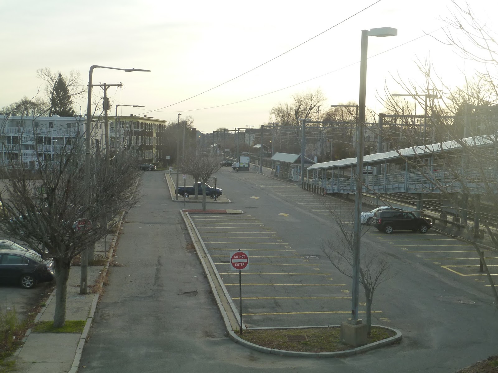
We eventually passed a rather large school building, which was…locked behind a chain link fence. The street became Auburn Ave and curved a bit as we went by a housing development. It then got industrial, starting when we turned onto 10th Street. Going under I-95, we crossed the Tri-Rail tracks, then turned onto the wide Congress Ave. Eventually, we pulled off the road and headed into the busway of the Delray Beach Tri-Rail station, where a few passengers got on.
 |
| A building under construction. |
 |
| A small intersection. |
 |
| Crossing over the tracks. |
 |
| A modern building as we made the turn into the Tri-Rail station. |
 |
| The station itself. |
From there, we headed up Congress Ave again, then turned onto Atlantic Ave. After going over a river, the street was lined with housing developments for a bit, then we passed a golf course. We eventually reached the Delray Square Shopping Center and pulled into its parking lot, where we had to wait for a little while because the drivers switched.
 |
| Going over the river. |
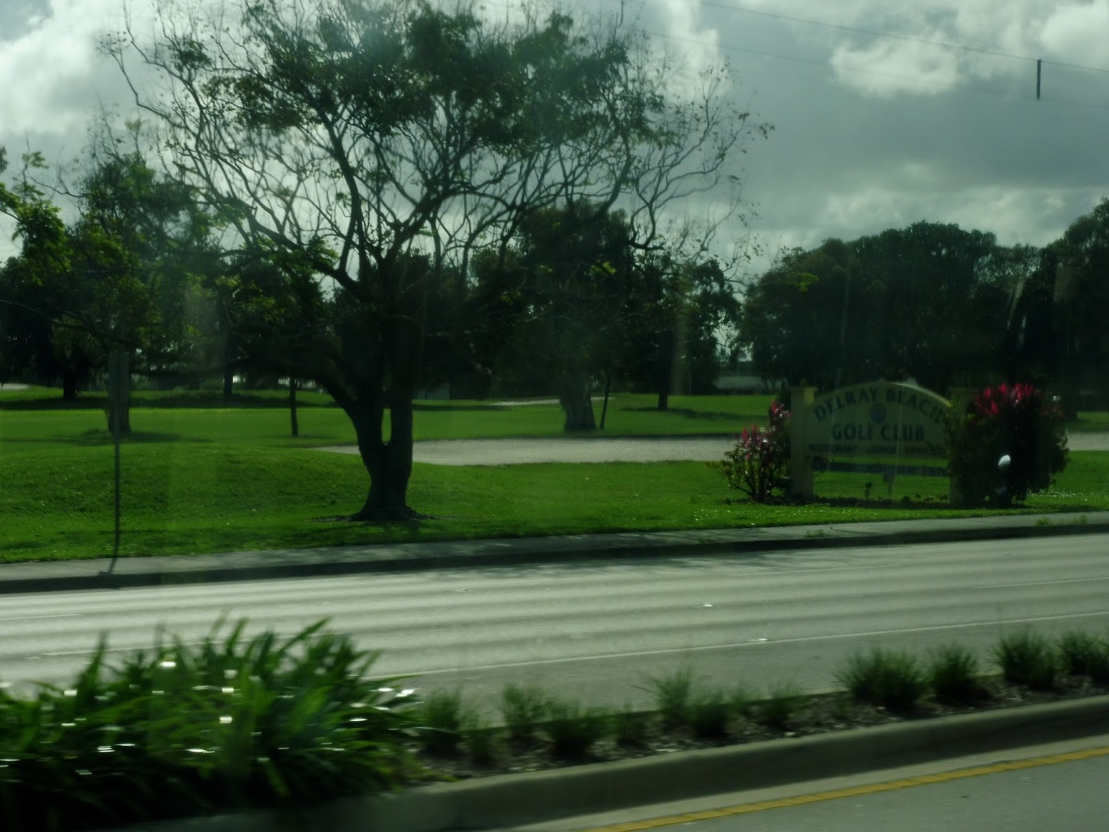 |
| The golf course. |
 |
| So Dunkin’ Donuts exists outside of New England after all! |
 |
| Geez, this is the biggest intersection I’ve ever seen… |
 |
| Oh man, this mall sure is…boring… |
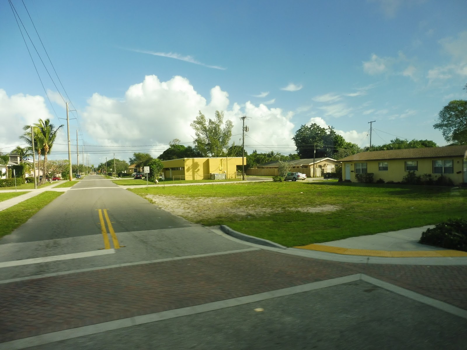
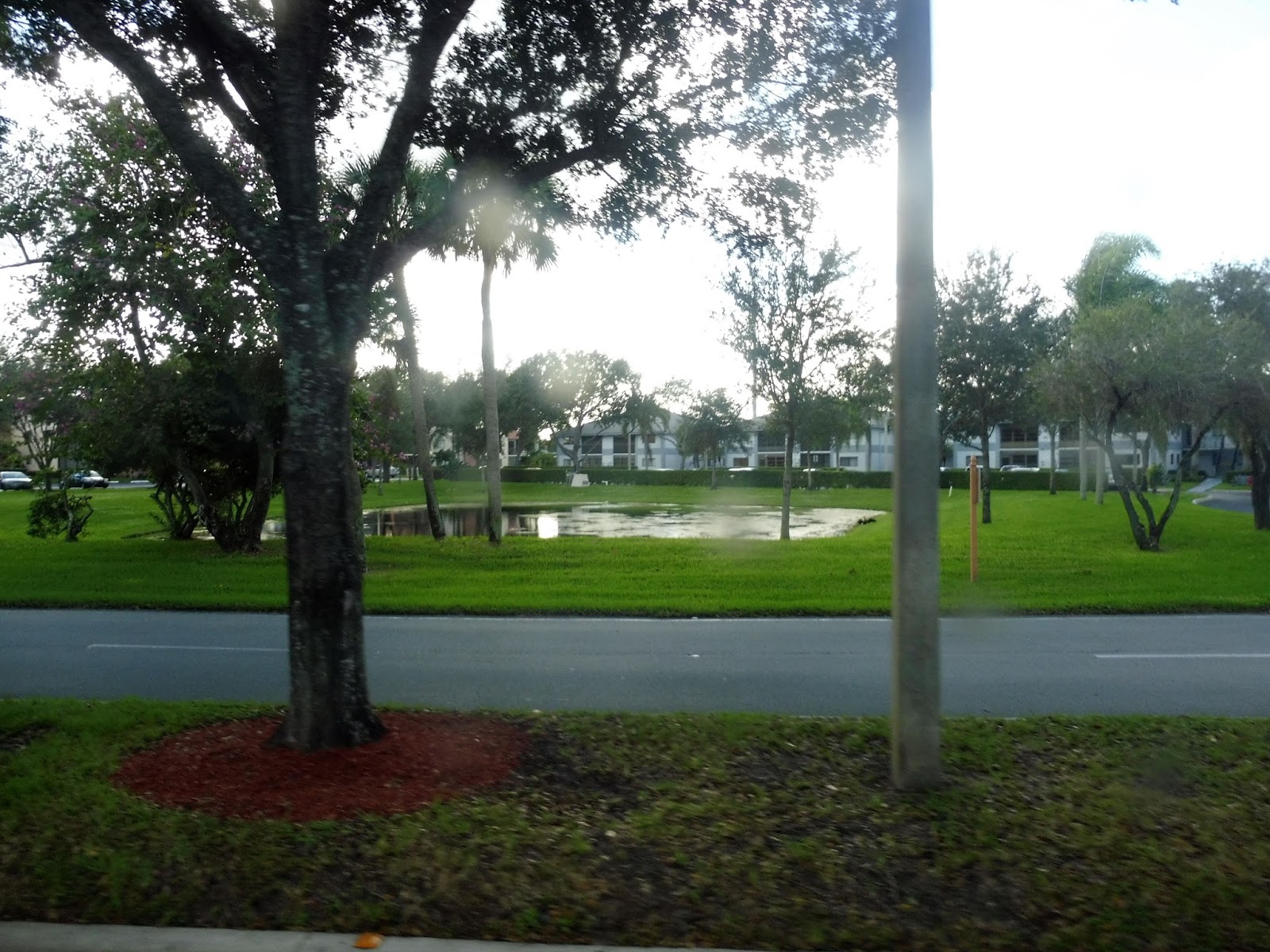
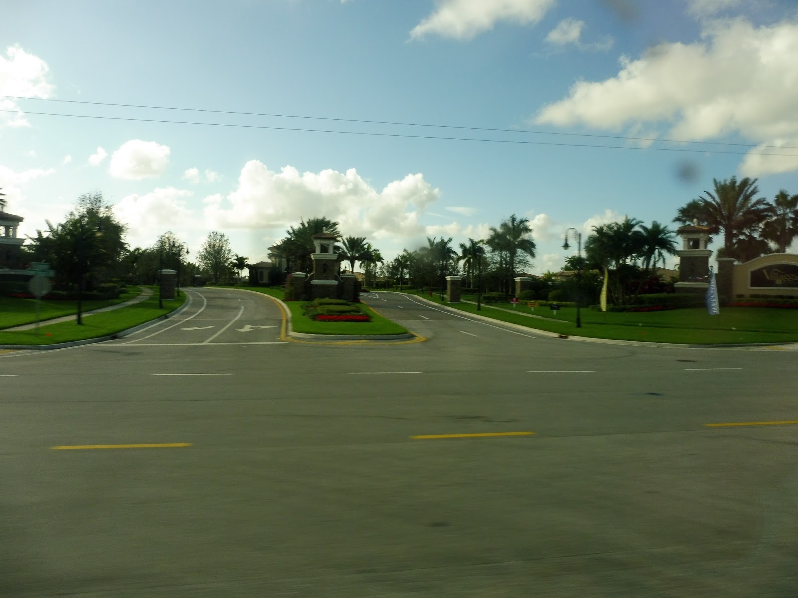
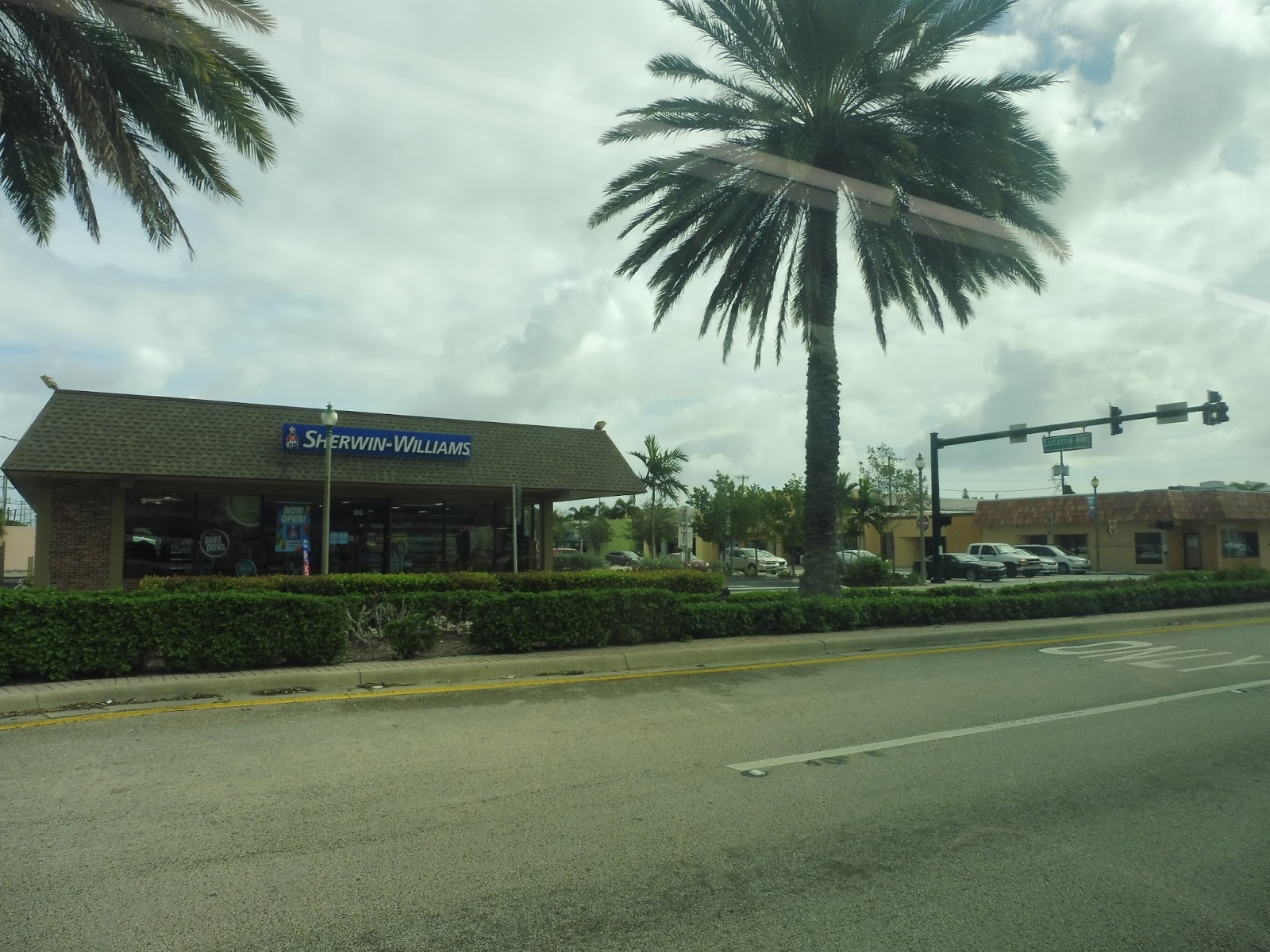
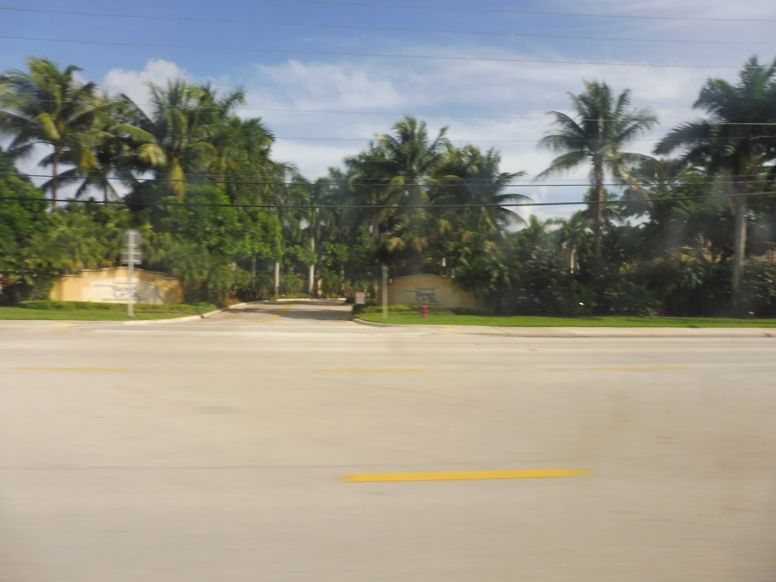
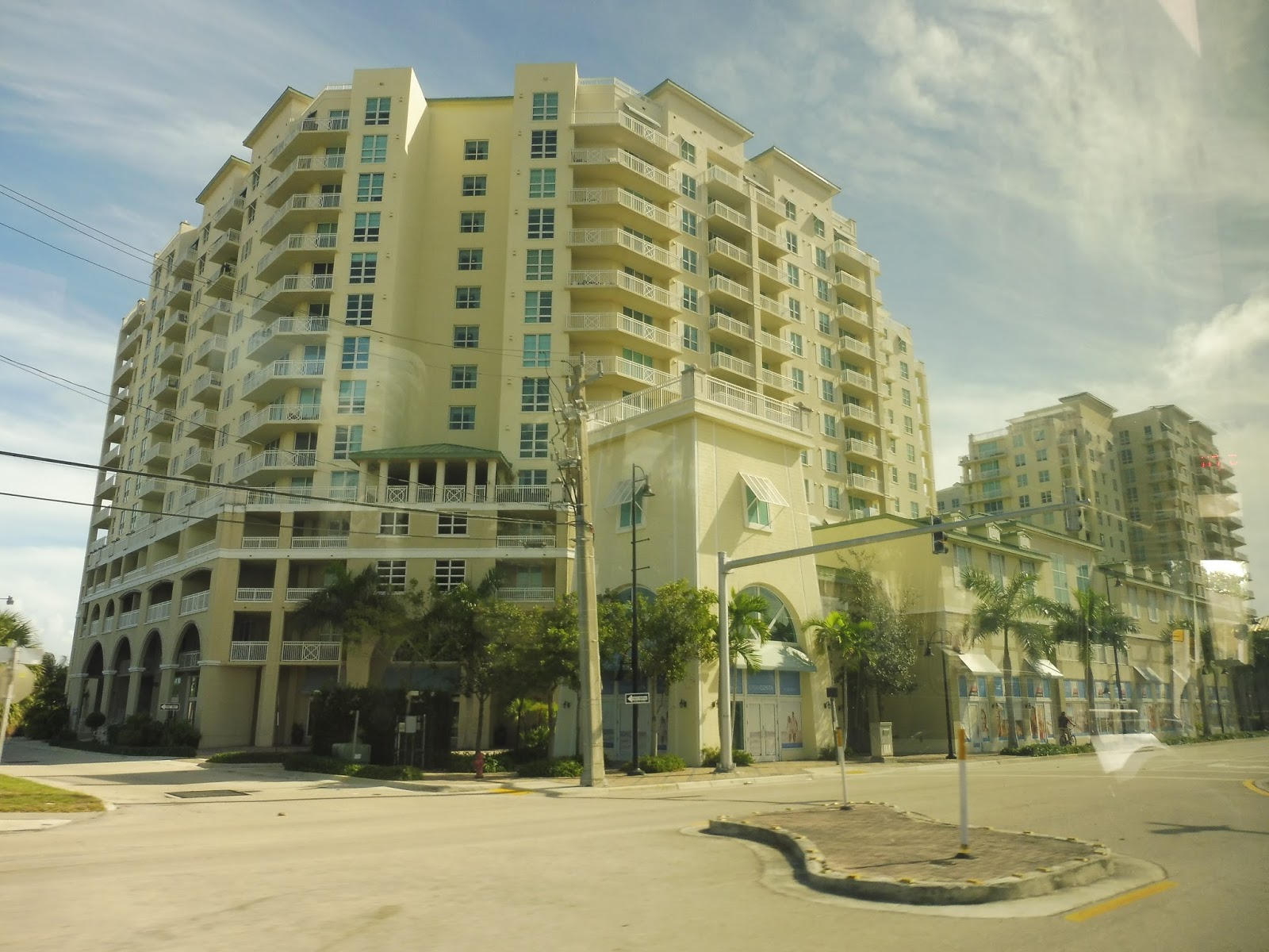
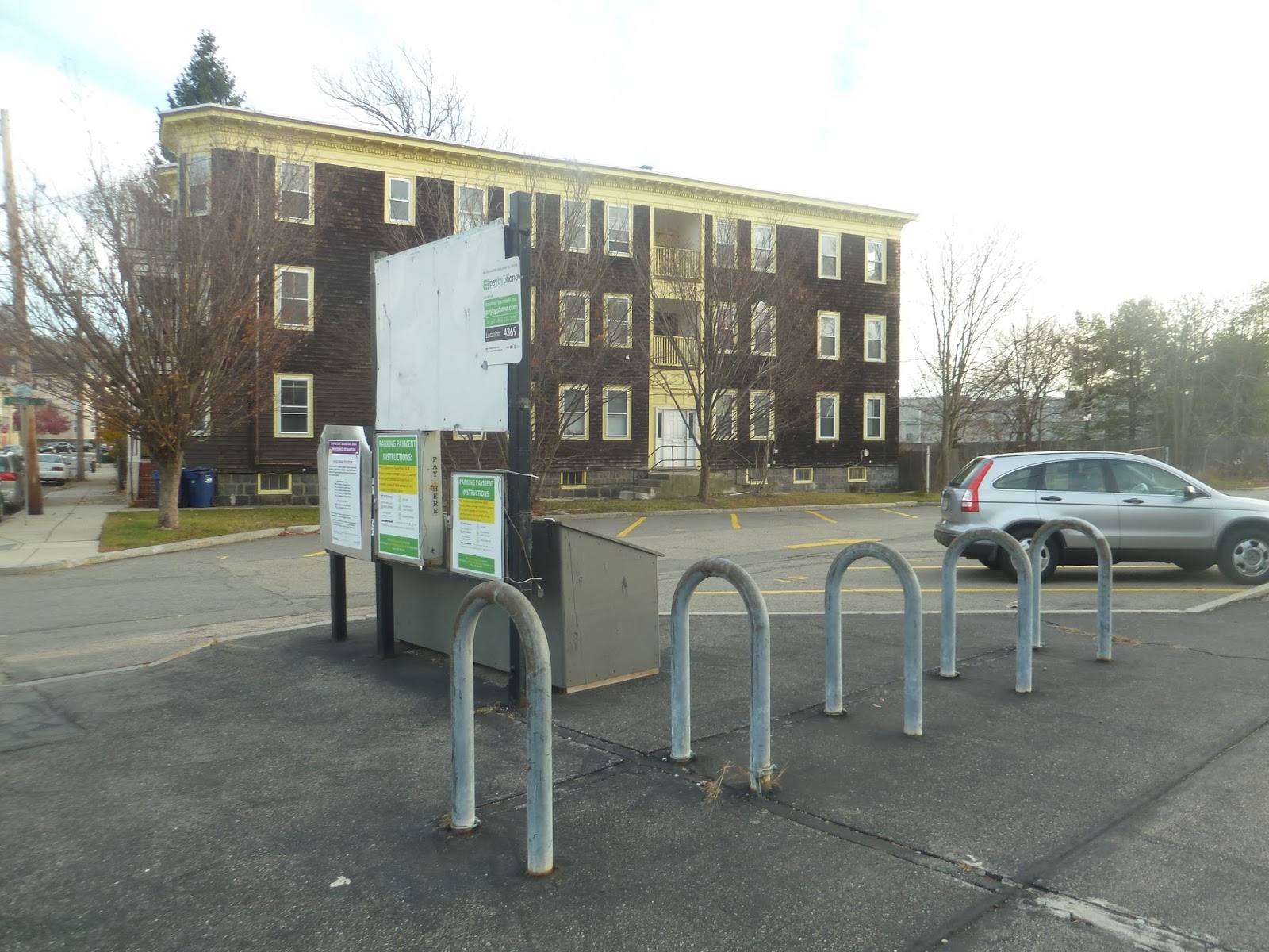
We headed down Atlantic Ave again after that, going by more malls and businesses with huge parking lots. They became housing developments after we went over a river, but there was still a bit of retail of well. Eventually, we made a deviation by turning onto Lakes of Delray Boulevard. This was a literal gated community, and we made a long loop around it before returning to Atlantic Ave.
 |
| Some corporate building for a bank. |
 |
| An open area. |
 |
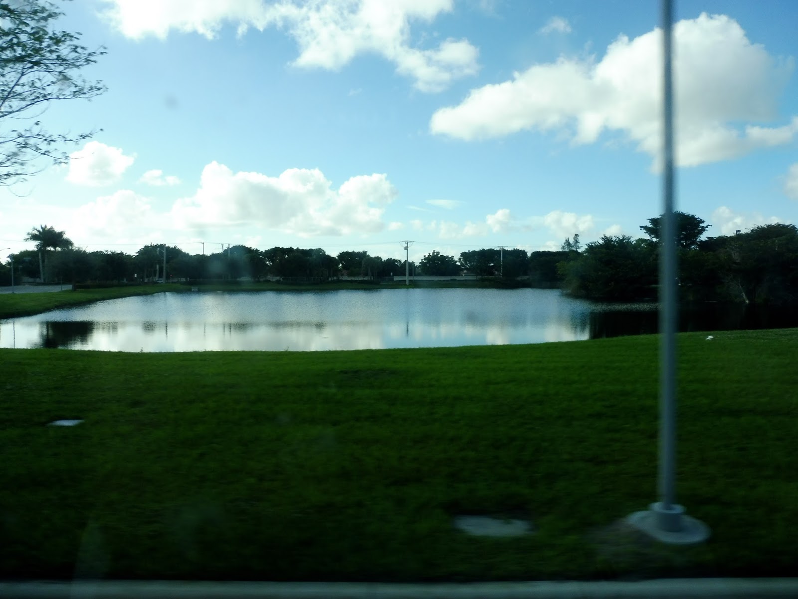
| A lake in the Lakes of Delray – makes sense. |
 |
| A few of the apartments at the Lakes of Delray. |
 |
| Another lake. |
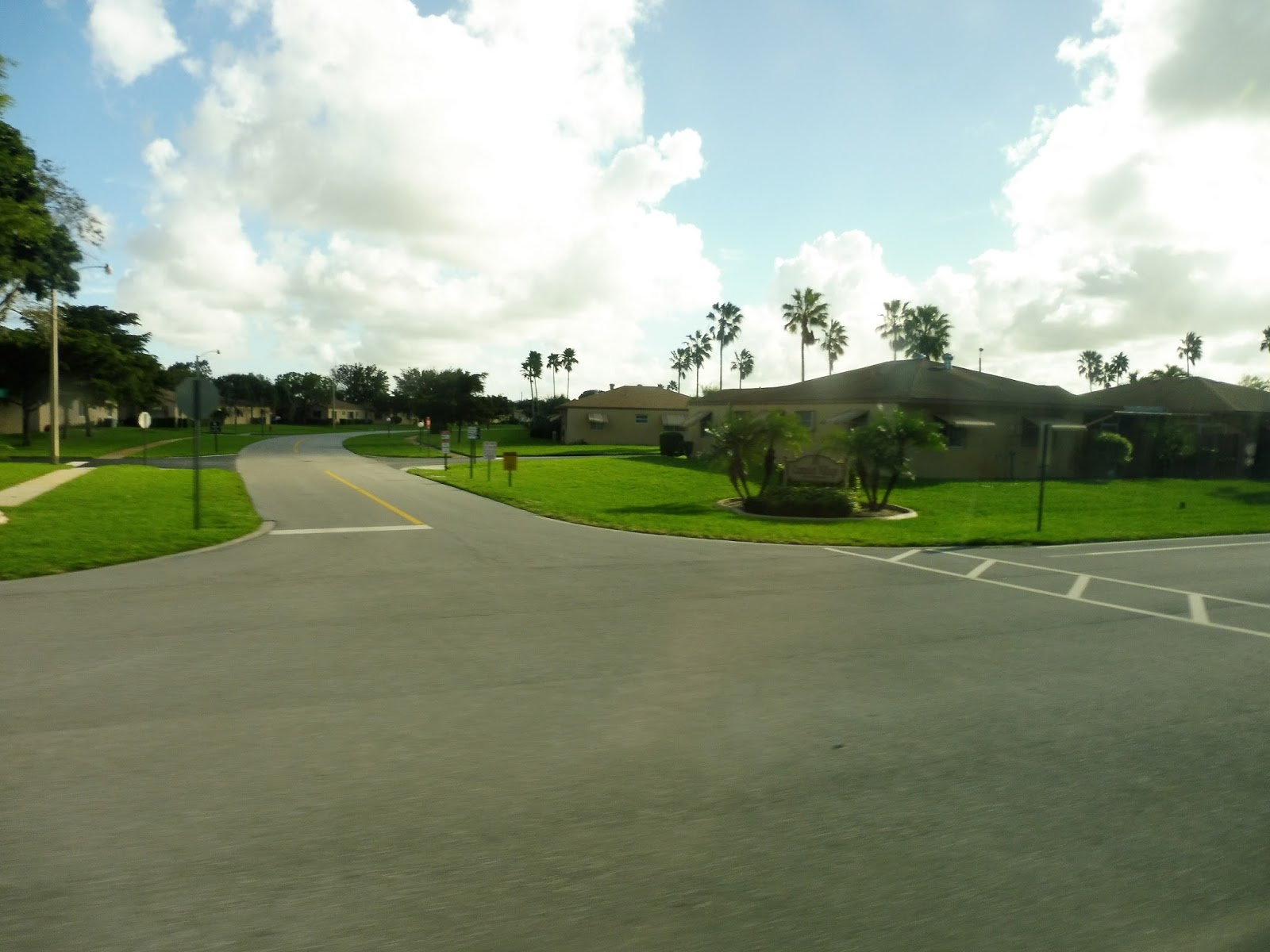
Soon after returning to Atlantic Ave, we turned onto another massive street, Jog Road. Luckily, when we entered the Villages of Delray, a complex of housing developments, the street (South Oriole Boulevard) was much narrower. We eventually deviated to serve the Oriole Plaza Mall, which included a movie theater.
 |
| Turning onto South Oriole Boulevard. |
 |
| The entrance to one of the “villages”. |
 |
| And another. |
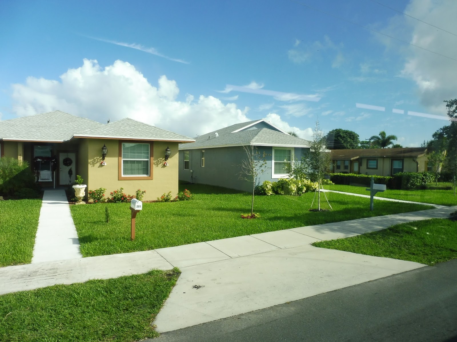
We returned to South Oriole Boulevard for a bit, but then turned onto Gateway Road, and then the wider Hagen Ranch Road. Going by housing developments for the most part, we soon turned off the street. This was an offshoot road that led to the Hagen Ranch Library, which was actually the last stop on the route. The few passengers remaining headed off to the library while the bus got ready for its trip back to downtown Delray Beach.
 |
| Woah! Farmland! |
 |
| The entrance to a development. |
 |
| A lake on the road to the library. |
 |
| The bus at the library. |
 |
| The library itself. It was a pretty modern building. |
 |
| And the bus again. |
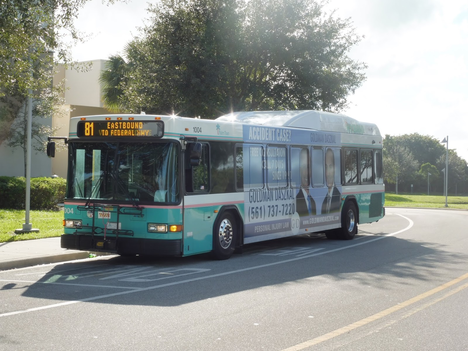
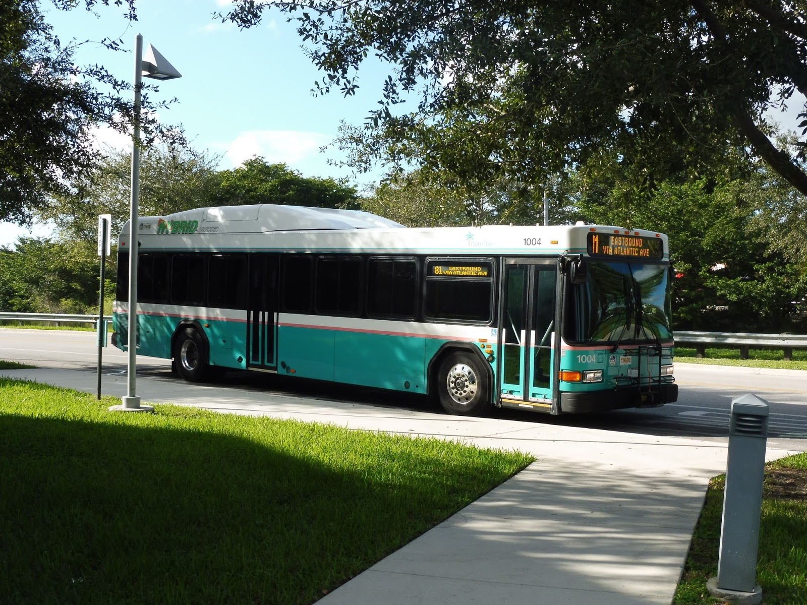
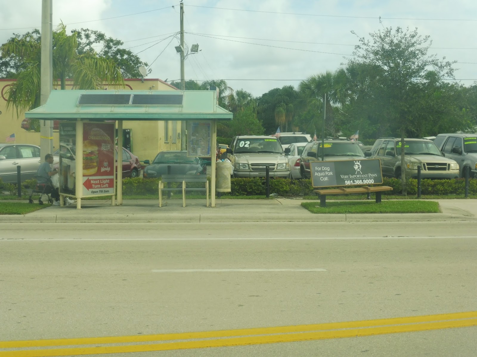
Two of the people going back to Delray were my father and I, but we weren’t going all the way back. Instead, we took the bus to the Lakes of Delray again and got off. Why did we leave the bus in this strange, gated community? Find out…next post.
 |
| The bus leaving the stop. |
Service Change: Florida, Part 2 – Palm Tran’s Route 1 (Palm Beach Gardens to Boca Raton via US 1)
Palm Tran is the bus system servicing Palm Beach County in Florida – my first notable experience with them was a typo. In the Lake Worth inset on their system map, it says that Route 62 goes to the intracoastal “Sunday’s only”. “SUNDAY’S”?????? APOSTROPHES ARE NOT PLURALS!!!!!!!!!!! Okay, with that out of the way, let’s look at an actual bus route.
 |
| Grrrrrrrr… |
 |
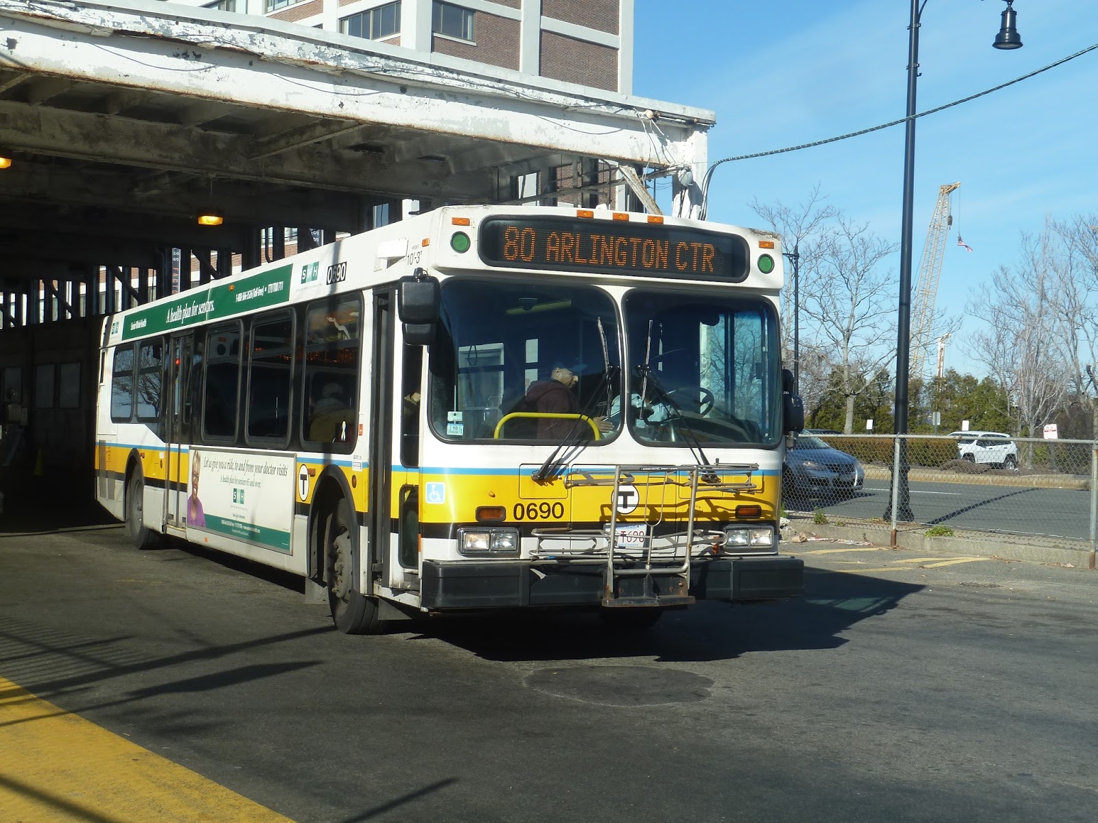
| The bus…from above. |
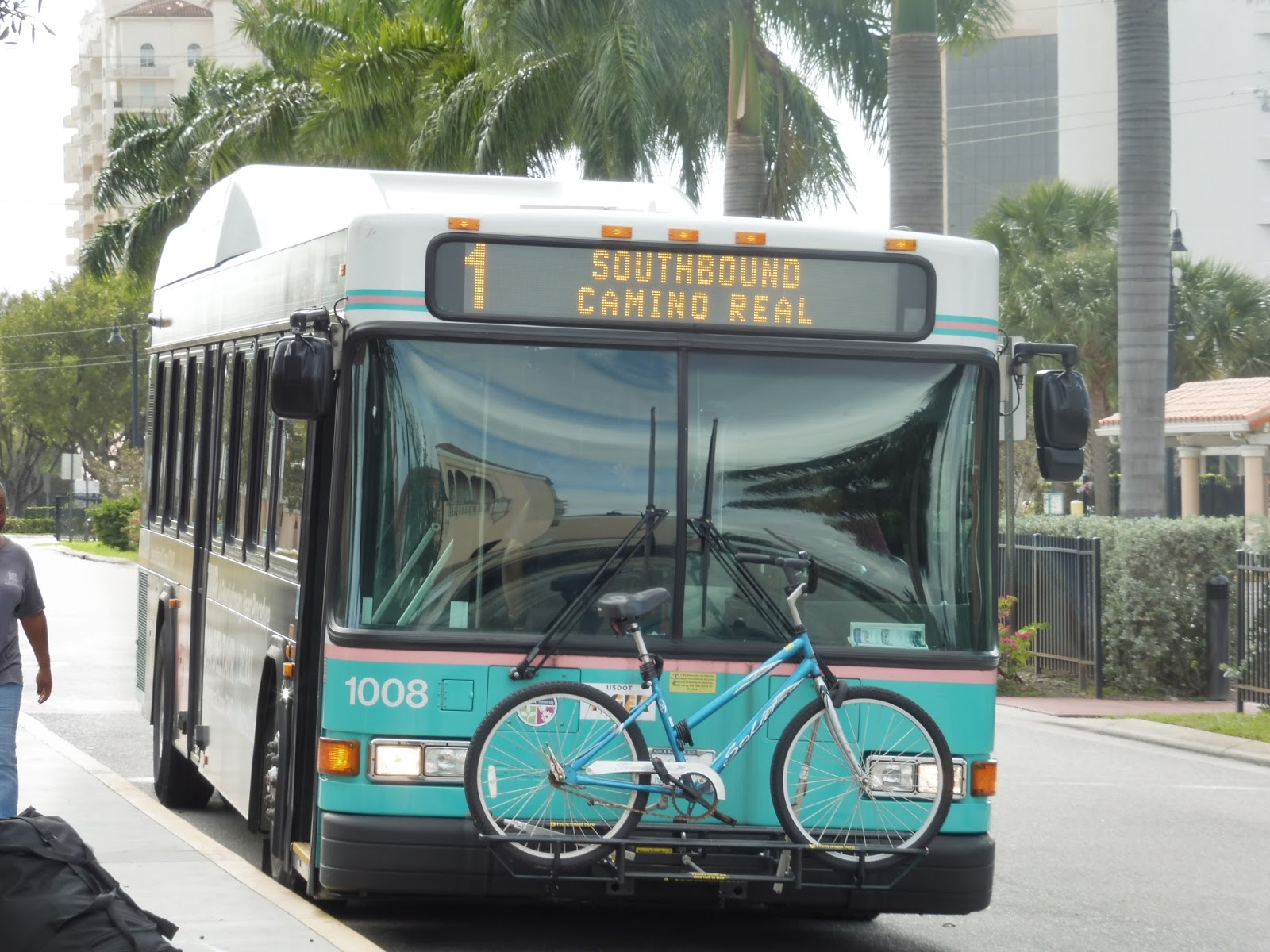
Okay, so the 1. The 1 is a long route. The 1 is a looooooooooooooong route. Over 40 miles. It takes about three hours to do the whole thing one-way. It’s so long that it has an express variant called The Bolt that runs during rush hour and makes limited stops. And probably due to its sheer length, it’s the busiest route on the Palm Tran system, with over 9,000 riders every weekday.
 |
| The bus…from ground level. Exciting. |
Needless to say, I did not take the whole route. However, I would say I nabbed about half of it on my ride from West Palm Beach to Delray Beach. Keep in mind, this is still about an hour and a half ride with a distance of around 20 miles. It’s a doozy. Although that said, the scenery along the ride remained consistently boring, but we’ll get to that.
 |
| Those are some nice seats! Well, nicely colored, at least. |
 |
| Looking toward the front. |
Yeah, those seats weren’t as comfortable as they look. They were actually just generic bus seats when you got right down to it. However, the bus was still nice. It had pull cords instead of buttons to request stops, as well as automatic announcements at major stops, recorded by a breezy female voice. Also, every Palm Tran bus has a holder for “System Guide Books”, but not a single vehicle I rode actually had any guide books in there.
 |
| Welcome to downtown West Palm Beach… |
Leaving the West Palm Beach Intermodal Transit Center, we headed up Clearwater Drive and then turned onto 1st Street, crossing the Tri-Rail tracks. We passed a few boring municipal buildings, then turned onto South Quadrille Boulevard, otherwise known as Route 1. There was a railroad track on one side of the street, while on the other, the buildings of downtown West Palm Beach were in view. It didn’t look particularly interesting.
 |
| Looking down a side street. |
 |
| And another. |
 |
| Some apartment buildings. |
 |
| And more. |
 |
| And more. Also, palm trees. |
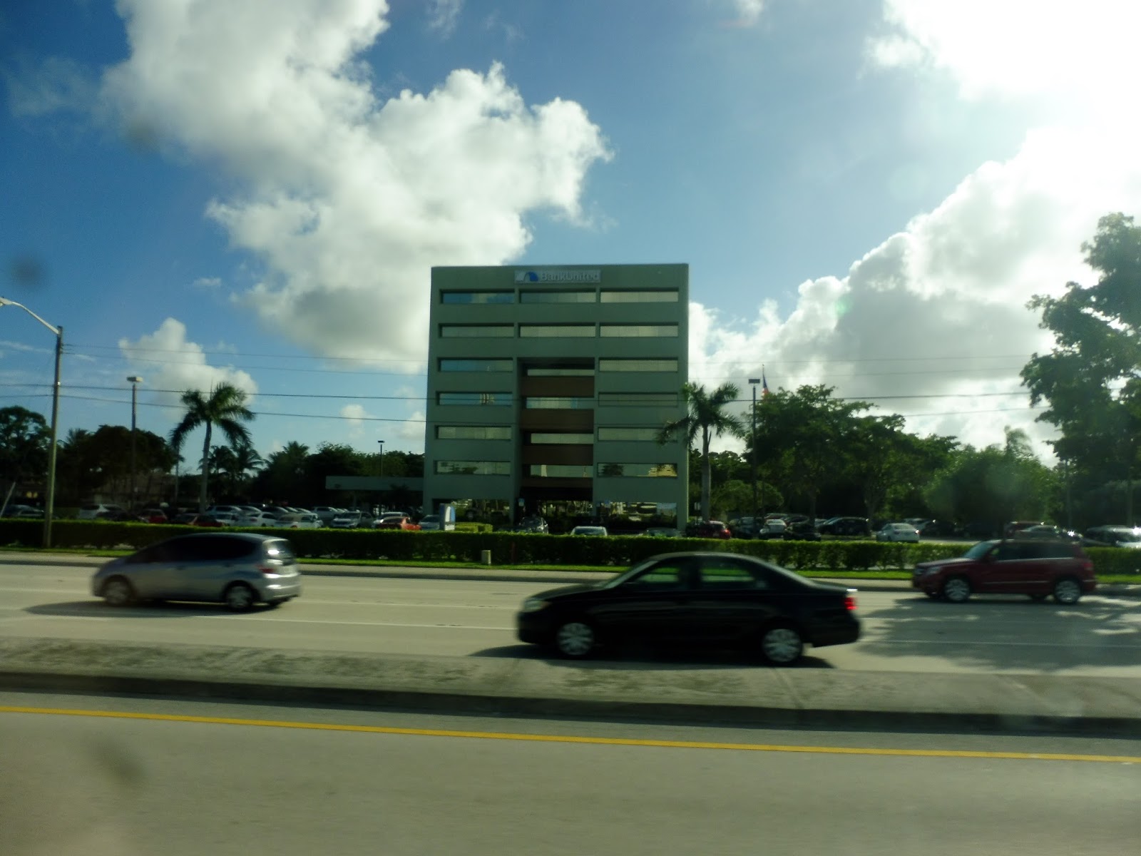
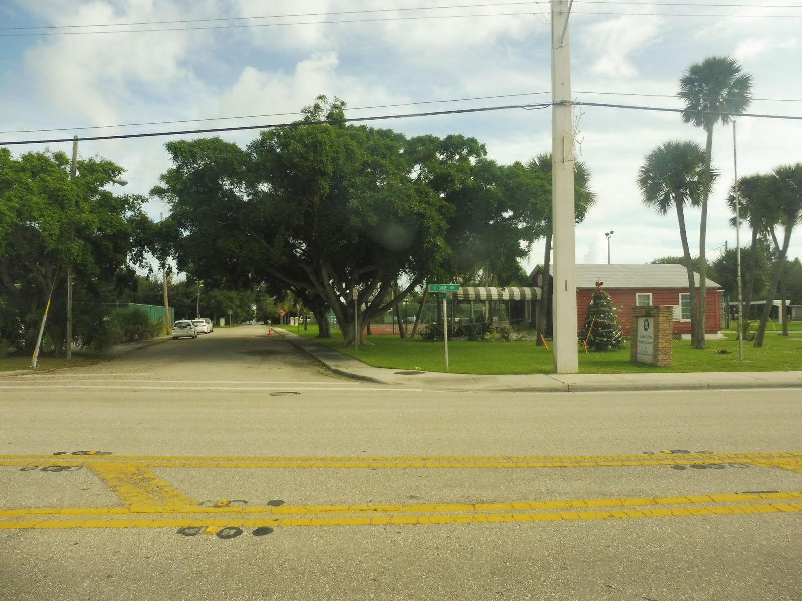
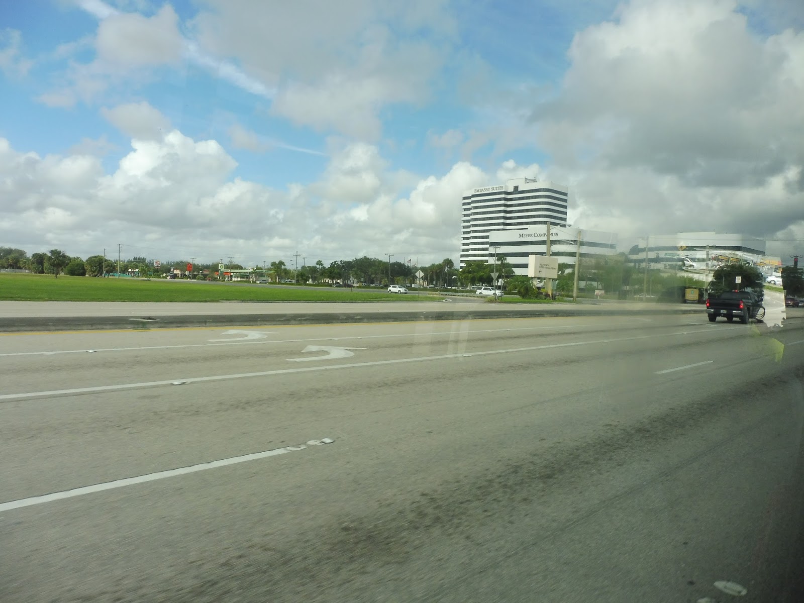
We turned onto Okeechobee Boulevard for a block, then onto South Dixie Highway, remaining on Route 1. There was a cemetery on the right, while on the left, the big resort apartments were starting to dwindle. Now the street became lined with pretty run-down businesses, and, as we continued, run-down businesses with parking lots.
 |
| The brief section on Okeechobee Boulevard. |
 |
| Some modern-looking business. |
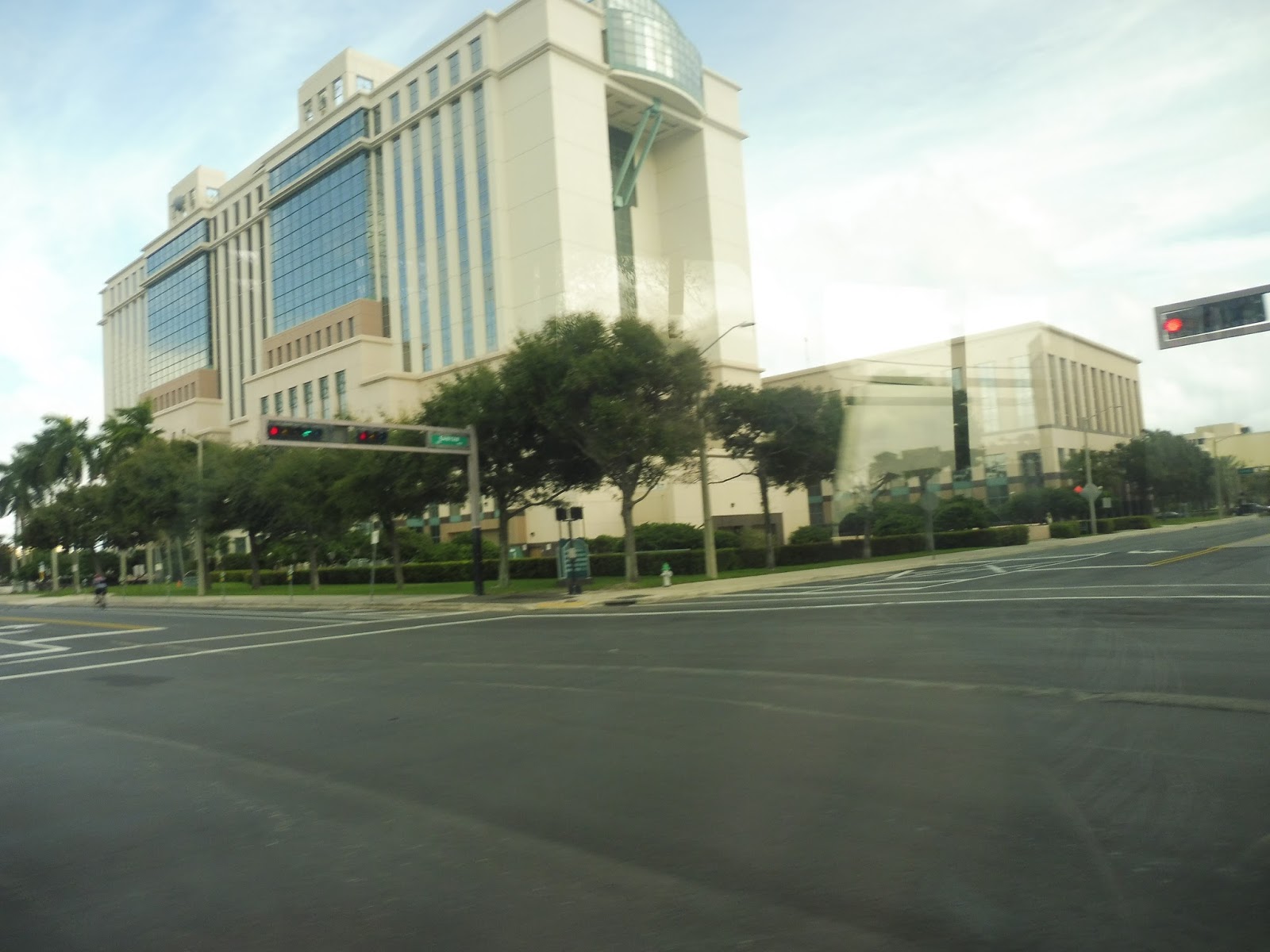
Once we reached Belvedere Road, the bus stopped at the intersection’s red light for a while. Then the light turned green. But we stayed there. Then it turned red again. And…well, we had to stay at that point, because running red lights is illegal. The point is that we were stopped there for a very long time. Eventually, the driver informed us that there was an impromptu detour in effect, and so we had to deviate from the route.
 |
| The intersection with Belvedere Road. |
 |
| Another bus on Belvedere Road. |
 |
| Well, this is quite nice, isn’t it? |
 |
| Aw… |
 |
| Wow, that just looks like a wall of bushes… |
 |
| That side street looks to be in pretty poor condition. |
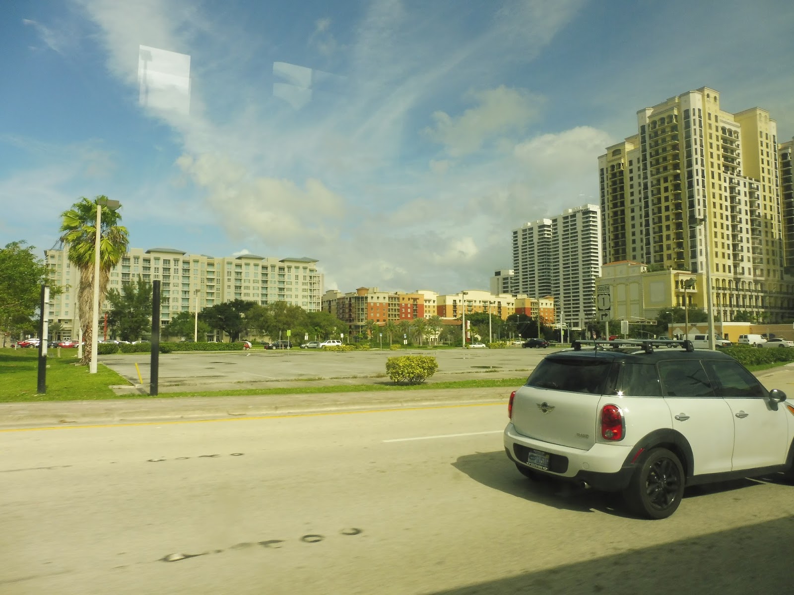
And since the remainder of the ride had no more detours, there really isn’t much to talk about for a while. We just stayed on Dixie Highway the whole time, going by all these trashy businesses. I mean, obviously we went past some major streets where there were connections with other routes, but the overall scenery never changed. This might be a bit of a boring post…
 |
| Mmm. |
 |
| Interesting. |
 |
| AAAAH!!! A PEDESTRIAN!!!! |
 |
| Okay, now the street’s deserted again. |
 |
| A shelter on the other side of the road. |
 |
| Going over a river! Hey, that’s kinda cool, I guess. |
The next interesting thing that happened was when we crossed over a river and entered Lake Worth. Maybe this city would offer some more enthralling surroundings…oh wait, there was a McDonald’s right after we crossed the bridge. Yeah, it’s gonna be more of the same stuff, isn’t it?
 |
| Some undeveloped land. |
 |
| An intersection. |
 |
| Man, that’s a big supermarket. |
Eventually, we had a very short break when we reached Lake Ave. Since we were going south, we crossed over it in a few seconds, but looking down that street, we could see downtown Lake Worth. It looked like a legitimately interesting place, with businesses lining a narrow, pedestrian friendly street. It may not be as happening of a city as Delray Beach, where we were headed, but I would probably check Lake Worth out if I had the time. Oh, yeah, and then after that, it got pitty again.
 |
| Case in point. |
 |
| Hey, that building on the right is kind of interesting, I guess… |
 |
| A side street. |
Eventually, the street curved in a southeasterly direction, paralleling a train track on one side. But on the other? Still the same stuff as before. We soon entered the town of Lantana, getting somewhat close to the ocean. It wasn’t enough to get a view, but it was some sort of variety apart from the endless run-down businesses.
 |
| What a lovely-looking road. Yup. Looks great. |
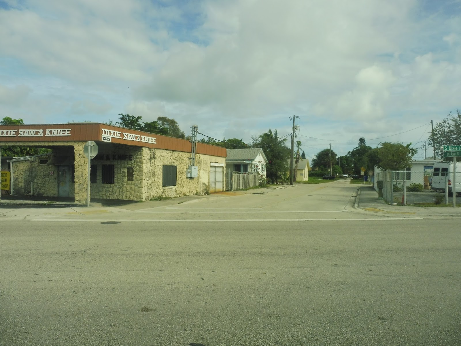 |
| What does a “Saw and Knife” place even sell? Saws and knives, I guess. |
 |
| An unpaved residential road. |
 |
| One of these stores is called “Gun Loans”. Welcome to Florida! |
Okay, so I’ve been making fun of the surroundings of the route, but I will say that it really was getting a lot of ridership. This section was probably the busiest, with most seats taken up and a few standees. But there was lots of local ridership, so the bus was never too crowded at any one time. So yeah, it may go through some less-than-impressive neighborhoods, but those are the places where people rely most on public transportation, so there you go.
 |
| Woah! Well, things changed all of a sudden. |
Once we entered the town of Hypoluxo, it got surprisingly nice. The businesses were replaced with small resort apartments and leafy gated communities, and while I’m not the biggest fan of either of those, it was quite an improvement. Of course, the ridership started to dwindle around this point, too, which makes sense.
 |
| That’s the fanciest-looking office park I’ve ever seen! |
Hypoluxo is a small town, and we were soon out of it and into the city of Boynton Beach. The surroundings were similar to those of Hypoluxo, though, with weirdly-named gated communities and resort apartments. We also crossed a river at one point, but there wasn’t much else to talk about along here.
 |
| More fanciness and palm trees. |
 |
| Some apartments on a side street. |
 |
| I guess that place forgot to take their Christmas tree down. |
 |
| A wide-open field. |
 |
| The entrance to a development/ |
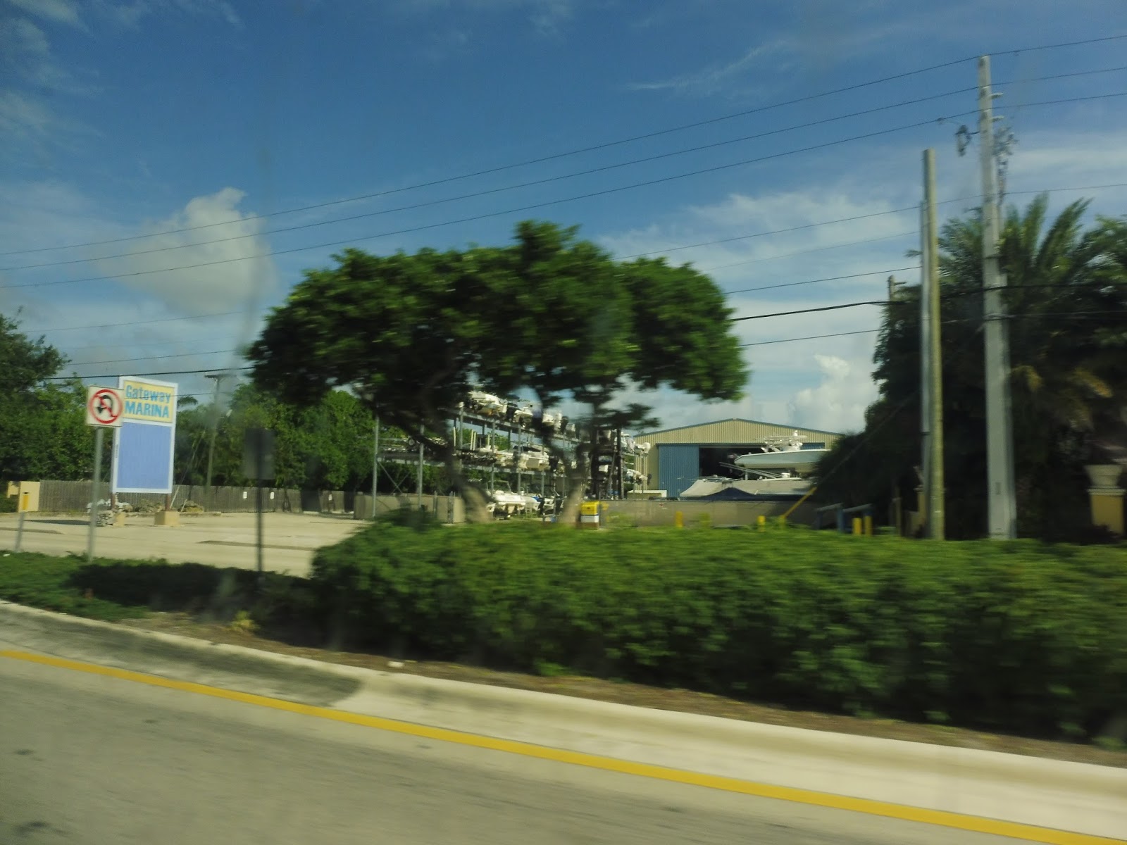 |
| A marina. |
 |
| A single house. |
 |
| It’s hard to tell, but we’re crossing over that river here. |
Unfortunately, after going over the river, the surroundings went back to trashy businesses again. That reprieve was nice, but alas, all good things must come to an end. There was still the occasional resort apartment that popped up, though.
 |
| Like this one. |
 |
| Or these. |
 |
| But alas, most of the surroundings were boring. |
 |
| A building under construction. |
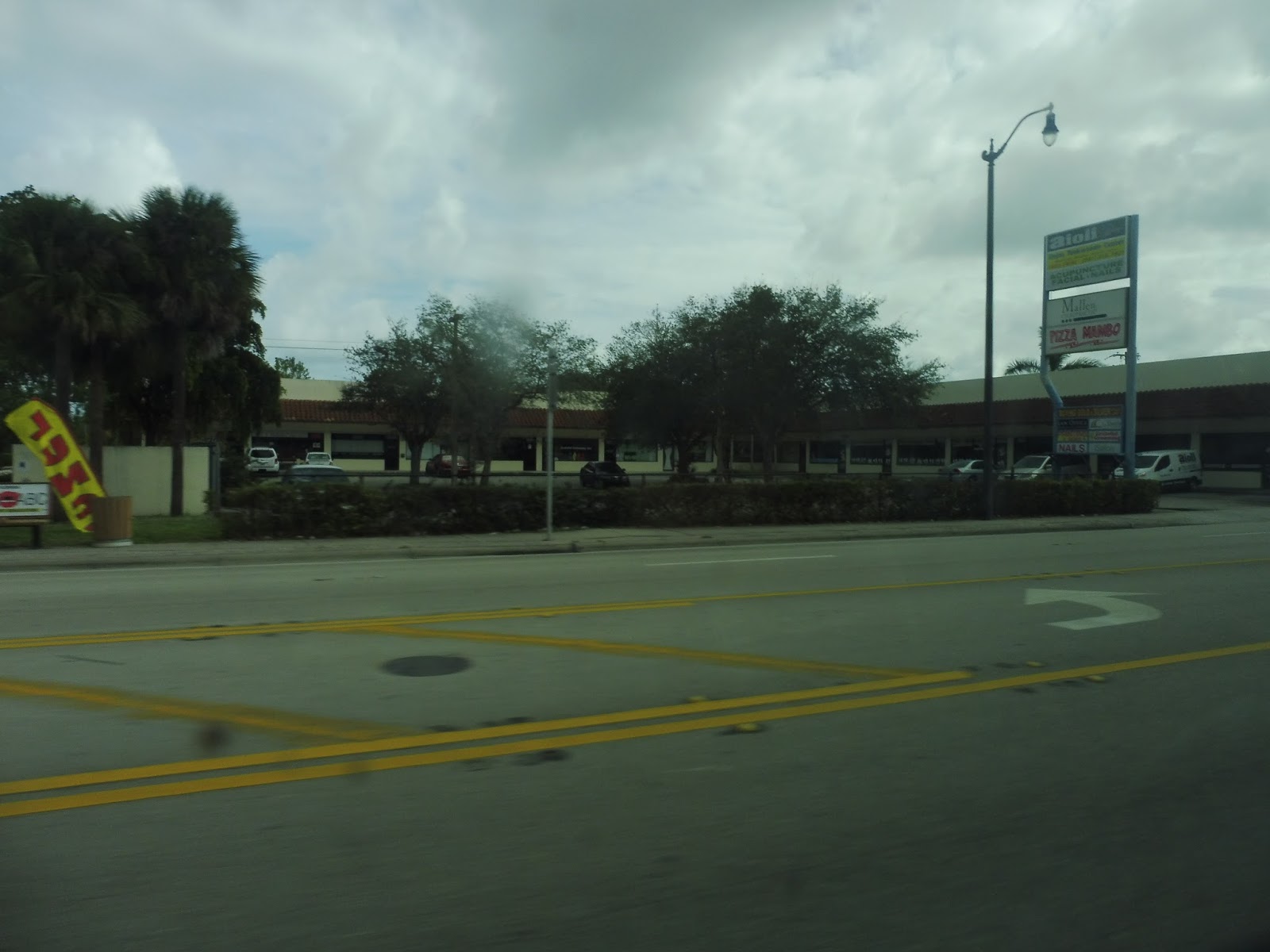
Eventually, it became an almost 50-50 mix of decrepit businesses and residential buildings, which is better than nothing, I guess. Around that time, we also entered Delray Beach. We knew we were getting closer to downtown when the road split up into two separate one-way streets. The buildings got generally smaller, and we even passed a mini-golf course!
 |
| A side street. |
 |
| And another. Check out that old car! |
Downtown Delray Beach, like Lake Worth, runs east-west, so the 1 doesn’t spend much time there. However, since we were getting off here, we pulled the cord at Atlantic Ave, Delray Beach’s main drag, and left the bus a little further down the road. A few other people joined us getting off, and then the bus continued on its way to Boca Raton.
 |
| The bus was never crowded at any one time, but in total, there were about 65 riders! Impressive! |
Service Change: Florida, Part 1 – The WPB 1 Tri-Rail Shuttle
Well, we’ve just had our first snowfall after some unseasonable warmth. I’m happy to finally see some snow on the ground, but come on, the warm weather was nice! So before I come to terms with the fact that it ain’t autumn anymore, let’s take a trip to a place where it’s always hot: Florida.
 |
| The waiting area. |
 |
| I didn’t ride any of the Palm Tran buses to the airport, but we’ll be looking at that system soon. |
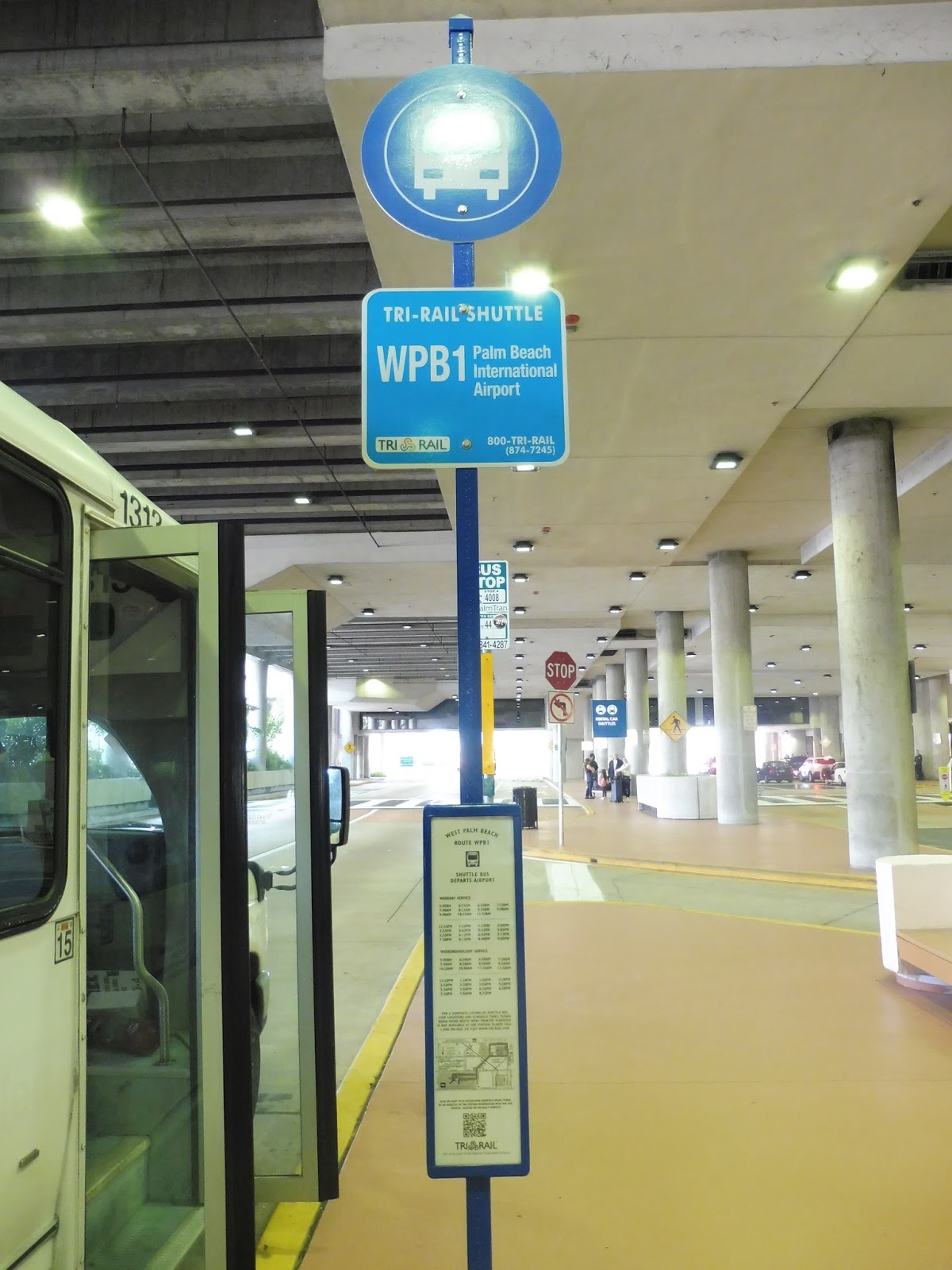 |
| The sign for the Tri-Rail shuttle. |
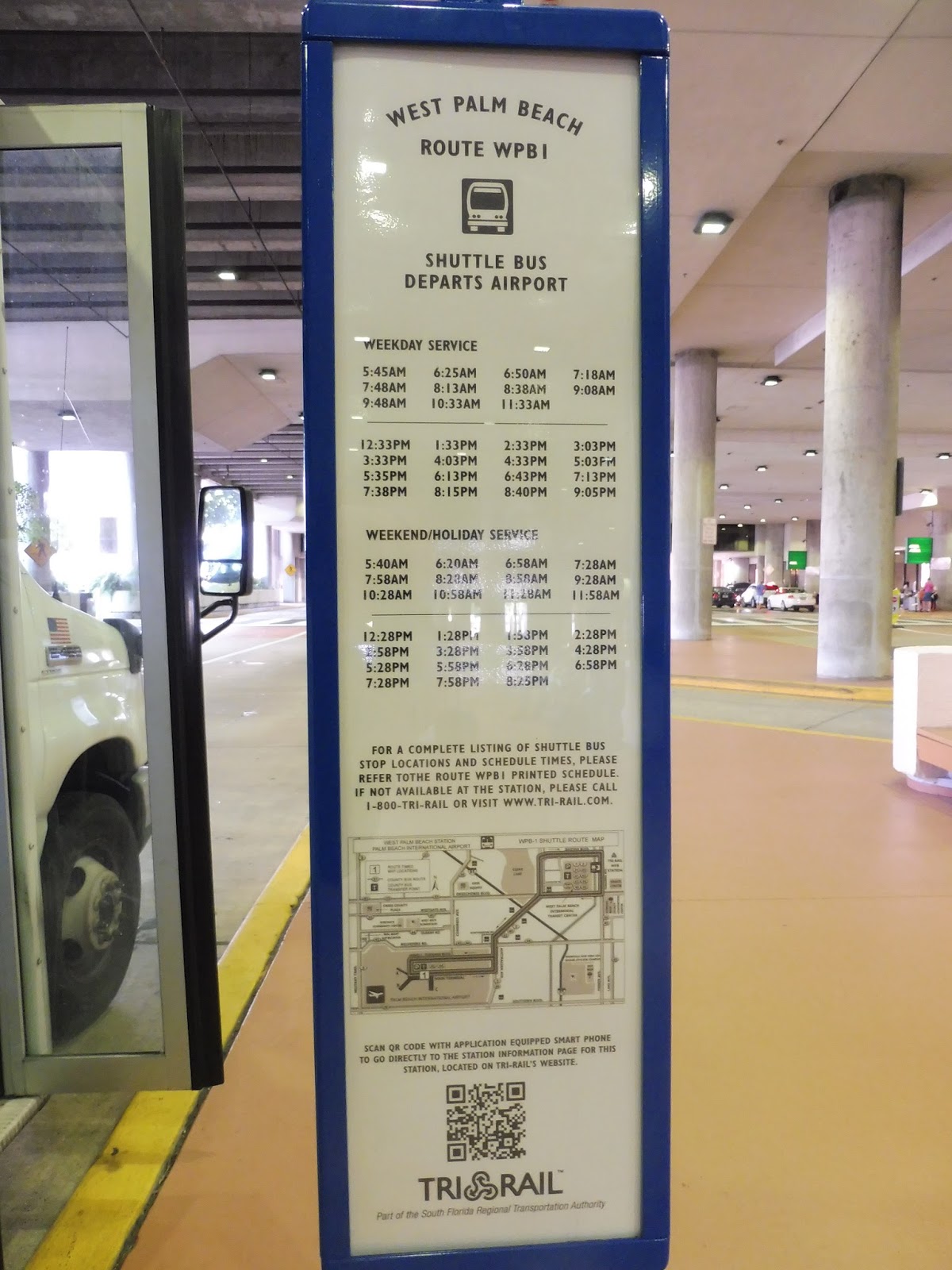 |
| The schedule. |
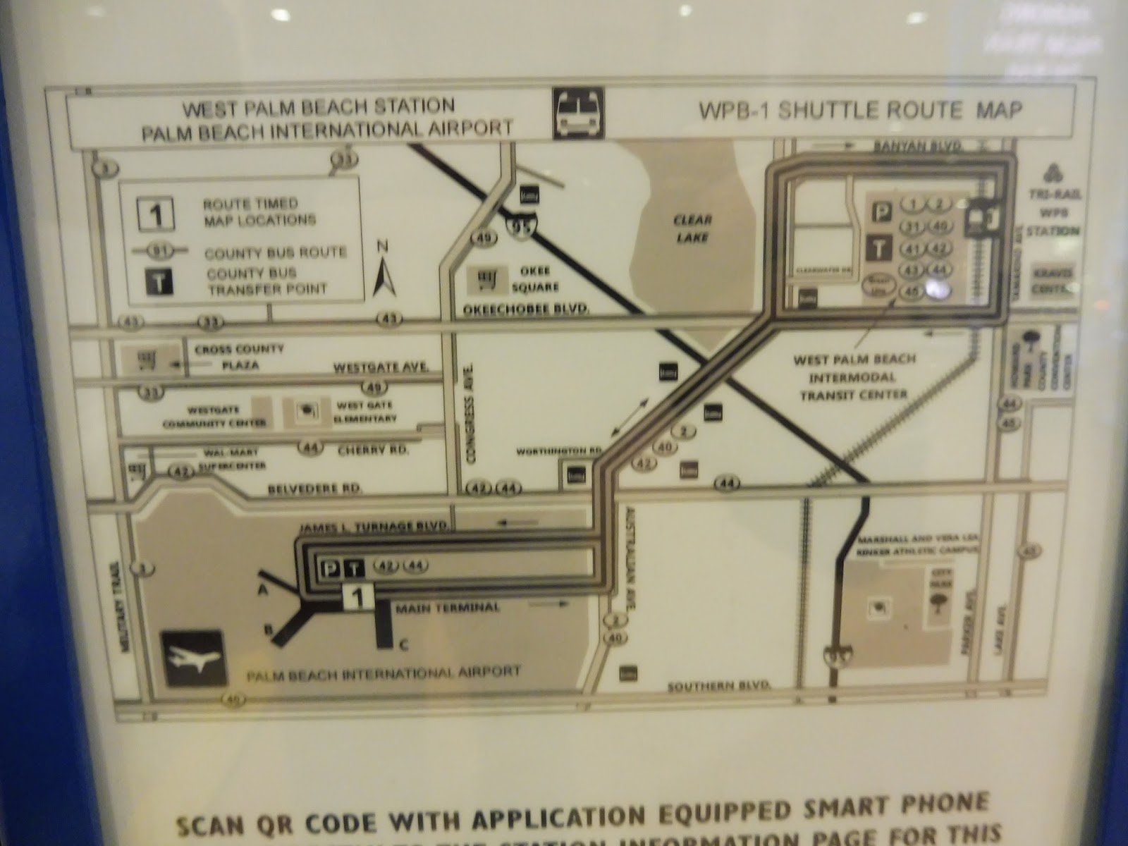 |
| And the (blurry) map. |
 |
| The bus. |
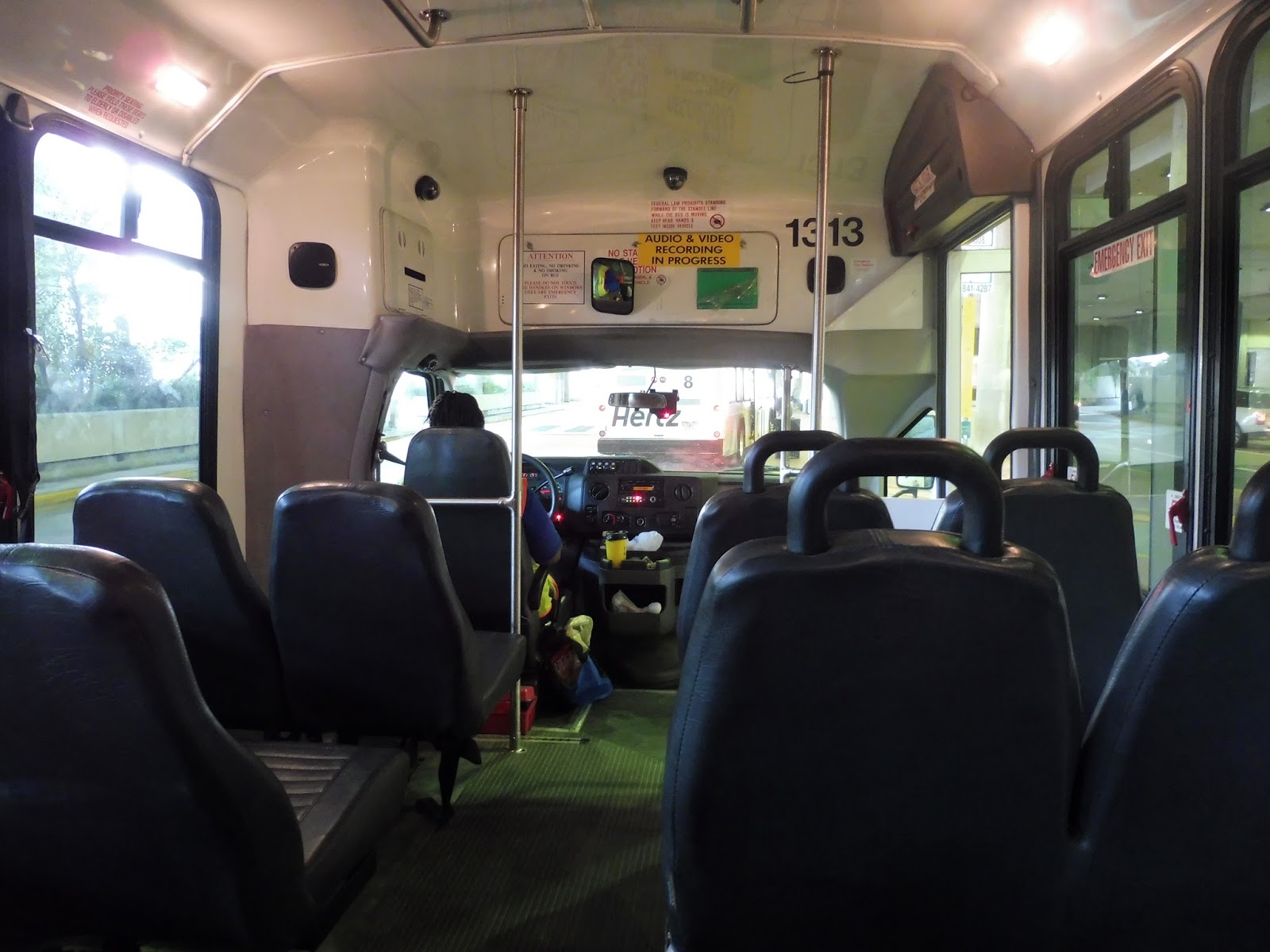 |
| That bus number is a bit unlucky… |
 |
| Palm trees and an office park in the distance. |
 |
| More office parks. |
 |
| Best picture. 10/10. |
 |
| A side street. |
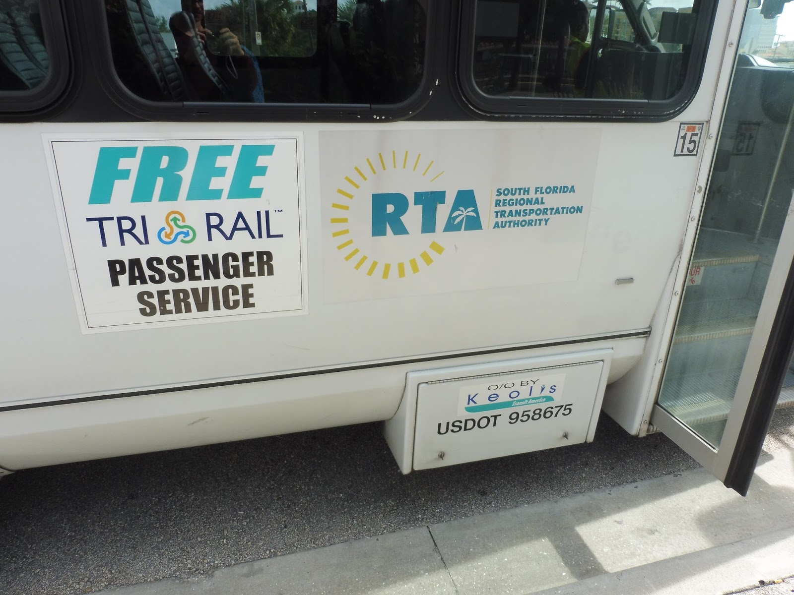 |
| Hey, look, the service is run by Keolis! Greeeeeeeeeaaaaaaaat… |
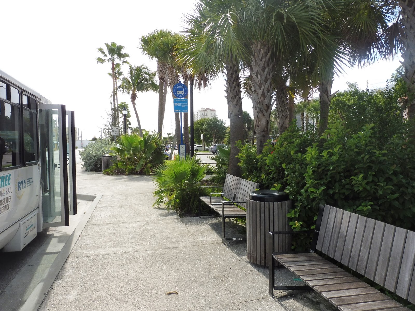 |
| The bus stop. |
 |
| Same bus, different day. This was when we were going back to the airport to head home. |
Back From Florida!
I was in Florida for the past few days, and I rode some public transportation over there! I’ll be doing posts about that in the coming days, so look forward to that.
89 (Clarendon Hill or Davis Square – Sullivan Square Station via Broadway)
Split terminals. Ugh. Yes, I consider it lucky that most of the MBTA’s bus routes are linear and only have one terminus. However, there are those unfortunate few that have to deal with two…such as the 89. Much of the route is shared, but on its eastern end, there is ultimately a split, with some buses going to Clarendon Hill and some going to Davis Square. Let’s check ’em out.
 |
| The bus at Clarendon Hill. |
Clarendon Hill was quiet, and so we left with a mostly empty bus. Turning onto Broadway, there was a mix of houses and businesses, but it became mostly the latter as we reached Teele Square. Here, the 87 and 88 headed onto Holland Street to go to Davis Square, but we stayed on Broadway. The street was lined with dense houses all the way to Powderhouse Square, where there were connections to some other routes.
 |
| Another bus on another day at Davis Square. |
Those “other routes” included the 89’s second branch, which heads down to Davis. I figure I’ll discuss this branch as well, starting at the Davis Square busway. Turning onto College Ave, it runs along with the 94 and 96, passing mostly houses. The section is short, and it soon reaches Powderhouse Square to join the other branch of the 89.
Rejoining my ride at Powderhouse Square, we continued down Broadway after navigating that horribly rotary. Now joined with the 80, the street was lined with houses for a bit, but it became all businesses at Ball Square. We crossed over the Commuter Rail tracks, then passed a field.
It was all retail again at the intersection with Medford Street, where the 80 turned off. We continued down Broadway, getting a short independent section. The street was mostly lined with houses, with a few apartments in there. As we started to head down a hill, the 101 joined us from Main Street.
 |
| Hey, is that Boston? Or a blurry mess? |
It was around this point that Broadway got a grassy median and businesses started to appear. It became almost entirely retail the further we got, but we also passed a fire station and a park. Eventually, we crossed under I-93, went over the Orange Line tracks, and pulled into the Sullivan Station busway.
 |
| Another picture from the time I took the route to Davis Square. Note the second 89 behind the foreground bus. |
Route: 89 (Clarendon Hill or Davis Square – Sullivan Square Station via Broadway)
Ridership: Okay, so on weekdays, this route is really crowded! It has even higher ridership than the 88, with an average of 4,156 riders, slotting it at number 30 on the ridership rankings. However, there’s a massive drop on Saturdays, with only 1,917 riders, and an even larger drop on Sundays, with a measly 858 riders. My ride was on Saturday, and the bus had a good 25-30 people in total.
Pros: I like to think that this route sews up northern Somerville (and Medford, to an extent). I mean, by running right down Broadway the whole time, it makes for a nice, straight artery through the dense area. In addition, it has a pretty good schedule on weekdays, when it gets used the most. So good, in fact, that it runs every 9 minutes during rush hour! This becomes roughly every half hour during the day, and on Saturdays, it’s every 35 minutes.
Cons: Well, first of all, the route runs every hour at night and a dreadful every 70 minutes on Sundays. However, there’s an even more glaring problem with the route than that: split terminals. Even when the 89’s schedule is good, the service to the individual terminals is always half that. And this doesn’t matter too much, since most service is on Broadway, but what if someone needs to go to Davis Square? On Saturdays, the route only goes there every 70 minutes, and it doesn’t go there at all on Sundays! Too bad for you, Davis Square commuter!
Nearby and Noteworthy: There are a lot of businesses the 89 passes, but I’m just gonna go with my gut and say Davis Square. Of course, service there is once in a blue moon (and nonexistent on Sundays), so good luck with that.
Final Verdict: 6/10
I can’t get over the split terminal thing! And yes, I know it doesn’t affect that many people, since most riders use this route for the Broadway section anyway. But come on, Davis Square is an important subway connection, while Clarendon Hill is…Clarendon Hill. I mean, I think putting split terminals on bus routes is just asking for trouble. Seriously, just pick one! Or maybe only have split terminals during rush hour. I dunno, but this route is just too complicated and infrequent as it is.
Latest MBTA News: Service Updates
88 (Clarendon Hill – Lechmere Station via Highland Ave)
This is a pretty hard route to have a catchy intro for. I mean, the 88 is a very simple bus that just gets its job done. It runs mostly through Somerville, with a brief section in Cambridge as it comes into Lechmere. Um…and that’s about it. Let’s look at the route in more detail.
 |
| The bus coming toward Lechmere on McGrath Highway. |
Heading down McGrath Highway from Lechmere, we went past various hotels and industrial buildings, then passed the Twin City Plaza shopping mall. The road then rose up to cross over the Commuter Rail tracks, and then we exited off the highway as it went onto an elevated section. After we crossed Washington Street, the highway returned to ground level and we turned onto Medford Street, then Highland Ave.
 |
| In terms of the route, this picture comes before that first one, but I just like the first one more… |
We passed the Somerville High School/City Hall complex, then the surroundings became more residential. The street was lined with houses, as well as a few apartments here and there. At important intersections, there would be occasional businesses blocks, but they were outnumbered by the houses for sure.
 |
| City Hall! |
There wasn’t too much variety in the surroundings overall, except for a small hospital and a fire station. And we were just about to reach the businesses of Davis Square, but we turned onto Grove Street just before. We then pulled into the Davis Square busway, exchanging a few passengers, and from there we made our way to Holland Street.
Leaving Davis Square behind, the street became lined with dense houses as we passed a field and playground. The retail came back at Teele Square, where we merged onto Broadway. It was a decent mix of houses and businesses until we reached the three huge apartment buildings of Clarendon Hill. Here, we turned into the busway and let the few remaining passengers out.
 |
| The bus, with one of the apartment buildings behind it. |
Route: 88 (Clarendon Hill – Lechmere Station via Highland Ave)
Ridership: On weekdays, this is the busiest “80” route out of Lechmere, with 4,075 average riders. It drops a bit below the 87 on weekends, but the ridership is still high – 2,794 riders on Saturdays and 1,664 on Sundays. My Saturday ride had pretty good ridership, with about 30 people in total.
Pros: This isn’t the only bus route on Highland Ave, but it might as well be, since the 90 runs about as frequently as a sack of potatoes. Luckily the 88 can pick up the slack, since its schedule is pretty good: every 16-20 minutes during rush hour, every 20-25 minutes during the day, every 20 minutes on Saturdays, every 30-40 minutes at night, and every 40 minutes on Sundays.
Cons: Honestly, there isn’t much. The only real complaint I have is that the night and Sunday schedules aren’t that frequent. And the latter could be more efficient, with two buses operating with long layover times at Lechmere.
Nearby and Noteworthy: Davis Square, simple as that. I’m sure there are other fine businesses along the route, but you’ll find the highest concentration of good ones in Davis Square.
Final Verdict: 8/10
Well, the three “80s” routes from Lechmere have all gotten consistent 8s, and for good reason, too. They all serve very dense neighborhoods, and they all have pretty decent and efficient schedules. Sunday is the only time when the 88 doesn’t run that often, but it has to be said that it’s coordinated with the 87 to run every 20 minutes, which is much better. Not enough to raise the score, but much better.
Latest MBTA News: Service Updates
Merry Christmas, everyone! The MBTA is running on a Sunday schedule today, just to let you all know.
80 (Arlington Center – Lechmere Station via Medford Hillside)
Oh, how I hate the 77 sometimes. After waiting 20 minutes for a bus on a Saturday (when headways should be 10), I ended up just walking from North Cambridge to Arlington Center. And the whole way, I kept checking back to see if a bus was coming, and when one finally did come, I got on and realized that Arlington Center was literally a few blocks away. But because of traffic and the sheer amount of people on the bus, it took forever to go just a couple of stops! Ugh! Sigh…okay, with that out of the way, here’s the 80.
 |
| The bus rounding the turn onto Medford Street in Arlington Center. |
The 80’s stop in Arlington Center is different from the 87’s, which also goes to Lechmere. This one is on Medford Street outside of a theater, and it’s basically just a sign. Of the few people who were waiting with me, some stood under the canopy of the theater, while others just paced around. The bus came late, and then the driver left to go somewhere. 10 minutes later, the driver came back and let everyone on, now even more late than before.
 |
| That destination board is awfully faint… |
Leaving the street stop, we headed down Medford Street, and the businesses of Arlington Center stopped pretty quickly. After passing a cemetery, the street was leafy and lined with dense houses. We went by a little park and playground, then the road curved east. There was a rotary that led to a crossing over the Mystic River, sending us into Medford on High Street.
 |
| Did I get a bad picture of the river crossing? Of course I did! |
There was another rotary in Medford, but the surroundings were basically the same as they were in Arlington. After a small retail block, we turned onto Boston Ave, joining the 94 and passing more houses. Eventually, we went over the Mystic River again, entering a brief industrial section in Somerville before once more returning to Medford.
 |
| A second river crossing meant I could redeem myself, picture-wise! Too bad I didn’t… |
As we got closer to Tufts, a bunch of university-related businesses started coming up. We came into the university itself soon, passing lots of college buildings, which continued when we turned onto the suitably-named College Ave and entered Somerville. At the rotary of death known as Powderhouse Square, we headed onto Broadway, which soon became lined with businesses.
 |
| If you look closely, you can see the John Hancock building peeping up in the distance! |
We crossed over the Commuter Rail tracks, then passed a field a little further down Broadway. We then turned onto Medford Street (a different Medford Street from the one in Arlington), which became residential after a little while. There were a few businesses on occasion, but it was mostly houses all the way to when we turned onto Pearl Street.
 |
| That’s right…that tiny little section between the two traffic lights is the split between two intersections. |
 |
| And the Lechmere busway sits in the background rusting away… |
Pros: This route serves a lot and connects it to the Green Line – indeed, it roughly follows the path of the may-or-may-not-happen Green Line Extension. Also, it has a pretty good schedule most of the time: every 20 minutes during rush hour, every 25-30 minutes during the day, every 30 minutes on Saturdays, and every hour at night and on Sundays.
Cons: Yeah, okay, that last one is pretty bad. No one likes every hour bus service. But honestly, I think it makes sense here. Running every hour, the 80 can use a single bus going back and forth, and on Sundays the ridership averages out so that each trip has a decent number of people on it.
Nearby and Noteworthy: I would say Arlington Center is the most interesting locale this route serves, but it does hit up a lot of other businesses on its way down to Lechmere.
Final Verdict: 8/10
All of the “80s” routes out of Lechmere may not have the best schedules all the time, but they always make sense. Every hour on Sundays isn’t optimal service, but it’s efficient service. One bus shuttling back and forth along this route generally picks up a good amount of people on Sundays, and of course, it runs often most other times. Overall, this route is run as efficiently as possible, and manages to be somewhat frequent in doing so.
Latest MBTA News: Service Updates
14 (Roslindale Square – Heath Street via Dudley Station, Grove Hall, and Jackson Square Station)
The 14 has always struck me as a bit of a weird route. For one thing, its northern terminus is Heath Street, making it the only bus that terminates there (though the 39 goes by that stop, too). For another, the 14’s southern terminus is Roslindale, which seems odd. Isn’t that an isolated place for the route to end? Well, let’s find out.
 |
| Night pictures are hard, okay? This is the bus on Corinth Street. |
The route starts out next to the Roslindale Village Commuter Rail station, but I got on a stop later on Corinth Street. Since the stop was on a corner, we immediately turned onto Washington Street, then Cummins Highway, leaving the businesses of Roslindale Square behind. The street was mostly residential, but there were a couple of churches and schools, too.
We crossed over the Providence Line tracks, then turned onto Hyde Park Ave right after. The wide street was commercial/industrial for a little while, then it became lined with houses. And just as it started to get industrial again, we turned onto the equally wide American Legion Highway.
We passed a huge shopping plaza, then crossed Cummins Highway a little further north. Interestingly, we were only two blocks from where we had originally turned onto Hyde Park Ave. Continuing past that intersection, there were houses for a bit, then we passed another big shopping plaza.
After a few more businesses, we entered the Boston Nature Center. As the name suggests, the surroundings were basically just woods, and they whizzed by as we sped through without any stops. We crossed over Morton Street on a bridge, then we started get back to civilization. With Franklin Park on one side and apartments on the other, the highway curved east.
We merged onto Blue Hill Ave, joining a few other routes. Passing the Franklin Park Zoo, the street became lined with apartments, but once we reached Grove Hall, the businesses came back. It was here that we turned onto Warren Street, which meandered its way past mostly apartments. However, there was retail again soon enough, as we went by the third shopping plaza on the route, the Mall of Roxbury.
It was mostly residential north of the mall, with the businesses returning once we reached Dudley Station. After pulling into the busway and (surprisingly) not picking anyone up, we started to head down Malcolm X Boulevard. However, instead of going with the many other routes heading for Ruggles, we followed the 41 and turned onto Roxbury Street.
 |
| Aw, yeah, a picture from earlier in the day! Too bad it’s blurry… |
Reaching a bit of retail at John Eliot Square, we followed Centre Street, which was lined with houses. The street started to go downhill and curve west, where we turned onto Columbus Ave, pulling into the Jackson Square busway right after. Returning to Columbus Ave, we headed north again, this time turning onto Heath Street.
 |
| The bus and a Green Line train at the Heath Street Loop. |
We went by the infamous Heath Street projects, then around a small little rotary. There were a few more apartments after that, which soon became houses. After a school, we passed some more apartments and the huge V.A. Hospital building. And right after that, the driver let us off, and the bus went around the Heath Street Loop to lay over.
 |
| The bus speeding away. |
Route: 14 (Roslindale Square – Heath Street via Dudley Station, Grove Hall, and Jackson Square Station)
Ridership: My ride was at 5 o’clock on a Saturday, so you can imagine that it wasn’t too busy. In total, there were only about 15 people in total who rode. For a pretty niche route like the 14, though, it gets decent ridership overall: an average of 1,377 riders on weekdays and 1,030 riders on Saturdays.
Pros: This is the only bus to Roslindale that doesn’t go up Washington Street to Forest Hills, which is both good and bad. On one hand, the bus is the only direct connection from Roslindale to Blue Hill Ave and Dudley Square, and it’s fast. Well, the part on American Legion Highway is, anyway. Once it gets more local, it slows down. Finally, I like how the bus goes a little past Jackson Square to terminate at Heath Street, giving the station its second bus connection.
Cons: Of course, since this is the only Roslindale bus that doesn’t go to Forest Hills, its terminus feels kind of isolated. That doesn’t matter too much, though, since Washington Street is crowded enough with other routes. No, the real problem is the schedule. The 14 runs a miserable every 40 minutes during rush hour, every 63 minutes during the day (how specific), every 35 minutes on Saturdays, and not at all nights and Sundays.
Nearby and Noteworthy: On the route’s independent portion, there are a few shopping plazas, as well as the Boston Nature Center, which looks like a nice park in the middle of the city.
Final Verdict: 5/10
As a route, the 14 is pretty good. It may not serve a lot on its own, but it connects some important parts of Boston and it does it with speed. But the schedule could really be better. Every 40 minutes during rush hour is just ridiculously infrequent, and though the route runs pretty often on Saturdays, the complete lack of Sunday service is a dealbreaker.
Latest MBTA News: Service Updates
Roslindale Village
My friend Michael and I had just walked from Central Square, Cambridge all the way down to Roslindale. Sitting in an empty pizza joint eating really bad pizza, we silently looked out the window at Washington Street. Night was falling. Finishing the food, we stepped out into the cold rain, trudging past some hearty souls listening to live music at a small park in the village. And then we arrived at our destination: a really boring Commuter Rail station.
 |
| There’s no live music here, that’s for sure. |
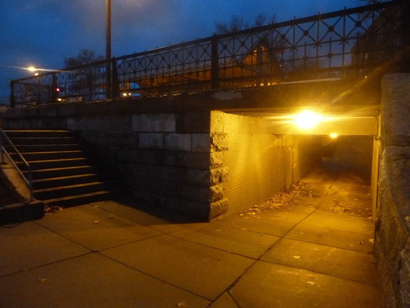
Coming from Belgrade Ave, the Commuter Rail station is up on an embankment. In order to get up to it, there’s a set of stairs leading up to the single track, where you can cross over to the platform. If you have a disability, you can use the station underpass, which goes under the tracks and comes up on the other side, where the platform is at ground level. As you can see in the picture, however, the underpass is low and dingy, especially at night.
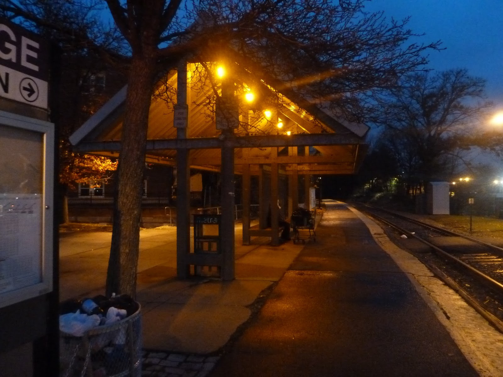 |
| The station shelter. |
Roslindale’s shelter is a generic Needham Line shelter, and I’ve talked about how I’m not a fan of the Needham Line’s shelters. Like most other stations on the line, Roslindale’s shelter is just metal, and has a single bench under it. It also has a lone newspaper box, as well as a wastebasket a little further down the platform.
 |
| Looking down the platform. |
As with any Needham Line stop, the boarding area is waaaaaaaay on the other side of the station! Thus, you get to walk on bare asphalt, passing a bunch of ads along the way, in order to get to your train. Perhaps this is some sort of subliminal messaging on the advertisers’ parts?
 |
| The boarding platform. |
You know, I had gotten used to having nice boarding platforms with a few benches to comfortably wait for your train. But nope, this is the Needham Line, where amenities are unheard of! Roslindale’s high-level boarding platform is just a tiny shelter, and…yeah, that’s it. There’s really nothing else to say. Next!
 |
| The station’s third entrance, |
On the western side of the station, there’s one more entrance. Two staircases, one for each side of the platform, descend from the station to Robert Street. The stairs are pretty rudimentary, but having an entrance over here is convenient for those coming from the west.
 |
| The station’s larger parking lot. |
There are parking lots on both sides of the station, one to the south, and one to the north. The southern lot is next to Belgrade Ave, and is pretty much right next to Roslindale Square. The northern (and larger) lot is on South Street, right in a residential area. All of the parking amounts to 160 spaces, which are 80% empty on weekdays – better safe than sorry, I guess.
 |
| No train pictures this time, so here’s Roslindale Square! Hard to believe we’re still in Boston. |
Station: Roslindale Village
Ridership: This is the fourth-busiest station on the Needham Line, with 423 inbound riders per weekday. I’m honestly surprised that the ridership is so high, considering there are so many buses that go from Roslindale to Forest Hills. If you use the Orange Line to get downtown from there, you save almost four dollars! Of course, the Commuter Rail’s more direct, though.
Pros: Well, I literally said this a sentence ago, but the Commuter Rail provides a fast, direct route from here to Boston. In addition, Roslindale has a huge amount of parking, considering that it’s in a dense area. Finally, the station is accessible, which is always good.
Cons: It’s so boring and bland! I mean, this is the Needham Line, that’s nothing new, but still! Aside from the fact that the station is elevated, there’s nothing aesthetically pleasing about it. The shelter is boring, the platform is just asphalt, and the boarding platform literally just that – a platform with no benches at all. Yes, I know that’s the norm for the Needham Line, but that doesn’t make it a good thing.
Nearby and Noteworthy: Roslindale Village has a bunch of restaurants and businesses, as well as the Bay State Model Railroad Museum. Unfortunately, I just missed the Holiday Open House, but mark your calendars for March 5-6, the Spring Open House. If you think you might be interested in visiting the museum, check out my post from way back when about my visit. I was so young back then…
Final Verdict: 4/10
The sad thing about this score is that I really love Roslindale Village. Honestly, it’s a very nice place that feels like a suburban downtown, and yet it’s right in Boston. But…this station is so bad. It’s mostly bare, with the only bench being a million miles away from the boarding platform, and under a really bland shelter. The final blow, though, is the fact that bus service from here to Forest Hills is so frequent. I get that the Commuter Rail is much faster, but if I were here on a Saturday, I wouldn’t even consider it. Sorry, Roslindale…but you’re in a great little neighborhood, at least.
Latest MBTA News: Service Updates
I would be remiss not to talk about the runaway train this morning. Luckily, no one was hurt, but you can find more info here.
Ruggles
Okay, I certainly had a lot of praise for Mass Ave, going as far as to call it the best station on the Southwest Corridor. I still stand by that, but it has to be said that Mass Ave’s southern neighbor, Ruggles, is quite impressive. With an Orange Line station, Commuter Rail station, and massive busway, this station has quite a lot to talk about, so let’s get right into it.
 |
| The Columbus Ave entrance. |
Ruggles’ entrance is very big and imposing, and that’s a good thing. With a huge glass semicircle above the door, it looks great. Also, for some reason, they decided to imprint “Ruggles” into the concrete instead of doing a typical MBTA sign – interesting choice, but I like it. Another weird thing about the Columbus Ave entrance is that it advertises Commuter Rail trains but not Orange Line trains.
 |
| The entrance on the Forsyth Street side. |
 |
| Inside the Forsyth Street entrance. |
 |
| No picture could ever do this hallway justice. |
 |
| The huge busway. |
 |
| The busway…from above. |
 |
| The bus drop-off area. |
 |
| The Commuter Rail platform. |
 |
| The Orange Line mezzanine. |
 |
| The room past the mezzanine. |
 |
| If it weren’t for that “Ruggles” sign, I’d think I was back at Mass Ave! |
 |
| A bad picture, but here’s the underground part of the platform. |
 |
| Not an entrance, huh? Sure. |
 |
| A train stopped at the station (from above). |
Massachusetts Avenue
Woah, a subway station review! There aren’t many of these left… and yes, I know I still have to do a bunch of the downtown transfer stations. I say best for last, my friends, best for last. With that said, here’s a station that…well, it’s actually pretty good. Let’s take a look at Mass Ave.
 |
| Only 10 seconds left to cross! Gotta take the picture quickly. |
Well, the first thing you’ll notice about the entrance is that it appears to have some ad space. Quite a lot of it, in fact. I mean, I could talk about the fact that it’s a nice-looking entrance with lots of glass, or the fact that there’s a convenient Subway restaurant right next to it, but I’m a bit distracted. Is anyone else thirsty for vitamin water?
 |
| Ah, that’s better. |
Luckily, the side entrance isn’t so…corporate. The main entrance has a little plaza next it, which a few doors lead out to. It has a good amount of bike spaces, but the main purpose of this side entrance is to serve people coming from the south. See, there’s this nice park that runs along the Southwest Corridor, and this plaza is what it feeds into.
 |
| OH NO, IT’S BACK! |
There’s another entrance to the station on the other side of Mass Ave. Interestingly, it doesn’t lead to the station itself – instead, it leads to an underpass that goes under the street to the main mezzanine on the other side! It’s pretty unnecessary, considering there’s a crosswalk right there, but the fact that there’s a sheltered way under Mass Ave directly to the station is great. Also…gosh, why do I keep thinking about vitamin water?
 |
| Just…ignore that pink thing on the left side of the picture. |
This side of the station has a plaza, too. Again, it has bike spaces, plus a wastebasket as well. It also has a bunch of different plants lined along the station, which is great. And the plants continue down the Southwest Corridor Park as it heads further into the South End (the portion from Mass Ave to Back Bay is arguably the best one).
 |
| You’ve gotta be kidding me… |
One of the station’s bus shelters features – what else? – another huge ad! What is it with this station and driving advertising down your throat? Well, anyway, Mass Ave has two buses that serve it: the 1 and the CT1. Both of them are crosstown routes down the station’s namesake street, and are useful for getting to many locations along the thoroughfare.
 |
| The underpass. |
The station’s underpass under Mass Ave is…well, it’s better than other underpasses I’ve seen, we’ll put it that way. It’s reasonably well-lit, with the walls and floor made out of bricks. The ceiling, however. has some chipping paint issues, and it’s a bit low. Still, the fact that this underpass exists in the first place is great, especially considering it doesn’t have to.
 |
| The mezzanine. |
Mass Ave’s mezzanine is surprisingly impressive. I mean, keep in mind, this is the Southwest Corridor – the most boring stretch of track on the MBTA! And yet, here we have a really great mezzanine with a high ceiling and a good amount of fare gates, plus lots of natural light. Good job sticking out from your peers, Mass Ave.
 |
| Down on the platform. |
 |
| Boy, this looks familiar… |
 |
| No ads on this exit! Mwahaha. |
 |
| A train coming in. |
50 (Cleary Square – Forest Hills Station via Roslindale Square)
Need to get from Cleary Square to Forest Hills? Sick of using the frequent, albeit crowded 32? Well, boy, do I have the bus for you, then – it’s pretty much the exact opposite. Cue the 50! (Incidentally, it took me way too long after that 32 post to realize that it wasn’t my last Key Bus Route. Sorry about that, there’s still one more…)
| The bus laying over on Hyde Park Ave. |
When I tried to get on the bus at the stop above, the driver told me to wait across the street, along with a few other people already there. After a few minutes, the bus left its stop and banged a uey around an intersection, returning north on Hyde Park Ave. Everyone waiting boarded the bus, and we continued up the street, passing the businesses of Cleary Square.
 |
| Ignoring the weird stuff in the foreground, here’s the bus making its u-turn. |
We only spent a block on Hyde Park Ave, though, turning onto River Street almost right after we started. After going over the Commuter Rail tracks and Hyde Park Station, it instantly got residential. We turned onto Gordon Ave just after the crossing, then onto Summer Street. This was a residential one-way street, with the inbound route running a block away on Austin Street.
 |
| The bus again, this time on River Street. |
We soon turned onto West Street, joining the inbound route again a block later. After struggling up a hill (with some interesting noises from the bus), the street became Poplar Street, still lined with houses. And after that hill, we were just speeding past everything.
At this point, the Stony Brook Reservation occupied the left side of the street. Something I didn’t realize, though, was that apparently they put golf courses in reservations, as we passed one along Poplar Street. The street then curved to the northeast, once more lined with houses, aside from a small school at one point.
We turned onto Metropolitan Ave, which was up on a hill that sank down to the north. This meant that in between houses there was an absolutely amazing view of the Boston skyline. The problem was that it would show up for less than a second at a time, making it incredibly hard to get pictures. All of mine were terrible, and we started going down the hill disappointingly soon.
 |
| This is on Washington Street. It is also an awful picture. |
Turning onto Washington Street, we joined a few other bus routes on their way to Forest Hills. After a few businesses at the intersection, the street became lined with dense houses and apartments. Of course, once we reached Roslindale, there was lots of retail once more. The businesses thinned out as we headed north from the village, now joined by a bunch of other Washington Street routes.
We passed a big field, but from there the surroundings were mostly houses and apartments again. There was a short industrial section, then after a bit of an open stretch, we pulled into the Forest Hills busway. The…roofless Forest Hills busway. Because they removed the roof. Um…why did they do that?
 |
| The bus at Forest Hills. |
Route: 50 (Cleary Square – Forest Hills Station via Roslindale Square)
Ridership: The 50 is pretty low on the MBTA’s ridership list, slotted at number 99 on weekdays. That equates to an average of 1,310 riders. On weekends, meanwhile, the 50 gets 412 riders every Saturday, while the 40/50 combo gets 309 riders on Sundays – the 9th worst Sunday route. My ride was quiet, with about 10 people.
Pros: Well, for one thing, this bus is quick. Since its independent portion is so local, it can cover the whole route in 20 minutes at most. Its schedule isn’t great, but it makes sense – every 25 minutes during rush hour, and every hour all other times. On Sundays, the 50 combines with the 40, making a loop that covers both routes. I think this is a good way of keeping costs down, although the 6 minute layover at Cleary Square could be annoying for those going further around the loop.
Cons: This is a very hilly route, which does make for a fun ride. However, this means that when it snows heavily, the 50 doesn’t run at all. How annoying must that be for people? I mean, okay, I get why it wouldn’t run, of course, but still – cancelling the route entirely seems a bit unfair. They could throw extra trips onto the 40 that continue to Cleary Square, at least. That would soften the blow on snowy days.
Nearby and Noteworthy: You’ve got Cleary Square, and…that’s about it. I mean, this bus goes through Roslindale, too, but in terms of its independent portion, that’s all houses.
Final Verdict: 6/10
Look, this is the sort of route that just inherently gets a 6. It’s uber-local, it doesn’t get much ridership, and it doesn’t run often. It wouldn’t make sense to run the 50 more frequently, though, since again – not much ridership. I also don’t like how they completely write off this route on snowy days. They could use the extra buses to buffer service on the 40, running all the way to Cleary Square to at least help some 50 riders.
Latest MBTA News: Service Updates
Hyde Park
Since Fairmount and Hyde Park are so close together, passengers essentially get a choice between the two. There are advantages to both. Since Hyde Park is on the busy Providence Line, as well as the Franklin Line, it gets frequent service, while Fairmount does not. That said, if you’re looking for a station that’s not terrible, Hyde Park isn’t the place for you…
 |
| The entrance to the inbound platform – ramp on the left, stairs on the right. |
The pedestrian entrances to Hyde Park are just kind of…there. I mean, there aren’t any signs to mark that they lead to a train station. That said, both platforms get a set of stairs and a ramp that lead from River Street. Of course, the ramps have rusting metal shelters above them and the stairs are entirely metal and feel dangerous, but…well, no buts! That’s horrible!
 |
| The station’s parking lot. |
Of course, there’s a way for cars to get into the station, too. A T symbol along Hyde Park Ave marks the side street where cars can turn to go to the station. There, one can find a sizeable parking lot (considering the urban surroundings), with 121 spaces. And since about 60% of these spaces are available on weekdays, it’s safe to say that there’s more than enough parking.
 |
| Looking down the platform. |
Okay, look, this station is just decrepit. I mean, the first of its many problems is the horrible bare asphalt of the platforms. Or at least, it would be bare if it wasn’t in such awful condition. The outbound platform is a mess, with these old chain link fences and a wall that’s falling apart, plus some sort of mechanical box that makes a bunch of noise. The inbound side has a shelter, but it’s not where the boarding platform is, so it’s kind of useless.
 |
| An old “honor box” and some bike spaces. |
 |
| The outbound boarding platform. |
 |
| No train pictures, unfortunately, but here’s a view of the outbound platform near the pedestrian entrances. It’s just so…awful. |