GATRA: SAIL (Marshfield – Duxbury – Kingston)
If one were to rely solely on the SAIL’s schedule page, they wouldn’t have any idea the route was even called the SAIL! It doesn’t mention it anywhere! Yet that’s the name GATRA uses when referring to the route elsewhere, and it’s certainly a nice name. In fact, it’s even an acronym! That’s right, after some deep digging, it turns out the SAIL stands for “Seaside Area Intertown Line”! Ummmm…5/10.
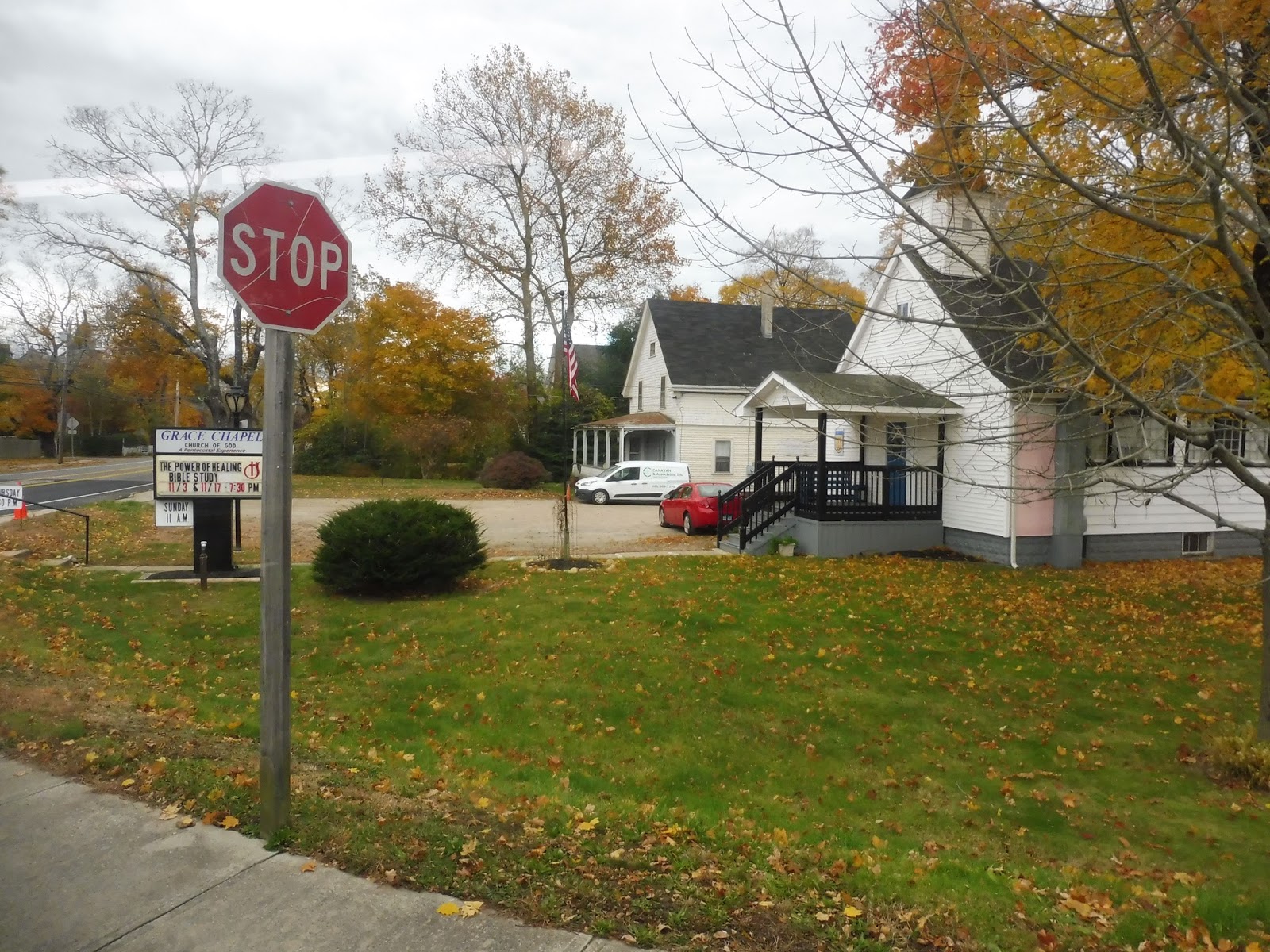
 |
| No sign? Great. |
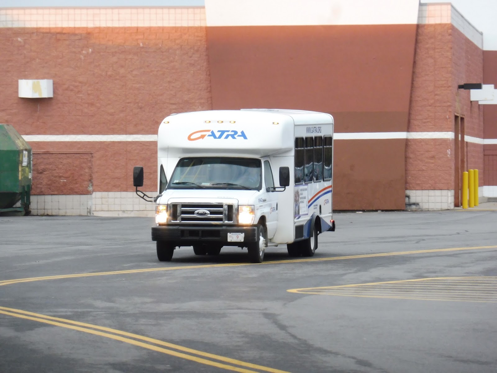
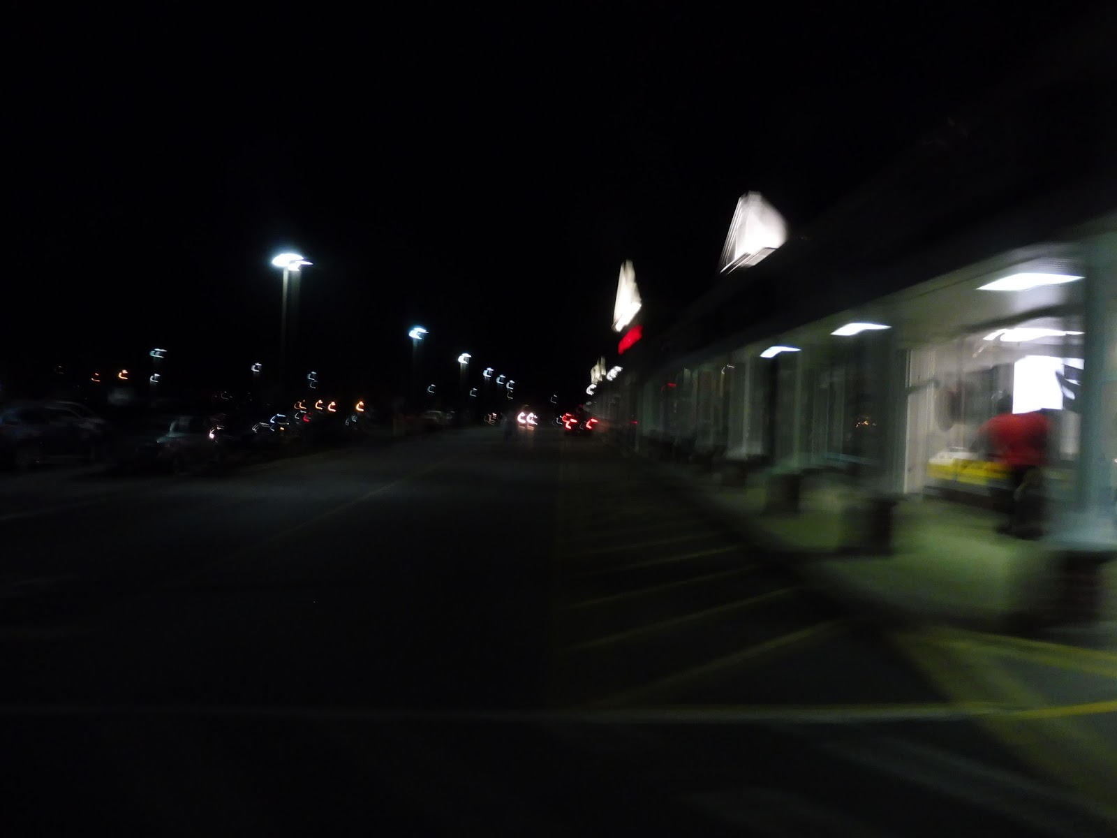
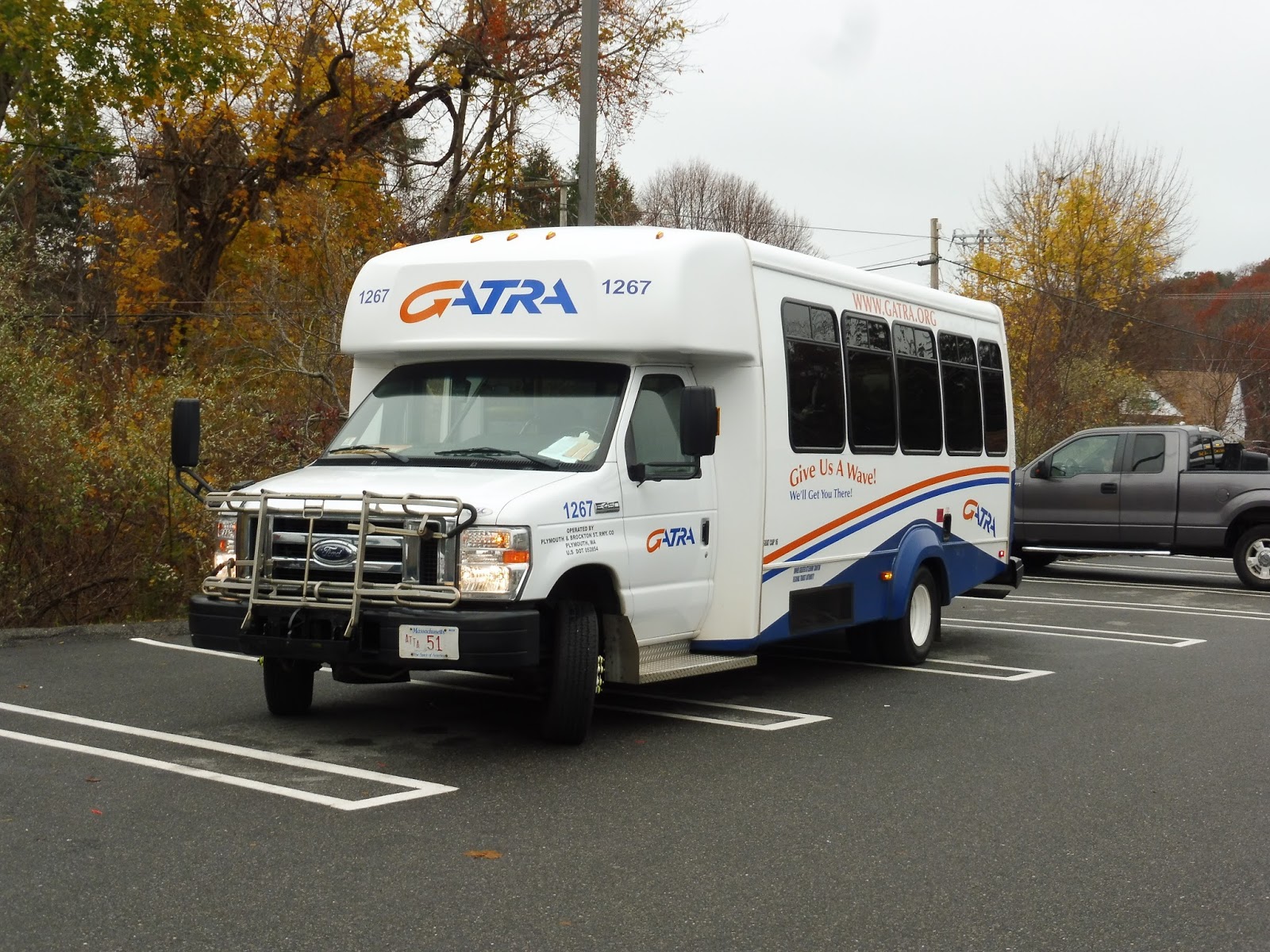
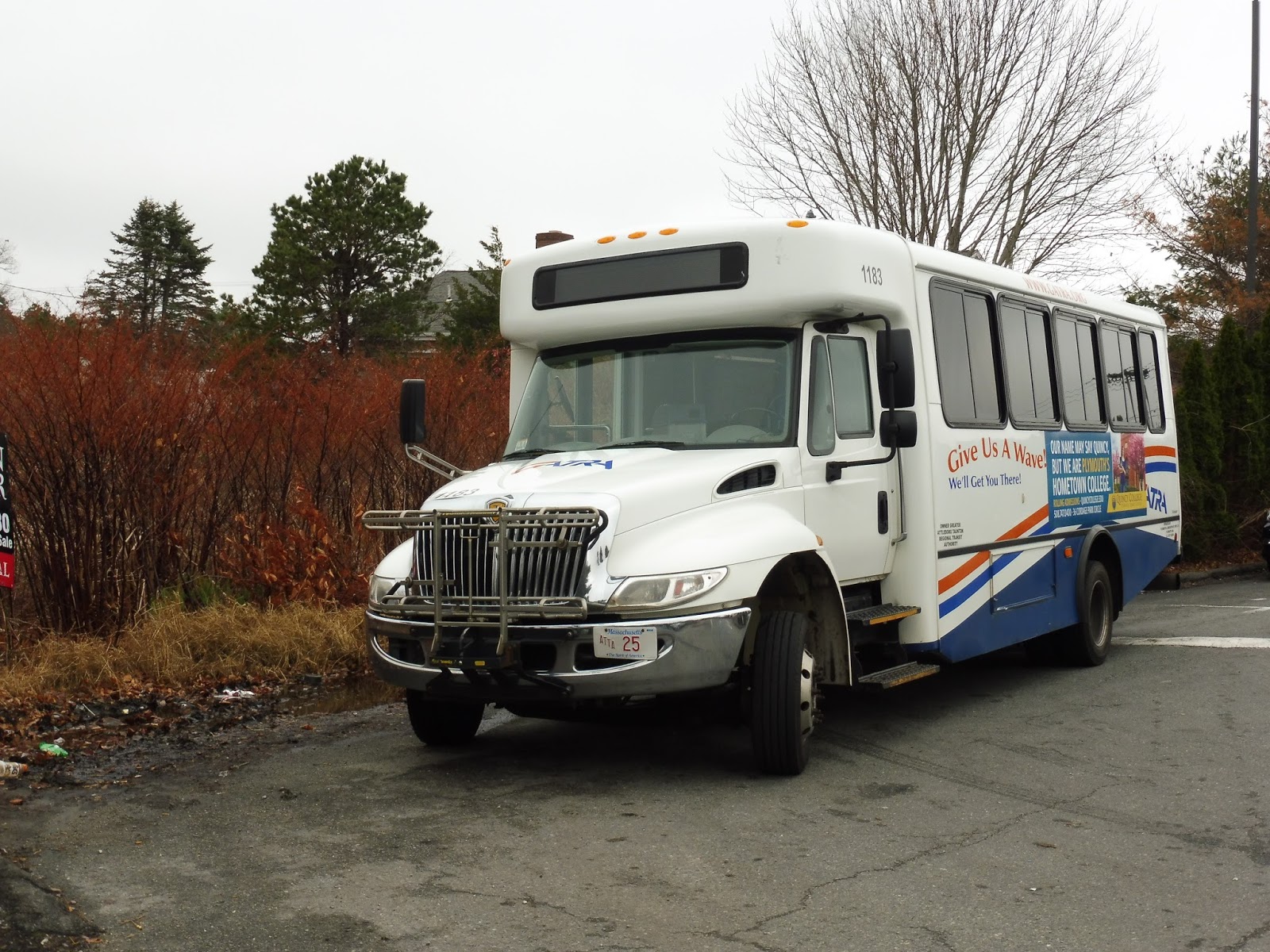
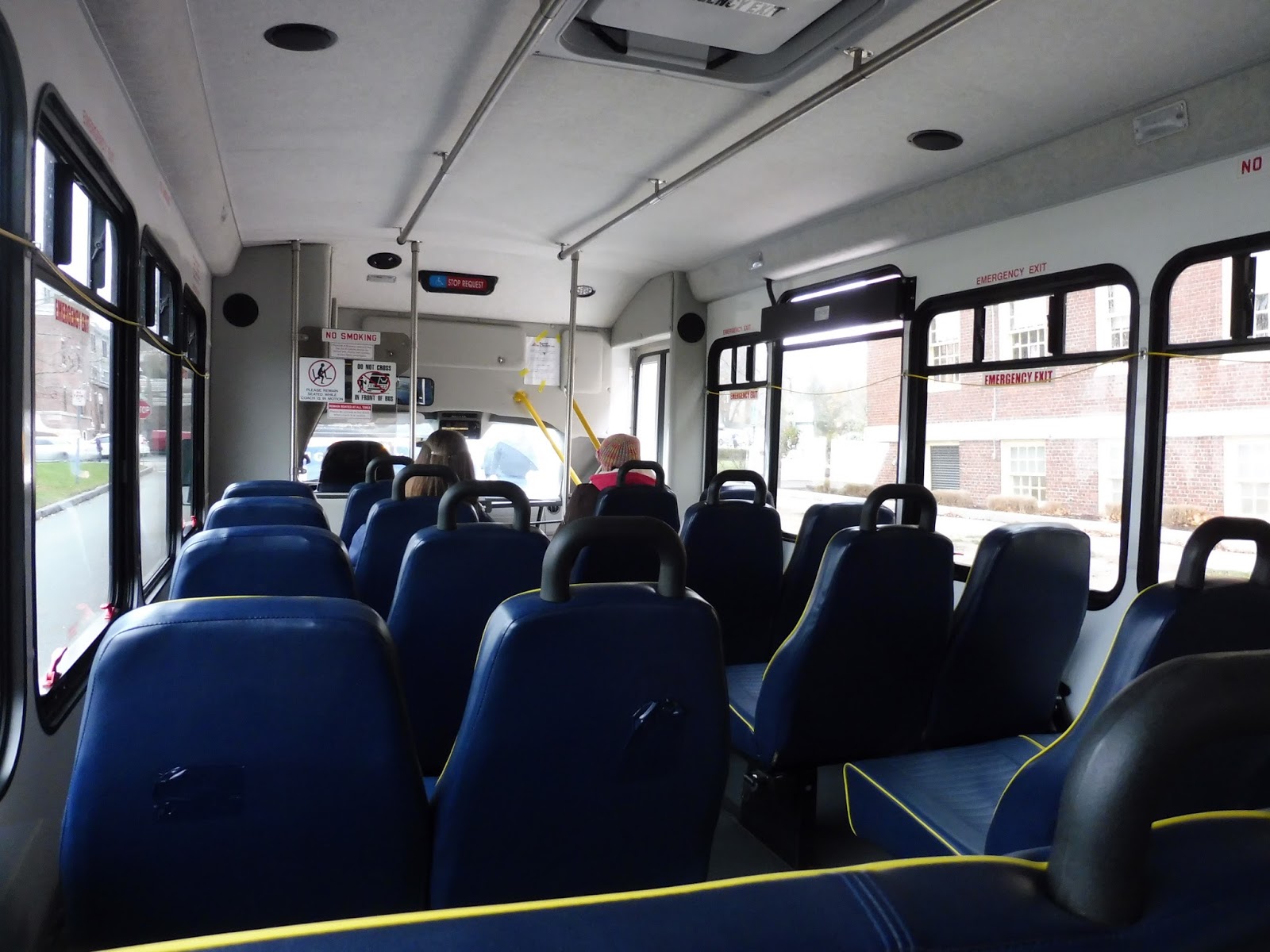
Okay, so the SAIL is…a beast. A one-way trip is almost an hour and a half, as the route snakes its way through three towns with a terminus just over the border of a fourth. This is gonna be a long one, guys. And it was all spent in a terrible minibus! Jiggly wheelchair lift? Absolutely.
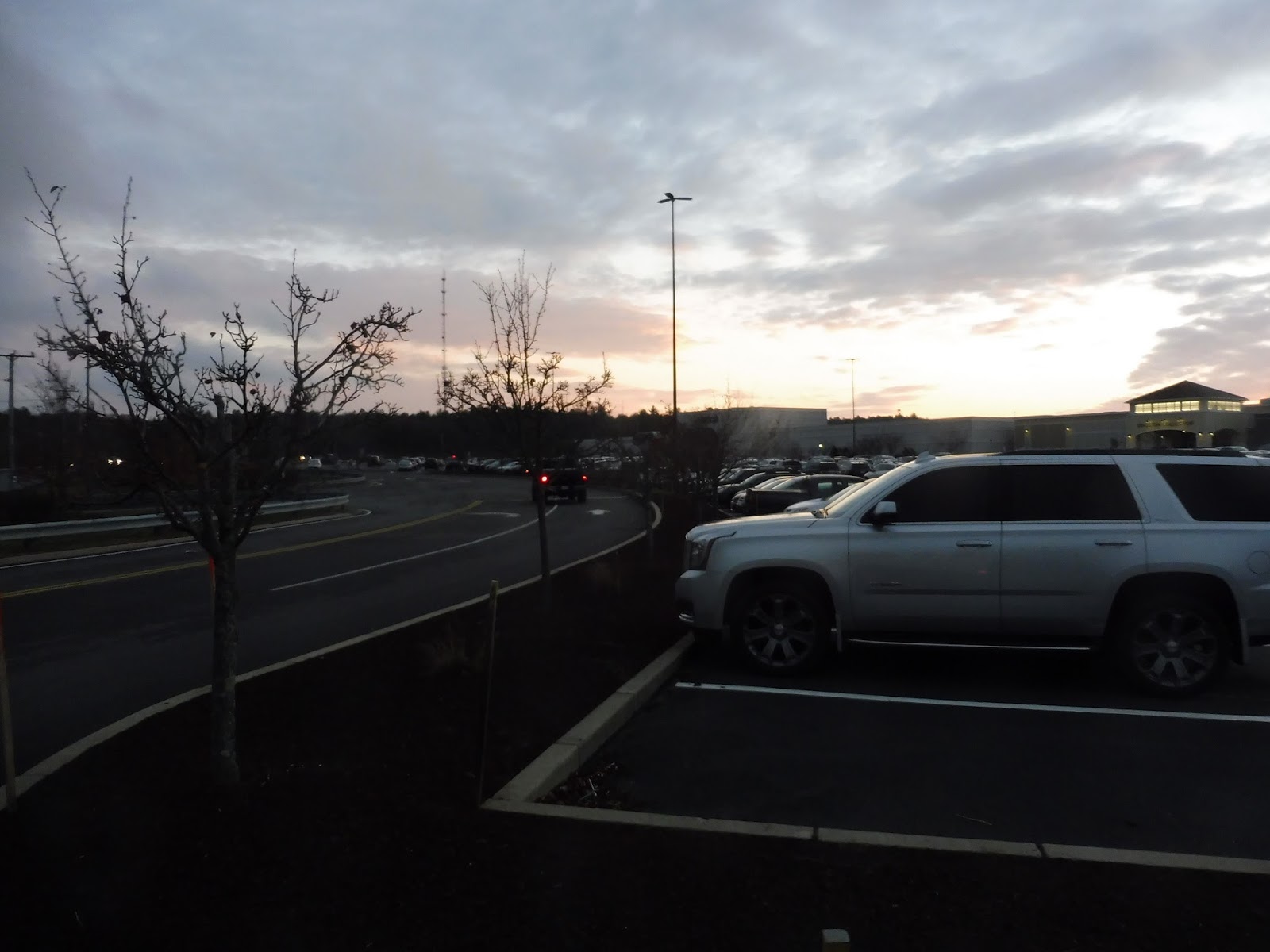 |
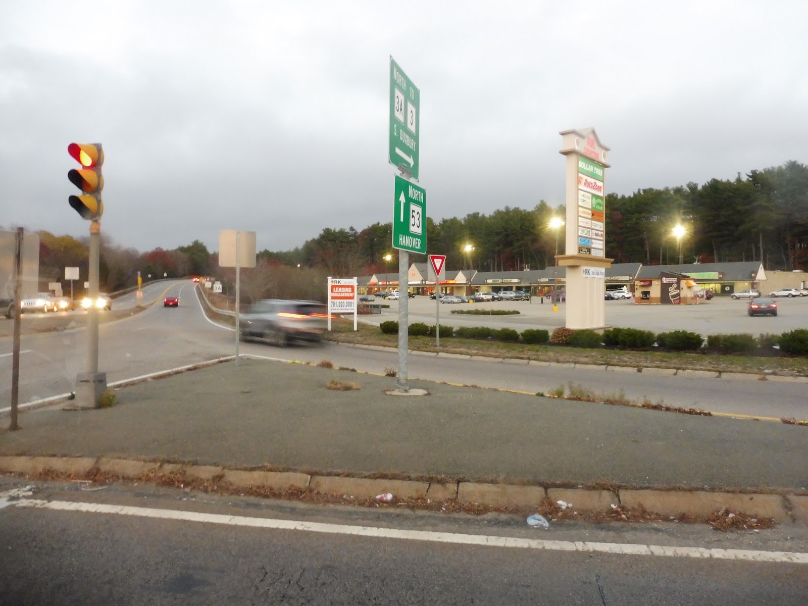
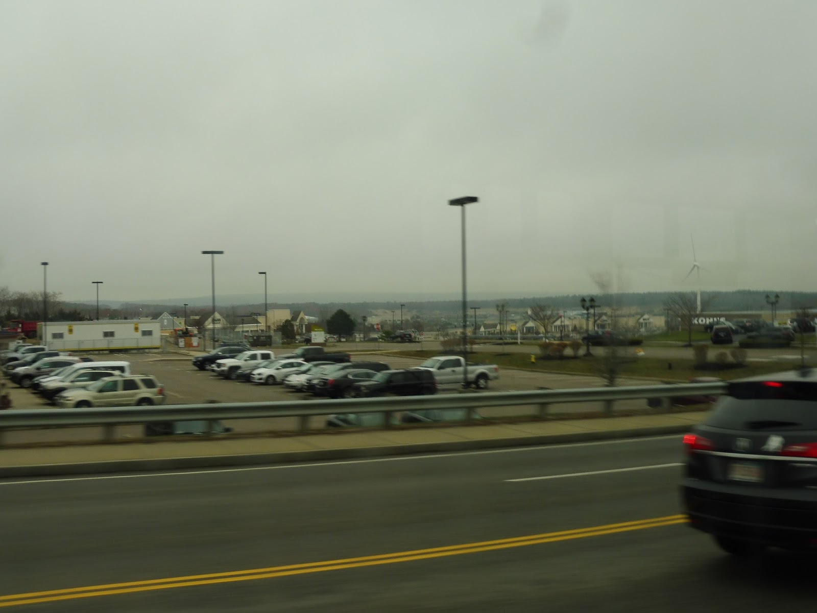
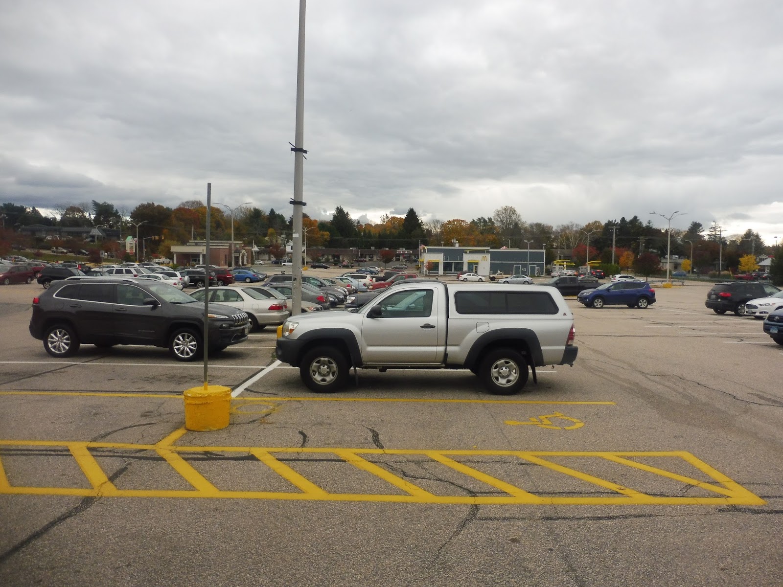
| The sun setting over the mall. |
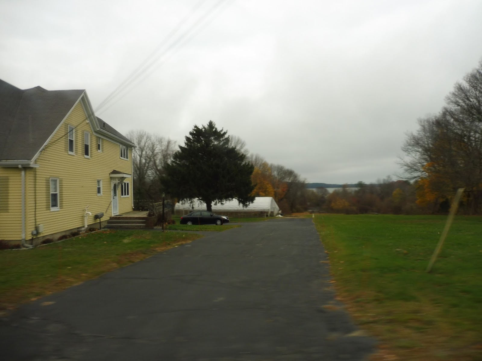
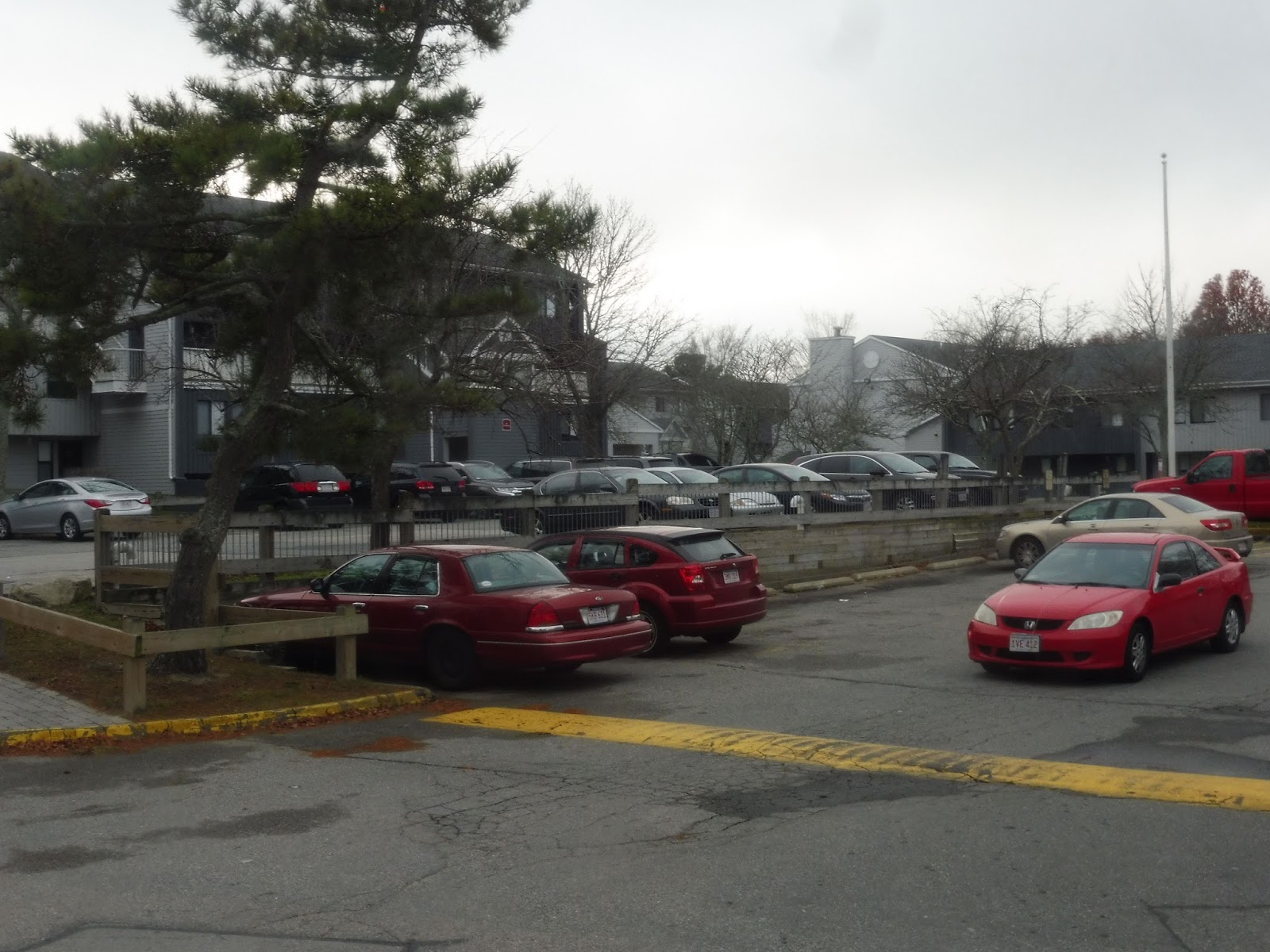
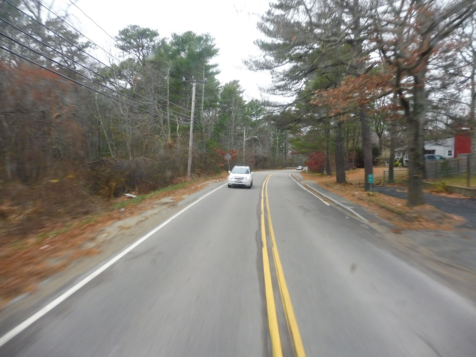
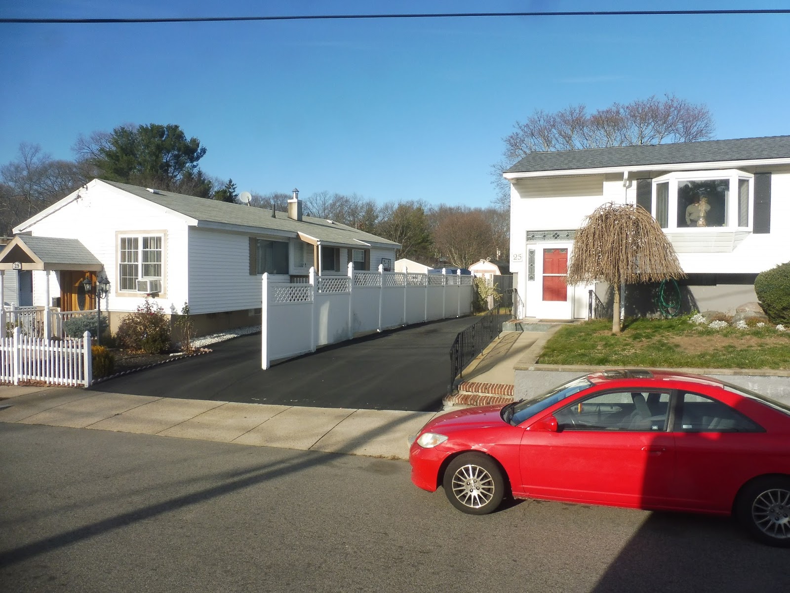
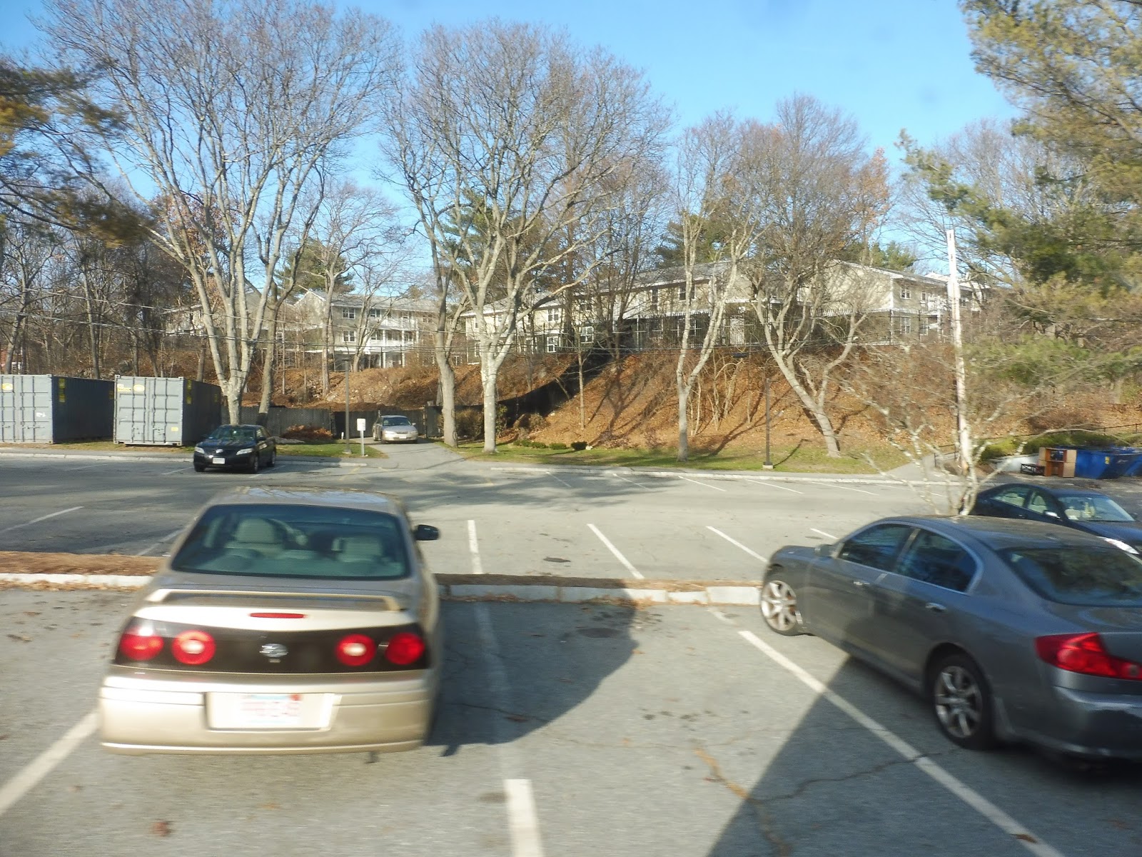
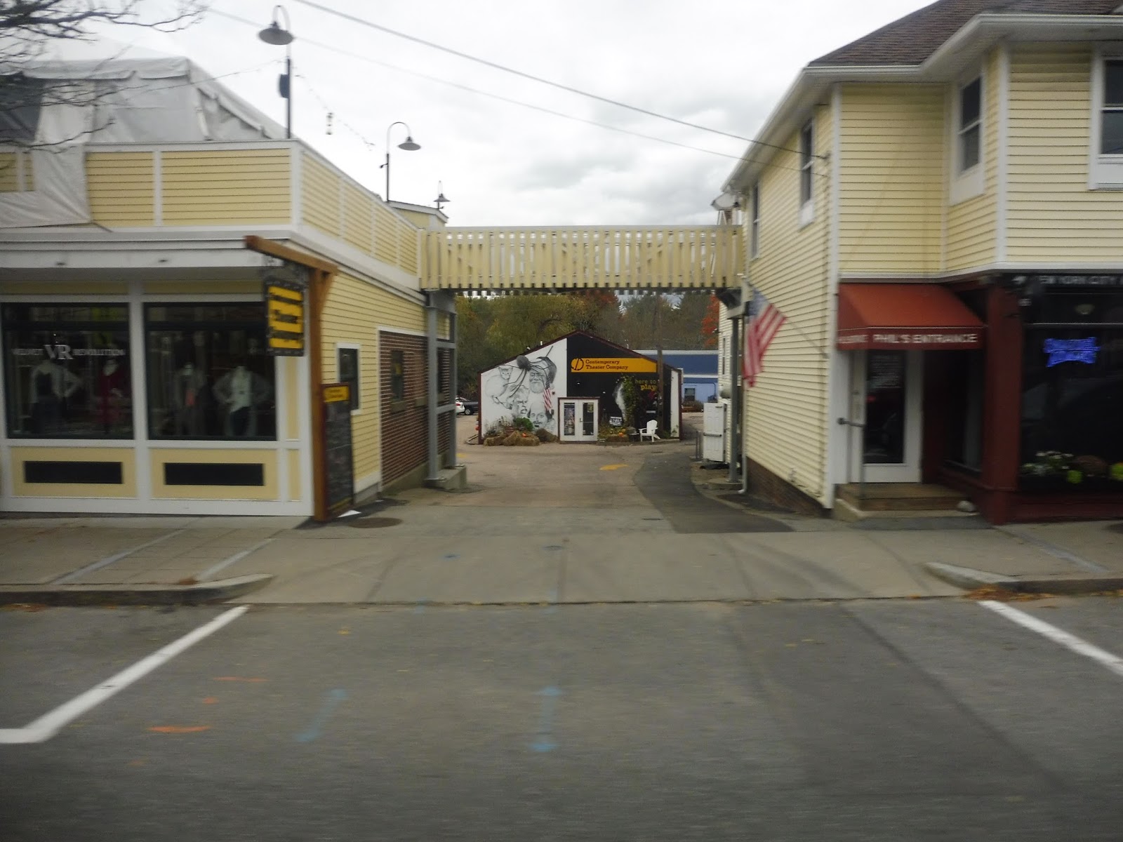
We started at the Kingston Collection, but good ol’ GATRA still refers to it as the Independence Mall – the name changed three years ago, guys! Some weekday trips deviate to serve Kingston Station, but this was a Saturday, so we headed straight up Smiths Lane, which was residential. Next we turned onto Main Street, which was mostly suburban businesses, but there were some houses in there too.
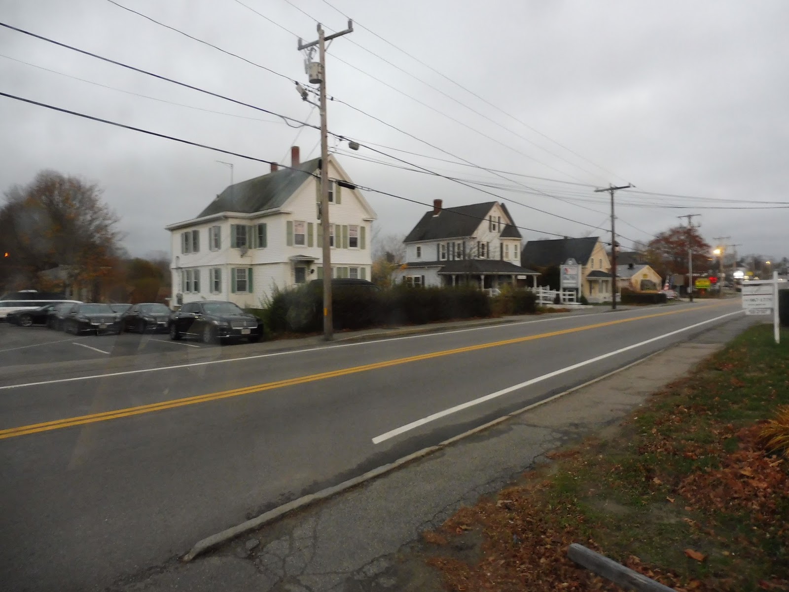 |
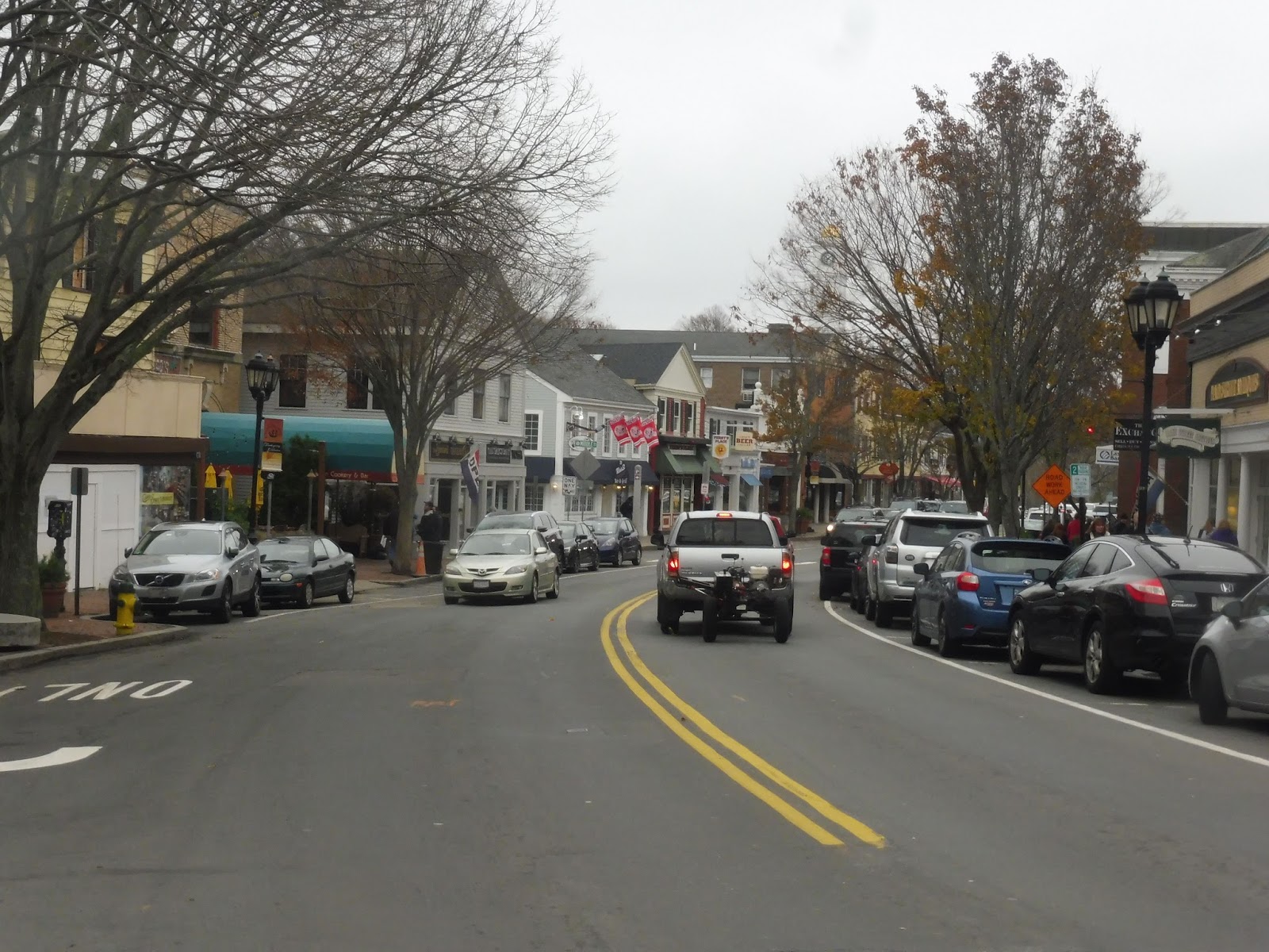
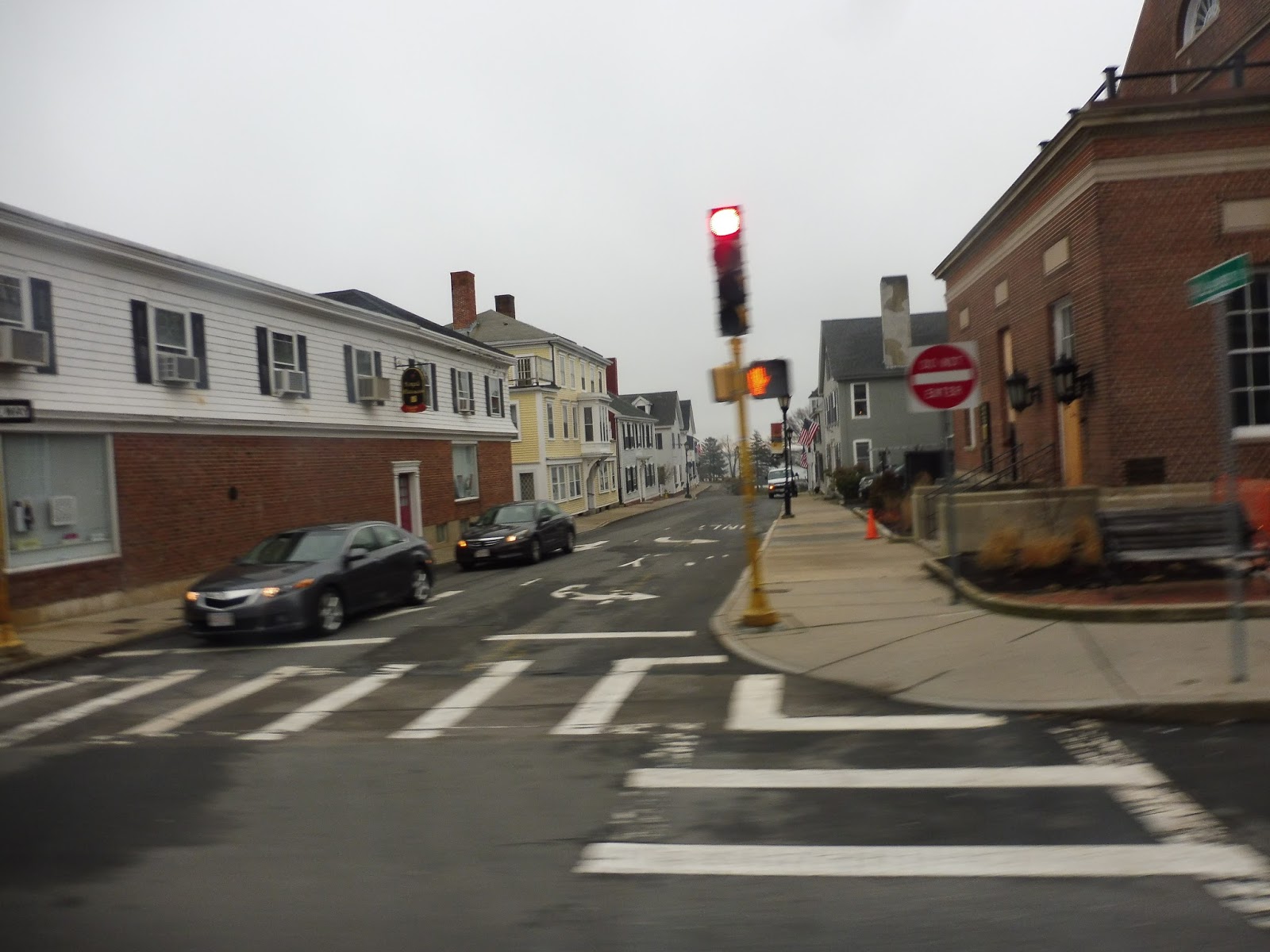
| Some buildings on Main Street. |
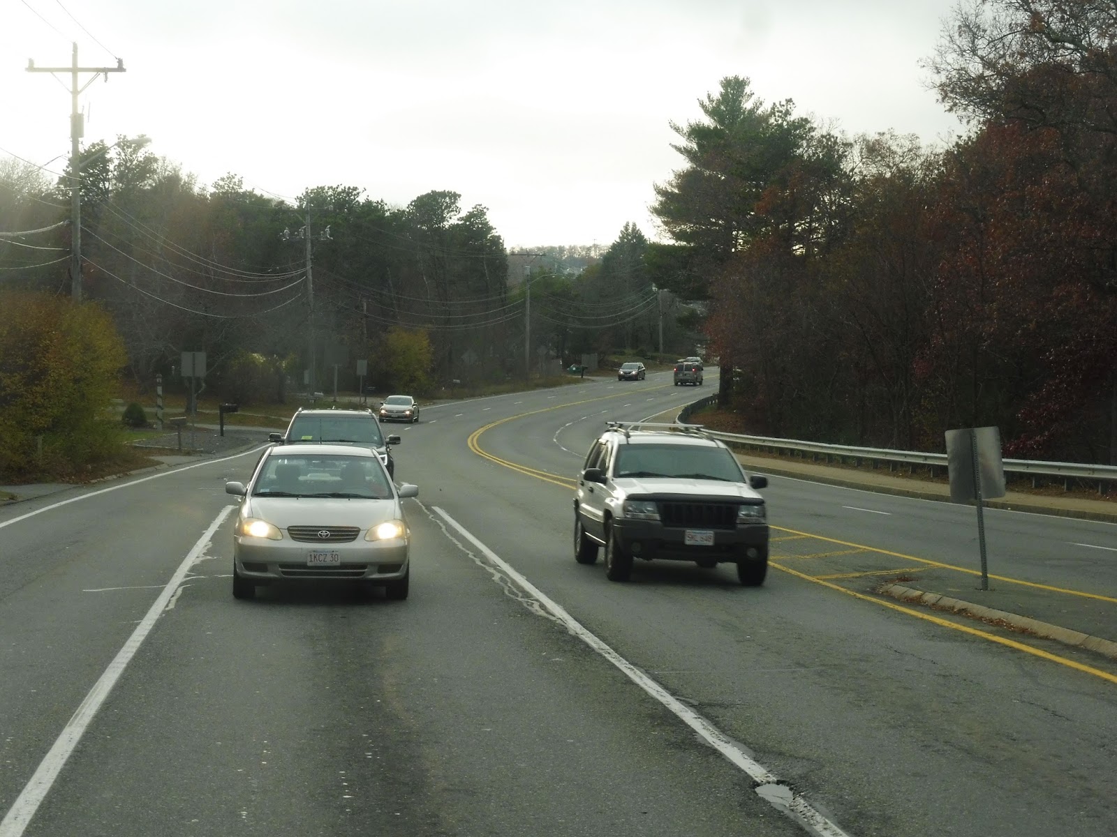
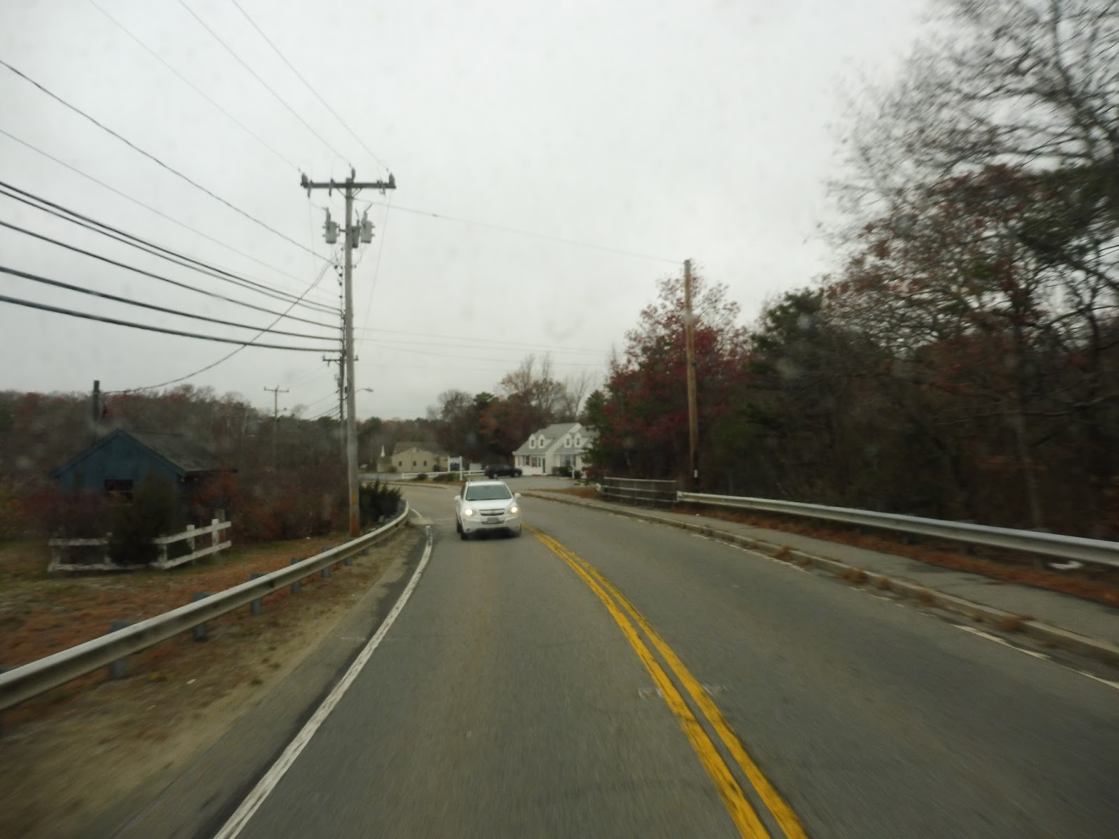
We crossed over Route 3, and the street was lined with houses beyond there. After going over a river in a marsh, we went by Hillcrest Road, where some weekday trips deviate – it’s a housing development. We passed the Kingston Public Library, then as we crossed the Kingston/Plymouth Line, we rolled through a “downtown” of sorts, though the retail was not at all interesting.
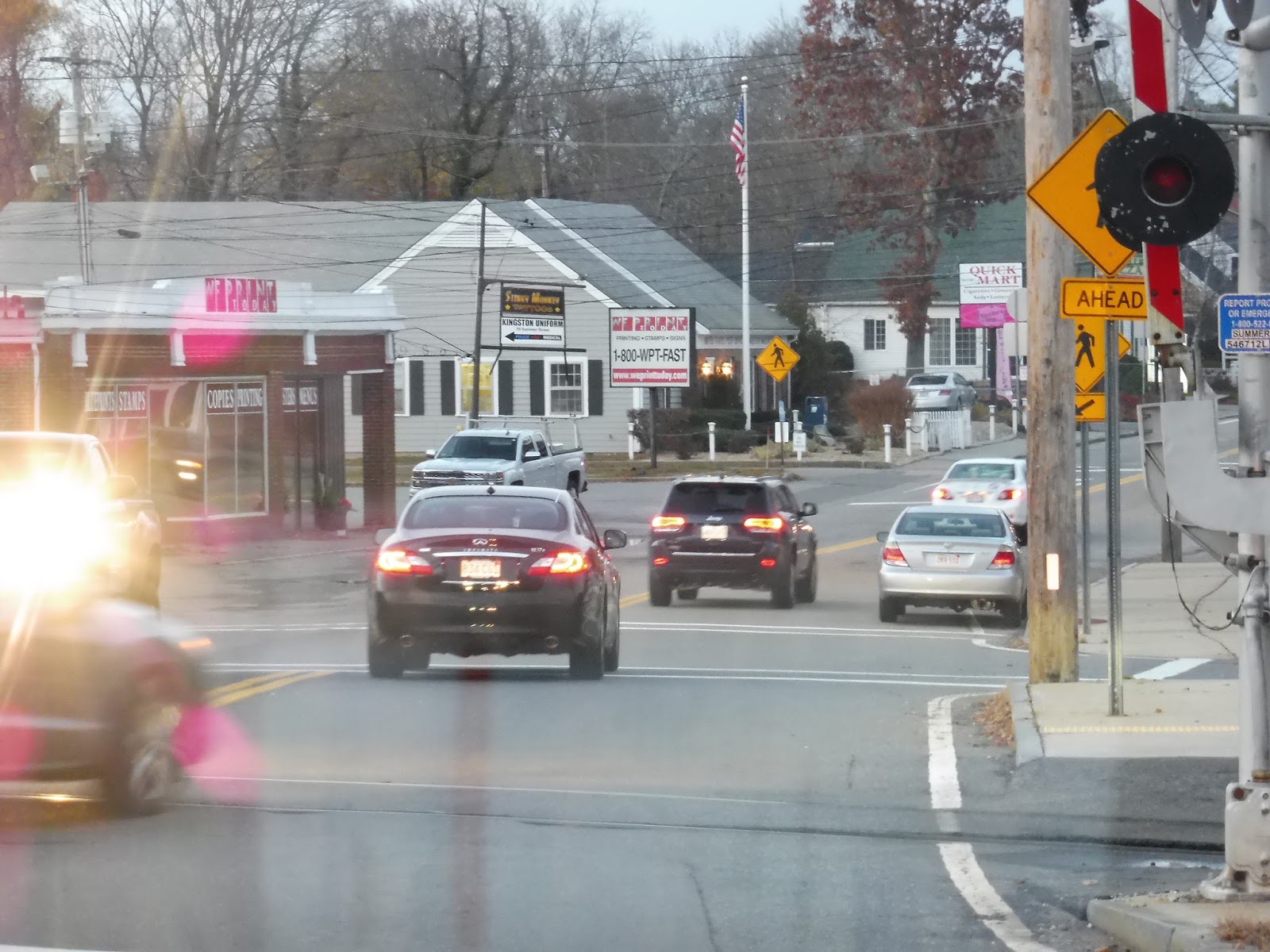 |
| Front window shot! |
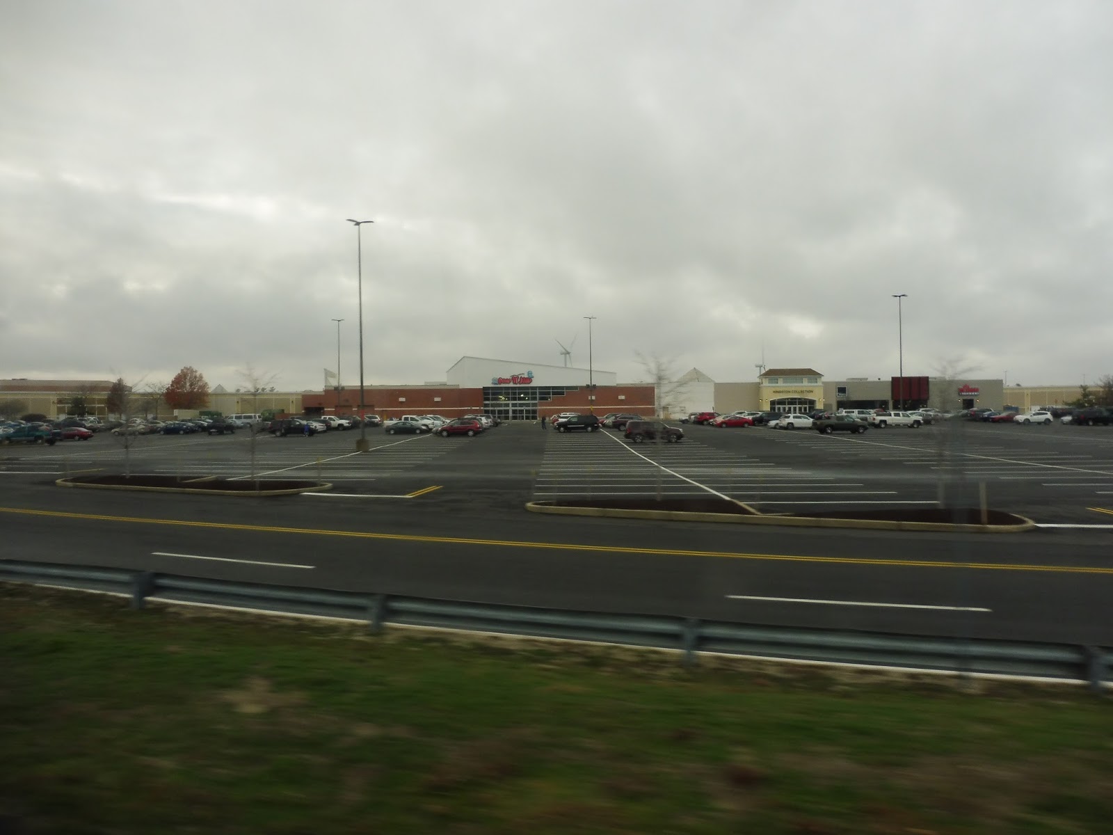
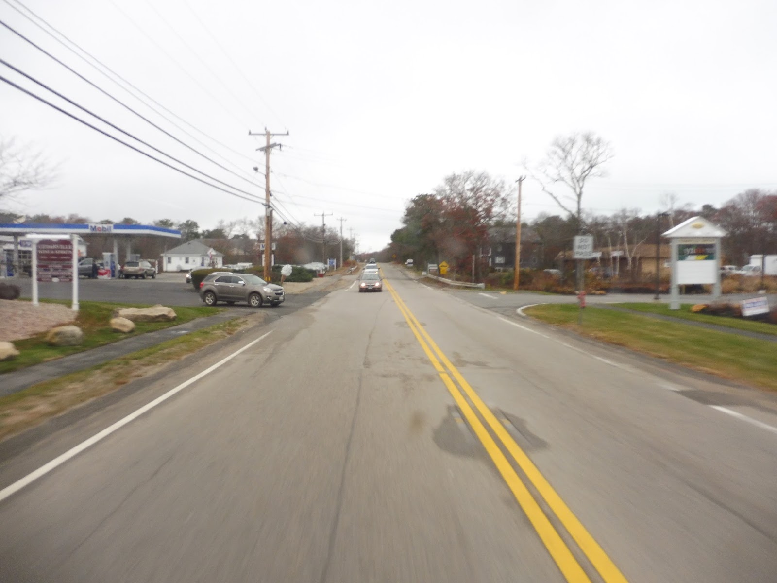
There were houses again for a little while, but then we got those suburban businesses with parking lots again. We went past a shopping plaza, but didn’t deviate to serve it. Don’t worry – we deviated to serve the next plaza, which came up in about a minute! From that mall, we headed down Duxbury Way, though that became Tremont Street after we went over Route 3 again.
 |
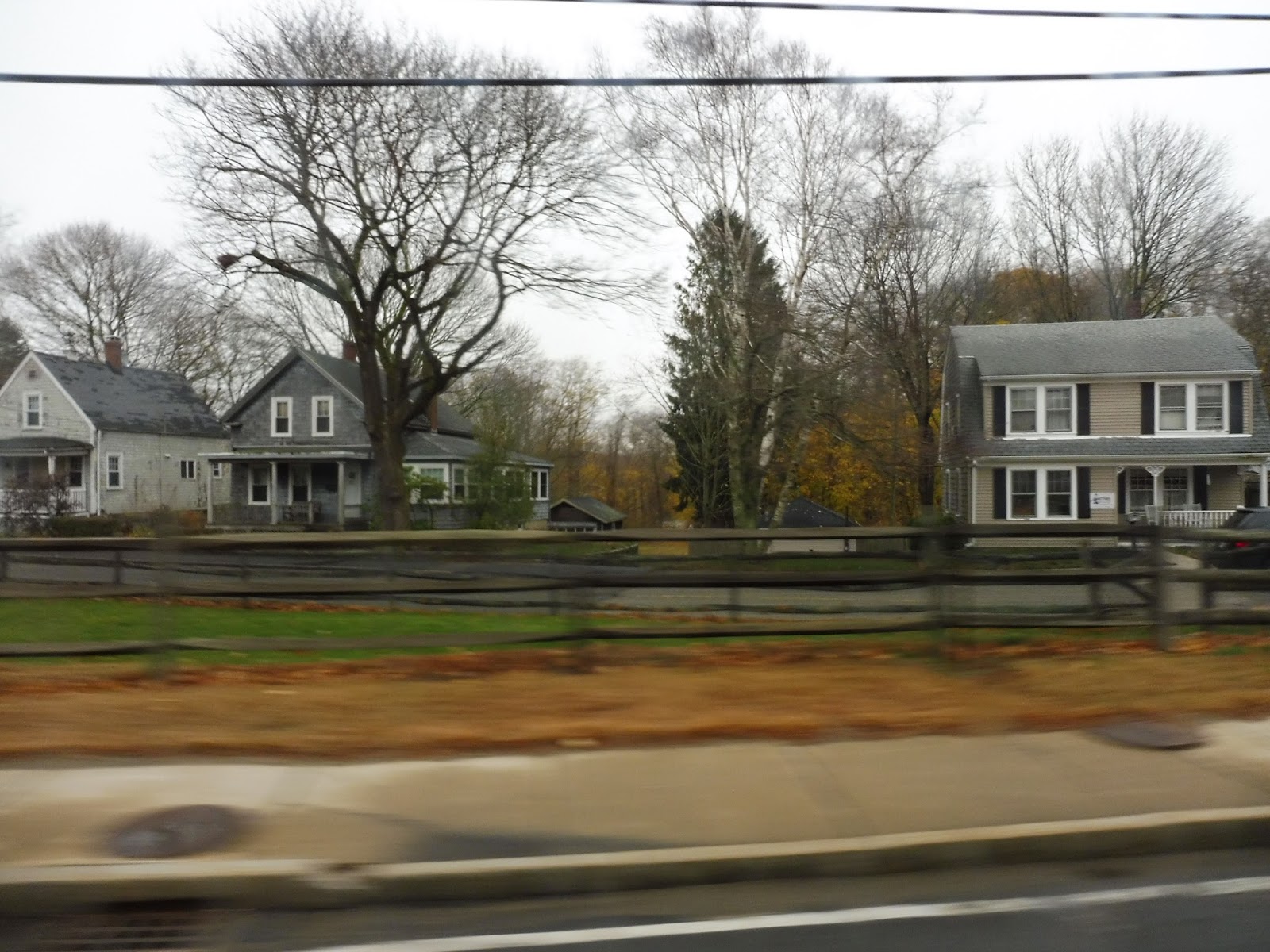
| Suburban Massachusetts in a nutshell… |
We entered Duxbury and encountered another deviation, this time to serve Island Creek, a modern housing development. After a few local medical offices, the street became lined with houses. Other points of interest included a pond and a small park. Eventually, we turned onto Chestnut Street, where the houses continued until we reached Duxbury Center.
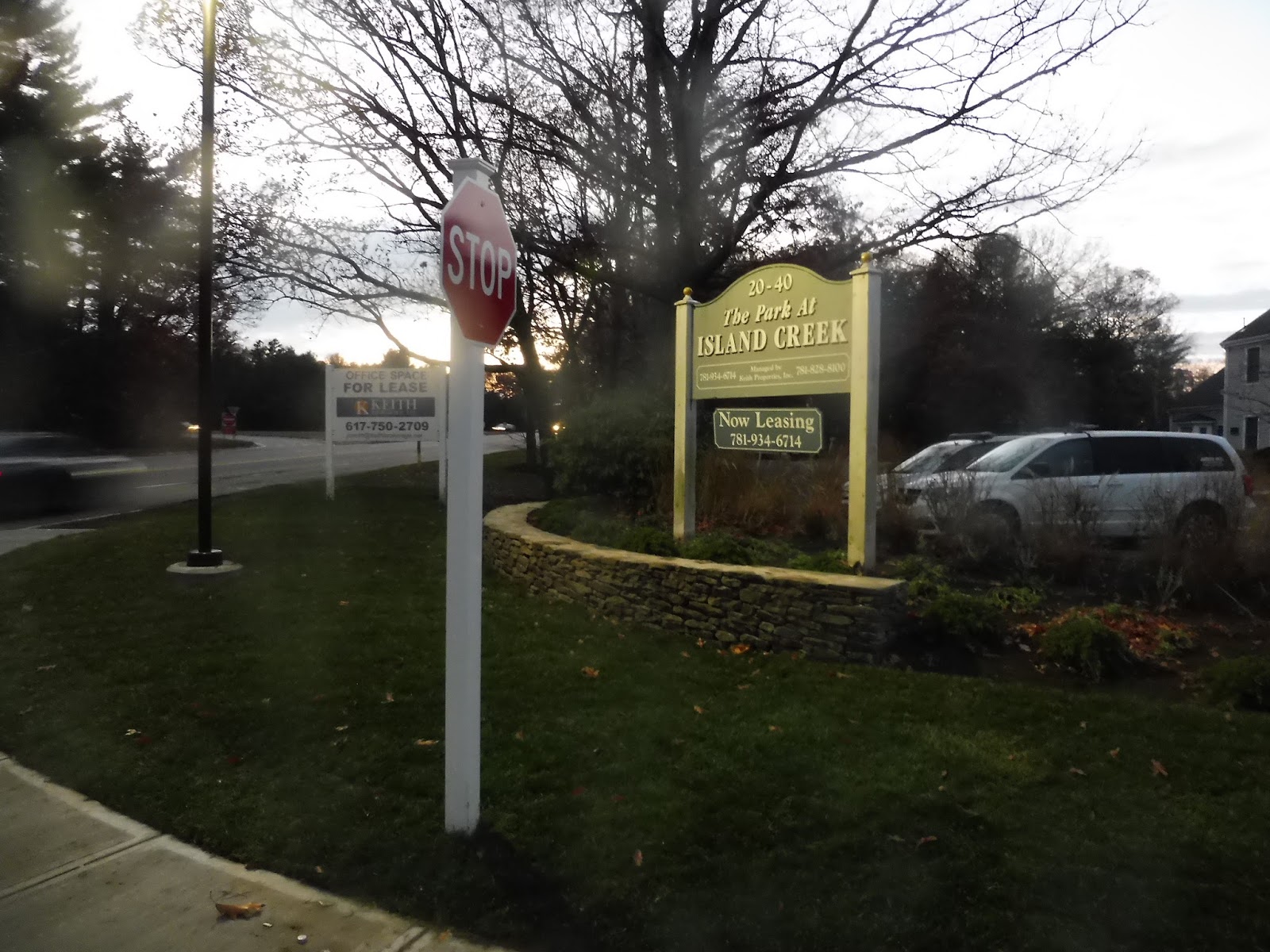 |
| Pulling out of Island Creek. |
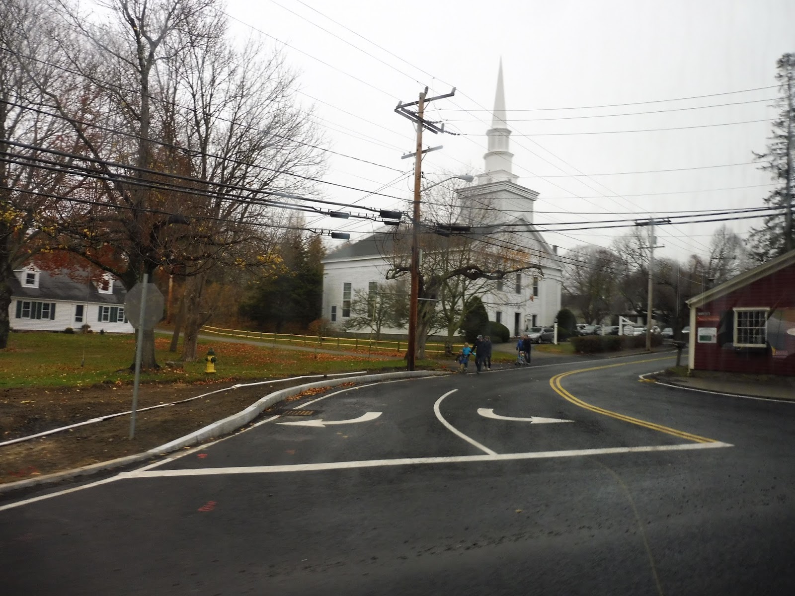
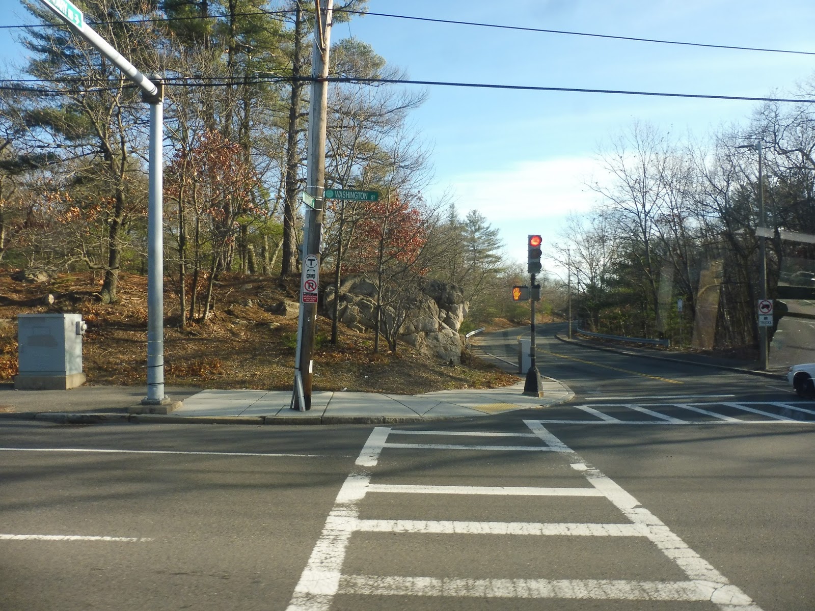
Duxbury Center was an interesting downtown, with a lot of roads awkwardly converging together into what seems like a really dangerous rotary. Businesses were laid out around the intersection of death. First we went up Depot Street in order to loop around the parking lot for a small shopping center, then we returned to the center and made our way onto Washington Street.
 |
| And now we get into the “dark and blurry” portion of the review… |
There were lots of houses along Washington Street, but we did get a few businesses and a school as the street came up to a harbor. After some more houses, we went through a small marsh, the first of many moments on the trip that would have been super scenic if it had been daytime. Next, we turned onto Saint George Street, coming through the campus of the Duxbury High School and deviating to serve the…Duxbury Public Library? Okay, I’m sorry, but this one kinda baffles me.
 |
| Oh look…a marsh…I think… |
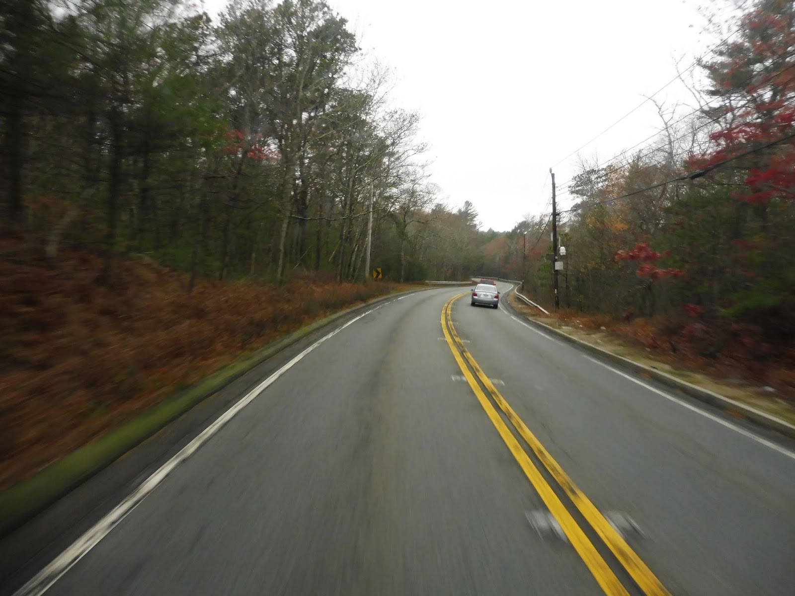
Coming back to Saint George Street, we passed a small section with lots of local businesses, then we turned onto Tremont Street again. We passed “Millbrook Motors”, an auto shop, which is apparently important enough to be considered a timepoint on the route. Entering Marshfield, we curved to the right to stay on Tremont Street, but it soon became Careswell Street, running through woods and marshland.
 |
| Oh boy, a blurry road! |
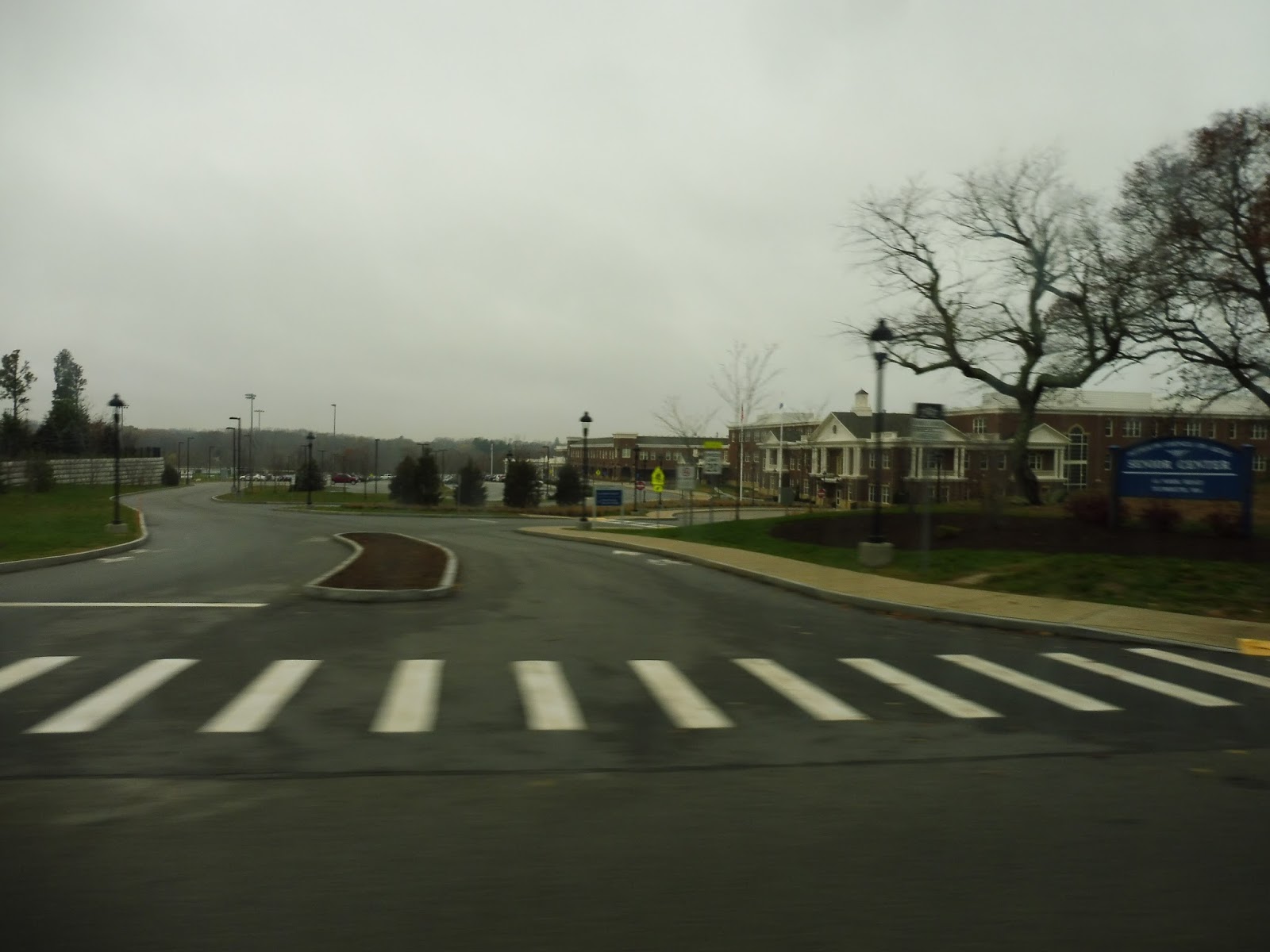
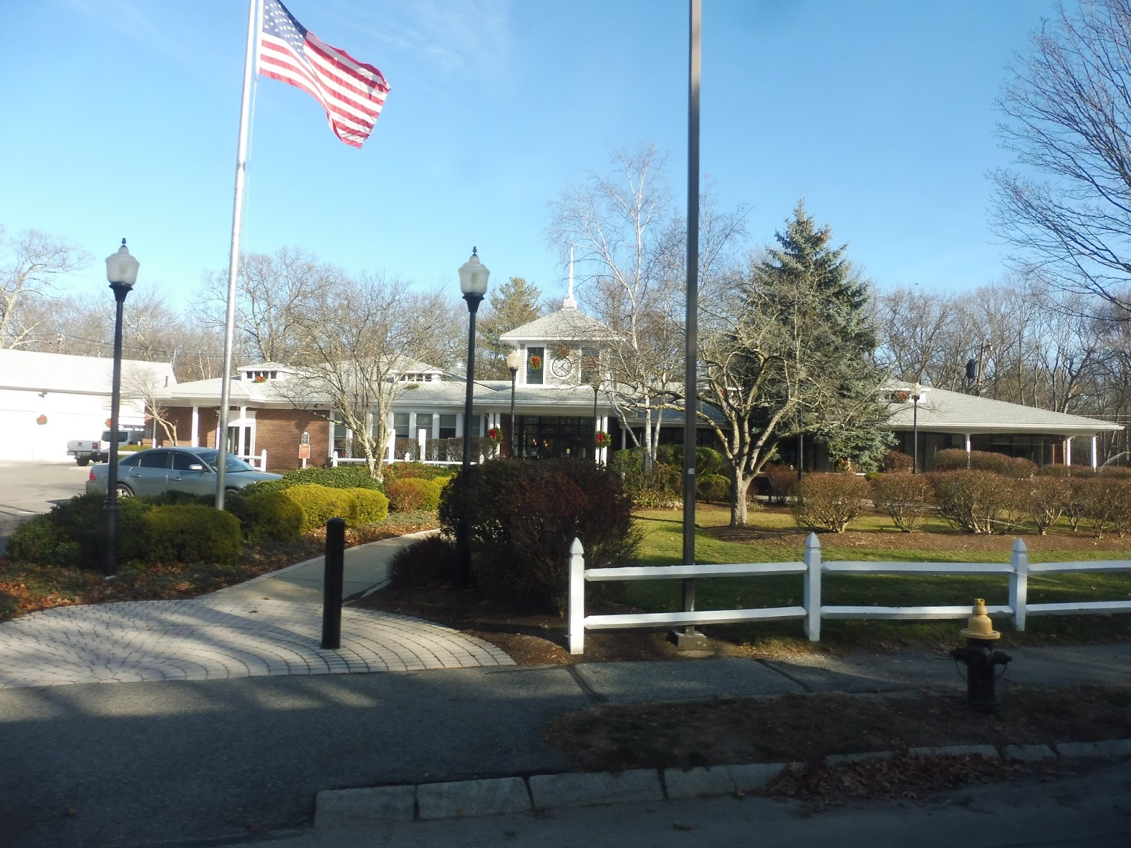
Next, we turned onto Webster Street, making a rather long deviation to serve the Marshfield Senior Center. Coming back to Careswell Street, it became residential, with houses lining the road. Soon we merged onto Canal Street, which, after going through a marsh, curved up and became Bay Ave. This was a very narrow isthmus between marshland and the ocean, and it was lined with dense houses on either side.
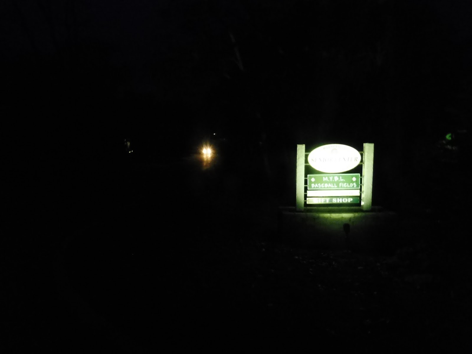 |
| The sign for the senior center. |
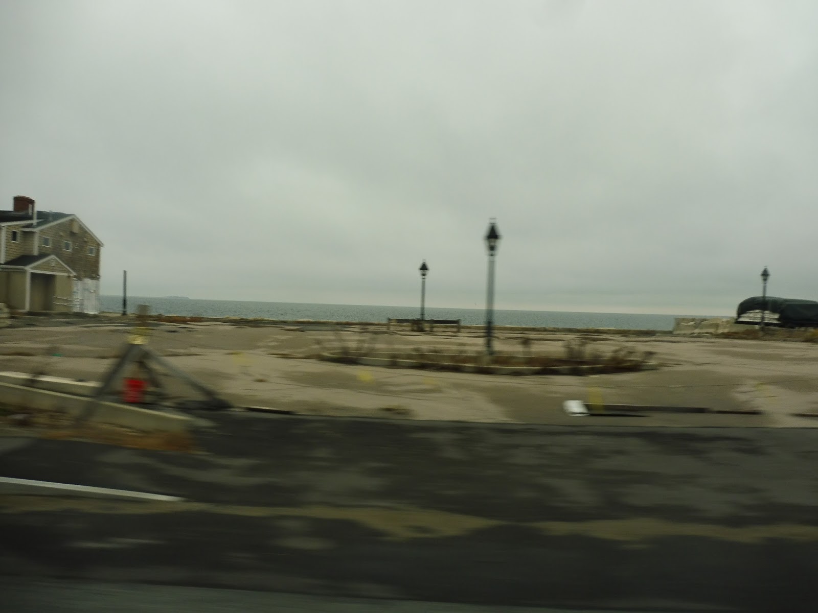
We turned onto Beach Street, heading back inland, and returned to Careswell Street. It became Dyke Road as we went by a marina and went through another marsh. There were more businesses at the end of the street, where we turned onto Ocean Street, running right along the ocean.
 |
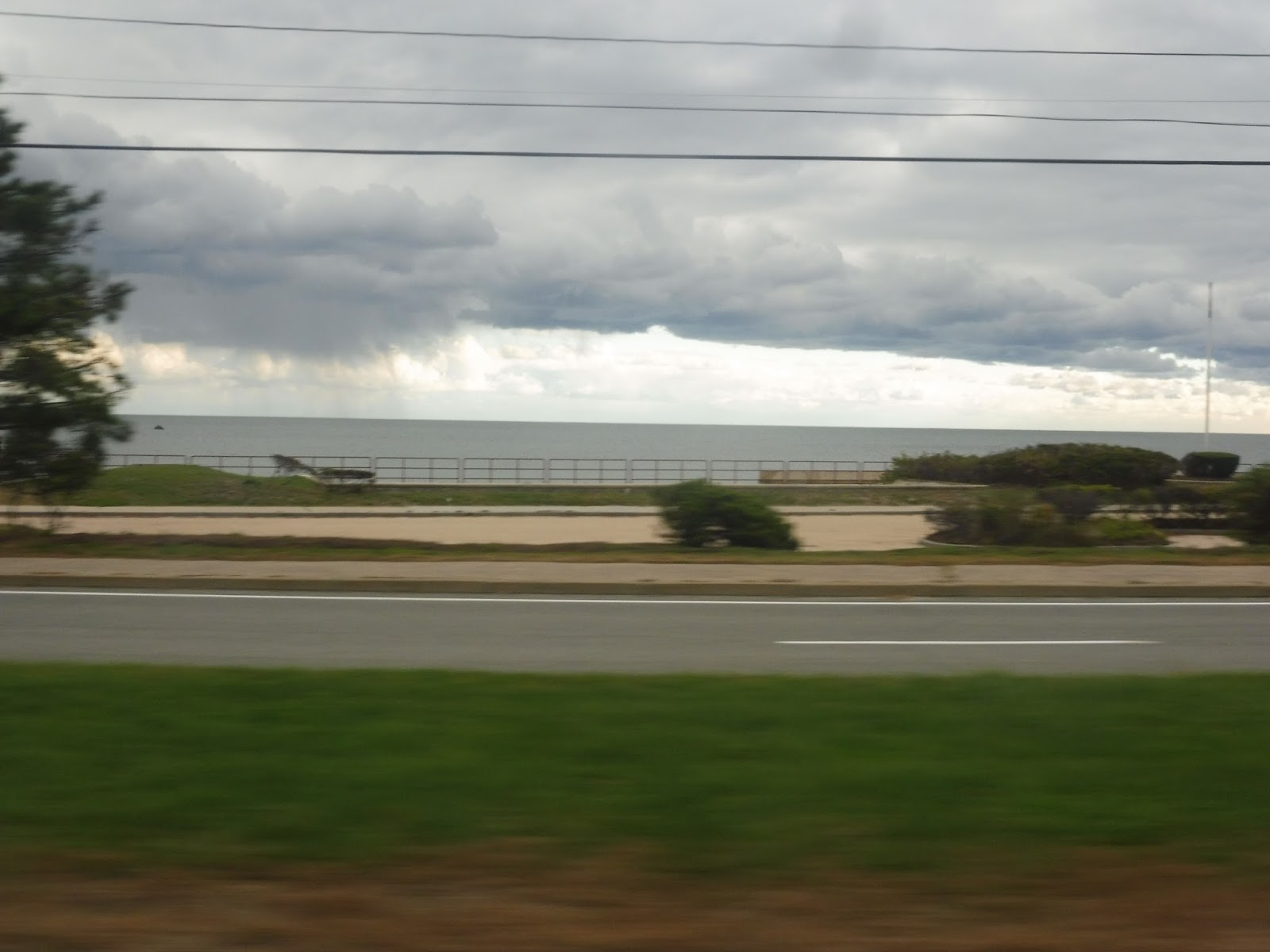
| Looking across a marsh at some seaside houses. |
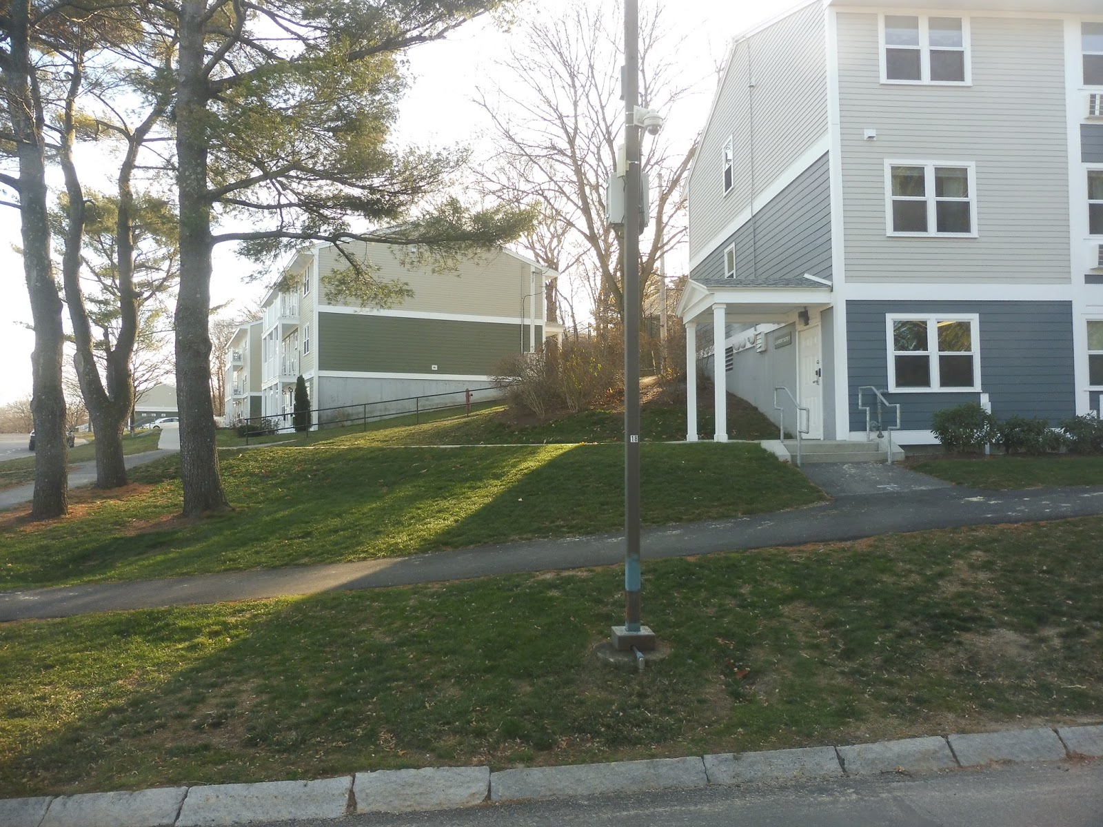
Aside from a church, the area was entirely filled with dense seaside houses, and I can definitely see why. The view would have been amazing in the daytime! Eventually, we started to curve inland, passing a few businesses along the way. We also deviated to serve Winslow Village, a pretty small housing complex. Unfortunately, neighboring Winslow Village II was out of luck – it didn’t get a deviation.
 |
| Coming out of Winslow Village. |
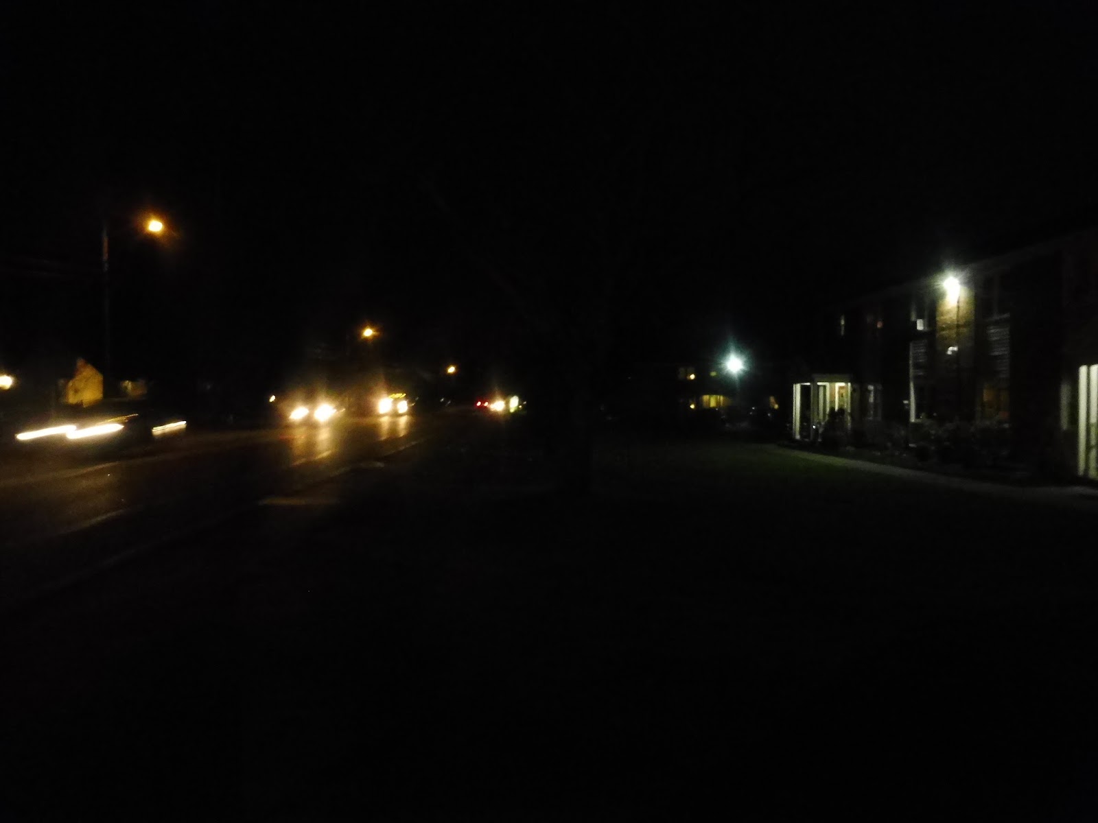
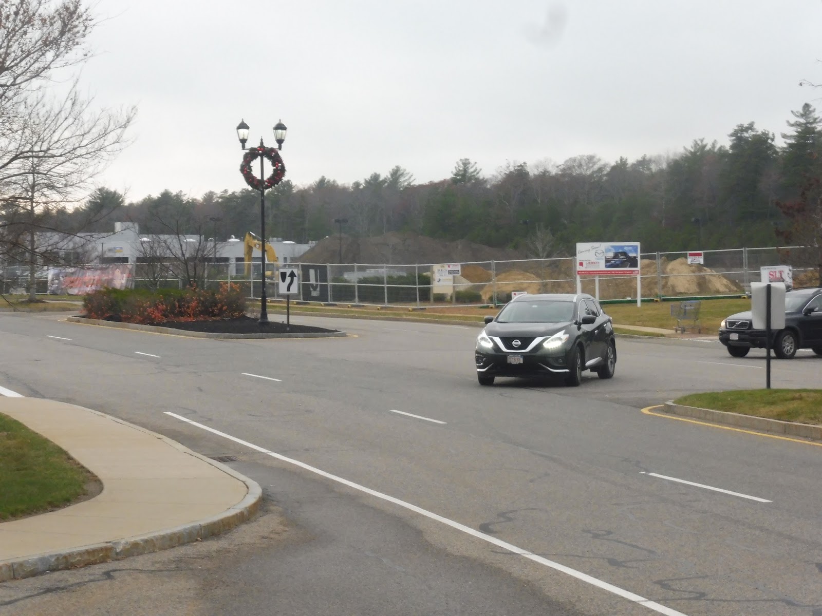
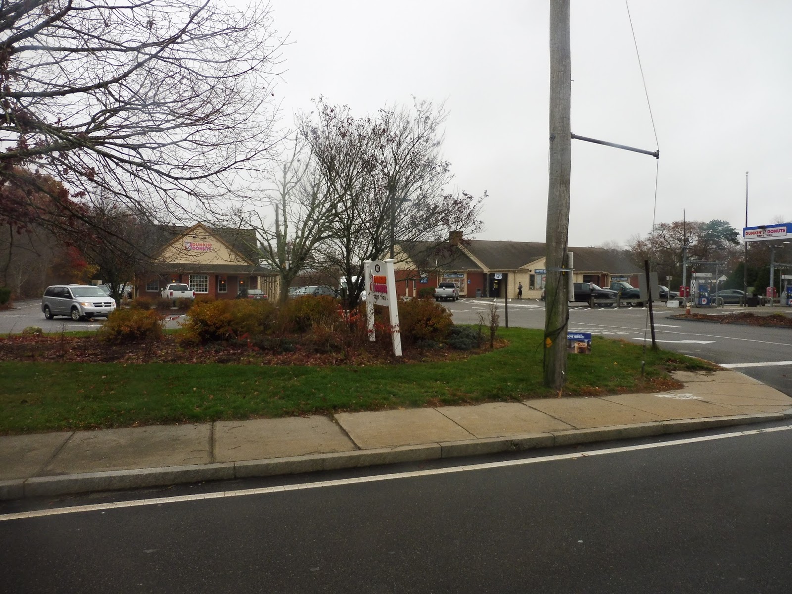
There were lots of houses around, as well as a police station, but after a short marsh, it became suburban businesses with parking lots. We had another deviation here to serve “Marshfield Center”, a fake modern town center that was basically just a mall. After some more businesses, we merged onto Main Street.
 |
| Welcome to Marshfield Center! |
After going by the Marshfield fairgrounds, the street became mostly woods with a few houses dotted here and there. We turned onto Furnace Street next, offering basically the same scenery. As we passed the Marshfield Middle/High School complex, we entered the parking lot of a Roche Brothers. We completed that deviation, then headed down Plain Street.
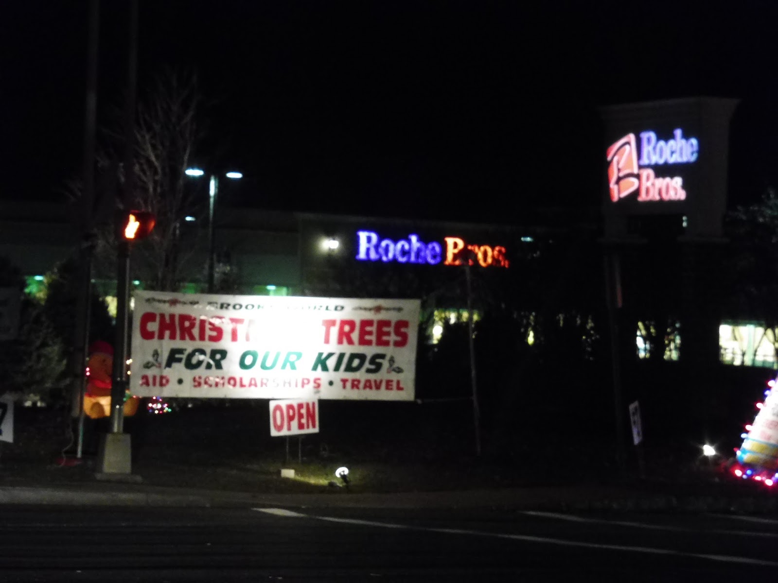 |
| A Christmas tree ad? Yeah, I rode this route a while ago… |
There were suburban businesses on one side and houses on the other, then just all businesses. As we crossed under Route 3, the street became Church Street and we entered Pembroke. This meant we were almost at our terminus, the unassuming North River Plaza shopping center. What a boring terminus to such a long ride…and little did Sam and I know how long we were gonna be stuck out here. Want to know what happened? Stay tuned for the video review tomorrow!
 |
| Wait, don’t leave us here!!! |
GATRA Route: SAIL (Marshfield – Duxbury – Kingston)
Ridership: Okay, in terms of overall ridership, the route isn’t bad for GATRA – 142 riders per weekday and 77 on Saturdays. But then when you factor in how long the route is, that’s only a little over 4 passengers per hour! Not so great anymore, is it? My trip was empty, for the record.
Pros: Well, uh, it definitely serves a lot. When a route is 25 miles long, it’s definitely gonna…serve a lot. And it runs as frequently as you would expect it to – every hour on weekdays and every hour and a half on Saturdays.
Cons: It’s…it’s 25 miles long! In order to run that 60 minute service on weekdays, it takes three buses! Doesn’t that seem a little ridiculous? And the fact that it gets very little ridership is even worse. Wanna know how much it costs GATRA to run? $17.39 per passenger on weekdays and $19.03 per passenger on Saturdays. Man, I’m so happy I found their subsidy data…
Nearby and Noteworthy: Certainly lots of malls. Also, some rather scenic views if you ride during the daytime!
Final Verdict: 3/10
Okay, the SAIL doesn’t not get people, but its problem is that it’s too long to be at all efficient. The later trips don’t seem to get anyone, if ours is to be judged, and it requires a lot of buses to run. GATRA actually has plans to split the route into two, which I think would definitely be beneficial. Are they actually gonna do it? I guess we’ll just have to find out…
Latest MBTA News: Service Updates
GATRA: Freedom/Liberty Links
The Freedom and Liberty Links form a loop in the northern section of Plymouth, but I can’t ever remember which one goes which way! Just to set it straight, the Freedom Link is counterclockwise and the Liberty Link is clockwise. GATRA, these route names are lovely and all, but it would be really nice if it was more obvious which direction they went…
 |
| Now this is quite a beast! |
Okay, the minibus used on the Freedom Link was a really curious one. For one thing, it was one of the ugliest buses I’ve ever seen…but for another, it was low-floor. A low-floor minibus? You know what that means! That’s right, no jiggly wheelchair lift! Sure, the bus had terrible suspension and the back window was coming off, but the fact that it was low-floor was awesome.
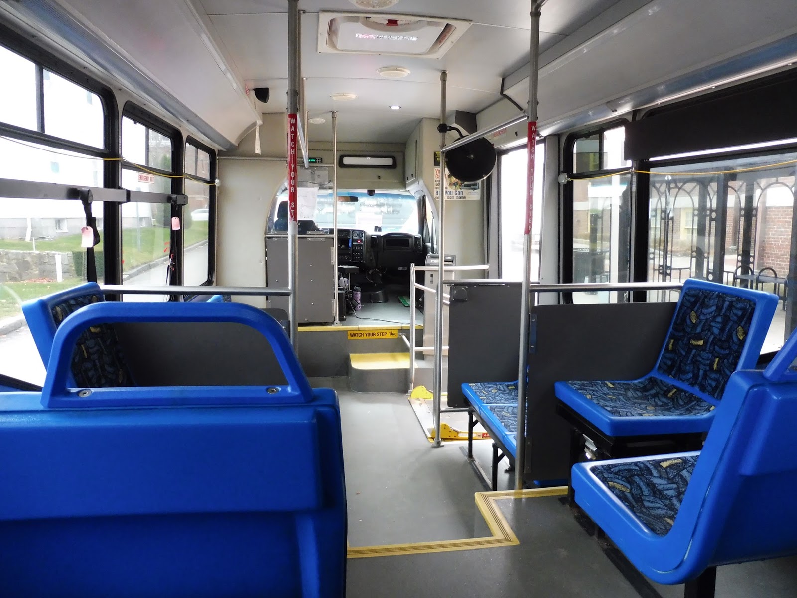 |
| And what a strange seating arrangement! |
We were doing the Freedom Link, so this was a counterclockwise trip. Thus, we headed north on Court Street, then turned onto South Park Ave. This led to a rotary, where we made our way onto Water Street, which ran close to the – you guessed it! – water. The ocean side of the street was occupied by parking, and there were lots of seafood restaurants everywhere.
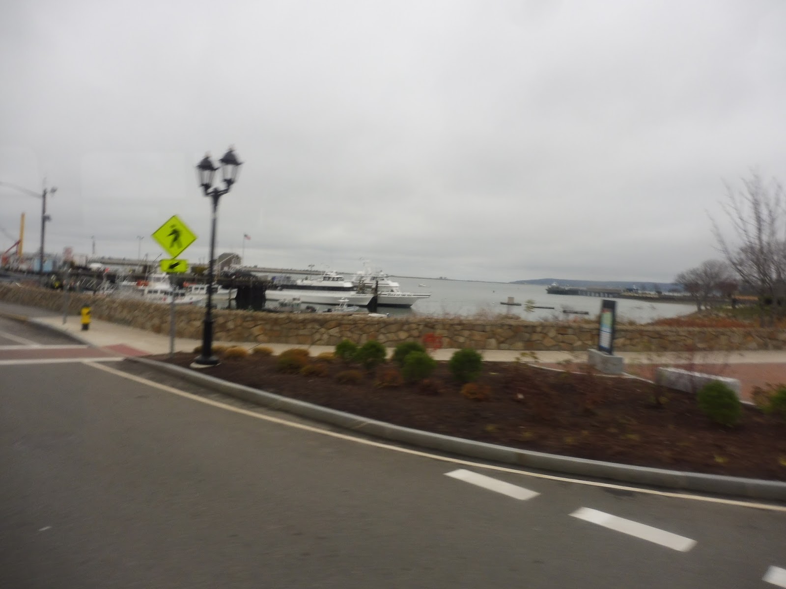 |
| A blurry view of the harbor. |
We left downtown Plymouth, and the buildings got less dense. We passed a small healthcare center, then near a beach, the street curved left and became Nelson Street. It was residential as we headed inland, then we turned onto Court Street again.
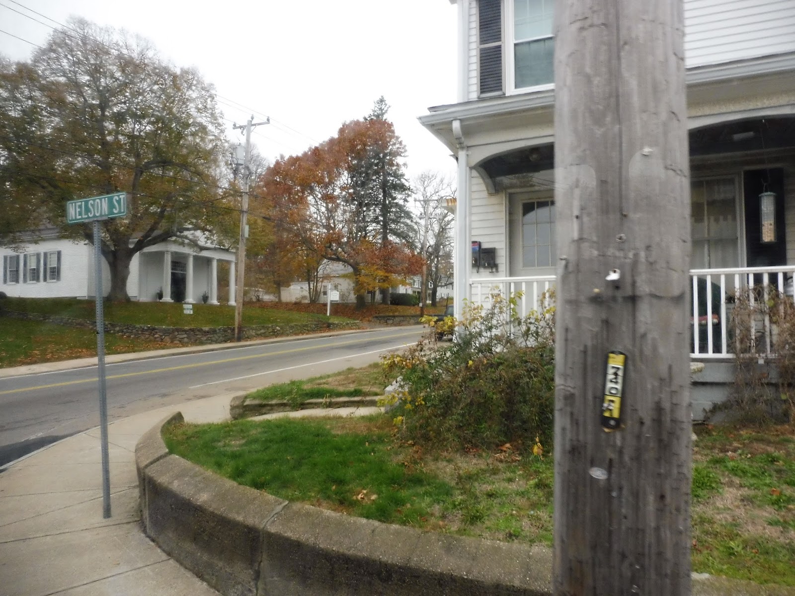 |
| Making the turn onto Court Street. |
We passed a field, and later on we got some dense businesses along the street. It almost felt like another downtown! It ended pretty soon after, though, with a few car dealerships and more suburban businesses. Right up near a pond, we made the first deviation of many, and it was a strange one…
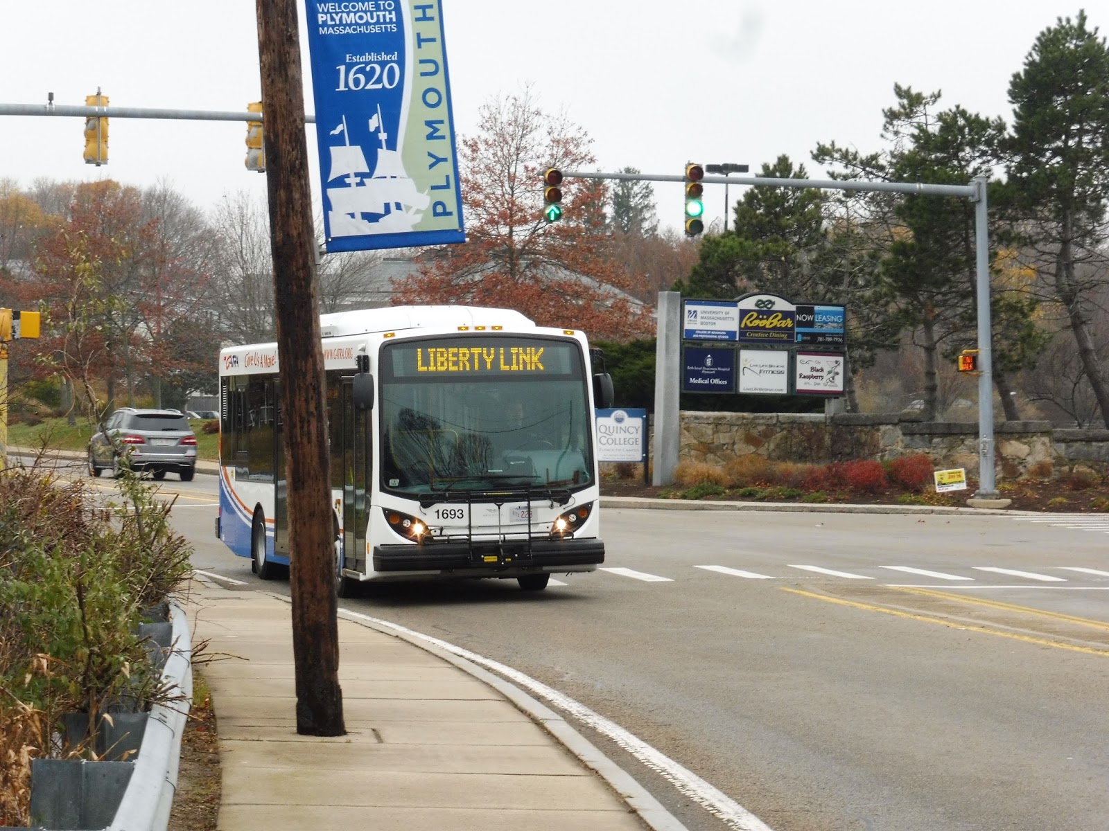 |
| A Liberty Link from earlier in the day. Gosh, how I’d love to be in that MiDi instead… |
So the deviation was to serve Cordage Park, which is some sort of office park. I’m not sure how occupied it is, but on the Saturday we were here, the dilapidated parking lot was empty. The bus curved around the office park and made a very strange loop around the parking lot. Was there signage for the stop? Nah, of course not.
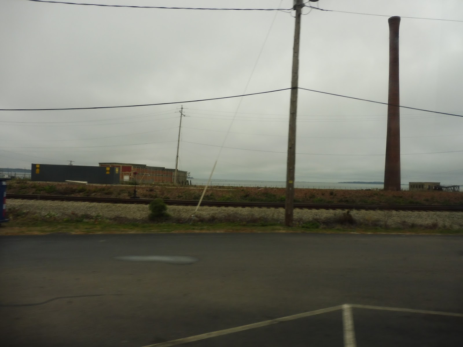 |
| Running alongside the Commuter Rail tracks. |
Now we were going next to the Commuter Rail, serving Plymouth Station (not that that’s gonna be of much use to anyone). After that, we ran through the parking lot of an abandoned Walmart and returned to Court Street. It was mostly residential with a few businesses here and there, then we merged onto Crescent Street, which was lined with houses.
 |
| Oooh, it’s just barely a water view! |
We turned onto Smiths Lane, which continued to be residential. The street widened as we went through an interchange with Route 3. Some buses deviate to serve Kingston Station at this point to vaguely time with trains, but our trip wasn’t one of them. We ran alongside the Kingston Collection, a huge mall, and turned into it later on. After a small loop, we returned to Kingston Collection Way with some new passengers on board.
 |
| Heading past the mall. |
We ran through forest for a bit, then it became industrial. Fittingly, we soon turned onto Industrial Park Road, going under Route 44 and passing various suburban offices (as well as the GATRA bus yard). Eventually we turned onto Christa McAuliffe Boulevard, which became Colony Place – we were serving another mall!
 |
| Looks like even more stuff is under construction. |
After that mall-serving session, we made our way onto the wide Commerce Way, which was lined with businesses and parking lots. Pretty soon, we reached some sort of developing mall, and deviated to serve the one building that was currently there: Market Basket. We headed down Carver Road from there, which became a mixture of houses and woods.
 |
| What a nice curve. |
The road became Samoset Street, but the scenery stayed the same for a while. It became those classic businesses with parking lots once again soon enough, though. We didn’t deviate to serve any of them, but we did run down Algonquin Terrace to loop around a housing development, Algonquin Heights. Close enough!
 |
| The housing development. |
And then, weirdly, we headed back down the road a bit and deviated to serve a Shaw’s. Next, we made our way onto Summer Street, which crossed over Route 3 and ran past a cemetery on the other side. After that, it became lined with some pretty dense houses.
 |
| Back downtown! |
We passed an apartment complex, then some historical-looking buildings. As we passed a nice park, we made our way onto Main Street, running through downtown Plymouth. We headed out onto Water Street for a bit, going by the ocean in order to get down Memorial Drive to return to the main hub. Here, the bus had a bit of a layover before its next circuit.
 |
| The MiDi again. What can I say, that low-floor minibus is ugly! |
GATRA Routes: Freedom/Liberty Links
Ridership: I’m just going to count these as one route, since…you know, they basically are. The Freedom/Liberty Links are thus the busiest routes on the Plymouth Area Link system, with a combined 255 riders per weekday and 165 per Saturday. These are also the most productive routes in Plymouth, carrying between 10-15 people per hour each. Okay, it doesn’t sound like a lot, but you have to remember that this is GATRA we’re talking about.
Pros: The routes serve a pretty big chunk of the urbanized section of Plymouth. The malls they serve make them popular with shoppers, and I think that’s the biggest contribution to their high ridership. Most of the deviations got at least one person, which is always nice to see. The route frequencies themselves are what you would expect – every hour for both routes. However, I still have a problem with them…
Cons: Why do both buses leave downtown Plymouth at the same time? I know they’re trying to get a “pulse” thing going on, but with essentially only two routes, it doesn’t have much of a point. I think it would be better if one loop left on the hour and one left on the half hour – that way if someone missed a bus, it wouldn’t be too long of a wait for another one going the other way around the loop. Also, there are a few bothersome deviations: Cordage Park definitely doesn’t need to be served on Saturdays, and the Kingston Station trips are very loosely timed with trains, to the point where it’s not even worth it to deviate.
Nearby and Noteworthy: Well, these routes offer the only connection between the Commuter Rail and proper downtown Plymouth, so I would say downtown! It’s a real pain to get to by public transportation, but this is a very historic area with some great sights to see.
Final Verdict: 7/10
Yeah, the routes definitely aren’t without their problems. I suppose the two relatively pointless deviations are to be expected with any GATRA route, and all the other ones get people, but I can’t let go of that scheduling thing. It seems ridiculous to have the routes leave at the same time – alternating them on the hour and half hour would allow for more “frequent” service and more balanced ridership. Still, the routes serve a lot and get a good amount of people, and for GATRA…they’re not bad.
Latest MBTA News: Service Updates
GATRA: Manomet/Cedarville Deviated Link
You know those bus routes that just shouldn’t exist? Yeah…let’s take a look at one of those today. Although weirdly, despite “deviated” being right in the name, one positive about the “Manomet/Cedarville Deviated Link” is that it doesn’t have any scheduled deviations! It’s all downhill from there, though…
 |
| We thought this was the Cedarville Link. Long story… |
Okay, so why is this called a “deviated” link, then? Well, it turns out that on this route, you can request the bus to “flex” up to 3/4 of a mile away from the main line. This seems like a good thing for seniors, and they give the bus a lot of time to get from end to end, so I don’t think any requested deviations could slow it down too much. Alright, fine, that’s another pass for this route.
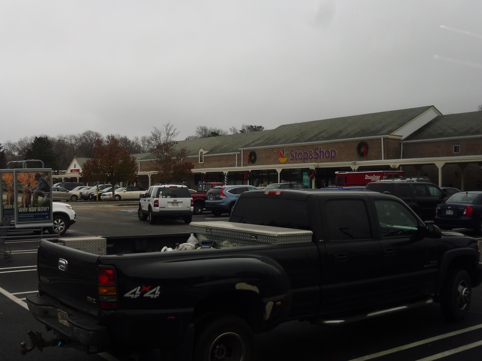 |
| What a great place to start! |
Leaving the start of the route at Stop & Shop, we turned onto State Road, which initially had businesses and parking lots alongside it. However, they ended quickly, and we were soon driving past lots and lots of houses. At one point we came up along a lake briefly, and there was a small business a little past there.
 |
| Thanks, rear window! |
Eventually we passed an elementary school, which is apparently a major timepoint on the route. That said, it’s not like there was much else of note! We did go by a brook and a church, plus some sort of residential development, but it was really just a lot of houses and woods.
 |
| The brook crossing is in the background there. |
We got some full-on forest for a bit, but according to Google Maps, there were houses hidden on dead-end streets coming from other roads. And…yeah, it was basically a mix between forest and residences for a while, and the occasional farm or marsh or something. Another major timepoint was Ellisville Harbor State Park, but we just whizzed by.
 |
| Civilization! |
Finally, we arrived at some businesses…all with parking lots, of course. At this point, the driver turned and asked Sam and I where we wanted to go. We said we were just going to ride back, so the driver said “Alright, is Tedeschi’s okay?” So with that, we pulled into the parking lot of a Tedeschi’s, and the driver went in to do some shopping during the layover…taking a random pair of underwear with him. Don’t ask.
 |
| This was a very loud minibus. The jiggly wheelchair lift didn’t help. |
GATRA Route: Manomet/Cedarville Deviated Link
Ridership: Okay, the ridership on this thing is so ridiculously low it’s not even funny: 28 riders per weekday, and 23 per Saturday. That means that the route gets an incredible 1.4 passengers per weekday trip and 1.15 passengers per Saturday trip. BETTER NOT RIDE THIS ROUTE IF YOU HATE CROWDS, ‘CAUSE IT’S A REAL BUSY ONE! THE 111? THE 28? HA! SPAGHETTI AND MEATBALLS COMPARED TO THE FREAKING MANOMET/CEDARVILLE DEVIATED LINK!
Pros: Um, gee, I dunno, uh, it runs every hour. There’s something.
Cons: BUT IT SHOULDN’T BE RUNNING AT ALL! Okay, what does this route serve? A bunch of spaced-out houses and some random highway businesses near the end? Yeah, those places totally need a bus! A bus, might I add, that costs GATRA $18.68 per person to run! Sounds like money well-spent to me! Okay, also, there’s the ridiculous transfer between this route and the Mayflower Link. They’re actually the exact same bus, and to continue onto either one, you would just stay on at Stop & Shop. Does GATRA tell you this? Nope! This led to a very frustrating experience that I won’t get into now…but stay tuned for the video review!
Nearby and Noteworthy: Uhh…Tedeschi’s? Look, guys, I got nothin’. The few businesses at the terminus of this route are really boring.
Final Verdict: 1/10
Cut it. Cut it. Cut it. Cut it. Cut it. Oh, for goodness sake, cut it. This route barely serves anything, it gets no one, and it’s ridiculously expensive to run. It’s weird, I was actually rather positive about this route when I first rode it, and it has to be said that the ride itself is enjoyable. It’s also one that shouldn’t exist. I’ll say it one more time: cut it!!!
Latest MBTA News: Service Updates
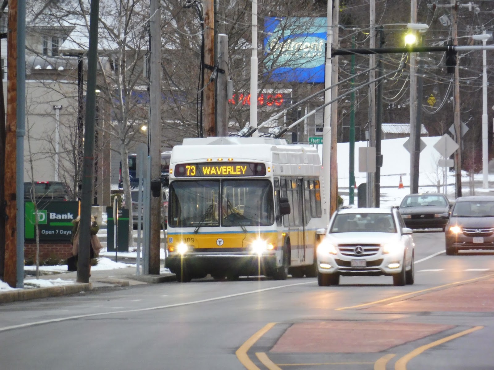
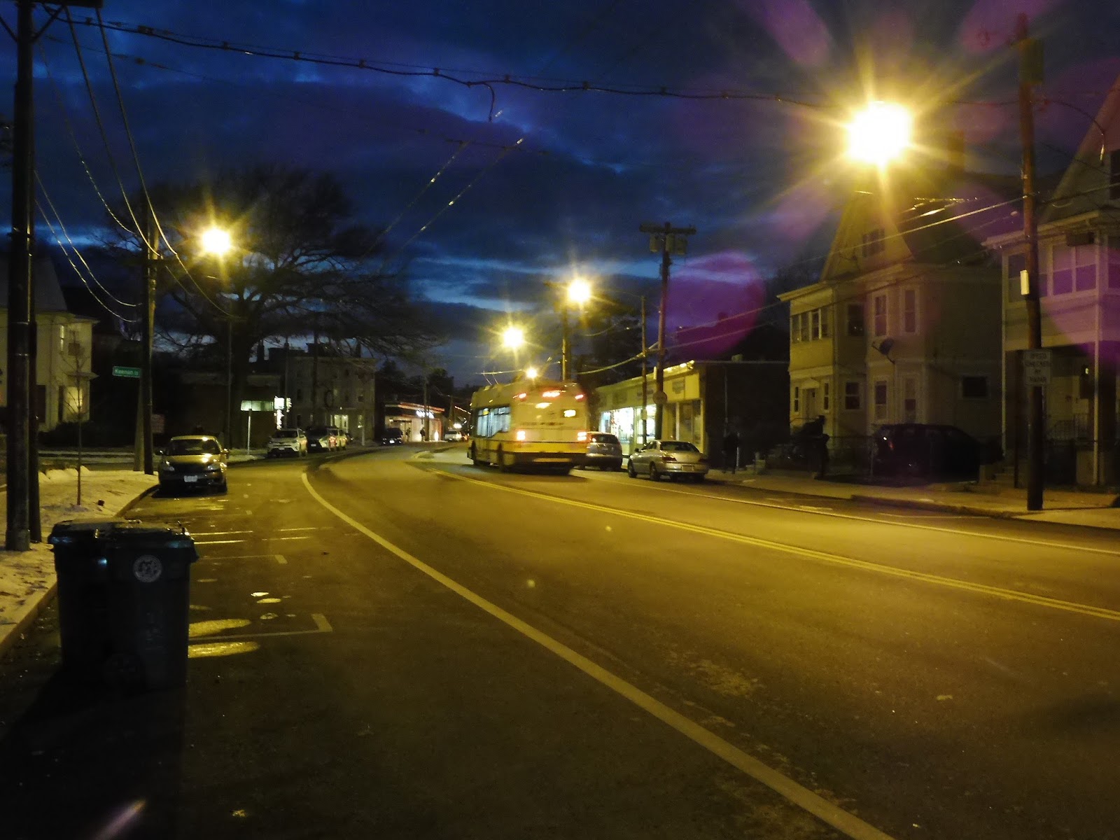
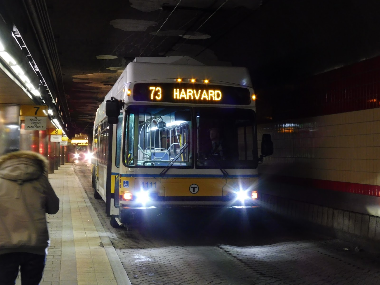
The 73 is back, baby!
I finally got to ride on the 73 since its long-awaited return to trackless trolleys last Saturday! Turns out I got it right in a sweet spot, too – earlier in the afternoon no trolleys were running because of work, while later in the evening there was a wire problem that prevented trolley operation! But yes, the 73 is finally back, and man, it was so great to see trackless trolleys running up and down the route. I ended up walking back to Aberdeen Ave to snap lots of pictures of the route. Here are the best ones…
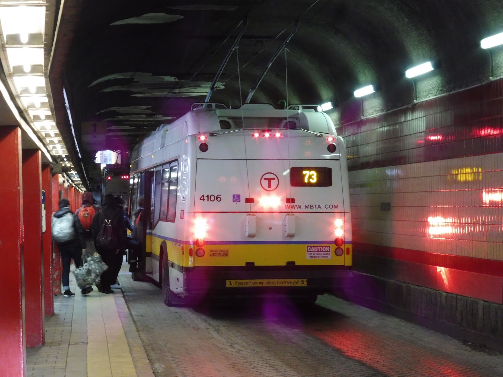 |
| There hadn’t been a 73 in a while, so this one got really crowded. |
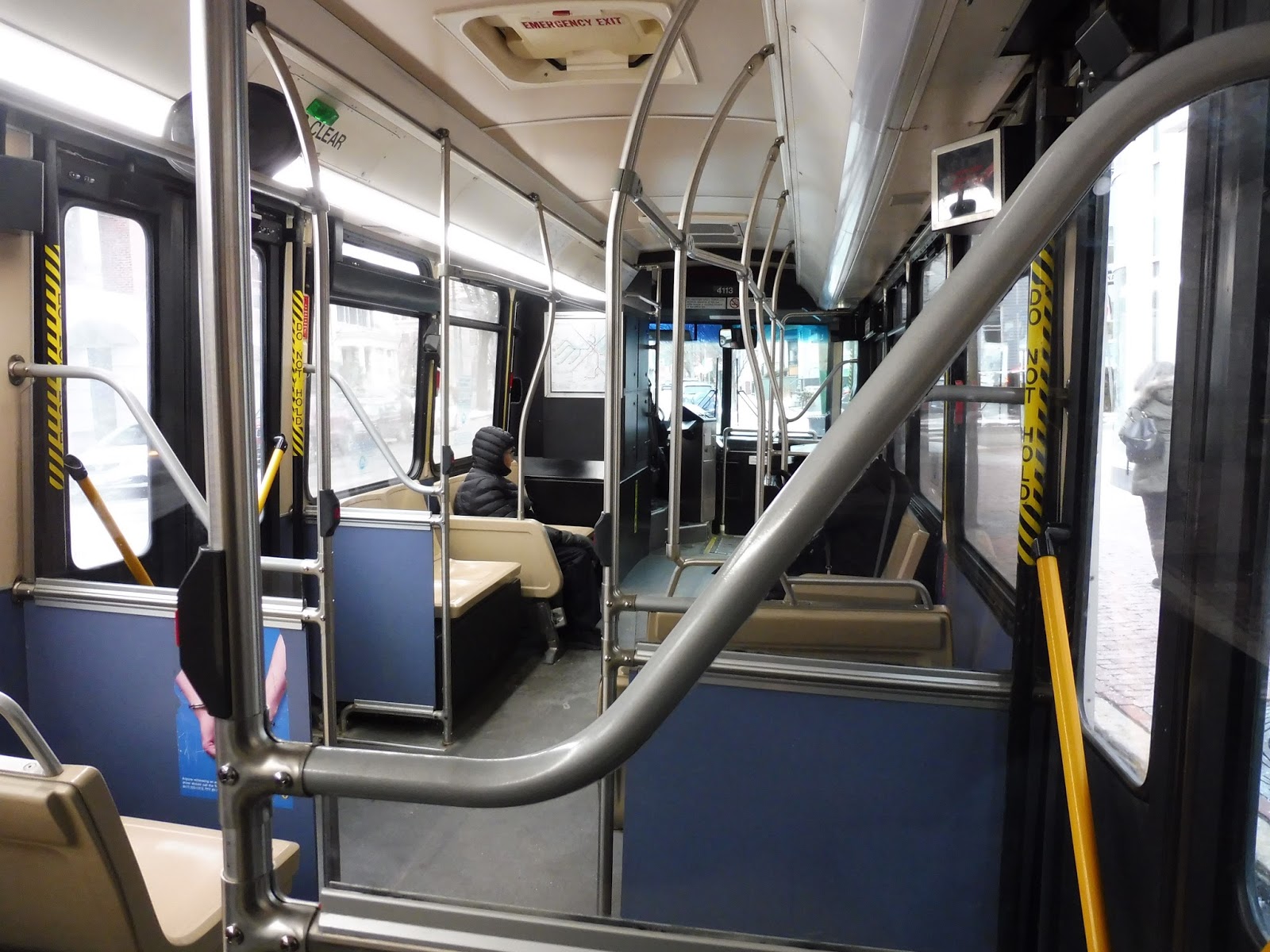 |
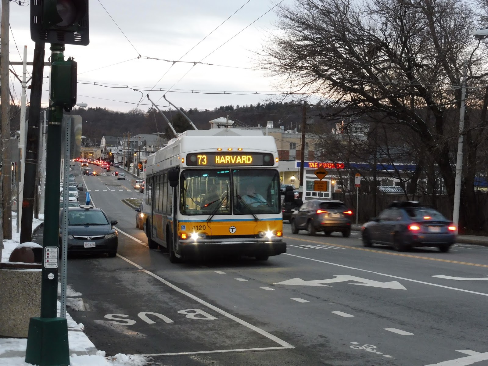
| Mine came right after, and it was empty, so…ha! |
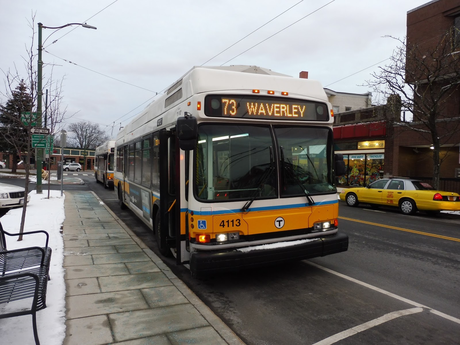 |
| My bus at Waverley. |
 |
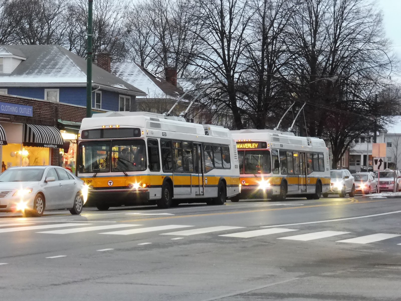
| Oh boy, check out the triple bunch! |
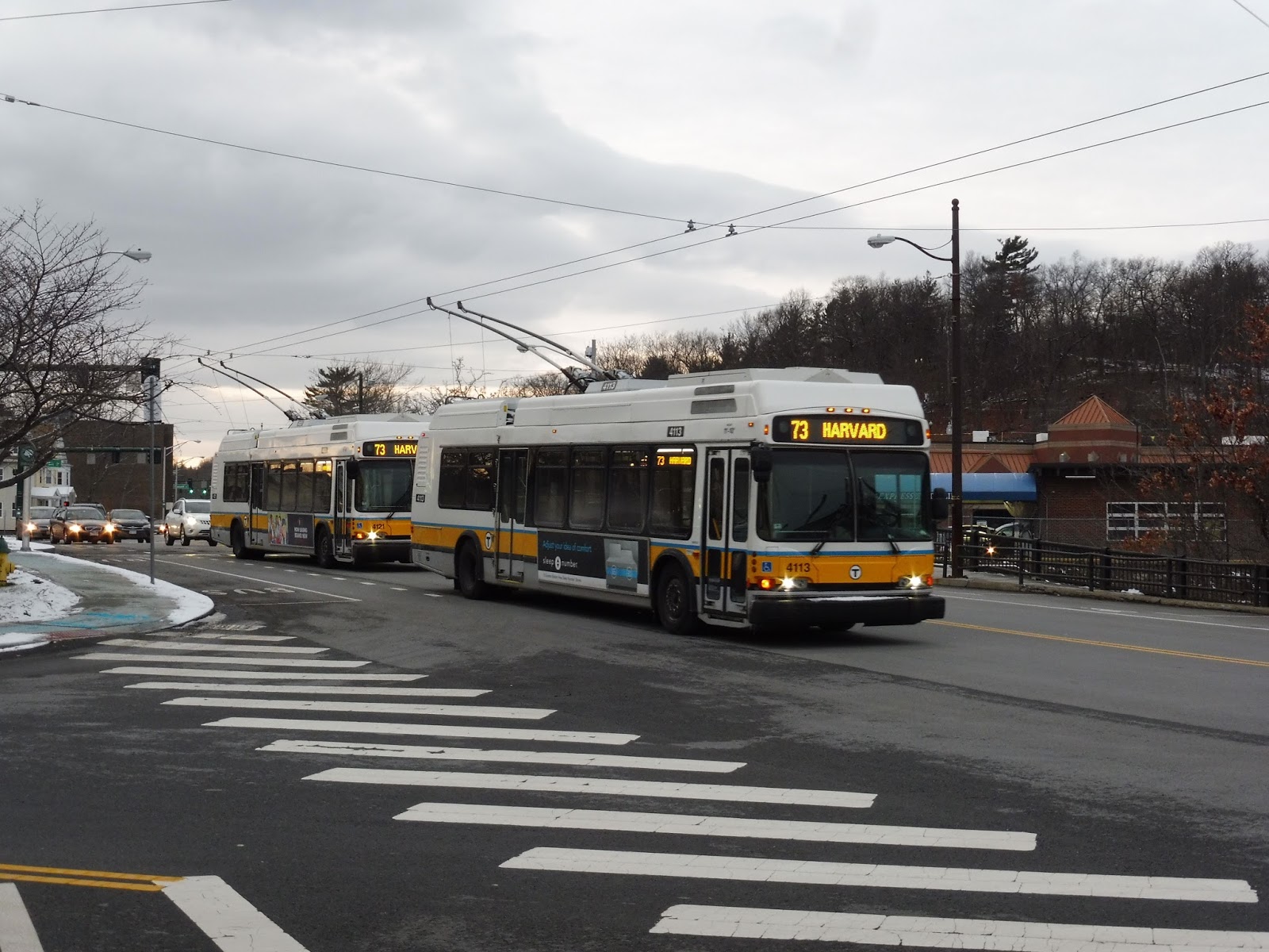 |
| The bus in front had already passed, so here’s a double. |
 |
| A bus dropping someone off. |
 |
| That same bus coming ’round the bend. |
 |
| Goin’ up the hill. |
 |
| Oh dear, the sign appears to be broken on the front vehicle… |
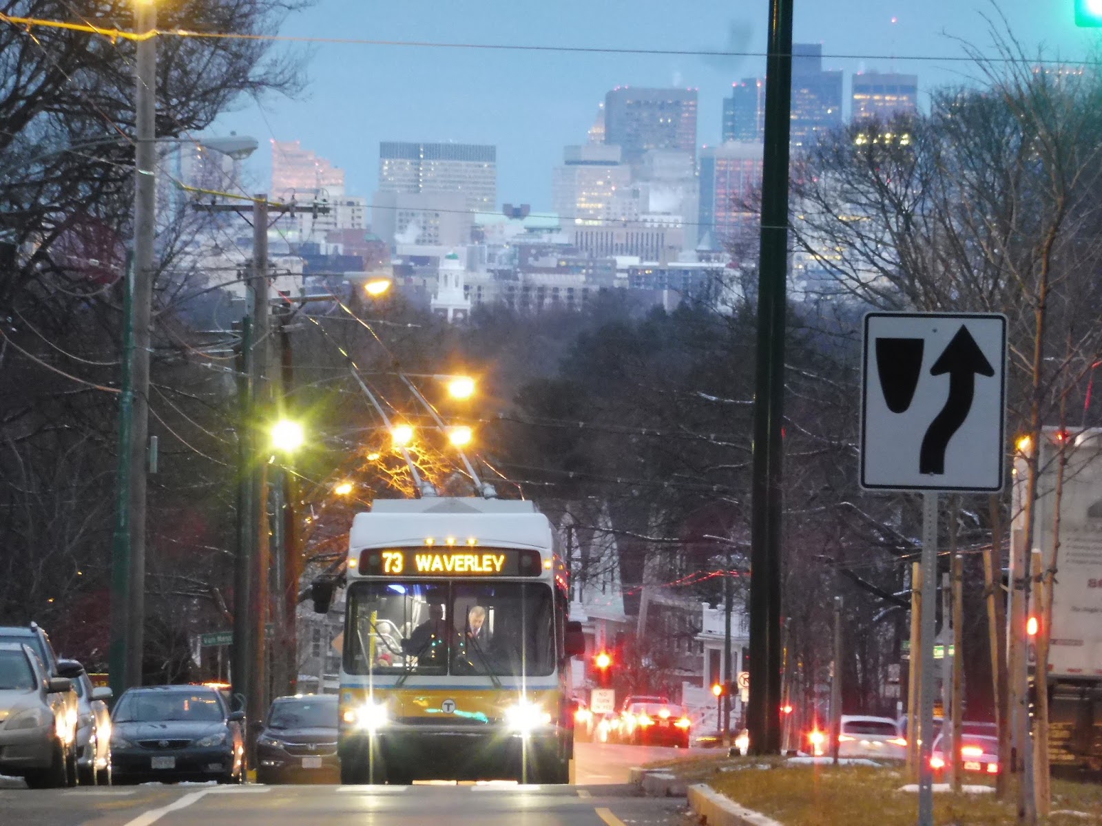 |
| My favorite part of the 73! Gosh, I love this view. |
 |
| Trying to do a fancy motion shot… |
 |
| A bus disappearing into the night. |
 |
| And finally, a vehicle back at Harvard! |
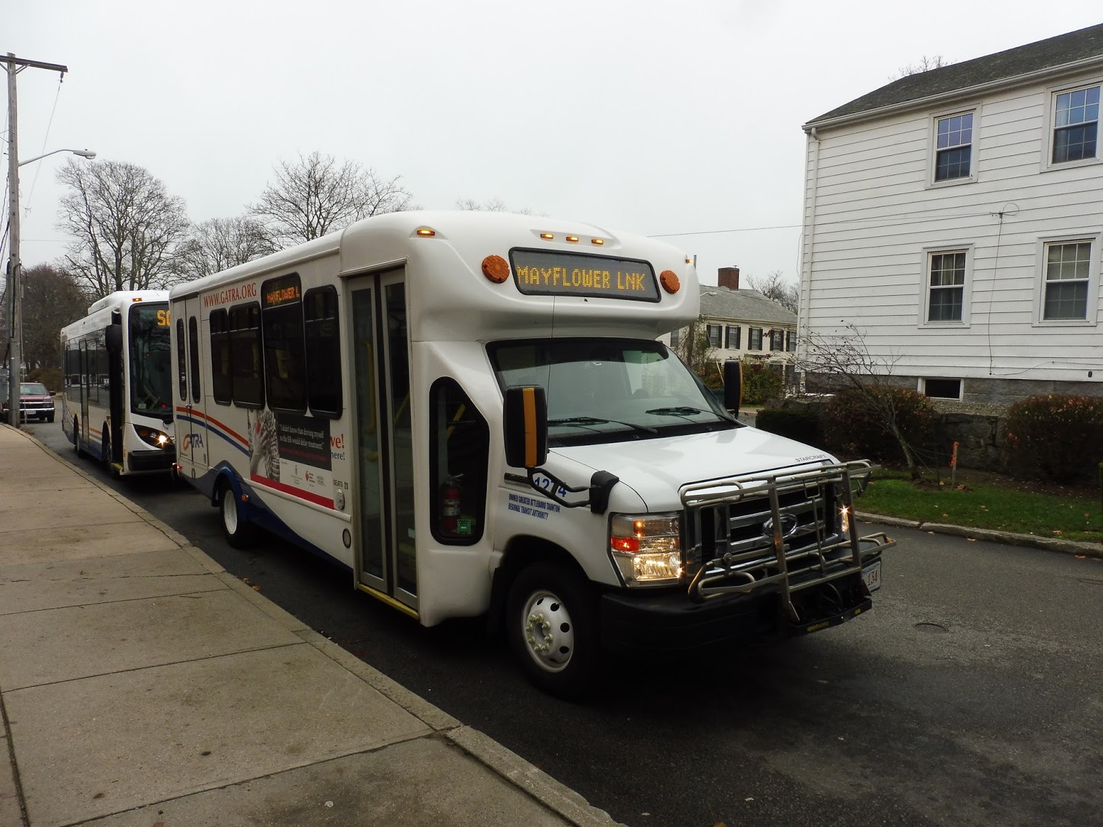
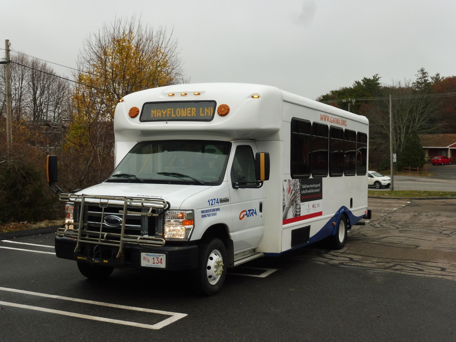
GATRA: Mayflower Link
Hooray, we’re back on the GATRA! Oh boy oh boy, I can’t wait for all the fantastic deviations and beautiful minibuses we’re going to see! Well, I shan’t delay any longer – today we’re looking at the Mayflower Link, running from Plymouth to Manomet via the least direct route possible!
 |
| Welcome to GATRA’s Plymouth hub! |
GATRA’s Plymouth routes are based out of a hub in the downtown area. Of course, “hub” is a loose term, as it’s just a shelter and a wastebasket. That said, GATRA wants to TURN the area into a hub – just look at their grandiose (overblown?) plans for the stop!
 |
| Why can’t we be on that MiDi in the background instead of this…minibus? |
This minibus…it was one of the worst I had ever been on! For one thing, it had an uber-jiggly wheelchair lift that got annoying fast. Also…there was a stop request strip on the floor. Just kinda…hanging out. At one point I accidentally stepped on it and triggered the stop request. WHYYYYYYY?!
 |
| Ugh! Gross! |
We headed down Memorial Drive, then turned onto Court Street. This took us through downtown Plymouth, with some very charming businesses on either side. According to Google Maps, the route is supposed to deviate to serve – ahem – Plymouth Rock. Luckily, we just stayed on Court Street. I really hope Google Maps is wrong there, because that would be the stupidest deviation ever!
 |
| A dense side street. |
Eventually we went onto a small bridge over a creek leading through some lovely-looking gardens. We passed a little common soon after, and it became more residential. Our road became Sandwich Street, but then we turned onto the narrower South Street, which was lined with houses.
 |
| Some houses along South Street. |
Other points of interest besides the residential neighborhoods included a random auto shop and a small park. All in quick succession later on, we passed a housing development, a nursing home, and a library. And soon after that, it started to get more commercialized, with a small shopping plaza opposite another housing development.
 |
| Welcome to the oldest town in Massachusetts… |
We went under Route 3, then after passing a small solar farm, we made a rather strange deviation to serve a Plymouth and Brockton park-and-ride. There are definitely noble intentions here, but without proper advertising, I don’t think too many people are gonna be hoppin’ the Mayflower Link to get into town. Also, it’s too bad the GATRA doesn’t at all time with P&B arrivals – passengers might have to wait a very long time for a bus. What I’m saying here is that this deviation is basically pointless.
 |
| That’s a lot of people that didn’t take the GATRA! |
We returned to what was now called Long Pond Road, and we were in serious parking lot land. Malls to the left! Malls to the right! It got slightly more industrial for a bit, then we deviated to serve some ancient-looking medical center.
 |
| Like I said…oldest town in Massachusetts! |
 |
| A senior center…oh wait, and a high school. Who thought that was a good idea? |
 |
| This is really nice! |
 |
| That’s how people get to Plimoth Plantation! |
Admittedly, Plymouth Plantation is on the way of the route – an indirect route, mind you, but on the way, regardless. We made our way to Warren Ave, which came right up along the ocean! We passed a small hotel and some fancy beach houses for a bit, then merged onto State Road via a grade-separated interchange.
 |
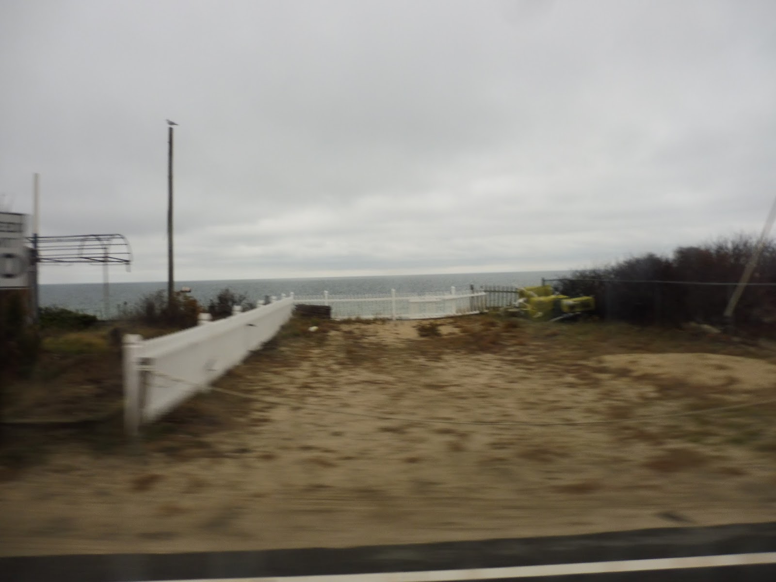
| No one’s on the beach today… |
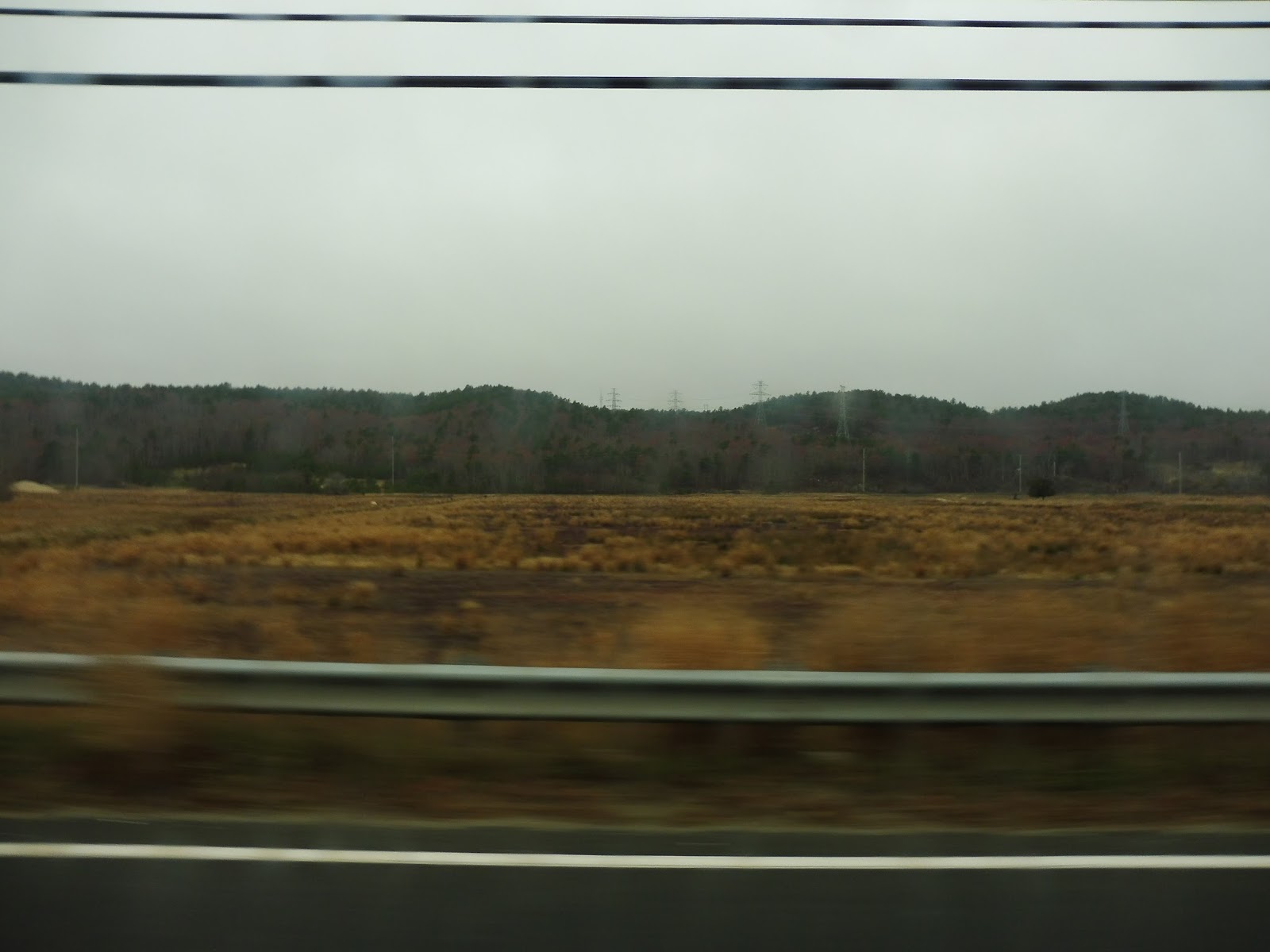
We came pretty close to a country club and passed by houses for a bit, but then the scenery became complete forest. I mean, literally nothing but trees. We did pass by a random boat place at one point, but yeah, it was all trees for quite a while. Finally, after going under some telephone wires, we arrived back in civilization.
 |
| Aww, yeah, how ’bout that rear window shot? |
We reached some businesses at the next intersection. By this point, we were fairly close to the terminus, but first we had to make a really long deviation that barely serves anything! So, we turned onto Beaver Dam Road, running past some houses, then alongside an admittedly pretty marsh. There were some more houses beyond there, as well as a farm with some proper animals!
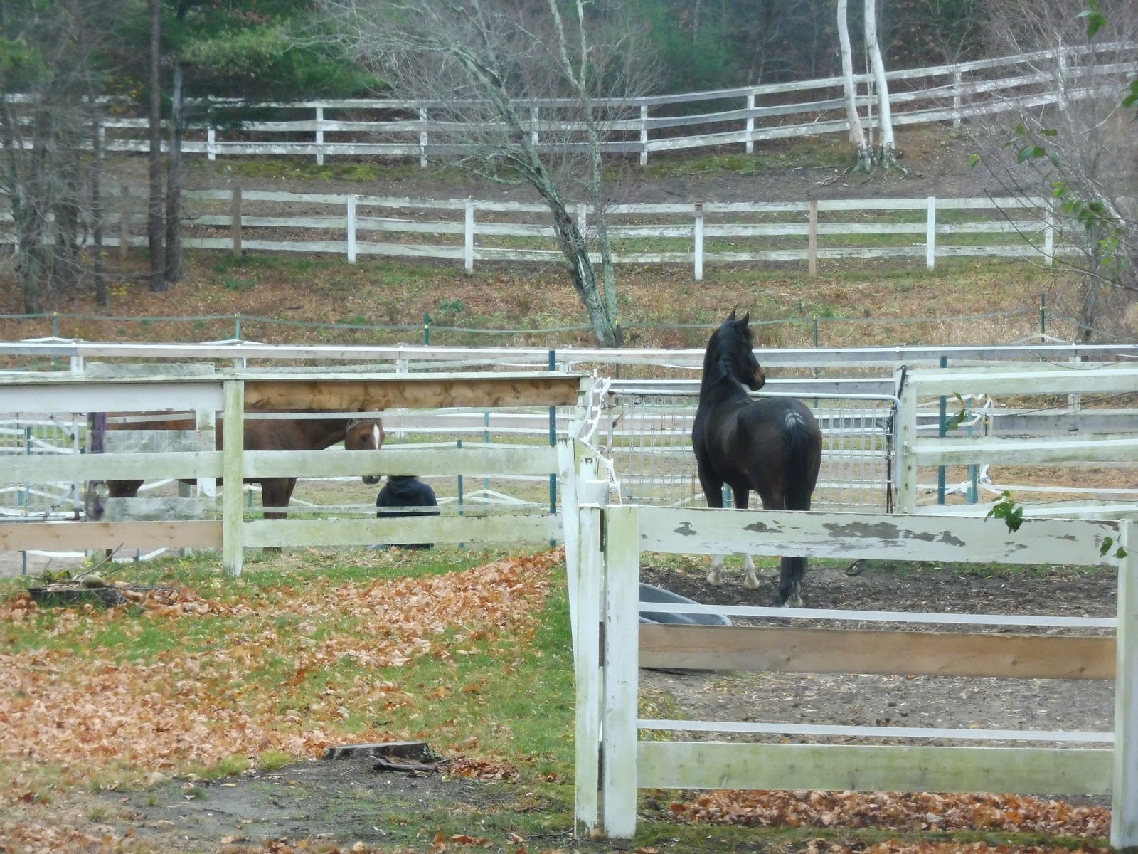 |
| What a valuable deviation. These horses definitely need the bus. |
And then, abruptly, the bus pulled over. And…started reversing? Yes, the method of turning around at the end of this deviation is apparently the time-honored three-point turn…which seems like just the most GATRA way of ending a deviation, doesn’t it? Ah, well, so we headed back the way we came for a while…
 |
| There’s a nice view, at least… |
Finally, we returned to State Road and crossed over onto White Horse Road. This street was mostly residential, with a few parks here and there as well. The houses got denser and denser until we curved right onto Taylor Ave, which once again ran right alongside the ocean!
 |
| Another water view! Wow, I wasn’t expecting this route to be so scenic! |
 |
| GATRA would like to apologize to any cars who were hoping to park in those spaces… |
Pros: The route definitely serves a lot, covering much of the eastern section of Plymouth. It runs as frequent as any GATRA route should, with every-hour service weekdays and Saturdays.
Cons: This route makes so many deviations. I mean, come on, some of these are ridiculous! Plimoth Plantation? The Plymouth and Brockton park-and-ride that doesn’t coordinate with any trips? Whatever the heck that long deviation with the livestock was? Okay, so a lot of people take this thing out to the end to get to that plaza out there – how about we play the driving vs. taking the bus game?
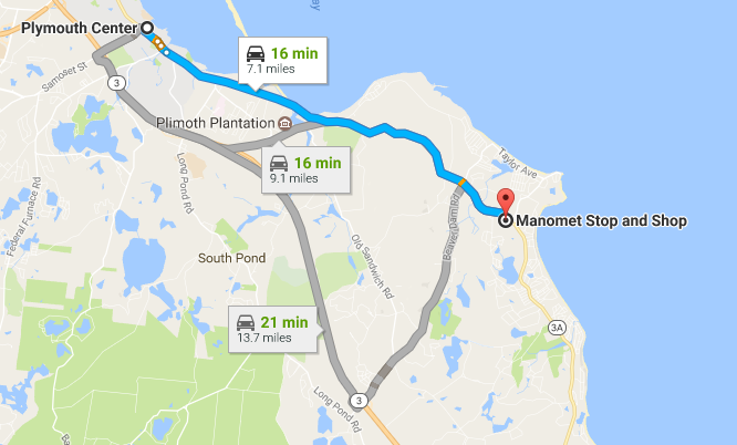
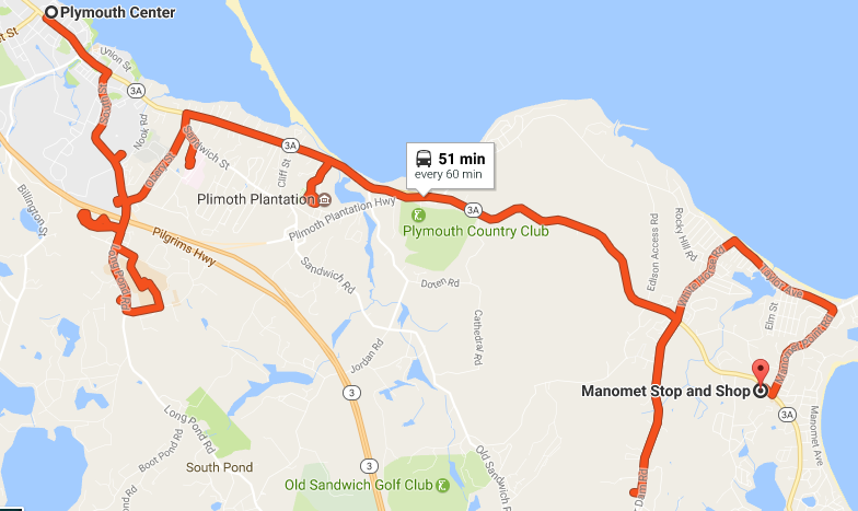
Wow. So even with Google Maps’ longest suggestion, the bus still takes twice as long as driving! People say that taking the bus is slow, but this is just ridiculous! On a side note, Google Maps drew the route slightly wrong, but I’m not sure if that’s their fault or GATRA’s.
Nearby and Noteworthy: Well, you can’t deny that Plimoth Plantation is a big attraction! I still think it’s stupid that this route deviates to serve it, but if you have a lot of time, this could be your way of getting there.
Final Verdict: 5/10
Ech, this route just takes so long! And sure, it definitely serves a lot, but some of these deviations are just ridiculous. I understand that the route’s primary ridership is seniors, and that they often need direct service to places, but oftentimes no one even uses these deviations! If they had some sort of call-in service to “request” deviations, I’m sure the bus could be sped up significantly.
Latest MBTA News: Service Updates
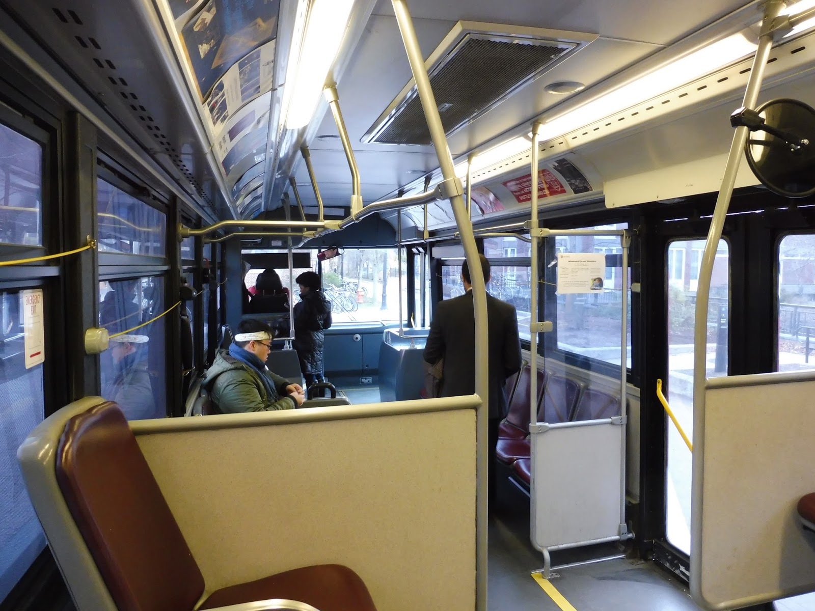
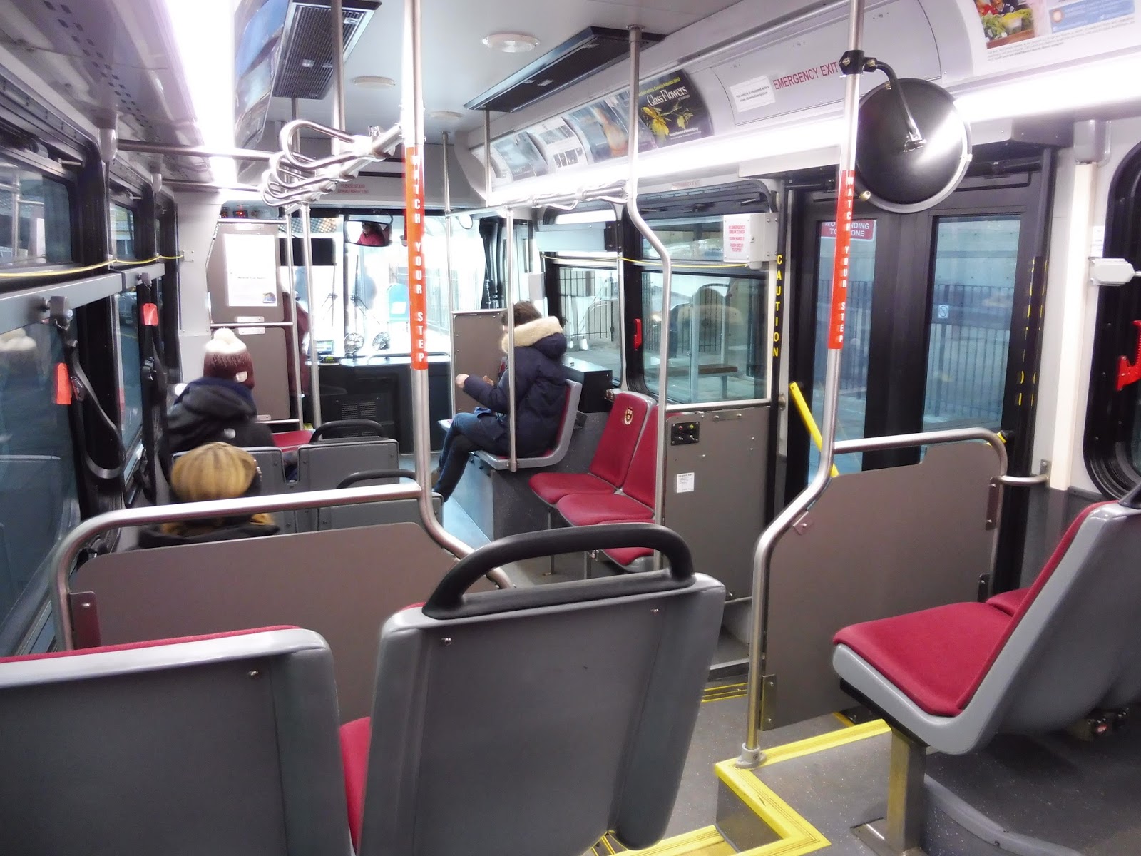
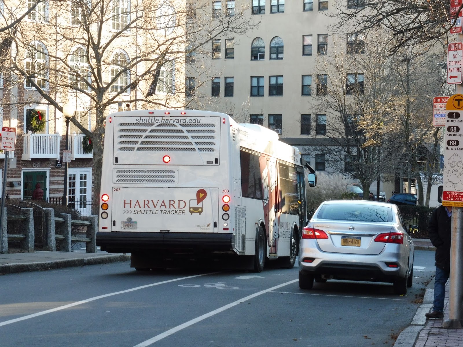
Harvard Shuttle: Quad Yard Express (Lamont – Harvard Square)
This! This is what the Quad Express should be! The Quad Yard Express runs from the Quad to Harvard Yard and back! Oh, how I love it! Too bad it only runs after 5 PM…
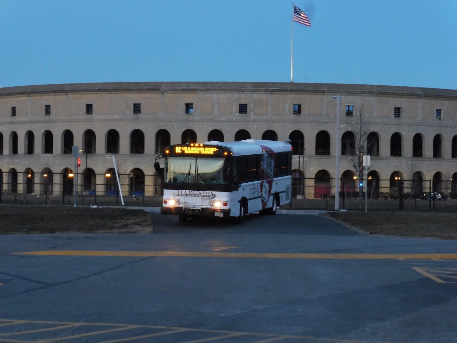 |
| Time for a long story… |
Okay, so we were originally waiting at the Continuum in Allston for the Barry’s Corner route to show up. The bus was already incredibly late, and when it pulled into the Continuum parking lot, we saw that it was the Blue Bird, Harvard’s oldest bus. And…the driver wouldn’t let us on. Because the AC wasn’t working. We could even see his breath! He explained that another bus would come to pick us up.
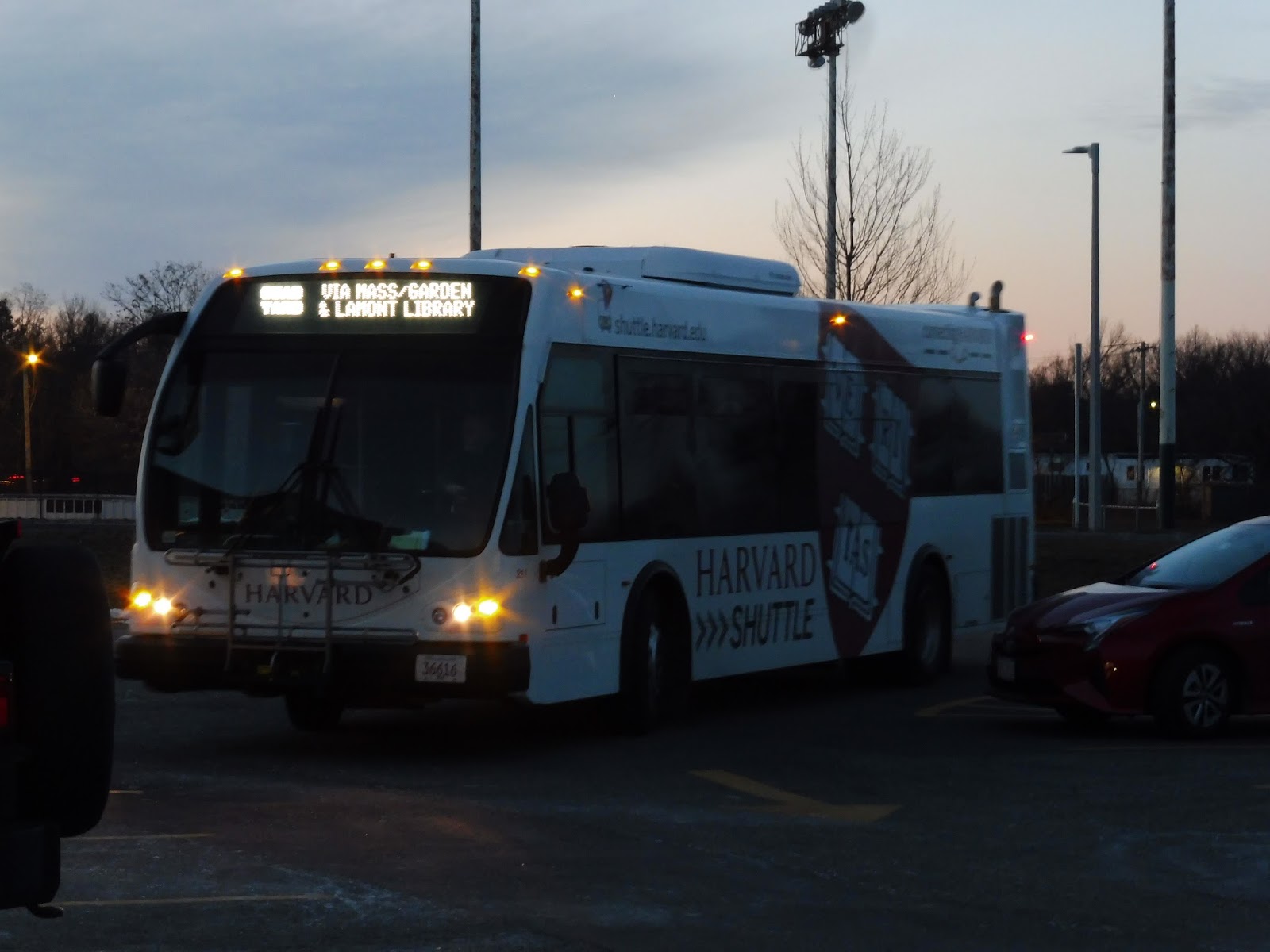 |
| The replacement! |
The next bus that pulled in was thankfully a newer one, so it was working fine (although a ride on the Blue Bird would’ve been really fun – that thing was noisy). As it turned out, this was the bus that would be doing the trip on the Quad Yard Express we were gonna get after Barry’s Corner! But we ended up taking a somewhat different route from the normal Barry’s Corner run, so just consider this an “extended” Quad Yard Express.
 |
| Oh wow, I love these poofy seats! |
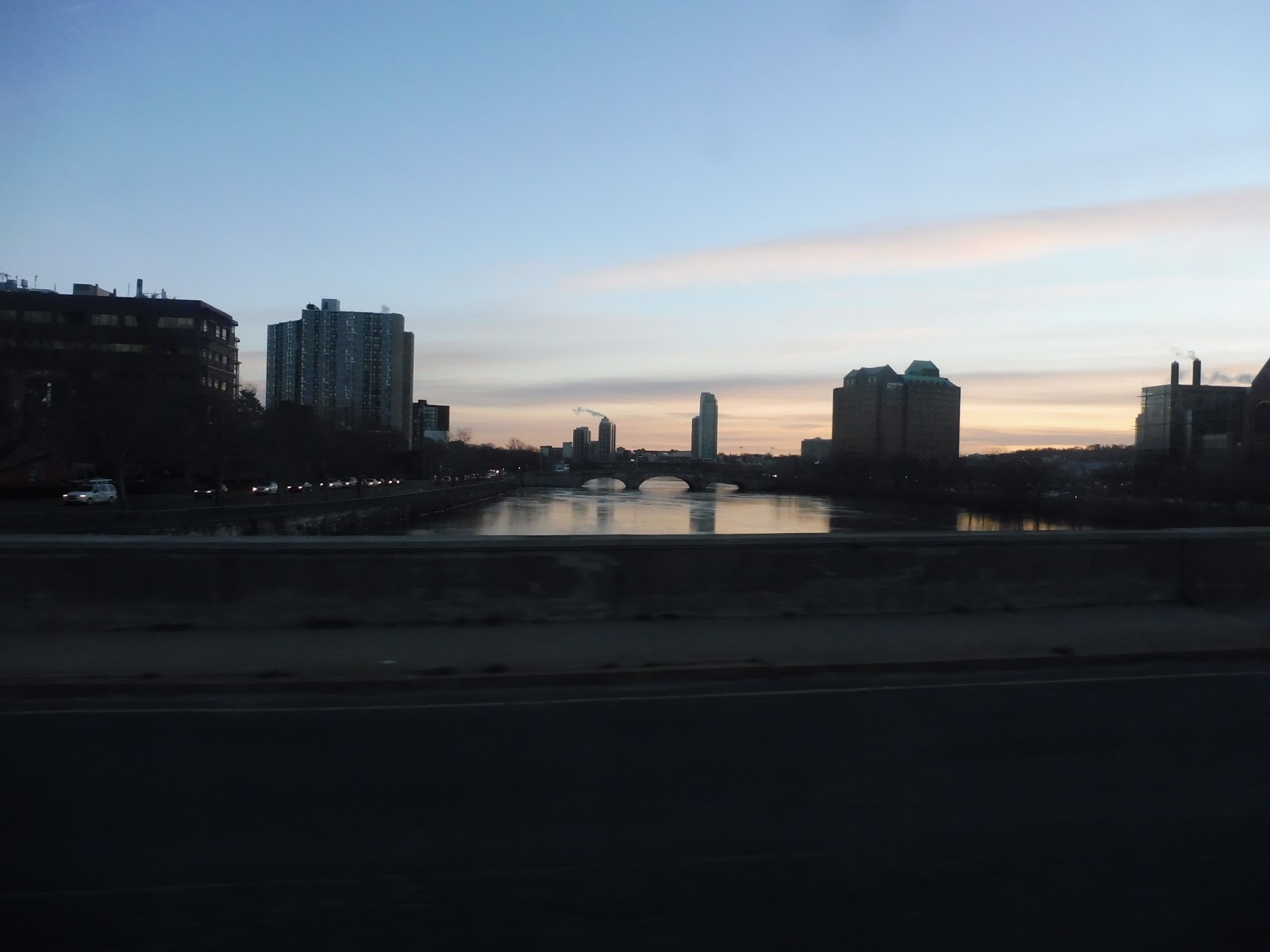
So we pulled out of the Continuum and headed up North Harvard Street. We sped past Harvard Stadium and a few other university buildings, then crossed over the Charles River. After that crossing, we split off from the Barry’s Corner route by turning onto Memorial Drive, on a section that no normal Harvard route serves.
 |
| Wow, it’s rather dark… |
This took us past a bunch of Harvard dorms, which continued as we turned onto the narrow Plympton Street. It led up to Harvard Yard, where we turned onto Mass Ave and stopped outside of Holyoke Gate. This is where the actual Quad Yard Express route begins. It’s also where we started to get a bunch of people.
 |
| Some businesses opposite Holyoke Gate. |
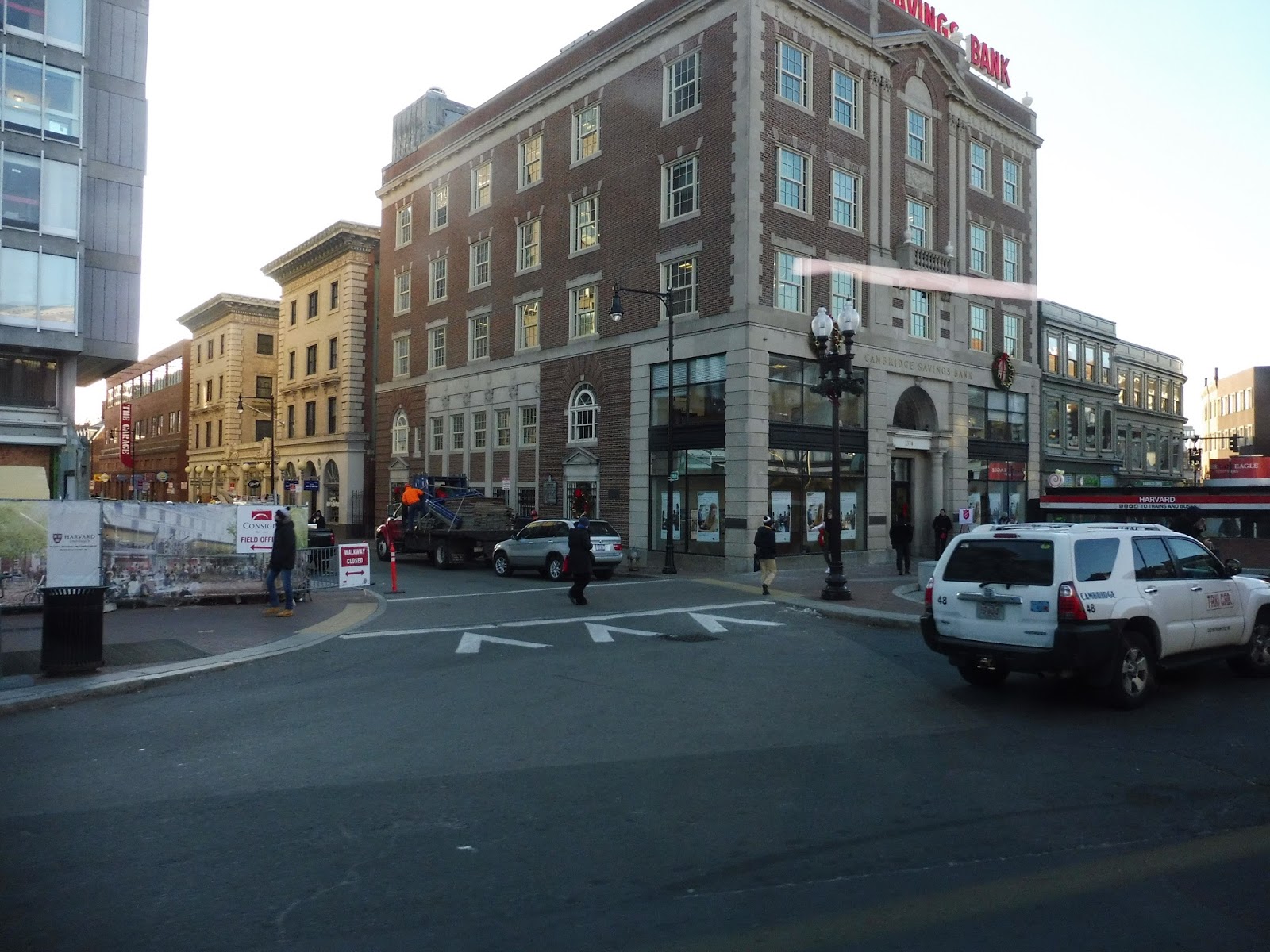
Now with about a full-seated load, we curved around the yard, with a bunch of Harvard Square businesses lining the street. We turned up and around the Harvard Bus Tunnel portal, making our way onto Garden Street. This led us past Cambridge Common and more Harvard buildings, then we saw a hotel and a few apartments.
 |
| Looking down a dark side street. |
It became mostly houses for just a bit, but then we got more Harvard buildings along the street. Next, we turned onto Linnaean Street, and then into the Quad busway. This took us to the last stop, where everyone on the bus got off, and Nathan, Sam, and I started to make our way toward Mass Ave to catch a 77.
 |
| The bus taking a quick layover. |
Harvard Shuttle Route: Quad Yard Express (Lamont – Harvard Square)
Ridership: Ridership is good in both directions, but especially outbound – heading towards the Quad, this route can get packed. I wonder if this shows that there’s an increased amount of demand for a bus from Harvard Yard to the Quad at all times…
Pros: I’m just gonna say it, I think this route is way superior to the normal Quad Express. It gets a bunch of people, and it actually serves the yard, where it seems like more people would be coming from.
Cons: Firstly, the frequency on the route could probably be improved. Every 20-25 minutes? Come on, a lot of people use this! Stick a second bus on there. More importantly, though, I think this bus should run all day. Honestly, just cut the Quad Express and run this route instead, with service to the yard. Plus, if they put a stop at Fogg Museum, it would be an easy walk for people trying to get to Memorial Hall.
Nearby and Noteworthy: Andy Cox left a comment on my Quad Express review with very detailed information on its attractions:
“-An observatory (I believe owned and operated by Harvard, but they give tours), though that’s easier accessed via 72/74/75/78 on Concord Ave.
-A firehouse with one of the smallest parks in Boston (literally like two square feet, it’s got a bench and a flagpole and there’s no room for anything else).
-And Senator Elizabeth Warren lives somewhere over there, though I don’t know where exactly.”
Final Verdict: 6/10
Ahh, if only the Quad Yard Express could run all day. Maybe more people are commuting to Memorial Hall, but I’m not sure – whenever I see a Quad Express over there, it’s empty. Running the Quad Yard Express instead could save time and take students to the more centralized yard. Oh, and give it a second bus and make it run every 10 minutes! None of this every 20 minute crap…
Latest MBTA News: Service Updates
Hey, there are new schedules starting tomorrow! In particular, the 73 will be running with trackless trolleys again!!!!! Check out the other changes here.
Harvard Shuttle: Allston Campus Express (Allston Campus – Harvard Square – Memorial Hall)
Man, it’s easy to forget how big Harvard University is. I mean, they have a whole bunch of other buildings down in Allston that need to be connected to the rest of the school! And this bus is the one to do it – the Allston Campus Express is a big loop from Harvard Square and Memorial Hall down to the buildings in Allston. Let’s take a look!
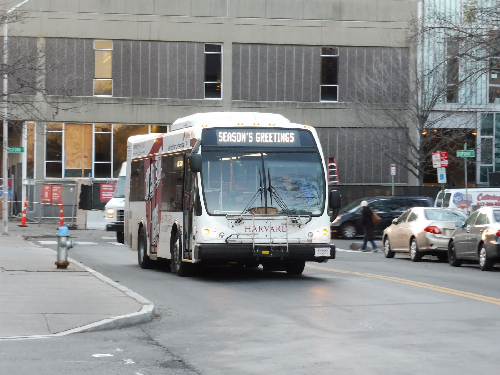 |
| Well, that’s fitting for the holiday season, I guess! |
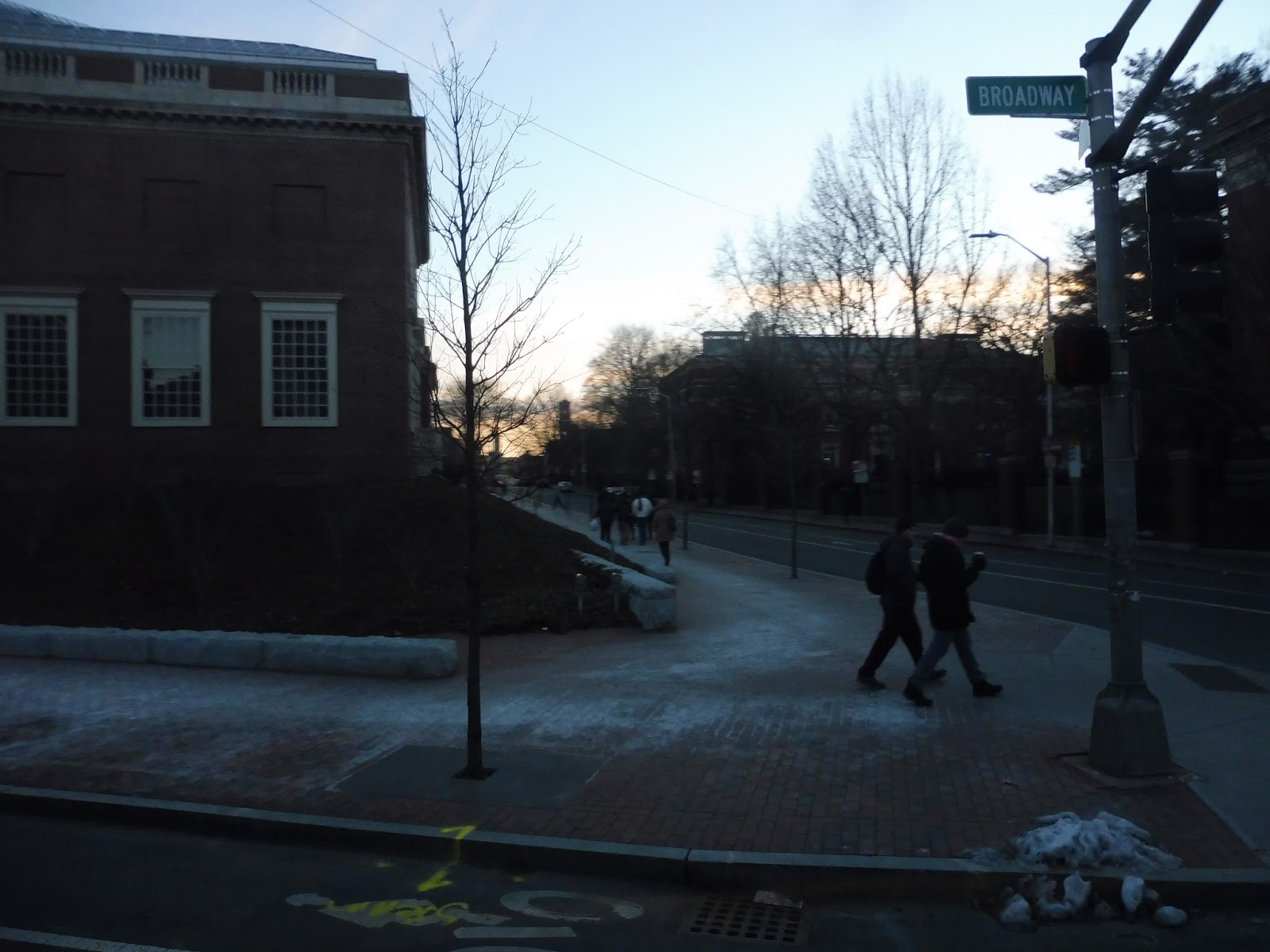
Nathan, Sam, and I got on at the Memorial Hall busway, just north of Harvard Yard. Of course, the bus getting to the Yard itself was a bit of an ordeal thanks to one-way streets. After a complicated path involving Quincy Street, Cambridge Street, Felton Street, Broadway, and Quincy Street again, we were running alongside the eastern end of Harvard Yard.
 |
| Rounding the corner onto Quincy Street. |
After a stop at the Lamont Library, we made our way down the narrow, twisting Bow Street, with apartments and businesses on either side. We passed a church and continued down DeWolfe Street, which was lined with apartments and dorms, then we turned onto…Memorial Drive? Wow, okay, that’s interesting.
 |
| Some apartments on DeWolfe Street. |
We got a lovely view of the Charles River on one side, while there were more apartments and Harvard buildings on the other. Next, we turned onto Western Ave, crossing the river. On the other side, there were university buildings galore, and they were all very modern – also, I forgot to mention the gigantic construction site to the south.
 |
| What a pretty sky! |
The Harvard Business School and Innovation Labs were major attractions, before we reached some retail at the intersection with North Harvard Street. We turned onto North Harvard, and we got off just after Harvard Stadium to catch the Barry’s Corner route. That didn’t go to plan, but we’ll save that for another post. From where we got off, the Allston Campus Express continues up North Harvard Street through Harvard Square, then runs up via the law school back to Memorial Hall.
 |
| The bus heading back to Harvard. |
Harvard Shuttle Route: Allston Campus Express (Allston Campus – Harvard Square – Memorial Hall)
Ridership: This route gets a lot of ridership from people going to Allston, since it’s far from the main campus. After all, Harvard has a surprising amount of real estate in the area this route serves.
Pros: This route’s loop formation is probably the most efficient it can be, not to mention the fact that Harvard patched up some annoying deviations in Allston back in March – now it’s nice and straight. On weekdays, the route runs every 15 minutes with two buses, which seems to cover the ridership pretty well.
Cons: Well, what about weekend service? After all, neither of Harvard’s weekend routes cover Allston, and based on the ridership of MBTA buses like the 66 or the 70, you would think a shuttle down there would get a lot of people! So, let’s see…it’s every half hour, that seems legit. Wait…but only from 5:45 PM to 7:45 PM? WHAT? How does that make any sense at all? Aside from a few very early morning trips on the Quad Stadium route, that’s the only weekend service Allston gets!
Nearby and Noteworthy: Every time I go into Allston, I’m always fascinated by Swissbäkers, a very modern-looking European café. I should go there sometime…
Final Verdict: 6/10
Okay, on weekdays, this route is fine…although that being said, I really don’t think it needs to make the Law School deviation north of Harvard – if the route just looped around the yard, it could save time and improve frequency. Leave the Law School to the Mather Express, I say! And don’t even get me started on the barebones weekend service. When it comes to buses, I believe in “full service or no service”. What’s the point of running the Allston Campus Express for a span of two hours in the evening only? Who’s gonna be using that? No, I believe it should run every half hour all day on weekends – I’m sure it would get people! Okay, despite its flaws, this is still a solid route, but it has some big issues…
Latest MBTA News: Service Updates
Harvard Shuttle: Quad Express (Memorial Hall via Harvard Square)
Huh…that route title is flat-out incorrect! The Quad Express doesn’t serve Harvard Square at all! I mean, contrary to what you would think, the Harvard Shuttle website is full of typos, so this could just be another one. But yeah, the Quad Express goes from the Quad, a campus northeast of Harvard, to Memorial Hall, north of Harvard Square. That “via” in the title is very deceiving…
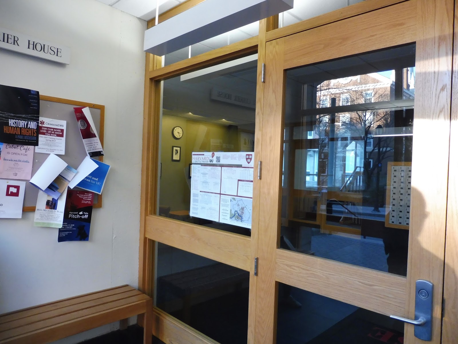 |
| Oh wow, a proper waiting room! |
The Quad features what is probably the best facility in the whole Harvard shuttle system. There are a few benches outside for the summer, but on the inside – there’s a heated waiting room! Sure, it’s kinda small, but it has a bench, a paper schedule, and a screen showing the shuttle tracker! Now that’s what I call luxury.
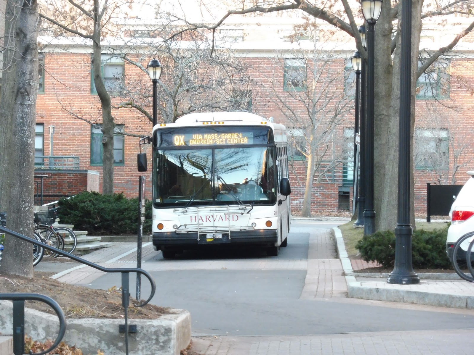 |
| The bus coming down the narrow street. |
Another cool thing about the Quad stop is that it’s located on a street for Harvard vehicles only. The bus that came trundling down the road was a different one from before, both inside and outside. It was boxier with its exterior, while the inside had mostly sideways seats this time. Everything also felt wider, from the actual width of the bus to the very large back doors.
 |
| I dunno…it’s a mixed bag for me. |
This busway actually has two stops on it, with another at the southern end. It’s only missing, oh, you know, a sign. Come on, there’s a big brick pole they can easily stick a sign on! Well, anyway, we turned onto Sheppard Street, then Garden Street, which was initially residential.
 |
| A side street getting closer to Harvard. |
It got denser pretty quickly, though; after we passed the Longy School of Music, there were apartment buildings on either side of the street. We came up alongside the Cambridge Common, with some churches and Harvard University buildings on the other side. At the end of Garden Street was our closest stop to Harvard Square, but it was decidedly not Harvard Square.
 |
| Some 66s at Dawes Island. |
Next, we curved around the portal for the Harvard Bus Tunnel onto Mass Ave, heading up past the Law School. We turned onto Everett Street, skirting the border of Lesley University, then we turned onto Oxford Street, passing the Harvard Natural History Museum and some other university buildings. After the road curved left to become Kirkland Street, we pulled into the Memorial Hall busway, where Nathan and I got off – from here, the route heads back to the Quad.
 |
| An earlier bus coming ’round the bend outside of beautiful Sanders Theatre! |
Harvard Shuttle Route: Quad Express (Memorial Hall via Harvard Square)
Ridership: Luckily, we didn’t ride this route during the peak. According to Nathan, who uses these shuttles on a somewhat-regular basis, they can get really crowded. Our ride was fairly light, but since the Quad is pretty far from the main part of Harvard, this bus is a lifeline for people going up there.
Pros: Like I said, this route is great for students heading to the Quad, and its 10 minute headways allow the shuttle to be pretty reliable. This is also the simplest of the three main Harvard Shuttle routes, with direct service to the Quad – its only one-way service is around the Law School loop, which the other two buses also do.
Cons: It doesn’t serve Harvard Yard! Why not? I mean, don’t get me wrong, I can’t say I’m too familiar with Harvard University commuting patterns, but based on the heavy ridership of the evening Quad Yard Express (which will be covered in a later post), it seems like it would make sense to always serve the yard. Plus, running around via the Law School to Memorial Hall takes a while, and is already covered by two other routes.
Nearby and Noteworthy: Well, the route’s unique section is the Quad, which doesn’t seem to offer too much for non-Harvard students. Anyone know anything of note around there?
Final Verdict: 7/10
Having a route to serve the Quad is definitely needed, and I guess this route does a fine job of it. I’m mainly miffed at the fact that it doesn’t serve Harvard Yard. And sure, maybe people do use this to get to the Law School or Memorial Hall (which I personally don’t think it needs to serve, since other routes already serve them), but then why stop service there at 4:30? It shifts to the Quad Yard Express then! Oh well…the Quad Express provides frequent service to the Quad, which is the most important part of it, I guess.
Latest MBTA News: Service Updates
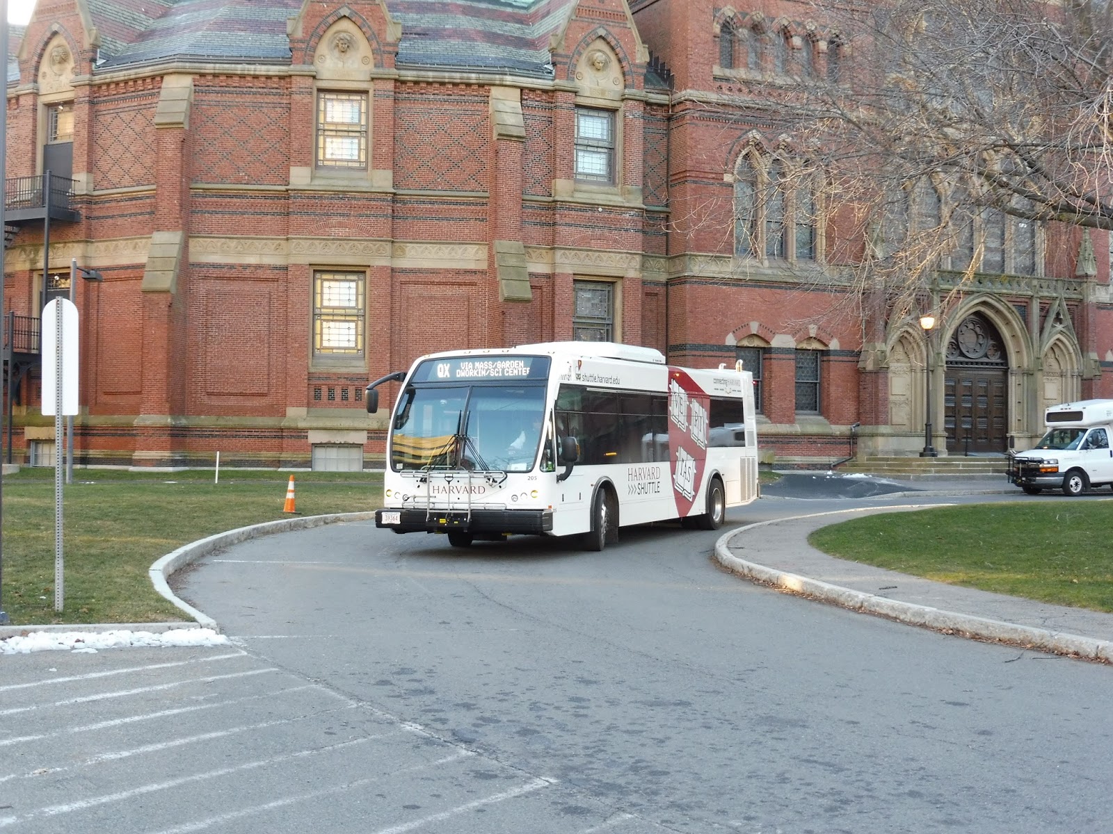
Harvard Shuttle: Mather Express (Memorial Hall via Harvard Square)
Wow, look, guys, I’m at Harvard University! Okay, so I’m not actually in the university, but I did get to ride some of their shuttles around! That’s almost as good as getting accepted, right?
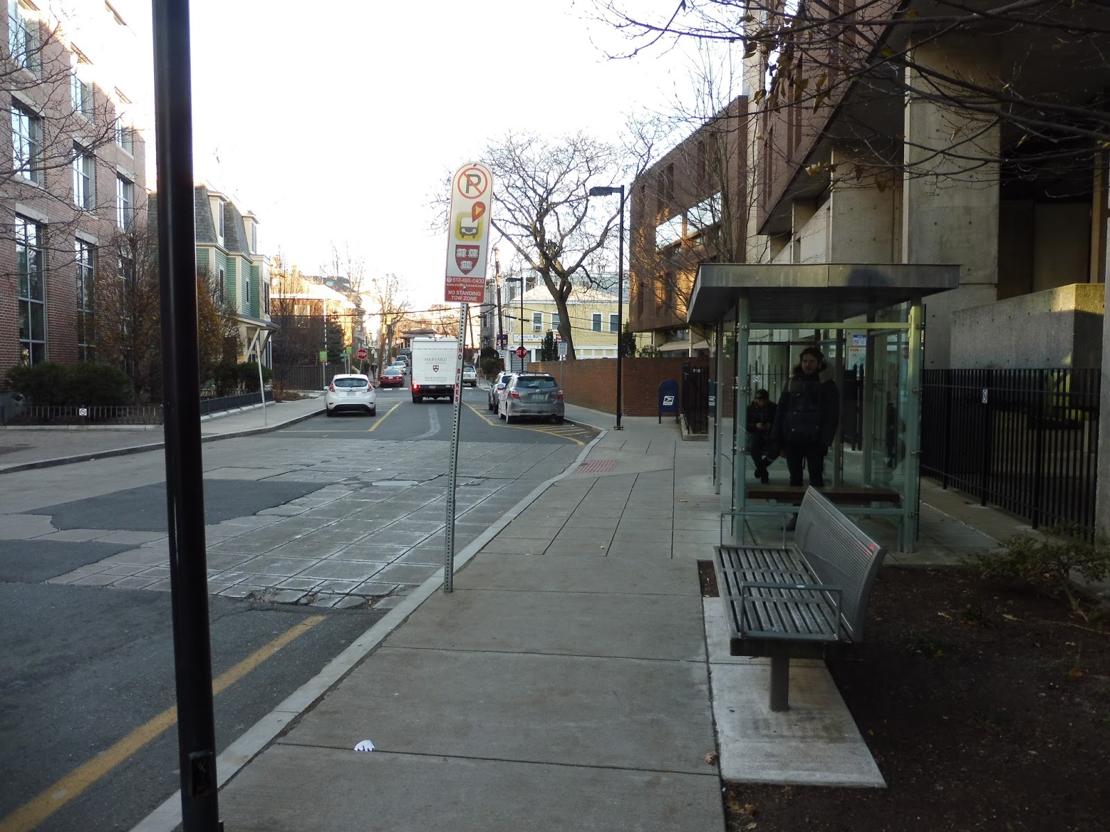 |
| Wow, who knew the Harvard shuttle had such great facilities? |
The Harvard shuttle system is a complicated beast, but on a typical weekday it has three primary routes. We’ll be covering all three of them, and eventually all of their routes – hey, why not, they’re free! So today, we’re looking at the Mather Express, which makes sort of a figure-8 loop around the main portion of Harvard University.
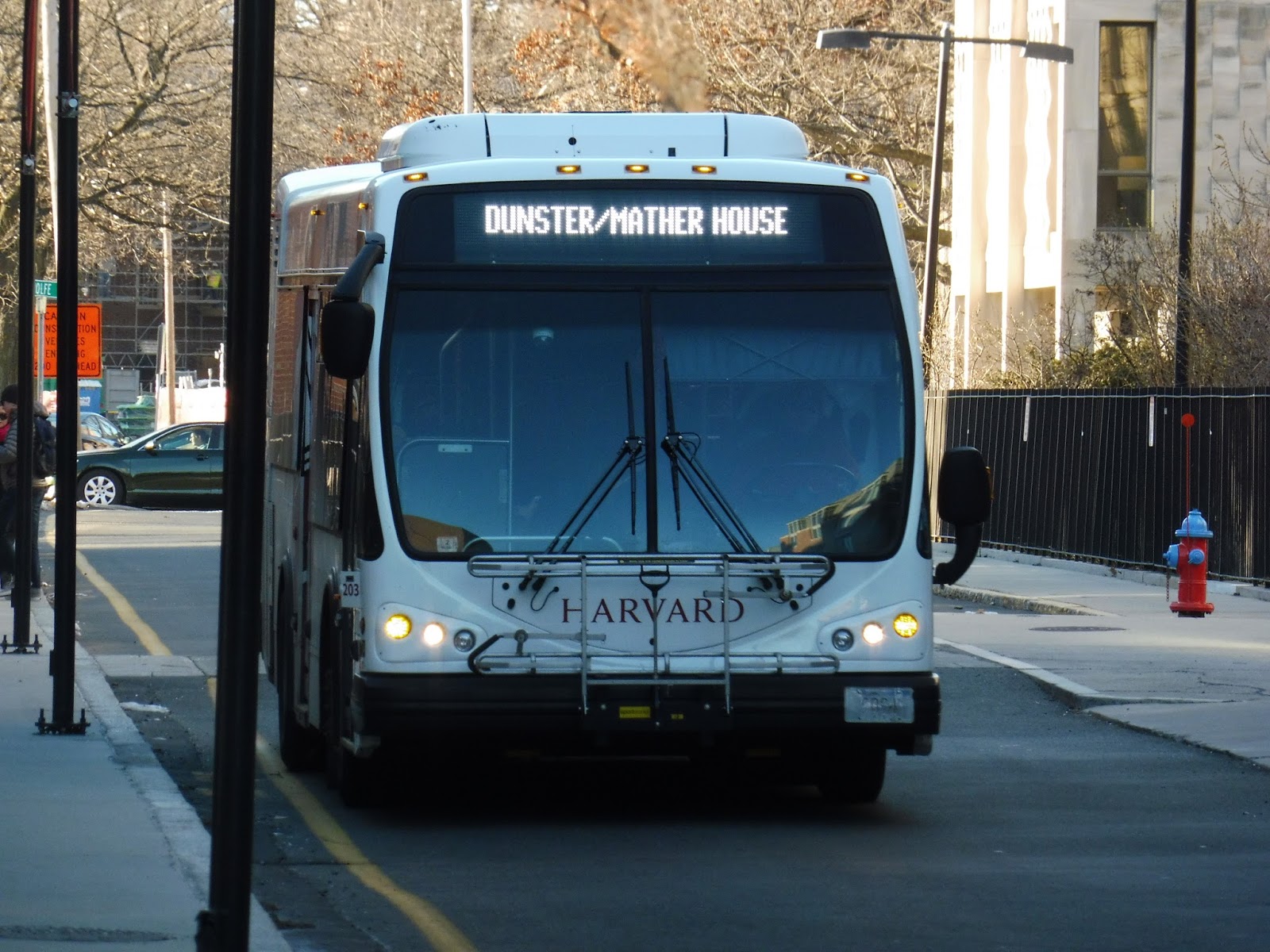 |
| The bus coming down Cowperthwaite Street. |
The route starts to the south of Harvard Square, near the Charles River, on Cowperthwaite Street. This stop serves – of course – Mather House, as well as Dunster House. It’s a narrow street, but it has a nice glass shelter for Harvard buses. The vehicle itself was rather nice inside, and it was just strange to be parading around Cambridge in a non-MBTA bus!
 |
| How quant! |
We reached the end of Cowperthwaite Street (that’s fun to say, isn’t it?) and turned onto Banks Street, a narrow side street lined with dense houses. At the end of that, we turned onto Mount Auburn Street, then made a sharp swerve around onto Mass Ave. As we came closer to Harvard Square, the street was lined with businesses and apartments.
 |
| Going past the main part of Harvard Square. |
We came up alongside Harvard Yard, making a major stop at Holyoke Gate. Next, we made our way around the yard, passing the Red Line station and then curving around the portal for the bus tunnel. Now we were heading up Mass Ave, but first we made a stop for the Harvard Law School.
 |
| Some apartments on Mass Ave. |
Continuing up Mass Ave for one more block, we turned onto Everett Street. There were Harvard buildings on one side and apartments on the other; we also had a run-in with a Leslie University dorm! Next, we turned onto Oxford Street, with Harvard buildings on both sides – the Harvard Natural History museum was to the left.
 |
| The museum! |
Oxford Street curved to the left to become Kirkland Street, and outside of the beautiful Sanders Theater, we had another major stop. In fact, this stop (Memorial Hall) was major enough to earn itself a proper busway! For some reason, though, our bus decided not to serve it, so the person waiting had to walk out to the street and get on. That’s rather annoying…
 |
| Rounding the corner on Felton Street. |
We turned onto Quincy Street, then Cambridge Street. Due to one-ways, we had to make a bit of a jog in the route, next running on Felton Street (past the Cambridge Rindge and Latin High School), and finally Broadway. This allowed us to return to Quincy Street and continue alongside the yard again. This brought us to Lamont Library, which is where my friend Nathan and I got off; from here, the route makes the short trip back to Cowperthwaite Street to start its journey again.
 |
| The bus heading back to its starting point. |
Harvard Shuttle Route: Mather Express (Memorial Hall via Harvard Square)
Ridership: My trip was fairly light, with less than 10 riders in total, and it has to be said that this is the least-used route of the three primary shuttles. However, it still serves a purpose, as the residents of Mather and Dunster Houses use the route to get to Harvard Yard or Memorial Hall.
Pros: This is a pretty short route, meaning it can operate service every 10 minutes with only two buses! It does a good job of covering the “inner” section of Harvard University, and it gets a decent smattering of ridership.
Cons: Not much with the route itself, but service gets a lot more complicated after 4 PM. After 4, the Mather Express gets replaced by the River House A…which then gets replaced by the River House B…and that gets replaced by the River House C. I have no idea why there are three River House routes that more or less serve the same things, but that rant is for another review.
Nearby and Noteworthy: Well, in terms of the route’s unique sections, you’ve basically got Mather/Dunster Houses and that’s it. However, the northern part of the route does run by the Harvard Natural History Museum, although the two other main shuttles serve that, too.
Final Verdict: 9/10
Of all the Harvard shuttles, this one makes the most logical sense. Its route is fairly straightforward, its schedule is mostly consistent (aside from a few random gaps, presumably for driver switches), and its ridership is fine and evenly spread out. Sure, once the clock strikes 4 PM, everything goes crazy with the River House routes, but on its own, the Mather Express is a great little route.
Latest MBTA News: Service Updates
The Great GATRA Deviation Game (Trailer)
Sam and I spent a day on the GATRA and filmed it! What could possibly go wrong? Stay tuned for the craziest video review yet!
North Scituate
Wait…so this is an Old Colony station…in a town center? No, no, I simply can’t believe it…and yet here it is! Sure, this isn’t “downtown” Scituate, per se (the Greenbush Line doesn’t serve that, alas), but it’s still downtown NORTH Scituate! Hey, that’s good enough for me.
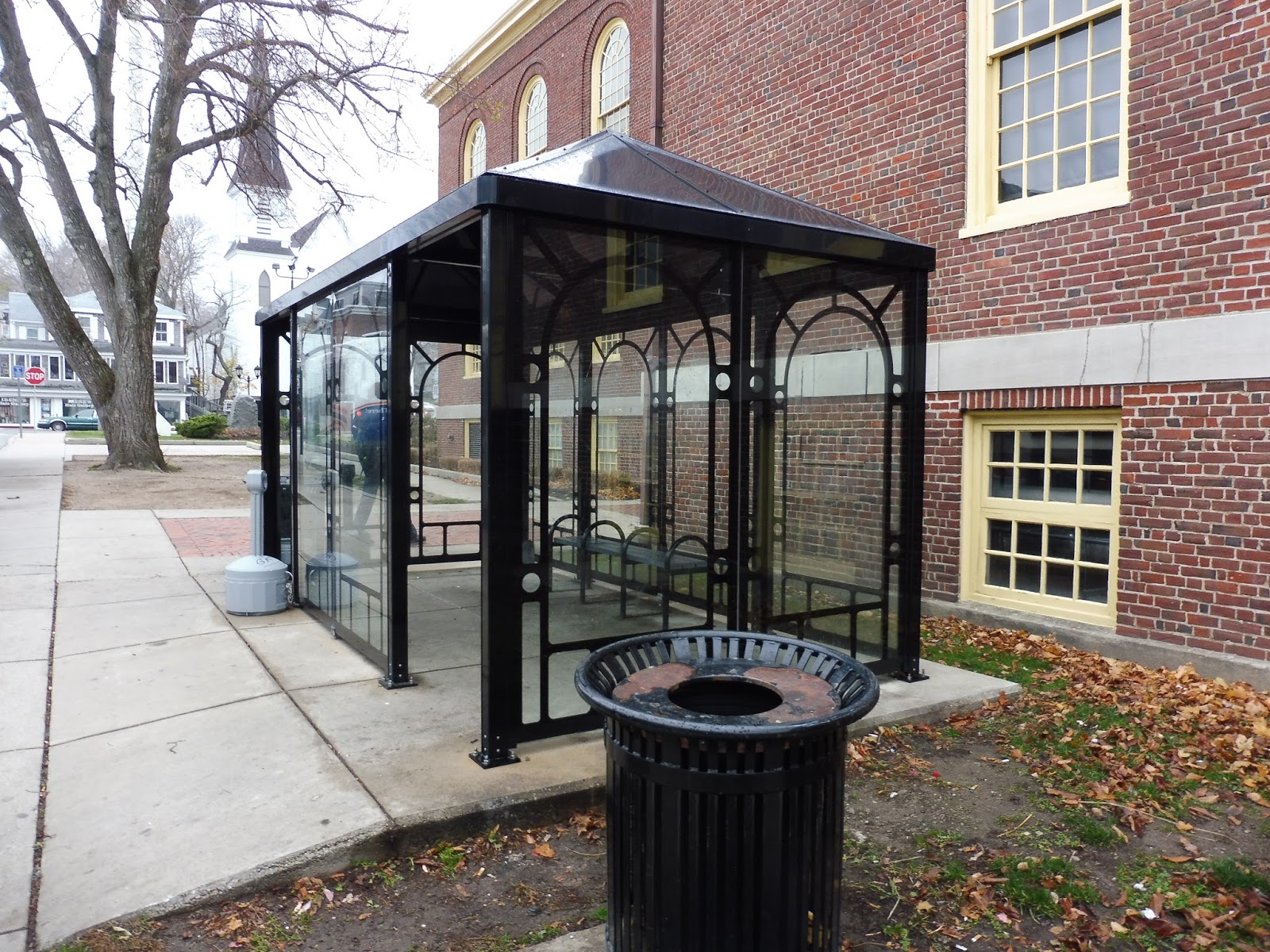
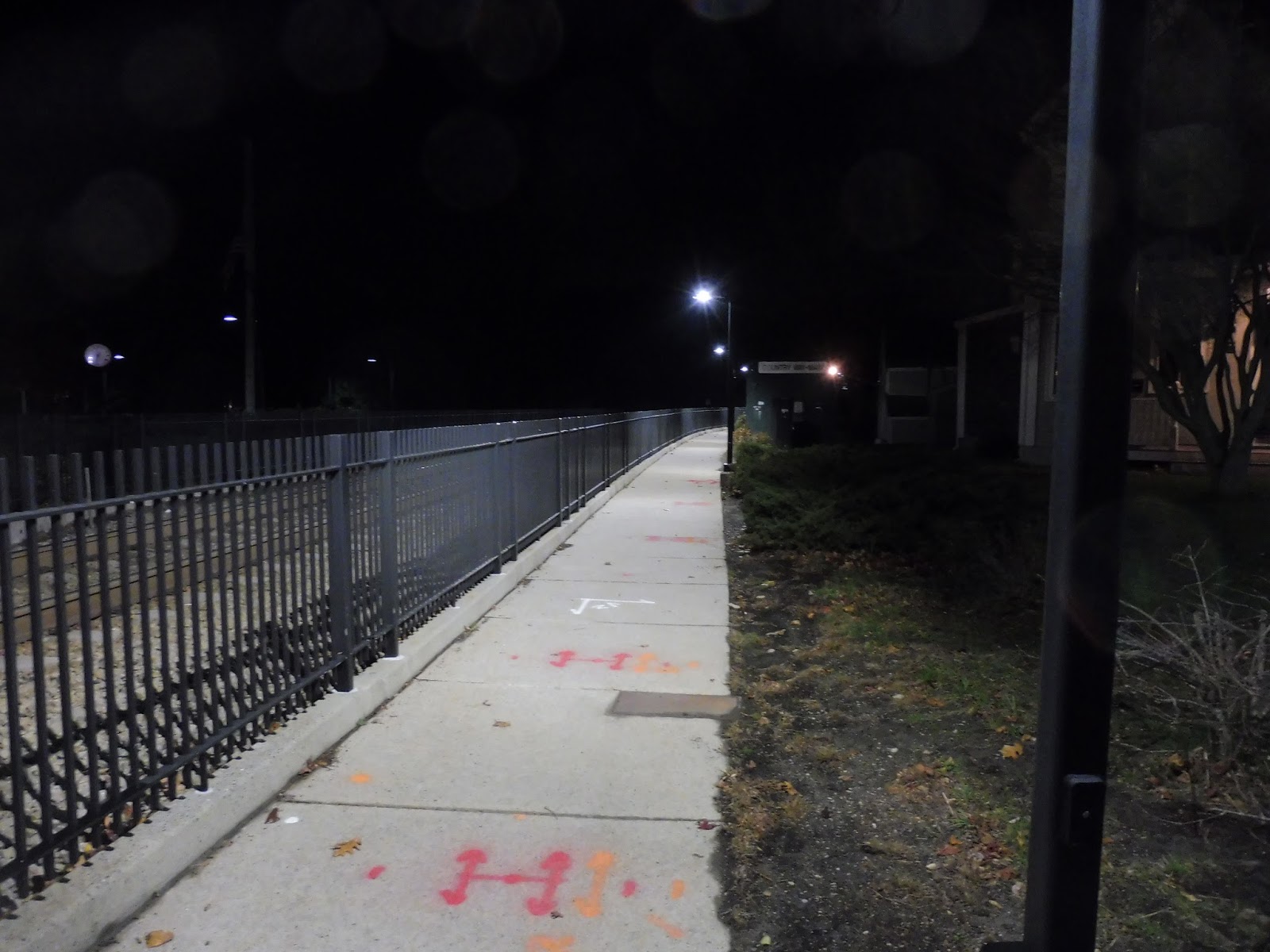 |
| Wow, what a nicely-lit path! |
To get from said “downtown” to the station, there’s a convenient path that runs alongside the track. It takes you behind the backs of businesses, and then over what seemed to be a pretty gross river. There’s also another pedestrian path that runs around the parking lot, so people don’t have to walk between hundreds of cars if they’re coming from that direction.
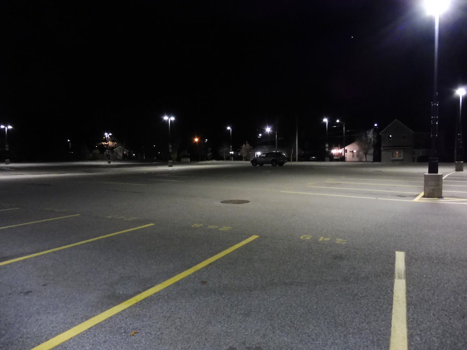 |
| Basically empty… |
Oh yes, not only is North Scituate located in a downtown, but it still has the room for a classically large Old Colony parking lot! With 279 spaces, the lot only gets a little under halfway full on a typical weekday, so there’s definitely enough room here. Unfortunately, I didn’t see any bike spaces when I was here, and the MBTA website seems to confirm that there are none.
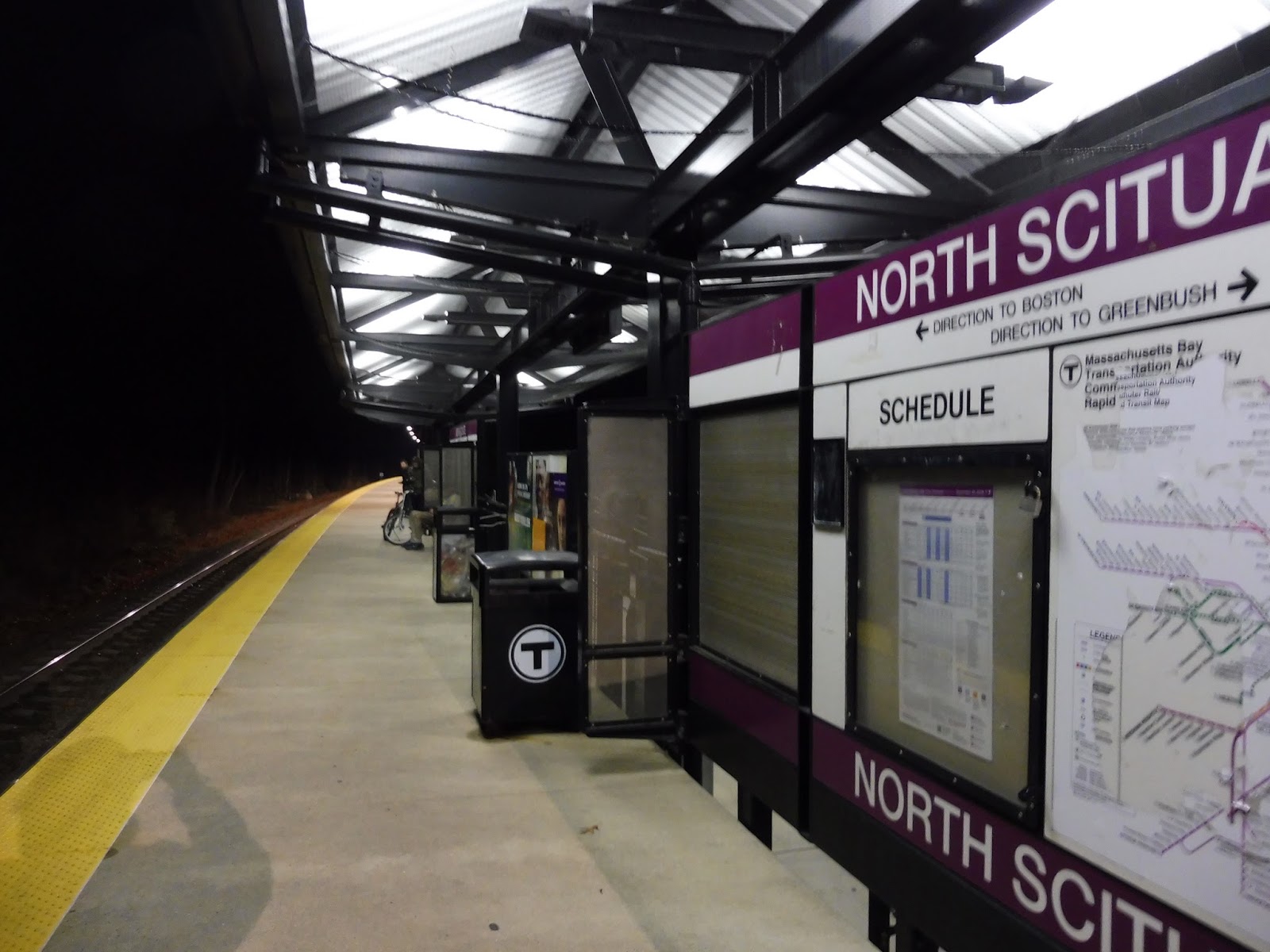 |
| My camera was drastically low on battery, so I had to settle for this slightly blurry shot… |
The platform at North Scituate seems to go on forever. It has a shelter near the path, a stretch of open space, another shelter on the other side of the parking lot, and more open space into the woods! The open parts don’t offer too much, featuring only ads and sparse benches, but the shelters have maps, schedules, more seating, and wastebaskets.
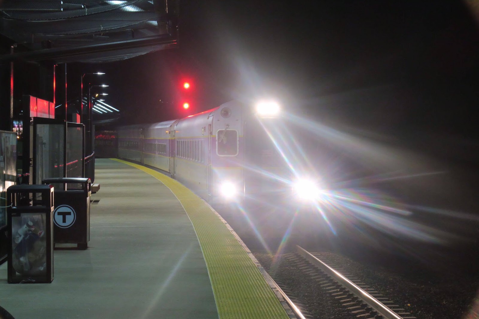 |
| My camera was dead by the time the train came, so photo credit to Sam! |
Station: North Scituate
Ridership: This isn’t really saying much, but North Scituate has the second-highest ridership of any Greenbush Line station. With 419 inbound riders per day, it’s only beaten in passengers by its neighbor and terminus, Greenbush.
Pros: Well, the station offers plenty of parking and a typical Old Colony feel (with two shelters), but what sets North Scituate apart for me is the fact that it’s ACTUALLY in a downtown! See, Old Colony Lines? You can have a station in a downtown and still feature a gigantic parking lot! Take lessons from here.
Cons: The absence of bike spaces is pretty annoying, considering there are a lot of residential neighborhoods within biking distance to North Scituate. It’s also strange how long the platform is, but I guess that doesn’t matter too much.
Nearby and Noteworthy: You’re in a downtown! The world is your oyster! Okay, North Scituate doesn’t offer too much, but there are a few restaurants and businesses in this “center” bit.
Final Verdict: 9/10
If the station wasn’t in a downtown, it would be a 7 or an 8 – I mean, it’s fairly typical for an Old Colony station in most respects. But the fact that it’s in a downtown? Well, that changes everything! Seriously, I kinda love this stop for that.
Latest MBTA News: Service Updates
40 (Georgetowne – Forest Hills Station via Washington Street and West Boundary Road)
You know, when I review RTAs, I usually bash them for having long deviations to housing developments that get very few riders. Well, here’s an MBTA route that does exactly that – except it actually gets people! Indeed, the 40’s sole purpose is to serve a housing development, Georgetowne…well, it also serves Washington Street, but a million other buses run along there, too.
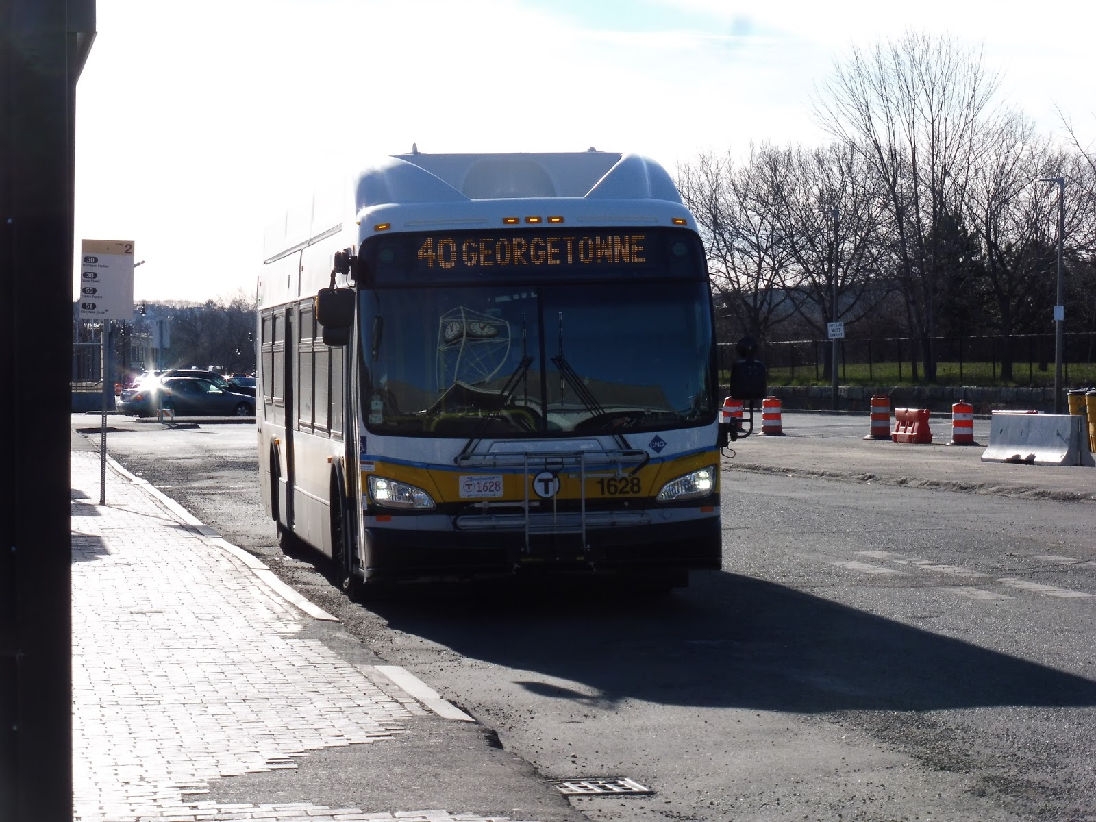 |
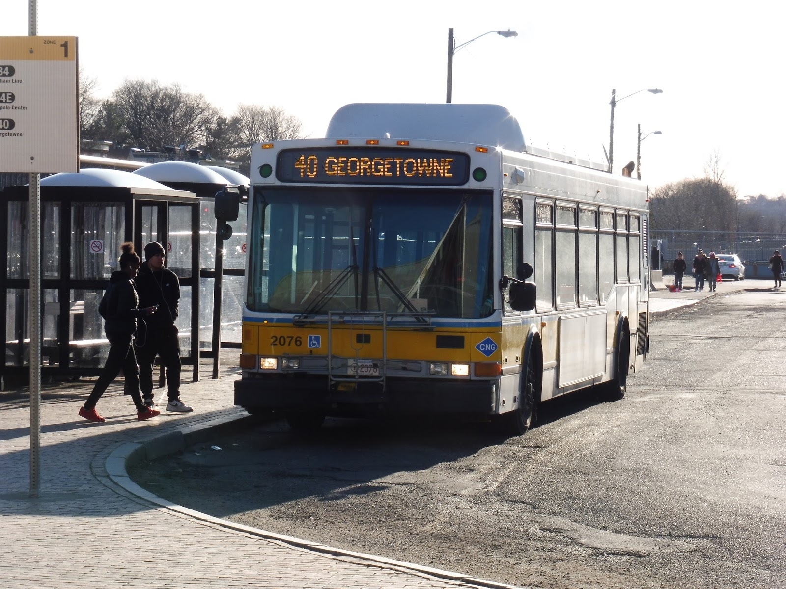
| A new 1600 bus coming in! |
Wow, this is the last time I’ll be talking about the Washington Street corridor out of Forest Hills. That’s probably for the best – if I have to describe it one more time, I’ll go crazy! So, like so many other routes, we headed out of the busway and passed some businesses and industrial buildings along Washington Street.
 |
| Running along the Southwest Corridor. |
Soon dense apartments started to line the road, but we still got some businesses at certain intersections. After going by a park, we entered Roslindale Village, where all of a sudden there was retail all over. We curved around the town common (decked out in Christmas decorations), then continued down Washington Street, which was once again residential.
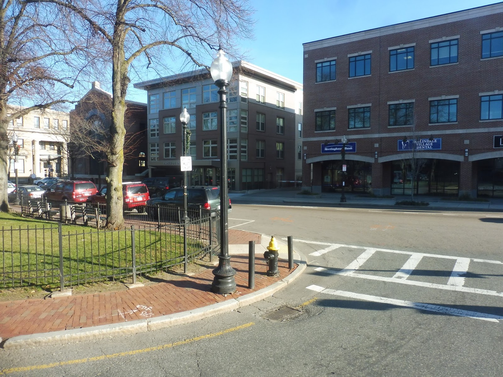 |
| Some buildings in Roslindale. |
Once again, businesses showed up at certain intersections, including a bunch at the one with Metropolitan Ave. As we ascended a hill, we went by some apartment developments, then a small shopping plaza. The street gained a median from there, and we passed through a woodsy section. Houses came up on one side eventually, but then we unexpectedly turned onto West Boundary Road, starting our independent section.
 |
| About to make the turn! |
This was a narrow street just ambling through the woods – it was weird to think we were still in Boston! As the road curved its way through the forest, we could catch glimpses of houses in a different neighborhood. We passed a school, then the street made a hard right, and we were in Georgetowne.
 |
| The main building of Georgetowne. |
Now on Georgetowne Drive, we went past the main Georgetowne building, and then it was time for a NEVER-ENDING SUPPLY OF IDENTICAL HOUSES. The route also got really complicated here, with a bunch of different deviations. Right, so first we turned onto Crown Point Drive, which is a section of the development. We looped around it, passing all those similar houses.
 |
| Looking up a hill. |
We returned to Georgetowne Drive, eventually leaving the complex. We turned onto Dedham Parkway, then Alwin Street, running along with the 33. Alwin Street was residential, but it got a lot more woodsy when we looped onto Turtle Pond Parkway. Finally, we turned onto Dedham Parkway again, coming back to a shelter outside of Georgetowne.
 |
| Some random houses along the loop. |
Now that we were heading back the way we came, I assumed the route was over. However, there was actually one more deviation to do – we turned onto Georgetowne Place, running up a hill to the top of a dead-end street. The bus looped around a parking lot at the end of the road, stopped over for a few seconds on a slope, and then we finally started to head back to Forest Hills.
 |
| Heading through the parking lot. |
 |
| Aww, it’s just a boring ol’ NABI doing the next trip… |
Route: 40 (Georgetowne – Forest Hills Station via Washington Street and West Boundary Road)
Ridership: It’s pretty good! The route gets 1,344 riders per weekday, 715 per Saturday, and 309 per Sunday as the 40/50. Whether a bus will get crowded or not is pretty dependent on whether or not a 34 has departed recently, but the 40 is always guaranteed a decent amount of people going to the independent section.
Pros: Having a bus specifically to serve a housing development seems weird, but apparently Georgetowne is a big enough draw to necessitate it! The 40’s schedule may not be too frequent, but I think it’s good for the ridership – every half hour during the rush, every 50 minutes on weekdays, every hour on Saturdays, and on nights and Sundays, the route runs combined with the 50 in a loop every hour (the 40/50).
Cons: Are those deviations in Georgetown really necessary? Sure, they do get people, but it would save a lot of time if the bus stayed on Georgetown Drive, did its loop, and returned the way it came. Yeah, people would have to walk a little more, but it could allow the route to run a bit more frequently if it made enough of a time impact. Also, better coordination between the 34, the 34E, and the 40 along Washington Street would allow for crowds to be better spaced-out.
Nearby and Noteworthy: Basically just Georgetown… I mean, there are always the various Washington Street attractions that are served by a bunch of other buses, too.
Final Verdict: 7/10
The 40 is a route with a simple goal: provide a direct link from Georgetowne to Forest Hills. It definitely achieves that, with good ridership and a decent schedule. It definitely has its quirks that drag it down, what with the borderline-unnecessary deviations and poor coordination with the 34 and 34E, but overall, this is a pretty good route!
Latest MBTA News: Service Updates
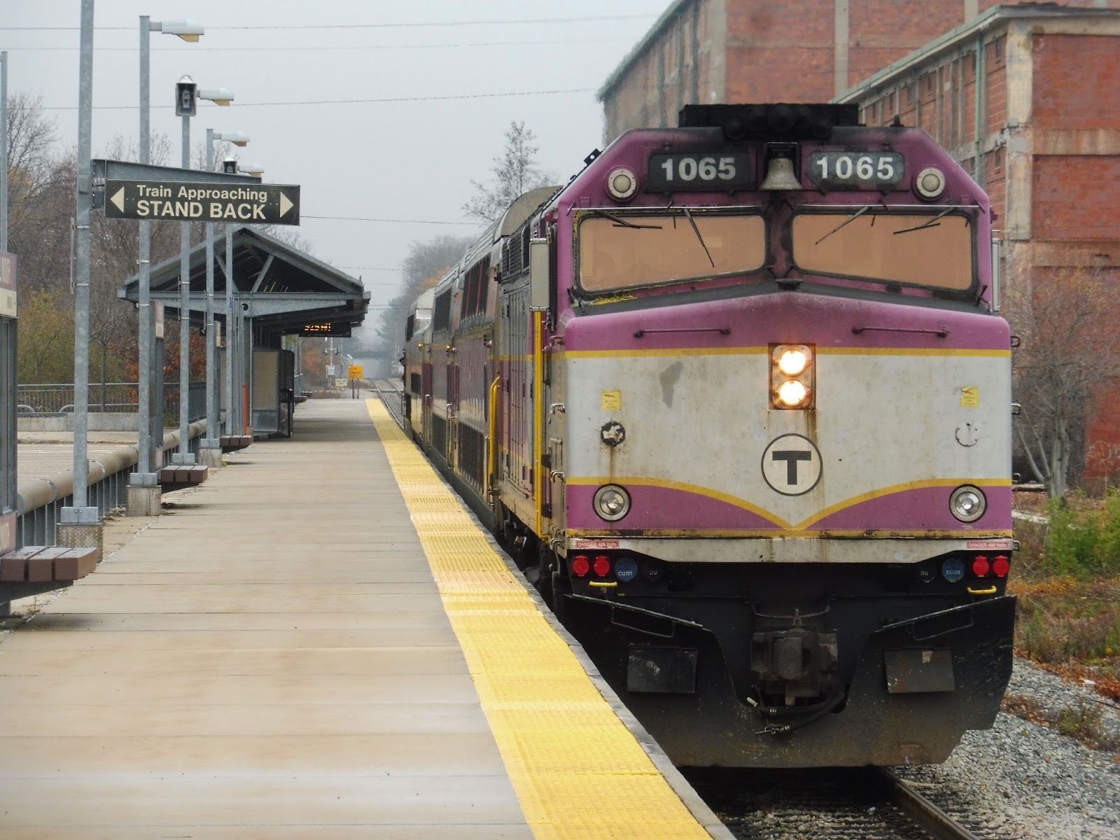
Plymouth
Coming off the heels of ranting about the Kingston/Plymouth Line’s split termini, let’s review one of them! Andddddddd…it’s the pointless one. Look, Plymouth is perfectly fine as a station, but I have some serious issues with the fact that it even exists. Oh well…it does, so let’s see what it has to offer.
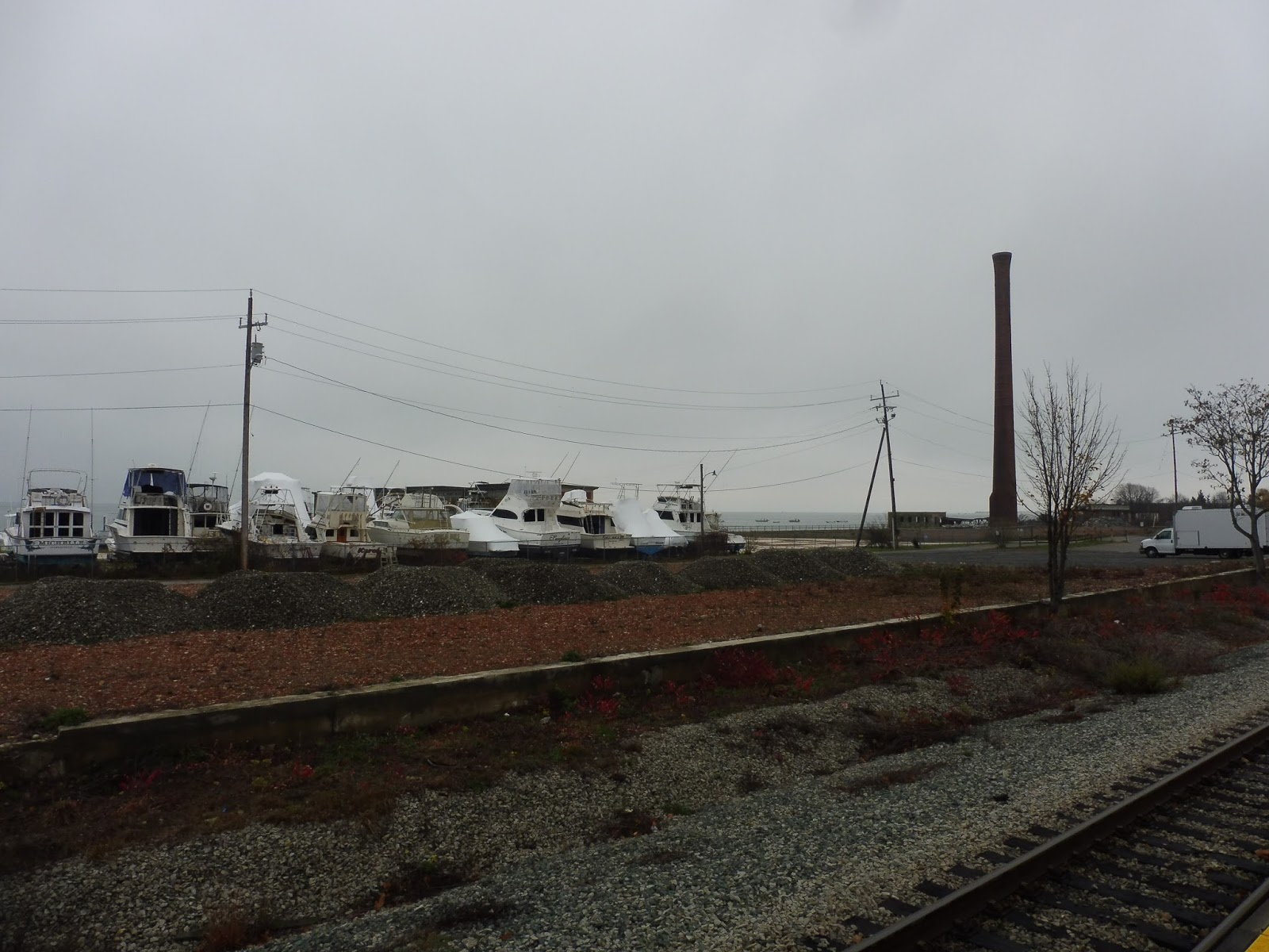 |
| Woah… |
Well, I think the most important question to address first is: where the heck is Plymouth Station? Because as you can tell from the picture, it ain’t near the Mayflower and it ain’t near the rock! No, Plymouth Station is about a 40 minute walk from either of those popular historical attractions; instead, it’s located in beautiful Cordage Park, which is anything but beautiful. It’s, uh, just a gross industrial park. Hm.
 |
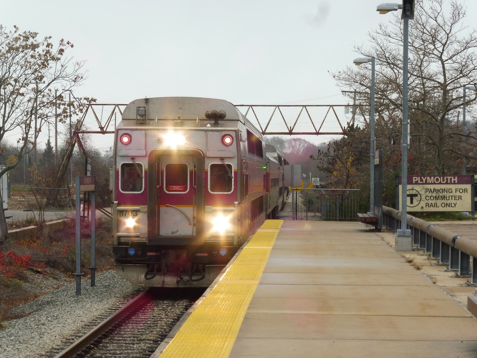
| The platform shelter. |
Plymouth’s high-level platform isn’t anything special. It’s typical Old Colony, with a long shelter and a few benches and wastebaskets underneath. It stretches pretty far on either end, with a few sparse benches and nothing much else.
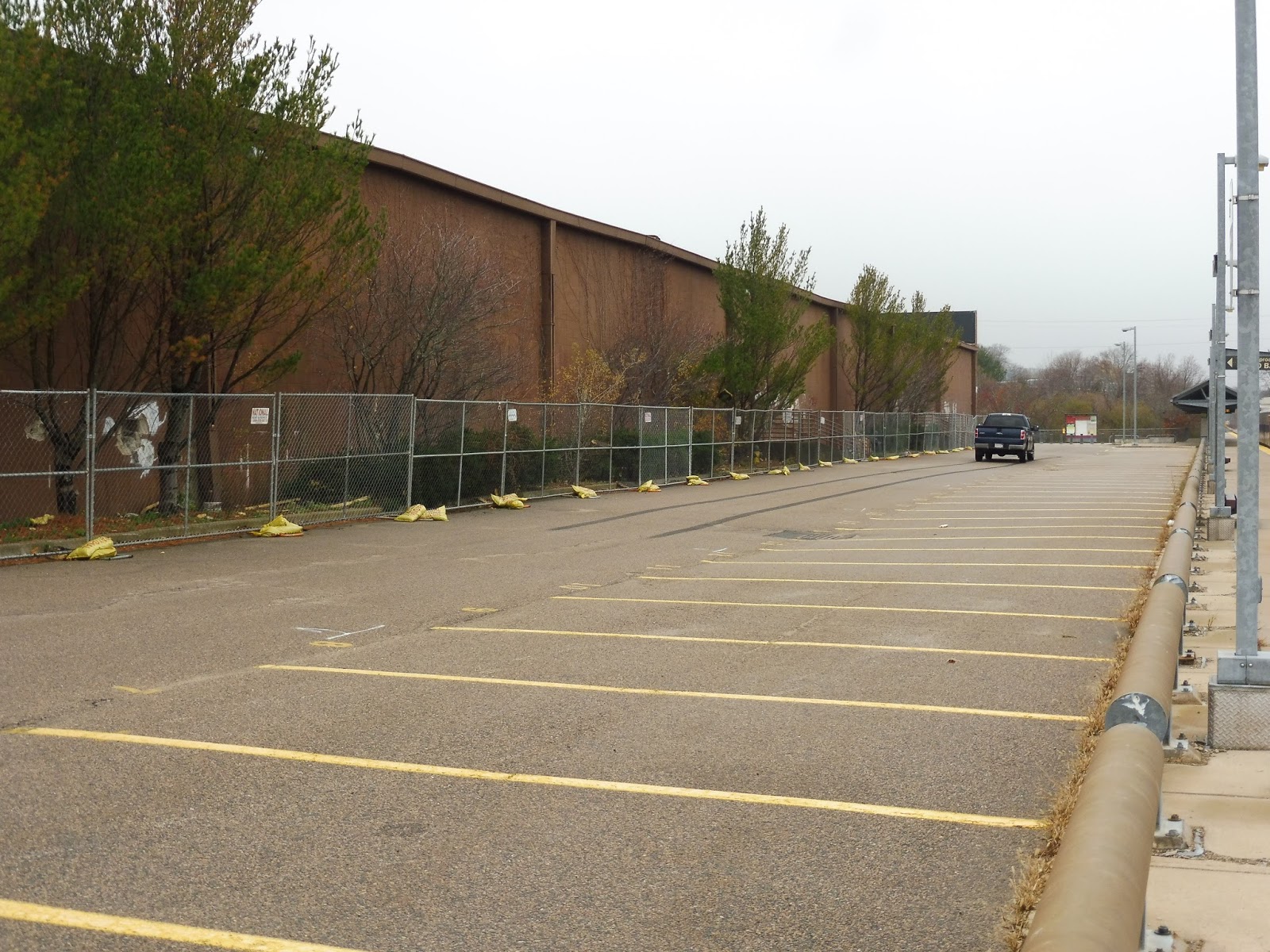 |
| The parking lot, next to an abandoned Walmart. How the heck does a Walmart get abandoned? |
This station offers 96 parking spaces, some lined up along the platform and some in a more typical lot formation. “Gosh, 96 spaces?” you may say, “That doesn’t seem like a lot!” Well…it’s over three times the station’s ridership, so, uh…it’s definitely enough. The MBTA website says the station has eight bike spaces, but I couldn’t find any anywhere.
 |
| More of the lot. |
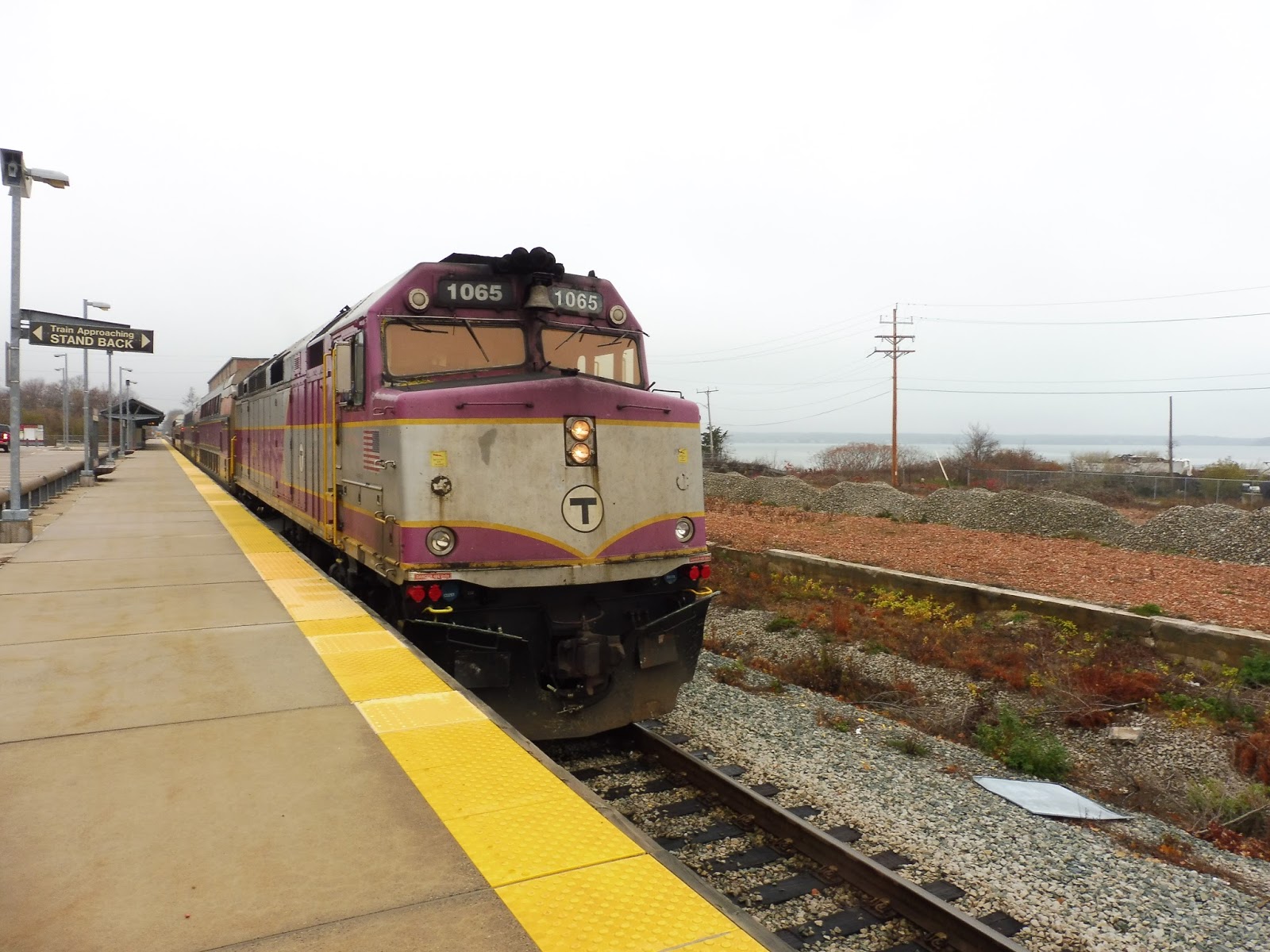
We can’t forget that the GATRA serves this station too! The Freedom and Liberty Links run right alongside the platform in a characteristic deviation. Also, they don’t have signage! Gee, I feel like a bus from this station to downtown Plymouth could get some great tourist ridership, but, uh, I guess GATRA disagrees. PUT A DARN SIGN UP!
 |
| Two shots of the same train. |
Station: Plymouth
Ridership: This is one of the least-used stations on the Commuter Rail. Are you ready for this? 30 inbound riders per weekday. That’s it.
Pros: Well, as a station, it’s fine. You know, it’s your typical Old Colony platform, and the station is right by the water, which is nice. There’s also more than enough parking – like I said, three times the ridership!
Cons: Quite frankly, trains should just stop serving this station, because it’s not helping anyone to send them out here. Okay, it’s helping 30 people, but that’s not a lot of people. The thing is, having trains come out here adds a lot of time to train schedules and to commuters, and for what? So that a few people can get off at a station that shaves off a few minutes of driving time for them? No, I’m sorry, I just don’t see the point.
Nearby and Noteworthy: Oh, you know, one of the oldest settlements in the entire country…if you’re willing to walk 45 minutes, that is! At least there’s always the GATRA to take you there.
Final Verdict: 2/10
Okay, Plymouth as a station is fine. It’s typical. It’s normal. Whatever. But come on, does it really need to exist? No, no it doesn’t. Deviating trains here takes so much time, and it’s helping so few people per day. Yes, as a station it’s fine…but it shouldn’t have been built in the first place.
Latest MBTA News: Service Updates
Why does the Kingston/Plymouth Line have split termini?
This is the kind of thing I feel I need to rant about in its own separate post, because this really bothers me. So what’s the deal here? Well, we’re discussing the Kingston/Plymouth Line of the Commuter Rail, one of the newest additions to the system. Completed in 1997, the line runs down to the southeastern portion of Massachusetts.
 |
| The MBTA map, with the Plymouth Line beautifully circled in red. Thanks, Microsoft Paint! Image source |
As a kid, I thought that Kingston and Plymouth were separate lines and both got full service, but of course that’s not true. That said, the setup used isn’t any less strange. All stops are shared up until the tail end of the line, where it splits to serve Kingston, a park-and-ride station in the middle of nowhere, and Plymouth, an industrial station in the middle of nowhere. No train runs to downtown Plymouth – remember this.
 |
| The line’s weekday schedule. Image source |
Okay, so here’s the line’s schedule on weekdays. Note that Plymouth is basically never served in the rush hours – trains go to Kingston only during those times. This means that Plymouth gets absolutely terrible ridership, making the station a waste, anyway!
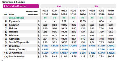 |
| The inbound weekend schedule… |
 |
| …and the outbound. Image source |
But then it’s even worse when trains actually serve Plymouth! That adds so much time to any given trip! As an example, let’s look at train 1051 on Saturdays. It leaves South Station at 8:30 and arrives Plymouth at 9:27 – about an hour trip, that’s not bad. But if you’re going to Kingston (which many people are)? Well, too bad for you – you have to wait for the train to leave Plymouth at 9:37, then suffer through an almost-20-minute ordeal of reversing and brake tests before clunking into Kingston at 9:55! What a complete waste of time…
 |
| A train going beyond Plymouth, only to change directions and drop its passengers off at Kingston. |
So why does this arrangement exist? Honestly, I have no idea. Kingston is the one with the big parking lot that gets a bunch of trains, while Plymouth is just…there. I mean, if it was actually in downtown Plymouth, I could see why the split exists, but no, it’s a long shot away. Honestly, I think it’s time to retire Plymouth and send all trains to Kingston. It’ll save time, and since most people are driving to get to the train, it won’t add that much time to people’s commutes. End this stupid split!
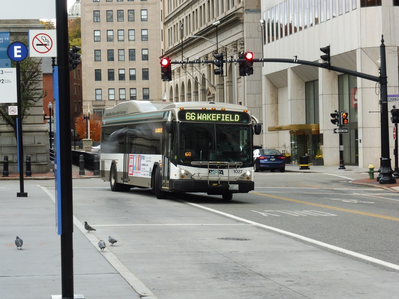
RIPTA: 66 (URI/Galilee)
The 66 is a long route. The 66 is a longggggggggggggg route. Traversing almost the entirety of Rhode Island, it runs from Providence to Galilee, on the southern tip of the state. And sure, it’s kinda lame that it only takes around an hour and a half to cover an entire state (sorry, Rhode Island, you’re small), but the 66 is a neat ride.
 |
| Woah, pigeon photobomb! Check out that gray blur! |
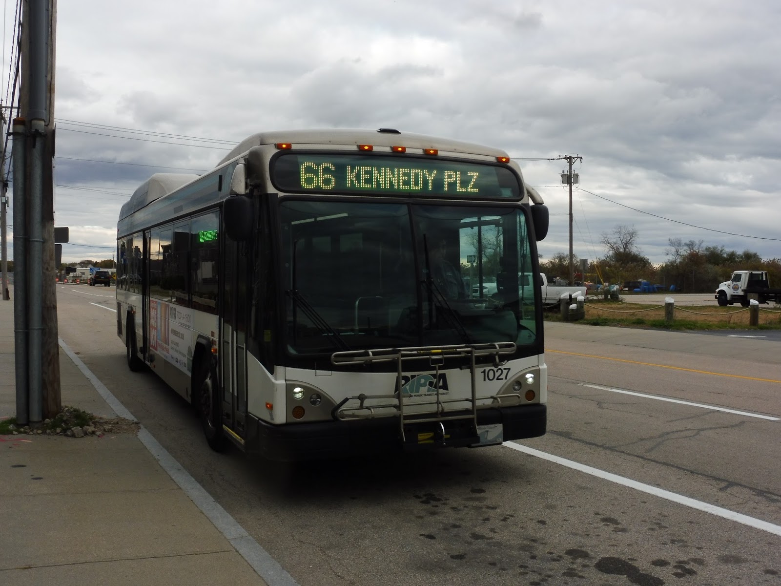
Like most other RIPTA routes, we began at Kennedy Plaza in Providence. However, we didn’t stay in Rhode Island’s capital city for too long – after a quick run on Dorrance Street and Francis Street, we were already heading around a highway interchange onto I-95! Oh yes, time for an express section.
 |
| Wow, that’s an intense interchange… |
The interchange was elevated, but as we merged onto the highway, it headed below ground level. We headed through a dense area for a bit, then went elevated over an industrial section – unfortunately, I missed the bug this time! The area became residential after that, as houses lined the service road next to the highway.
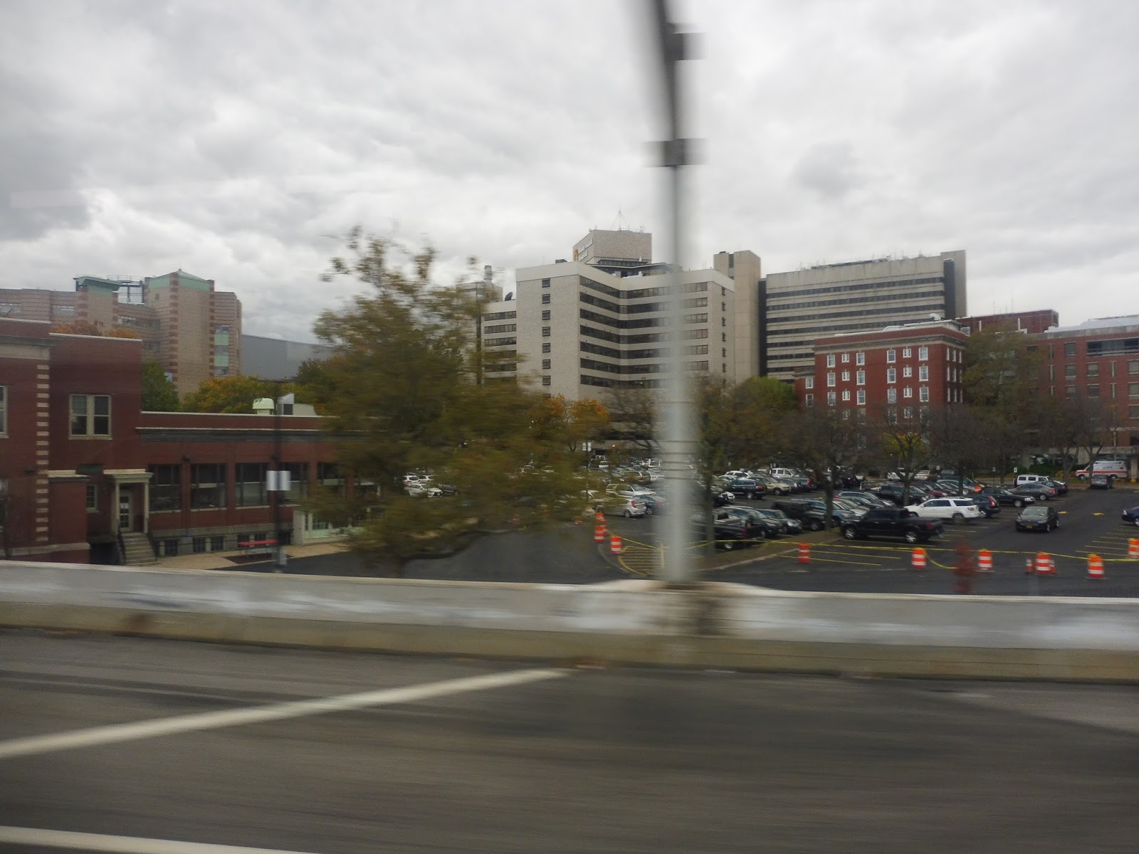 |
| Zooming past a hospital. |
We went by RIPTA’s Elmwood Garage, then crossed over the Commuter Rail tracks. After that, we passed through a complex interchange with the Huntington Expressway, and it was mostly residential with some industry beyond there. Indeed, it became entirely industrial eventually, interspersed with random stretches of woods.
 |
| A school bus yard. |
We went through another interchange, this time for the T.F. Green Airport Connector Road, and the road passed a wind turbine later on. Next, we went under East Ave – on weekdays, buses take the exit and deviate to serve CCRI Warwick, but on weekends, they speed right through, as did our trip. The highway merged with I-295, and after some more woods, we took Exit 9 onto another highway, Route 4.
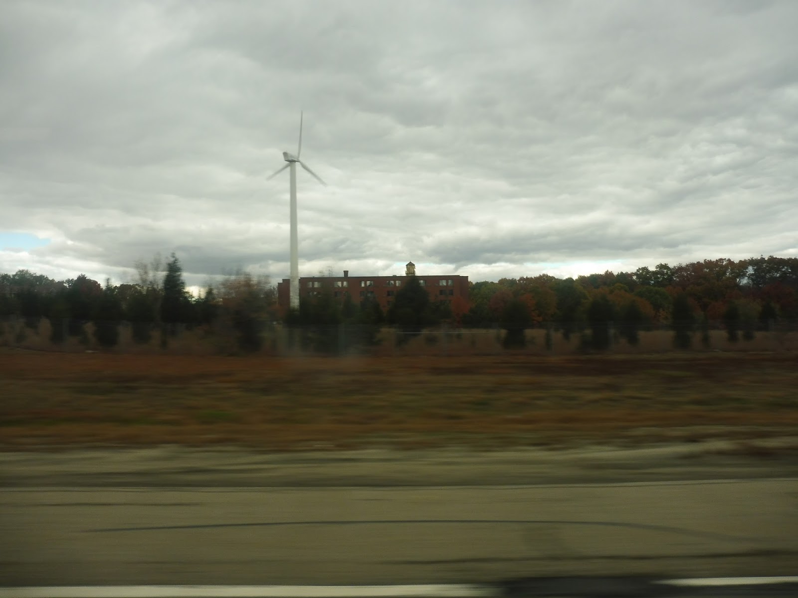 |
| Gotta love wind power! |
What grand scenery was there along Route 4? Nothing much, actually…just a lotta woods. The most interesting thing we passed was an interchange for yet another highway, this one bound for Quonset. We took the exit after that onto South County Road, finally ending the express portion. We went by a RIPTA park-and-ride, then various suburban businesses and industrial buildings.
 |
| Some industrial something-or-other just off the highway. |
The scenery continued pretty much like that as we entered North Kingstown and the street became Quaker Lane. Right near another RIPTA park-and-ride, we turned onto Ten Rod Road, taking us under some telephone wires and up to Wickford Junction Station. It felt weird to be deviating there on a weekend (when trains don’t run to the station), but surprisingly, we ended up dropping a few people off. Well, there are a few shopping centers near the stop, I guess, including a big Walmart.
 |
| Nice colors! |
After that, we headed back the way we came, staying on Ten Rod Road and passing a few more malls. However, after we went under Route 4, it was more residential, aside from one “family-owned’ business that happened to also have a drive-through! When we turned onto South County Trail, (I guess that name is back?) the surroundings changed drastically and became a lot of…farmland? Wow, we’re not in Kansas anymore. Or perhaps we are…
 |
| Wowwwww… |
As we entered Exeter, the farms gave way to just plain ol’ woods. Eventually, we arrived at some sort of small shopping place – the 66 schedule refers to it as “Exeter Variety”. Beyond there, a solar farm was hidden behind trees as we reentered the woods. The trees were briefly broken at one point by a shopping center and a recreational center.
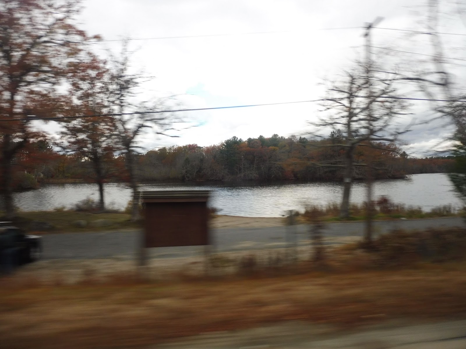 |
| A pond view! |
It continued to be mostly woods, with businesses popping up every so often. Now in Kingstown, after passing a nursing home, the road briefly skirted a pond, then we got a bit more farmland! We turned onto Kingstown Road, going by more farms, and then we arrived at Kingston Station. Our deviation failed to attract any passengers, alas, and so we returned to Kingstown Road.
 |
| A nice little chapel by the road. |
Beyond the station, there was a dense, mostly residential area, then a stretch of woods, and then we arrived at University of Rhode Island. Turning onto Lower College Road, we arrived at the main bus stop at the Student Union, and dropped off many of our passengers. After that, we made our way onto Campus Ave, then Upper College Road, and finally we returned to Kingstown Road.
 |
| The main university stop. |
We passed through a cool historical area with dense housing, then we turned onto Kingstown Road. It was still mostly residential, but less dense. Also, the houses were mostly hidden behind trees, so it felt like we were back in the forest. Eventually we came through a more developed section, with various businesses and housing developments on either side.
 |
| Some sort of apartment complex. |
It was more residential for a bit, then it got dense after we passed a bog. There was a big industrial building, and we entered sort of a “downtown” area after that. The street curved past houses and businesses, then we reached a rotary and merged onto High Street. This took us past more (somewhat) dense residences, which continued for a while.
 |
| Goin’ round the rotary. |
Next, we turned onto Main Street, entering yet another downtown area! This felt even more like a town center, with purely retail lining the street. It continued for a good while, too, although the businesses got less interesting as we went along. This culminated when the street became Old Tower Hill Road, where malls and parking lots basically lined the street.
 |
| This turned out surprisingly symmetrical considering I was on a moving bus! |
Indeed, we even deviated to serve one of the malls! This was the Wakefield Mall, and after some strange madness in the parking lot involving a pedestrian yelling at the driver for seemingly no reason, we returned to Old Tower Hill Road. Next, we got…another express section? Yes, we merged onto the Route 1 highway, staying on for two quick exits before merging onto Woodruff Ave, now in Narragansett.
 |
| Parking lotsssssss! |
And now, we got yet another mall deviation, this time to serve Salt Pond Plaza. Okay, so we went through all that parking lot jazz, then headed down Point Judith Road. We quickly left the horrible mall area, and the wide four-lane road was now mostly passing houses and forest (and a golf course at one point). We even got some more farmland, featuring livestock!
 |
| Anyone up for some 5-pars? Or something? I think that’s how golf works… |
We started to get some houses along the street again, before turning onto Burnside Ave. Another wide road, this took us out to…the beach! Yes, turns out there’s a big honkin’ beach down here (Scarborough State Beach, to be exact)! There was a great view of the ocean as we turned onto Ocean Road, but the beach buildings and parking lots all felt rather dead. I mean…it’s almost winter, after all.
 |
| The view of the water! |
One side of the road became occupied by houses eventually, and it was all residential once we turned onto Knowlesway (all one word – interesting street name). There was some retail once we rejoined Point Judith Road, but it felt pretty woodsy again as we continued south. We went past a park, then turned onto the narrower Sand Hill Cove Road.
 |
| What a beautiful empty beach parking lot… |
This street was very marshy, but somehow there were still houses alongside it. As the street made a curve around a bog, we came up alongside another beach! This was Roger W. Wheeler State Beach, and unfortunately, its parking lot was so big that we didn’t get a water view this time. Still, it must get packed in the summer!
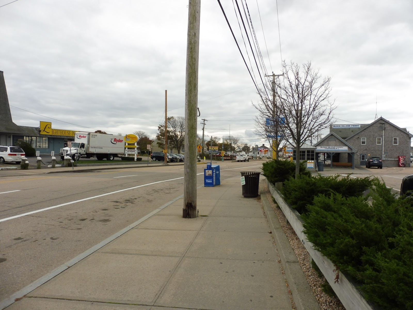 |
| A view of Galilee (from after I got off, obviously). |
It was pure marshland from there, with some nice beach houses facing the water. Next, we turned onto Galilee Connector Road, passing lots of overflow parking lots for the Block Island Ferry. This street curved around and took us onto Great Island Road, where we arrived at the last stop. The bus went out of service and headed down the seafood restaurant-filled street to lay over.
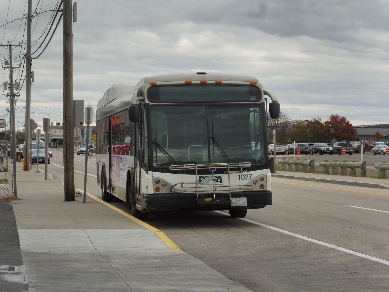 |
| The bus hangin’ out. |
 |
| Okay, how could I not include this one? |
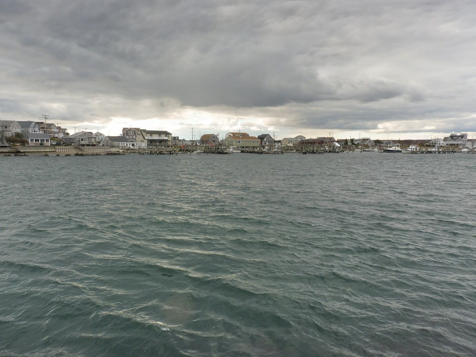 |
| Looking across the harbor to some houses. |
 |
| Time for the long trip back… |
RIPTA Route: 66 (URI/Galilee)
Ridership: Okay, there’s a lot to talk about here, but we’ll start with the numbers from 2012: the route got 1,636 riders per weekday, 650 per Saturday, and 521 per Sunday, ranking as the 14th-busiest RIPTA route. The 66 gets a huge variety of riders, too – commuters, locals, shoppers, beachgoers in the summer, college students during the school year…it serves a lot. Finally, it’s very much worth noting that the route gets over half of its ridership from URI and points north, which we’ll discuss later.
Pros: The benefits of the route being so long is that it serves so much. It’s also nice that so much of the 66 is express, making the ride at least somewhat palatable – an hour from URI to Providence on weekdays isn’t terrible. The headways are pretty sensible for the ridership, too, with 30 minute service at rush hour (including short-turns to URI), 60 minute service middays, 45 minute service on Saturdays, and 70 minute service on Sundays.
Cons: Like I said, it’s a long route – almost 40 miles! That affects both on-time performance and the costs to run the route, both of which are worse as a result. One semi-solution for this is to have the route balance its ridership better, something it’s not particularly good at now – there need to be more short-turns from URI to Providence, where the majority of the ridership is. If it was coordinated well, it could help prevent empty buses. The current weekday URI short-turns are usually scheduled to leave just before a full trip to spread the people over two buses, but if short-turns were made full-time, it would be optimal to have them coordinated for more consistent headways.
Nearby and Noteworthy: The area around URI seems pretty cool, and that “downtown” area had some decent-looking attractions. Definitely the biggest draw of the 66 is its southern section, where beaches surely draw throngs of riders in the summer. Couple that with the Block Island Ferry at Galilee, and you’ve got lots of noteworthy places along here!
Final Verdict: 7/10
The ability to get down the entire coast of Rhode Island for 2 bucks is pretty darn great, and the express portion definitely improves the ride a bit. The typical rider probably won’t have too many problems with the route, aside from maybe Sunday frequency, but the ridership doesn’t seem to be there to justify more service. From a planning perspective, the 66 has some logistical problems, for sure, particularly when it comes to balancing the ridership – I would love to see URI short-turns on Saturdays to allow for more frequent service along the busier part of the route. Regardless, the 66 serves a huge part of the state, and serves a multitude of different purposes. Plus, it’s a really fun ride from beginning to end!
Latest MBTA News: Service Updates
Yeah, yeah, I know I never update this section, but here’s an interesting tidbit: starting December 31st, the MBTA will reroute its Alewife routes to travel via Acorn Park Drive when coming in on Route 2. It should hopefully help the buses avoid traffic, but I’m just interested in what it’ll be like to ride the bus through the office parks along there!