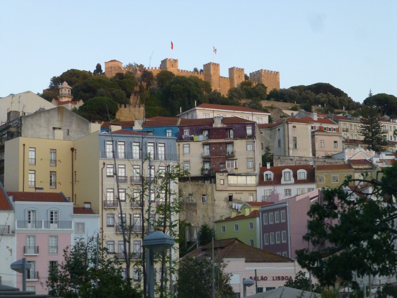
Service Change: Portugal, Part 9 – Porto Metro, Lines A and B
The Porto Metro is actually the biggest metro system in Portugal. Despite being twice as long as the Lisbon Metro, though, it only gets a third of the ridership. Unlike Lisbon, Porto’s Metro system is light rail, and is mostly above ground. But hey, that second bit is a plus, isn’t it?
 |
| My Andante Card, otherwise known as the bane of my existence. |
Okay, so the Porto Metro fare system certainly is…something. First of all, they have this really, really confusing zone system. They try to explain it on the website, but it really makes no sense at all. Then there’s this whole “validation” thing. Basically, the Metro uses an honor system, but you have to “validate” your card on these little machines for it to be considered valid. It must be done “at most, with 10 minutes of antecedence before beginning the travel.” Uh-huh…
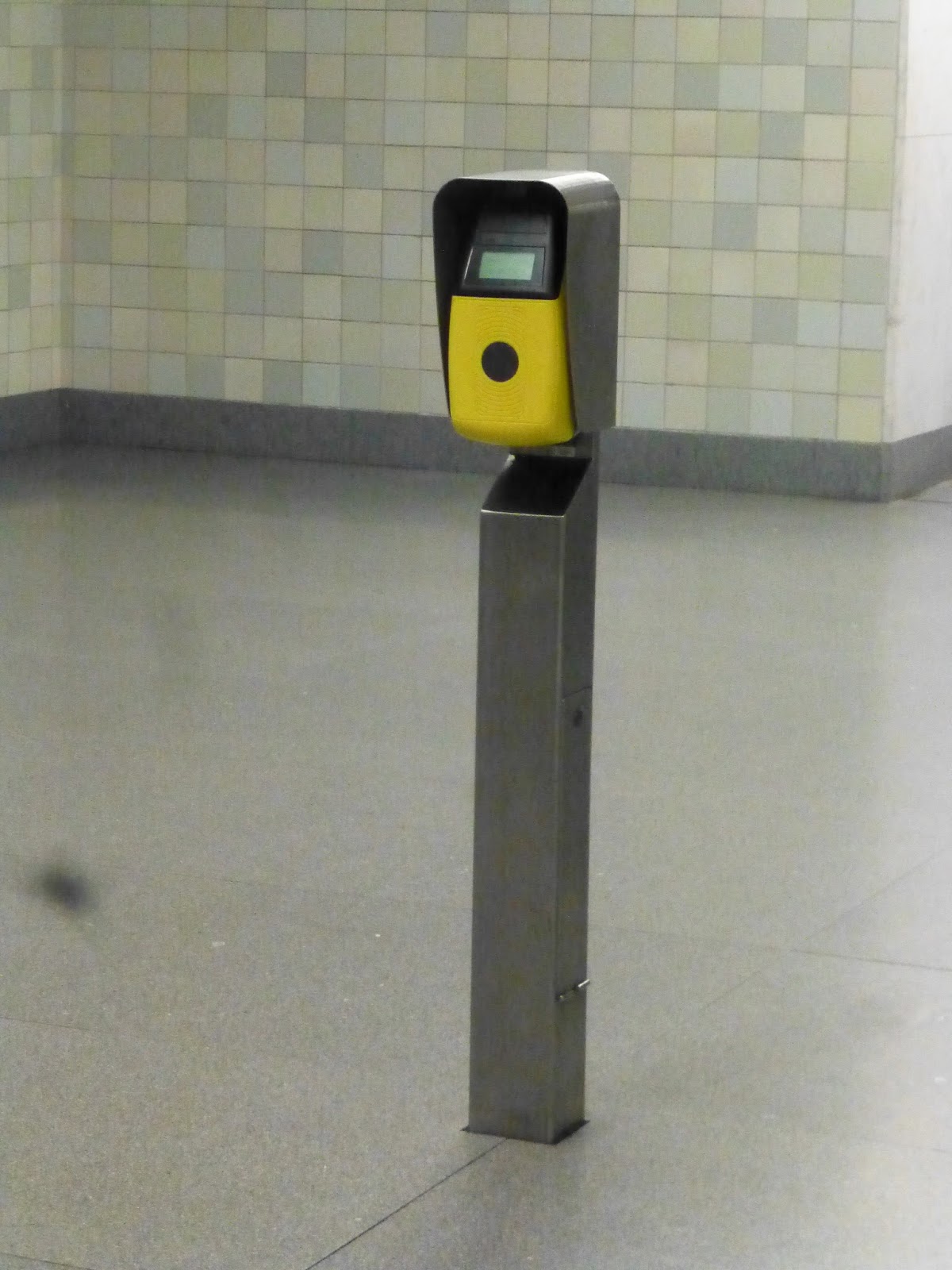 |
| A validator, otherwise known as the other bane of my existence. |
The thing with validation is that when you validate your ticket for the first time, it puts a time limit on it. But if you validate again, you get extra time on the ticket. This means you could theoretically get off at each stop and run out to validate, then run back onto the train to get more time – and people did do that. Plus, sometimes validators at stations are broken, so you have to run out of the train at the next stop in order to validate. And since it’s an honor system, they have occasional checks, and if your ticket isn’t validated, that’s 95€ out of your pocket.
 |
| The list of existence banes keeps getting longer… |
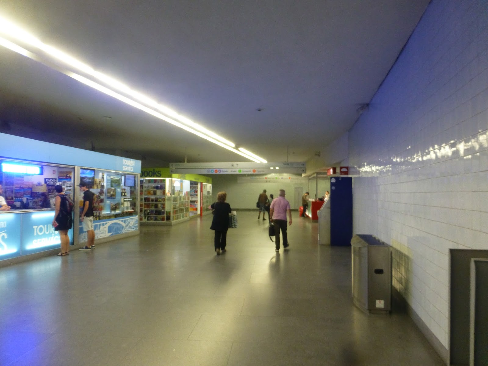
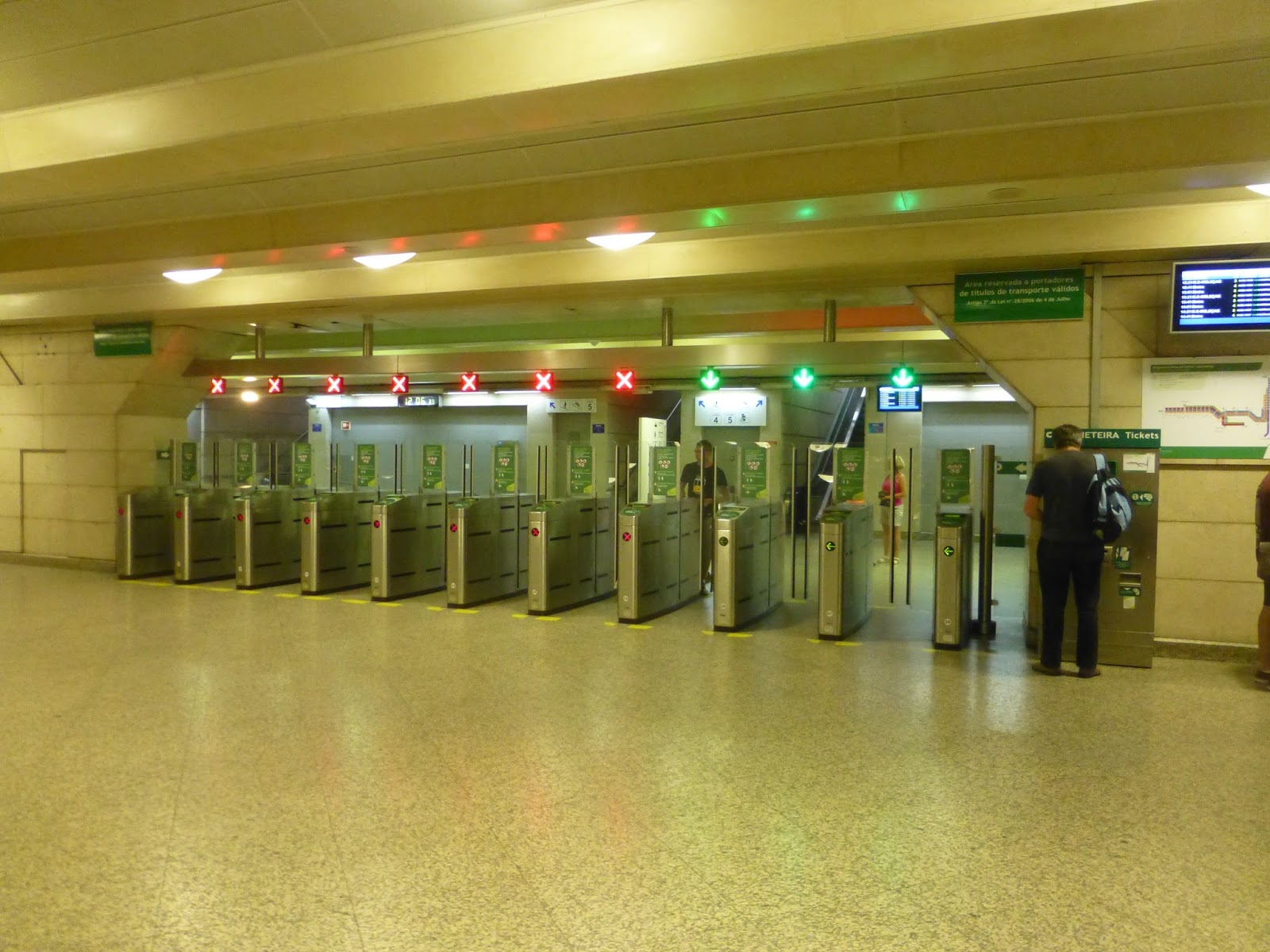
Okay, the ticket machine situation was horrible. I mean, having only one ticket machine at above-ground stations makes sense, since most of them are simple and quiet. But having just two of them at one of the busiest stations on the system is ridiculous! The Sao Bento subway station had this huge mezzanine with nothing in it! How about investing in a few more ticket machines so there’s not a massive line at the only working one, huh?
 |
| Yup, that makes so much sense. |
 |
| If this is too confusing for you, you can read the longest FAQ ever on the Metro website. |
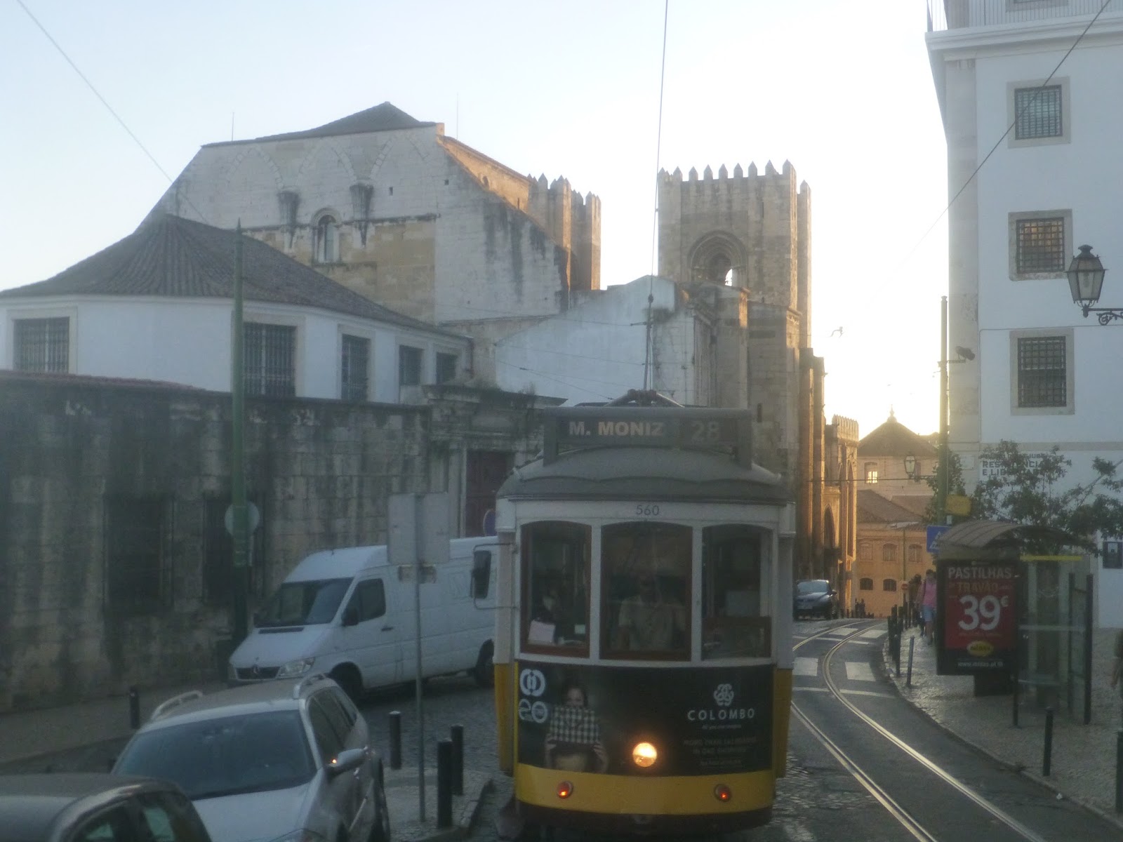
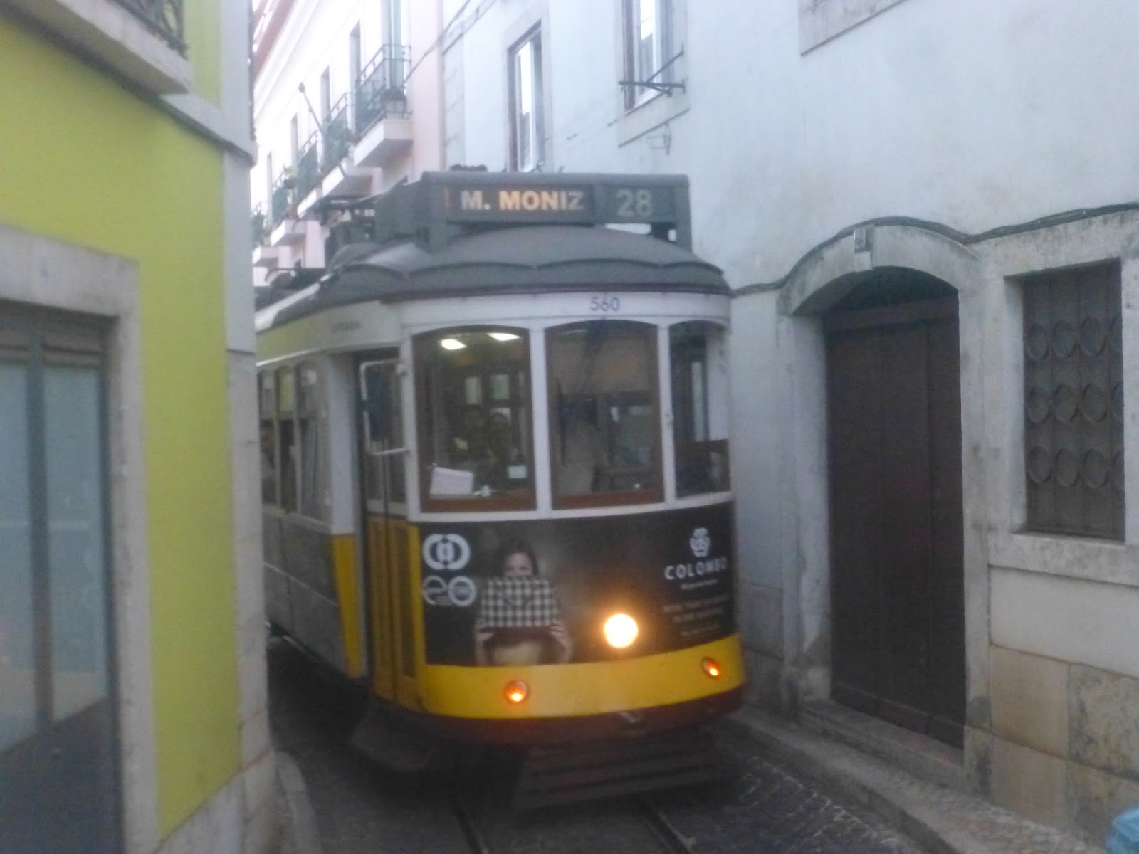
Right, now that we’ve gotten that madness out of the way, we can talk about the Metro itself. It has six lines, five of which take the same path through the city. The A is one of those five, and it’s also the shortest of those. Unfortunately, on the day I took the A, my camera was out of batteries, so this will be purely text. Sorry about that.
 |
| This is an E, but it gives you an idea of what the trains look like on the outside. |
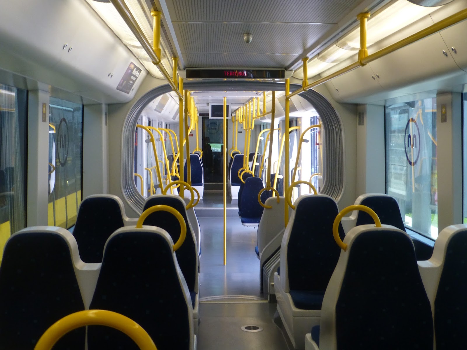
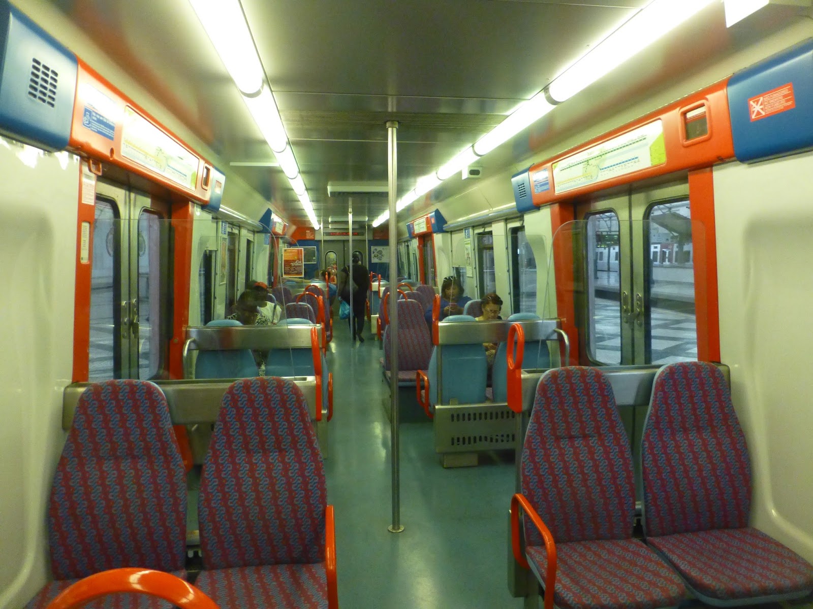
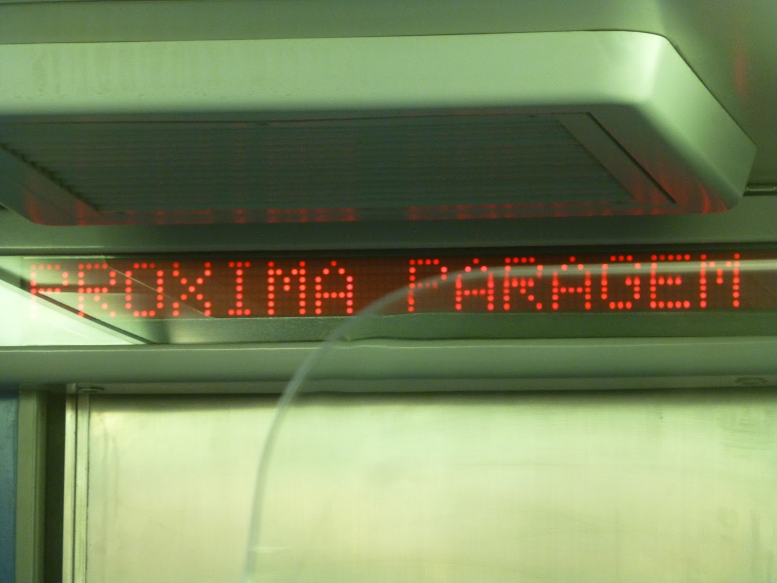
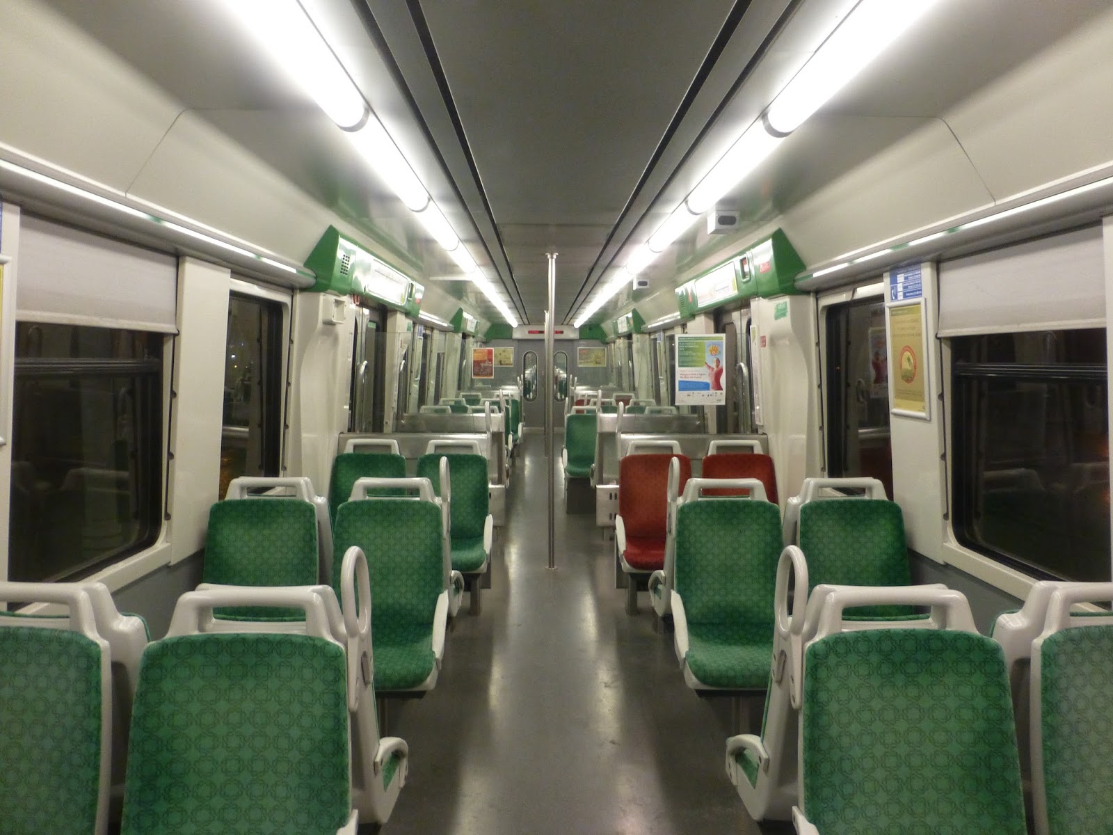
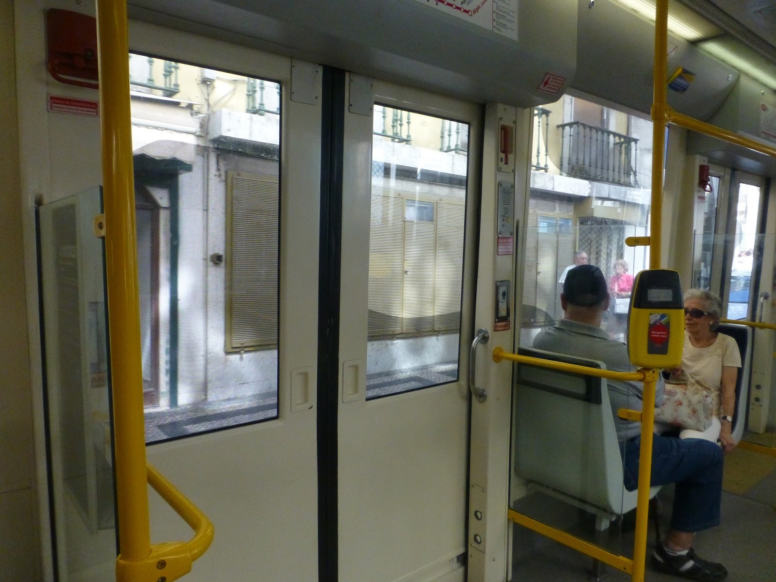
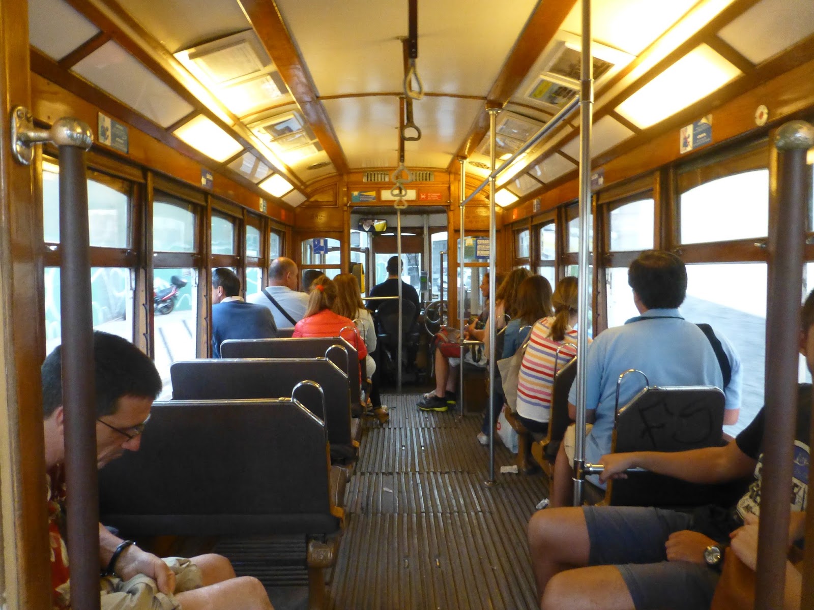
On the inside, the trains are pretty nice. They have really wide doors that are opened by buttons, which I always like. The seats mostly forward or backward, and there are simple automatic announcements saying the name of the next station.
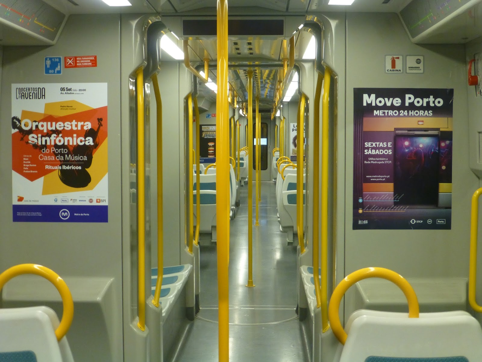 |
| Looking down the train. |
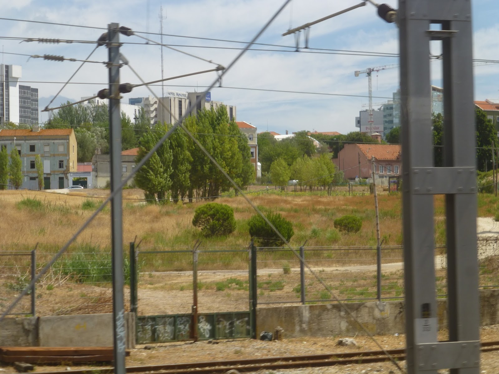
The A started in this full-on industrial area at Senhor de Matosinhos Station. As we travelled down the side of Av. Eng. Duarte Pacheco, we went by huge cranes and shipyards. After the next stop, Mercado, we got a private right-of-way, running right through Matosinhos, going by lots of restaurants and businesses.
We then turned onto Avenue da Republica, running in the median. There were still some businesses, but it shifted to a lot of apartments, too. After going through a rotary, we turned onto R. Dom Nuno Alvares Pereira, then onto the median of Av. Villagarcia de Arosa. Shifting to the side of the road, we went by a park (Parque de Real), then a hospital.
We had our own private right-of-way for a bit, running under a highway, then we entered the median of Av. Calouste Gulbenkian. The street turned north, lined with apartments. We turned onto Av. Vasco de Gama, then Rua da Lagoa, and then Av. Fabril do Norte, joining Lines B, C, E, and F on the “main line” into Porto.
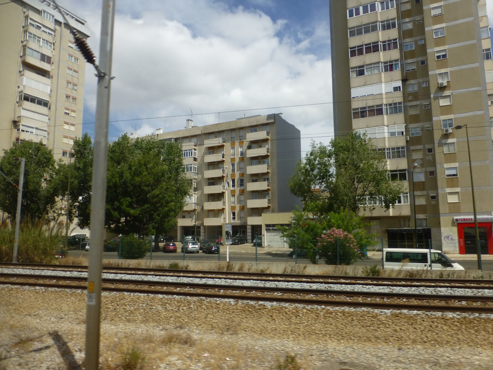
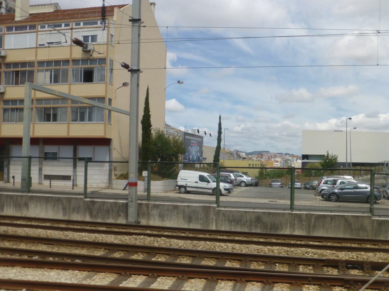
After Senhora da Hora station, considered to be the western “hub” of the system, the street was mostly residential. We turned onto Rua Fonte das Sete Bicas, then went down below ground level. Returning to the surface, we stopped at Ramalde, then crossed over a highway.
 |
| Ha! I got pictures of the main line when we were on a different train! This was when we were below ground level. |
 |
| Going over the highway. |
 |
| Going by a residential area. |
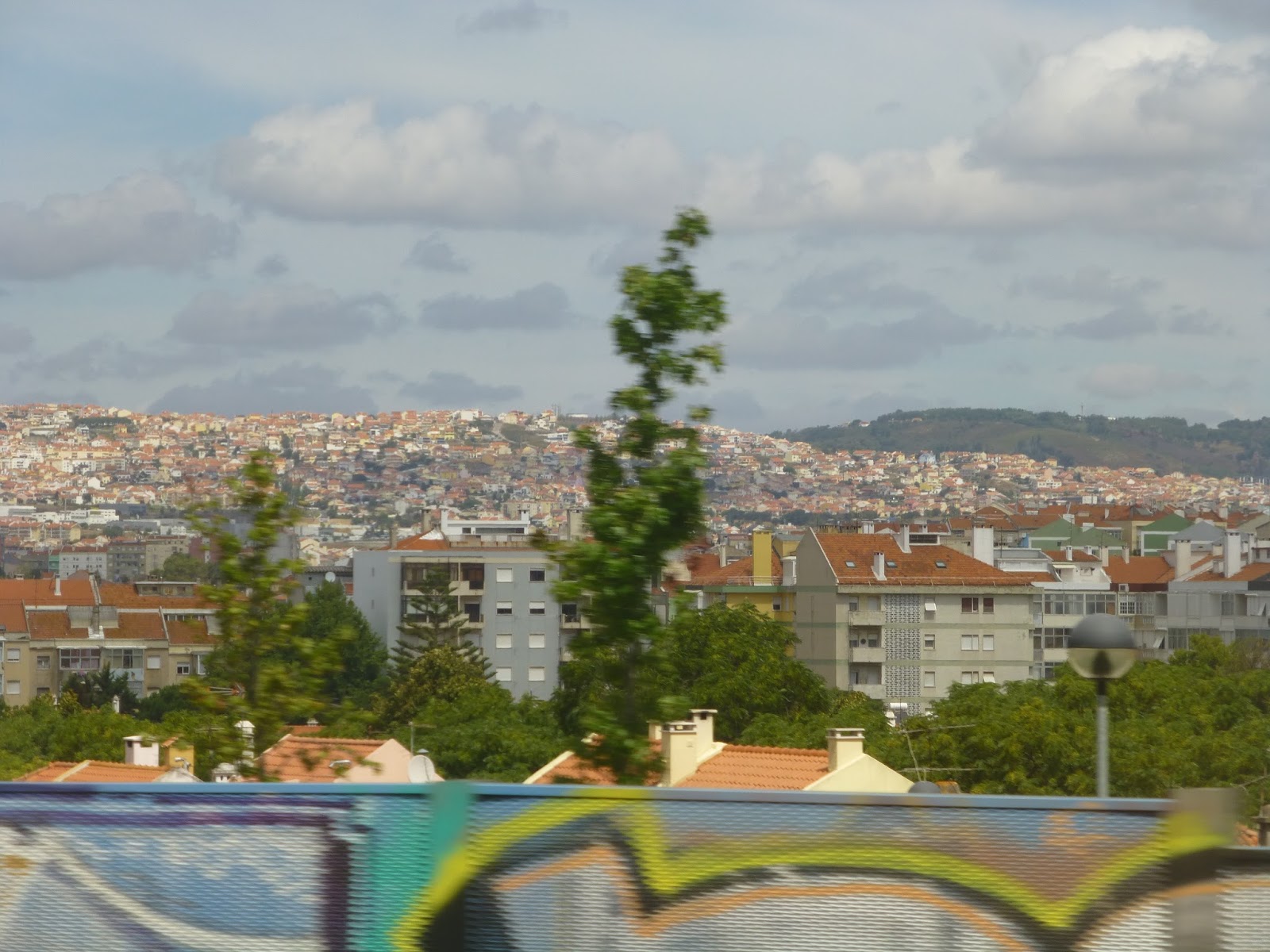
We had a proper underground station at Casa de Musica, then went elevated. There was a nice view of the city between Carolina Michaelis and Lapa Stations, then we went into a longer tunnel. When we came out again, we were at Trindade, the hub of the system. This is where you can also change for Line D, the one line that runs separately from the other five.
 |
| Alas, this was the best picture of the elevated section I could get. |
 |
| The mezzanine at Trindade. |
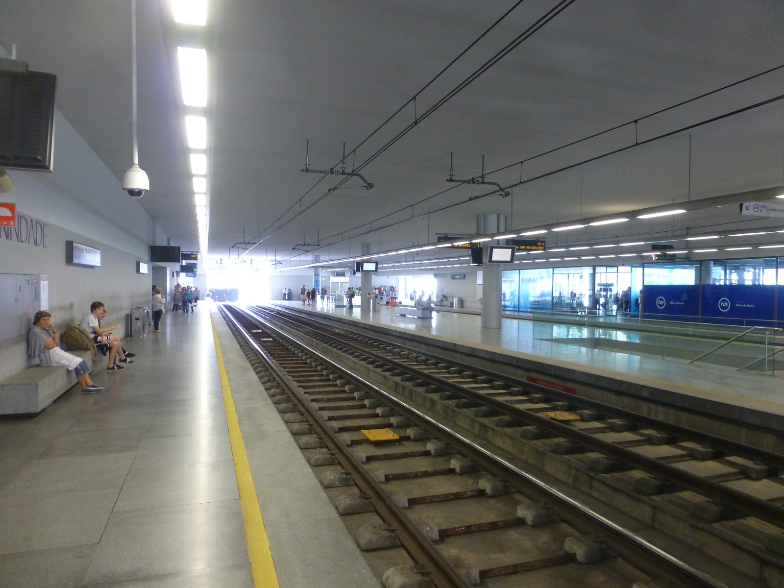 |
| The platform. |
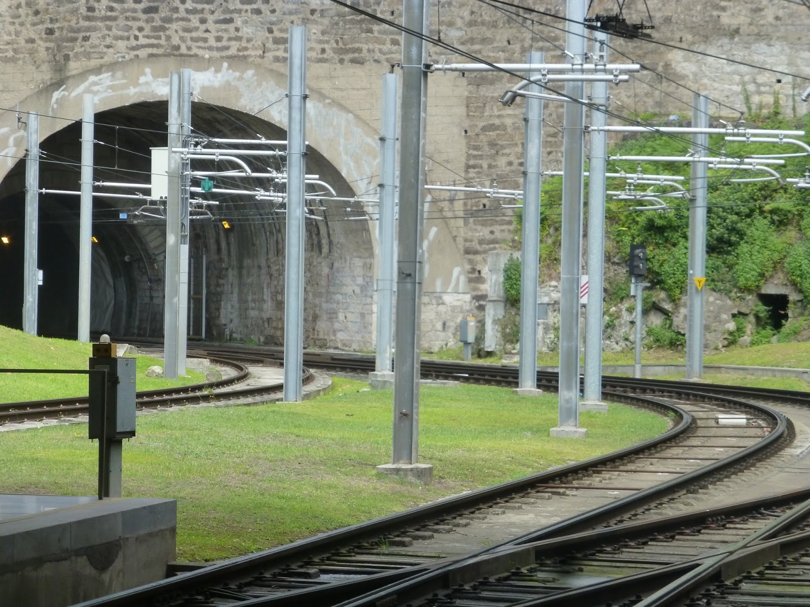 |
| There were tunnels on either side of the station. |
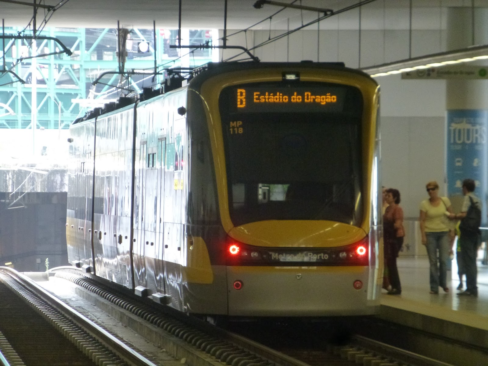
We went into another tunnel after Trindade. This is the only legitimate subway section on the main line, as stopped at three underground stops. At Campanha, we popped above ground again, stopping right next to the suburban station. We continued, following the suburban line tracks, which eventually went under a highway. From there, we reached the last stop, Estadio do Dragao, right next to a huge stadium. The only line that continues past here is the F, but that’s for another post.
 |
| And now… |
 |
| …Line B! |
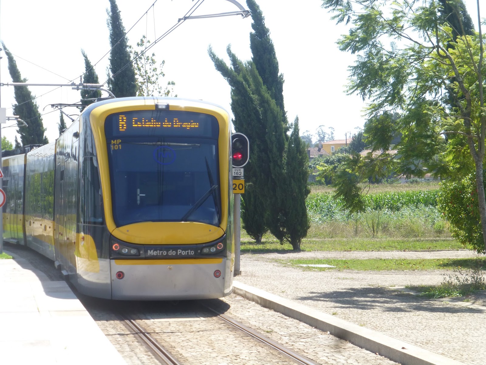
Line B is by far the longest line on the system, running way out to Povoa de Varzim, northwest of the city. It’s so long it even has an express service! You may have also noticed that it uses different trains. Lines B and C use these sleek ones that can go faster and are also more comfortable. The only problem with them is that they don’t have doors in the middle articulated section, which can be annoying if you happen to be in the middle of the platform.
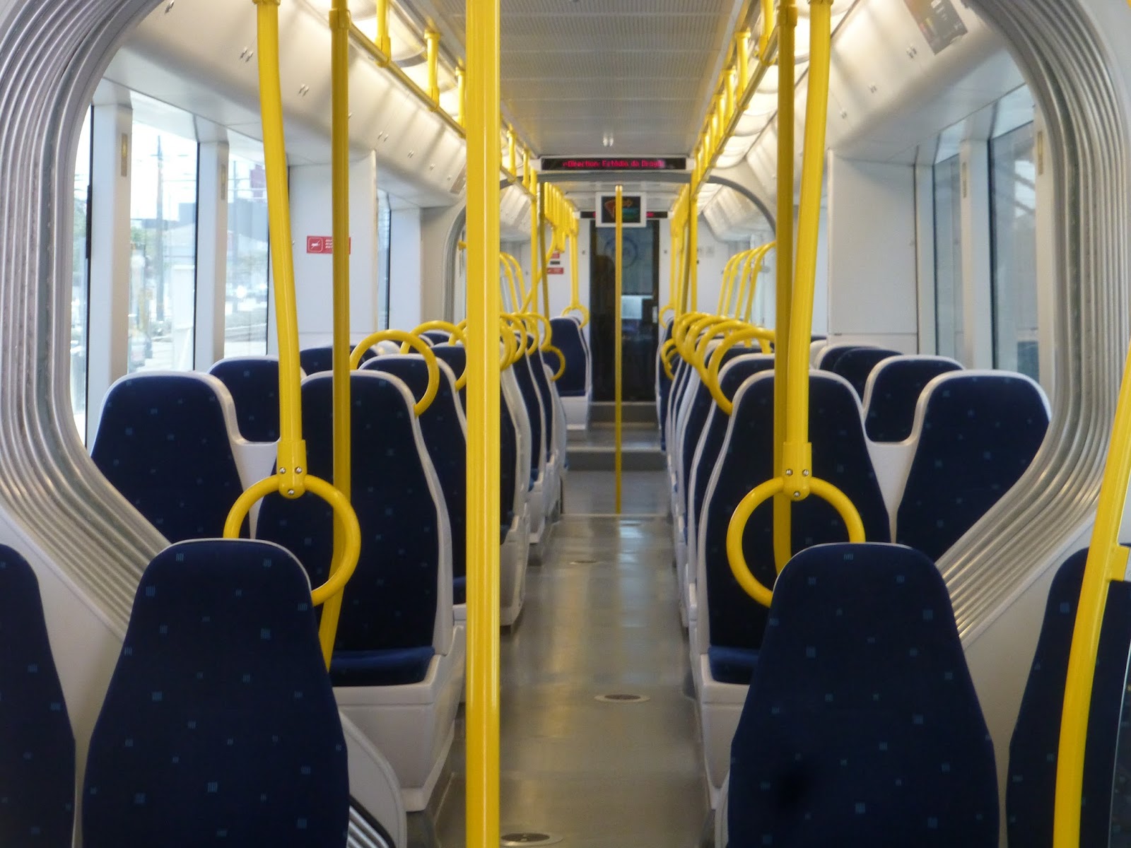 |
| I mean, just look at those cushioned seats! |
 |
| The screen showing the stop names. |
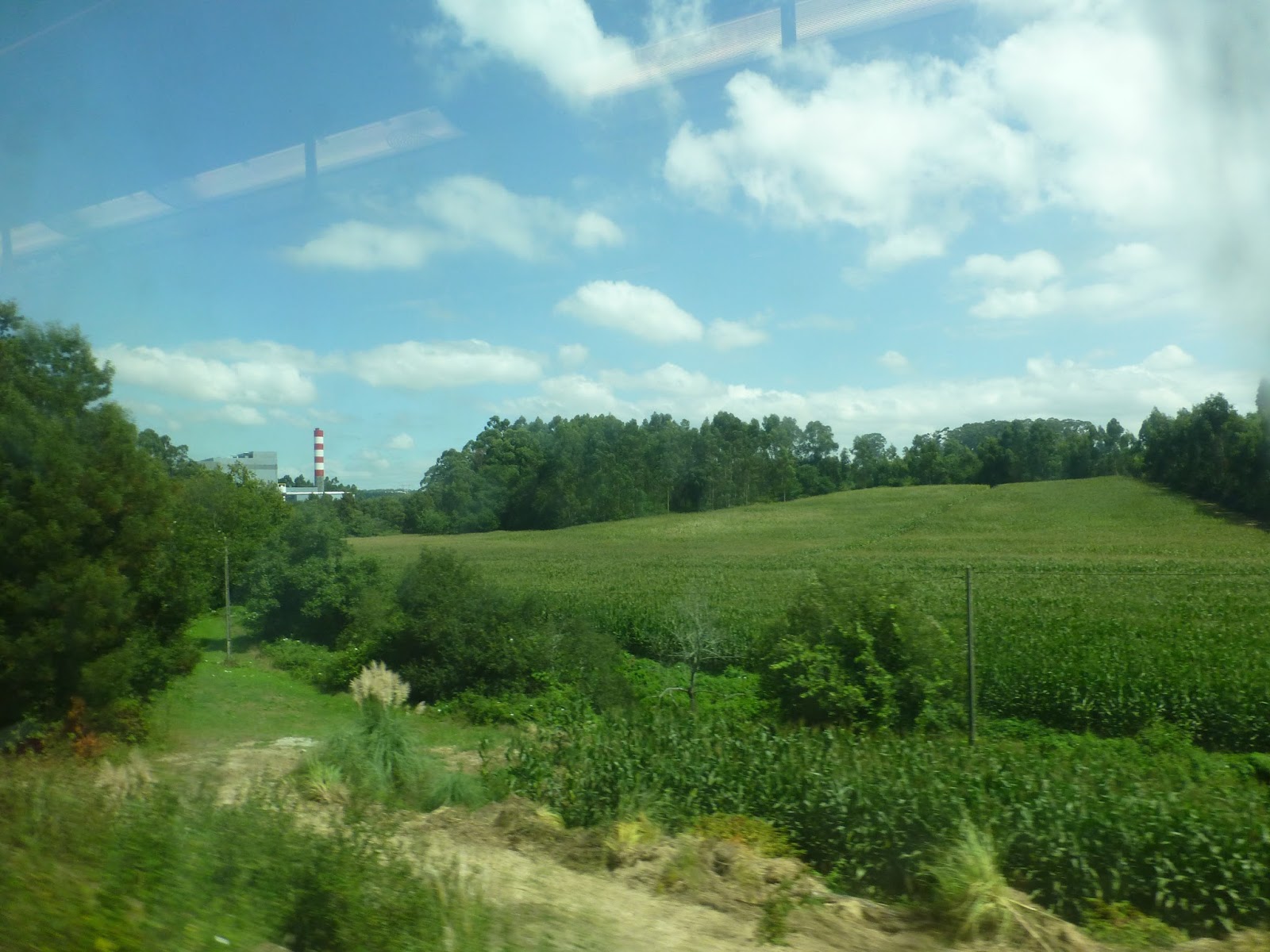
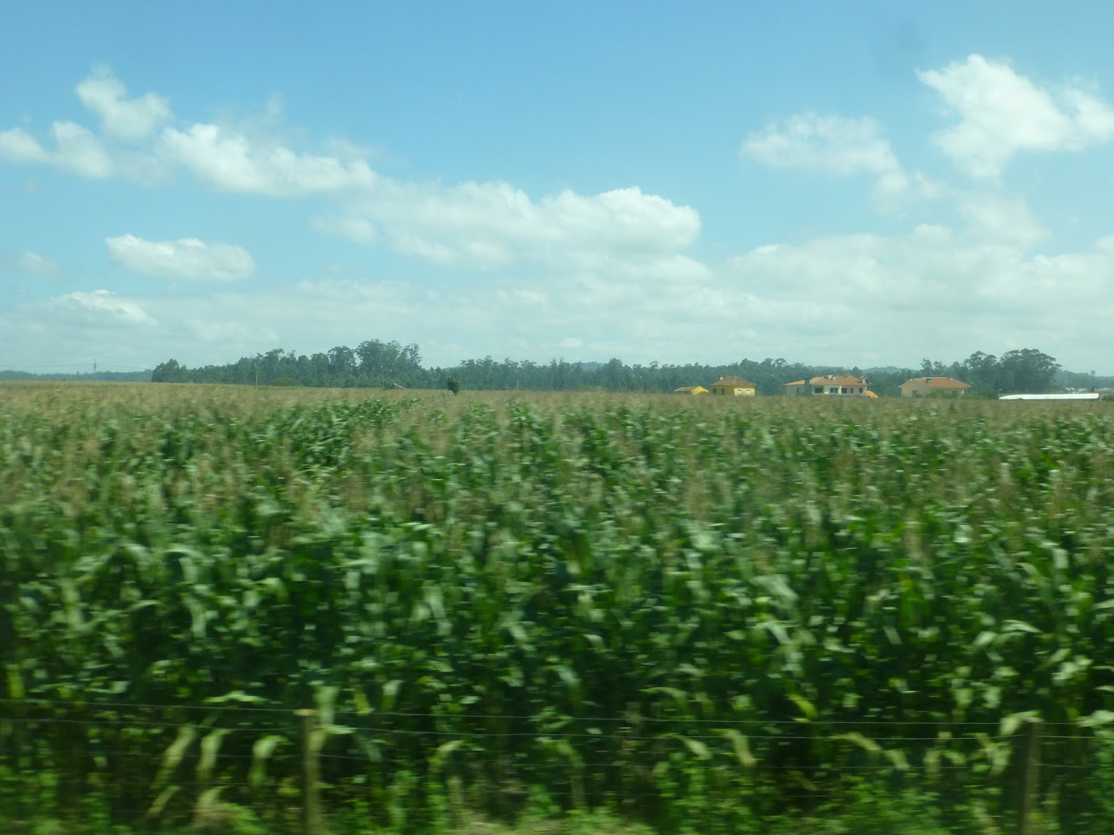
After Senhora da Hora, where Line A turns off, we continued, the C splitting off at the next stop, Fonte do Cuco. Our line went elevated, going over a highway. After that, it just got rural all of a sudden, with farmland on either side of the line. We went over a small river, then passed some huge…tarped mounds? I don’t know what to call them.
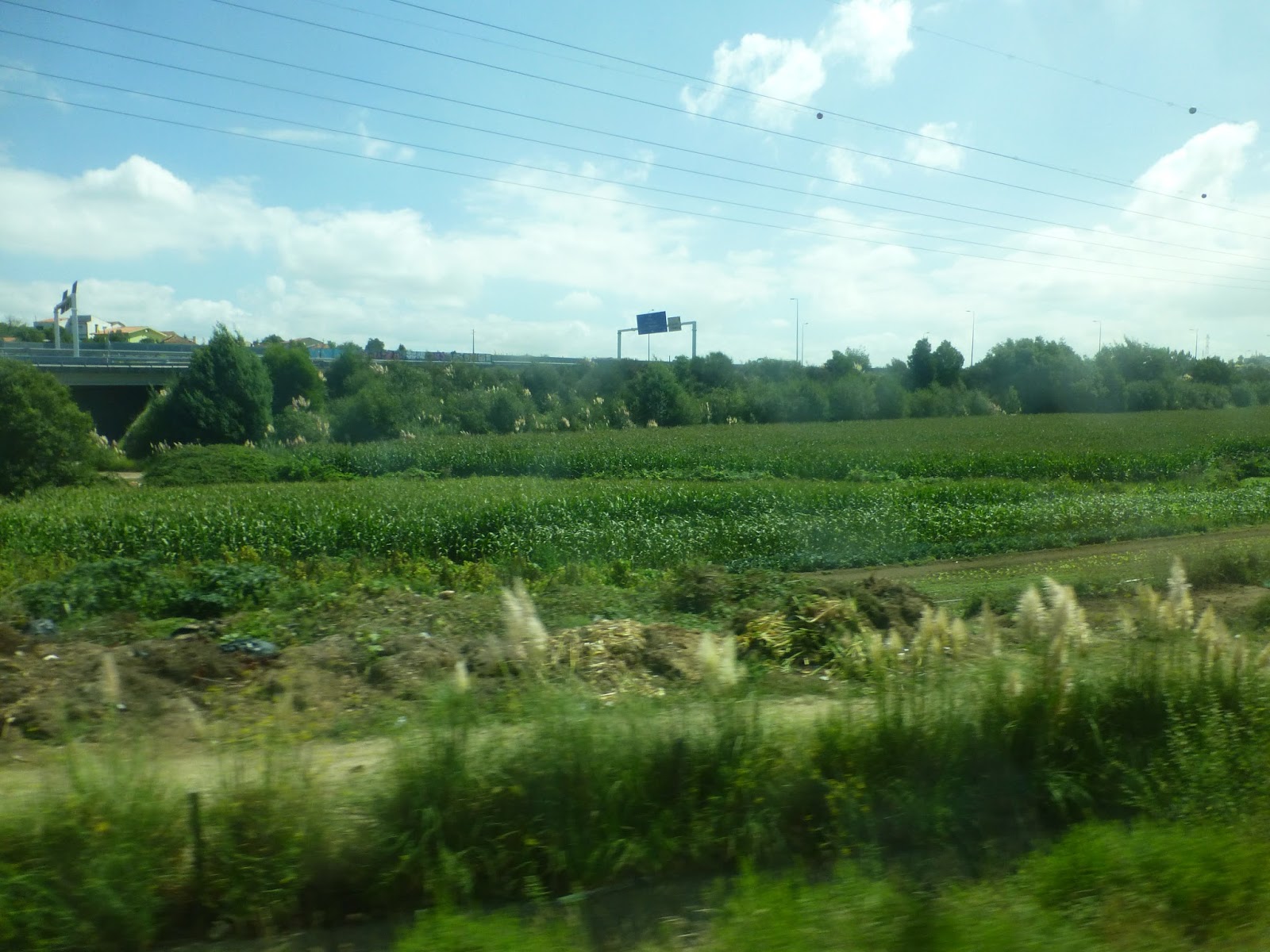 |
| Fields between us and a highway. |
 |
| I see you, factory. |
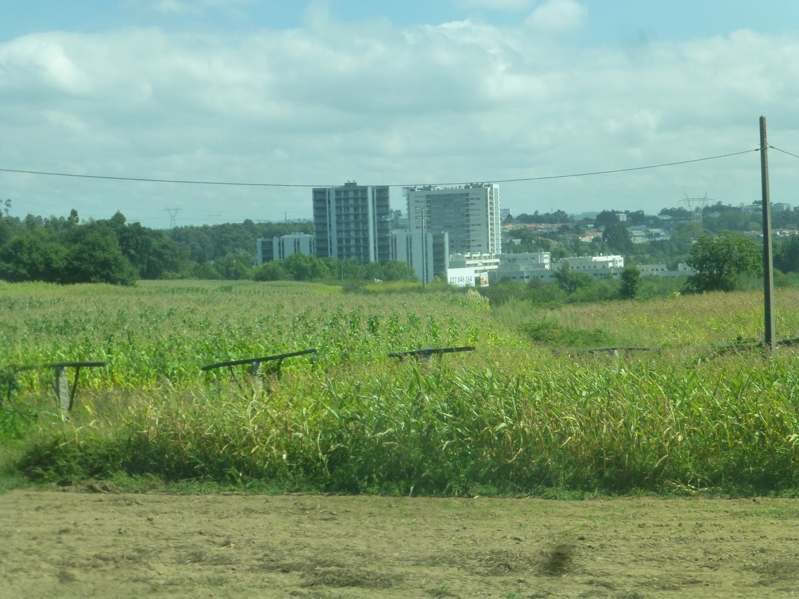 |
| Some apartments loom beyond the field. |
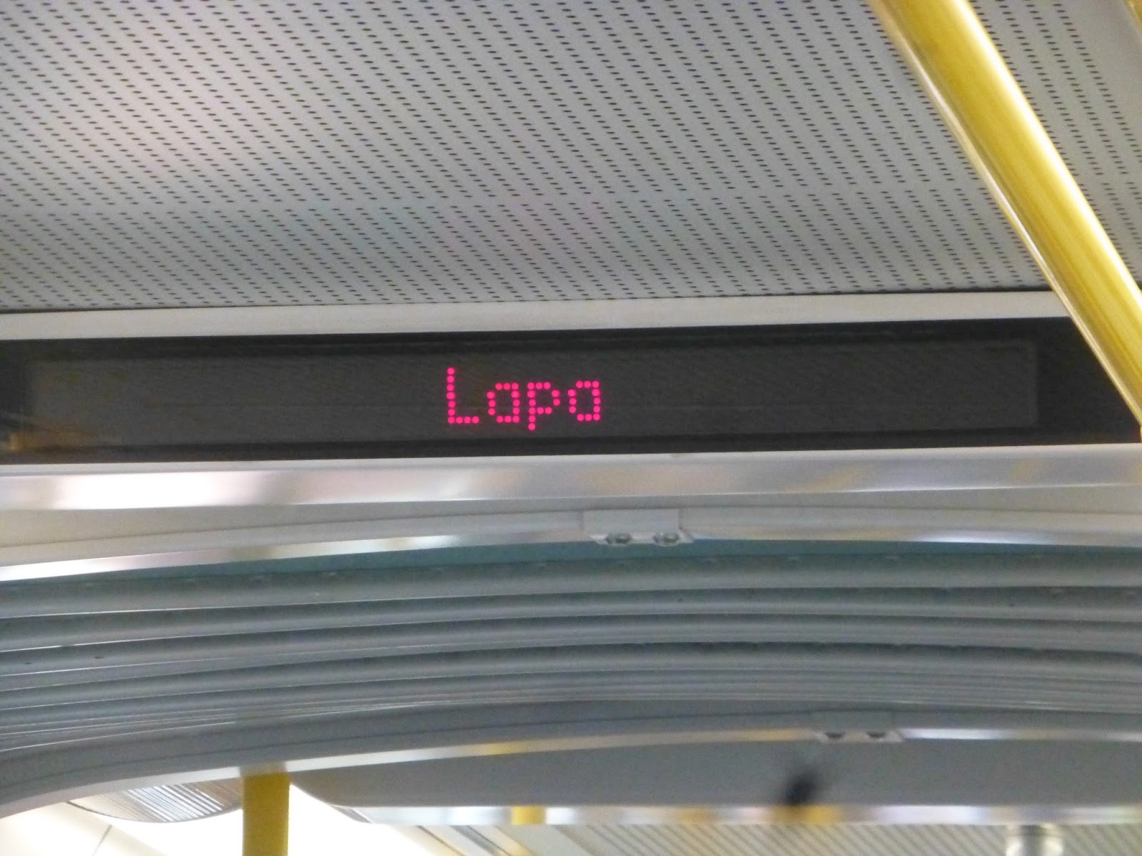
At Verdes, Line E finally split off and we were on our own. We went through a small town, then it was back to open farmland. After an even smaller town, we passed through a forest, then the fields were back. There were some tiny settlements, then all of a sudden we went by a massive suburban mall (no stop, though).
 |
| A train at Verdes. |
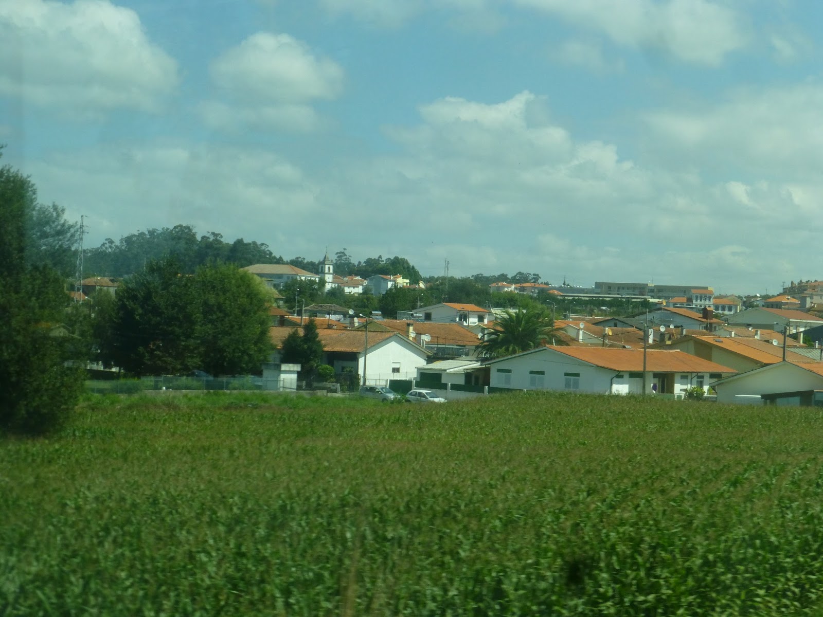 |
| A town. |
 |
| What is this, Kansas? |
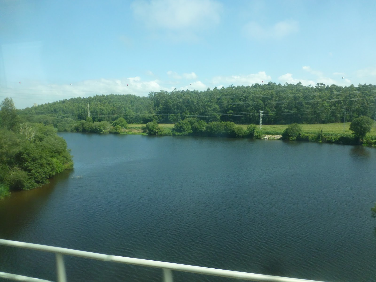
We passed through a small industrial area, then it went back to houses and fields. After a nice bridge over the River Axe, we entered Vila de Conde, which is a legitimate city with some actual interest to tourists. The Metro doesn’t really go to the downtown area, though, running in the medians of various streets.
 |
| That’s lovely. |
 |
| There’s a nice-looking church! |
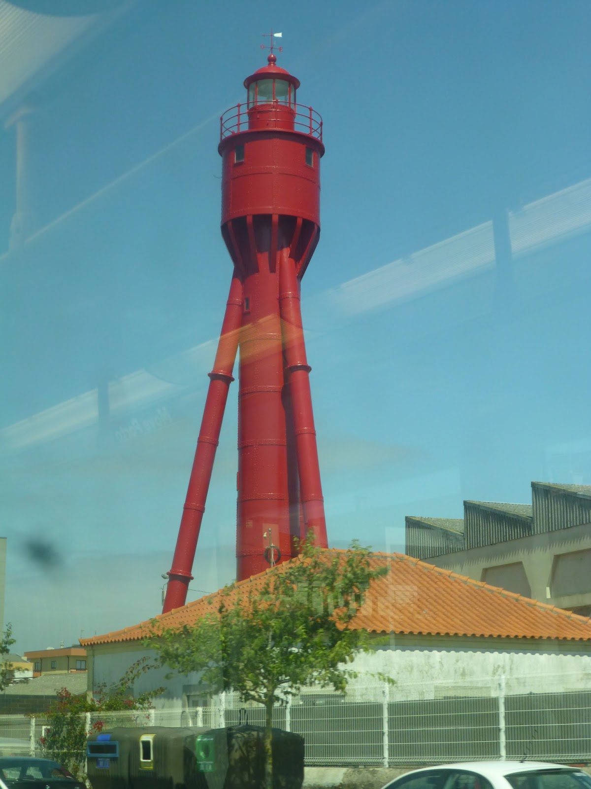 |
| Look! It’s a…lighthouse? |
We passed through an undeveloped area on our own right-of-way, then it got urban again at Sao Bras station. We travelled in a street median from there to the next and last stop, Povoa de Varzim. This station had a small parking lot and even its own cafe! Overall, it was a nice simple terminus to the longest line on the Porto Metro.
 |
| Another inside shot. |
 |
| The plaza next to the Povoa de Varzim. |
 |
| Povoa de Varzim’s shelter. |
 |
| Two trains side-by-side, with a third one off to the left. |
 |
| The train heading back to Porto. |
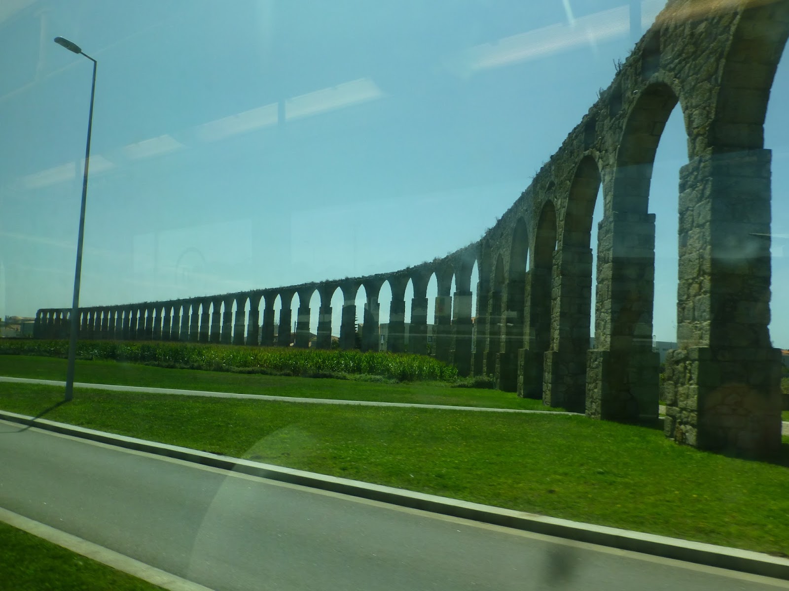 |
| Oh, yeah, that’s an aqueduct from the 1700s! This was on the way back. |
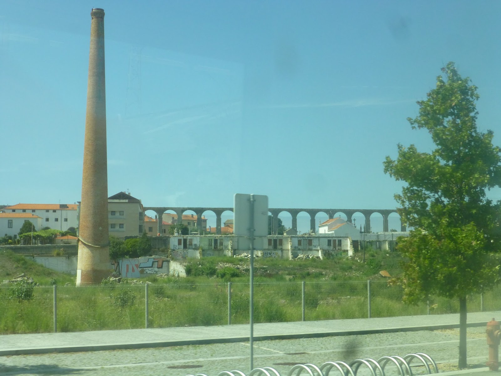 |
| The aqueduct looms in the distance. |
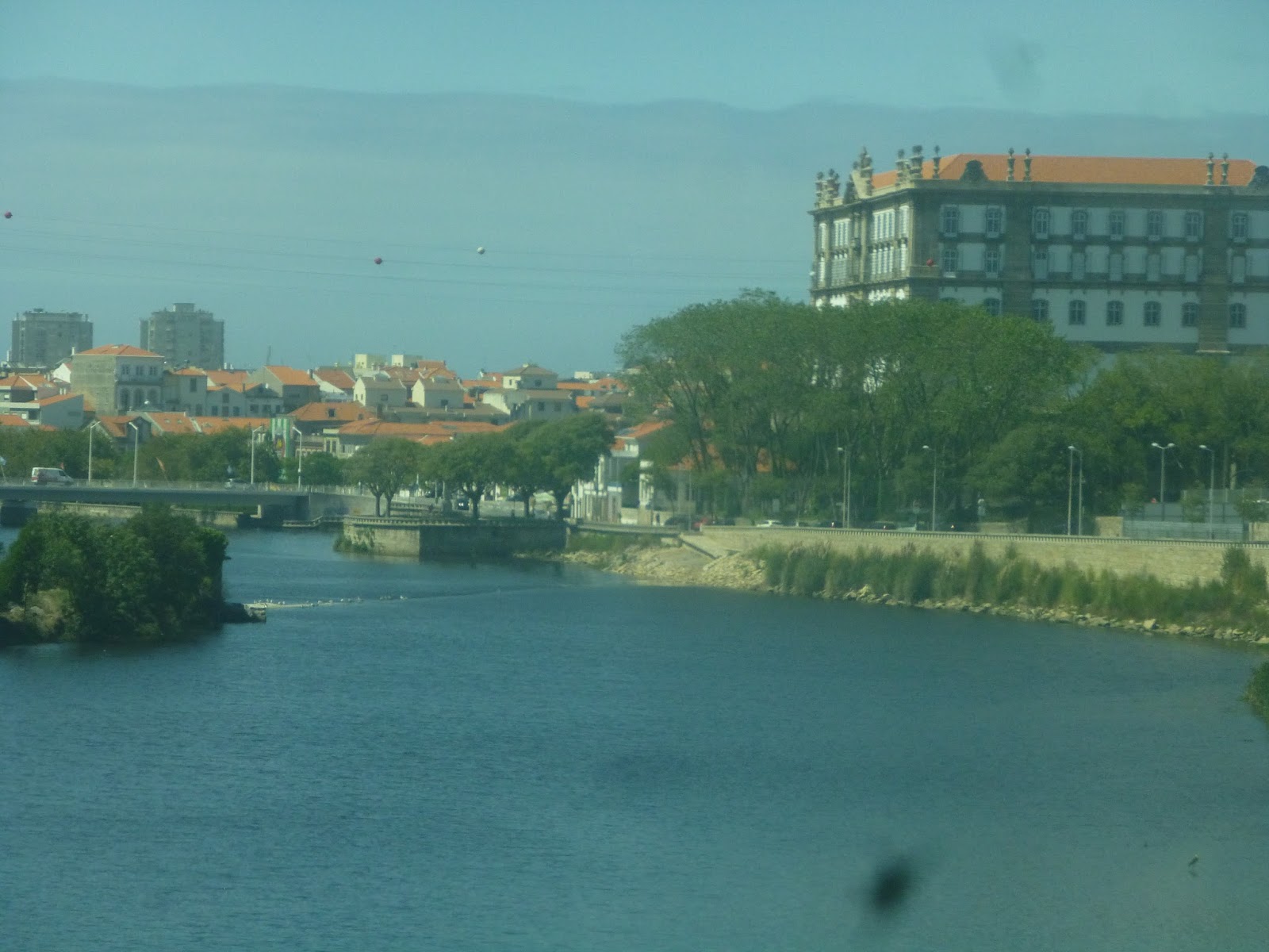 |
| And finally, the other side of the River Axe, with a more urban view! |
Service Change: Portugal, Part 8 – CP Urban Services (Porto Campanha – Sao Bento)
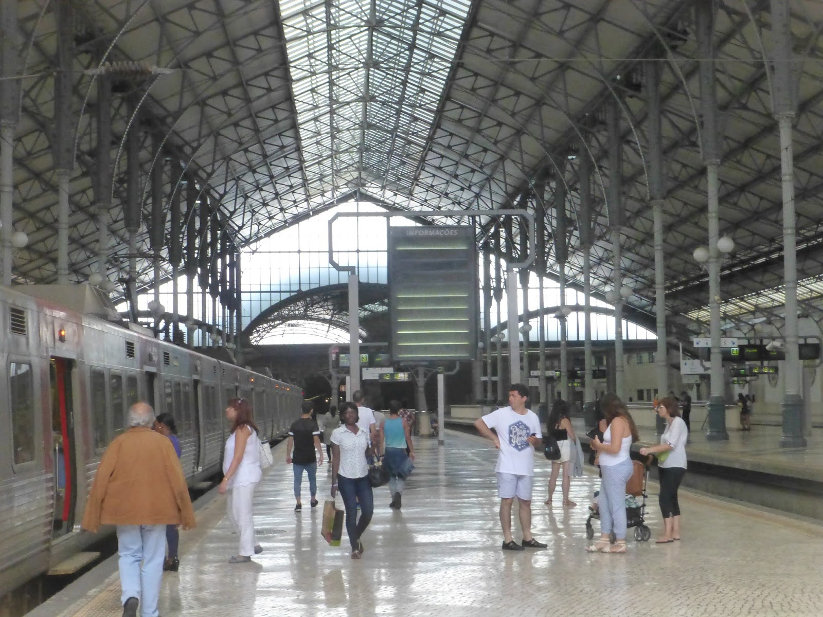
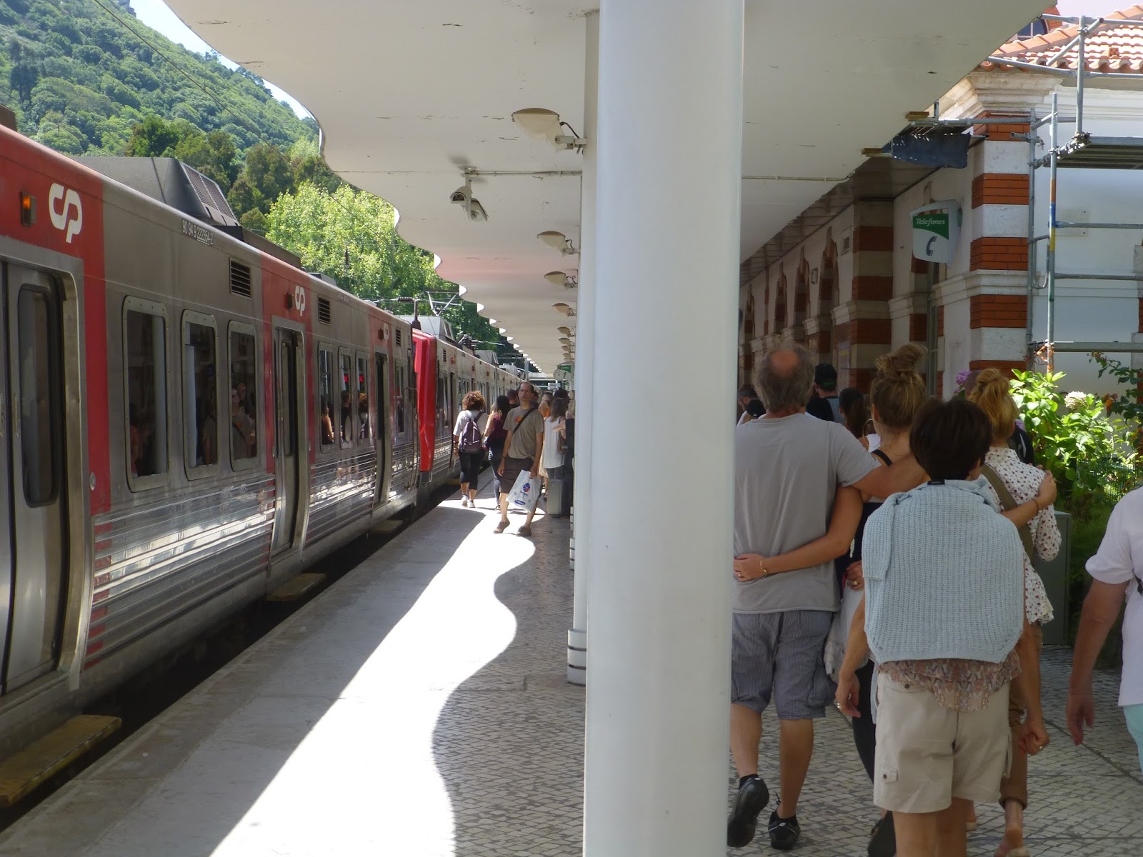
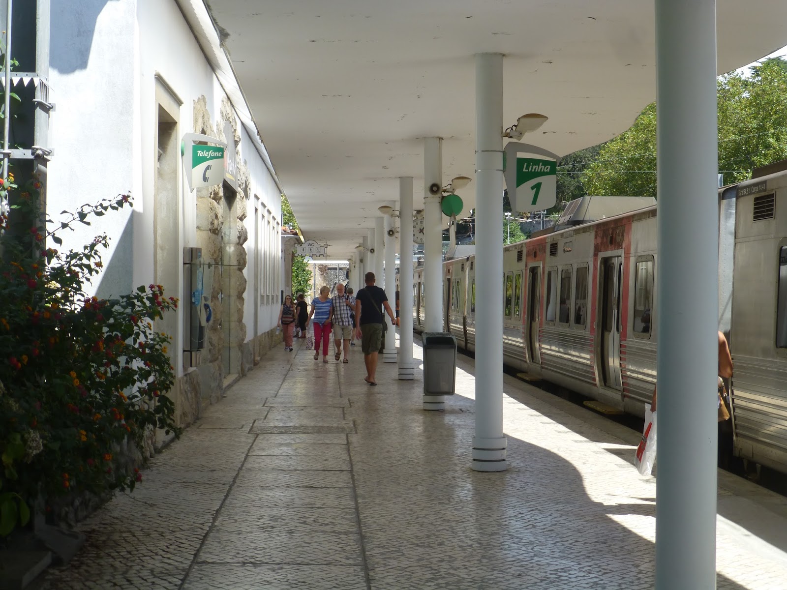
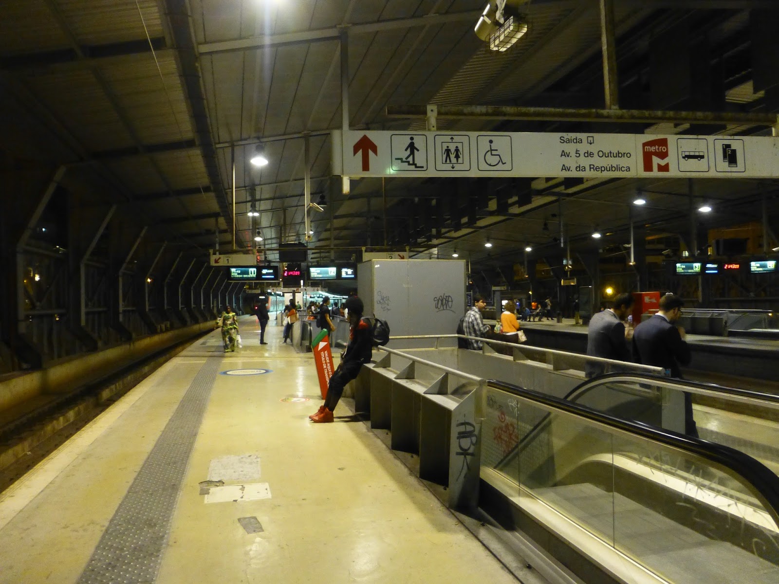
As I mentioned before, our train from Lisbon arrived at Porto’s Campanha Station. Campanha is Porto’s main station for long distance and suburban trains, but the problem is that it’s not particularly close to the city. One way of getting there is the Metro, but that makes a bunch of stops and you have to switch lines. The other option is the suburban rail, which runs direct and very frequently to Sao Bento Station, right in the city. But first, let’s take a look at Campanha.
 |
| The platform is very simple. |
 |
| And so is this hallway. |
 |
| Gee, this electric train sure is nice, isn’t it? Well, it sure ain’t the one we took. |
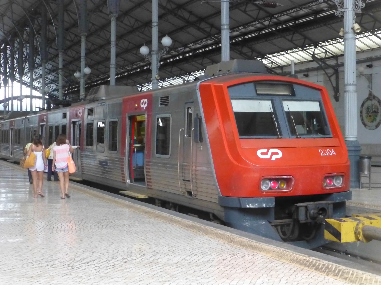
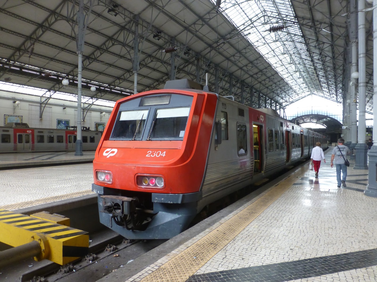
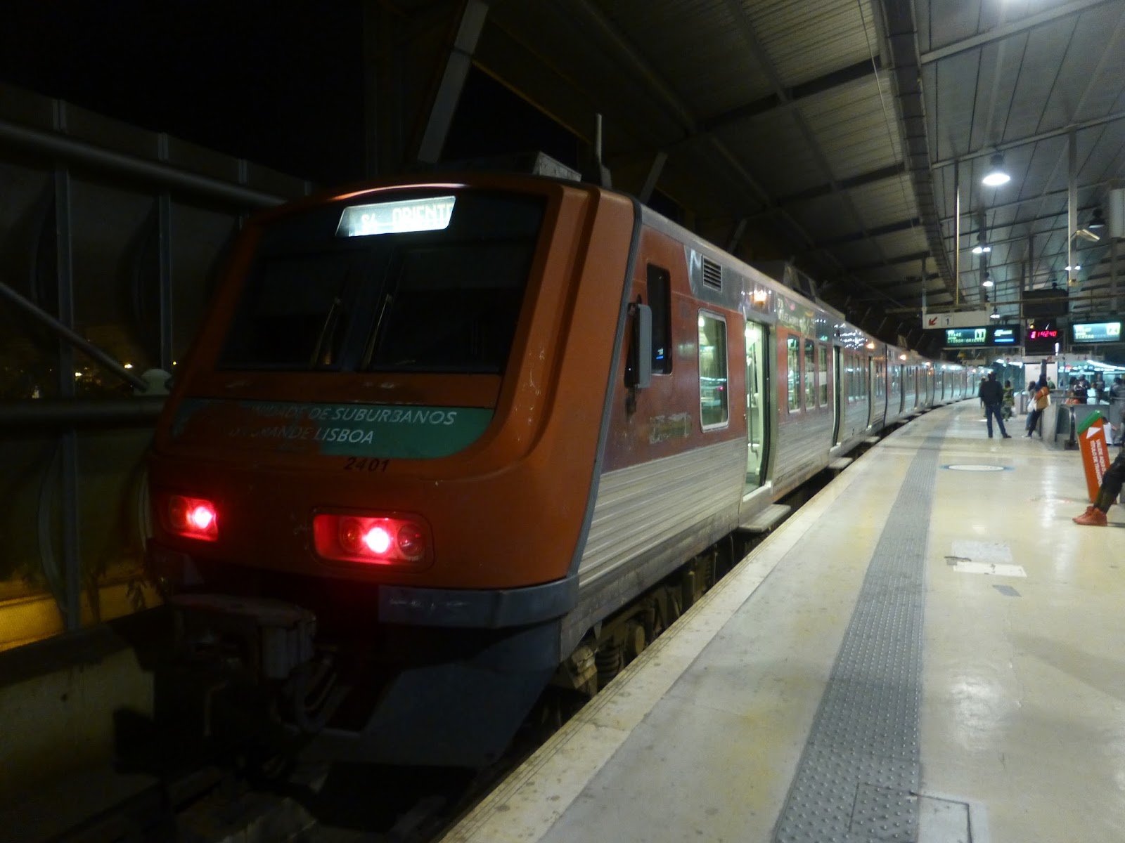
I’m pretty sure all the Porto suburban lines are electrified, so I’m not sure why they still have old, terrible diesel trains. Nonetheless, that was the type of train we ended up on going to Sao Bento. The inside was…I don’t want to call it horrible, but it wasn’t the best. I’ll call it “bland”.
 |
| Mmm…yep. |
 |
| The train (this is at Sao Bento). |
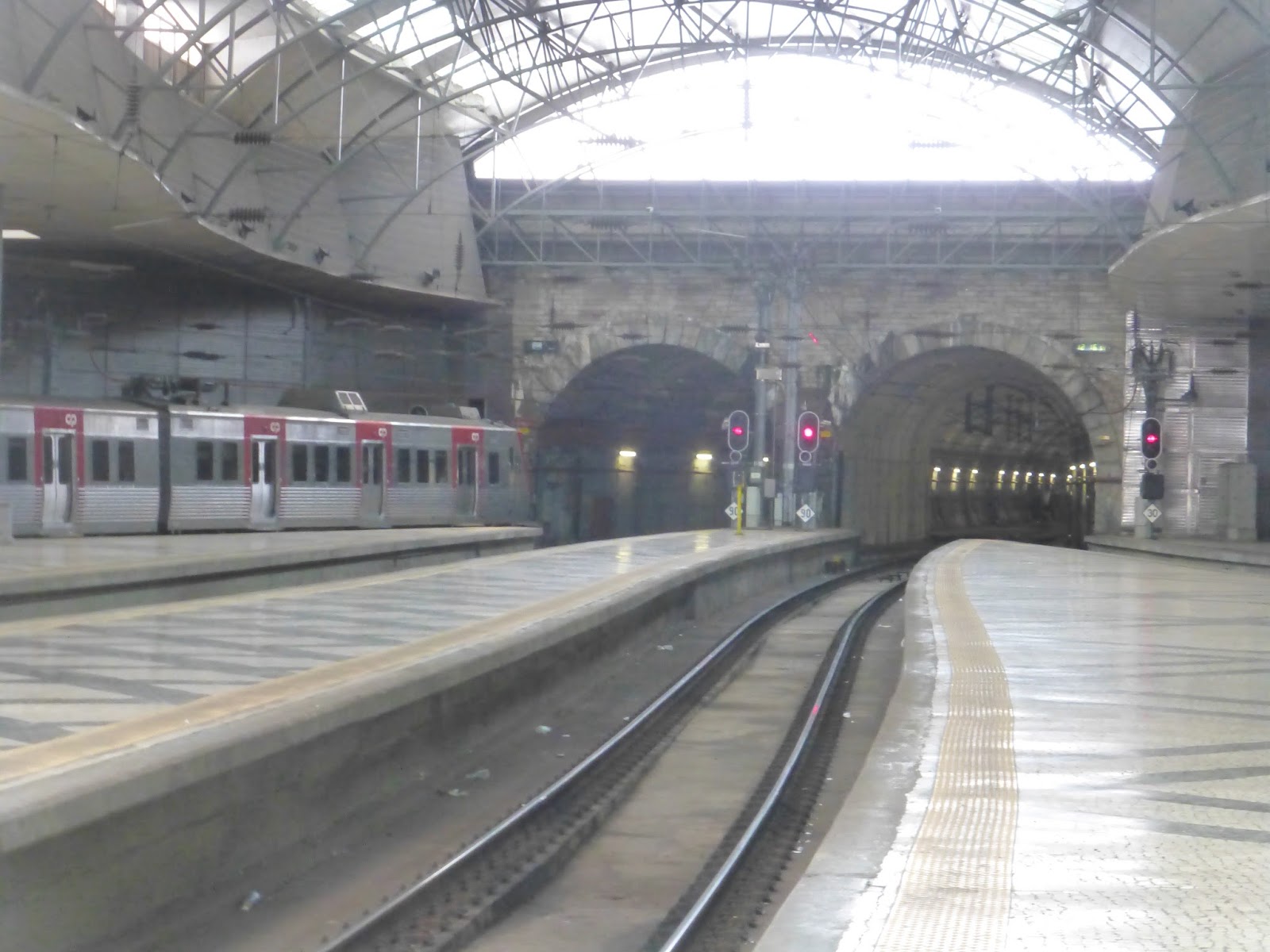
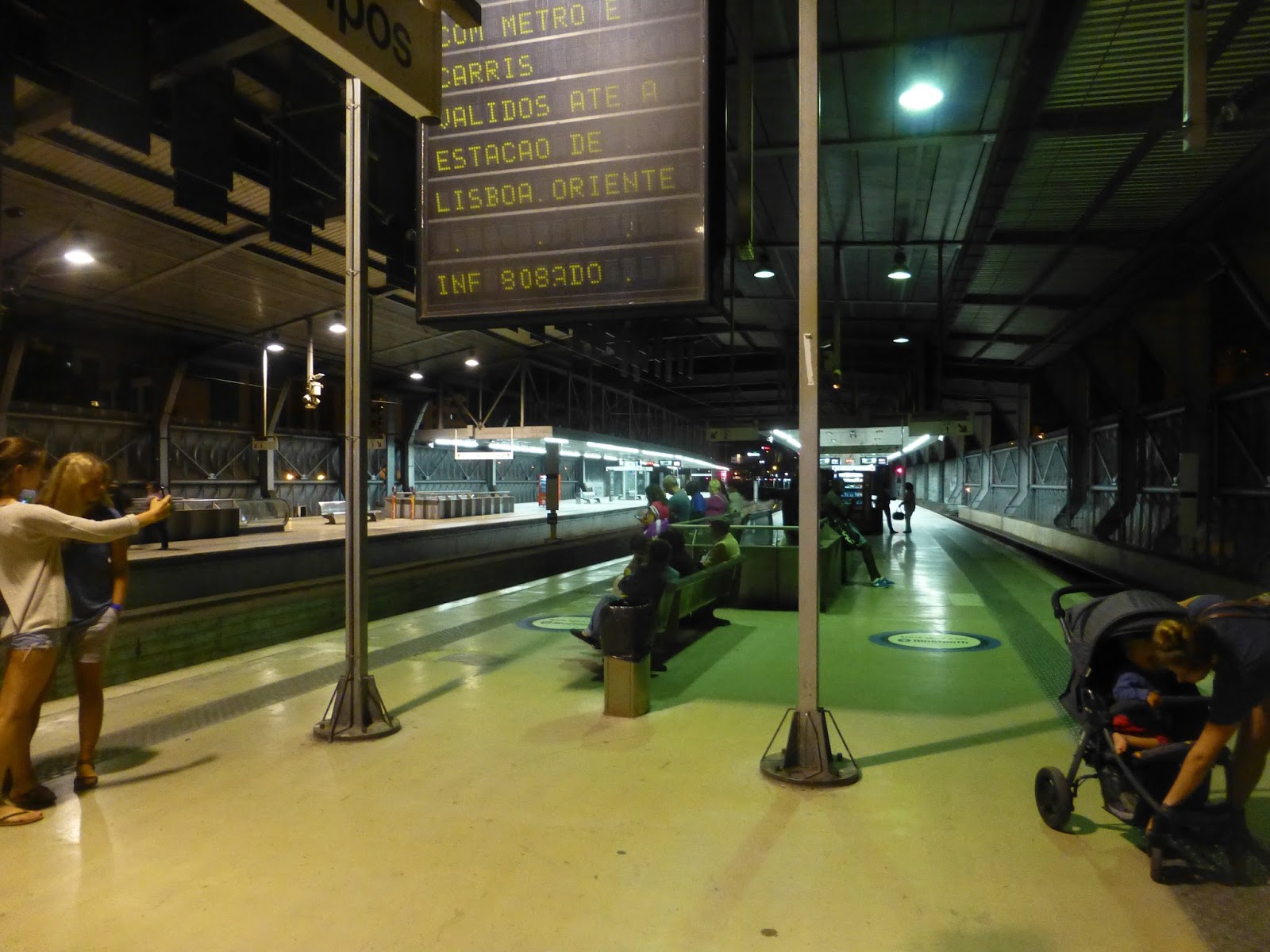
The ride to Sao Bento was short but also scenic. The line was high above the River Douro, offering excellent views. It also kept diving in and out of tunnels through the hills of Porto. Eventually we went through a long one, popping out at Sao Bento Station on the other end.
 |
| That’s beautiful! |
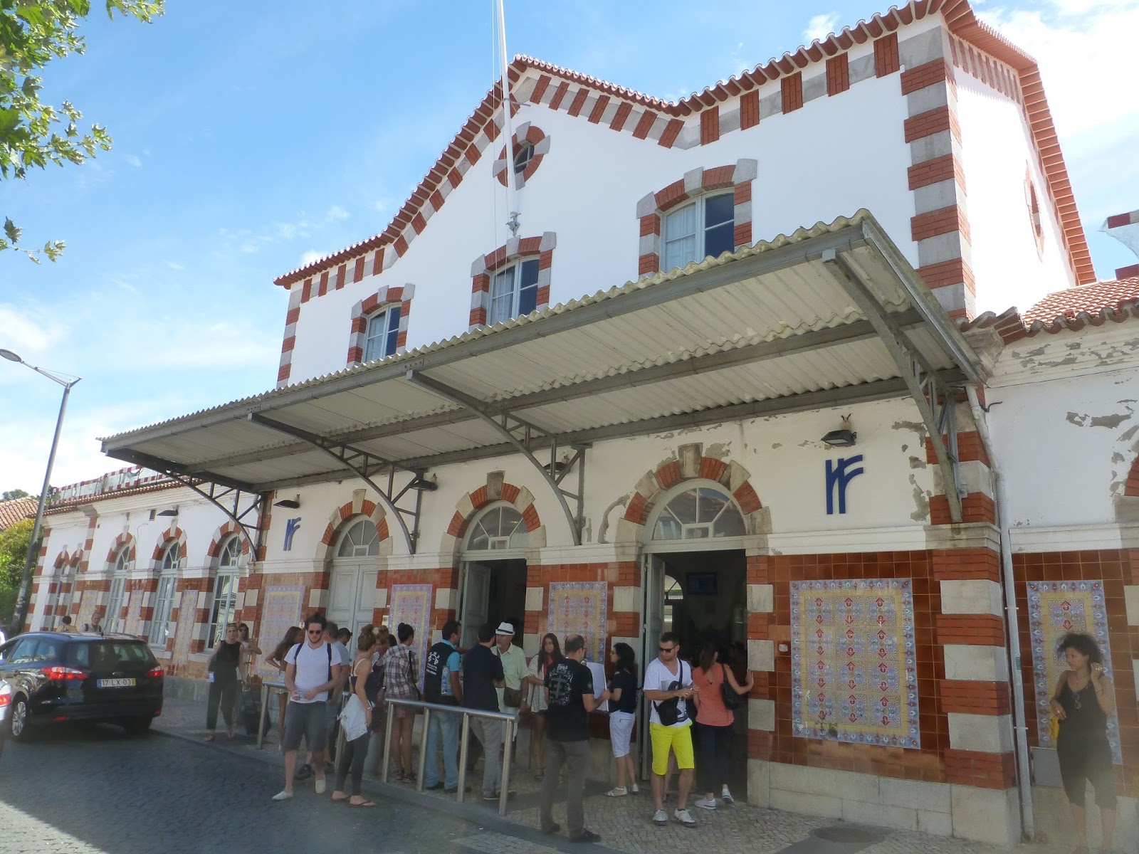
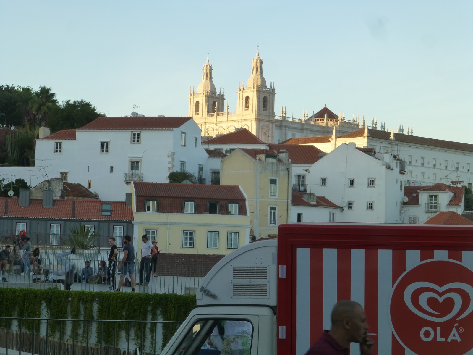
Sao Bento in the heart of Porto is considered to be one of the most beautiful train stations in the world. This is because of its entrance area, which has these huge azulejo (tile) murals depicting the history of Portugal. It really is amazing, and the station is beautiful even aside from those.
 |
| However, the gap at Sao Bento was ridiculous. |
 |
| This is beautiful! |
 |
| The large area on one end of the platform. |
 |
| This is so amazing. |
 |
| Okay, this is slightly less amazing, but still important. |
 |
| Just look at that mural! |
 |
| More morals on the side of the platform entrance. |
 |
| The outside of the station. |
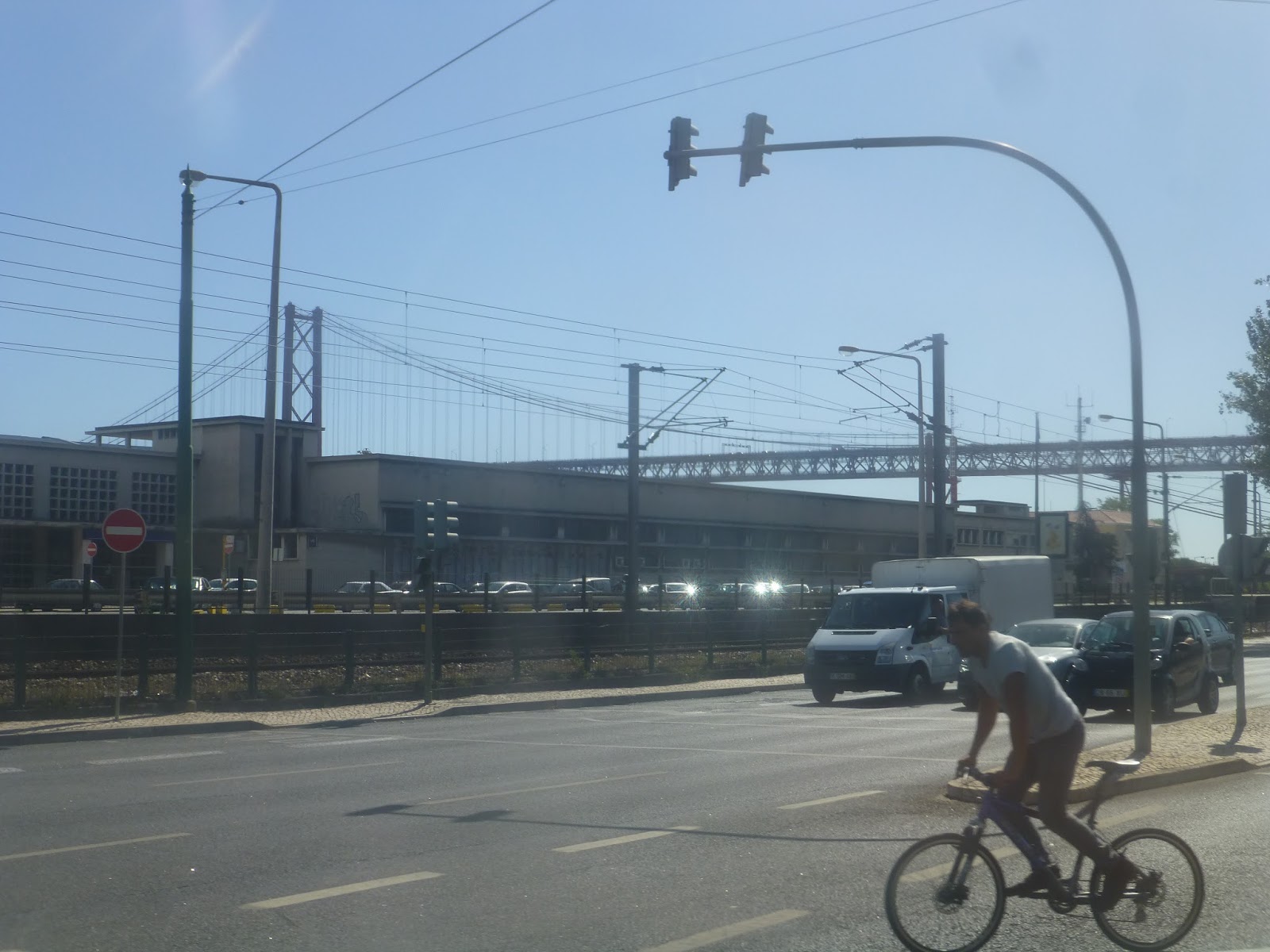
Service Change: Portugal, Part 7 – Intercidades Long-Distance Train (Lisbon – Porto)
On our trip, we also spent a few days in Portugal’s second-largest city, Porto. How did we get there? Well, take a guess…yep, the train! There are two classes from Lisbon to Porto – one is the high speed Alfa Pendular, which we didn’t take on the way there; the other is the slightly slower Intercidades, which makes more stops. This meant we got to see some smaller towns of Portugal, as well as some countryside. Our train, like all long-distance trains, started at Oriente Station, which was quite modern.
 |
| Not only was it modern, it was huge. |
 |
| The station was hard to navigate, though, with multiple levels of chaos. |
 |
| A waiting area, I guess. |
 |
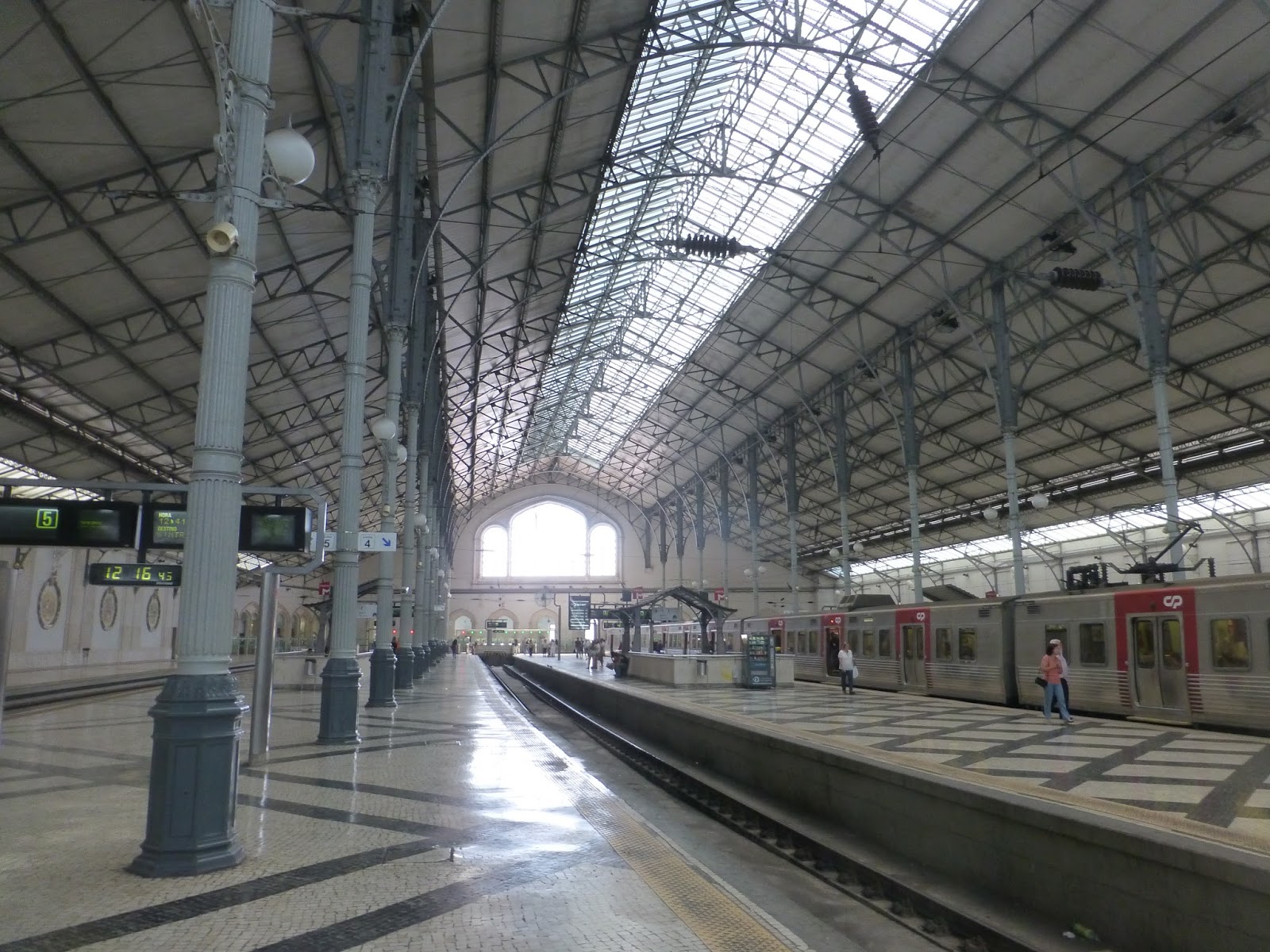
| This platform is amazing! |
 |
| Looking the other way. |
 |
| The train really did come at exactly 11:39 and left a few minutes later. |
 |
| Unfortunately, this was the best picture I could get of the train. |
 |
| Up close and personal. |
 |
| One of the cars. |
 |
| Aw, yeah, first class! |
 |
| Need a place to put your luggage? Well, here it is. |
 |
| Bathroom photos? You know it! |
 |
| This one seems pretty futuristic. |
 |
| These glass doors opened pretty easily… |
 |
| …but these red ones required force. |
 |
| Man, this dining car is fancy! |
 |
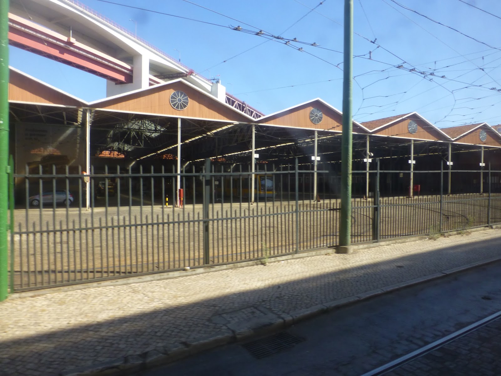
| It got pretty industrial leaving Lisbon. |
 |
| Okay, very industrial. |
 |
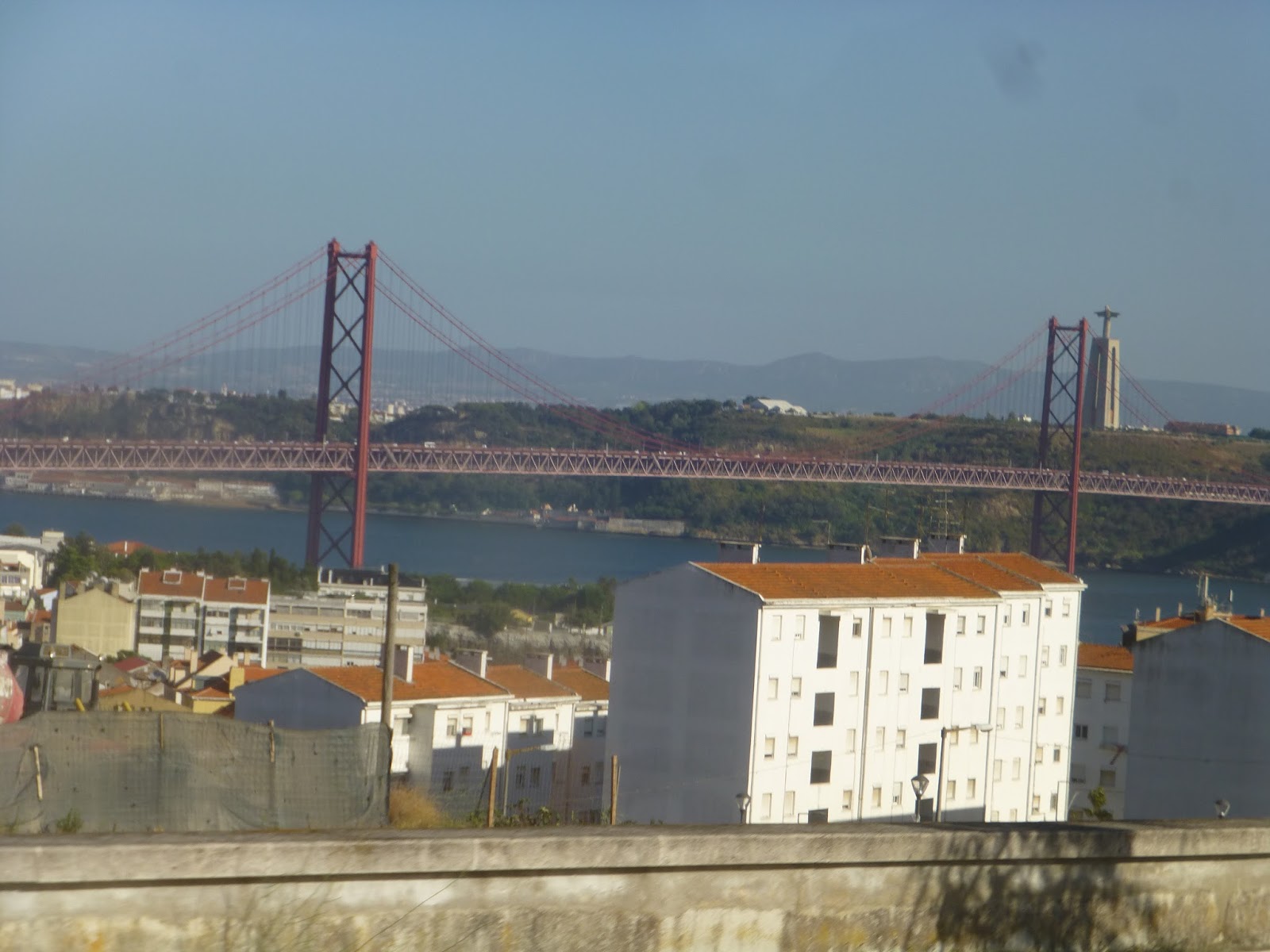
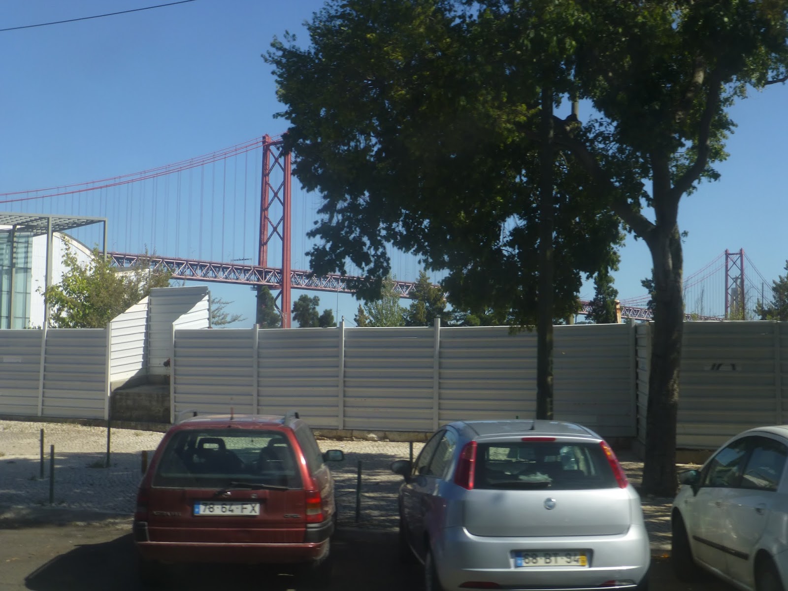
| Along the banks of the Tagus River. |
 |
| A road bridge over the river. |
 |
| Some parked cars. |
 |
| A huge green field. |
 |
| Another road over the river. |
 |
| Some farmland. |
 |
| A hill. |
 |
| Some more fields and hills. |
 |
| Houses! |
 |
| A castle! Even better! |
 |
| Aw, back to houses. |
 |
| A horse stands alone in a field. |
 |
| A small town. |
 |
| And here’s a proper city! This is Coimbra, in the middle of the country. |
 |
| Still urban. |
 |
| Another factory. |
 |
| Crossing over a highway. |
 |
| Another town. |
 |
| We’re getting closer to Porto! |
 |
| Get ready for a lot of beautiful views. |
 |
| Like this one. |
 |
| Or this one. |
 |
| Or this one. |
 |
| Crossing over the Douro River. |
 |
| Here’s yet another great view. We arrived at Porto’s Campanha Station soon after this, but…I’ll talk about that in the next post. |
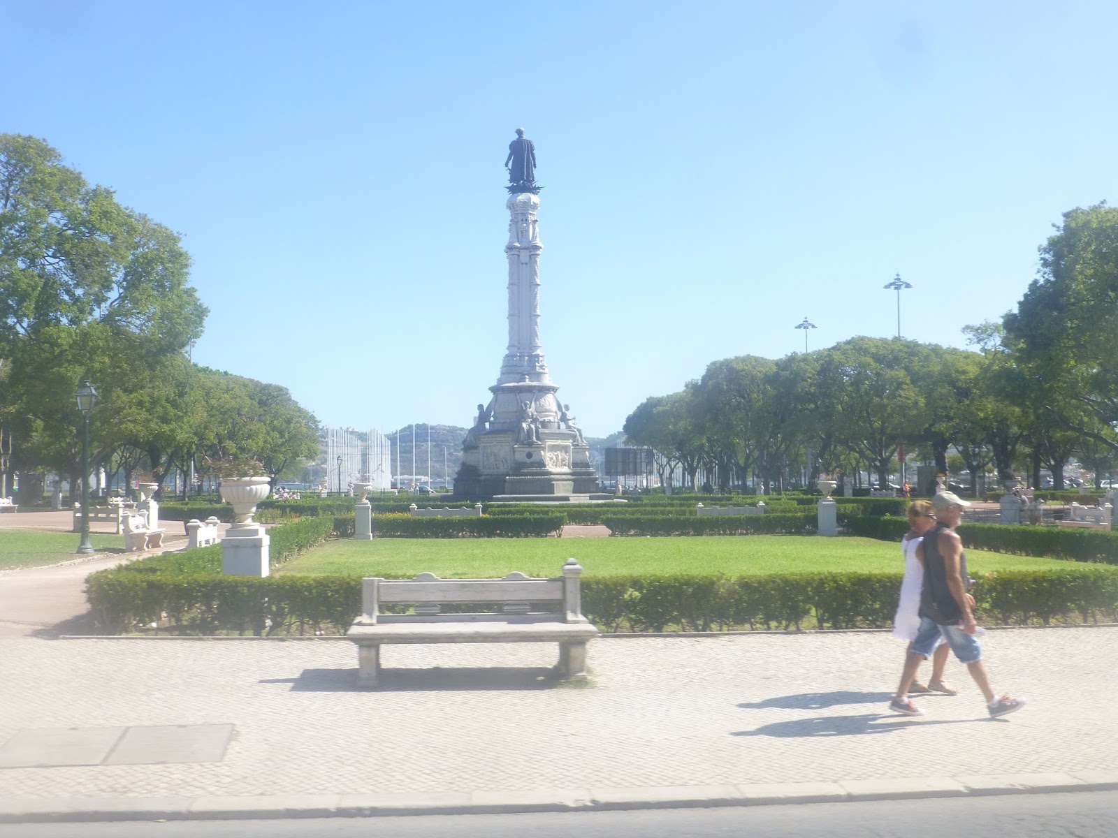
Service Change: Portugal, Part 6 – Lisbon to Sintra Suburban Line
Sintra is a village to the west of Lisbon that’s considered a must-see if you visit Portugal. And indeed, it’s quite a lovely, if touristy village, with multiple palaces and castles. But how do you get to Sintra? Well, your best option is certainly the frequent suburban train from Lisbon, operated by CP Urban Services. Let’s take a look.
 |
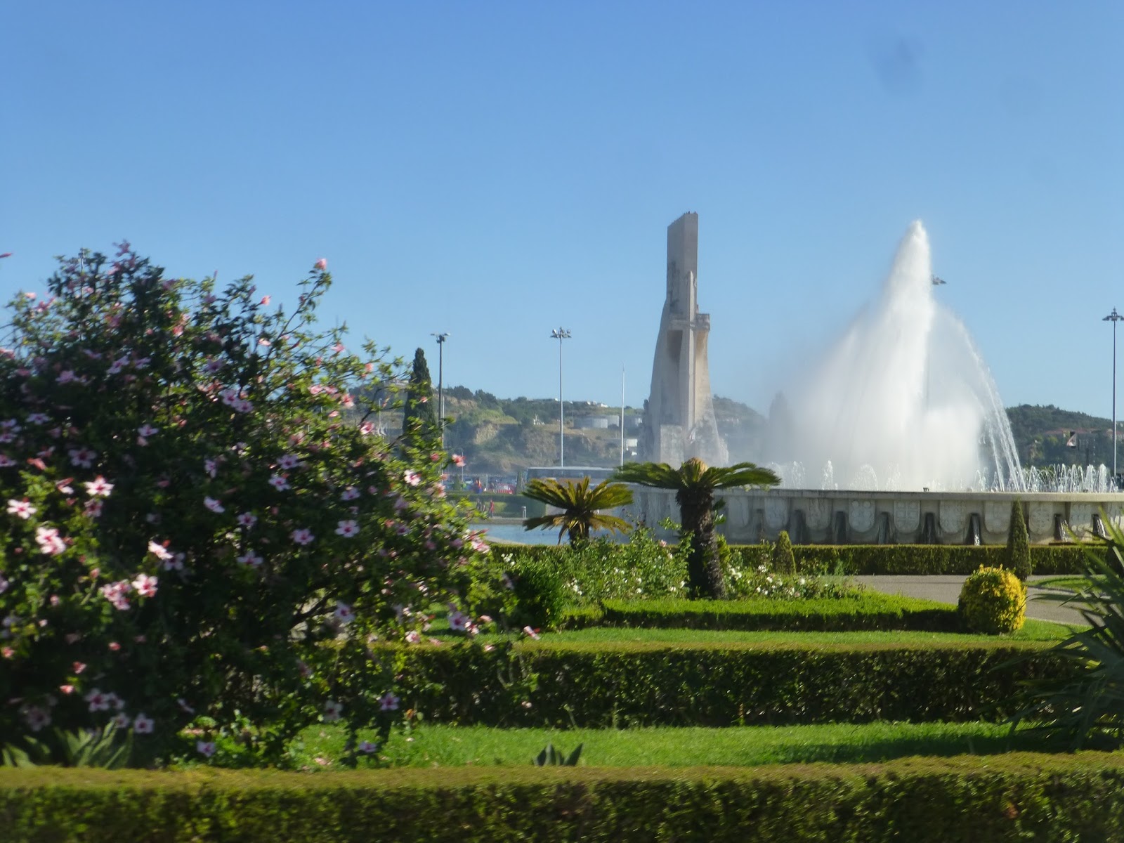
| But first, here’s a view of the village from atop an old moorish castle! |
Trains to Sintra run from either Oriente or Rossio Stations – on the way there, we used the latter. Rossio is right in downtown Lisbon, and it’s a beauty. Honestly, just look at the pictures and see for yourself.
 |
| An electronic destination board. |
 |
| Fare gates leading to the station – we had a bit of an issue with the ticket machines but some nice employees helped us out. |
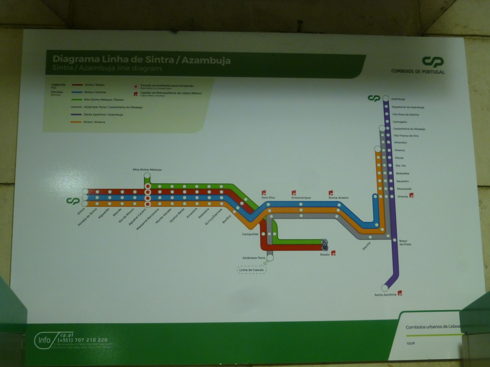 |
| A map of the network. |
 |
| Just look at that! |
 |
| The tunnels leading out of the station. |
 |
| Looking down the station. |
 |
| The mezzanine, which was kinda boring, to be honest. |
 |
| The train! |
 |
| The train again! |
 |
| Some destination screens. |
Since the Sintra Line is a commuter line, the trains have some degree of comfort inside. However, this is also a busy commuter line, so there are poles for standees, too – and there were standees. The train also had screens displaying the next stop, but I seriously can’t remember if it had automatic announcements or not…
 |
| The inside of one of the cars. |
 |
| “Next stop,” says the screen. |
Right after Rossio Station, the line went into a tunnel. It was underground all the way through the city until we surfaced at a yard, heading west from there. The first stop was Benfica, which we had previously visited on our 729 ride.
 |
| That aforementioned yard. |
 |
| The Sintra Line is consistently urban most of the way. |
After Benfica, the stops came often and were very close together. After Monte Abraao Station, it went from four tracks to two and the surroundings got a bit more rural. But soon after that, it was urban once again when we reached Cacem Station. A small branch line split off after that, while we continued to the modern Rio de Mouro Station.
 |
| A small field. |
 |
| Some apartments. |
 |
| A small parking lot. |
 |
| Up on a hill. |
 |
| What a view! |
 |
| Again, what a view! |
 |
| Whaddayaknow, another great view! |
 |
| Some buildings going up a hill. |
We stopped at a few more stations, then went by a small yard. We went under a highway and through a brief rural section before reaching Portela de Sintra. This is the station for the more local part of the village, but we were going one stop further to where all the tourists go. And after a short tunnel, we reached Sintra station, which was a nice and simple terminus.
 |
| An urban parking lot. |
 |
| Some smaller houses. |
 |
| An open area. |
 |
| The right-of-way got tight in Sintra. |
 |
| The train at Sintra. |
 |
| Looking down the platform one way… |
 |
| …and the other. |
 |
| The small entrance area. |
 |
| The station from outside. |
Although Sintra does have a bus system run by Scotturb, we weren’t able to ride any of their buses. The train ride back to Lisbon was a bit different than the one there, however. For one thing, the inside was slightly different, but for another, our train was going to Oriente instead of Rossio. In terms of views, it didn’t matter for us since we took the train back at night, but it is above ground all the way to Oriente. We didn’t go that far, disembarking earlier at Entrecampos and getting on the Metro.
 |
| The train at the now-quiet Sintra Station. |
 |
| Ooh, this one is fancy! I wonder if there’s any significance to the two random red seats. |
 |
| The train at Entrecampos. |
 |
| Speeding away into the darkness. |
 |
| Looks nice! |
 |
| The platform. |
 |
| And finally, the spacious mezzanine, heading for the Metro home. |
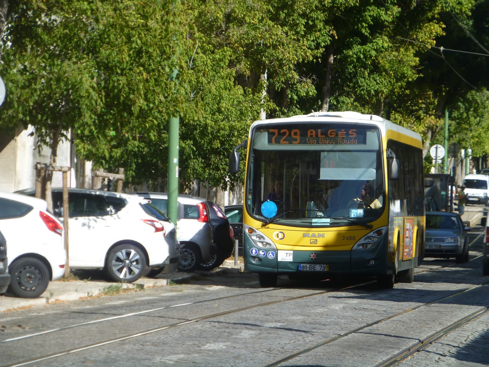
Service Change: Portugal, Part 5 – Lisbon Bus 729 (Alges – B.o Padre Cruz)
Okay, we’ve steadily been getting less touristy and more local here. The 28 was pretty much entirely for tourists, while the 15 was a mix. Well, now we’re on the 729, and this bus route is all locals. Yes, you’re not gonna find any tourists on this well-used bus in the outskirts of Lisbon.
 |
| The Alges bus station. |
The route starts in Alges, the area where the 15 terminates. Alges has both a suburban rail station and a bus station, where the 729 and a bunch of other routes board. It’s simple in terms of architecture, with berths and shelters for each route. Geographically, however, it seems like it would be incredibly difficult to find a route. Luckily there was a 729 waiting at its berth when we got here, but if the bus isn’t there, it must be hard to find.
 |
| A bus a little further down the route, since I wasn’t able to get a picture at the bus station. This isn’t the vehicle I rode. |
 |
| The inside of the bus was nice, as you can see. |
 |
| The “stop request” picture is blurry, as usual, but here it is. There weren’t automatic announcements. |
The first part of the 729 follows the 15 tram to Belem. Thus, we made our way to R. Pedroucos over the tram tracks. The street was leafy and lined with apartments. After we passed the amazingly titled “Colegio de Bom Sucesso” (College of Good Success), it got incredibly touristy all of a sudden.
 |
| An elevated highway. |
 |
| That building looks abandoned… |
 |
| A bus. |
 |
| Another bus. |
 |
| And another bus, |
The street became Praca Imperio, and we were surrounded by big parks, buildings, and sightseeing buses. We then turned onto the turnaround loop for the 15, then onto Calcada Galvao, going uphill. One side of the street was lined with apartments, while the other side had a botanical garden.
 |
| That’s beautiful! |
 |
| Heading above the 15’s loop. |
We left the botanical garden behind, continuing uphill with apartments on both sides of the street. Those apartments became walls, then we turned onto R. Acucenas, following tram 18. Almost right after that, though, we left it behind, turning onto R. dos Marcos with individual houses. From there, we turned onto the wide Av. Universidade Tecnica, stopping at – what else? – the Universidade Tecnica. We then made a u-turn and went back the way we came.
 |
| The shelter is a bit…uneven because of the hill. |
 |
| Looking down a residential street. |
 |
| Some apartments. |
 |
| The view from the university was incredible! |
 |
| Another great view. |
 |
| That bridge is magnificent! |
 |
| Looking at a more local area. |
 |
| The university building – no windows, it would seem. |
We turned onto Estrada de Penedo. We were now in the massive Monsanto Forest, and so (obviously) we were surrounded by trees. Surprisingly, people were still getting on and off throughout this section. The road was windy, snaking through the woods. We crossed over the A5 highway, then went around a rotary onto Estr. Monsanto.
 |
| There was lots of this kind of view throughout this section. |
 |
| I like how this shelter sort of blends into its surroundings. |
 |
| Going over the A5. |
 |
| Ooh, it’s starting to thin out. |
We got some good speed along here, since it was a straightaway with no stops. There was a rotary where we merged onto Estrada do Calhariz de Benfica, which winded under another highway (A37). After going under it again, we made our way to R. Venezuela, once more going under that same highway. There was a stop at the Benfica suburban station, then we turned onto R. Garridas, which was lined with houses.
 |
| A local street. |
We turned onto Av. Grao Vasco, where it was suddenly urban with businesses and apartments lining the street. From there, we turned onto Estr. de Benfica, where it became all apartments. The street curved south, then we turned onto Av. Colegio Militar, which went back north. We pulled into a busway for the Colegio Militar/Luz Metro station on the Blue Line, which was right next to a huge shopping mall.
 |
| Another local street. |
 |
| Woah, look at the plastic bag! That’s pretty cool. |
 |
| That’s a huge sidewalk. |
 |
| Some apartment buildings and another bus. |
 |
| The busway at Colegio Militar/Luz. |
We went down Av. Lusiada, passing the Hospital da Luz, then turned onto the wide Av. Mal. Teixeira Rebelo. After going by another Metro station, Carnide, we turned onto Estr. Correia. Soon after that, we pulled into the busway for Pontinha Station, the last Metro connection on the route. The 729 does go a few stops further, but for us, we were heading to the Blue Line.
 |
| Leaving the Luz busway. There’s a big stadium in the background. |
 |
| Going under an elevated road. |
 |
| The Carnide Metro station. |
 |
| There was also a bus yard at Pontinha. |
 |
| Our bus leaving to finish the route. |
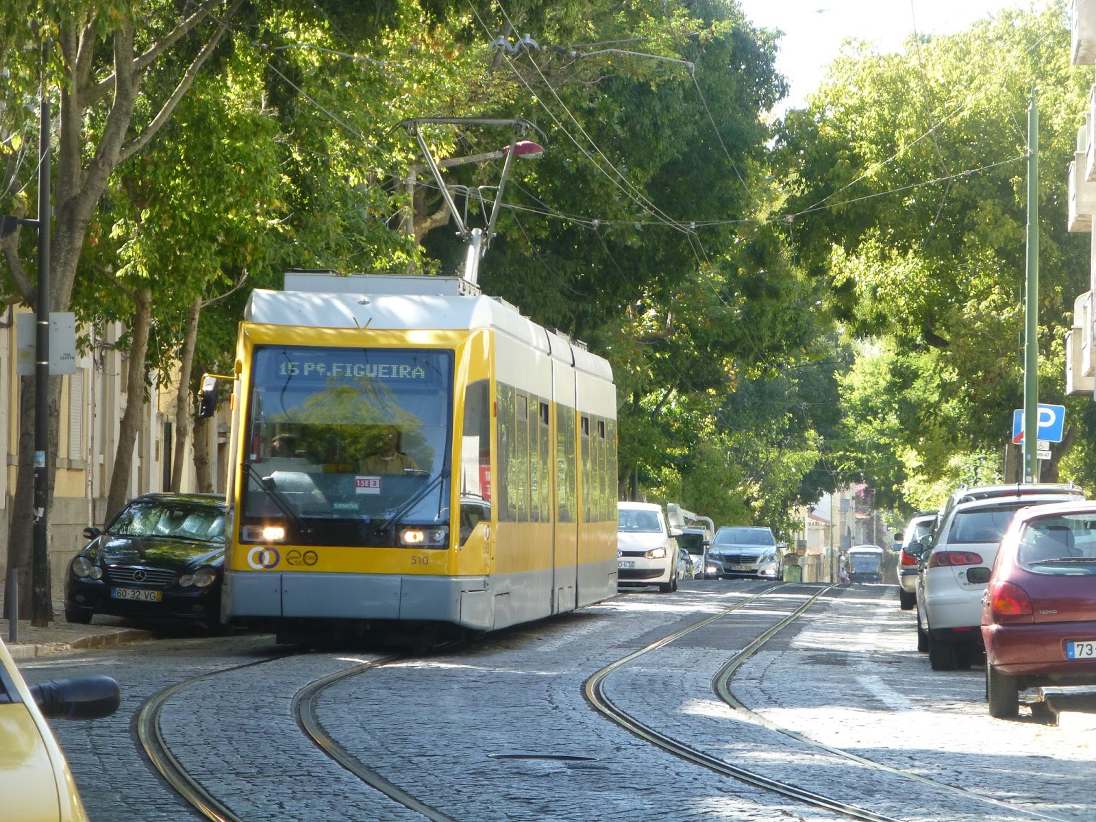
Service Change: Portugal, Part 4 – Lisbon’s Tram 15 (Pc. Figueira – Alges (Jardim))
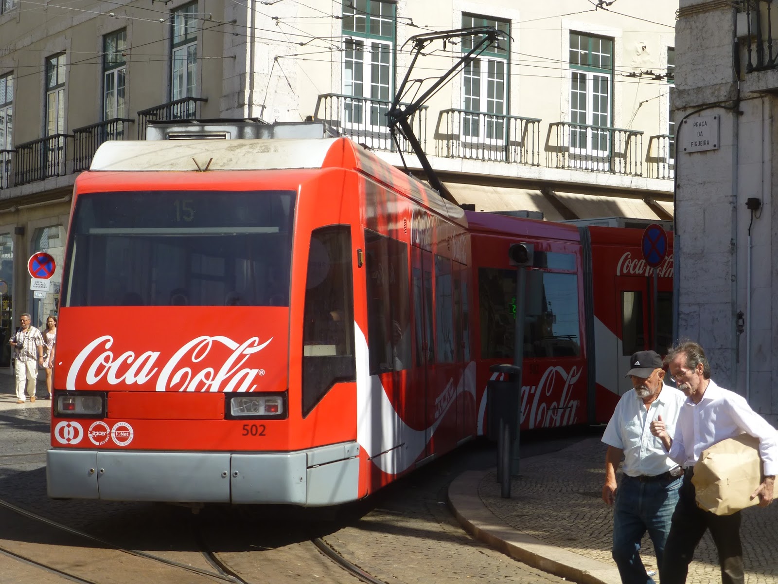
While the 28 runs primarily as a tourist attraction, Lisbon’s other main tram line, the 15, gets strong local traffic, too. The 15’s only real tourist appeal is that it serves Belem, which has a few attractions – other than that, the line serves local neighborhoods to the west of Lisbon. Since the Metro doesn’t run out here, the 15 is the only option for many people, but…this ain’t no metro. Indeed, it can hardly even be considered “light rail” with all its mixed traffic sections. But see for yourself – let’s take a look.
 |
| Shoot, we just missed the Coca-Co…I mean tram. |
 |
| That tour tram got in the way of my picture of the stop at Praca Figueira. |
 |
| Another tram coming in. |
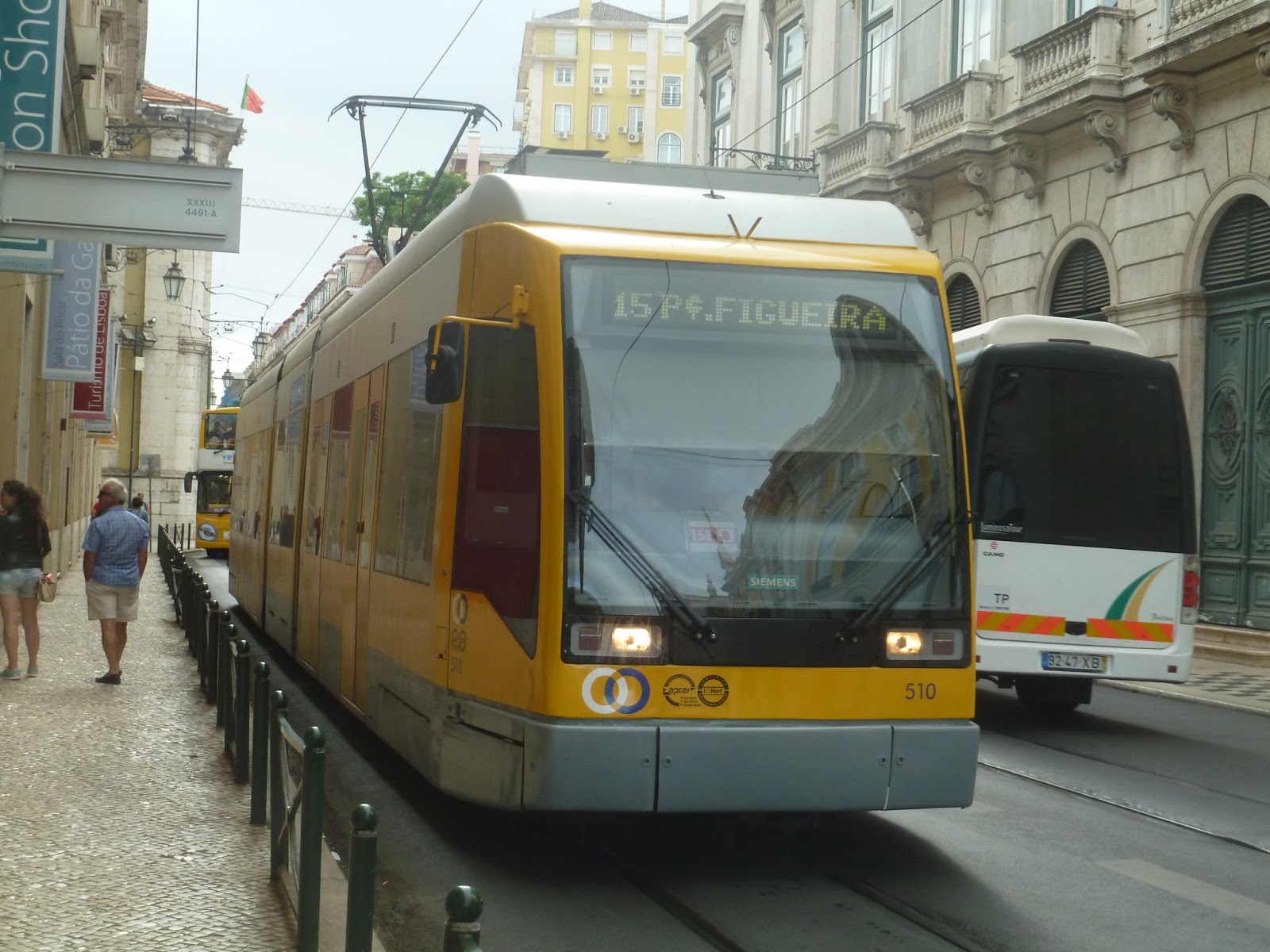
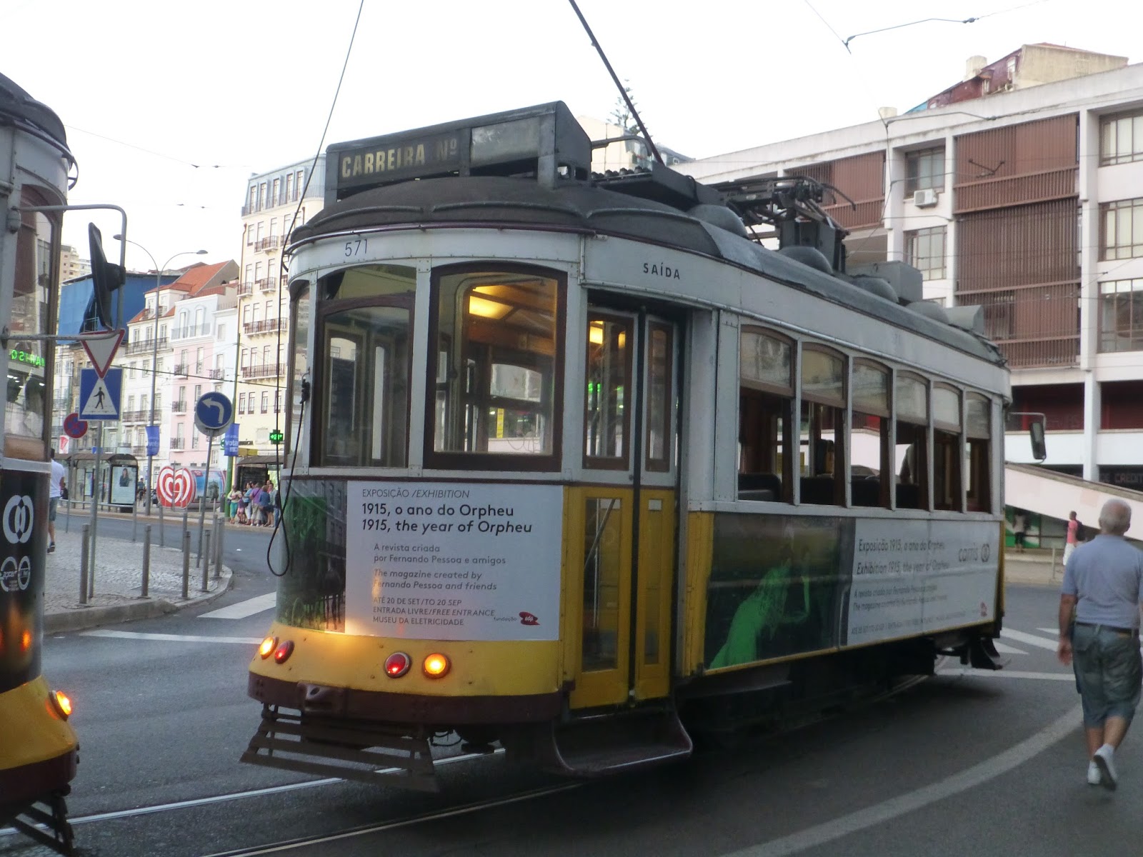
As you can see, the 15 doesn’t use the historic trams of the 28. Instead, this line uses modern, articulated vehicles. They make for a much smoother ride than the old ones, but they do lack a certain character. Regardless, these trams have automatic announcements as well as ticket validators at each entrance, so all doors can open. It’s kind of an honor system, but it does speed up boarding.
 |
| These screen pictures never come out well on my camera. |
 |
| All the doors are controlled by buttons pushed by passengers who want to get in or out. |
 |
| Looking down the tram. |
 |
| Another shot, this time turning. |
 |
| Might as well get the obligatory “tram inception” photo out of the way now. |
The line starts at Praca Figueira (Figueira Square), right near Rossio Station. The vehicle wasn’t too crowded as we turned immediately onto R. dos Fanqueiros, running through the historic Baixa neighborhood. This part of the route was mixed traffic, and it was odd being on such a modern tram running through such an old neighborhood. We then turned onto the north side of Praca de Comercio, Lisbon’s massive riverfront square, and picked up some more passengers.
 |
| Lots of crisscrossing tram tracks here. |
 |
| Crossing over the east-west 28 tracks. |
 |
| The massive Praca de Comercio. |
 |
| A tram in the Baixa – not the one I took, obviously. |
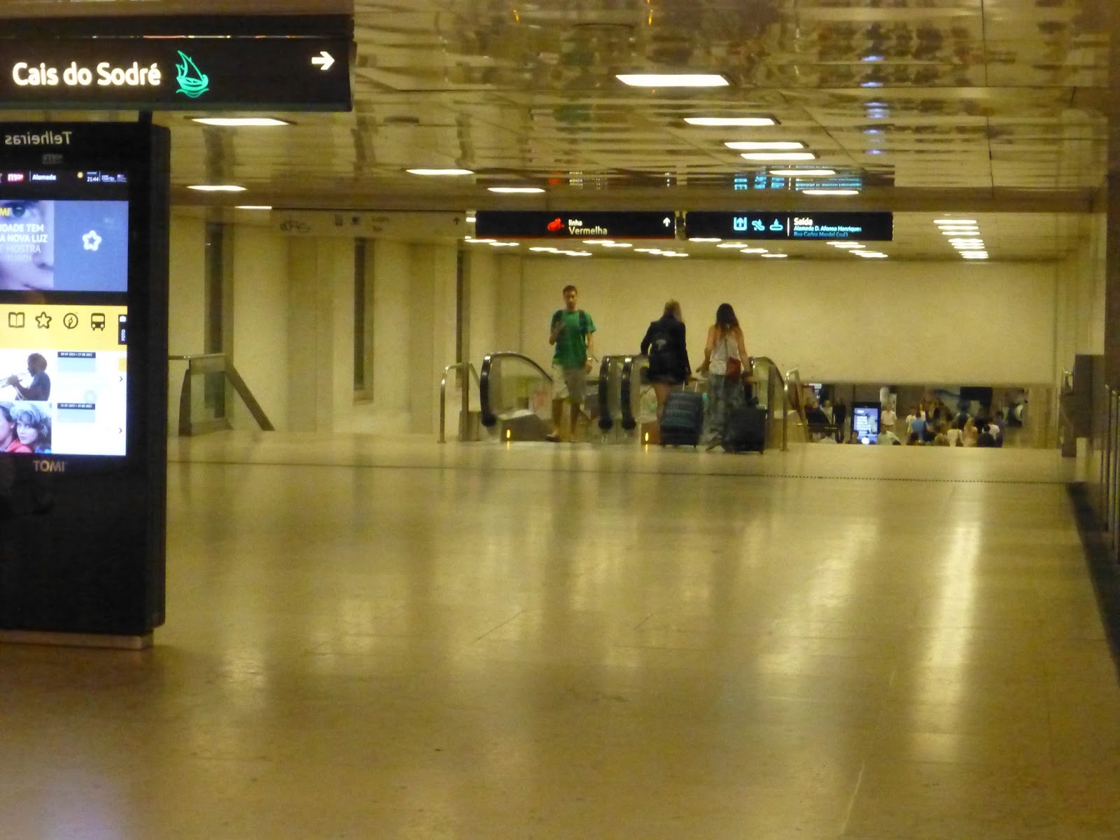
Heading down Rua de Arsenal, we reached a rotary and twisted around it. From there, we had our own bus/tram lane segregated from the road. After a stop at Cais do Sodre Station (where a bunch of people got on), we followed the Cascais suburban line to its next stop, Santos, which was close by.
 |
| Going around the rotary. |
 |
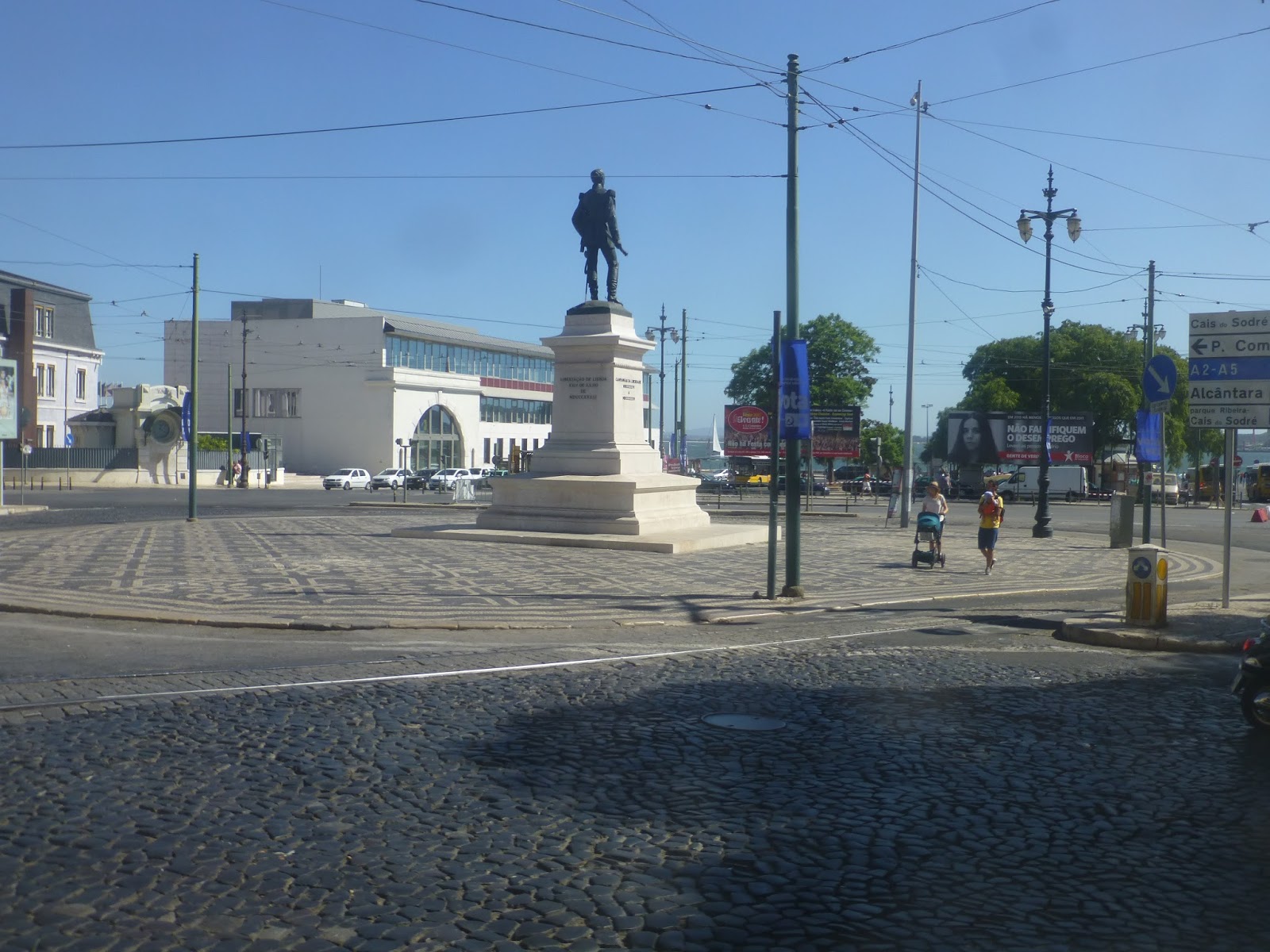
| That’s Cais do Sodre station…but it’s kinda hard to tell. |
 |
| Some cranes. |
 |
| A tram at Cais do Sodre. |
The surroundings got industrial from there until we turned onto Av. 24 de Julio. Though we still had our own lane along this section, it wasn’t totally segregated anymore. We then turned onto R. 1o de Maio, going under the incredibly high 25 de Abril Bridge. We were in mixed traffic now, the road lined with apartments and some businesses.
 |
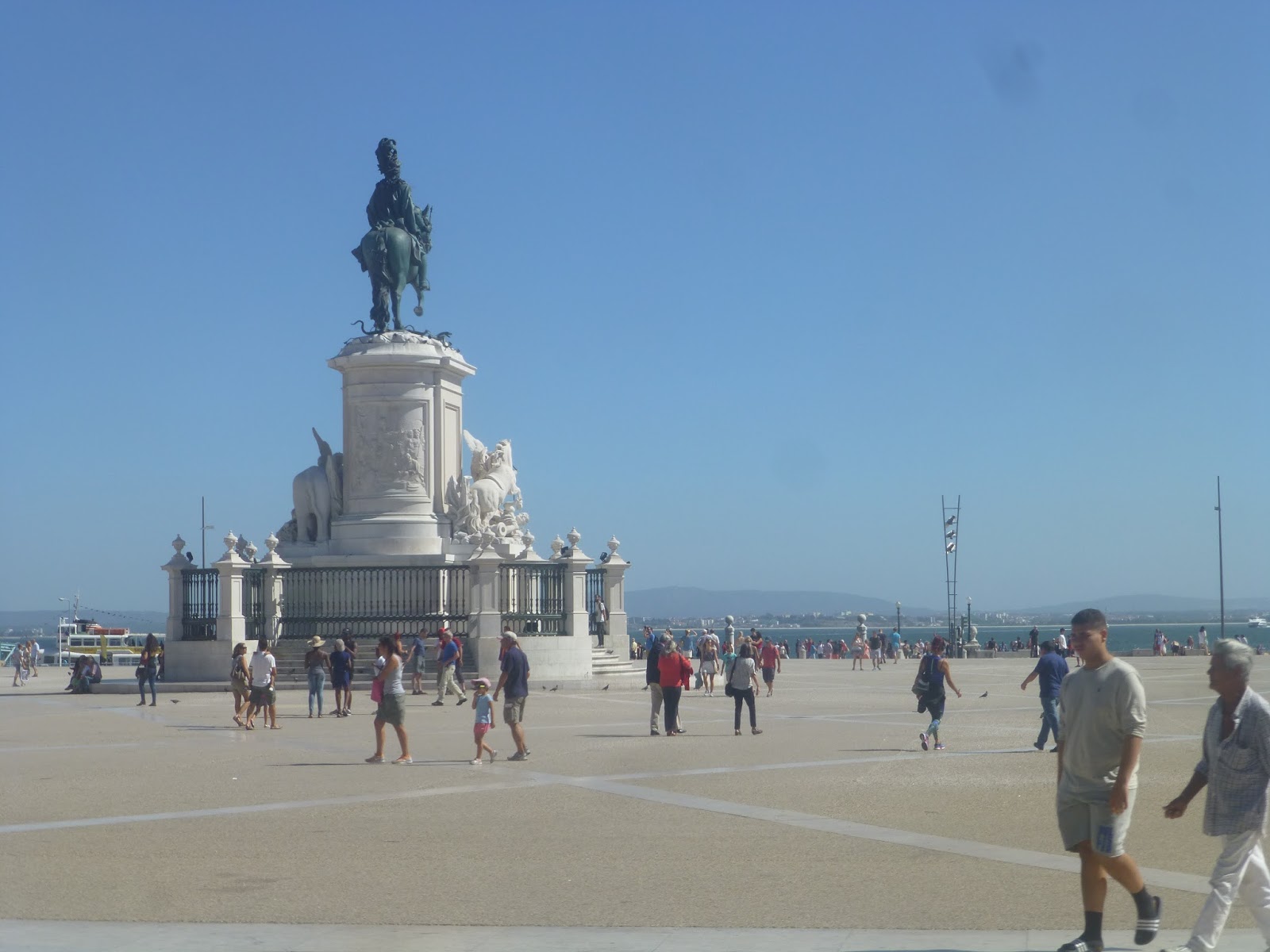
| A Christ the Redeemer-esque statue across the Tagus River. |
 |
| A view of the bridge! |
 |
| Gosh, that bridge is high up. |
 |
| A tram yard. |
 |
| Another view of the bridge through some trees. |
The street widened and became Rua da Junqueira. We had our own segregated lane now, running in the middle of the road. After two large buildings, it got more residential, with small apartments lining the street. The apartments eventually became tighter and the road got narrower – we were in mixed traffic now.
 |
| A big sculpture in a garden. |
After going by a garden, the street became R, Belem. And a few blocks after that, we entered a turnaround loop. I was a little confused until I found out that apparently every other 15 terminates in Belem, where we were. Well…good to know. The full line goes out further, but I did most of the remaining part of the 15 (and much more) on a bus, which I’ll cover in the next post!
 |
| That building is so big!!! |
 |
| Going around the small loop. |
 |
| The tram laying over at its terminus. |
 |
| We walked a ways down the rest of the route, meaning a few more tram pictures. |
 |
| A tram going by. |
 |
| Some people walking to get on. |
 |
| A tram dropping passengers off. |
 |
| A tram behind parked cars. |
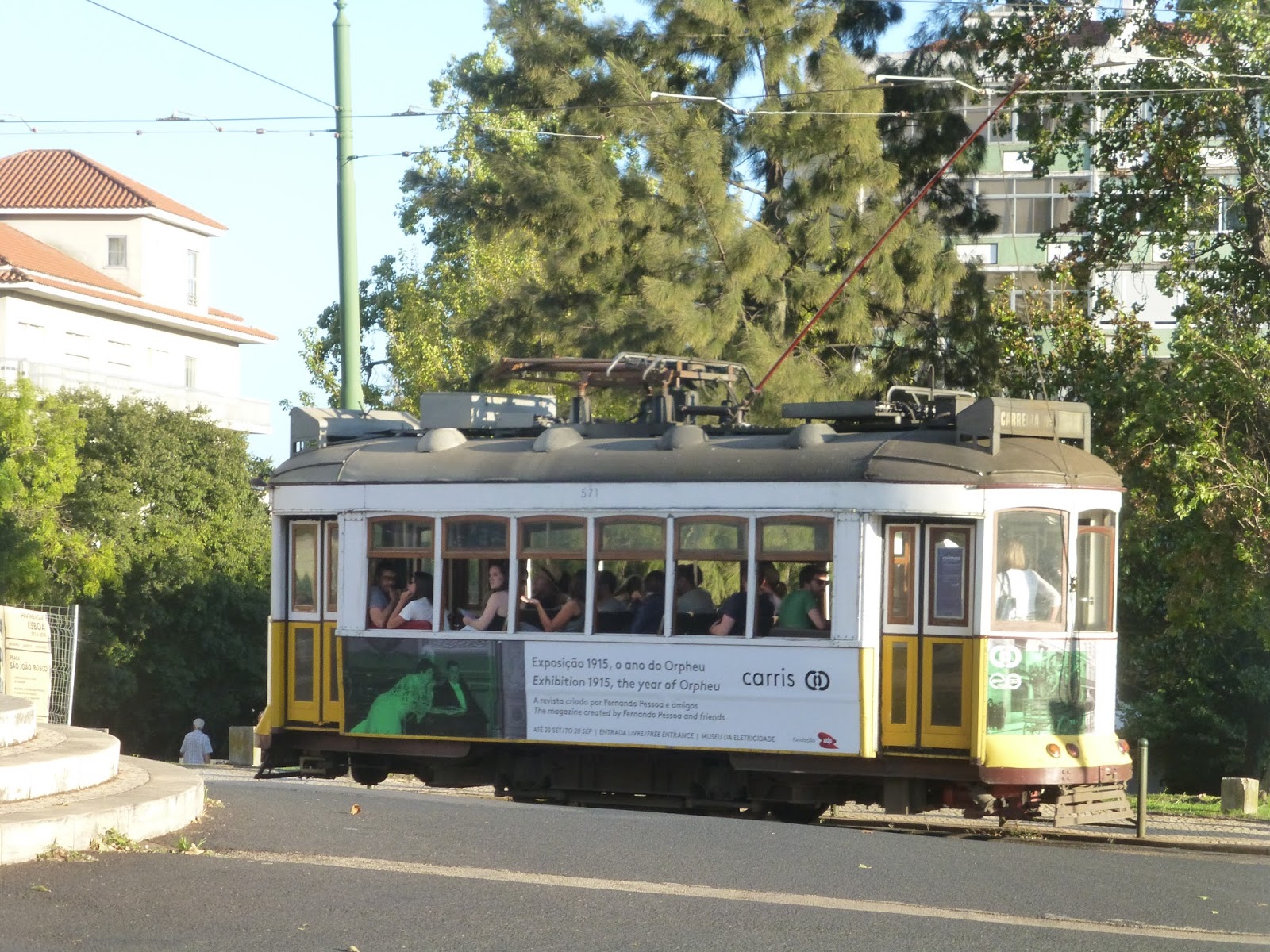
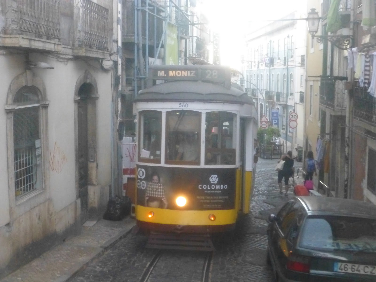
Service Change: Portugal, Part 3 – Lisbon’s Tram 28 (Martim Moniz – Prazeres)
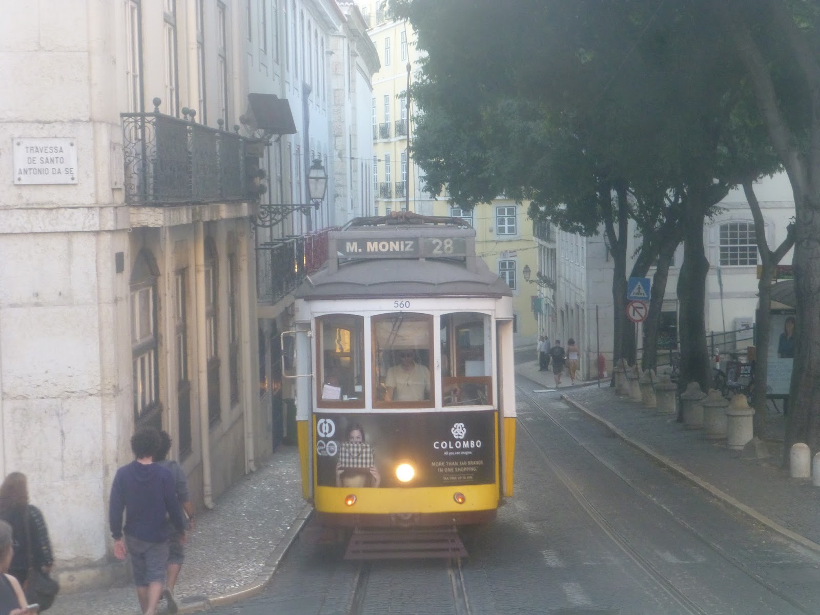
I’ll be honest, the 28 is almost entirely meant for tourists. During the summer, all the trams are packed with out-of-towners taking pictures and seeing the sights. That’s completely justified, though, since this tram line is incredibly scenic. The line is windy and hilly, meaning it has to use old-fashioned vehicles from the 1930’s. What more could you ask for?
 |
| A tram at its terminus. |
 |
| That one looks crowded already! |
The 28 begins to the west of the city in a pretty local neighborhood at a rotary. Leaving the terminus, we went around the rotary and headed down R. Saraiva de Carvalho. After going by a church, the street became lined with local businesses and apartments on top. We then turned onto R. Domingos Sequeira, going down a hill.
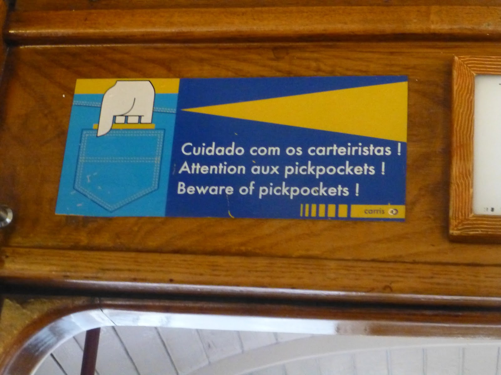 |
| Pickpockets are indeed a problem on the 28 – be sure to watch your bags here. |
 |
| I love these stop request buttons! |
 |
| Looking toward the front of the tram – it had quieted down by the time I took the picture. |
 |
| That’s a cool building! |
 |
| And indeed, that’s another cool building. |
We turned onto Calcada de Estrela, a narrow downhill street. The line then split in two, with our single track heading down R. Sao Bento. Going by some quaint apartments, we then turned onto the narrow R. de Poco dos Negros. We rejoined the outbound line at Calcada do Combro.
 |
| The back of the tram is a very fun place to stand. |
 |
| Not much traffic on this street. |
 |
| So much for no traffic. |
 |
| It must be horrible to drive along these narrow streets shared by the 28. |
 |
| The sun appears to be going down. |
 |
| I took some pictures of the trams earlier in the day on this section of the line. |
 |
| A tram coming down a hill… |
 |
| …and another tram coming from the other way. |
The street became Rua de Loreto, then we made our way around a small plaza. The inbound and outbound lines split again after that, and we headed single-track down R. Antonio Maria Cardoso. We made a steep sharp turn onto R. Victor Cordon and rejoined the outbound line on the next block. After some curves, we headed up Calcada Sao Francisco, entering the historic (and touristy) Baixa neighborhood.
 |
| This pesky tram followed us for much of the journey. |
 |
| The plaza. |
 |
| I love how you can see at the top of the hill how the right track has to overlap with the left in order to make the sharp turn! |
 |
| A residential street. |
It didn’t take too long to cross the Baixa – we were on a straightaway and it’s a narrow neighborhood to begin with. After that was the Alfama neighborhood, which is where the route really starts to get interesting. We navigated our way to Largo Santo Antonio de Se, then onto R. Augusto Rosa. We passed the Se de Lisboa, a cathedral, then twisted and turned through hilly, constantly changing streets.
 |
| Did I mention the Baixa was touristy? Look at those crowds! |
 |
| Looking down the street. |
 |
| The other tram following us up a hill. |
 |
| I love that mini-castle! |
 |
| An overlook. |
 |
| A church up in the hills. |
 |
| A big ship out in the water. |
 |
| I see you’re still following us, other tram. |
Eventually we turned onto Escolas Gerais, which became so narrow that we were reduced to a single track. It became double again at Calcada de Sao Vicente, but the street was still tight, with old apartments along the sides. At Graca there was a loop for short-turn runs, but we continued up Rua da Graca. with the buildings getting slightly newer.
 |
| Look how narrow this is! |
 |
| Making another turn. |
 |
| Still incredibly narrow. |
 |
| This is just after Graca. |
We then turned onto R. Angelina Vidal, heading downhill. The inbound and outbound tracks split once more later on, where we went down Rua do Forno do Tijolo. After a few more sharp turns, it became double-track once more on R. Maria Andrade.
 |
| That second tram never strays far. |
 |
| Making a slight turn. |
 |
| I see you poking your head around that corner, second tram. |
 |
| Making a single-tracked turn. |
 |
| Blurrily looking up a hill. |
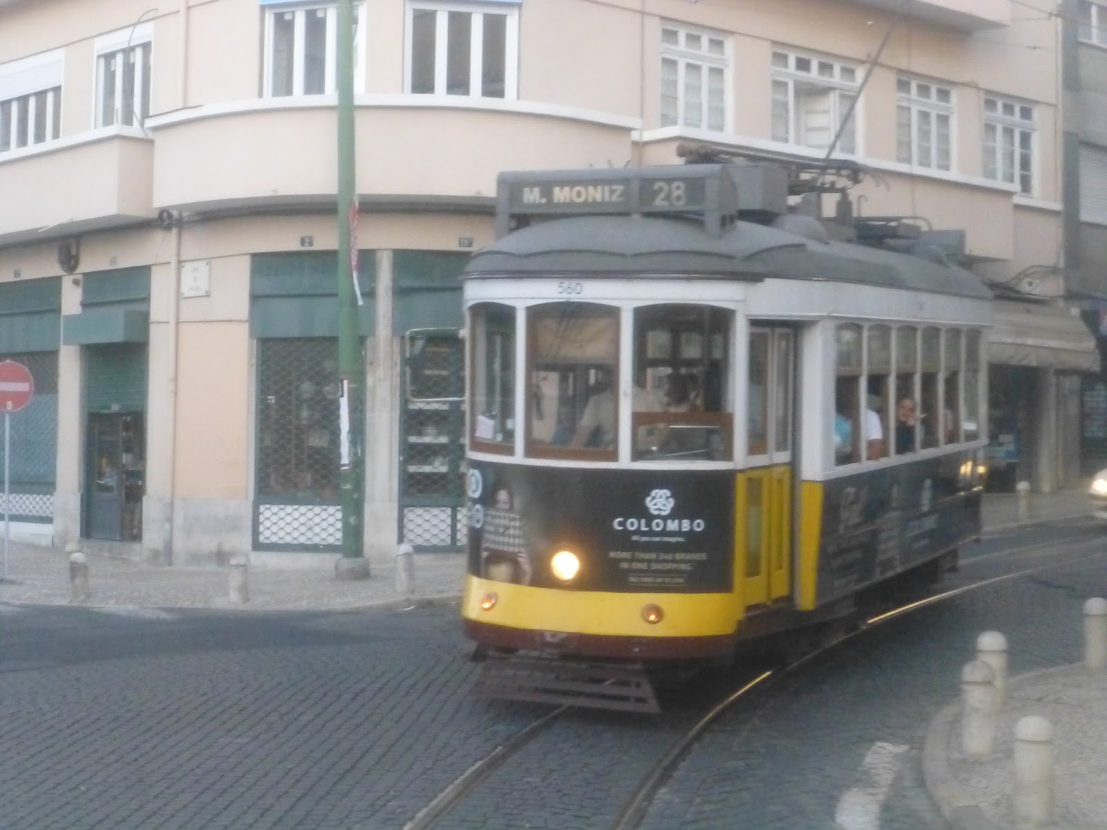
We then turned onto Av. Alm. Reis, which was weird in that this was the first legitimately wide street on the whole trip! Wide as in it even had a little median with trees on it. We went by the Intendente Metro station and continued on this wide straightaway. After passing through a small Chinatown, we looped around a small plaza and reached the 28’s terminus, Martim Moniz.
 |
| Why’s the street so wide? This is weird! |
 |
| Looking up into the hills. |
 |
| A building with Chinese writing on it. |
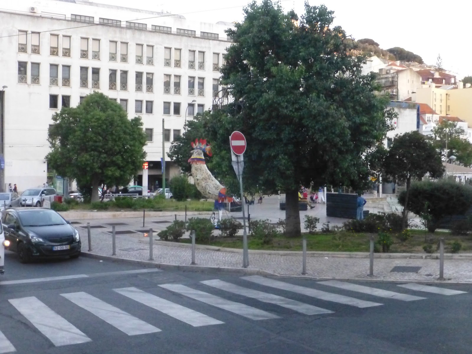 |
| I love that rooster sculpture! |
 |
| A castle in the hills (Castelo de S. Jorge). |
 |
| A tram at Martim Moniz. |
So is the 28 worth taking? Absolutely. Even if you’re not into public transportation or anything, the 28 is still amazing. The historic trams are awesome, you get to see some interesting parts of the city, and it only costs a bus fare! Now if you’re in a hurry, the 28 might not be for you since it goes pretty slowly, but if you’re looking to just see the sights, the tram is a must.
Service Change: Portugal, Part 2 – Lisbon Aerobus
The Metro isn’t the only way to get from Lisbon’s airport to downtown. Another option is the Aerobus, run by Yellow Bus Tours. While Line 2 runs every half hour to the northwestern part of the city, Line 1 goes every 20 minutes to the center. The advantage of taking the bus is that it’s direct, whereas you have to change lines if you’re going to the city center on the Metro. Plus the lines of tourists at the Aeroporto Metro station are brutal.
 |
| The sign at the airport. |
One downside to the bus is that it’s more expensive. While the metro is only 1,40€ for a single ride, the bus costs 3,50€. That 3,50€ does give you a 24 hour pass, though, meaning you have unlimited Aerobus rides for a day. That could be useful, as it does run between some local areas downtown.
 |
| The bus at the airport. |
The boarding process for this bus was ridiculous. Since you had to buy your ticket in order to wait in line, it made no sense for the driver to only keep the front door open so he could check the tickets everyone already bought. The line was crawling, and we were standing at the back door (there were three). On the door, I noticed there was a button. Turns out the button opened it, so all of a sudden there was a mad rush of people getting in from the back. It also turns out we weren’t supposed to push it, as the driver yelled at the crowd before not really caring and getting in front.
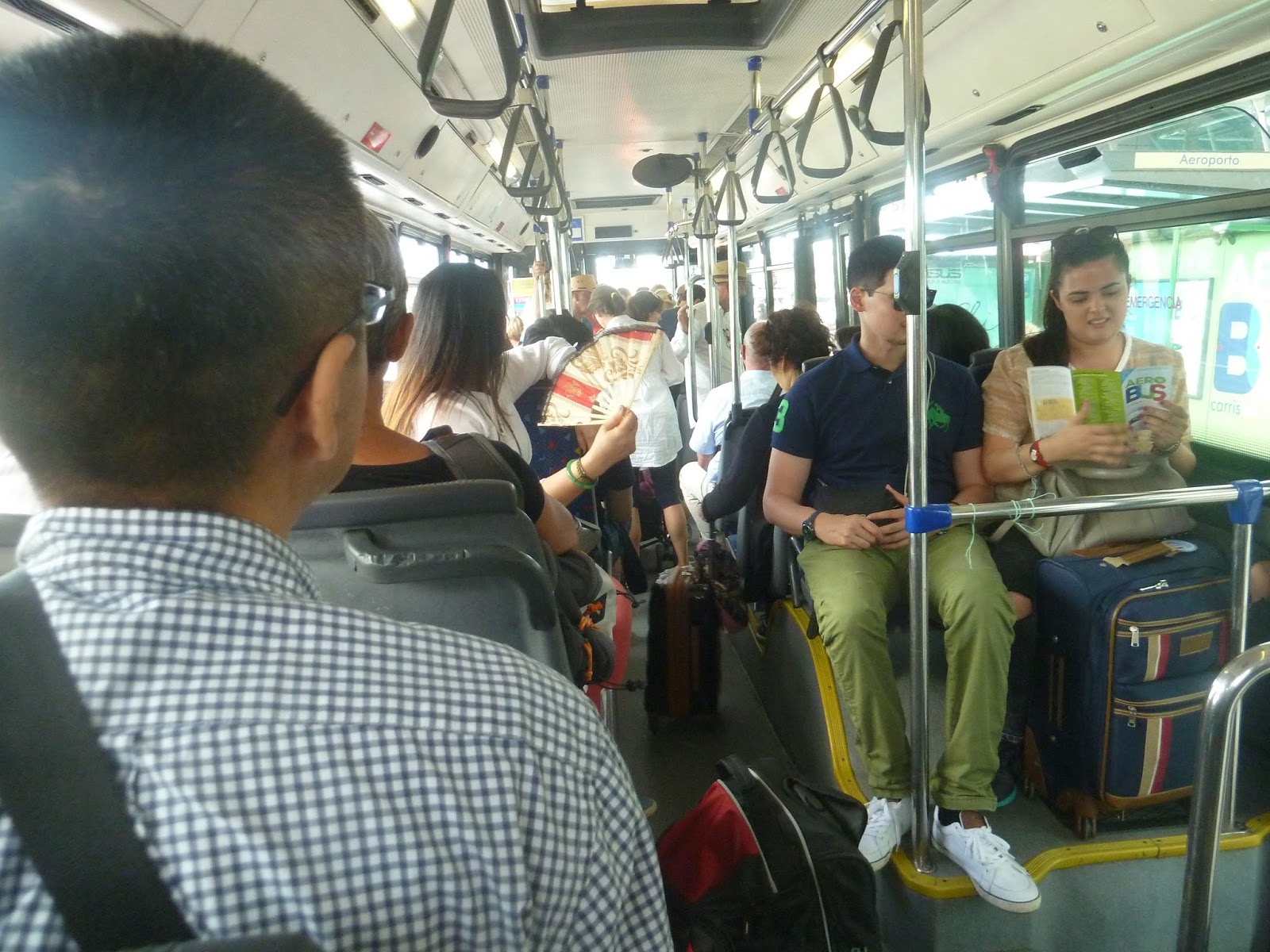 |
| Pretty crowded in here… |
Leaving the terminal, we made our way out of the airport, going through a short tunnel and past lots of parking lots. After a rotary, we continued down Av. Alm. Gago Coutinho, going by individual houses (you don’t see a lot of those within Lisbon city limits). We then turned onto Av. Estados Unidos de America, which was lined with apartments.
 |
| Nice view! |
 |
| A highway going over a rotary. |
 |
| Some individual houses. |
 |
| Now things are a lot more built up. |
We went around another rotary at Entre Campos, turning onto Av. de Republica. After going under the elevated Entrecampos suburban rail station, we reached Campo Pequeno, passing a museum. From there, we reached Saldanha, which is actually where our hotel was. So we didn’t get to go that far down the line, but it was a quick ride (15 minutes), and we got to see a bit of the city unlike on the underground metro. I’m not sure if it’s worth it cash-wise, but it’s a fun ride.
 |
| That’s quite the rotary! |
 |
| Here are some buildings. And a spot on the window. |
 |
| That’s a really cool-looking museum! |
 |
| Goodbye, Aerobus! |
Portugal or No Portugal?
I realize it took forever to get out that post about the Lisbon Metro, and I’m sorry about that. I’m wondering, though, if you guys want to see more. If I were to continue with Portugal posts, you guys would see some buses, some trams, some trains, another metro system, a funicular, and a ferry! If I were to go back to Boston, it would be a little while until the next post, since I haven’t taken any buses recently, and I’m sick so I would have to wait before I can go out…
But anyway, I’ll let you guys decide in this handy-dandy poll!
Service Change: Portugal, Part 1 – The Lisbon Metro
Okay, it’s been a quite a lot longer than a week – sorry about that. But I went to Portugal! And I rode a lot of public transportation over there! The Lisbon Metro, for example, as you can see by the post’s title.
Since most of it is underground, I figured I’d cover the whole thing in one post – I did ride it all, though. But if most of the system is underground, then what’s so interesting about it? The stations, that’s what. Being a modern system (the first line was built in 1959, but most extensions took place after the 90’s), a lot of them are absolutely beautiful, and almost all of them have artwork. Thus, this post will mostly focus on the Metro’s stations.
 |
| Wow, way to light up your shot, Miles. |
Lisbon has really good fare integration, with the Viva viagem card being valid for Metro, buses, trams, funiculars, suburban rail, and ferries. The card costs €0,50 initially, but it gives you a €0,15 discount on Metro rides (€1,25 instead of €1,40). You also get small bonuses when you add money, but unfortunately, you can only add it in €5 increments.
The Blue Line: The Blue Line was the first line on the Metro, taking a northeasterly path from Santa Apolonia in downtown Lisbon to Amadora Este out of the city. Amadora Este is a pretty standard station, though there is a bit of artwork on one of the station’s walls. Also, if you look down the tunnel where the trains lay over, there are some offices above the tracks!
 |
| The platform. |
 |
| The mezzanine area where you can cross to the other side. |
 |
| A train coming in. |
Two stations from here is Pontinha, where we originally got onto this line from a bus. Pontinha has a huge busway served by…three bus routes. There’s a yard here as well for both buses and trains. As for the platform, it gets a bunch of natural light, which is fantastic in my book.
 |
| The busway. |
 |
| A big plaza outside the station. |
 |
| The entrance. |
 |
| The mezzanine. |
 |
| The bright platform. |
 |
| A round elevator? Have you ever seen anything this cool??? |
 |
| And this thing is cool too! |
 |
| A train coming into the station. Did I mention the trains here drive on the left for some reason? |
I didn’t visit any of the next batch of stations as the line makes its way toward downtown. It has an interchange with suburban rail at Jardim Zoologico, then with the Red Line at Sao Sebastiao. I did use this station, and it was nice, if generic.
 |
| The platform at Sao Sebastiao. |
The next station, Parque, is apparently the most beautiful one on the system. I didn’t use it, unfortunately, nor did I use the Blue Line platforms at Marques de Pombal. The next station I did use is Restauradores near the heart of Lisbon. This station has a connection to Rossio Station for suburban trains, but confusingly is not the same as Rossio Station on the Green Line, which serves Rossio Square…never mind.
 |
| Another blurry train. |
 |
| The end of the Restauradores platform, with different cities on the panels. |
 |
| Looking at the platform from above. |
 |
| These moving sidewalks slant up at the end! That’s so cool! |
 |
| A series of escalators leading up to the Rossio suburban station. |
After that is Baixa-Chiado, the Blue Line’s interchange with the Green Line. The platform itself is pretty generic, but the hallway you use to get between the lines is amazing. There’s also a cross-platform transfer between the northbound Blue Line and southbound Green Line, which is convenient. As this station is in the main tourist part of town, it gets a lot of ridership.
 |
| The platform. |
 |
| The amazing-looking walkway! |
For a while, Baixa-Chiado was the Blue Line’s terminus, but recently (as in 2007), the line was extended further. It took 11 years to build a two-stop extension, but…well, at least it’s done. Terreiro do Paco serves Lisbon’s massive riverfront Praca de Comercio, while the terminus, Santa Apolonia, serves a suburban rail station.
 |
| The Santa Apolonia platform. |
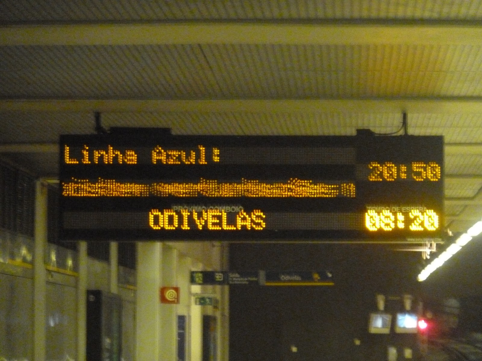
Yellow Line: The Yellow Line was the second line to be built, running from Rato in Lisbon all the way up to Odivelas out of the city. Rato (which coincidentally means “rat”) had a pretty standard platform, but also another awesome hallway, complete with statues!
 |
| Rato’s platform. |
 |
| Rato’s long hallway. |
Marques de Pombal is where the Yellow Line interchanges with the Blue. This was the first Metro station we used, taking the Yellow Line two stops up to Saldanha (which I’ll get to in a moment). Between Marques de Pombal and the next stop, Picoas, there’s an interesting quirk where the street the line runs along goes onto a bridge. It’s an incredibly short bridge just over a side street, but it means that on the train, you get about half a second of sunlight that can catch you by surprise.
 |
| That bridge underneath the road bridge is where the Metro runs. |
 |
| The hallway to the mezzanine at Marques de Pombal. |
 |
| And the mezzanine itself. |
 |
| This being the first Metro station I went to, I also took pictures of the ticket machines. |
 |
| Some of the fare gates. |
 |
| These countdown clocks go down the second. Thus, it’s 8 minutes and 20 seconds until the next train. |
 |
| Looking down the platform. |
 |
| This section was much higher up. |
 |
| A blurry train coming in. |
 |
| The inside of one of the older trains. The new ones have walk-through cars. |
 |
| The automatic announcements are hard to hear, so it’s a good thing they have these screens. |
Saldanha, the interchange between the Yellow and Red lines, was our local station for most of our stay in Lisbon. This station is beautiful, with walls made out of what appears to be marble. It also has quite a lot of artwork carved out of the walls, which is very cool.
 |
| A train leaving the station. |
 |
| I love this platform! |
 |
| Art on the walls. |
 |
| And more art heading up the stairs. |
 |
| The fare machines. |
 |
| Heading toward the exit. |
 |
| The entrance is pretty unassuming, though. |
Two stops away is Entrecampos, which connects to the mainline Entre Campos station. I have no idea why the latter is spelled as two words, but whatever. Aside from suburban trains, Entre Campos also serves long-distance trains to other parts of Portugal. The Metro station is awesome, with massive columns lining the platform.
 |
| Descending down to the Metro. |
 |
| You gotta love these moving sidewalks. |
 |
| The mezzanine. |
 |
| Look at those columns!!! |
 |
| These three car trains were the bane of my existence in Lisbon. |
The next stop, Cidade Universitaria, serves the Universidade de Lisboa (Lisbon University). After that, the line goes (gasp!) above ground. Don’t get your hopes up, it’s only for a few seconds as it approaches the elevated Campo Grande station for an interchange with the Green Line. The line dives right back underground after that stop.
 |
| Here’s another inside-the-train shot, this time with a walk-through train. |
 |
| What a beeeeeaaaaauuuuuutiful view. I’m being sarcastic. |
 |
| Some houses. |
 |
| And some more houses. |
 |
| Argh, this picture would be so good if it wasn’t blurry!!! |
 |
| The clean, if uninteresting platform. |
 |
| Hey, some art! |
 |
| A lone pigeon stands in the mezzanine. |
The line goes underground after that, going by some stations we didn’t visit. The next station of note is Senhor Roubado, where the line comes out into the open. From there, the line runs elevated over some highway interchanges. It would offer an awesome view of the surrounding hills, were it not for the fact that they decided to put a stupid hood over the tracks. It makes it hard to see stuff, and even harder to take pictures.
 |
| Ugh. |
 |
| Some buildings in the hills. And a hood. |
 |
| Some houses running up a hill. Notice the hood in the foreground. |
 |
| What could be an excellent view is hampered by a STUPID HOOD. |
The next and last stop, Odivelas, is actually outside of Lisbon city limits. That said, it’s still in a very urban area. The station is technically underground, but it’s shallow, so lots of natural light gets in from above.
 |
| A train leaving the station. |
 |
| Not a bad-looking platform. |
 |
| Looking into the mezzanine. |
Green Line: Oh, Lisbon Green Line…why must you always use three car trains? I mean, the Green Line always uses short trains, The trade-off, I suppose, is that it does run more often than other lines, but it’s often more crowded, too. Plus, it can be really annoying when you wait at the back of a station and then have to run to the front when a train comes. The line’s northern terminus is Telheiras, which is underground, though the tunnel portal is visible from the platform.
 |
| The platform. |
 |
| Looking from above – I love the artwork on the wall where the tunnel starts! |
 |
| Some fare gates. |
 |
| Light!!! |
 |
| Two trains at the station. |
 |
| Who’s up for another interior shot? |
The line rises up soon after Telheiras. It’s basically the same views as the Yellow Line, since they have a cross-platform transfer at the elevated Campo Grande station. And just like on the Yellow Line, the Green goes right back underground after the stop. It’s all downhill from here, folks.
 |
| A Green Line train at Campo Grande. |
 |
| A big stadium. Or indeed, a campo grande. |
 |
| Some buildings and a small road. |
 |
| A larger highway. |
 |
| Lots of apartment buildings. |
 |
| Hey, it’s the minions! Or “minimos.” |
 |
| And some more buildings. |
The next stop is Alvalade, then a pair of stations that technically connect to suburban rail services – if you’re willing to take a bit of a walk. There’s an interchange with the Red Line at Alameda, which is a pretty generic station except for one thing, which you’ll see in the pictures.
 |
| A train at the station. |
 |
| The platform. |
 |
| A mezzanine area. |
 |
| Okay, this is pretty fancy, but it’s not the cool part. |
 |
| This is!! These moving ramps might’ve been slippery and potentially dangerous, but…hey, they’re unique. |
 |
| This is sort of reminiscent of Downtown Crossing except not terrible. |
The next stop is Martim Moniz, which I also used. Although the entrance is a bit dodgy, the station has some interesting Arabic artwork on the walls. The platform isn’t as interesting, but it’s still a nice station.
 |
| The entrance looks especially gross at night. |
 |
| Check out that artwork on the wall, though! |
 |
| Here’s some more artwork. |
 |
| The nice mezzanine. |
 |
| And the platform. |
 |
| A train coming in. |
After that is Rossio, which serves the square rather than the suburban train station. However, this is still Lisbon’s big tourist neighborhood, so the station is well-used. It doesn’t have anything special about it, but it’s still nice.
 |
| The platform. |
 |
| Some artwork within the architecture. |
 |
| Out in the mezzanine. |
 |
| And the entrance. |
Baixa-Chiado is where the Green Line interchanges with the Blue, then it continues to the last stop, Cais de Sodre. This station serves a suburban rail station of the same name for trains out to the beach town of Cascais. It also has the most unique art on the Lisbon Metro, or indeed on any subway system I’ve ever been to.
 |
| The platform. |
 |
| A train that just arrived. |
 |
| The huge hallway leading to the mezzanine. |
 |
| And there’s that unique artwork! |
 |
| I love these rabbits so much! They line the walls. |
 |
| Man, that’s a lot of fare gates! |
 |
| The very tall mezzanine. |
 |
| This exit is cavernous. |
 |
| The slightly underwhelming entrance. |
 |
| Oh, and here’s another rabbit. They’re so tall! |
Red Line: The Red Line is the newest line, and thus it has the most modern stations. Running to the east of the city, it serves both Lisbon’s main rail terminal and the airport. It starts out at an interchange with the Blue Line, Sao Sebastiao, with a standard-looking platform.
 |
| Looking down the platform. |
 |
| A view looking up. |
 |
| The platform from above. |
The next station is Saldanha, where the Red Line and Yellow Lines intersect. The Red Line platform is pretty modern, with some art in the tiles of the walls, including writing, It’s in Portuguese, so I’m not sure what it says, but it’s an interesting addition to the platform.
 |
| Looking down the platform. |
 |
| Some text on the wall. |
I mentioned how the Green Line platform at Alameda is pretty generic. The Red Line one is much better. It’s very open, with high ceilings, interesting walls, and a blend of modern and old-fashioned architecture.
 |
| A large mezzanine. |
 |
| It’s so big! |
 |
| Looking over the platform. |
 |
| And on the platform. |
 |
| A train coming in. |
You thought that station was amazing? Oh, boy, you ain’t seen nothing yet. The next station, Olaias, is the most beautiful subway station I’ve ever seen. I mean…just look at these pictures!
 |
| I’m lost for words… |
 |
| The quality for these pictures is lower because these were taken on an iPhone (the camera was out of battery), but you can still see how beautiful this station is. |
 |
| Rainbow boats? Sure, why not? |
 |
| This panorama of the mezzanine makes my head spin… |
It seems like it can’t get any better, but it does – the line goes above ground right after Olaias! Okay, it’s for a short time, but it goes over a little valley with some interesting views. It also goes over the suburban rail tracks, but there’s no interchange with any stations.
 |
| Unfortunately, I wasn’t expecting the line to go above ground, so it took me a while to get my camera out, and…yeah. |
The line continues through Bela Vista, Chelas, Olivais, and Cabo Ruivo stations, then comes to Oriente. This modern station has become Lisbon’s main rail terminal for both suburban trains and long-distance trains. For such a busy place, the Metro station was dark and generic. It did have some artwork, though.
 |
| Pretty dark in here… |
 |
| There isn’t anything special about this platform. |
 |
| Here’s some artwork, though. |
From there, after stops at Moscavide and Encarnacao, the line reaches its last stop at Aeroporto (airport). Platform-wise, there isn’t much of note here, but I do love the artwork on the walls – this station has a bunch of caricatured people all over. It’s pretty fun to look at them, and at least some of them are based on famous people. The problem with this station is that it doesn’t have nearly enough ticket machines, causing a massive line of confused tourists to always exist here.
 |
| The platform. |
 |
| One of the caricatures. A runner, I guess? |
 |
| I love this entrance! |
Phew, that was a long post – I guess covering a whole metro system takes a while. I’m so sorry this took four times the amount promised to get published, but posts should be more frequent from here on out. Hopefully.
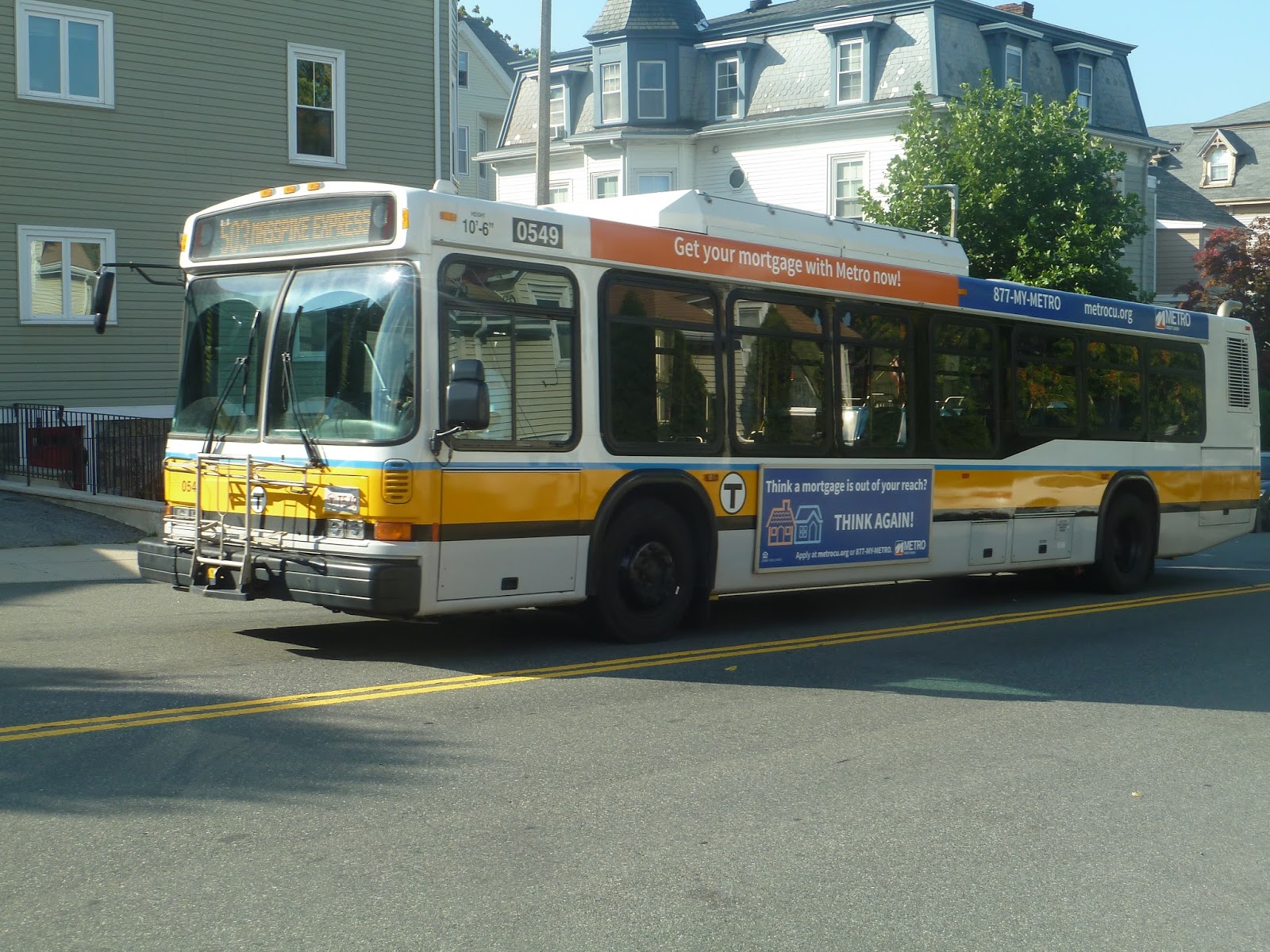
503 (EXPRESS BUS Brighton Center – Copley Square via Oak Square and Mass Turnpike)
I think I was WAY too harsh when I reviewed the 501. This was before I started using the Blue Book for bus ridership, so just because MY bus didn’t have a lot of people on it, I didn’t realize that the 501 is the busiest I-90 express! My rant about the Cambridge Street routing was stupid, too – that’s just so buses going in the non-peak direction can get back to Boston quicker to do a peak run! And I can assure my past self, the 57 would NOT be faster than the 501. So, yeah, consider that a redemption of a bad review. Now let’s look at the 503!
 |
| The bus coming into its terminus. |
This route is the exact same as the 501, except it goes to Copley instead of downtown, and it doesn’t run as often. Since I was coming from Brighton Center in the afternoon, it meant that my bus would be taking the Cambridge Street routing. When the bus arrived at its terminus, a residential area south of Brighton Center, the driver said “503?” “Yup,” I replied, and we were off.
 |
| Another shot in Brighton Center. Well, south of it. |
We headed up Winship Street, going by dense houses on either side. When we reached Washington Street, we turned right, avoiding Brighton’s main drag. After passing a huge hospital, there was a short stretch of houses. These became businesses at Union Square, Allston, which continued all the way to I-90. Here, we entered an odd interchange, going through a toll and twisting our way onto the highway.
 |
| Hello, huge toll! |
We entered the highway when it was on its elevated section, going by B.U. buildings. We returned to ground level, passing Fenway Park and entering the Copley Square tunnel. Taking the exit for Copley, the tunnel made a huge loop and we popped out onto Stuart Street.
 |
| My, that John Hancock Building certainly is reflective, isn’t it? |
Everyone but me got off at a stop for Back Bay Station, then we continued toward Copley. We turned onto Trinity Place, going right by the John Hancock Building, then we turned onto St. James Ave. I got off here, as a group of riders got on the bus for the trip back to Brighton.
 |
| The bus at Copley Square. |
Route: 503 (EXPRESS BUS Brighton Center – Copley Square via Oak Square and Mass Turnpike)
Ridership: My ride only had five passengers, but we were going in the non-peak direction early in the rush hour. Overall, the route’s ridership isn’t too high, either, with an average of 564 riders per weekday. That said, it doesn’t make too many trips in a day, so that means more passengers per bus.
Pros: It’s like the 501, except it goes to Copley instead! Assuming the highway is running quickly, it’s a very fast way of getting to Brighton Center (and Oak Square) from Boston. I also like how this route and the 501 bypass the annoying Newton Corner loop, speeding up the ride just a little bit. There are already 50 million express buses that serve Newton Corner, anyway.
Cons: Another difference between the 503 and the 501 is that this one doesn’t run as often. During the morning rush, it’s pretty good, with every 15 minute service, but in the evening, that becomes every 25-30 minutes.
Nearby and Noteworthy: I gushed over Brighton Center in my 501 review, and though I still like it, I’m not sure if I would recommend it as…wholeheartedly as I did in that post. Don’t get me wrong, it’s still a nice place.
Final Verdict: 8/10
It may not run often, but for a simple commuter bus, the 503 does its job well. Consider this 8/10 to also apply to the 501, too. I don’t know why I gave it such a low score in my review of that route, but here’s my chance to redeem myself. Consider it…uh, redempted.
UPDATE 9/1/19: Outbound 503 trips will service Newton Corner in the evening peak now.
Latest MBTA News: Service Updates
Just to let you guys know, I’m taking a break next week, but I’ll be back September 1st.
502 (EXPRESS BUS Watertown Yard – Copley Square via Newton Corner and Mass Turnpike)
When I reviewed the 504, I talked about how it serves Copley Square most of the time. During rush hours, however, it runs completely express from downtown to Watertown. What bridges that Copley Square gap? Why, the 502, of course!
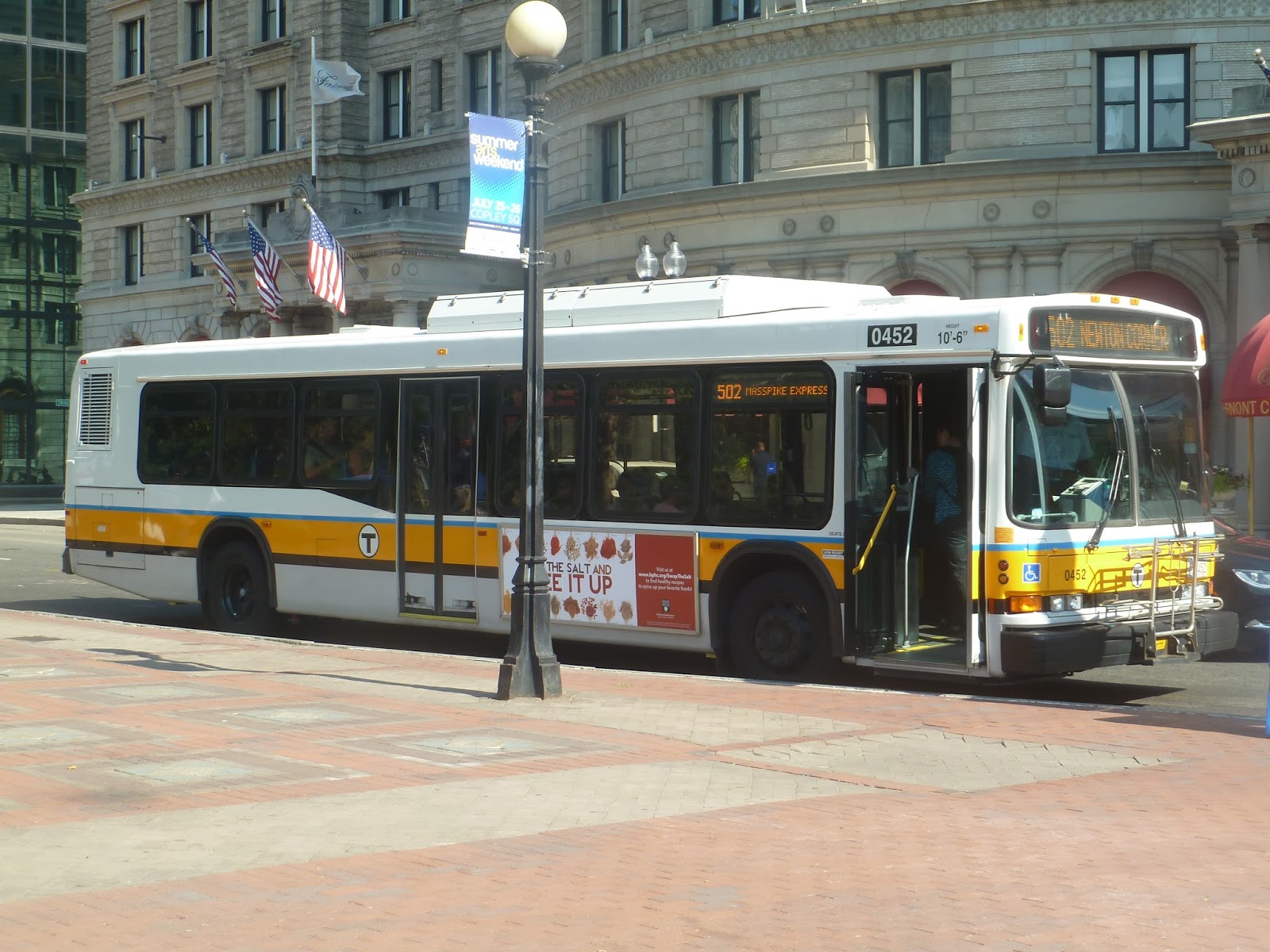 |
| The bus at Copley Square. |
The 502 takes the exact same route as the 504, except from Copley. I made it to the bus in the nick of time, and we were off. Right after leaving the stop, we merged onto a highway ramp that led to the Mass Pike’s Copley Square tunnel. Coming back into the open, we went by Fenway Park on the left.
The highway went elevated after that, giving a view of the Charles River. We passed through the Allston Tolls, and it got more suburban from there. At Newton Corner, we took the exit, looping around the highway and making both Newton Corner stops. From there, we headed up Center Street, which became Galen Street as we entered Watertown. Soon after that, we pulled into Watertown Yard.
 |
| The bus in Watertown. |
Route: 502 (EXPRESS BUS Watertown Yard – Copley Square via Newton Corner and Mass Turnpike)
Ridership: There must be quite a lot of commuters that need to get to Watertown, since the Watertown expresses are the second and third busiest I-90 routes. The 502 is in the latter position, with 1,206 riders per weekday. My ride only had about 20 people on it, but it was at 3:45 PM – not exactly rush hour yet.
Pros: As you can tell from the length of the review, this route is fast (as long as the Mass Pike is traffic-free). My bus was even five minutes early! Though it’s confined to rush hour, the 502’s schedule is also very good within those constraints – every 8 minutes in the morning and every 12 in the evening. And even when the 502 isn’t running, Copley Square is still covered by the 504.
Cons: I know Newton Corner is a major destination, but looping around it takes forever. Yeah, yeah, there’s nothing you can do about it, but this is a problem that plagues a lot of routes.
Nearby and Noteworthy: Well, there’s Copley Square. And Watertown Square, if you’re looking for someplace a bit more…well, boring.
Final Verdict: 8/10
As a supplement to the 504, the 502 is great. These routes can get busy during rush hour, so I like how the Copley Square portion gets its own during those times. It also runs often, and assuming the highway is okay, it’s fast, too.
Latest MBTA News: Service Updates
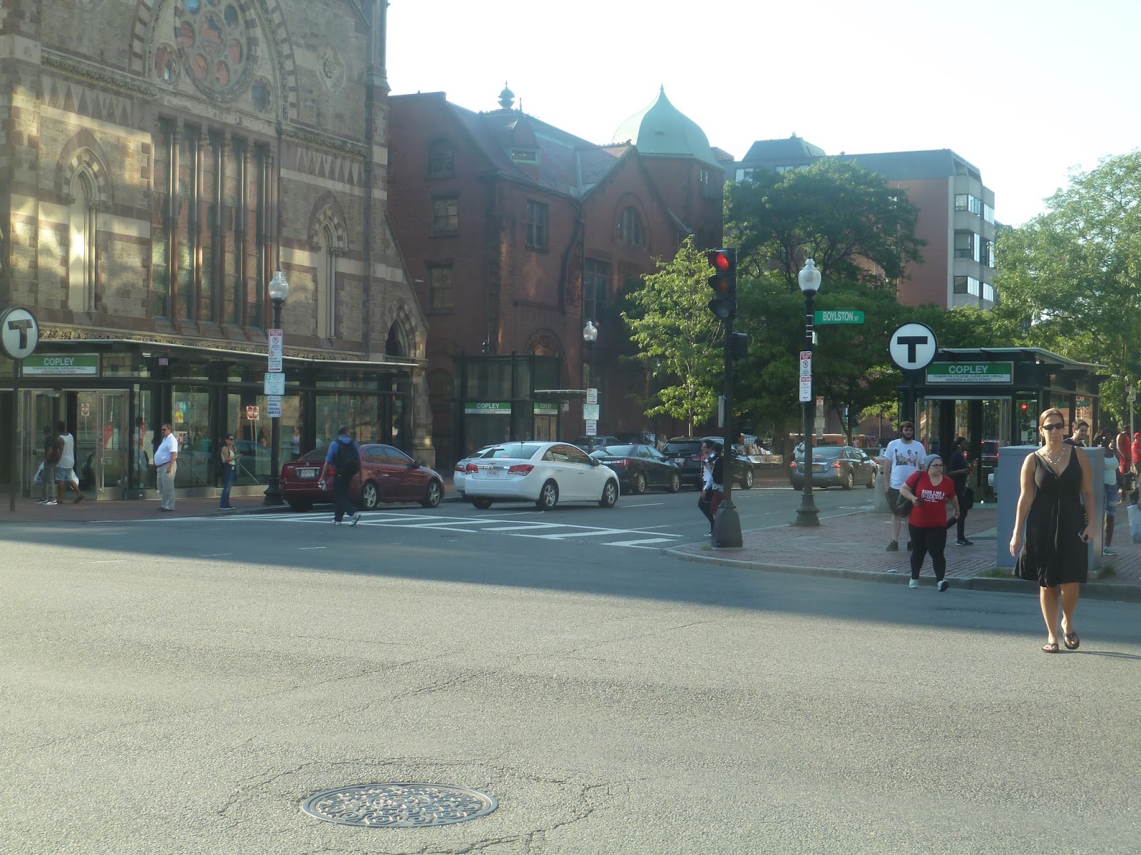
Copley
Man, you’ve gotta love Copley Square. Trinity Church, the Boston Public Library, the John Hancock Building…there are a lot of great sites to see here. But does its subway station compare? Well, let’s find out.
 |
| The outbound entrances on two sides of the street. |
Firstly, Copley has no free crossovers. Ugh…anyway, this means there are entrances for either platform, and they couldn’t be more different. The outbound side gets these modern glass entrances on either side of Dartmouth Street. I’m a fan of modernity, so these entrances are great in my book.
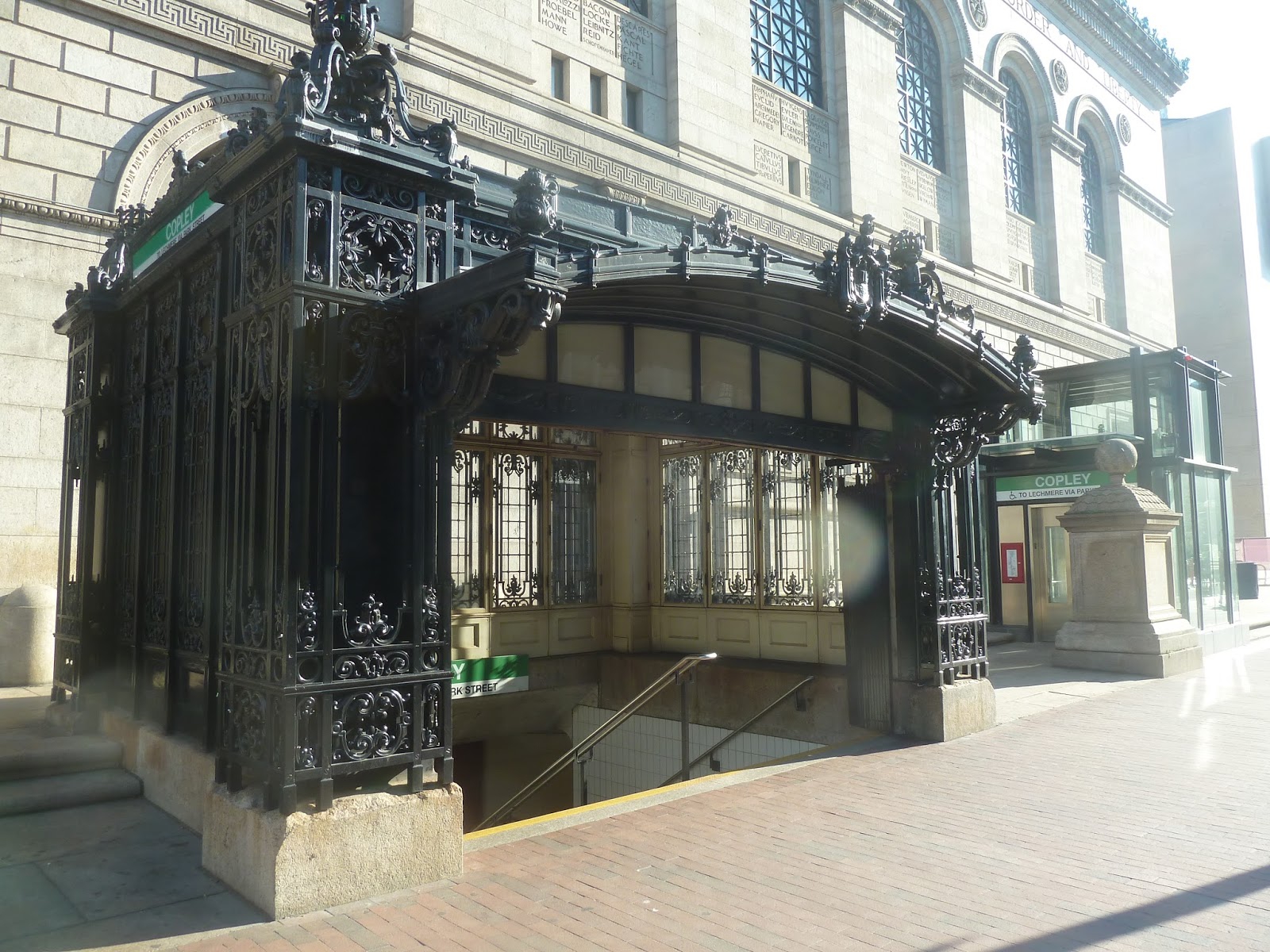 |
| Ah, but how can you not love this entrance? |
Of course, old-fashioned entrances are fantastic, too, and the one for inbound trains has to be one of the best on the system. I mean, look at it! What more do I have to say? The fine detail is just perfect. Both entrances at Copley have elevators, too, so it’s accessible.
 |
| The inbound mezzanine. |
Copley’s platforms are diagonal from each other, which is quite annoying, but aesthetically, they’re similar. This carries over to the mezzanines, which have a lot of fare gates and machines. Of course, they don’t look too good, but they are functional.
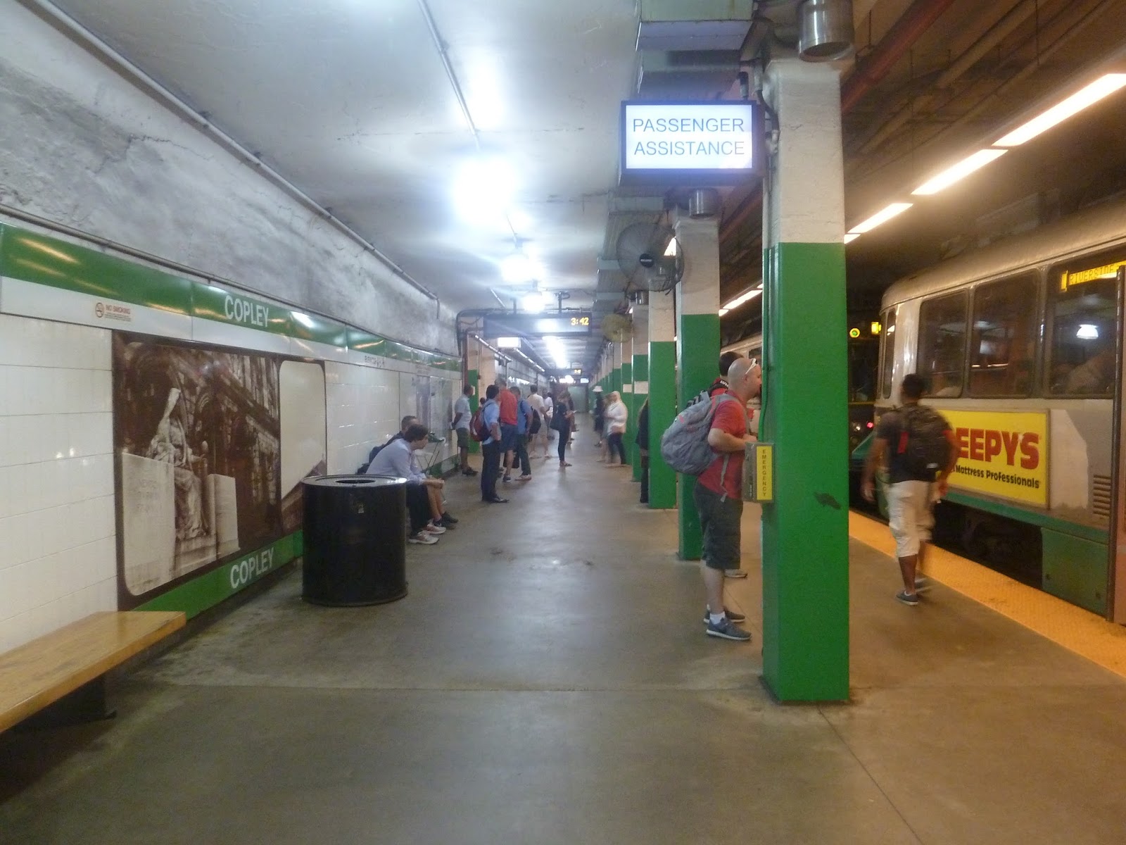 |
| The outbound platform. |
So…the platforms. Well, they’re standard for the Green Line. Hey, at least the random pipes are kept to a minimum. And there are benches and wastebaskets, that’s a good thing! But…they’re just so bland! And they have cracking paint along the walls, ugh…Green Line, I’ll never be able appreciate your aesthetics.
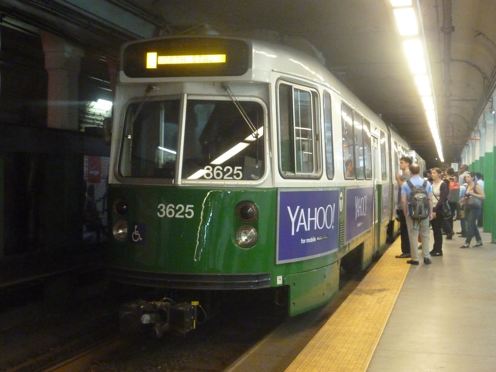 |
| Boy, the renovations for these trains made them awfully shiny. |
Station: Copley
Ridership: Copley makes it into the top 10 busiest MBTA stations at 10th place – 14,021 riders per weekday. This makes sense, as Copley is a major commuting center, as well as a huge tourist destination.
Pros: All of Copley’s entrances are great, particularly the really ornate inbound one. Also, the mezzanines flow well and have capacity for a lot of riders. Finally, this station has a good amount of bus connections, from local buses to I-90 expresses.
Cons: On the topic of buses, the signage for those can be a bit spotty. That is, when you exit the subway, it’s hard to know where you go to actually pick up the bus. In addition, the aesthetics down in the station are bland, which is typical for the Green Line, I suppose.
Nearby and Noteworthy: Oh, geez, there’s so much. You’ve got the Trinity Church, BPL, and John Hancock Building as I mentioned at the beginning of the post, plus Newbury Street is a couple blocks away. On an unrelated note, this station is very close to Back Bay, so if you’re coming from the Green Line, you can get off here and walk to the Commuter Rail instead of taking the Orange Line.
Final Verdict: 6/10
Copley is certainly a good station overall, but it has flaws. Namely, bus signage could be much better, and the station is bland underground. Above ground, though, it looks great – especially the inbound entrance. Just make sure you choose the right one, because again…no free crossovers.
Latest MBTA News: Service Updates
Arlington
Okay, serious question: which do you prefer, the Boston Common or the Public Gardens? I’m of two minds – the Common has much more historical significance, but the Gardens are a lot nicer to walk through. Well, I’ll say this…Arlington is a much better subway station than Boylston.
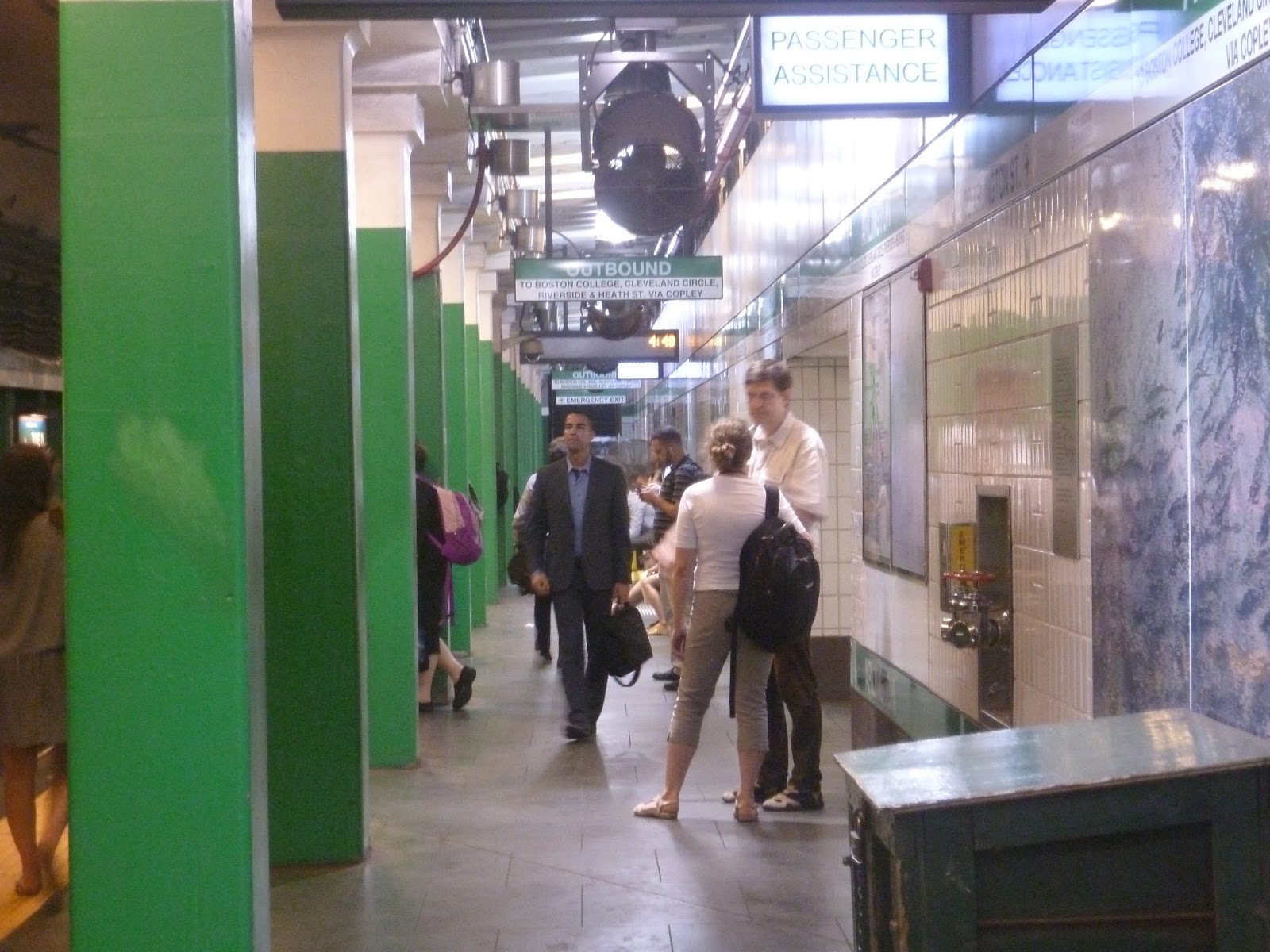 |
| The outbound platform. |
It wasn’t always that way. Arlington used to be horrible until it was renovated in 2009. The platforms are still kinda meh, as you can see above, but it’s such an improvement. And anyway, they’re standard platforms for the Green Line, possibly even above average.
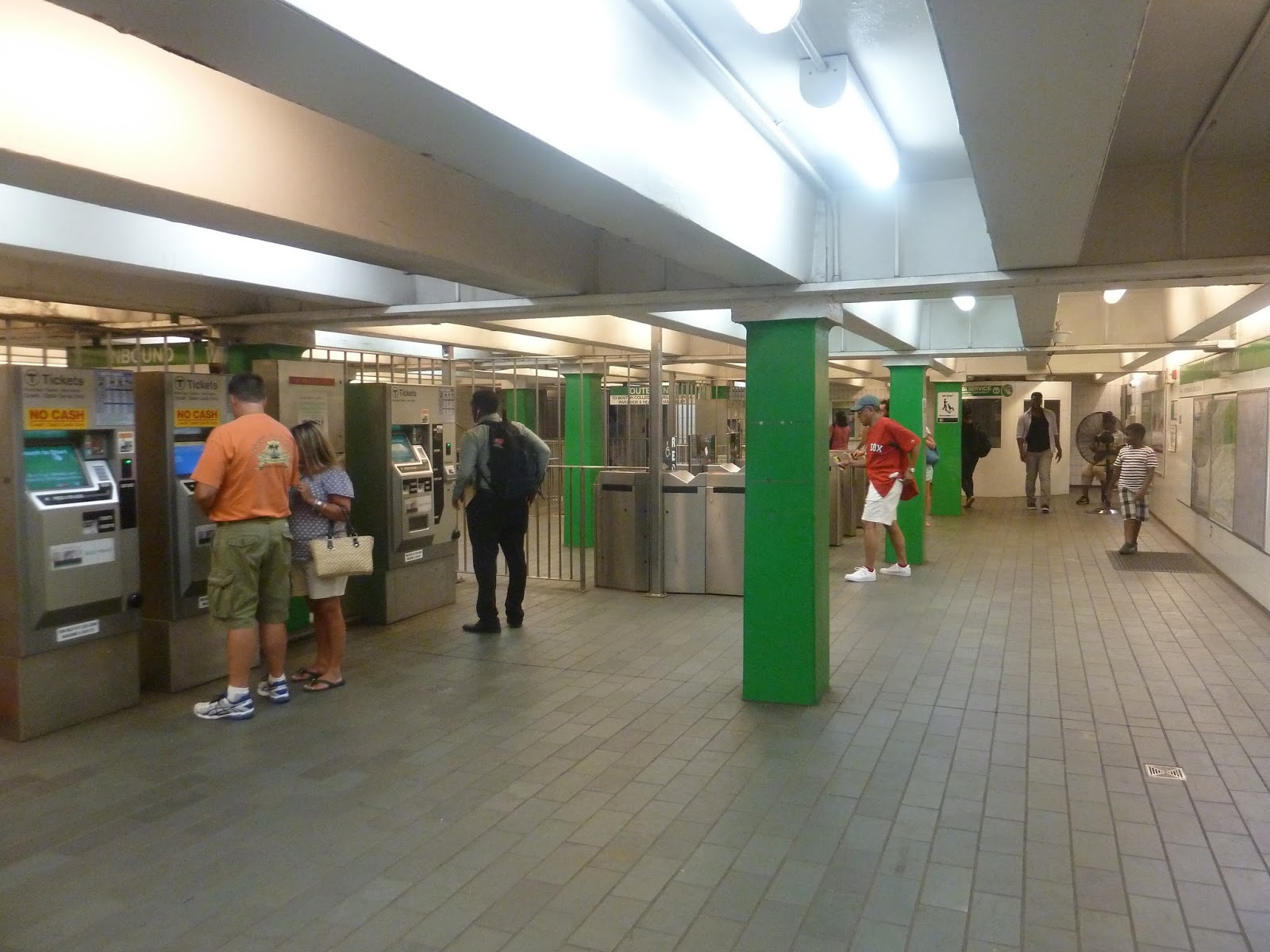 |
| The mezzanine. |
Guess what Arlington has. That’s right…free crossovers! This is one of the few Green Line subway stations with those, and it’s magnificent. They’re connected in a decent mezzanine that’s well-lit. Its ceiling is kinda low, but other than that, it’s pretty good.
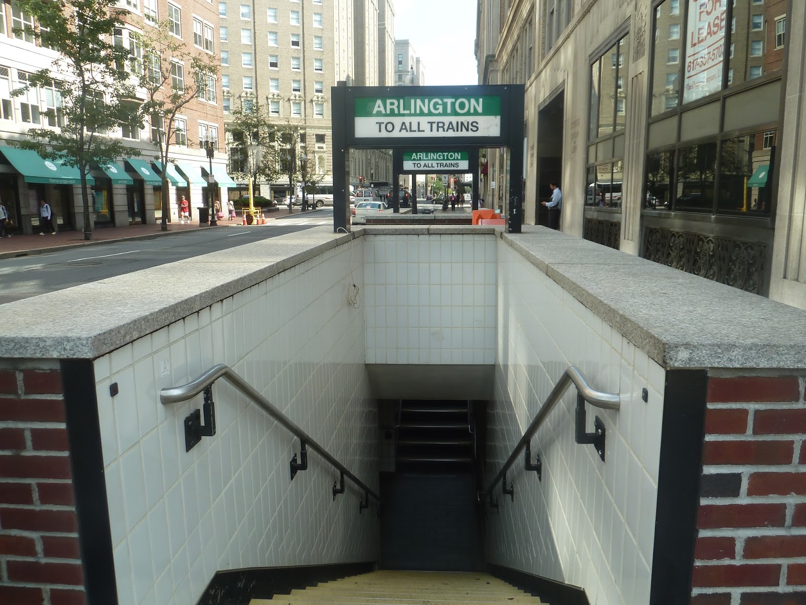 |
| One of Arlington’s many entrances. |
From the mezzanine, there’s a web of entrances all around the intersection of Boylston and Arlington Streets. They vary in architecture, but I like them all. Some of them are concrete and brick, like the one in the picture above, while others are glass and modern. It’s great that there are so many entrances here.
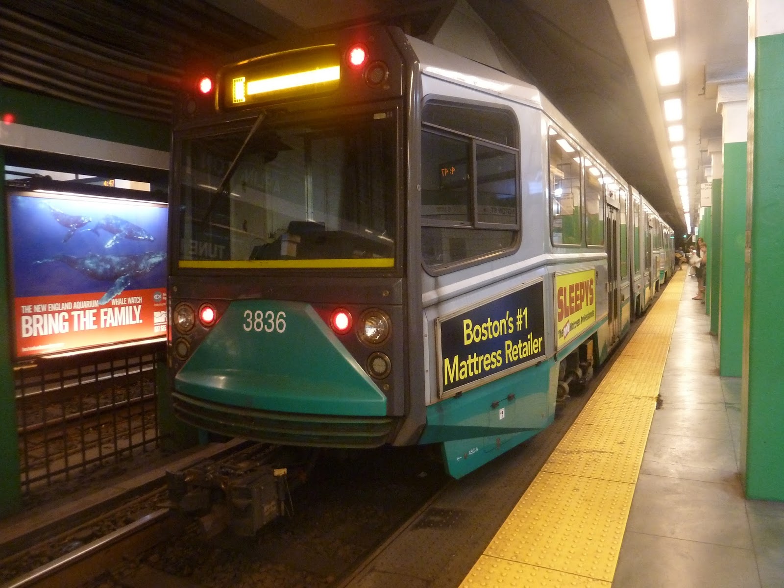 |
| A train at the station. |
Station: Arlington
Ridership: Arlington gets an average of 8,519 riders per weekday, which is pretty high. I’d imagine a lot of tourists come here, what with the Public Gardens being right nearby.
Pros: There’s a lot to like about this station, FREE CROSSOVERS being one of the major points. Other than that, the mezzanine is good overall, and this station has a plethora of entrances.
Cons: Although the platform isn’t bad aesthetically, it’s still a typical Green Line platform, which means it could be better. In addition, Arlington is lacking in bus connections, but Copley is one stop away and that’s a major bus hub.
Nearby and Noteworthy: The Public Gardens, of course! What else is there to say?
Final Verdict: 8/10
I would probably call this my favorite Green Line station along the cluster from Boylston to Kenmore. I mean, what’s not to like (aside from the bland platform)? The fact that it has so many entrances is great, and though the mezzanine’s ceiling is low, I like how there is one. A lot of Green Line stations lack proper mezzanines. Oh, and also, free crossovers!
Latest MBTA News: Service Updates
Boylston
Boylston was one of the original two stations on America’s first subway, which may be why it’s lacking in necessities. Free crossovers? Not here. Accessibility? Nuh-uh. Vintage trolley cars? Oh…yes, actually.
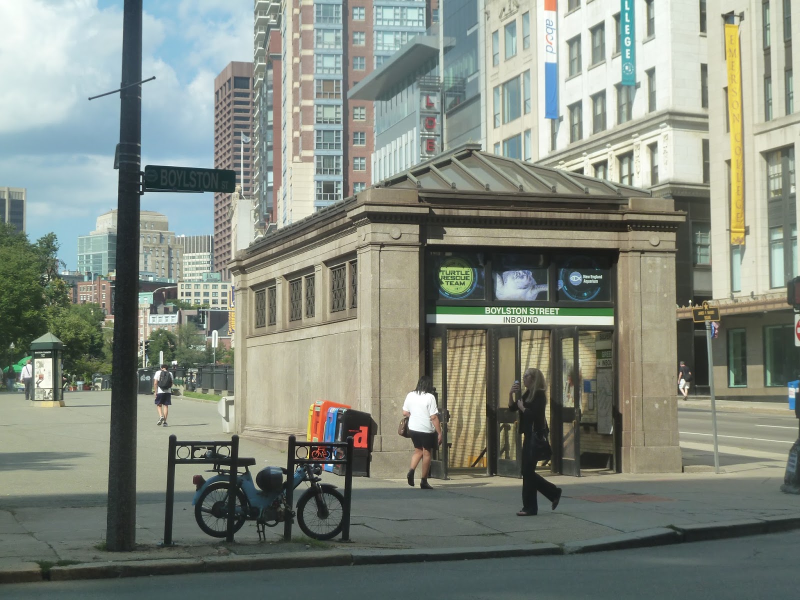 |
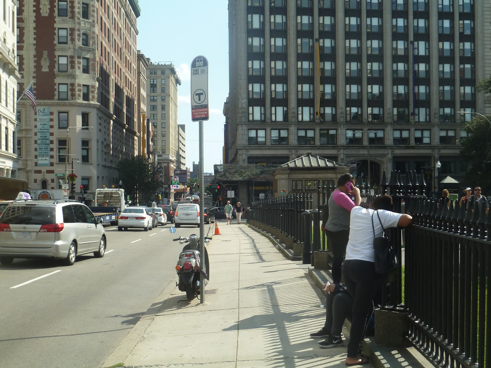
| The inbound entrance. |
Boylston’s entrances are pretty far from one another, lined up along Tremont Street right next to the Boston Common. They do look the same, though, and that’s a good thing. The station has nice, old-fashioned headhouses that lead underground. Just make sure you know what direction the entrance is going, because remember…no free crossovers.
 |
| The inbound mezzanine. |
I’m not really sure if you can call them mezzanines, though. They’re more like “entrance areas”. All you’ll find at either entrance is a few fare machines and gates, and that’s about it. It looks like the inbound one even has one of those random rolling chairs you come across sometimes – it’s like a scavenger hunt!
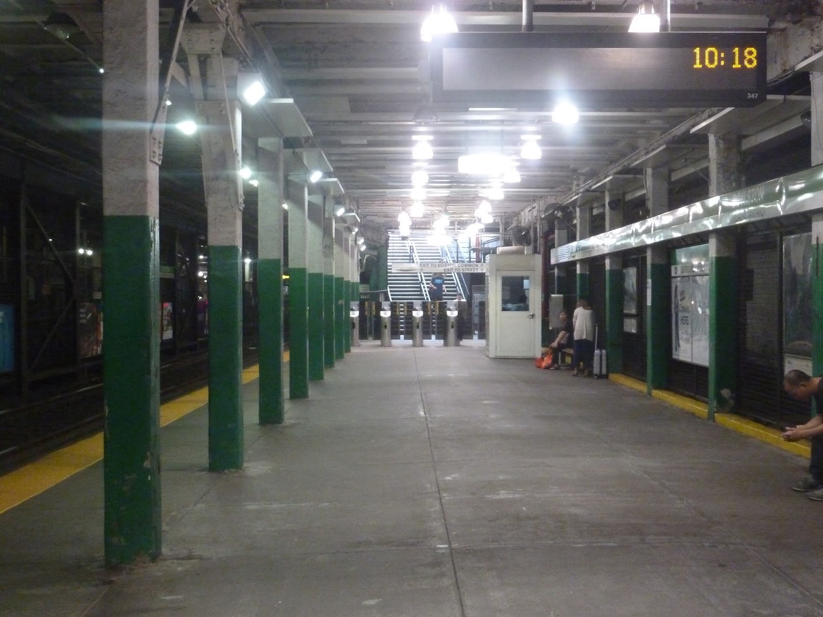 |
| The outbound platform. |
I’ll say this for Boylston’s platforms: their ceilings are high. It’s downhill from there. This station certainly shows its age, with cracked paint and a barebones platform. The inbound side has the old trolleys, of course, but other than that, there’s nothing of note here.
 |
| One of the two vintage trolleys, seen from behind a fence. |
 |
| The Silver Line stop, in all its glory. |
 |
| People complain about the Green Line, but at least it’s not a bus. Sorry for the Silver Line rant, but it just came up. |