Harvard Shuttle: River Houses B (Harvard Square – Quad – Memorial Hall – Lamont)
During the day, getting to Mather House is pretty simple – all you do is board the Mather Express and it’ll take you there. But once the clock strikes 4:30, things spiral out of control when the route gets replaced by the (awkwardly-titled) River Houses shuttles. These all serve Mather House, but they are very slightly different (although the A is literally the same as the Mather Express) and they run at different times of the evening. The B is the most elusive, with only four trips from 6:20 to 8:20 – let’s see what it’s like!
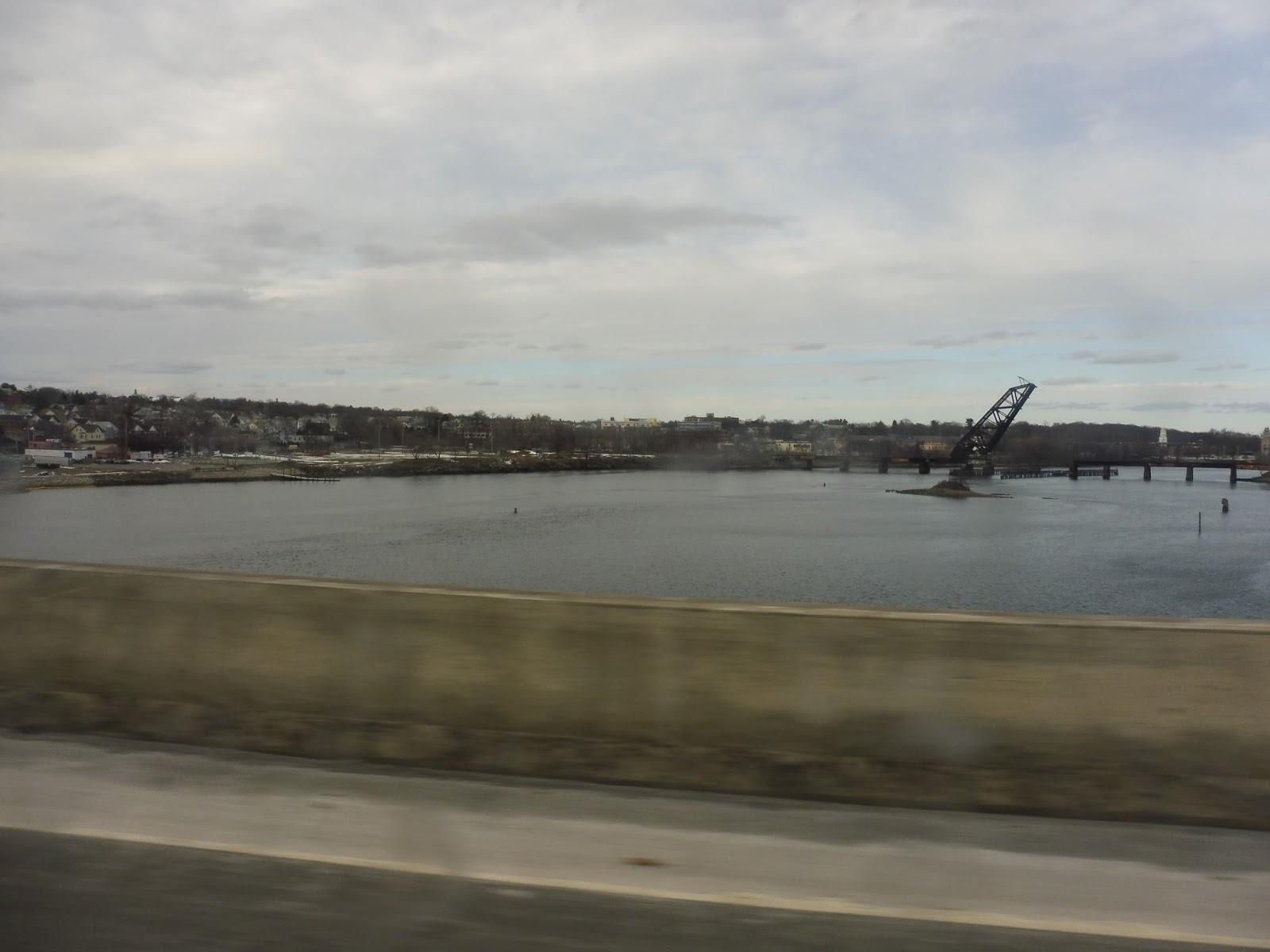
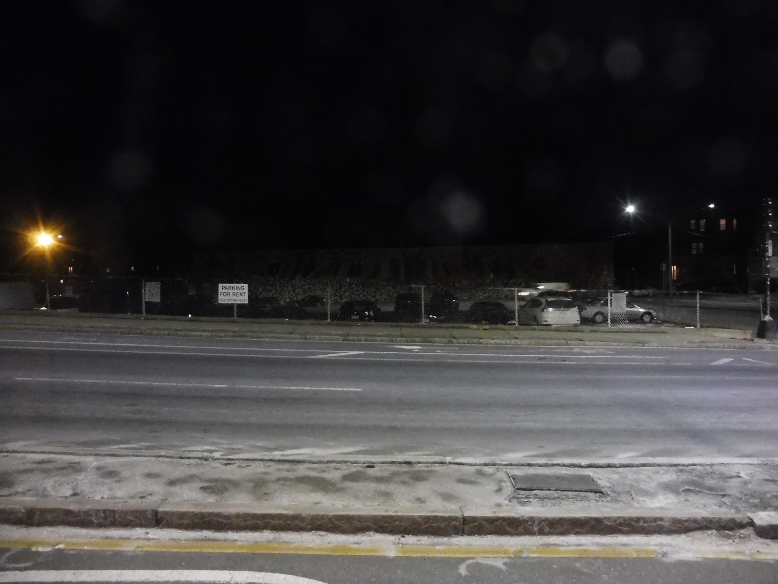
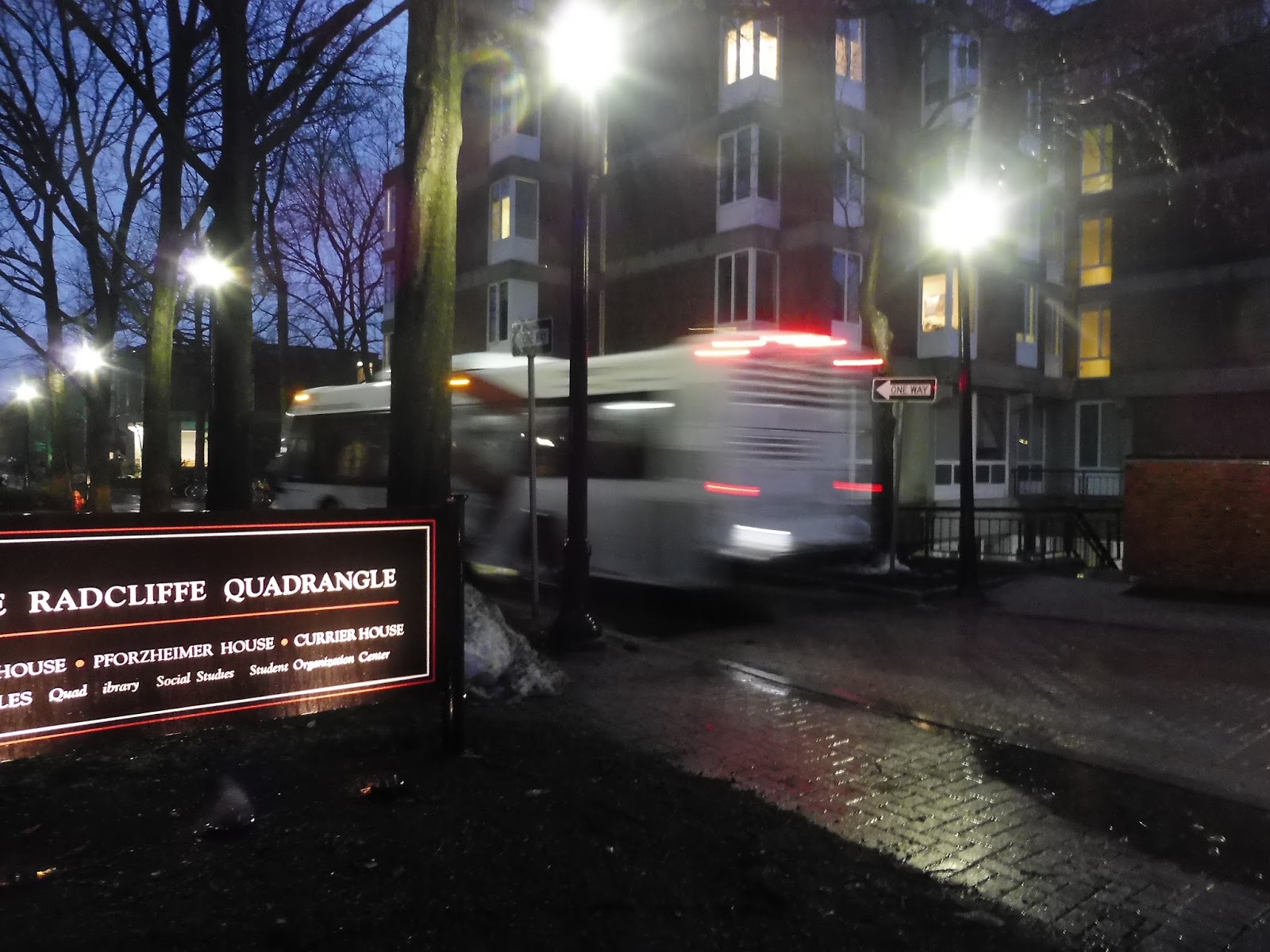 |
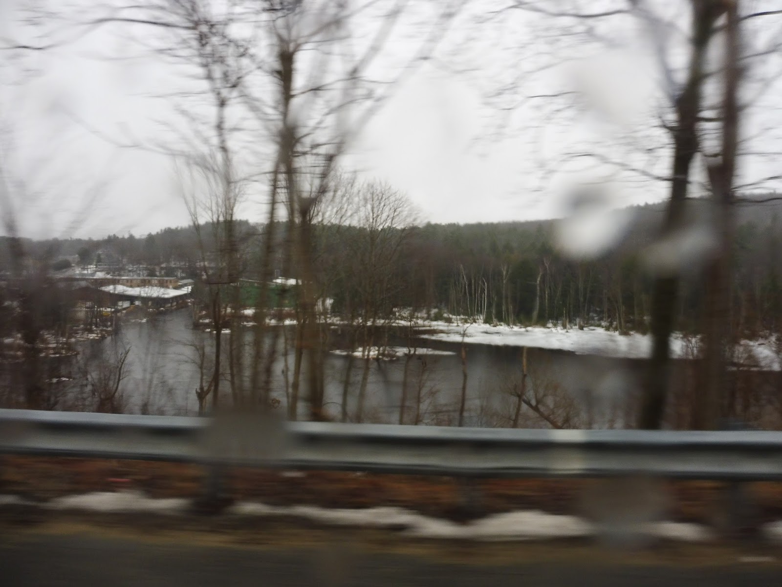
| Woah, I wasn’t expecting this picture to look as cool as it does! |
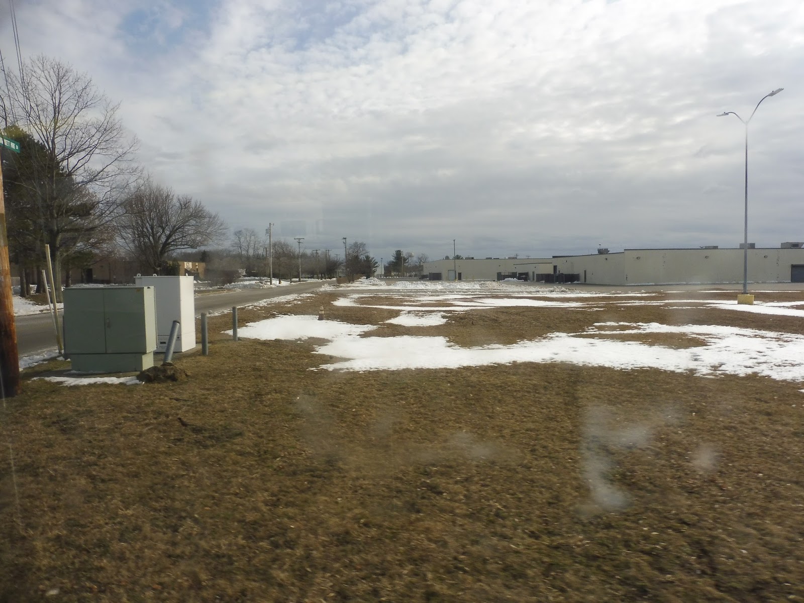
The River Houses B runs up to the Quad, which is where Nathan and I boarded. From there, we turned onto Shepard Street, then Garden Street. It was residential for a bit before we came into the Harvard Square area, where there were apartments and a hotel. Next, we ran alongside Cambridge Common, with a church and some Harvard buildings on the other side.
 |
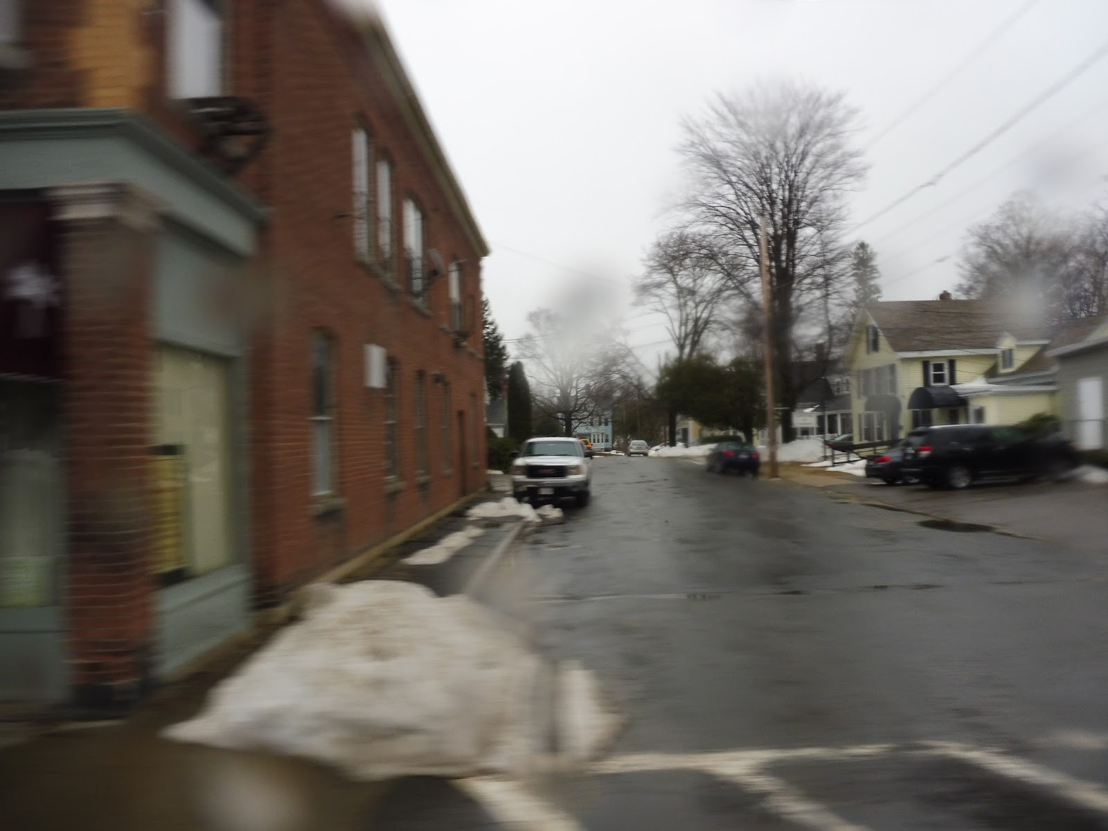
| Oh boy, this review is gonna have some fun pictures, eh? |
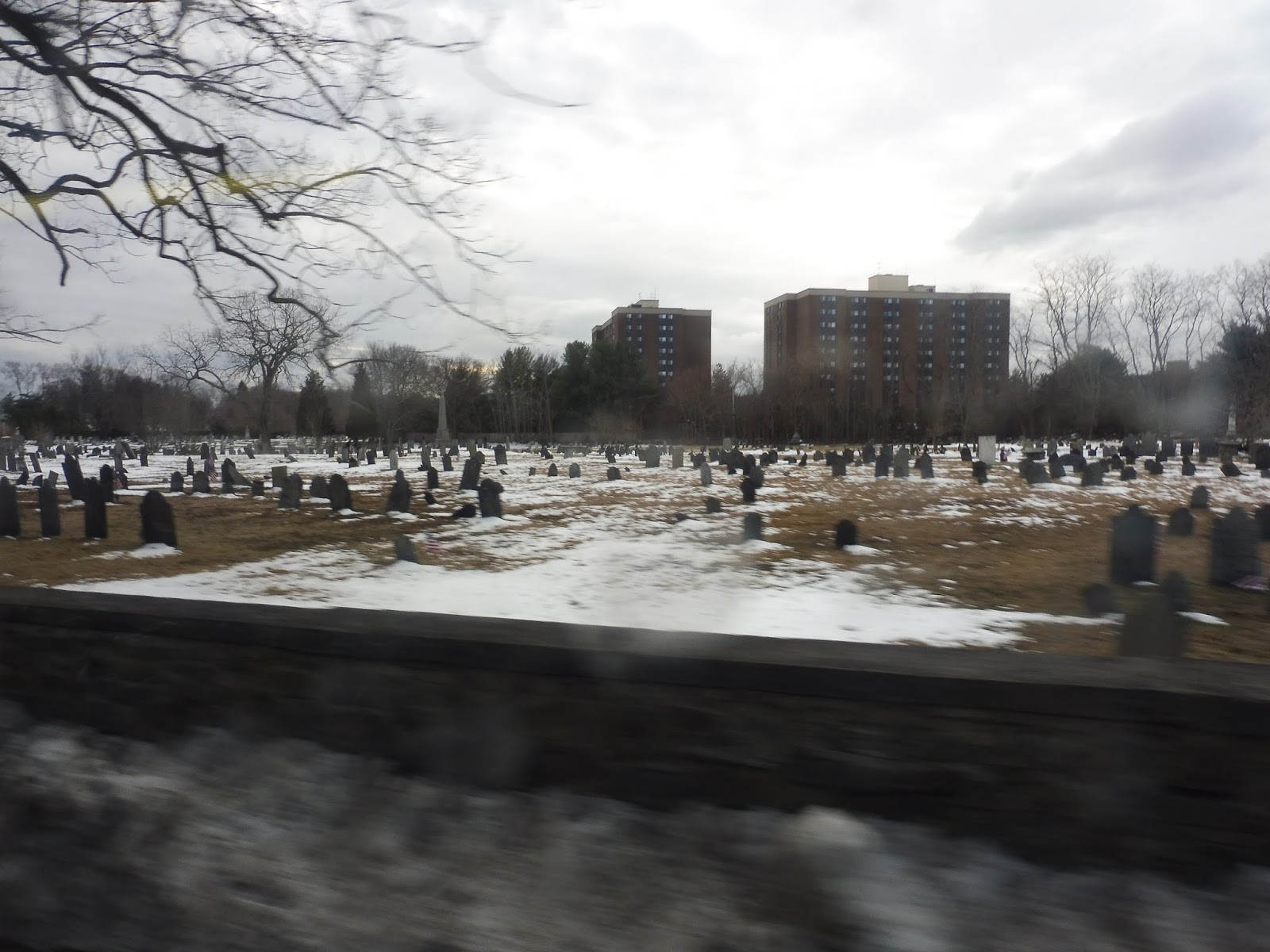
Before we could enter the actual square, though, we circled the Harvard Bus Tunnel portal onto Mass Ave. We continued along the Common for a bit, then ran alongside the Harvard Law School. Across the street from some apartments, we turned onto Everett Street, then Oxford Street, which took us by some more Harvard buildings flanked by leafy parks.
 |
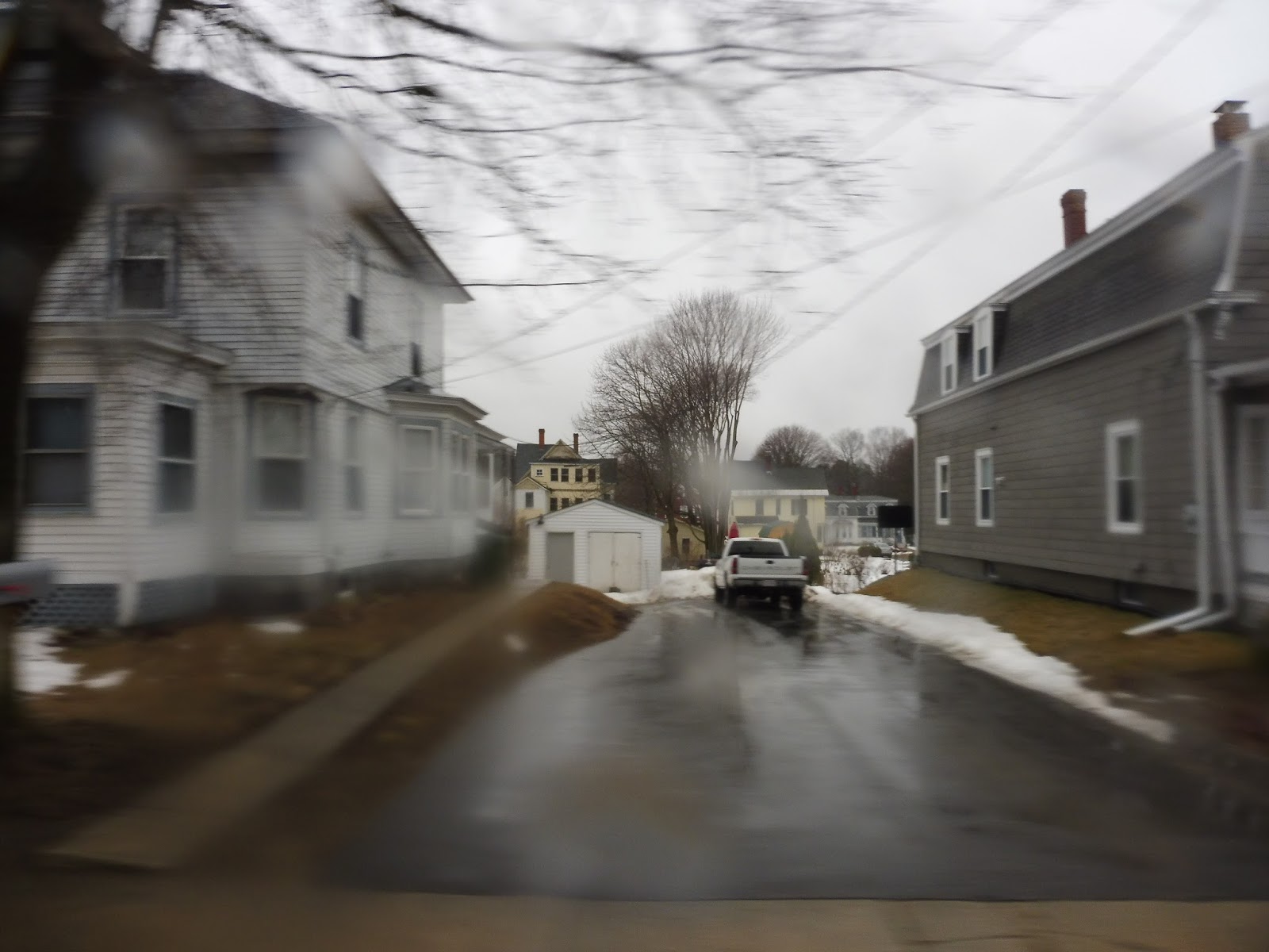
| Yup. That’s something. |
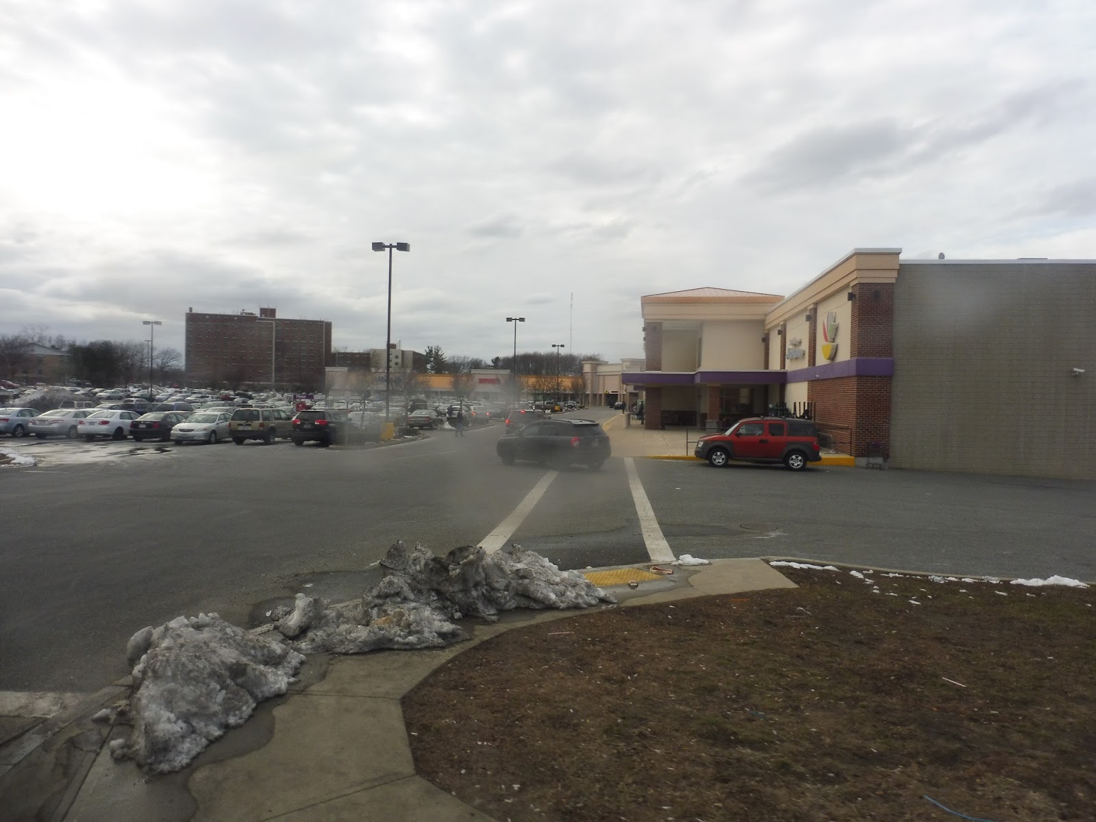
Oxford Street curved around to become Kirkland Street, and we came up alongside the beautiful Memorial Hall building. Our driver chose not to enter the busway, so we turned right onto Quincy Street, then Cambridge Street. Outside of the Cambridge Rindge and Latin High School, we turned onto Felton Street, then Broadway, then finally Quincy Street again.
 |
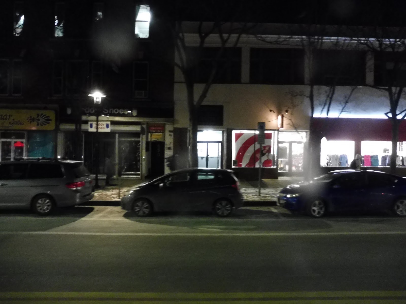
| Wow, you can tell what it is! |
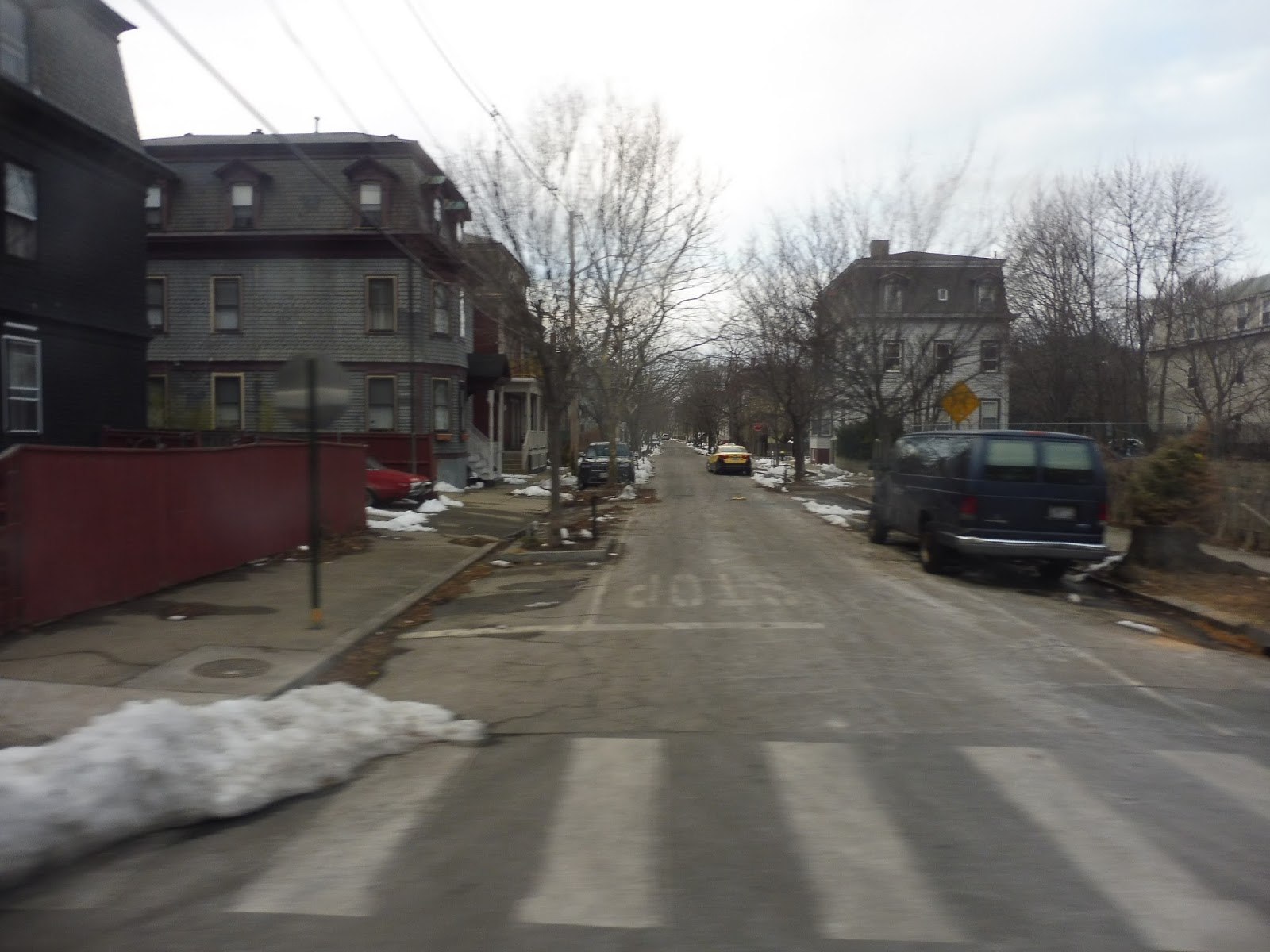
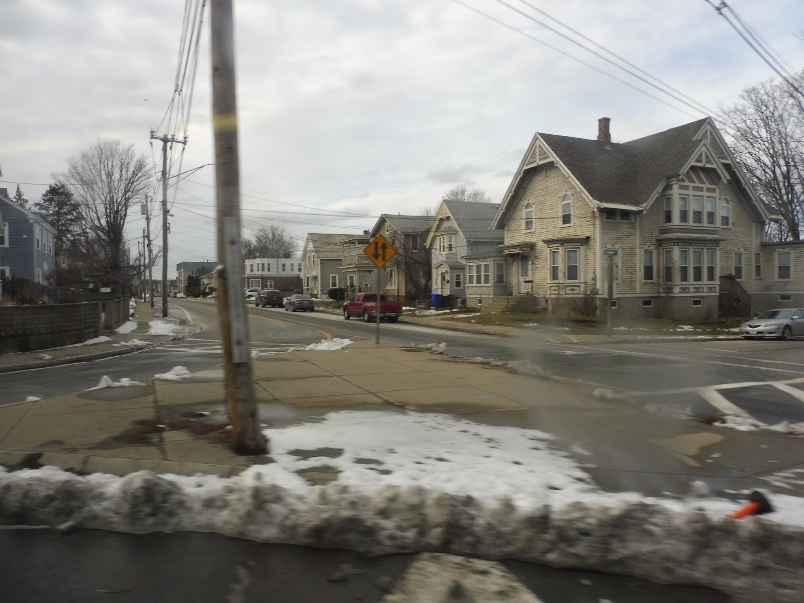
We went alongside Harvard Yard, then made our way onto the narrow and twisty Bow Street. This led us to DeWolfe Street, which had some apartments along it. After some traffic heading onto Memorial Drive, we turned onto Cowperthwaite Street, finally taking us to Mather House.
 |
| Over near Mather House. |
Next, we turned onto the residential Banks Street, then made our way back onto Mass Ave by way of Mount Auburn Street. There were some tall buildings around, but as we returned to the Yard, businesses and Harvard buildings were once again abundant. We got off at the next stop, while the bus continued to run express back up to the Quad.
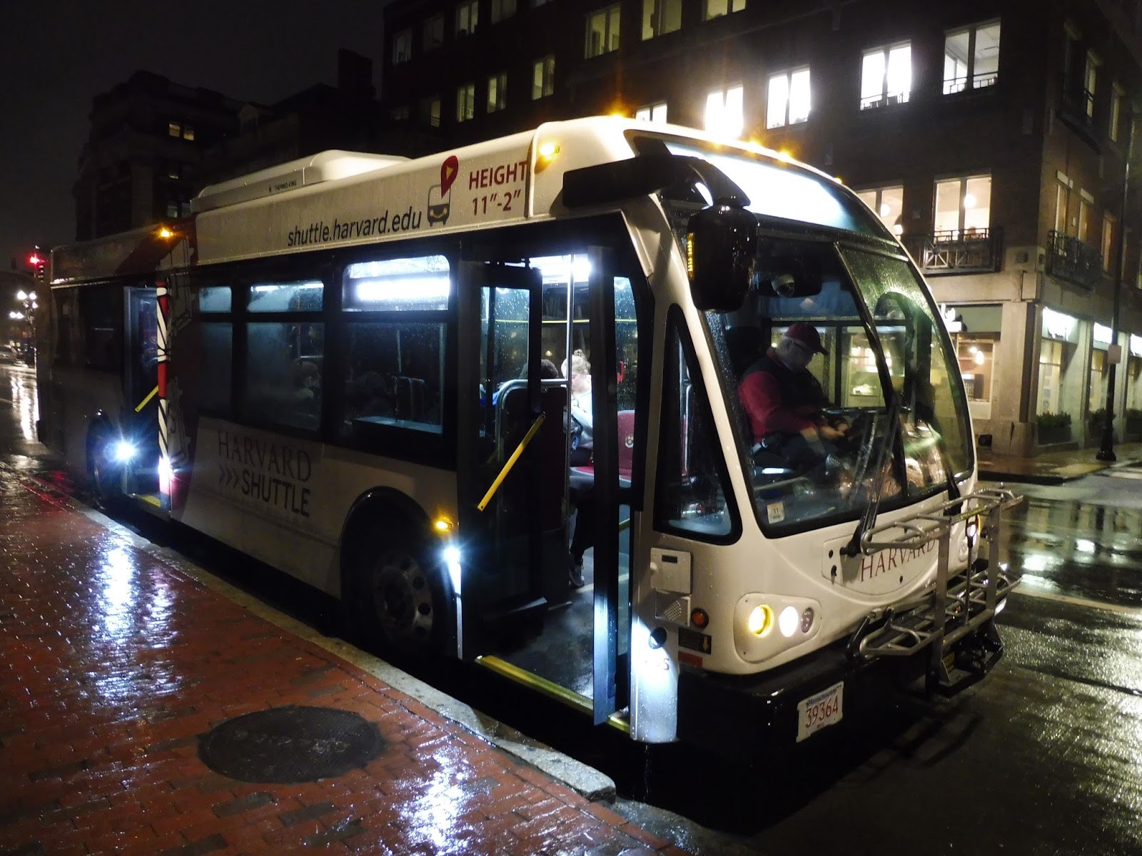 |
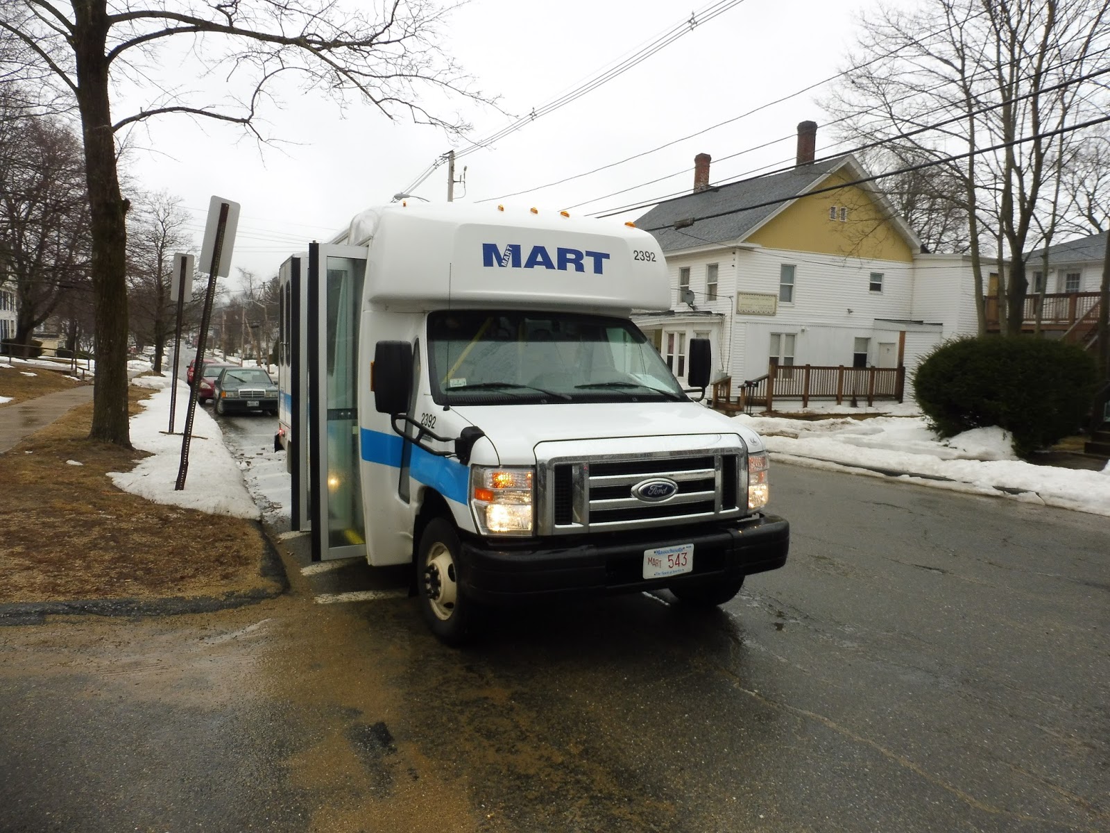
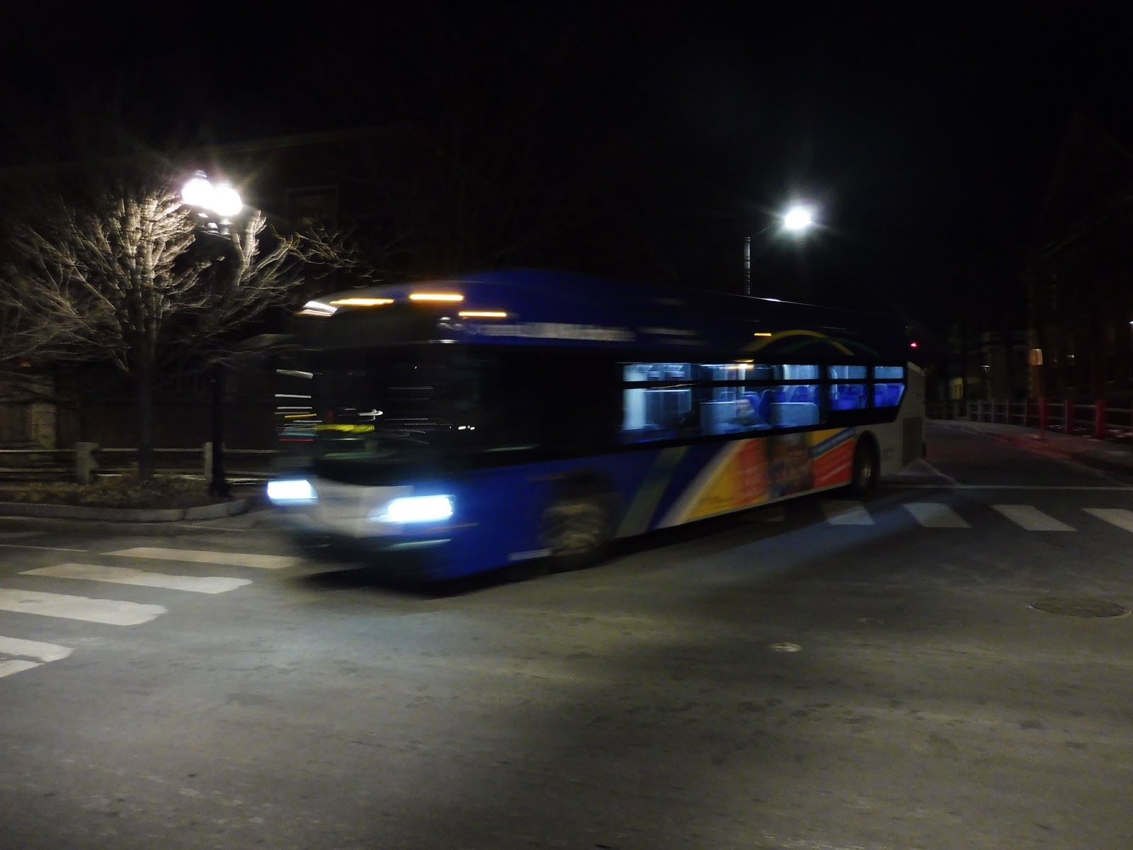
| The bus at Harvard. |
Harvard Shuttle Route: River Houses B (Harvard Square – Quad – Memorial Hall – Lamont)
Ridership: My trip got some good ridership heading between all stops. There were people going from the Quad to Memorial Hall, people from Memorial Hall to Harvard and Mather House, and people from Mather House to the Quad. So yeah…not bad!
Pros: There are definitely a lot of people who would use a direct link from Mather House to the Quad, it would seem, and this route fulfills that need. It doesn’t sound like much, but the fact that it gets riders to all of its locations is pretty important.
Cons: The route only runs four times a day! What?! Okay, that’s not too big of a problem, since its replacement, the River Houses C, does pretty much the same route…but why is the C every 20 minutes while the B is every 40? What’s more, the B times horribly with the Quad Yard Express, which runs at the same time, but every 25 minutes. It would be great if they could put a second bus on the B and maybe give it some layover time to make it every 25 minutes too, to create consistent service to the Quad.
Nearby and Noteworthy: All that Harvard jazz, ya know…
Final Verdict: 5/10
This route definitely has serious problems, don’t get me wrong. However, its basic concept is still good, and it makes for a decent placeholder before the River House C begins service…except the River House C is every 20 minutes versus every 40! Sorry, Mather House, but you get terrible service between 6:20 and 8:20…
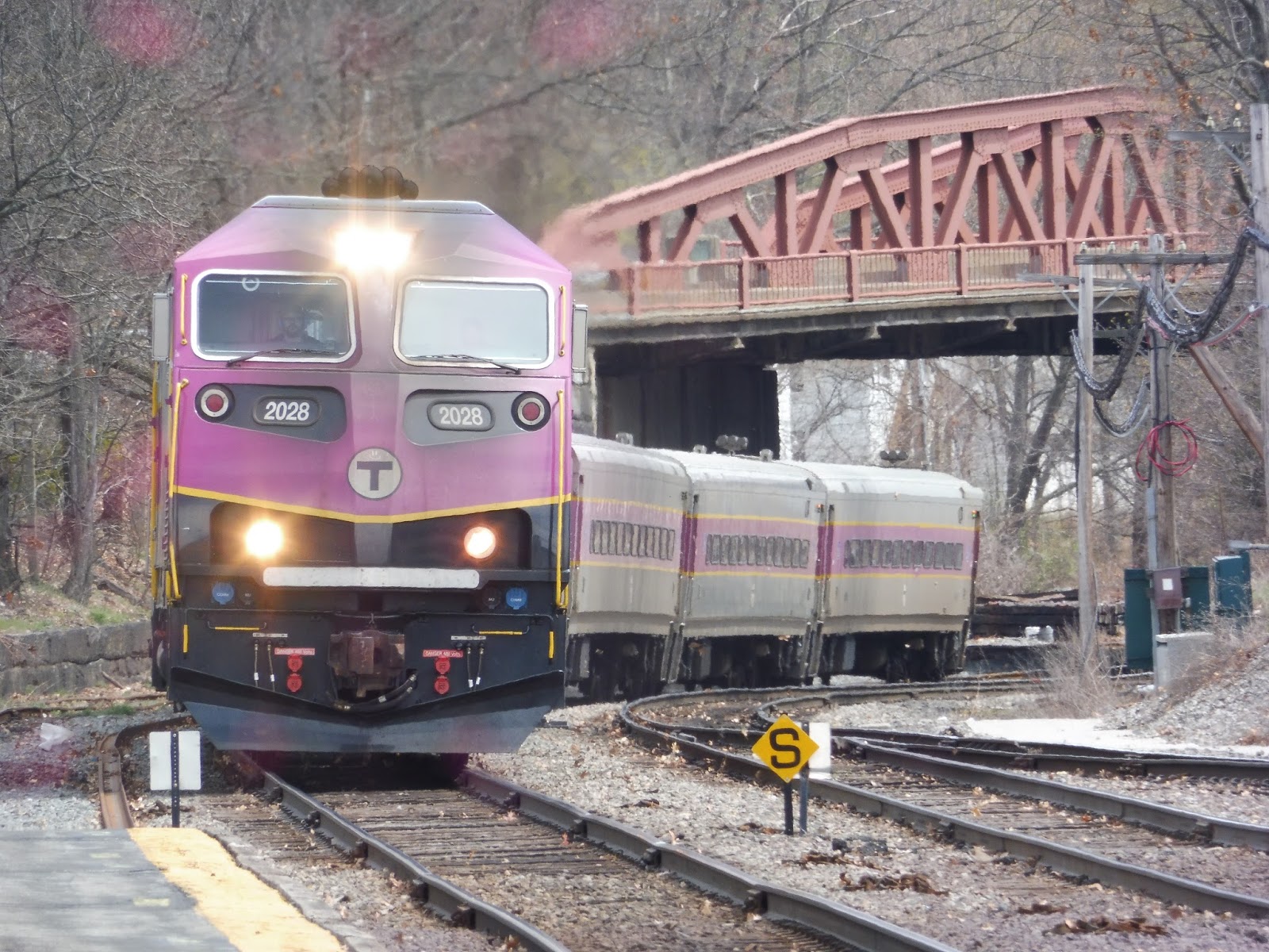
Latest MBTA News: Service Updates
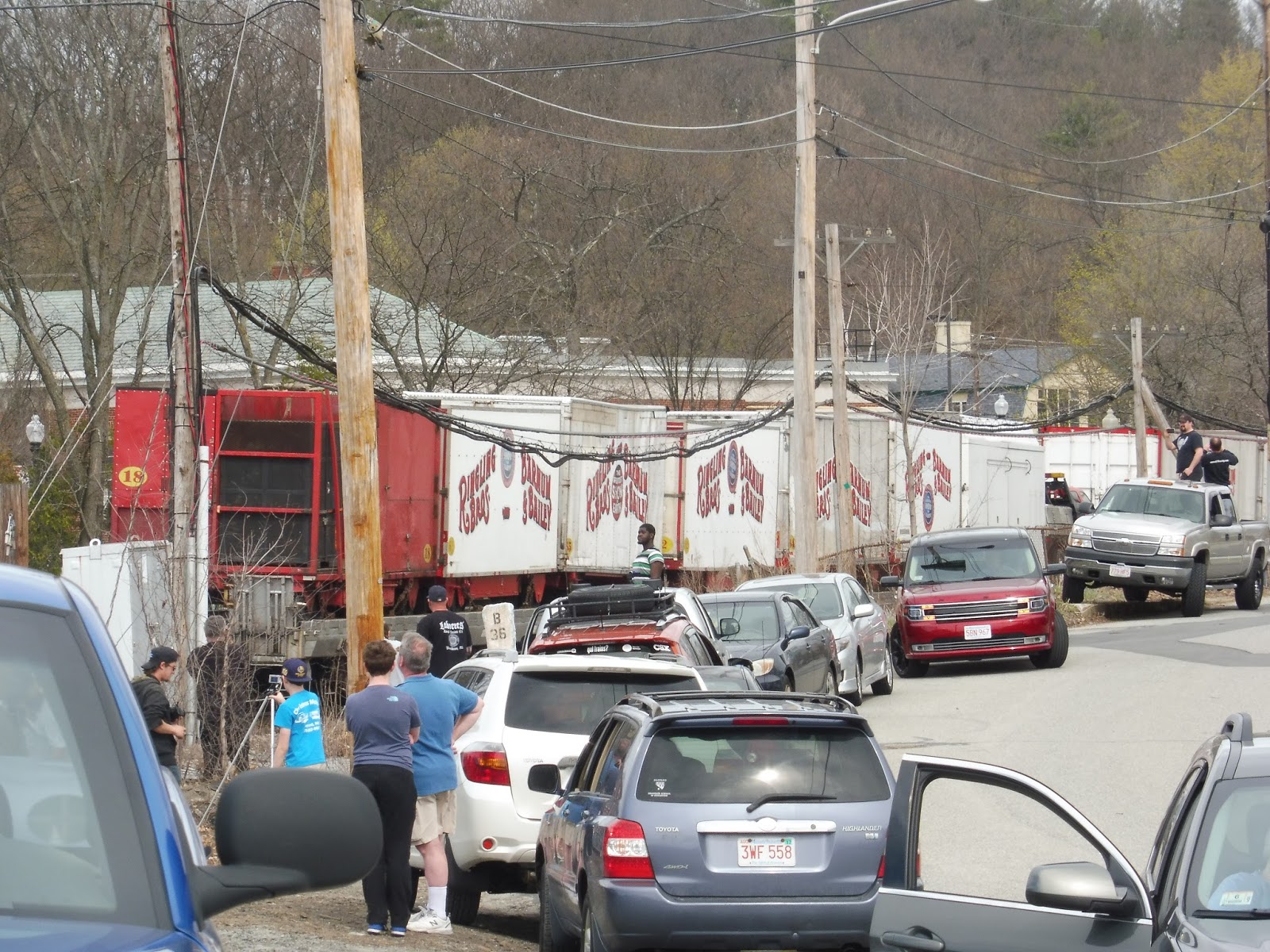
Ayer (feat. the Circus Train!)
This station sucks. Being stuck here for 4 and a half hours sucks. Sure, there was a nice reward in the end, as the title’s parenthetical remark suggests, but…this station still sucks.
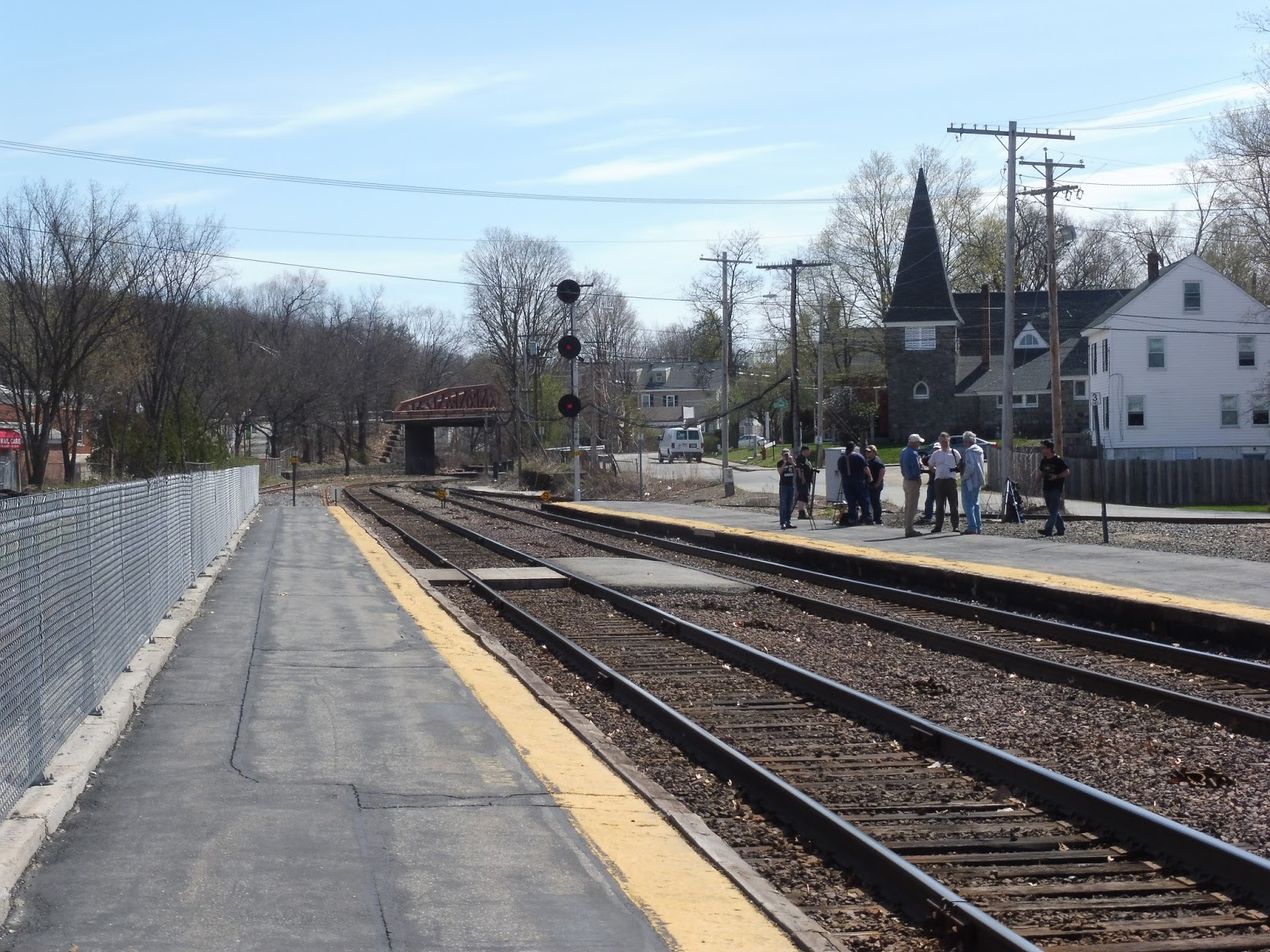 |
| Wow, that’s a lot of railfans! |
Alright, let’s start with the outbound platform. Actually, I’m just about done talking about the outbound platform, since there’s nothing on it. Okay, okay, practically no one is going outbound from here, but it’s still just so barebones! How about at least a bench? The inbound side must’ve been closed at some point, because there also appears to be a temporary concrete platform in the middle of the tracks.
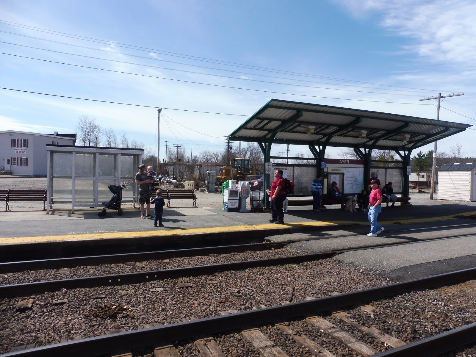 |
| The inbound platform…can you find Jordan? |
At least the inbound platform has some amenities, but they’re still pretty lame. The modern green shelter is okay, with benches, a map, and a schedule underneath, as well as some wastebaskets and newspaper boxes nearby. Along the rest of the low-level, unaccessable platform, though, there are only a few benches and an ugly bus shelter.
 |
| Well, there’s the bike rack! |
Yeah, if you can’t tell, this station is located in an industrial wasteland. It is such an unpleasant place to wait at, with no regard for safety at all – passengers can walk right into the abandoned mess of materials if they so wish. The station has no bike parking, and only thirty parking spaces for cars that double as municipal parking! Good luck finding a space!
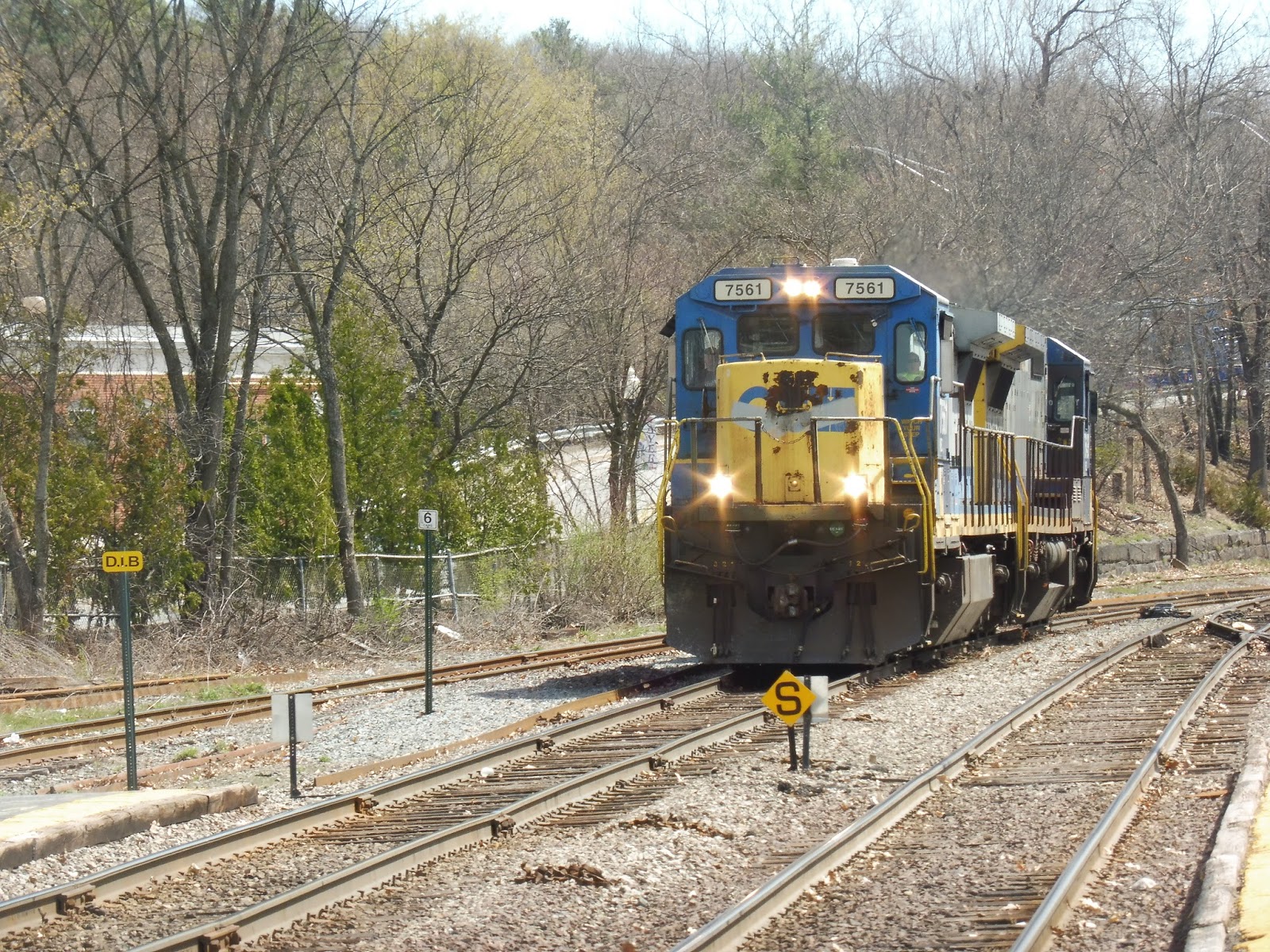 |
| A pair of CSX engines coming through. |

 |
| Being stuck at Ayer for hours means you get a lot of train pictures… |
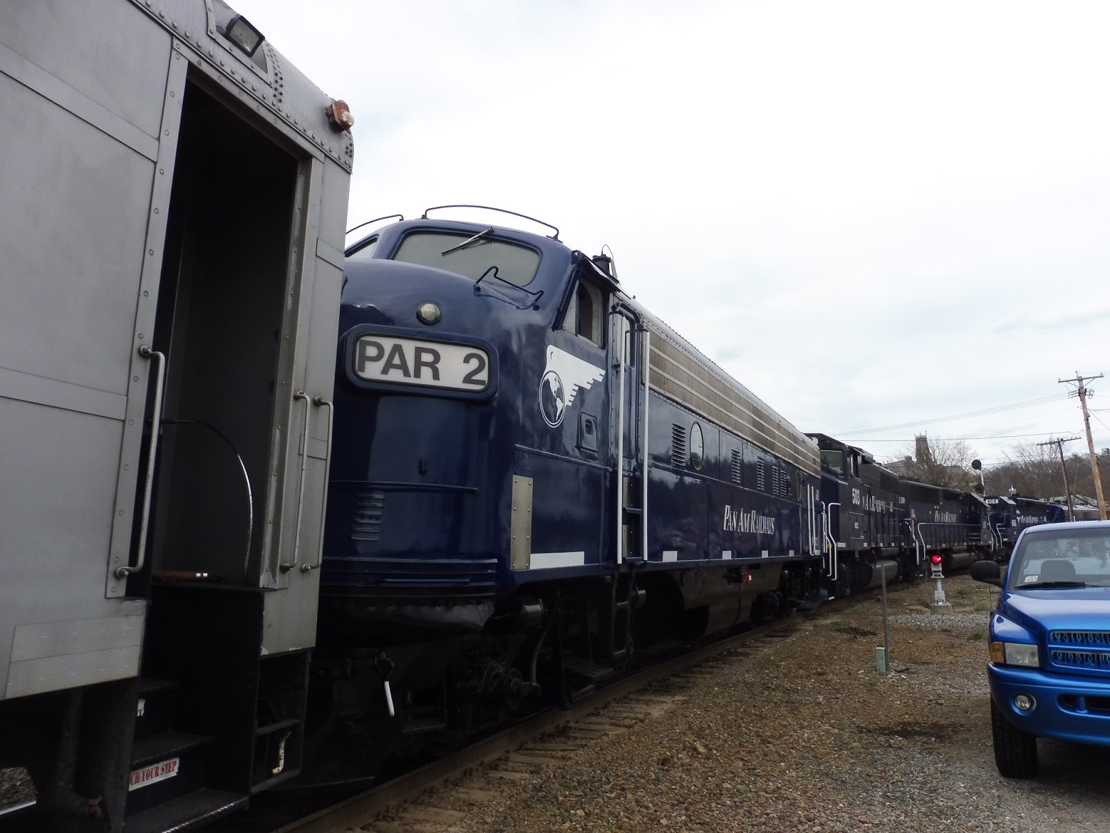
And of course, I have to talk about the Circus Train, the whole reason me and a whole bunch of other people came up here in the first place! The train carries around “The Greatest Show on Earth,” but the show is soon to end – the train is on its last legs. Pulling the diverse group of cars carrying passengers, vehicles, and animals were some beautiful FP9 locomotives from the 1950s!
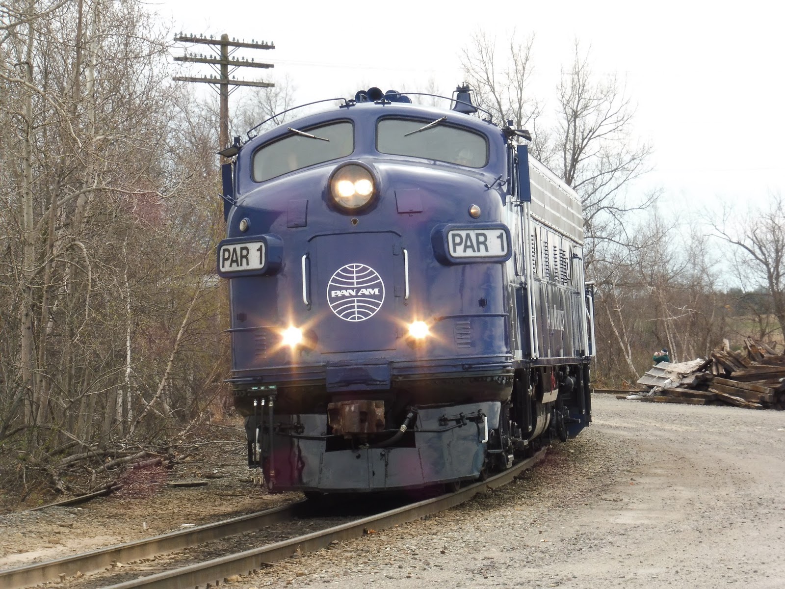 |
| Wow! |
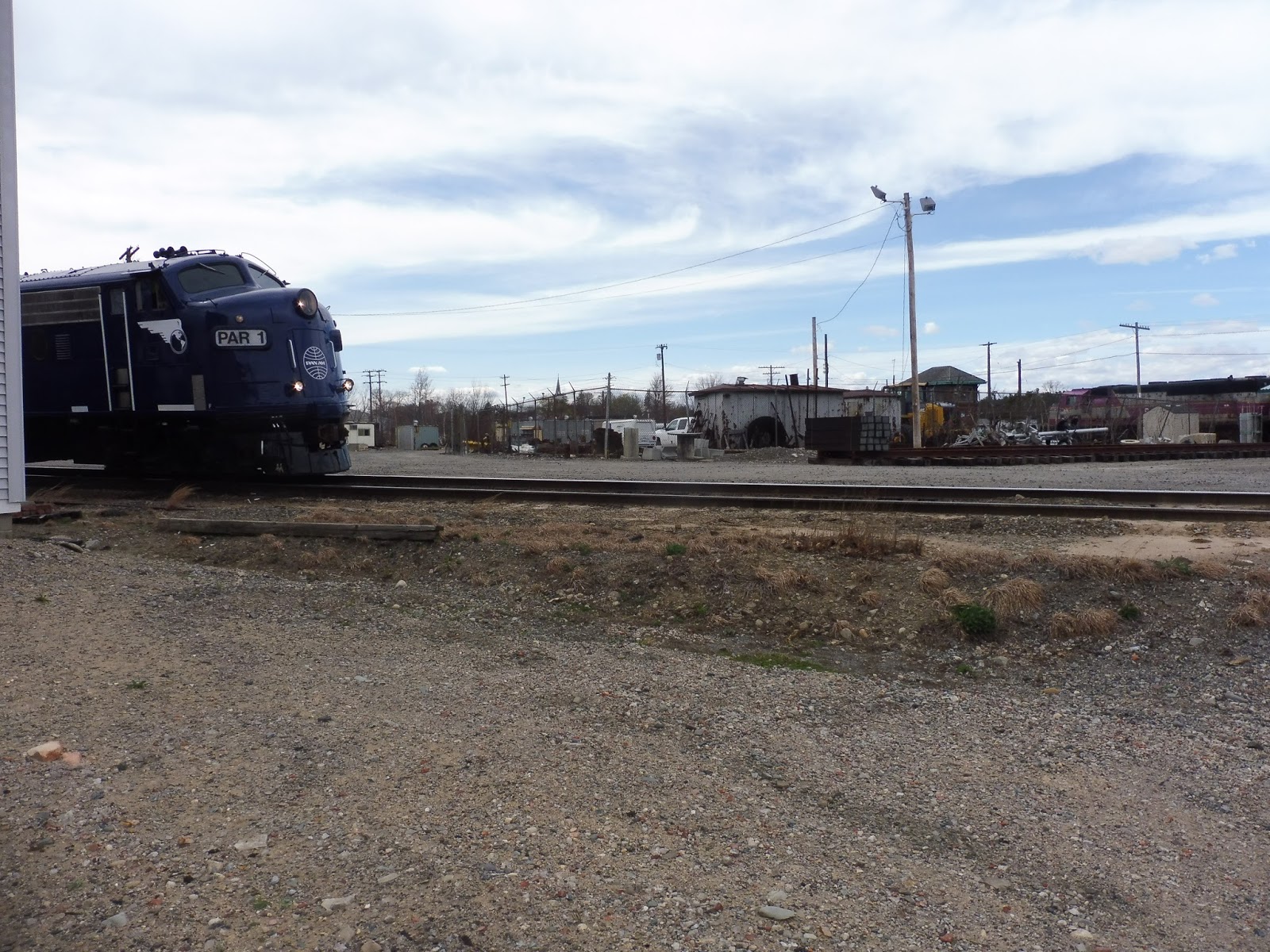 |
| Old meets new, kinda… |
 |
| The train has started to move! |
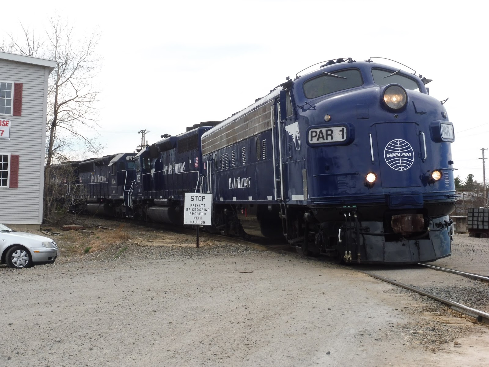
 |
| There were four locomotives pulling the train. |
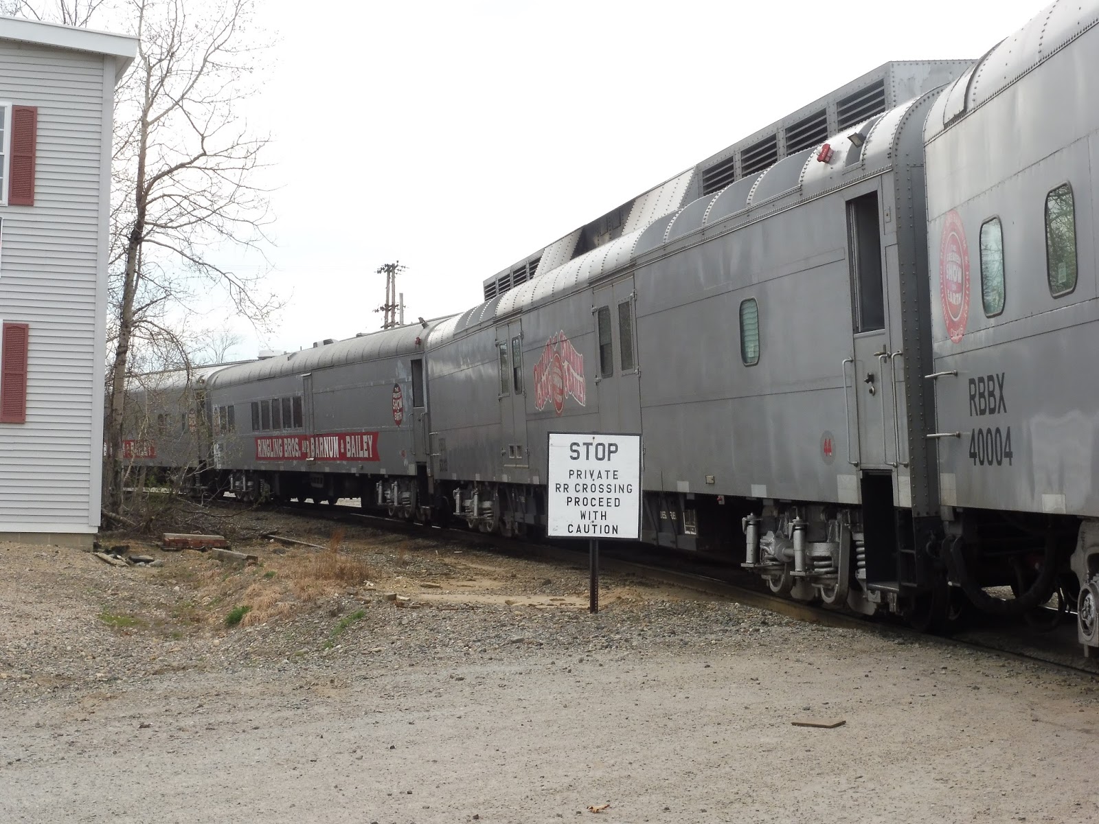 |
| A few of the many passenger cars. |
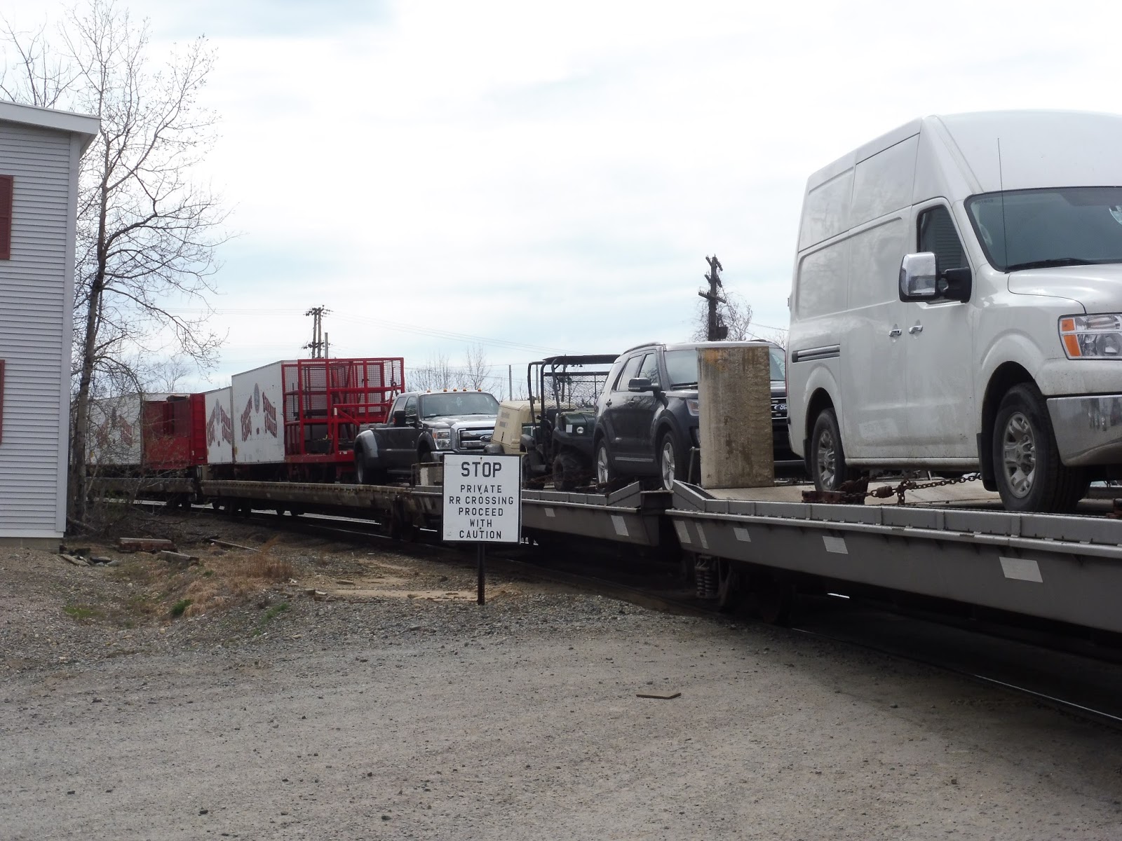 |
| That’s a lotta vehicles! |
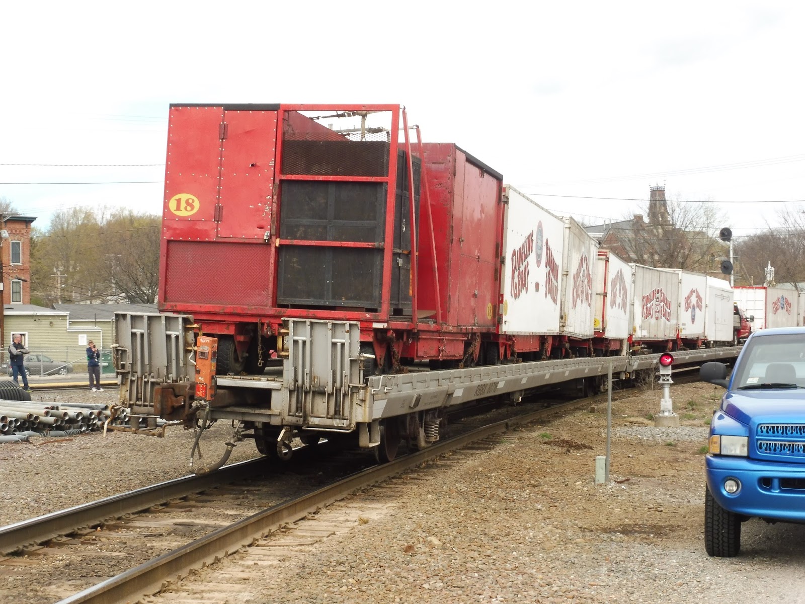 |
| The end of the long train. |
 |
| Goodbye! |
Station: Ayer
Ridership: For the Fitchburg Line, Ayer’s ridership is actually pretty good, with 435 inbound riders per weekday. The Fitchburg Line is one of the T’s best examples of why stations should be located in downtowns – this station has barely any parking, but it still gets a good amount of people!
Pros: Well, I rather like that modern green shelter on the inbound side. Also, it’s nice that the station is located right next to downtown Ayer, not that there’s much there. Oh, and I have to admit, it’s pretty cool that you can get from here alllllllll the way to Wachusett for only $2.75. What a steal!
Cons: Basically everything else. The station isn’t accessible, first of all, and it’s also a really unpleasant place to wait at. Everything to the south of it is industrial wasteland, there are no bike racks, and the rest of the amenities are abysmal!
Nearby and Noteworthy: Downtown Ayer is BORING. Trust me, I was here for four and a half hours!
Final Verdict: 3/10
I had my mind set on a 3 even before I was stuck here, so don’t think that influenced the score. Yeah, the circus train was really cool, but why couldn’t it have picked a more interesting station to run by? Oh well, at least we didn’t have to wait at Hastings!
Latest MBTA News: Service Updates
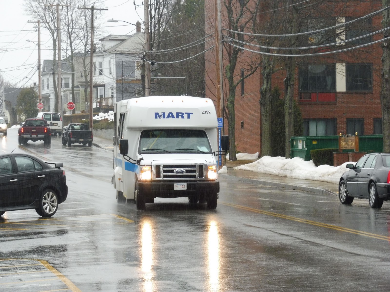
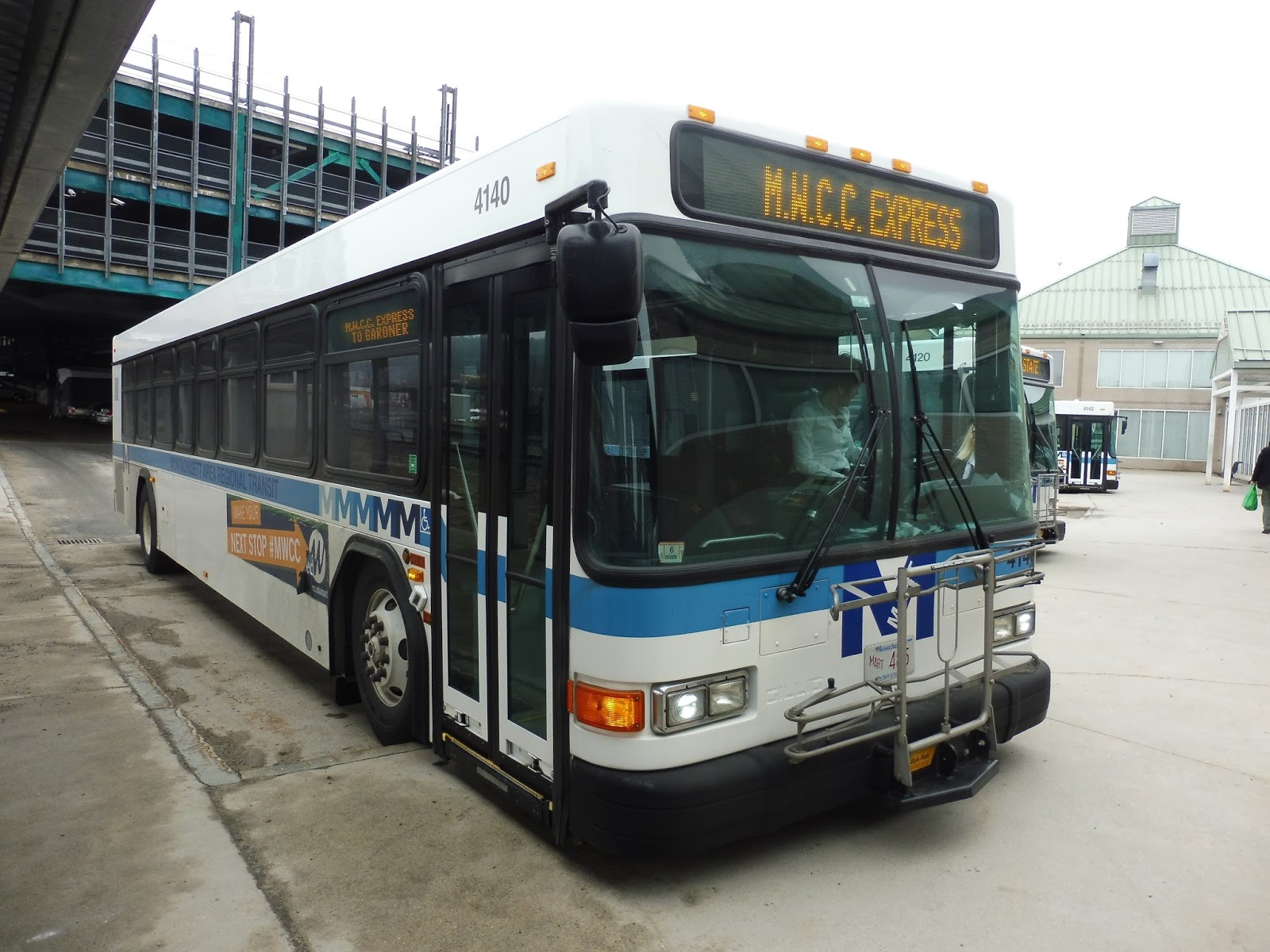
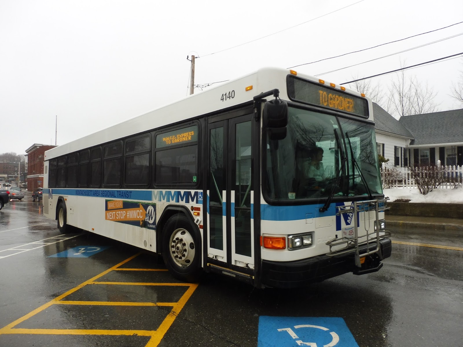
MART: Gardner – Wachusett Commuter Shuttle
Poor ol’ Gardner is a really isolated city for transit, and there’s no easy way of getting from there to Boston…well, until Wachusett Station opened, that is! And sure, that station still uses the “drive and park” mindset that all modern Commuter Rail stations have, but the MART decided to give people an alternate way of getting there. The Gardner – Wachusett Commuter Shuttle times with trains and is a super quick trip…it’s just too bad that nobody uses it.
 |
| The bus at the “Gardner ITC.” |
After a rather late departure from the ITC, we turned onto Main Street, going by mostly industrial buildings. Eventually we merged into what can only be described as a gigantic rotary with a Hannaford in the middle. Main Street curved northward at the rotary, but we soon turned off of it, onto Willow Street.
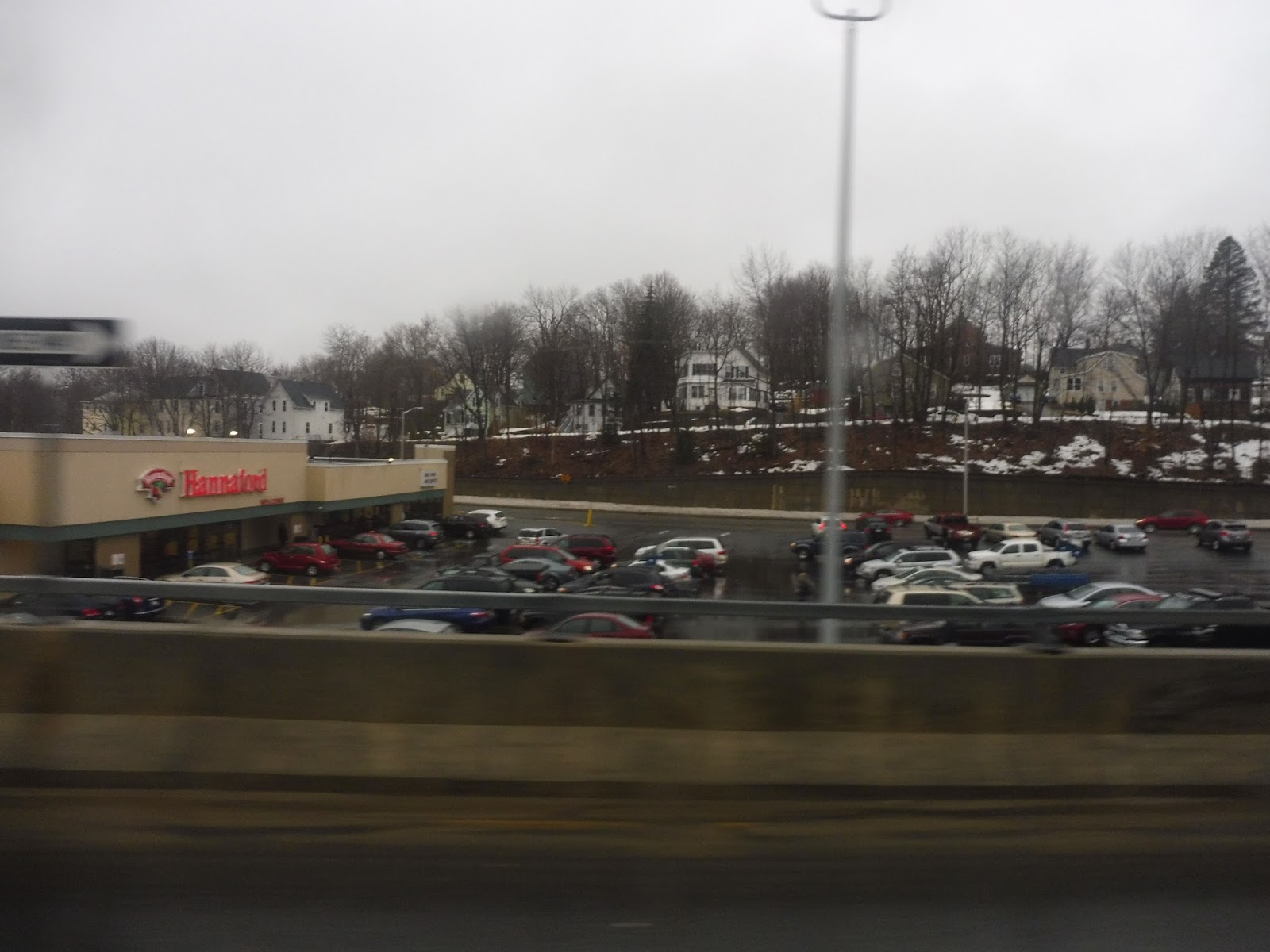 |
| Hello, Hannaford! |
Next, we turned onto the residential Connors Street, which took us up to the Gardner City Hall shelter. We picked up one passenger, then turned onto City Hall Ave for a block before coming back onto Main Street. The businesses of downtown Gardner stuck around for a bit, but things got a lot more parking lot-heavy as we continued south.
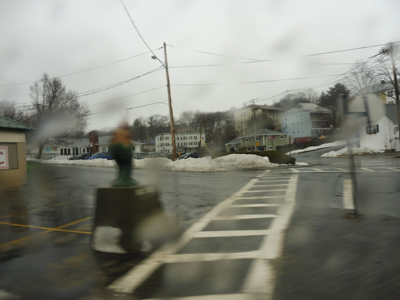
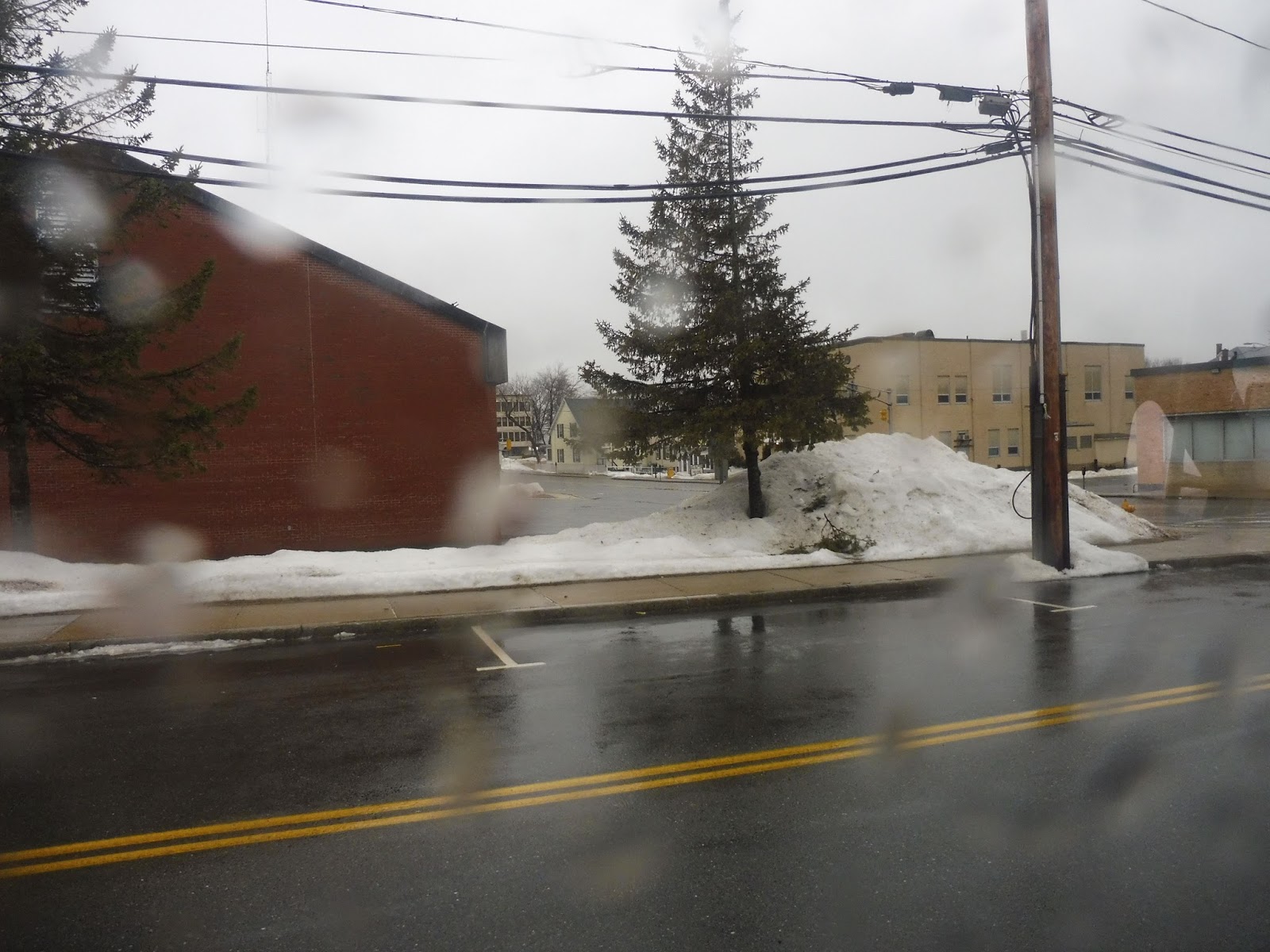 |
| The view from City Hall. |
We got to that Hannaford rotary again, this time going down Timpany Boulevard. We went under some train tracks, then reached another rotary, merging around to an exit ramp that took us onto Route 2. Time for the express section!
 |
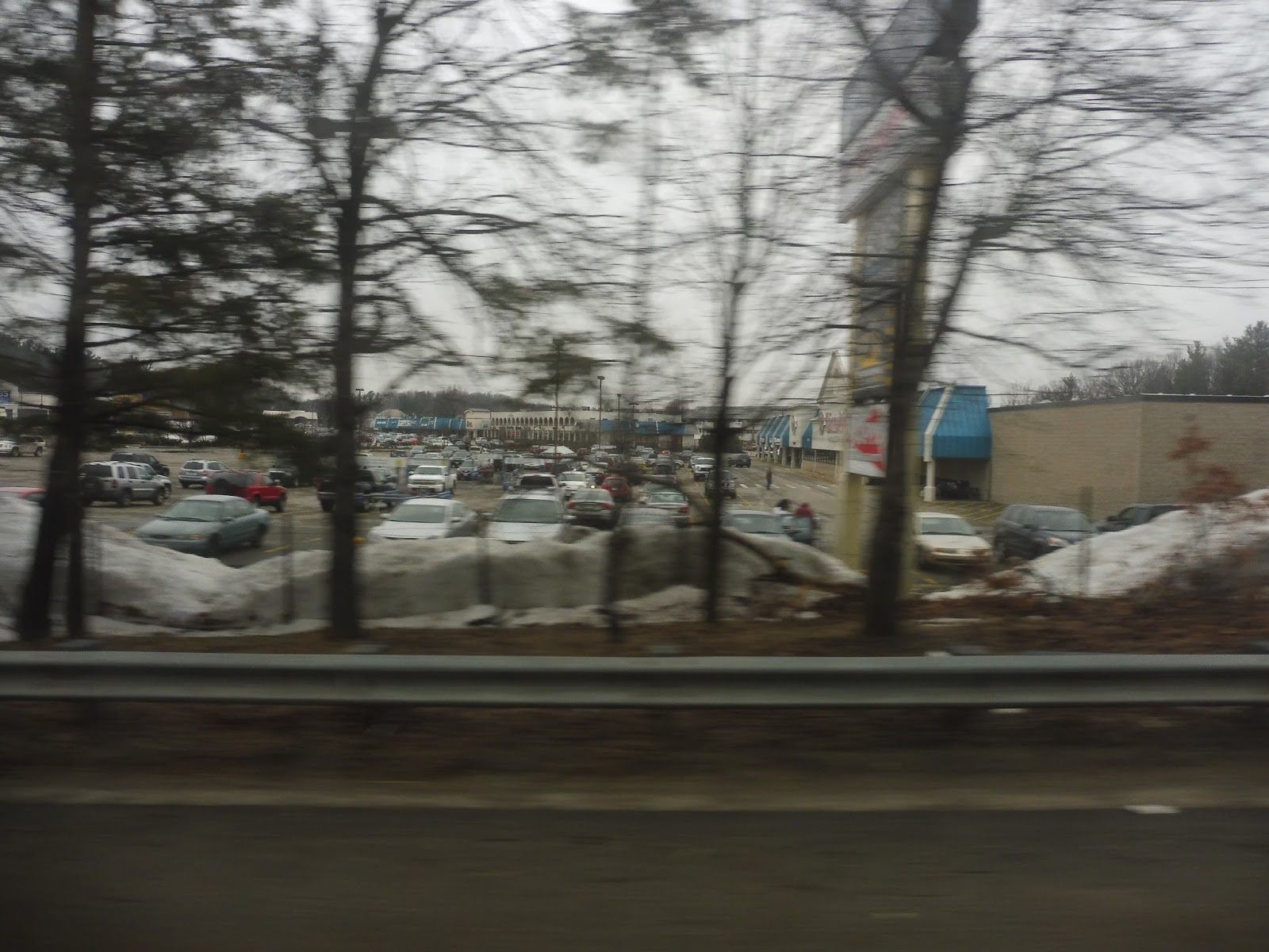
| Some random businesses. |
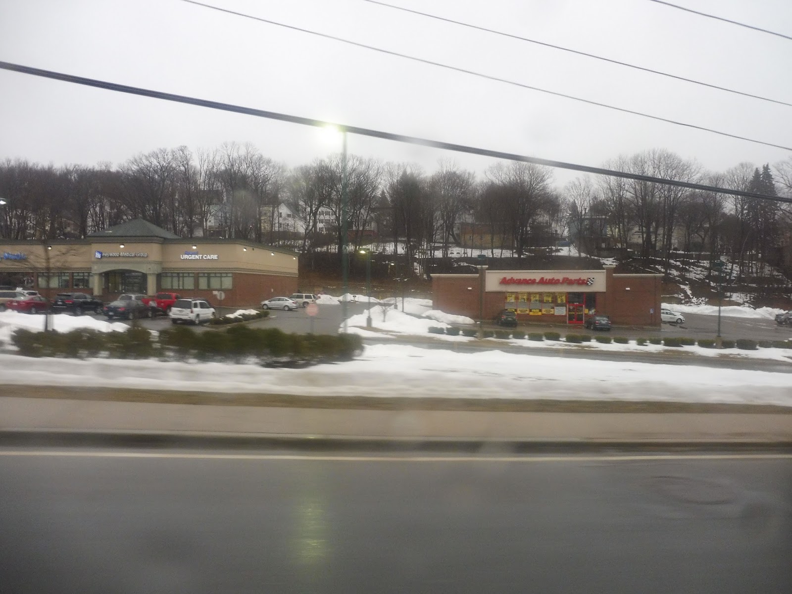
We were just sailing through the woods for a while with, uh, not much scenery to really talk about. At one point in Westminster, there were a few huge office parks in view, so that’s something? Things got more interesting once the Intercity/MWCC route joined us near a huge pond.
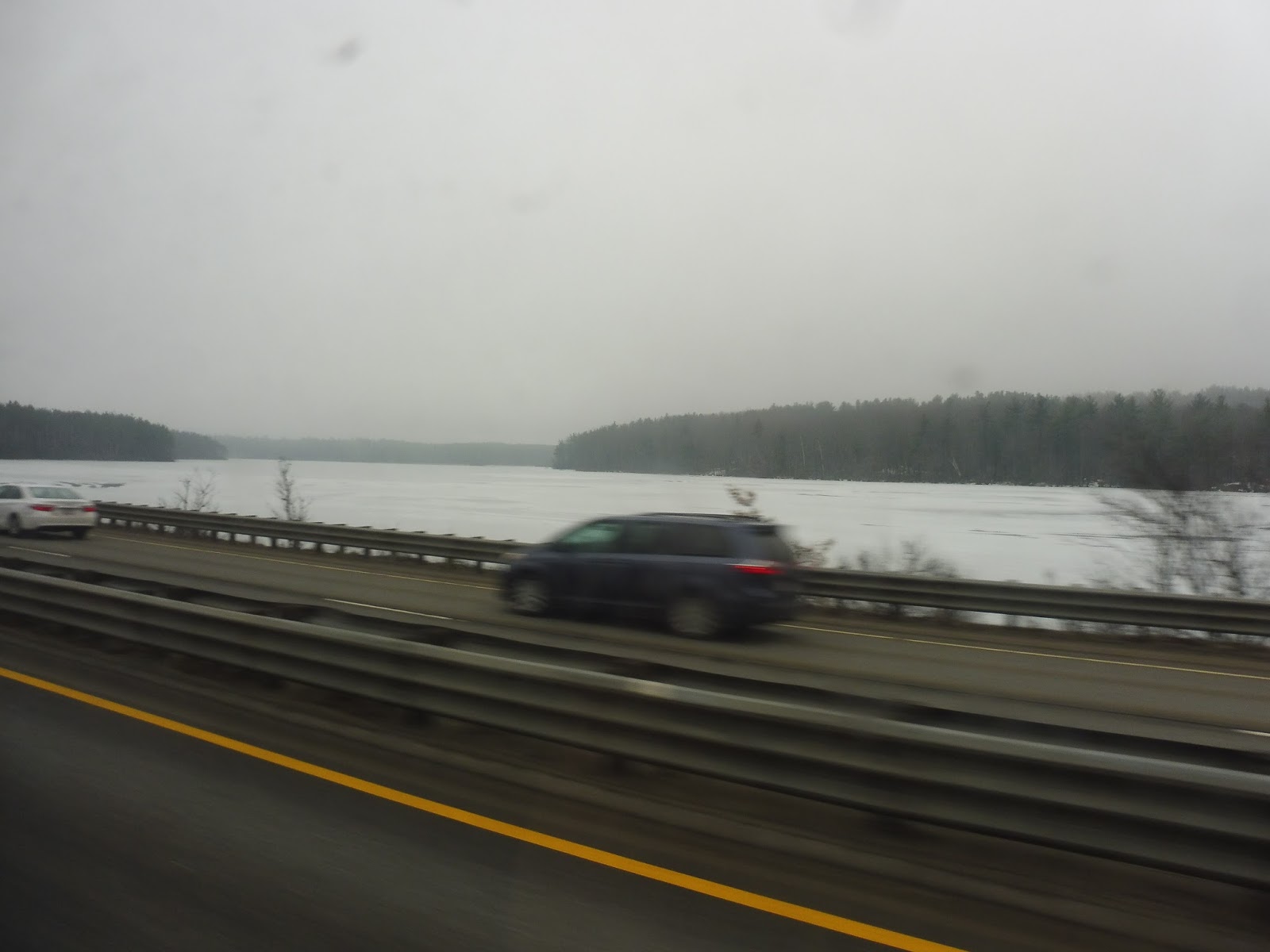
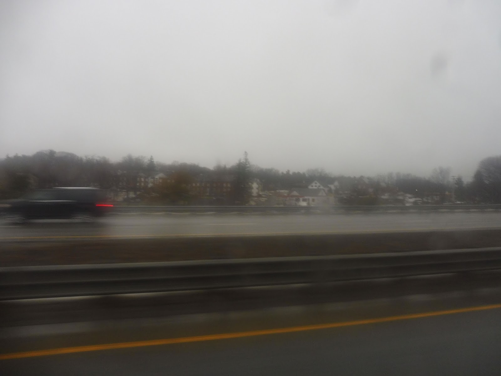 |
| The best highway picture I could get, offering a “view” of Gardner. |
There was a road that ran right alongside Route 2 for a bit, playing host to a housing development and some random businesses. Pretty soon after that, we left the highway at Exit 28, which took us to Princeton Road. After crossing Route 2 on a bridge, we made our way into the Wachusett Station parking lot, ending the route at a nice shelter.
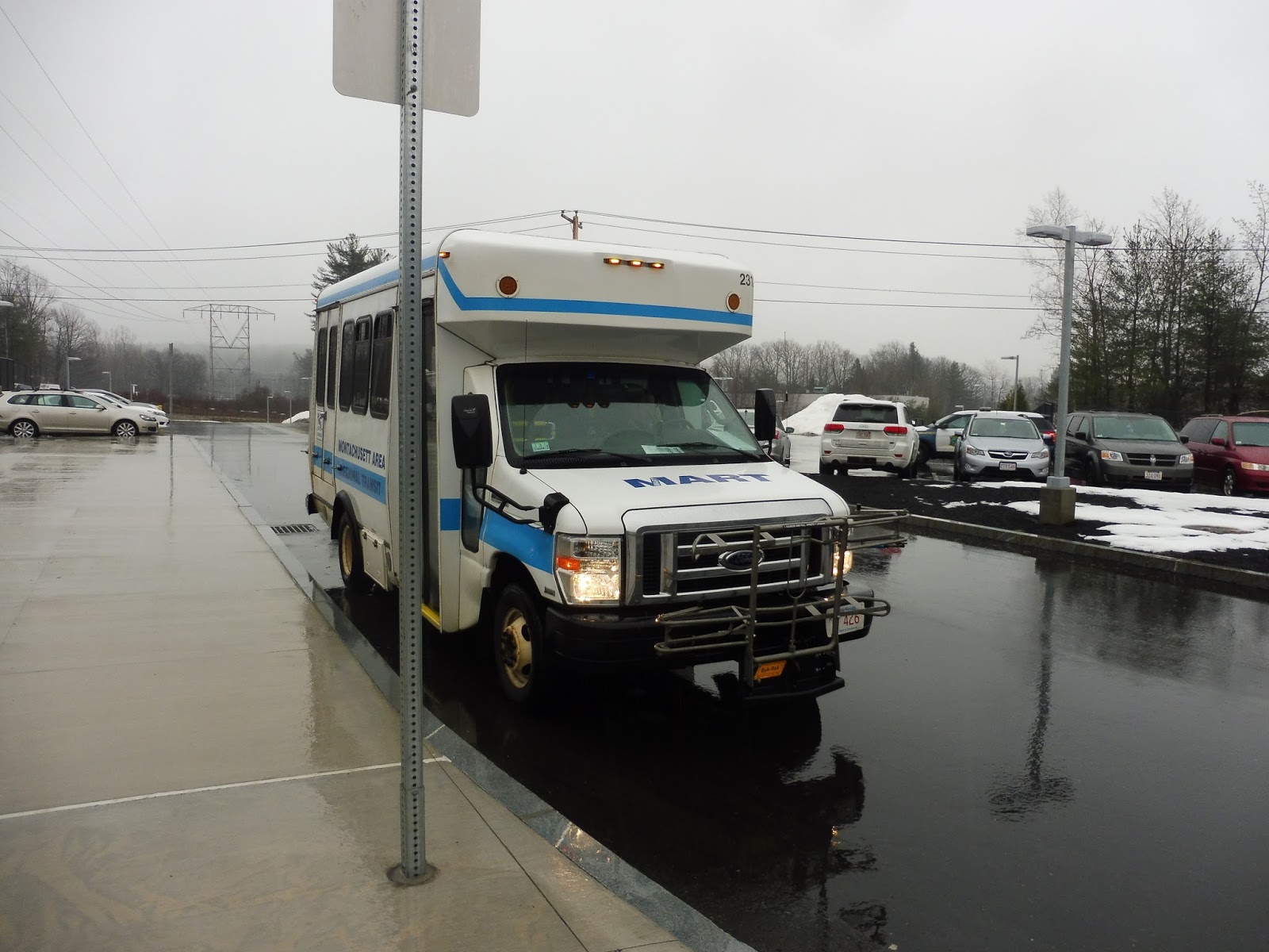
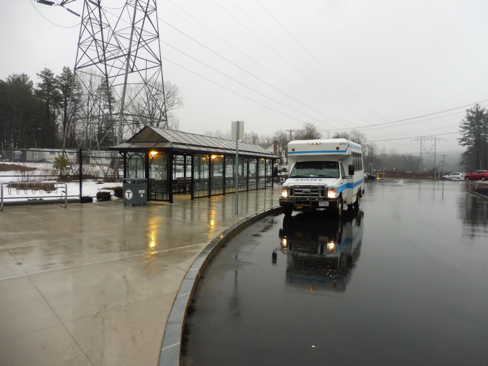 |
| Two shots of the bus at Wachusett. |
MART Route: Gardner – Wachusett Commuter Shuttle
Ridership: Oh man, it’s so bad…one other person going in towards Wachusett, and no one waiting to go back – and going back was the peak direction! I mean, okay, the trip going back was timed with the 3:30 train from North Station, so maybe the route gets more people later in the evening rush? It’s so new that there isn’t actual ridership data yet.
Pros: I love this route so much. This is just the perfect way of getting from Boston to Gardner – it’s actually somewhat comparable to driving, taking only a few minutes longer when rush hour traffic is accounted for. Every trip on this route times perfectly with a train, and it nabs a decent amount of them, even getting a few midday trains! The route itself is also really fast, getting passengers from downtown Gardner to Wachusett in 15 minutes!
Cons: Why, oh why does nobody use it? Maybe my trip was a fluke? Maybe more people use it later in the rush? Please tell me people use this! I love it so much!
Nearby and Noteworthy: If you want to get to Gardner, this is your bus. Why would you want to go to Gardner? I dunno…
Final Verdict: 4/10 (but the route itself is a 9)
Please leave a comment if my trip was a fluke and this thing actually gets decent ridership! I really really like this route, and it’s absolutely perfect for Gardner commuters. If it does indeed get no one, then I think there’s a good solution to get people: put the route on the Fitchburg Line timetable. I’m not sure if the T would want to do this or not, but I’m sure if they showed that there’s a bus directly to Gardner, and they showed when it leaves, ridership would increase both for this route and for Wachusett Station! Just sayin’…
Latest MBTA News: Service Updates
MART: MART ITC Gardner
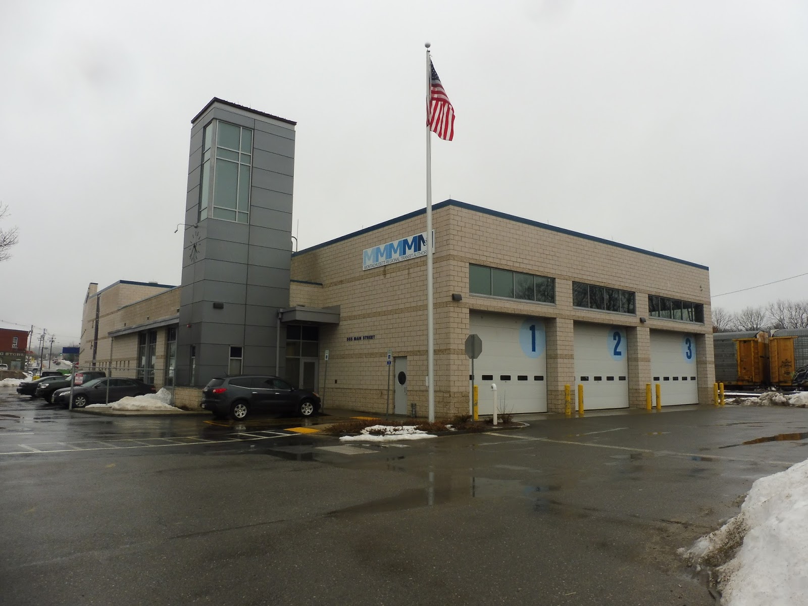
“ITC” stands for “Intermodal Transit Center,” right? I mean, what the heck else could it stand for? The “MART ITC Gardner” has to be the central bus hub for all of the system’s Gardner routes! That’s gotta be it, right? It’s…it’s gonna be good, right? It’s gonna be…open to the public, right? Oh dear…
 |
| Look how nice this is! |
The outside of the building certainly makes it seem like it’s some sort of hub! This thing is beautiful! Surrounded by mostly industrial buildings, the modern structure stands out with its MART logo and sleek clock along a grey tower. It seemed like a fitting hub building to Nathan and I as we walked up to it…
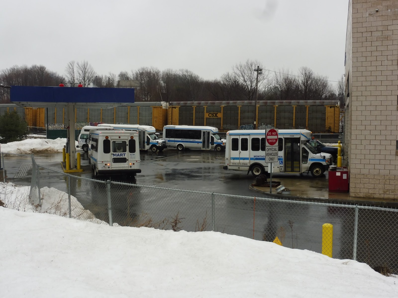 |
| That’s a lotta minibuses. |
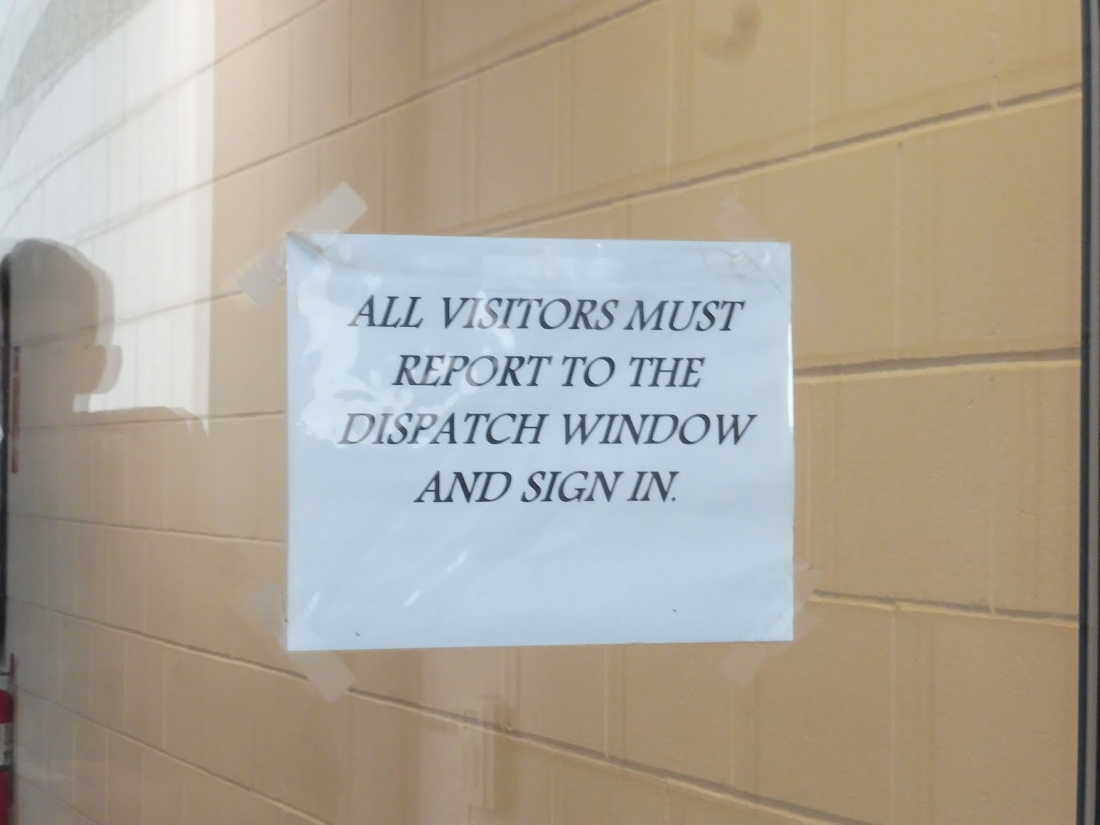 |
| Hmm… |
 |
| Hoo boy. |
 |
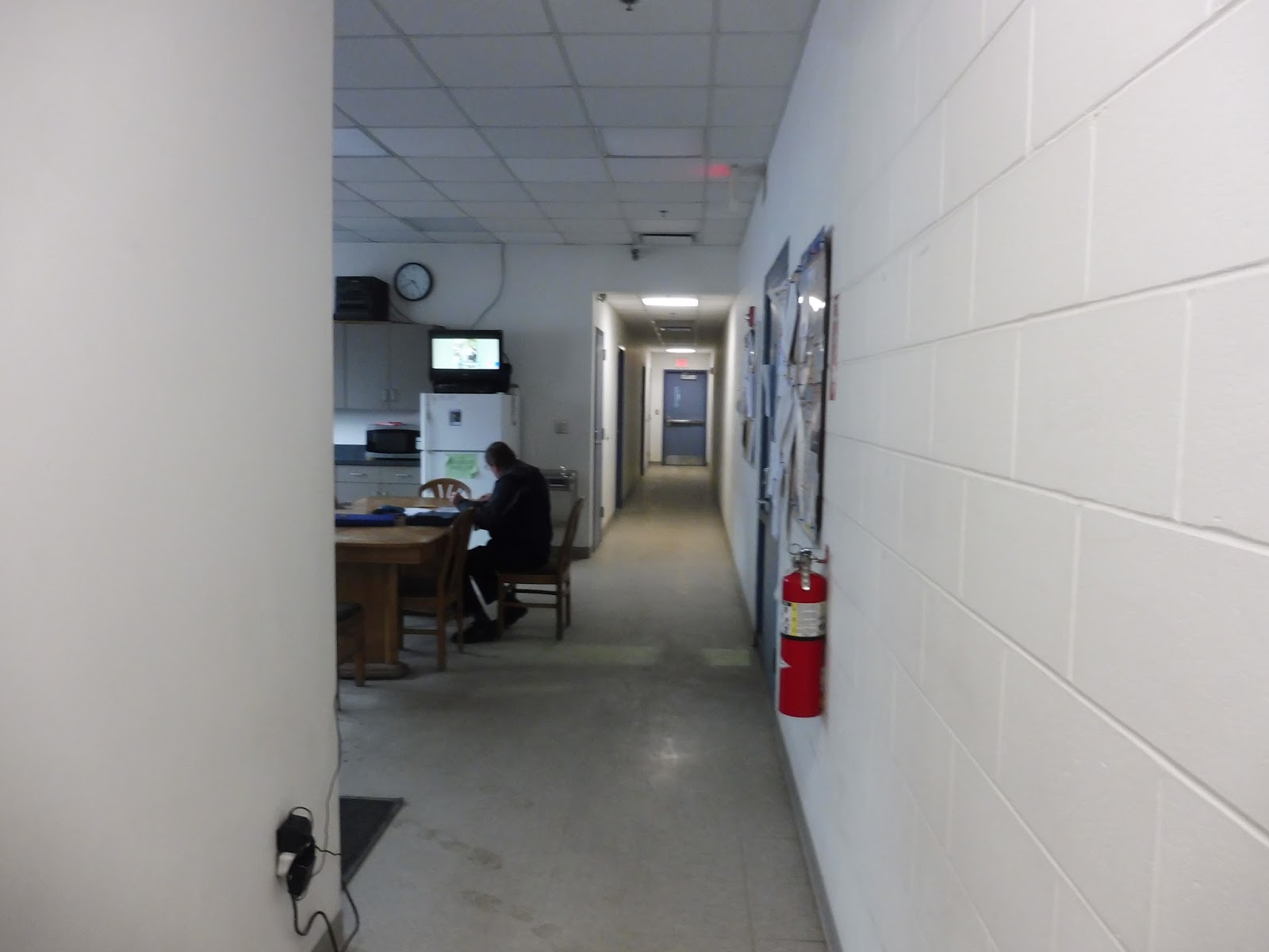
| 10/10 for comfort! |
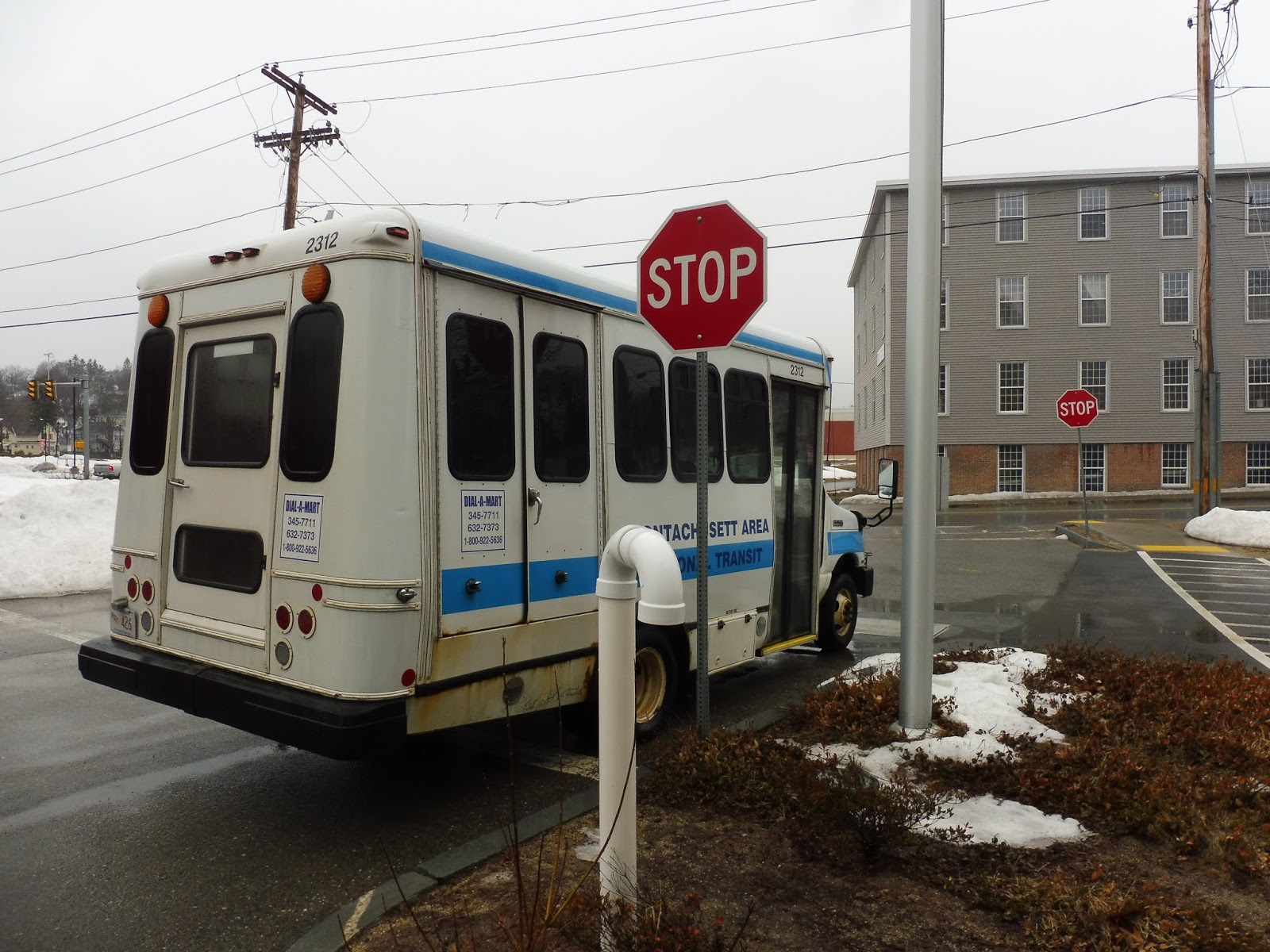
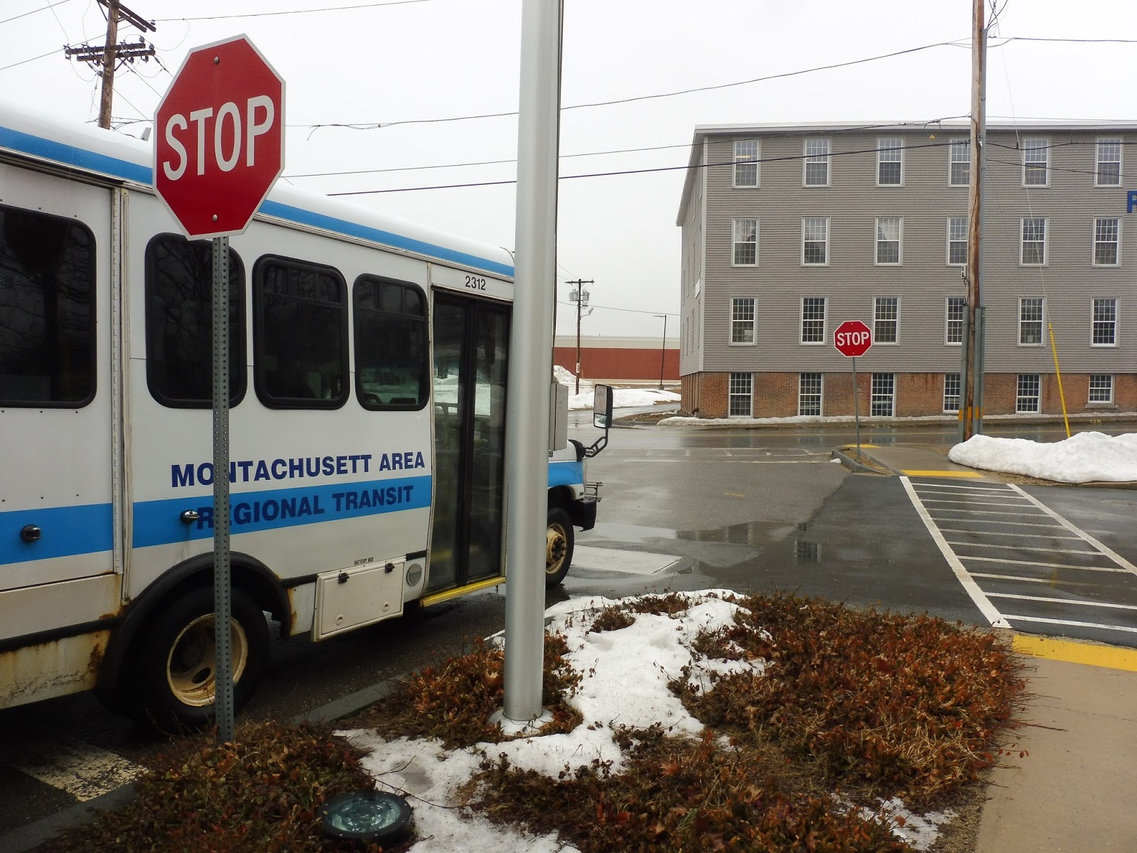 |
| Two stop signs! I see two stop signs! |
MART: Winchendon Link
Alright, everyone, raise your hands if you’ve ever heard of Winchendon, Massachusetts! Anyone? Anyone? Yeah, neither had I until I rode this strange little shuttle. Who the heck thought that a link from Gardner to Winchendon would actually get a few people?
 |
| The bus coming towards Gardner City Hall. |
We left City Hall and headed down Connors Street. There were buildings and businesses all around, but as we made our way onto West Street, we started to leave downtown Gardner. The surroundings were now mostly dense houses, with the occasional auto shop coming up.
 |
| These were not easy windows to take pictures out of… |
The houses got more spread-out pretty darn quickly, and soon there were large sections of trees between them, Eventually it became just woods, broken only by the Gardner Landfill and a cemetery. Later on there was a preschool and another cemetery, then the houses came back when the street became State Road and we entered Templeton. Bet you haven’t heard of that town, either!
 |
| A section of woods. |
We climbed up a slight hill, and near a church, we arrived at our first timepoint: Otter River. It didn’t feel like anything special, with mostly just more houses all around. After the road curved under a train track and became Central Street, thought, we did come to an important area. This was Baldwinville Village, and it featured some businesses, a town common, and a post office!
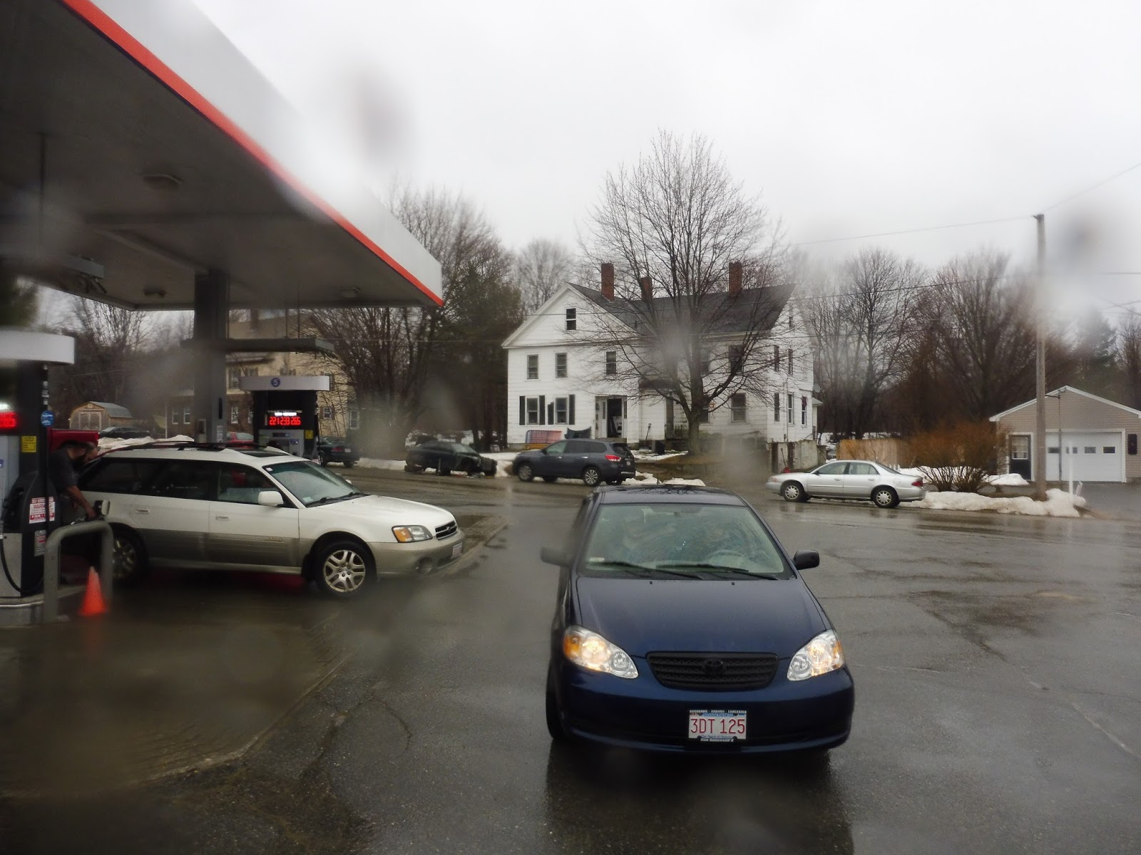 |
| A gas station in Baldwinville Village. |
We turned onto Elm Street, whose houses got less dense as we got further from the village. We crossed over the track from before, then the street became Winchendon Road. After going by a campground, it was just pure middle-of-nowhere woods for a while.
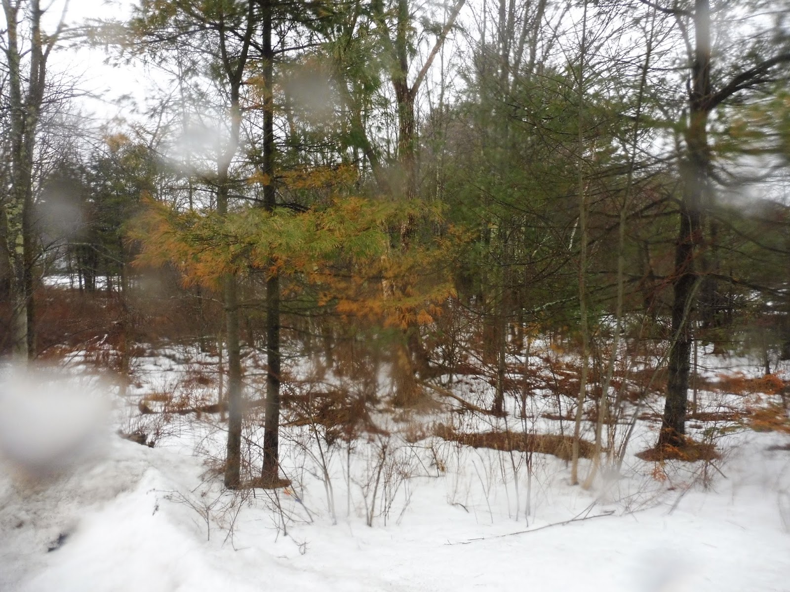 |
| I’m kinda surprised at how decent this photo turned out to be! |
The trees were unbroken for quite a while, aside from the very occasional house or some telephone wires. At some point along this stretch, we entered Winchendon. We arrived at our next timepoint soon, “Lake Dennison Picnic and Swim Area.” It consisted of a road leading to Lake Dennison and a Chinese restaurant. Woooo…
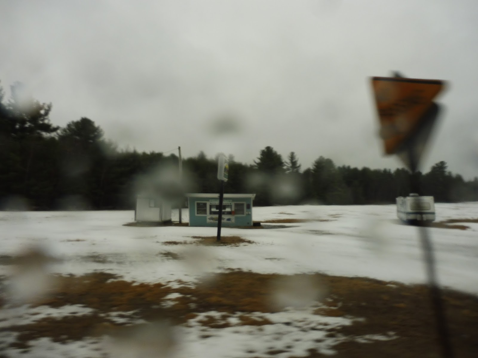 |
| What a strange place for a car dealership… |
The street was called Baldwinville State Road from there, and we started to see some relatively consistent houses! Eventually the name changed to Main Street and we curved east, passing an ice cream shop and a strange-looking closed car dealership in the middle of a field. There was even some proper civilization in the form of Waterville Plaza! Yes, it was a terrible tiny place with really boring businesses, but it was something.
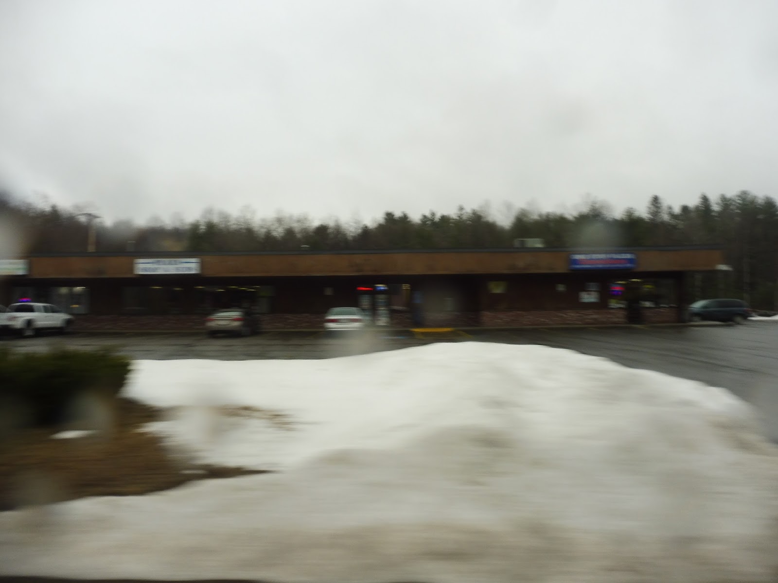 |
| Civilization! |
The road became River Street as we passed two abandoned factories, then we reentered the woods again for a bit. There were some houses after we crossed over the Millers River and a nice forest view as we paralleled said river. The road started to climb up a hill, going way above the river down below as it flowed into a reservoir, offering an awesome view.
 |
| Too bad I couldn’t really capture it… |
We curved around onto Front Street, then we turned onto Central Street. This was downtown Winchendon, and it wasn’t much, but it was something! We passed a little shopping plaza, then some more traditional “downtown” businesses. Everything was kinda run-down, but I can’t say I was expecting Winchendon to have an actual town center.
 |
| A side street downtown. |
We went by a post office, a YMCA, and a few more businesses, but eventually we more or less left downtown. There were still lots of fairly dense houses along Central Street, though, and they continued as we turned onto Jackson Avenue. That street curved down to become Lincoln Avenue, where there were some industrial buildings.
 |
| Some houses in Winchendon. |
Next, we turned onto Grove Street, which was mostly residential aside from a rather large church. We turned onto Pleasant Street after that, taking us past more houses a block away from the main drag. Finally, outside of a lovely library and park, we reached the final stop on the route…and it actually had a sign!!
 |
| Would ya look at that…a bus in Winchendon, Massachusetts. Who woulda thought? |
MART Route: Winchendon Link
Ridership: Well, first of all, I just want to say how surprised I was to see that this route actually gets anyone, let alone about 35 people per day! Yeah, okay, that’s absolutely terrible for most bus routes, but it was surprising to see here. Our ride on the last trip of the day had four other people heading up to Winchendon, and even one person coming back!
Pros: I can’t believe I’m saying this, but Winchendon actually seems like it might kind of need a bus route. I mean, it had over 10,000 people in the 2010 census, plus you’ve got another 8,000 from Templeton. Yeah, okay, both towns are pretty spread out (although Winchendon’s downtown is dense), but our trip did have four whole people! That’s not bad, right?
Cons: Oh wait, this route costs $31.47 per passenger for MART to run – that’s one of the worst passenger subsidies I’ve ever seen! Also, it seems that the only trips on this route that actually get riders are the rush hour ones…and even if that wasn’t the case, this schedule would still be weeeeeeird. The frequencies range from half an hour to three hours in seemingly random parts of the day! Why are there trips at 11:30 and 12:30, then a three hour gap until 3:30, the last trip of the day? And why doesn’t it run a few hours later to better cater to commuters?
Nearby and Noteworthy: Heck, the ride itself is cool enough to be noteworthy! Downtown Winchendon has a few restaurants and businesses, but there is nothing there that is worth the trek…trust me.
Final Verdict: 4/10
Gosh, I kinda have a soft spot for the ol’ Winchendon Link. Yeah, the route is terrible and it costs so much money to run and the schedule is ridiculous and inefficient…but it’s just such a cool route! Who’s ever heard of Winchendon? I was so excited to ride this thing, and it honestly blew my expectations away with its four other passengers. It goes against my better judgement, but I’m going to give this thing a higher score than it probably deserves…
Latest MBTA News: Service Updates
MART: Intercity/MWCC
A route from Fitchburg to Gardner sounds really useful! After all, Gardner is pretty skimpy in the transit department, so something connecting it to a bigger city is a good idea, and one that seems like it would result in good ridership. Is the awkwardly-titled Intercity/MWCC route up to the task? No, no it isn’t.
 |
| Oh no, what is this?? |
Oh great, it’s one of these schedules. Why are there so many route variations? There’s something wrong when no two trips take the exact same routing. Just so that there’s no confusion about where the heck we went, Nathan and I took the 2:21 trip, the first outbound of the afternoon. It skips out on the Leominster deviations that the morning runs take, but it still serves Westminster and runs to downtown Gardner (the next trip appears to terminate at Mount Wachusett Community College, for some reason).
 |
| Why, hello there! |
I gotta say, with a schedule like that, we were fully convinced that the route would be running a minibus. However, buried in the far corner of the Fitchburg Intermodal Center was the full-sized bus that would be taking us on our trip! It was a surprise to see, but definitely a good surprise – who the heck wants to ride a minibus, ever?
 |
| The inside. |
I think it’s worth talking about the inside, since it was a pretty unique bus. The seats were nice and cushioned, and there were cords running along the windows to request a stop – all pretty standard. But interestingly, there was no rear door! It was almost like a coach bus in that sense!
 |
| Crossing the Commuter Rail. |
We set out from the Intermodal Center and headed down Main Street for a bit, then turned onto Water Street. This took us over the Commuter Rail tracks and away from downtown Fitchburg, past a few businesses and over the Nashua River. After that, we went up a hill and went by a mixture of dense residential, retail, and industrial buildings.
 |
| Eww… |
There wasn’t much of note along here for a while, especially since I’ve already talked about it twice. It stayed with that building mixture for a while, even as we entered Leominster and the street became North Main Street. As we neared Route 2, though, the businesses started to become more abundant, and the parking lots were growing.
 |
| At least this one has some snowy hills in the background! |
Things got a little weird when we randomly pulled into the lot for a Days Inn and stayed there for a few minutes. I guess the bus was just early, as we were soon back on the road after a layover. However, we left that road very soon, taking an exit ramp onto Route 2. That’s right, we were going express!
 |
| That’s a view, I guess. |
The highway made its way up a hill and into the woods. Route 2 does kind of skew the definition of a highway sometimes, though – for example, there was just a level intersection with a tiny side street with no traffic light or anything! We got a view of the huge Twin City Plaza (“huge” mostly because of its parking lot), and then it was back into the hilly middle of nowhere.
 |
| Oh boy, another mall! |
It was starting to get foggy, too. The view out the bus window was mostly a bunch of ghostly trees, while up front the visibility was low – I’m impressed by our driver for managing to navigate this full-sized bus at high speeds down a foggy highway. At one point, the road ran alongside a lake, and the view was just gorgeous.
 |
| Wow… |
It felt like we had been going for a while, but as we passed Exit 28, we realized that we had only made it as far as Wachusett Station. It had felt so middle-of-nowhere, too! In the industrial area west of Wachusett, we got a view of maybe one building, then later on we saw a few businesses alongside a road paralleling the highway.
 |
| A house in the woods. |
Alongside another beautiful pond, we left the highway, taking Exit 25 and making our way onto Main Street. We were in Westminster now, and the street was lined with houses for a little while. However, that all changed once we entered downtown Westminster. There were skyscrapers everywhere! People scrambling all over the place! Truly, this was the center of civilization!
 |
| Oh… |
No, actually the houses just got a bit denser and we saw a few businesses. The biggest sign of “civilization” was a small shopping plaza called Village Square. How exciting! We continued down Main Street, now residential, and passed the Westminster Senior Center, then another interchange with Route 2.
 |
| Wow, that is a misty marsh… |
Beyond that interchange, the road got really wide, and we were back in the ol’ woods again. There wasn’t much of note along here – we were just speeding along, entering Gardner in the process. After a while, we all of a sudden turned onto Matthews Street, a narrower road that twisted by a few houses.
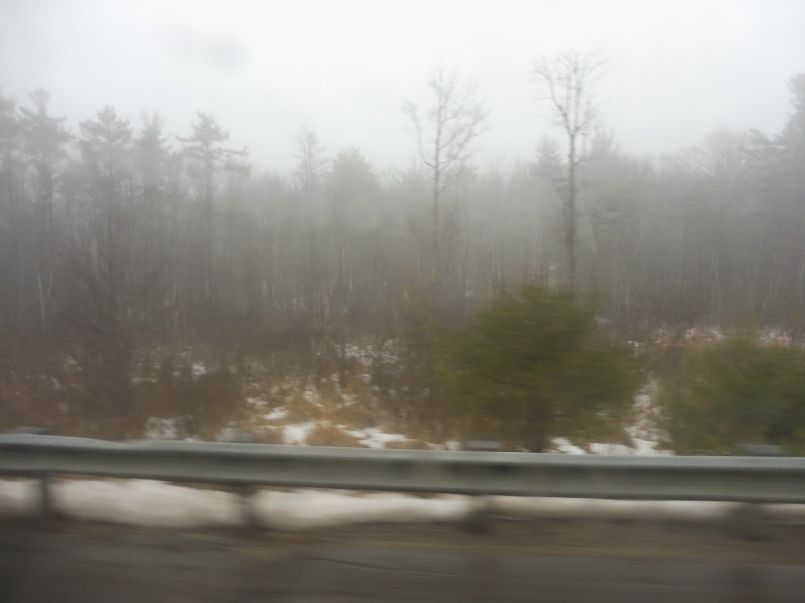 |
| These woods are scary! |
Next, we made our way onto an entry road for Mount Wachusett Community College. We came into the parking lot, but we had to snake around because of these huge patches of snow everywhere. “This school makes so much money,” the driver ranted. “Why can’t they afford to clean up their snow?” There was a shelter way in the back of the lot, but we couldn’t get to it, so we had to come around to a gazebo instead.
 |
| Oh dear…sorry, shelter! |
We headed out to Green Street from there, just outside of a golf course. We passed some wind turbines, then a hospital. After that, the street was lined with dense-ish houses, then we reached an oddly-shaped rotary and merged onto Central Street.
 |
| A shot of downtown Gardner from after we had left the bus. |
There were more houses for a bit, but then we passed a park and entered downtown Gardner. It was surprisingly built-up, with multi-story buildings lining the street, housing businesses on their ground floors and (presumably) apartments up top. We merged onto Pleasant Street, taking us up to City Hall, which is where Nathan and I got off in order to catch another bus. The route does continue a little further to the “MART ITC Gardner,” but we’ll be discussing that in another post.
 |
| The bus at City Hall. |
MART Route: Intercity/MWCC
Ridership: The ridership on this route is pretty lame – in 2014, it got an average of 77 riders per weekday, which is quite skimpy. My ride was really bad, with only one person going outbound and three people waiting to do the inbound trip.
Pros: This is a useful route in two ways: for one thing, it connects Fitchburg to Gardner, as I said; for another, though, it also connects Mount Wachusett Community College and Fitchburg. I don’t know anything about its students and where they live, but I’ll bet a good amount of people commute there from Fitchburg! That could also explain why this route only runs from Labor Day to Memorial Day. Finally, the ride was very scenic – maybe it was just the fog, but there was some absolutely beautiful scenery along here!
Cons: Oh, but don’t think this is a good route. Nooooo, it certainly isn’t. First of all, we just have to talk about that schedule again. I definitely understand why it’s rush hour only, given the commuting nature of the route, but I just don’t see why it has to be so darn complicated! For example, why does it deviate to Monument Square in Leominster in the morning only, and exclusively on outbound trips? Does that deviation really get the riders to justify it? Also, it seems like they could really cut Westminster service all together and run express straight through like some trips do already – at least on my ride, not a soul got on or off there.
Nearby and Noteworthy: Yeah, so like I said, downtown Westminster is just the most bustling place in the world! I’d put in on a Midtown Manhattan level – it’s just crazy. No, actually, this route doesn’t really serve anywhere interesting…downtown Gardner is okay, but it’s kind of run-down.
Final Verdict: 4/10
Man, I really can’t stand that schedule. That’s honestly the biggest problem with this bus, but it’s just such a huge issue! This is a route that means well, but is executed terribly. If the schedule was simplified and the headways were made more even, if possible, you might be able to attract more riders to this thing.
Latest MBTA News: Service Updates
The MBTA’s Mock-Up Orange Line Car!
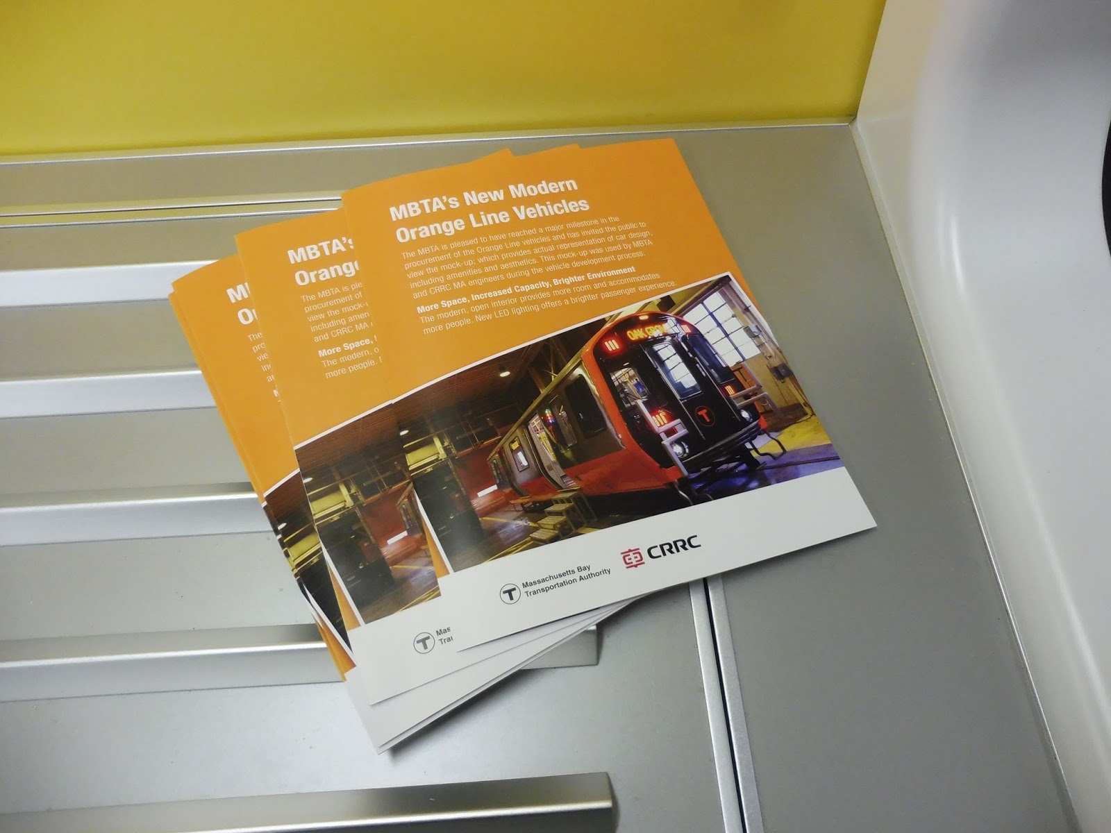
Well, it’s not every day you see a train car in the middle of City Hall Plaza! For the past three days, the T has had a 2/3-scale mock-up of one of the new Orange Line cars that will be entering service in 2018-2019, and it was amazing. Time for a multitude of pictures!
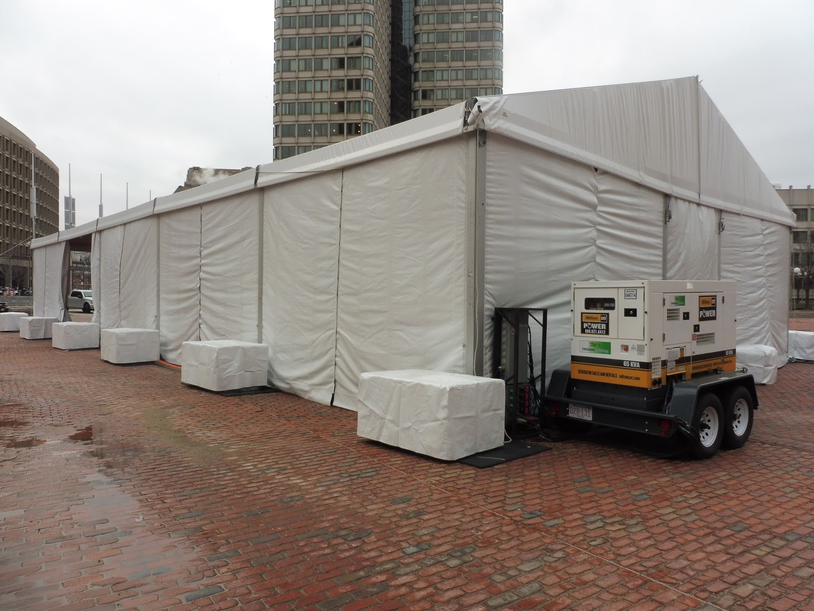 |
| The mysterious tarp! |
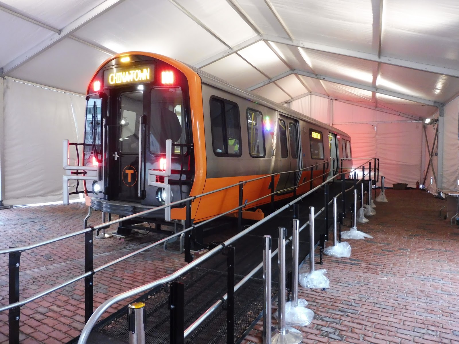 |
| Oh my gosh, she’s a beauty… |
 |
| MAP SCREENS MAP SCREENS MAP SCREENS MAP SCREENS MAP SCREENS |
 |
| A blurry picture of the emergency apparatus. |
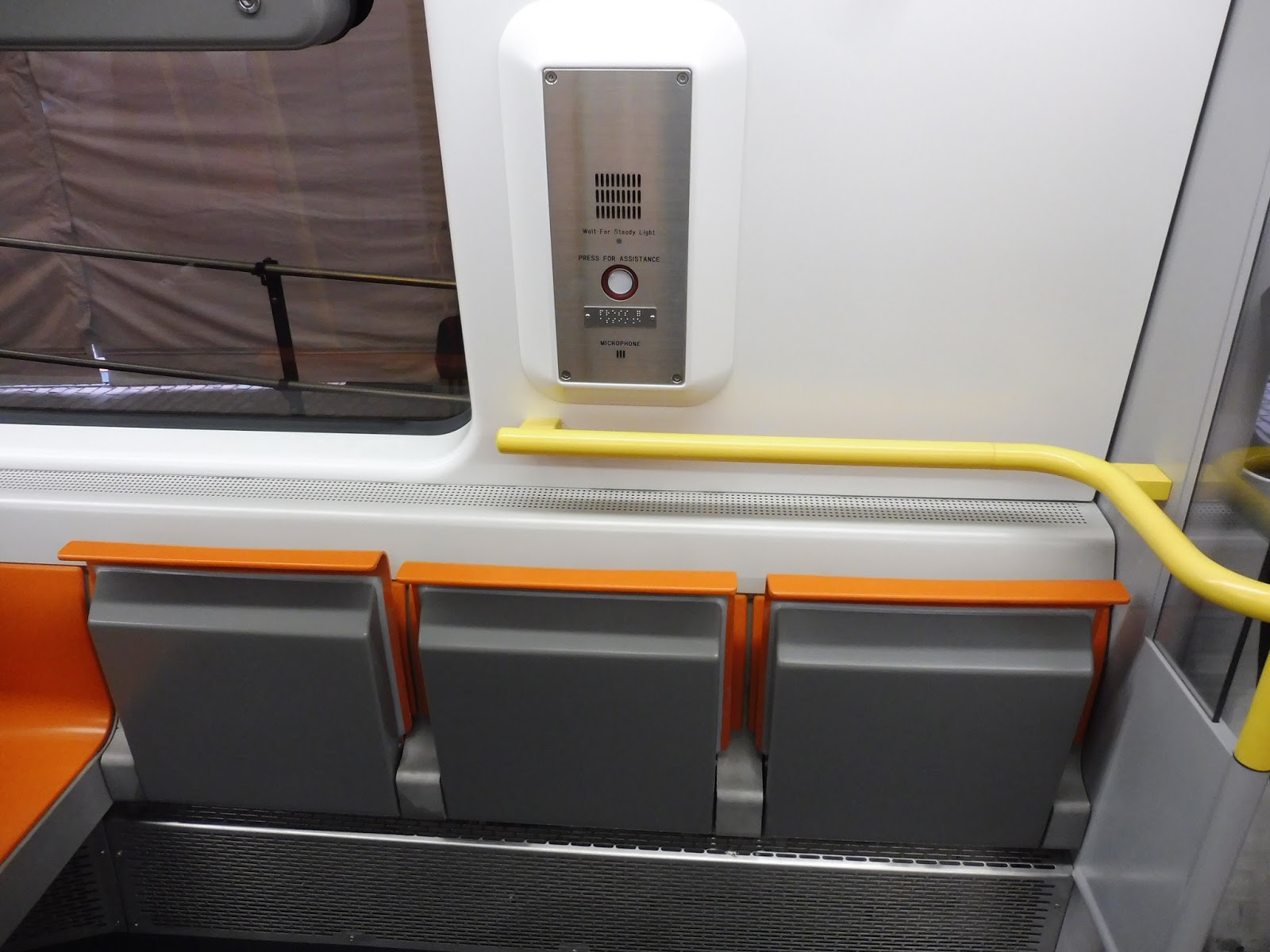 |
| Some fold-up seats for a wheelchair. |
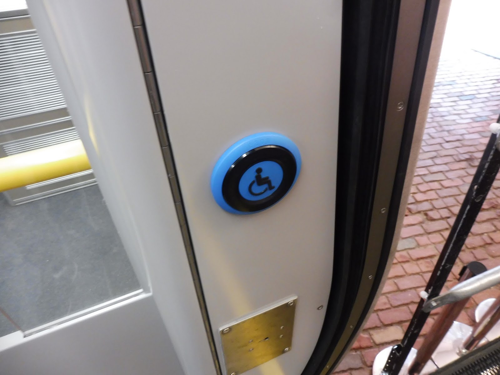 |
| I wonder what this button is for…it’s a high-floor train! |
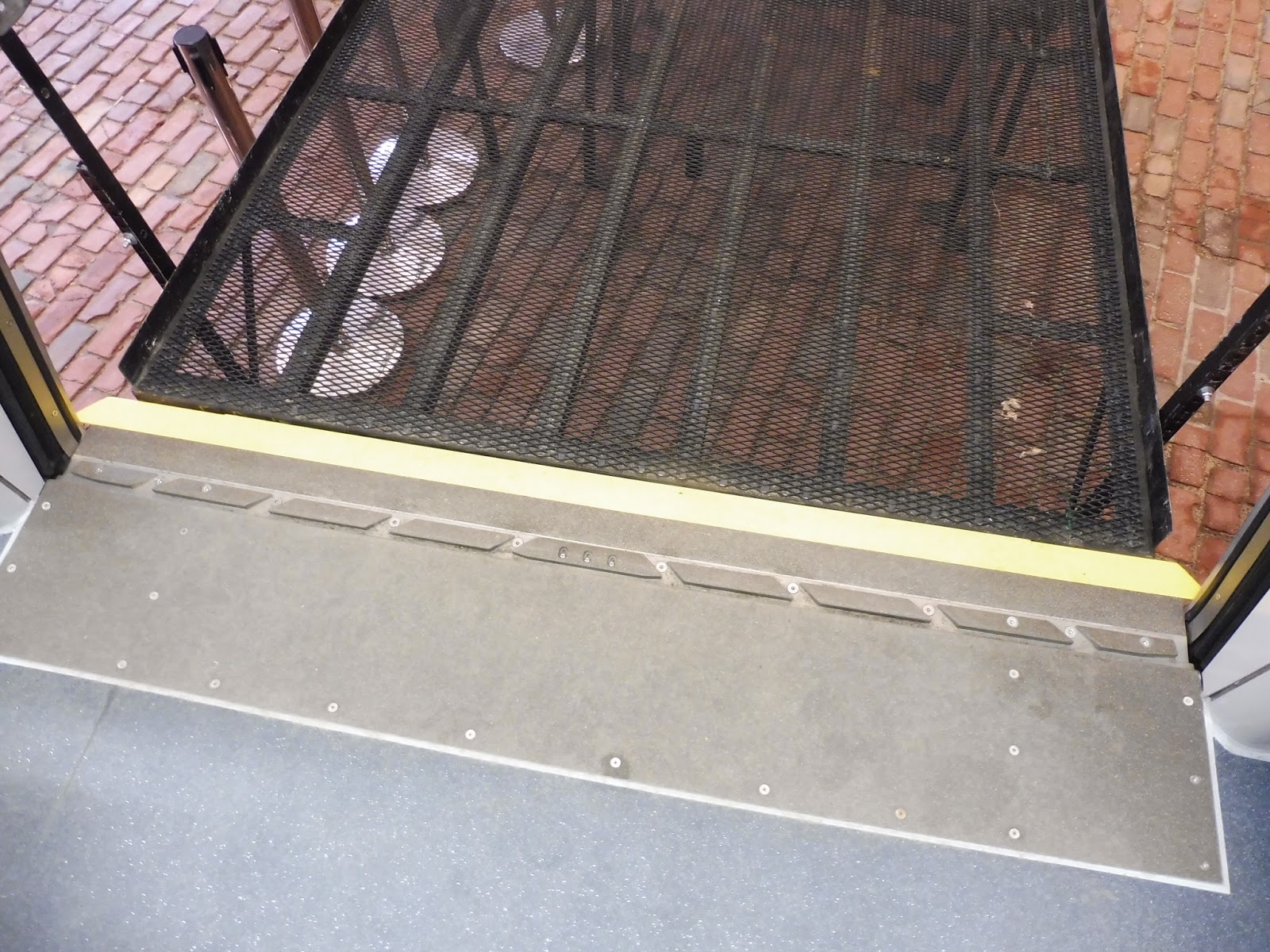 |
| This was really cool – there are things that come out from the doors to eliminate the gap at stations! |
 |
| Some brochures about the train. |
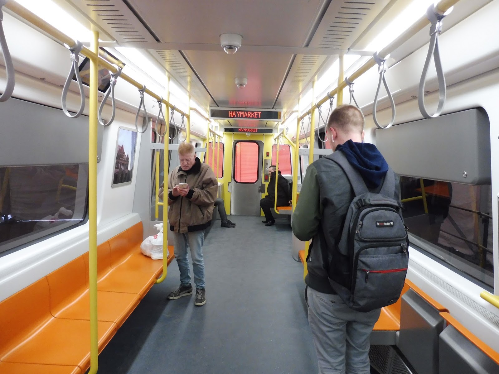 |
| The inside! It’s so beautiful! |
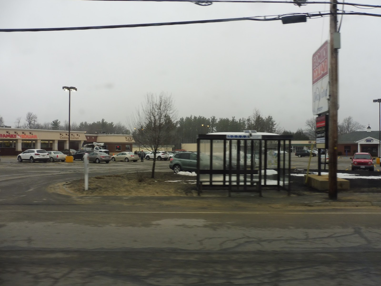
MART: 5 (Intermodal Center – Parkhill Plaza – Central Plaza)
This is a route designed to waste everybody’s time. No matter where you want to go on the 5, there is almost no doubt that you will have to suffer a ride far longer than it should be. How could a route be so inefficient? Read on, dear reader!
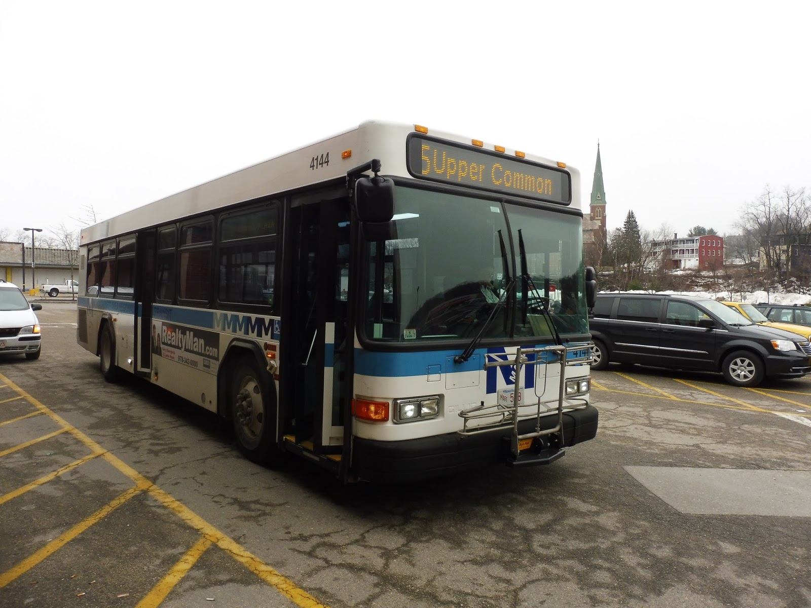
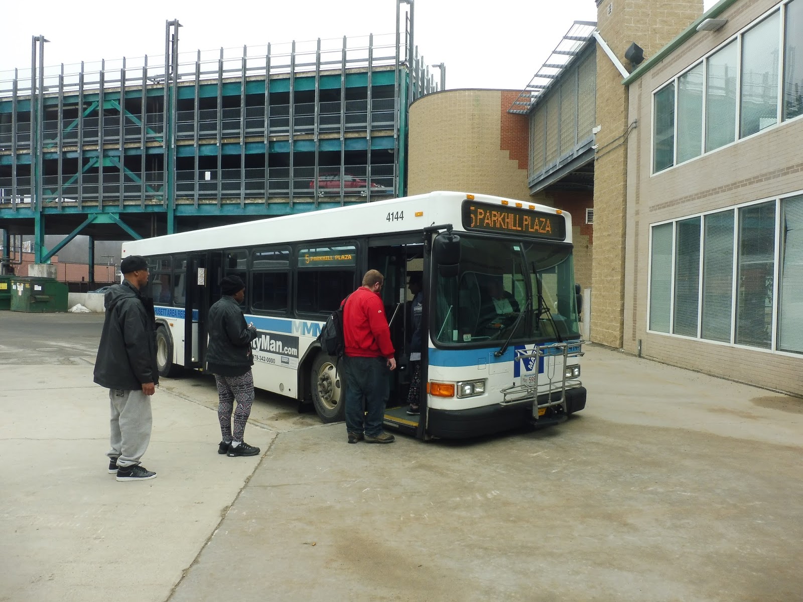 |
| The bus, as seen from behind a glass window. |
We headed down Main Street from the Fitchburg Intermodal Center, entering downtown Fitchburg. There were pretty nondescript buildings on both sides, and most held businesses. We passed a few parks and a library, then the road curved north with the pleasant Upper Common as a median.
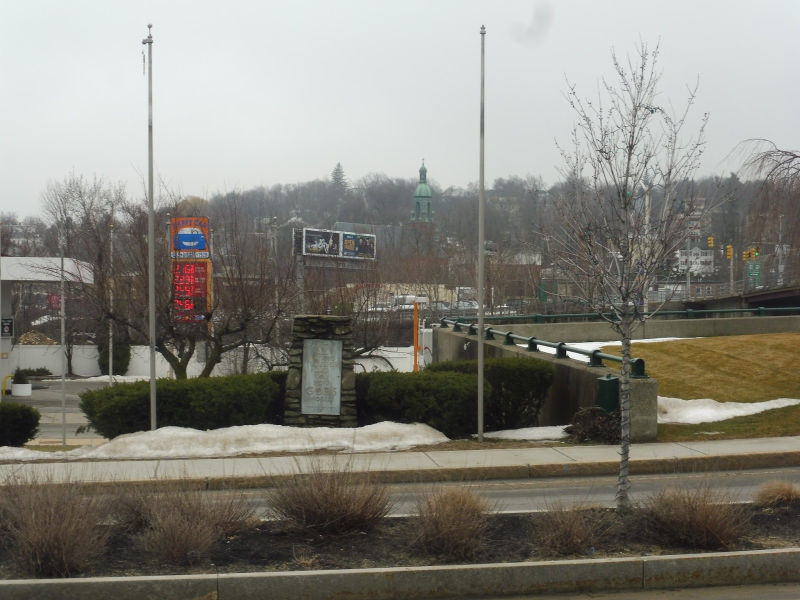 |
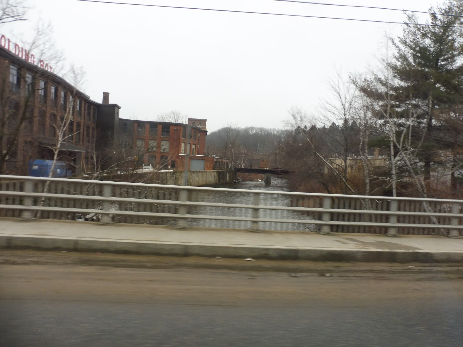
| Interesting view! |
Soon we turned onto River Street, crossing the Nashua River. The area was industrial, with a bunch of old factories, but there were a few houses that surprisingly made it into the mix. We went by a repurposed factory housing apartments, then crossed over the Nashua River again. After going under the Commuter Rail tracks, we reached a rotary, where we merged onto Daniels Street.
 |
| Going around the rotary. |
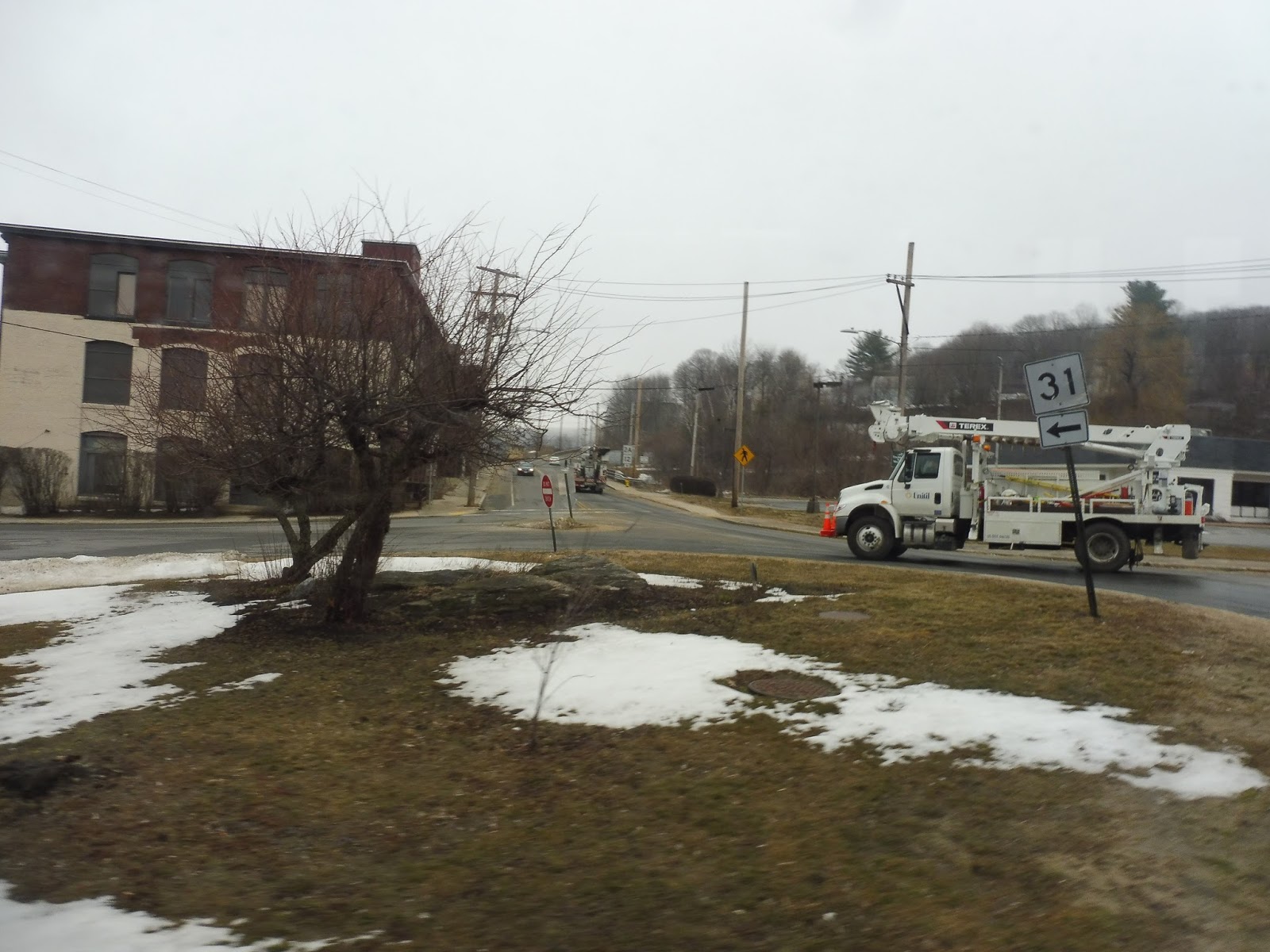
This road went over the Nashua River again, then it curved up a hill, lined with businesses and dense apartments. We passed a church, then turned onto the residential Daniels Street. Next, we turned onto Oak Hill Road, which we “stayed on” for a while, although the street itself made a few turns at intersections.
 |
| Some houses in the neighborhood. |
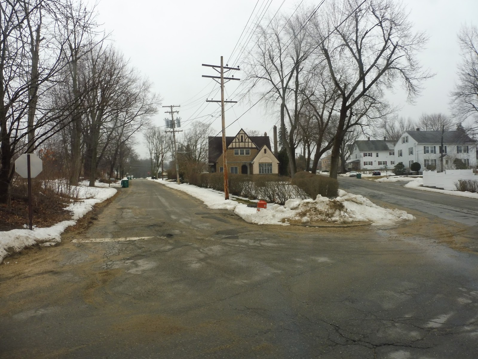
At an intersection with a little pizza parlor, we turned onto Franklin Road, returning to the residential nature from before (aside from one other variety store). As the street became Electric Avenue, though, we were suddenly surrounded by suburban businesses and huge parking lots. The principal one was Parkhill Plaza, into whose parking lot we deviated.
 |
| A shelter outside the plaza…but it’s on the wrong side of the street! |
Okay, now, are you ready for this next bit? All of that…ever since that rotary from River Street…all of that was a deviation! That’s right, now we had to go alllllllllll the way back to that rotary in order to continue the route. Oh boy, that’s just great, isn’t it? I’ll spare you all the pain of having to recount every street we had driven down, so let’s return to that rotary.
 |
| Crossing the Nashua River. |
From there, we headed back onto River Street, which was rather woodsy as it paralleled the Commuter Rail tracks. We eventually went under the tracks, coming out in a fairly industrial area. Next, we merged onto Westminster Street, which went by all manners of buildings – houses, businesses, industrial buildings, and even a park.
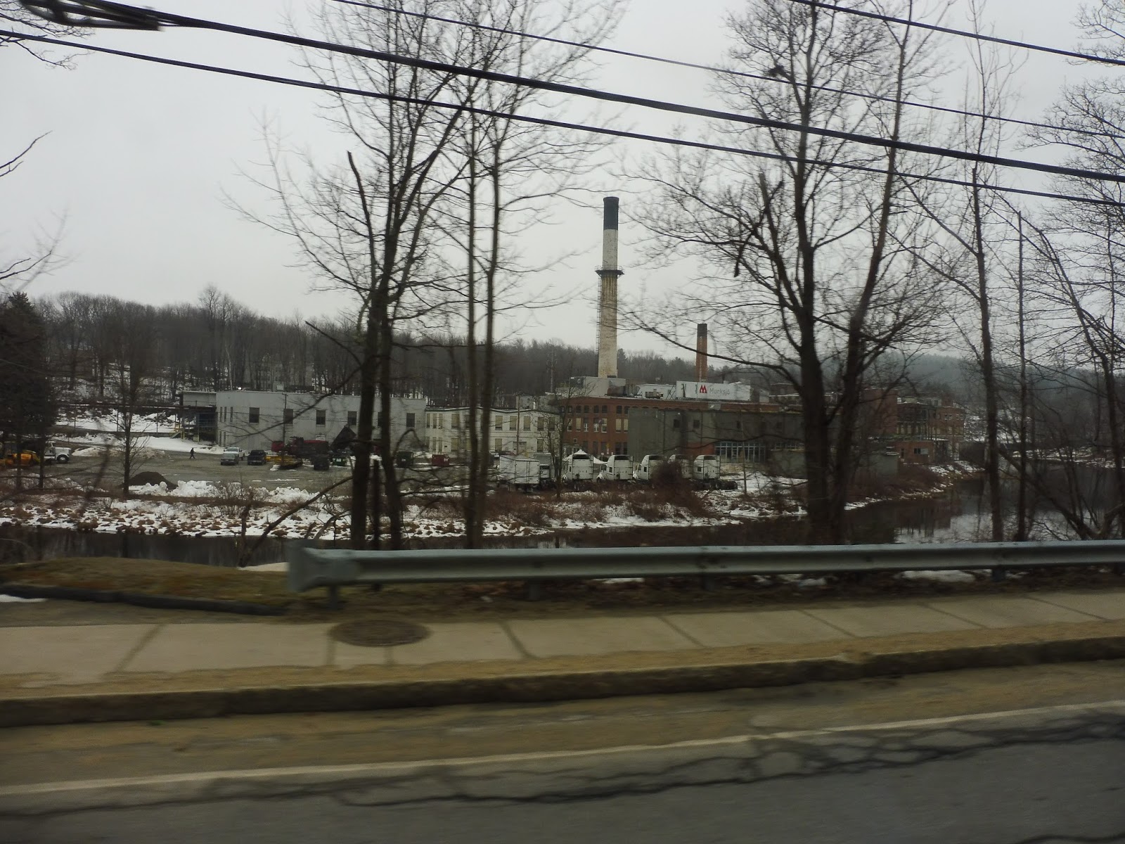 |
| An industrial view. |
There was another woodsy section for a little bit, then we passed a huge industrial building right across the street from some houses. Soon after that, we made a little loop around a small park, arriving at our terminus, Waites Corner, right outside of a variety store. We didn’t stay here for long, though, immediately coming back the way we came.
 |
| The park at Waites Corner. |
Is that it for deviations? Nope! Although we skipped the really long one from before, we did have to make one more near Fitchburg. Just outside of the Intermodal Center, we instead turned onto Water Street, going over the Commuter Rail tracks. Right over the bridge, we turned into the parking lot for Central Plaza, some awful-looking shopping mall. This is where Nathan and I got off, deciding to walk back to the hub, since they’re so close.
 |
| The bus at Central Plaza. |
MART Route: 5 (Intermodal Center – Parkhill Plaza – Central Plaza)
Ridership: This is kinda tough to judge, since the ridership data in MART’s Regional Transit Plan is from 2014, when the 5 was interlined with the 6. The ridership given is for both routes combined: 154 average riders on weekdays, and 58 on Saturdays. Sad as it may sound, this was apparently MART’s fourth-busiest route. Now that the 5 is its own separate bus, I can’t tell you how much ridership it gets in total, but my round trip got about 10 people.
UPDATE 4/7: I found more recent MART ridership data that shows the 5 all on its own. The route averaged about 187 riders per day in late 2016, which is pretty good, especially given its ridership two years before!
Pros: The route’s long deviation does serve a very dense neighborhood, one that definitely needs a bus running through it. It also seems to get a decent amount of riders, at least based on my ride – the numbers don’t agree, but perhaps ridership has gone up since 2014.
Cons: Oh boy, there are lots of these. Let’s start out with the elephant in the room: why is the long deviation, which is where literally every person on my ride went, only served in one direction? There were a bunch of people who got on there to get to downtown Fitchburg, but they had to ride all the way out to Waites Corner and then come back in! Check this out:
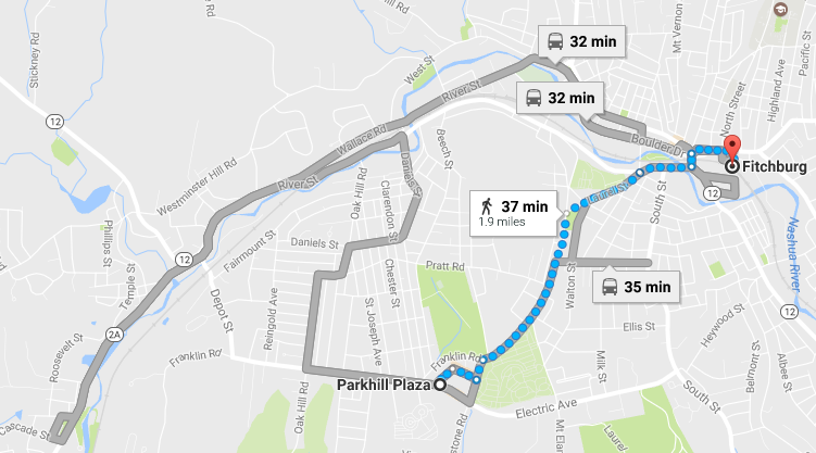
When going from Parkhill Plaza to the Intermodal Center, it takes only five more minutes to walk than to take the bus! You could even walk to the 3 and take that in – only three minutes slower! If this isn’t horrible route planning, I don’t know what is. And the worst part is that no one got on or off at Waites Corner. Well, gosh, why even serve it, then??
The problem is that there have to be sacrifices made to fix this problem. The route takes 48 minutes for a round trip (yet they run it every 50 minutes, which is stupid – just make it every hour, it’s a lot easier to remember), meaning there’s not enough time to serve the deviation on the way back. This makes me think that the only solution would be to eliminate all Waites Corner service, except for the twice-daily Montachusett Industrial Park trips, and just run the route to Parkhill Plaza. That’s where all the ridership was, after all…
Nearby and Noteworthy: Yeah, no, not really. Parkhill Plaza seems like kind of a dump, as does Central Plaza. That one pizza place the route passes has good reviews…
Final Verdict: 4/10
It’s not like this route doesn’t get riders, because it definitely does. The problem is that they’re practically all coming from that deviation! Having to go all the way out to Waites Corner just to get to Fitchburg seems like the biggest pain. Unfortunately, it seems like the only solution would be to just cut most Waites Corner service. The route would be shorter as a result, but maybe it could be interlined with certain trips on the 4 to keep it from needing too much layover time.
Latest MBTA News: Service Updates
This is really late notice, but there’s a mock-up version of a new Orange Line car displayed at City Hall! Tomorrow is the last day to see it, and yes, I am most definitely seeing it tomorrow. Expect a post with pictures! I’ve tried not to look at any, so it’s going to be a surprise!
MBTA Announces Private Company to Take Over Bus System
It’s no secret that the MBTA is in desperate financial waters right now. The T has been looking for any way to cut costs, and they’ve often turned to privatization to do so. The Commuter Rail, for example, is operated by Keolis, while the door-to-door RIDE service is run by various companies around the Boston area.
These have been always been privately contracted; now, however, the T is attempting to outsource more sectors. In October, the Authority privatized its “money room,” sparking much protest from union workers, and it is currently trying to do the same for its bus maintenance operations.
Now, however, the T is announcing that rather than just maintenance, they plan to privatize their entire bus system. “If we are to get the MBTA out of its financial deficit,” says Massachusetts Governor Charlie Baker, “we must make these important decisions.”
MBTA GM Brian Shortsleeve admits that the announcement may not be received well by all, but he asserts that riders will see vast improvements in service. “We’ve chosen a great company to run the system,” he says. “They have a great track record, and riders will definitely be happy with the new change.”
“Well, we’re very excited to be taking over the MBTA bus system,” says GATRA president and secretary of the Norfolk Senior Center Knitting Club, Rhonda Burke. “This is such a big, busy system! I’ve seen some buses with people standing! That has to be so uncomfortable!”
GATRA has announced a series of changes that will come with the change of operator. Firstly, riders will see a huge drop in fares. “We at GATRA believe in cheap transit for all,” says the financial supervisor of GATRA and two-time winner of the Middleborough Council on Aging’s Bingo Tournament, Gladys Rodman. “How can they charge $1.70 for a local bus fare? We’re lowering that to one dollar for everyone!”
When asked how GATRA could ever expect such a fare system to be financially feasible, Rodman declined to comment.
GATRA has also confirmed that they will be cancelling the T’s current order of new Xcelsior buses. “Those are so big and flashy,” says Burke. “Instead, we’re ordering a brand-spanking new fleet of shiny minibuses! They’re more intimate and comfortable for the rider, you know.” GATRA hopes to replace the entire MBTA bus fleet by 2019.
 |
| GATRA testing out its new destination signs. “We wanted a font that looks fun and exciting,” says Burke. |
The biggest change for riders, however, will be the realignment of almost all T bus routes. “These current routes? No good,” says Robert “Bobby” Jenkins, GATRA’s director of routes and scheduling, as well as the captain of the Marshfield Council on Aging’s shuffleboard team. “Almost all of these routes are just straight. They don’t serve anything. Fiddlesticks!”
GATRA is still working on the realignments, but they say it will affect every route “except the 112, which is perfect as it is.” So far they have released their new version of the 1; its map can be viewed below.
“Don’t worry,” says Brian Shortsleeve. “No one will notice the difference. We have all our faith in GATRA to run the most efficient routes possible.” Whether or not Shortsleeve has actually talked to GATRA is questionable.
The operations turnover is expected to occur today, April 1st. Some riders have speculated that based on the date of its occurrence, this switch is just an April Fool’s Joke.
They would be right.
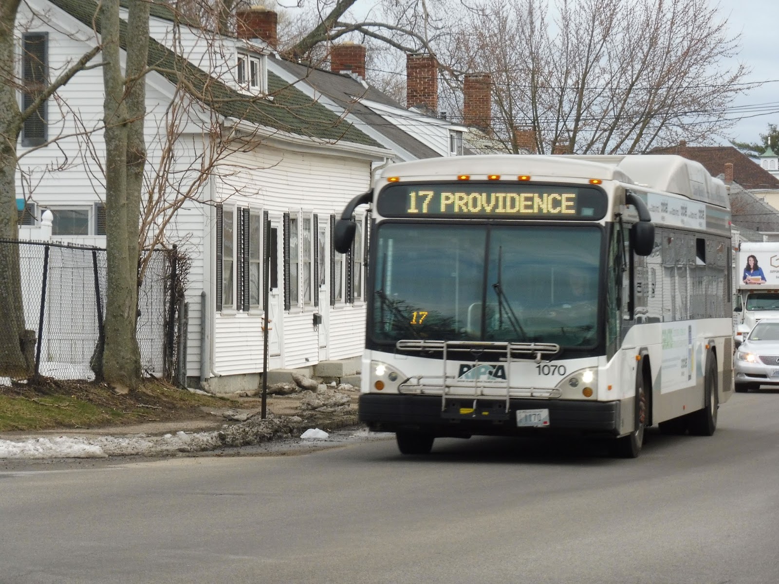
RIPTA: 17 (Dyer/Pocasset)
Remember how the 19 allowed me to discover the majestic land known as Walmart? Well, now we’re riding its sister route, the 17. I wonder if it has any more amazing big box stores to discover! Oh…Stop & Shop is this route’s terminus? Weeeeeeeeeeeee…
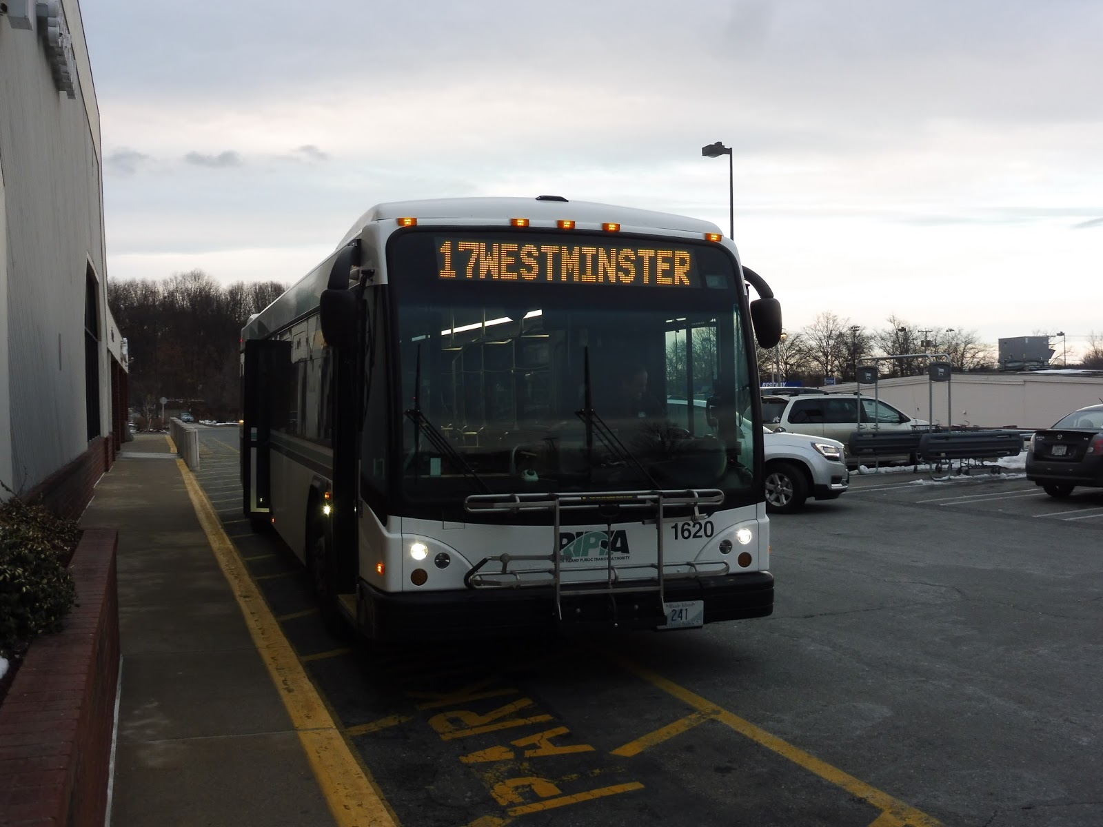 |
| That’s a rather nice sky in the background! |
We left the Stop & Shop parking lot and turned onto Phenix Ave, with suburban businesses all around. However, the road became residential once we crossed Atwood Ave…and then there were more suburban businesses only a few blocks later at the intersection with Cranston Street (on which the 30 runs). There was also a big apartment tower over here.
 |
| That is indeed a big apartment tower. |
The street became Park Ave after that, and it was still lined with those businesses as we turned onto Dyer Ave. We went over the Pocasset River, offering a brief forest break, but then the scenery got industrial. We crossed Cranston Street and the 30 again, then after a few houses, we passed by the terminus of the 18.
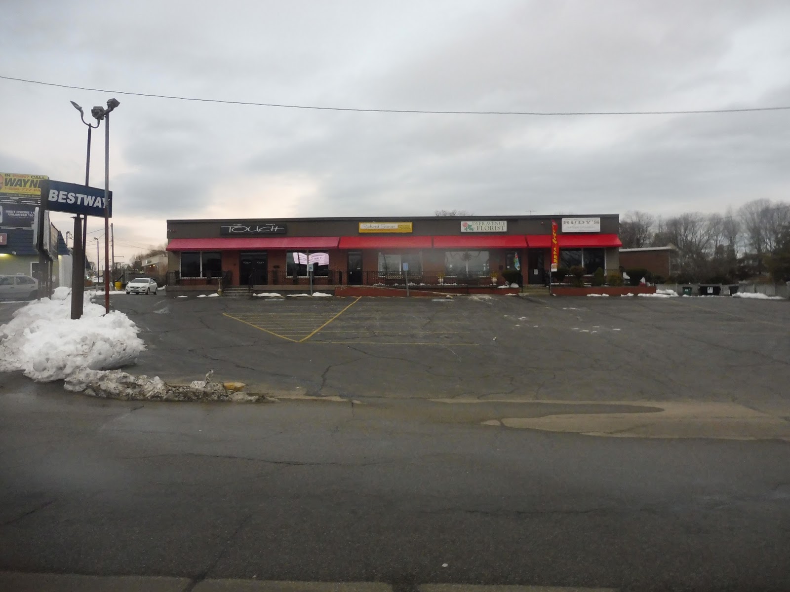 |
| Some random shopping plaza. |
Beyond there, Dyer Ave was a mix of basically everything – houses, businesses, and industrial buildings. As we entered Providence, the street became Pocasset Ave, and it got a lot denser. The street was lined with mostly houses and businesses now.
 |
| I don’t know why I find this picture kinda cool… |
There was a brief block where it became entirely residential, but once Pocasset Ave merged left and we joined the 19 on Plainfield Street, there was a short industrial section. We went under Route 6, a highway, and right after that we entered Olneyville Square, where there were businesses all around. After travelling through the square, we merged onto Westminster Street, going under Route 10, another highway.
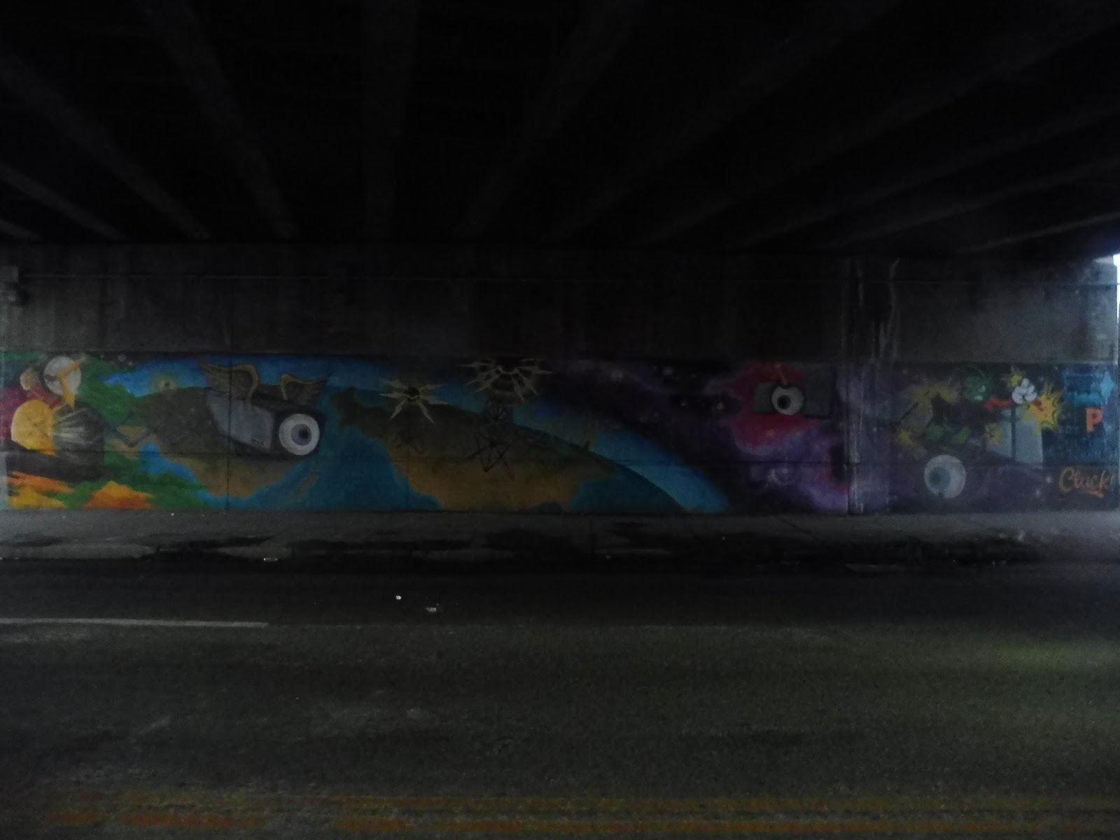 |
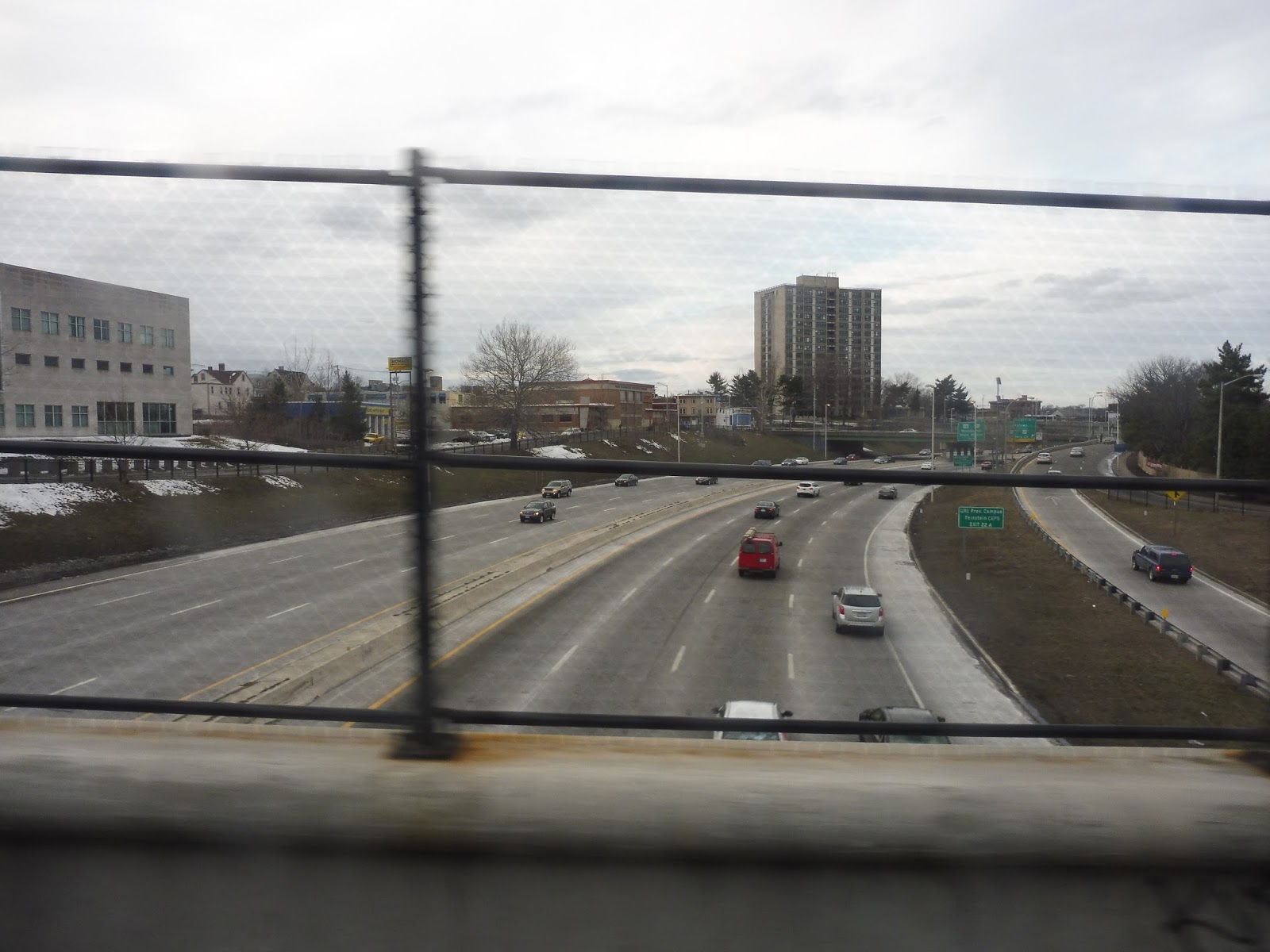
| A mural under the highway. |
We passed an elementary school, then it was another mix of dense houses and businesses. At the intersection with Cranston Street, we were joined by the 18 and the 31, and together we passed some varied buildings and crossed over I-95. We made our way to Washington Street on the other side of the highway.
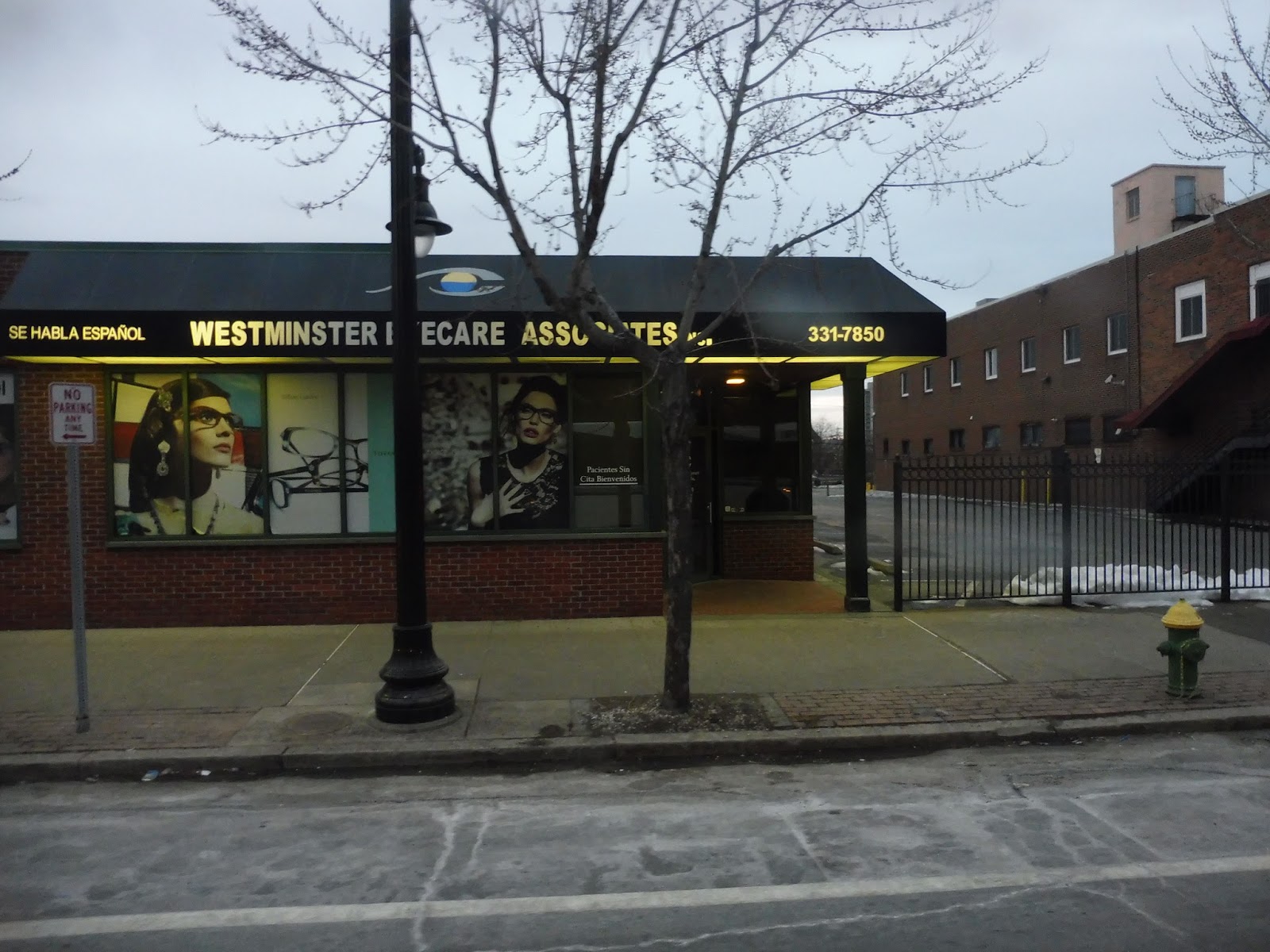 |
| Enjoy this random business, I guess! |
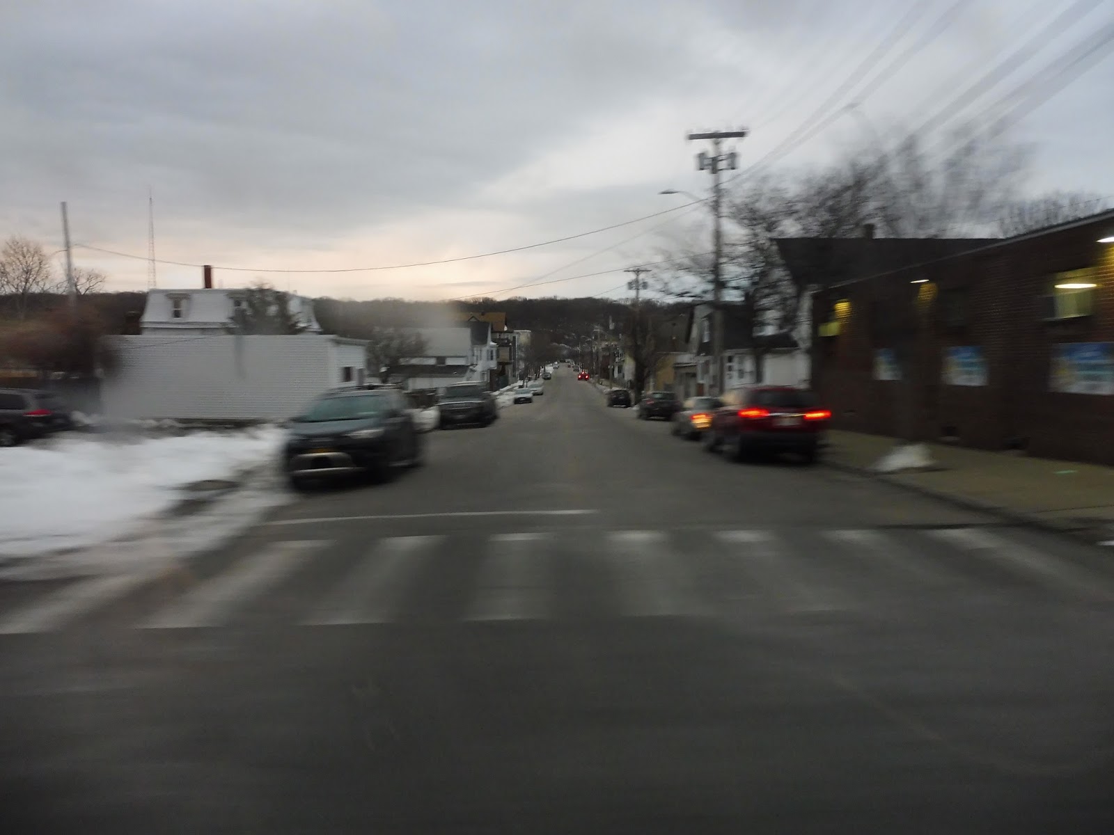
Oh, the route map makes the downtown trip look so easy, doesn’t it? Just straight up Washington Street to Kennedy Plaza, that’s how it’s drawn. But of course we had to take the long crazy route because of course we were in a rush to get our train home!
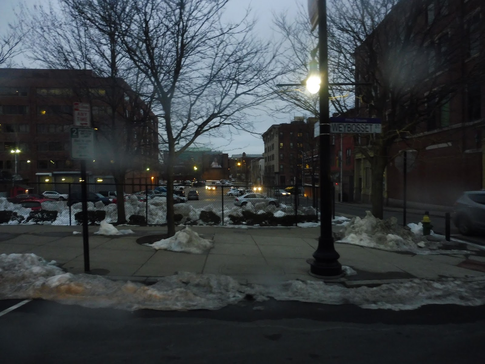 |
| A parking lot downtown. |
Thus, we turned onto Empire Street, then Weybosset Street, passing by the Providence Performing Arts Center. And wouldn’t you know it, there was a play going on that night! The traffic was awful through downtown, even after we passed the theater! Eventually we got some speed again as the street curved around and we finally arrived at Kennedy Plaza. For the record, we did make our train, but just barely – we had to sprint to the station!
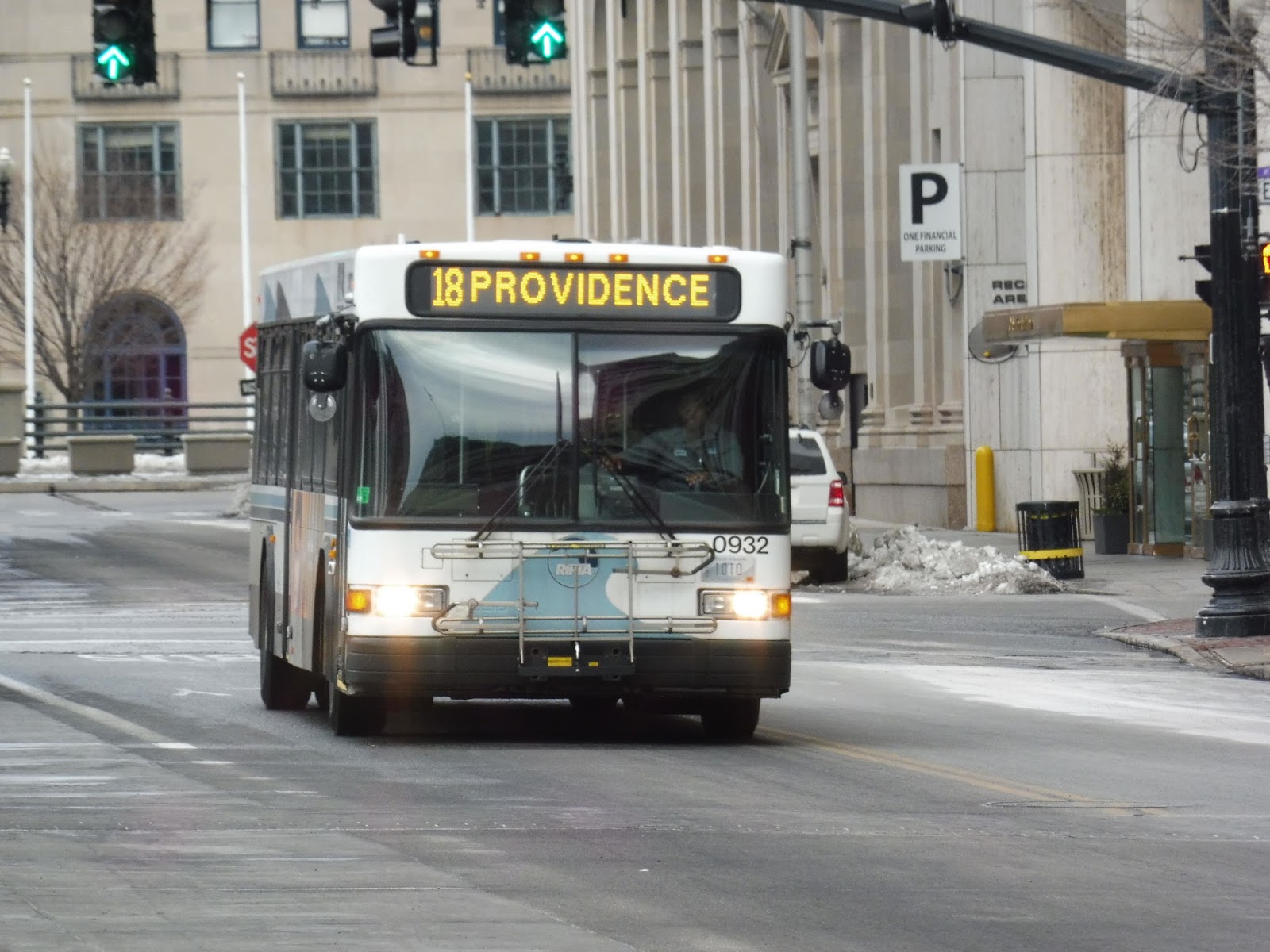
 |
| I didn’t get any pictures at Kennedy Plaza because we were running too fast, so here’s an earlier bus after we had gotten of the 18. |
RIPTA Route: 17 (Dyer/Pocasset)
Ridership: The 17 is, funnily enough, the RIPTA route with the 17th highest ridership! Every weekday in 2012, it got an average of 1,377 passengers, while on Saturdays it got 730 riders. The route didn’t have Sunday service back then.
Pros: The 17 is a pretty straight corridor route that serves a bunch of dense residential areas in Providence and Cranston. It has a decent schedule, too – every half hour on weekdays, every 50 minutes on Saturdays, and every 70 minutes nights and Sundays. Now, that weekend schedule sounds bad, but you have to remember that much of this route is shared with the 19, and the two are perfectly coordinated. Thus, service on the highest-ridership section is actually double the frequency of the 17.
Cons: Can RIPTA please update its maps to show where the buses actually go downtown? I mean, that whole detour we took there nearly cost us the train! Also, a lot of the outer route is really close to the 30, which runs express and offers a much quicker ride out there.
Nearby and Noteworthy: Stop & Shop, I guess. Most of this route really isn’t that interesting at all…
Final Verdict: 8/10
The 17 is a great little route. It serves some neighborhoods that aren’t served by other routes, but also some that are – the 30 is a significantly faster ride to some of those outer areas than the 17 is. Still, that’s basically my only problem with the route. Overall, the 17 performs its job well, and has pretty frequent service on the shared portion thanks to great coordination with the 19.
Latest MBTA News: Service Updates
RIPTA: 18 (Union Avenue)
The 31 is one of RIPTA’s most frequent and well-used routes. However, more than half of it is shared with another route, the 18. The 18 is not nearly as frequent…
 |
| The bus coming into Kennedy Plaza. |
Leaving Kennedy Plaza, we made our way onto Washington Street. It was downtown Providence, so the street was lined with tall buildings of various uses. After we passed the Providence Public Library, there were just a few more buildings before we crossed over I-95, effectively leaving downtown.
 |
| Crossing I-95. |
After going over the highway, we made our way onto Westminster Street, going by businesses, a church, an apartment building, and the Providence Classical High School. We soon split off from the 17 and 19 by merging onto Cranston Street, which went by a park and some housing developments. There were also some businesses here and there.
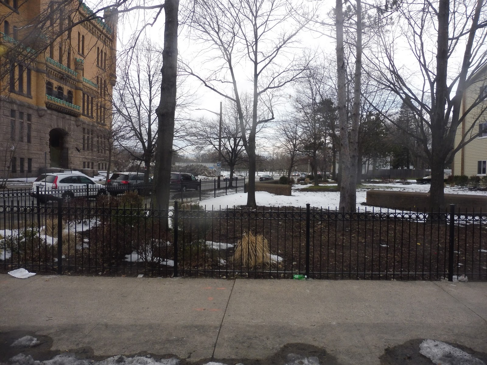 |
| A small park. |
Outside of the huge elaborate Cranston Street Armory, we left the 31, starting our independent section on Chapin Ave. This was a narrow street lined with dense houses and apartments on both sides. Next, we turned onto Ellery Street, offering mostly the same scenery, plus a park. There were a few businesses as we turned onto Union Ave, which crossed over the Huntington Expressway and the Commuter Rail tracks.
 |
| Looking down a side street. |
There was a bit of industry, then more dense houses and the occasional intersection with businesses. After the road went up a hill, we turned onto Laurel Hill Ave, entering Cranston. The houses along this street were bigger and further apart, and they continued as we turned onto Chestnut Hill Ave. We were only on here for a few blocks before turning onto Dyer Ave, where we reached the final stop – it was just a sign.
 |
| The bus laying over. |
RIPTA Route: 18 (Union Avenue)
Ridership: In 2012, the route got 636 riders per weekday and 338 per Saturday, sticking it slightly below average for RIPTA routes. On my trip, there was a decent amount of ridership along the shared portion with the 31, but the only people who stuck around as far as the independent section got off within a few stops.
Pros: The route directly serves some dense residential areas, and it definitely seems like a good amount of people use it (RIPTA’s ridership map shows good amounts of people even at the independent stops). The schedule is also neat and clean, with half-hourly service during peak periods and hourly service middays and Saturdays.
Cons: There’s no Sunday service, but that’s not actually a huge deal – the route never strays further than around a five minute walk from other RIPTA routes. Of course, that could also be considered a con, since it shows that the route may not be necessary.
Nearby and Noteworthy: No, there’s nothing much along this route. The few businesses it does serve on the independent section (and, indeed, on the shared section) seemed pretty sketchy.
Final Verdict: 7/10
The RIPTA evaluation for the 18 uses a term that I like to say a lot: this is a niche route. It gives infrequent, direct service to neighborhoods that are very close to other routes, but it seems like it gets enough people to justify its existence. That’s good enough for me!
Latest MBTA News: Service Updates
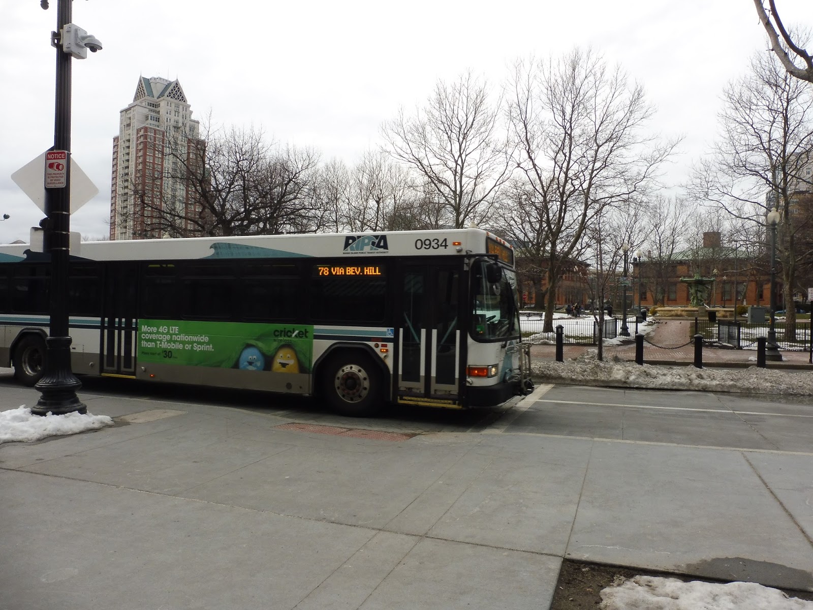
RIPTA: 78 (Beverage Hill/Newport Ave)
Oh boy, Beverage Hill! I’ve heard rumors that it’s a magical land full of beverages of all shapes and sizes! Orange juice, milk, soda…and some alcohol for the older folks *wink*. Well, I cannot wait to discover if these rumors are true! The 78 is our bus today, people!
 |
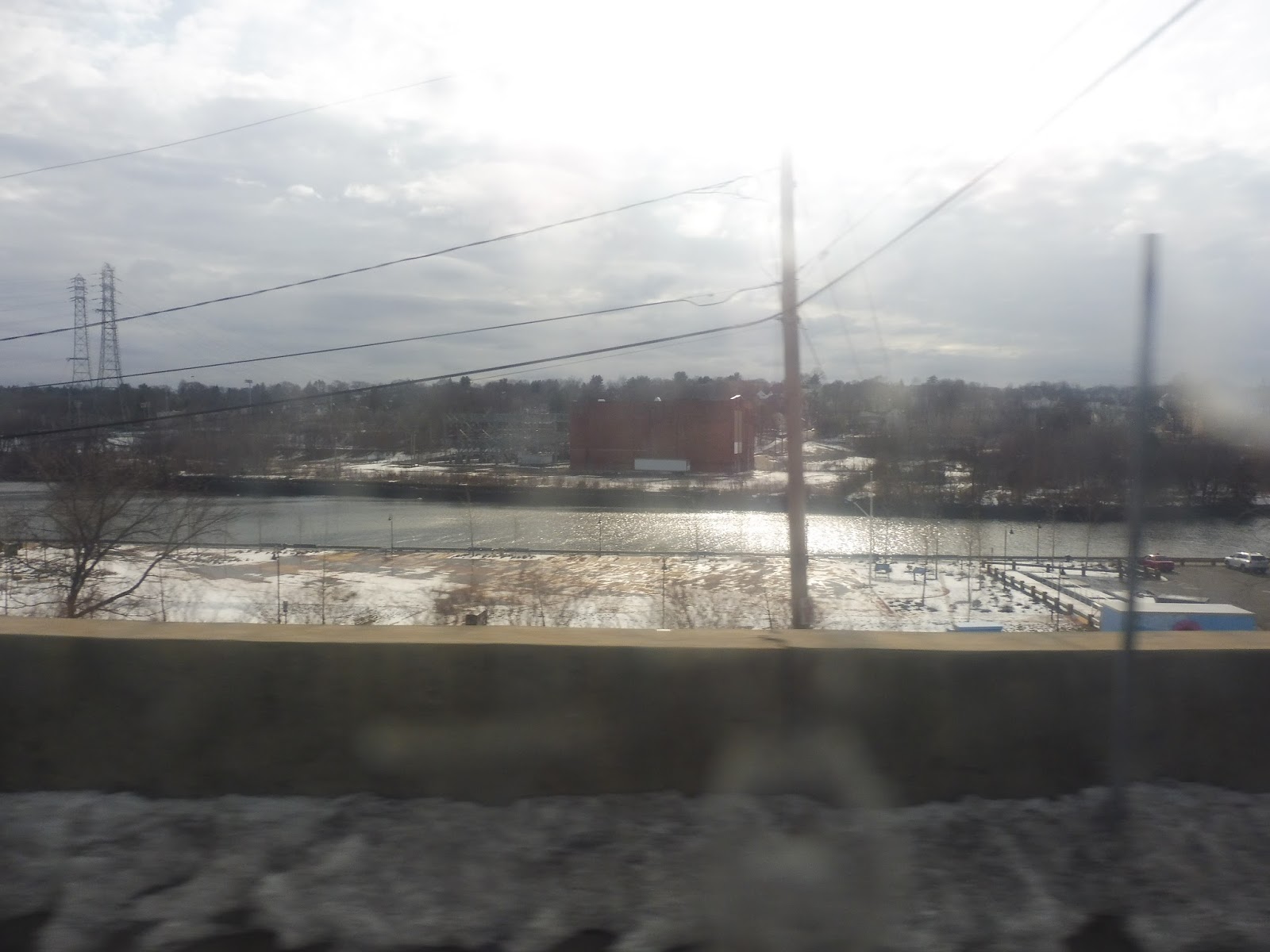
| The bus coming into Pawtucket. |
We headed down Roosevelt Ave from the Pawtucket Transit Center, then we turned onto Main Street, crossing the Seekonk River. As the road passed through an industrial area, we turned onto the one-way Water Street, which became School Street. This residential road took us up high, offering a great view of the Seekonk River.
 |
| I tried… |
The river eventually fell away behind a variety of buildings: a hospital, an apartment, and a boys and girls club. Soon, though, the street curved around to become…BEVERAGE HILL AVE! Were there the drinks all around that I had been looking forward to so much? Actually, no, it was just rather industrial. Shoot…
 |
| You let me down, Beverage Hill! |
We rejoined the outbound route at Prospect Street, then Beverage Hill Ave became mostly residential (aside from one little blip of more industry). After we reached Newport Ave, we made a really strange…deviation, I guess you could call it? The route eventually runs down Newport, but before doing that, we circled a block around the back of a shopping plaza through an industrial area. It really didn’t feel necessary…
 |
| Man, this is a wasteland… |
Well, we did make it to Newport Ave (entering East Providence), which was mostly lined with suburban businesses and parking lots. Near a golf course, we merged into the residential Pawtucket Ave. The road crossed over a single train track, then a large cemetery occupied one side of it.
 |
| The cemetery with some apartments behind it. |
We passed by some businesses and churches, but the area was still mostly just houses. Pawtucket Ave made a few curves left and right, then we passed through that same golf course from before (it’s pretty big). We had to deviate after that, pulling into the parking lot for a little mall called Wampanoag Plaza.
 |
| The mall parking lot. |
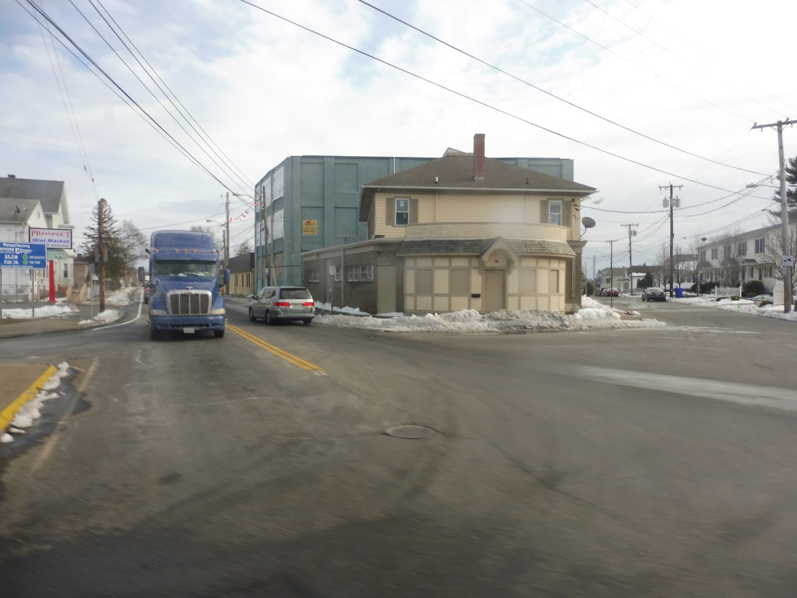
After the deviation had been completed, we headed down Taunton Ave, which was lined with more suburban businesses. Eventually we arrived at a pretty industrial area and passed through a strange intersection where Taunton Ave became Waterman Ave. However, we next turned onto John Street in order to make our way back down to Taunton Ave.
 |
| Part of that weird intersection. |
The street was lined with all manners of residential buildings, businesses, religious buildings, and even East Providence City Hall. Then all of a sudden, Taunton Ave became an on-ramp, and we were heading onto I-195. This took us over the Seekonk River again, offering a great view.
 |
| Nice! |
Now in Providence proper, we descended down to ground level and got off the highway at Exit 2. This took us onto South Main Street, which ran past various buildings and some kind of park…thing. Eventually we came into a really nice neighborhood with a bunch of awesome unique businesses lining the street.
 |
| The 78 used to go through the tunnel, but they rerouted it. Alas… |
We went by the Rhode Island School of Design, the portal to the East Side Bus Tunnel, the First Baptist Church in America, and lots of other businesses. Next, we turned onto Steeple Street, taking us over the Providence River. Turning onto Memorial Boulevard, then Kennedy Plaza, we arrived at the main RIPTA hub.
 |
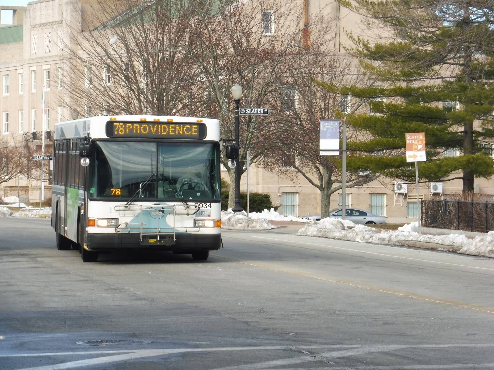
| The bus about to pick up outbound passengers. |
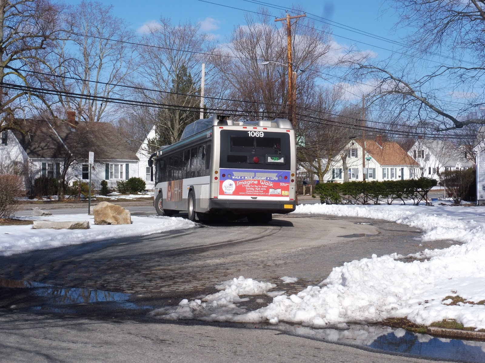
RIPTA Route: 78 (Beverage Hill/Newport Ave)
Ridership: In 2012, the 78 got 1,000 riders per weekday, 800 per Saturday, and 300 per Sunday. That averaged out to about 20-25 riders per trip, which is about on par with what I saw on my ride. The great thing about the 78 is that it has transportation hubs on both ends, so ridership goes in both directions!
Pros: Well, for one thing, see the last sentence. Sure, no one’s gonna take this from beginning to end, but having big hubs on either end allows for great bidirectional ridership. It helps that the route serves a huge chunk of East Providence, and its schedule is decent – every 45 minutes on weekdays and Saturdays, and every 90 minutes on Sundays (infrequent, but the ridership is lower).
Cons: The Sunday schedule could probably stand to be better, and I also have a problem with one section of the route: that weird one-block deviation around Newport Ave. The route only does it going inbound, and it really doesn’t serve anything that’s not within walking distance of Newport Ave. It seems like it just adds unnecessary time to the route!
Nearby and Noteworthy: There isn’t much of note along the 78’s independent section, but it does serve a really cool neighborhood on its approach into Providence. That said, it’s within easy walking distance from downtown, so I wouldn’t recommend taking the bus there.
Final Verdict: 8/10
This is a really solid route. It serves a big portion of eastern Pawtucket and East Providence, and can bring its residents to either of RIPTA’s two biggest hubs! The route is decently frequent as long as you’re not riding on Sundays, too. Yeah, that one deviation by Newport Ave is a bit weird, but the route is great aside from that.
Latest MBTA News: Service Updates
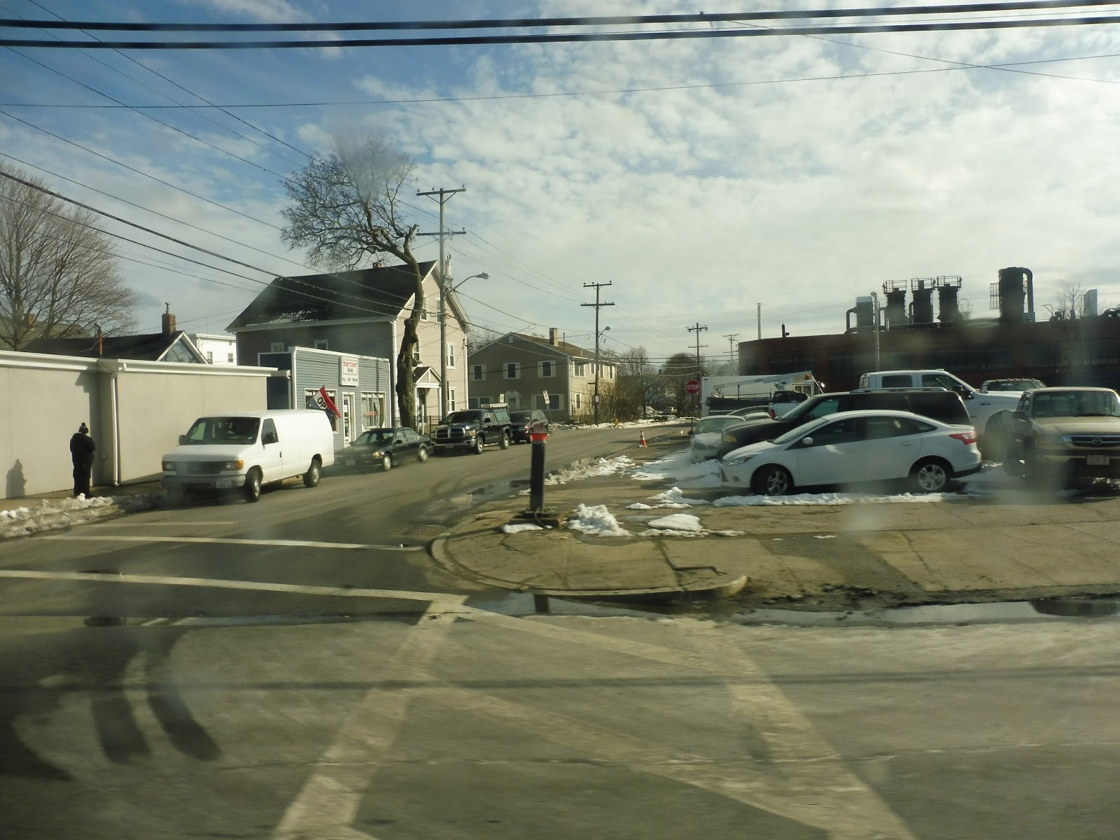
RIPTA: 76 (Central Ave)
RIPTA’s routes out of Pawtucket are definitely the sad stepchildren of the system. They generally get worse buses, they almost always have terrible schedules, and their ridership is often lower than the rest of the system. Does the 76 stack up to those expectations? Let’s find out.
 |
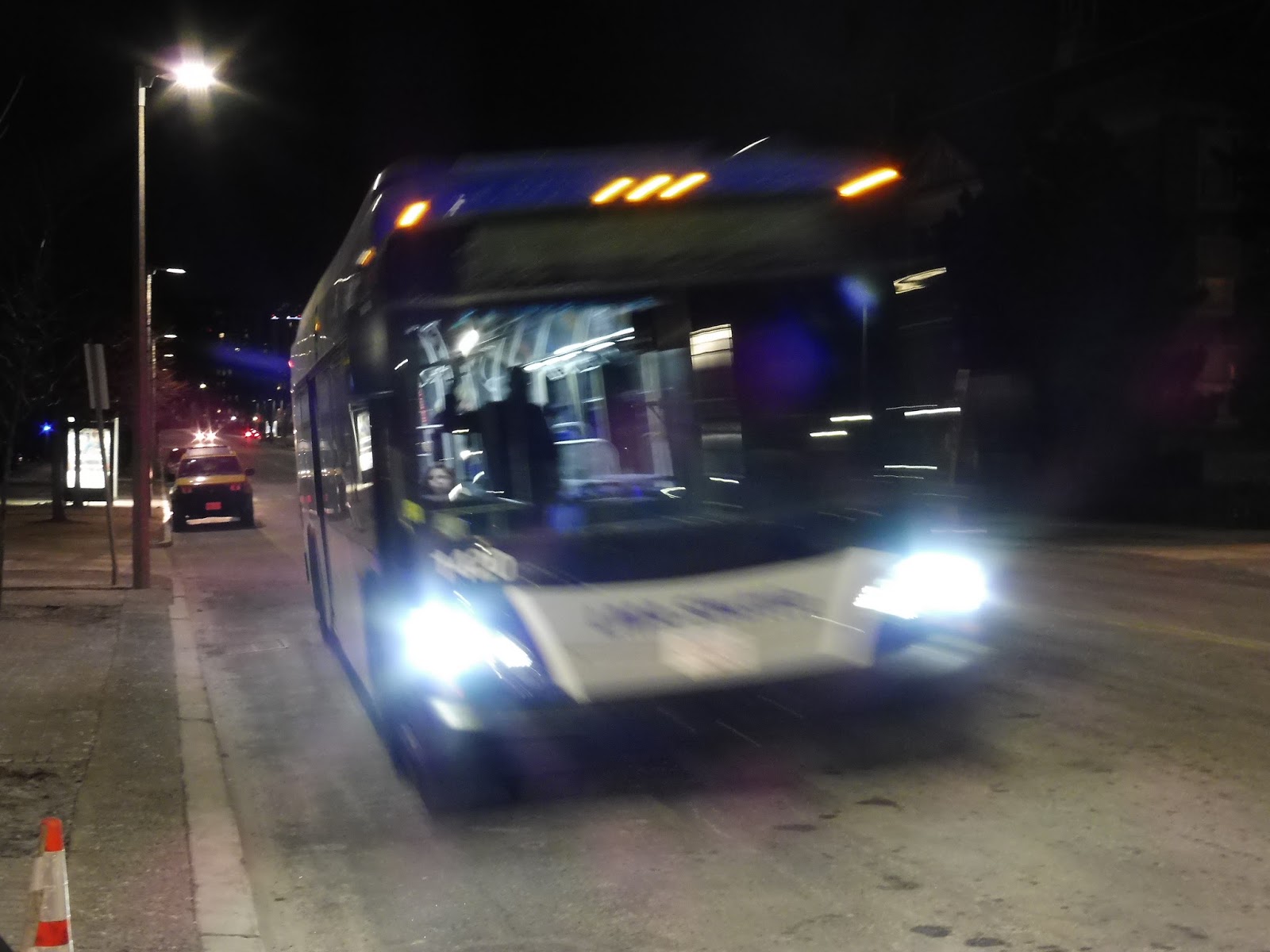
| The bus laying over. |
The route actually gets a little “busway” of sorts at its terminus, although the driver refused to board anyone from it. Thus, Nathan and I got on at the end of the block, and after I had trouble buying my day pass with an overly crinkly five dollar bill, we were off. We headed down Benefit Street, then made a sharp turn around onto Central Ave, coming close to the Massachusetts state line.
 |
| A residential side street. |
Central Ave was entirely lined with dense houses at first, but eventually some businesses started to come into the mix as well. There were a few churches near the intersection with Newport Ave, as well as a small school. Beyond that intersection, there were even more businesses interspersed among the houses.
 |
| It’s starting to get industrial over here! |
Eventually, we turned onto Freeman Street, taking us into the parking lot for a Stop and Shop. That’s right, we were deviating! At least we picked up a few people at the store, and even had a driver switch. After that, we looped around onto George Bennett Highway, an industrial street with a railroad track running right next to it.
 |
| Micky D’s!! |
After a bunch of industrial buildings (and a cemetery), we turned onto Armistice Boulevard, taking us into another residential neighborhood. Next, we turned onto North Bend Street for a block, then onto Walcott Street, via an intersection playing host to another church and a catholic school. Beyond there, the street was again residential, with bigger houses than before.
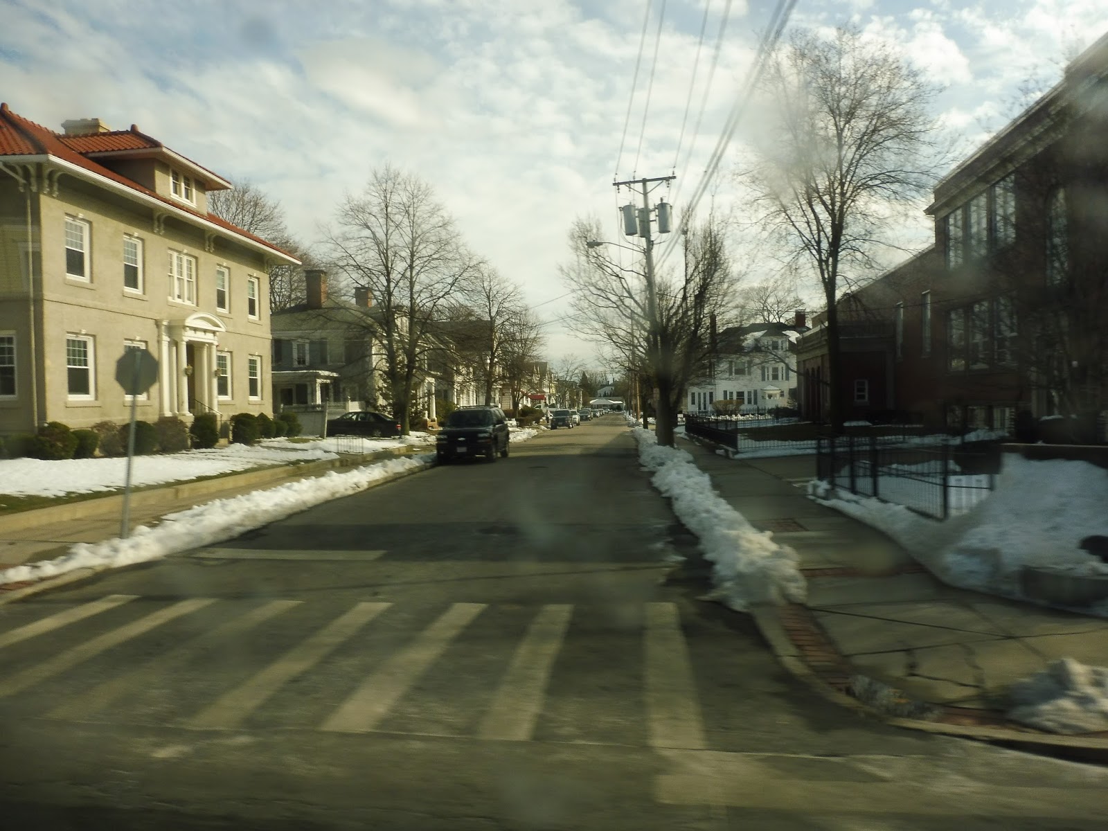 |
| Looking down a side street with more houses. |
Soon, we turned onto Underwood Street, taking us right up alongside I-95. After that we turned onto Exchange Street, which was lined with multi-storied buildings of various uses. We crossed over the Blackstone River, then turned onto Roosevelt Ave, arriving at the Pawtucket Transportation Center and finishing the rather short ride.
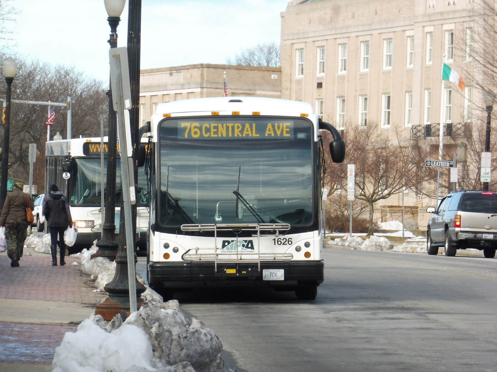 |
| A very head-on view of the next bus going onto the route. |
RIPTA Route: 76 (Central Ave)
Ridership: In 2012, the route was getting incredibly low ridership: 264 passengers per weekday, 191 per Saturday, and 131 per Sunday. They’ve made a lot of changes since then to increase the ridership per trip, most notably cutting Sunday service and lowering the route’s frequency. It seems these were good changes – while the route was averaging 4 riders per day on Saturdays in 2012, my ride had 10!
Pros: This is definitely a niche route, but it serves its fair share of Pawtucket. The whole route is full of dense residential neighborhoods, and though the Stop and Shop deviation didn’t get that many people back in 2012, it was the highest-ridership stop on my ride!
Cons: Man, that schedule…it’s a weird one. The route runs every hour on Saturdays, which seems like a good frequency, but then on weekdays it’s every…90 minutes? What?! Why does it run so infrequently on the days when ridership is typically higher?
Nearby and Noteworthy: Yeah, basically just Stop and Shop. There were some local businesses along the route that could be good, though.
Final Verdict: 6/10
The 76 may be short and its ridership not that great, but every 90 minutes on weekdays just seems way too infrequent. The hourly Saturday schedule definitely has the right idea! That being said, the route still serves a dense neighborhood, and this is its only direct link to Pawtucket, so I can’t fault it too much.
Latest MBTA News: Service Updates
Transit Tales: 70 Minutes in Attleboro
If there was ever one redeeming factor about the GATRA, it was that its buses could be reasonably trusted to arrive on time. I never had any doubt that their routes were at least reliable, and even if they were late, it was never more than five minutes or so. Buuuuuuuuut…I guess after this experience, that’s another good thing about GATRA I can discredit, because this was just ridiculous!
Nathan and I originally had a plan to arrive into Attleboro on the 1:56 train, do a round trip on the 2:00 GATRA 14, then come back and board the 3:11 train towards Providence. Pretty simple, right? Our train was perfectly on time, so we assumed we’d have an easy transfer to the GATRA. It was good that we wouldn’t have to wait long, too, since there were some pretty sketchy people hanging out at the station.
But 2:00 came and went, and the bus hadn’t shown up. Oh, well, it was okay if it was a little late – the route has a bit of recovery time at its terminus, so we would still make it back on time. But still, now it was 2:15 and the bus still hadn’t come? Something was definitely wrong.
At 2:20, we decided to call GATRA to find out what the heck was going on. After finding their number on a paper schedule, I dialed up and asked about where the heck this 14 was. “Oh, the bus broke,” said the woman on the phone. “You’ll have to wait for the 3:00 trip.” OH…WOW, OKAY. THANKS FOR LETTING US KNOW, GATRA!
At least one could make the argument that they don’t have any means of telling passengers when such things happen. Oh, hang on, YEAH THEY DO. HMMMMMM. Okay, anyway, we knew it would be a waste of time to take the 3:00 14 (we’d miss the train, obviously), so we formed another plan: we would get the 2:35 16 to the Rhode Island line, then make the 53-minute transfer to the RIPTA 56. Yeah, it wasn’t optimal, but it was the best we could do.
But ohhhhhhhhhhh no, the 16 decided to play games, too! 2:35 went right by, and there was no sign of a bus. At 2:45, we decided to call GATRA again, this time from Nathan’s phone (since I had called about the 14). “It’s just a little late,” the woman said. “It’ll be there any minute.” Great.
Well, if by “any minute”, she meant 15 minutes, then yeah, that’s about right. At around 3 o’clock, the bus finally arrived in Attleboro – 25 minutes late! Oh well, at least the insane lateness made the wait for the RIPTA that much shorter. And now I can review the route, right?
NO! GATRA announced that they’re extending the route! I have to ride the stupid thing again! But at the very least, while the route was pretty bad when we rode it, this extension has made it reeeaaaalllyyyyy bad. I look forward to being able to slam it even harder than I would have! Until we meet again, 16…
 |
| ‘Bout time… |
M2C (Coolidge Corner)
So, did you know that a few night M2s run via Coolidge Corner? Yeah, I had no idea, either! I mean, who would suspect? It’s just so unexpected that these few random M2s happen to take a vastly different route than their counterparts. Well, anyway, want to hear about the ride? Heck yeah!
 |
| Whoosh! |
To be honest, Nathan and I had no idea where to wait for this elusive M2C. There were shelters on both sides, and people were waiting at both. Originally we took the northern one, but eventually everyone meandered to the other side of the street, so we headed over there too. The bus arrived right on time, missing a front destination sign, unfortunately.
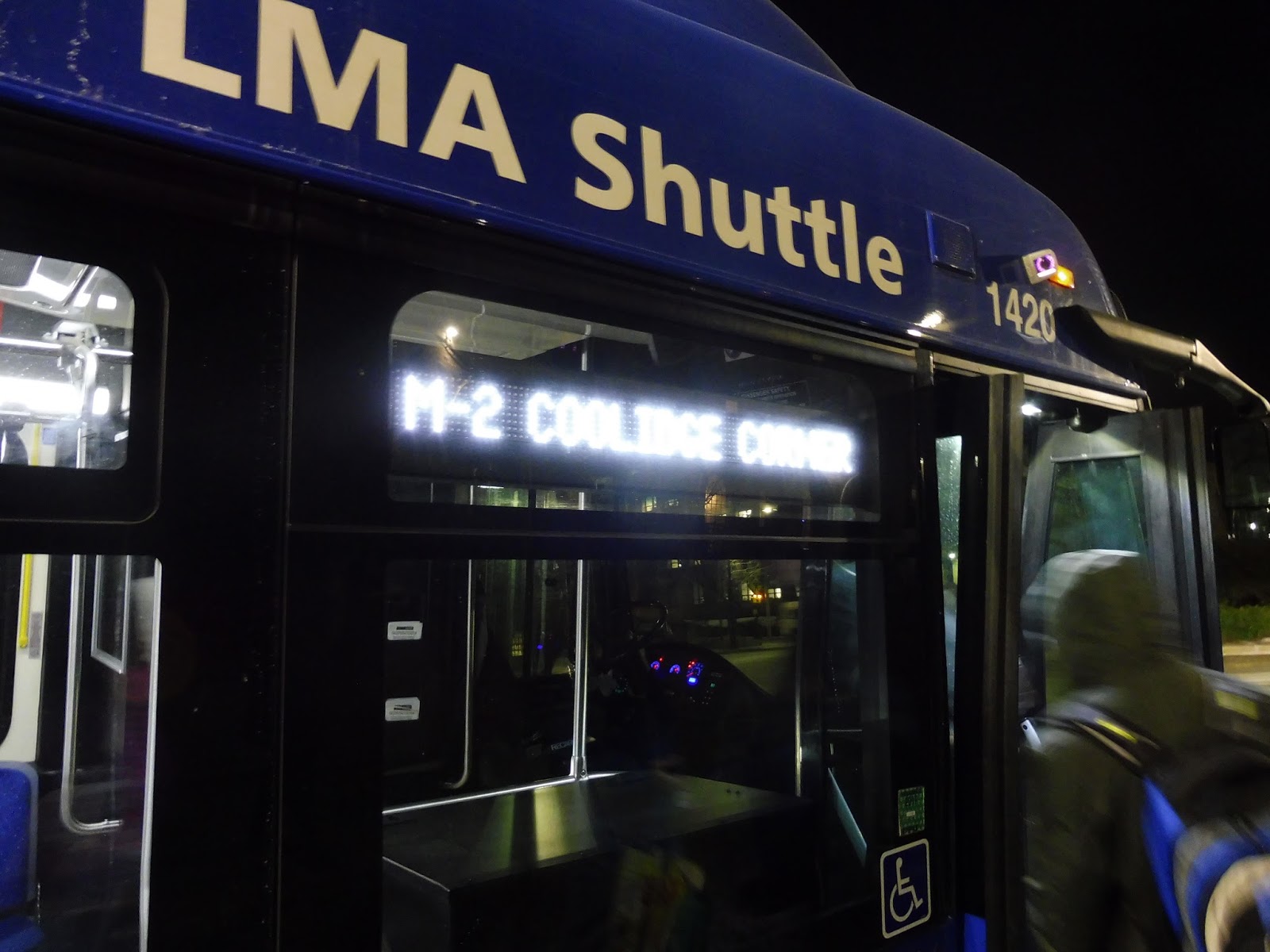 |
| At least the side one was working! |
We left the southbound stop and made our way around the wide median at the end of Avenue Louis Pasteur. This took us onto Longwood Ave, running right through the heart of the Longwood Medical Area. The buildings started to thin out as we continued down the street, until we crossed the Riverway, then went over the Muddy River and the D Line.
 |
| That’s interesting… |
Independent from any MBTA bus routes, Longwood Ave was now residential. Going by lots of handsome brick houses and apartments, we trundled down the road in the darkness. This eventually led us to Coolidge Corner in record time, where we turned onto Harvard Street, joining the 66 and crossing over the C Line.
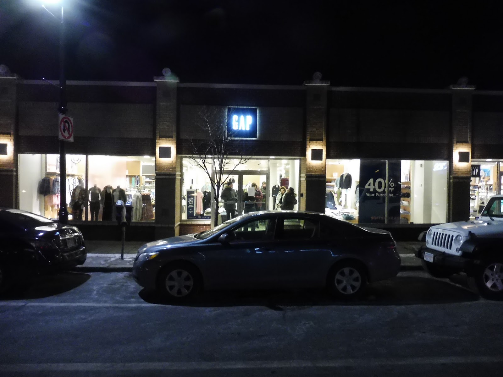 |
| Hi, Gap. |
Along this whole section we were passing those classic Coolidge Corner businesses, then they became apartments as we left the “downtown” area. It didn’t last long, though, as retail soon lined Harvard Street again in full force. It consisted of single-story businesses for a while, but as we crossed Harvard Ave and the B Line, the buildings got taller.
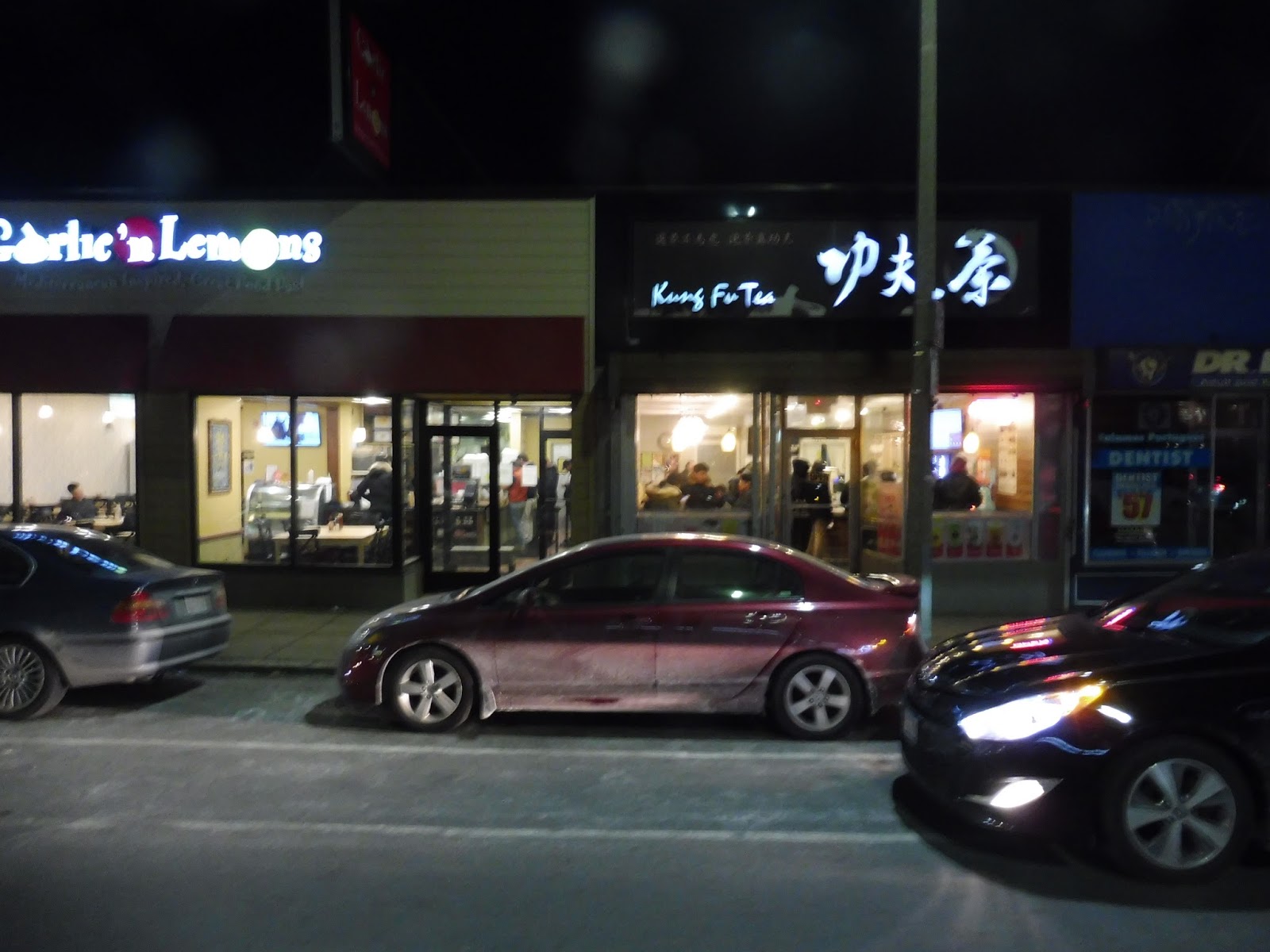 |
| Some more businesses. |
There was a mixture of retail and apartment buildings past there. While the 66 does its annoying Union Square “jog,” we just stayed on Harvard Ave, then turned onto Cambridge Street. This blasted us over the Commuter Rail tracks and I-90, then some apartments and industrial businesses appeared on one side of the road beyond the bridge.
 |
| This is eerie… |
The 66 turned onto North Harvard Street, so now we were running with the 64. Meanwhile, Cambridge Street ran on a bridge over its interchange with I-90, then we went over the Charles River. Cambridge Street became River Street, and after a park and a huge apartment building, we were surrounded by mostly dense housing.
 |
| Not my best-ever picture, that’s for sure. |
I was assuming we’d run right into Central Square, but apparently that wasn’t the case! No, instead we turned onto Franklin Street, a narrow one-way going past mostly more houses. Next, we turned onto Brookline Street for two blocks, and finally onto Mass Ave, making a stop at the rainbow MBTA shelter.
 |
| Oh hey, it’s that new Target! |
Central Square was full of businesses and tall buildings, which both continued as we left the square. There were also plenty of apartment buildings in the mix, as well as Cambridge College. Soon, Mass Ave split into two parts, and we ran up into Harvard Square. Holyoke Gate was the last stop, and the bus laid over there for a little while before returning to the LMA.
 |
| Too bad that destination sign still isn’t working. |
Route: M2C (Coolidge Corner)
Ridership: Okay, I have to be honest, I wasn’t expecting anyone on this route, but I was dead wrong. Our trip got over 30 people, and most of them did indeed get off along the independent section, even as far as Cambridgeport! Clearly there’s a lot of demand for this strange, infrequent route.
Pros: Yeah, so, people actually use it! I really wasn’t expecting that! But then again, when you give it a good look, it’s hard to see why people wouldn’t use it. It’s by far the easiest way of getting from the LMA to the places it serves, since it offers a direct trip right down Longwood Ave to Coolidge Corner. (I didn’t even know that was possible!) This is actually the only one-seat ride from the LMA to that area, so it beats the MBTA in that regard!
Cons: Aside from the fare system, which continues to be ridiculous, this route only has the wee little problem of never freaking running. This route has five departures: four northbound trips at 5:15, 6:25, 9:30, and 11:30; and one southbound trip at 10:00. Why the heck does it only have these trips, and why the heck does it only run at night? It got so many people!
Nearby and Noteworthy: I love Coolidge Corner, but it’s very unlikely you’ll ever actually use this route to get there. Maybe try a route that runs during the day, such as the Green Line or the 66. Just sayin’…
Final Verdict: 4/10
This is a great route, but it just doesn’t live up to its potential. There’s gotta be some way they can give this thing more service, at least a few trips in the morning rush to get people to the LMA. And just to drive the point home, the schedule is really the only thing wrong with this route, but it’s just so terrible that it’s worth all those lost points. Give it at least a little more service!
Latest MBTA News: Service Updates