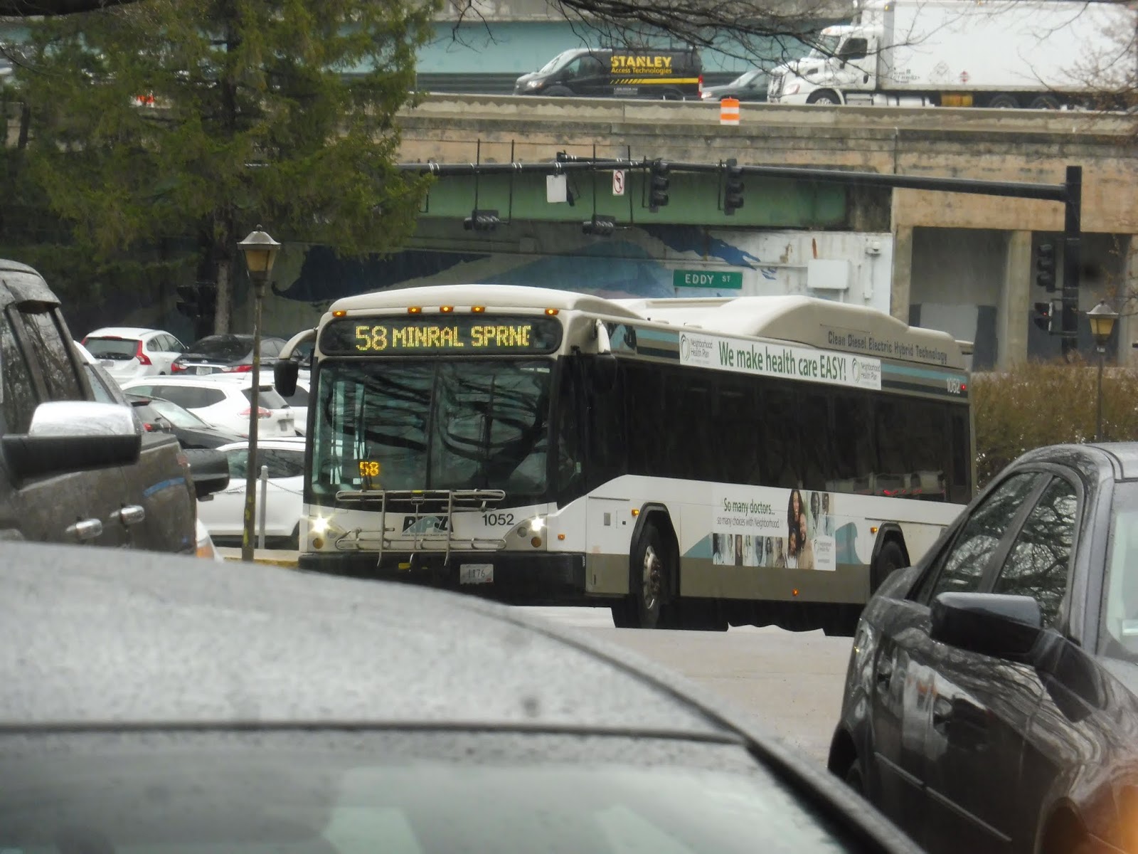
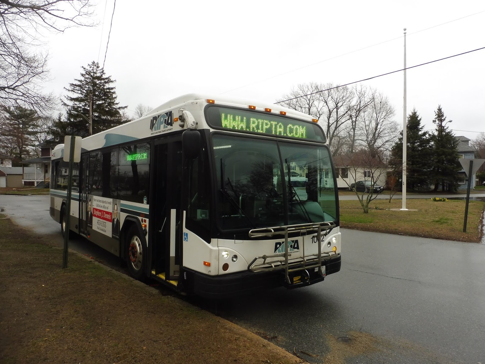
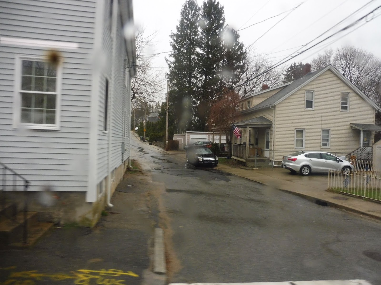
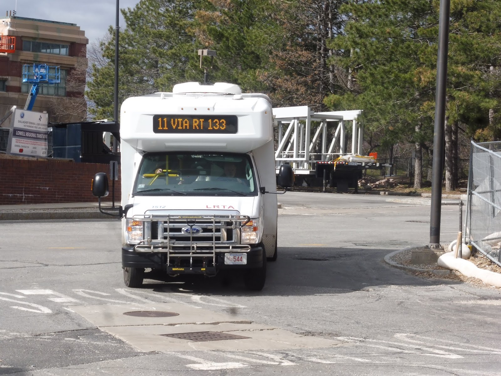
RIPTA: 58 (Mineral Spring/North Providence)
We previously reviewed one of RIPTA’s only crosstown routes. The 29 was a pure crosstown, darting in and out to serve as many places as possible while cutting across practically every southern RIPTA route. Now, this one is a little different. The 58 is trying to be a crosstown, but it’s also trying to be a radial route to Providence. It doesn’t work.
 |
| Peeking out from behind a car. |
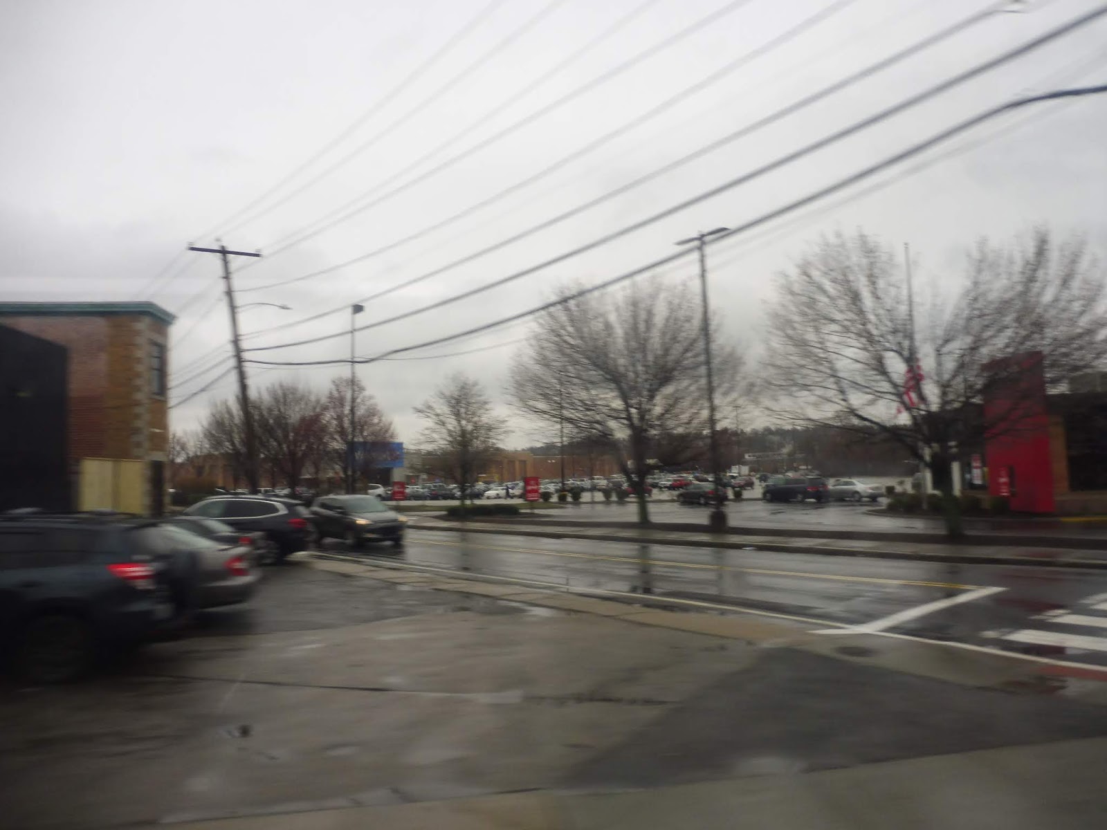
Now, the 58 doesn’t actually begin at Kennedy Plaza. It starts south of the plaza, at the Rhode Island Hospital. This is a preliminary step to creating the Downtown Transit Connector, but that’s still pretty far off, so it’s just…a one seat ride to the hospital at the moment, I guess. The route was “detouring” to the building’s front door (although it usually doesn’t), and from there, we did a loop to get onto Eddy Street.
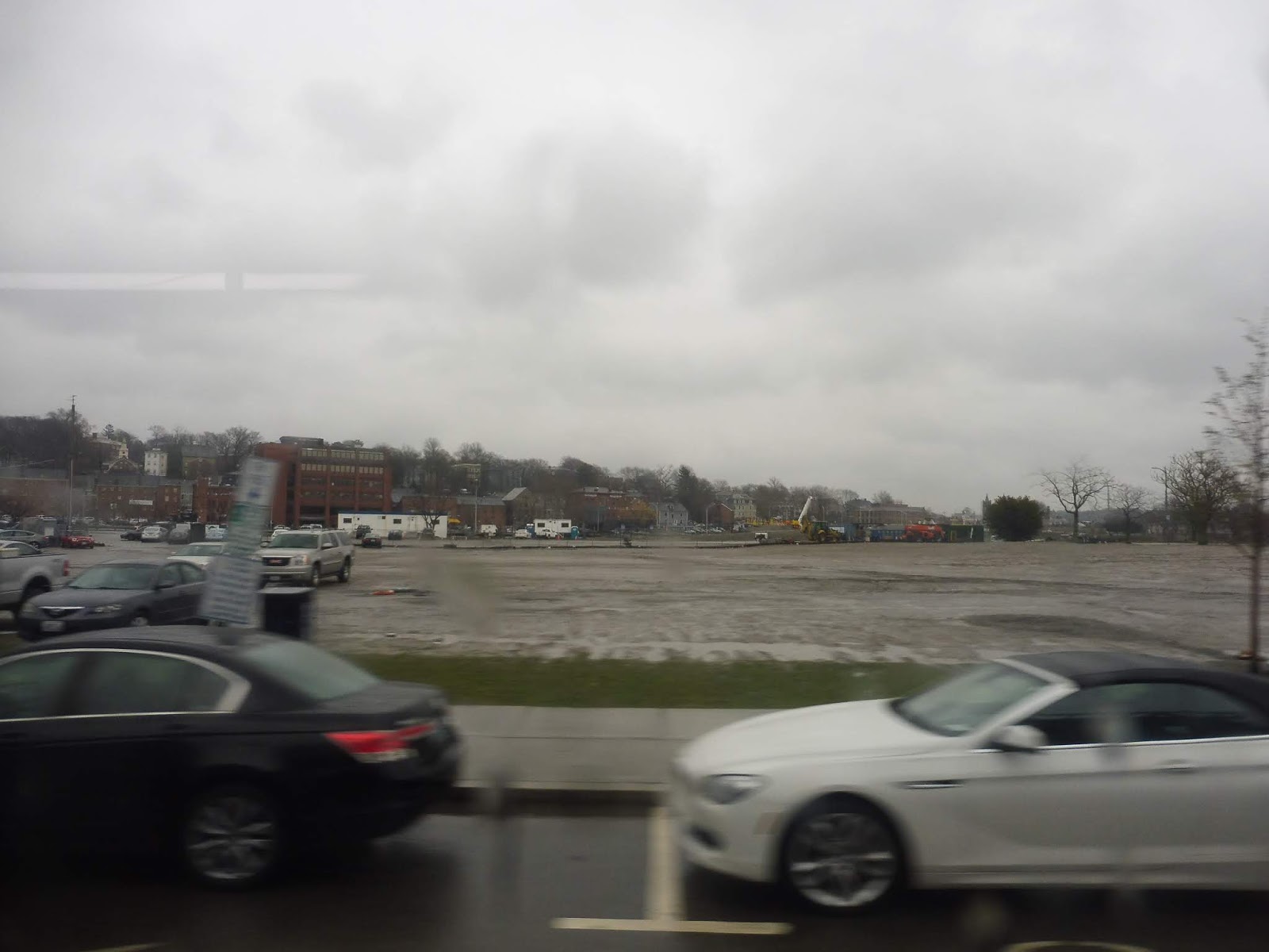 |
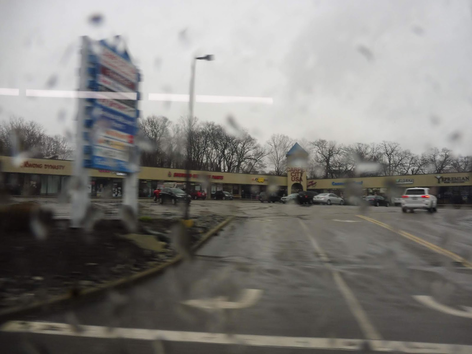
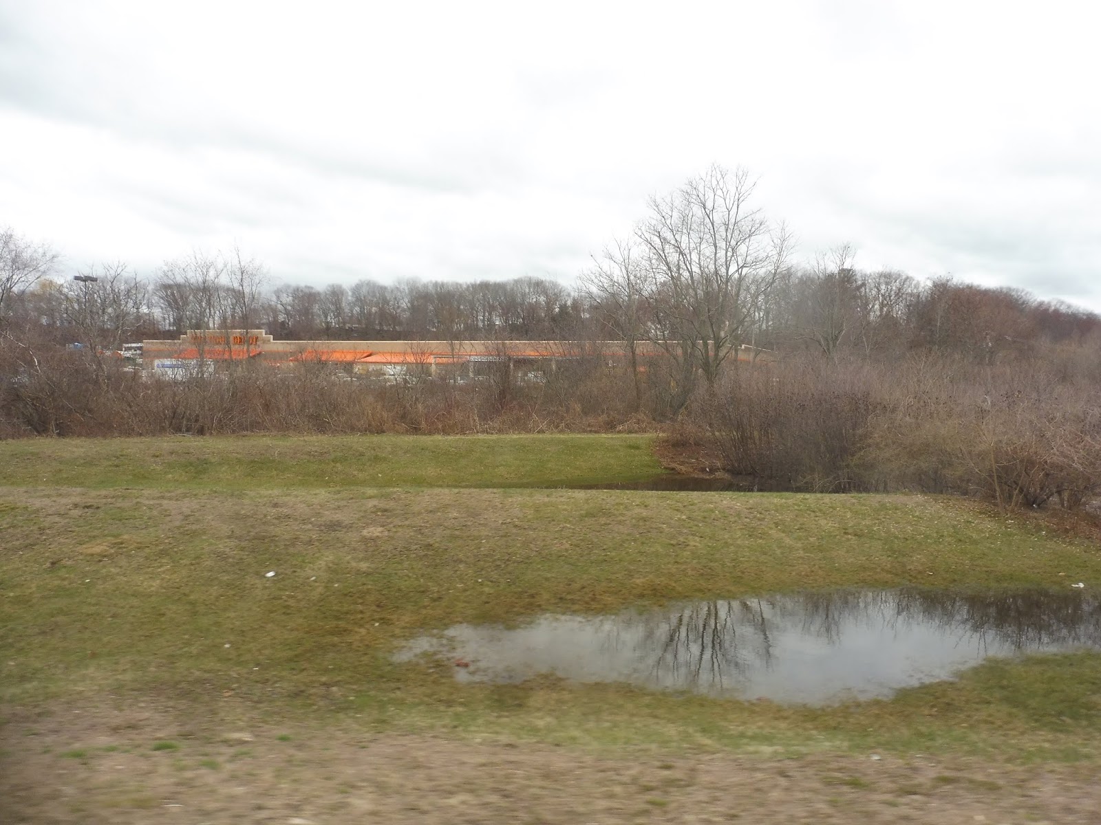
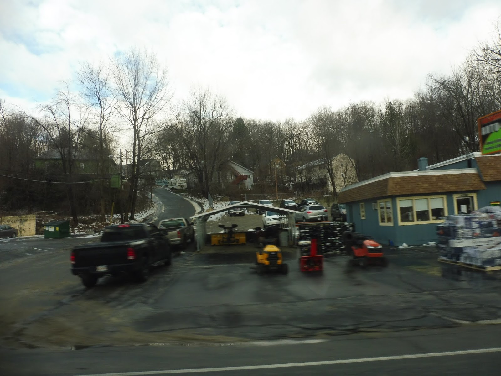
| A big ol’ parking lot. |
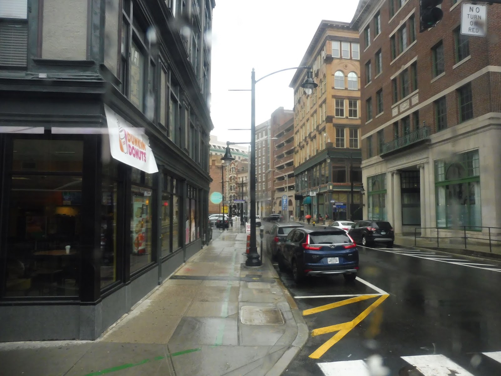
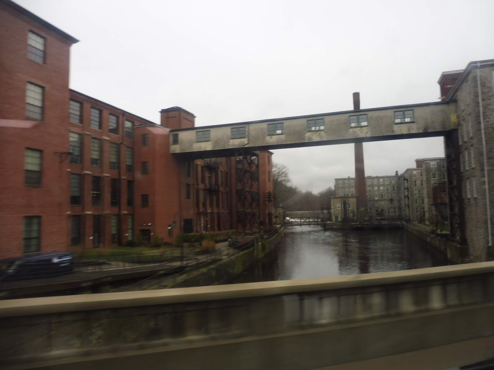
There was some undeveloped land for a bit after we went under I-95, but then we entered the up-and-coming Jewelry District. We went through another piece of vacant land north of that, then we turned onto Dorrance Street. This took us into downtown Providence proper, and we were soon picking people up at Kennedy Plaza.
 |
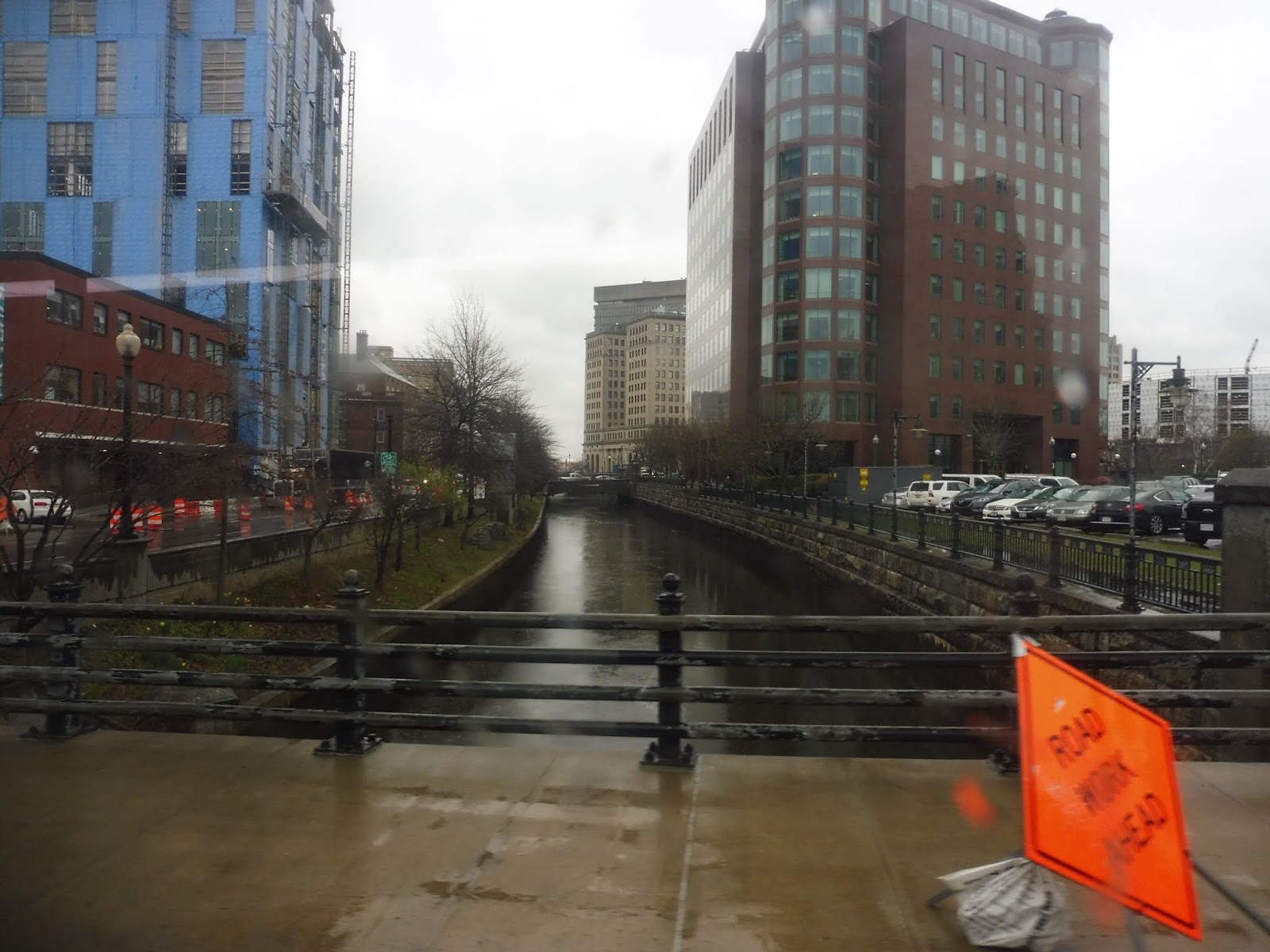
| When you’re alone and life is making you lonely, you can always go downtown. |
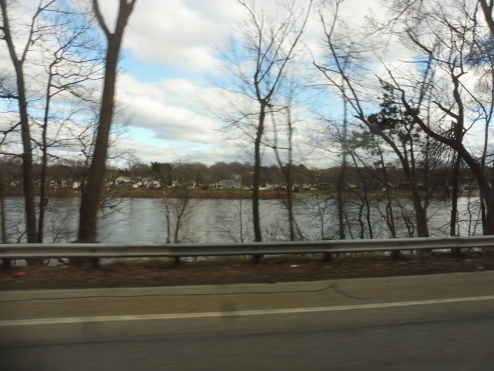
From the Plaza, it was a left onto Kennedy Street, and we crossed the Woonasquatucket River on this. After doing a very slight deviation to serve Providence Station, we headed out onto Park Row, going over the Moshassuck River. We were now on the East Side as we turned onto North Main Street, passing green space on one side and dense houses on the other.
 |
| Crossing a river. |
We went over the Moshassuck River a second time when we merged onto Mill Street, passing a few different types of buildings as the wide road split into two when it went under I-95. We passed a post office and went over the Northeast Corridor, then we went by some big box stores before the neighborhood turned to be mostly residential. At Hopkins Square, a triangular-shaped park, we took a left onto Branch Ave, beginning our independent section.
 |
| I can see Walmaht! |
Branch Ave went under Route 146, then it was mostly residential, but we also went by an old factory converted into shopping…sorta. Our independent section ended when we merged with the 50 on the industrial Douglas Ave. And, just like the 50, we had to do a wonderful deviation into Shaw’s via the residential Lubec Street.
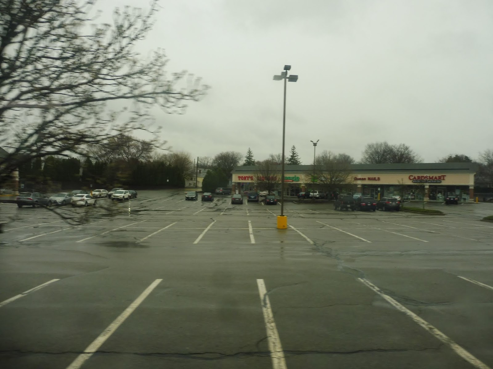 |
| Part of the Shaw’s shopping complex. |
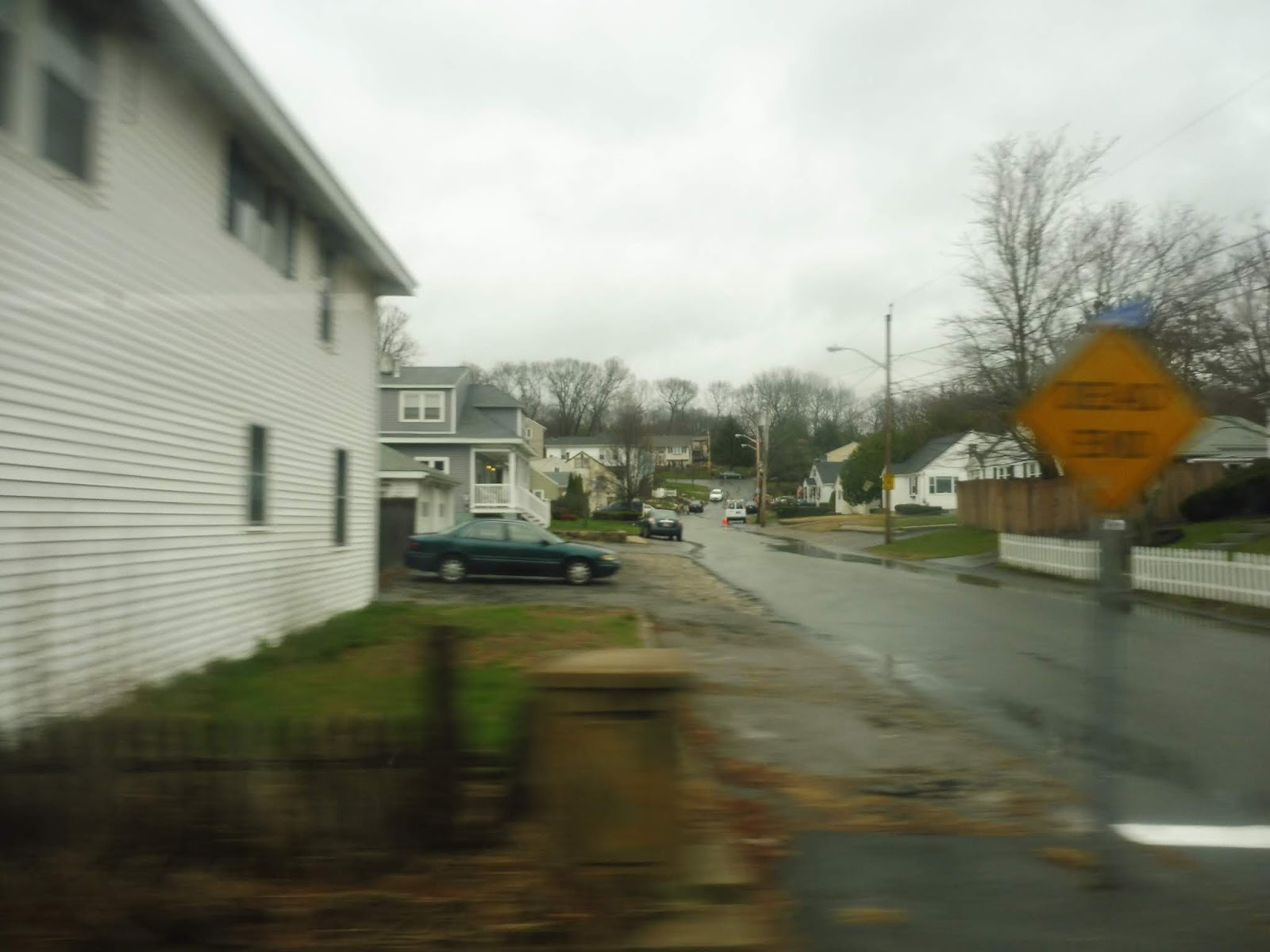
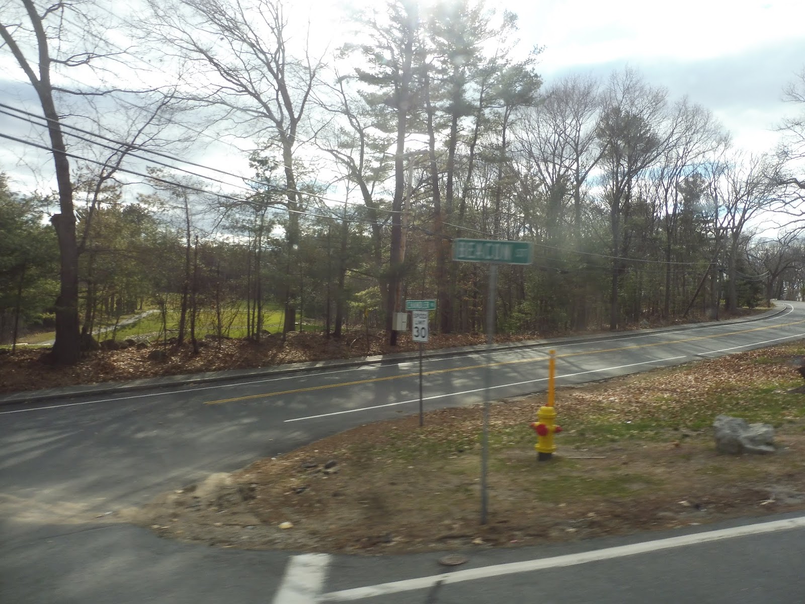
Well, that was a great deviation. We came back onto Douglas Ave afterward, but we left it soon by turning onto Mineral Spring Ave, going independent again. It’s worth noting that we took a left on Mineral Spring, as most service does, but on one trip, the route takes a right and just kinda…ends at Route 146. Yeah, I don’t know.
 |
| Some suburban development. |
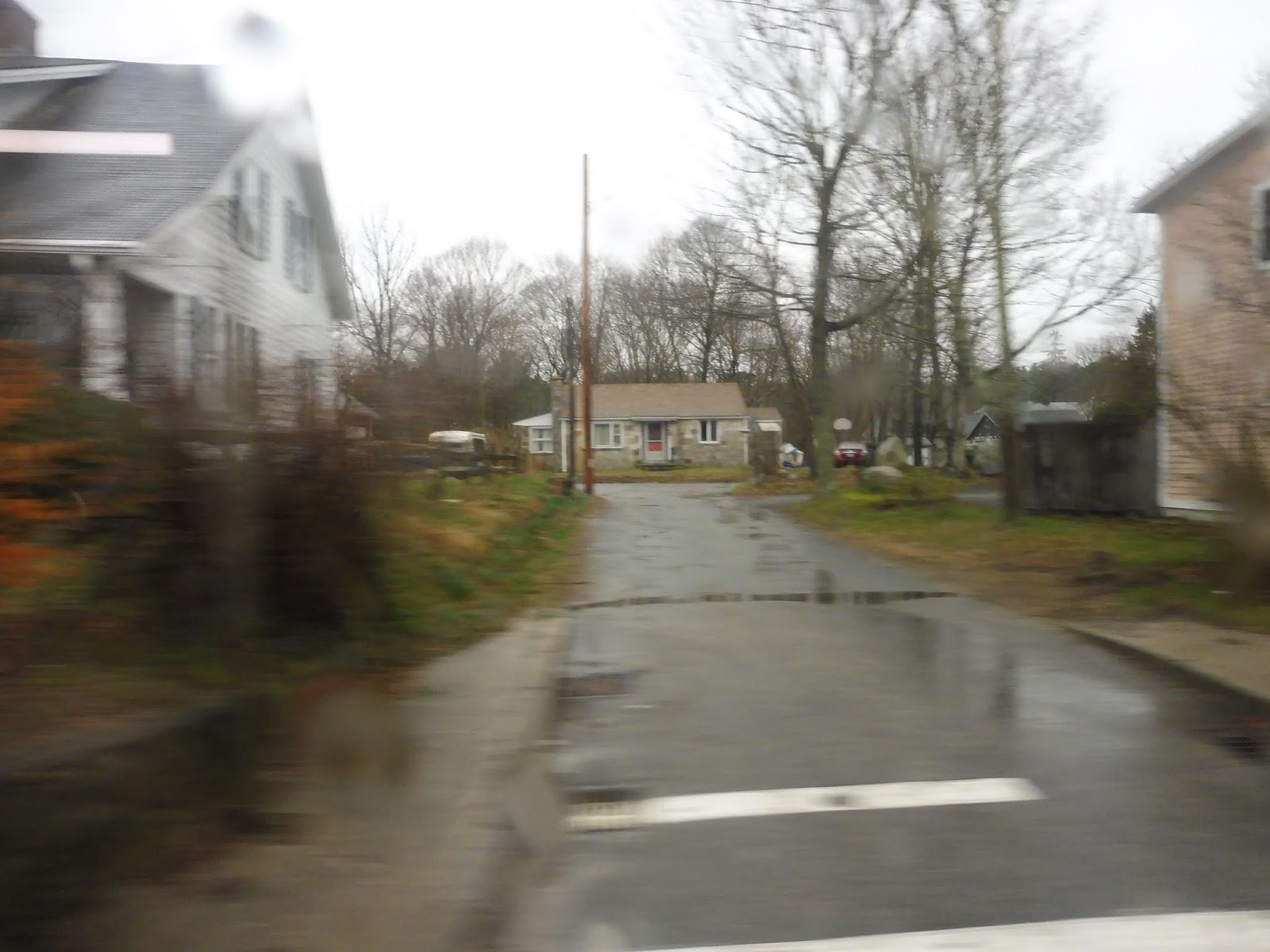
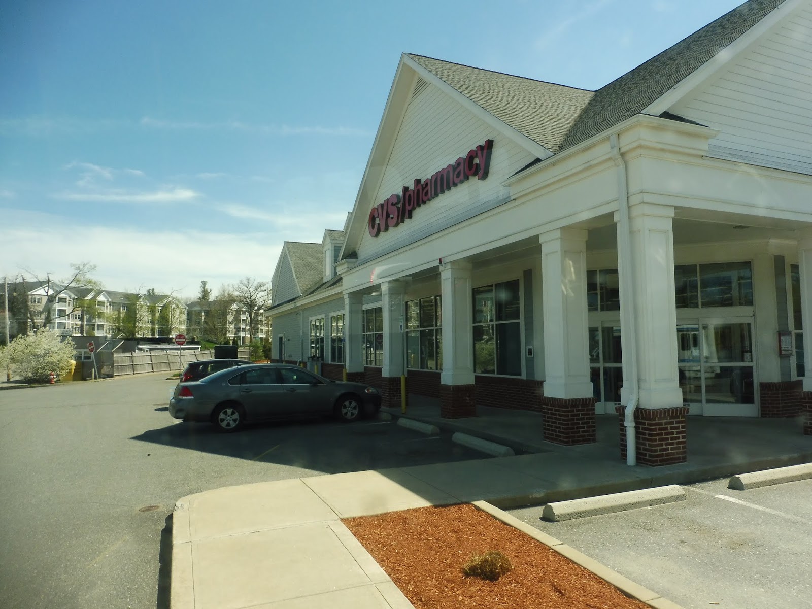
Mineral Spring Ave was suburban businesses for a while, and in the middle of that is where Saturday service just…kinda ends. Well, weekday trips go on for much longer, but the road became lined with houses instead of retail. At least, that was until Centredale, the downtown of North Providence. Weirdly, though, instead of serving the main street, we instantly used Centredale Bypass to get onto Waterman Ave out of the center. Oh well…better than deviating?
 |
| At least we got to see a few Centredale businesses. |
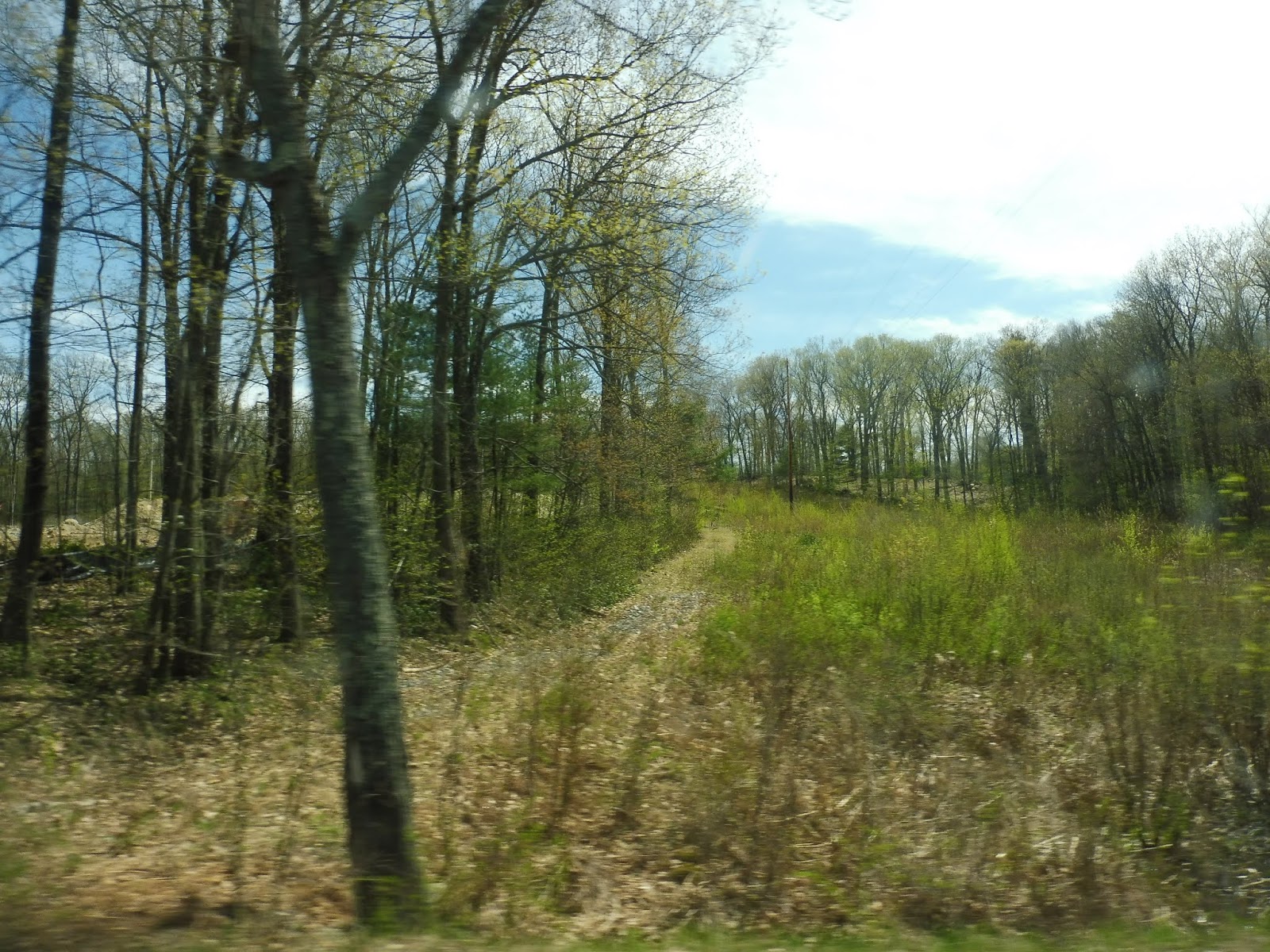
Waterman Ave was a little weird. There was reasonable density along it, but it tapered off almost immediately past the road, devolving into woods within two blocks or less on either side. Entering Smithfield, we came up alongside a huge old factory, turned onto Esmond Street, and crossed the Woonasquatucket River.
 |
| A typical street out here. |
Esmond Street consisted of more houses until it entered the woods for a little while. We left the forest by turning onto Putnam Pike, a road full of suburban businesses. It took us over I-295, and right after that, we pulled into our final stop: Smithfield Crossing, one of the more upscale strip malls in the RIPTA service area. Exciting.
 |
| Starting the trip back. Once again, a car blocks the bus. |
RIPTA Route: 58 (Mineral Spring/North Providence)
Ridership: The ridership on the 58 is most certainly low. There was just one single person who took the bus on one of its independent sections – everyone else could’ve used a different bus. That means that it’s basically just a whatever-comes-first situation, and the 58 is infrequent enough that it’s often not going to be the one that comes first.
Pros: I appreciate any efforts to create crosstown services in Rhode Island, because there aren’t enough of them. The 58 tries its best.
Cons: Unfortunately, that’s not good enough. The 58 is trying to be a radial route into Providence at the same time, and all that ends up doing is making it circuitous and duplicative of other routes. It doesn’t help that it only runs every hour, Monday through Saturday, especially when the routes it’s paralleling are much more frequent.
Nearby and Noteworthy: Hey, Smithfield Crossings did actually seem like a nice mall. The bus only goes there on weekdays, though!
Final Verdict: 3/10
I don’t see much value in the 58 as it currently stands. Instead of this pseudo crosstown service, why not have a real crosstown service? I think it would be great to have a route running down Mineral Spring Ave from Pawtucket to North Providence, and then on to Smithfield Crossing. That way, the 73 could also be eliminated and its resources could go somewhere else. Maybe something like this, although it might be worth it to, say, deviate into Shaw’s along the way. Just a thought.
Latest MBTA News: Service Updates
I’m sad to announce that the MBTA Jamboree is cancelled. We just didn’t get enough responses to be able to make it work. Thanks to everyone who filled out the survey, and hopefully we’ll be able to do something like it another time.
Join us for the MBTA Jamboree!
Many of you ride the T almost every single day. But you’ve never ridden it like this before. On Saturday, August 18th, we will be embarking on a huge tour of the entire system, and YOU can join us! Here’s the rundown: everyone will be split into teams, and we will all be given a list of challenges worth various point values. Some of them will be easy, like utilizing the Winter Street Concourse or riding the SL3 on its Chelsea busway section. Others will be harder, such as riding all five rapid transit lines in 30 minutes or maintaining a continuous hum between teammates on the ride from JFK/UMass to North Quincy. Ever wanted to sing “Sweet Caroline” in unison with other people at Park Street? That’s a challenge, too!
- Friday, August 10th – all form responses due
- Monday, August 13th – all participants are notified of their teams and everyone’s contact information. The list of challenges is released, and it is up to the teams to do however much preplanning they want to do.
- Saturday, August 18th – all participants will meet at 9:30 AM at Park Street. The day will finish at around 6:30 PM. We will have lunch in the middle of the day. If you don’t think you can stay for the whole day but you still want to come, submit a response anyway, and we’ll try to make accommodations.
RIPTA: 29 (Cowesett/Kent County)
Okay, so we have this bus system, see? It’s pretty good for getting into Providence, see? But what if you wanna get across to somewhere other than Providence? Let’s just create a route that runs across the entire system in the south! It’ll be a beast. It’ll take forever to do a trip. We’ll call it the 29.
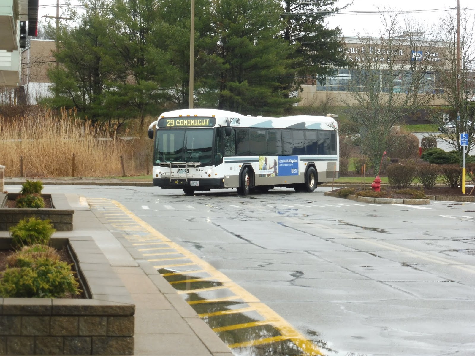 |
| And there it is! |
Okay, turned out it had to make a layover first. But it eventually came back, and it was time to go! We ran up Bald Hill Road through the woods for a tiny bit before turning onto Ginsu Way, then Quaker Lane. This served two purposes: turning the bus around after serving Cowesett Corners, and serving the Kent County Courthouse.
 |
| Waiting to make a left turn on Bald Hill Road. |
We returned to Bald Hill Road, although it was now called Quaker Lane, then we turned onto Cowesett Ave. This was lined with suburban businesses with parking lots, but there were dense houses once we turned onto Main Street (as well as some smaller retail buildings). We crossed the Pawtuxet River and passed more houses on the other side, but things were getting denser as we got closer to Arctic Center.
 |
| A hilly intersection. |
We came into Arctic Center proper, where Main Street became lined with businesses on both sides. We also joined the 13 here. The center was quick, though, and soon we were just passing dense houses again. Now, the 29 usually has a deviation right around here, but because of bridge construction, it became a jog instead. Yes, it’s time for a crazy detour route!
 |
| Some houses on a dead-end street. |
Thus, instead of just going right over the Pawtuxet River, we turned onto Maple Ave, a hilly street lined with dense ol’ houses. It reached its end and we turned onto Fairview Ave, which allowed us to go over the Pawtuxet River and arrive at Phenix, a little downtown centered around a common. What was the timepoint named after? The Phenix Hotel. Interesting.
 |
| An old factory getting redeveloped. |
We turned onto Main Street, which went by some industrial buildings, some businesses, and some houses (so basically everything!). Crossing the Pawtuxet River on the bridge we were supposed to take the other way (it was only open in one direction), we returned to the main route by turning onto East Main Street. We then went around a roundabout onto Providence Street, once again crossing the Pawtuxet River and going by a redeveloped factory.
 |
| Going over the river. |
After that, there were some houses, but it turned to suburban businesses quickly. We merged onto Toll Gate Road soon, then we turned onto Bald Hill Road. Yes, that’s the same Bald Hill Road that Cowesett Corners way back at the beginning of the route is on. Yes, what takes 25 minutes by bus is only a four minute drive. Wonderful.
 |
| Gritty Bald Hill Road. |
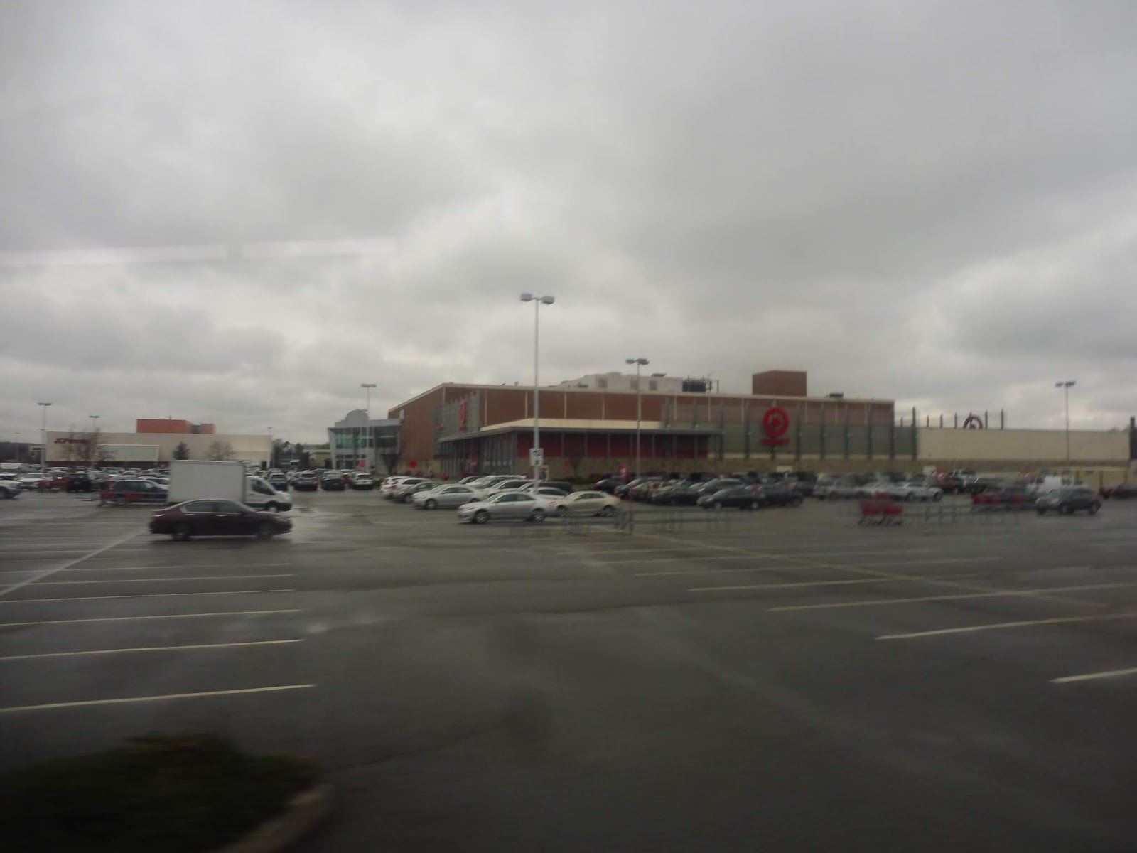
This huge street had a ton of suburban businesses with parking lots along it, and practically nothing else. It even got itself an unnecessarily wide median! We took this thing over the Pawtuxet River yet again, then under I-295. From there, it was time to deviate into the Warwick Mall. But wait…the Warwick Mall stop is way down at the opposite side of the parking lot. Would we have to deviate all the down there? Yes. Yes we would.
 |
| Stilllllllllllll going. |
After that mess, we came out from the mall and made our way back onto Bald Hill Road, heading in the opposite direction. We went under I-295 and over the Pawtuxet River again (for the last time!), then we had to deviate into the Rhode Island Mall. Turned out that was easier said than done, thanks to Bald Hill Road’s big median I mentioned before. We had to enter the mall parking lot north of the mall, then curve our way around to the actual stop.
 |
| Going through the mall. |
Were the deviations done yet? Nope, we now had to do one to CCRI! So we went down East Ave for a bit, then we turned onto the road up to the community college. After making the stop outside of the most brutalist building ever, we had to go allllllllllll the way to the end of the parking lot, then take a road down a hill through the total woods.
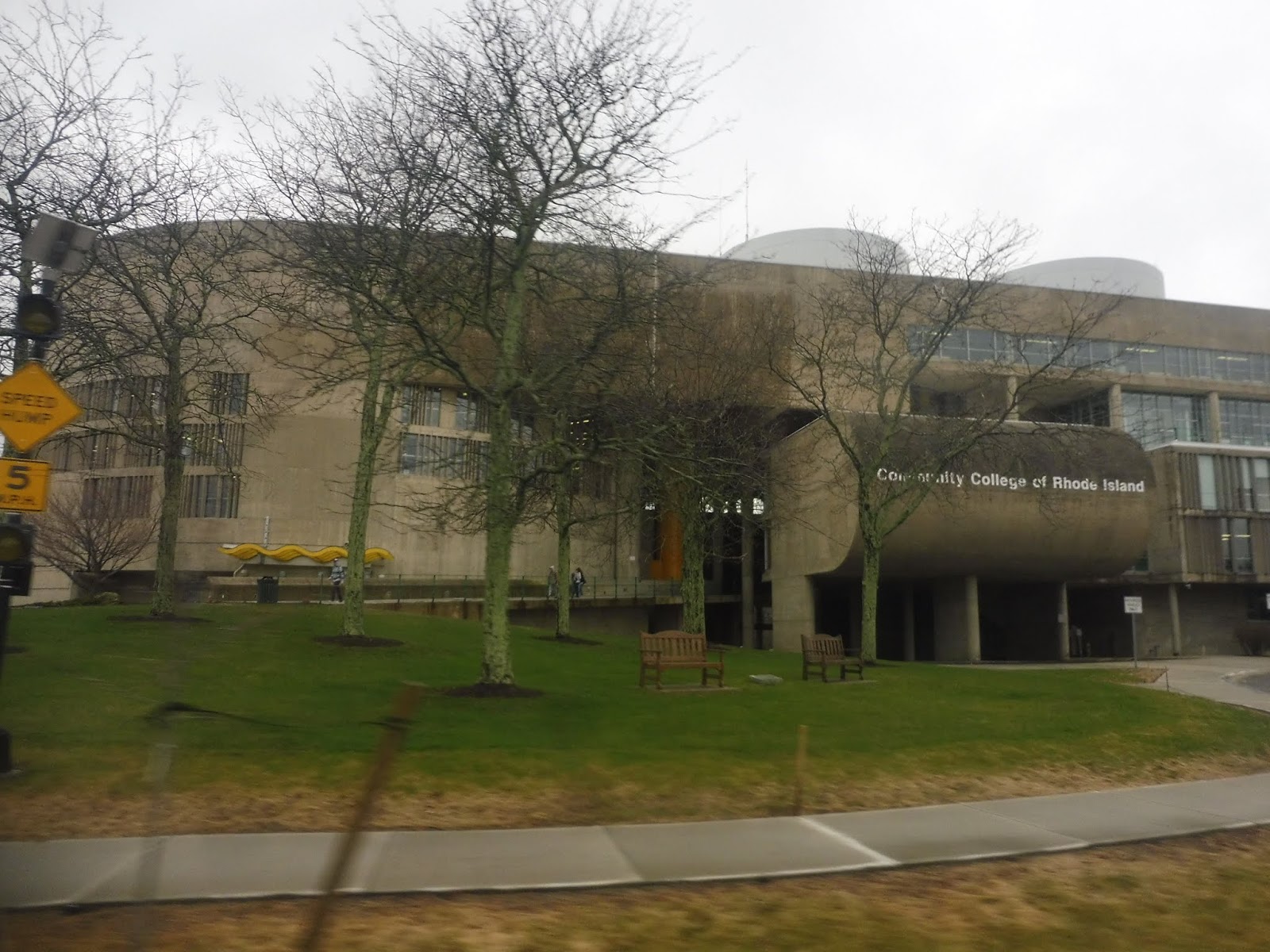 |
| Peak brutalism. |
We finally turned onto Commonwealth Ave, then onto…Toll Gate Road. The same Toll Gate Road we were on before all this deviating. So…from that point to here was quite literally 22 minutes by bus…or a 9 minute walk. And just for fun, let’s do it from Cowesett Corners to here! 53 minutes by bus…ten minutes driving. Even walking is faster, at 41 minutes! Yes, I know this whole area is ridiculously unwalkable, but I’m just saying, it’s faster than the bus.
 |
| Leaving the college. |
Luckily, the route would be a lot straighter from here. We passed Kent Hospital, and soon after, we went under I-95. There were some offices before we came to a roundabout, marking our entrance into the village of Apponaug. We looped around its “downtown” via Post Road, but I’ve never found it to be a very interesting place. It’s mostly just suburban businesses and houses.
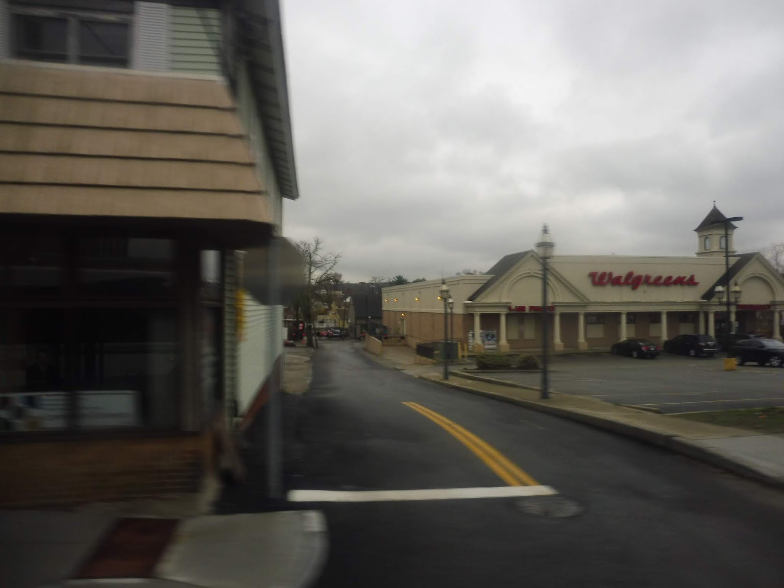 |
| Well, at least there’s a Walgreens! |
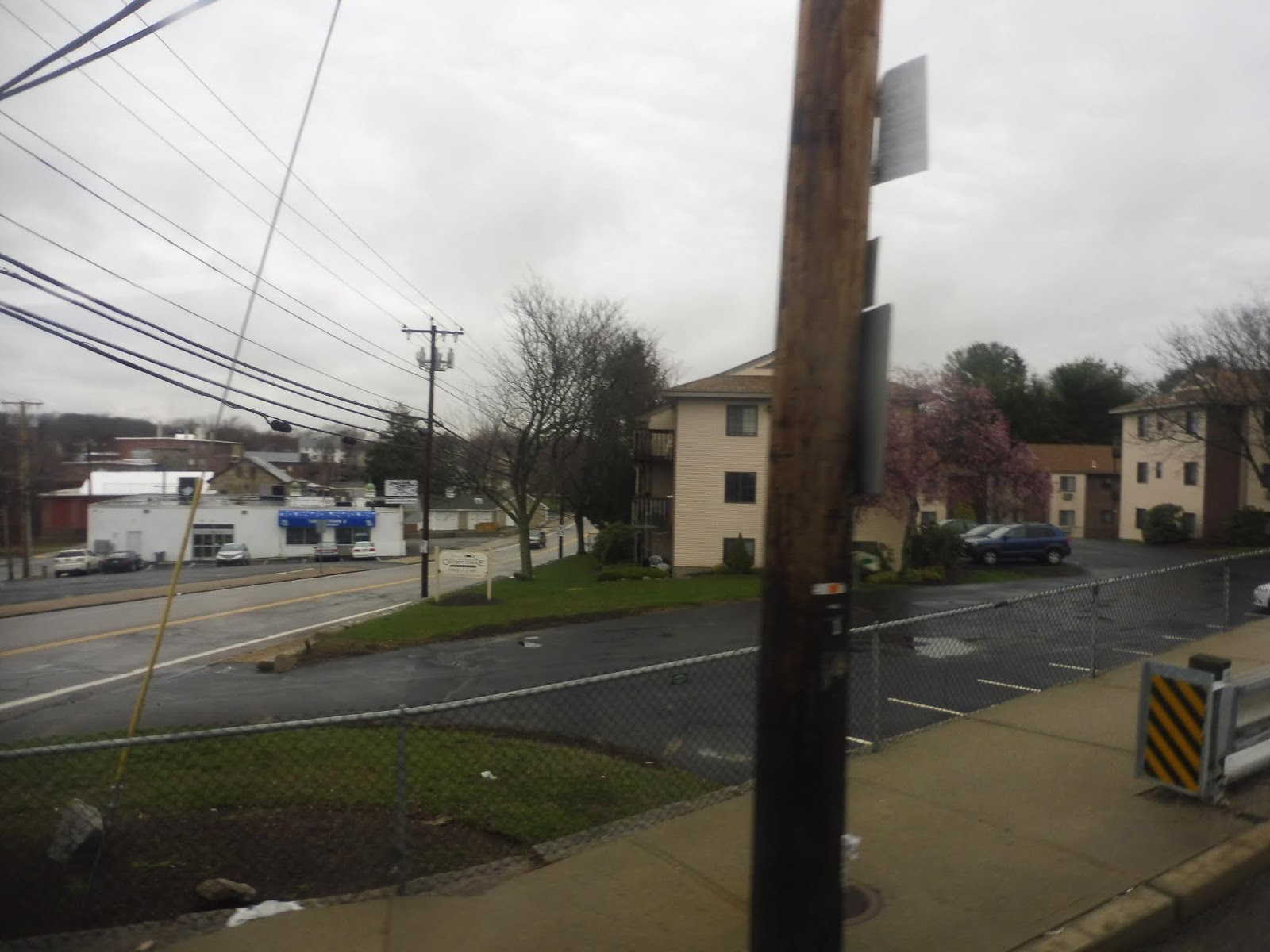
We merged onto West Shore Road, going under the Northeast Corridor and heading into a mostly residential area. It was houses galore until we hit some suburban businesses at the intersection with Buttonwoods Ave, a transfer point for…oh, the 8x! Interesting! We were joined that route for a bit as the scenery went back to being residential, but once the businesses came back, the 8x turned onto Strawberry Field Road. Meanwhile, we merged onto Sandy Lane.
 |
| A generic side road. |
There were a few apartments along here, but nope, it went back to being houses once again. This was until Warwick Ave, a commercial street that was also home to the 3 – excuse me, the 3B. We briefly joined it on Warwick Ave, but we left it on Church Ave soon after. This went back to being residential.
 |
| Water! |
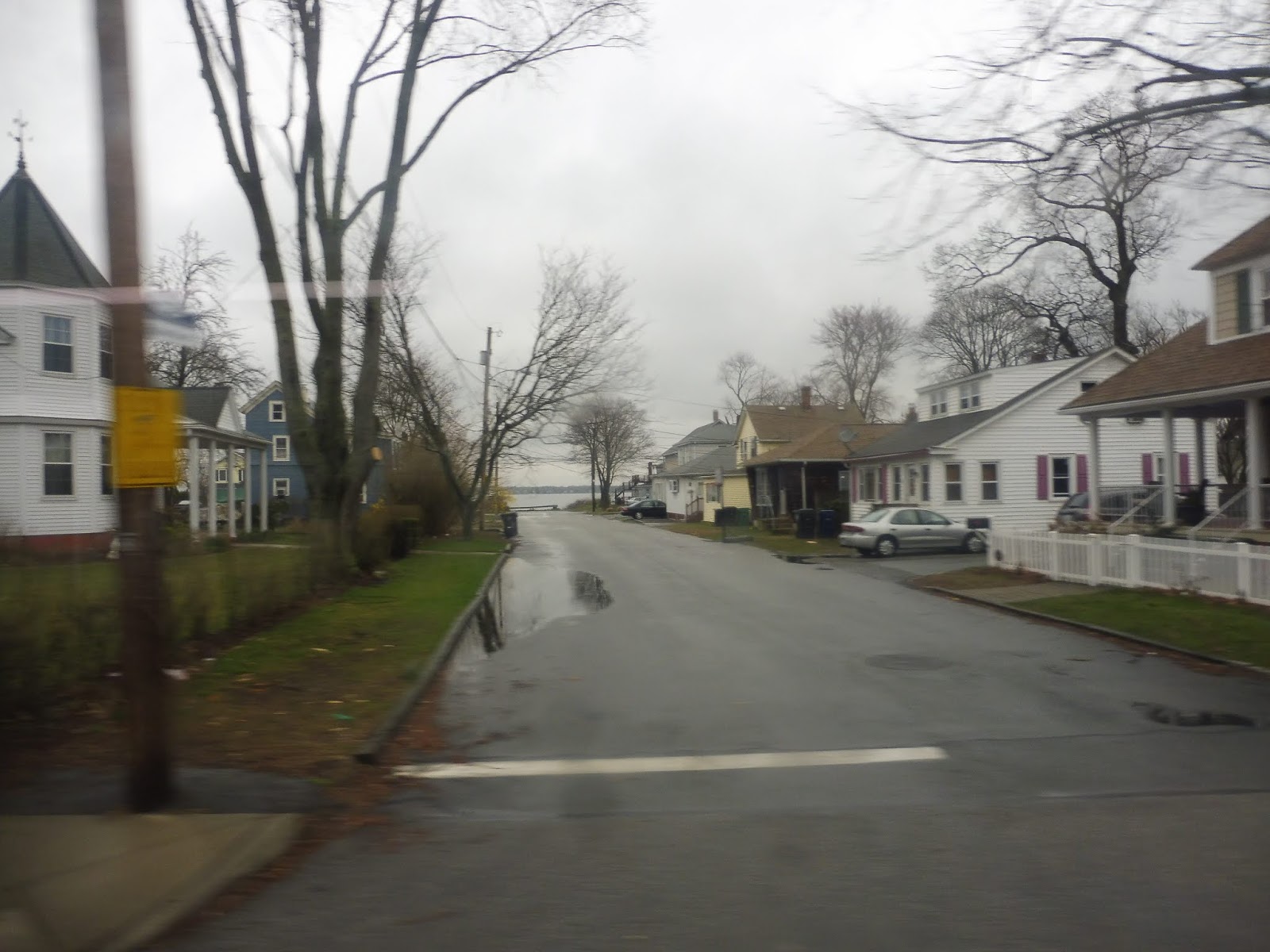
Church Ave ended and we turned onto West Shore Road, joining the 3A. It was still mostly houses, but there was some retail sprinkled throughout the neighborhood. We curved around toward Narragansett Bay, getting brief views of the water down the side streets. We were just entering a cute village called Conimicut when we turned onto Beach Ave, travelling for one block before reaching the final stop at a little park.
 |
| Out of service? Darn it! |
RIPTA Route: 29 (Cowesett/Kent County)
Ridership: According to that ridership report I found from ten years ago, the route got less than 100,000 people in 2008. Assuming it still ran six days a week like it does today, that’s about 333 people per day – not a lot of people. I actually think that’s somewhat similar to what the ridership is like now, though; my ride got 25 people, and based on the number of trips this route has per day, it would add up to around 300-350 riders.
Pros: Well, you certainly can’t say the 29 doesn’t serve a lot! This gigantic route cuts across West Warwick and Warwick, which is a much longer distance than it sounds like because Warwick is a gigantic town. The 29 is also one of RIPTA’s only crosstown routes, and they could honestly use more of them, but this is a start.
Cons: It’s…so…long! You saw my time comparisons earlier in the review! This thing goes all over the place! Also, because a one way trip takes forever, the 29 can only run so frequently – how does every hour and a half, Mondays through Saturdays sound to you? Pretty bad? Yeah, I agree.
Nearby and Noteworthy: Most of the places on the route like the Warwick Mall or Conimicut are already served by routes out of Providence. As for the places that just the 29 serves…well, they’re just not that exciting.
Final Verdict: 4/10
I gotta give it points for being a crosstown route in a very un-crosstown system, and the route certainly serves a ton, but that’s about it. It’s also infrequent and indirect, and those things count pretty badly against it. It’s just hard to use a route that runs every hour and a half and looks like that.
Latest MBTA News: Service Updates
RIPTA: 242 (West Warwick/Coventry Flex)
Gosh, it’s too bad the 13 and the 29 end so far apart from each other. Seems like the only way to take each of them from beginning to end is to ride out and back. Hang on…what’s this? A Flex bus in West Warwick and Coventry? And it connects the two routes together? Well, this is perfect!
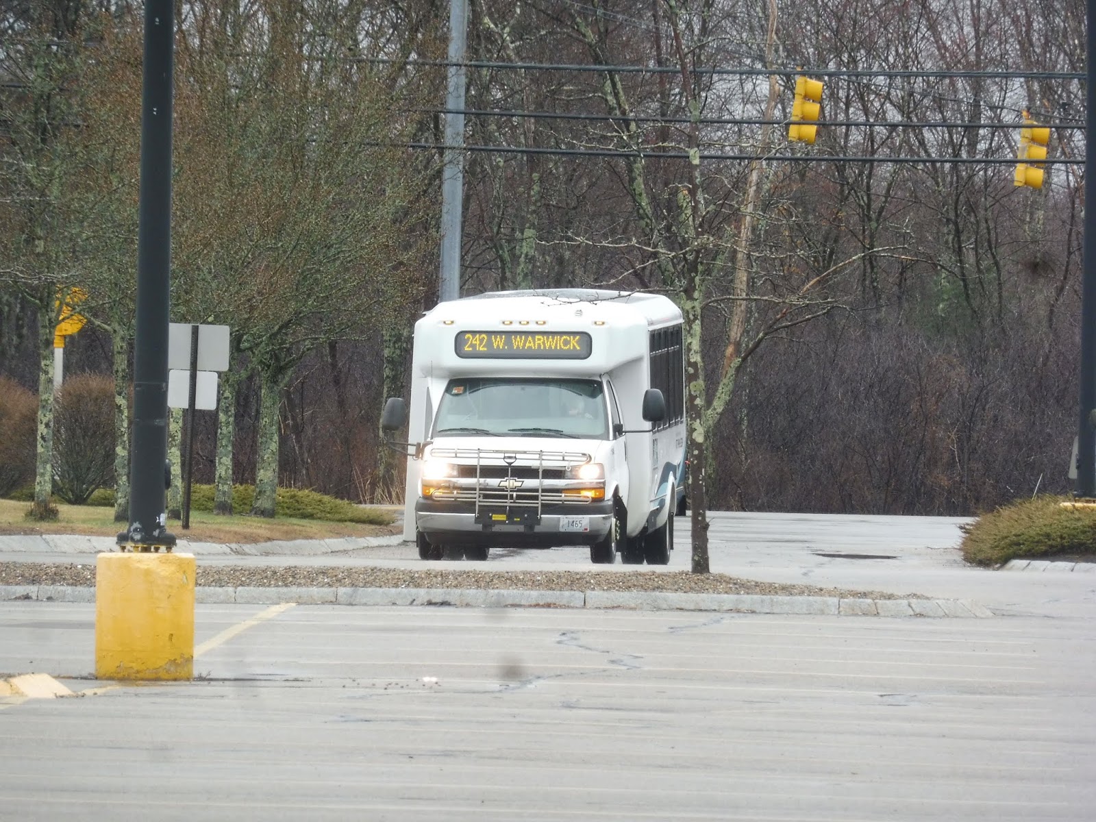 |
| Here comes the minibus! |
 |
| Along the lake. |
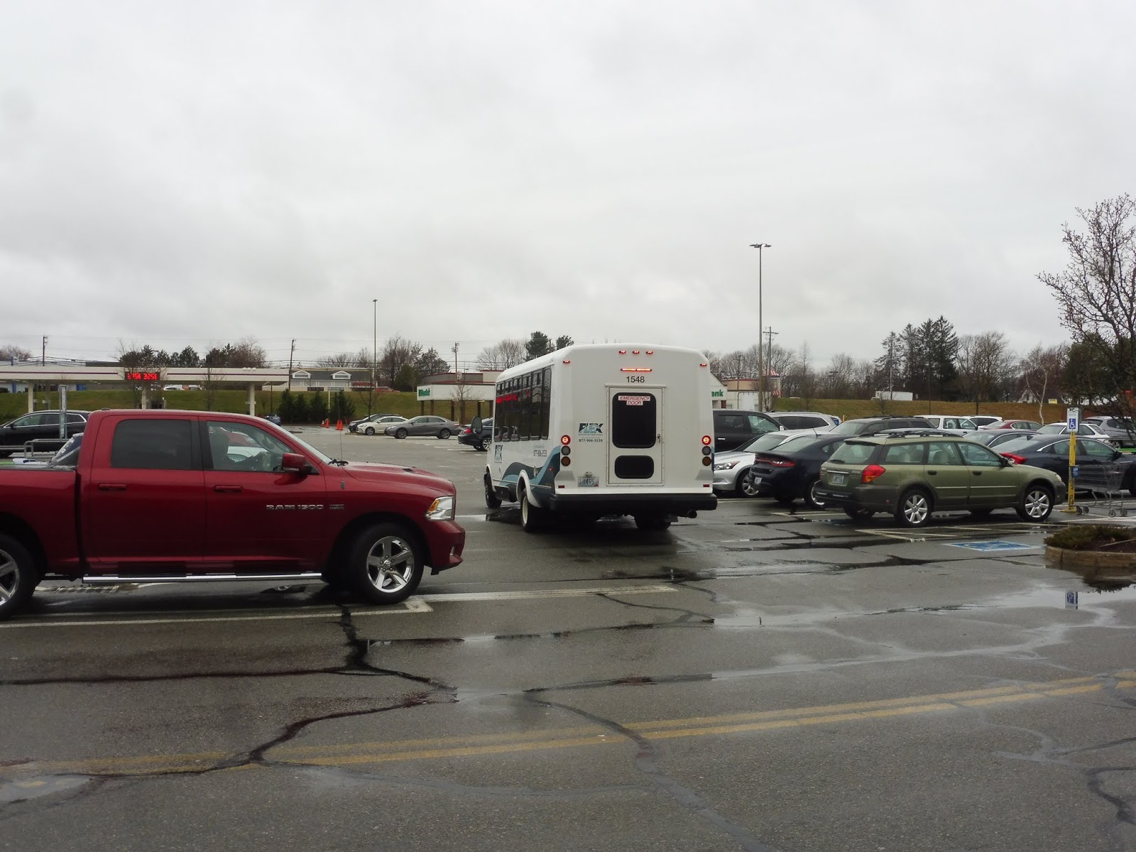 |
| Departing the parking lot. |
RIPTA: 13 (Coventry/Arctic/Warwick Mall)
For RIPTA standards, the 13 is about as far out as you can get on a local bus. In fact, this route goes so far out that it doesn’t even go to Providence! That’s right, we had to get this thing from the Warwick Mall. Boy, I sure do love that bus stop in the middle of its parking lot.
 |
| Here it comes! |
Not only is the stop in the middle of the parking lot, though, it’s in the middle of the lot’s south side. And of course, all the mall exits are to the north, so we got to go alllllll the way up Lambert Lind Highway just to get out of there! It became Oaklawn Ave quickly, and it was lined with gross suburban businesses and huge parking lots.
 |
| Ech. |
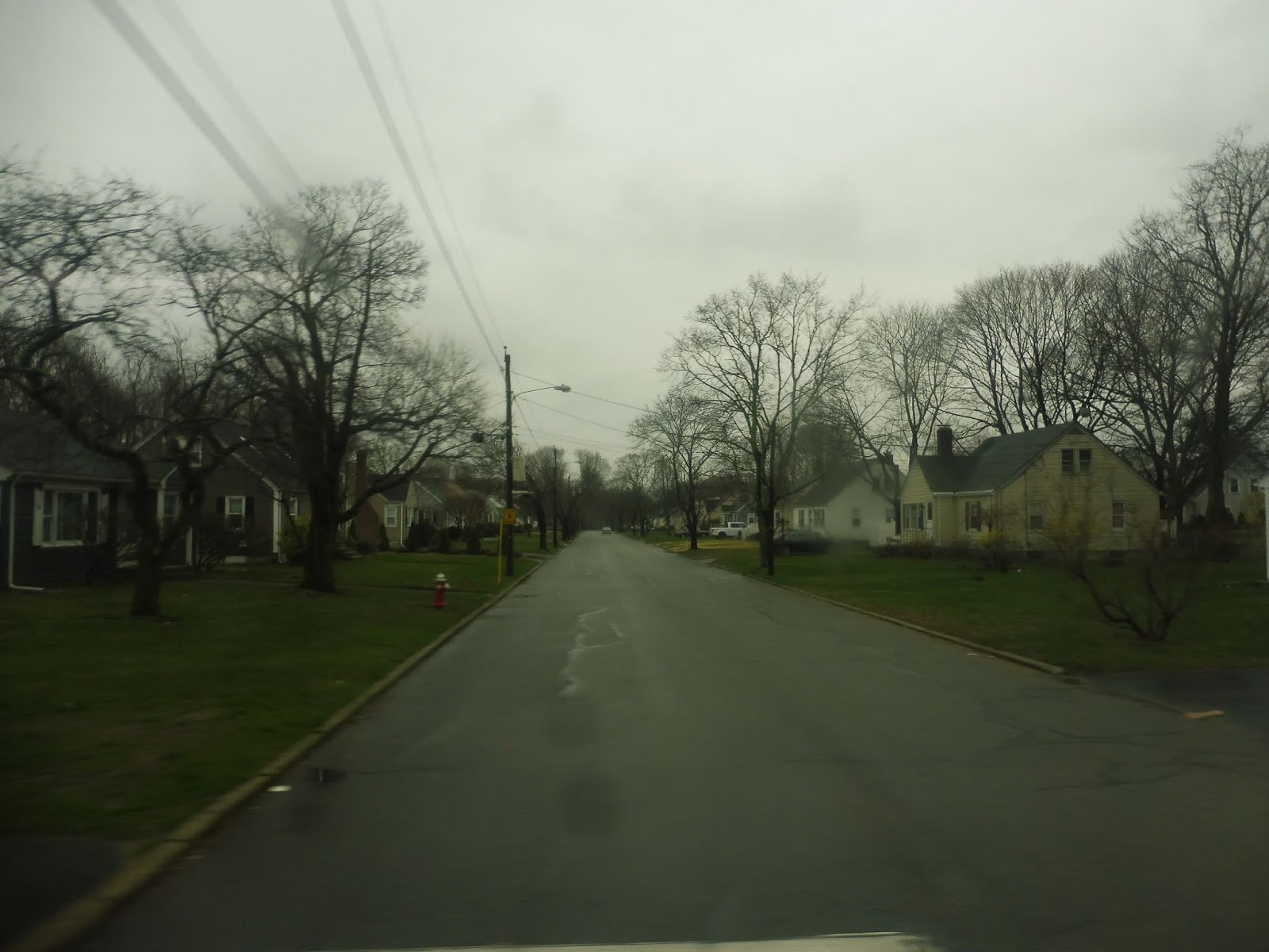
Suddenly, we turned onto an on-ramp to Route 2, a pseudo highway, and had a brief express section, but we took the first exit onto New London Ave. This was a much different environment: all suburban houses, save for a brief bit when we went over I-295, a proper highway. At that point, we also departed the town of Warwick to enter the town of West Warwick.
 |
| Some of the houses. |
With the town change, we were now on Providence Street. The houses were starting to feel a little more urban, and there were some signs of retail and industry. We went over the Pawtuxet River, then we were joined by the 29 at the intersection with Toll Gate Road. There were more and more businesses and industrial buildings between the houses as we continued.
 |
| The rainy river. |
We went over the Pawtuxet River again, passing some old mills and factories that have been converted to apartments. We merged onto East Main Street at a roundabout, and when that ended, we turned onto normal Main Street. It was still mostly houses, but there was also an apartment building, a pizza joint, and a library.
 |
| Feels a bit industrial here. |
But soon, the street became lined with businesses. Why? Because we were now in Arctic Center! We left the 29 by turning onto Washington Street, where it still felt town center-y for a few more blocks. Once we left the downtown, the road turned back to being lined with suburban houses.
 |
| An unfortunate gap between two buildings in Arctic Center. |
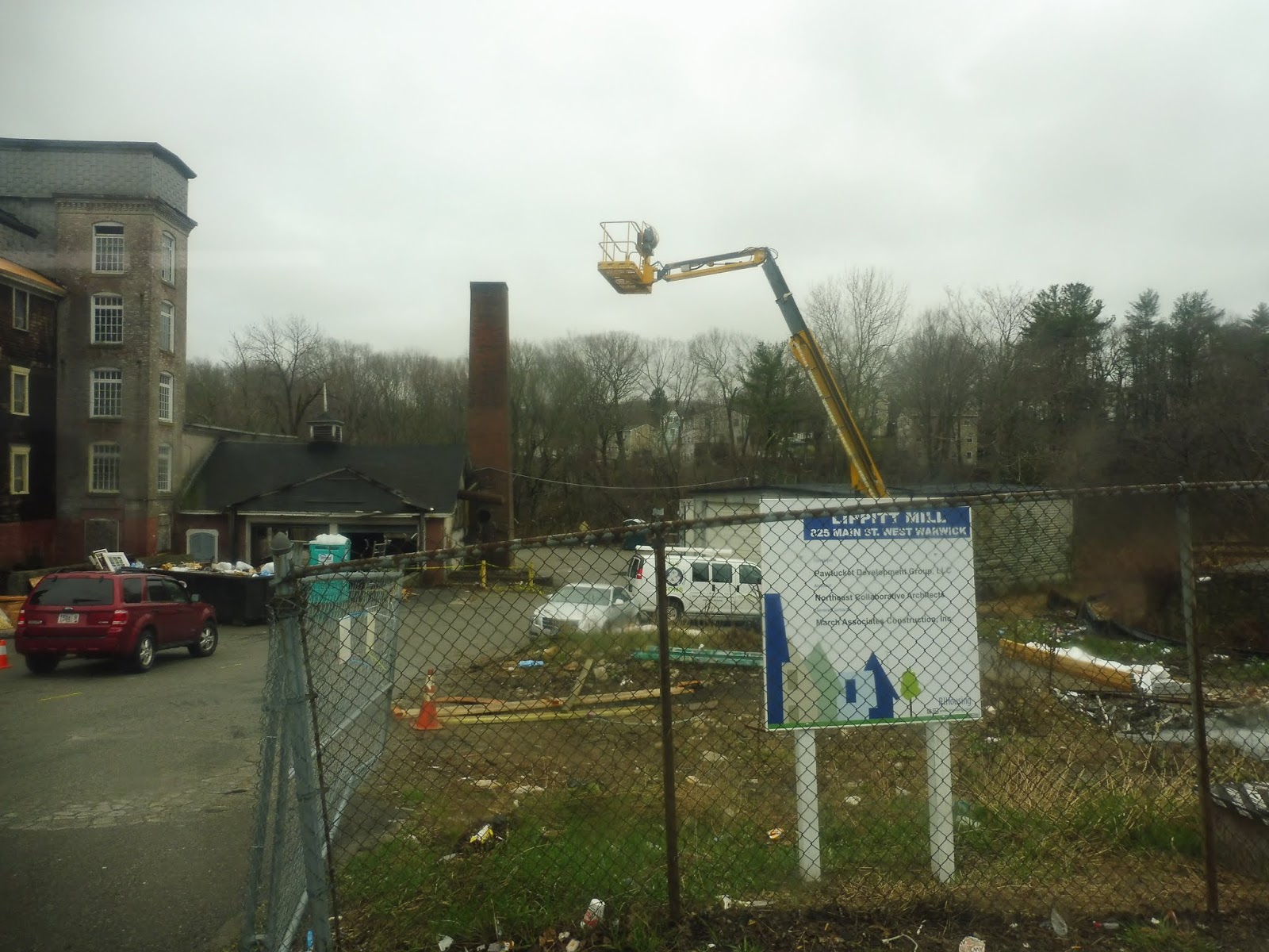
We merged with West Warwick Ave, marking our entrance into Coventry. There were now a few other types of buildings along the road, mostly businesses and industrial buildings. We curved along the Pawtuxet River for a bit before Washington Street left its shoreline. Soon after going by a cemetery, a police station, and a historical house-museum, we turned onto South Main Street outside of a shopping plaza, crossing the Pawtuxet River again.
 |
| A narrow side street. |
It was more suburban houses along here until we merged onto Tiogue Ave. This wide road featured anything but houses, and everything along there had to have a parking lot. The route misses a Stop & Shop just before the merge, but it makes up for it by deviating into an…Ocean State Job Lot. Huh. Yeah, that’s an interesting one to deviate into.
 |
| A house at the end of a short street. |
We returned to the main road, which was getting increasingly middle-of-nowhere. We wouldn’t be on it much longer, though, because we turned off into Woodland Manor, an apartment complex. The bus had to wait for a small layover before it could actually serve the complex, and that was a little weird, but we got off in the middle of the complex, ending the trip.
 |
| Back to the mall! |
RIPTA Route: 13 (Coventry/Arctic/Warwick Mall)
Ridership: I finally found some sort of document that kinda shows RIPTA ridership! It’s from 2008, so it’s horrendously outdated, but it’s the best we’ve got. It shows the 13 as getting around 225,000 riders over the course of the year, which works out to…wow, 616 people per day? Really? That’s pretty weird, considering my weekday trip only got four people, and none beyond Arctic Center. Now I’m confused.
Pros: The 13 serves a very underserved part of Rhode Island. It only connects to the Warwick Mall, but out where the 13 goes, there’s probably a lot less demand to go to Providence. If one does want to go to Providence, service from the Warwick Mall is fairly frequent, and passengers shouldn’t have to wait too long there.
Cons: This thing never comes. It runs every 50 minutes at rush hour, but then at all other times…every hour and forty minutes. So, basically, completely unusable. Heck, if it was every two hours, at least the timing would be consistent! And the ridership (at least in 2008) is nothing to sneeze at, making the infrequent schedule even more annoying! Then again, my trip only had four people, so maybe ridership has gone down?
Nearby and Noteworthy: Arctic Center is the best thing you’ll get, but even that won’t last you for longer than about half an hour, unless you get something to eat.
Final Verdict: 3/10
There are two ways to go with this one: either the ridership is as high as it is, in which case the route is way too infrequent for its own good, or the ridership is lower, in which case the 29 duplicates a lot of the inner (and seemingly busier) section of this route – not a soul went on the 13’s independent section on my ride. I dunno…I think I need proper ridership numbers to really give a verdict here.
Latest MBTA News: Service Updates
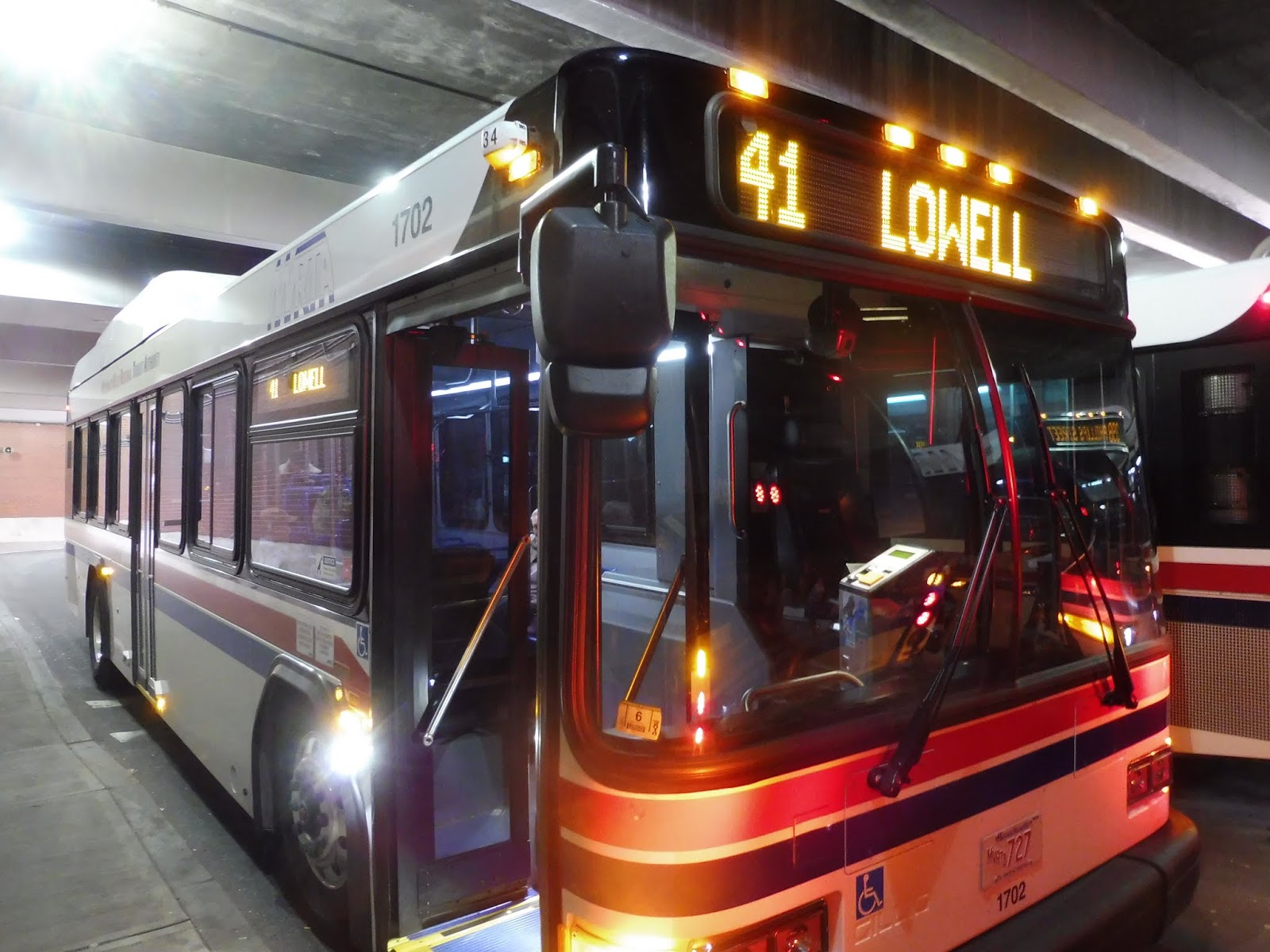
MVRTA: 41 (Lawrence – Lowell)
Isn’t it sad how the only bus that runs in Lowell on Sundays isn’t even run by the Lowell bus system? Yes, today we’re checking out the MVRTA 41, doing its multi-jurisdictional trip from Lawrence to its milltown cousin to the west!
 |
| Tight quarters here at Buckley. |
 |
| Some of the businesses of Lawrence. |
 |
| Lovely. |
 |
| A little shopping area next to the river. |
 |
| This is pretty! |
 |
| Bear in mind that the civilization was all on the other side of the road. To the left, it was just water! |
 |
| Going over the Merrimack River, not the Concord! |
 |
| Much better than Buckley! You can also tell I was here a while ago because the footbridge to that building hasn’t been built yet in this picture. |
UPDATE: An anonymous commenter sent me a ridership report with 2017 numbers, and they have indeed gone up – WAY up. The route got 281,547 passengers that year, or about 771 riders per day!
MVRTA: 75 (Lawrence Special Employment Service)
It’s time for Part 2 of our duo of weird commuter shuttles! Now we’re doing the MVRTA 75, which will take us from the scary land known as Raytheon to the Buckley Transportation Center, another scary land. Well, at least it’s civilization.
 |
| Obviously I wasn’t about to get a bus picture at the off-limits Raytheon. Here’s a selfie I took to confirm that we were actually on this thing! |
“WE HAVE TRANSFERS!” someone from the back of the bus shouted as we stepped on from the LRTA. Okay, I was already feeling on edge because we probably weren’t supposed to be here in the first place, but this calling attention to us from the back wasn’t helping. “Who are you?” someone asked us as we sat down. “I’ve never seen you before.” “I write a blog about public transportation,” I responded. He asked how long I had been doing it for, and I said five years. “Blogs aren’t that hard to run,” he quipped, “I’ve been fixing computers for 25 years.” Okay. Thanks for the insight.
 |
| Leaving Raytheon. |
We made our way out onto Lowell Street and crossed I-93. We passed IRS, the other deviation this bus makes, but it does it before Raytheon. After that, it became just a bunch of suburban houses. “I do stand-up comedy,” the guy in the back was telling another passenger. “I put the FU in fun!” Oh boy, we were in for a ride.
 |
| Some development near I-93. |
We turned onto Beacon Street, which went through a woodsy golf course and descended down a slight hill. “Do you feel it?” asked Mr. Comedian. “We’re in the Himalayas!” It returned to houses soon, both regular and in the form of a development. None of these people could actually use the bus, though, because this was a no-stop zone. “What do you say to a cheese when you take its picture? Cheese.” Ohhhh boy.
 |
| Travelling through the “Himalayas”. |
We went under I-495 and entered Lawrence soon after, where the houses started to get denser. Once we turned onto Mount Vernon Street, the no-stop zone ended, but though the houses were closer together, it was still definitively suburban. “If April showers bring May flowers, what do May flowers bring? Pilgrims.” Lord have mercy.
 |
| Hi 32! |
We turned onto South Broadway, where things started to feel more urban. There were now some apartments along here, and various businesses came up along the street. “I got fired from the Pepsi factory for doing Coke.” Is there any way off this bus?
 |
| Dense apartments on a side street. |
We went over a level crossing with a basically abandoned railroad track, but we still had to do the railroad stop anyway. The buildings were even closer together and urban-feeling on the other side, save for a few suburban ones with parking lots, such as a Dollar Tree. “Why do they call it a Dollar Tree? Money doesn’t grow on trees.” Okay, these are definitely getting worse.
 |
| Welcome to “Halloween Headquarters”! |
Eventually, it was time to cross the Merrimack River, where there was a nice view of a big waterfall coming down. There were a bunch of old factories on the other side, as well as a few more businesses. “When someone has your back in Lawrence, they probably do. A knife in it!” ARE WE FREAKING THERE YET????
 |
| Crossing the river! |
We turned onto Common Street, which had some workplaces and offices with big parking lots out front. We were almost at Buckley, but we got off just before so I could get a picture of the bus signed as the 75 before it went out of service. “WE BUILT THIS CITY!” sang our friend in the back. “WE BUILT THIS CITY ON WEL-FARE CHECKS!” And with that, the ride was finally over.
 |
| The rare 75! |
MVRTA Route: 75 (Lawrence Special Employment Service)
Ridership: I think the MVRTA got rid of some PDFs when they transitioned to their new website, because now the only ridership data I can find is from 2006. Oh well, how was this route doing twelve years ago? It was getting 6,172 people per year, or about 26 per day, or about 6-7 per trip. Yeah, that’s about what we saw on our ride, so ridership seems stable.
Pros: It’s great to have this public transit connection from Lawrence to the two huge office parks of IRS and Raytheon. Unlike the LRTA 11, this one is only useful for trips to and from the office parks because it runs one-way, two trips in each direction – but that’s okay, considering how specialized this route is to begin with.
Cons: Ridership on this route is pretty darn low. I mean, the MVRTA recently eliminated their other commuter route to Haverhill without much warning (a huge relief for me, but a pain for anyone who used it!), presumably because it didn’t get enough people. Will this route go the same way? Six people per trip isn’t a lot!
Nearby and Noteworthy: Scary office parks. That’s it.
Final Verdict: 5/10
Well, it does its job, and that’s about it. It’s only serving a few people per day, but they certainly rely on the route to get them to work. It’s not too efficient, and it’s not trying to be. I’m glad these 26 people have a way to get to their jobs at the big scary office parks in Andover. As for me, I’m never going back. Not even for the jokes.
Latest MBTA News: Service Updates
The Great Race to Chelsea: The Video!
The Chelsea video is finally here! The T added a new branch of the Silver Line to Chelsea in April 2018, the SL3. How does the new route stack up time wise against the other ways of getting to Chelsea? Miles, Jordan, Nathan, and a host of other characters race to find out- but not without their fair share of challenges and drama along the way. Enjoy!
Watch the video here.
LRTA: 11 (IRS/Raytheon via Route 133)
Today, we’re entering the strange world of IRS/Raytheon commuter shuttles. LRTA runs one, and MVRTA runs one (they just eliminated a second one). The LRTA route, the 11, is bidirectional, so we’ll be taking a look at this one first as we head towards Raytheon in the evening rush.
 |
| This is a rare sighting! |
We left the Kennedy Center and made our way onto Appleton Street, which had an industrial vibe to it. We eventually reached some suburban businesses with parking lots, then we crossed the Concord River as our road became Andover Street. There were some businesses on the other side, but it was mostly dense houses.
 |
| Not as pretty as the Merrimack! |
Wait, did I say dense houses? Yeah, actually, they became really suburban really quickly. It was just a bland, entirely residential neighborhood for a while. Heck, around where we entered Tewksbury, we passed a golf club! And the houses kept getting further and further apart.
 |
| A wooded street. |
We were supposed to do a deviation to the “495 Business Center,” but we skipped by it, probably because no one would be going there in the outbound direction. There were a few suburban businesses as we went under I-495, then we skipped another deviation, this time to Ames Corporate Park, probably for the same reason we skipped the last one. We were in Andover now, and the street became Lowell Street; it was almost all just sparse houses with forest in between.
 |
| Yup, we’re way out there. |
Right after a “Country Store,” we went by Haggetts Pond, as well as the Andover Public Works Department. Soon after that, we pulled onto the road to Raytheon. We came up to a security booth, and the person in the booth got on the bus to check and make sure we weren’t fishy. Oh geez, this was scary. We came into the huge office park that we probably weren’t supposed to be in, and luckily, the MVRTA bus to Lawrence was already waiting there. Phew. The LRTA bus, meanwhile, left to continue on to IRS, just across I-93.
 |
| The last picture I took. I wasn’t about to take any in Raytheon! |
LRTA Route: 11 (IRS/Raytheon via Route 133)
Ridership: LRTA is weird because it only wants to show the public the ridership of certain routes. The 11 is not one of those routes, so we’re gonna have to go with what I saw on my trip. The two people we saw is pretty low (although kind of impressively high at the same time, given that it was a reverse commute), but it also didn’t seem like anyone was getting on at Raytheon. Granted, we rushed onto the MVRTA bus quickly, so maybe people did get on. And maybe others boarded at IRS. Hm.
Pros: It’s a commuter shuttle, so it does its job well given that purpose. There are only four trips per day, two in each rush, but again, it’s a commuter shuttle. And honestly, the fact that it runs bidirectional service is really nice. The bus is going to be making that journey anyway, so why not run it in service? Two people is better than zero!
Cons: It didn’t seem like many people were using it from Raytheon, but I seriously have no idea. This puts me in a tough position when it comes to giving the final score…
Nearby and Noteworthy: You know, I like big, secret office parks as much as the next guy, but for convenience’s sake, I’ll stick with the 76. Also, wow, remember when that was “the craziest bus route I’ve ever taken”?
Final Verdict: 5/10
You know…I can’t know for sure who’s using this thing. Thus, I’ll just put the score right in the middle. That’s about all I can say – the ridership is the big factor in the score here, but I don’t know what the ridership is, so there isn’t much I can do. The route does well in all other aspects, but the big question is: is anyone actually using it?
Latest MBTA News: Service Updates
MART: 7A (Lunenburg Shuttle)
Ohhh, this one’s a real monstrosity. The trouble began when my 7 arrived at Lunenburg Crossing seven minutes late. That should’ve been okay, though – there were ten minutes of screw-up time between the scheduled arrival of the 7 and the scheduled departure of the 7A. And yet…a nondescript minibus was leaving the shopping center just as we came in. Did it leave a few minutes early or was it really late???
 |
| While I was waiting, I got a picture of that strange red Walmart I was talking about. |
I hung around the mall for a while. I was afraid to go into any stores because clearly, this little minibus was an unpredictable rascal. The bus serves Lunenburg Crossing twice on its route, so I wouldn’t be able to find out how early or late it was until it came back, since I had no idea where it was on the loop. About 25 minutes later, there it was again, trundling back into the shopping center. I flagged it down, and the driver looked shocked. “Where are you going?” he asked. “I’m just gonna ride around if that’s okay,” I responded. “Sure,” he said. “Hop on!”
 |
| It’s back! |
We headed out from the mall onto Mass Ave, but we very quickly turned onto White Street. This was basically just a side road, and it took us past some normal houses to Pearl Brook Apartments, a tiny residential development. This direction we were going also showed that we were early. How early, you ask? Twenty-one minutes early.
 |
| WELL I HOPE NO ONE WANTED TO GET ON HERE! |
We made our way back to Mass Ave, and just outside Lunenburg Crossing, we turned onto Electric Ave. It was just a bunch of far-apart houses until we reached some suburban businesses at the intersection with Whalom Road. Here, we performed a deviation to CVS (lovely), turned onto Whalom Road, and deviated to Emerald Place, a luxury housing development with its own private beach. A real transit-oriented development right there!
 |
| Behold…the CVS! |
And that whole excursion was also a big deviation. So…back up to Mass Ave we go. We returned to that intersection at Lunenburg Crossing again, but first, we had to do the Pearl Brook Apartments deviation again. And luckily, since this route gets a completely unrealistic two minutes to get from Emerald Place to there, we “made up some time,” so to speak – we were slightly less early.
 |
| Serving lots of stuff here. |
Now we could re-deviate into Lunenburg Crossing, marking the beginning of the second and much longer leg of the trip. After that deviation, we headed east onto Mass Ave, going further into Lunenburg. What did going further into Lunenburg entail? Well…it was just some sparse houses. There was the occasional business. We went by a police/fire station at one point. Yay.
 |
| Moooooore woods. |
But soon, we arrived at Lunenburg Town Center! What was this? What was here? A post office, a town hall, a library, and some office-like businesses in one building? Wow! We also got to deviate into the Lunenburg Senior Center, even though it was a Saturday, and the center is closed on Saturdays. Classic.
 |
| Welcome to the senior center. |
We still had one final deviation to do, though, and it was further east still! We came back onto Mass Ave, going by the Lunenburg High School, and then…there wasn’t much again. A few houses, a few businesses, a bunch of trees, a marsh, and that’s about it. It truly was the middle of nowhere. We eventually did come to our target: Meadow Wood Park, a trailer park. After briefly stopping outside, though, we had to continue down Mass Ave to serve a strange, tiny offshoot of it a half mile down the road. And that was where we looped around to go back.
 |
| The larger chunk of Meadow Wood Park. |
MART Route: 7A (Lunenburg Shuttle)
Ridership: I can’t find any official counts, since this is a relatively new route, but I do have the count from the driver. Ready? Are you sure? Okay, here it is: 0-1 people per day. Zero…to one…people per day. Lord have mercy.
Pros: If this counts, I am rather impressed that MART is running a route in a tiny, middle-of-nowhere town six days a week. That’s a better service span than most minibus shuttles.
Cons: Keep in mind, though, that the first trip is at 12:26 PM. Service runs every 45 minutes until 4:11 PM. That’s a weird schedule. But also, the driver on my trip seemed to have a complete disregard for it! I guess it doesn’t matter either way, since no one uses this thing, but still! What if by chance, someone wants to? I don’t even know how he got so early! The running time is tight – the full loop really should take about 45 minutes. Yeah…this route is a mystery. Also, it’s terrible.
Nearby and Noteworthy: Literally CVS. That’s it.
Final Verdict: 1/10
0-1 people per day is all you need to know. Just kill this poor route already.
Latest MBTA News: Service Updates
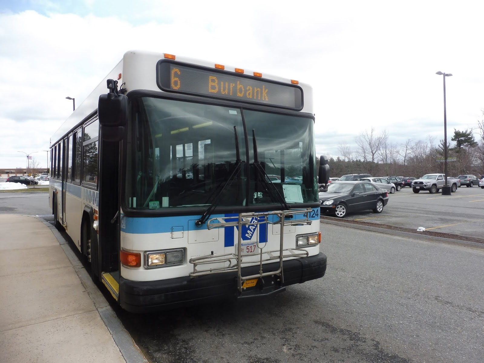
MART: 6 and 7 (Intermodal – Burbank – Fitchburg High – Intermodal – John Fitch – Lunenburg Crossing)
Darn it, MART, of course you have to call these two routes the same thing so I have to review them in one post! I actually rode the 6 and 7 on two different days, so this’ll be a bit strange, but have it YOUR way, MART!
 |
| People getting on the 6 in Fitchburg. |
Beginning with the 6, we left the Fitchburg Intermodal Center onto Main Street, which went right into downtown Fitchburg. Yup, those vacant buildings sure are exciting to pass. Once we reached Fitchburg’s Upper Common, we merged onto Mechanic Street, which was lined with pretty dense houses and apartments as it went up some steep hills. Soon, we turned onto Miller Street, which climbed up a slope to get to Burbank Hospital.
 |
| Some varied housing stock along the route. |
Now it was time to continue the ride on the weekdays-only extension to Fitchburg High School! Right? Why are we just sitting here? Why is the driver leaving the bus? We’re gonna be late to the high school! Okay, okay, he’s finally back. Let’s go! Oh…we’re heading back towards downtown. Okay, so when you say “Monday-Friday only,” do you mean school days only? YOU COULD’VE BEEN MORE SPECIFIC ABOUT THAT SO I COULD’VE PLANNED THIS BETTER! Fine, just cut out half the route from the review! I don’t care! I’m not going back! Screw you, MART!
 |
| GRRRRRRRRR! |
Okay, fine, I’ll describe the route past the hospital based on Google Maps. It returns to Mechanic Street and goes around a rotary at John Fitch Highway, where there are some businesses. After that, though, it becomes just houses, and there are even large tracts of forest. Finally, it turns onto the intriguingly-named Arn-How Farm Road, and then it loops around at the high school.
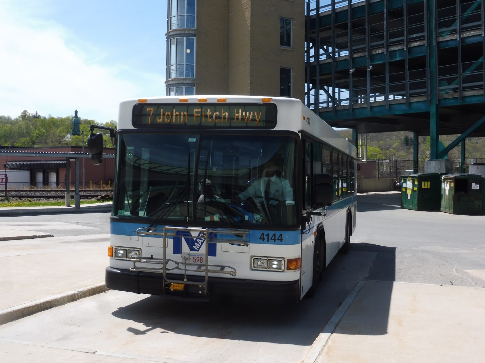 |
| Back in Fitchburg for the 7! |
Now let’s do the 7, albeit on a completely different day. The 7 goes the other way down Main Street, completely bypassing downtown Fitchburg. There were still businesses, but they were more spread out, and once the road became Lunenburg Street, they got mixed in with houses and industrial buildings. Once we reached John Fitch Highway, it was time for an outbound-only deviation to Wallace Plaza, a depressing shopping plaza with a Market Basket in it. It was right across the street from another depressing shopping plaza with a movie theater in it.
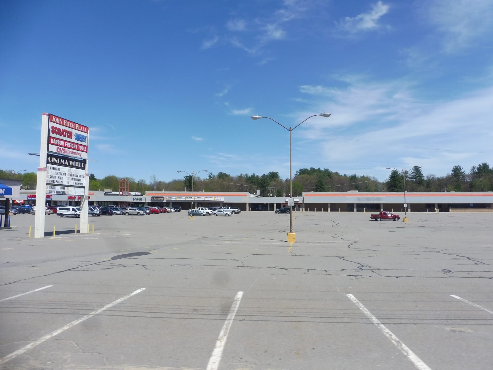 |
| The latter shopping plaza. |
We returned to Lunenburg Street, which was still industrial, but we did go by a Reliant Medical Group clinic – strangely, this is only a timepoint on the inbound trips, even though it doesn’t deviate in either direction. We entered Lunenburg here and the street became Massachusetts Ave, and there were now houses and weird businesses among the industrial buildings (as well as a big flea market). Finally, the road got wide, signalling the intersection where we would turn to go into Lunenburg Crossing, the end of the line. The actual end of the line, unlike on the stupid 6!
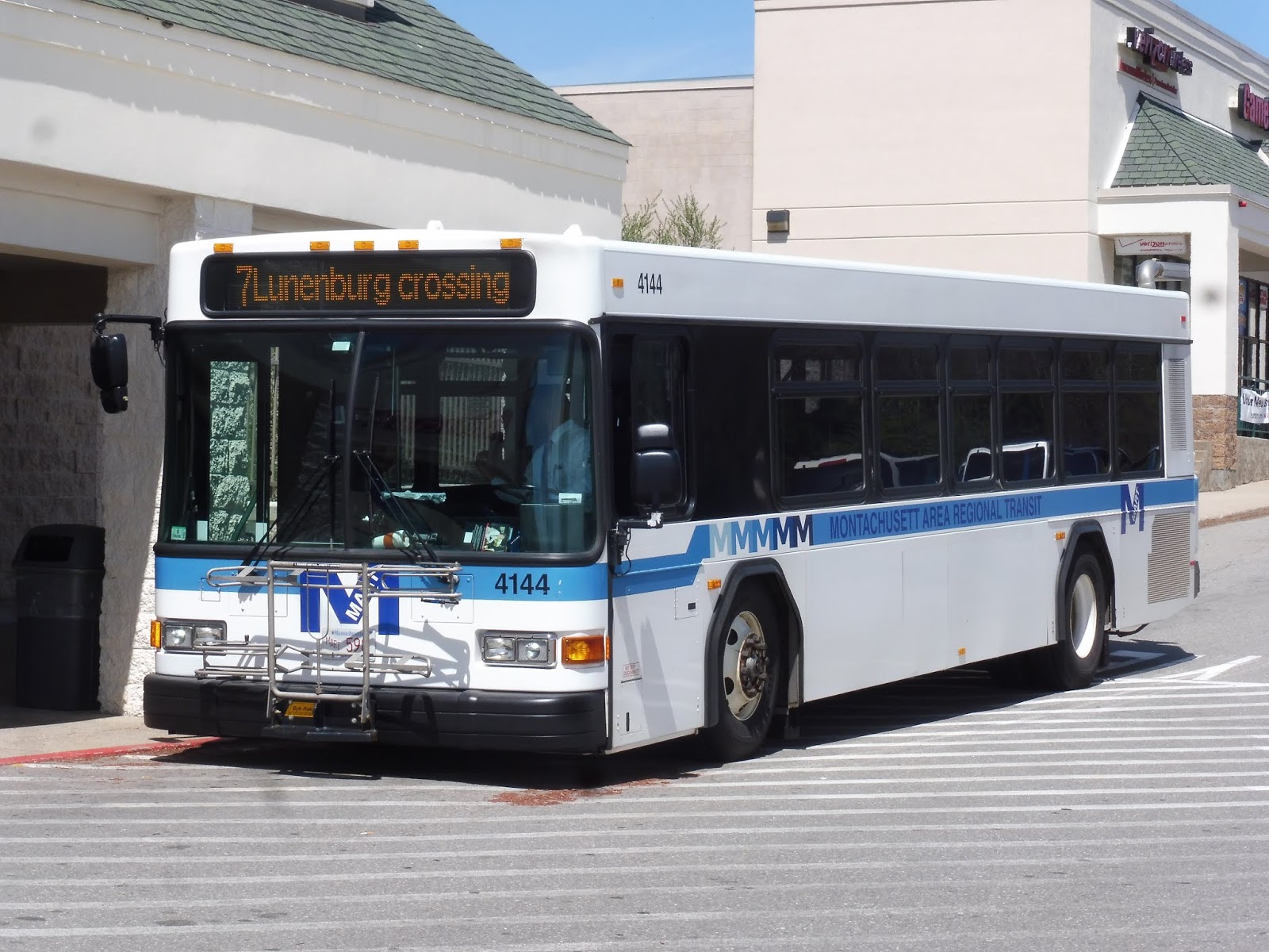 |
| Ugh, whats’s with the lowercase “crossing”? That looks terrible! |
MART Routes: 6 and 7 (Intermodal – Burbank – Fitchburg High – Intermodal – John Fitch – Lunenburg Crossing)
Ridership: Between the two routes, there’s a combined ridership of about 125 people, which isn’t terrible for MART. However, I’m willing to bet that most of those folks are riding the 7 and not the 6: my one-way 7 ride got 12 people; my round-trip 6 ride got 6, but 5 of them got on at the Intermodal Center and just rode around to get onto the 7! Geez!
Pros: The 6 serves the hospital and the 7 serves a few shopping plazas and that little clinic. I don’t think the two routes are getting much ridership from the other places they go to, but they definitely serve some important places.
Cons: First of all, the 6 is stupid and I hate it. What the heck does the 6 do on a snowy, non-school day when, according to the snow route, it doesn’t serve Burbank Hospital? Where does it go then?? Also, boy, these routes run real frequently. Yeah, how does every 80 minutes sound to you? Mmm, those are some good headways. Apparently it’s not even enough time, because my bus was ten minutes late! How!? The 6 is so short with so much recovery time!
Nearby and Noteworthy: Lunenburg Crossing has this strange Walmart where the logo is…red. Maybe this is a common thing, but it was strange!
Final Verdict: 3/10
I’d say the 6 is a 2/10 and the 7 is a 4/10, so they average out to a 3. These are infrequent routes with one bus that just drives around, doesn’t get many people when it’s doing the 6, and gets progressively later and later, it would seem. I wish there was some way we could improve service on the 7 while lowering service on the 6 (because it doesn’t seem like it needs it), but resources are so scant here in Fitchburg that there isn’t much that can be done.
Latest MBTA News: Service Updates
Okay, I’m super late to tell this to the general public, but the Chelsea race day has moved to June 29th. That means that if you want to join the race, this is your last chance. If you have no idea what I’m talking about, click here. For a direct link to the sign-up form, click here. Hope to see you there!
My Day on the Hartford Line Was Really Weird (plus station reviews!)
So the CTrail Hartford Line opened up on Saturday! I…uh…I don’t think I’ve ever seen so many strange characters in a single day. Read on, and you’ll find out every weird thing that happened to me, as well as reviews of every station on the line.
The whole mess began, as many messes do, with Greyhound. My friend Jeff and I were getting the 6:45 Greyhound bus to Springfield, where we would board the first ever southbound Hartford Line trip and ride to New Haven. The bus ticket said the bus was boarding at 6:25, and I planned to get there even a little earlier because I had been suffering from a stomach bug for the past few days, so I needed to accomodate my body if it had any ideas.
“I’ll get the 5:30 83!” I had told myself the night before. But right when I was about to leave, I remembered “Oh wait, it’s Saturday, the 5:30 83 doesn’t exist.” Okay, Red Line it is. I got to South Station at 6:10, and luckily, the bug was cooperating, so I had to get to the bus terminal as slowwwwwly as possible. How should I do that?
Of course! Take the elevator from the Red Line to the Commuter Rail station that feels like it’s somewhere illegal (see review for details)! An Amtrak employee joined me on the ride. “I don’t want to go to work,” she said. “I just want to take a nap.” “Yeah,” I responded. “I feel that.”
I eventually did make it to the bus terminal, but I was still too early, so I just stared at the regional bus map for a while. Jeff must’ve gotten past me without me noticing, because I got a text saying “Meet me at Gate 7.” I walked to Gate 7, where I saw Jeff standing in line for a bus going to…”Worcester.” “Is this the right gate?” I asked. “Watch my stuff; I’m going to ask at the counter,” Jeff said.
 |
| Yup, that makes a lot of sense. |
So yes, it turned out this bus was going to Syracuse via Springfield. Now we could focus on the other problem: it was 6:40, and the bus hadn’t shown up yet. There were buses in the two gates next to ours, but nothing at Mr. “Board at 6:25 for the Bus to ‘Worcester'” Gate 7! The bus had now gotten so late that it had disappeared and the gate sign had changed to the 9:45 trip to Screw You, KS. Or something.
Also, very important: Jeff had gotten priority boarding. He gets motion sick on long bus rides, so he needed to make sure we would get a seat in the front of the bus. The problem was that this single-file line didn’t seem like it was very likely to accommodate any priority boarding passengers. “I paid two dollars for priority boarding,” he said, “and I’m gonna get it. I don’t care what it takes.”
Finally, at 6:55, the bus pulled in. “Bus to Worcester, Springfield, Albany, Syracuse!” the driver shouted. “Please have your tickets ready!” Jeff bolted out of line to show his priority boarding ticket. “Uh, okay,” the driver said. “Anyone with priority boarding, please step forward!” No one else had gotten it.
The ride itself was uneventful until we got to Springfield and pulled into the berth. A Greyhound employee stormed up to the door of the bus. “You can’t be in this berth!” she yelled up. “You have to be in Berth 26! You could be fined for this!” “Okay,” the driver responded. “But they told me Berth 21.” He turned to the passengers. “Everyone please sit down,” he called out. “EXCUSE ME YOU HAVE TO MOVE RIGHT THIS INSTANT, YOU COULD BE FINED 1500 DOLLARS!” the lady outside screamed. “Lovely woman,” muttered the driver as he reversed to go loop around.
“What’s going on? I need to get off!” asked a passenger as she came scrambling up to the front. “Don’t worry,” some other people said. “We’re just going to another berth.” But one old man, in the most condescending way possible, said, “If you had taken those headphones out of your ears, you would’ve known what was going on.” Ouch!
But we were finally here at Springfield Union Station. Points of interest included the departure boards finally kinda working and the really nice CTrail ticket machines. Sure, each one seemed to have a defect of some kind, but they were overall great. They even programmed in that tickets were $0.00 for the weekend, so we got some for our trip.
 |
| Okay…no bus or Amtrak departures…and the destination is wrong…yeah, the sign isn’t perfect. |
 |
| These smaller signs are just for CTrail, I guess. They’re supposed to talk, but they don’t. |
 |
| These are awesome! |
 |
| $0.00! |
We went up to the platform, where it was foamer central. If you don’t know what a foamer is, think of them as the reason I call myself a transit enthusiast and not a railfan. They’re the kind of people who go up to the edge of the yellow line and squat down just to get a picture of a signal box or something. I’m sorry if this offends anyone, but I really hate that kind of behavior.
 |
| The crowded platform. |
One man stood out among the crowd. He had an American flag top hat, an American flag shirt, and American flag shorts. And, of course, he came up to us. He said he was from Boston and he was “fanning” the line. “Hey, I think I saw you on NBC!” he said to me. “Oh yeah, thanks!” I responded. “Yeah, you got the T running for its money,” he said. “You had some great idea or something, right?” “Uhhh…I’m not sure?” I said. “Yeah,” he replied. “It was a great idea. I get a lot of ideas, but the T won’t listen to me.” Okay, I’m sure you do.
At one point, a Springfield police car was driving up on the elevated station. “Is that an actual road or just the right-of-way?” Jeff asked. “It’s the right-of-way,” our American friend replied. “But the weird thing is that this isn’t even their jurisdiction.” “Yes, it is,” Jeff said, “It’s their town!” “Uh uh uh…yeah, I guess.” American friend stuttered.
 |
| I’d recognize those horrible ex-MBTA West German cars anywhere! |
 |
| Aw, it’s going way down there? |
As would become the theme for the day, the train coming up arrived late. Jeff and I made our way to the back to meet his friends from New York, Kurt and Sunny, who had come up from New Haven. On the way, we passed an old man wearing a full-body pink spandex jumpsuit. Just thought I’d mention that.
 |
| Getting a shot from the front. I guess I’m a foamer now too… |
The ride to New Haven was pretty nice! It was scenic, we were talking, and the car had no AC. Yeah, that was a blast. It didn’t help that the train was getting packed, because of course it was, because the fares were free. The dwell times at each station were ridiculous, since the conductors had to manually open and close each door themselves, not to mention the huge crowds getting on at each one.
 |
| The car when we were just getting on. Looks basically the same as the T ones, except with a map on the end. |
 |
| Crossing the Connecticut River! |
 |
| Standing room only. |
It was somewhere between Wallingford and New Haven that I decided to check the itinerary I had made for myself, my plan being to go back up the line and review every station. Hang on…none of these trains I had put down actually exist! It slowly dawned on me as I told everyone: “I need to change this itinerary.”
 |
| The New Haven platform. |
 |
| The tunnels connecting the platforms. |
 |
| Odd place for one of these… |
 |
| Oh yeah, this station is legit. |
 |
| A few different aspects of the station on view. |
 |
| Welp…this is about it for the intercity bus terminal. |
 |
| Outside the station. |
 |
| Back inside. |
 |
| This station goes heavy on the atriums! |
 |
| Inside the parking garage. |
 |
| The station…from above. |
 |
| A Hartford Line train…from above. Also, bonus Metro-North! |
 |
| The train departing New Haven State. |
 |
| A ticket machine and some bus schedules. |
 |
| The station’s dramatic entrance. |
 |
| The two things described in the previous sentence. |
 |
| Oh, excuse me, 215M. Thanks for adding letters to everything, CTtransit New Haven. |
 |
| On to Meriden! |
 |
| The drop-off area. |
 |
| Looking down the platform. |
 |
| Up on the station’s footbridge. |
 |
| Looking down the station…from above. |
 |
| A southbound Shuttle train. |
 |
| Oho, a meet! Geez, I’m foaming again… |
 |
| The station…from above. |
 |
| The bus area. |
 |
| Awesome! |
 |
| Shore Line East, you really need better locomotives… |
 |
| The station…from above. |
 |
| I was so shocked that this was the only picture I could get! |
 |
| Oh dear…this is desolate… |
 |
| OH DEAR LORD. |
 |
| I am standing at one end of the platform. That is the other end. |
 |
| Good to see you again! |
 |
| The charming platform. |
 |
| My ride back to Hartford! |
I did my business, threw out the disgusting apples (sorry), and walked to the bus stop to get a 32/40 back to Hartford. Why is it called that? I assume it combines the 32 and the 40 in some way. It’s CTtransit, so nothing ever makes sense. Anyway, this bus ended up going through some rougher parts of Hartford, and it was an interesting ride. All the passengers seemed to know each other.
 |
| In downtown Hartford. |
 |
| The station building. |
 |
| I got terrible pictures of the atrium, apparently. Here’s one of them. |
 |
| Here we go! |
 |
| Up on the high platform. |
 |
| The coach bus terminal. |
 |
| The Hallway of Vending Machines. |
 |
| Interesting… |
So, I was finished reviewing the terminal and I still had half an hour until the late bus was going to arrive. Well, there was a CTfastrak coming in one minute, and I couldn’t visit Hartford without riding it, so I ran to the stop and hopped on! I’ve actually done a full CTfastrak ride before (it never made it onto the blog), but it was still awesome to be doing it again.
I figured out that in order to get back to the station by 8:20, I would have to get off at Newington Junction. That wasn’t bad – it was more than halfway down the line. We arrived there, and I got off and crossed the tracks. The only other person there was a girl who looked like she was about sixteen. We sat far apart from each other in silence.
“How old are you?” she suddenly asked. Okay, that was weird. “Eighteen,” I said. “You’re not going to Hartford by any chance, are you?” she asked. “I am,” I responded. “Why?” she said in a weird tone of voice. Who was she, the troll under the bridge? I explained how I had been riding CTrail all day for my blog and how I was from Boston. “Wow, so it’s already bringing people in from the cities,” she said. “Yeah, I guess,” I replied.
The bus came and we got on. She shook my hand firmly and introduced herself, but I can’t for the life of me remember her name. It started with an A. She told me about how the CTfastrak had completely revitalized Hartford and opened up a ton of new opportunities. “Put that on your blog,” she said.
Eventually, the talk turned political. “Isn’t it scary how some stupid person could just push a button and we could all die?” We were nearing her stop. “And you know, people just a little under your age, because I’m older than you and I hope you know that, are screwed, because they grew up only knowing a world of technology. I mean, if I asked you if you could use a library catalogue, you’d say no, right? Right? Exactly. So you’d better learn how to do things the hard way.” She shook my hand again. “Write an amazing blog!” And with that, she stepped off the bus, and I sat there, worn out from the intense conversation.
I hit the stop request button when we pulled up to the Union Station stop. Stepping out, I saw a Greyhound bus signaling left to go into the station. What did its destination board say? I squinted. “BOSTON MA.” Oh no! I started running, jaywalking across the empty Asylum Street and coming into the coach bus terminal just as the bus pulled up to make its stop. I had made it.
“Good evening, ladies and gentlemen,” said the driver over the loudspeaker in a soothing, deep voice. “This bus will be headed for Boston, making no stops in between. The trip should take about an hour and a half, traffic permitting. My name is Mr. Jones, and I’m here to make sure your trip is a pleasant one. Sit back, relax, and enjoy the ride.” I reclined my seat back, got into a comfortable position, and fell asleep.
So, that’s my crazy CTrail day. I don’t think I’ve ever met so many strange and interesting people over a 24-hour period! It was exhausting, it was fun, and it made for a great story. Hopefully you all enjoyed reading it.
As for the Hartford Line itself, I was overall quite happy with the service. It’s adding frequency to an important rail corridor, and the integrated fare system with Amtrak means that more trips can be made up and down the line. Yes, it had severe capacity problems and delays this past weekend, but that’s because rides were free and the service isn’t designed to transport 10,400 people in a day (that’s how many people rode on Saturday!). It still seems like a lot of their trains are running late, so schedule times might have to be adjusted to accommodate dwell, but overall, I’m excited to see what kinds of opportunities this line brings to western MA and Connecticut. Next up, give us a proper rail line from Springfield to Boston!
MART: 8 (Monument Square ‐ The Mall at Whitney Field ‐ Orchard Hill Park – The Mall at Whitney Field)
Time to ride MART’s local Leominster shuttle kinda thing! Yeah, I dunno, this is a weird one.
 |
| We’re doing “Whitney Field” as one word? Really? |
I boarded the bus at the start of its loop in Leominster just north of Monument Square, just to get the full experience (meaning, like, two extra minutes of riding). We headed down Merriam Ave, which was lined with dense houses, as was Orchard Street, which we turned onto. At the intersection of Orchard and West Street was the Leominster Senior Center, because of course this bus serves that, but no one was there, so we just went onto West.
 |
| Back in Monument Square. |
 |
| Leominster! |
 |
| Blech. |
 |
| The rugged Home Depot. |
 |
| Wow…that’s a change. |
 |
| I took the bus back to Whitney Field, so here it is there. |
MART: 11 (Intermodal – Great Wolf Lodge)
The 11 is scheduled to leave Wachusett Station at 7:45 AM. The first Fitchburg Line train of the day is scheduled to arrive at Wachusett Station at 7:45 AM. Well, obviously, that transfer didn’t work out. Time for Plan B: walk to Great Wolf Lodge from Wachusett.
Now, anyone who has ever been to the Wachusett area knows that this is easier said than done. Authority Drive, the street that goes from the station out to the main road, is completely sidewalkless, and at the time I did this, there was a ton of snow on the ground to contend with. Yes, I know, my backlog of reviews is huge.
At least the main street, Princeton Road, had a sidewalk. Without crosswalks. And without shoveling. The snowy trudge across an interchange with Route 2 was a long and arduous one, but at the end of it was the entrance to Great Wolf Lodge! Of course, the lodge was up on a hill, so the road leading to it was long, winding, and unshoveled. Sighhhh…
 |
| We’re almost there! I see the bus! |
As I was walking up, the bus zoomed past me on its way to the lodge. I was hoping to see where it would go, but it ducked behind a hill. And by the time I got to the huge Great Wolf Lodge complex, I realized it would be a little harder than anticipated to find this stop.
I started with the most plain-looking building I could see, since that seemed like a likely place to put a bus stop. I mean, I wasn’t about to touch the one with the water slides ducking in and out of it. What was this place anyway? Stepping into the plain building, I entered a dark arcade. All of the lights were off. All of the games were off. It was eerie.
There was clearly no one here whom I could ask for help, so I followed the signs leading to the “Grand Hall.” The next room had hokey music and sound effects playing from various different themed areas. Again, it was practically empty, aside from one mother hurrying her two kids down the hallway. “Is this fairy land?” she asked her daughter. “I think this one is fairy land.”
At the entrance to the next room was a sign saying “WRISTBANDS ONLY.” I didn’t have a wristband, but I had to catch this bus, so I pushed open the door and walked through the area as quickly as possible. It was a huge pool complex with slides, diving boards, and very hot temperatures.
Finally, the next room was the Grand Hall. It was a typical hotel lobby, overrun with families and screaming kids running around. I came up to the front desk to ask for help. “Hi, do you know where the bus stops?” I asked. The woman looked confused and turned to her colleague. “Do we have a bus? I don’t think we have a bus.” Uh-oh…
“Why are you here? What’s your room number?” the woman asked. Alright, let’s just explain the situation. “I write a blog about public transportation and I’m only here because I’m trying to ride every MART route, so I want to get the bus back to Fitchburg.” She looked very confused, but she finally had a realization. “Oh, you want the MART! That’s for employees…it picks up in the back of the building. Go around and it should be there. I can’t promise they’ll let you on, but you can try…”
That wasn’t promising, but we were getting somewhere. I walked around to the back of the building, where some people were pushing a cart of food towards a loading dock. “Excuse me,” I called out. “Does the bus board back here?” “Oh, you mean the MART bus thing?” one of them replied. “Yeah, it boards at the end there, I think. Do you know the times?” I told him I knew there was one coming, thanked him, and stood there at the end of the parking lot. And sure enough…
 |
| The photo is blurry, but Hallelujah! |
ALRIGHT, finally on the bus! Time to escape this place! We twisted our way down Great Wolf Drive, taking us back out to Princeton Road. We took this over Route 2, and on the other side, it was a mix of houses and industrial buildings. After curving under the Commuter Rail tracks, the road got woodsy before coming to Waites Corner, the terminus of the 5.
 |
| Some houses at Waites Corner. |
From here on out, the route parallels the 5 directly, so it actually becomes “limited stop,” with only a few places where you can pick up the bus. It doesn’t really matter because I doubt many people are boarding this thing to begin with, but whatever. Limited stops. So we headed up Westminster Street with the 5, which had a forested section next to the Whitman River after Waites Corner before coming back into a mostly industrial area.
 |
| This is pretty typical scenery. |
The road became River Street eventually, but it was still just a bunch of industrial buildings with houses on the side streets. We went under the Commuter Rail again, then we went around a rotary and…went under the Commuter Rail again. What was it like on the other side? Yup…still industrial.
 |
| Ewww… |
We went over the Nashua River once, then again, and after the second time, we merged onto Main Street. This led us to Fitchburg Upper Common, a park with…businesses around it! Yay! Unfortunately, we couldn’t travel through downtown Fitchburg on Main Street because Main Street is one-way, so we had to go down Boulder Drive instead. It was, yes, industrial. Finally, we came back onto Main Street and pulled into the Fitchburg Intermodal Center.
 |
| Shh…I’m stalking the bus. |
MART Route: 11 (Intermodal – Great Wolf Lodge)
Ridership: My trip got exactly zero people, but that’s because I was going in the reverse-peak direction. The driver said that trips in the peak direction get a decent amount of people, and interestingly, riders apparently transfer from the Gardner Shuttle! I’m not really sure how they do that since the Gardner Shuttle arrives at Wachusett at 7:50 and the 11 leaves it at 7:45, but we’ll get to that…
Pros: This is a good way for Great Wolf Lodge employees to get to work. The route is peak hours only, which makes sense, and I’m assuming the trips time with shifts at the Lodge.
Cons: The evening rush trips time well with both the Gardner Shuttle and the Commuter Rail, but the ones in the morning rush should be shifted ahead about 5-10 minutes so they actually time with things! Also, this doesn’t have to be for employees only, does it? If it timed with trains, this would be a great way of getting to Great Wolf Lodge, and it seems like it’s a big destination for families.
Nearby and Noteworthy: Great Wolf Lodge, of course! Too bad you can’t actually get there from the train, but you could always do the treacherous walk from Wachusett.
Final Verdict: 6/10
I’m gonna assume the timing between the Gardner Shuttle and the 11 works somehow, even though on paper it doesn’t, but the driver said people do transfer between them. Still, the morning times should be shifted ahead to time with trains, and then the route could capture more employees, and even better, guests of the lodge! As it stands, the 11 is just a decent commuter route.
Latest MBTA News: Service Updates
RIPTA: 59x (North Smithfield/Lincoln Express Park and Ride)
Okay, so this is the 59x. It’s an express route that runs three trips in each direction every day. And…uh…well, just take a look at the bus it was using…
 |
| UMMMMMMMMMM… |
Alright, so we’re riding a tourist trolley to Slatersville! Uhh…that’s…interesting. How did this happen exactly? Okay, well, our little trolley headed out from Exchange Terrace and we used Francis Street to get onto Memorial Boulevard. We curved around the Providence Place Mall on a ramp leading to I-95 North, but after passing a few downtown Providence buildings and landmarks, we took an exit onto Route 146.
 |
| Just a part of the sprawling Providence Place Mall. |
Route 146 got pretty woodsy pretty quickly, with only brief flashes of civilization whenever we traversed an overpass. We were travelling along the route of the 54, but luckily, we didn’t have to do its deviation to Twin River Casino and CCRI. However, we did have to do its Lincoln Mall deviation, so we took the exit onto George Washington Highway.
 |
| This is a weird part of the mall… |
Ah, but it wasn’t just a Lincoln Mall deviation. No, this was a Lincoln Mall Park and Ride deviation! Yes, we made our way to the back of the mall to just randomly stop in the middle of the parking lot, and this was apparently a stop, and almost everyone on the bus got off. Okay…so you’re telling me that the main reason most people use the 59x is so that they don’t have to walk to the other side of a mall. Huh. Also, I’d just like to remind everyone that we’re in a tourist trolley!!
 |
| Coming from behind the mall. |
We returned to Route 146 after that deviation, and after an interchange with I-295, the highway became just a regular road with a bunch of suburban businesses along it. We soon merged onto Route 146A (Smithfield Road), but we got to skip the 54’s Walmart deviation, which was kinda nice. There were some more suburban businesses before Smithfield Road turned to the dense houses of Woonsocket.
 |
| The shopping center into which the 54 deviates. |
This was not a Woonsocket express, though. The 54 left us to go down Providence Street towards downtown Woonsocket, but we stayed on Smithfield Road, which had a section where it was just woods and a cemetery. Houses did eventually come back as the street became Great Road, but they were more spread-out and suburban.
 |
| A cool view from the woodsy section. |
We went through a place called “Branch Village,” but it seemed to just be a few businesses with parking lots and a driveway to an industrial building. After that, we went over Route 146, and the road now had houses alongside it again. It became Victory Highway, there was a brief section of forest, and we finally deviated into Slatersville Plaza, our last stop.
 |
| A tourist trolley in Smithfield. I never thought I’d see the day. |
RIPTA Route: 59x (North Smithfield/Lincoln Express Park and Ride)
Ridership: My trip got six people. Four of them got off at Lincoln Plaza. One of them got off at a random stop that they could’ve taken the 54 to. So…one person took the 59x for its independent section. That’s not great.
Pros: It skips some 54 deviations. That’s nice.
Cons: To me, this route just feels redundant to the 54. Considering that five out of the six riders on my ride could’ve theoretically used the 54 instead, why not just…put them on the 54? I think that route can handle an extra five people. As for the one person…well, maybe the 59x doesn’t need three trips in each direction per day. Maybe it only needs one.
Nearby and Noteworthy: Slatersville Plaza has…a supermarket. And a Subway. And a Rite Aid. Okay, yeah, it’s boring.
Final Verdict: 2/10
Considering how many resources it takes to run three one-way express trips in the peak direction only, this route could easily be scaled back. I mean, that’s three separate buses that all have to be deadheaded in one of the directions, and it they’re each carrying riders in the single digits, most of whom could just use the 54, then I don’t see the point in running the route! Maybe it could have one trip to get North Smithfield people, but even then, I don’t know if that’s worth it…
Latest MBTA News: Service Updates