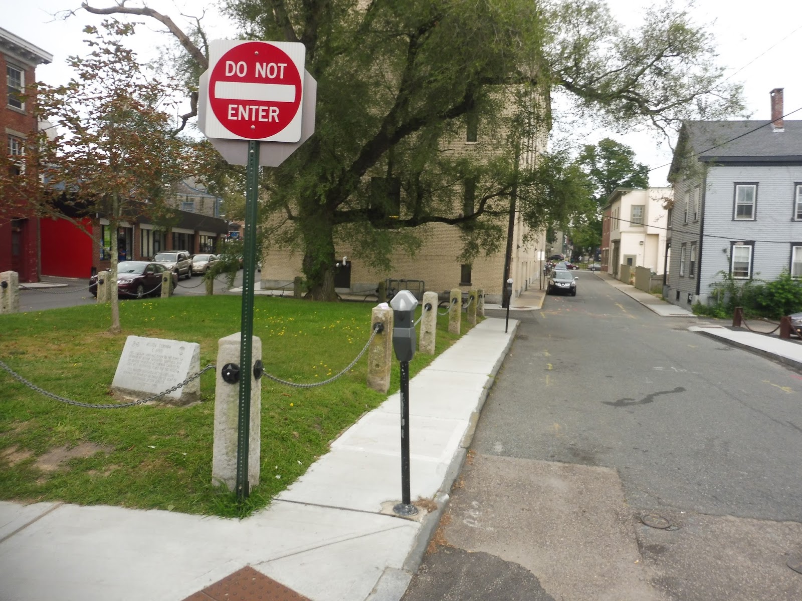
RIPTA: 80 (Armistice Boulevard)
This one is sorta like the 76: it’s a short route that covers the eastern part of Pawtucket. I liked the 76 because it served some dense neighborhoods and attractions that people would go to on a daily basis. Does the 80 do the same? Let’s find out.
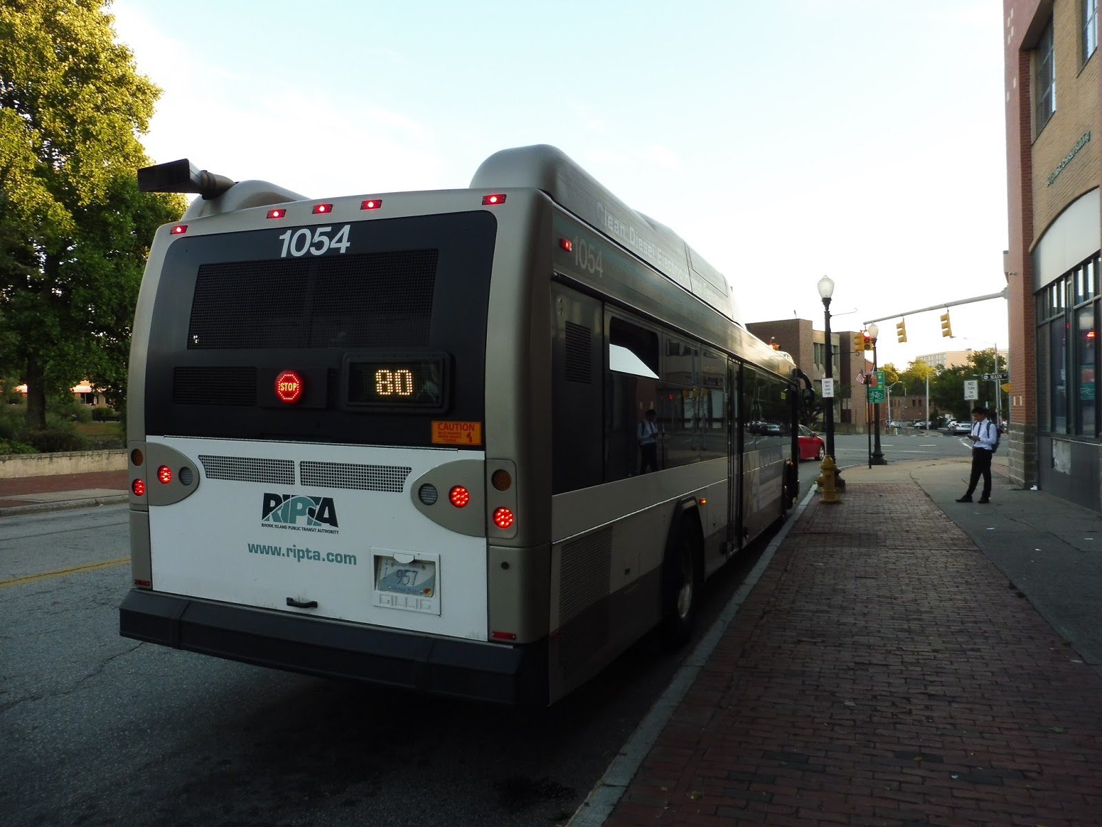 |
| The back of the bus at Pawtucket. |
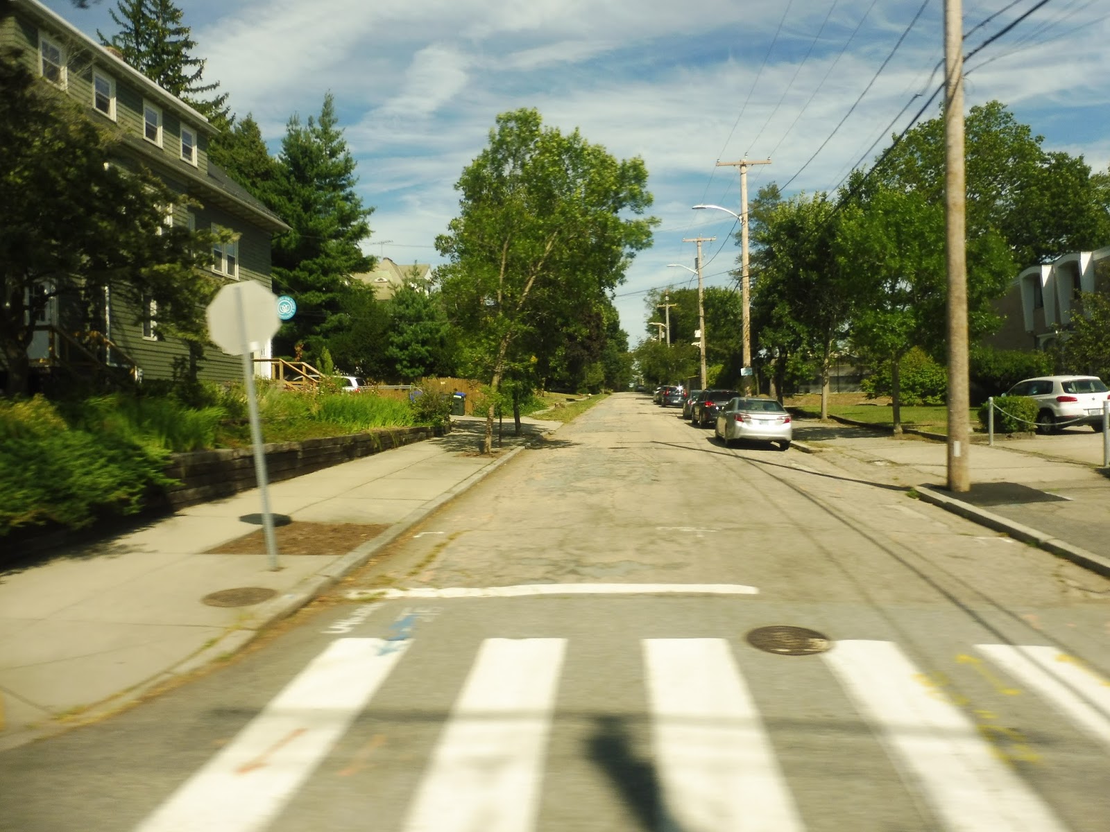
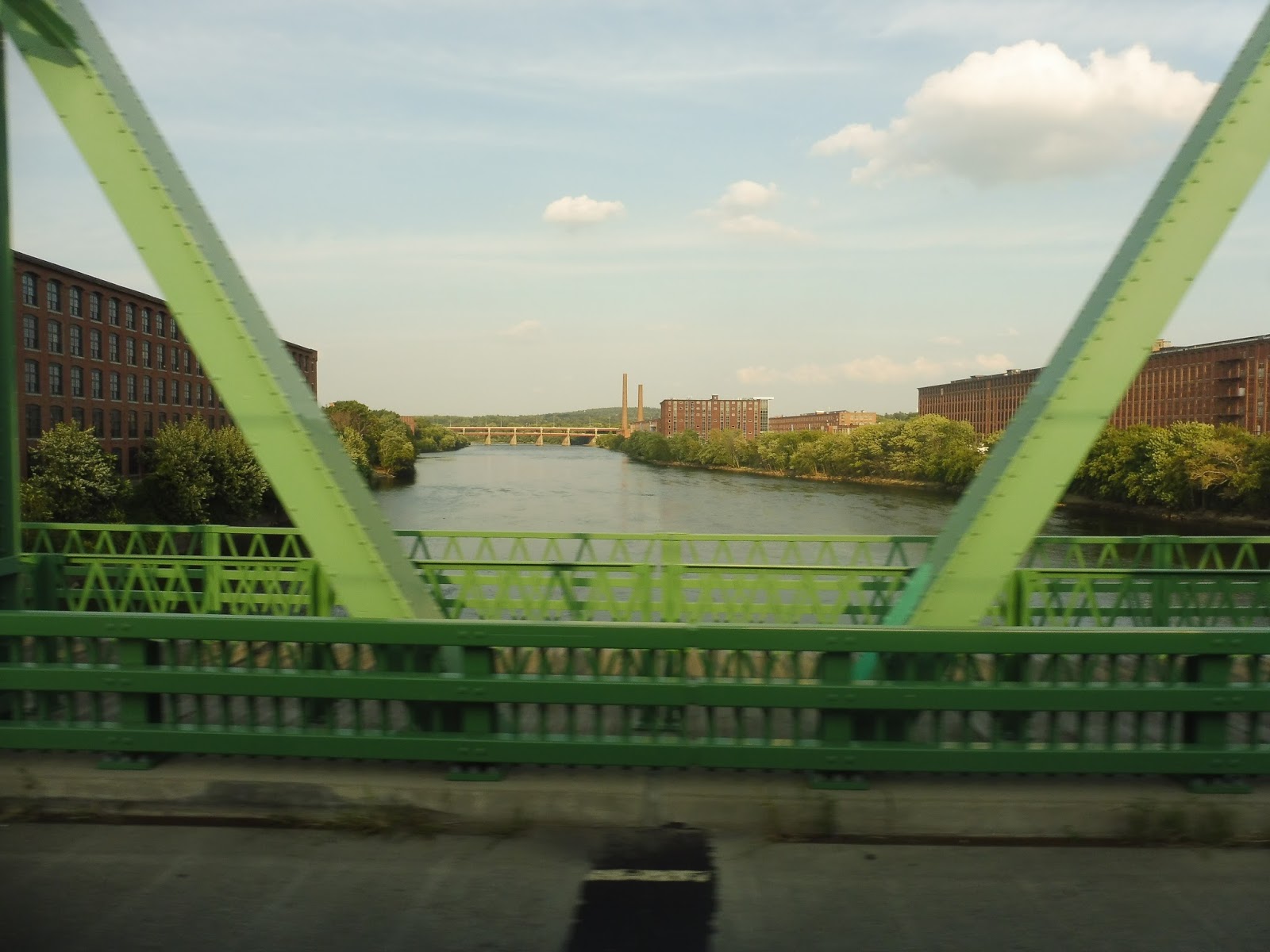
We almost immediately turned onto Main Street, crossing the Seekonk River and going by a strange office building with a pyramid on it. After going over I-95, we turned onto the residential Summit Street, which had dense houses on either side. We reached the Memorial Hospital of Rhode Island, where we turned onto Pond Street, which quickly became residential again.
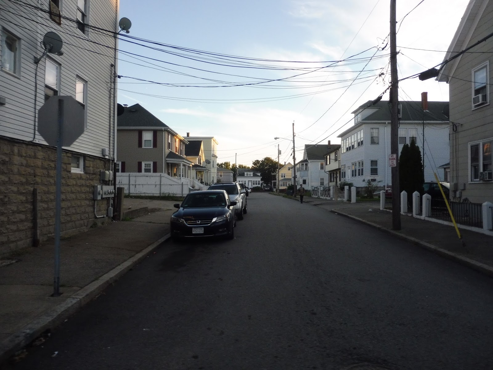 |
| A side street. |
We turned onto Columbus Ave, going by McCoy Stadium, which has the best RIPTA announcement I’ve ever heard. The announcer sounds so sad, like she’s about to cry! I have no idea what McCoy Stadium did to her, but it was hilarious to listen to. Wow, I sound sadistic, don’t I? Okay, anyway, the street quickly became residential again, but once we turned onto George Bennett Highway, we just blazed through an industrial wasteland.
 |
| Weeee! |
We were on it for a while before finally turning onto Armistice Boulevard, and after a shopping plaza, it became lined with houses again. Complete with a median, we went down this wide road past the mostly unchanging scenery, aside from a few businesses when we intersected with Newport Ave and the 35. It was just houses after that until we entered Slater Park and looped around at the Pawtucket Country Club, just next to the border of Massachusetts.
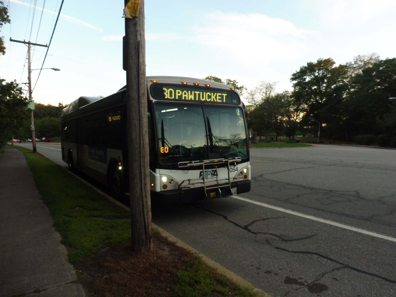 |
| Just gonna hang out here on the side of the road for a bit. |
RIPTA Route: 80 (Armistice Boulevard)
Ridership: From what I’ve seen, it seems to be very low. Going outbound, there were exactly zero other people on board, while coming back in, there was only one.
Pros: The most important area this route serves is the one around Division Street and McCoy Stadium. This is a densely-packed and transit-starved neighborhood that definitely needs its own bus service.
Cons: I’m just not as convinced that the section along Armistice Boulevard is that necessary. There’s no other way to say it: that section of the route is mostly middle-class, and while it’s much different in Boston, the majority of RTA passengers are low-income. It’s not even like the route serves anybody that well: it runs every hour and a half, weekdays only.
Nearby and Noteworthy: McCoy Stadium doesn’t really count because the RIPTA runs a special bus up here during baseball season. Thus, all I can really say is Slater Park, which doesn’t exactly seem like a place most people would take the bus to, especially given the 80’s schedule.
Final Verdict: 3/10
The inner half of the 80 has its place, but I just don’t think the outer half of it sustains enough ridership to be worth it – plus, those areas still have the 35, while Columbus Ave is a little more isolated. That being said, even Columbus Ave has the 78 within a 15 minute walk, which certainly isn’t optimal, but it’s something. I think the 80 does serve an important role in some of the neighborhoods it serves, but it doesn’t get that much ridership, and it’s a tiny bit redundant…
Latest MBTA News: Service Updates
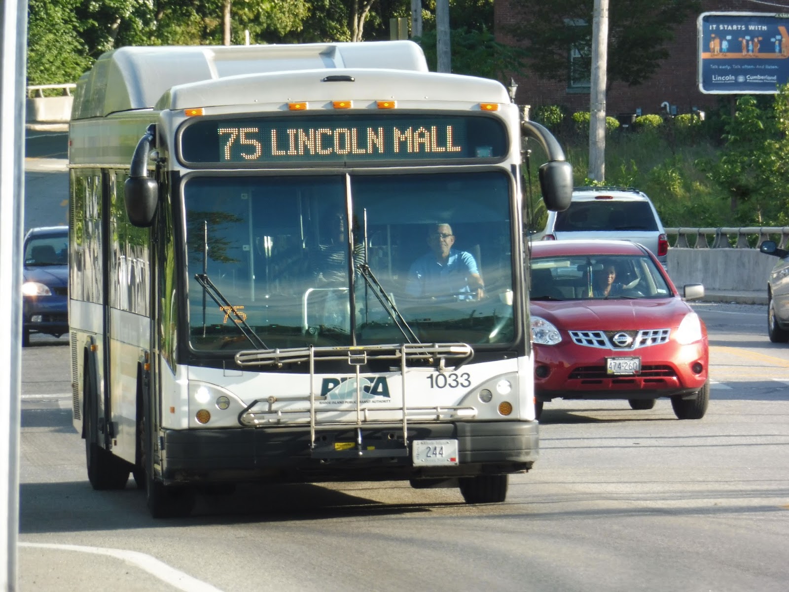
RIPTA: 75 (Dexter/Lincoln Mall)
Most RIPTA Pawtucket routes are weird, and the 75 is no exception. Boasting an inconsistent schedule and random rush hour deviations that themselves don’t make any sense, the 75 is a strange one.
 |
| I boarded the bus at Stop & Shop on Mendon Road and took the route up and back. |
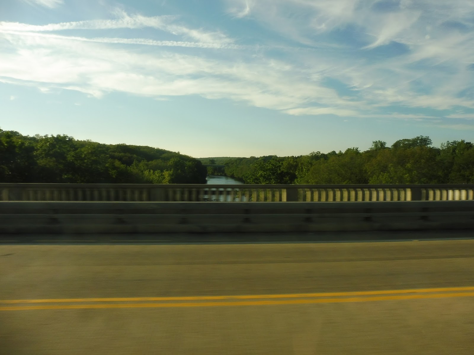
We headed out from the Lincoln Mall onto George Washington Highway, going under Route 146 and passing lots of office parks. Although the sprawling ugly Lincoln High School broke up the scenery, it was right back to offices after that. We crossed over into Cumberland on a high bridge over the Blackstone River.
 |
| I’m on the wrong side for a clearer look, but nice view! |
We turned onto Mendon Road, passing a fire station, a cemetery, and a church before the road got…interesting. It was this narrow strip of development with practically no side streets, and it seemed like people just built whatever they wanted: there were businesses, churches, industrial buildings, houses, you name it. It was all dense, too!
 |
| Good pictures were slim pickings along here. |
 |
| Look, it’s just a dead end! |
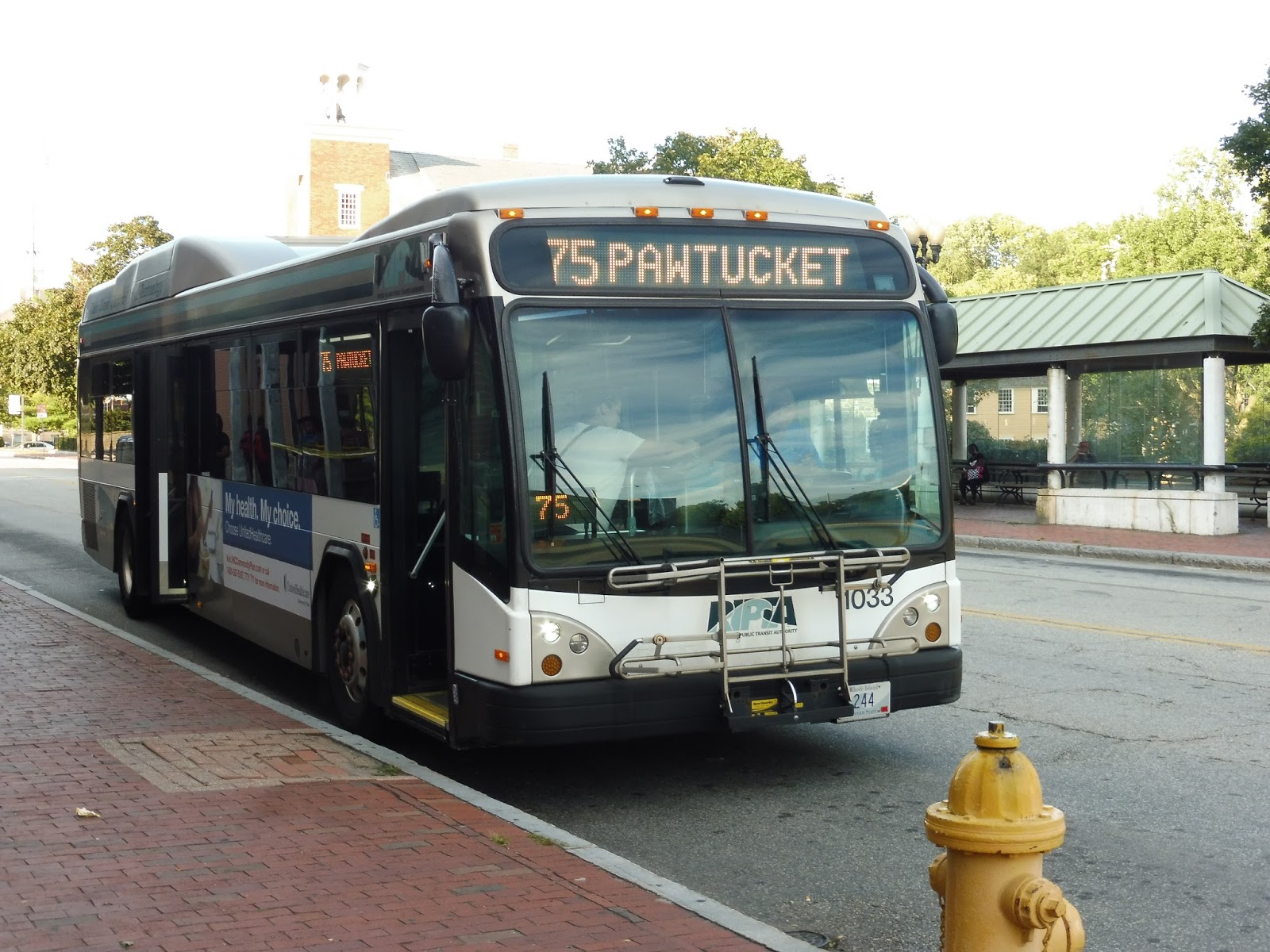 |
| The bus in Pawtucket. |
RIPTA: 71 (Broad Street/Pawtucket Ave)
Until recently, the 71 was considered a “key corridor route.” How frequent would you expect a key corridor route to run on weekdays? Every 15 minutes? Every 20 minutes? It’s an RTA, so we’ll be conservative and say every 30 minutes. So, how often does the 71 run? Every 40 minutes? Yeah, good call on RIPTA’s part to remove this thing’s “key corridor” status.
 |
| Alright, I guess the bus decided not to have a route number today… |
After sneaking into a Chili’s to use their bathroom (don’t ask, it was the only one I could find!), we left the shopping plaza at which this route begins and curved onto Ann Mary Street. This took us up a hill to North Main Street, but we merged onto Pawtucket Ave almost immediately. With what seems to be pretty typical Pawtucket scenery, the street was a mix between dense houses and random industrial buildings.
 |
| There were a few businesses scattered around, too. |
The industrial buildings withered away slowly and got replaced by the occasional business. Eventually we merged onto George Street, passing a cemetery and going over I-95. We curved onto East Street next, which took us past the mostly vacant buildings of downtown Pawtucket. Making a few one-block twists, we arrived at the Pawtucket Transit Center.
 |
| Some varied scenery in Pawtucket. |
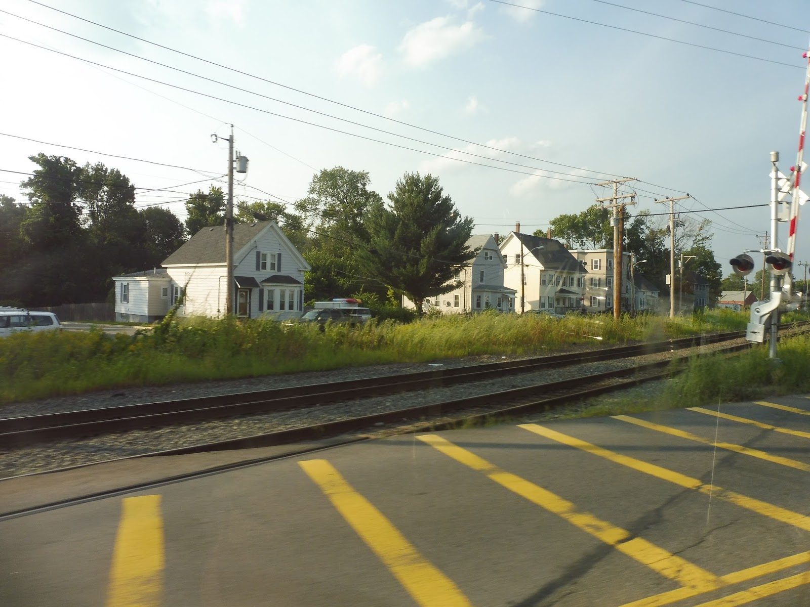
We made our way down Exchange Street, but strangely, we deviated from the route by continuing a little further than we were supposed to and turning onto Dexter Street! This took us over the Northeast Corridor train tracks, then we turned onto Barton Street to return to Broad Street, which is what we were supposed to be on the whole time. We entered Central Falls, passing diverse businesses intermingling with houses and churches.
 |
| Well, this is just weird! |
At one point we entered what seemed to be a “downtown Central Falls” type place, as the buildings got denser and retail lined the road. It ended quickly, though, devolving into huge factories to the east and weird businesses to the west. We then left the tiny town of Central Falls by going over the Blackstone River and entering Cumberland.
 |
| This factory has seen better days… |
Broad Street was a mix of everything in Cumberland, from businesses and houses to schools and churches. We went over some train tracks, after which one side of the road became occupied by a layer of trees and a fence. Turning onto Ann and Hope Way, we were in the home stretch of the route: at the end of that street, we entered the parking lot for a Stop & Shop that felt way too big for the amount of retail in the shopping center.
 |
| Oh, now it shows the number! NOW it shows the number! |
RIPTA Route: 71 (Broad Street/Pawtucket Ave)
Ridership: My ride had about 15 people, and it’s for routes like these that I wish RIPTA had kept its ridership numbers public. Given the length of the route and the fact that it runs through Pawtucket to shopping centers on either side, that doesn’t seem like very good ridership…
Pros: The 71 serves large chunks of Pawtucket, Central Falls, and Cumberland that are dense and far away from other routes. The southern half of the route is eliminated on weekends, but I think it’s okay because it’s fairly close to the 1 and the R-Line, both frequent routes. I think the schedule makes sense for the ridership, with a bus coming every 40 minutes on weekdays and every 45 minutes on weekends.
Cons: I was gonna do a tirade about how RIPTA called this a key corridor route, suggesting frequency that doesn’t exist, but now that it’s not anymore, I can relax. The only con for the 71 would probably be its ridership, which seemed to be light based on my trip – given the fact that it runs through such dense parts of town, I would’ve expected it to be higher.
Nearby and Noteworthy: There are many small businesses along the length of this route, but none of them seemed too appealing
Final Verdict: 7/10
If the route was still considered key, I would’ve given it a 6. However, now that its moniker of “local route” is more accurate, I’ll throw it another point. Yeah, the 71 may not be frequent and it may not get astronomically high ridership numbers, but it’s an important and direct connection for the communities it serves.
Latest MBTA News: Service Updates
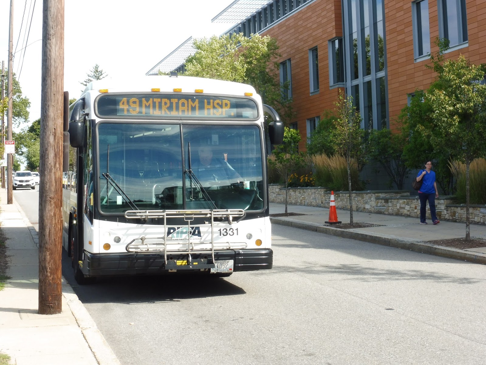
RIPTA: 49 (Camp Street/Miriam Hospital)
Why does the 49 exist? Why is there a bus route that runs three times a day to an area that’s already very well-served by two frequent routes? We’ll try to find out, but something tells me we won’t find an answer…
 |
| Shhh, don’t scare it – it’s a rare one! |
After boarding at Kennedy Plaza Stop Y (a strange choice – that’s where RIPTA’s long-distance routes usually board), we went down Exchange Street and turned onto Memorial Boulevard, then Washington Street. This took us across the Providence River to the East Side, where we entered the East Side Transit Tunnel!!
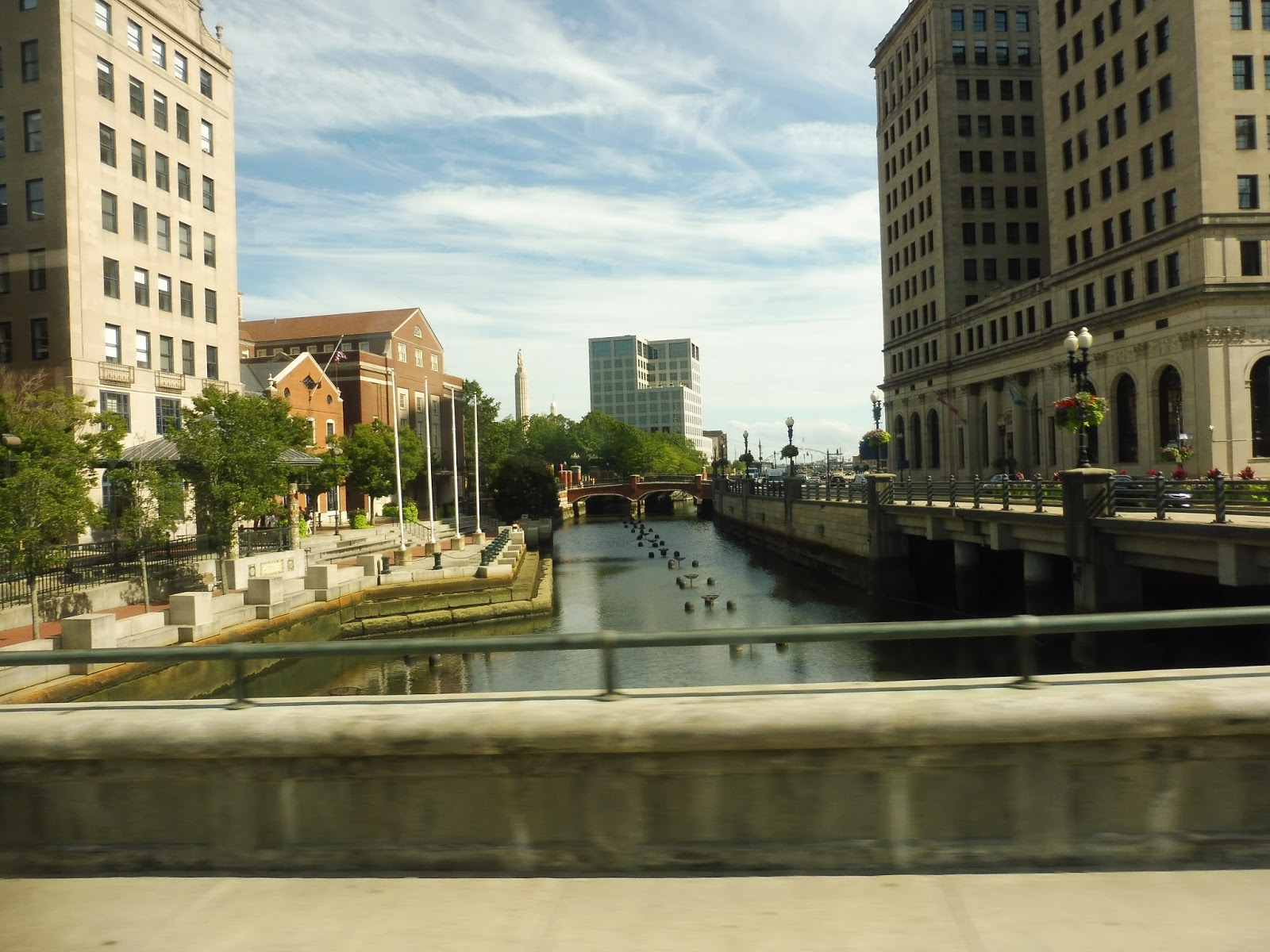 |
| Crossing the river. |
Coming into the open air again, we looped around onto Brook Street, which was far more residential than its retail-heavy cousin, Thayer Street, a block away. For some reason, the map says that the route goes north on Thayer and south on Brook, but that’s literally impossible because of one-ways! We merged onto Hope Street next, passing some Brown University buildings, then we went by the Hope High School. Other than that, it was mostly large, dense houses.
 |
| A side street. |
We entered an independent section by turning onto Doyle Ave, although the route map calls it Doyle STREET. There were a few small businesses where we turned onto Camp Street, which was still mostly houses, but it also featured a church and a playground. We turned onto the residential Rochambeau Ave next before making our way onto North Main Street, joining the R-Line.
 |
| Interesting intersection. |
North Main was mostly industrial aside from a cemetery that occupied one side of the road for a bit. We weren’t on it for too long, though, turning onto 3rd Street, although in one final error, the route map calls it “3th Street.” Finally, we arrived at the Miriam Hospital, where the bus got ready to loop around and return to Kennedy Plaza.
 |
| Well gosh, that’s a…shiny bus… |
RIPTA Route: 49 (Camp Street/Miriam Hospital)
Ridership: To get an idea of the amount of ridership this route gets, I asked the driver at the end of the route. He responded with, “Well, you saw it.” And what I saw was just one other person. Heck, when I got on at Kennedy Plaza, the driver asked me left and right if I really wanted to get on the 49. That’s how little ridership this route gets.
Pros: Nah.
Cons: Starting with the obvious, we have a route with not only an outdated map but one with blatant inaccuracies and typos. The route runs essentially twice a day, weekdays only, with one trip at around 9 AM and one at around 3 PM. These times seem to have no significance to anything – it doesn’t time with any kind of hospital shift as far as basic logic tells me, and it’s not at all convenient for residents the route serves. But let’s see just how many people the 49 actually serves: it runs with the 1 (or the 42, as the route map calls it – another outdated aspect of it) for more than half the route, then it has an “independent section” that’s literally a five minute walk from both the 1 and the R-Line. Finally, it ends at the Miriam Hospital, which seems like a great place to have a route serve until you realize it’s yet again a five minute walk from the closest R-Line stop. The 49: saving people from 5 minute walks…but only twice a day.
Nearby and Noteworthy: The 49 is in fact the closest route to one business: Piemonte Pizza and Grill on the corner of Doyle and Camp. It seems to have good reviews, and it looks like a charming pizza joint.
Final Verdict: 1/10
No, no, no, no, no! Just cut it! It literally serves no purpose as far as I can tell, and even if it does time with Miriam Hospital shifts, it’s still a waste of a bus and a driver when people can just walk to the R-Line! The 49 makes no sense, I tell ya, no sense!
Latest MBTA News: Service Updates
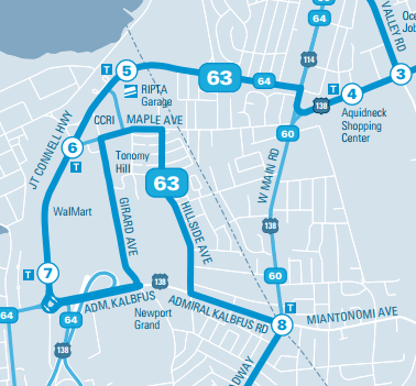
RIPTA: 63 (Broadway/Middletown Shops)
The 63 is like a drunk snake. I think that about sums it up…
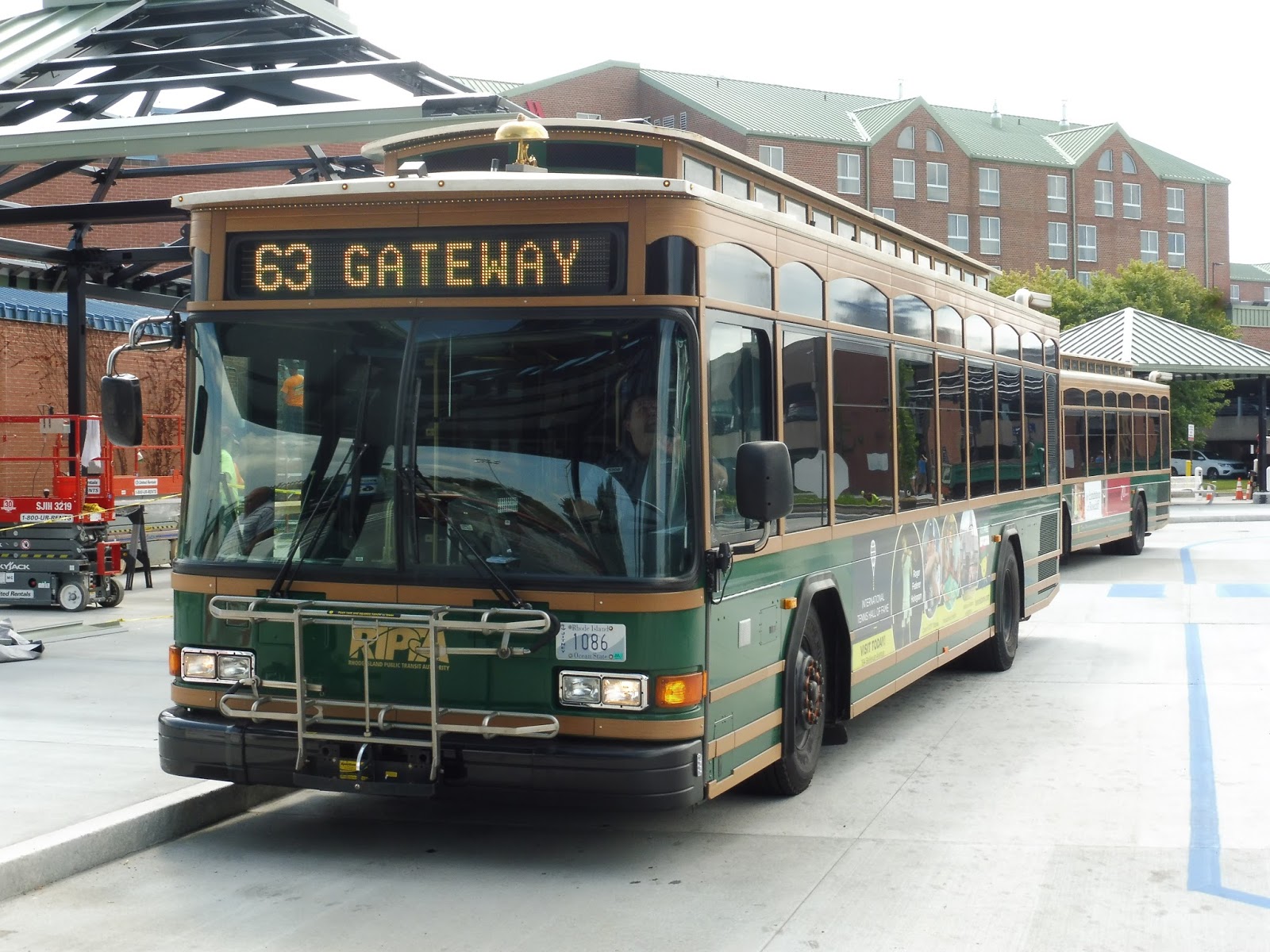 |
| I guess we’ll be taking a ride in a trolley, then! |
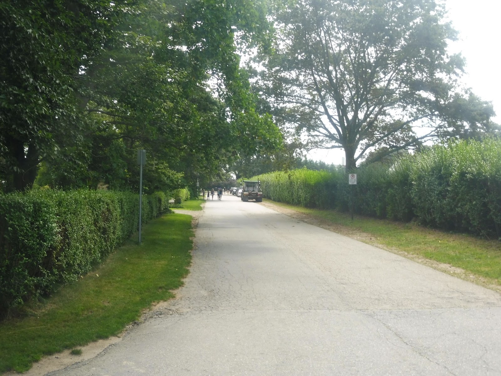
The route starts out pretty normal, though, just heading down Marlborough Street. There was a mix of old houses and newer parking lots, but once we turned onto Broadway outside of Newport City Hall, we passed lots of businesses. The further we went, though, the more residential it got.
 |
| All houses by now. |
There were a few suburban businesses when we turned onto Admiral Kalbfus Road, the stop announcement for which being one of the funniest on the RIPTA (“Admiral Kalb-FUTH”). We turned onto Hillside Ave soon, which took us past lots of houses, culminating with an apartment development at the end of the street. We turned onto Maple Ave for a few blocks, then Girard Ave, which had lots of random apartment developments along its length.
 |
| Making a turn. |
We eventually turned back onto Admiral Kalbfus Road, a mere block away from when we had originally gone onto Hillside Ave! The street went past a casino and under a stub of a highway (it met opposition so it wasn’t completed), then we went around a rotary onto JT Connell Highway. Here, it was time to deviate into a shopping plaza called Newport Towne Center, which was not nearly as regal as its name suggested.
 |
| Inside the big parking lot. |
Before we continue, I just want to note that there’s a stop on the inbound side called “Connell at Newport Adults Video.” Really? That’s what you’re gonna name the stop, huh? It couldn’t have been any other business? Alright, then. It was pretty industrial as we continued north, up until the intersection with Maple Ave – a block from where we were on it before. Do you see why my drunk snake analogy makes sense???
 |
| The road to CCRI. |
We went by Community College of Rhode Island Newport as our street became Coddington Highway. It curved east and passed the access road to the RIPTA Newport Garage, as well as industrial buildings, a trailer park, and some suburban businesses. We also entered Middletown along this section.
 |
| That sidewalk needs an overhaul! |
We turned onto West Main Road briefly before heading onto East Main Road. We passed the Aquidneck Shopping Center without deviating, and there were plenty more suburban businesses beyond. Next, we headed onto Valley Road, which led us back onto West Main. Strangely, the route only performs this jog in the outbound direction.
 |
| Turning onto East Main. |
We turned onto West Main Road at an intersection with suburban businesses and a housing development. It became a real hodgepodge of stuff after that, from housing developments to normal houses to shopping plazas to hotels to churches to farmland? Oh my!
 |
| A curvy side street. |
I have no idea how these RTAs decide which shopping plazas to deviate to, but I guess the RIPTA decided to choose Browns Lane Plaza. Now, this would normally be the last stop on the route, but I was very lucky to be on one of the four trips per day that continues up to Oxbow Apartments! What would the journey entail? Oh…we just continued up West Main Road for two extra minutes and deviated into an apartment development. Yay…
 |
| Here’s a picture of Oxbow just to prove I actually went there. |
 |
| This just doesn’t look like the kind of place where you would see a fake trolley! |
RIPTA Route: 63 (Broadway/Middletown Shops)
Ridership: My trip had about 10 people on board, using the route for local trips to the supermarket or to get back home. Unlike the 67, which was almost all tourists, the 63 is very much a route for residents.
Pros: The route definitely has its place in Newport, connecting residential neighborhoods to various shopping plazas in Middletown. It also does it frequently, at least on weekdays and Saturdays, with service every half hour (on Saturdays it’s every 45 minutes during the off-season).
Cons: Man, that service really drops on Sundays – all of a sudden, you’ve got a bus every hour and 25 minutes, amounting to a mere 6 full trips per day! The service to Oxbow Apartments feels strange, too – why run buses to it if it’s only going to be a few times per day, spaced hours apart? Honestly, every trip could run there, seeing as it doesn’t add much time to the schedule at all. Plus, like the 67, the 63 has the problem of being a bit too long – it has a 68 minute round trip time, meaning that it requires three buses to run half hourly service when it could be two. Oh, and did I mention the strange Saturday-only deviation to an apartment called West House that only happens on outbound trips five times per day in little spurts of three and two? This route is weird…and I haven’t even ranted about the stupid snake routing in Newport!
 |
| OH MY GOD ARGHHHHHHHHHHHHH!!!!!!!!!!!!!!! |
Nearby and Noteworthy: All this route really serves is a bunch of barren shopping centers up in Middletown. It would be a sad occurrence for a tourist to get on this, thinking it’s the 67 because it uses a trolley. Hey, why the heck does it use a trolley??
Final Verdict: 4/10
Like I said before, the 63 is a drunk snake. It twists around all over the place with strange service patterns and deviations that only get served a few times a day or only in certain directions. And sure, it does serve some important neighborhoods and it does run frequently most of the time, but geez Louise, this is a hard route to stomach. At the very least, it could serve the Aquidneck Shopping Center, West House, and Oxbow Apartments full-time, since the buses have some mighty long layovers back at the Gateway Center! Or maybe it could remove some deviations, such as straightening out the Newport snake section, so that it could run with two buses instead.
Latest MBTA News: Service Updates
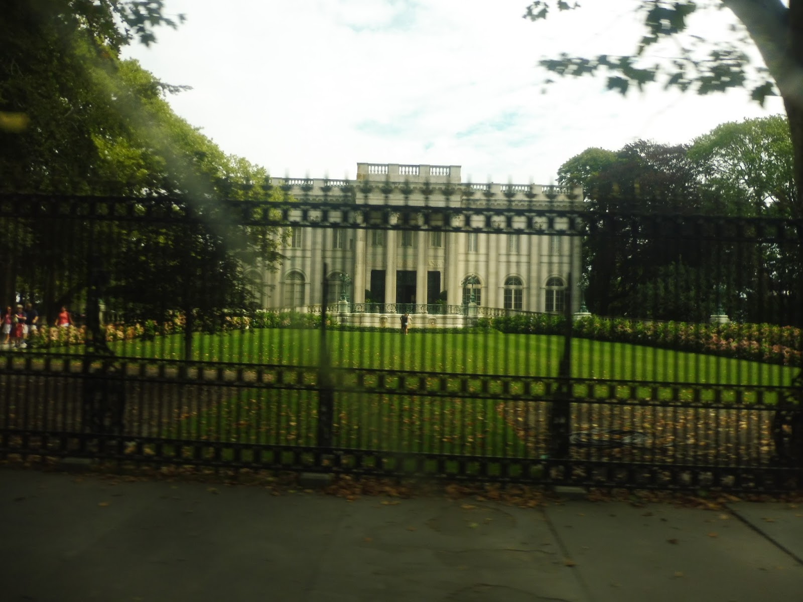
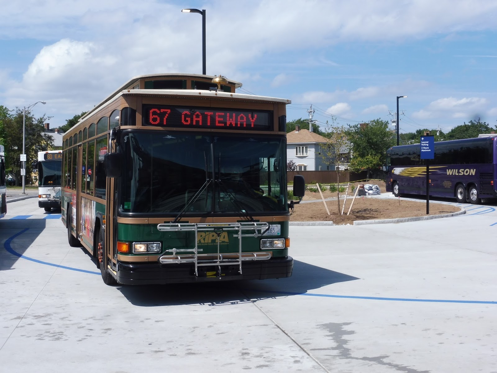
RIPTA: 67 (Bellevue/Salve Regina University)
There are a bunch of different privately operated trolley companies in Newport, some of which are more sketchy than others. But why use those vehicles of uncertain quality to get around when you can just ride good ol’ Uncle RIPTA? The 67 is the premiere form of tourist transportation within Newport.
 |
| Looping around to start the route – I just stayed on down and back. |
The southern end begins with a u-turn. Looping at the end of Bellevue Ave, we headed back down it and the road curved north. Having never been to the Mansions before, this was crazy – the road was lined with big shady trees, old-fashioned street lamps, and mansion after mansion hidden behind big walls and fences. Some of them were museums, such as Belcourt Castle and Marble House, while others were still being lived in, occupied by very very rich people.
 |
| That’s huge! |
We soon turned onto Ruggles Ave, which was narrower. Among the huge homes were some repurposed ones for Salve Regina University, but when we turned onto Ochre Point Ave, we passed the largest mansion in Newport (and the 21st largest in America): The Breakers. This was a very major stop, but it was less busy afterwards as we went through the on-break Salve Regina University.
 |
| Making a turn. |
We turned onto Narragansett Ave, then Bellevue Ave, going by more opulent mansions the whole time. Bowery Street was basically the boundary between mansions and the real world: there was one more after that, but then we passed two shopping malls and the International Tennis Hall of Fame. We were back in civilization.
 |
| Memorial Boulevard. |
Crossing Memorial Boulevard, there was a wide variety of scenery, such as businesses, houses, parks, and the Newport Art Museum. Normally the route would run down Touro Street, but since it was the summer, we did the “summer” route up the residential Kay Street. Dense houses continued as we turned onto Mann Ave, but there was lots of retail as we made our way onto Broadway, passing Newport City Hall.
 |
| Turning onto Broadway. |
We headed down Marlborough Street, then turned onto the very narrow Thames Street. This cobblestone thoroughfare is the main drag of Newport, and there were charming businesses and pedestrians closed in on either side. Finally, we looped around onto America’s Cup Ave, which led us back up to the Newport Visitor’s Center.
 |
| The fake trolley looping around at Gateway Center. |
RIPTA Route: 67 (Bellevue/Salve Regina University)
Ridership: Based on my round trip, the 67 is a well-frequented route by tourists. There were 15 riders going south and 10 coming back up. Basically everyone used it to get to the mansions.
Pros: This is a fantastic route for tourists, running every 20 minutes on weekdays and 15 minutes on weekends during the summer, and every half hour for the off-season. It connects up downtown Newport to a variety of attractions for just $2, and conveniently, almost every stop gets an automatic announcement so people know where they’re going (gotta love the old lispy lady RIPTA announcer!). Also, while I’m usually against using fake trolleys, the RIPTA ones are rather nice.
Cons: This route has a layover problem. On weekends it’s fine, but on weekdays and during the off-season, the route requires one more vehicle than it needs. For example, when it’s running every 20 minutes on summer weekdays, the route takes 41 minutes for a round trip – thus, each bus lays over for 19 minutes, and you need three of them to run the service. Counter that with the weekend service, which also uses three buses, but it’s every 15 minutes, so it actually makes sense!
Nearby and Noteworthy: You’ve got lots of mansions to choose from. Take your pick: The Breakers, Rosecliff, Marble House, Belcourt Castle, The Elms, and probably many more that aren’t shown on the route map!
Final Verdict: 8/10
The bottom line is that the 67 is a great tourist connector, and tourists couldn’t give a hoot how much layover time the route gets. However, from a transit planning perspective, this is one of the least efficiently run routes I’ve ever seen: each bus spends a third of its time doing nothing! There’s not much that can be done about that…unless, perhaps, you extend the route? With a few turns past the terminus, it could go out to Gooseberry Beach, which looks like it gets pretty busy. It would add about 6 minutes to the overall run time, which would be great for weekdays and the off-season, but not so great for the 15 minute service on summer weekends – an extra bus would have to be added. Maybe we’re stuck with the current inefficient route, then…
Latest MBTA News: Service Updates
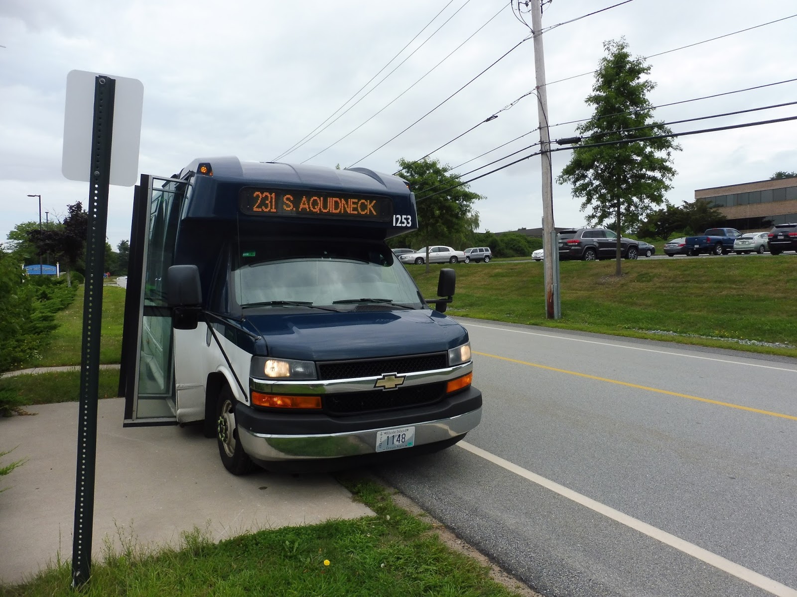
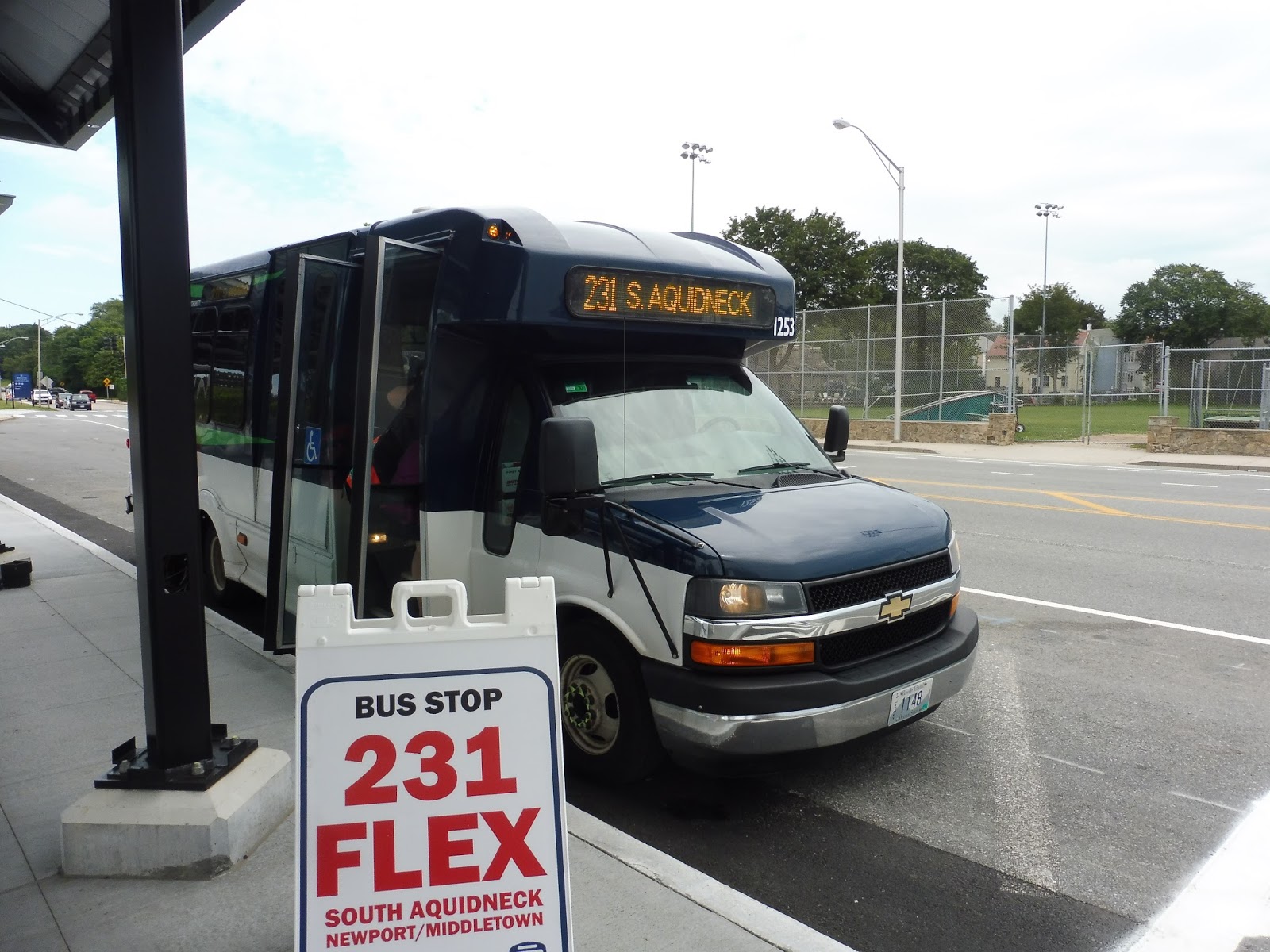
RIPTA: 231 (South Aquidneck Flex)
Have you ever wanted to take a bus to the beach, but upon arrival at the beach, you find out that there’s no way of getting back unless you had called in the previous business day? Yeah, I hate when that happens too. Screw the 231.
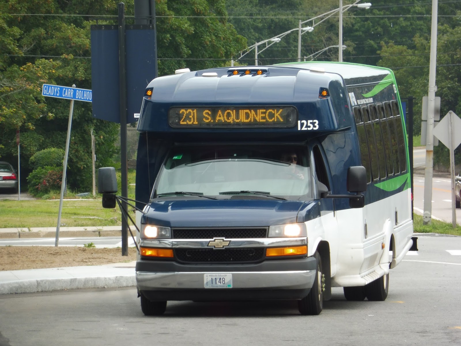 |
| I like the color of the bus! |
The 231 is considered a Flex service, meaning you can call it from anywhere in its “Flex Zone” – however, it also has a timetable and follows a fixed route, with certain stops where you can board without a reservation. As you’ll soon see, it doesn’t exactly work. Our little minibus made its way out from the Visitors Center to America’s Cup Ave.
 |
| A parking lot…but you can see a boat in the background! |
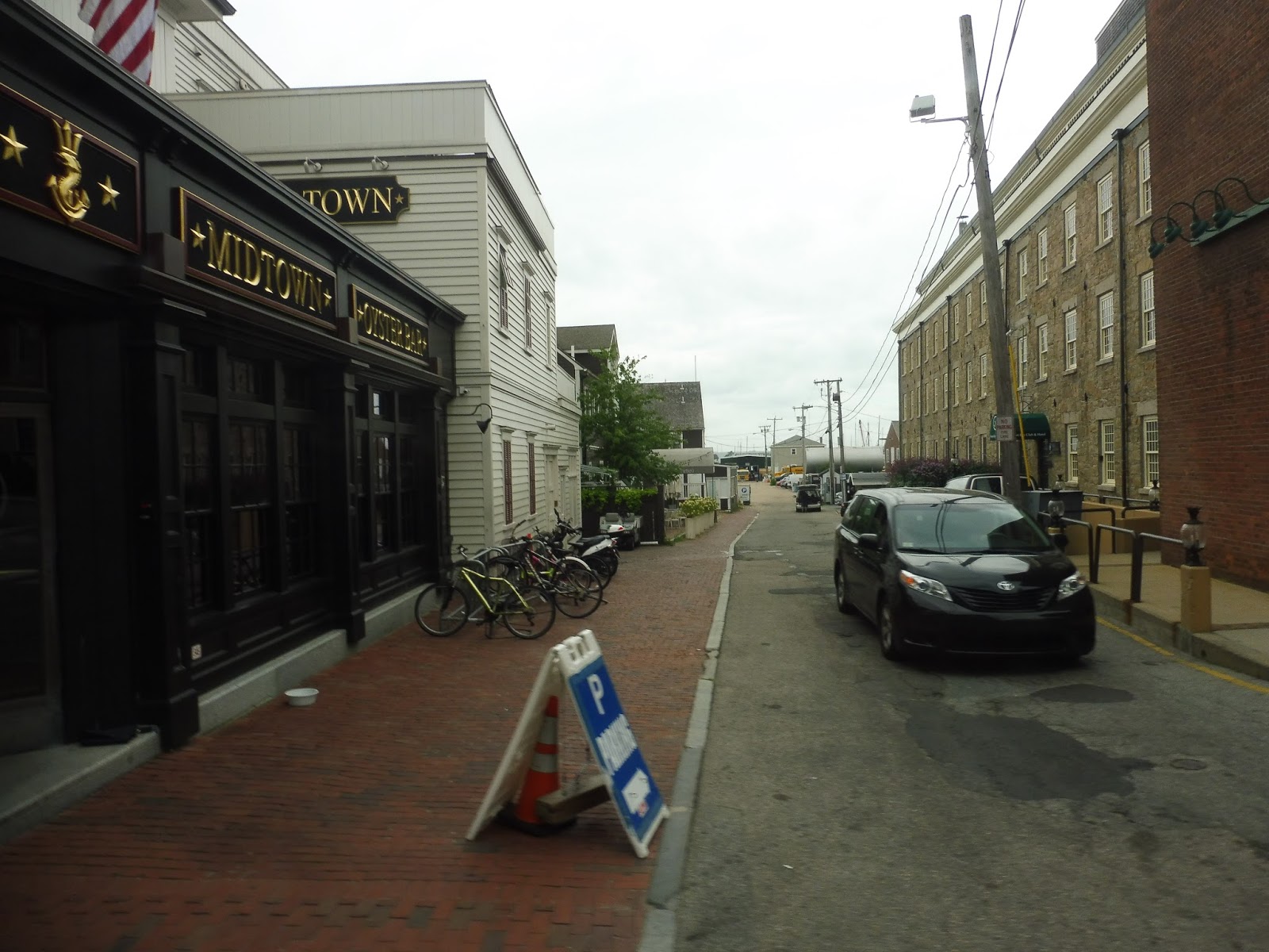
This wide boulevard ran along the harbor, and there were various businesses along it. Soon we turned onto Thames Street, a narrow, one-way road. There were many stores on either side and people walking around – too bad the 231, the one bus route along this main drag. doesn’t actually make stops!
 |
| A narrow alleyway. |
I was amazed to see just how long the street went along while still harboring charming buildings, unique businesses, and lots of pedestrian traffic. Just as it started to thin out and houses began to appear between the retail…there was a stop. Just…a stop. At Thames and Lee. I have no idea why they put it here and not, you know, where there are lots of people and stores. Also, it would seem the stop used to have an actual shelter, but now it’s just a measly sign.
 |
| This architecture is so diverse! |
Even when the narrow road got more residential with dense houses on both sides, there were still businesses mixed in with them. Finally, it succumbed to all dwellings when we merged onto the wider Carroll Ave. We weren’t on it for too long, though, looping around a few side streets to arrive at another scheduled stop: Rose and Carroll. It had a shelter, and someone actually got on! It was an old lady going to a medical appointment.
 |
| A convenience store. |
Because the schedule has to be padded to allow flex deviations to occur, we had to wait here, since we hadn’t done any deviations. Mmmm, gotta love being early on a bus! We went back up to Carroll Ave, which curved into Morton Ave. We turned onto Spring Street next, a narrow road with dense historical houses on one side and the backs of the vast lawns of the Newport Mansions on the other. There was a timepoint stop at Lee Street with no one waiting.
 |
| There was a huge wall for most of the mansion section, so here’s a street later on. |
Once the mansions ended, it was just dense houses along Spring Street. We soon turned onto America’s Cup Ave once more, returning us to the Visitors Center. Once again we were early, but the passenger had to get to her medical appointment soon, so the driver decided to leave the station five minutes ahead of schedule. Goodness, this flex route is so “flexy” that it completely ignored its schedule!
 |
| That is such a tiny park! |
We went down Marlborough Street, a mixture of houses and parking lots, at least until we merged onto Broadway. Once on Broadway, there were businesses on one side and the big Newport City Hall building on the other. Once City Hall ended, there was retail for just a little longer before it became mostly residential.
 |
| A very…slanted view of City Hall. |
Coming next to the Newport Hospital, we deviated inside to drop the lady off to her appointment. After that, we headed onto Powel Ave until it ended, where we turned onto Kay Street. This was residential, but it wasn’t nearly as dense as it had been in the inner Newport core.
 |
| It’s definitely more suburban now. |
Kay Street eventually curved into Kay Boulevard, but it wasn’t long before we made a few more twists and turns onto Green End Ave. We were in Middletown now, circling around the northern edge of a pond. The route would normally turn onto Valley Road, but we had a scheduled pick-up, so we stayed on Green End. It would be interesting to see how the “flex” capabilities of the Flex service worked.
 |
| The pond. |
It was residential until we reached Aquidneck Ave, onto which we turned. It was mostly suburban businesses with parking lots here, but there was also a clinic for Southcoast Health – this is where we deviated. We pulled into its parking lot and waited for the person we were picking up. And waited. And waited. After five minutes, the driver said the guy cancelled, and so we just left to continue on the route as if nothing had ever happened. Alright then, cool, thanks for wasting my time!
 |
| Nice, a farm! |
We continued down Aquidneck Ave, lined mostly with houses. As it curved southwest, we passed an elementary school, then we turned into the Aquidneck Corporate Park. Among the many office buildings with parking lots, we turned into one of them, Child and Family Services. Normally the route wouldn’t deviate into it, but we had to in order to turn around (we were coming from the opposite direction of the “normal” route). This was a timepoint stop, but the actual sign was outside the facility on the main road!
 |
| The bus pulled onto the grass so cars could still go by. What a well-planned stop… |
Despite having to make that deviation and wait five minutes, we were still early! I guess it was because of that early departure from Newport. Also, the driver said that in all his time driving this route, he had never had a soul get on or off here. Once we were able to leave, the next timepoint stop was very close – after cutting through some parking lots, we arrived at the YMCA, another stop the driver said that no one ever uses.
 |
| Wow, there’s a lot going on here! |
We went down Valley Road from there, which went along the water before getting some businesses alongside it when it merged with Aquidneck Ave. The road curved westward into Memorial Boulevard, passing more retail and some hotels, then we entered Newport on an isthmus with a pond on one side and Easton’s Beach on the other. But there was something problematic about it…
 |
| Looking across the pond. |
If a passenger wants to get to the beach, it’s very simple: they board at the Visitors Center and tell the driver they wish to go to the beach. Easy. However, getting back is another story – Easton’s Beach has no timepoint stop. That means that in order to take a bus trip to the beach, someone would have to call in on the previous business day to schedule a pickup at a certain time from the beach. ARE. YOU. SERIOUS??????
 |
| This bus route ought to go down a dead end and never come back! |
As the beach ended, we passed the Cliff Walk, a very scenic path which you can take the 231 to, walk to the other end, and take the 67 back. Not the other way, though, unless you want to call in the previous business day. Mm-mm, lovely. Past the cliff walk, there was all manner of buildings along Memorial Boulevard, from houses to businesses to bed and breakfasts to schools.
 |
| Coming back into Newport proper. |
The retail started to become more abundant and the houses denser. Once we curved north and the street became America’s Cup Ave, there were businesses everywhere – we were back in downtown Newport. We stayed on here all the way up until the Visitors Center, where the trip finally ended. ARGH!
 |
| Get outta here! |
RIPTA Route: 231 (South Aquidneck Flex)
Ridership: Awful. Awful. My trip only had one person, and on some days it can be even worse – the driver said that he gets lonely sometimes because he’s just driving an empty bus around all day. He called the experience “maddening.” Shoutout to the awesome driver of the 231, by the way!
Pros: I’m not gonna lie, it serves a lot. This is the only bus route to go anywhere near the dense businesses and houses of southwestern Newport, while Easton’s Beach and the Cliff Walk are important tourist destinations.
Cons: Everything about the way this route is operated is nonsensical. There’s the ridiculously padded schedule with 90 minute headways (weekdays and Saturdays) that’s only like that because there’s the possibility of someone making a flex deviation. There’s the stupidly placed timepoint stops, including two locations that no one ever uses, while places like Easton’s Beach are left with nothing. And there’s the fact that because of those two huge problems, this is one of the stupidest bus routes I’ve ever had the misfortune of riding.
Nearby and Noteworthy: It’s the one bus route that “serves” Thames Street, even though it just skips by everything, and the one bus route that “serves” Easton’s Beach, even though the service is one-way. NICE.
Final Verdict: 1/10
Whenever someone asks me to give an example of an awful bus route, I always use this one. There is absolutely nothing about it that makes any sense. It honestly shouldn’t even be a flex route – heck, it’s practically a fixed route already, if you don’t count the potential for deviations. Well…what if it was a fixed route?
So this is basically a version of the flex route…without flexes. I tried to accommodate as many useful deviations as possible, though, particularly with the Newport Hospital and Southcoast Health. Of course, the fixed routing would allow for more stops, which would come particularly in handy on the Newport segment, where simple stops could be established on Thames Street closer to the action.
And here’s the schedule. Now, this is really not an optimal schedule – it doesn’t have as much padding as I would like it to have, and one small slip-up can lead to a bus getting very late. I think the solution might be to cut out the Southcoast Health deviation and run the bus on a more direct route. Maybe even cut Newport Hospital, too – it would still pass very close to it on Broadway, and that would allow for a faster trip and thus more grace time in the schedule.
That being said, anything’s better than the trash running right now.
Latest MBTA News: Service Updates
RIPTA: Newport Visitors Center
The hub of all of the RIPTA Newport routes (and coach buses) was unfortunately under construction when I was here in the summer, so the terminal might be a bit different now. Got it? Cool, let’s do this.
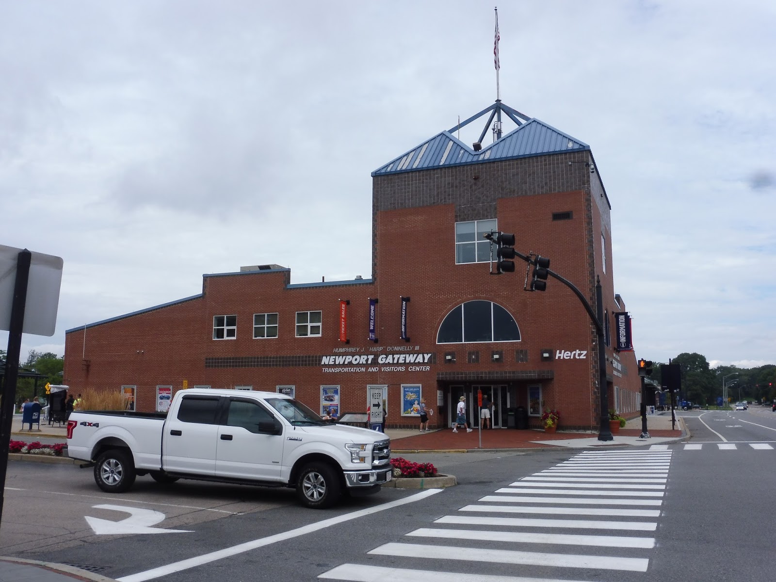 |
| Approaching the building from the south. |
I’m not gonna lie and say that I like the Visitors Center building, but it gets the job done. It’s big, it’s bold, and you can tell what it is when you see it. Alongside the structure, there’s a small plaza with some foliage and benches.
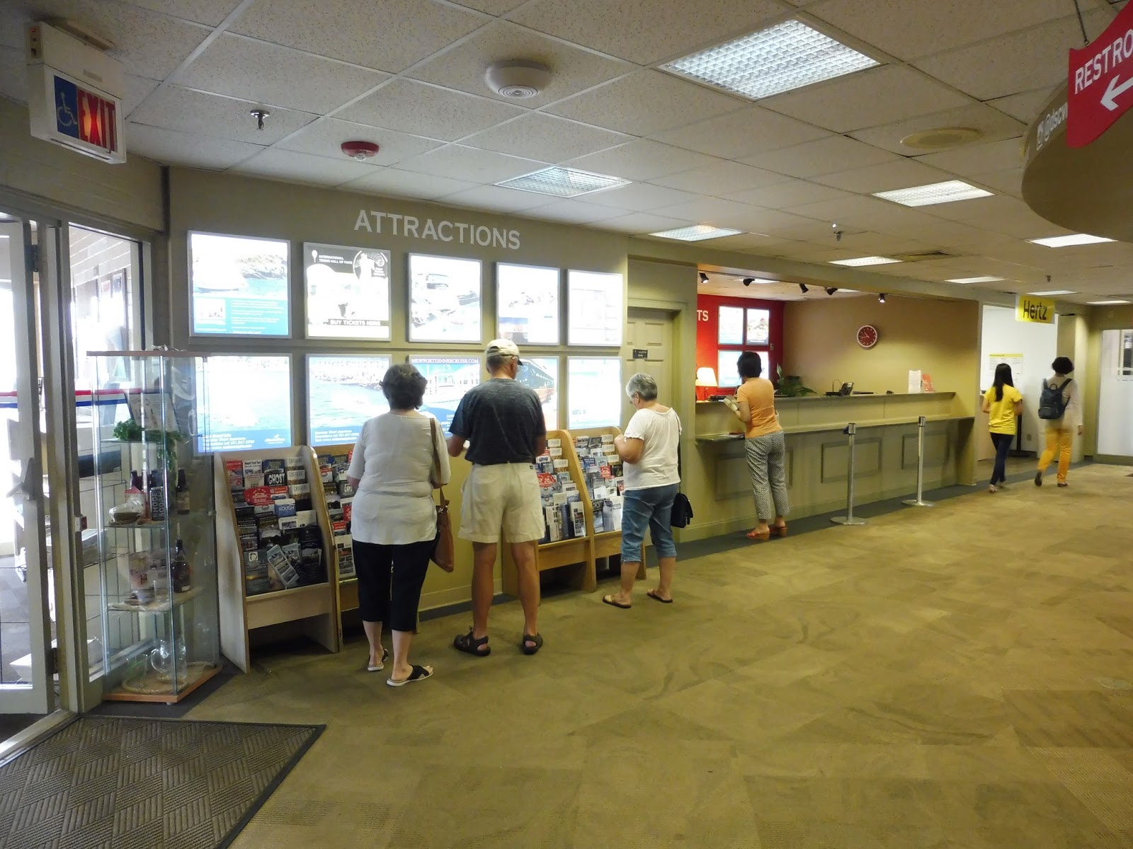 |
| Geez, that’s a lot of attractions! |
They’re not joking when they say this is a Visitors Center. It is a hardcore Visitors Center. The moment you step in the door, you’re in a room with tons of random booklets and posters advertising various attractions and services…plus a vending machine. And that’s not even the main part of it! Once you come into the actual Center, a huge circular information desk is the centerpiece to a room with many, many more brochures.
 |
| More, more, more… |
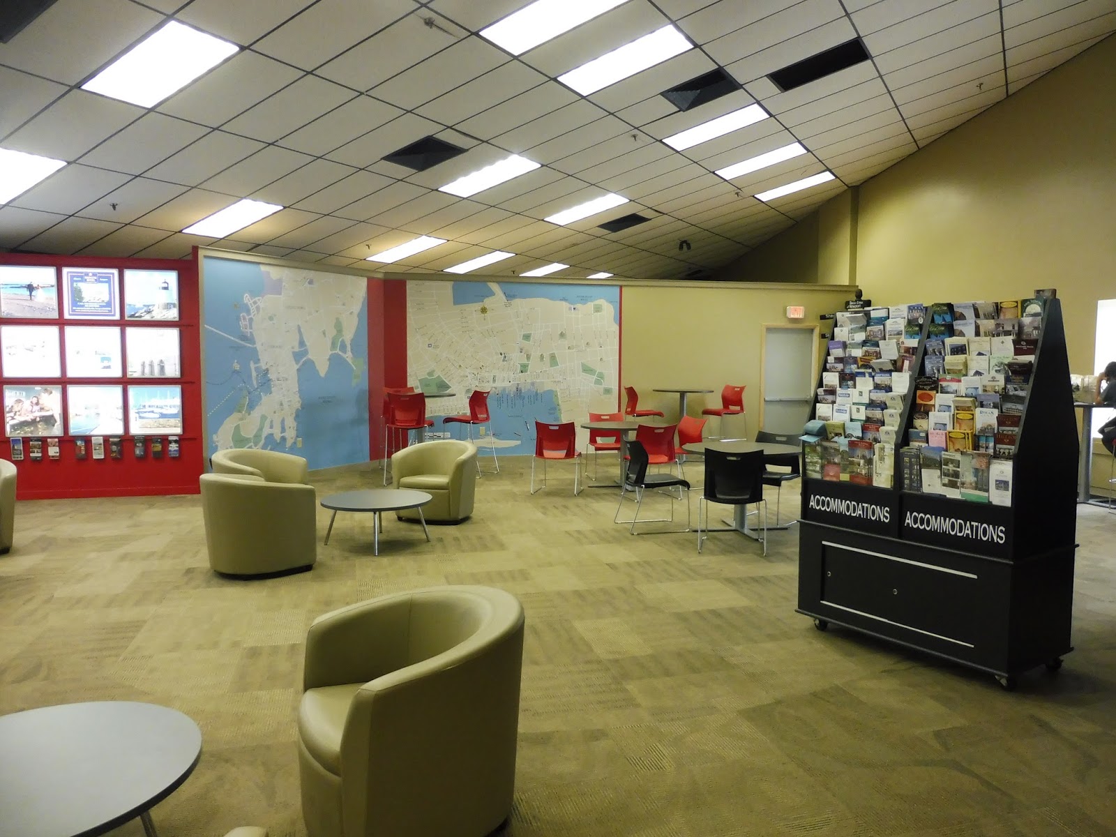
Among other attractions in the room, there is a gift shop that sells various Newport paraphernalia. Beyond that, a diverse seating area features round chairs, short seats with tables, and tall seats with tables, all next to a floor-to-ceiling map of the surrounding area. Service desks in the building allow for reservations of tours and rental cars. And of course, there are racks of brochures everywhere.
 |
| Moving to the transportation area. |
The first thing to greet passengers at the entrance to the transportation waiting area is a coffee maker with Starbucks coffee. Nice. The transportation area itself is less attractive than the rest of the Visitors Center, but it’s fine – there’s lots of seating space, as well as water fountains, wastebaskets, vending machines, a change machine, schedules, and a great bathroom.
 |
| It’s a work in progress. |
The layout of the terminal has changed since I was here, but I can still talk about the overall design. It’s very simple, with sheltered benches spread across four RIPTA berths. There’s a middle section for coach buses and a pull-over part alongside the main road for tour buses. Rounding out the terminal is a taxi stand, some bike racks, and a three-story parking garage.
 |
| The garage. |
RIPTA Station: Newport Visitors Center
Ridership: Honestly, most of the “ridership” here seems to be in the form of endless tourists occupying the Visitors Center section! That being said, this is still a major ridership draw for RIPTA routes, particularly in that it offers a transfer from the long-distance routes (14, 60, 64) to the local 63 and tourist-oriented 67.
Pros: Combining the transit center and the visitors center is a great idea, and I can’t believe this doesn’t happen more often! What better way to attract tourists to your bus service than to put it in the same place as their main source of information? Not only does the Newport Visitors Center offer a hub for many different types of bus routes, but it’s also got lots of amenities and all the brochures you could ever need in a lifetime.
Cons: If anything, the terminal is a little far from the main goings-on of Newport, but that’s necessary because of the amount of space needed for this hub. Anyway, a little walking never hurt anyone.
Nearby and Noteworthy: Locally around the transit center, there are tons of businesses in really charming buildings! I have no idea what the situation is like in the winter, though…
Final Verdict: 8/10
Putting the transit center in the visitors center is ingenious! Hopefully some hapless tourists in here have been convinced to take the RIPTA 67 while getting information about the area! It’s great for both its functions, though, serving as a helpful visitors center as well as an efficient transit center.
Latest MBTA News: Service Updates
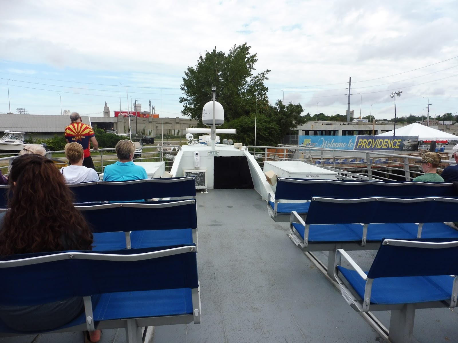
Providence to Newport Ferry
 |
| Not yet, though. |
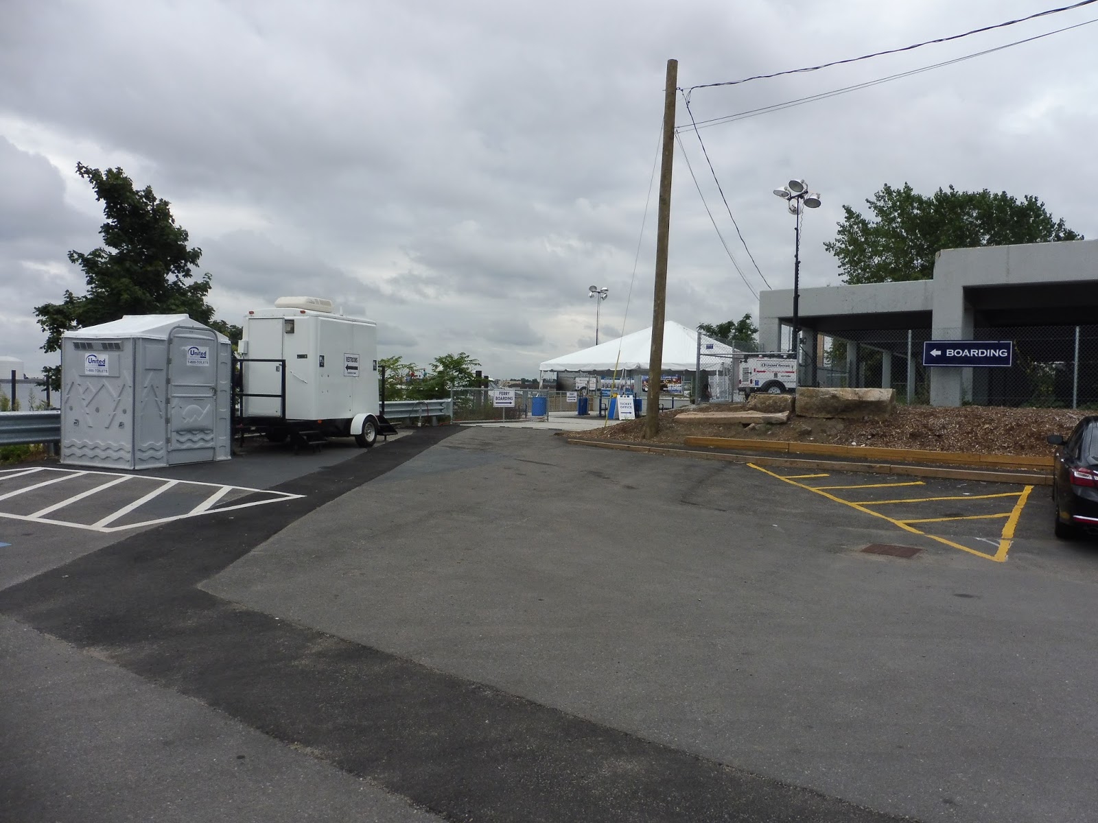
First we have to take a look at the Providence terminal for this thing, because it’s pretty darn bad. There’s a good amount of free parking, which is nice, but that about ends the good parts. The terminal has a lame little “bike rack” that someone probably drove here in a pickup truck, as well as a random wastebasket (just one in the whole facility!) and two vending machines that were most likely transported in the same way.
 |
| Better than nothing, I guess. |
I was worried when I saw a big outhouse, but it turns out that’s only one of two bathroom options. Passengers can alternatively use the trailer right next to it, which has an important notice outside: “NO FACILITIES ON TRAINS.” Okay, first of all…what? Second of all, the boat actually does have a bathroom, which we’ll look at later. Anyway, these trailer bathrooms weren’t even that bad, boasting relative cleanliness, even though they were a little cramped.
 |
| The “ticket office.” |
A makeshift tent was set up to shelter passengers waiting in line for tickets. It’s not much, and the ticket booths are just in a trailer, but it works fine. The ticket prices for this ferry are $10, and you can buy them online in advance or right here at the terminal. A nice wooden ramp leads down to the dock.
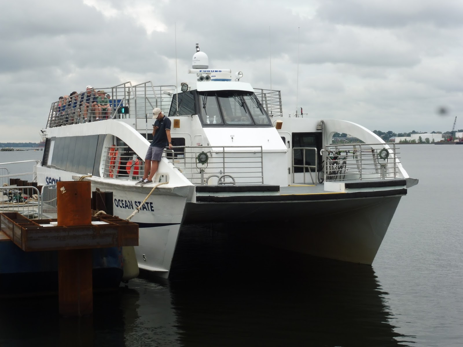 |
| It’s busy already! |
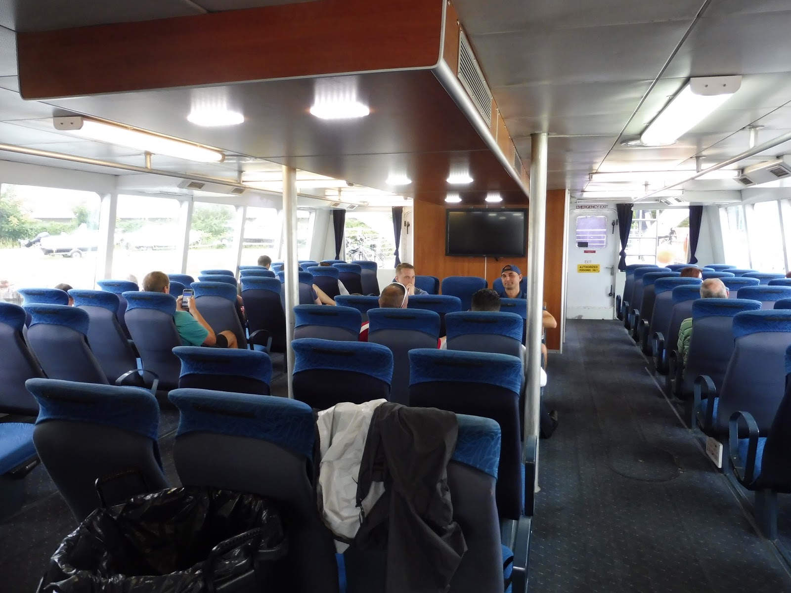
This boat is awesome. The lower deck is super fancy, with carpeted floors, wooden ceilings, and comfy-looking seats. There’s also a snack bar (a “galley”) with a wide variety of refreshments and bags of chips and pretzels. The bathroom isn’t bad either! Meanwhile, the upper deck is simpler, with less comfortable benches for seating, but come on – that’s the place to be!
 |
| Wow! |
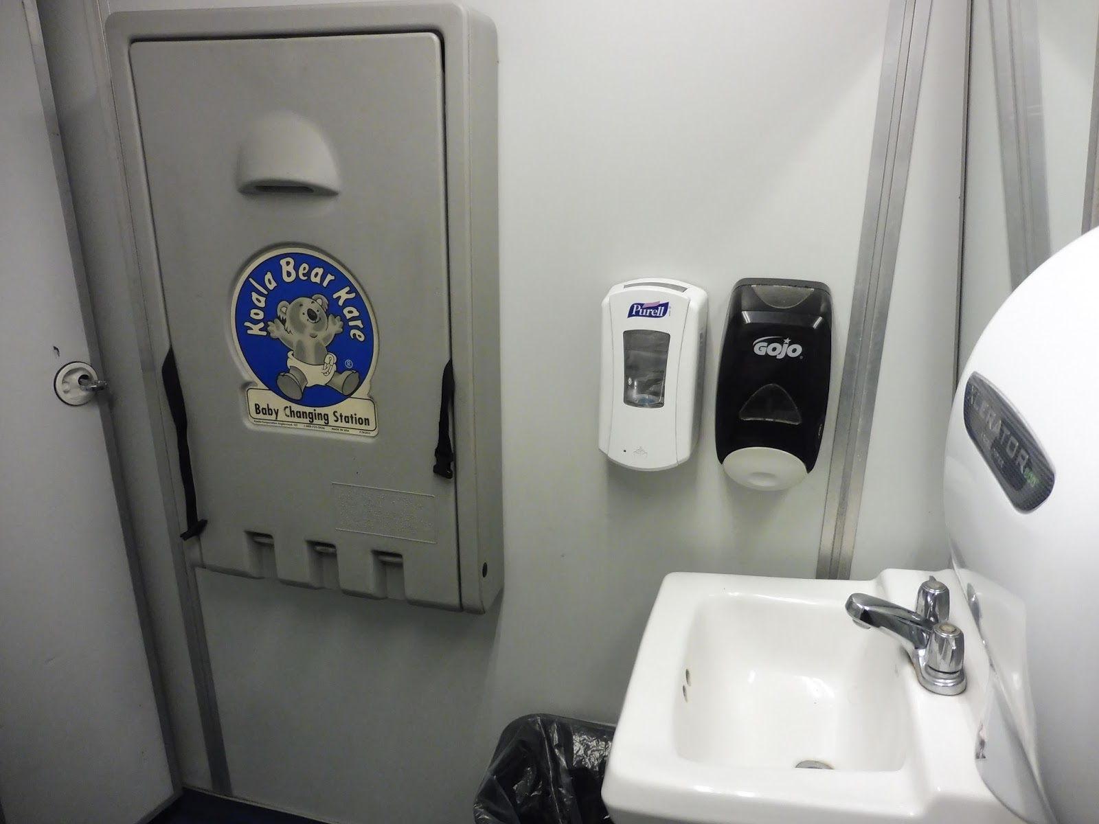 |
| A selection between soap and Purell. Fancy. |
 |
| The upper deck. |
 |
| Leaving the dock. |
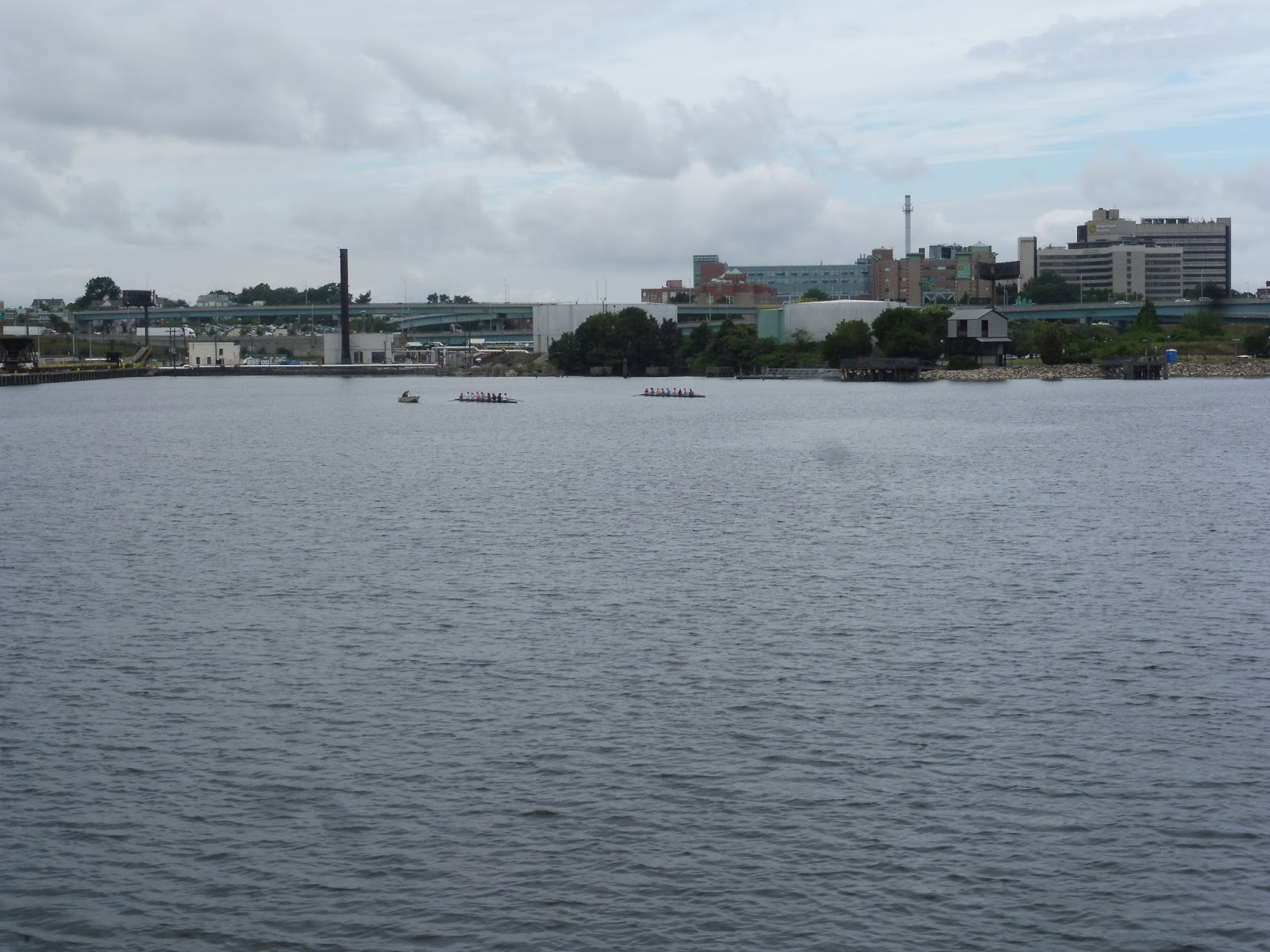 |
| The Rhode Island Hospital. |
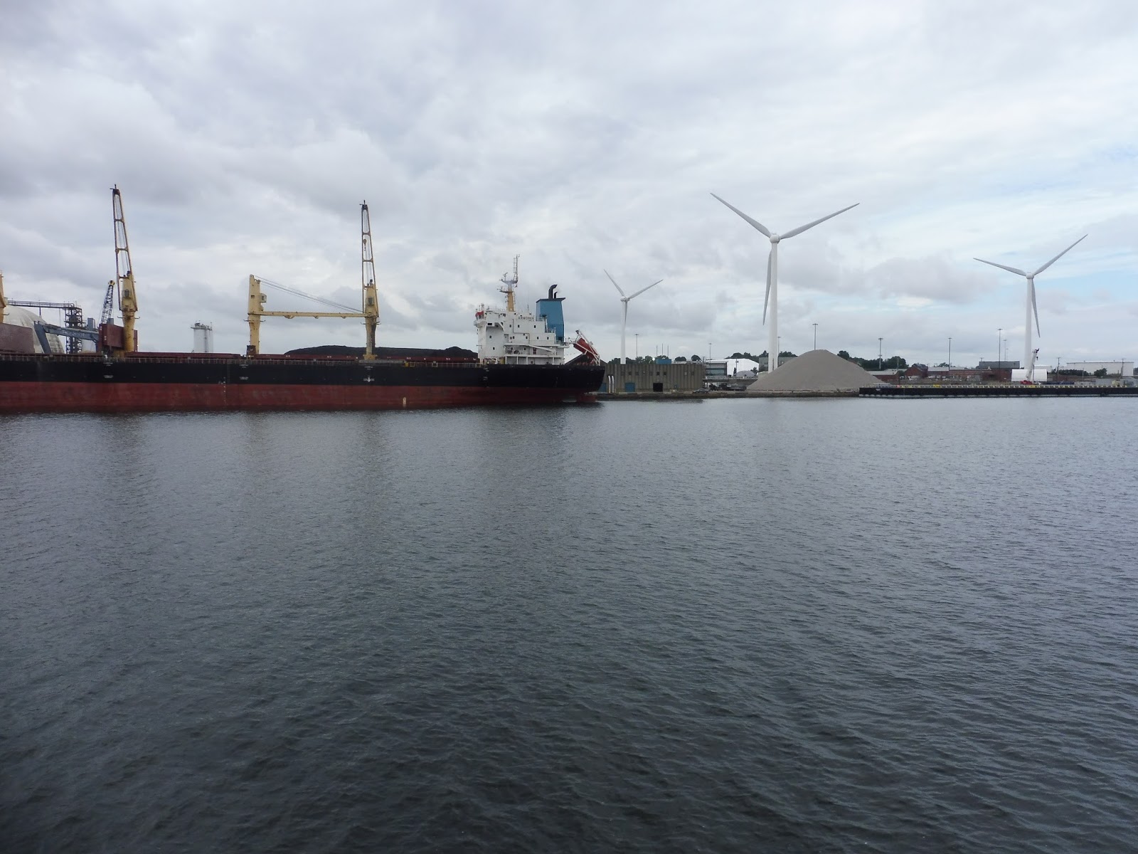 |
| A big cargo ship and some windmills. |
 |
| What is that stone thing? |
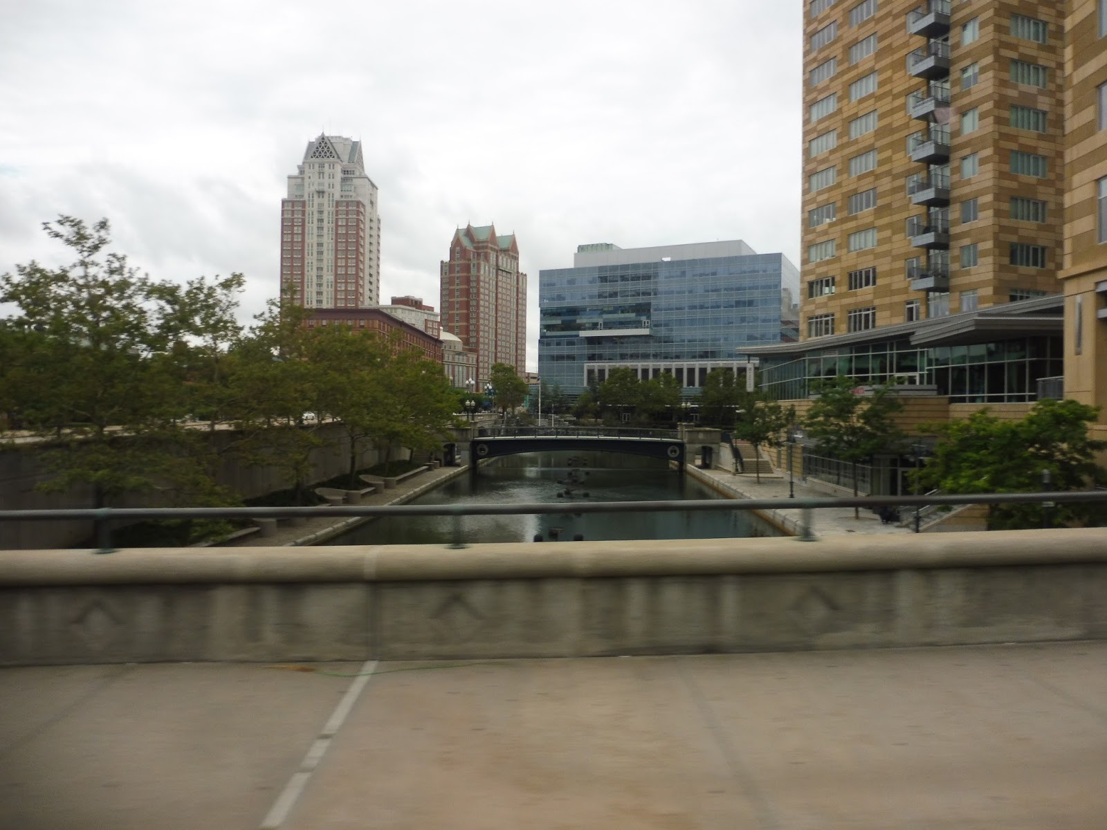
 |
| That is such a nice skyline! |
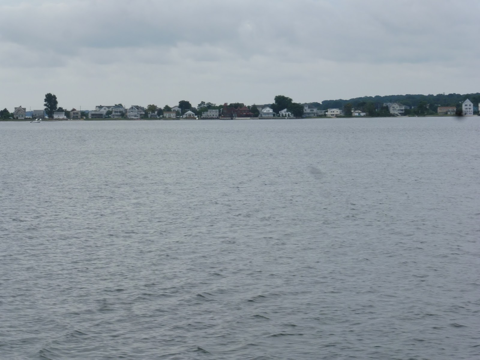 |
| Houses. |
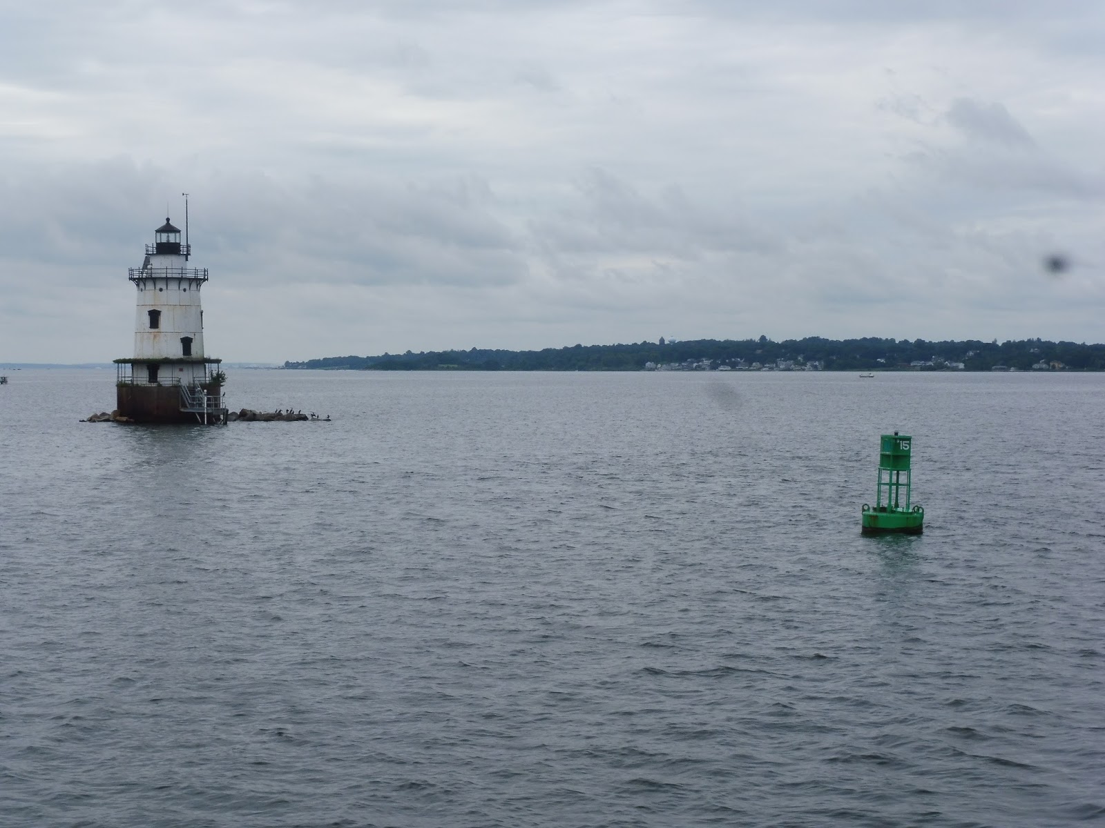 |
| A really isolated lighthouse. |
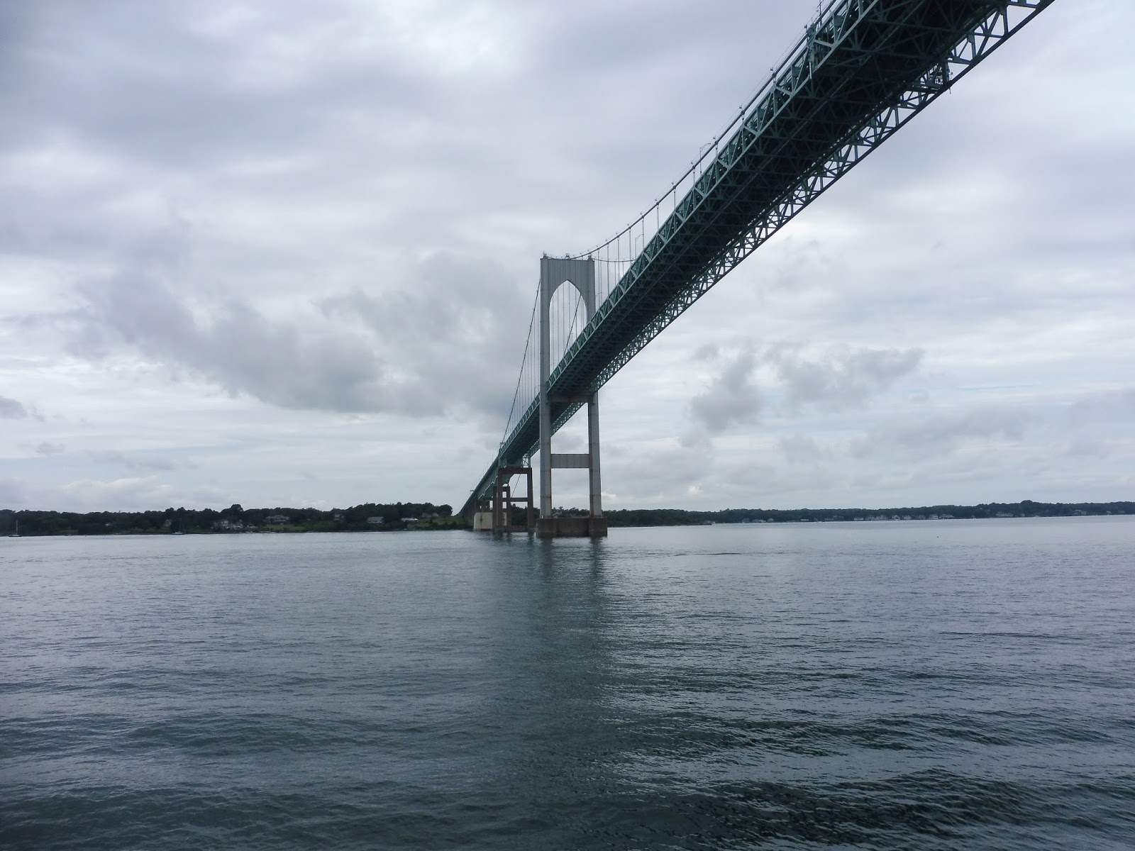
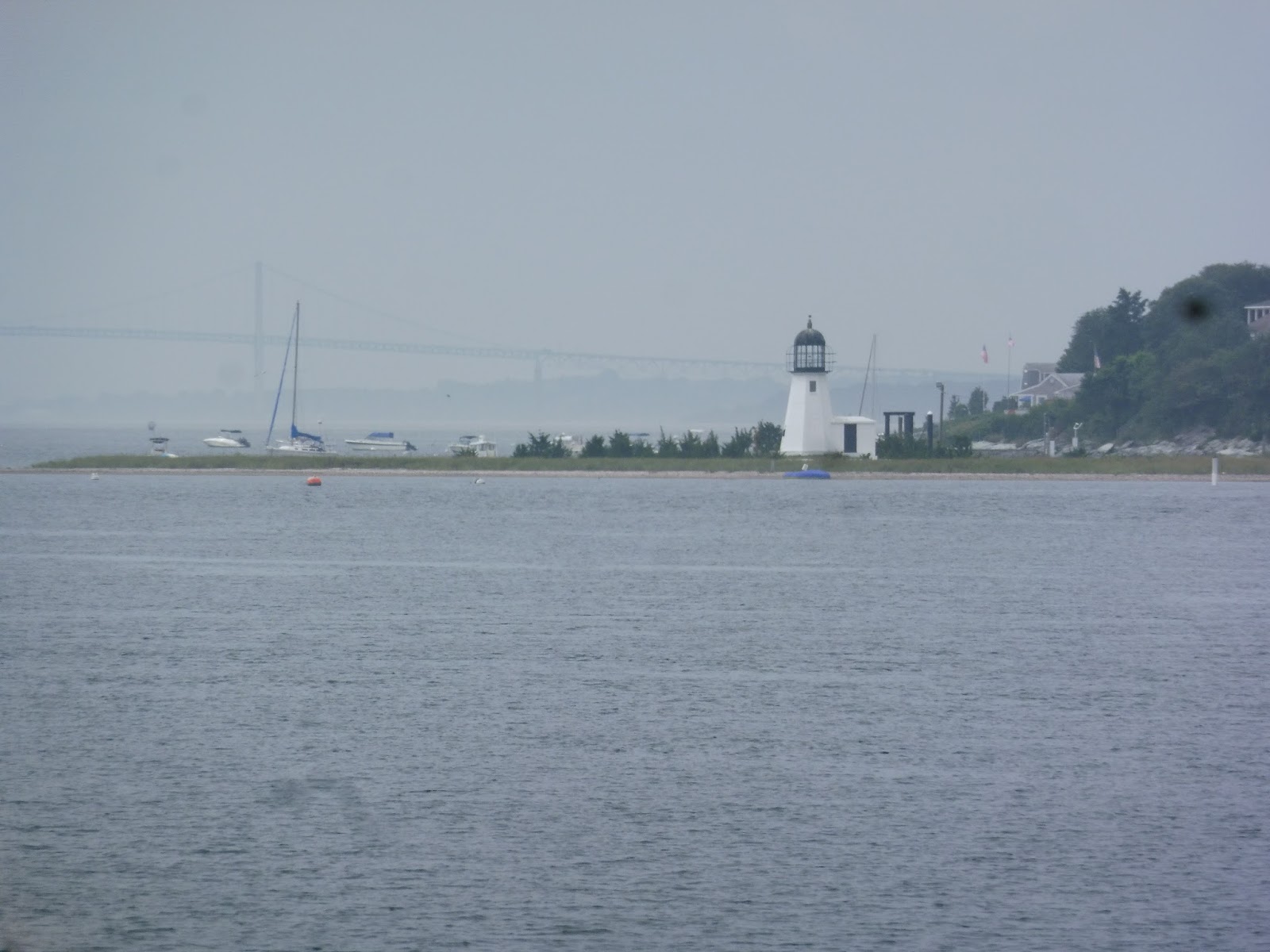 |
| Another less isolated lighthouse with the beautiful Pell Bridge in the background. |
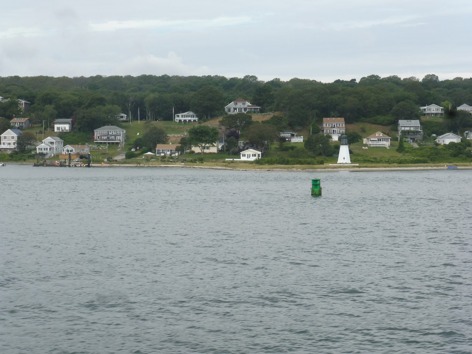 |
| Houses going up a hill. |
 |
| Another huge ship! |
 |
| Getting closer to the Pell Bridge. |
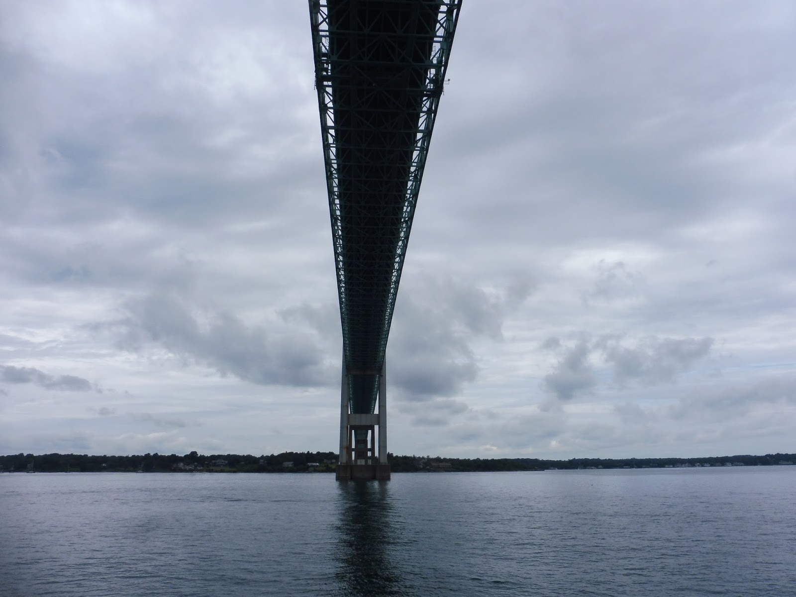 |
| Straight under… |
 |
| …and onto the other side! |
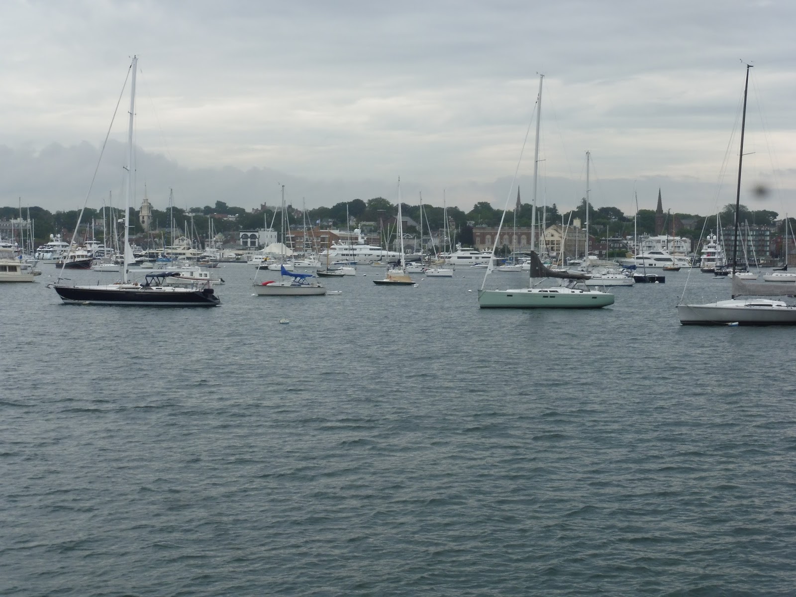 |
| Coming into Newport Harbor. |
 |
| The boat all parked up! |
 |
| The building. |
Route: Providence to Newport Ferry
Ridership: Over the course of summer 2016, the ferry got 33,000 passengers, with many trips actually sold out. Luckily mine wasn’t, but it still had a healthy 50 or so riders on board. People seem to like this thing!
Pros: For 20 bucks round trip, the ferry may be a lot more expensive than just hoofing it on RIPTA, but you certainly get VIP treatment for the price. The boat is luxurious, the ride is fast, and there’s nothing more fun than sailing out across Narragansett Bay. It offers service every 3 hours in the summer, which I think is a fine frequency for a long-distance tourist-oriented route like this.
Cons: That Providence terminal isn’t great, is it? Granted, it’s only active for a quarter of the year, so I guess the temporary feel of it is a necessary evil.
Nearby and Noteworthy: If the idea of taking a long local bus service to Newport is daunting, then the boat might be more your speed. Newport is a fabulous beach town to spend the day (or the week) at, at least in the summer.
Final Verdict: 9/10
I seem to always give ferries high marks on this blog. But come on, this is such a great service – once you get past the Providence terminal, there’s nothing really wrong with it! I was thinking that it would be awesome if the boat ran year-round and offered some sort of commuter pass for workers going to Providence, but I don’t know how big that market is between the two cities. Just a thought.
Latest MBTA News: Service Updates
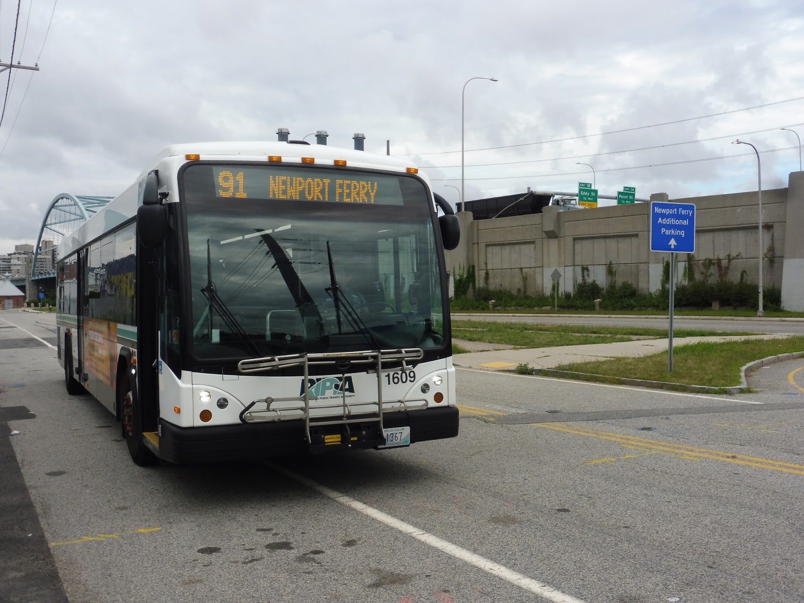
RIPTA: 91 (Ferry Shuttle)
Boy, I can’t wait to ride this summer-only bus route to this summer-only ferry service! Mm-mm, I am totally not late at all on this one…
 |
| The bus coming into Providence Station. |
The 91 serves as a free connector from Providence Station and downtown Providence to the ferry to Newport down at India Point. I boarded at the station (the route uses the R-Line stop), and we headed down Exchange Street. This took us over the Providence River, after which we turned onto Exchange Terrace and stopped at Kennedy Plaza Stop X.
 |
| Going over the river. |
 |
| A quiet side street. |
 |
| The strange desolate area of the ferry terminal. |
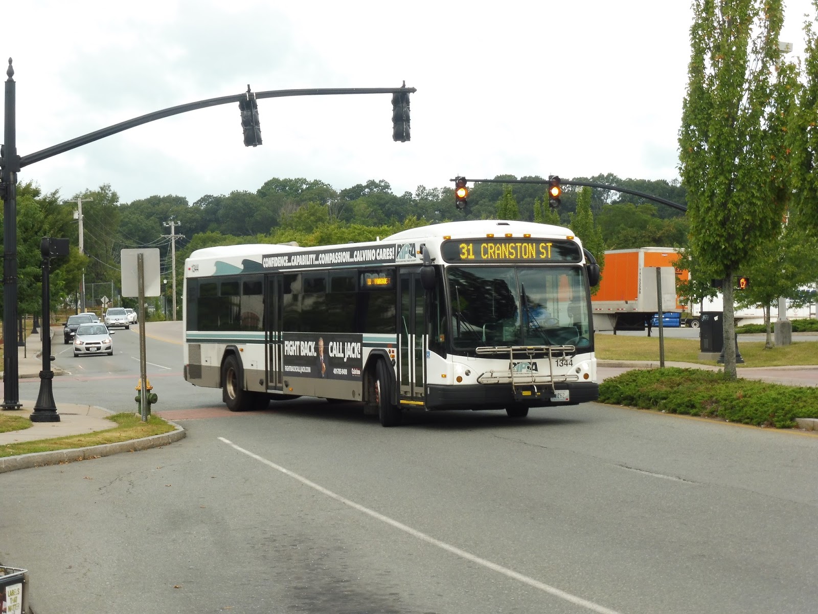
RIPTA: 31 (Cranston Street)
The 31 is my favorite kind of bus route: short, busy, and frequent. In fact, this is one of the most frequent routes on the RIPTA, and thus it gets a “Key Corridor Route” designation. It is a very well-deserved moniker, as we’ll see on my ride…
 |
| The bus making its u-turn to the first stop. |
The route starts at “Brewery Parkade,” a lame shopping plaza just over the Cranston border. From there, we headed up Garfield Ave, running alongside the Huntington Expressway and passing a mix of suburban businesses, houses, and office buildings. We turned onto Cranston Street at the end of Garfield Ave, and as we went under the Expressway, we entered Providence.
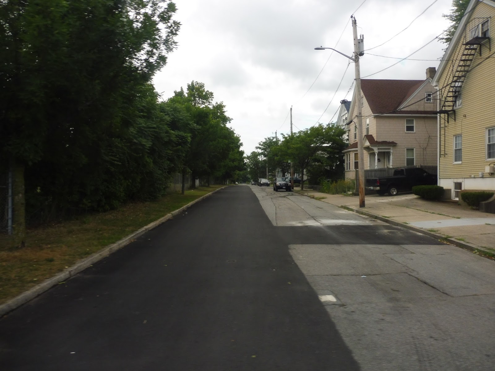 |
| A residential side street. |
For the entire length of the 31’s independent section, Cranston Street was the same thing: dense houses interspersed with varied businesses. It was entirely that, picking up a few passengers at each stop, until we merged with the 18 next to the huge Cranston Street Armory. The scenery changed a little bit after that, now including some housing developments and a field.
 |
| Between two buildings. |
We merged with the 17 and the 19 on Westminster Street, and here it started to feel even denser than it was before: there were businesses, apartments, and the ProvidenceClassical High School. After going over I-95, we made our way to Washington Street via Dave Gavitt Way. We were in downtown Providence now, and on either side there were multi-story buildings with businesses, apartments, parking, and more, all the way until we reached Kennedy Plaza.
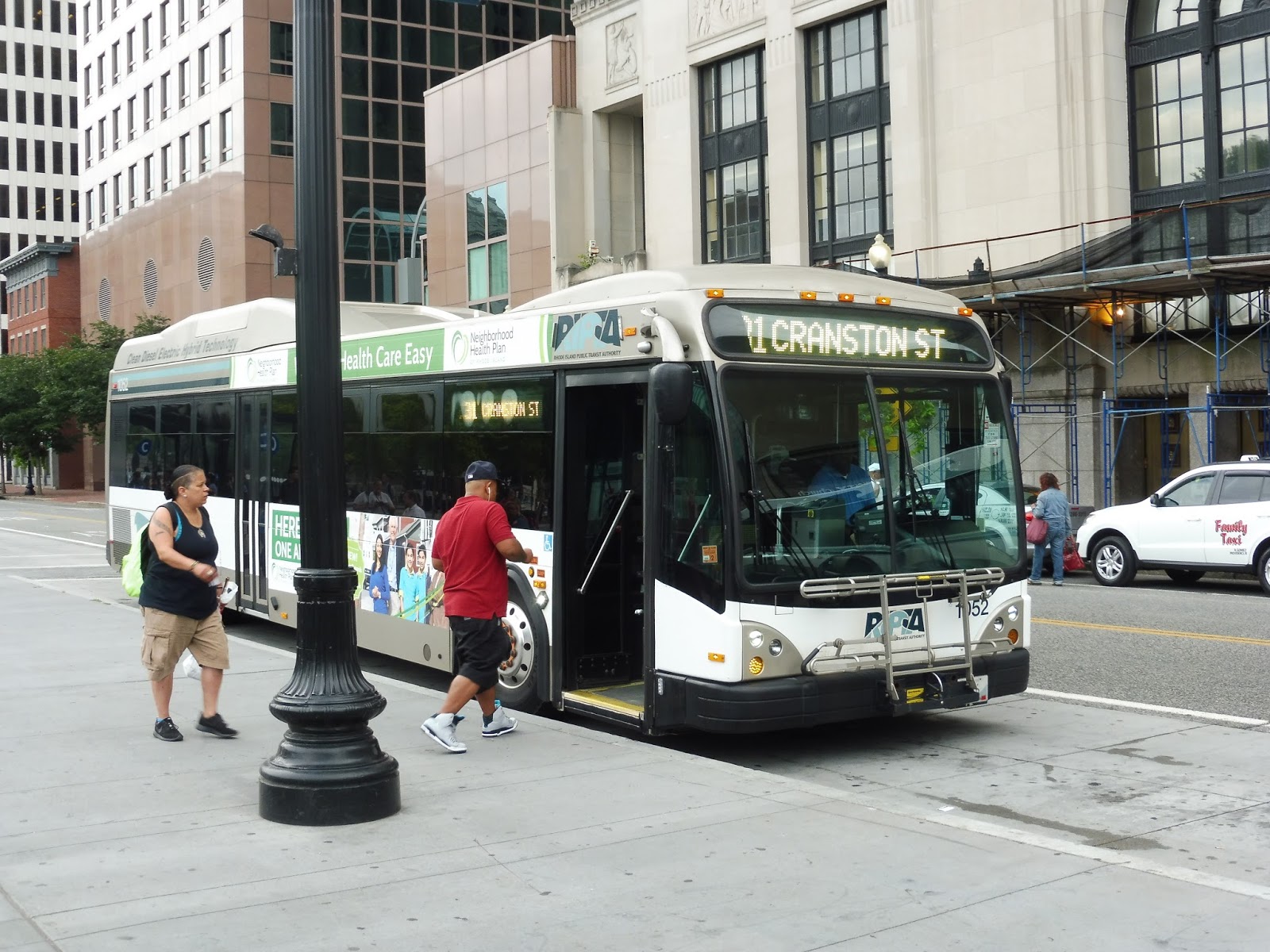 |
| A different bus in Providence. |
RIPTA Route: 31 (Cranston Street)
Ridership: The 31 gets great ridership, and back when RIPTA’s ridership statistics were public, I remember reading that this was one of the busiest routes on the system. My trip only had about 15 people, but other ones were busier.
Pros: This is a quick ride, but it runs through some very dense and transit-starved neighborhoods. It’s also extremely frequent for RIPTA, with service every 15 minutes on weekdays and every 25 minutes nights and weekends!
Cons: From what I observed, it seems like the route uses one bus too many, on weekdays at least, with two buses laying over simultaneously at Brewery Parkade. I guess maybe the on-time performance of the route is sketchy, and I could see why: my ride had enough red lights along the way that I was thinking this would be a good route for transit signal priority.
Nearby and Noteworthy: The route passes lots of businesses, mostly catering to the large Hispanic population it serves.
Final Verdict: 8/10
This is a great little connection from Brewery Parkade and the West End of Providence into downtown. It’s frequent, it’s well-used, and it runs every day. I think they could probably take away a bus from the route while maintaining the frequency, but maybe it can get late enough that they need another vehicle.
Latest MBTA News: Service Updates
Please send your thoughts and prayers to the victims of the train derailment in Seattle today. Thank you.
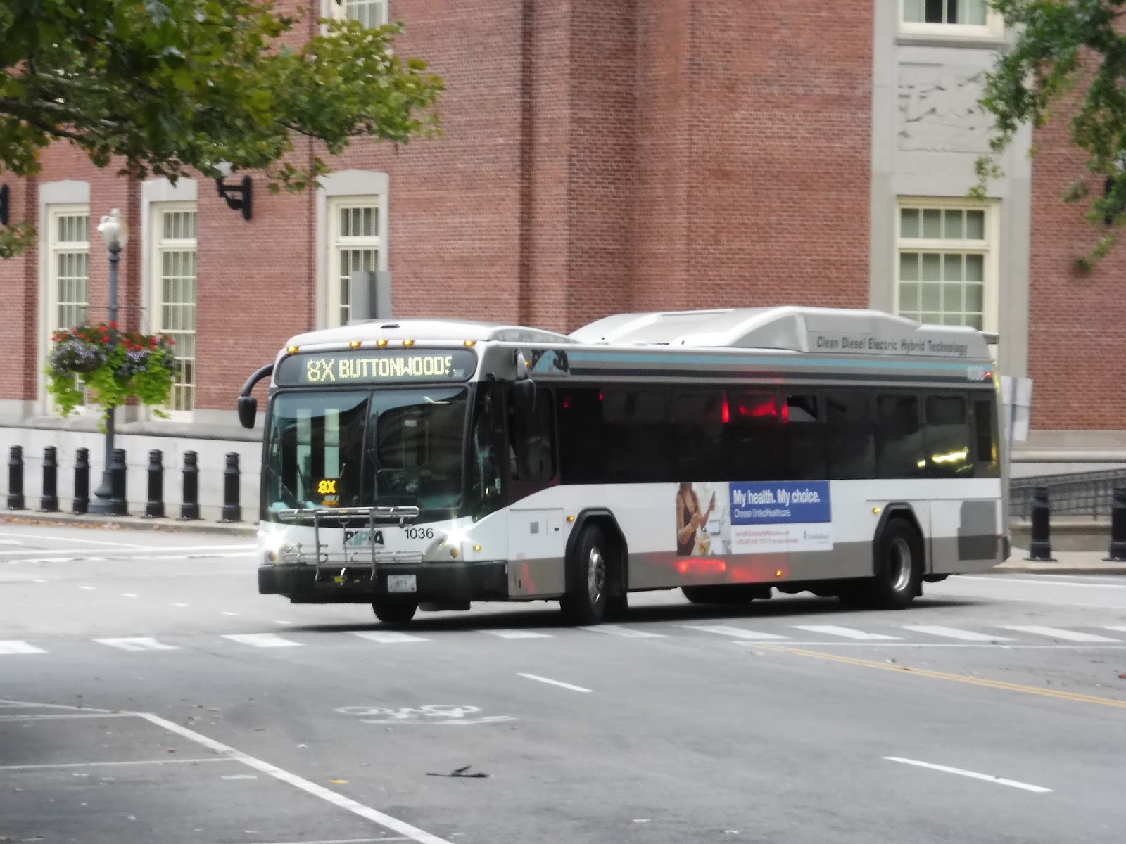
RIPTA: 8x (Jefferson Boulevard)
Considering RIPTA’s typical express policy of three inbound trips in the morning and three outbound trips in the evening, it’s interesting to see one that’s primarily designed for reverse commuters. The 8X is especially unique, as it gets ridership in both directions! We’ll be covering it when it gets peak ridership: the morning rush going outbound.
 |
| Comin’ round the bend. |
I got the bus at Kennedy Plaza, which is its last stop after doing the whole Downcity Loop around downtown Providence. Thus, we only had to make a few short turns before navigating a complex interchange onto I-95! We curved around the south side of Providence in a trench, but we went elevated near the Rhode Island Hospital.
 |
| I have no idea where this is, but it was the only good picture I got along the express bit. |
We reentered trench-land for a while, going alongside Roger Williams Park. After an interchange with the Huntington Expressway, there were roads on either side of our trench – one of them was residential, one of them was industrial. We went over the Pawtuxet River, then we took Exit 15 onto Jefferson Boulevard, starting the local portion of the route.
 |
| Some gas station. |
So the entire portion of the 8X on Jefferson Boulevard was the same thing: a bunch of industrial buildings and offices lining the road. We just trundled down the street dropping one or two people off for work at each stop, and that was about it. There were a few businesses and a hotel near TF Green Airport Station (the 8 being the only route that directly serves it), but then it was the same thing again until Main Ave.
 |
| How the heck does a tree just grow in the middle of a parking lot? How does that work? |
Some of the reverse commute oriented trips end here at Main Ave, turning around at the Greenwood Community Church. However, I was on a full-length run, so we turned onto Main Ave, briefly going through a residential neighborhood. That ended very quickly when we hit the border of TF Green Airport – there was just this huge expanse of open space and gigantic runways that continued as we turned onto Warwick Industrial Drive.
 |
| I was sitting on the wrong side, so here are some…trees. |
We left the outskirts of the airport by turning onto Strawberry Field(s Forever) Road, and despite being mostly residential, there was still a huge industrial building with a ton of companies in it. We let someone off there before proceeding past lots of houses. Both the route map and the schedule seem to show a one-block deviation at the intersection with West Shore Road, but we didn’t make it – we headed straight onto West Shore.
 |
| Some houses. |
After the burst of suburban businesses at that intersection, we went through another brief residential area. We turned onto Buttonwoods Ave eventually, and that was yet another intersection with a burst of suburban businesses. And once again, it went back to being residential for a short time, this time until the “Buttonwoods Terrace Plaza,” a truly awful-looking shopping center. As it turns out, that was the end of the route, too!

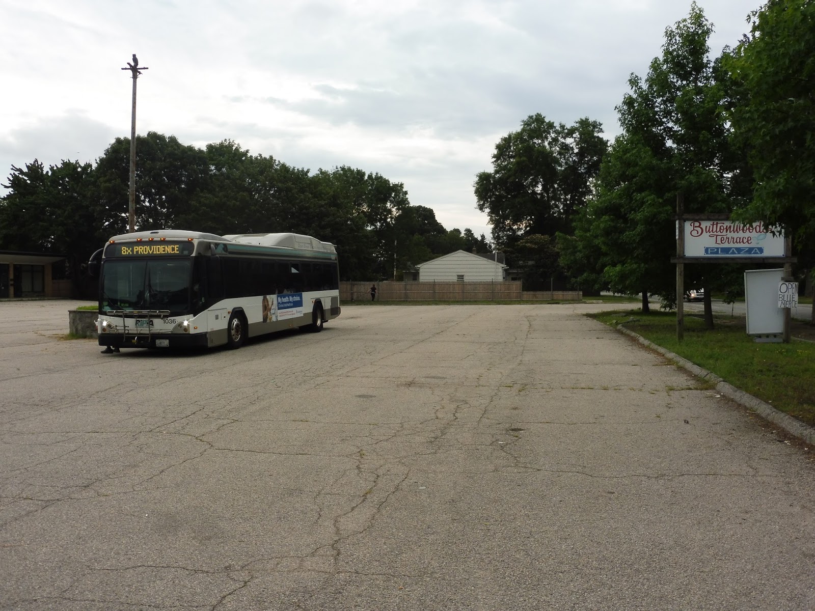 |
| Ewwww… |
RIPTA Route: 8x (Jefferson Boulevard)
Ridership: Unfortunately, RIPTA appears to have removed its route ridership sheets from 2012 that were such a helpful resource for this section. Thus, I’m forced to rely on my own trip, which got pretty good bidirectional ridership for an express route: there were 15 riders going out and 8 coming back into the city.
Pros: An express route with bidirectional ridership is a rare occasion indeed, and a wonderful thing when it does occur. The 8x serves both workers at the office parks along Jefferson Boulevard and downtown commuters coming from the residential neighborhoods further out along the route. The schedule caters more to the former, but there are options for everybody, with six inbound and seven outbound trips per weekday.
Cons: There isn’t much wrong with the route itself, to be honest. The only thing I can think of is that weird deviation on the map that doesn’t seem to exist, and if it did exist, would be completely pointless.
Nearby and Noteworthy: Let’s be honest, the scenery along the entire route kinda sucks. It really doesn’t take you anywhere you would want to go.
Final Verdict: 7/10
It’s an express route so its score is not going to be astronomically high by principal, but I still like the 8x a lot. It’s truly a great thing to have an express route that gets ridership in both directions, and it’s so much more efficient to run when that’s the case. Too bad I still have no idea what that deviation is…
Latest MBTA News: Service Updates
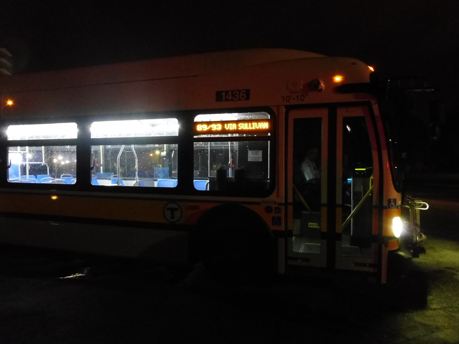
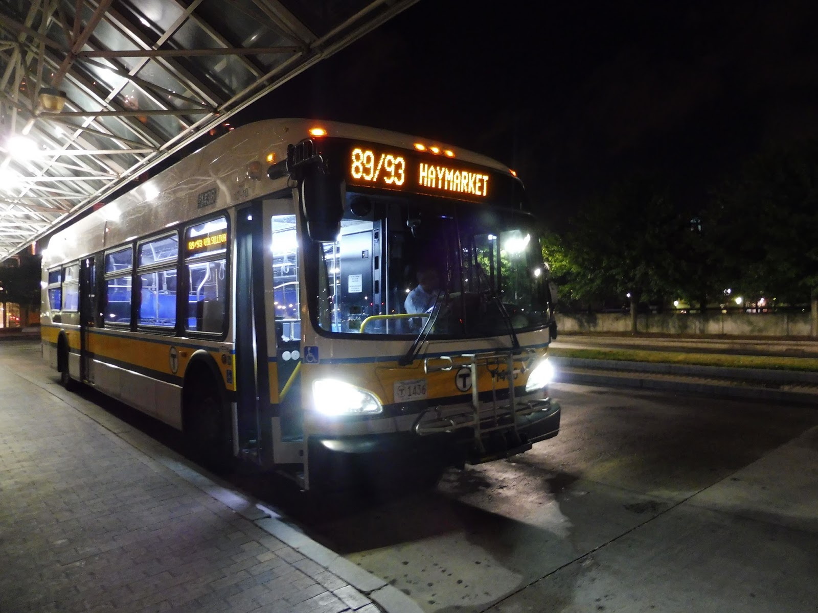
Bonus Review: 89/93 (Clarendon Hill – Haymarket Station via Charlestown
What’s the best way of getting to South Station for a 5:30 AM train to Providence? How about walking to Clarendon Hill for the early-morning 89/93 trip that only departs at 4:33 AM? Sounds good to me!
 |
| The Clarendon Hill busway is weird at this time… |
It was an interesting experience waiting at Clarendon Hill at 4:15. I was worried the bus just flat-out wouldn’t show up. After all, there was no one else there – who knows, maybe the route didn’t exist. Finally, another person showed up. There was hope! And wouldn’t you know it, the bus came right on time at 4:33.
 |
| Well well! |
We took off down Broadway in the quiet morning, speeding past tons of dense houses. There was a burst of retail at Teele Square, but then it was all triple-decker apartments until Powderhouse Square. Usually a complete mess, the Rotary of Death was quite manageable at 4 AM!
 |
| Some businesses in Powderhouse Square. |
We continued down Broadway past the rotary, passing a lot of businesses and going over some Commuter Rail tracks. There was a mix of buildings on the other side: a park, houses, and businesses. It leaned completely over to the latter at Magoun Square, though, and we gained quite a few passengers here.
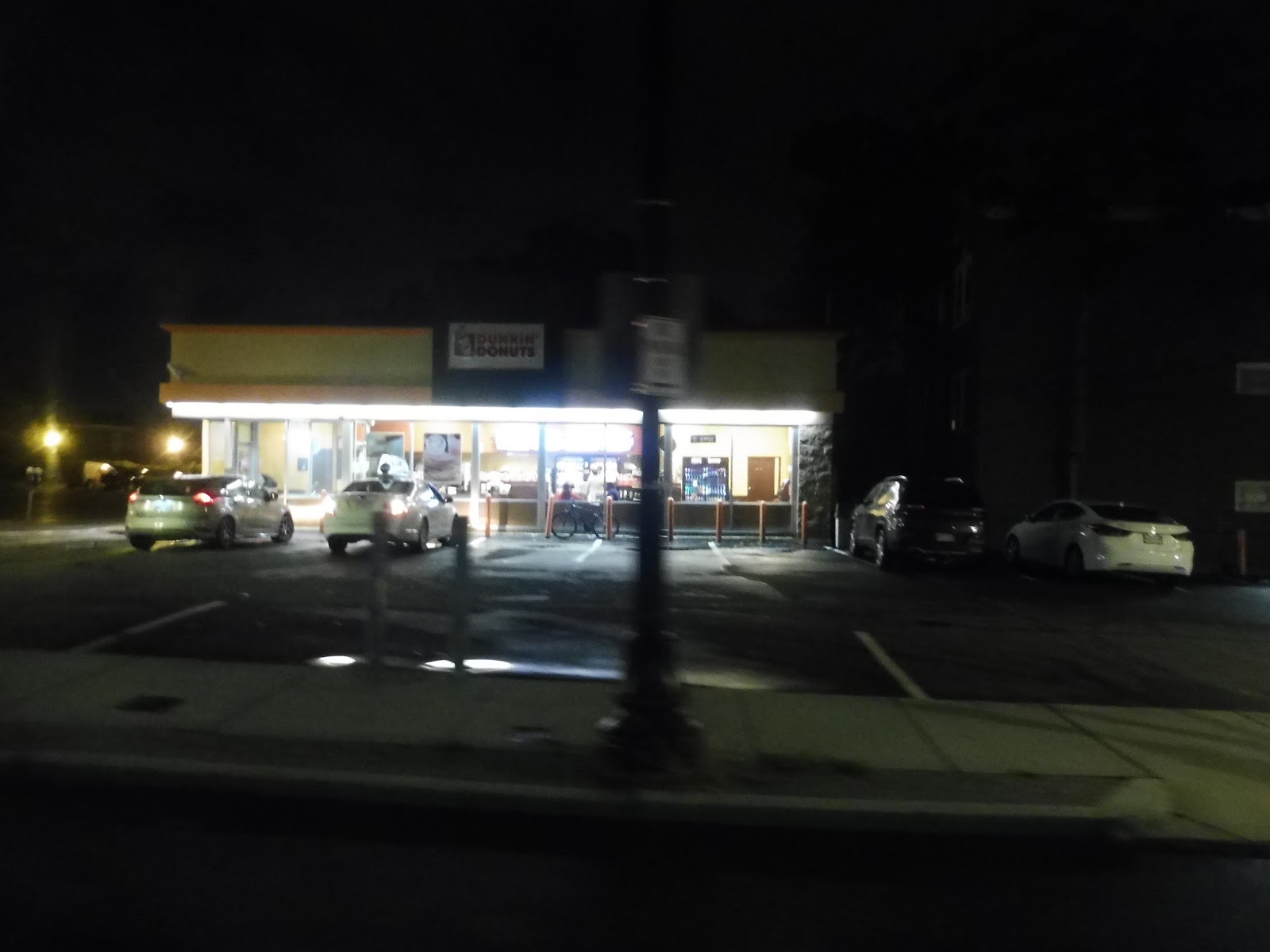 |
| Apparently Dunks is busy at all hours of the day! |
We went over a hill past lots of houses and a few apartment buildings. Once we merged with Main Street, Broadway got much wider and gained a median. There were also more businesses now, some with parking lots and some without. There was a large park as we crossed McGrath Highway, and it was almost entirely retail lining the road after that.
 |
| It’s amazing that these pictures actually came out alright! |
We simultaneously went under I-93 and over the Orange Line tracks, then we pulled into the Sullivan Station busway. I was surprised to see a bunch of people get off here – the first train wouldn’t be for a while! Now it was time for the 93 portion of the route, so we made our way around a rotary past the Schrafft Building and onto Main Street.
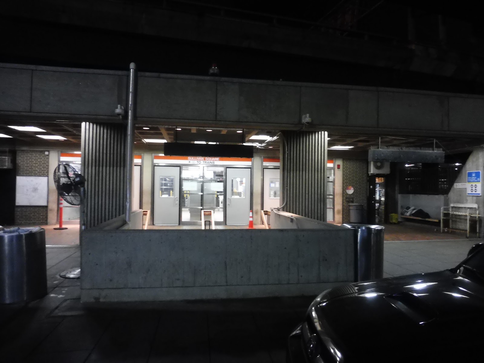 |
| Sullivan, but with no trains. |
It became Bunker Hill Street and we were now passing the lovely, charming, diverse apartments of Charlestown – there really wasn’t all that much else along here. At one point we went by an apartment development, while on the other side there would have normally been a view of the Bunker Hill Monument. We passed a school, then we turned onto Lowney Way, which ran next to the Tobin Bridge.
 |
| A WALL!!!!!!!! |
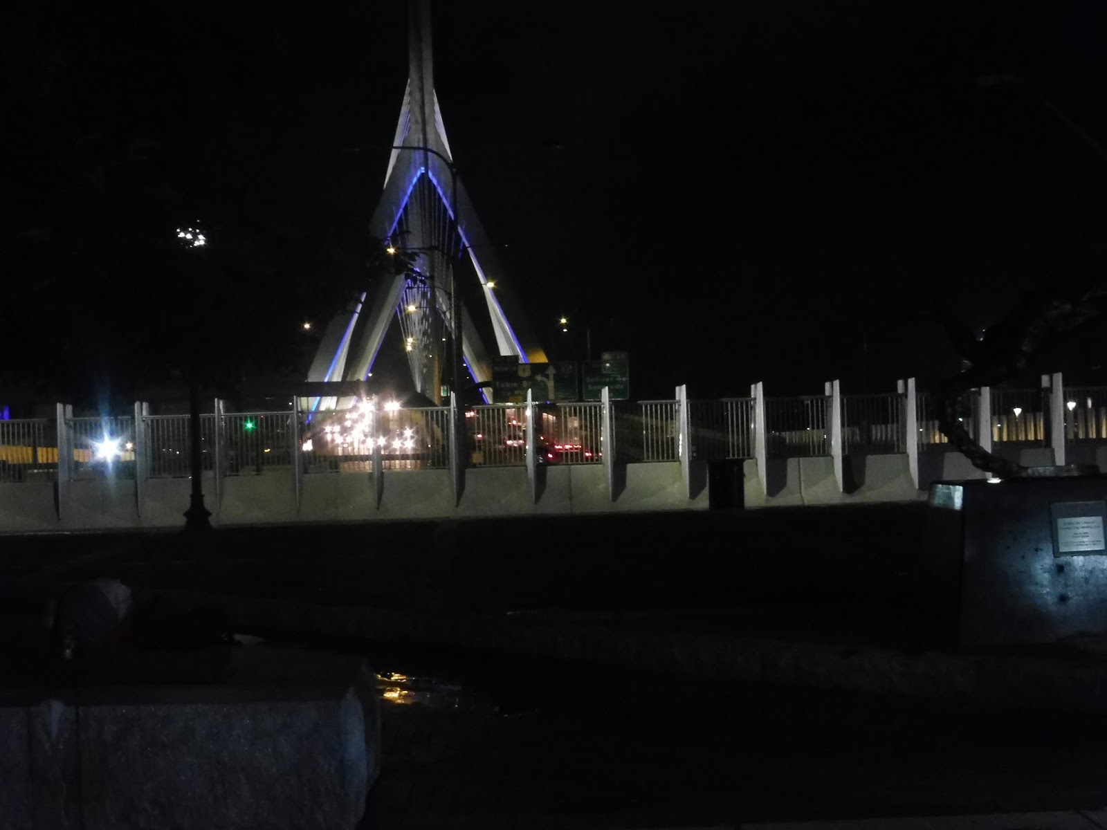
We curved onto Adams Street, leaving the shadow of the Tobin. This took us into Winthrop Square, a beautiful common surrounded by some of the most beautiful old apartments in the city. We turned onto Park Street here, and eventually made our way onto the wide North Washington Street.
 |
| The quality of this picture was totally on purpose, guys… |
We went over the North Washington Street Bridge with ease – usually it’s packed with traffic. Now on the Boston peninsula proper, we deviated from the normal 93 by turning onto Causeway Street. I guess this was in order to serve North Station, and surprisingly, a good amount of people got off here!
 |
| That feels like more traffic than it should be for a little before 5. |
We headed to the end of Congress Street and made our way around onto Merrimac Street, going by some ugly office buildings on one side and brick ones on the other. Just before the huge Government Center parking garage, we turned onto New Chardon Street, then pulled into the Haymarket Busway, ending this amazing early-morning experience.
 |
| Man, that was awesome. |
Route: 89/93 (Clarendon Hill – Haymarket Station via Charlestown
Ridership: This website gives the ridership data for the T’s early morning routes. The 89/93, internally known as the 194 (and that’s what the automatic announcement calls it) doesn’t get particularly good ridership as far as the early morning routes go, with an average of 24 people on its run (my trip got 20). Still, that’s decent, and it’s clear that a good amount of people rely on this bus.
Pros: The 89/93 is a very important connection for early-morning workers in Somerville and Charlestown. This is pretty obvious, but the route is fast, and it gets from Clarendon Hill to Haymarket in less than half an hour!
Cons: There isn’t much wrong with the route itself. I mean, one could make an argument that Boston area citizens would benefit heavily from a 24-hour bus network based on these early morning routes, but that’s already been made much better than I could’ve done it.
Nearby and Noteworthy: Well hey, if you live in Somerville or Charlestown and you want to get to the many noteworthy attractions of downtown Boston, this is the bus for you! Sort of.
Final Verdict: 8/10
As a route, the 89/93 does its job faithfully, running exactly on time every morning and getting workers into the city. There isn’t that much else to say about it, other than that I had a great time riding it! Just don’t expect any more early morning reviews – Clarendon Hill happens to be within walking distance from my house, so this was easy to take, but the other routes are just too inaccessible to ride. Plus, they’re not referred to publicly as their internal route numbers, so they’re not considered separate routes.
Latest MBTA News: Service Updates
MVRTA: 21 (Andover Shuttle)
What the heck is the 21, MVRTA? Deviations, weird headways, and PVTA Syndrome…oh my!
 |
| Oh, and it goes to a senior center. Even better! |
We left the North Andover Mall onto Winthrop Ave, but we soon turned onto Waverly Road, the first cross street we came across. It’s worth noting, though, that the northbound routing goes a slightly different way in order to serve the YMCA. It’s only a short spur, as the two directions come back together with our next deviation into “Doctors Park,” a small medical center.
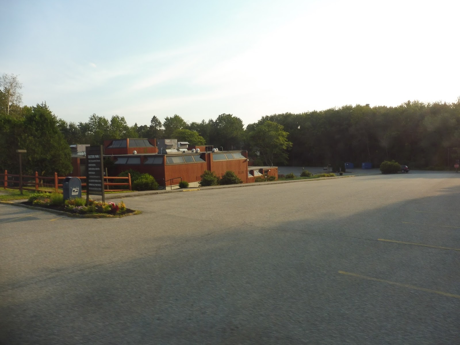 |
| Hanging out in Doctors Park. |
There was just one small problem: we were seven minutes early. Alrighty, then, time to wait! With the departure time of 6:16 reached, we headed out onto Haverhill Street, which was lined with houses for a while. After we went under the Commuter Rail tracks, though, there were large suburban office buildings everywhere.
 |
| Some houses in the residential section. |
We soon turned onto North Main Street, joining up with the 32. We were with it for about 30 seconds before having to make a deviation into Frye Circle, a housing development. It’s strange that this small hilly development was chosen for the deviation, rather than – I dunno – the large, not hilly development right across the street.
 |
| Inside Frye Circle. |
We returned to North Main Street and the 32 for another 30 seconds, but then it was time for another deviation! In my 32 review, I expressed delight that the route doesn’t have to serve Shawsheen Plaza – well, the 21 does. After looping around its parking lot, we returned to North Main Street.
 |
| Weeee! |
We turned onto Railroad Ave, taking us alongside the Commuter Rail tracks past an apartment building and some businesses. After going by the station, we crossed the tracks onto School Street, which went through a cemetery to Central Street. We took that up to Andover Center, where we turned onto Main Street amidst lots of charming businesses.
 |
| Some of the awesome buildings in Andover Center. |
After going through the Center, it was time for a lot of craziness. We turned left onto Punchard Ave, left onto Bartlett Street, right onto Chestnut Street, right onto Whittier Street, and left into the Andover Senior Center. After that it was right on Bartlett Street, right on Chestnut Street, right on Chestnut Court, and…oh, last stop? In this weird housing development? Alright, time to run back to Andover to get the Commuter Rail!
 |
| This is a weird terminus… |
MVRTA Route: 21 (Andover Shuttle)
Ridership: The 21 received 19,208 riders in 2015, making it the least-used local MVRTA route. Wanna know how many people per day that is? 74! And that means that the 21 gets a grand average of 3-4 riders per trip. Mm-mm, that’s bad.
Pros: I see this route as primarily being a link from Andover to the North Andover Mall, both a major transfer point and a popular place to shop. Also, most of the route’s deviations make sense, and I like how the MVRTA gave them to this route instead of the 32.
Cons: Still, the deviations have some quirks. Why serve Frye Circle instead of the bigger development across the street? Why serve the Senior Center twice when the route could just do a figure-8 with Chestnut Court. And why give the route so much padding between Doctors Park and the North Andover Mall? Look, right now the 21 runs every 70 minutes, making it completely incapable of timing with other MVRTA routes. If the route was given less unnecessary time to the Andover Mall and if the Senior Center was only served once, this could easily run every hour, which is beneficial in so many ways.
Nearby and Noteworthy: I like the look of Andover Center a lot, but the 32 is the far better choice…or, indeed, the Commuter Rail.
Final Verdict: 3/10
This route has such little ridership that it could probably be eliminated, but I do think it serves at least some purpose. The problem is that the route is done so inefficiently that it’s stuck with this infrequent, non-clockface schedule that could be fixed so easily! Cut the padding and simplify the routing in Andover – that’s it! Every hour! Boom!
Latest MBTA News: Service Updates
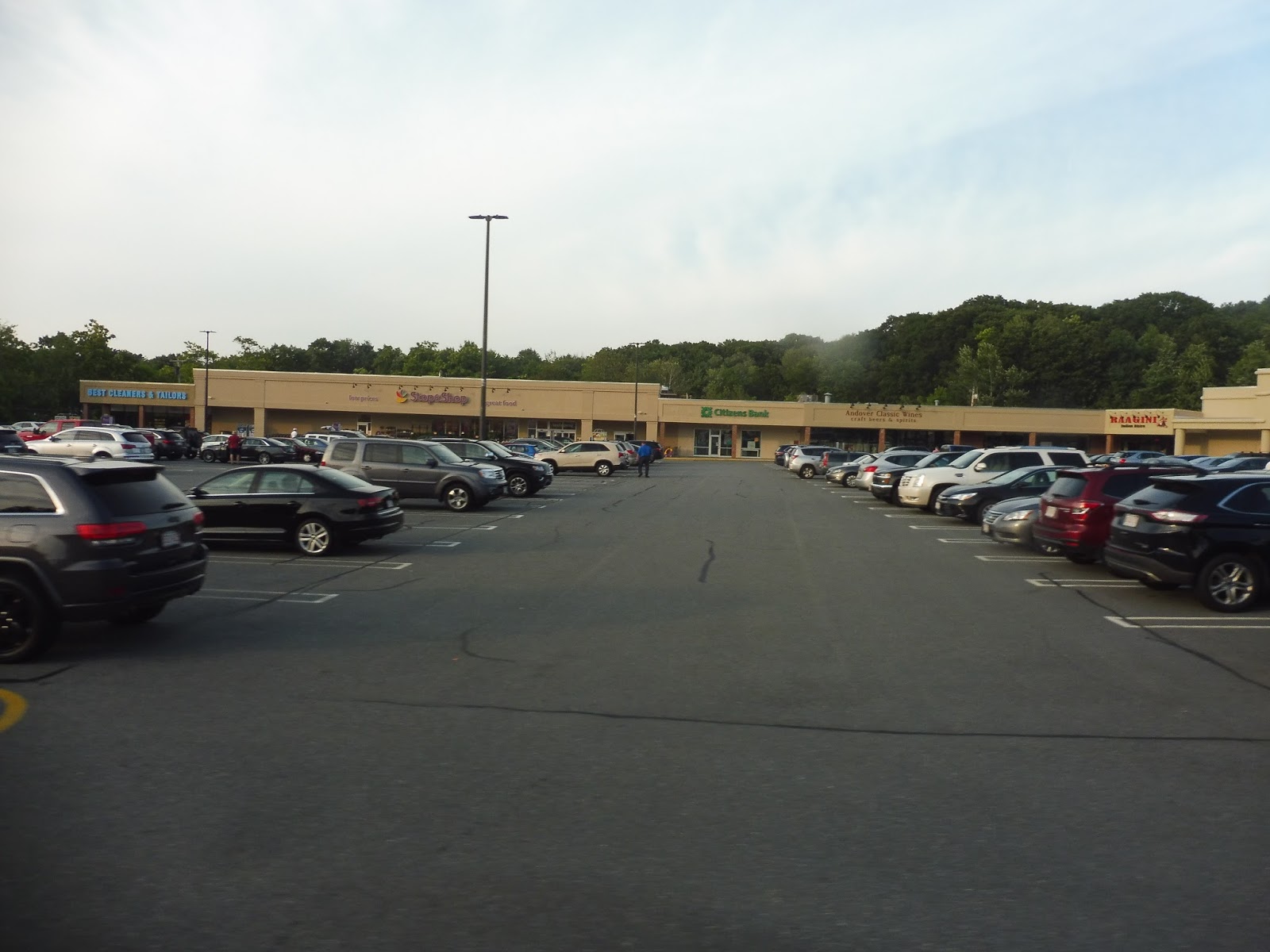
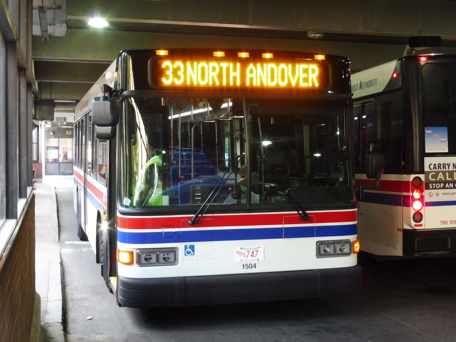
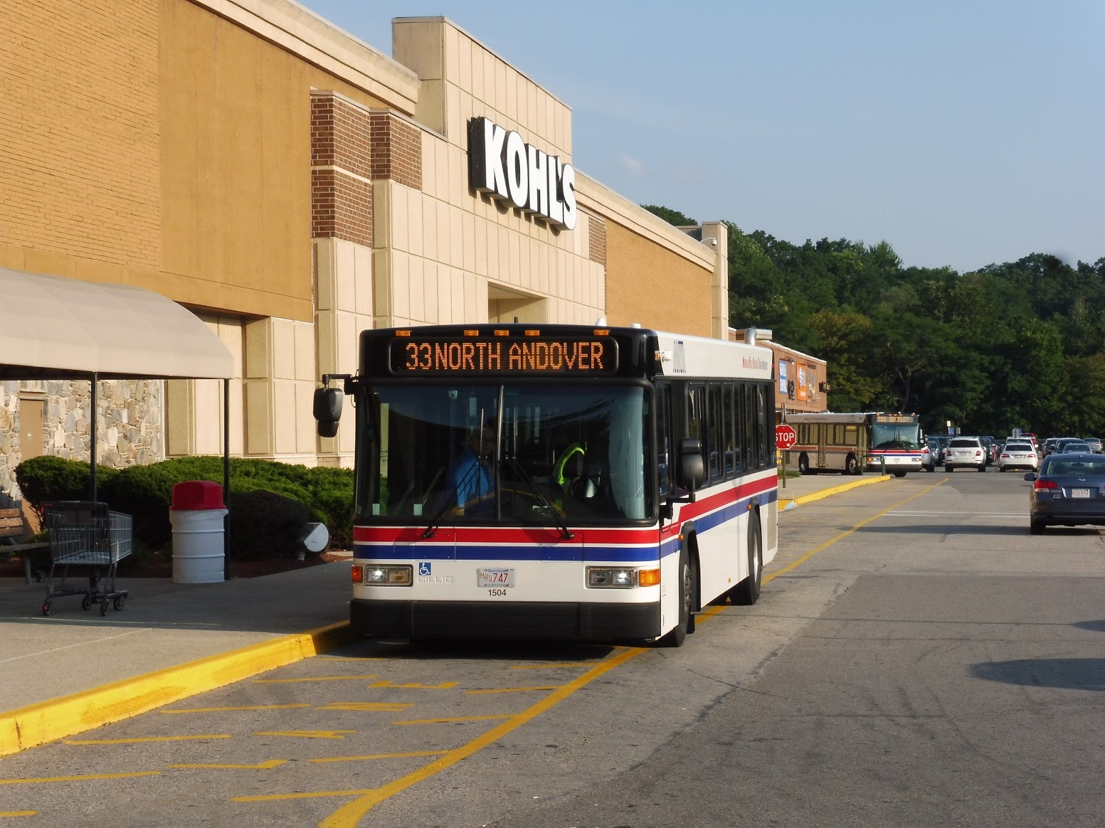
MVRTA: 33 (North Andover)
Whenever my train gets into Lawrence, I always check the 33 schedule to see if there’s a bus coming to the station to take me to Lawrence. So far, I haven’t been lucky, being forced to do the rather long walk to the Buckley Transportation Center. Still, the 33 has more of an identity than being the only local route to directly serve the Commuter Rail station, so let’s see what else it does!
 |
| Geez, Buckley, I have barely any room to even stand! |
We went alongside a common on Common Street, but once that ended, it was businesses, apartments, and parking lots lining the road. It ended at a gigantic old mill where we turned onto Union Street, taking us over a canal, past some more old factories, and over the Merrimack River. Once on the other side, we deviated into the Commuter Rail station, referred to on the schedule as the “McGovern Transportation Center.”
 |
| Crossing the river. |
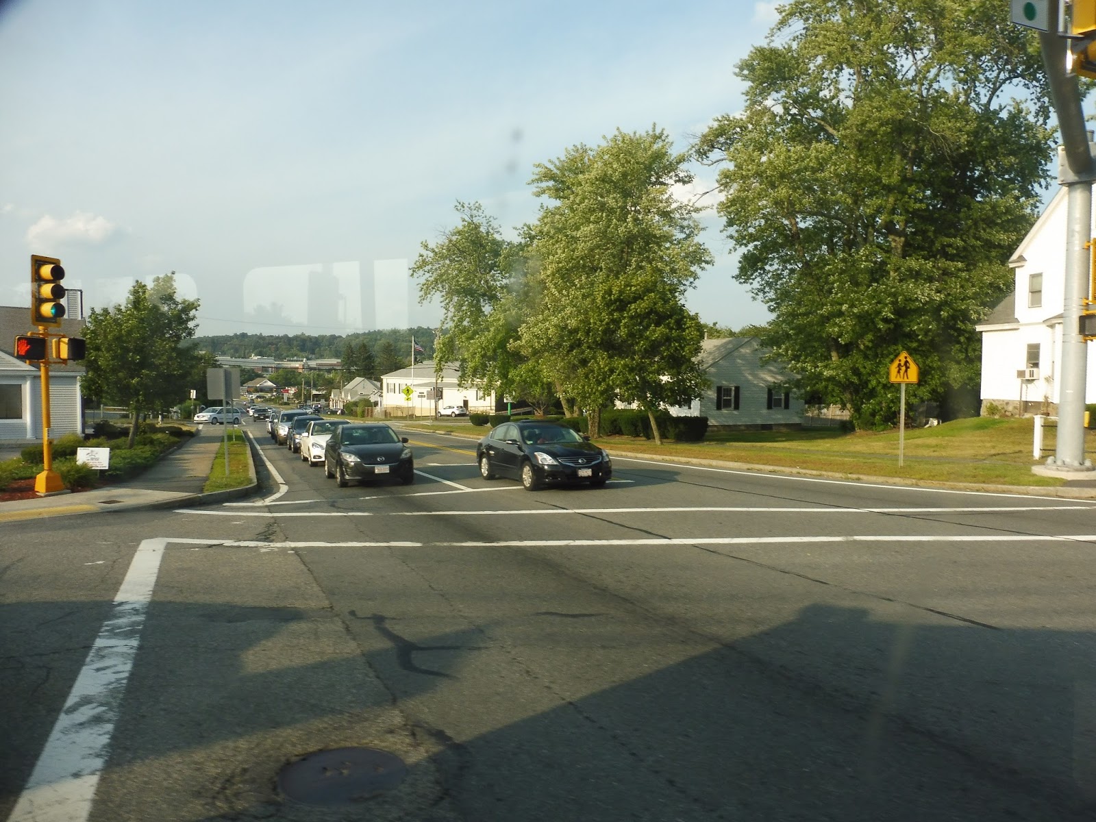
Heading down Merrimack Street, there was a lot of modern retail development, both in retrofitted factories and in new shopping plazas. We entered North Andover once we went under I-495 and the street turned into Sutton Street. Once we passed through a weird diagonal level crossing with some train tracks, we turned onto Main Street.
 |
| The level crossing. |
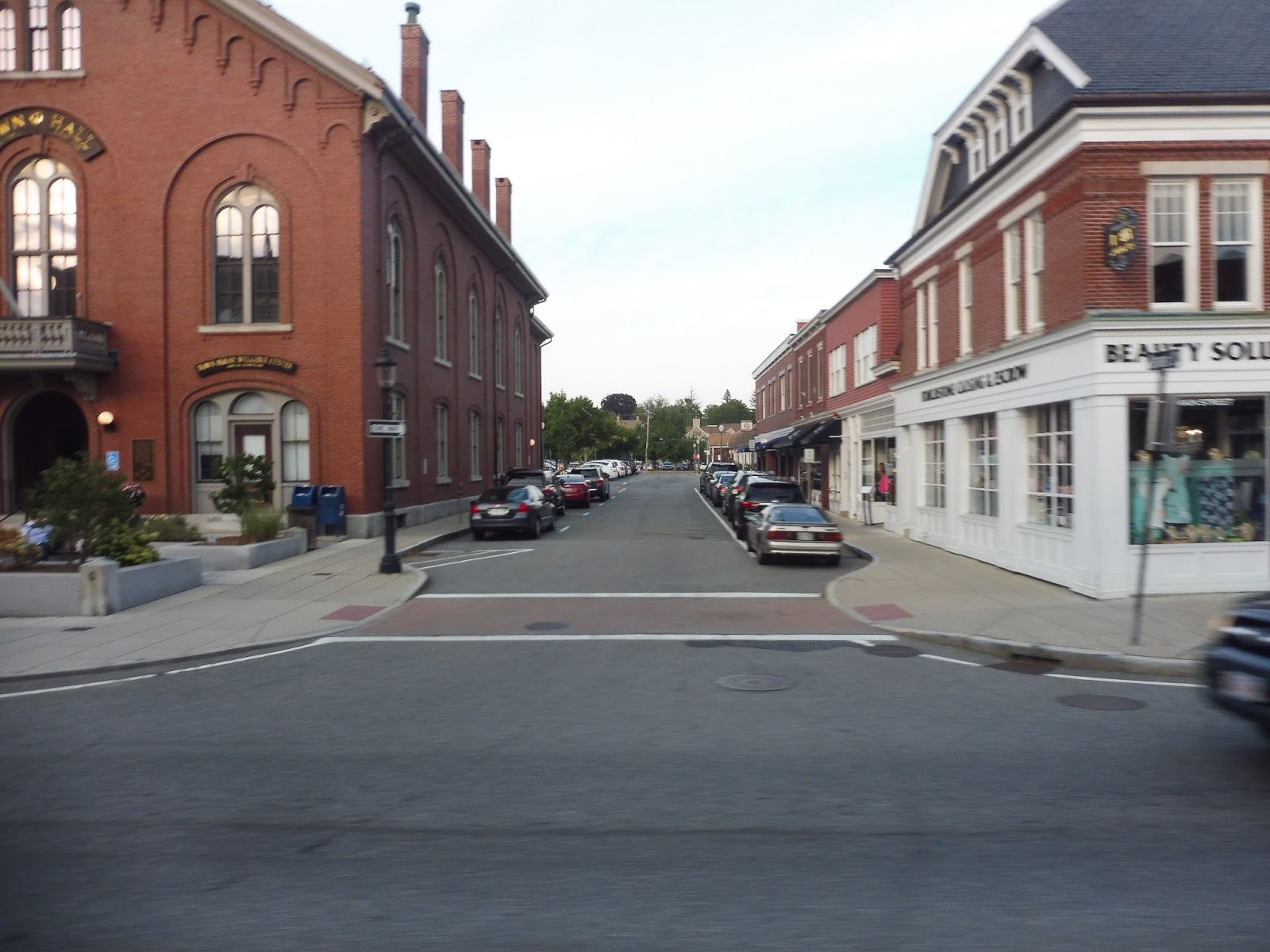
Main Street was the principal thoroughfare of what I’m going to call North Andover Center. It was much more spread-out than your typical downtown, with lots of dense houses in between the businesses. However, it was still really charming, especially with the awesome historical architecture and the character-filled winding narrow road passing through it all.
 |
| Some lovely businesses. |
It stayed like this for a good while, and even the annoying shopping plaza in the middle of it all had tasteful architecture. Once Main Street curved south past a church, though, we officially left the center and the road became lined with houses. It was totally residential (aside from a library and a church) until we turned onto Chickering Road outside of the North Andover Middle School.
 |
| Heading onto Chickering. |
 |
| Yup, here we are. |
Ridership: Alas, this is one of the least-used Lawrence routes: it got 93,803 riders in 2015, or about 257 people per day. How many people were on my trip? Three. WOOOOOOOOO!!!
Pros: This is North Andover’s primary bus route, serving its town center and some important neighborhoods. It also connects them to the Commuter Rail, and even though it’s kinda weird that this is the only route that serves it, I guess that’s a good thing for North Andover commuters! The 33 has the typical MVRTA pulse schedule, offering service every half hour during weekday peak periods and every hour all other times, seven days a week.
Cons: I feel like the ridership on this route is far too low to justify the half-hourly pulse at rush hour. I mean, my ride was during the “evening rush” and it only got three passengers, so clearly this isn’t a very peak-oriented route. Annoyingly, the 33 interlines with the 40, which is one of the busiest routes out of Lawrence! If it was interlined with something with similarly low ridership like the 34, the half-hourly peak period could be eliminated and service could stay every hour.
Nearby and Noteworthy: I loved North Andover Center from my brief pass through it. It’s not your typical downtown where everything is in one place, but Main Street has some really interesting and unique businesses along much of its length, and it’s still dense and walkable.
Final Verdict: 6/10
It’s clear that the 33 is an important route and a good amount of people rely on it. It serves some important neighborhoods and connects them up to a major shopping center on one end and Lawrence on the other. However, let’s be clear: it really doesn’t need to run every half hour at rush hour. I’m serious, this could easily be interlined with the 34 and then that problem would be solved easily! Both of the routes get low ridership, so their peak periods could be eliminated.
Latest MBTA News: Service Updates