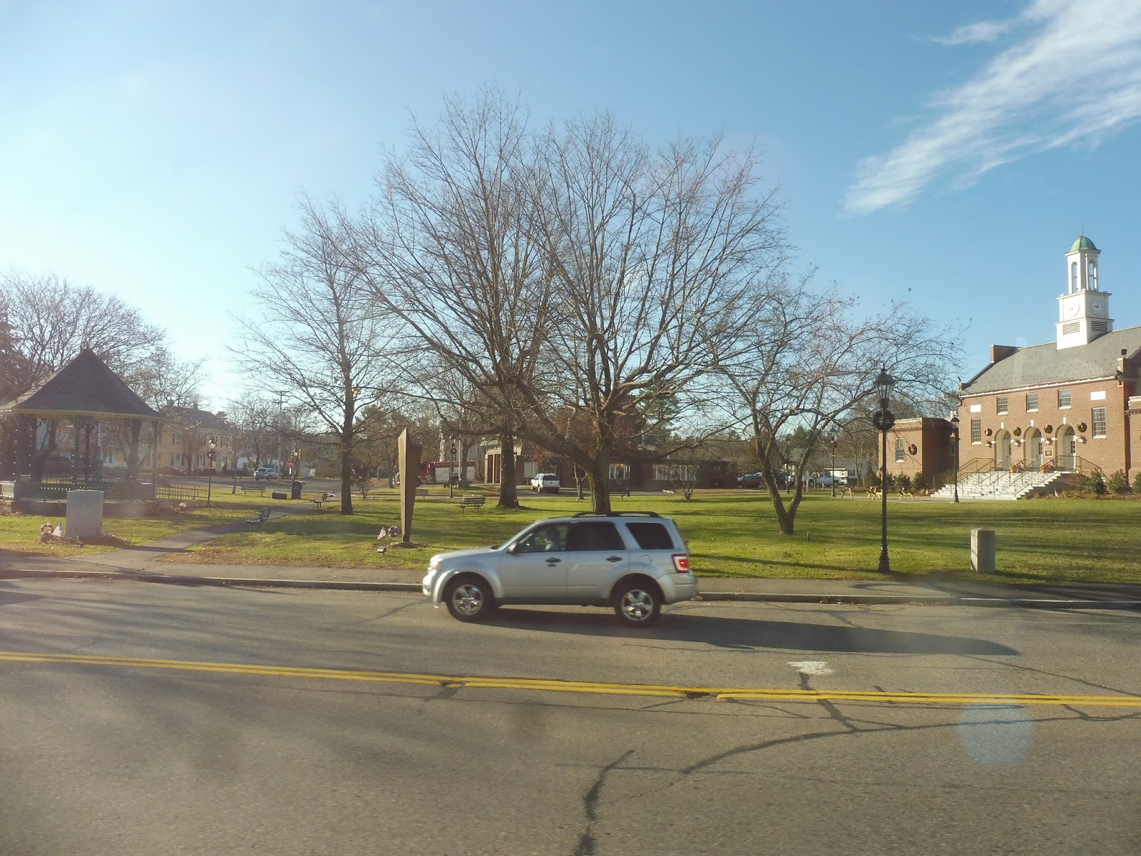
Bonus Review: Worcester Regional Airport
This is definitely a change, but we’re rolling with it. Nathan and I did the desolate foggy walk from Coppage Drive to Worcester Regional Airport, and I can’t say I was expecting much. As it turns out, though, this is a legitimate airport, and the main building is awesome!
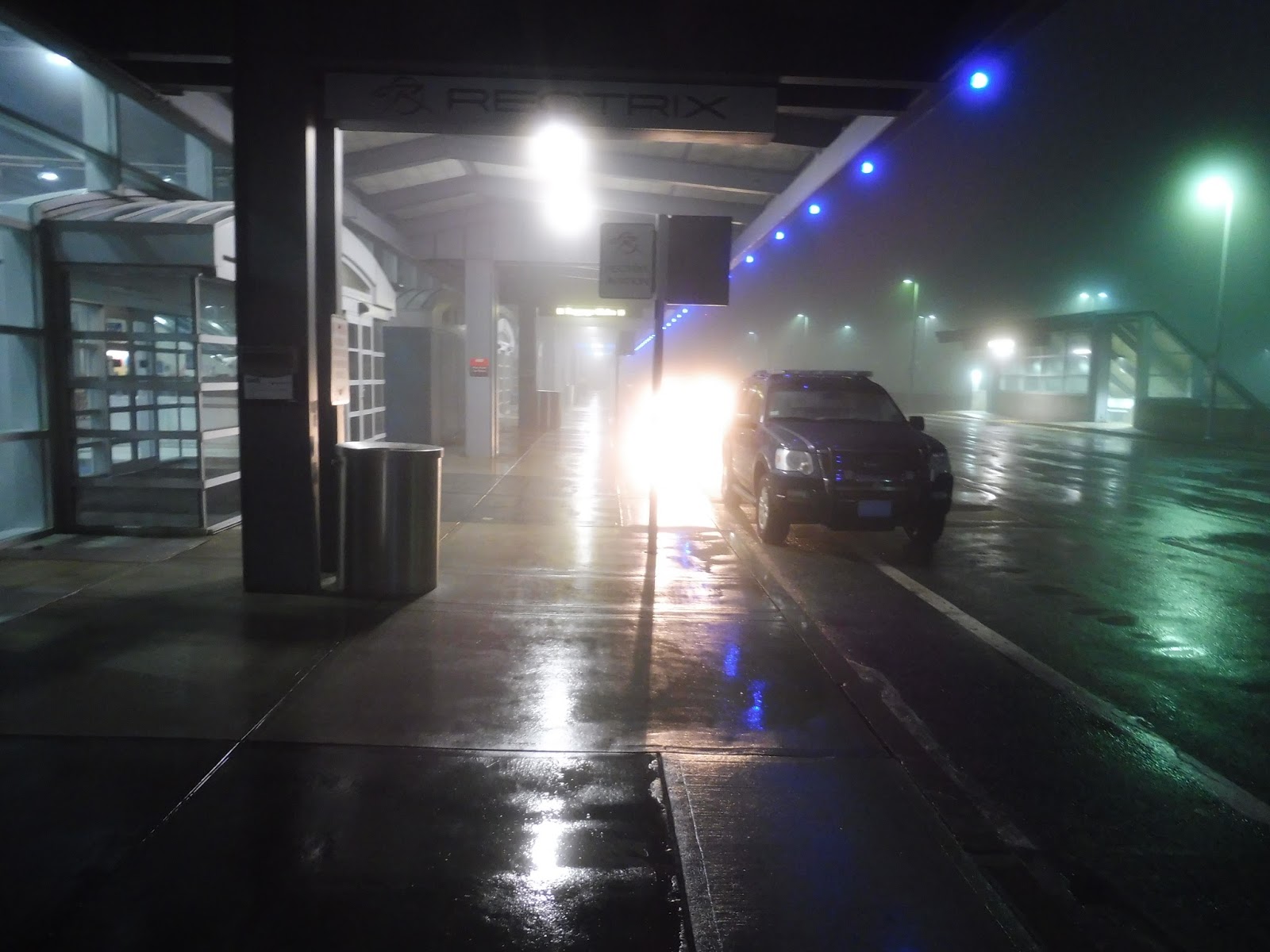 |
| The pickup/dropoff area. |
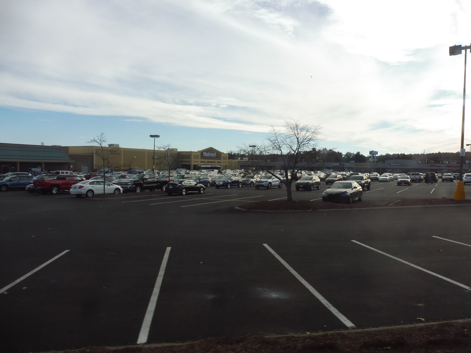
I’m not quite sure why the road going into the airport has four whole lanes, but maybe it gets really busy at certain times. The pickup and dropoff area is what you’d expect: it’s a little austere, but you don’t need much. The airport has two parking lots where people can put their cars, both of which have good pedestrian access to the terminal here.
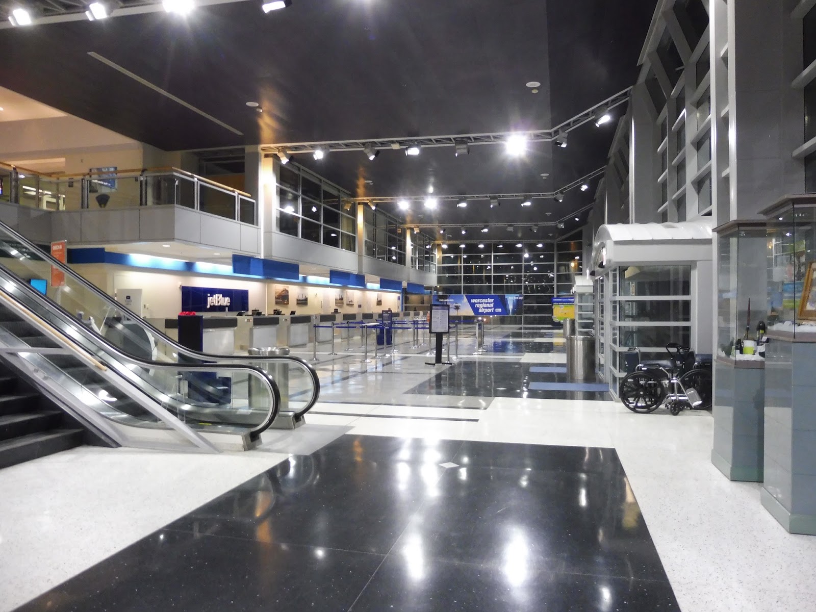 |
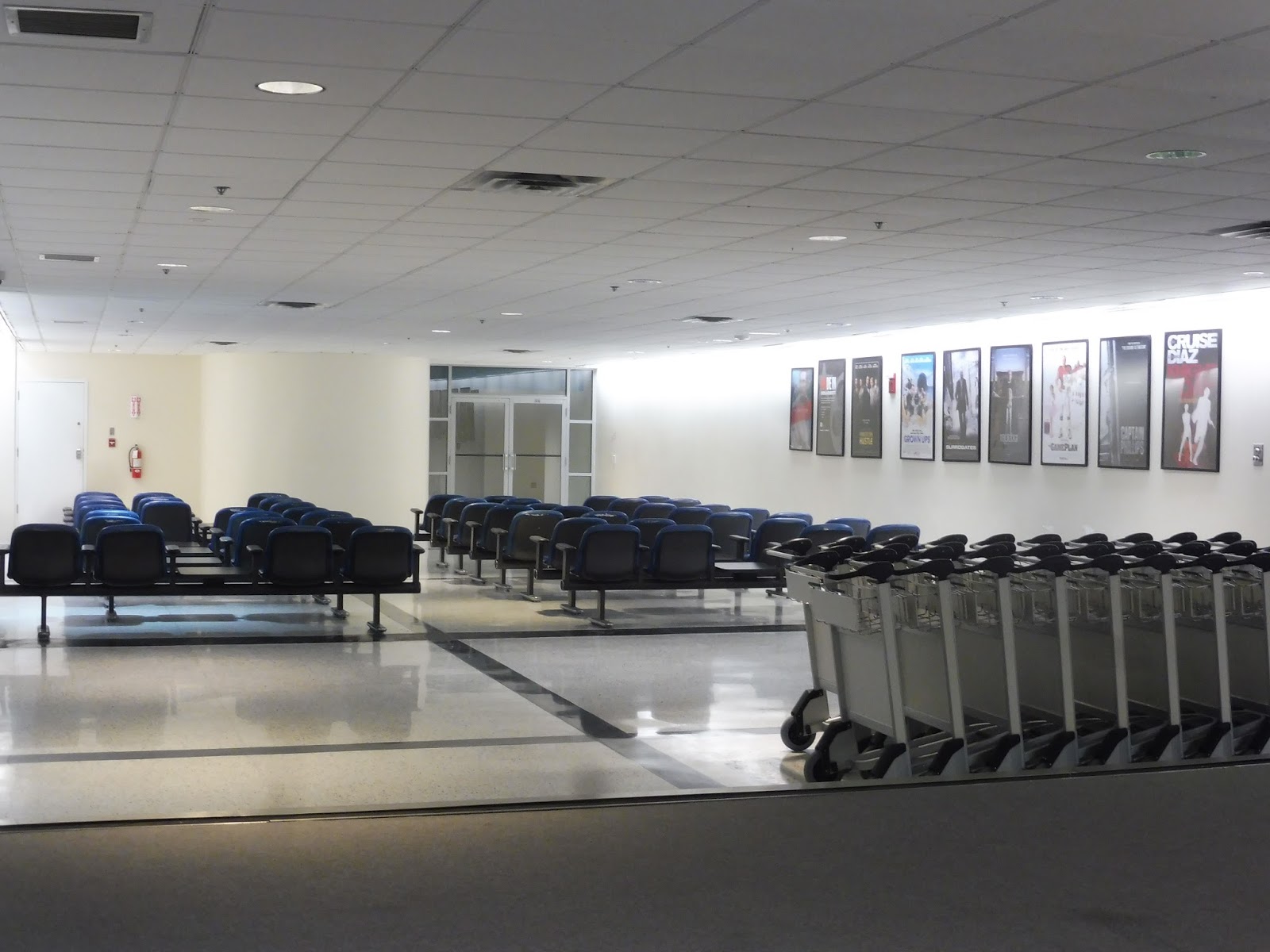
| This is more beautiful than expected! |
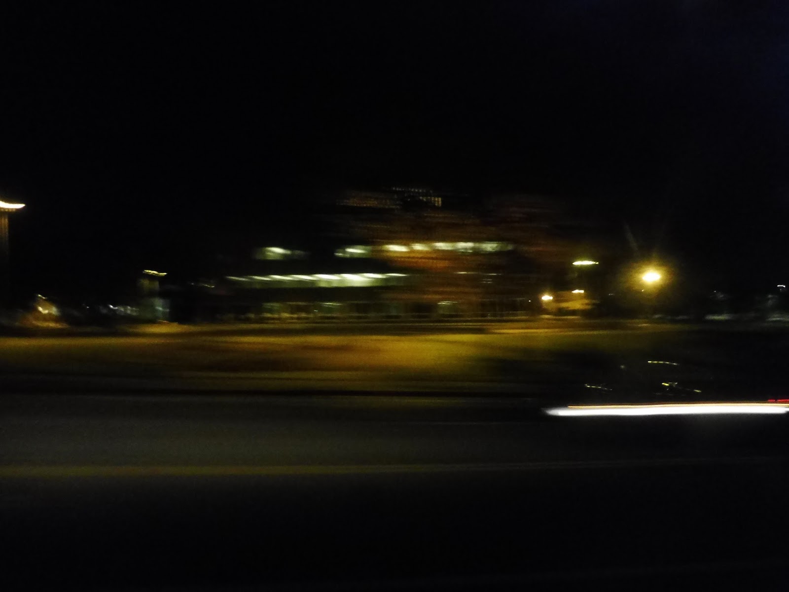
Wow, this main terminal is…spotless. And huge. And awesome! One entire side of it is dedicated to the check-in desks for the two, count ’em, two scheduled flights per day that leave from here. They even have a few automatic check-in machines. There are some seats across from the desks, but this is generally an empty area. The whole terminal is equipped with free Wi-Fi, by the way!
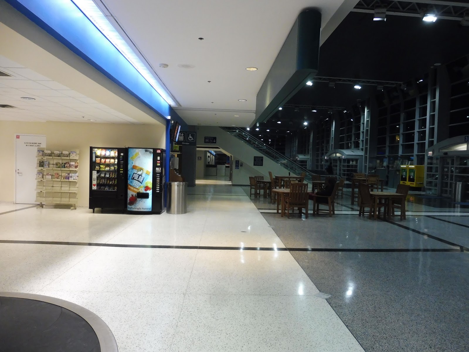 |
| Some of the terminal’s amenities. |
Moving to the left of the main staircase, there’s a ton of…stuff. You’ve got wooden tables, a TV that was blaring some sports game, a few brochure racks, and two vending machines. There’s even a café called Mirage Express, although it was closed when we were here, and it’s probably closed most of the time.
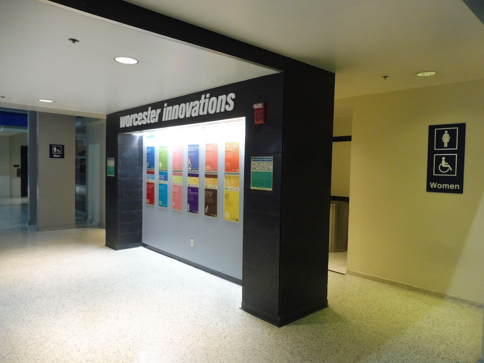 |
| INNOVATIONS! |
This terminal reallyyyyyy tries to make Worcester sound like a great place. They have signs everywhere touting all of the history and culture the city has, they have Worcester’s colleges lined up on huge banners over the main staircase, and there’s this timeline of innovations coming from the city, although they apparently stop in 1963 with the smiley face. I hope I’m not offending anyone when I say this, but…it’s just Worcester. It’s Worcester. The bathrooms are great, by the way.
 |
| Why do all the seats face the wall??? |
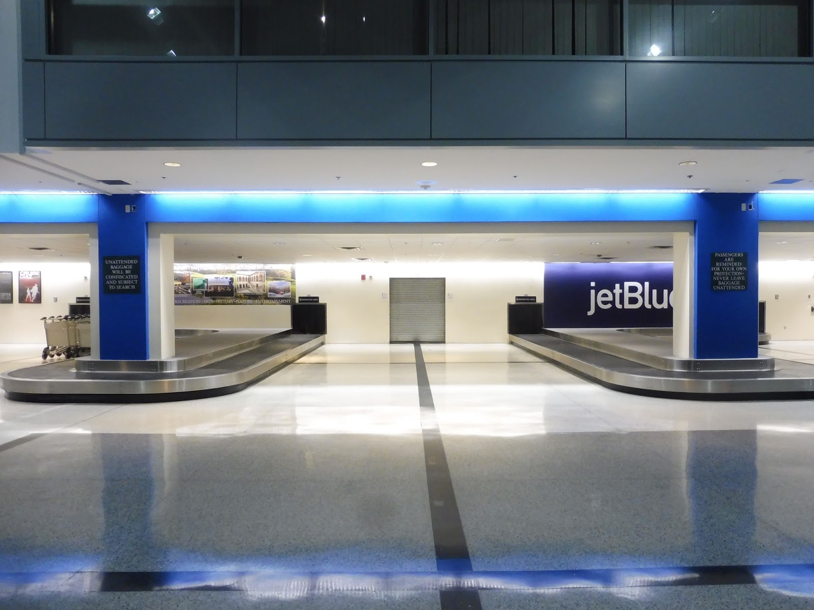 |
| Claim your baggage! |
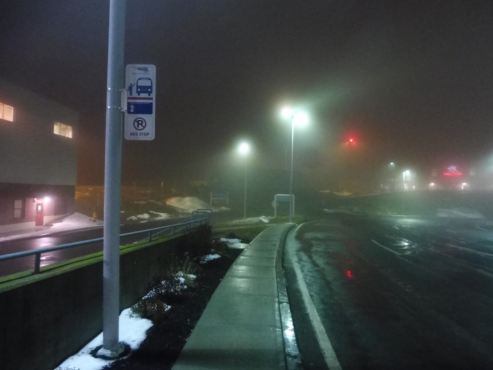 |
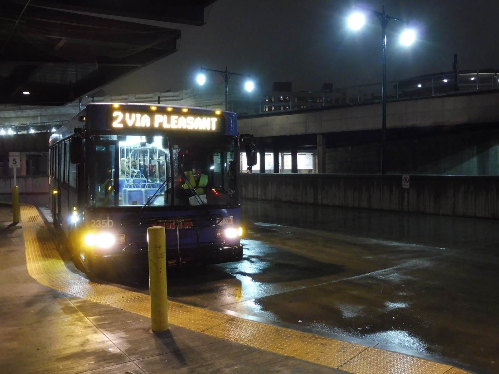
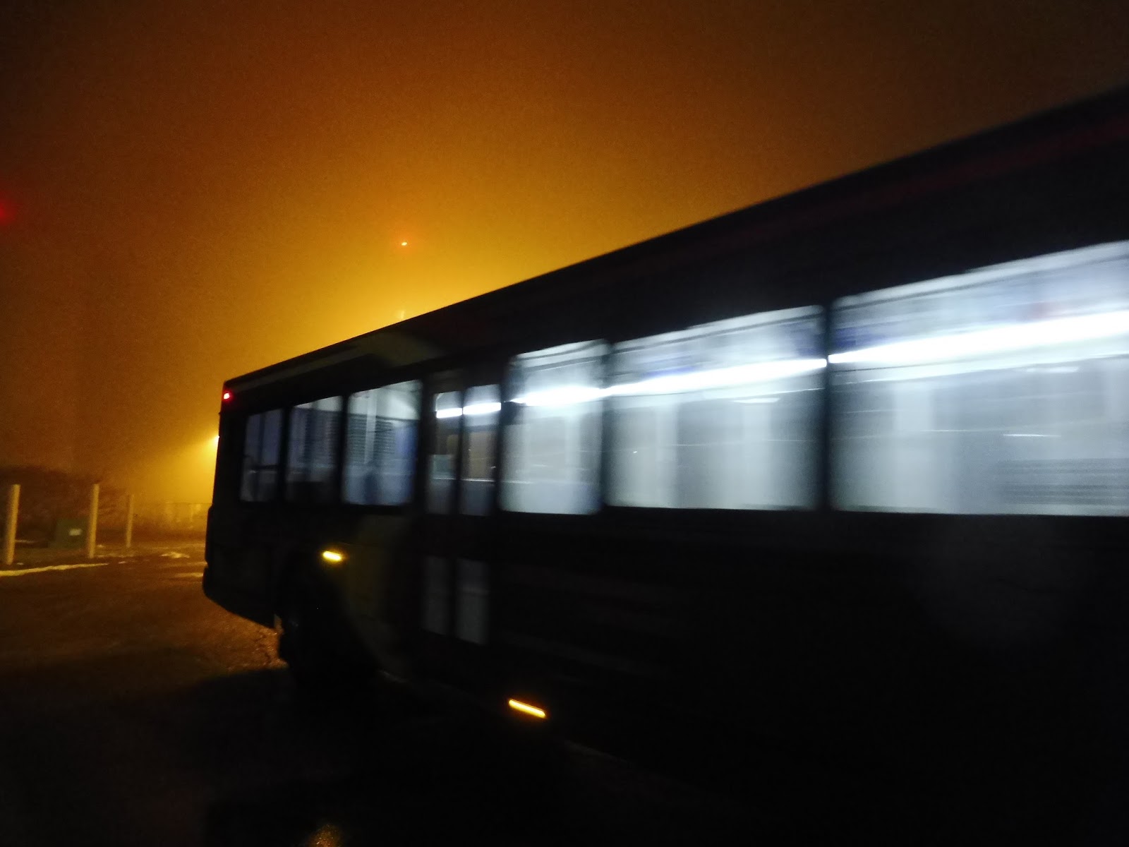
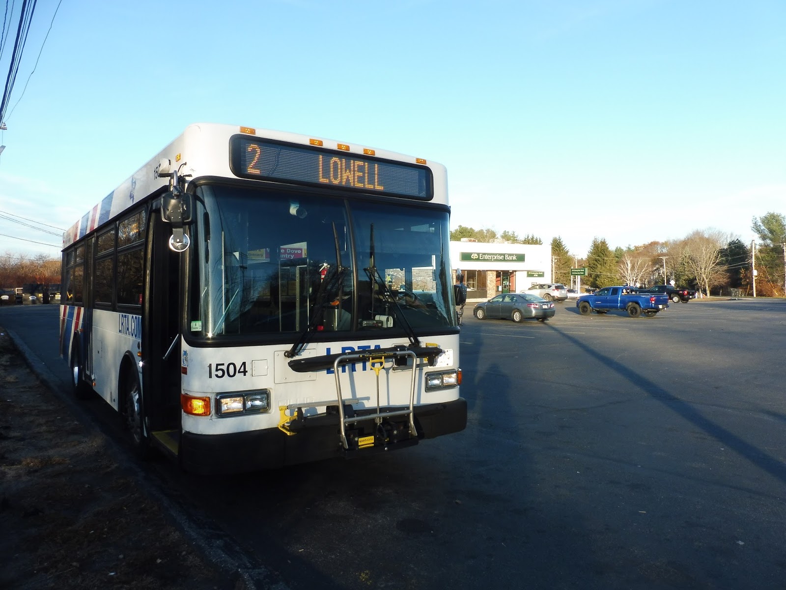
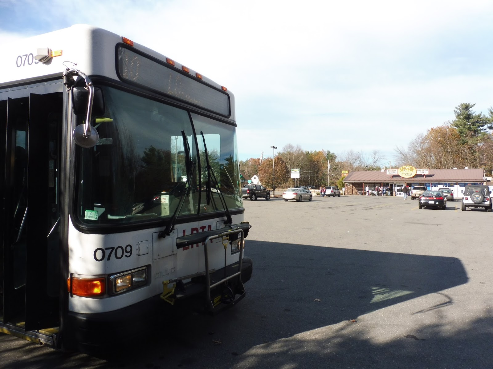
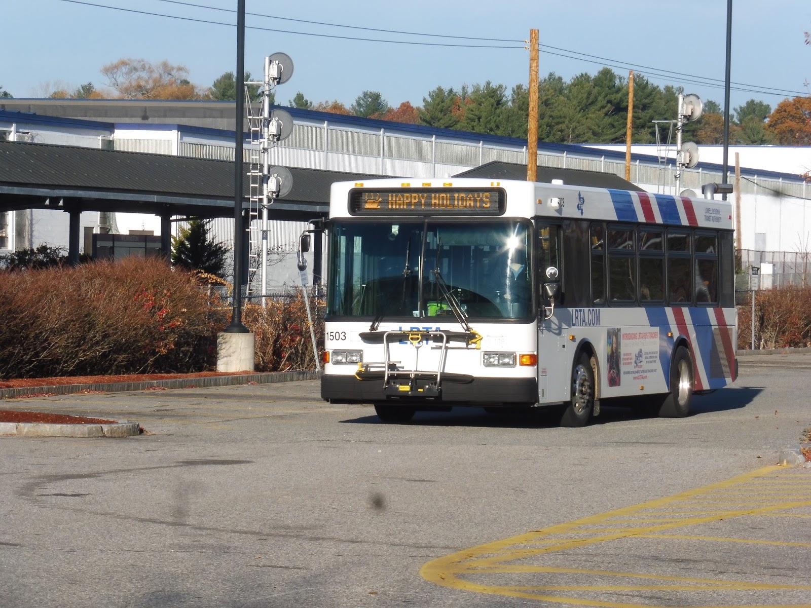
| Normally I would get a “vehicle picture,” but we couldn’t see any planes, so here’s the desolate WRTA stop. |
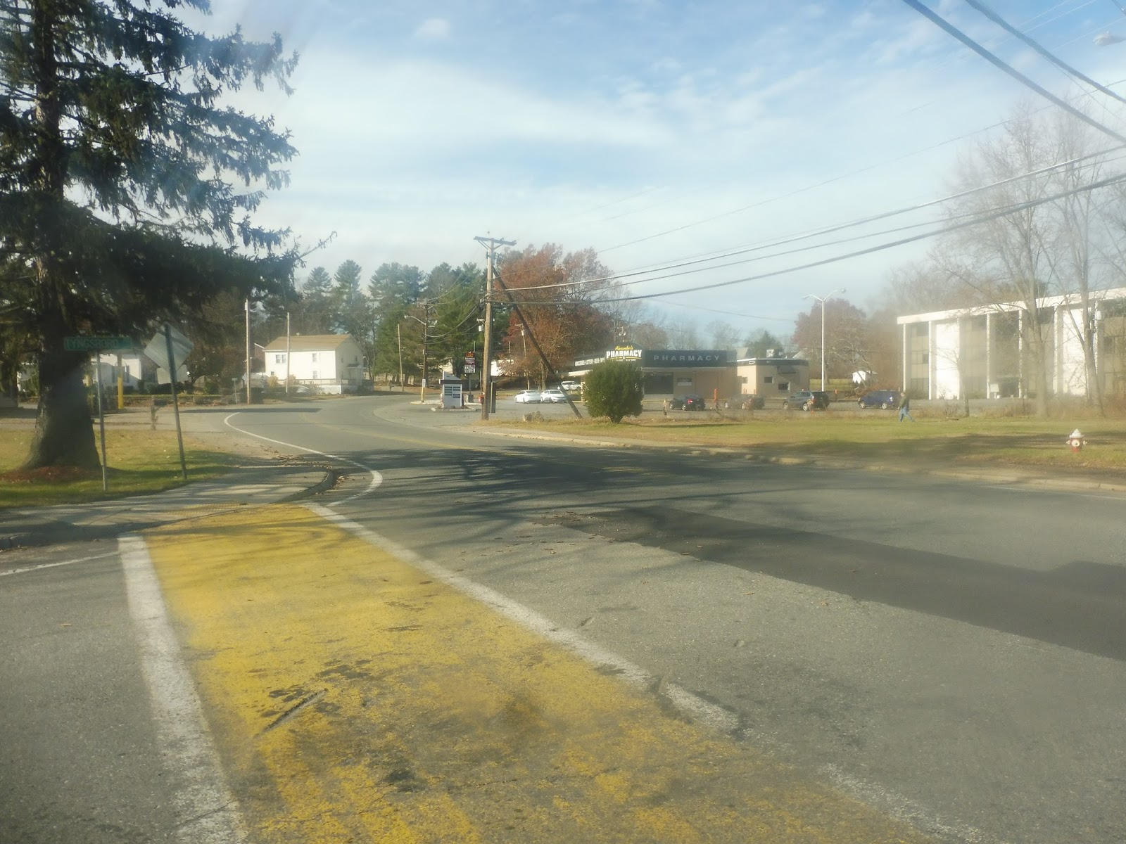
WRTA: 2 (Union Station Hub – Tatnuck Square via Pleasant Street)
Who knows how many people actually use a bus to an airport that gets two flights per day, but luckily, the 2 serves other stuff on its way to Worcester. If it was just an express from the airport, I’ll bet it would be empty most of the time!
 |
| Coming out of the fog. |
We left the Worcester Regional Airport terminal and looped around onto Airport Drive, taking us into the woods for a stretch. We reentered civilization by turning onto Pleasant Street, which was lined with dense-ish houses and even a few businesses. I’ll just briefly point out that outbound buses have an extra deviation here via Sunny Hill Drive before serving the airport – it’s just a residential neighborhood.
 |
| A blurry house. |
We went by a country club and descended a hill past more homes. Another outbound-only deviation is a by-request jog onto parallel Mower Street, which is in more of a “neighborhood” than Pleasant Street is. The two roads rejoined quickly for Tatnuck Square, which had some (mostly boring) businesses and a connection to the 6.
 |
| This store was an exception – it looked awesome. |
There were some residual businesses of Tatnuck Square for a little while, but it eventually went back to being mostly residential. Aside from a few religious buildings, Pleasant Street was all houses until a retail block at the intersection with Richmond Ave. We arrived at Newton Square soon after that, which really only had a single pizza joint as far as businesses go. It also was a roundabout…not a square!
 |
| A gas station. |
After Newton “Square” and its connection to the 3, Pleasant Street ran along Newton Hill and its surrounding park. Once that park ended, the pleasant (ha!) suburban houses ended, and we were all of a sudden in the city. There were now dense apartments, a ton more businesses, and a few rather tall buildings along the road.
 |
| Some random parking lot. |
The buildings got more consistently dense the further we went, and then we were in downtown Worcester. The street became Front Street, and we ran along City Hall and its corresponding park, amidst tall-ish buildings everywhere. Finally, we meandered our way around into the WRTA Central Hub.
 |
| Getting ready to head out again. |
WRTA Route: 2 (Union Station Hub – Tatnuck Square via Pleasant Street)
Ridership: With an average of 359 riders, the 2’s weekday ridership is decent. On weekends, though, it drops down to 88 people on Saturdays and just 60 on Sundays – three people per trip! My inbound weeknight ride actually had just one other person, but hopefully buses were busier going out.
Pros: It’s a mostly residential route, but the 2 is a good connection for the western neighborhoods of Worcester. It has a sensible schedule, with service every hour on weekdays and every 50 minutes on weekends.
Cons: Based on the fact that very few people take the 2 to the airport, the WRTA proposed only serving the airport based on its fixed flight departures, and I think that’s a great idea. As for other cons, it’s really just that this thing gets low ridership. On weekends in particular, there are very few people using the 2.
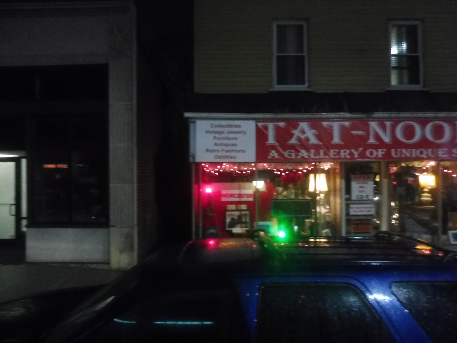
Nearby and Noteworthy: I gotta say, that Tat-Nooks place looked really cool. It has limited operating hours, but it seems to sell a lot of unique stuff.
Final Verdict: 6/10
Although its weekend ridership is really low, the 2 seems like a crucial route. It runs directly along one of the main roads of western Worcester, and it’s actually the only bus that serves the area on Sundays. It’s not a hugely high-performing route or anything, but it’s also necessary and should stick around.
Latest MBTA News: Service Updates
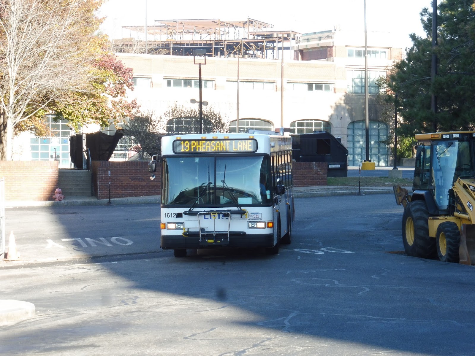
WRTA: 19 (Union Station Hub – Webster Square – Clark University via Main Street)
This is our final foray on the Main Street corridor here in Worcester, whose other routes we’ve already reviewed. The 19 is one of two key routes on Main Street, the other being the 27, and they combine to run every 15 minutes in theory. In practice, the 19 is one of the most consistently late bus routes I’ve ever seen.
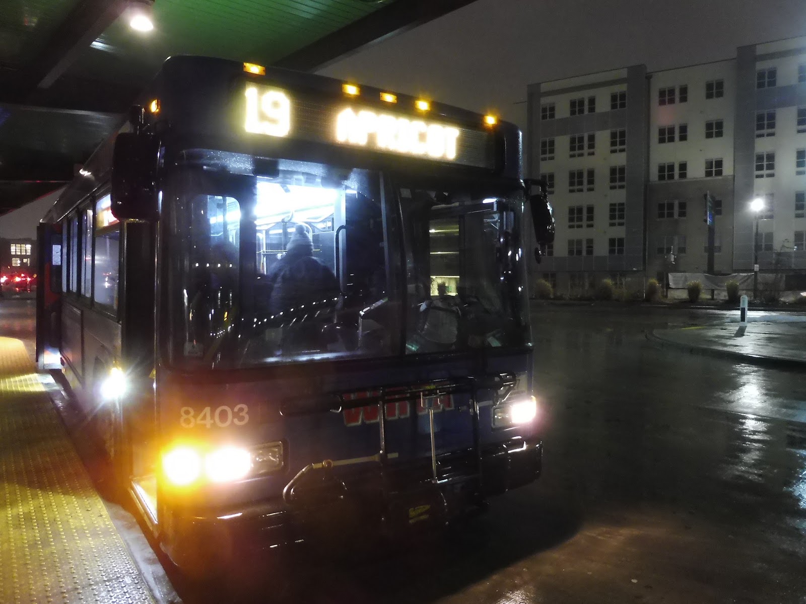 |
| Apricot, I guess. |
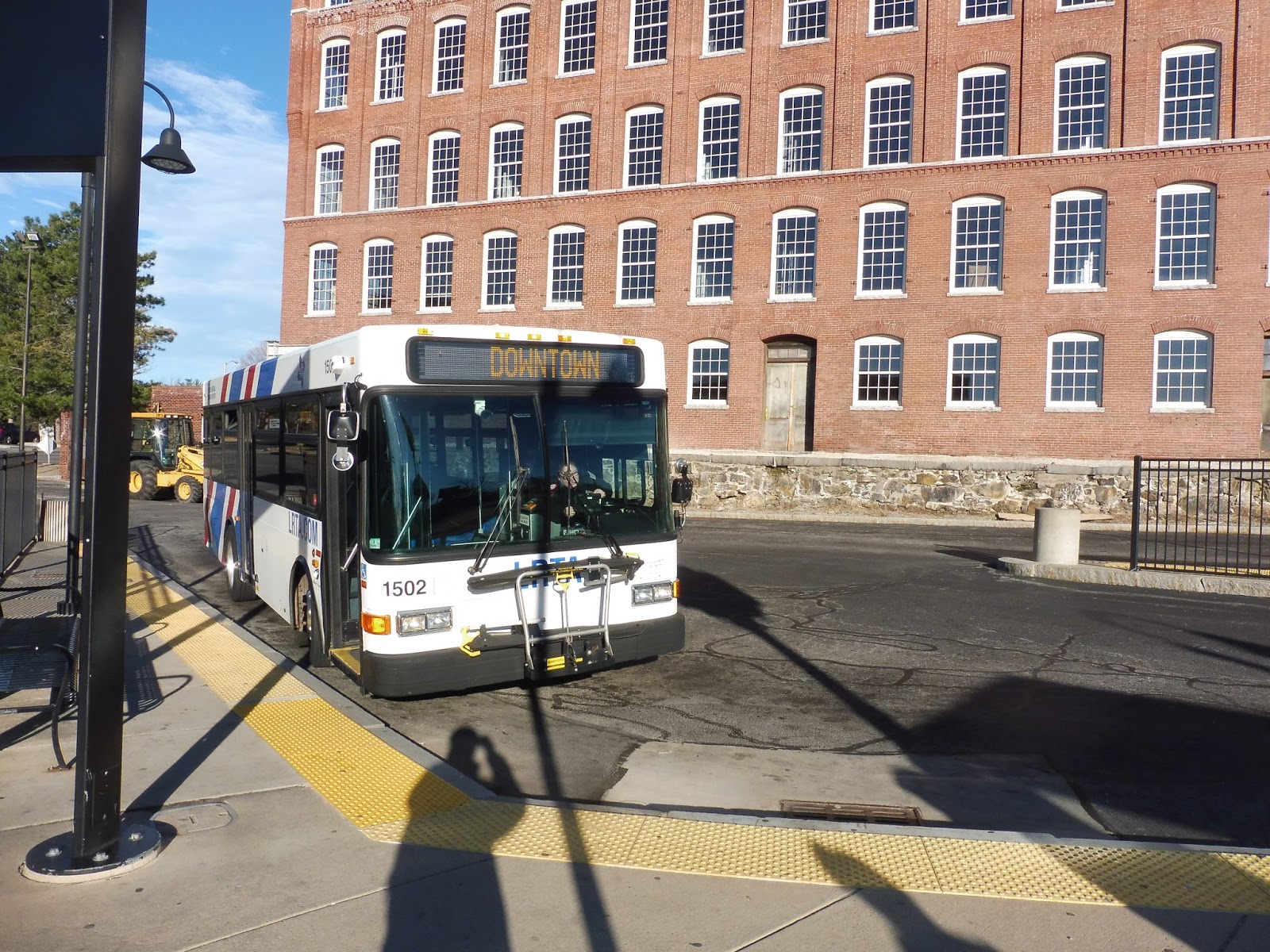
We went north up Foster Street, but we had to go south, so we looped around using a rotary to the east of the Commuter Rail tracks (with a great view of Union Station). We were only on Foster for a bit before turning onto Franklin Street, which took us into downtown Worcester. After picking up more passengers at City Hall, it was a left on Main Street.
 |
| Look, 7/11! |
 |
| A block of retail. |
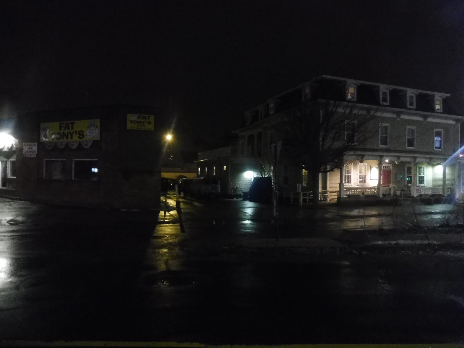 |
| Fat Tony’s! |
 |
| Weird picture, but I just love the lighting! |
 |
| Fog galore… |
WRTA Route: 19 (Union Station Hub – Webster Square – Clark University via Main Street)
Ridership: The 19 is one of the busiest routes on the WRTA – 4th-busiest, in fact, with 1,025 riders per weekday. Its ranking goes up on weekends, with the route becoming 3rd-busiest on Saturdays (617 riders) and 2nd-busiest on Sundays (261 riders)!
Pros: It’s amazing just how busy the bus routes on Main Street get, at least for RTA standards. The three routes on Main Street get a combined 2,663 riders per weekday, and though not all of those are on the main trunk, it’s still gotta be a big chunk of that! Indeed, the 19 essentially just serves the trunk, since the Coppage Drive section is mostly by-request, as it should be. It’s straight and direct, and it runs a fantastic half hourly schedule on weekdays, with hourly service on weekends. Speaking of weekends, the route does a good job covering for the weekdays-only 33 during those times, going to Spencer on Saturdays and Leicester on Sundays.
Cons: There is sooooooo much wrong with the 19. First of all, like I discussed in my 27 review, there’s no coordination between the two routes going outbound, which is unfortunate. Also, the 19 has a really erratic schedule to Coppage Drive, with inbound trips only running at rush hour and a few other random times. Speaking of an erratic schedule, I know the route runs every half hour, but not quite – certain trips are offset by five minutes, which makes the timetable a lot harder to memorize. Also speaking of an erratic schedule, it doesn’t freaking matter, because the 19 never follows it. Its on-time performance is supposedly around 79%, which is one of the worst on the WRTA and absolutely abysmal for an RTA in general, but the 19 seems to be always late! When we did the route in the evening rush, it was supposed to be coming on the :15 and the :45. Instead, buses were so late that they were showing up on the :00 and the :30! So yeah, clearly it’s a problem.
Nearby and Noteworthy: There are tons of businesses along Main Street, plus Clark University. Coppage Drive is just industrial, but you get some almost-rural town centers on the extended weekend route.
Final Verdict: 5/10
The 19 is like a mini version of the MBTA 1 bus. It serves a ton and a lot of people rely on it, but it’s always late and unreliable – it just chugs along doing its thing at the pace it wants to go. This could partly be attributed to the really tight interlines with the 23, where buses show up at Union Station at the exact same time they’re supposed to depart for their next trip. Ideally, to both improve outbound coordination with the 27 and help reliability, the routes could be deinterlined and the 19 could leave ten minutes earlier for each trip. That would give it a longer layover, meaning more recovery time, plus it would coordinate it with the 27! It would require another bus, but maybe the interline could be kept and the 23 could be padded out as well, to make it more useful.
Latest MBTA News: Service Updates
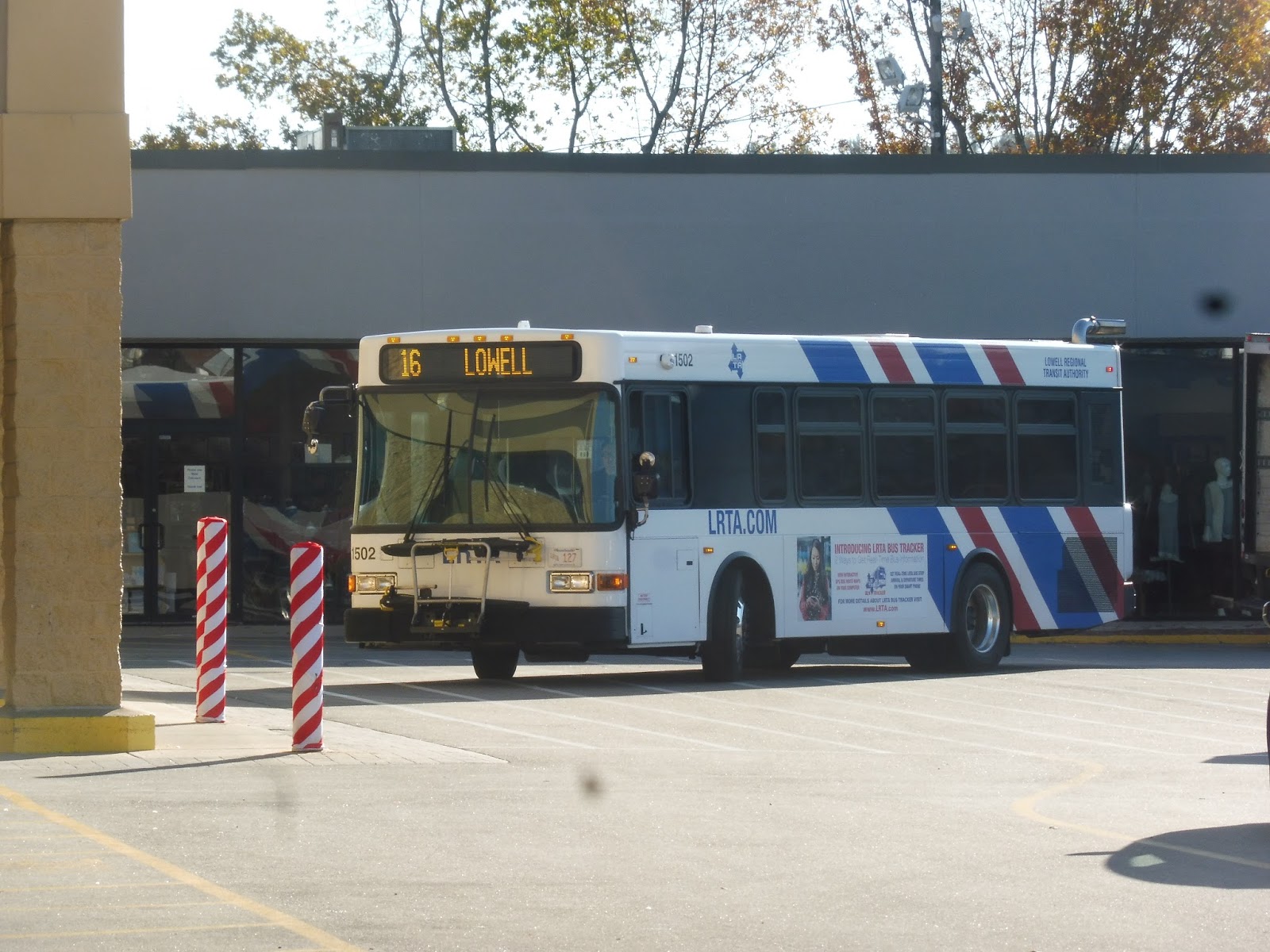
LRTA: 15 (Chelmsford/Westford via Route 129/110)
I think I have some sort of psychological inability to just take the train to or from Lowell. I mean, after this day on the LRTA, I could’ve just grabbed the Commuter Rail home, but no – I wanted to take the 15 to its terminus just over the Littleton border and walk to the town’s station on the Fitchburg Line. So be it!
 |
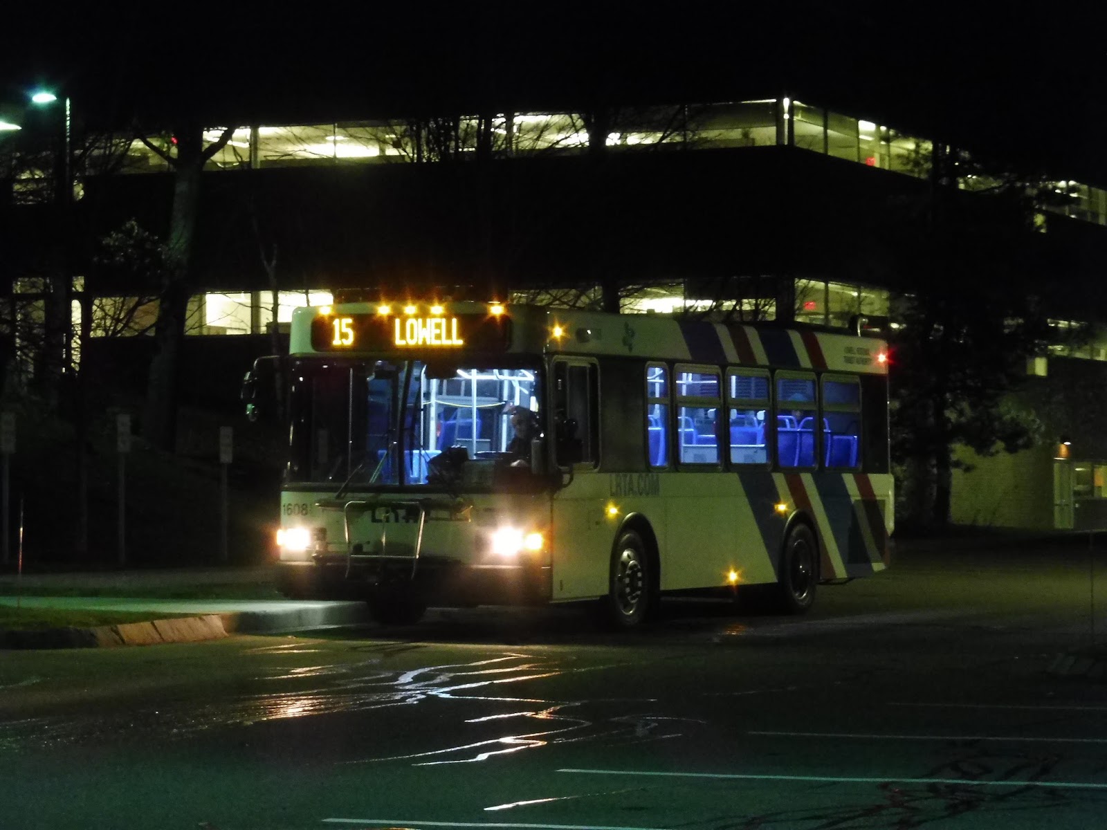
| Boarding at the Kennedy Center. |
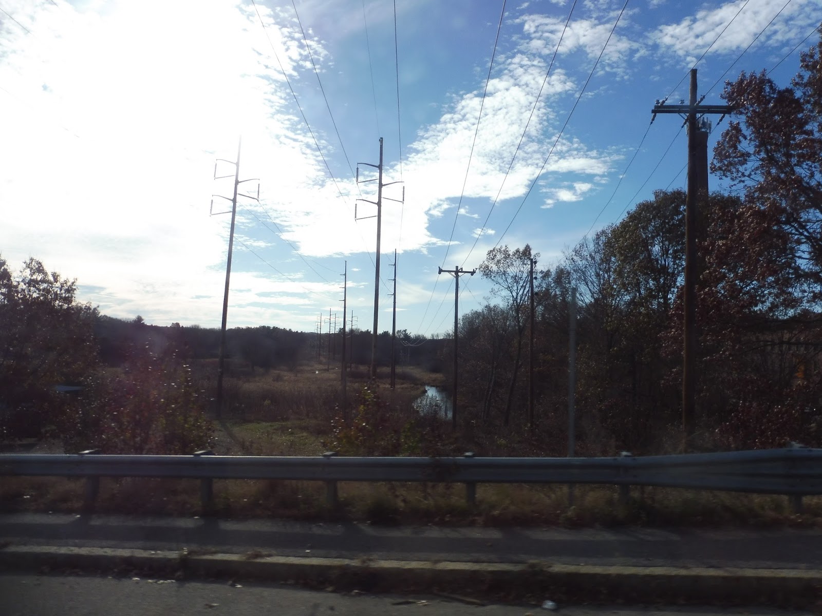
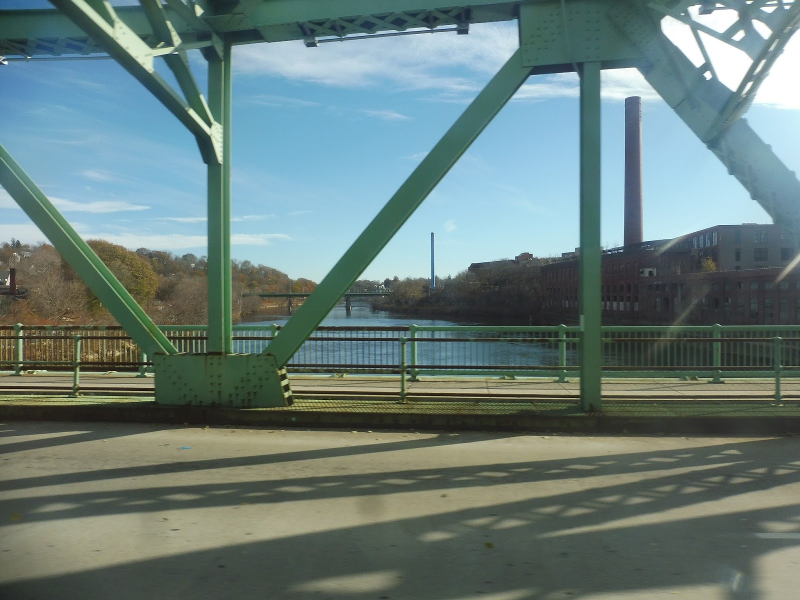
As usual, we headed down Thorndike Street from the Kennedy Center, but we were going south this time. We went under the Lowell Connector highway and over River Meadow Brook, where the road became Gorham Street. The scenery was a mix of industrial buildings and businesses, with a few apartments after we went under the Commuter Rail tracks.
 |
| Hoo boy, it’ll be one of these reviews… |
A huge cemetery occupied one side of the road for a while, while the other side had two schools, some businesses, and some houses. We merged onto Carlisle Street, continuing alongside the cemetery before going over I-495, entering Chelmsford. It was residential on the other side, the houses broken only by a park and a water tower.
 |
| Going over the highway. |
We turned onto Brick Kiln Road next, a street shared with the 14 that had houses in between stretches of forest. All of a sudden, we were passing office parks, mixed in awkwardly with houses and more forest. We broke away from the 14 by turning onto Billerica Road, taking us over Route 3 and past a ton more offices.
 |
| One of those offices…I presume. |
Boy oh boy, those office buildings went on for a while, but eventually we entered another residential area. It was brief this time, because shortly after going by Chelmsford Town Hall and Fire Station, we entered Chelmsford Center. We were previously here on the 16, and like before, it was pretty underwhelming.
 |
| Well, these lights are nice, though! |
We merged onto Littleton Road and quickly left the center – this street was lined with houses, but it got more woodsy the further we went. It started to get weird, though, with a lot of apartment developments down long driveways, and eventually a slew of office and industrial buildings. A sizeable stretch of forest took us into Westford, where the scenery was similar to before.
 |
| No idea what this is. |
We went by the Nashoba Valley Technical High School, then it was time for a deviation to…a Hampton Inn? Yeah, we went down Technology Park Drive to serve, according to the timepoint, a hotel. I’ve been on weird deviations before, but come on, a hotel??? When we came back onto Littleton Street, there were a few shopping plazas on either side of the road.
 |
| A red light! A picture that came out! Hooray! |
Of all the shopping plazas to deviate into, the LRTA chose Cornerstone Square, probably because it has a Market Basket in it. We looped around in there and came back onto Littleton Road, which was a never-ending barrage of office parks and suburban businesses by this point. There was a brief break for a marsh, then we passed Kimball Farm, a popular attraction even as far away as Cambridge – it’s kind of awesome that it gets bus service, as limited as it is.
 |
| I think this is Kimball Farm? |
The route was almost over. There were a few more industrial buildings and businesses before the road became King Street and we entered Littleton. Almost right after that, we entered the huge facility for IBM, whose parking lots outnumbered the buildings themselves. Alright, time to walk to the Commuter Rail! Luckily, it was uneventful, but I did get Medway Street flashbacks…
 |
| It’s a weird place to end a bus, especially on a Saturday! |
LRTA Route: 15 (Chelmsford/Westford via Route 129/110)
Ridership: It’s not much of a surprise that the 15 gets low ridership. On weekdays, it gets 156 riders, while on Saturdays, it only gets 40 – less than 3 people per trip! My Saturday ride on the last trip of the night (5:30) was actually just me.
Pros: I can see the 15 having a lot of reverse commute potential, particularly with the gigantic IBM facility. It runs less frequently than other LRTA routes, but I think it’s sensible for the ridership – it has 90 minute headways.
Cons: I don’t think this has to run on Saturdays, does it? Come on, it costs the LRTA $22.92 per passenger to run it on Saturdays! That’s insane! Honestly, I could see this thing being rush hour only, but maybe more people use it on weekdays than I realize…
Nearby and Noteworthy: Kimball Farm is the most obvious place – I wonder if they could advertise their proximity to public transit? Also, the IBM terminus is close to Littleton Common, which has a few pleasant businesses, including a bookstore and a theater.
Final Verdict: 4/10
Man, I dunno…the 15 isn’t really doing it for me. It clearly has its place, but it seems to run more than it has to. Are people really going out to IBM on a Saturday? Or coming back from it into Lowell at 8 PM on weeknights? It’s a long route, too, so the LRTA is spending a lot of money to shuttle mostly empty buses around. Like I said, it serves a purpose, but it could probably be cut back.
Latest MBTA News: Service Updates
LRTA: 2 (Belvidere)
Darn it, I chose the wrong route to take! I could’ve done a 5 out to Drum Hill and back and been able to get a second local route in there, but instead I grabbed a 2 – this meant I could only do one route. Oh well…at least I got to meet an incredibly nice bus driver!
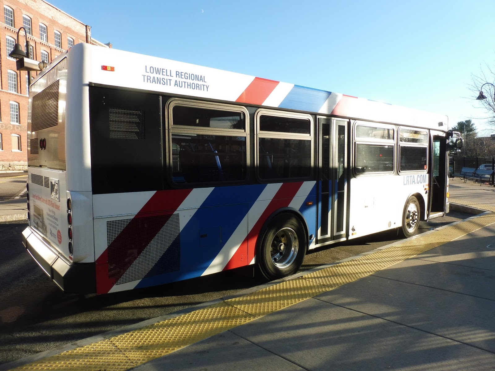 |
| What a stout little vehicle! |
Like every other LRTA route, we began our journey by heading up Thorndike Street. We soon turned onto Appleton Street, a mix of industrial buildings, apartments, and a few businesses. There were some brick buildings along here as it became Church Street, but we more or less bypassed the vibrant retail of downtown Lowell.
 |
| Industrial wasteland. |
We crossed the Concord River and turned onto High Street after a few blocks on the other side. This road was mostly residential, with dense apartments lining the road, but there was retail along here as well. It turned out this was all just a deviation to the Lowell General Hospital, though, and we had to loop around and come back.
 |
| Some of the hospital buildings. |
We actually stayed on High Street past our original point of deviation, and it continued to be mostly residential going south. The “apartments” turned into more “house-like” structures the further we went, and they were interrupted by a nice park when we turned onto Rogers Street. Once that ended, it was houses for about fifteen seconds before another park! By this point, the 12 had joined our route.
 |
| The second park. |
Once this second park ended, Rogers Street became lined mostly with a bunch of random suburban businesses. One of them, a Hannaford supermarket, was deemed deviation-worthy, so we pulled into its parking lot. After that, we returned to Rogers Street, then we turned onto Clark Road for…another deviation. Okay, at least this one was for an actual mall (Stadium Plaza) rather than a single supermarket.
 |
| There were a few offices along Clark Road. |
We went back down Rogers Street a ways before turning onto Douglas Road. It was mostly houses, although it also took us past a few athletic facilities. We eventually turned onto Hovey Street near an elementary school and a middle school, but they were hidden behind a row of homes. Ascending a hill, we then turned onto Wentworth Ave, where the residences continued.
 |
| It was basically this the whole time. |
We turned onto Andover Street next, and surprise surprise, it was more houses! Our layover point, however, was indeed a business: White Dove Pantry, a convenience store. We pulled into its parking lot and layed over in a deserted part of it. I had a great conversation with the driver here, and we would keep talking for the whole ride back to Lowell.
 |
| Just a little further to go! |
The route wasn’t quite over, though, as there’s a significant section on the inbound route (if you can call it that – I think of it as more of a “forked terminus”). Immediately after leaving the White Dove Pantry, we turned onto the all-residential Burnham Road, running through a pleasant neighborhood. Next, we turned onto River Road (which paralleled the Merrimack River), looped around via a few side streets, and it was back to Lowell the way we had come!
 |
| The bus in the White Dove Pantry parking lot. |
LRTA Route: 2 (Belvidere)
Ridership: This thing gets great weekday ridership, averaging 438 passengers per day. Saturdays are definitely a step down, averaging only 117 riders, but that’s a combination of less frequency and less overall ridership on Saturdays.
Pros: This is the only LRTA local route that serves the eastern side of Lowell, so clearly its services are needed. It has an awesome schedule on weekdays, with a bus every half hour, but the hourly schedule on Saturdays isn’t bad either.
Cons: The 2’s route is definitely twisty and all over the place, a side effect of it being the only route to serve the Belvidere area. I don’t think there’s any easy way to fix it unless the route is split in two, but that would cause frequency to go down on each one.
Nearby and Noteworthy: It’s a mostly residential route. I guess the biggest attraction is Stadium Plaza, but that is a very boring-looking mall.
Final Verdict: 7/10
It’s weird, I don’t mind the 2’s twists and turns as much as I did with the 16 and 17. For one thing, the 2’s ridership is much higher than on those routes, plus it’s a “local” route, so you don’t have to pay a premium “suburban” fare just to sit through tons of twists and turns. The 2 is double the frequency on weekdays, too – that’s a big plus. So…yeah, I guess this is an example of a snaky route done right? If it could be split into two with the same frequency on each, that would make the situation even better, of course.
Latest MBTA News: Service Updates
LRTA: 18 (Downtown Shuttle)
“I have a transfer,” I told the driver as I boarded the bus. The woman gave a cursory glance at my slip. “You shoulda gotten a shuttle transfah,” she said in a grumpy voice. Okay, sorry I didn’t realize that the LRTA has three types of transfers! Transferring to the Downtown Shuttle is the only free one on the LRTA, though, so maybe I should’ve known that instead of wasting 25 cents on a useless slip.
 |
| My shadow’s in there! How unprofessional! |
 |
| Going over the Pawtucket Canal. |
 |
| It’s busy! |
 |
| Lowell’s canals are so awesome! |
 |
| Oh yes, a truly riveting photo of the new construction. |
Nearby and Noteworthy: Lowell has a huge underside, for sure, but there’s no denying that this city has a ton of history. Its downtown is packed with museums and attractions, plus a ton of restaurants and businesses on Merrimack Street!
Final Verdict: 8/10
For its given purpose of connecting certain routes to downtown, the 18 does a great job. If the LRTA wanted to flesh it out a bit more and boost its ridership, they could try advertising it on Commuter Rail trains and trying to get more people to use it on its own, maybe with a lower fare. My dream downtown shuttle, of course, would be an extension of the Lowell Streetcar to the Kennedy Center. That would be the day…
Latest MBTA News: Service Updates
LRTA: 16 (Chelmsford via Chelmsford Street)
Another long deviation-filled route going from Drum Hill Plaza to Lowell? The 16 isn’t quite as crazy as the 17, but honestly, I think it might even be worse. Let’s find out why!
 |
| The bus coming into Drum Hill Plaza. |
We left Drum Hill Plaza and made our way around onto Parkhurst Road. This led us around the back of the mall past some offices and an apartment development. We went under Route 3, then we made a sharp turn onto the windy residential Smith Street.
 |
| Yeah, I meant a sharp turn. |
The road twisted past mostly houses, aside from a brief marshland break. The dwellings continued as we turned onto Stedman Street, as well as when we headed down Dalton Road. We eventually turned onto North Street, which took us over I-495.
 |
| This is pleasant! |
It was much different on the other side, with some offices and a church along the road. Once we turned onto Fletcher Street, it got really ugly, with some really huge parking lots around more random office buildings. We made some quick turns on Chelmsford Street, Wilson Street, Billerica Road, Summer Street, and Chelmsford Street again, passing through really brief neighborhood changes.
 |
| Coming onto Chelmsford Street (for the first time). |
Our second stint on Chelmsford Street led us past the Chelmsford Town Center shopping plaza and then the town center itself, which was very underwhelming. We left the center, and Chelmsford Street became a mess of suburban businesses with parking lots, but they went away soon after we went under I-495. In their place were houses on one side and offices on the other.
 |
| I was on the “houses” side. |
Although we only deviated into the Chelmsford Mall (or Kohl’s Plaza, as LRTA calls it), there were plenty more shopping plazas to see, both before and after we went under Route 3. We went by a huge office tower called Crosspoint, and then we entered a dense residential area. Next, we turned onto Plain Street, taking us under the Lowell Connector highway on a deviation to the Meadow Brook Shopping Center. Fun.
 |
| A different mall, but they’re all the same anyway. |
When we came back to Chelmsford Street, it was suburban businesses for a little while. Occasionally a few houses would try to sneak their way in, but to no avail – it was not a pretty road. And then, all of a sudden, we turned onto Thorndike Street and there we were at the Kennedy Center. That was unexpected!
 |
| Okay, this is a cool view, admittedly. |
LRTA Route: 16 (Chelmsford via Chelmsford Street)
Ridership: The 16’s ridership is definitely below average, with just 245 riders per weekday and 118 per Saturday. My ride had about five people.
Pros: The section along Chelmsford Street is generally direct, so it serves the stuff along there well. Anything else? Uhh…the hourly schedule on Saturdays is nice…
Cons: I’ll talk about the weird weekday schedule first. The morning peak consists of a bus every 25 minutes, running only along the Chelmsford Street section, but that kind of service isn’t replicated in the evening peak, where service is every 40-50 minutes. Does this route even get peak hour ridership? Also, this thing is every 90 minutes middays, which is really infrequent, especially for LRTA standards. Oh, did I mention the route is a mess?
 |
| It’s no 17, but you’ve got a long way to go if you’re going from, say, Smith Street to Lowell. |
Nearby and Noteworthy: A ton of suburban shopping plazas, and that’s about it. Have fun!
Final Verdict: 3/10
I would say that the 16’s route is a tiny bit better than the 17’s, if only because a larger section of it is direct. However, the 16 has a way more unnecessarily crazy schedule than the 17, so that’s its downfall back to the domain of a 3/10. They’re both twisty, awful routes, and it’s hard to say which is better or worse! The LRTA proposed replacing their weirdest sections (in the 16’s case, the bit from Chelmsford Town Center to Drum Hill Plaza) with a new suburban crosstown route. I’m not sure how much ridership that would get…
Latest MBTA News: Service Updates
LRTA: 17 (North Chelmsford via Middlesex Street)
Oh geez, this one is a mess. Here, take a look at the 17‘s map:

Alright, let’s take votes for what this thing looks like! Is it a dragon? Maybe a baby stroller? I feel like I’m looking at a constellation or something. Look, the point is that this thing is insane, and I wanted to ride every inch of it. The driver wasn’t exactly happy with my desires, but we’ll get to that…
 |
| An awkward shot of the back of the bus in Lowell. |
 |
| Those bins are like soldiers defending the driveway! |
 |
| Blurrily going by one of the shopping plazas. |
Suddenly we turned onto Brouilette Street, a narrow residential road that only lasted for a block. Once it ended, we turned onto Princeton Boulevard, which was also residential, but at least it felt like an actual street that could support a bus route. There were a few apartment developments, and then…hey, wait a minute…
 |
| This is the other side of that shopping plaza from the last picture! |
 |
| Walmaht! |
 |
| Oh, and some telephone wires, too. |
 |
| The lake! |
 |
| The view from our “layover point.” |
 |
| This is where the bus is supposed to lay over, according to the schedule. |
 |
| This is pleasant! |
 |
| There are even gaudy billboards! Nice! |
 |
| Vinal Square. Is that a tiny bowling alley?? |
We passed a bunch of houses, but soon the road got really wide in preparation for the intersection with North Road. We turned onto it, finally giving the route bidirectional service somewhere! From here, it was old news: we went down Technology Drive again, then we turned onto Drum Hill Road and entered Drum Hill Plaza. This is where I finally left the bus, because luckily, it has no loopiness on its way back to Lowell.
 |
| A 17 going the other way came in just after my bus left! |
LRTA Route: 17 (North Chelmsford via Middlesex Street)
Ridership: The 17 gets pretty meager ridership, with only 302 riders per weekday and 83 per Saturday. It’s just barely over the LRTA’s weekday average of 283 riders (and far below the Saturday one of 140), but I’ll bet if you factored the route’s school trips out of the equation, it would be below average. My Saturday trip, for the record, got five people.
Pros: If they’re willing to sit through 45 minutes of loopy deviations, then I guess residents of North Chelmsford would appreciate this route. I’m sure it gets much better ridership on the Lowell portion, where it’s actually straight and it takes the same route going outbound and inbound. The route’s schedule is typical LRTA, with hourly service on weekdays and Saturdays.
Cons: Look, this route flat-out sucks. I showed you the map. It’s a mess. Sure, it may be the only route to serve North Chelmsford (when the rare 19 isn’t running, anyway), but it does so in such a way that it’s almost completely useless for anyone who wants to actually get anywhere. I don’t think it can be improved without having to add another bus somewhere or eliminating important sections of the route. Oh, also, for all those crazy loops and deviations, you’re spending a 50 cent premium over the normal LRTA fare because this is a “suburban” route. Yeah, that makes a lot of sense!
Nearby and Noteworthy: Remember that bowling alley in Vinal Square I was talking about? Apparently it’s awesome.
Final Verdict: 3/10
The 17 is clearly useful for some people, but even a 3 seems to be pushing it. This thing makes no sense! Heck, there are huge swaths of the route that require passengers to wait through the Chelmsford layover to get to! The LRTA wants to split this into two routes, with one going straight down Middlesex Street from Lowell and another acting as a suburban crosstown shuttle from Triangle Store to the Chelmsford Town Center mall. Interesting proposal, but I can’t see the crosstown one getting a lot of people.
Latest MBTA News: Service Updates
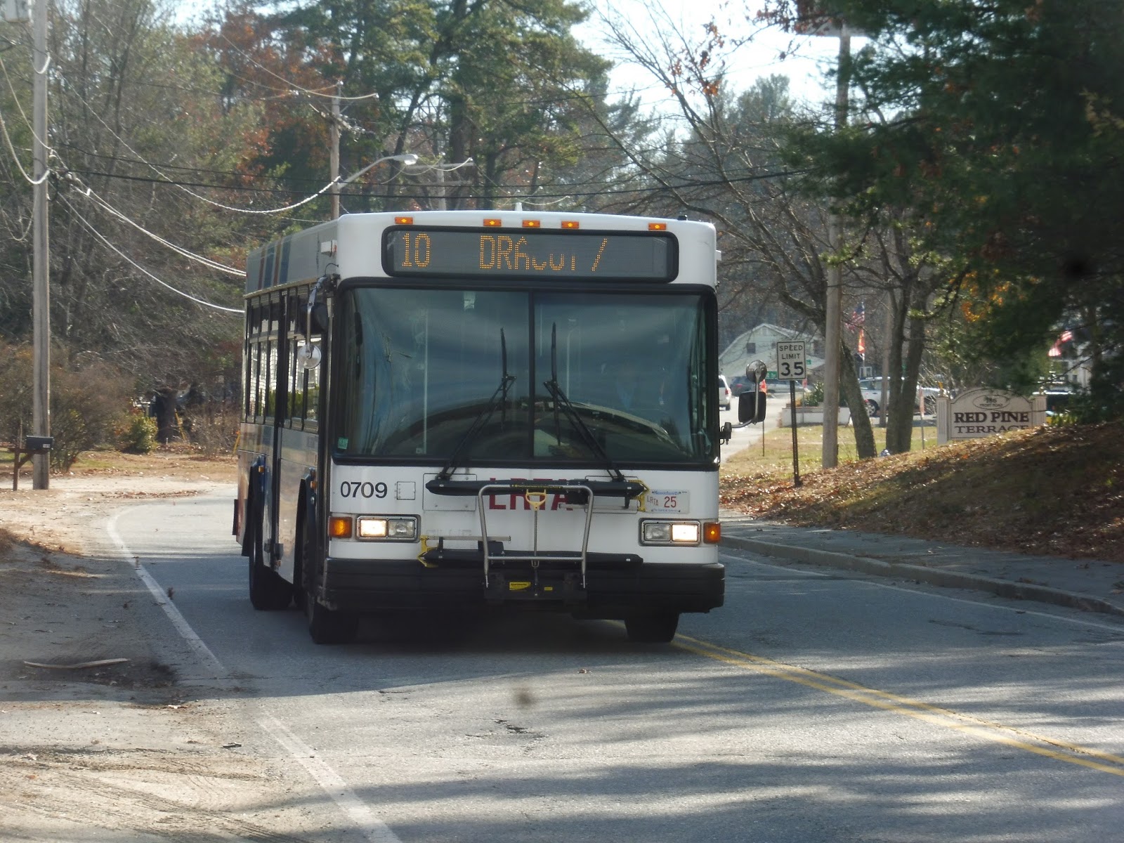
LRTA: 10 (Dracut/Tyngsboro)
I wasn’t about to hang out at the Pheasant Lane Mall waiting for the next 19! No, I decided to take a lovely walk into Massachusetts, across the Merrimack River, and back up to New Hampshire to Ayotte’s Stateline Market, the terminus of the 10. And since this is our last official NH bus review, we must say the classic line once more, with passion: “LIVE FREE OR DIEEEEEEEEEEEEEEEEEEEEEEEEEEEEEEEEEEEEEEEEEEEEEE!!!!!!!!!!!!!!!!!!!!!!!!!!!!!!!!!!!!!!!!!!!!!!!!!!!!!!!!!!!!!!!!!!!!!!!!!” Ahem. Sorry about that.
 |
| The bus just before the border. |
 |
| Not a great picture, but this is the kind of atmosphere I’m talking about! |
 |
| Who cares about the ugly businesses? Here are some more houses! |
 |
| Coming out of Tyngsboro Road. |
 |
| “Costello Square.” |
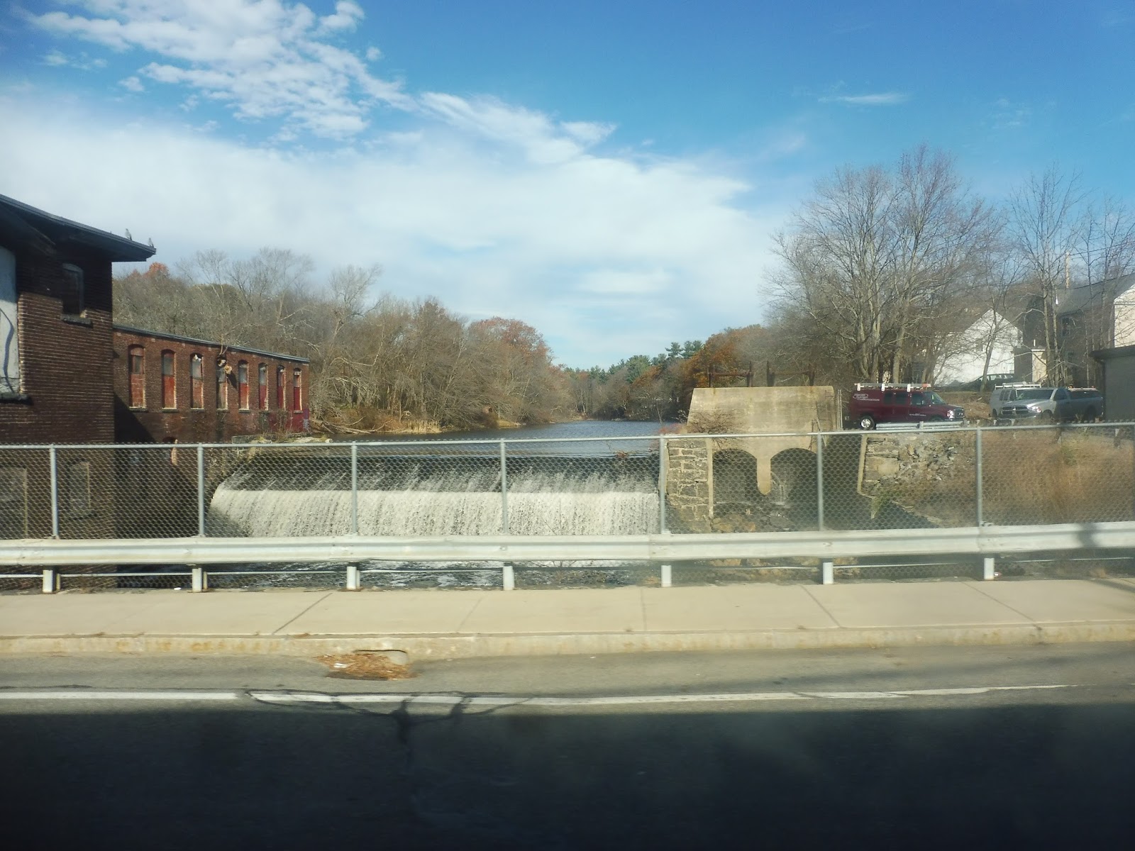 |
| The waterfall! |
 |
| Making the turn onto Pleasant Street. |
 |
| Going from Greenmont Ave to…Greenmont Ave. |
 |
| Turning within the plaza. |
 |
| A wide side street. |
 |
| Crossing the Merrimack River. |
 |
| Back up in New Hampshire. That was quite a journey! |
LRTA: 19 (SEASONAL: Pheasant Lane Mall via Middlesex Street)
A holiday season-only bus route in February? Well, it’s better than a summer-only route in January! Not only does the elusive 19 only run from Black Friday to the beginning of the new year, but it also travels to New Hampshire! I’m very excited to say their state motto later on!!!
 |
| This is a rare sight, guys! |
We headed up Thorndike Street from the Kennedy Center before quickly turning onto Middlesex Street. This was a mix of industrial buildings and businesses (some closed permanently), but it soon got residential – the road became lined with dense houses and apartments. Once we arrived at the intersection of Middlesex and Pawtucket, there was a burst of industry before it turned over to suburban retail.
 |
| Yuck. |
There was a long stretch where the road had a little bit of everything alongside it, continuing as we entered Chelmsford. Once we hit Vinal Square, though, it was definitively all businesses…not very interesting businesses, but businesses. We merged onto Tyngsborough Road after that, another mix of houses, retail, and industry, with the added bonus of random patches of forest.
 |
| A few train tracks! |
The road eventually came up next to the Merrimack River, with a single train track being the only thing separating us from it. The scenery was still all over the place, even as we entered Tyngsborough and our street became Middlesex Road. We arrived at Tyngsborough Center soon, which consisted of a few businesses, a fire station, and the old town hall.
 |
| This is about it for Tyngsborough Center. |
It was diverse scenery again after that. Keep in mind that I don’t mean nice diverse scenery – it was really ugly! The buildings were ebbing more and more towards suburban businesses, and eventually we reached a shopping plaza to deviate into. It was a very boring plaza…
 |
| Yawn! |
We crossed Middlesex Road into the Pheasant Lane Mall. This was our last stop, but it was a much more substantial mall than the one we had deviated into before. Now, technically the bus never enters New Hampshire: a portion of the mall’s parking lot is in Massachusetts, and the bus only stays in that bit. But still, the mall itself is all in Nashua, NH, so…LIVE FREE OR DIEEEEEEEEEEEEEEEE!!!!!!!!!!!!!!!!!!!!!!!!!
 |
| Oh, it’s a 20 now? Alright, then… |
LRTA Route: 19 (SEASONAL: Pheasant Lane Mall via Middlesex Street)
Ridership: There are no online statistics for the 19’s ridership, but I think it’s pretty good. I mean, my ride got 12 people…on the day after Black Friday! Who the heck shops on that day? I’ll bet it was insane the day before.
Pros: The Pheasant Lane Mall is unquestionably the most popular mall in the area, so the connection provided by the 19 is crucial. The trip from the Kennedy Center to the mall is about 35 minutes, so it’s not competitive with driving from a timing perspective (driving takes about half the time), but having a transit connection is still important and the route is well-used. It even offers a connection with the Nashua Transit System!
Cons: Let’s face it, this thing needs to run all year. I’m sure it would get great ridership if it did! Also, even when it does run, the frequency is pretty bad – the bus runs every 80-90 minutes. It would be great if it could run every hour, and if it ran all year, it could interline with another route to achieve that frequency.
Nearby and Noteworthy: There really isn’t much along the way until you get to the Pheasant Lane Mall – that is the one and only draw to the 19, as far as I’m concerned.
Final Verdict: 6/10
This route is important, and I’m glad that it runs in the first place. That being said, it would be way better if it could operate during the rest of the year, too! Perhaps there’s a conflict with the State of New Hampshire regarding service areas that prevents the route from running outside the holiday season, although the thing never actually enters NH, so I don’t see the problem. Of course, I’m no expert in this topic, so take my complaints with a grain of salt. It would still be great if this was a full-year service, though.
Latest MBTA News: Service Updates
LRTA: 12 (Tewksbury via Route 38/Wilmington Train Station)
Hey, the LRTA is a thing! Yeah, I’ve made the least progress with LRTA, so it’s time to change that. Here’s the suburban 12 route from Wilmington to Lowell!
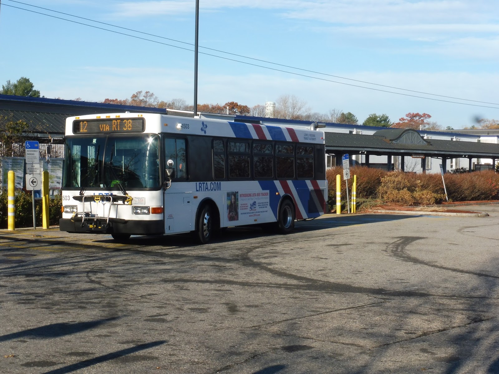 |
| Good to be on this system again! |
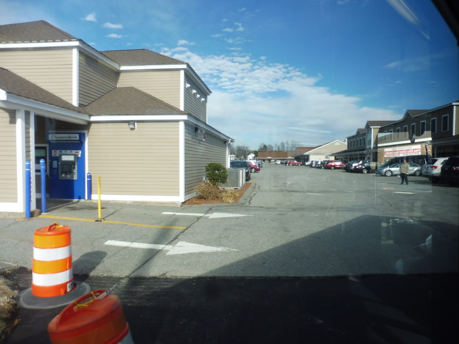
We headed out from the Wilmington Commuter Rail station onto Main Street, going through what I presume to be is downtown Wilmington. If so, all it consisted of was suburban businesses with parking lots and strange industrial buildings with parking lots. The road eventually opened up for two shopping plazas, one on each side…with parking lots.
 |
| One of the plazas. |
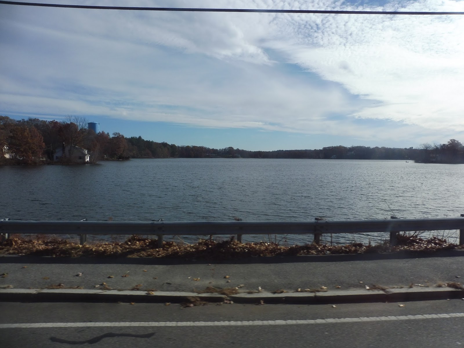
It got residential soon after that, though we still got some random retail buildings mixed in there. We also passed Silver Lake, offering a great view, but then it was more of the same until a brief section of woods. It went back to being ugly suburban businesses after the forest, where we entered the town of Tewksbury.
 |
| The lake. |
Hey, here’s a nice part where we go over the Shawsheen River! Okay, back to gross businesses again. Oh, and the Tewksbury Country Club with its golf course that somehow managed to squeeze between them. We turned onto Livingston Street at the Country Club, running past some athletic facilities and apartment developments.
 |
| A patch of nothingness between the fields and the apartments. |
We suddenly turned onto a rather shoddy road, taking us up to the Tewksbury State Hospital. After looping around the campus, we headed down to East Street, going by some houses and a cemetery. This led us to Tewksbury Center, or rather, a hodgepodge of municipal buildings loosely clustered around a common. It wasn’t much.
 |
| Well, the common is nice, I will say. |
What came after we merged back with Main Street? More suburban businesses? Sigh…well, okay. There was at least a break for some pylons and a few houses mixed in, but eventually Main Street started to get quite wide. This led us into…a Walmart deviation. Boy oh boy, it doesn’t get better than this.
 |
| Not Walmart, but still ech. |
We passed more suburban businesses back on Main Street before going under I-495. After that, it was time for another deviation, this one into Stadium Plaza. We entered Lowell from there, and the street became Rogers Street. It still had the same ol’ ugly scenery, though…
 |
| Hey, something different! |
Okay, eventually things started to change. The businesses were getting less prominent, replaced by dense urban houses. After passing a park, the transformation was complete and we were now in a residential area. Rogers Street curved around past another park, then we turned onto High Street, which was lined with more dense homes.
 |
| The sun is in my eyes! |
We soon turned onto Andover Street, which took us over the Concord River. We were in downtown Lowell on the other side, although at this point it was just a lot of boring buildings. Once we merged onto Green Street and it became Middlesex Street, we were now in the thick of things, with…boring buildings, but taller. Well, admittedly, the route doesn’t really go into true downtown Lowell. Finally, we turned onto Thorndike Street, taking us down to the Kennedy Center.
 |
| I don’t have anything at the Kennedy Center, so here’s another one at Wilmington. “Happy holidays”! |
LRTA Route: 12 (Tewksbury via Route 38/Wilmington Train Station)
Ridership: The 12 got fairly average ridership in 2015, with 274 riders per weekday and 152 per Saturday. The weekday total was slightly below the LRTA average, the Saturday total was slightly above it. I will say that I was pleasantly surprised with how many people rode my bus on a Saturday morning: there were 10 going into Lowell. Sure, it’s nothing groundbreaking, but it’s a good amount for one of the first trips of the day!
Pros: Offering a mostly direct route through Tewksbury with hourly headways six days per week, the 12 serves as an important suburban connector. It links up residences, malls, and the Tewksbury State Hospital to Lowell and Wilmington Stations, so there are a lot of places people can take this.
Cons: As much as I harped on the scenery, there isn’t much wrong with the 12. A slight nitpick is that the departure times shift forward by ten minutes in the late afternoon on weekdays, which is a little annoying.
Nearby and Noteworthy: You read the post. I didn’t like what I saw along this one…
Final Verdict: 8/10
This is a great route that serves all of the major ridership draws of Tewksbury. It’s used by shoppers, people going to the hospital, and maybe even commuters heading for Wilmington Station (although one earlier trip would be much more helpful for that). It’s just a shame the 134 can’t be extended just a little further from its terminus to create another MBTA-LRTA connection!
Latest MBTA News: Service Updates
GATRA: Medway T Shuttle
Oh man, I always get so excited when I do a GATRA review! How many deviations will we make? How few people will use the route? Well, the Medway T Shuttle makes no deviations…and gets lots of people. Huh.
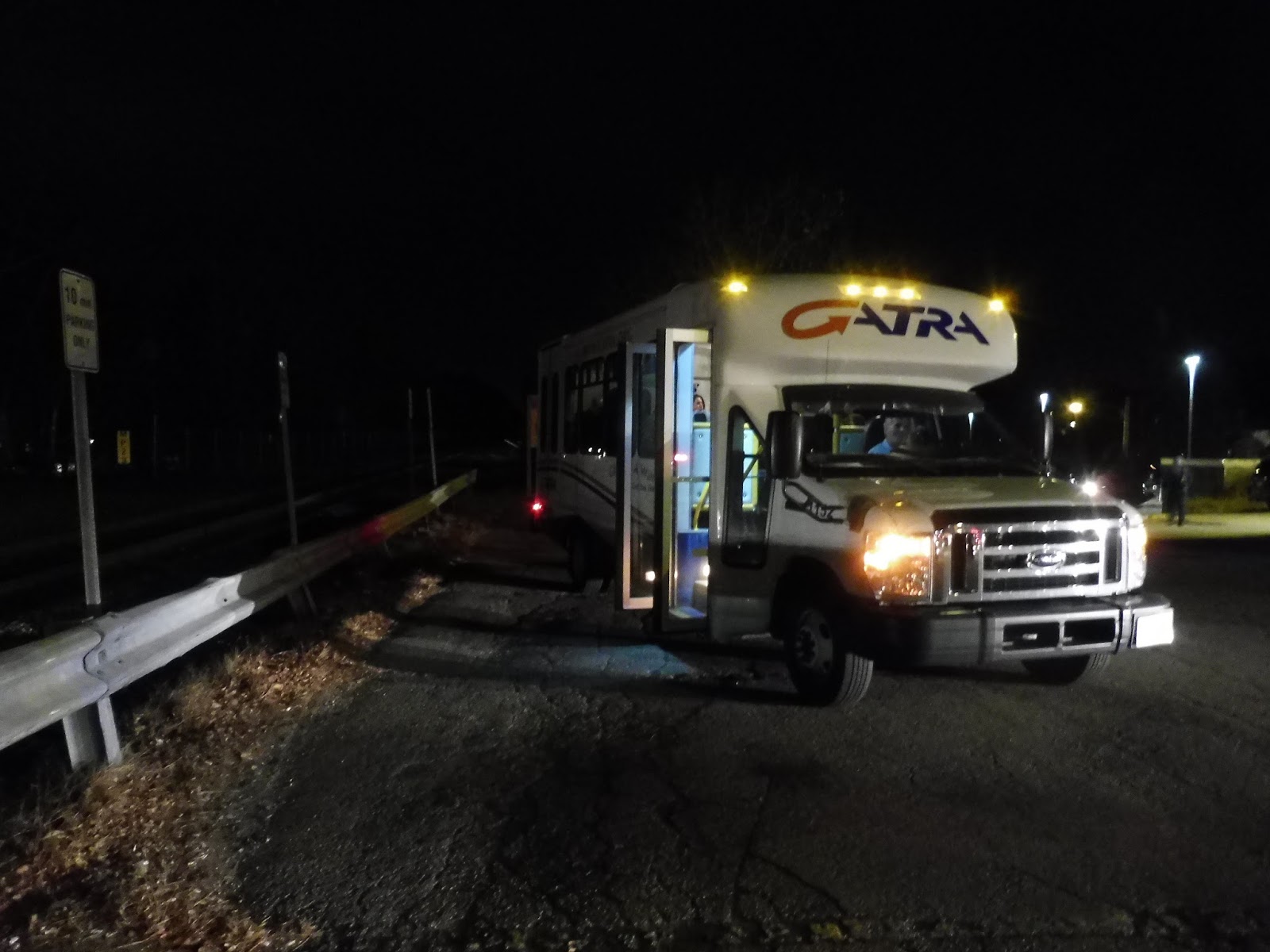 |
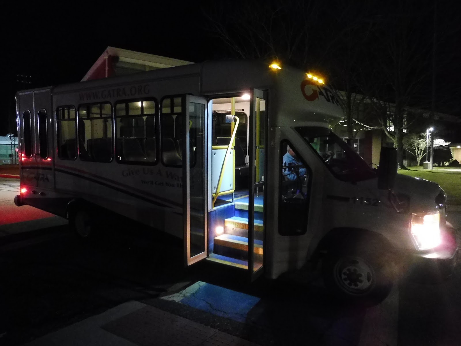
| The minibus: a bright haven in the middle of the darkness. |
The bus was boarding on the far end of Norfolk Station, so Nathan and I had to run to get to it so it wouldn’t leave without us. I couldn’t see a farebox, so I just tried to give the money to the driver. He pointed down. Oh, okay, sorry I didn’t see your awful tin can farebox on the floor! “Good job,” the driver said sarcastically as I put the money in. Alright, screw you too…
 |
| Middle of nowhere + darkness = awful pictures. |
We didn’t even touch downtown Norfolk, running straight up Rockwood Road through a residential area. It certainly wasn’t urban, but the houses were closer together here than they would eventually become. After going under some pylons, the road curved past a housing development, but it got no ridership – we were sailing past everything.
 |
| I have no idea what this is, but here it is! |
Once we entered Millis, the road became Norfolk Road, and there started to be long sections of woods. We went over a tiny unimportant creek, and…wait, that’s the Charles River? Okay, we went over the “mighty” Charles River before turning onto the very narrow Baltimore Street, a residential road.
 |
| I think we’re making a turn here? |
We headed onto Pleasant Street for a block before going down the tiny Dyer Street. This led us to Village Street, which was actually a normal road of normal width. There was a good amount of houses along here that continued as we entered Medway, and yet still nobody got off the bus.
 |
| Who knows what this is? |
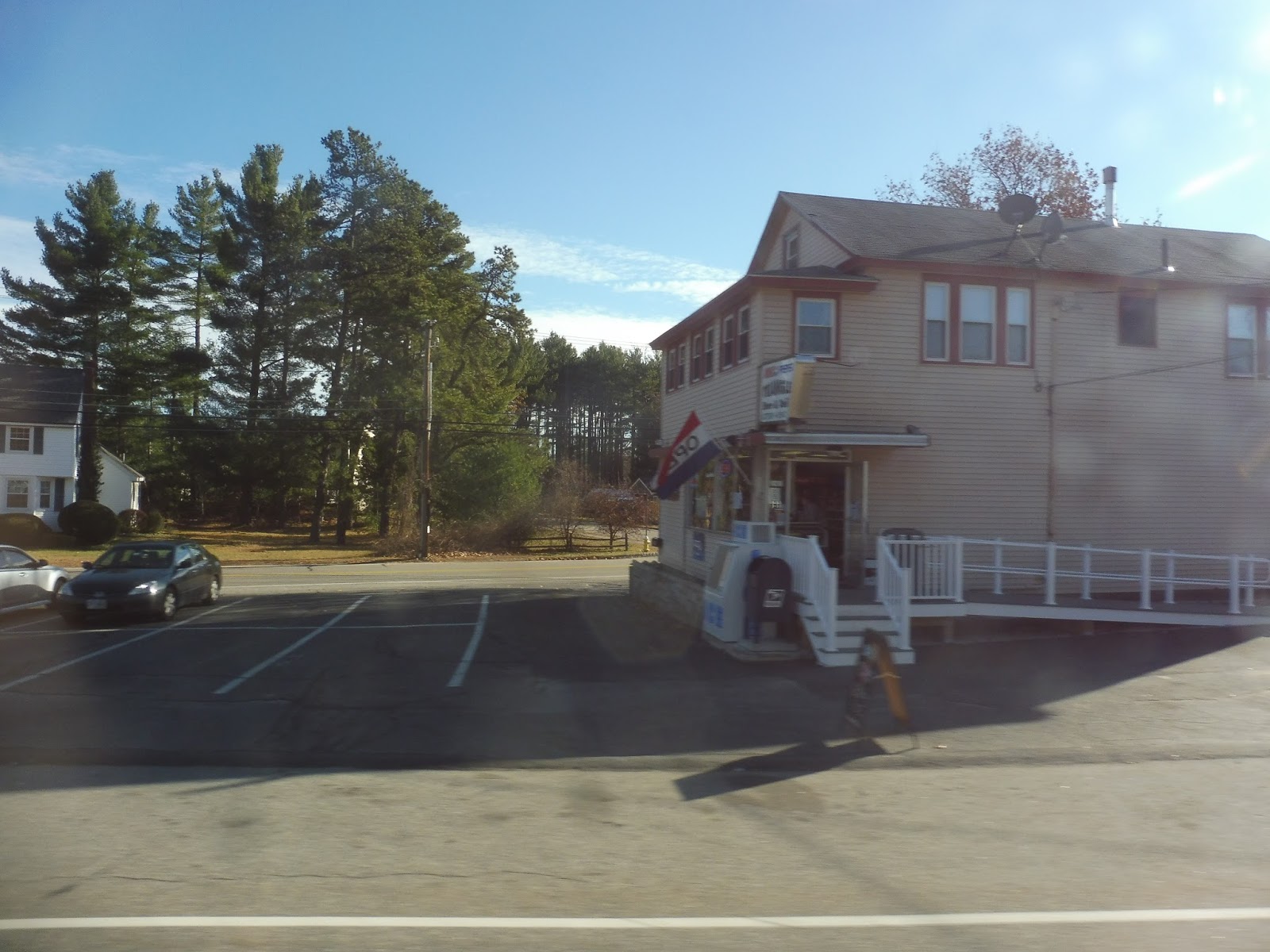
Finally, we arrived at Medway Village, the center of town. Truly, this was the heart of civilization…featuring a pizza shop, two churches, an auto shop, a post office, and a town hall. Well, regardless of its small size, a few people got off here.
 |
| There we go! It’s a legible image! |
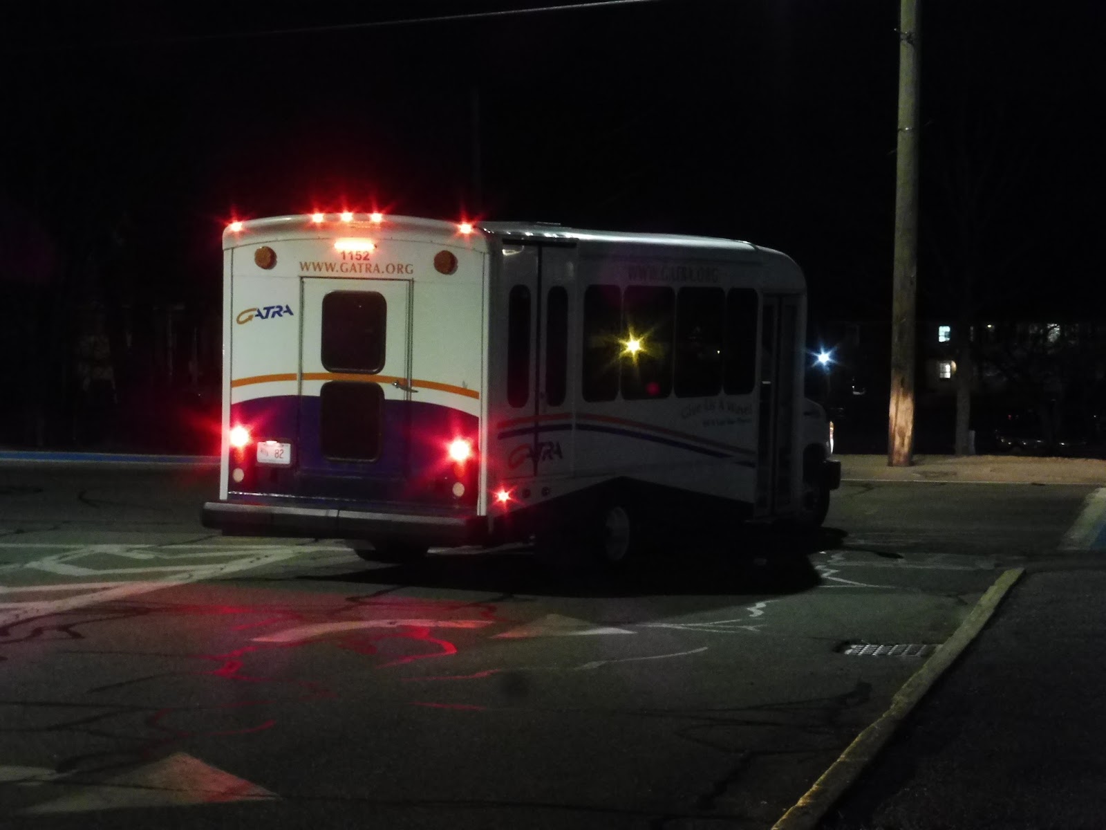
After Medway Village, we merged onto Holliston Street, which quickly became just houses again. We took it up to the Medway Middle School, the route’s final stop. Well, that’s a strange place to end it, isn’t it? No, not really, as it turns out – GATRA has a nice park-and-ride here, and though it’s in bad shape, it works fine.
 |
| No, let us stay on please! |
Okay, one small important detail I forgot to mention is that the Medway Shuttle is one-way. So…Nathan and I had to walk back to Norfolk Station. Psh, it would definitely be a piece of cake. After all, the walk back to Medway Village was lovely – the street had a sidewalk and it was very nice walking through the town center. Then we turned onto Himelfarb Street…
All of a sudden we lost the sidewalk. It was just us on the dark road. Every time a car came, we had to duck into a driveway. “Woof, woof!” barked a rabid dog across the street, trying to get free of its chain so it could murder us for a light snack. “Don’t worry,” his owner shouted from the house, “he doesn’t bite!” Okay, if you say so…
We merged onto Myrtle Street and came across a set of pylons going across the road. I was all set to go under them, but Nathan had second thoughts. “Let me just shine my flashlight to see where we’re going,” he said as he turned it on from his phone…and right in our path were downed power lines. Right there. We could’ve died!!!!
A small bridge over the Charles River actually had a sidewalk, then we arrived at a strange ice arena in the middle of nowhere. “Left here,” Nathan said. We turned onto Dean Street, but we ran into an obstacle in the form of a house with demonic Christmas lawn ornaments outside. After darting between the abominable snowman from Rudolph, a huge Minion from Despicable Me, and a strange cutout of Buddy the Elf, we had to cross the power lines again. Nathan immediately turned on the flashlight.
“Is this the right way?” I eventually asked. “I think so,” Nathan replied, “I’ll check the map to make sure.” Nope – we were going in the complete opposite direction. “I don’t think we’re going to make the train,” I said. “We might still have a chance!” Nathan replied. He checked his watch. “Maybe…”
As we were going through the maze of lawn ornaments again, I said a little too loudly that they were awful and creepy. “Don’t say that,” Nathan said, “We might get shot.” Right after, the door of the house opened up behind us and someone started to step out. We bolted into the night.
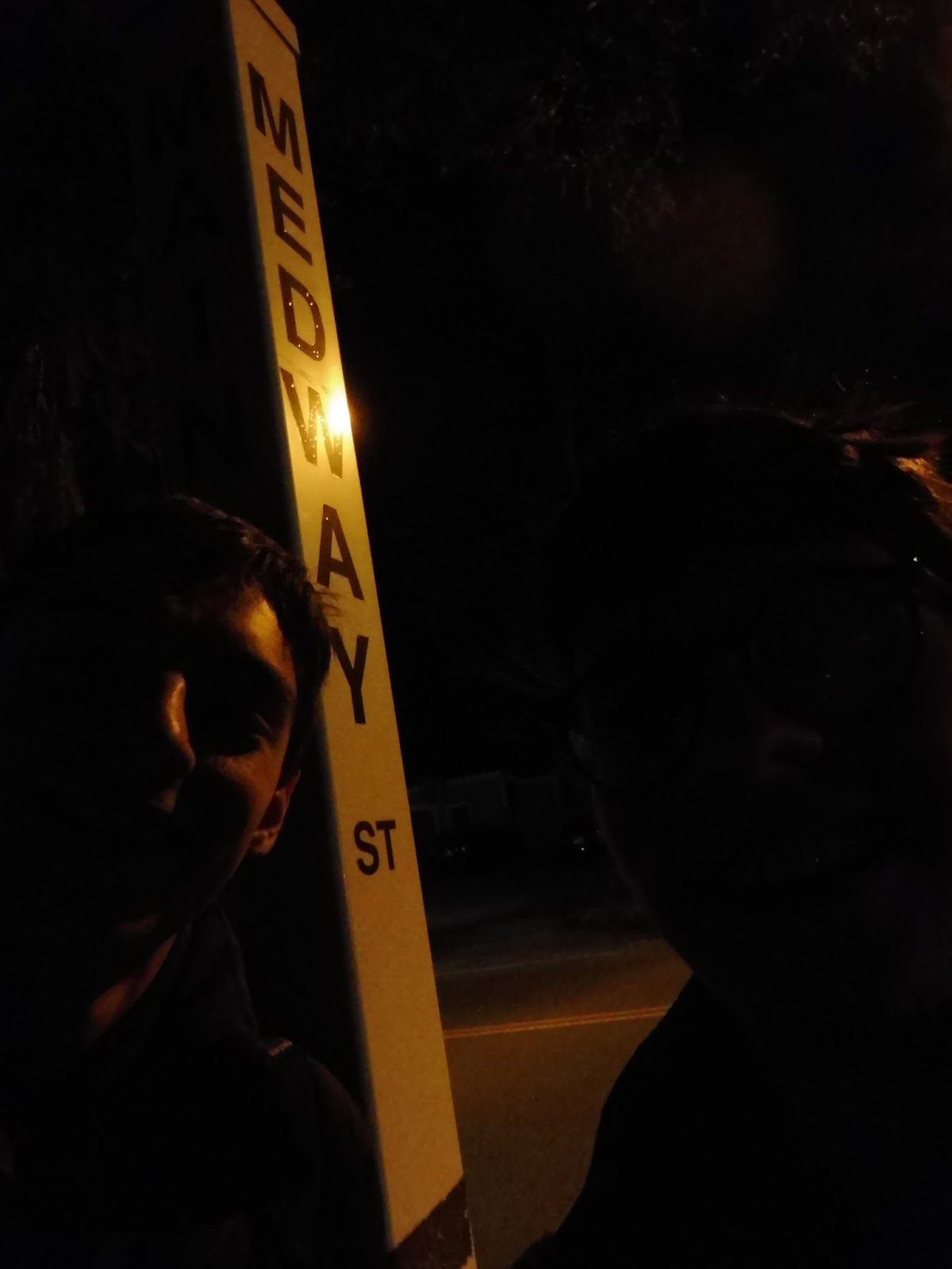
Medway Street was the longest section of our walk. It was also the worst street in the history of the universe. Again, there were no sidewalks, but this time the houses and driveways were further apart. Every time we reached one, we instinctively ducked into it in case any harsh headlights from cars came speeding down the road. The weirdest one by far was a big Hummer, decked out in a ton of different lights, speeding down the road far faster than it should’ve been going. Why did it have so many neon lights on it? Why was it going so fast?
Medway Street never ended. It just kept on going and going and going. “What if we die along here?” I asked Nathan. “What if I collapse to the floor and an angel comes to pick me up?” “What would the angel look like?” Nathan asked. “A GATRA minibus,” I replied, “and it would make a million deviations on the way to heaven.”
More Medway Street. Why was this road so long? Shoot, another car is coming, let’s duck into a driveway. Wait…those lights…that speed…the Hummer was back! I legitimately braced myself for a gunshot…but it never came. The ghost Hummer sped off for the second time, in the opposite direction.
Why did they call Medway Street a “street”? That suggests a relatively urban environment, or perhaps a sidewalk? Medway ROAD would be a much more fitting name. Wait…what’s that down there? Is that…the end? WE MADE IT! WE CONQUERED MEDWAY STREET!!!! I HAD NEVER FELT HAPPIER IN MY LIFE!!!!!!!
 |
| WE WERE SO HAPPY WE ACTUALLY TOOK A SELFIE! |
What wonders awaited us along the uncharted territory of Main Street? A sidewalk? Streetlights? And…civilization! I’ve never been so excited to be in a place as boring as Norfolk Center! We had conquered this horrible walk. We deserved something to eat.
A pungent smell arose as we entered Norfolk Town Pizza. A TV was blaring some trashy game show above the dirty tables. We silently agreed that our orders would be to go. We got our slices in bags, which I thought was a little weird and unwieldy, and once we started eating on the Norfolk Station mini-high platform, it turned out it was plain ol’ bad pizza, too. Sigh…we survived Medway Street for this?
 |
| Oh yeah…I’m supposed to be writing about buses… |
GATRA Route: Medway T Shuttle
Ridership: Well, at first glance, the ridership of 51 people per day doesn’t seem too high. But then you look at the productivity: 36 passengers per hour. Then you see the farebox recovery ratio: 41%, compared to the GATRA average of 8.2%. And finally, we see the subsidy per passenger: $1.30, versus the average of $11.83. Yeah, this is an amazing route for GATRA standards.
Pros: Like I said, the numbers for this route are great. This is the best-performing route on GATRA overall, which is quite an achievement. As a route, it gets plenty of ridership on its three trips in each direction, and for only a dollar, this is a great last-mile connection from the train. It’s awesome that it has a free park-and-ride at the middle school, too.
Cons: As far as the route goes, its biggest con is in the evening rush schedule. For some reason, the route is shown as departing three minutes before each Commuter Rail train arrives! It obviously doesn’t play out this way, but it could be very confusing for new riders. Also, of all routes for GATRA not to run all day, it’s seriously this one? There are a few shopping plazas out near I-495 that it could run to on a midday schedule, and it would be able to service them every hour.
Nearby and Noteworthy: Well, currently, there isn’t much. All you’ve really got is Medway Village, and that’s a very small town center.
Final Verdict: 8/10
Of course GATRA’s best-performing route has to get a high score! Now granted, it’s just a rush hour-only commuter shuttle with three trips in each direction, but it still performs that function well. It seems like the route would do well with midday service too, although it only satisfies the shopping mall part of the suburban bus route equation – there are no housing developments to serve, so there may not be a lot of people that would ride middays. Regardless, a bunch of people do during rush hour, and it works great. Also, for the record, Medway Street gets a 1/10, and I hope to never see it ever again.
Latest MBTA News: Service Updates
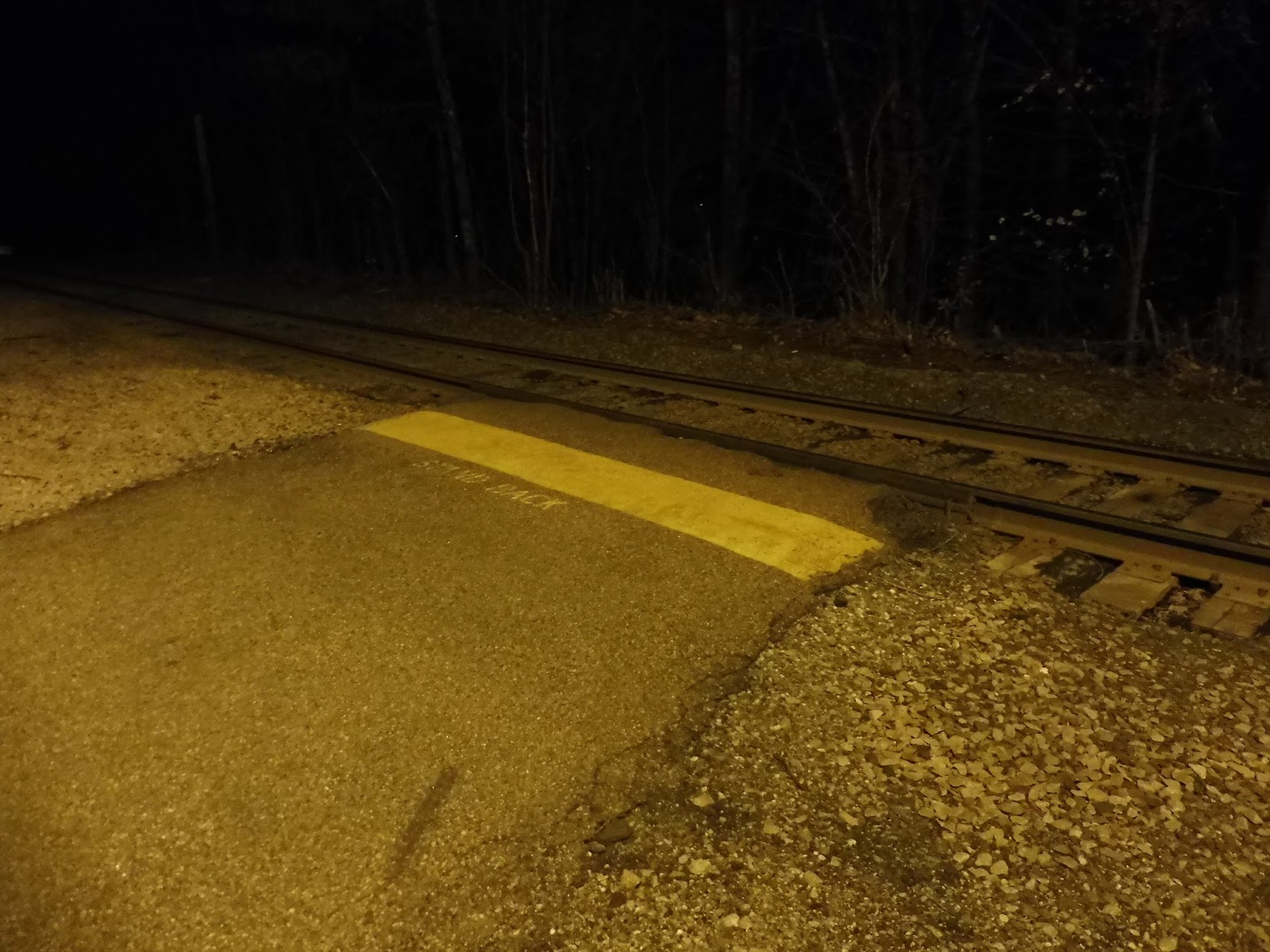
Plimptonville
This is the mother of Commuter Rail microstations: one train in the morning and one train in the evening. Plimptonville is a tiny stop in the middle of nowhere within Walpole, and it gets the lowest ridership on the entire system. Could this be the worst station on the whole Commuter Rail?
 |
| Hmm… |
The station comes out of nowhere as you go down Plimpton Street: the road weaves its way past houses and trees before all of a sudden, there it is. It’s very easy to miss if you’re not looking, since all there is on the roadside is a dirt patch. When Nathan and I came here, a car was parked in it, but it might have been waiting to pick someone up. If not, then we can officially report that Plimptonville has one whole parking space! Maybe two if someone gets creative!
 |
| This is it… |
Walking through a huge puddle covered in leaves, we arrive at the platform. It’s…well, the picture shows it. It’s just this tiny stretch of asphalt. Okay, this isn’t the worst station on the Commuter Rail. It’s at least better than Hastings. Look, it’s paved! And there’s a yellow line! But best of all, there’s a station sign. Yes, an actual station sign. So, we can definitively say that Plimptonville is better than Hastings. We can also definitively say that it’s still awful.
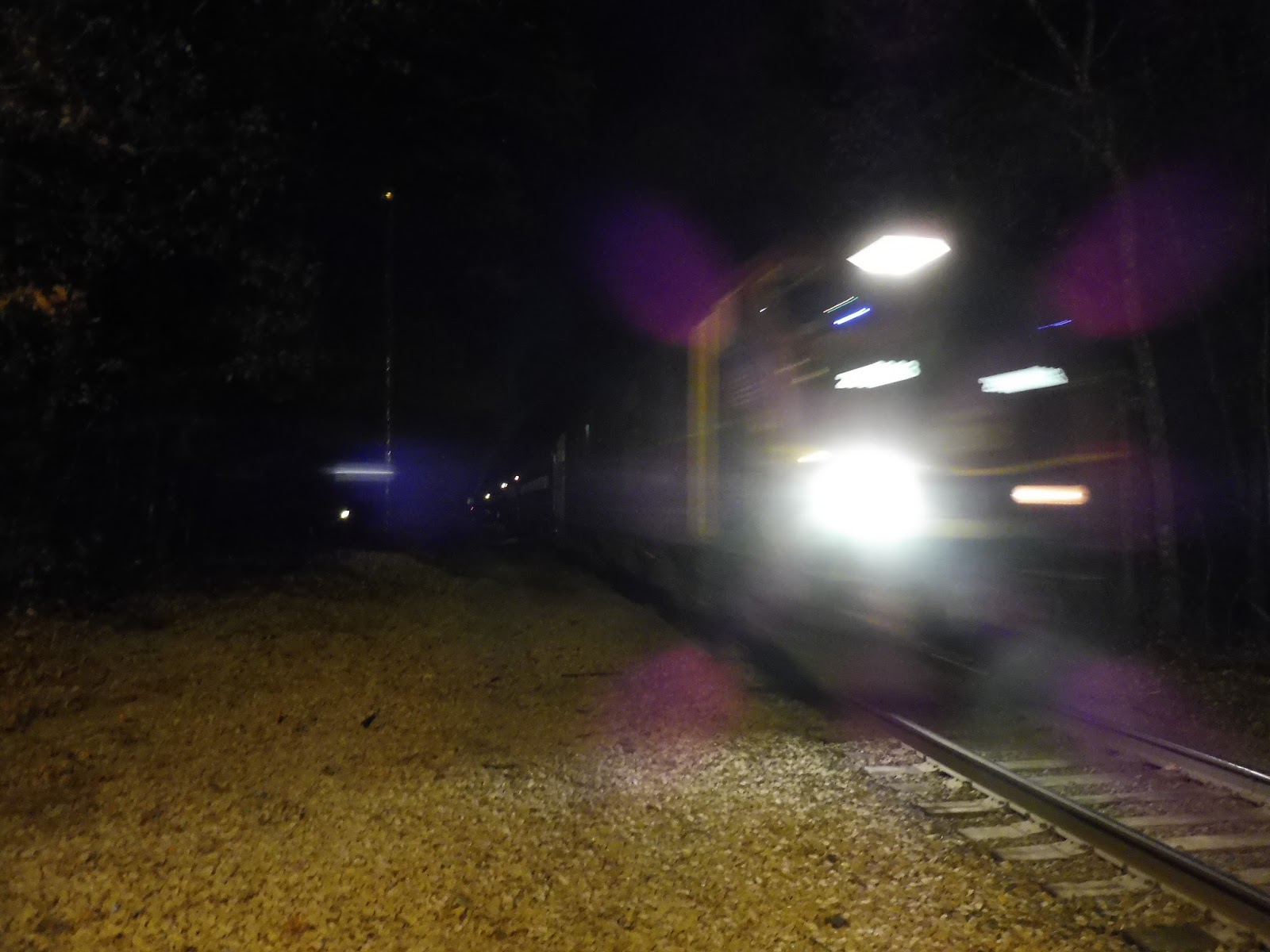 |
| One of two trains that stop here…not that it looks like it’s going to stop. |
Station: Plimptonville
Ridership: As expected, this is the least-used station on the Commuter Rail. It can’t quite be counted on your fingers, but if you throw in a foot, you can get to it: 13 inbound riders per day. That could also be phrased as 13 riders per train, since there’s, you know, only one per day.
Pros: It has a sign!
Cons: This isn’t difficult to figure out: it gets one train per day and its platform is a tiny asphalt stub of nothingness. End of story.
Nearby and Noteworthy: Most of the area around Plimptonville is residential. However, if you really want to get to the Super Stop & Shop in Walpole, this is the best station for you! Sure, it’s a 10-minute walk and you would be much better off taking the frequent-by-comparison 34E, but…look, it’s the closest attraction, alright?
Final Verdict: 1/10
I do hope this isn’t a surprise! It sucks.
Latest MBTA News: Service Updates
Windsor Gardens
The Franklin Line deviates to serve a housing development? WHAT IS THIS WORLD COMING TO??? Okay, okay, it’s not a deviation, it’s right there on the line. And Windsor Gardens Station actually gets great ridership considering what it’s serving. So no, this won’t be quite as exciting as if the train deviated – that would be quite the review!
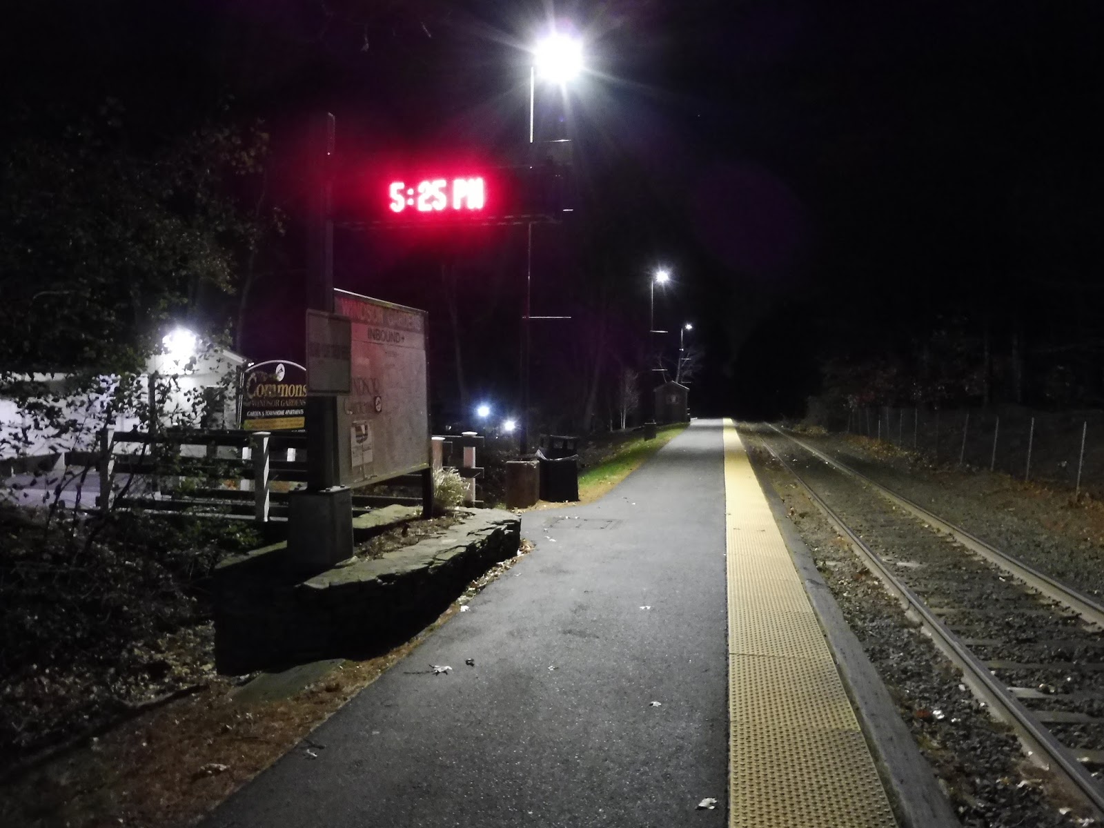 |
| This is basically it… |
We are dealing with a barebones platform here. It’s single-track, and most of it is entirely bare – and I do mean entirely. Near the main entrance we’ve got a station sign, a digital sign, and a wastebasket. Over at the end of the platform, there’s another wastebasket and a tiny wooden shelter with a few benches in it. The end!
 |
| Up at the shelter. |
Okay, okay, there’s more to talk about. Although the station doesn’t have much, it’s got peacefulness on its side: you’re right in the middle of the woods here, and a tiny creek runs along the station, creating a tranquil sound and atmosphere. The station is directly connected with The Commons at Windsor Gardens, a big apartment development, and there are two ways to get to it. The first is an entrance near the shelter that serves the northern part of the complex, while the main one is a really nice wooden bridge over the creek into the development’s southern section.
 |
| I can’t say I’m not questioning the legality of this. |
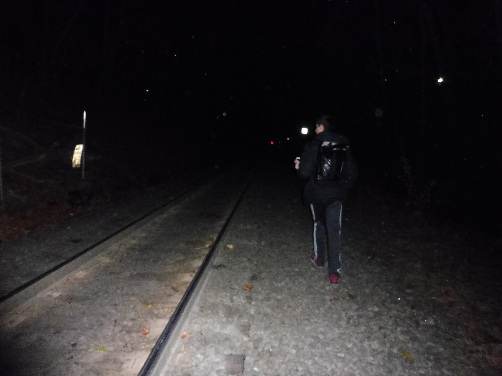
What about the sizeable residential neighborhoods to the east of the station, though? It’s entirely focused on getting people to Windsor Gardens, yet there are dense houses to the east, including another development. Well, when Nathan and I were here, we managed to catch someone walking down the tracks and disappearing to the left. Was there a secret exit? Time to investigate!
 |
| Wow, the legends are true! |
 |
| Hopefully no one was going to the path at this very moment… |
Ridership: The station has low ridership for Franklin Line standards – it’s the third least-used one – but it’s still great. On the average weekday, Windsor Gardens gets 624 inbound riders every day. I mean, considering it almost exclusively serves a housing development, that’s high ridership!
Pros: The station’s tranquility is its biggest asset. The creek offers a lovely sound and ambience that you don’t find often on the Commuter Rail, while the station’s shelter is quite cozy. If one lives in The Commons at Windsor Garden, the station is perfect for them!
Cons: Not only is the platform not accessible, but it has barely anything on it. Considering how many people use it, the one shelter is not enough – benches could easily just be spread around the rest of the platform, and this problem could be solved. Something that requires more infrastructure is east side access, though. That path is dangerous, despite its convenient chain – it would be great if the T could step in and build a staircase in its place. Finally, the station has no inbound service after the 6:11 PM train on weekdays, but I don’t think it’s too big of a deal – who’s going to Boston from here after that?
Nearby and Noteworthy: The Commons is really all that’s close by. If you’re willing to walk for about 10-15 minutes, you’ll find a shopping plaza where you can pretend you’re on the PVTA as you visit its Big Y.
Final Verdict: 5/10
Unfortunately, there’s no way to improve this one without at least some spending on infrastructure. Throwing around some benches isn’t expensive, but it would be great if the T could obtain some information about how many people utilize the path to the east. If it’s a good amount, a staircase would be an excellent investment, because the current situation is awful. But hey, at least the station is peaceful!
Latest MBTA News: Service Updates
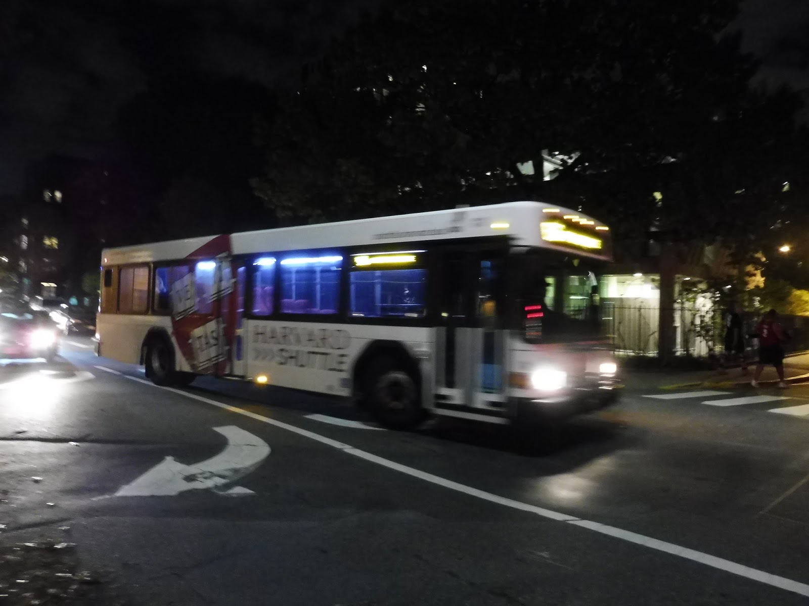
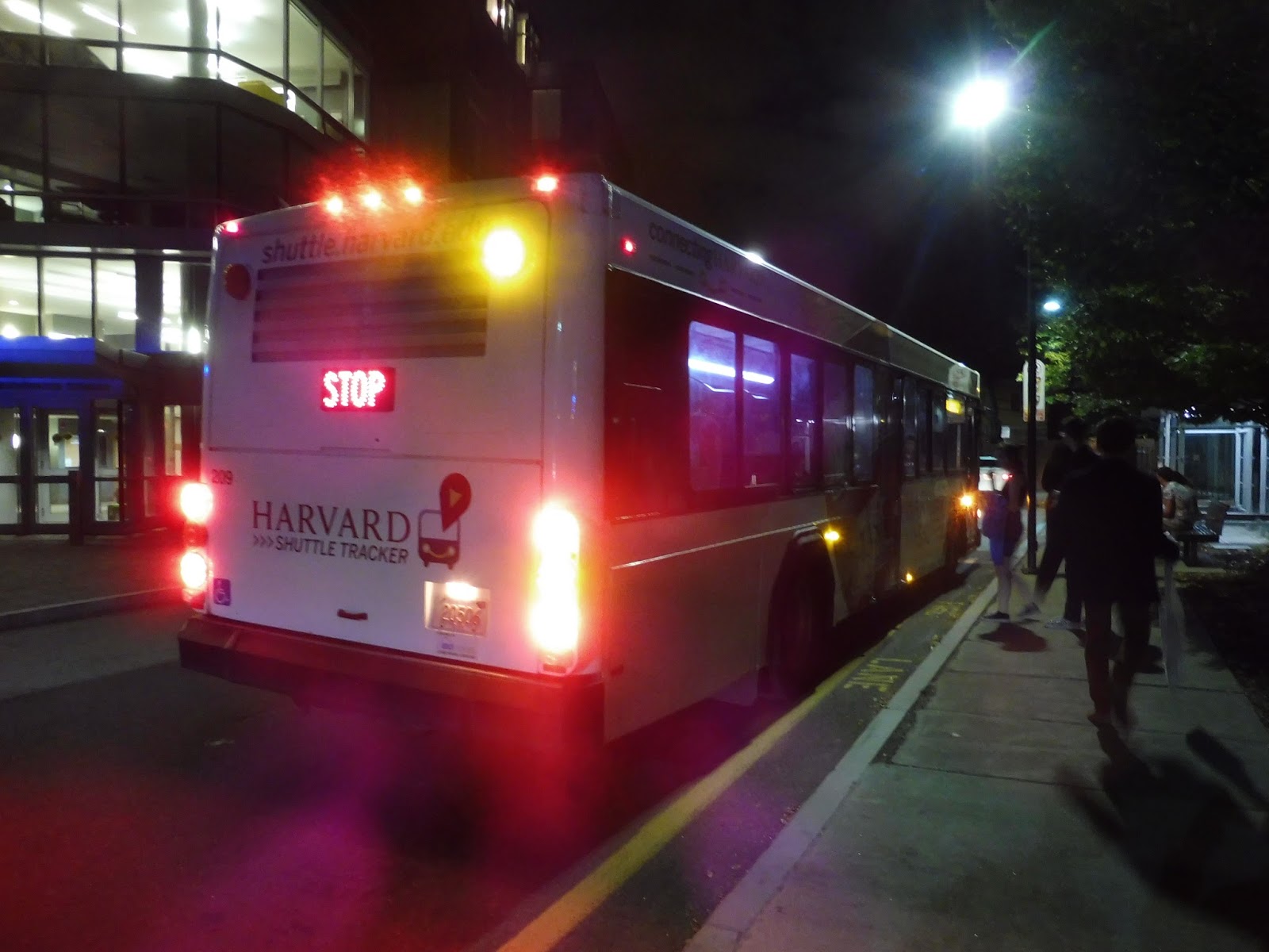
Harvard Shuttle: 1636’er (Quad – Peabody Terrace – Mather House via Memorial Hall)
It’s the Saturday before Halloween. We’re riding a bus route around a college campus in the late evening. Oh boy, this should be fun…
 |
| Thanks for being slow! |
Hot of the heels of our Evening Van trip, Jaret, Nathan, and I needed to get back to civilization from our random location in Allston. “We could do the 1636’er!” Nathan proclaimed. “WOAH!” I shouted. He checked the tracker and saw that a bus was on its way to Mather House. With this information, the three of us started sprinting, getting over the North Harvard Street Bridge and along Memorial Drive – I was yelling “Shout,” by the Isley Brothers at the top of my lungs for some reason. We thought we were goners, but it turned out the driver of the bus was really slow. We were able to catch up with it at Mather House and board! And none of that was anywhere near the craziest part of the night…
 |
| The calm before the storm. |
As the bus waited at Mather House, people steadily streamed in, some wearing Halloween costumes. They were fairly normal here, with a lot of one-piece furry suits. There were some standees as we left, turning onto Banks Street in order to serve Peabody Terrace (although the schedule claims the bus serves Peabody Terrace before Mather House – that’s wrong). No one got on here, and the bus had to shift in reverse to get out of the dead-end loop. All the lights went out when it did that, leading to a chorus of “Ooooh”‘s from the passengers.
 |
| Oh, of course there had to be some sort of image plastered on the outside of the bus. Great. Enjoy the dots in every picture! |
The marvel of the lights being off ended when we shifted back into forward gear and went the other way down Banks Street. It was residential, but once we turned onto Mount Auburn Street, it was much denser and there were many more businesses. We looped around onto Mass Ave next, passing tons of retail and apartments as we came into Harvard Square.
 |
| I think this is at the Lamont Library? |
As we went alongside Harvard Yard and arrived at the Holyoke Gate stop, I looked out and saw a huge crowd of people. What was going on? Oh no…they were all passengers for this bus! People crammed into the vehicle without any consideration for personal space, and it was a proper crush load – passengers were far ahead of the white line in the front that isn’t supposed to be crossed. Also, the costumes in this crowd were getting crazier: one guy was a shirtless fireman, while there were some scantily clad women who didn’t seem to be dressed as anything at all!
 |
| OH MY GOD!!!!!!!!! |
We continued around Harvard Yard, going by Harvard Station and tons of Harvard Square businesses. As we were curving around onto Garden Street, the driver made a sudden stop for a red light and a collective scream arose from the passengers as the crowd surged forward. Some people fell over!
 |
| Well, let’s just keep going, then… |
 |
| Beautiful artwork. |
 |
| The Quad looks so calm in this picture… |
 |
| I have no idea where this is, but I feel like I should. |
 |
| We have been on this bus for too long! |