GUEST POST: GATRA: South Bellingham Commuter Shuttle
Of all the guest posts I would’ve thought to receive, the GATRA South Bellingham Commuter Shuttle was very low on that list! Let’s see what Jules has to say about this rare commuter route, run by everyone’s favorite RTA, GATRA!
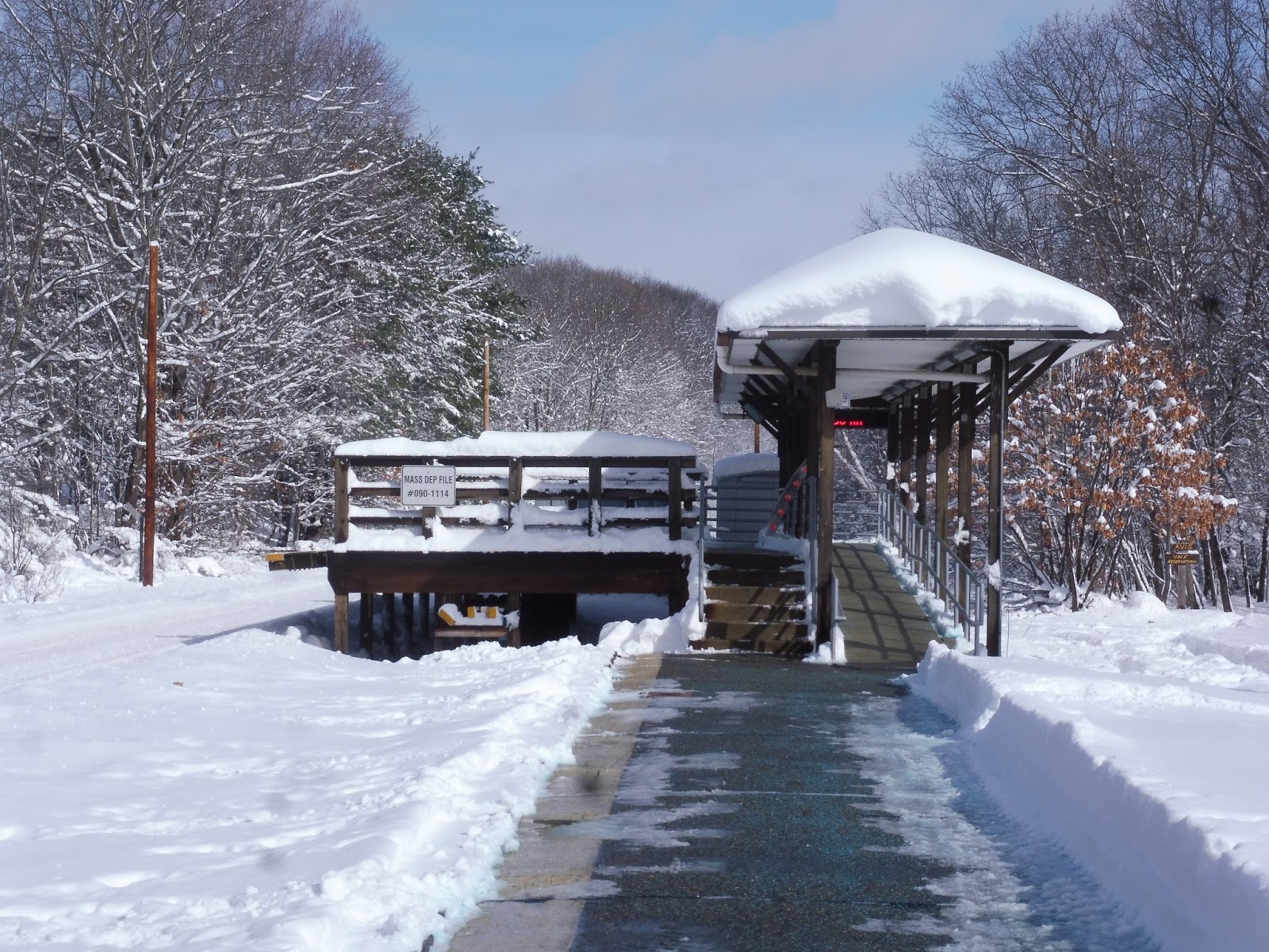
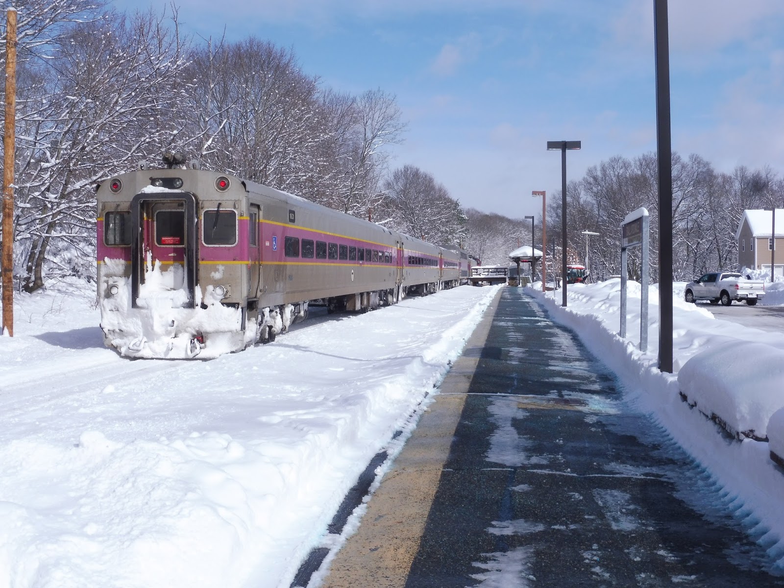
This is the ugly duckling route of GATRA’s so-called Northwest division that supposedly covers so much more ground than the North Bellingham Commuter Shuttle. It runs two pairs of trips a day to and from the Forge Park/495 Commuter Rail stop on the edge of Franklin. And if the name didn’t make it obvious, those trips are peak hours only.
So, take a look at how the route’s supposed to go. This bore no resemblance to the outbound trip I took… and that may be a good thing.
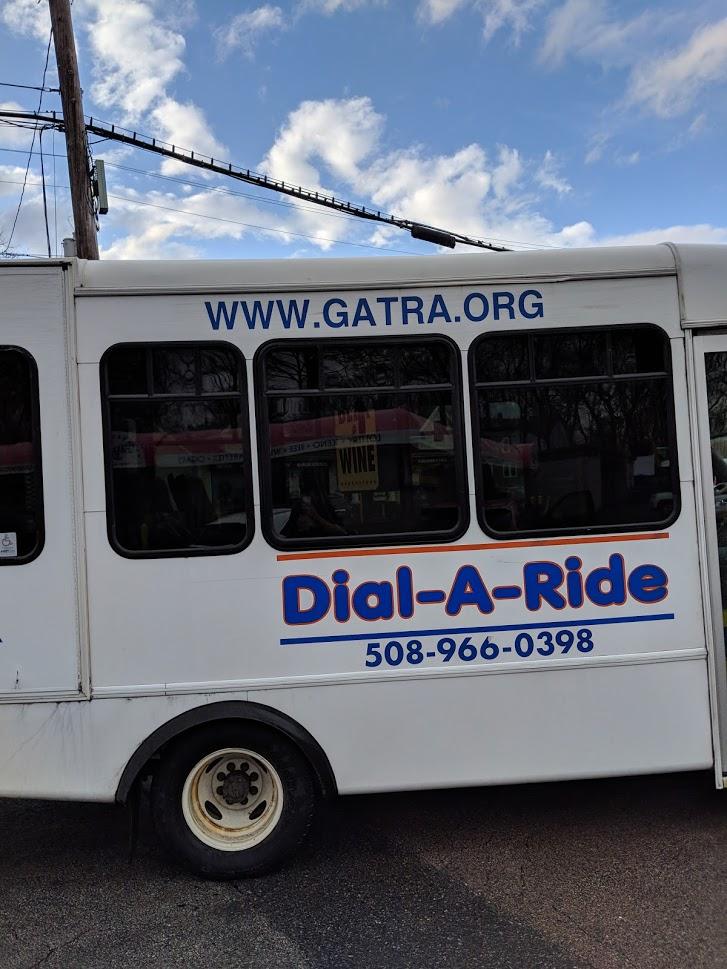
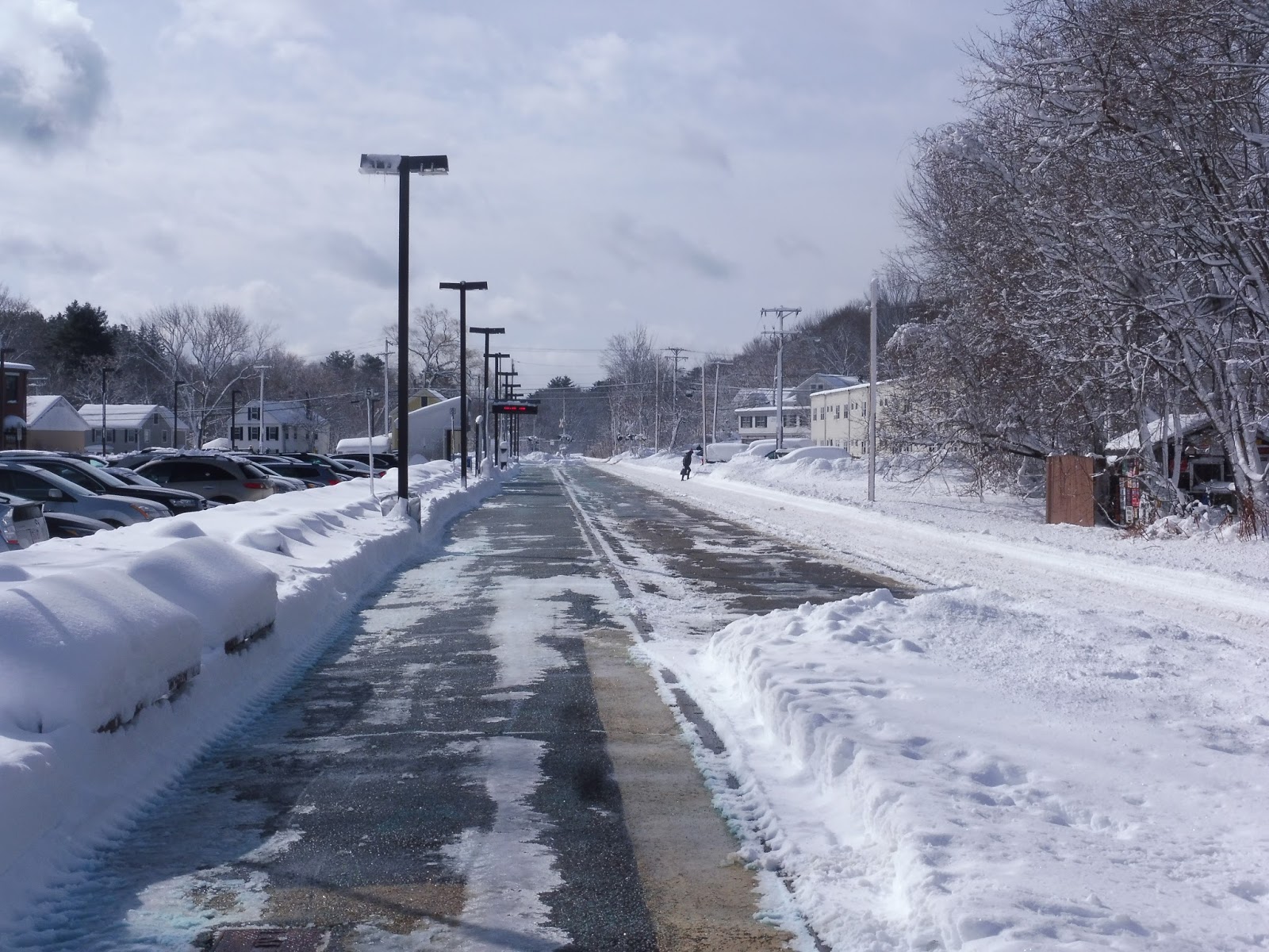
I hopped on the 5:50ish bus — I’m sorry, Dial-a-Ride minibus operated by the Bellingham Council on Aging — which had two other passengers, from the train station’s parking lot. By the time we left, we were well and truly stuck in the exodus jam with my fellow former riders and it took about 5 minutes to turn onto West Central Street or Route 140. But instead of turning right as we were supposed to, we hung a left for a short jog whiffing past a commercial subdivision, then hit a right onto Grove Street.
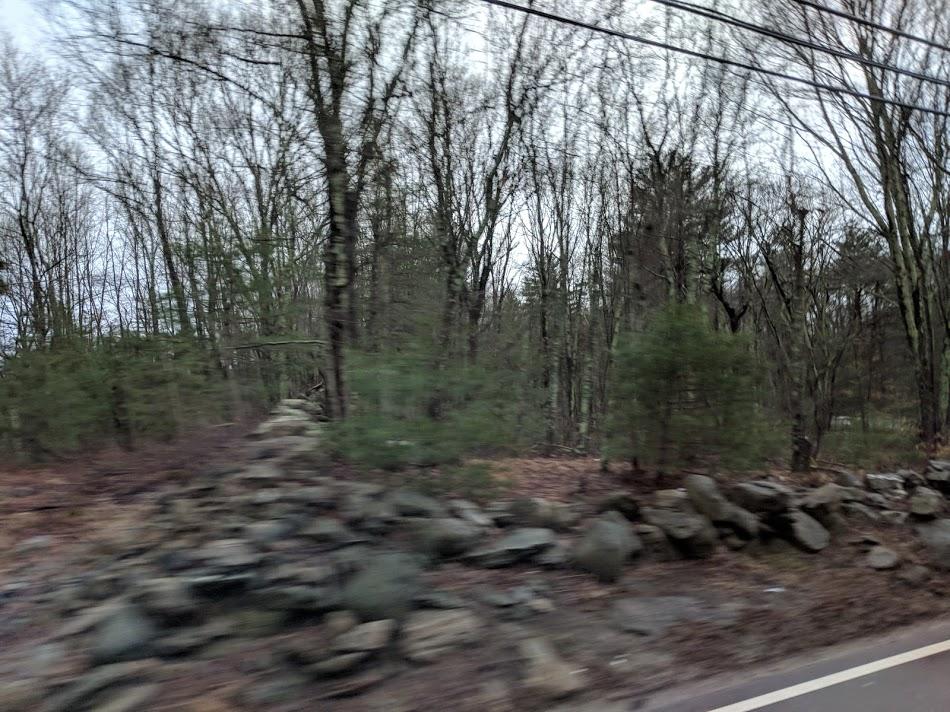 |
| Woods. |
From there, we were trimming across woods, business parks, woods, a spare house or two, woods, the Franklin State Forest (woods) and woods. The street eventually ended, thank goodness, but a left onto Washington Street didn’t reveal much beyond houses and more, though less impressive woodsiness. Let me make it clear: we went through a bunch of woods.
At some point, we crossed the Bellingham line and the road was now Pulaski Boulevard. Not that it mattered much to us because we whipped left onto the first major intersection we could with Lake Street. St. Johns Cemetery crept in between some of the houses I saw, but I really got to see more of it as we pulled a right onto Wrentham Road. We went over what I remember to be a culvert for Bungay Brook before we actually crossed a small bridge for the Peters River that fed it. It was around here that one passenger got off — not far off from the terminus and, yet, not on the intended service path.
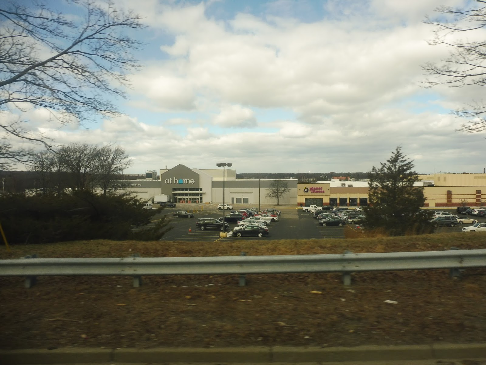
The bus made a final chicken wing approach with a right on Paine and an immediate left to meet with a more commercial stretch of Pulaski. We traveled a couple more minutes before we parked at Hilltop Farms — a ho-hum convenience store. I and the remaining passenger de-boarded, with said passenger walking into a nearby pool & spa supplier. He looked like he ran the place. As for me, I crossed the border into Rhode Island and got a bus to Providence.
 |
| “Give us a w-…actually, save your wave, you won’t be able to catch this bus. |
GATRA Route: South Bellingham Commuter Shuttle
Ridership: The GATRA blue book from 2015 aggregates ridership for the 10 total weekday runs of both North and South shuttles and calls it 19. And as it had proposed daily service on the North Shuttle, I think it’s safe to presume that my trip got 2 passengers (minus me) and the other trip didn’t get much more.
Pros: The inbound trips time with the 6:35am and 7:50am Forge Park trains while the outbound trips meet up with the 4:43pm and 5:45pm departures from South Station. At least GATRA’s labelling and intent for this service is clear.
Cons: I’m on the fence about this whole jazz improv routing. Commuter shuttles are held very much to a different standard than a typical fixed route and Grove Street was undeniably going to be faster than South Main Street. If drivers followed the actual route map on morning trips and then did request stops coming out of Forge Park, this would actually be a fair execution of the service — for my part, the driver asked me where I was going and I told him Hilltop.
But then I’d have to wonder if the driver or drivers know that the same clientele come in and out of South Bellingham and, if that’s the case, just serve them directly on the AM runs instead of sticking to their discipline? That would preclude growth of the service, not that it’s apparently prone to much growth in the first place.
Nearby and Noteworthy: Woonsocket, Rhode Island. That is about the only thing worth a lick and it’s about a 15-minute walk away. Okay, maybe The Beef Barn for its steak sandwiches.
Final Verdict: 2/10
Free tip to GATRA: talk to RIPTA and see if either or both of you can work out a route from Woonsocket up to Forge Park. That would be better than having this thing drag up your subsidy average, serve a whole bunch more people from the northern reaches of Rhody and a long stretch of Bellingham that includes a few commercial patches as well as the high school.
Perhaps we can try and have this thing make sense, eh?
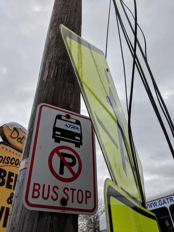 |
| It would help people to know that this is a GATRA bus stop if it weren’t hidden behind a giant crosswalk sign… |
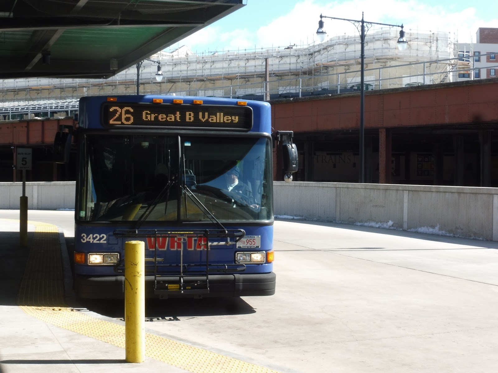
WRTA: 26 (Union Station Hub – Great Brook Valley via Lincoln Street)
It’s time for the 23’s cousin route, the 26! We’ll be covering a lot of familiar territory in this review, but we start off at a unique section: Great Brook Valley.
 |
| The bus at Great Brook Valley. |
The route technically starts at the Great Brook Valley Pool, but Sam and I were a little dubious of that as a starting point, so we waited at the next stop, inside the Great Brook Valley apartment development. We boarded the bus on Tacoma Street, running down through the development. Next, we turned onto Boylston Street, which had houses and businesses on one side and industrial buildings on the other.
 |
| Lots of apartments. |
We went around a rotary onto Lincoln Street, running past industrial buildings that turned into suburban businesses with parking lots. At the Lincoln Mall, we were joined by the 23, and thus the independent section was over. The suburban businesses continued until a huge office building before we went under I-290.
 |
| Hey, I took a picture of this exact same sign on the 23! |
There were houses along Lincoln Street until we reached Brittan Square, where we were joined by the 14 and we passed businesses and a hospital. It felt much more urban, even when the square ended, with dense apartments and some retail along the road. Going under I-290 again, we merged onto Major Taylor Boulevard, taking us past tall office buildings with parking lots. Finally, it was a left on Foster Street, and it was a straight shot to the Central Hub.
 |
| Wow, a rare sunny picture at the Central Hub! |
WRTA Route: 26 (Union Station Hub – Great Brook Valley via Lincoln Street)
Ridership: The 26 gets amazing ridership – in fact, it’s the second-busiest WRTA route on weekdays, and the busiest on weekends! The bus gets 1,117 people per weekday, 738 per Saturday, and 283 per Sunday. My morning Saturday trip got a full 20 people going inbound, which is great!
Pros: Like the 23, the 26 provides direct service down Lincoln Street, serving slightly different places at the end of the route. We know from before that both routes run every half hour on weekday to provide 15-minute service along Lincoln Street, but the 26 actually goes every half hour on Saturdays, too!
Cons: Unfortunately, that drops to every 65 minutes on Sundays. Why it can’t be every 60, I don’t know – it’s given more time than on Saturdays, which doesn’t make much sense. Also, there are a few weird service patterns here: on weekdays, there’s a timepoint for the “Great Brook Valley Community Center,” but no trips actually serve it; also, there are a few trips that only go to Great Brook Valley without running all the way to the pool, which just seems…weird. I mean, they’re less than a minute apart! Why does this route even serve the pool in the first place? And actually, why is it given five minutes to get from the pool to Great Brook Valley when that’s way too much time? Finally, like I said on the 23, the coordination between these routes needs to be a lot more obvious.
Nearby and Noteworthy: Basically the same stuff as the 23. Maybe the pool is fun in the summer!
Final Verdict: 7/10
I think this is a better route than the 23 because it comes more frequently on Saturdays and it has fewer timepoint issues. However, the coordination between these two routes needs to be better. Well, here’s something radical: what if we combine them? I can’t get the map to work properly for some reason (the timepoints move to the wrong places), but a link to it is here if you’re interested. Meanwhile, here’s the schedule (full version here):
Basically, I combined the two routes into a loop-like service, with buses serving one leg in one direction and the other leg in the other direction. There are two ways of going about this: one is to have every bus operate in the same direction every trip, and the other is to alternate between trips. I decided to do the latter option, just so that neither route gets preferential treatment. Passengers could stay on the bus to go around to their destination, although the layover time at The Fairways makes it inefficient to do – maybe all the layover could be at the Central Hub so people can ride through.
Anyway, the biggest asset to this schedule is that it offers consistent frequency with the same number of buses. That means we get 15-minute service on weekdays, 20-minute service on Saturdays, and half-hour service on Sundays. That is so much better than the current weekend schedule where the buses just leave whenever they want! And the only increase in costs is on Sundays, where I increased the operating hours for both buses to create half-hourly service all day – if need be, it could be dropped to every hour for the first and last few trips.
This schedule highlights a general problem with the WRTA: they’re not operating their buses as efficiently as they could be. They’re facing huge budget cuts from the state government right now, and that’s awful, but it bothers me that they have some very easy fixes that can be made for no extra cost that would boost ridership. Think about how many more people would ride if they knew there was a bus every fifteen minutes on weekdays and every twenty minutes on Saturdays! This is something the authority could implement with the exact same amount of resources. The fact that they’re not taking advantage of corridors like this is baffling.
Latest MBTA News: Service Updates
Chelsea, Bellingham Square, Box District, Eastern Avenue, and Airport
Well, we established yesterday that the SL3 as a route isn’t as great as it might’ve seemed to be. Are the stations any better? Let’s take a gauntlet-style look at all of them!
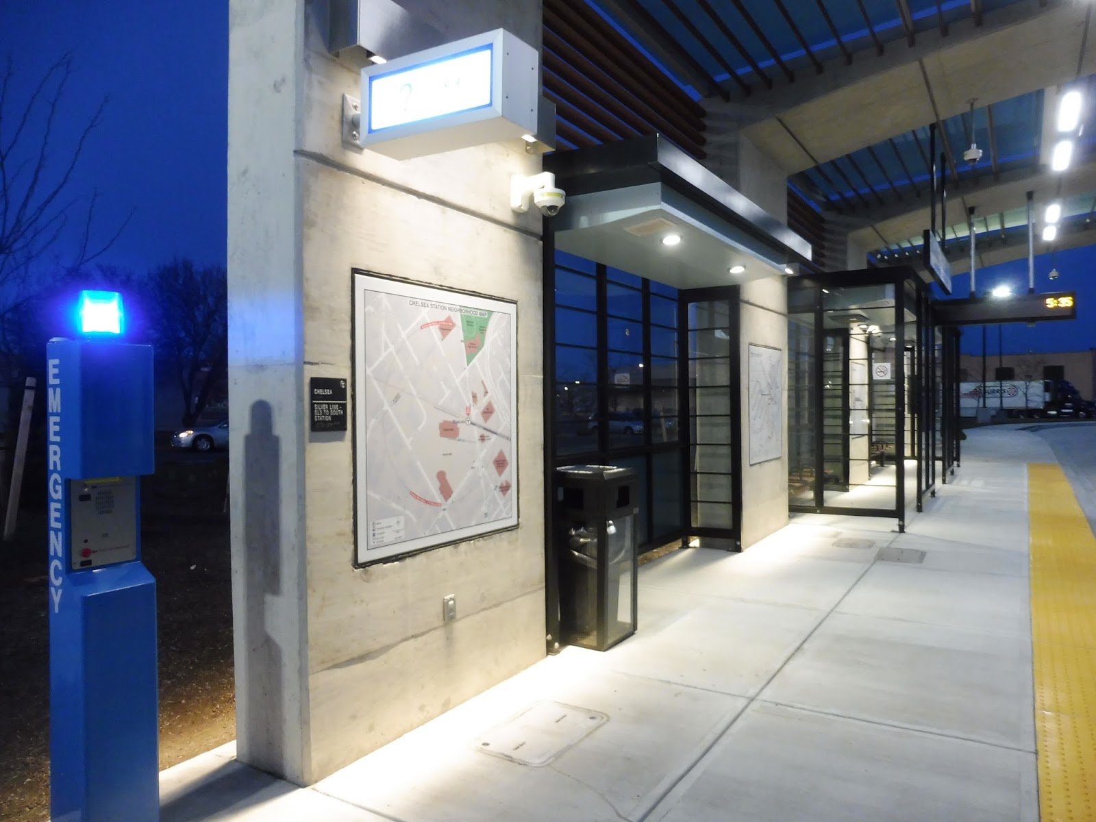 |
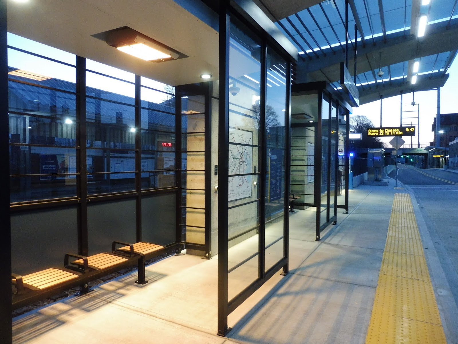
| The inbound platform at Chelsea. |
We begin with Chelsea, and we’ll use this one to describe what you get with every stop. There’s a modern shelter, bike racks, an emergency blue light, some maps, a wastebasket, and some benches. Most stations have a form of countdown clock (or at least, signs that tell you how frequently buses are coming, but I assume they’ll be countdown clocks eventually), but Chelsea doesn’t have any yet.
 |
| And the…uh…outbound platform. |
So instead of using the money to, say, install controlled signals at the intersections with side streets, we instead get an outbound platform that’s identical to the inbound one. Where no one is allowed to wait. Alright, sure, that makes lots of sense. By the way, although every SL3 station has buttons that release heat into the waiting area (very cool), one of the two heaters was completely broken on the inbound side, while they both worked perfectly on the outbound side! Well, glad that worked out the way it did! I’m sure the 0 people waiting for an outbound bus will benefit greatly from this.
 |
| Okay, THIS is cool. |
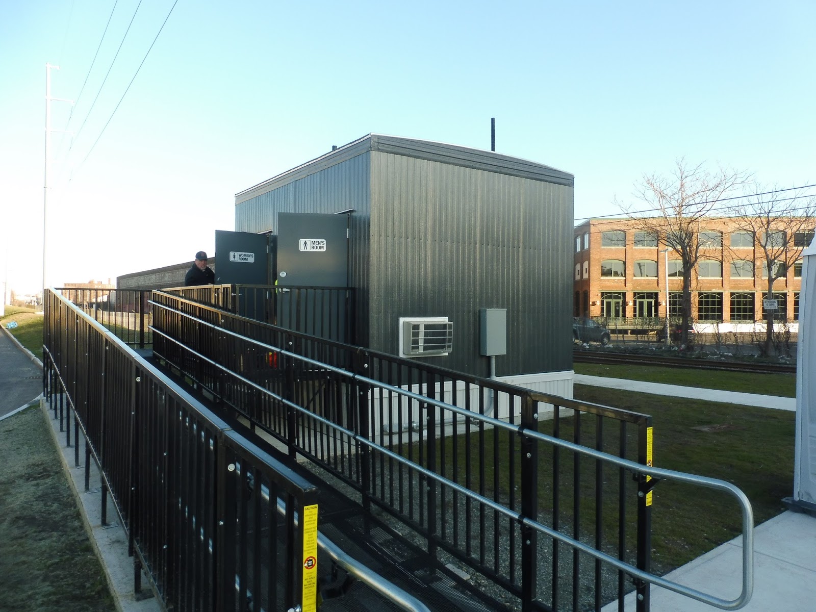
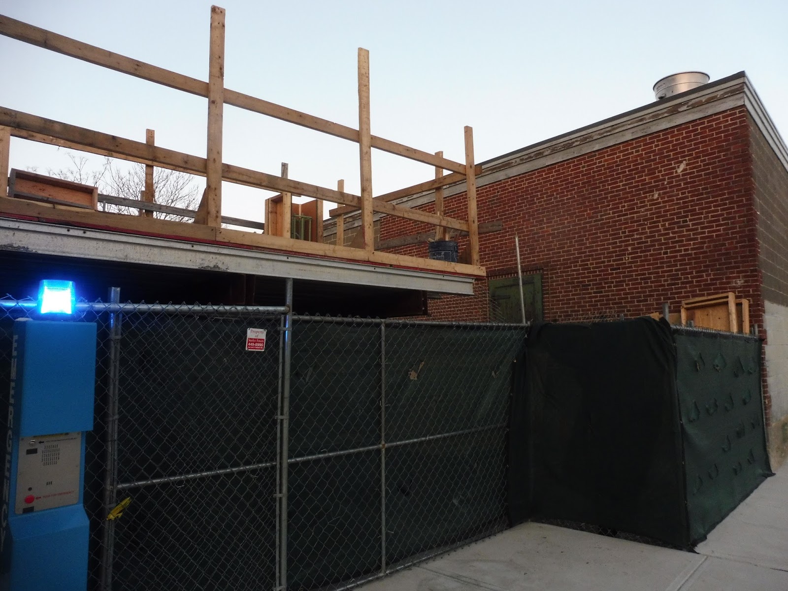
Chelsea does have an advantage over the other stations because it has bathrooms. Well, it will…they were being worked on at the time, but I’m sure they’ll be really nice when they open! As a final note, this station is right next to Market Basket, but there are no pedestrian markings across the parking lot to get there. At least a crosswalk would’ve been much appreciated, especially since there is signage from the Market Basket bus stop to the Silver Line station.
 |
| The second-ever trip on the line beginning its journey to Boston. |
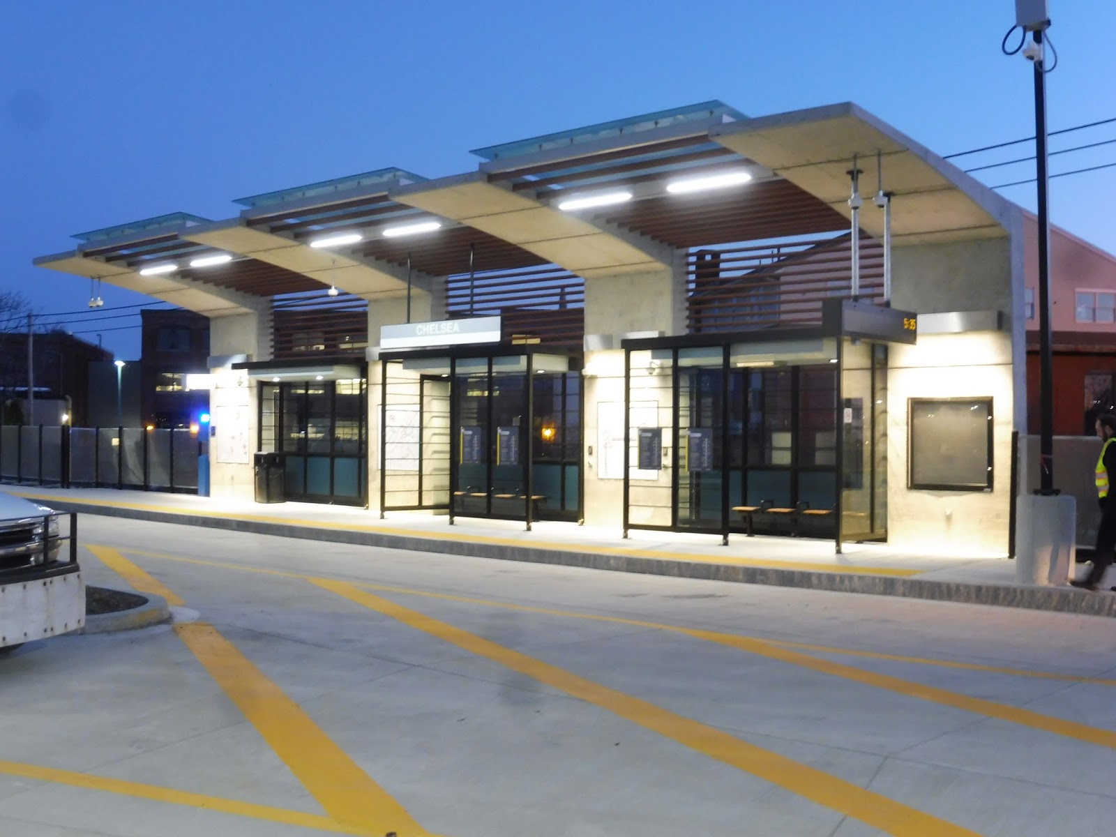
Station: Chelsea
Ridership: It’ll be hard to judge ridership for these, but this was the busiest station I saw throughout the day. That doesn’t mean much, though – most of the people from here are probably just out to ride the route to the end.
Pros: The default station for the SL3 is great. I like the shelters, and there are plenty of amenities provided beneath them. Chelsea has the added bonus of bathrooms as well!
Cons: Do we really need the big fancy shelter on the outbound side? I have no idea how much these things costed, but I doubt it was low enough to justify building a completely unnecessary one! Also, better pedestrian markings to Market Basket would be very helpful – right now, it’s just a free-for-all.
Nearby and Noteworthy: The Mystic Mall, of course! Honestly, why the heck is this station called “Chelsea”? It makes a lot more sense to name it after the mall – it’s not like the Red Line stops are Harvard, Porter, Davis, Cambridge. So yeah, the Mystic Mall.
Final Verdict: 6/10
Chelsea has the basic structure that all the other stations have, but it’s points off for the useless outbound shelter, the lack of markings to Market Basket and the rest of the mall, and the ridiculous name. That being said…bathrooms are nice!
 |
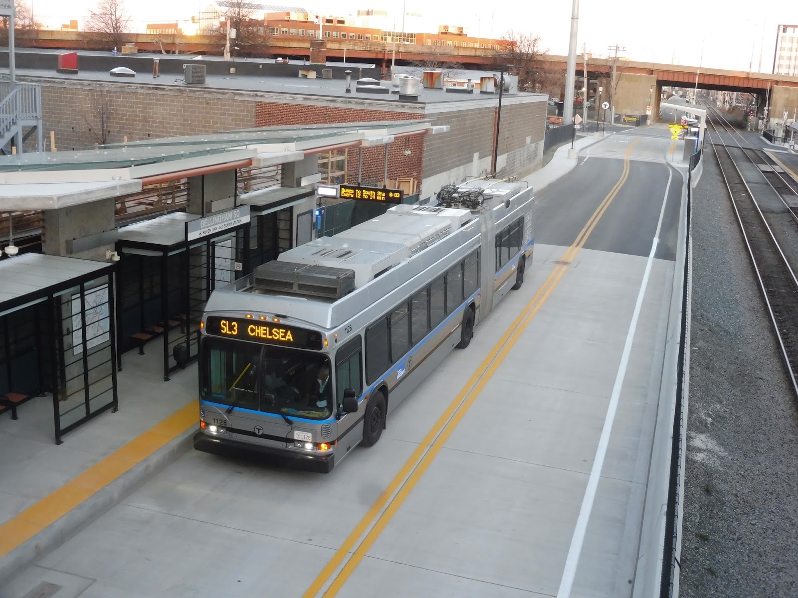
| The outbound platform at Bellingham Square. |
Because of space, Bellingham Square is a staggered station. The outbound side is closest to Arlington Street, as well as the Chelsea Commuter Rail station, and it has the classic arrangement: shelter, benches, heat, maps, etc. Can I ask once again: why was this shelter built? The number of people going outbound from here is likely a very small one – certainly not enough to necessitate this shelter!
 |
| The future ramp. |
Currently, there’s no way of getting from this station to Washington Street, but that’s being amended by a new ramp that’s being built. I wish the ramp had been open by the first day, but, uh, I guess not. Oh well, eventually it’ll be nice to have!
 |
| Buddy, I think your sign is wrong… |
Station: Bellingham Square
Ridership: This will probably end up being the busiest station, since it’s the one closest to dense Bellingham Square. Also, in absence of a Wonderland Commuter Rail station, this is now the best way for Newburyport/Rockport Line customers to get to the airport!
Pros: It has all your typical amenities. Once the ramp opens, it’ll be great to have two separate entrances from here.
Cons: Again, we really don’t need that outbound shelter, and the money to build it could’ve been spent elsewhere. Not having the ramp done on the first day is kind of a bummer, and it’s also really annoying that they don’t show this station’s connection to the Chelsea Commuter Rail station on the subway map.
Nearby and Noteworthy: Bellingham Square, of course! Lots of businesses down there, and some bus connections, as well.
Final Verdict: 6/10
Yeah, I dunno, I’m feeling another 6 with this one. The outbound shelter is once again unnecessary, and it’s pretty bad that the ramp couldn’t be completed by the first day. We’ll call it a 7 once that ramp opens, and also, can we please have a transfer blob between this station and the Commuter Rail station? It happens with every other Commuter Rail transfer.
 |
| Coming ’round the bend! |
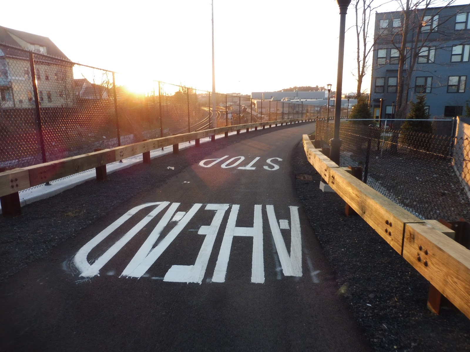
Broadway marks the beginning of the SL3’s multi-use path, and that takes us down a long hill to Box District Station! I wish there was a proper T logo at the entrance at Broadway and not just a tiny sign with an arrow saying “Silver Line,” but I guess it works. As we go down the path, we find the station’s bike racks at its entrance.
 |
| Well, this one is nice! |
This station looks a little different from the others, since its two shelters are connected. It looks awesome, but other than that, everything else is the same. We’ve still got the benches, the wastebaskets, the heat, the maps, and everything else.
 |
| Spying on a bus leaving the station. |
Station: Box District
Ridership: I’m not sure what it’ll be like for this one. There are some TOD apartments right nearby, and plenty more dense housing to the south. To the north, it’s industrial, so I doubt too many people will come from there.
Pros: The station is pretty unique aesthetically – I like the big canopy. Other than that, everything here is the same, which is good as far as amenities goes.
Cons: I’ll bet this canopy was expensive to build, and once again, we really don’t need that outbound shelter…they could’ve saved a lot of moneyyyyyyyyyy…
Nearby and Noteworthy: Mostly just apartments. There isn’t too much to visit from this one.
Final Verdict: 7/10
This is the best one so far. The canopy does look really cool, and as we get further down the line, the outbound shelters get at least a little more useful.
 |
| This looks familiar! |
Our final stop on the busway is Eastern Ave, and this one has the same design as Chelsea and Bellingham. We’ve got the two shelters, the heat, and everything else that I don’t have to repeat for the fourth time. This station also has a turnaround loop that they seem to use to short-turn buses if the service is bunching. Seems like a good idea, based on how it seems to be running…
 |
| Okay, better not go into the restricted area…although I’ve done it before. |
The Massport 77 turns around here as well, and its stop is right next to the station. There’s a sign saying not to go in there because it’s an employees-only area, so we’ll discuss it from afar. There isn’t much outside, but a waiting room inside the Chelsea Employee Garage provides all the amenities anyone would ever need. It’s probably nicer to wait at than the Silver Line station! Unfortunately, it seems that the hyper-frequent 77 often blocks the Silver Line, which is BAD.
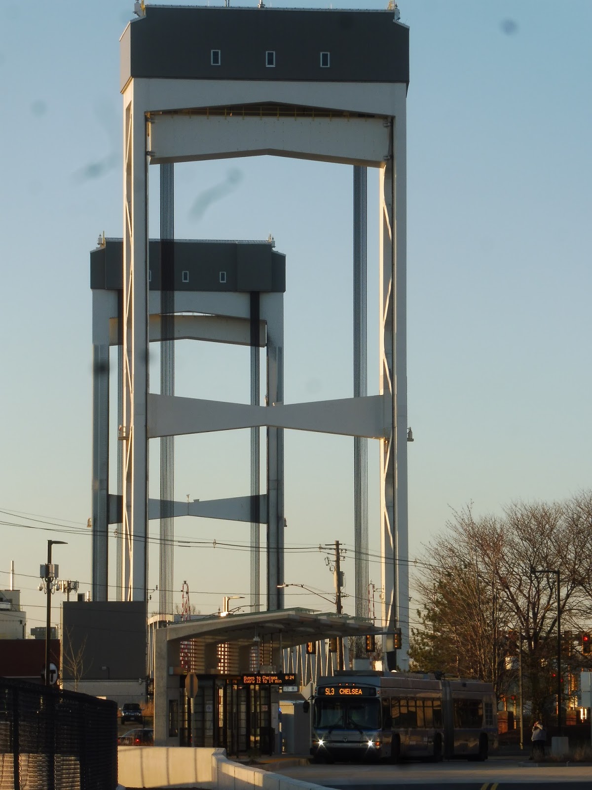 |
| The dreaded drawbridge looms… |
Station: Eastern Avenue
Ridership: Well…we’ve got parking lots to the immediate north and west. There’s an industrial area to the south. Water to the east. Yeah, probably not too high.
Pros: Basically the fact that it’s got the same amenities, and that’s about it.
Cons: So, the 77s seem like they’re, uh, kind of a problem here! Ideally they would wait in the turnaround loop, but it seems like they, uh, don’t do that. I guess they now a Paul Revere employee stationed there to direct the buses, but it seems like bad station design if someone has to be stationed to do that! Also, annoyingly, the multi-use path curves around to the street without actually serving the station, forcing people to walk around to get to it. It’s not the worst thing in the world, but it’s strange that that decision was made when building it.
Nearby and Noteworthy: Like I said, it doesn’t seem like much is around here! I mean, there’s…an airport hotel?
Final Verdict: 5/10
Yeah, this one isn’t great. It has the problem with the 77s, it has the weird path, and it doesn’t even seem to be serving much. I’m sure people are willing to walk here from the apartments you eventually get to going west, but just looking at a map, it seems like more would’ve been served if the station had been placed further northwest. Finally, this is the station everyone is going to hate, because it’s the one where buses have to wait if the drawbridge is up!
 |
| Oh…uh…hmm… |
Alright, it would appear that Airport Station didn’t get any kind of modernization. So…we’ve still got poles with paint peeling, rusting benches that have been here for years, and maps that don’t even say that the SL3 exists. Our one indication that a bus stops here is the smallest berth signs ever that hang from the roof of the shelter.
 |
| One word for this is…problematic. |
Station: Airport
Ridership: This is gonna be a huge station for outbound ridership. The fastest way to get to the city using the SL3 is definitely Blue Line to Airport, then getting the bus from there.
Pros: The free transfer to the Blue Line works even with CharlieTickets. Too bad none of the SL3 stations have fare machines, though – no one will actually be able to get one.
Cons: ACCORDING TO THE MAPS, THE SL3 IS NOT A THING. I THINK THAT’S ALL THAT NEEDS TO BE SAID HERE. Also, the busway really could use a modernization…
Nearby and Noteworthy: The airport! Yay! But there’s also an awesome neighborhood on the other side of the station.
Final Verdict: 3/10
I mean…yeah, at least the busway is functional, with plenty of benches to sit at. As for everything else, this one is no good. Come on, they’ve been updating maps all over the system, but they couldn’t bother here? Geez!
UPDATE 4/24/18: The maps at Airport have now been upgraded to show the SL3’s existence! I guess that’s enough to raise the score to…I dunno, a 4? It’s still not great…
Alright, so that’s the state of the stations. It seems like a common theme between them is that they were rather overbuilt, with far too elaborate outbound platforms. As for the actual service, how is it doing?
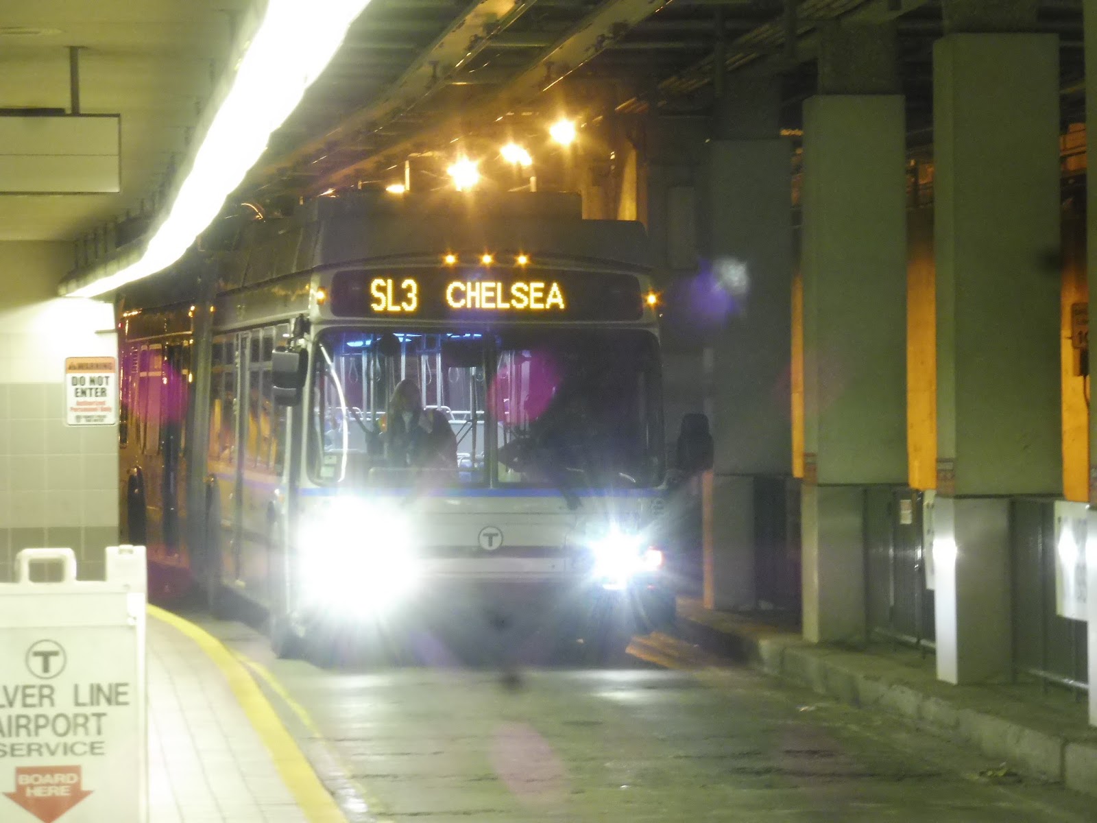
SL3 (Chelsea Station – South Station via Airport Station)
I sprinted out of my house at 4:17 AM. I arrived at the empty main street…no cars going in either direction. Well, Sam said to wait at an inbound bus stop, so I headed over to the closest one. No cars coming. *BEEP BEEP BEEP BEEP BEEP BEEP BEEP*!!!!! A vehicle was coming the other way. I dashed across the street, jumped in with Sam, Jordan, and Uillia, and we drove away at full speed, “This Is How We Do It” blasting through the radio. It was time to ride the first SL3.
We pulled into the South Station parking lot and headed down to the bus terminal. The Commuter Rail station was still closed…maybe the subway entrances were open? Tried one…didn’t work. Tried another…nope. A third? Nuh-uh. They were all closed. The time was 4:55, and the first trip was scheduled to leave at 5:02. “If we miss this thing, I’m gonna be so pissed,” Jordan remarked.
Finally, someone came out to open the doors to the Commuter Rail station. We ran in and went down to the Silver Line platforms, where a surprisingly small amount of people was waiting. At 5:01 AM, bus 1102 entered the station, and all eleven of us boarded the first trip of the T’s first new line in over a decade. So much fanfare!
 |
| HERE IT COMES!!!! |
I regret to say that this first trip was not the one I reviewed. We took it up to Chelsea (and gave a round of applause when it arrived), but then we went back and reviewed all the stations – that post will be tomorrow. After that, we got a bus back to Chelsea (we had to wait for the stupid drawbridge to come down, and I will definitely be ranting about that later) and now…let us review the journey back to South Station!
 |
| The busy crowd inside the bus. Hi, Jordan! |
 |
| Our bus boarding at Chelsea! |
So we began at Market Bask…er, Chelsea Station, where we boarded the bus after its tight loop. This portion of the busway ran right next to the Commuter Rail tracks, while on the other side, there were some office buildings with big parking lots. After going under Route 1, we arrived at our next stop, Bellingham Square, where you can also transfer to the Commuter Rail Chelsea Station…although that’s not shown on any of the maps. Shucks.
 |
| A wide road just east of Chelsea Station. |
There wasn’t all that much to see after Bellingham Square (although a signalized “single-track” section under a bridge worked perfectly) until we reached Box District, which had some TOD apartments next to it. We were away from the Commuter Rail now, and we were running past industrial buildings on one side and dense houses and apartments on the other. The big Chelsea Employee Lot meant that we had arrived at Eastern Ave Station, which is also used by 77s to turn around (they also short-turn some SL3s here if they’re bunching).
 |
| Some apartments running up a hill. |
From Eastern Ave, the bus traversed an intersection to get onto Chelsea Street in mixed traffic. We went over the dreaded drawbridge, and on the other side of the Chelsea River, we were in East Boston. Oh boy, talk about industrial. We didn’t have to deal with the area’s huge vats for too long, though, as we turned onto the Martin A Coughlin Bypass Road, running in a cut underneath the neighborhood.
 |
| Alright, a view! |
We popped up onto the eloquently-named Service Road, and this led us next to I-90 and the Blue Line tracks, with various industrial airport buildings on the other side. After serving the Airport Blue Line station in its busway, we ran down Transportation Way, which had I-90 to the north and a park to the south. We did some curves and passed the Rental Car Center, then it was a left onto the highway ramp into the Ted Williams Tunnel.
 |
| Here we go! |
From here, it’s just like the SL1 you know and love(?). Coming out of the tunnel in the Seaport District, we did everyone’s favorite “Congress Street opposite Seaport Hotel” stop, then it was the ol’ looparound to Silver Line Way. The wires came up perfectly, but we had no such luck at D Street, where the light (as usual) took about 80 years to change. From there, it was down through the overbuilt World Trade Center and Courthouse Stations, and on to South!
 |
| We got out at Courthouse so we could get a picture still signed as SL3. See ya! |
Route: SL3 (Chelsea Station – South Station via Airport Station)
Ridership: Well, if you thought 11 people on the first trip was bad, try 1-2 people on every other trip this morning! Granted, it was a Saturday morning at a time when nobody wants to be up – I rode the route later in the day, and it was much busier. Ridership today was definitely more of the “seeing the line” type of folk, but hopefully people start to use it as a service come the work week.
Pros: Once you get past Eastern Ave, this thing is pretty good. The busway is somewhat fast, the stations are generally nice (more on those tomorrow), and the route is useful, running through the urban core of Chelsea. It’s a one-seat ride to the Seaport District and to Downtown, plus this makes the trip from Chelsea to the airport much easier. There’s a free transfer from the SL3 to the Blue Line at Airport Station (as long as you don’t pay with cash), and that will likely be the fastest way of getting into the city using this route. Buses come often: service is every 10 minutes at rush hour, every 12 minutes on Saturdays, and every 15 minutes middays, nights, and Sundays. Finally, the multi-use path that runs along the busway from Box District to Eastern Ave is a nice touch, although it could be longer.
Cons: Okay, I hope I don’t get killed for this, but…this route is problematic.
- First, no discussion about the SL3 is complete without comparing it to the 111, and that’s what a lot of these cons come from. In terms of raw frequency from Bellingham Square, the 111 beats the SL3 by a long shot, running every 3-5 minutes at rush hour, every 10 minutes or less middays, nights, and Saturdays, and every 12 minutes or less on Sundays. The SL3 can’t even hold a candle to those kinds of headways. Plus, the 111 serves the square directly.
- Whereas the 111 goes straight over the Tobin Bridge, the SL3 has to contend with the drawbridge over the Chelsea River. We arrived as it was on its way down, and we still had to wait five minutes! There’s some complicated diversion the route has to do if it gets there just as it’s going up, and I’m sure it saves no time at all. If the drawbridge goes up during the rush, there will be bunching. And sure, the Tobin Bridge gets snarled up during rush hour…but so does the Ted Williams Tunnel! So the SL3 has two chokepoints to deal with, while the 111 only has one.
- I’m not going to make any conclusions about speed (I hope to stage a race soon), but I think it can be reasonably assumed that the 111 is generally, on average, about as fast as the SL3 is to the city. Even if that’s not the case, the SL3 is a rapid transit fare. This means that in many cases, people are spending more money for a relatively equal service.
- Speaking of fares, it’s annoying that this brand-new BRT route has front-door only boarding. Maybe they’re waiting for AFC 2.0, but still! When I rode the route midday, there were a ton of people at Chelsea, and it took way longer to board as a result.
- The complete lack of transit signal priority along the route is insane. Buses have to wait at the Eastern Ave light, and at numerous stop signs at level crossings with side streets. What they should’ve done with the latter is put traffic lights for cars up that default to green, and just turn red when a bus is coming. A BRT service shouldn’t have to stop for cars! Also, there’s the D Street light, but that’s a problem with every Silver Line route.
- I’m not sure if this is a first-day problem or what, but the interaction with the 77s at Eastern Ave is awful. I was on a bus that got stuck behind a 77 that was boarding, and I’ve heard reports that this has been happening all throughout the day. This is not good. Along with the drawbridge, although to a lesser extent, this could be a huge cause of bunching.
- Also, if the route bunches, there’s no place to lay over in Chelsea, so that bunch is sticking around all the way back to South Station! Maybe even beyond South Station, since having only two layover spots in the tunnel with three routes is tough to work with…
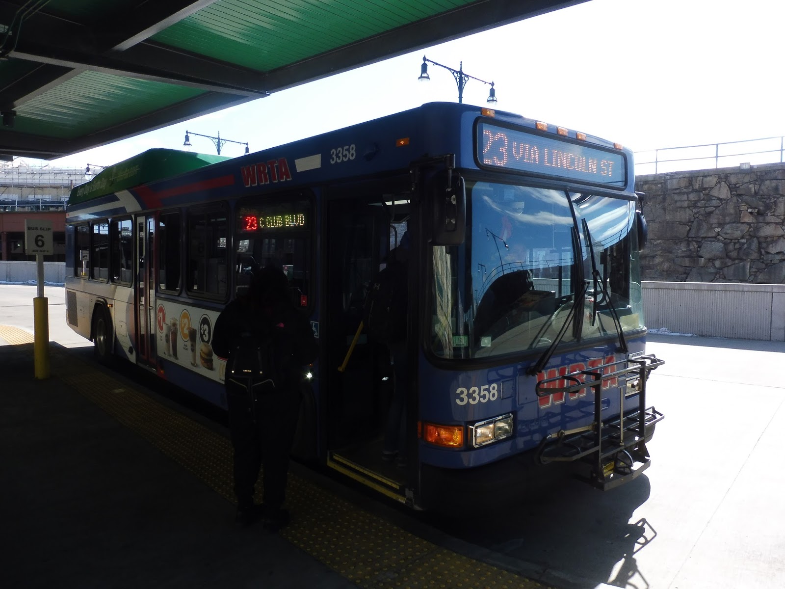
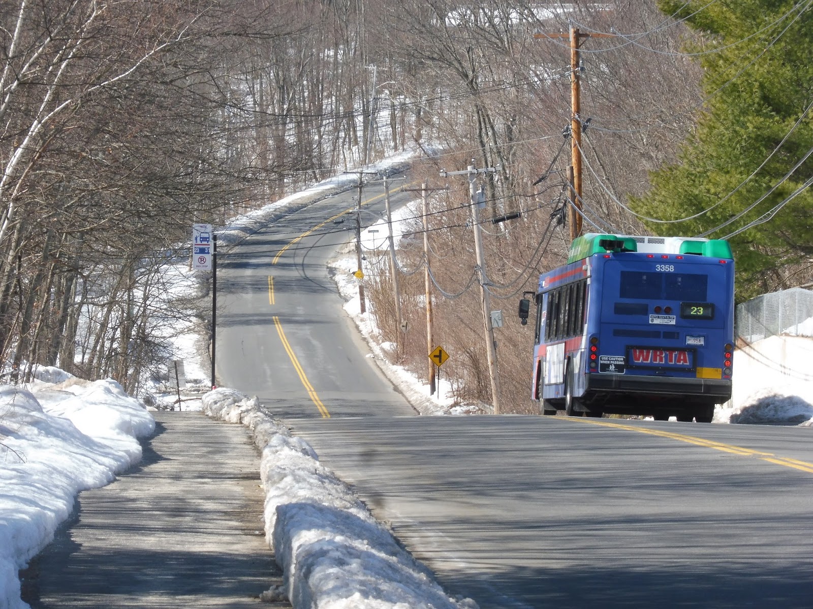
WRTA: 23 (Union Station Hub – East Mountain Street via Lincoln Street)
There’s a 23 leaving from the Hub in 9 minutes? Alright, let’s do the 23.
 |
| Excellent. |
We headed up Foster Street, then we turned onto Major Taylor Boulevard. This was a wide road that passed a lot of office buildings with big parking lots, as well as the DCU convention center. We eventually merged onto Lincoln Street, which went under I-290. The tall buildings ended immediately; now we were passing dense houses and some businesses.
 |
| All of the side streets were steep hills! |
There was some retail along the street as we reached Brittan Square. After a hospital, Lincoln Street curved to a northeast trajectory, and it was residential until we once again went under I-290. There was a huge office building on the other side, then Lincoln Street was lined with suburban businesses. One of them was the Lincoln Mall, and luckily, we didn’t have to deviate!
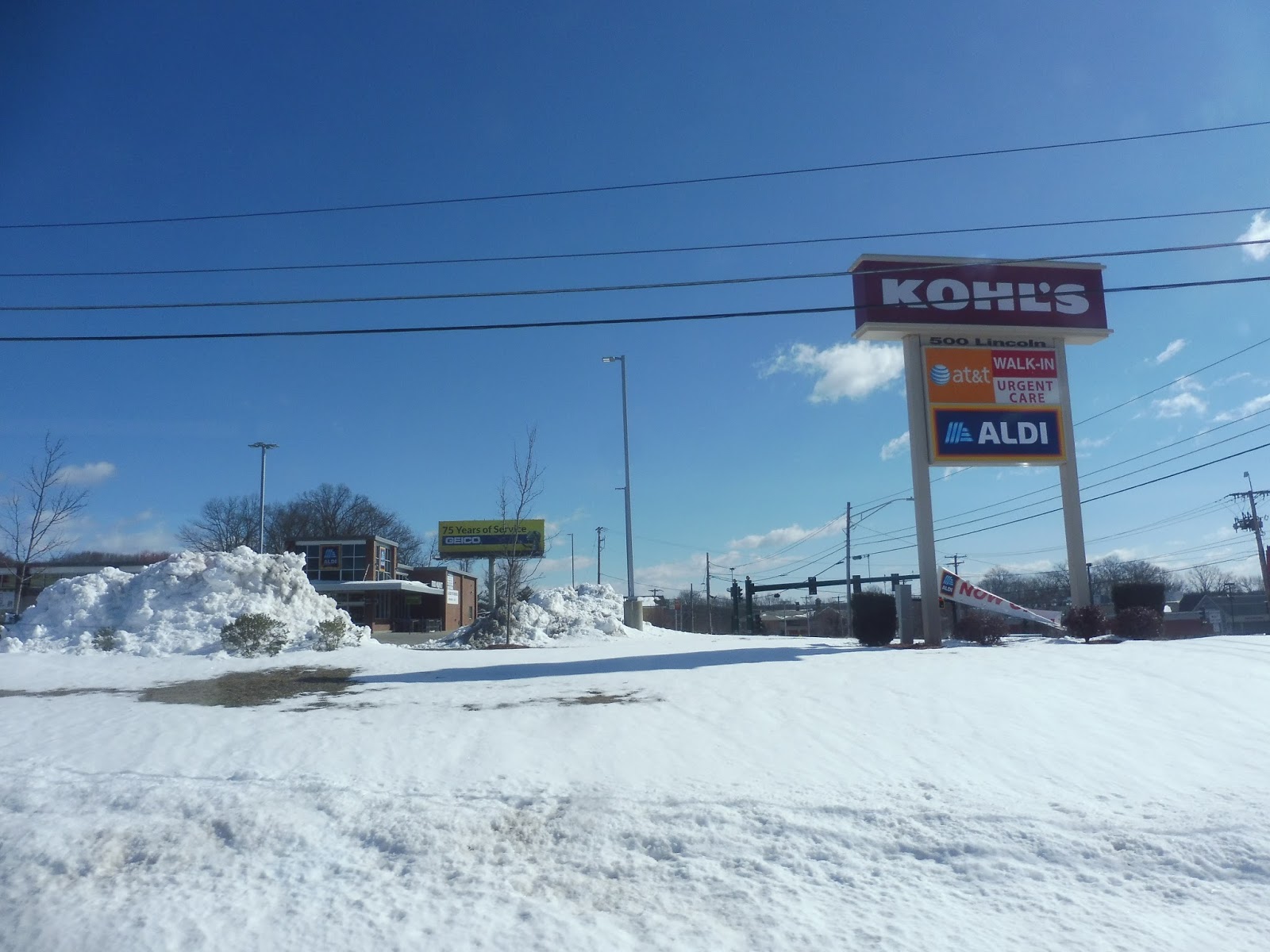 |
| Not the Lincoln Mall, but apparently Kohl’s! |
We turned onto Country Club Boulevard, a wide street with an equally wide median. It took us through the Lincoln Village Apartments, a mixture of smaller apartments and big buildings. The road ended at the Worcester Art Magnet School (where the route terminates on its snow route), where we turned onto Saint Nicholas Ave. It became lined with houses as it went up a hill.
 |
| What a view these folks must have! |
We turned onto Clark Street, which went down a steep hill – my ears popped! There were houses, apartment developments, and even a few office buildings along here, and it continued as we turned onto Mountain Street East. Coming up along a golf course, we reached our terminus, the aptly-named Fairways Apartments.
 |
| Heading back to Worcester. |
WRTA Route: 23 (Union Station Hub – East Mountain Street via Lincoln Street)
Ridership: The 23 gets great ridership for WRTA, receiving 726 passengers per weekday, 257 per Saturday, and 137 per Sunday. My Saturday trip was interesting in that more than half of the 8 passengers (we were going outbound in the morning, so low ridership was expected) got on at local points past the hub. I love seeing routes that get local ridership like that!
Pros: The 23 is very direct, and it serves a dense corridor frequently; service is every half hour weekdays and every hour on weekends. On weekdays, it’s even better, since the route is coordinated to run every 15 minutes with the 26 on Lincoln Street – they run together all the way until the Lincoln Mall.
Cons: WRTA…you’re running 15 minute service on a corridor. ADVERTISE IT! Don’t you think more people are likely to ride the bus if they know that the 23 and the 26 combine to create service that frequent on weekdays? There’s no indication of this on either of their schedules! Other problems include the wacky Saturday service that’s technically every hour, but it shifts around by five minutes all throughout the day (4:30, 5:25, 6:30, 7:20, etc.), as well as the route’s strange service patterns. It can terminate in a few different places throughout the day: most of the time, it’s at the Fairways, but three evening trips terminate at an office building on Century Drive (which is so close to the route that the workers there could walk to the closest stop in a few minutes), the second-to-last outbound trip on weekdays ends at the Great Brook Valley Community Center, and the last weekday and two last Sunday outbound trips end at Lincoln Plaza. This is displayed horribly on the route’s map, too – service to Century Drive is displayed as a dotted line, which makes sense, but the Great Brook Valley routing is displayed exactly the same as the rest of the route. It looks like a deviation, but it’s actually just one outbound trip on weeknights!
Nearby and Noteworthy: The route ends in a wasteland of forest and housing developments, so…no, not really.
Final Verdict: 6/10
The 23 annoys me to no end, but it’s overall a good route. It runs frequently, it serves a major corridor, and it gets a lot of people. But boy, talk about cons! I don’t want to repeat everything I mentioned above, but the most important change that can be made to the 23 is better advertising for the coordination with the 26. I’ll discuss this more in the next review (which is of the 26), but it’s absolutely insane that the WRTA doesn’t push this, or at least give some indication of its existence!
Latest MBTA News: Service Updates
Wow, it didn’t occur to me until just now to advertise this on the blog: come see me speak at TransportationCamp! I’m doing a presentation about the RTAs (of course), and there’ll be a ton of other awesome sessions there. There are still tickets available, so get them while you can!
Also, the SL3 opens tomorrow, and somehow I’m gonna pack a review of that into the same day as the presentation. Boy oh boy, tomorrow is gonna be quite a day!
Logan Airport Shuttle: 99 (Back Bay Logan Express)
Yeah, this is technically a Logan Express, but they refer to it as the 99 on certain countdown clocks, so we’re calling it a Logan Airport Shuttle. No, I’m not going to do the other Logan Express routes. Okay, let’s go!
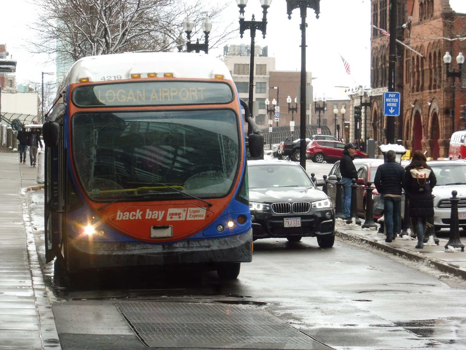 |
| Boarding at Hynes. |
The route starts at a drop-off area at the Hynes Convention Center, so that’s where Nathan and I went to pick it up. I did a service change of this route back when it was free for CharlieCard users, but that has since changed. Now, the cost is $3.00 for people with CharlieCards and $7.50 for people without them…credit/debit card only. Yes, the driver literally takes out a handheld reader that he uses to swipe passengers’ cards (and you get a weird little paper ticket). They already use specific buses to run this route – how hard would it be to put a farebox that also accepts cash on them???
 |
| Nice! |
From Hynes, we headed down Boylston Street, passing businesses, apartments, and the Prudential Center. We came into Copley Square, making a stop along the square next to the Boston Public Library, the John Hancock Tower, Trinity Church, and lots and lots of businesses. From there, we looped around onto Saint James Ave via Clarendon Street and made another stop on the south side of the square.
 |
| Interesting reviewing a route around here again! |
It was straight onto I-90 West from there, which was running in its tunnel through the Back Bay. We surfaced at the Hynes Convention Center, and there were tons of buildings flanking the highway. Passing Fenway Park and Yawkey Station, we went through the BU campus and went onto a bridge alongside Storrow Drive and the Charles River.
 |
| Time to turn around… |
Now, of course, Logan Airport is east of Copley Square, but we were going west. It was time for that classic part of the route where it turns around and comes straight back the other way! Unfortunately, this is the fastest way to go, even though it feels super inefficient. So, we went all the way back to the Back Bay tunnel and came out on the other side.
 |
| Hmm…not the straightest photo ever taken… |
We were only out for a little bit before going underground again through the Fort Point Channel. The highway went under the Seaport District and then straight through Boston Harbor to get to the airport. Coming out at the airport, we looped around onto the departures level road and pulled into Terminal A to drop our one passenger off. Unfortunately, we had to serve Terminal B because of the road structure of the airport, but the driver knew Nathan and I were going to E – he had asked us when we got on. This meant we could skip C, and it was straight on to E.
 |
| A bus going back into the city. |
Logan Airport Shuttle Route: 99 (Back Bay Logan Express)
Ridership: Well, just one other person going to the airport. However, I’ve seen this bus plenty busy at other times – it never gets more than about a full-seated load, but for an airport shuttle, that’s pretty good.
Pros: This is the fastest public transportation connection from the airport to the Back Bay area, and since it’s nonstop, it’s probably just as fast as a cab. It’s much cheaper, though – $7.50 for non-CharlieCard users sounds expensive, but when you think about what a cab would cost, it’s great! I also like how the outbound route only serves the terminals where the passengers want to go, and the route runs at a clean 20-minute headway.
Cons: Credit/debit card only? That’s such a pain, come on! It wouldn’t be hard to put fareboxes specifically into the buses with the Back Bay Logan Express paint scheme to allow travelers to pay with cash as well. Also, it’s strange that the route the bus takes is up to interpretation: it mostly travels the roundabout I-90 way, but sometimes it uses local streets to get to I-93 in the South End, then it goes back up to the Ted Williams Tunnel. It’s not a huge deal, but it would be nice if the alternative route got an announcement like the normal one does (it explains how the bus will go down I-90 and turn around).
Nearby and Noteworthy: Copley Square is awesome! Did you know that? I’m sure you didn’t – Copley Square is really a little-known Boston secret that no one knows about.
Final Verdict: 7/10
If you’re going from Logan to the Back Bay, this is the way to go. It’s fast, it’s nonstop, it’s frequent, and it’s pretty cheap. Just make sure you have a credit or debit card, because otherwise too bad, you can’t get on. Seriously, Massport…FAREBOXES!
UPDATE (June 2019): This has been the case for a little while now, but it’s worth noting that the route is now free from the Airport to Boston. The fare to the airport has been dropped to $3, but it’s still credit/debit only. I think a 7 still seems reasonable here.
Latest MBTA News: Service Updates
Wyoming Hill
So…a four-minute bus ride from Wyoming Hill to Oak Grove is the difference between spending $6.25 to get into Boston and spending $2.25 to get into Boston. Uhhh…well, if you really want to take Option 1, you’ll be using Wyoming Hill.
 |
| Yup, it’s another basic station. |
Both platforms at Wyoming Hill have pleasant shelters with a few benches underneath. The inbound side has an additional shelter with walls, so it feels a little more cozy – too bad people seem to throw their trash in there a lot. The inbound platform also has bike racks, including some sheltered ones with a special spot for 3-wheeled bicycles (by the way, the bike ride to Oak Grove is only six minutes!). As far as car parking goes, there are 30 spaces here.
 |
| oh look its oak grove………….. |
Station: Wyoming Hill
Ridership: I wonder what it feels like to be the least-used station on the Haverhill Line. Poor Wyoming Hill gets just 123 inbound passengers per weekday. Ouch…
Pros: The station itself is rather nice. Both platforms are sheltered, with a bonus shelter on the inbound side, and there’s lots of bike parking. The lot for cars is small, but this is a super local station that doesn’t need a big lot. Also, parking is free after 12 PM and on weekends, which is awesome!
Cons: It’s so close to Oak Grove, where hopping on the Orange Line is so much cheaper. Yes, the subway is obviously slower, but not by more than about 10 to 15 minutes. Plus, the train takes you to far more destinations within Boston, and it’s frequent, unlike the Haverhill Line! The 131, 132, 136, and 137 all go from here to Oak Grove and Malden Center, creating (relatively) frequent service on weekdays. There’s just very little reason to use this station unless you really don’t like crowds on the subway.
Nearby and Noteworthy: The station is technically in “Wyoming Square,” which means there are plenty of businesses nearby. Downtown Melrose on Main Street is a quick walk away, too.
Final Verdict: 4/10
As a station, Wyoming Hill is definitely better than Melrose Cedar Park. The problem is that there’s just very little point in this station existing! The fares are way too high and the stop is way too close to rapid transit to justify using it with its high Commuter Rail fares. At least it’s usually a flag stop…
Latest MBTA News: Service Updates
Melrose Cedar Park
Okay, this station definitely used to be called “Melrose/Cedar Park,” with a slash. I guess we’re not doing that anymore? Alright. Fine. Let’s look at Melrose Cedar Park.
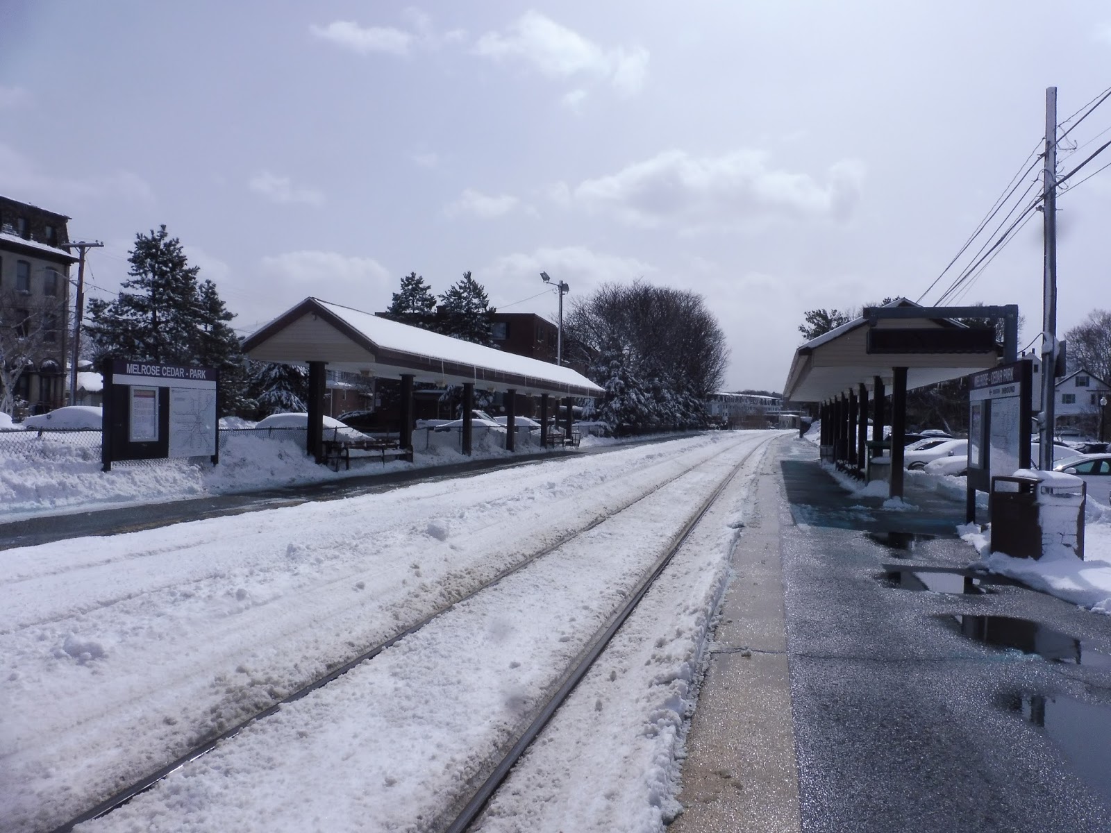 |
| One sign says “Melrose-Cedar Park” and the other one says “Melrose Cedar-Park”! Nothing’s consistent! |
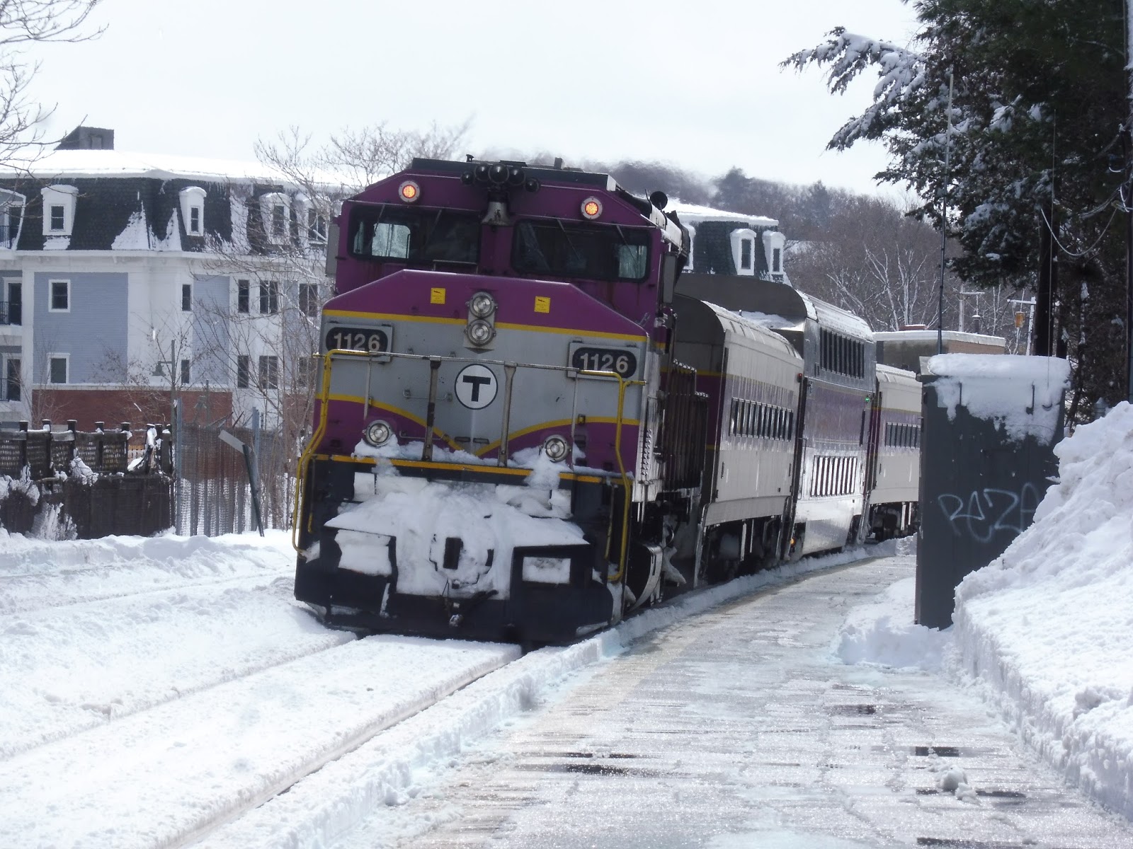 |
| A Boston-bound train. |
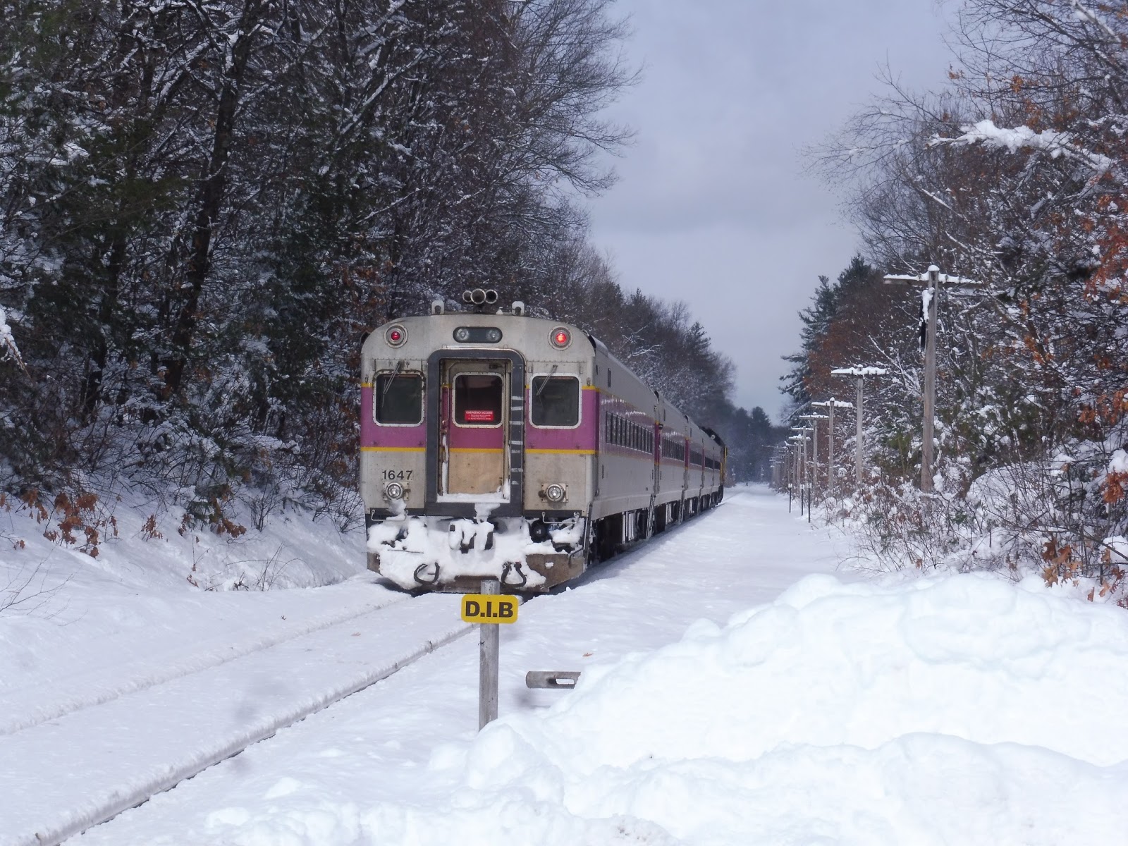
North Wilmington
Oh…well, that’s what I get for complaining about Ballardvale. North Wilmington proves that things can always get worse.
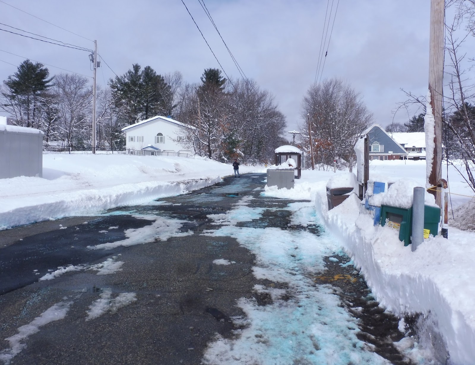 |
| See that raised bit over there? That’s the platform. |
So yeah…what have we here? There’s a section with a Haverhill Line schedule, a wastebasket, and some newspaper boxes, but it’s not actually part of the platform. The platform is just a tiny strip of asphalt less than a car length long, and all it has on it are an awful bike rack and a bus shelter. And…I think that’s it. Wait, this station has 20 free parking spaces? Where???
 |
| Pretty! |
Station: North Wilmington
Ridership: This stop gets 310 inbound people per day??? That’s not that many, but it’s a lot for the Haverhill Line! Also, can you imagine rush hour crowds at the tiny platform? Geez!
Pros: Sigh…free parking is nice…
Cons: There’s not much explanation necessary here. Tiny platform, bus shelter, no amenities. Capiche?
Nearby and Noteworthy: There are some suburban businesses around here, mostly in the form of pizza joints and cafés. There’s also an RMV, so I guess that’s nice…?
Final Verdict: 1/10
Blechhhhhh. Echhhhhhh. Blehhhhhhhh. 1/10.
Latest MBTA News: Service Updates
Ballardvale
This is one of those Commuter Rail stations that just begs the question: how? How can a station be this badly designed? Ballardvale is truly an enigma!
 |
| Huh… |
Okay, Ballardvale clearly used to be two tracks, because the platform is abnormally wide. It’s just this weird long low-level thing with a random curb in the middle of it. There’s a shelter closer to the station’s entrance, but it’s wooden and dingy. There are also a few wastebaskets, ads, and a broken payphone. As far as car parking goes, there are 115 spaces in a lot next to the station.
 |
| Yup…that’s our mini-high. |
The mini-high platform is so far down that trains don’t even bother to stop there! I can’t imagine the chaos that would ensue of someone actually needed to use it! The platform itself is really wide, since they had to build an extension over the nonexistent second track, but barely any of it is sheltered, and there aren’t benches up there. Also, the extension portion feels like it’s going to collapse at any moment – that’s always great.
 |
| At least the snow is scenic… |
Station: Ballardvale
Ridership: Ballardvale is one of the lesser-used stations on the Haverhill Line, which in itself is a line with low ridership. Yup, this place gets just 259 inbound riders per weekday. Not great.
Pros: Hmm…well, it exists. It has parking. It’s technically accessible…I guess.
Cons: Look at it! We’re dealing with this really wide platform that has a strange curb that runs along it (and the outer half of it eventually gets replaced by abyss as you get closer to the mini-high), a useless mini-high platform that trains don’t even stop at, and a really dingy wooden shelter. WHAT’S NOT TO HATE?!?!?!?!?
Nearby and Noteworthy: There are some TOD apartments next to the station, but as far as businesses go, there isn’t much. You’ve got a pizza place, a convenience store, and a café…huh, well, those are better offerings than your typical Old Colony station, though!
Final Verdict: 2/10
Ballardvale does almost nothing right. In fact, does it do anything right? It seems like every decision made for this station was terrible! I guess the only thing keeping it from a 1 is that it’s sortaaaaaa functional, a little, maybe? Ech.
Latest MBTA News: Service Updates
Pawtucket Transit Center
The Pawtucket Transit Center is a strange little place. It’s not as raucous and busy as Kennedy Plaza, but it’s not like it’s an oasis from crazy occurrences. Case in point…
| There was a fight going on at that shelter, so Sam and I hung back to get this picture. |
The Pawtucket Transit Center is interesting in that it has two bus stops, but RIPTA doesn’t tell you which routes stop at which. There’s technically a “berth map” on the station page, but it only leads to a low-quality close-up of the Pawtucket section of the RIPTA system map. Well, let’s settle this now: on the Slater Mill side, which has a big (and kinda sketchy) shelter, the 71, 72, and 73 board, as well as the 1, but only on South Attleboro trips. Not confusing at all!
| This is where the magic happens! |
The other side feels a lot more like a transit center, with RIPTA-branded awnings sticking out from the building. There are benches underneath, as well as a system map and a list of the routes that stop at this berth (the 1 (southbound), 71, 75, 76, 78, 80, and R-Line). They really need to make it more clear where all the routes stop – an online map would be incredibly helpful, and it would be simple to make.
| Inside the building. |
There’s an inside here, and it’s basic. All it really has are some benches, some random posters all around the room, some cool floor-to-ceiling historical photos, and paper schedules along a wall. Also, there’s a weird smell. Yup.
| Well, this is a change! |
I’m not sure if it’s part of the “review” or not, but the transit center connects directly to the Pawtucket Visitor’s Center. It’s this huge majestic room with a ton of historical information and reasons as to why Pawtucket is a really noteworthy city in history…but the center always seems to be empty. I think people only go in here because this is where the bathrooms are, and they’re in…uh…passable shape…?
| Ehhh…at least it didn’t smell. |
RIPTA Station: Pawtucket Transit Center
Ridership: This place has nowhere near the ridership of Kennedy Plaza, but it always has a good amount of people milling around. For some, it’s questionable if they’re waiting to ride the bus or not, but oh well…still people.
Pros: For all its flaws, it’s nice that there is an indoor area. If it rains, I’m sure many people go in there, although people seem to choose to wait outside when the weather’s nice. I like all the amenities it has, and there is outdoor seating and shelter for those who desire it.
Cons: That indoor area is only open from 10 AM to 4 PM, meaning it completely misses the rush hours! I mean, I don’t know how many people are commuting from Pawtucket to Providence (or somewhere else), but it seems strange to have those be the hours with a system as big as RIPTA. Also, the whole thing feels dingy all-around, from the Slater Mill shelter to the weird smell in the indoor room to the questionable bathrooms. Finally, the whole two-berth thing works, but there needs to be better signage for it. All they need is a simple map!
Nearby and Noteworthy: The Slater Mill Historic Site looks like a really cool place. It captures the history of Pawtucket in a historic mill!
Final Verdict: 4/10
Yeah, not a big fan of this one. I’m glad it exists, but it has a lot of problems. The opening hours for the building are sad, the place is dingy, and there needs to be a map explaining which route stops where. The Pawtucket Transit Center is functional, but it’s not a place I would want to wait at for very long.
Latest MBTA News: Service Updates
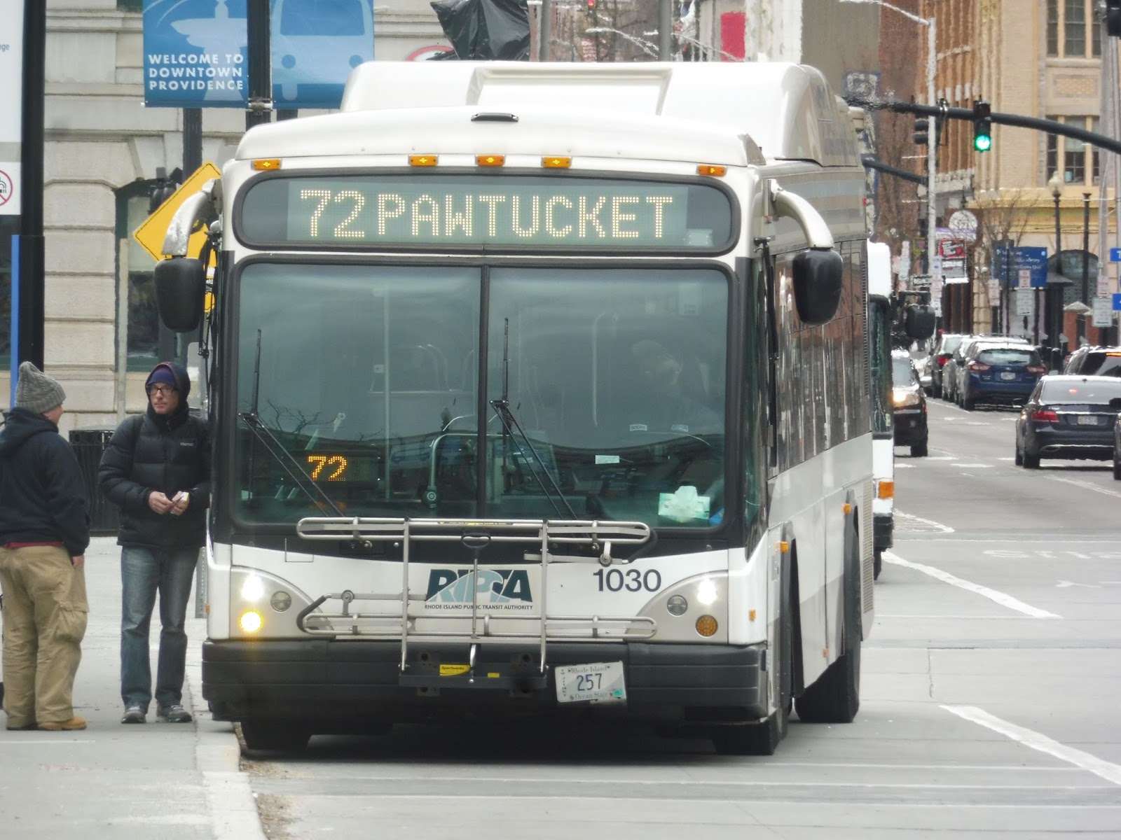
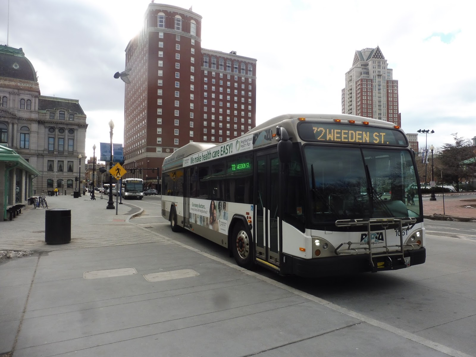
RIPTA: 72 (Weeden/Central Falls)
Want to get from Providence to Pawtucket? Well, don’t use the 72! This route is all for the neighborhoods in between.
 |
| Not actually our bus – this was earlier in the day. |
We left Kennedy Plaza on Exchange Street, which went over the Woonasquatucket River and led us to Providence Station. After doing a little jog to serve it, we crossed the Moshassuck River and headed up North Main Street. There was a lovely park on one side and historical houses on the other, then we merged onto Charles Street, weaving our way past apartments and office buildings.
 |
| Man, the East Side is awesome. |
We went under I-95 and it got industrial, including a huge post office. Once we crossed the Northeast Corridor, some suburban businesses came up along the road, all with huge parking lots. We turned onto Silver Spring Street, passing the granddaddy of all suburban businesses with huge parking lots, Walmart.
 |
| Bam! |
It was lined with houses for a bit, but we came pretty close to the Northeast Corridor, and with it came industry. It morphed into suburban businesses when we entered Pawtucket and the street became Smithfield Ave, then one side of the road became occupied by a huge, dense cemetery. Past there, it became houses again, aside from an elementary school and a fire station right next to each other.
 |
| A short side street. |
There were a few businesses where we turned onto Mineral Spring Ave, joining the 73. It was just for a mere two blocks, though, after which we were alone on Power Road. It was almost all dense houses, continuing as we turned onto Weeden Street (aside from some retail at the intersection with Smithfield Ave).
 |
| Houses, houses, houses. |
There was a brief stretch of industry, but it was residential again after we went over a level crossing with a train track. We eventually turned onto Lonsdale Ave, which headed into Central Falls – it had some businesses between the houses. Reaching a church, we turned onto West Hunt Street, then we joined the 75 on Dexter Street.
 |
| A slight hill. |
This was a main drag of Central Falls, so it was lined with tons of businesses. We eventually went over the Northeast Corridor into Pawtucket, and everything got denser all of a sudden. Turning onto Main Street, we ran through Pawtucket’s rather dreary downtown before turning onto Roosevelt Ave, finishing the trip at the Pawtucket Transit Center.
 |
| The bus turned off in Pawtucket, so here’s one back in Providence. |
RIPTA Route: 72 (Weeden/Central Falls)
Ridership: My trip got 25 people, so that’s pretty darn good! Based on what the route serves, I would imagine it gets good ridership most of the time.
Pros: The 72 isn’t a direct link between its termini, but the key is the places it serves in between. The route serves a ton of neighborhoods that aren’t served by other routes, and it comes at pretty reasonable frequencies: every 30 minutes on weekdays, and every 45 minutes on weekends. Also, the route has normal layover times! It’s scheduled to take a normal time to complete, and buses aren’t sitting there for hours on end waiting for their next trip. Good for the 72!
Cons: Service stops at around 7, which seems a little early for an urban route like this. There isn’t much else wrong with it, but it can feel unnecessarily twisty at points.
Nearby and Noteworthy: I wasn’t very intrigued by the businesses along the 72. After all, Central Falls and Pawtucket aren’t exactly tourist destinations…
Final Verdict: 7/10
The 72 mostly acts as a connector route between local neighborhoods to Providence and Pawtucket, and it does its job well. It comes on time, it doesn’t spend too much time at its terminus, and it serves what it needs to serve. A fairly standard route, but a good one.
Latest MBTA News: Service Updates
Here’s an awesome Facebook group all about funding the Massachusetts RTAs. In the wake of cut funding from the state government, they need all the support they can get, so join the group if you want to help.
GUEST POST: Service Change: Transit in Melbourne
My girlfriend Zofia recently came back from a trip to Australia, and she wanted to report on the transit there. Here we go!
Melbourne, Australia: where to start with it? We could talk about all the great places you can go and eat, but I’ve been told that’s not the point of this blog….so I guess I’ll have to talk about the transit system there. Oh well.
Let’s talk about the tram system. The cool thing about their trams is that they range from the really terrible tourist-looking trolleys to nice modern day ones. Okay, fine, the tourist-looking ones are meant for tourists, but they do get you places! People who live there use them! Here’s why: they have a zone system where if you travel anywhere within the “Free Tram Zone,” you don’t have to pay a fare at all. Once you’re outside that zone, though, you have to make sure that you pay your fares. I don’t remember what the fare is, but they have a student, adult, and senior one. I looked online and from what I’m getting, the amount you pay depends on the zones that you travel through.
When you want to pay, you have to make sure that you tap your Myki, which is like a CharlieCard for us. When you get onto the tram or bus, you don’t necessarily have to tap on and off. You just have to tap on, but most people tap on and off just to be sure. However, on a train, you must tap on and off – the only way you can get in is if you tap your card, and the only way for you to leave the station is to tap your card again. Make sure you don’t lose that card while you’re sitting on the train, otherwise you’ll be stuck forever and that station will have to become your home. Unless you’re good at climbing over fences – then you can escape! Good luck if you do that!
They have countdown clocks at most tram stations, I believe. Of course they have them at the train stations. As for buses, if you have a smartphone, which you probably do because let’s be honest, who doesn’t have one? Okay, sure, I know one person who doesn’t have one, but other than that everyone has them, so just use the device to track the bus. I actually have no idea if there is an app for that but I feel like there would be. Someday I’ll look into it…
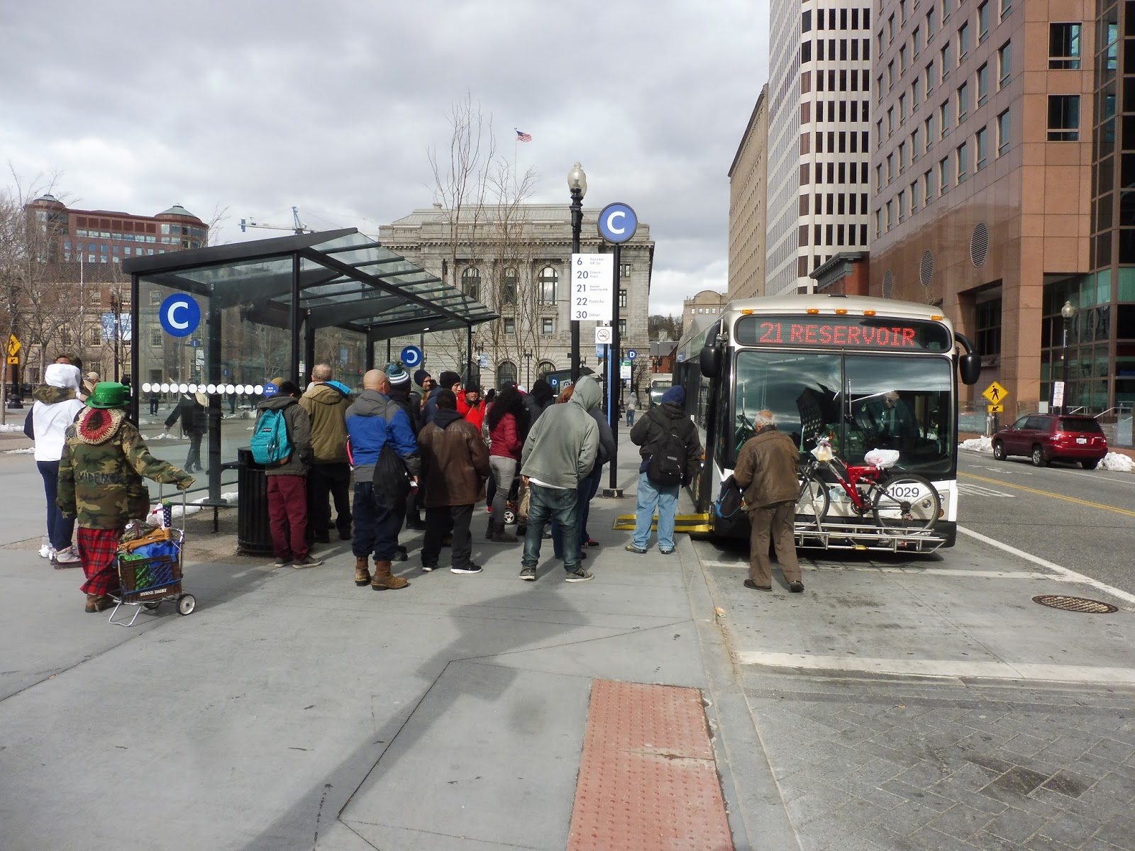
RIPTA: 21 (Reservoir/Garden City)
Arghhhh, the 21 is a hard one to sit through. It has a ton of deviations, it takes over 40 minutes to ride, and…blech. Let’s just get it over with.
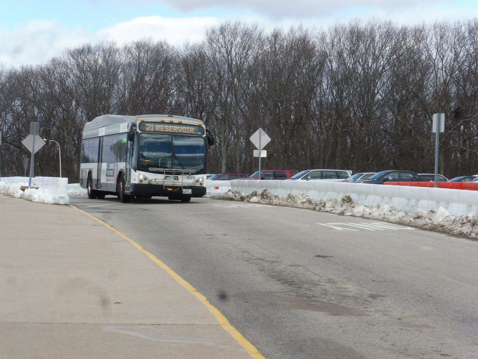 |
| Coming into CCRI. |
Unlike the other Warwick Mall to Providence routes (the 22 and the 30), the 21 begins past the mall, at CCRI. We left the brutalism capital of Rhode Island (seriously, it’s a really ugly building)…two minutes early? Woah, RIPTA buses never leave early! Usually they get so much time that if anything, a driver would want to leave a little late so they don’t have to wait places! What was going on?
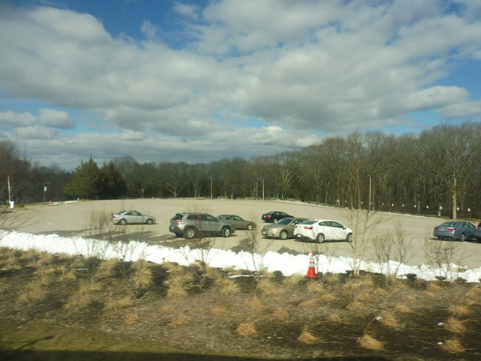 |
| A rather empty parking lot. |
We turned onto the wide East Ave, then we made a right onto Bald Hill Road. Clearly, we were going to use this to get up to the Warwick Mall…oh, or we could deviate into the Rhode Island Mall. Come on, the stop “inside” the mall is barely closer, and saves pedestrians a total of 1 minute of walking over if they were to just use the stop on the street!
 |
| The mall, as seen from East Ave. |
Okay, now time to go onto Bald Hill Road to the mall, right? Oh…okay, no, we’re going back down East Ave. This took us over a monstrous interchange between I-295 and I-95, then we turned onto the very wide Greenwich Ave. We passed a Stop & Shop and a Lowe’s (probably the reason the route is routed this way), then we went over I-95 again.
 |
| Going over the Pawtuxet River. |
There were some apartment buildings, a cemetery, and a church, then we crossed the Pawtuxet River, bringing us to the entrance of the ginormous Warwick Mall! But of course, the stop is wayyyyyy down on the south side of the mall, so we had to travel the length of the parking lot to get down there. This is the only route that goes through the mall (the other ones terminate here), so it made the deviation feel doubly painful because we had to do it twice. Also, geez, we were six minutes late! And we had left two minutes early! They give this thing no time!!!!!!
 |
| Coming into the mall. |
We left the mall on Lambert Lind Highway, which was lined with suburban businesses with parking lots. Once we entered Cranston, we turned onto Mayfield Ave, which was entirely residential – a big change from before. It turned into East Street, but then the area started to get industrial. We soon turned onto Howard Ave, which went through a campus full of various municipal buildings.
 |
| A side street within this strange land. |
We went by a hospital, which seems like it would warrant a deviation, but instead RIPTA decided to have the route deviate to…the DMV and Traffic Tribunal Center. Okay, I get it that a lot of people probably take the bus to these places, but do you really have to deviate for them? Just because someone doesn’t have a car doesn’t mean they can’t walk for three minutes!
 |
| Deviatin’. |
We made our way onto New London Ave, which went through a big cloverleaf interchange with Route 37. On the other side of that interchange, we…deviated again??? This time, it was to serve the Garden City Center, and it required that we go down Sockanosset Cross Road and turn onto Midway Road. Now, this deviation makes more sense when you look at it on a map: Garden City Center is a “lifestyle center” that was built in this really weird self-contained way that makes it super hard to get to from the main road…but it was still annoying to have to deviate to it.
 |
| One side had the mall, one side had apartments. Guess which one I was on. |
We turned onto Garden City Drive, then we made our way back onto the main road, which was now called Reservoir Ave. Garden City Center was luckily our last deviation, so it was now a straight shot past endless ugly businesses with dense houses on the side streets. I’m serious, it was like that until our next turn, which was an unexpected one, to say the least.
 |
| A typical side street. |
We turned onto Pontiac Ave, then headed for an on-ramp to, yes, an express section. Man, RIPTA loves its express routes, huh? Yes, we were now on Route 10, and we were sailing past a bunch of industrial buildings. We entered Providence, and it got more residential as we came close to Olneyville Square, where the highway became Route 6.
 |
| An apartment building. |
We came up alongside the Northeast Corridor as we headed around the north side of Federal Hill. Finally, we passed through a huge interchange with I-95, and the highway was done. We made our way around downtown Providence on Memorial Boulevard, then we turned onto Kennedy Plaza, and that was that!
 |
| Wow, lots of people going back! |
RIPTA Route: 21 (Reservoir/Garden City)
Ridership: The route seems to get good ridership: my Saturday trip got 20 people, and just look at all the passengers waiting to leave the city in the photo above! Interestingly, most people started boarding our bus north of the DMV, with very few coming from the malls or CCRI. Maybe that’s an anomaly.
Pros: The route serves a dense corridor in Cranston, and thanks to the express section, it can get to Providence quickly. The schedule seems to make sense: every half hour on weekdays, every 40 minutes on Saturdays, and every 50 minutes on Sundays.
Cons: Although then again, look at that crowd up there…I wonder if the route could stand to be a little more frequent on weekends. Other cons include the annoying amount of deviations, the long layover times at CCRI, and the fact that the route does not get nearly enough time! I mean, we stayed at a consistent three minutes late past the Warwick Mall, but keep in mind that we left two minutes early. The route’s schedule needs an adjustment, and it would be so easy just to take some time off that 25 minute layover.
Nearby and Noteworthy: Garden City Center seemed like a decent place, even though it’s designed awfully as far as the road network goes.
Final Verdict: 6/10
The 21’s saving grace is that it gets a lot of people. Clearly, there are many that rely on this route. But man, it has a lot of problems! The deviations are annoying, the buses lay over for a ridiculously long time at CCRI, and the route is always late! They’re all fairly simple fixes, but it’s enough to drop the score to a 6.
Latest MBTA News: Service Updates
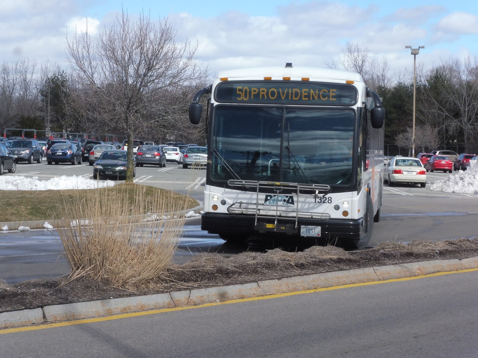
RIPTA: 50 (Douglas Ave/Bryant University)
Can the 50 really be considered a Key Corridor Route if only a third of its length gets the frequent service? And the rest of it is basically in the middle of nowhere? Well, I have to review it either way, so let’s start at the brutalist outpost known as Bryant University way out in Smithfield, RI!
 |
| Not in service? Pah! |
We left the university on the twisty and woodsy Jacob Drive – although in order to leave, we had to pass through a weird security gate. Upon our departure of the campus, we turned onto Douglas Pike, a wide and fast road through forests and fields. There were a few office parks around I-295, which we crossed over, but it was more or less the middle of nowhere again after that. We picked up two people at some random motel called Alpine, which was unexpected.
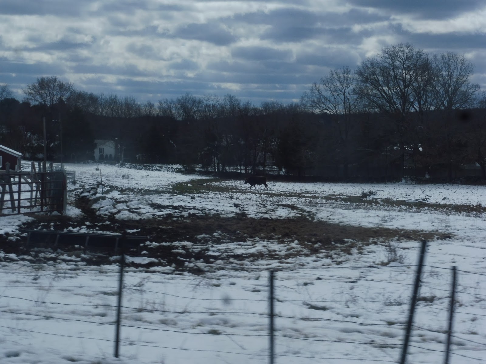 |
| Is that a bull??? IS THERE HALF HOURLY SERVICE TO BULLS?!?!?!?!? |
We continued past more forest, although now there were a few houses and even some industrial buildings and businesses, such as “JIM ANDERSON’S GUN SHOP.” Fun stuff! Eventually, there was a really nice bit where we went on an isthmus through the Wenscott Reservoir, offering fantastic views on either side. On the other side of that reservoir, we were in North Providence, and it was much more urban now.
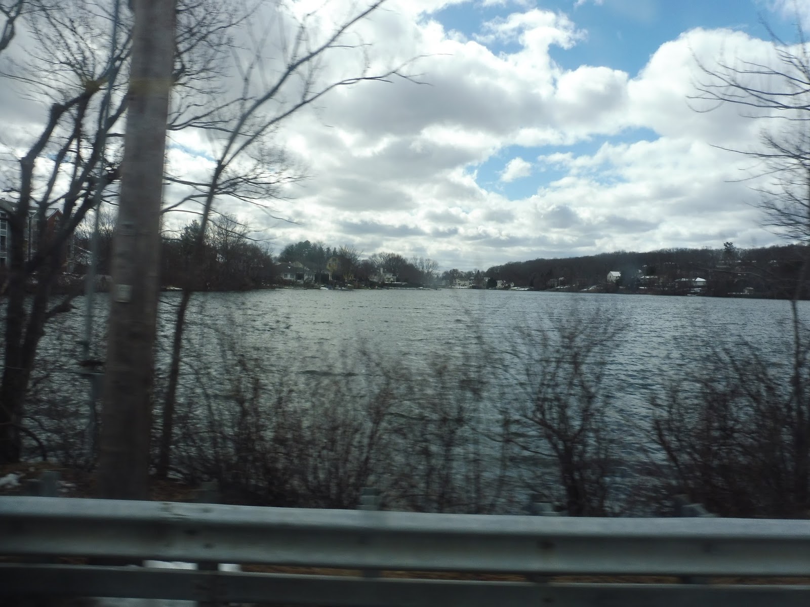 |
| Wow! |
There were a lot of apartment developments just over the reservoir, then there was a brief section of fairly dense houses. At the intersection with Mineral Spring Ave, there were a few huge suburban businesses (the biggest of which was a Lowe’s), and then it was houses again. We suddenly turned off Douglas Ave in order to serve a Shaw’s – this is where every other trip on weekdays begins.
 |
| An earlier trip coming out of Shaw’s. |
We went down Admiral Street for a bit before turning onto the residential Burns Street. This led us back to Douglas Ave, which was mostly residential. There was an elementary school and a convenience store at the intersection with Veazie Street, and there were a few industrial buildings between the houses beyond there. We went by some more retail at the intersection with Admiral Street, which is served by the 55.
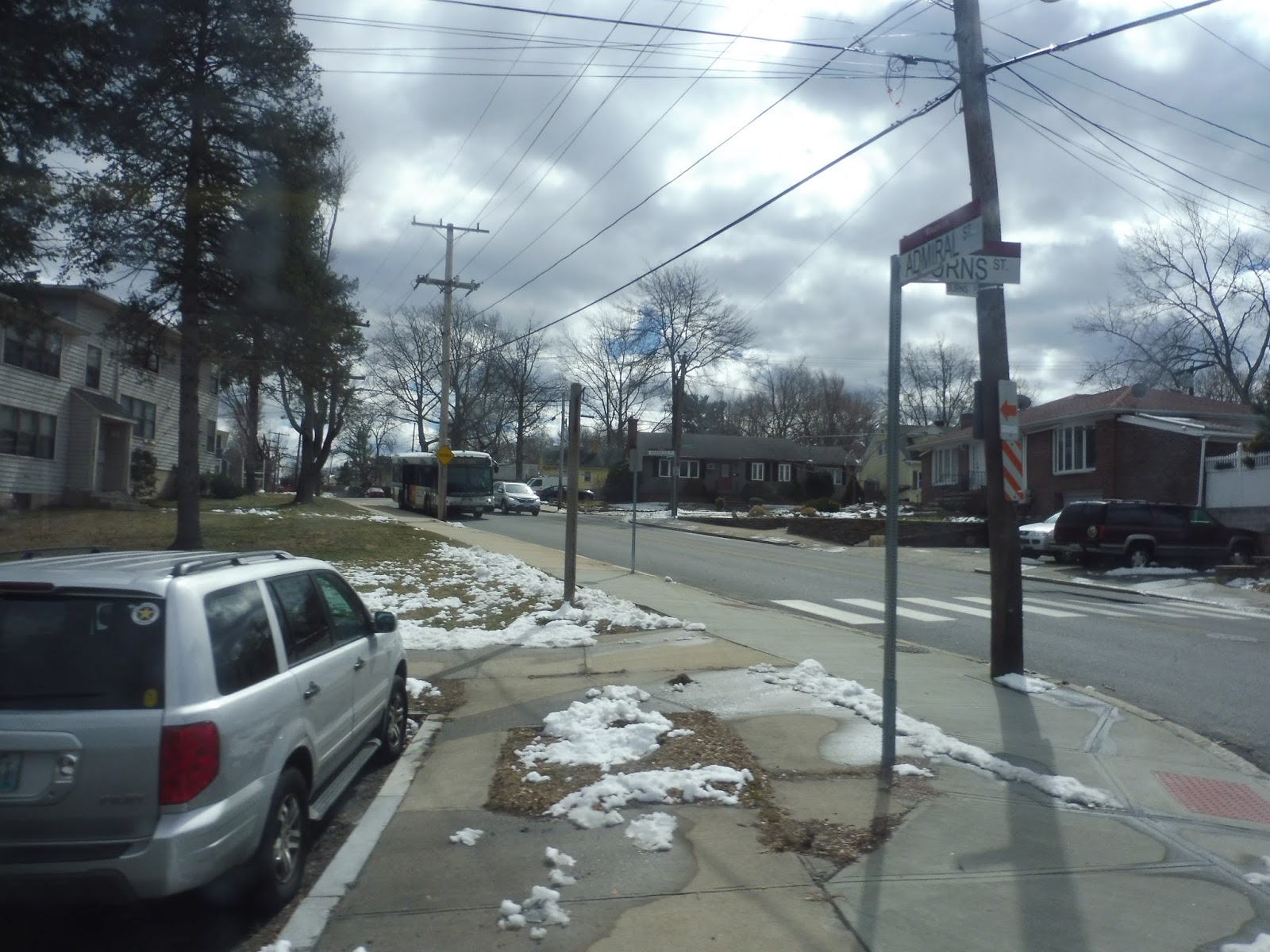 |
| Speak of the devil, there it is! Although this is when we were turning onto Burns Street. |
It continued to be mostly residential, but we did also go by a few businesses and a nursing home. We passed a cemetery, and there was another burst of retail around Chalkstone Ave. After one more round of houses, we merged onto Orms Street and went over I-95, then we made a right onto State Street.
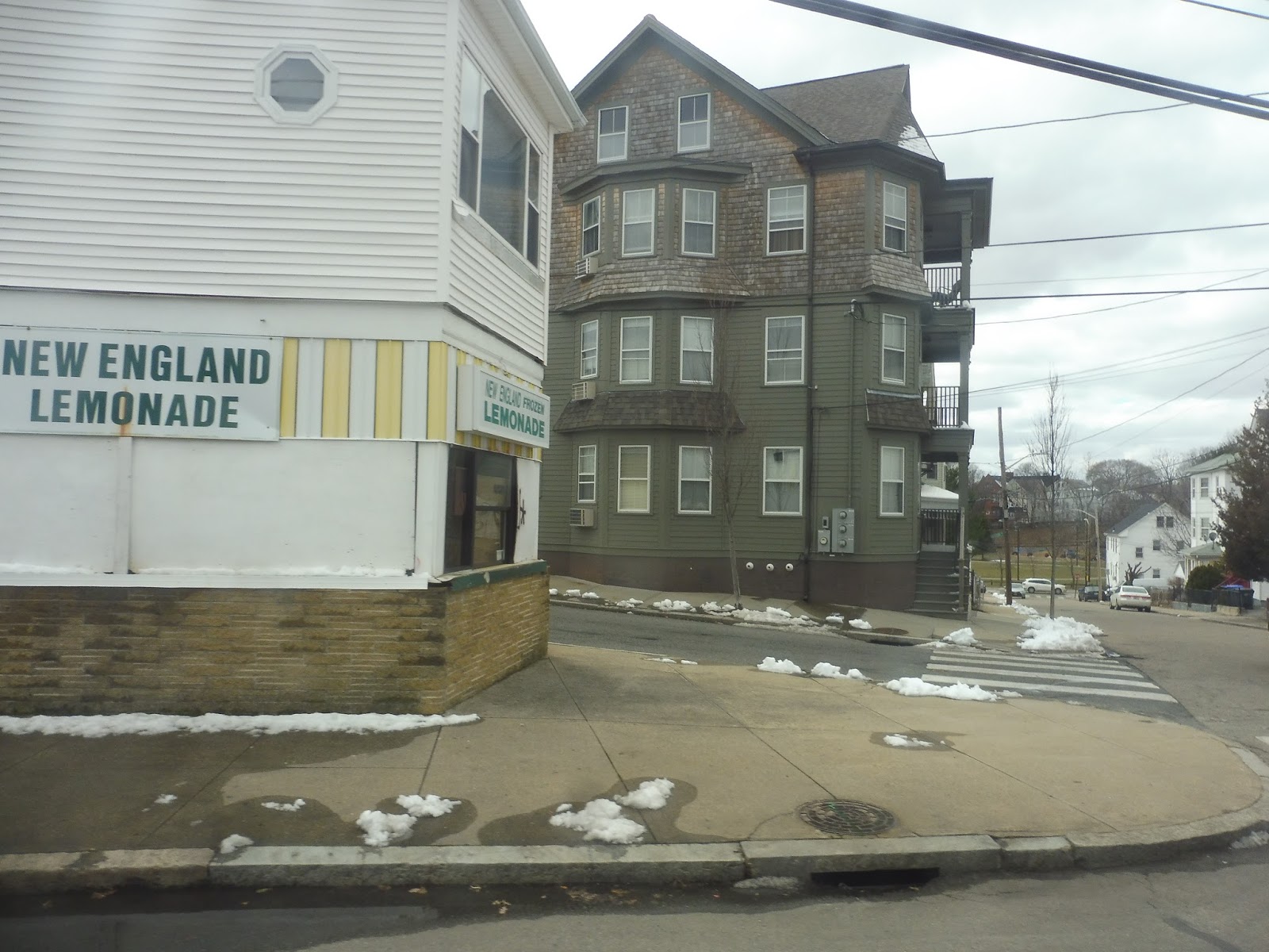 |
| This is earlier in the route, but I just love this random lemonade store! |
It became Gaspee Street and we came alongside the Northeast Corridor while the majestic Rhode Island State House was on the other side of the road. We went by Providence Station, then we turned onto Francis Street, going alongside the Providence Place Mall. Once in downtown Providence, it was a straight shot down to Kennedy Plaza!
 |
| The original bus in Providence. |
RIPTA Route: 50 (Douglas Ave/Bryant University)
Ridership: Our trip got 18 people in total – there were 8 on the “outer section” (north of Shaw’s) and 10 on the “inner section.”
Pros: Douglas Ave is an important and dense corridor through Providence, plus this route connects Bryant University to the city. It also has reverse-peak trips that serve Fidelity Investments, an office park near Bryant, which is great. The route runs every 20 minutes on weekdays, with every other bus terminating at Shaw’s, then it becomes every 30 minutes on Saturdays and every 45 on Sundays. The service runs until 1 AM on Fridays where school is in session, which is an added bonus – normally it ends around 11, although that’s fine too.
Cons: One little one and one big one: for the little one, why is “Smith and Gaspee” a timepoint instead of Providence Station? They’re practically right next to each other, but the station seems like a way better timepoint than this random intersection! For the big one, does every bus have to go to Bryant University on Saturdays? It seems like buses spend a while trundling through the woods for not too many passengers.
Nearby and Noteworthy: Even within Providence, this is a mostly residential route. The best I can give ya is Shaw’s…
Final Verdict: 7/10
For a Key Corridor route, the 50 is a little long and unwieldy, but it does its job well overall. The long woodsy section beyond Shaw’s seems to be mostly to get to Bryant University and Fidelity Investments, so it feels far less used than the inner section – maybe there would be a benefit in only running every other bus up there on Saturdays, although I could be completely wrong.
Latest MBTA News: Service Updates