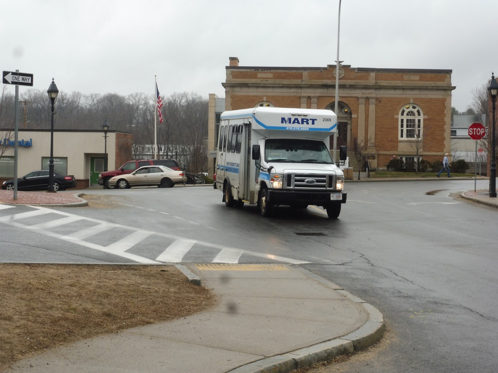
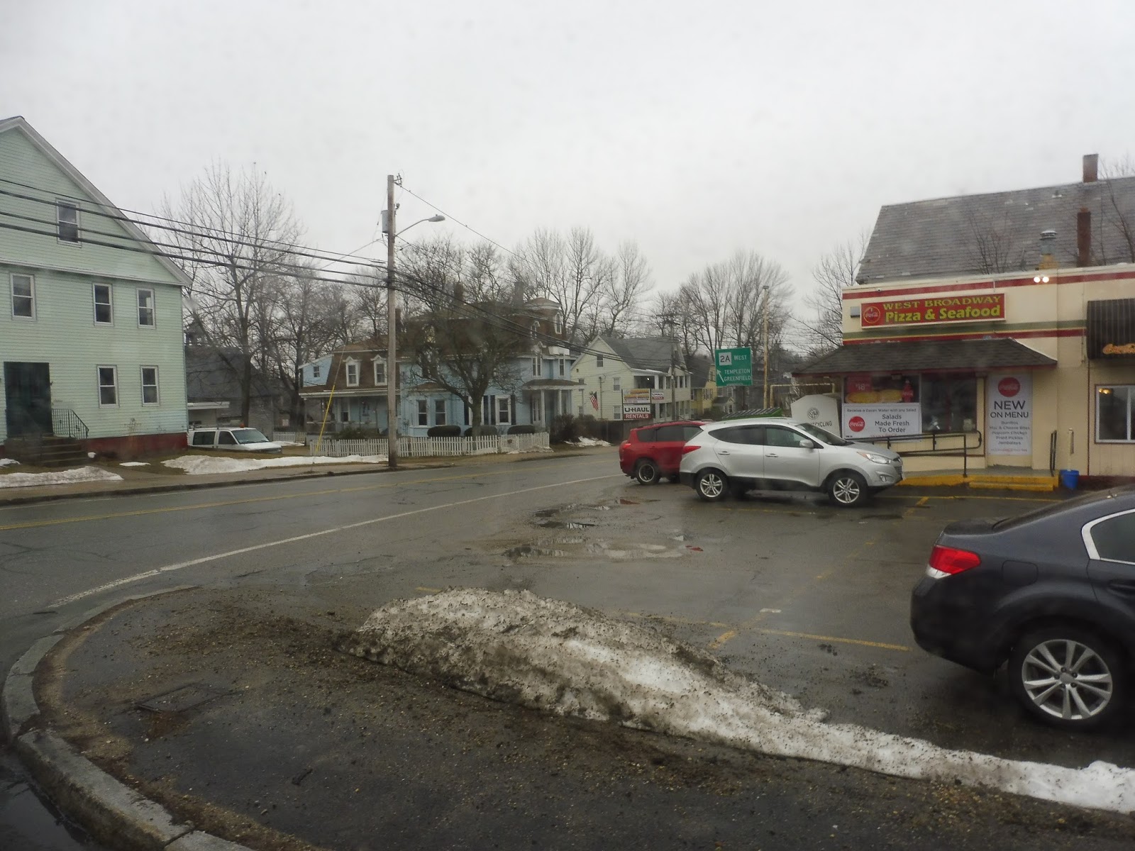
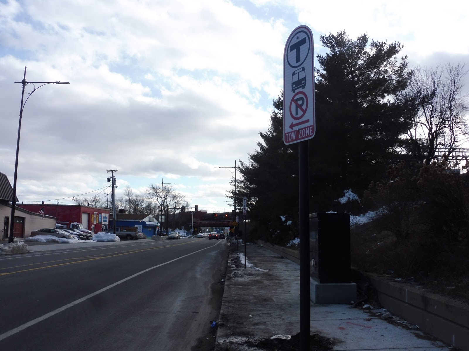
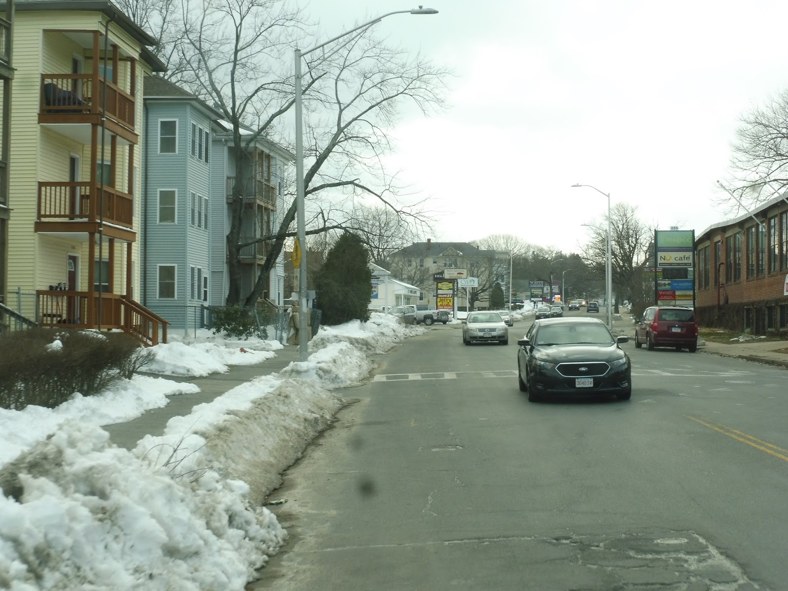
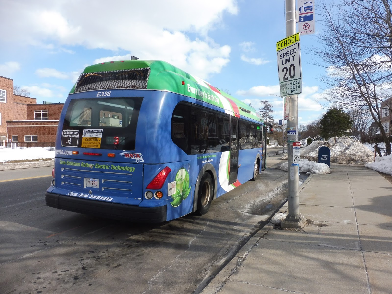
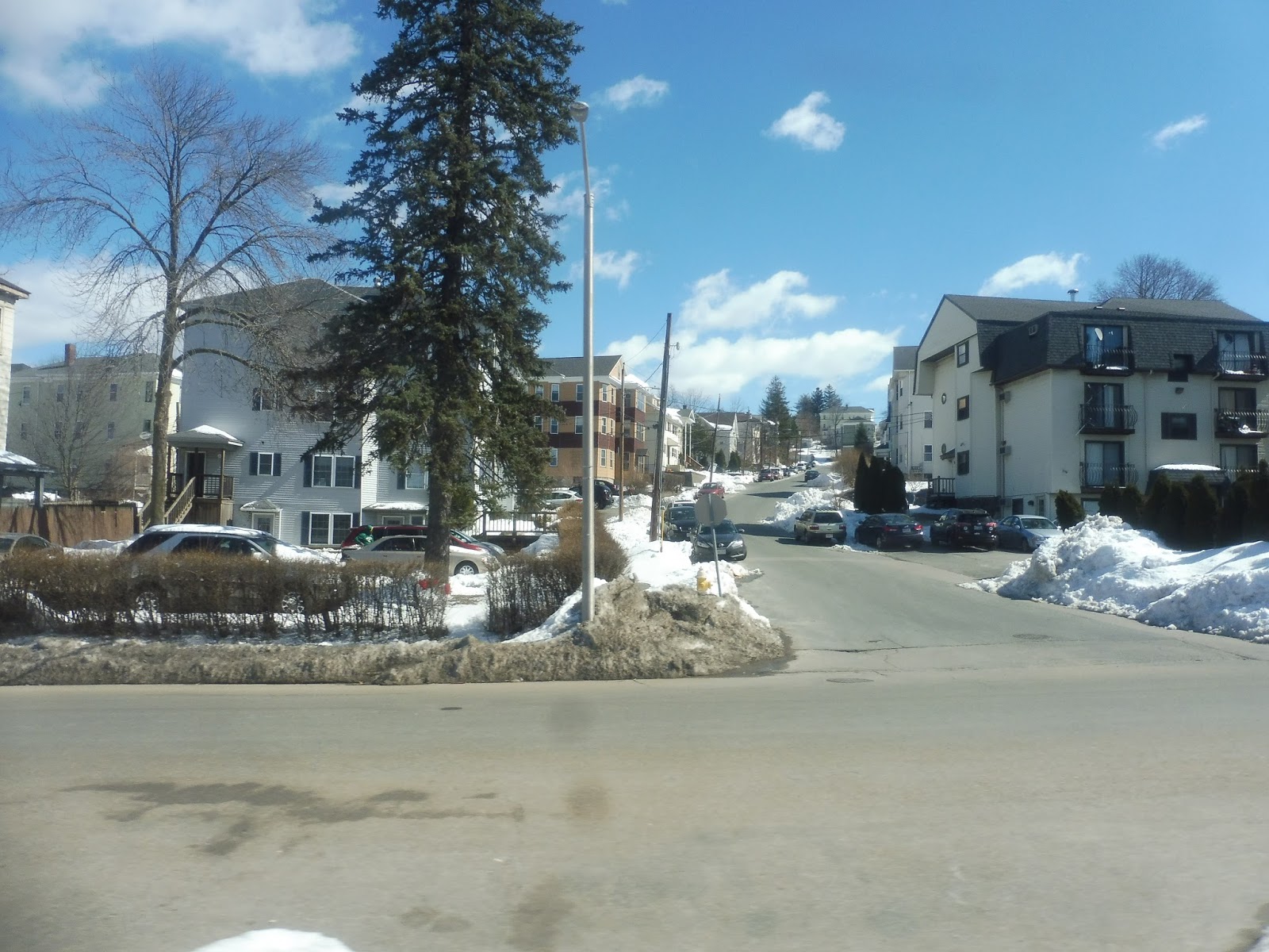
MART: Athol/Orange Link
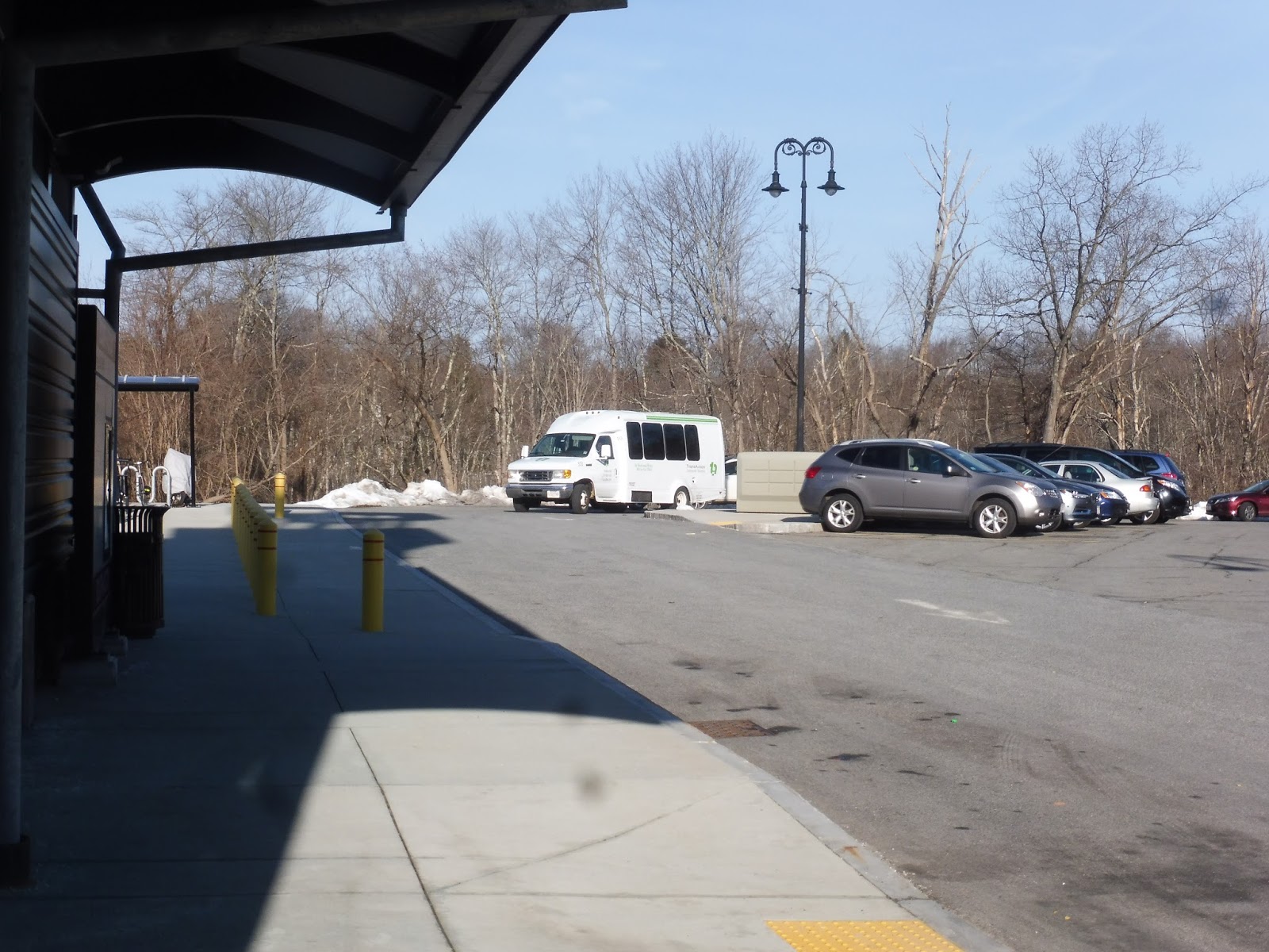
Yes! We’re finally leaving Athol! We’re on our way home! Let’s just wait at the Athol ITC and get the lovely Athol/Orange Link, and…oh God, what is that…
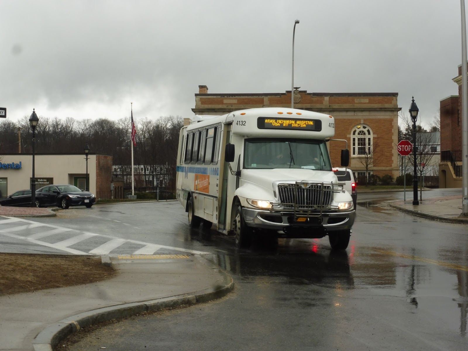 |
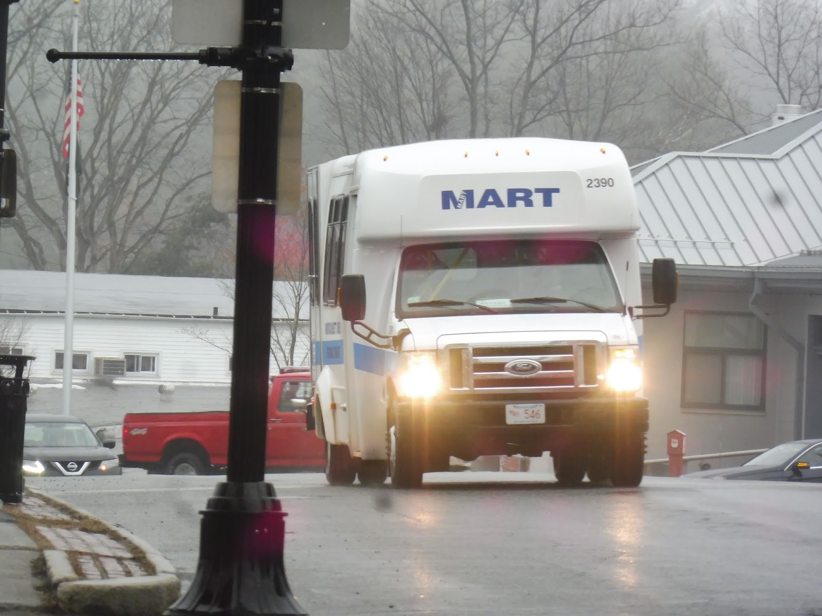
| TRUCK MINIBUS!!!!!!!!!!!!!!!!!!!!!!!!!!!!!!!!!!!!!!!! |
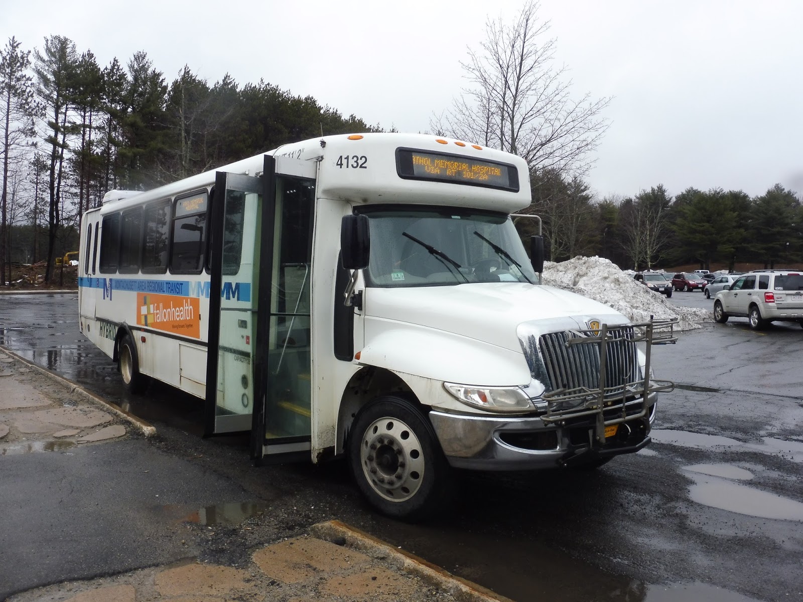
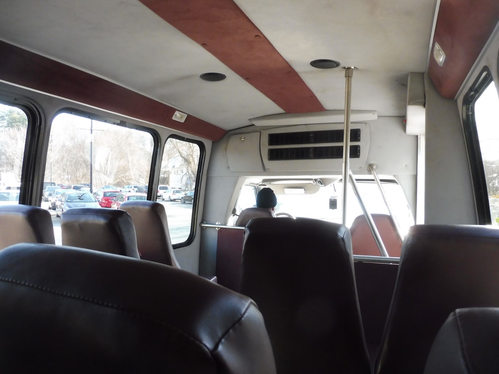
I’m just gonna come out and say it: this was the second-worst transit vehicle I’ve ever been on (here’s the first). It was noisy, the suspension was nonexistent, the roof was like tinfoil, water came streaming into the bus from all directions, the wheelchair was insanely jiggly, and the whole thing smelled like cigarettes. IT. WAS. UNBEARABLE. Nathan put it best: “Every bump is like losing a part of my sanity that I can’t get back.” Exactly.
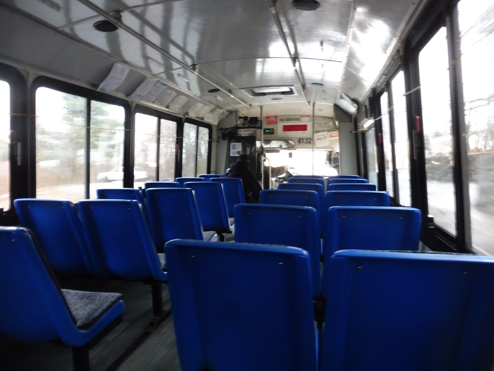 |
| EW!!!!!!!!!!!!!!!!!!!!!!!!!!!!!!!!!!!!!!!!!!! |
I’ll be clear that Nathan, Sam, and I didn’t get this route from the beginning. It actually starts at Hannaford on the border with Orange, then it makes its way from there to Athol via an Ocean State Job Lot deviation. We boarded at the Athol ITC for three reasons: 1) The Athol/Orange Shuttle (the loopy one – these names are confusing!) already more or less covers the route from Hannaford to Athol; 2) If we had actually started at Hannaford, it would’ve required waiting an hour and a half there; and 3) WE DIDN’T HAVE TO STAY ON THE TRUCK MINIBUS AS LONG IF WE GOT ON AT THE ITC.
 |
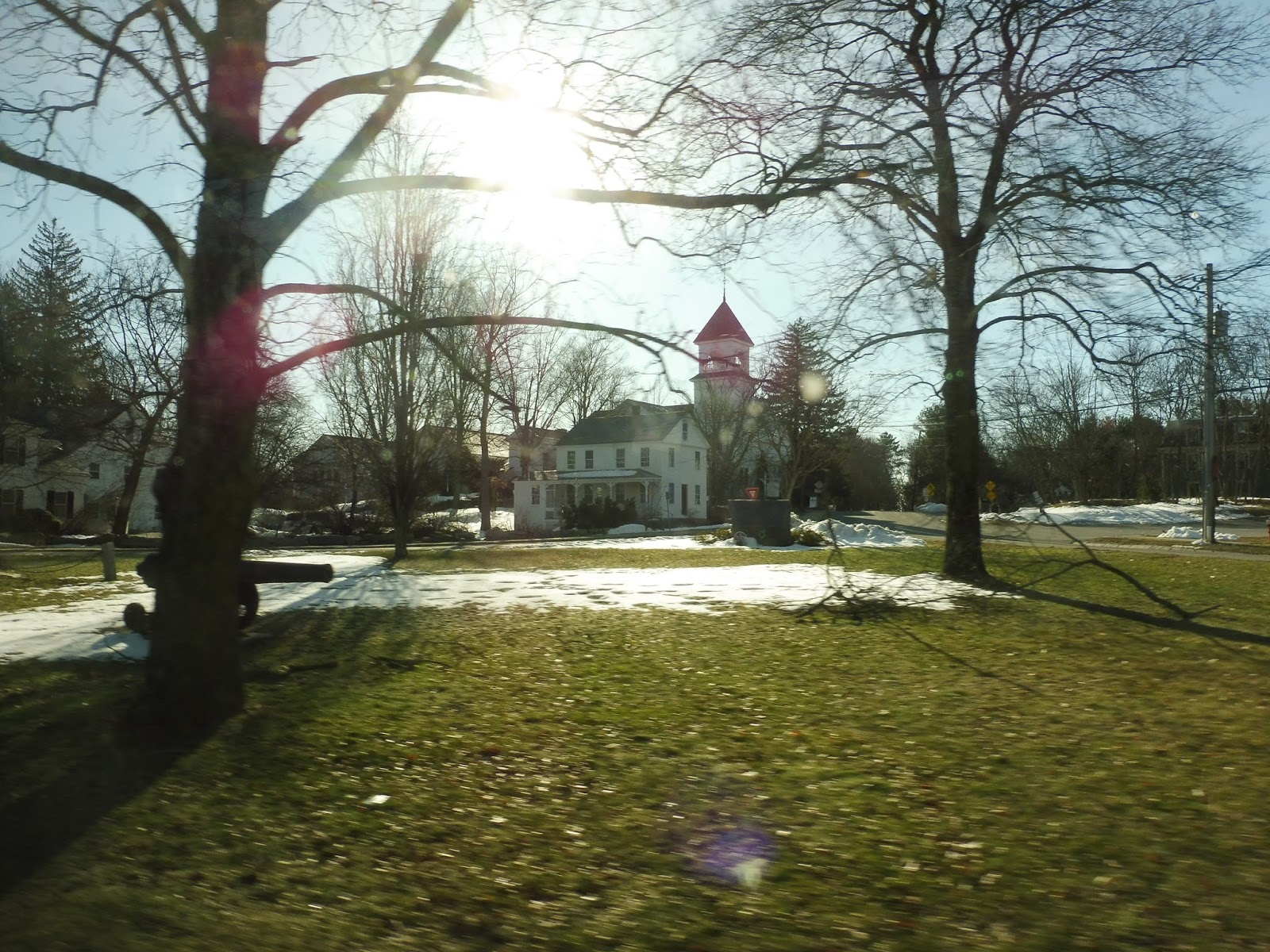
| A church. |
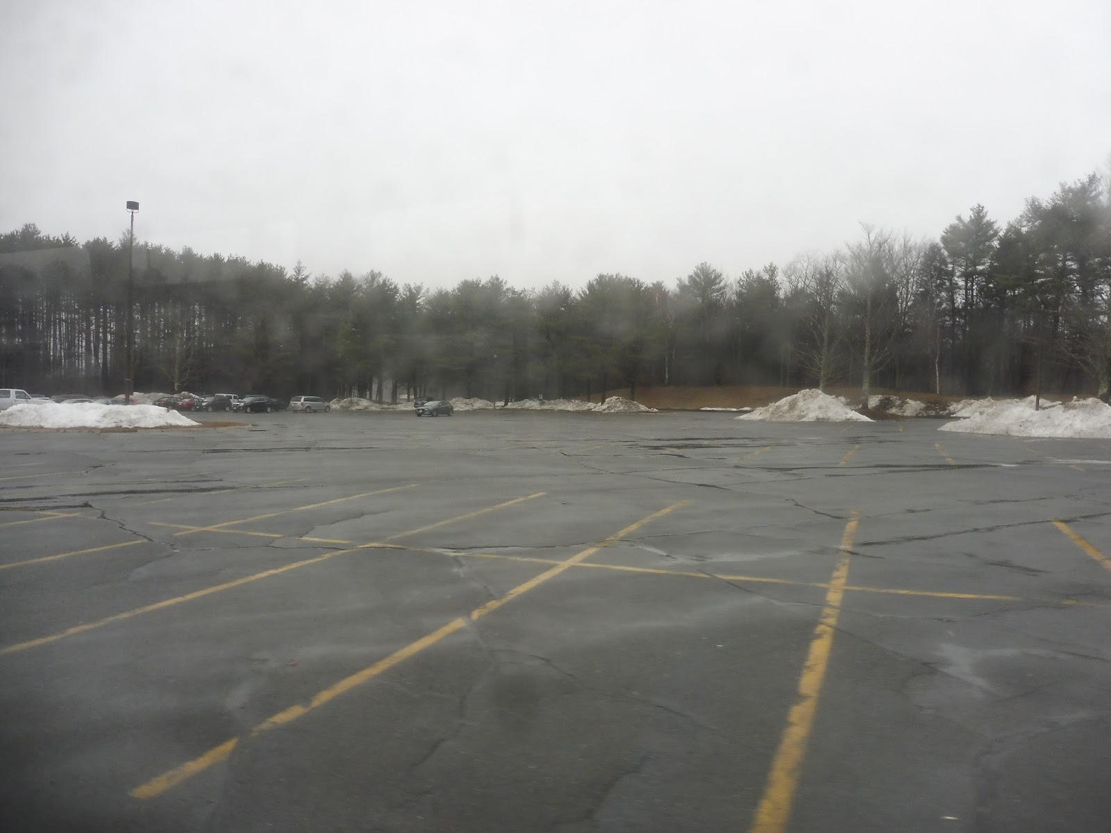
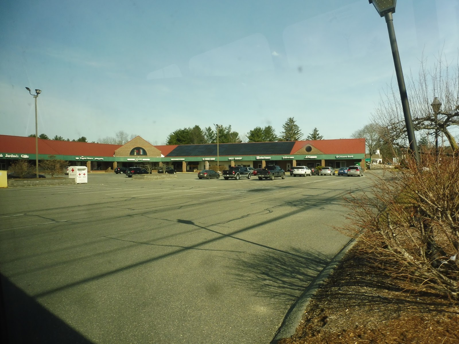
We headed down School Street, a mostly residential road, then we turned onto Main Street. We passed Uptown Common, a small…common, with some retail clustered around it, then a few minutes later, we deviated into the Athol Hospital. Main Street became Templeton Road from there, and it was forest until we suddenly pulled into a modern shopping complex to serve a Market Basket.
 |
| In the shopping center. |
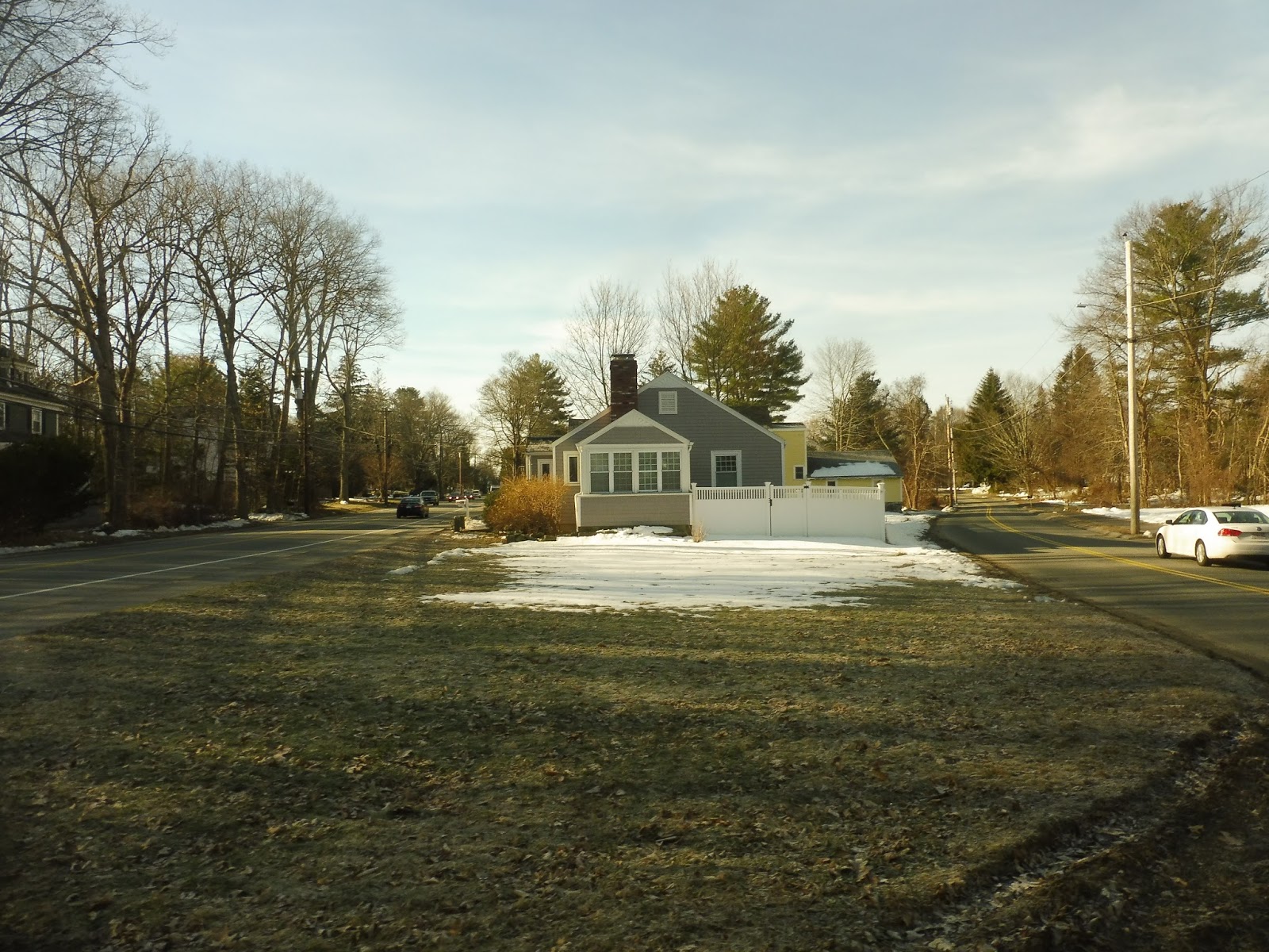
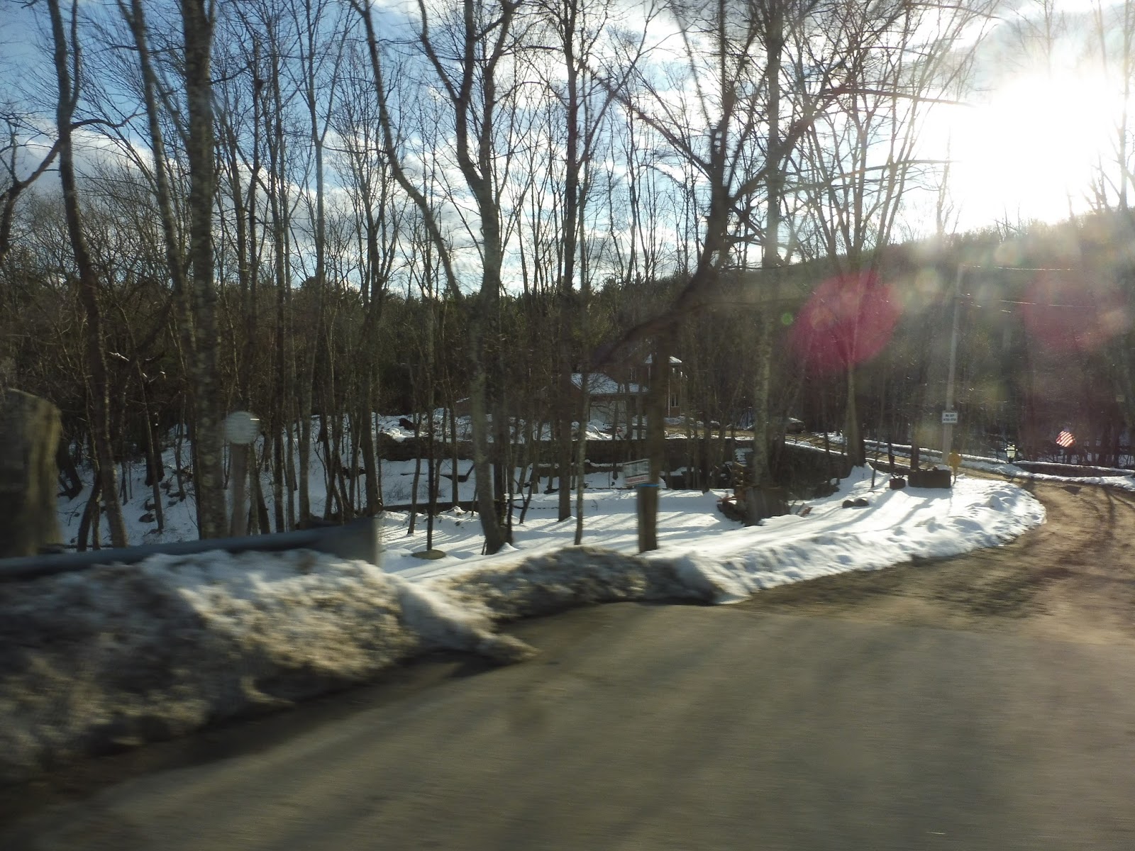
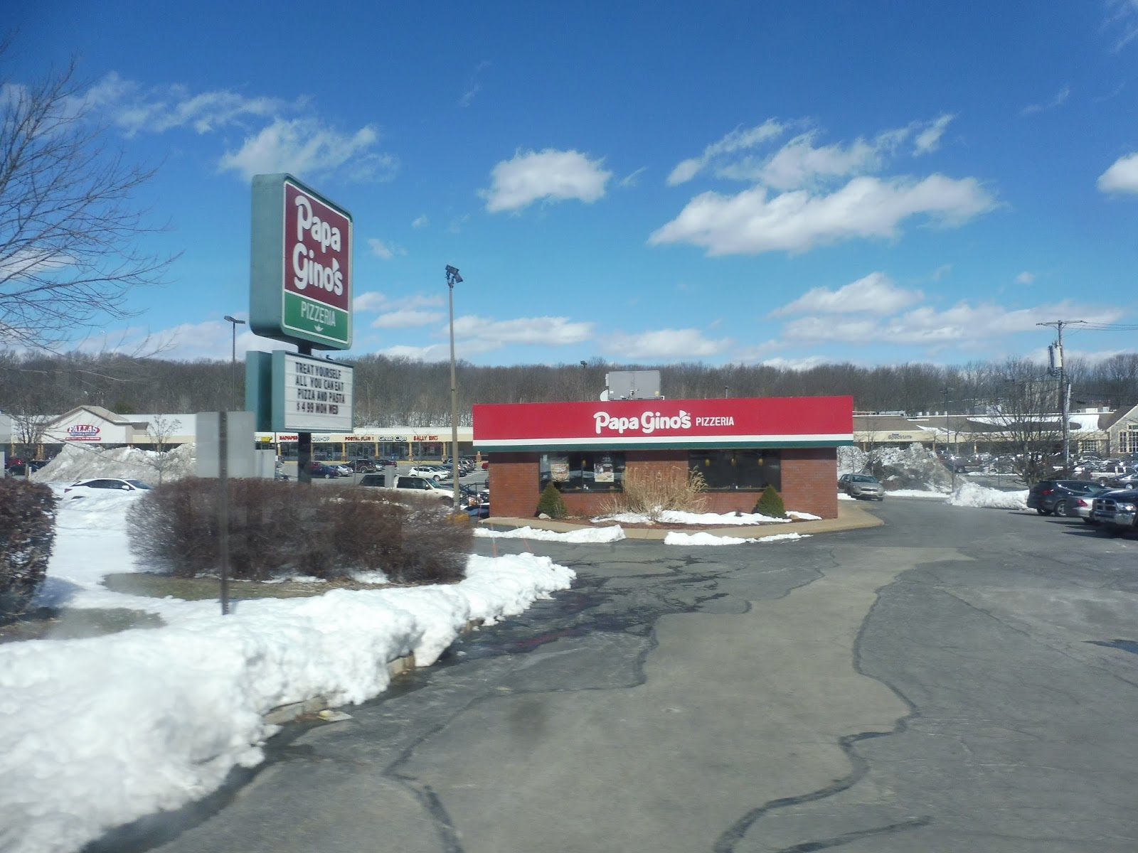
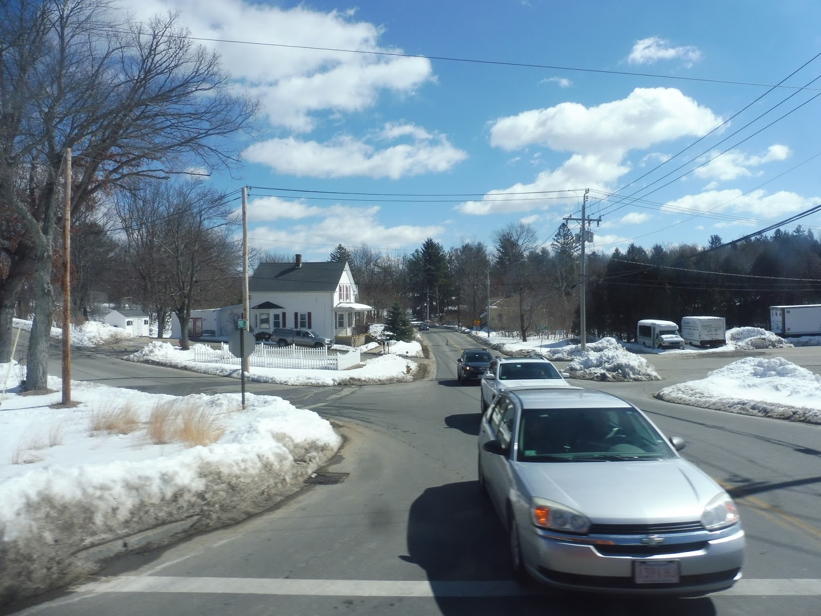
Continuing east, we finally finally FINALLY left Athol, entering Phillipston. It was all woods as we curved our way under Route 2. There were a few random suburban businesses here and there, then some houses and a fire station later on. At an interchange with Route 2 (where we went under the highway again), there was a major route timepoint: the…uh…King Phillip Restaurant. Huh.
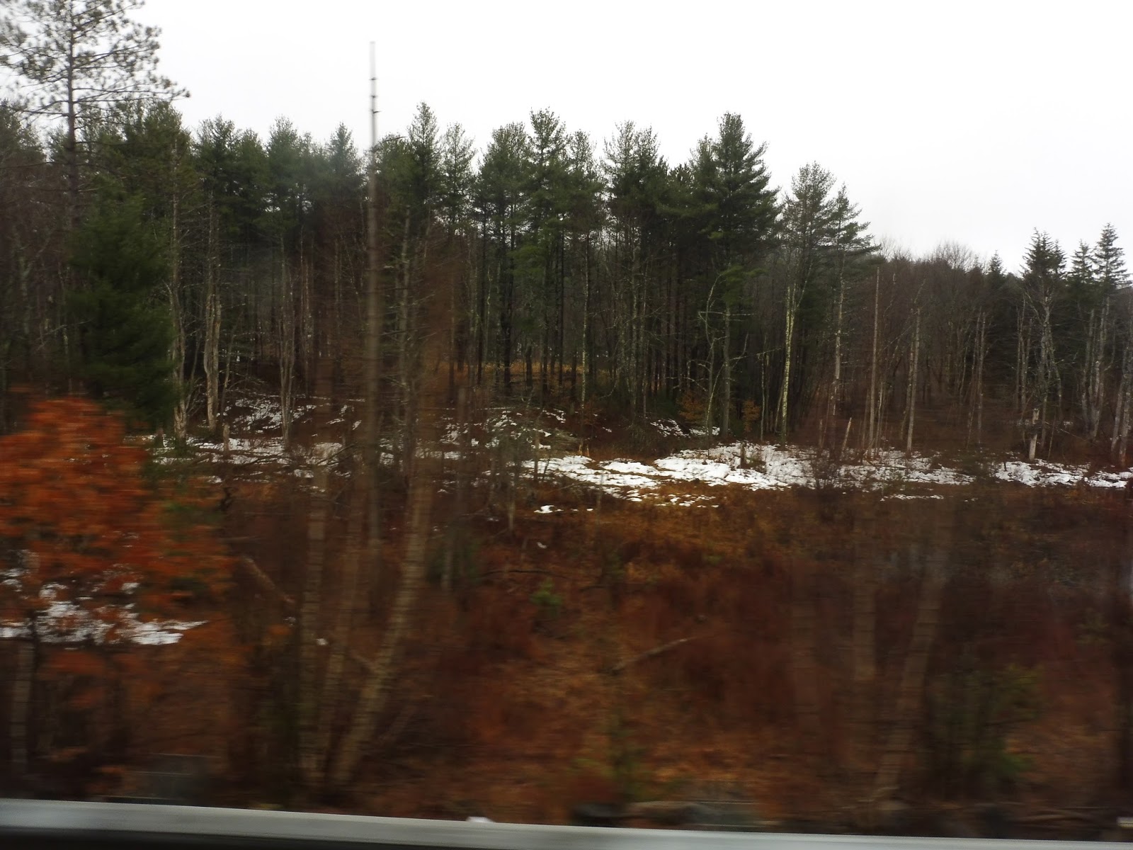 |
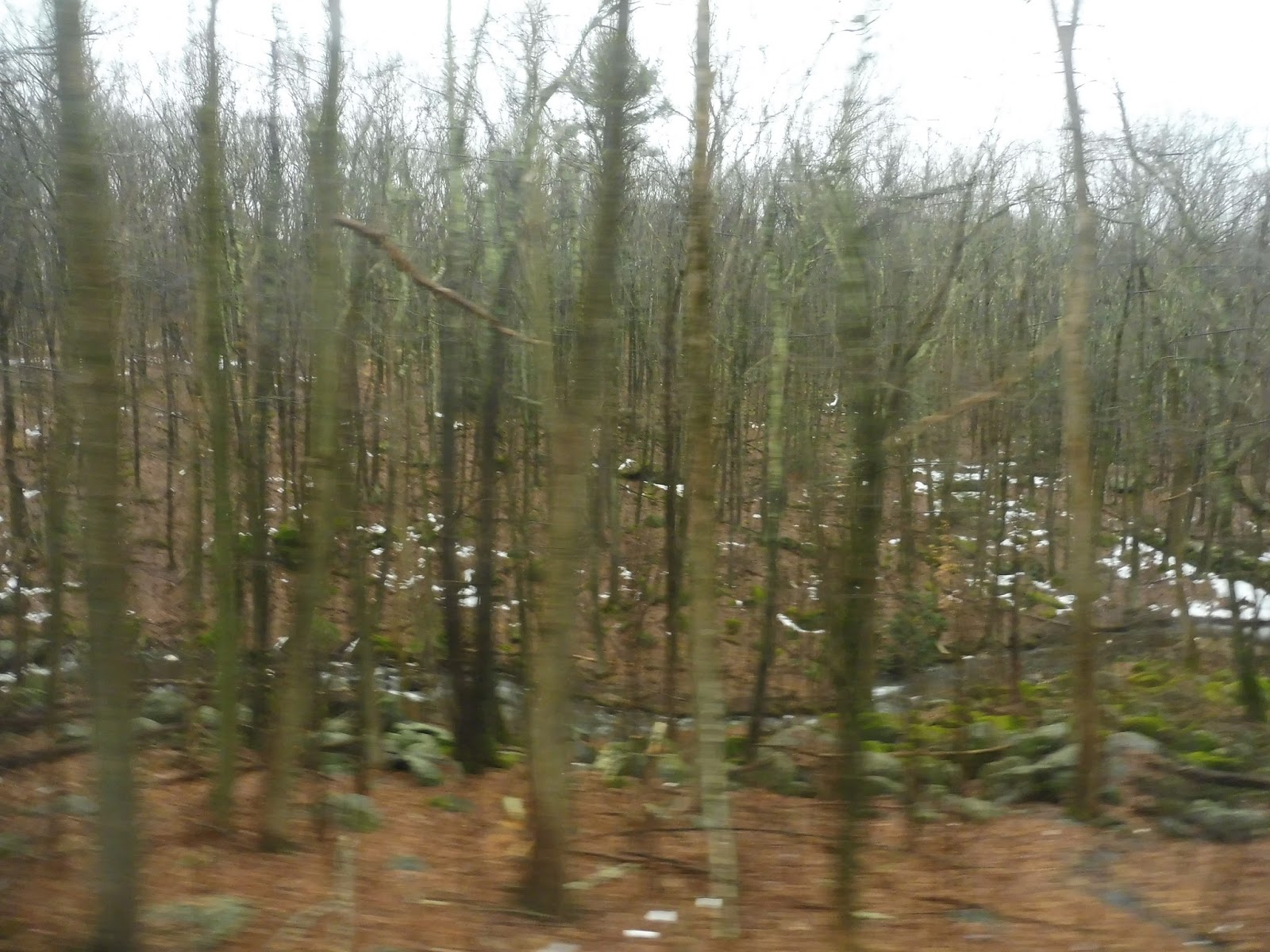
| Trees, trees, trees. |
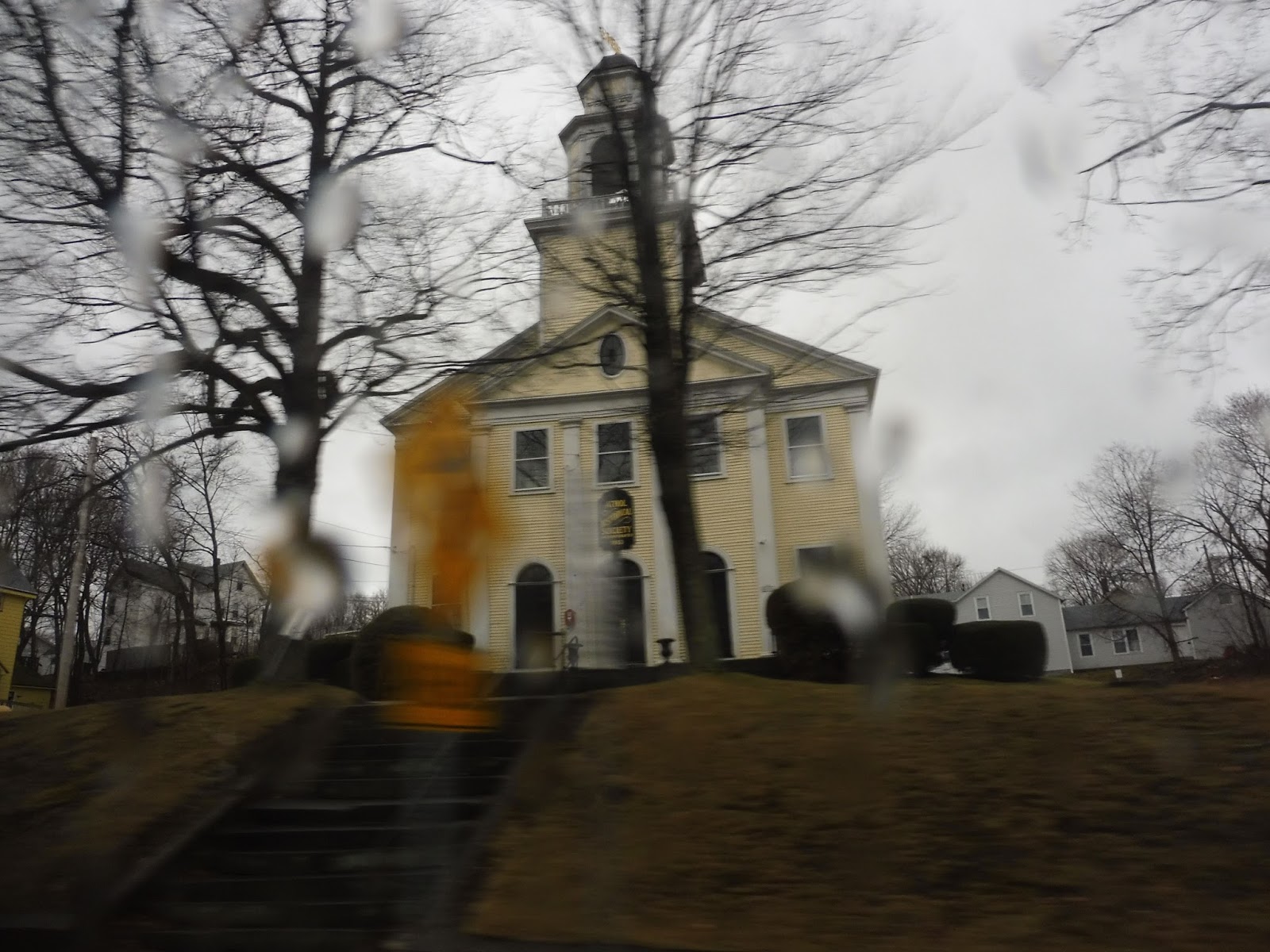
We entered Templeton on the other side of Route 2, and it was…yeah, I mean, basically more woods. Turning onto Patriots Road, it was just houses on occasion and that’s it. We went under Route 2 again and it started to get a little “denser,” with some more houses and a cemetery. Soon, we arrived at Templeton Center, which consisted of a common, a church, a few businesses, a post office, and this actually cool-looking museum. Strangely, the bus did a jog onto South Road, about 50 feet from Patriots Road, to make its stop. You don’t really serve anything extra by pulling off for a 50-foot jog…
 |
| A gazebo in Templeton Center. |
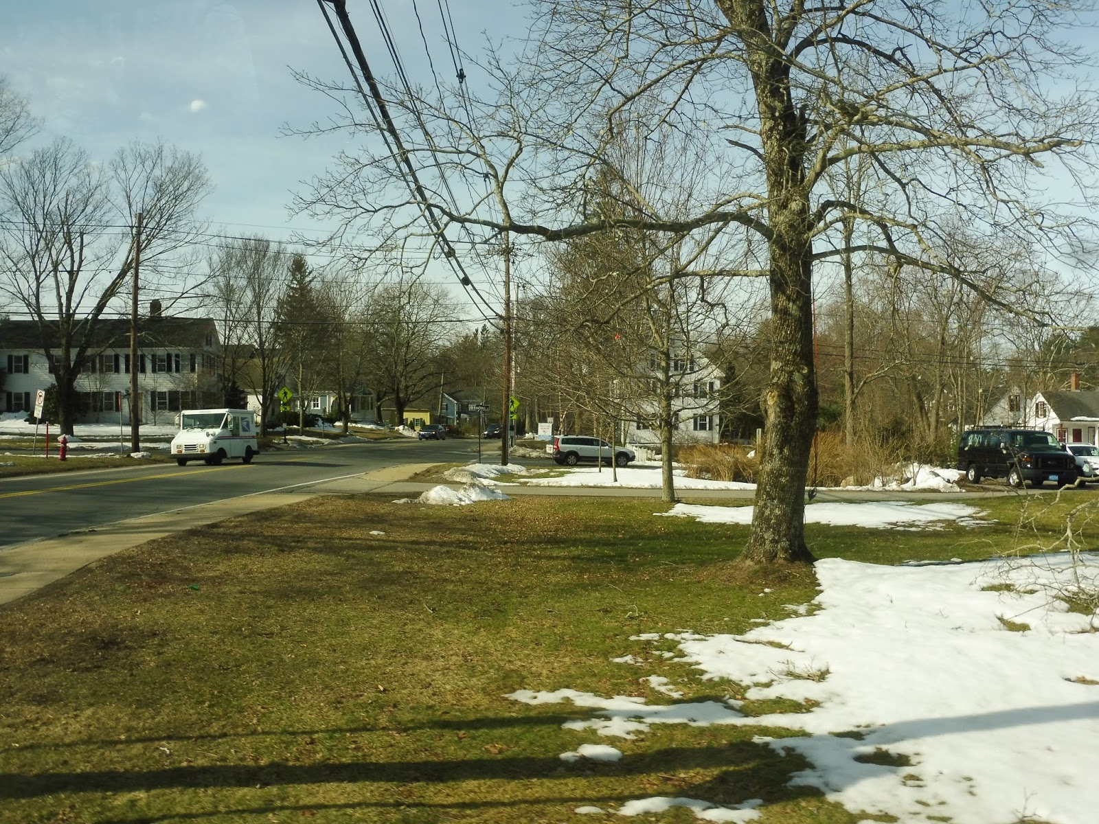
It felt at least a little like civilization beyond Templeton Center; there were at least some houses along Patriots Road. We crossed Route 2 for what would be the final time, going over it this time, and on the other side was East Templeton Center. Strangely, this center was somewhat dense and actually had a decent amount of businesses. Templeton Town Hall was even located here!
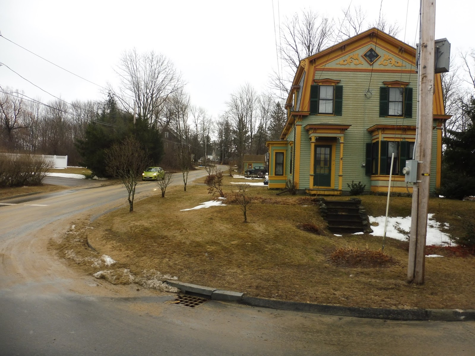 |
| Now that is an awesome paint job. |
We merged onto Gardner Road, which was still tons of forest, but there were a few industrial buildings here and there. The street became Parker Street when we entered…UGH…Gardner. After going over a railroad track, it suddenly got really dense, with houses and apartments lining the road.
 |
| Talk about a change in scenery! |
We had to do a deviation to the Gardner Highrise apartment building via Waterford, Church, and Marquette Streets – that was annoying. Just before hitting downtown Gardner, we turned onto Nichols Street then made a right onto City Hall Ave, serving, yes, Gardner City Hall. And though it would’ve been fantastic if the horrible truck minibus ride was over, this route goes further to the Gardner MWCC Campus. More time on a truck minibus…yay…
 |
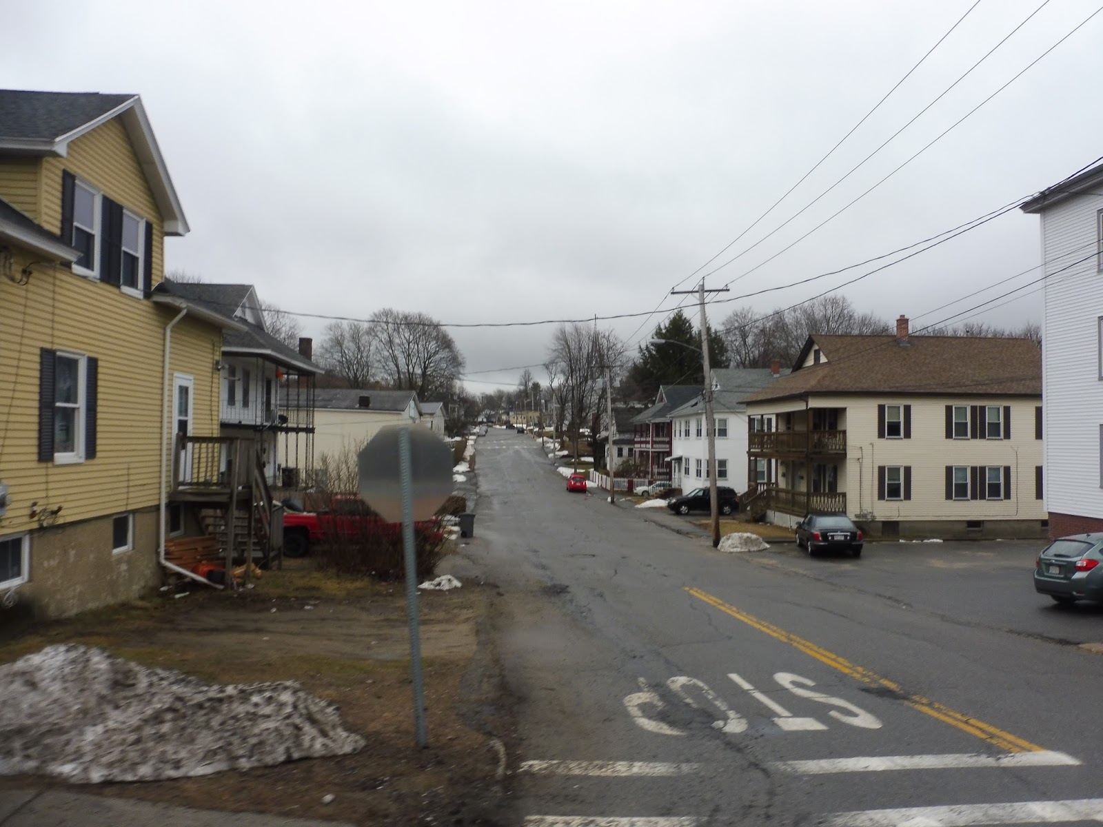
| A side street in downtown Gardner. |
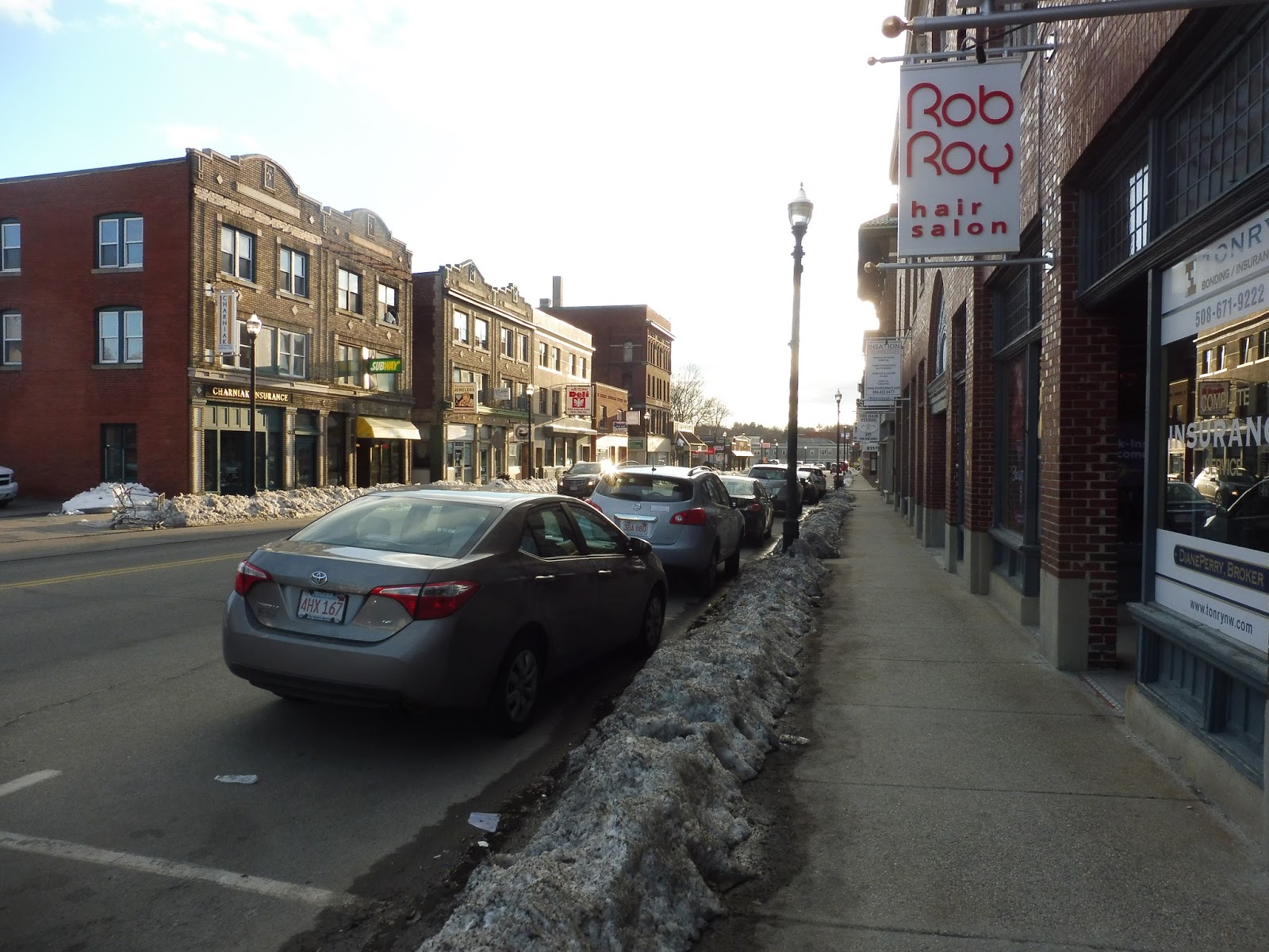
We could now enter downtown Gardner after serving City Hall, so we headed up Main Street and ran past all the, er, lovely retail of Gardner. It became Central Street and we soon left the center, running past houses, old industrial buildings, and churches. We used a rotary to get around onto Woodland Ave, which was lined with houses until the Heywood Hospital. Soon after that, we turned onto the MWCC driveway, and…oh my gosh, the ride was over. THE TRUCK MINIBUS RIDE WAS OVER! NOT ONLY THAT, BUT THIS IS THE LAST REVIEW I’LL EVER HAVE TO DO IN GARDNER!!!!!! LET’S CELEBRATE!!!!!!!!!!!!!!
 |
| EW! EW EW EW EW EW EW EW EW!!!!!! |
MART Route: Athol/Orange Link
Ridership: Wow, this route’s ridership has gone down quite a lot over time. In 2014, the route got 25,522 people per year, or around 105 per day. That’s gone down to 13,883 people in 2017, equalling about 58 people per day. Ouch! Granted, in 2014, the route went all the way out to Orange, so maybe eliminating that section lost riders? I’m not sure if it’s enough to cut the people in half, though. Our trip, incidentally, got one other person.
Pros: This route is direct and highly necessary. It gets a lot of usage from students commuting to MWCC from Athol, but it’s also just a really important link – it’s Athol’s one connection towards Boston (eventually). Using one bus, the route runs every 90 minutes weekdays only, which makes sense – we’re not exactly in the city here.
Cons: OH, YOU MEAN OTHER THAN THE HORRIBLE EXCUSE OF A VEHICLE THAT THAT LEAKY, DISGUSTING, NOISY TRASHBUCKET TRUCK MINIBUS WAS??!?!?!?!??! Well, it just doesn’t get a lot of people, and I don’t quite know why that is. Perhaps ridership would increase if buses were extended to Orange Center, but they would have to run every two hours if that happened, which isn’t optimal.
Nearby and Noteworthy: Take your pick: a depressing big city (Gardner) or a depressing small town (Athol). I’ll take Athol, personally – at least it has trees and stuff.
Final Verdict: 5/10
It’s too bad this route gets so few people, because I think it’s a rather good one. Athol needs that connection to the outside world because it’s such an isolated place, and I wish more people would take advantage of this direct trip to Gardner. Maybe it’s because it’s only every hour and a half. Maybe it’s because it doesn’t go to Orange. Or MAYBE IT’S BECAUSE IT WAS USING THE WORST BUS EVER ARAHGEHAEIEOMKLMGMGAELMLKMG!!!!! Okay, I’ll stop…
Latest MBTA News: Service Updates
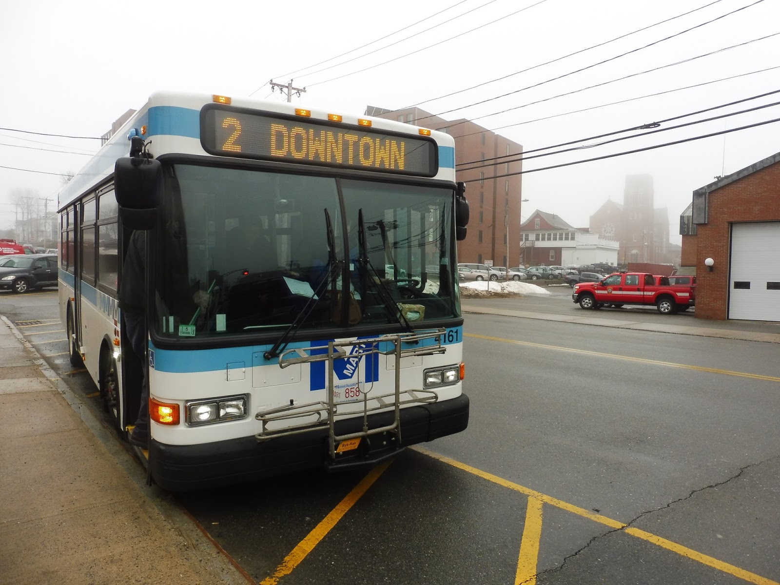
MART: Athol/Orange Shuttle 1/2 (Counterclockwise/Clockwise)
Man, this route is out there! It officially gets to a point where it’s closer to the New York border than it is to Boston. Interestingly, this far-out land has had a bus route for a while; this deviation-filled loopy-loop used to be operated by a company called Community Transit before MART took it over. It’s funny, MART is treated like some bloodthirsty multinational corporation out here, even though it’s actually a tiny RTA in the grand scheme of things. We’re definitely not in Kansas anymore! So, let’s take a look at this crazy route out here in almost-western Mass.
 |
| Well…what other kind of bus would it have used? |
Nathan, Sam, and I caused a revolution in the town of Athol: we brought in the fabled CharlieCard. As it turned out, the bus was equipped with a CharlieCard reader, but the driver said he had never ever used it before. It was very exciting to be quite possibly the first people on this route ever to use a CharlieCard, and the driver was super impressed by the “technology.”
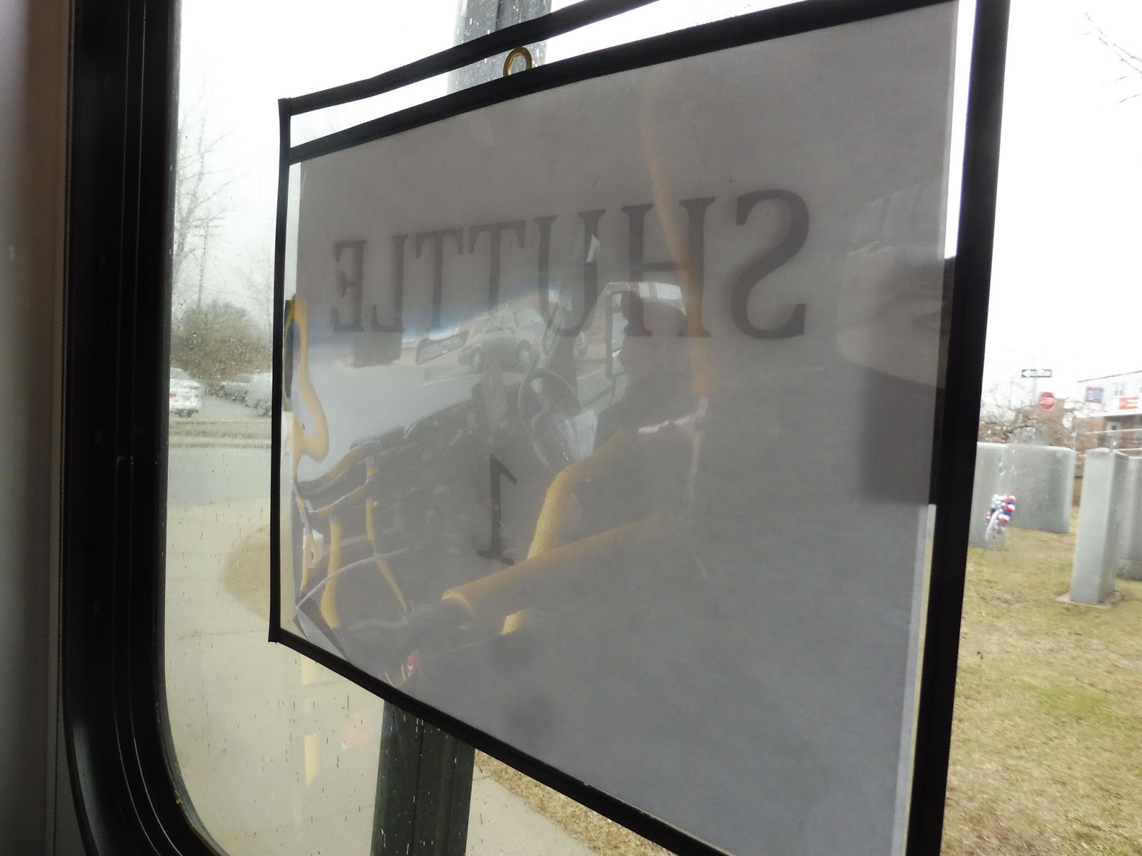 |
| This side paper said “Shuttle 1” while a paper on the dash said “Shuttle 2”! We were on the 2, for the record. |
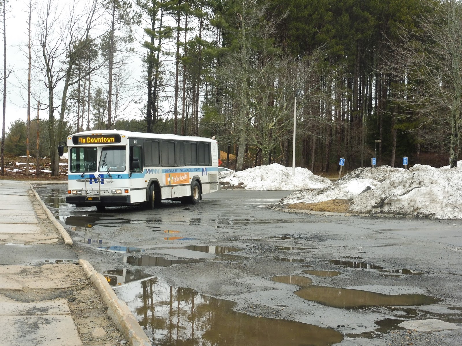
Like most MART in-town shuttles, this one consists of a loop that has separate “routes” running clockwise and counterclockwise. This is by far the longest one MART runs, with each circuit taking a full hour and a half! The crazy length of the trip was exemplified when someone was about to board here at the Athol ITC. “Do you go to Market Basket?” the person asked. “Eventually,” the driver responded. The passenger ended up waiting for the other bus.
 |
| We’re off! |
We left the Athol ITC on Traverse Street, running past a few businesses on the outskirts of downtown. We soon turned onto Carbon Street, taking us under some train tracks, then we turned onto Hapgood Street on the other side. The scenery consisted of houses at first, but once the street became South Athol Road, it passed a few industrial buildings. Also, this whole time, the driver was regaling us with fascinating stories about his childhood and the history of Athol. “None of this was here when I was a kid,” he said.
 |
| Woods. |
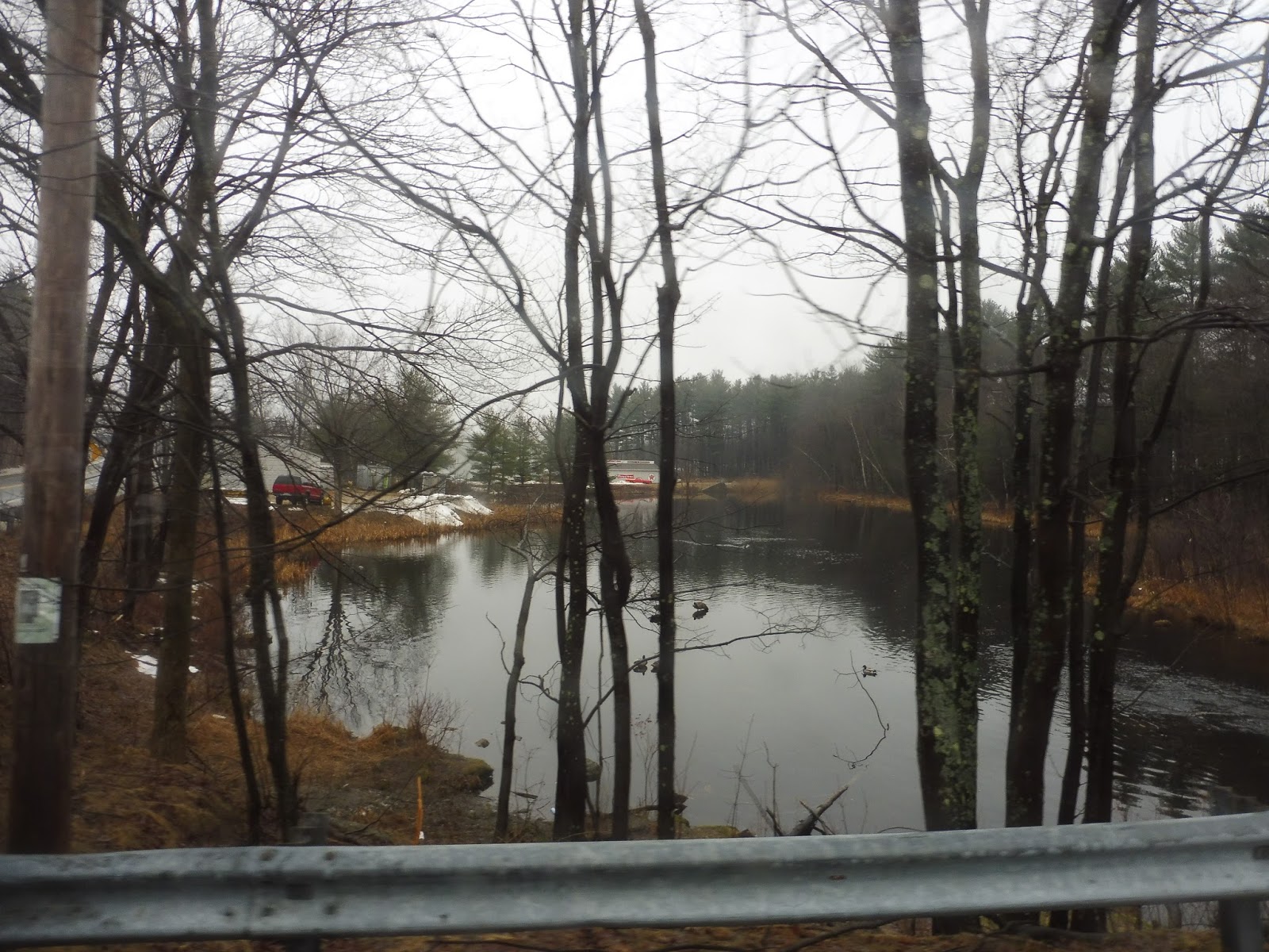
As we came close to the Millers River, where a huge canoe race happens annually, we entered the forest. It was basically all trees everywhere, but once we turned onto Partridgeville Road, houses started to show up more often. “My dad built that house,” the driver said as we passed one of them. He also told us about how he knew everybody in the area. “And I mean everybody,” he said.
 |
| I like that wooden fence! |
We went by a few apartment developments, then we turned onto Daniel Shays Highway. The driver had another story: “See that house on the corner? Everyone in the neighborhood thought the two women who lived in there were witches. My friends and I were the only ones brave enough to go there on Halloween, and we always got all their candy! They turned out to be the nicest ladies…”
 |
| Don’t pass! |
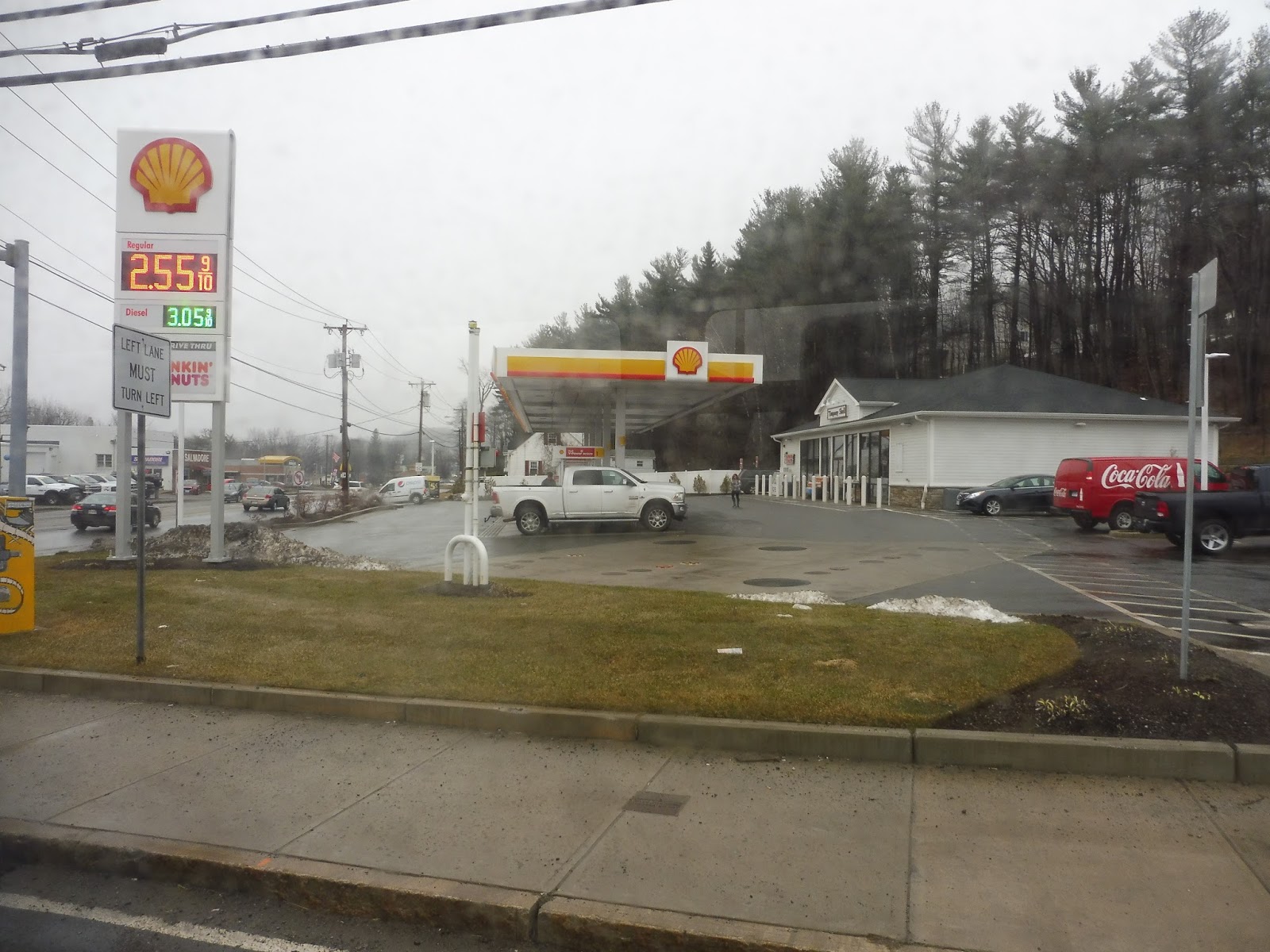
We deviated into Quabbin Valley Healthcare, a small clinic, then we came back a ways down Daniel Shays Highway. Next up was a right on East River Street, running through some forest before coming out into a clearing for Orange Municipal Airport – we were now in that town. The airport was on one side of the road, while the other side had a trailer park.
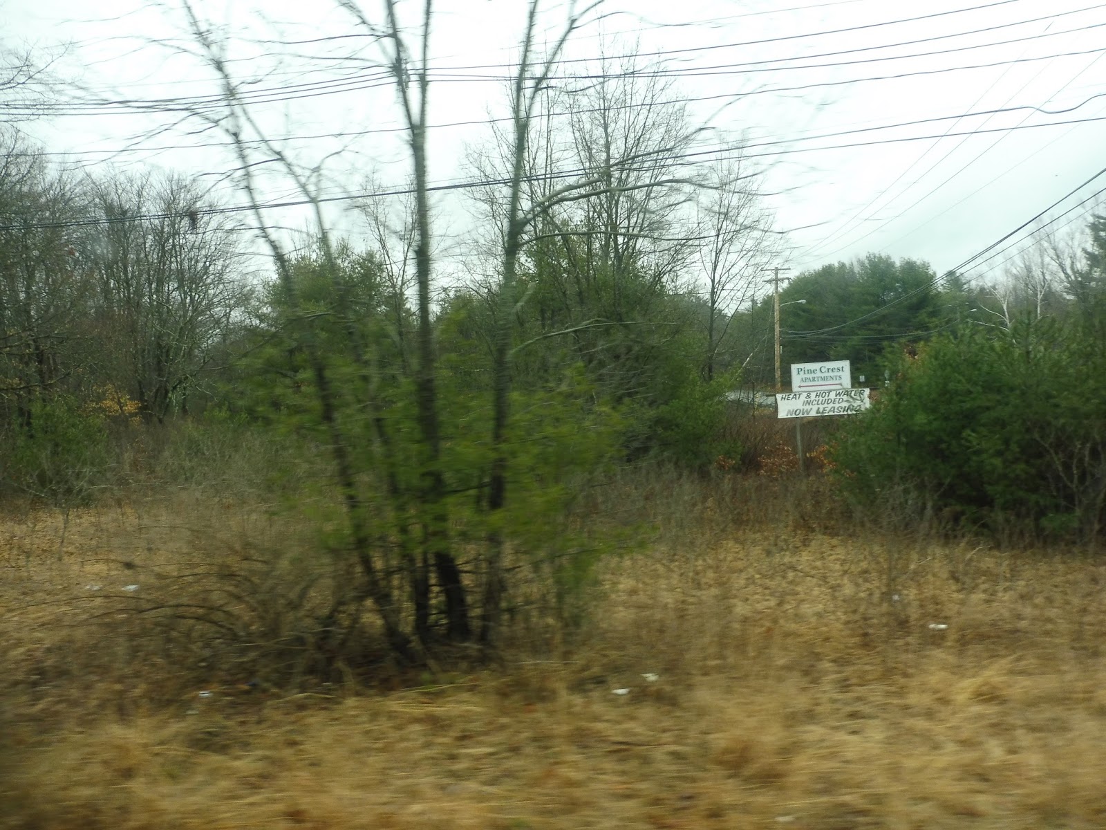 |
| Pine Crest Apartments are this way. |
We went by the Pine Crest Apartments, the Orange Police Department, and a solar farm all at once, then we briefly came up to the Millers River again. It was a residential neighborhood here, but we also went by a park and some old industrial buildings. We entered the neighborhood further by turning onto Hayden Street, and this was almost all residential.
 |
| Houses on a side street. |
It turned out that we were in here for a deviation to the Ralph C. Mahar Regional School. Interesting choice to have the bus deviate there all day, but okay. We headed back up through the neighborhood on South Main Street, which not only had the houses from before, but also some retail, a few churches, and a post office.
 |
| There’s a lot of character in this old church. |
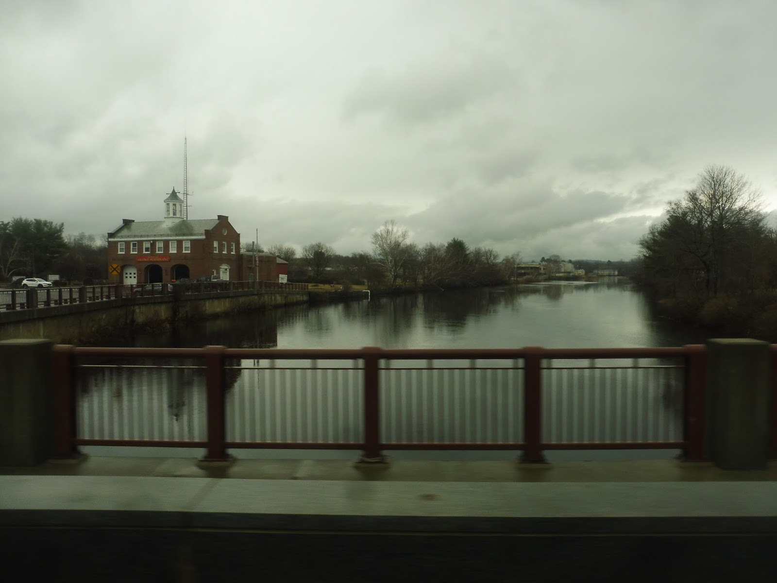
We were almost in Orange Center, but first we had to do a deviation onto West River Street, which was lined with houses. It curved its way up into sparser neighborhoods, eventually culminating with the West River Health Center. After that deviation had been completed, we went all the way back to South Main Street and used it to cross the Millers River.
 |
| Going over the river. |
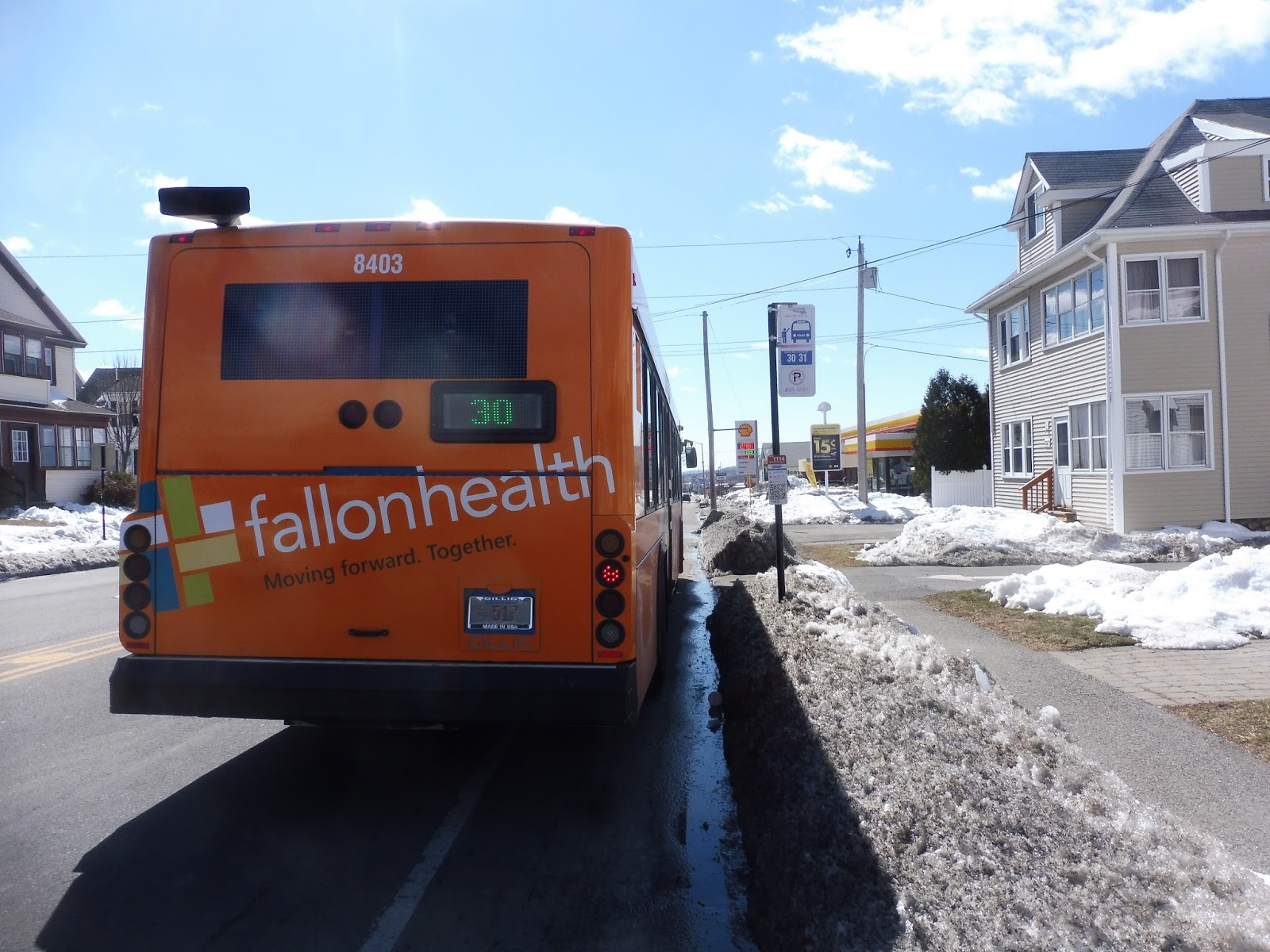
We finally came into Orange Center, turning onto Water Street. After going by the Orange Fire Department and crossing a single train track, we pulled up on the other side of the street from a decrepit shelter. “Hey Joe!” the driver called to someone sitting in the shelter. “Are you gonna sit there all day?” Joe, looking dazed, slowly nodded his head. “Okay!” said the driver as we pulled away. Also worth noting: this shelter kept its FRTA branding unlike at the Athol ITC, because the FRTA actually comes here! One could travel from Orange to Greenfield if they so wished!
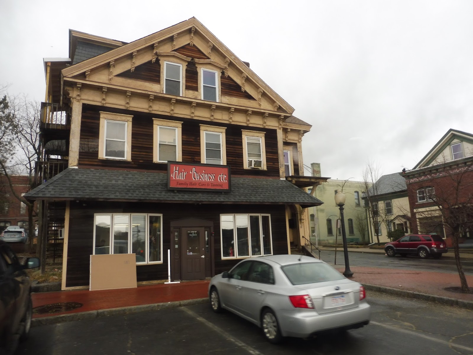 |
| A nice-looking hair place in Orange Center. |
We turned onto East Main Street, running down the short and mostly boring main drag of Orange Center, but the street became West Main Street when we crossed the intersection with North Main Street and South Main Street. Gosh, what an intersection! After a brief pullover so the driver could receive a call regarding evening plans (uhh…), it instantly became residential on West Main Street, at least until we deviated into the Orange Innovation Center. Sounds like a cool place!
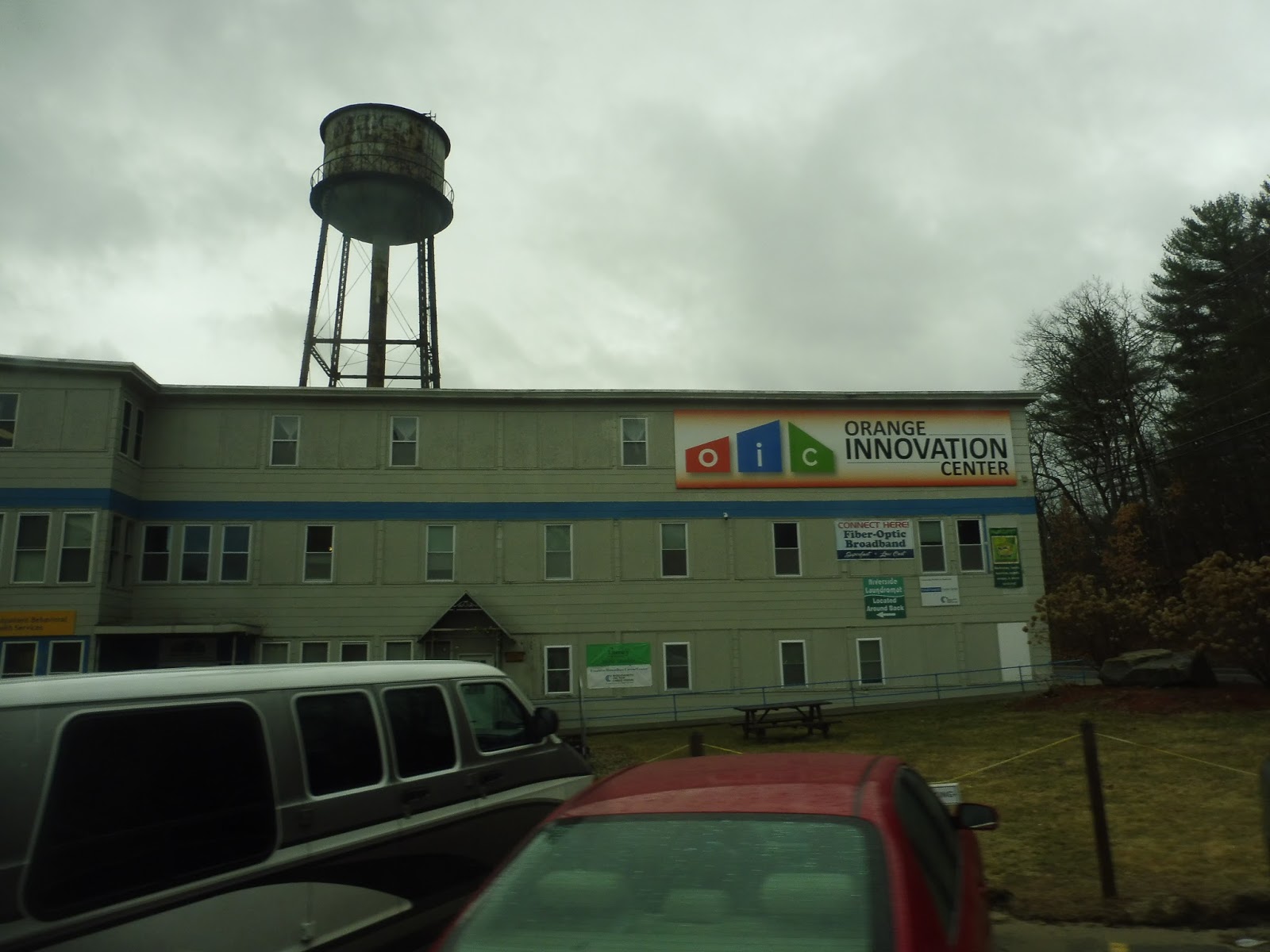 |
| Of all the places to find an “innovation center,” Orange is one of the strangest! |
We returned to Orange Center on Main Street, but this time we passed straight through and continued going eastward from there. There were a bunch of dense houses along here, but retail was also mixed in at certain places. Things started to get sparser as we came up alongside the Millers River, then we did a deviation to good ol’ Walmart.
 |
| FRTA SIGHTING!!!!! |
East of Walmart, Main Street became a much smaller road as it curved away into a mostly residential area. We turned onto Brookside Road, going over the train track and passing a big auto shop before the neighborhood turned to houses. Entering Athol once more, we headed over that train track again near a cemetery, then we turned west onto South Main Street. (all these Main Streets are confusing!)
 |
| What an interesting place to put a boat shop. |
 |
| Some industrial-looking buildings on a side street. |
 |
| A view of the ITC. |
 |
| A rather bleak scene. |
 |
| A little convenience store. |
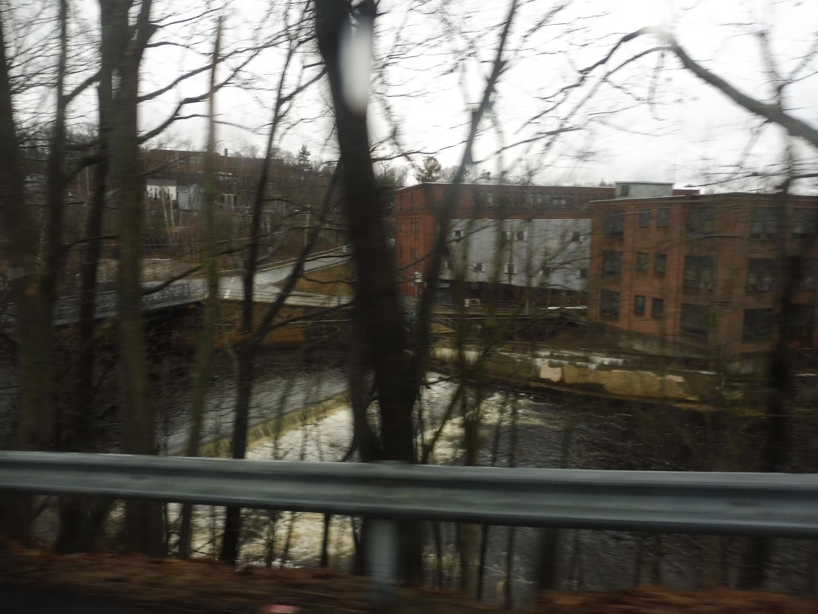 |
| The old factory and the river. |
 |
| Going alongside a tiny creek. |
 |
| Nice… |
 |
| That was truly a slog. |
Ridership: For such an awful shuttle, it’s funny that this thing does get some people. I mean…okay, only around 75 per day, but that’s something! I guess it is pretty bad, though, when you realize that that number represents both the 1 and the 2, and each trip takes an hour and a half.
Pros: Athol is a much larger town than I originally thought, and it definitely needs a bus route. I guess that town whose name is oh-so-easy to make fun of is more substantial than we realized! Orange is a lot smaller, but it makes sense to connect the two towns up.
Cons: It’s an hour and a half of just endless deviations! It was bad enough having to sit through it on the jiggly minibus, but reliving it again when writing this post was almost just as bad! The 90-minute frequency is awful, too, but man, the one thing on my mind right now is just how crazy the darn route is.
Nearby and Noteworthy: Please just get me out of here. I WANT TO GO HOME!
Final Verdict: 3/10
These routes are long and all over the place, but honestly, I think the residents are completely okay with that. We’ll just leave them be, alright? Meanwhile, please get me out of Athol! I’ll do anything! I’ll even ride a horrible truck minibus! Wait…uh-oh…
UPDATE 9/10/19: MART changed these routes a while ago and I never updated this post. It’s now a single hourly run that goes between Athol and Orange, but most of it just duplicates the Athol/Orange Link. I think keep the score at a 3 – the resources should just be used to improve service on that route.
Latest MBTA News: Service Updates
MART: Athol ITC
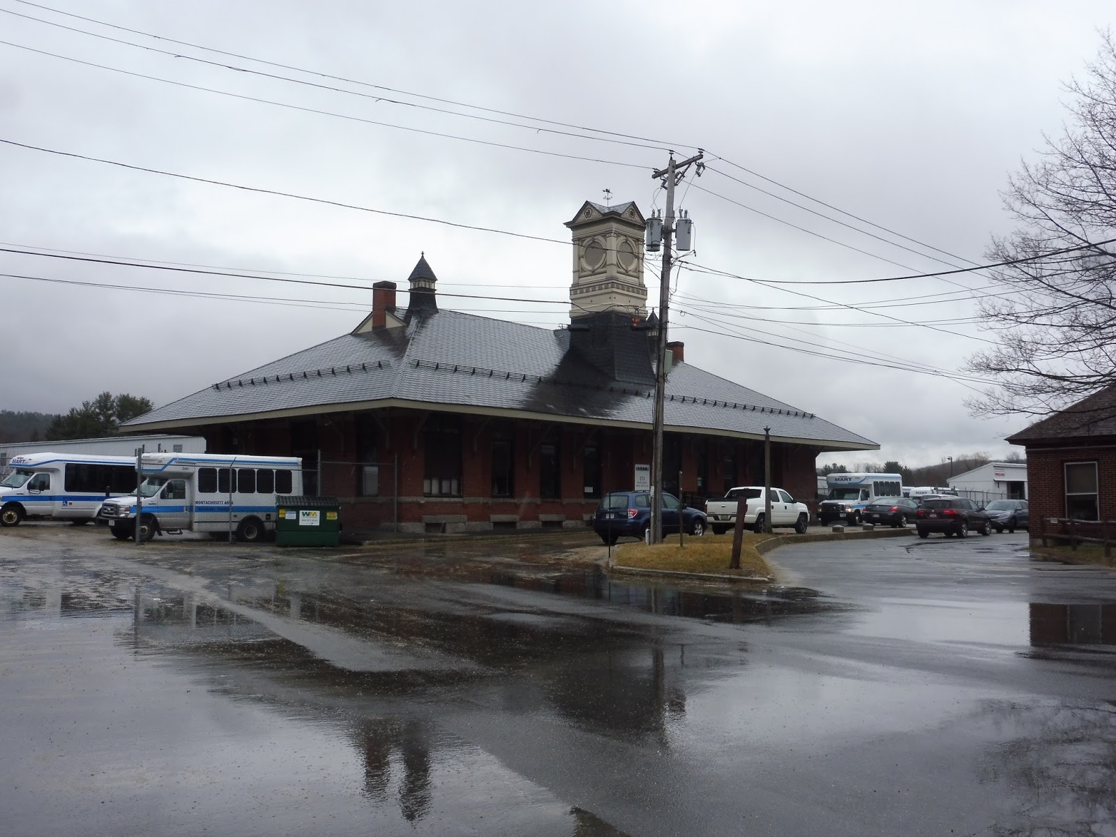
Oh no, ATHOL has an “intermodal transit center” too? This has to be even worse than the Gardner one, right? Well, right off the bat, I’ll say this: the Athol ITC is in an old train station, so it’s more “intermodal” than Gardner’s transit center is! Plus, the FRTA used to come here, which counts for…something. Maybe.
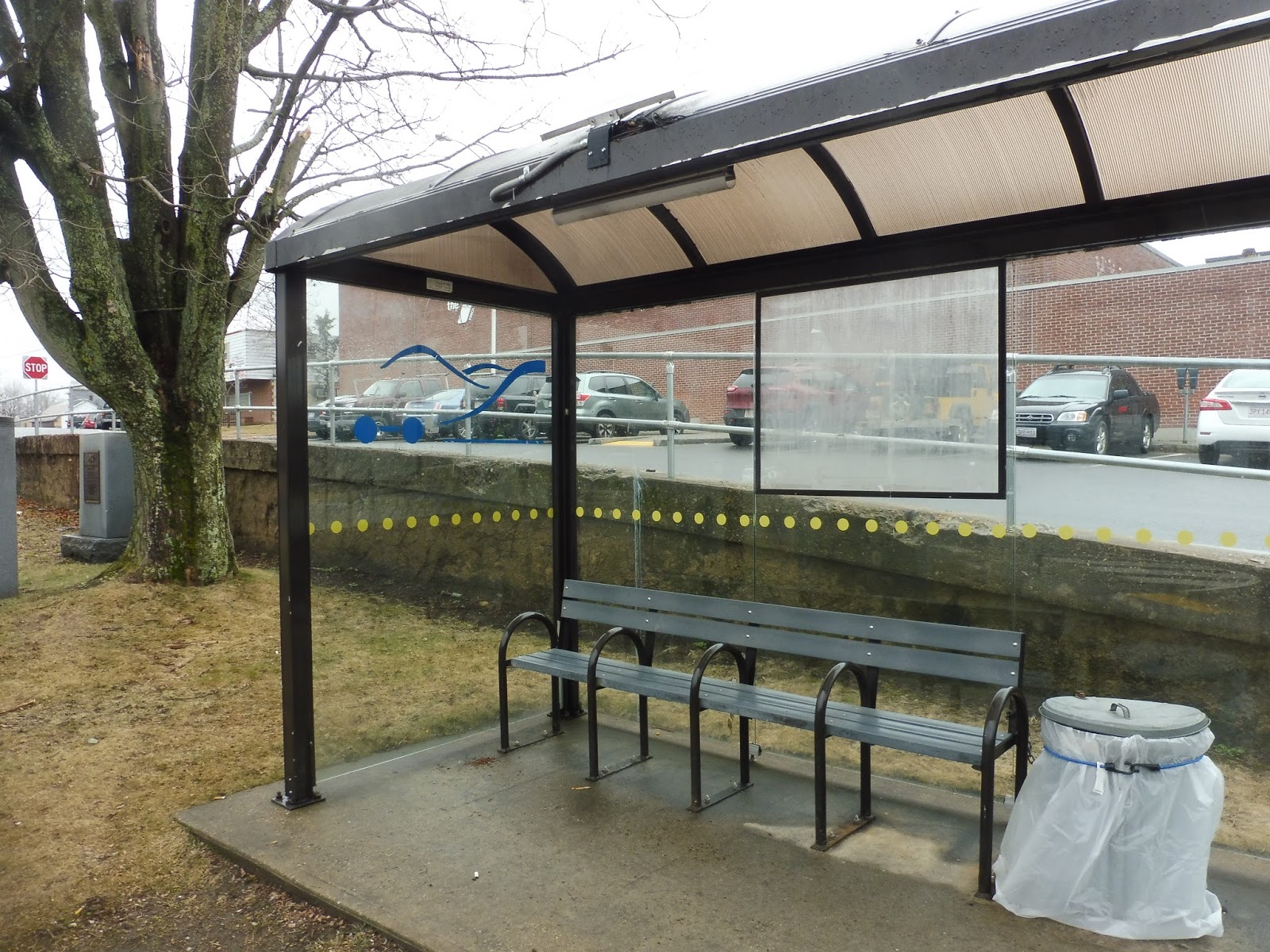 |
| Hey, this is something! |
Well, we’ve instantly got a better “hub” than the Gardner ITC. Look, it’s an actual place to wait! Still, there’s no denying this is a lame shelter. Aside from the solar-powered light, the whole thing feels simple, dirty, and outdated – just look at the FRTA logo on the side!
 |
| That’s pretty cool! |
I guess it’s worth walking over to where the actual buses are kept. The “yard” here in Athol is actually the old station building, and it’s a great old building. I believe this is mostly just used as a parking lot, with buses having to drive to Gardner in order to get serviced and whatnot. Alright, so I guess that concludes our Athol ITC review…
 |
| WAIT, YOU CAN ACTUALLY GO IN????? |
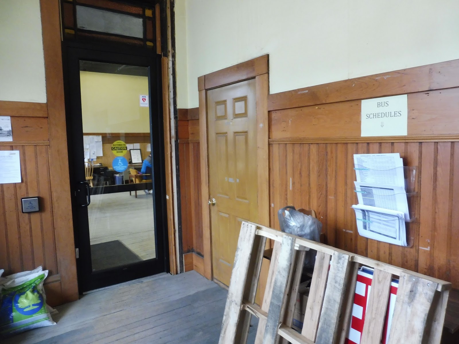
HANG ON, YOU CAN ACTUALLY ENTER THE ATHOL ITC! AND IT’S NOT A FLUKE LIKE THE GARDNER ONE! THERE ARE SCHEDULES RIGHT WHEN YOU COME IN, AND THEN THERE’S A DOOR THAT HAS A BUTTON THAT CAN BE USED TO OPEN IT AND EVERYTHING! OH MY GOSH, LET’S KEEP GOING!!!!!!
 |
| WOW!!!! |
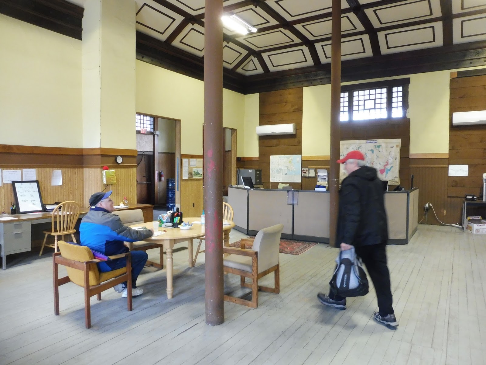
Okay, in all seriousness, the place is pretty strange. Everything just feels strewn together: there are different seats, tables, and desks in random places, as well as pure junk lying around. The place is under renovation, so that could be part of it. Still, regardless of how unprofessional it feels, there’s no doubt that the Athol ITC has a very charming and homely feeling to it that I like a lot. Also: it’s got a bathroom!
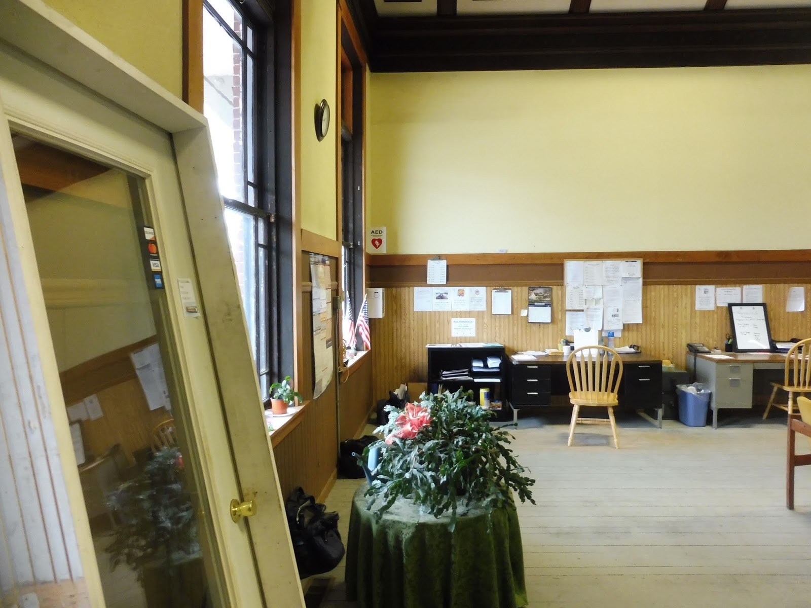 |
| Yeah, it’s a little all over the place… |
MART Station: Athol ITC
Ridership: Probably very few people. I mean, it’s Athol. The two routes that serve this hub are all every 90 minutes!
Pros: The actual indoor part of this hub is awesome! It’s a little all over the place, but it does have a lot of charm, and it’s very welcoming (unlike the Gardner ITC). As for the shelter where you actually wait for the buses, it’s…functional.
Cons: It’s strange that the indoor section and the shelter are so far apart with no signage. It’s only a two minute walk, but I wouldn’t be surprised if most people have no idea the building exists!
Nearby and Noteworthy: I dunno. I mean…it’s Athol. There’s not much here.
Final Verdict: 6/10
The whole place is pretty haphazard, but it has a lot of charm. It’s hard not to like all the random paraphernalia thrown around this old train station building! It’s really annoying that the building isn’t the place where you actually get buses, though, and the signage to the actual bus stop is nonexistent.
Latest MBTA News: Service Updates
MART: Gardner Route 1/2 (Counterclockwise/Clockwise)
Ohhh…we get to go back to…Gardner! And ride a really long, deviation-filled bus route around the whole…city. My…favorite……place……….
 |
| YAY! GARDNER!!!! |
The bus was very nice, at least. It was that rear door-less Gillig that we had gotten before on the Intercity/MWCC route, and it was just as good of a vehicle as it had been then. A little strange on a city bus, but I’ll take it! We left Gardner City Hall and turned onto City Hall Ave for a block before heading up Nichols Street.
 |
| Gardner! |
We were also on this for a block before turning onto Parker Street, but we were only on this for two blocks! Our next turn was onto the residential Greenwood Street for a block, then Moran Street for a block, then Marquette Street for a block, then Church Street for a block, then a deviation into Gardner Highrise, an apartment building. This route is insane already!
 |
| Some houses. |
Church Street again for a block, Waterford Street for a block, Parker Street for…oooh, two blocks! It was all houses along here, save for a few businesses where we headed off Parker Street onto Robillard Street. We had to do a jog via Douglas Road to get onto Foss Road, but it was only for, yes, a block, before we turned onto West Street.
 |
| Heading onto West. |
This took us back to the intersection with Nichols and Parker that we had already visited, and we merged onto Parker. We entered the main downtown of Gardner, which continued as we went down Central Street, and it was one of the most depressing downtowns I’ve ever been to. Turning onto Pine Street alongside a huge factory that has thankfully been rehabilitated, we went by the Heywood Memorial Library.
 |
| Scenes of downtown Gardner… |
It was a left onto Cross Street next, which took us past houses, churches, a field, and another huge old factory. At the corner of Cross and Elm, Gardner’s “famous” giant chair was visible as we turned onto Elm. This was a residential road, but we saw a huge church as we made our way around an oddly-shaped rotary onto Woodland Ave.
 |
| The lonely Pearl Street. |
It was all houses along here until the Heywood Hospital, which we surprisingly did not deviate into! We turned onto Matthews Street instead, which was mostly forest aside from Gardner District Court and Mount Wachusett Community College’s two huge wind turbines. Speaking of MWCC, we did deviate into that, and it was a lovely time indeed.
 |
| The empty MWCC parking lot. |
We made our way across a field and turned onto Green Street, which led us back down to the Heywood Hospital. Past the hospital, we were in a residential neighborhood, and we made quick turns onto Bertha Ave, Becky Ave, and Blanchard Street, the last of which went through the Hillside Gardens apartment development. At the end of the road, it was a left onto Pearl Street.
 |
| One of the snowy buildings of Hillside Gardens. |
It turned out that this was a deviation, and possibly the weirdest one on the route; it took us to a place called Dunn Pond. Not a housing development called Dunn Pond. Not a shopping center called Dunn Pond. Literally just…a pond. Sure, it had a beach, but I rode this route in the winter! No one is going to the beach in the winter!
 |
| Get your swim trunks, the water’s perfect! |
We came back the other way down Pearl Street, running by lots of houses until we reached that oddly-shaped rotary from which we had gone onto Woodland Ave. We went back down Elm Street, and if you remember going the other way up that street from, like, 50 paragraphs ago, that makes everything we had just done a mega-deviation! Luckily, we hit new territory when we made our way onto Chestnut Street.
 |
| Looking up a hill. |
There were some industrial buildings and suburban businesses where we turned onto Main Street, crossing a decrepit railroad track. We then deviated into Price Chopper, truly a magnificent institution of a supermarket. After that, something really weird happened: the driver said there was a problem with our bus, so we had to drive across the street to the Gardner ITC to get a new one. Would the new bus be just as good as the current one?
 |
| Awww… |
Nope, it was an awful 30-foot Gillig. Way less fancy than the 40-footer with cushy seats that we were on before. Oh well…we headed back down Main Street and turned again onto Chestnut Street, passing various suburban businesses. We deviated into Gardner Plaza, a bland and boring shopping plaza, then we went under Route 2 via a big rotary.
 |
| Some houses and a pizza joint. |
It was more suburban businesses on the other side, but it changed to mostly dense houses as we turned onto South Main Street, which merged into East Broadway at “South Gardner Center.” We passed a small school, a church, and a few industrial buildings before turning onto Waterview Drive. It went over Mahoney Brook and entered the Heritage Village housing development, but we turned right around upon entering and headed back.
 |
| Crossing the brook. |
We went through “South Gardner Center” again (I put it in quotes because there isn’t much there), but this time we continued down West Broadway. After a level crossing with a railroad track, we crossed over Travers Pond and went by a few homes. It became suburban retail at the intersection with Timpany Boulevard, though, and we turned straight onto that.
 |
| The intersection with Timpany Boulevard. |
The scenery quickly thinned out into forest, until…hallelujah, a Walmart!!!! We did a wonderful deviation into there, then it was straight back down Timpany. Back where the suburban businesses were clustered, we did an additional deviation into Timpany Plaza, which was, as usual, thoroughly boring.
 |
| At least it had a movie theater! |
Back at that same intersection, we now had to do another deviation, continuing west on West Broadway. It became residential quickly, but there were many industrial buildings around as we turned onto Manca Drive. There was a stretch of forest, then we looped around at an apartment development called Olde English Village. And then…then it was time to go back up to that same intersection for the third time.
 |
| Some industrial stuff coming out of the Olde English Village deviation. |
Now we went north on Timpany Boulevard, having traversed every stretch of road at that four-way intersection. We passed a few suburban businesses and a few houses, then we went around another Route 2 rotary, returning to the north side of the highway. We looped around a Hannaford onto Main Street, and there were a few more businesses before we turned onto Willow Street. Entering a residential neighborhood, it was just a few more turns before…City Hall! WE MADE IT!!!!!!!
 |
| GOODBYE FOREVER!!!!!!!!! |
Oh wait, there’s also a 1. Luckily, there’s very little difference between the two routes – the 1 does the exact same loop except counterclockwise. Later in the day, Nathan, Sam, and I took a 1 from MWCC to downtown Gardner (possibly the most direct trip one can take on this circuitous route) for one reason and one reason only:
 |
| Dear Lord, what is that? |
Yes, the 1 was operating with that…thing. We had seen the Gillig Phantom running around on it earlier in the day, and we knew we had to ride it! It was about what you would expect on the inside: high-floor, loud, and not a pleasant ride at all. Granted, it felt like heaven compared to the bus we had ridden before that, but let’s not get ahead of ourselves. We’ll talk about that a few reviews down the line…
 |
| Inside the beast. |
 |
| Man, that bus is dirty! |
MART Route: Gardner Route 1/2 (Counterclockwise/Clockwise)
Ridership: Well, there’s no denying it gets people. Our full ride on the 2 had about ten people in total, which about fits with the route’s 9.7 passengers per hour figure. Yearly, it gets around 47,548 people, which averages out to a little over 150 per day. I mean…it’s not the worst thing in the world?
Pros: Gardner is a big(ish) city, and certainly one that deserves bus service. This one is all over the place, but at least it does serve a lot of the city. The bidirectional service is nice, since you theoretically never have to take the long way around the loop.
Cons: You read the post. It’s just deviation after deviation after deviation, and while most of them get people (not all – I’m looking at you, Dunn Pond), it makes getting around town take forever. Also, the routes run every 65 minutes (six days a week), which is such a bad frequency! It seems like a few substantial deviations would have to be cut to get it down to clockface hourly service, so I’m not sure if it could be done with this current setup.
Nearby and Noteworthy: You know, I was inclined to just say Gardner is a boring town with nothing of note in it and move on, but I did find a nearby and noteworthy! How about a freakin’ HAUNTED HOUSE?!??!??! This is right in South Gardner Center, and it’s supposedly the 9th most haunted house in America!!!!!!!! Too bad it doesn’t seem to be open right now – it’s been undergoing renovations since 2015. Maybe the ghosts scared away the construction workers…
Final Verdict: 4/10
Look, this loop thing? Yeah, it’s not working out so good. It’s functional, but I don’t think it’s the best way to serve the town in the most direct and simple way possible. What if, for conversation’s sake, we used the two buses in Gardner to run two linear routes instead?
Here are links to the full map and the full schedule. I created two north-south routes in Gardner, and in each direction, they have a timed transfer with the other route. All of the same deviations are covered (except for Dunn Pond), except now buses are able to run every 60 minutes instead of 65, which is much simpler. The hard part was making sure they would have enough to “do” in order to get back to the timed transfer at the same time. Thus, the 2 is loopier on its northern leg than I would want it to be, but the alternative was giving it 20 minutes of layover at Gardner Highrise – I figured it might as well serve the library while the 1 runs straight up towards MWCC.
Latest MBTA News: Service Updates
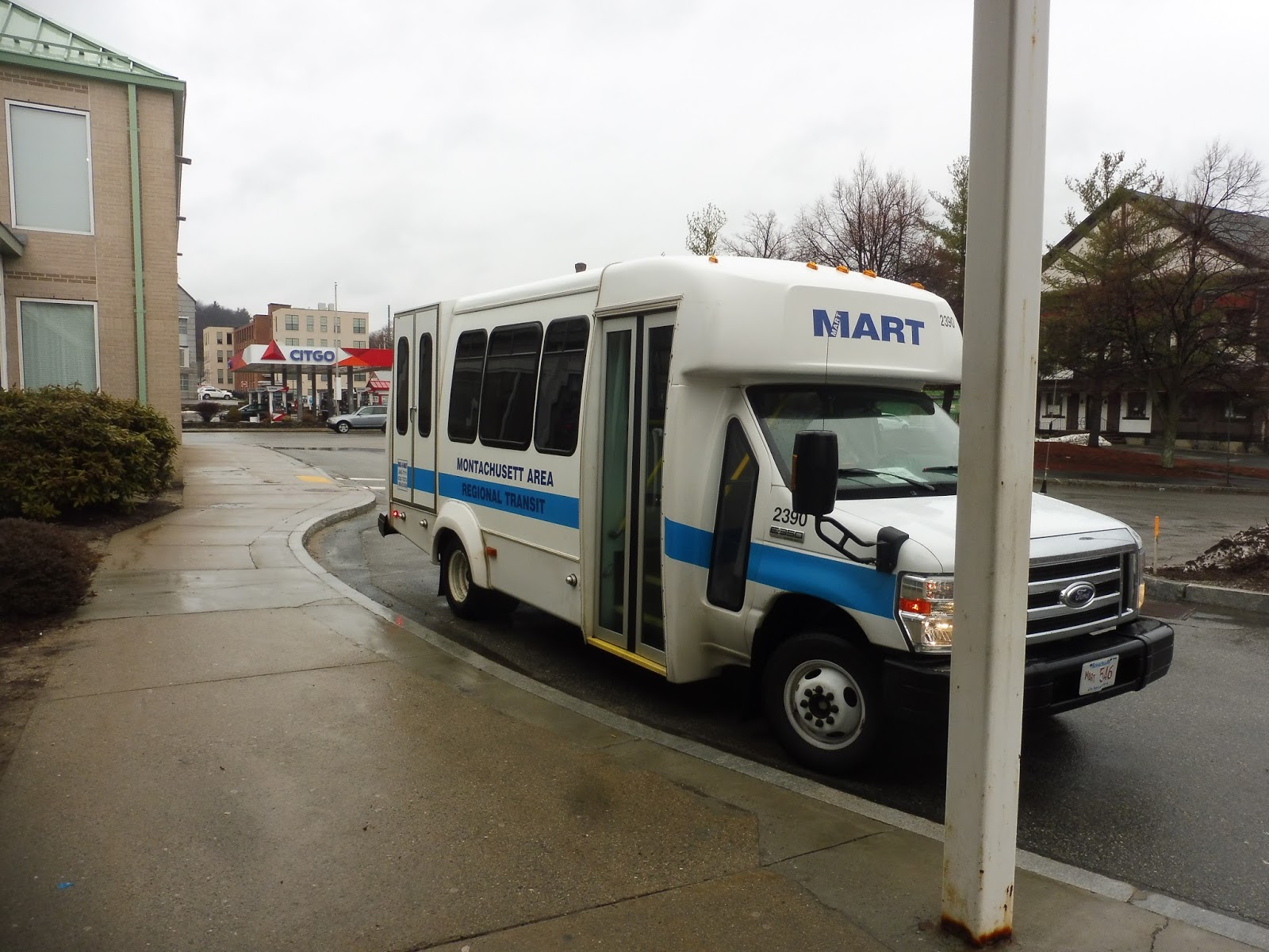
MART: Devens Regional Shuttle
The Devens Regional Shuttle recently celebrated its one-year anniversary, and MART threw a lovely party for it at one of its stops, with free swag to boot! I didn’t attend the party, and I have no idea how many people attended it, but my guess is not too many. Why? I mean…we’re talking about a route that runs six times a day here!
 |
| The “stop.” |
According to Google Maps, the bus stop is right here. Hmm…yup, I don’t see anything. I guess we’ll just wait here until the bus comes. Will it be early? Will it be late? Will it come at all? WHO KNOWS??? I’m glad MART spent its budget on an anniversary party instead of on a bus stop sign.
 |
| Hooray, it exists! |
The bus didn’t have a bike rack, even though MART assures us on the Devens Shuttle schedule that “MART has bike racks on all our fixed route buses and shuttle vans.” More importantly, though, the bus went against MART’s claim that “MART buses and shuttle vans accept the CharlieCard.” Nathan, Sam, and I got a free ride!
 |
| Some Ayer houses. |
We continued through the short strip of downtown Ayer on Main Street before crossing over the Commuter Rail tracks. There was a library and a district court building on the other side, but beyond that, it was a bunch of dense houses. We came to a giant rotary and looped around to Barnum Road Liquors, which is technically a request-only stop, but for some reason we had to wait there for six minutes. We were already late!
 |
| Any time to buy a six-pack? |
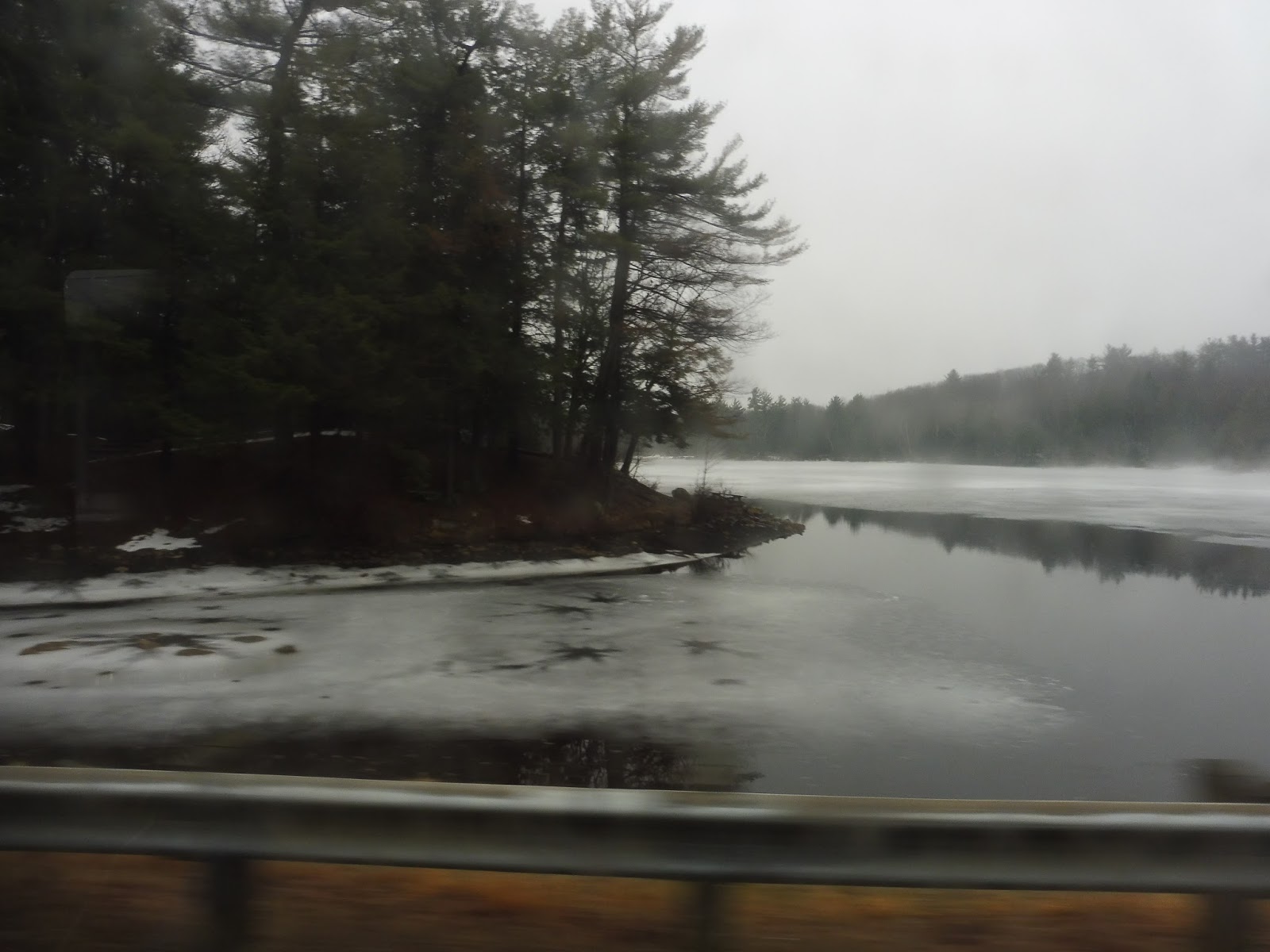
We took Barnum Road over Bowers Brook, then one side of the road became occupied by a huge National Guard base with armored trucks and tanks everywhere. Yup, we were definitely in Devens now! There was a section of woods as we curved west under a railroad track, then we entered the Devens Industrial Park.
 |
| I don’t wanna get arrested for taking pictures of the National Guard base, so here’s a pretty river instead! |
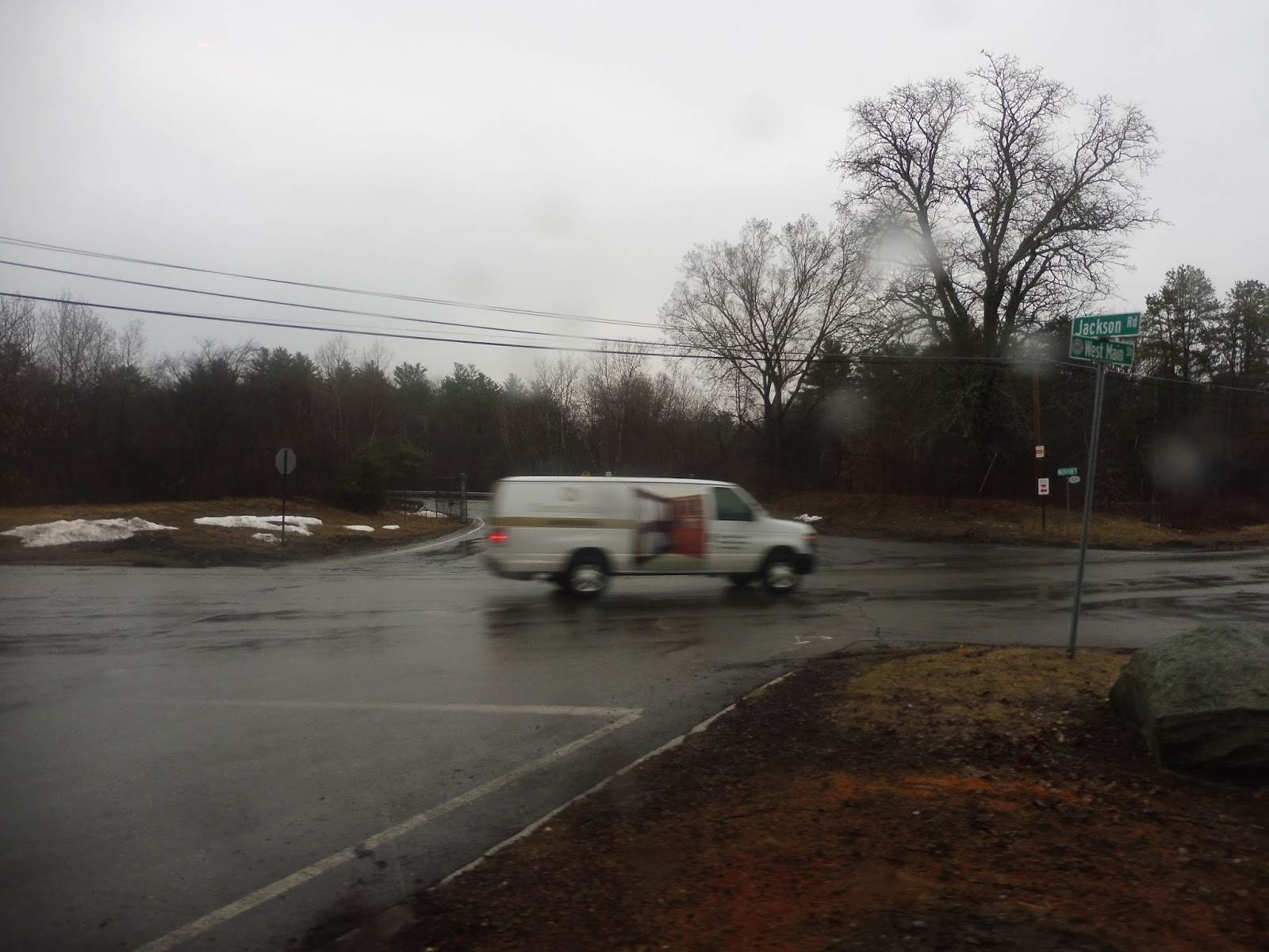
We deviated into an office building called Quiet Logistics, then it was more of that type of scenery until we turned onto Jackson Road. The Devens Fire Department was at that intersection, but there was a frighteningly utilitarian housing development as we turned onto Buena Vista Street, complete with the threatening “NO TRUCKS NO GPS NO EXCEPTIONS” sign at the entrance. We did a double-deviation to two offices across the street from each other: SMC and O-O-O-O’Reillyyyyy…Auto Parts! Ow!
 |
| Darn it…now that stupid jingle is stuck in my head! |
We came back on Antietam Street, going by random industrial buildings, a field, and a charter school. We turned onto Jackson Road, where the stop for the school actually had a sign, as do many of the stops along this route, although again…nothing for downtown Ayer. We were supposed to deviate into the Shriver Job Corps Center, but we just didn’t. Instead, we banged a uey at West Main Street, making it out of the strange land of Devens for a brief moment before returning through a gate.
 |
| We’ve escaped! |
We came back down Jackson Road, continuing to pass strange industrial buildings and housing developments. The only breaks from that were a small shopping plaza, the Fort Devens Museum, and the Mount Wachusett Community College Devens Campus. We were also supposed to do a deviation to some place called Devens Common along there, but that never happened…although I think that only happens on the other two morning trips.
 |
| MWCC. |
Past MWCC, we entered the woods before hitting a ramp onto Route 2. The highway was more or less in the woods too, but some houses and industrial buildings could occasionally be seen between the trees. We entered Leominster and got off Route 2 at Exit 31B, coming onto North Main Street. This is the classic MART “going to/from Route 2” street, so we’ve been on it a ton of times – it was lined with ugly suburban businesses.
 |
| Right after getting off the highway. |
Once we passed MART’s garage, we entered Fitchburg and the street became Water Street. It also became primarily residential from there, although there were still pockets of retail here and there. The neighborhood eventually got really urban, run-down, and depressing, and that was the sign that we were almost there. We went over the Nashua River, passed the Central Plaza shopping center, went over the Commuter Rail tracks, turned onto Main Street, and finally, pulled into the Fitchburg Intermodal Center.
 |
| Darn pole in the way! |
MART Route: Devens Regional Shuttle
Ridership: This is essentially a commuter route, and apparently it gets a decent amount of commuter traffic. We were going the wrong way (away from Devens in the morning peak), so we only got one other person, but the route does get busy in the peak direction.
Pros: Being the huge conglomeration of jobs that it is, it makes sense for MART to run a route out to Devens. It only runs in the morning and evening rushes, but it’s not like the route needs midday service. The shuttle does get Saturday and Sunday service, though, in the form of request-only service from Fitchburg and Leominster to Devens and back, timing with the weekday trips. It’s presumably operated with a dial-a-ride vehicle, and the request service means that the bus can do other things if no one wants to ride.
Cons: The schedule for this thing is crazy! Every run is almost completely different, and the timetable just has way too many oddities to mention. From stops that are only served at one time of day to random colors all over the schedule to the third morning departure that takes an hour longer than any of the other trips because it does so many extra deviations WHY?!?!?!? You can look at the schedule yourself if you want to see specifically what I’m talking about, but let me just say that this thing is crazy.
Nearby and Noteworthy: Devens is one of the most surreally awful places I’ve ever been in my life, and I was so happy to get out of there.
Final Verdict: 4/10
This route serves a hugely important purpose, and there should definitely be a bus to Devens. But a bus to Devens with this schedule? No, that’s just awful. This route makes such little sense, and it needs a lot of tweaking to be improved. Ideally, each run would take the same streets and do the same deviations at all times of the day. HMMMMMMMMMMMMM.
Latest MBTA News: Service Updates
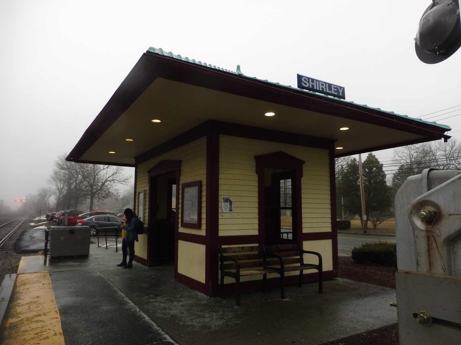
Shirley
Surely Shirley can’t be that bad! Great, I’ve gotten that joke out of the way.
 |
| Andddddd…that’s it! |
Shirley has one very very very small platform. Quite very small. However, it’s entirely occupied by a shelter that’s actually rather charming! It has some benches both outside and inside, plus lighting and information on little placards outside. There are a few newspaper boxes and a wastebasket on one end. The station has a small bike rack, while car parking is spread alongside the tracks, adding up to 25 free spaces (according to the website, at least – it looks like it’s more, though!). Interestingly, Shirley’s digital sign is across the tracks, facing the platform.
 |
| It’s a foggy morning in Shirley. |
Station: Shirley
Ridership: Hang on…315 inbound riders per weekday? More than the fancy modern North Leominster? More than the even fancier, even more modern Littleton/Route 495? Granted, I think ridership at both those stations has gone up since the 2013 data, but still! 313 people at this tiny platform is a lot!
Pros: Hey, hey, give it credit where it’s due: Shirley has a lot of charm. I love that unique shelter. There’s free parking.
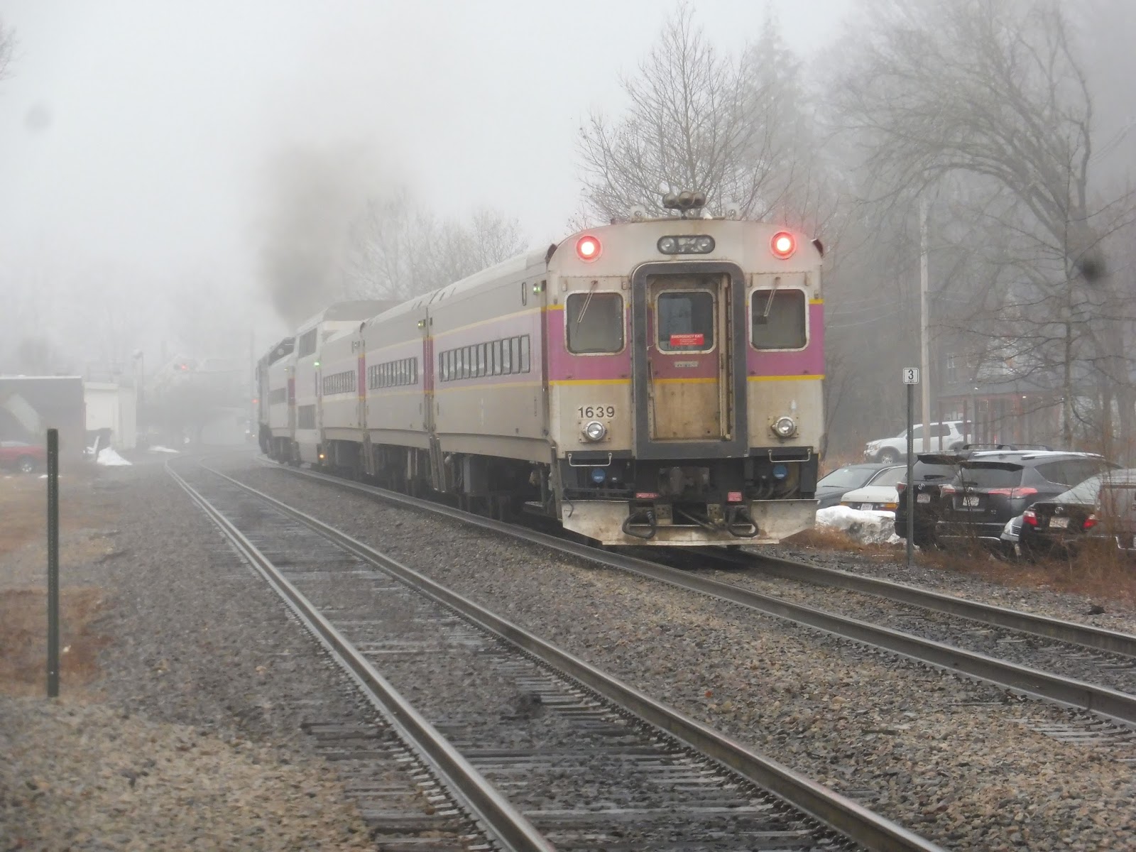
Cons: Yeah, well, basically everything else. There’s just one platform, so when people get off outbound trains, they have to cross an active track to get to it. Also, the one platform is really really tiny, which is also problematic! I got a late morning rush train from here and that platform was packed.
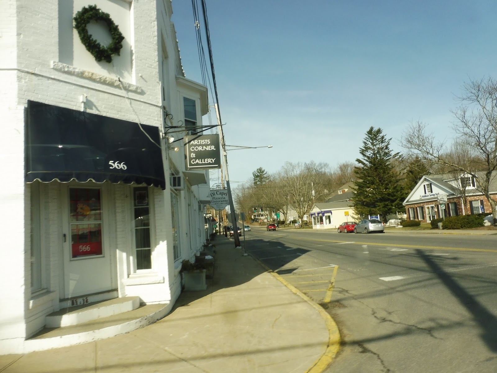
Nearby and Noteworthy: There’s sort of a “downtown” a little west on Front Street, but it only has a few convenience stores and pizza joints.
Final Verdict: 3/10
Like I said, there’s charm here. Everything else about Shirley is awful…but it does have charm. That counts for something.
Latest MBTA News: Service Updates
Cross-Acton Transit
I gotta say, a suburban, rich town like Acton (median household income $133,532) is one of the last places I would expect to see an awful minibus shuttle! I mean, why does Acton get an hourly service, while Webster (a place where people actually use the bus) just gets the every-two-hours 42? On the flip side, the 42 actually takes you somewhere, while Cross-Acton Transit, or CAT…well, we’ll get into that.
| Wow, two whole minibuses! |
So apparently, South Acton Station in the morning rush is a huge multimodal hub! There are TransAction Corporate Shuttles buses coming in from satellite parking lots, some more from Maynard, and Nathan and I even saw MART and LRTA dial-a-ride vehicles. We were concerned with one bus and one bus only, though, and it was the weirdest-looking of the lot…
 |
| Well hello there! |
Well, as strange as it looks, this was actually a decent minibus. It didn’t exist on the route’s tracker at all, but…well, the bus itself was nice. It felt like a “luxury” minibus, with red seats and a smell like someone’s grandmother’s house. The one strange thing was the absense of a wheelchair lift – was this thing accessible??? At least the vehicle was still jiggly, thus covering for the jiggliness of the absent lift.
 |
| Lifestyles of the rich and famous right here! |
So what is the CAT? It’s a deviation-filled semi-loop-but-not-really thing that just meanders its way around Acton. Our trip was one of two morning runs from South Acton that doesn’t require calling Dispatch “in advanced,” leaving the station at 8:43. Also, incidentally, one can call Dispatch 24 hours “in advanced” to request the bus to deviate. There’s no specific distance from the fixed route you can go, it’s just a matter of seeing if they can “accomodate” your request. Huh…also-also, there are a lot of typos on this schedule!
 |
| Talk about a sharp turn! |
We left the station’s parking lot, hung a left onto Central Street, then made an immediate right onto Prospect Street. There were big, beautiful houses along here, which I suppose is standard for Acton. We saw some suburban businesses as we merged with Main Street, but it went back to large homes until we deviated into a…Kmart. Oh boy, it’s gonna be one of these routes, huh?
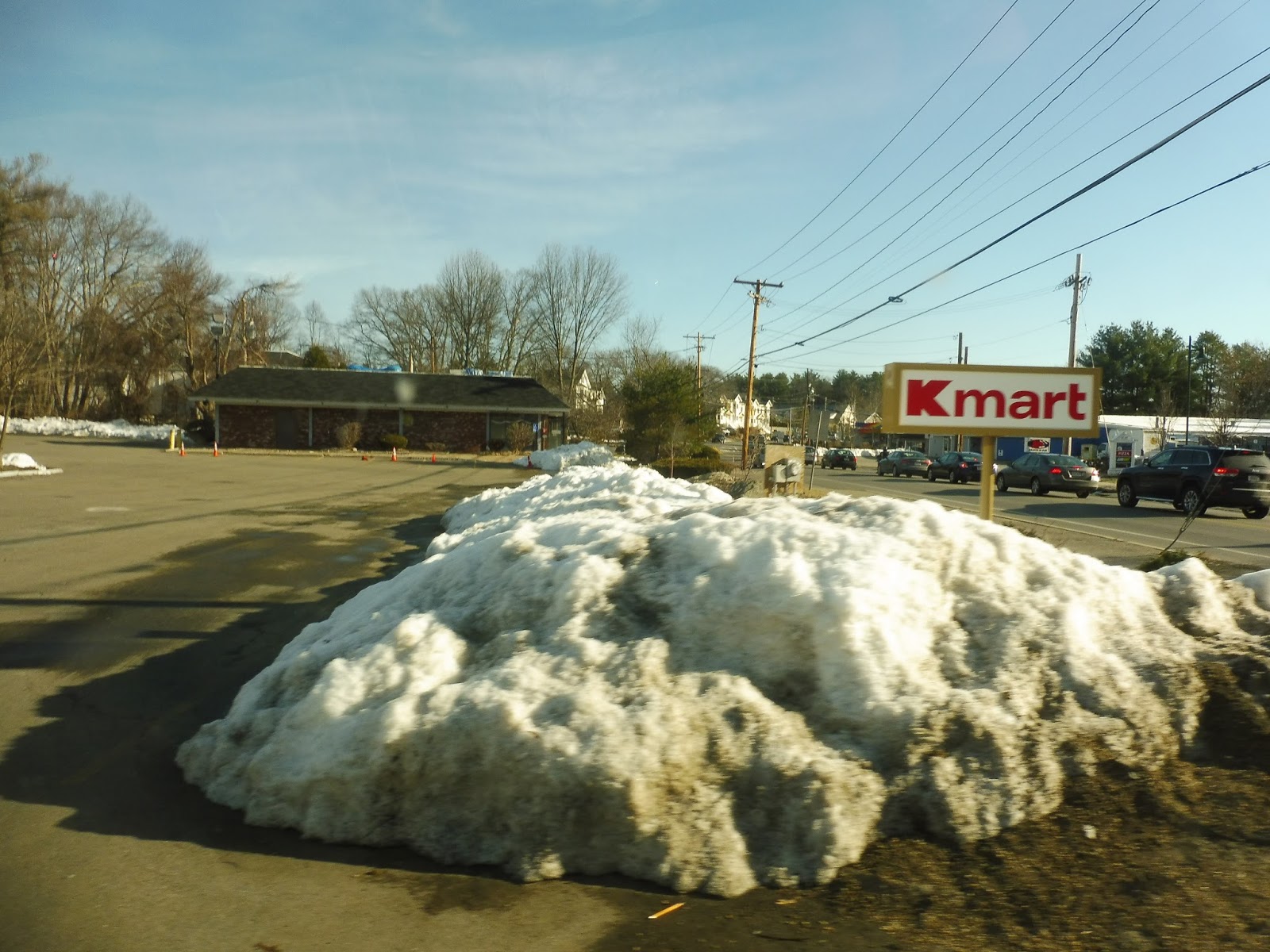 |
| Sigh… |
We came back onto Main Street, going by more suburban retail before crossing over Route 2. After passing the Acton Animal Hospital and Police Department, it was residential again until…Acton Center, I guess? I mean, it had the Town Hall, Green, and Library, but there wasn’t much else aside from a fire station and a pizza joint.
 |
| Looking across the common. |
There were some office buildings further down Main Street, then it was pure forest until we got two gas stations and a shopping plaza as we turned onto Great Road. From here, there was a multitude of housing developments, as well as a few businesses with parking lots along the road. The one that the CAT decided to deviate into was on Sachem Way, and the housing development seemed to be called McManus Village. Unfortunately, this particular trip gets ten extra minutes than the others, and so we sat here for that amount of time.
 |
| This does actually seem like a good place to deviate to. Too bad nobody got on. |
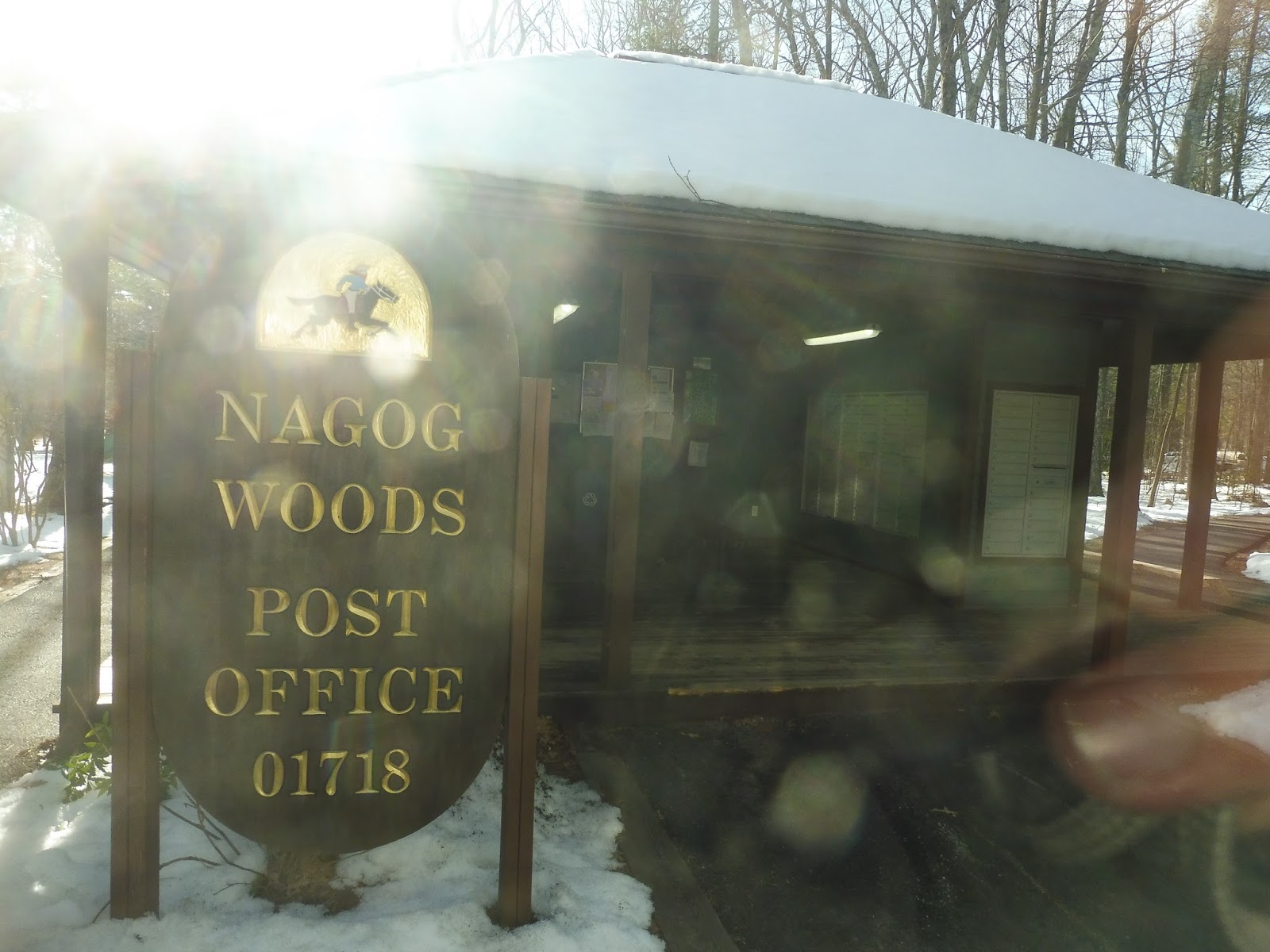
We returned to Great Road long enough to cross over a tiny creek, then we turned onto Nonset Path. This took us into the Nagog Woods complex, a rather nice apartment development that’s so big that it gets its own postal code. It was interesting to note that on the schedule, the timepoint was for the “postal kiosk.” What we didn’t realize was that that’s literal – the bus actually deviated to directly serve the postal kiosk, located on a tiny driveway fifty feet from the main road. All together now…SIGH!!!!
 |
| Fantastic. |
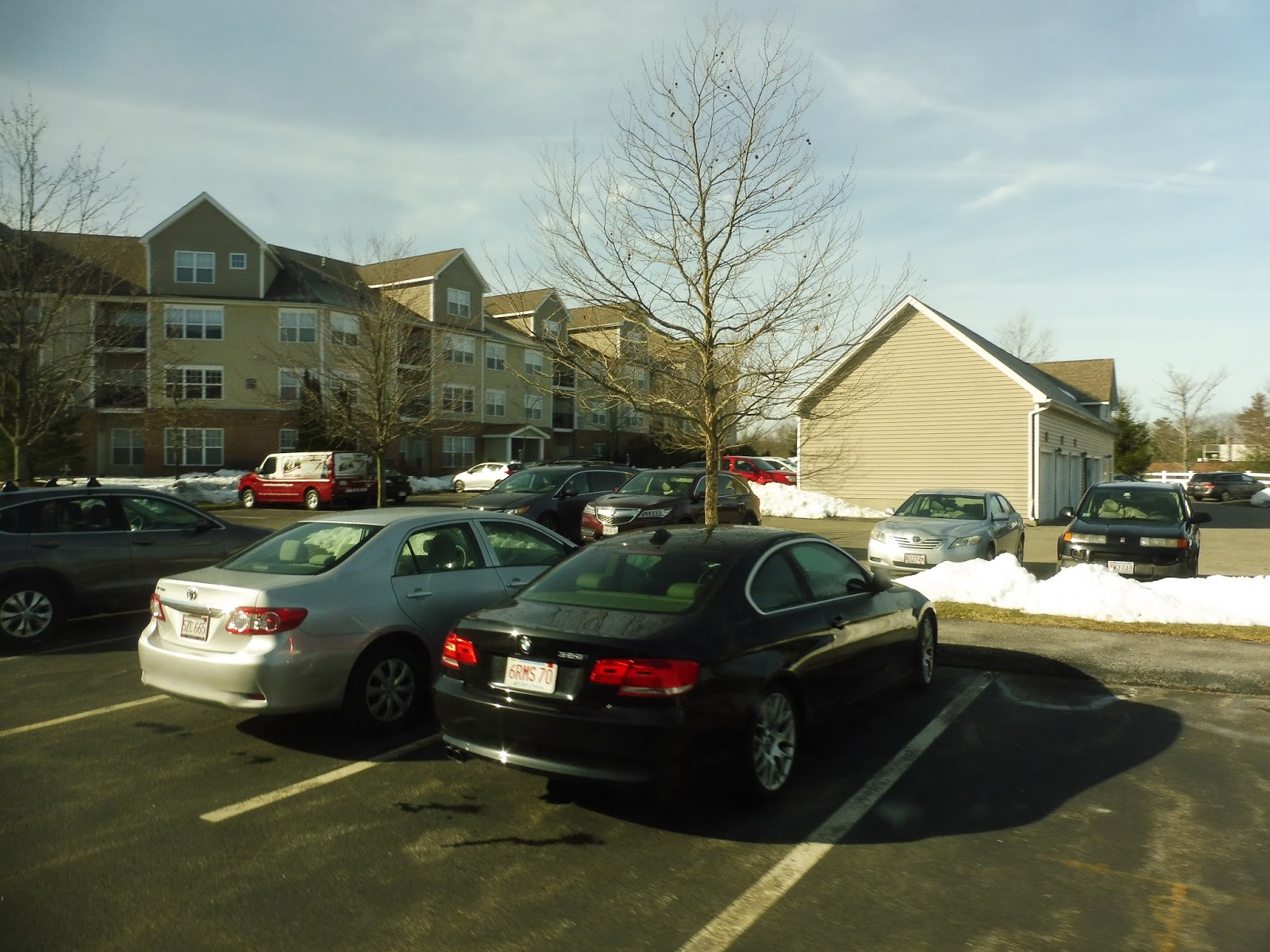
We came back to Great Road, which was now running alongside the beautiful Lake Nagog. We turned onto Nagog Park next, passing the by-request-only Nagog Mall (lots of Nagogs around here) and then a ton of office buildings. Next, it was a left onto Avalon Drive, which snaked us up to Avalon Acton, another nice-looking apartment development. This was technically the “end” of the route, but guess what! There are a ton of inbound-only deviations coming back! YAY!!!!
 |
| In the middle of Avalon Acton. |
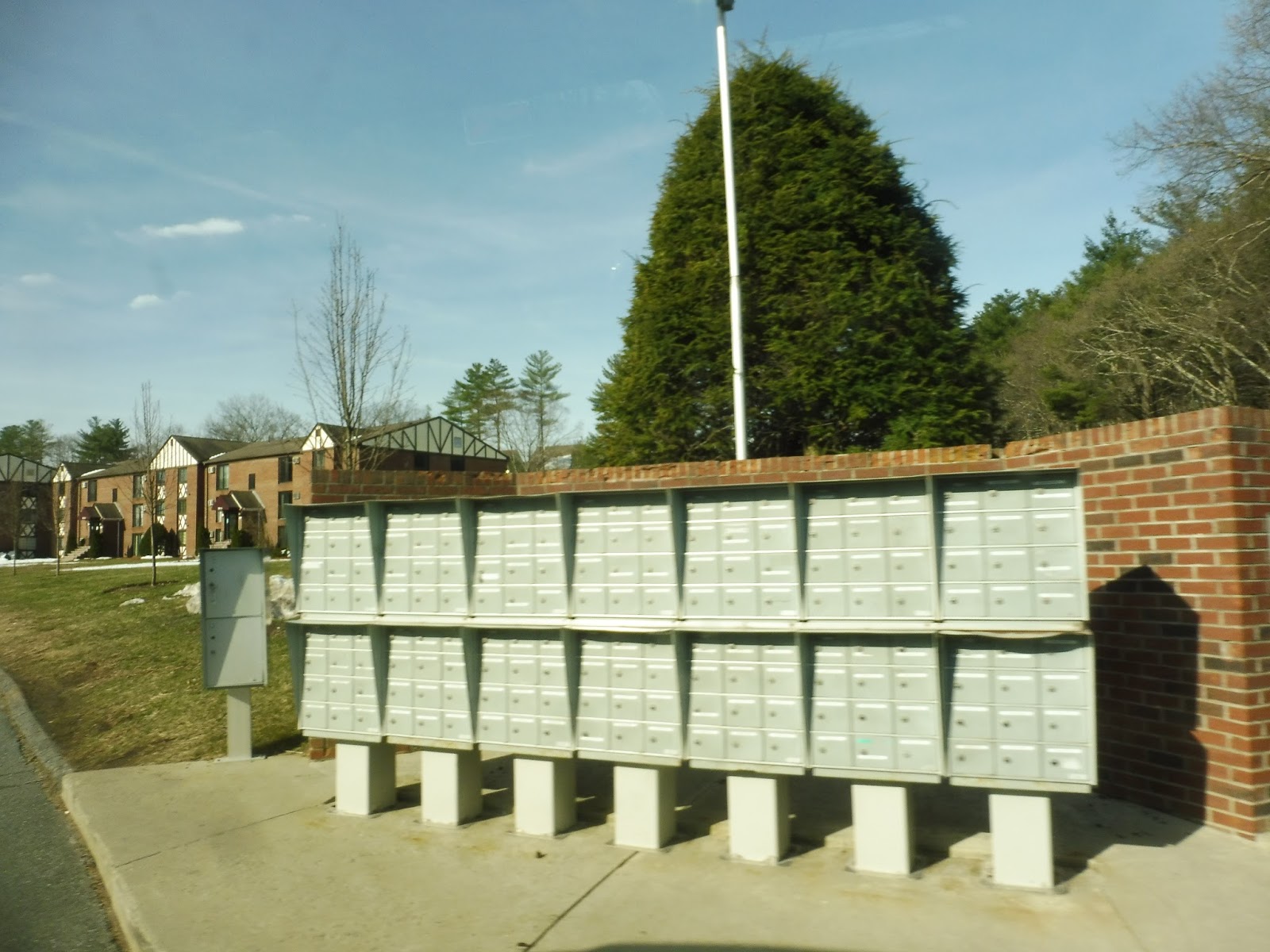
We made our way back down to Great Road, but this time, we skipped the deviation to Nagog Woods. Instead, it was straight down Great Road, which hosted a few other random apartment developments before the outbound route rejoined us. We skipped the Sachem Way deviation, but luckily we had a new one at “Great Road Condominiums (front entrance mailboxes).” What does that mean? It meant that we served the development’s mailboxes, which are less than 200 feet from the main road, and saves residents exactly one minute of walking. Come on, either go all the way into the development or put the stop on the main street. Go big or go home!
 |
| GREAT, GLAD WE SERVED THESE. |
If you remember from our outbound trip, we had gone from Main Street onto Great Road, but the inbound route stays on Great Road for a bit. It took us over Nashoba Brook and under a bike path, then there were some office buildings and suburban businesses. The one we were concerned with was Gould’s Plaza, which gets a deviation (on the inbound route only, of course), and…someone got on!!!!!!!!!
 |
| Coming into the plaza. |
We headed down the woodsy Brook Street back onto Main, where we rejoined the outbound route. We got to do an interesting deviation in Acton Center, though: this person who got on wanted to go to the library, which is request-only! Oho, how exciting! It was little more than just pulling into the library parking lot and leaving again, but…request-only!
 |
| Coming out of the deviation. |
We ran down Main Street like we had before for a while, but things changed once we crossed Route 2 – it was time for another one-directional deviation, this time into “Acton Plaza 1 & 2,” otherwise known as Roche Bros. and some other unimportant stores. But from here to South Acton Station, the inbound route goes a completely different way that serves a bunch of new stuff! Yes, we were now going west down Massachusetts Ave.
 |
| Within the Roche Brothers lot. |
It turned to houses quickly, but after a stretch of forest that took us over Fort Pond Brook, we came to our first proper “downtown” of the trip! This was West Acton, and though there wasn’t much to it, it had a few charming buildings and businesses. We crossed the Commuter Rail tracks, then we turned onto Windsor Ave, a narrow residential street.
 |
| A twisty shot of West Acton. |
We were supposed to deviate into an apartment development called Windsor Green, but for some reason, we didn’t do it. Wow, for such a deviation-happy route, that’s weird! Windsor Ave merged into Central Street, a twisty road that was mostly residential. It led us back to the station, where we could finally leave the grandma’s house minibus!
 |
| The bus…from above. |
Route: Cross-Acton Transit
Ridership: Well, as you know, our round trip got approximately…one person. Our driver told us that over the course of a typical day, the route gets about 10-15 passengers, meaning…about one person per round trip. Alright, well, I guess the math checks out there…the ridership sucks!
Pros: Acton gets a bus! That’s…nice?
Cons: It’s just one of those routes, you know? There are way too many deviations that only happen in one direction, the route has “commuter” trips that are useless because the route only runs from 8:33 to 5:43 at South Acton Station (not to mention that the 5:43 trip only times with the train that arrives at 5:07 and just misses the one that gets in at 5:54), and in classic small-town minibus form, there’s a two-hour gap in the schedule for a lunch break! Also, hardly anyone uses it.
Nearby and Noteworthy: West Acton was kind of a funky place. It has some restaurants, neat shops, and the Silver Unicorn Bookstore, which sounds incredible.
Final Verdict: 1/10
Hey, if Acton wants to keep this thing around, it can. They might want to serve some of the deviations in both directions to make the route actually useful, but I doubt they have any sort of plan to do that. Oh well…have fun with your 10-15 passengers per day, CAT!
Latest MBTA News: Service Updates
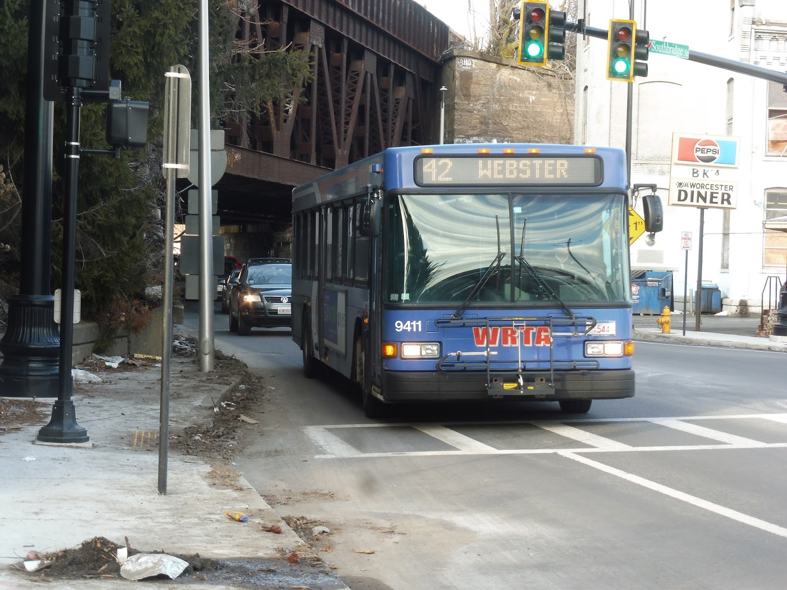
WRTA: 42 (Union Station Hub – Oxford – Webster via Southbridge Street and Route 12)
Sam and I barely made the 42! We ran and ran and ran and we couldn’t find a stop, so we just kept going down Southbridge Street until finally, we came across the strangest bus stop in Worcester:
 |
| WOAH! |
Goodness, the 558 is longer than I thought! Yeah, I have no idea why there’s an MBTA stop sign way out in Worcester, but this is where we got our bus. It was time to begin the 42’s journey down to Webster, which is at the Connecticut border. Oh yeah, it’s a long-distance route.
 |
| Here it is! |
We were in an industrial area for a bit, but it morphed into houses and suburban businesses after we went under a railroad bridge. Our next bridge to duck under was I-290, and the road briefly split into one-way sections – we zoomed around the interchange with the highway. On the other side, it was once again industrial for the most part.
 |
| For lease! |
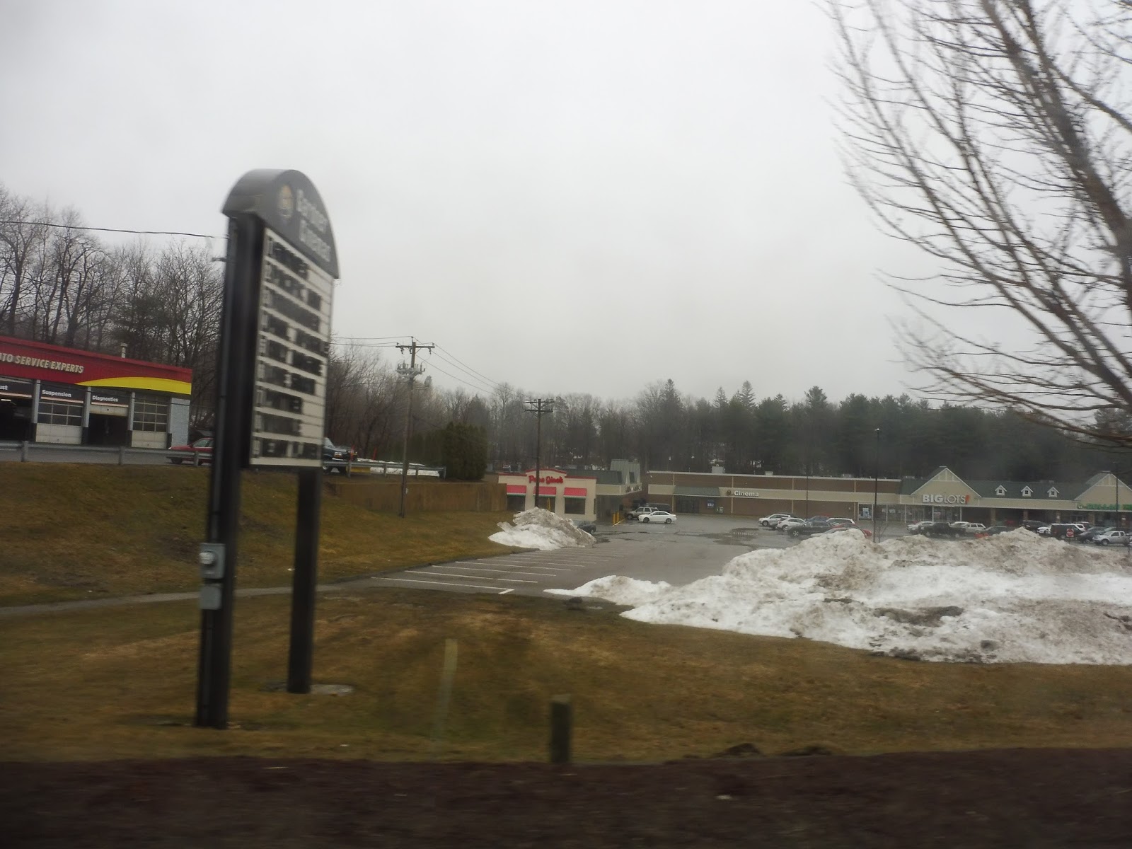
We entered Auburn, but the industry continued as the quality of the road itself deteriorated. There was a stretch where it felt woodsy, but we soon burst out into a land of suburban businesses and the Auburn High School. We deviated into the Auburn Mall for a bit, then we came back onto Southbridge Street, still lined with suburban businesses.
 |
| Some stuff beyond the mall parking lot… |
In a mess of highway interchanges, we went under I-90, I-290, and an interchange going to I-90. There was more suburban retail all the while, including as we turned onto Route 20, although it was still called Southbridge Street. We had been running with the 29, another long-distance route, this whole time, but we finally split off from it by turning onto Main Street next to a Walmart.
 |
| This looks nice! |
Now in Oxford, we entered our first real residential area. However, the neighborhoods were all on side roads, while we just zoomed past them on Main Street. There was a short section with a post office, a field, and a fire station, but it was a lot less charming than that all sounds. From there, it was more or less back to being all houses, but there were a few sections of woods as well.
 |
| A side road. |
We passed the Oxford Middle School and some businesses, but it was primarily, yes, still houses. They started to get denser, though, and Main Street became more walkable and charming. This culminated in Oxford Center, which was…really anticlimactic. It was just a burst of a few buildings and businesses.
 |
| South of the center. |
There were more charming dense houses afterward, but as we got further from the center, the charm was gone. We went under a single railroad track, and the buildings along the road from there were a mix of everything. The street became Worcester Road as we entered Webster, and soon after that we passed a small shopping plaza named after the town.
 |
| Some houses on a parallel road. |
After two cemeteries, we reached some suburban businesses and turned onto East Main Street. This was a mix of more retail and dense houses, with a bit of an industrial flair as we turned onto South Main Street. This led us into Webster Center, where we used Davis Street to loop around to the final stop of the route.
 |
| “Beautiful” Webster Center. |
Now, of course WRTA has it’s “YOU CAN’T RIDE AROUND” policy, and this route runs every two hours…so Sam and I now had two hours to spend in Webster Center. We passed the time by:
- Visiting the Providence and Worcester Railfan Club Museum, which consisted of two traincars that could not be interacted with in any way
- Walking into nearby Dudley, just to enter a new town we’ve never heard of
- Traversing the length of the famous “Webster Riverwalk,” which took approximately two minutes
- Eating some surprisingly good pizza at a place called Northeast Pizza, which may very well not exist anymore because it doesn’t have Webster on its list of locations.
 |
| The Riverwalk in its entirety. |
 |
| The bus we got from Worcester. |
The beginning of the ride was just retreading our steps down South and East Main Streets. Rather than going up to Worcester Road, though, we continued a little further to enter an interchange with I-395! The driver turned off the lights, and the only scenery from the highway was pure woods. It was AWESOME.
 |
| “Express.” BAM! |
Once the highway became I-290, we could see a few buildings in the Auburn Mall complex beyond the trees. It was woods again from there, basically all the way until we took Exit 11 onto good ol’ Southbridge Street. We went through that industrial area where we originally got on the outbound bus, then it was a right onto the wide Francis J. McGrath Boulevard. This led us to the Central Hub, ending a 25-minute trip that would have taken an hour if it had been a local run.
 |
| Nothing but the harsh glow of the orange sign… |
WRTA Route: 42 (Union Station Hub – Oxford – Webster via Southbridge Street and Route 12)
Latest MBTA News: Service Updates
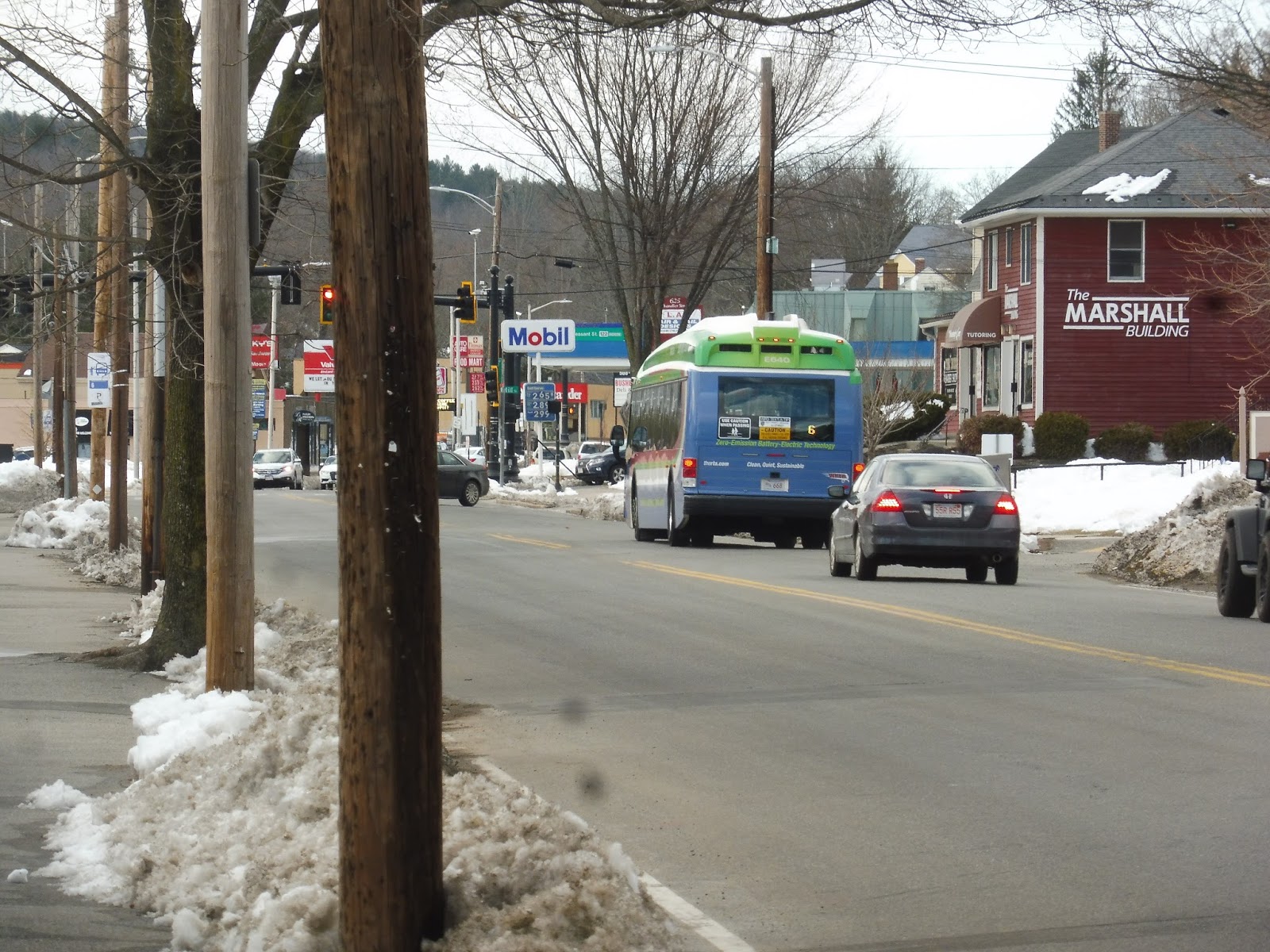
WRTA: 6 (Union Station Hub – West Tatnuck via Chandler Street)
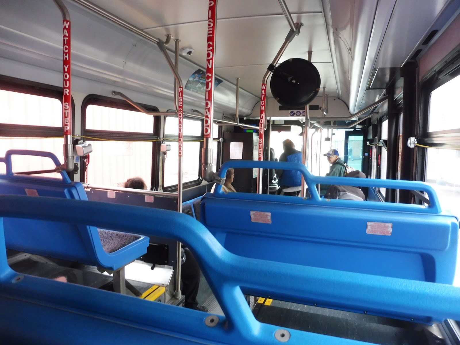
The 6 is a lot like the 3, except longer. Not only is the route longer, though – we also got the WRTA’s awesome full-sized Proterra on this thing! Oh my gosh, it was a beauty in every conceivable manner!
 |
| YES! OH MY GOSH, THIS IS AWESOME!!! |
We began at Tatnuck Square, but the businesses of the square quickly gave way to houses as we headed down Chandler Street. The Worcester State University campus occupied one side of the road for a bit, then it was all residential again until the intersection with June Street. From there, the street took on a more urban character, with dense houses and apartments in between various businesses.
 |
| The rear window is back! |
We passed Beaver Brook Park on one side and Foley Stadium (a small football and track stadium) on the other. There were a ton of businesses after that, with much fewer apartments and houses than before. We joined up with the 7 at the Family Health Center, and as we got closer to downtown Worcester, the buildings started to get even denser.
 |
| We’re really in the city now! |
Now, the 6 does a really strange jog to Southbridge Street. I don’t know why it does that, but it was incredibly helpful for Sam and I as we got off the bus there to run to a southbound 42 to Webster. From there, the 6 goes straight to City Hall and on to the Central Hub.
 |
| Back in Tatnuck Square, here’s the back of the bus. |
WRTA Route: 6 (Union Station Hub – West Tatnuck via Chandler Street)
Ridership: The 6 gets slightly higher ridership than the 3, but it’s still pretty bad: 292 riders per weekday and 186 per Saturday.
Pros: The route provides hourly service six days a week straight down Chandler Street, a dense, busy road with lots of retail, plus houses on the side streets. It also gets more people than the 3, so…I guess that’s a good thing.
Cons: Look, the 3 and the 6 are both underperforming routes. They’re both too short for their own good and they don’t get good ridership. The 6 is slightly more useful, but it still falls into the same boat as the 3.
Nearby and Noteworthy: Hey, Chandler Street has a ton of stuff along it! I can’t tell you what’s good and what’s not, but I can tell you there’s a lot of retail, particularly restaurants.
Final Verdict: 4/10
Okay, let’s talk about combining the 3 and the 6. What would that look like? I drew up a map to show how services would change:
So the 6 basically takes over the entire 3 route, and from the 3’s terminus, it continues to its current terminus at Tatnuck Square. Now, of course, we lose service on Chandler Street with this change. My solution for that was to reroute the 7 to go via Chandler Street and Park Ave, rather than its current twisty routing. I think it looks a lot cleaner like that! You do lose service in a few small areas, as indicated by the black lines, but there’s nothing lost that’s longer than about a five minute walk from the new routings. With this arrangement, you would be able to serve mostly the same areas with one fewer bus, and that could be used to improve frequency on one of these corridors or elsewhere.
Latest MBTA News: Service Updates
WRTA: 3 (Union Station Hub – Worcester State University via Highland Street)
Ready for a super-short trip on the 3? This is gonna be a quickie!
 |
| Sweet, a Proterra!!! |
We cruised down Foster Street making those awesome Proterra all-electric noises, and we soon came into downtown Worcester. Once we crossed Main Street, the road became Maple Street and it did an s-curve up a steep hill around a parking lot. Next to the Worcester Historical Museum, we turned onto Chestnut Street, going by some apartments, offices, and parking lots, before heading onto Highland Street.
 |
| Bam! Gotta love that rear-view window. |
There were lots of businesses along here, but they soon thinned out to be replaced by houses (and a side street to Becker College, not that its presence is at all obvious). At the intersection with Park Ave, there was a Price Chopper and a huge park, which continued as we went by more houses and a high school. We made our way around the Newton Square rotary onto the residential June Street, taking it down to Chandler Street, where there were some businesses. However, on Chandler, they went away past the intersection until we looped around onto May Street at the Worcester State University campus.
 |
| ‘Twas a quick trip indeed. |
WRTA Route: 3 (Union Station Hub – Worcester State University via Highland Street)
Ridership: 245 people on weekdays and 67 on Saturdays…yeah, not too many people use the 3. My trip got 2 people.
Pros: The Highland Street corridor is certainly dense, and I imagine Becker College contributes to ridership on the 3. The route comes every hour on weekdays with an interline with the 30…
Cons: …but on Saturdays, it just runs on its own, so it’s actually more frequent at every 45 minutes. Thus, this brings me to my next point: this route is so darn short! It’s scheduled to take 22 minutes, but that’s more time than it actually takes, and the unique section of the route more or less ends 10 minutes in. The route also serves some of the more well-off parts of Worcester, which in itself means that less people are going to ride it. I mean, the subsidies for this thing are through the roof…$5.79 per passenger on weekdays and $8.12 per passenger on Saturdays!
Nearby and Noteworthy: It’s mostly residential, but some of the retail along Highland Street seemed pretty interesting – they draw a lot of people from the nearby Worcester Polytechnic Institute.
Final Verdict: 3/10
The 3 gets a 3! I understand why the WRTA wants to run a bus down Highland Street, but this route is just too short to be useful, and that’s probably why its ridership is so low. I think a good course of action would be to combine it with the 6, but we’ll explore that further in the next post.
Latest MBTA News: Service Updates
Your MBTA Bus Ride Will Never be the Same Again
Your MBTA commute is about to get a lot more exciting. For the past few months, I’ve been interning for a group of MIT graduate students who have produced an incredible app: Alight. Instead of wasting your money on overly-expensive tour buses, you can now ride local MBTA routes and get a tour of the exact same quality on your smartphone!
It’s super simple: you choose a route, and the app will tell you when the next bus is coming at the nearest stop. Once you’re on board, the app will use your location to play “stories” all along the route. These can range from sports to history to local attractions, and you can sort out which themes you prefer to customize your experience. It makes bus rides so much more interesting, not only for tourists, but also for locals who might learn a thing or two about new neighborhoods! I recorded a bunch of stories, too, so look out for those…
Keep in mind that the app is very much a work in progress at the moment – we only have a few routes up and running. However, you can change that with the “Create” tool. Yes, you’re able to record your own stories that other Alight users will be able to hear! The process is quick and easy, and it turns the app into a melting pot of local stories just waiting to be told. Also, if you submit ten stories, you get an Alight water bottle, so do it!
If you want to give it a spin (it’s free!), you can download it immediately from the Google Play Store, and while there’s no iPhone version yet, you can sign up here to get a notification when it’s released.
 |
| A story on the 1! |
WRTA: 24/24A (Union Station Hub – UMass Medical Center via Belmont Street)
Heyyyy, why does the WRTA website URL still reference the former 34? That’s no good! That was a Sunday-only variant of the 24/24A, but luckily it’s been eliminated, so we only have to deal with the 24 now.
 |
| …or, in this case, the 24A! |
We began at the UMass Medical Center, a sprawling complex that feels like its own city. We came out of there on South Road, then we turned onto Innovation Drive, which ran up a hill to serve the Worcester Recovery Center and Hospital. Next, we turned onto Hospital Drive, leading us back down onto Belmont Street.
 |
| The woodsy campus of the hospital. |
There was a bunch of forest on the north side of Belmont Street, but the south side was residential. The only thing that differentiates the 24A from the 24 is that it makes one deviation in each direction to two different apartment complexes; we went by Seabury Heights, the one served in the outbound direction. There was a lovely pond right after with its own little beach.
 |
| The pond, flanked by Seabury Heights. |
We turned onto the narrow Hooper Street to perform the 24A’s inbound deviation. It led us past houses to the Green Hill Tower Apartments, where some sort of medical emergency delayed us a bit as we tried to loop around the parking lot. Eventually we just reversed our way out of there and headed back down to Belmont Street, running by the UMass Memorial Hospital.
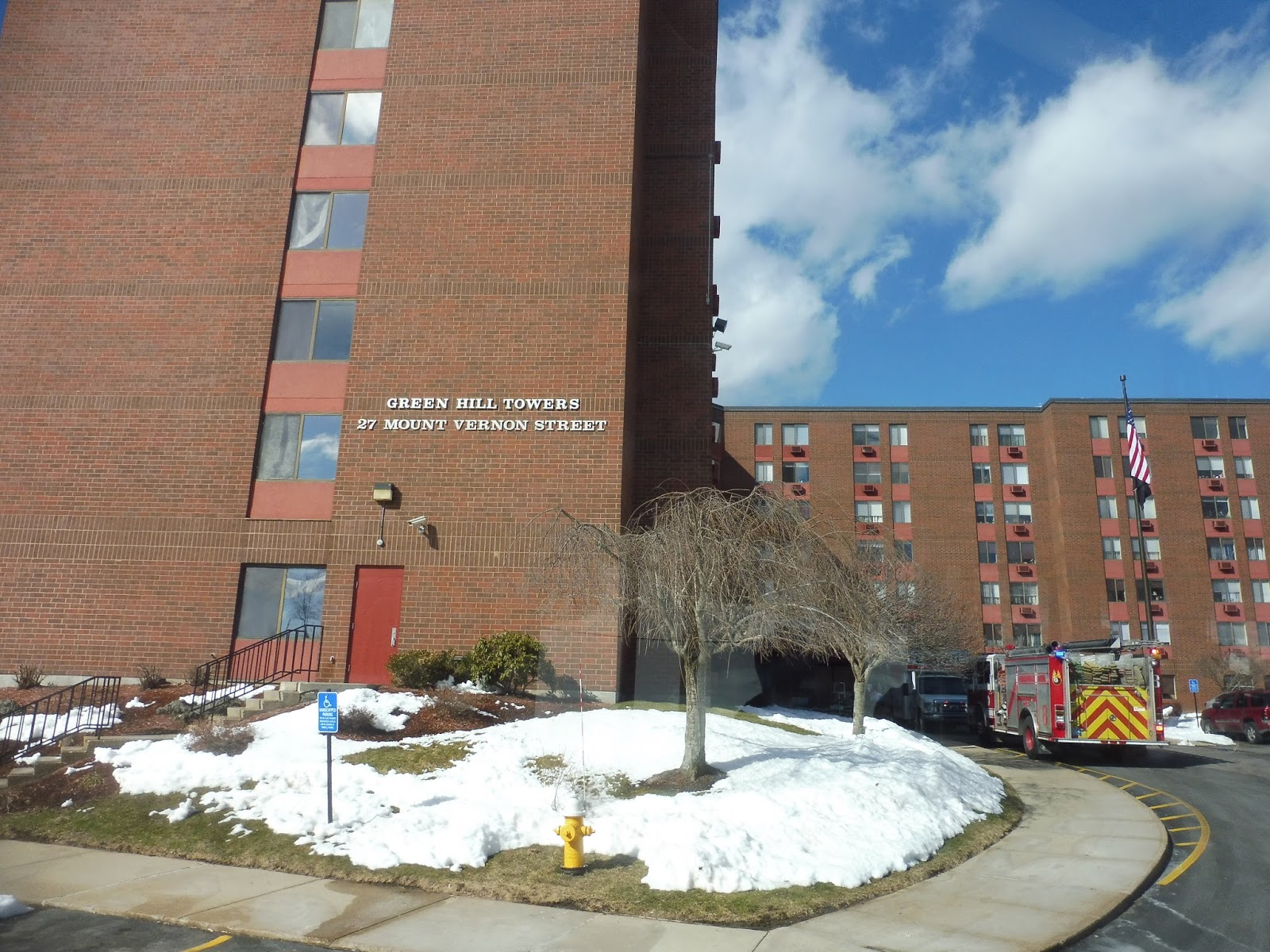 |
| You can see the emergency vehicles parked in front… |
We went over I-290 and passed two churches and an apartment building. We then turned onto Major Taylor Boulevard, a wide road that had lots of office buildings along it. It led us down to Foster Street, which took us to our final stop at the Central Hub.
 |
| And here we are! |
WRTA Route: 24/24A (Union Station Hub – UMass Medical Center via Belmont Street)
Ridership: The 24 gets great ridership, with 878 passengers per weekday and 327 per Saturday…I guess it wasn’t running on Sundays when the ridership data was taken.
Pros: Although this may not be the fastest route to the UMass Medical Center (that honor goes to the 15), it’s the most frequent one, running every half hour on weekdays (where every other trip is a 24A) and every hour on weekends (where most trips are 24As). It serves three major medical centers, and it runs by some dense residential areas on Belmont Street, too.
Cons: The 24A is the real elephant in the room here. First of all, what’s the deal with its single-direction deviations? Who’s going to use a deviation if it only does it in one direction??? If they really want to deviate, just go to Green Hill Tower Apartments, since that’s much further from the main road than Seabury Heights, which is basically right there. Also on the topic of the 24A, the weird supplemental 24A trips on weekday afternoons don’t seem to be helping anyone. They only end up bunching up with regular 24s, and even when they do leave at consistent headways, it doesn’t work – service from the hub runs at alternating headways of 15 and 30 minutes when the supplemental trip is going, and alternative headways are awful.
Nearby and Noteworthy: It’s really just a lot of hospitals. Chances are, if you need to visit a hospital in Worcester, you’ll end up on the 24.
Final Verdict: 6/10
The normal 24 is a great route. It serves a lot, it runs frequently, and it’s direct. The 24A, on the other hand, is indirect, badly-designed, and screws up the headways on the regular 24. So, uh, let’s just meet in the middle, huh? 6/10.
Latest MBTA News: Service Updates
WRTA: 5 (Union Station Hub – Southwest Commons via Grafton Street)
WRTA has an annoying policy where passengers can’t “ride around” at the end of a route. This makes doing isolated routes like the 5 tough. Sam and I’s solution was to get off a little bit before the end and just wait on the other side of the road. We missed a pseudo-express section from the horrible-looking Southwest Commons (a CVS, a Chuck-E-Cheese, a Little Caesar’s, and an abandoned Big Y, probably because it was too far from PVTA-land), grabbing the bus on Grafton Street.
 |
| See you on the other side! |
There were some businesses along Grafton Street, mixed with houses and an apartment development. Soon after passing an elementary school, we performed the inbound-only deviation into South Plaza, which was in much better shape than Southwest Commons. We picked some people up and returned to Grafton Street, passing more businesses and some houses.
 |
| Looking at South Plaza…although one business is definitely front and center. |
Grafton Street became twisty and entirely residential. It was all houses until some retail at the intersection with Massasoit Road, and again at the one with Hamilton Street. We went around an oddly-shaped rotary at that second intersection, and there were now lots of businesses between the apartments along Grafton Street. We went under I-290 and the road paralleled its bridge, then we turned onto Franklin Street and headed into the Central Hub.
 |
| The intersection with Hamilton Street. |
WRTA Route: 5 (Union Station Hub – Southwest Commons via Grafton Street)
Ridership: The 5 gets decent ridership, with 549 people per weekday, 153 on Saturdays, and 70 per Sunday. Those weekend numbers drop a lot, but since service also drops, the passengers per hour stay relatively stable seven days a week.
Pros: The Grafton Street corridor isn’t served by other routes past Hamilton Street, and this short and sweet bus connects it to Union Station. The route has a good schedule, as well; service is every half hour on weekdays and every hour weekends.
Cons: Does service really need to go beyond South Plaza? Southwest Commons just seems like a dead plaza that isn’t coming back anytime soon, so it’s a waste to run empty buses there. That also ties in with fixing the route’s rough 84% on-time performance rate. If buses terminated at South Plaza, they could lay over longer, so they would be far more likely to be on time.
Nearby and Noteworthy: South Plaza isn’t an exciting mall by any means, but it’s the best thing along the 5.
Final Verdict: 4/10
People seem to use the 5, but only up to a point, and that point is South Plaza. It shouldn’t have to run empty buses beyond there, at least until Southwest Commons gets something to fill that Big Y spot. It doesn’t help that vehicles are often late, and while that could possibly be attributed to the interline with the 27, terminating the route at South Plaza would help with that, too.
UPDATE 9/22/18: Well, the route doesn’t run to Southwest Commons anymore! Now it goes to “Blithewood/Massasoit,” a residential area. I think it’ll only generate a tiny bit more ridership than the old Southwest Commons terminus, but at least it’s an actual neighborhood and not an abandoned mall. The route has also been downgraded to an hourly schedule on weekdays, though. I think I’ll keep the score as is, but it was worth mentioning the changes that were made.
Latest MBTA News: Service Updates
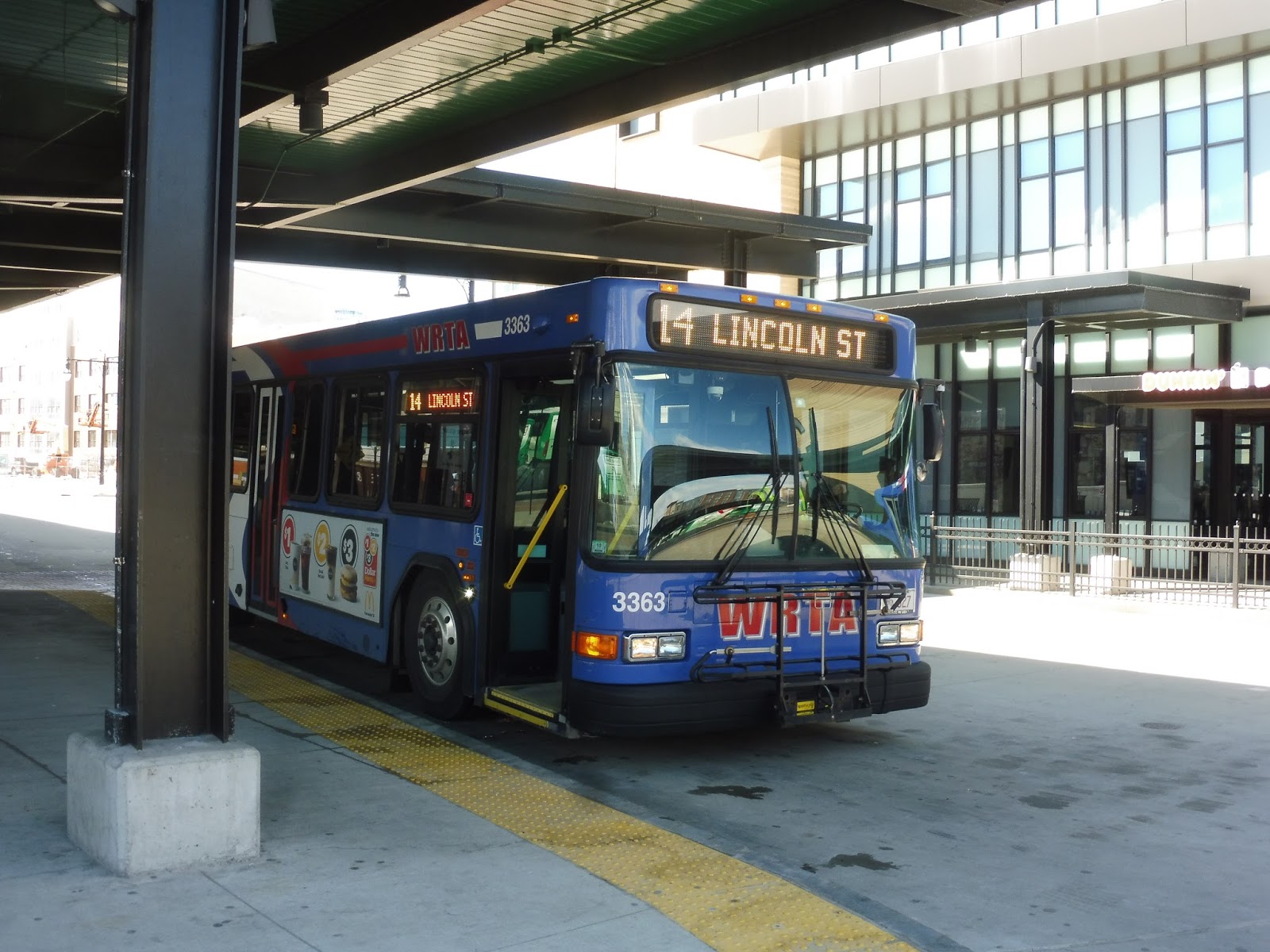
WRTA: 14 (Union Station Hub – Showcase Cinemas/Holden via Burncoat Street)
RTAs often end their routes at malls, but Showcase Cinemas is a new one! Unfortunately, Sam and I weren’t able to catch the 14 from its true start point, so we began at its second stop, the Porter and Chester Institute. On weekdays, buses deviate directly into it, but this was a Saturday, so we picked it up on Brooks Street.
 |
| Well…close enough. |
We were in a hardcore industrial area, running past tons of factories and warehouses as we turned onto Pullman Street. There was a Price Chopper as we turned onto Mountain Street West, and once we headed down West Boylston Street, there were now suburban businesses everywhere. We were on this until Quinsigamond Community College, where we went up a hill to serve the campus.
 |
| We’ve got a view! |
We made our way out of the college onto Randall Street, a residential road that took us to Burncoat Street. Burncoat Street was lined almost entirely with houses, and it was up on a hill. A steep hill. We went by the Burncoat High and Middle Schools and later crossed over I-295 before joining up with Lincoln Street at Brittan Square.
 |
| I did say a steep hill. |
Brittan Square was home to a hospital and some businesses, but Lincoln Street soon became lined with dense houses. We left the 23/26 by turning onto Gooseberry Street, which ran through a woodsy patch, of all things. Once it became Summer Street, we went by the Plumley Village Apartments, then there were a few office buildings before we looped around into the Central Hub.
 |
| Stopped at the Hub. |
WRTA Route: 14 (Union Station Hub – Showcase Cinemas/Holden via Burncoat Street)
Ridership: My trip got a total of 2 people. Aww…well, maybe the overall ridership is better. Let’s see…on weekdays, the route gets 274 people on average, while on Saturdays it’s 75. Alright, so this is definitely a lower-ridership route.
Pros: Burncoat Street is a very important corridor to serve by bus; it’s residential, it’s dense, and most importantly, it’s way up on a hill. The route comes nice and frequently too, with service every half hour on weekdays and every hour on Saturdays.
Cons: No Sunday service is a real letdown, but I could see ridership being incredibly low if it did run. Honestly, it’s already pretty low, with some of the lowest productivity and highest subsidies on the WRTA – does this route really need half-hourly service on weekdays? Granted, the WRTA ridership counts were taken when the route came every hour, but I doubt the amount of people has gone up astronomically.
Nearby and Noteworthy: If you’re looking to see a movie, you can use the 14 to get to Showcase Cinemas! Just make sure it’s a matinee, since service stops at 9 PM…
Final Verdict: 4/10
The 14 seems like it runs too often for the amount of ridership it gets, but maybe that could be alleviated if it was combined with the 30! The 31 could cover service along West Boylston Street, while the 14 could run from the Hub to West Boylston via Burncoat Street. I’m not a fan of the redundancy of routes along Lincoln Street from Brittan Square, but it’s not the worst thing in the world.
Latest MBTA News: Service Updates
WRTA: 30 (Union Station Hub – West Boylston Walmart via Grove Street and West Boylston Street)
We’re going to the West Boylston Walmart on the 30. Fun stuff.
 |
| Nice wrap! |
We headed out onto Foster Street from the Central Hub, then we turned onto Major Taylor Boulevard. There were lots of office buildings with parking lots along here, and they continued as we darted onto Grove Street for a brief independent section. After going by a repurposed factory, we passed some other industrial buildings, a field, and a cemetery.
 |
| A few offices. |
We turned onto Gold Star Boulevard, joining the 31 and running past more industrial buildings and some suburban businesses. Curving under I-190, we passed the Greendale Mall and the street became West Boylston Street. It came along a train track with a huge freight train parked on it, while the other side of the road had retail and houses on the side streets.
 |
| Some houses going up a hill. |
Once the track got sufficiently far from the street, industrial businesses occupied both sides of the street. We passed the monstrous Quinsigamond Community College up on its hill. The 31 left us on Mountain Street East, so finally, it was just us on West Boylston Street. It was still a lot of suburban businesses, but they were interspersed with short residential sections.
 |
| It’s gettin’ woodsy out here! |
The street became State Road when we entered West Boylston, running past an interchange with I-190. It was still all businesses along here, with residential neighborhoods down side streets. Finally, we pulled into the West Boylston Walmart, the route’s final stop. From here, we took the bus back a ways, and it’s worth noting that it does an extra deviation into Wachusett Plaza coming back.
 |
| Have fun going back to Worcester! |
WRTA Route: 30 (Union Station Hub – West Boylston Walmart via Grove Street and West Boylston Street)
Ridership: The 30 gets great ridership, averaging 929 people per weekday, 438 per Saturday, and 196 per Sunday. My trip only got ten passengers, but these numbers are great, so it was probably a fluke.
Pros: This is a direct trip running straight up West Boylston Street, and it comes at a great half-hourly headway on weekdays. That drops to every hour on weekends, but I think it makes sense. It’s also worth noting that the route terminates at Showcase Cinemas on Saturday nights to cover for the 14.
Cons: Dang, this thing is really redundant with the 31! About a third of the route is with the 31, and a large portion of the 30’s Worcester section runs with other routes, too. Also, does this thing have RIPTA-length layovers on weekdays? The schedule says nothing about interlining, which would mean that buses get 20 minutes of layover at the Central Hub! It’s not a huge deal, but it might be an efficiency problem.
Nearby and Noteworthy: Walmaht! Price Choppah! Woostah!
Final Verdict: 6/10
As far as serving the passengers goes, the 30 does a great job. When it comes to overall efficiency, though, that’s where the score drops. The route spends a ton of time with the 31, it doesn’t have any substantial independent sections until the northern third of the route, and buses may be laying over for long periods of time. I’ll discuss this more in the next post, but perhaps a cost-saving solution would be to combine it with the 14…
Latest MBTA News: Service Updates