by Miles Taylor | May 25, 2014 | Miles on the MBTA
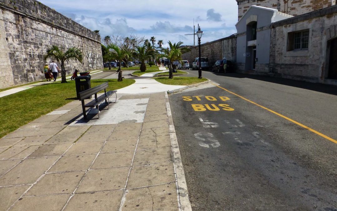
I’m taking way too long with these posts. I do apologize for that. I’ll be splitting what would’ve been part 2 into 2 parts, making a total of three. But enough about that… Having just gotten off of the Sea Express at the Dockyard, we needed to...
by Miles Taylor | May 14, 2014 | Miles on the MBTA
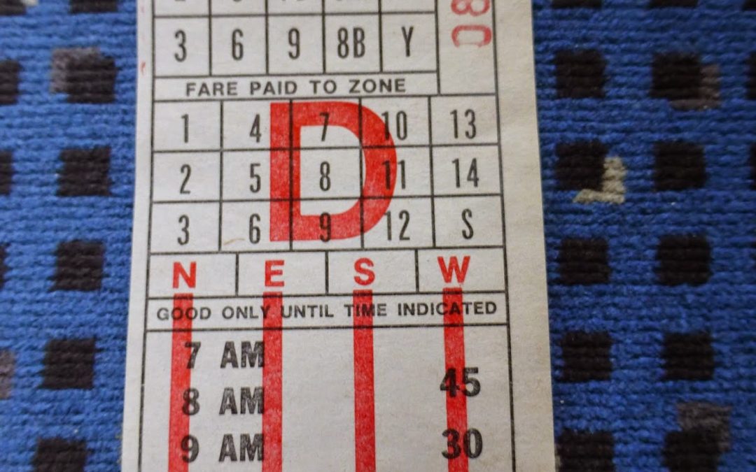
My family has been going to Bermuda every year for the past 12 years. The fact that such a tropical setting exists just a two hour flight away from Boston is very enticing. We didn’t go last year, instead opting for Orlando, so I was more than excited to get...
by Miles Taylor | May 13, 2014 | Miles on the MBTA
How should large Service Change posts be published?
by Miles Taylor | May 8, 2014 | Miles on the MBTA
As I continue plowing away at a Bermuda Service Change post, here’s a little game that came out today called Boston Flummox. It’s very simple: you’re given a scrambled station name, and your job is to unscramble it. The only clue at your disposal is...
by Miles Taylor | Apr 30, 2014 | Miles on the MBTA
This is what happens when I try to create or edit a blog post in Google Chrome: I’m not sure why this is happening, but I had to download Firefox to be able to write. I could use Internet Explorer, but…you know, it’s Internet Explorer.
by Miles Taylor | Apr 29, 2014 | Miles on the MBTA
As I work on a monster Service Change post(s) about the Bermuda bus system, here’s the blog’s second guest post! This one’s from a friend of mine, about a very unique experience on the Red Line… Hi, my name is Maggie and I have gone to school...