Oof, this might be one of SEPTA’s most beastly City Transit routes. It doesn’t get much crazier than taking a convoluted path from North Philly down into Center City, onward to South Philly, across to the other side of town, and then back up to serve the South Philly malls area. Sure, there are a few routes that may be more insane, but the 7 is a contender regardless!
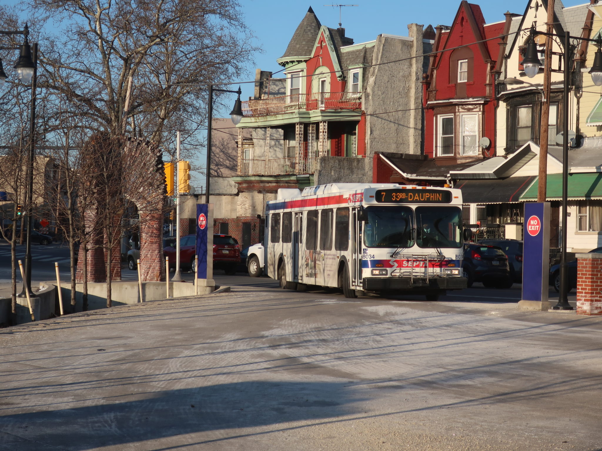
Things started out ominously, with the northbound trip coming into the 33rd-Dauphin Loop late enough to already have to depart for the southbound behind schedule. We left the loop as quickly as possible, running down Dauphin Street past the Strawberry Mansion High School, some sizable vacant plots of land, and rowhouses of varying structural quality. There was a small mall at the intersection with 29th Street, which we would eventually turn onto, but first we had to do this completely nonsensical jog out to 26th Street.

What extra things did we serve by going out to 26th Street? A few more abandoned lots, a few more rowhouses, and a giant field that, according to Google Street View, is where some of the Strawberry Mansion horses are kept (I didn’t see any on the cold winter’s day I rode the 7). Also, this is all covered by the 39! Anyway…we took Susquehanna Ave to return to 29th Street, turning onto it to follow the 48 and 49.
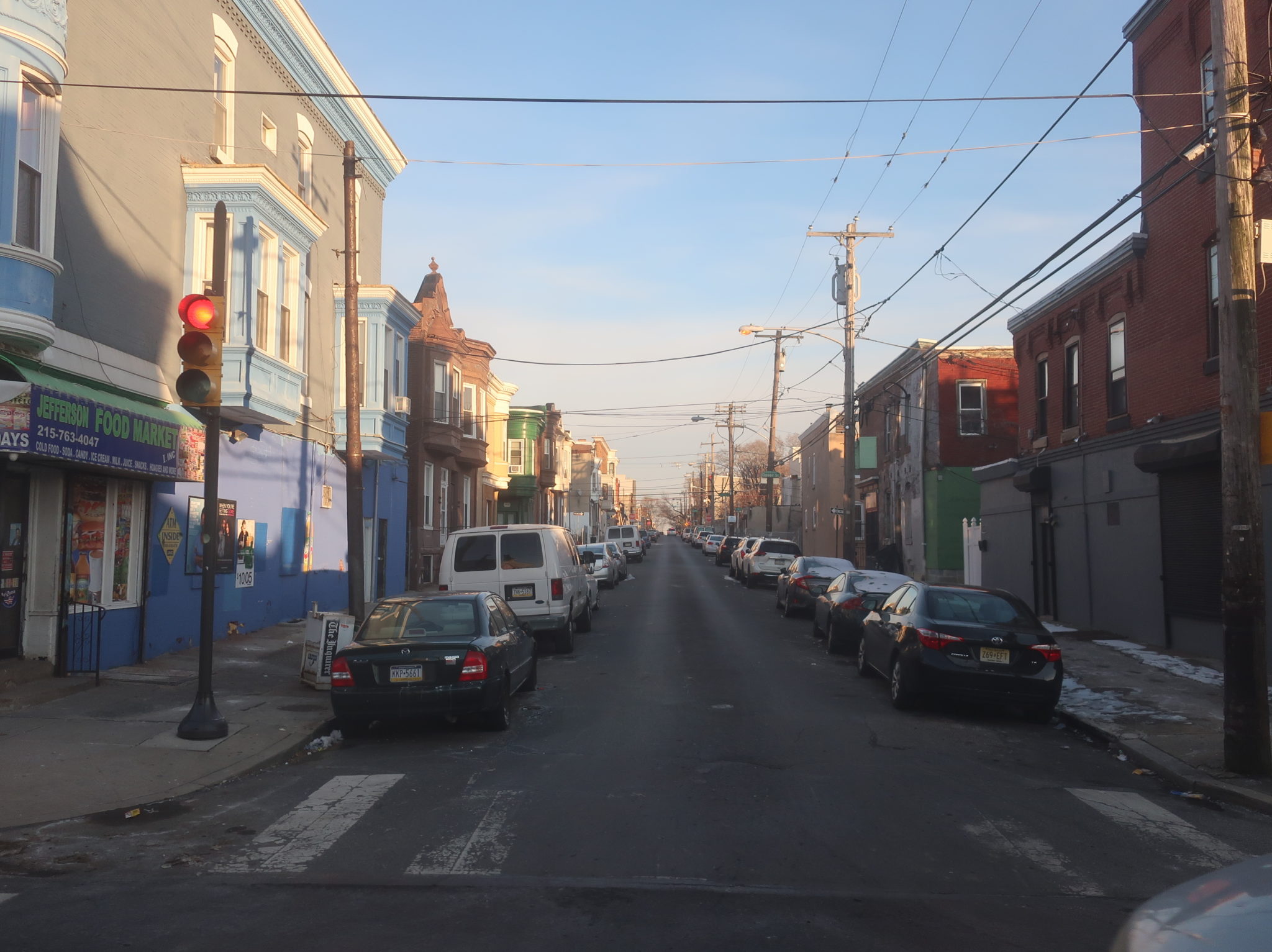
29th was a major two-way street, but it was still mostly residential, although there was some retail at the intersection with Ridge Ave. Some industry showed up as we crossed the Northeast Corridor, and the rowhouses continued on the other side, still occasionally punctuated by some vacant lots. The lots started to disappear the further south we got, though, and eventually it was just a constant stream of multicolored apartments on both sides of the road.
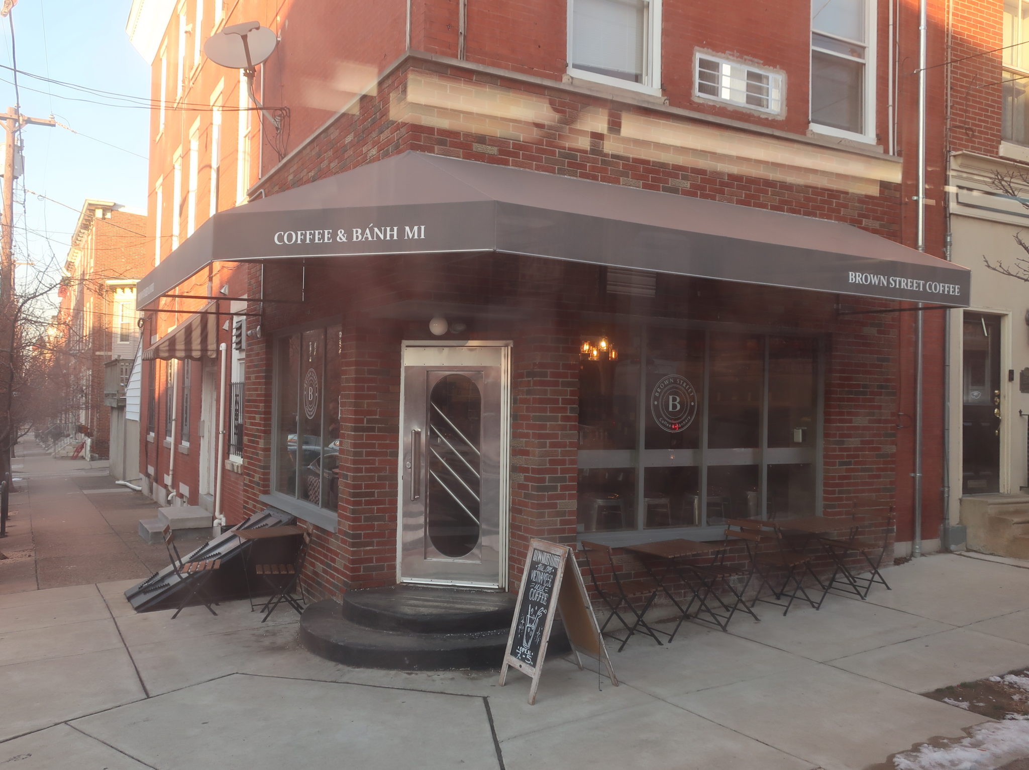
Girard Ave was the real hotbed of gentrification in this area, with its hipstery restaurants and shops. It also marked the boundary between gentrifying Brewerytown and long-past-gentrified Fairmount, which was mostly well-kept rowhouses, along with corner businesses. We used Pennsylvania Ave, which runs alongside Fairmount Park, to make our way onto Brown Street, continuing through the neighborhood.
We turned onto 23rd Street next, getting a view of Eastern State Penitentiary across a parking lot. Fairmount Ave was a major retail corridor that we crossed before we suddenly stopped at Green Street: buses were detoured onto Green because of utility work, and a 48 had gotten stuck trying to make the turn. The driver put the parking brake on and got out to guide the bus ahead, helping its driver weave its way onto the tiny Green Street. The process took ten (ten!) minutes.

We made it a block down Green before inexplicably stopping again, this time at 22nd. The driver got out and actually chocked the bus, so it seemed we’d be stuck here for a while. He walked down the street and was gone for about eight minutes before coming back – maybe it was to help that 48 make the next turn? Meanwhile, our bus was getting honked at because cars couldn’t pass on the one-lane road. They eventually caught wind of the situation and started backing up to turn off earlier.

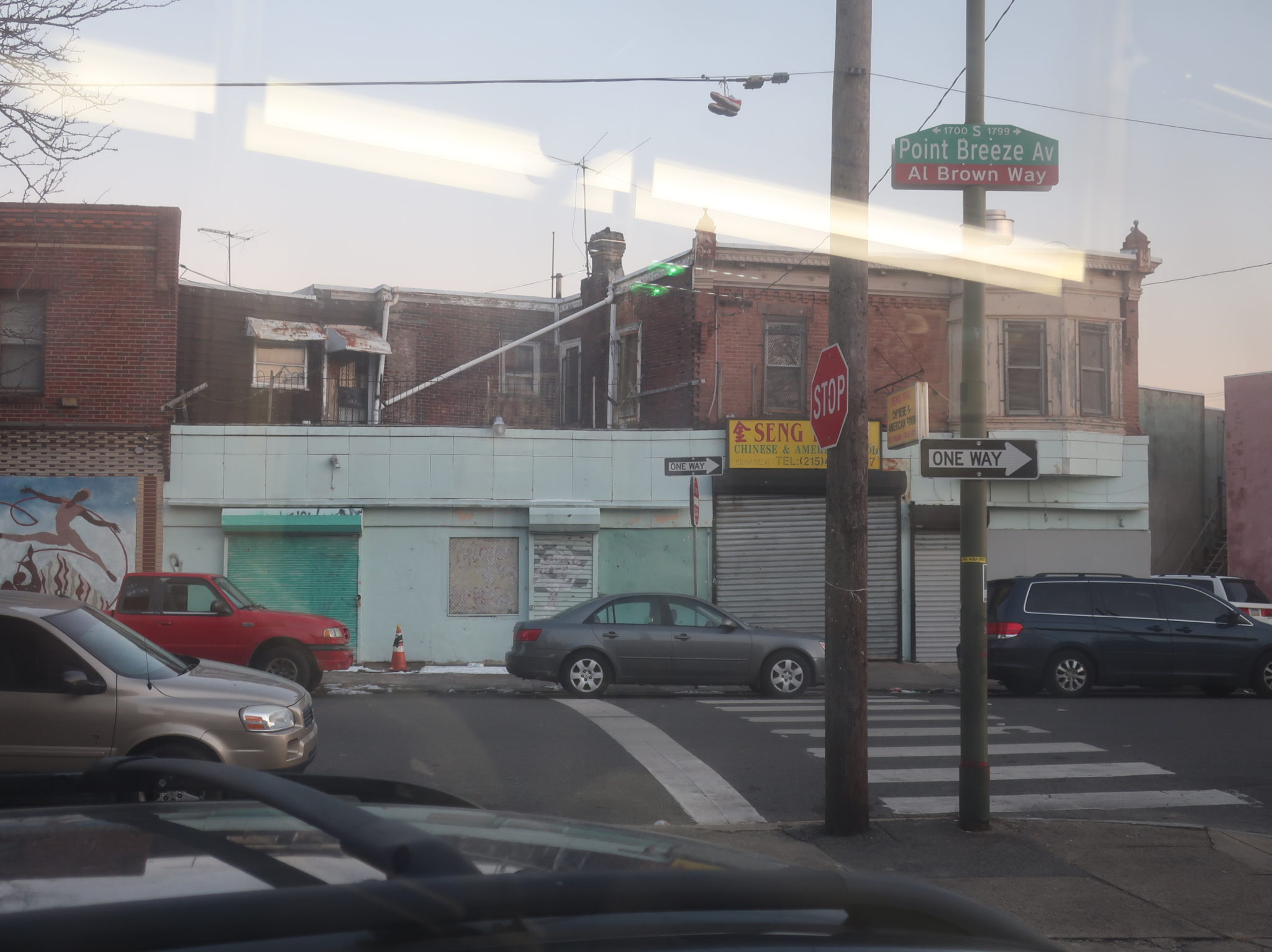
The driver finally came back and we continued to 21st, where after crossing Spring Garden Street, the rowhouses turned to modern apartment buildings. We rejoined the regular route as we reached Ben Franklin Parkway, going right by, like, all the museums: the Rodin Museum, the Barnes Foundation, and the Franklin Institute, as well as I-676 (a museum about how to destroy several neighborhoods). Still, 21st Street reverted to rowhouses again until we reached Arch Street and the Regional Rail tracks, where it was Center City skyscraper time.
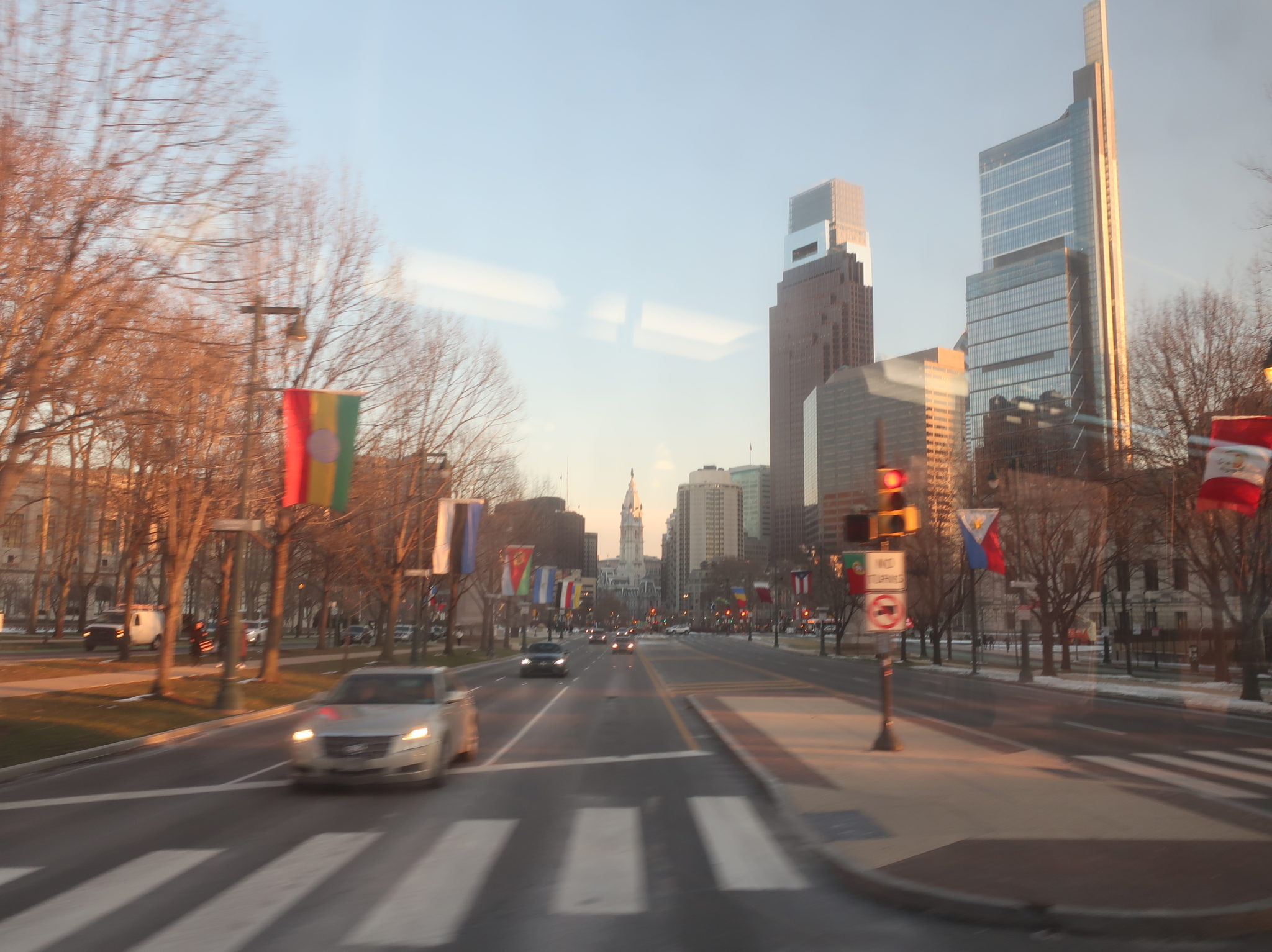
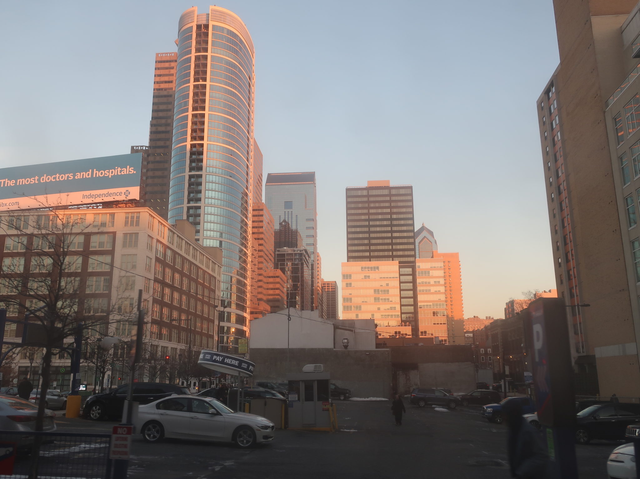
In this part of Center City, the tall buildings are mostly concentrated on Market and don’t stretch too far to the south or north. We took a right on Market, passing the 22nd Street trolley station, and then we turned onto 23rd Street, where a massive crowd was waiting at the stop. The driver opened both doors. “Folks, I’ve got another 7 about two minutes behind, but you can hop on the back if you want.” We were standing room only as we continued into South Philly.
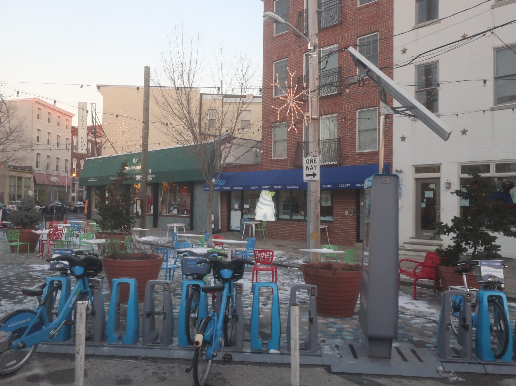
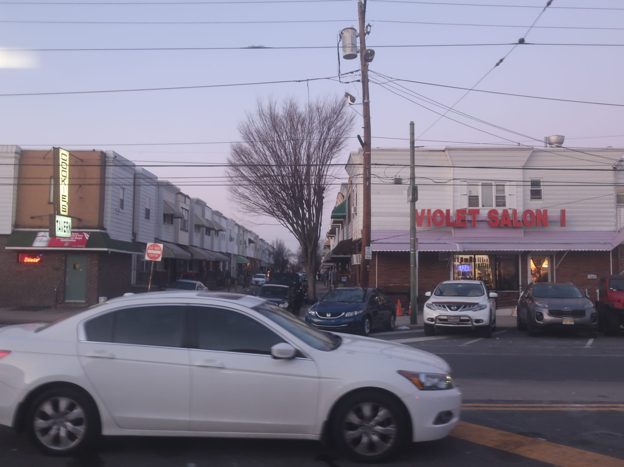
By the time we got down to Walnut Street, the buildings had reverted back to three-story apartments. The few businesses that did appear were geared toward the local community, like laundromats. We passed beautiful Fitler Square at Pine Street, then at South Street, another small square was surrounded by businesses. And now, we had to do another detour, so we used Greys Ferry Ave to get to 24th Street, a block away from the regular route on 23rd. At least it didn’t involve any impossible turns.
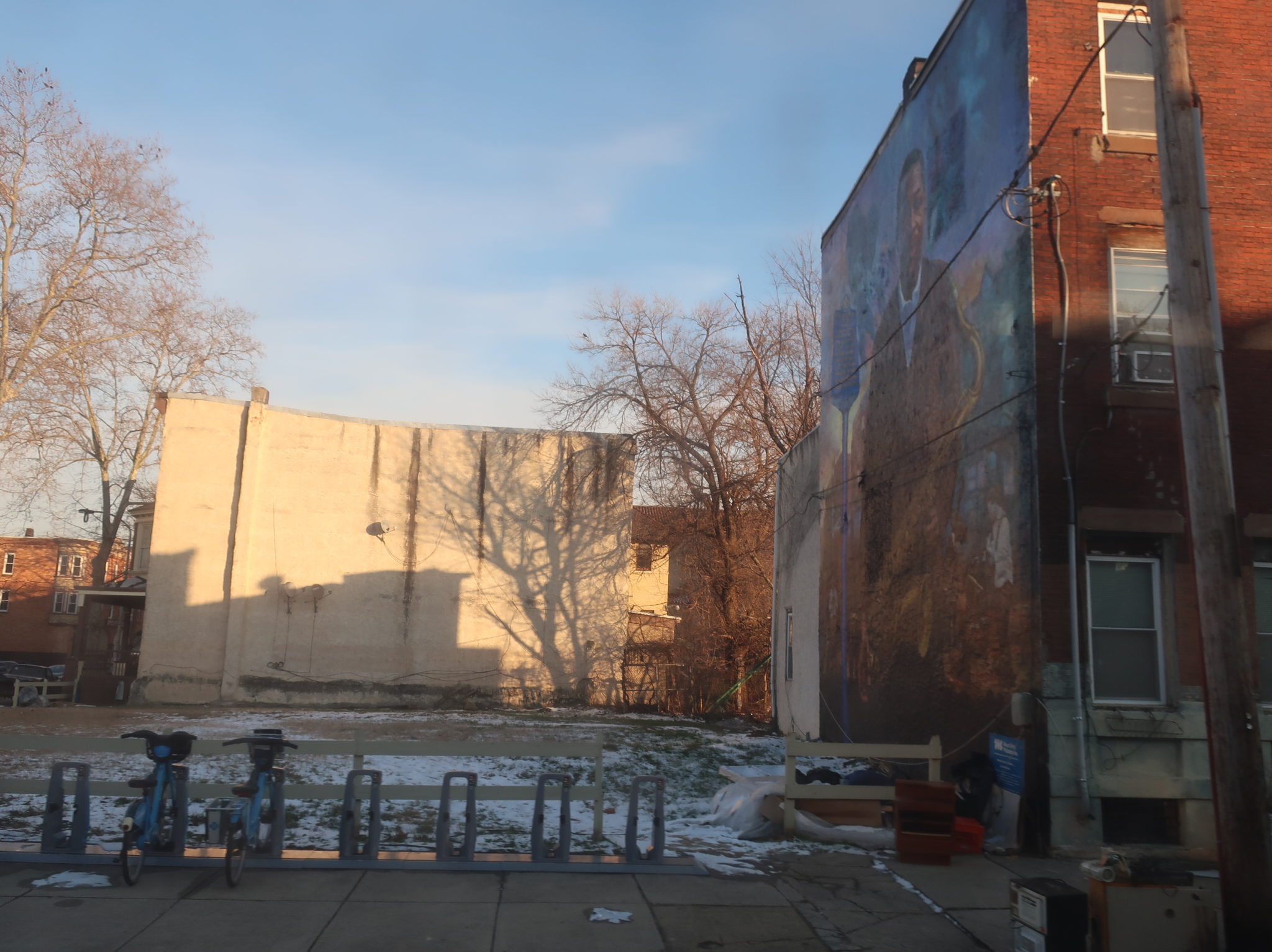
It was still mostly rowhouses along here, but a beautiful, abandoned school building proved to be an interesting sight. A bunch of industry showed up as we approached Washington Ave and took a left, taking the massive road one block in order to rejoin the regular route on 23rd. The row homes came back, along with a few churches and another vibrant park, Wharton Square.
Aside from a few businesses at major intersections, it was pretty much all residential along 23rd Street as the bus slowly emptied out. The nice, dense neighborhood ended abruptly at Passyunk Ave, which we turned onto for a block to get onto 24th Street, running past a suburban shopping plaza and an electric substation. While one of the many plazas around here seems like a relatively logical place to end the route, it just has to keep on going – now it was time to take a left onto Oregon Ave for the crosstown section!
Oregon Ave was a wide road with a median (and a bunch of cars parked in it, of course!) that ran past a ton of shopping plazas and businesses with parking lots. Eventually it did revert to two-story rowhouses and businesses, but they looked really dinky on the five-lane-plus-parking road. We crossed the Broad Street Line at Oregon Station.
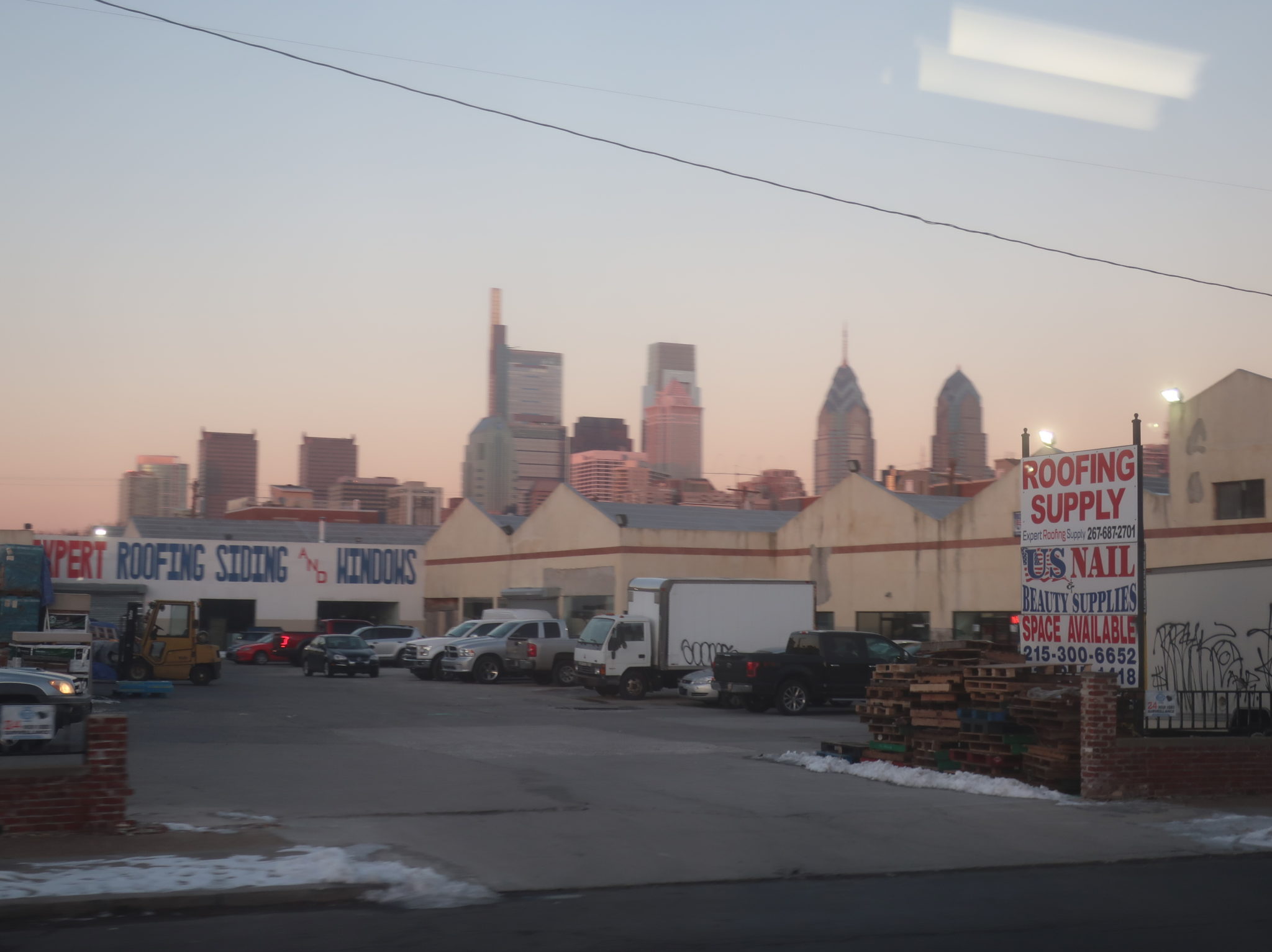
Continuing east, the north side of the street was lined with retail, but nearly everything else was residential. The dense mass of buildings broke around 5th Street, where we went by Whitman Plaza, some businesses with parking lots, and a recreation center. As soon as Oregon Ave went under I-95, we entered a vast industrial wasteland. It was now time to return north to serve the South Philadelphia malls, so we turned onto Weccacoe Ave.
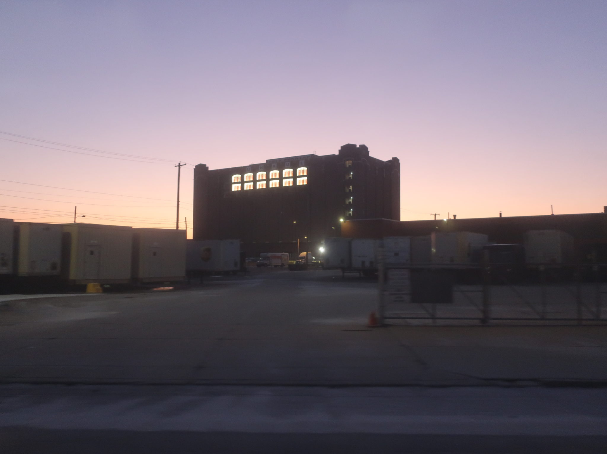
Columbus Commons, with its IKEA and Lowe’s, appeared amongst the industry – or the back of Columbus Commons, anyway. Gotta love that grassy stop in the backlot of the IKEA. More shopping plazas abounded as we turned onto Snyder Ave, then Water Street, running next to the elevated I-95. We took this all the way up to Tasker Street before coming back around onto Columbus Boulevard, returning south past, yes, more shopping plazas. We pulled into the Pier 70 shopping center to end the run, and surprisingly, despite all of the stops and detours and the fact that another 7 was directly behind us, we ended up arriving only 17 minutes late!

Route: 7 (Pier 70 to 33rd-Dauphin)
Ridership: The 7 gets nearly 5,000 riders a day, but because it’s sooooooo long, it ends up being only marginally productive. An average of 47 riders per 70-minute trip is okay, but not great. Of course, my cursed ride snagged 77 riders over the course of its duration, but since it was the evening rush, the vast majority of those riders went from Center City to South Philly.
Pros: There’s certainly no denying that the 7 serves a lot. It also deserves praise for being mildly more productive at rush hour than midday, something that many SEPTA routes can’t say. It runs at a decent every 15 minutes during those peak times, while its weekend service is surprisingly decent, with 20-minute headways on both Saturdays and Sundays.
Cons: This route is a BEAST! A MONSTER! And so much of it makes no sense! The entire North Philadelphia section pretty much parallels the much-more-frequent 48 and 49 (minus a few dumb deviations that shouldn’t be there), while the Oregon Ave section pretty much parallels the much-more-frequent G (minus the fact that the G doesn’t go all the way to Pier 70 for whatever reason). So as far as unique sections go, the only place this route really is a necessity is on the north-south South Philly section. Also, the route becomes infrequent really early in the day, especially on weekends, and why is it every 25 minutes weekday middays?? The load profile clearly shows that many of the highest-ridership trips are midday. Could this be the only SEPTA route that runs better service at 8 AM on a Sunday than it does at noon on a Tuesday? What gives?
Nearby and Noteworthy: Well, as far as the route’s actual unique section goes, Fitler Square looks really nice and charming. There are also a number of neat local businesses up and down 22nd Street, which is where the northbound route travels.
Final Verdict: 4/10
Alright, welcome to my radical 3-step proposal to make the 7 less insane:
Step 1: Make the northern terminus 30th Street Station. I know this would be a sacrilegious move, but very few people travelled across Market on my trip (could be different on others?), and that small amount of riders could transfer to the 48 or 49 to continue north.
Step 2: Make the southern terminus Quartermaster Plaza, the main shopping plaza around Passyunk and Oregon. Having the 7 and the G both run down Oregon Ave with uncoordinated schedules isn’t helping anyone (in fact, on Sundays when both routes run every 20 minutes, they’re scheduled to be directly behind each other).
Step 3: Use most of the gained resources from shortening the route to make it more frequent. A one-way trip would only take half an hour now, so it would only require maybe five buses tops to operate it every 15 minutes. The route currently uses eight buses middays, so there would be three buses to spare for boosting service on the G and the 49.
The end!
Latest SEPTA News: Service Updates